Trails near Steffisburg
412 hikes starting within 15 km, nearest first.
Nearest first, page 6 of 9
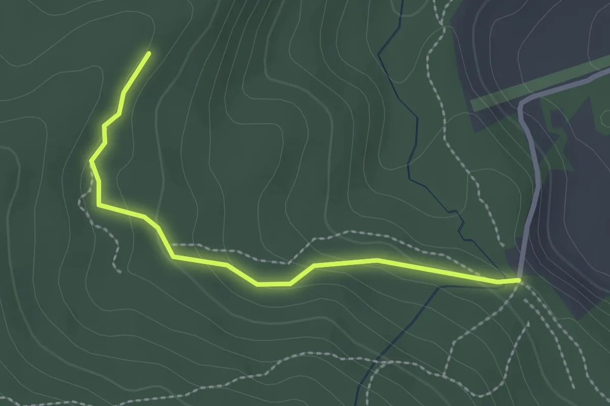
Easy · Trail
Marchweg Pt. 1105 - Stafelalp
2.3 km · ↑ 122 m · 49 min · 12 km away
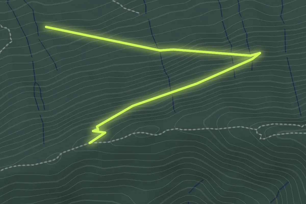
Easy · Trail
Schafegg – Buechschacheboden
3.0 km · ↑ 207 m · 1 h 10 min · 12 km away
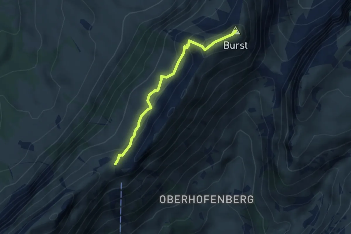
Demanding · Summit
Burst – Schneide
3.4 km · ↑ 279 m · 1 h 25 min · 12 km away
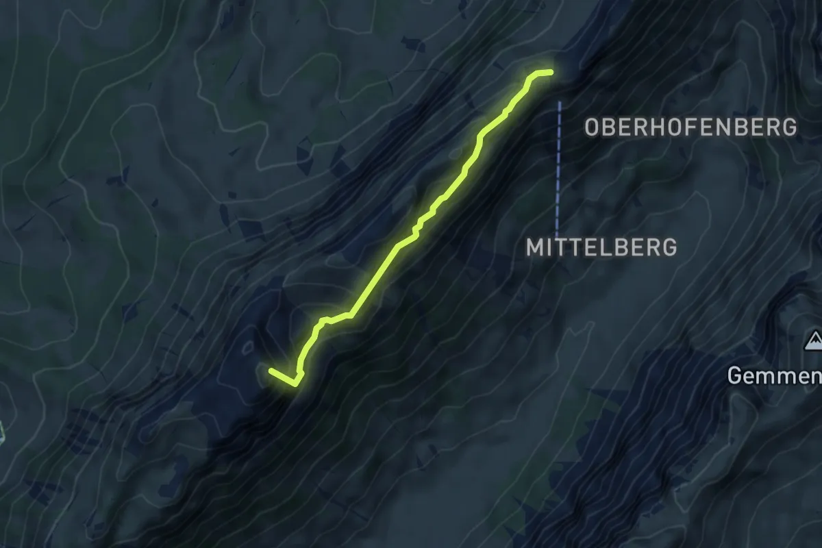
Demanding · Summit
Schneide – Schafloch
4.7 km · ↑ 517 m · 2 h 13 min · 12 km away
Easy · Summit
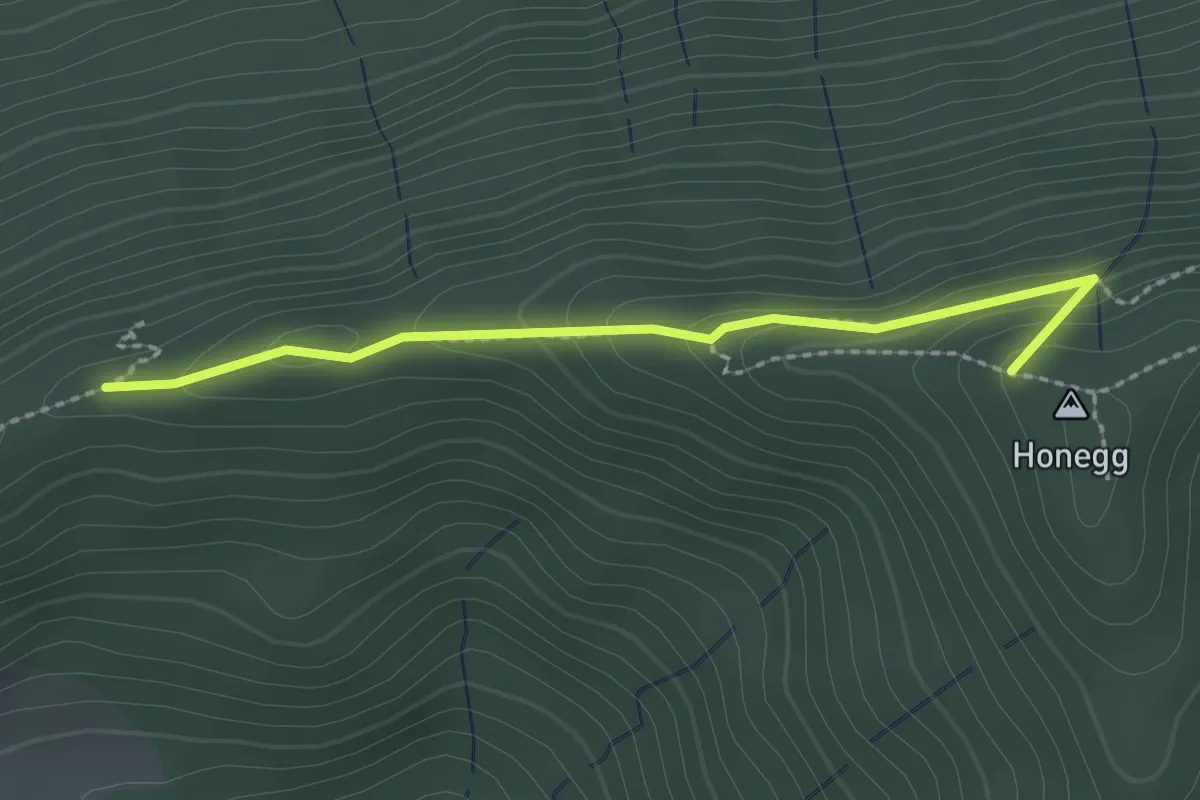
Schafegg – Honegg
2.2 km · ↑ 104 m · 44 min · 12 km away
Easy · Trail
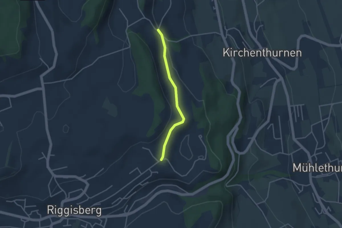
Uf der Mur – Eybrunne
2.6 km · ↑ 78 m · 47 min · 12 km away
Easy · Summit
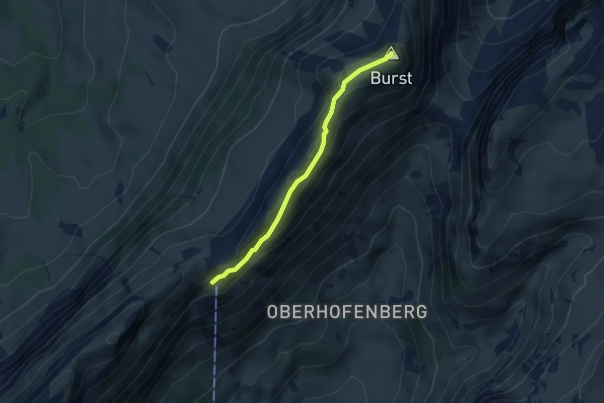
Schäferhüttli – Burst
3.1 km · ↑ 188 m · 1 h 9 min · 12 km away
Demanding · Trail
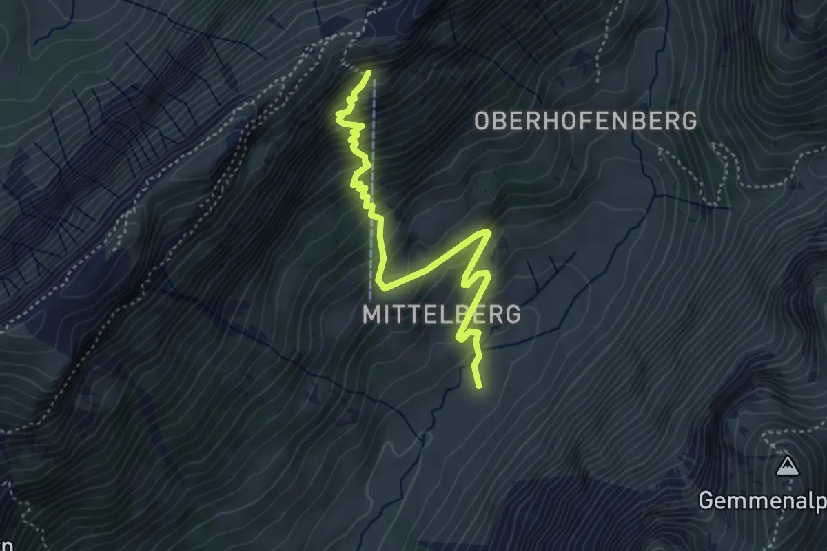
Gross Mittelberg – Schäferhüttli
4.3 km · ↑ 491 m · 2 h 4 min · 12 km away
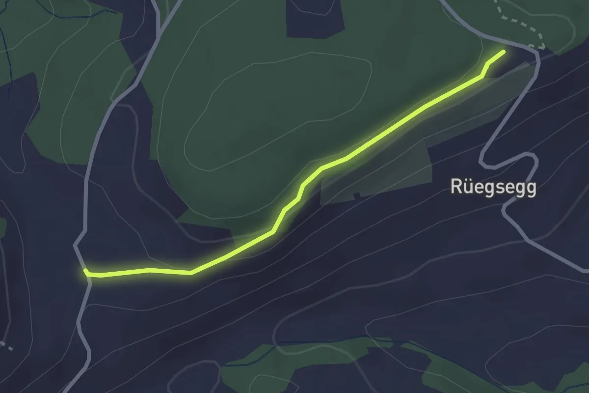
Easy · Trail
Chuderhüsi – Müliseile
2.4 km · ↑ 58 m · 41 min · 12 km away
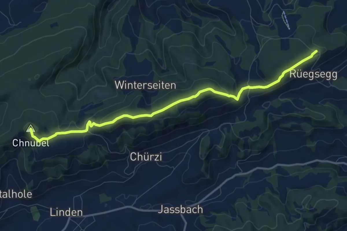
Medium · Summit
Chuderhüsi-Oberdiessbach
10.2 km · ↑ 321 m · 3 h 7 min · 12 km away
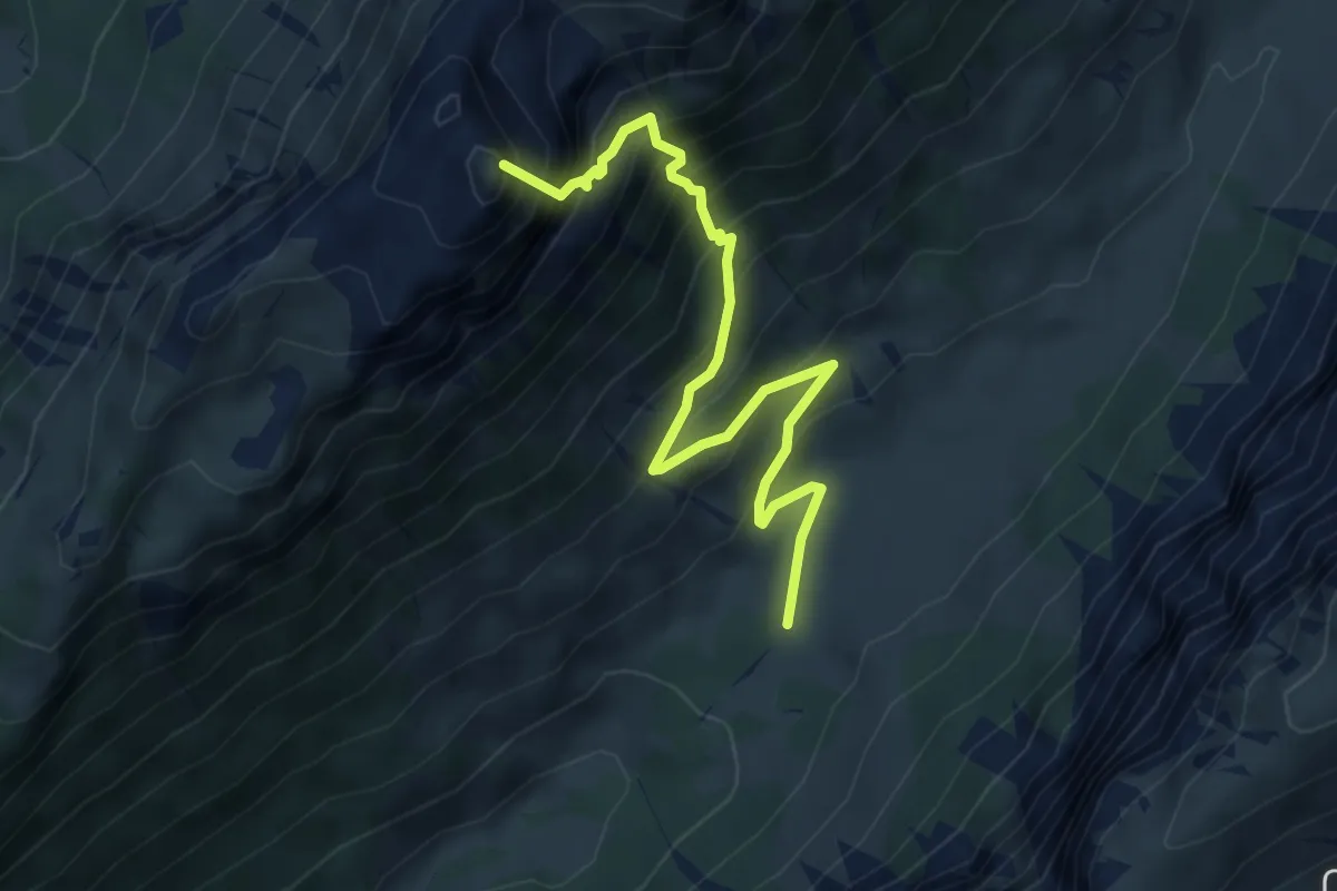
Demanding · Summit
Püfel – Schafloch
5.3 km · ↑ 679 m · 2 h 44 min · 13 km away
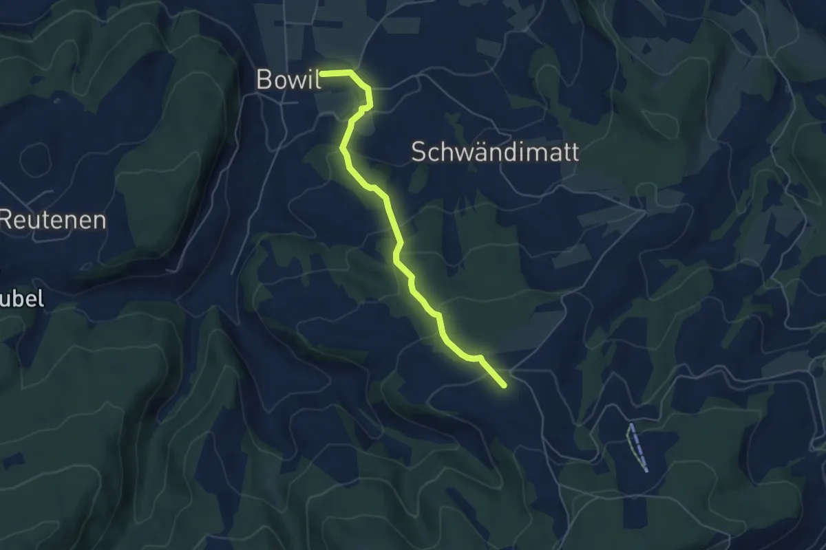
Easy · Trail
Bowil – Meienried
4.9 km · ↑ 279 m · 1 h 46 min · 13 km away
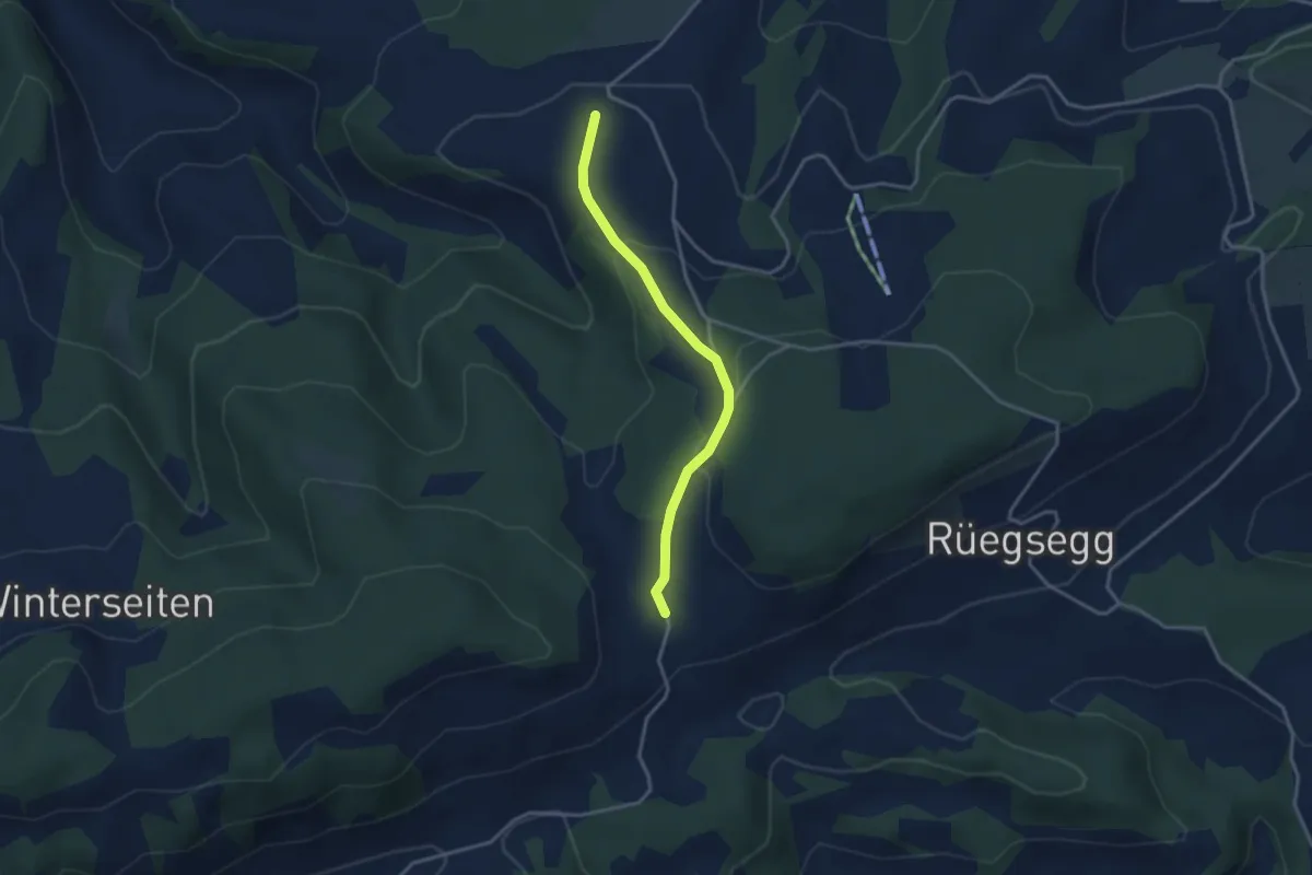
Easy · Trail
Müliseile – Meieried
3.1 km · ↑ 116 m · 59 min · 13 km away
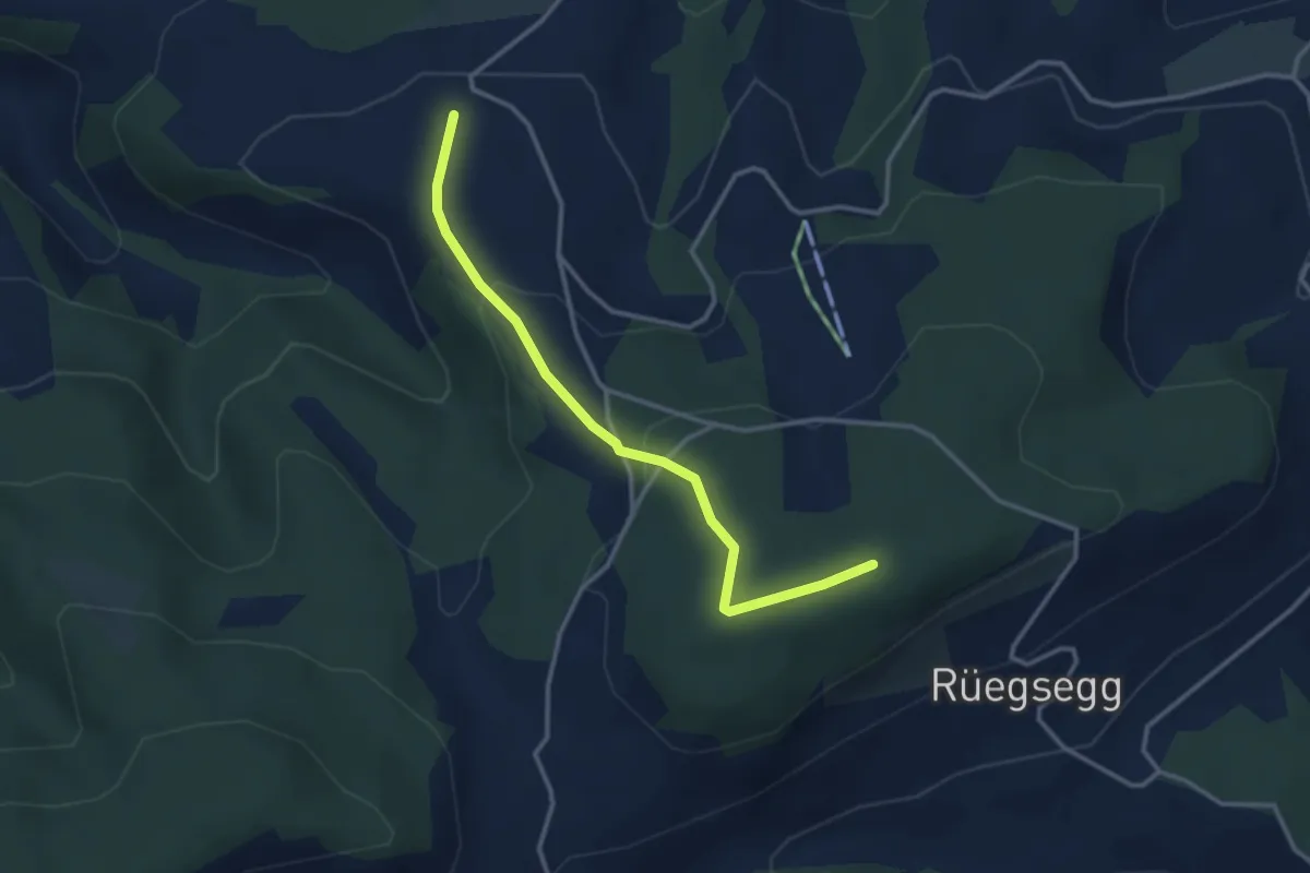
Easy · Trail
Goucherewald – Meieried
3.2 km · ↑ 143 m · 1 h 4 min · 13 km away
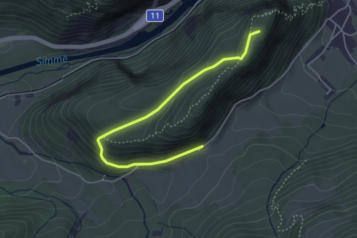
Demanding · Summit
Wimmis – Burgfluh
3.9 km · ↑ 208 m · 1 h 23 min · 13 km away
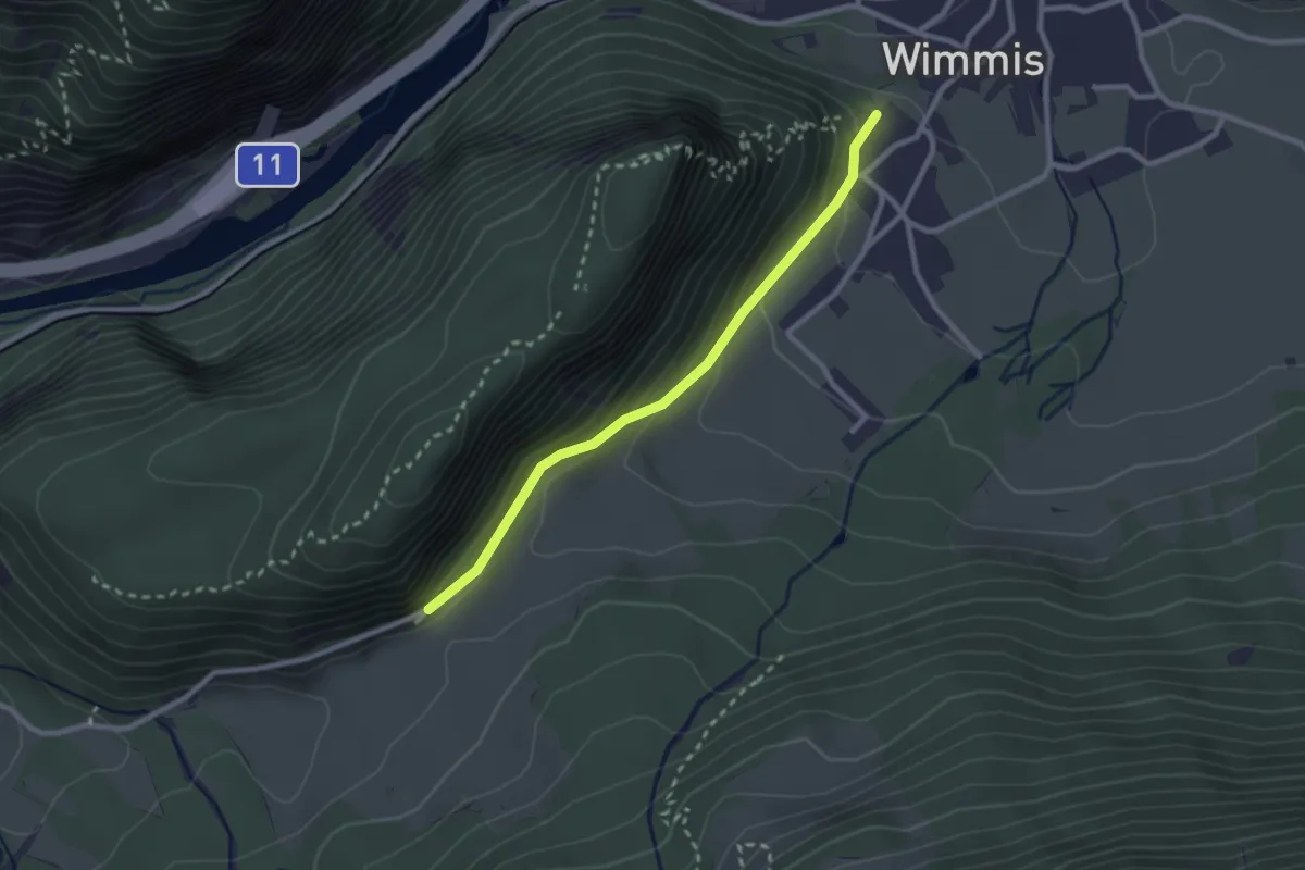
Easy · Trail
Wimmis/Schloss - Spissi
2.4 km · ↑ 145 m · 53 min · 13 km away
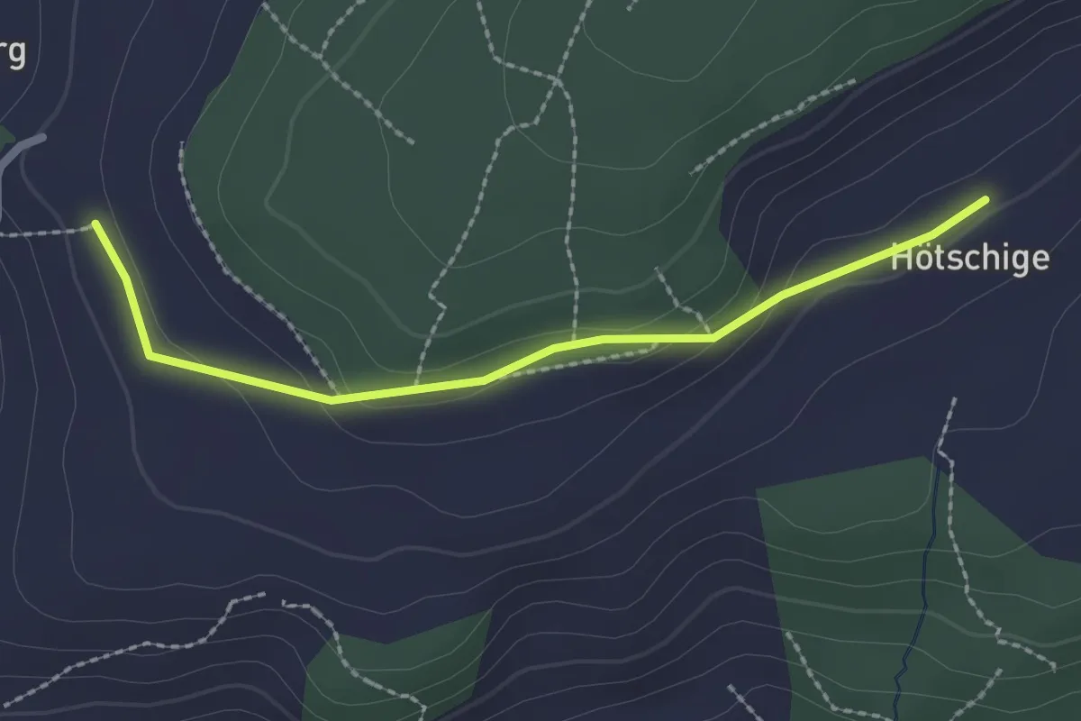
Easy · Trail
Ballenbüel – Ober Hötschige
2.2 km · ↑ 55 m · 38 min · 13 km away
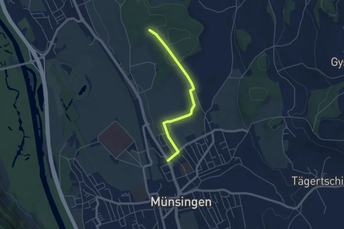
Easy · Trail
Münsingen – Schwandwald
4.4 km · ↑ 75 m · 1 h 12 min · 13 km away
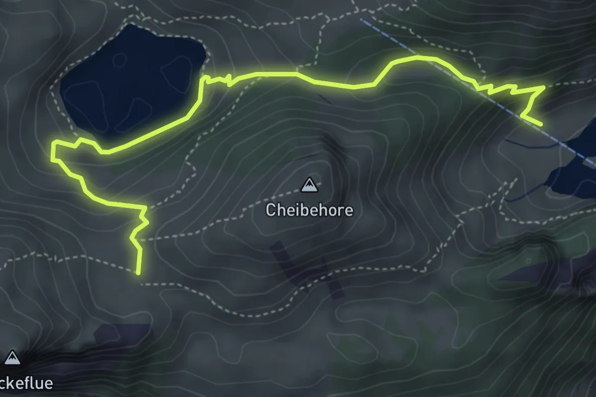
Medium · Trail
Hinterstockenalp – Vorderstockenalp
5.4 km · ↑ 310 m · 1 h 57 min · 13 km away
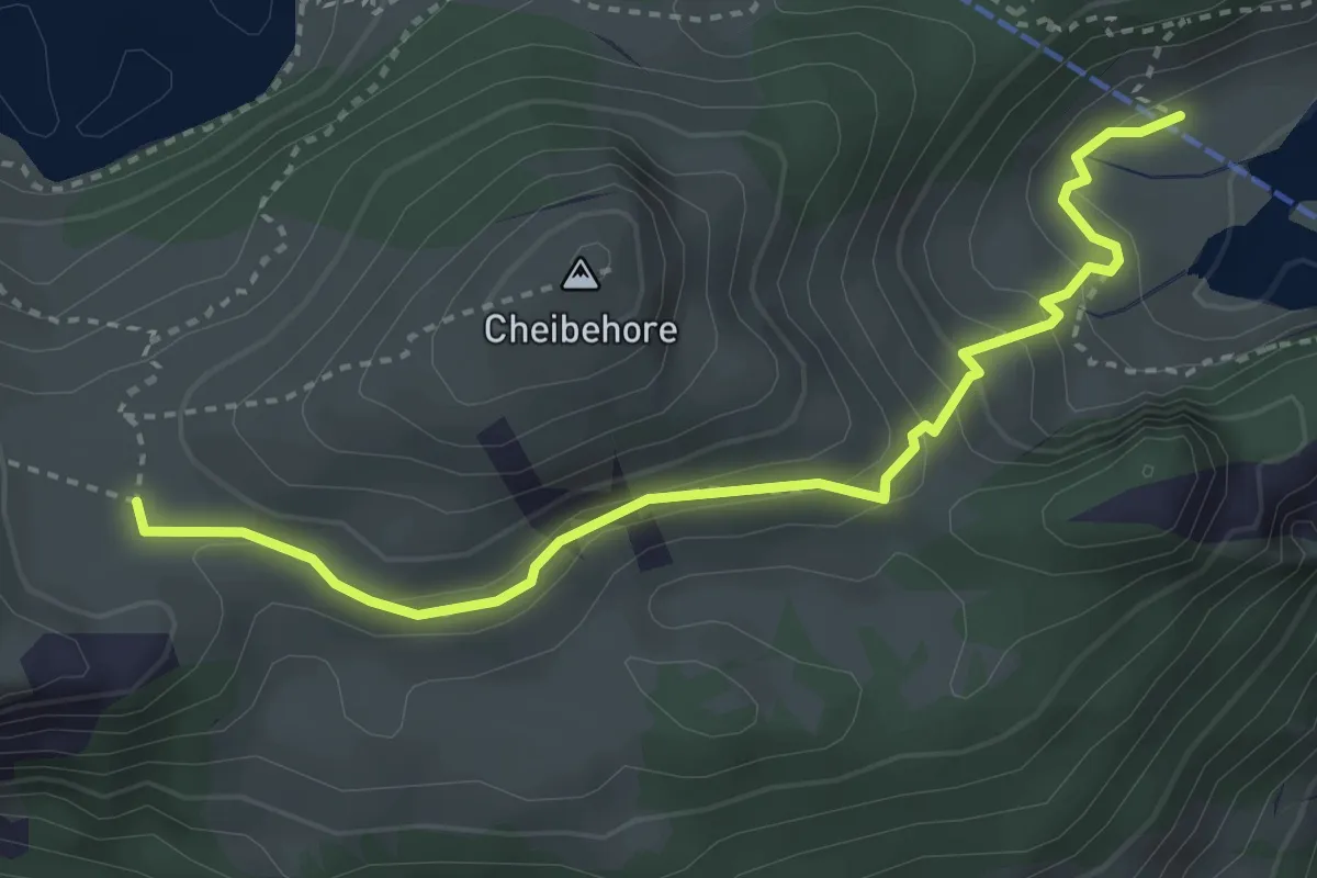
Medium · Trail
Vorderstockenalp – Hinterstockenalp
3.7 km · ↑ 214 m · 1 h 20 min · 13 km away
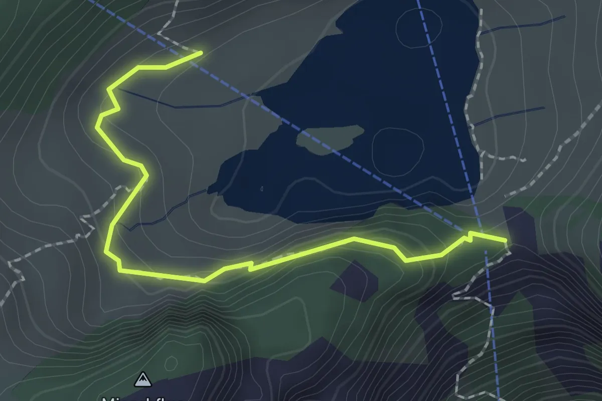
Easy · Trail
Hinterstockenalp – Chrindri
2.1 km · ↑ 148 m · 49 min · 13 km away
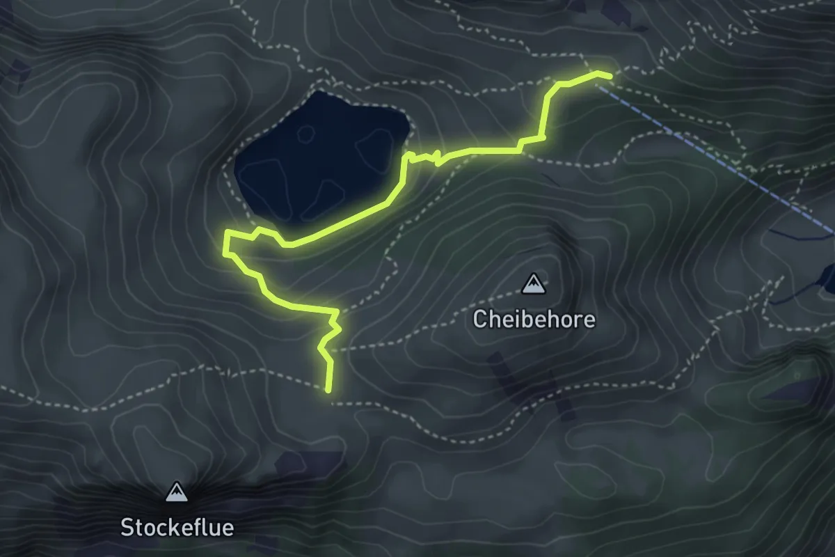
Medium · Trail
Vorderstockenalp – Oberstockenalp
4.0 km · ↑ 231 m · 1 h 26 min · 13 km away
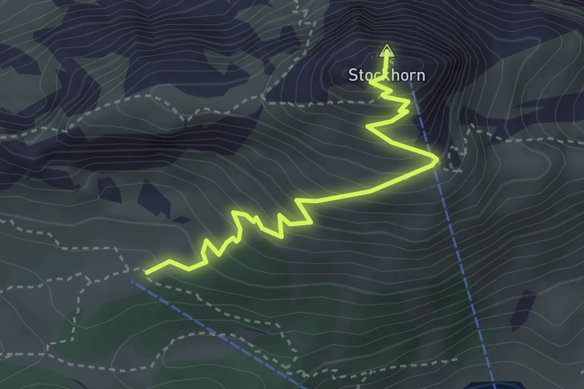
Medium · Summit
Oberstockenalp – Stockhorn
3.3 km · ↑ 367 m · 1 h 34 min · 13 km away
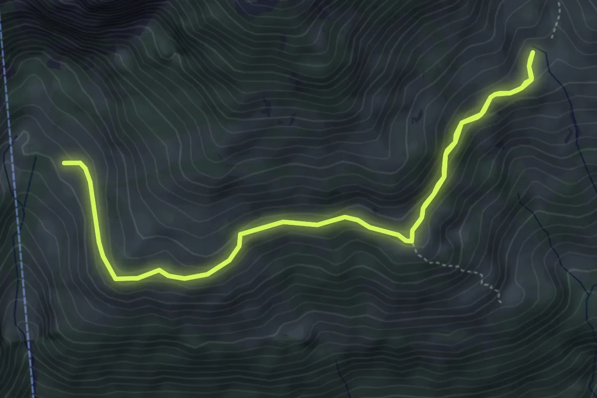
Medium · Trail
Oberchlusi – Spitelnacki
7.1 km · ↑ 368 m · 2 h 28 min · 13 km away
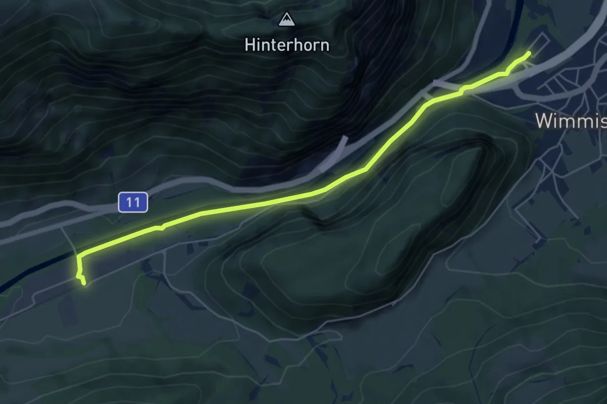
Easy · Trail
Burgholz – Wimmis
5.8 km · ↑ 71 m · 1 h 31 min · 13 km away
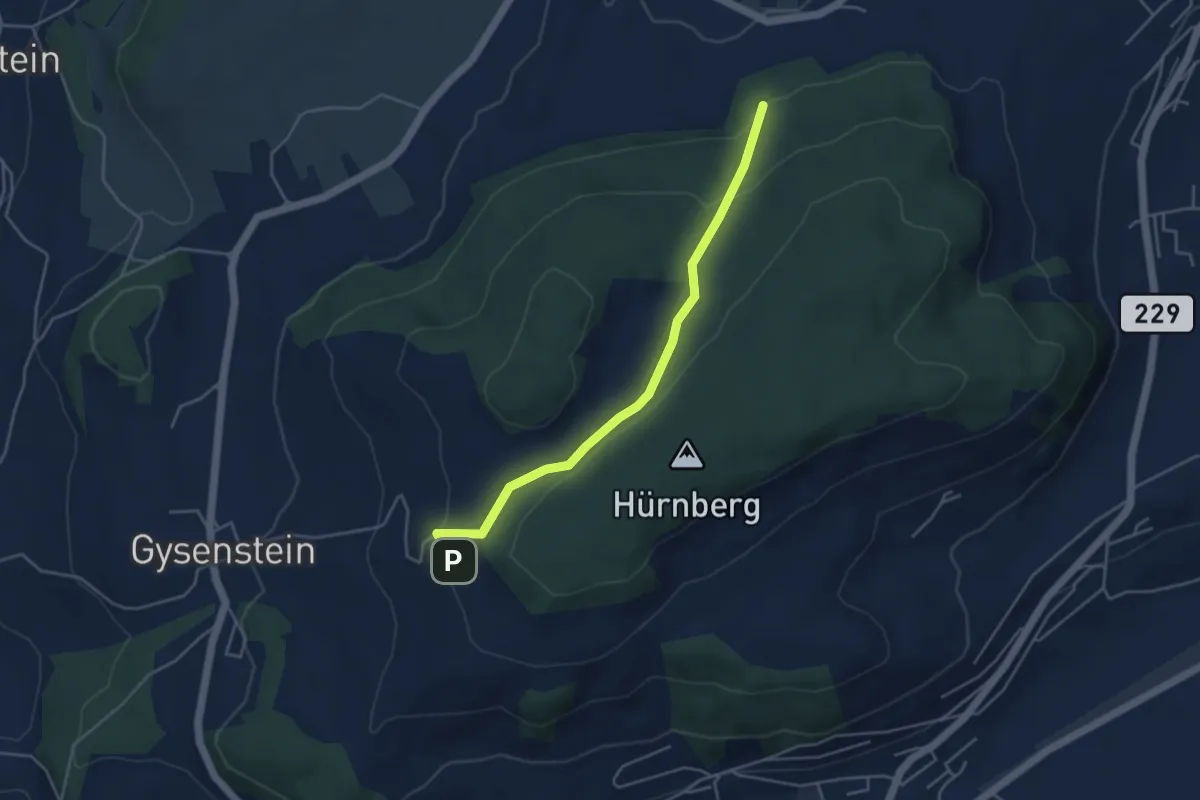
Easy · Trail
Ballenbühl – Schattacherwald
4.2 km · ↑ 130 m · 1 h 17 min · 13 km away
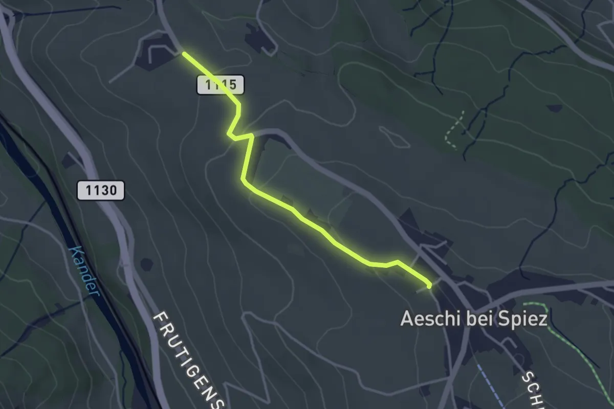
Easy · Trail
Aeschi – Bühlen
3.1 km · ↑ 73 m · 54 min · 13 km away
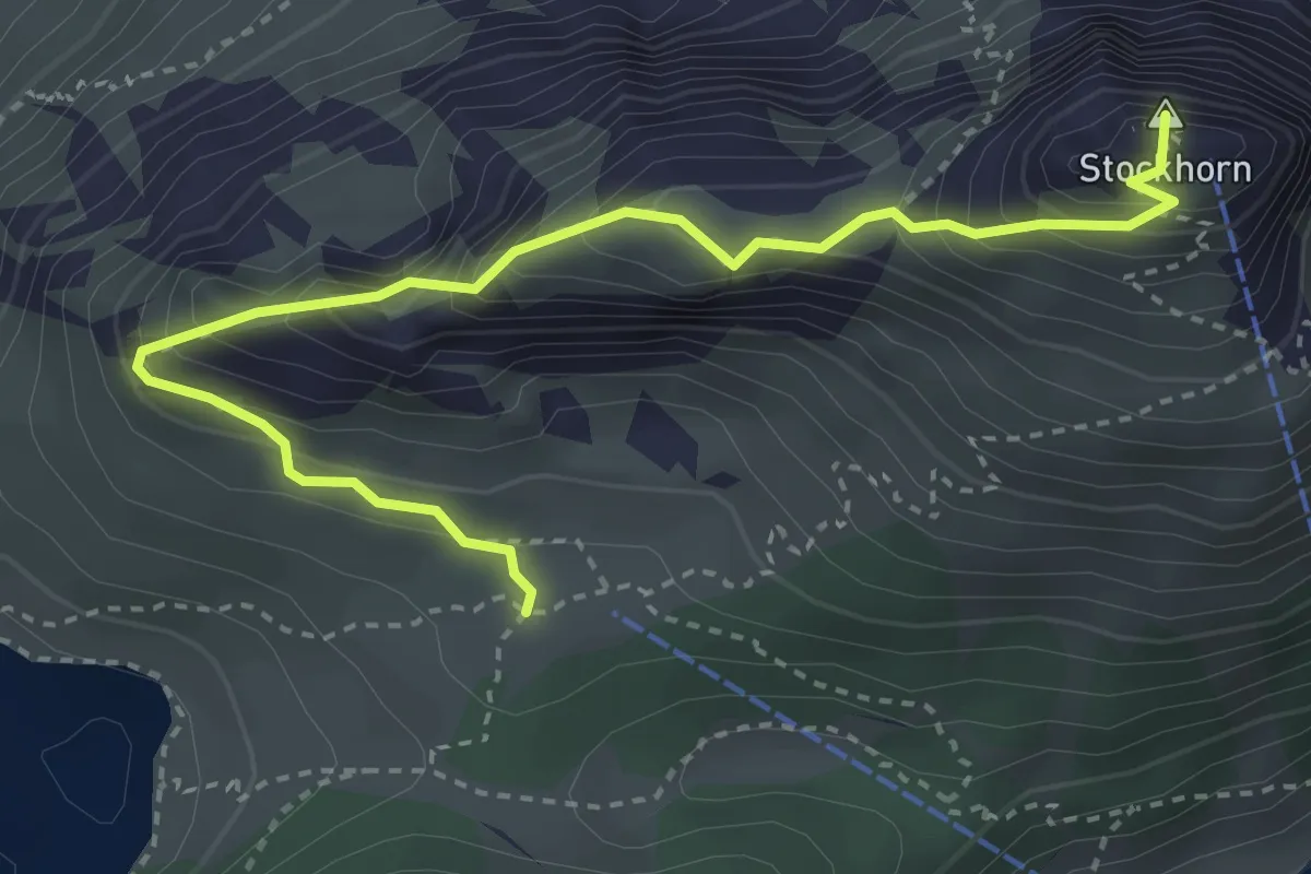
Demanding · Summit
Stockhorn – Oberstockenalp
3.9 km · ↑ 392 m · 1 h 46 min · 13 km away
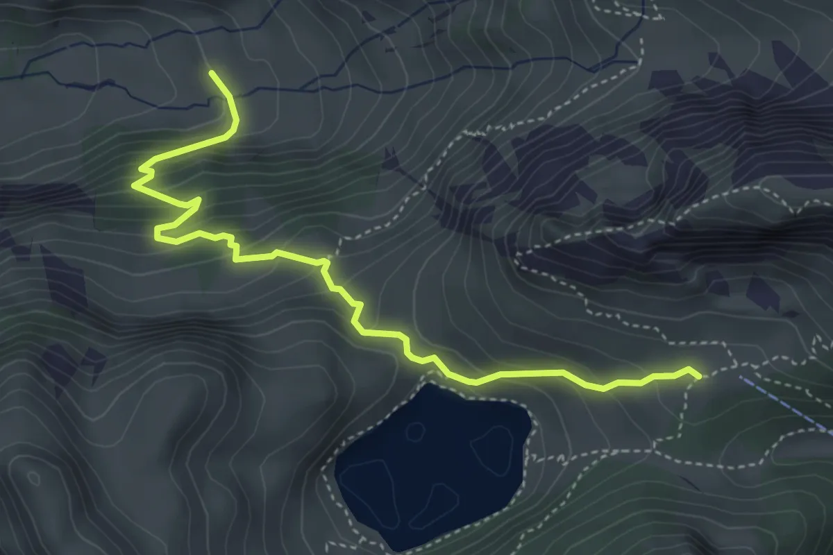
Demanding · Trail
Oberstackenalp – Unterwalalp
4.6 km · ↑ 385 m · 1 h 56 min · 13 km away
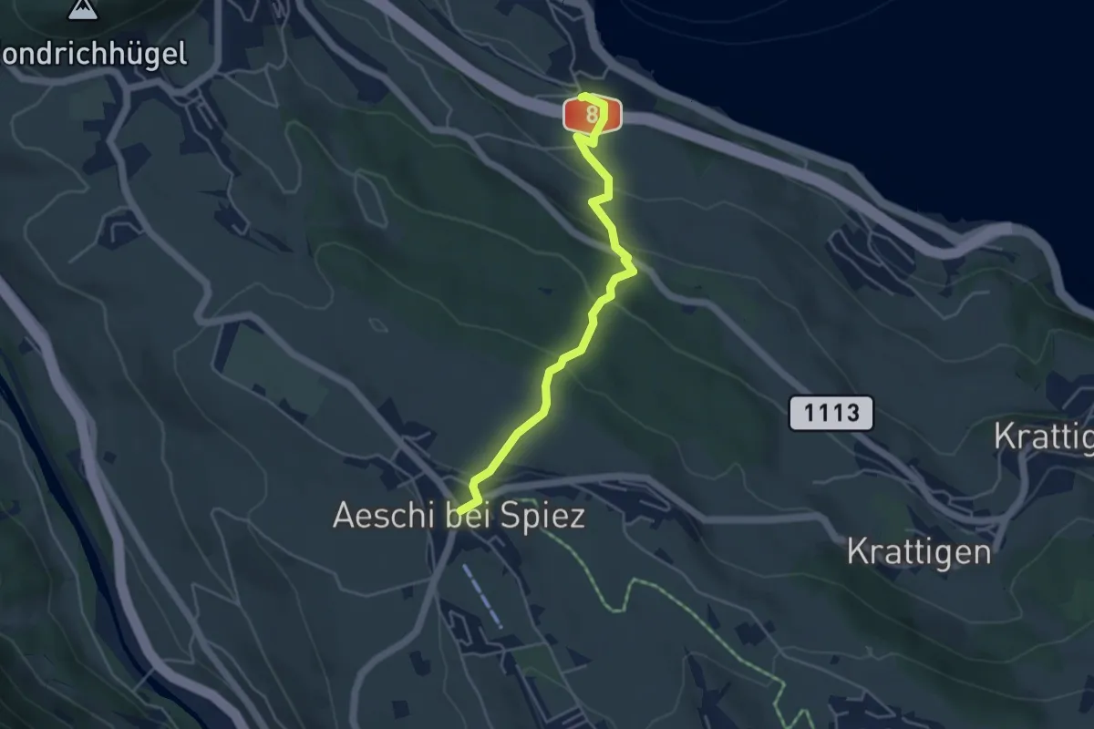
Easy · Trail
Aeschi – Faulensee
4.3 km · ↑ 261 m · 1 h 35 min · 13 km away
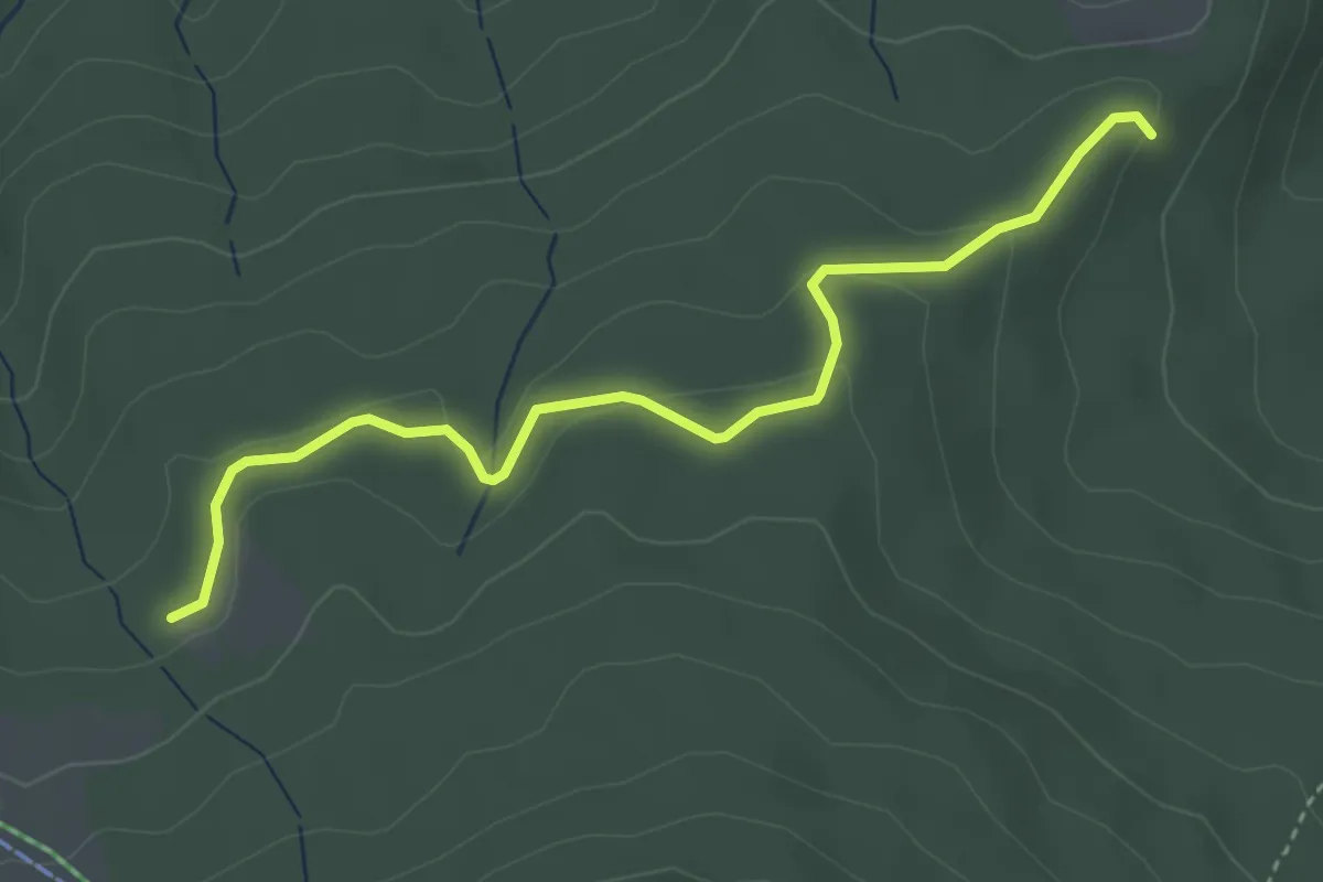
Easy · Trail
Tscharner - Marchweg Pt. 1105
3.7 km · ↑ 132 m · 1 h 10 min · 13 km away
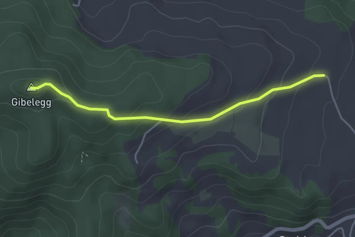
Easy · Summit
Plötschweid - Gibelegg
3.4 km · ↑ 145 m · 1 h 7 min · 13 km away
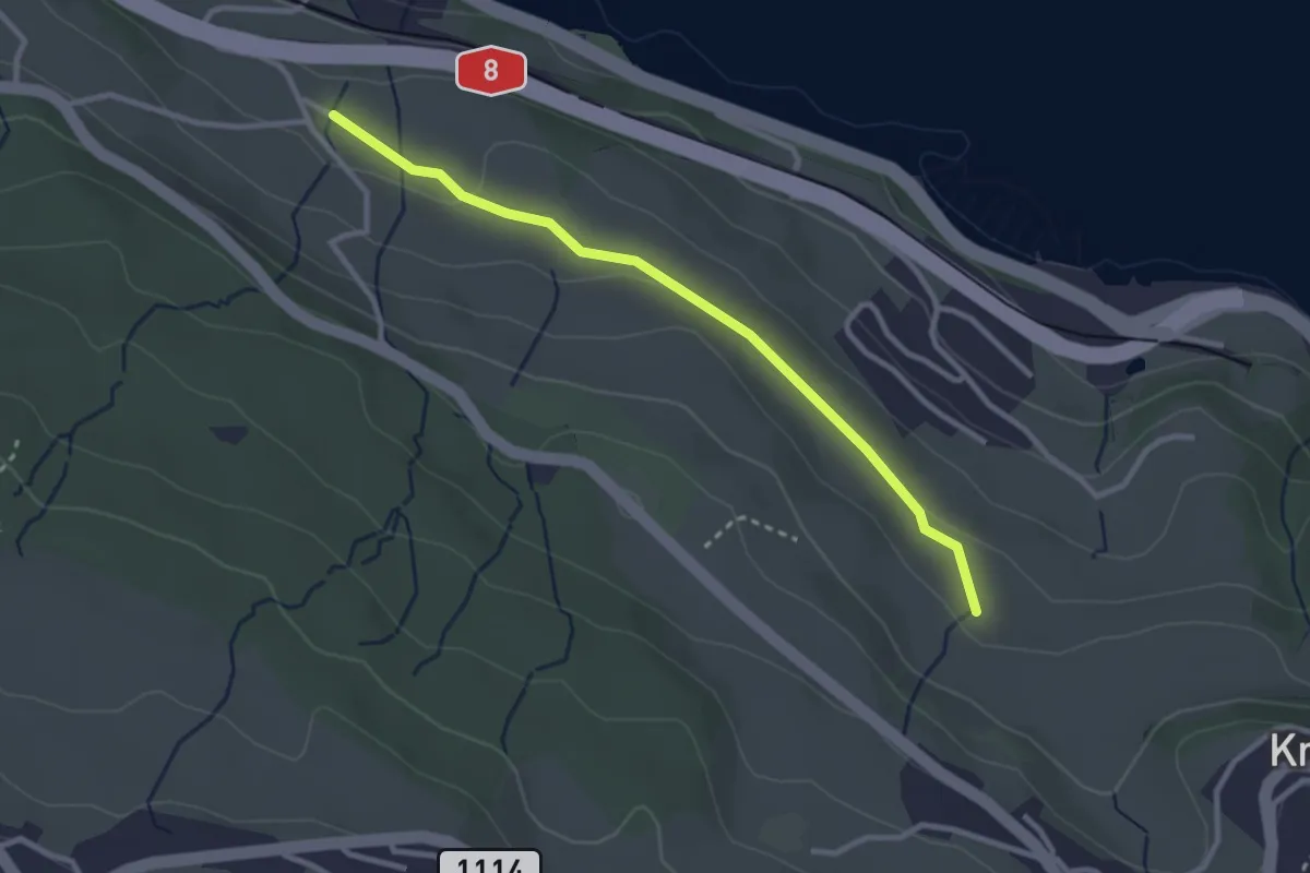
Easy · Trail
Schüpfgasse – Allmend
2.9 km · ↑ 45 m · 46 min · 13 km away
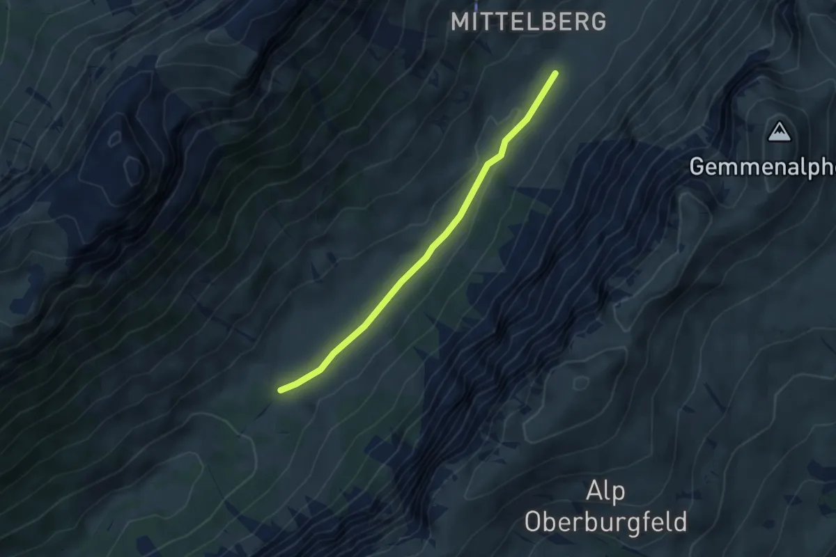
Easy · Trail
Püfel – Gross Mittelberg
3.7 km · ↑ 54 m · 59 min · 13 km away
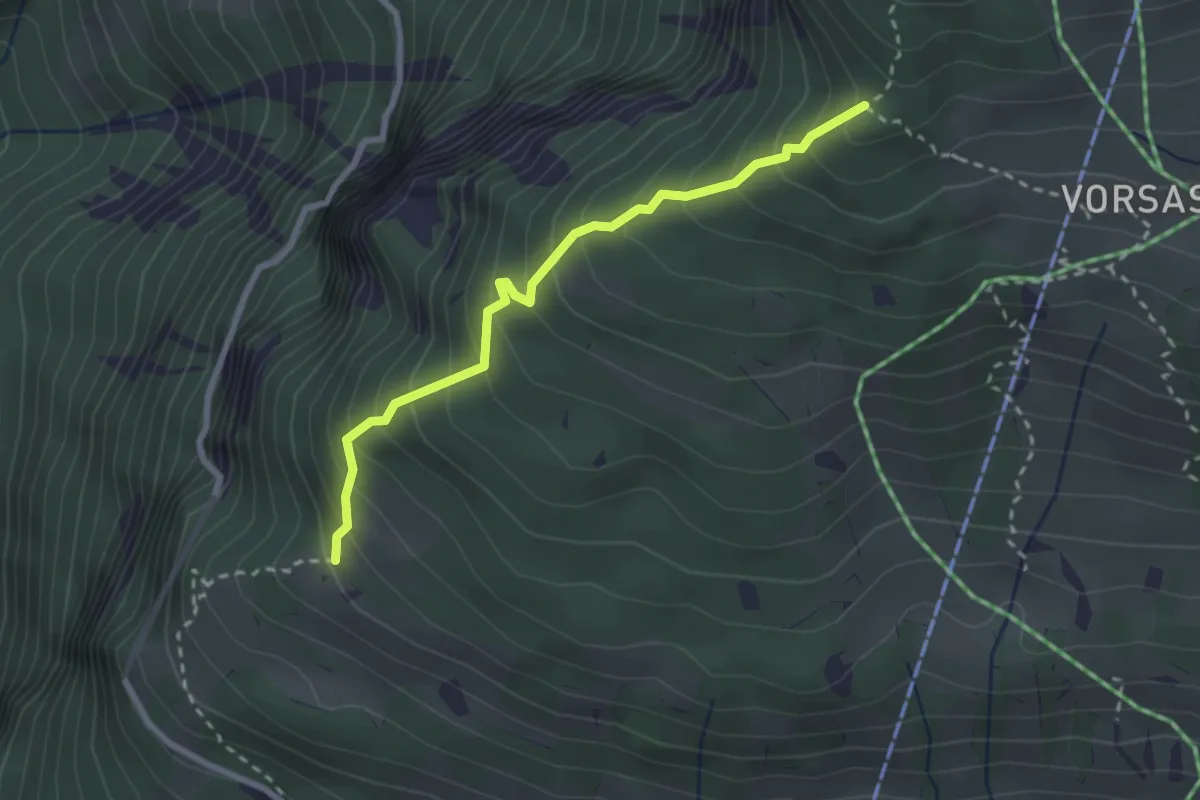
Medium · Trail
Habernlegi - Vorsass Türli
2.6 km · ↑ 332 m · 1 h 19 min · 13 km away
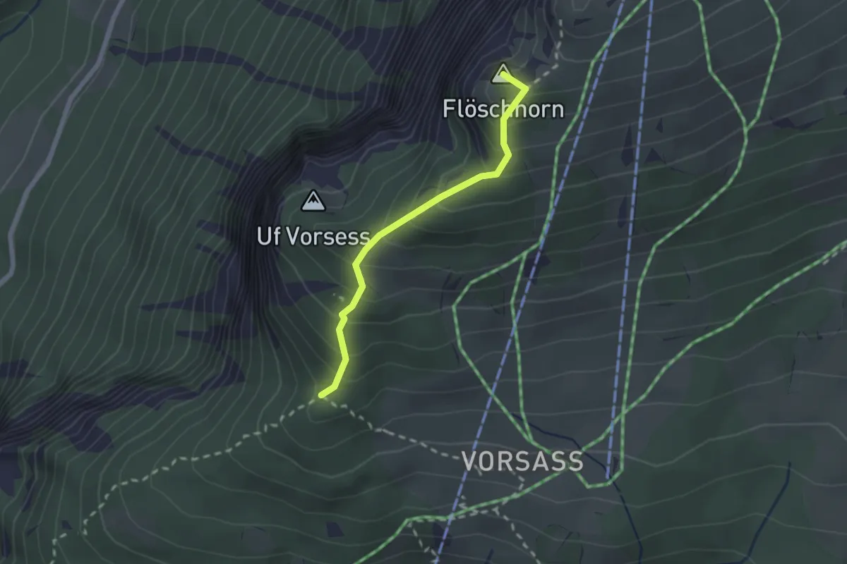
Medium · Summit
Vorsass Türli – Niederhorn
1.9 km · ↑ 217 m · 55 min · 13 km away
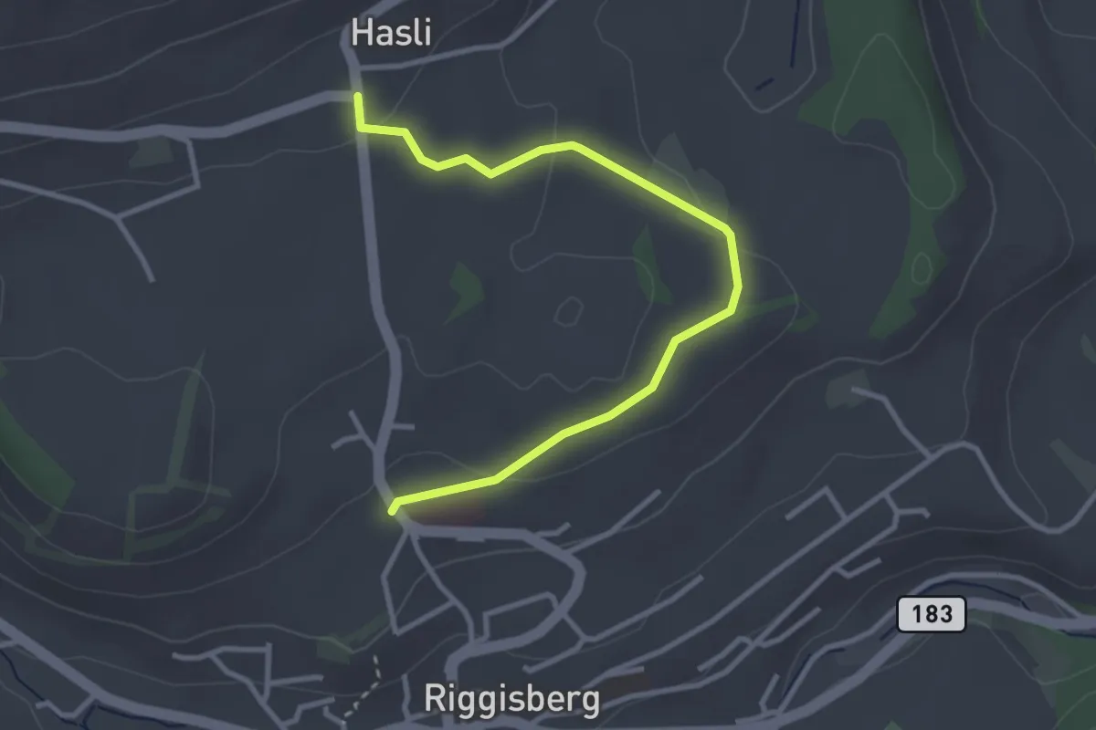
Easy · Trail
Riggisberg / Staudengasse – Hasli
3.4 km · ↑ 103 m · 1 h 1 min · 13 km away
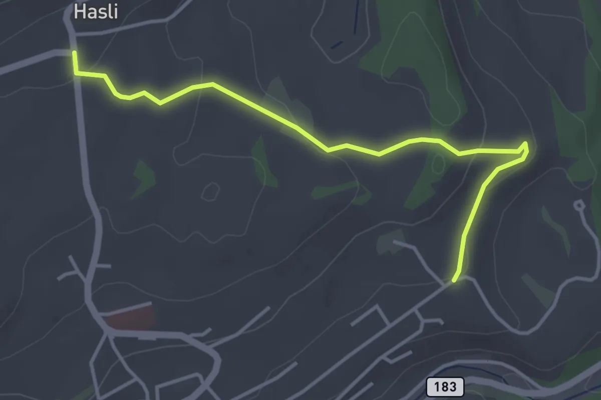
Easy · Trail
Hasli – Eybrunnen
3.8 km · ↑ 115 m · 1 h 9 min · 13 km away
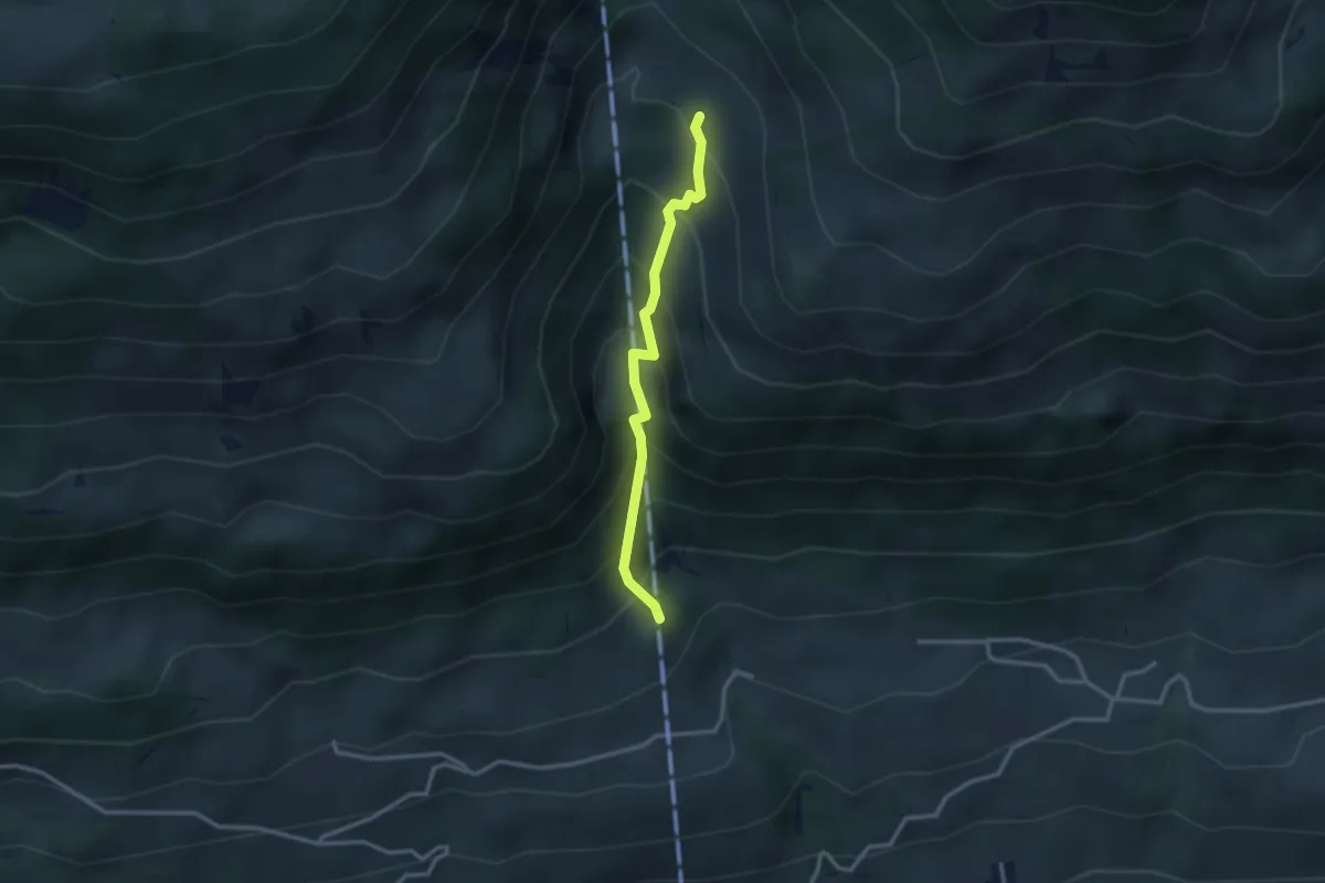
Medium · Trail
Oberberg – Oberschlusi
2.6 km · ↑ 328 m · 1 h 19 min · 13 km away
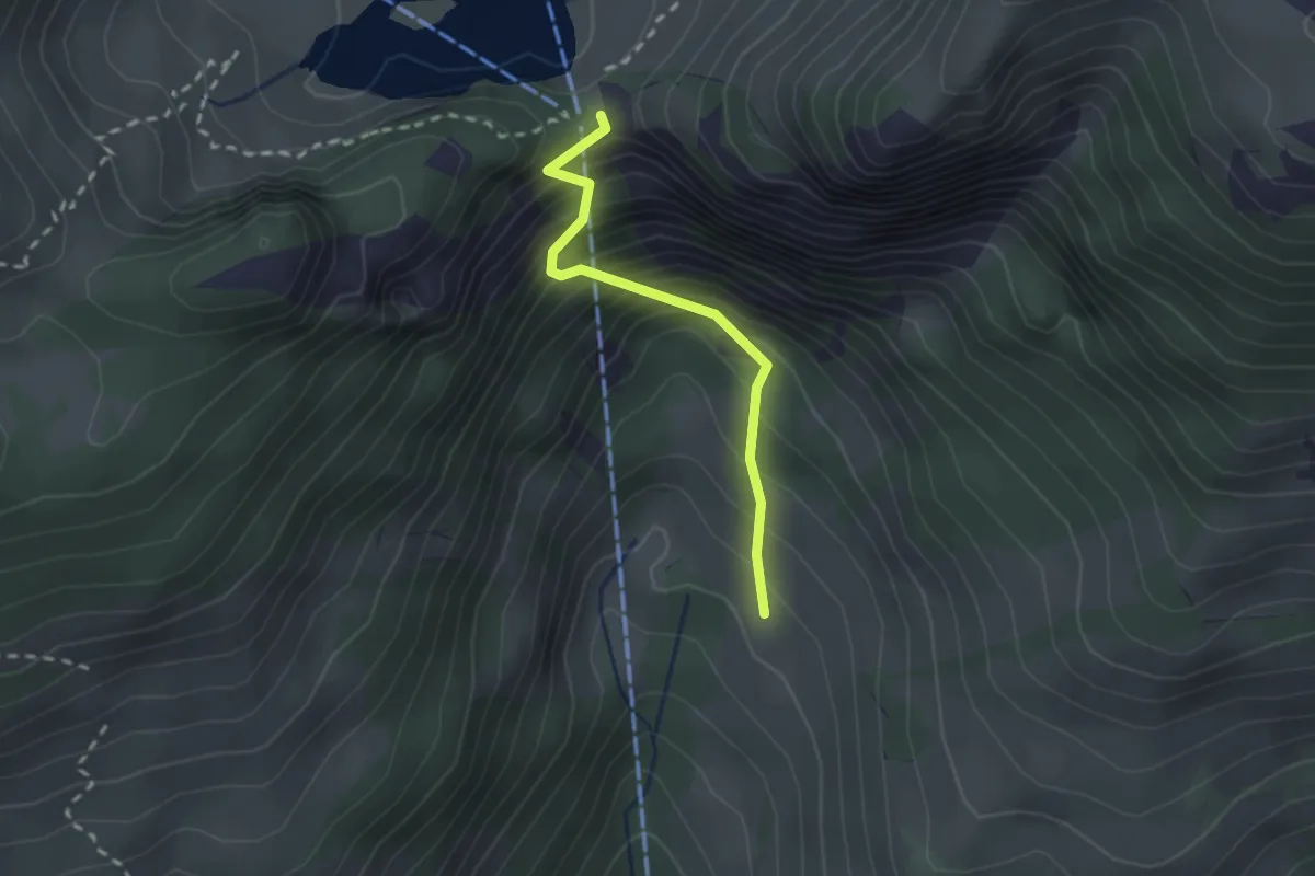
Easy · Trail
Oberschlusi – Chrindi
2.0 km · ↑ 313 m · 1 h 9 min · 13 km away
Easy · Trail
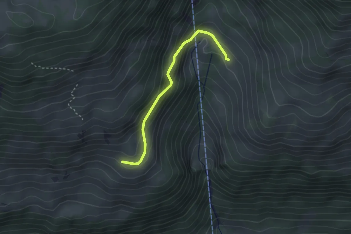
Rosenegg – Ober Klusi
2.5 km · ↑ 161 m · 57 min · 13 km away
Easy · Trail
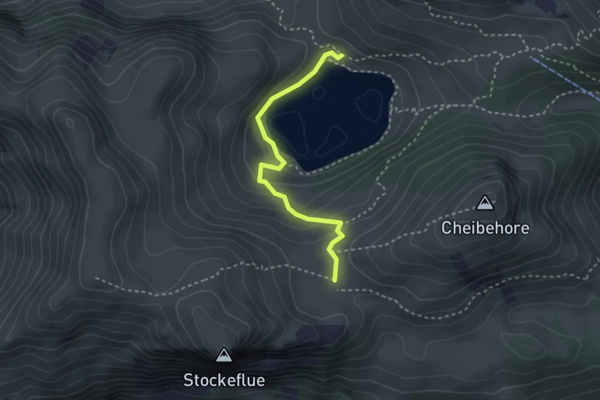
Vorderstockenalp – Walalp
2.7 km · ↑ 171 m · 1 h · 13 km away
Medium · Trail
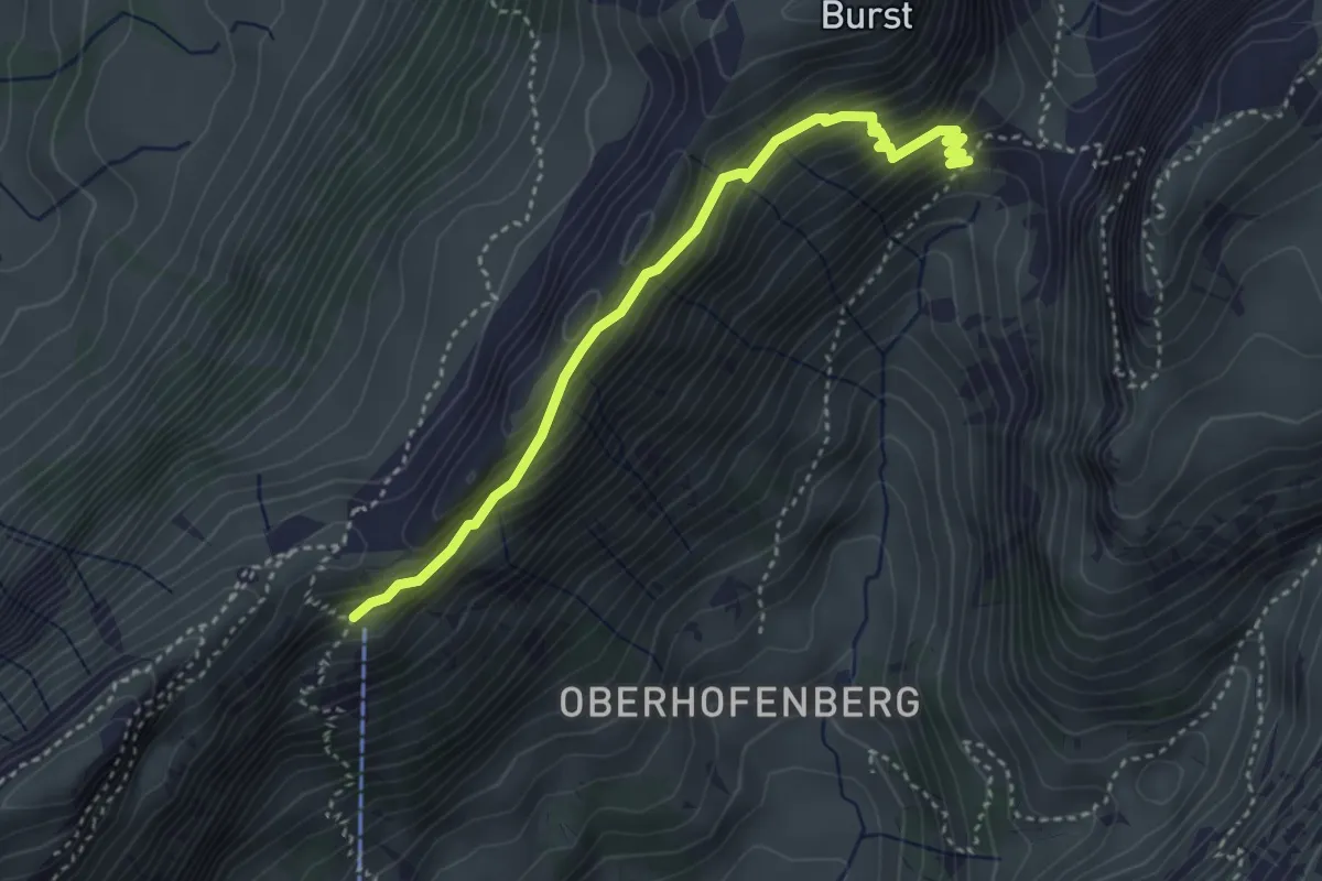
Schäferhüttli - fixme
3.6 km · ↑ 329 m · 1 h 34 min · 13 km away
Easy · Trail
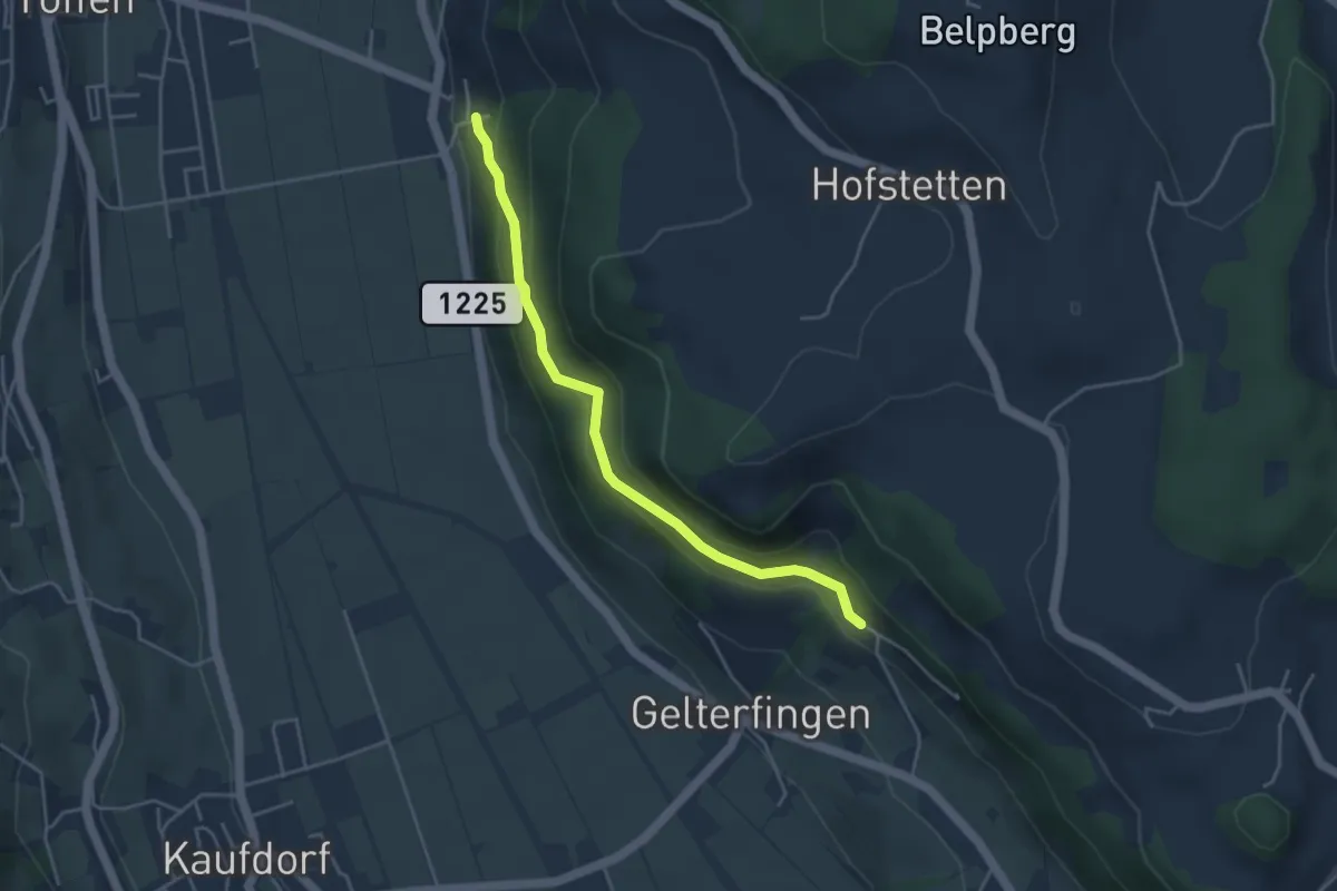
Heitern - Chramburg
4.0 km · ↑ 198 m · 1 h 23 min · 13 km away
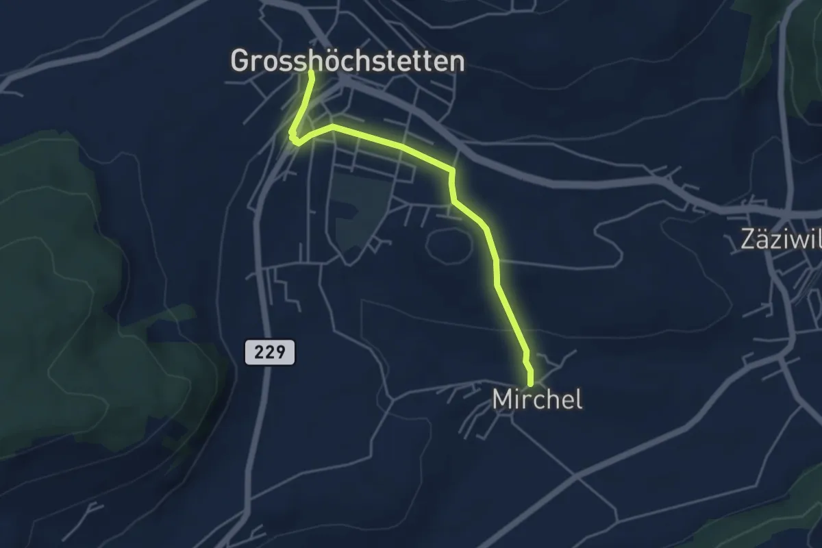
Easy · Trail
Grosshöchstetten – Mirchel
3.9 km · ↑ 89 m · 1 h 7 min · 13 km away
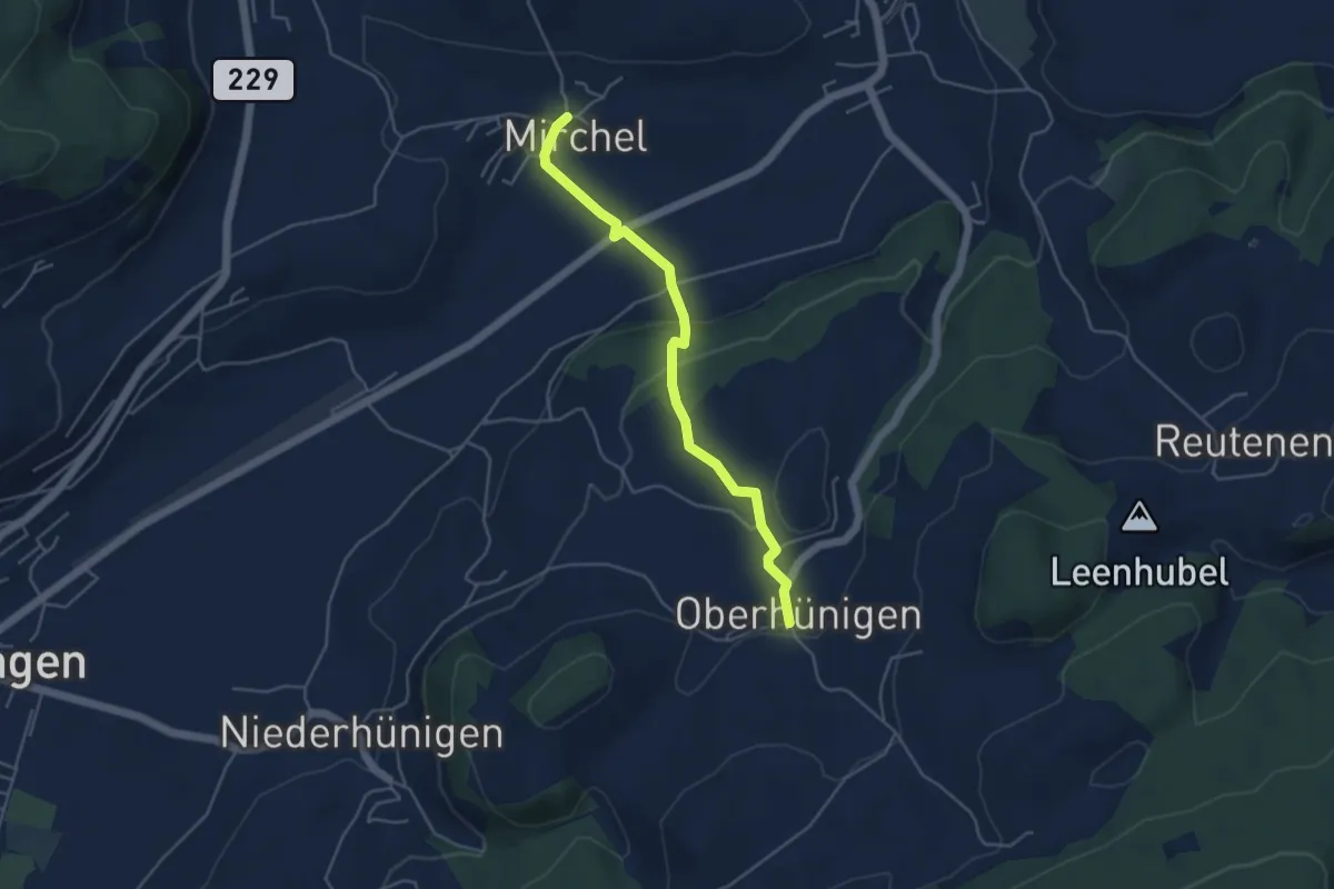
Easy · Trail
Oberhünigen – Mirchel
4.4 km · ↑ 136 m · 1 h 20 min · 13 km away
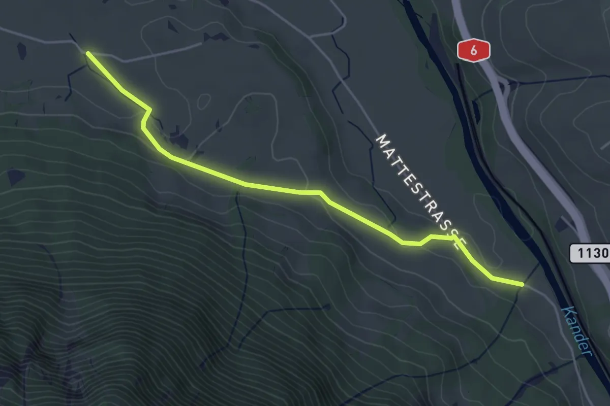
Easy · Trail
Rossweid – Hasli
4.4 km · ↑ 82 m · 1 h 12 min · 13 km away
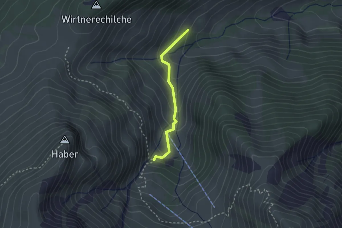
Easy · Trail
Alp Langenegg – Alp Blattenheid
2.0 km · ↑ 169 m · 51 min · 13 km away