Trails near Thun
435 hikes starting within 15 km, nearest first.
Nearest first, page 1 of 10
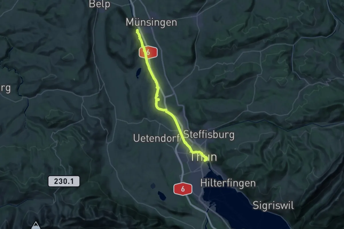
Medium · Trail
ViaBerna Etappe 10
16.6 km · ↑ 173 m · 4 h 33 min · under 1 km away
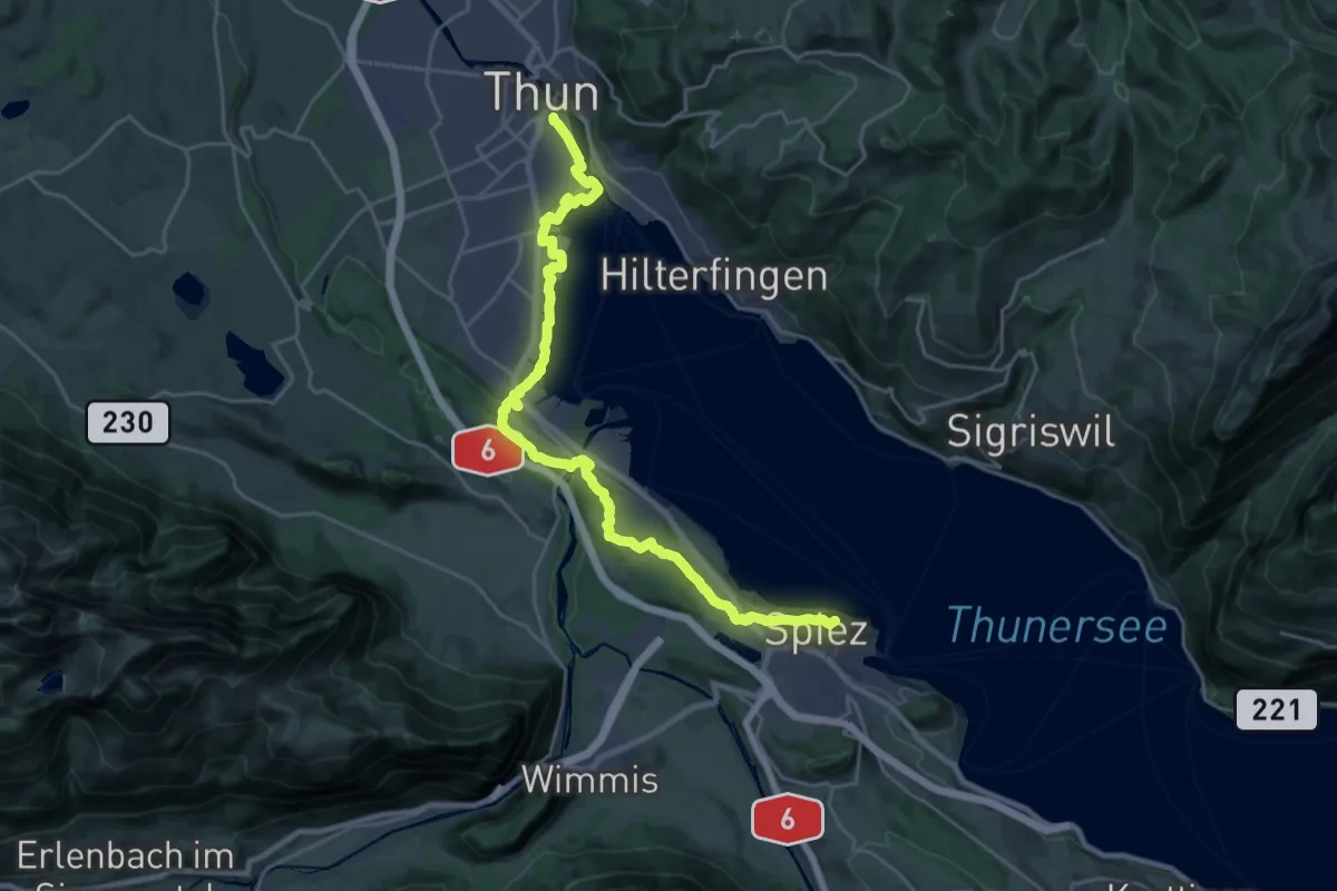
Demanding · Summit
ViaBerna Etappe 11
25.7 km · ↑ 339 m · 6 h 49 min · under 1 km away
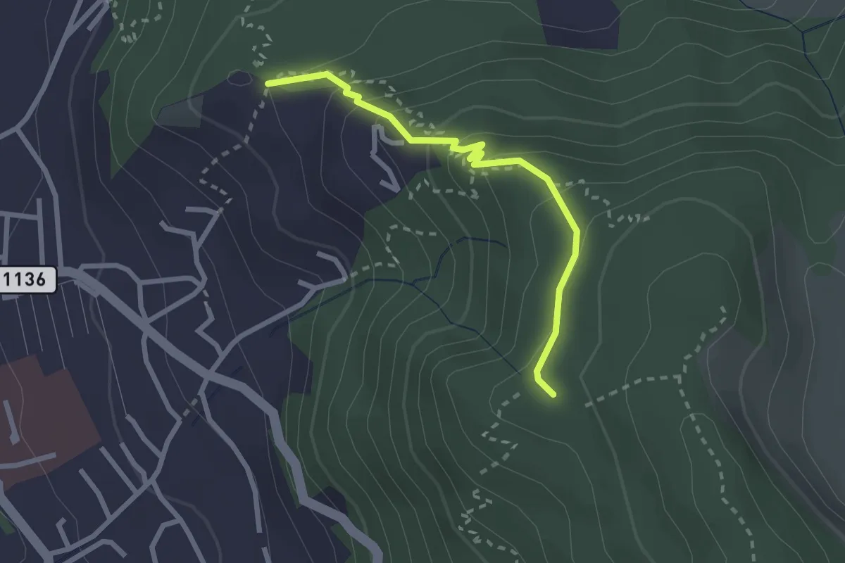
Easy · Trail
Brändisberg – Rabenflue
2.3 km · ↑ 169 m · 55 min · 1 km away
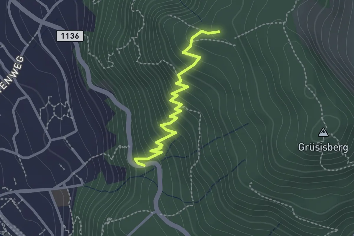
Easy · Trail
Rabenflue – Vogelsang
2.3 km · ↑ 295 m · 1 h 11 min · 1 km away
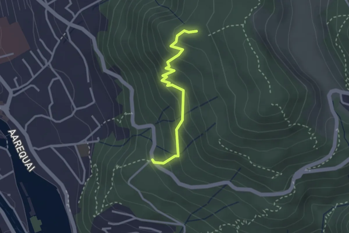
Easy · Trail
Rabenflue – Wartboden
2.3 km · ↑ 233 m · 1 h 4 min · 1 km away
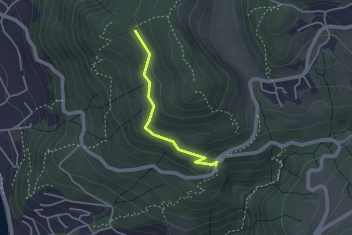
Easy · Trail
Scheidweg – Blockhaus
2.3 km · ↑ 95 m · 44 min · 1 km away
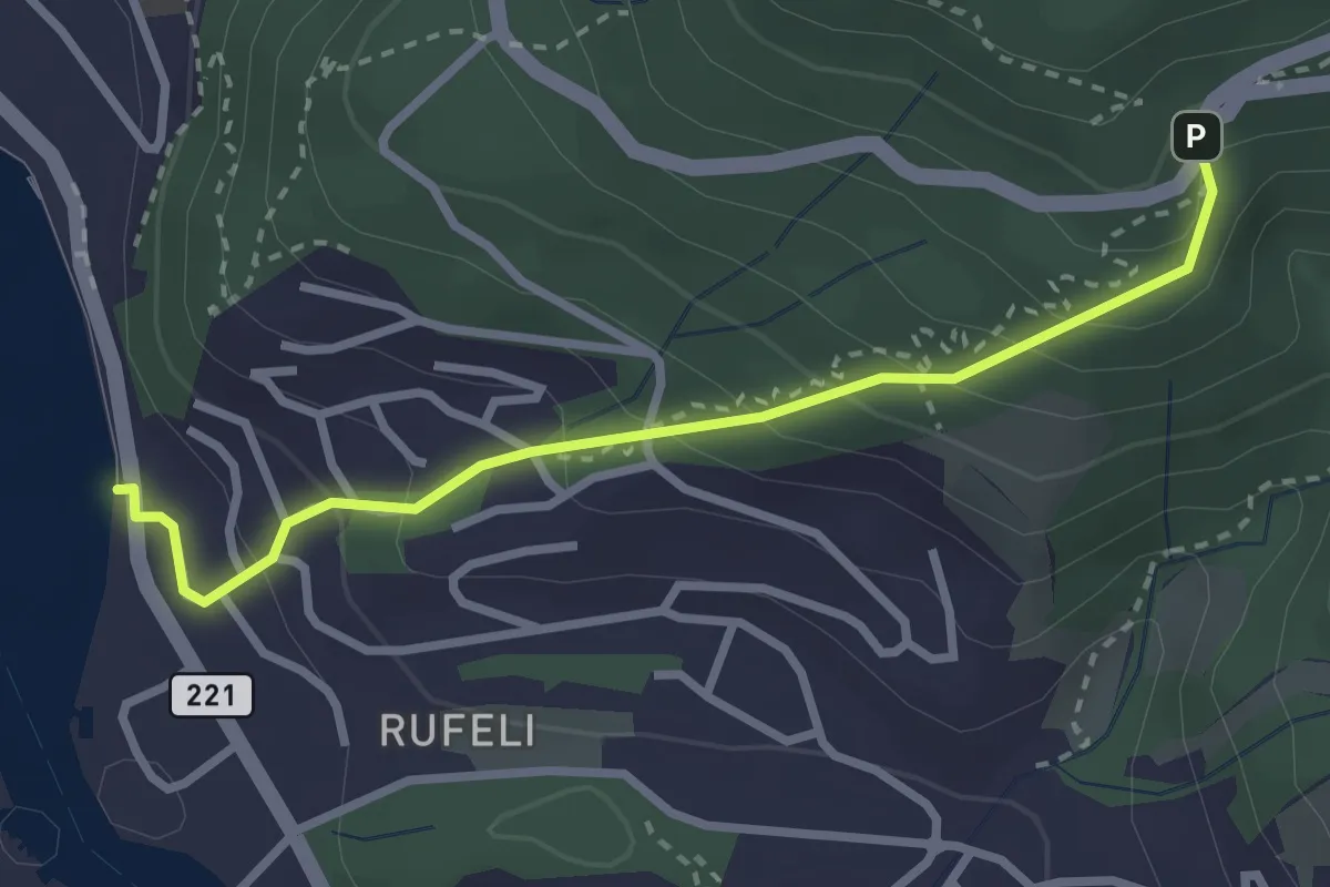
Easy · Trail
Bächimatt – Scheidweg
2.8 km · ↑ 255 m · 1 h 13 min · 2 km away
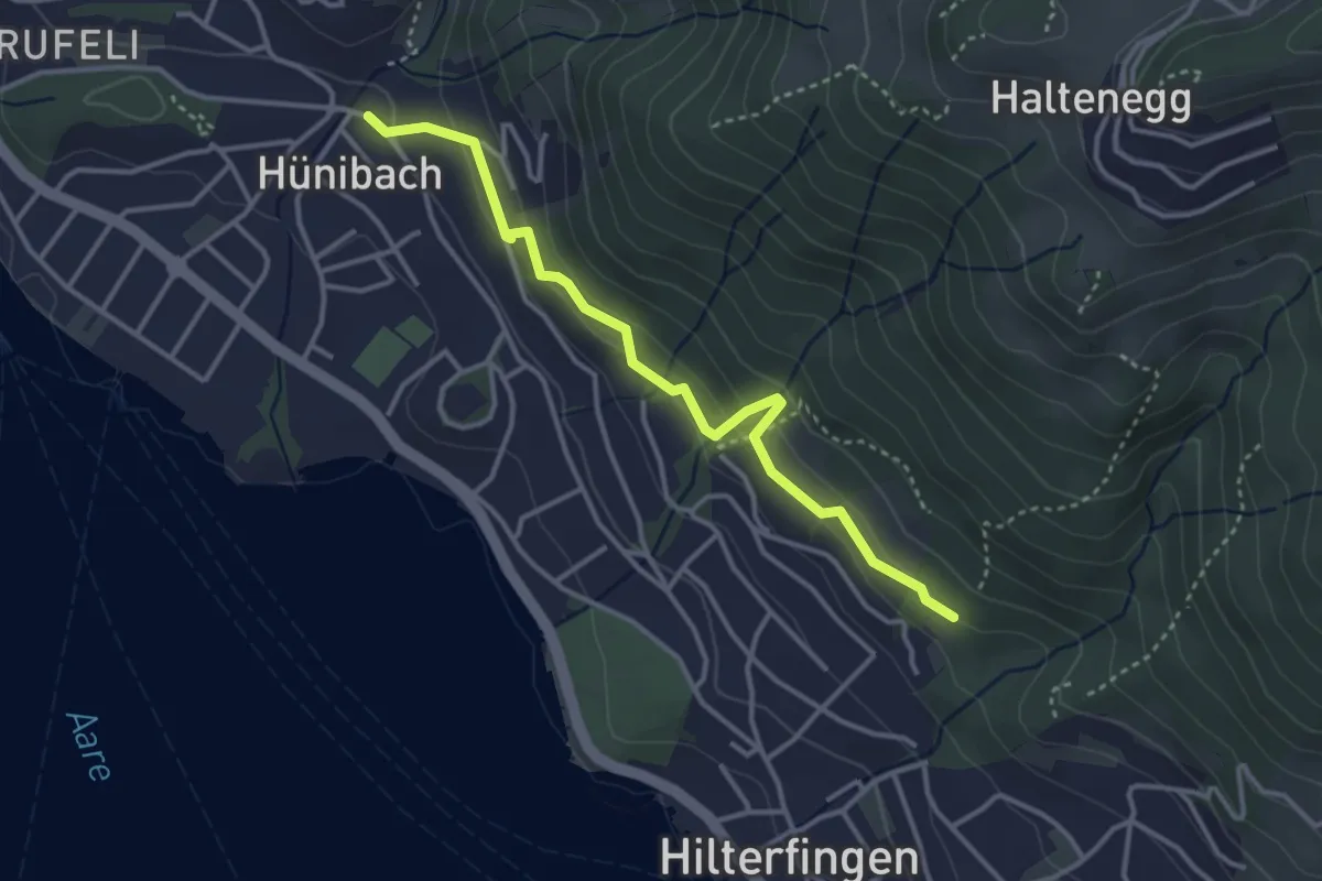
Easy · Trail
Hünibach – Hilterfingen Burech
3.5 km · ↑ 176 m · 1 h 13 min · 2 km away
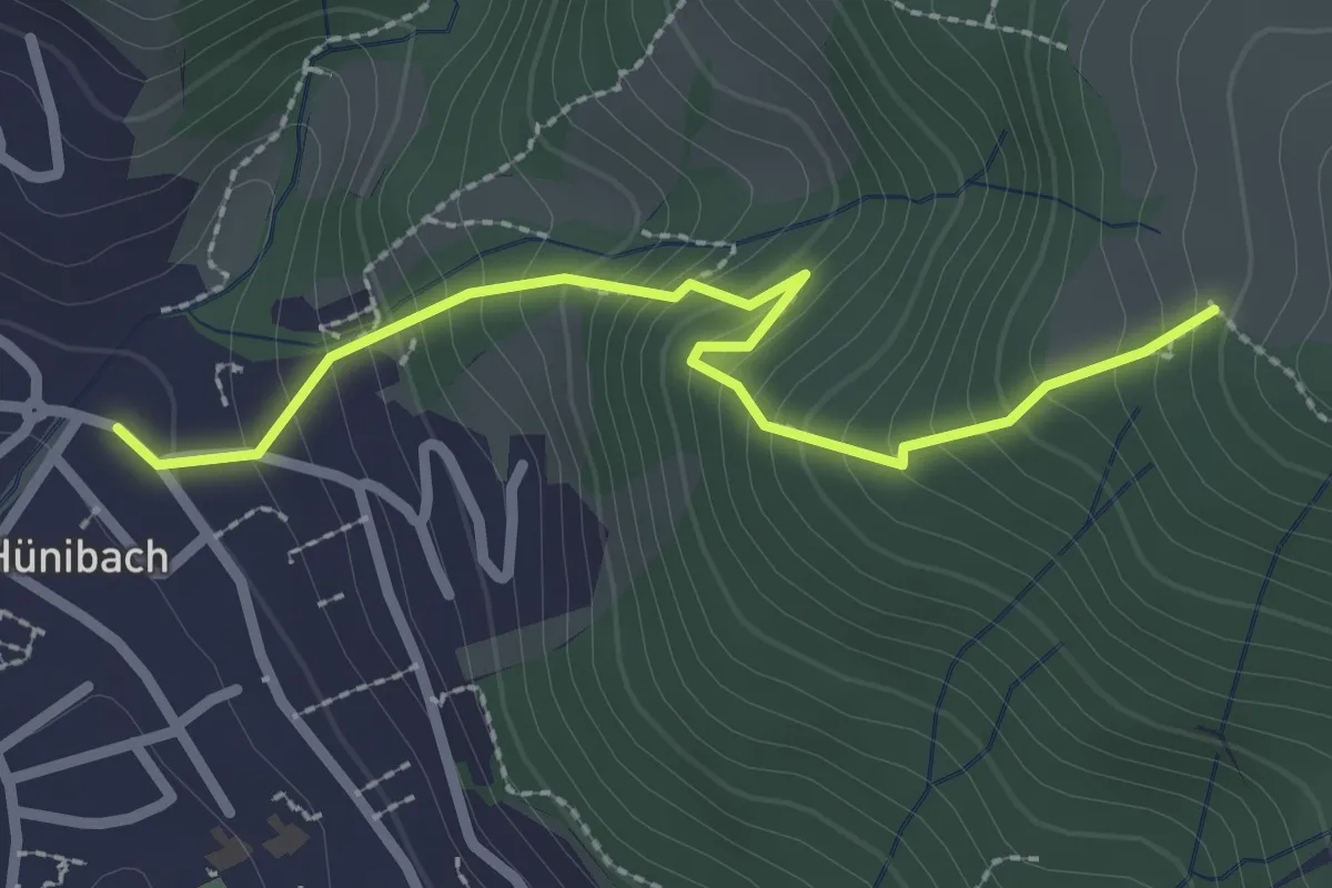
Medium · Trail
Hünibach – Eichholzweid
2.5 km · ↑ 322 m · 1 h 18 min · 2 km away
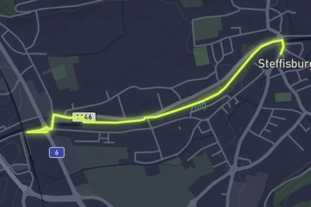
Easy · Trail
Steffisburg – Steffisburg Bahnhof
4.2 km · ↑ 21 m · 1 h 2 min · 2 km away
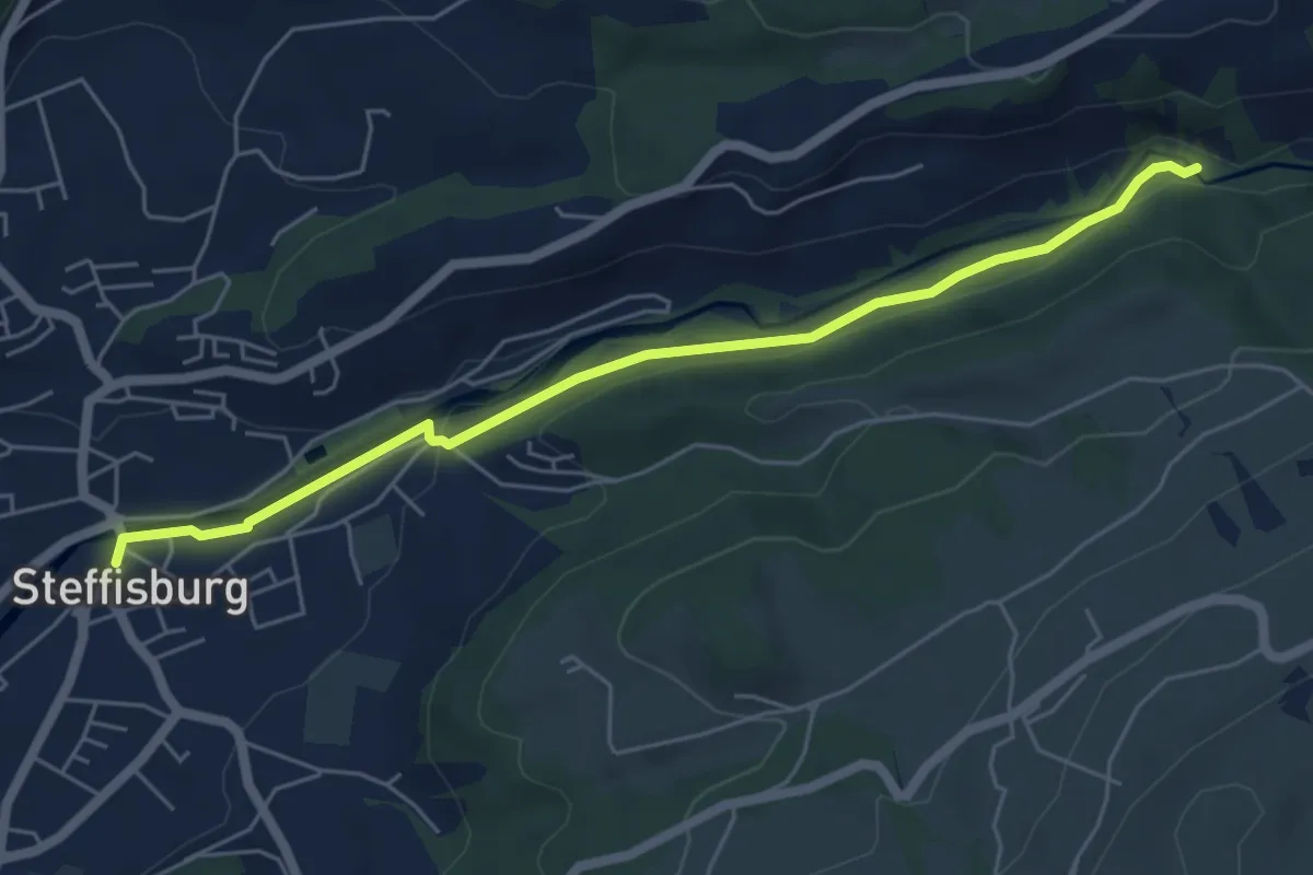
Easy · Trail
Steffisburg – Waggelistäg
5.7 km · ↑ 78 m · 1 h 31 min · 2 km away
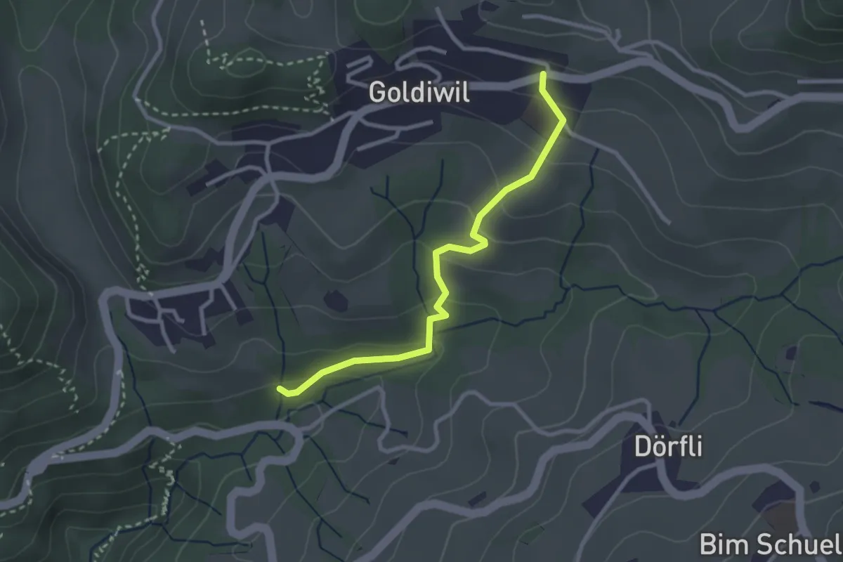
Easy · Trail
Goldiwil – Cholerenschlucht
2.7 km · ↑ 141 m · 56 min · 2 km away
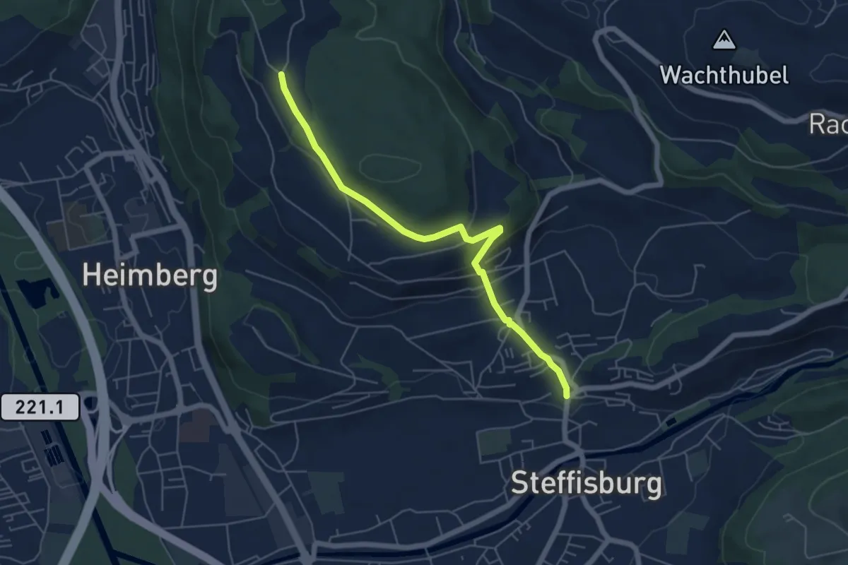
Easy · Trail
Oberi Riedere – Steffisburg
5.5 km · ↑ 193 m · 1 h 42 min · 3 km away
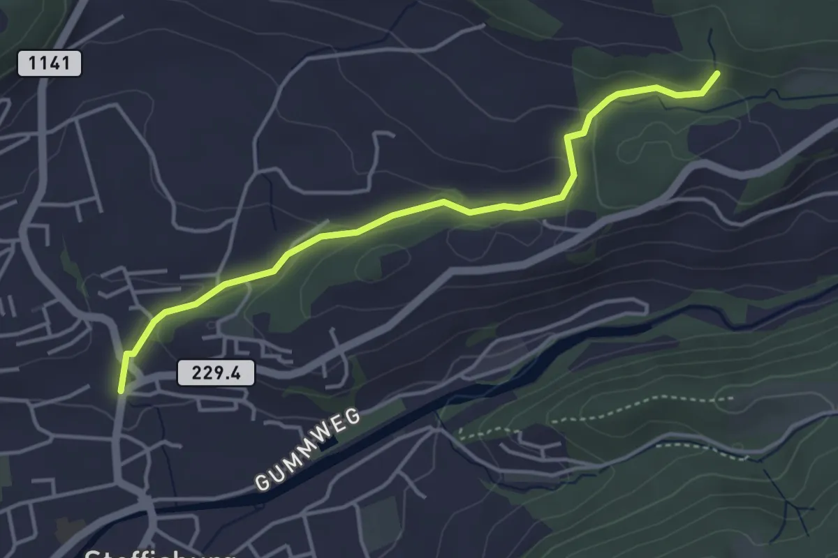
Easy · Trail
Steffisburg – Birchigraben
4.0 km · ↑ 125 m · 1 h 13 min · 3 km away
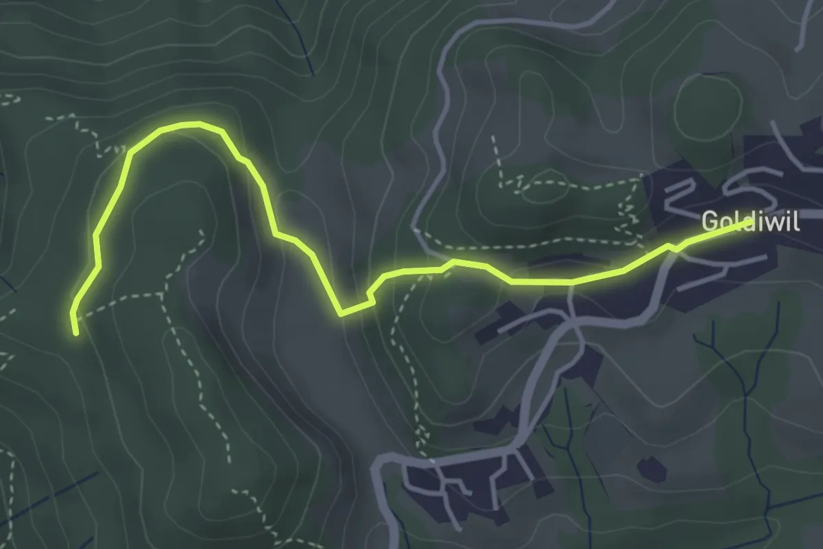
Easy · Trail
Blockhaus – Goldiwil / Post
4.0 km · ↑ 175 m · 1 h 19 min · 3 km away
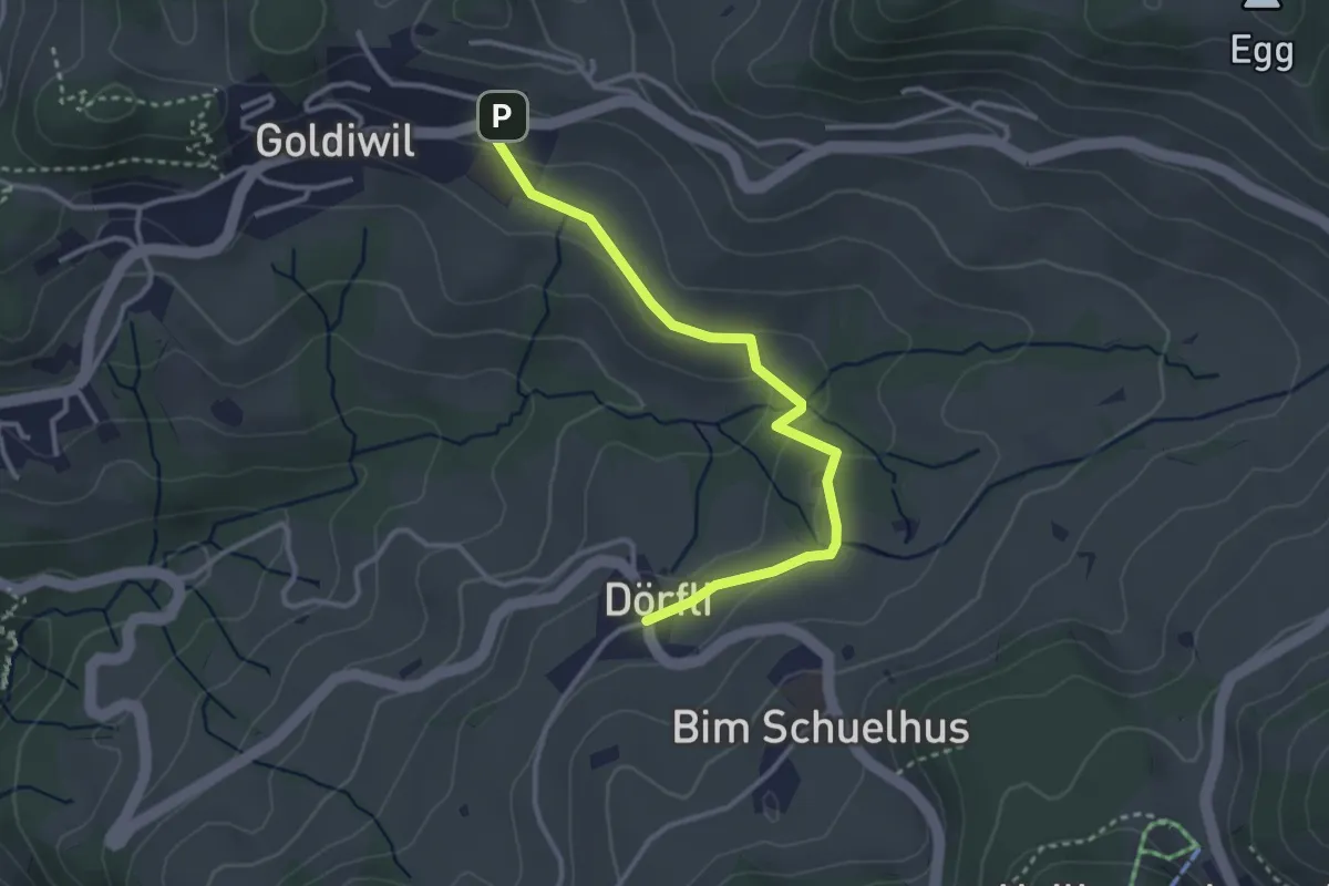
Easy · Trail
Hl. Schwendi Dörfli – Goldiwil
3.2 km · ↑ 90 m · 58 min · 3 km away
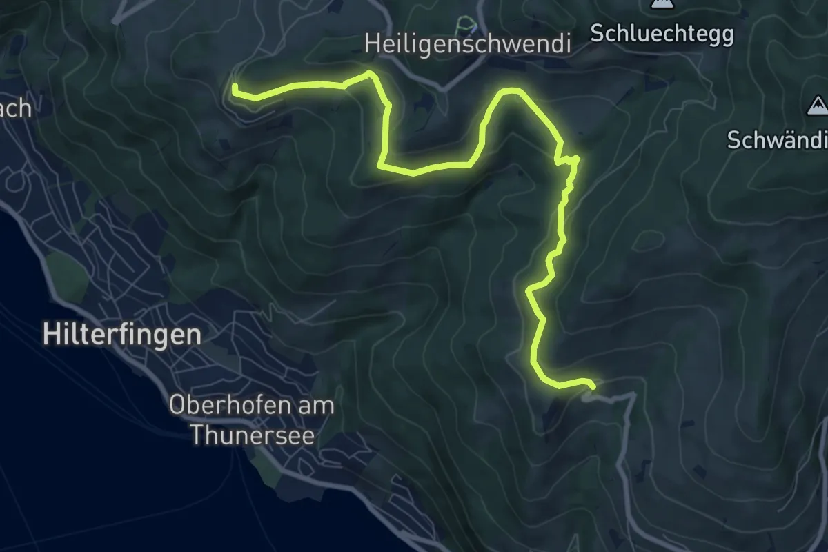
Medium · Trail
Halten – Ringoldswil
9.7 km · ↑ 384 m · 3 h 7 min · 3 km away
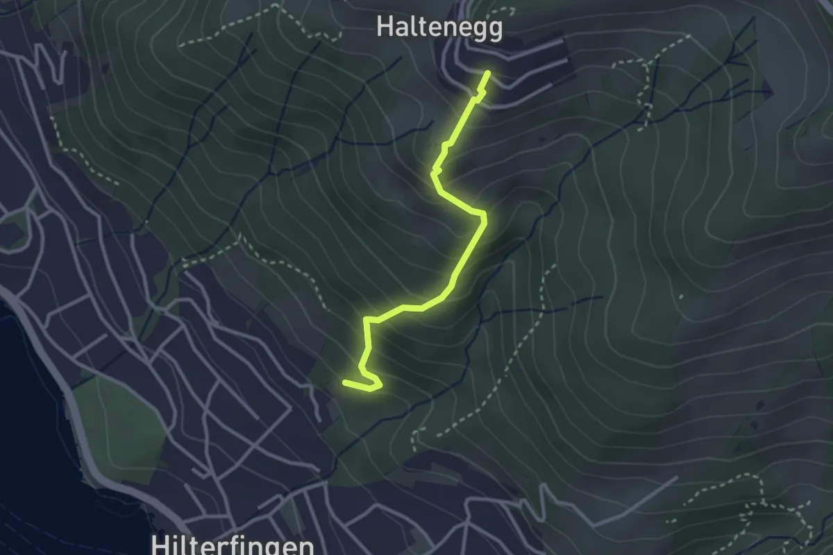
Easy · Trail
Hilterfingen Burech – Halten
2.6 km · ↑ 301 m · 1 h 16 min · 3 km away
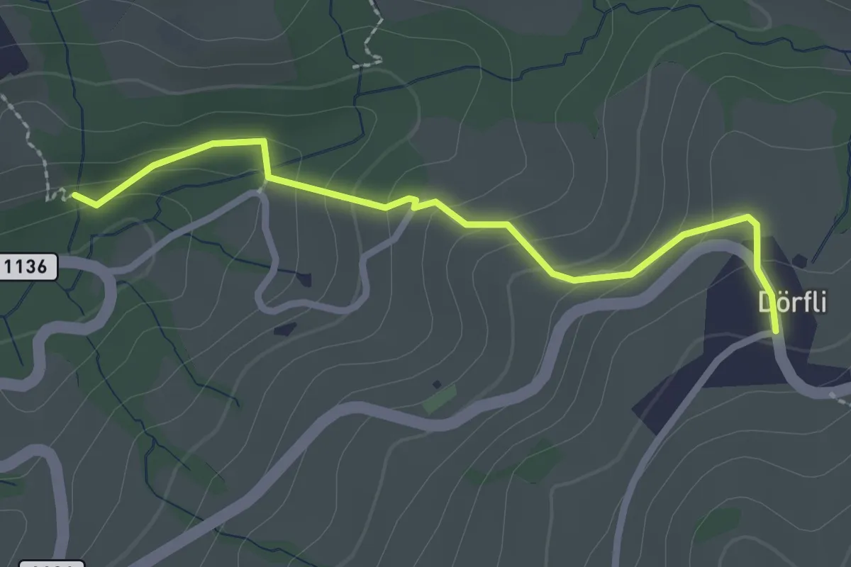
Easy · Trail
Cholerenschlucht – Hl. Schwendi Dörfli
2.4 km · ↑ 142 m · 52 min · 3 km away
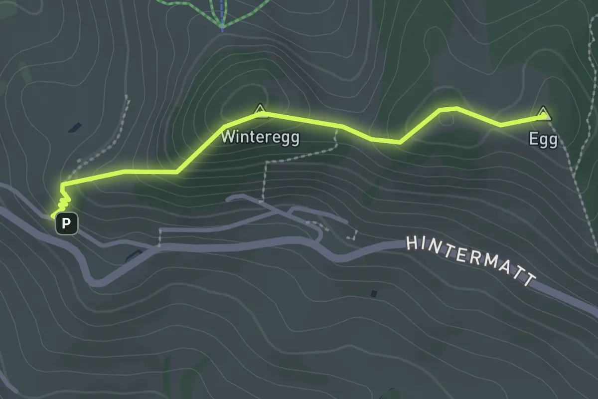
Easy · Summit
Egg – Flühli
2.5 km · ↑ 170 m · 58 min · 4 km away
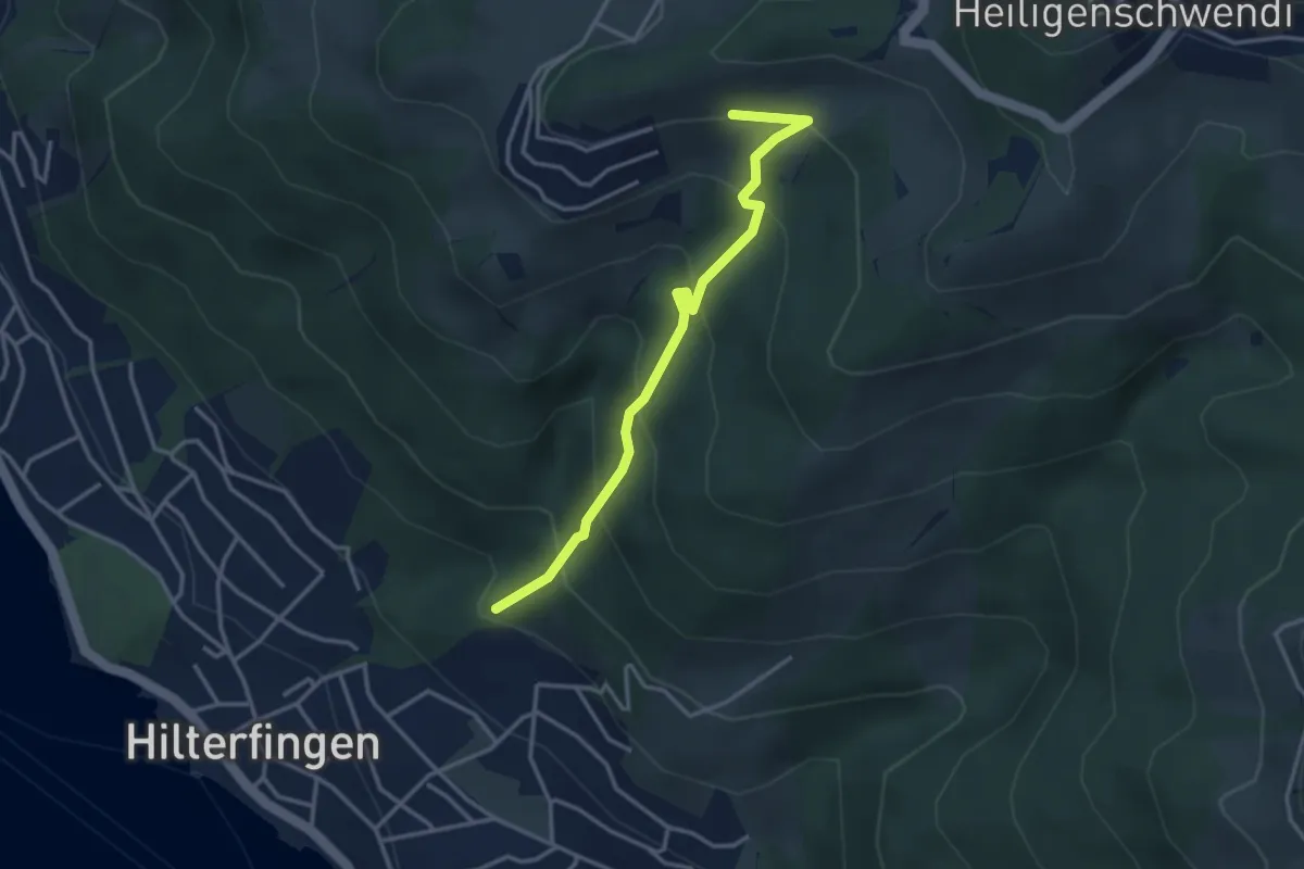
Easy · Trail
Tannebüel – Haltenegg
3.4 km · ↑ 315 m · 1 h 29 min · 4 km away
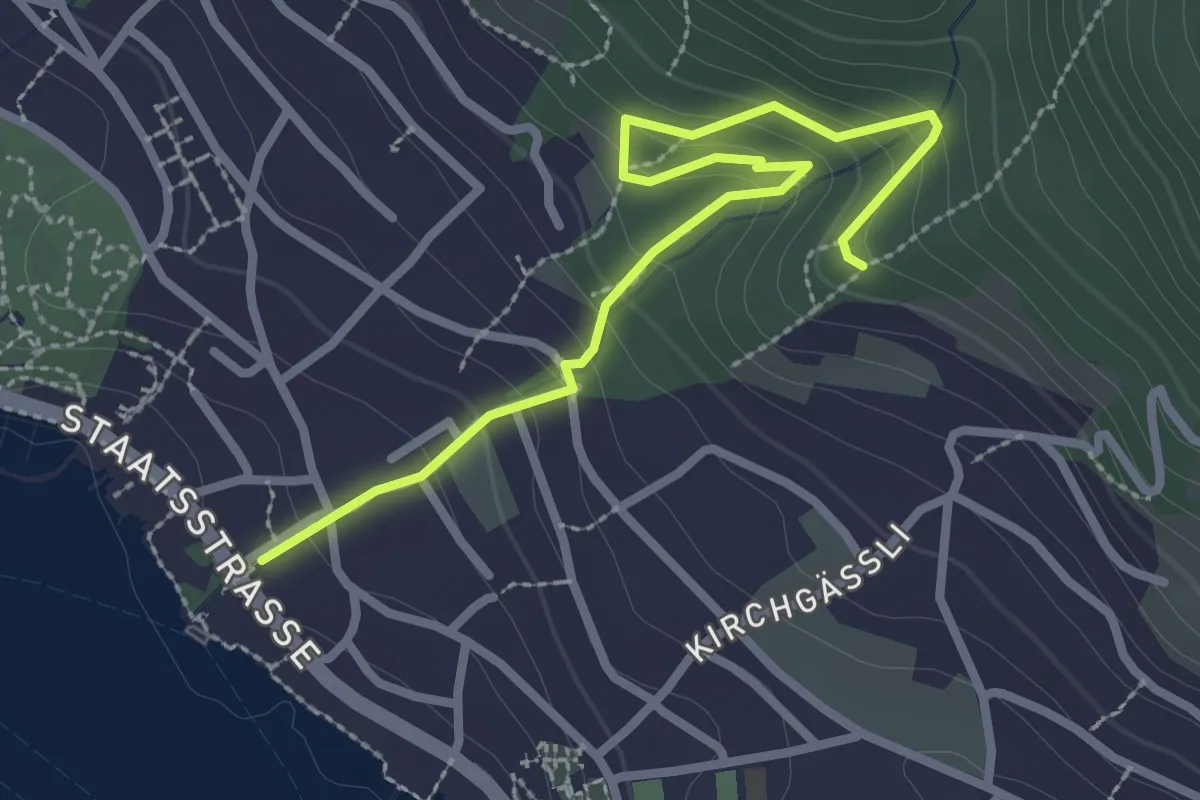
Easy · Trail
Hilterfingen Burech – Tannebüel
3.0 km · ↑ 241 m · 1 h 14 min · 4 km away
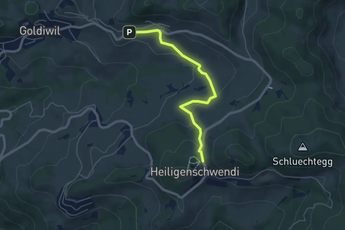
Easy · Trail
Hubelweid – Goldiwil / Wendeplatz
4.6 km · ↑ 226 m · 1 h 35 min · 4 km away
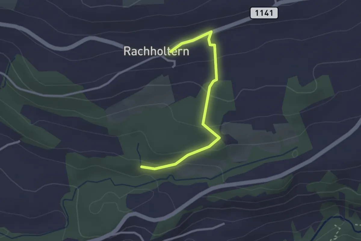
Easy · Trail
Rachholtern – Birchigraben
2.5 km · ↑ 124 m · 52 min · 4 km away
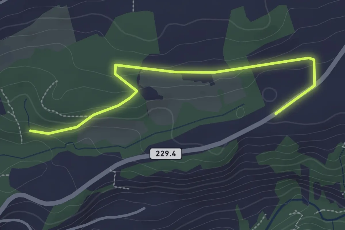
Easy · Trail
Birchigraben – Ober Emberg
3.1 km · ↑ 87 m · 55 min · 4 km away
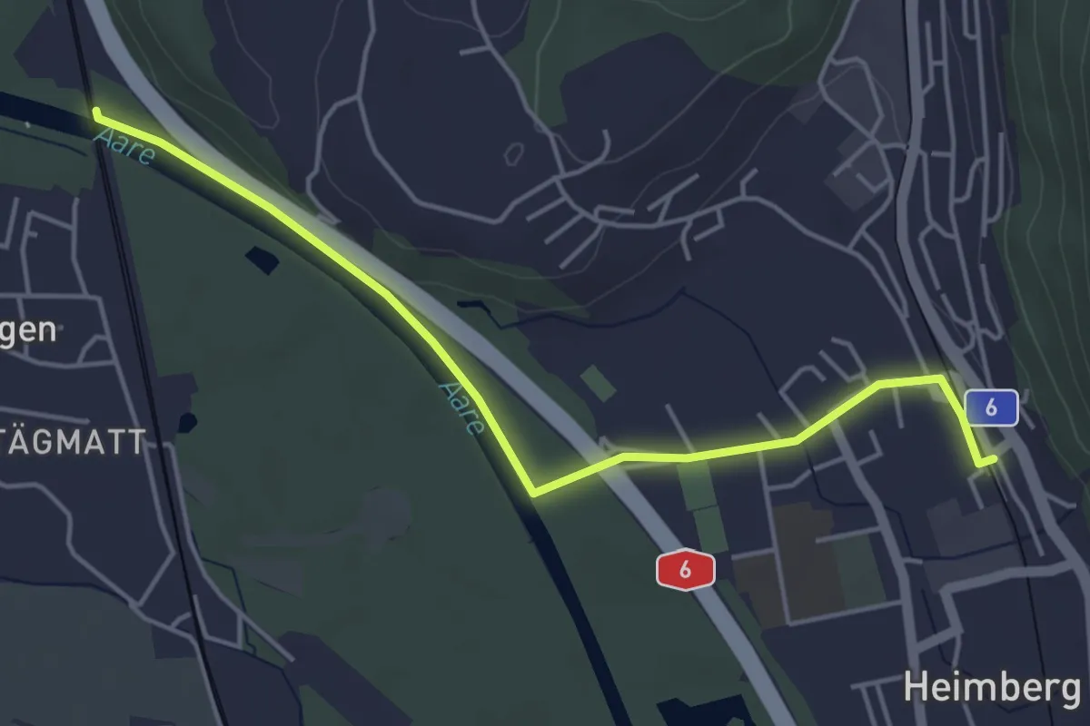
Easy · Trail
Heimberg – Uttigenbrücke
4.7 km · ↑ 0 m · 1 h 6 min · 4 km away
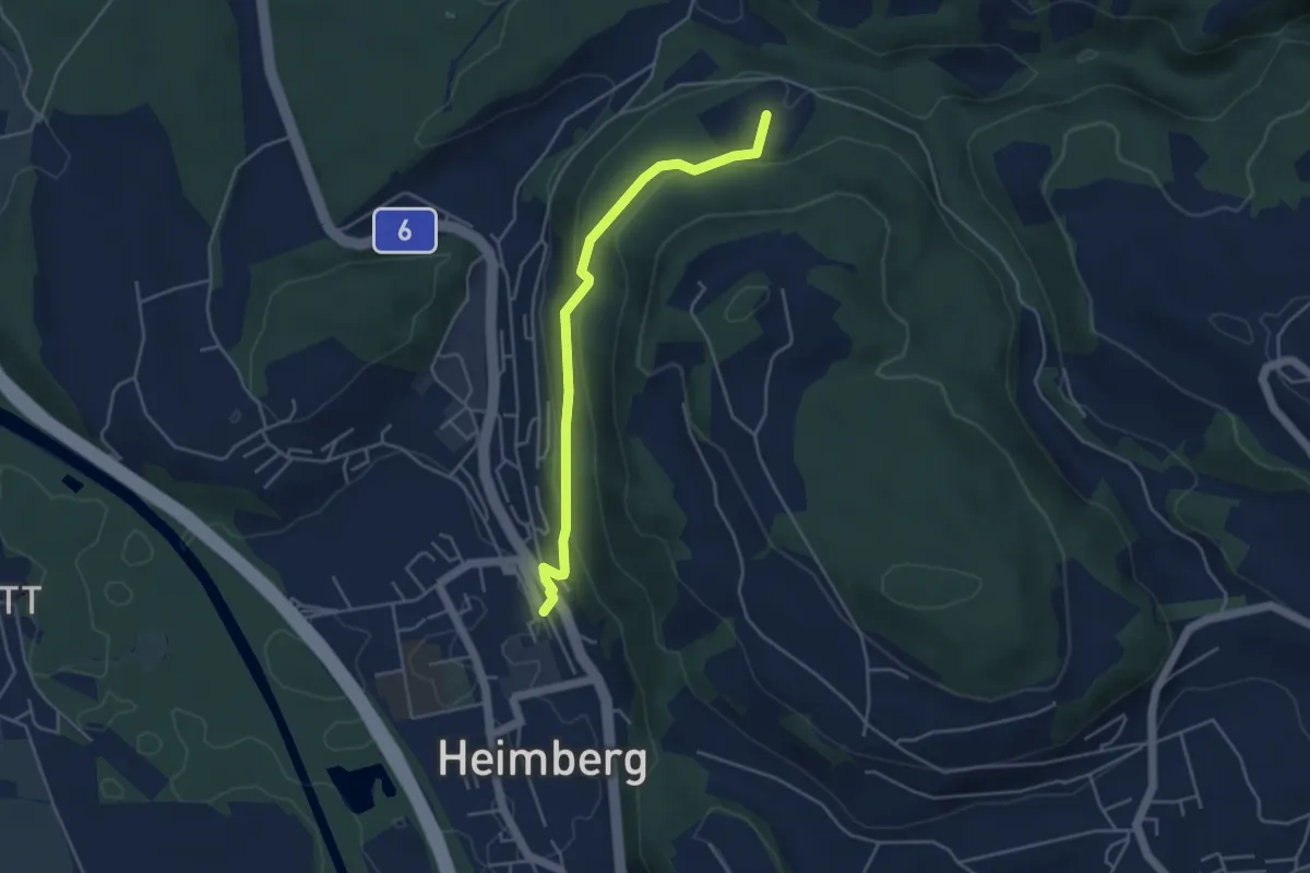
Easy · Trail
Heimberg – Spittelsheimberg
4.2 km · ↑ 211 m · 1 h 27 min · 4 km away
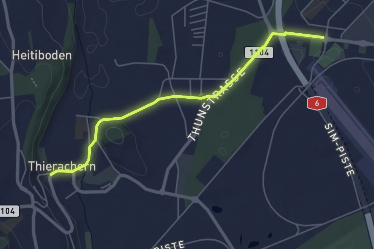
Easy · Trail
Thierachern Kirche – Thun Waldeck
4.5 km · ↑ 37 m · 1 h 9 min · 4 km away
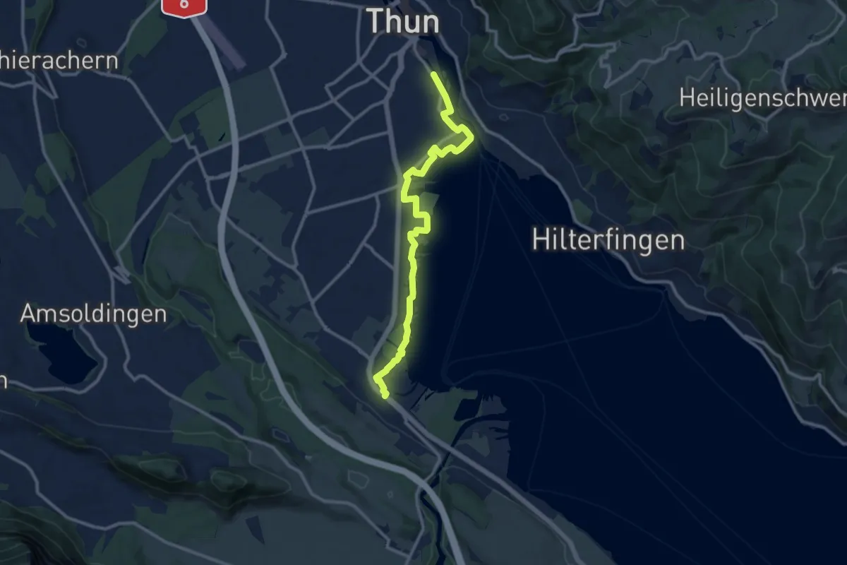
Medium · Trail
Strandweg Thun
11.0 km · ↑ 22 m · 2 h 38 min · 4 km away
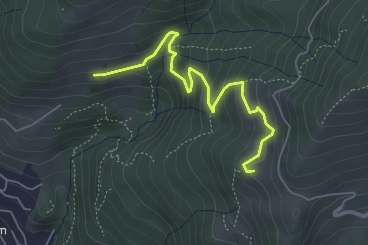
Easy · Trail
Oberi Allmit – Chrinde
4.4 km · ↑ 258 m · 1 h 36 min · 4 km away
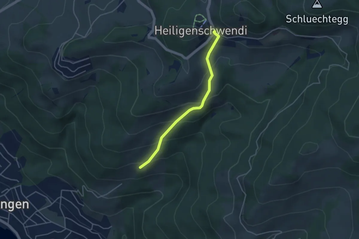
Easy · Trail
Oberi Allmit – Schwendi
3.3 km · ↑ 268 m · 1 h 21 min · 4 km away
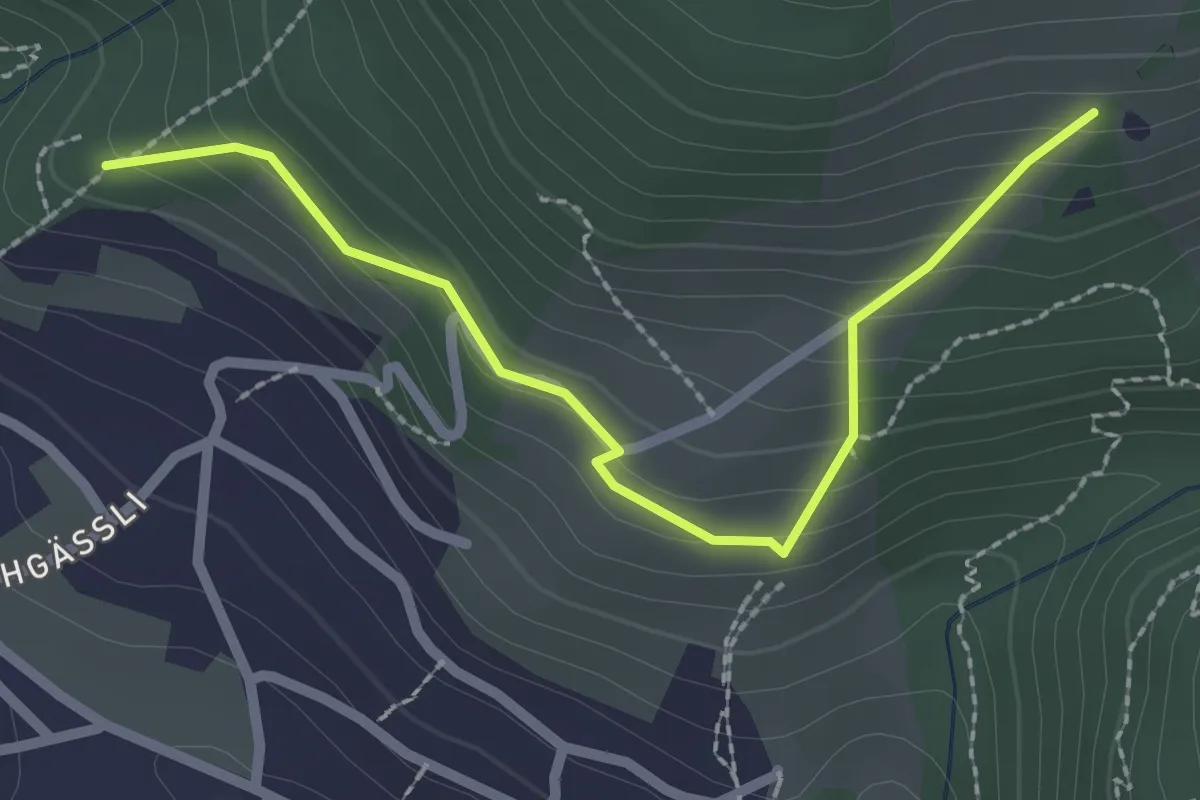
Easy · Trail
Tannebüel – Oberi Allmit
2.5 km · ↑ 181 m · 58 min · 4 km away
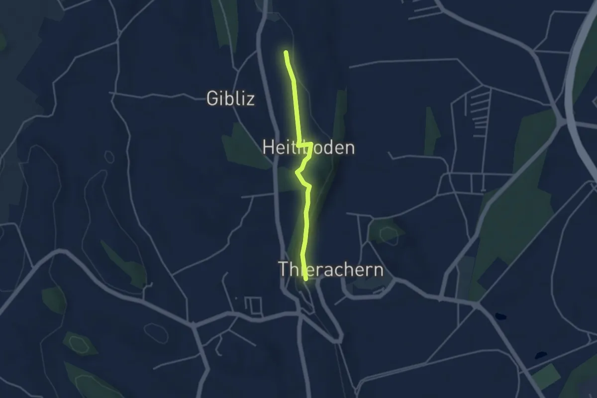
Easy · Trail
Thierachern-Willerüti
3.0 km · ↑ 62 m · 51 min · 4 km away
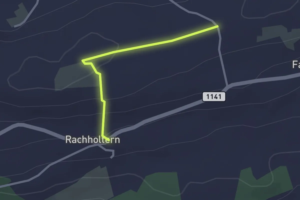
Easy · Trail
Chrüzweg – Rachholtern
2.1 km · ↑ 73 m · 39 min · 5 km away
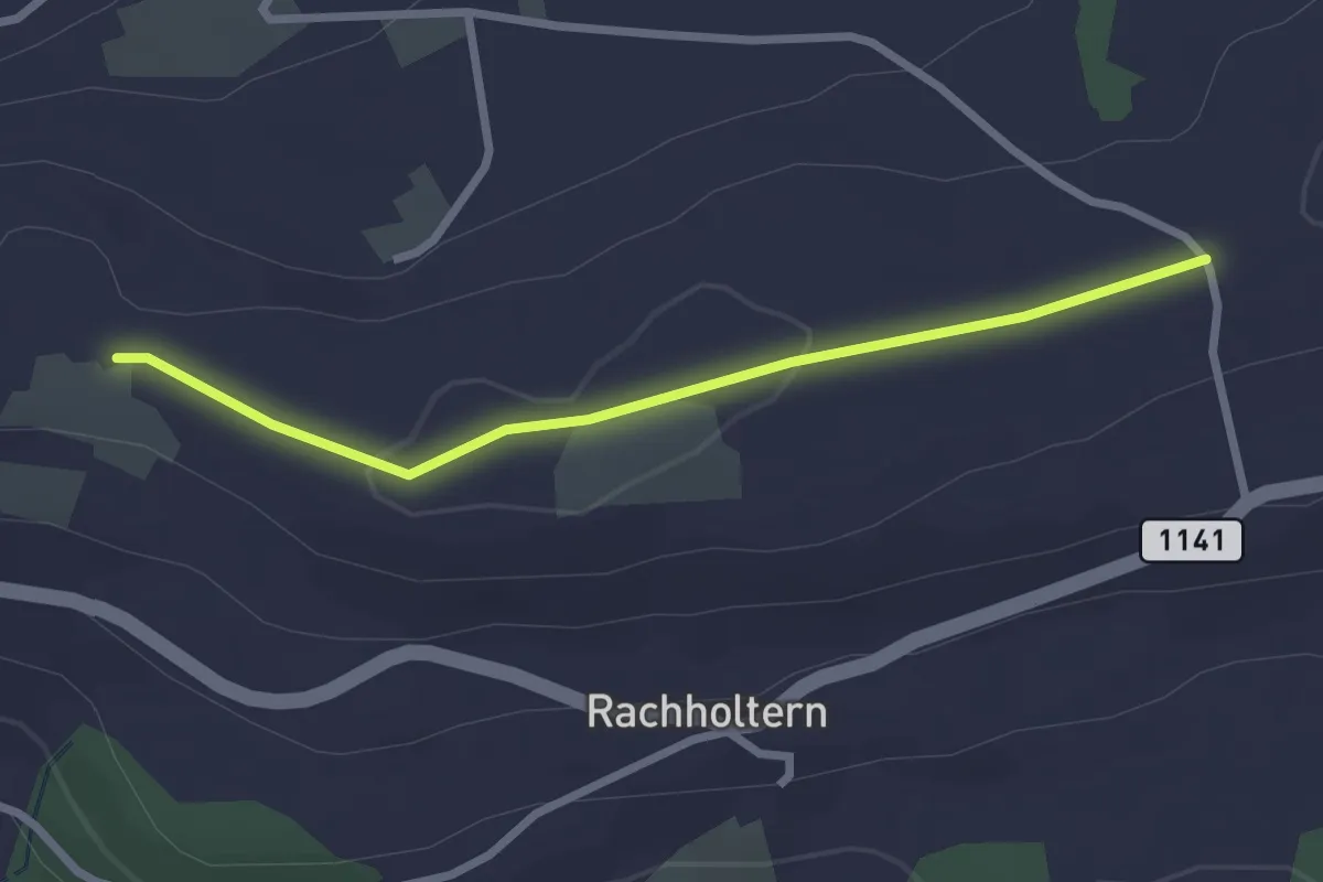
Easy · Trail
Chrüzweg – Lueghubel
2.5 km · ↑ 22 m · 39 min · 5 km away
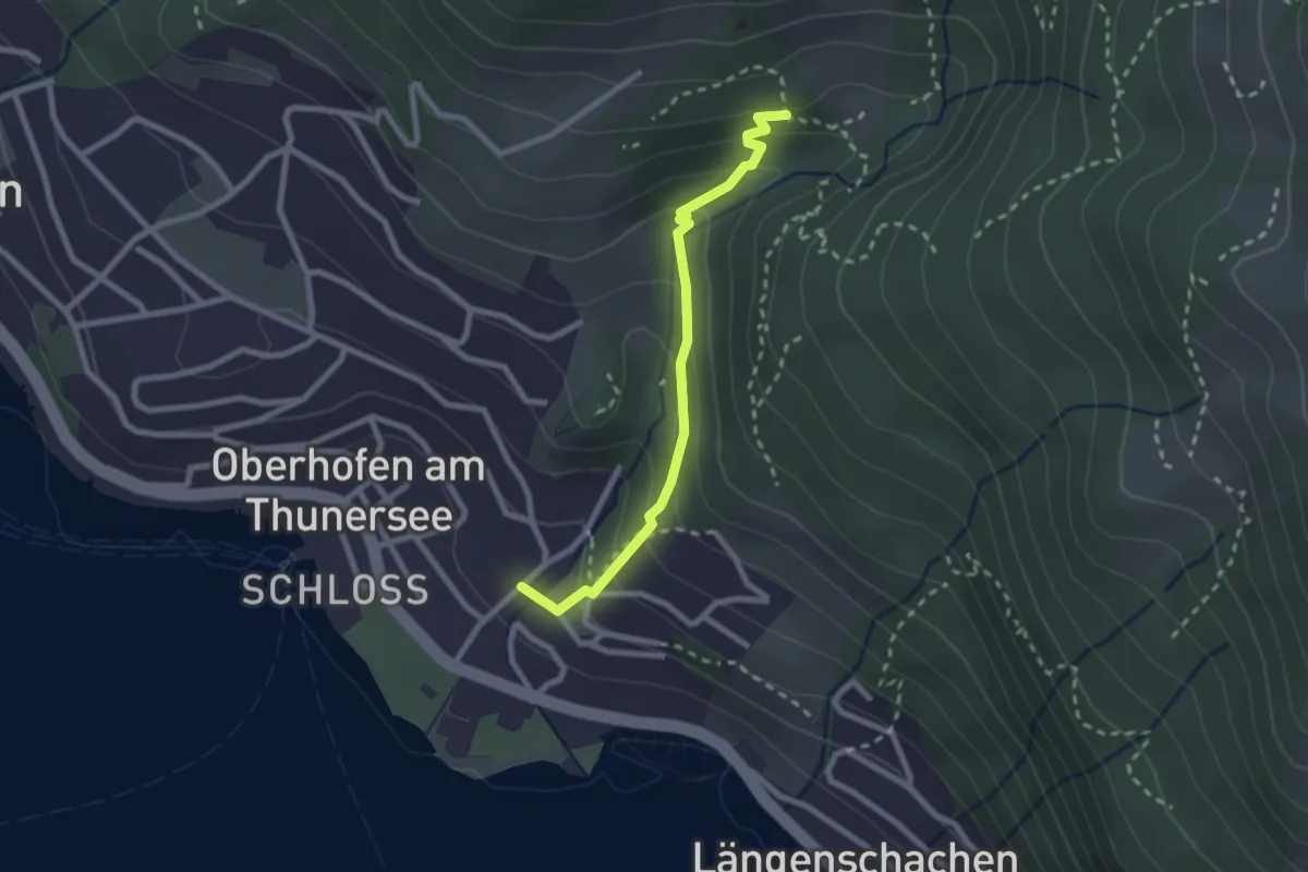
Easy · Trail
Balmflue – Oberhofen
2.3 km · ↑ 177 m · 56 min · 5 km away
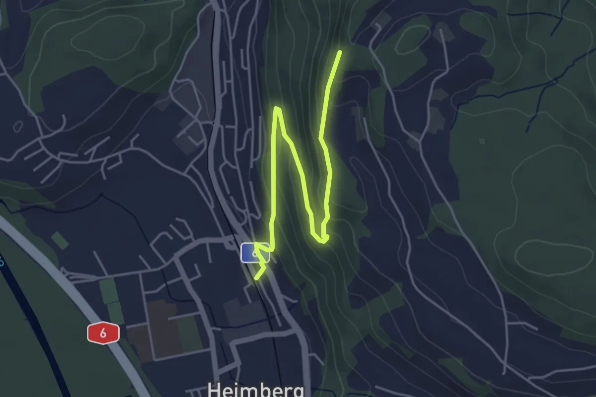
Easy · Trail
Heimberg – Heimbergflue
4.5 km · ↑ 224 m · 1 h 33 min · 5 km away
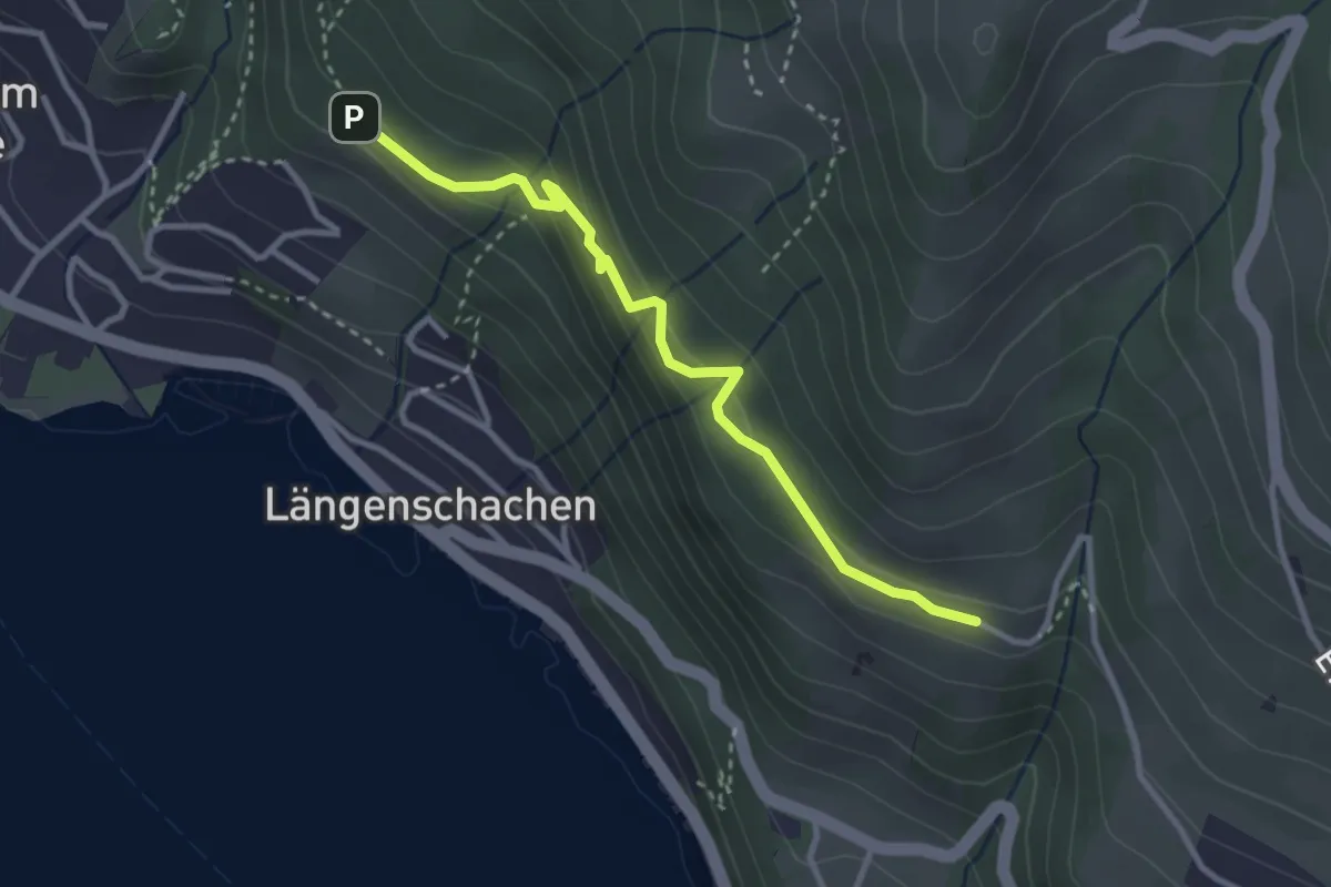
Easy · Trail
Blooch – Erizbüel
3.1 km · ↑ 206 m · 1 h 10 min · 5 km away
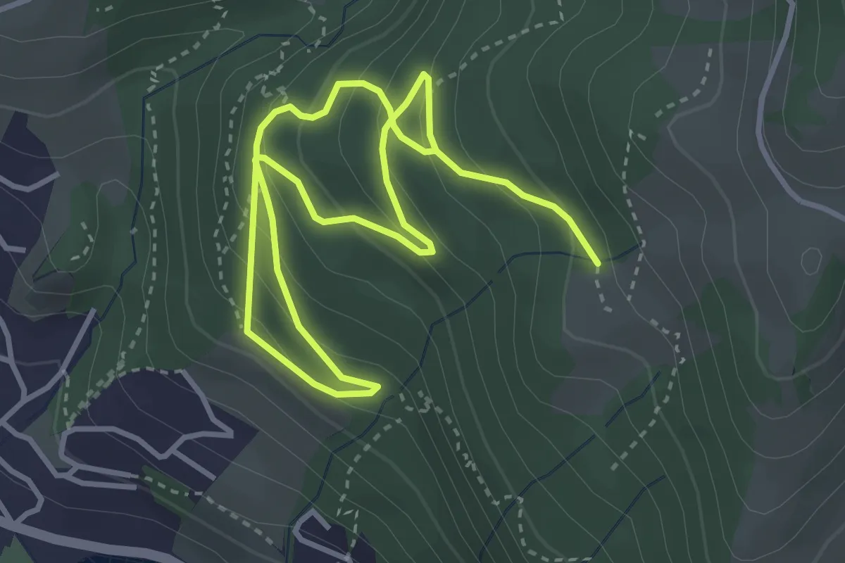
Medium · Trail
Bloch – Chieni
5.5 km · ↑ 383 m · 2 h 7 min · 5 km away
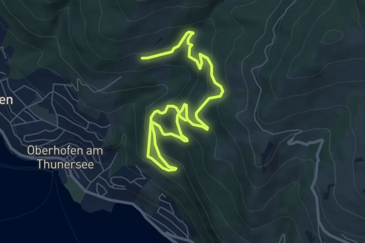
Medium · Trail
Oberi Allmit – Bloch
8.9 km · ↑ 567 m · 3 h 20 min · 5 km away
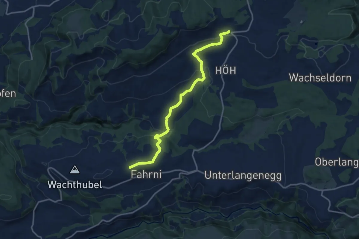
Medium · Trail
Heimenschwand – Chrüzweg
11.0 km · ↑ 337 m · 3 h 19 min · 5 km away
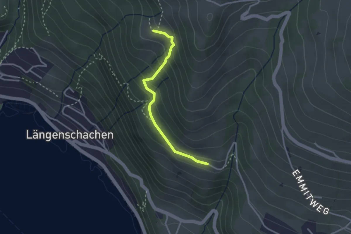
Easy · Trail
Chieni – Erizbüel
2.4 km · ↑ 167 m · 56 min · 5 km away
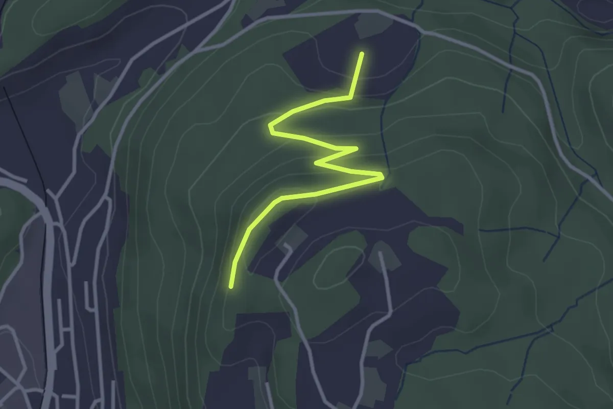
Easy · Trail
Heimbergflue – Spittelsheimberg
3.0 km · ↑ 143 m · 1 h 2 min · 5 km away
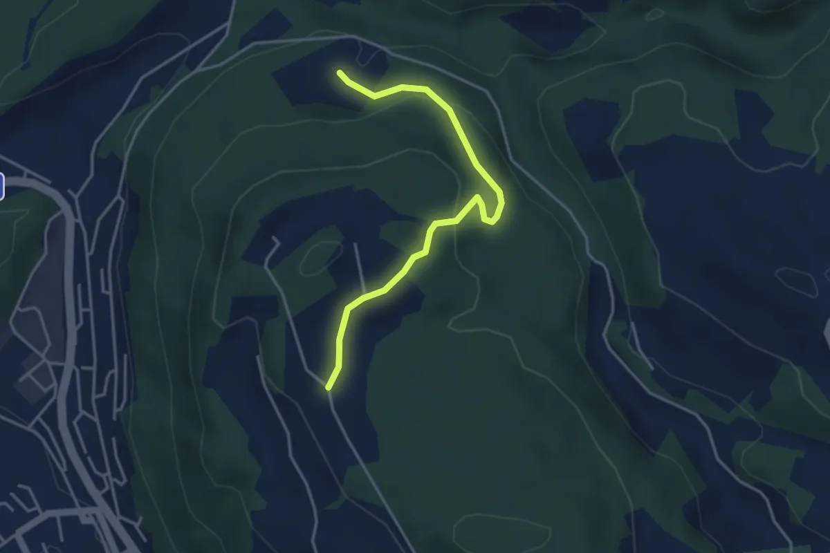
Easy · Trail
Oberi Riedere – Spittelsheimberg
3.6 km · ↑ 136 m · 1 h 8 min · 5 km away
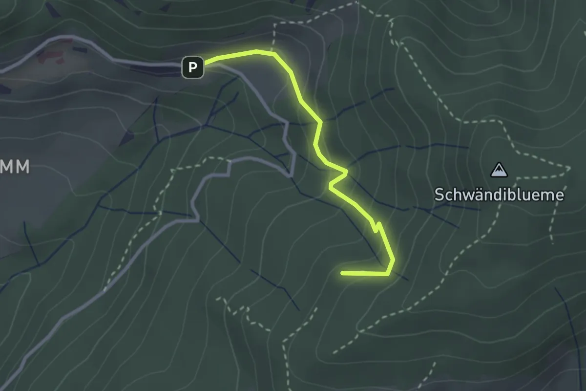
Easy · Trail
Hinderport – Weide
2.4 km · ↑ 184 m · 58 min · 5 km away
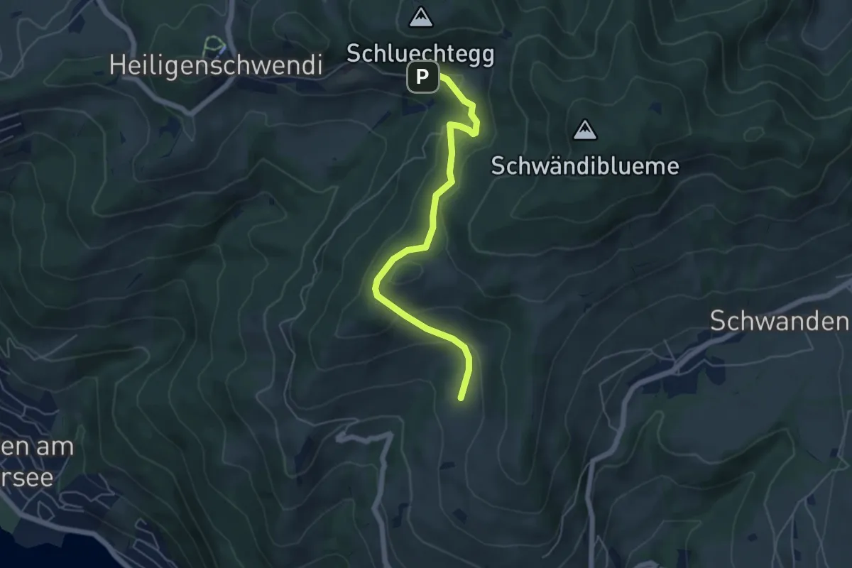
Easy · Trail
Aeschlenallmi – Weide
5.2 km · ↑ 251 m · 1 h 46 min · 5 km away
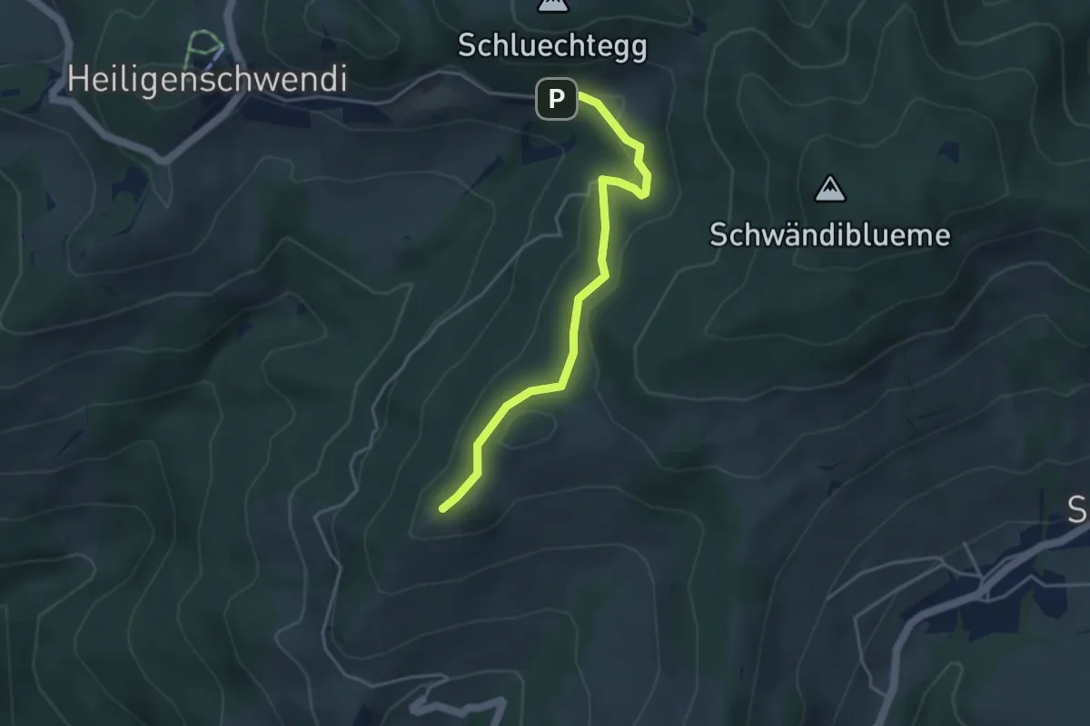
Easy · Trail
Niesenbänkli – Weide
3.9 km · ↑ 140 m · 1 h 13 min · 5 km away
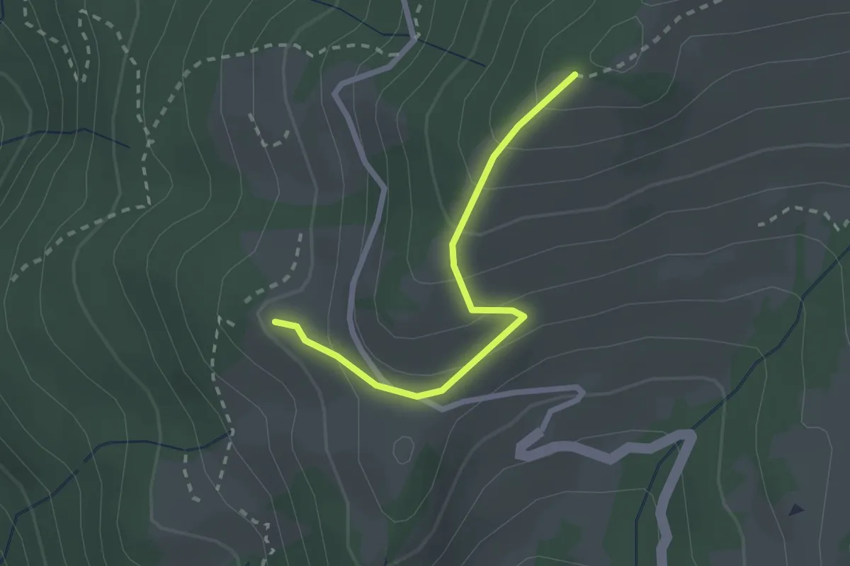
Easy · Trail
Niesenbänkli – Chrinde
2.1 km · ↑ 179 m · 54 min · 6 km away