Trails near Thun
435 hikes starting within 15 km, nearest first.
Nearest first, page 2 of 10
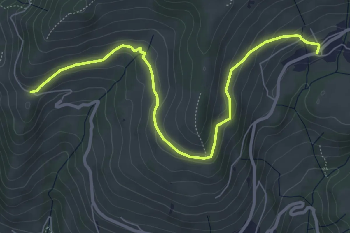
Easy · Trail
Schwanden – Chrinde
6.7 km · ↑ 225 m · 2 h 4 min · 6 km away
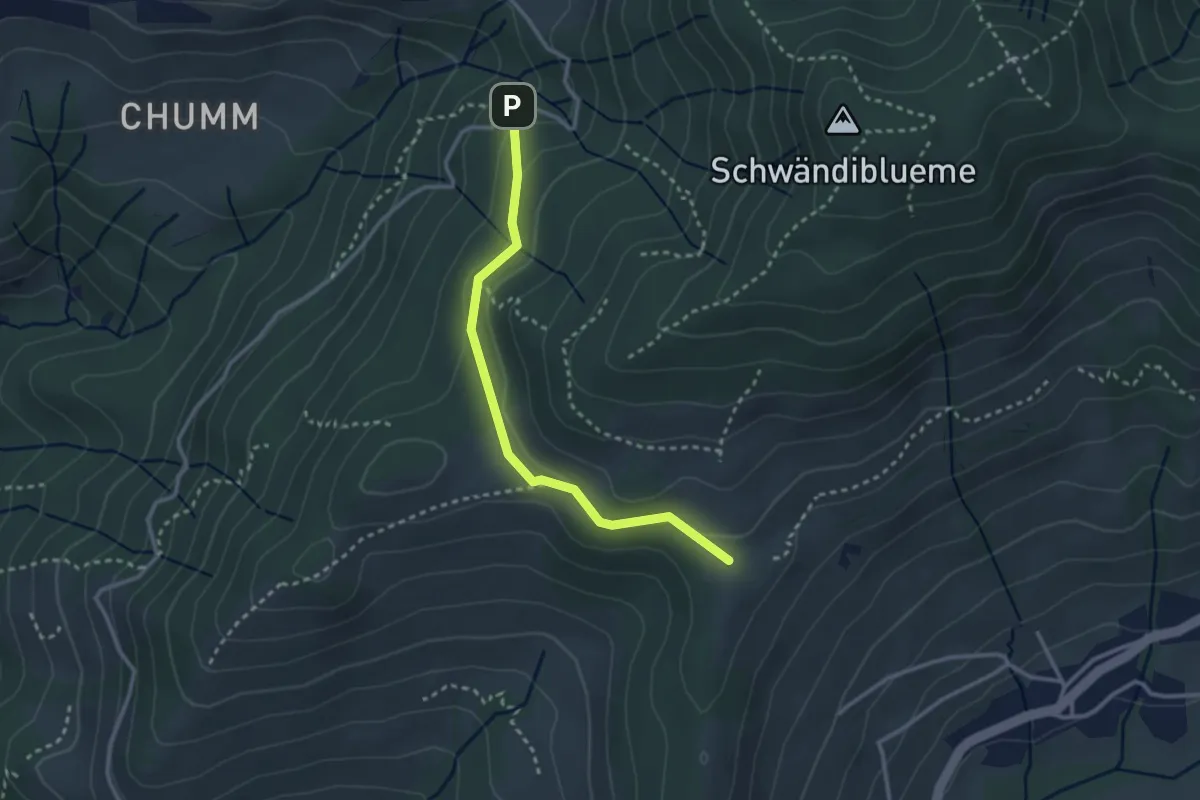
Easy · Trail
Margelsattel – Schwendi REHA Zentrum
2.8 km · ↑ 111 m · 54 min · 6 km away
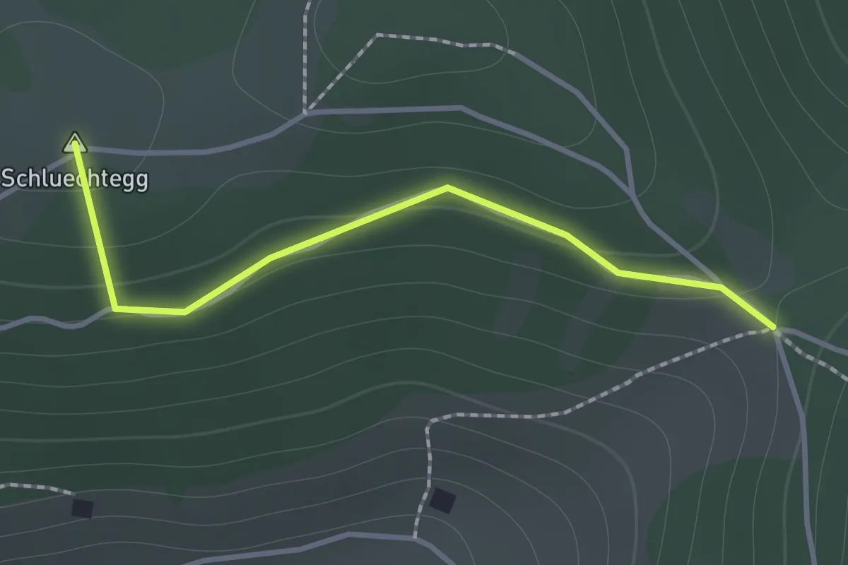
Easy · Summit
Gründungsahorn – Wolfsgrube
1.2 km · ↑ 47 m · 23 min · 6 km away
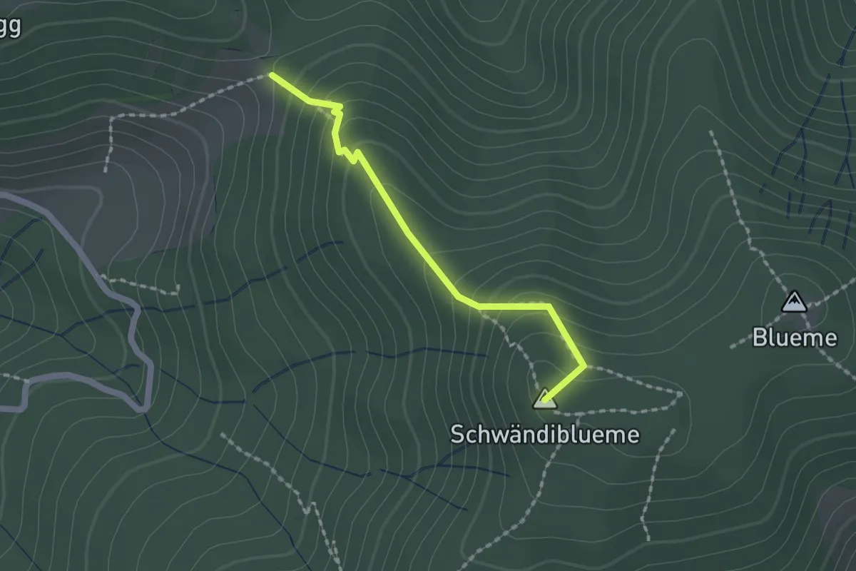
Easy · Summit
Wolfgrube – Blume / Aussichtsturm
1.6 km · ↑ 138 m · 41 min · 6 km away
Easy · Summit
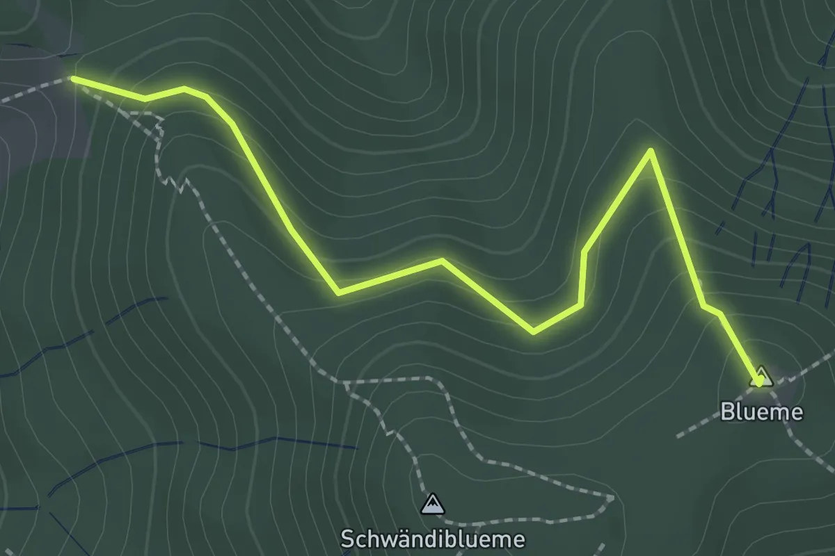
Wolfgrube – Blueme
2.4 km · ↑ 171 m · 57 min · 6 km away
Easy · Summit
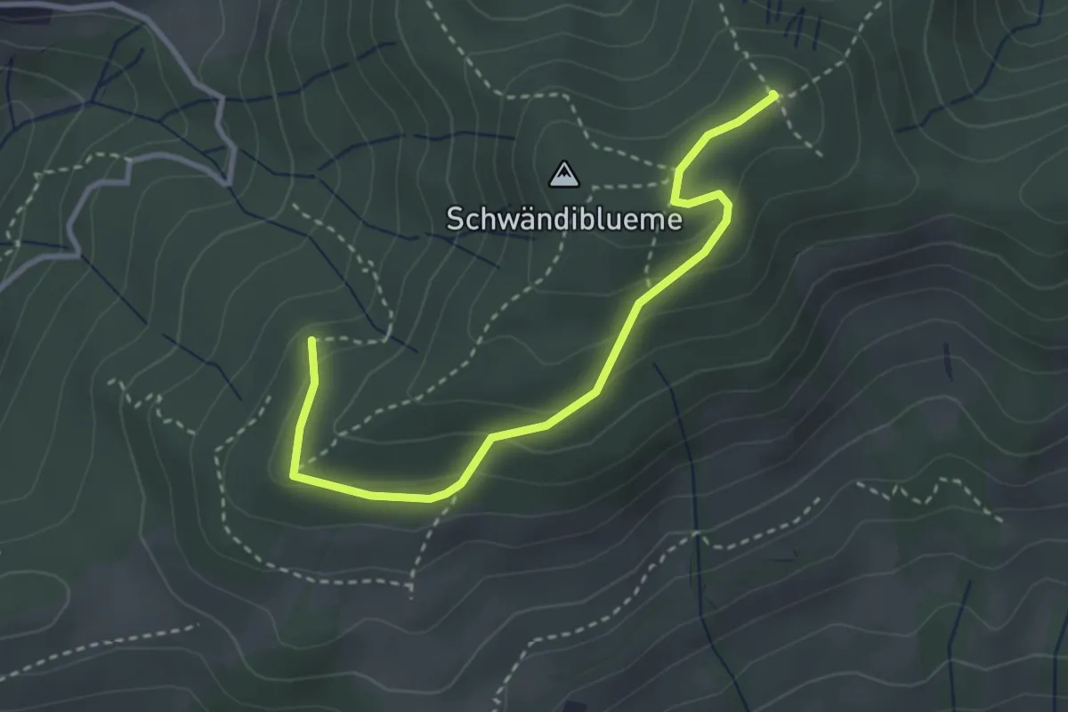
Hinterport – Blueme
3.3 km · ↑ 158 m · 1 h 7 min · 6 km away
Easy · Trail
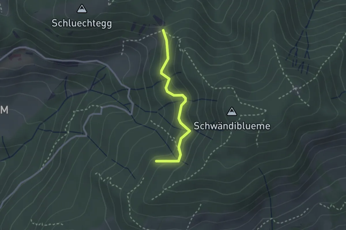
Wolfgrube – Hinderport
2.2 km · ↑ 170 m · 53 min · 6 km away
Easy · Trail
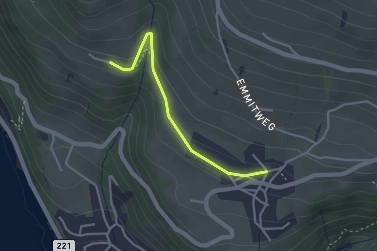
Erizbüel – Aeschlen
2.4 km · ↑ 86 m · 45 min · 6 km away
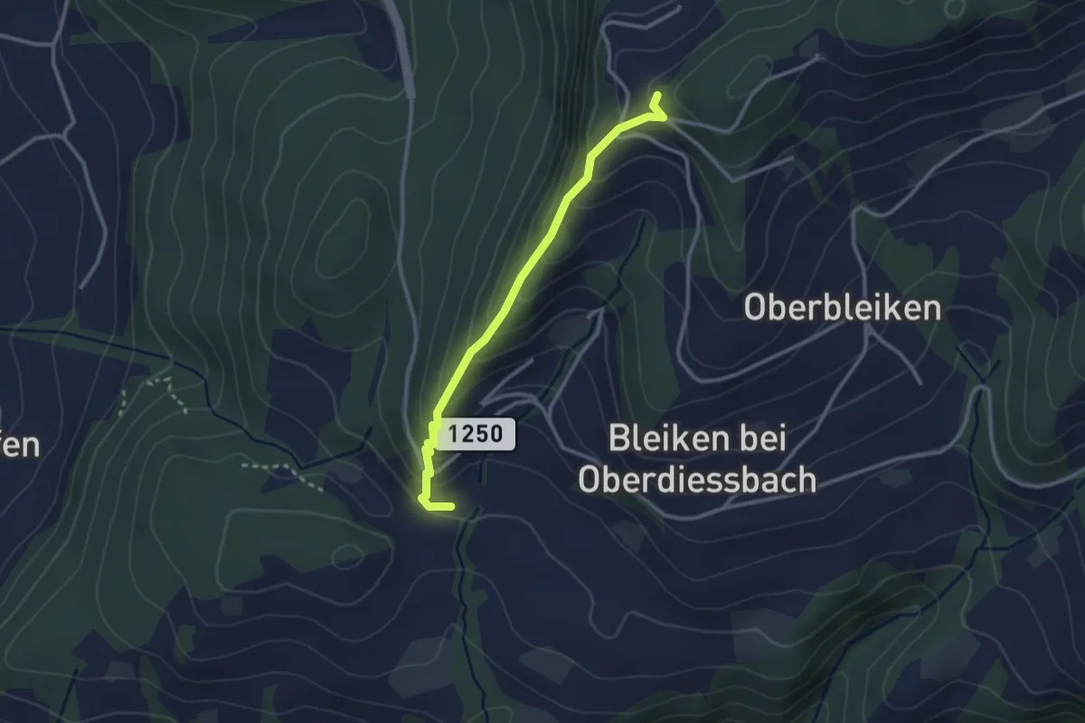
Easy · Trail
Niederbleiken – Falkeflue
2.7 km · ↑ 239 m · 1 h 9 min · 6 km away
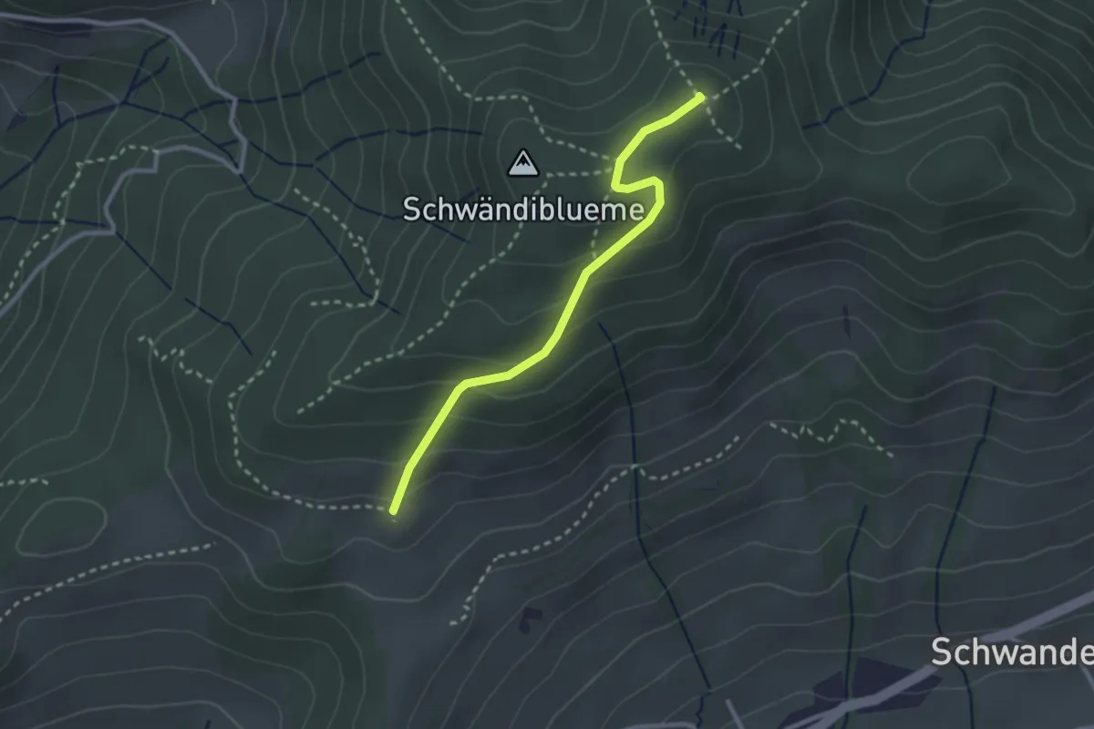
Easy · Summit
Blueme – Tschingelallmi
2.6 km · ↑ 168 m · 59 min · 6 km away
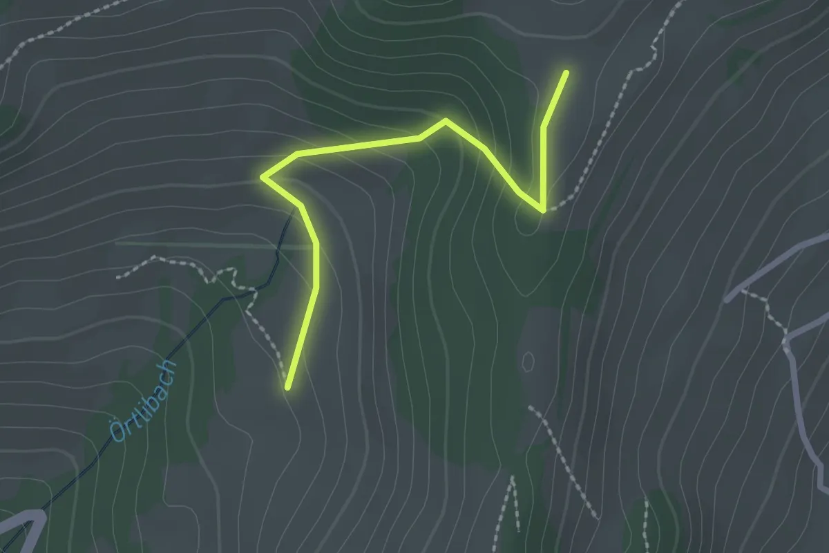
Easy · Trail
Margelsattel – Aeschlenallmi
2.1 km · ↑ 120 m · 45 min · 6 km away
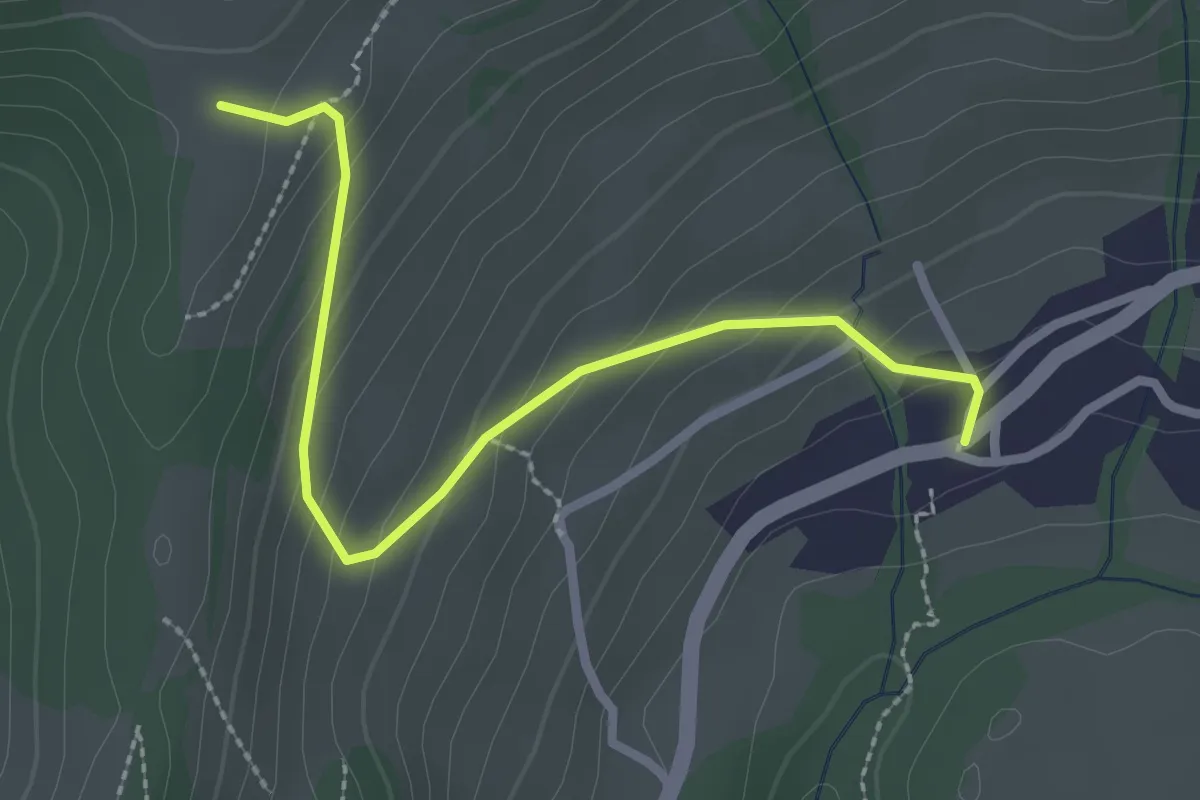
Easy · Trail
Schwanden – Margelsattel
2.6 km · ↑ 163 m · 59 min · 6 km away
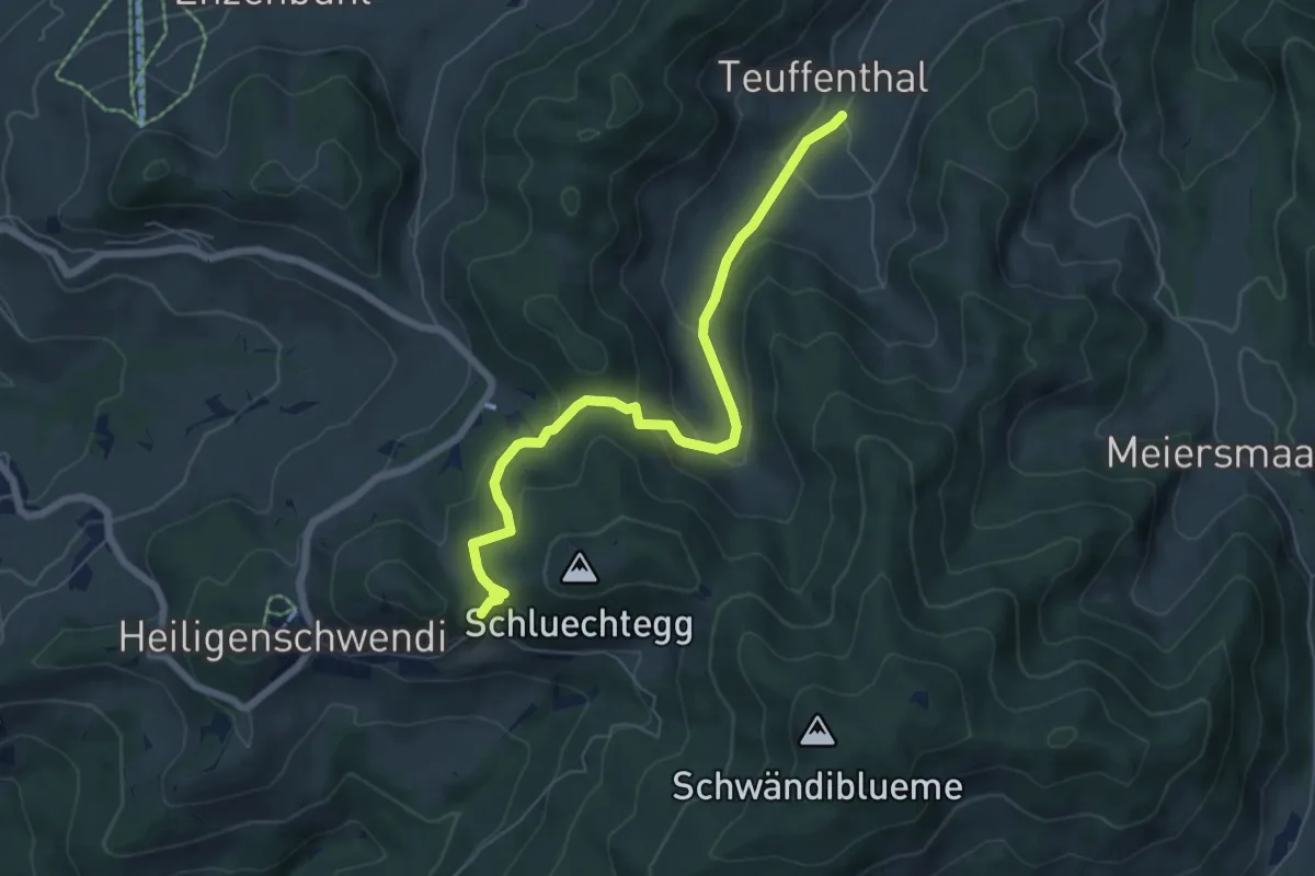
Medium · Trail
Gründungsahorn – Teuffenthal
6.5 km · ↑ 366 m · 2 h 20 min · 6 km away
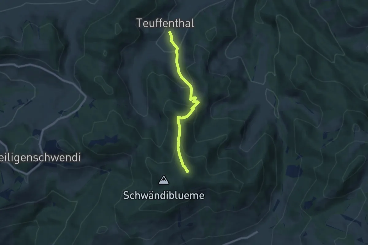
Medium · Summit
Blueme – Teuffenthal
5.5 km · ↑ 419 m · 2 h 12 min · 6 km away
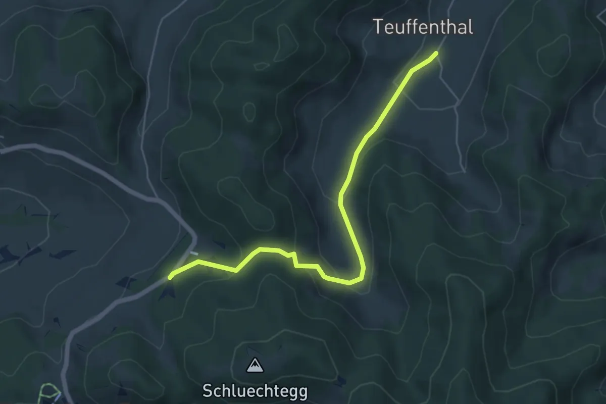
Easy · Trail
Hüniboden – Teuffenthal
5.2 km · ↑ 251 m · 1 h 46 min · 6 km away
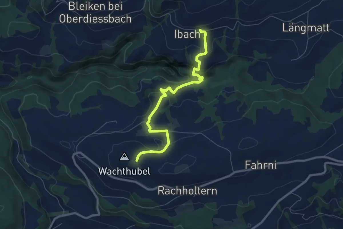
Easy · Trail
Lueghubel – Ibach
6.6 km · ↑ 291 m · 2 h 11 min · 6 km away
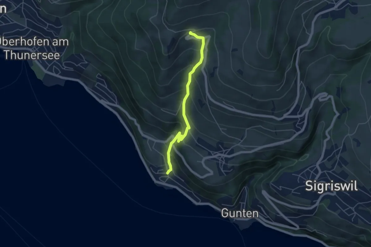
Medium · Trail
Ringoldswil – Oertli
4.6 km · ↑ 439 m · 2 h 2 min · 7 km away
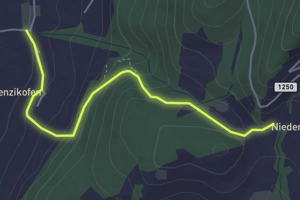
Easy · Trail
Brenzikofen – Niederbleiken
3.8 km · ↑ 209 m · 1 h 21 min · 7 km away
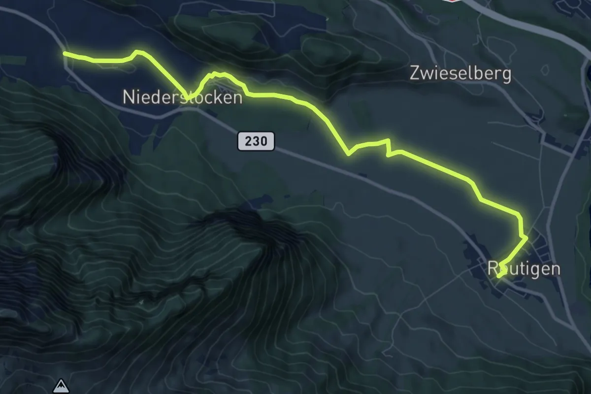
Medium · Trail
Reutigen – Niederstocken
10.9 km · ↑ 73 m · 2 h 43 min · 7 km away
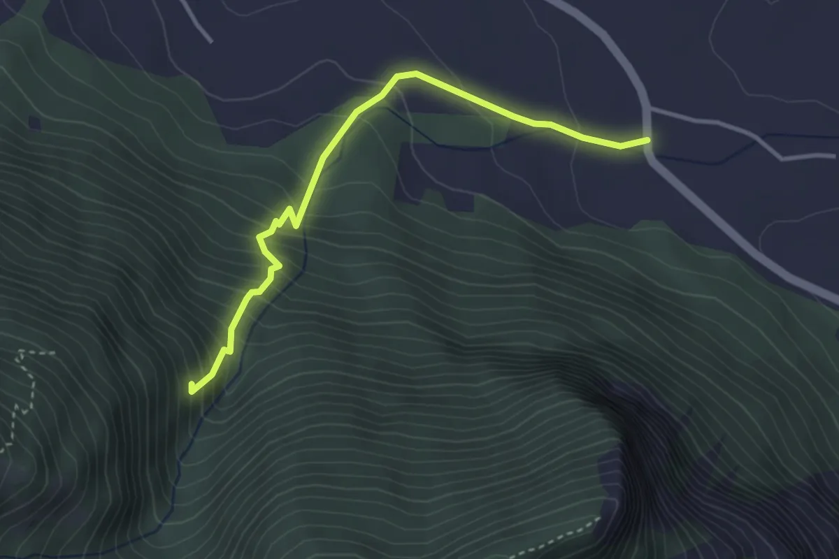
Medium · Trail
Niederstocken – Schwand
3.4 km · ↑ 382 m · 1 h 38 min · 7 km away
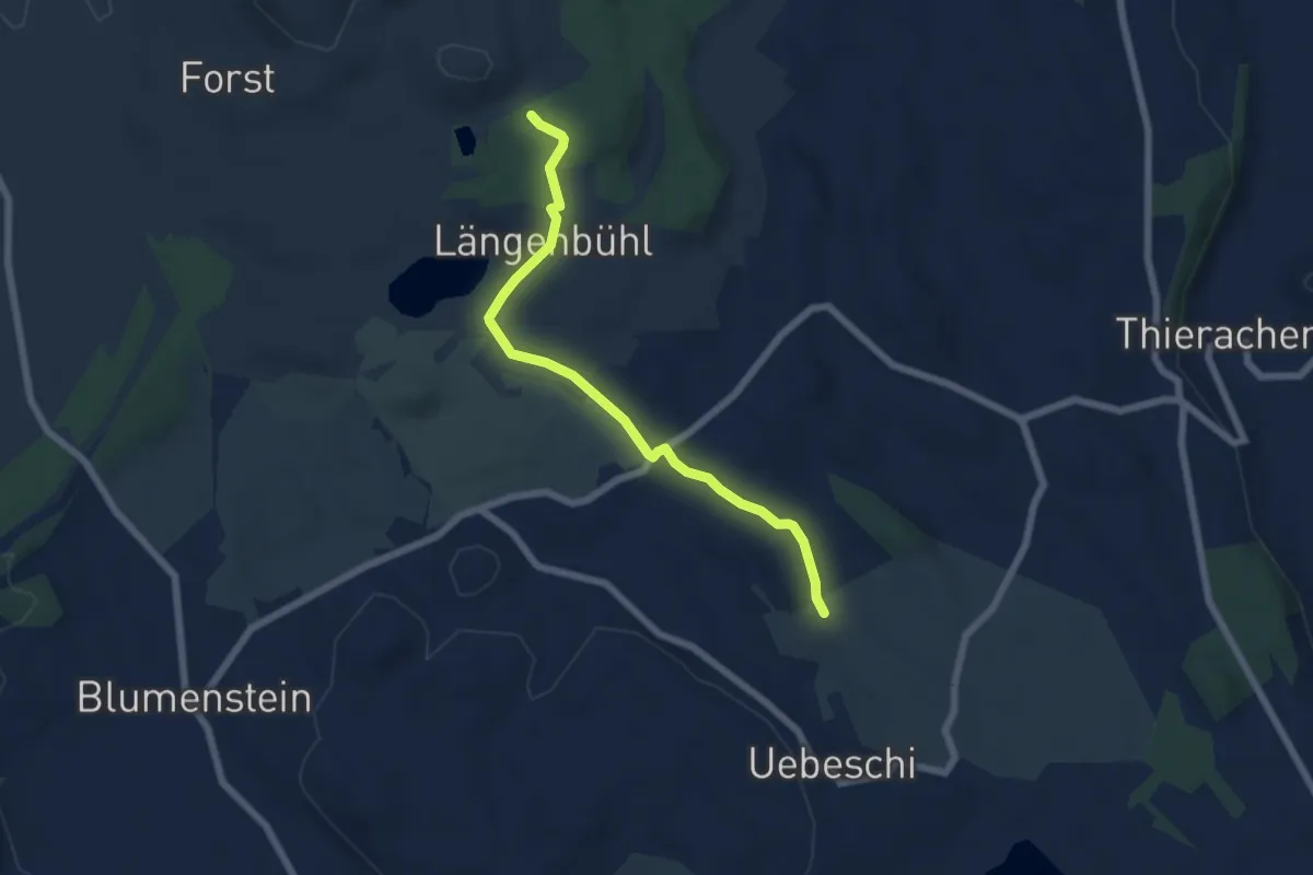
Easy · Trail
Beim Wald - NN Wegweiser
5.9 km · ↑ 53 m · 1 h 31 min · 7 km away
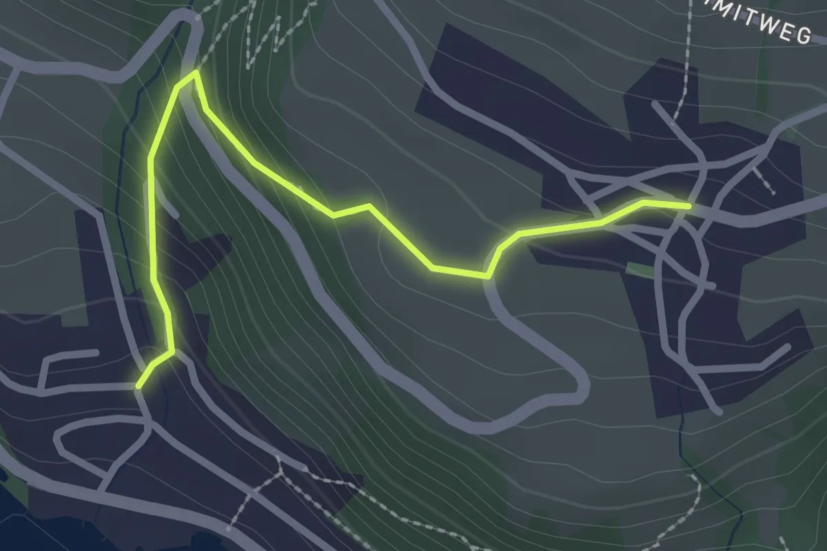
Easy · Trail
Aeschlen – Oertli
2.3 km · ↑ 180 m · 56 min · 7 km away
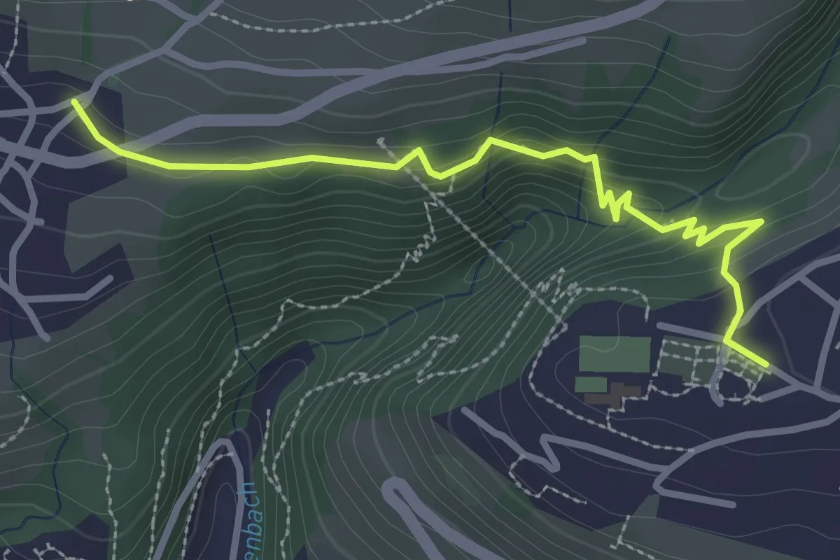
Easy · Trail
Sigriswil – Aeschlen
2.9 km · ↑ 148 m · 1 h · 7 km away
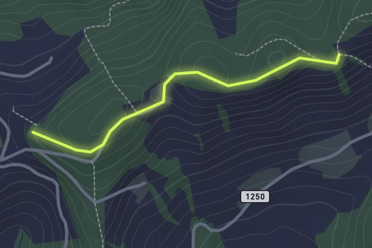
Easy · Trail
Falkeflue – Sattelwald
2.1 km · ↑ 61 m · 38 min · 7 km away
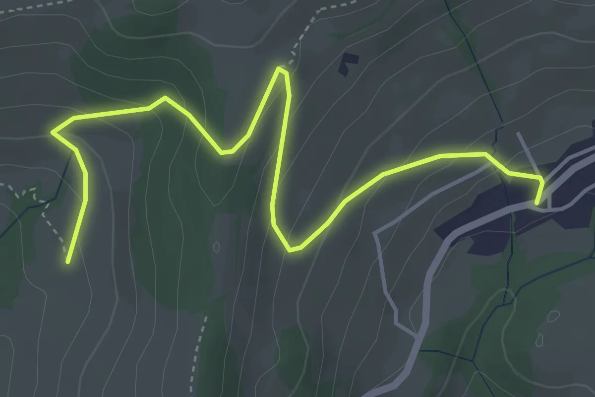
Easy · Trail
Aeschlenallmi – Schwanden
4.6 km · ↑ 279 m · 1 h 42 min · 7 km away
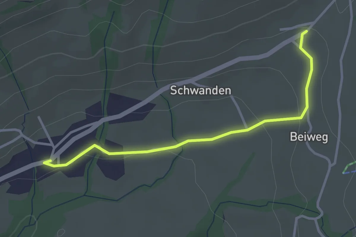
Easy · Trail
Schwanden / Sagi – Schwanden
2.8 km · ↑ 71 m · 49 min · 7 km away
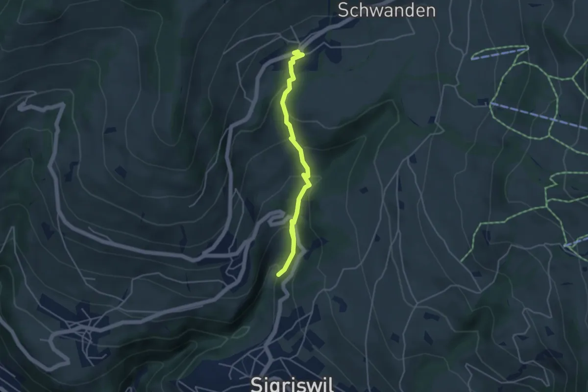
Easy · Trail
Grabemüli – Schwanden
4.0 km · ↑ 251 m · 1 h 29 min · 7 km away
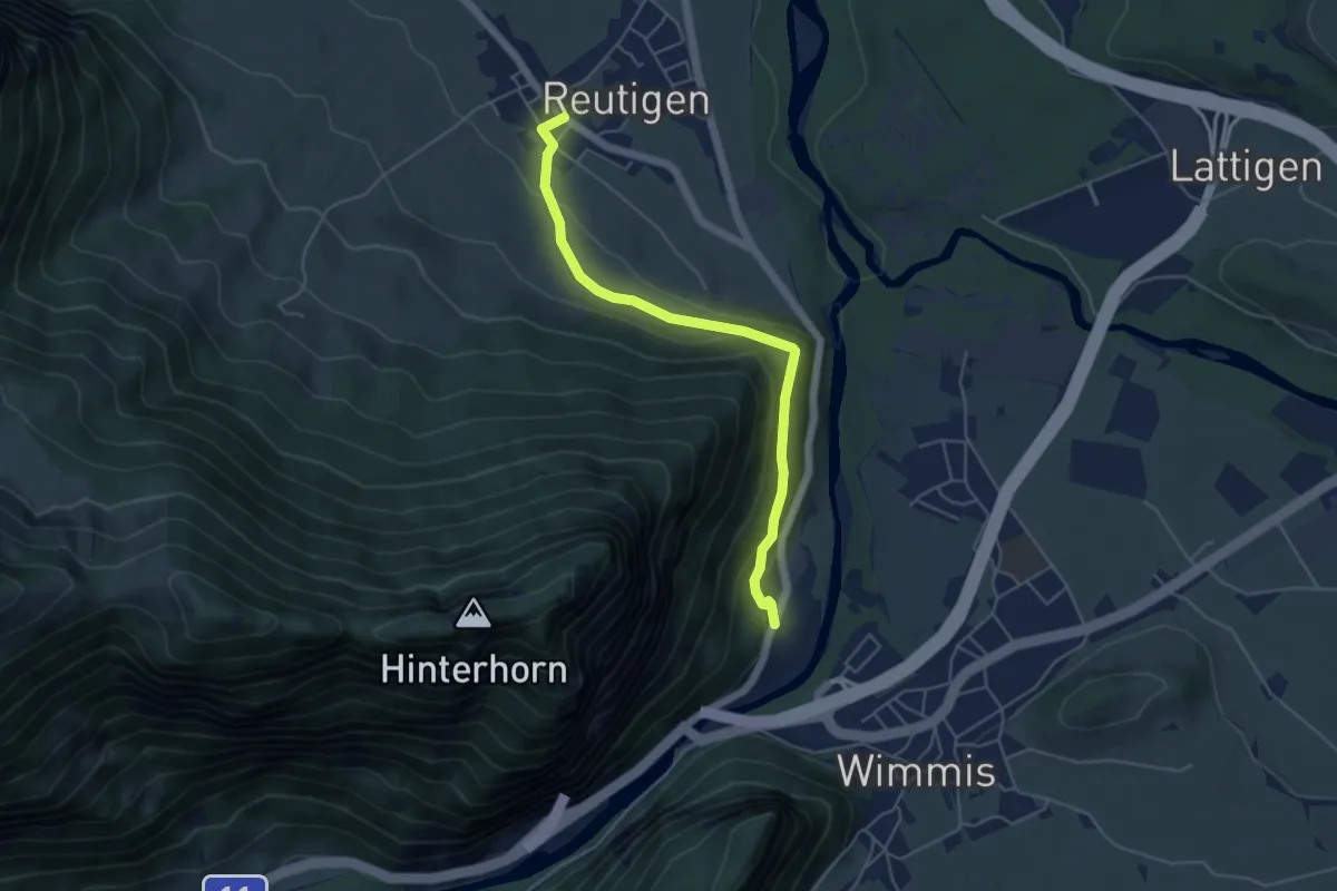
Easy · Trail
Brodhüsi – Reutigen
4.9 km · ↑ 232 m · 1 h 40 min · 7 km away
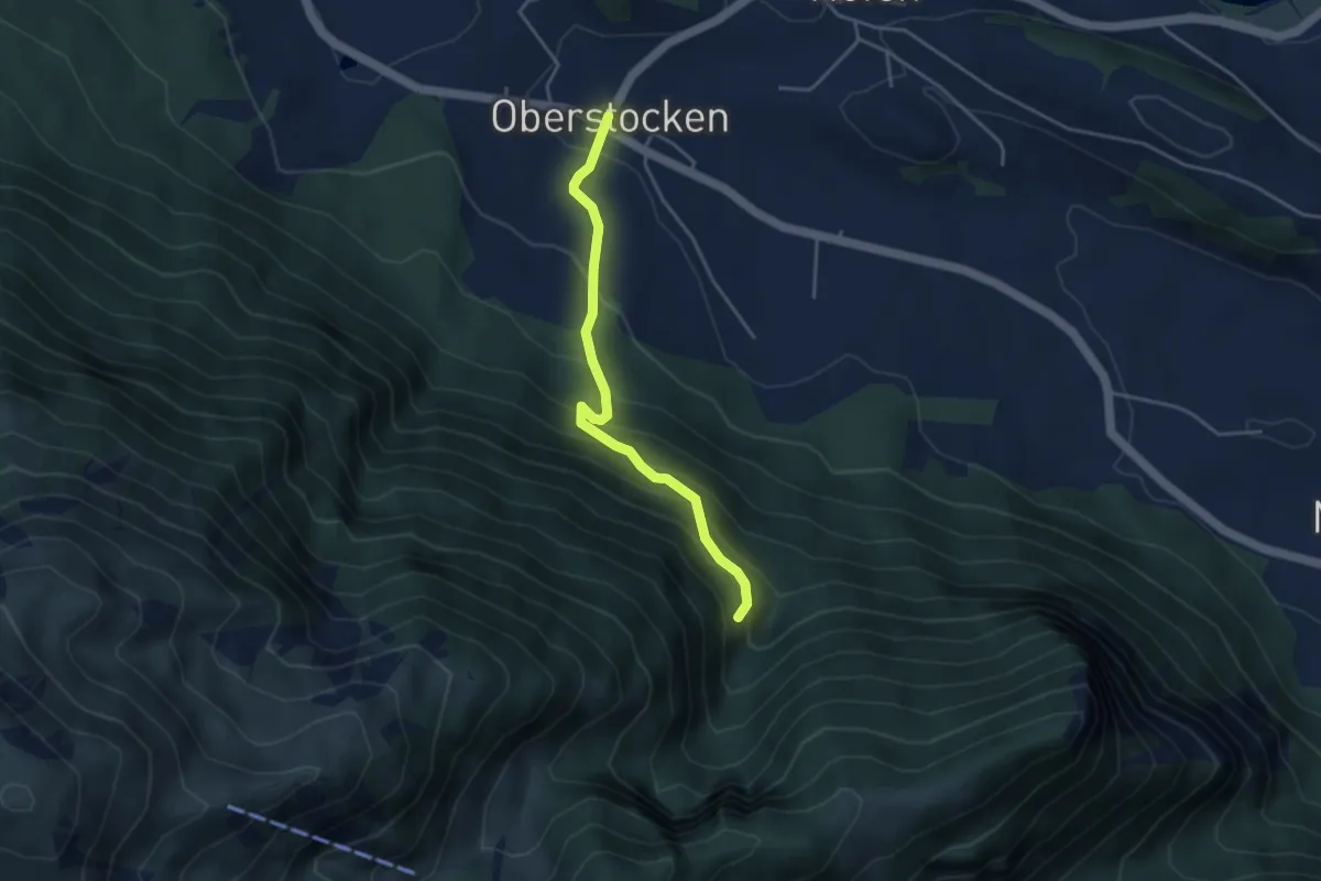
Medium · Trail
Oberstocken – Schwand
3.8 km · ↑ 356 m · 1 h 40 min · 7 km away
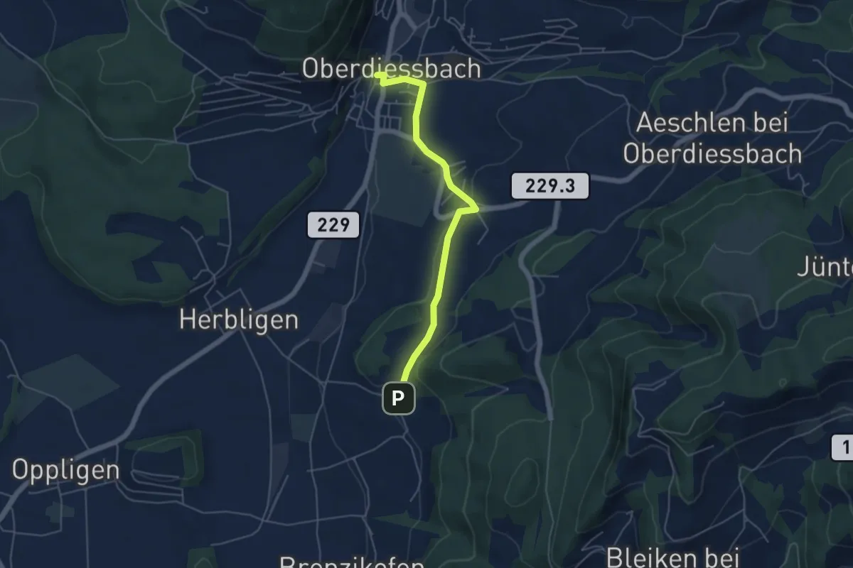
Easy · Trail
Oberdiessbach – Wydibühl
4.7 km · ↑ 124 m · 1 h 23 min · 7 km away
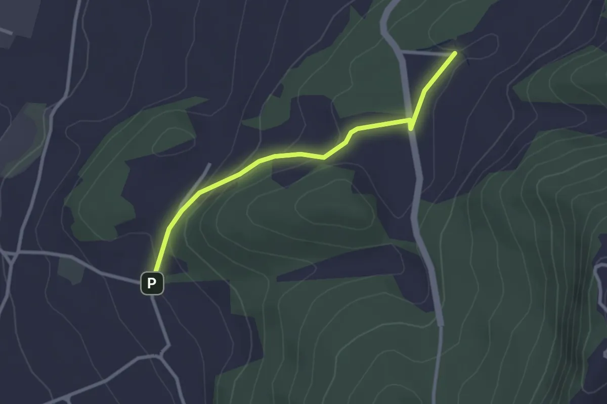
Easy · Trail
Wydibühl – Unterhus
2.5 km · ↑ 101 m · 49 min · 7 km away
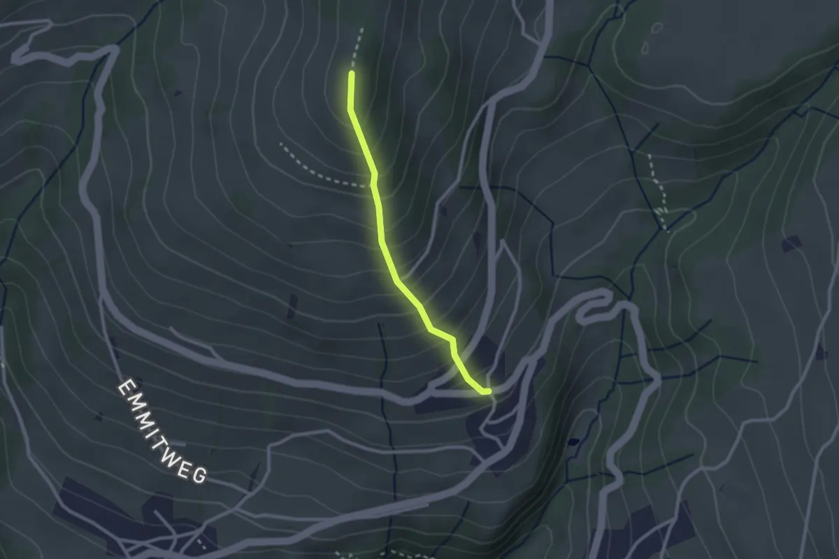
Easy · Trail
Margel – Tschingel
2.1 km · ↑ 261 m · 1 h 4 min · 7 km away
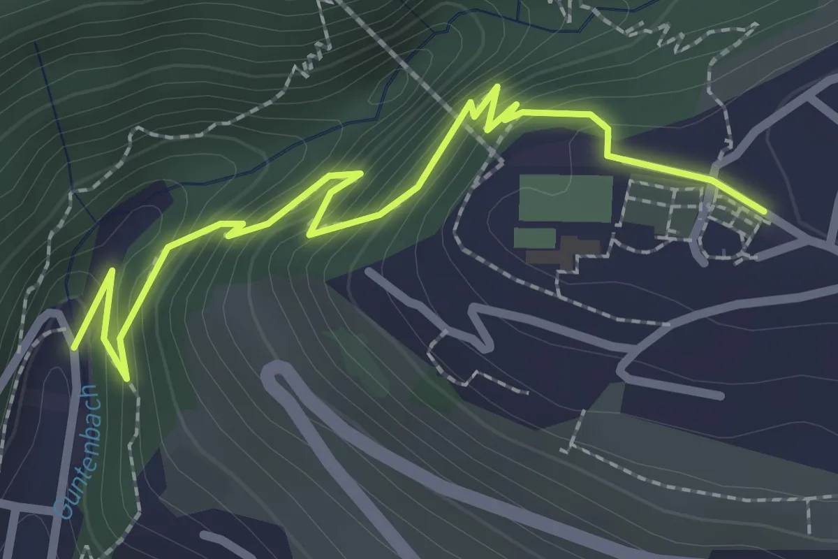
Easy · Trail
Gunten – Sigriswil
2.7 km · ↑ 186 m · 1 h 3 min · 7 km away
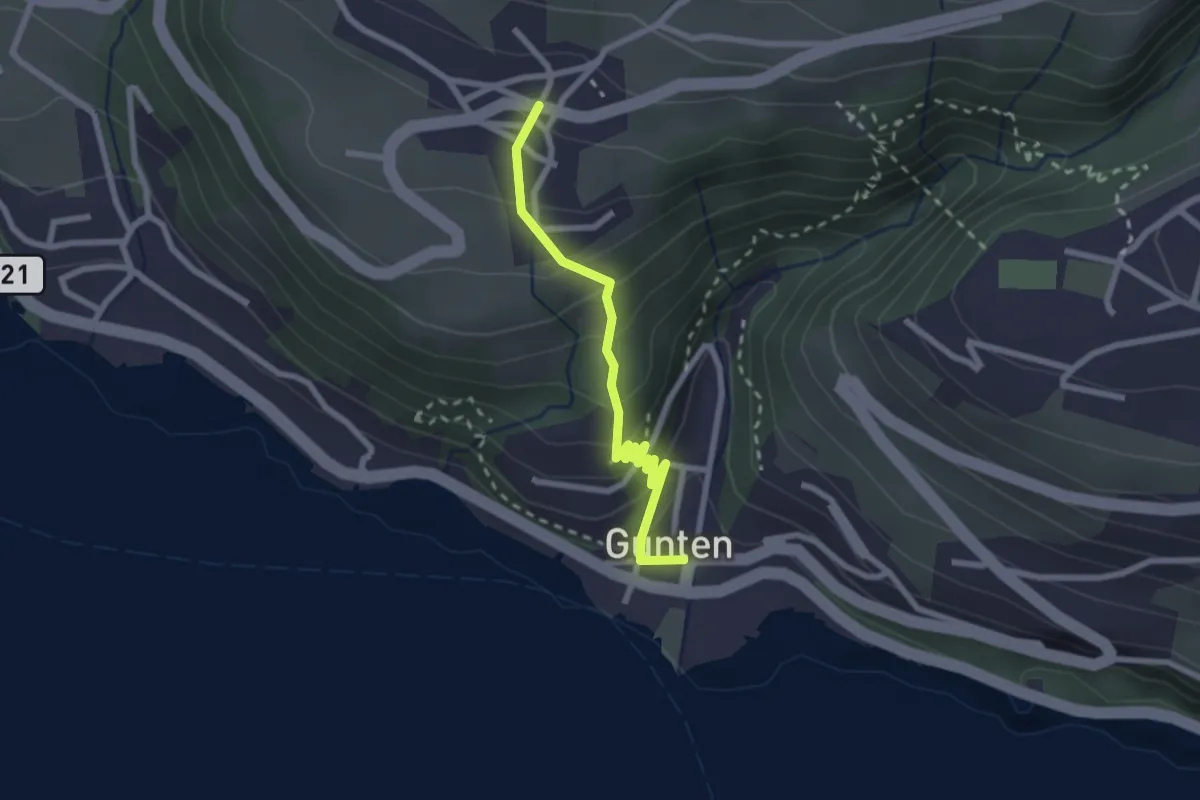
Easy · Trail
Gunten – Aeschlen
2.3 km · ↑ 192 m · 58 min · 8 km away
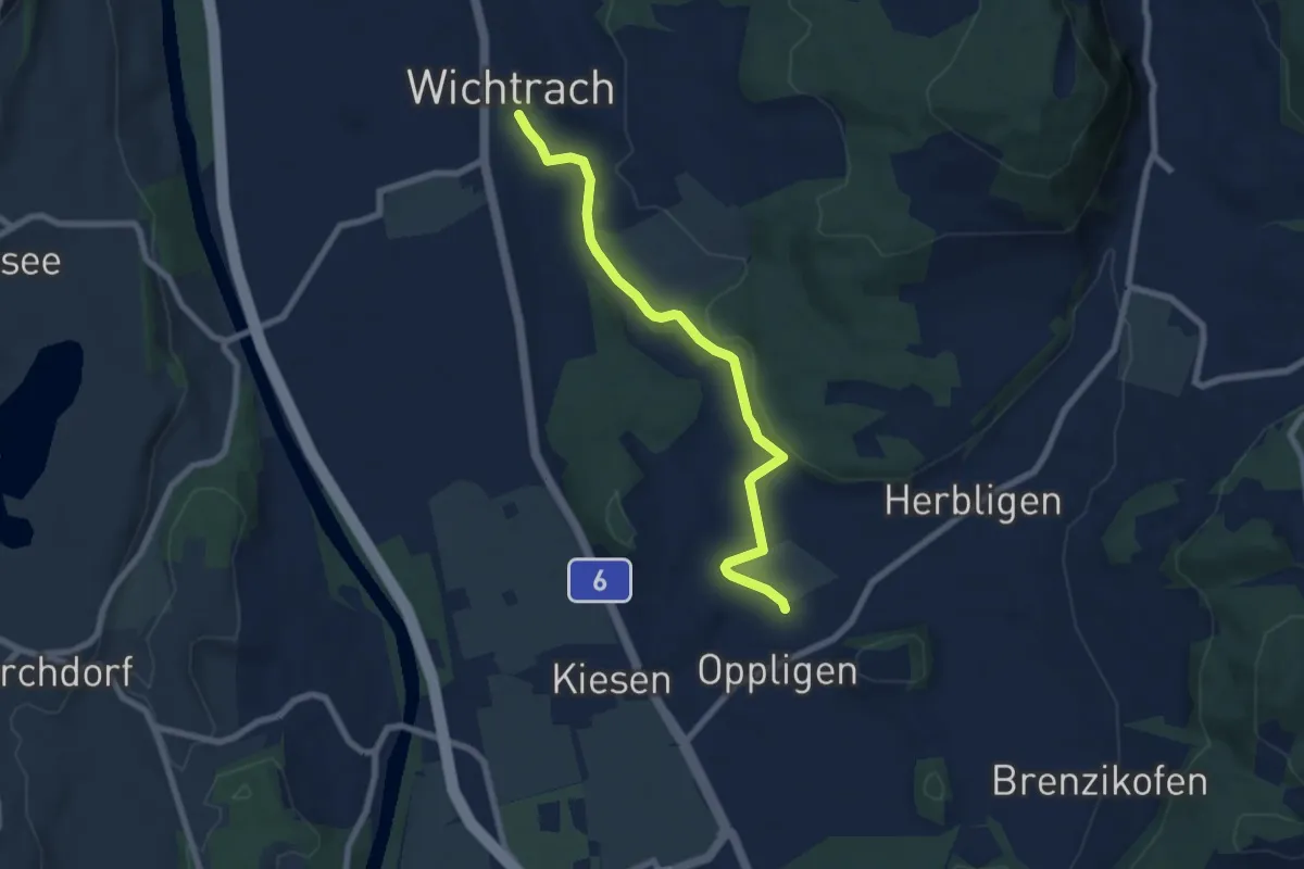
Easy · Trail
Wichtrach – Oppligen
7.0 km · ↑ 64 m · 1 h 48 min · 8 km away
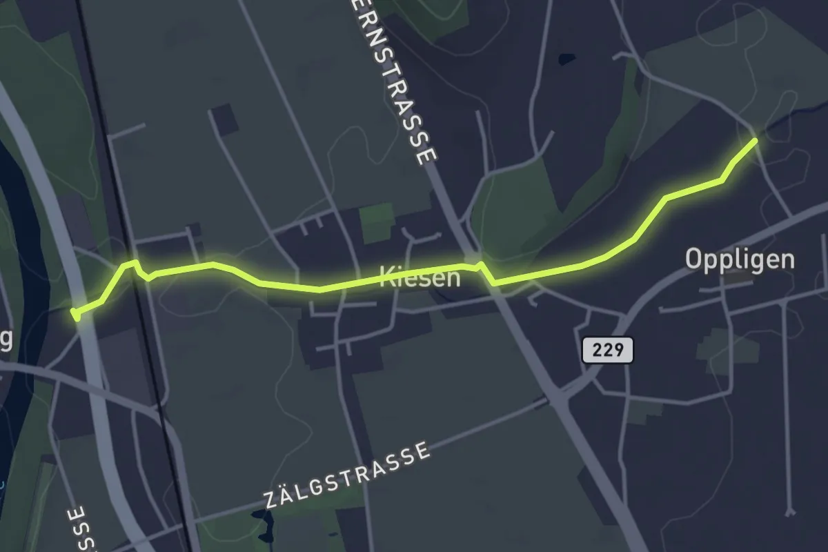
Easy · Trail
Kiesen – Oppligen
4.1 km · ↑ 18 m · 1 h · 8 km away
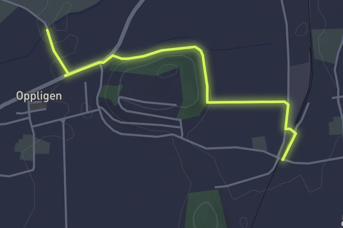
Easy · Trail
Brenzikofen Station – Opplingen
3.6 km · ↑ 47 m · 57 min · 8 km away
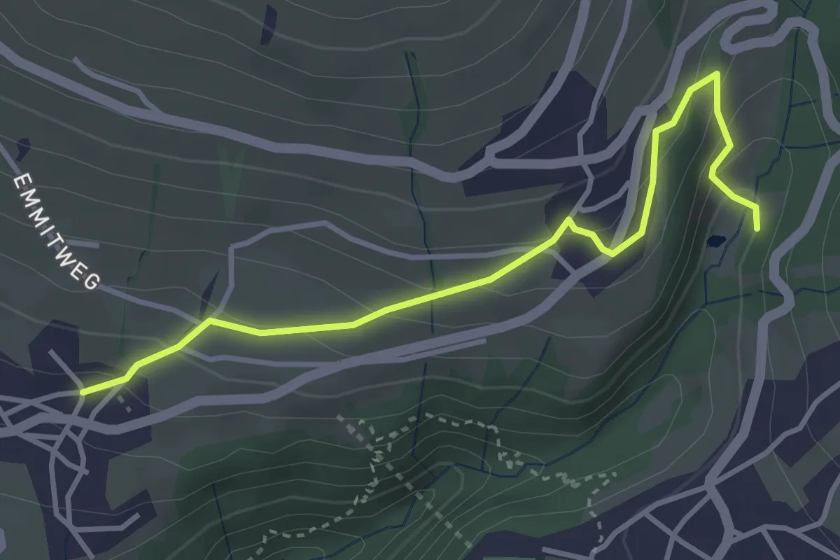
Easy · Trail
Grabemüli – Aeschlen
3.6 km · ↑ 216 m · 1 h 19 min · 8 km away
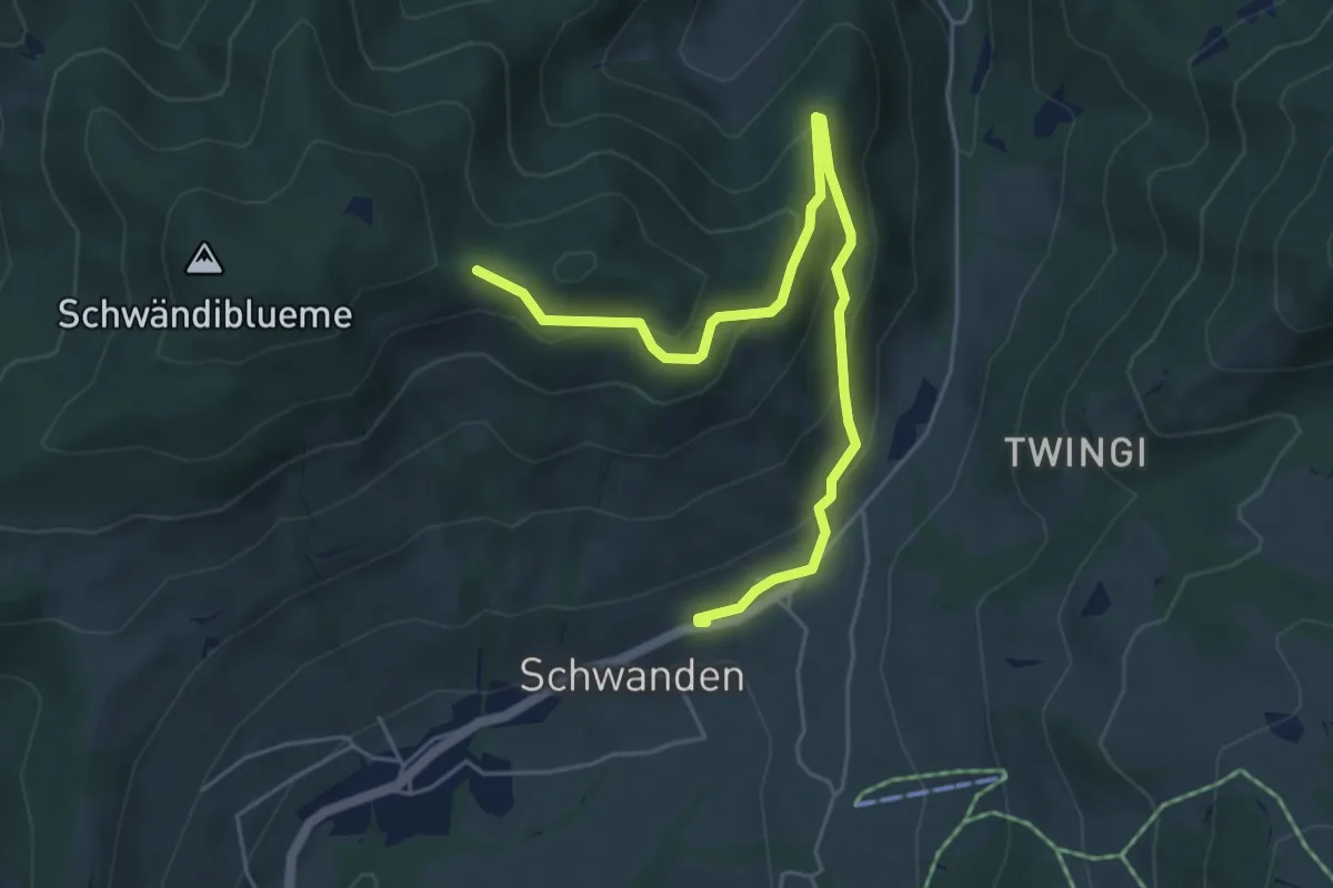
Easy · Trail
Planetenweg Sirius
5.9 km · ↑ 297 m · 2 h 2 min · 8 km away
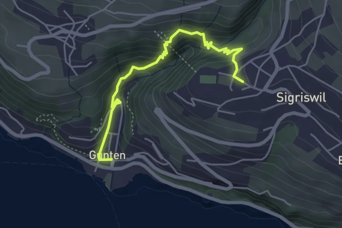
Easy · Trail
Gunten – Sigriswil
4.2 km · ↑ 303 m · 1 h 38 min · 8 km away
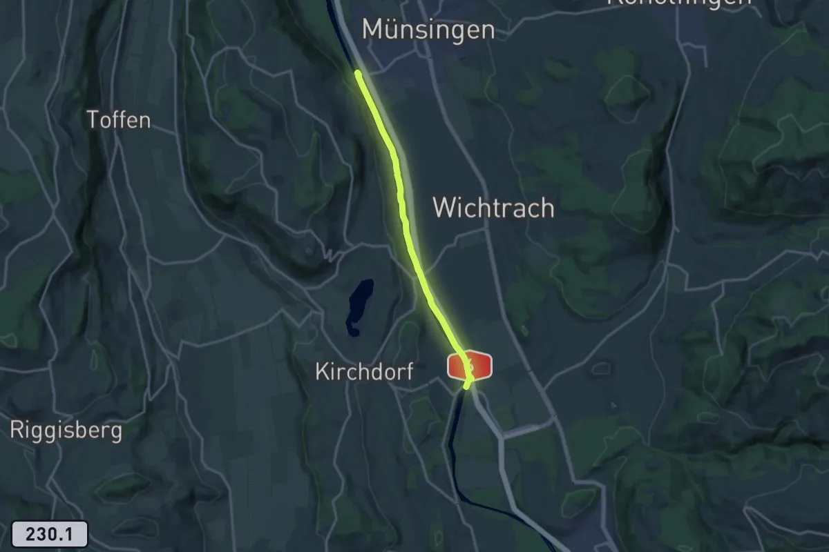
Medium · Trail
Jabergbrücke – Schützefahrbrügg
12.0 km · ↑ 8 m · 2 h 51 min · 8 km away
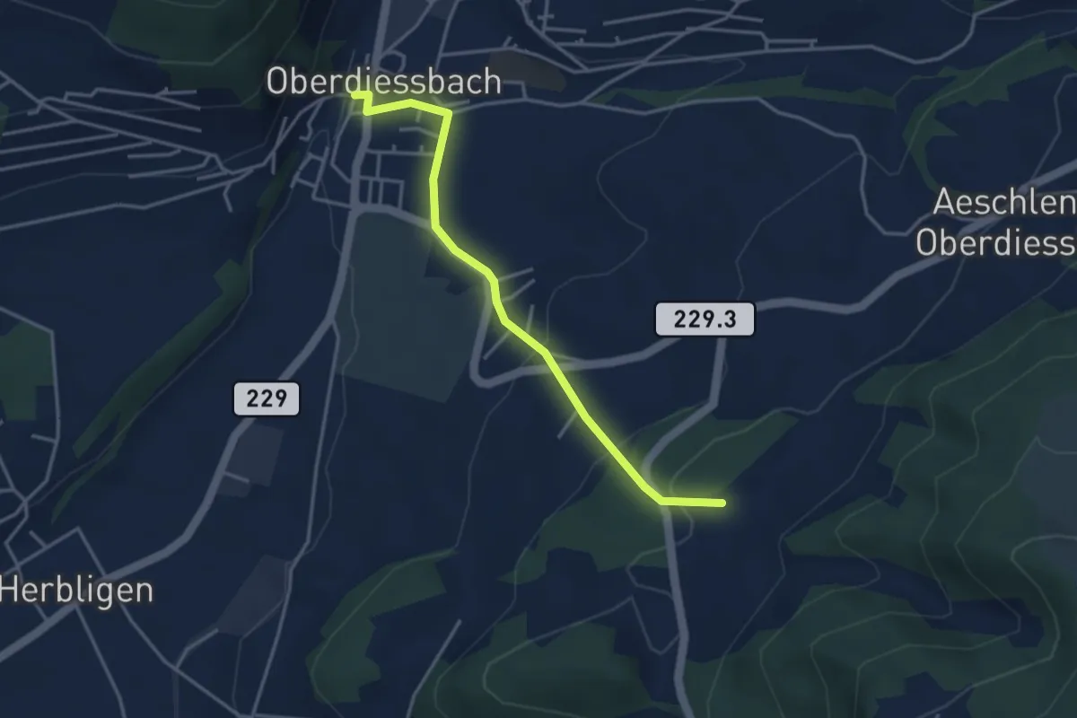
Easy · Trail
Unterhus – Oberdiessbach
3.6 km · ↑ 150 m · 1 h 10 min · 8 km away
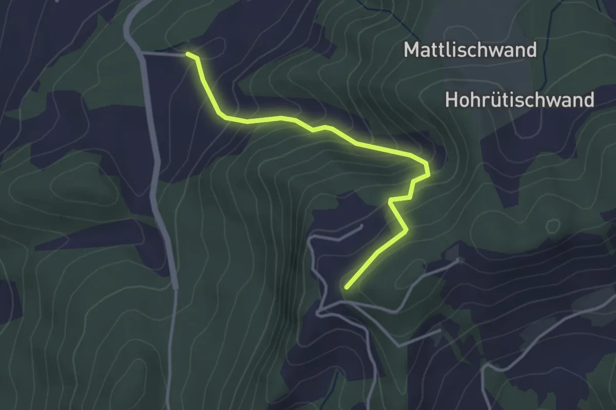
Easy · Trail
Falkeflue – Unterhus
3.2 km · ↑ 291 m · 1 h 23 min · 8 km away
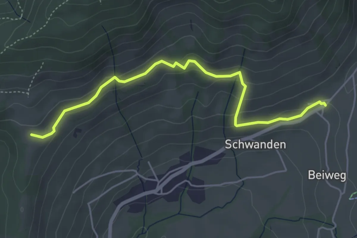
Easy · Trail
Margelsattel – Schwanden / Sagi
4.7 km · ↑ 195 m · 1 h 32 min · 8 km away
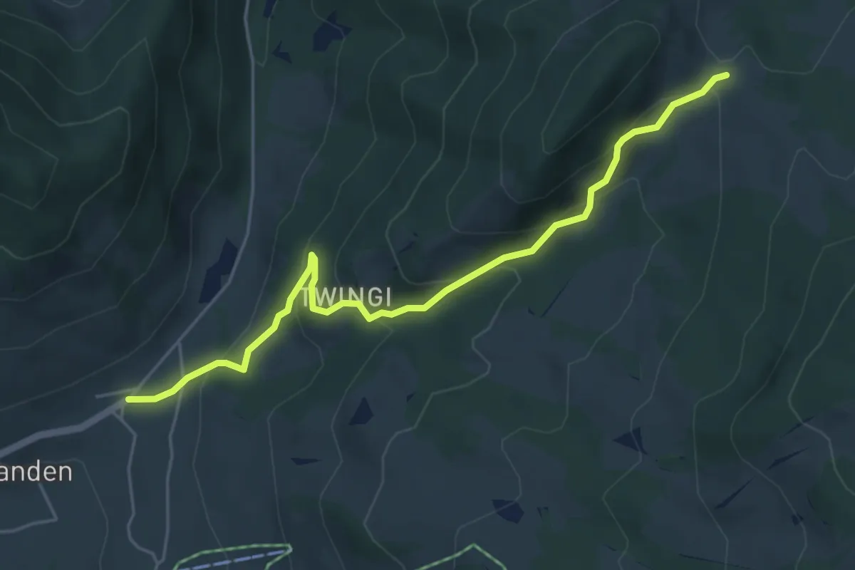
Easy · Trail
Schwanden Sagi – Dünzenegg
5.3 km · ↑ 282 m · 1 h 52 min · 8 km away
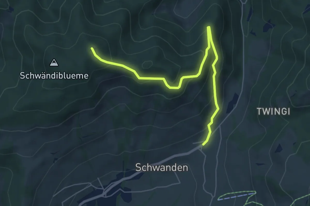
Medium · Summit
Blueme – Schwanden Sagi
5.9 km · ↑ 341 m · 2 h 8 min · 8 km away
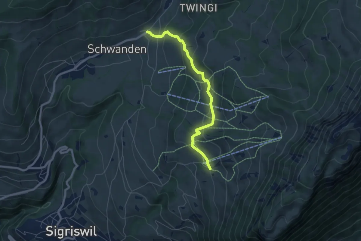
Easy · Trail
Wilerallmi – Schwanden Sagi
5.5 km · ↑ 261 m · 1 h 52 min · 8 km away
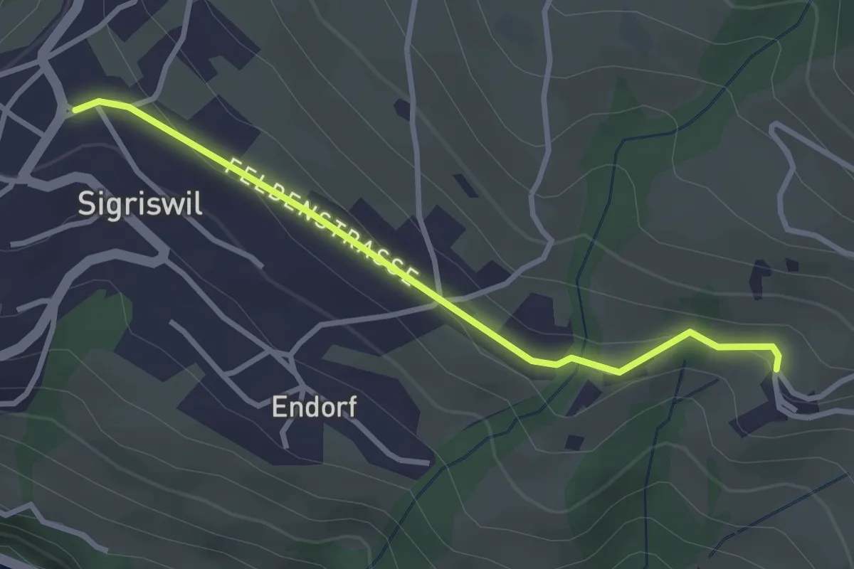
Easy · Trail
Sigriswil / Gewölb – Wiler
2.9 km · ↑ 66 m · 49 min · 8 km away