Trails near Thun
435 hikes starting within 15 km, nearest first.
Nearest first, page 3 of 10
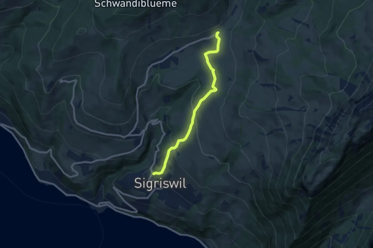
Medium · Trail
Sigriswil / Gewölb – Schwanden / Sagi
6.6 km · ↑ 327 m · 2 h 16 min · 8 km away
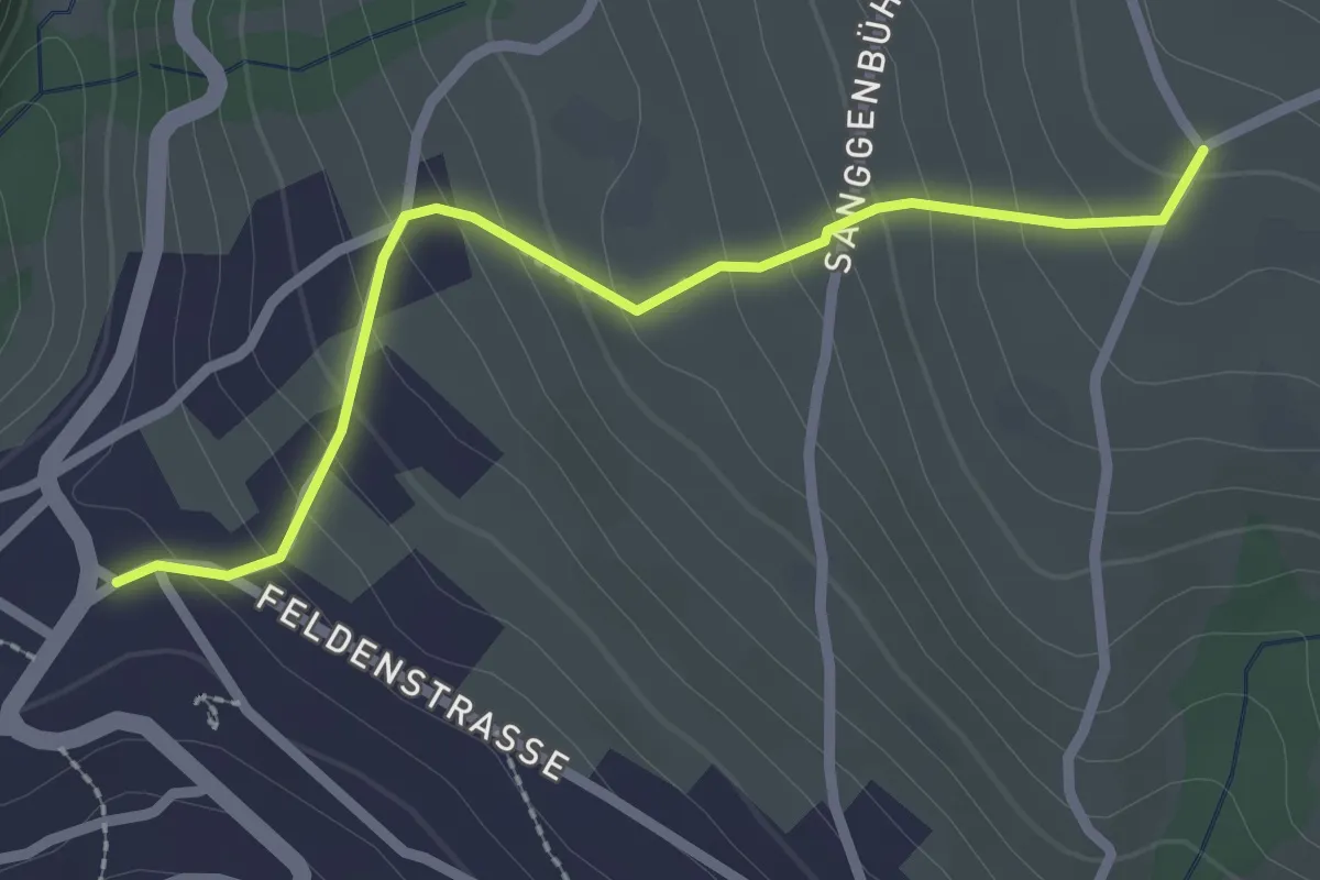
Easy · Trail
Zälg – Sigriswil / Gewölb
2.4 km · ↑ 195 m · 1 h · 8 km away
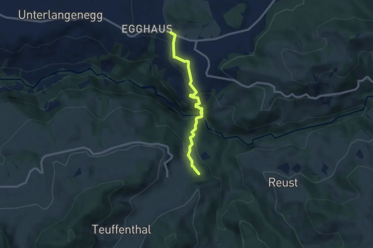
Medium · Summit
Schwarzenegg – Teuffenthal/Burghalten
5.5 km · ↑ 293 m · 1 h 56 min · 8 km away
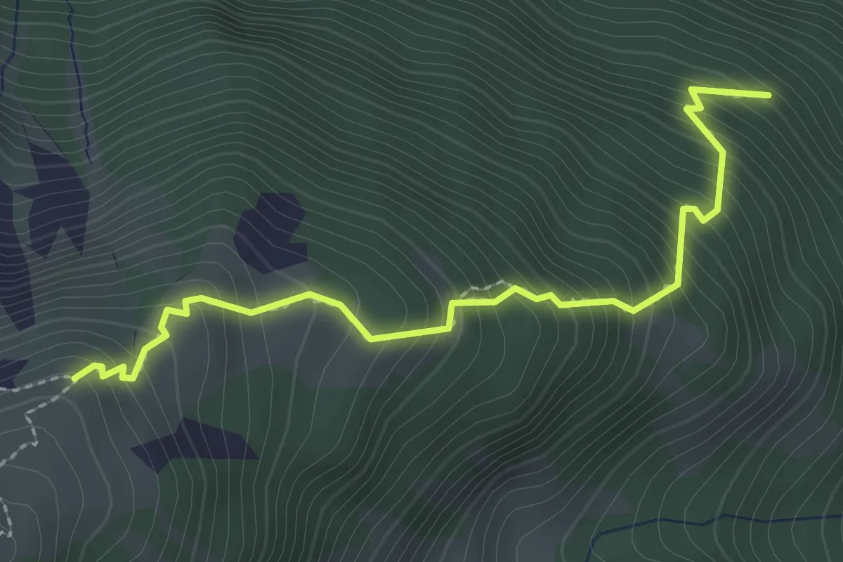
Medium · Trail
Nesselboden – Vorderälplital
2.5 km · ↑ 398 m · 1 h 27 min · 8 km away
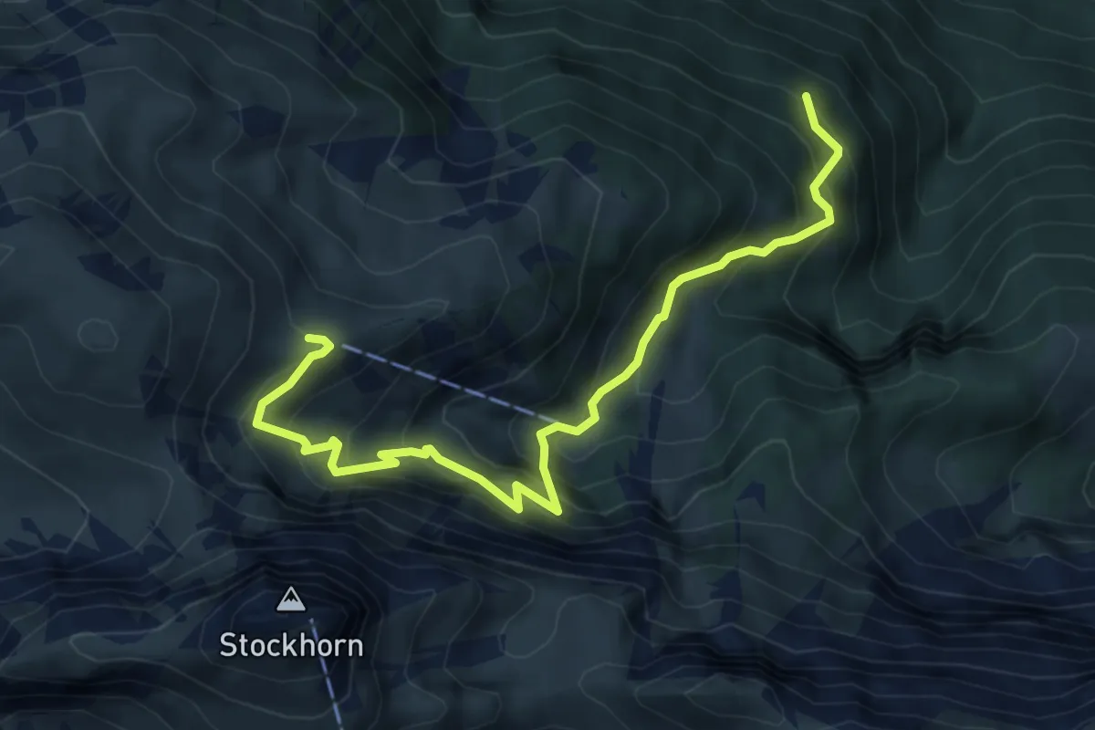
Medium · Trail
Nesselboden – Ober Baach
6.1 km · ↑ 719 m · 2 h 59 min · 8 km away
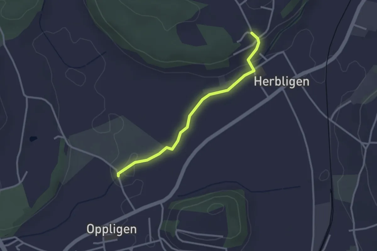
Easy · Trail
Oppligen – Herblingen
2.6 km · ↑ 51 m · 43 min · 8 km away
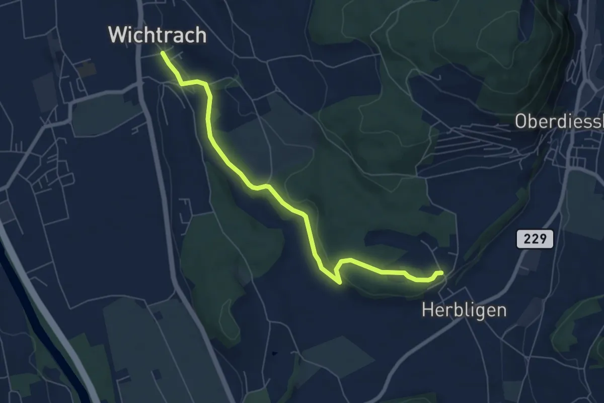
Easy · Trail
Wichtrach – Herblingen
6.7 km · ↑ 130 m · 1 h 52 min · 8 km away
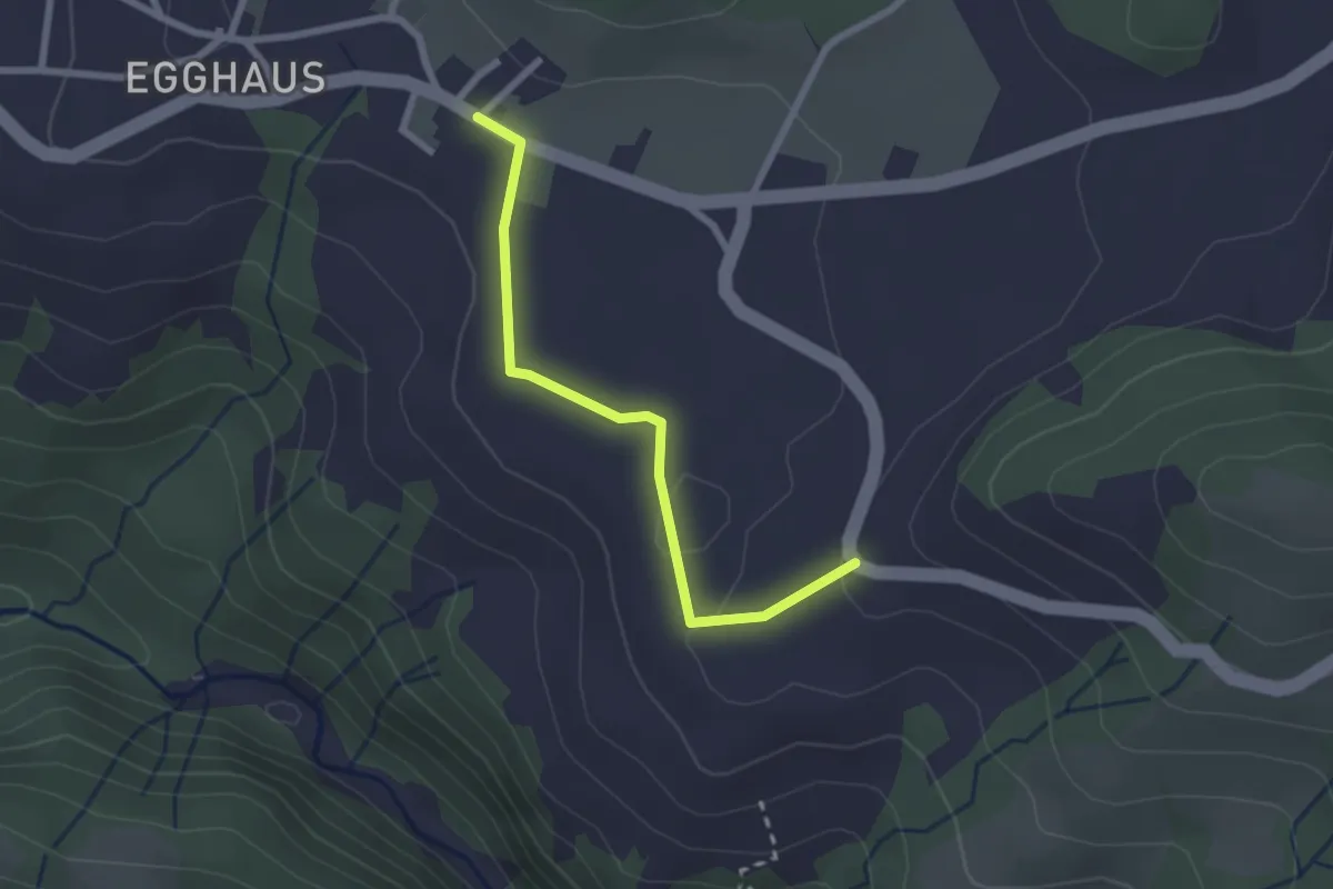
Easy · Trail
Schwarzenegg – Honegg
2.3 km · ↑ 39 m · 37 min · 8 km away
Easy · Trail
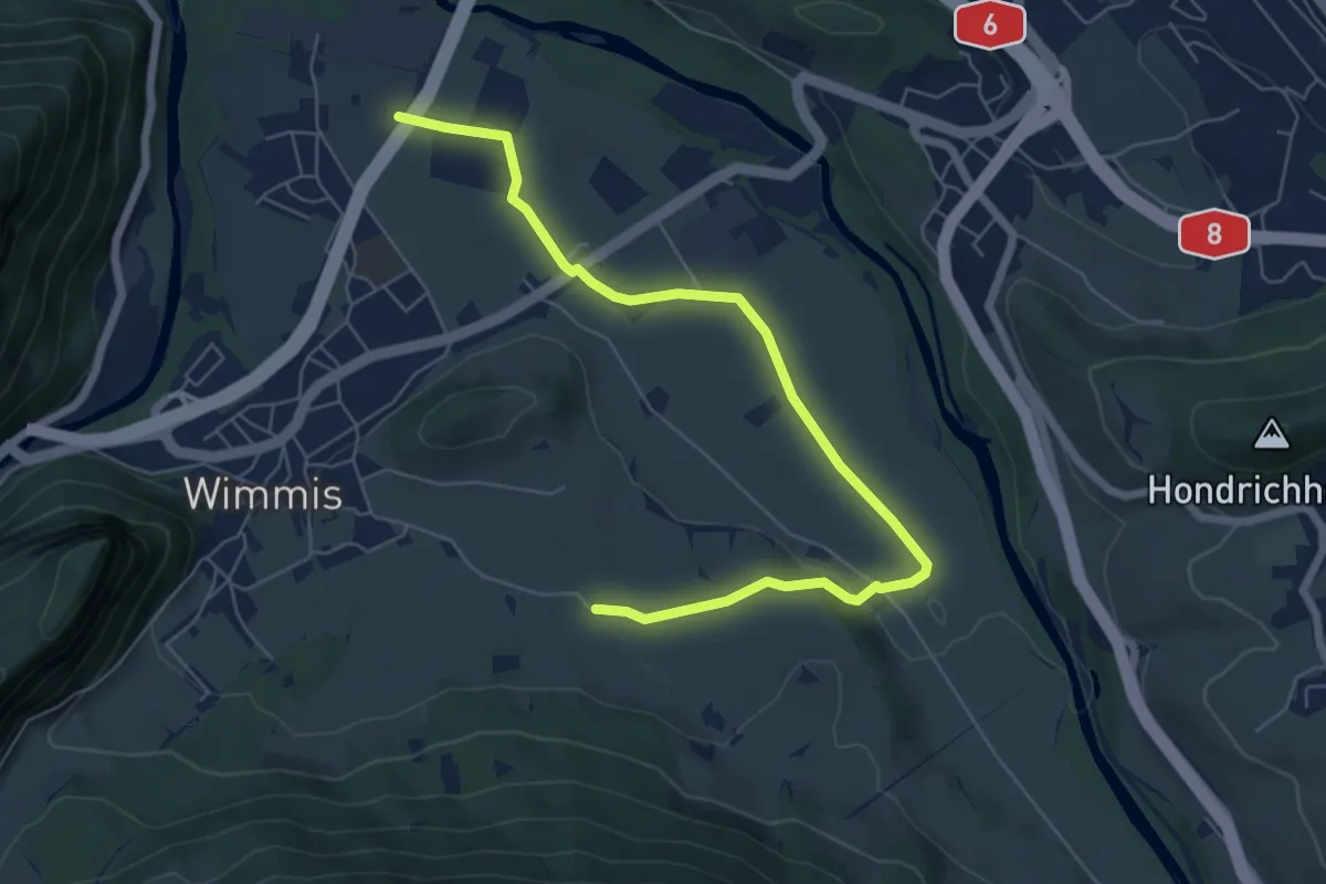
Eifeld – Hasli
7.2 km · ↑ 71 m · 1 h 51 min · 8 km away
Easy · Trail
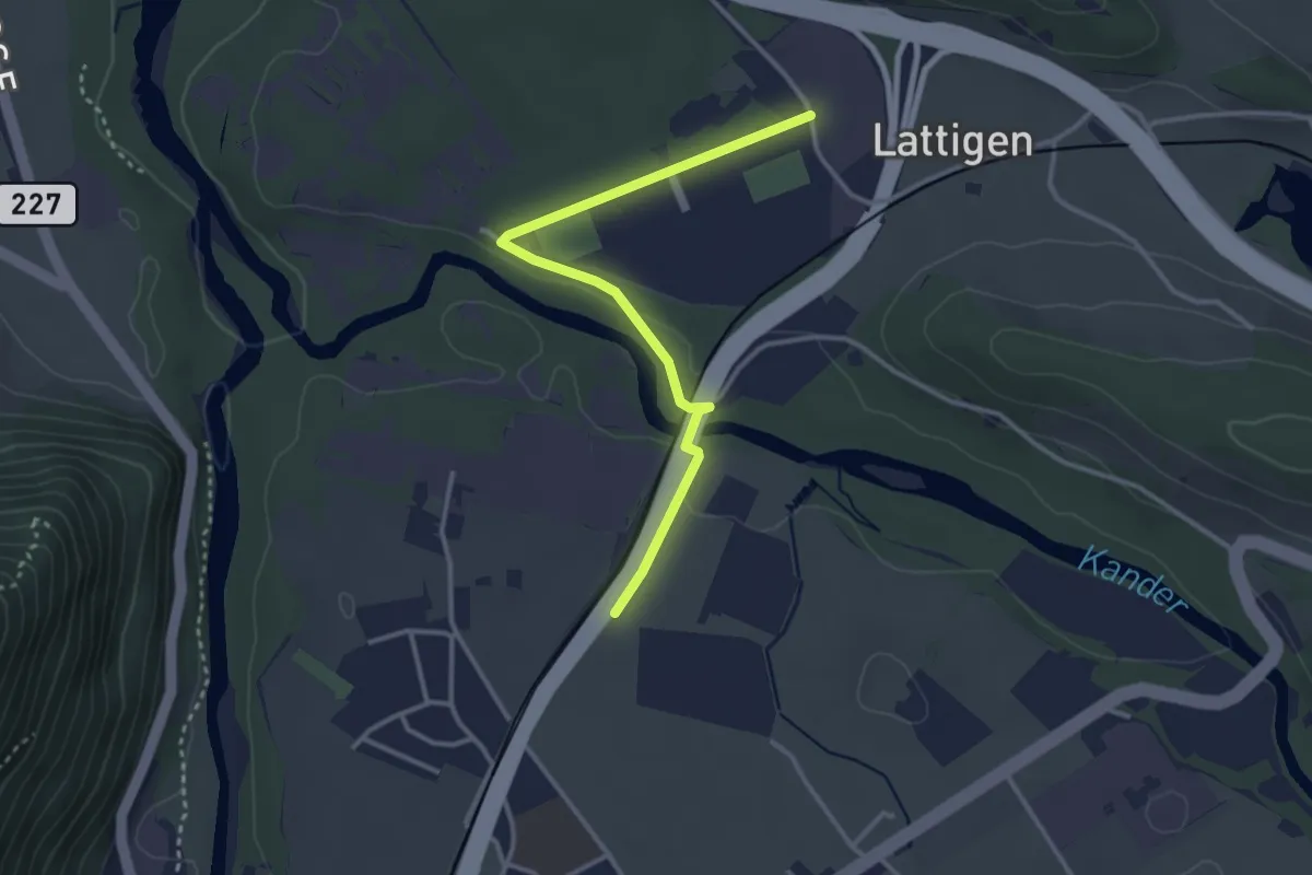
Eifeld – Lattigen
3.3 km · ↑ 28 m · 51 min · 8 km away
Easy · Trail
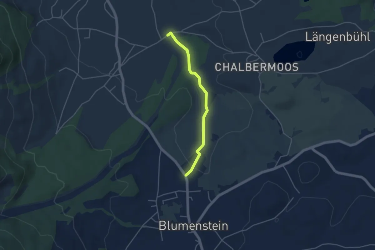
Blumenstein/Bad – Längmoos
3.3 km · ↑ 31 m · 50 min · 8 km away
Medium · Summit
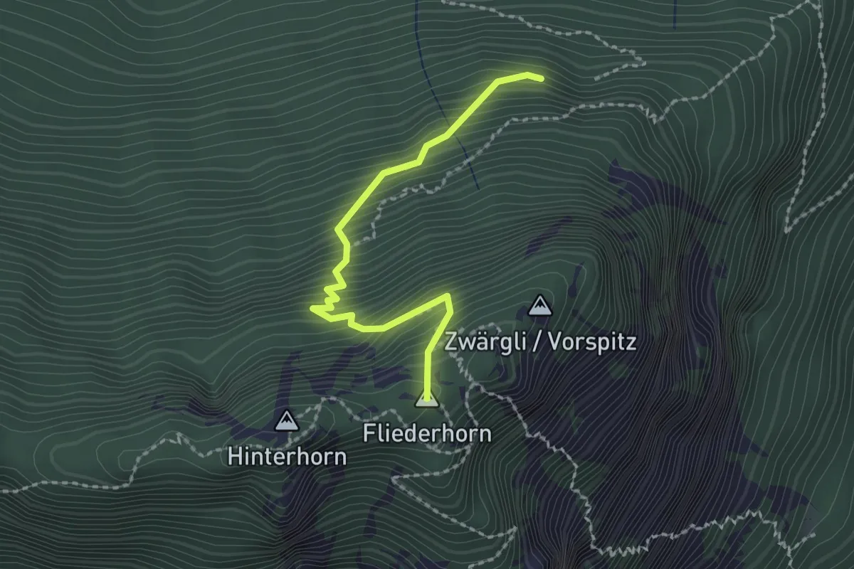
Schattigwald – Sunnighorn
2.0 km · ↑ 354 m · 1 h 14 min · 8 km away
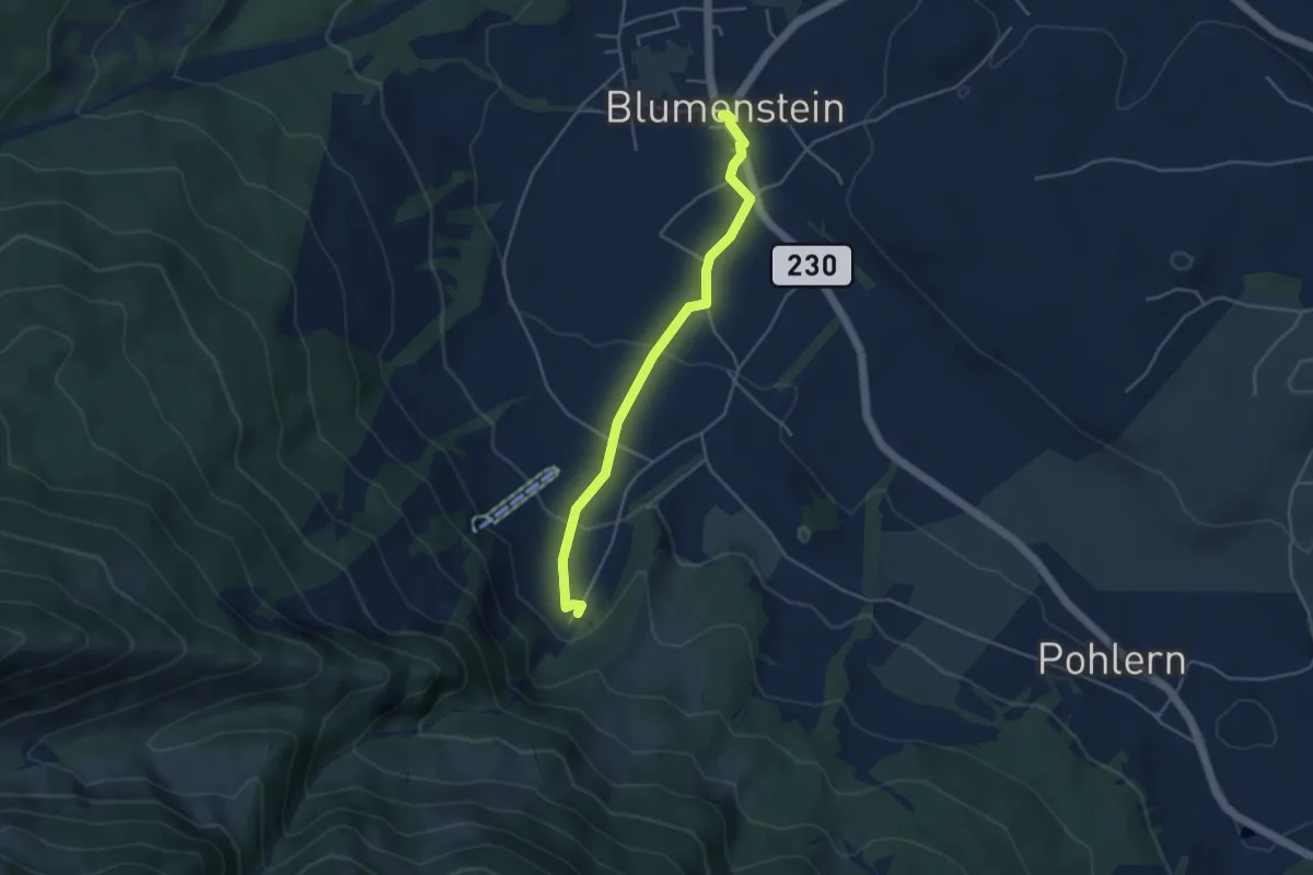
Easy · Trail
Blumenstein/Kirche – Blumenstein
4.1 km · ↑ 129 m · 1 h 15 min · 8 km away
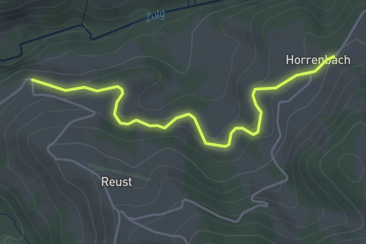
Easy · Trail
Cheistli – Horrenbach
3.9 km · ↑ 198 m · 1 h 22 min · 9 km away
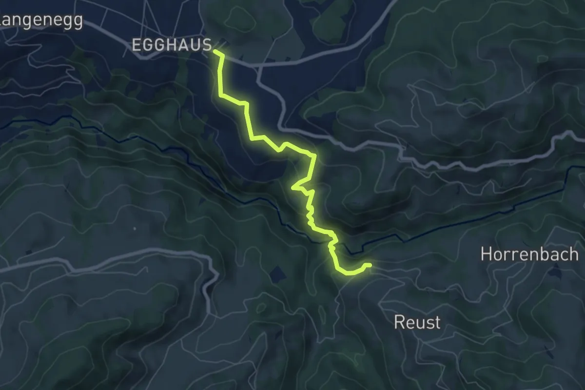
Medium · Trail
Schwarzenegg – Cheistli
6.4 km · ↑ 291 m · 2 h 9 min · 9 km away
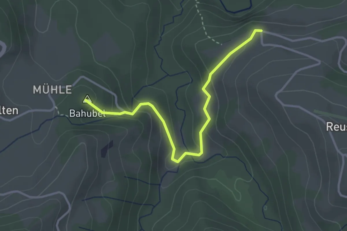
Easy · Summit
Cheistli – Teuffenthal
3.1 km · ↑ 164 m · 1 h 5 min · 9 km away
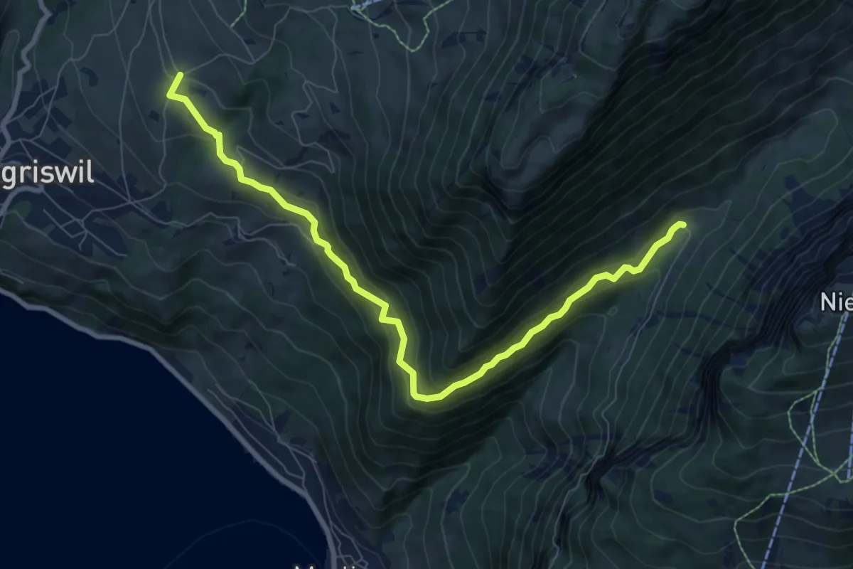
Medium · Trail
Justistal/Grön – Zälg
8.9 km · ↑ 530 m · 3 h 14 min · 9 km away
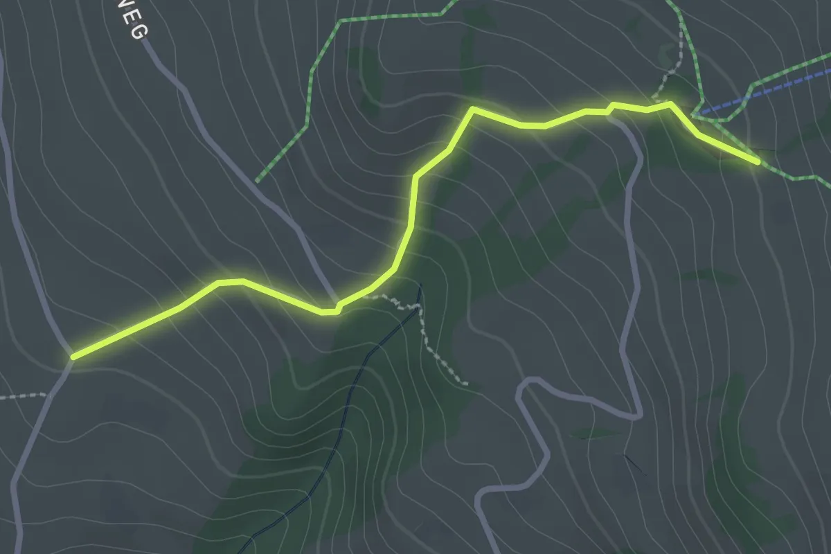
Easy · Trail
Wilerallmi – Zälg
2.6 km · ↑ 194 m · 1 h 2 min · 9 km away
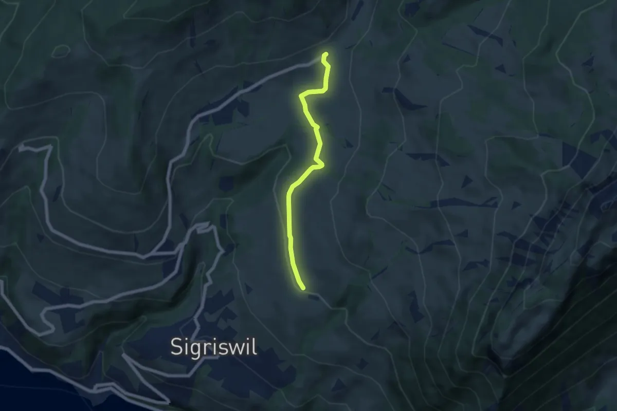
Easy · Trail
Zälg – Schwanden Sagi
5.1 km · ↑ 128 m · 1 h 29 min · 9 km away
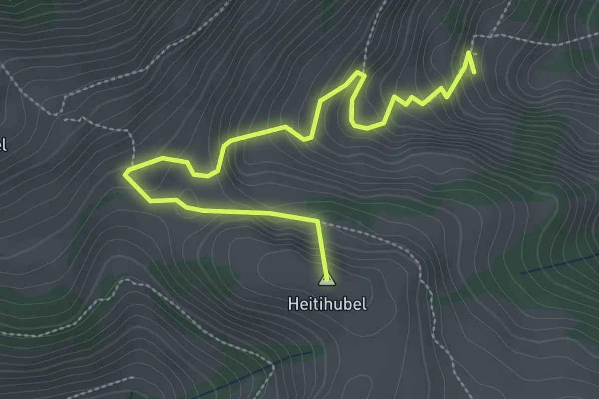
Medium · Summit
Lengeberg – Oberes Heiti
3.5 km · ↑ 289 m · 1 h 27 min · 9 km away
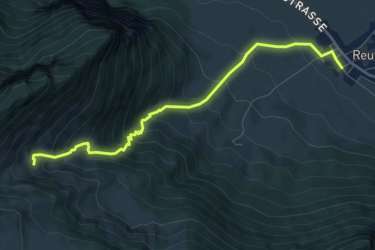
Medium · Trail
Reutigen – Lengeberg
7.0 km · ↑ 679 m · 3 h 7 min · 9 km away
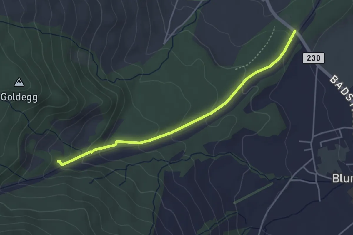
Easy · Trail
Blumensteibrügg
3.8 km · ↑ 160 m · 1 h 15 min · 9 km away
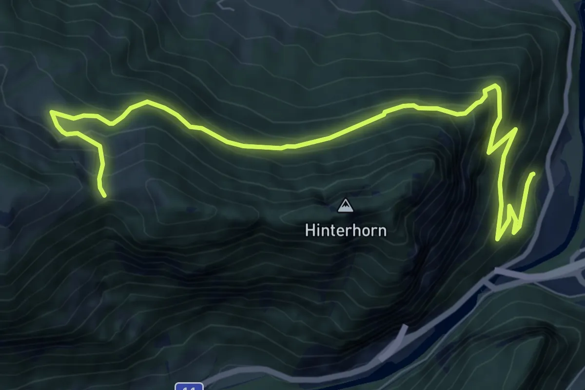
Demanding · Trail
Brodhüsi – Chrindi
10.0 km · ↑ 861 m · 4 h 13 min · 9 km away
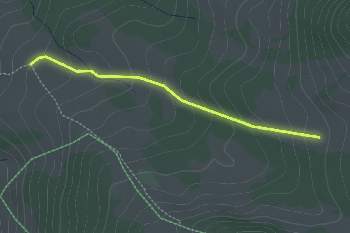
Easy · Trail
Stampf – Oberi Matte
2.0 km · ↑ 132 m · 46 min · 9 km away
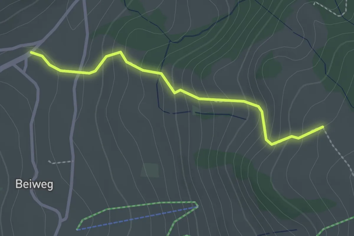
Easy · Trail
Schwanden Sagi – Stampf
2.2 km · ↑ 181 m · 55 min · 9 km away
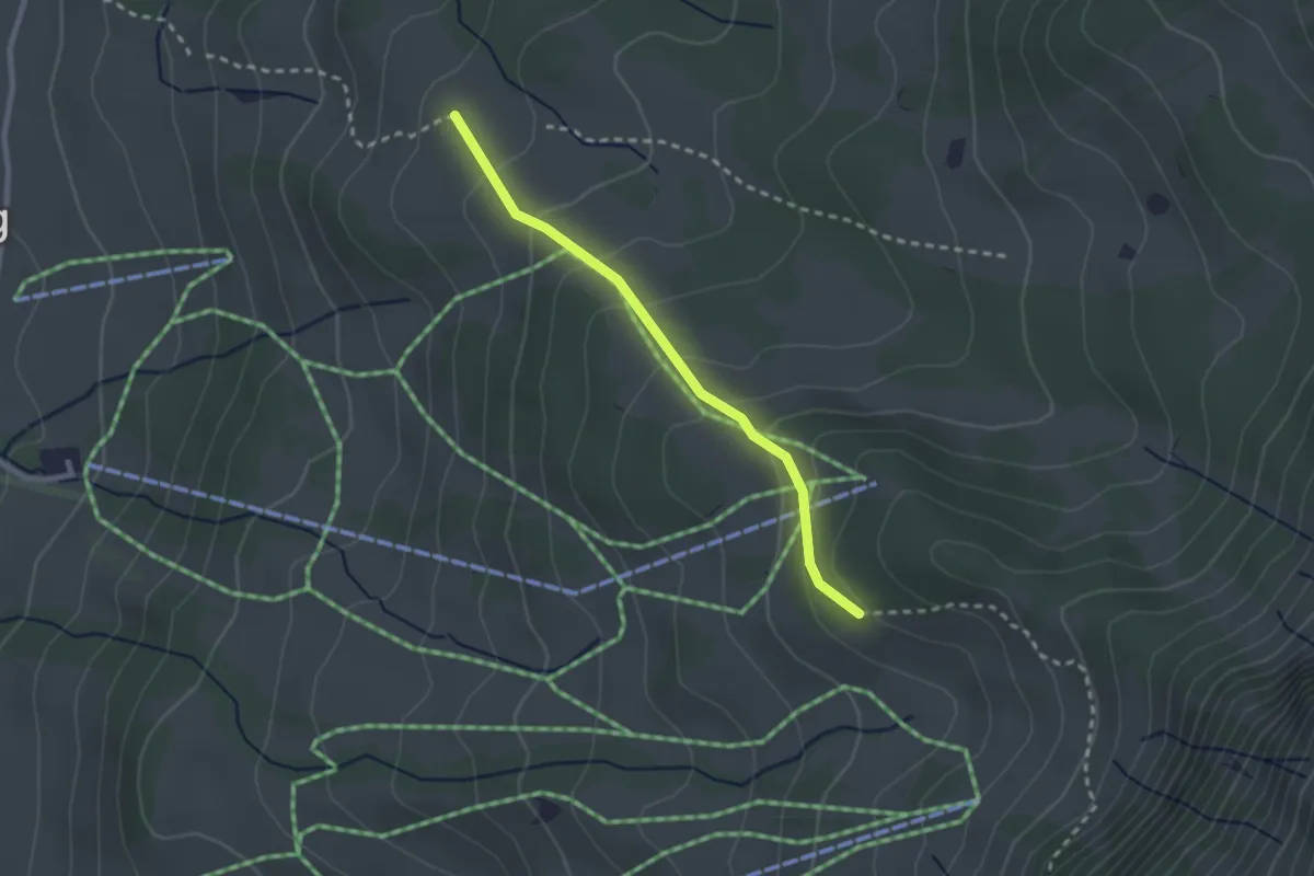
Easy · Trail
Stampf – Bodmi
2.3 km · ↑ 166 m · 54 min · 9 km away
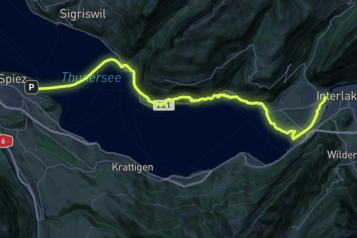
Medium · Trail
ViaJacobi
17.1 km · ↑ 649 m · 5 h 40 min · 9 km away
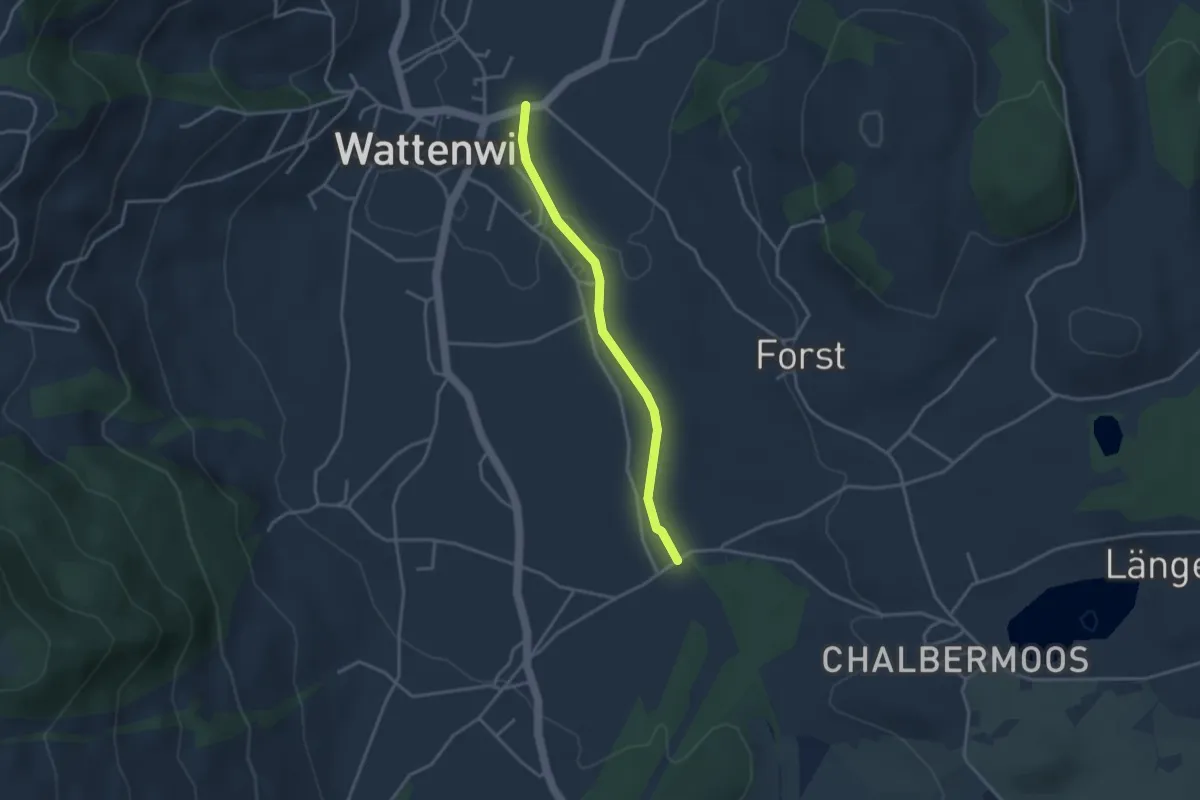
Easy · Trail
Wattenwil - Längmoos
3.1 km · ↑ 26 m · 48 min · 9 km away
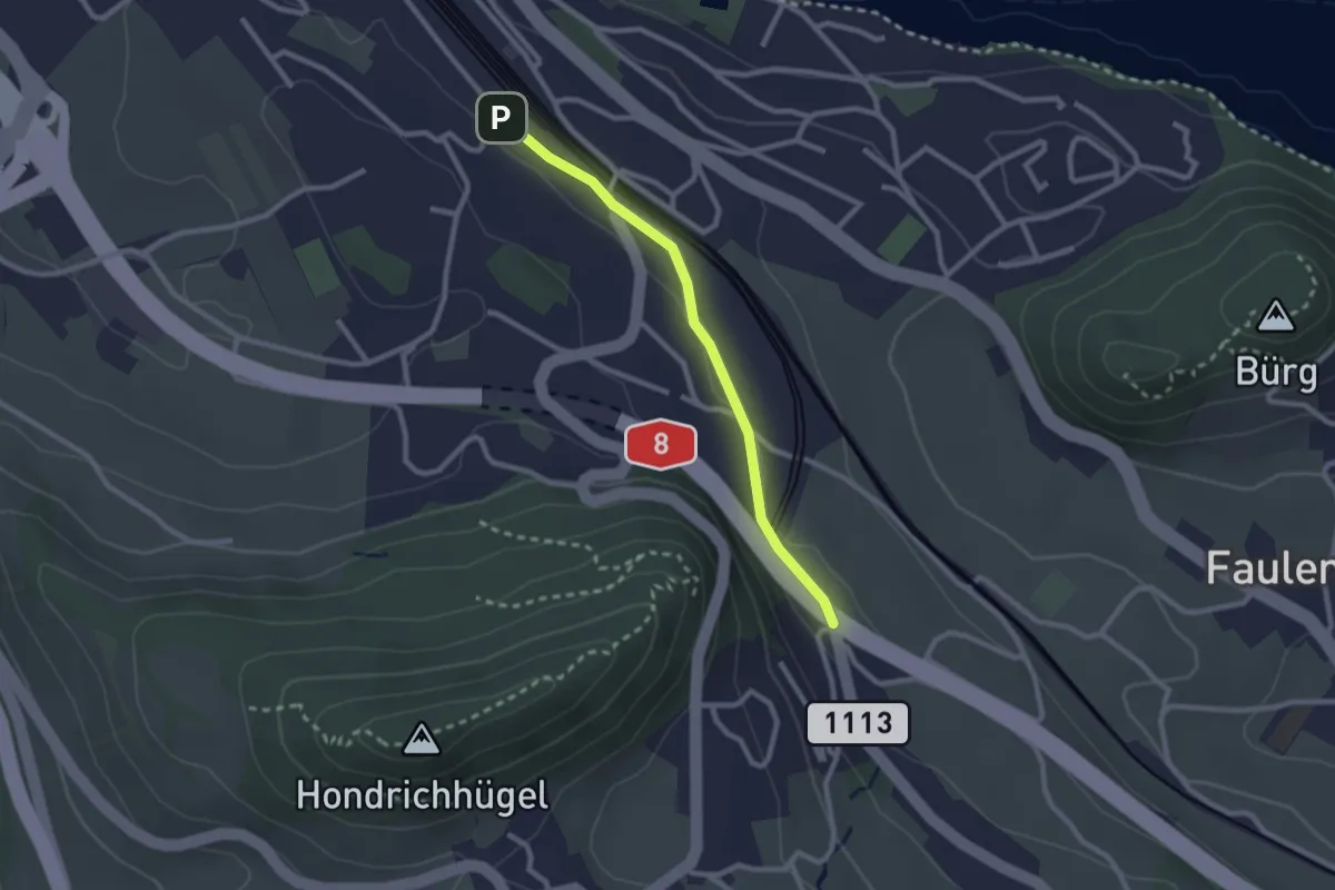
Easy · Trail
Spiez/Bahnhof – Salzbrunnen
2.3 km · ↑ 36 m · 37 min · 9 km away
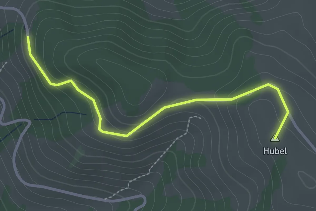
Easy · Summit
Hubel – Reust
2.5 km · ↑ 109 m · 50 min · 9 km away
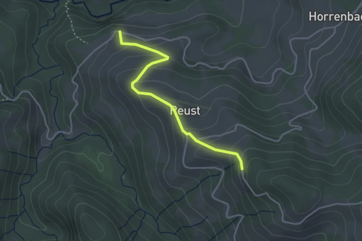
Easy · Trail
Cheistli – Reust
3.0 km · ↑ 191 m · 1 h 7 min · 9 km away
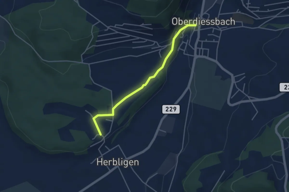
Easy · Trail
Oberdiessbach – Herblingen
3.3 km · ↑ 75 m · 57 min · 9 km away
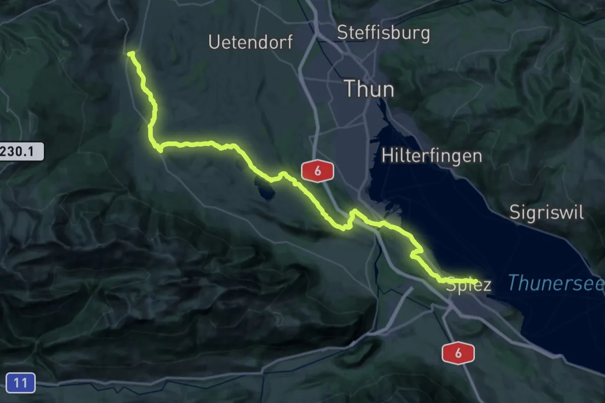
Demanding · Summit
ViaJacobi
42.5 km · ↑ 648 m · 11 h 26 min · 9 km away
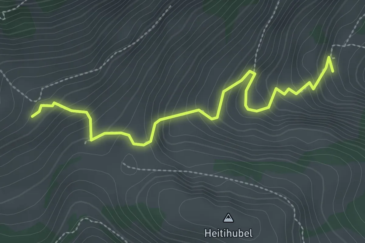
Easy · Trail
Lengeberg – Matten
2.9 km · ↑ 277 m · 1 h 17 min · 9 km away
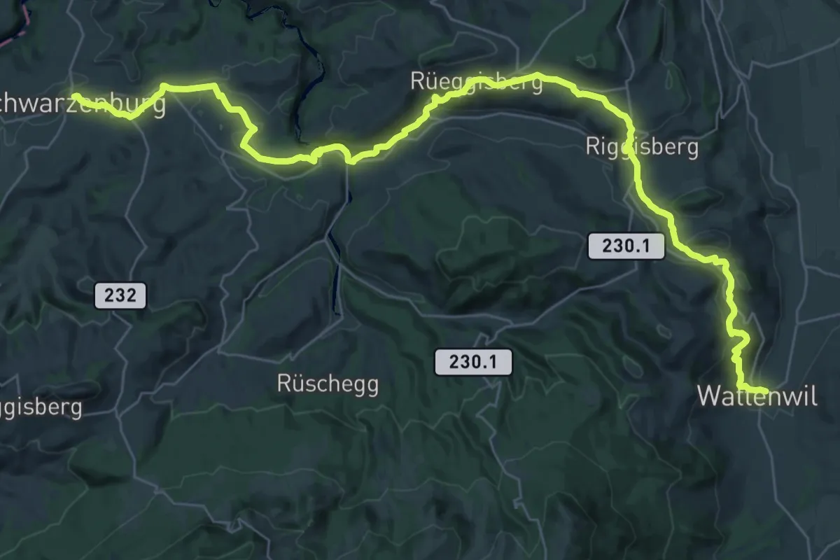
Demanding · Trail
ViaJacobi
20.9 km · ↑ 641 m · 6 h 31 min · 9 km away
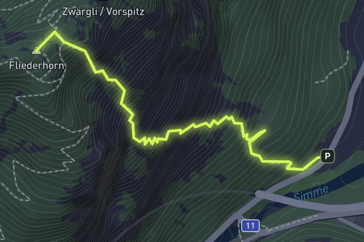
Expert · Summit
Brodhüsi – Sunnighorn
2.6 km · ↑ 694 m · 2 h 7 min · 9 km away
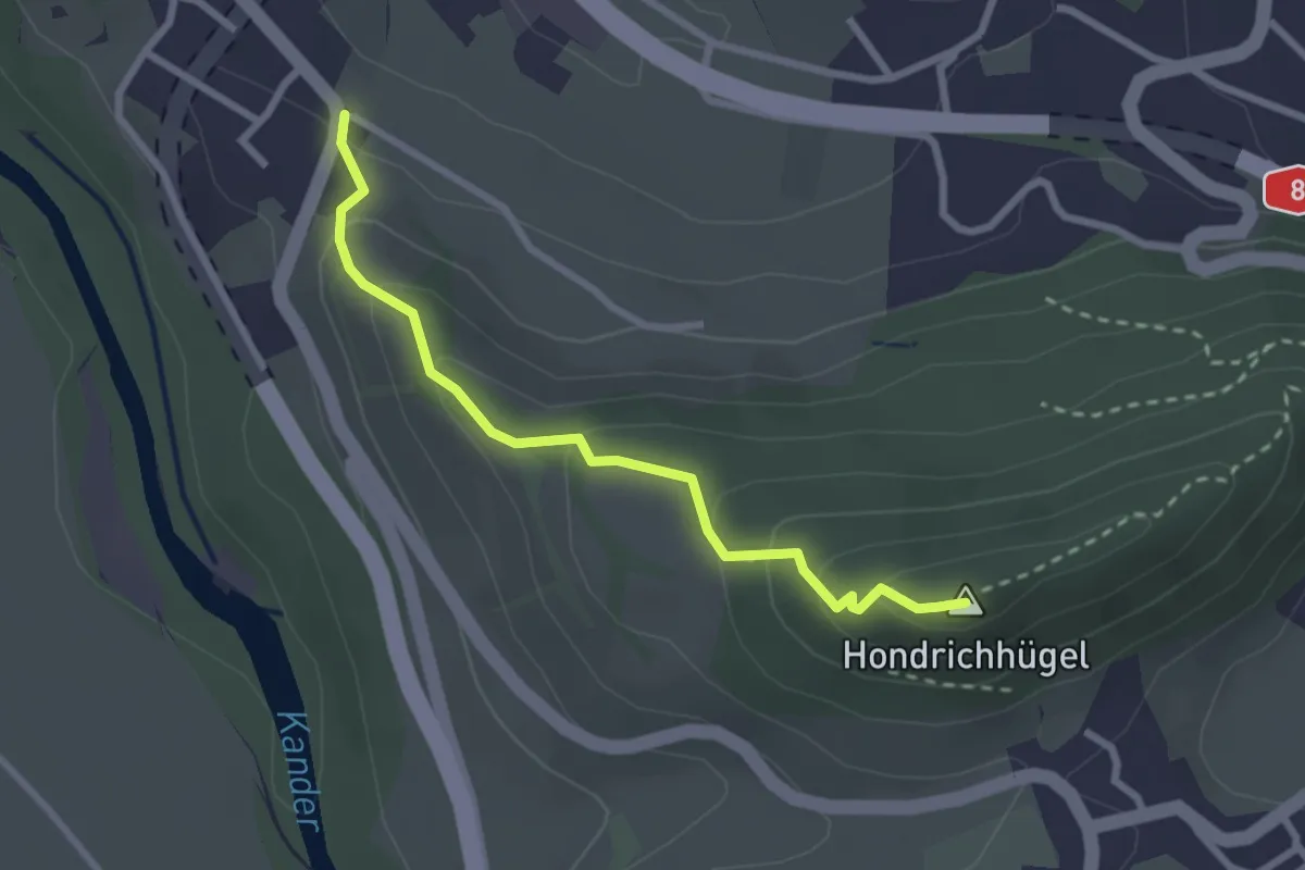
Easy · Summit
Hondrichhügel – Spiezwiler
2.6 km · ↑ 174 m · 1 h · 9 km away
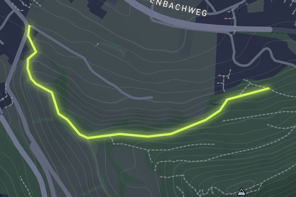
Easy · Trail
Hondrichwald – Spiezwiler
2.6 km · ↑ 99 m · 49 min · 9 km away
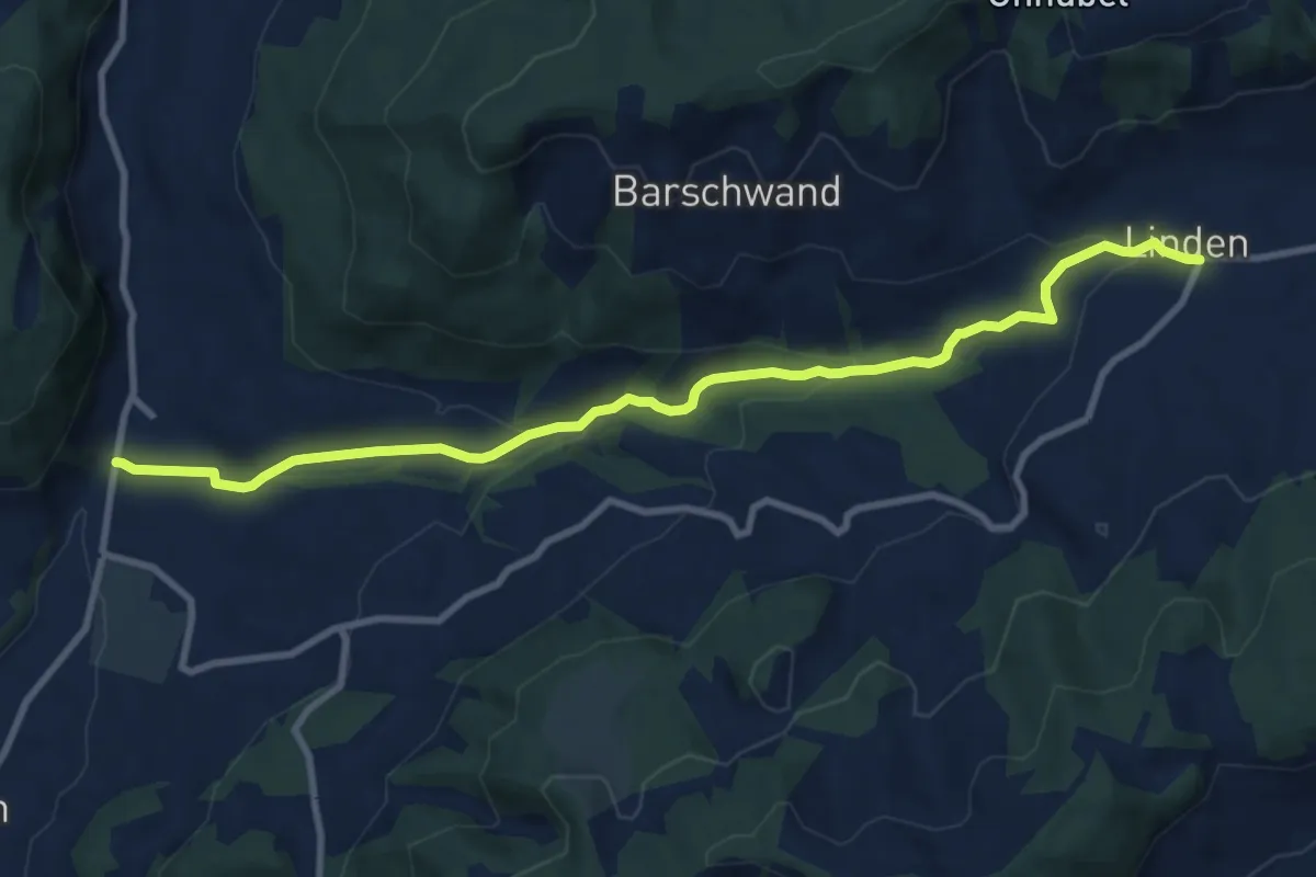
Medium · Trail
Linden – Oberdiessbach
10.2 km · ↑ 306 m · 3 h 4 min · 9 km away
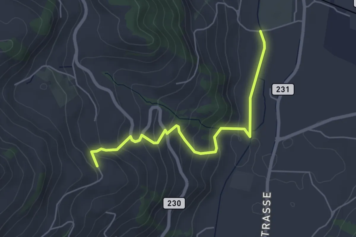
Easy · Trail
Lörtscherei - Neuhus
4.7 km · ↑ 224 m · 1 h 35 min · 9 km away
Easy · Trail
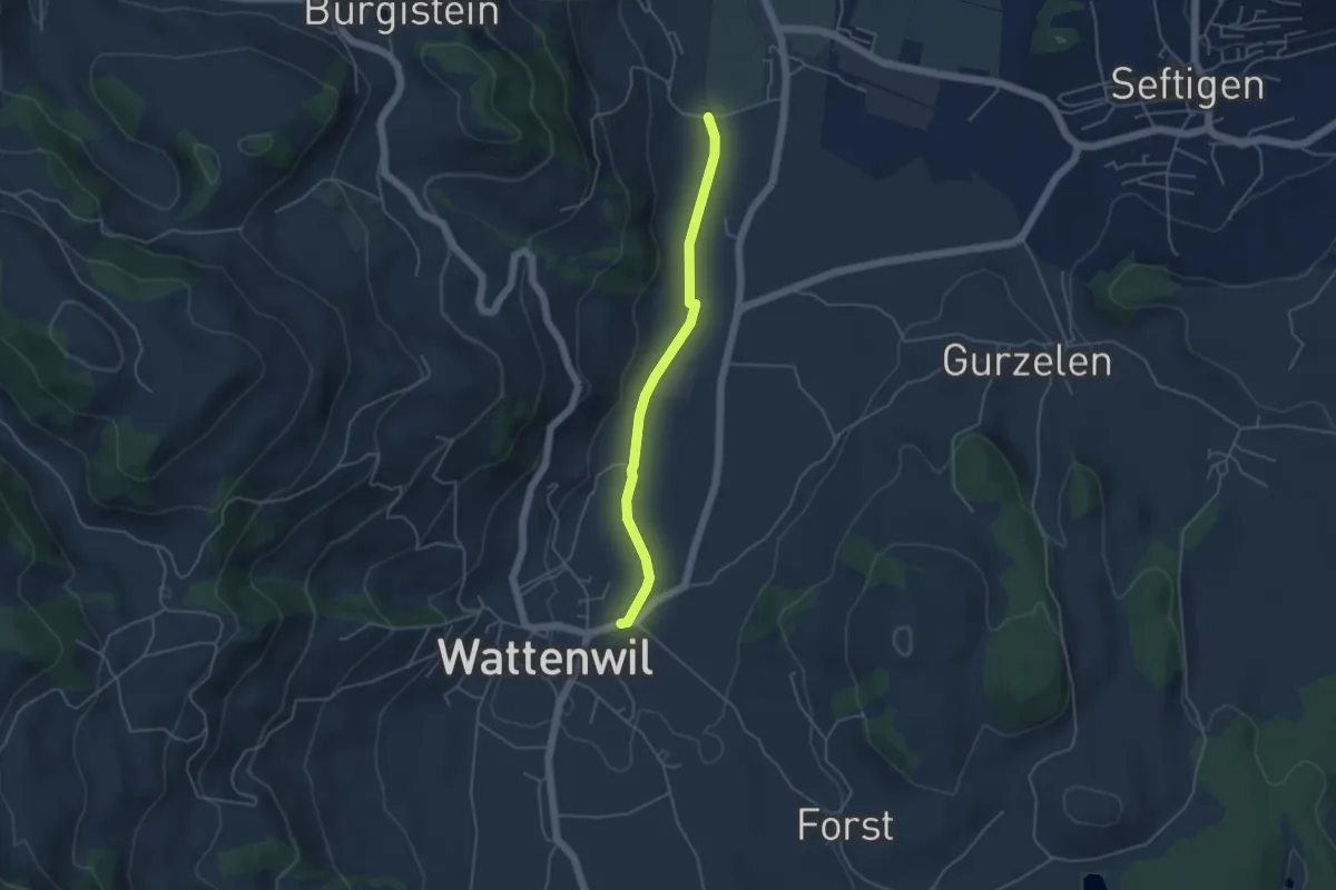
Neuhus - Wattenwil
4.2 km · ↑ 31 m · 1 h 3 min · 9 km away
Easy · Trail
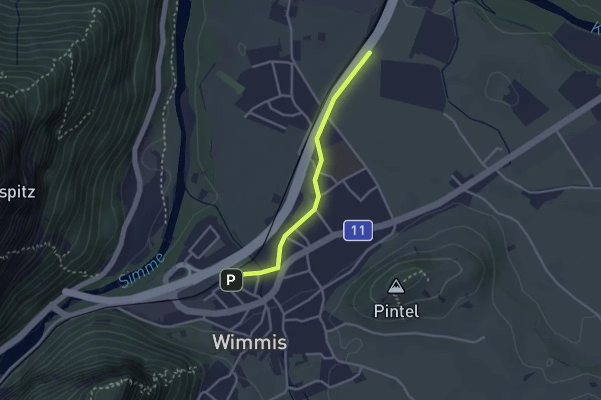
Wimmis – Eifeld
2.4 km · ↑ 13 m · 36 min · 9 km away
Easy · Trail
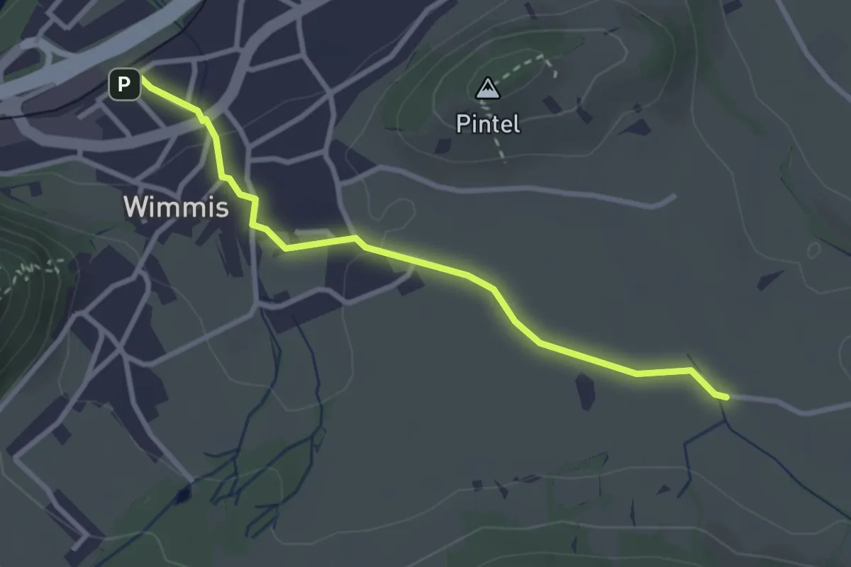
Hasli – Wimmis
2.9 km · ↑ 38 m · 46 min · 9 km away
Medium · Summit
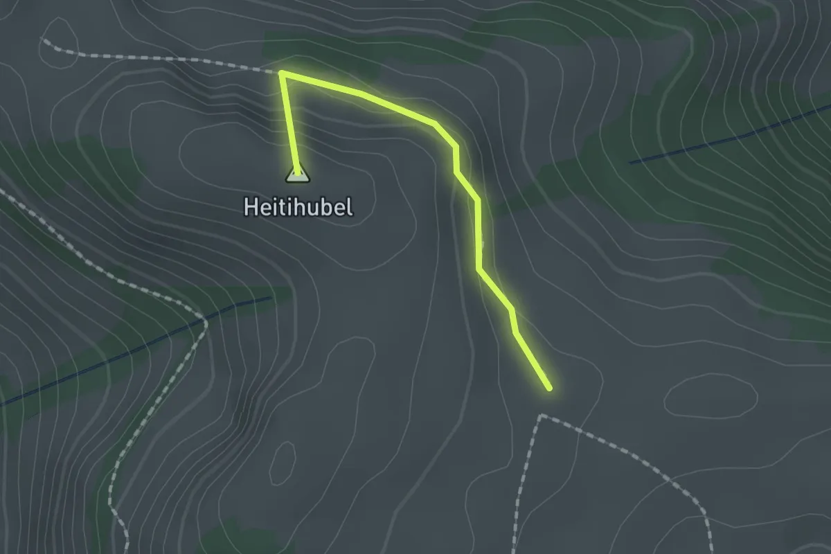
Matten – Oberes Heiti? / Günzenen? / Wimmis?
1.4 km · ↑ 63 m · 28 min · 9 km away
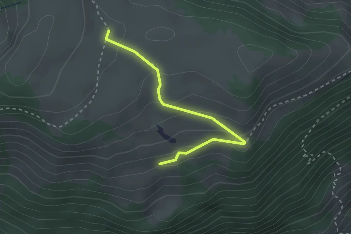
Easy · Trail
Unteres Heiti – Oberes Heiti
2.3 km · ↑ 126 m · 48 min · 9 km away
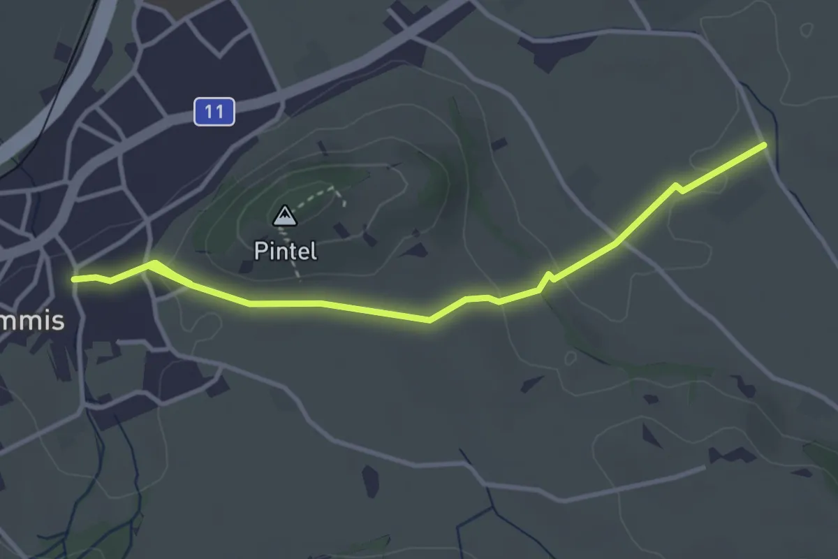
Easy · Trail
Wimmis – Rütene
3.8 km · ↑ 68 m · 1 h 2 min · 9 km away
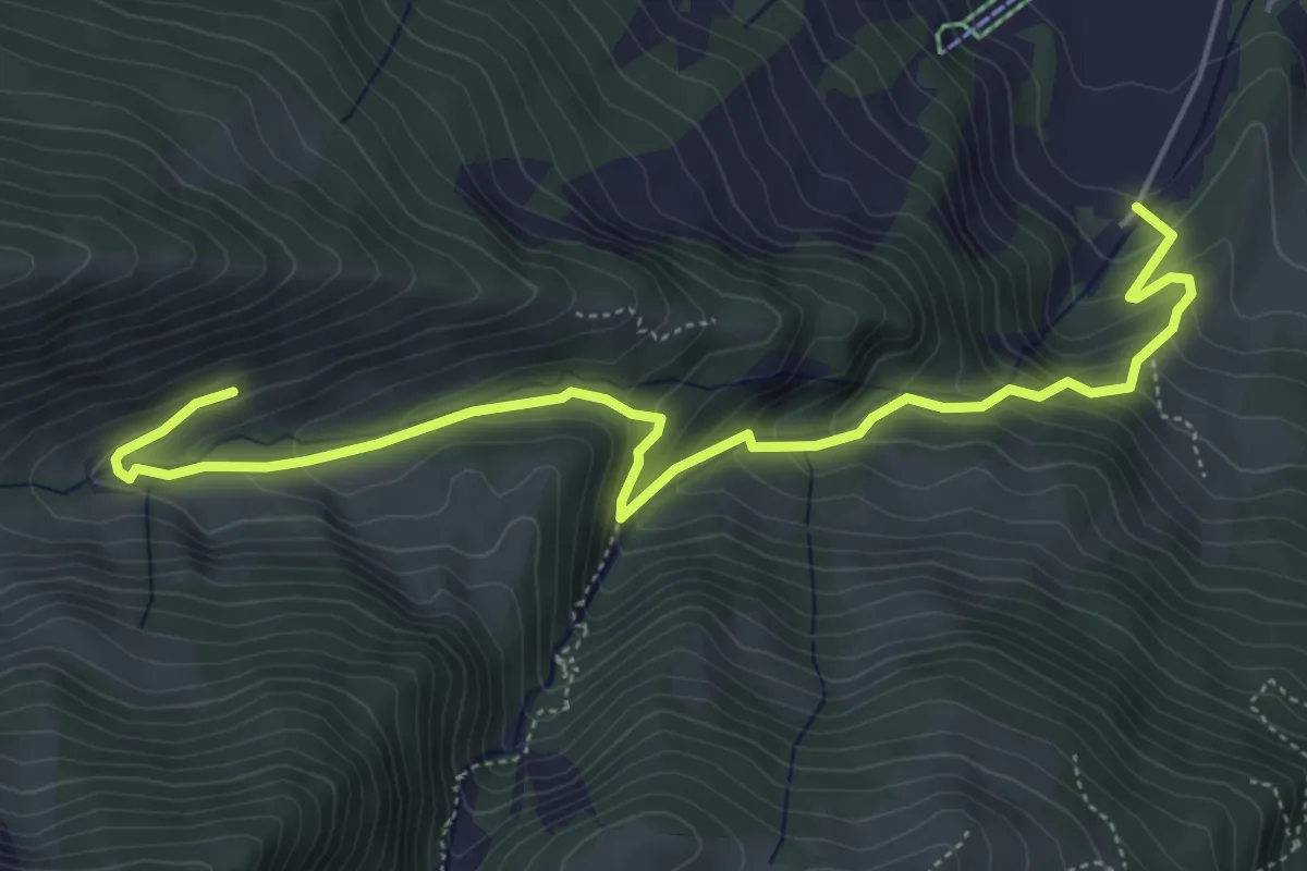
Medium · Trail
Alp Langenegg – Blumenstein/Kirche
6.2 km · ↑ 467 m · 2 h 28 min · 9 km away
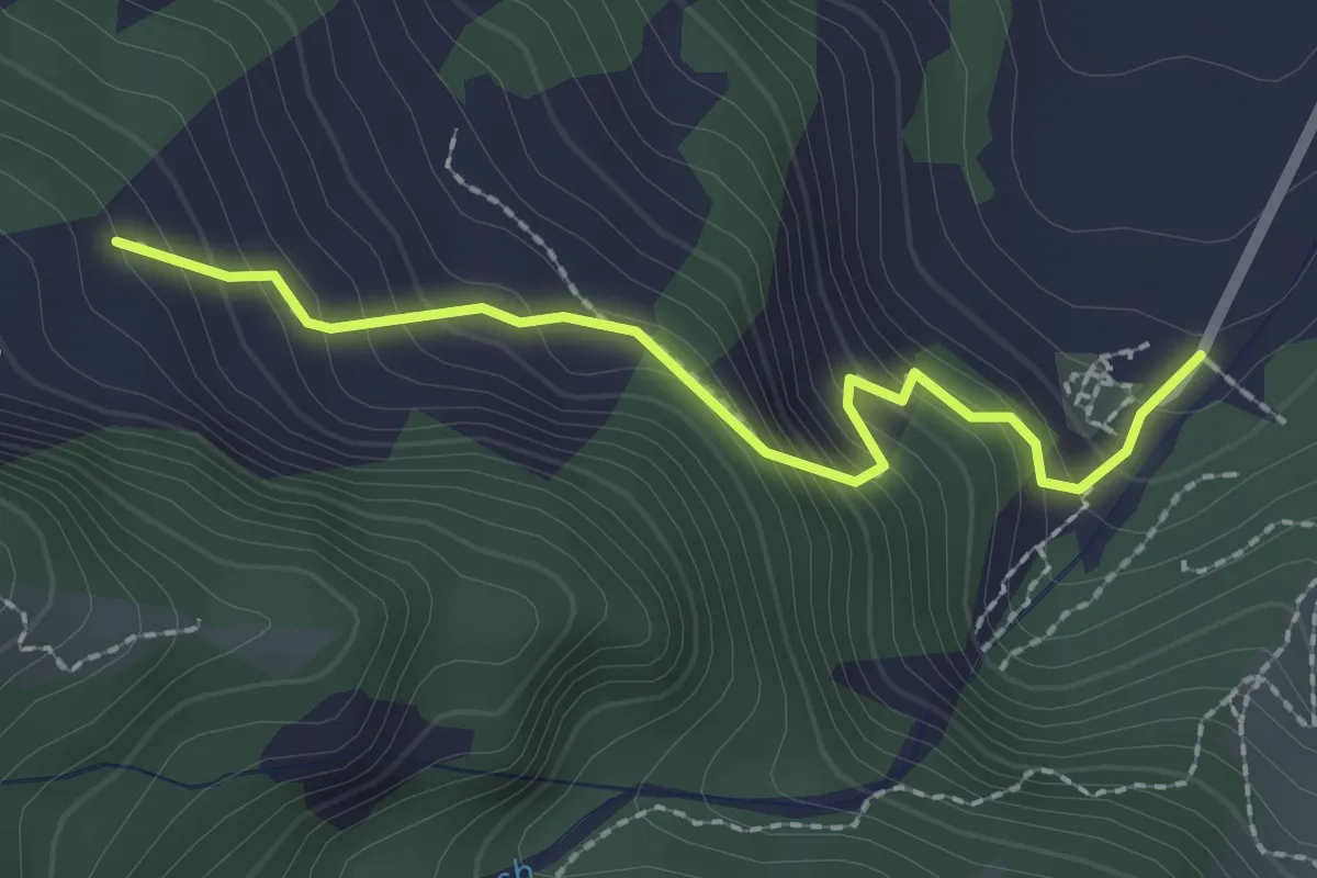
Easy · Trail
Blumenstein/Kirche – Breitebode
2.2 km · ↑ 229 m · 1 h 1 min · 9 km away