Trails near Thun
435 hikes starting within 15 km, nearest first.
Nearest first, page 4 of 10
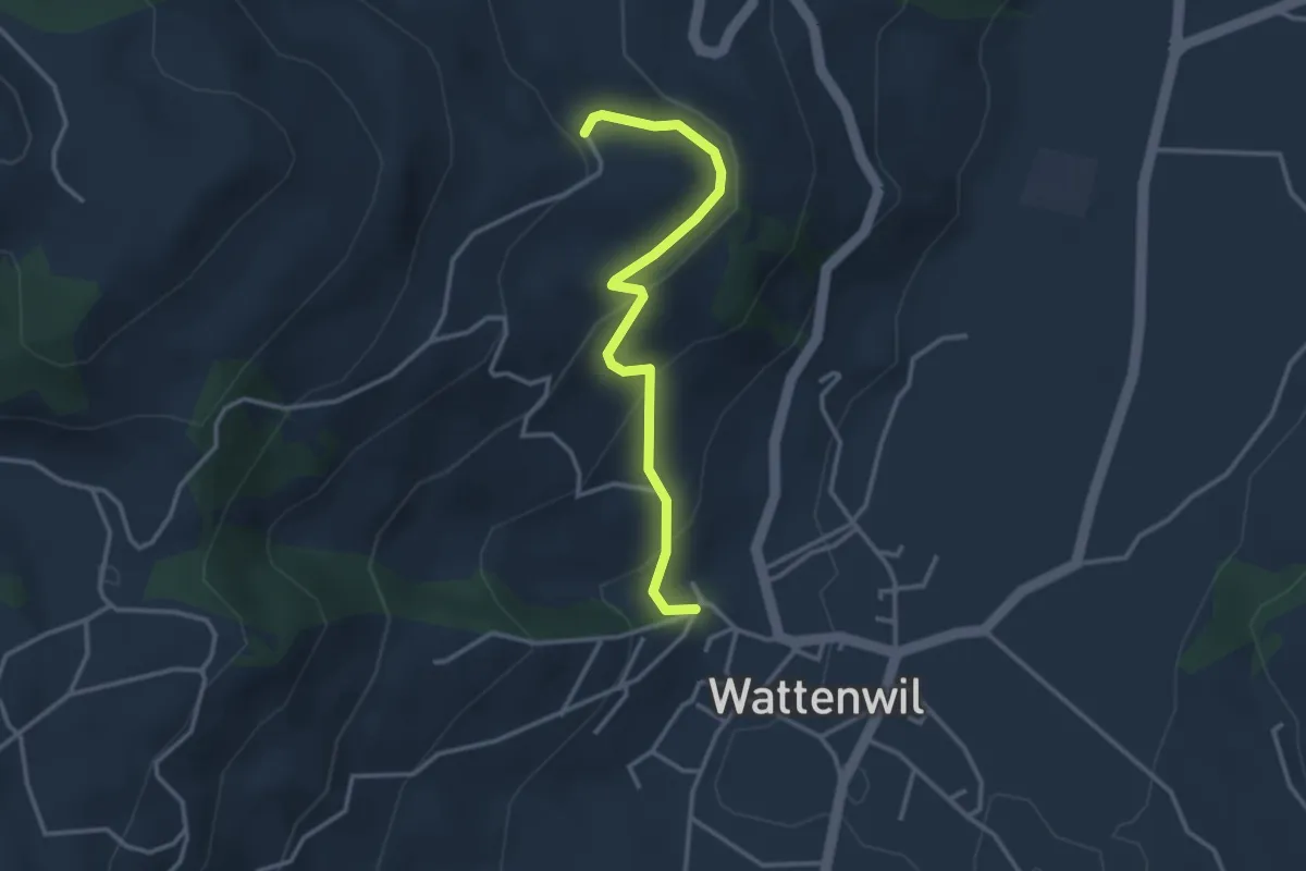
Easy · Trail
Wattenwil Kirche – Lörtscherei
3.1 km · ↑ 187 m · 1 h 9 min · 10 km away
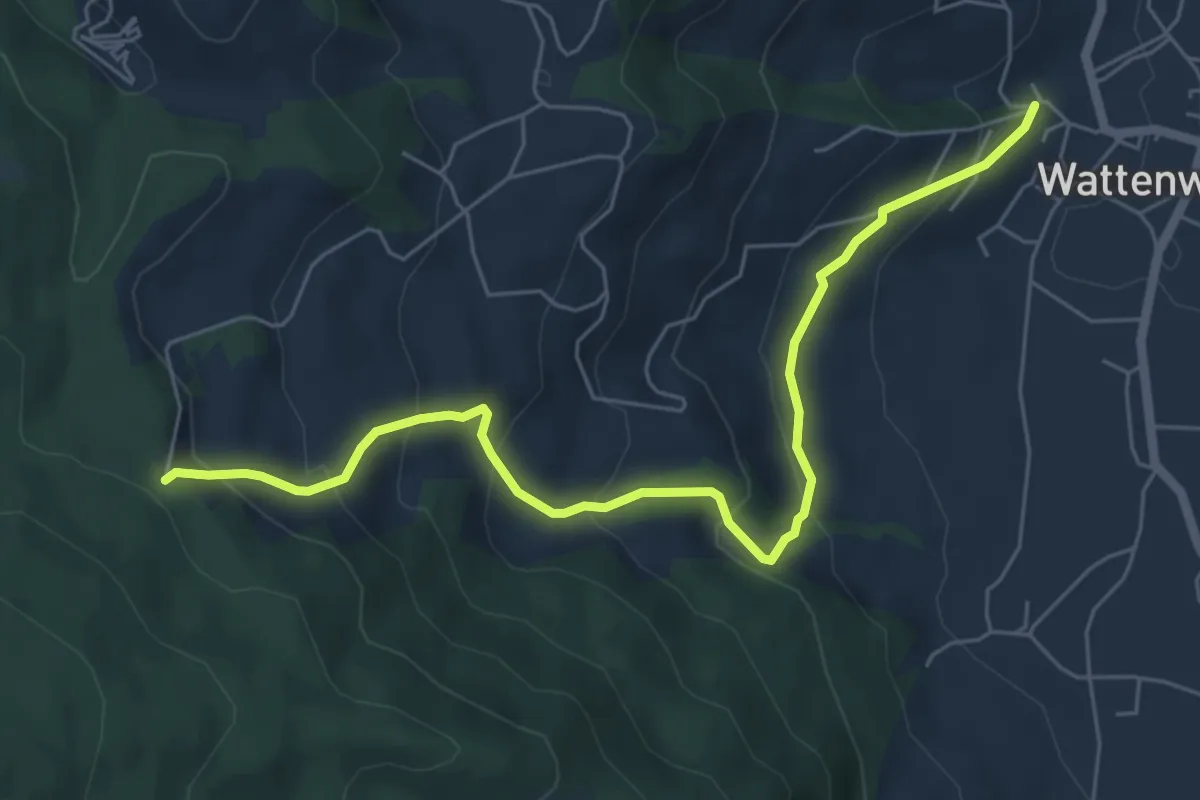
Medium · Trail
Wattenwil Kirche – Stafelalp
6.5 km · ↑ 406 m · 2 h 25 min · 10 km away
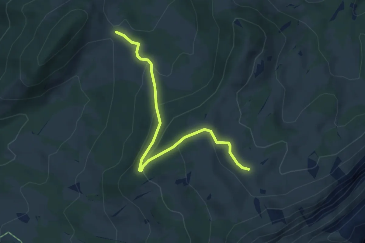
Easy · Trail
Dünzenegg – Obere Zettenalp
4.6 km · ↑ 205 m · 1 h 32 min · 10 km away
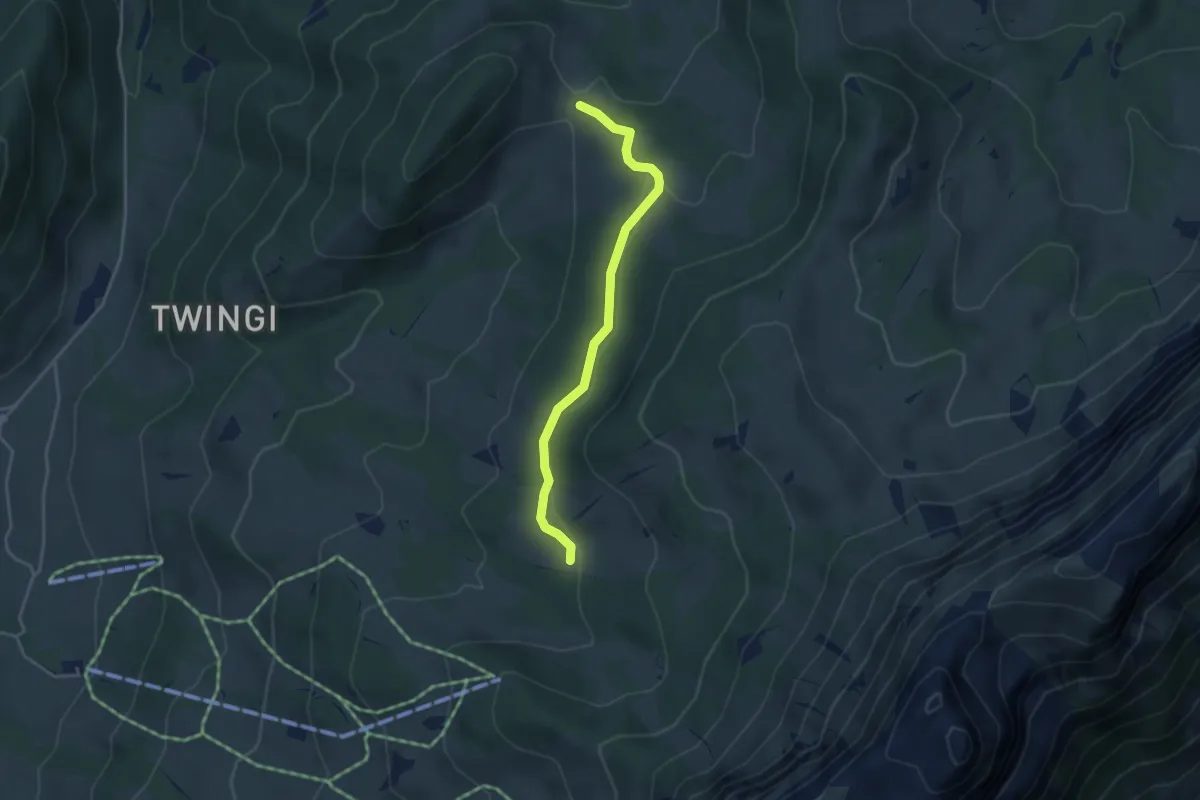
Easy · Trail
Oberi Matte – Dünzenegg
3.6 km · ↑ 109 m · 1 h 6 min · 10 km away
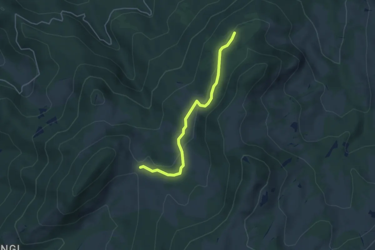
Easy · Trail
Schnabel – Dünzenegg
3.6 km · ↑ 93 m · 1 h 4 min · 10 km away
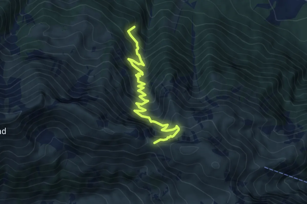
Medium · Trail
Walalpgrat – Möntschelewald
7.2 km · ↑ 704 m · 3 h 13 min · 10 km away
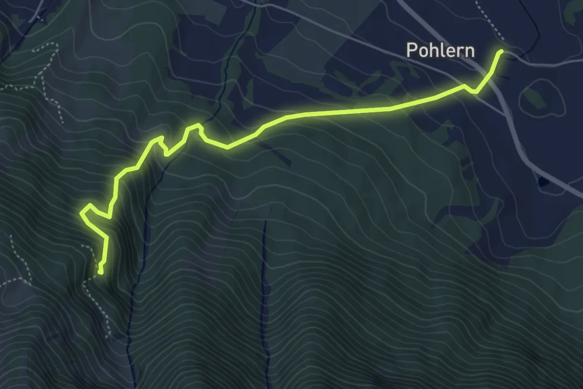
Medium · Trail
Pohlern – Möntschelewald
5.6 km · ↑ 520 m · 2 h 27 min · 10 km away
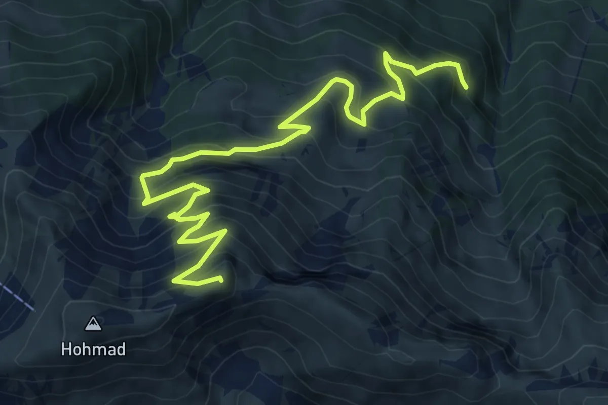
Demanding · Summit
Möntschelewald – Möntschelespitz
9.4 km · ↑ 918 m · 4 h 12 min · 10 km away
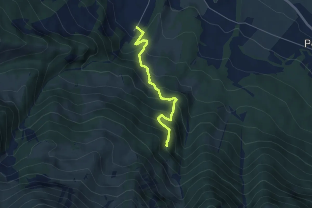
Medium · Trail
Möntschelewald – Blumenstein/Kirche
3.8 km · ↑ 448 m · 1 h 51 min · 10 km away
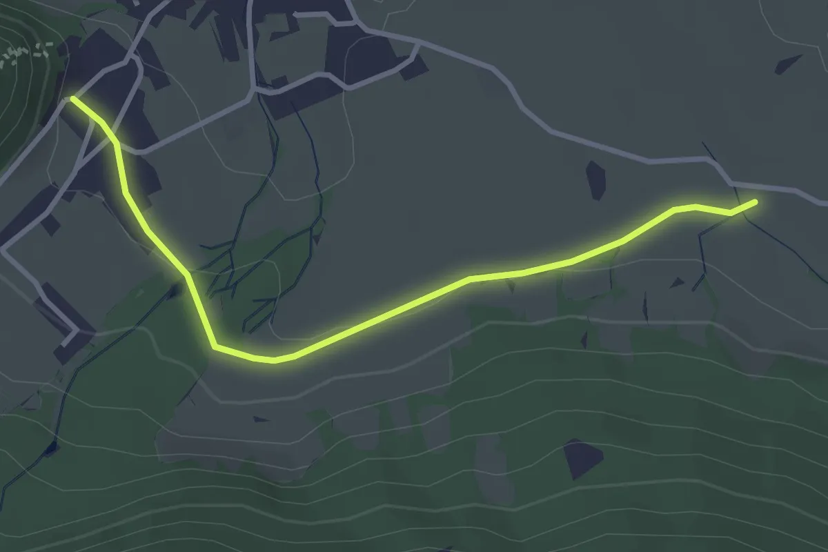
Easy · Trail
Oberdorf – Hasli
3.2 km · ↑ 51 m · 52 min · 10 km away
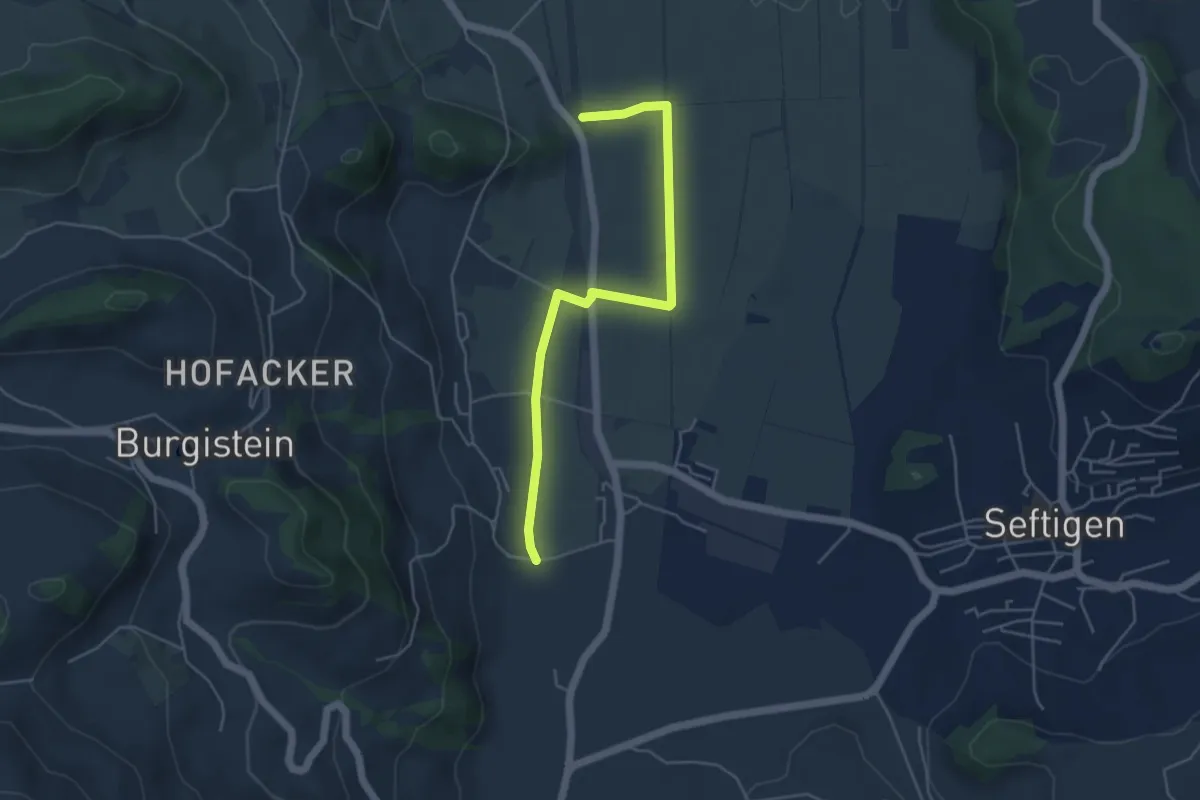
Easy · Trail
Lohnstorfbrügg - Neuhus
4.8 km · ↑ 17 m · 1 h 10 min · 10 km away
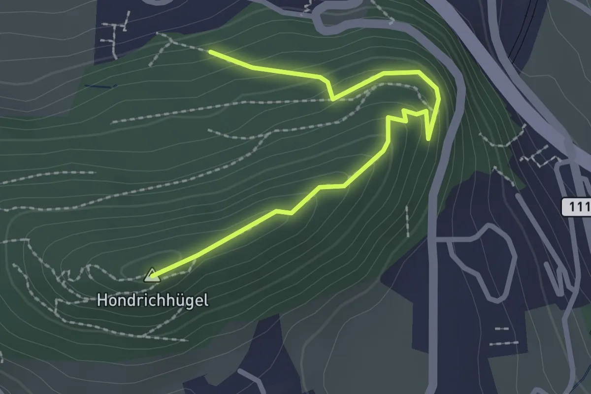
Easy · Summit
Hondrichwald – Hondrichhügel
2.5 km · ↑ 210 m · 1 h 2 min · 10 km away
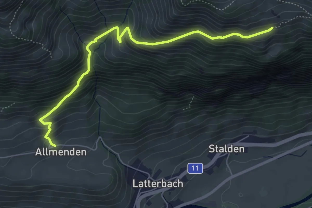
Medium · Trail
Allmenden – Unters Heiti
5.7 km · ↑ 573 m · 2 h 36 min · 10 km away
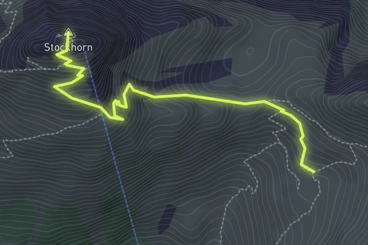
Medium · Summit
Stockhorn – Oberbärgli
3.3 km · ↑ 376 m · 1 h 36 min · 10 km away
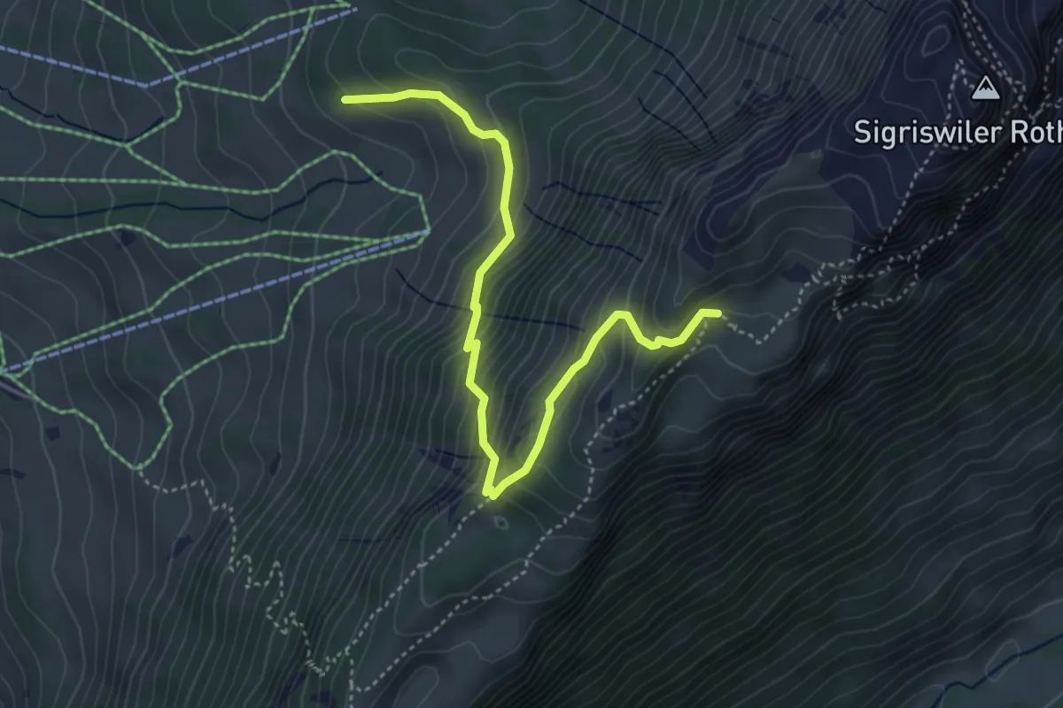
Medium · Trail
Oberbergli – Bodmi
4.6 km · ↑ 426 m · 2 h 1 min · 10 km away
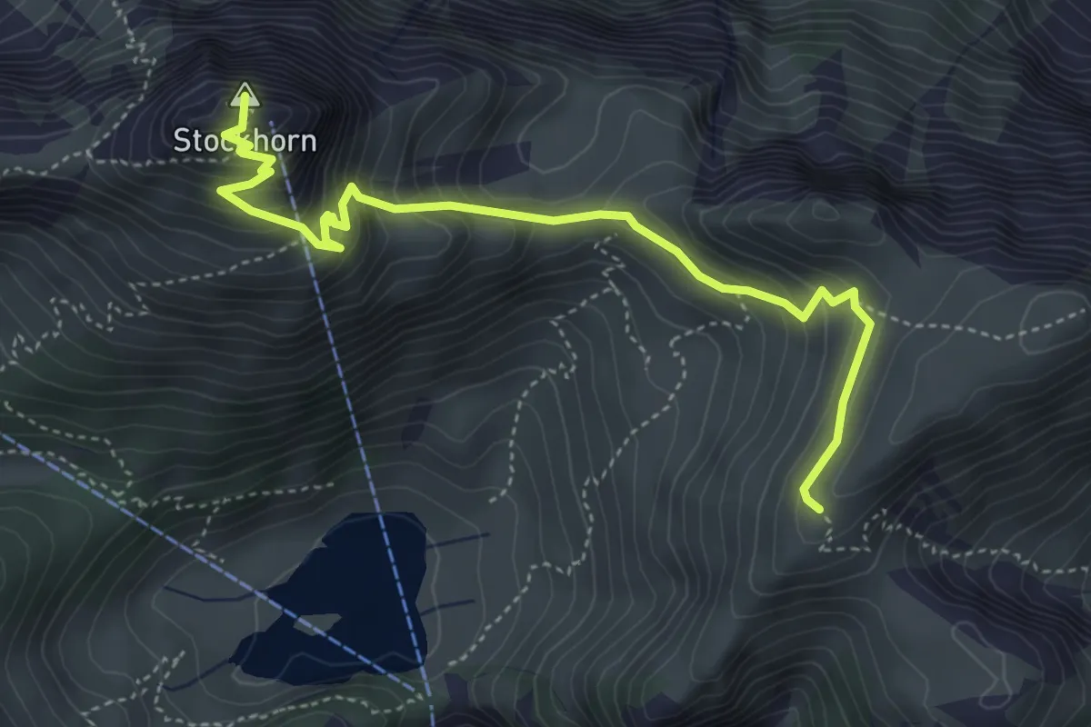
Medium · Summit
Furgge – Stockhorn
4.8 km · ↑ 475 m · 2 h 9 min · 10 km away
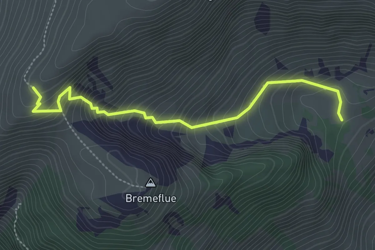
Medium · Trail
Steinig Nacki – Furgge
2.9 km · ↑ 378 m · 1 h 31 min · 10 km away
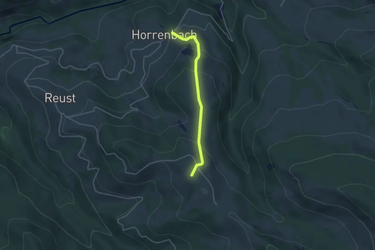
Easy · Summit
Horrenbach – Hubel
2.9 km · ↑ 197 m · 1 h 7 min · 10 km away
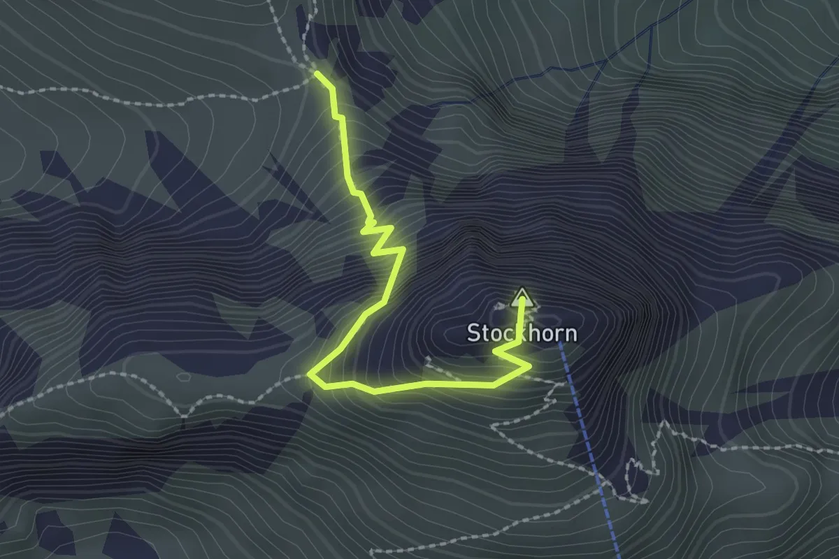
Demanding · Summit
Stockhorn – Bacchegg
2.2 km · ↑ 381 m · 1 h 20 min · 10 km away
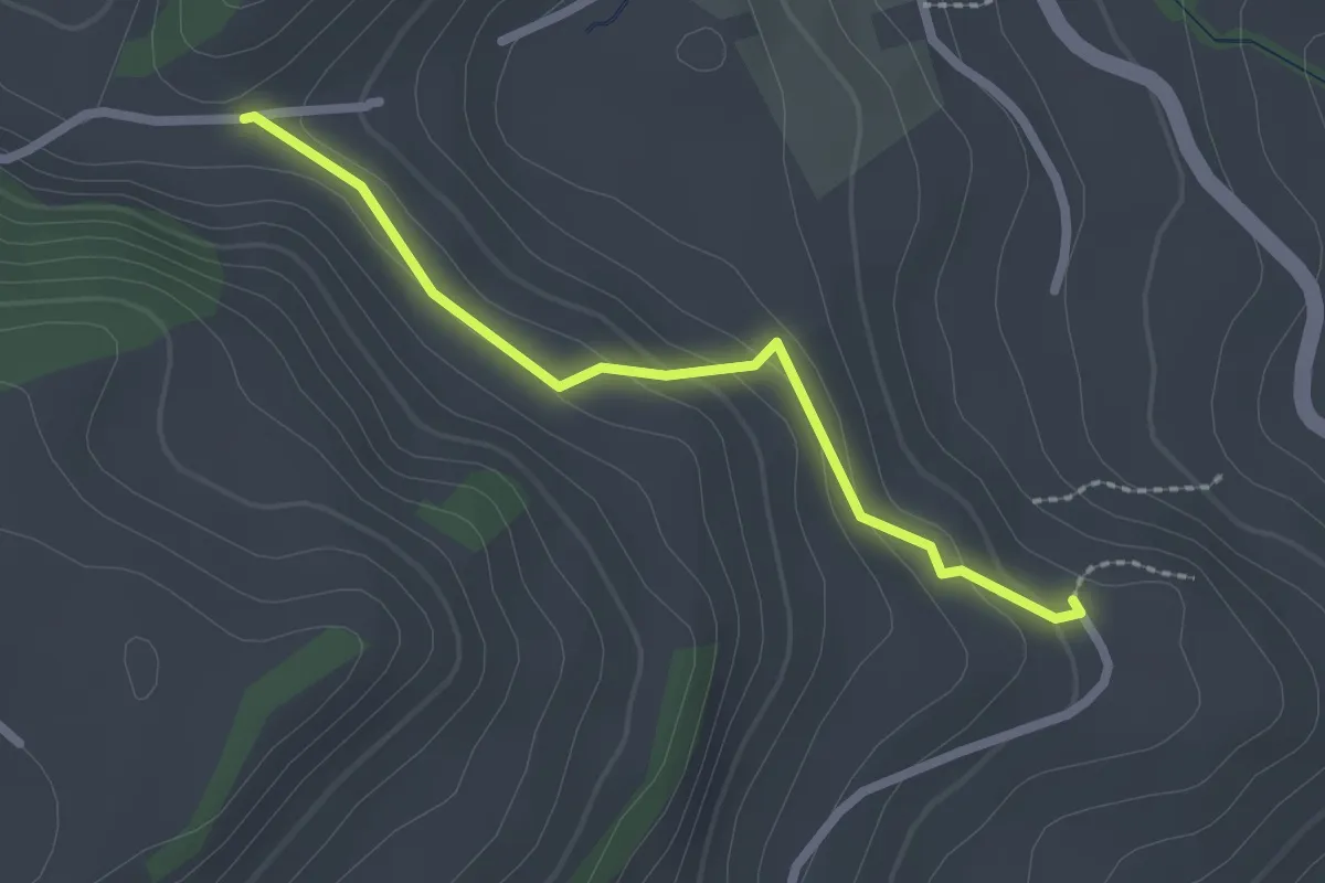
Easy · Trail
Fluhweid – Lörtscherei
2.2 km · ↑ 86 m · 42 min · 10 km away
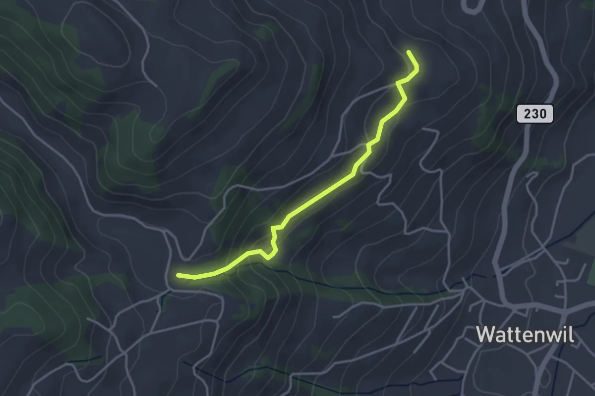
Easy · Trail
Grundbach/Käserei – Lörtscherei
3.2 km · ↑ 158 m · 1 h 6 min · 10 km away
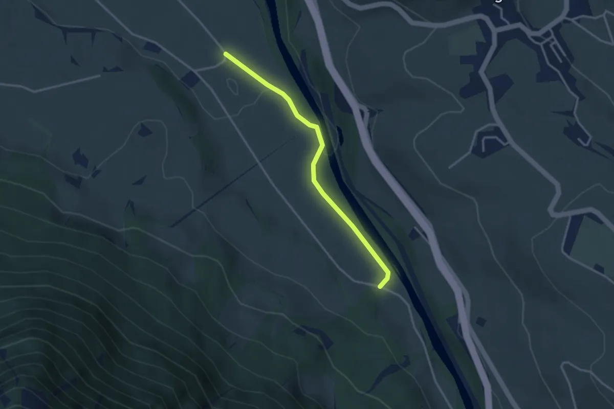
Easy · Trail
Rossweid – Bodenweid
2.9 km · ↑ 17 m · 43 min · 10 km away
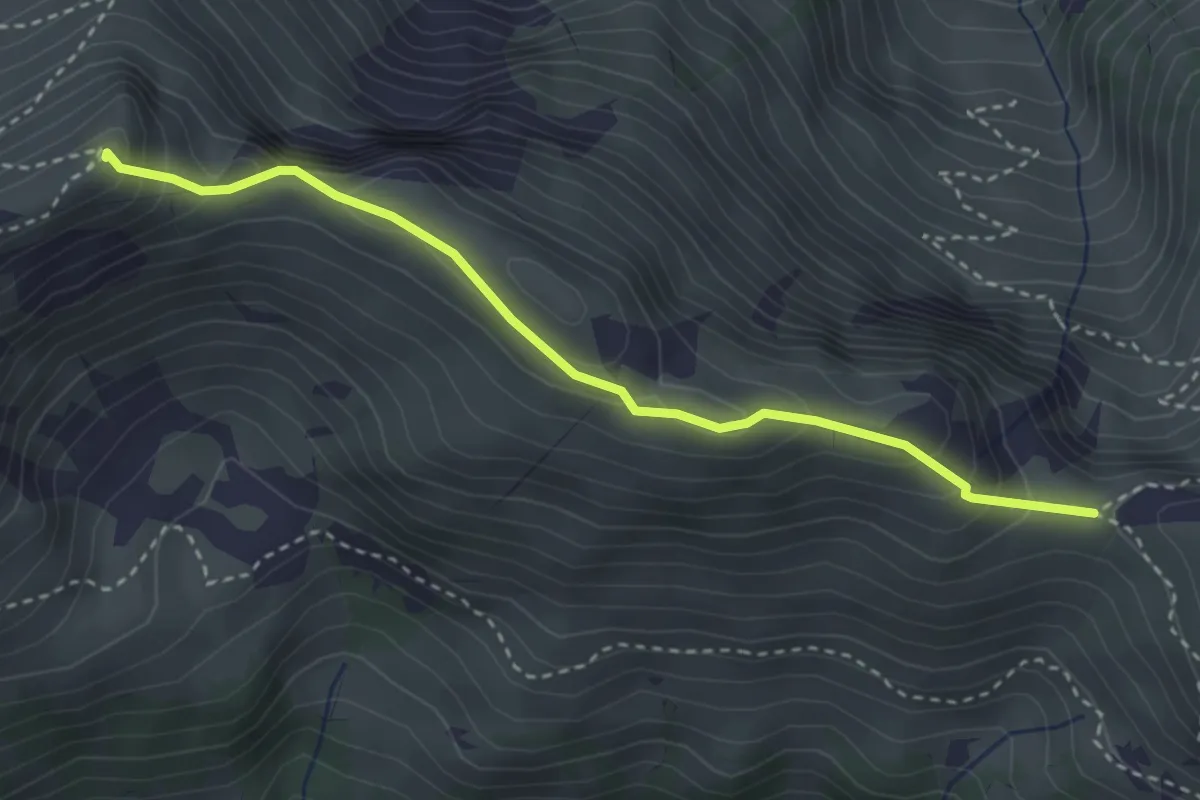
Medium · Summit
Walalpgrat – Möntschelespitz
3.3 km · ↑ 225 m · 1 h 16 min · 10 km away
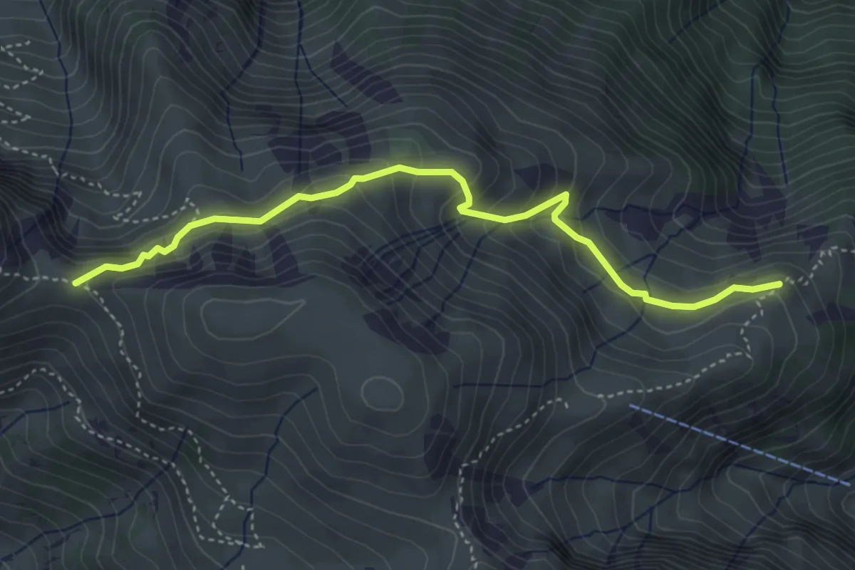
Medium · Trail
Vorderälpital – Walalpgrat
4.4 km · ↑ 287 m · 1 h 39 min · 10 km away
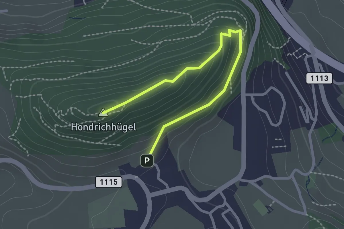
Easy · Summit
Hondrichhügel – Hondrich
2.5 km · ↑ 138 m · 53 min · 10 km away
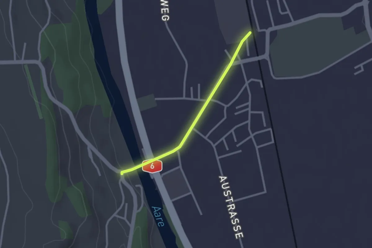
Easy · Trail
Thalgutbrücke - Wichtrach
2.1 km · ↑ 12 m · 31 min · 10 km away
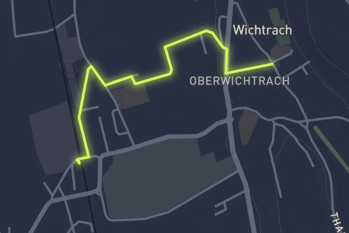
Easy · Trail
Wichtrach Bahnhof – Wichtrach/Kirche
3.0 km · ↑ 19 m · 45 min · 10 km away
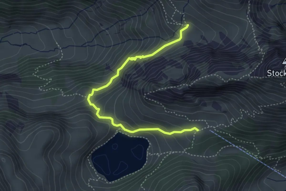
Demanding · Trail
Obere Walalp – Oberstockenalp
4.5 km · ↑ 337 m · 1 h 47 min · 10 km away
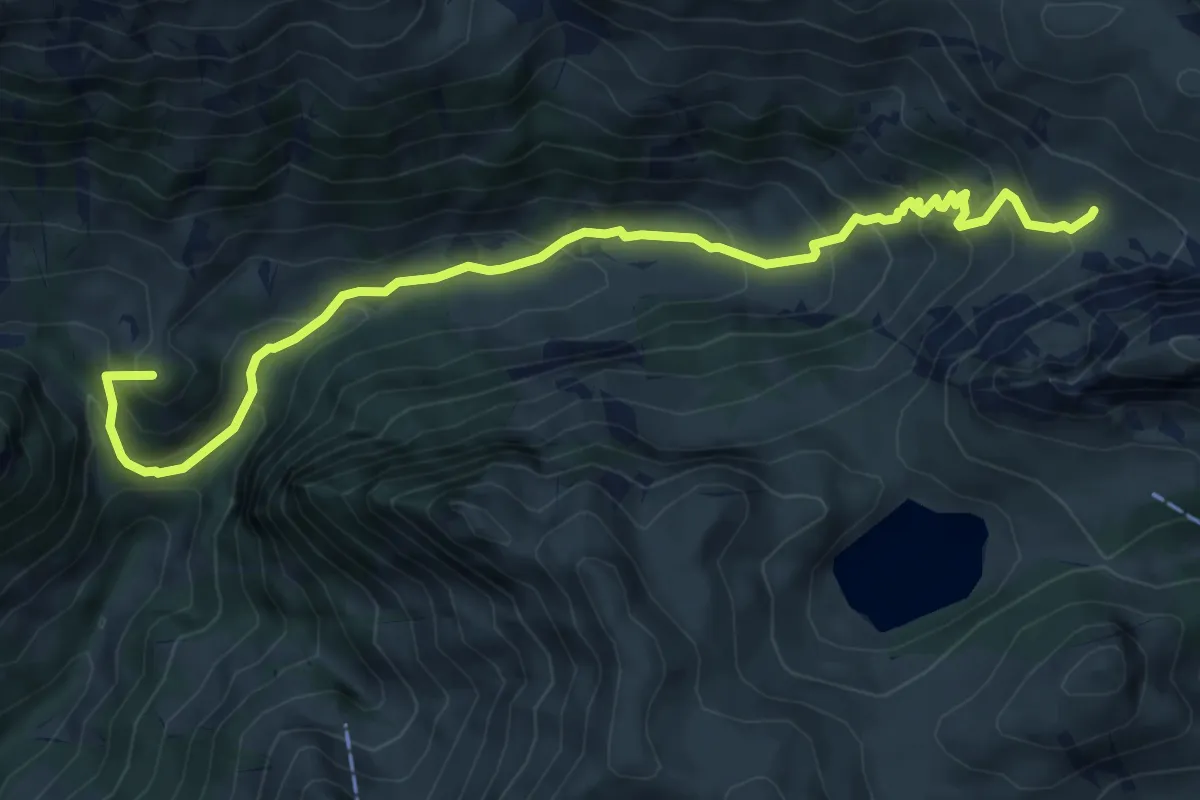
Medium · Summit
Obere Walalp – Leiterepass
8.2 km · ↑ 646 m · 3 h 20 min · 10 km away
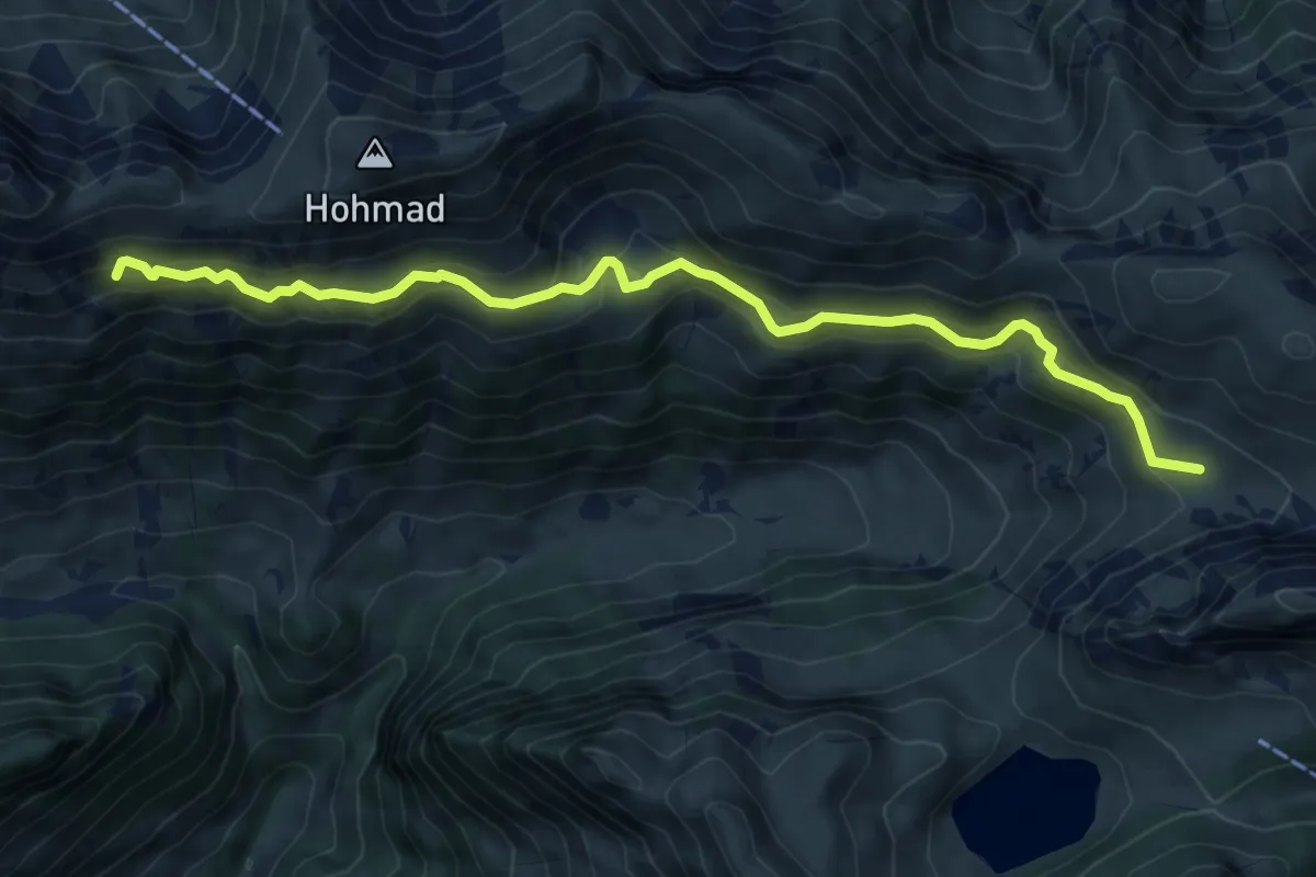
Medium · Trail
Obere Walalp – Schiterwang
8.0 km · ↑ 441 m · 2 h 50 min · 10 km away
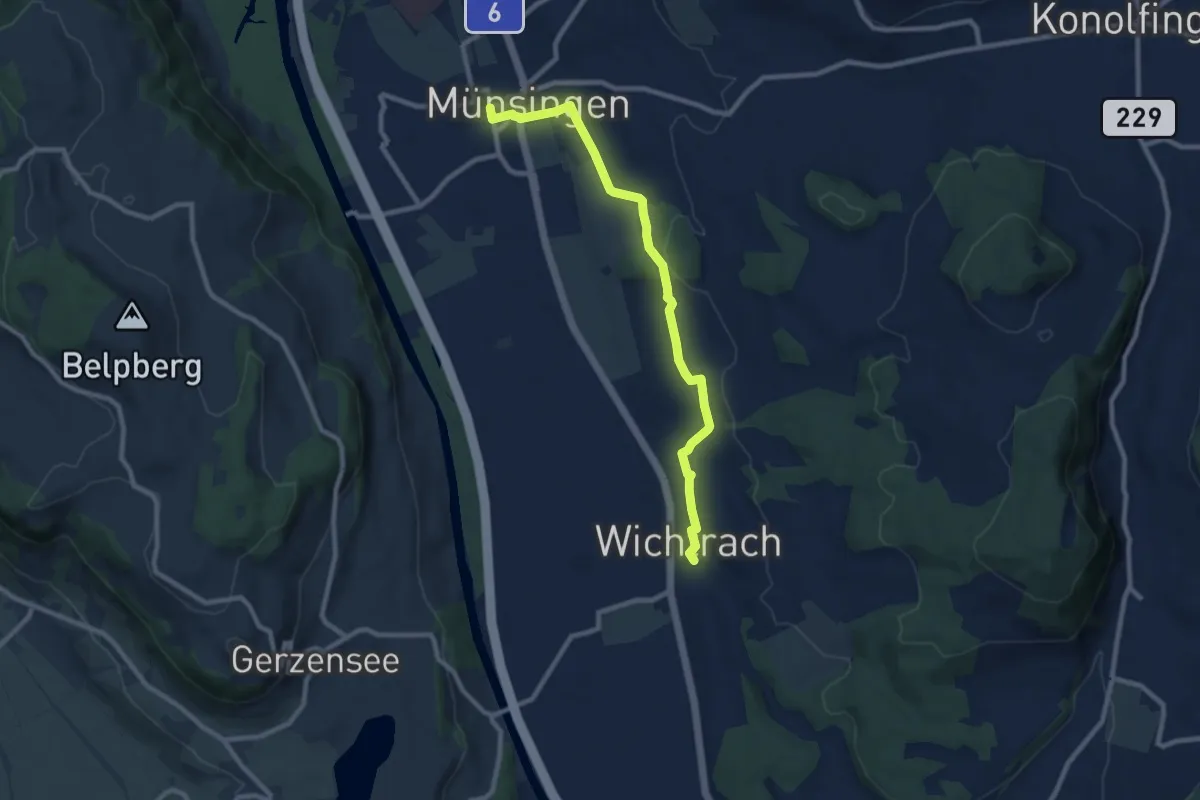
Medium · Trail
Münsingen – Wichtrach
9.1 km · ↑ 130 m · 2 h 26 min · 10 km away
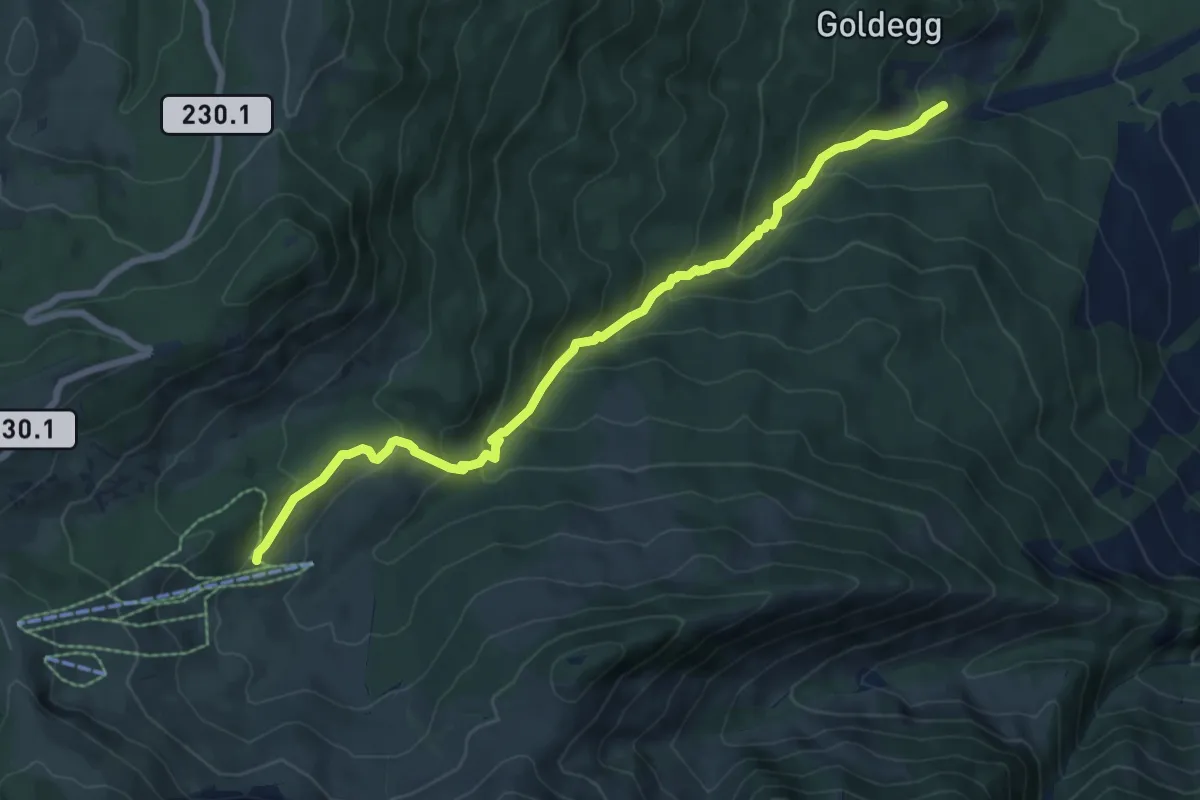
Medium · Trail
Weiermoos – Schwändli
7.7 km · ↑ 574 m · 3 h 4 min · 10 km away
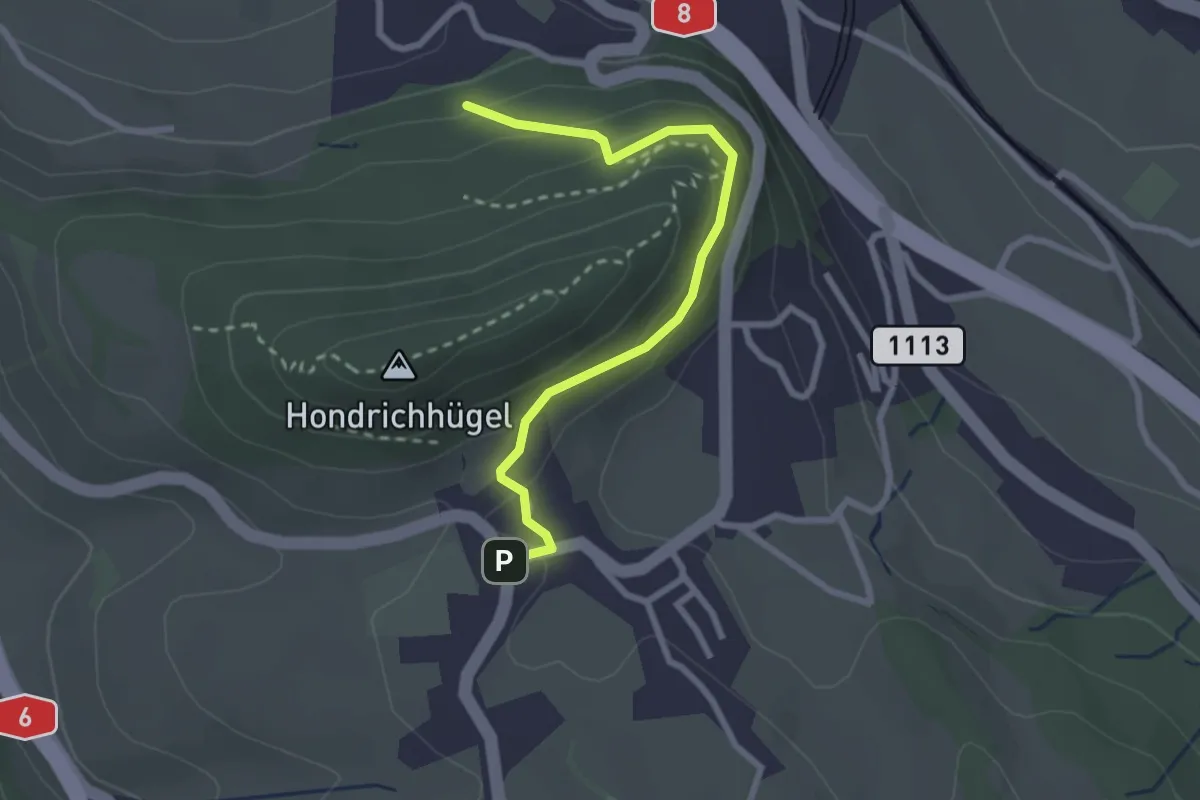
Easy · Trail
Hondrichwald – Hondrich
2.6 km · ↑ 195 m · 1 h 3 min · 10 km away
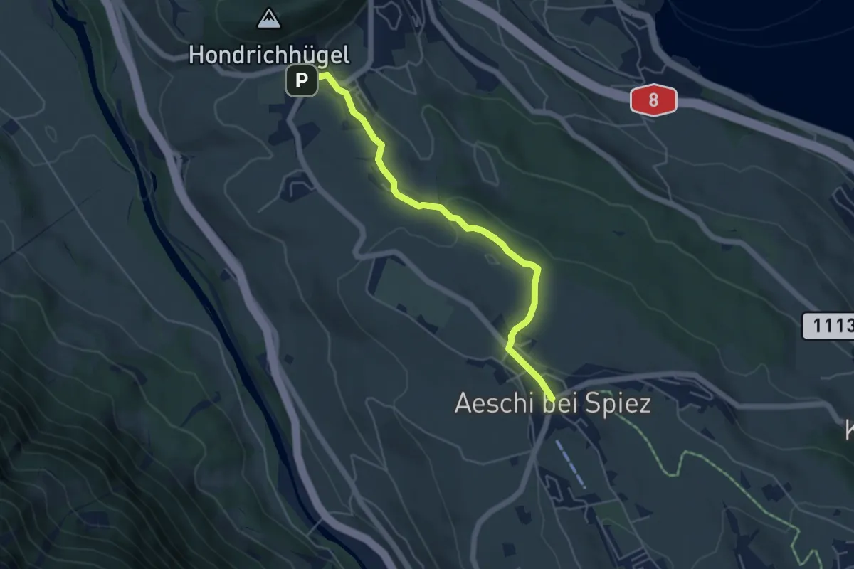
Easy · Trail
Hondrich – Aeschi
4.8 km · ↑ 118 m · 1 h 23 min · 10 km away
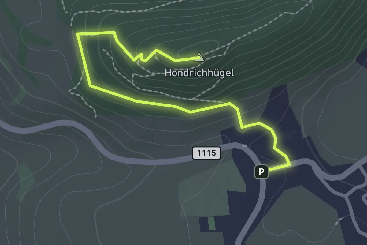
Easy · Summit
Hondrich – Hondrichhügel
2.5 km · ↑ 124 m · 51 min · 10 km away
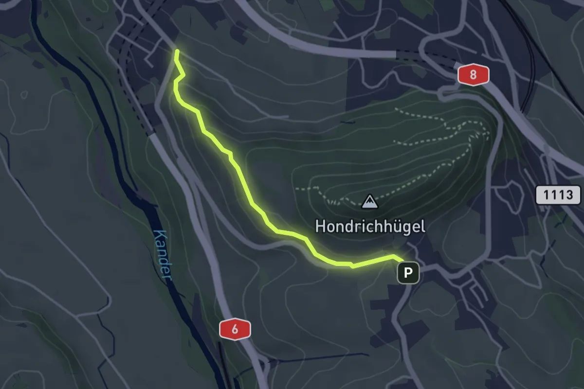
Easy · Trail
Hondrich – Spiezwiler
3.2 km · ↑ 101 m · 58 min · 10 km away
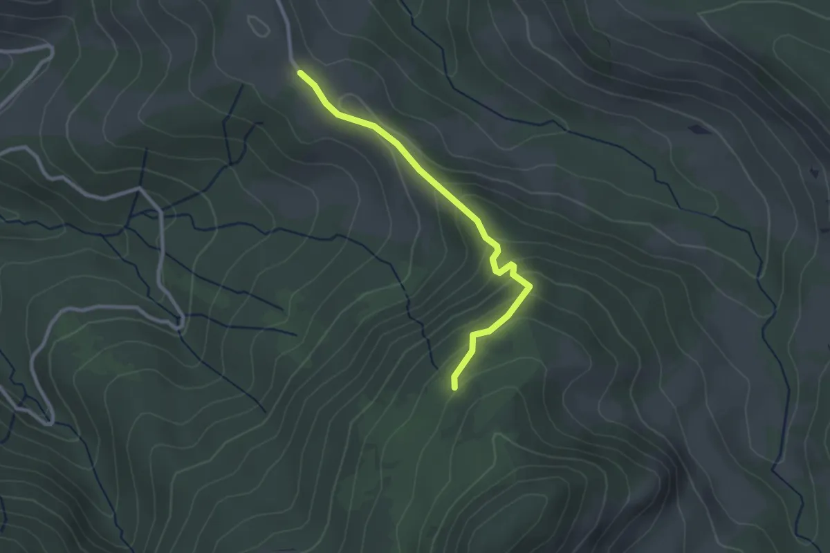
Medium · Trail
Thülboden – Schnabel
2.5 km · ↑ 169 m · 57 min · 10 km away
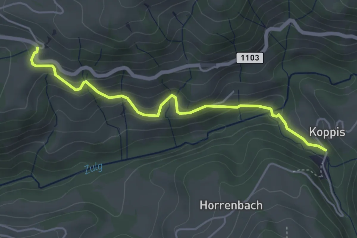
Easy · Trail
Losenegg – Horrenbachmüli
4.1 km · ↑ 271 m · 1 h 34 min · 10 km away
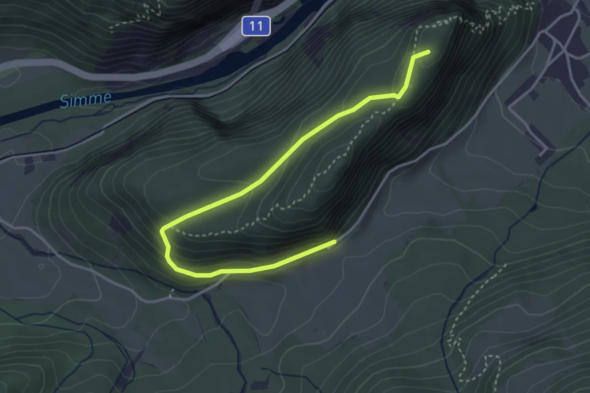
Demanding · Summit
Wimmis – Burgfluh
3.9 km · ↑ 208 m · 1 h 23 min · 10 km away
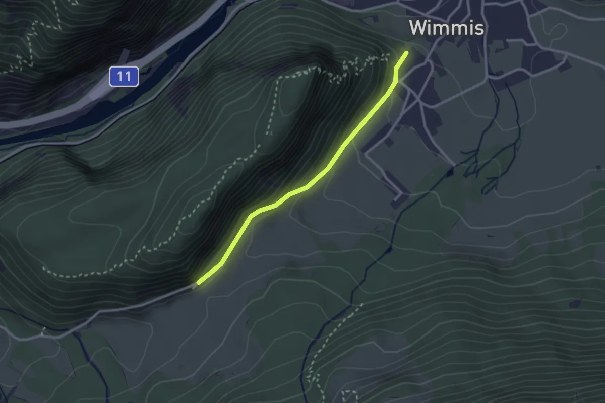
Easy · Trail
Wimmis/Schloss - Spissi
2.4 km · ↑ 145 m · 53 min · 10 km away
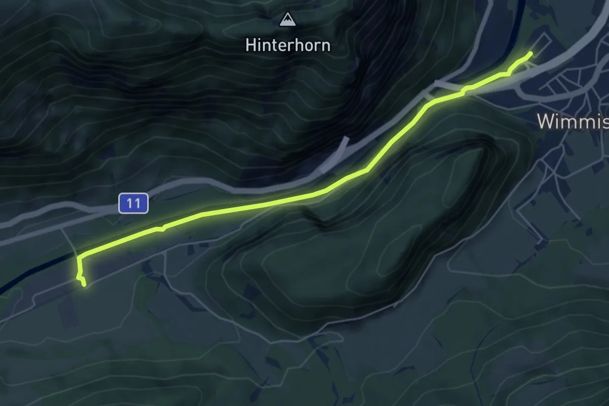
Easy · Trail
Burgholz – Wimmis
5.8 km · ↑ 71 m · 1 h 31 min · 10 km away
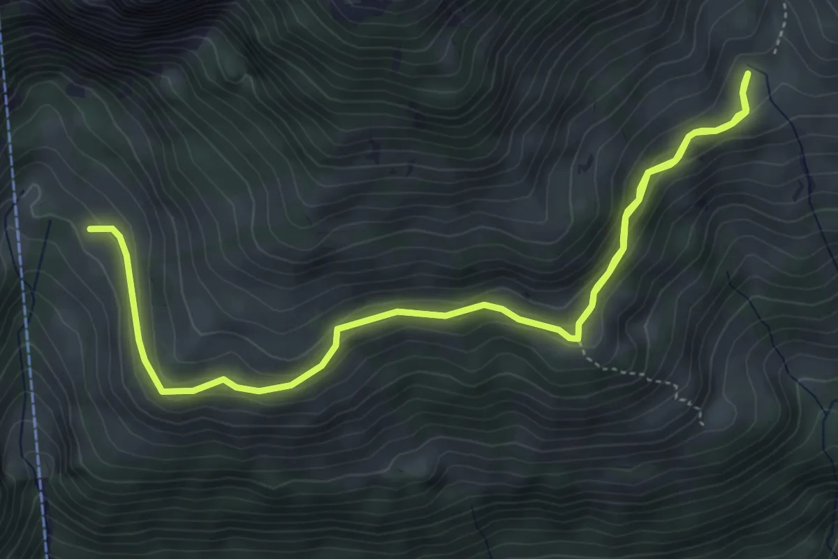
Medium · Trail
Oberchlusi – Spitelnacki
7.1 km · ↑ 368 m · 2 h 28 min · 11 km away
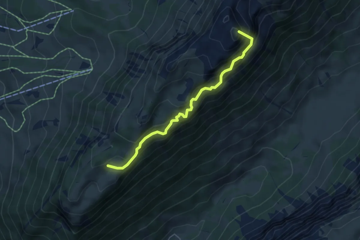
Demanding · Summit
Unterbergli – Schafloch
4.5 km · ↑ 699 m · 2 h 35 min · 11 km away
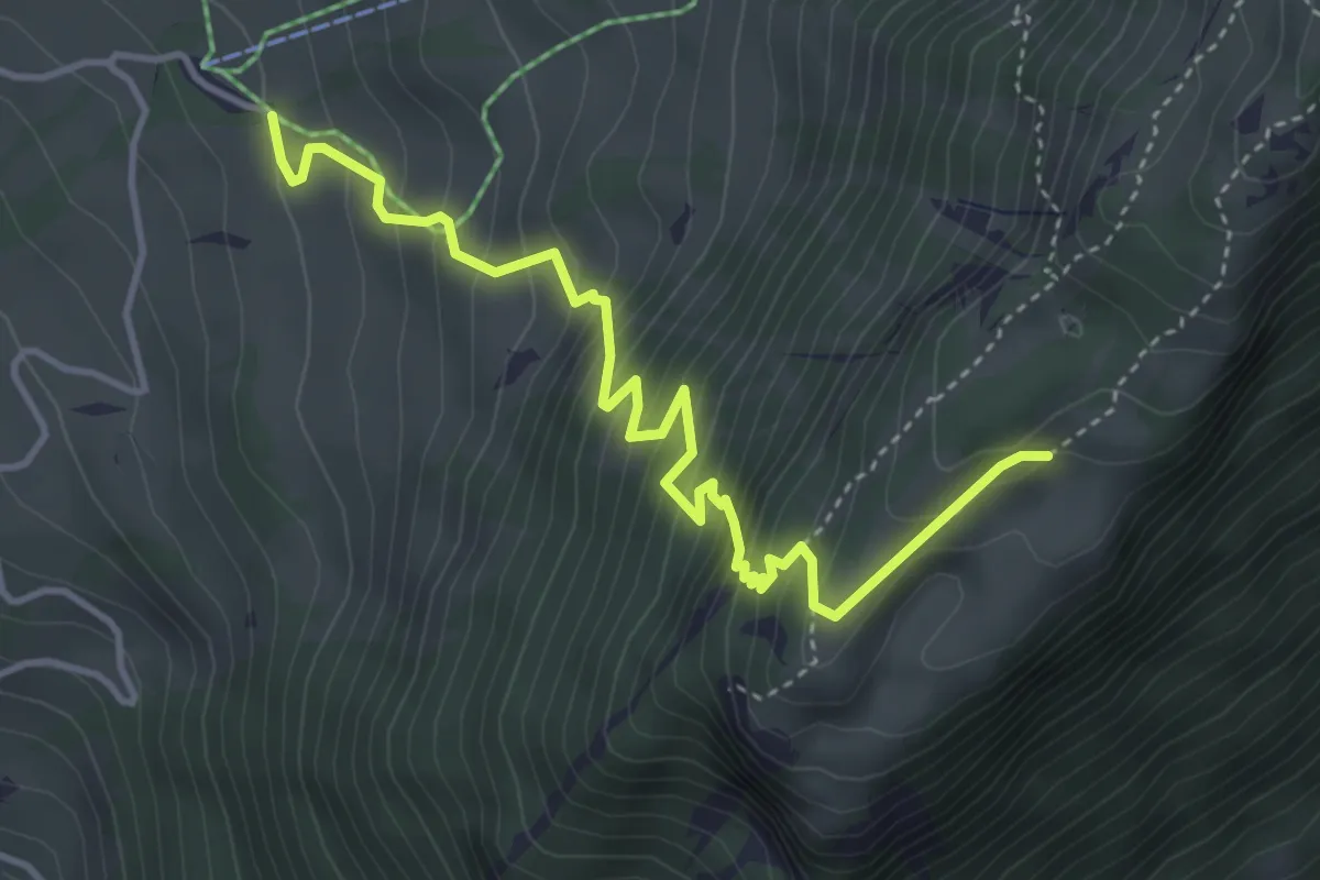
Medium · Trail
Unterbergli – Wilerallmi
4.6 km · ↑ 504 m · 2 h 10 min · 11 km away
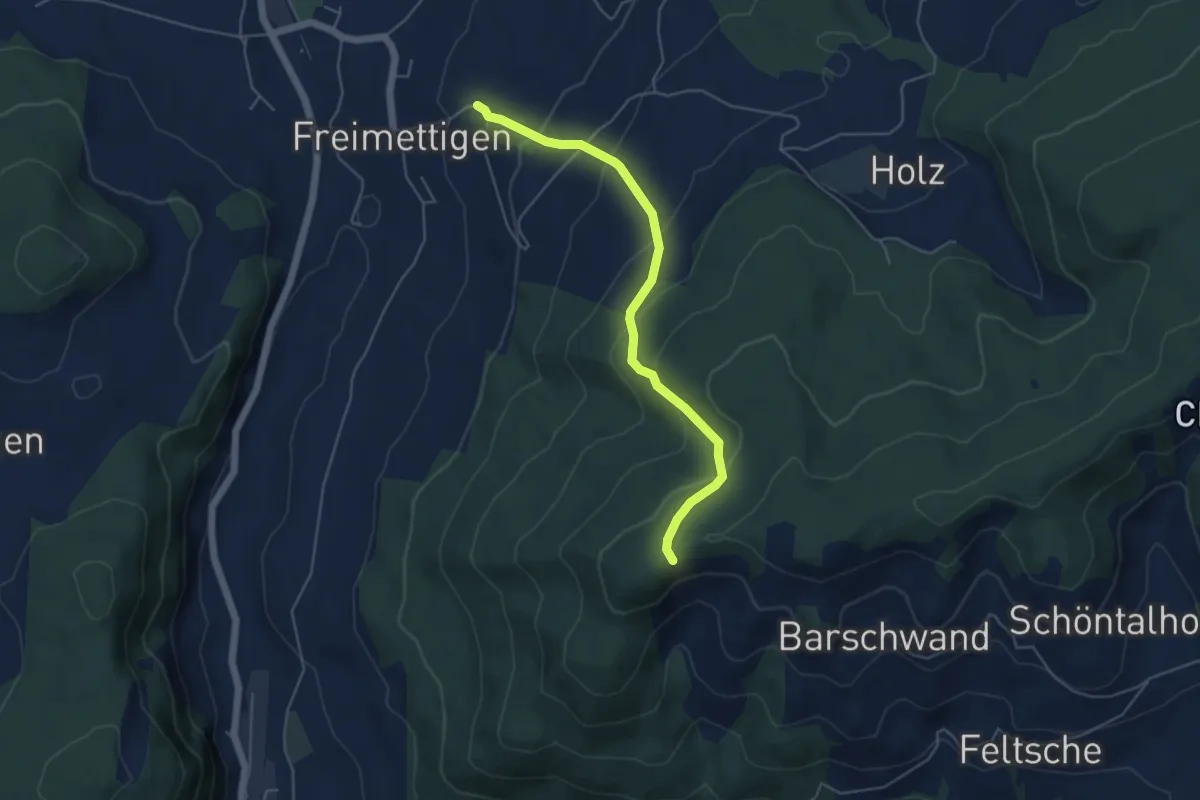
Easy · Trail
Güggel – Freimettigen
4.9 km · ↑ 314 m · 1 h 50 min · 11 km away
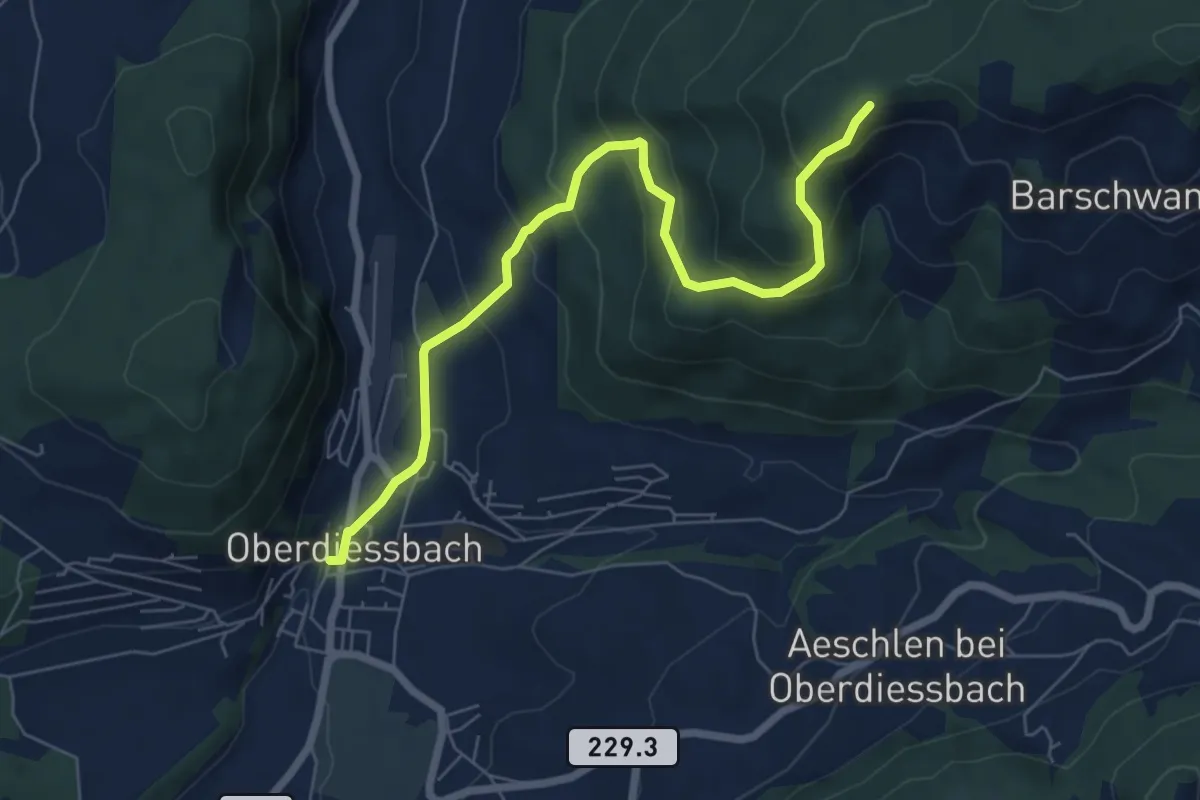
Medium · Trail
Oberdiessbach – Güggel
7.1 km · ↑ 470 m · 2 h 42 min · 11 km away
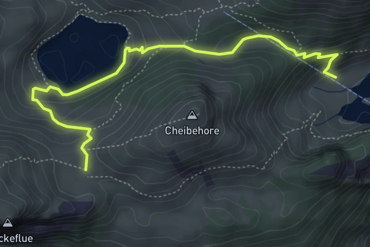
Medium · Trail
Hinterstockenalp – Vorderstockenalp
5.4 km · ↑ 310 m · 1 h 57 min · 11 km away
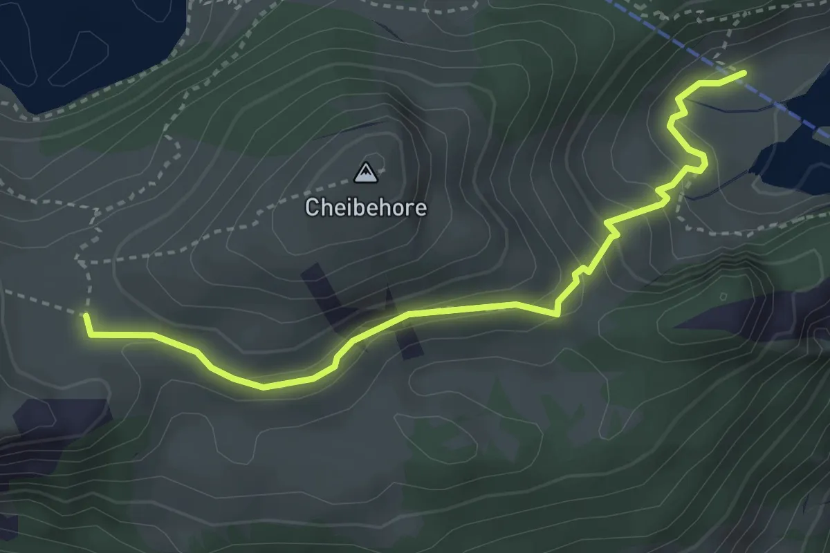
Medium · Trail
Vorderstockenalp – Hinterstockenalp
3.7 km · ↑ 214 m · 1 h 20 min · 11 km away