Trails near Thun
435 hikes starting within 15 km, nearest first.
Nearest first, page 5 of 10
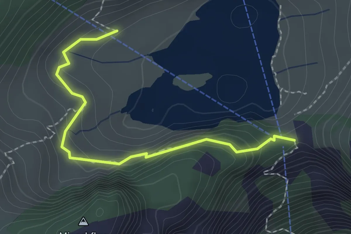
Easy · Trail
Hinterstockenalp – Chrindri
2.1 km · ↑ 148 m · 49 min · 11 km away
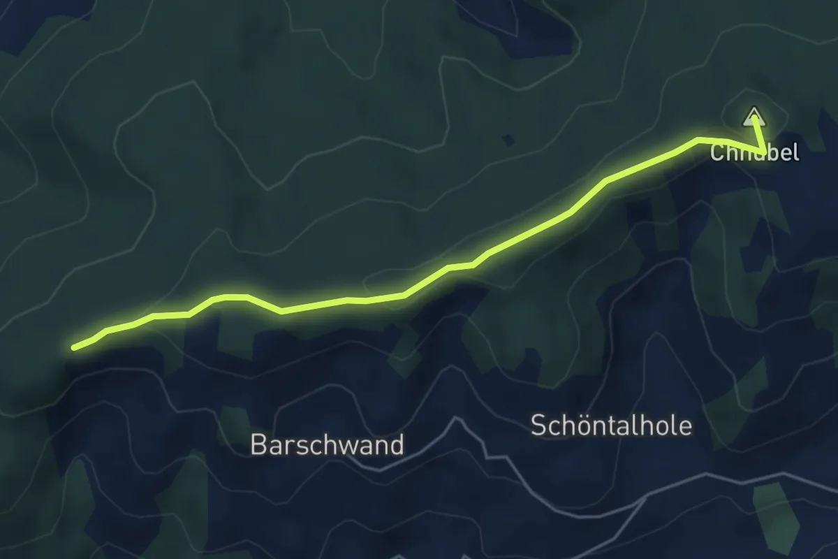
Easy · Summit
Güggel – Äbersold
5.0 km · ↑ 147 m · 1 h 30 min · 11 km away
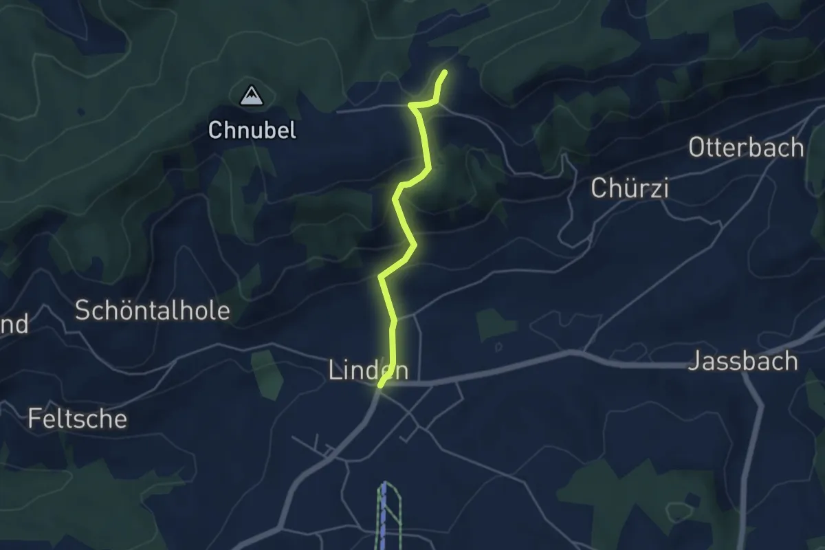
Easy · Trail
Äbersold – Linden
3.5 km · ↑ 188 m · 1 h 14 min · 11 km away
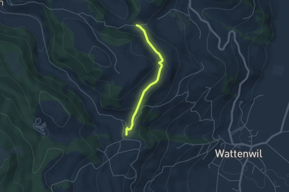
Easy · Trail
Grundbach/Käserei – Fluhweid
3.4 km · ↑ 139 m · 1 h 7 min · 11 km away
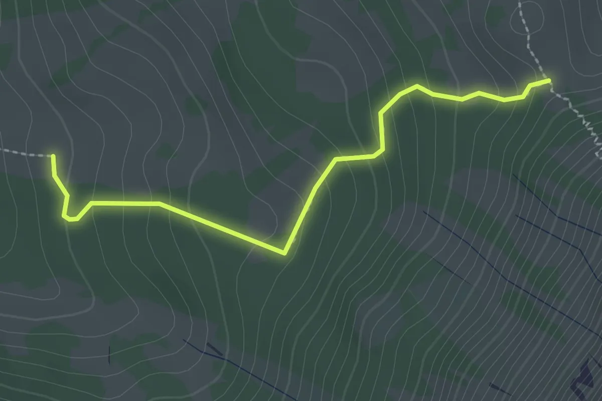
Easy · Trail
Oberi Matte – Zettenalp (Bim Ofe)
2.4 km · ↑ 183 m · 58 min · 11 km away
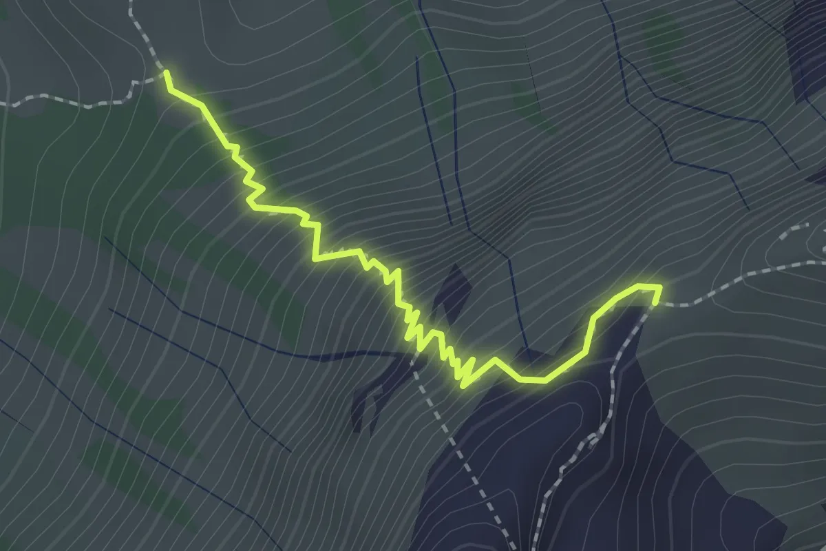
Medium · Trail
Stäpfli/Schafläger – Zettenalp (Bim Ofe)
2.0 km · ↑ 331 m · 1 h 12 min · 11 km away
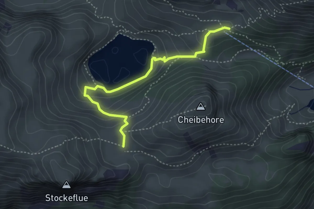
Medium · Trail
Vorderstockenalp – Oberstockenalp
4.0 km · ↑ 231 m · 1 h 26 min · 11 km away
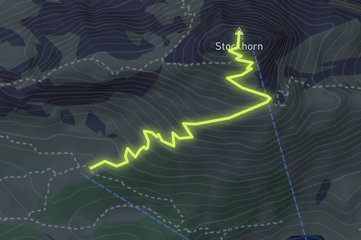
Medium · Summit
Oberstockenalp – Stockhorn
3.3 km · ↑ 367 m · 1 h 34 min · 11 km away
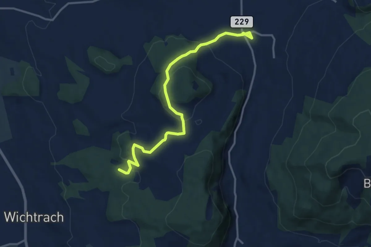
Medium · Trail
Stalden i. E. – Rotebüel
9.4 km · ↑ 302 m · 2 h 52 min · 11 km away
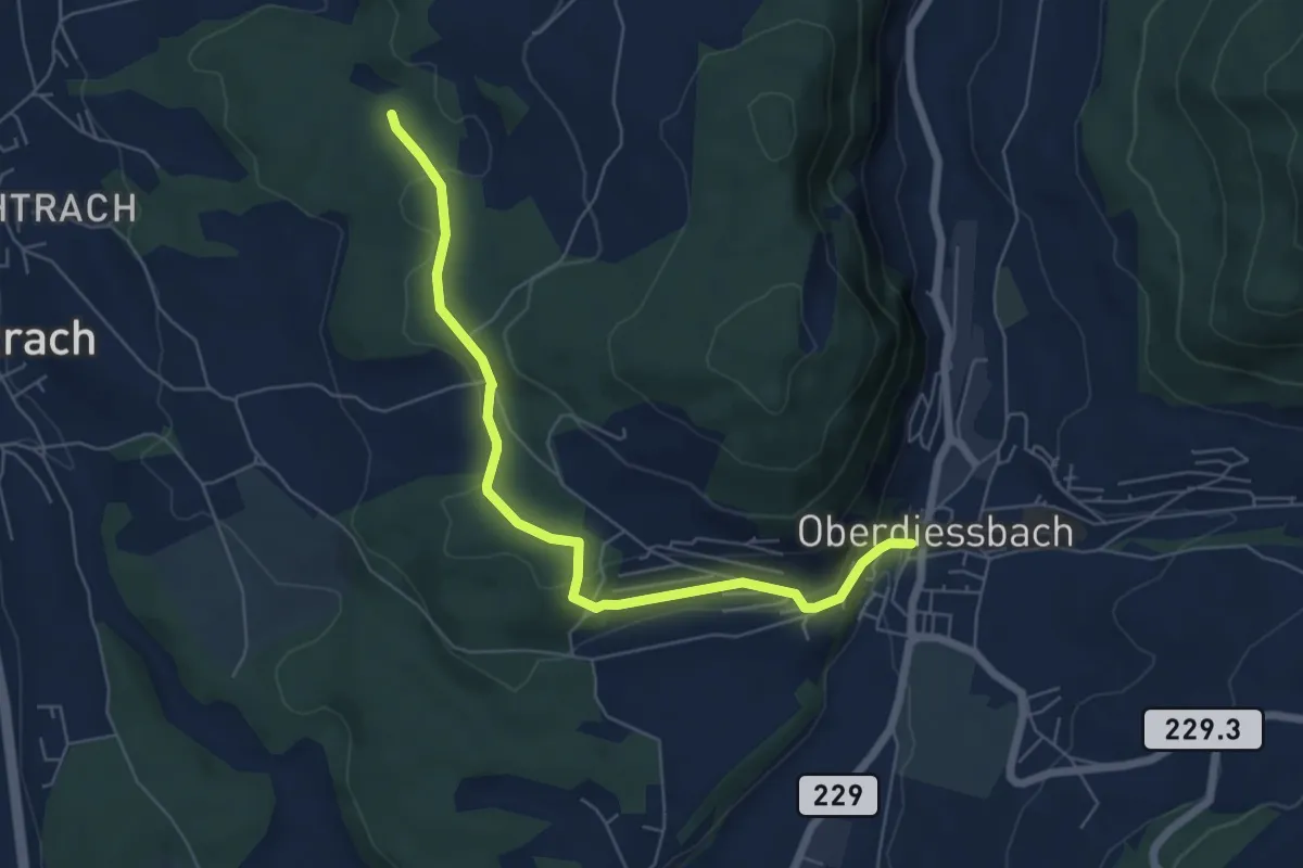
Easy · Trail
Oberdiessbach – Rotebüel
6.3 km · ↑ 169 m · 1 h 52 min · 11 km away
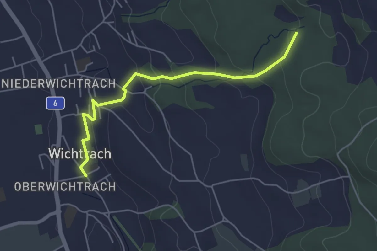
Easy · Trail
Wichtrach – Rotebüel
4.3 km · ↑ 138 m · 1 h 19 min · 11 km away
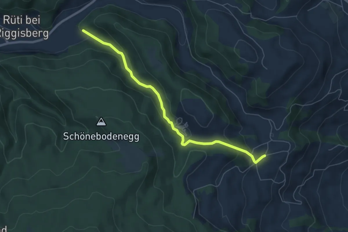
Easy · Trail
Grundbach – Geisshaus
6.0 km · ↑ 211 m · 1 h 52 min · 11 km away
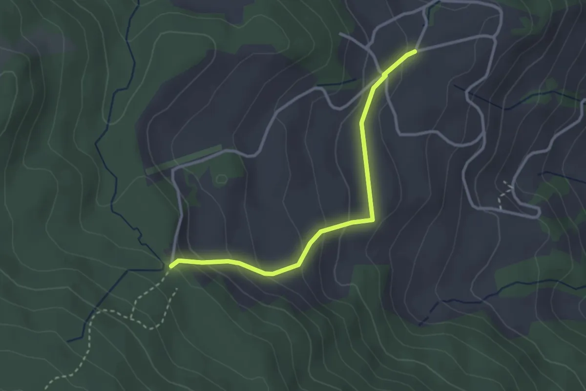
Easy · Trail
Stafelalp – Grundbach
2.9 km · ↑ 160 m · 1 h 1 min · 11 km away
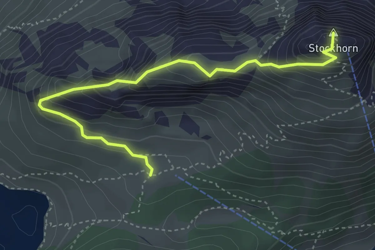
Demanding · Summit
Stockhorn – Oberstockenalp
3.9 km · ↑ 392 m · 1 h 46 min · 11 km away
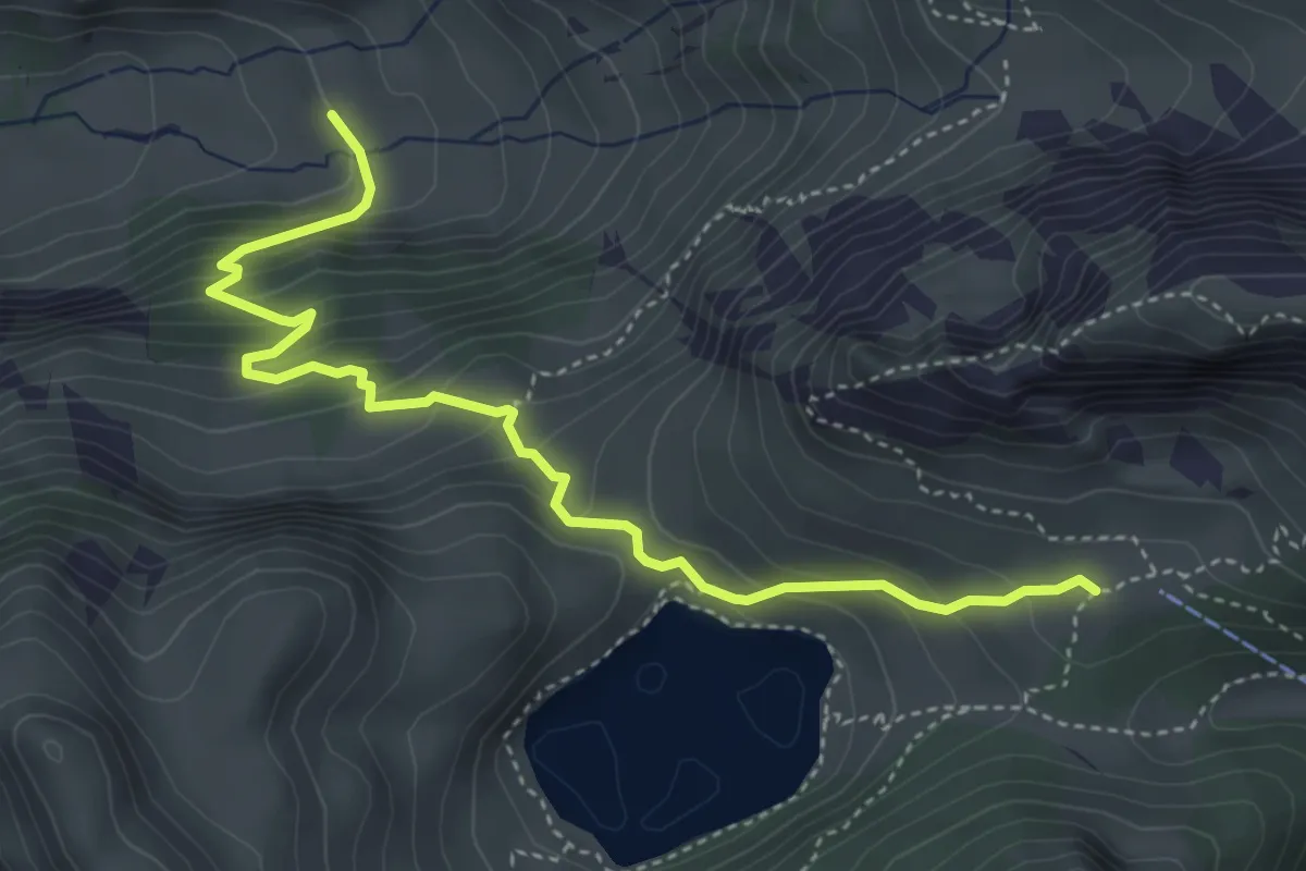
Demanding · Trail
Oberstackenalp – Unterwalalp
4.6 km · ↑ 385 m · 1 h 56 min · 11 km away
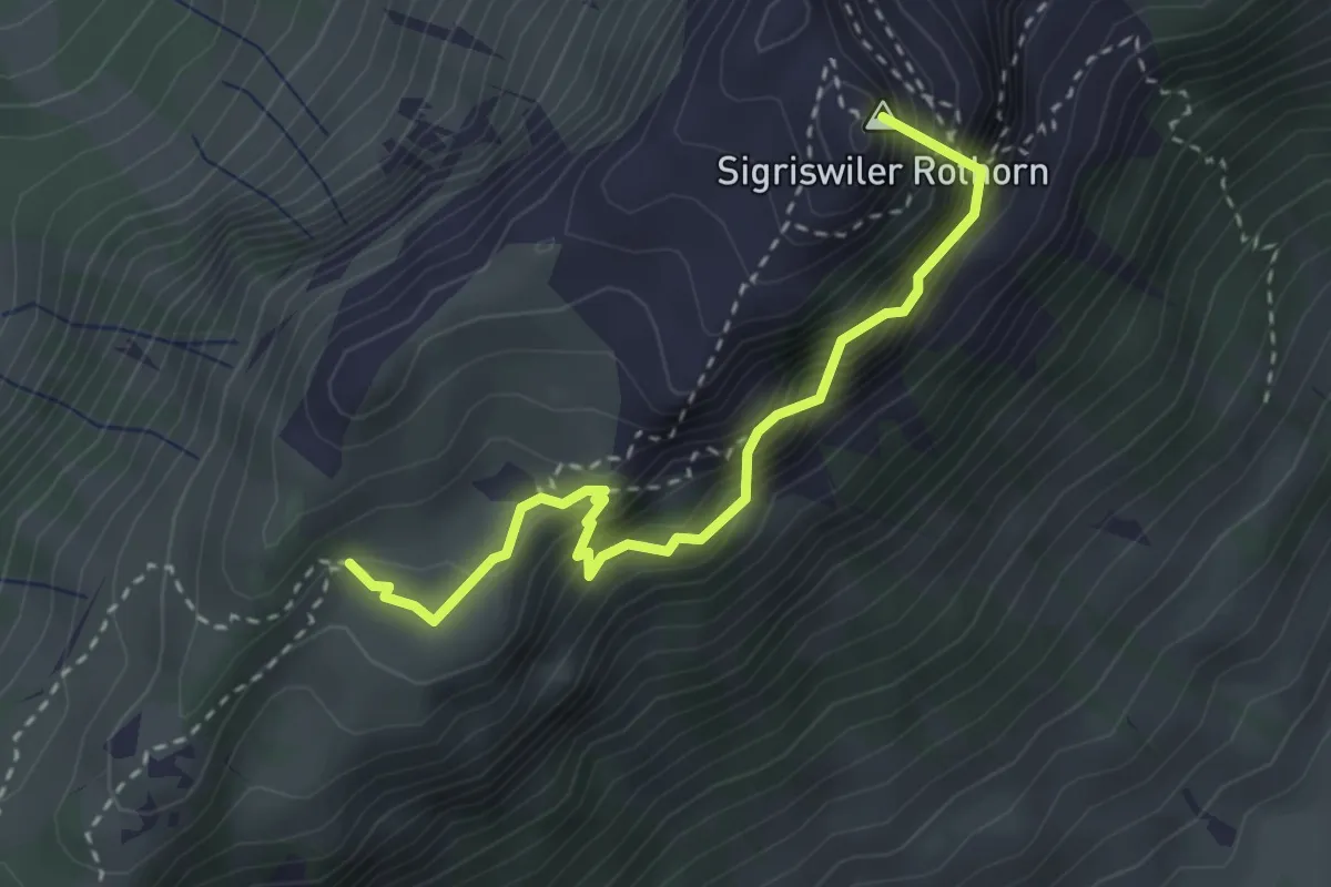
Demanding · Summit
Schafloch – Oberbergli
3.0 km · ↑ 402 m · 1 h 35 min · 11 km away
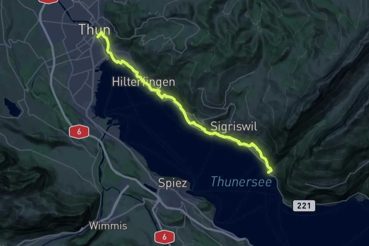
Medium · Trail
Thun - Merligen
13.3 km · ↑ 502 m · 4 h 25 min · 11 km away
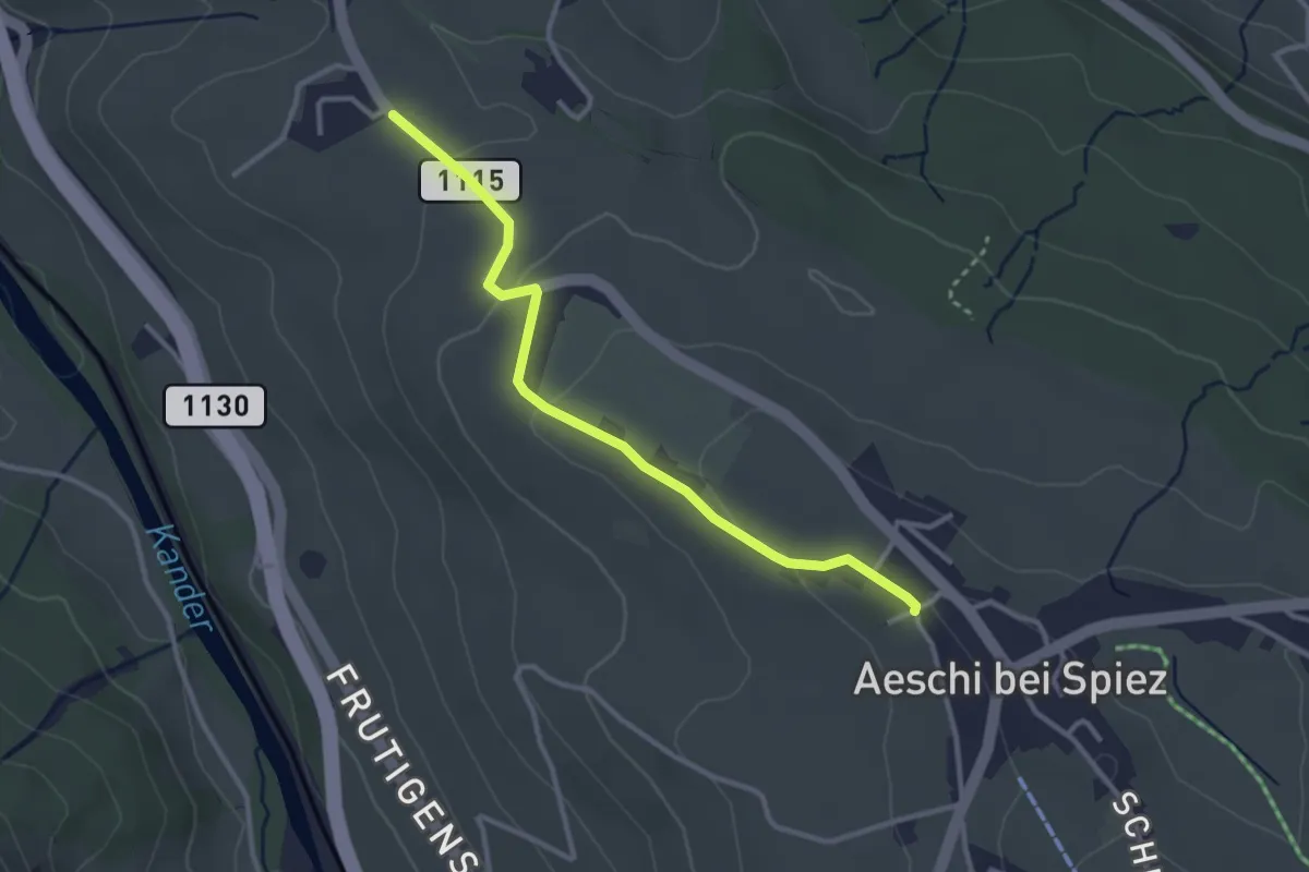
Easy · Trail
Aeschi – Bühlen
3.1 km · ↑ 73 m · 54 min · 11 km away
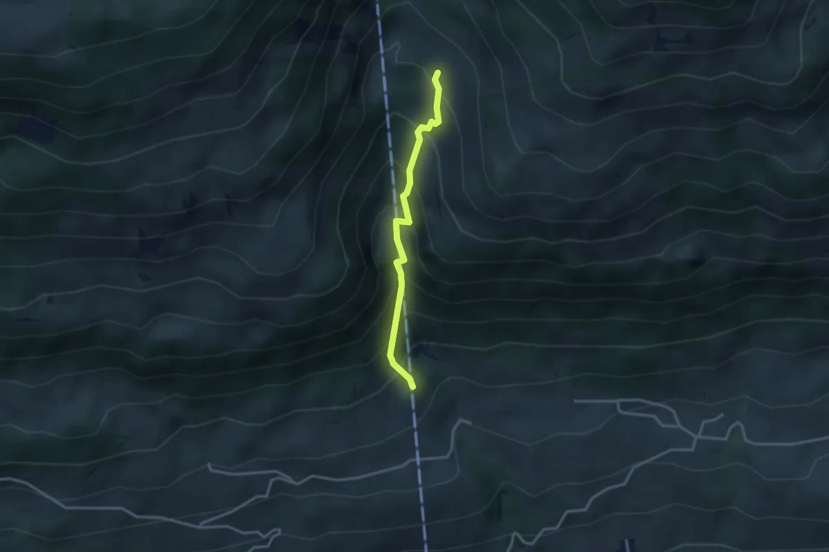
Medium · Trail
Oberberg – Oberschlusi
2.6 km · ↑ 328 m · 1 h 19 min · 11 km away
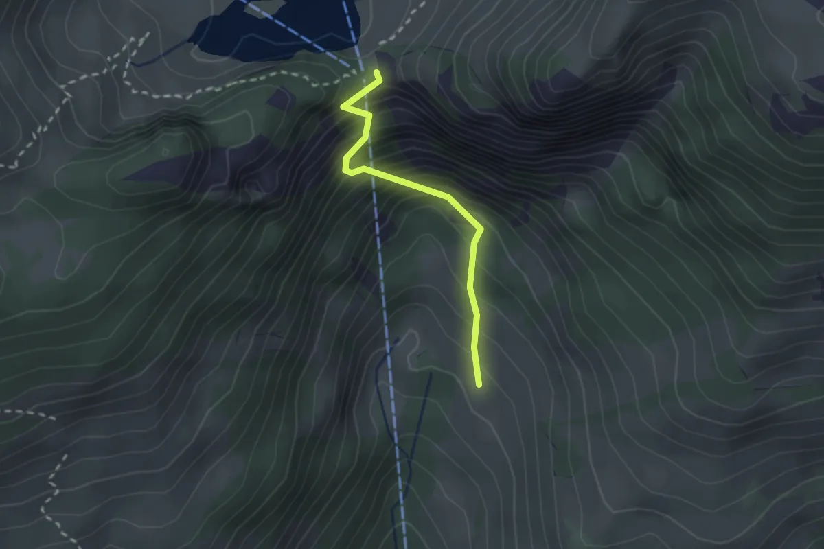
Easy · Trail
Oberschlusi – Chrindi
2.0 km · ↑ 313 m · 1 h 9 min · 11 km away
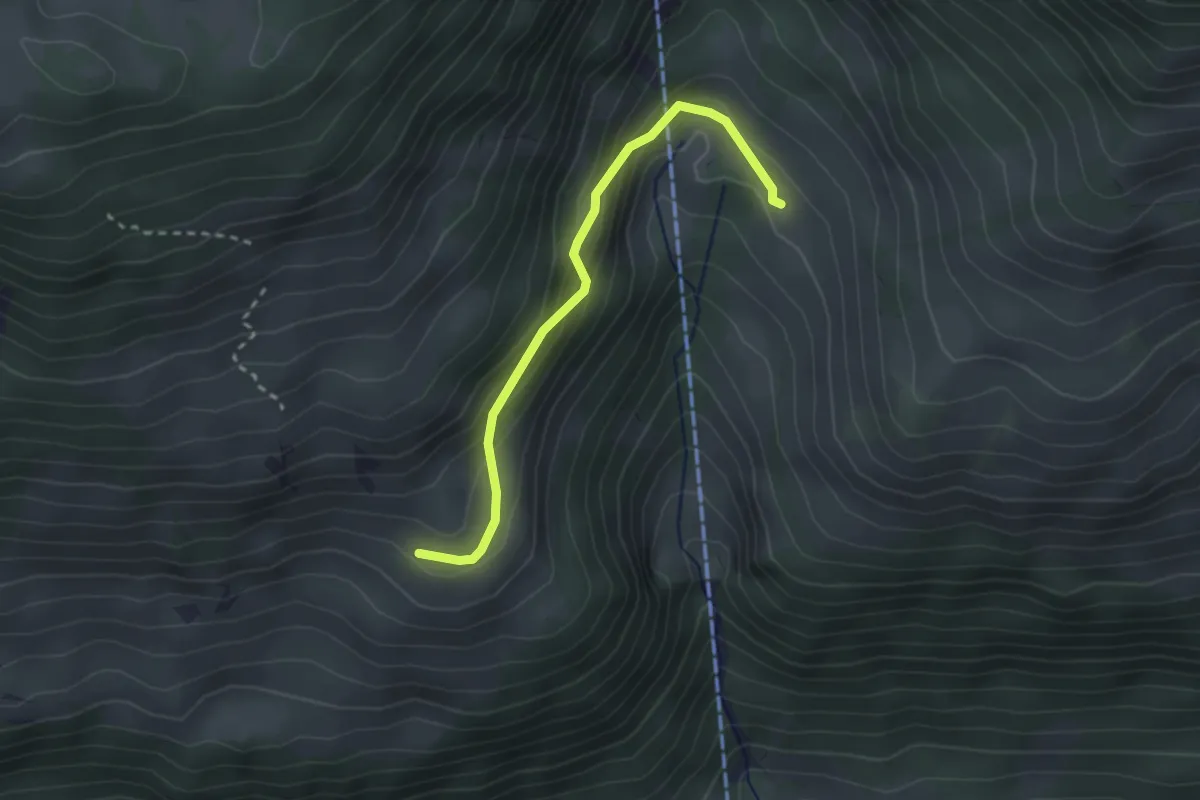
Easy · Trail
Rosenegg – Ober Klusi
2.5 km · ↑ 161 m · 57 min · 11 km away
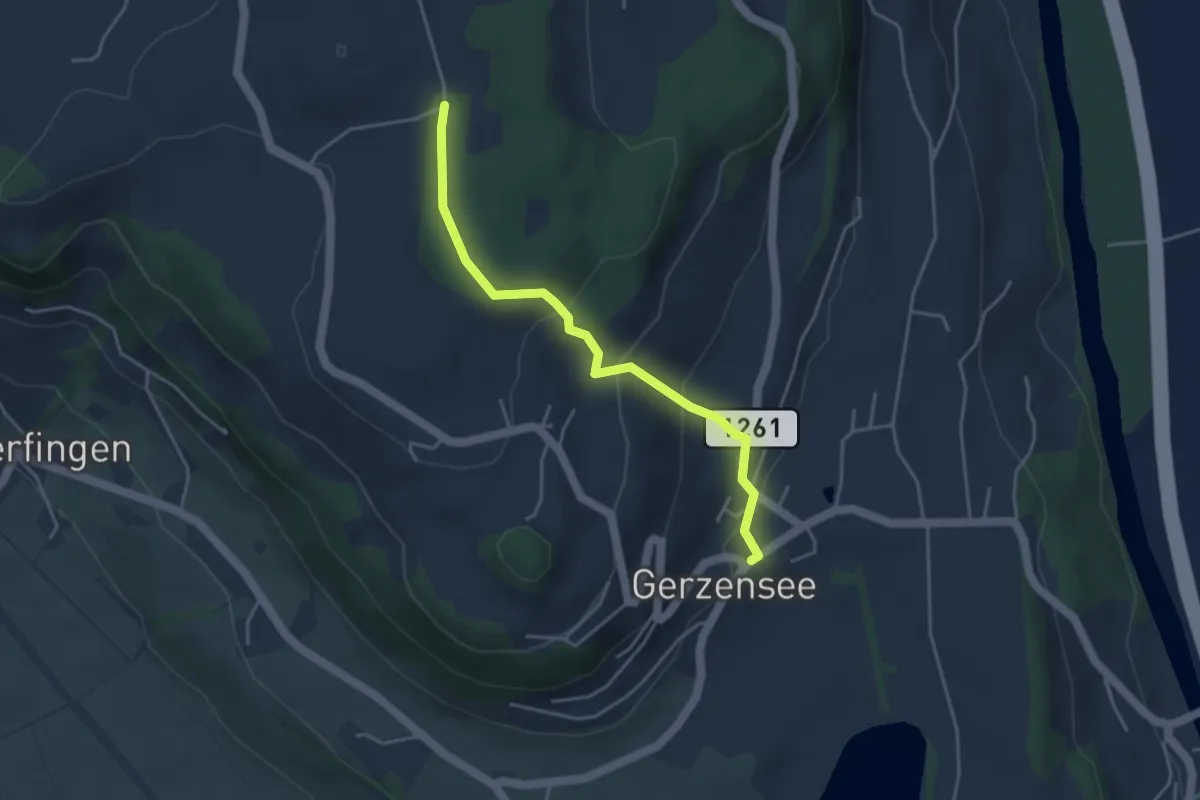
Easy · Trail
Nessleren - Gerzensee
3.8 km · ↑ 223 m · 1 h 23 min · 11 km away
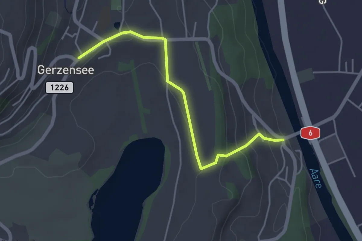
Easy · Trail
Gerzensee - Thalgutbrücke
3.9 km · ↑ 130 m · 1 h 12 min · 11 km away
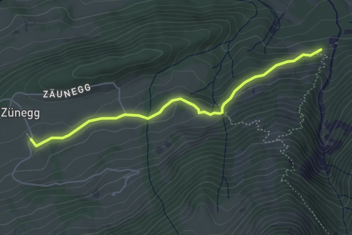
Easy · Trail
Zäunegg – Zünigwald
4.5 km · ↑ 177 m · 1 h 27 min · 11 km away
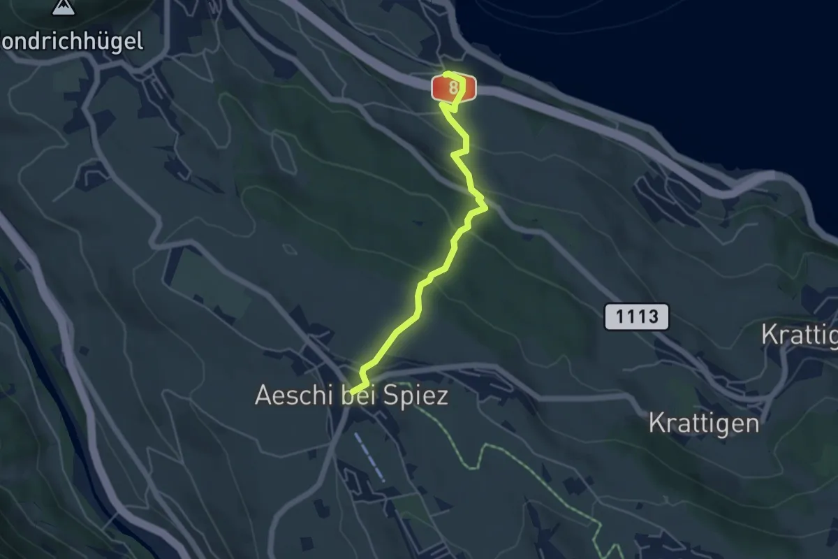
Easy · Trail
Aeschi – Faulensee
4.3 km · ↑ 261 m · 1 h 35 min · 11 km away
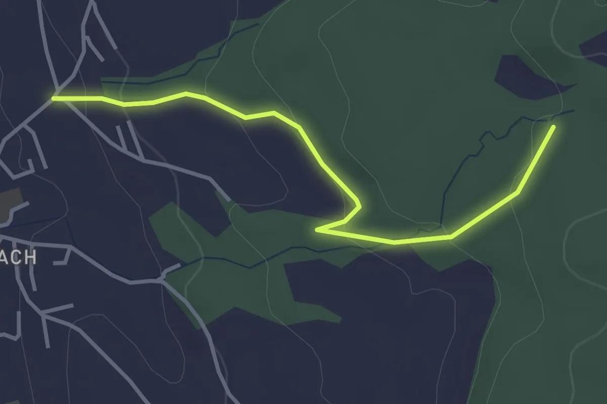
Easy · Trail
Wichtrach/Oberdorf – Rotebüel
3.3 km · ↑ 121 m · 1 h 2 min · 11 km away
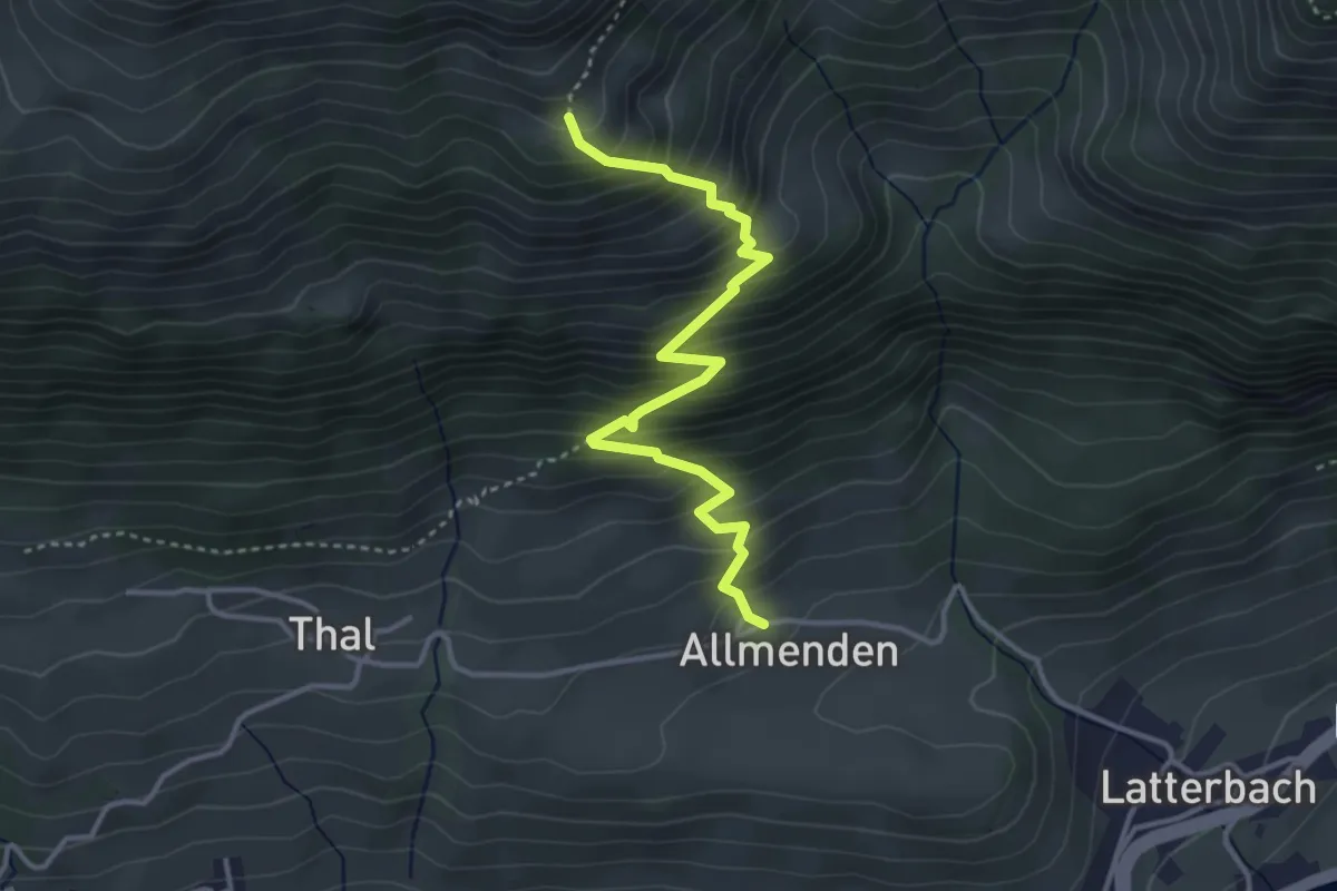
Medium · Trail
Allmenden – Müllersbode
3.8 km · ↑ 511 m · 2 h · 11 km away
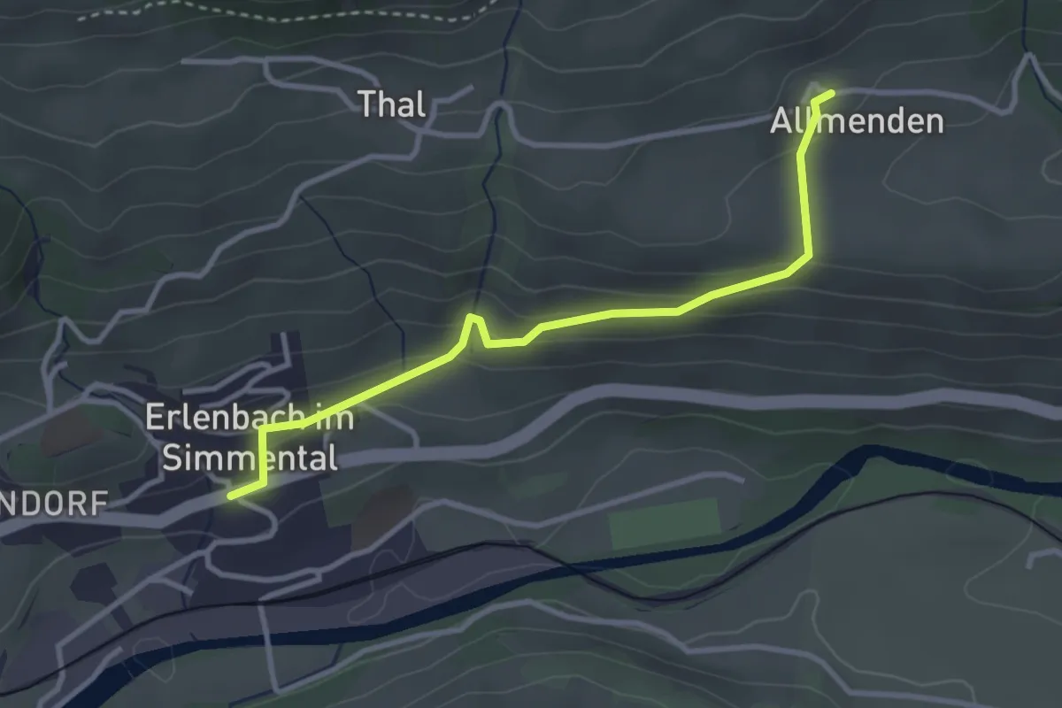
Easy · Trail
Allmenden – Erlenbach
3.2 km · ↑ 165 m · 1 h 6 min · 11 km away
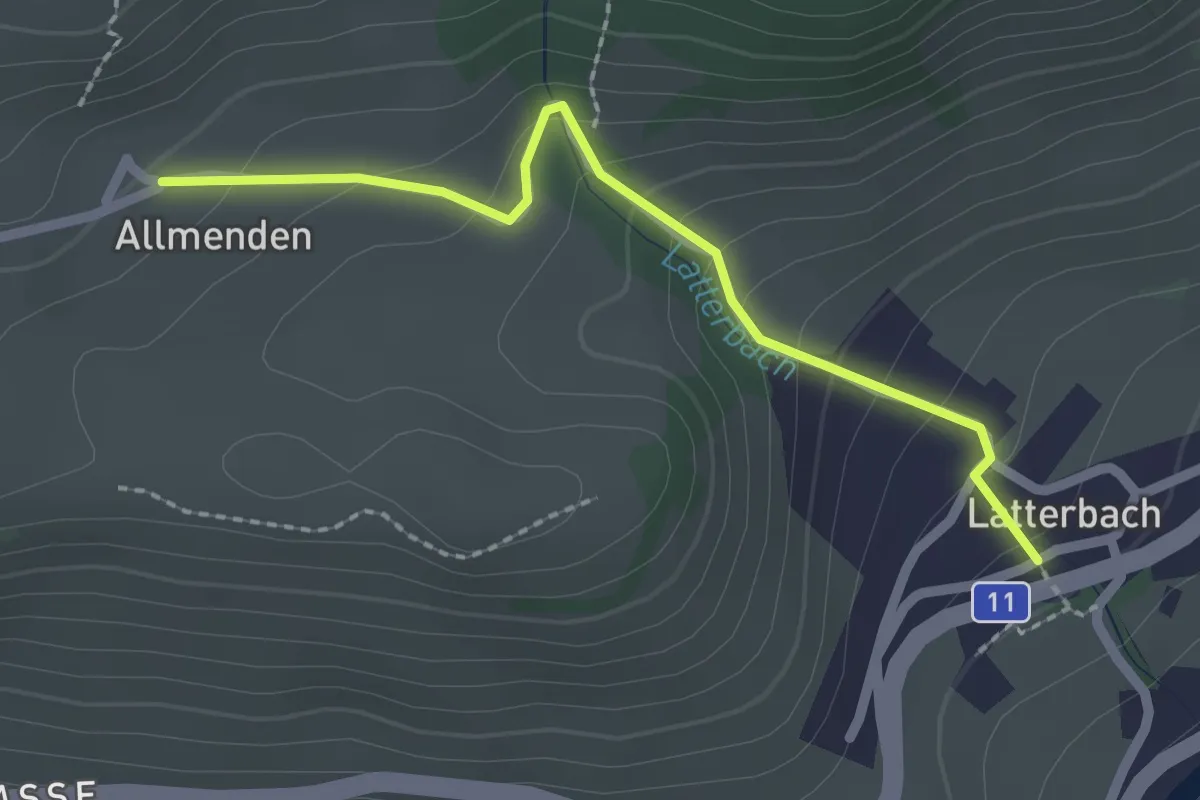
Easy · Trail
Latterbach – Allmenden
2.2 km · ↑ 162 m · 52 min · 11 km away
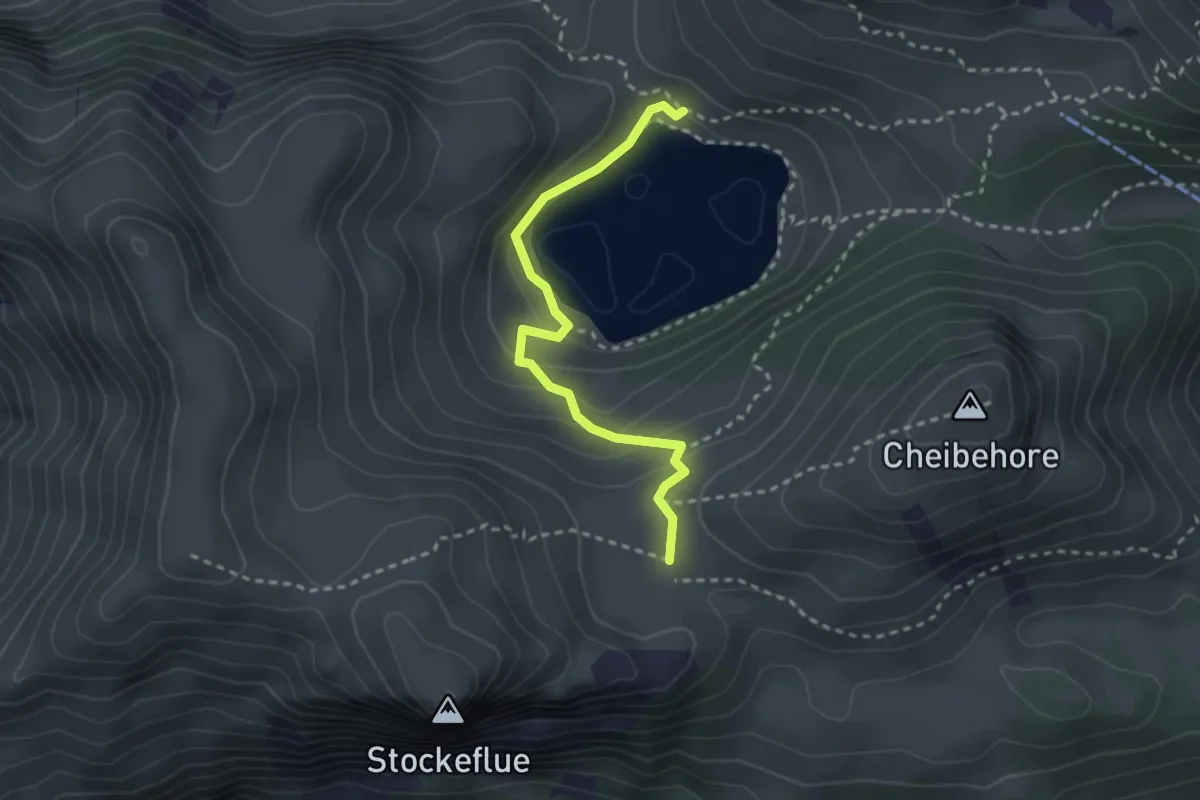
Easy · Trail
Vorderstockenalp – Walalp
2.7 km · ↑ 171 m · 1 h · 11 km away
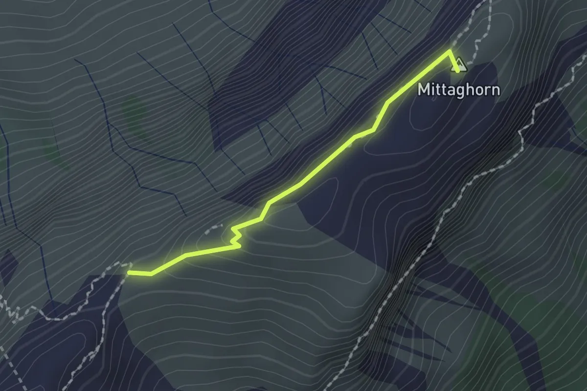
Demanding · Summit
Schneide – Stäpfli/Schafläger
1.5 km · ↑ 62 m · 29 min · 11 km away
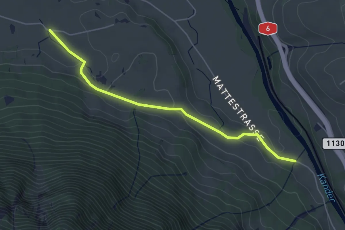
Easy · Trail
Rossweid – Hasli
4.4 km · ↑ 82 m · 1 h 12 min · 11 km away
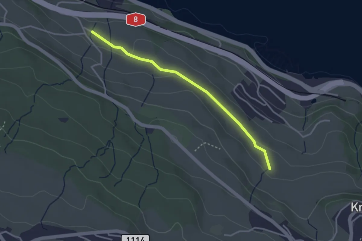
Easy · Trail
Schüpfgasse – Allmend
2.9 km · ↑ 45 m · 46 min · 11 km away
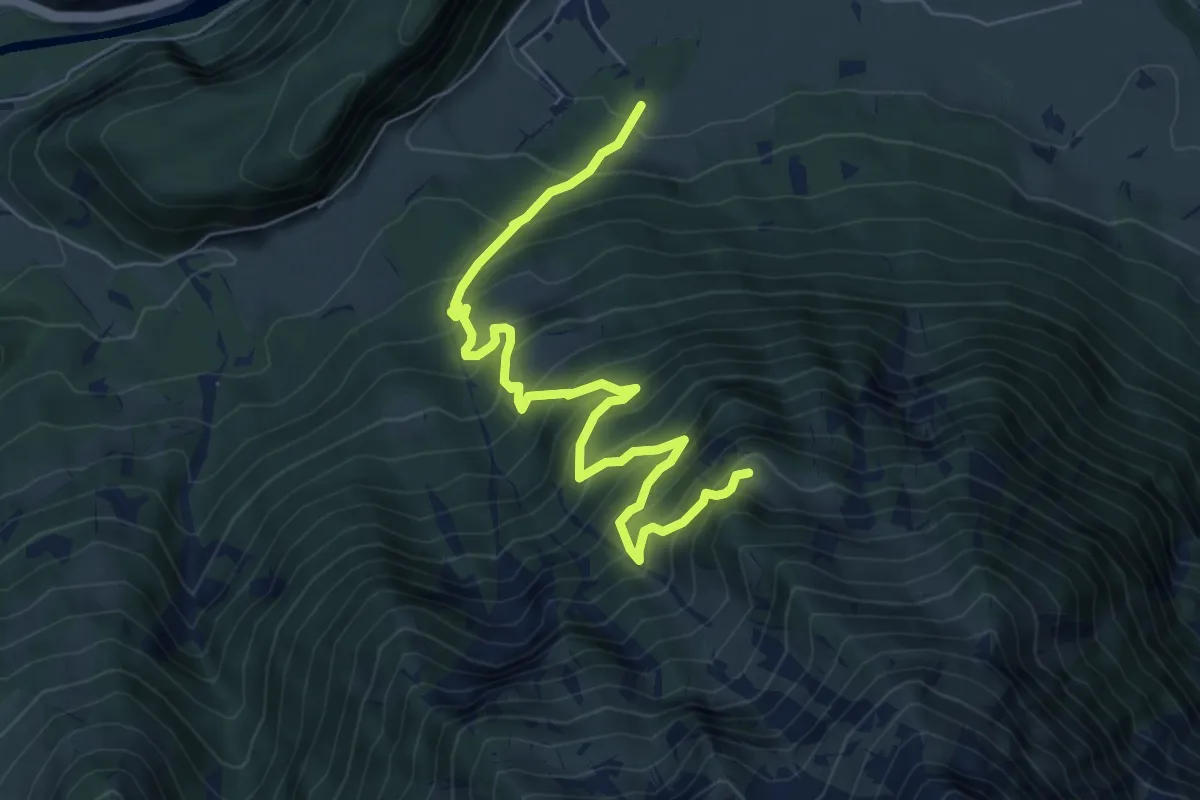
Demanding · Trail
Vorder Ahorni - Bruchwald
7.9 km · ↑ 900 m · 3 h 48 min · 11 km away
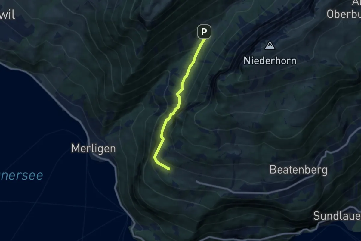
Medium · Trail
Waldbrand – Justistal/Grön
5.4 km · ↑ 337 m · 2 h 1 min · 11 km away
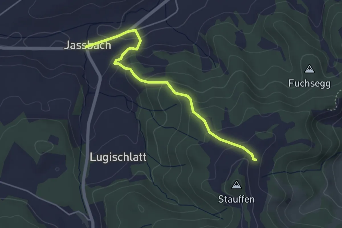
Easy · Trail
Jassbach – Hinter Stauffen
3.9 km · ↑ 196 m · 1 h 21 min · 11 km away
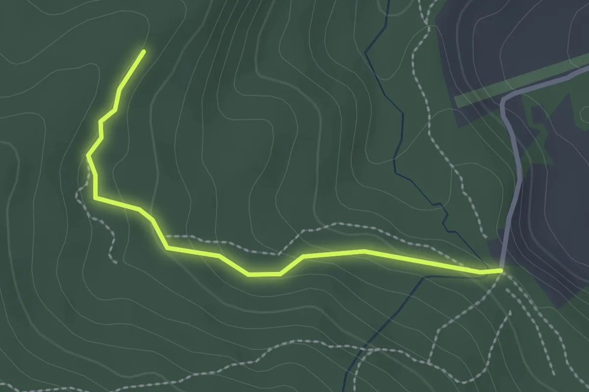
Easy · Trail
Marchweg Pt. 1105 - Stafelalp
2.3 km · ↑ 122 m · 49 min · 12 km away
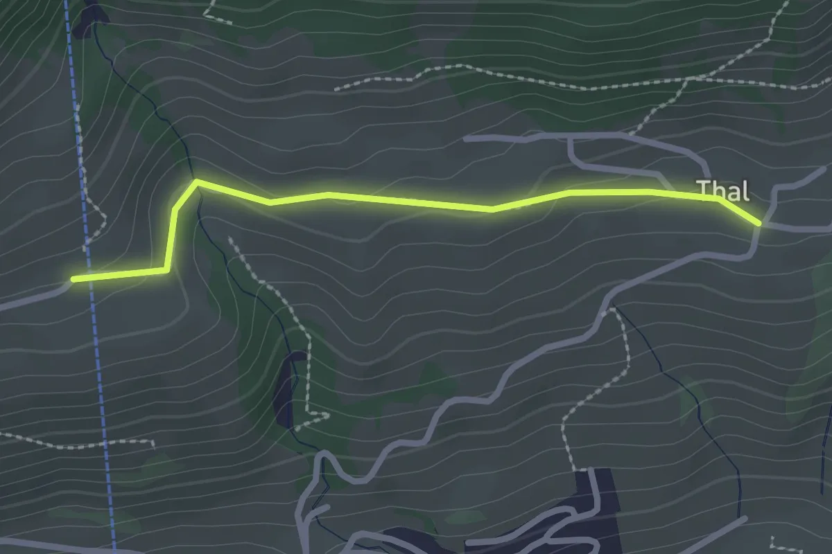
Easy · Trail
Tal – Moos
2.2 km · ↑ 64 m · 40 min · 12 km away
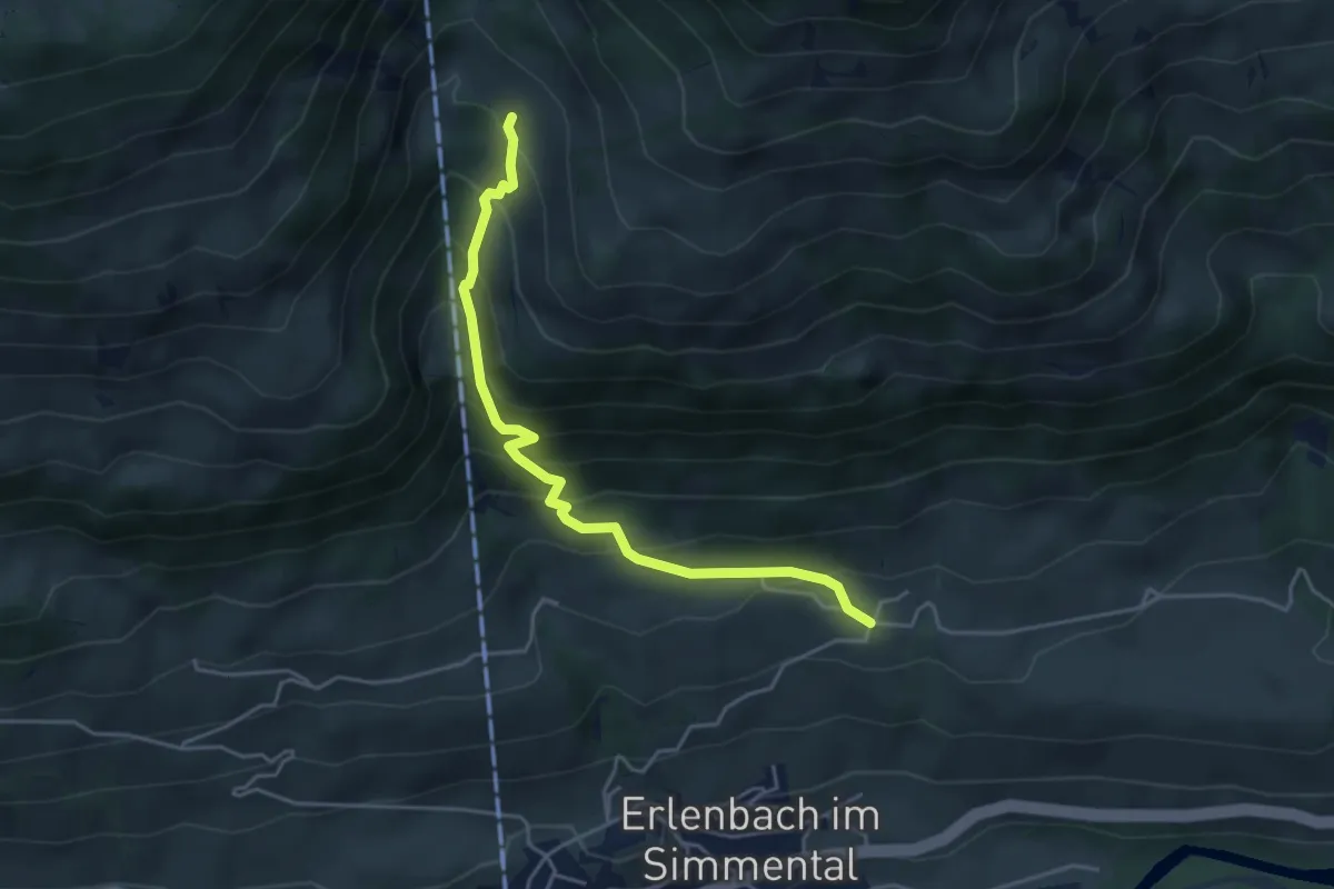
Medium · Trail
Tal – Oberchlusi
4.4 km · ↑ 431 m · 1 h 59 min · 12 km away
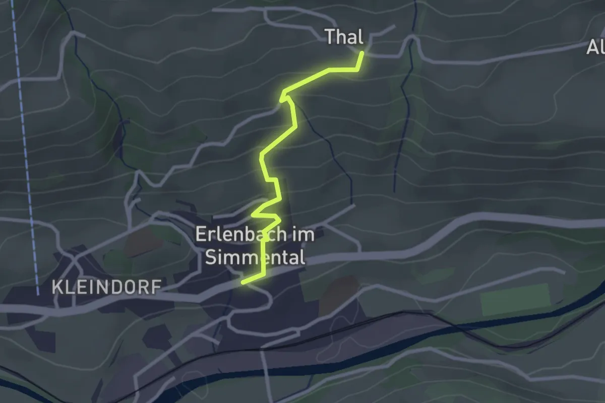
Easy · Trail
Tal – Erlenbach
2.2 km · ↑ 164 m · 52 min · 12 km away
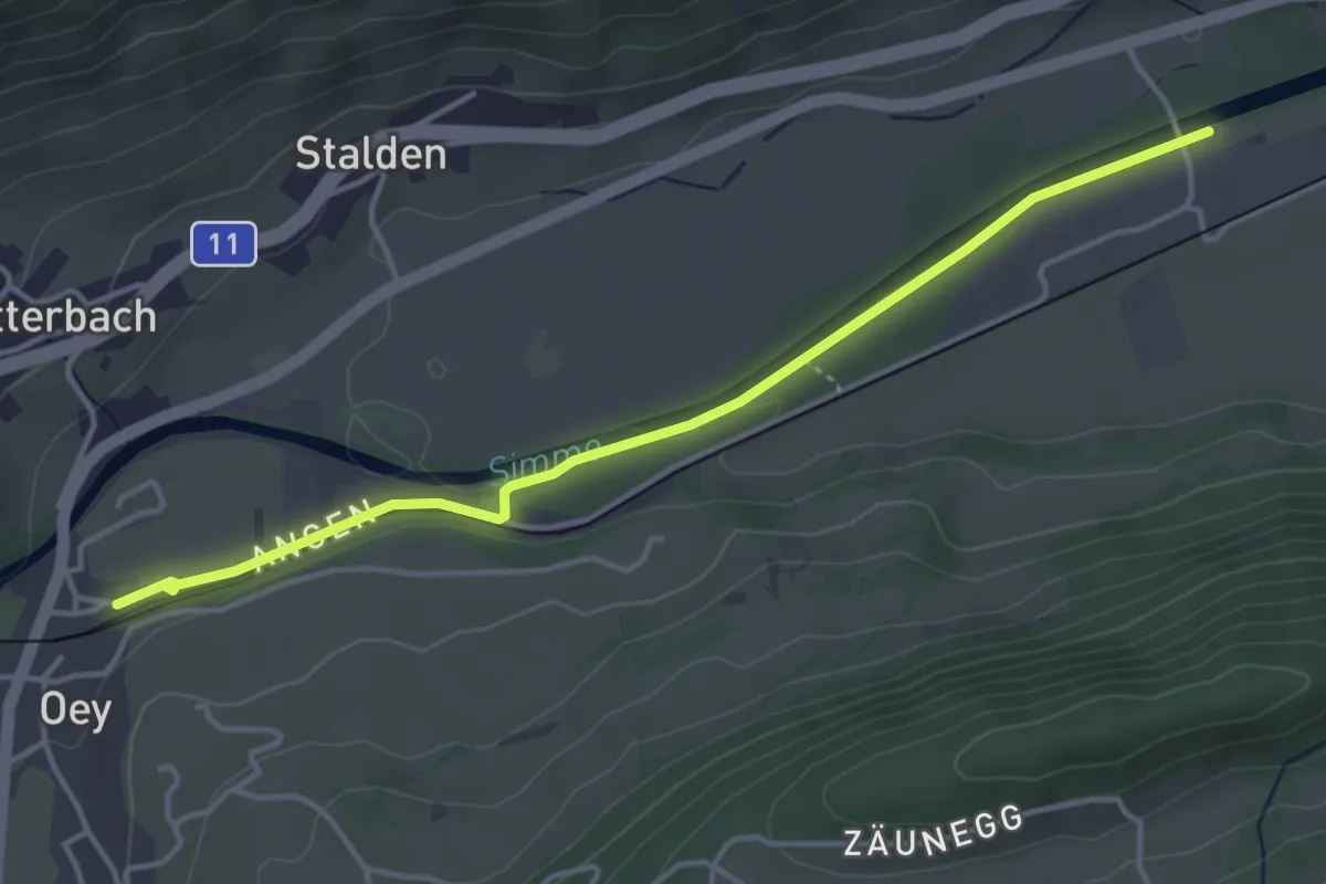
Easy · Trail
Oey – Burgholz
4.2 km · ↑ 31 m · 1 h 4 min · 12 km away
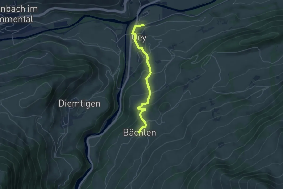
Easy · Trail
Bächlen – Oey Station
4.4 km · ↑ 215 m · 1 h 30 min · 12 km away
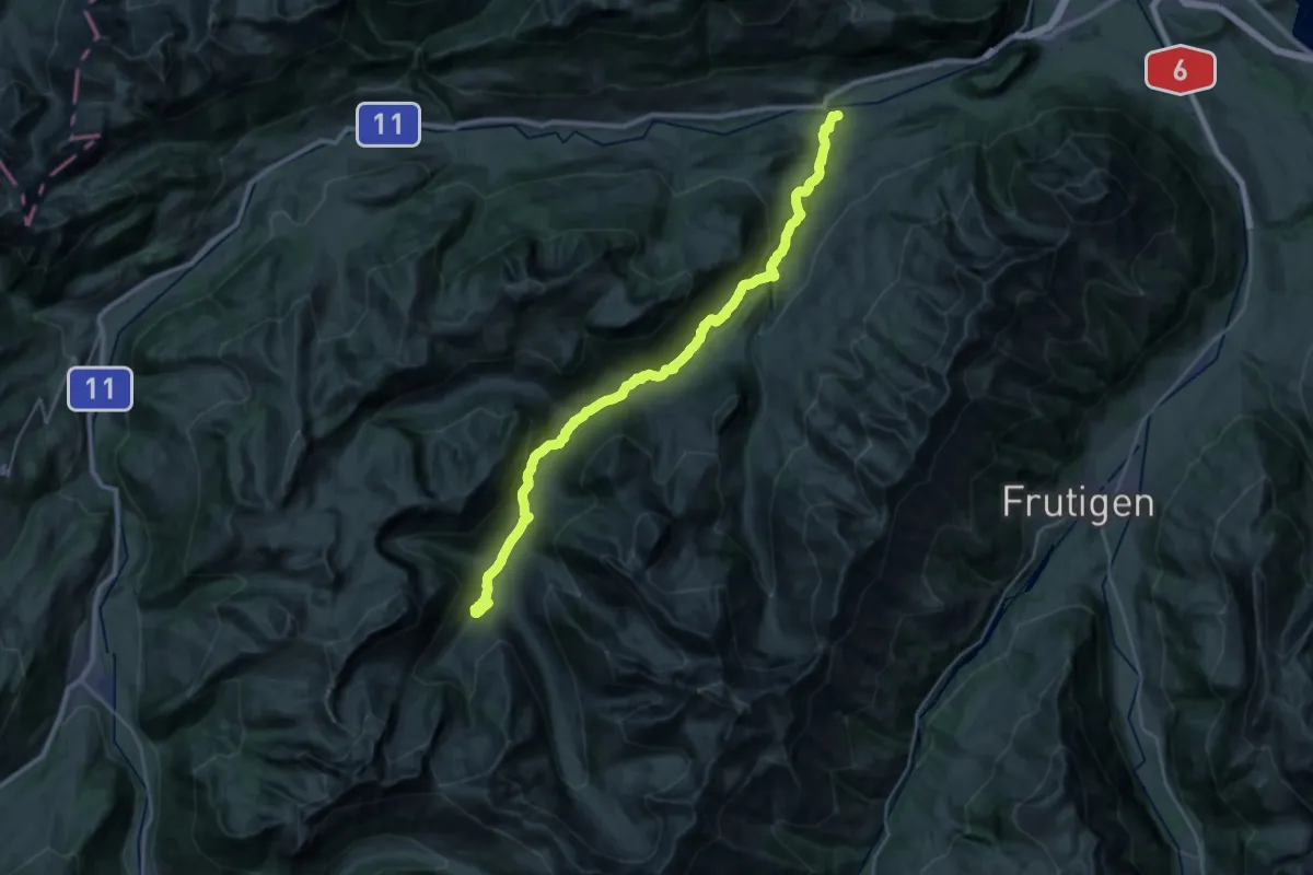
Medium · Trail
Diemtigtaler Talwanderweg
15.5 km · ↑ 752 m · 5 h 13 min · 12 km away
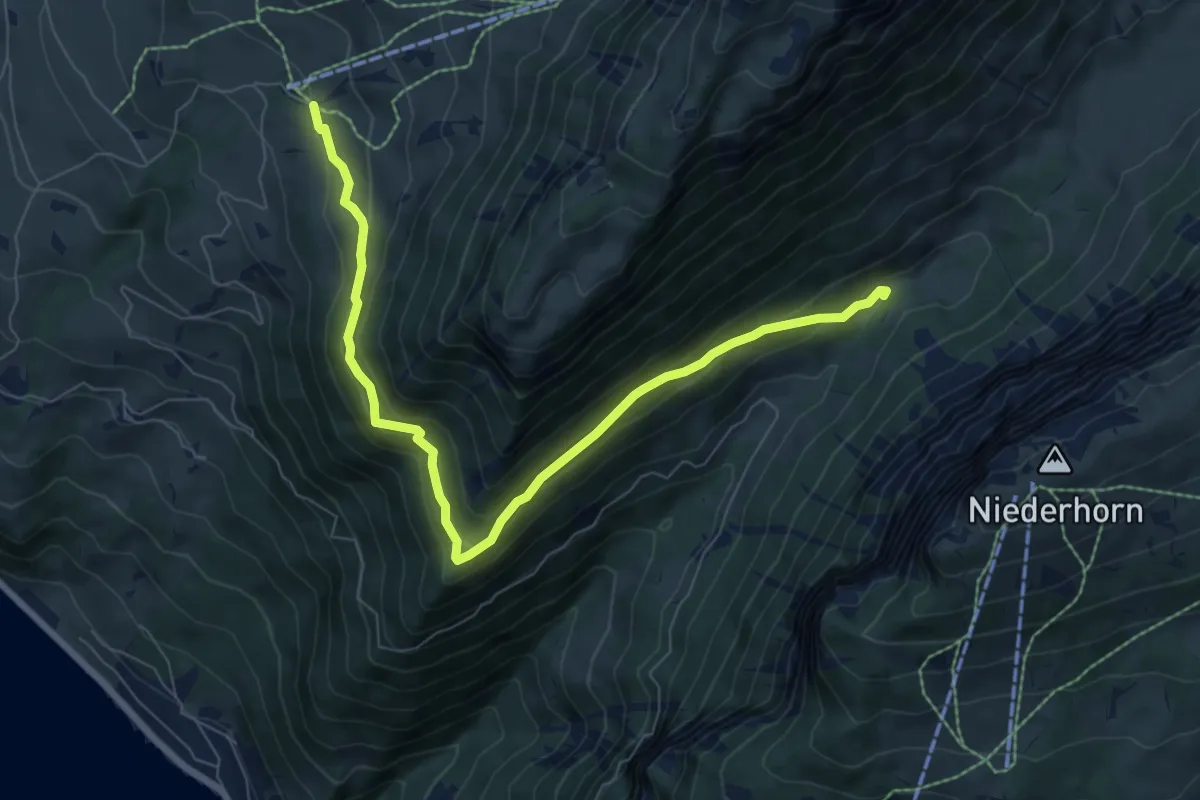
Medium · Trail
Justistal – Wilerallmi
8.1 km · ↑ 405 m · 2 h 48 min · 12 km away
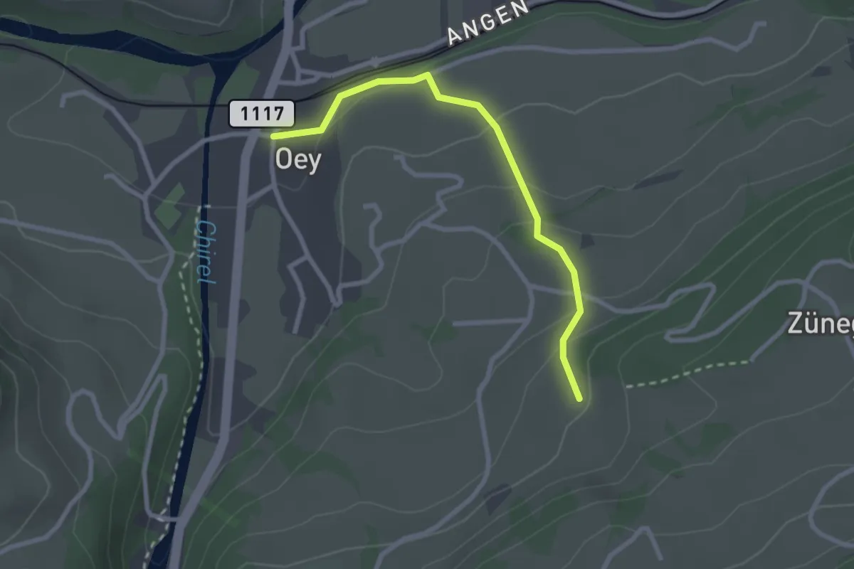
Easy · Trail
Oey – Selbezen
2.4 km · ↑ 121 m · 50 min · 12 km away
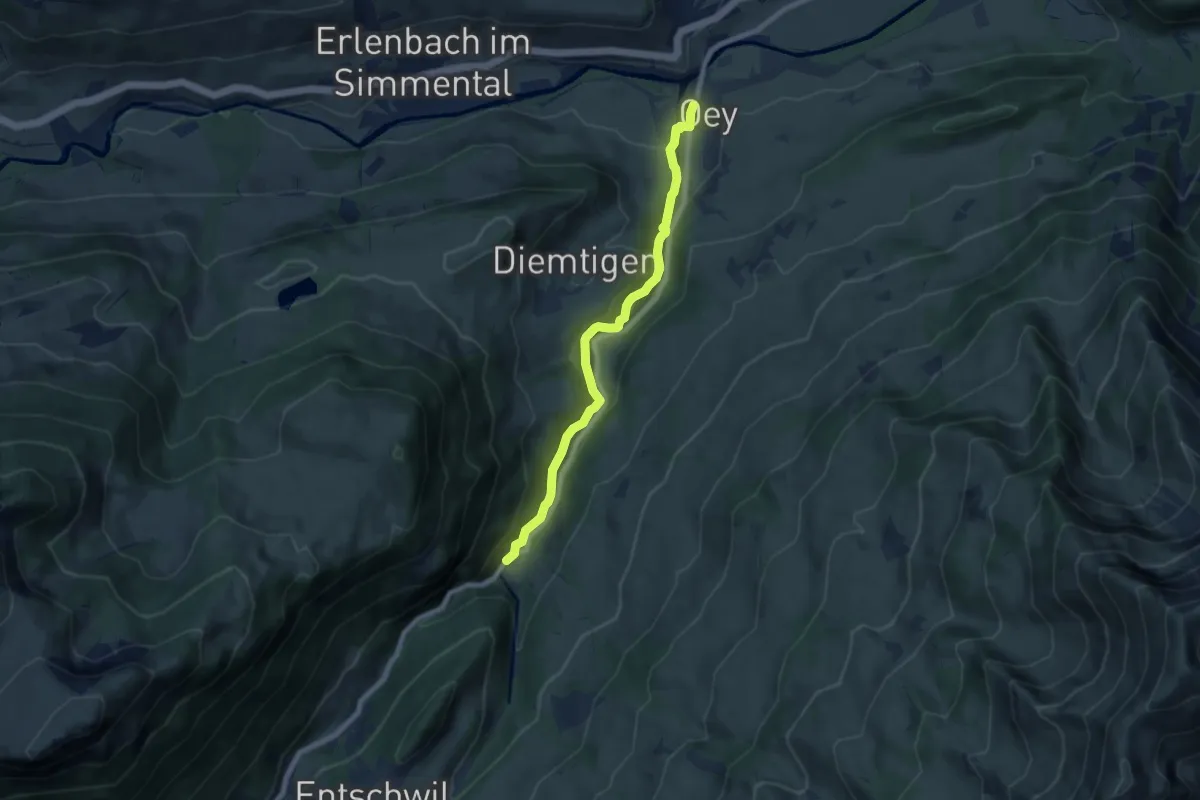
Easy · Trail
Oey – Horboden
7.4 km · ↑ 280 m · 2 h 21 min · 12 km away
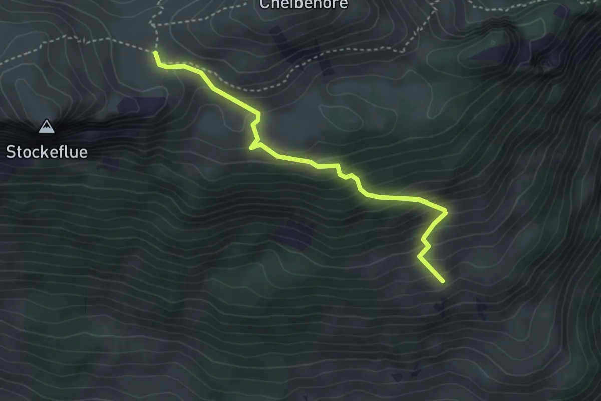
Medium · Trail
Vorderstockenalp – Ufem Hus
3.5 km · ↑ 330 m · 1 h 32 min · 12 km away
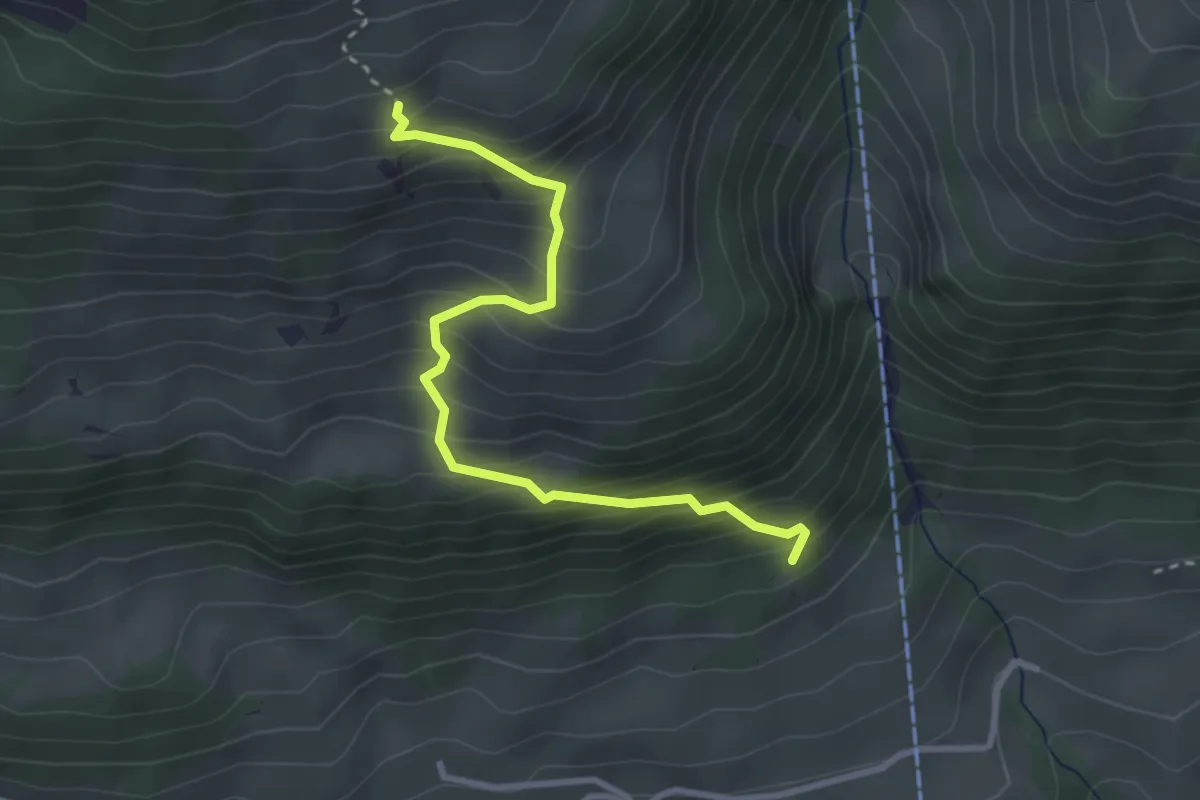
Medium · Trail
Salacher – Ufem Hus
3.2 km · ↑ 415 m · 1 h 39 min · 12 km away