Trails near Thun
435 hikes starting within 15 km, nearest first.
Nearest first, page 6 of 10
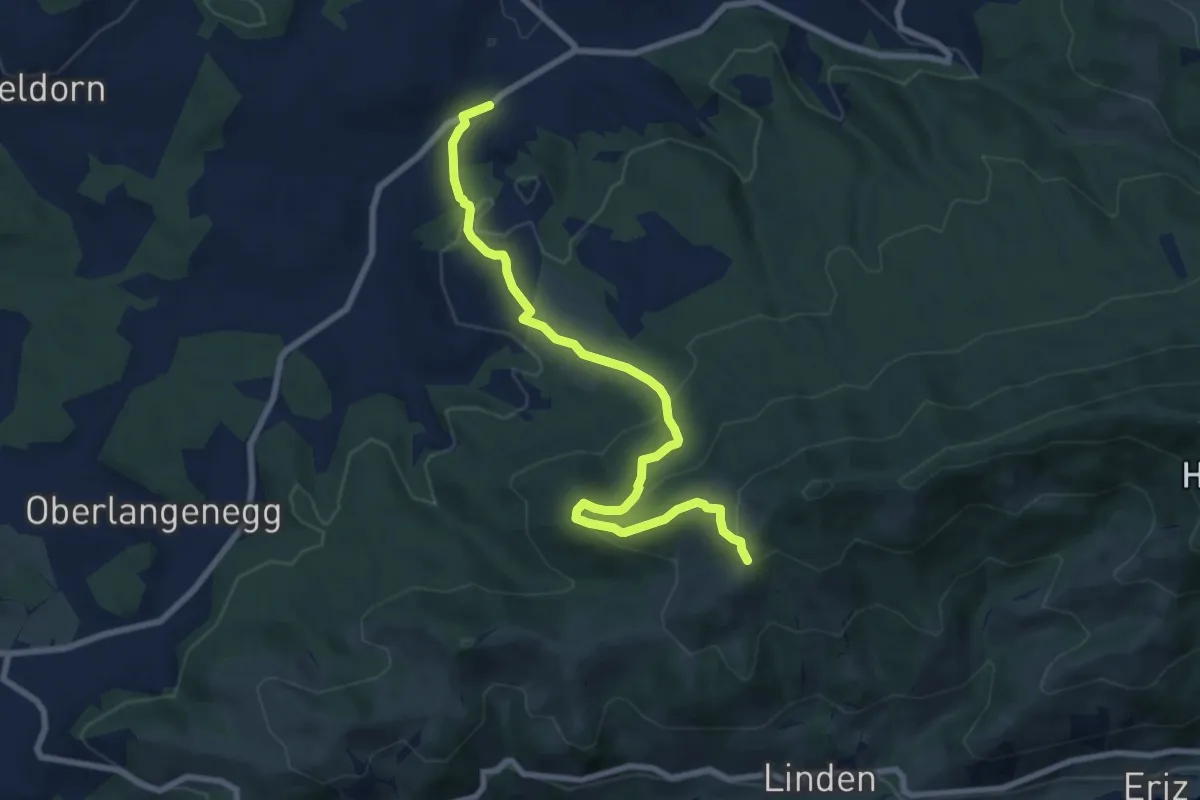
Medium · Trail
Fallenstutz – Süderen
8.5 km · ↑ 425 m · 2 h 56 min · 12 km away
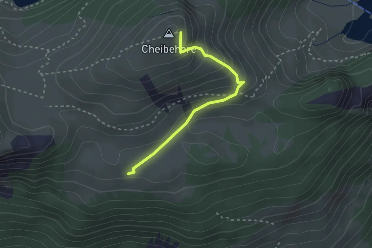
Easy · Summit
Vorderstocken – Cheibehor
2.2 km · ↑ 182 m · 54 min · 12 km away
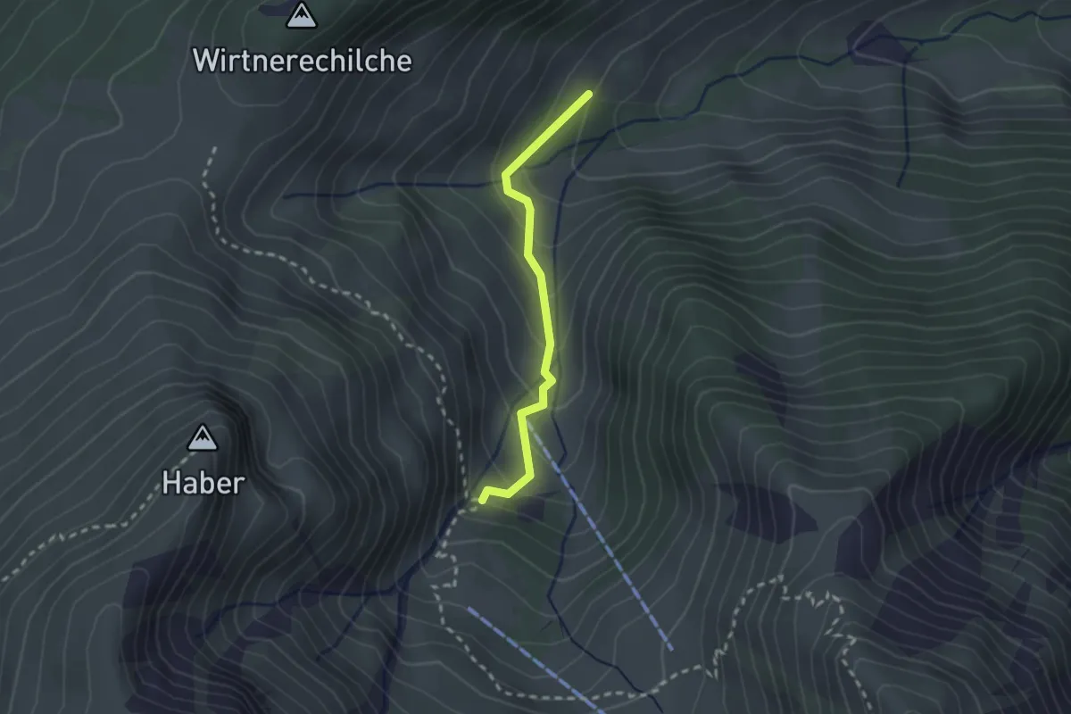
Easy · Trail
Alp Langenegg – Alp Blattenheid
2.0 km · ↑ 169 m · 51 min · 12 km away
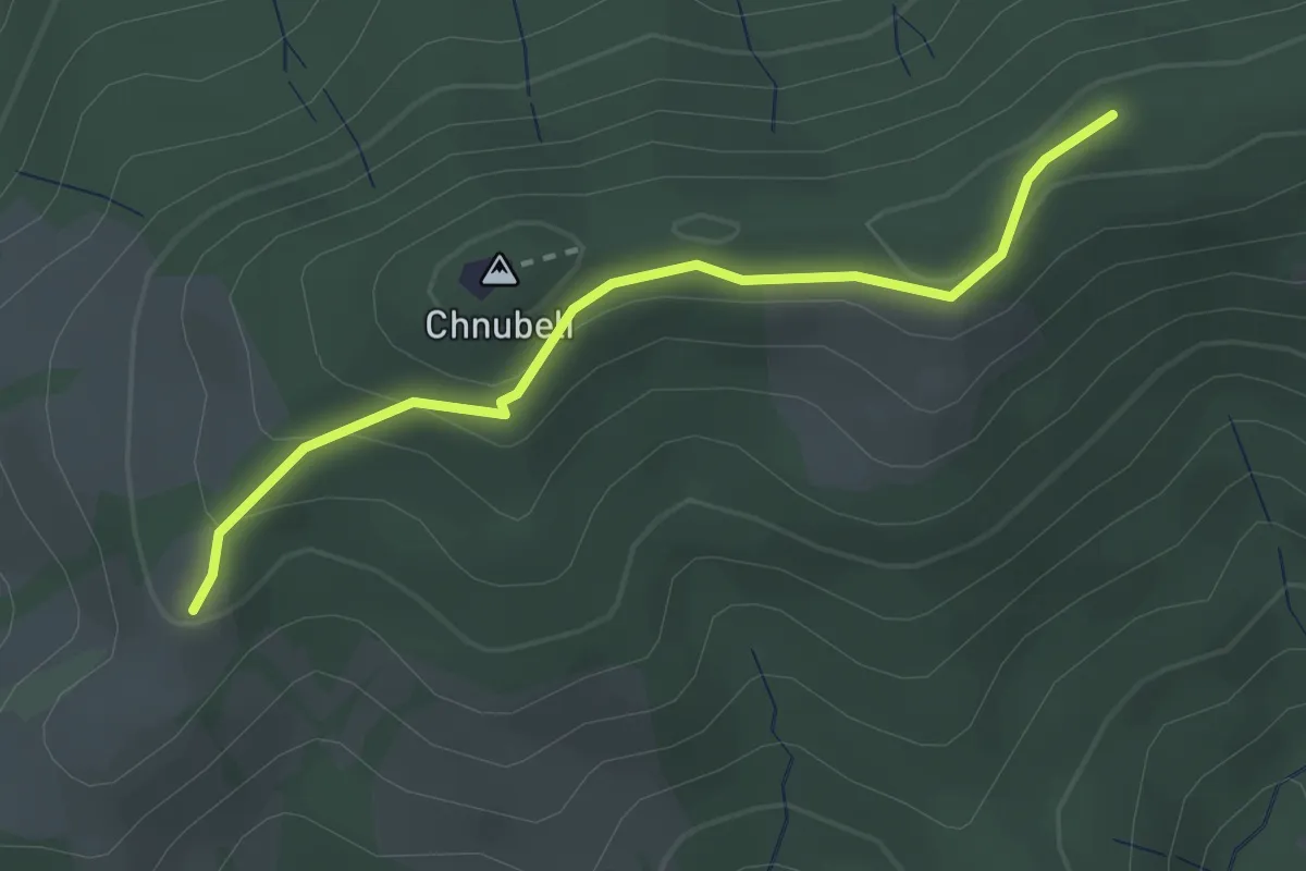
Easy · Summit
Fallenstutz – Chnubelegg
2.5 km · ↑ 133 m · 53 min · 12 km away
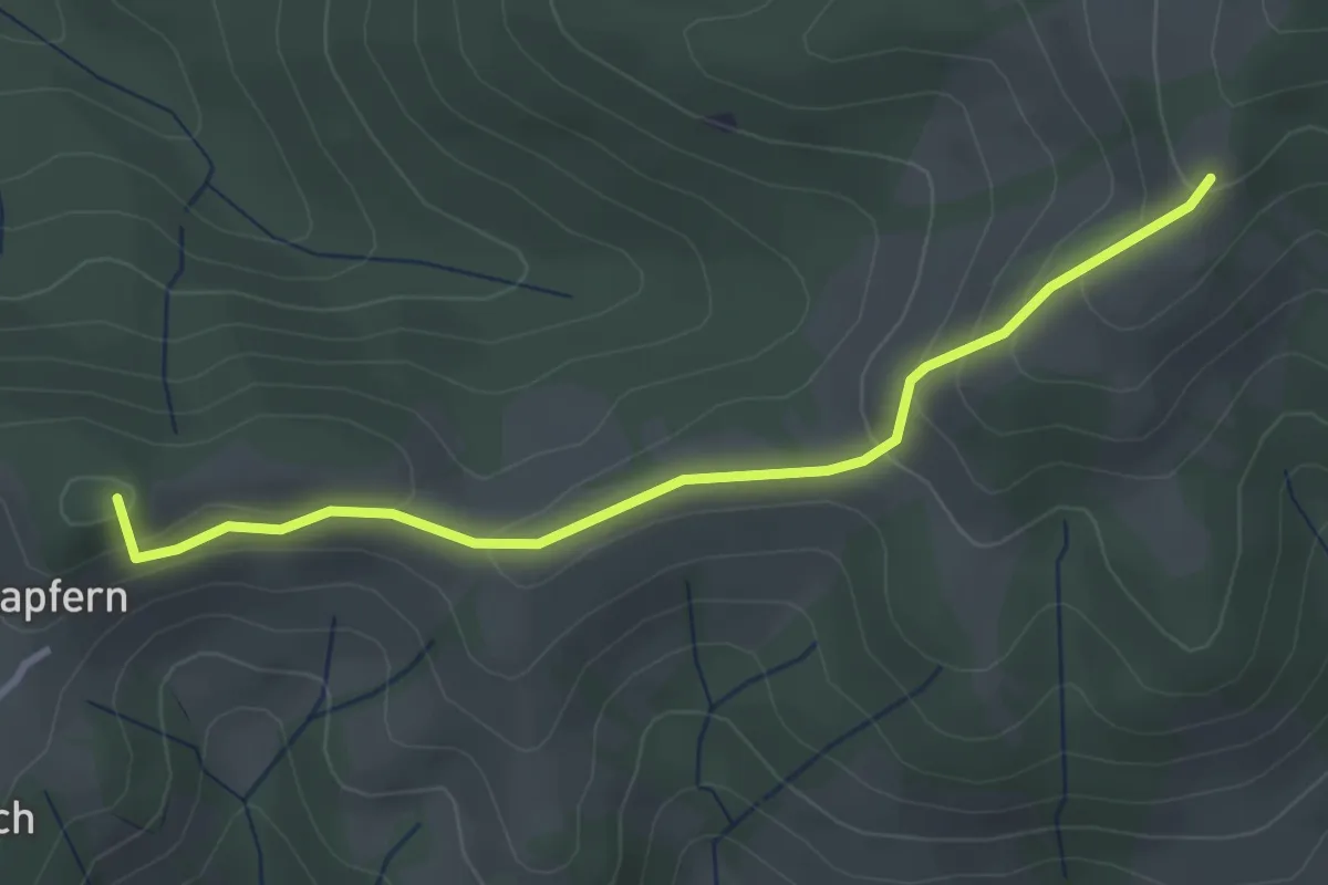
Easy · Summit
Fallenstutz – Kürze
3.2 km · ↑ 143 m · 1 h 4 min · 12 km away
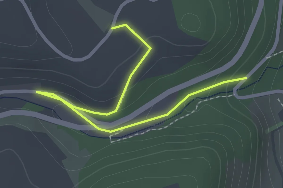
Easy · Trail
Abegg-Stiftung - Mülibach
2.2 km · ↑ 56 m · 38 min · 12 km away
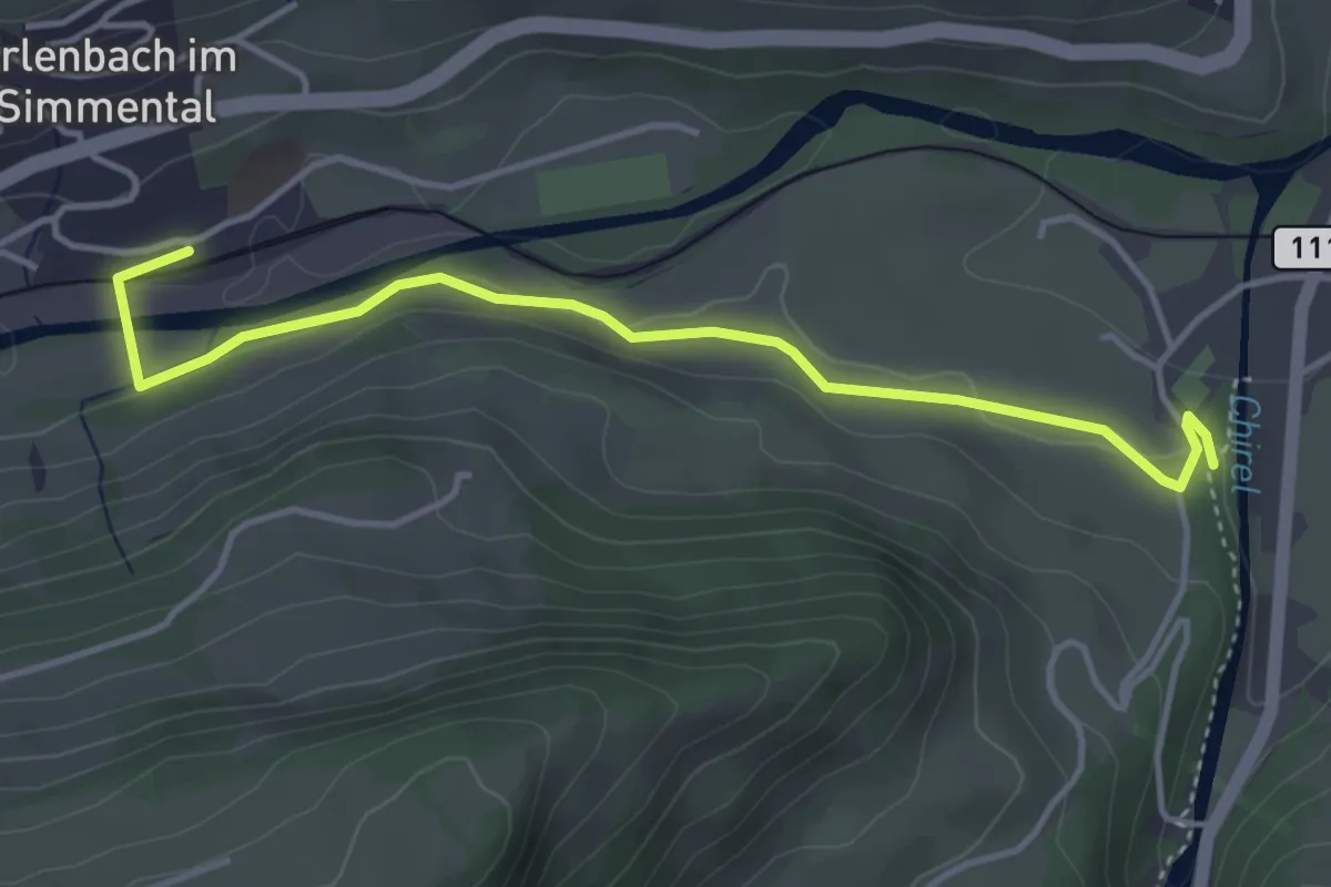
Easy · Trail
Erlenbach – Oey Diemtigen
4.3 km · ↑ 51 m · 1 h 7 min · 12 km away
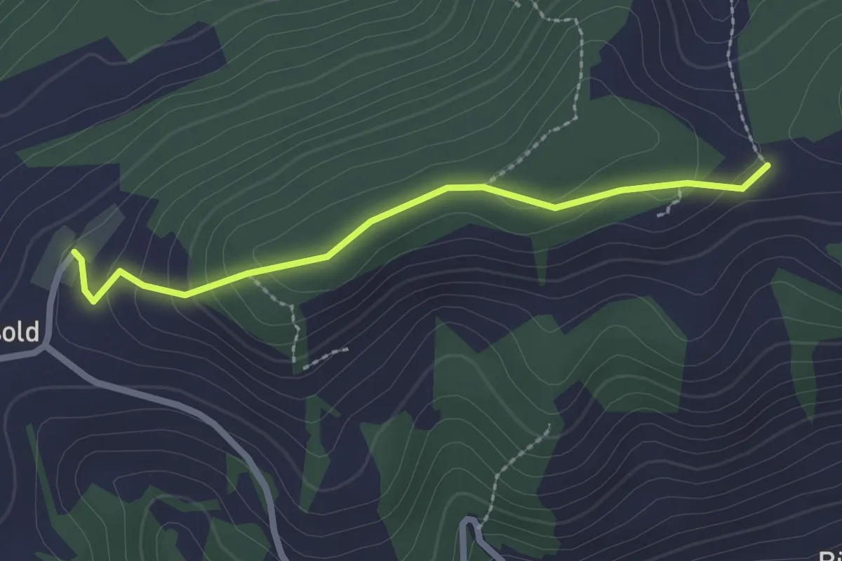
Easy · Trail
Äbersold – Ringgis
2.2 km · ↑ 109 m · 45 min · 12 km away
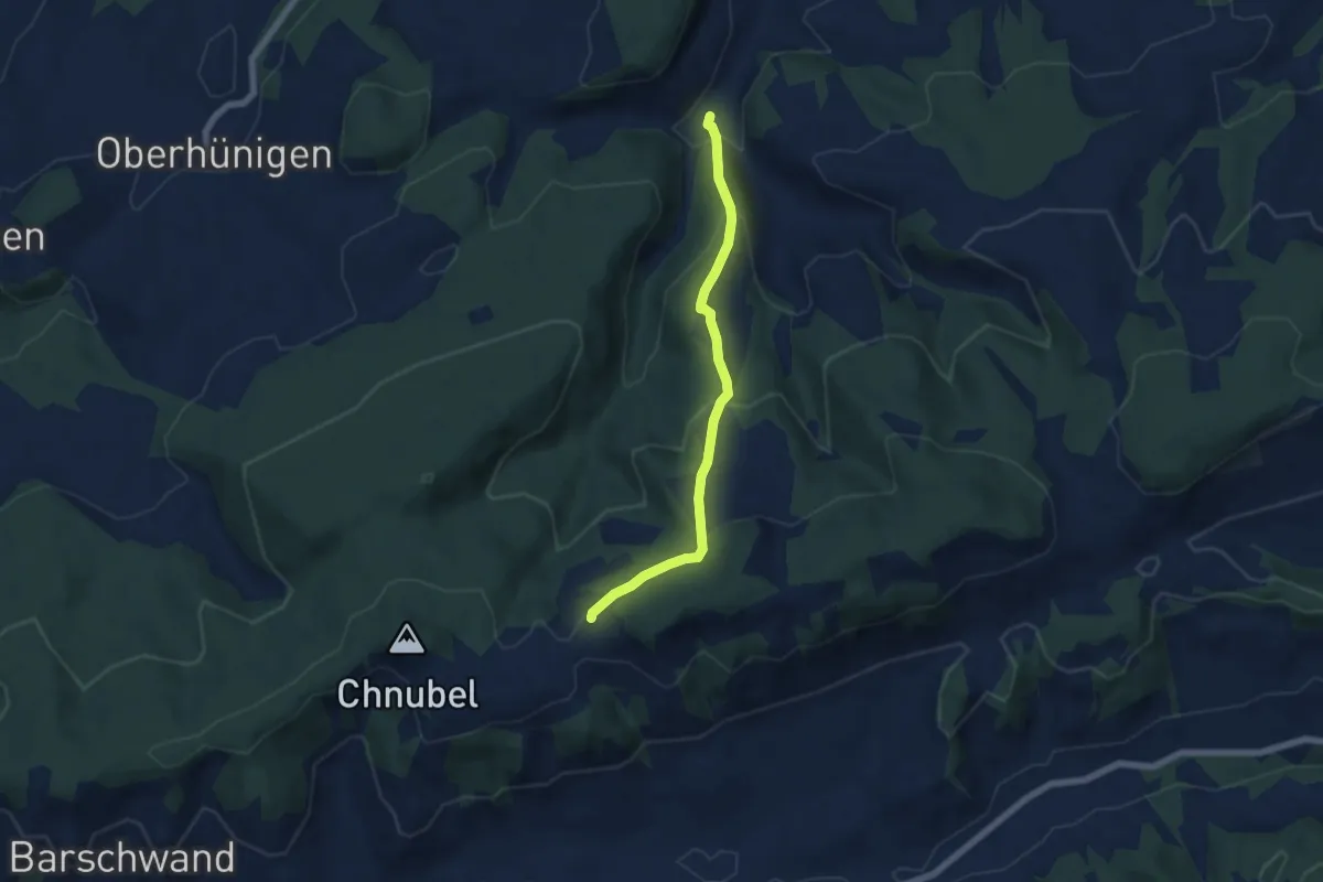
Medium · Trail
Äbersold – Längeney
5.7 km · ↑ 321 m · 2 h 3 min · 12 km away
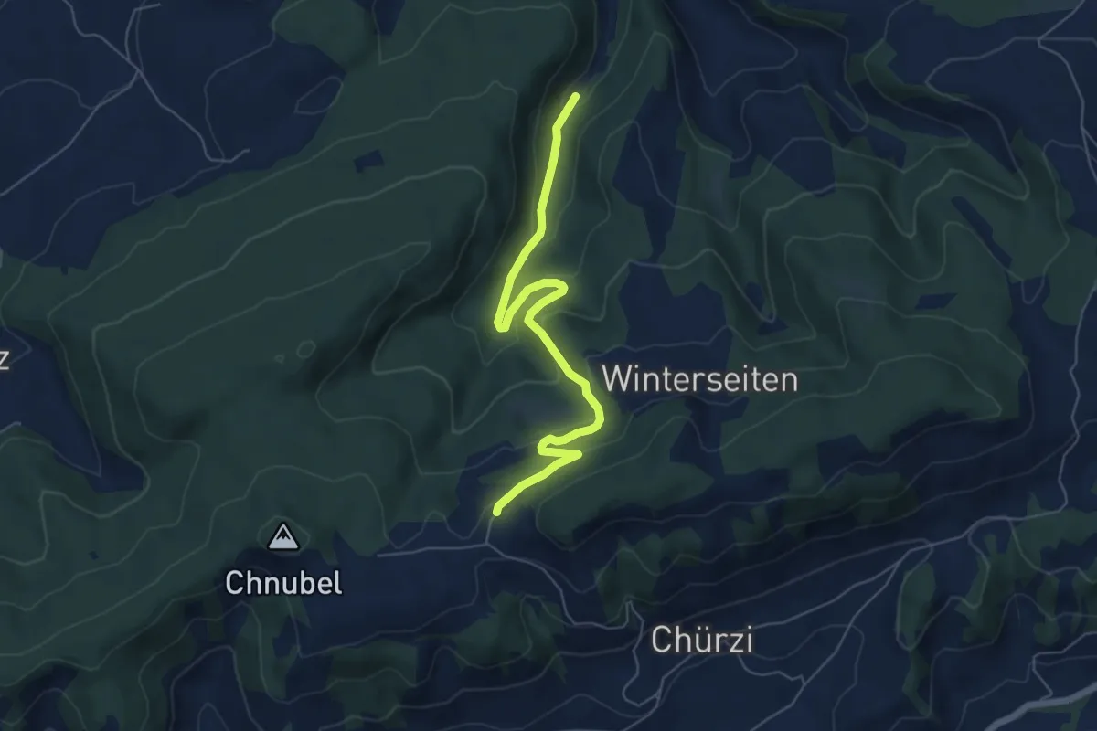
Easy · Trail
Äbersold – Wildeneybad
6.0 km · ↑ 279 m · 2 h 2 min · 12 km away
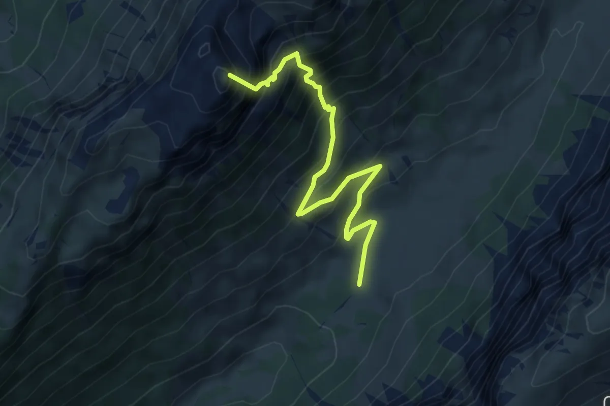
Demanding · Summit
Püfel – Schafloch
5.3 km · ↑ 679 m · 2 h 44 min · 12 km away
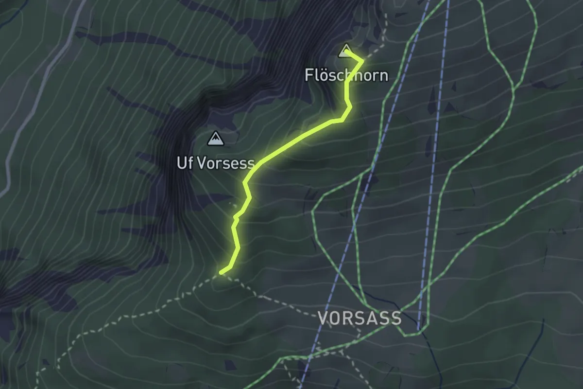
Medium · Summit
Vorsass Türli – Niederhorn
1.9 km · ↑ 217 m · 55 min · 12 km away
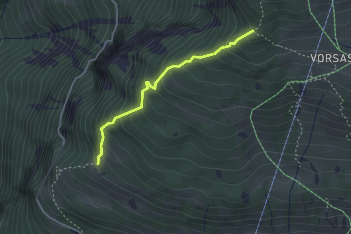
Medium · Trail
Habernlegi - Vorsass Türli
2.6 km · ↑ 332 m · 1 h 19 min · 12 km away
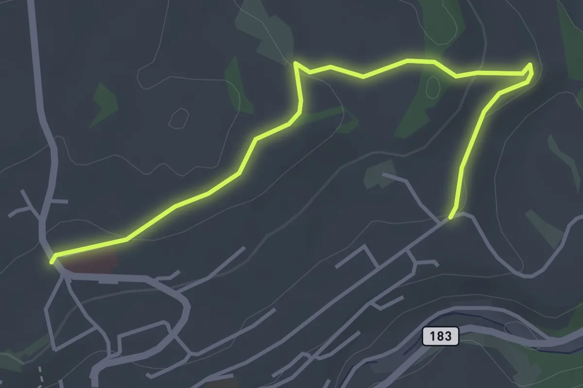
Easy · Trail
Riggisberg / Staudengasse – Eybrunnen
3.9 km · ↑ 112 m · 1 h 10 min · 12 km away
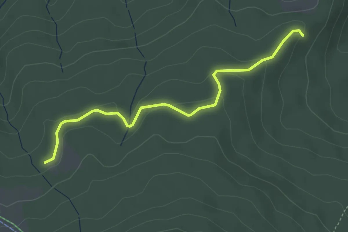
Easy · Trail
Tscharner - Marchweg Pt. 1105
3.7 km · ↑ 132 m · 1 h 10 min · 12 km away
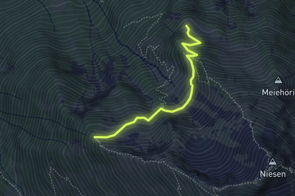
Medium · Trail
Stueffistein - Vorder Ahorni
4.0 km · ↑ 443 m · 1 h 54 min · 12 km away
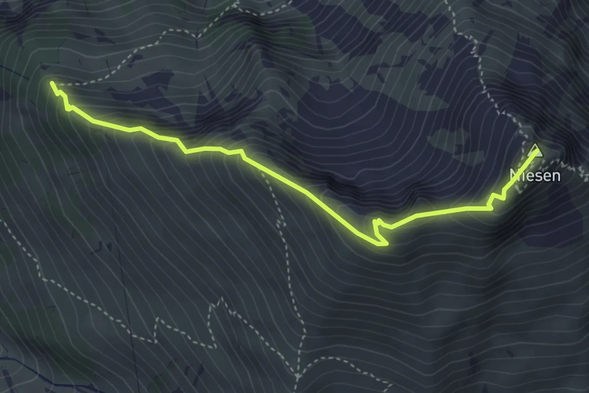
Medium · Summit
Niesen – Stueffistein
4.1 km · ↑ 493 m · 2 h 2 min · 12 km away
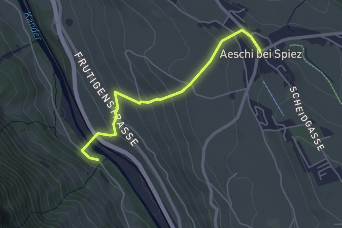
Easy · Trail
Heustrich – Aeschi
3.9 km · ↑ 194 m · 1 h 21 min · 12 km away
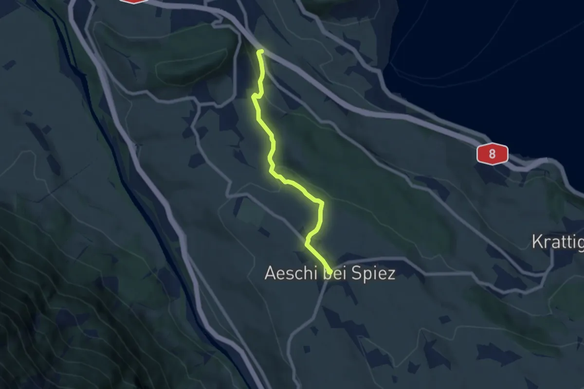
Easy · Trail
Salzbrunnen – Aeschi
5.4 km · ↑ 215 m · 1 h 44 min · 12 km away
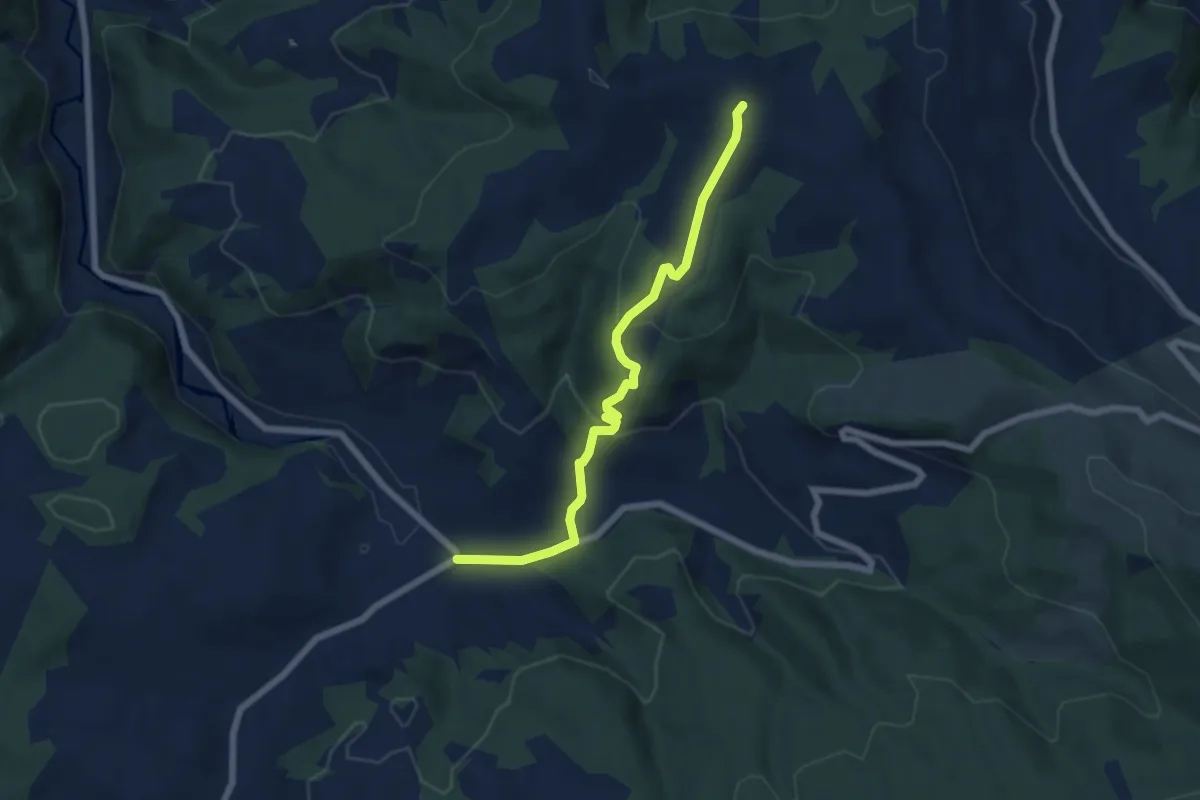
Easy · Trail
Oberei – Hinder Naters
6.2 km · ↑ 273 m · 2 h 3 min · 12 km away
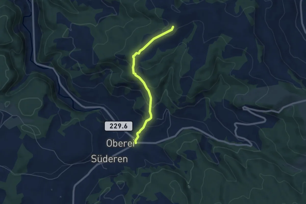
Easy · Trail
Oberei – Vorder Naters
4.8 km · ↑ 251 m · 1 h 41 min · 12 km away
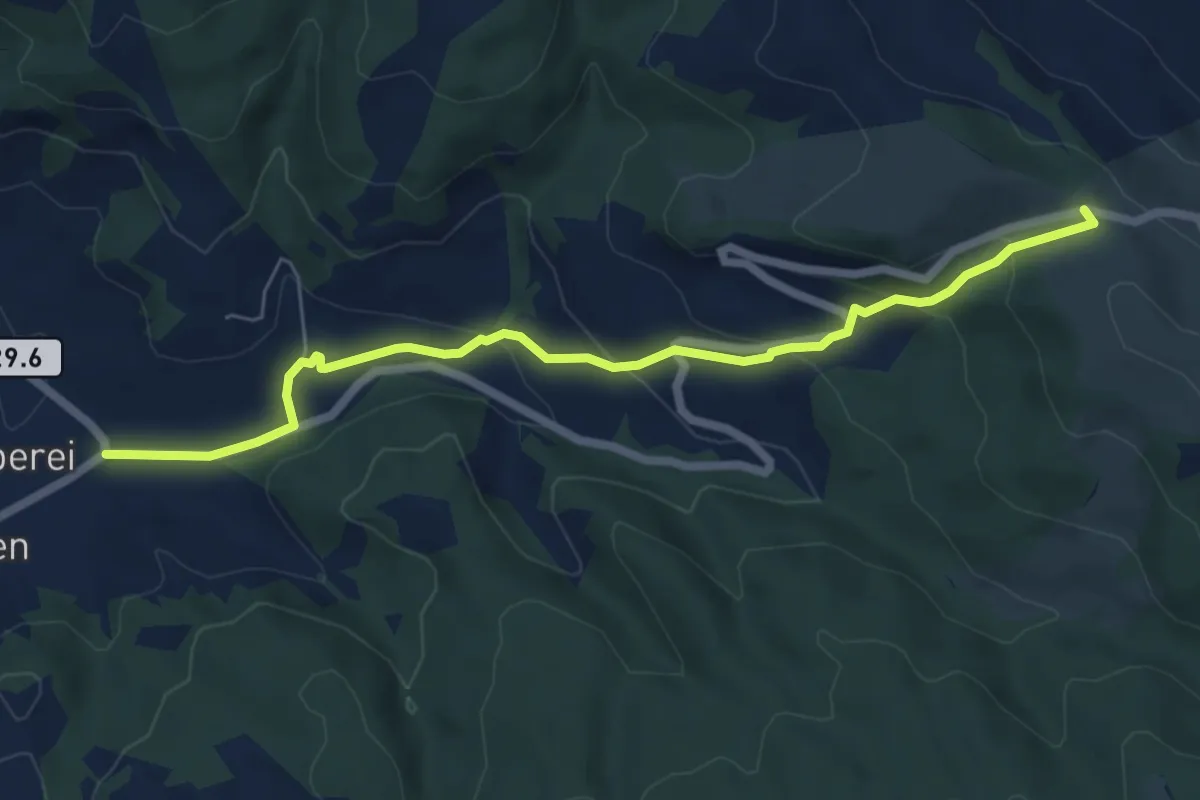
Easy · Trail
Oberei – Schallenberg
6.4 km · ↑ 257 m · 2 h 5 min · 12 km away
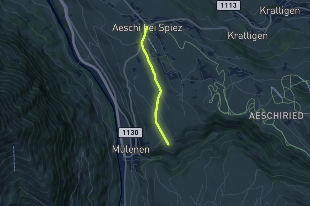
Easy · Trail
Suldhalte – Aeschi
4.3 km · ↑ 46 m · 1 h 6 min · 12 km away
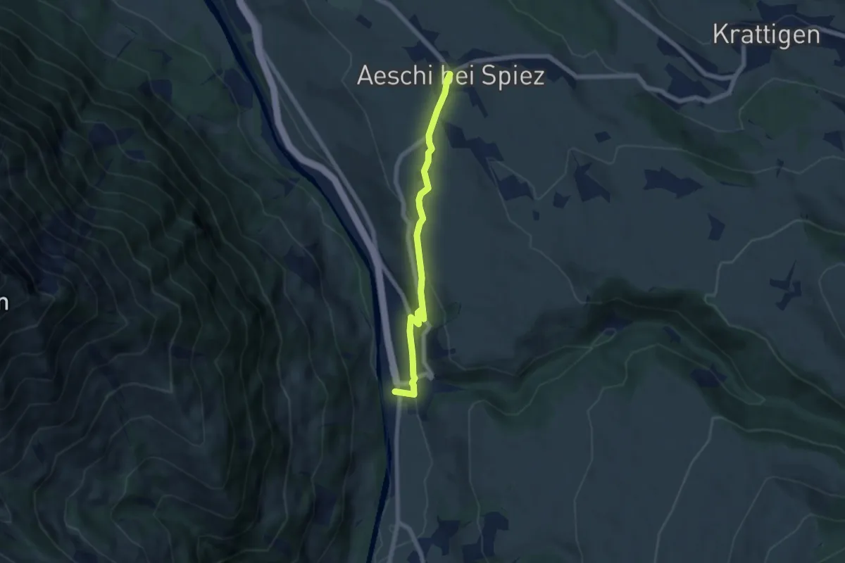
Easy · Trail
Aeschi – Mülenen
5.5 km · ↑ 166 m · 1 h 39 min · 12 km away
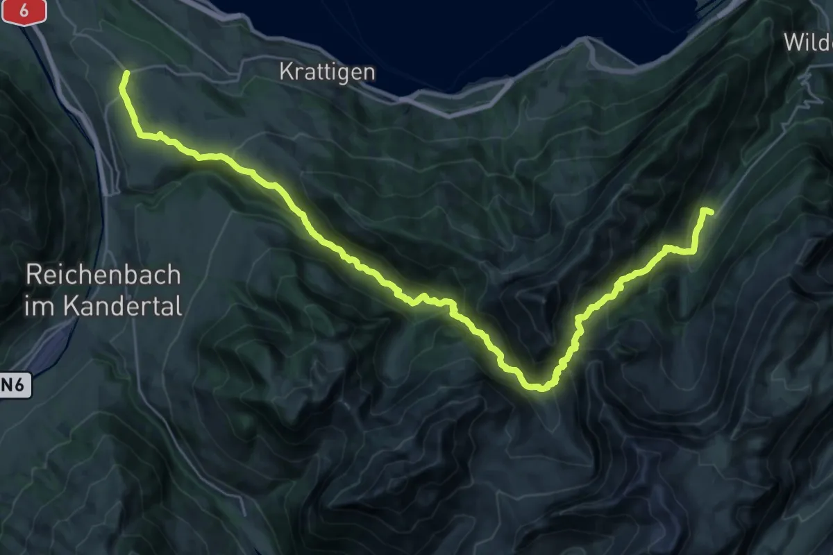
Demanding · Trail
ViaBerna Etappe 12
16.7 km · ↑ 1124 m · 6 h 29 min · 12 km away
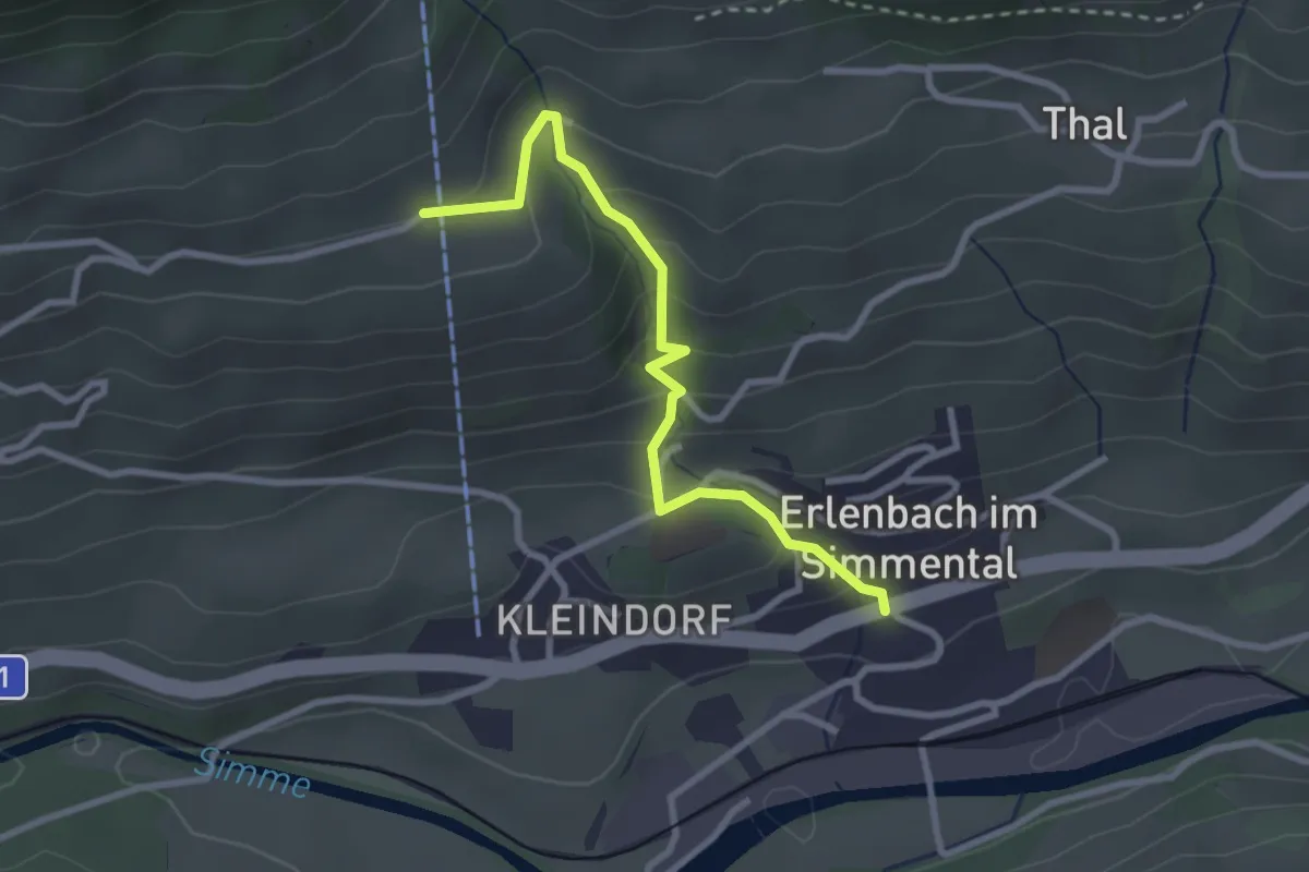
Easy · Trail
Erlenbach – Moos
2.8 km · ↑ 218 m · 1 h 8 min · 12 km away
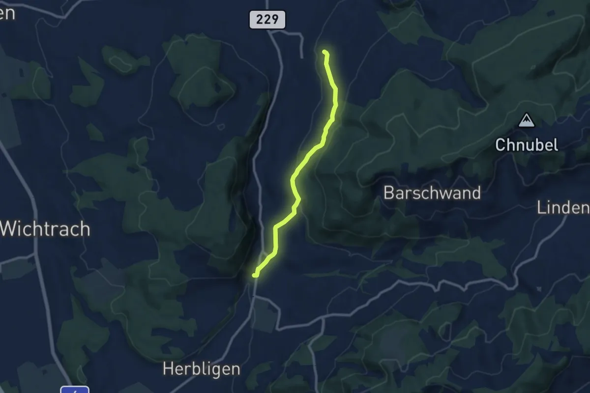
Easy · Trail
Oberdiessbach – Freimettigen
7.7 km · ↑ 236 m · 2 h 19 min · 12 km away
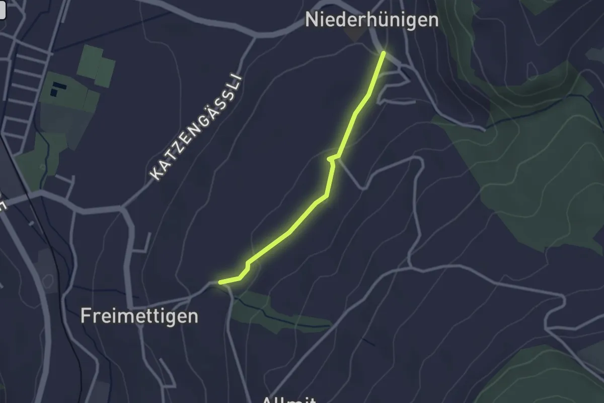
Easy · Trail
Niederhünigen – Freimettigen
2.2 km · ↑ 47 m · 37 min · 12 km away
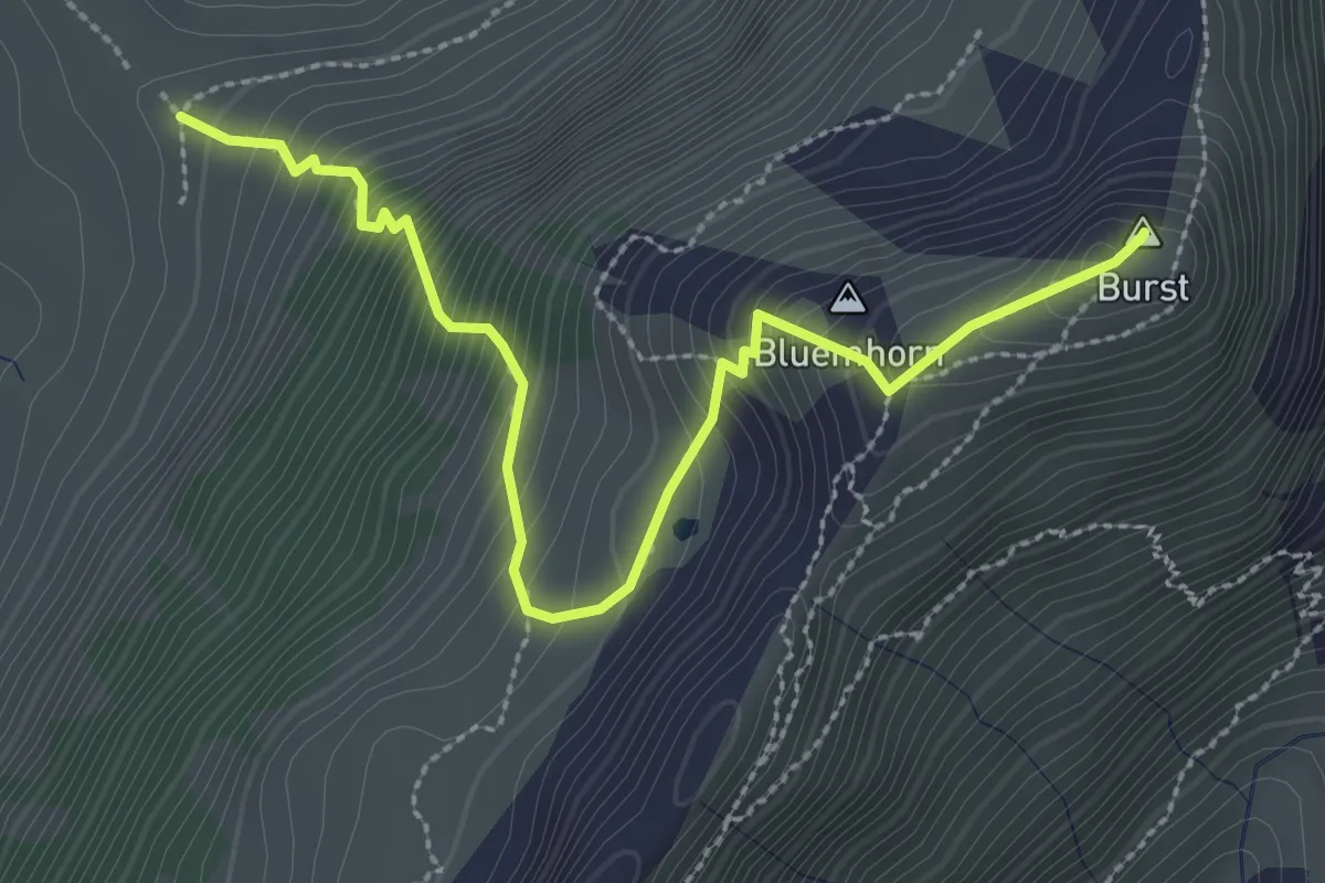
Demanding · Summit
Burst - fixme
3.2 km · ↑ 450 m · 1 h 44 min · 12 km away
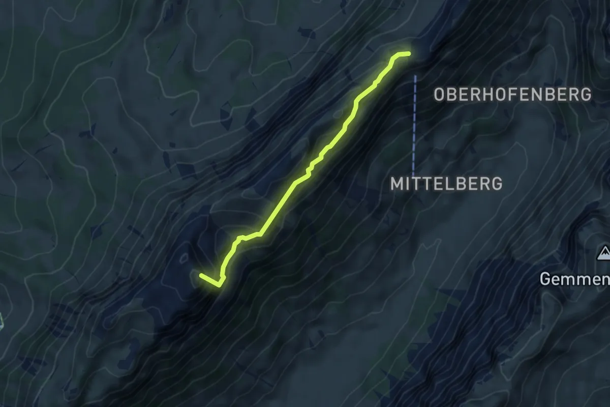
Demanding · Summit
Schneide – Schafloch
4.7 km · ↑ 517 m · 2 h 13 min · 12 km away
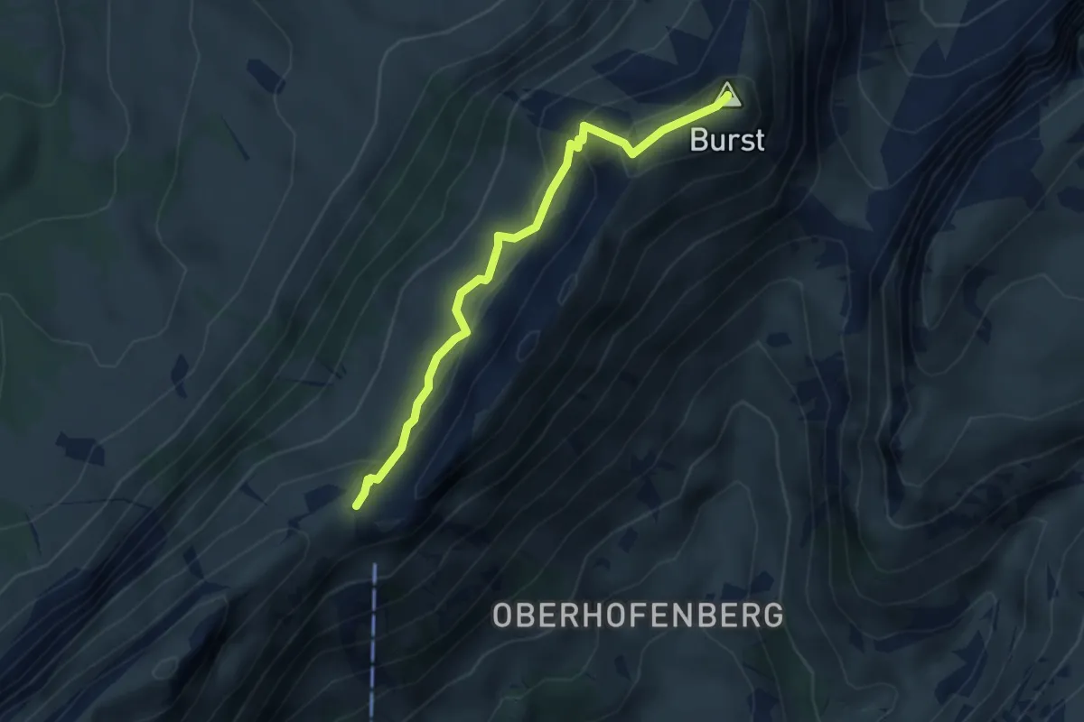
Demanding · Summit
Burst – Schneide
3.4 km · ↑ 279 m · 1 h 25 min · 12 km away
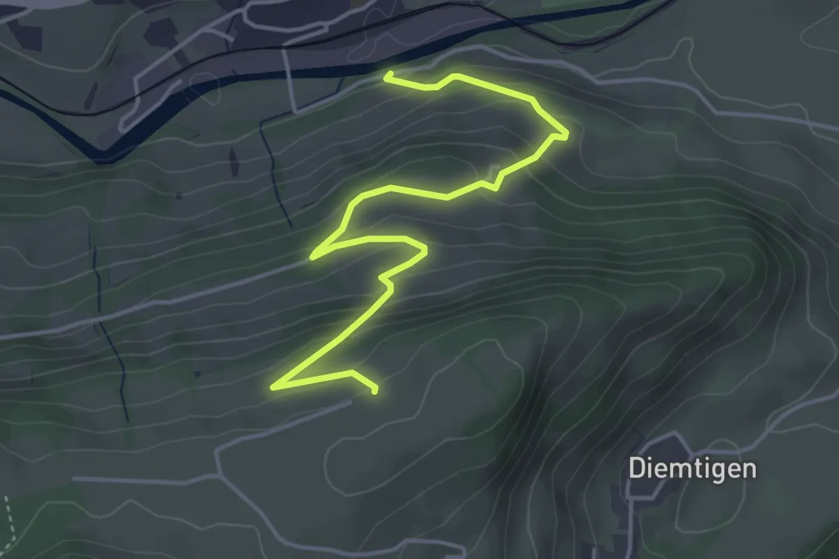
Easy · Trail
Erlenbach – Bergli
4.7 km · ↑ 297 m · 1 h 46 min · 12 km away
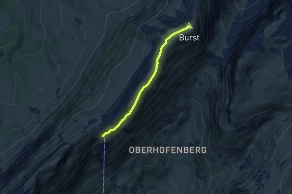
Easy · Summit
Schäferhüttli – Burst
3.1 km · ↑ 188 m · 1 h 9 min · 12 km away
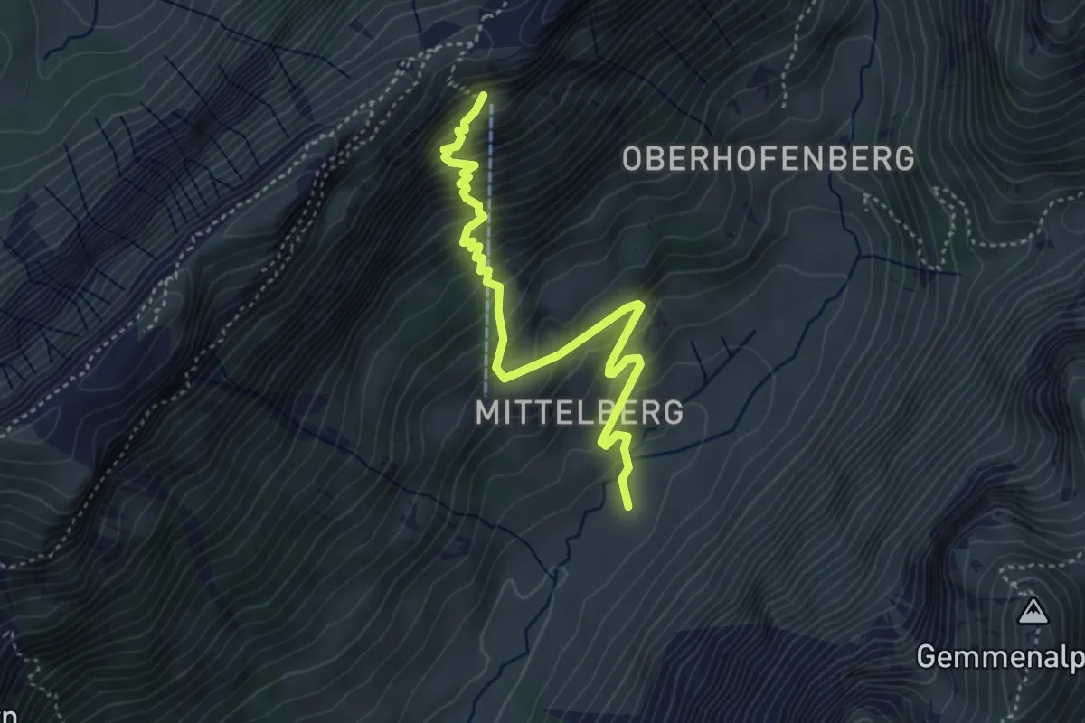
Demanding · Trail
Gross Mittelberg – Schäferhüttli
4.3 km · ↑ 491 m · 2 h 4 min · 12 km away
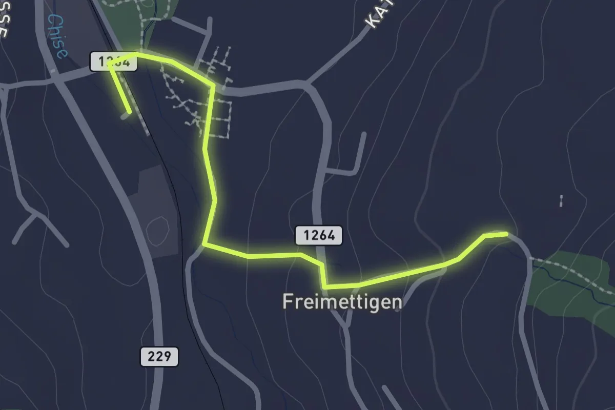
Easy · Trail
Stalden i. E. – Freimettigen
2.4 km · ↑ 53 m · 40 min · 13 km away
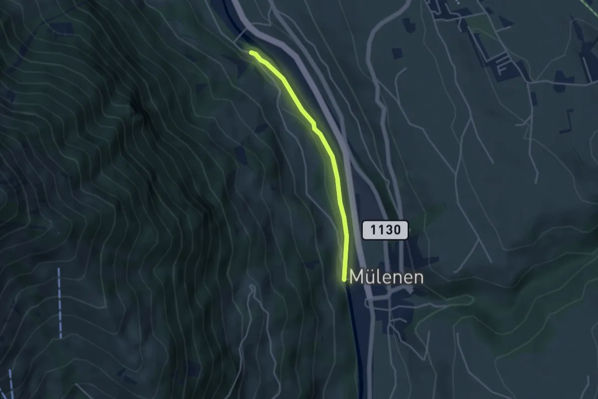
Easy · Trail
Mülenen – Heustrich
3.1 km · ↑ 9 m · 45 min · 13 km away
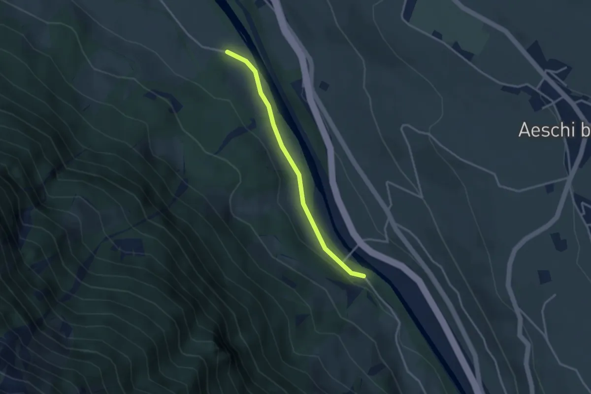
Easy · Trail
Heustrich – Rossweid
2.7 km · ↑ 38 m · 43 min · 13 km away
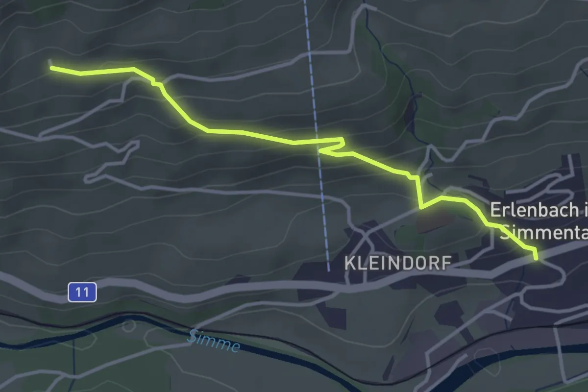
Easy · Trail
Obereschle – Erlenbach
3.5 km · ↑ 239 m · 1 h 20 min · 13 km away
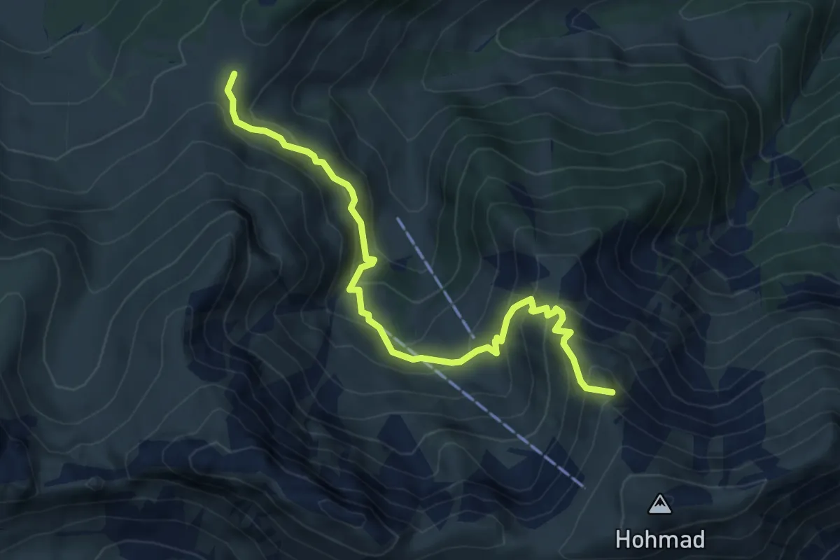
Demanding · Summit
Alp Oberwirtneren – Homadsattel
5.8 km · ↑ 509 m · 2 h 28 min · 13 km away
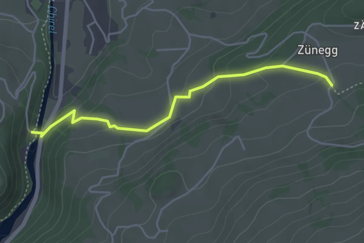
Easy · Trail
Katzenlochbrücke – Zäunegg
3.7 km · ↑ 155 m · 1 h 12 min · 13 km away
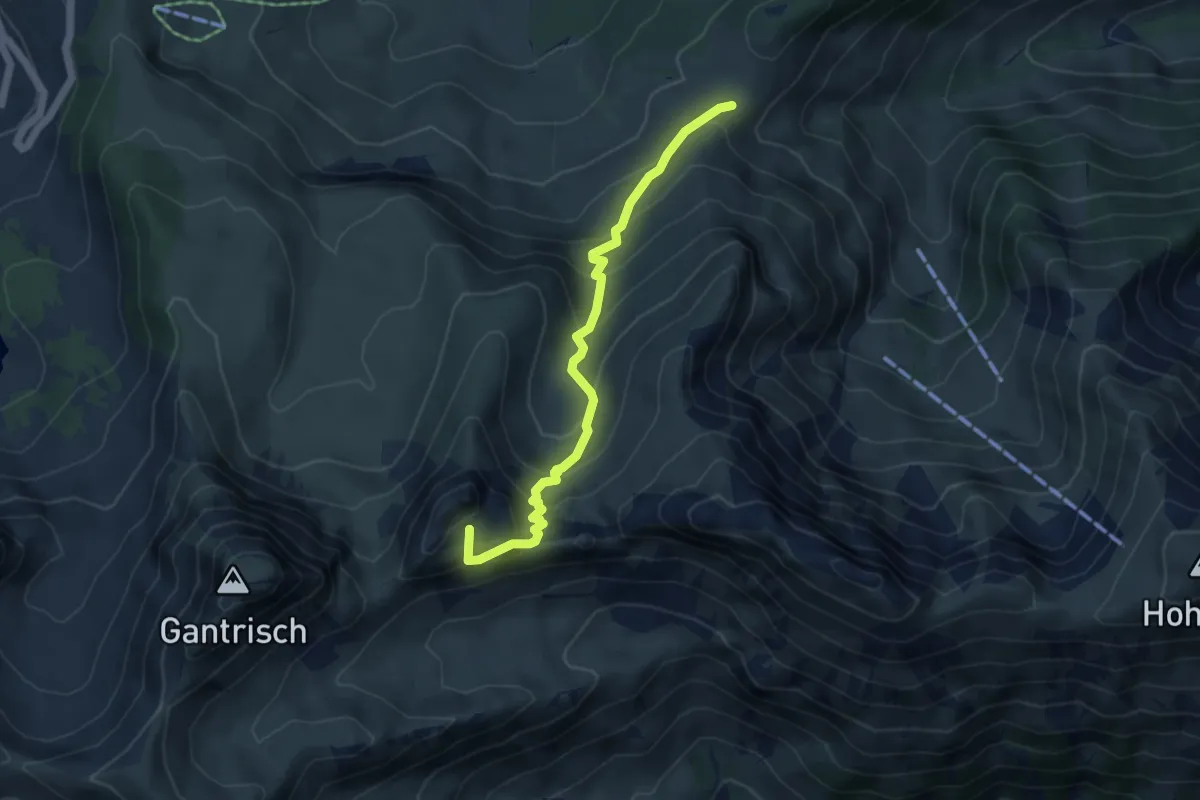
Medium · Summit
Kirsigraben – Leiterenpass
4.8 km · ↑ 449 m · 2 h 7 min · 13 km away
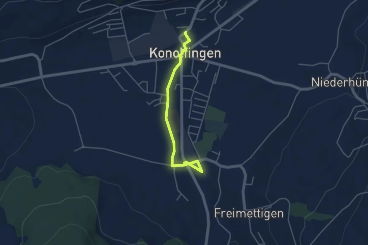
Easy · Trail
Stalden i. E. – Konolfingen
3.3 km · ↑ 23 m · 50 min · 13 km away
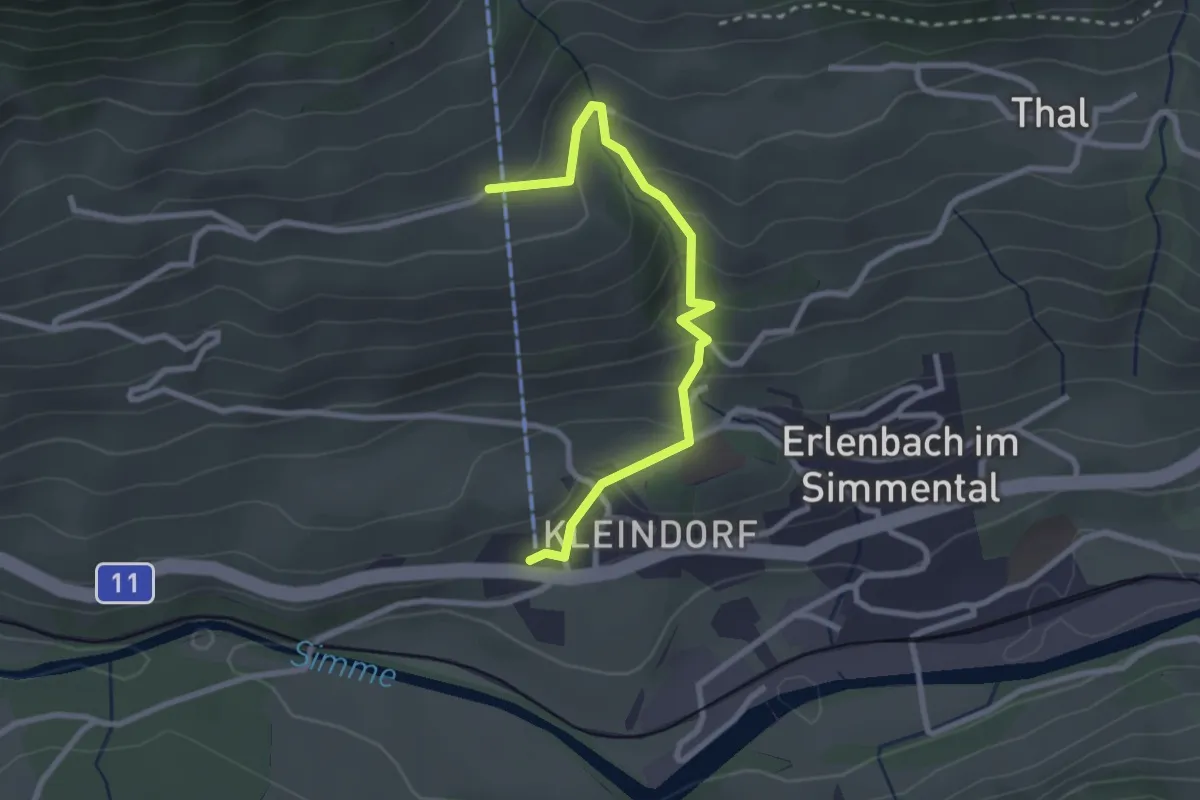
Easy · Trail
Stockhornbahn – Moos
2.7 km · ↑ 204 m · 1 h 5 min · 13 km away
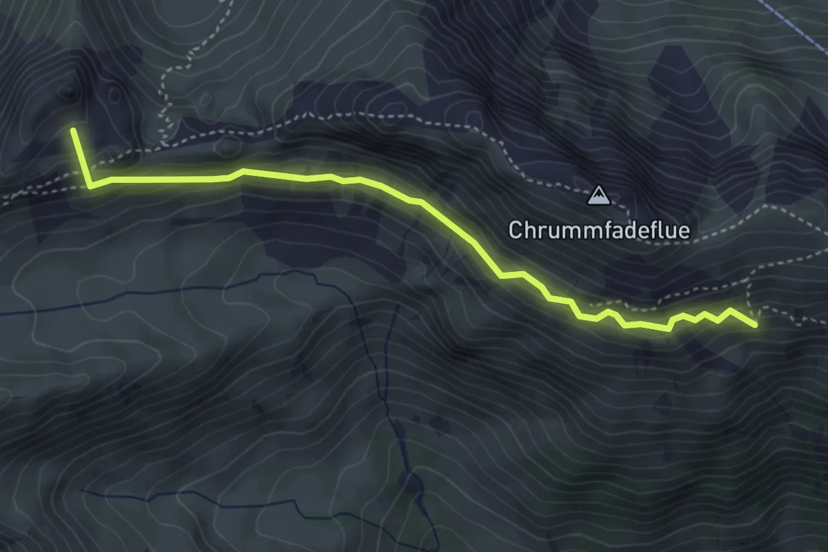
Medium · Summit
Schiterwang – Leiterenpass
4.1 km · ↑ 293 m · 1 h 36 min · 13 km away
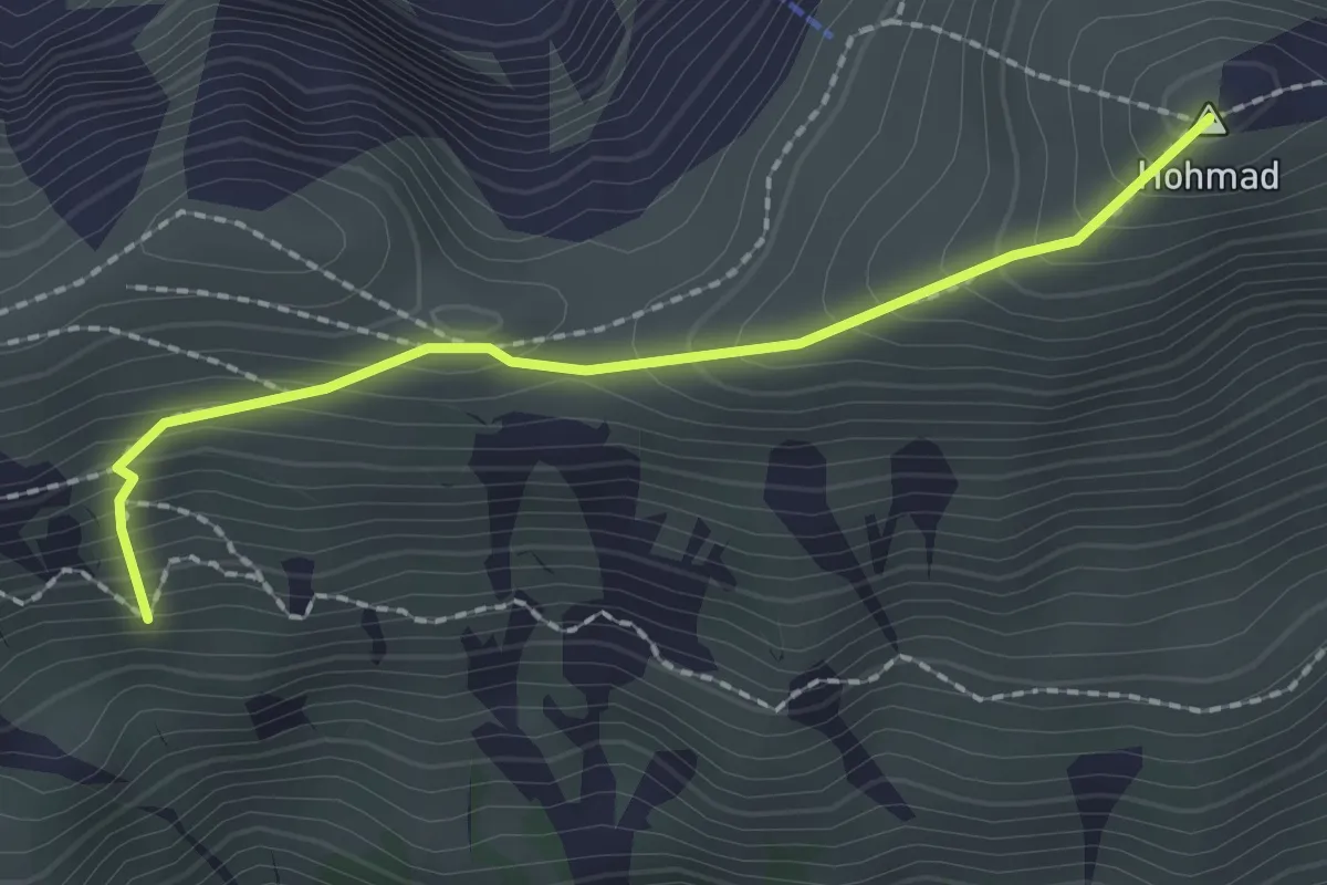
Medium · Summit
Hohmad - Schiterwang
2.0 km · ↑ 211 m · 56 min · 13 km away
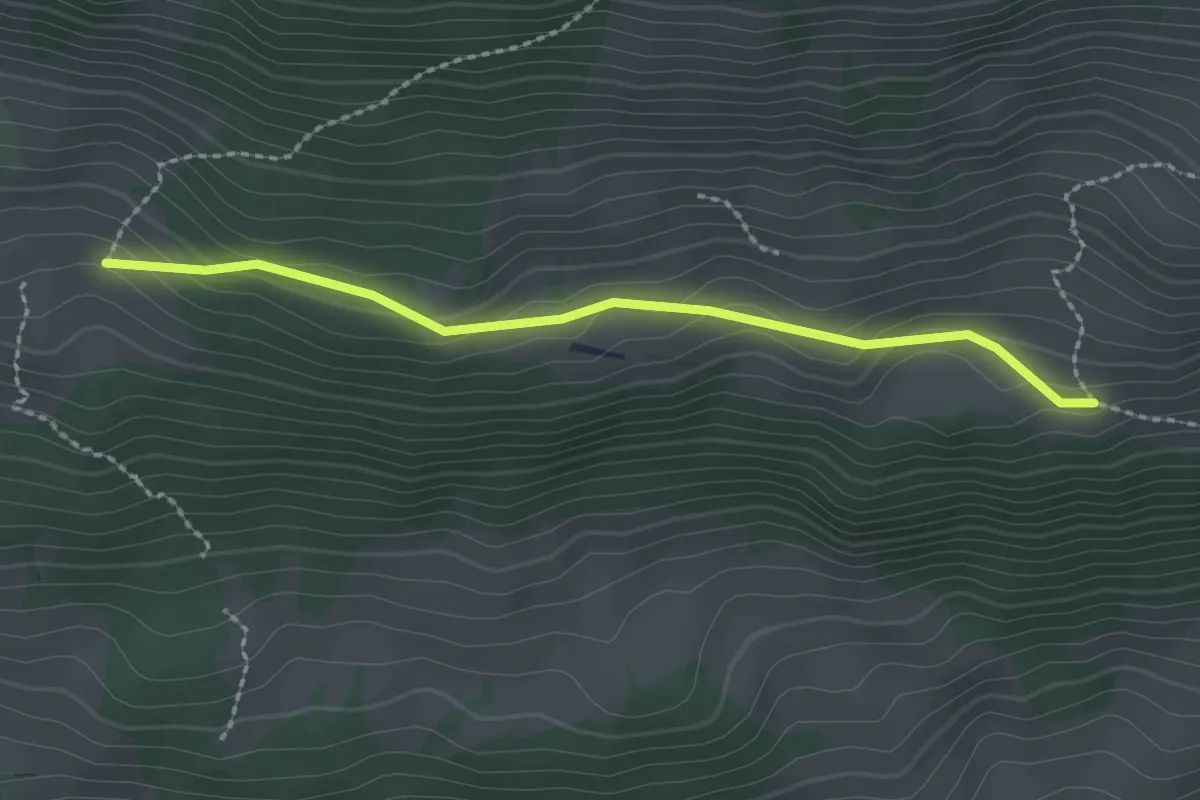
Easy · Trail
Schopf – Allmereweide
2.2 km · ↑ 95 m · 44 min · 13 km away
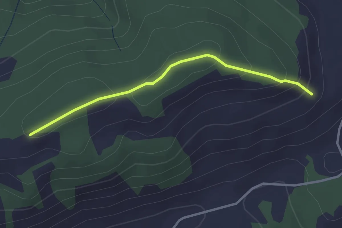
Easy · Trail
Schattenweg
2.5 km · ↑ 88 m · 47 min · 13 km away
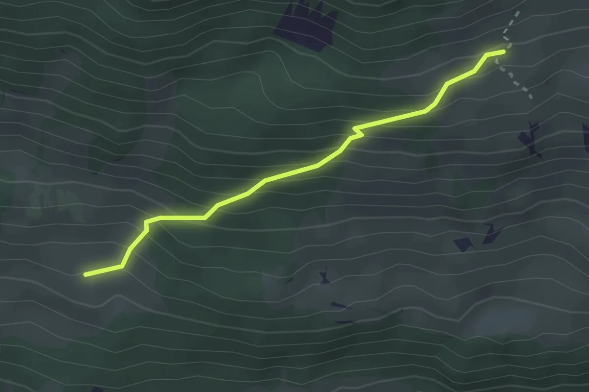
Easy · Trail
Schopf – Ufem Hus
2.5 km · ↑ 285 m · 1 h 12 min · 13 km away