Trails near Thun
435 hikes starting within 15 km, nearest first.
Nearest first, page 7 of 10
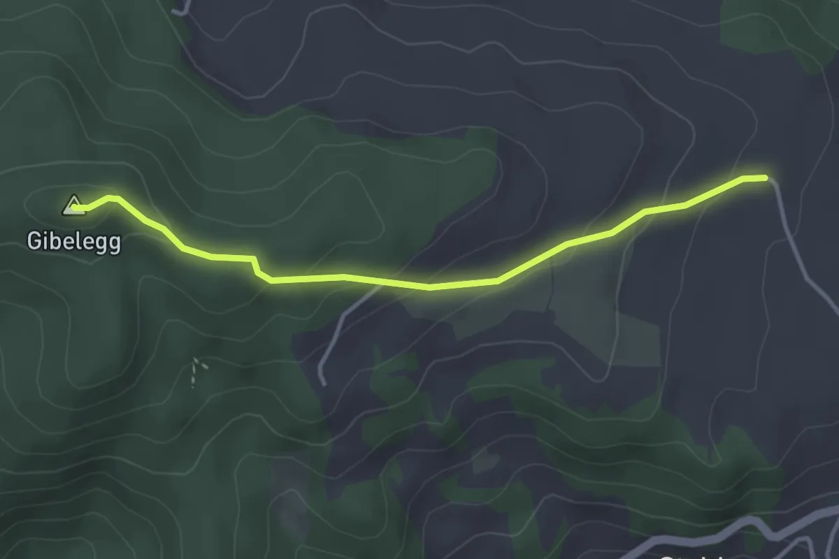
Easy · Summit
Plötschweid - Gibelegg
3.4 km · ↑ 145 m · 1 h 7 min · 13 km away
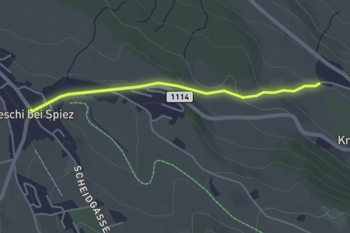
Easy · Trail
Aeschi – Stuhlegg
3.0 km · ↑ 104 m · 57 min · 13 km away
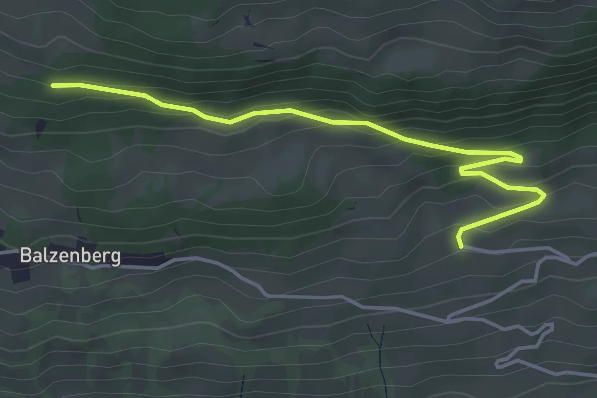
Easy · Trail
Obereschle – Schopf
4.0 km · ↑ 224 m · 1 h 25 min · 13 km away
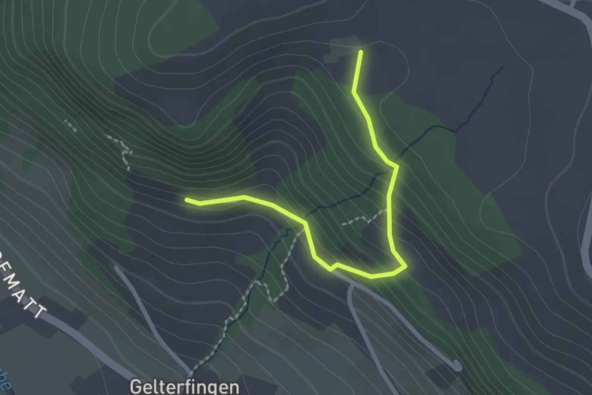
Easy · Trail
Chramburg - Schlatt
2.1 km · ↑ 133 m · 47 min · 13 km away
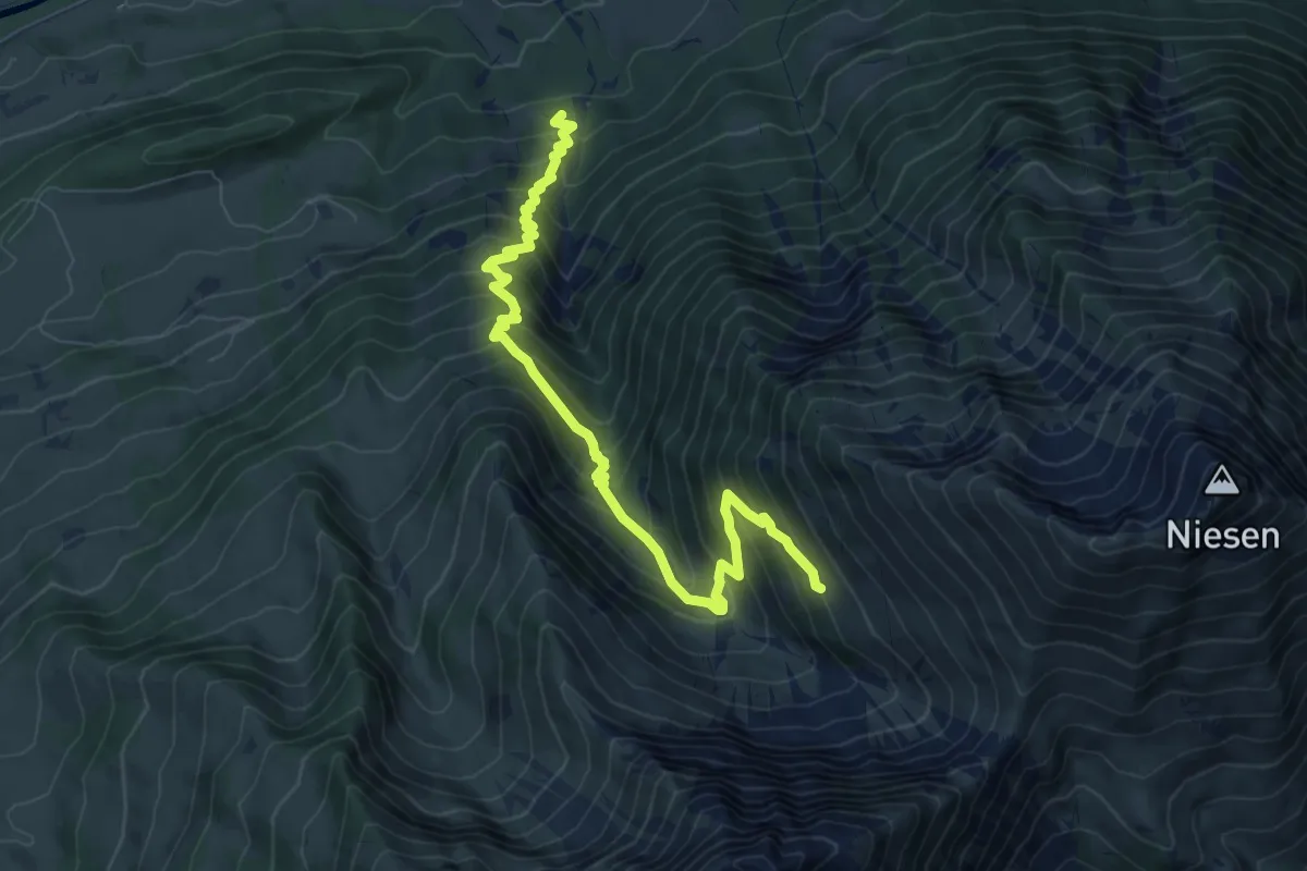
Demanding · Trail
Zünigwald - Obere Stalde
8.6 km · ↑ 921 m · 4 h 2 min · 13 km away
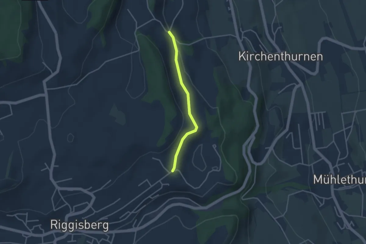
Easy · Trail
Uf der Mur – Eybrunne
2.6 km · ↑ 78 m · 47 min · 13 km away
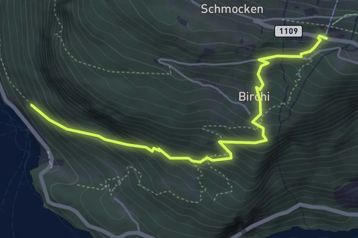
Medium · Trail
Fischbalme - Beatenberg
4.9 km · ↑ 503 m · 2 h 14 min · 13 km away
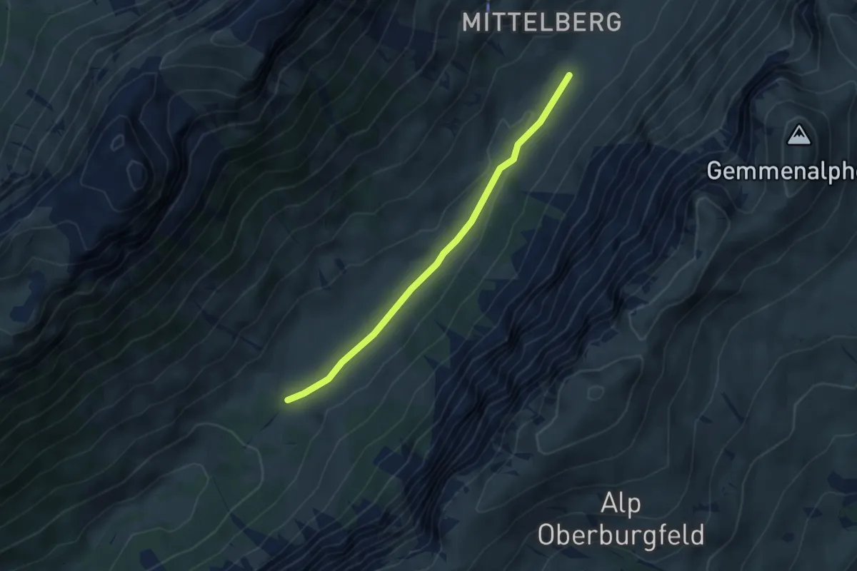
Easy · Trail
Püfel – Gross Mittelberg
3.7 km · ↑ 54 m · 59 min · 13 km away
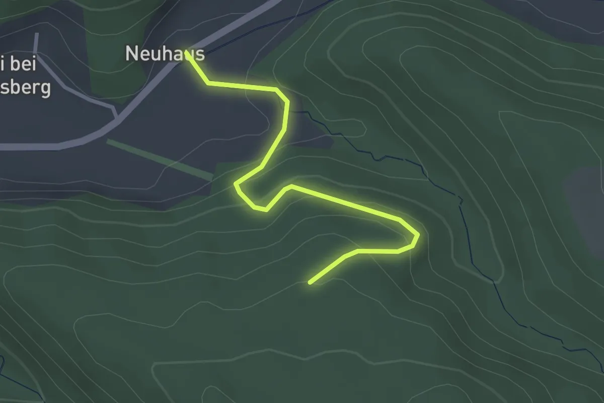
Easy · Trail
Schönenbodenwald - Neuhus
2.9 km · ↑ 179 m · 1 h 4 min · 13 km away
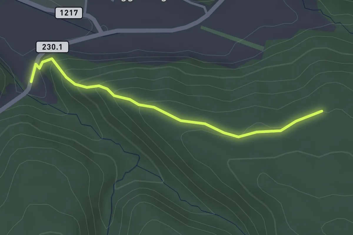
Easy · Trail
Dürrbach - Schönenbodenwald
2.9 km · ↑ 169 m · 1 h 3 min · 13 km away
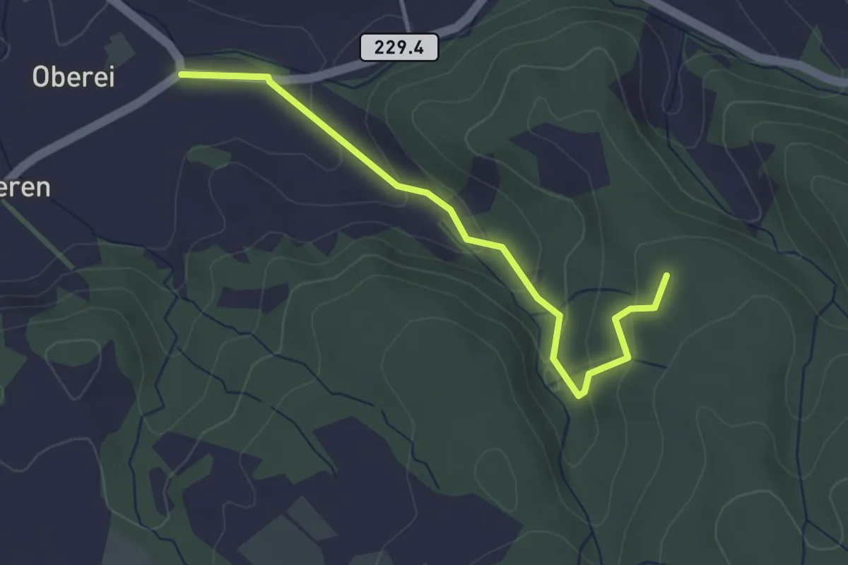
Easy · Trail
Oberei – Buechschachebode
3.4 km · ↑ 145 m · 1 h 7 min · 13 km away
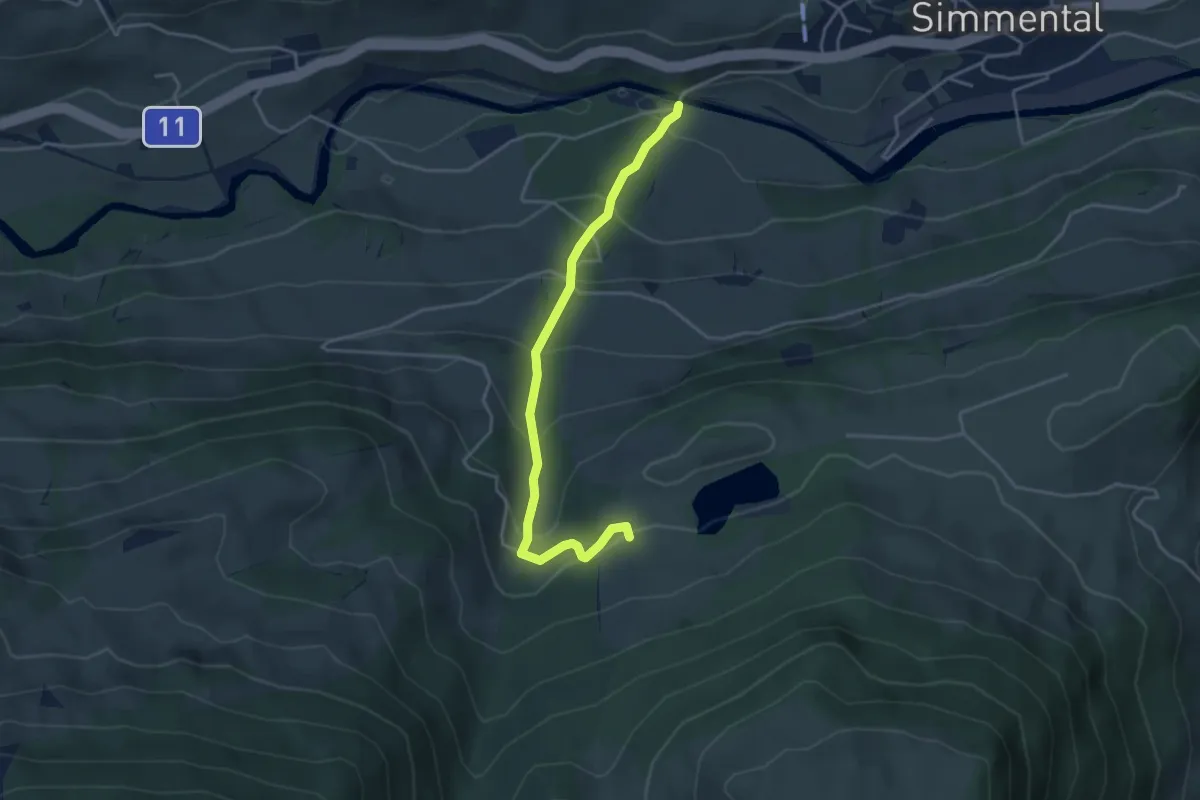
Easy · Trail
Steinibrügg – Aegelsee
3.9 km · ↑ 298 m · 1 h 34 min · 13 km away
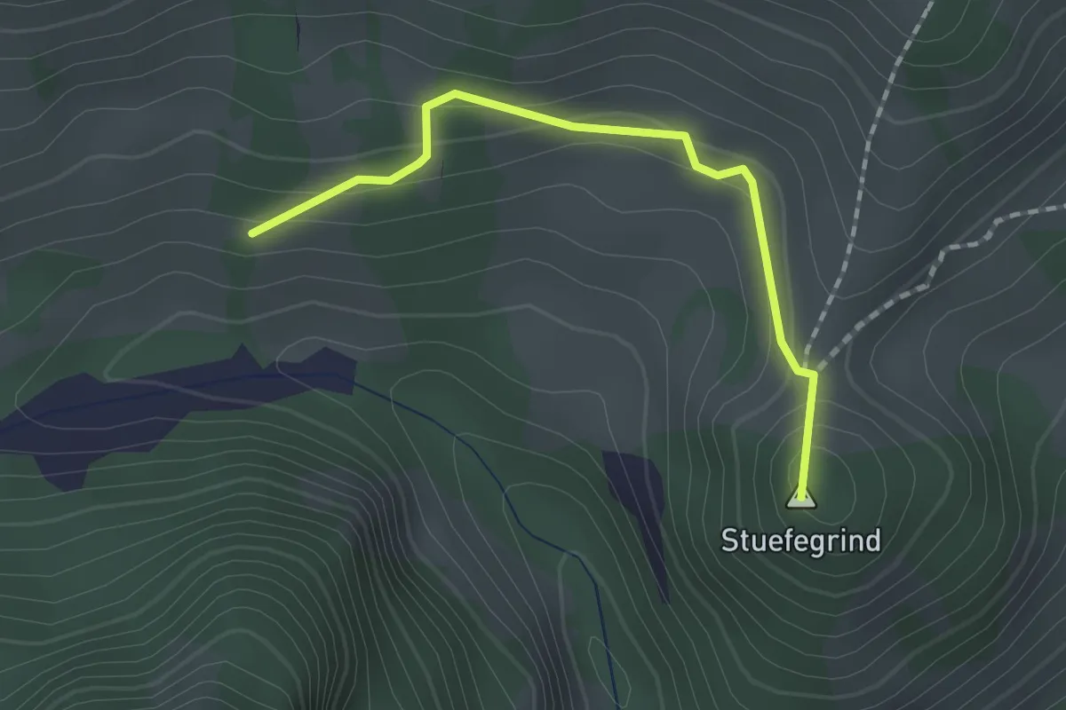
Easy · Summit
Bergli – Zügegg
1.6 km · ↑ 61 m · 31 min · 13 km away
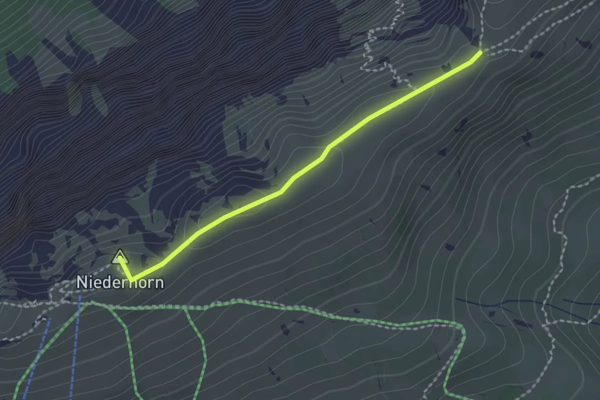
Medium · Summit
Niederhorn – Hohseil
1.9 km · ↑ 32 m · 31 min · 13 km away
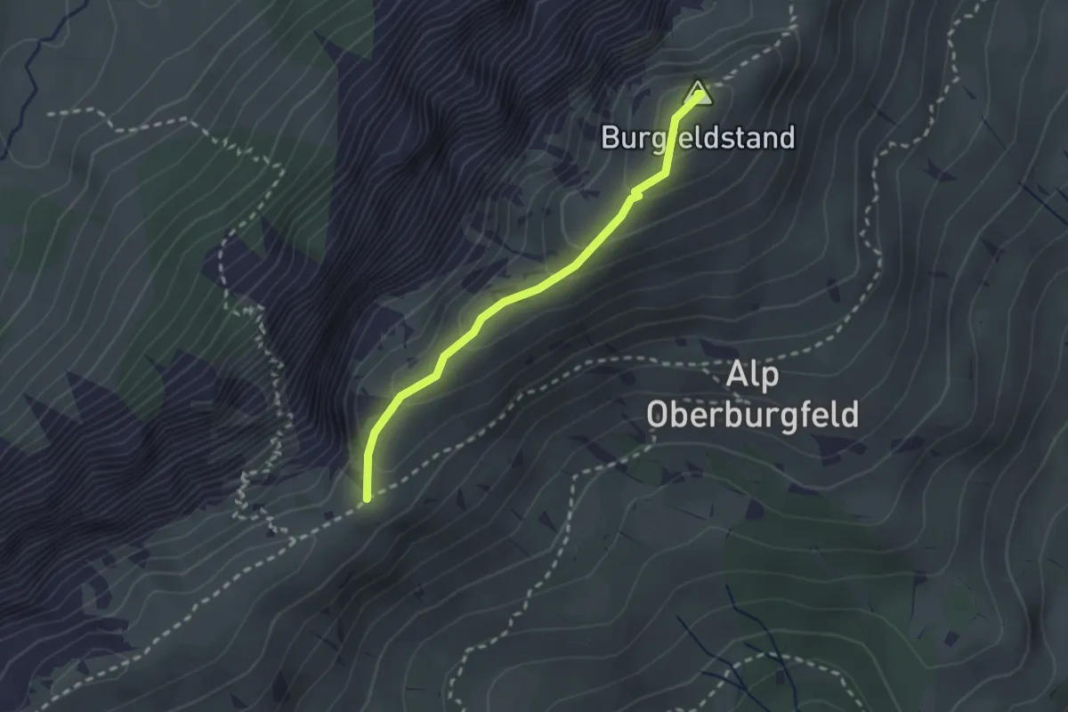
Medium · Summit
Hohseil – Burgfeldstand
2.2 km · ↑ 128 m · 47 min · 13 km away
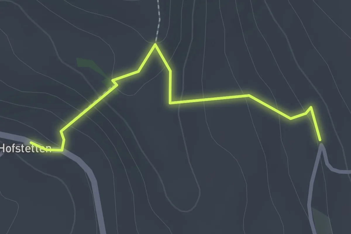
Easy · Trail
Hostete - Simmlere
2.1 km · ↑ 121 m · 45 min · 13 km away
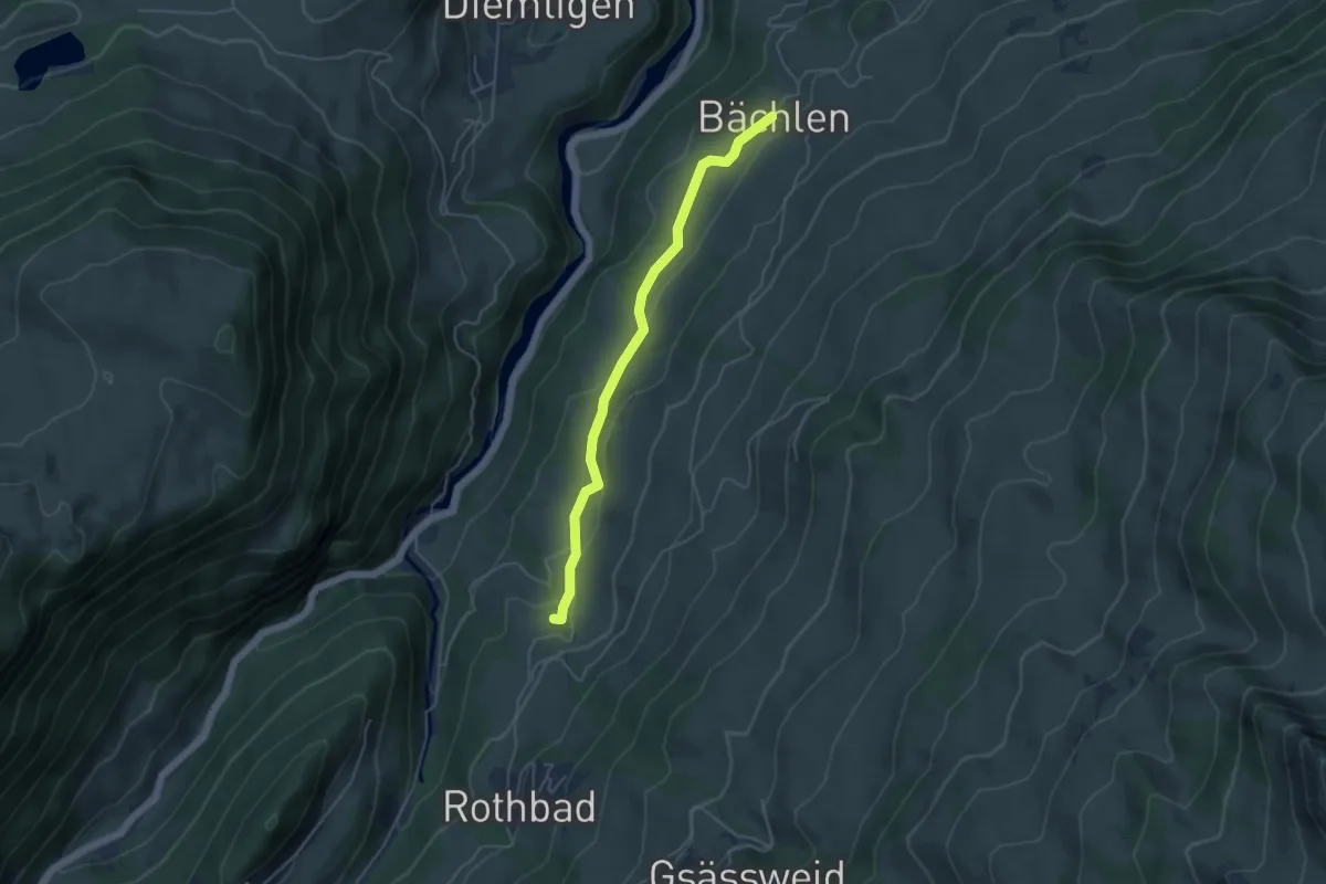
Easy · Trail
Tiefenbach – Bächlen
4.5 km · ↑ 138 m · 1 h 21 min · 13 km away
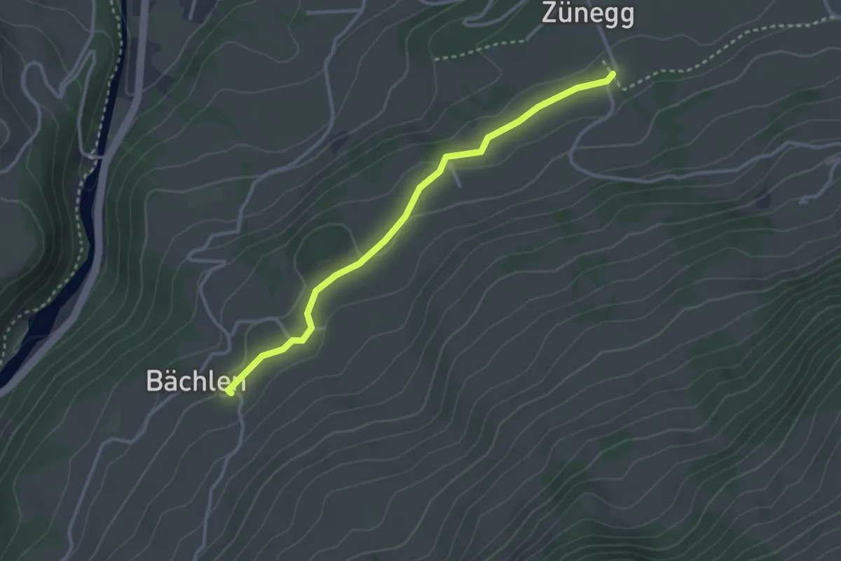
Easy · Trail
Bächlen – Zäunegg
3.1 km · ↑ 59 m · 51 min · 13 km away
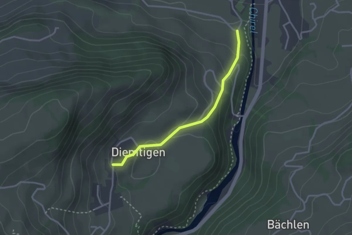
Easy · Trail
Diemtigen – Oey
2.4 km · ↑ 133 m · 52 min · 13 km away
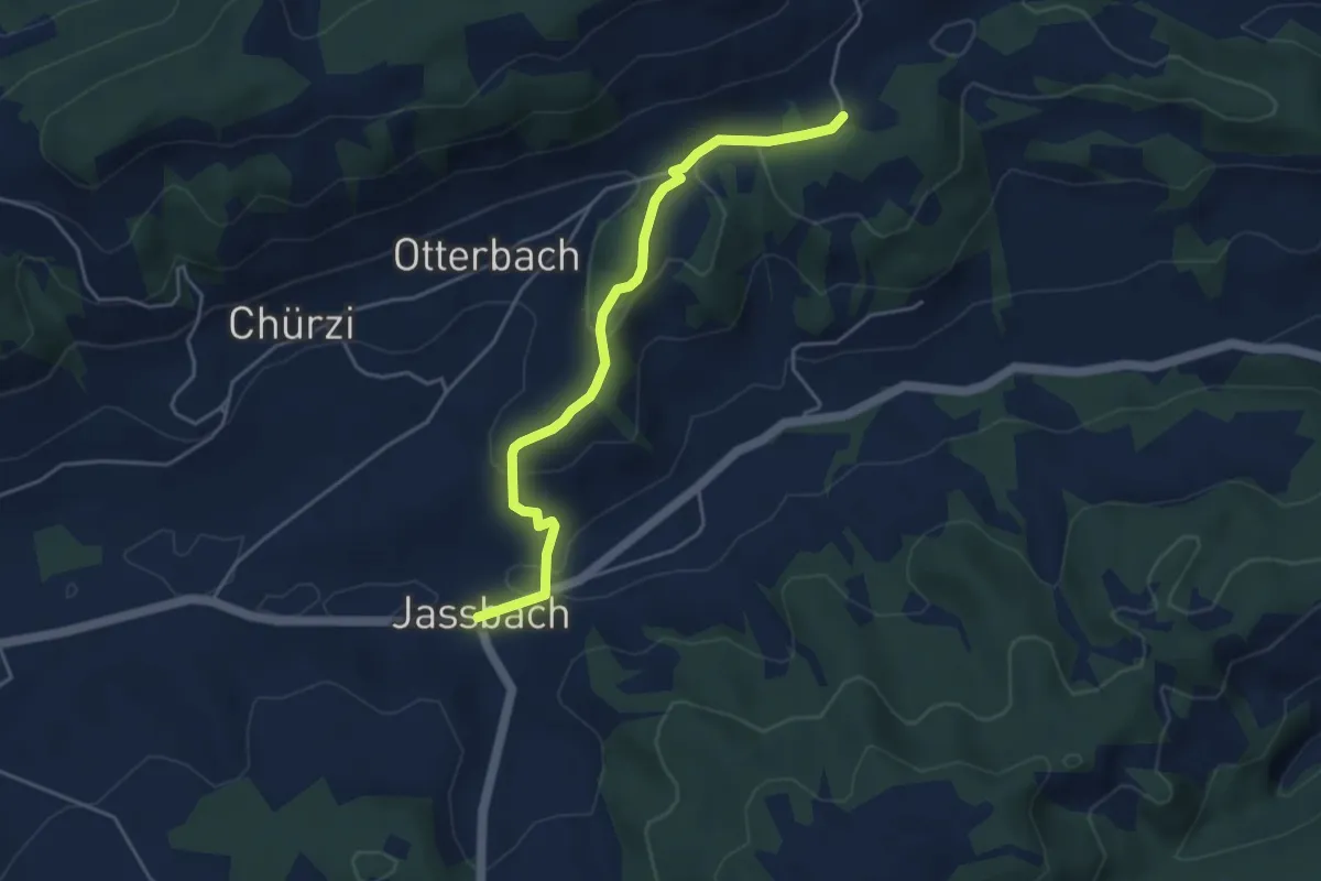
Easy · Trail
Togglismatt – Jassbach
4.4 km · ↑ 127 m · 1 h 19 min · 13 km away
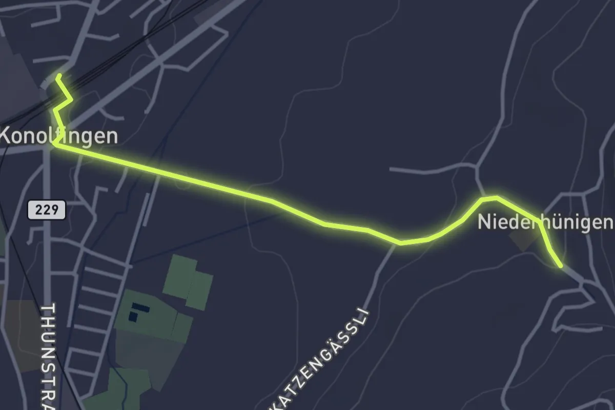
Easy · Trail
Niederhünigen – Konolfingen
3.6 km · ↑ 43 m · 57 min · 13 km away
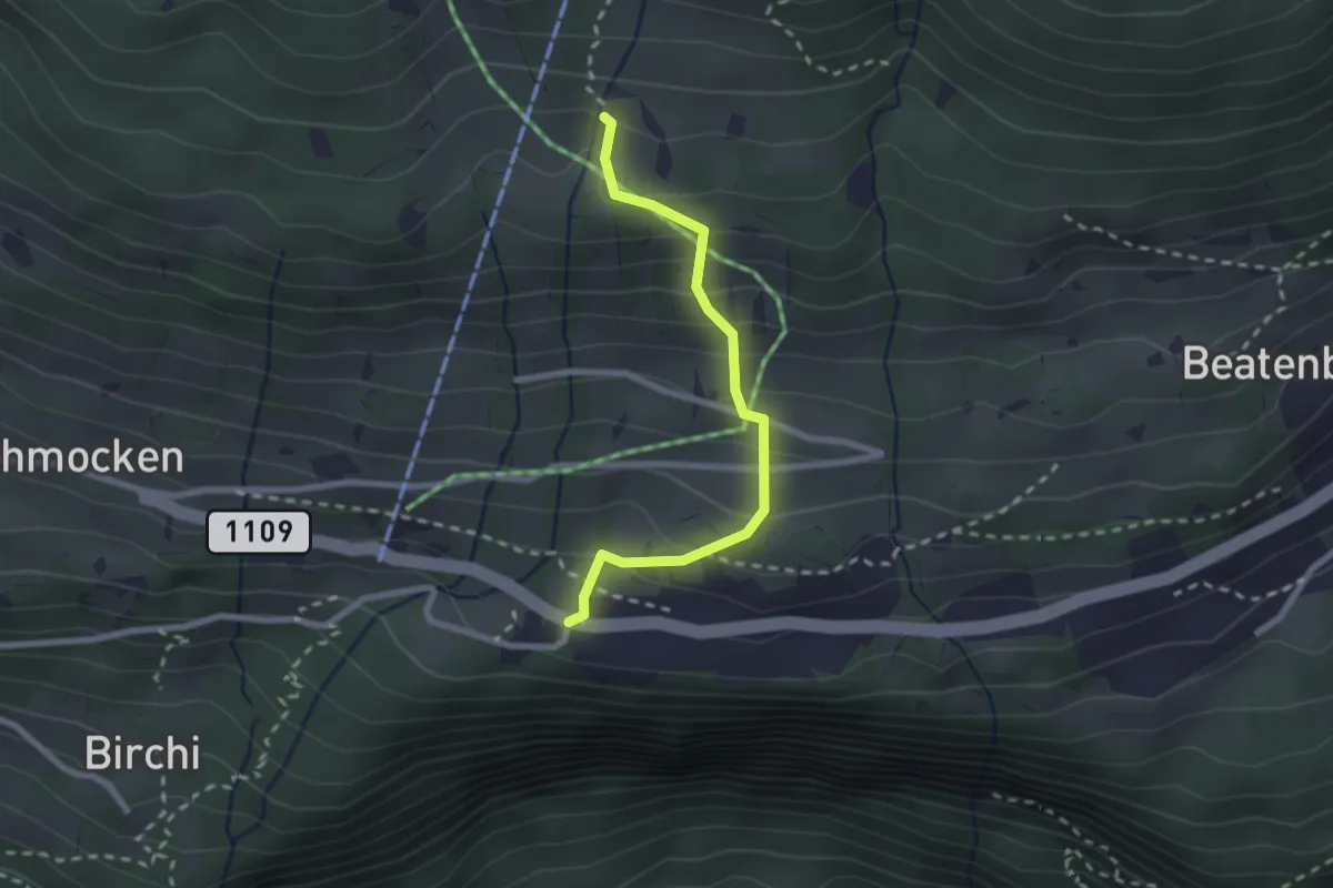
Medium · Trail
Boden – Beatenberg Altersheim
2.2 km · ↑ 251 m · 1 h 4 min · 13 km away
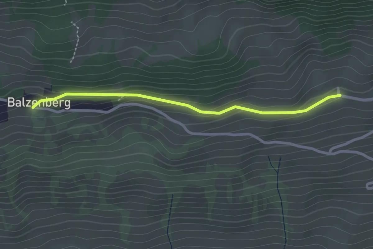
Easy · Trail
Obereschle – Balzeberg
2.2 km · ↑ 76 m · 41 min · 13 km away
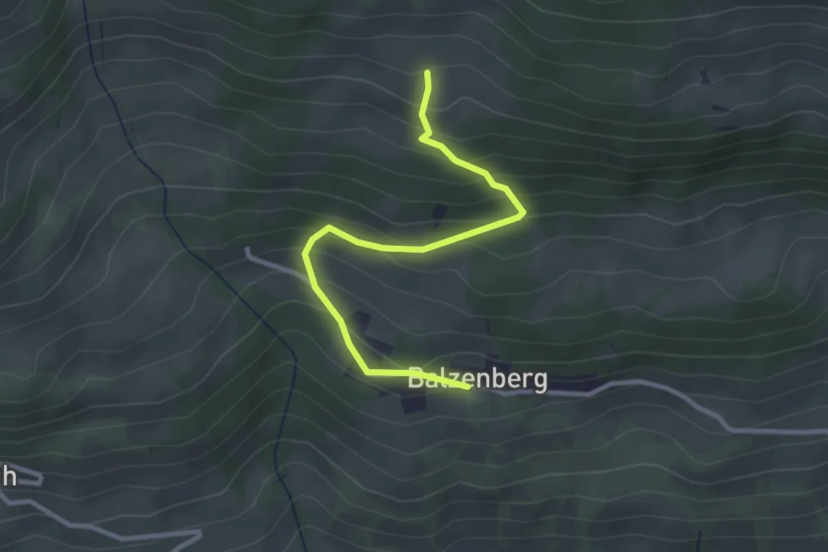
Easy · Trail
Balzeberg – Schopf
2.8 km · ↑ 236 m · 1 h 10 min · 13 km away
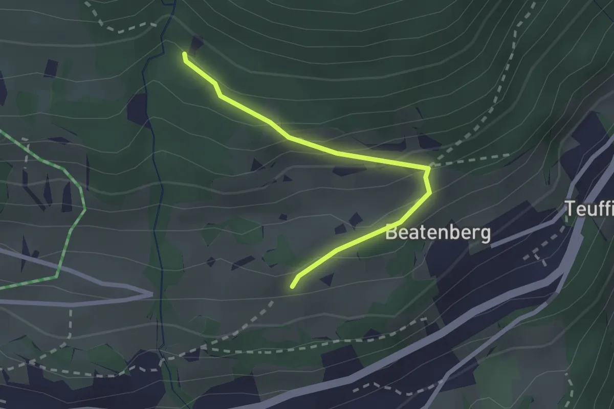
Easy · Trail
Chüelauigrabe – Rossi
2.0 km · ↑ 159 m · 50 min · 13 km away
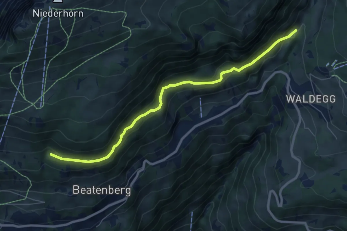
Easy · Trail
Chüelauigrabe – Spirewald
6.7 km · ↑ 262 m · 2 h 8 min · 13 km away
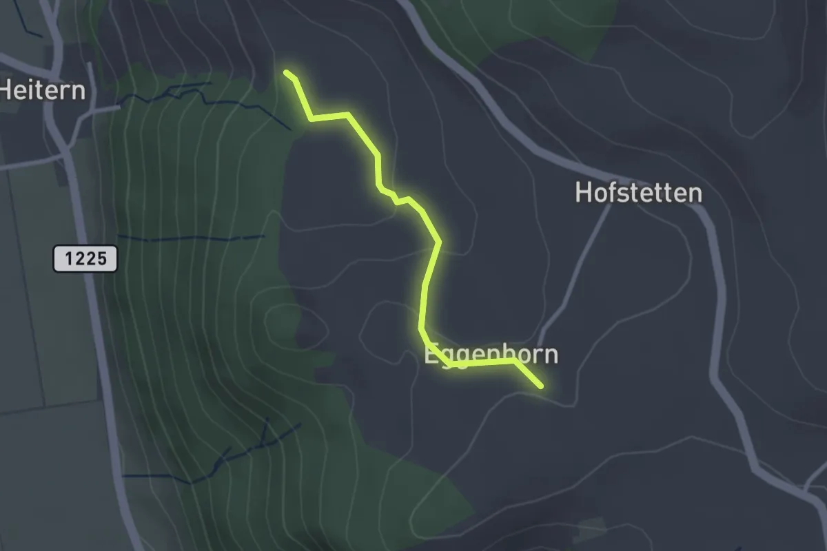
Easy · Trail
Schlatt - Chieffere
2.3 km · ↑ 73 m · 41 min · 13 km away
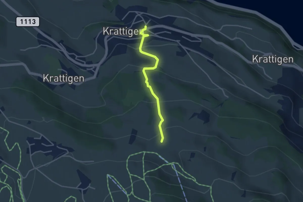
Easy · Trail
Blase – Krattigen
2.8 km · ↑ 198 m · 1 h 5 min · 13 km away
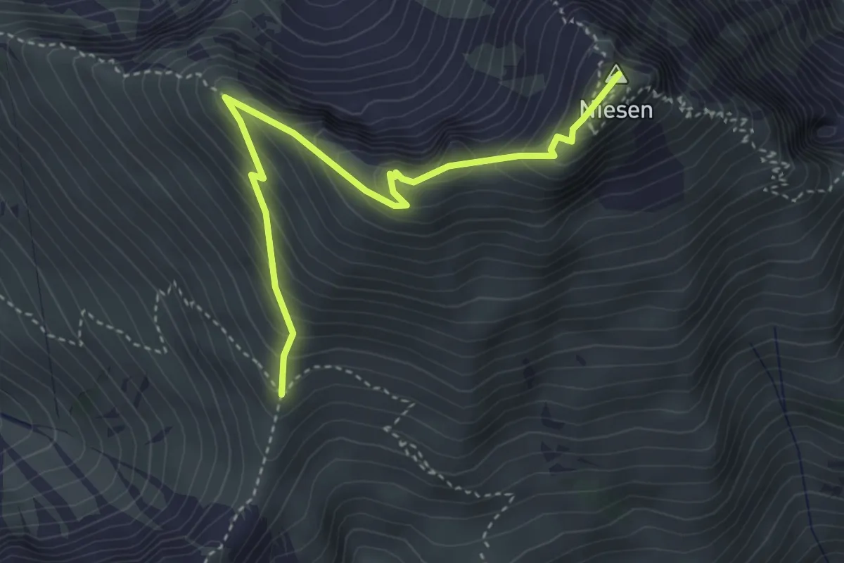
Medium · Summit
Niesen – Niesengrat
4.0 km · ↑ 380 m · 1 h 46 min · 13 km away
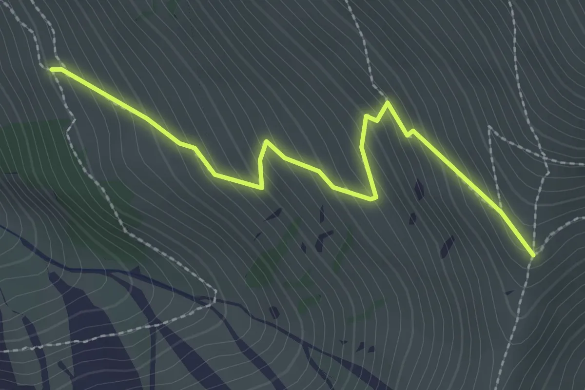
Medium · Trail
Obere Stalde – Niesengrat
2.5 km · ↑ 274 m · 1 h 11 min · 13 km away
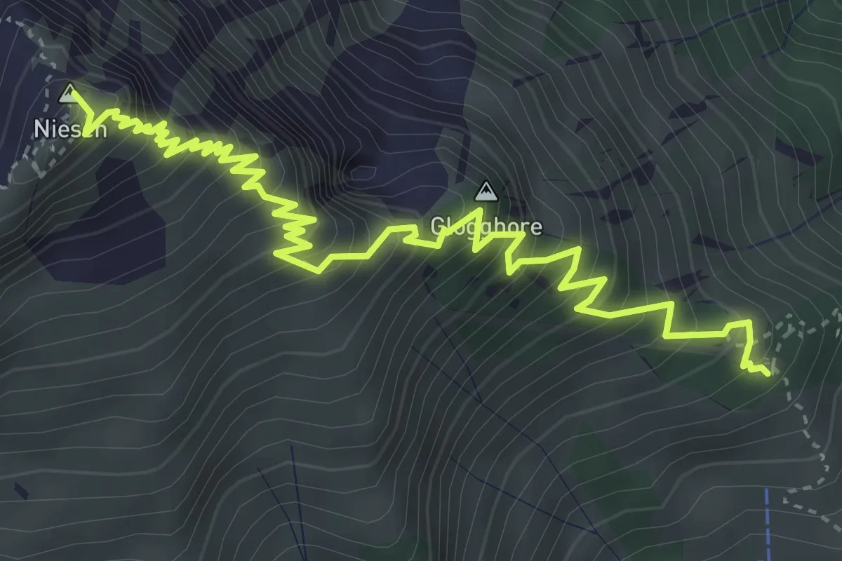
Demanding · Summit
Schwandegg – Niesen
5.4 km · ↑ 834 m · 3 h 5 min · 13 km away
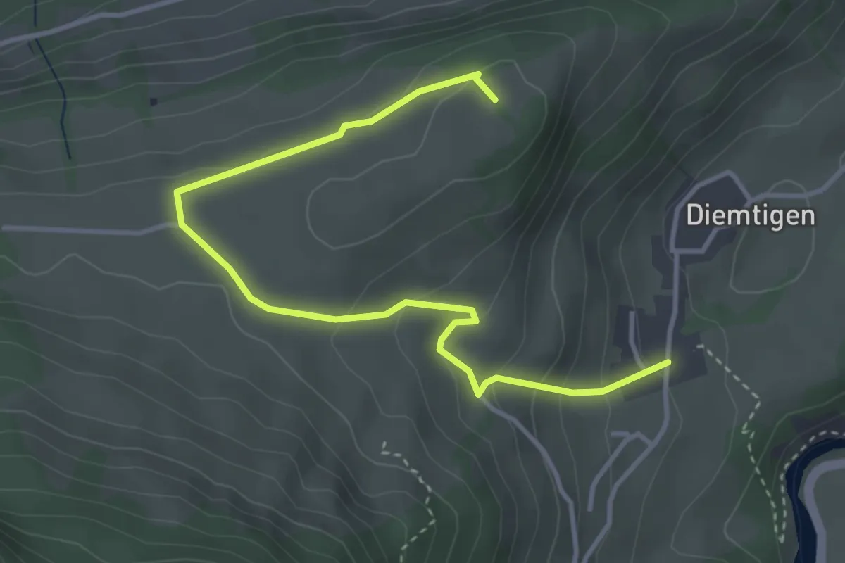
Easy · Trail
Diemtigen – Ufem Chrütz
4.2 km · ↑ 205 m · 1 h 27 min · 13 km away
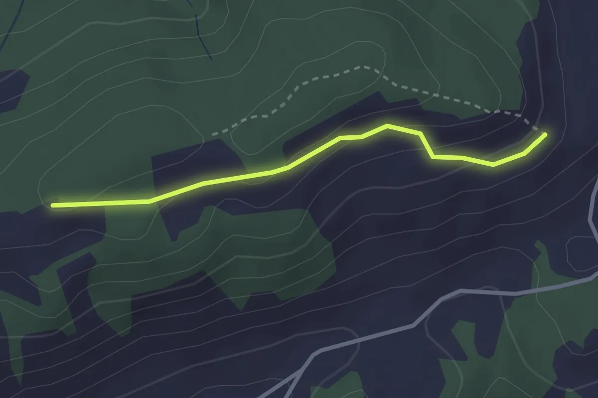
Easy · Trail
Sonnenweg
2.4 km · ↑ 87 m · 46 min · 13 km away
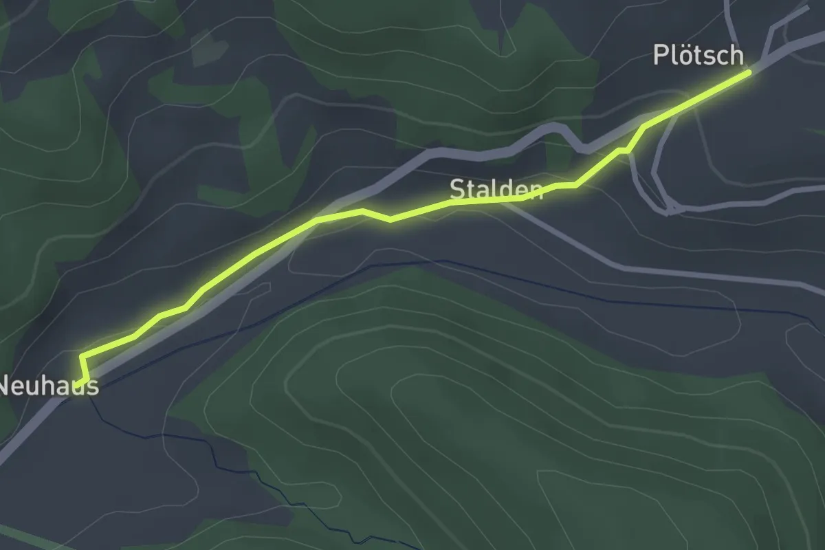
Easy · Trail
Neuhus - Oberplötsch
2.7 km · ↑ 83 m · 49 min · 13 km away
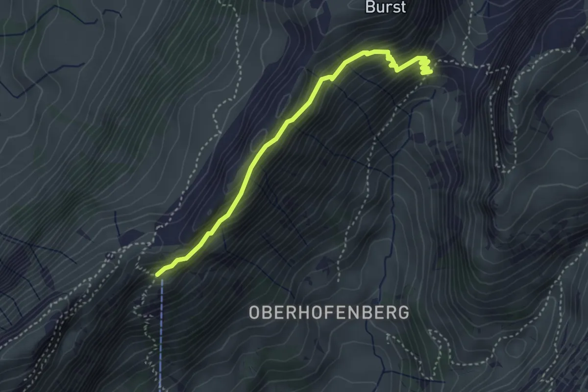
Medium · Trail
Schäferhüttli - fixme
3.6 km · ↑ 329 m · 1 h 34 min · 13 km away
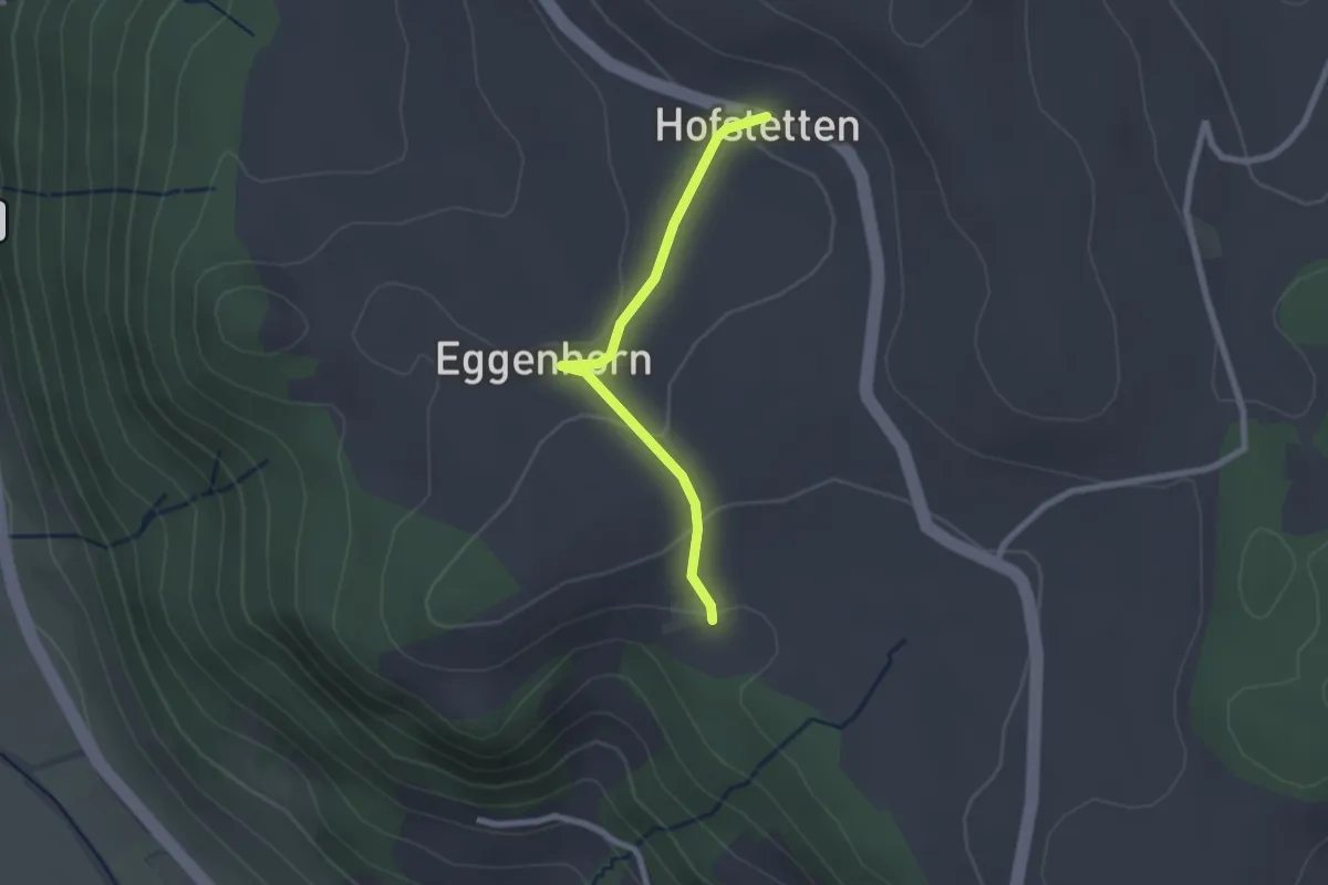
Easy · Trail
Schlatt - Hostete
2.1 km · ↑ 67 m · 38 min · 13 km away
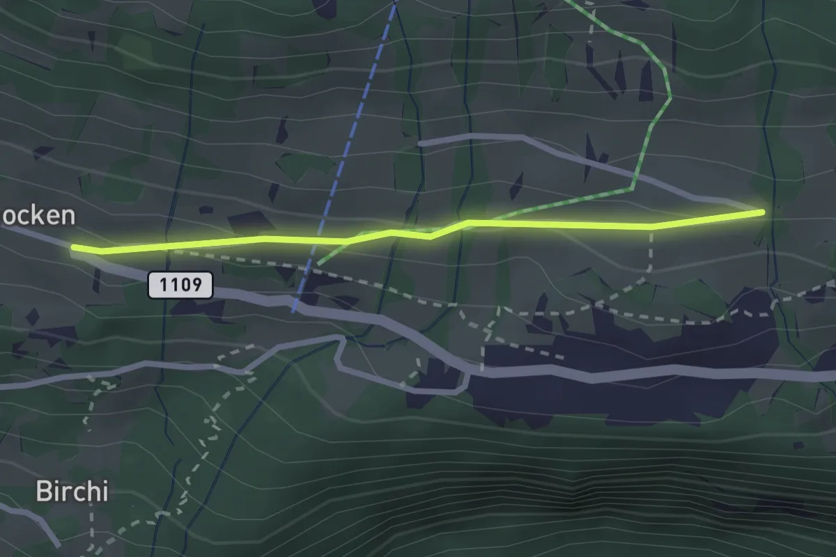
Easy · Trail
Riedboden – Schmocken
2.2 km · ↑ 72 m · 41 min · 13 km away
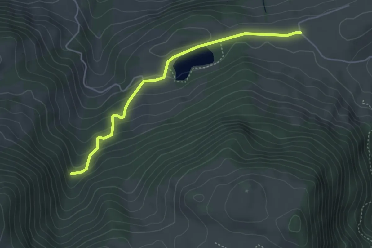
Easy · Trail
Oberhag – Bergli
4.1 km · ↑ 191 m · 1 h 22 min · 13 km away
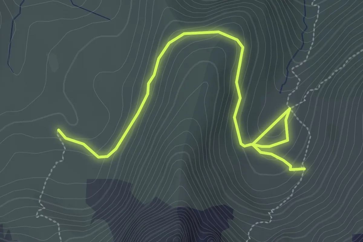
Medium · Trail
Obernünene – Gustiberg
3.7 km · ↑ 155 m · 1 h 12 min · 13 km away
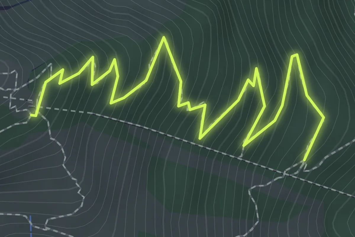
Medium · Trail
Rölleren – Schwandegg
3.2 km · ↑ 360 m · 1 h 32 min · 13 km away
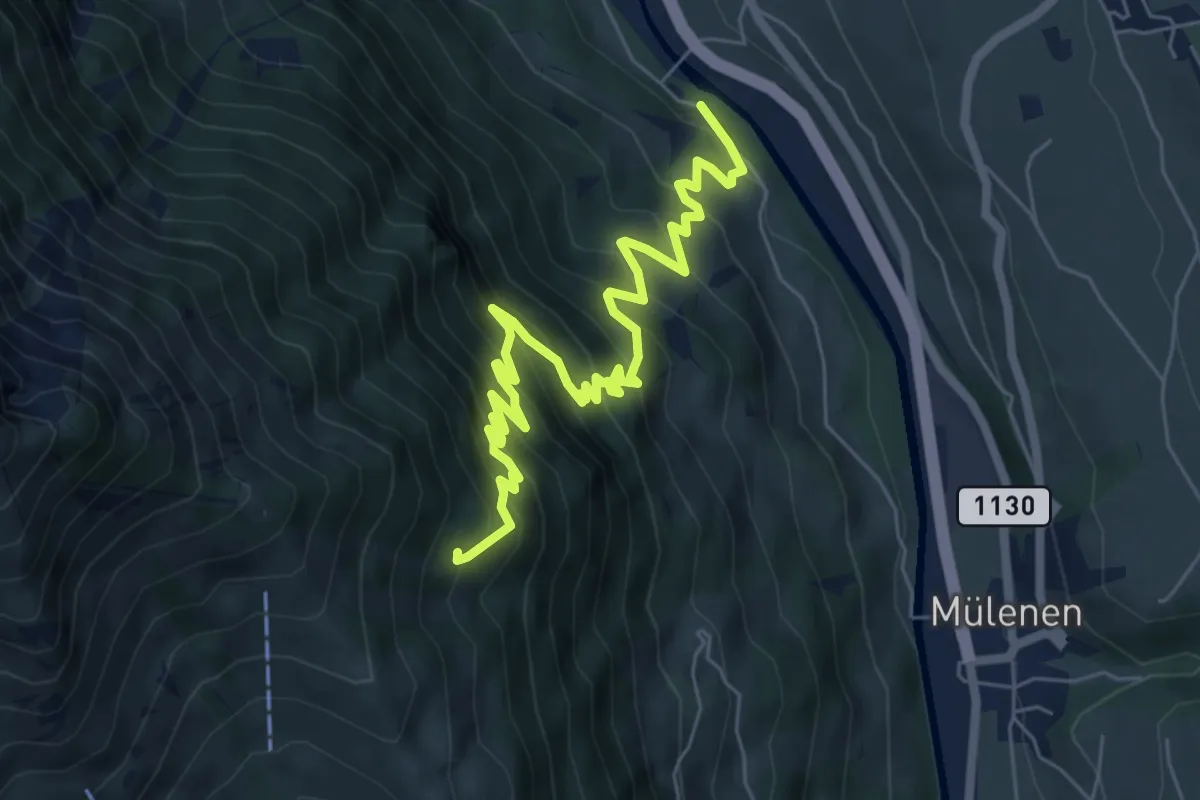
Medium · Trail
Heustrich – Rölleren
7.7 km · ↑ 725 m · 3 h 23 min · 13 km away
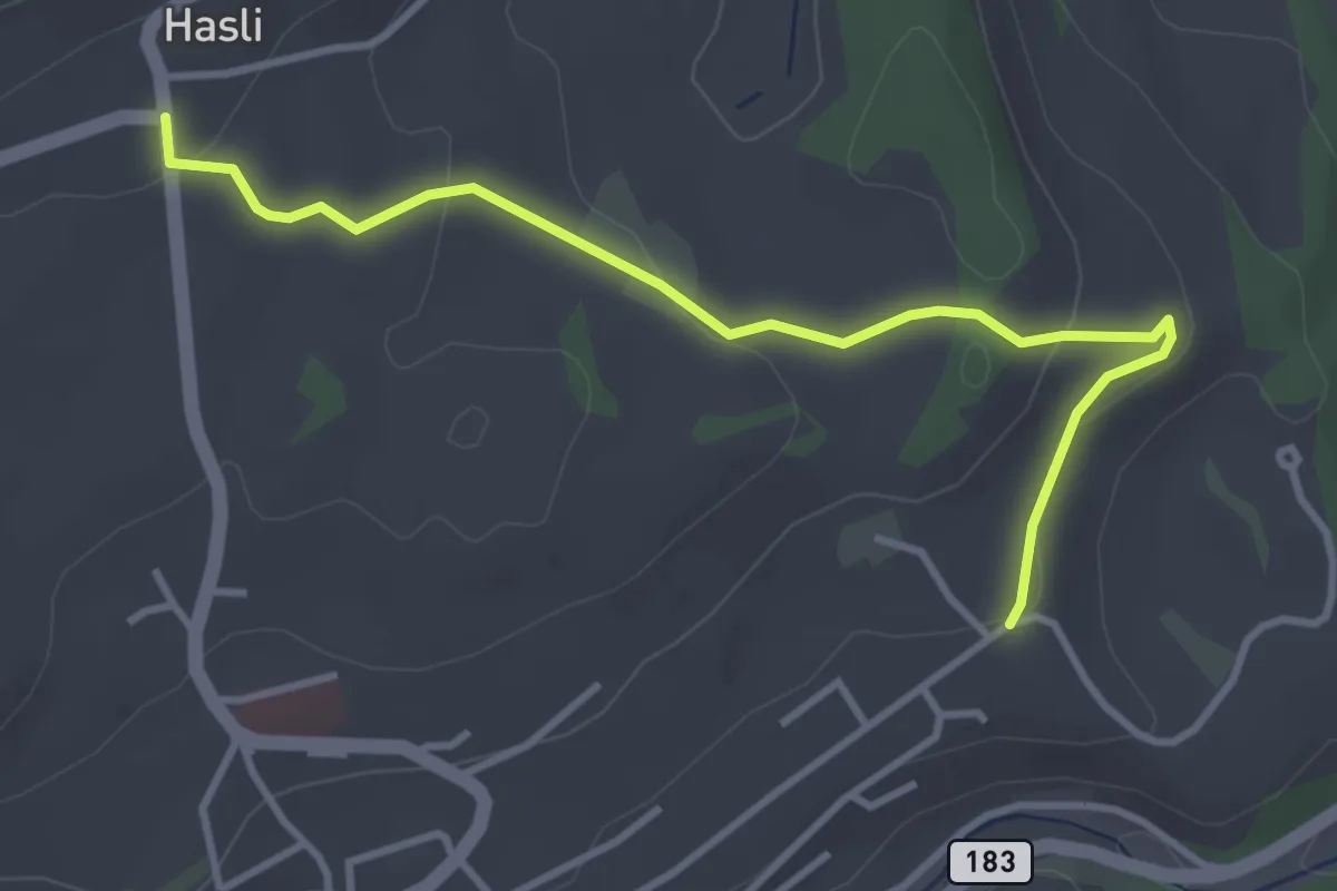
Easy · Trail
Hasli – Eybrunnen
3.8 km · ↑ 115 m · 1 h 9 min · 13 km away
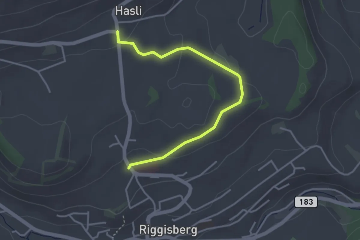
Easy · Trail
Riggisberg / Staudengasse – Hasli
3.4 km · ↑ 103 m · 1 h 1 min · 13 km away
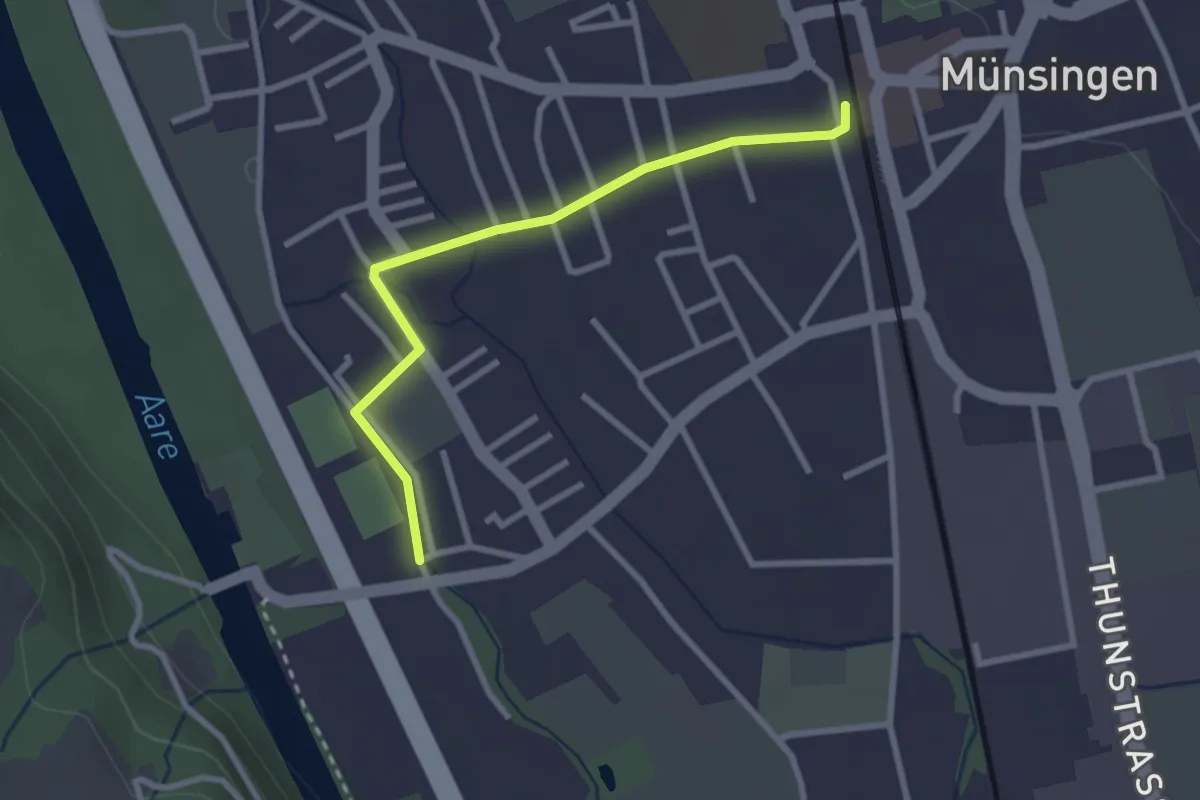
Easy · Trail
Aeussere Giesse - Münsingen/Bahnhof
2.7 km · ↑ 4 m · 39 min · 13 km away
Easy · Summit
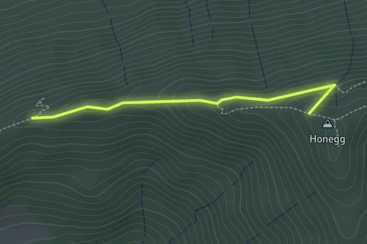
Schafegg – Honegg
2.2 km · ↑ 104 m · 44 min · 13 km away
Easy · Summit
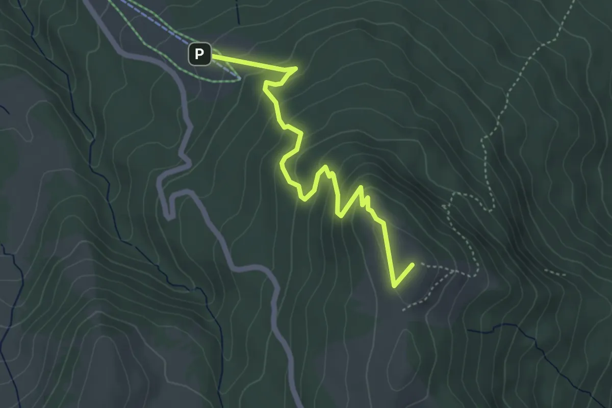
Obere Gurnigel - Stockhütte
4.5 km · ↑ 297 m · 1 h 43 min · 13 km away
Demanding · Trail
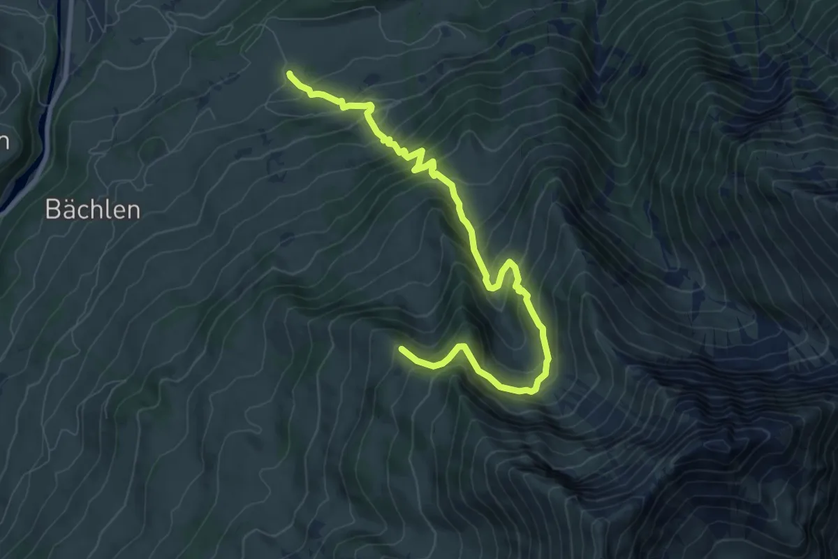
Zäunegg – Hoschüpfe
9.1 km · ↑ 1002 m · 4 h 20 min · 13 km away
Medium · Trail
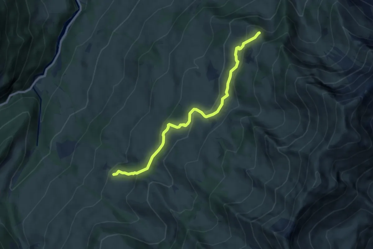
Springboden – Hoschüpfe
7.4 km · ↑ 432 m · 2 h 42 min · 13 km away