Trails near Thun
435 hikes starting within 15 km, nearest first.
Nearest first, page 8 of 10
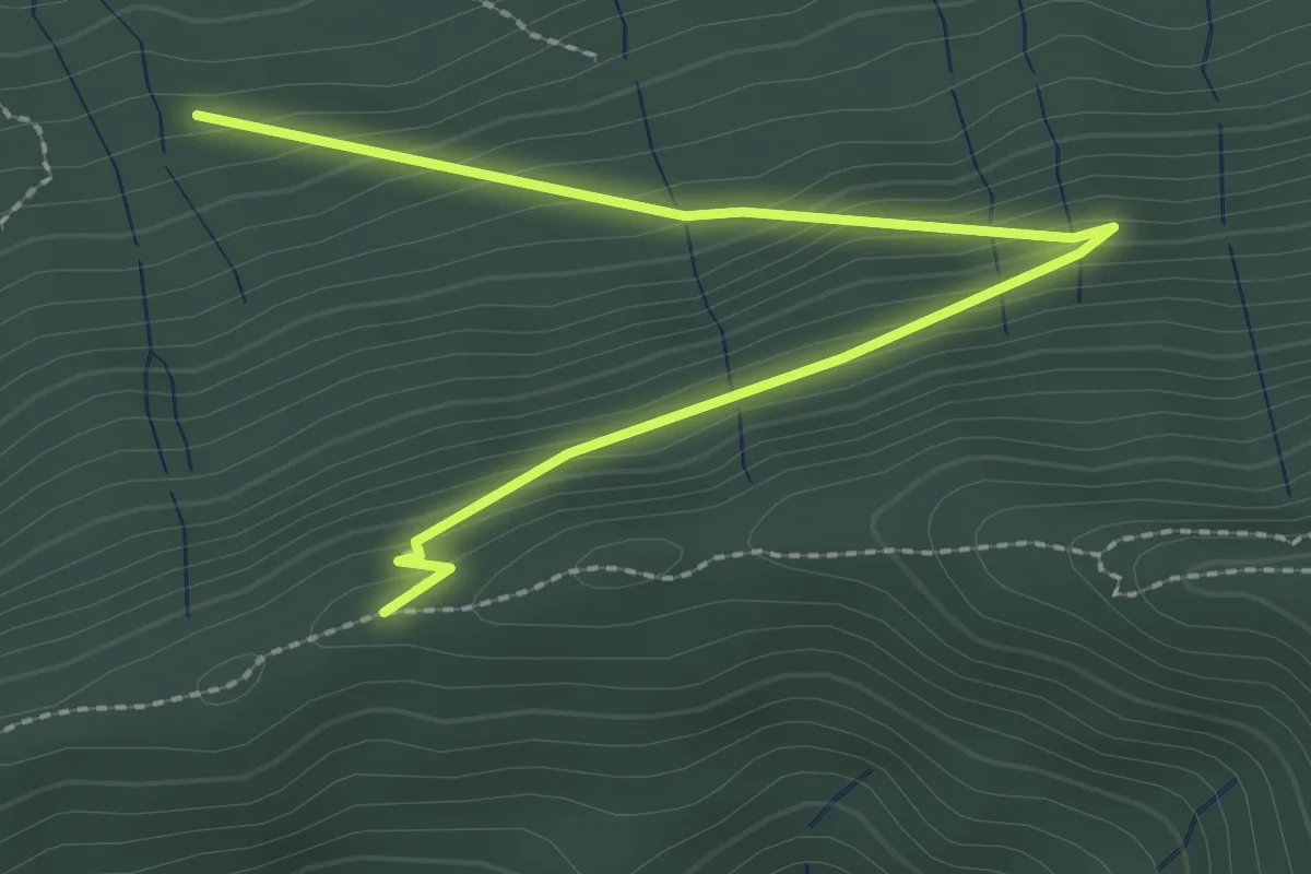
Easy · Trail
Schafegg – Buechschacheboden
3.0 km · ↑ 207 m · 1 h 10 min · 13 km away
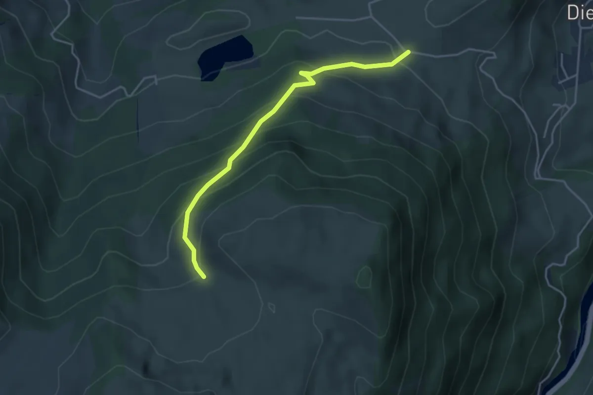
Easy · Trail
Bergli – Tschugge
3.7 km · ↑ 308 m · 1 h 32 min · 14 km away
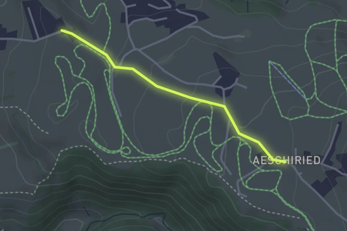
Easy · Trail
Aeschiried – Wachthubel
2.7 km · ↑ 85 m · 49 min · 14 km away
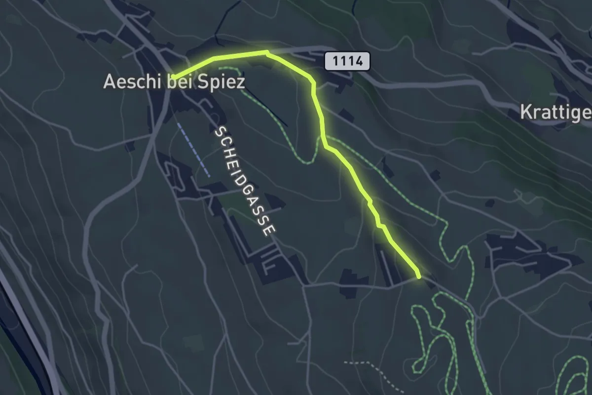
Easy · Trail
Wachthubel – Aeschi
3.4 km · ↑ 99 m · 1 h 1 min · 14 km away
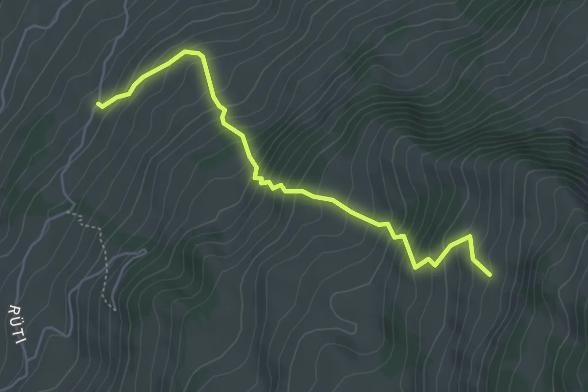
Medium · Trail
Bächlen – Neuenstift
4.7 km · ↑ 580 m · 2 h 22 min · 14 km away
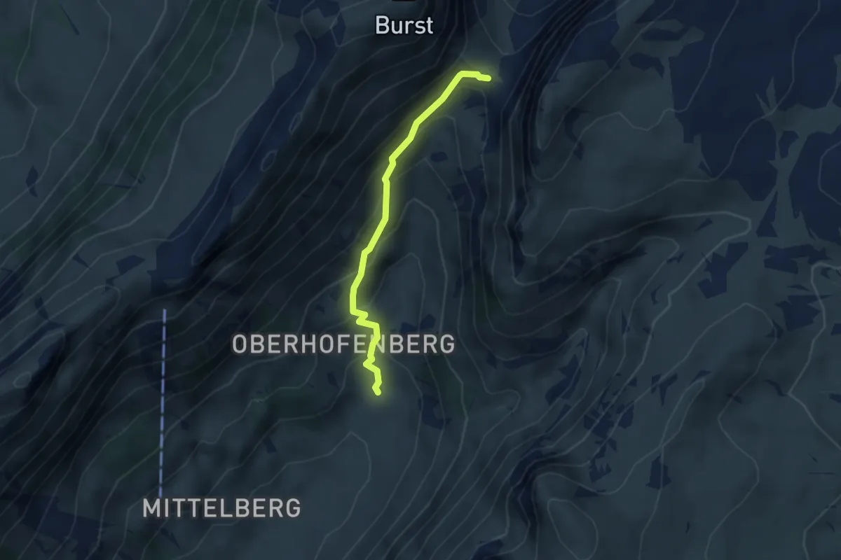
Medium · Trail
Hinterstberg – Sichle
3.1 km · ↑ 315 m · 1 h 25 min · 14 km away
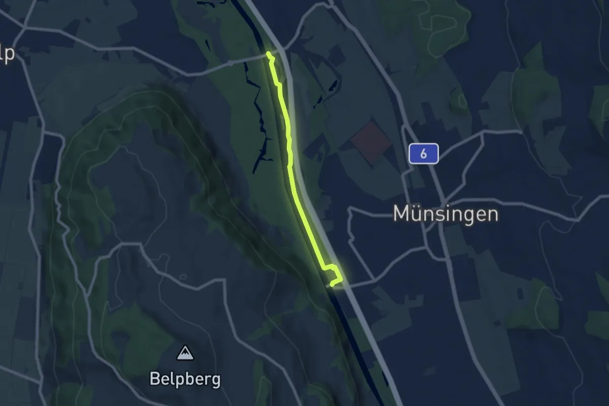
Easy · Trail
Hunzigenbrügg – Jabergbrücke
5.7 km · ↑ 18 m · 1 h 24 min · 14 km away
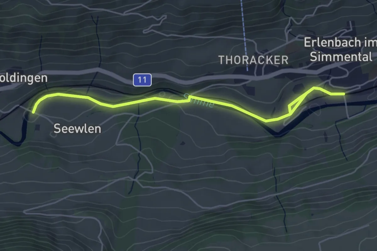
Easy · Trail
Seewlen – Erlenbach
5.3 km · ↑ 48 m · 1 h 21 min · 14 km away
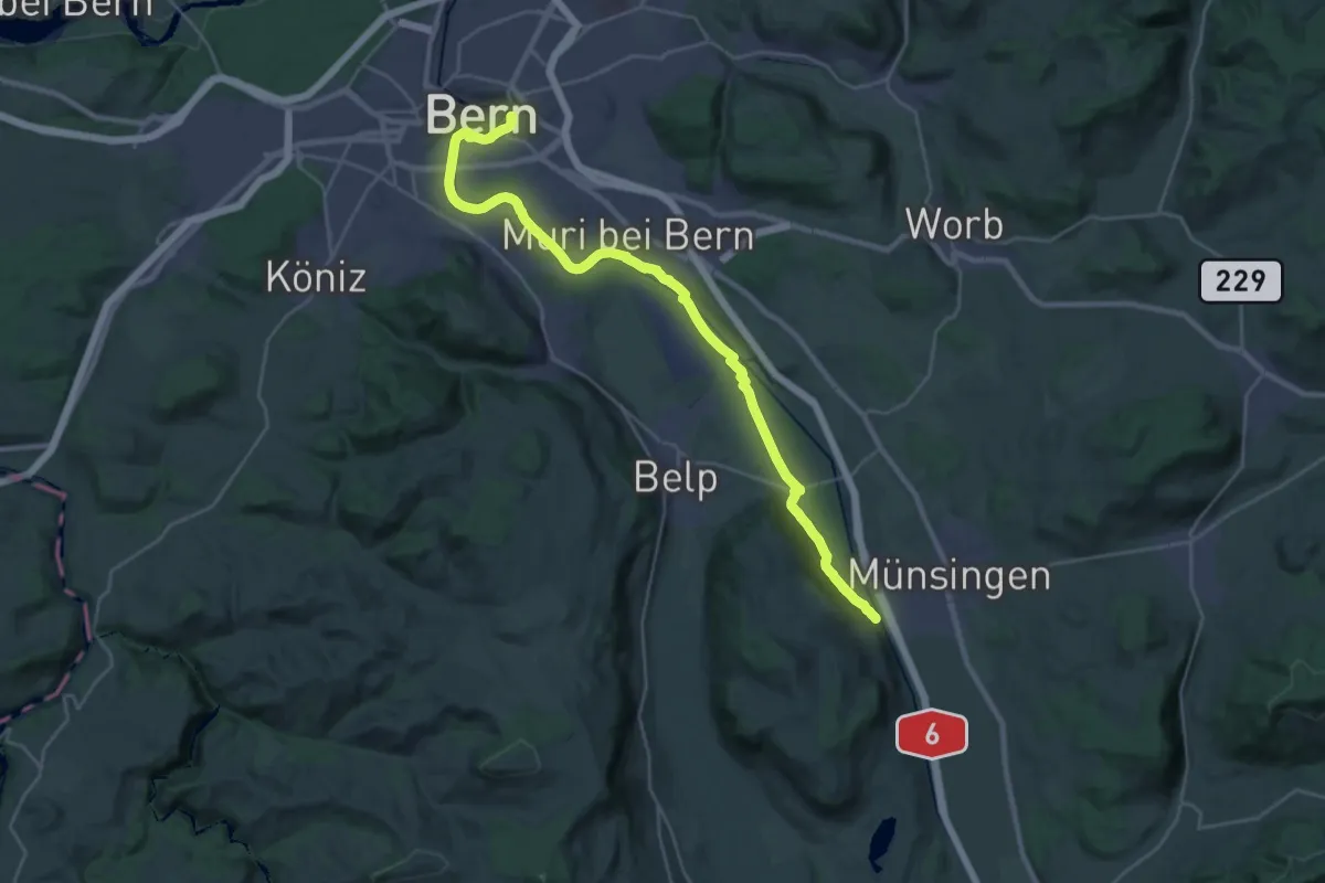
Demanding · Trail
ViaBerna Etappe 9
30.2 km · ↑ 349 m · 7 h 54 min · 14 km away
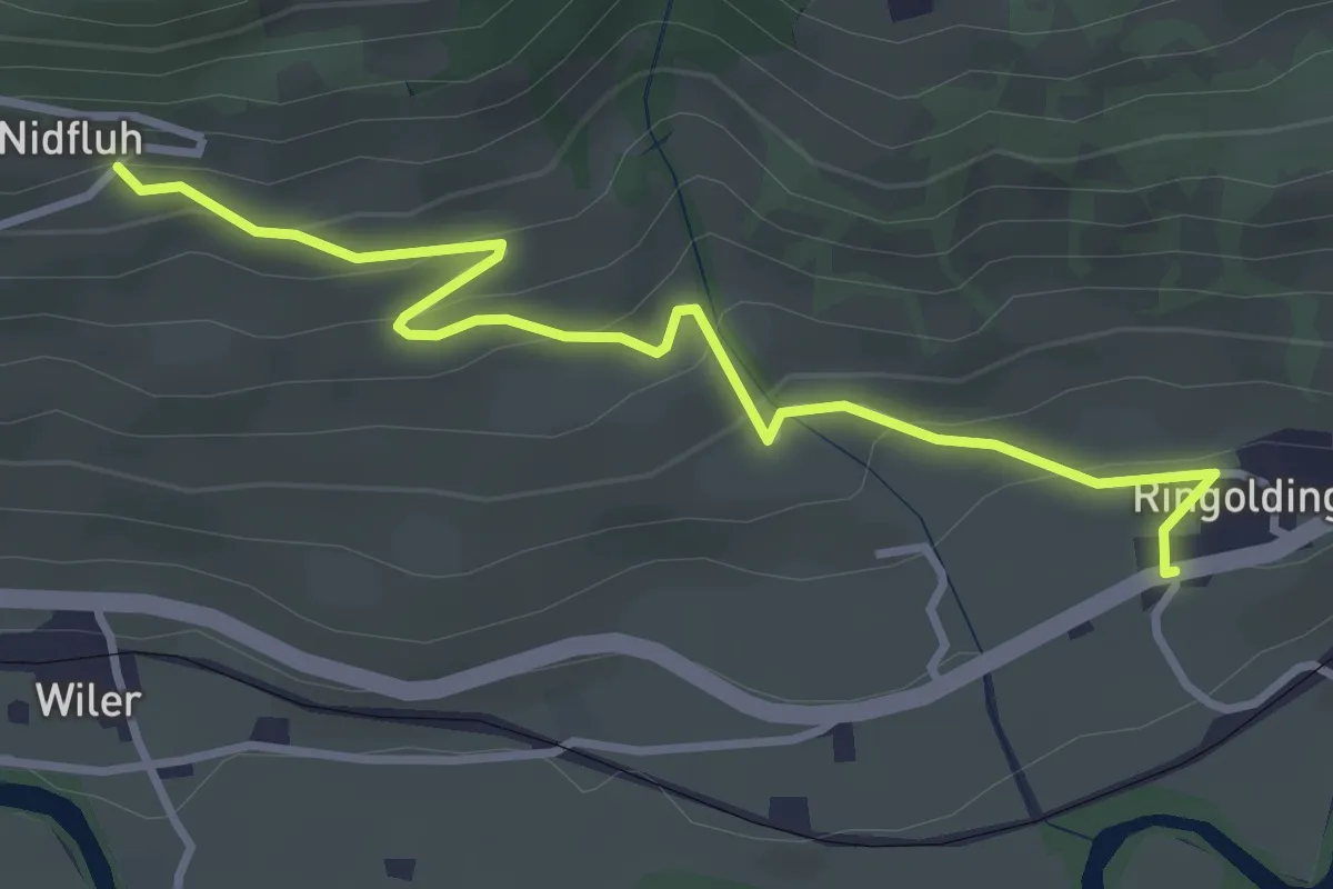
Easy · Trail
Nidflue – Ringoldingen
3.6 km · ↑ 183 m · 1 h 14 min · 14 km away
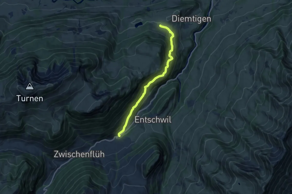
Medium · Trail
Diemtigen – Riedli
10.2 km · ↑ 600 m · 3 h 42 min · 14 km away
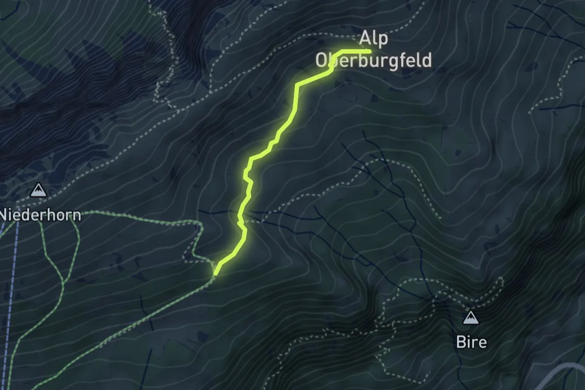
Medium · Trail
Oberburgfeld – Häliloch
2.9 km · ↑ 138 m · 59 min · 14 km away
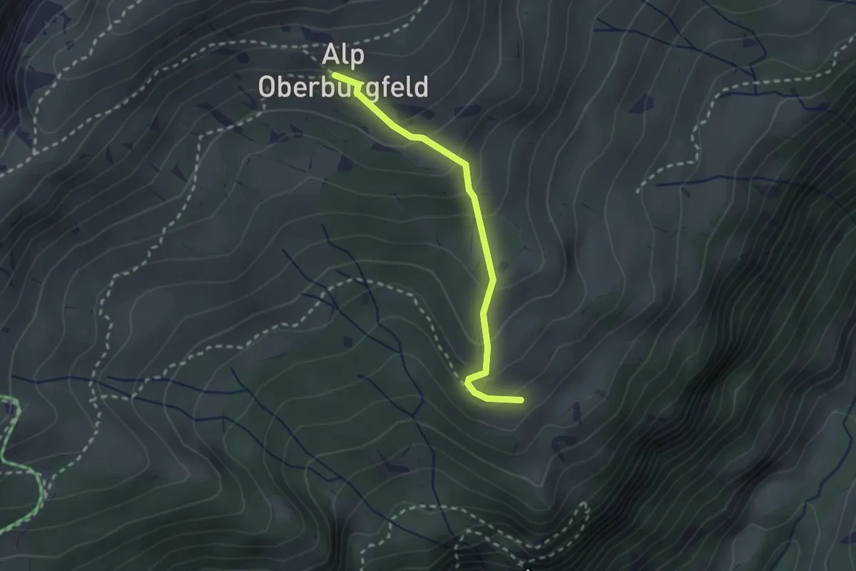
Medium · Trail
Oberburgfeld – Unterburgfeld
2.2 km · ↑ 185 m · 55 min · 14 km away
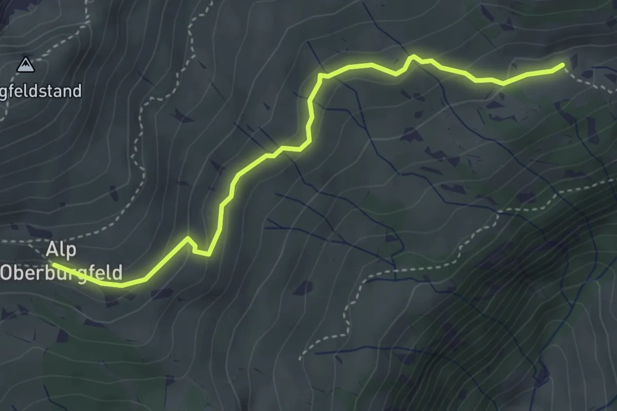
Medium · Trail
Chüematte – Oberburgfeld
4.0 km · ↑ 173 m · 1 h 20 min · 14 km away
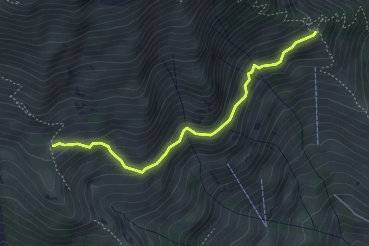
Medium · Trail
Schwandegg – Oberniese
3.9 km · ↑ 327 m · 1 h 38 min · 14 km away
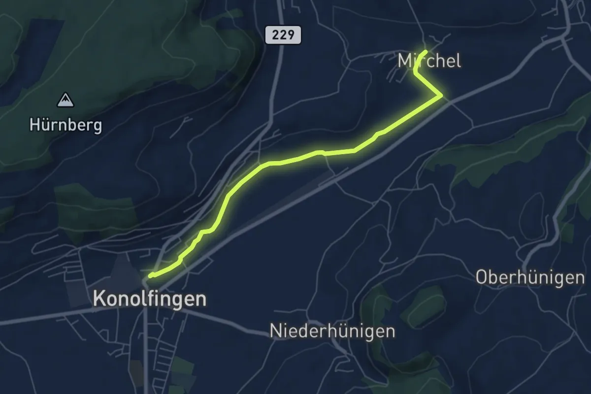
Easy · Trail
Mirchel – Konolfingen
6.2 km · ↑ 56 m · 1 h 35 min · 14 km away
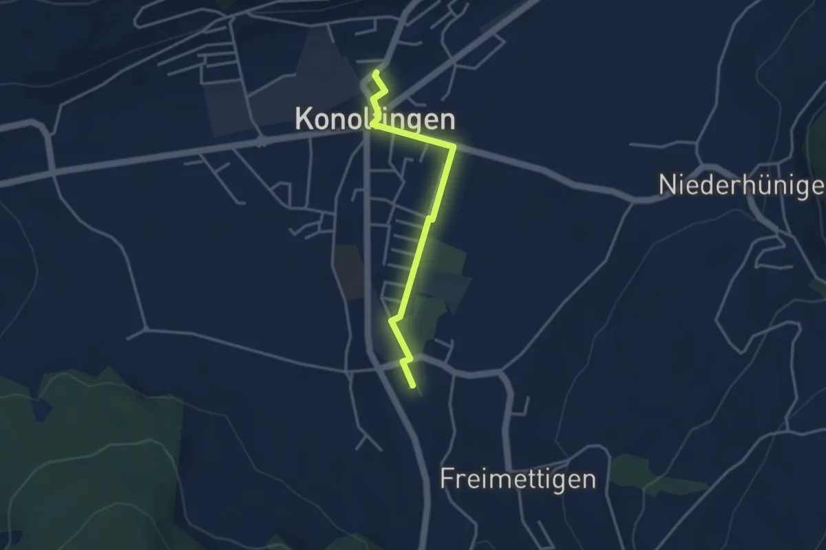
Easy · Trail
Stalden i. E. – Konolfingen
3.0 km · ↑ 9 m · 44 min · 14 km away
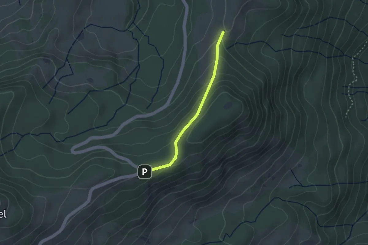
Easy · Trail
Gurnigel Berghaus - Gurnigelberg
2.3 km · ↑ 112 m · 48 min · 14 km away
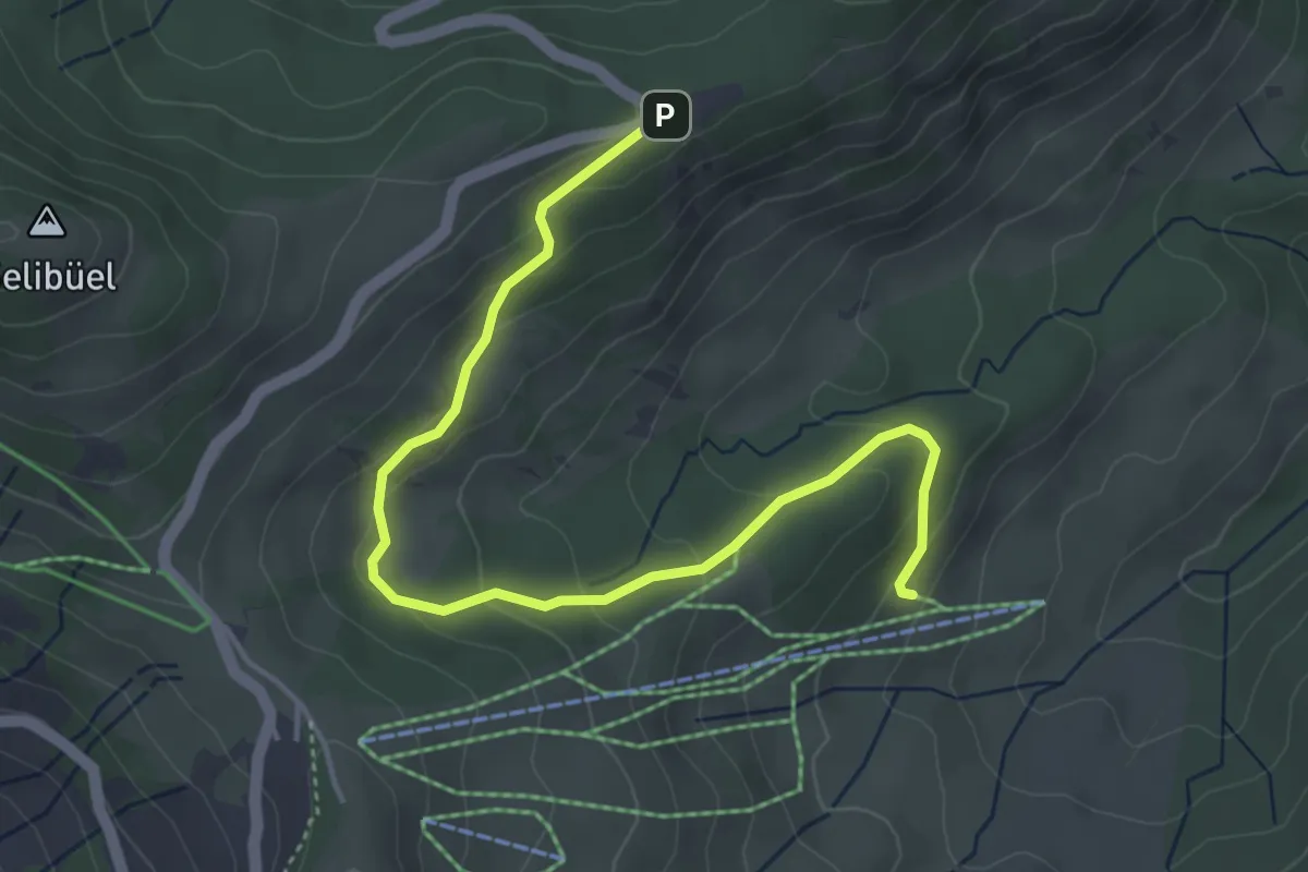
Easy · Trail
Schwändli - Gurnigel Berghaus
4.8 km · ↑ 213 m · 1 h 36 min · 14 km away
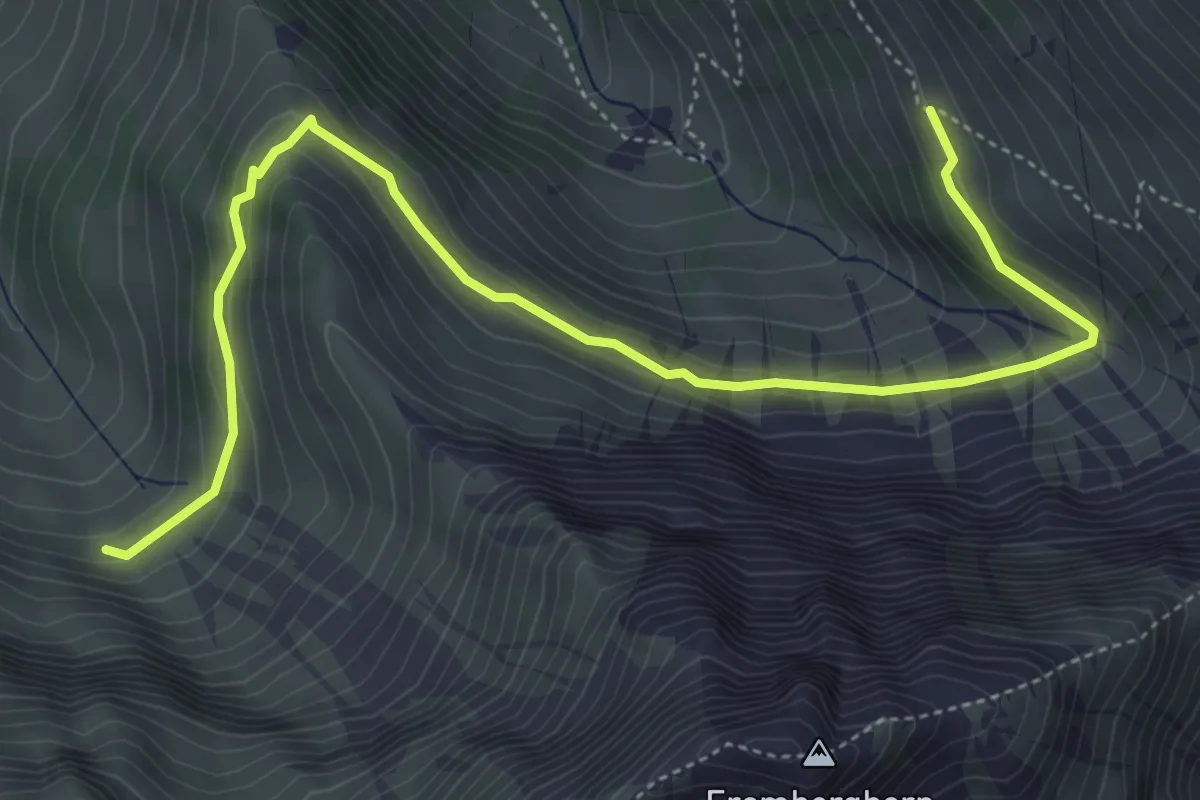
Medium · Trail
Geeri – Obere Stalde
5.9 km · ↑ 341 m · 2 h 8 min · 14 km away
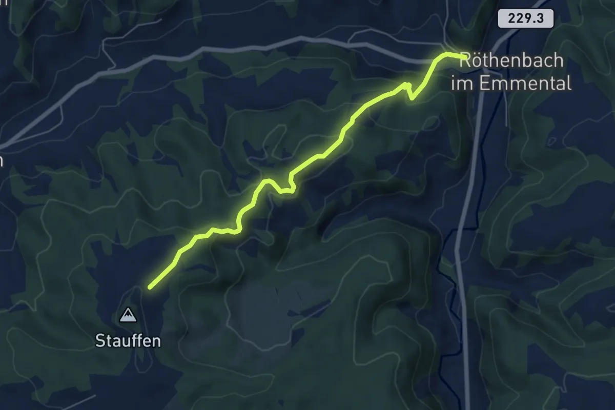
Medium · Trail
Röthenbach – Hinter Stauffen
5.8 km · ↑ 377 m · 2 h 11 min · 14 km away
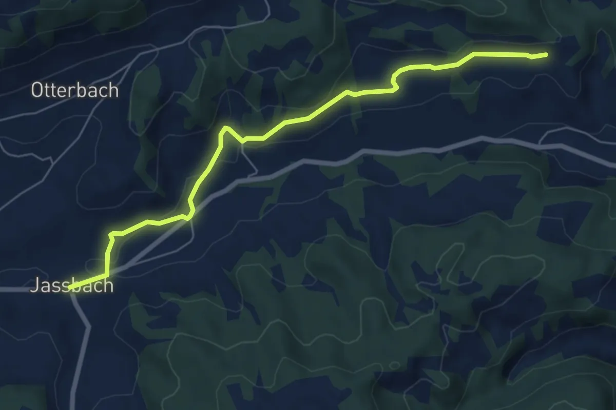
Easy · Trail
Jassbach – Vorderi Schindellegi
6.3 km · ↑ 132 m · 1 h 46 min · 14 km away
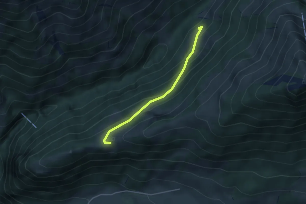
Easy · Trail
Flüeberg – Schattenhalb
2.9 km · ↑ 214 m · 1 h 9 min · 14 km away
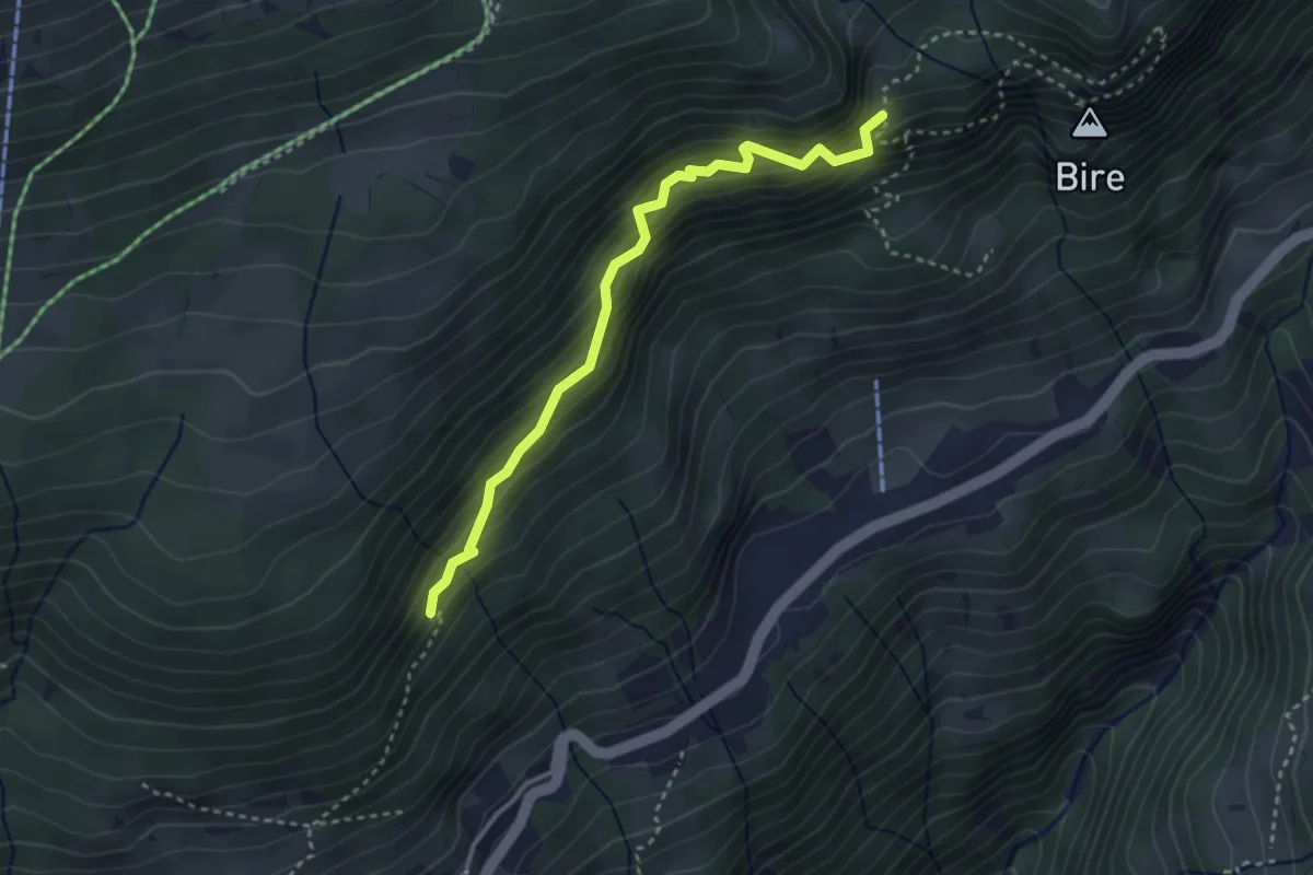
Medium · Trail
Fitzligraben – Bireflue
3.2 km · ↑ 525 m · 1 h 54 min · 14 km away
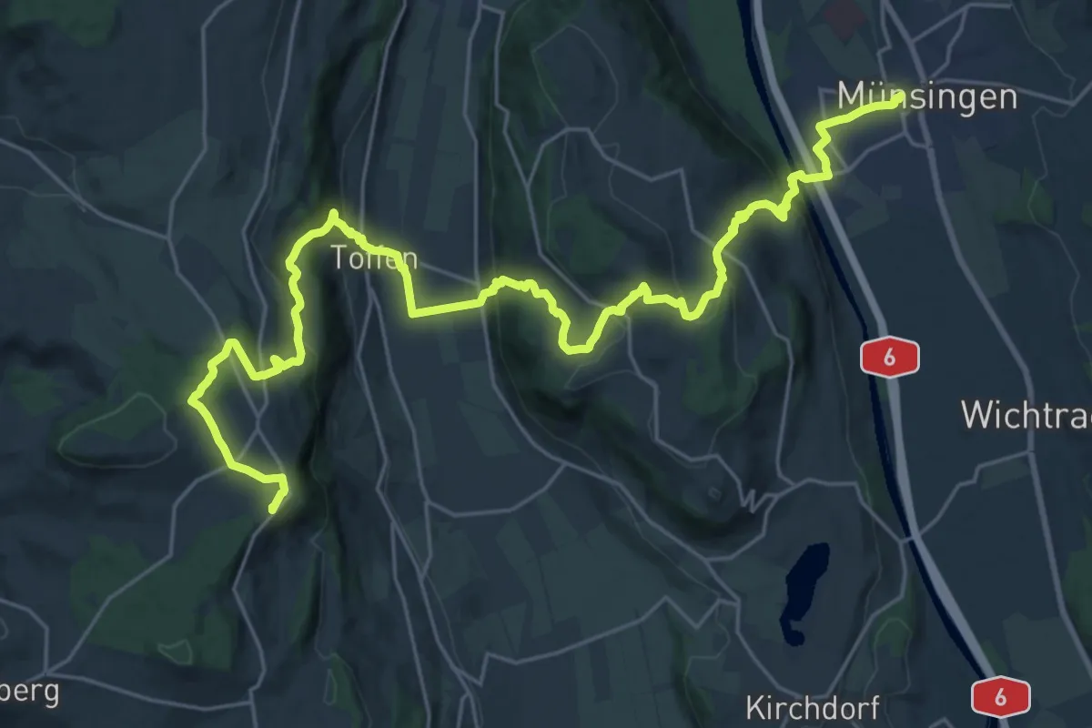
Demanding · Summit
Alpenpanorama-Weg
30.3 km · ↑ 1232 m · 9 h 50 min · 14 km away
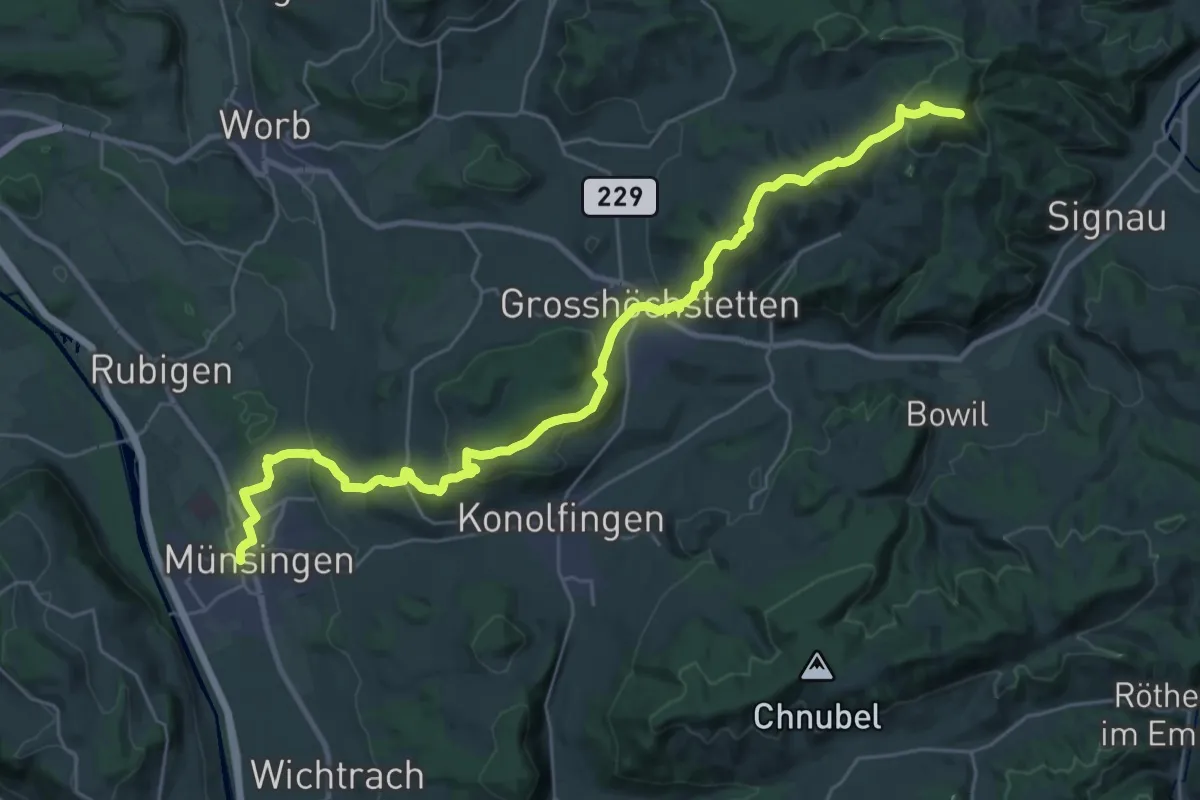
Demanding · Summit
Alpenpanorama-Weg
33.3 km · ↑ 1120 m · 10 h 17 min · 14 km away
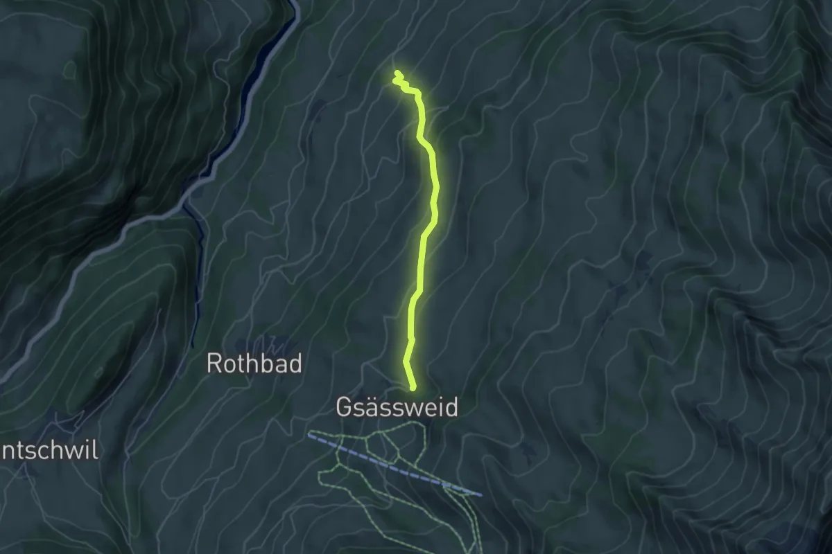
Easy · Trail
Hasenloch - Widacher
4.2 km · ↑ 287 m · 1 h 37 min · 14 km away
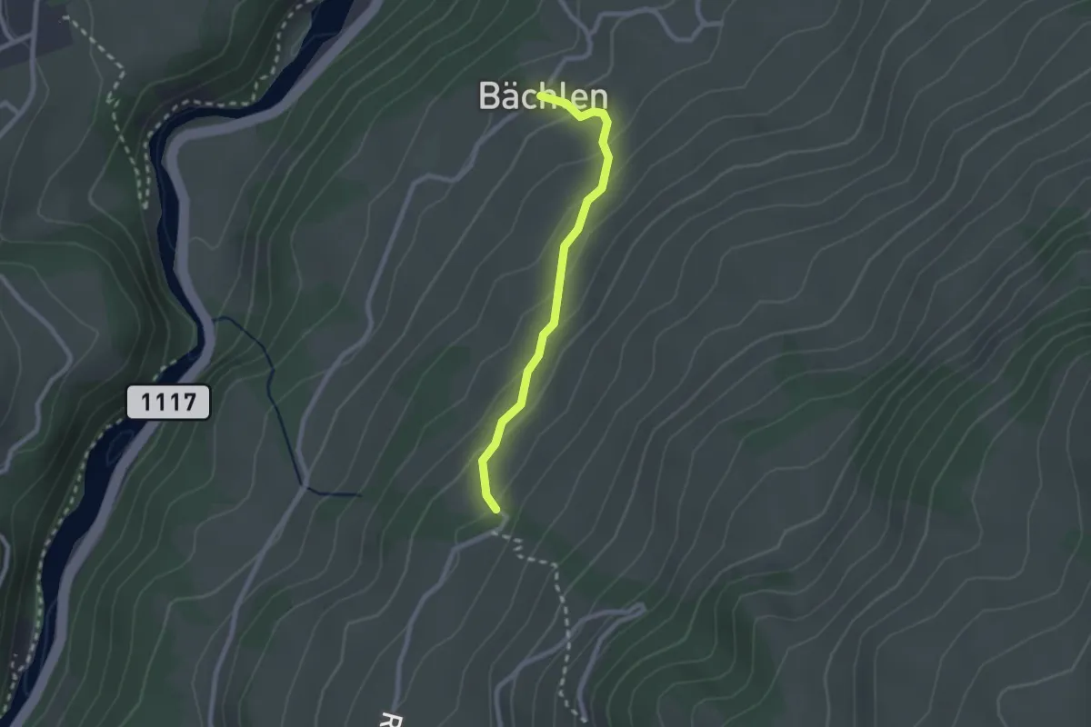
Easy · Trail
Widacher - Bächlen
2.1 km · ↑ 134 m · 47 min · 14 km away
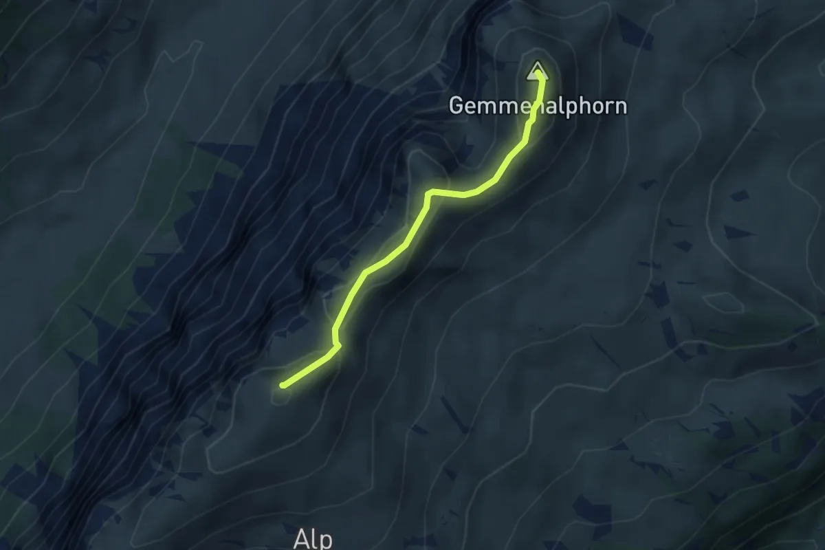
Medium · Summit
Burgfeldstand – Gemmenalphorn
3.0 km · ↑ 130 m · 1 h · 14 km away
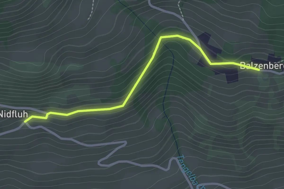
Easy · Trail
Balzeberg – Nidflue
2.4 km · ↑ 100 m · 47 min · 14 km away
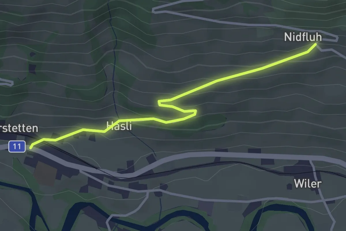
Easy · Trail
Nidflue – Därstetten
3.2 km · ↑ 165 m · 1 h 7 min · 14 km away
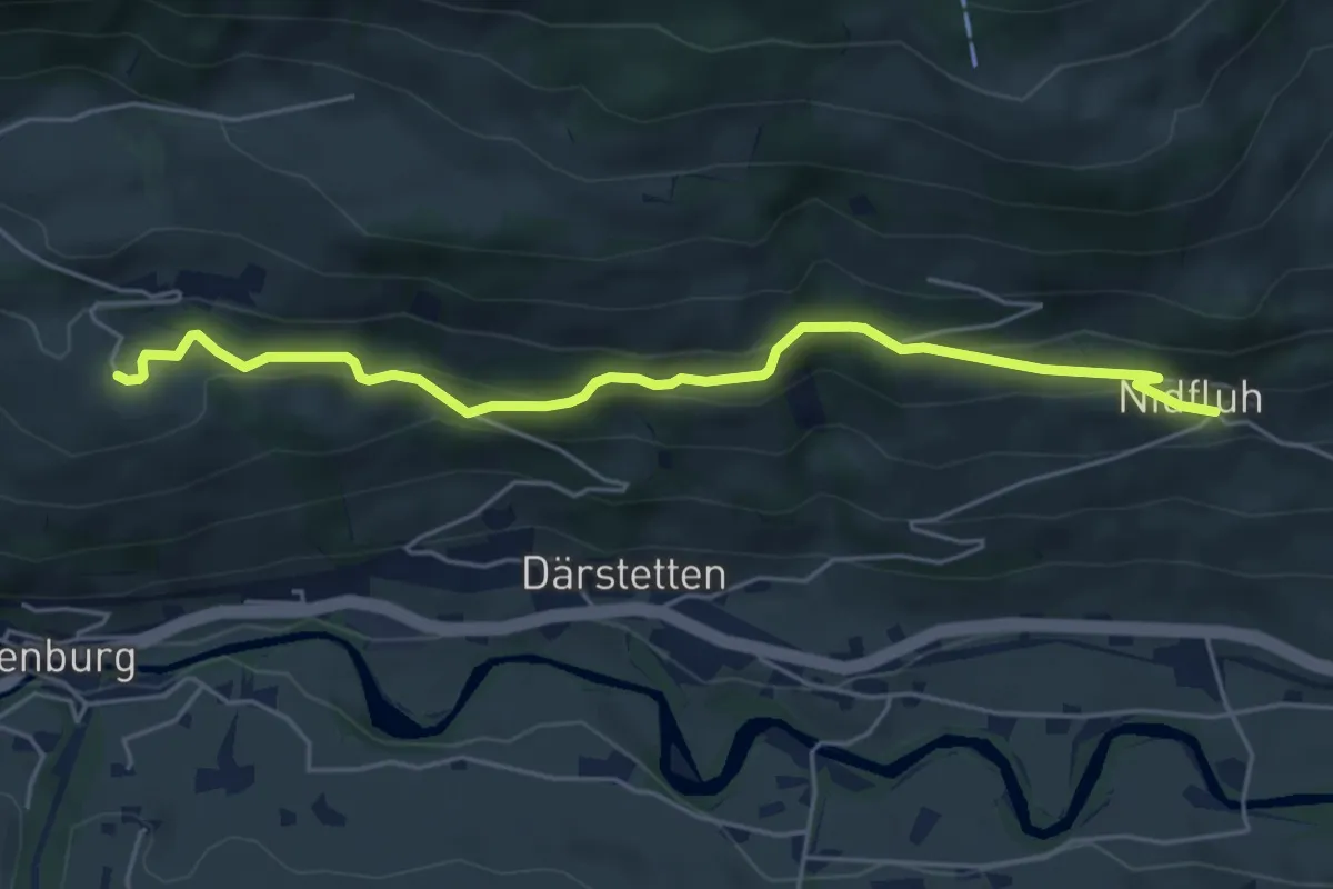
Easy · Trail
Weissenburgberg – Nidflue
5.4 km · ↑ 292 m · 1 h 54 min · 14 km away
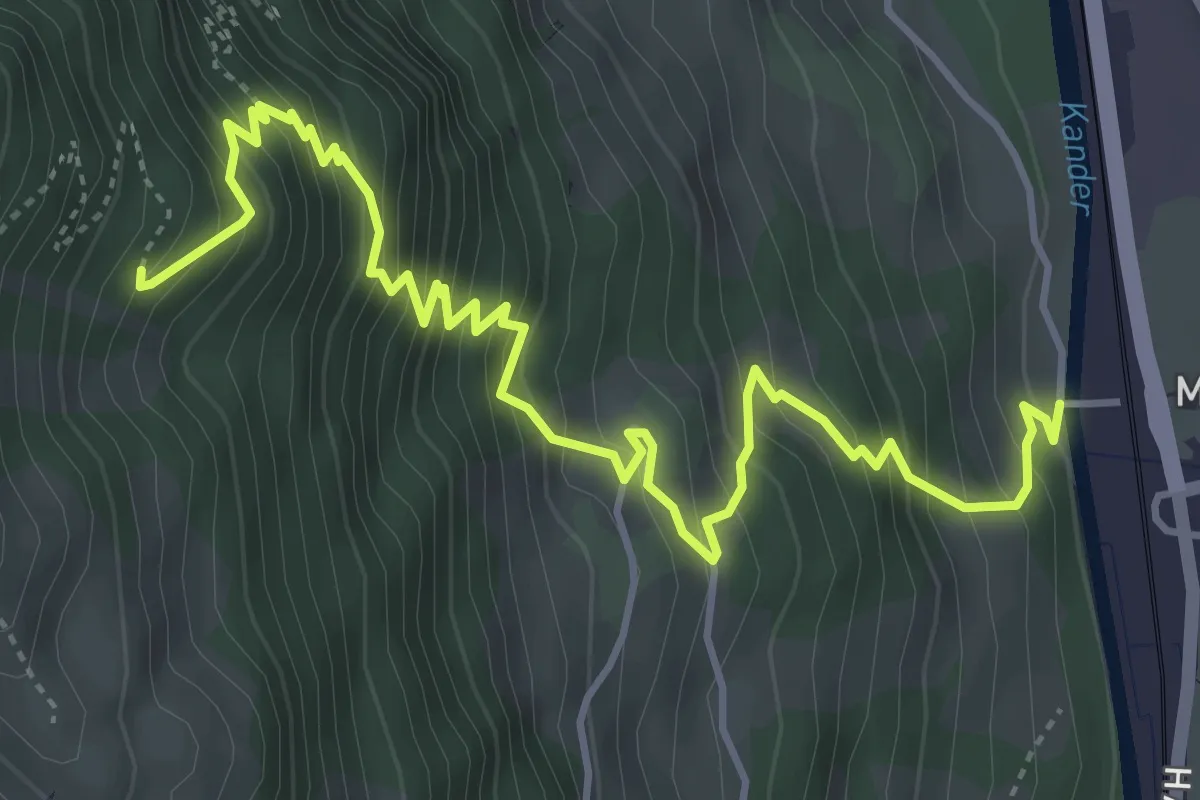
Medium · Trail
Mülenen – Rölleren
5.8 km · ↑ 727 m · 2 h 56 min · 14 km away
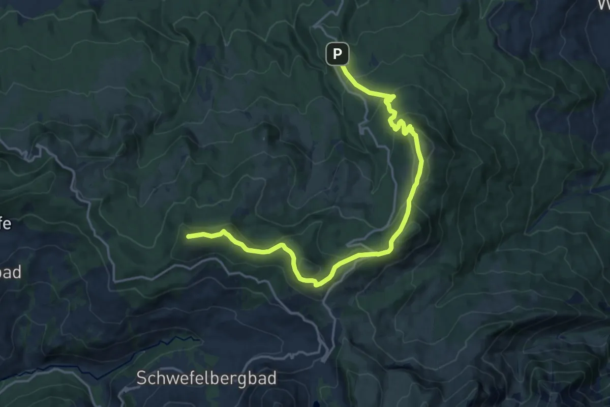
Medium · Summit
Gantrisch Panoramaweg
17.6 km · ↑ 784 m · 5 h 51 min · 14 km away
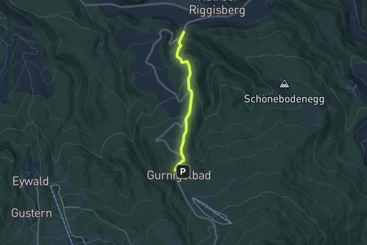
Easy · Trail
Gurnigelbad - Dürrbach
4.6 km · ↑ 307 m · 1 h 45 min · 14 km away
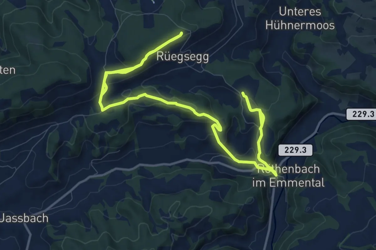
Demanding · Trail
Röthenbach
18.4 km · ↑ 652 m · 5 h 45 min · 14 km away
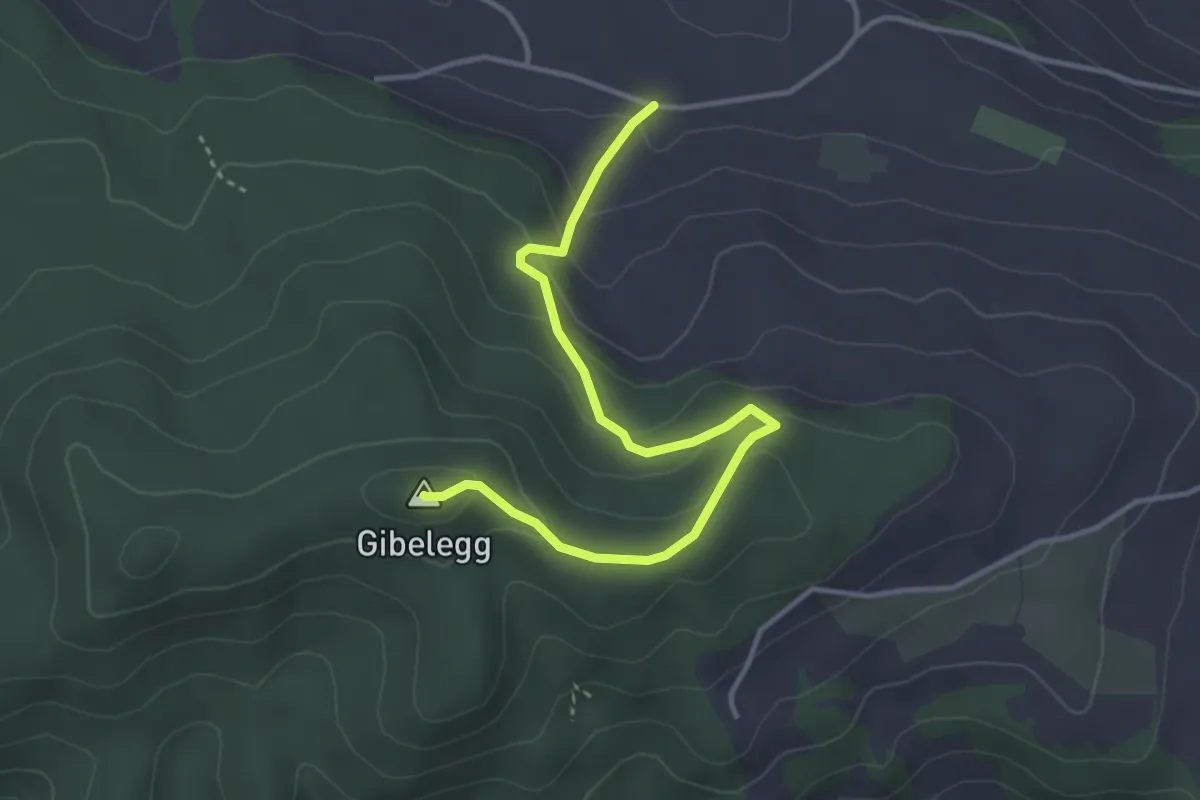
Easy · Summit
Hohlenweg - Gibelegg
3.8 km · ↑ 194 m · 1 h 20 min · 14 km away
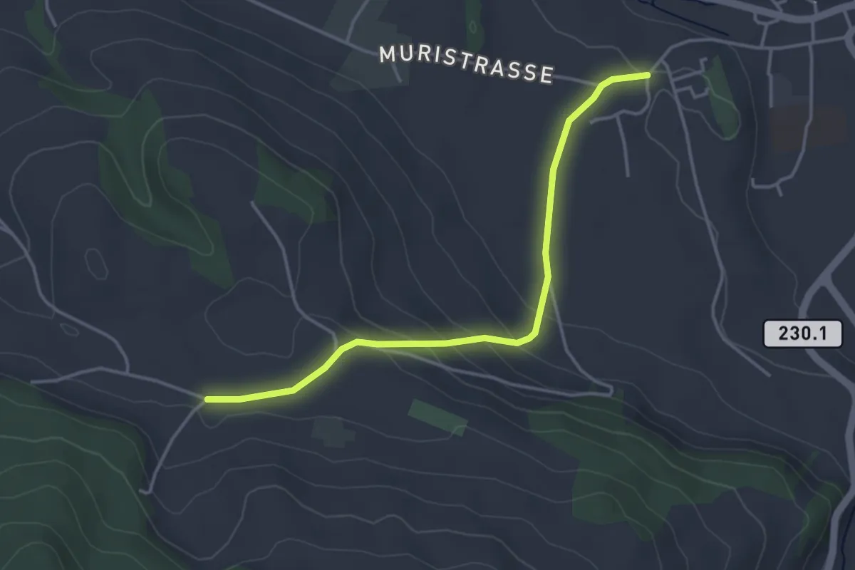
Easy · Trail
Riggisberg Schloss - Hohlenweg
3.8 km · ↑ 132 m · 1 h 11 min · 14 km away
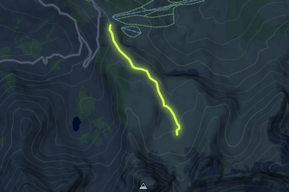
Easy · Trail
Obernünenen - Nünenenberg
3.5 km · ↑ 144 m · 1 h 8 min · 14 km away
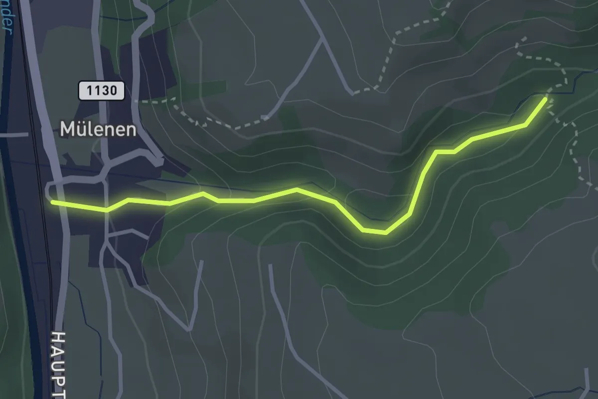
Easy · Trail
Suldgrabe – Mülenen
2.9 km · ↑ 103 m · 54 min · 14 km away
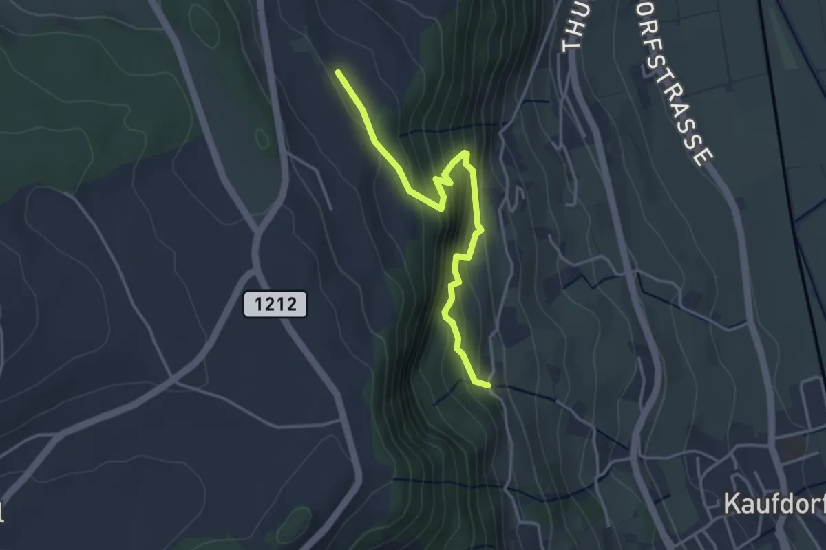
Easy · Trail
Oberfeld - Gutenbrünnen
3.4 km · ↑ 304 m · 1 h 28 min · 14 km away
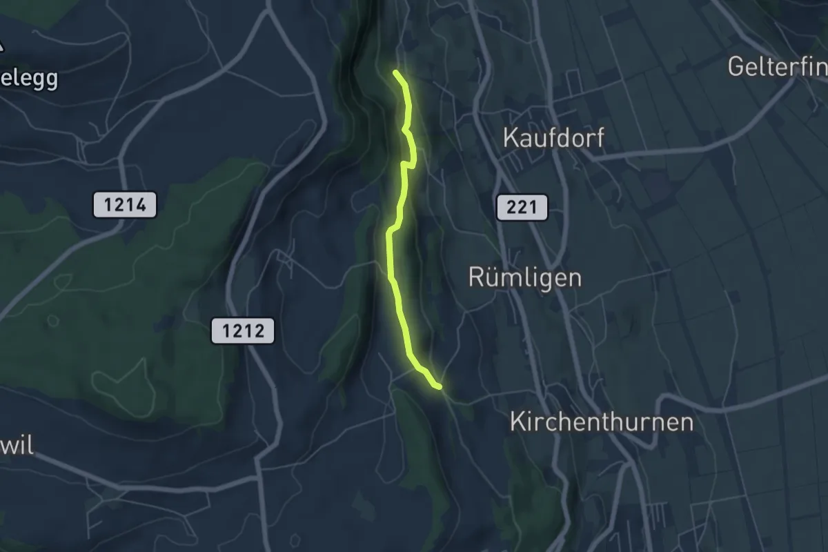
Easy · Trail
Gutenbrünnen - Uf der Mur
4.0 km · ↑ 157 m · 1 h 18 min · 14 km away
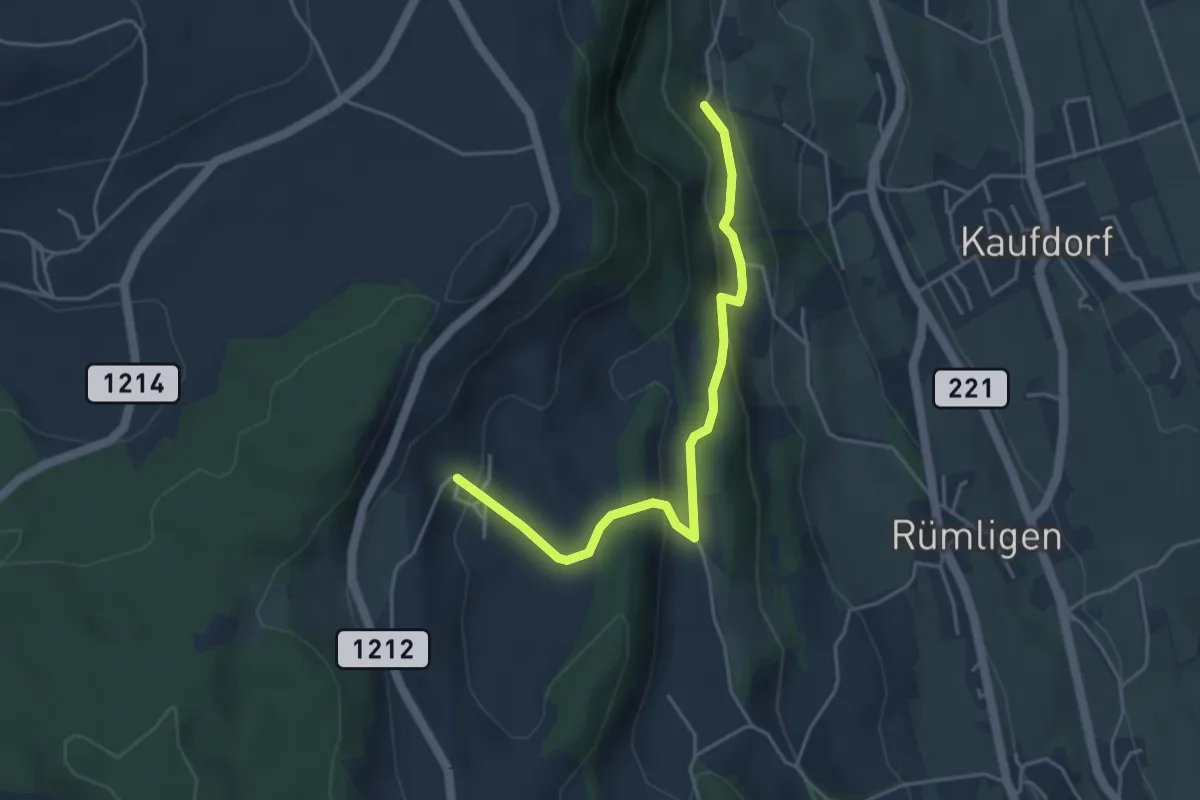
Easy · Trail
Gutenbrünnen - Hermiswil
4.3 km · ↑ 207 m · 1 h 28 min · 14 km away
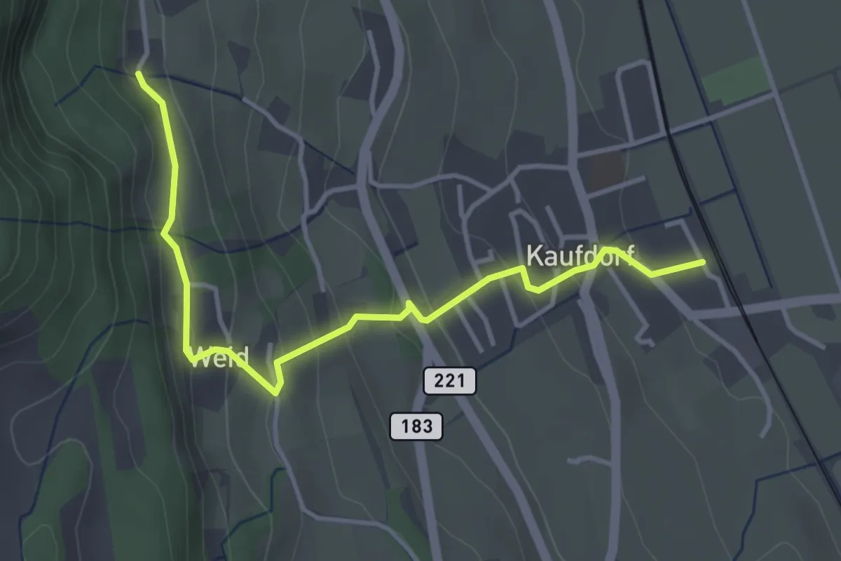
Easy · Trail
Kaufdorf - Gutenbrünnen
3.9 km · ↑ 237 m · 1 h 26 min · 14 km away
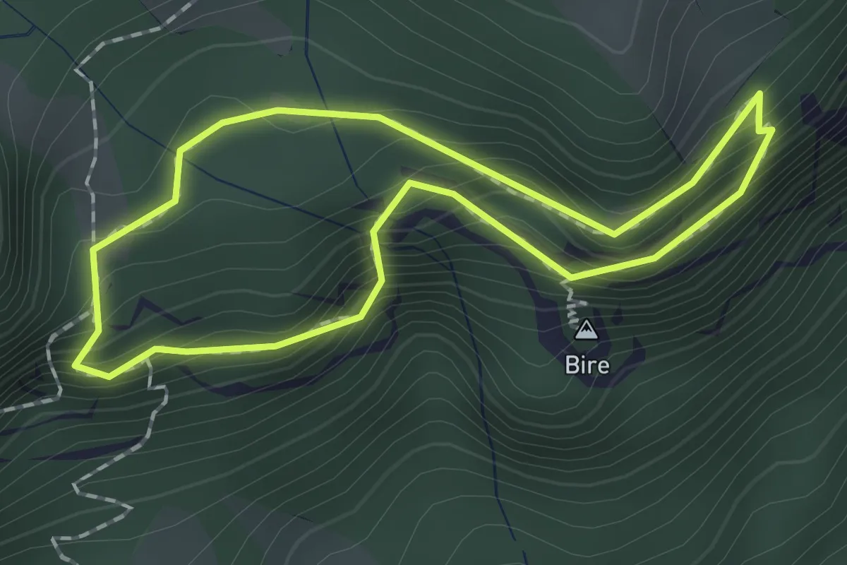
Demanding · Summit
Bireflue – Bire
1.5 km · ↑ 169 m · 45 min · 14 km away
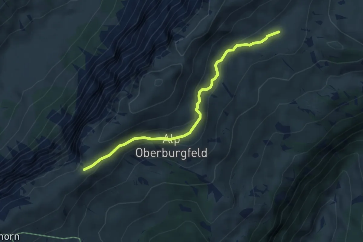
Medium · Trail
Hohseil – Oberberg
4.7 km · ↑ 186 m · 1 h 30 min · 14 km away
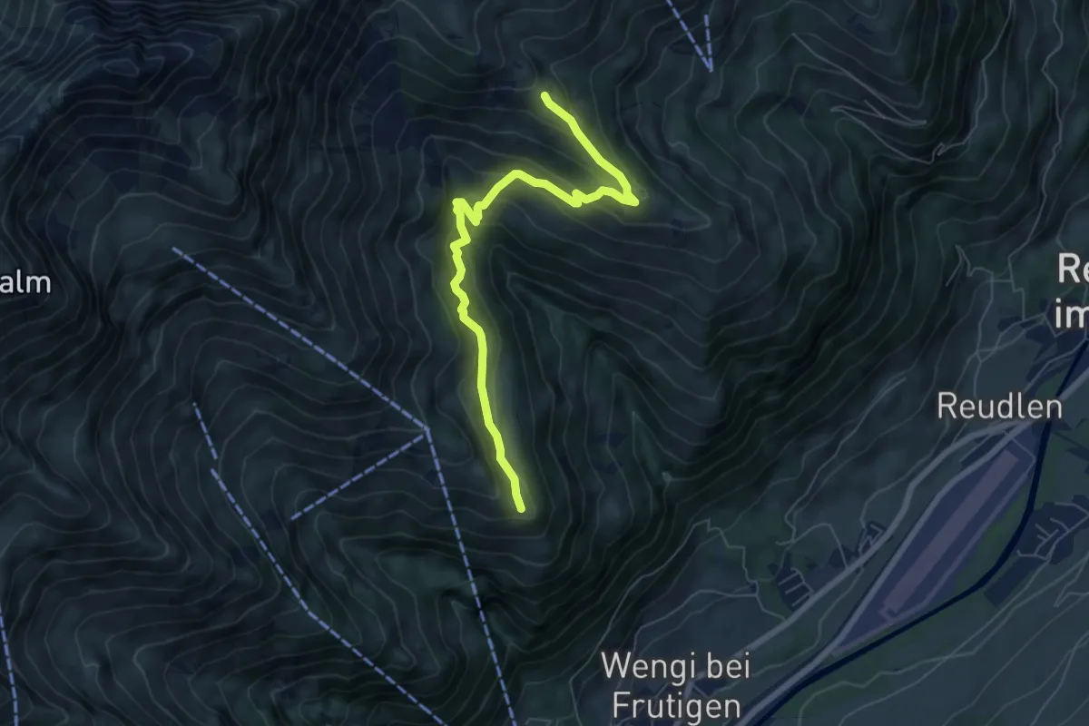
Medium · Trail
Eggweid – Unterniesen
6.7 km · ↑ 428 m · 2 h 30 min · 14 km away
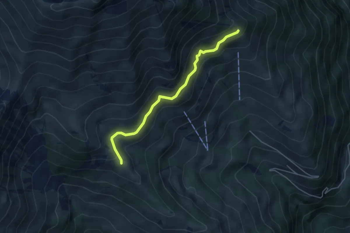
Easy · Trail
Unterniesen – Schwandegg
3.8 km · ↑ 236 m · 1 h 25 min · 14 km away