Trails near Thun
435 hikes starting within 15 km, nearest first.
Nearest first, page 9 of 10
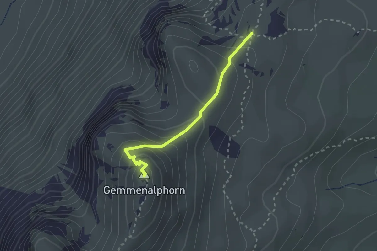
Medium · Summit
Gemmenalphorn – Kühstand
2.0 km · ↑ 158 m · 48 min · 14 km away
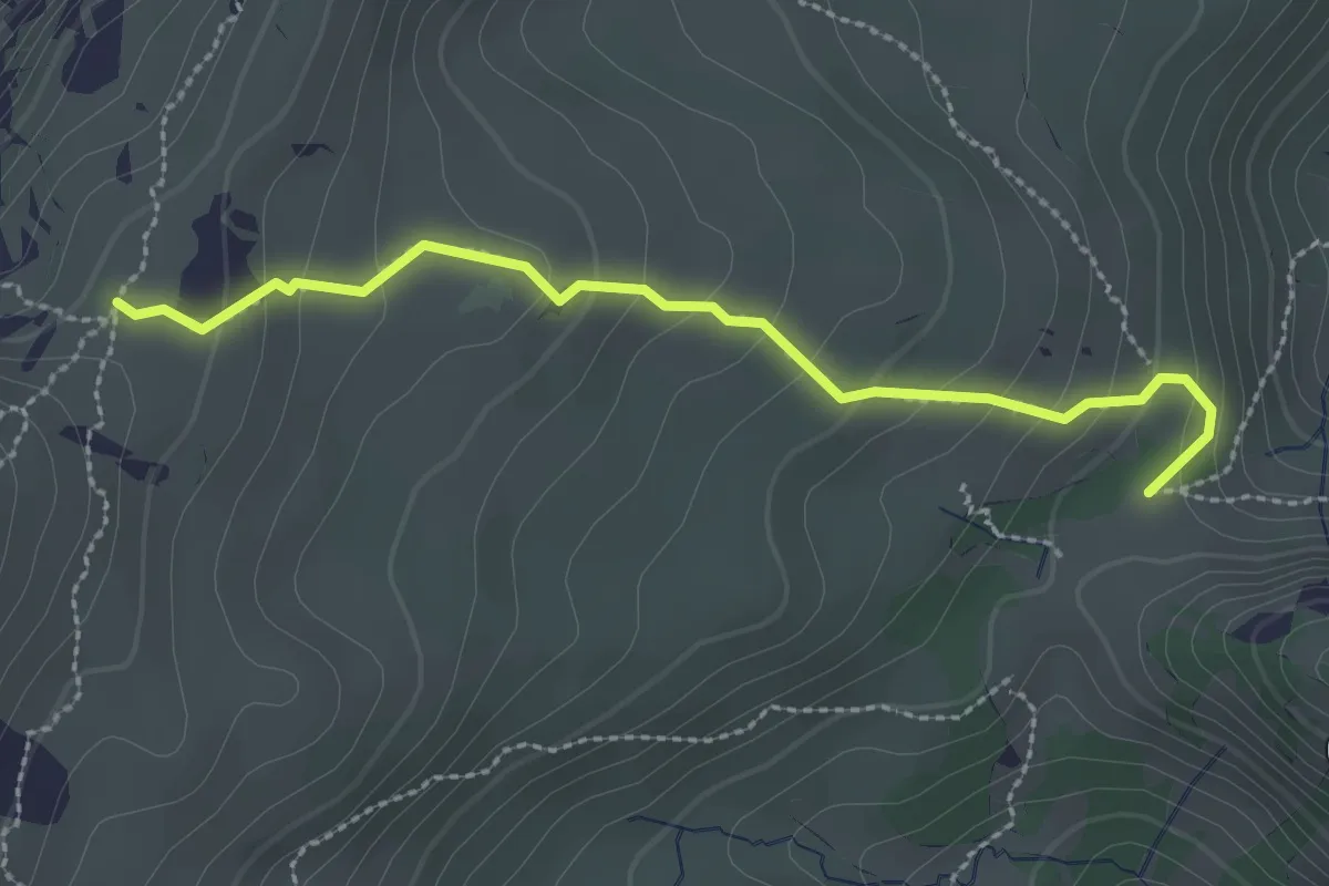
Medium · Trail
Kühstand – Bäreney
2.6 km · ↑ 193 m · 1 h 2 min · 14 km away
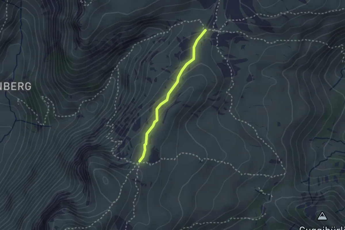
Medium · Trail
Kühstand – Seefeld / Oberberg
2.1 km · ↑ 104 m · 44 min · 14 km away
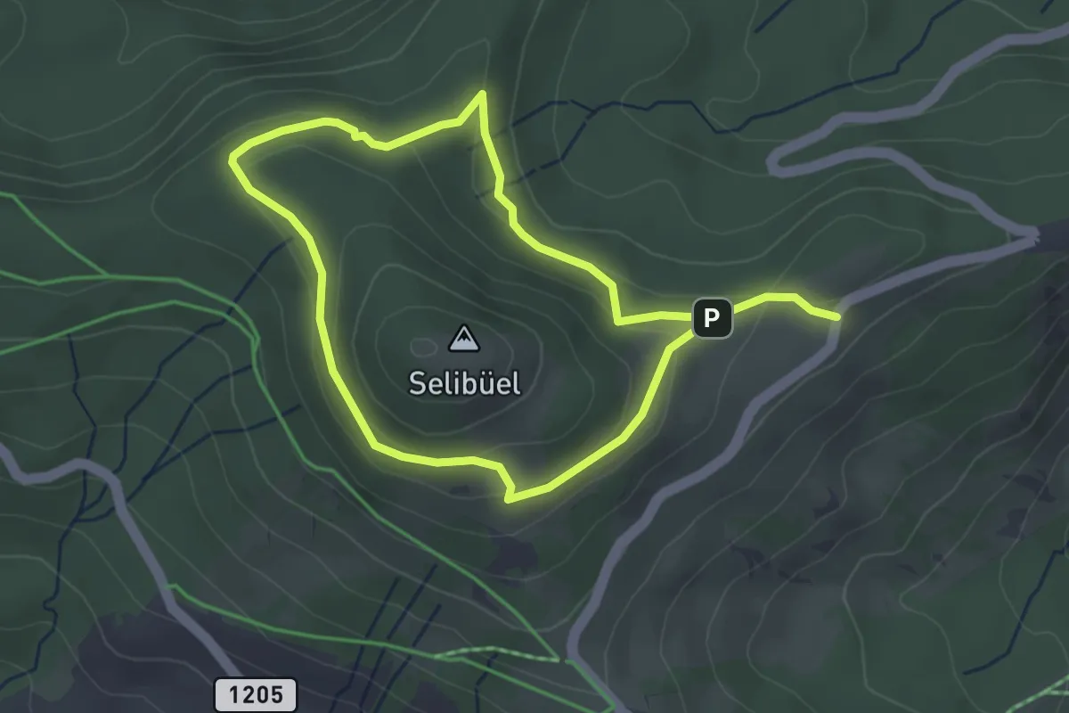
Easy · Trail
Selibüel Rundweg
6.0 km · ↑ 216 m · 1 h 53 min · 14 km away
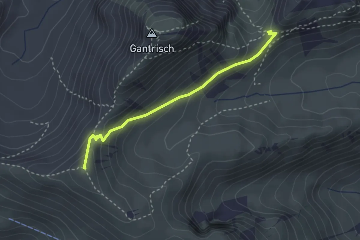
Medium · Summit
Schibespitz – Leiterenpass
2.6 km · ↑ 126 m · 53 min · 14 km away
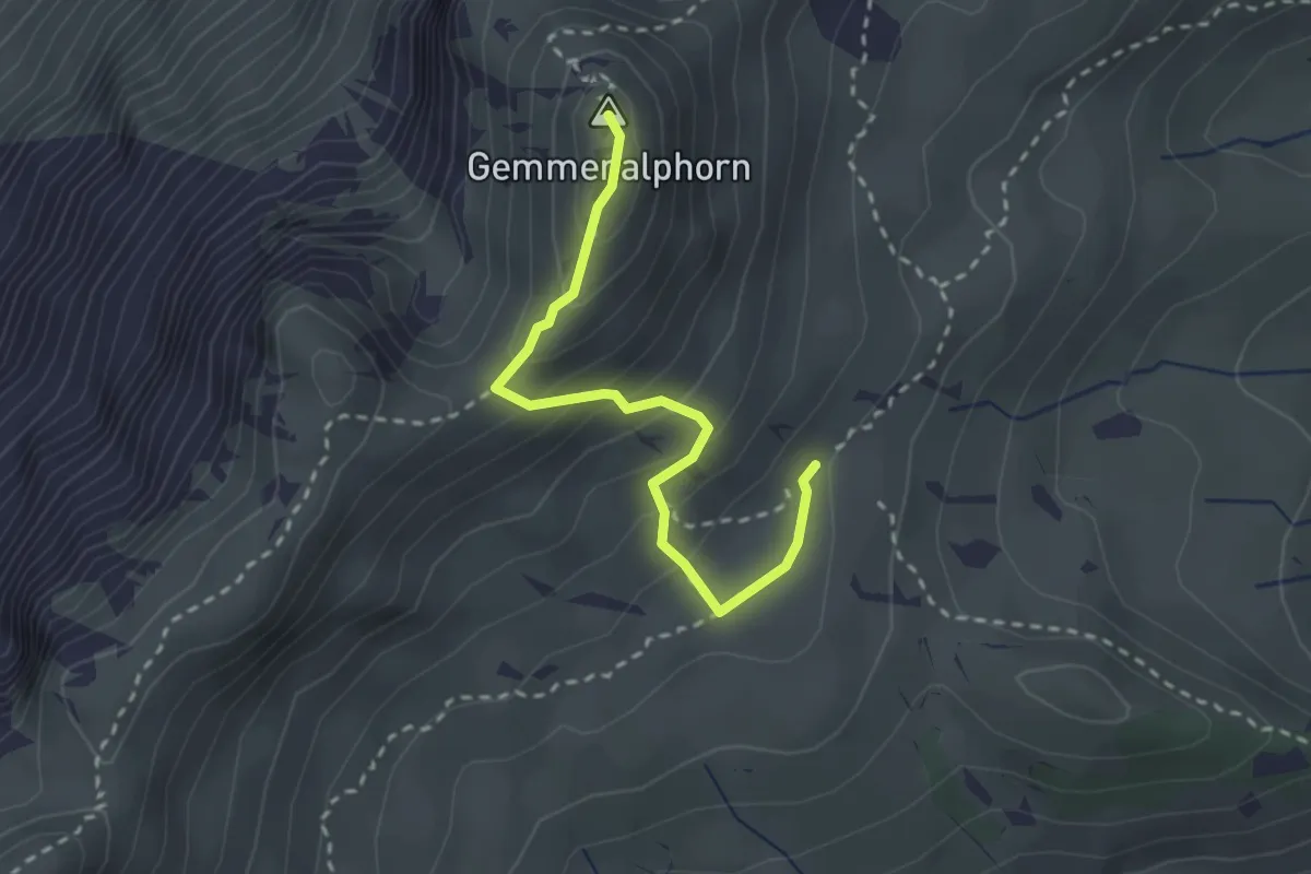
Medium · Summit
Gemmenalp/Oberberg – Gemmenalphorn
2.6 km · ↑ 171 m · 59 min · 14 km away
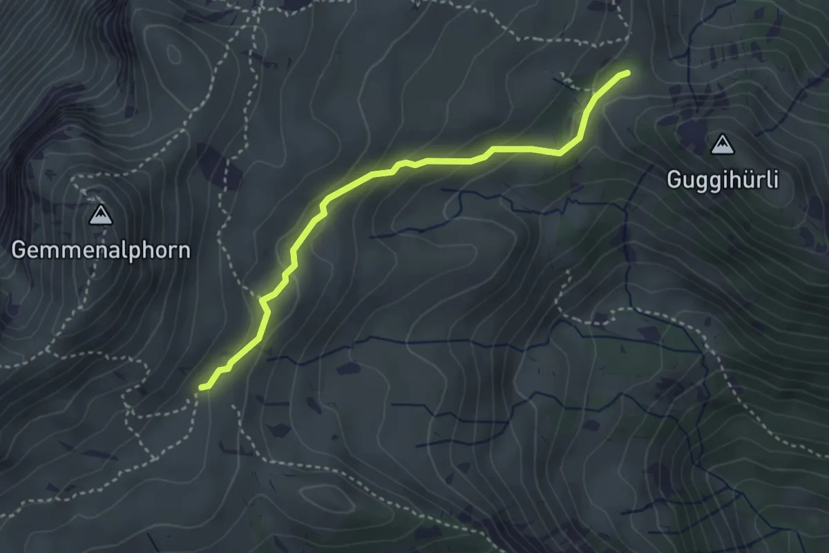
Medium · Trail
Gemmenalp/Oberberg – Bärenei
3.3 km · ↑ 183 m · 1 h 11 min · 14 km away
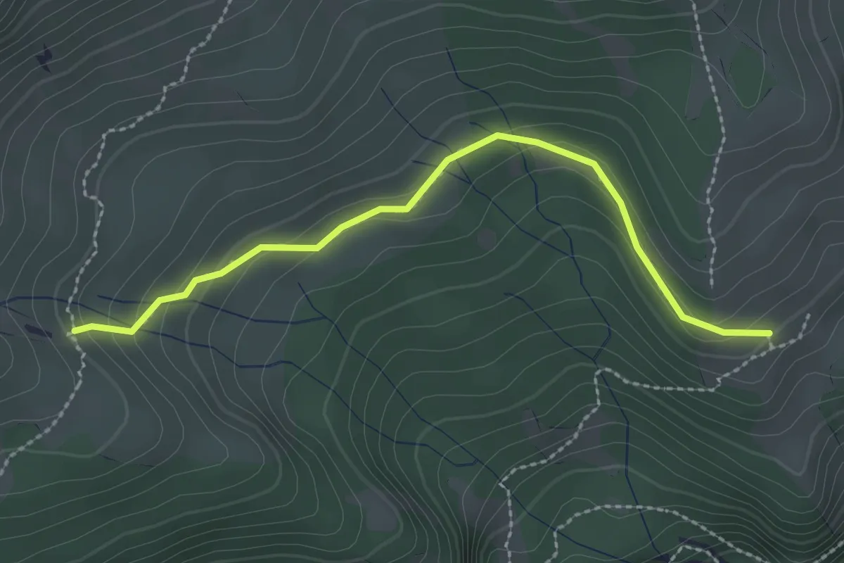
Easy · Trail
Unterburgfeld – Häliloch
2.5 km · ↑ 108 m · 50 min · 14 km away
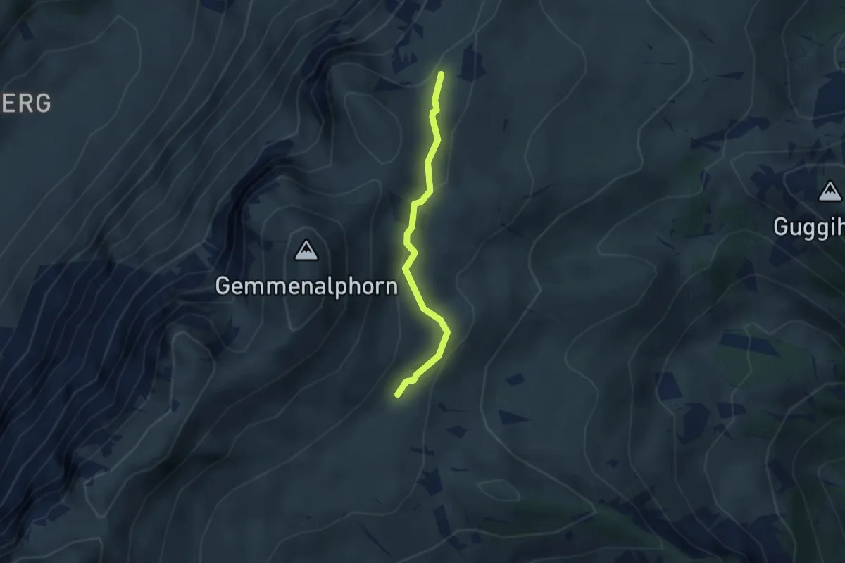
Medium · Trail
Gemmenalp/Oberberg – Kühstand
2.5 km · ↑ 85 m · 46 min · 14 km away
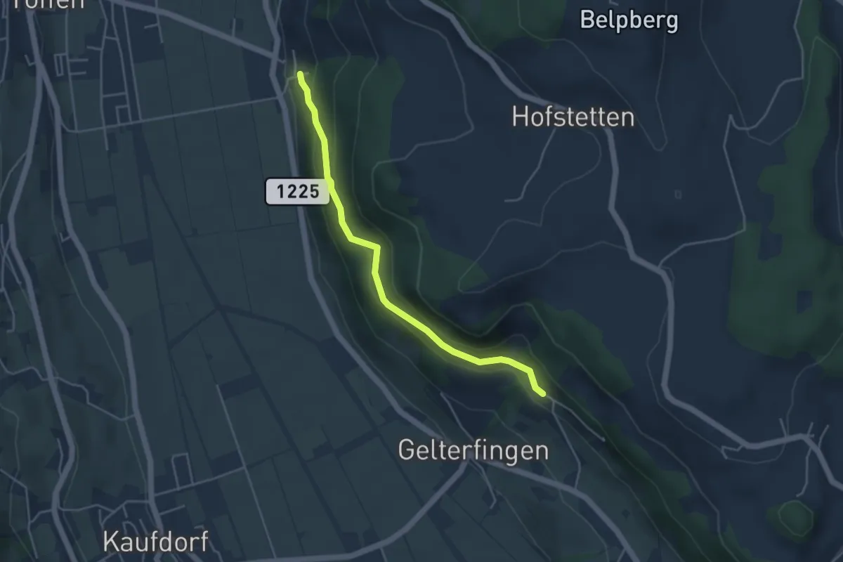
Easy · Trail
Heitern - Chramburg
4.0 km · ↑ 198 m · 1 h 23 min · 14 km away
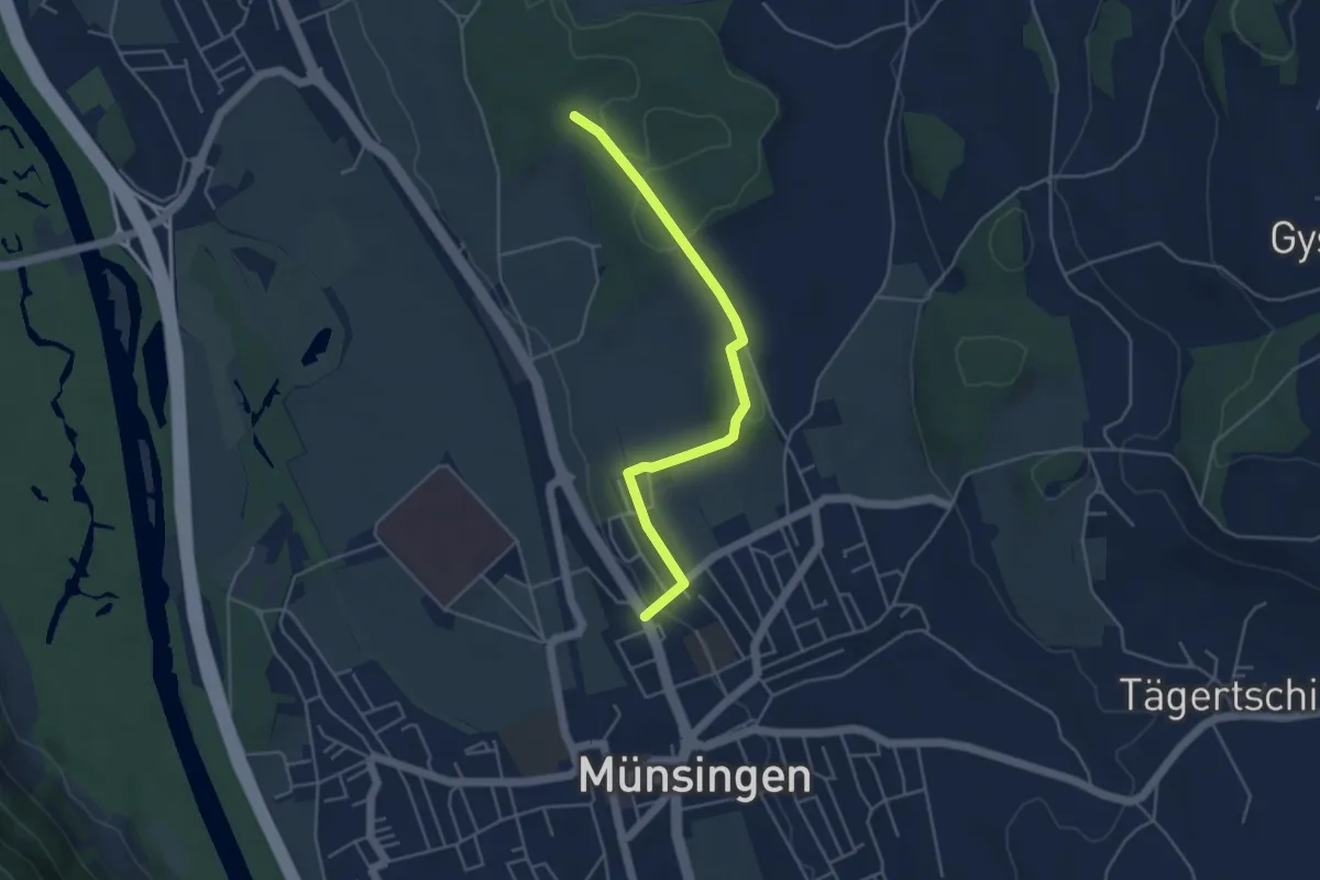
Easy · Trail
Münsingen – Schwandwald
4.4 km · ↑ 75 m · 1 h 12 min · 14 km away
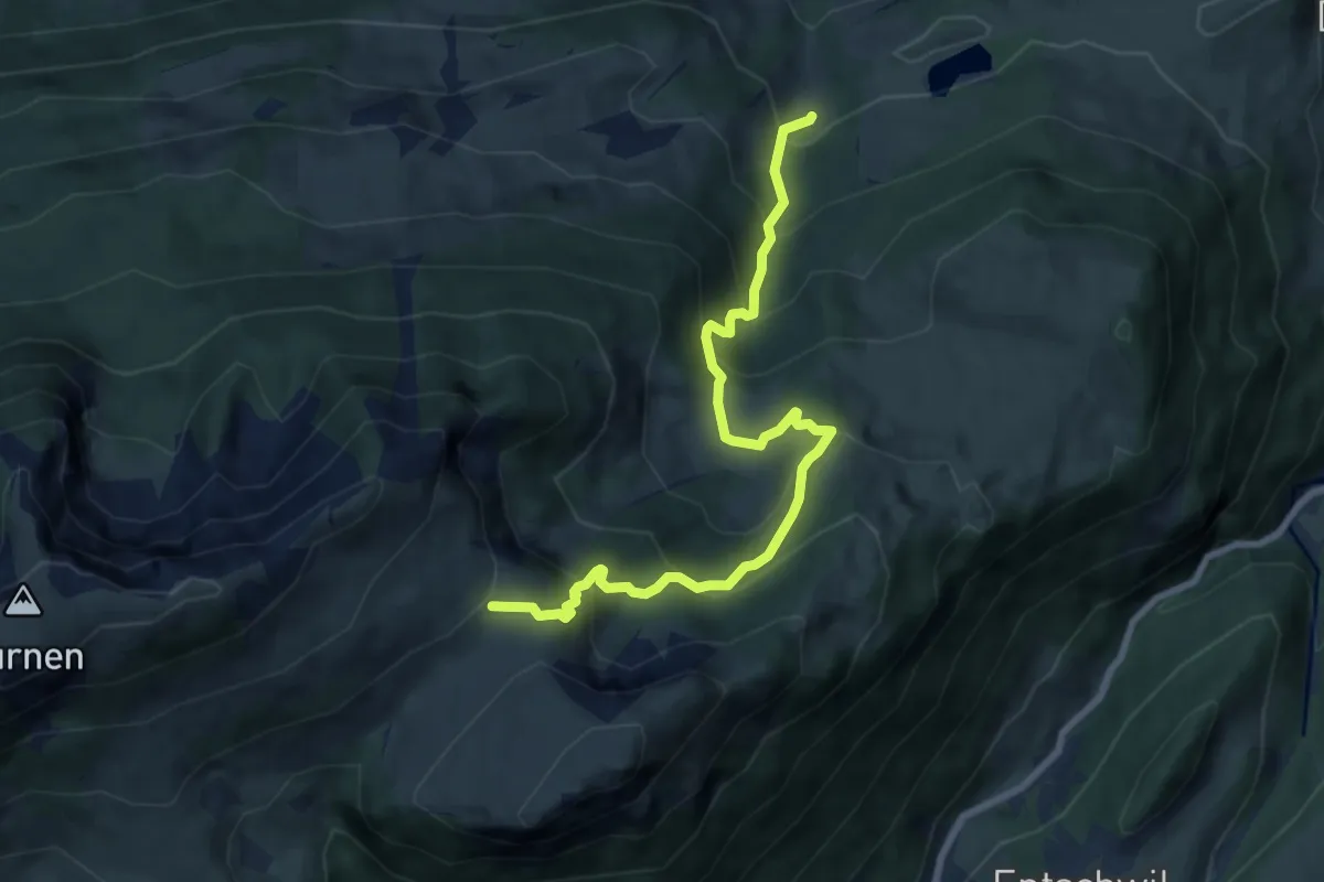
Medium · Cabin
Ägelsee – Rinderalp
8.5 km · ↑ 726 m · 3 h 35 min · 14 km away
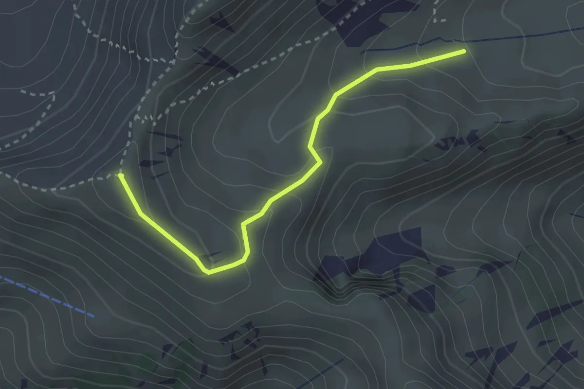
Easy · Summit
Schibenspitz – Kessel
2.7 km · ↑ 199 m · 1 h 4 min · 14 km away
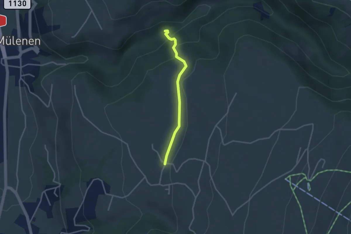
Medium · Trail
Suldgrabe – Faltschen
2.3 km · ↑ 111 m · 48 min · 14 km away
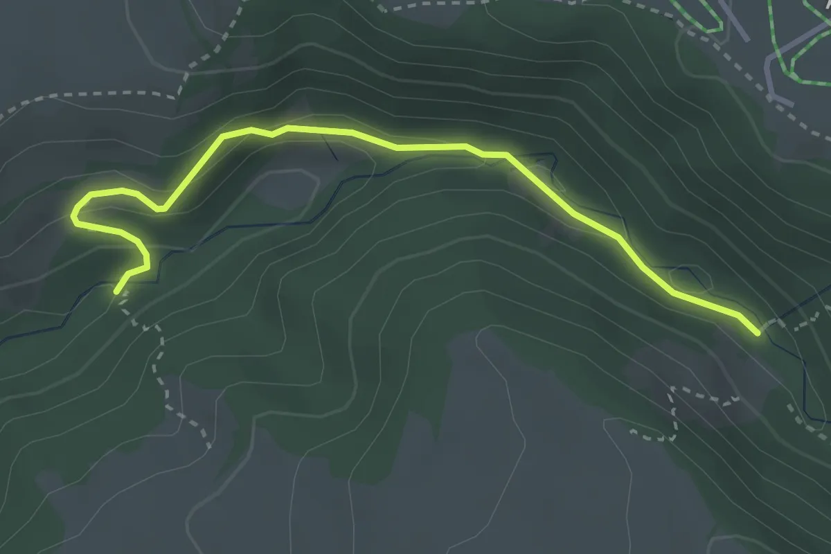
Medium · Trail
Stächgrabe – Suldgrabe
3.2 km · ↑ 175 m · 1 h 8 min · 14 km away
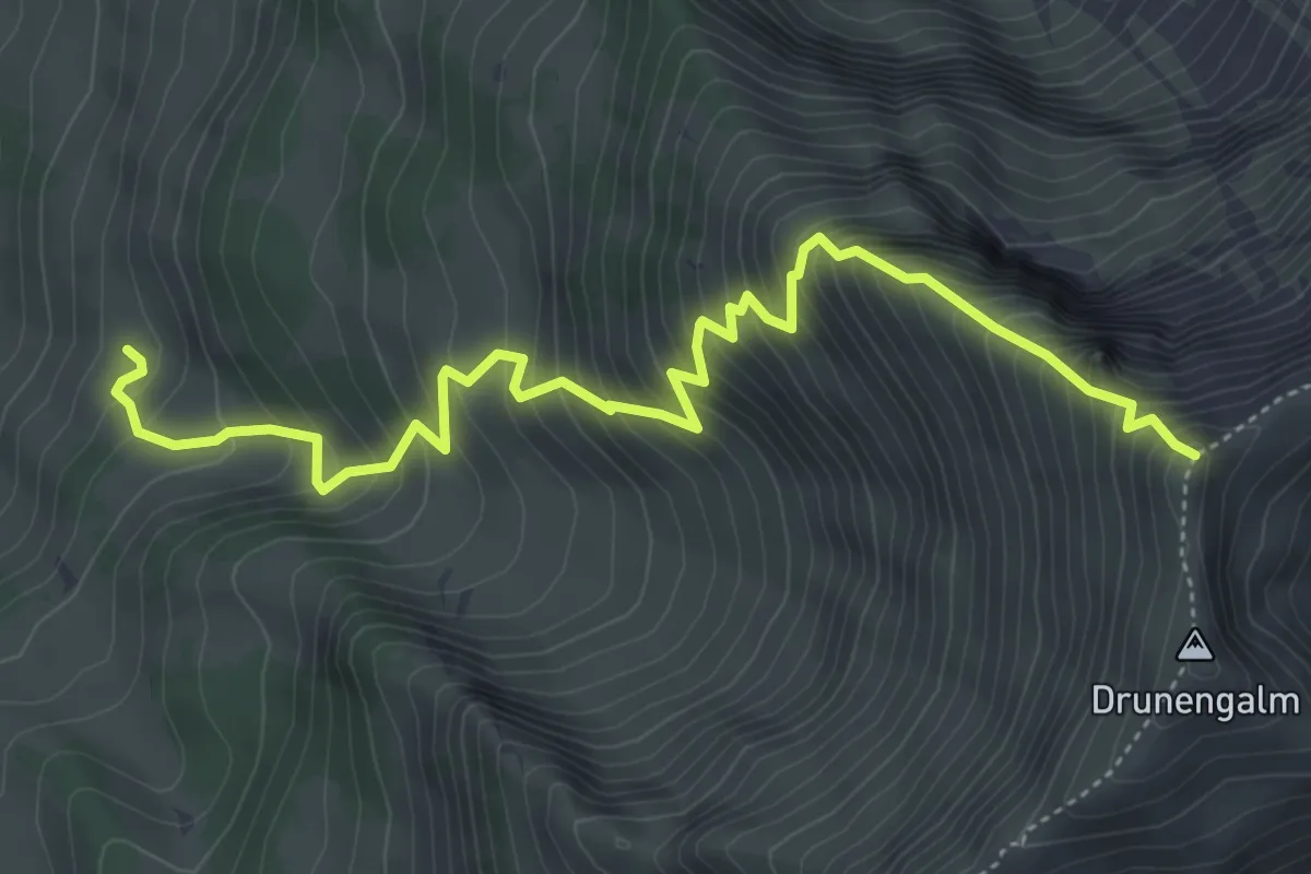
Demanding · Trail
Undere Drune – Drunegalm
5.7 km · ↑ 823 m · 3 h 8 min · 14 km away
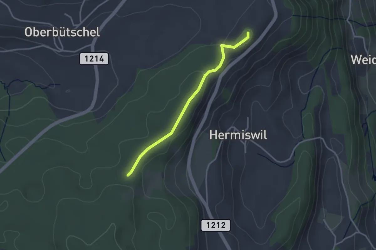
Easy · Summit
Tavelgedenkstätte – Taanwald
2.6 km · ↑ 53 m · 44 min · 14 km away
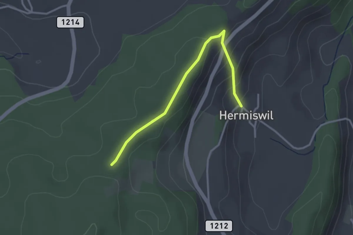
Easy · Trail
Hermiswil – Taanwald
2.7 km · ↑ 112 m · 53 min · 14 km away
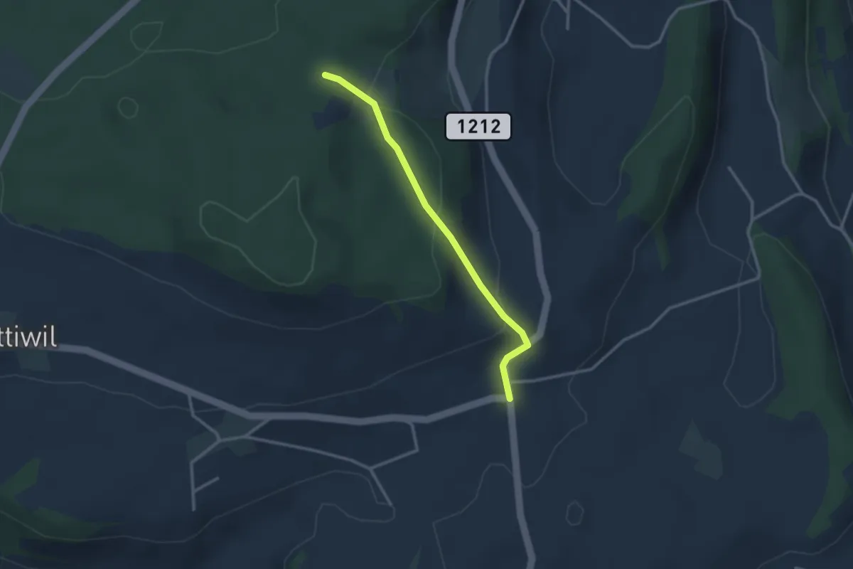
Easy · Trail
Taanwald – Hasli
2.6 km · ↑ 117 m · 52 min · 14 km away
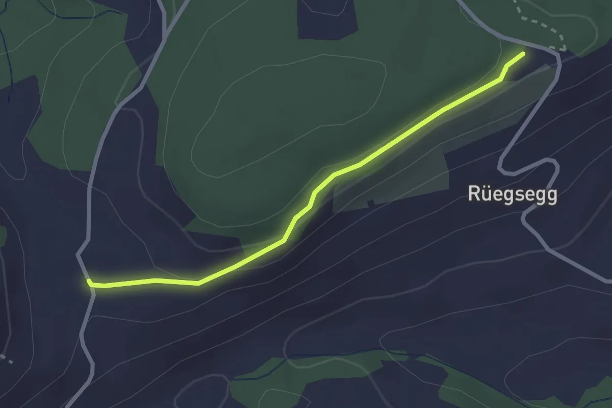
Easy · Trail
Chuderhüsi – Müliseile
2.4 km · ↑ 58 m · 41 min · 15 km away
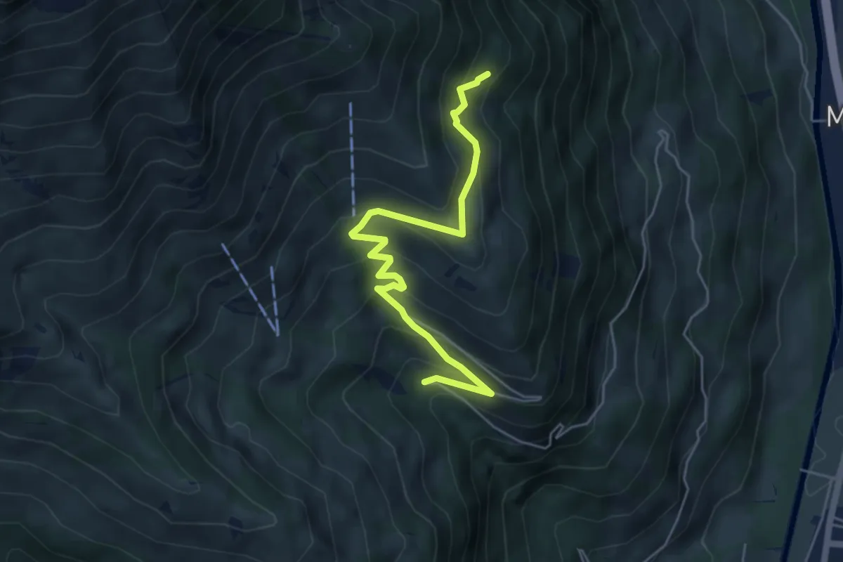
Medium · Trail
Stöpfweidleni – Rölleren
5.2 km · ↑ 336 m · 1 h 58 min · 15 km away
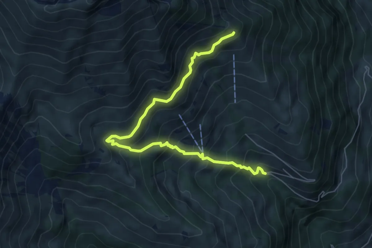
Medium · Trail
Schwandegg – Stöpfweidleni
6.8 km · ↑ 670 m · 3 h 4 min · 15 km away
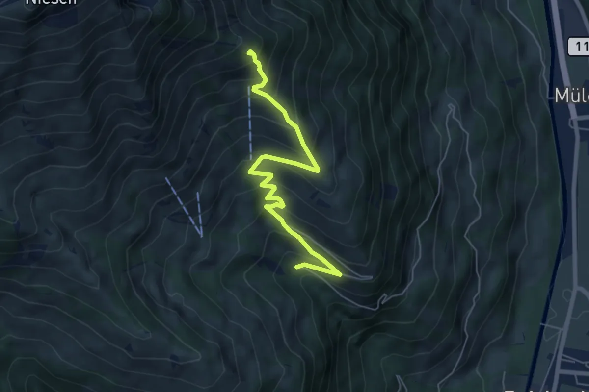
Medium · Trail
Stöpfweidleni – Schwandegg
5.6 km · ↑ 484 m · 2 h 22 min · 15 km away
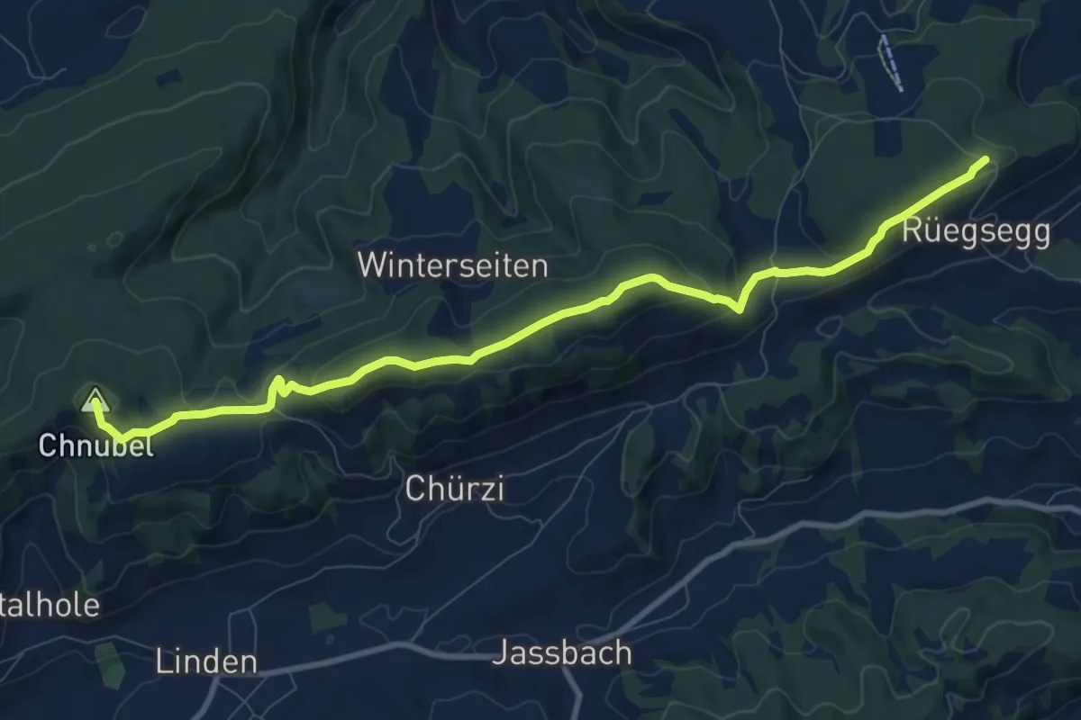
Medium · Summit
Chuderhüsi-Oberdiessbach
10.2 km · ↑ 321 m · 3 h 7 min · 15 km away
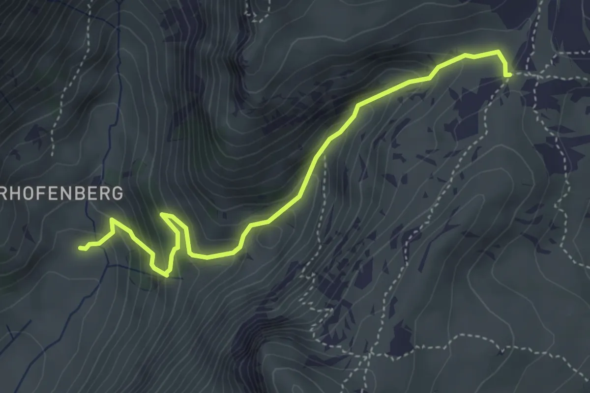
Medium · Trail
Seefeld / Oberberg – Hinterstberg
4.5 km · ↑ 455 m · 2 h 3 min · 15 km away
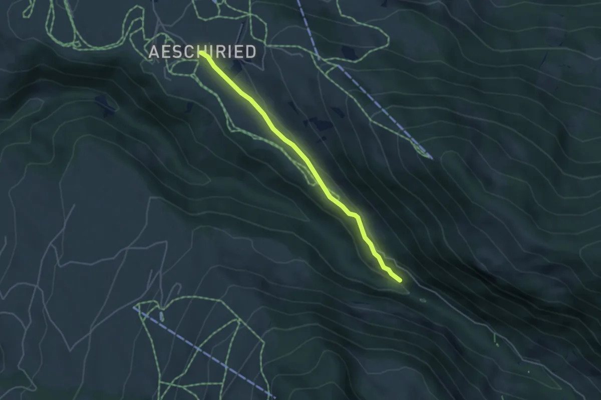
Easy · Trail
Staldenweid – Aeschiried
3.9 km · ↑ 75 m · 1 h 5 min · 15 km away
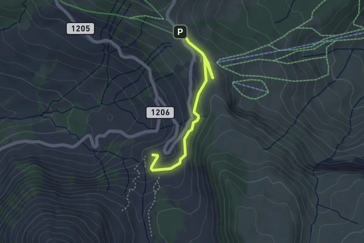
Easy · Cabin
Underi Gantrischhütte – Wasserscheidi
3.4 km · ↑ 108 m · 1 h 2 min · 15 km away
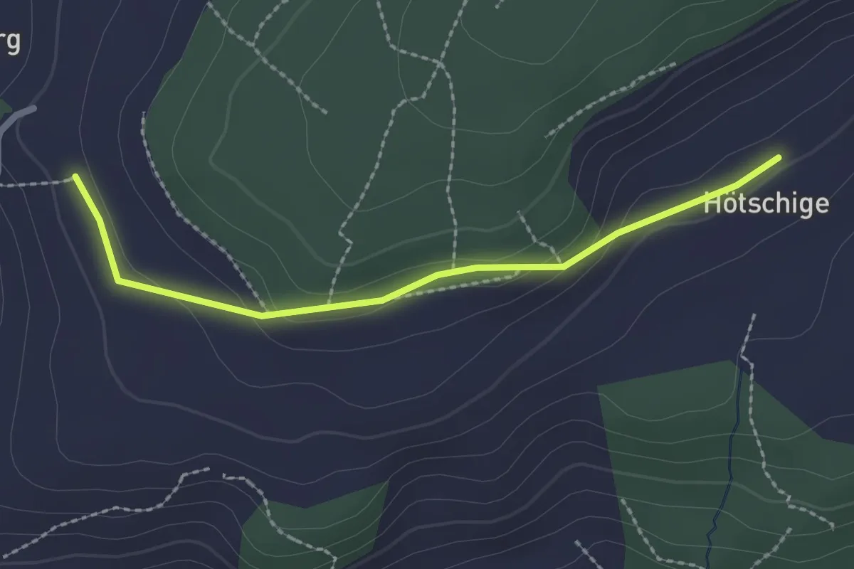
Easy · Trail
Ballenbüel – Ober Hötschige
2.2 km · ↑ 55 m · 38 min · 15 km away
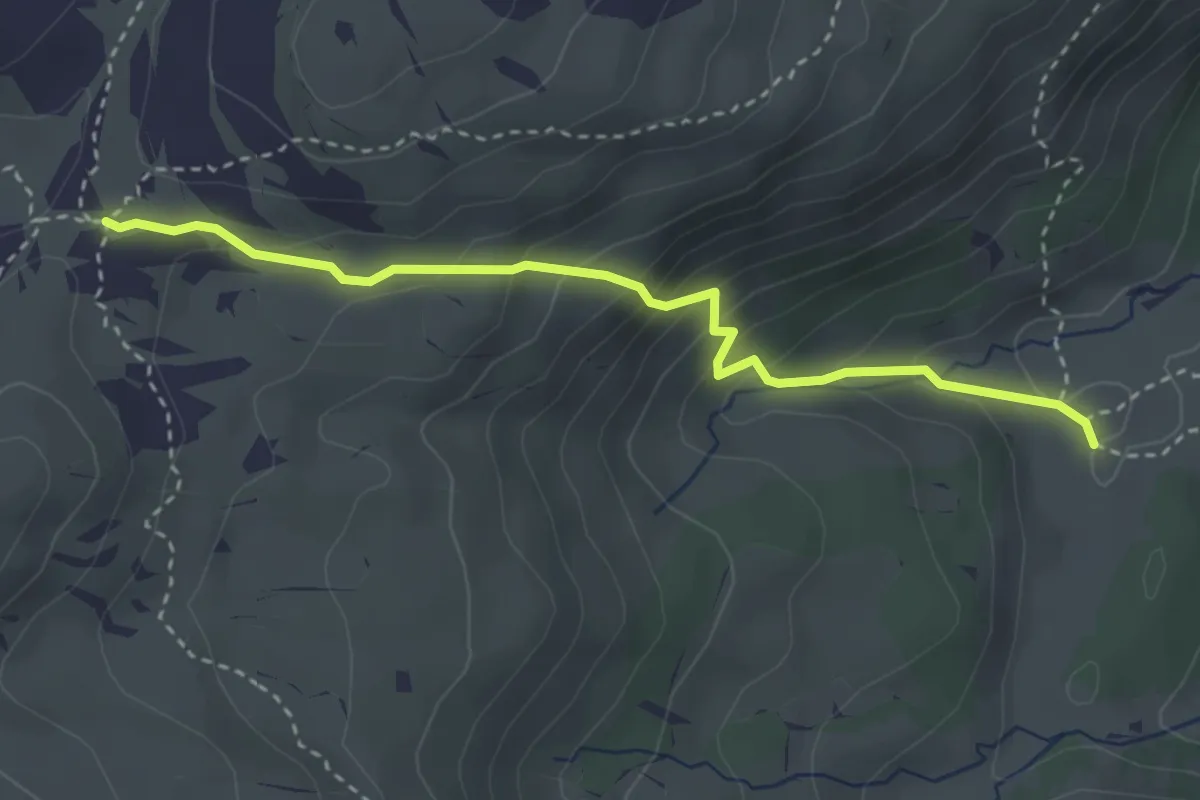
Medium · Trail
Oberberg – Chromatte
3.3 km · ↑ 263 m · 1 h 21 min · 15 km away
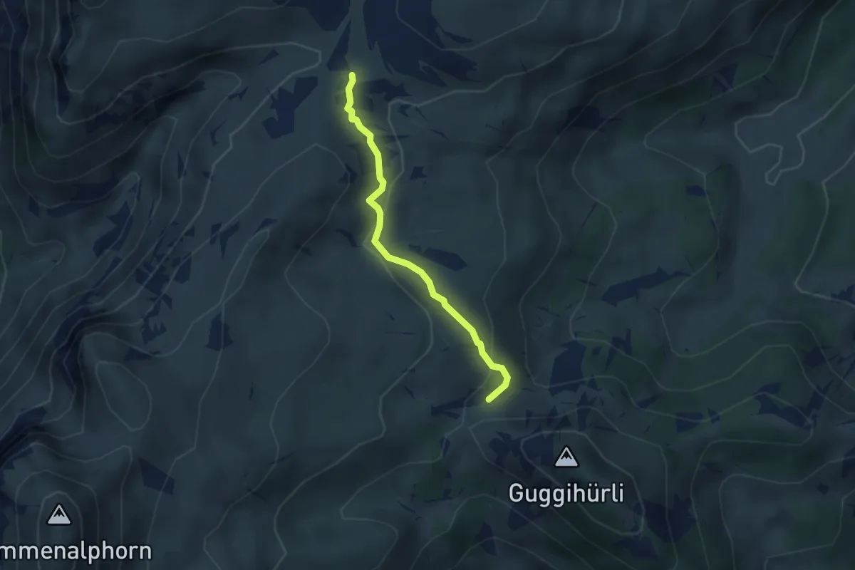
Medium · Trail
Oberberg – Bäreney
2.8 km · ↑ 117 m · 55 min · 15 km away
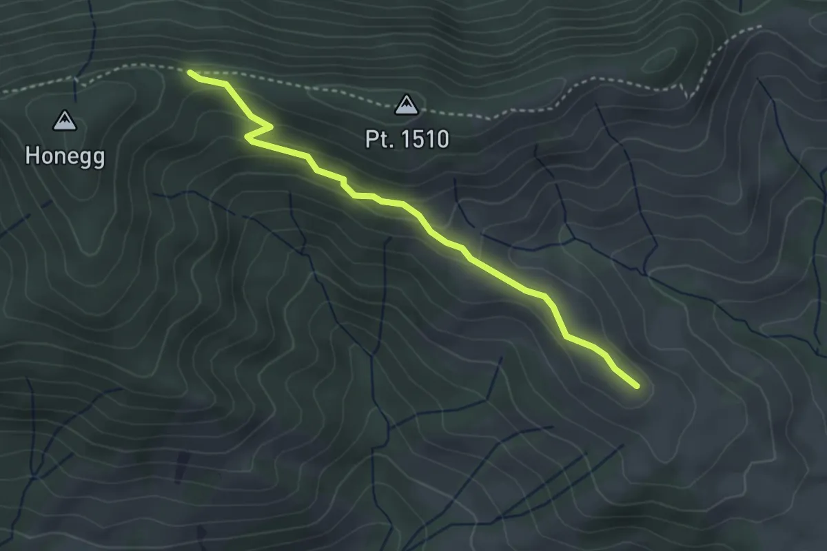
Easy · Trail
Honegg – Grossi Honegg
3.3 km · ↑ 132 m · 1 h 4 min · 15 km away
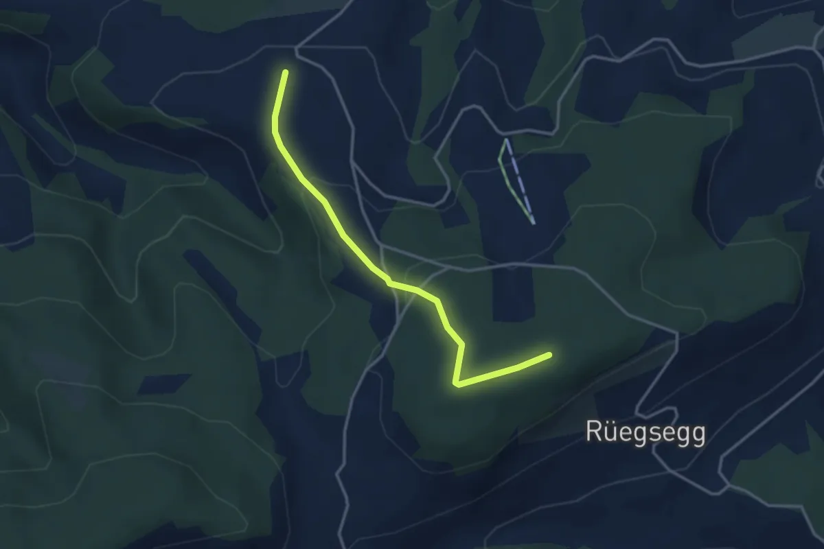
Easy · Trail
Goucherewald – Meieried
3.2 km · ↑ 143 m · 1 h 4 min · 15 km away
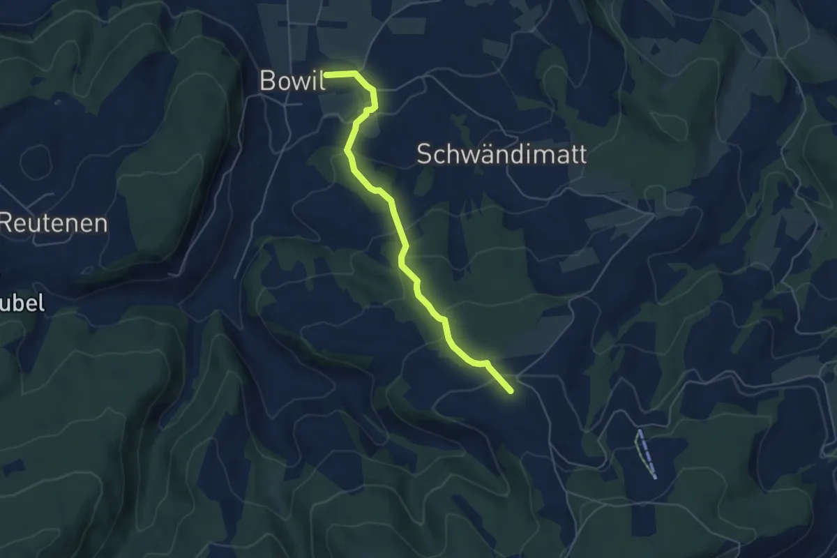
Easy · Trail
Bowil – Meienried
4.9 km · ↑ 279 m · 1 h 46 min · 15 km away
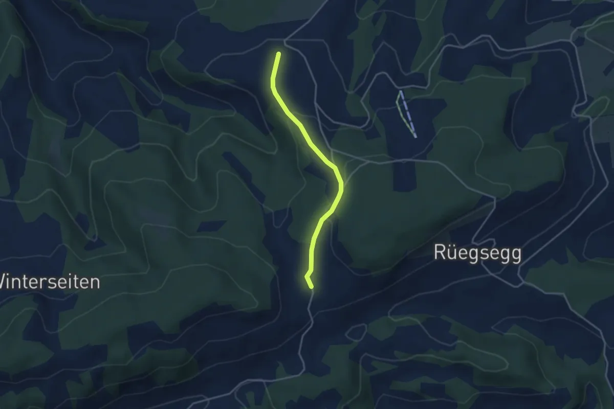
Easy · Trail
Müliseile – Meieried
3.1 km · ↑ 116 m · 59 min · 15 km away
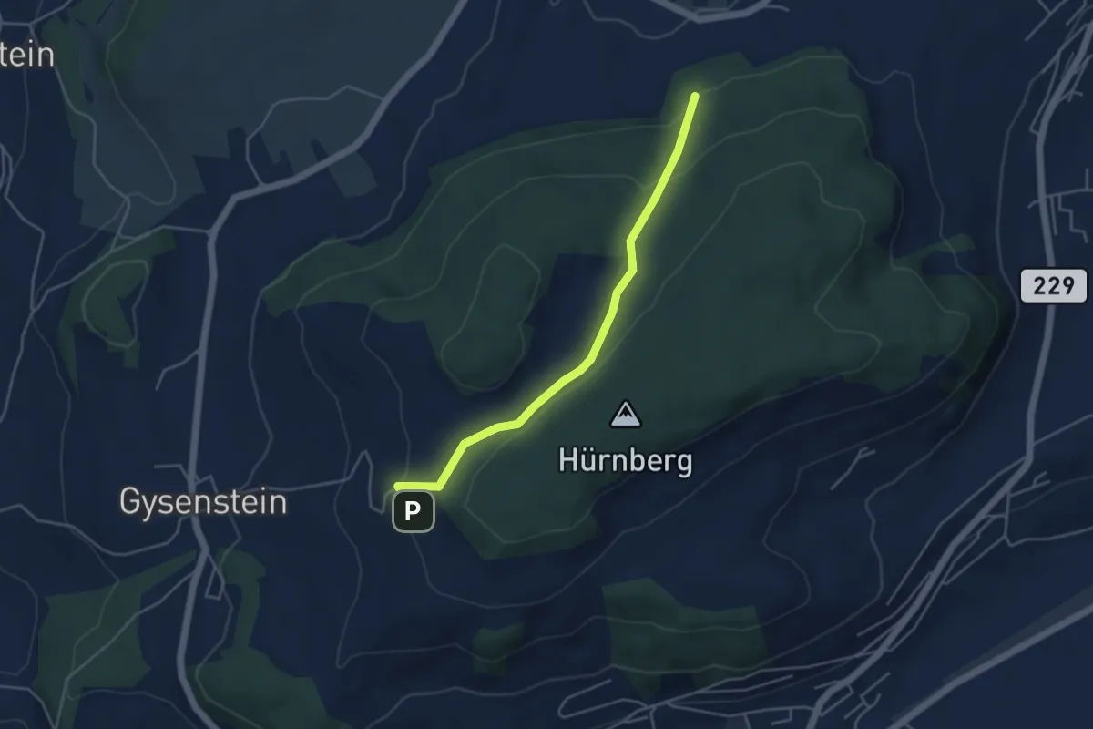
Easy · Trail
Ballenbühl – Schattacherwald
4.2 km · ↑ 130 m · 1 h 17 min · 15 km away
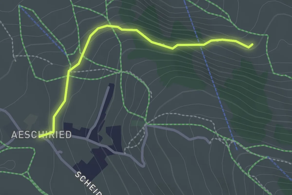
Easy · Trail
Hellbode – Aeschiried
2.2 km · ↑ 88 m · 43 min · 15 km away
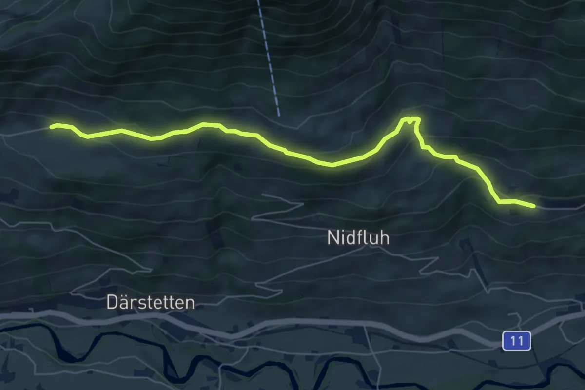
Easy · Trail
Stigimad – Balzenberg
6.7 km · ↑ 316 m · 2 h 15 min · 15 km away
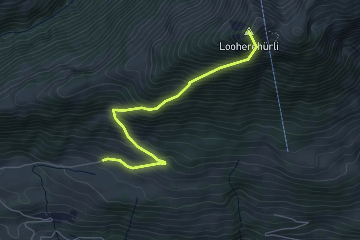
Medium · Summit
Stigimad – Oberi Loohere
4.7 km · ↑ 633 m · 2 h 29 min · 15 km away
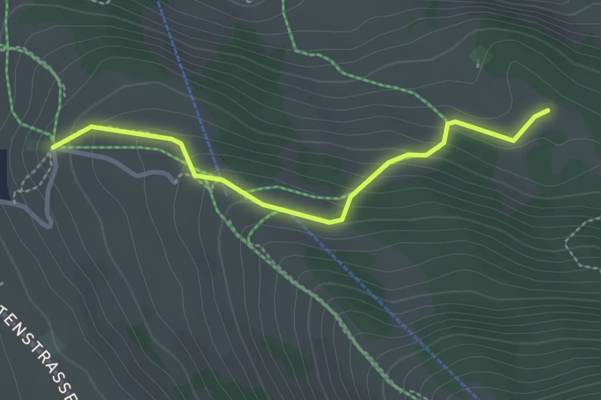
Medium · Cabin
Aeschiallmend – Ufem Viertel
2.4 km · ↑ 136 m · 51 min · 15 km away
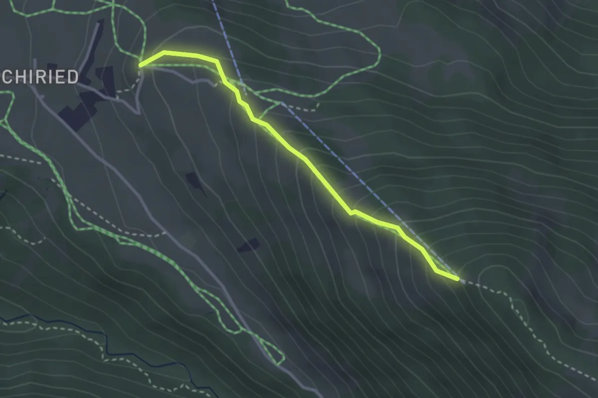
Medium · Trail
Spitz – Aeschiallmend
2.7 km · ↑ 284 m · 1 h 16 min · 15 km away
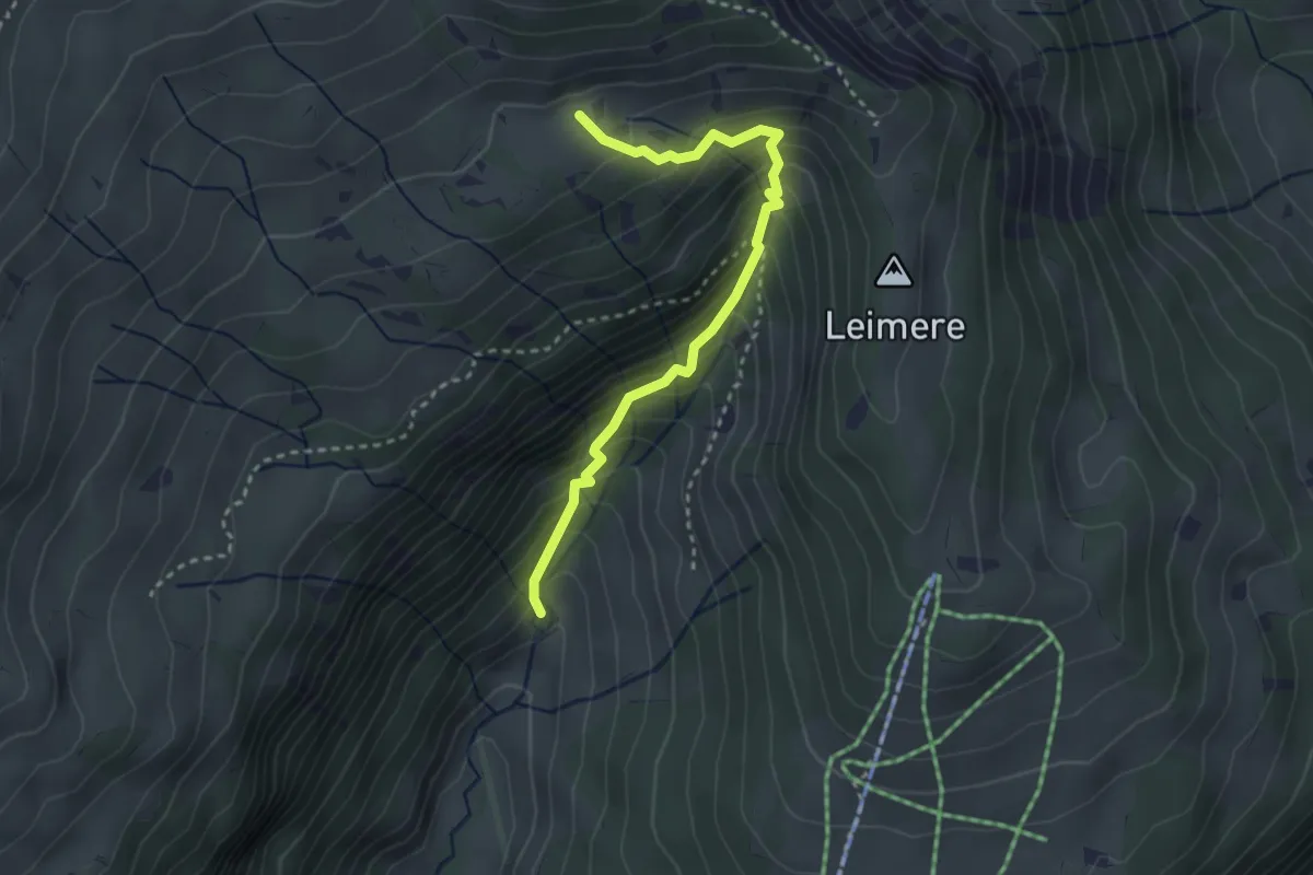
Medium · Trail
Rischeren – Chüematte
3.1 km · ↑ 363 m · 1 h 31 min · 15 km away
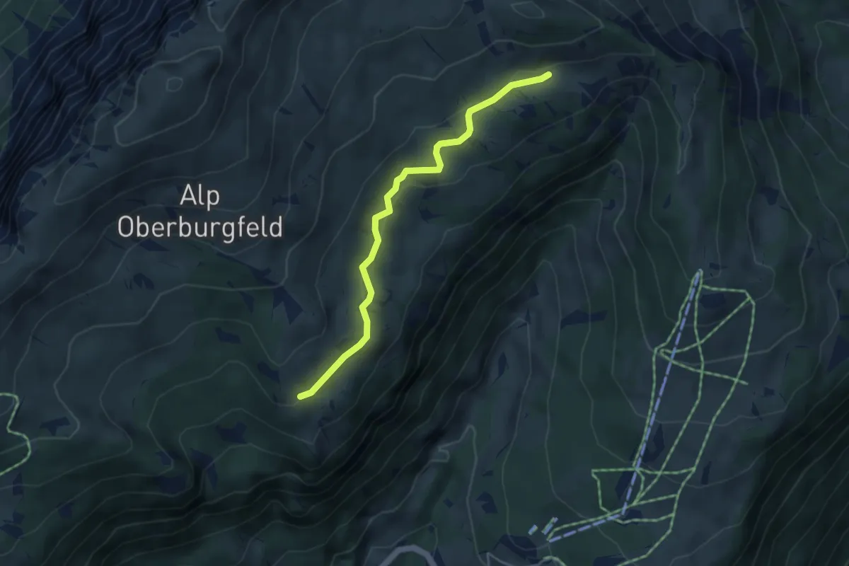
Easy · Trail
Chüematte – Unterburgfeld
4.1 km · ↑ 99 m · 1 h 11 min · 15 km away
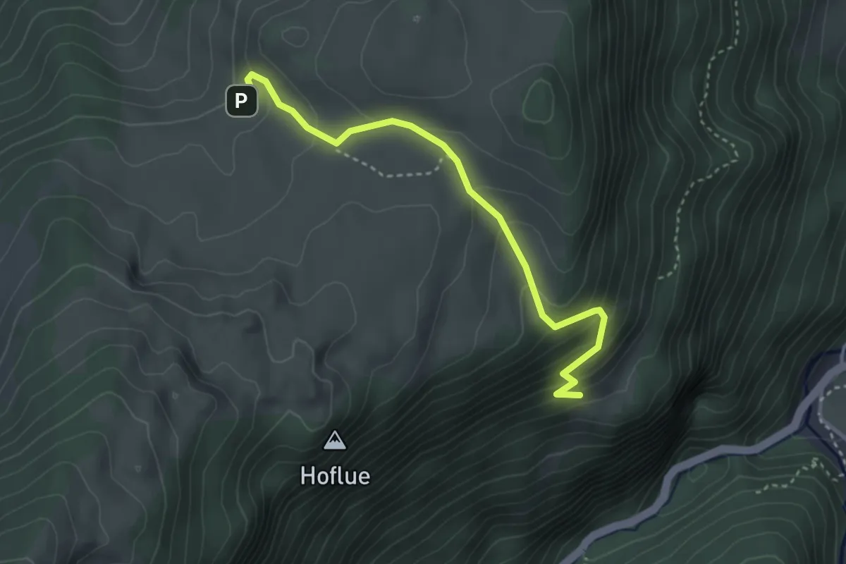
Medium · Trail
Tschugge – Chilchflue
3.4 km · ↑ 242 m · 1 h 20 min · 15 km away
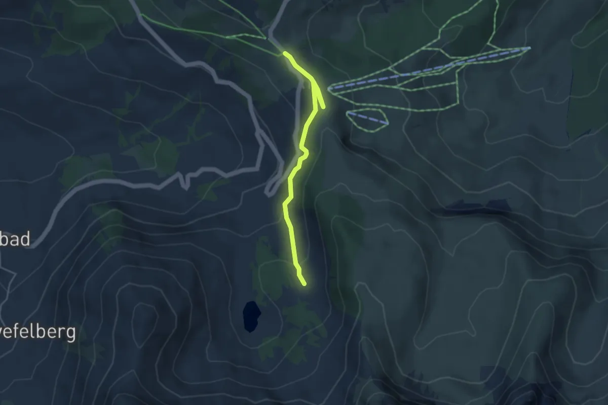
Easy · Trail
Oberi Gantrischhütte – Wasserscheidi
3.7 km · ↑ 152 m · 1 h 12 min · 15 km away
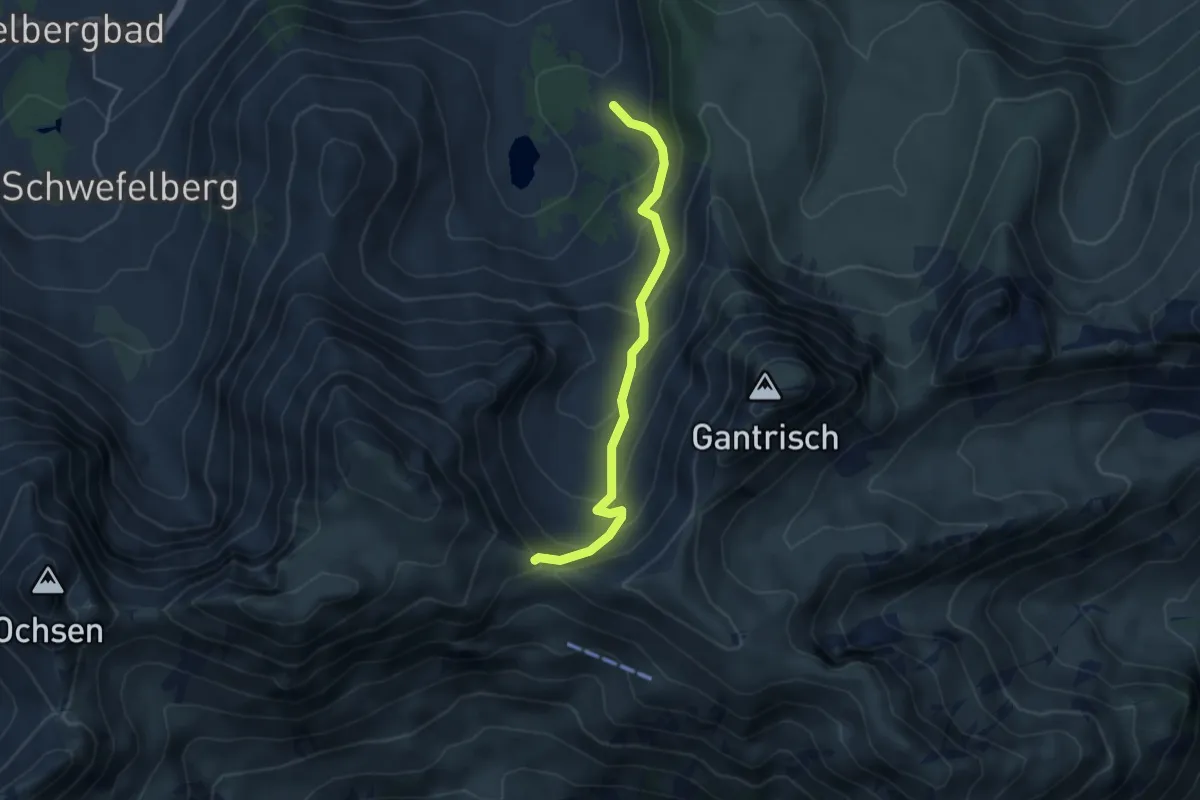
Medium · Trail
Morgetepass – Oberi Gantrischhütte
4.1 km · ↑ 323 m · 1 h 40 min · 15 km away
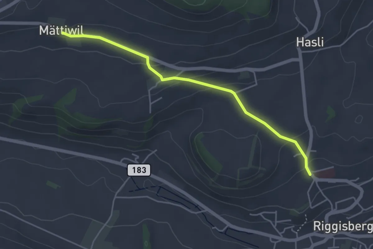
Easy · Trail
Riggisberg / Staudengasse – Mättiwil
4.0 km · ↑ 102 m · 1 h 10 min · 15 km away
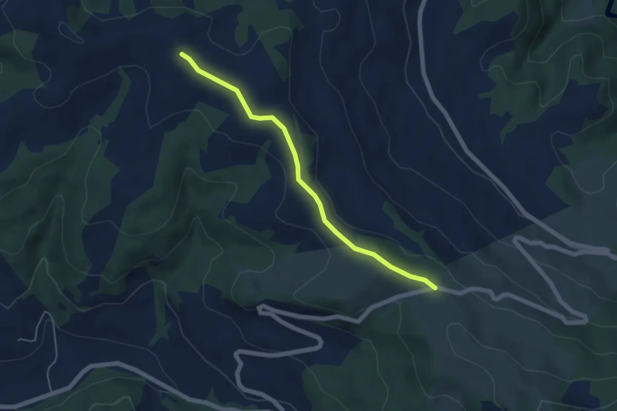
Easy · Trail
Schallenberg – Hinter Naters
4.2 km · ↑ 76 m · 1 h 9 min · 15 km away
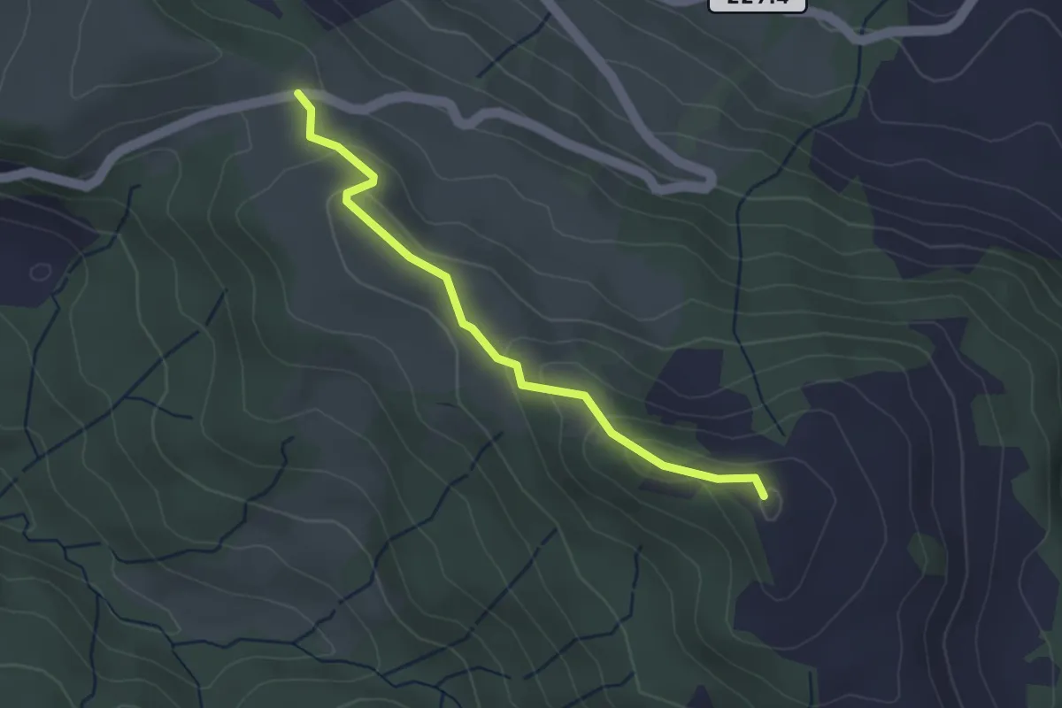
Easy · Summit
Schallenberg – Turner
3.0 km · ↑ 125 m · 59 min · 15 km away