Trails near Thusis
91 hikes starting within 15 km, nearest first.
Nearest first, page 1 of 2
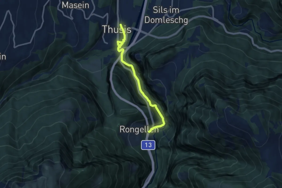
Medium · Trail
Thusis-Rongellen
7.4 km · ↑ 522 m · 2 h 53 min · under 1 km away
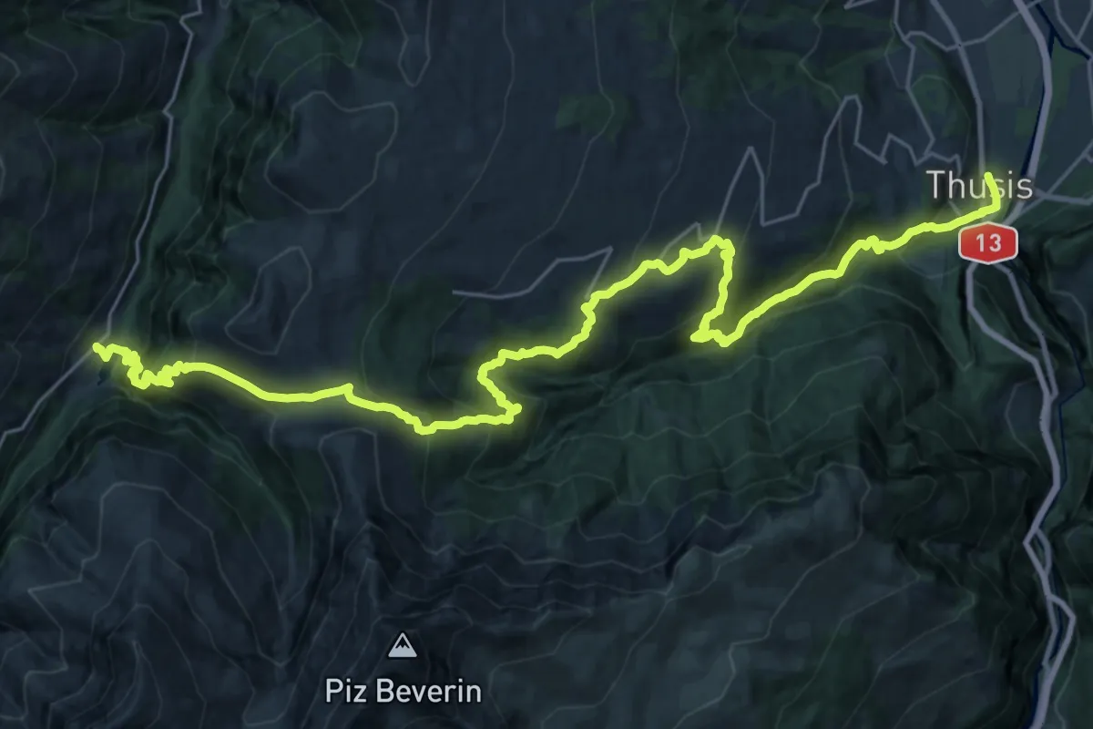
Demanding · Trail
Walserweg - Etappe 5
17.0 km · ↑ 1439 m · 7 h 3 min · under 1 km away
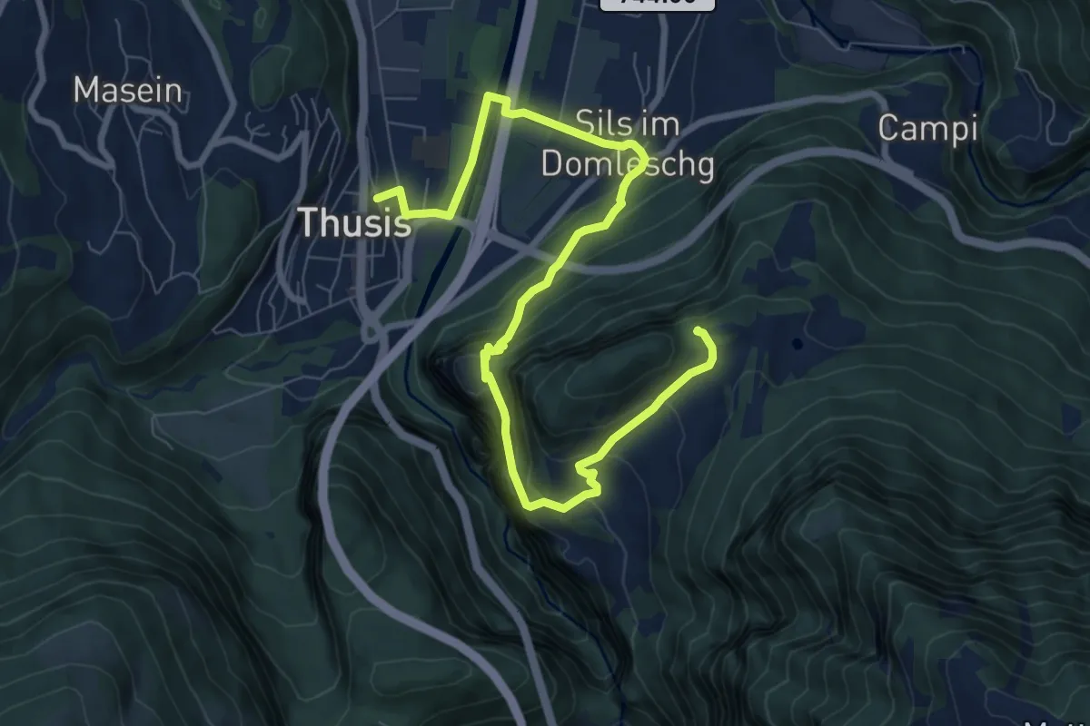
Medium · Summit
Walserweg - Etappe 6
9.8 km · ↑ 644 m · 3 h 43 min · under 1 km away
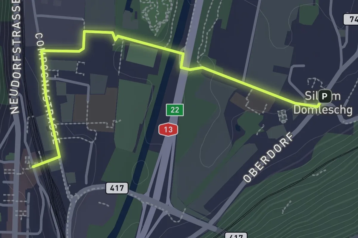
Easy · Trail
Sils-Thusis
3.4 km · ↑ 31 m · 52 min · 1 km away
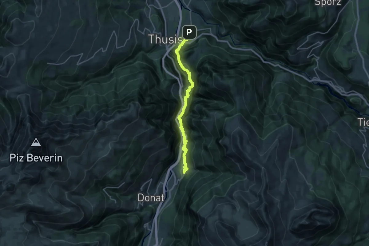
Demanding · Trail
Veia Traversina
9.1 km · ↑ 1041 m · 4 h 21 min · 1 km away
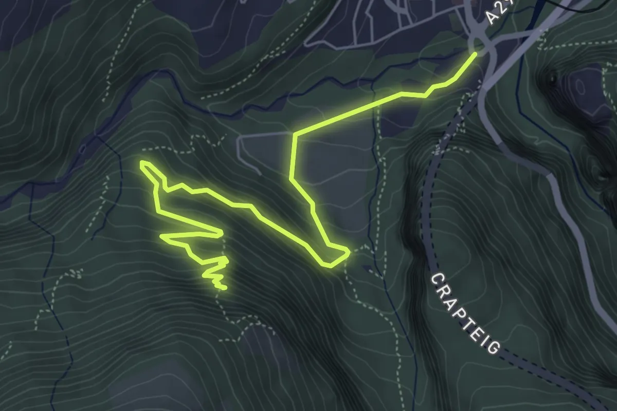
Demanding · Trail
Übernolla – Ruine Ober Tagstein
7.0 km · ↑ 522 m · 2 h 48 min · 2 km away
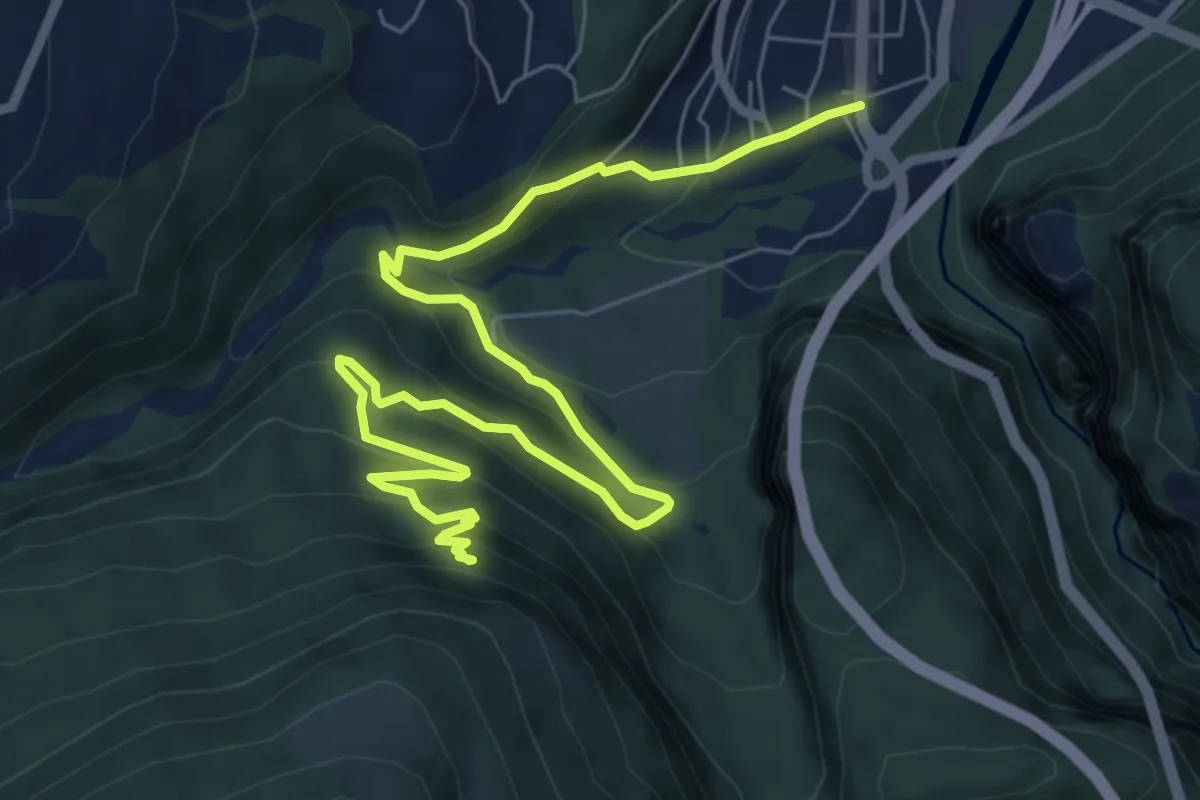
Demanding · Trail
Ruine Ober Tagstein – Thusis
8.9 km · ↑ 583 m · 3 h 22 min · 2 km away
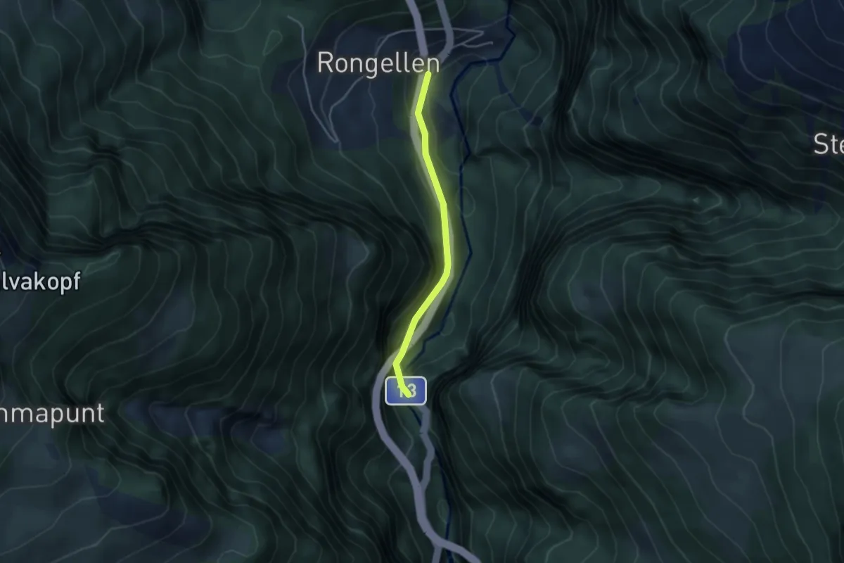
Easy · Trail
Rongellen-Viamala-Schlucht
3.1 km · ↑ 213 m · 1 h 12 min · 2 km away
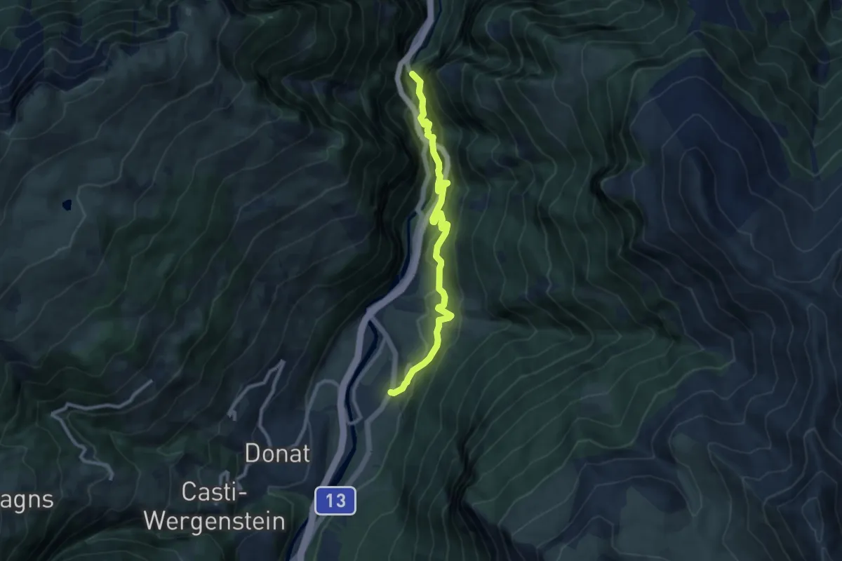
Medium · Trail
Viamala-Schlucht-Zillis
9.0 km · ↑ 728 m · 3 h 42 min · 4 km away
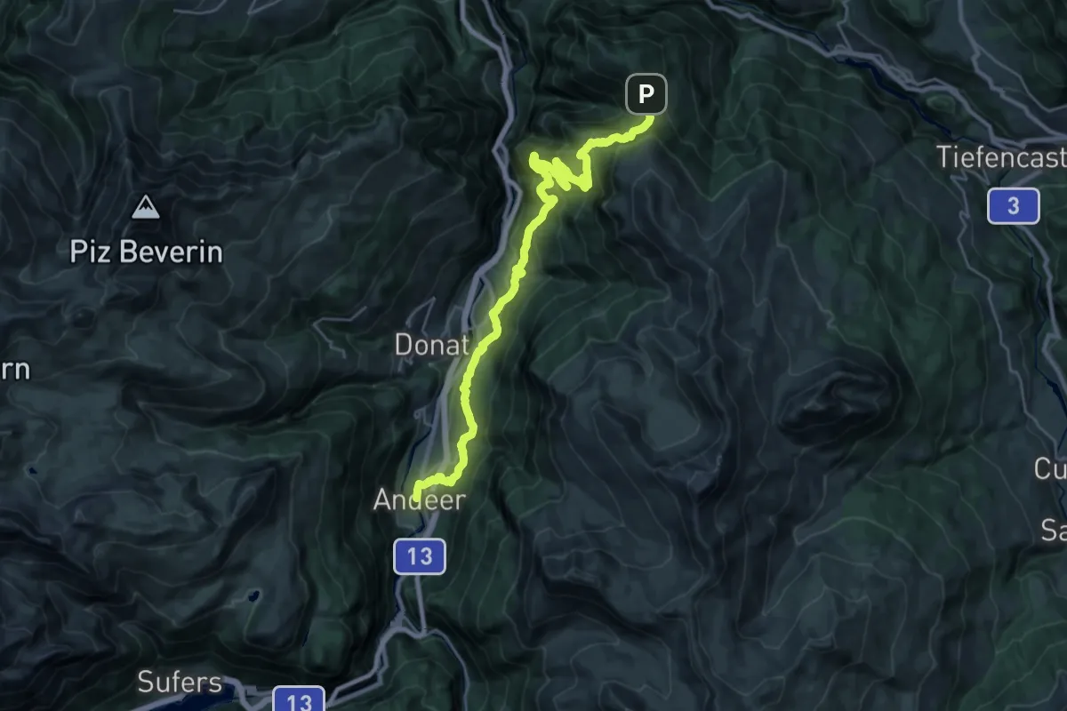
Medium · Trail
Walserweg - Etappe 7
14.7 km · ↑ 484 m · 5 h 10 min · 4 km away
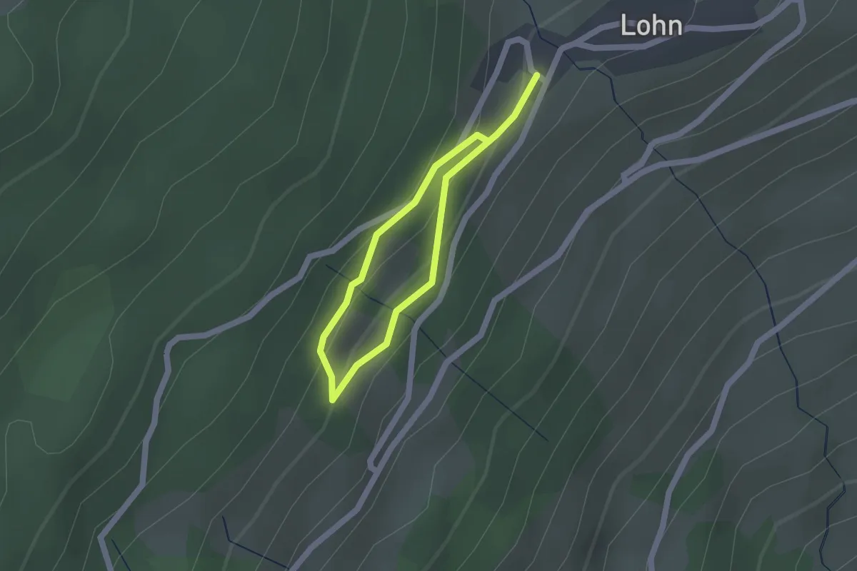
Easy · Trail
Klangwald Lohn (Tùn Resùn)
1.2 km · ↑ 53 m · 25 min · 5 km away
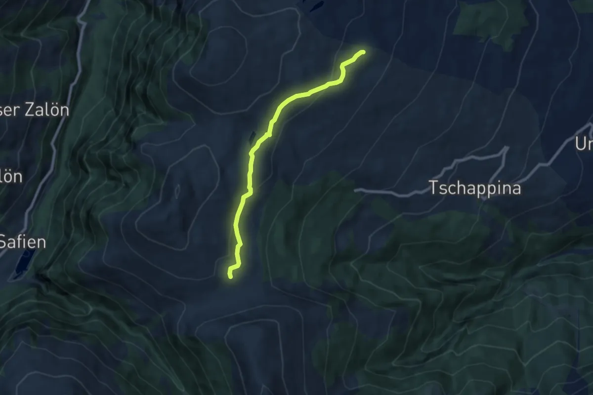
Medium · Trail
Ober Rascheins-Glaspass
6.8 km · ↑ 225 m · 2 h 6 min · 6 km away
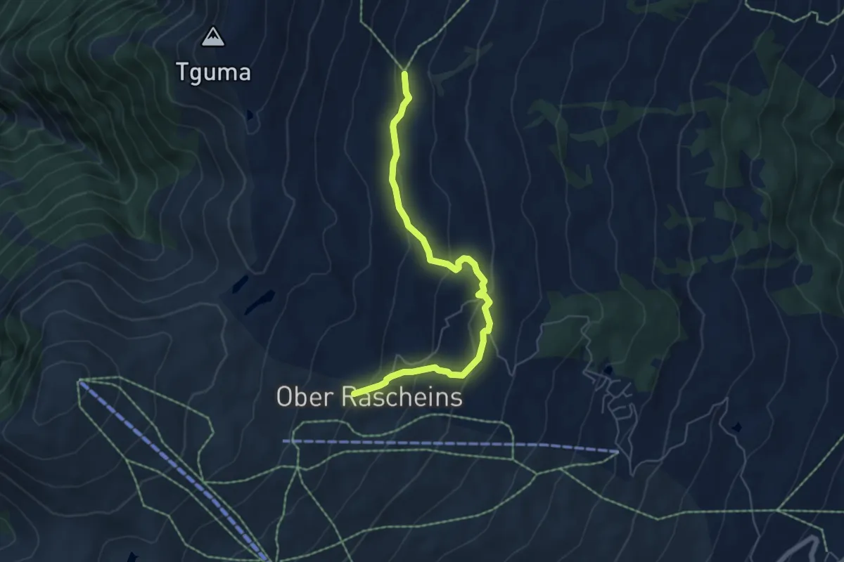
Easy · Trail
Parsiras-Ober Rascheins
5.7 km · ↑ 284 m · 1 h 58 min · 6 km away
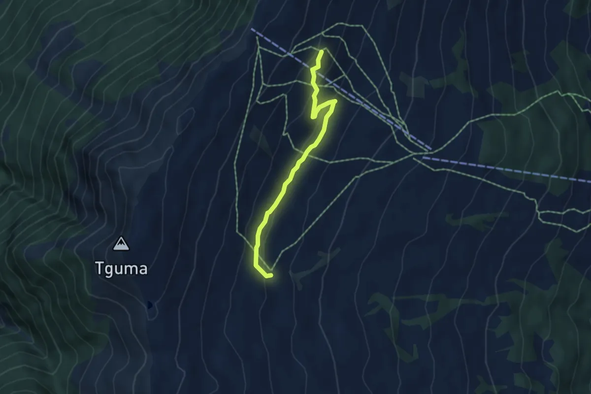
Easy · Trail
Sarner Alp-Parsiras
4.4 km · ↑ 169 m · 1 h 24 min · 6 km away
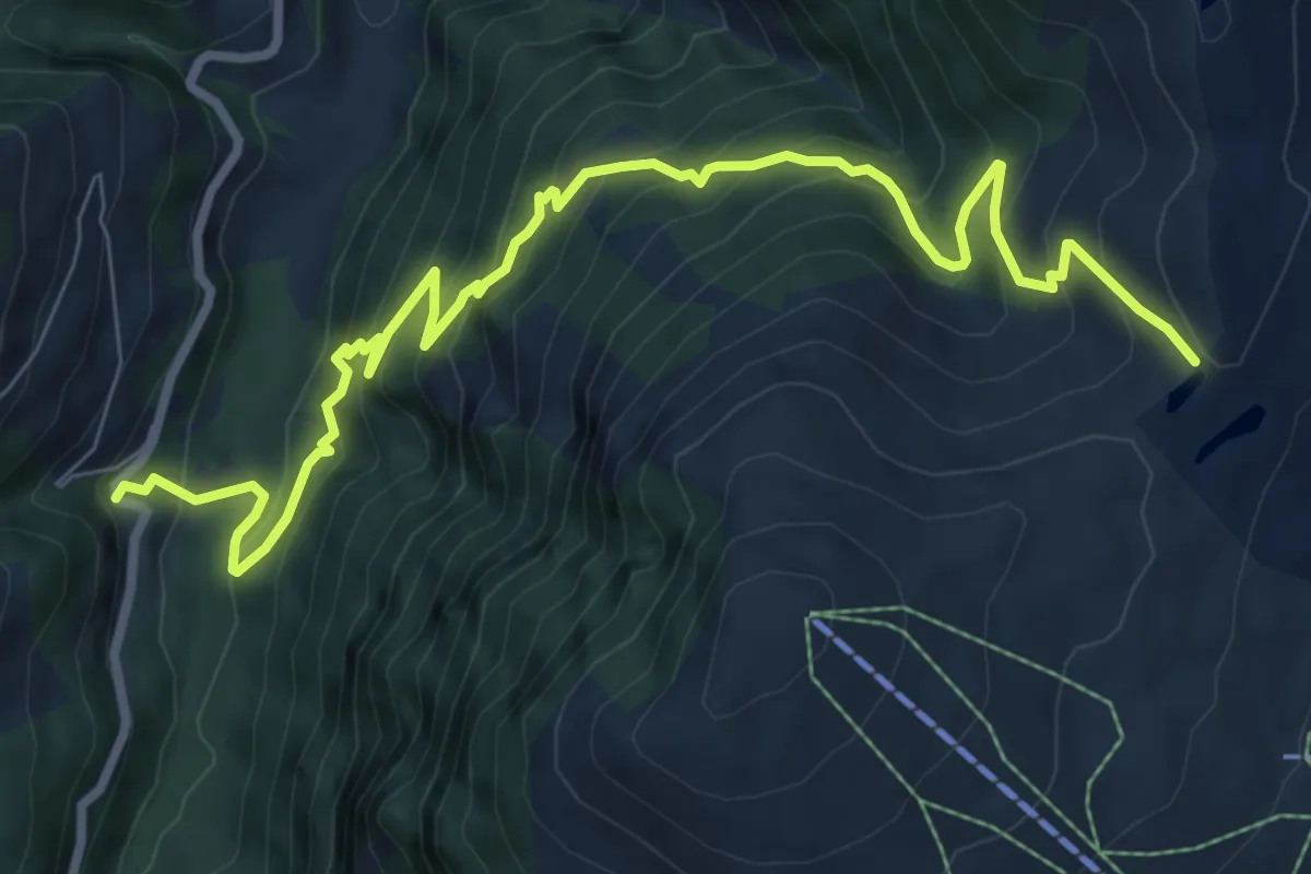
Demanding · Trail
Bischolapass-Rüti(Safien)
10.0 km · ↑ 955 m · 4 h 25 min · 6 km away
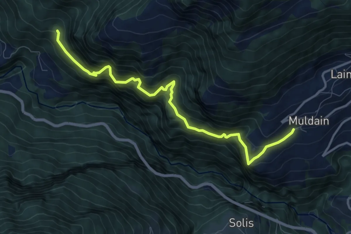
Demanding · Trail
Alter Schyn
9.4 km · ↑ 1125 m · 4 h 39 min · 6 km away
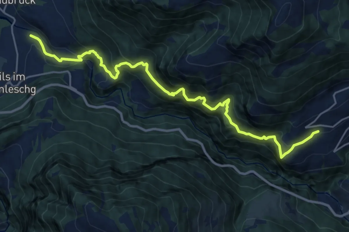
Demanding · Trail
Muldain-Siedlung Albula
15.6 km · ↑ 1485 m · 6 h 54 min · 7 km away
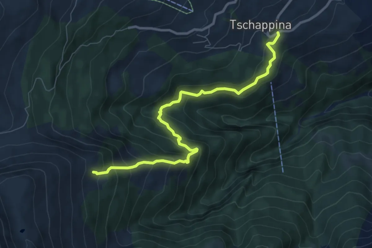
Medium · Trail
Ober Masügg-Unter Tschappina
7.6 km · ↑ 638 m · 3 h 10 min · 7 km away
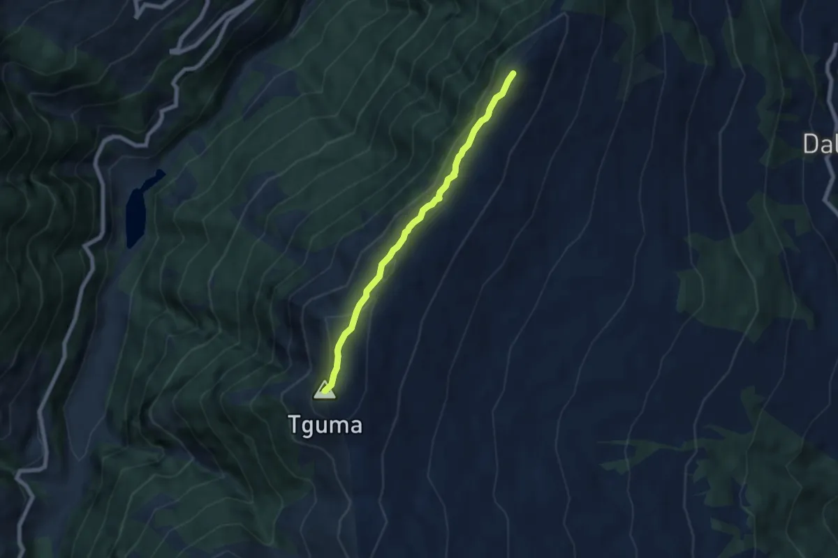
Easy · Summit
Bischolapass-Präzer Höhi
5.6 km · ↑ 203 m · 1 h 45 min · 7 km away
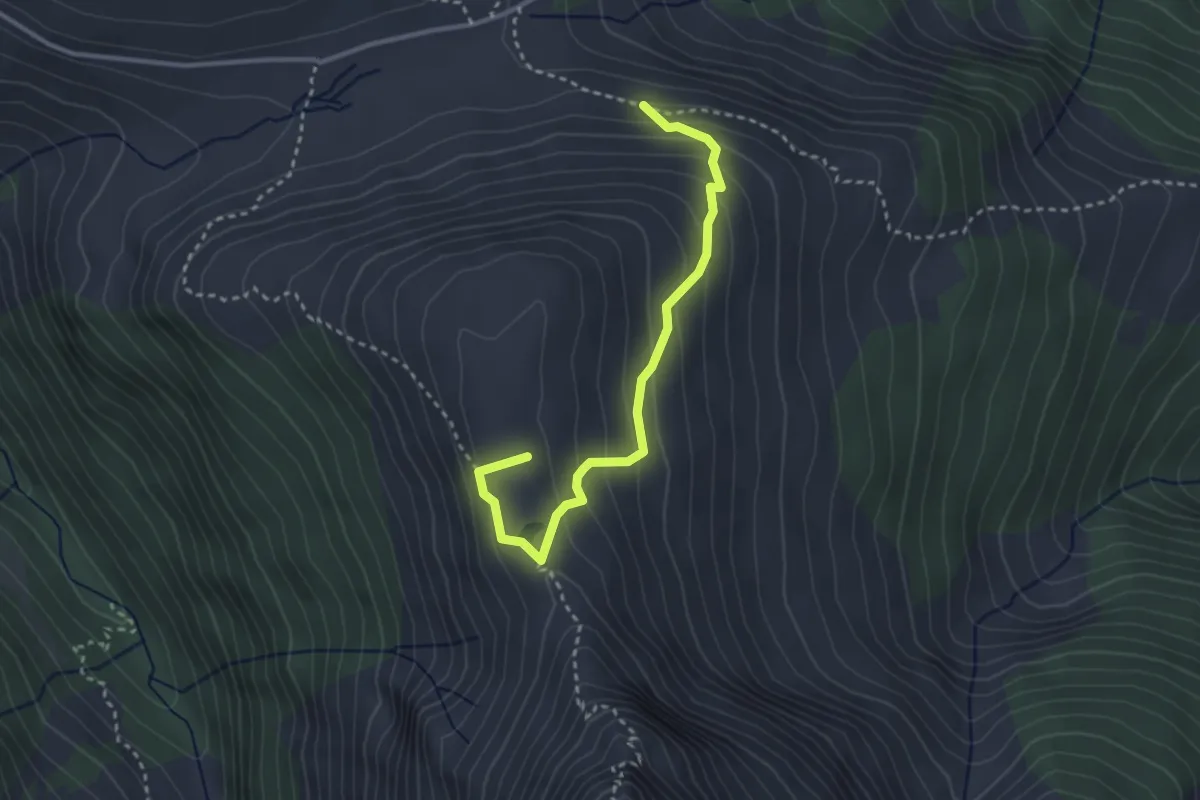
Medium · Summit
Glaspass-Hoch Büel-Glaspass
3.1 km · ↑ 274 m · 1 h 20 min · 7 km away
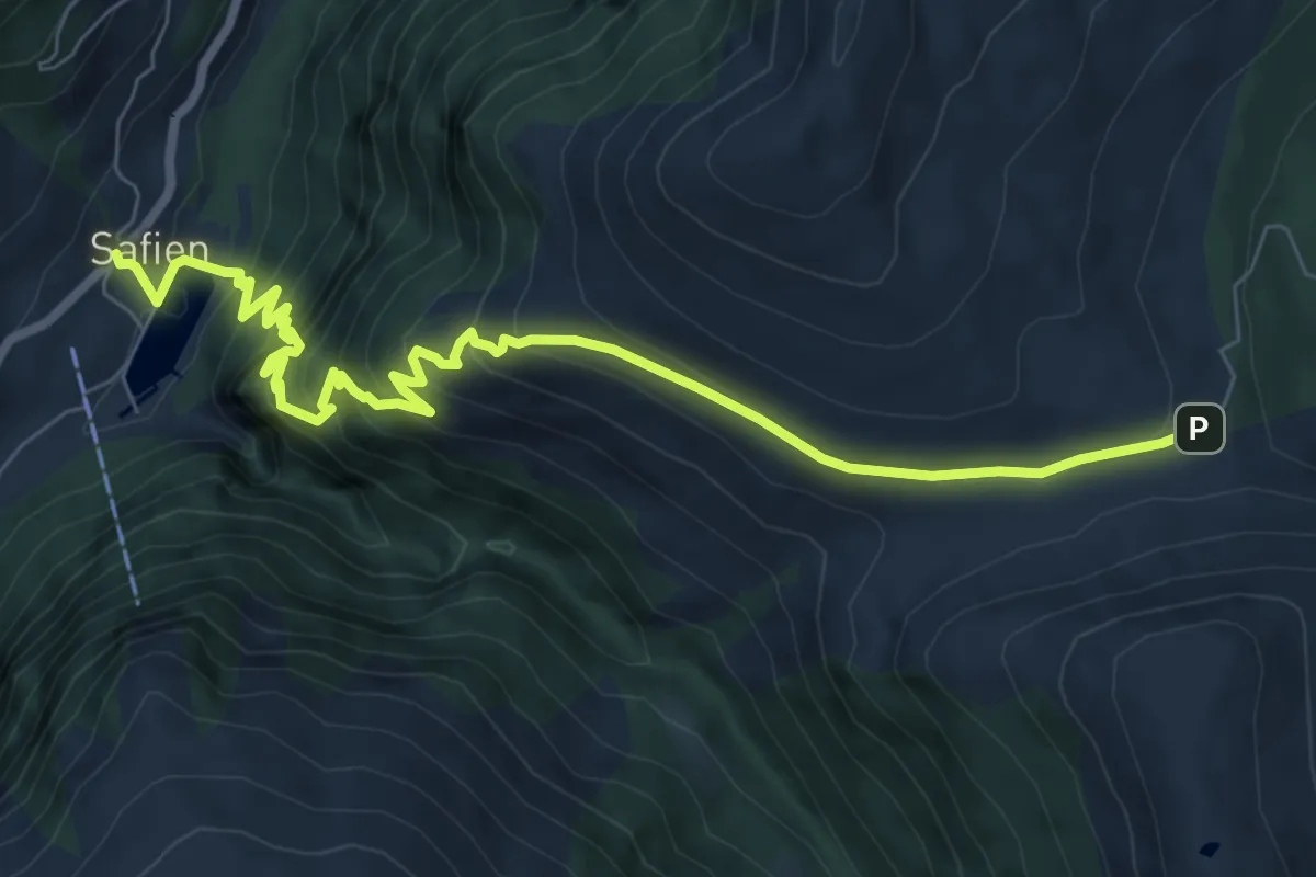
Medium · Trail
Safien Platz-Glaspass
8.9 km · ↑ 750 m · 3 h 44 min · 7 km away
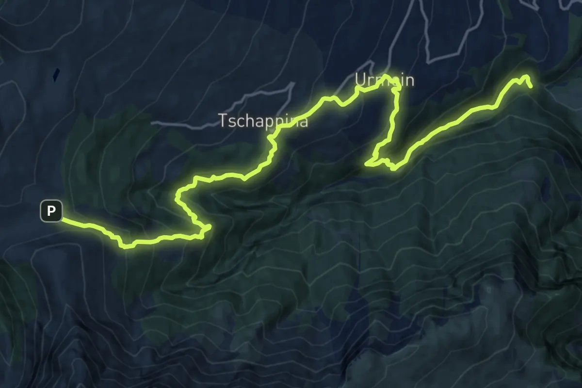
Demanding · Trail
Glaspass-Thusis
21.5 km · ↑ 1347 m · 7 h 59 min · 7 km away
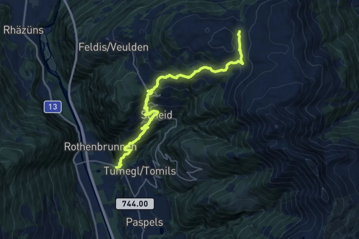
Demanding · Cabin
Rothenbrunnen Mulens Esmer Skihütte
18.4 km · ↑ 1412 m · 7 h 24 min · 7 km away
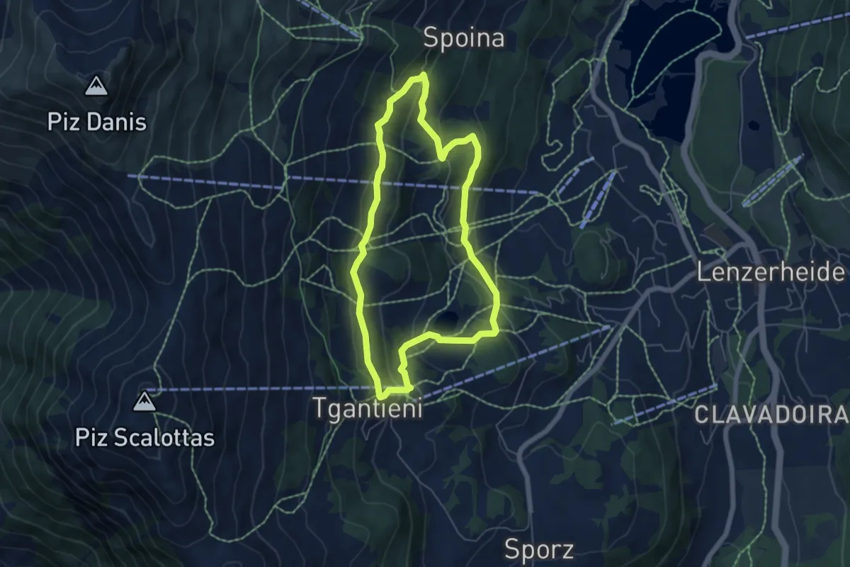
Easy · Trail
Globi Wanderweg
5.1 km · ↑ 197 m · 1 h 42 min · 8 km away
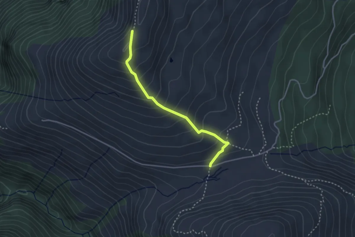
Medium · Trail
Usser Glass-Glaser Grat
2.9 km · ↑ 246 m · 1 h 13 min · 8 km away
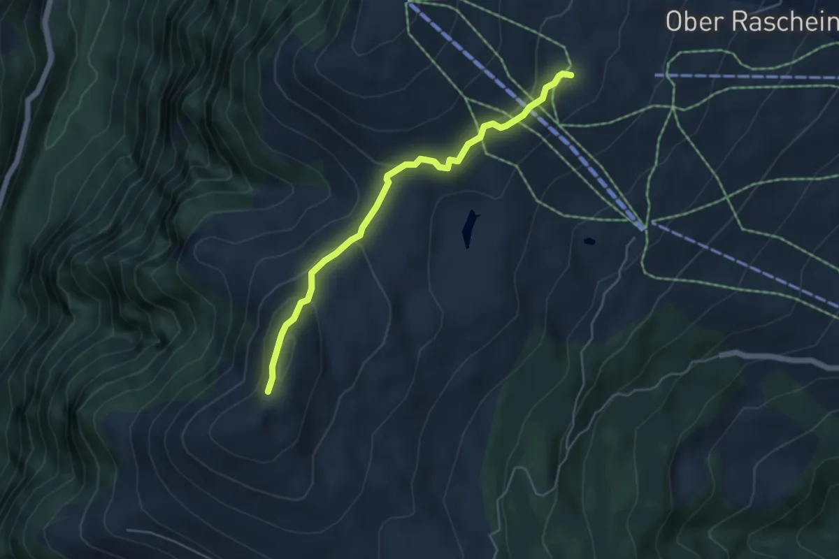
Medium · Trail
Glaser Grat-Lüschalp
4.6 km · ↑ 204 m · 1 h 32 min · 8 km away
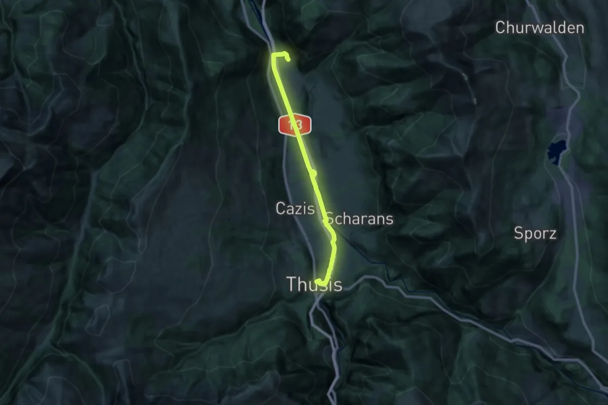
Demanding · Trail
Rothenbrunnen-Thusis
19.7 km · ↑ 117 m · 4 h 55 min · 8 km away
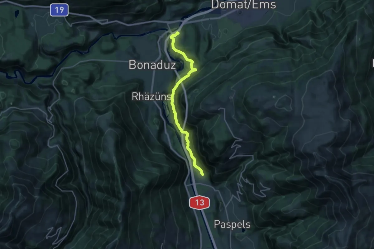
Medium · Trail
Reichenau-Rothenbrunnen
16.4 km · ↑ 712 m · 5 h 25 min · 8 km away
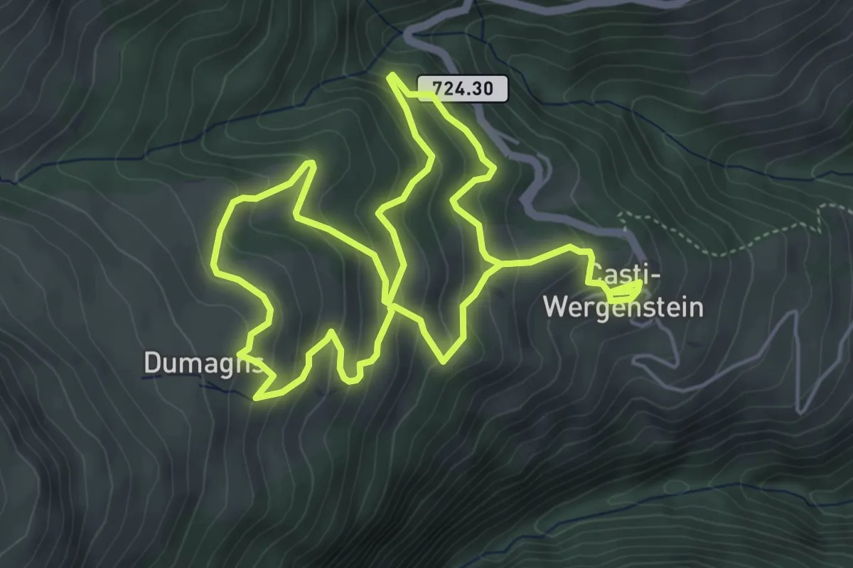
Medium · Trail
Capricorn Pirsch
9.5 km · ↑ 638 m · 3 h 37 min · 8 km away
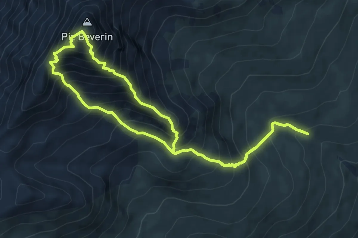
Demanding · Summit
Mursenas-Beverin Lucke-Piz Beverin-Beverin Pintg-Mursenas
6.9 km · ↑ 857 m · 3 h 34 min · 8 km away
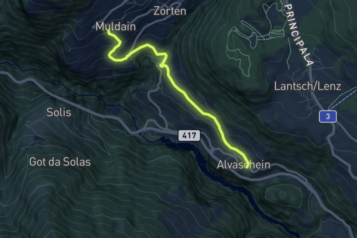
Easy · Trail
Alvaschein-Muldain
7.6 km · ↑ 288 m · 2 h 25 min · 9 km away
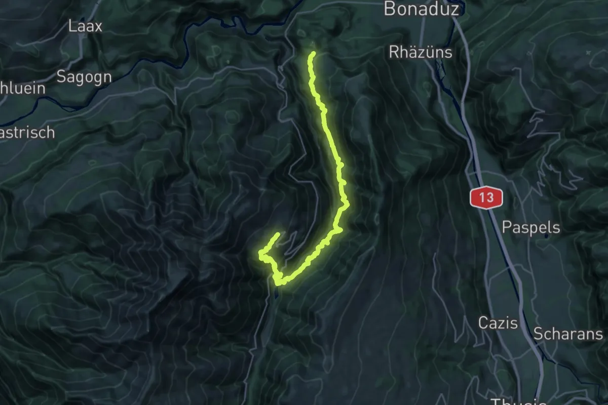
Demanding · Trail
Bonaduz-Tenna
13.3 km · ↑ 887 m · 5 h 36 min · 9 km away
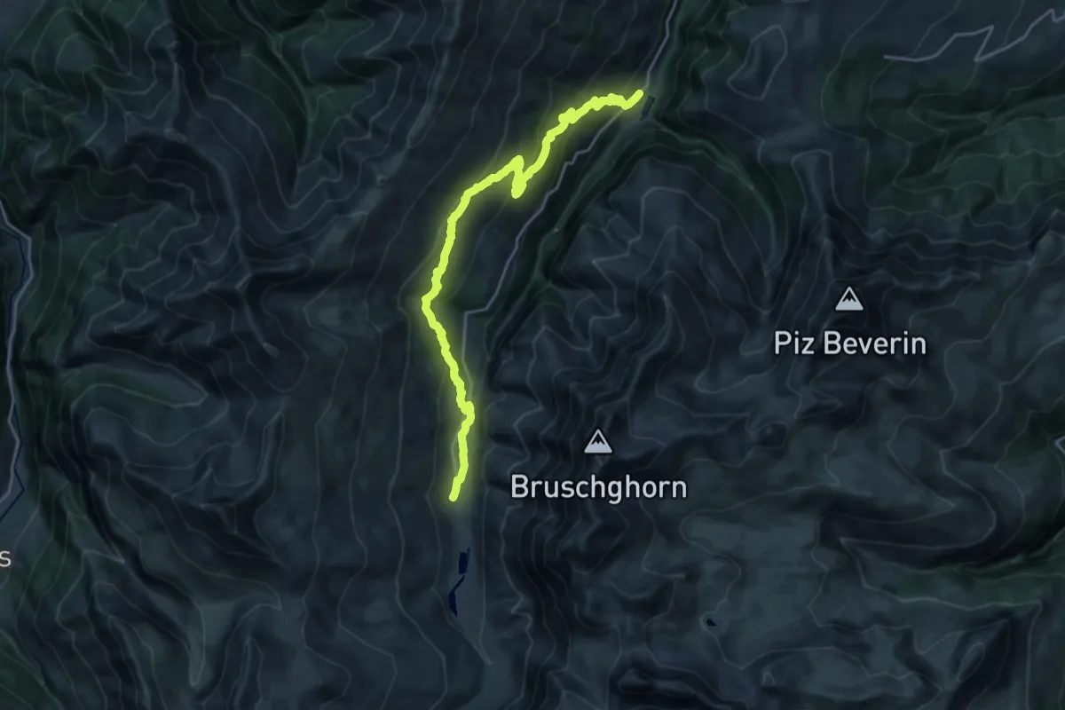
Demanding · Cabin
Walserweg - Etappe 4
21.7 km · ↑ 1134 m · 7 h 35 min · 10 km away
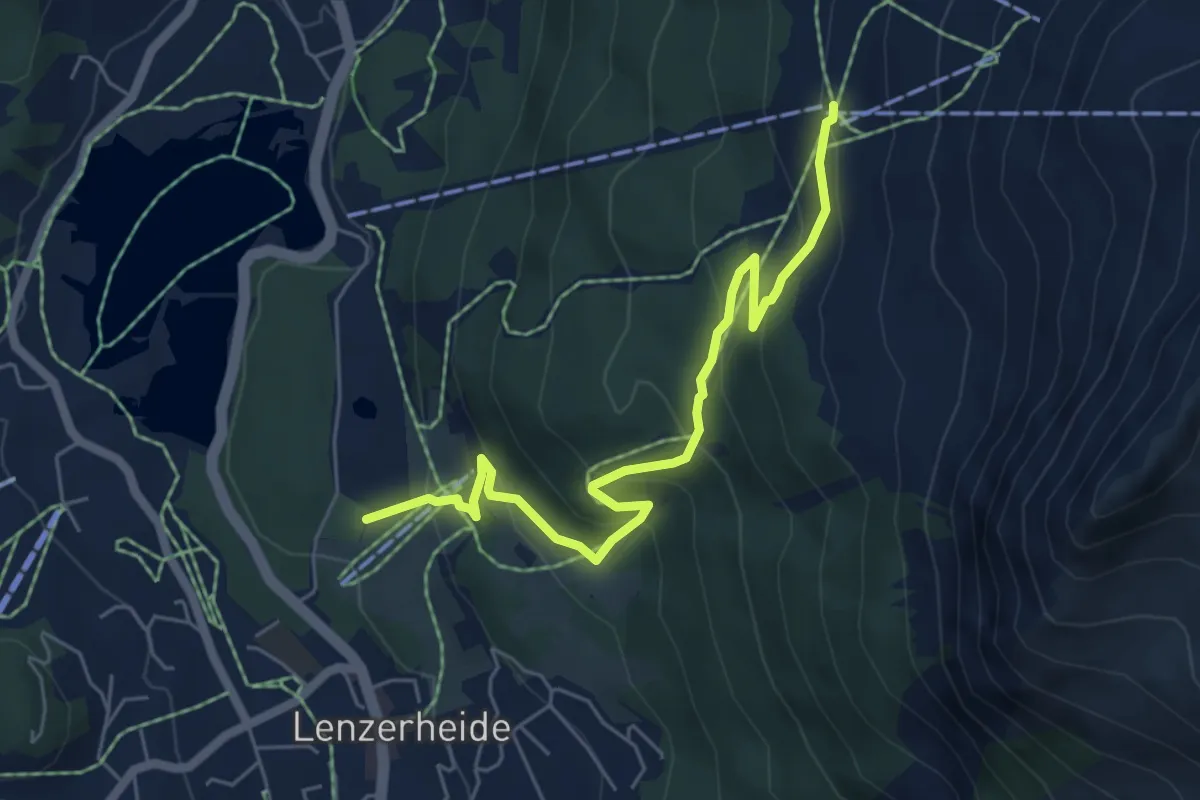
Medium · Trail
Autschliweg
6.0 km · ↑ 385 m · 2 h 15 min · 10 km away
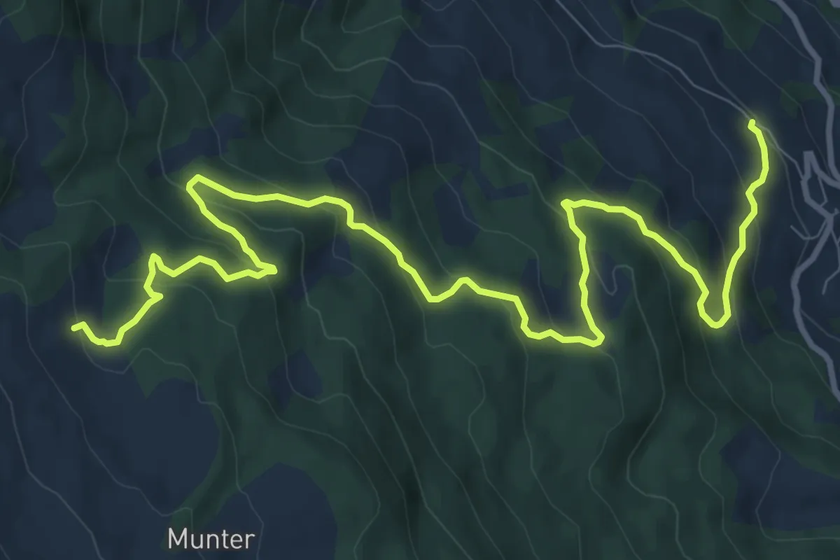
Medium · Trail
Veia Dartschapetta
12.5 km · ↑ 665 m · 4 h 24 min · 10 km away
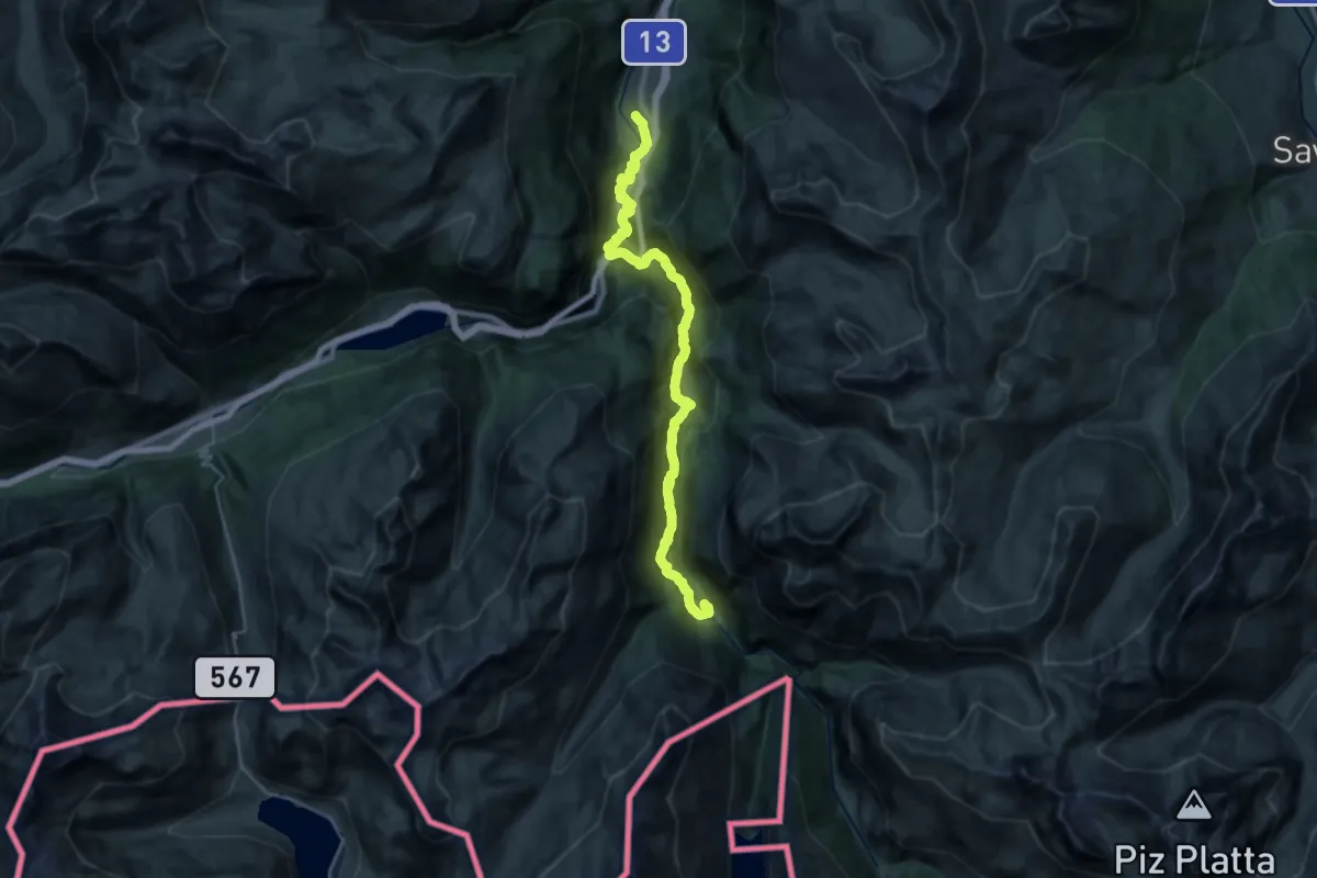
Demanding · Trail
Walserweg - Etappe 8
13.6 km · ↑ 841 m · 4 h 58 min · 11 km away
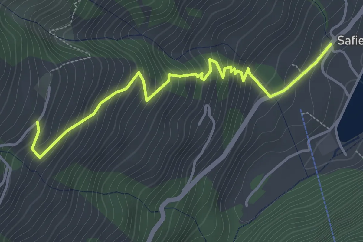
Medium · Trail
Hof-Safien Platz
3.7 km · ↑ 342 m · 1 h 36 min · 11 km away
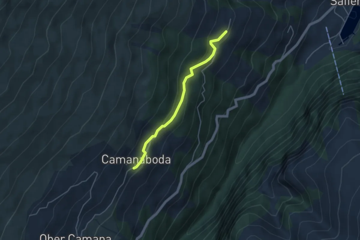
Easy · Trail
Camanaboda-Hof
3.5 km · ↑ 198 m · 1 h 16 min · 11 km away
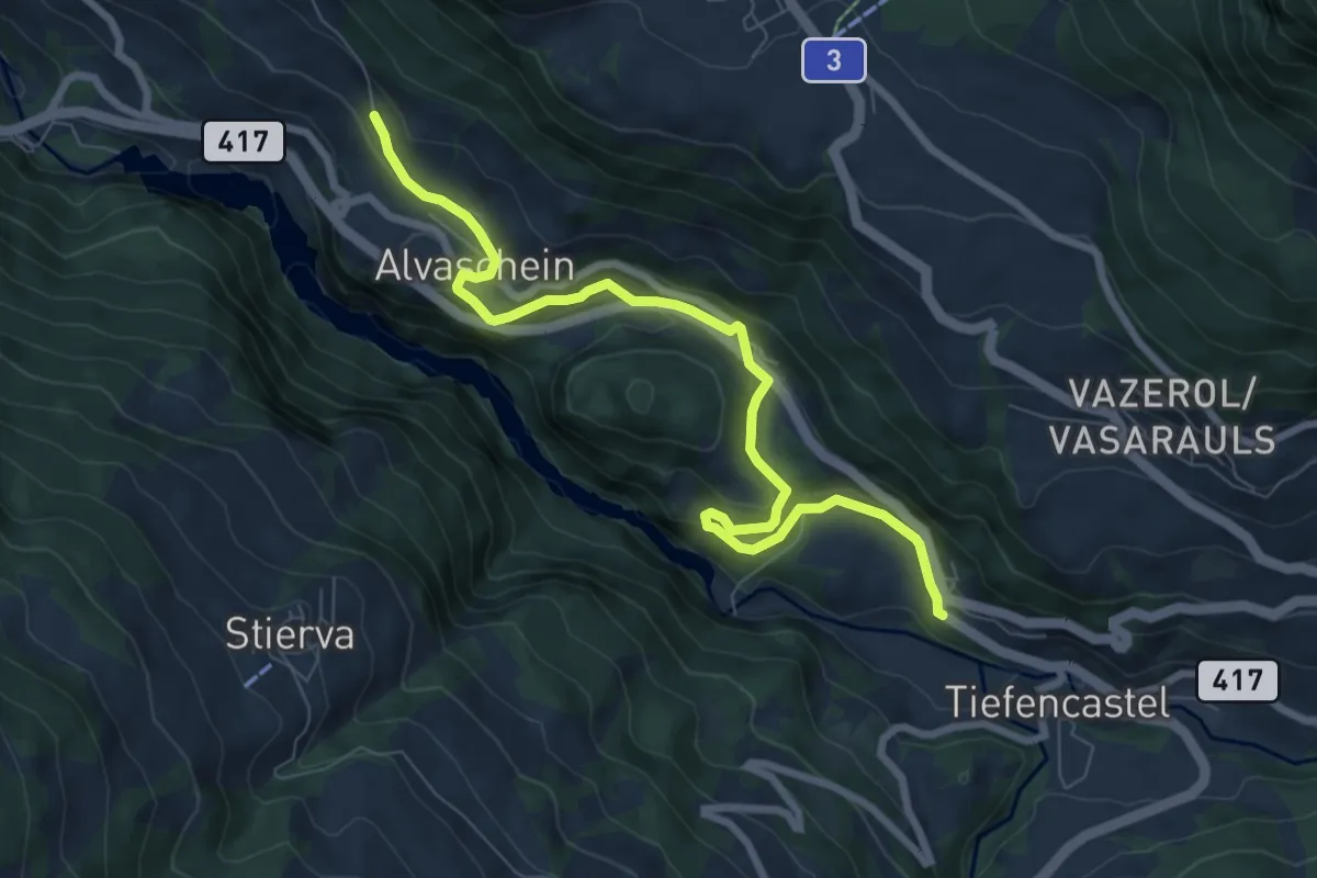
Medium · Trail
Tiefencastel-Alvaschein
8.4 km · ↑ 226 m · 2 h 28 min · 11 km away
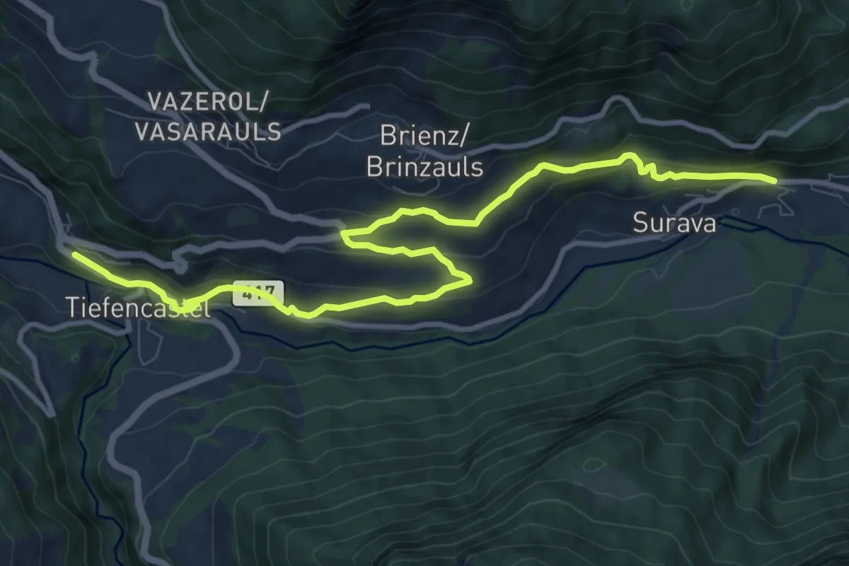
Medium · Trail
Surava Bahnhof – Tiefencastel Bahnhof
11.3 km · ↑ 389 m · 3 h 31 min · 11 km away
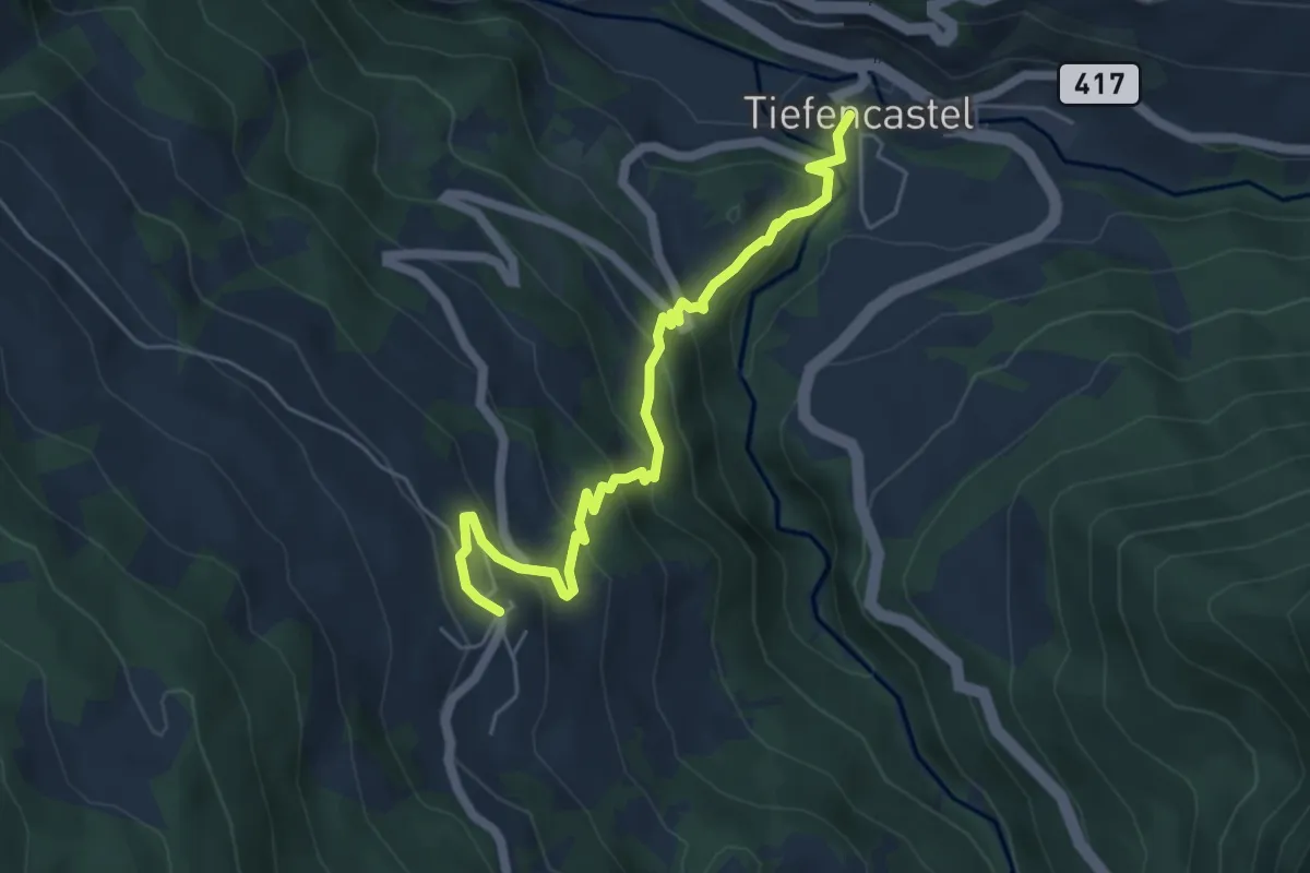
Medium · Trail
Mon - Tiefencastel
5.4 km · ↑ 380 m · 2 h 6 min · 11 km away
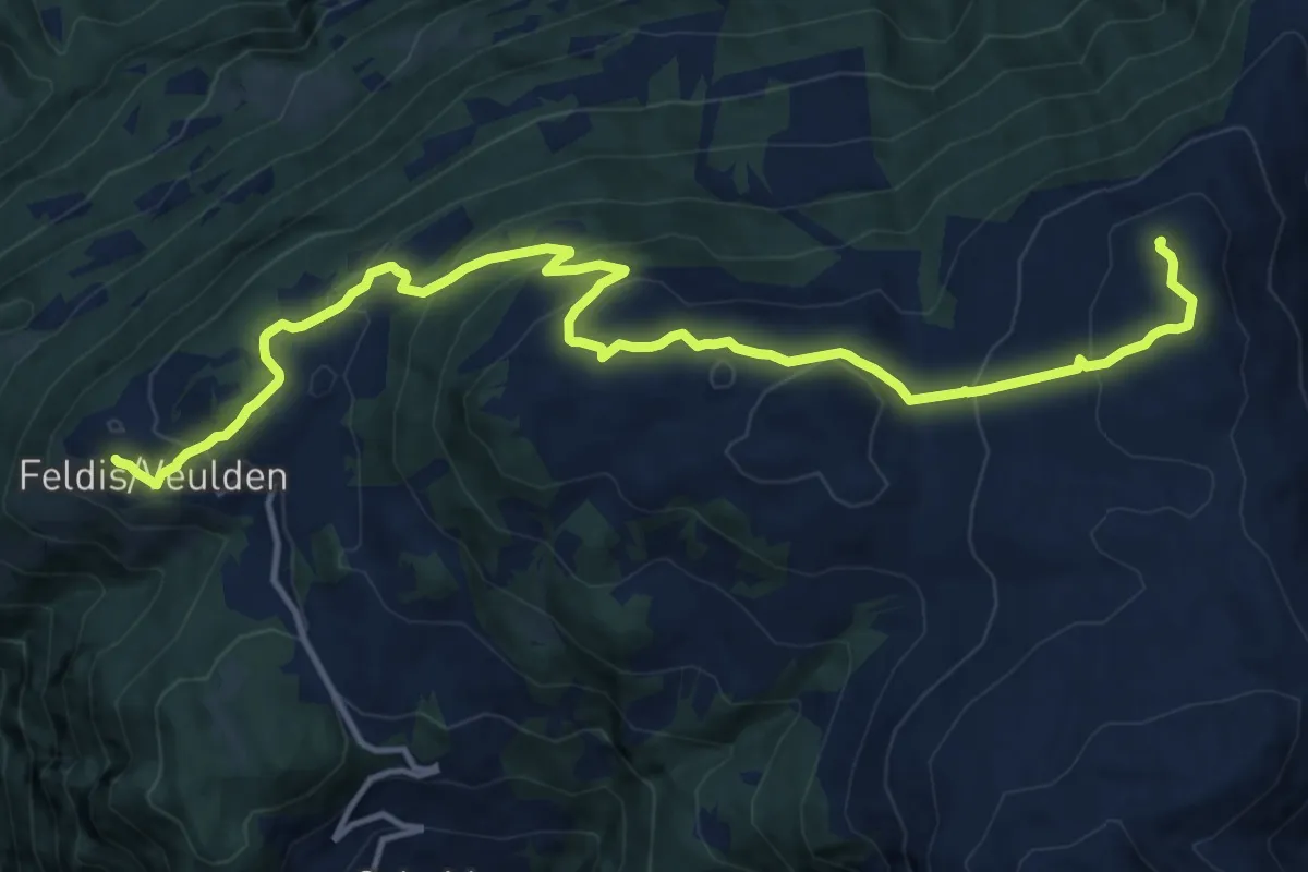
Demanding · Summit
Dreibündenstein Panoramaweg
15.6 km · ↑ 839 m · 5 h 30 min · 11 km away
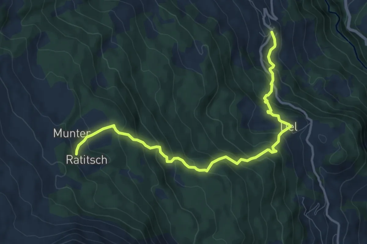
Medium · Trail
Munter Del Mon Trail
10.3 km · ↑ 743 m · 4 h 3 min · 11 km away
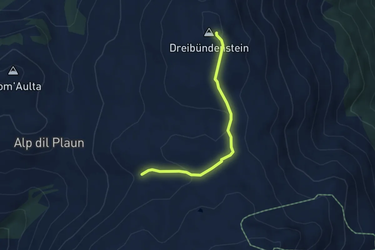
Easy · Summit
Dreibündenstein - Windegga? / Filbergegg? - fixme
3.9 km · ↑ 116 m · 1 h 10 min · 11 km away
Demanding · Summit
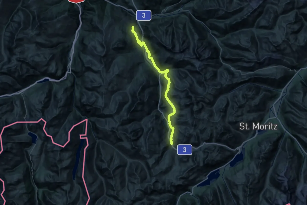
Veia Surmirana
58.0 km · ↑ 2634 m · 19 h 24 min · 11 km away
Demanding · Trail
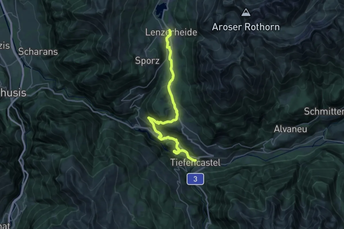
ViaSett
25.7 km · ↑ 751 m · 7 h 42 min · 11 km away
Medium · Trail
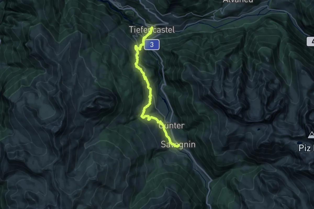
ViaSett
12.2 km · ↑ 748 m · 4 h 31 min · 11 km away
Easy · Cabin
Emser Skihütte - Skihütte Feldis
2.9 km · ↑ 100 m · 54 min · 11 km away