Trails near Thusis
91 hikes starting within 15 km, nearest first.
Nearest first, page 2 of 2
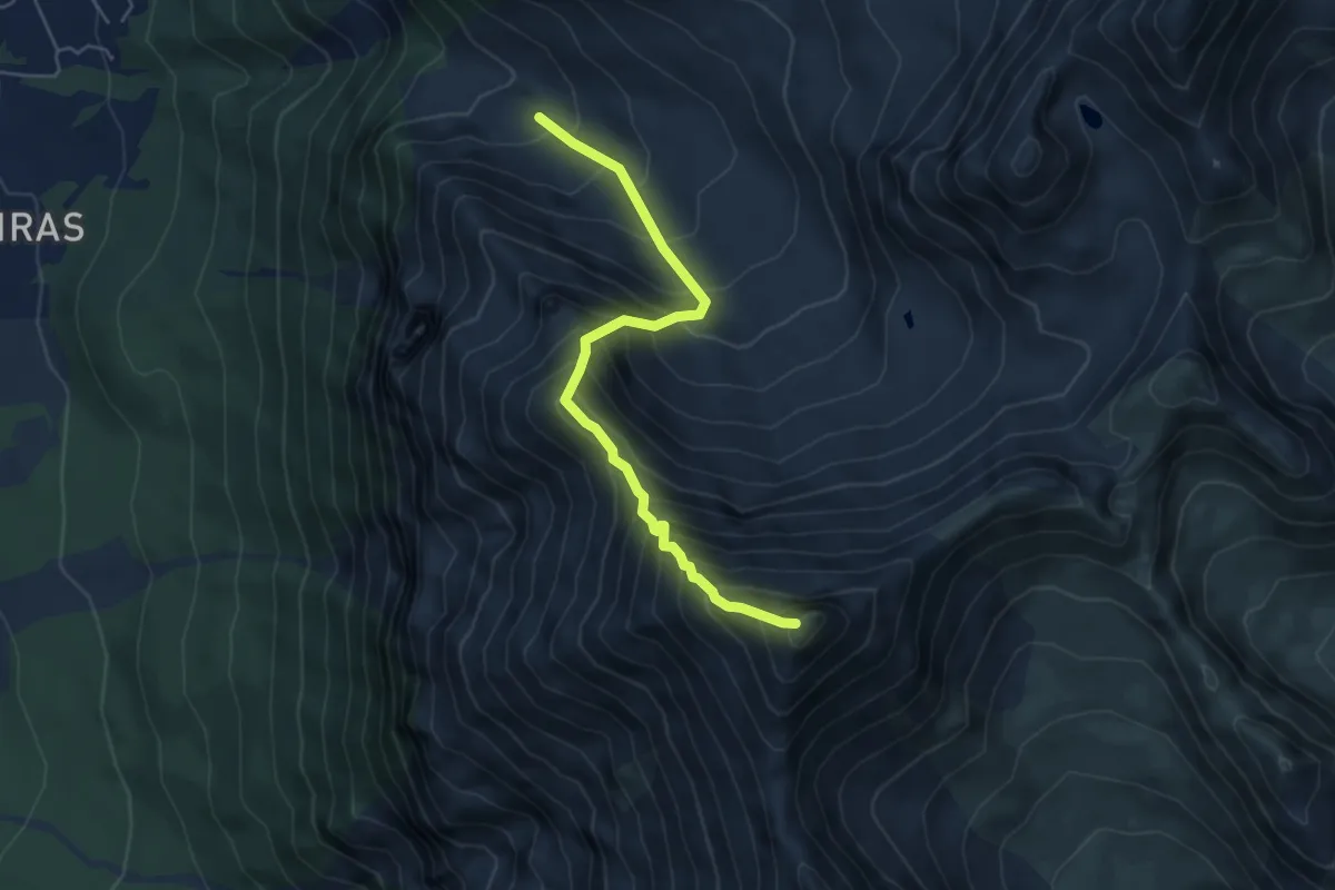
Expert · Summit
Alp Sanasplans – Lenzer Horn
5.3 km · ↑ 799 m · 2 h 59 min · 11 km away
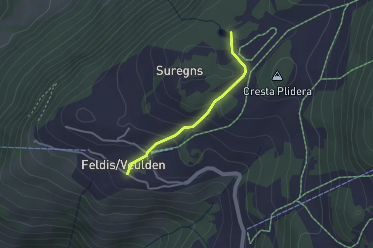
Easy · Trail
Feldis Platz - Plaun Graund
2.1 km · ↑ 104 m · 43 min · 11 km away
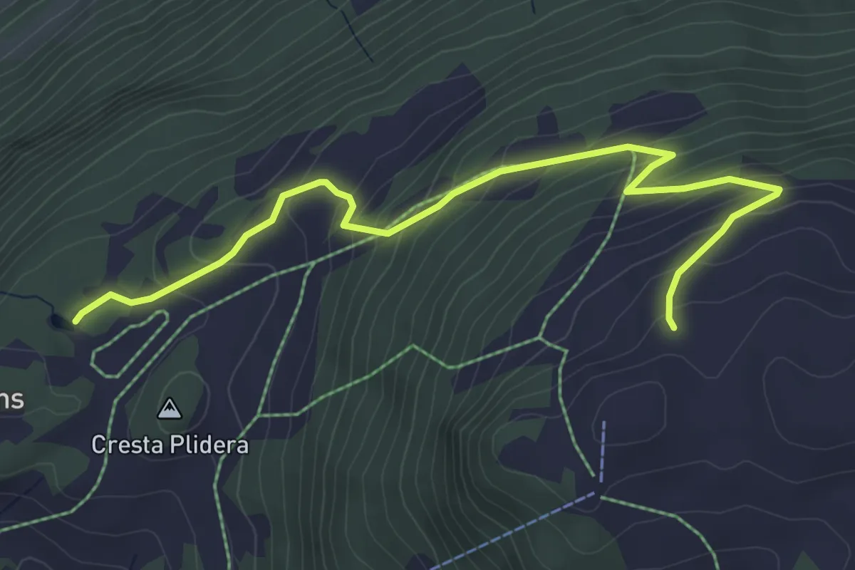
Medium · Trail
Plaun Graund - Alp da Veulden
5.5 km · ↑ 372 m · 2 h 6 min · 11 km away
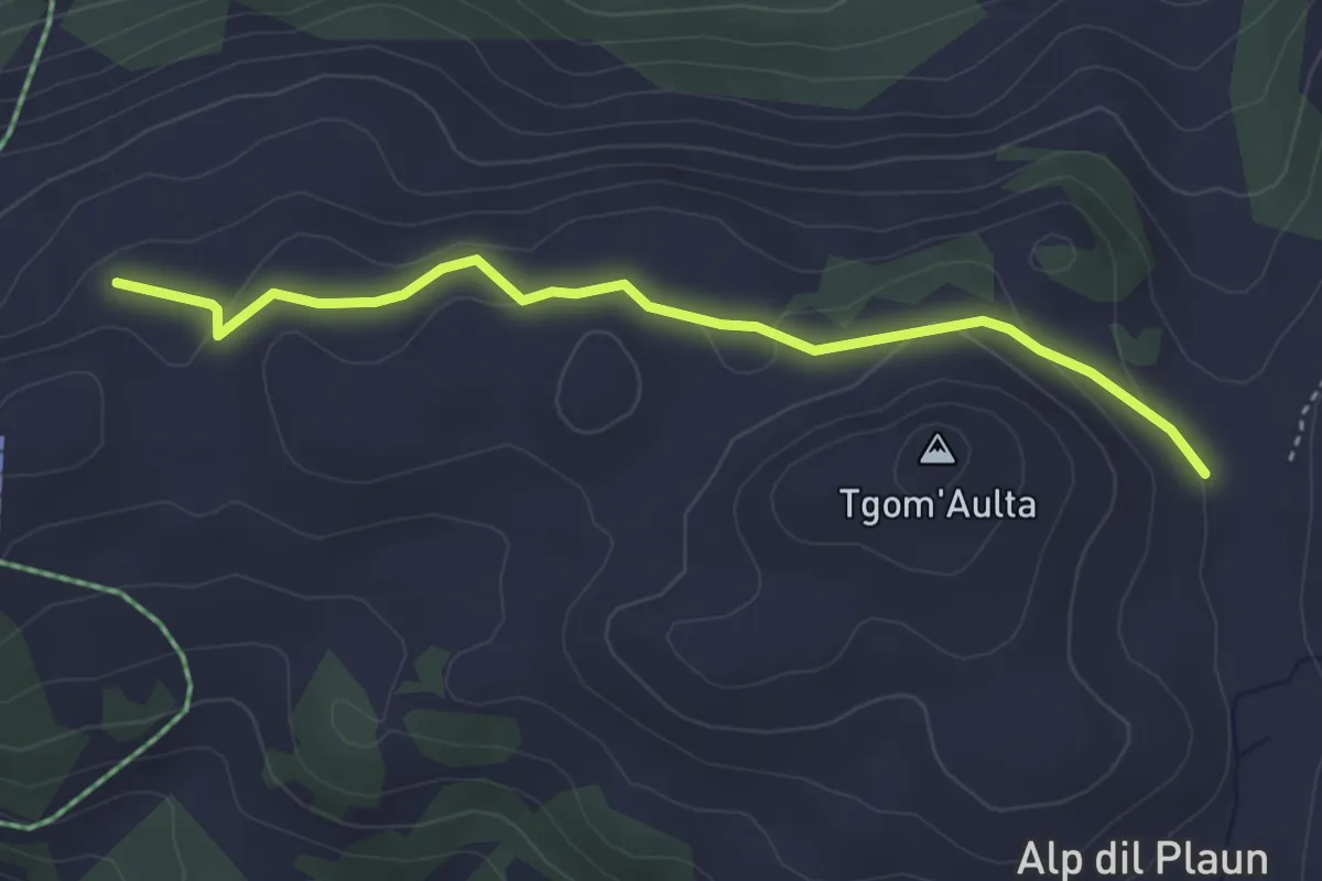
Easy · Cabin
Alp da Veuden - Emser Skihütte
3.7 km · ↑ 125 m · 1 h 8 min · 12 km away
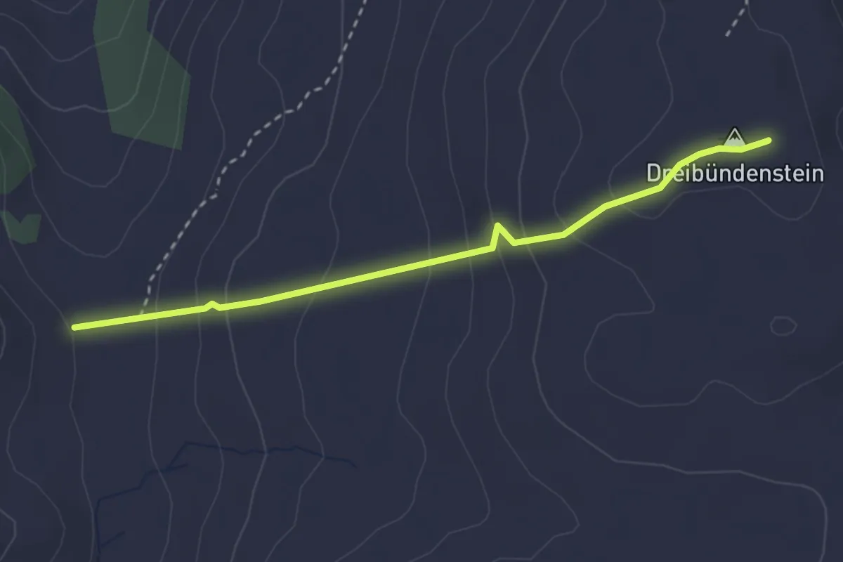
Medium · Summit
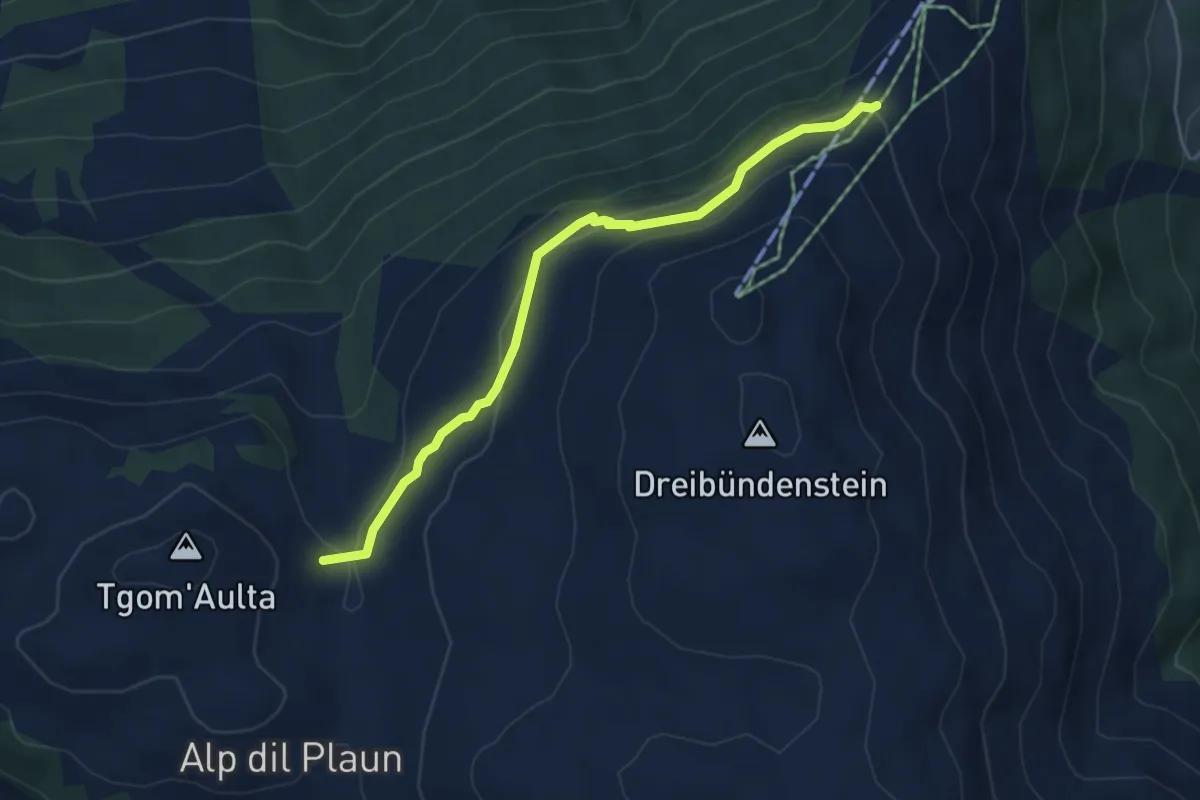
Emser Skihütte - Dreibündenstein
2.9 km · ↑ 201 m · 1 h 7 min · 12 km away
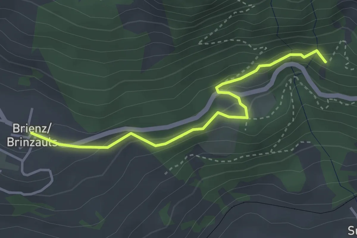
Demanding · Trail
Brienz Brinzauls – Ruine Belfort
3.2 km · ↑ 175 m · 1 h 8 min · 12 km away
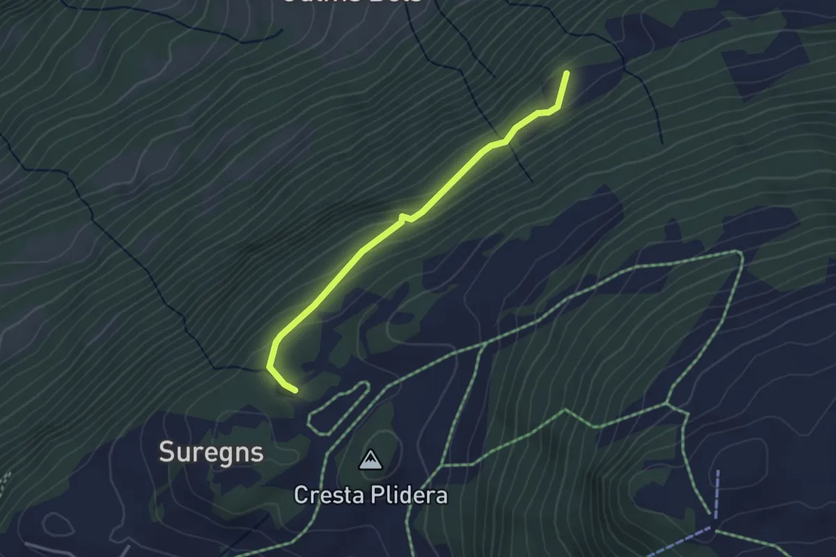
Easy · Trail
Plaun Graund - Tschetscha? / Zeus? / Juchs? - fixme
2.9 km · ↑ 144 m · 1 h · 12 km away
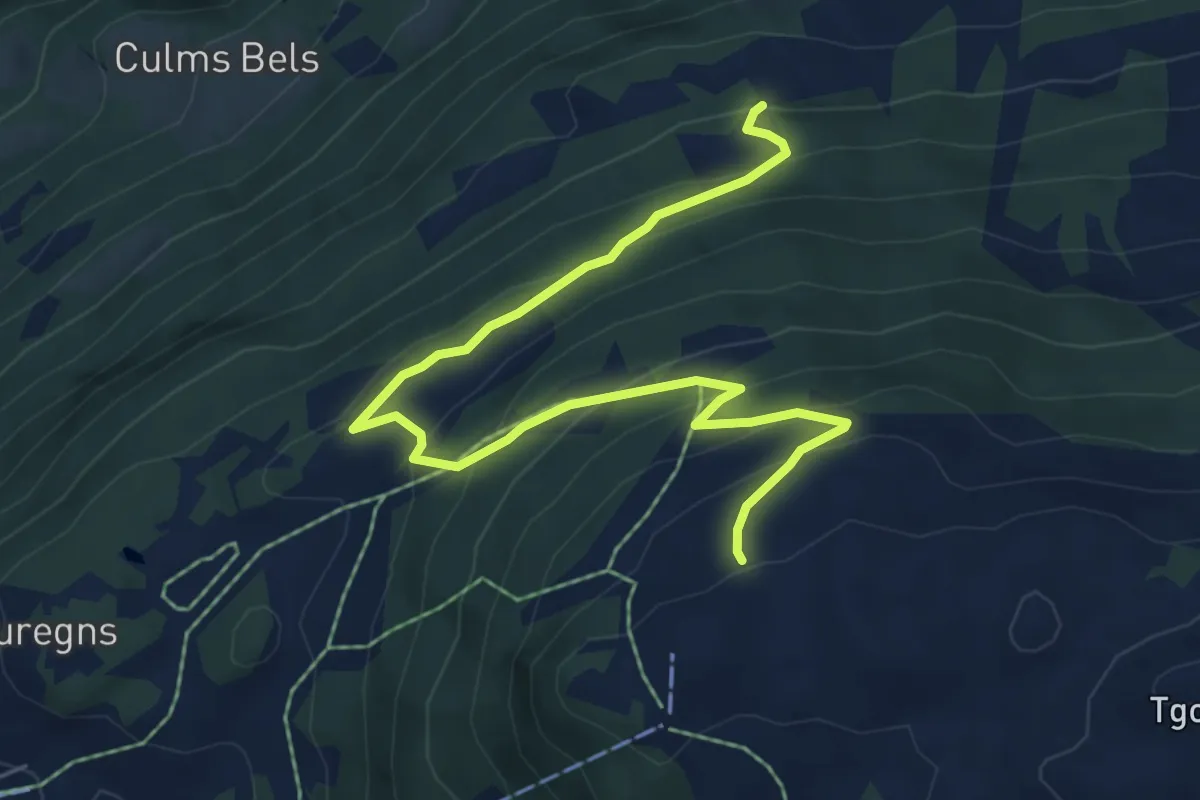
Medium · Trail
Alp da Veuden - Zeus? - fixme
7.2 km · ↑ 480 m · 2 h 44 min · 13 km away
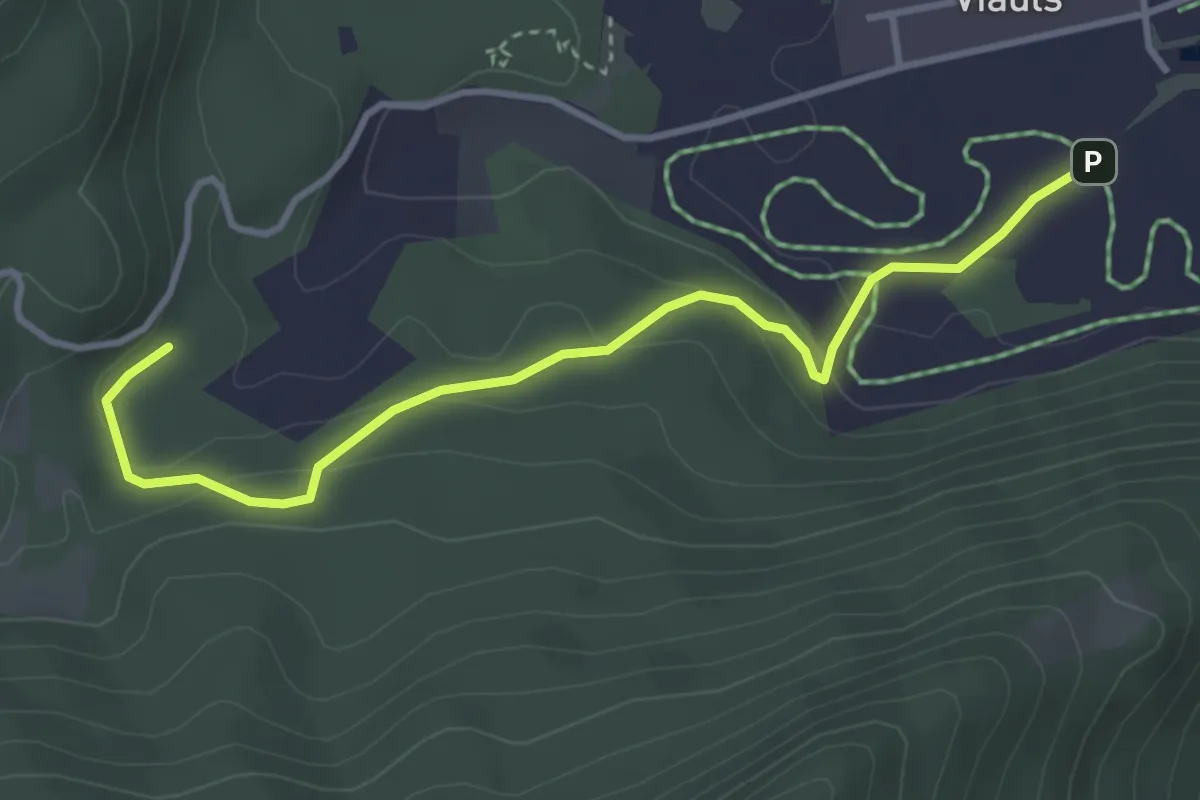
Easy · Trail
Lag-Sigl Ault
3.7 km · ↑ 149 m · 1 h 12 min · 13 km away
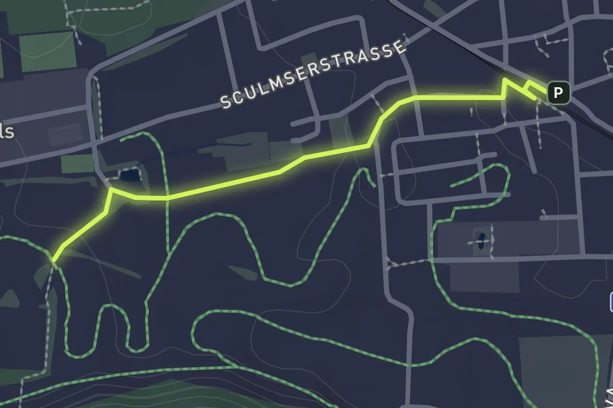
Easy · Trail
Bonaduz-Lag
2.2 km · ↑ 13 m · 33 min · 13 km away
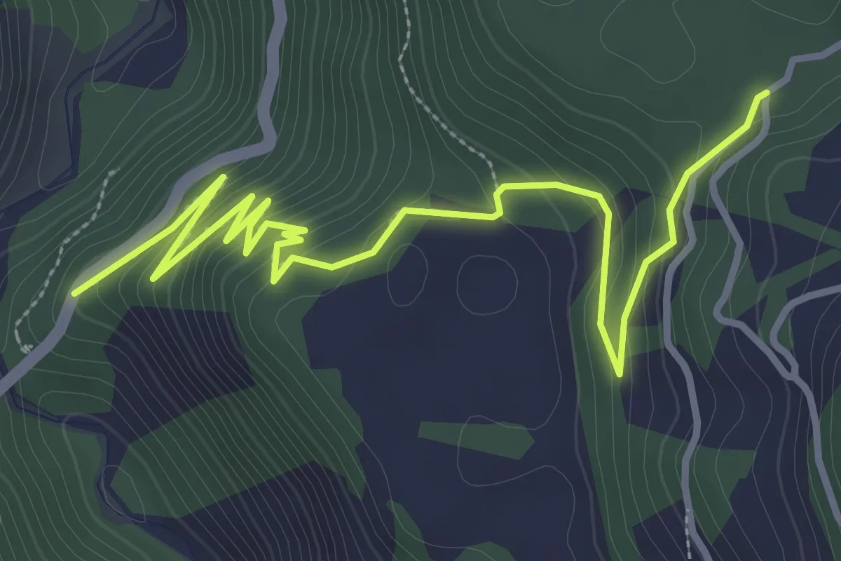
Easy · Trail
Sigl Ault - Brücke Versamer Tobel
4.3 km · ↑ 235 m · 1 h 32 min · 13 km away
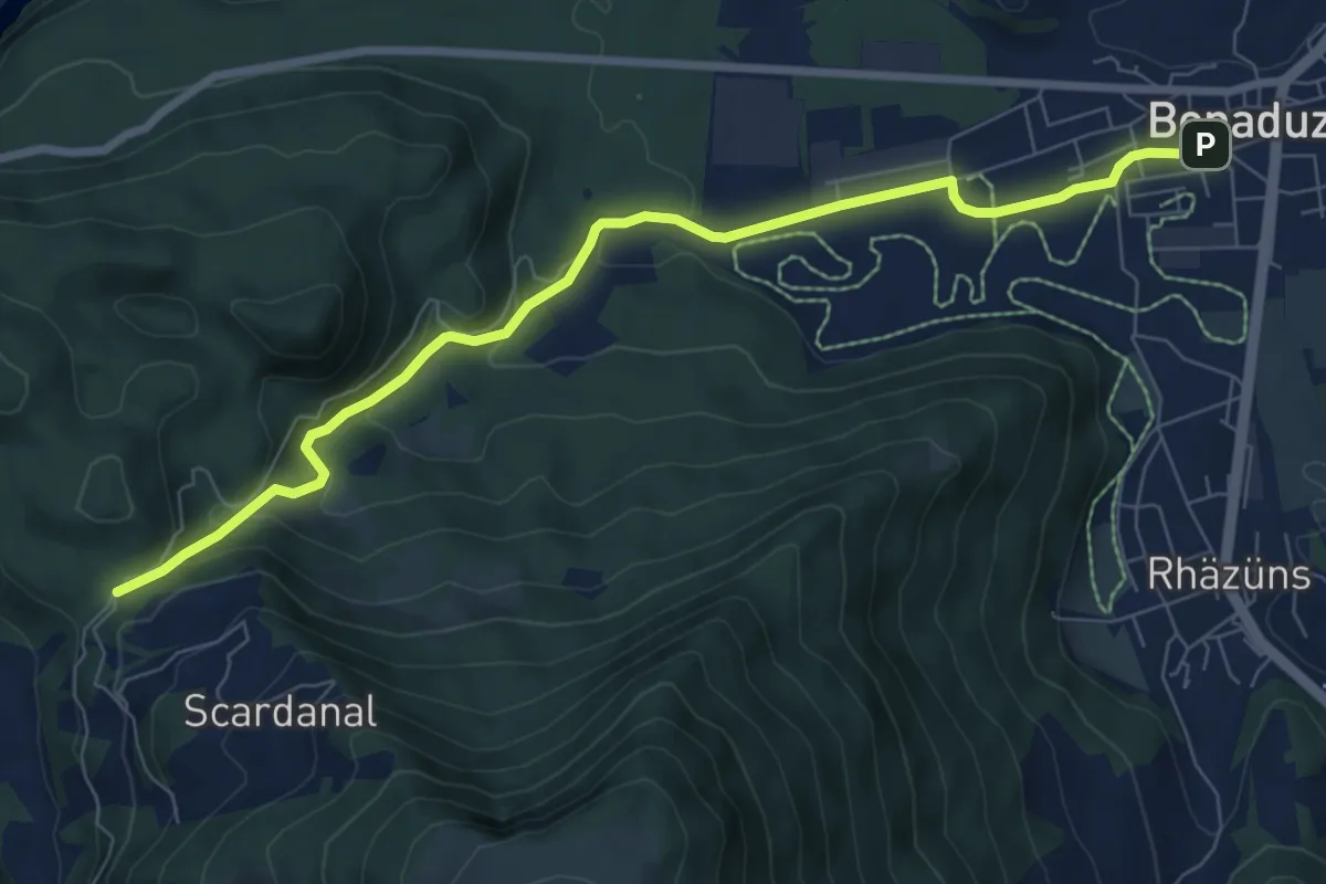
Medium · Trail
Bonaduz-Tenna
8.3 km · ↑ 316 m · 2 h 38 min · 13 km away
Medium · Cabin
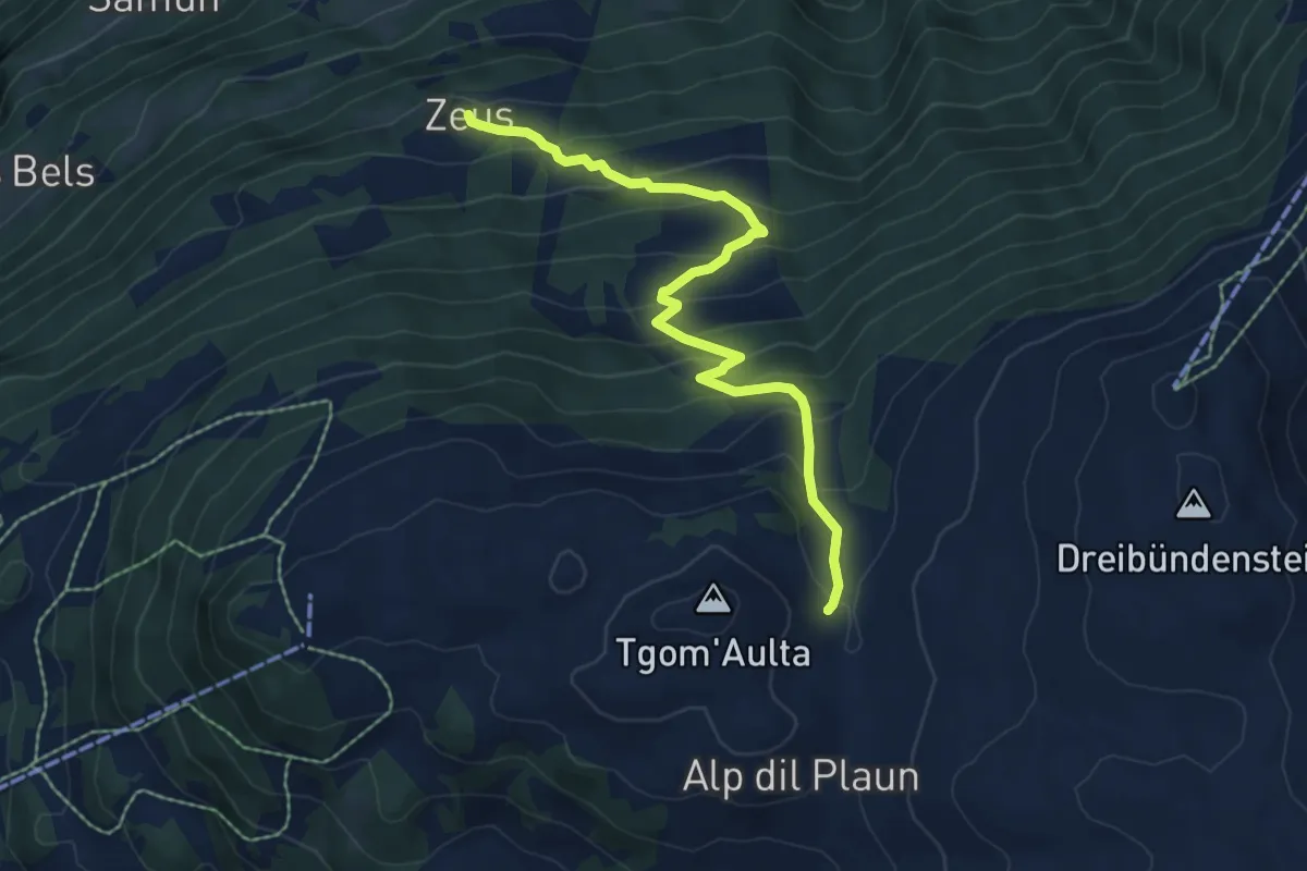
Emser Skihütte - Alp Urtgicla? / Zeus? - fixme
6.8 km · ↑ 540 m · 2 h 47 min · 13 km away
Demanding · Summit
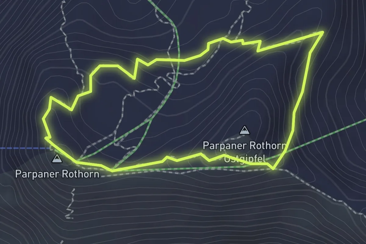
Steinwichtelweg
2.0 km · ↑ 112 m · 44 min · 13 km away
Medium · Trail
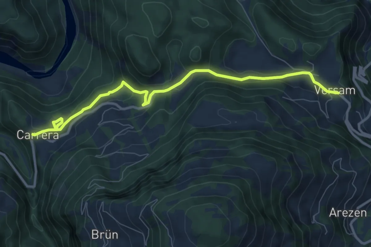
Versam - Carerra
8.2 km · ↑ 215 m · 2 h 24 min · 13 km away
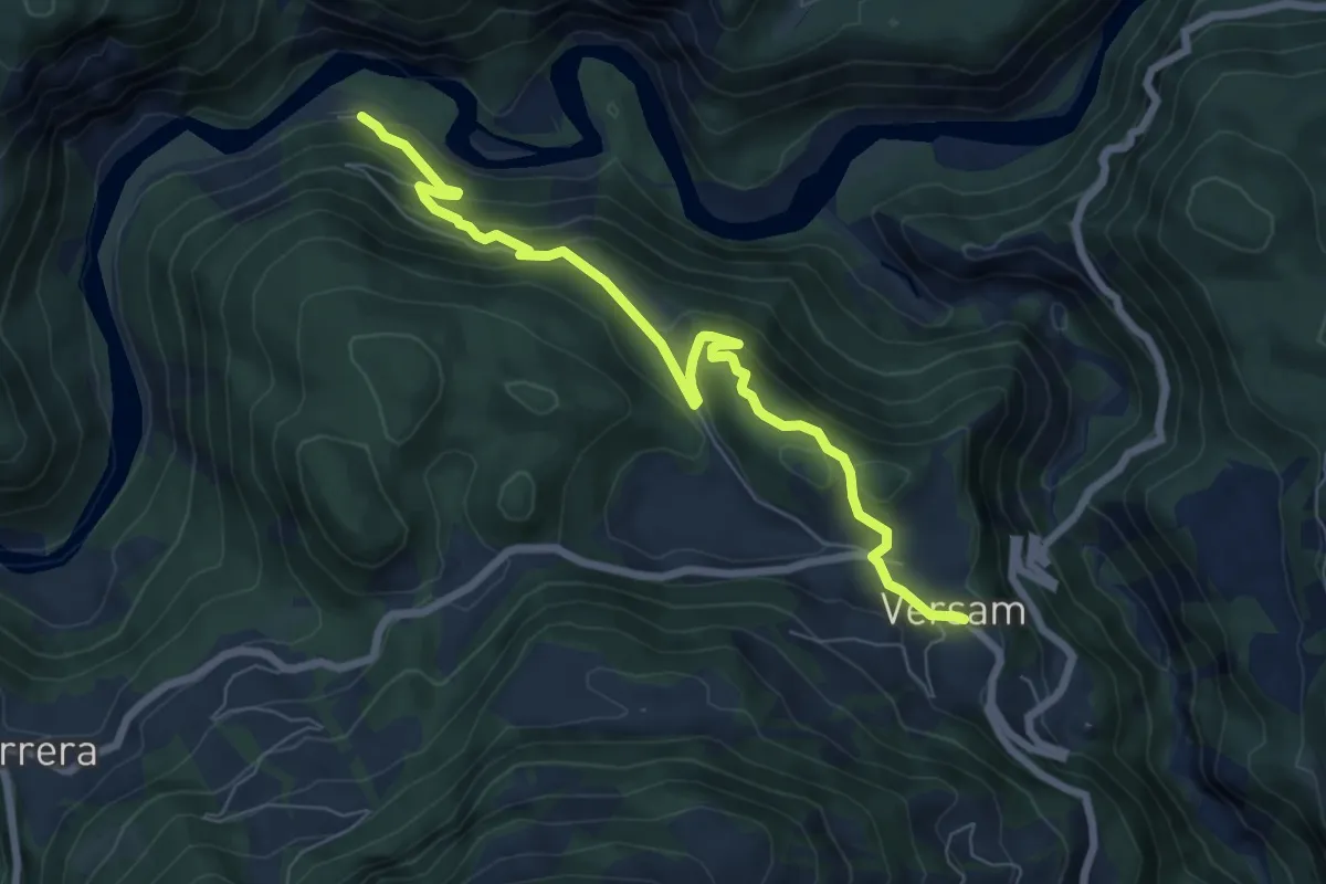
Medium · Trail
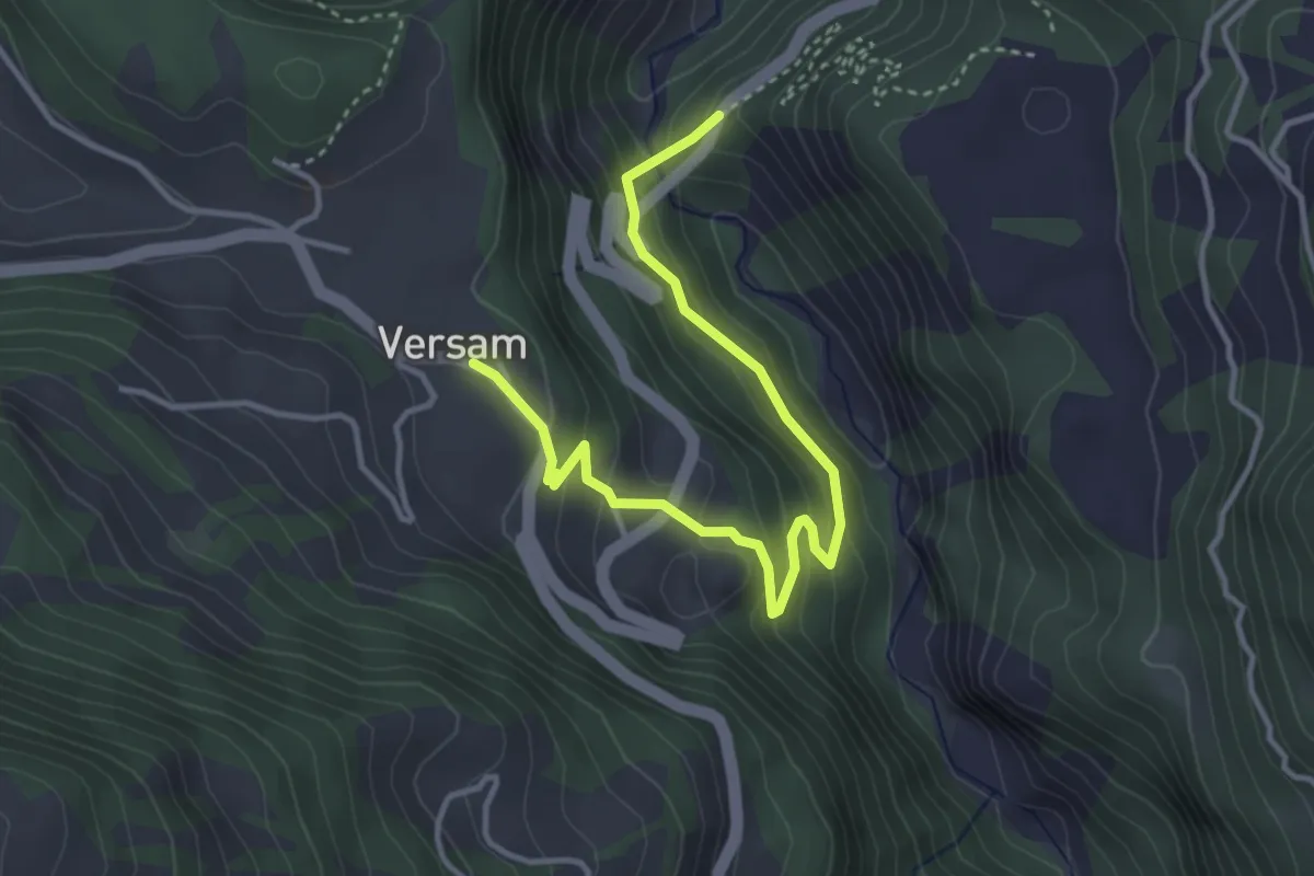
Brücke Versamer Tobel - Versam
4.1 km · ↑ 275 m · 1 h 33 min · 13 km away
Medium · Trail
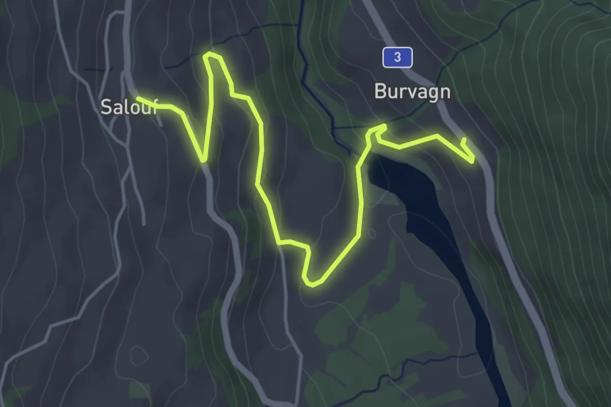
Versam Station - Versam
7.4 km · ↑ 444 m · 2 h 43 min · 13 km away
Easy · Trail
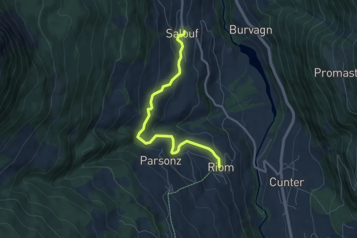
Salouf - Burvagn
5.1 km · ↑ 212 m · 1 h 40 min · 13 km away
Easy · Trail
Riom - Salouf
6.5 km · ↑ 313 m · 2 h 12 min · 13 km away
Easy · Cabin
Emser Skihütte - Aschira? / Hühnerköpfe? / Term Bel? / Brambrüsch? - fixme
4.7 km · ↑ 197 m · 1 h 33 min · 13 km away
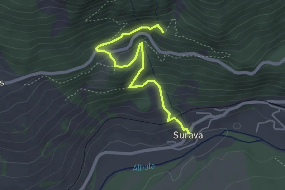
Demanding · Trail
Surava – Ruine Belfort
3.7 km · ↑ 296 m · 1 h 31 min · 14 km away
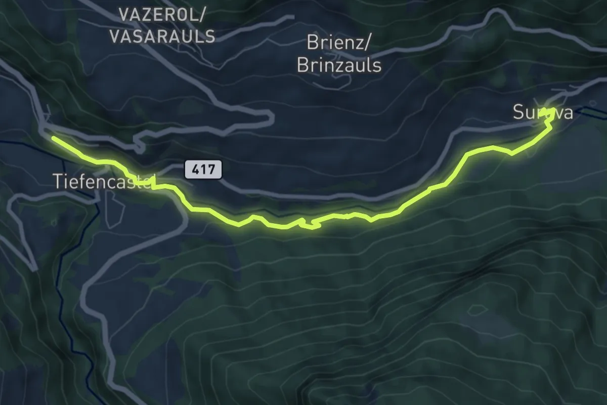
Medium · Trail
Tiefencastel Bahnhof – Surava
8.2 km · ↑ 179 m · 2 h 19 min · 14 km away
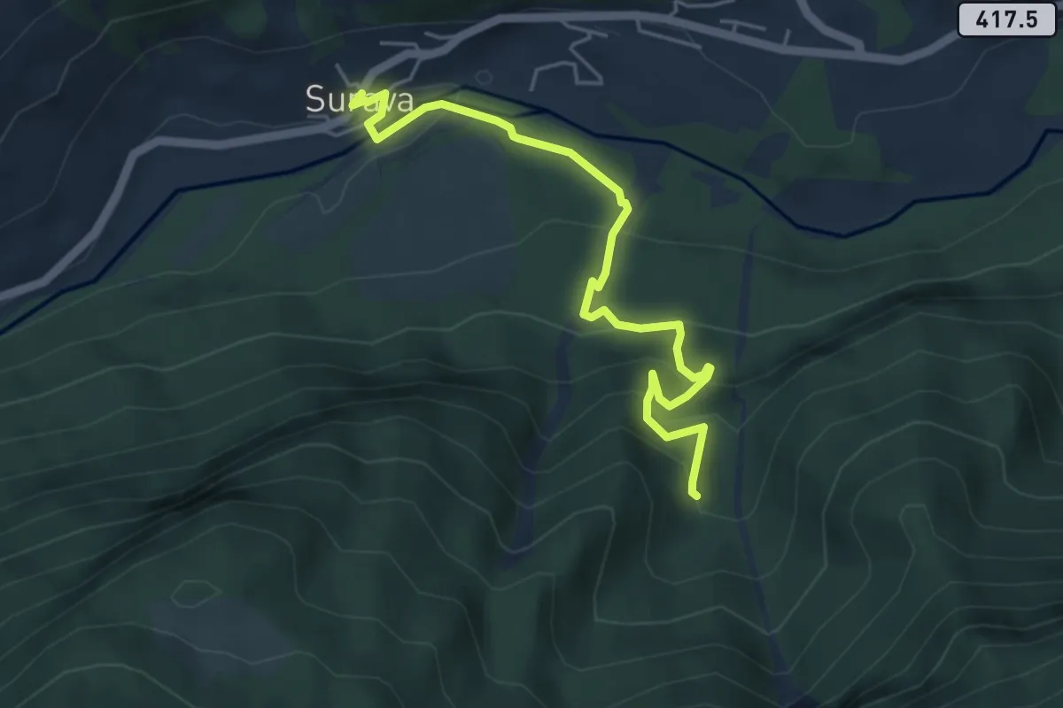
Medium · Trail
Surava – Crap Furò
5.1 km · ↑ 366 m · 1 h 59 min · 14 km away
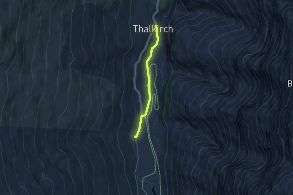
Medium · Cabin
Turrahus – Thalkirch
3.2 km · ↑ 37 m · 50 min · 14 km away
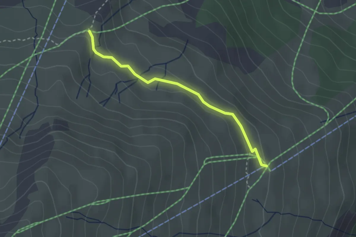
Easy · Trail
Somtgant - Mot Laritg
2.5 km · ↑ 63 m · 43 min · 14 km away
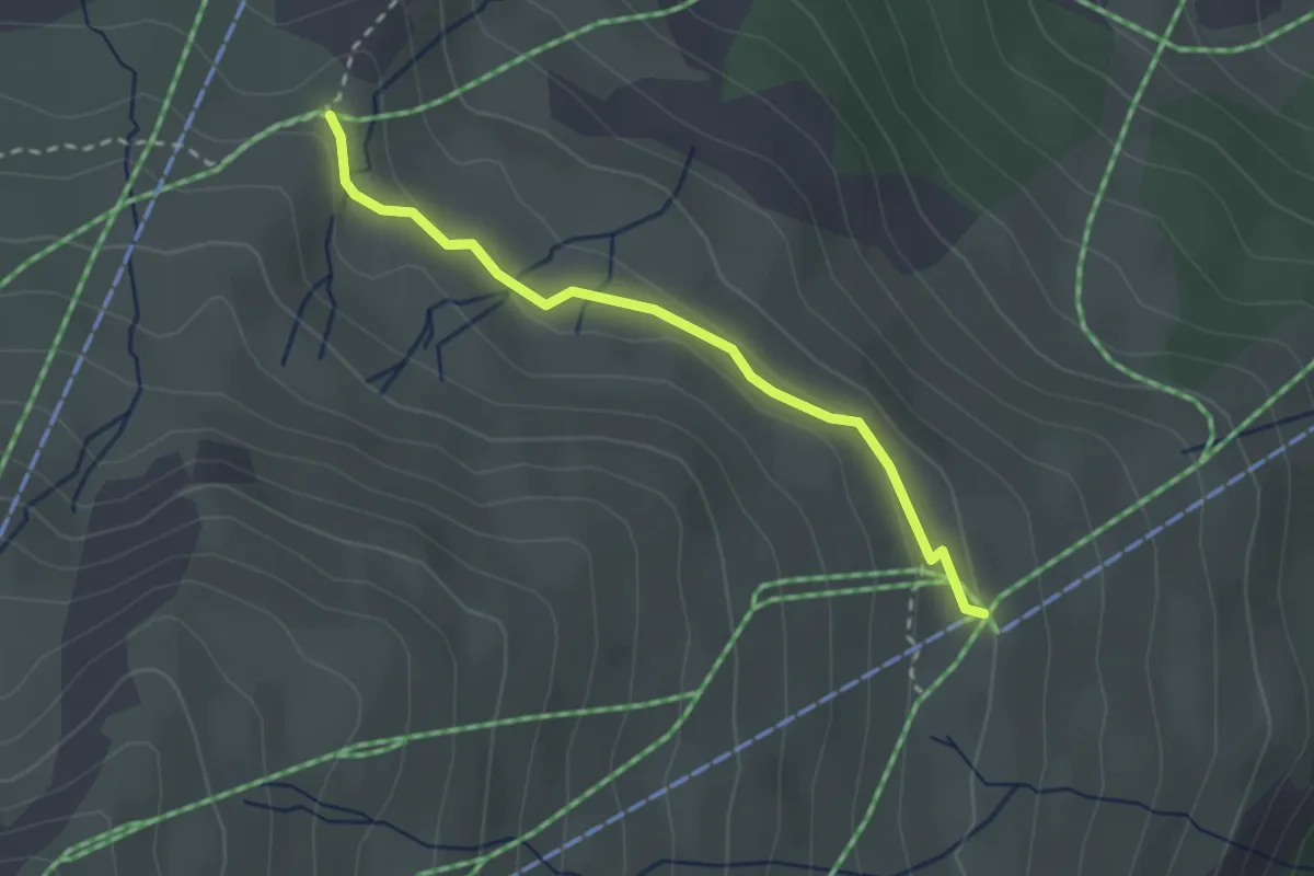
Easy · Trail
Flurin's Sommerzauber
2.5 km · ↑ 63 m · 43 min · 14 km away
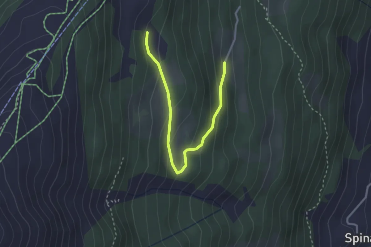
Easy · Trail
Märliweg
2.8 km · ↑ 139 m · 58 min · 14 km away
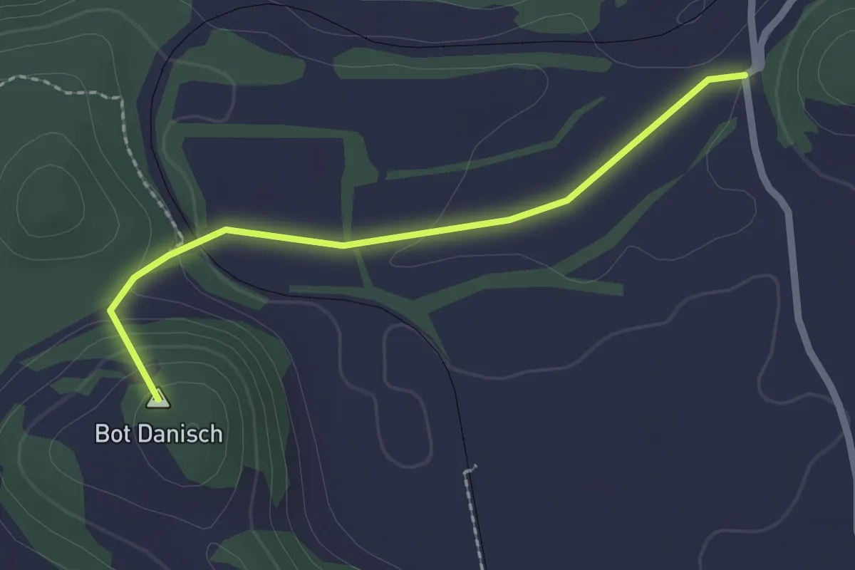
Easy · Summit
Campagna-Bonaduz (via Gurgs)
2.0 km · ↑ 66 m · 38 min · 14 km away
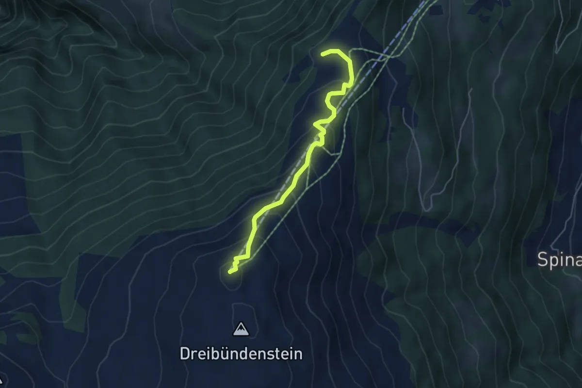
Medium · Summit
Dreibündenstein – Spundisköpf See
4.5 km · ↑ 349 m · 1 h 49 min · 14 km away
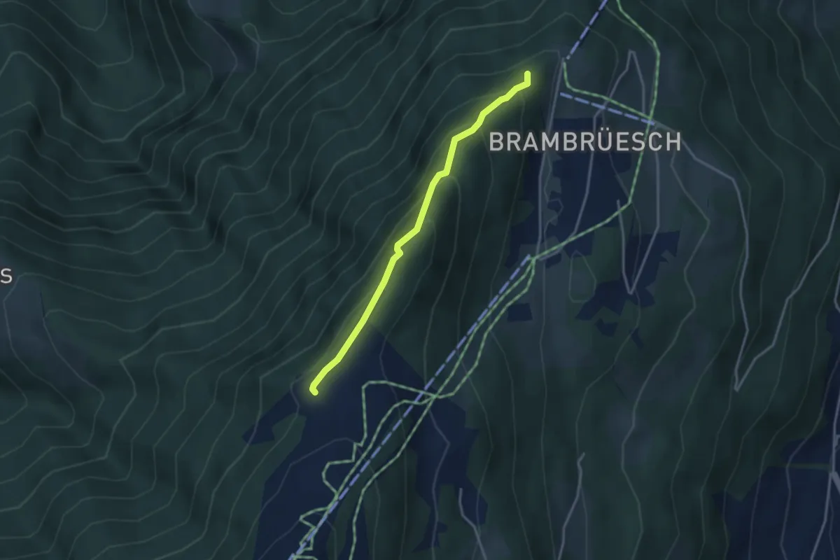
Easy · Trail
Spundisköpf See - Spundisköpf? / Känzeli? - fixme
3.0 km · ↑ 224 m · 1 h 12 min · 14 km away
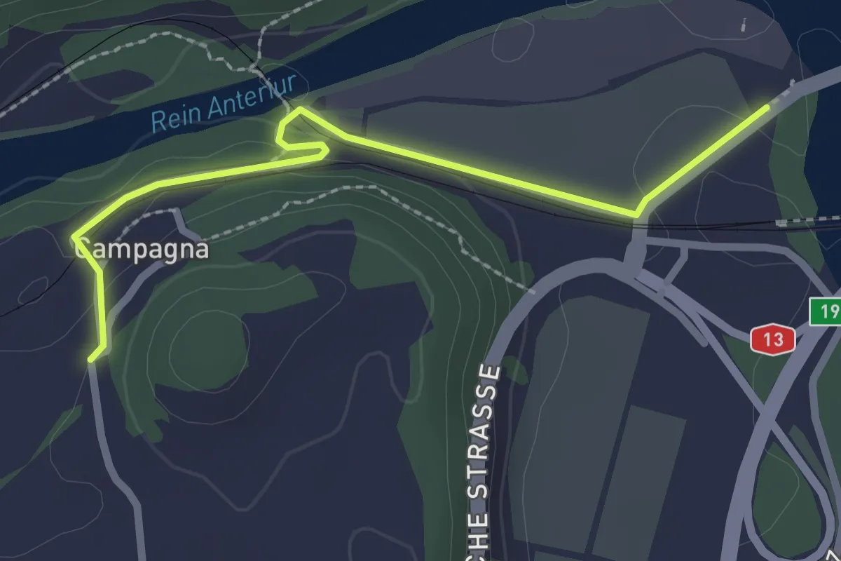
Easy · Trail
Farsch – Campagna
2.4 km · ↑ 60 m · 42 min · 14 km away
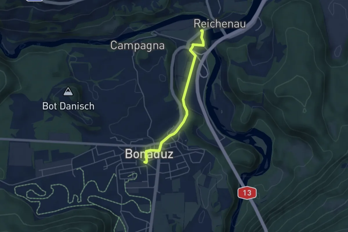
Easy · Trail
Farsch – Bonaduz
4.0 km · ↑ 73 m · 1 h 6 min · 14 km away
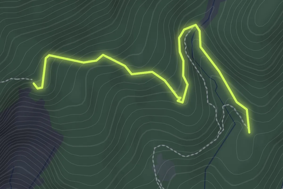
Easy · Trail
Bang'et – Plaun Crappa Naira
2.8 km · ↑ 232 m · 1 h 10 min · 14 km away
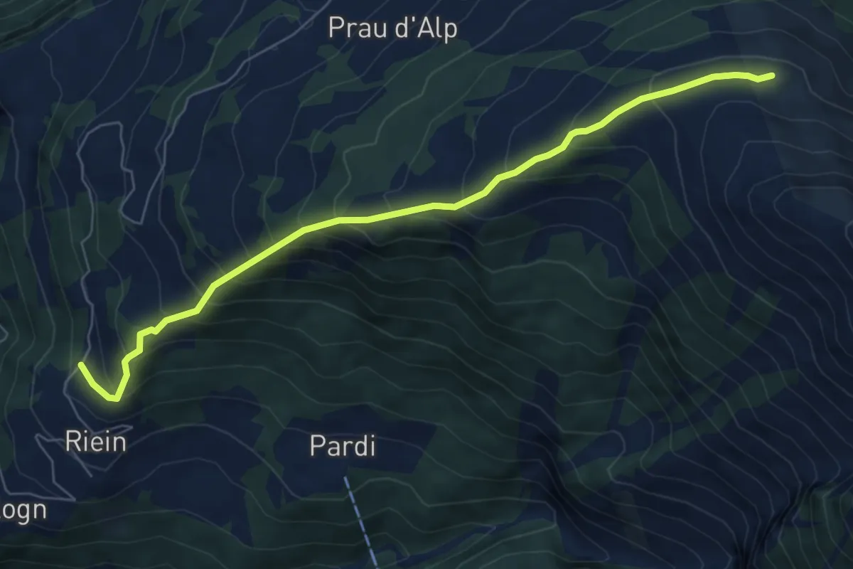
Medium · Trail
Riein Dutjer Alp
7.1 km · ↑ 697 m · 3 h 11 min · 15 km away
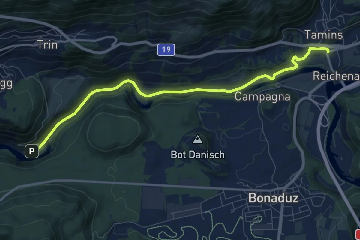
Medium · Trail
Tamins Post - Trin
8.9 km · ↑ 175 m · 2 h 29 min · 15 km away
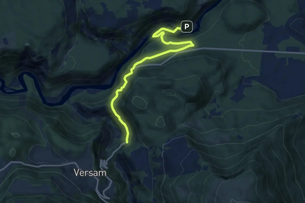
Medium · Trail
Versam Trin Stazion
9.2 km · ↑ 575 m · 3 h 25 min · 15 km away
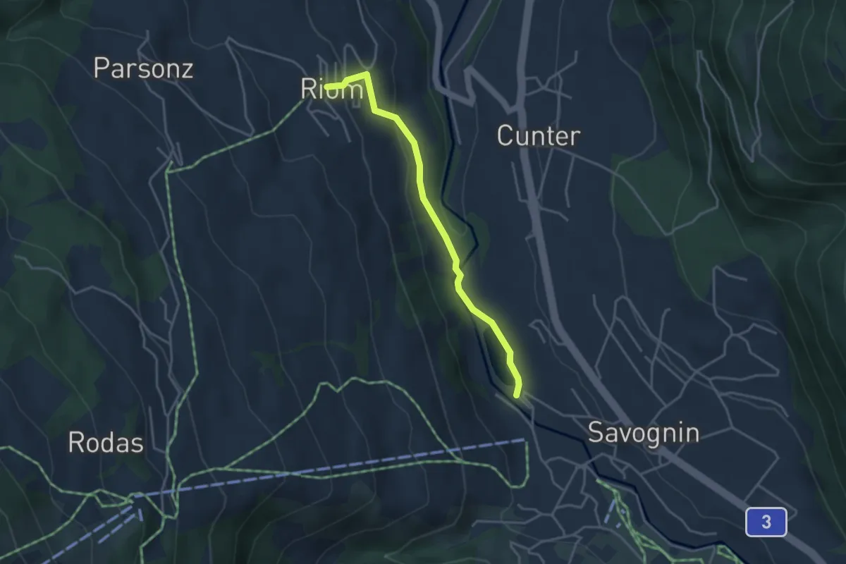
Easy · Trail
Savognin Lai Barnagn - Riom
3.4 km · ↑ 104 m · 1 h 1 min · 15 km away
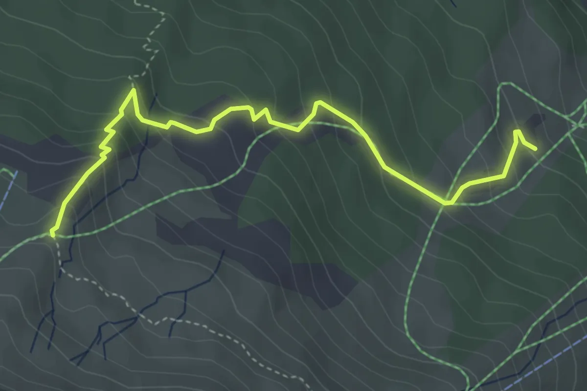
Medium · Trail
Mot Laritg - Monas
4.4 km · ↑ 371 m · 1 h 50 min · 15 km away
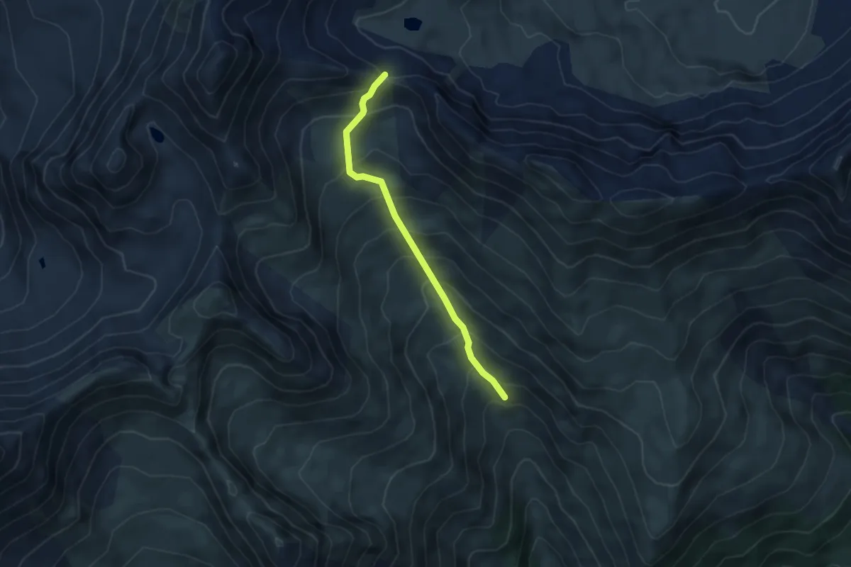
Demanding · Trail
Alp dilg Guert Furcleta
4.1 km · ↑ 444 m · 1 h 56 min · 15 km away
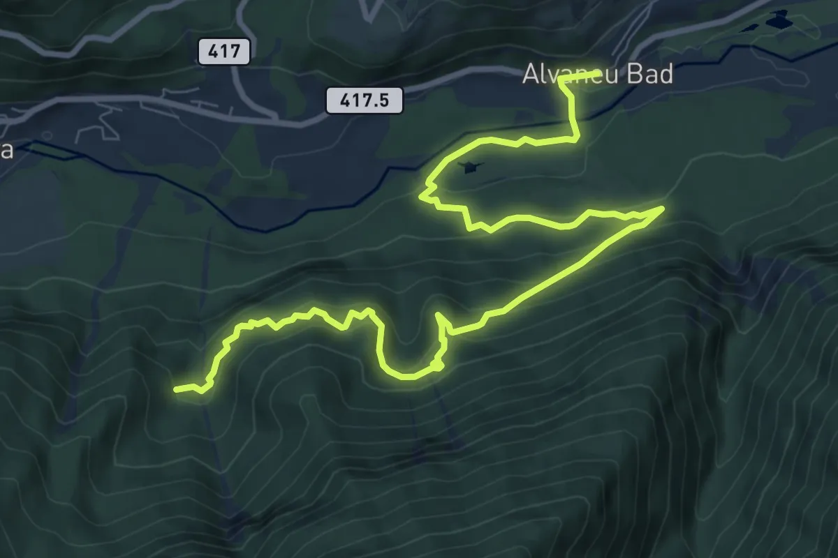
Medium · Trail
Crap Furò – Alvaneu Bad
10.8 km · ↑ 714 m · 4 h 6 min · 15 km away
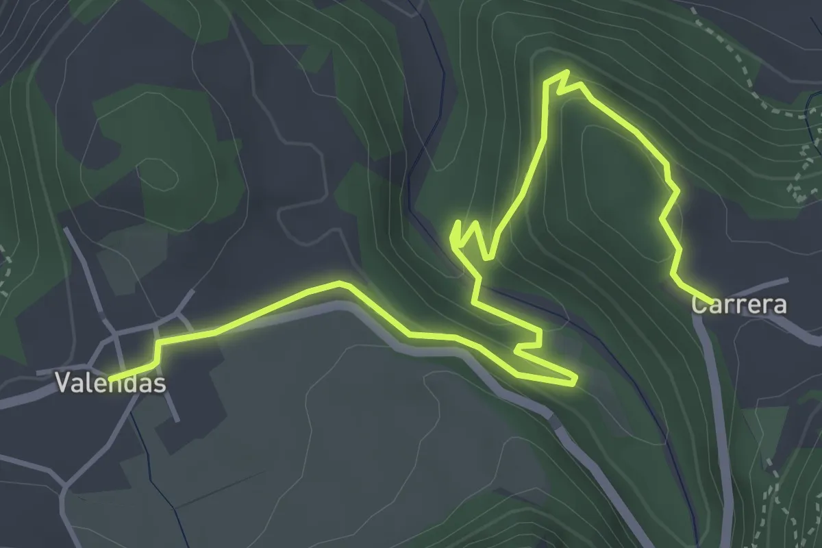
Easy · Trail
Carrera-Valendas
5.2 km · ↑ 286 m · 1 h 51 min · 15 km away
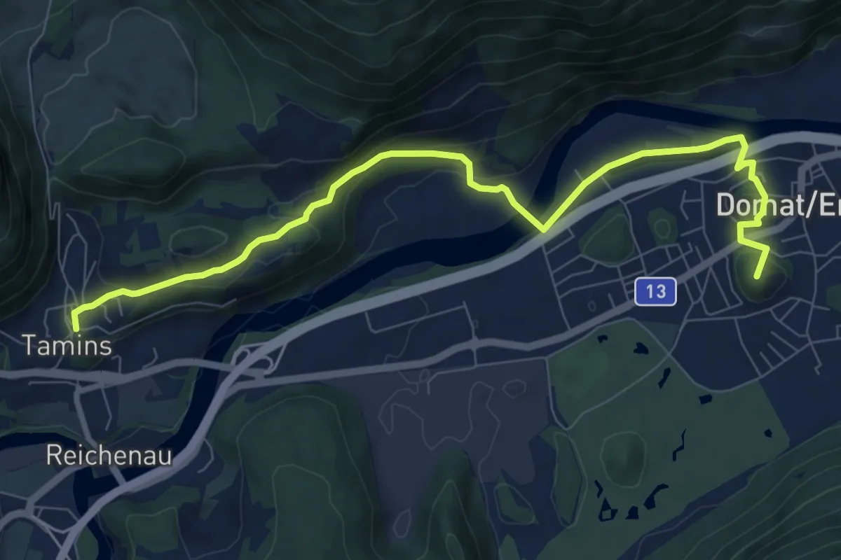
Easy · Summit
Via son Giachen
4.7 km · ↑ 128 m · 1 h 29 min · 15 km away
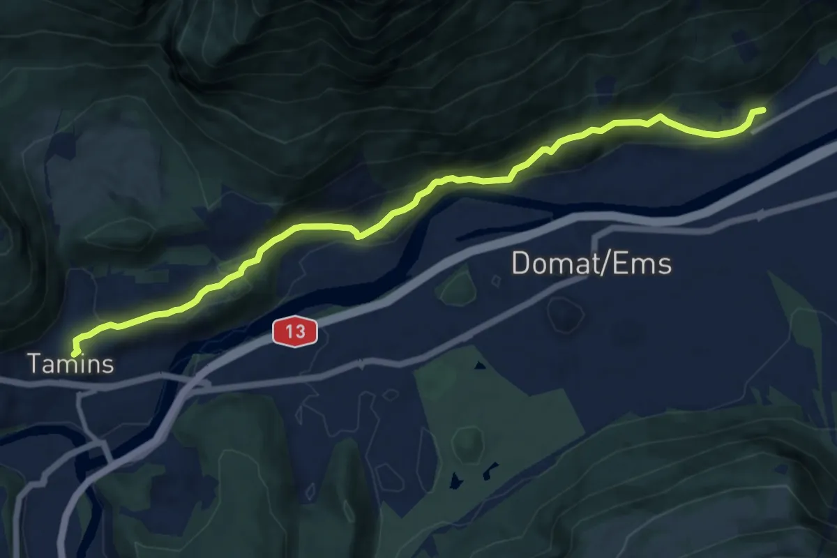
Medium · Trail
Felsberg-Tamins
10.5 km · ↑ 531 m · 3 h 38 min · 15 km away