Trails near Uster
605 hikes starting within 15 km, nearest first.
Nearest first, page 11 of 13
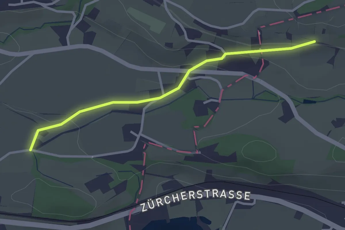
Easy · Trail
Goldenberg - Schwösterrain
2.6 km · ↑ 68 m · 46 min · 13 km away
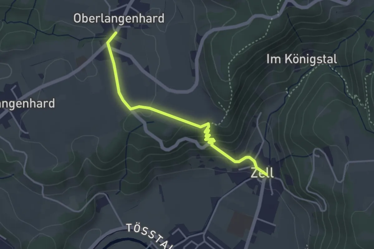
Easy · Trail
Ober Langenhard – Zell
3.5 km · ↑ 125 m · 1 h 6 min · 13 km away
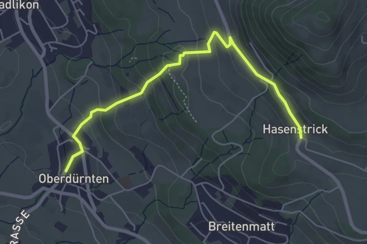
Easy · Trail
Oberdürnten – Hasenstrick
4.8 km · ↑ 233 m · 1 h 38 min · 13 km away
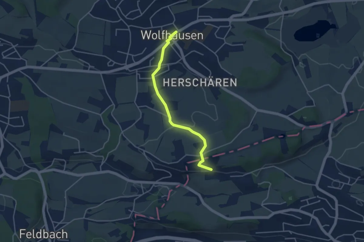
Easy · Trail
Wolfhausen – Schwösterrain
3.4 km · ↑ 57 m · 55 min · 13 km away
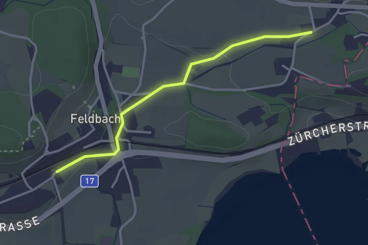
Easy · Trail
Feldbach Station - ?
2.6 km · ↑ 28 m · 41 min · 13 km away
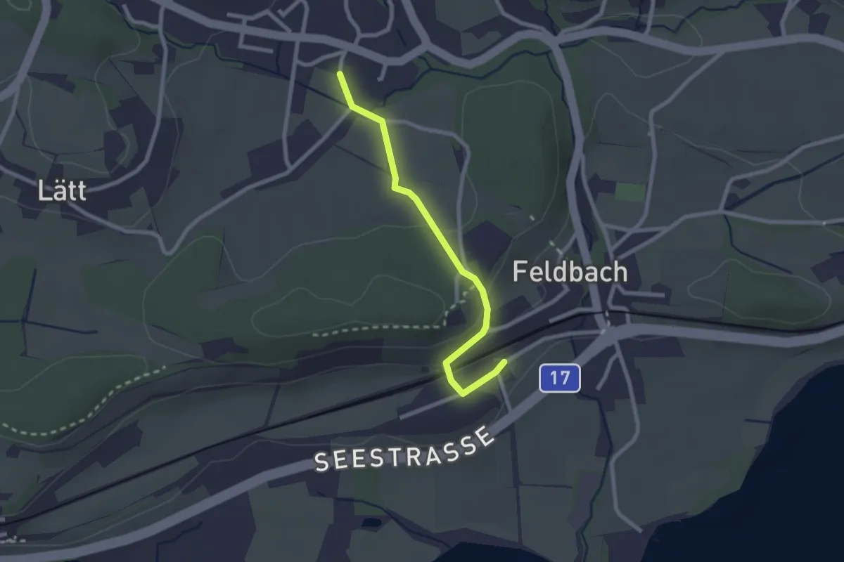
Easy · Trail
Feldbach - Langenriet
2.2 km · ↑ 56 m · 38 min · 13 km away
Easy · Trail
Waldhüsli - Strickhof
3.2 km · ↑ 114 m · 1 h · 13 km away
Medium · Trail
Wädenswiler Seeuferweg
9.1 km · ↑ 18 m · 2 h 11 min · 13 km away
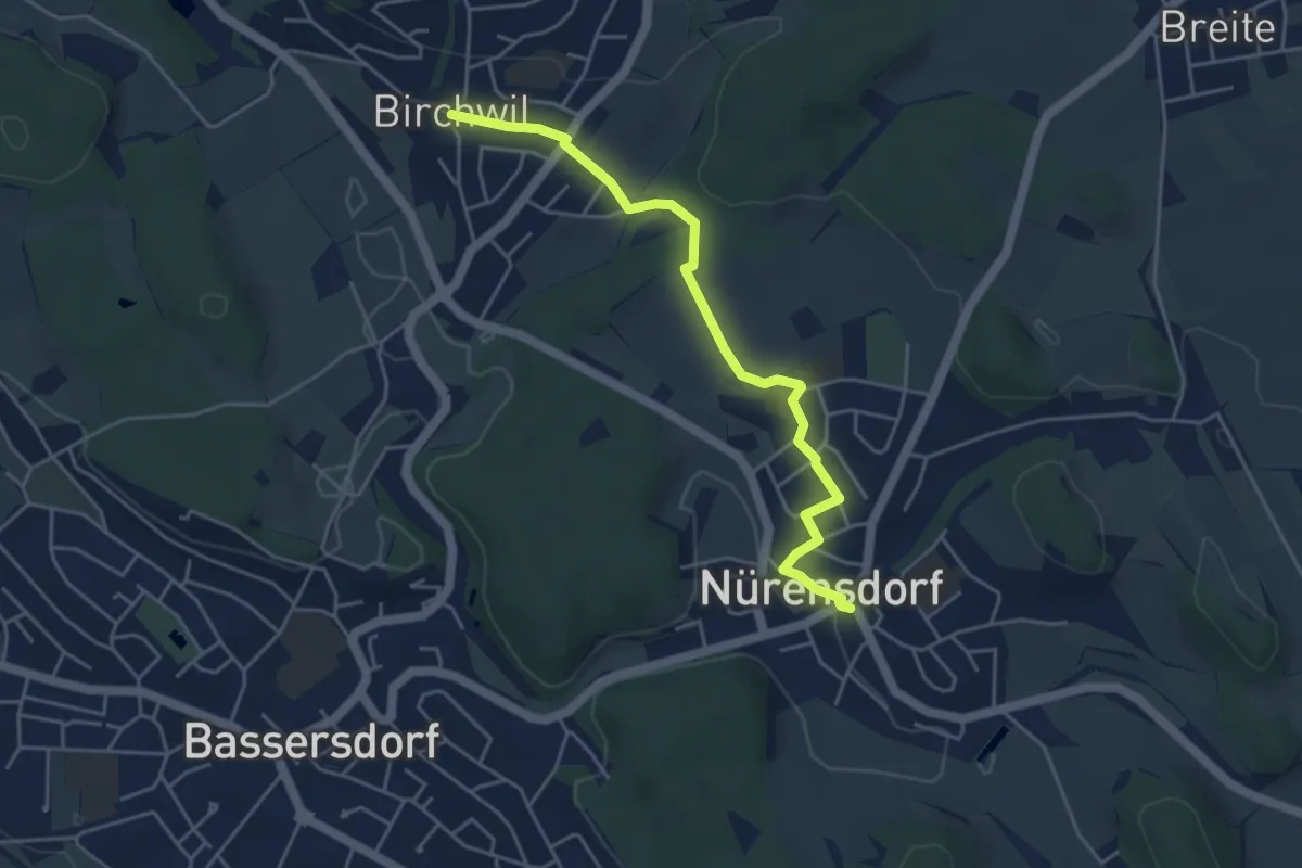
Easy · Trail
Birchwil - Nürensdorf
4.5 km · ↑ 73 m · 1 h 14 min · 13 km away
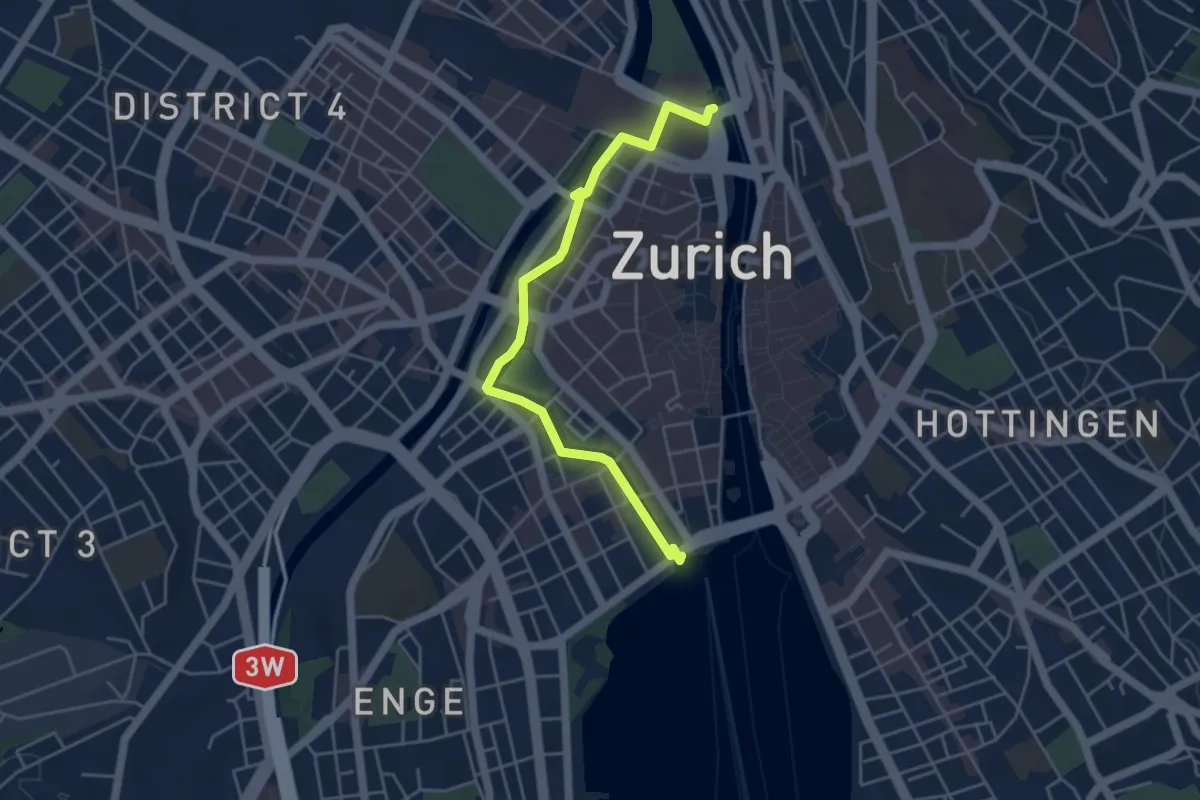
Easy · Trail
Bürkliplatz – Zürich HB
4.7 km · ↑ 24 m · 1 h 10 min · 13 km away
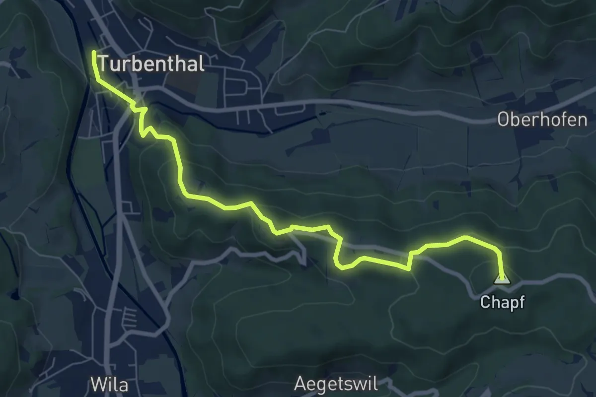
Easy · Summit
Turbenthal – Büel
7.4 km · ↑ 307 m · 2 h 25 min · 13 km away
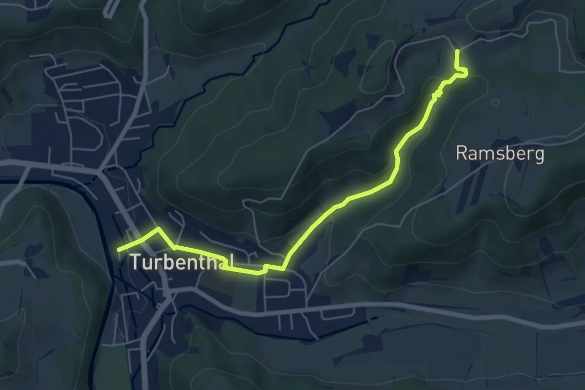
Easy · Trail
Schnurrberg – Turbenthal
5.4 km · ↑ 172 m · 1 h 39 min · 13 km away
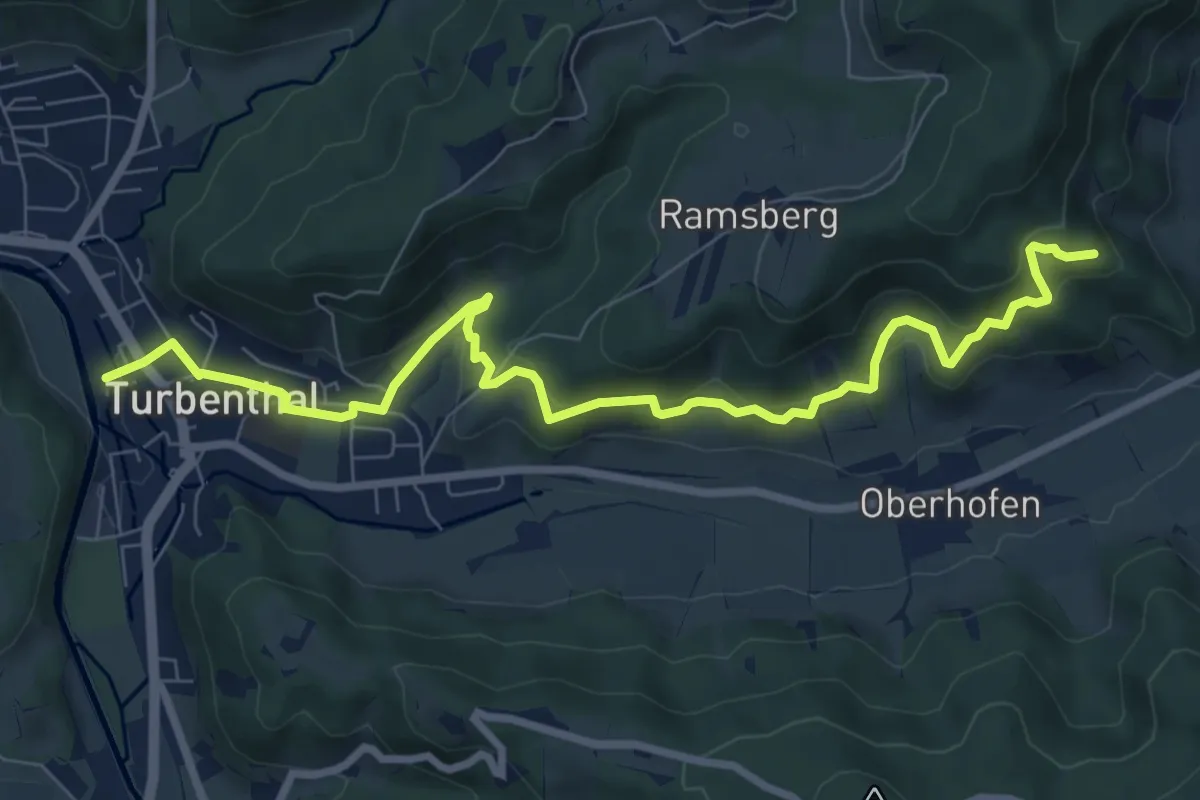
Medium · Trail
Buechenegg – Turbenthal
9.1 km · ↑ 371 m · 2 h 58 min · 13 km away
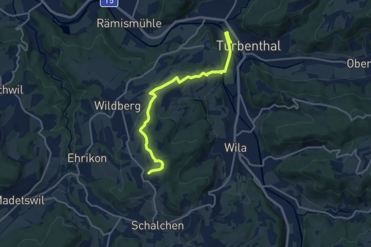
Medium · Trail
Ober Luegeten – Turbenthal
9.2 km · ↑ 262 m · 2 h 45 min · 13 km away
Demanding · Trail
Zürichsee Rundweg - Etappe 3
25.0 km · ↑ 220 m · 6 h 22 min · 14 km away
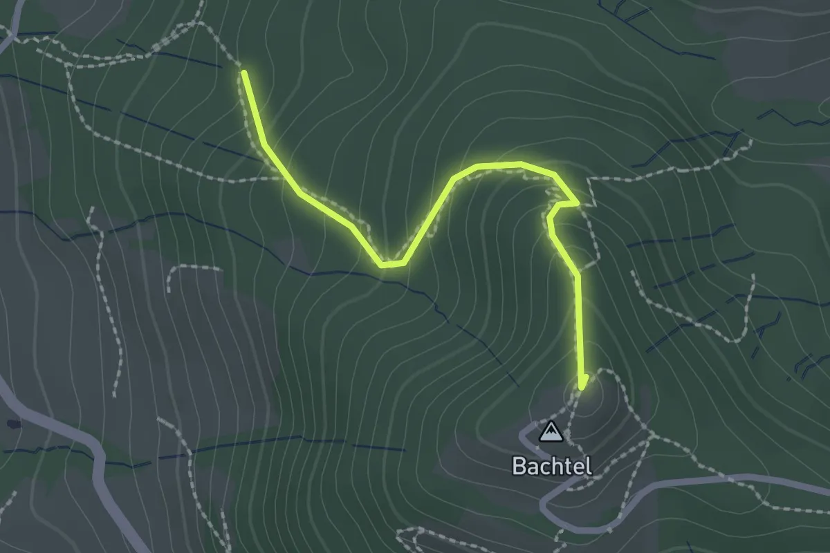
Easy · Summit
Horn – Bachtel
2.0 km · ↑ 168 m · 50 min · 14 km away
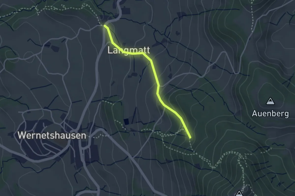
Easy · Trail
Horn – Girenbad (Parkplatz)
2.7 km · ↑ 155 m · 58 min · 14 km away
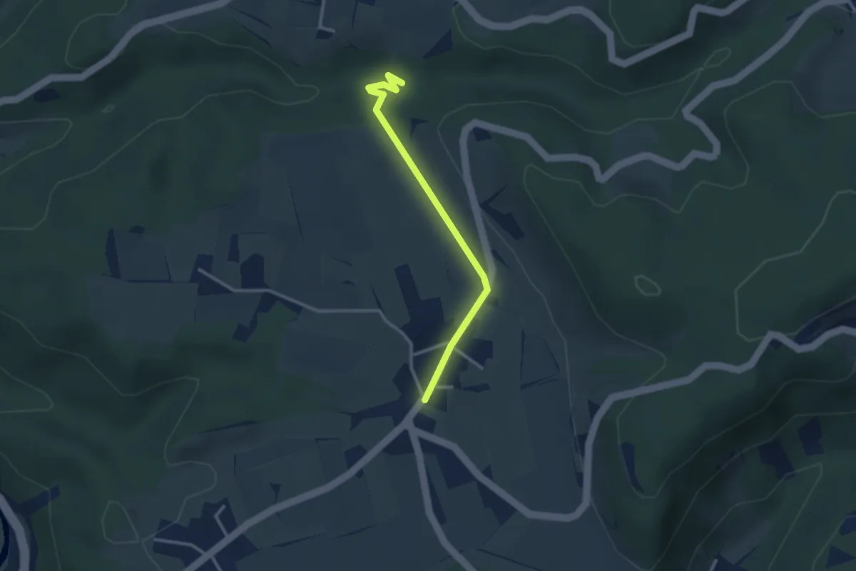
Easy · Trail
Oberlangenhard – Rörlitobel
2.6 km · ↑ 47 m · 43 min · 14 km away
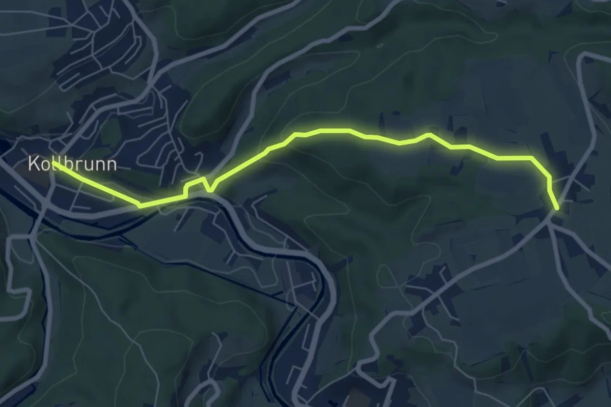
Easy · Trail
Kollbrunn Bhf. – Oberlangenhard
6.4 km · ↑ 188 m · 1 h 56 min · 14 km away
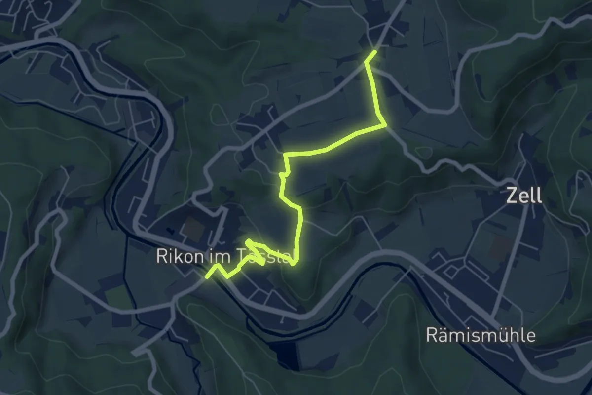
Easy · Trail
Rikon Brücke – Ober Langenhard
5.6 km · ↑ 123 m · 1 h 35 min · 14 km away
Easy · Trail
Tüfels Chilen - Oberlangenhard
3.3 km · ↑ 69 m · 56 min · 14 km away
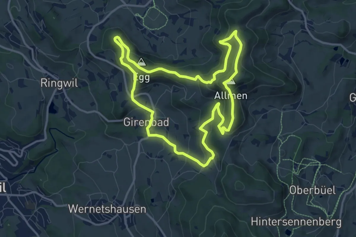
Medium · Summit
Rundweg 4-Quellen
8.9 km · ↑ 424 m · 3 h 9 min · 14 km away
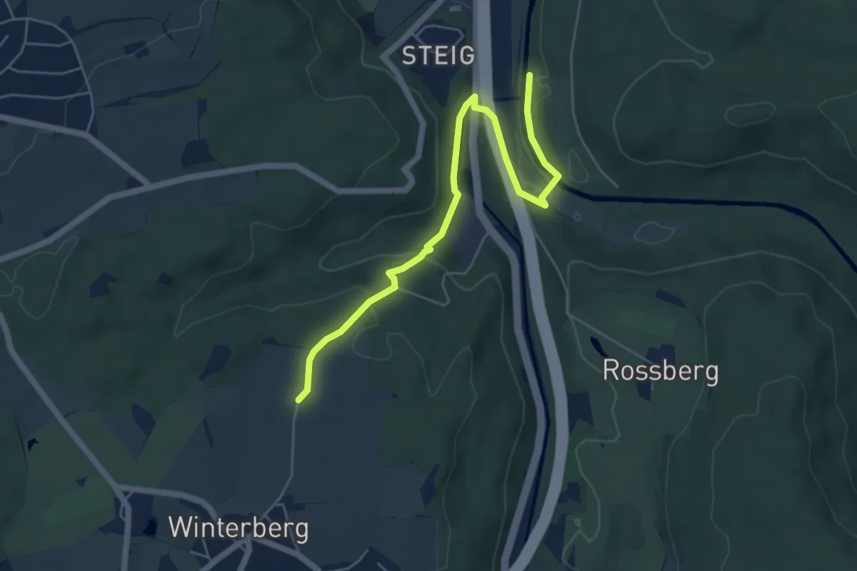
Easy · Trail
Bläsihof – Ritplatz
5.6 km · ↑ 168 m · 1 h 41 min · 14 km away
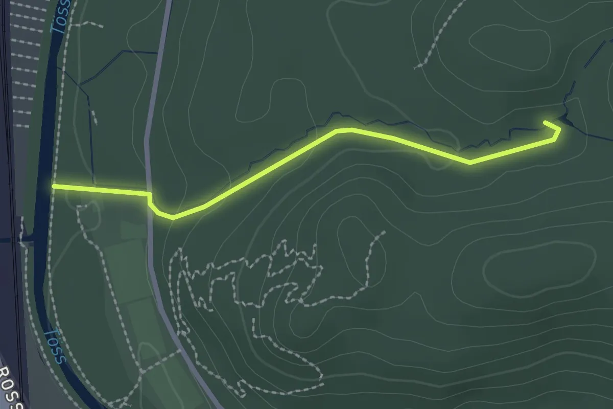
Easy · Trail
Sternweiher – Ritplatz
2.1 km · ↑ 58 m · 37 min · 14 km away
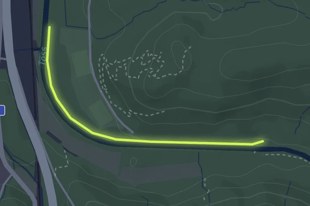
Easy · Trail
Ritplatz – Brunibrugg
2.5 km · ↑ 18 m · 38 min · 14 km away
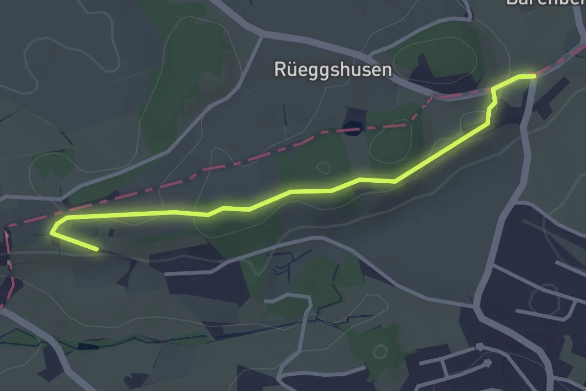
Easy · Trail
Rüssel - Schwösterrain
3.0 km · ↑ 61 m · 50 min · 14 km away
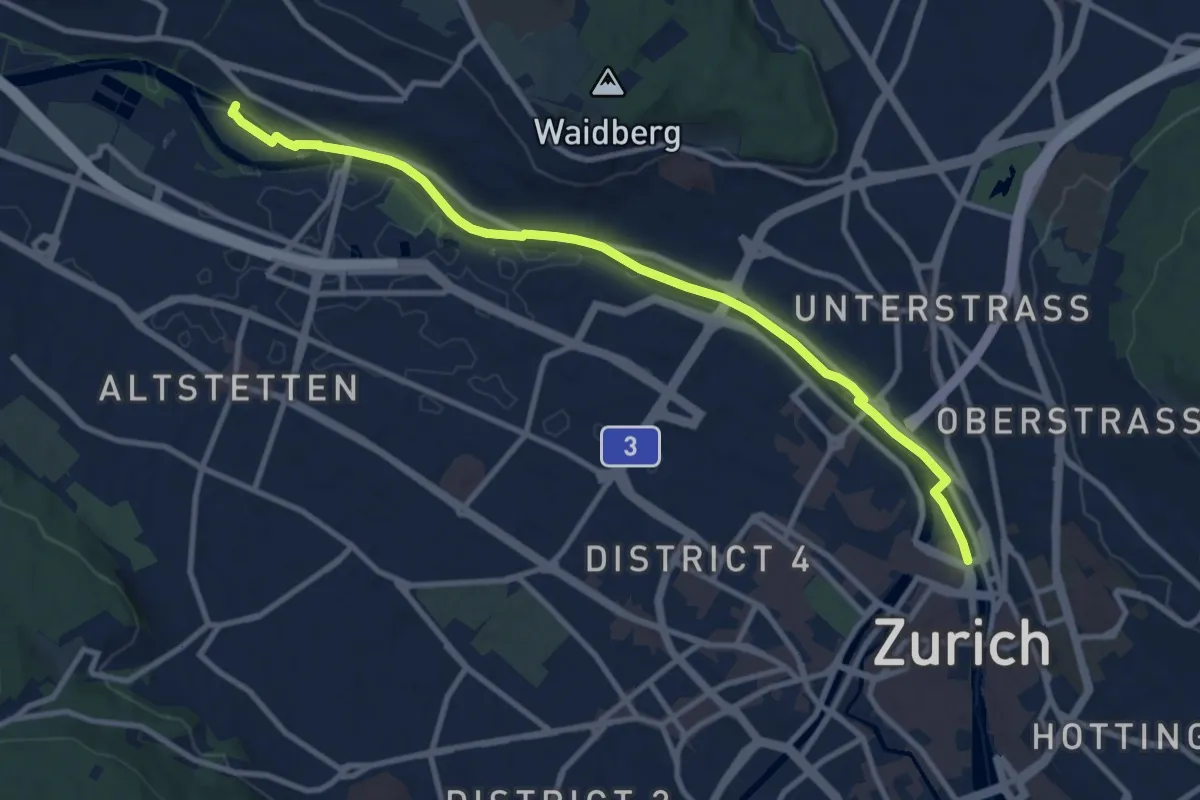
Easy · Pilgrim path
Hugenotten- und Waldenserweg
5.4 km · ↑ 28 m · 1 h 24 min · 14 km away
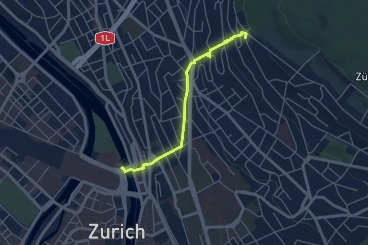
Easy · Pilgrim path
Hugenotten- und Waldenserweg
1.8 km · ↑ 189 m · 46 min · 14 km away
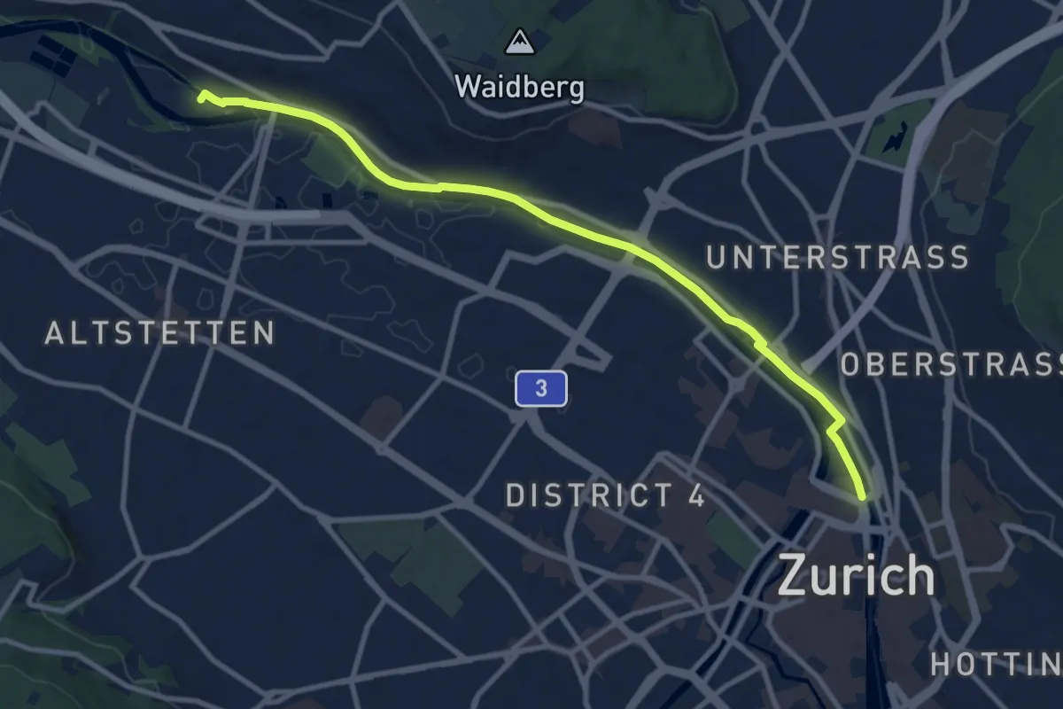
Medium · Trail
Zürich HB – Werdinsel
10.1 km · ↑ 48 m · 2 h 29 min · 14 km away
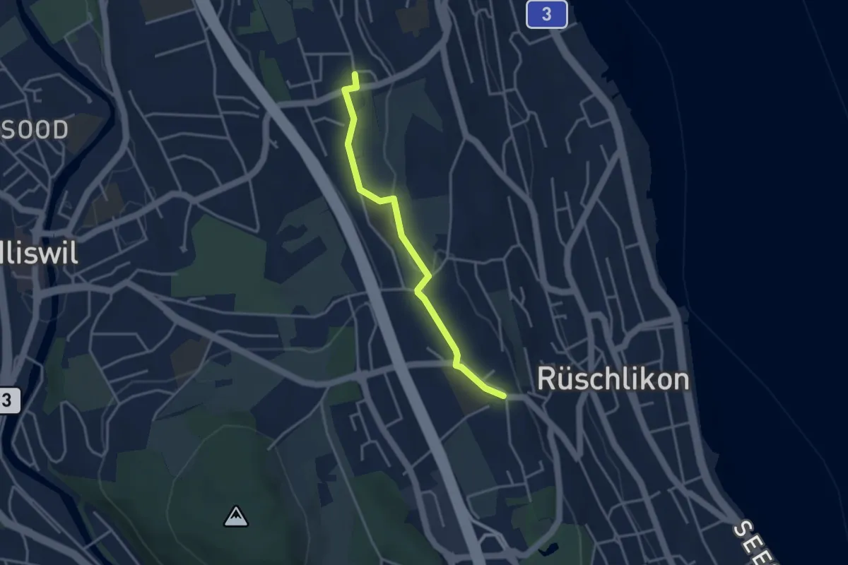
Easy · Trail
Kilchberg Kirche - Nidelbad
3.2 km · ↑ 13 m · 46 min · 14 km away
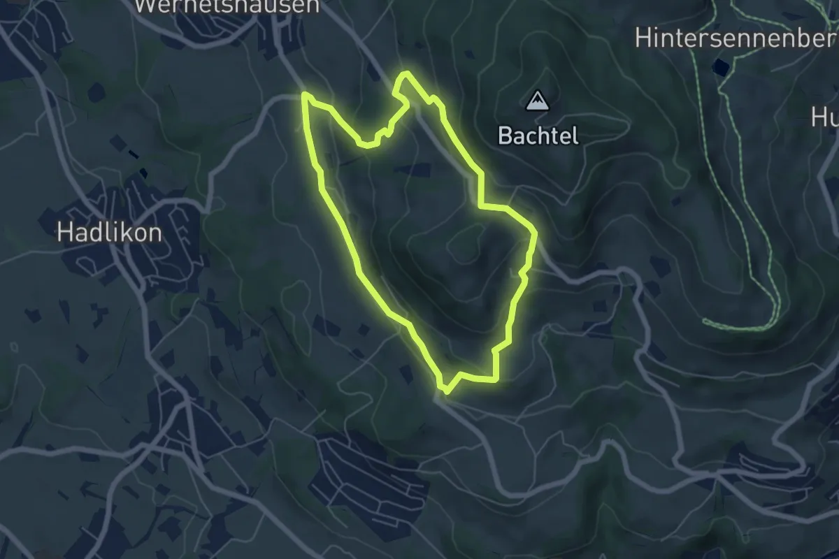
Easy · Summit
Hasenstrick
5.1 km · ↑ 249 m · 1 h 49 min · 14 km away
Easy · Summit
Um den Bachtel
4.7 km · ↑ 233 m · 1 h 40 min · 14 km away
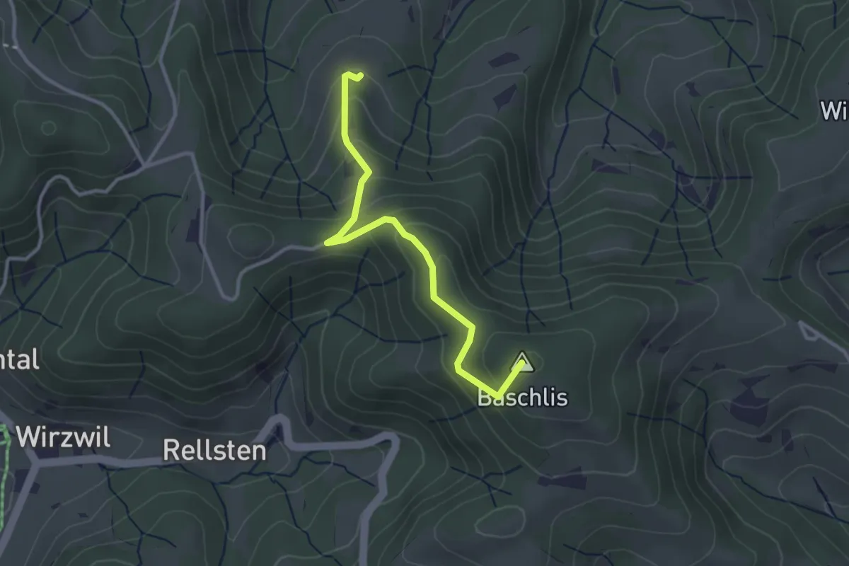
Easy · Summit
Ghöchweid - Unterlaupetswil - fixme
2.9 km · ↑ 185 m · 1 h 5 min · 14 km away
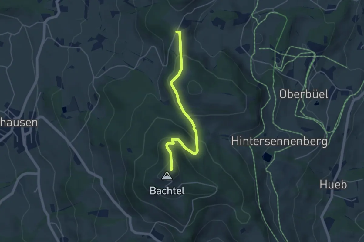
Easy · Summit
Schufelberger Egg – Bachtel
3.9 km · ↑ 190 m · 1 h 19 min · 14 km away
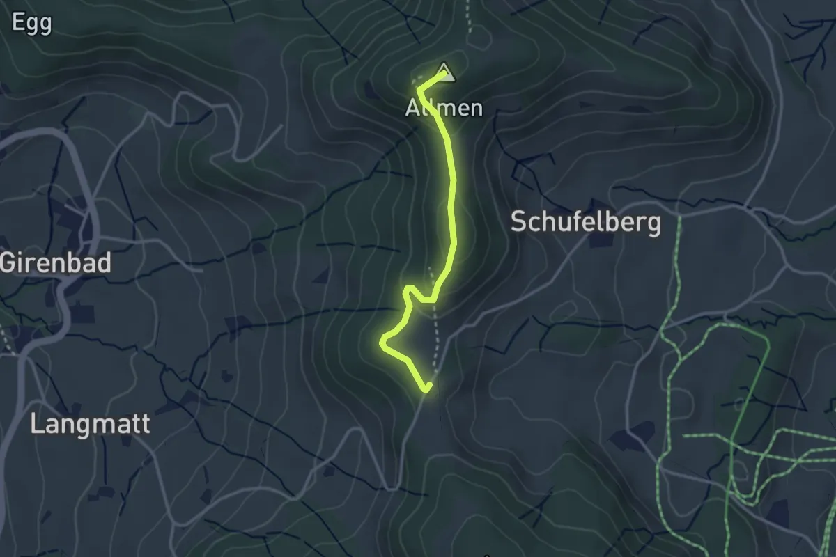
Easy · Summit
Schufelberger Egg - Allmen
2.6 km · ↑ 110 m · 51 min · 14 km away
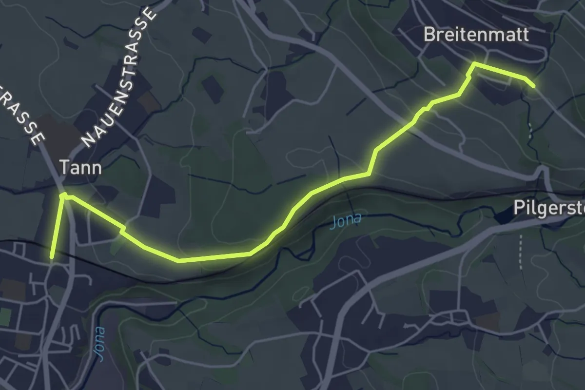
Easy · Trail
Breitenmatt – Tann-Dürnten
5.1 km · ↑ 108 m · 1 h 27 min · 14 km away
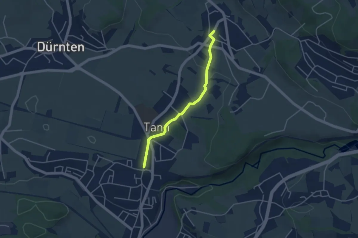
Easy · Trail
Tann-Dürnten – Oberdürnten
3.1 km · ↑ 50 m · 50 min · 14 km away
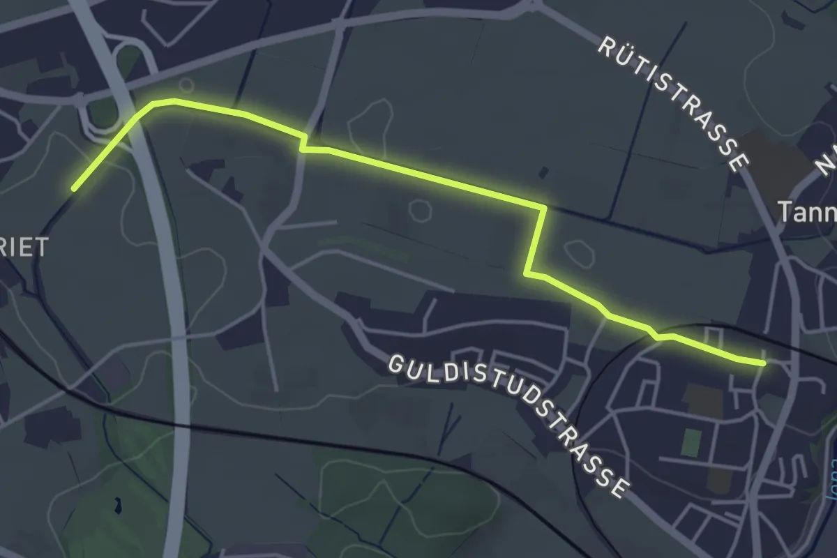
Easy · Trail
Lettenmoos – Tann
4.4 km · ↑ 13 m · 1 h 4 min · 14 km away
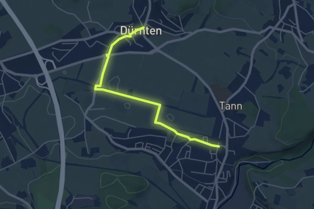
Easy · Trail
Dürnten – Tann
4.7 km · ↑ 17 m · 1 h 9 min · 14 km away
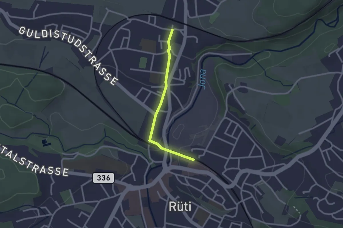
Easy · Trail
Tann – Rüti
2.0 km · ↑ 33 m · 33 min · 14 km away
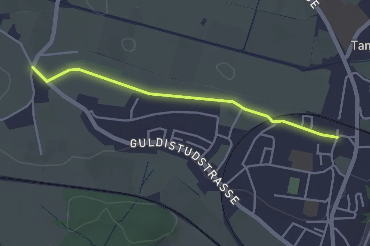
Easy · Trail
Tannägerten – Tann
2.7 km · ↑ 14 m · 41 min · 14 km away
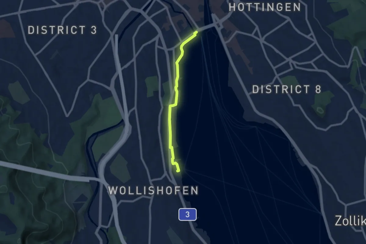
Easy · Trail
Bürkliplatz – Wollishofen (Schiff)
5.3 km · ↑ 23 m · 1 h 18 min · 14 km away
Easy · Trail
Tablat – Chäfer
3.2 km · ↑ 227 m · 1 h 16 min · 14 km away
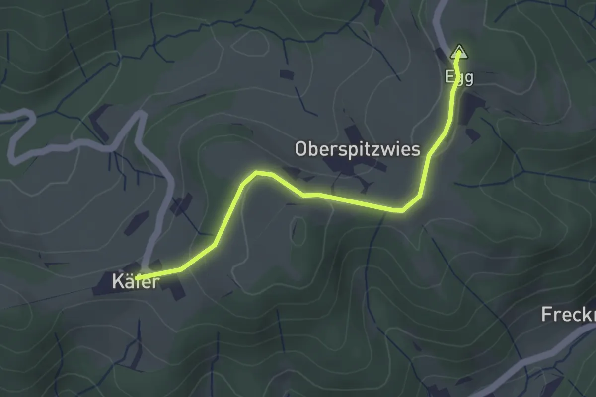
Easy · Summit
Büel – Chäfer
2.7 km · ↑ 65 m · 47 min · 14 km away
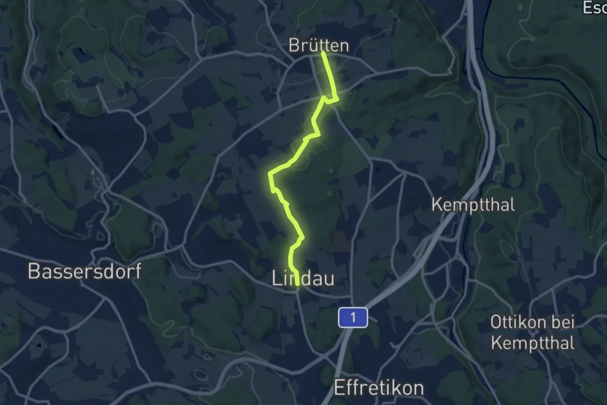
Medium · Trail
Lindau - Brütten Bus
8.8 km · ↑ 130 m · 2 h 22 min · 14 km away
Easy · Summit
Tüfenbach - Sternenberg
6.2 km · ↑ 309 m · 2 h 8 min · 14 km away
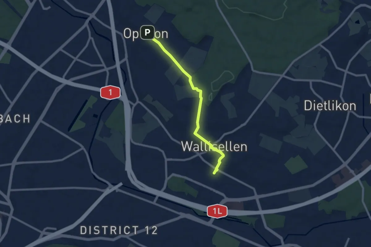
Easy · Trail
Wallisellen – Opfikon
5.8 km · ↑ 87 m · 1 h 33 min · 14 km away
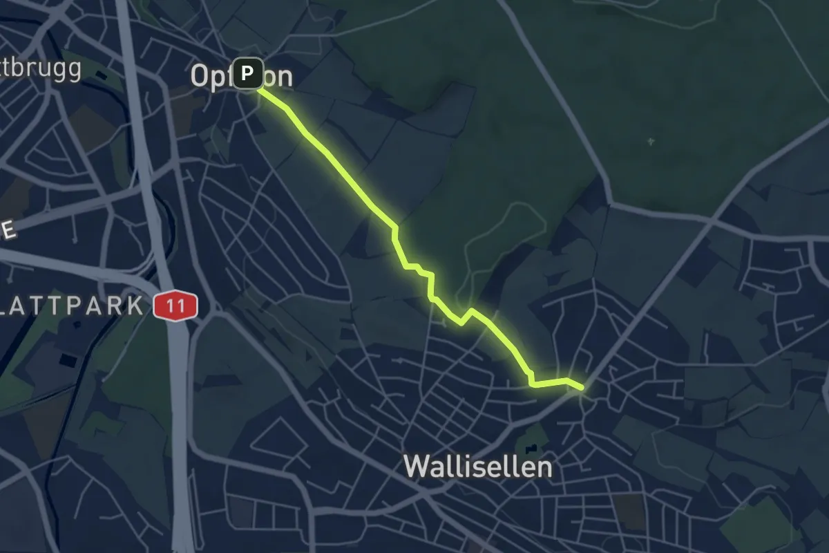
Easy · Trail
Rieden – Opfikon
4.6 km · ↑ 62 m · 1 h 13 min · 14 km away