Trails near Uster
605 hikes starting within 15 km, nearest first.
Nearest first, page 12 of 13
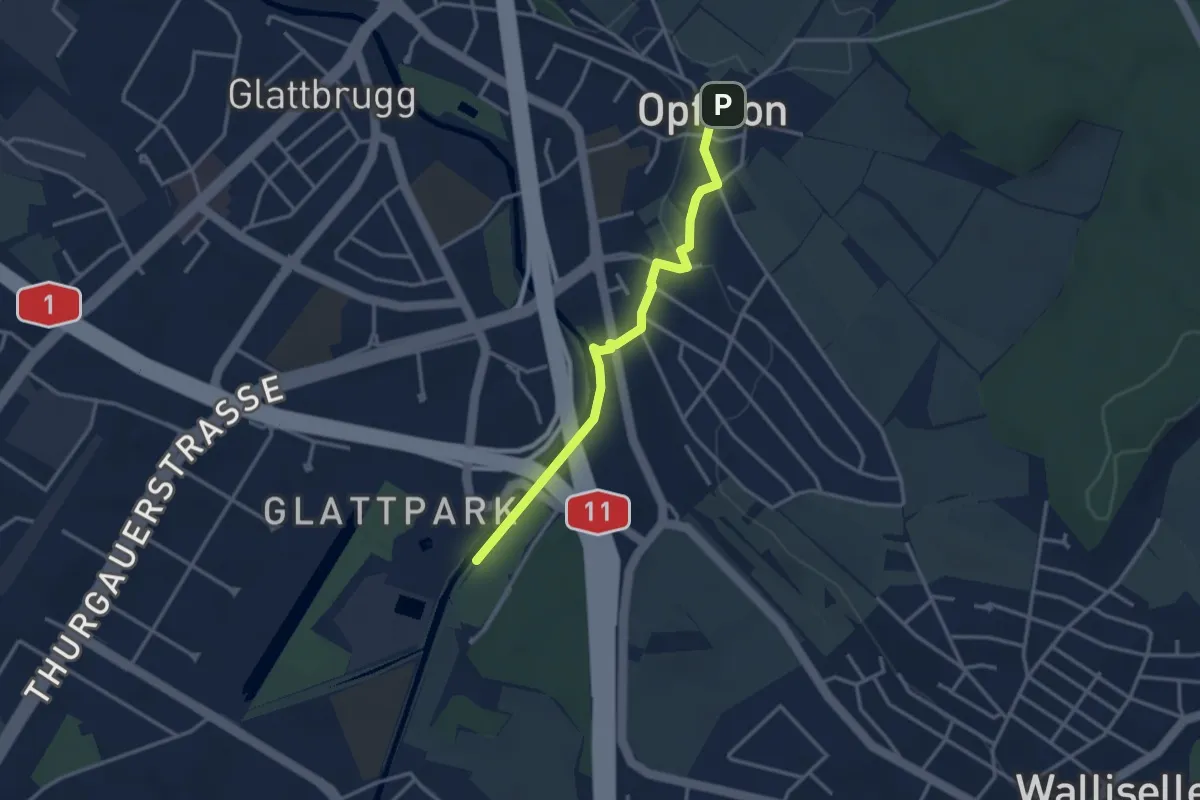
Easy · Trail
Auholz – Opfikon
3.1 km · ↑ 32 m · 48 min · 14 km away
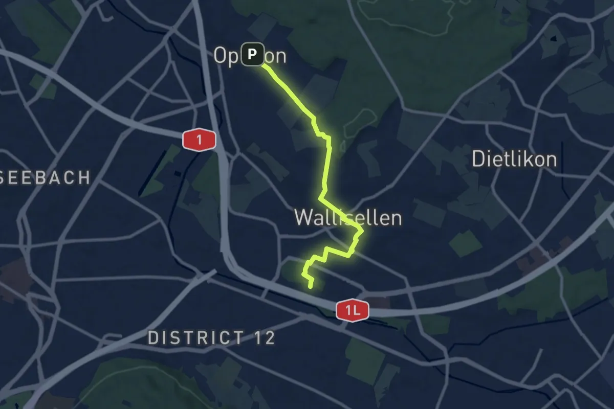
Easy · Pilgrim path
Hugenotten- und Waldenserweg
3.8 km · ↑ 52 m · 1 h 4 min · 14 km away
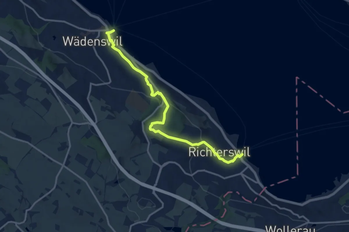
Medium · Trail
Richterswil Bahnhof - Wädenswil Bahnhof
10.0 km · ↑ 371 m · 3 h 10 min · 14 km away
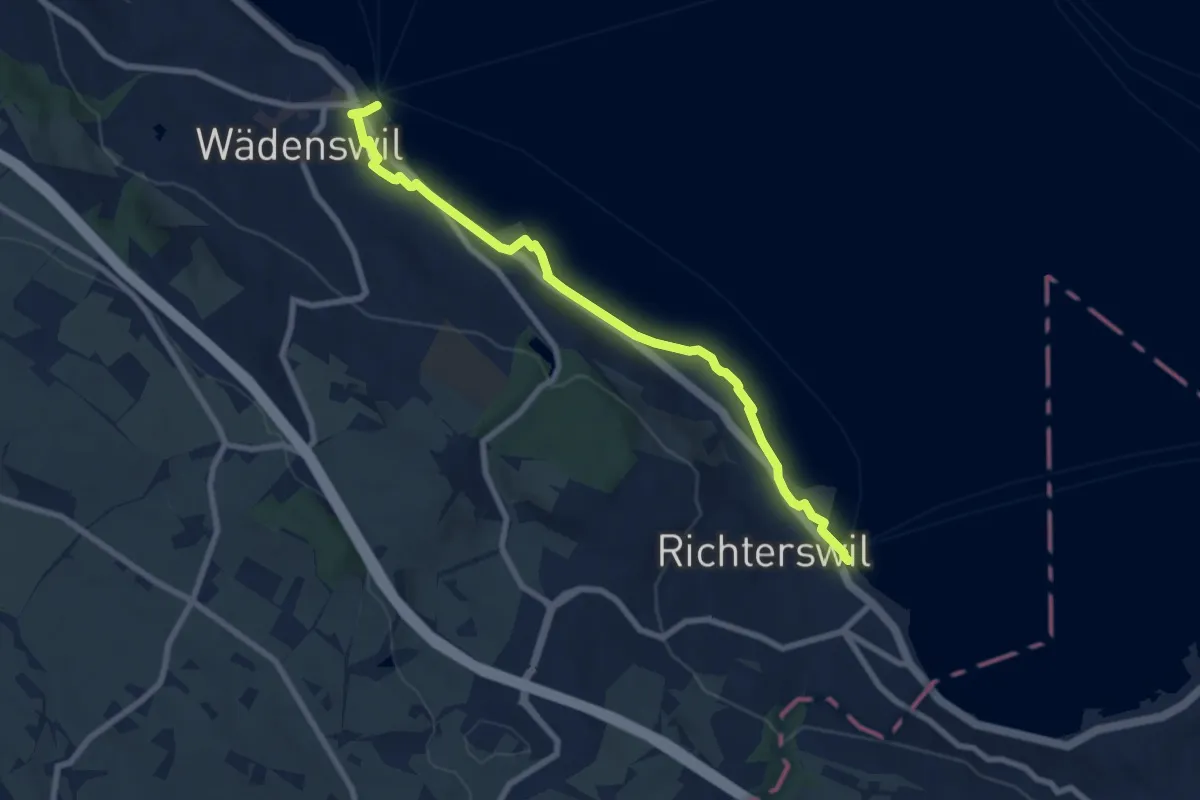
Medium · Trail
Wädenswil - Richterswil (Seeweg)
8.1 km · ↑ 76 m · 2 h 5 min · 14 km away
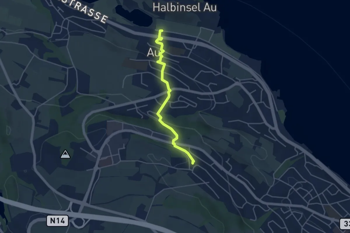
Easy · Trail
Au – Schönegg
3.7 km · ↑ 140 m · 1 h 11 min · 14 km away
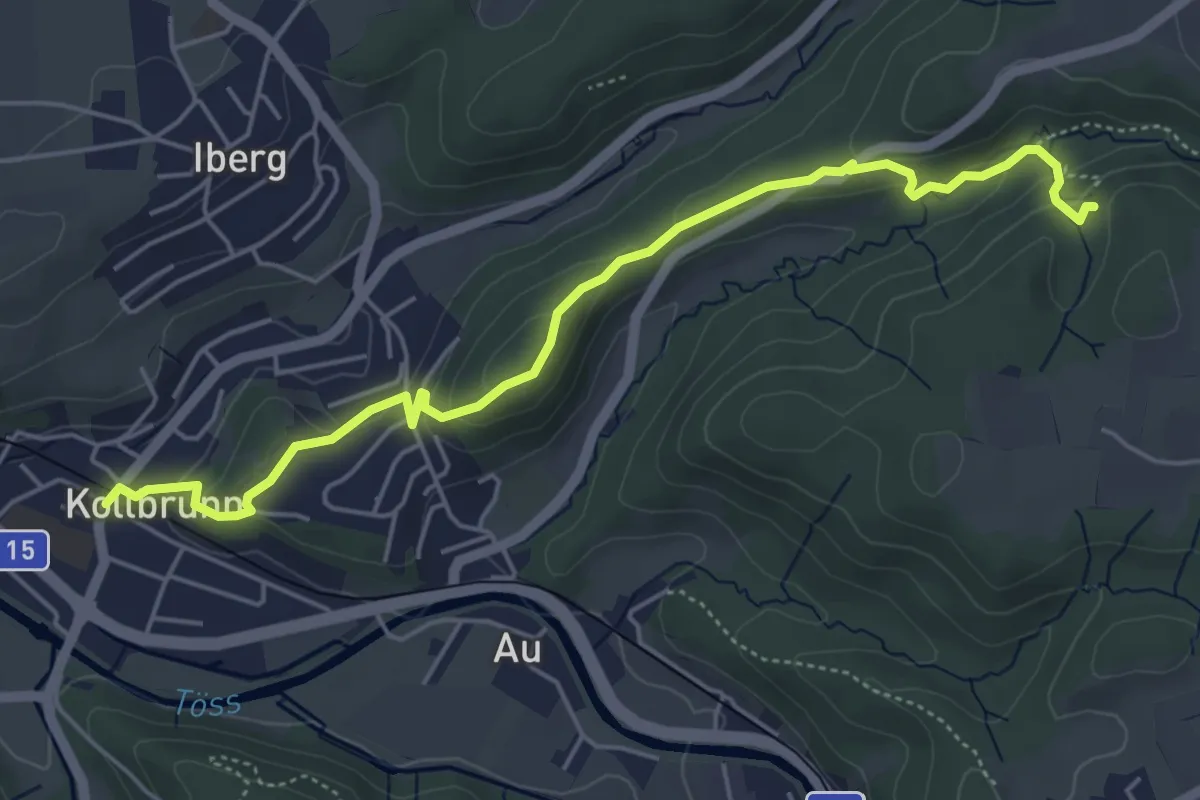
Easy · Trail
Kollbrunn Bhf. – Tüfels Chilen
5.6 km · ↑ 213 m · 1 h 46 min · 14 km away
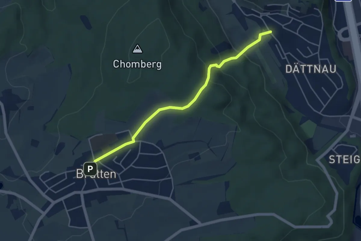
Easy · Trail
Brütten – Dättnau
4.0 km · ↑ 187 m · 1 h 22 min · 14 km away
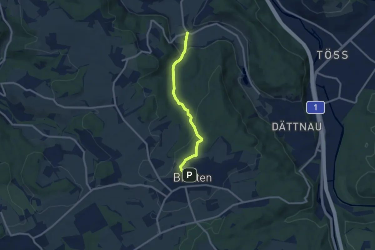
Easy · Trail
Furt – Brütten
5.9 km · ↑ 200 m · 1 h 50 min · 14 km away
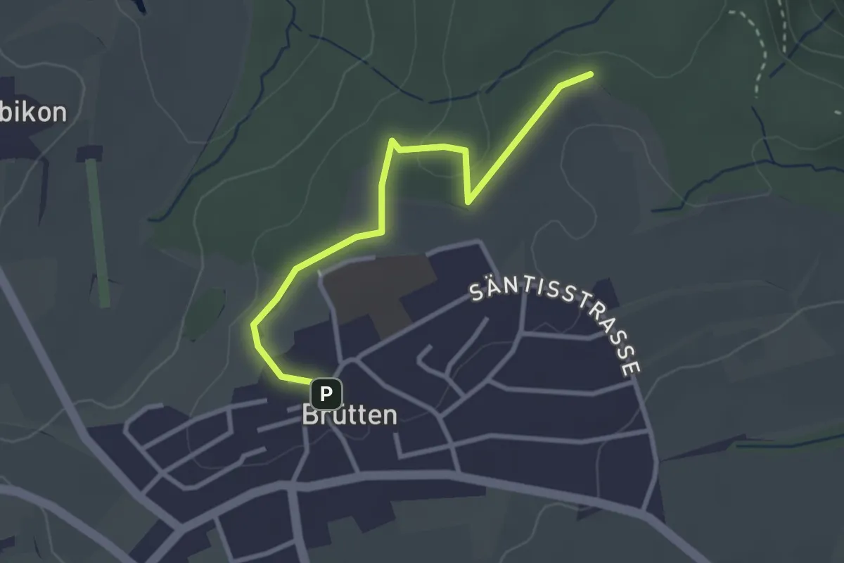
Easy · Trail
Brütten – Aspenriet
2.8 km · ↑ 62 m · 48 min · 14 km away
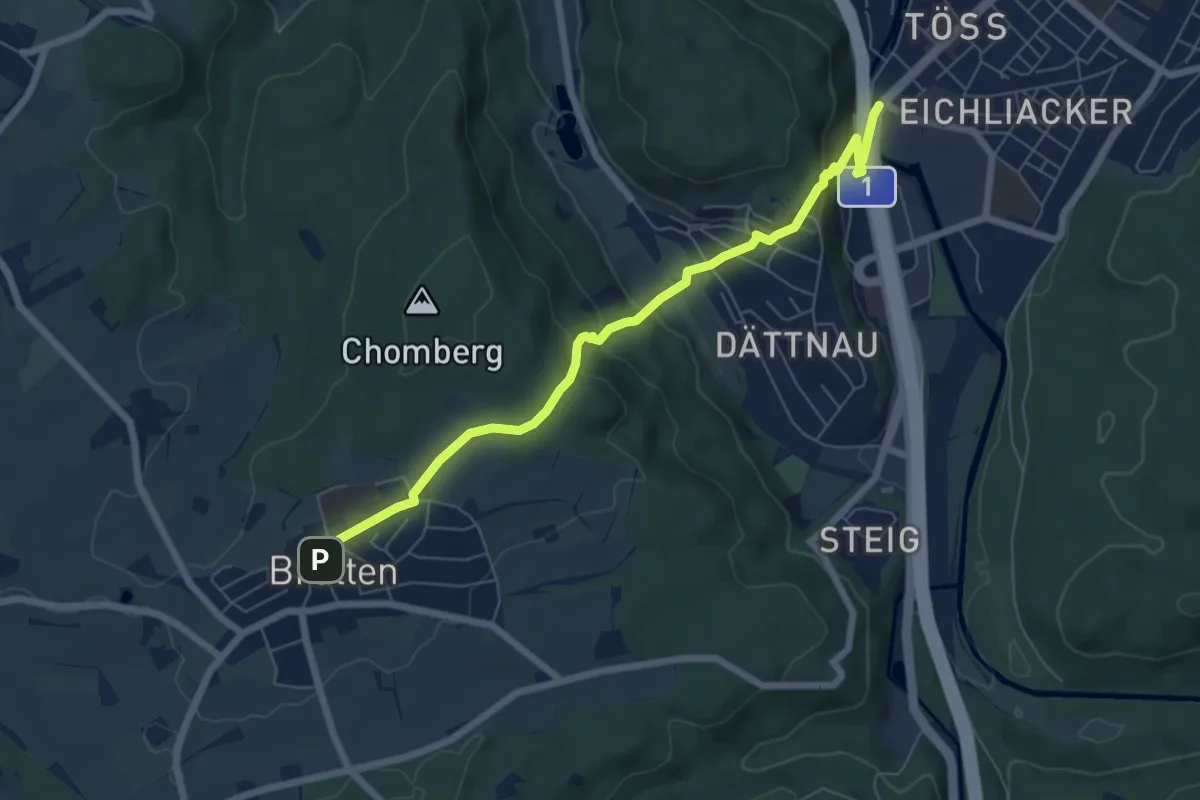
Easy · Pilgrim path
Hugenotten- und Waldenserweg
3.3 km · ↑ 44 m · 1 h 1 min · 14 km away
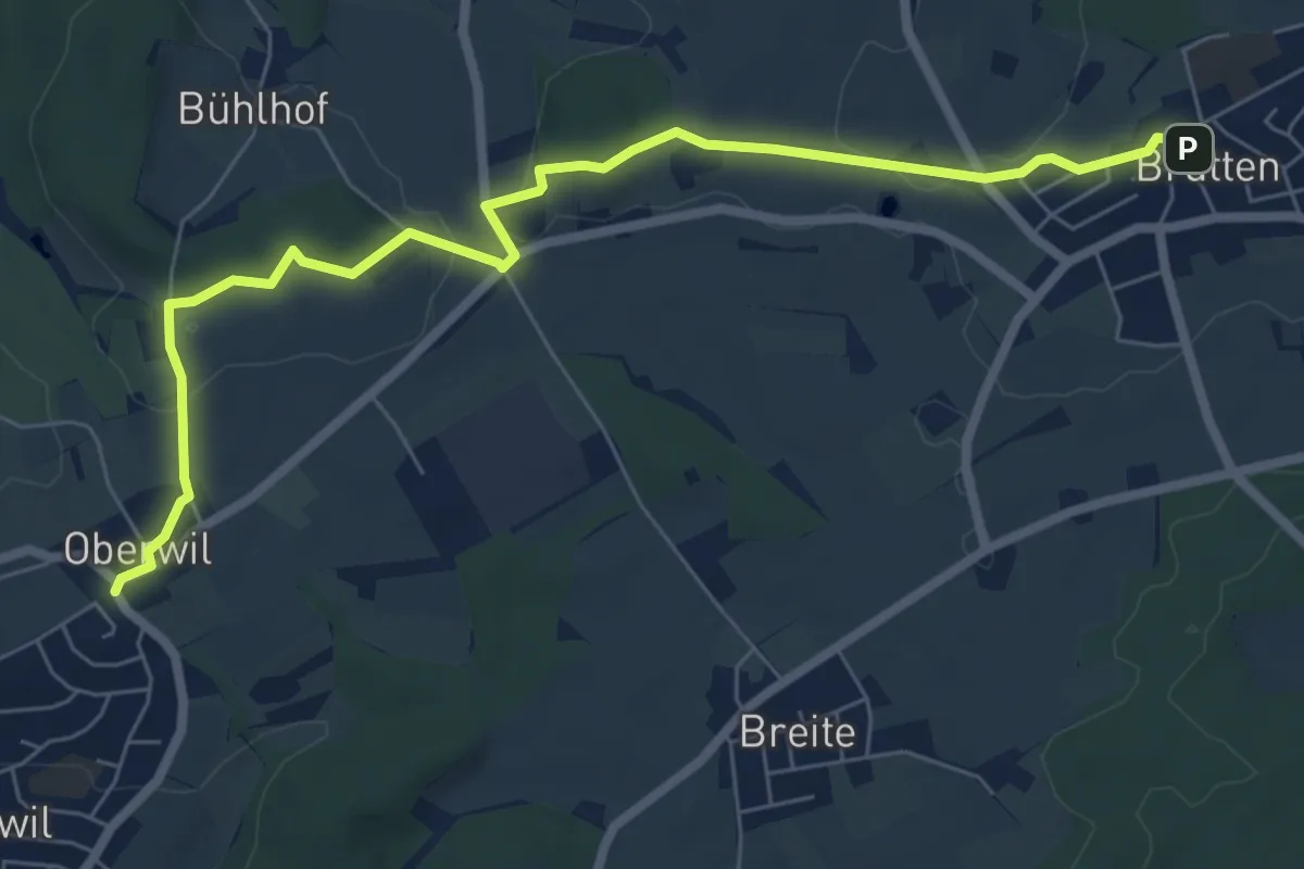
Easy · Trail
Oberwil – Brütten
7.6 km · ↑ 122 m · 2 h 4 min · 14 km away
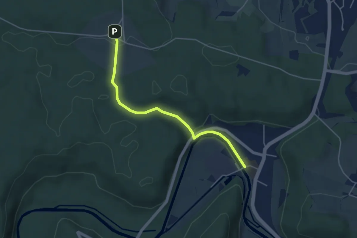
Easy · Trail
Eschenberg Sternwarte - Sennhof
3.7 km · ↑ 95 m · 1 h 4 min · 14 km away
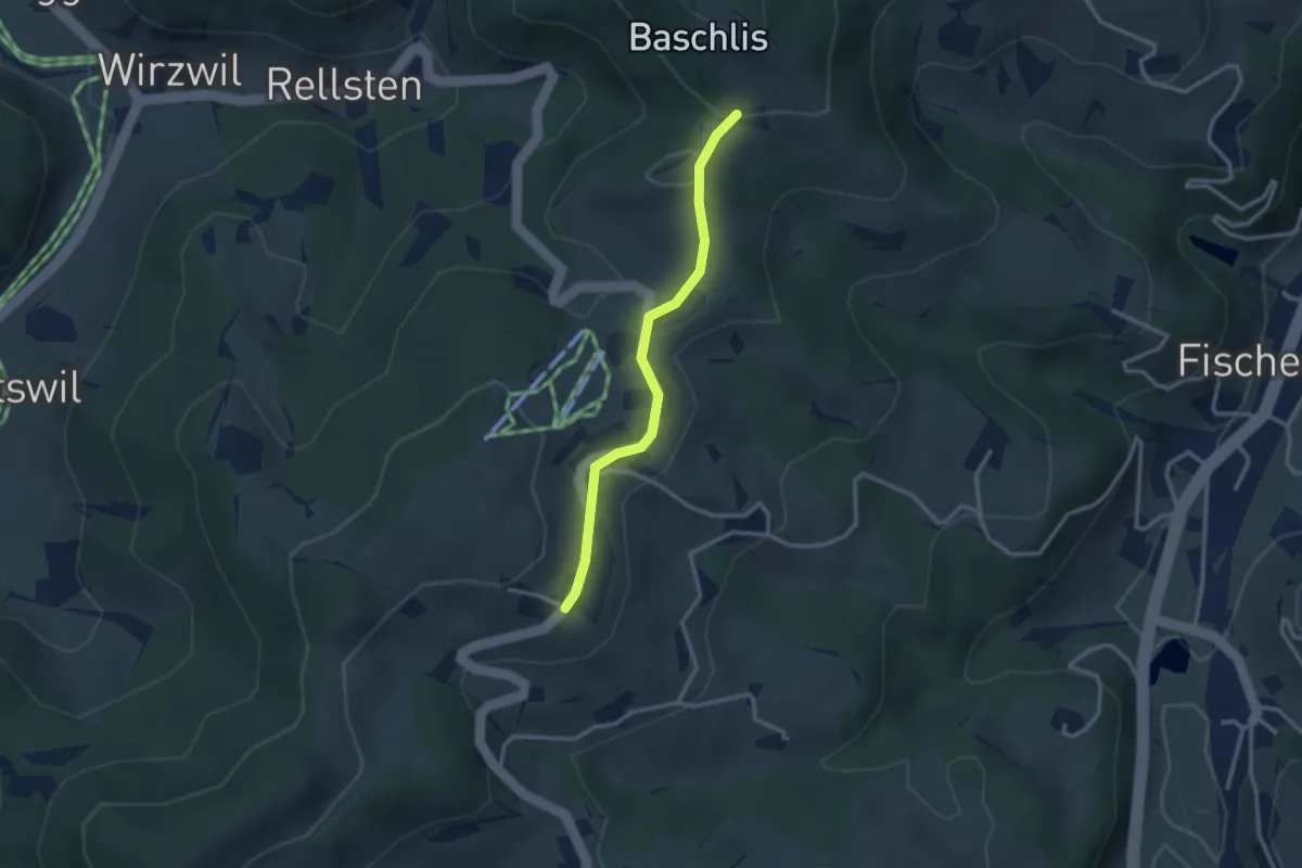
Easy · Trail
Ghöchweid - Fehrenwaltsberg
2.6 km · ↑ 62 m · 45 min · 14 km away
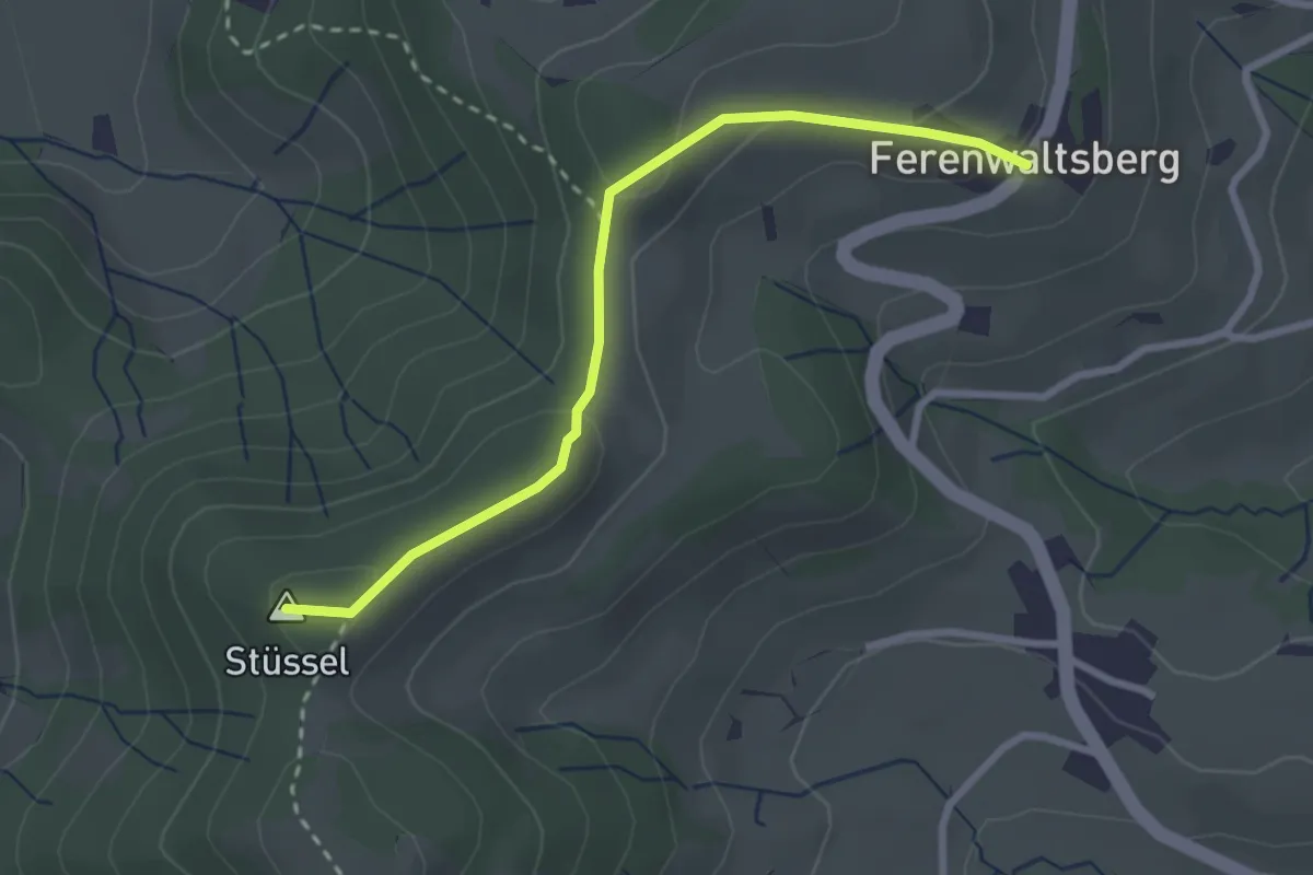
Easy · Summit
Frauebrünneli - Fehrenwaltsberg
2.7 km · ↑ 94 m · 51 min · 14 km away
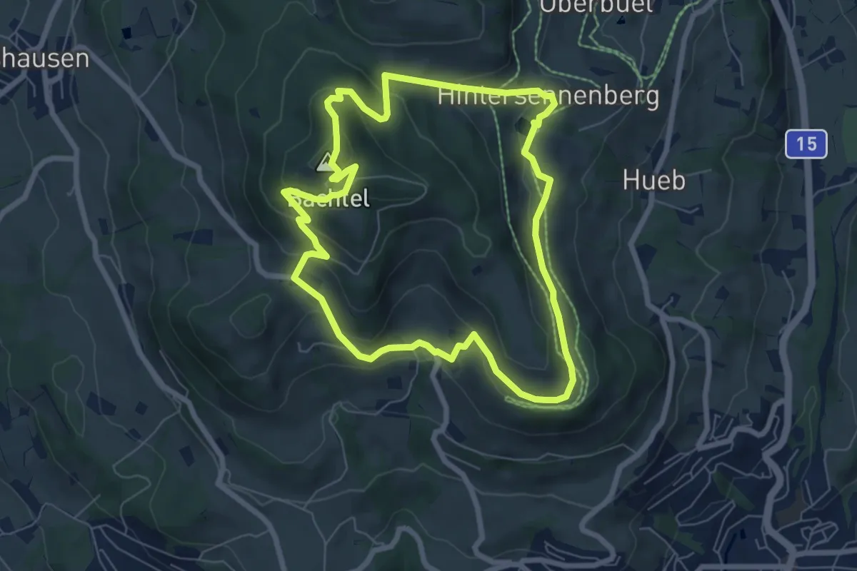
Easy · Summit
Bachtelweiher
6.5 km · ↑ 306 m · 2 h 17 min · 14 km away
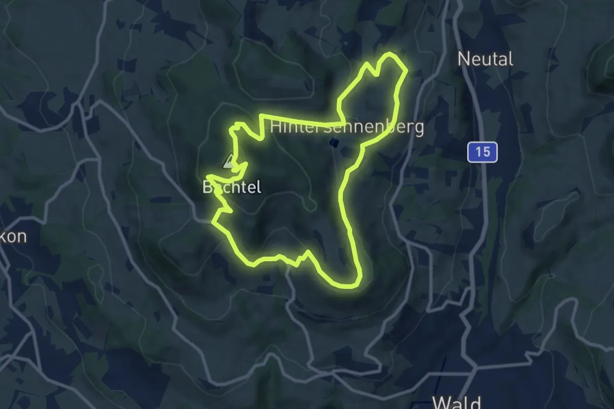
Medium · Summit
Bachtel-Kulm
8.3 km · ↑ 358 m · 2 h 51 min · 14 km away
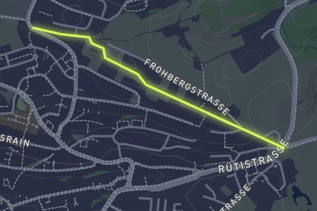
Easy · Trail
Schönau - Rotenweg
2.2 km · ↑ 29 m · 35 min · 14 km away
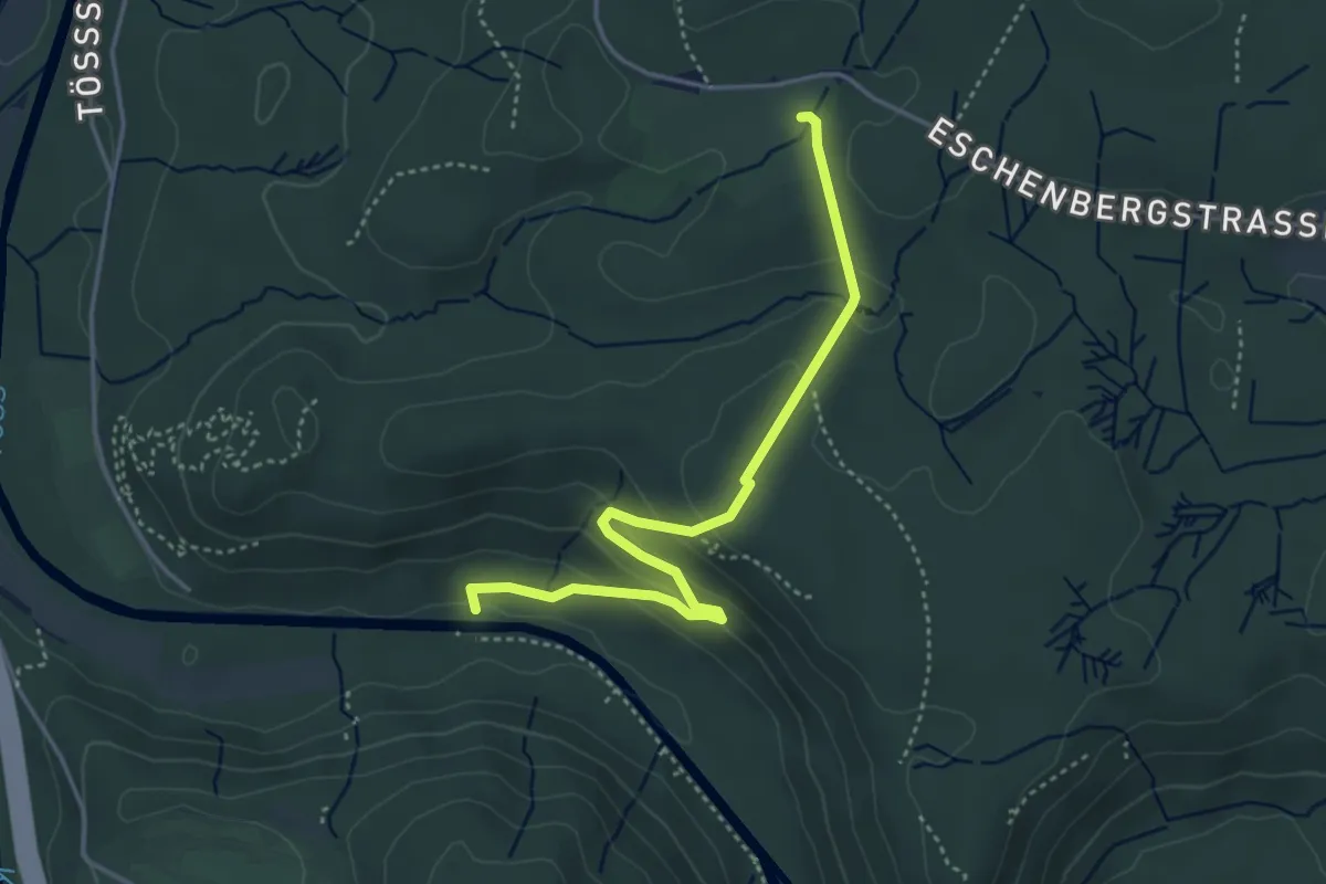
Easy · Trail
Wildpark Bruderhaus – Brunibrugg
4.0 km · ↑ 163 m · 1 h 19 min · 14 km away
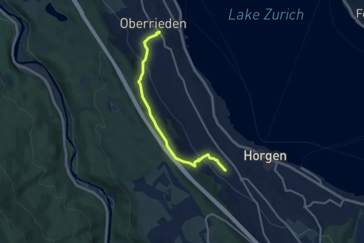
Easy · Trail
Oberrieden (Bahnhof) – Horgen Oberdorf (Station)
6.2 km · ↑ 299 m · 2 h 7 min · 14 km away
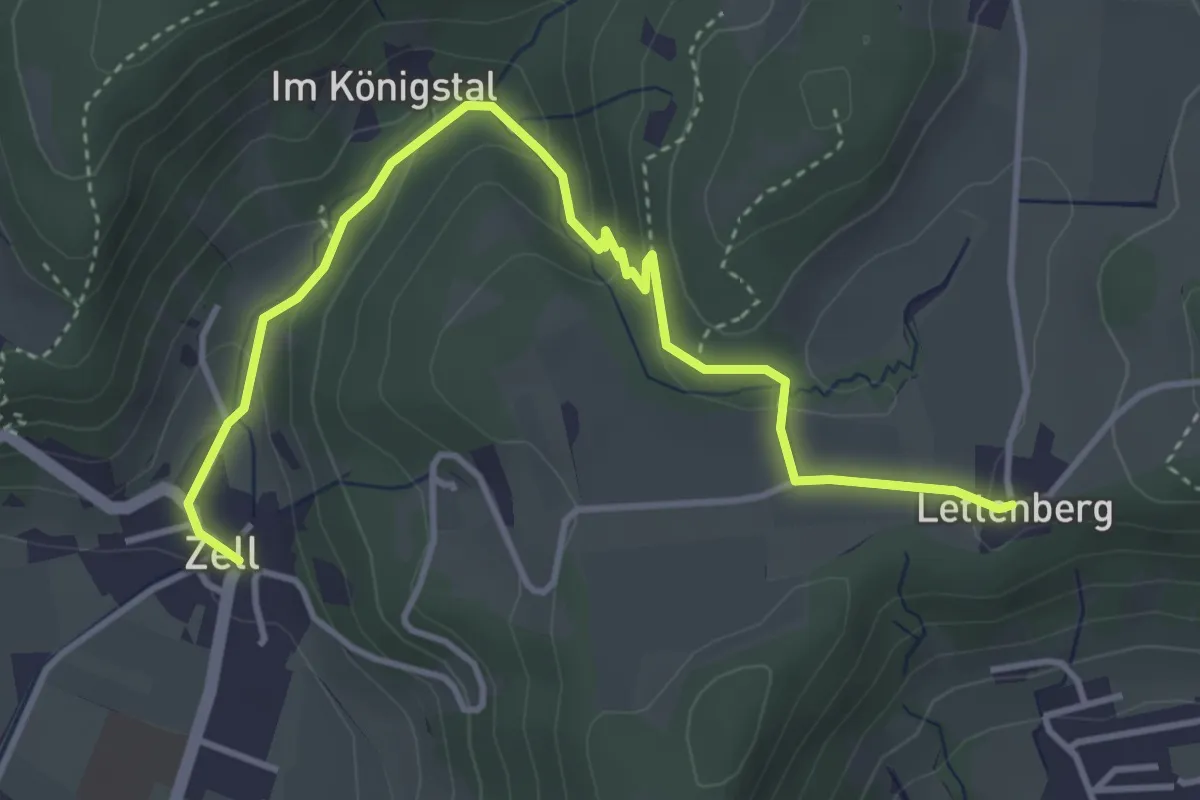
Easy · Trail
Lettenberg – Zell
4.4 km · ↑ 159 m · 1 h 24 min · 14 km away
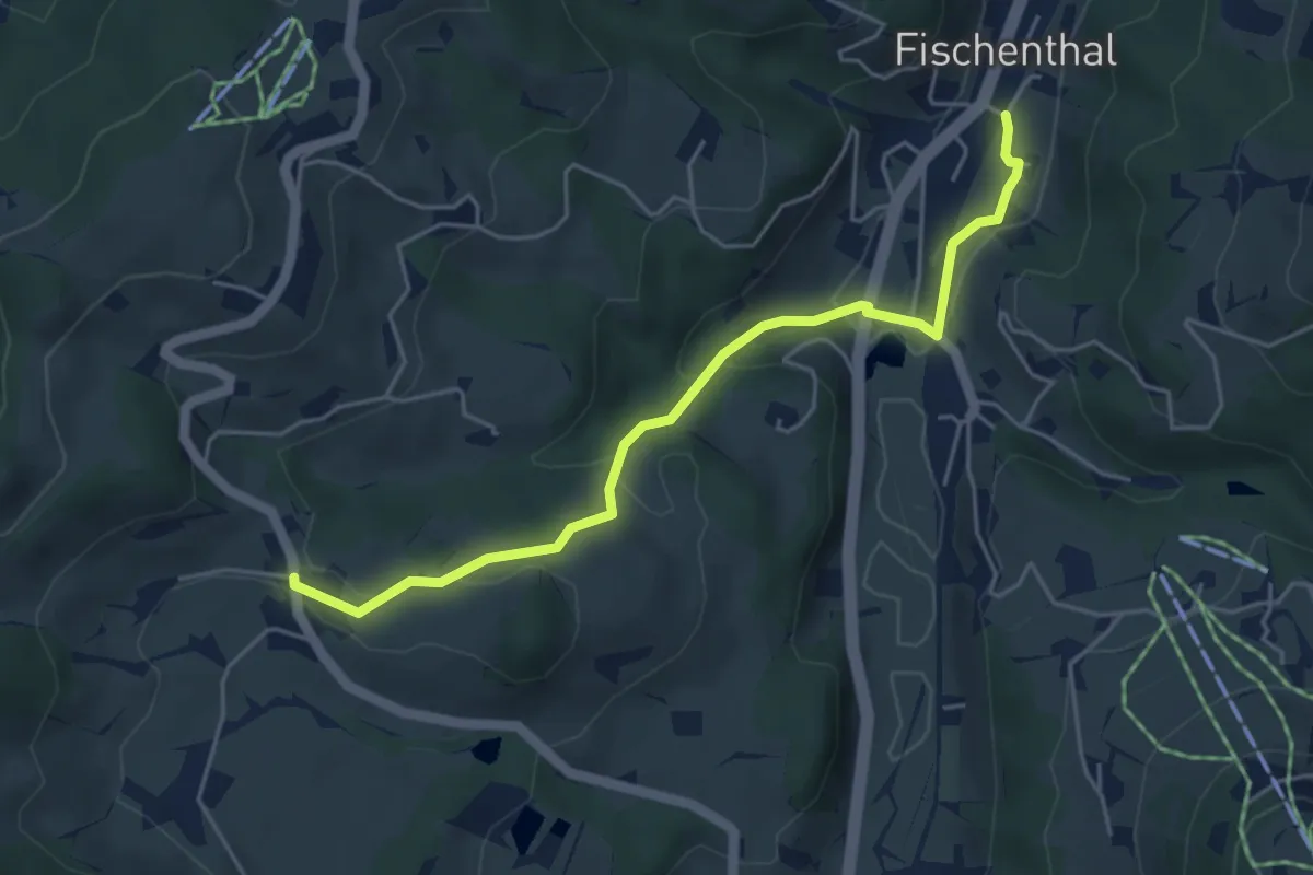
Easy · Trail
Fischenthal - Kleinbäretswil
4.8 km · ↑ 164 m · 1 h 29 min · 14 km away
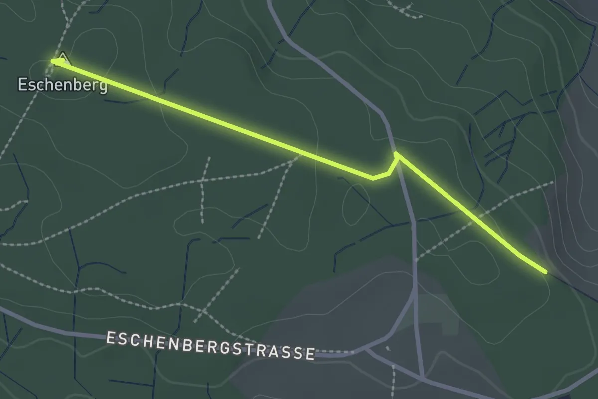
Easy · Summit
Eschenberg Aussichtsturm – Seen
2.5 km · ↑ 51 m · 41 min · 14 km away
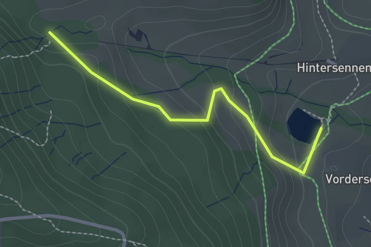
Easy · Trail
Bachtelweiher – Auenberg Sattel
2.1 km · ↑ 116 m · 45 min · 14 km away
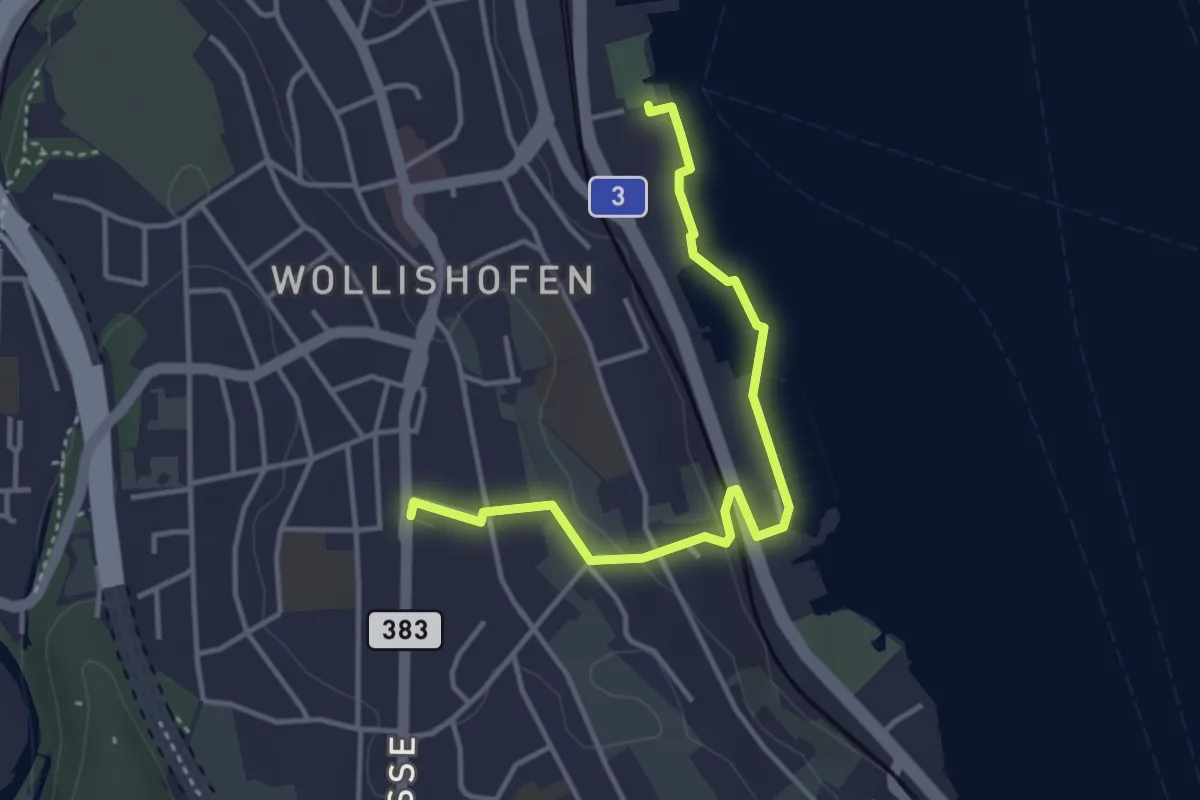
Easy · Trail
Wollishofen (Schiff) – Wollishofen
3.8 km · ↑ 51 m · 1 h · 14 km away
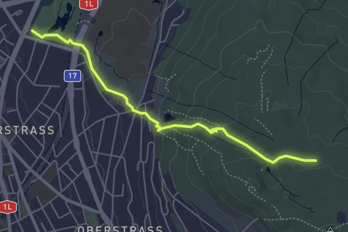
Easy · Trail
Milchbuck – Zürichberg
4.7 km · ↑ 173 m · 1 h 29 min · 14 km away
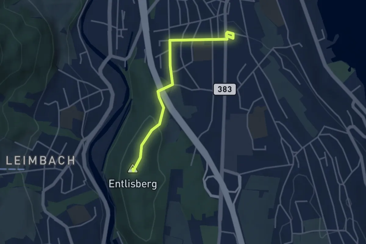
Easy · Summit
Sood Oberleimbach – Wollishofen
3.3 km · ↑ 75 m · 57 min · 14 km away
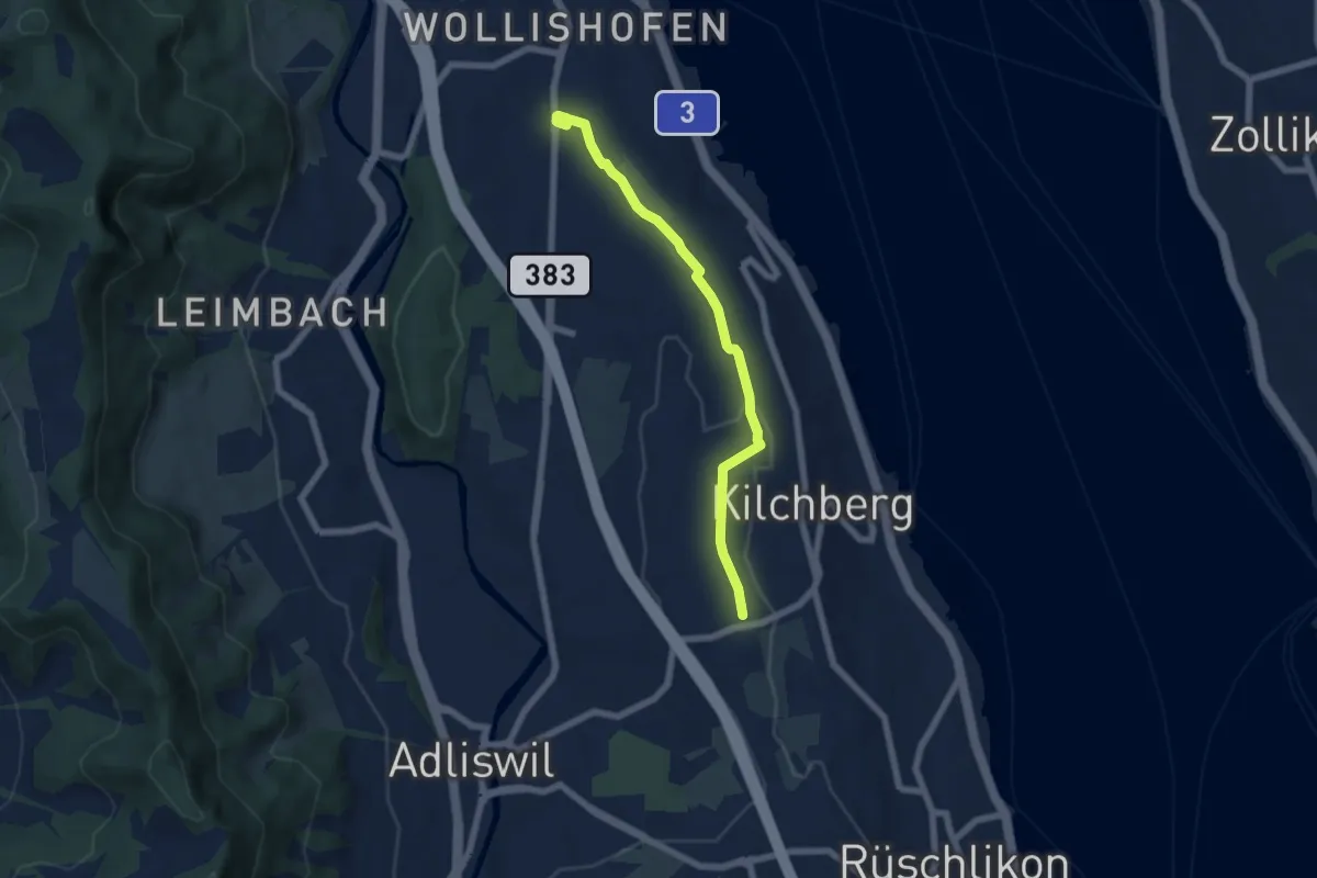
Easy · Trail
Wollishofen – Kilchberg Spital
6.0 km · ↑ 59 m · 1 h 33 min · 14 km away
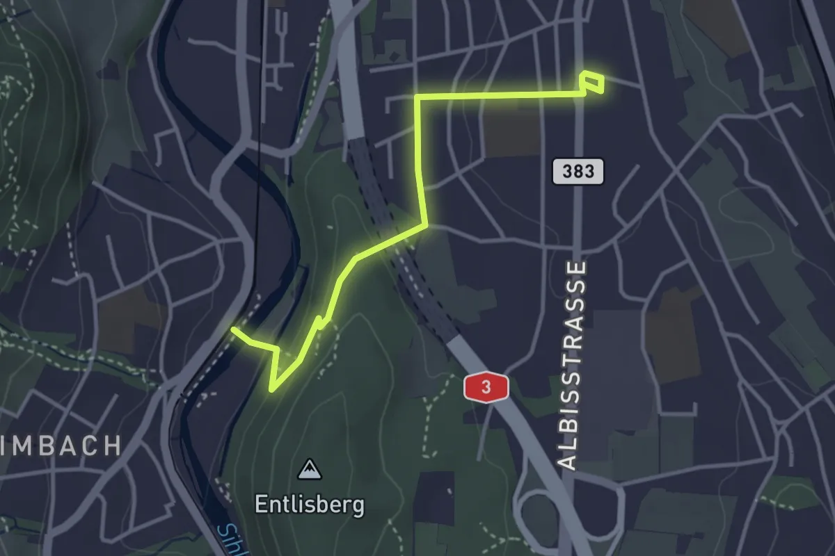
Easy · Trail
Leimbach – Wollishofen
3.5 km · ↑ 85 m · 1 h · 14 km away
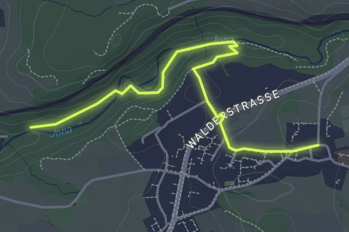
Easy · Trail
Tannertobel – Unterfägswil
3.6 km · ↑ 62 m · 59 min · 14 km away
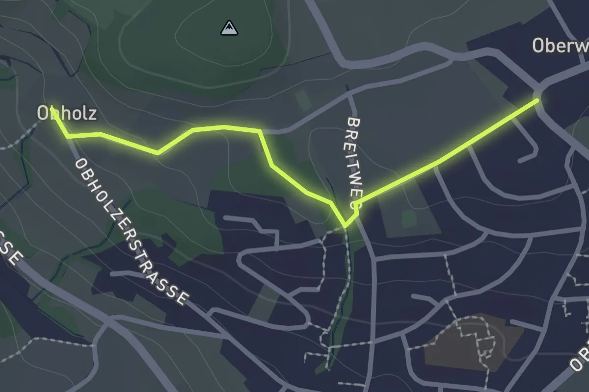
Easy · Trail
Obholz - Oberwil
2.3 km · ↑ 58 m · 40 min · 14 km away
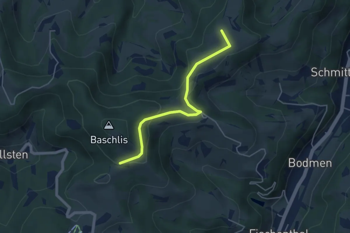
Easy · Summit
Schloss - Ghöchweid
3.6 km · ↑ 130 m · 1 h 8 min · 14 km away
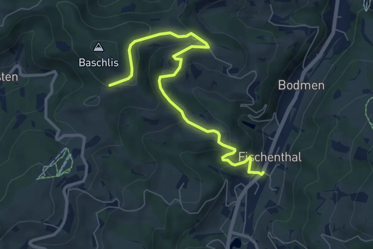
Medium · Trail
Fischenthal - Ghöchweid
6.5 km · ↑ 340 m · 2 h 16 min · 14 km away
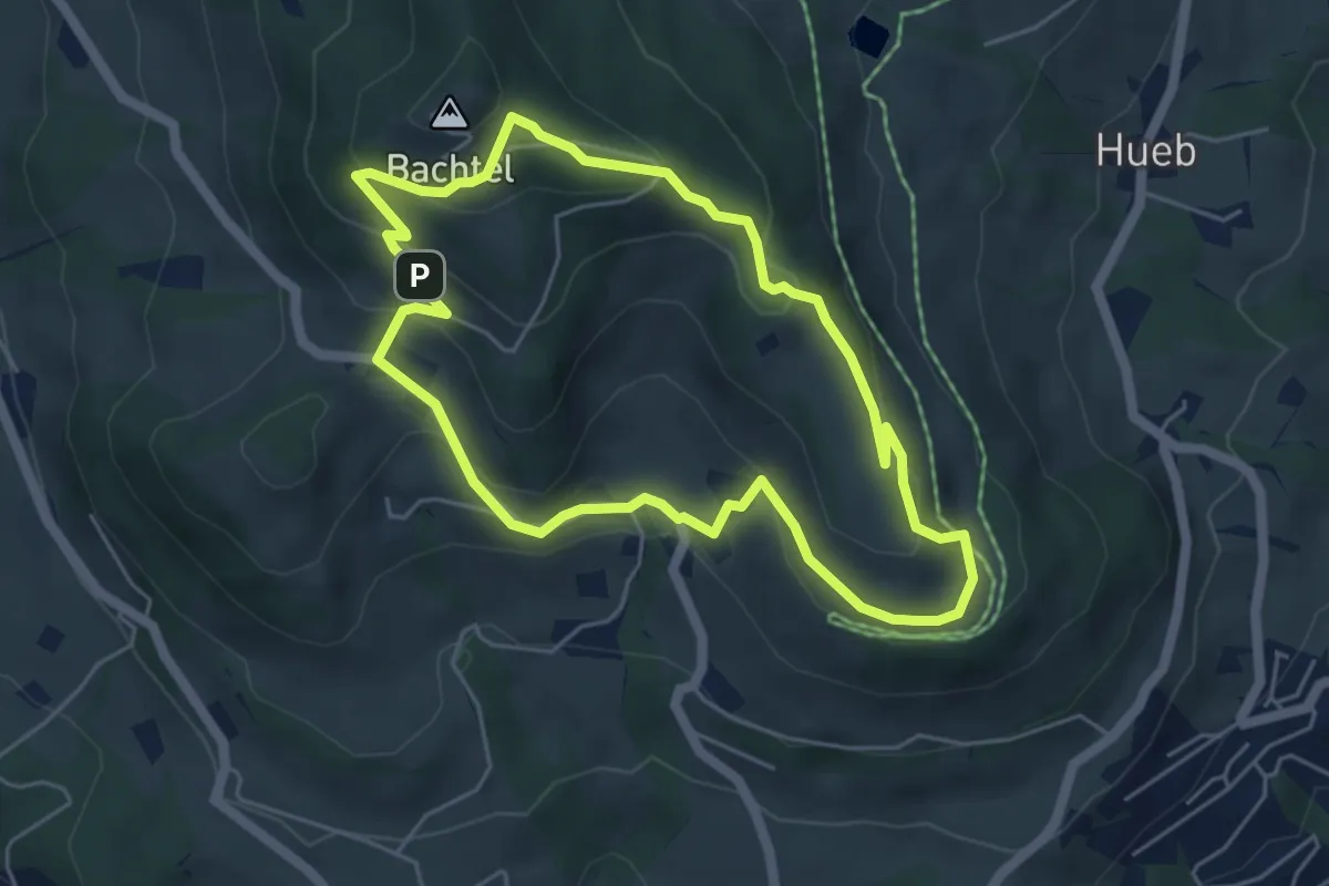
Easy · Summit
Bachtel-Spalt
4.8 km · ↑ 237 m · 1 h 43 min · 14 km away
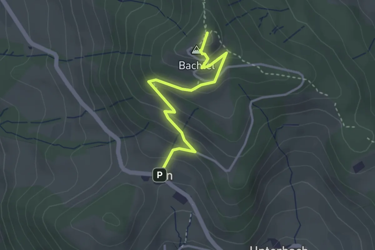
Easy · Summit
Orn – Bachtel
2.9 km · ↑ 170 m · 1 h 3 min · 14 km away
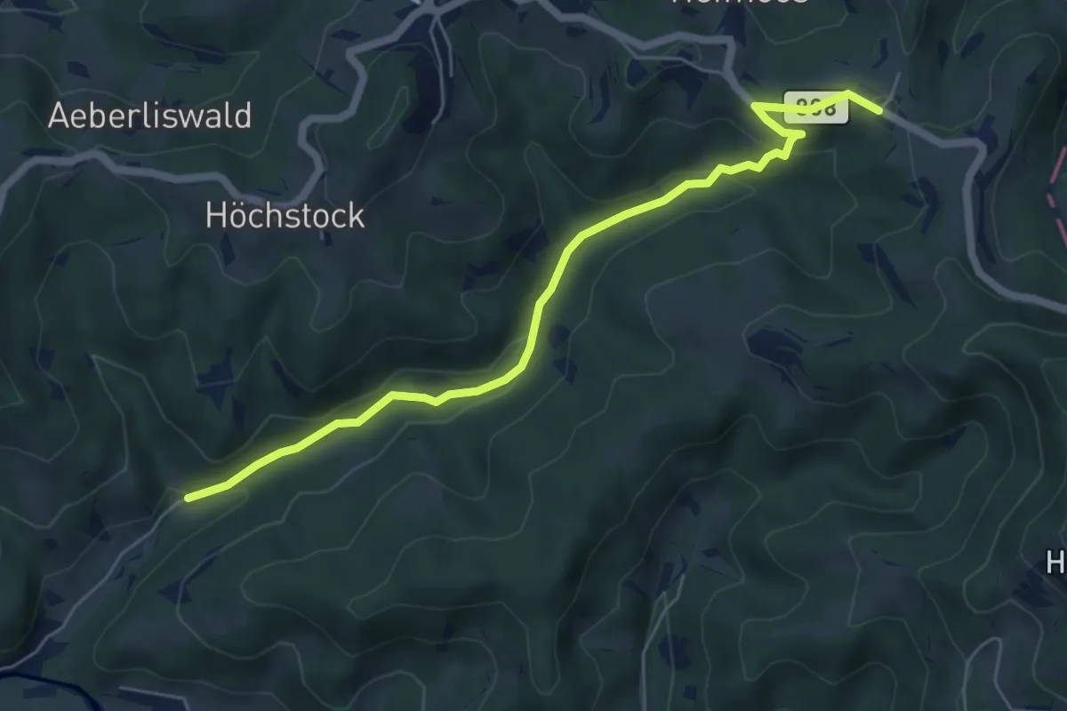
Easy · Trail
Gfell - Akau
5.9 km · ↑ 199 m · 1 h 49 min · 14 km away
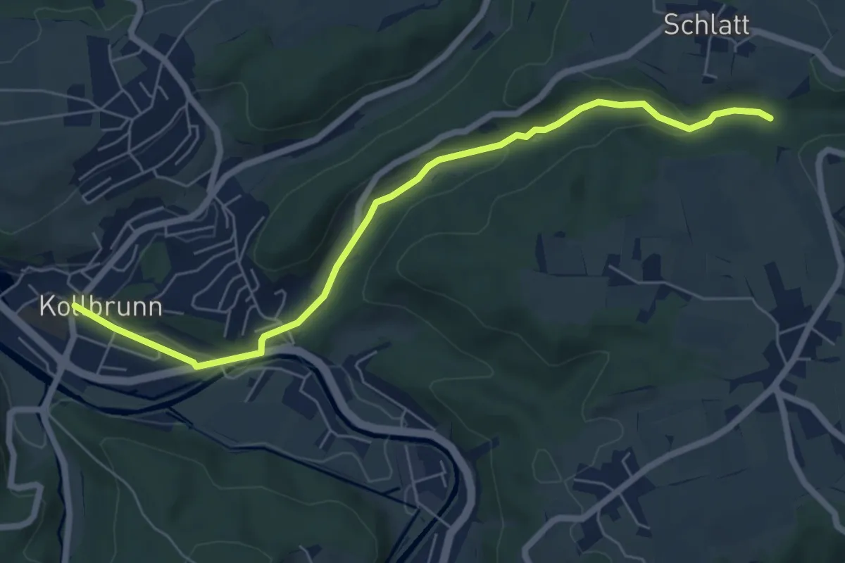
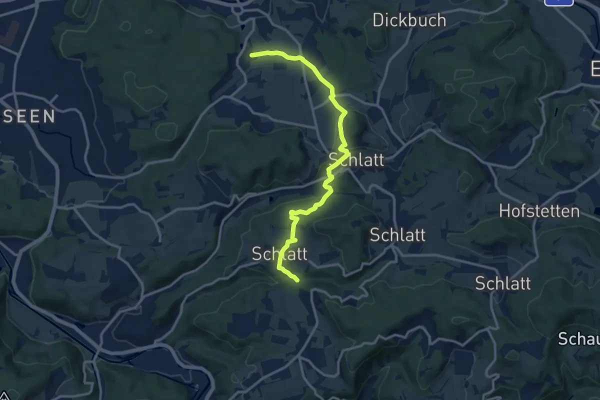
Easy · Trail
Kollbrunn Bhf. – Rörlitobel
6.4 km · ↑ 127 m · 1 h 47 min · 14 km away
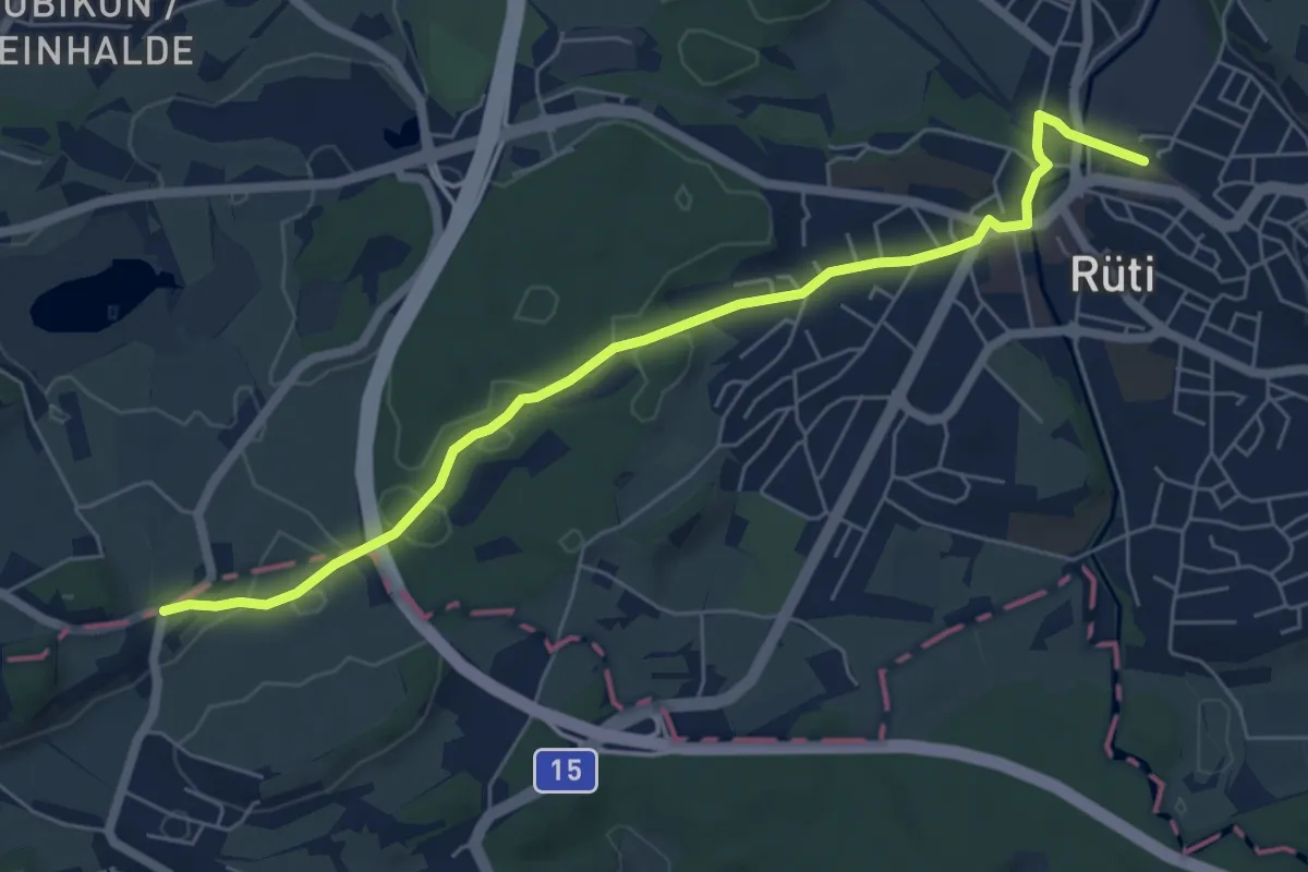
Medium · Trail
Weingarten – Rörlitobel
10.4 km · ↑ 260 m · 3 h 1 min · 14 km away
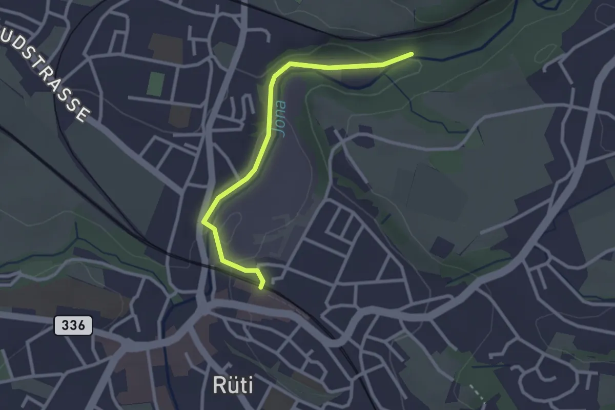
Easy · Trail
Rüssel – Rüti
6.4 km · ↑ 90 m · 1 h 43 min · 14 km away
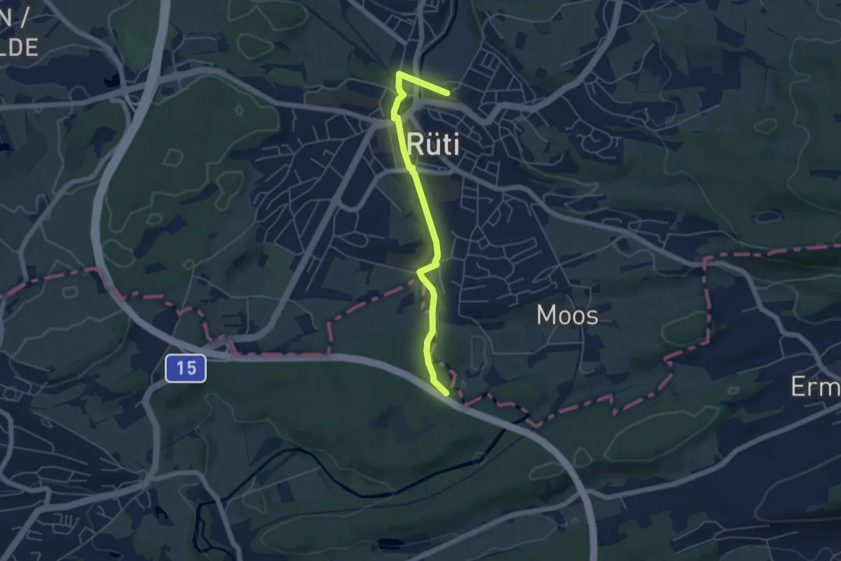
Easy · Trail
Rüti – Tannertobel
2.5 km · ↑ 48 m · 41 min · 14 km away
Easy · Trail
Rüti – Moosbrugg
4.8 km · ↑ 48 m · 1 h 14 min · 14 km away
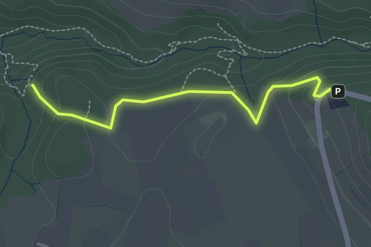
Easy · Trail
Tüfels Chilen - Wolfbrunnen
2.3 km · ↑ 82 m · 44 min · 14 km away
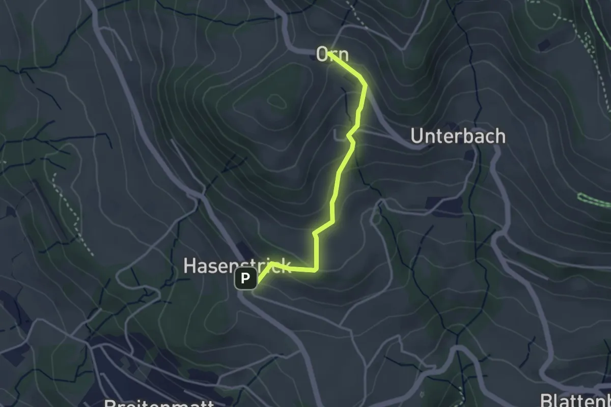
Easy · Trail
Hasenstrick – Orn
2.8 km · ↑ 176 m · 1 h 2 min · 14 km away
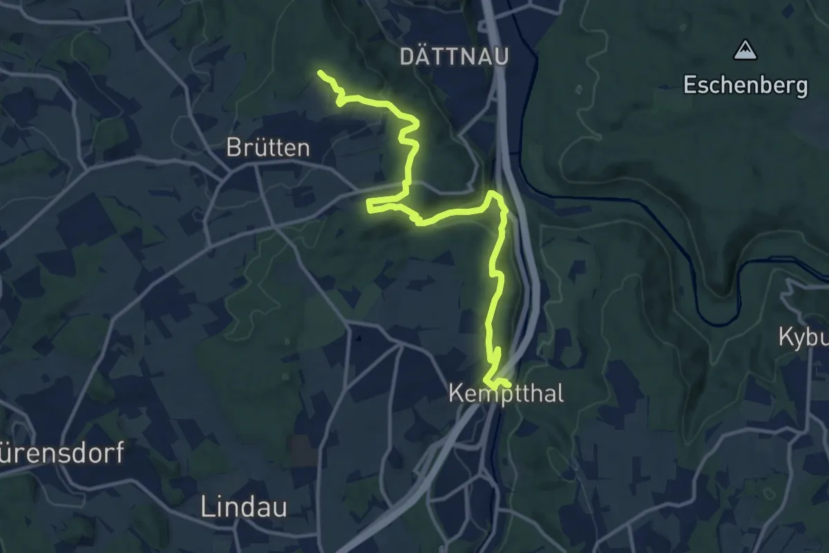
Medium · Trail
Kemptthal – Aspenriet
13.1 km · ↑ 360 m · 3 h 52 min · 15 km away
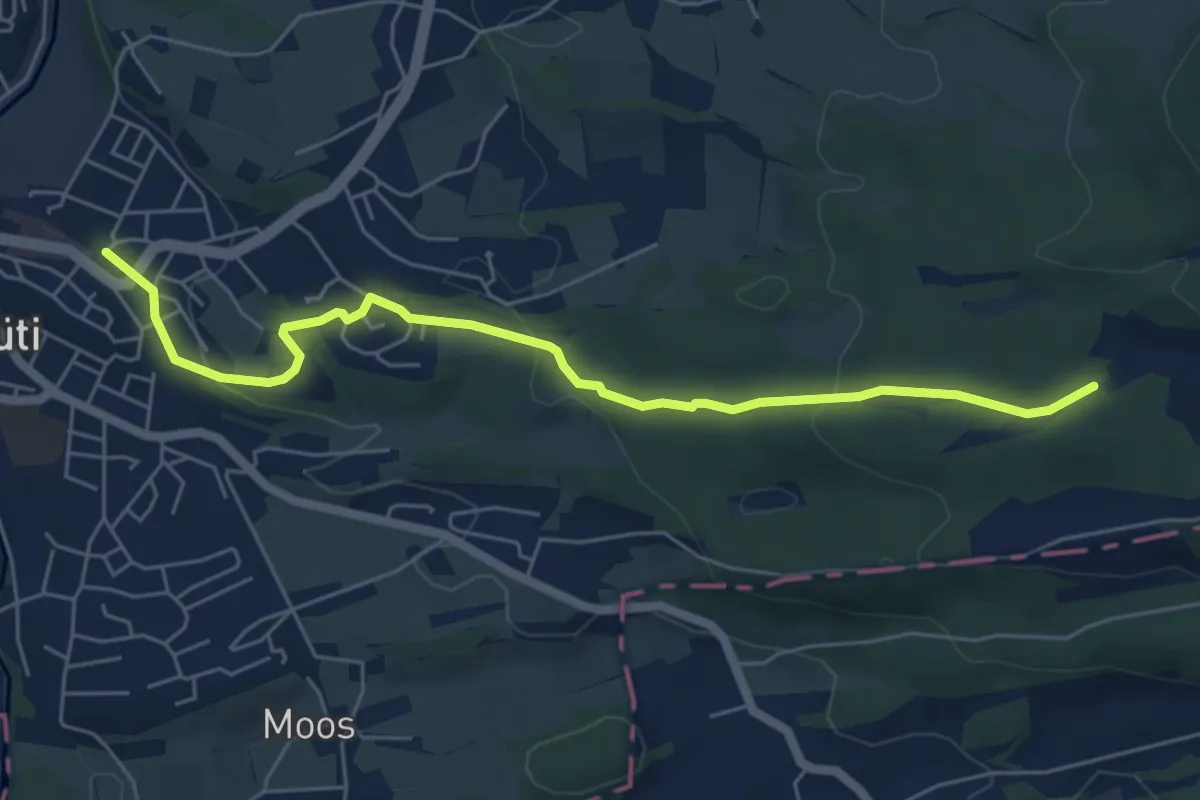
Easy · Trail
Rüti – Grossweier
6.0 km · ↑ 161 m · 1 h 46 min · 15 km away
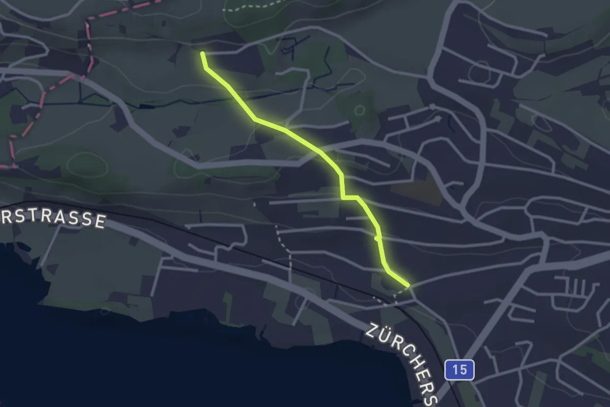
Easy · Trail
Fluh – Balm
2.3 km · ↑ 80 m · 43 min · 15 km away
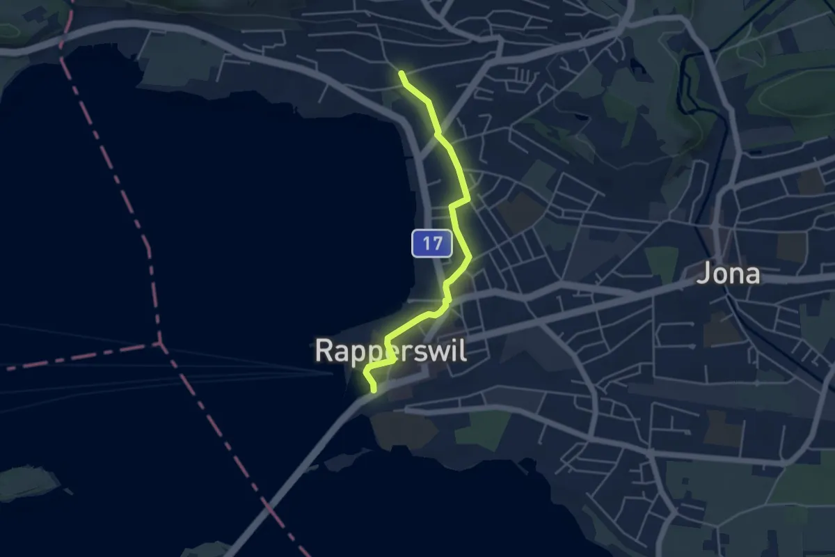
Easy · Trail
Fluh – Verkehrsbüro
4.0 km · ↑ 28 m · 1 h 1 min · 15 km away
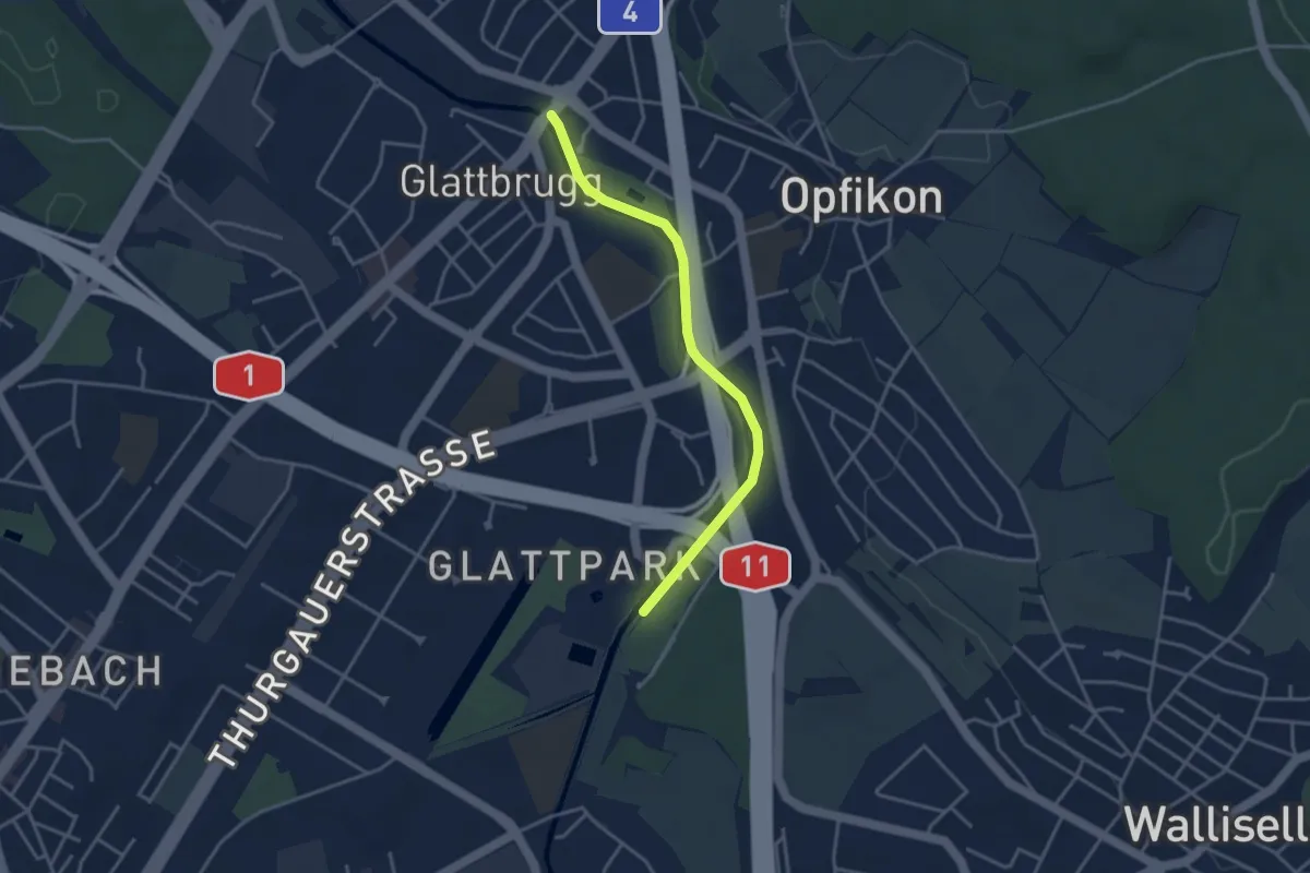
Easy · Trail
Auholz - Glattbrugg
3.5 km · ↑ 0 m · 49 min · 15 km away
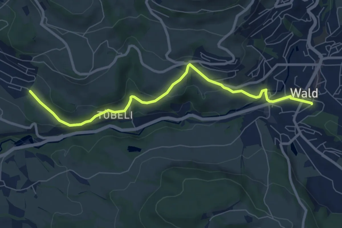
Easy · Trail
Breitenmatt – Wald
7.0 km · ↑ 232 m · 2 h 10 min · 15 km away