Trails near Versoix
74 hikes starting within 15 km, nearest first.
Nearest first, page 1 of 2
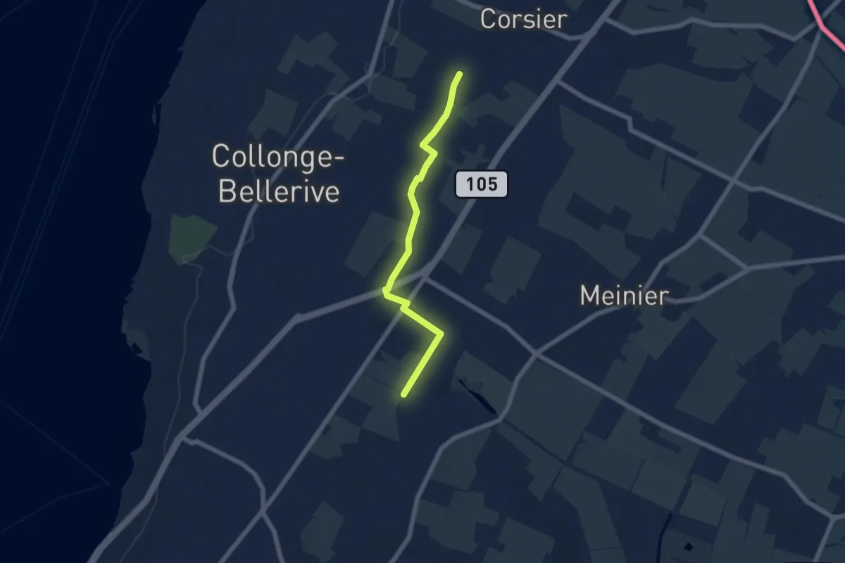
Easy · Trail
Rouelbeau - Les Bouchilles
5.1 km · ↑ 13 m · 1 h 14 min · 4 km away
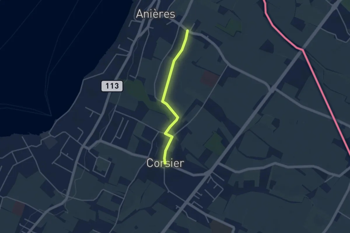
Easy · Trail
Corsier - Anières
3.1 km · ↑ 9 m · 45 min · 5 km away
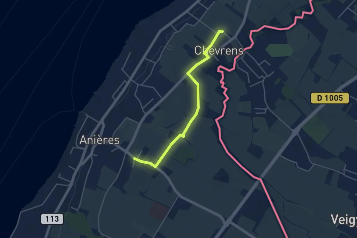
Easy · Trail
Anières - Chevrens
3.6 km · ↑ 8 m · 53 min · 5 km away
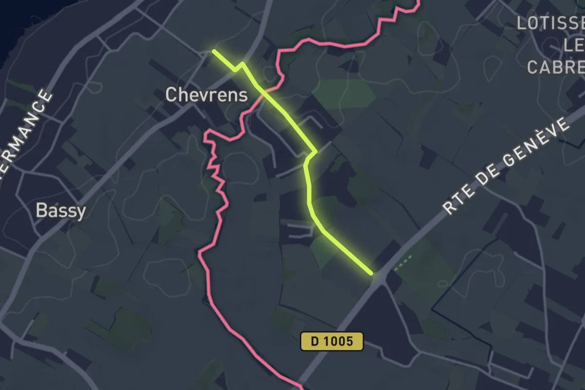
Easy · Trail
Chevrens - Les Lombards
2.4 km · ↑ 13 m · 36 min · 5 km away
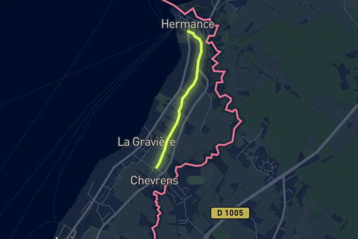
Easy · Trail
Hermance - Chevrens
4.1 km · ↑ 38 m · 1 h 3 min · 5 km away
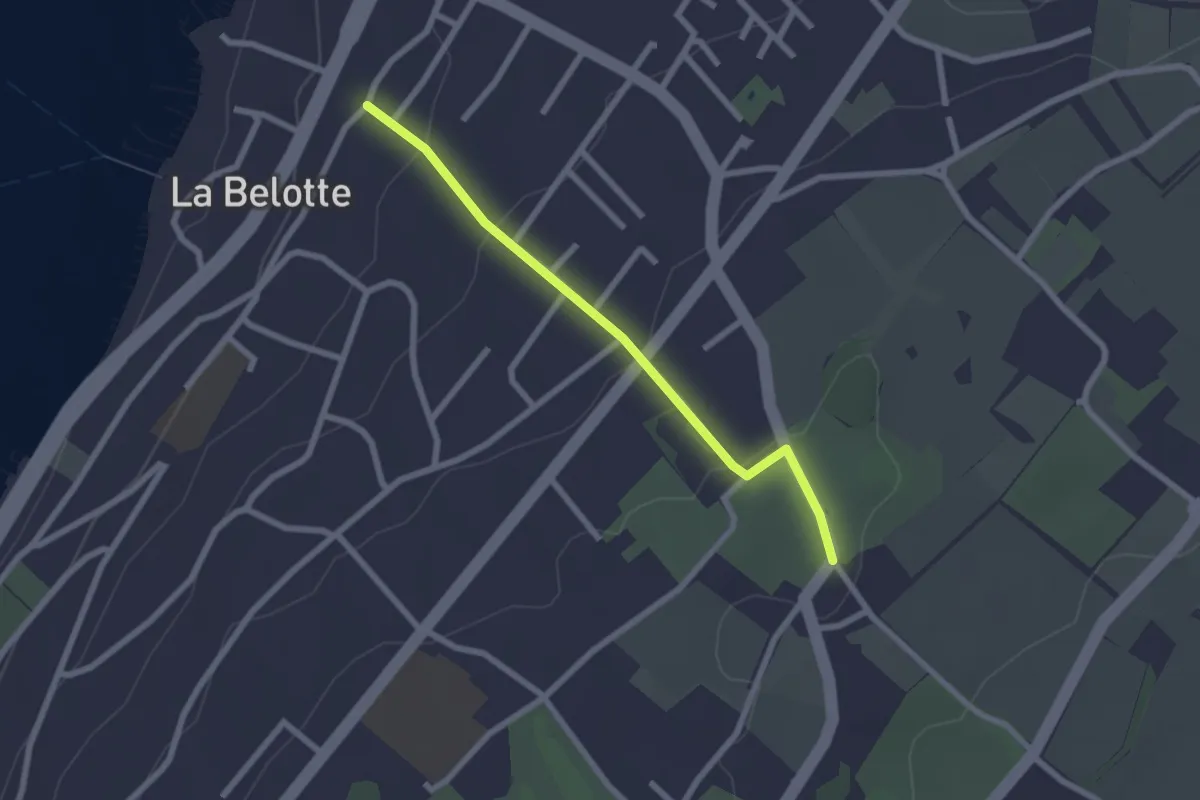
Easy · Trail
Vésenaz - Pressy
2.3 km · ↑ 69 m · 41 min · 6 km away
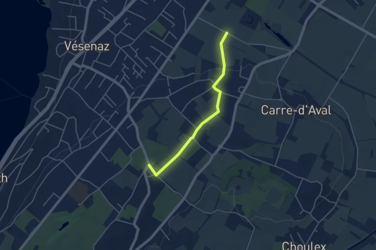
Easy · Trail
Pressy - Rouelbeau
3.5 km · ↑ 52 m · 57 min · 6 km away
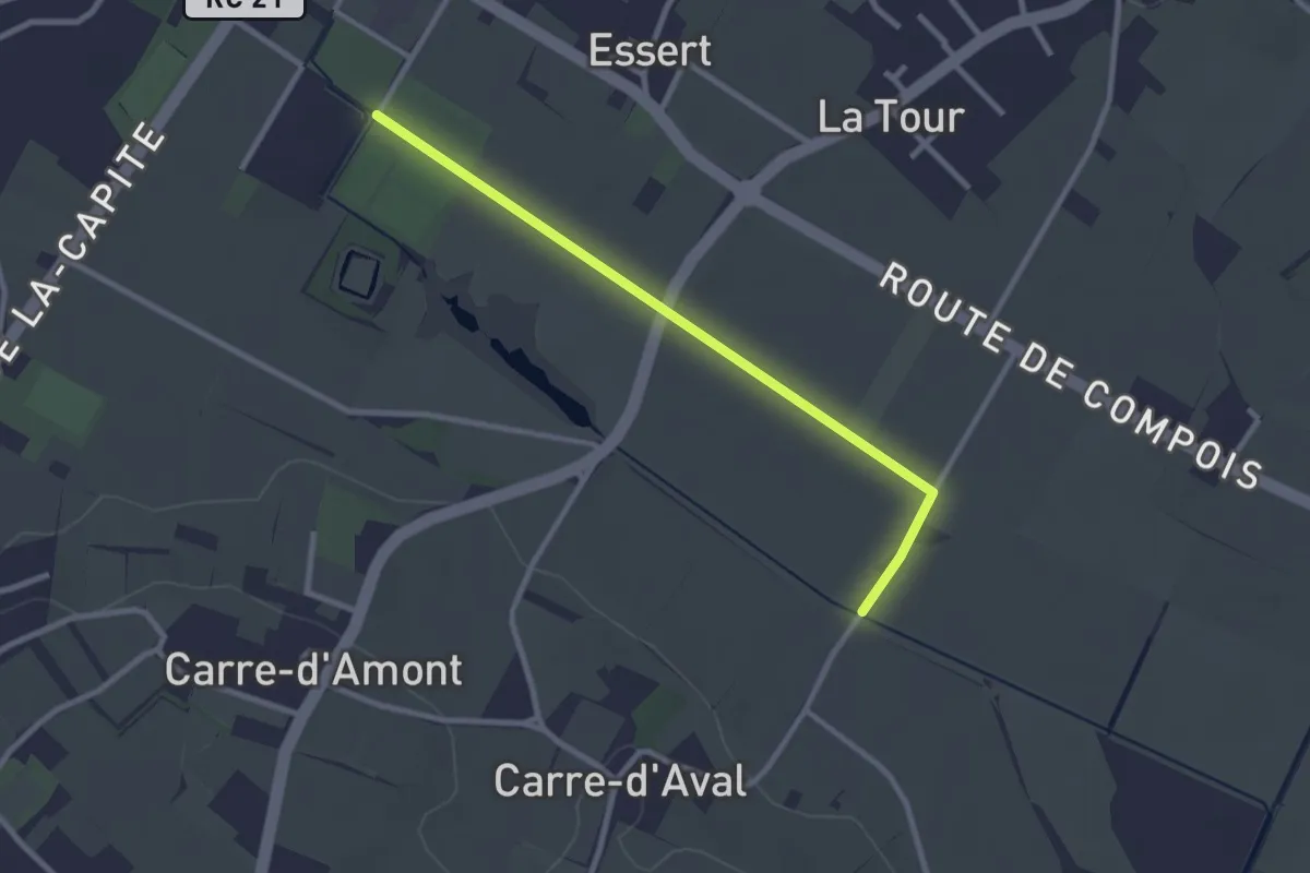
Easy · Trail
Rouelbeau - Pré de la Donnaz
2.7 km · ↑ 0 m · 38 min · 6 km away
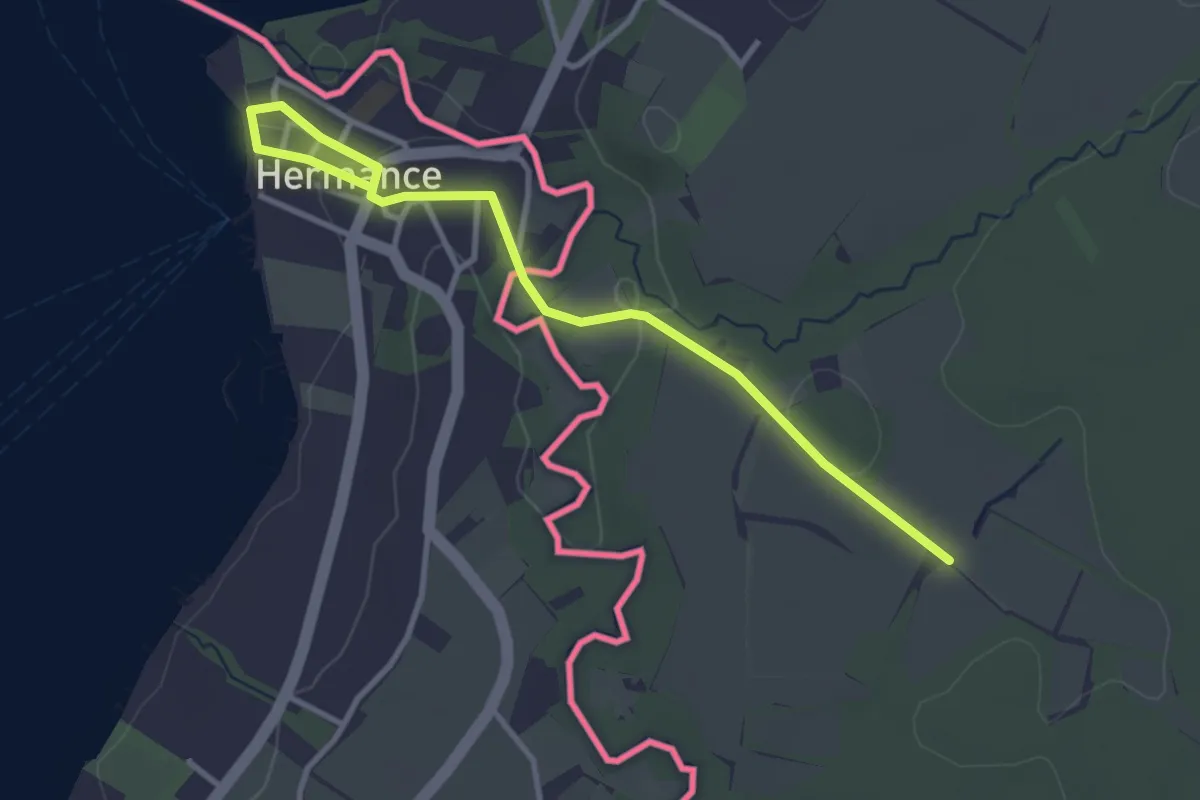
Easy · Trail
Hermance - Les Lombards (F)
3.6 km · ↑ 50 m · 58 min · 6 km away
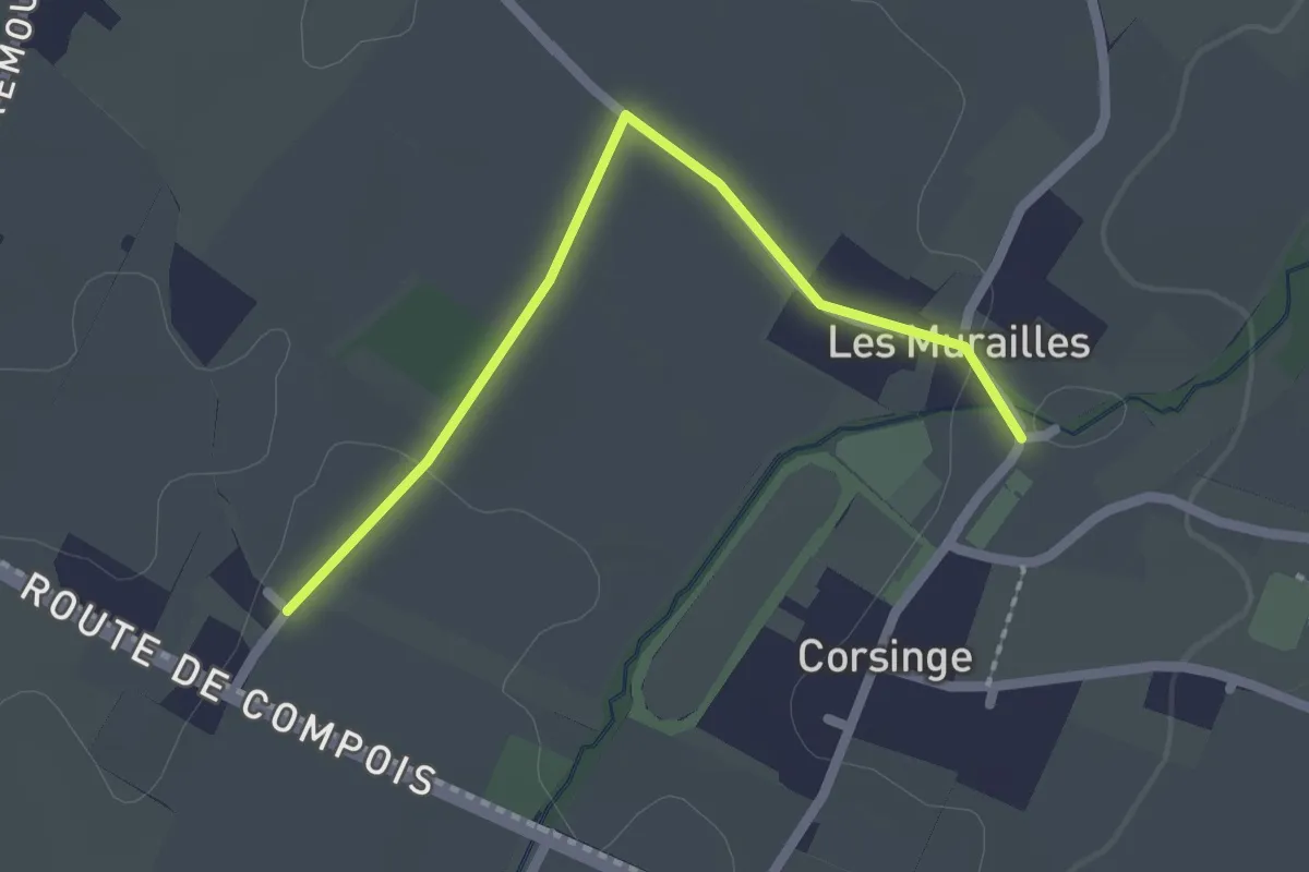
Easy · Trail
Corsinge - Compois
2.1 km · ↑ 8 m · 31 min · 7 km away
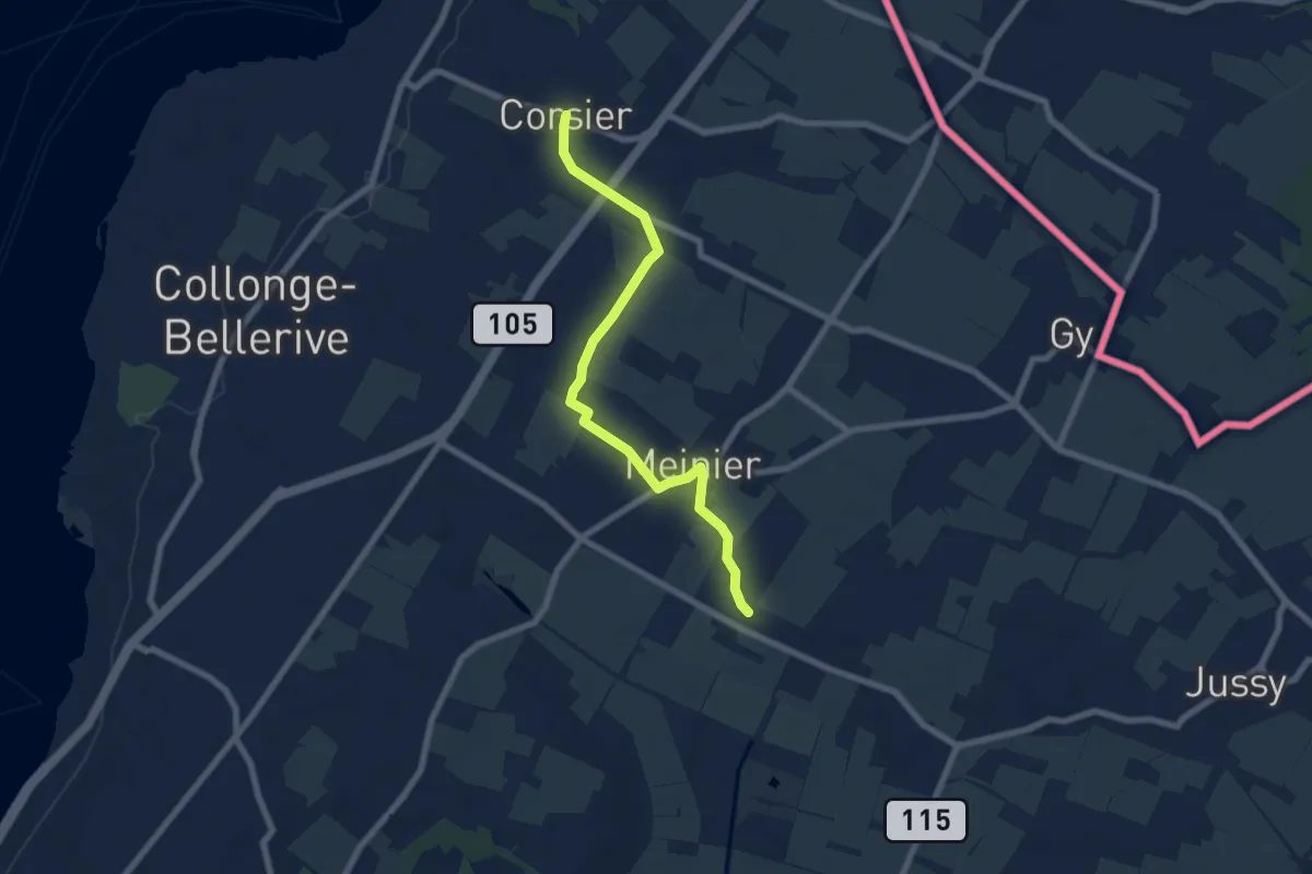
Easy · Trail
Corsier - Compois
7.1 km · ↑ 31 m · 1 h 45 min · 7 km away
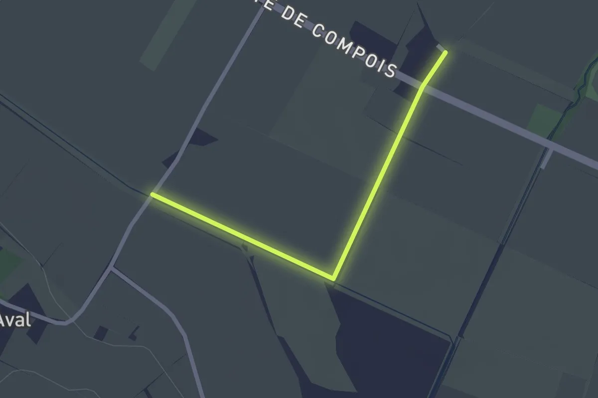
Easy · Trail
Pré de la Donnaz - Compois
2.0 km · ↑ 4 m · 29 min · 7 km away
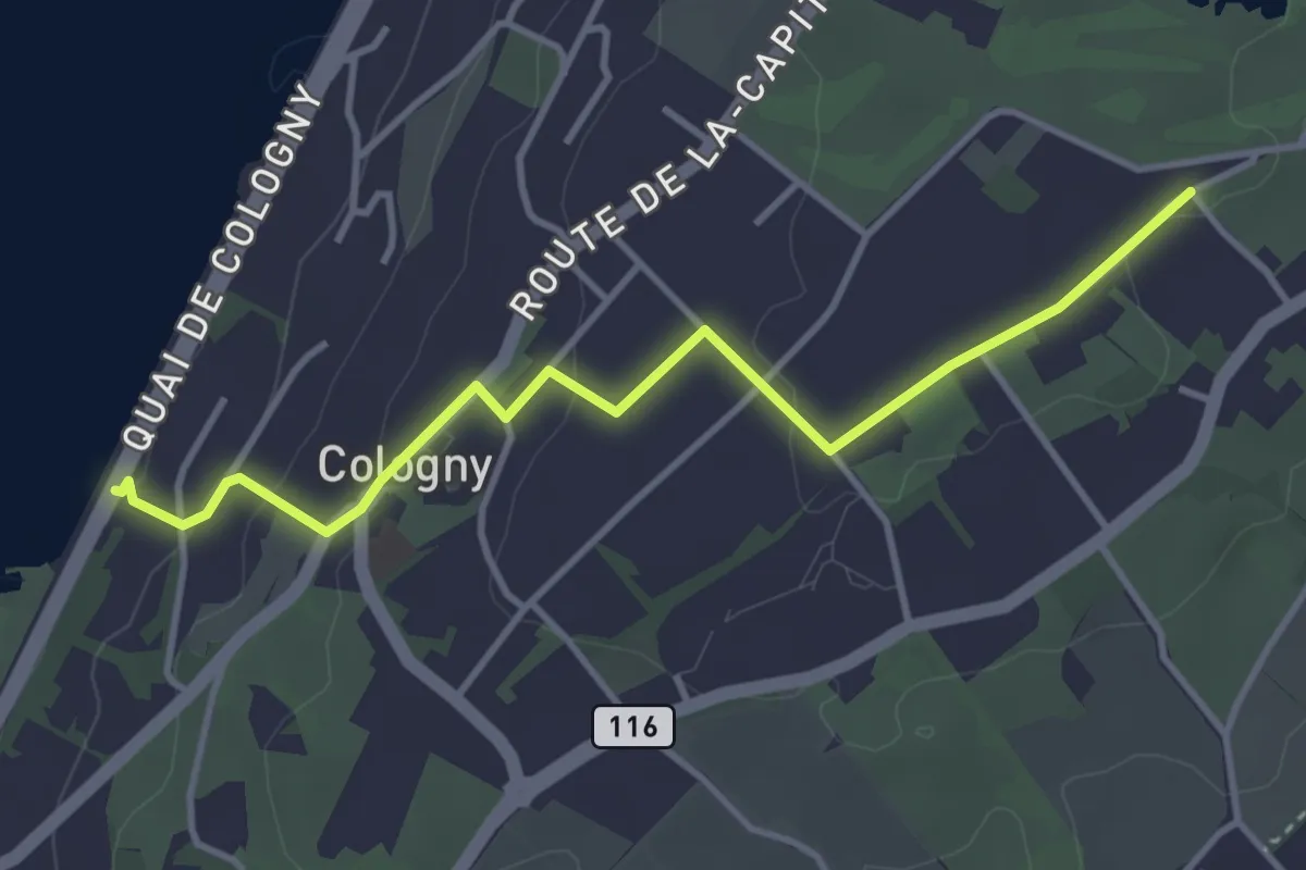
Easy · Trail
Cologny - Chougny
4.0 km · ↑ 110 m · 1 h 10 min · 7 km away
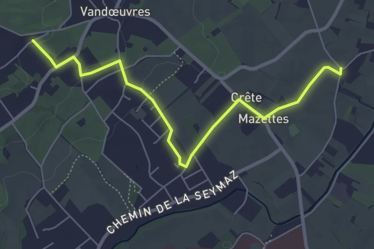
Easy · Trail
Chougny - Chevrier
5.7 km · ↑ 54 m · 1 h 28 min · 7 km away
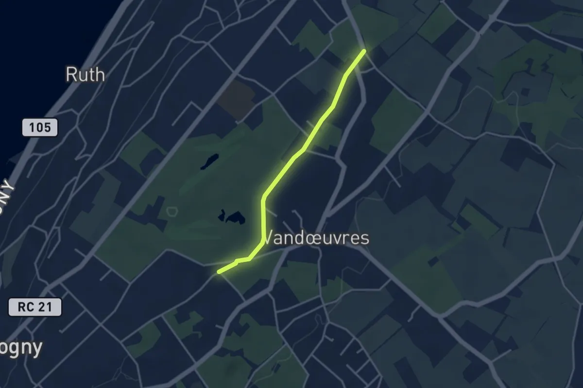
Easy · Trail
Chougny - Pressy
2.9 km · ↑ 21 m · 43 min · 7 km away
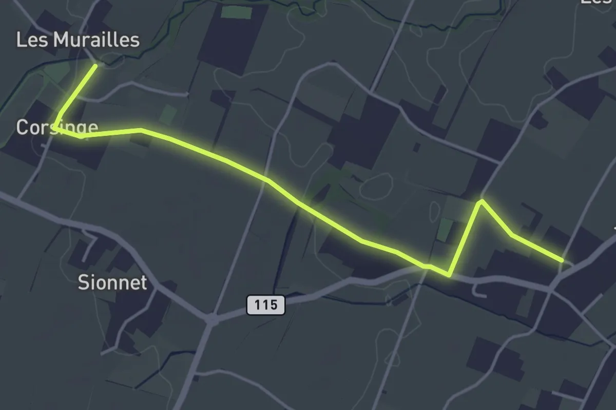
Easy · Trail
Corsinge - Jussy
4.5 km · ↑ 42 m · 1 h 10 min · 7 km away
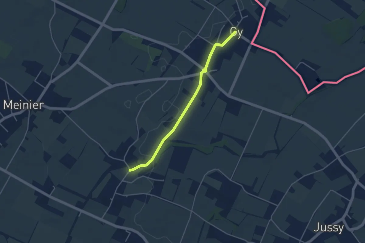
Easy · Trail
Corsinge - Gy
3.5 km · ↑ 14 m · 51 min · 7 km away
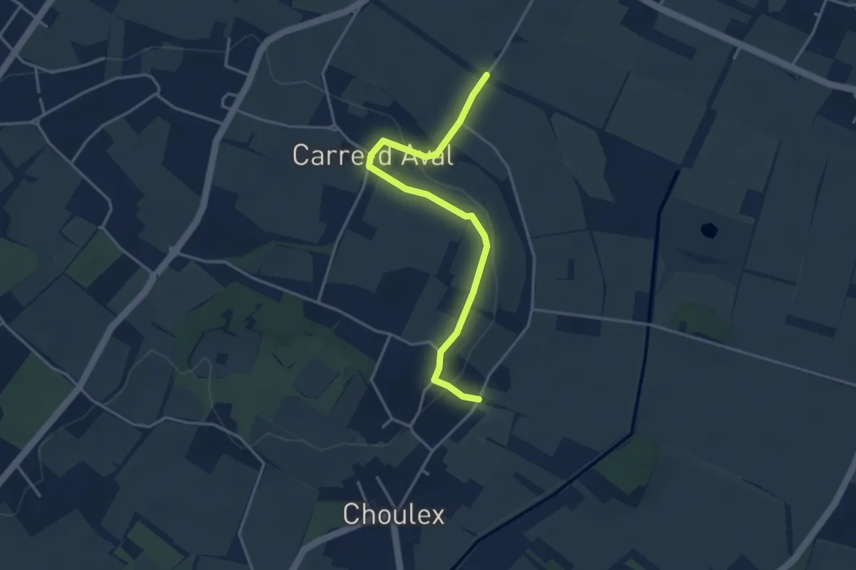
Easy · Trail
Choulex - Pré de la Donnaz
3.7 km · ↑ 66 m · 1 h 1 min · 7 km away
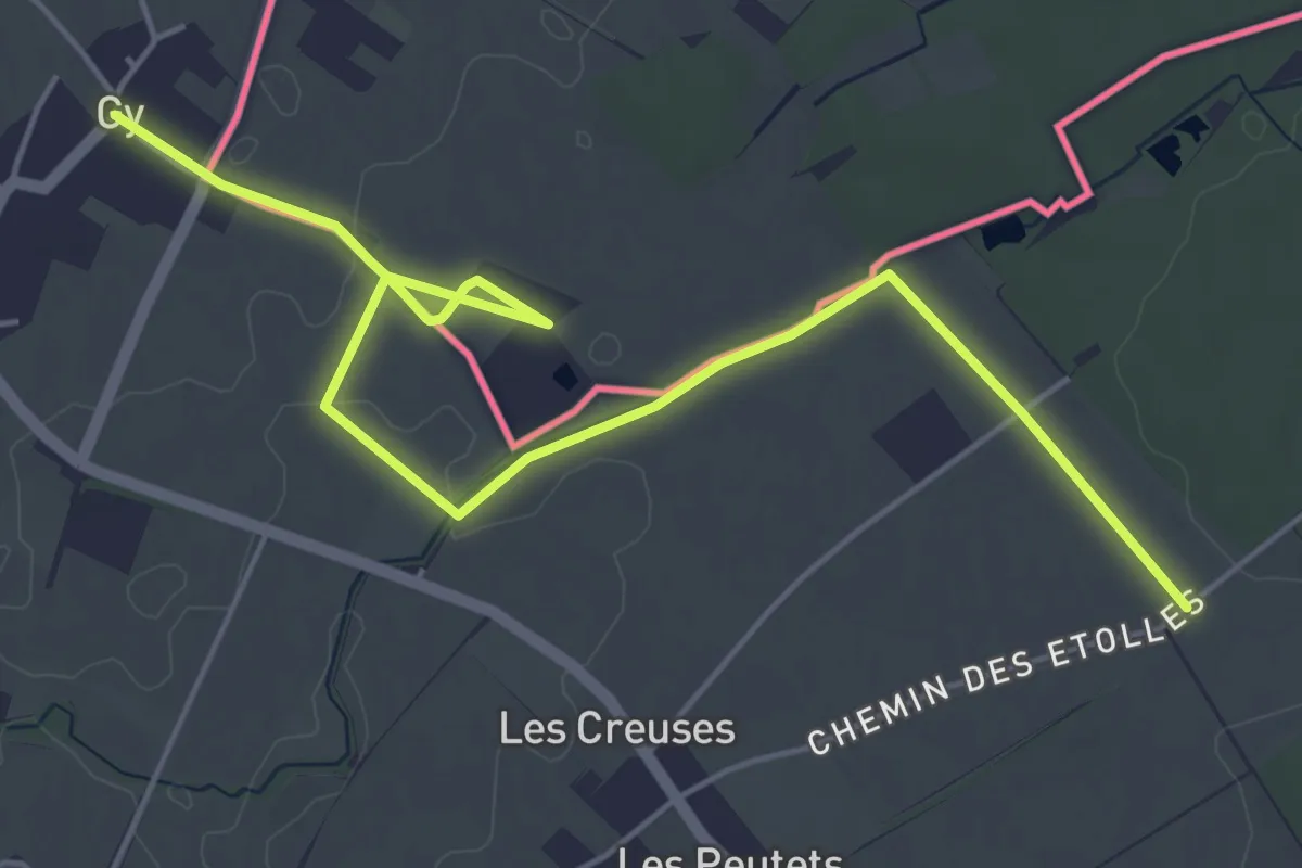
Easy · Trail
Gy - Les Longerayes
6.5 km · ↑ 17 m · 1 h 34 min · 7 km away
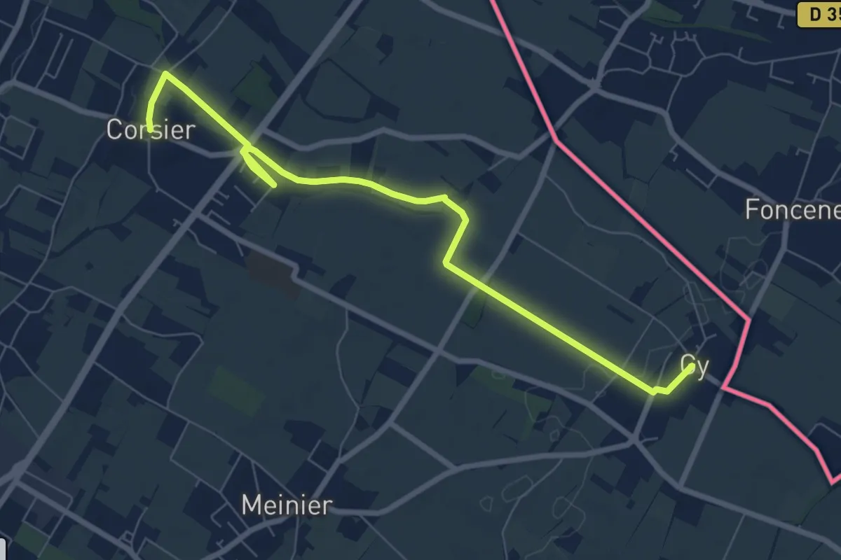
Medium · Trail
Corsier - Gy
8.1 km · ↑ 40 m · 2 h · 7 km away
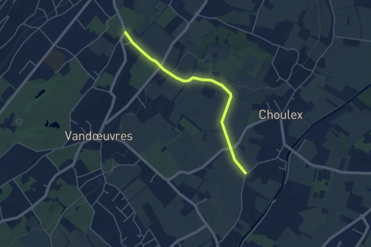
Easy · Trail
Pressy - Chevrier
4.0 km · ↑ 63 m · 1 h 5 min · 8 km away
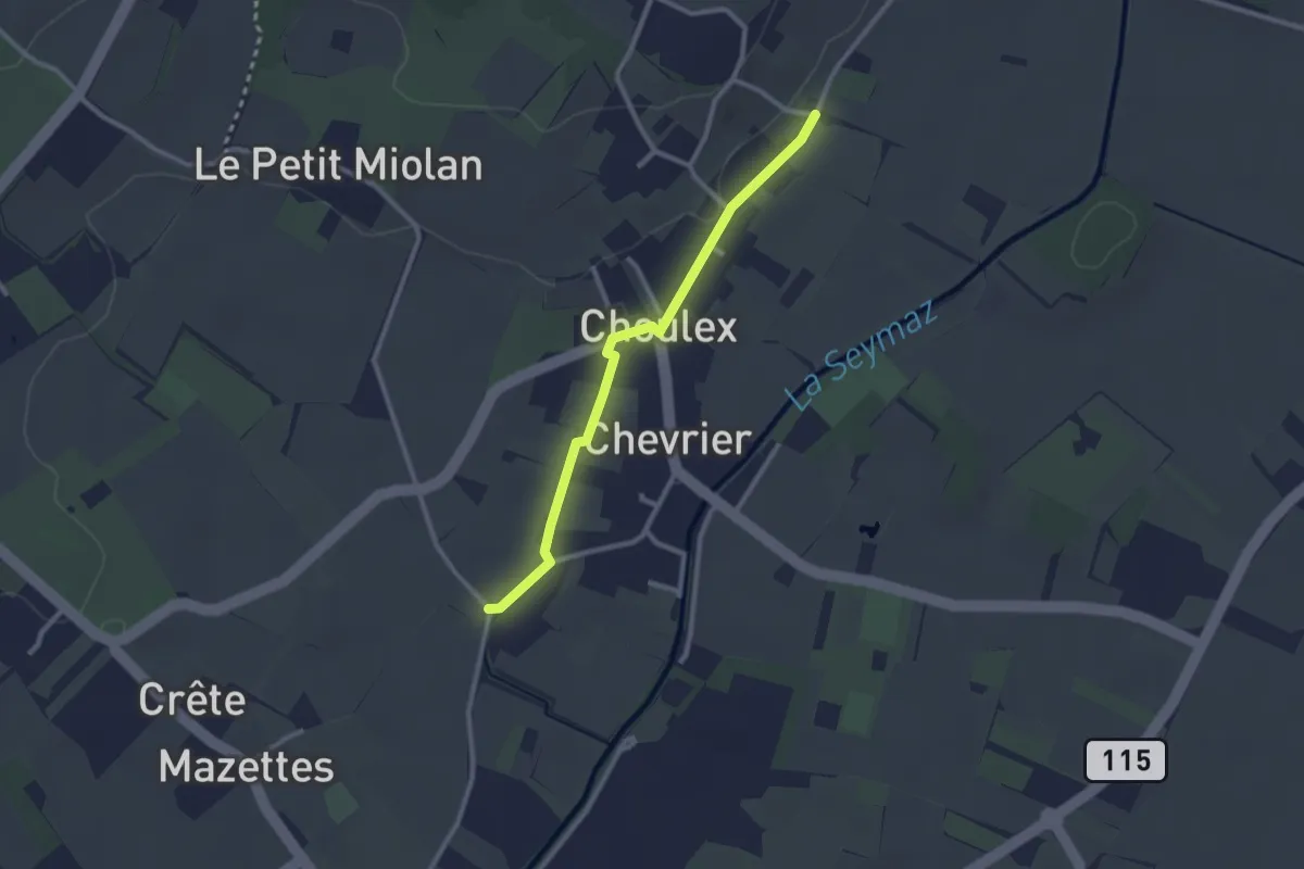
Easy · Trail
Choulex - Chevrier
2.5 km · ↑ 9 m · 36 min · 8 km away
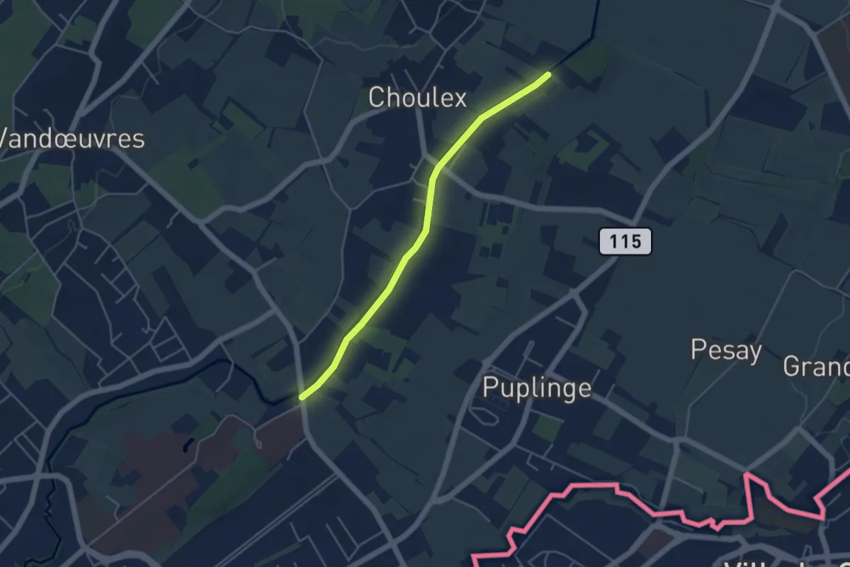
Easy · Trail
Pont Bochet - Les Montagnys
4.0 km · ↑ 0 m · 57 min · 8 km away
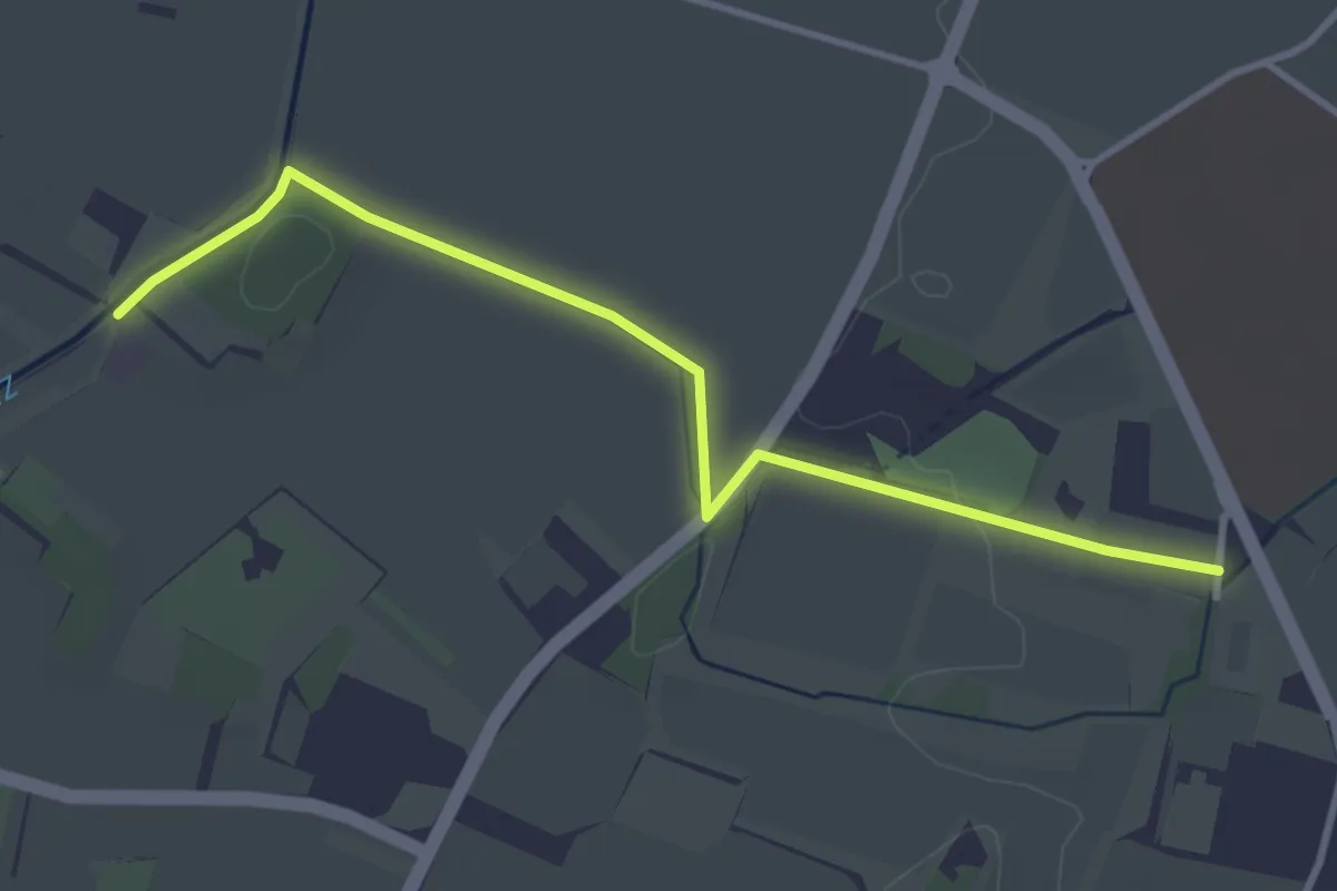
Easy · Trail
Les Montagnys - Presinge
3.7 km · ↑ 26 m · 56 min · 8 km away
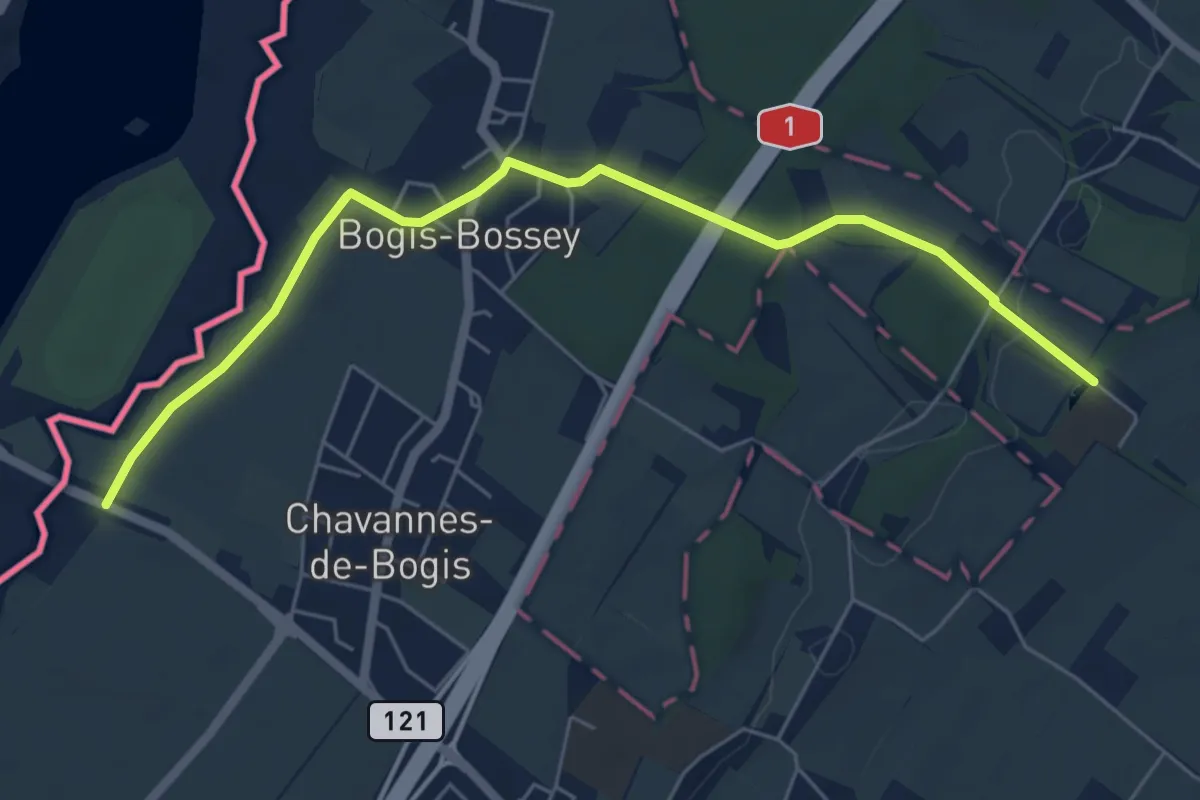
Easy · Trail
Château de Bossey – Chavannes do Bogis Douane
6.3 km · ↑ 36 m · 1 h 34 min · 8 km away
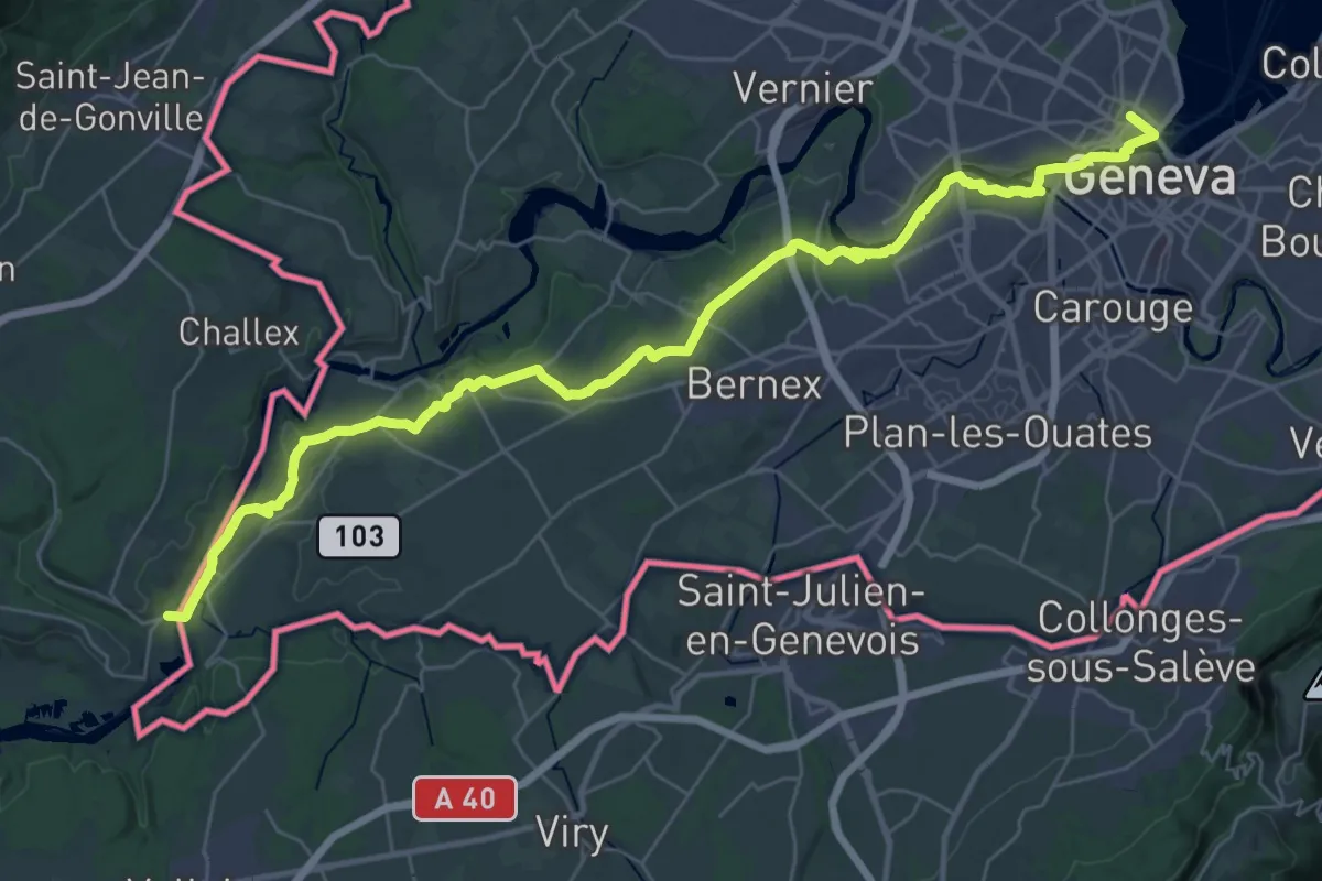
Demanding · Trail
Via Lugdunum, Geneva to Lyon
20.2 km · ↑ 216 m · 5 h 33 min · 8 km away
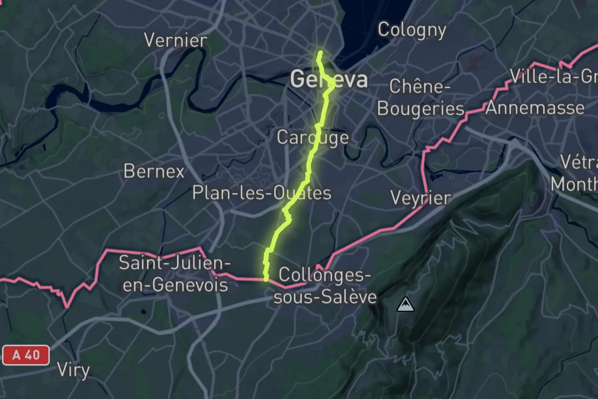
Demanding · Trail
ViaJacobi
18.4 km · ↑ 177 m · 4 h 44 min · 8 km away
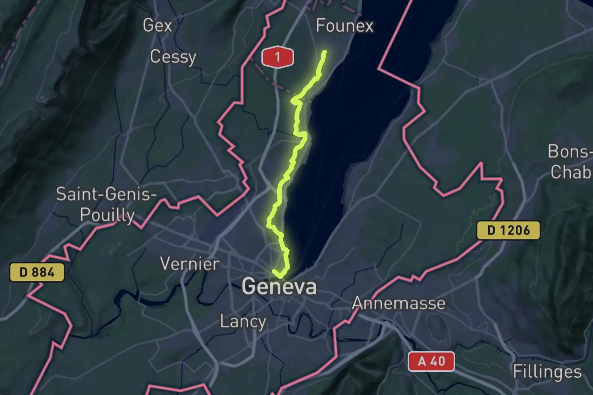
Medium · Trail
ViaJacobi
17.2 km · ↑ 168 m · 4 h 39 min · 8 km away
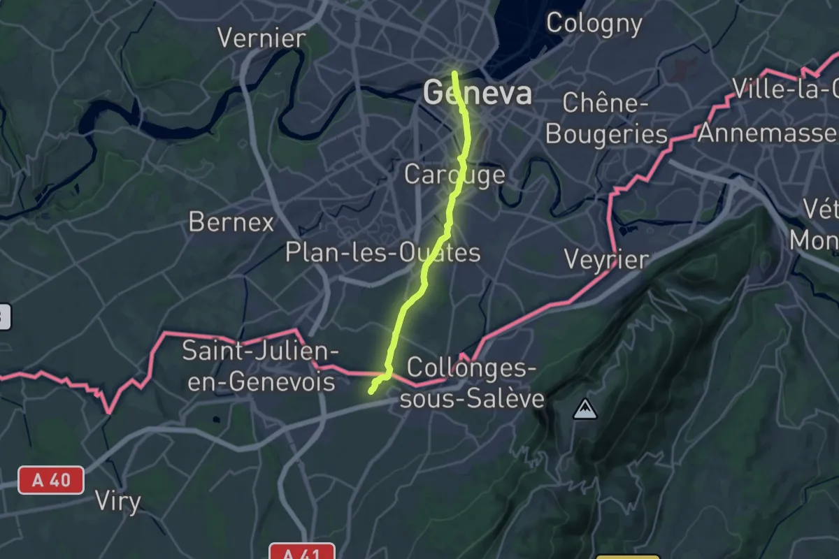
Medium · Trail
Genève – Clennaz
17.0 km · ↑ 160 m · 4 h 21 min · 8 km away
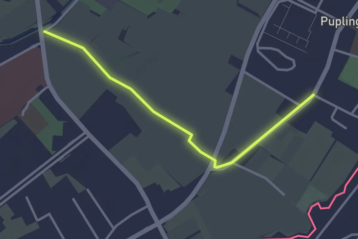
Easy · Trail
Pont Bochet - Puplinge
2.6 km · ↑ 4 m · 38 min · 8 km away
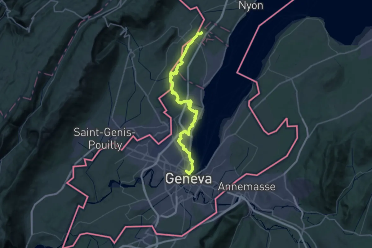
Demanding · Trail
Chemin panorama alpin
27.4 km · ↑ 205 m · 7 h 20 min · 8 km away
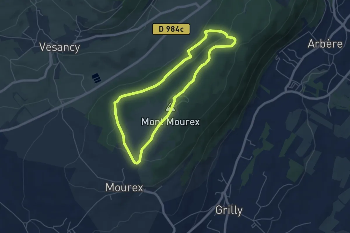
Easy · Summit
Le Mont-Mourex
4.7 km · ↑ 120 m · 1 h 26 min · 9 km away
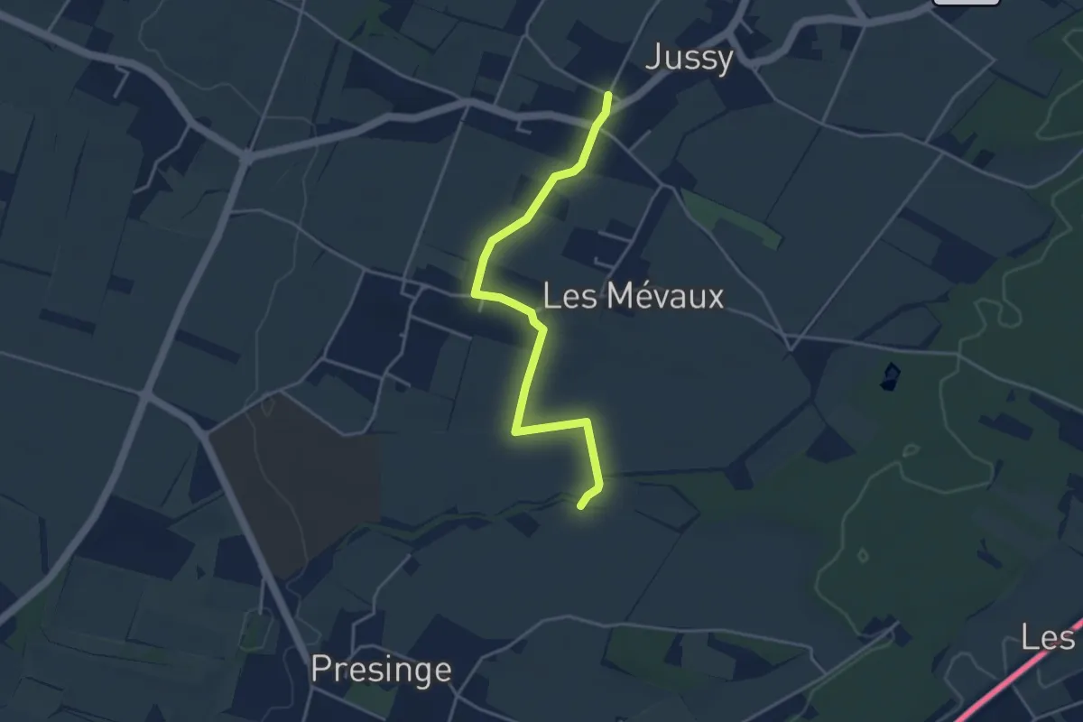
Easy · Trail
Jussy l'Eglise - Les Blessonniers
3.9 km · ↑ 21 m · 58 min · 9 km away
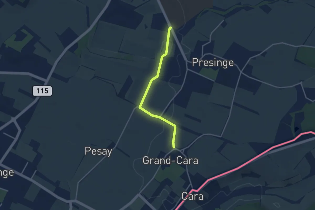
Easy · Trail
Grand Cara - Presinge
2.6 km · ↑ 17 m · 39 min · 9 km away
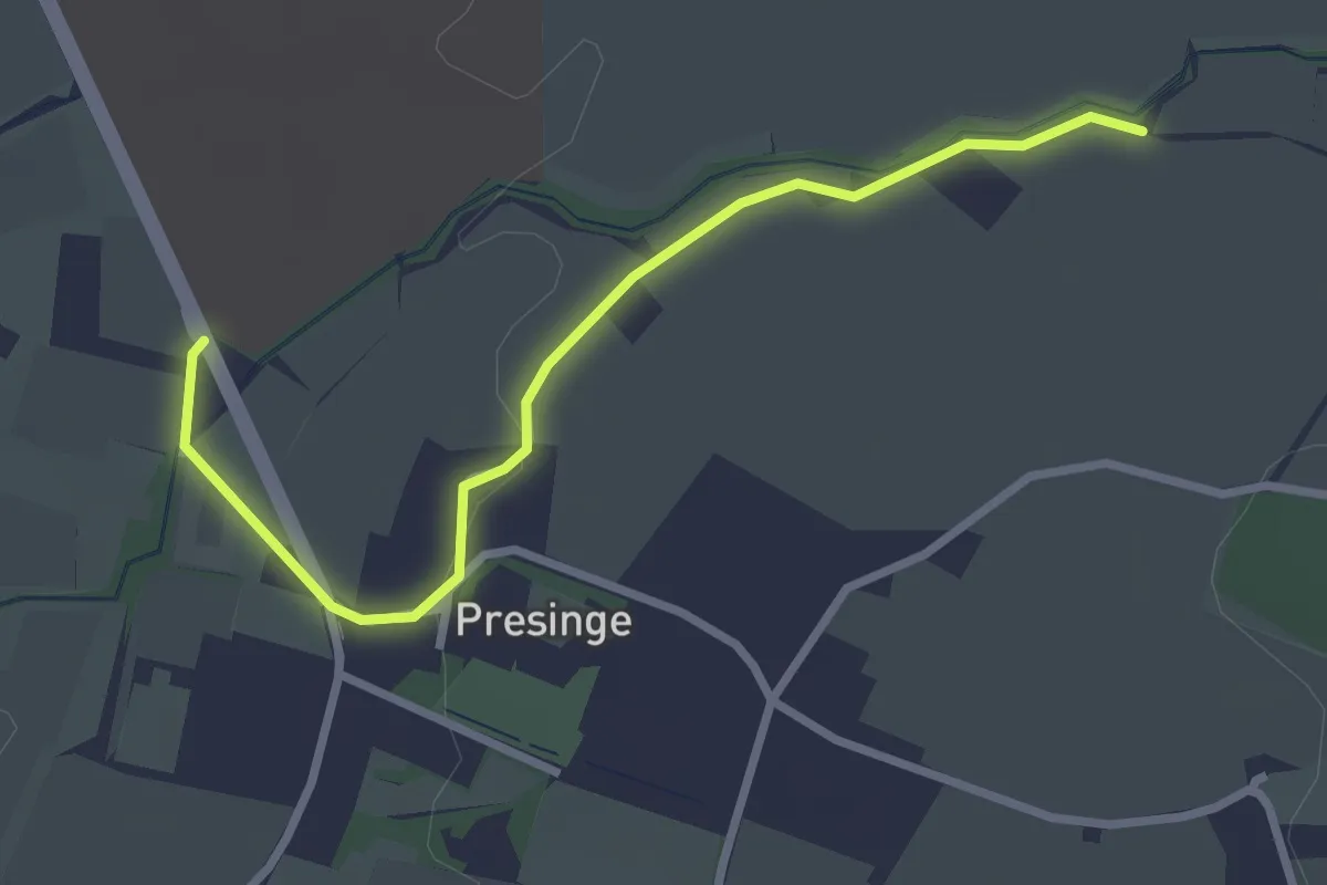
Easy · Trail
Presinge - Les Blessonniers
3.0 km · ↑ 22 m · 45 min · 9 km away
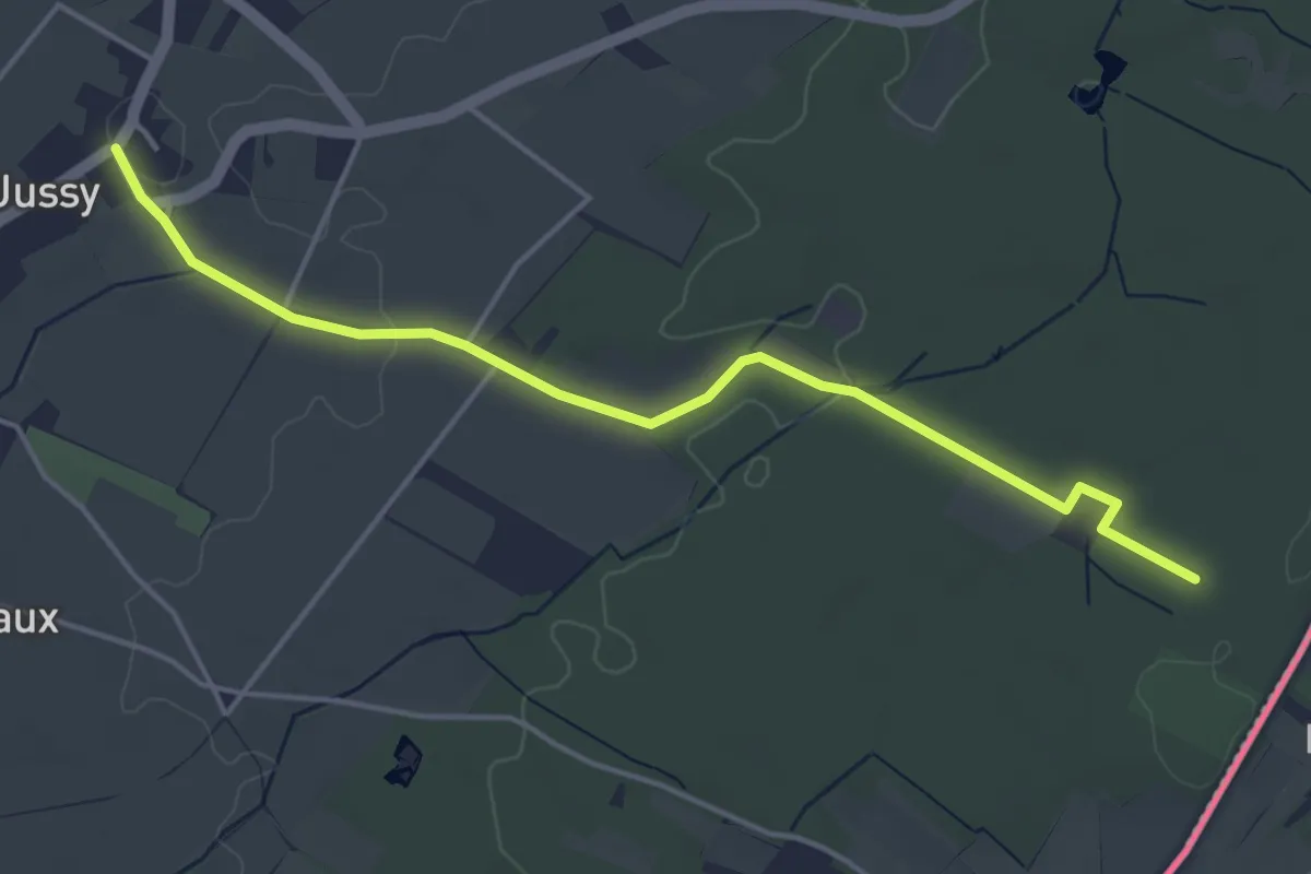
Easy · Trail
Jussy le Château - Les Grands Bois
4.7 km · ↑ 37 m · 1 h 11 min · 9 km away
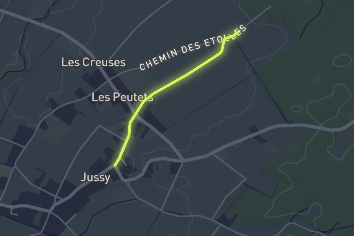
Easy · Trail
Jussy le Château - Les Longerayes
2.5 km · ↑ 4 m · 36 min · 9 km away
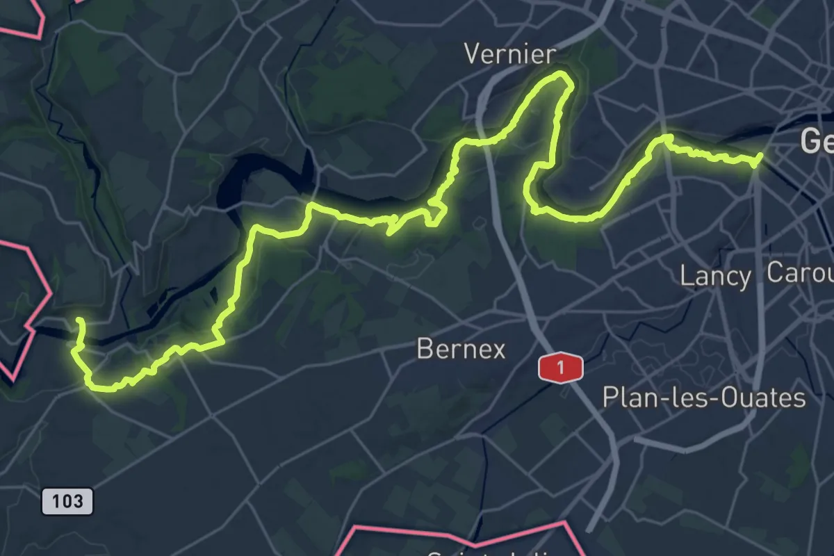
Demanding · Trail
Sentier du Rhône
20.1 km · ↑ 388 m · 5 h 52 min · 9 km away
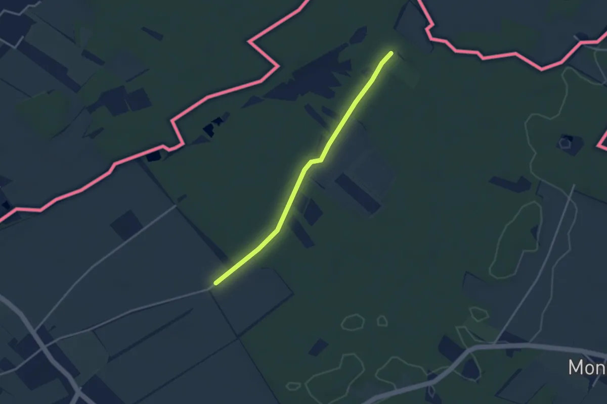
Easy · Trail
Les Longerayes - Prés de Villette
2.9 km · ↑ 13 m · 43 min · 9 km away
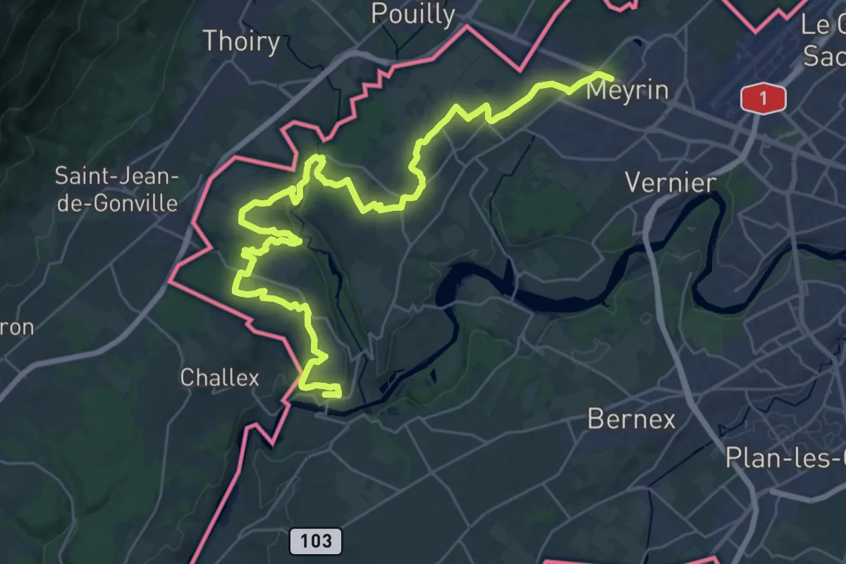
Demanding · Trail
Rive droite
19.3 km · ↑ 264 m · 5 h 25 min · 9 km away
Easy · Trail
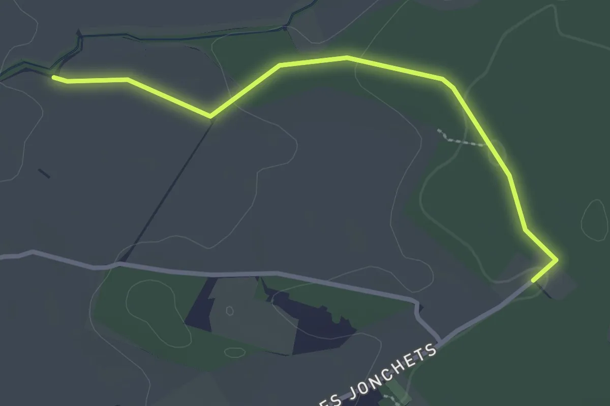
Les Blessonniers - Les Bois d'Ornaz
2.7 km · ↑ 33 m · 42 min · 9 km away
Easy · Trail
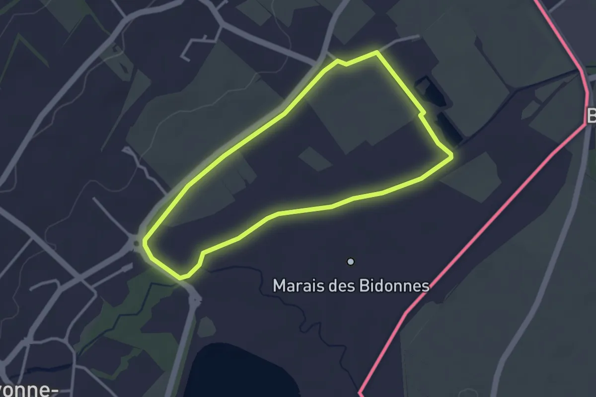
Marais des Bidonnes
2.9 km · ↑ 4 m · 44 min · 10 km away
Easy · Trail
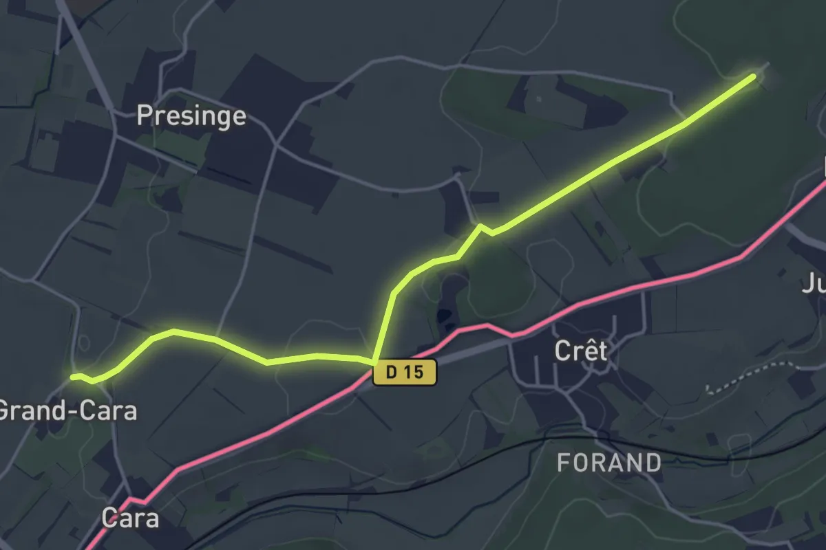
Grand Cara - Les Bois d'Ornaz
4.8 km · ↑ 41 m · 1 h 13 min · 10 km away
Easy · Trail
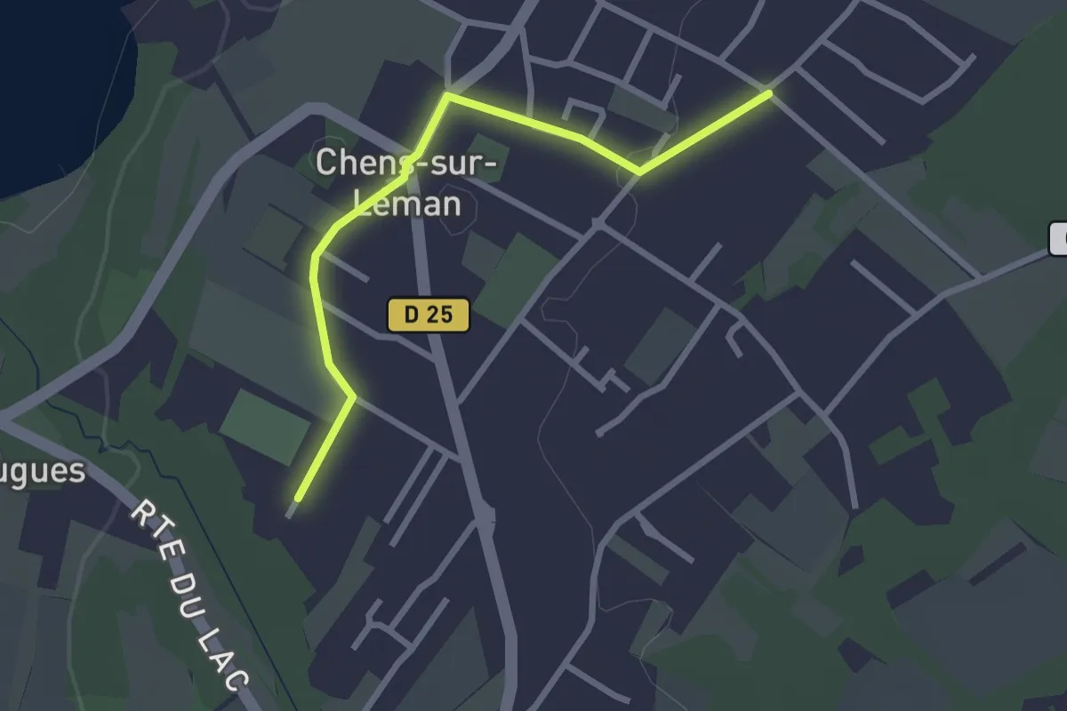
Littoral du Léman
2.5 km · ↑ 9 m · 37 min · 10 km away
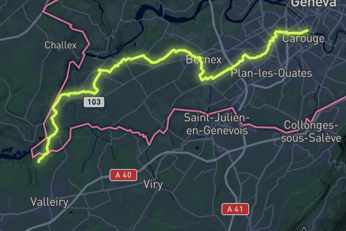
Demanding · Trail
Chambéry – Genève
23.6 km · ↑ 290 m · 6 h 30 min · 10 km away
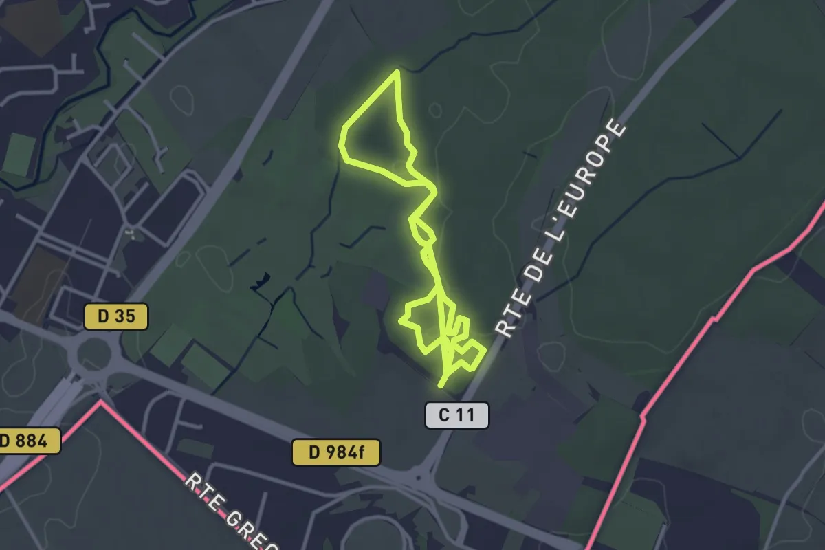
Easy · Trail
Parcours de santé de Bois de Serve
5.7 km · ↑ 22 m · 1 h 24 min · 10 km away
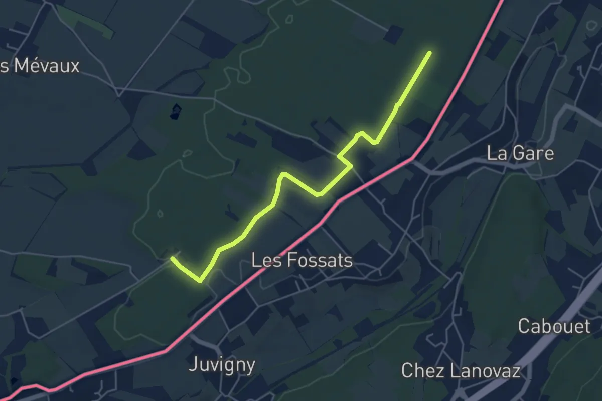
Easy · Trail
Les Bois d'Ornaz - Les Grands Bois
4.8 km · ↑ 15 m · 1 h 11 min · 10 km away
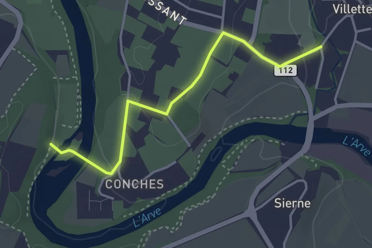
Easy · Trail
Eaux d'Arve - Villette
3.1 km · ↑ 68 m · 53 min · 11 km away