Trails near Versoix
74 hikes starting within 15 km, nearest first.
Nearest first, page 2 of 2
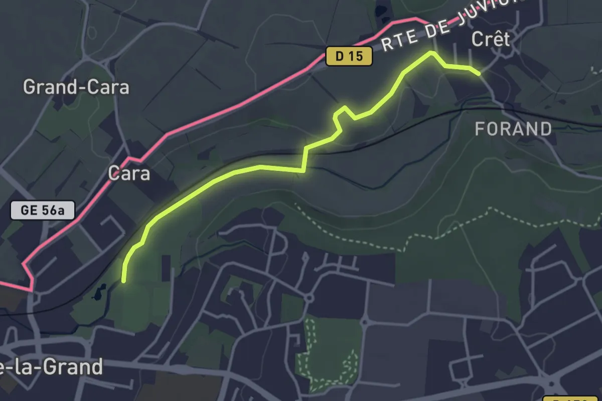
Easy · Trail
Chemin du Foron
3.6 km · ↑ 32 m · 54 min · 11 km away
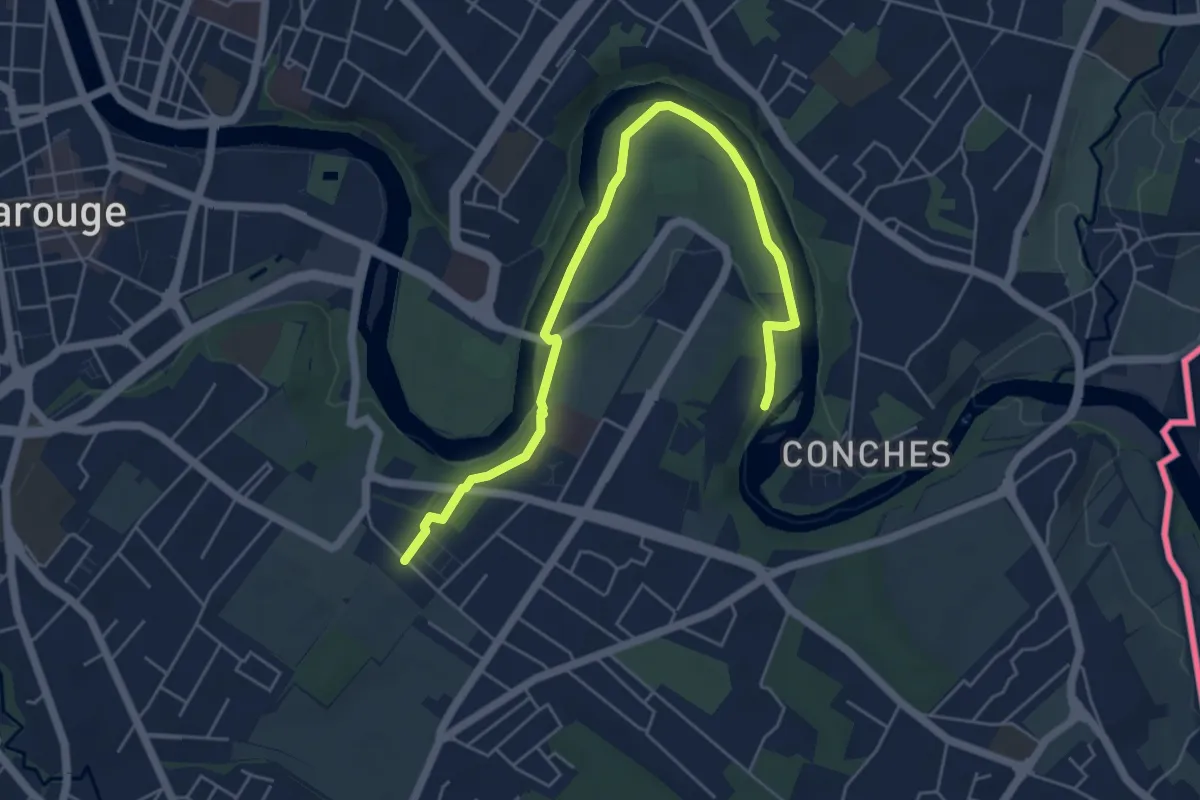
Easy · Trail
Eaux d'Arve - Pinchat
6.2 km · ↑ 57 m · 1 h 35 min · 11 km away
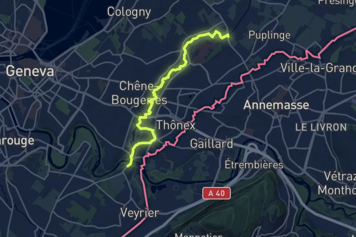
Medium · Trail
Pont Bochet - Sierne Veyrier
14.2 km · ↑ 63 m · 3 h 29 min · 11 km away
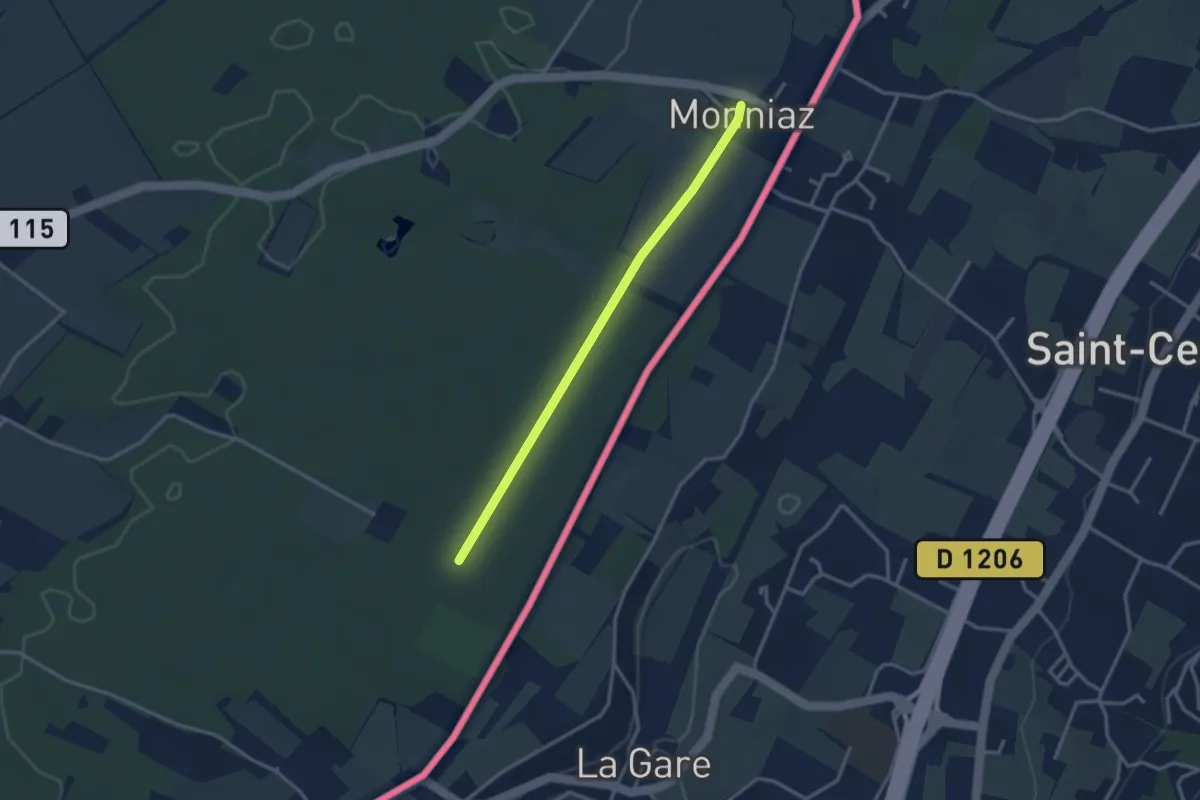
Easy · Trail
Les Grands Bois - Monniaz
3.0 km · ↑ 9 m · 43 min · 11 km away
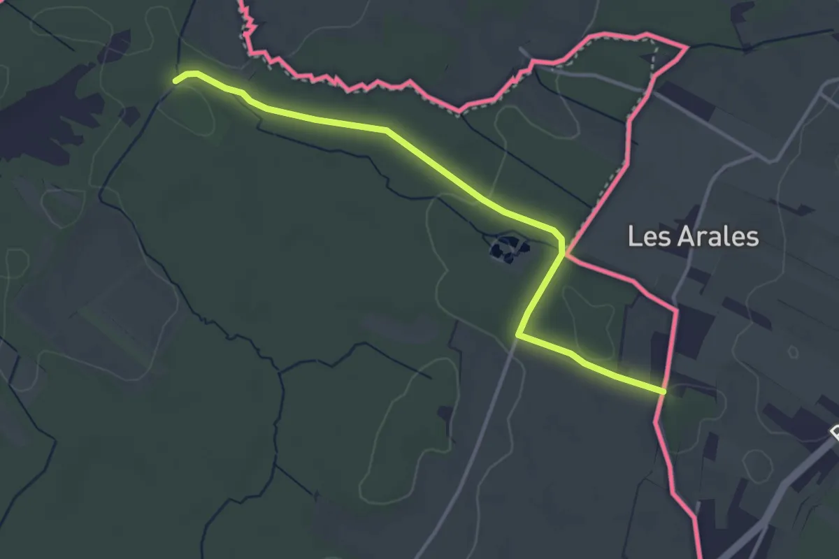
Easy · Trail
Prés de Villette - Les Arales
3.6 km · ↑ 45 m · 57 min · 11 km away
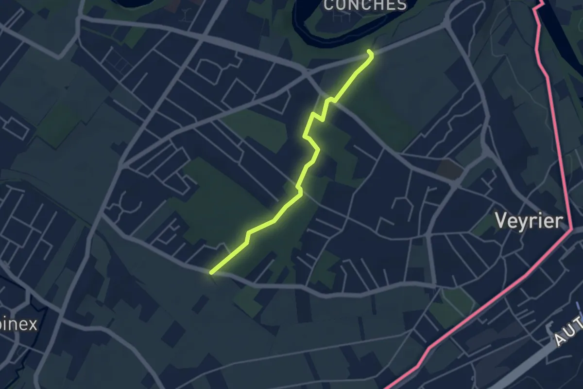
Easy · Trail
Le Bois de Pins - Grande Tuillière
3.6 km · ↑ 57 m · 58 min · 11 km away
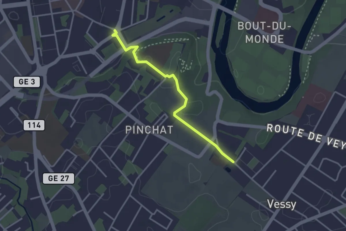
Easy · Trail
Carouge place Sigismond - Pinchat
2.9 km · ↑ 37 m · 45 min · 11 km away
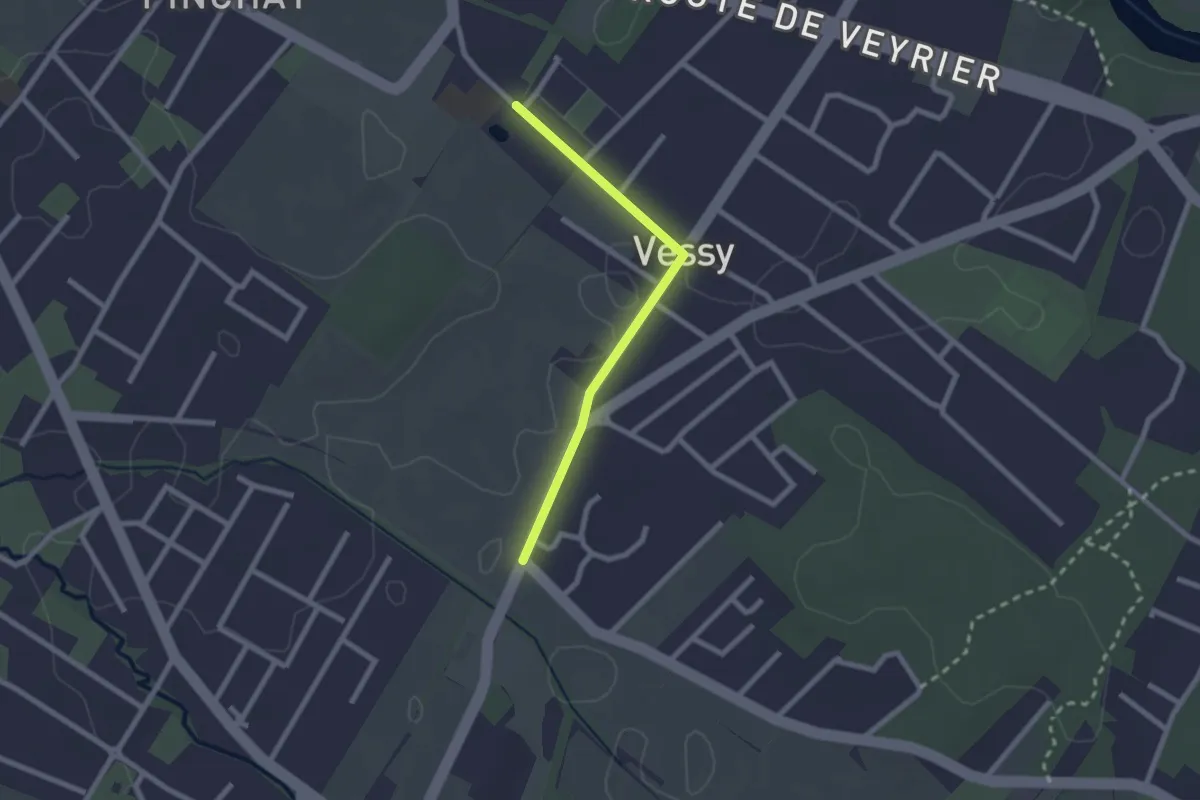
Easy · Trail
Pinchat - Place Verte
2.1 km · ↑ 4 m · 30 min · 12 km away
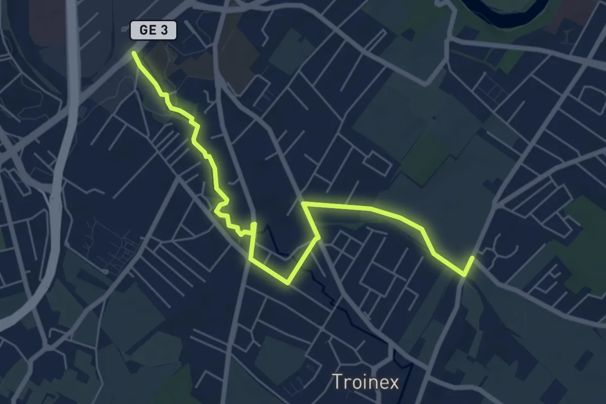
Easy · Trail
De Staël - Place Verte
6.4 km · ↑ 32 m · 1 h 35 min · 12 km away
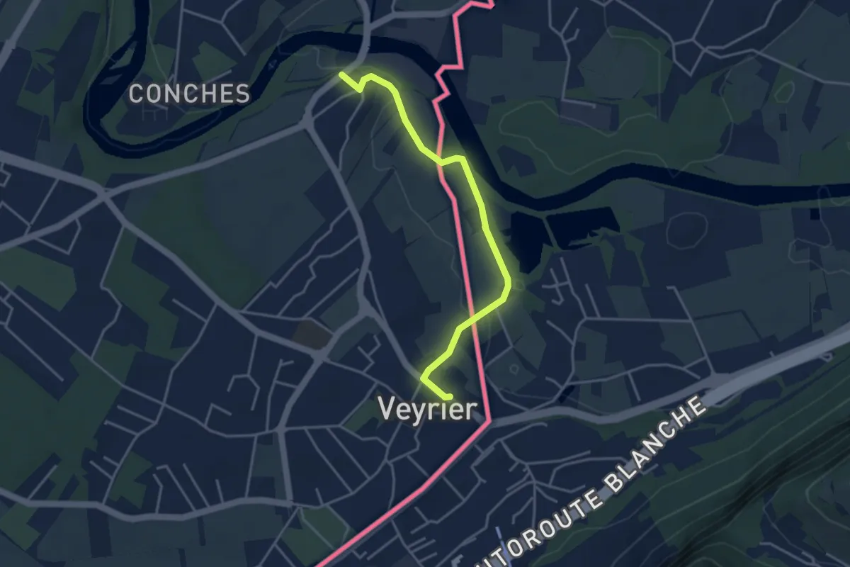
Easy · Trail
Sierne Veyrier - Veyrier
3.7 km · ↑ 39 m · 58 min · 12 km away
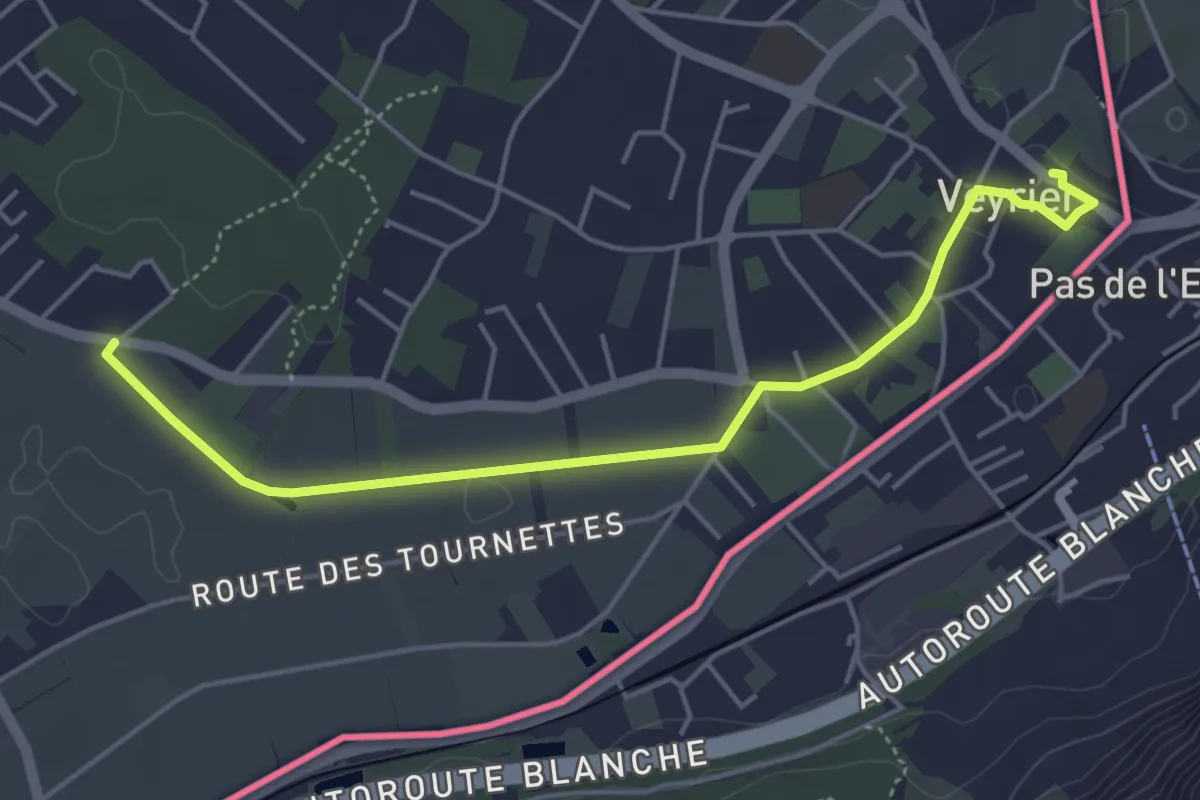
Easy · Trail
Veyrier - Grande Tuillière
5.0 km · ↑ 13 m · 1 h 13 min · 13 km away
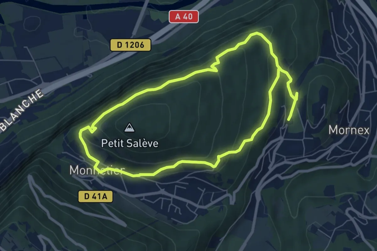
Medium · Trail
Pierre-Vieille
12.2 km · ↑ 544 m · 4 h 4 min · 13 km away
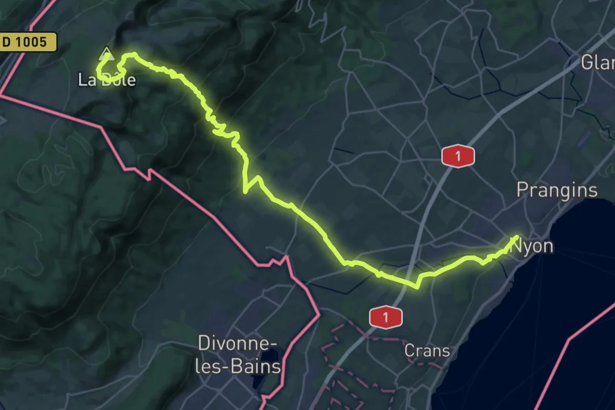
Demanding · Summit
Chemin des Crêtes du Jura
35.6 km · ↑ 1382 m · 11 h 24 min · 13 km away
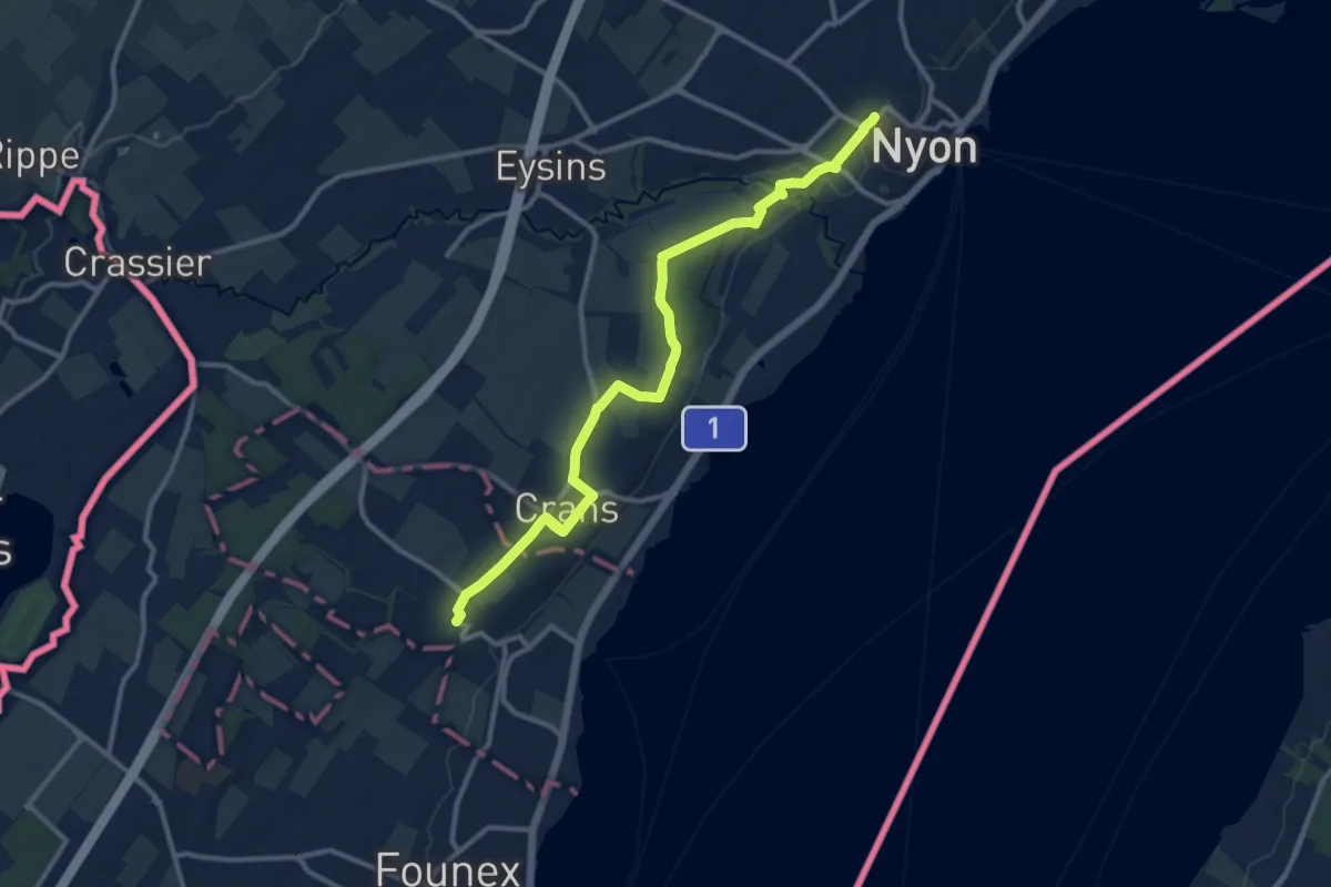
Medium · Trail
Nyon Gare – Celigny
12.8 km · ↑ 75 m · 3 h 12 min · 13 km away
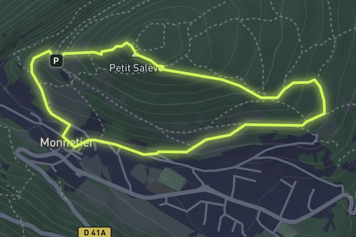
Easy · Summit
Balcon des Allobroges
3.2 km · ↑ 206 m · 1 h 15 min · 13 km away
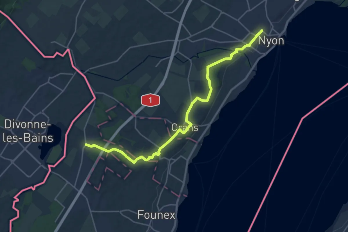
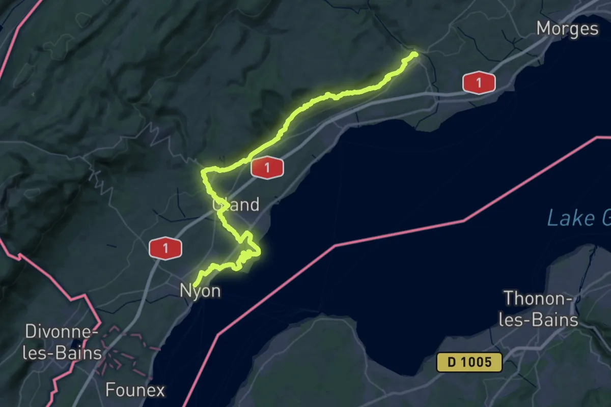
Medium · Trail
Chemin panorama alpin
17.9 km · ↑ 122 m · 4 h 29 min · 13 km away
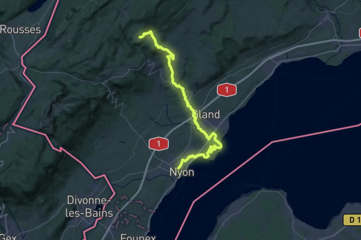
Demanding · Trail
Chemin panorama alpin
29.6 km · ↑ 515 m · 8 h 27 min · 13 km away
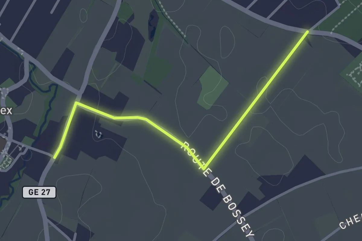
Demanding · Trail
Le sentier des Toblerones
22.0 km · ↑ 827 m · 6 h 55 min · 13 km away
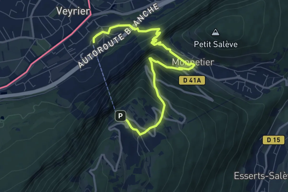
Easy · Trail
Troinex - Grande Tuillière
2.8 km · ↑ 19 m · 42 min · 13 km away
Medium · Trail
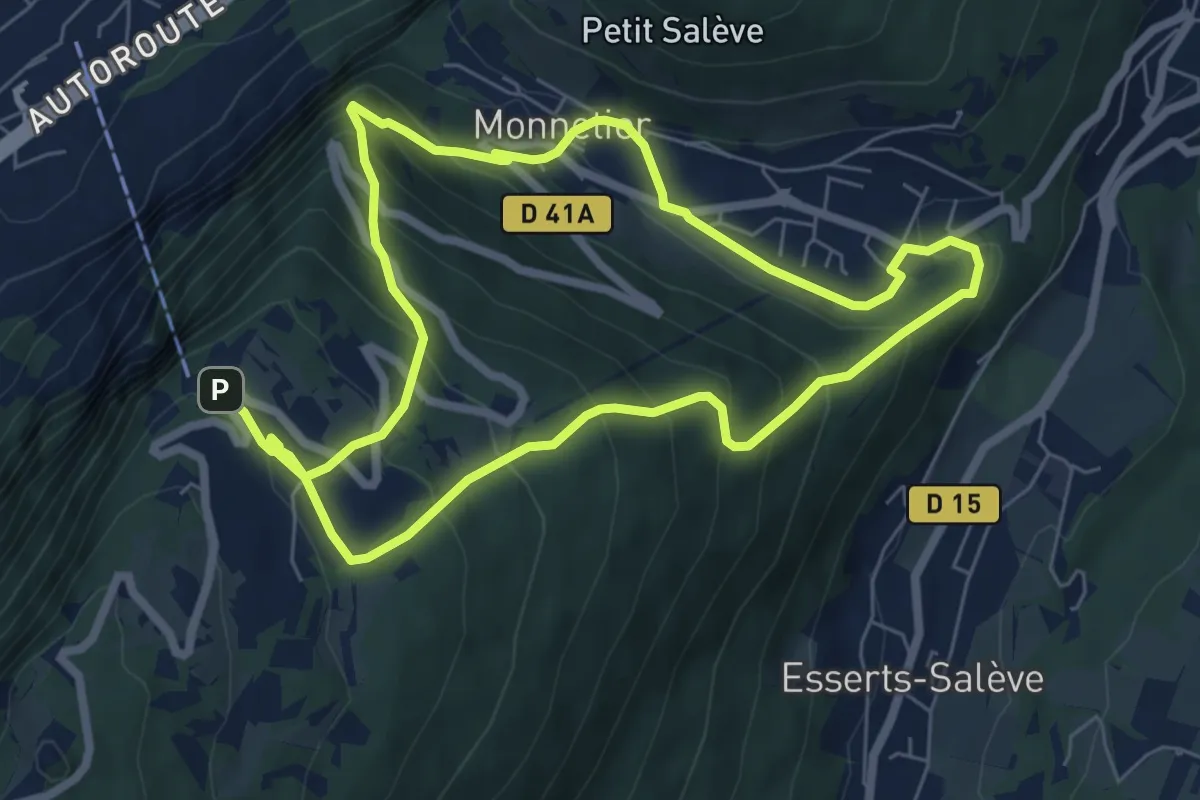
Le Pas de l'Echelle
9.2 km · ↑ 763 m · 3 h 49 min · 14 km away
Demanding · Trail
Chemin du Funiculaire
13.0 km · ↑ 931 m · 5 h 5 min · 14 km away
Demanding · Trail
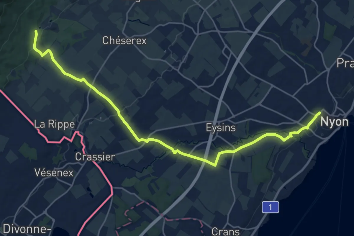
Bonmont – Nyon Gare
19.1 km · ↑ 247 m · 5 h 2 min · 14 km away
Easy · Trail
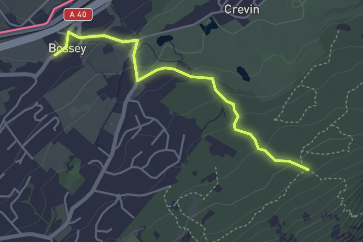
Liason Boissey - Sentier géologique
3.6 km · ↑ 146 m · 1 h 10 min · 14 km away
Easy · Trail
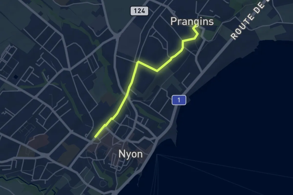
Prangins – Nyon
3.8 km · ↑ 48 m · 1 h 1 min · 14 km away
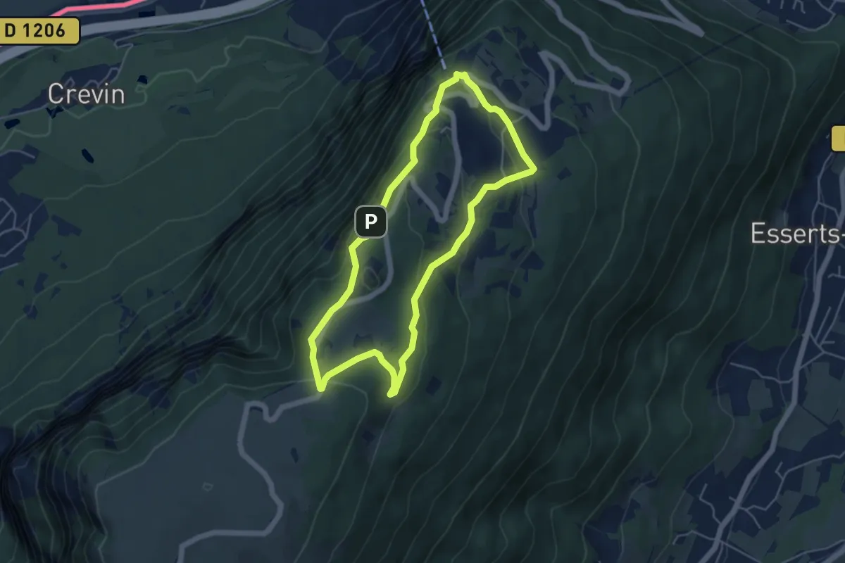
Easy · Trail
Balcon du Téléphérique
4.6 km · ↑ 207 m · 1 h 36 min · 15 km away
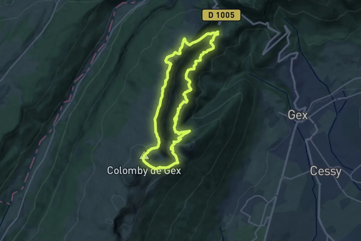
Demanding · Summit
Le Colomby de Gex
13.9 km · ↑ 975 m · 5 h 36 min · 15 km away