Trails near Villars-sur-Glâne
205 hikes starting within 15 km, nearest first.
Nearest first, page 1 of 5
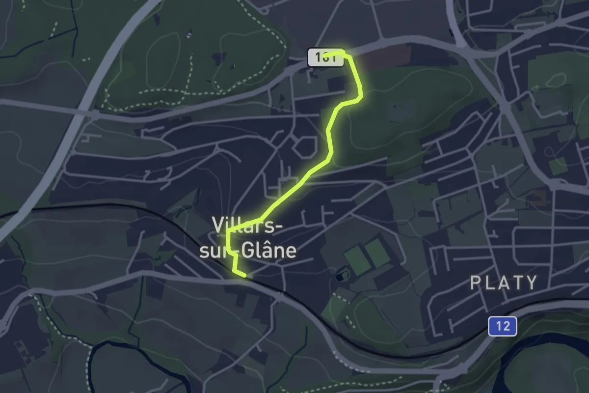
Easy · Trail
Villars-sur-Glâne - Villars-sur-Glâne Moncor
2.7 km · ↑ 76 m · 48 min · under 1 km away
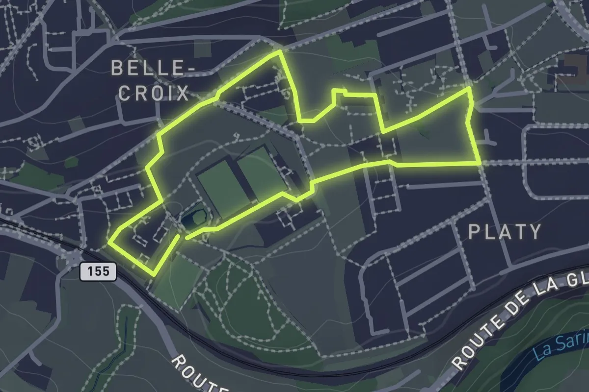
Easy · Trail
Sentier de la biodiversité - Faune & flore
2.3 km · ↑ 46 m · 41 min · under 1 km away
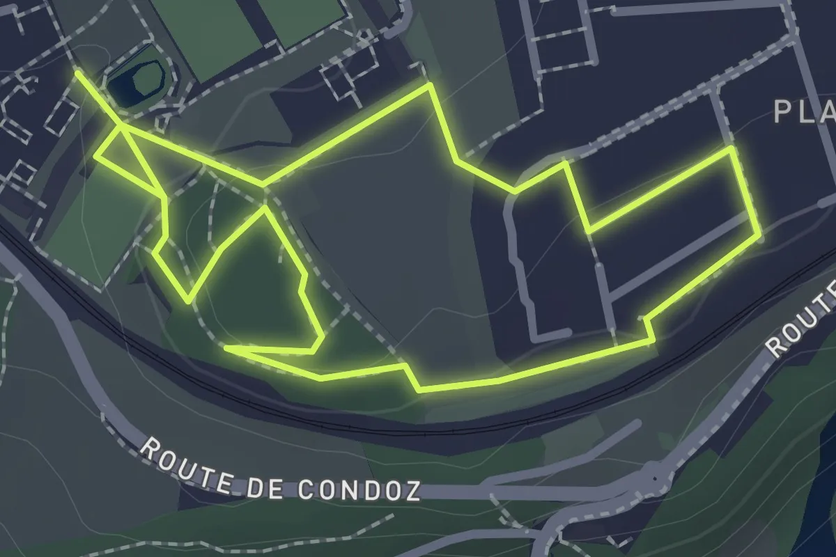
Easy · Trail
Sentier de la biodiversité - Nasti & Yuki
2.1 km · ↑ 34 m · 37 min · under 1 km away
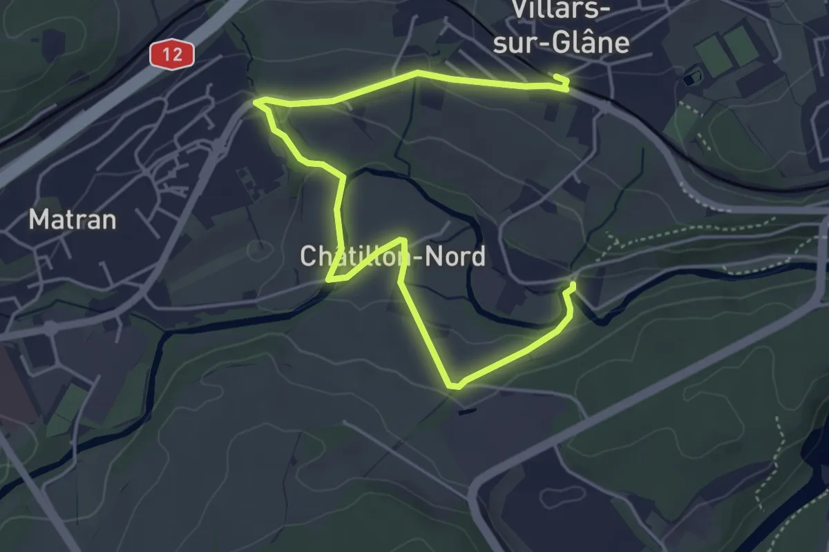
Easy · Trail
Villars-sur-Glâne Ste. Appoline - Villars-sur-Glâne
5.8 km · ↑ 115 m · 1 h 37 min · 1 km away
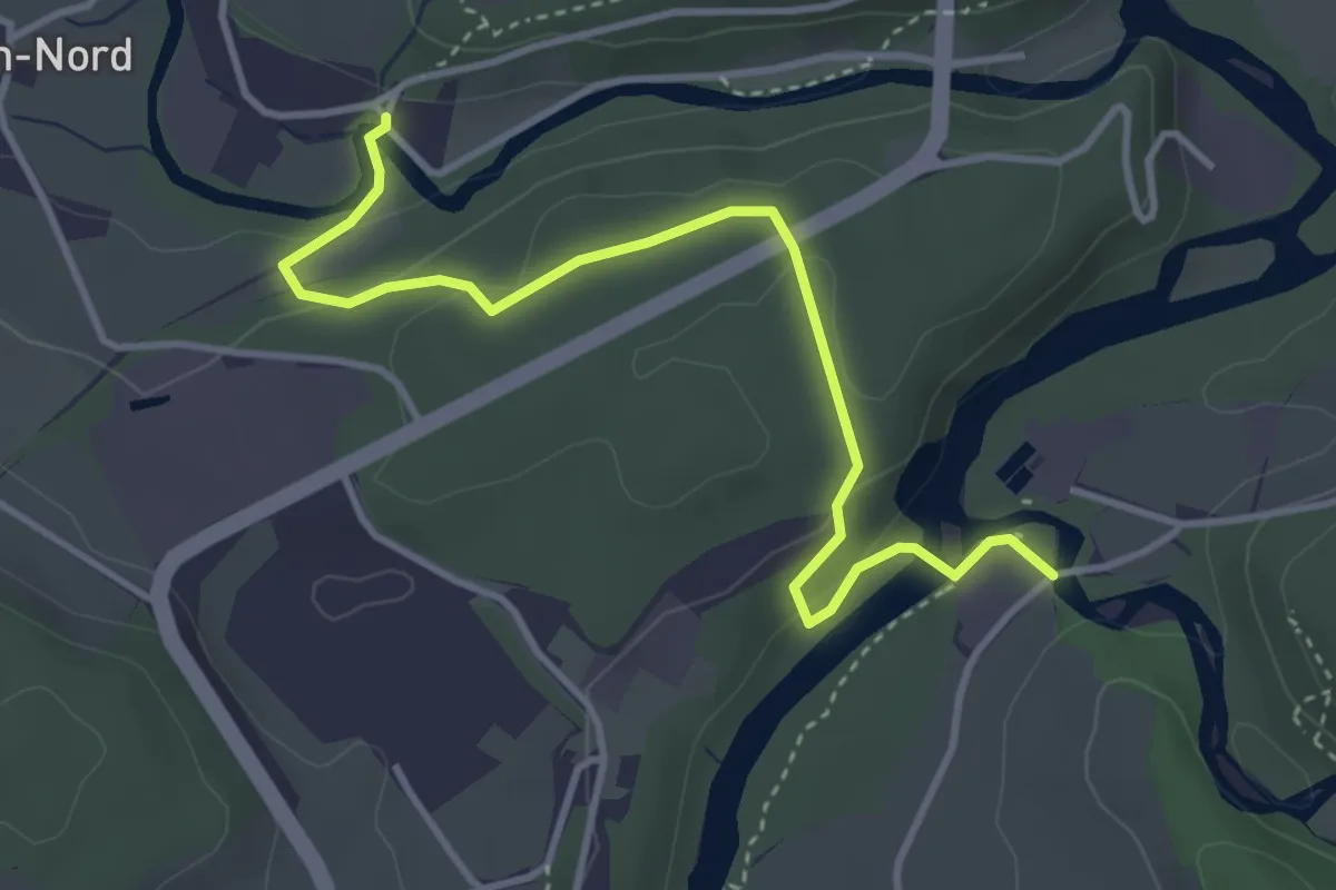
Easy · Trail
Marly Au Port - Villars-sur-Glâne Ste. Appoline
4.0 km · ↑ 121 m · 1 h 12 min · 1 km away
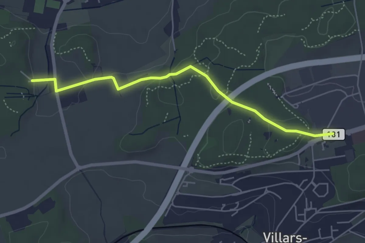
Easy · Trail
Villars-sur-Glâne Moncor - Corminboeuf Village Suisse
4.6 km · ↑ 101 m · 1 h 18 min · 1 km away
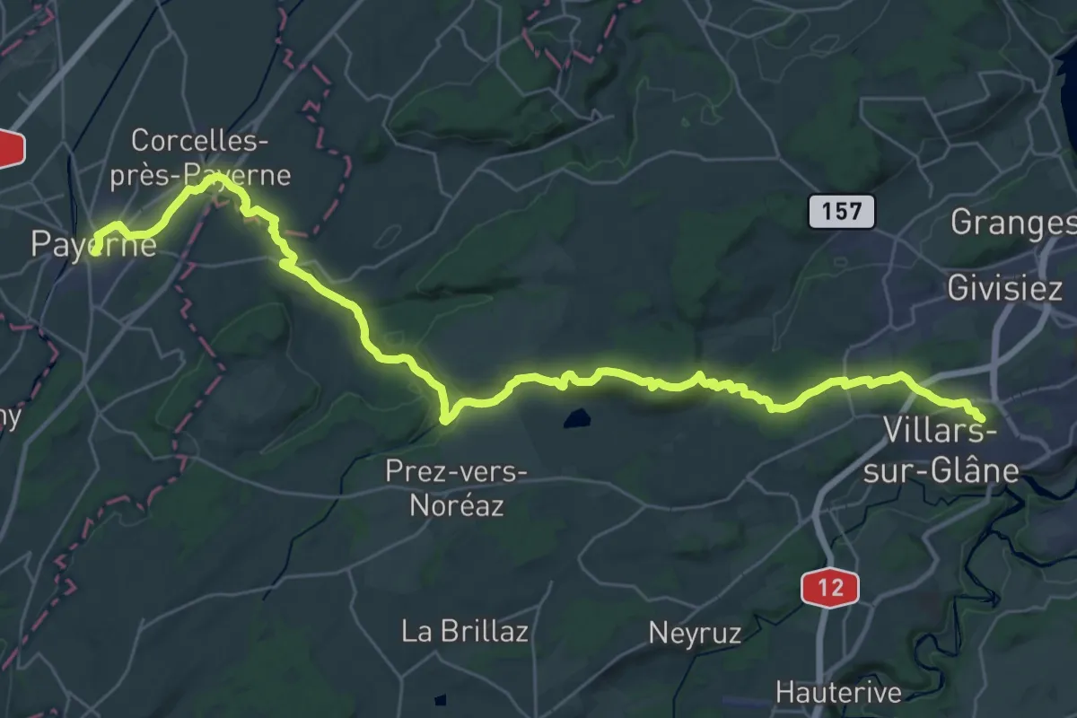
Demanding · Trail
ViaJacobi - Fribourg (Villars-sur-Glâne)–Payerne
19.8 km · ↑ 246 m · 5 h 37 min · 1 km away
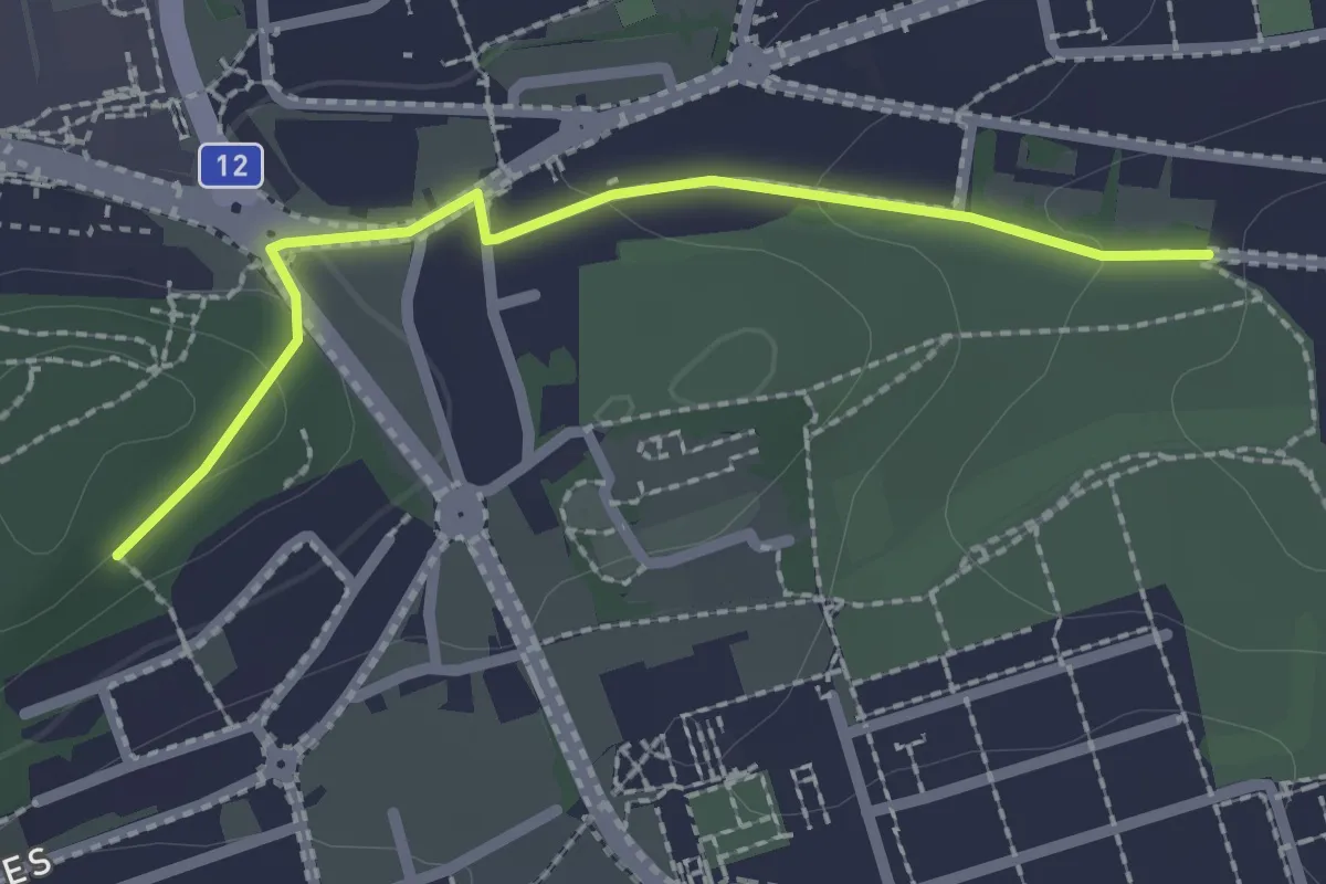
Easy · Trail
Villars-sur-Glâne Grand-Pré - Villars-sur-Glâne Bois de Belle-Croix
2.2 km · ↑ 57 m · 38 min · 1 km away
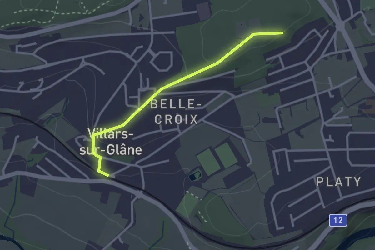
Easy · Trail
Villars-sur-Glâne Bois de Belle-Croix - Villars-sur-Glâne
2.5 km · ↑ 89 m · 47 min · 1 km away
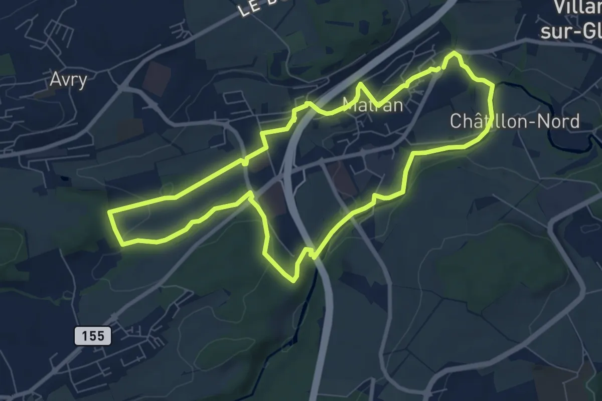
Easy · Trail
Matran - Sentier vert🟢
7.5 km · ↑ 161 m · 2 h 13 min · 1 km away
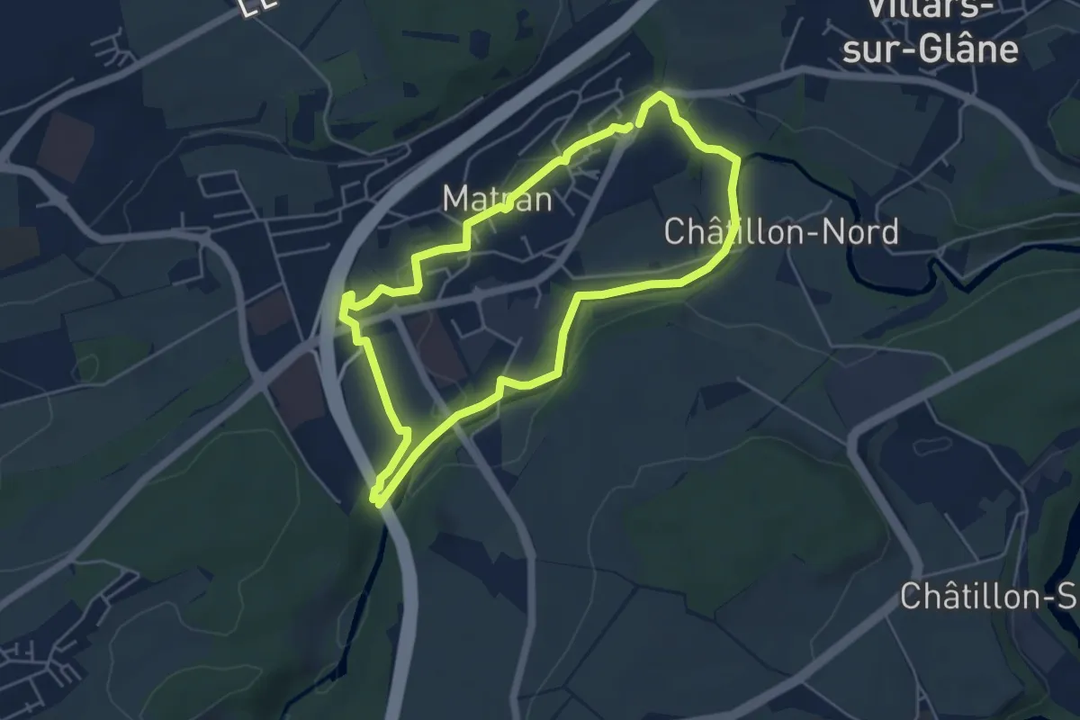
Easy · Trail
Matran - Sentier rouge🔴
4.6 km · ↑ 68 m · 1 h 17 min · 1 km away
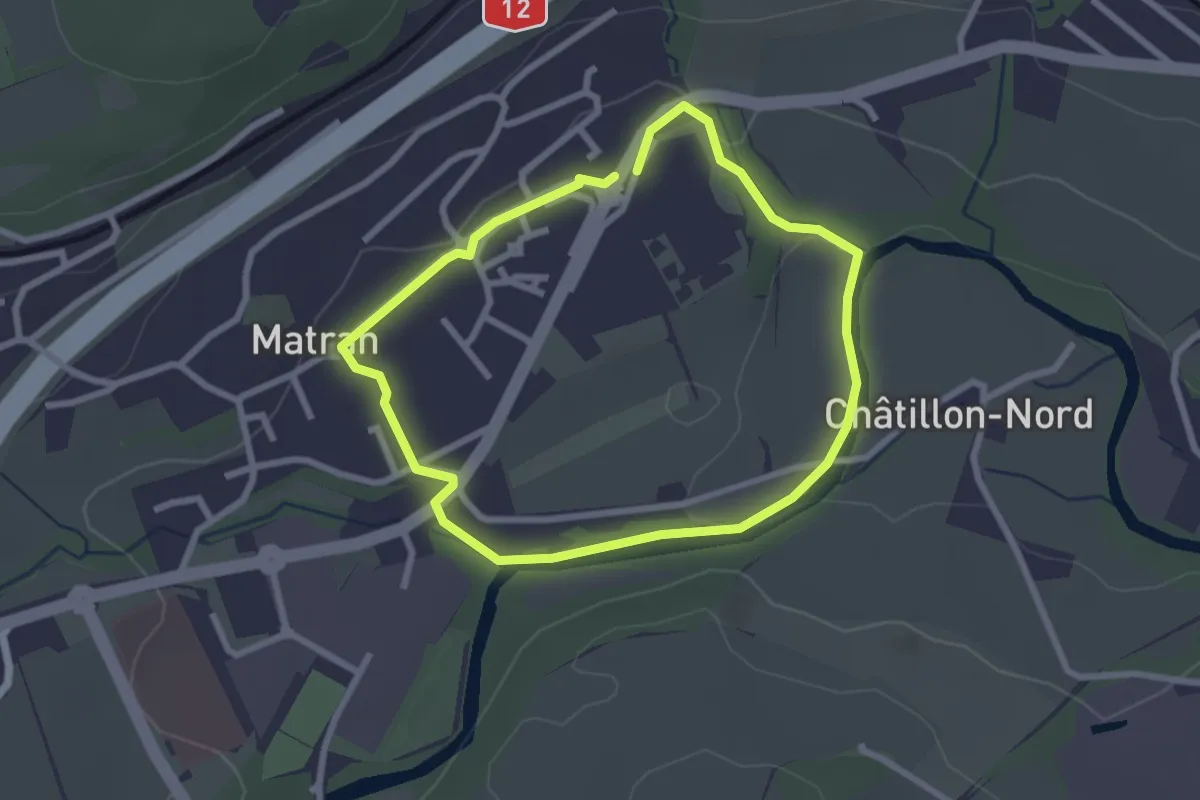
Easy · Trail
Matran - Sentier bleu🔵
2.3 km · ↑ 27 m · 38 min · 1 km away
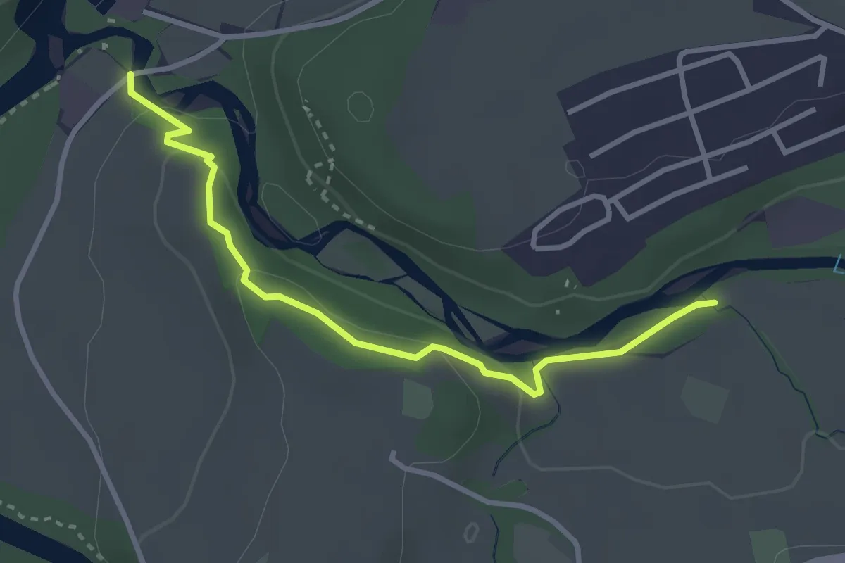
Easy · Trail
Marly Au Port - Marly la Vernaie
3.1 km · ↑ 99 m · 57 min · 2 km away
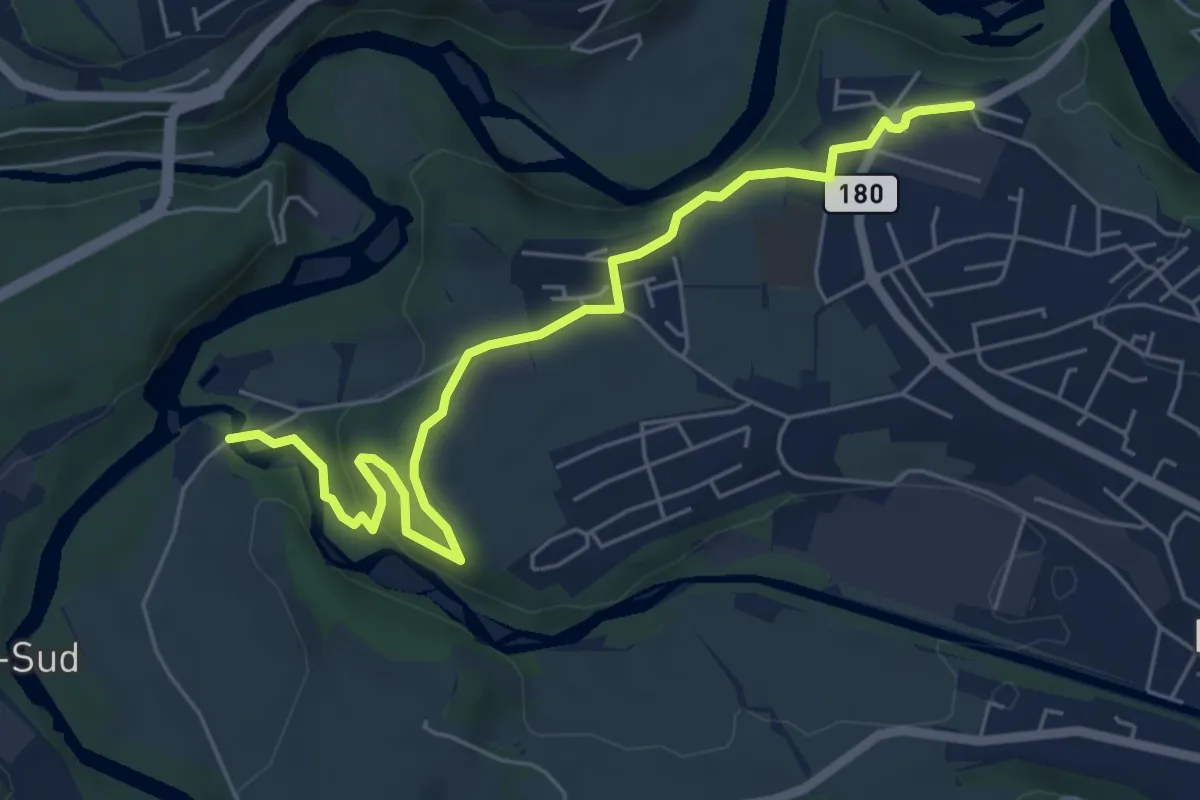
Easy · Trail
Marly Au Port - Marly Les Rittes
6.4 km · ↑ 204 m · 1 h 57 min · 2 km away
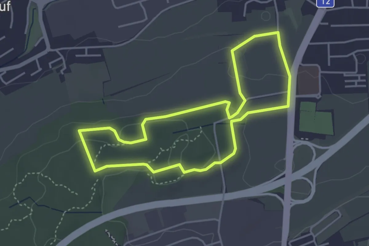
Easy · Trail
Sentier - découverte Givisiez (à pied)
3.6 km · ↑ 83 m · 1 h 5 min · 2 km away
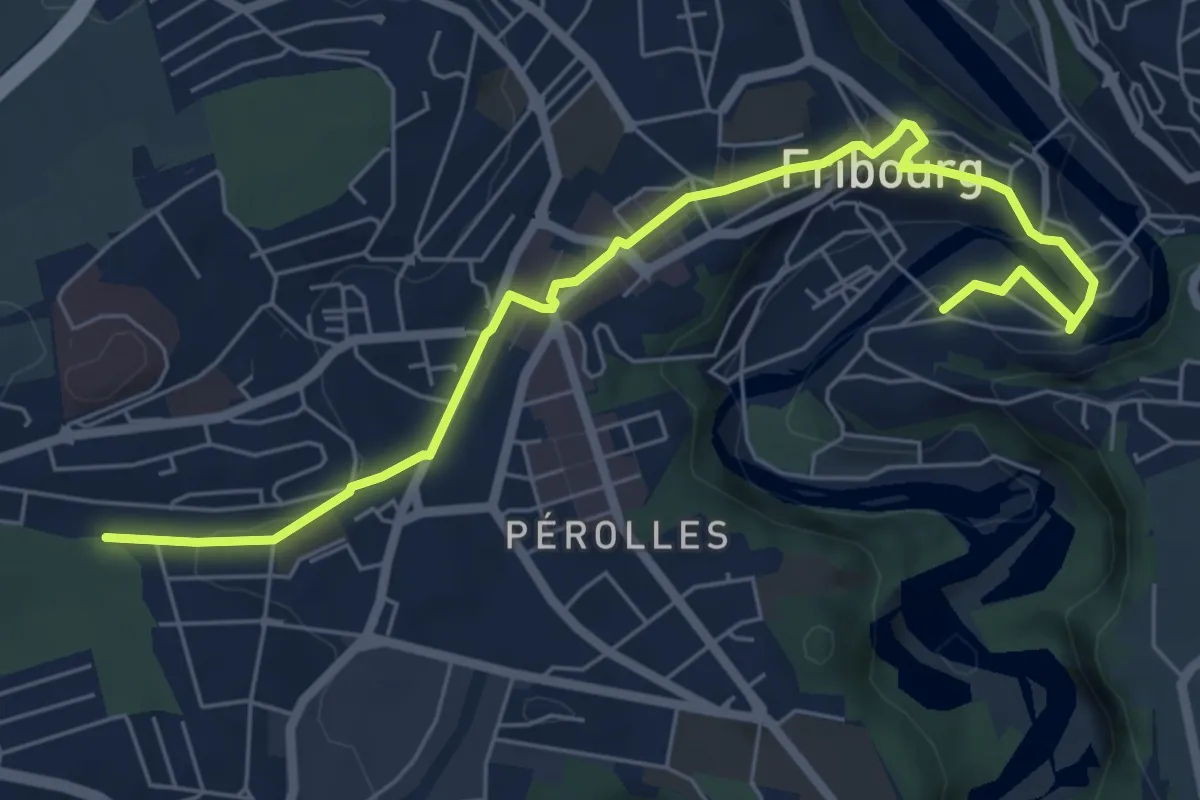
Easy · Trail
Cormanon - Planche Sup.
7.2 km · ↑ 166 m · 2 h 3 min · 2 km away
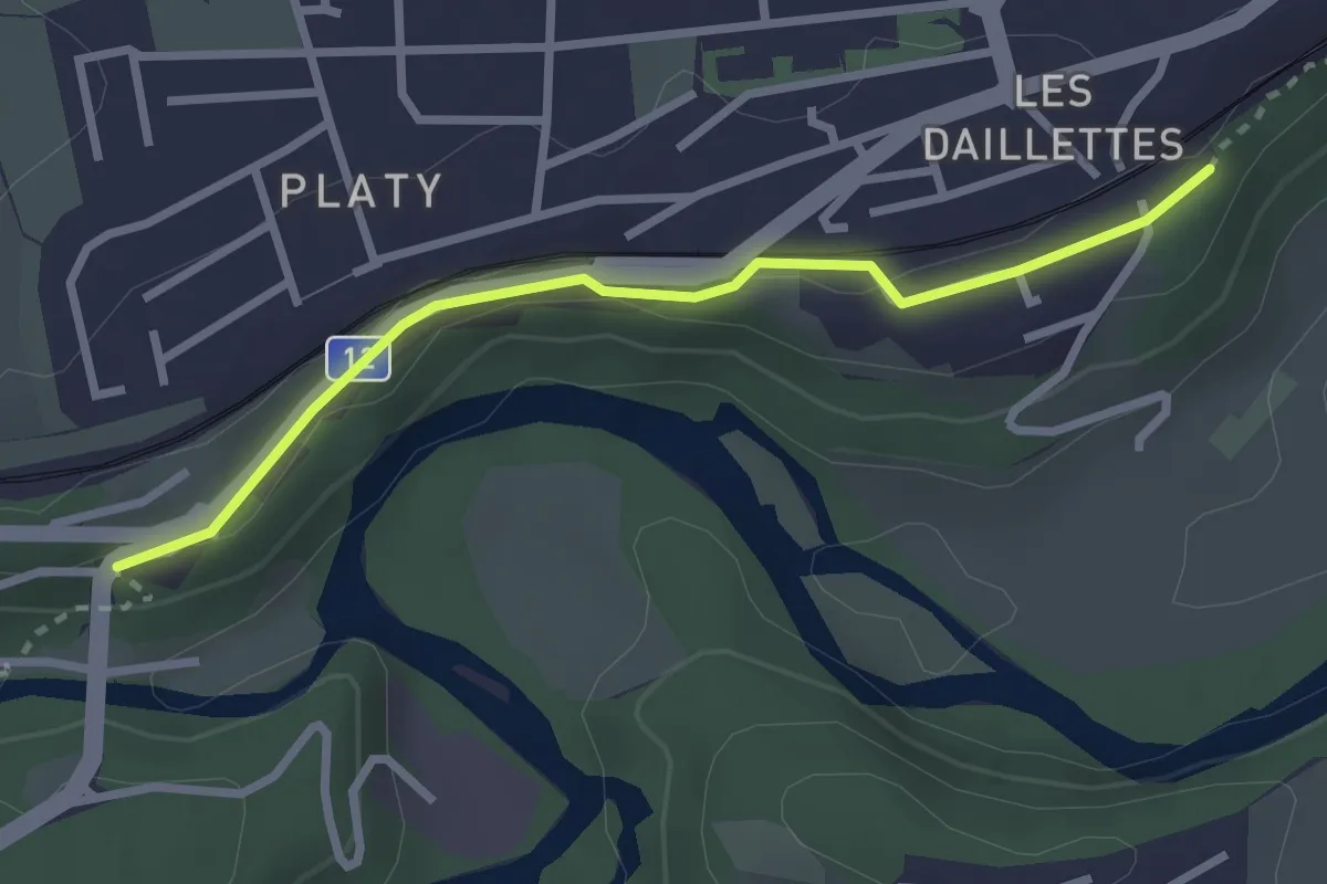
Easy · Trail
Villars-sur-Glâne Pont de la Glâne - Villars-sur-Gâne Planafaye
2.7 km · ↑ 41 m · 43 min · 2 km away
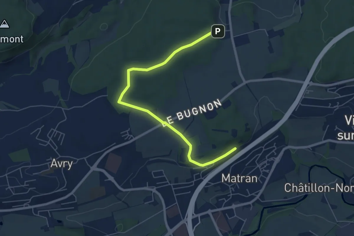
Easy · Trail
Village suisse - Matran
6.5 km · ↑ 79 m · 1 h 42 min · 2 km away
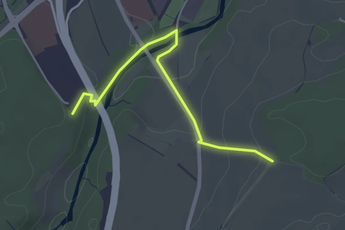
Easy · Trail
Matran Centre commercial - Monterban
3.6 km · ↑ 118 m · 1 h 6 min · 2 km away
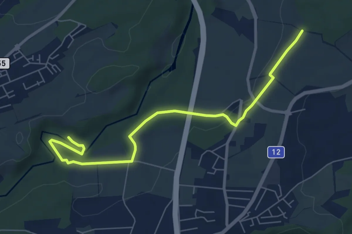
Easy · Trail
Monterban - La Glâne
6.5 km · ↑ 96 m · 1 h 45 min · 2 km away
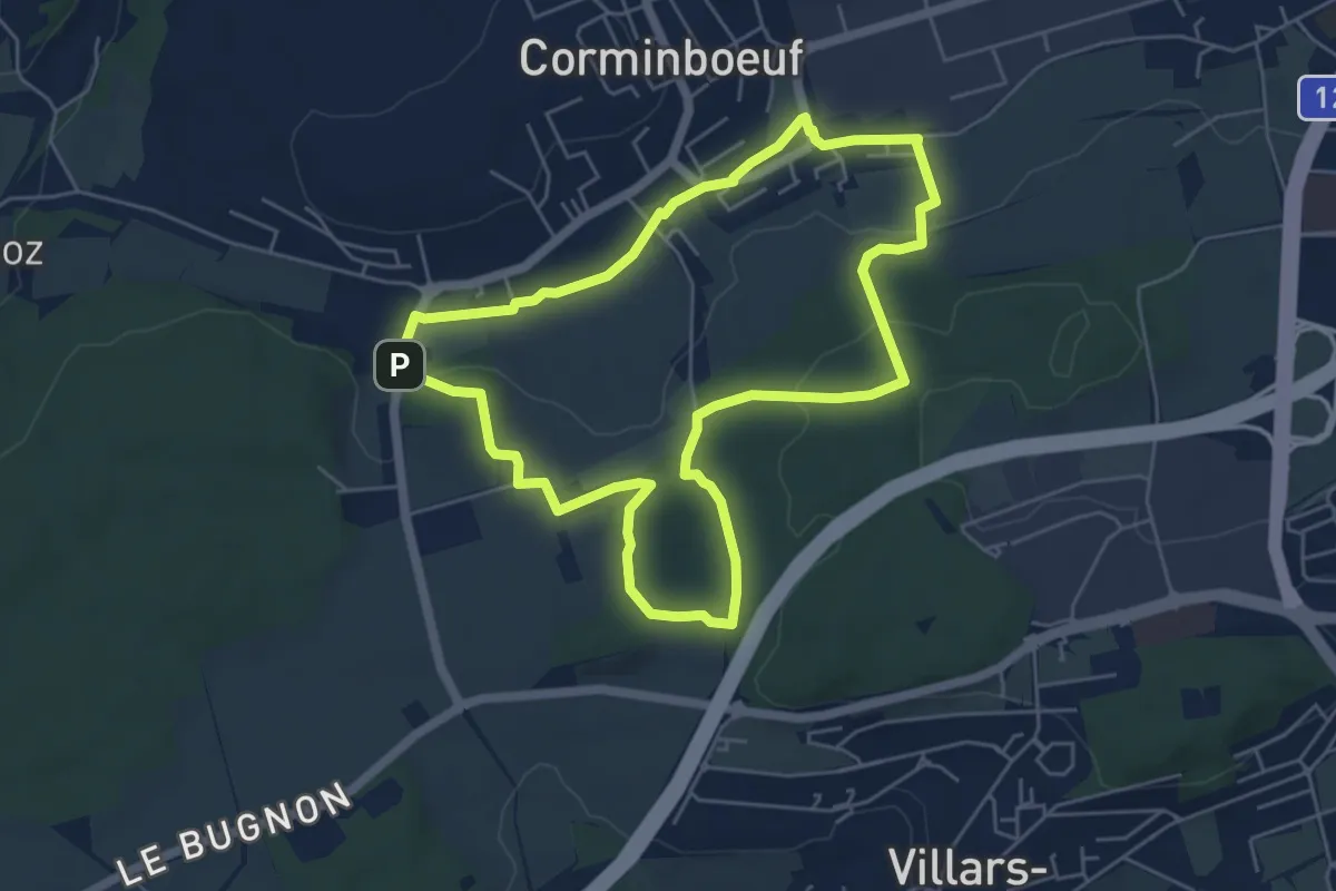
Easy · Trail
Dragon rouge 🐉 - Faune et flore (1h10m) - Corminboeuf
5.4 km · ↑ 109 m · 1 h 35 min · 2 km away
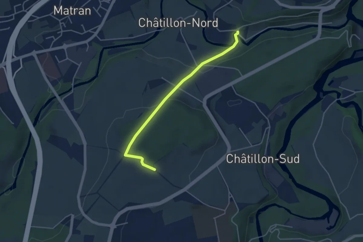
Easy · Trail
Villars-sur-Glâne Ste. Appoline - Monterban
3.7 km · ↑ 134 m · 1 h 10 min · 2 km away
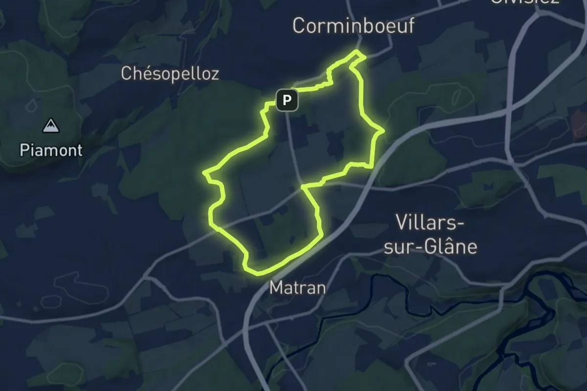
Easy · Trail
Dragon gris 🐉 - Histoire et de patrimoine (1h40m) - Corminboeuf
7.9 km · ↑ 131 m · 2 h 16 min · 2 km away
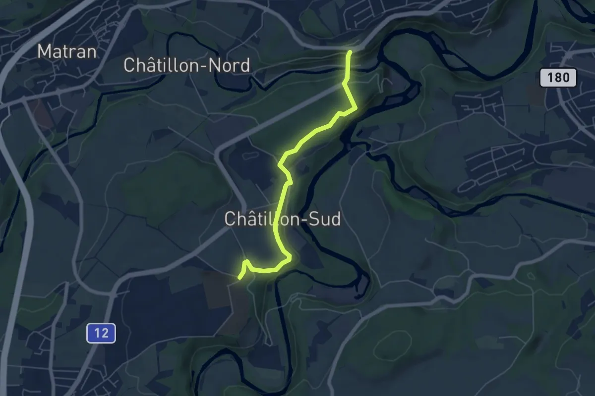
Easy · Trail
Grangeneuve - Villars-sur-Glâne Pont de la Glâne
5.3 km · ↑ 145 m · 1 h 34 min · 2 km away
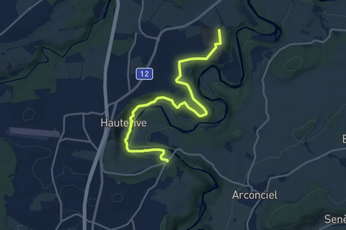
Medium · Trail
Grangeneuve - La Tuffière
10.4 km · ↑ 233 m · 2 h 57 min · 2 km away
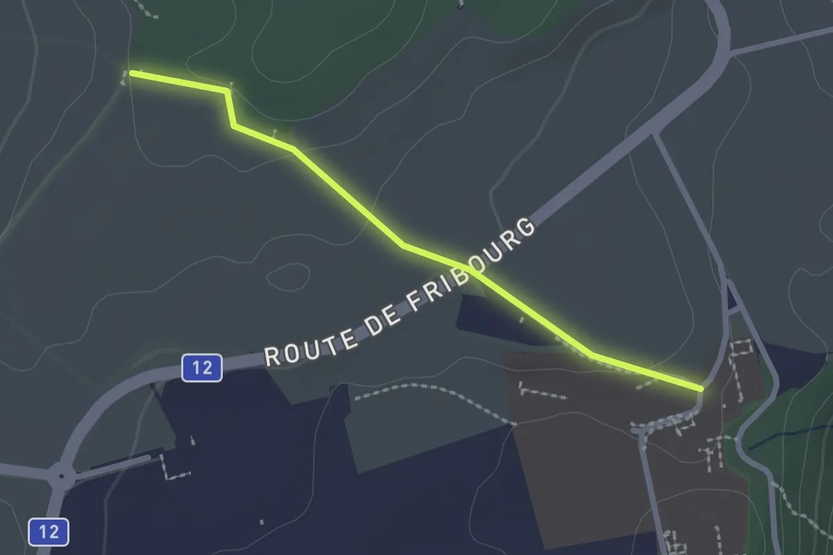
Easy · Trail
Monterban - Grangeneuve
2.1 km · ↑ 46 m · 36 min · 2 km away
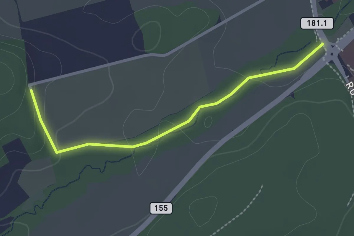
Easy · Trail
Sentier des Sculptures
2.3 km · ↑ 49 m · 39 min · 3 km away
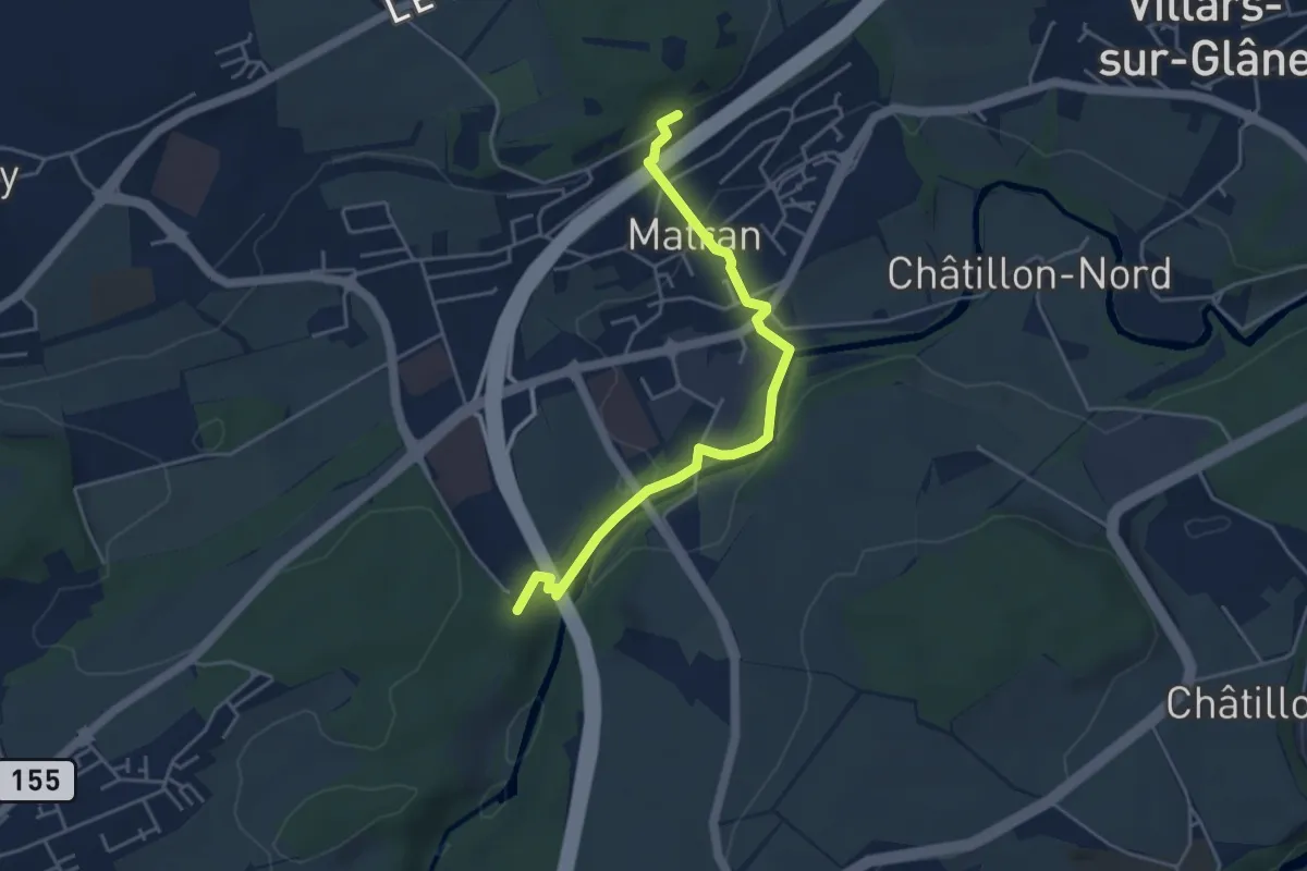
Easy · Trail
Matran Gare - Bois des Morts
4.4 km · ↑ 126 m · 1 h 19 min · 3 km away
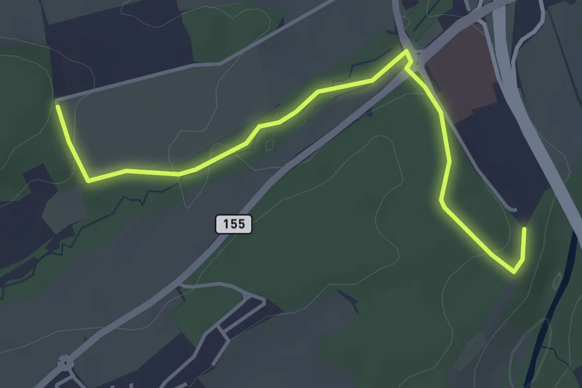
Easy · Trail
Matran Centre commercial - Matran Bois de Chavagny
4.0 km · ↑ 89 m · 1 h 8 min · 3 km away
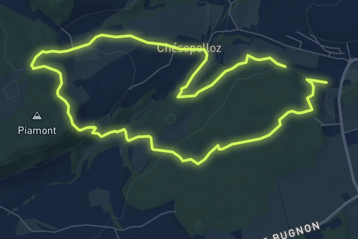
Easy · Trail
Dragon bleu 🐉 - Au fil de l'eau (1h10m ou 2h) - Corminboeuf
7.0 km · ↑ 191 m · 2 h 9 min · 3 km away
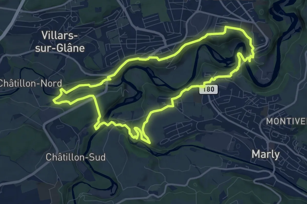
Medium · Trail
Tour des trois rivières
10.2 km · ↑ 328 m · 3 h 16 min · 3 km away
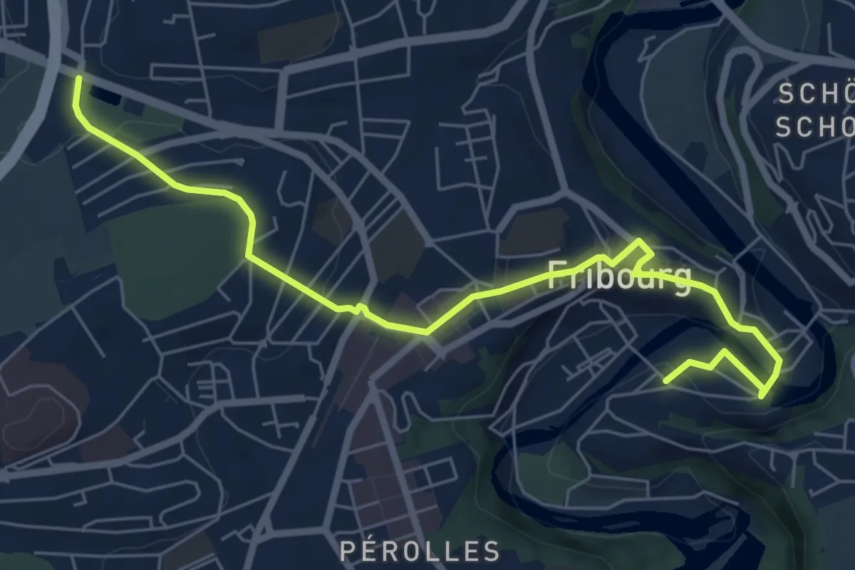
Easy · Trail
Parc du Jura - Planche Sup.
7.0 km · ↑ 214 m · 2 h 6 min · 3 km away
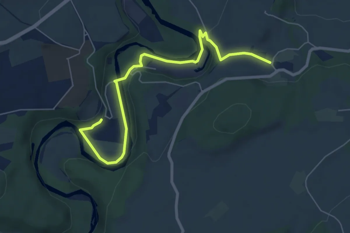
Easy · Trail
Hauterive - Chésalles
6.2 km · ↑ 138 m · 1 h 46 min · 3 km away
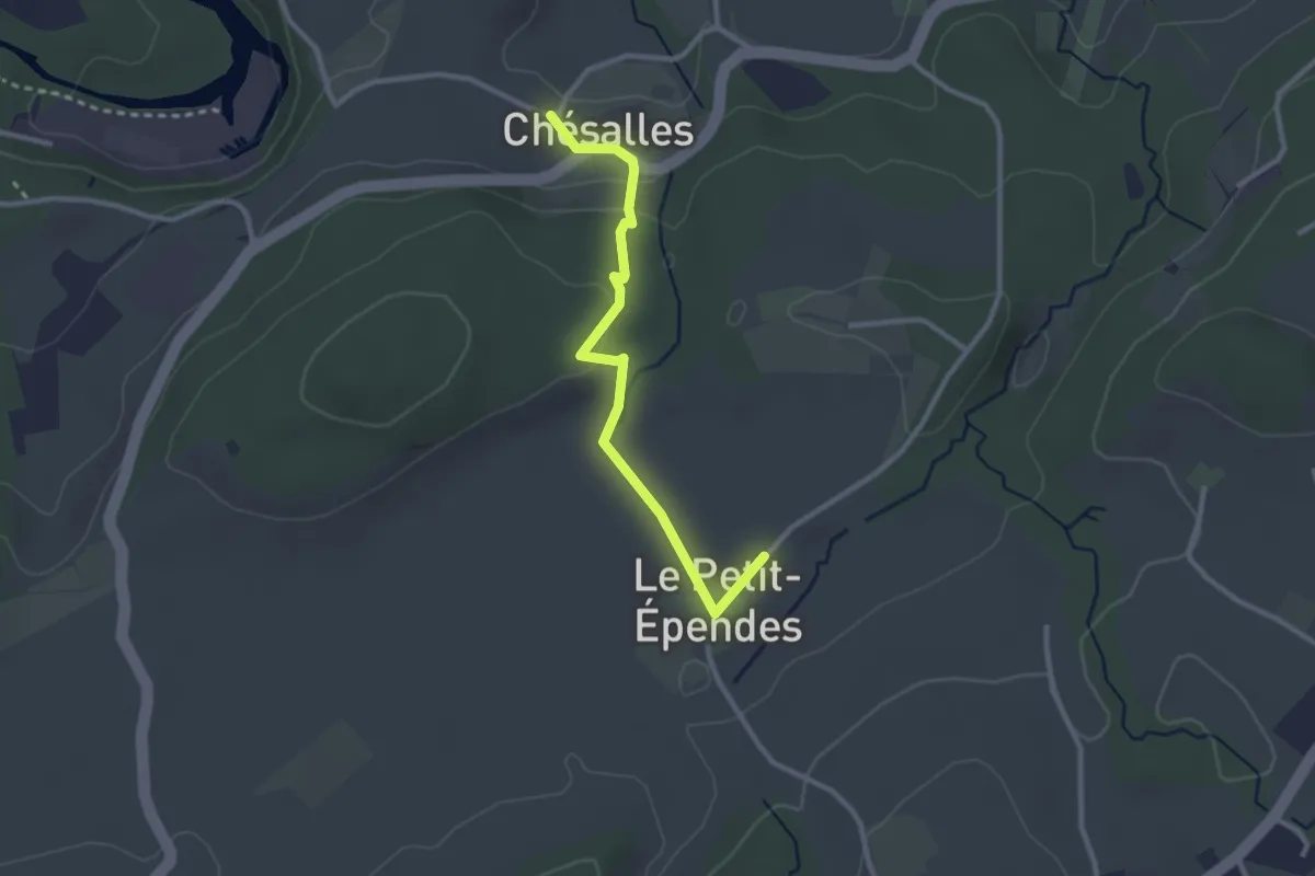
Easy · Trail
Petit Ependes Observatoire - Chésalles
2.7 km · ↑ 70 m · 47 min · 3 km away
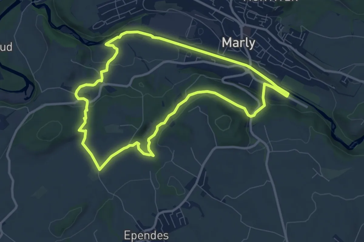
Medium · Trail
Sentier planétaire Marly
8.0 km · ↑ 156 m · 2 h 20 min · 3 km away
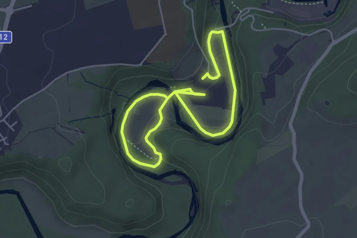
Easy · Trail
Boucle Hauterive-La Souche / Les découvertes de Saribelle
3.2 km · ↑ 59 m · 57 min · 3 km away
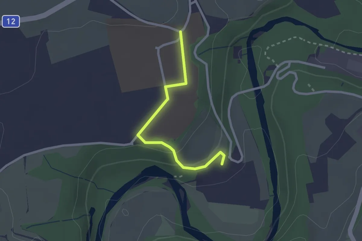
Easy · Trail
Hauterive - Grangeneuve
2.1 km · ↑ 44 m · 35 min · 3 km away
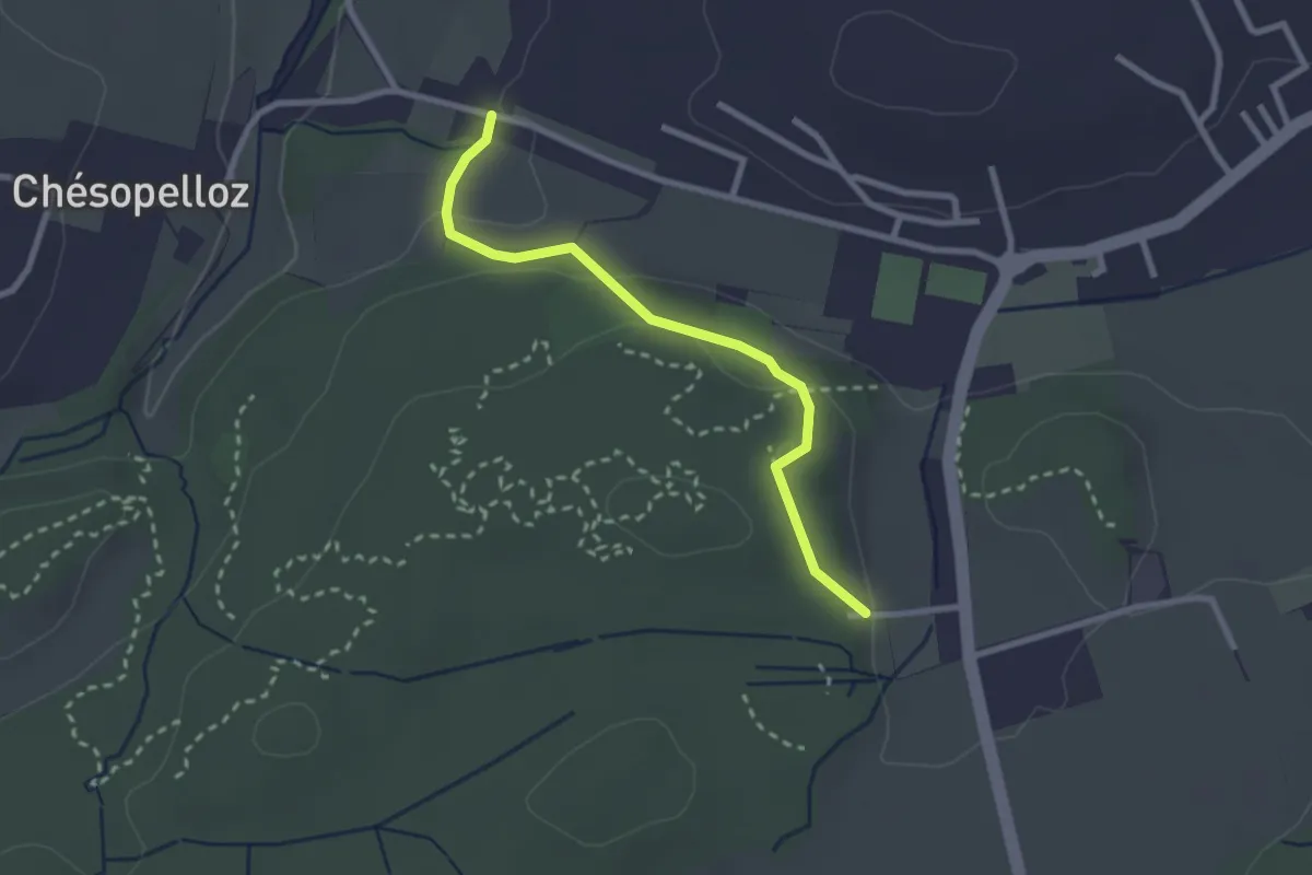
Easy · Trail
Corminboeuf Village Suisse - Chésopelloz
2.5 km · ↑ 69 m · 44 min · 3 km away
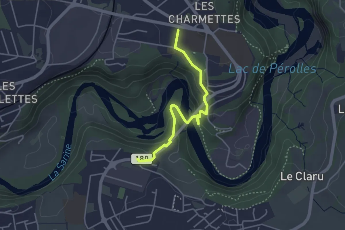
Easy · Trail
Marly Les Rittes - Les Charmettes
3.4 km · ↑ 213 m · 1 h 16 min · 3 km away
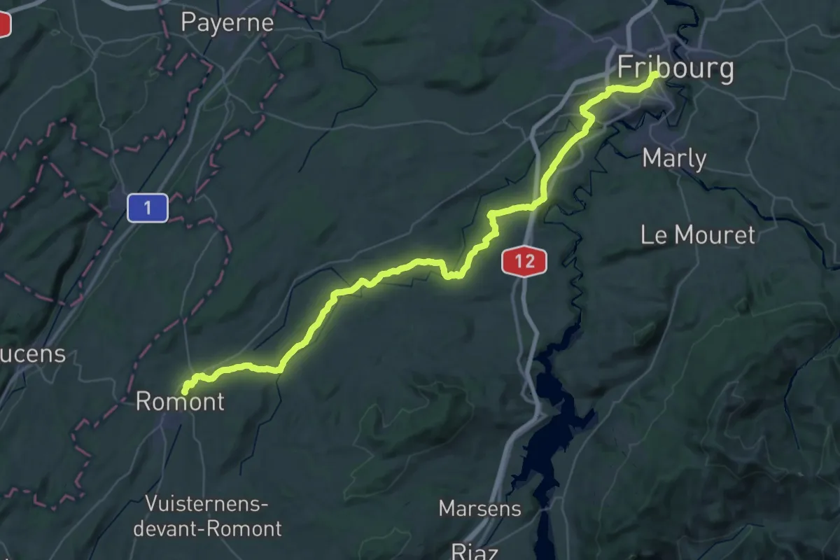
Demanding · Trail
ViaJacobi
27.3 km · ↑ 563 m · 7 h 59 min · 3 km away
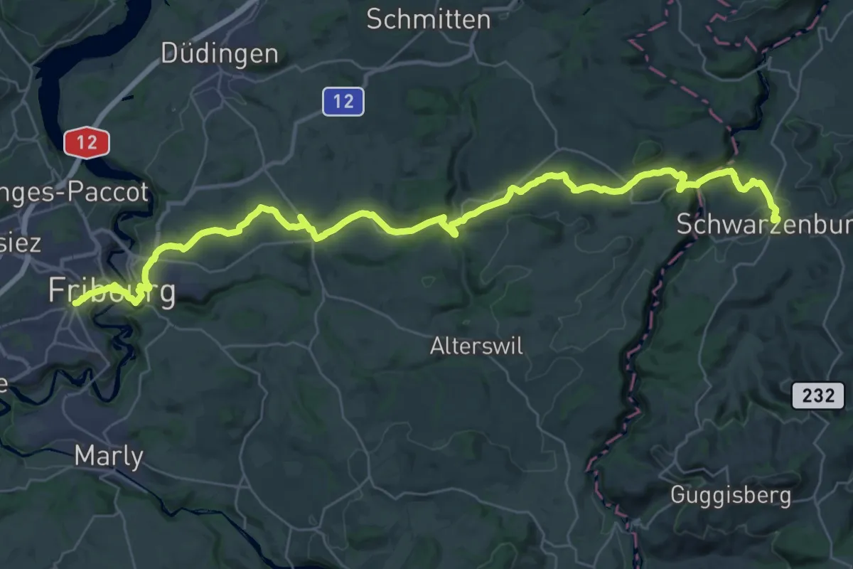
Demanding · Trail
ViaJacobi
20.7 km · ↑ 527 m · 6 h 14 min · 3 km away
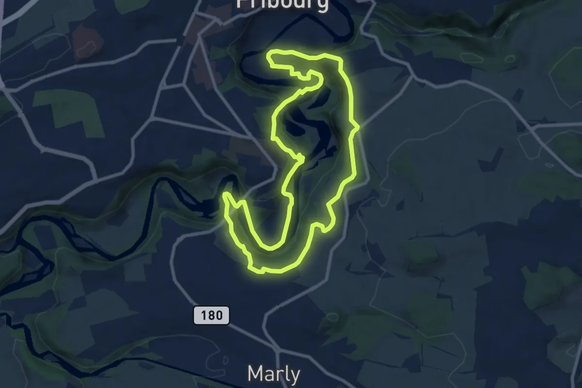
Medium · Trail
Tour du Lac / See-Rundweg
8.0 km · ↑ 438 m · 2 h 57 min · 3 km away
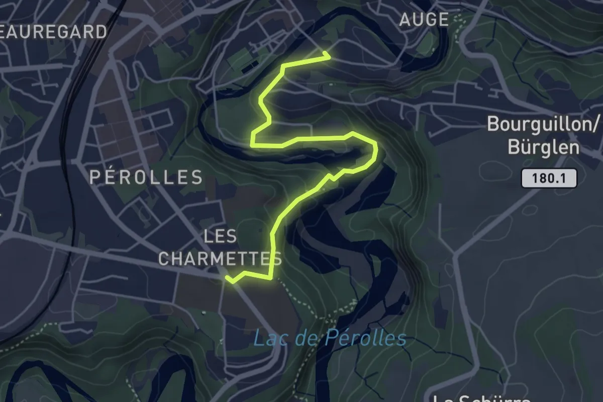
Easy · Trail
Les Charmettes - Freiburg
4.4 km · ↑ 212 m · 1 h 30 min · 3 km away
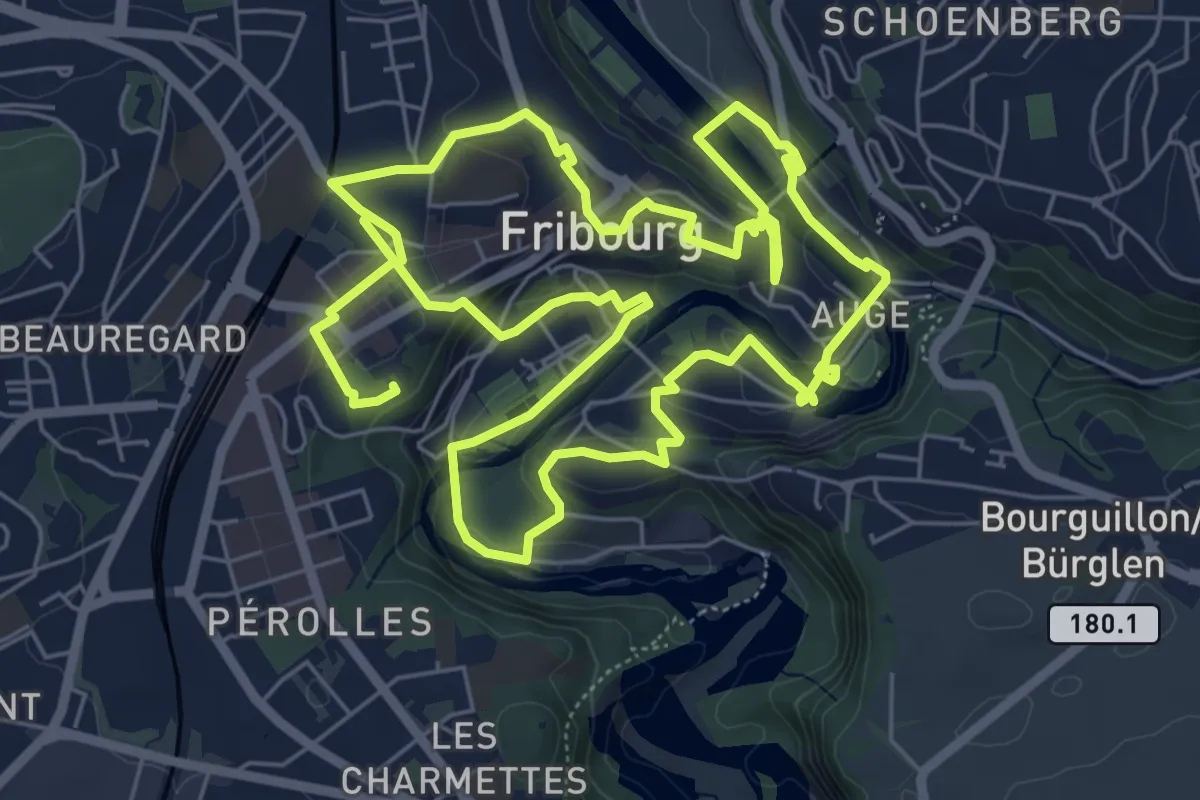
Medium · Trail
Golf Urbain Fribourg
13.8 km · ↑ 472 m · 4 h 17 min · 3 km away
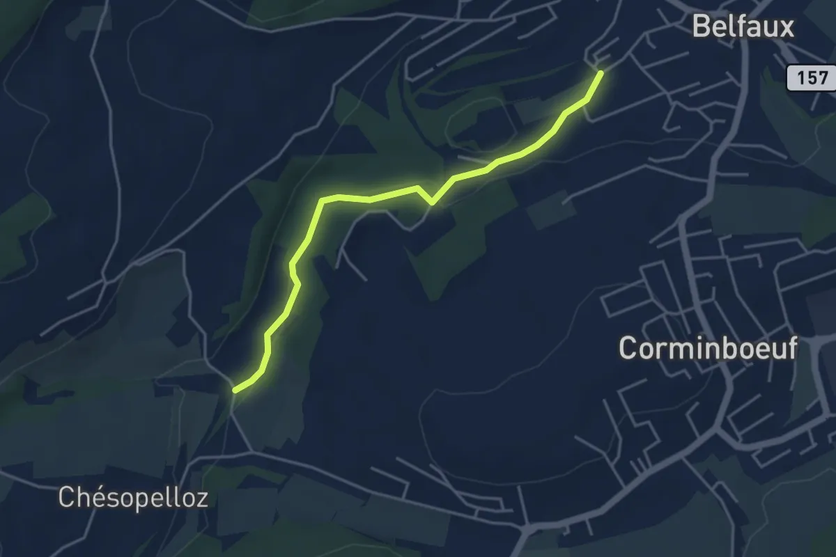
Easy · Trail
Le Moulin - Belfaux rte de Chésopelloz
3.9 km · ↑ 83 m · 1 h 6 min · 3 km away
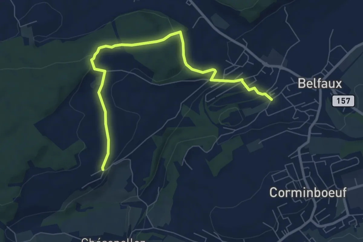
Easy · Trail
Belfaux rte de Chésopelloz - Autafond
7.5 km · ↑ 213 m · 2 h 14 min · 3 km away
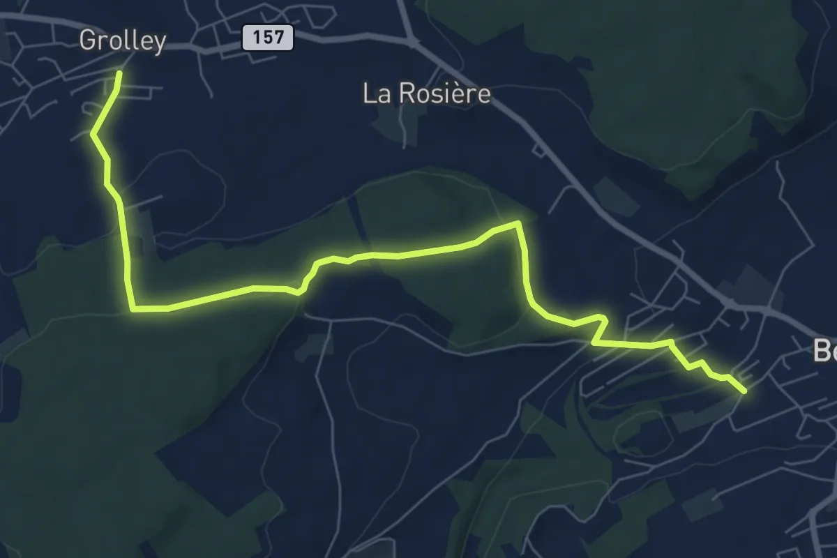
Medium · Trail
Grolley - Belfaux rte de Chésopelloz
8.4 km · ↑ 258 m · 2 h 33 min · 3 km away
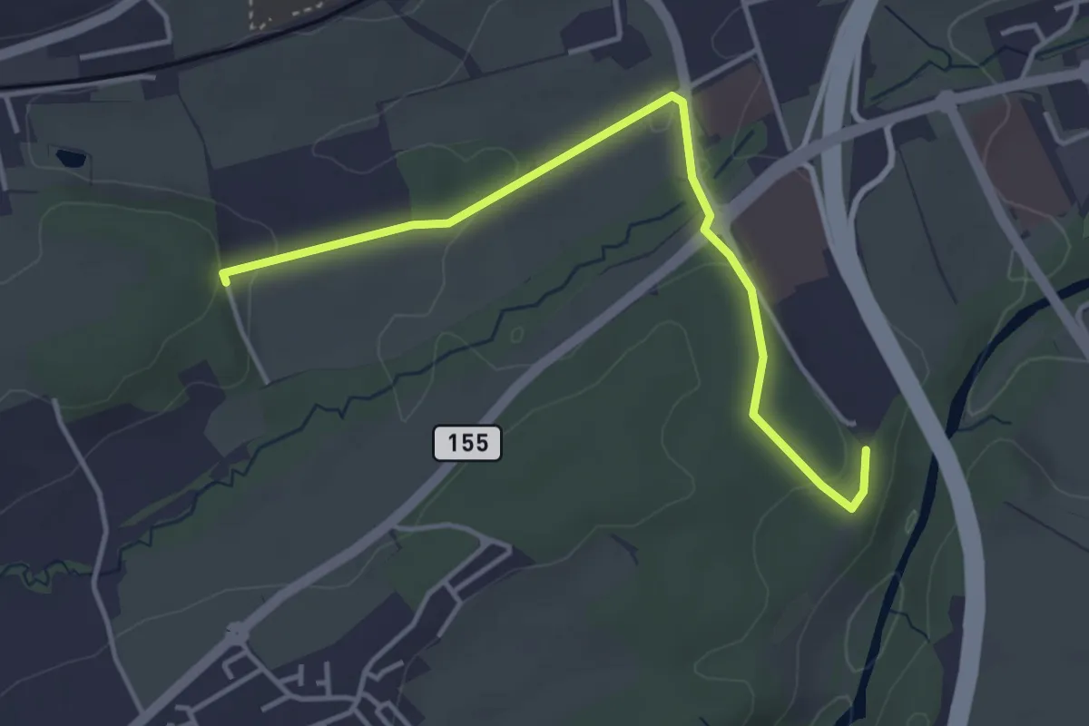
Easy · Trail
Matran Bois de Chavagny - Matran Centre commercial
4.1 km · ↑ 108 m · 1 h 12 min · 3 km away