Trails near Villars-sur-Glâne
205 hikes starting within 15 km, nearest first.
Nearest first, page 2 of 5
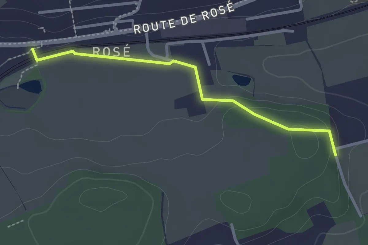
Easy · Trail
Matran Bois de Chavigny - Rosé
2.3 km · ↑ 20 m · 36 min · 3 km away
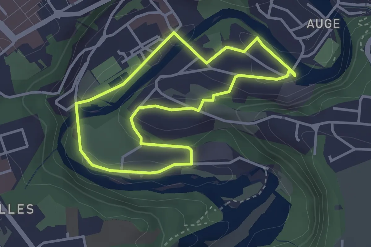
Easy · Trail
Tour en Basse-Ville
2.7 km · ↑ 99 m · 53 min · 4 km away
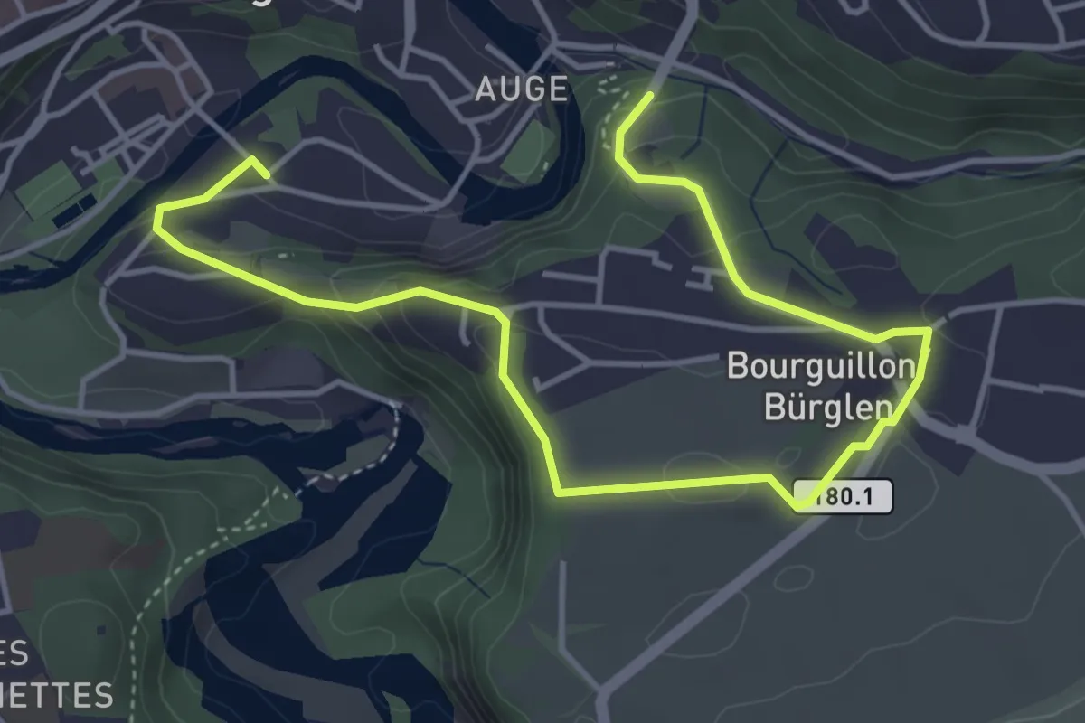
Easy · Trail
Freiburg - Bourguillon
5.5 km · ↑ 258 m · 1 h 51 min · 4 km away
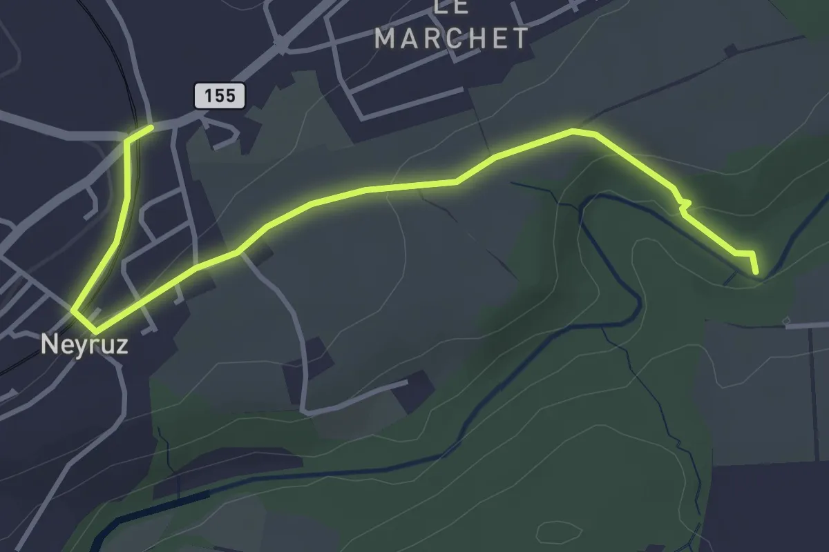
Easy · Trail
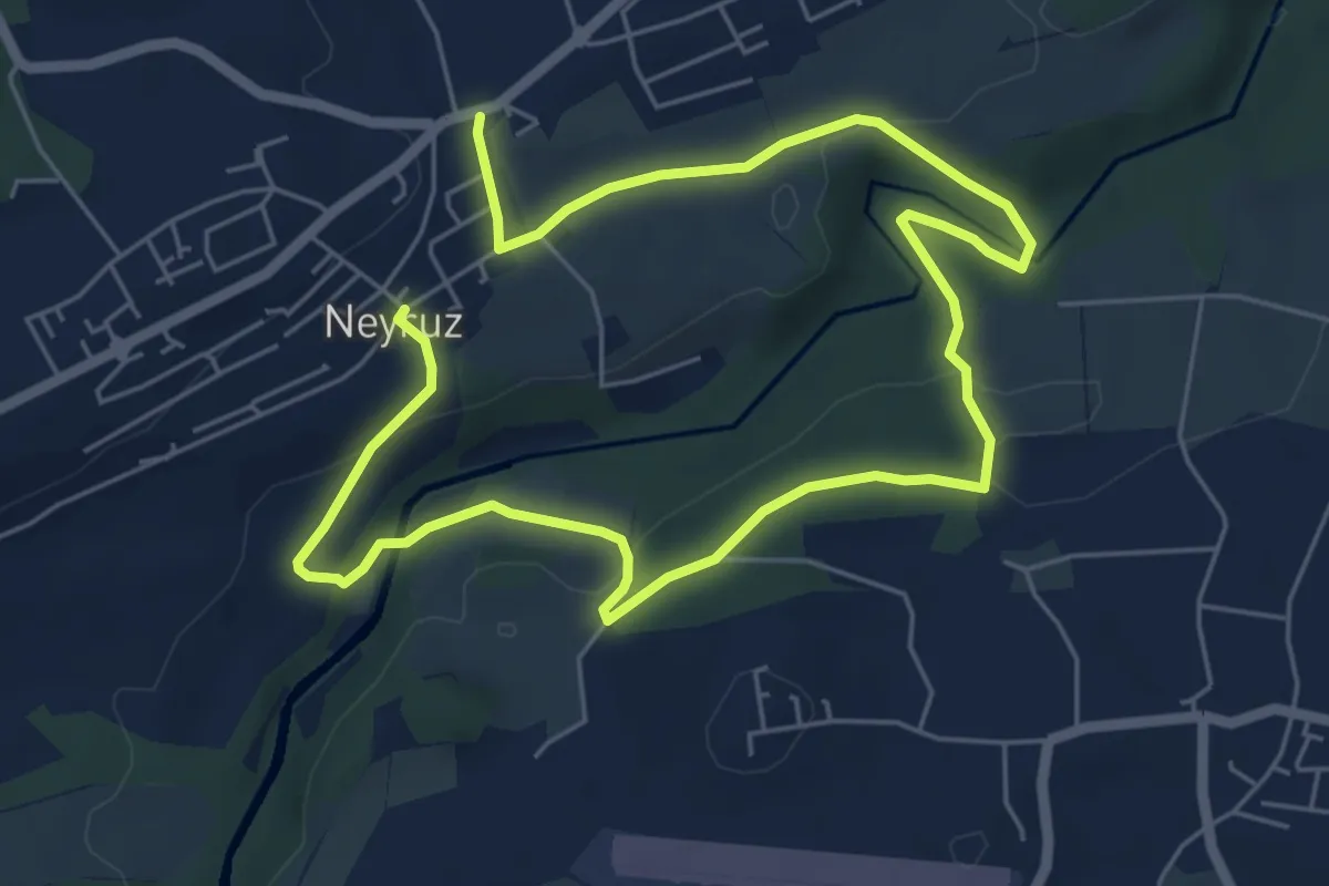
Neyruz - La Glâne
3.9 km · ↑ 79 m · 1 h 5 min · 4 km away
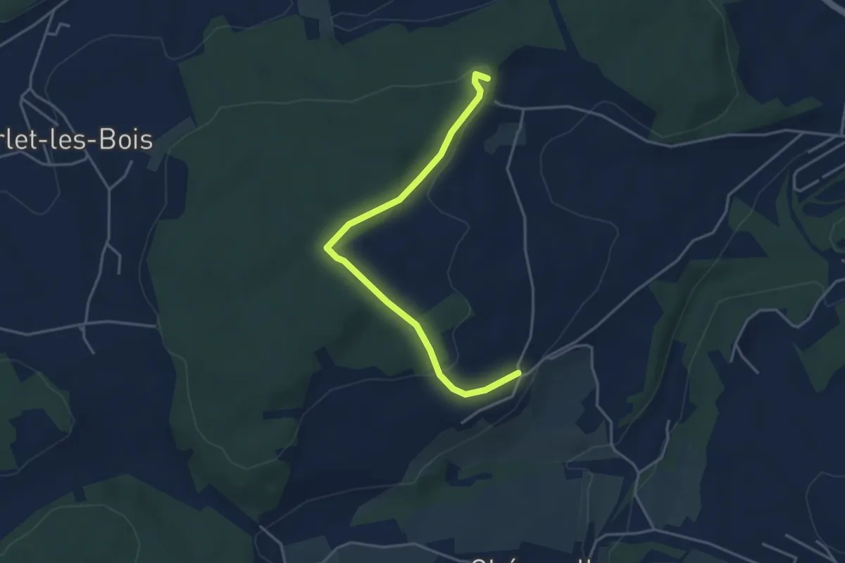
Easy · Trail
Circuit de Belfaux
3.9 km · ↑ 107 m · 1 h 10 min · 4 km away
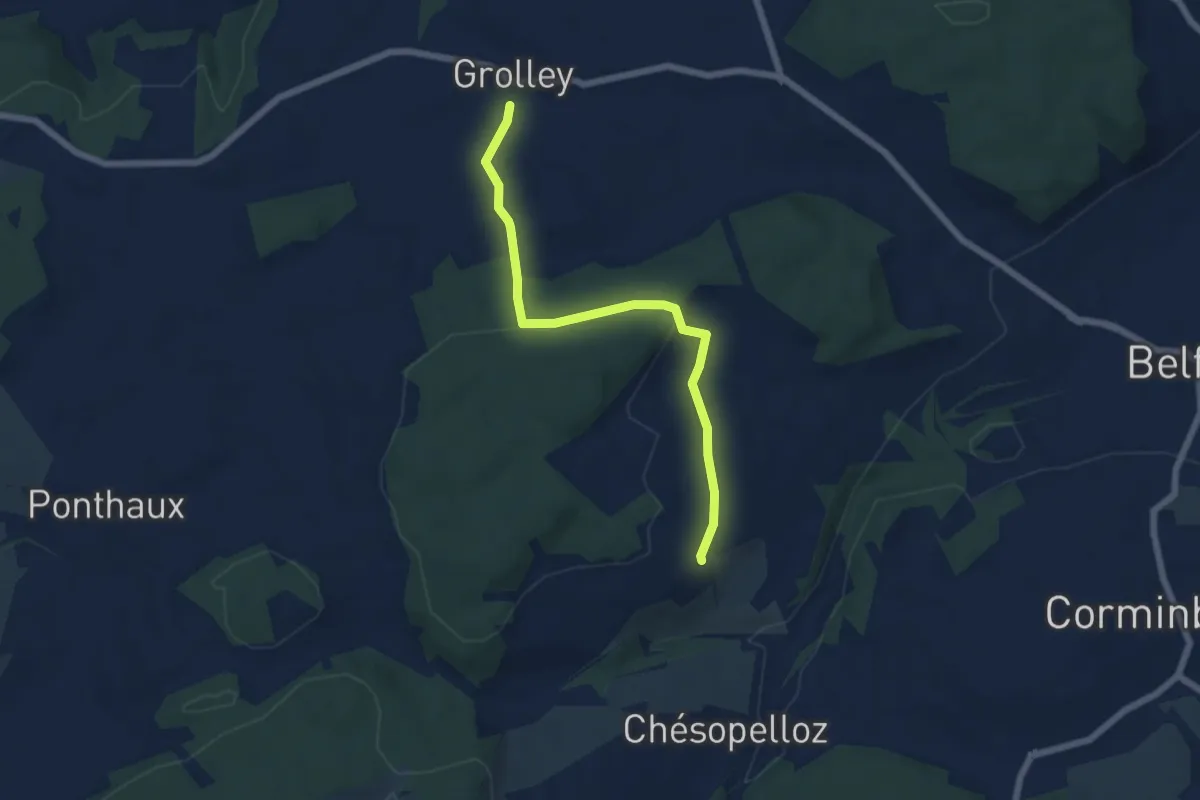
Easy · Trail
Grolley - Autafond
5.9 km · ↑ 162 m · 1 h 45 min · 4 km away
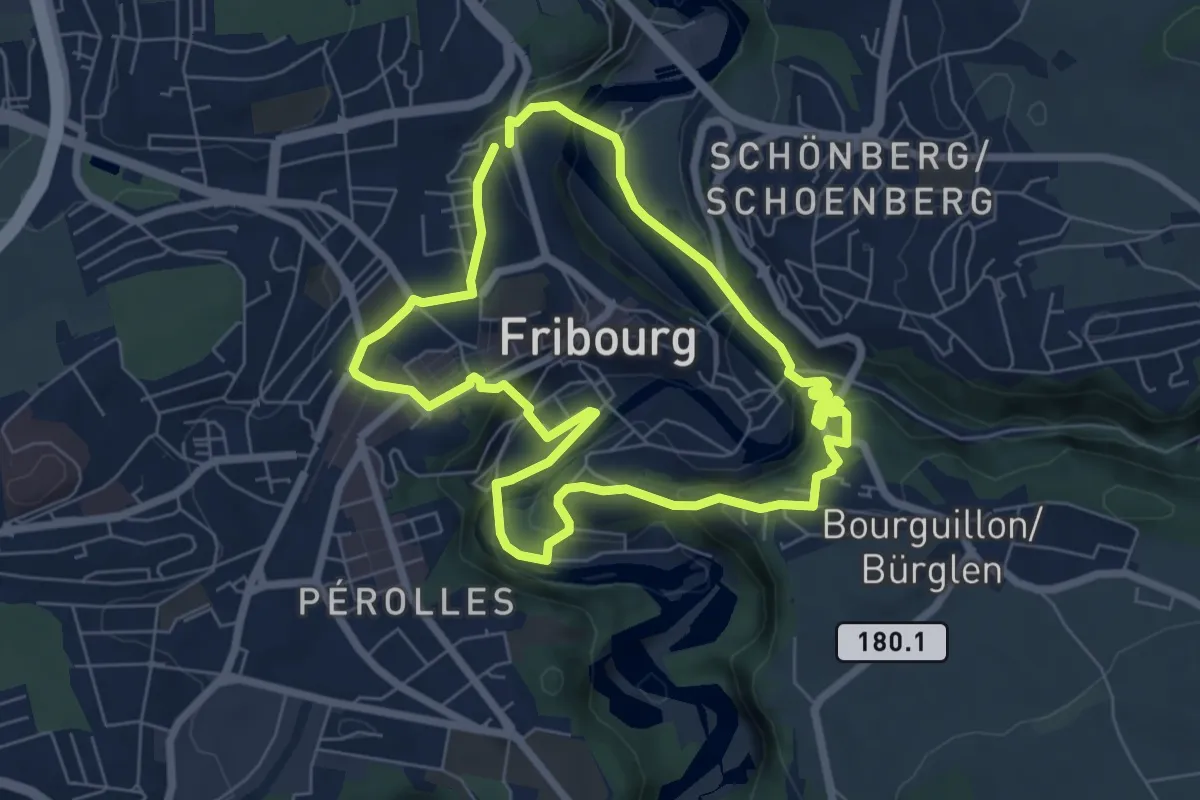
Easy · Trail
Circuit des fortifications
6.3 km · ↑ 286 m · 2 h 11 min · 4 km away
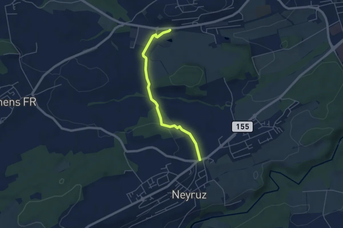
Easy · Trail
Rosé - Neyruz
4.2 km · ↑ 80 m · 1 h 10 min · 4 km away
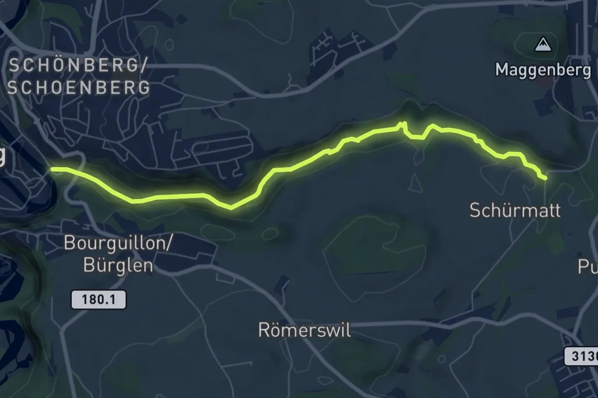
Easy · Trail
Freiburg/Fribourg - Balm/La Palme – Ameismüli
7.7 km · ↑ 250 m · 2 h 21 min · 4 km away
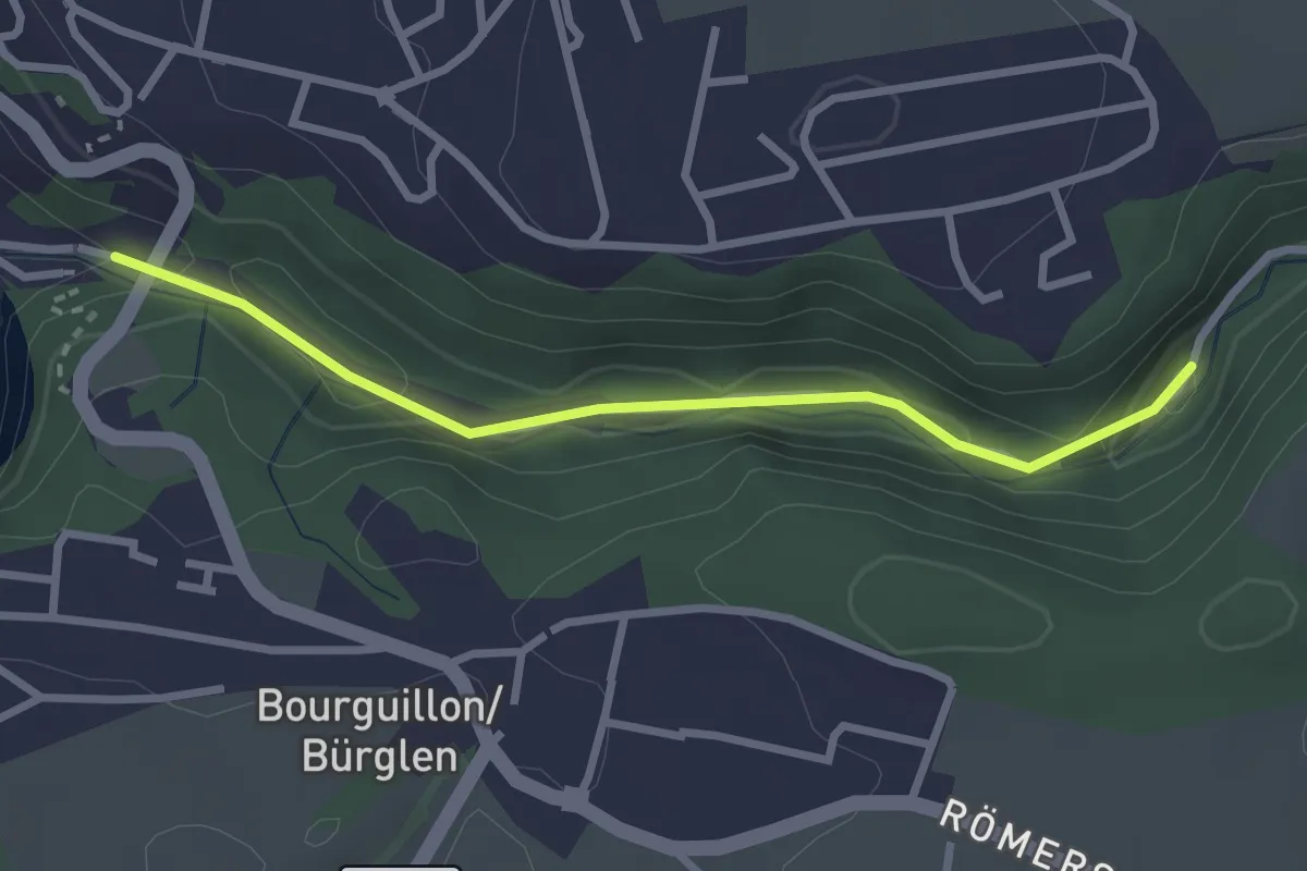
Easy · Trail
Fribourg, vieux moulins
2.7 km · ↑ 158 m · 59 min · 4 km away
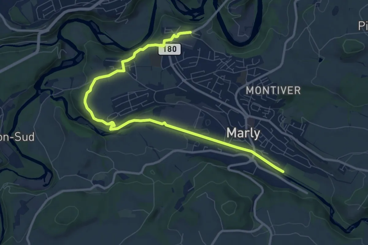
Medium · Trail
Marly Les Rittes - Marly la Vernaie
9.8 km · ↑ 175 m · 2 h 41 min · 5 km away
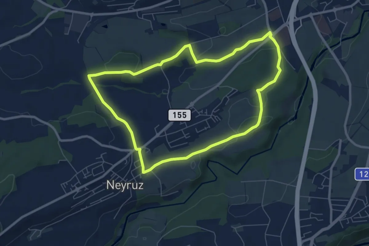
Easy · Trail
Neyruz - Sentier jaune🟡
6.5 km · ↑ 107 m · 1 h 52 min · 5 km away
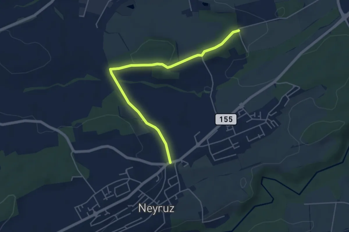
Easy · Trail
Neyruz - Matran Bois de Chavigny
4.6 km · ↑ 97 m · 1 h 18 min · 5 km away
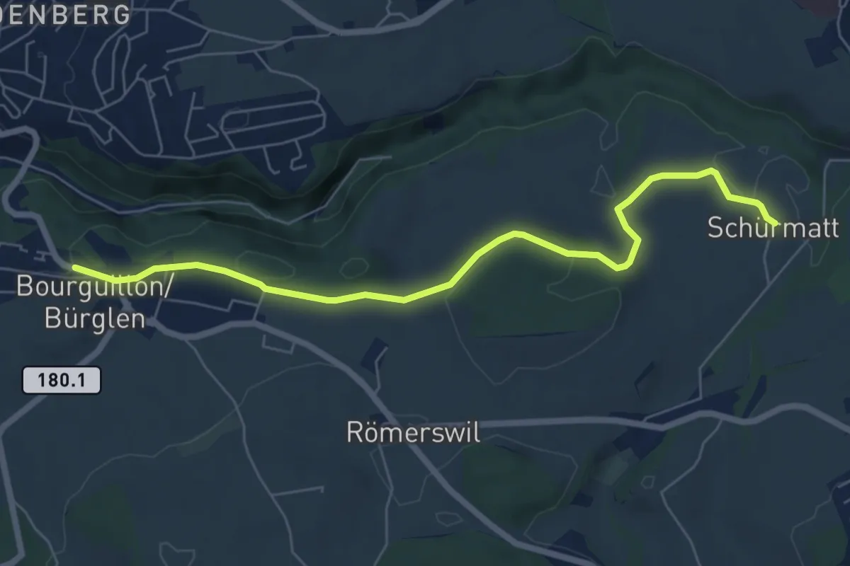
Easy · Trail
Bourguillon – Schürmatt
6.6 km · ↑ 162 m · 1 h 55 min · 5 km away
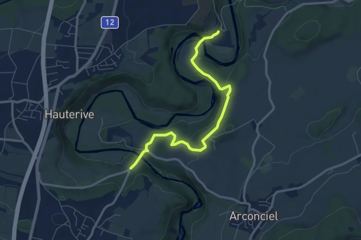
Easy · Trail
La Tuffière - Hauterive
6.5 km · ↑ 232 m · 2 h 2 min · 5 km away
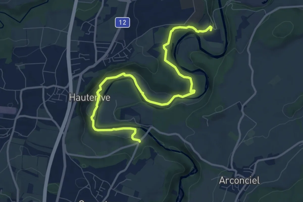
Medium · Trail
Hauterive - La Tuffière
10.3 km · ↑ 261 m · 3 h · 5 km away
Medium · Trail
Neyruz - Sentier Rouge🔴
9.6 km · ↑ 260 m · 2 h 50 min · 5 km away
Easy · Trail
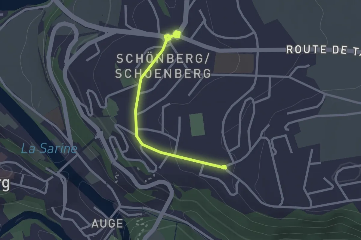
Freiburg St. Barthelemy - Schönberg
2.2 km · ↑ 31 m · 35 min · 5 km away
Easy · Trail
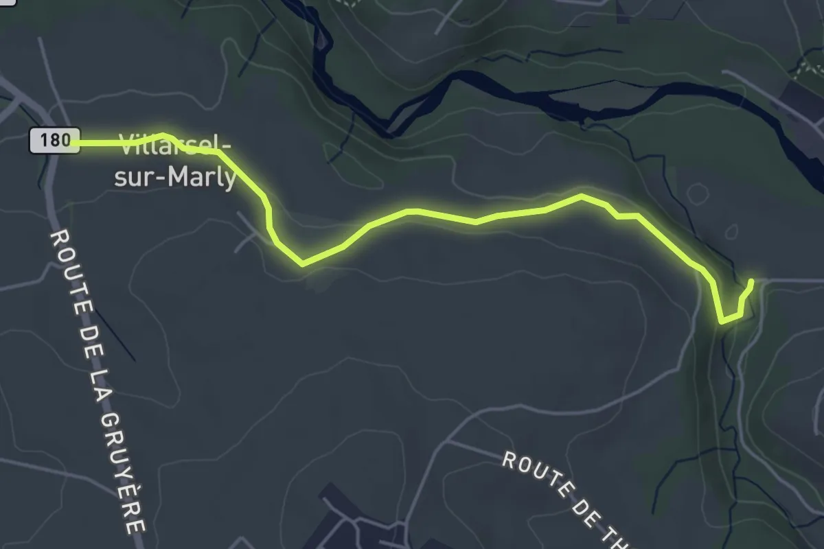
Brädelen, Nesslerabach - Villarsel-sur-Marly
4.9 km · ↑ 110 m · 1 h 24 min · 5 km away
Easy · Trail
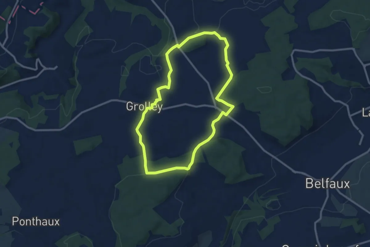
Circuit pédestre 2 de Grolley
7.1 km · ↑ 165 m · 2 h 9 min · 5 km away
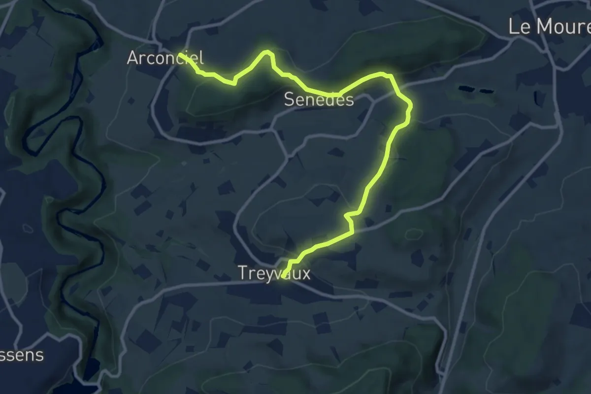
Medium · Trail
Arconciel - Treyvaux
10.4 km · ↑ 366 m · 3 h 15 min · 5 km away
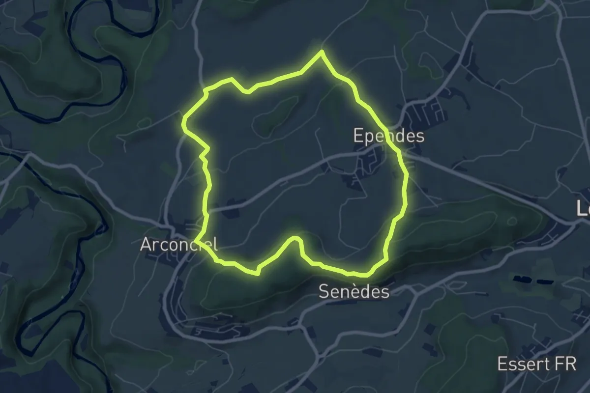
Easy · Trail
Circuit Arconciel - Ependes - Petit-Ependes
6.8 km · ↑ 201 m · 2 h 8 min · 5 km away
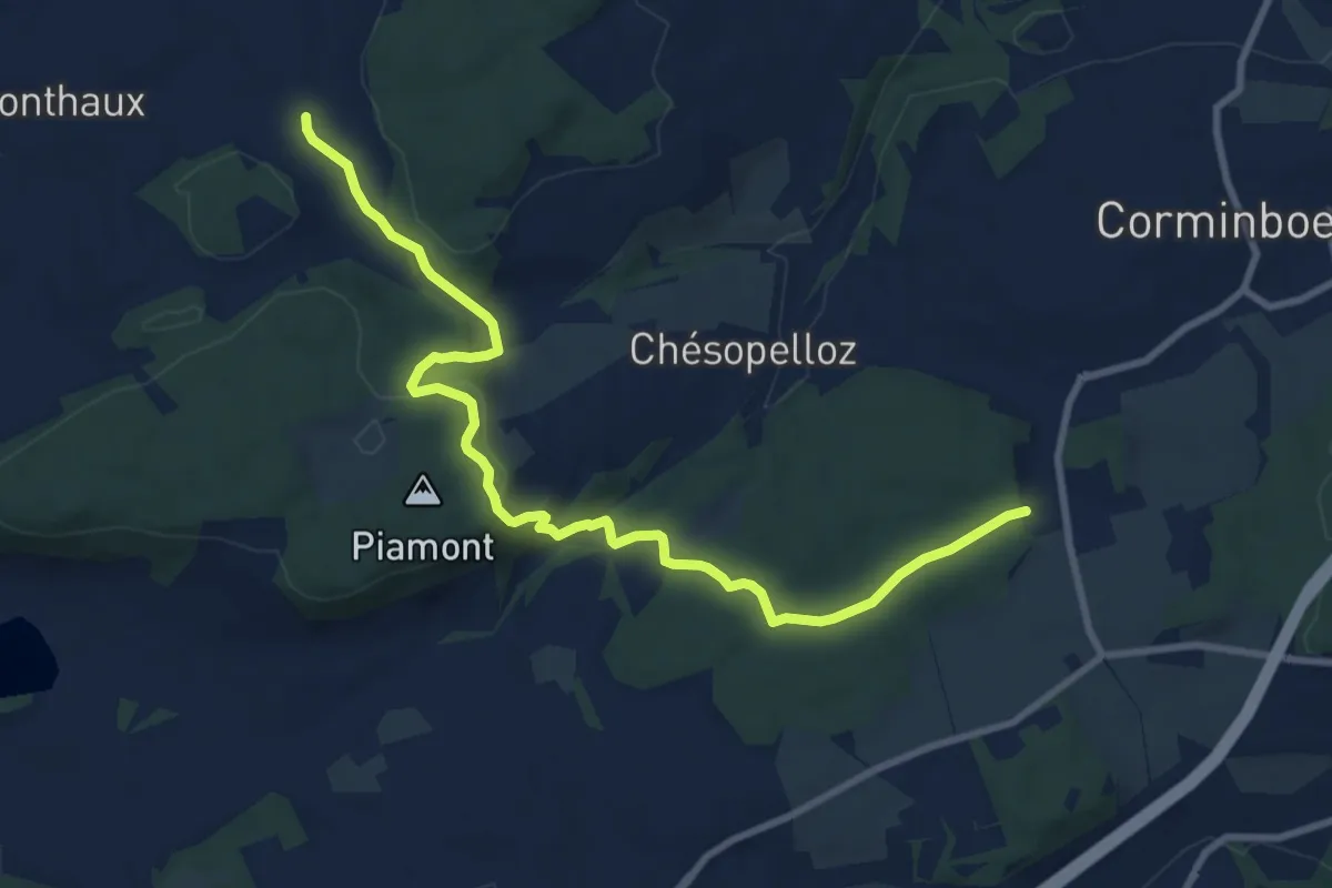
Medium · Trail
Nierlet-les-Bois Pré de Chêne - Corminboeuf Village Suisse
10.2 km · ↑ 295 m · 3 h 3 min · 5 km away
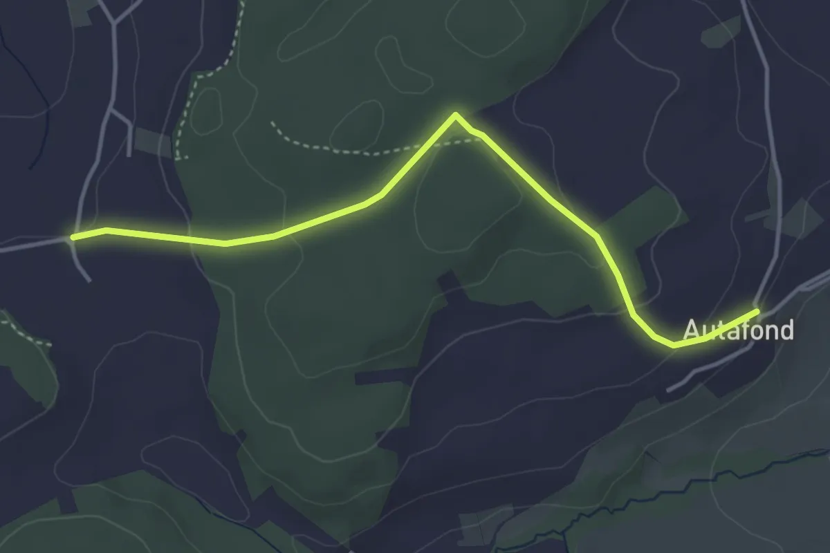
Easy · Trail
Autafond - Nierlet-les-Bois Pré de Chêne
4.1 km · ↑ 123 m · 1 h 13 min · 5 km away
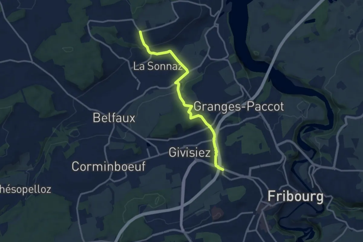
Medium · Trail
Fribourg (Jura) - La Corbaz
9.7 km · ↑ 324 m · 3 h · 5 km away
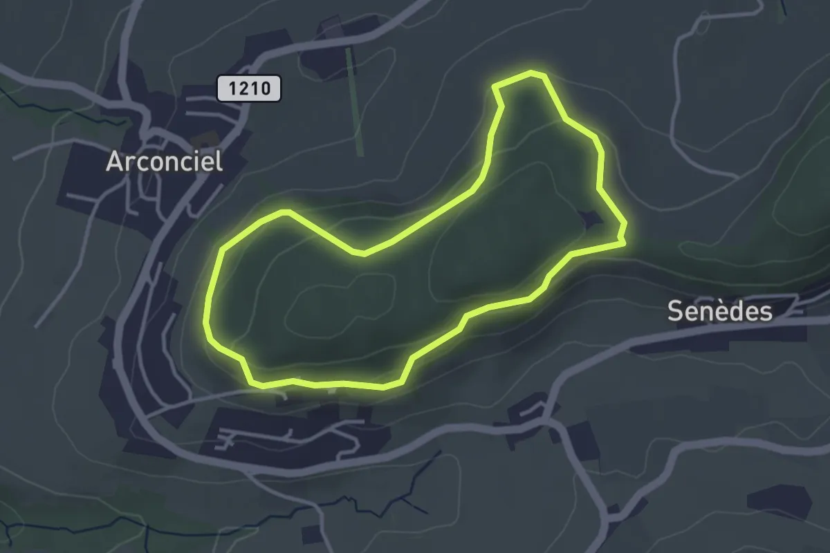
Easy · Trail
Sentier panoramique de Monternau
3.3 km · ↑ 101 m · 1 h 2 min · 6 km away
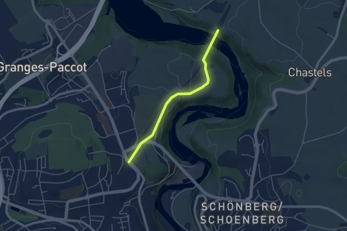
Easy · Trail
La Poya - Grandfey
3.7 km · ↑ 130 m · 1 h 9 min · 6 km away
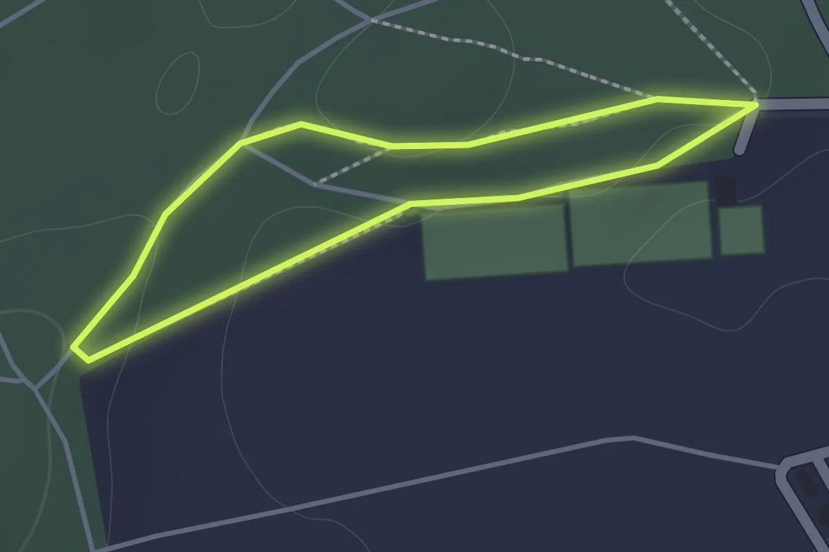
Easy · Trail
Nyruz - Sentier botanique
1.2 km · ↑ 10 m · 19 min · 6 km away
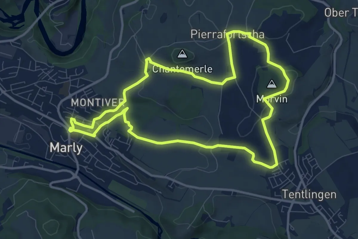
Medium · Trail
Circuit 3 Marly - Villars-sur-Marly - Pierrafortscha
8.9 km · ↑ 172 m · 2 h 36 min · 6 km away
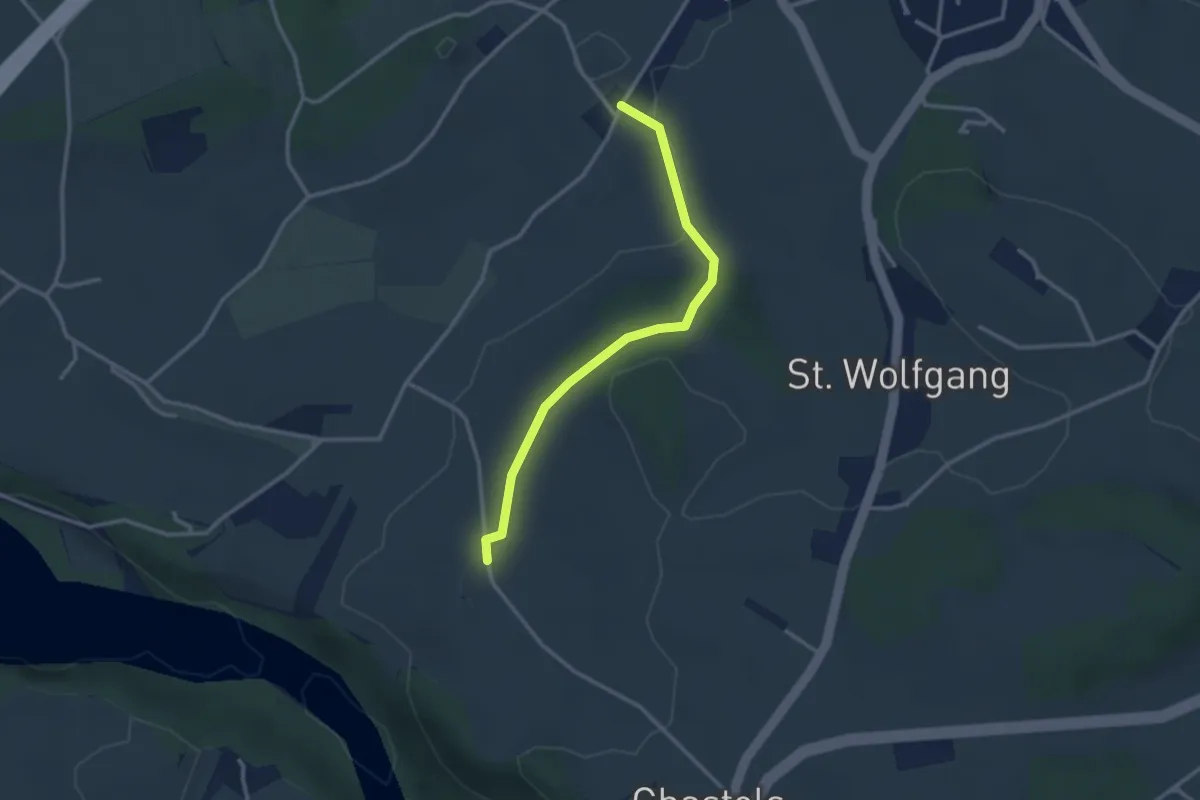
Easy · Trail
Balliswil - Garmiswil
2.8 km · ↑ 73 m · 50 min · 6 km away
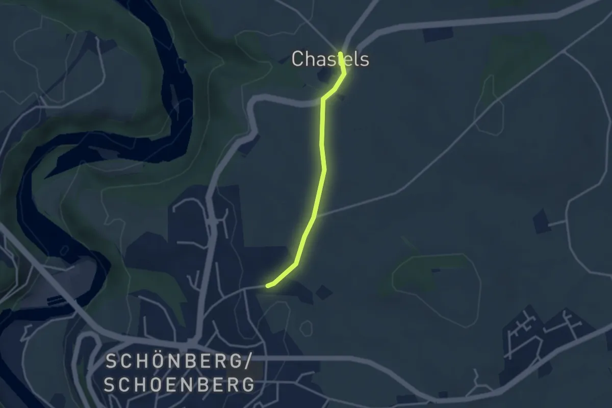
Easy · Trail
Uebewil - Kastels
2.4 km · ↑ 43 m · 40 min · 6 km away
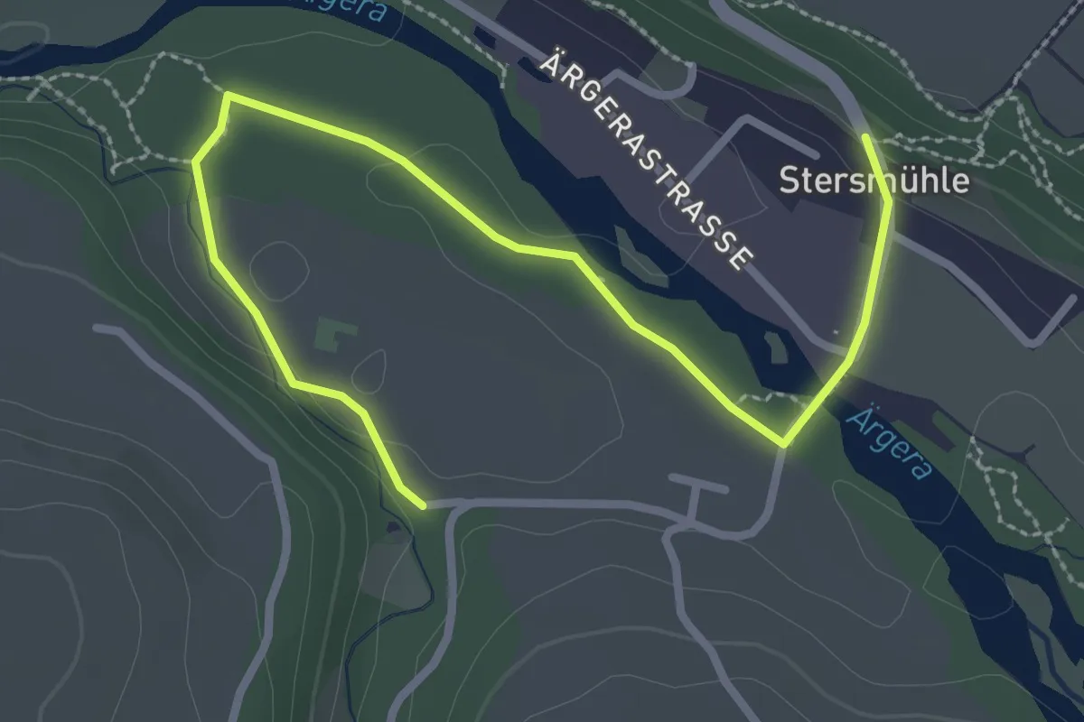
Easy · Trail
Stersmühle - Brädelen, Nesslerabach
3.3 km · ↑ 48 m · 53 min · 7 km away
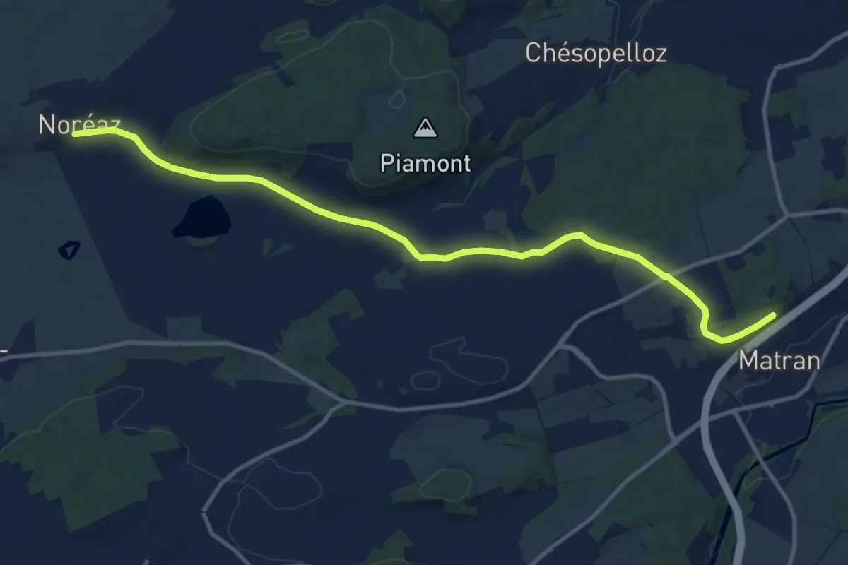
Medium · Trail
Noréaz - Matran
12.0 km · ↑ 177 m · 3 h 13 min · 7 km away
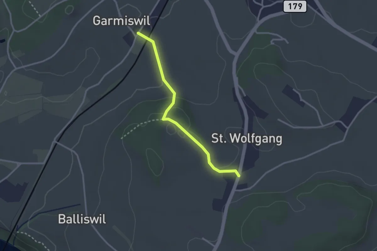
Easy · Trail
Garmiswil - St. Wolfgang
2.5 km · ↑ 67 m · 44 min · 7 km away
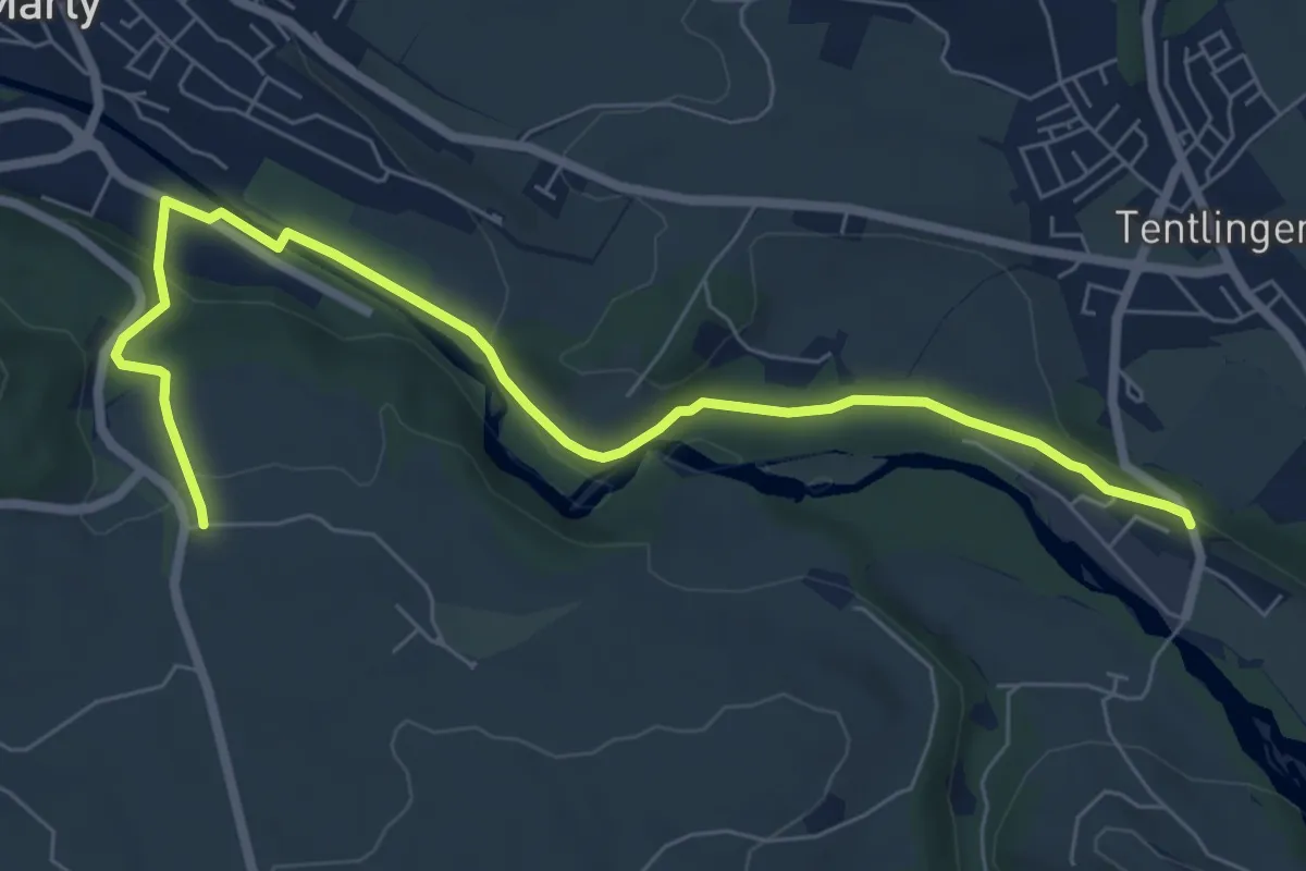
Easy · Trail
Villarsel-sur-Marly - Stersmühle
7.8 km · ↑ 182 m · 2 h 14 min · 7 km away
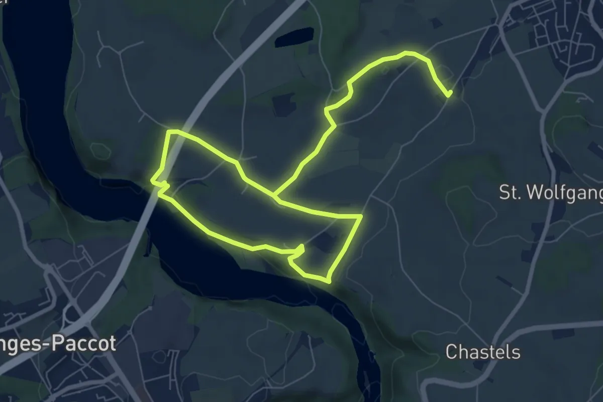
Medium · Trail
Grandfey - Garmiswil und Magdalena Einsiedelei
11.3 km · ↑ 211 m · 3 h 8 min · 7 km away
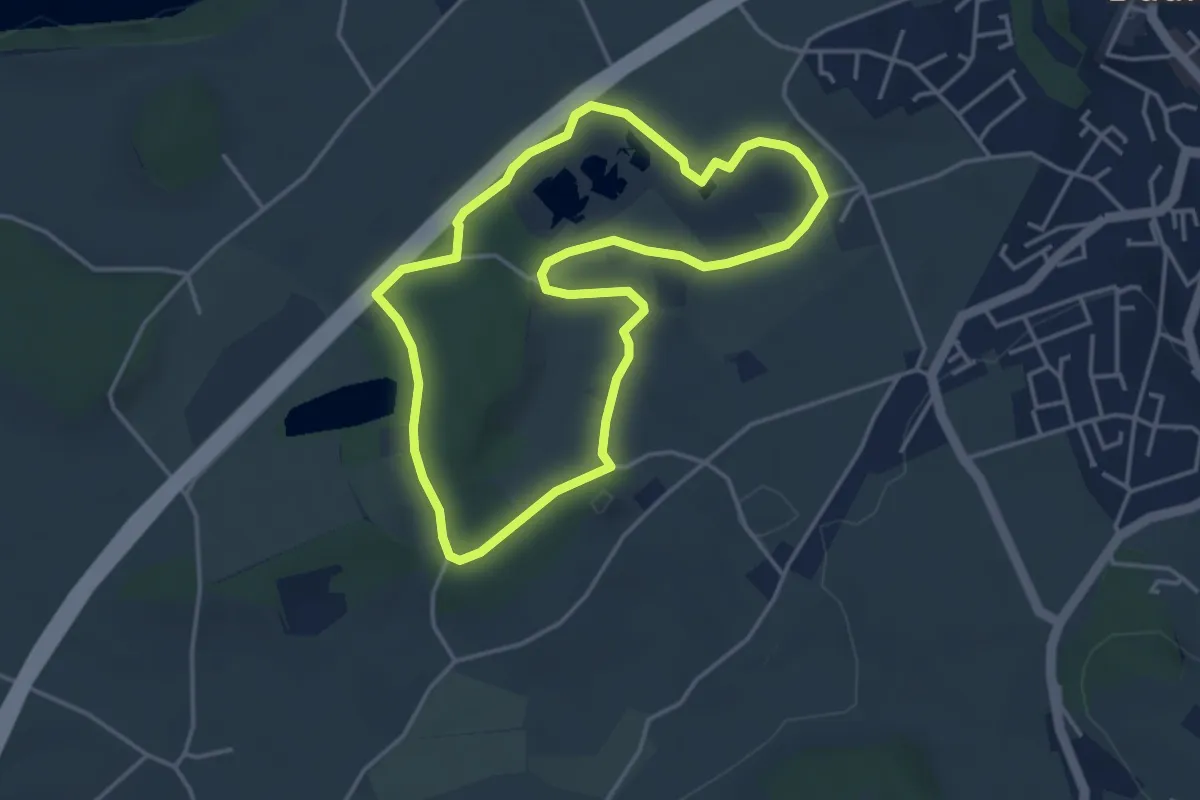
Easy · Trail
Naturhistorischer Pfad
3.8 km · ↑ 21 m · 1 h · 7 km away
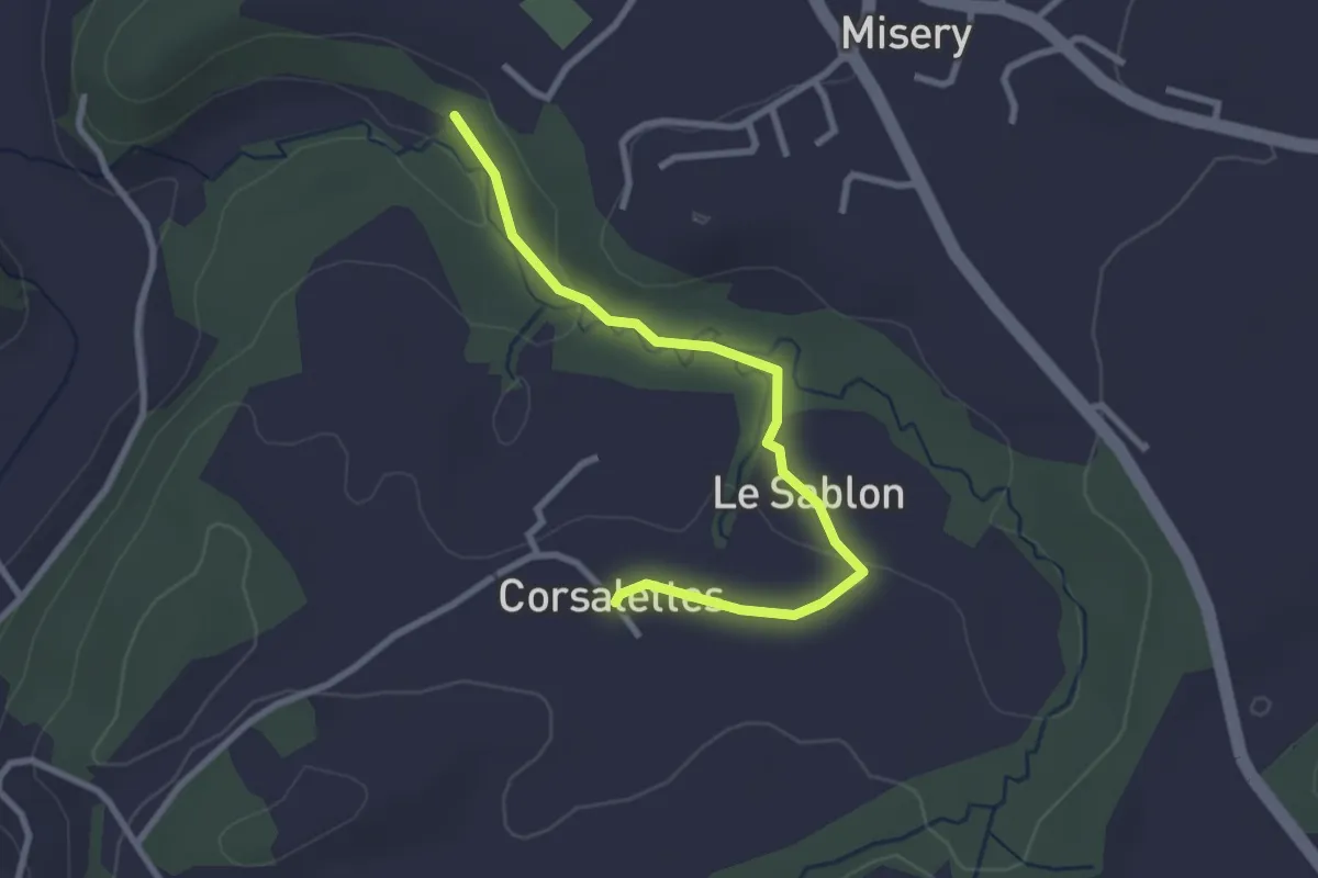
Easy · Trail
Le Grabou Cne de Misery - Corsalettes
2.9 km · ↑ 45 m · 46 min · 7 km away
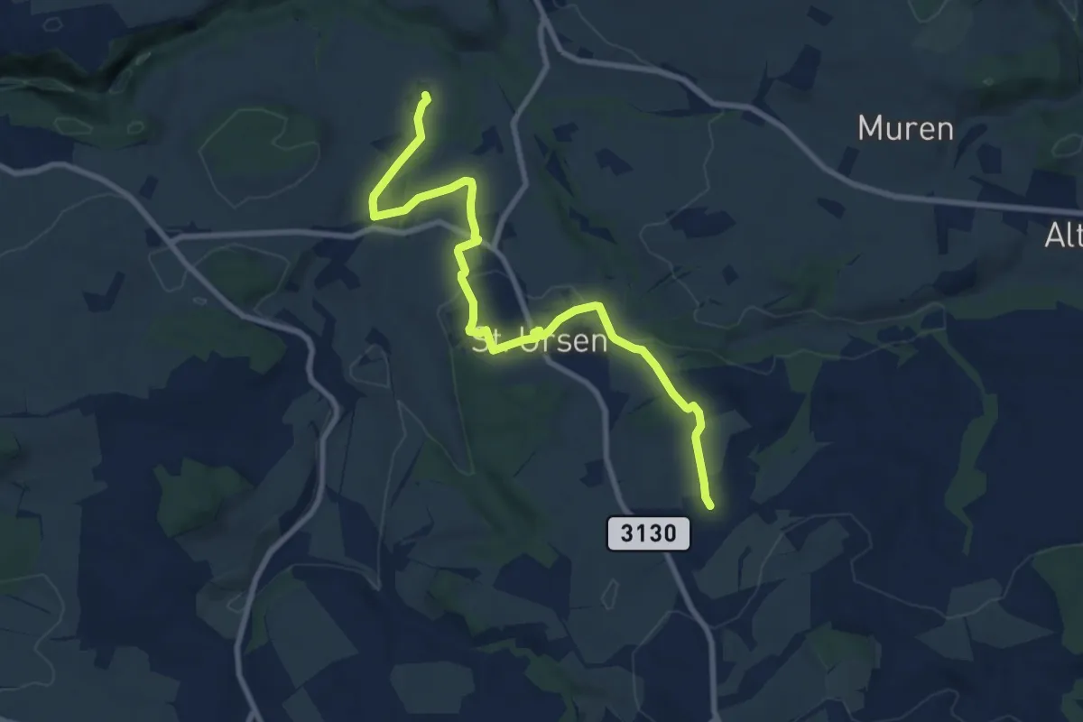
Medium · Trail
Schürmatt – Etiwil
9.4 km · ↑ 207 m · 2 h 41 min · 7 km away
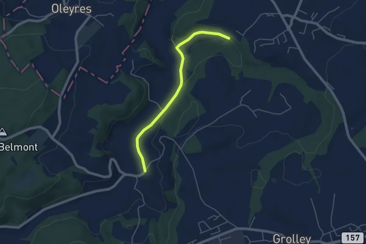
Easy · Trail
Chandon - Le Grabou Cne de Misery
4.0 km · ↑ 70 m · 1 h 5 min · 7 km away
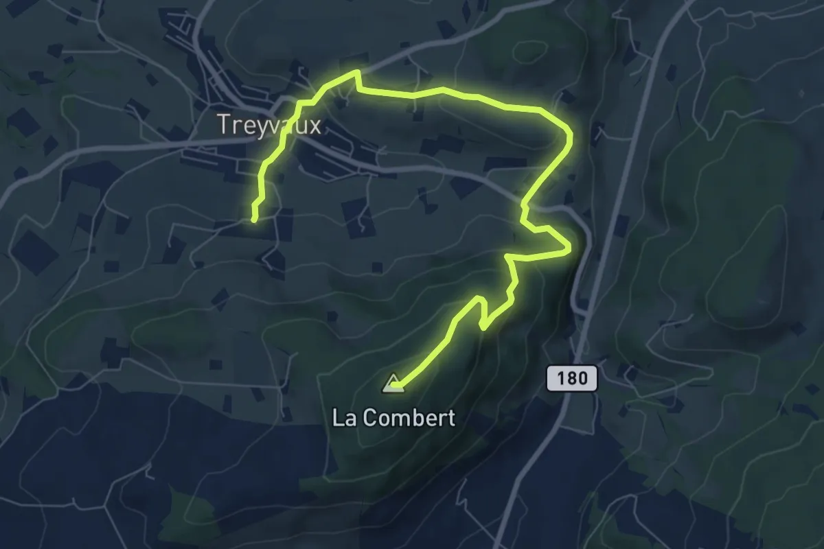
Medium · Summit
Circuit de la Combert par le sommet
9.4 km · ↑ 427 m · 3 h 8 min · 8 km away
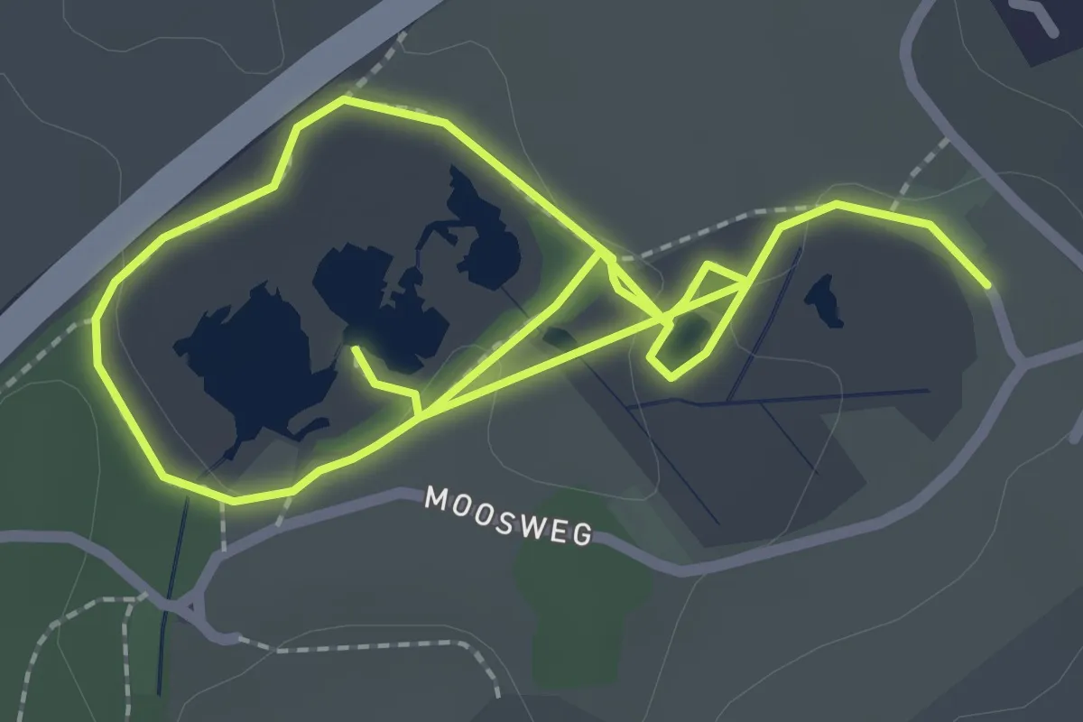
Easy · Trail
Botanischer Pfad
2.0 km · ↑ 13 m · 32 min · 8 km away
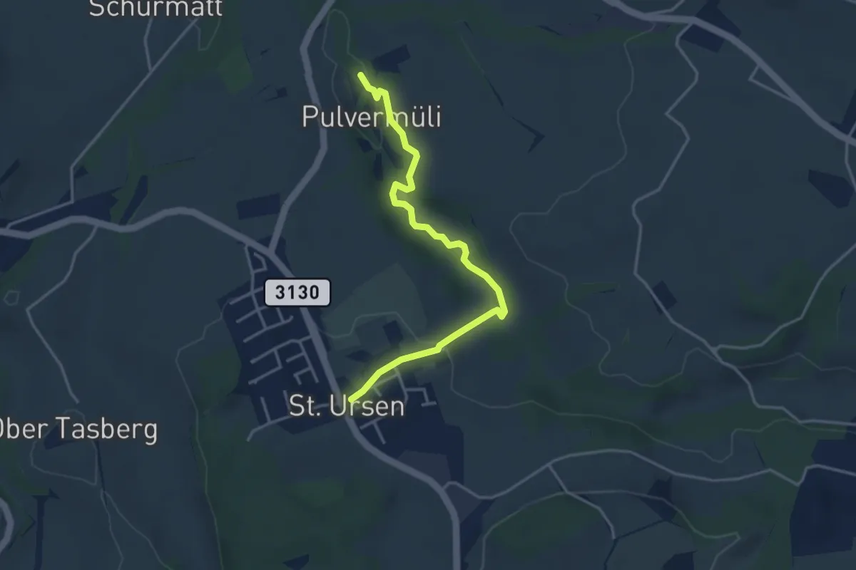
Easy · Trail
Pulvermüli – St. Urban
3.7 km · ↑ 73 m · 1 h 2 min · 8 km away
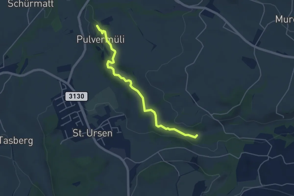
Easy · Trail
Pulvermüli – Poffetsmüli
4.1 km · ↑ 70 m · 1 h 7 min · 8 km away
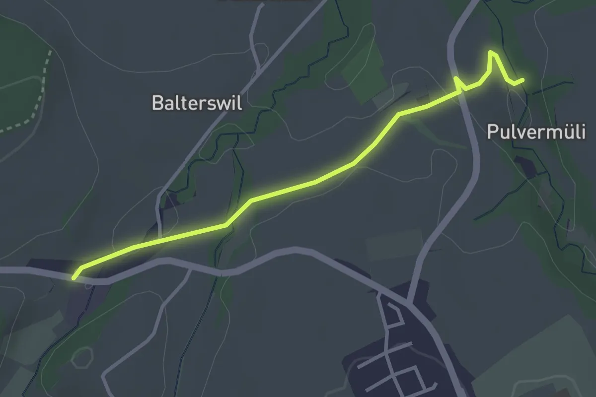
Easy · Trail
Pulvermüli – Tasberg
3.1 km · ↑ 65 m · 52 min · 8 km away
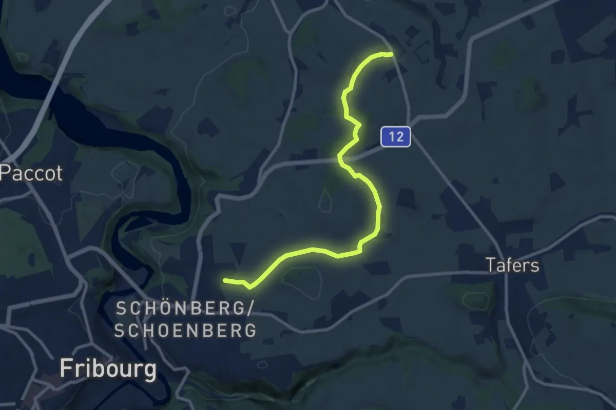
Medium · Trail
Jetschwil - Uebewil
8.8 km · ↑ 125 m · 2 h 21 min · 8 km away
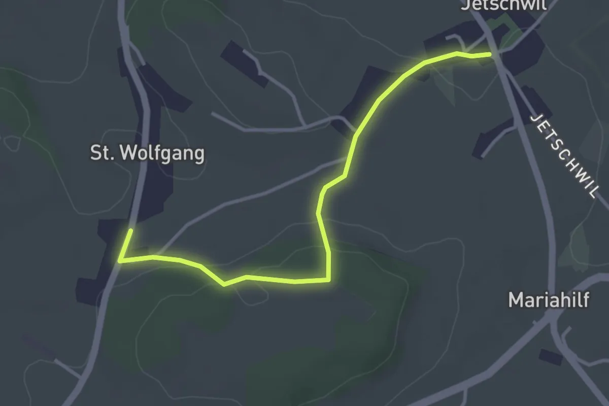
Easy · Trail
St. Wolfgang - Jetschwil
3.3 km · ↑ 75 m · 57 min · 8 km away
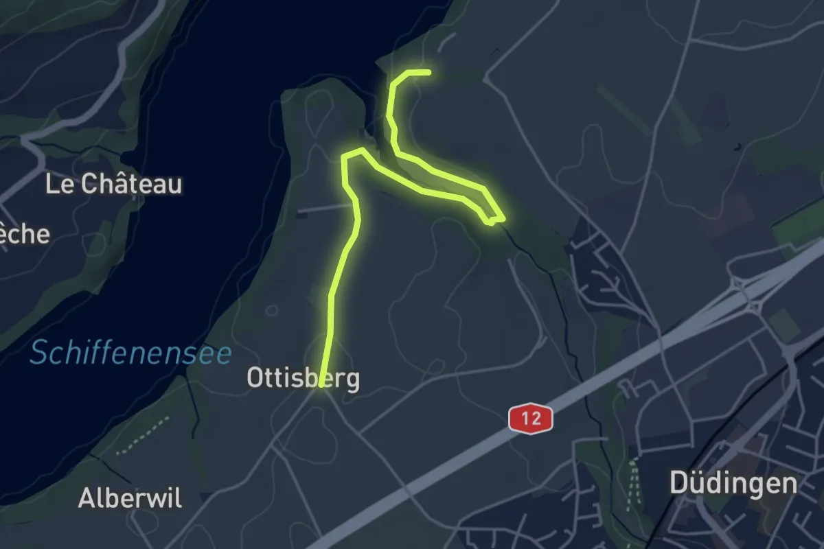
Easy · Trail
Ottisberg - Felliwil
4.2 km · ↑ 118 m · 1 h 15 min · 8 km away