Trails near Villars-sur-Glâne
205 hikes starting within 15 km, nearest first.
Nearest first, page 3 of 5
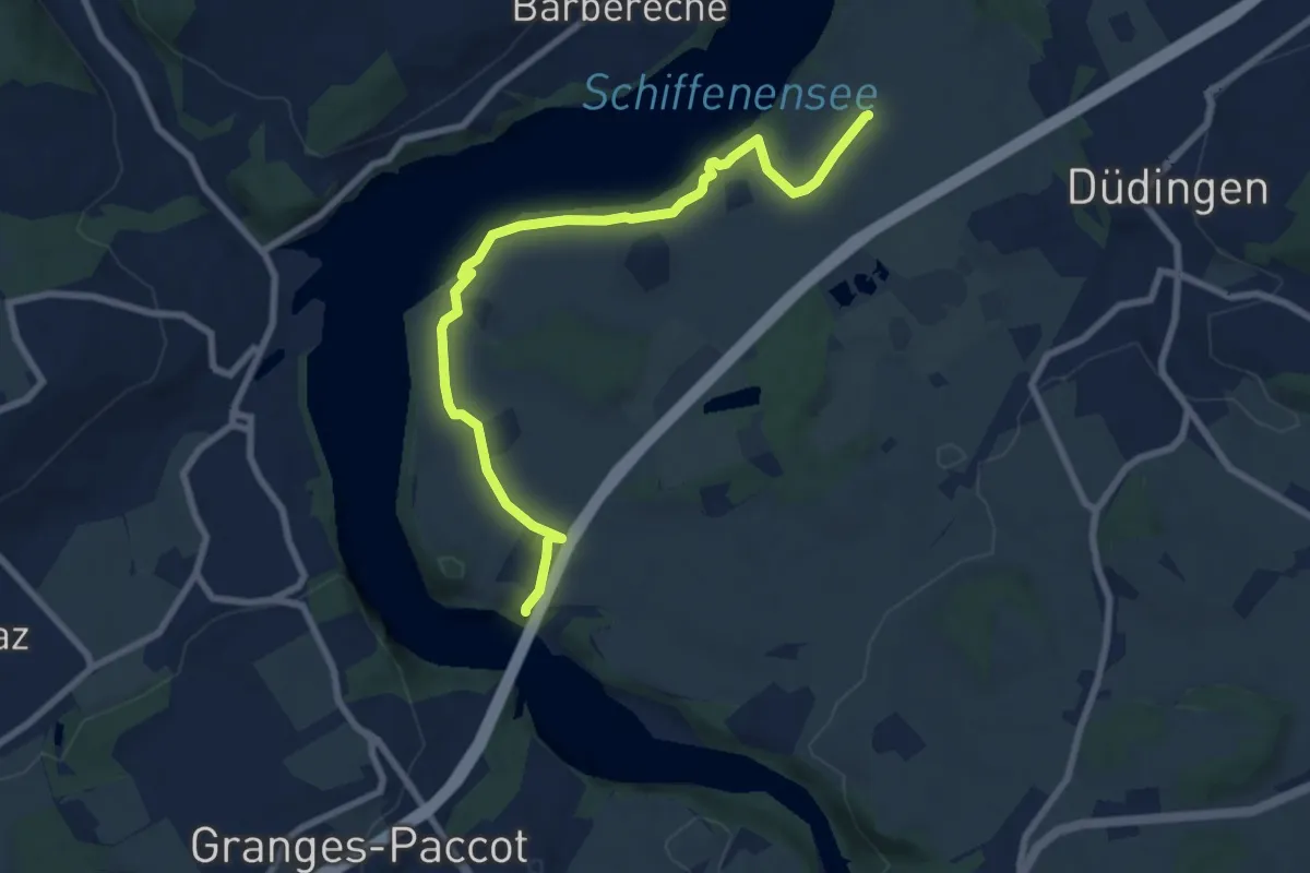
Medium · Trail
Ottisberg - Magdalena-Einsiedelei
8.5 km · ↑ 197 m · 2 h 26 min · 8 km away
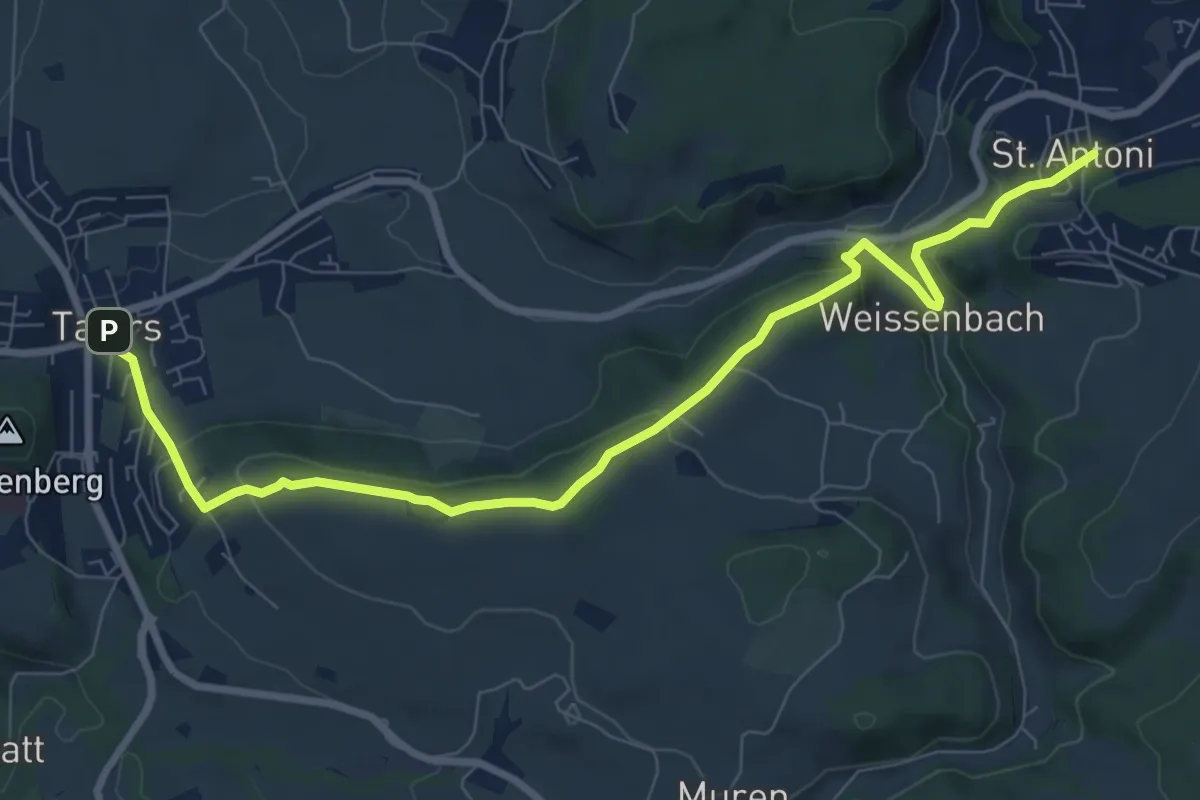
Medium · Trail
Tafers - St. Antoni
9.6 km · ↑ 363 m · 3 h 3 min · 8 km away
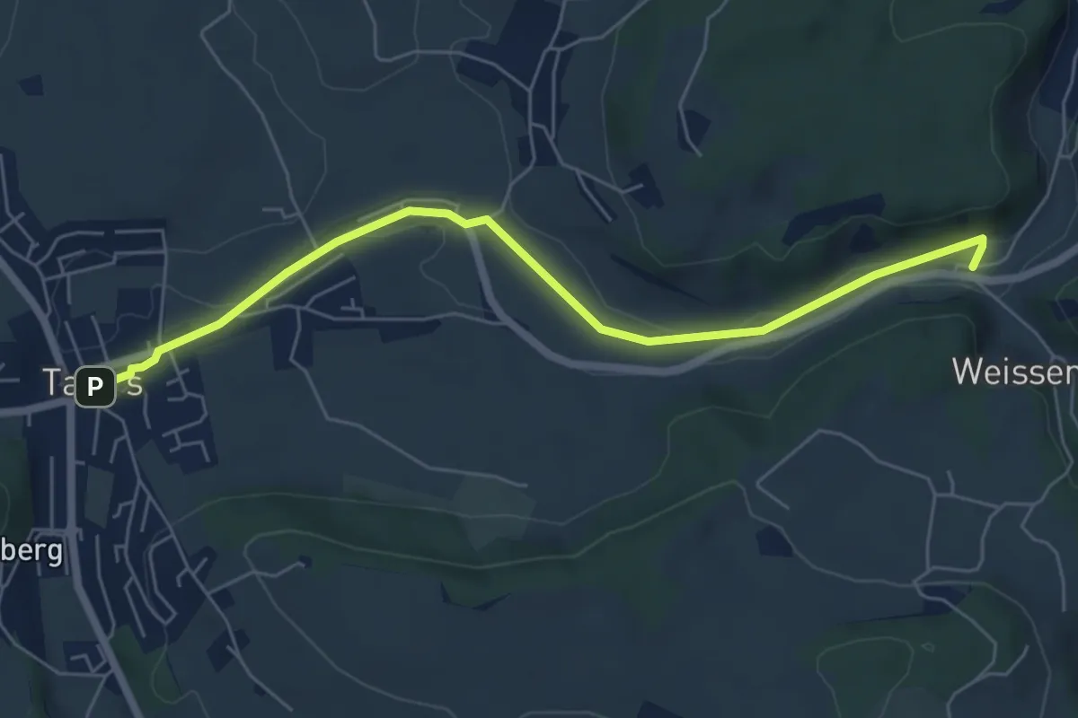
Easy · Trail
Tafers - Weissenbach / Bus
6.2 km · ↑ 35 m · 1 h 32 min · 8 km away
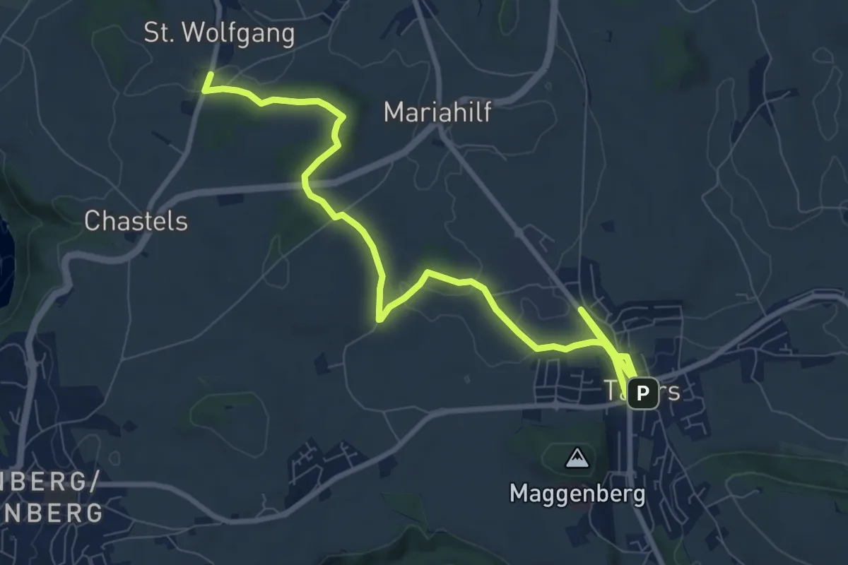
Medium · Trail
St. Wolfgang - Tafers
10.6 km · ↑ 110 m · 2 h 44 min · 8 km away
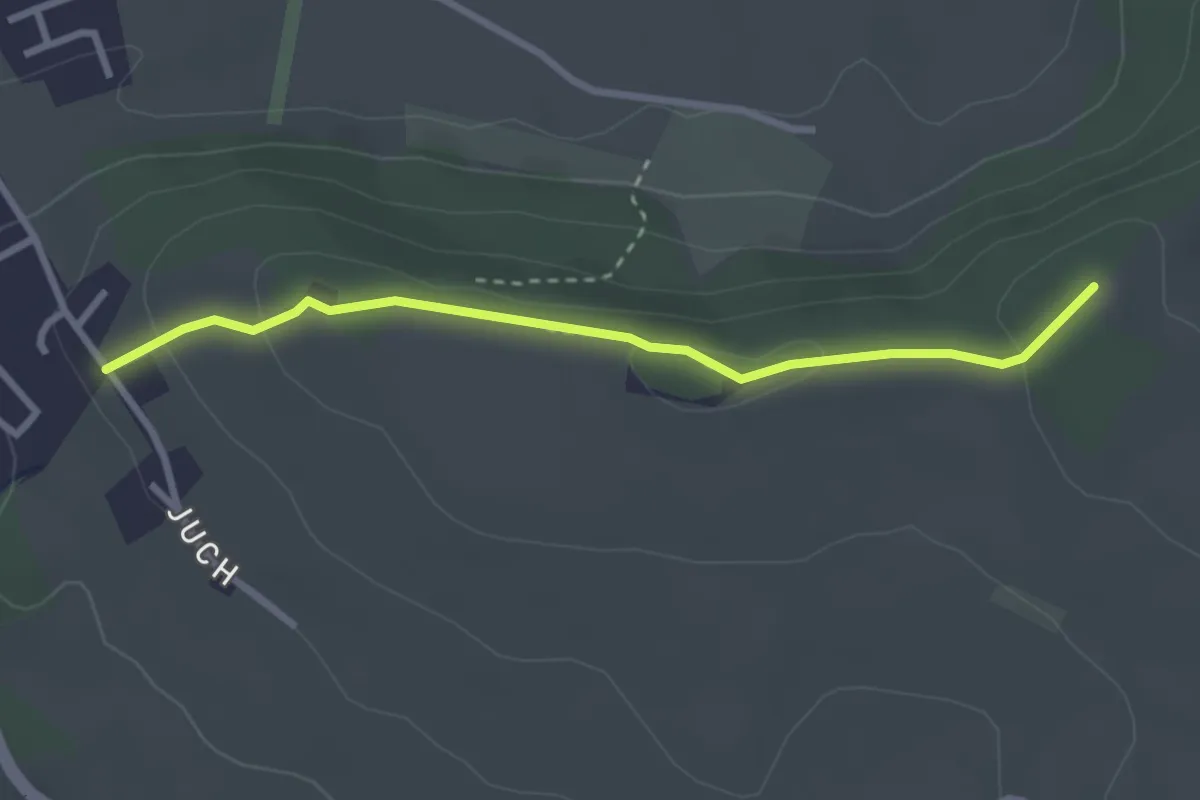
Easy · Trail
Pfaffenhölzli - Juch
2.8 km · ↑ 85 m · 51 min · 8 km away
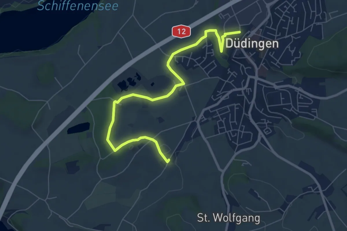
Easy · Trail
Düdingen - Garmiswil
7.6 km · ↑ 83 m · 1 h 58 min · 9 km away
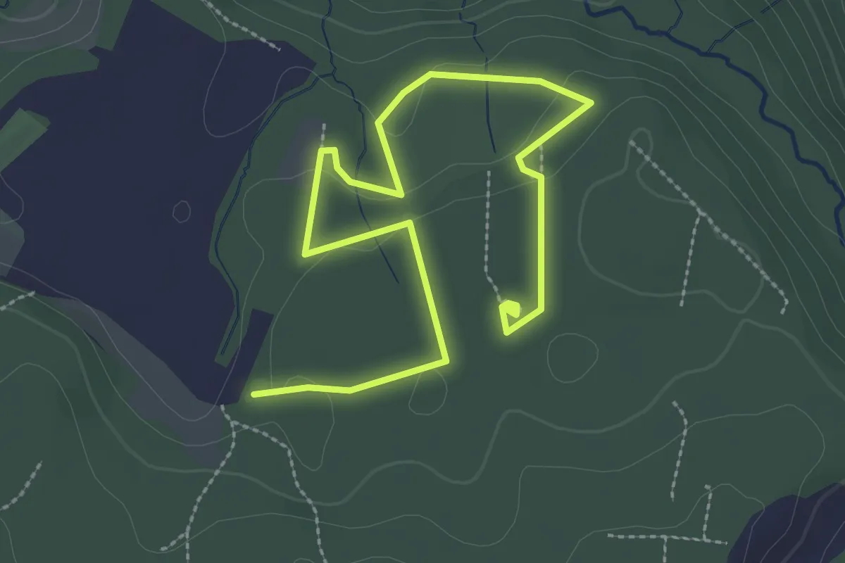
Easy · Trail
Sentier mycologique Chanéaz
3.8 km · ↑ 65 m · 1 h 3 min · 9 km away
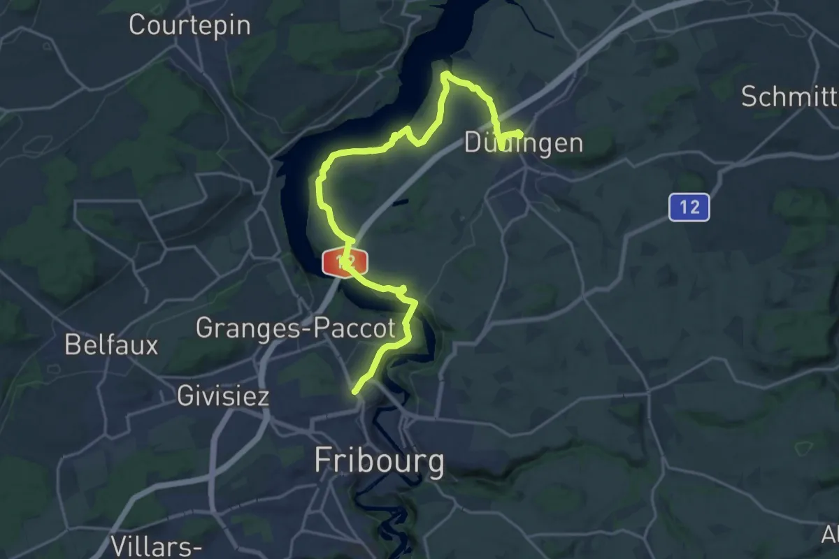
Demanding · Trail
Sinn- und Klangweg / Sentier des sens et des sons
21.4 km · ↑ 495 m · 6 h 7 min · 9 km away
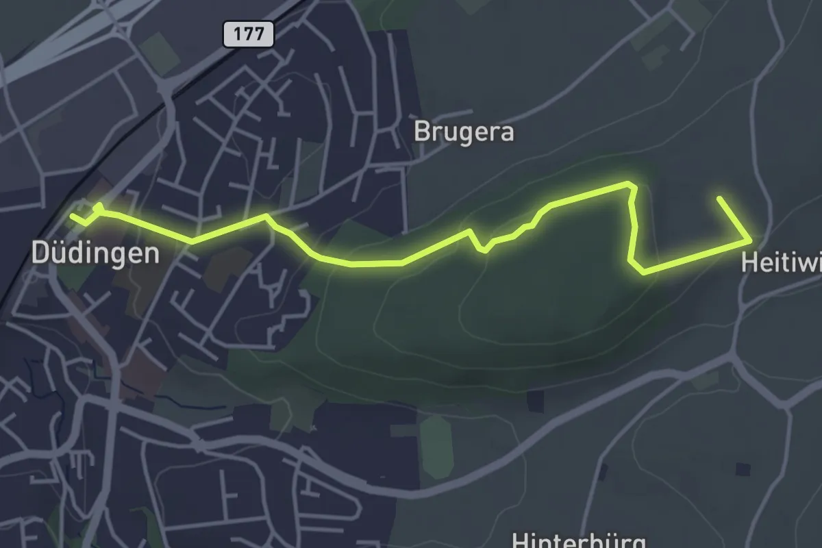
Easy · Summit
Düdingen Station - Heitiwil
4.5 km · ↑ 118 m · 1 h 19 min · 9 km away
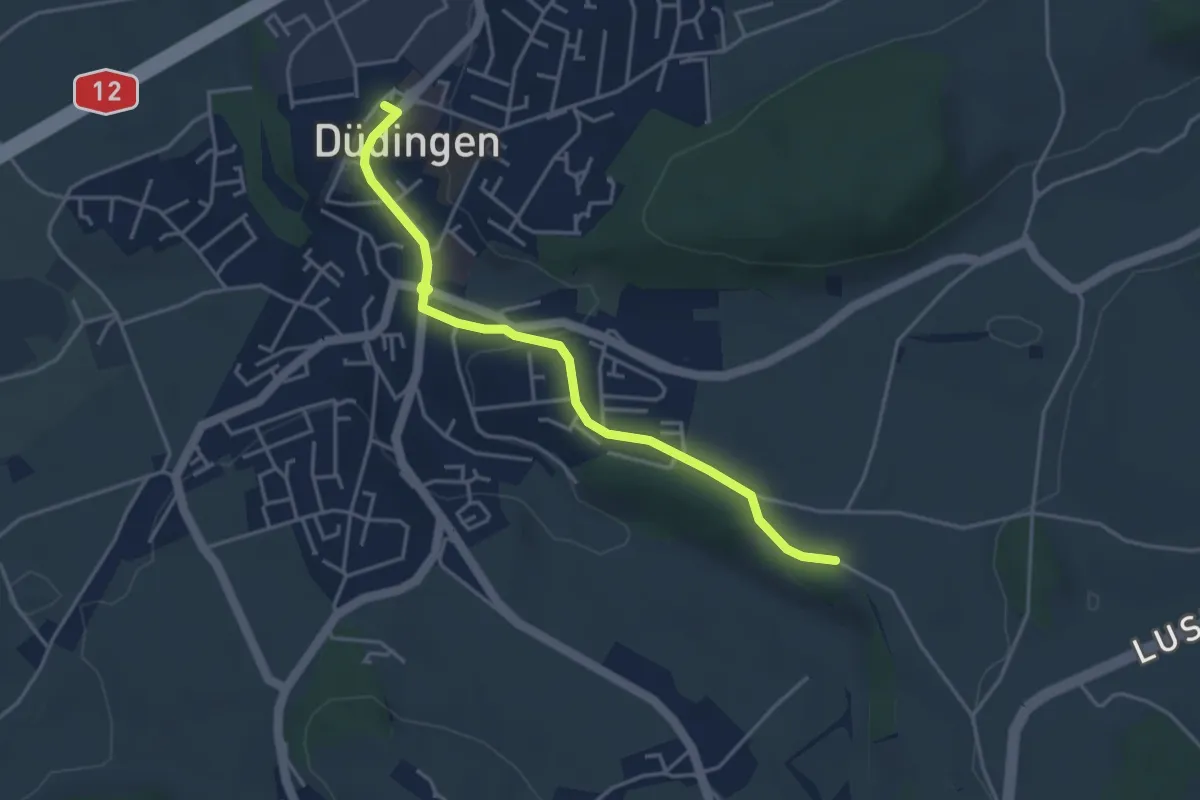
Easy · Trail
Düdingen Station - Zelgli
4.1 km · ↑ 69 m · 1 h 6 min · 9 km away
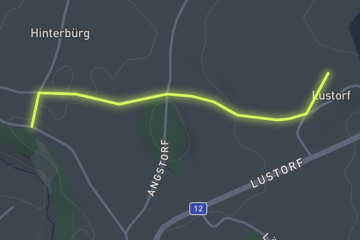
Easy · Trail
Lustorf - Zelgli
2.7 km · ↑ 33 m · 42 min · 9 km away
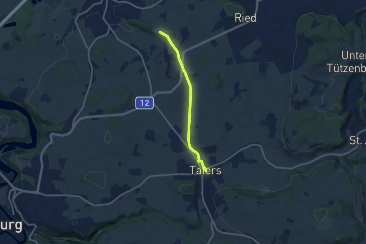
Easy · Trail
Zelgli - Tafers
6.3 km · ↑ 64 m · 1 h 38 min · 9 km away
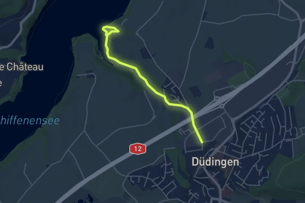
Easy · Trail
Düdingen - Felliwil
3.9 km · ↑ 90 m · 1 h 8 min · 9 km away
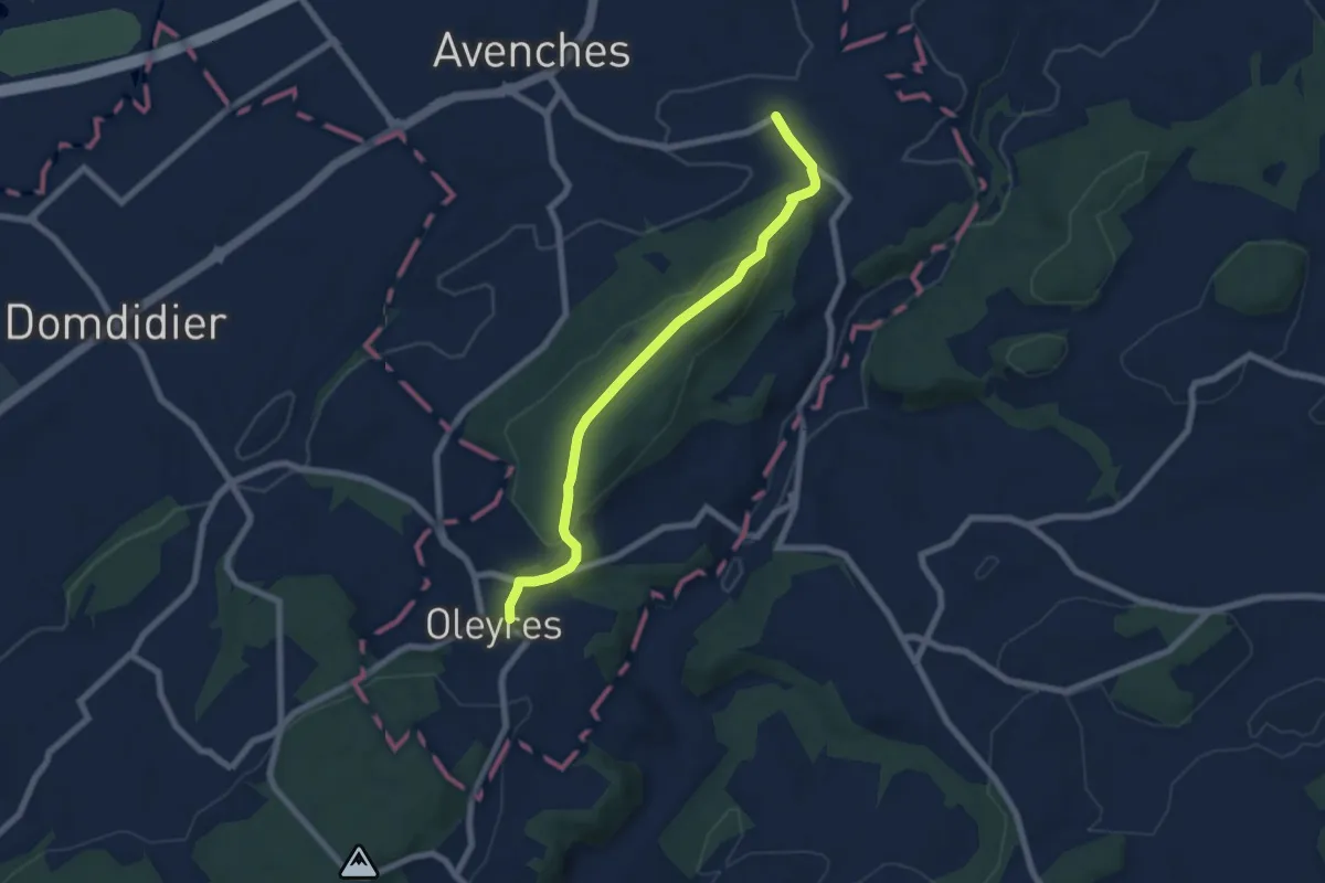
Easy · Trail
Donatyre – Oleyres
6.8 km · ↑ 223 m · 2 h 5 min · 9 km away
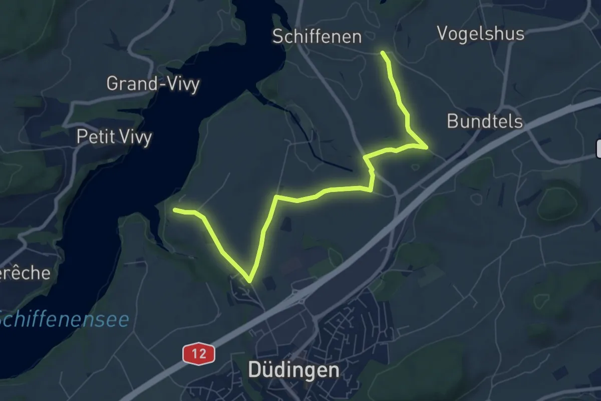
Medium · Trail
Felliwil - Schlattli
8.1 km · ↑ 82 m · 2 h 6 min · 9 km away
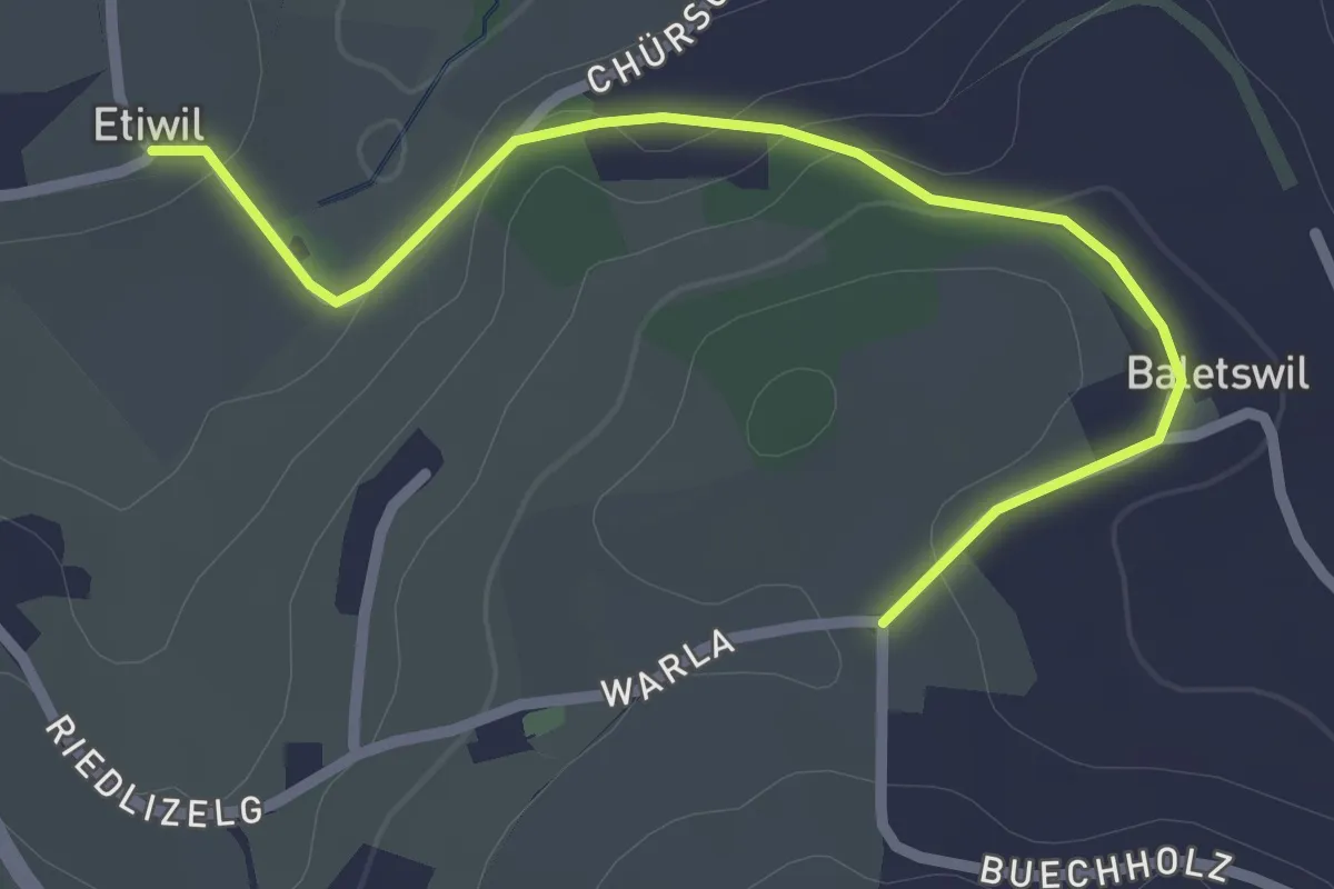
Easy · Trail
Etiwil - Baletswil
2.7 km · ↑ 57 m · 45 min · 9 km away
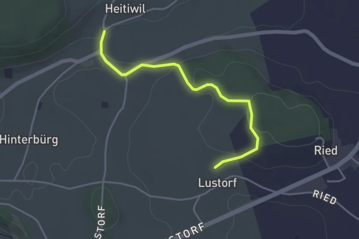
Easy · Trail
Heitiwil - Lustorf
3.2 km · ↑ 78 m · 56 min · 10 km away
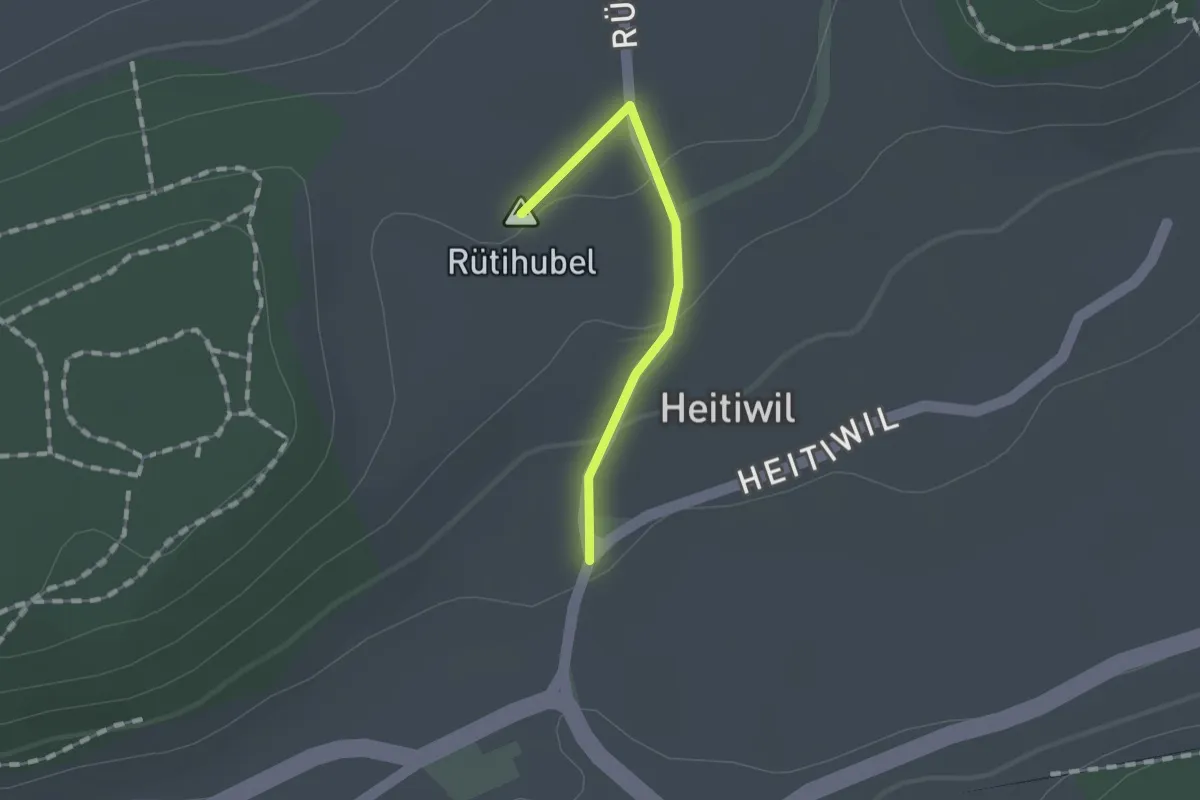
Easy · Summit
Heitiwil - Galmis
1.0 km · ↑ 27 m · 18 min · 10 km away
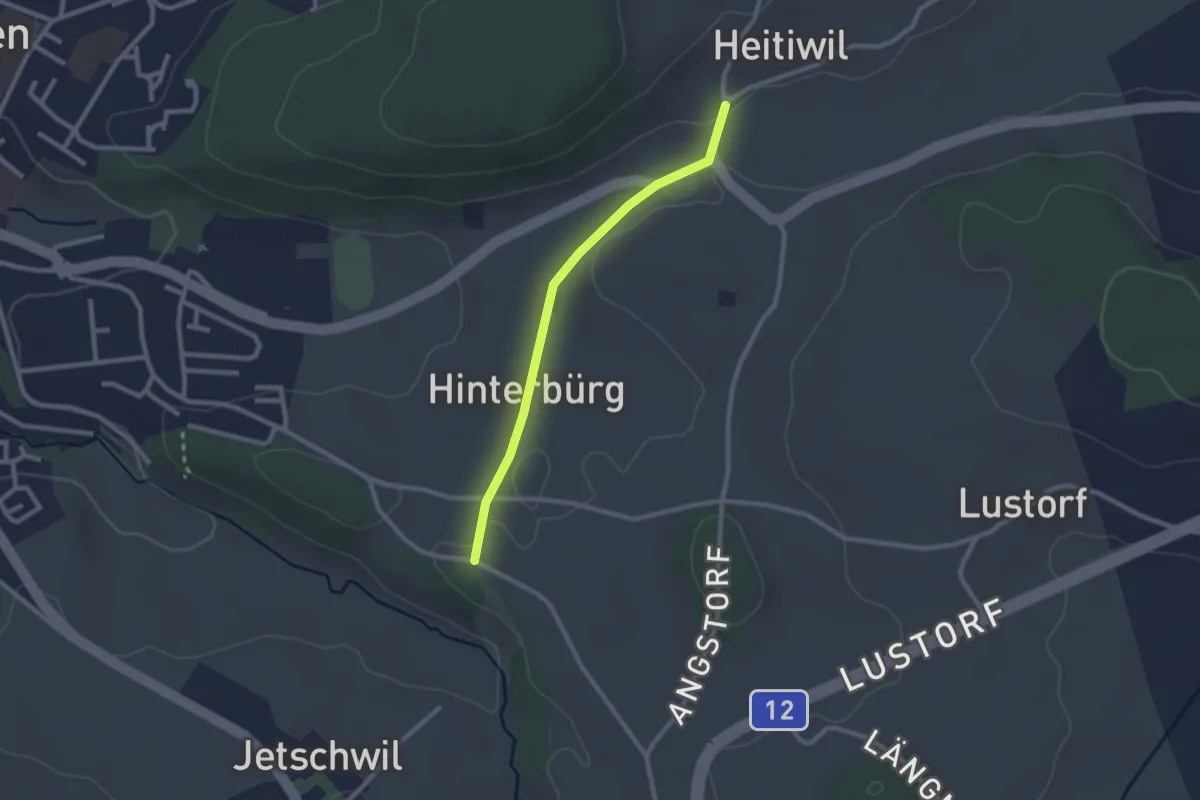
Easy · Trail
Heitiwil - Zelgli
2.2 km · ↑ 22 m · 35 min · 10 km away
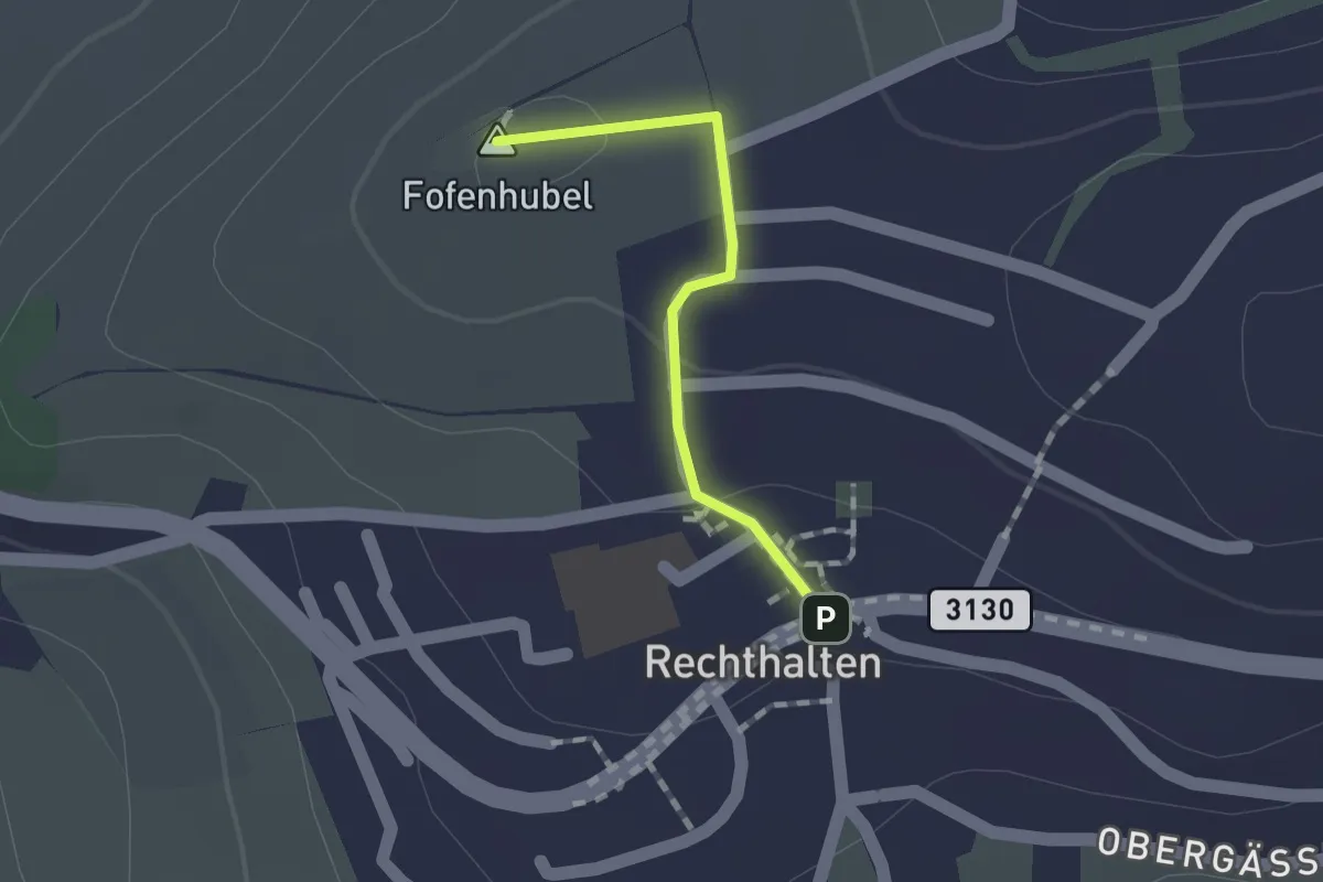
Easy · Summit
Rechthalten - Baletswil
1.1 km · ↑ 19 m · 18 min · 10 km away
Easy · Trail
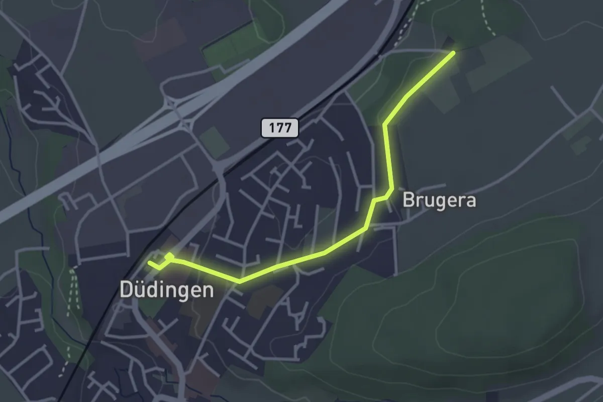
Düdingen Station - Schüracher
3.1 km · ↑ 23 m · 48 min · 10 km away
Easy · Trail
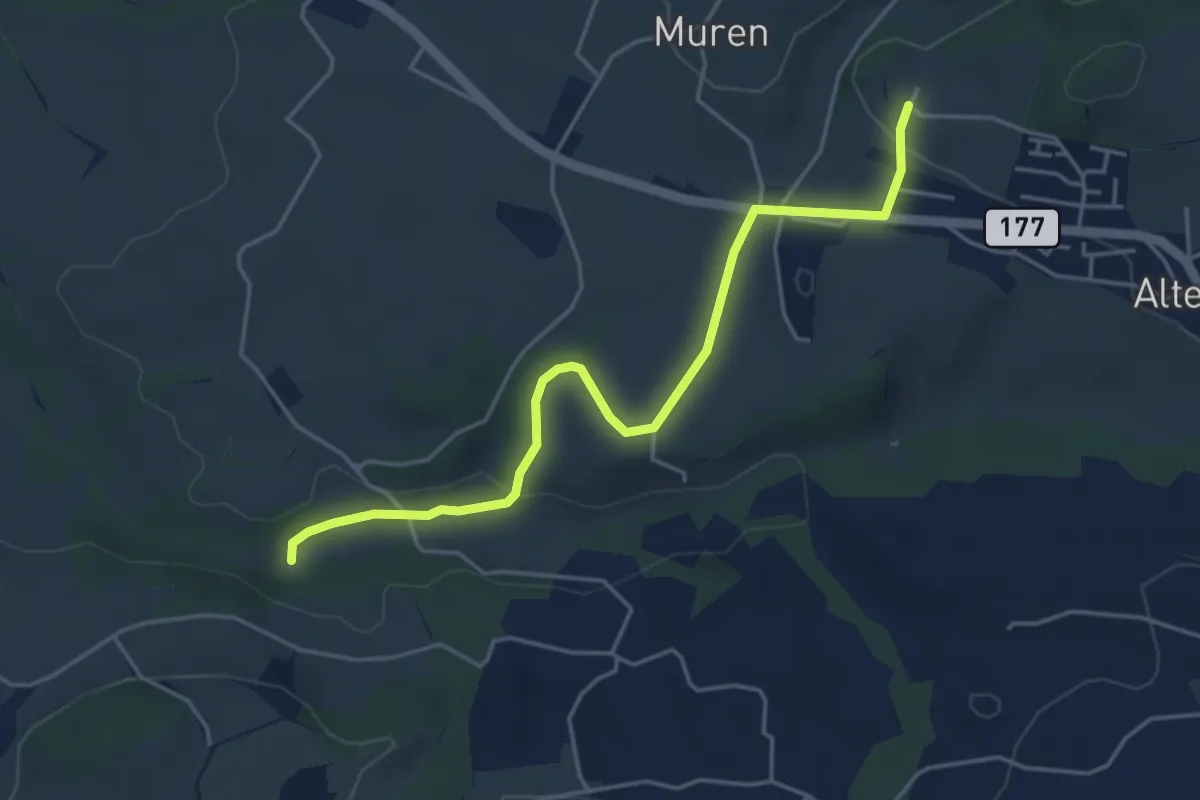
Poffetsmüli – Beniwil
4.6 km · ↑ 67 m · 1 h 14 min · 10 km away
Easy · Trail
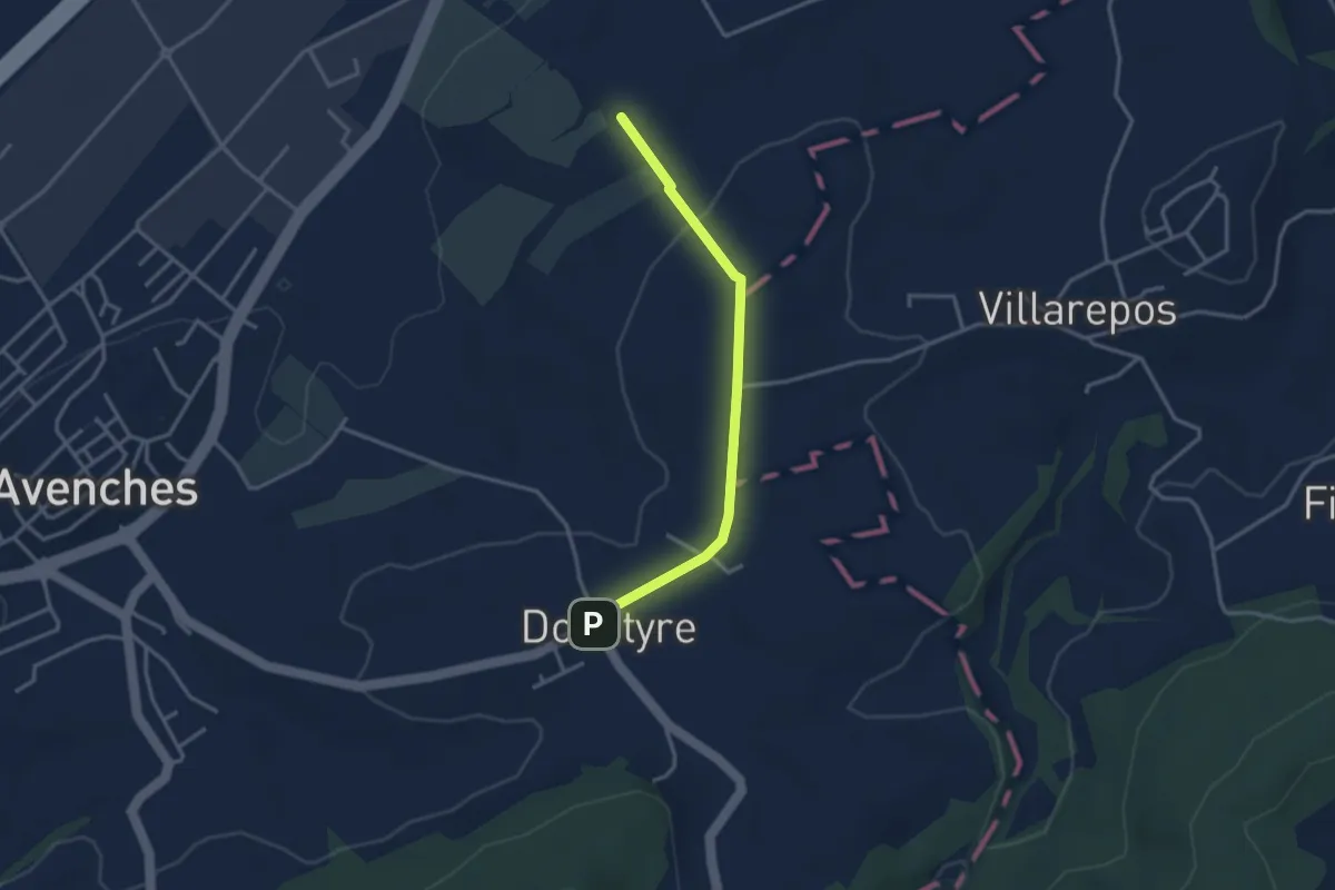
La Porte de l'Est - Donatyre
3.1 km · ↑ 36 m · 48 min · 10 km away
Easy · Trail
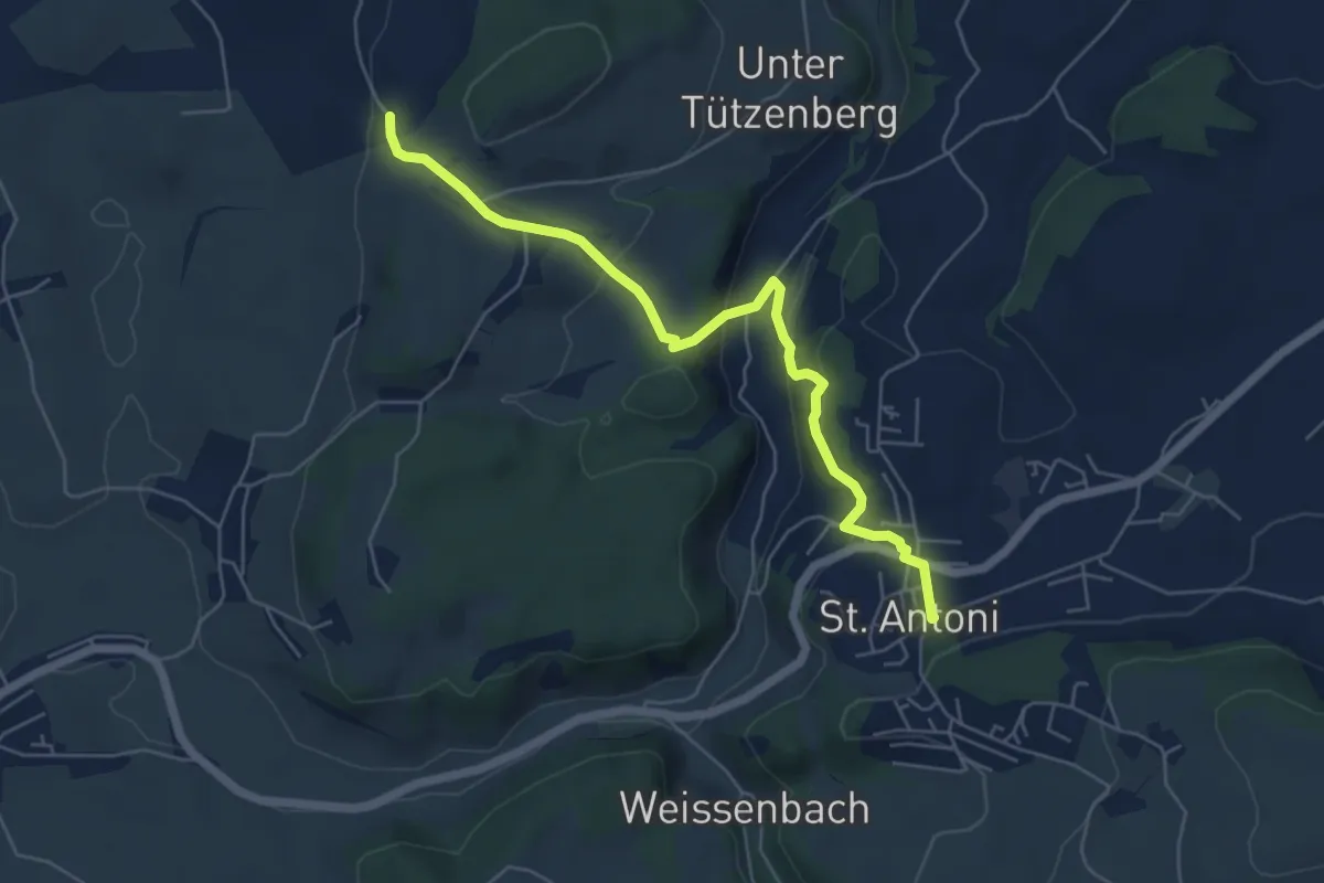
St. Antoni - Wiler
5.8 km · ↑ 279 m · 1 h 59 min · 11 km away
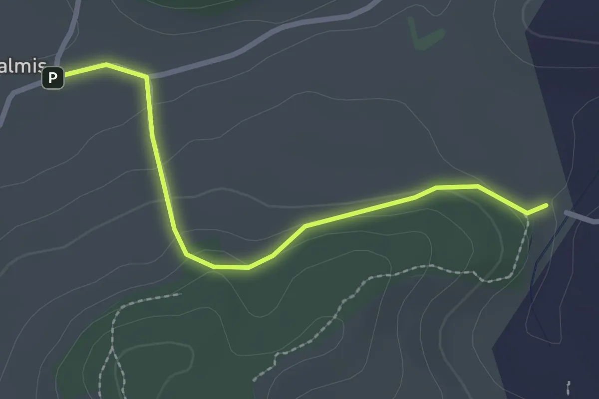
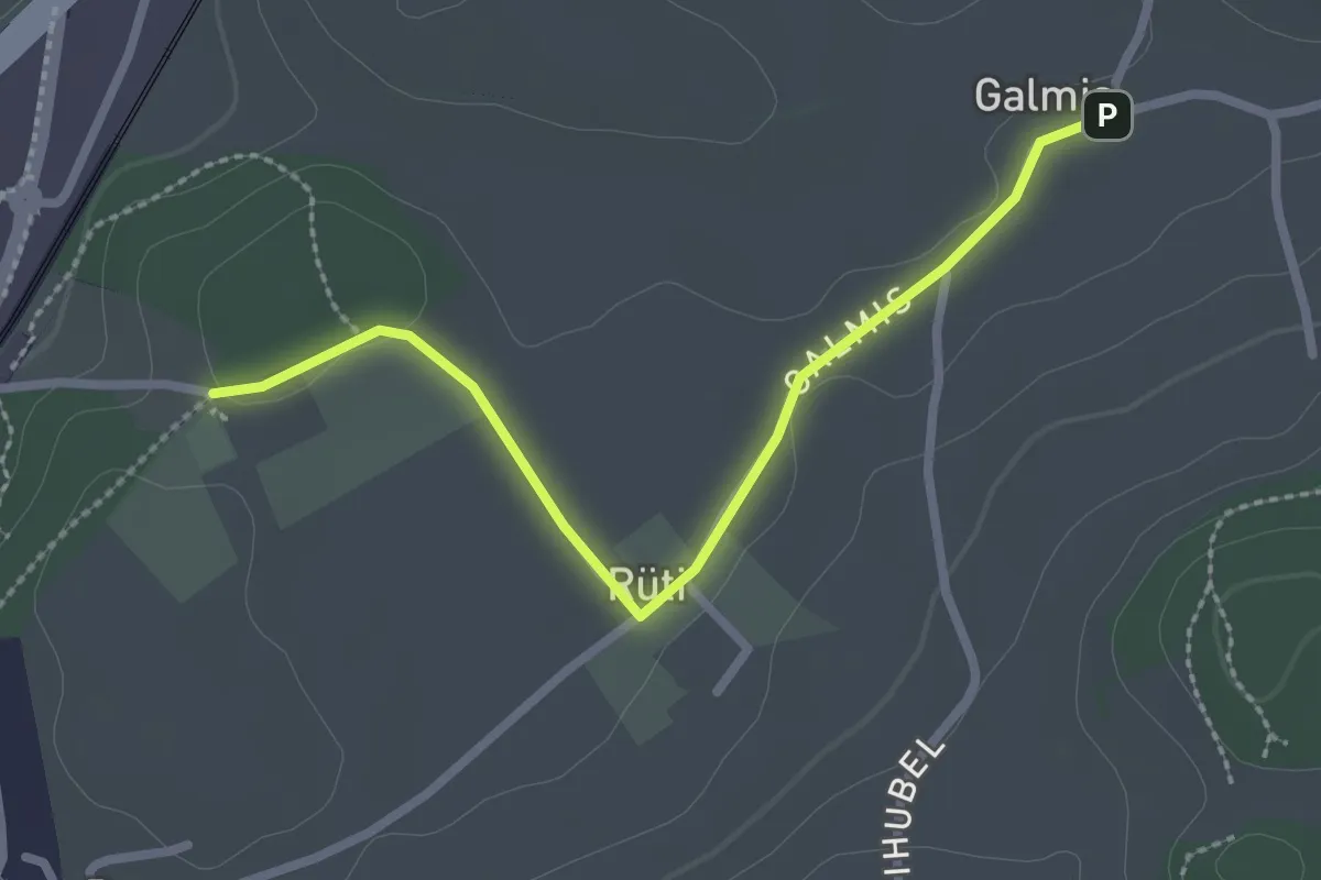
Easy · Trail
Galmis - Bethlehem
2.3 km · ↑ 91 m · 44 min · 11 km away
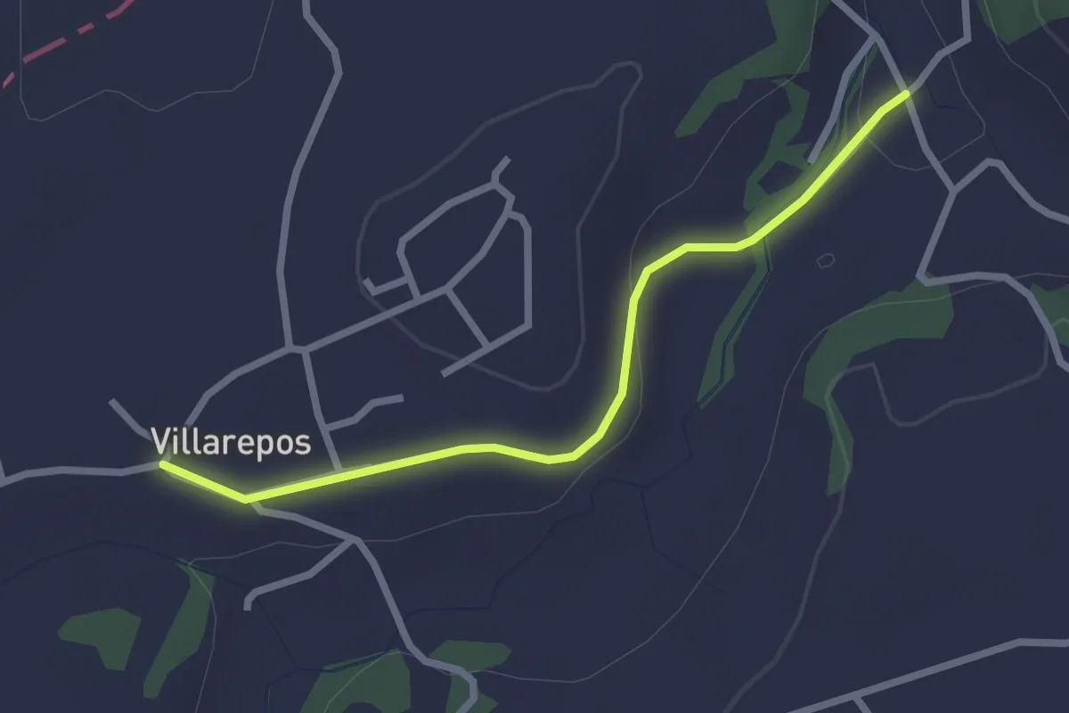
Easy · Trail
Schüracher - Galmis
2.5 km · ↑ 24 m · 39 min · 11 km away
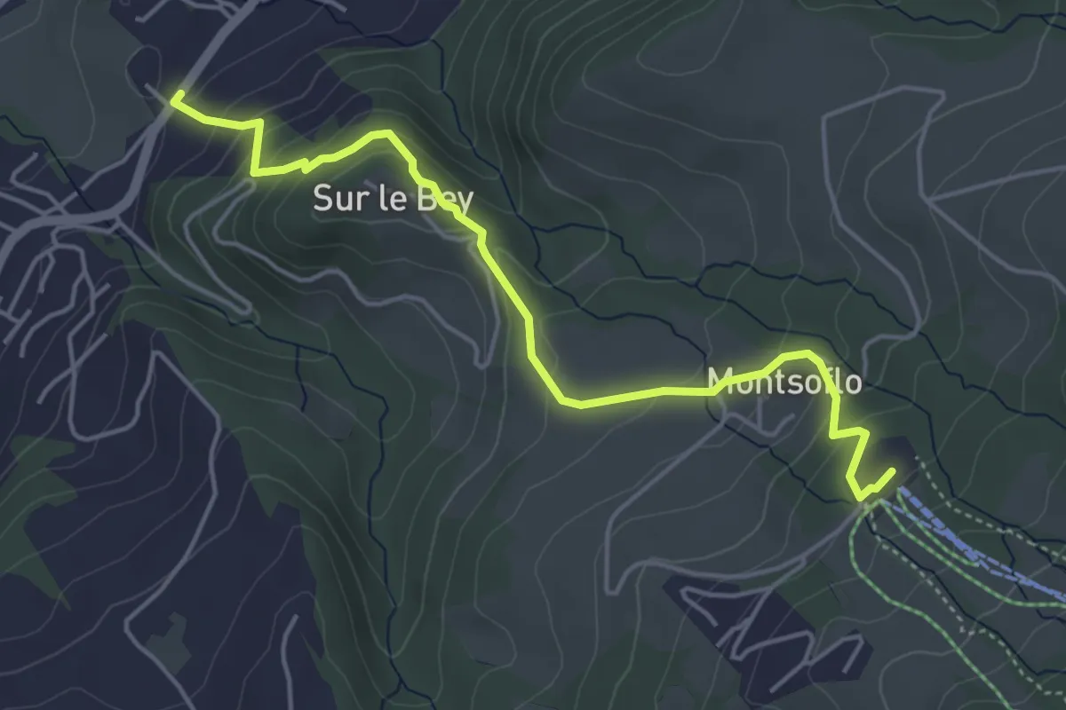
Easy · Trail
Villarepos - Chandossel
2.4 km · ↑ 29 m · 37 min · 11 km away
Easy · Trail
Le Brand – La Roche Eglise
4.9 km · ↑ 303 m · 1 h 48 min · 11 km away
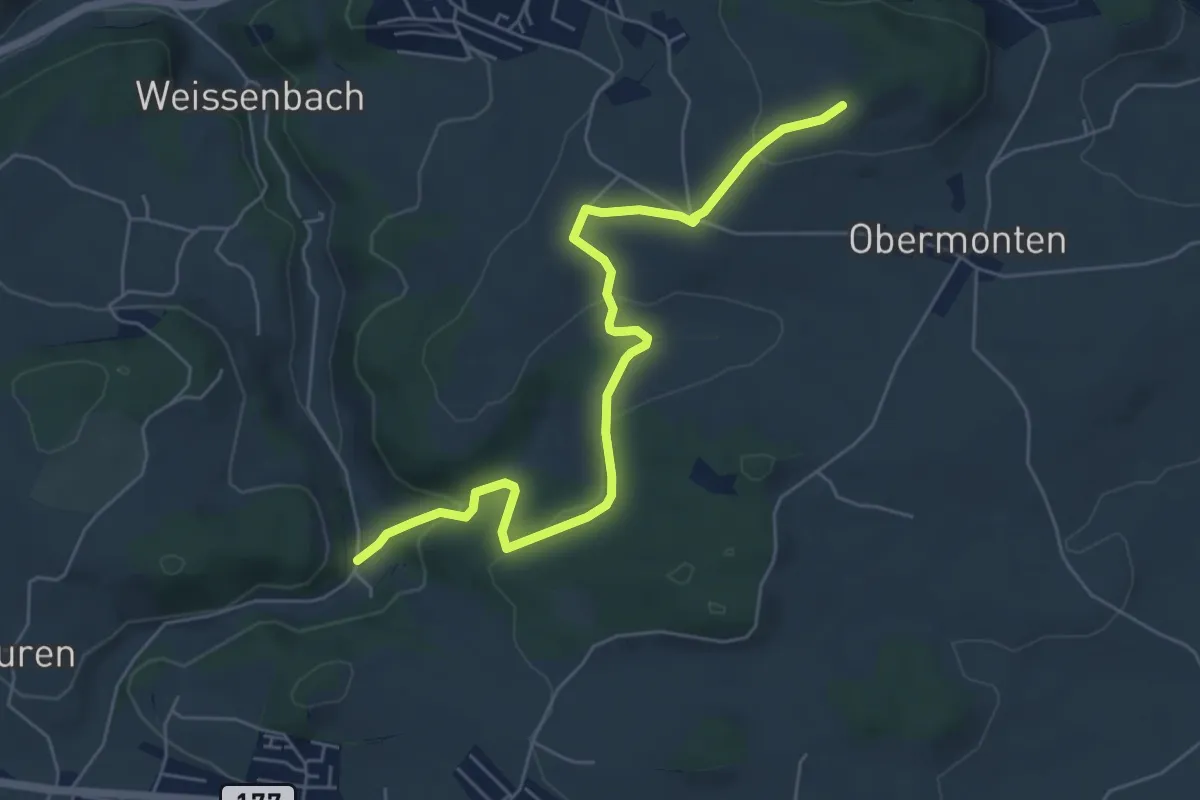
Easy · Trail
Chutz - Seligraben
6.2 km · ↑ 186 m · 1 h 52 min · 11 km away
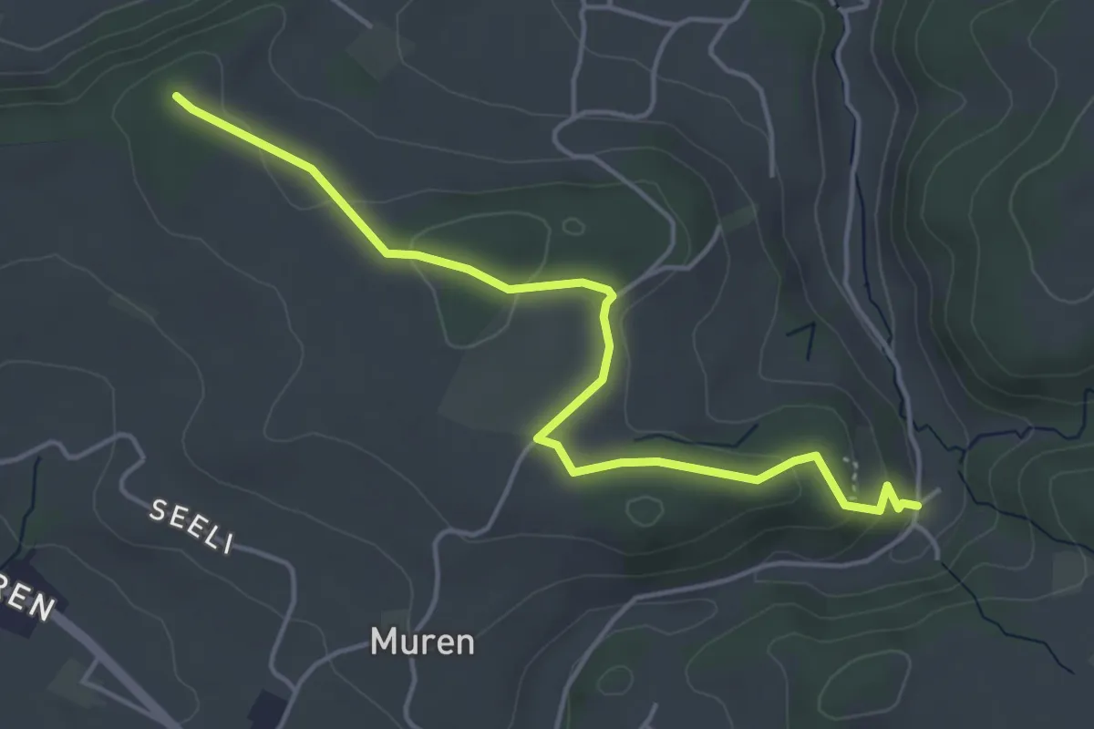
Easy · Trail
Seligraben - Pfaffenhölzli
4.7 km · ↑ 126 m · 1 h 23 min · 11 km away
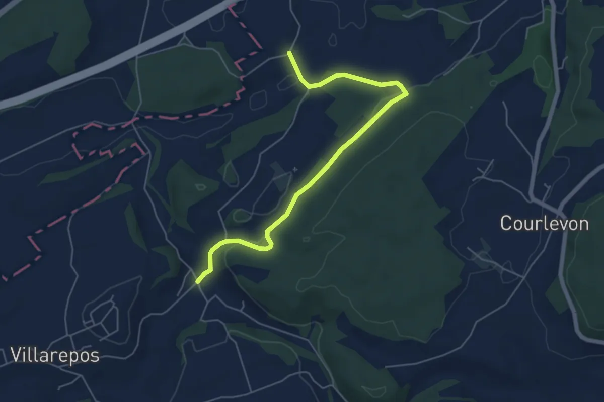
Easy · Trail
Chandossel - Clavaleyer
5.4 km · ↑ 180 m · 1 h 40 min · 11 km away
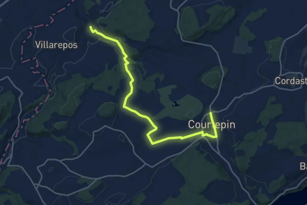
Medium · Trail
Chandossel - Courtepin Nord
13.2 km · ↑ 195 m · 3 h 32 min · 11 km away
Easy · Trail
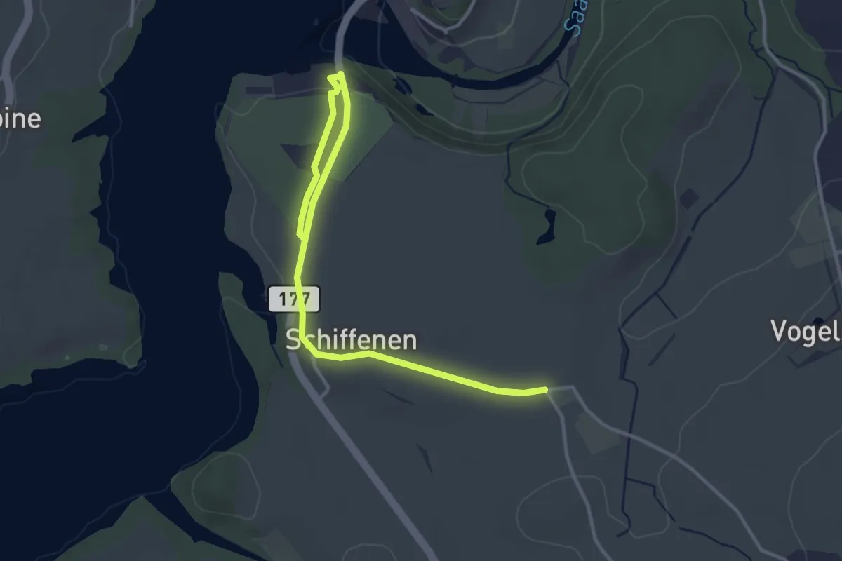
Schlattli - Schiffenen / Camping
4.0 km · ↑ 37 m · 1 h 1 min · 11 km away
Easy · Trail
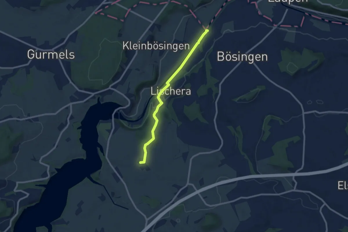
Auriedsteg – Schlattli
6.8 km · ↑ 99 m · 1 h 49 min · 11 km away
Easy · Trail
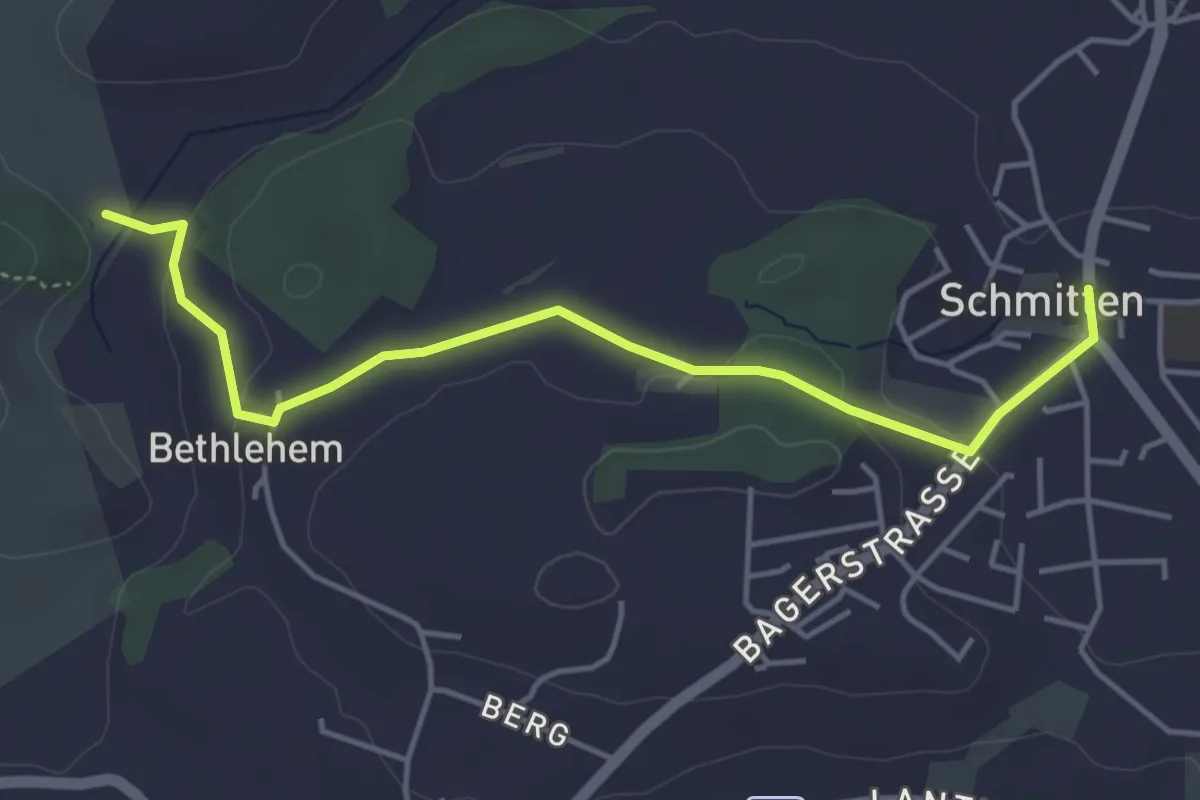
Bethlehem - Schmitten
4.6 km · ↑ 91 m · 1 h 17 min · 11 km away
Easy · Cabin
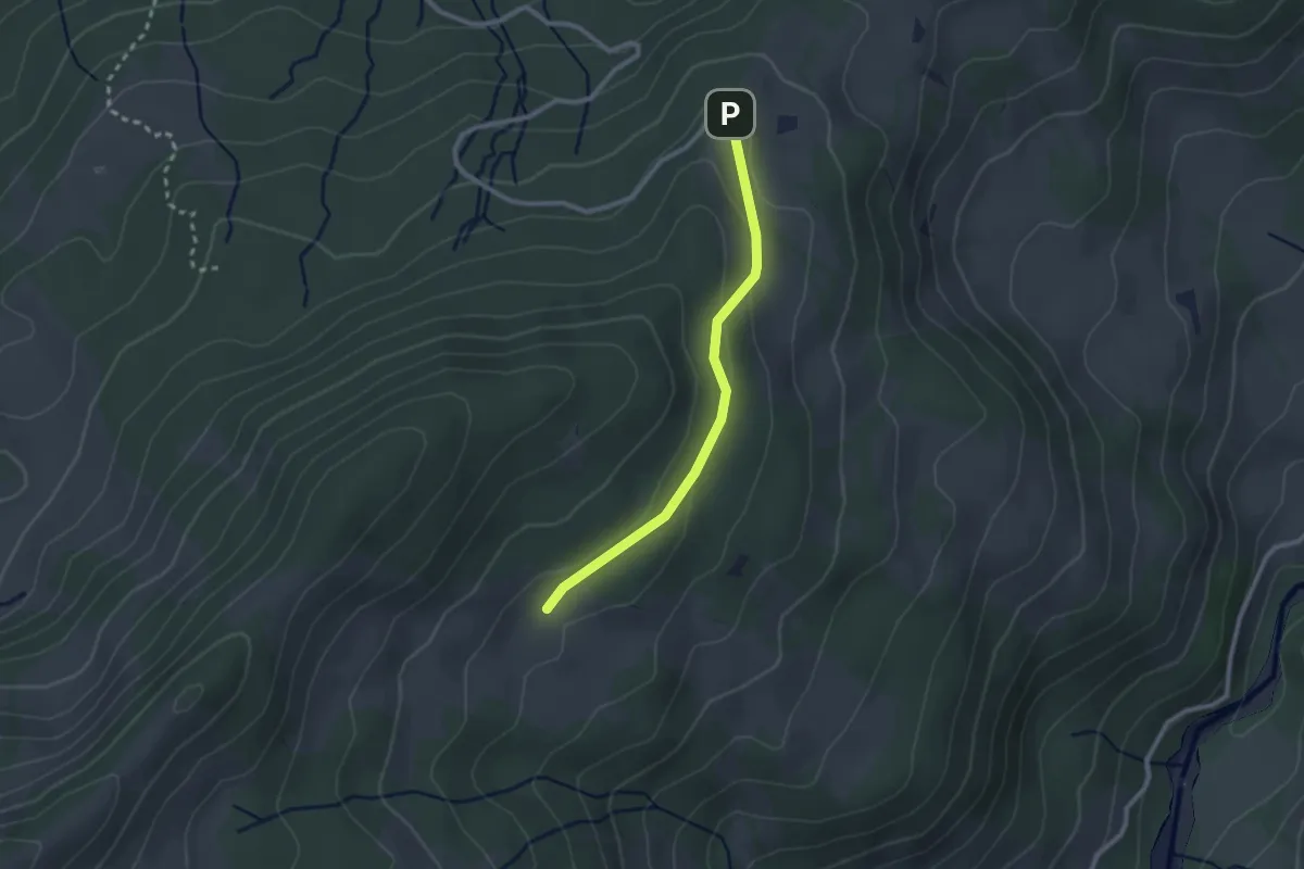
Crau – Wusta
2.3 km · ↑ 68 m · 41 min · 11 km away
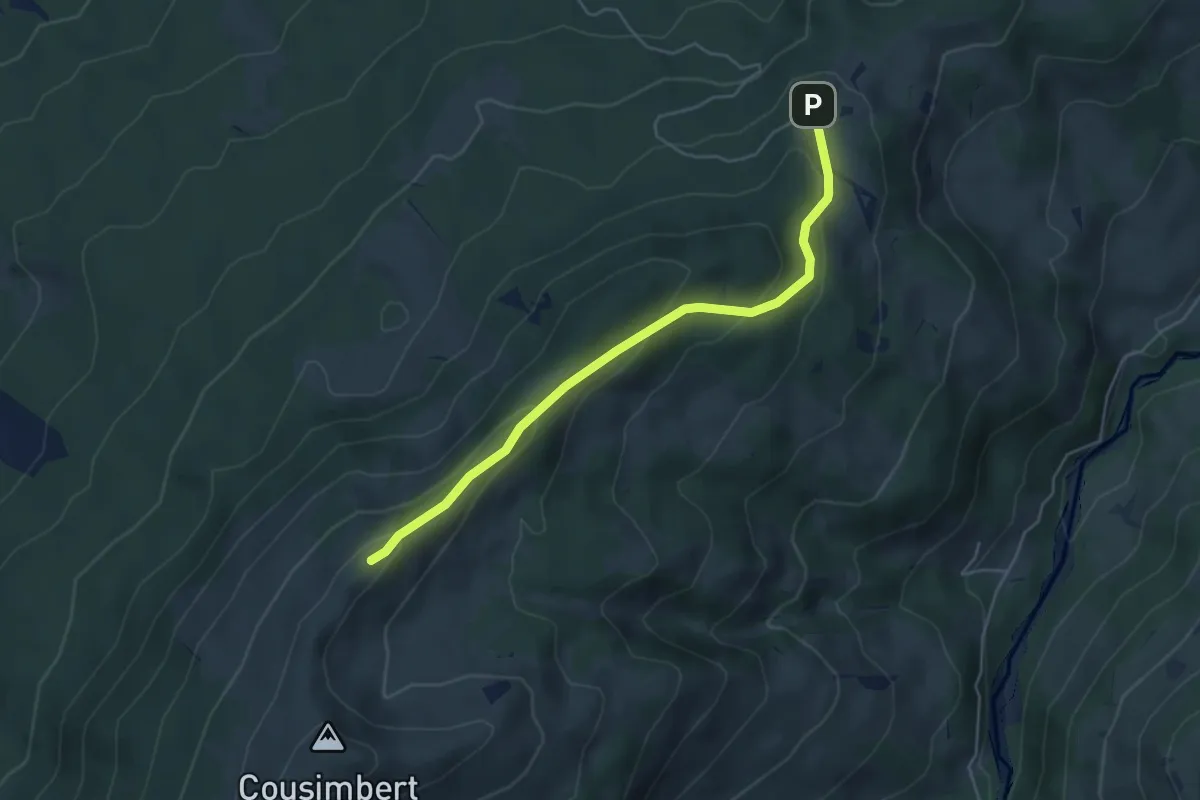
Easy · Cabin
Crau – Gros Cousimbert Käsenberg
4.9 km · ↑ 227 m · 1 h 39 min · 11 km away
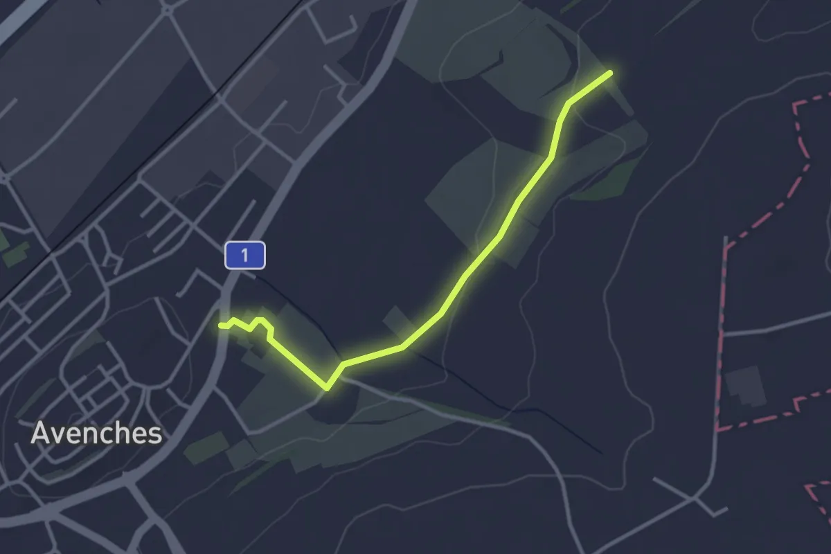
Easy · Trail
La Porte de l'Est - Le Cigognier
3.0 km · ↑ 37 m · 47 min · 11 km away
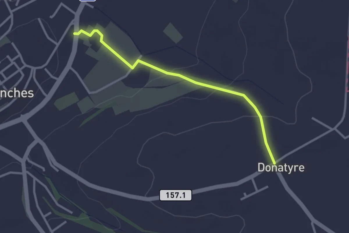
Easy · Trail
Avenches - Donatyre
2.6 km · ↑ 58 m · 44 min · 11 km away
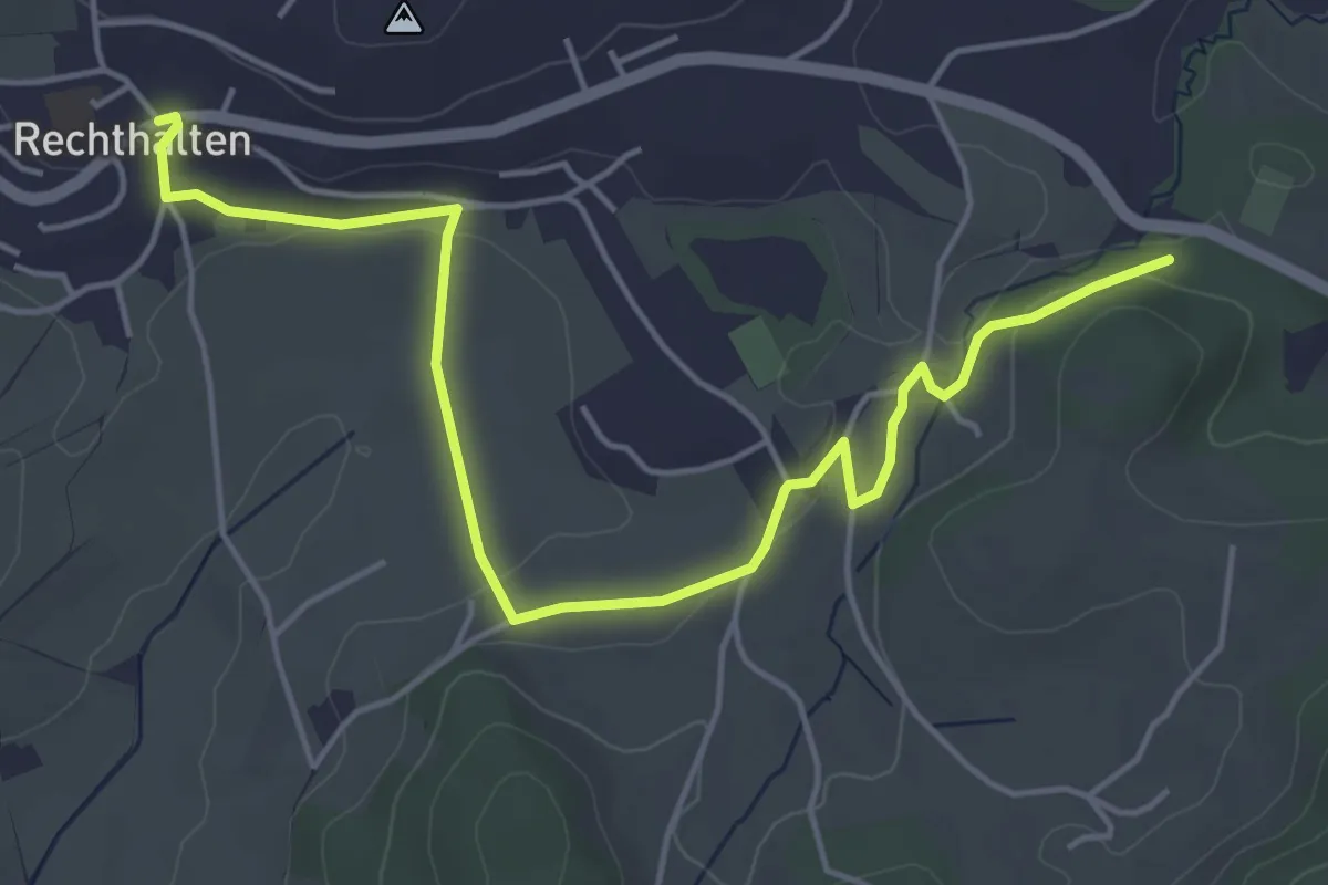
Easy · Trail
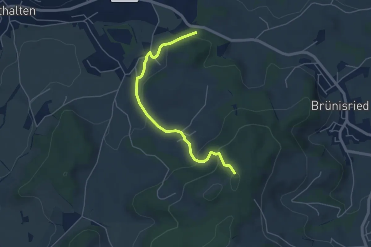
Rechthalten - Brügi
5.7 km · ↑ 92 m · 1 h 33 min · 11 km away
Easy · Trail
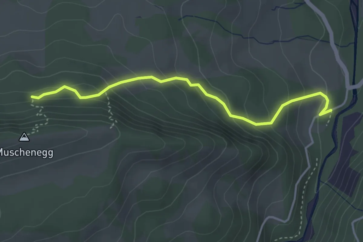
Buechenchäppeli - Brügi
4.5 km · ↑ 172 m · 1 h 25 min · 11 km away
Easy · Trail
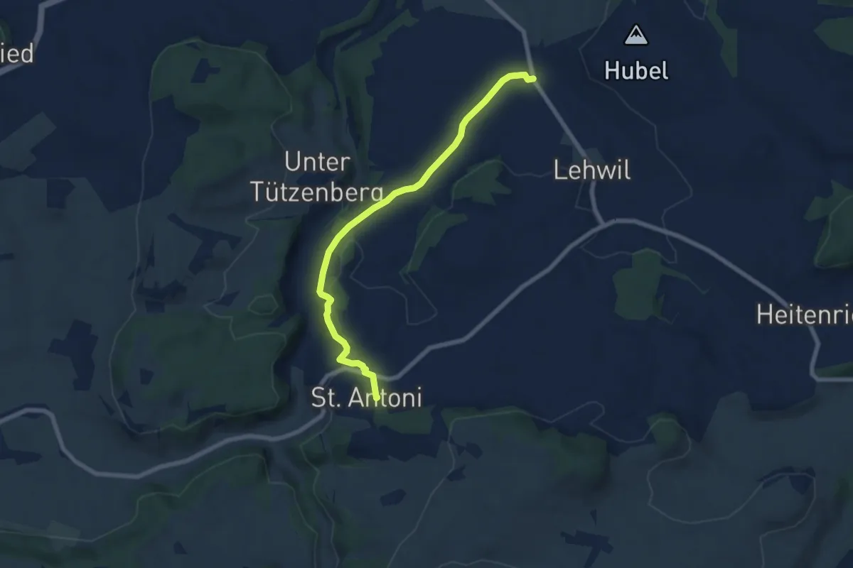
Roggeli – Burgerwald
3.6 km · ↑ 266 m · 1 h 25 min · 11 km away
Easy · Trail
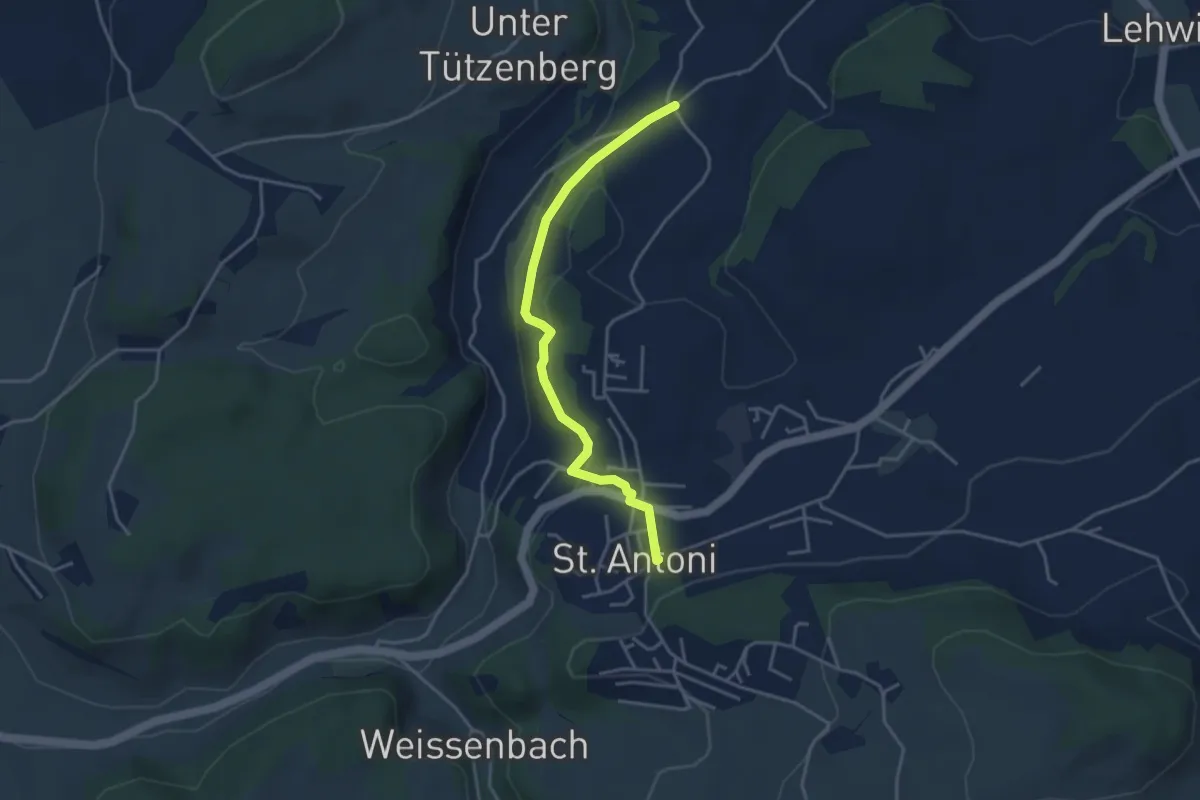
St. Antoni - Niedermuhren
6.8 km · ↑ 177 m · 1 h 59 min · 12 km away
Easy · Trail
St. Antoni - Meinzishaus
3.8 km · ↑ 154 m · 1 h 14 min · 12 km away
Easy · Summit
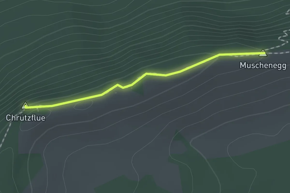
Muschenegg – Oberi Gigera
1.4 km · ↑ 42 m · 25 min · 12 km away
Easy · Trail
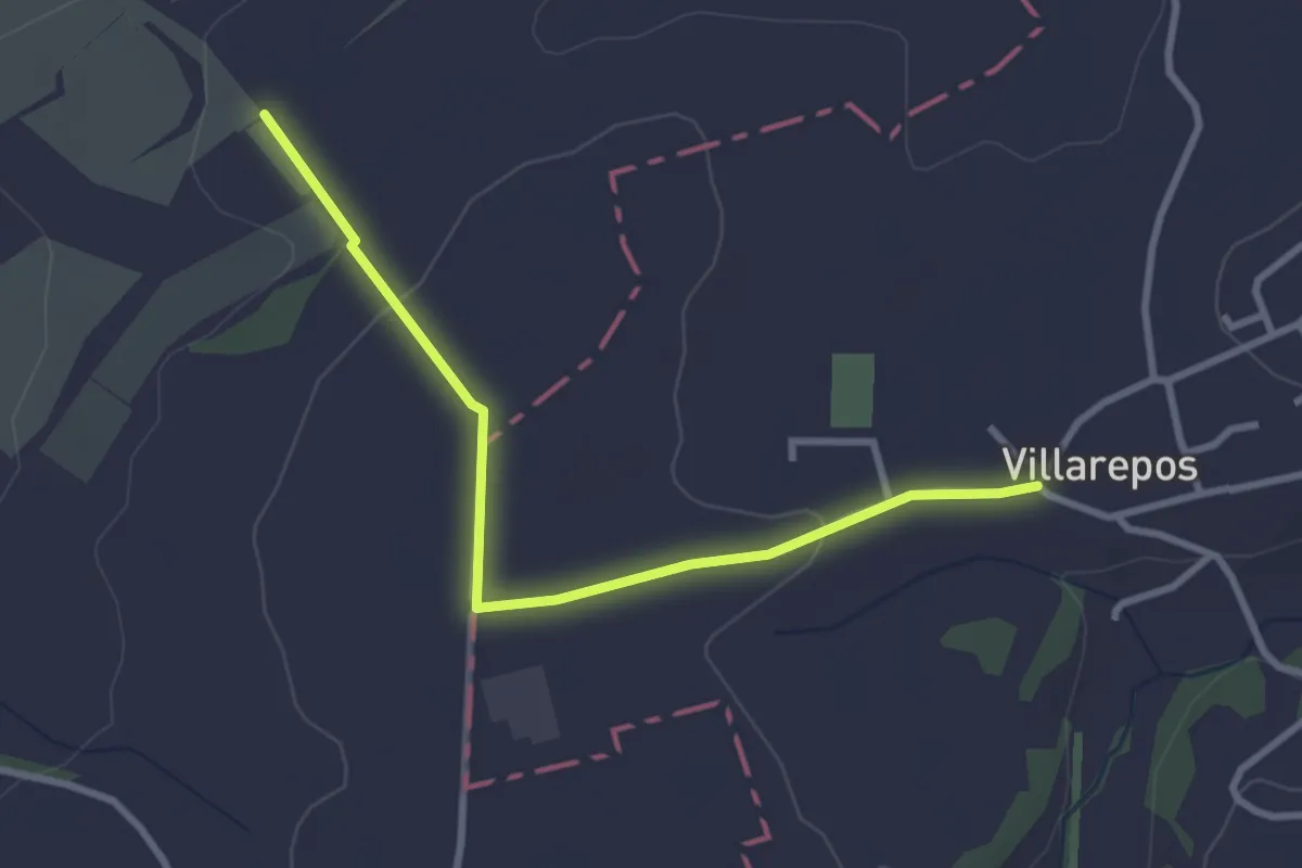
Villarepos - La Porte de l'Est
3.1 km · ↑ 54 m · 51 min · 12 km away
Easy · Trail
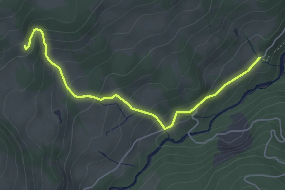
Obere Gigera - Hitusvorsass
4.3 km · ↑ 254 m · 1 h 34 min · 12 km away
Easy · Cabin
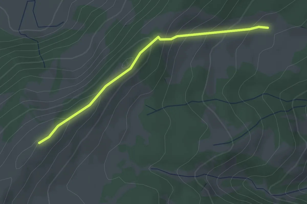
Gros Cousimbert Käsenberg – Wusta
2.7 km · ↑ 180 m · 1 h 2 min · 12 km away