Trails near Villars-sur-Glâne
205 hikes starting within 15 km, nearest first.
Nearest first, page 4 of 5
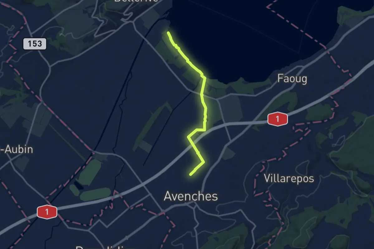
Medium · Trail
Avenches - fixme
9.1 km · ↑ 17 m · 2 h 11 min · 12 km away
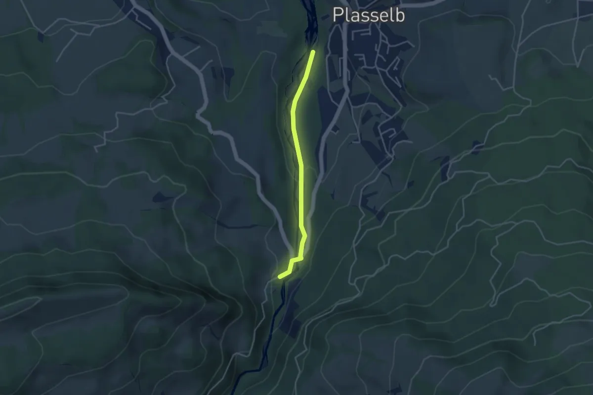
Easy · Trail
Plasselb Ärgerabrücke – Roggeli
3.3 km · ↑ 87 m · 57 min · 12 km away
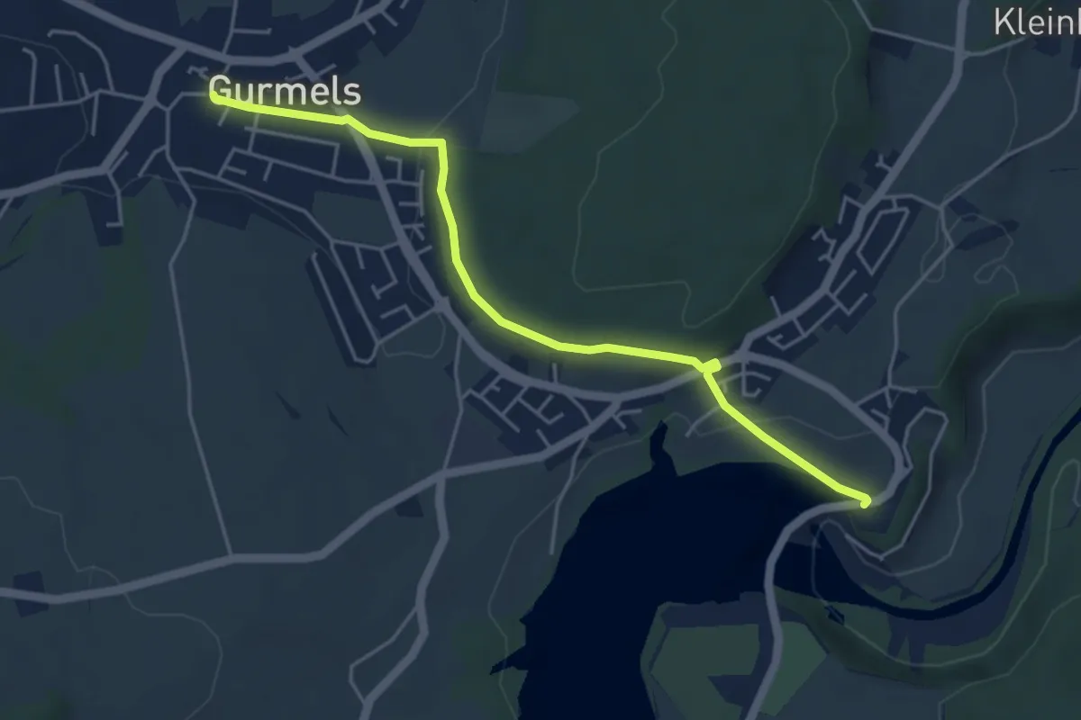
Easy · Trail
Schiffenen / Staumauer – Gurmels
4.7 km · ↑ 84 m · 1 h 17 min · 12 km away
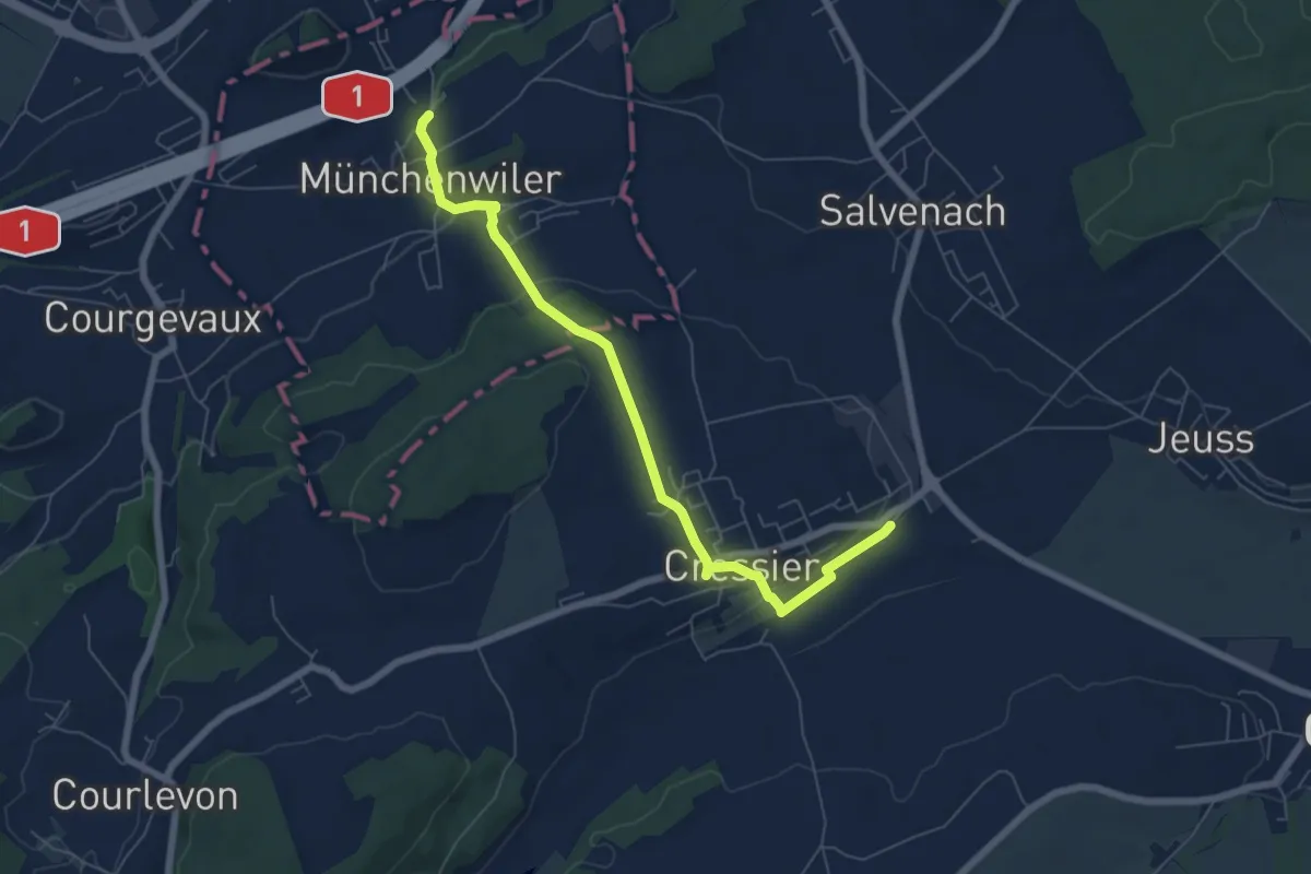
Easy · Trail
Cressier – Münchenwiler Chliholz
6.8 km · ↑ 153 m · 1 h 56 min · 12 km away
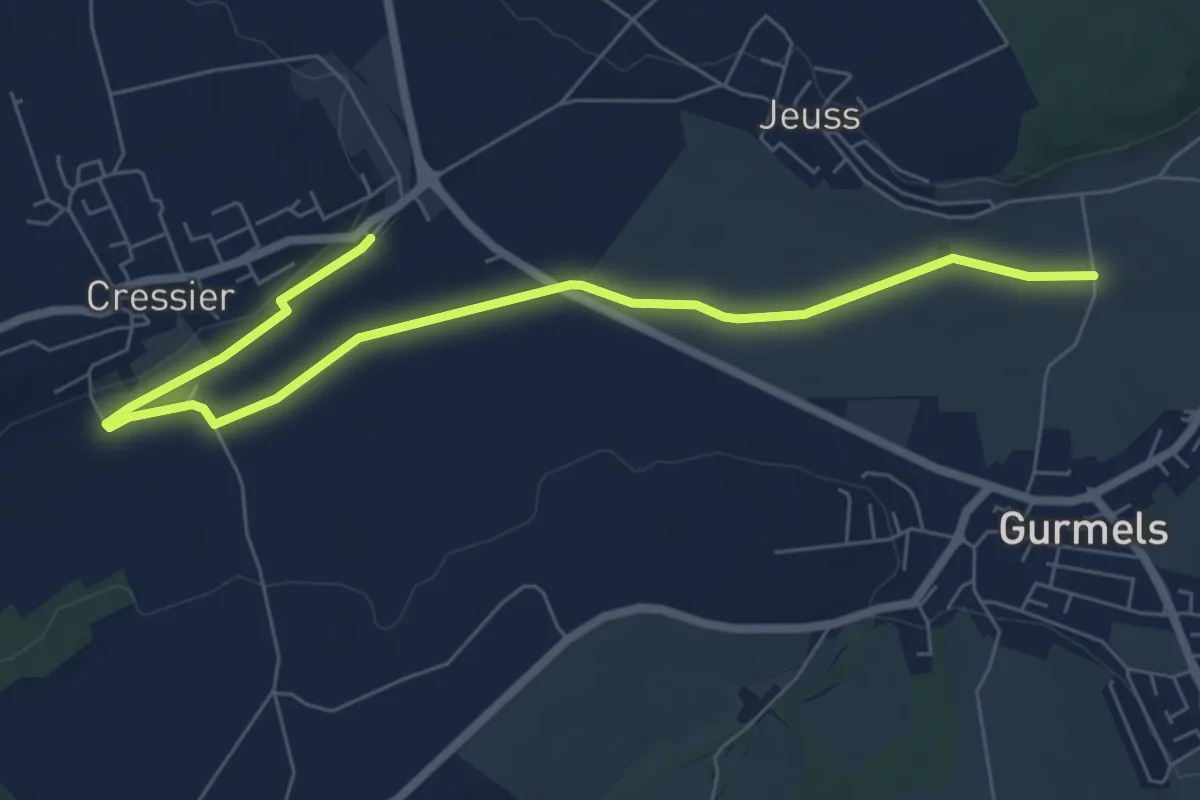
Easy · Trail
Bieberenächer – Cressier
7.8 km · ↑ 21 m · 1 h 53 min · 12 km away
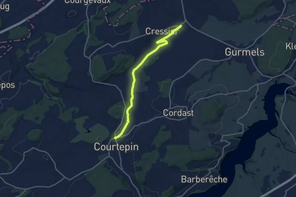
Medium · Trail
Courtepin-gare – Cressier
10.2 km · ↑ 70 m · 2 h 34 min · 12 km away
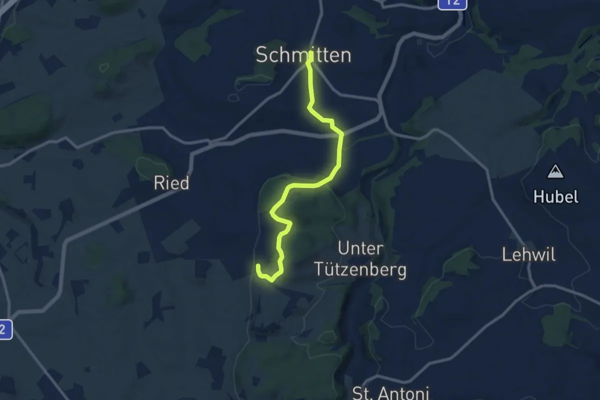
Easy · Trail
Schmitten - Wiler
7.8 km · ↑ 267 m · 2 h 25 min · 12 km away
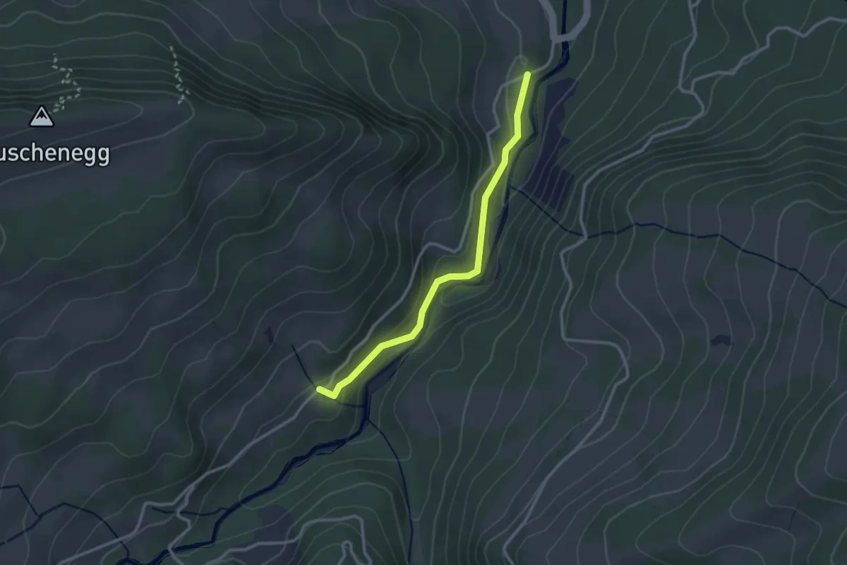
Easy · Trail
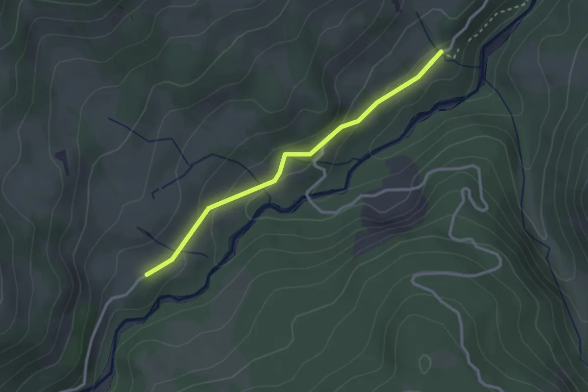
Roggeli – Hitusvorsass
2.6 km · ↑ 78 m · 47 min · 13 km away
Easy · Trail
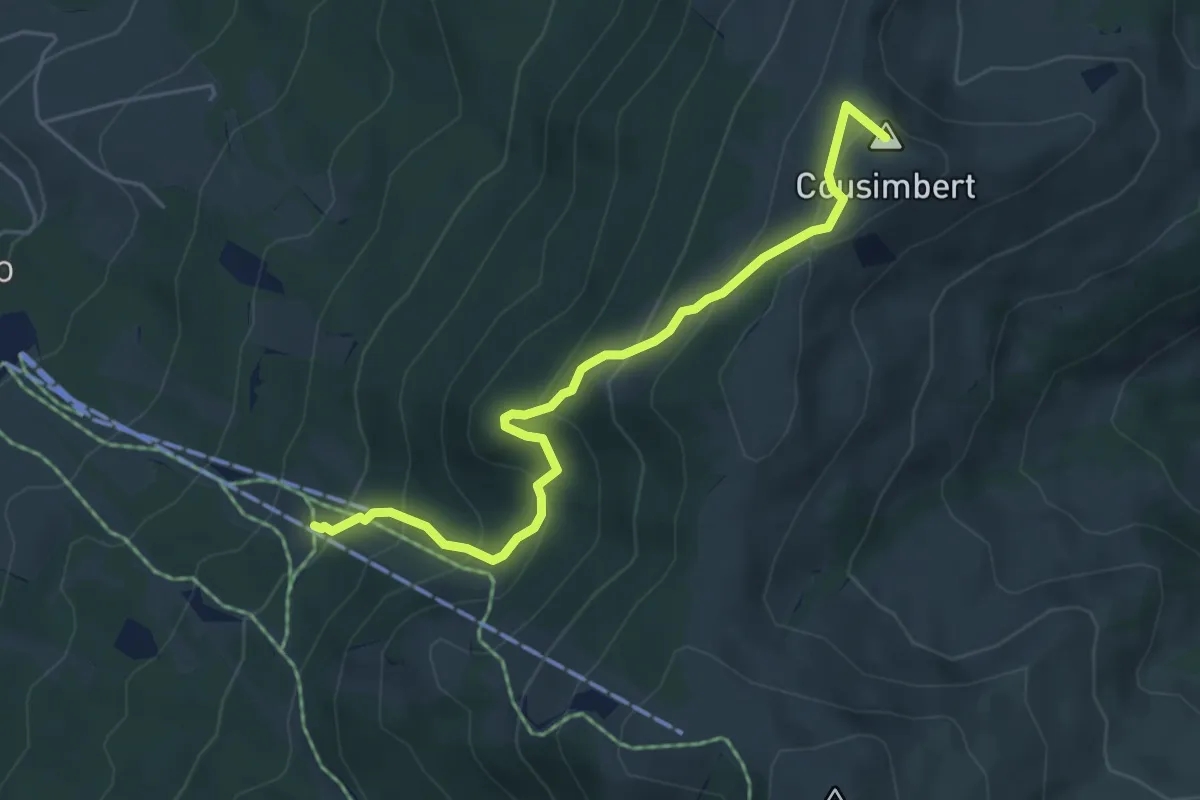
Hitusvorsass - fixme
2.6 km · ↑ 88 m · 48 min · 13 km away
Medium · Summit
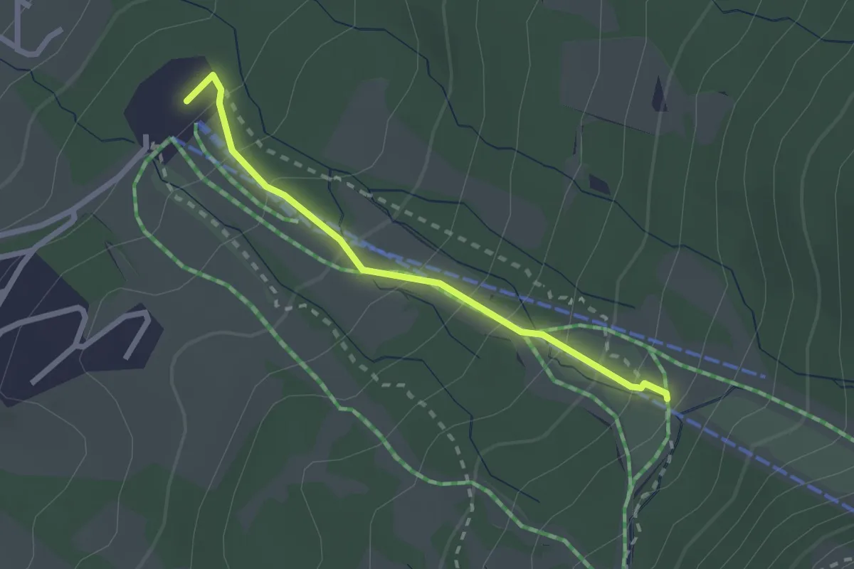
Gros Cousimbert Käsenberg – La Tschaka
5.2 km · ↑ 453 m · 2 h 13 min · 13 km away
Easy · Trail
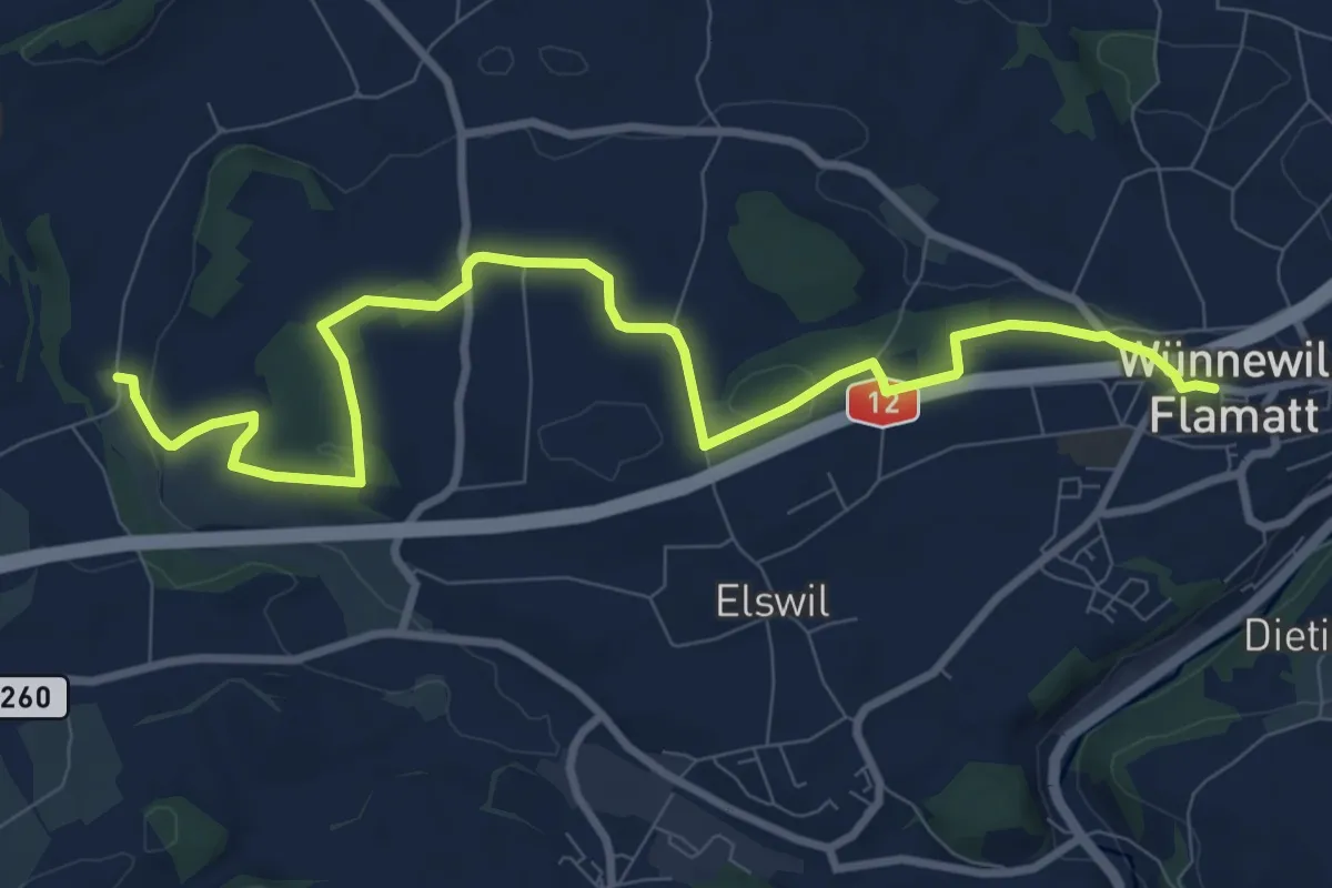
Le Brand – La Tschaka
2.1 km · ↑ 188 m · 55 min · 13 km away
Medium · Trail
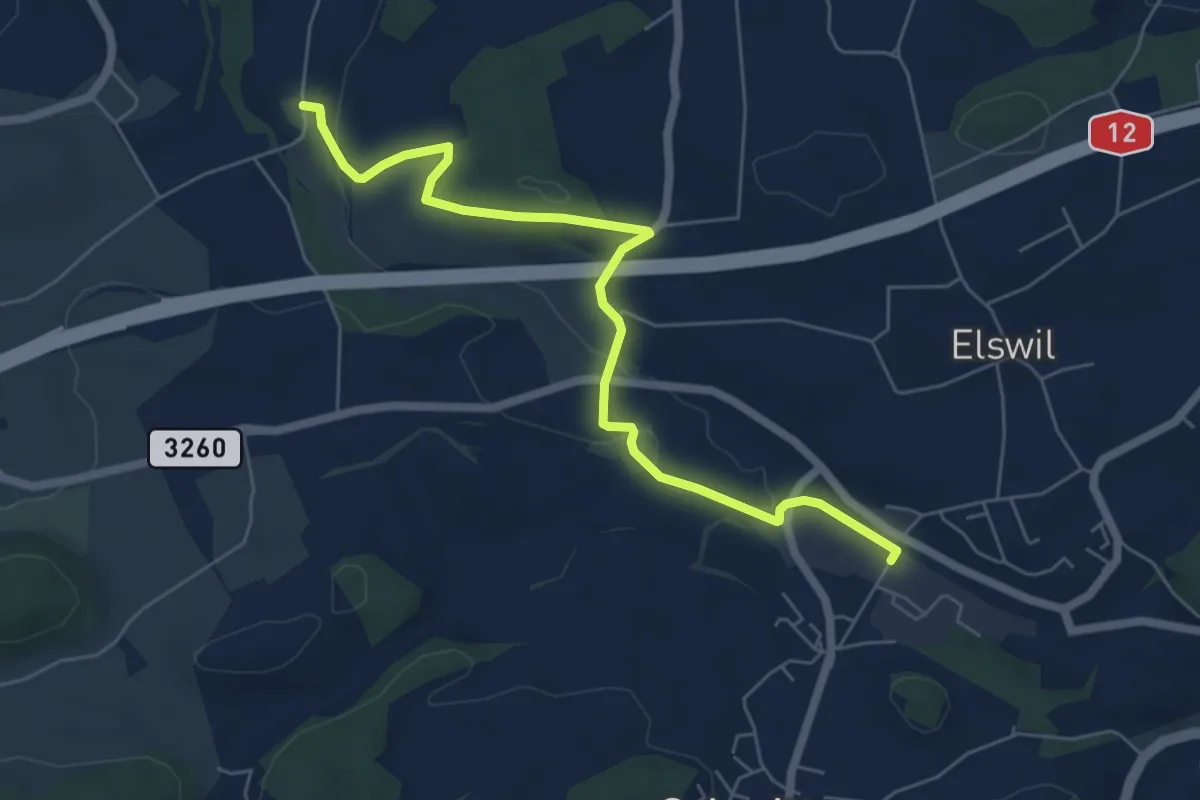
Wünnewil - Richterswil
10.8 km · ↑ 181 m · 2 h 57 min · 13 km away
Easy · Trail
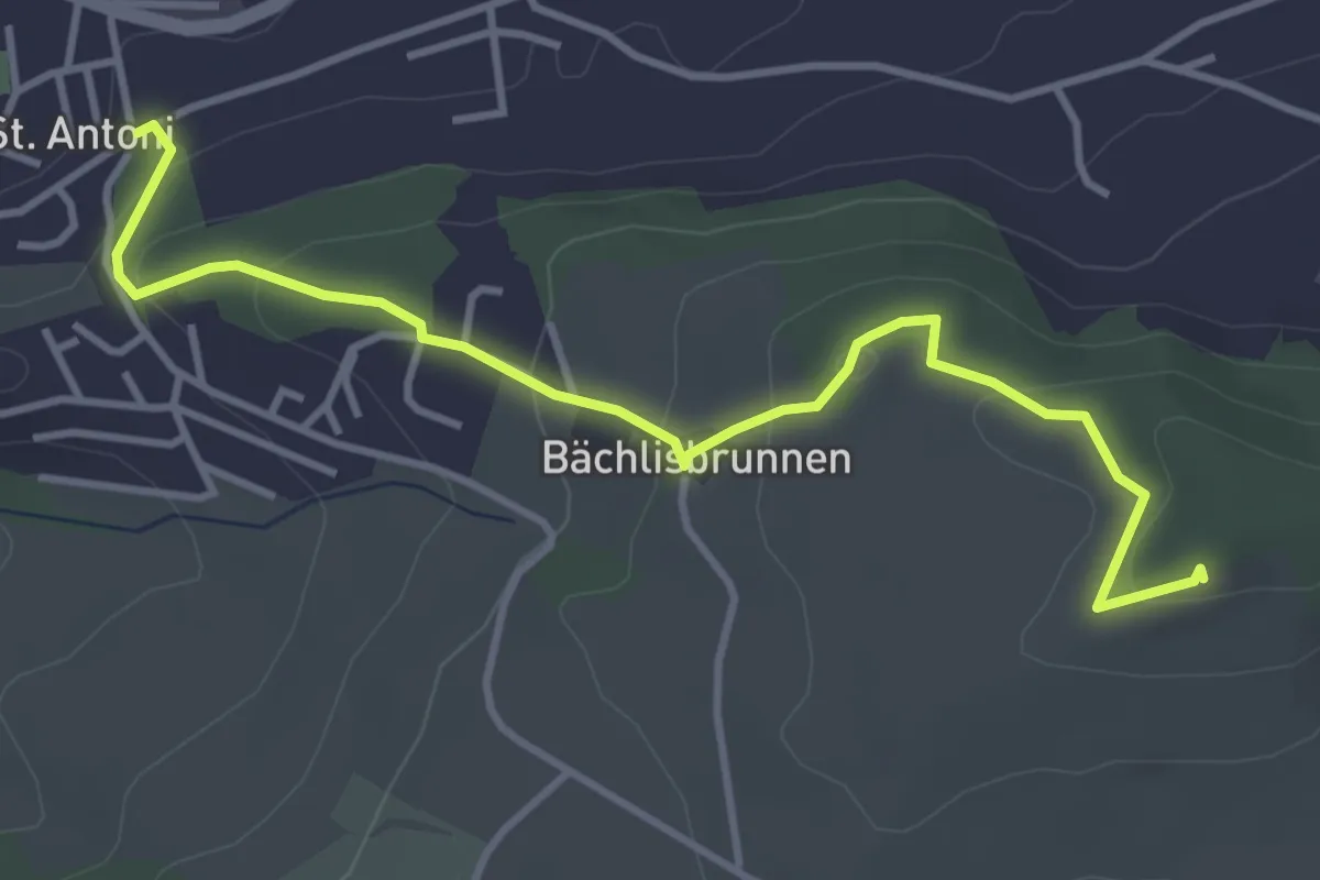
Schmitten Station - Richterswil
6.4 km · ↑ 98 m · 1 h 44 min · 13 km away
Easy · Trail
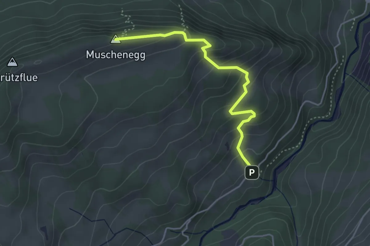
St. Antoni - Chutz
4.3 km · ↑ 154 m · 1 h 20 min · 13 km away
Easy · Summit
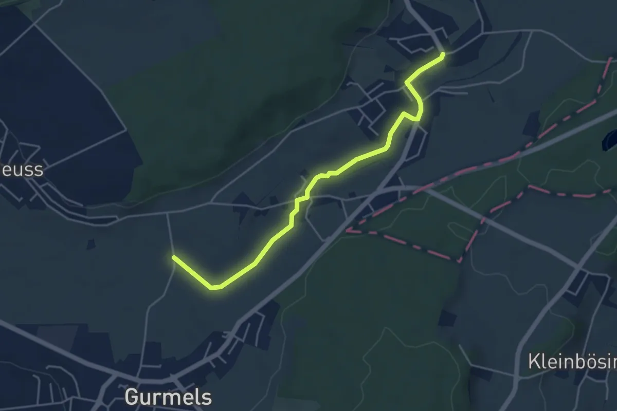
Hitusvorsass – Muschenegg
3.9 km · ↑ 263 m · 1 h 29 min · 13 km away
Easy · Trail
Liebistorf – Biberenächer
4.4 km · ↑ 25 m · 1 h 6 min · 13 km away
Easy · Trail
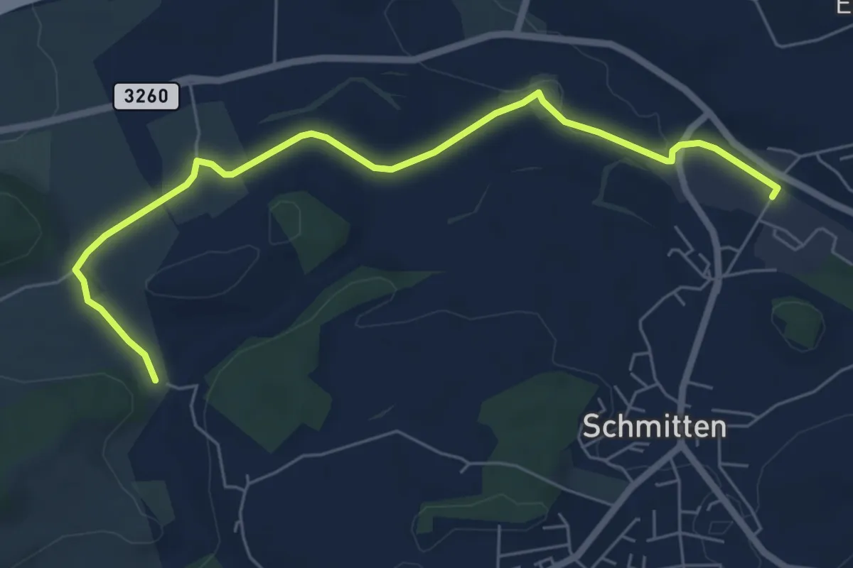
Bethlehem - Schmitten Station
6.5 km · ↑ 61 m · 1 h 41 min · 13 km away
Medium · Trail
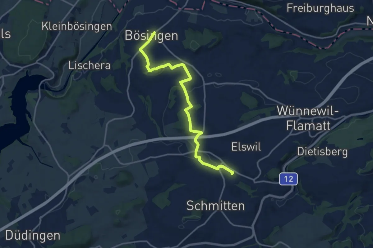
Bösingen - Schmitten Station
12.0 km · ↑ 208 m · 3 h 17 min · 13 km away
Easy · Summit
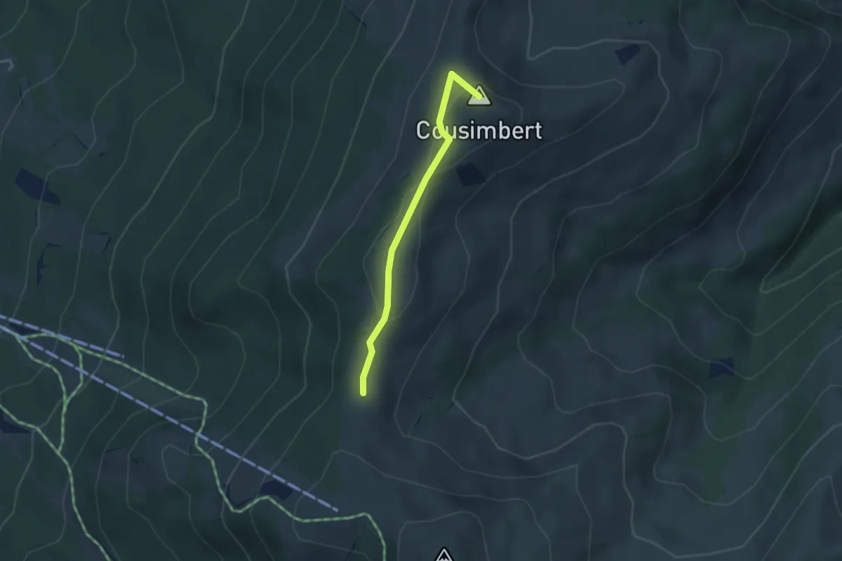
Gros Cousimbert Käsenberg – Supillette
2.9 km · ↑ 141 m · 1 h · 13 km away
Medium · Trail
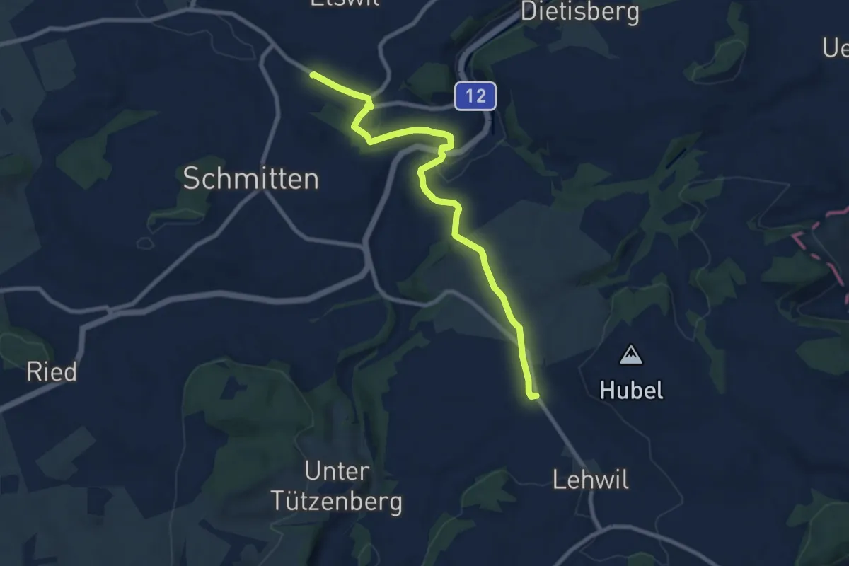
Schmitten Station - Niedermuhren
8.3 km · ↑ 157 m · 2 h 18 min · 13 km away
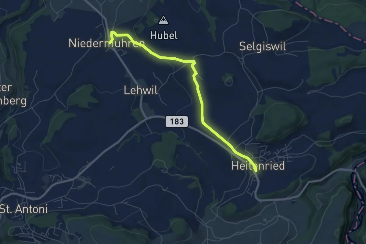
Easy · Trail
Niedermuhren - Heitenried
6.6 km · ↑ 140 m · 1 h 52 min · 13 km away
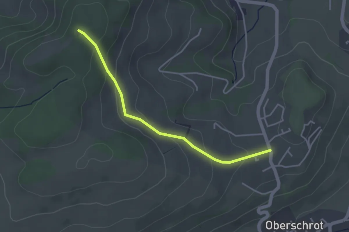
Easy · Trail
Berg - Buechenchäppeli
3.1 km · ↑ 115 m · 1 h · 13 km away
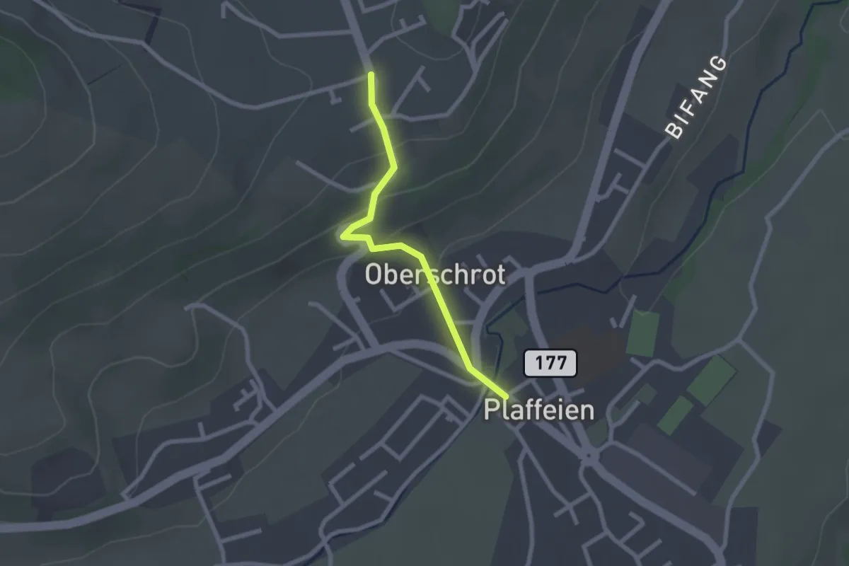
Easy · Trail
Plaffeien – Berg
2.0 km · ↑ 82 m · 40 min · 13 km away
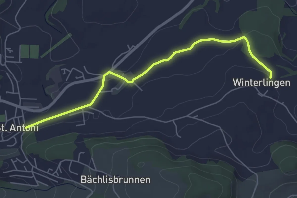
Easy · Trail
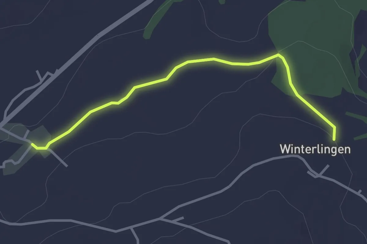
St. Antoni - Winterlingen
4.9 km · ↑ 62 m · 1 h 17 min · 13 km away
Easy · Trail
Winterlingen - Niedermonten
2.9 km · ↑ 43 m · 47 min · 13 km away
Easy · Cabin
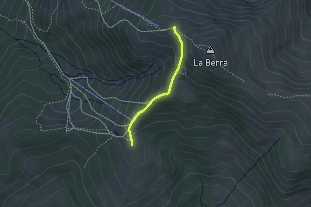
La Berra Chalet – Gîte d'Allières
2.3 km · ↑ 146 m · 51 min · 14 km away
Easy · Trail
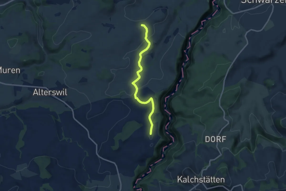
Ober Maggenberg - Melisried
8.0 km · ↑ 165 m · 2 h 14 min · 14 km away
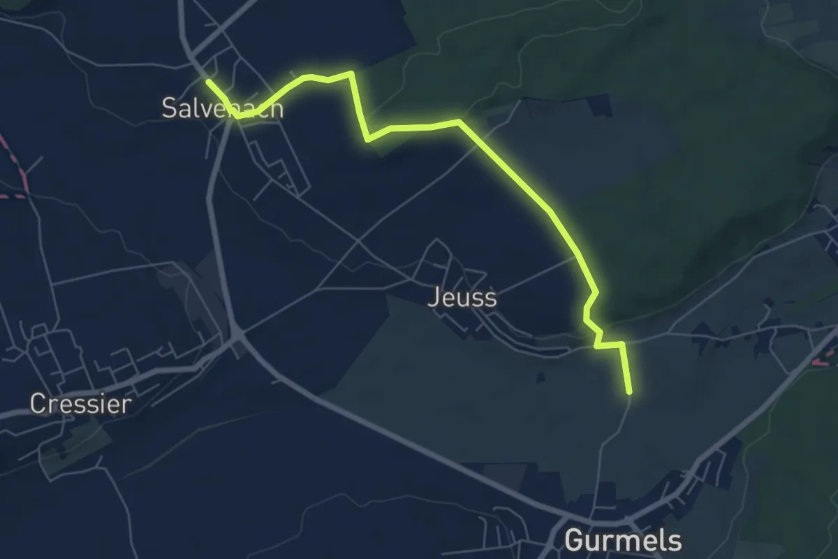
Easy · Trail
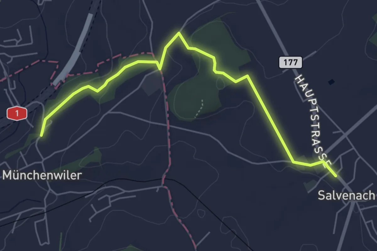
Münchenwiler Chliholz – Salvenach
5.6 km · ↑ 110 m · 1 h 33 min · 14 km away
Easy · Trail
Salvenach – Bieberenächer
6.6 km · ↑ 131 m · 1 h 50 min · 14 km away
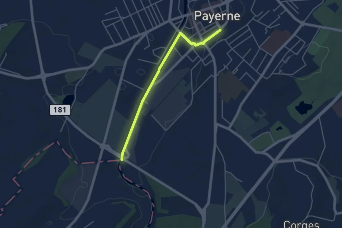
Easy · Trail
Payerne Gare – Payerne
3.5 km · ↑ 4 m · 50 min · 14 km away
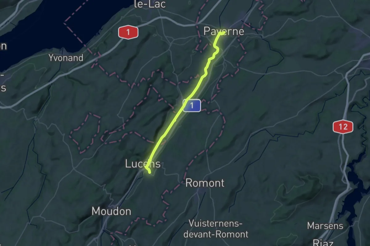
Medium · Trail
ViaJacobi
16.5 km · ↑ 81 m · 4 h 16 min · 14 km away
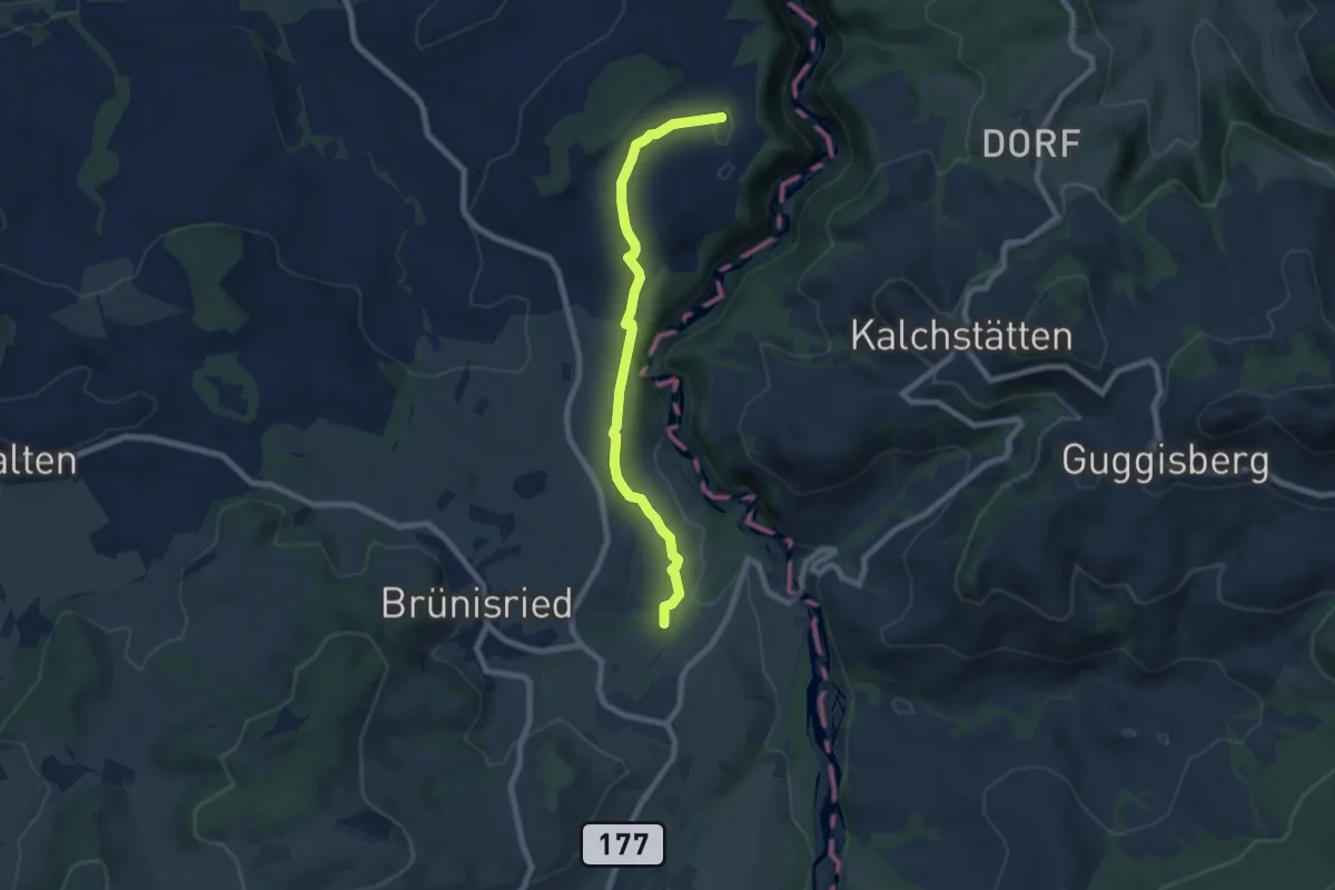
Easy · Trail
Brand - Ober Maggenberg
7.2 km · ↑ 135 m · 2 h · 14 km away
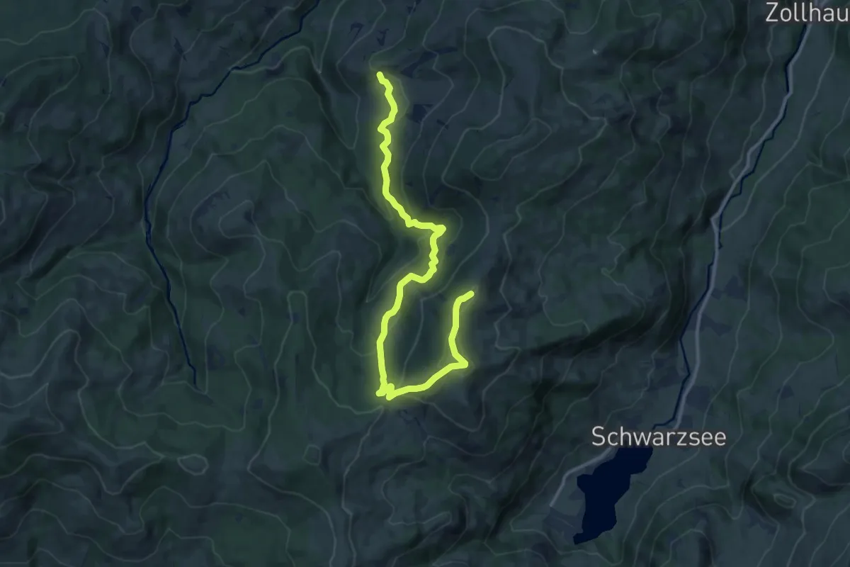
Medium · Trail
Falli-Hölli - Fuchses Schwyberg
13.5 km · ↑ 640 m · 4 h 34 min · 14 km away
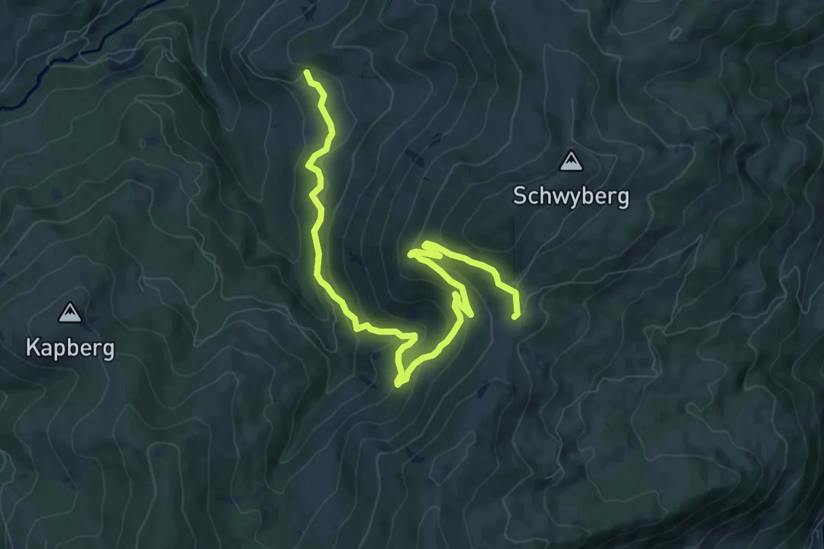
Medium · Trail
Hapferen Schwyberg - Falli-Hölli
10.8 km · ↑ 556 m · 3 h 45 min · 14 km away
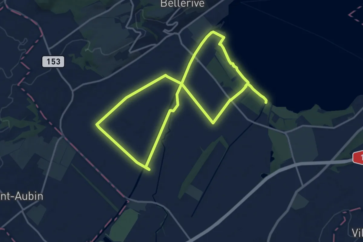
Demanding · Trail
Sentier Au fil de l'eau
20.8 km · ↑ 26 m · 4 h 58 min · 14 km away
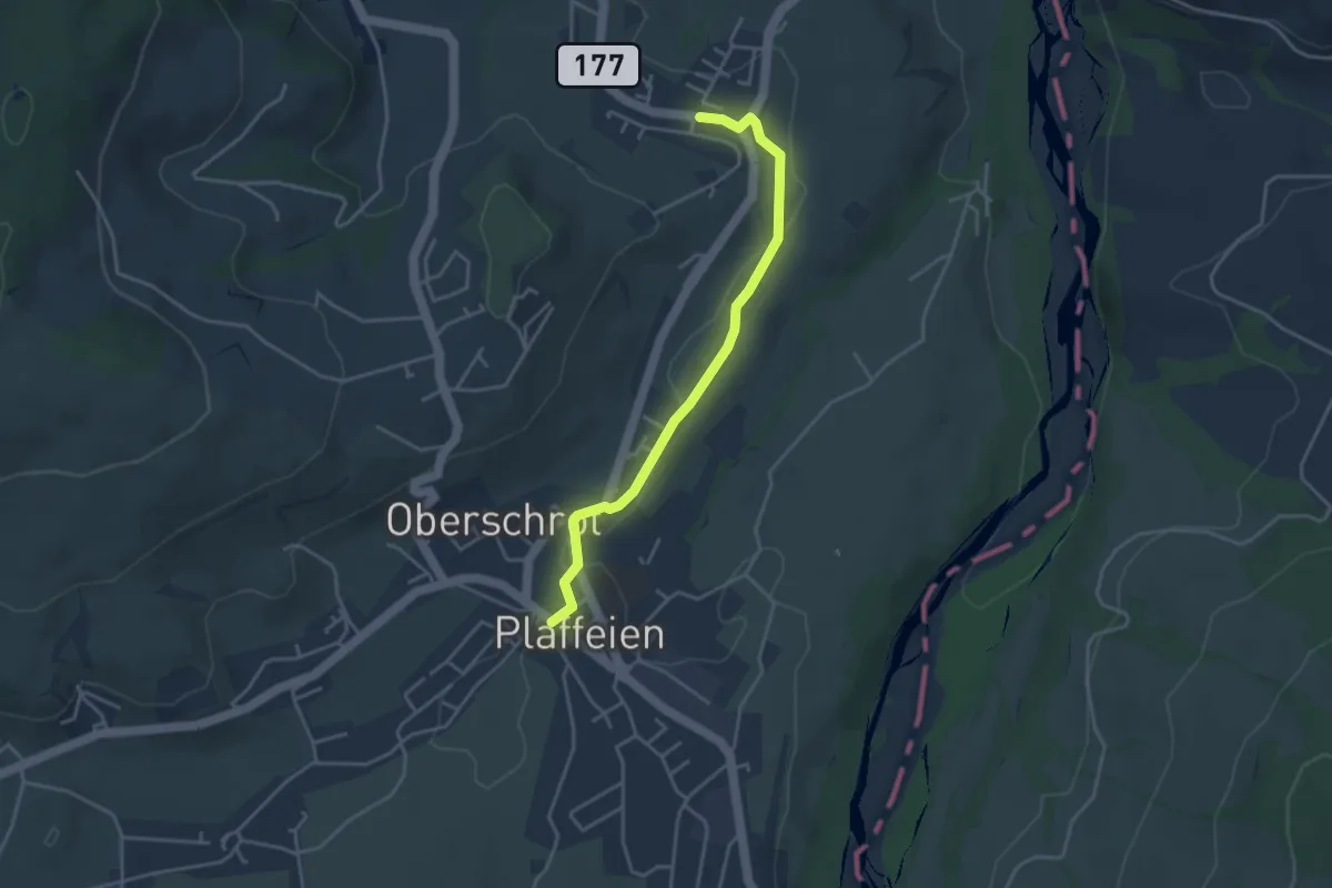
Easy · Trail
Plaffeien – Zumholz
3.7 km · ↑ 41 m · 58 min · 14 km away
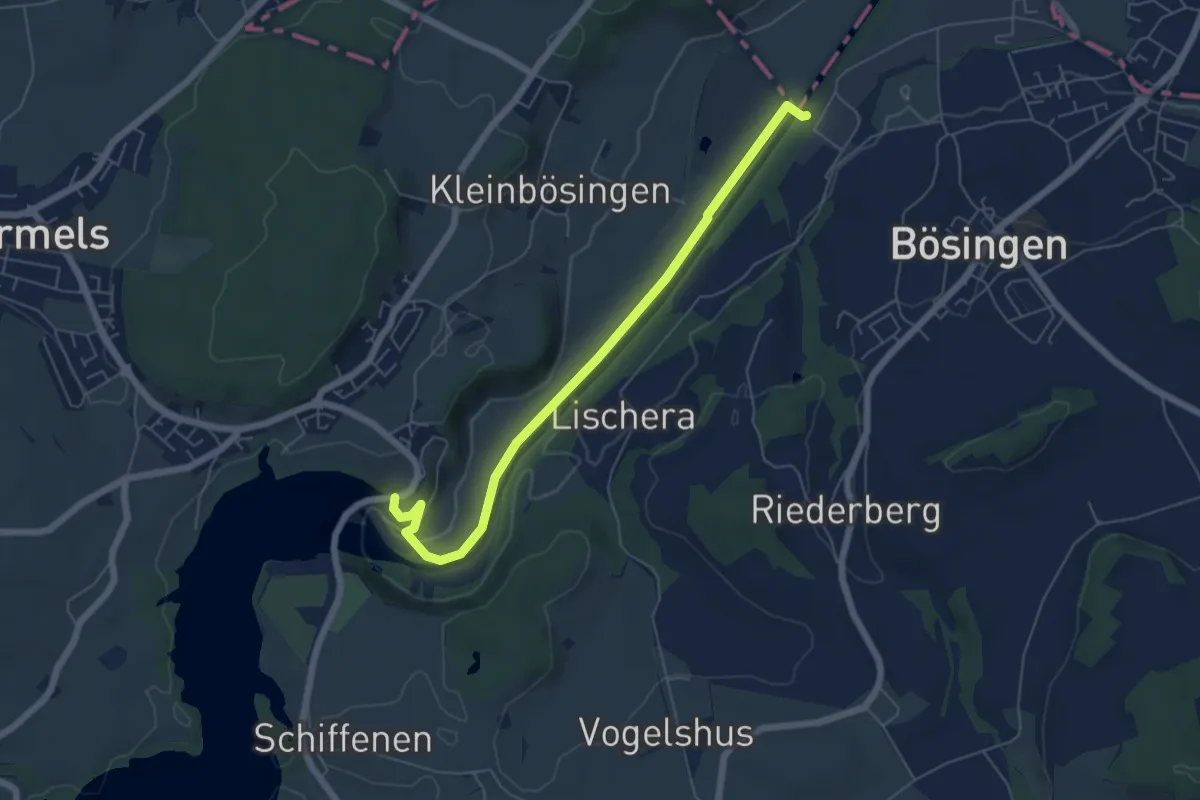
Easy · Trail
Schiffenen / Staumauer - Auriedsteg
6.0 km · ↑ 66 m · 1 h 34 min · 14 km away
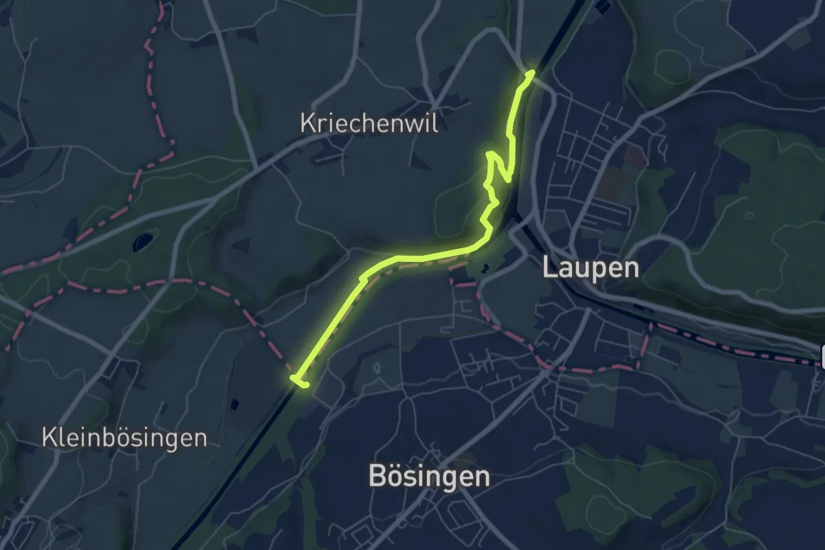
Easy · Trail
Saanebrücke – Auriedsteg
6.1 km · ↑ 177 m · 1 h 50 min · 14 km away
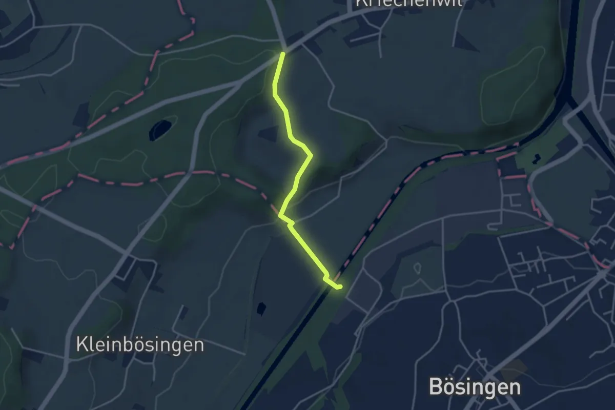
Easy · Trail
Röseli – Auriedsteg
3.0 km · ↑ 63 m · 51 min · 14 km away
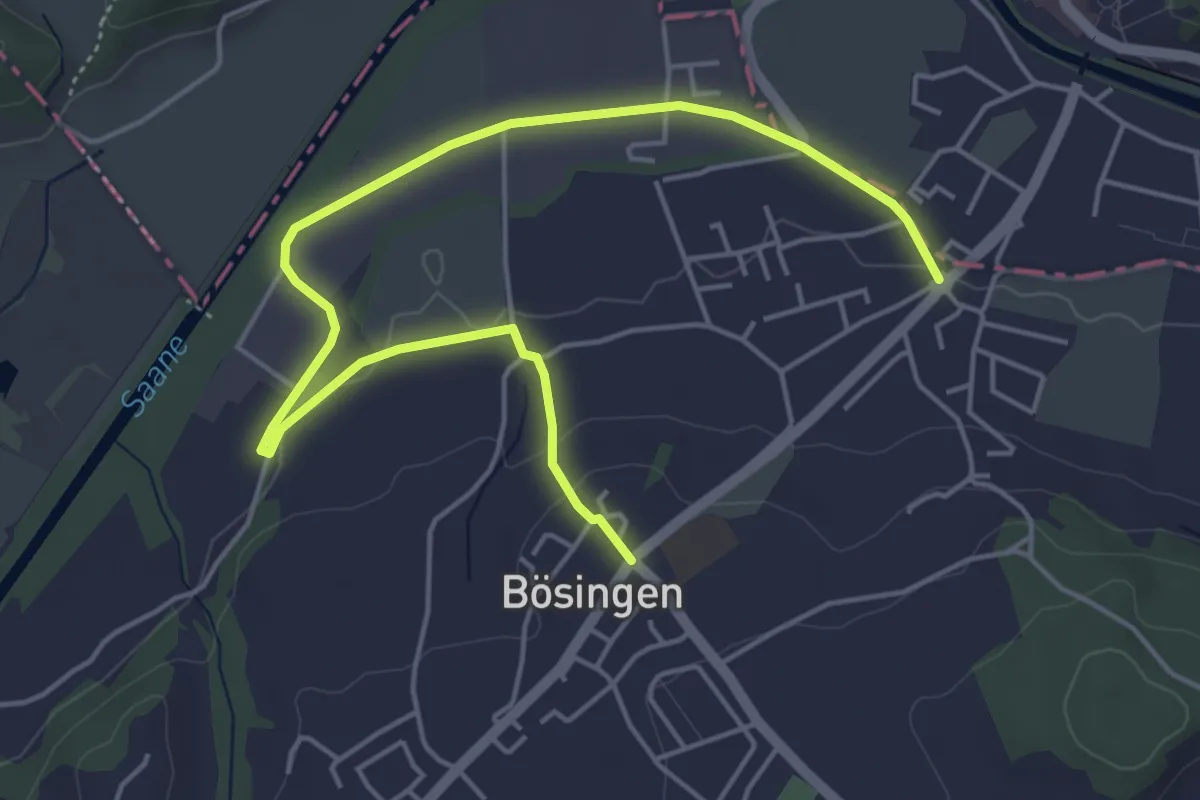
Easy · Trail
Bösingen - Auriedsteg
6.0 km · ↑ 80 m · 1 h 36 min · 14 km away
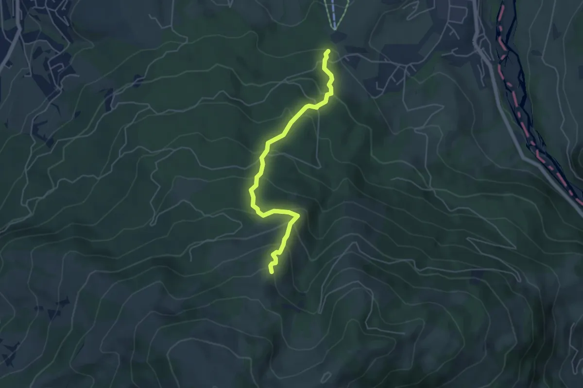
Medium · Trail
Hapfere - Lehmas Bärgli
4.8 km · ↑ 402 m · 2 h · 14 km away
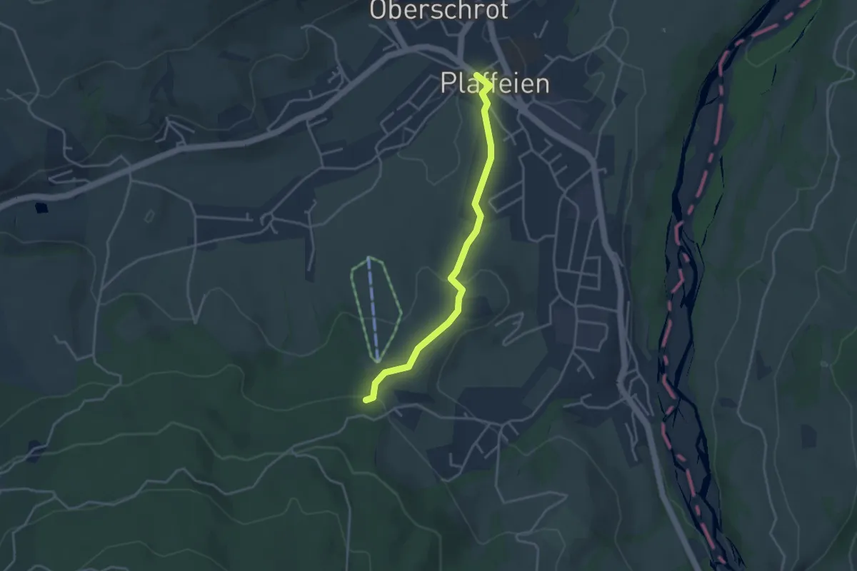
Easy · Trail
Plaffeien – Hapfere
3.4 km · ↑ 90 m · 1 h · 14 km away
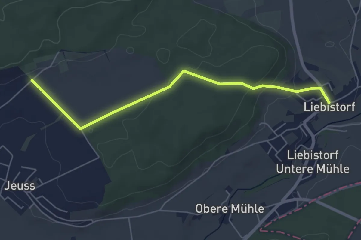
Easy · Trail
Galmguet – Liebistorf
4.8 km · ↑ 104 m · 1 h 22 min · 14 km away
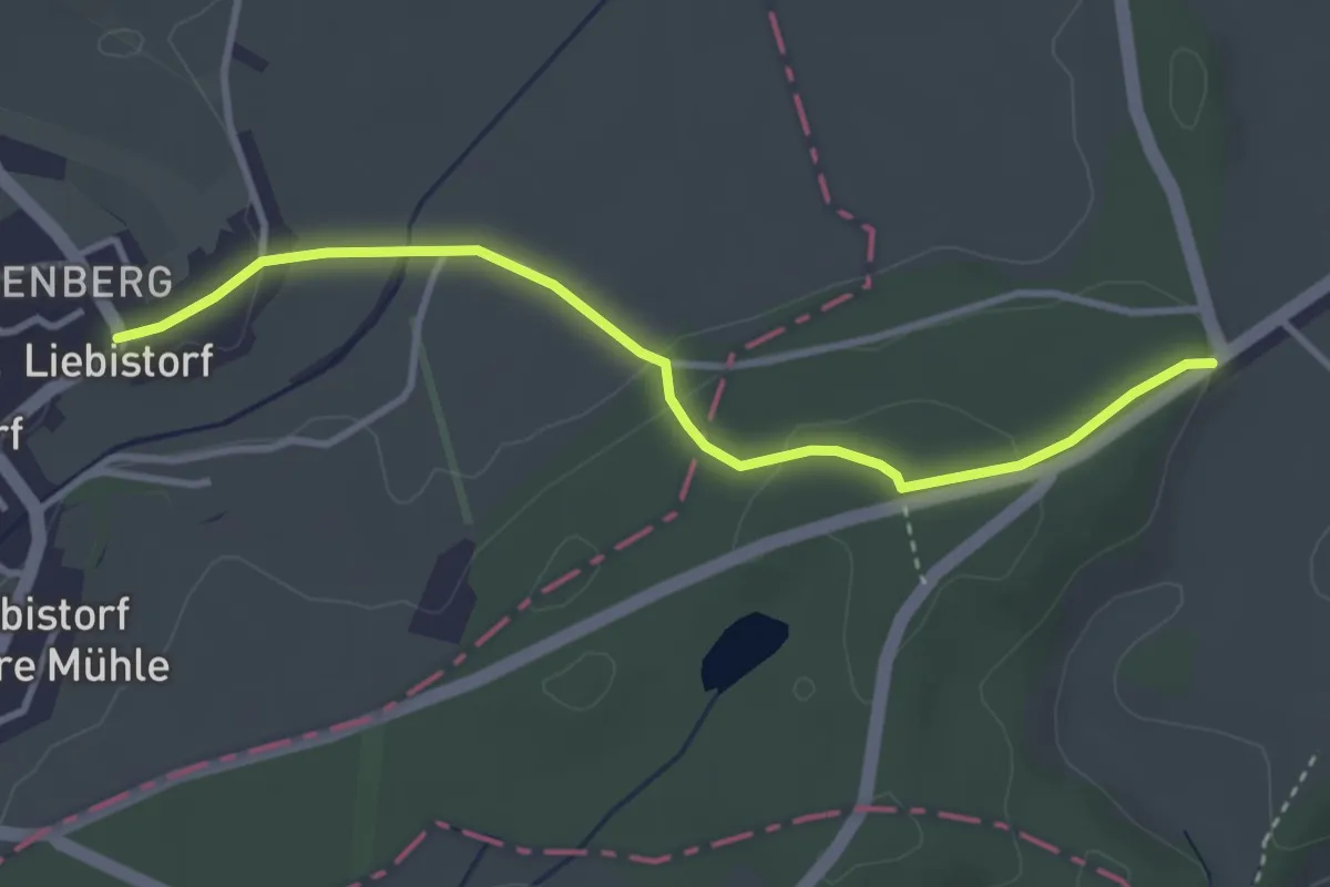
Easy · Trail
Liebistorf – Röseli
3.5 km · ↑ 95 m · 1 h 2 min · 14 km away
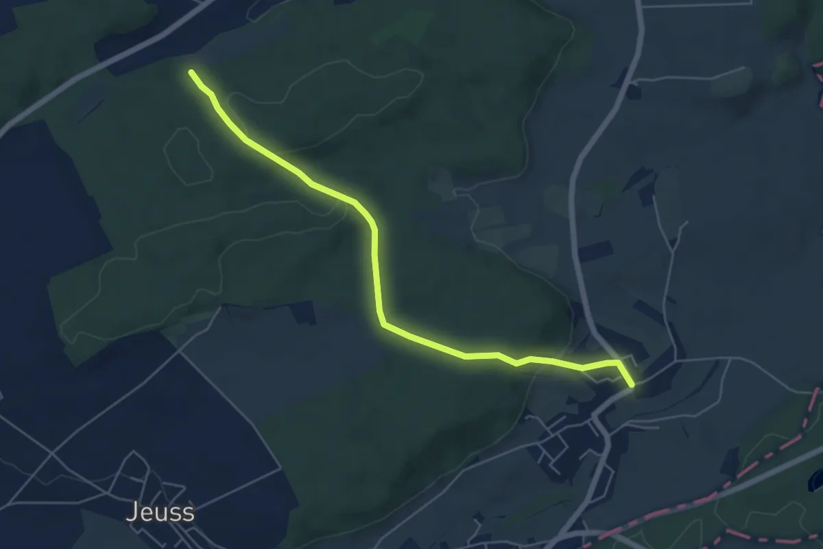
Easy · Trail
Galmacher – Liebistorf
5.6 km · ↑ 134 m · 1 h 37 min · 14 km away
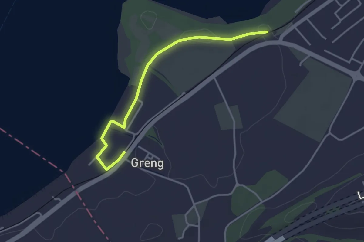
Easy · Trail
Schlacht-Denkmal - fixme
3.4 km · ↑ 13 m · 50 min · 14 km away
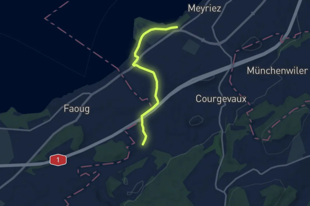
Easy · Trail
resSchlacht-Denkmal - Clavaleyer
6.8 km · ↑ 27 m · 1 h 40 min · 14 km away
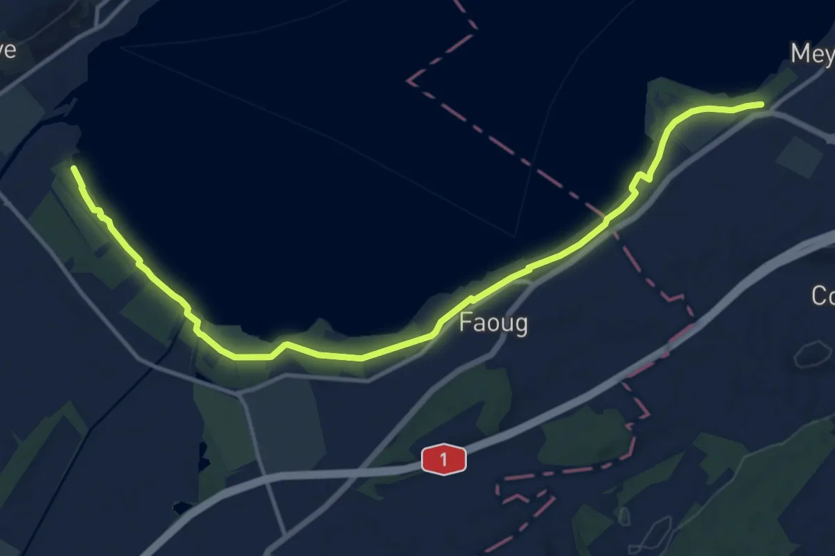
Medium · Trail
Schlacht-Denkmal - fixme
13.4 km · ↑ 31 m · 3 h 14 min · 14 km away