Trails near Visp
402 hikes starting within 15 km, nearest first.
Nearest first, page 3 of 9
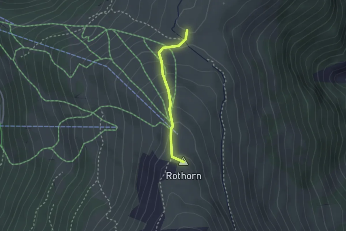
Demanding · Summit
Gibidumpass - Rothorn
1.9 km · ↑ 117 m · 42 min · 6 km away
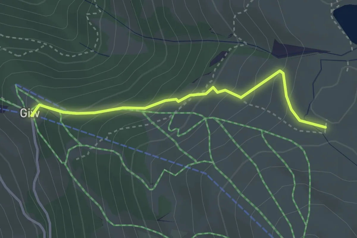
Medium · Trail
Giw-Gibidumpass
2.8 km · ↑ 236 m · 1 h 10 min · 6 km away
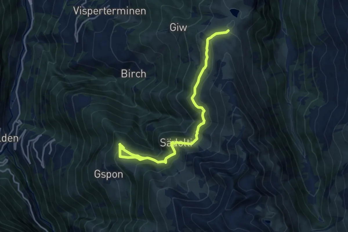
Medium · Trail
Gibidumpass - Gspon
13.3 km · ↑ 621 m · 4 h 29 min · 6 km away
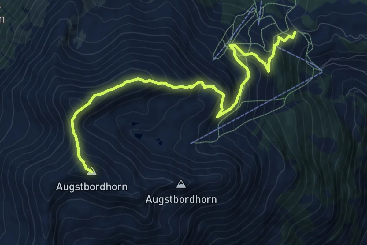
Demanding · Summit
Augstbordhorn – Moosalp
12.0 km · ↑ 963 m · 4 h 55 min · 6 km away
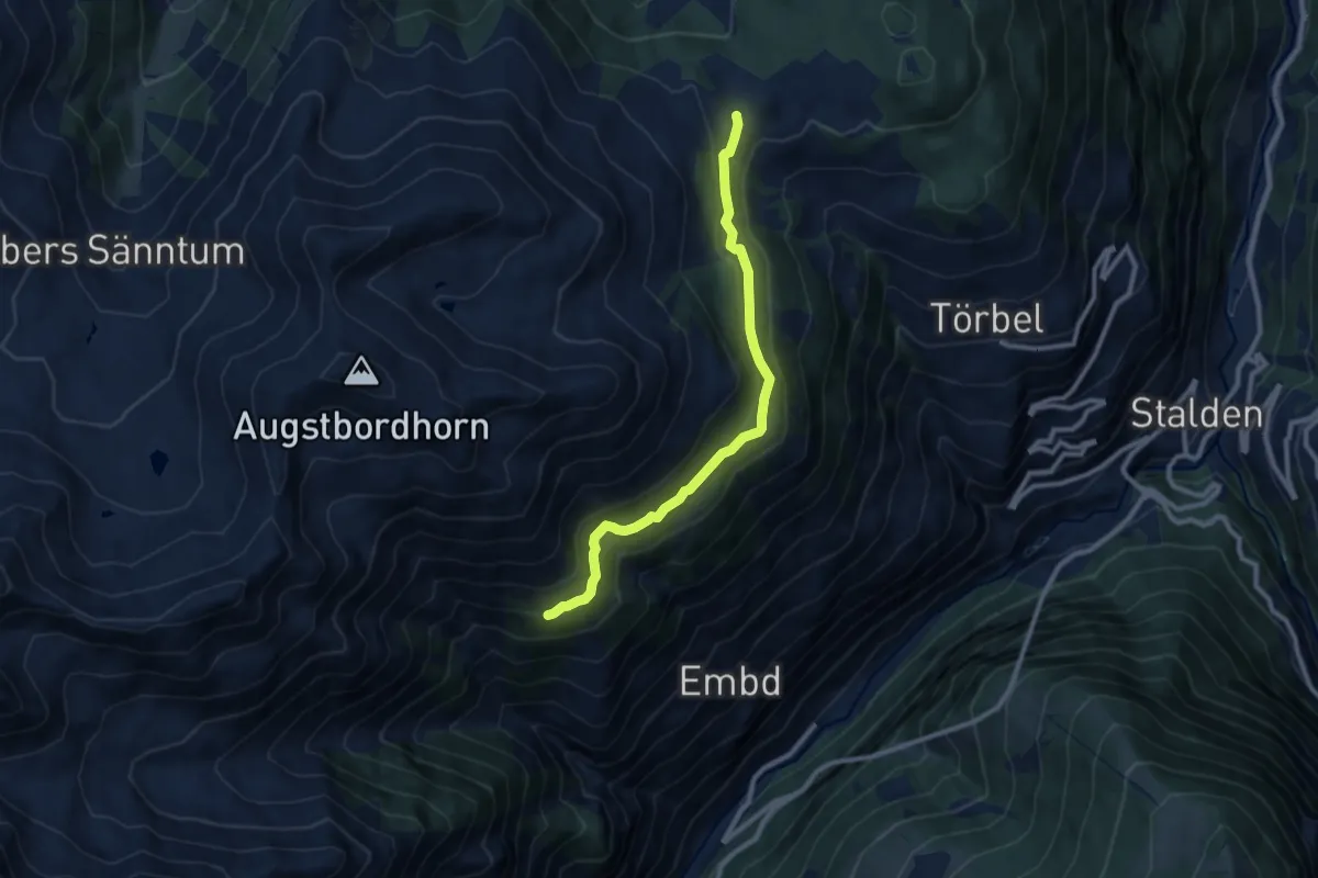
Expert · Trail
Läger – Moosalp
9.1 km · ↑ 346 m · 2 h 54 min · 6 km away
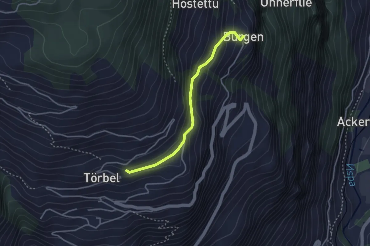
Easy · Trail
Furen – Burgen
2.9 km · ↑ 195 m · 1 h 6 min · 6 km away
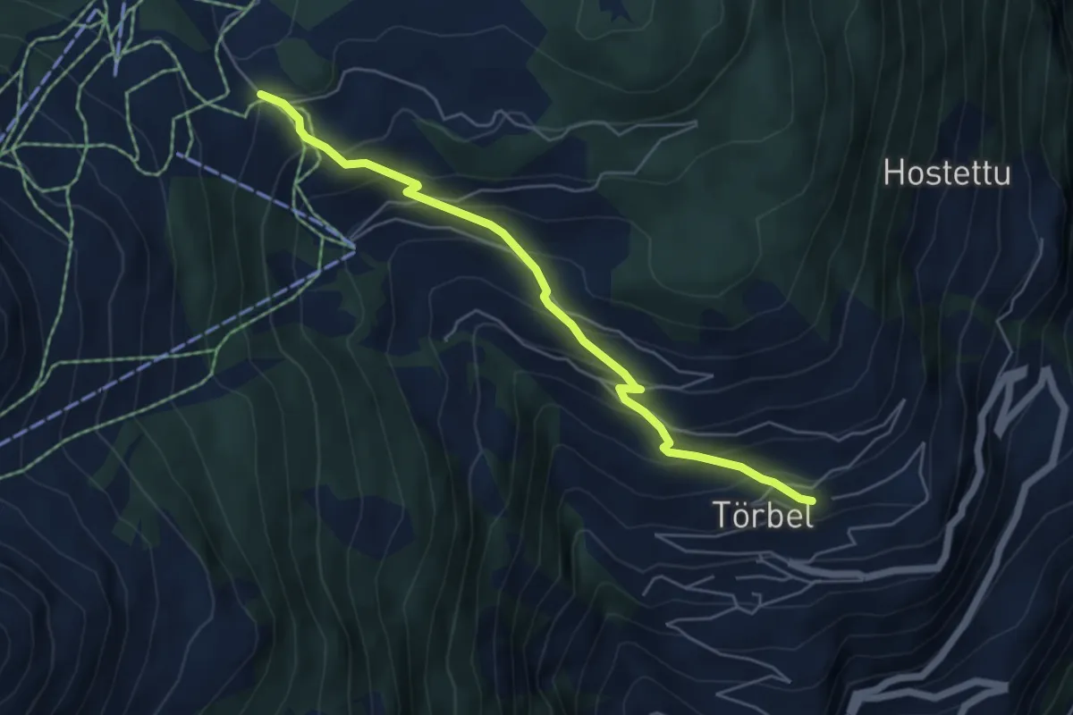
Medium · Trail
Moosalp – Törbel
5.4 km · ↑ 476 m · 2 h 18 min · 6 km away
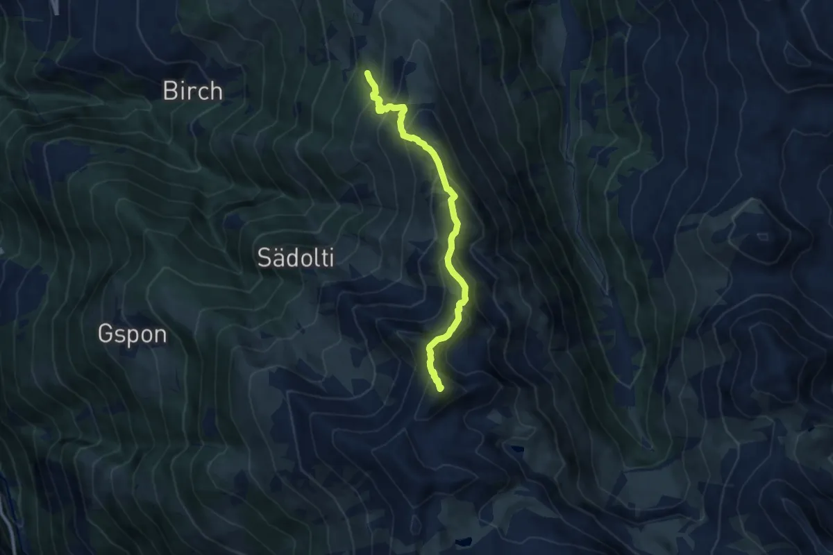
Demanding · Summit
Blausee - Rothorn
8.0 km · ↑ 758 m · 3 h 32 min · 6 km away
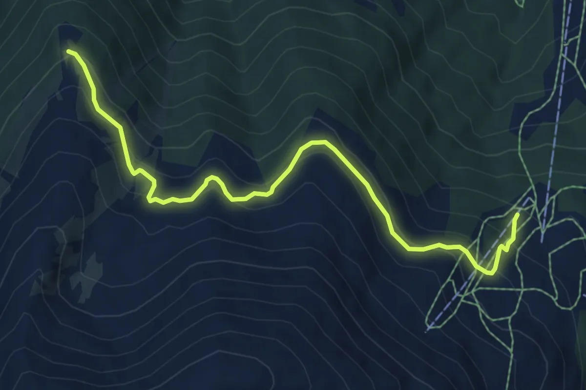
Medium · Trail
Unnerrat – Oberes Gibidum
7.3 km · ↑ 506 m · 2 h 49 min · 6 km away
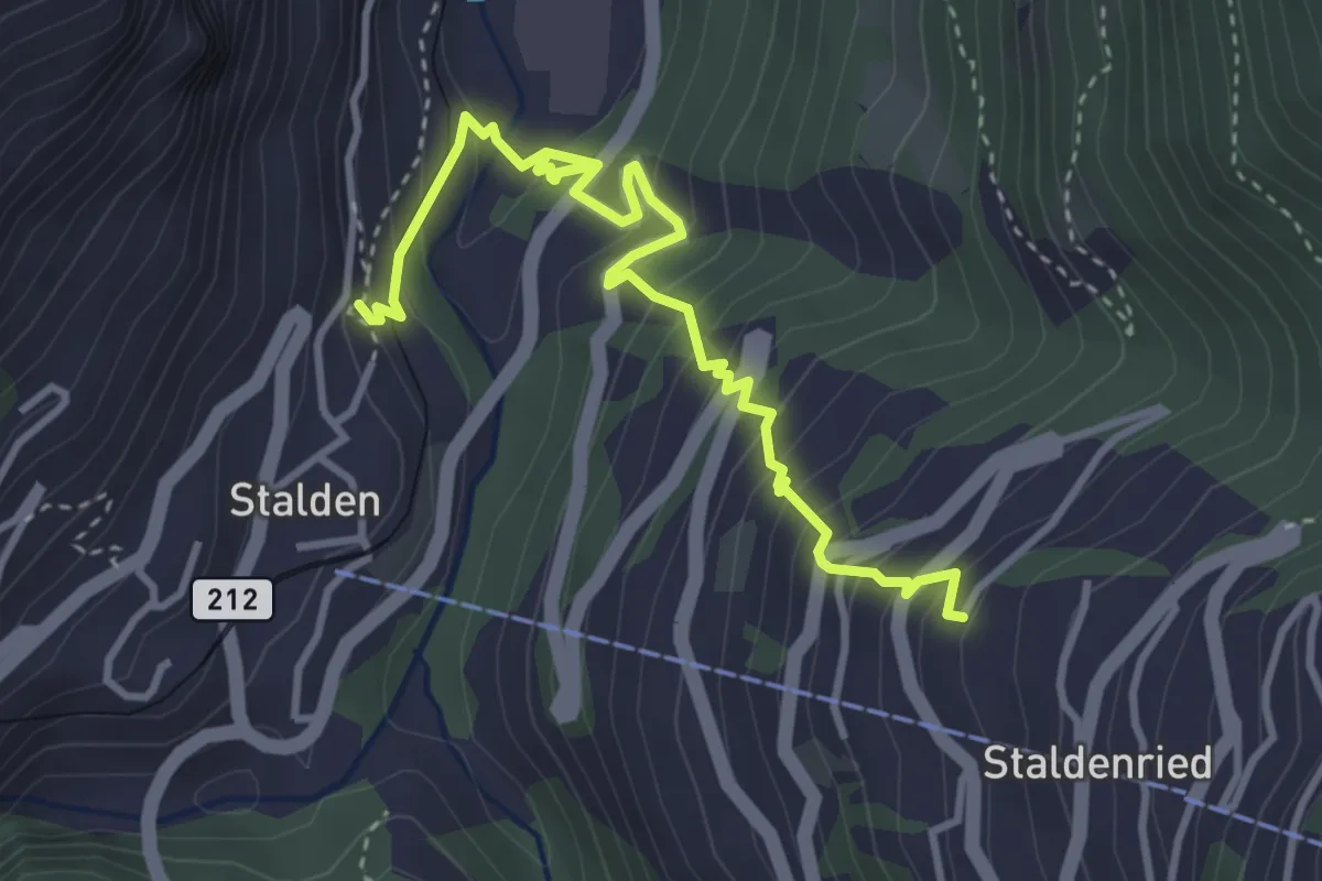
Medium · Trail
Stalden – Staldenried
4.3 km · ↑ 487 m · 2 h 4 min · 6 km away
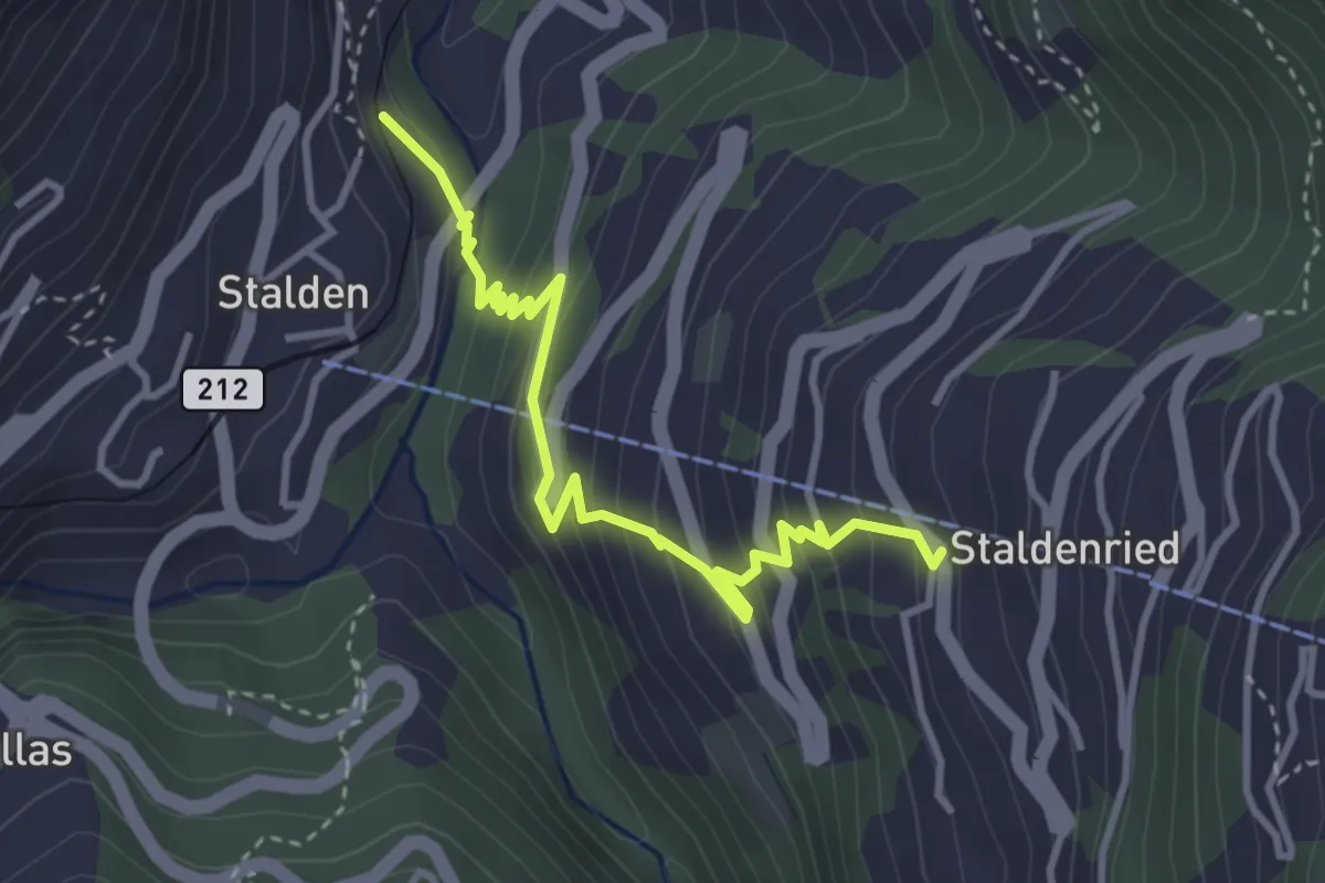
Medium · Trail
Stalden - Staldenried
3.7 km · ↑ 344 m · 1 h 38 min · 6 km away
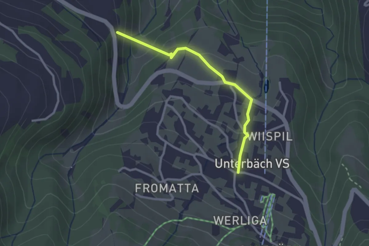
Easy · Trail
Unterbäch – Hängebrücke Milibach
2.2 km · ↑ 162 m · 53 min · 6 km away
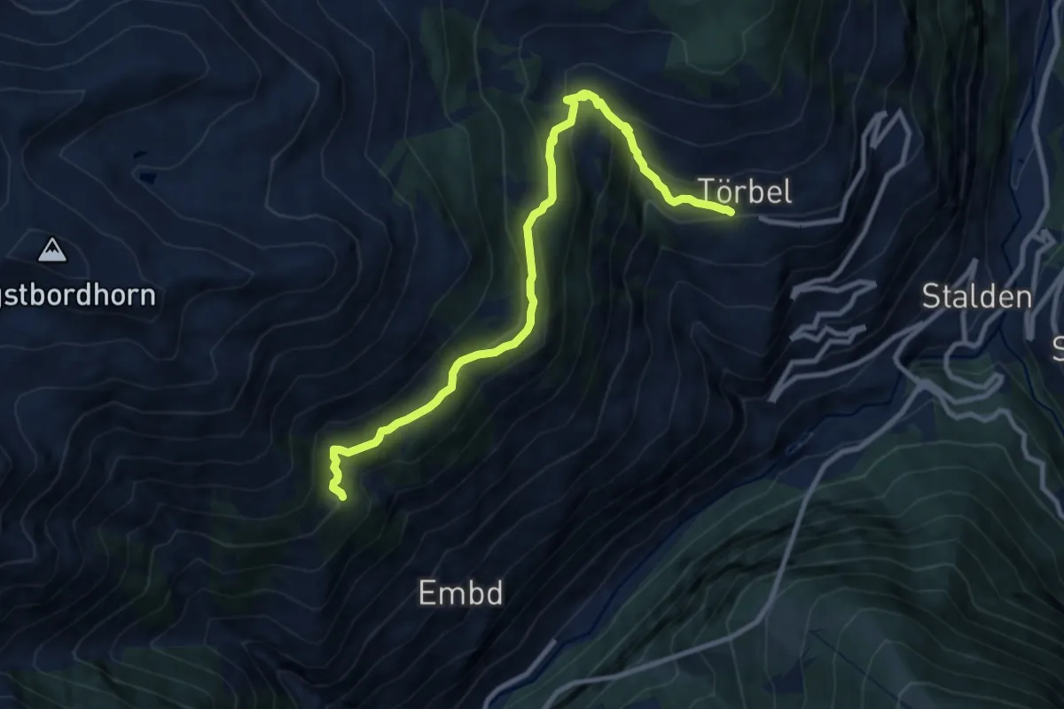
Medium · Trail
Hannig – Törbel
10.2 km · ↑ 773 m · 4 h 5 min · 6 km away
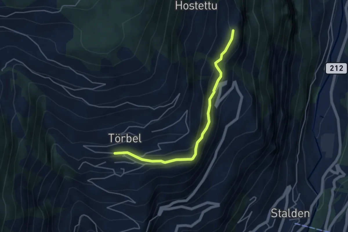
Easy · Trail
Törbel – Burgen
3.9 km · ↑ 262 m · 1 h 30 min · 6 km away
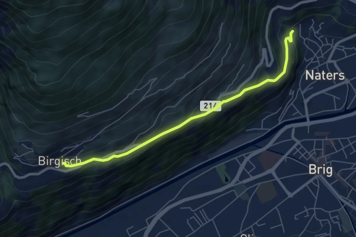
Medium · Trail
Birgisch - Naters
5.6 km · ↑ 342 m · 2 h 4 min · 6 km away
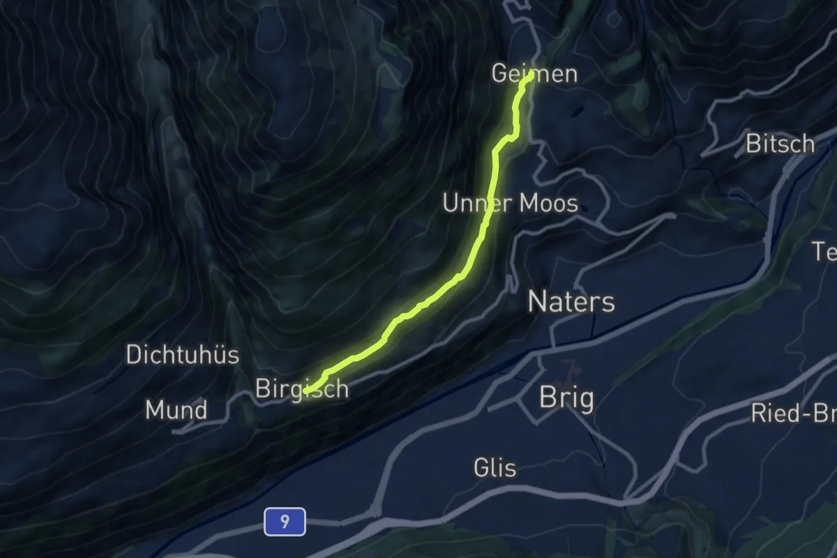
Medium · Trail
Birgisch - Geimen
8.0 km · ↑ 358 m · 2 h 40 min · 6 km away
Medium · Trail
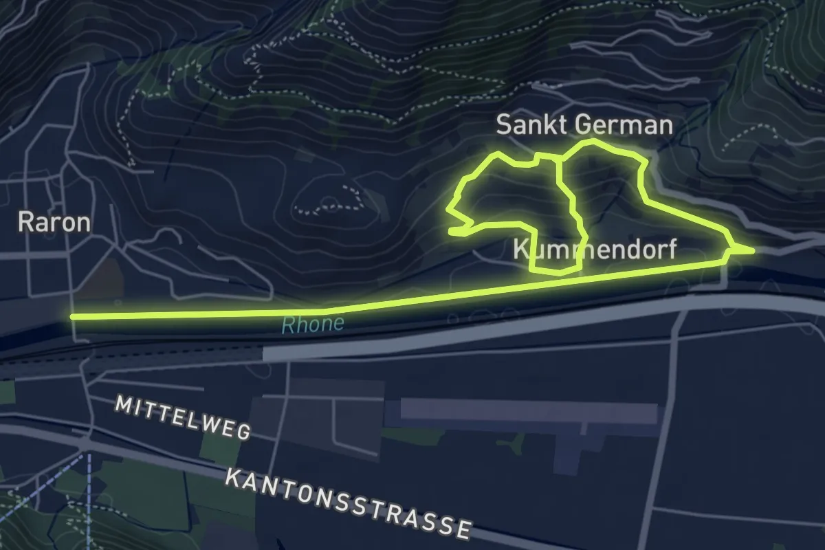
Raron - Sankt German
9.2 km · ↑ 350 m · 2 h 56 min · 6 km away
Medium · Trail
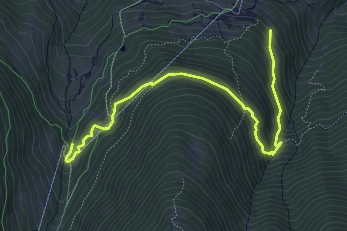
Brandalp – Breite Stäg
6.9 km · ↑ 421 m · 2 h 32 min · 6 km away
Medium · Trail
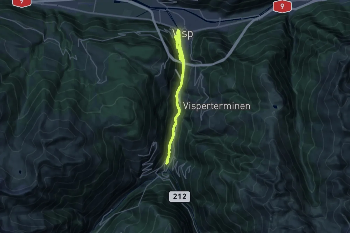
Visp - Stalden
17.6 km · ↑ 712 m · 5 h 42 min · 6 km away
Medium · Trail
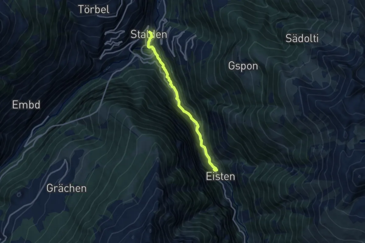
Stalden - Eisten
9.3 km · ↑ 608 m · 3 h 31 min · 7 km away
Medium · Trail
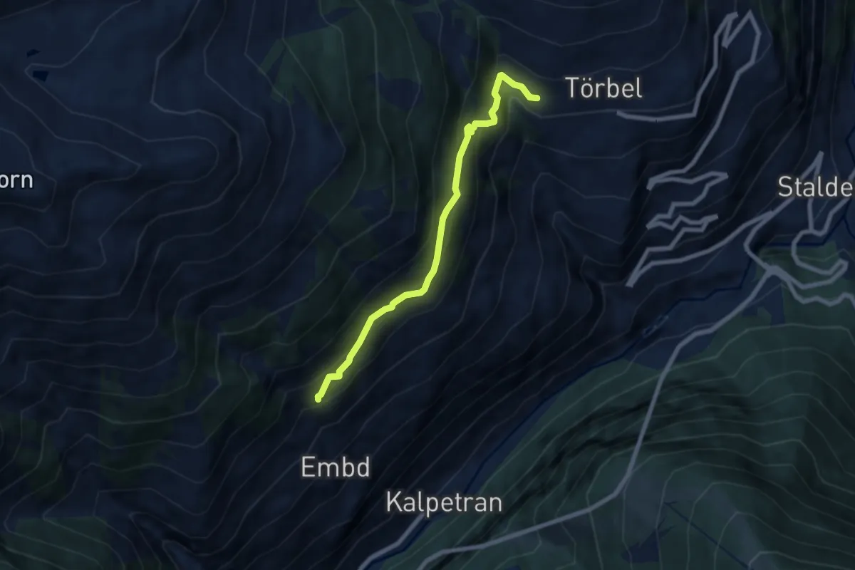
Riti Flüe – Törbel
6.2 km · ↑ 536 m · 2 h 38 min · 7 km away
Medium · Trail
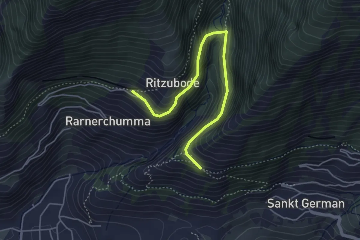
Rarnerchumma – Riedgarto
4.2 km · ↑ 420 m · 1 h 55 min · 7 km away
Demanding · Trail
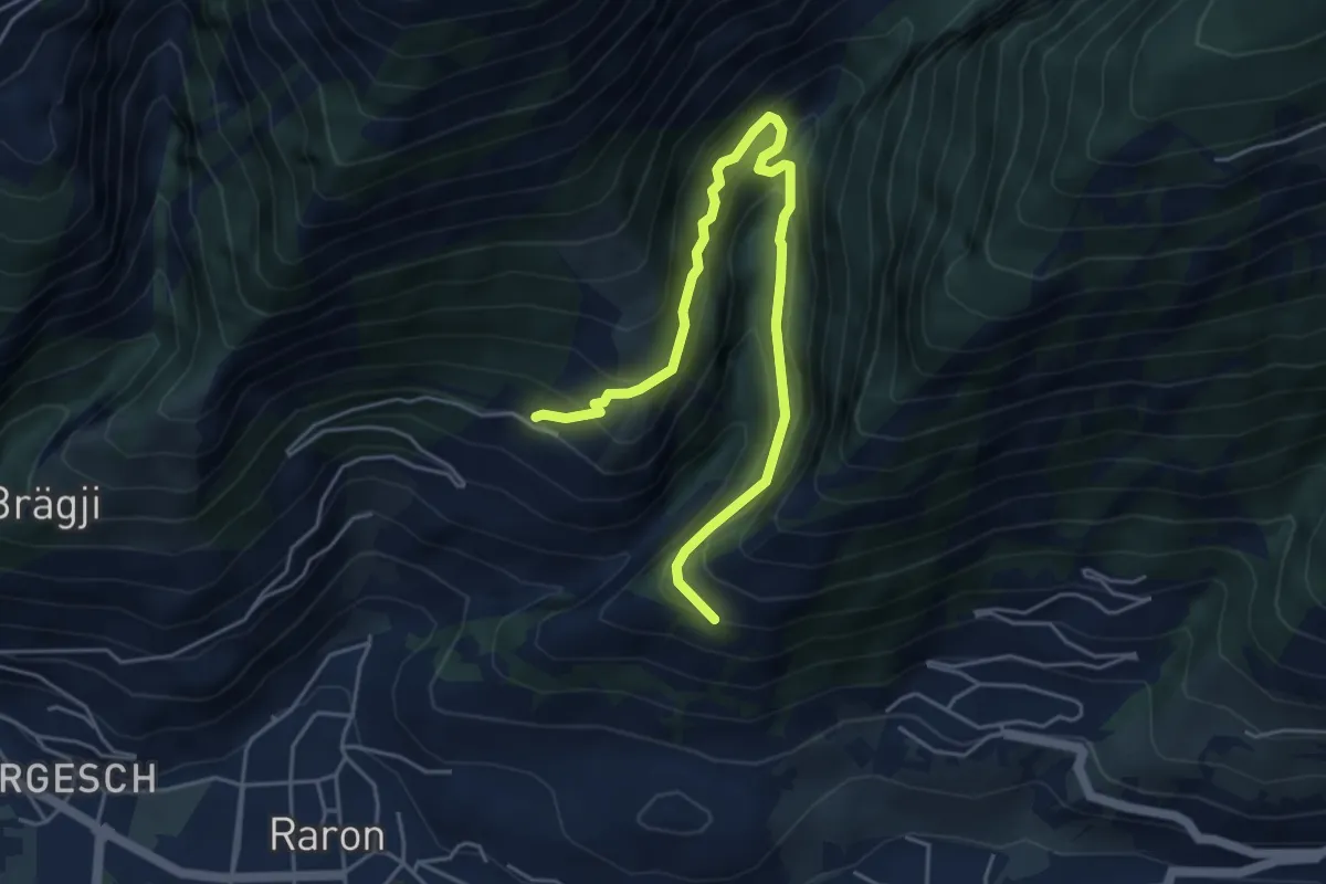
Rarnerchumma – Riedgarto
5.4 km · ↑ 551 m · 2 h 29 min · 7 km away
Demanding · Trail
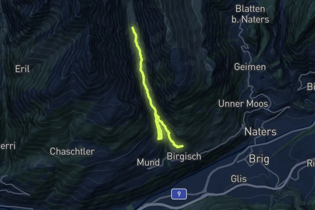
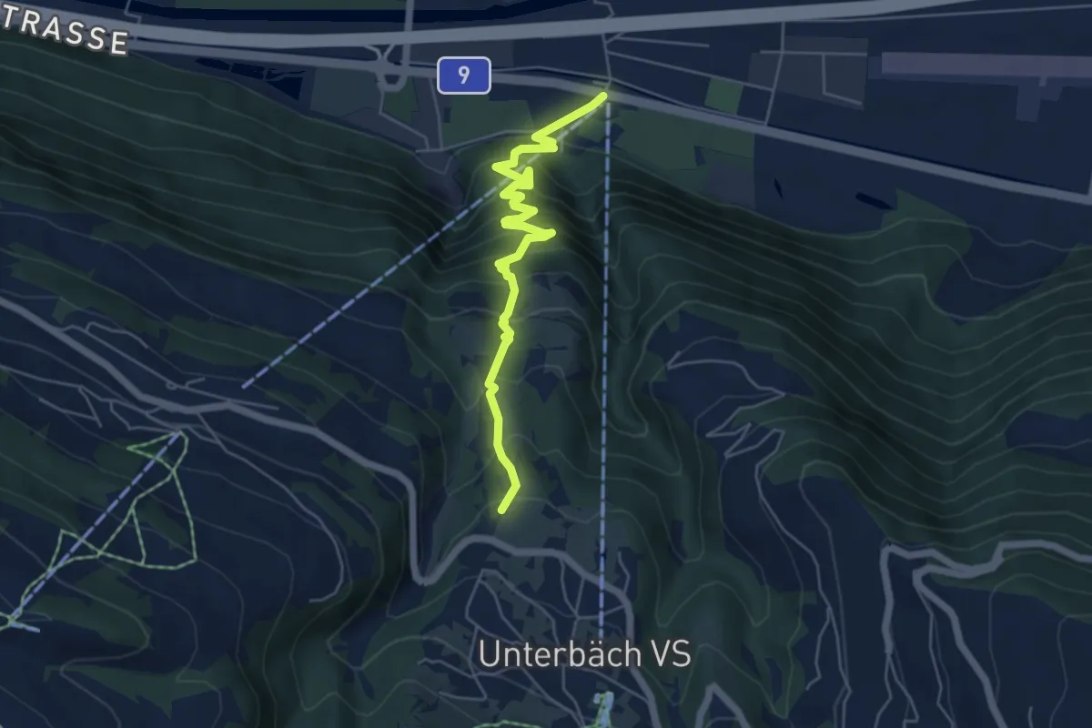
Birgisch/Mund - Strick
12.8 km · ↑ 830 m · 4 h 50 min · 7 km away
Medium · Trail
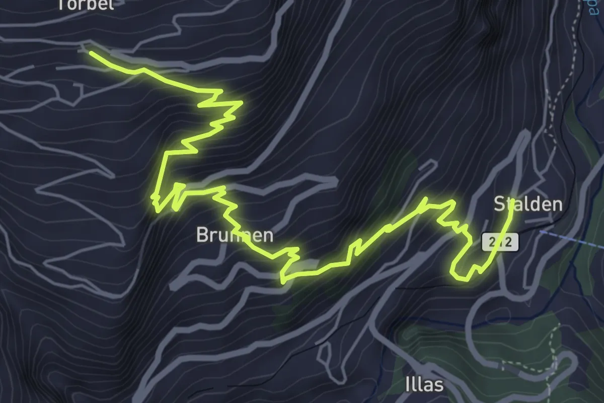
Turtig – Steihüs
5.6 km · ↑ 550 m · 2 h 31 min · 7 km away
Medium · Trail
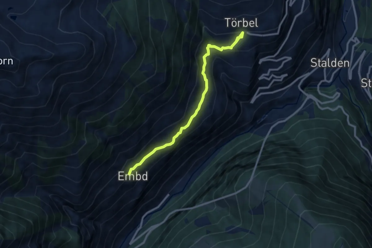
Törbel – Stalden
8.3 km · ↑ 777 m · 3 h 38 min · 7 km away
Medium · Trail
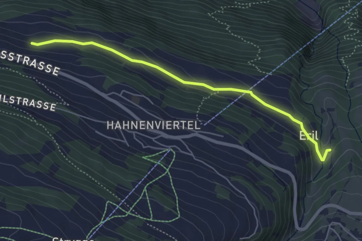
Embd – Törbel
7.5 km · ↑ 557 m · 2 h 59 min · 7 km away
Easy · Trail
Eril – Breiu
4.7 km · ↑ 141 m · 1 h 25 min · 7 km away
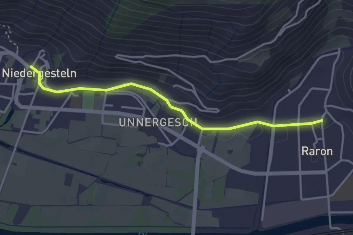
Easy · Trail
Raron - Niedergesteln
3.2 km · ↑ 51 m · 52 min · 7 km away
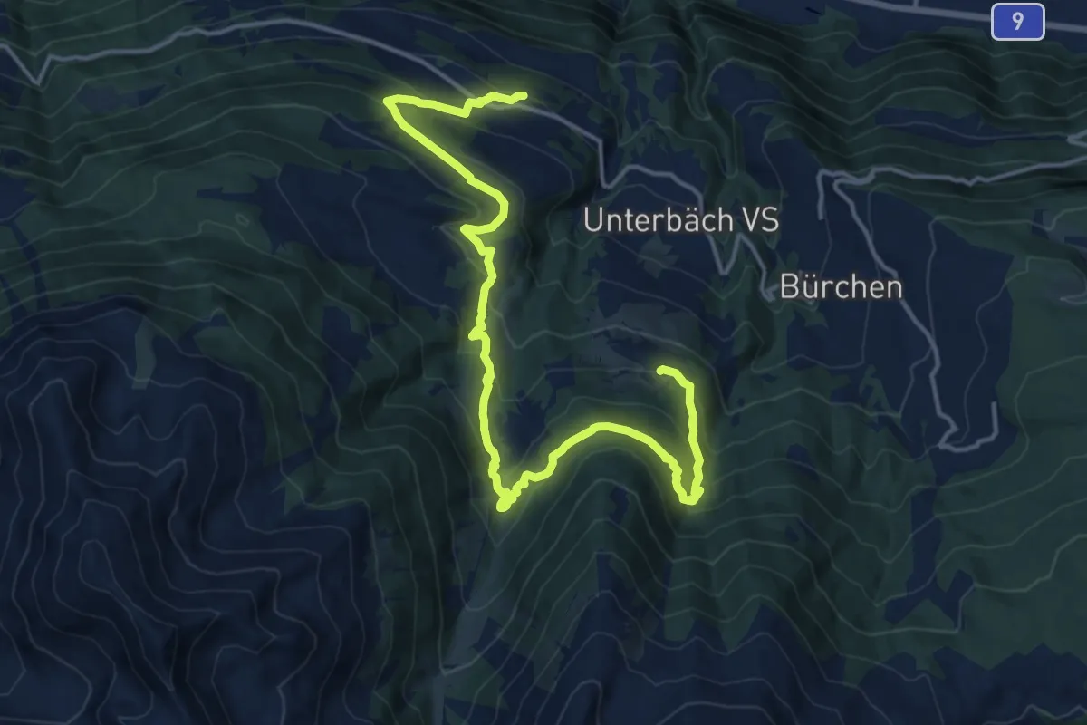
Demanding · Trail
Suonenweg Brandalp-Eischoll
18.4 km · ↑ 1017 m · 6 h 33 min · 7 km away
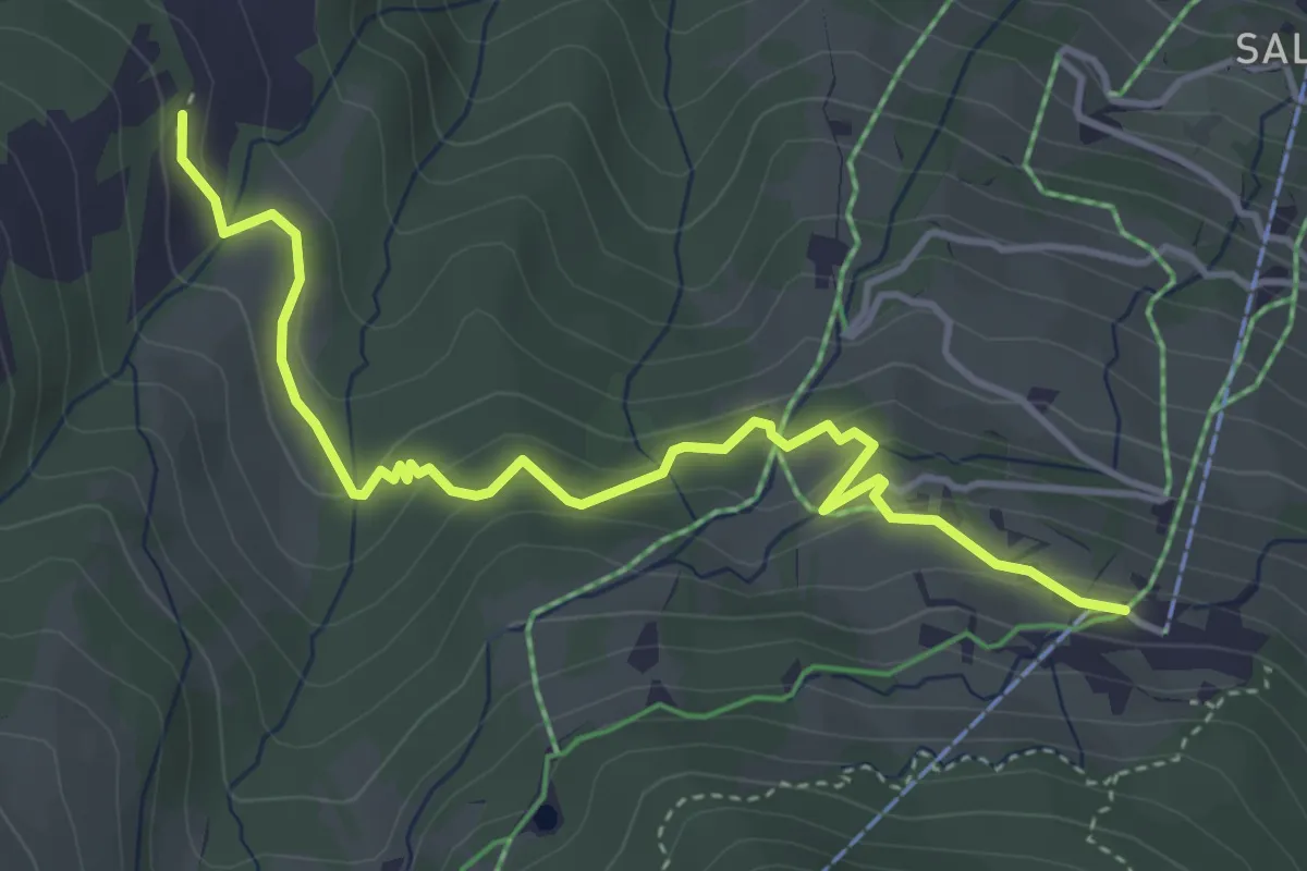
Easy · Trail
Brand – Obri Breitmatte
4.4 km · ↑ 245 m · 1 h 35 min · 7 km away
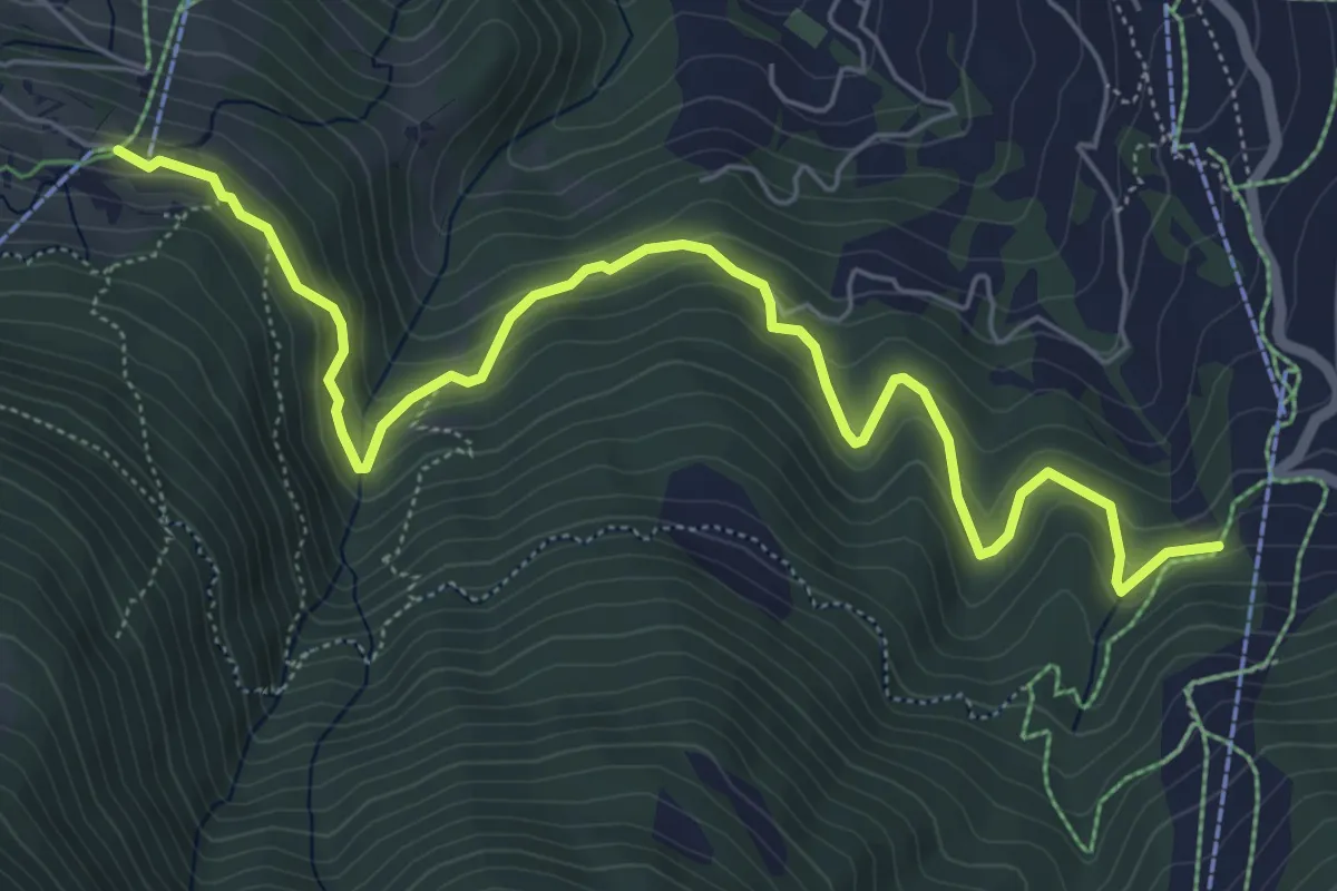
Medium · Trail
Brand – Gärlich
7.2 km · ↑ 476 m · 2 h 44 min · 7 km away
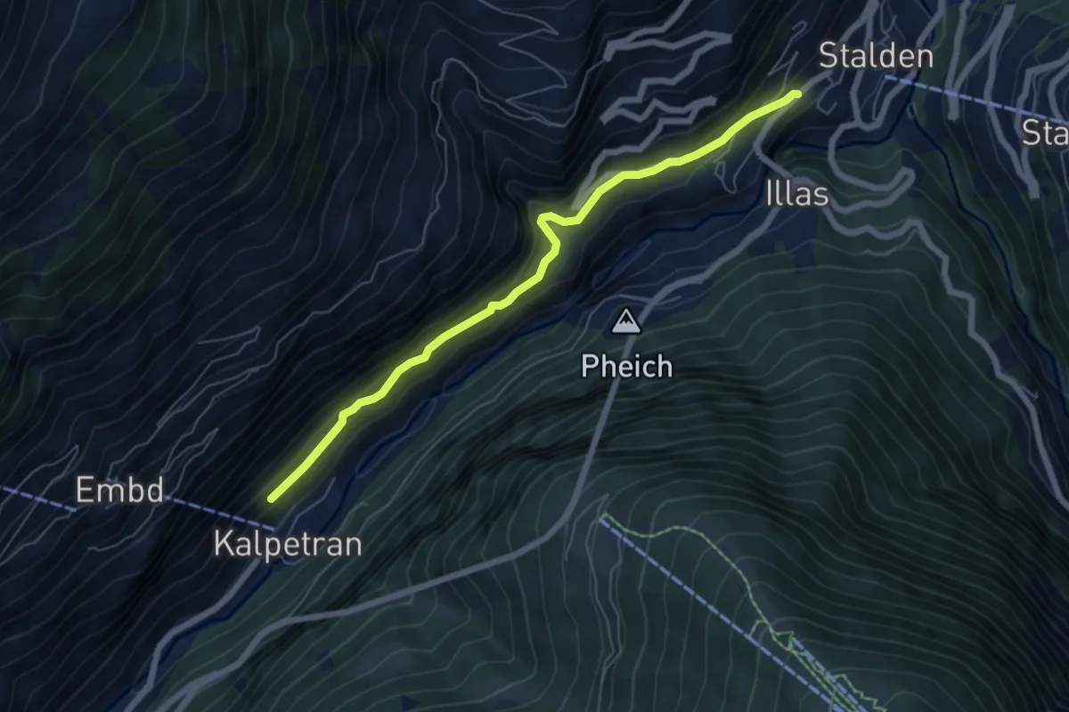
Medium · Trail
Kalpetran – Stalden
6.2 km · ↑ 421 m · 2 h 23 min · 7 km away
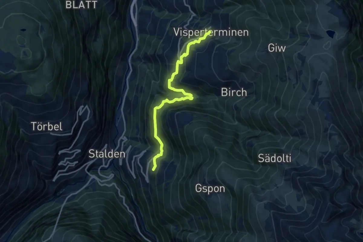
Demanding · Trail
Visperterminen - Staldenried
11.1 km · ↑ 900 m · 4 h 35 min · 7 km away
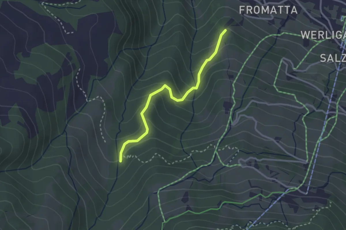
Easy · Trail
Obscha – Pfammatte
2.5 km · ↑ 180 m · 59 min · 7 km away
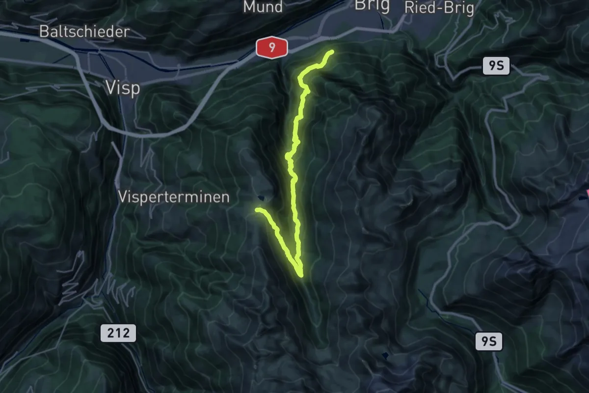
Demanding · Trail
Glis - Gibidumpass
12.5 km · ↑ 1541 m · 5 h 50 min · 7 km away
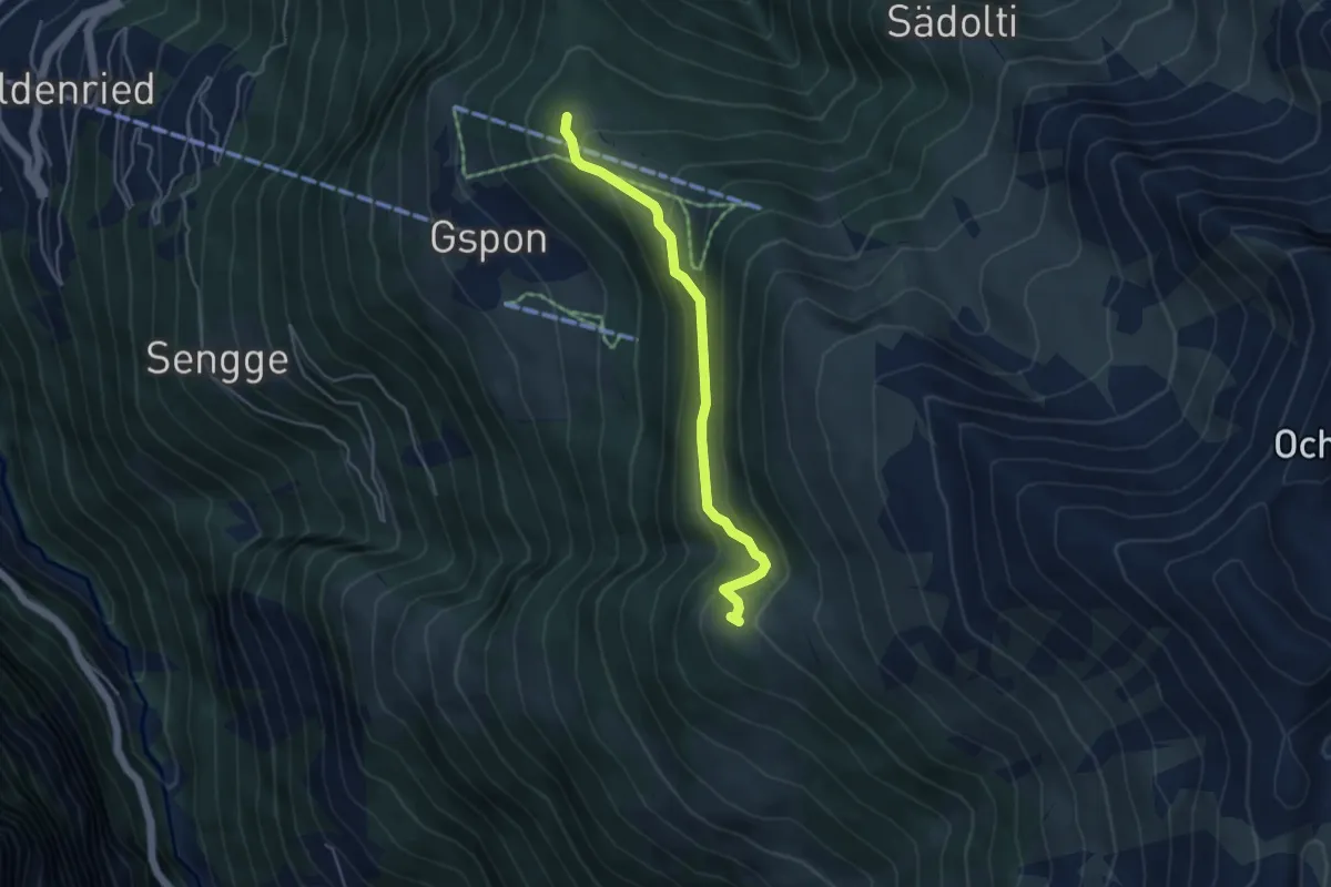
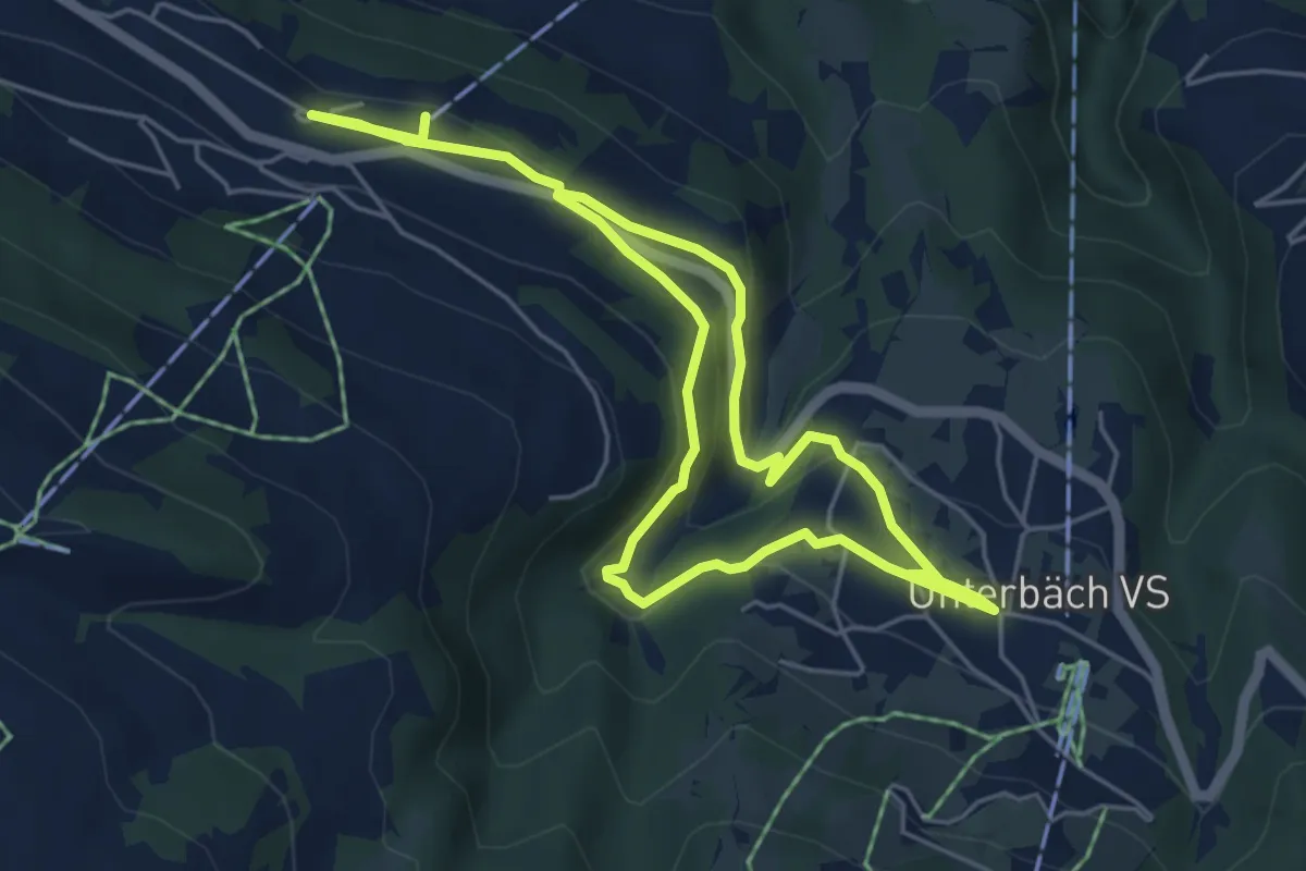
Easy · Trail
Gspon - Häüschbiele
4.3 km · ↑ 289 m · 1 h 38 min · 7 km away
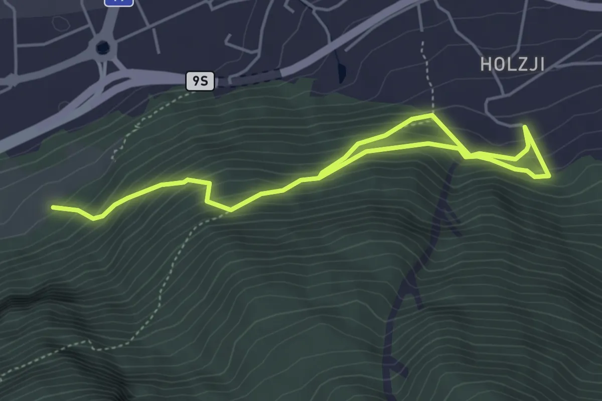
Medium · Trail
Unterbäch – Eischoll
8.9 km · ↑ 271 m · 2 h 41 min · 7 km away
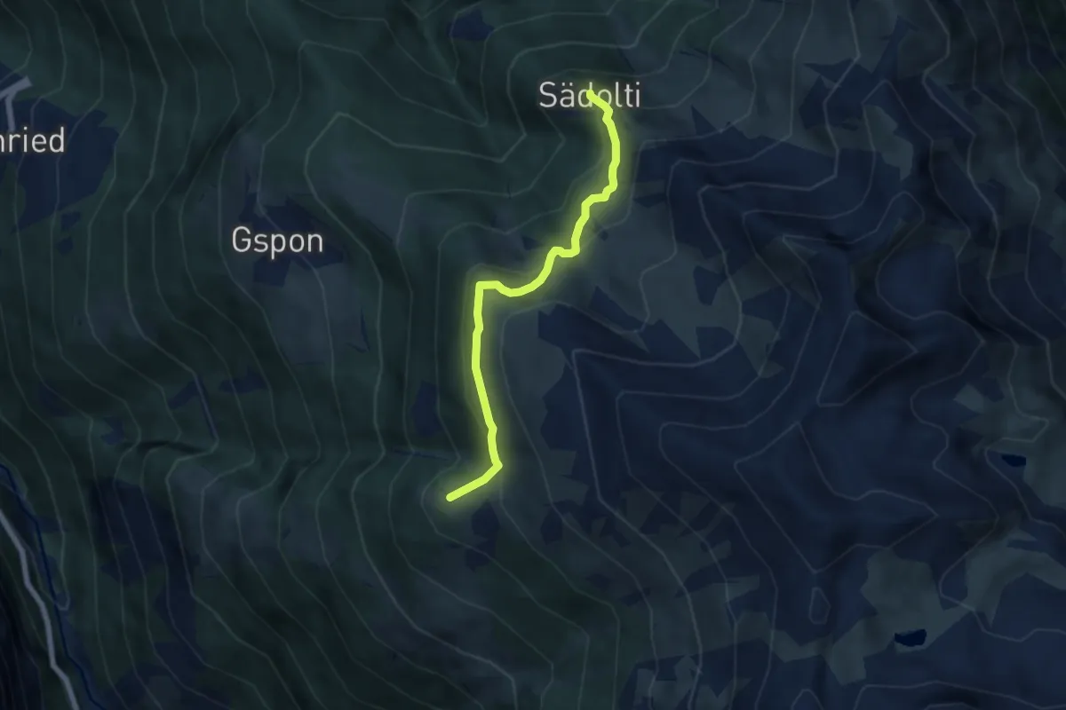
Medium · Trail
Gamsen - Holzji
6.1 km · ↑ 560 m · 2 h 39 min · 7 km away
Medium · Trail
Sädolti - Häüschbiele
5.5 km · ↑ 429 m · 2 h 14 min · 7 km away
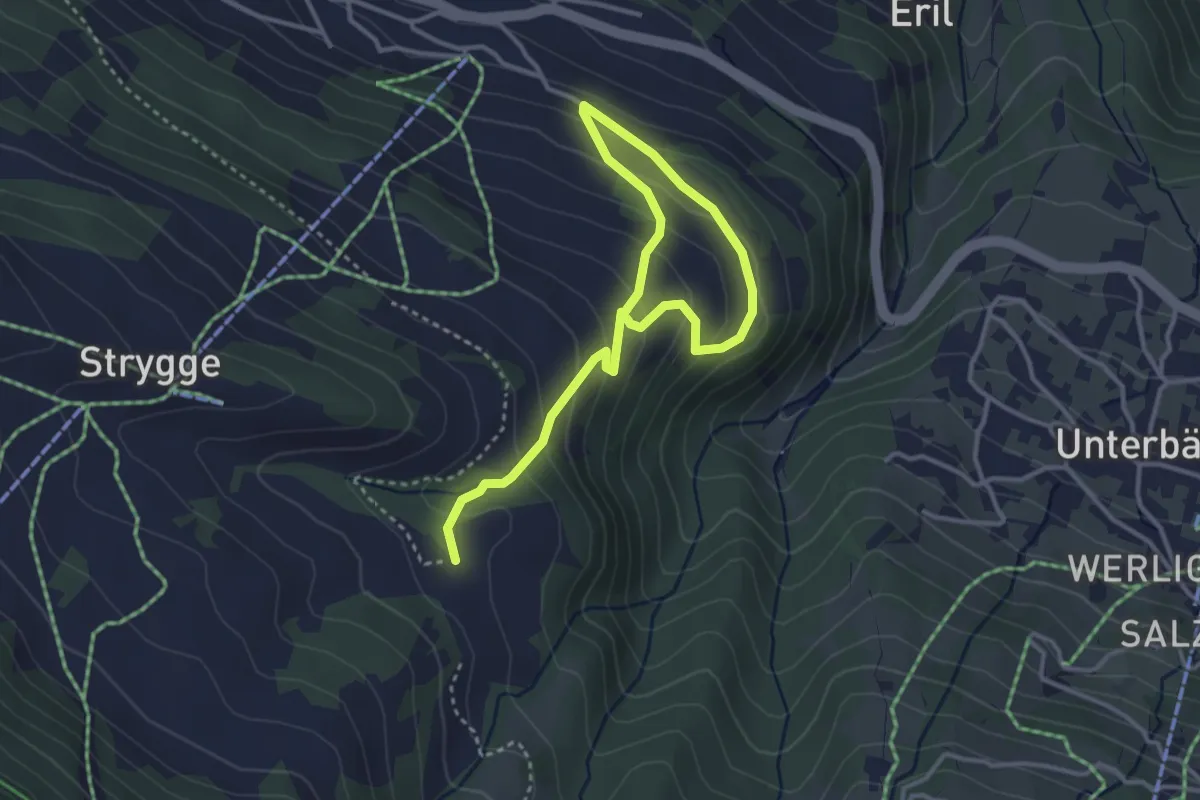
Easy · Trail
Eischoll – Breitmattu
4.6 km · ↑ 303 m · 1 h 44 min · 7 km away
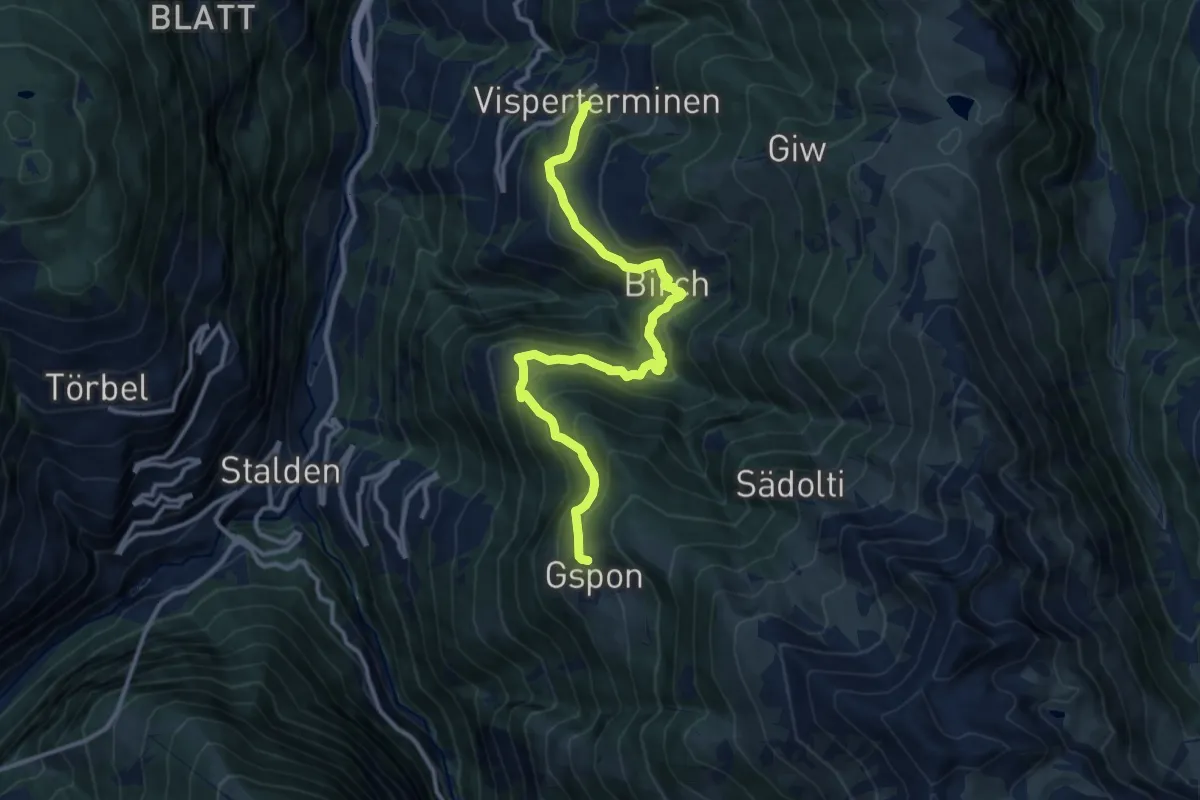
Demanding · Trail
Visperterminen - Gspon
13.0 km · ↑ 912 m · 5 h 2 min · 7 km away
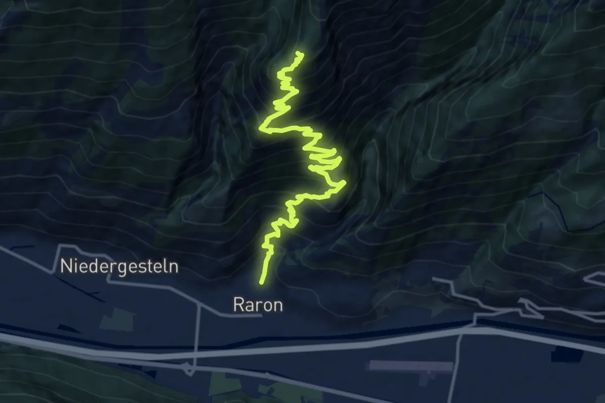
Demanding · Trail
Raron - Prag
13.6 km · ↑ 1296 m · 6 h 1 min · 7 km away
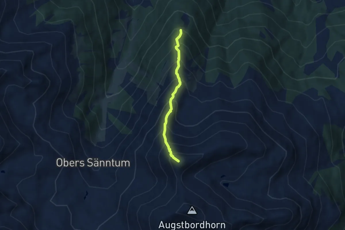
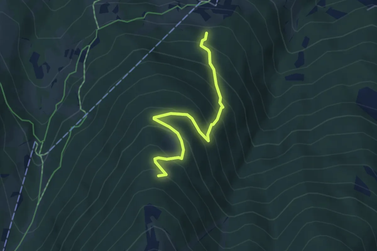
Demanding · Summit
Oberes Gibidum – March Violenhorn
5.3 km · ↑ 743 m · 2 h 51 min · 7 km away
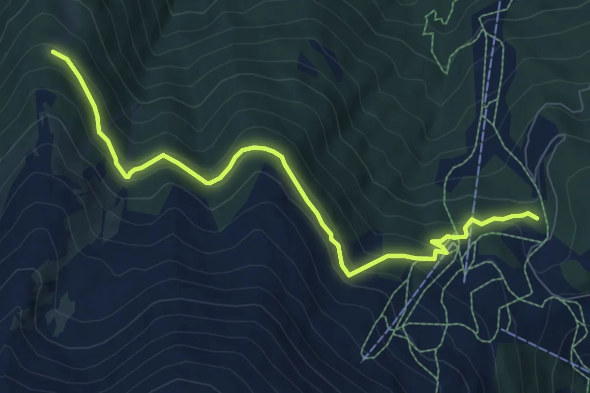
Medium · Trail
Brandweide – Gibidum
4.3 km · ↑ 444 m · 1 h 58 min · 7 km away
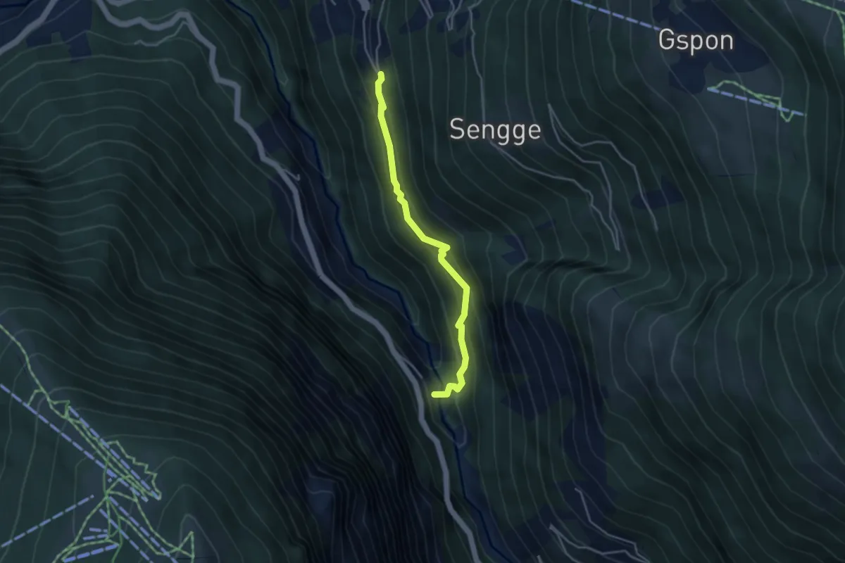
Medium · Trail
Unnerat – Gibidum
8.3 km · ↑ 463 m · 2 h 58 min · 7 km away
Medium · Trail
Staldenried - Raftgarten
3.7 km · ↑ 359 m · 1 h 38 min · 8 km away
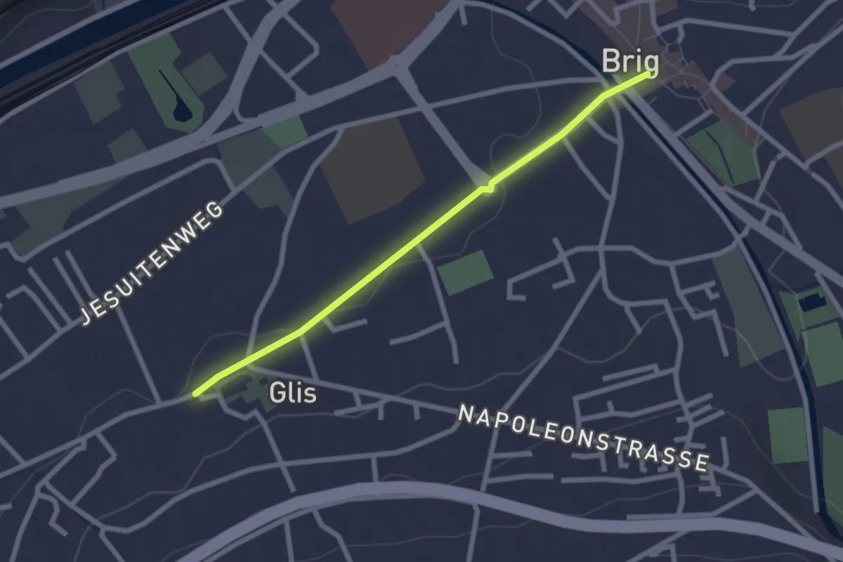
Easy · Trail
Glis - Brig
2.2 km · ↑ 14 m · 33 min · 8 km away