Trails near Visp
402 hikes starting within 15 km, nearest first.
Nearest first, page 4 of 9
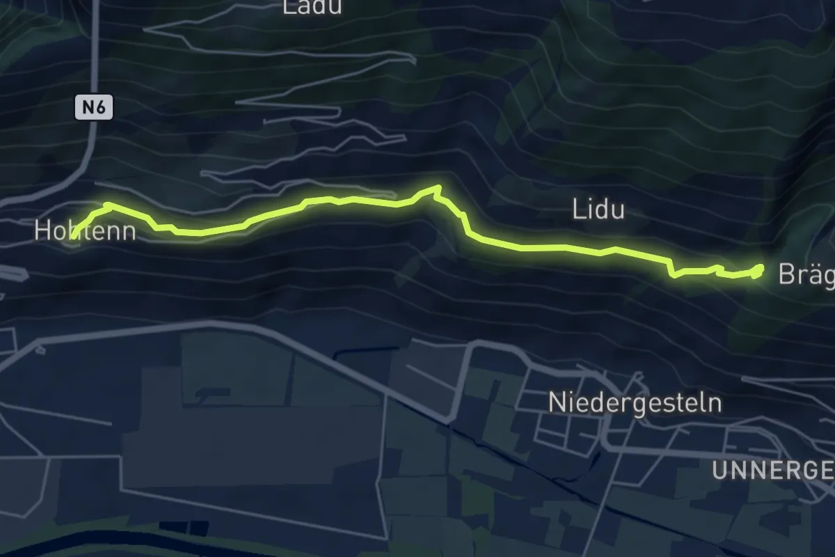
Demanding · Trail
Hohtenn – Hängebrücke
5.8 km · ↑ 316 m · 2 h 3 min · 8 km away
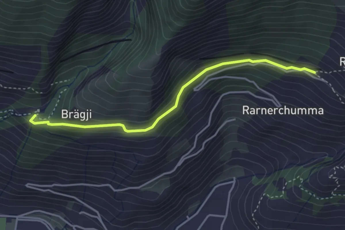
Easy · Trail
Hängebrücke – Rarnerchumma
3.5 km · ↑ 142 m · 1 h 8 min · 8 km away
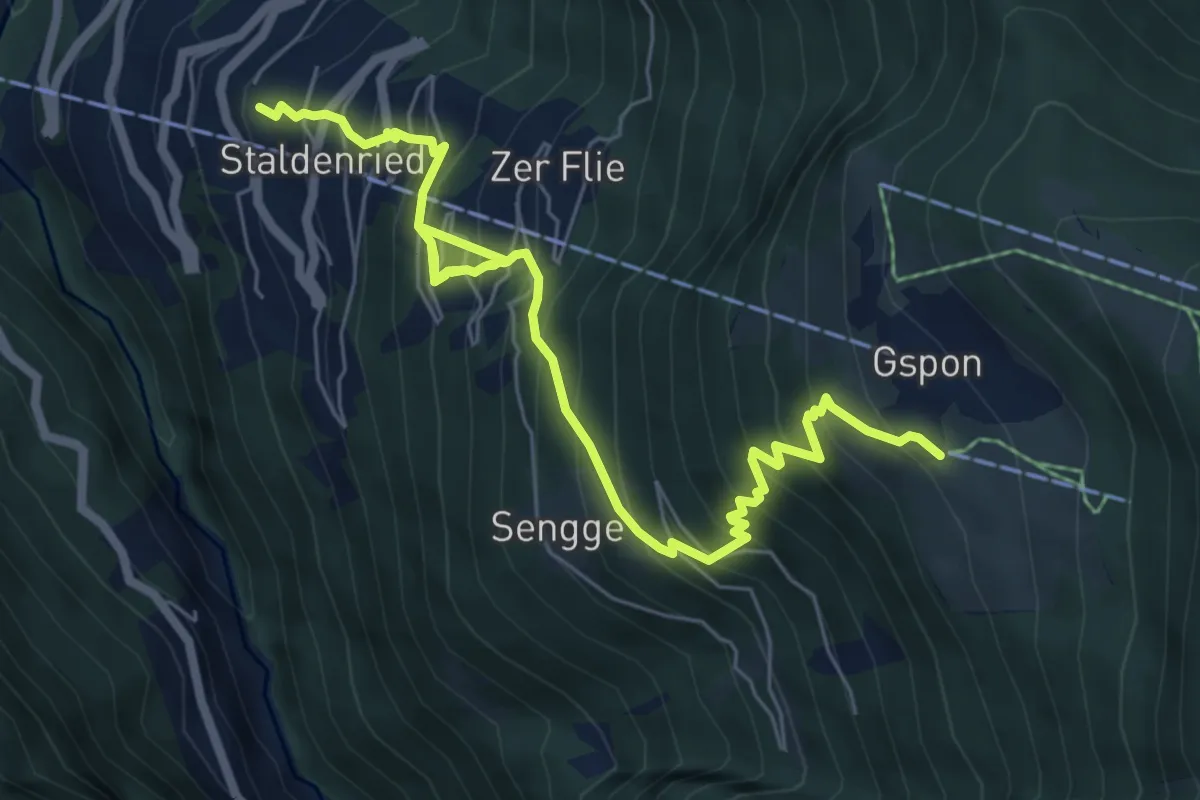
Demanding · Trail
Staldenried - Gspon
8.1 km · ↑ 963 m · 3 h 59 min · 8 km away
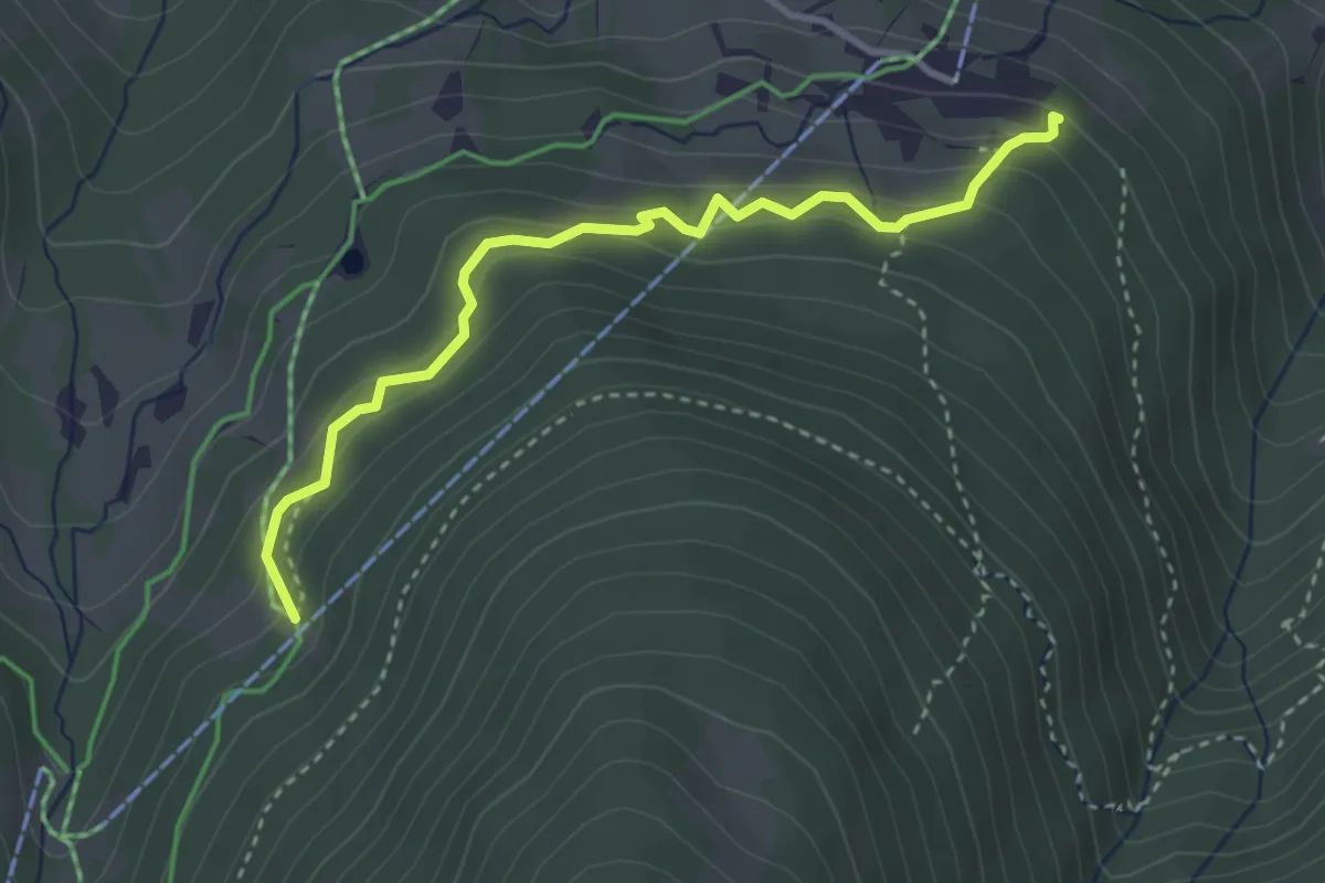
Easy · Trail
Meiggerli – Brandalp
3.4 km · ↑ 258 m · 1 h 22 min · 8 km away
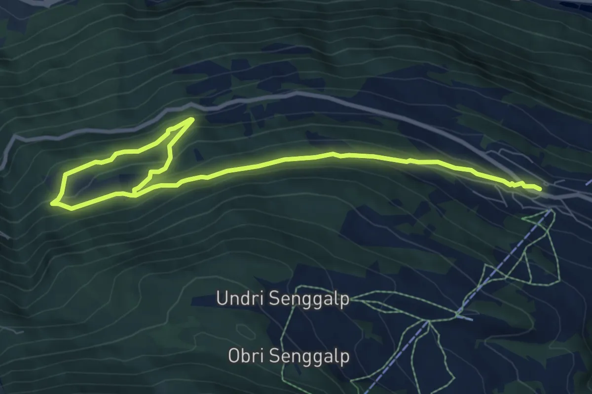
Medium · Trail
Eischoll – Ifil
10.3 km · ↑ 511 m · 3 h 32 min · 8 km away
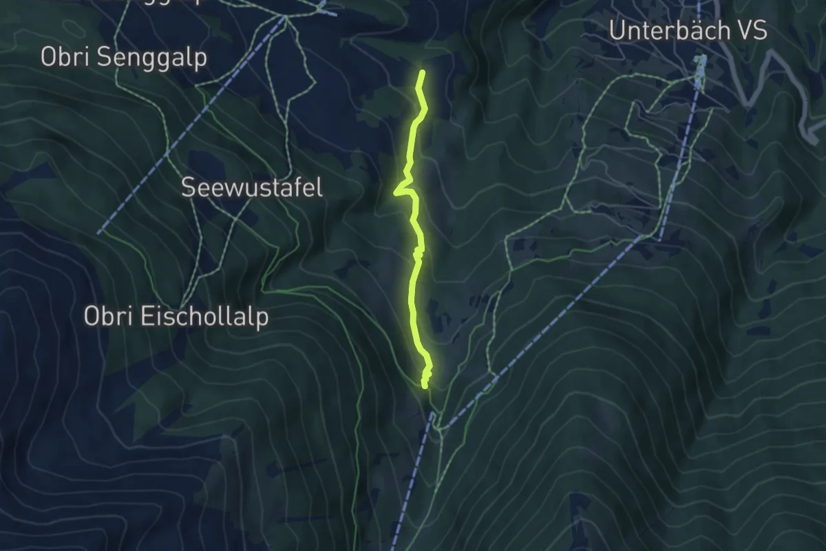
Easy · Trail
Breitmattu – Breite Stäg
4.1 km · ↑ 273 m · 1 h 34 min · 8 km away
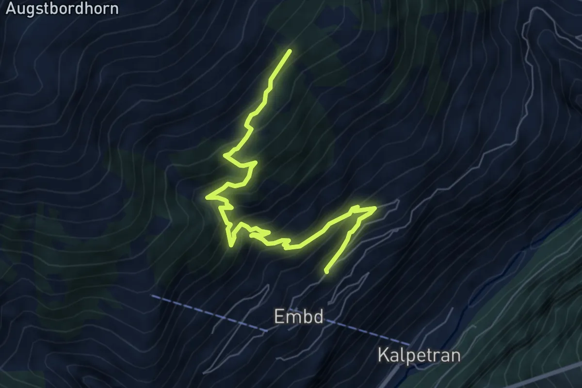
Medium · Trail
Ebnetweg – Pletsche
7.6 km · ↑ 747 m · 3 h 25 min · 8 km away
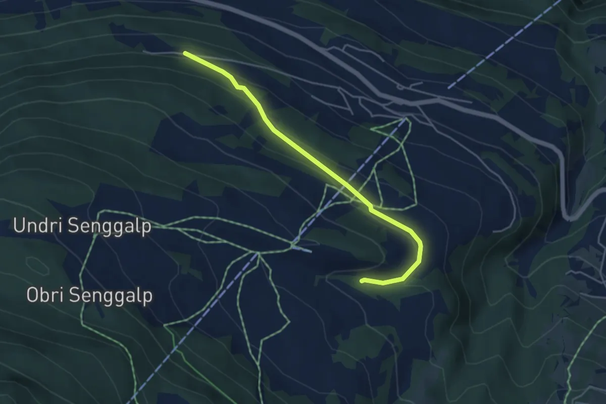
Easy · Trail
Breitmattu – Habere
4.2 km · ↑ 158 m · 1 h 21 min · 8 km away
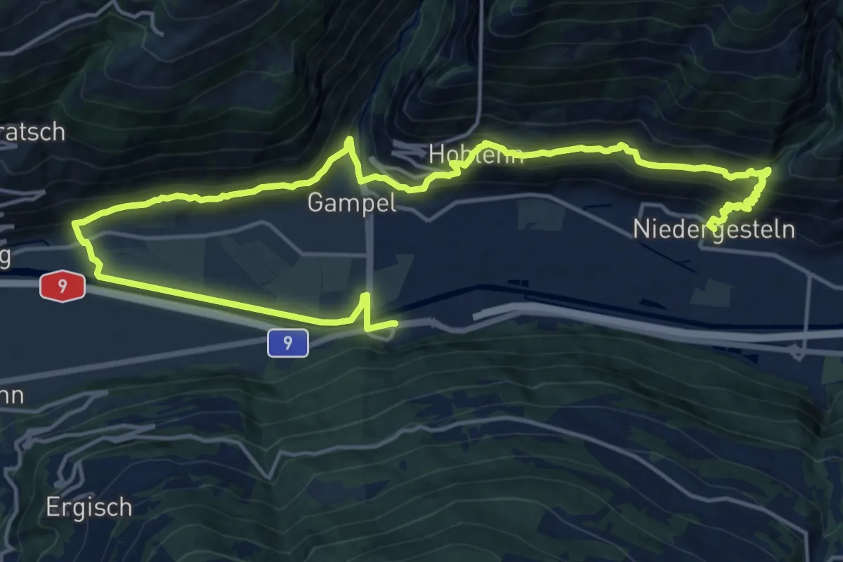
Demanding · Trail
Obere Wasserleitung Stägeru Lüegju
11.6 km · ↑ 588 m · 4 h 11 min · 8 km away
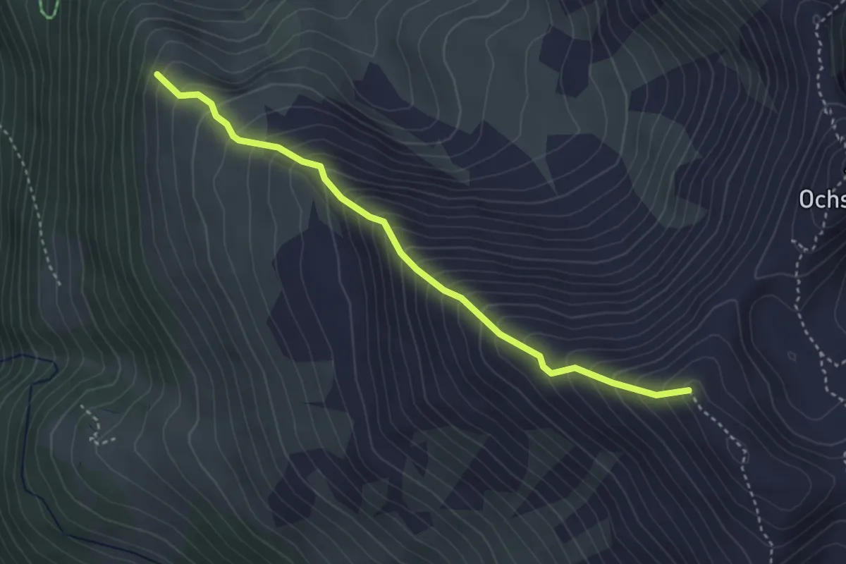
Medium · Trail
Mälachji - Wyssgrat
3.7 km · ↑ 504 m · 1 h 57 min · 8 km away
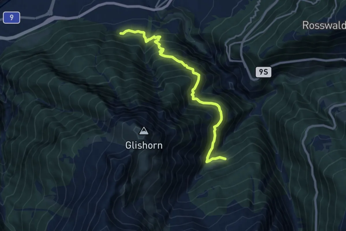
Demanding · Trail
Glis - Unners Nesseltal
11.5 km · ↑ 1051 m · 4 h 59 min · 8 km away
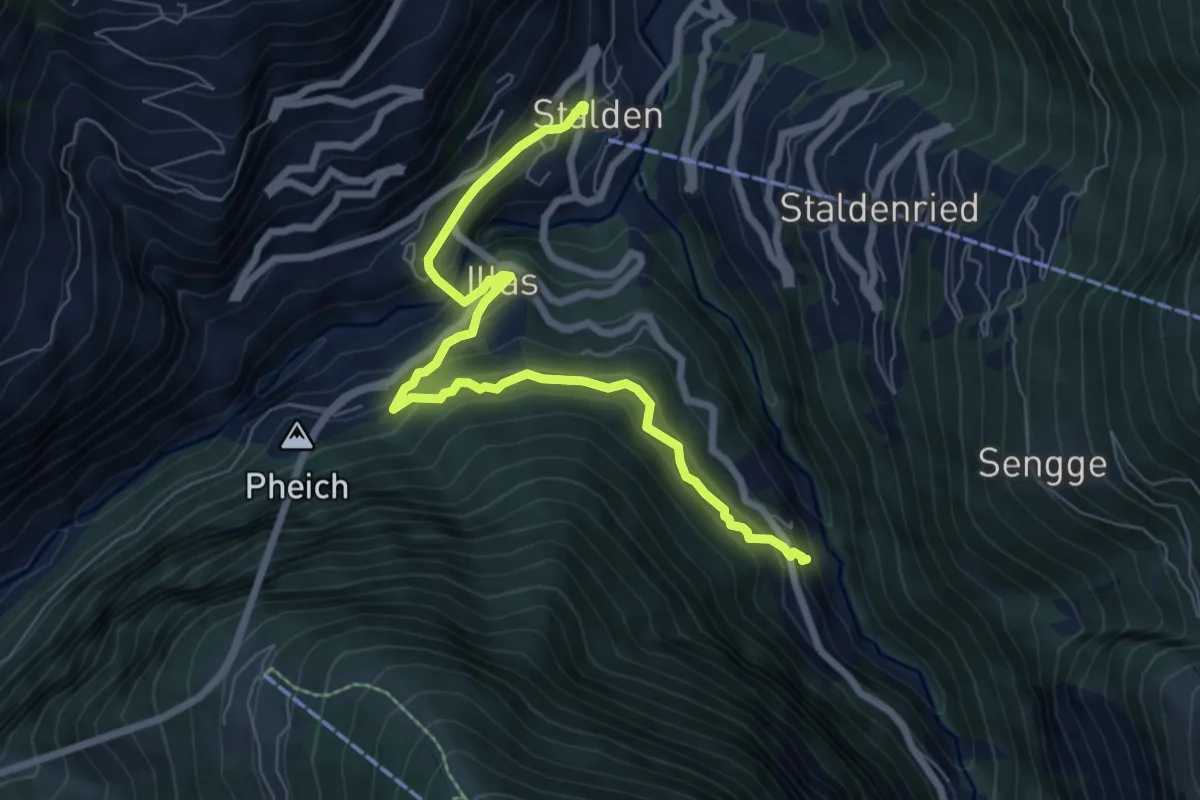
Medium · Trail
Stalden – Reschti
7.7 km · ↑ 480 m · 2 h 51 min · 8 km away
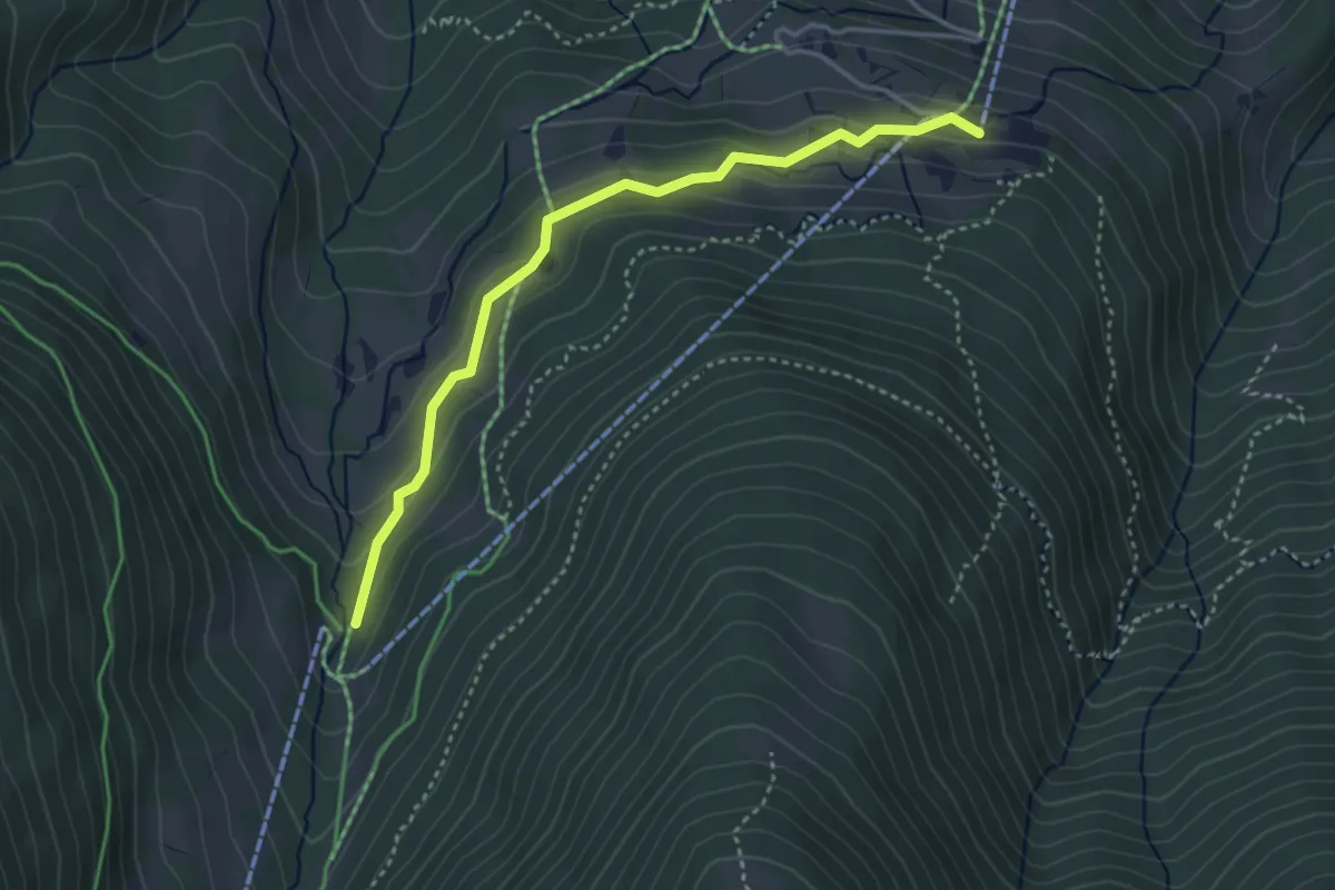
Easy · Trail
Brand – Breite Stäg
3.7 km · ↑ 190 m · 1 h 17 min · 8 km away
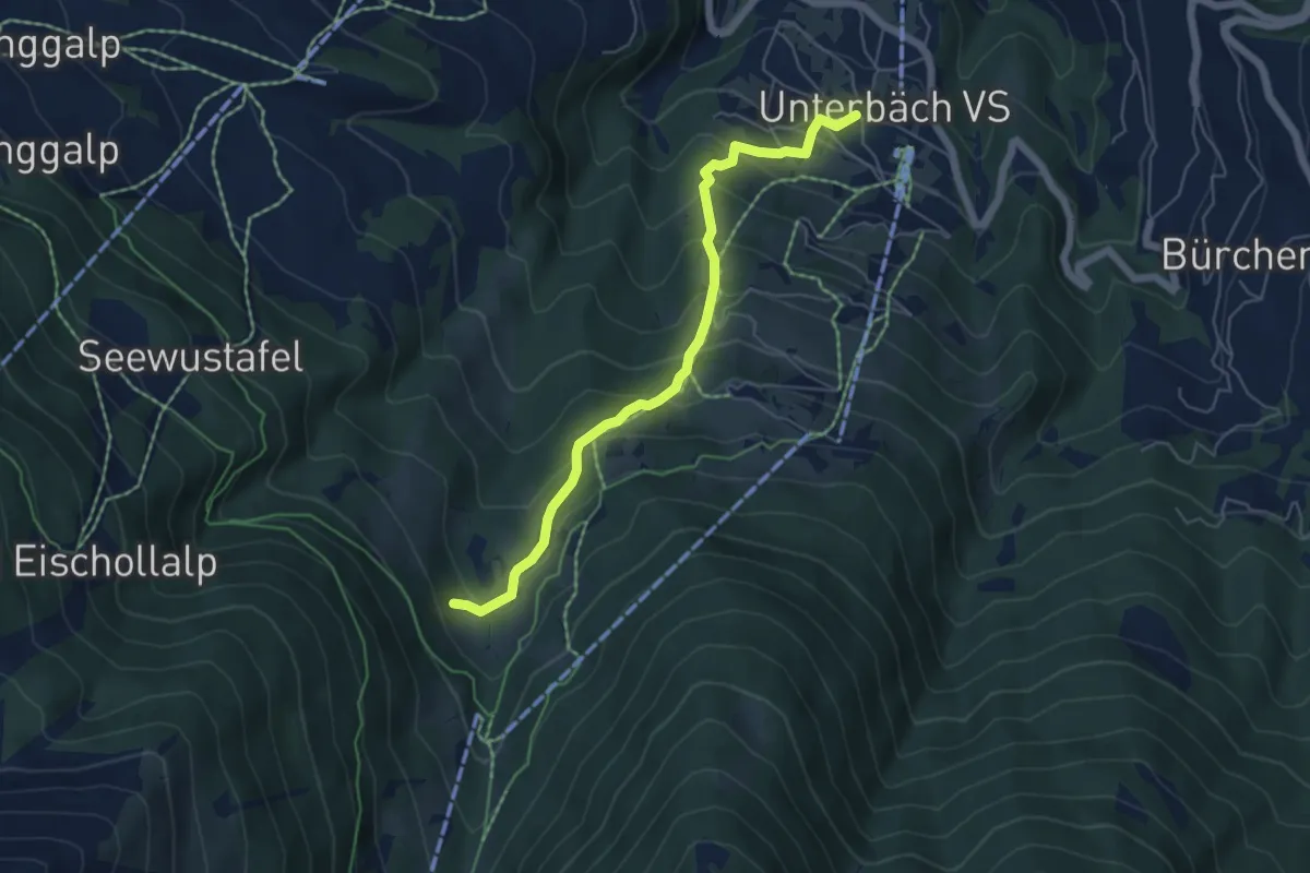
Medium · Trail
Unterbäch – Waldmatte
5.5 km · ↑ 453 m · 2 h 17 min · 8 km away
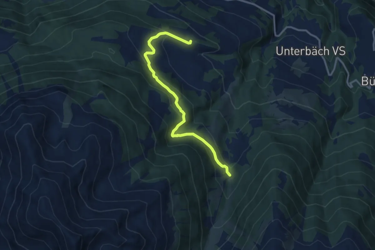
Medium · Trail
Strygge – Breite Stäg
8.7 km · ↑ 463 m · 3 h 4 min · 8 km away
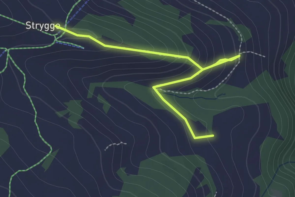
Easy · Trail
Strygge – Breitmattu
2.8 km · ↑ 172 m · 1 h 2 min · 8 km away
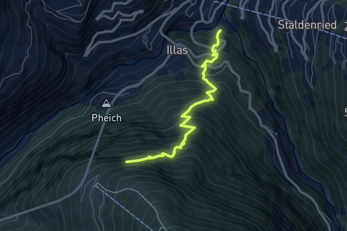
Demanding · Trail
Stalden - Hohtschuggen
5.9 km · ↑ 907 m · 3 h 22 min · 8 km away
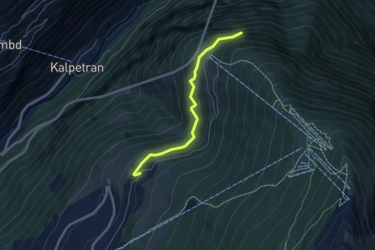
Medium · Trail
Egga – Hohtschugga
4.5 km · ↑ 327 m · 1 h 46 min · 8 km away
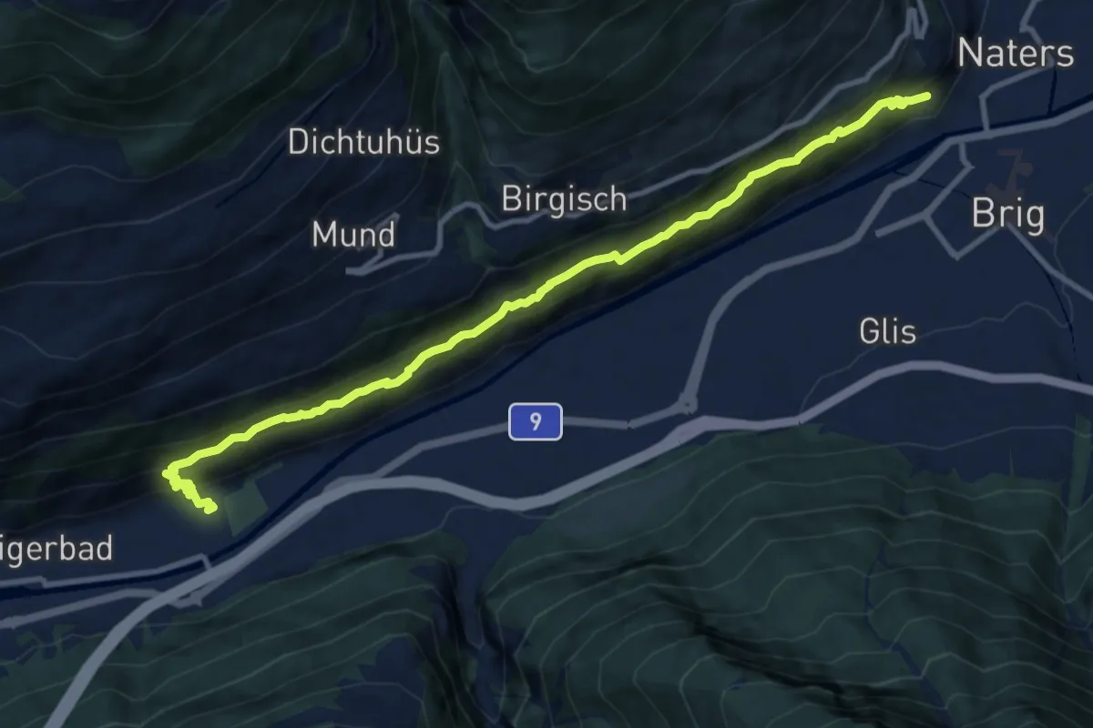
Demanding · Trail
Brigerbad - Naters
11.6 km · ↑ 935 m · 4 h 46 min · 8 km away
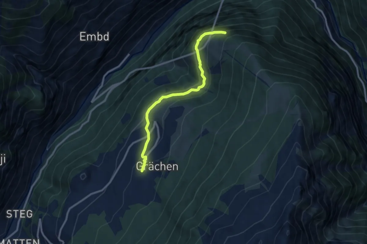
Medium · Trail
Grächen – Hohtschugge
7.1 km · ↑ 379 m · 2 h 31 min · 9 km away
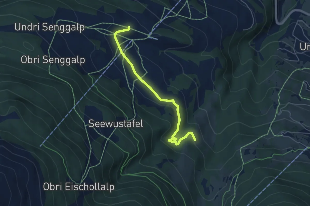
Easy · Trail
Strygge – Howwete
4.6 km · ↑ 120 m · 1 h 21 min · 9 km away
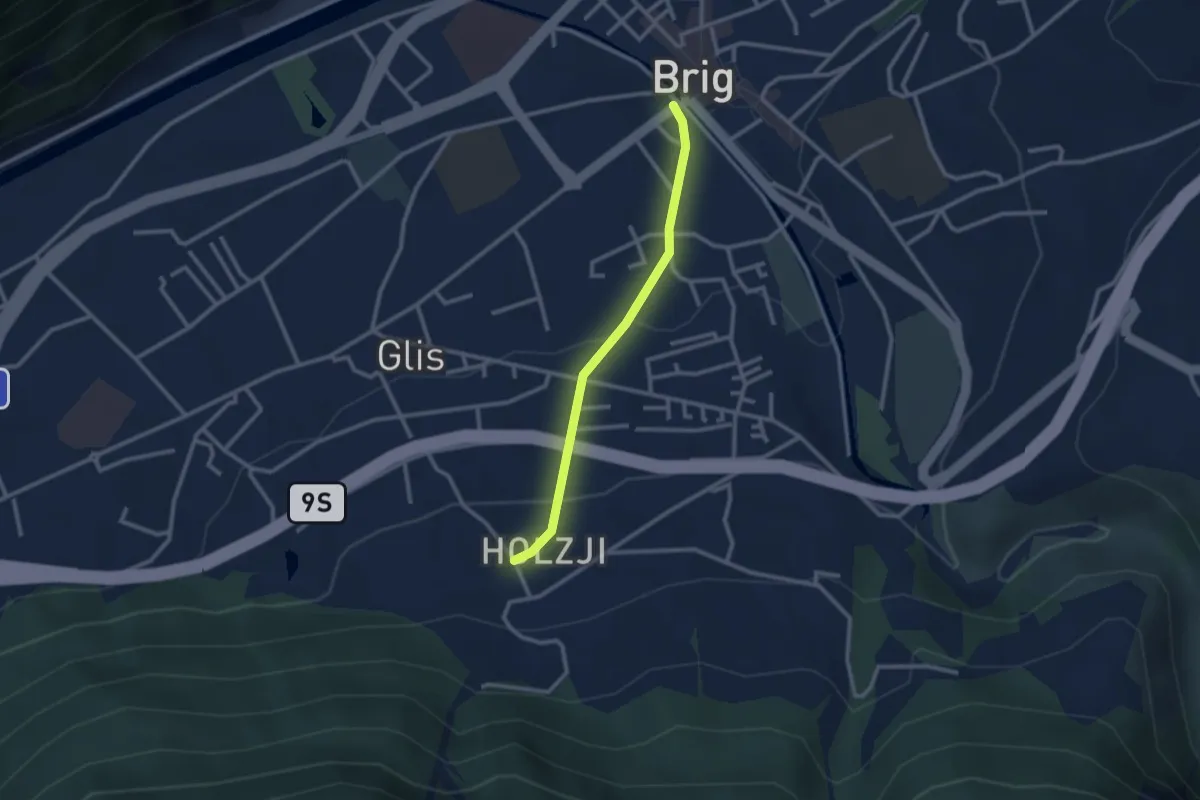
Easy · Trail
Brig - Holzji
2.4 km · ↑ 86 m · 45 min · 9 km away
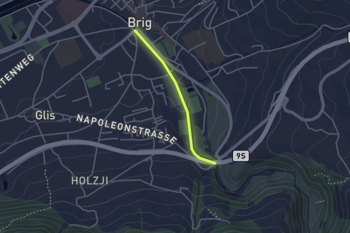
Easy · Trail
Brig - Napoleonbrücke
2.3 km · ↑ 53 m · 39 min · 9 km away
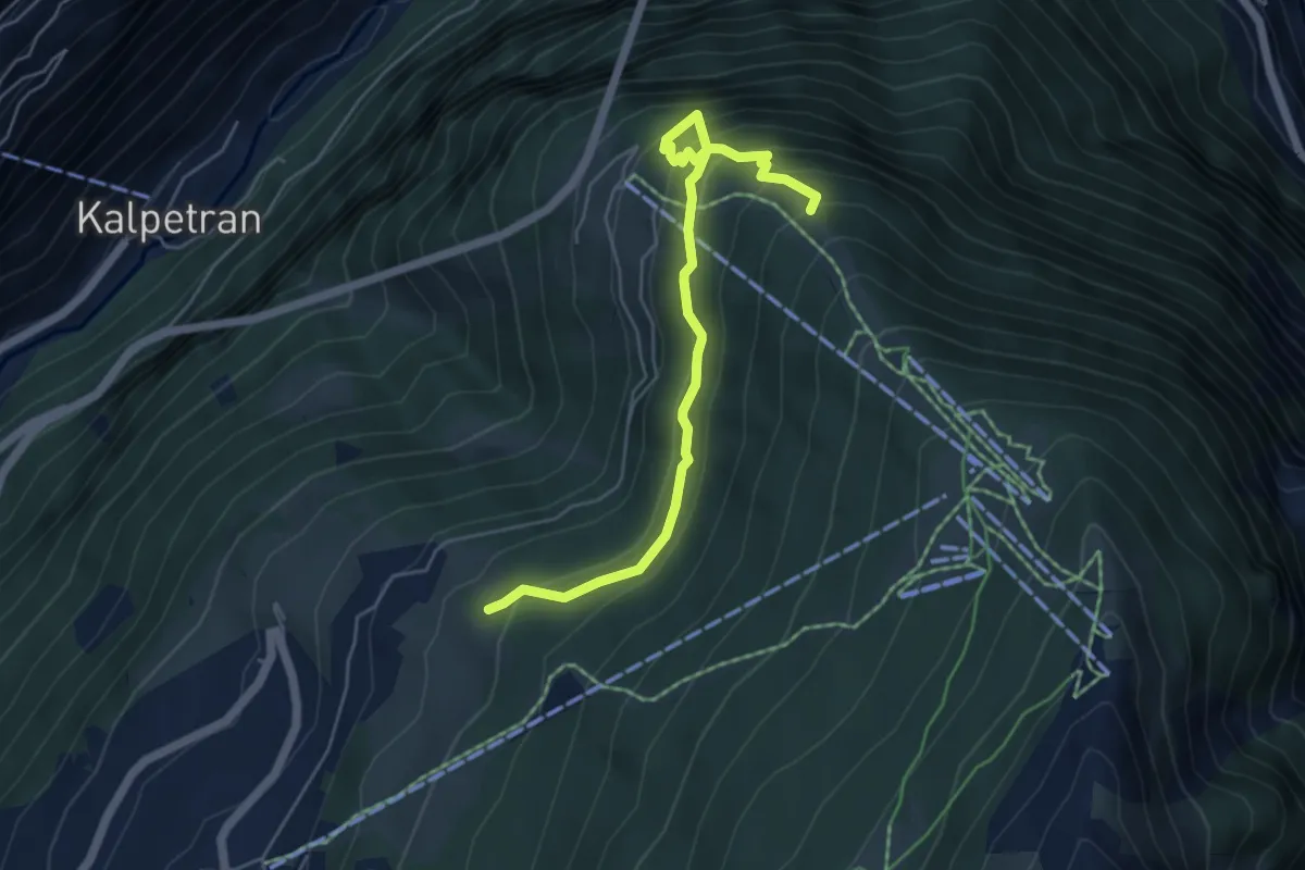
Medium · Trail
Dirri – Hohtschugge
5.5 km · ↑ 581 m · 2 h 34 min · 9 km away
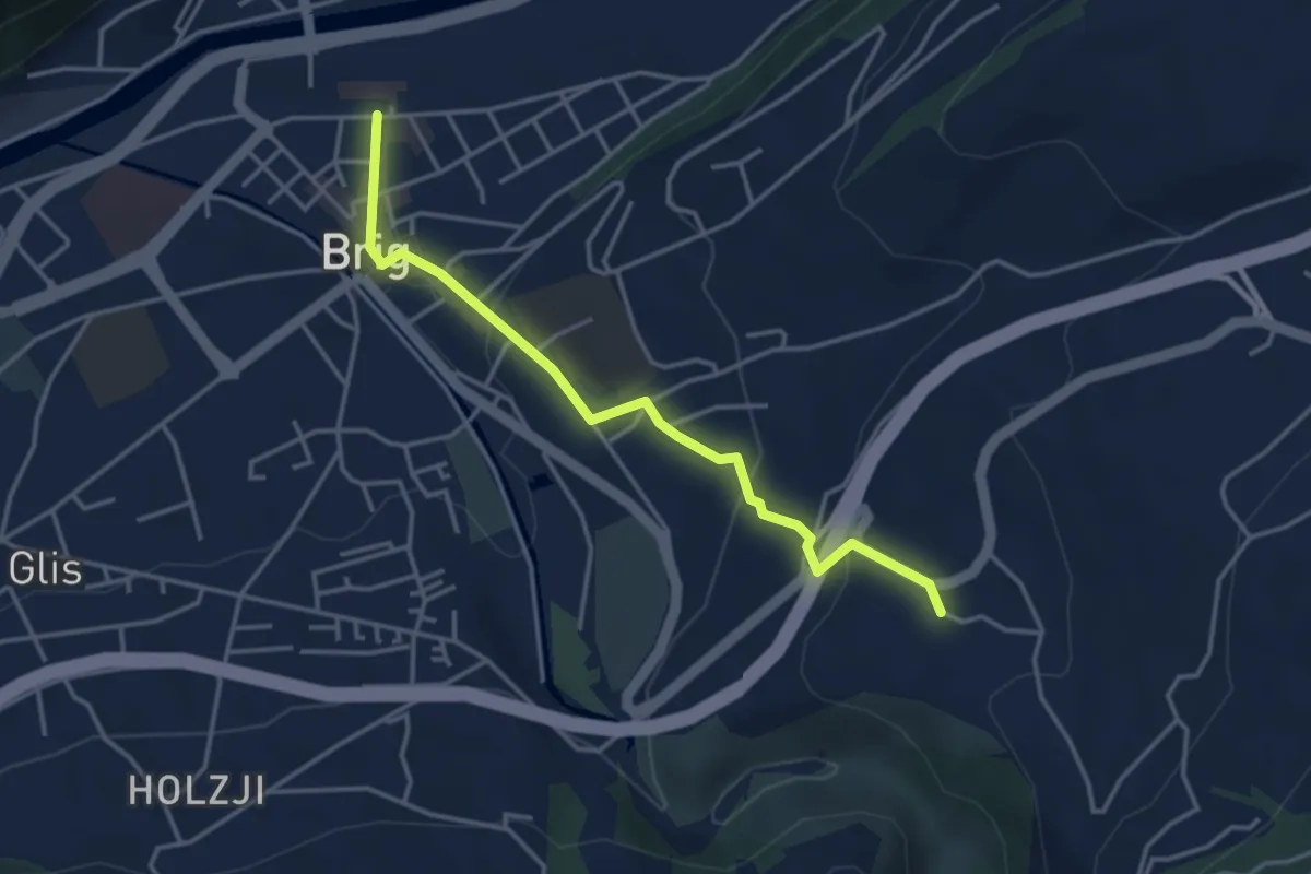
Easy · Trail
Brig - Lingwurm
3.8 km · ↑ 145 m · 1 h 13 min · 9 km away
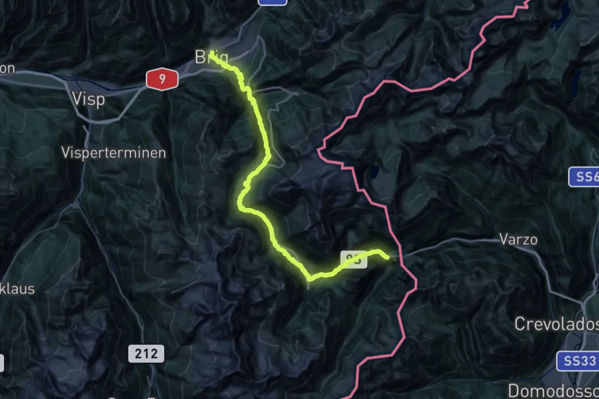
Demanding · Trail
ViaStockalper
29.9 km · ↑ 2093 m · 11 h 48 min · 9 km away
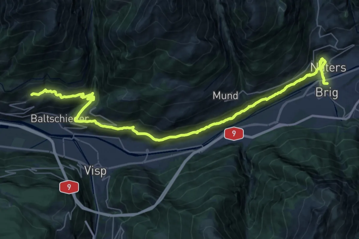
Demanding · Trail
Walliser Sonnenweg Etappe 4
16.3 km · ↑ 1039 m · 6 h 9 min · 9 km away
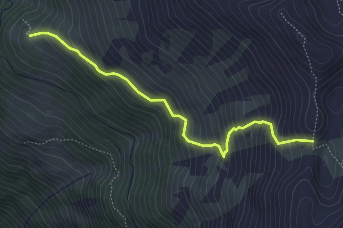
Demanding · Trail
Häüschbiele - Lägunde Tschuggo
5.0 km · ↑ 565 m · 2 h 25 min · 9 km away
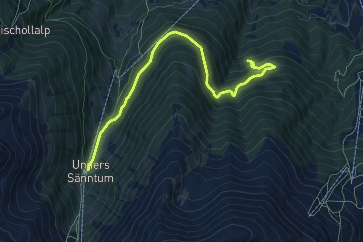
Medium · Trail
Unners Sänntum – Gärwerwald
10.0 km · ↑ 684 m · 3 h 51 min · 9 km away
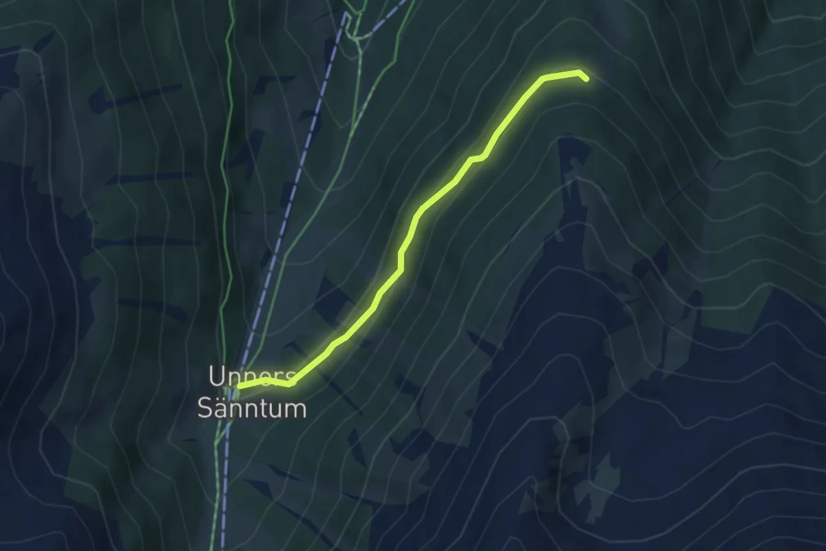
Easy · Trail
Unners Sänntum – Gibidum
3.7 km · ↑ 152 m · 1 h 12 min · 9 km away
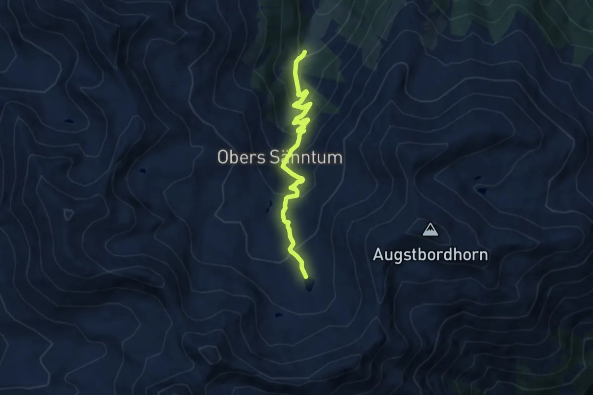
Expert · Trail
Unners Sänntum – Seefeld
8.2 km · ↑ 568 m · 3 h 10 min · 9 km away
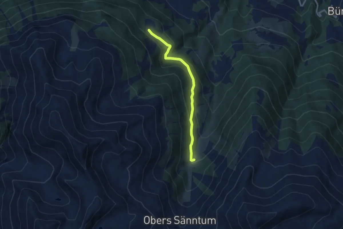
Medium · Trail
Unners Sänntum – Undri Eischollalp
6.6 km · ↑ 330 m · 2 h 17 min · 9 km away
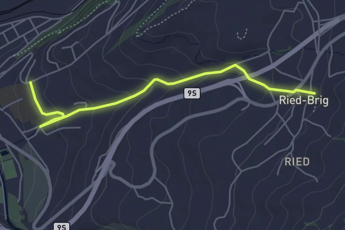
Easy · Trail
Brig - Ried-Brig
4.7 km · ↑ 201 m · 1 h 33 min · 9 km away
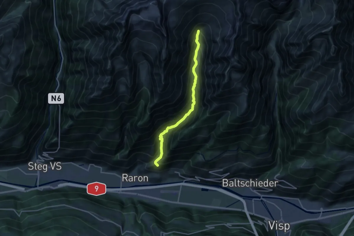
Expert · Trail
Ritzibodo - Reemistafel
14.4 km · ↑ 1266 m · 6 h 9 min · 9 km away
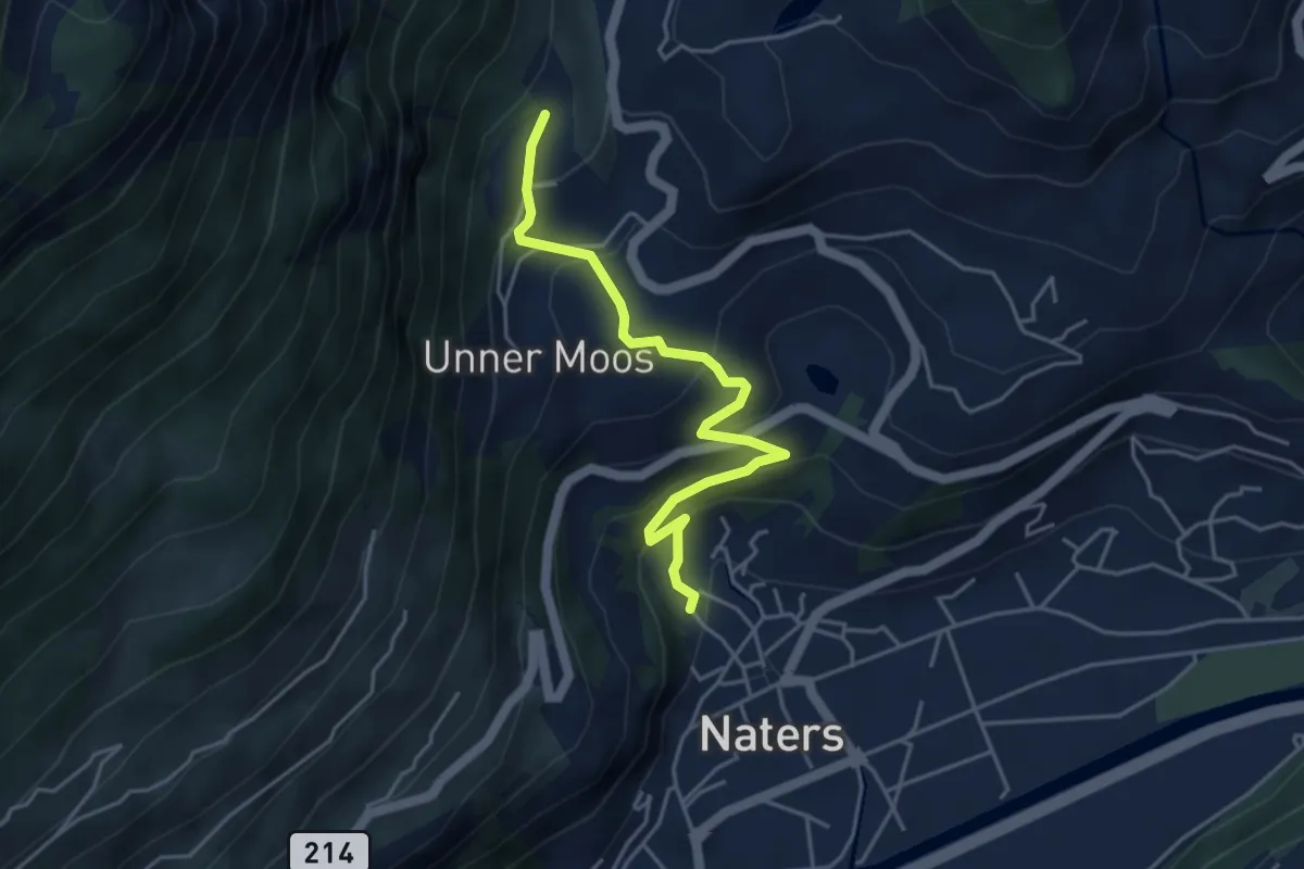
Easy · Trail
Moos - Naters
4.4 km · ↑ 317 m · 1 h 44 min · 9 km away
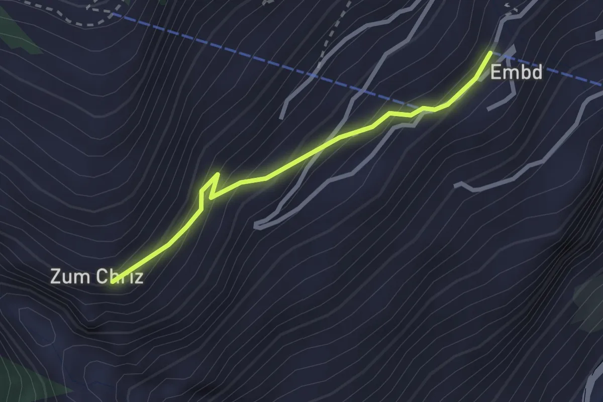
Easy · Trail
Embd – Zum Chriz
2.2 km · ↑ 205 m · 58 min · 9 km away
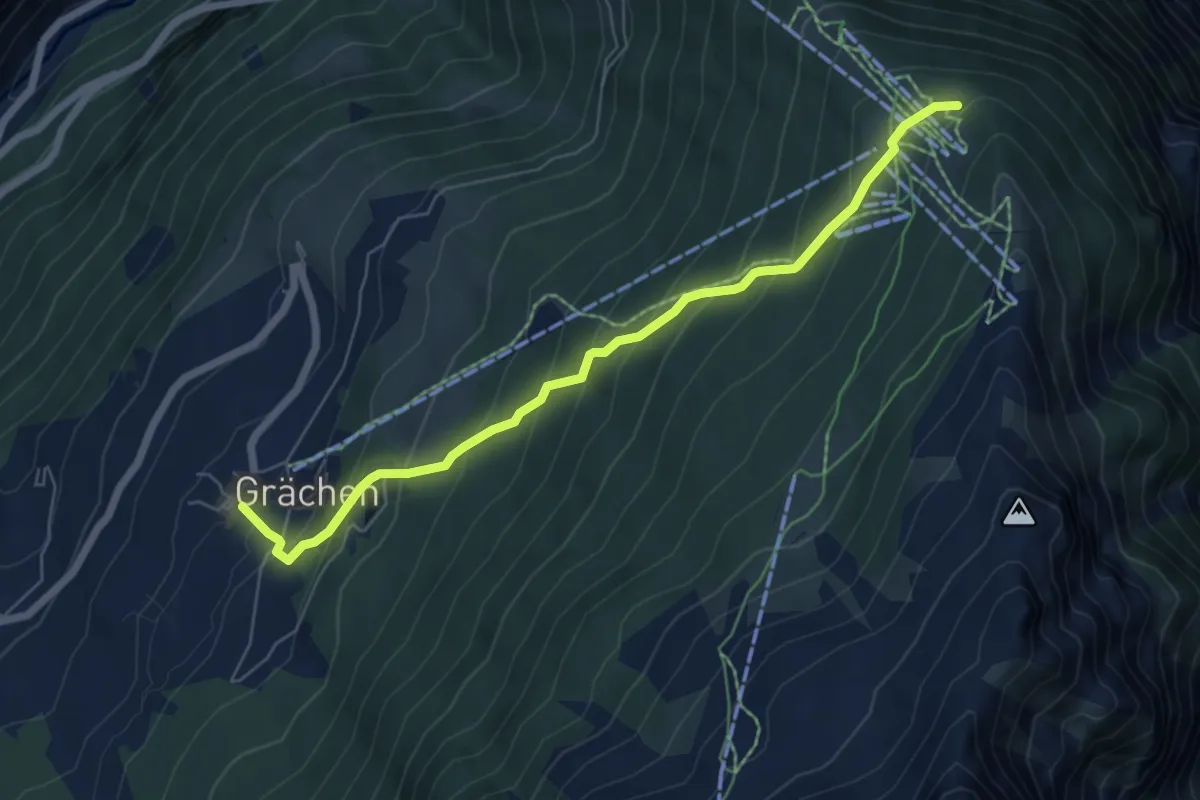
Medium · Trail
Grächen-Hannigalp
6.4 km · ↑ 516 m · 2 h 38 min · 9 km away
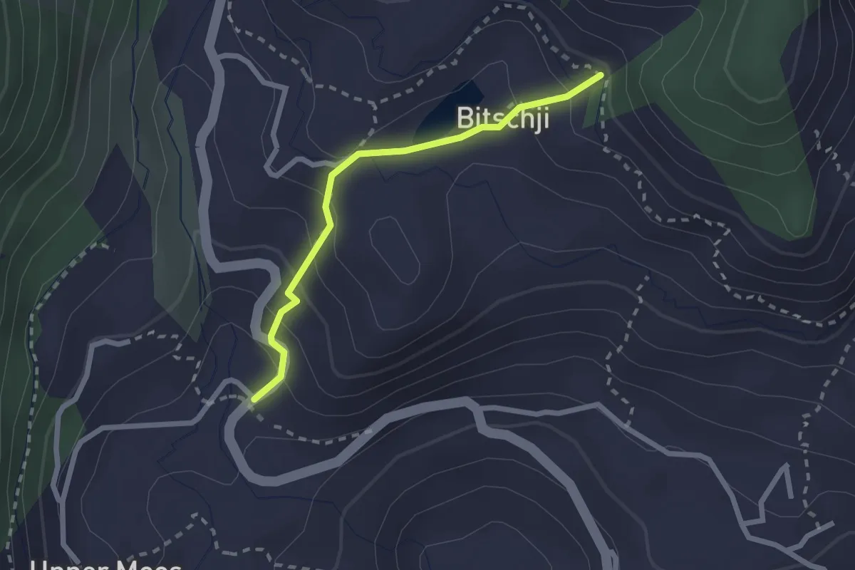
Easy · Trail
Moos - Bitschji
2.1 km · ↑ 154 m · 49 min · 9 km away
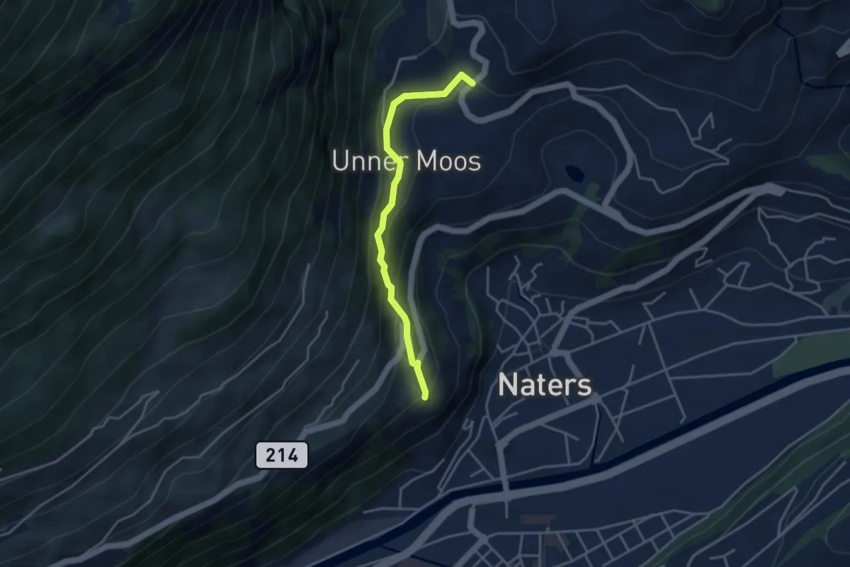
Easy · Trail
Moos - Birchegga
3.4 km · ↑ 213 m · 1 h 16 min · 9 km away
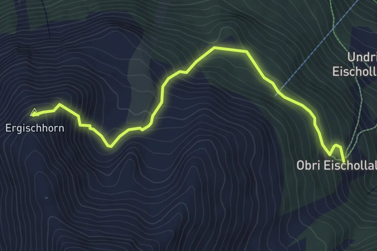
Medium · Summit
Obri Eischollalp – Ergischhorn
6.2 km · ↑ 521 m · 2 h 36 min · 9 km away
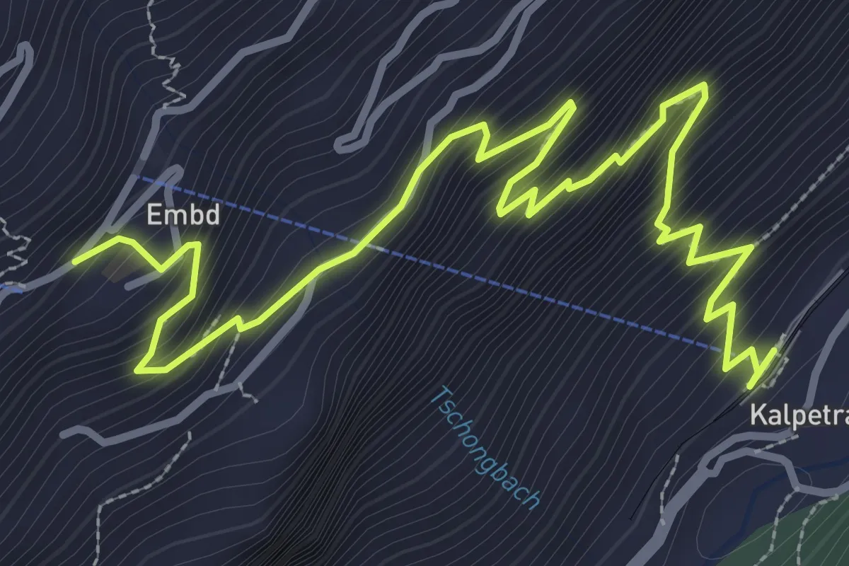
Medium · Trail
Kalpetran – Embd
4.5 km · ↑ 557 m · 2 h 16 min · 9 km away
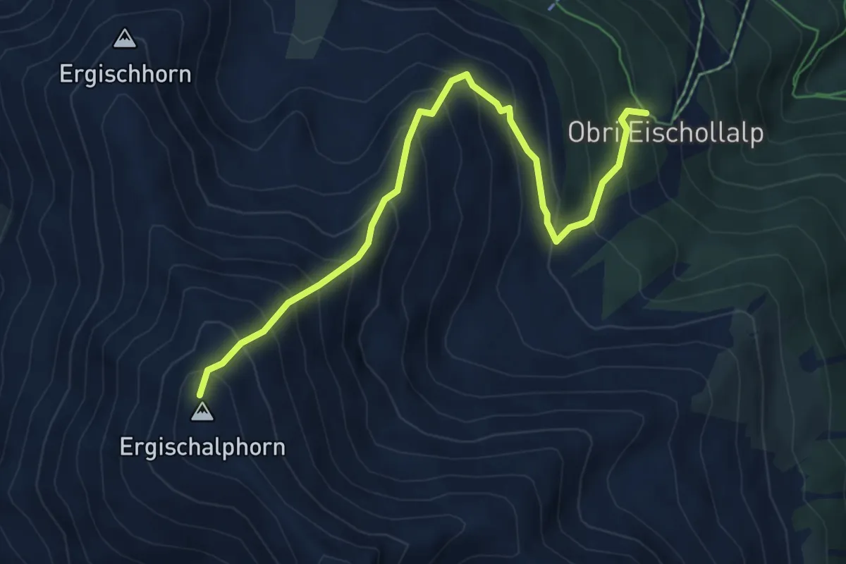
Medium · Summit
Obri Eischollalp – Ergischalphorn
6.3 km · ↑ 731 m · 3 h 5 min · 9 km away
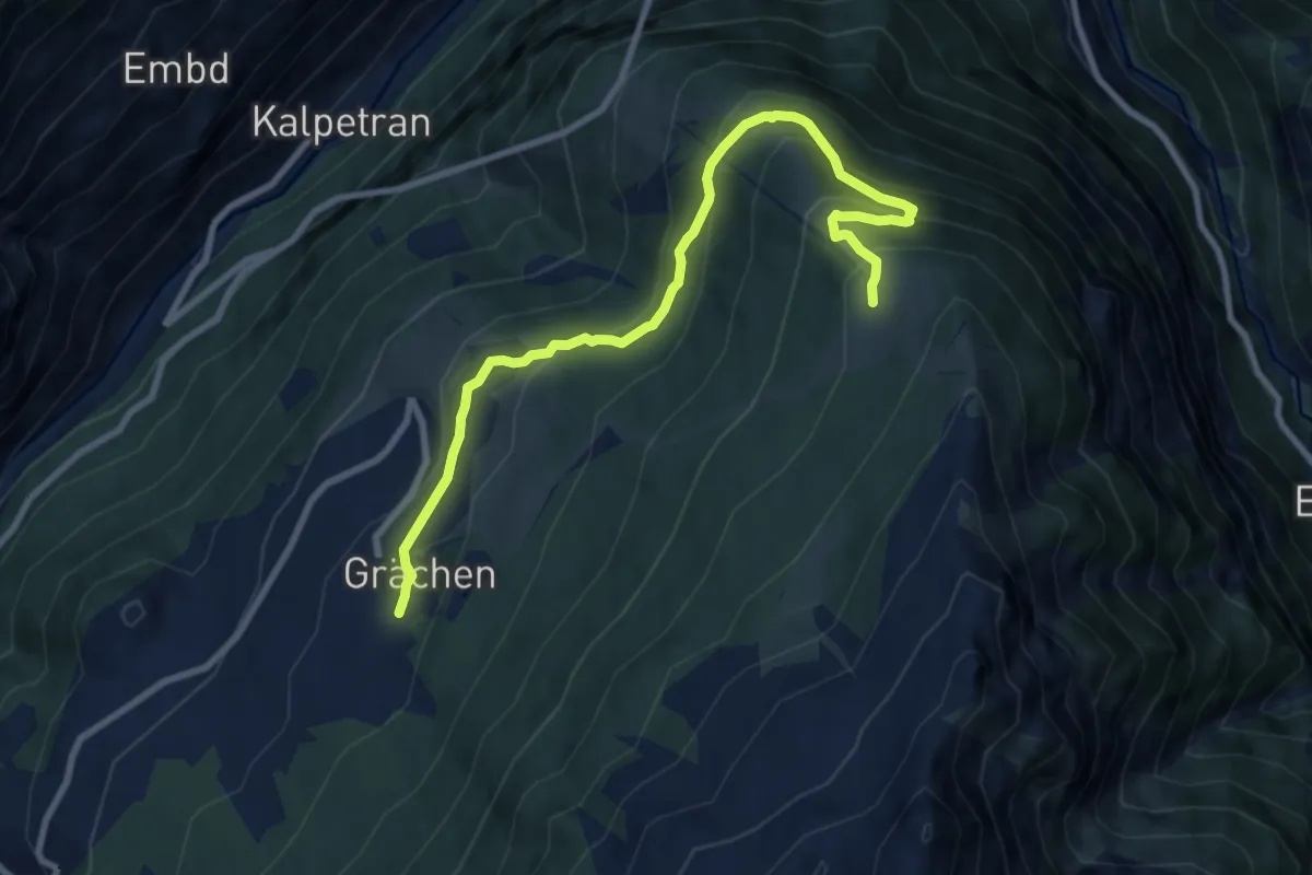
Medium · Trail
Grächen – Hannigalp
9.7 km · ↑ 592 m · 3 h 34 min · 9 km away
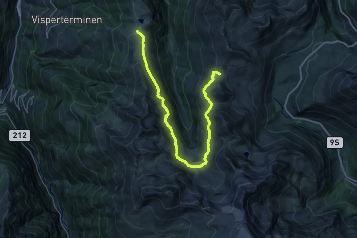
Demanding · Trail
Gebidempass-Bistinenpass
11.5 km · ↑ 532 m · 4 h 8 min · 10 km away
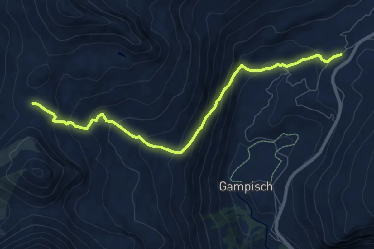
Medium · Trail
Bistinenpass-Simplonpass
8.4 km · ↑ 606 m · 3 h 18 min · 10 km away
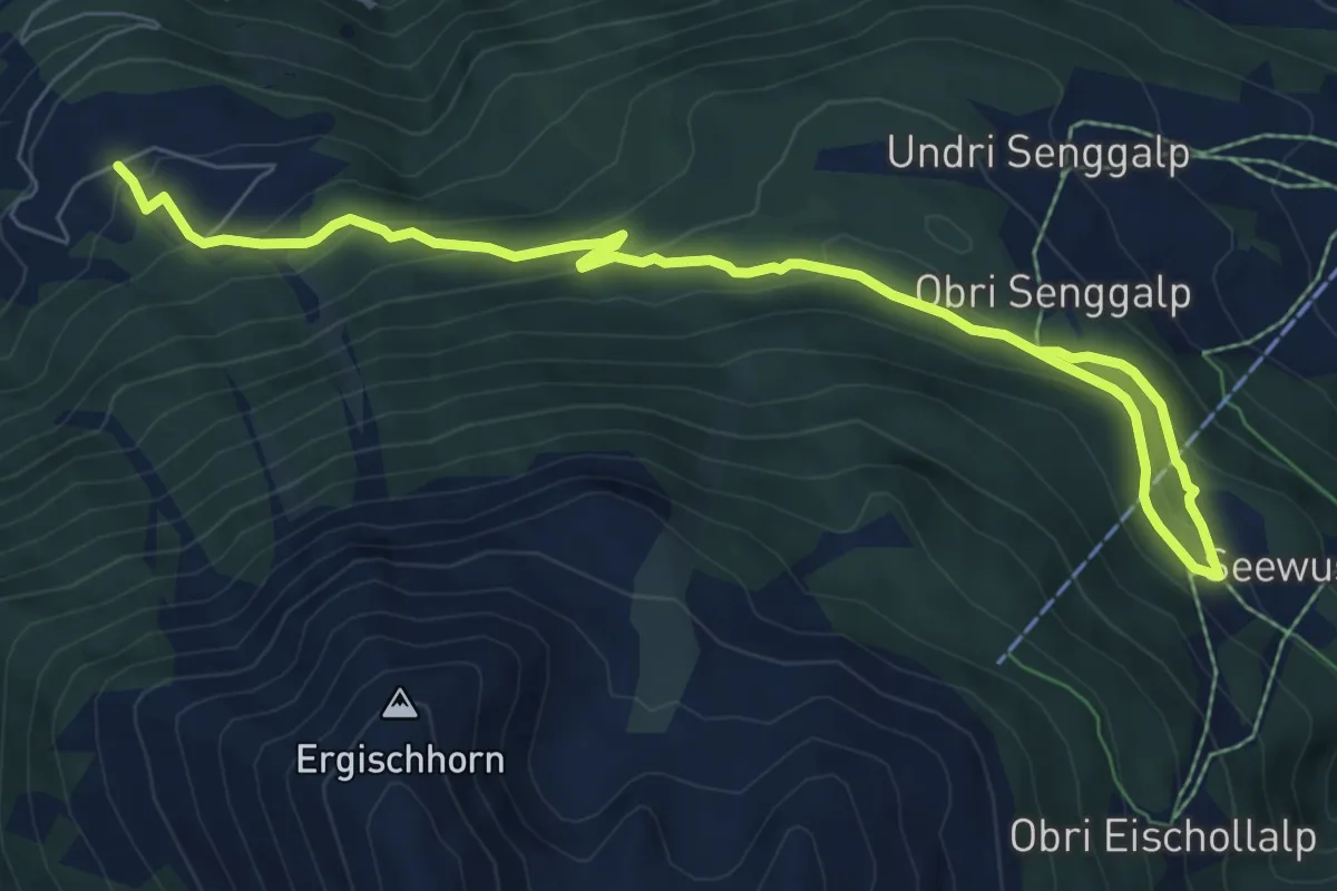
Medium · Trail
Undri Eischollalp – Obermatten
9.5 km · ↑ 456 m · 3 h 13 min · 10 km away
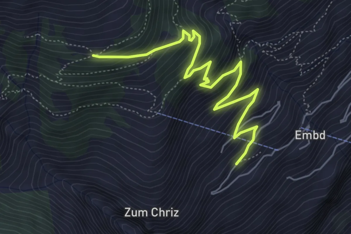
Medium · Trail
Embd – Läger
6.1 km · ↑ 632 m · 2 h 49 min · 10 km away
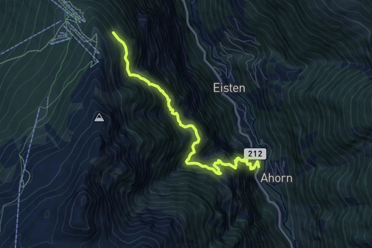
Demanding · Trail
Ahorn - Hannigalp
8.3 km · ↑ 1318 m · 4 h 49 min · 10 km away