Trails near Visp
402 hikes starting within 15 km, nearest first.
Nearest first, page 5 of 9
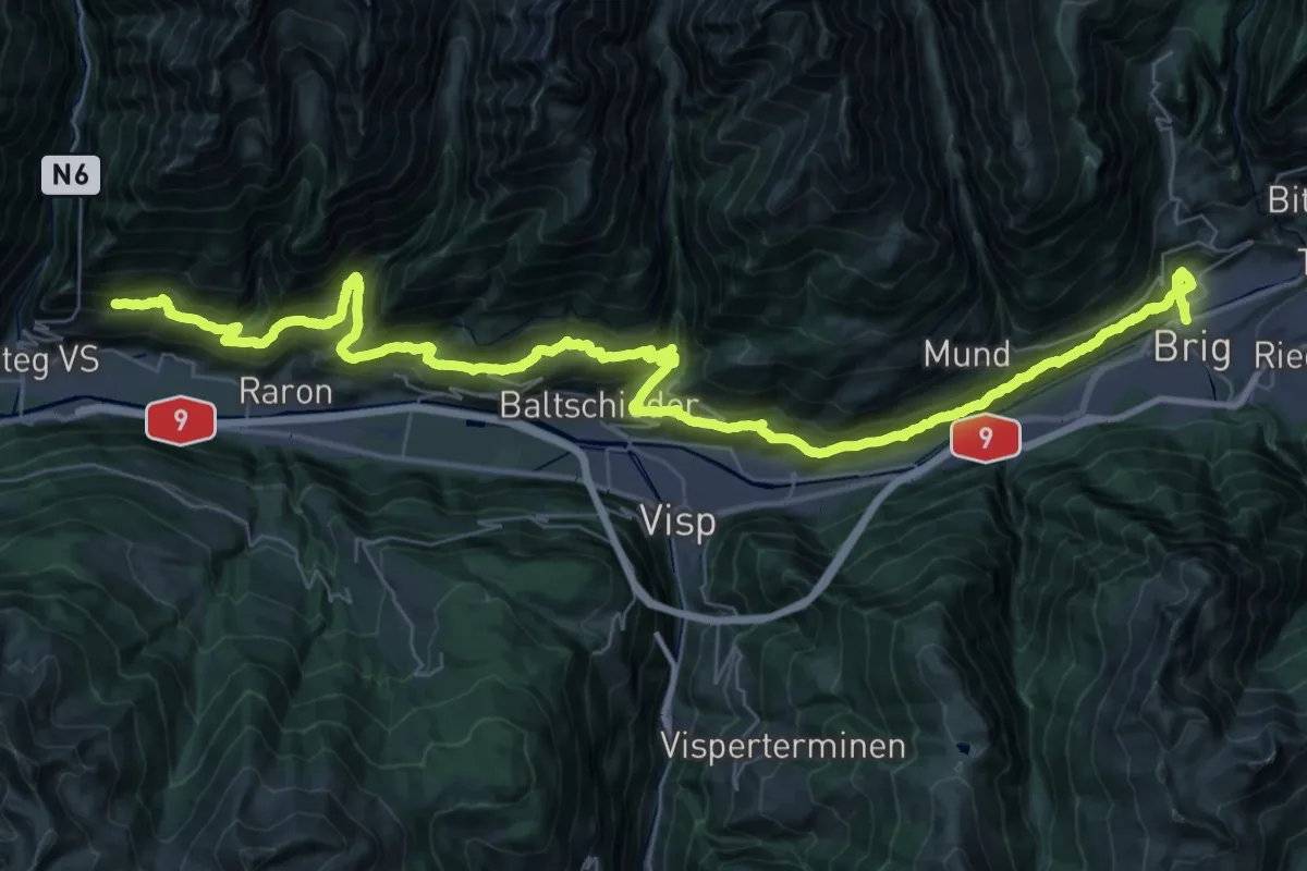
Demanding · Trail
Lötschberger Südrampe
27.0 km · ↑ 1331 m · 9 h 50 min · 10 km away
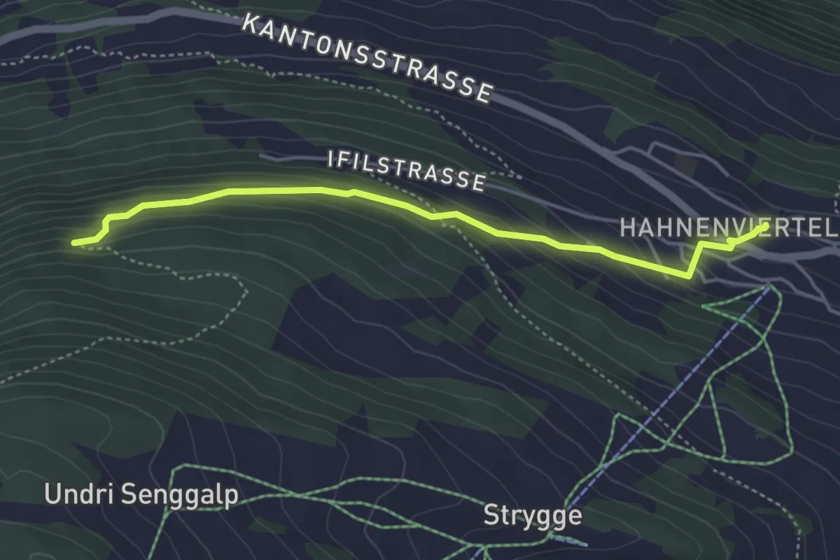
Easy · Trail
Eischoll – Mettelstafel
4.3 km · ↑ 275 m · 1 h 36 min · 10 km away
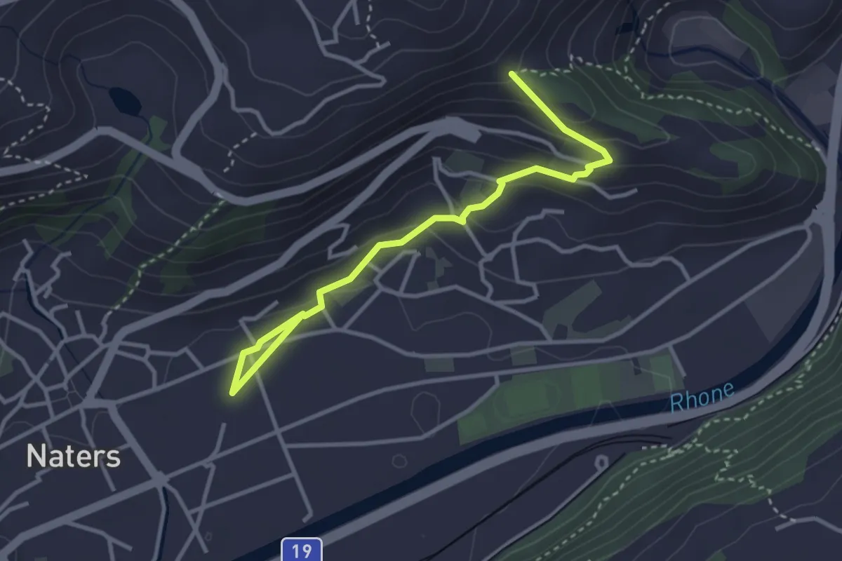
Easy · Trail
Naters - Masaegg
3.6 km · ↑ 170 m · 1 h 13 min · 10 km away
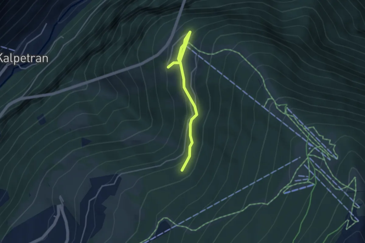
Easy · Trail
Taa – Bärgji
3.2 km · ↑ 156 m · 1 h 5 min · 10 km away
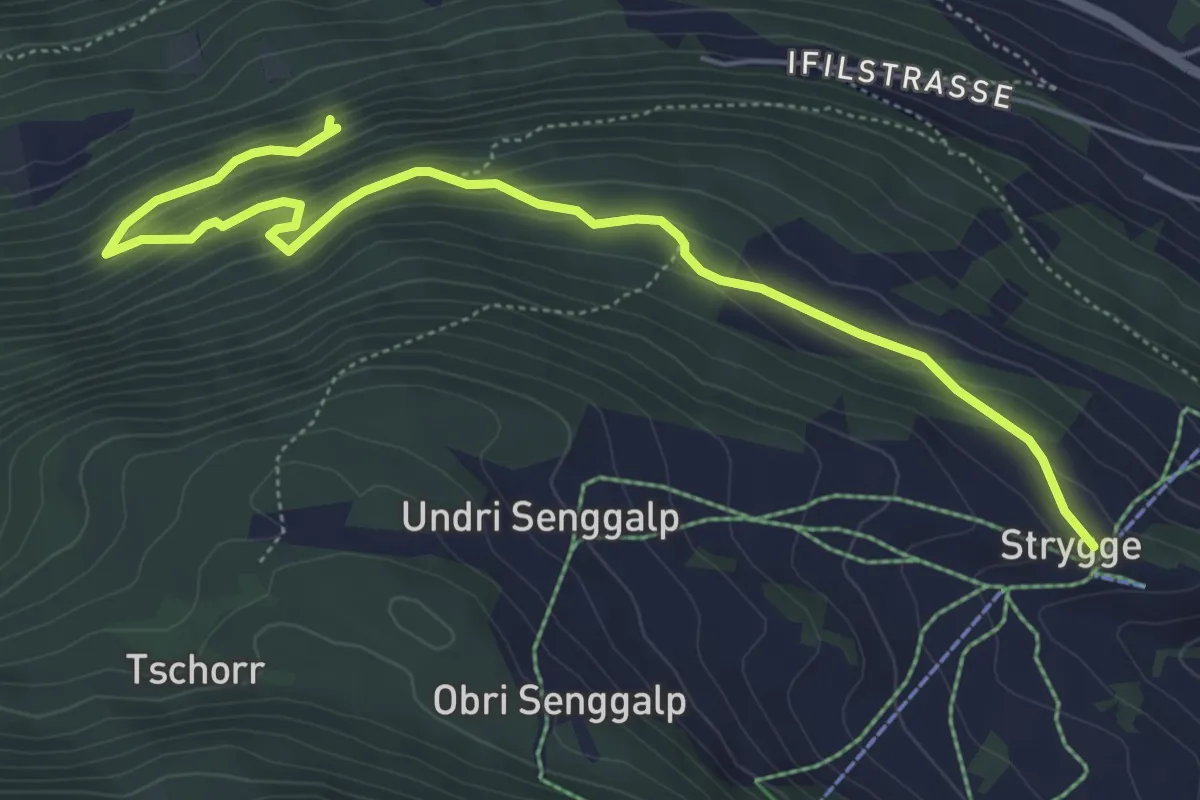
Medium · Trail
Strygge – Mettelstafel
6.4 km · ↑ 398 m · 2 h 22 min · 10 km away
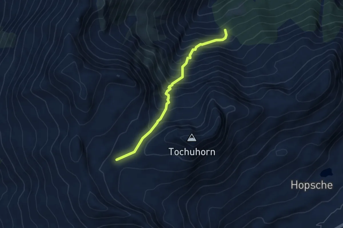
Demanding · Trail
Obers Nesseltal - Undre Rossusee
5.0 km · ↑ 611 m · 2 h 31 min · 10 km away
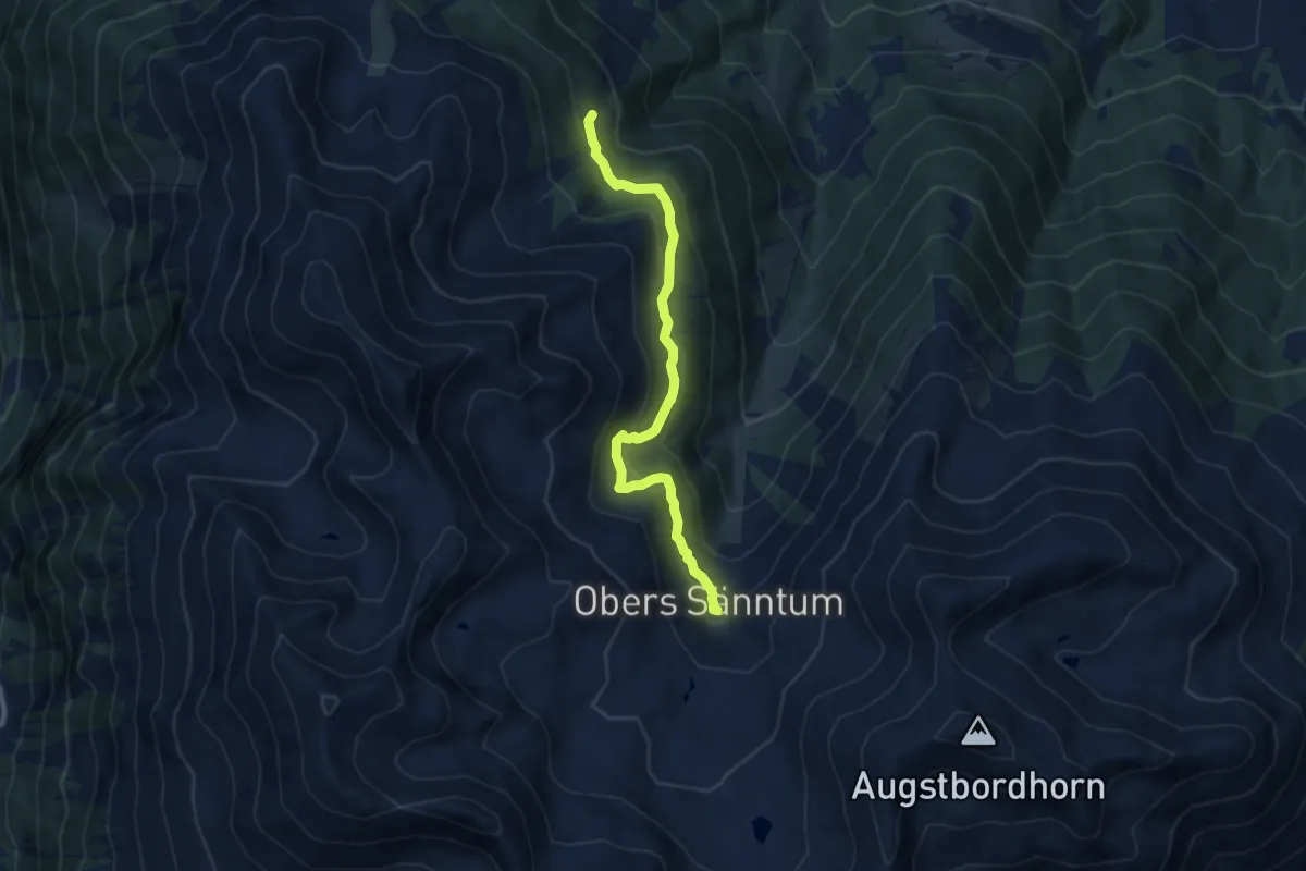
Medium · Trail
Obri Eischollalp – Seefeld
8.7 km · ↑ 436 m · 3 h 1 min · 10 km away
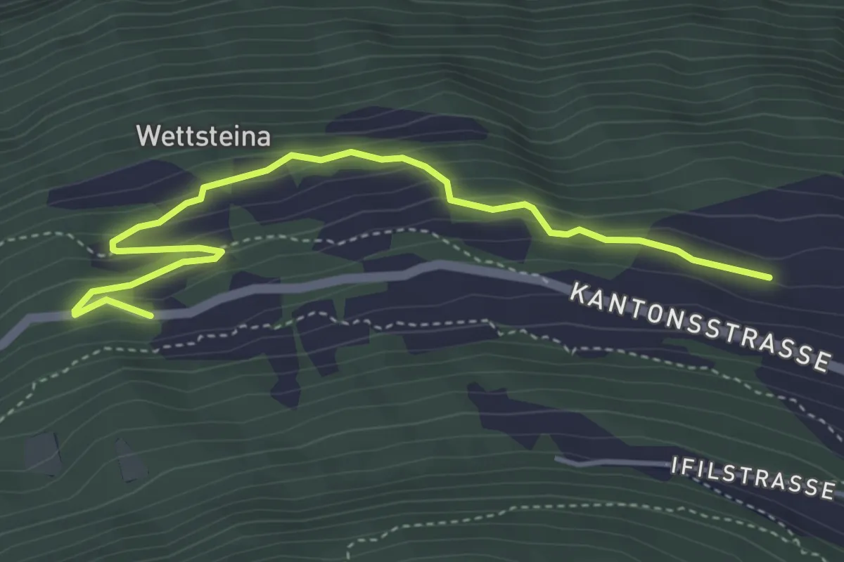
Easy · Trail
Breiu – Niederried
4.5 km · ↑ 274 m · 1 h 40 min · 10 km away
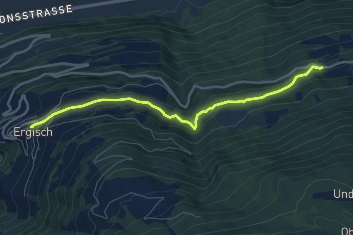
Easy · Trail
Niederried – Ergisch
6.6 km · ↑ 282 m · 2 h 10 min · 10 km away
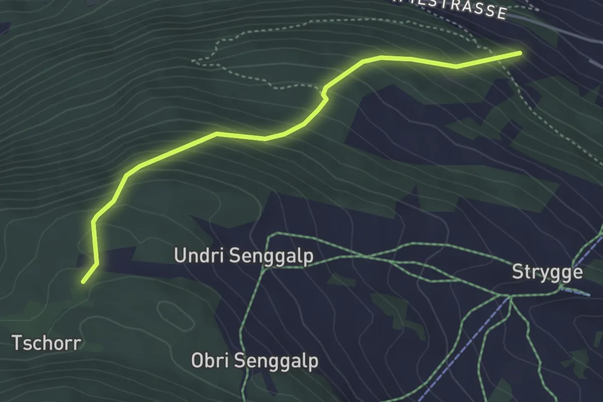
Medium · Trail
Tschorr – Habere
4.0 km · ↑ 414 m · 1 h 51 min · 10 km away
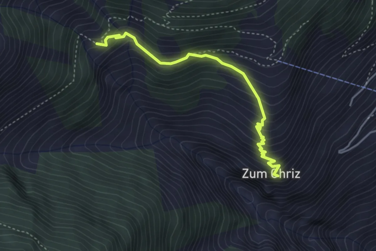
Medium · Trail
Zum Chriz – Gartini
3.7 km · ↑ 402 m · 1 h 44 min · 10 km away
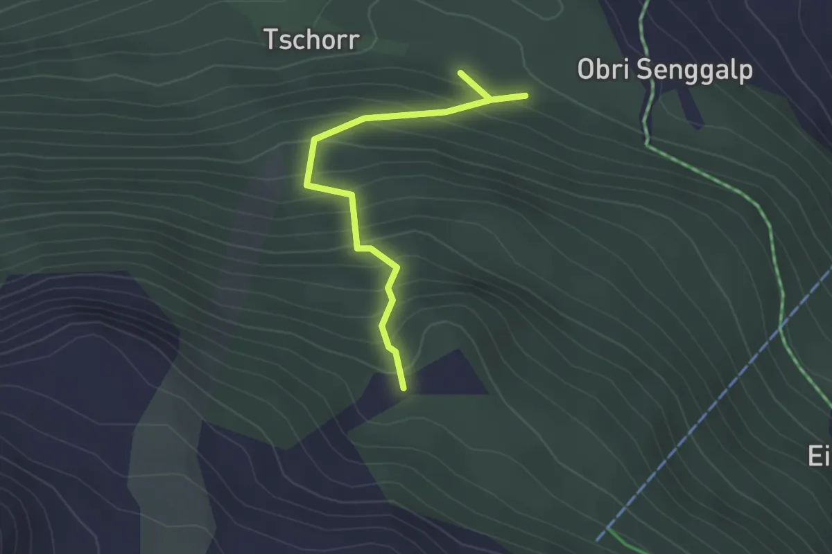
Easy · Trail
Obri Senggalp – Tschongstafel
2.6 km · ↑ 304 m · 1 h 17 min · 10 km away
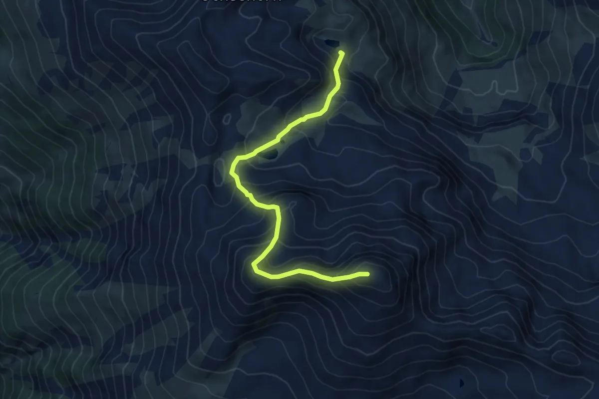
Expert · Summit
Blausee - Mattwaldhorn
6.9 km · ↑ 689 m · 3 h 8 min · 10 km away
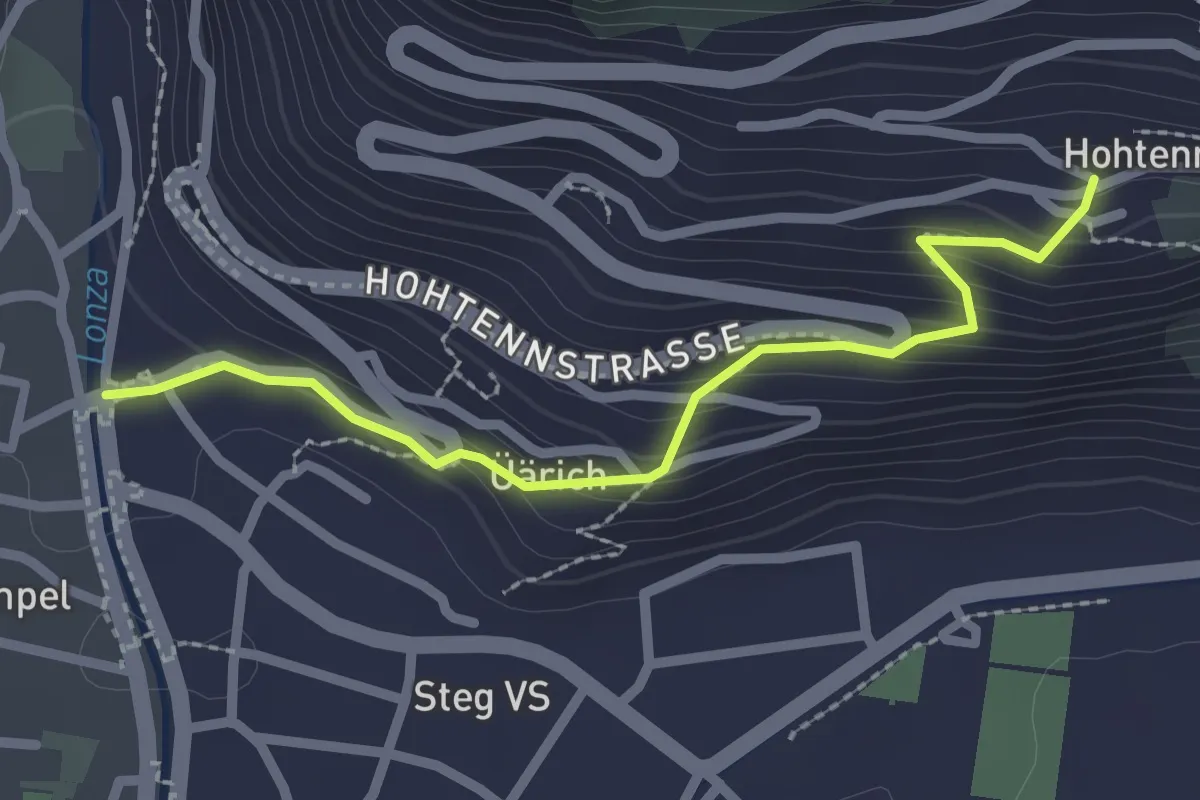
Easy · Trail
Steg – Hohtenn
2.4 km · ↑ 179 m · 57 min · 10 km away
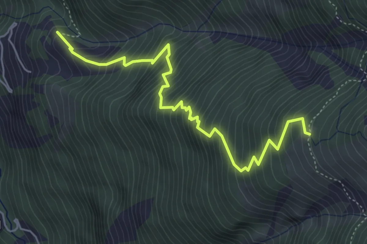
Demanding · Trail
Leidbach - Obere Schwarze Wald
5.3 km · ↑ 825 m · 3 h 2 min · 10 km away
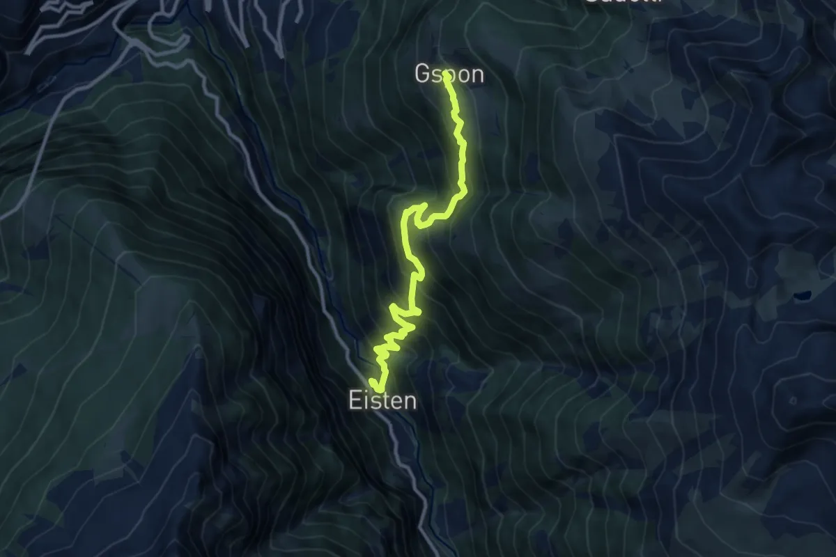
Demanding · Trail
Gspon - Eisten
10.5 km · ↑ 1025 m · 4 h 42 min · 10 km away
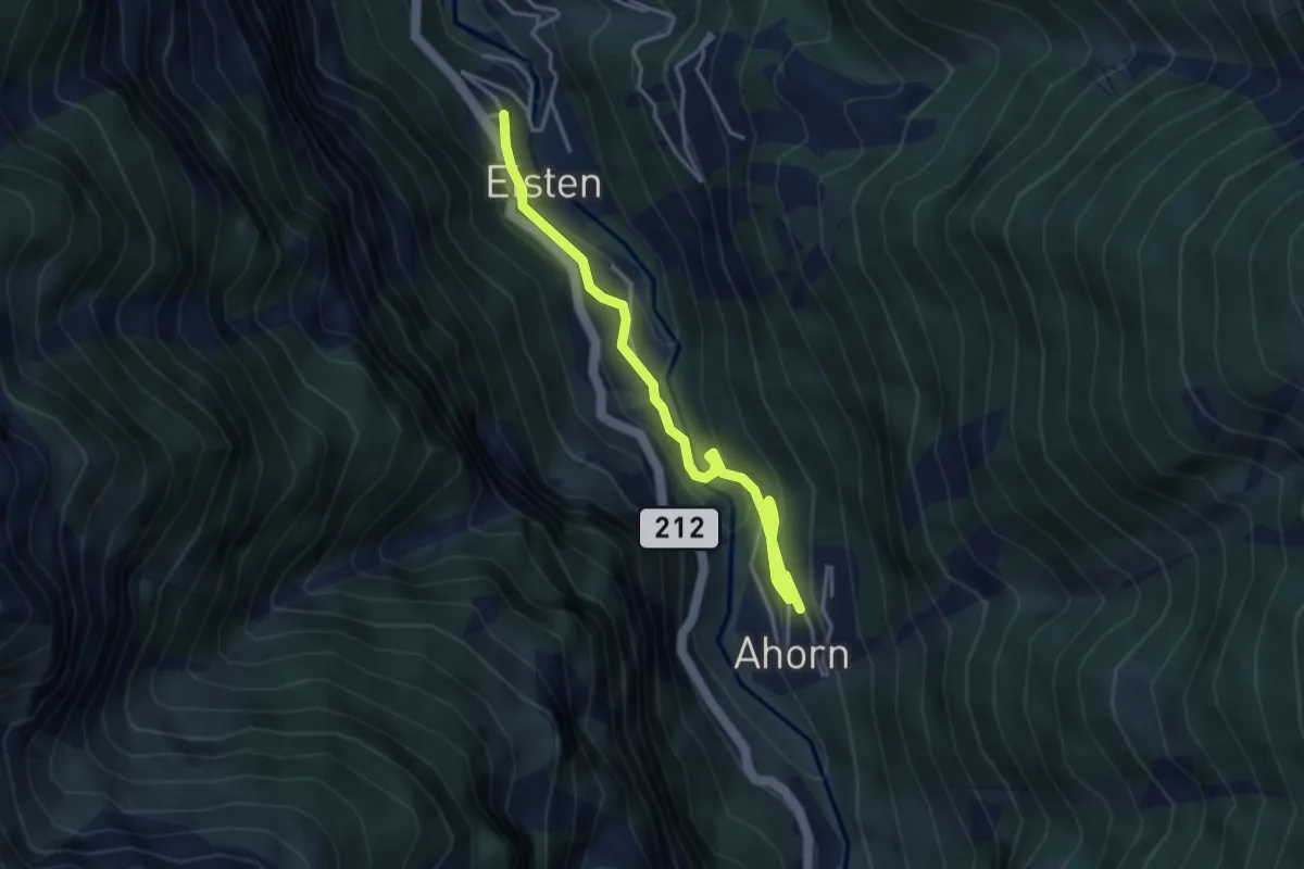
Easy · Trail
Eisten - Ahorn
4.6 km · ↑ 258 m · 1 h 39 min · 10 km away
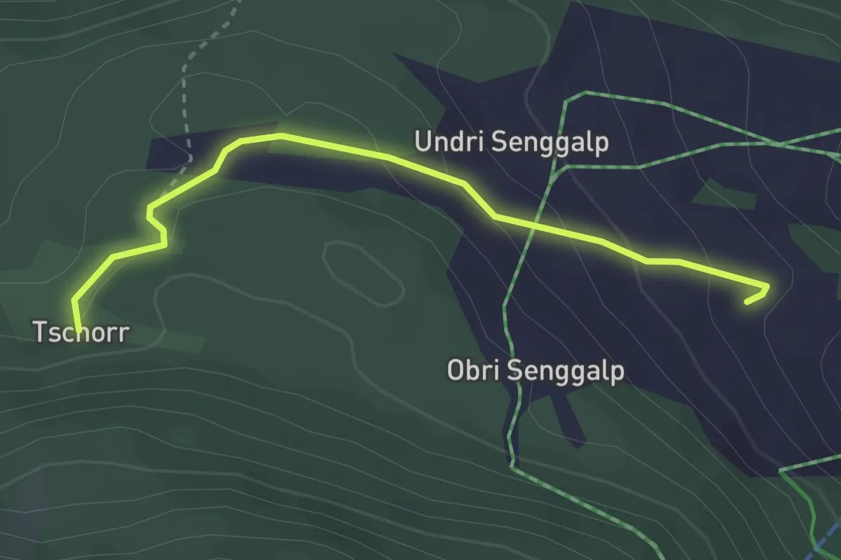
Easy · Trail
Tschorr – Meiggu
2.9 km · ↑ 128 m · 58 min · 10 km away
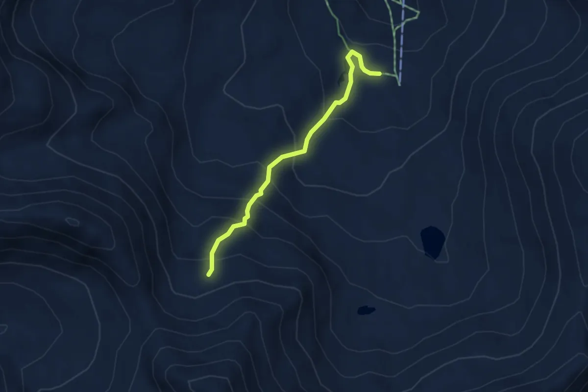
Easy · Trail
Seefeld – Niggelingenlicka
3.6 km · ↑ 302 m · 1 h 30 min · 10 km away
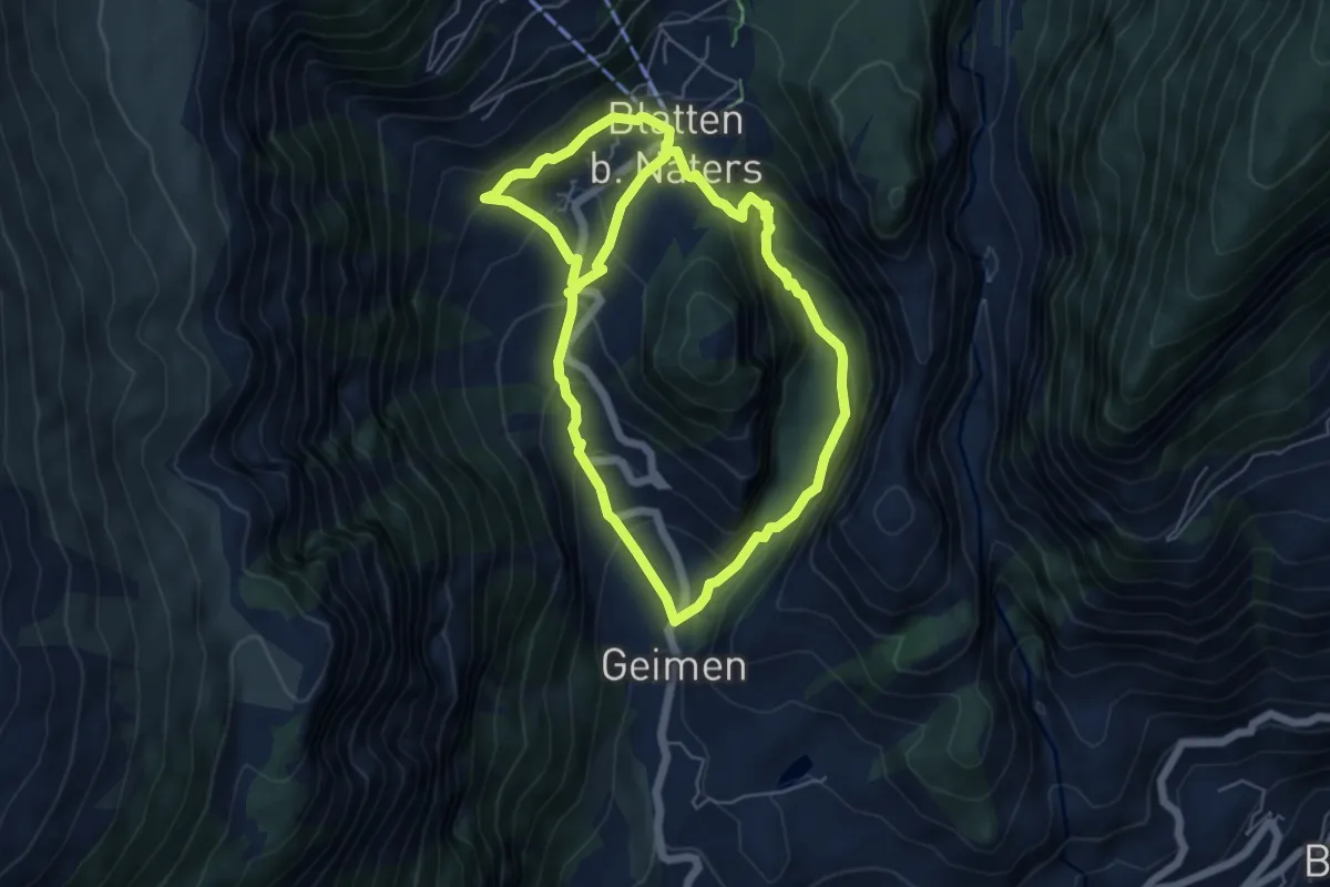
Medium · Trail
Blatten - Geimen
10.9 km · ↑ 708 m · 4 h 6 min · 10 km away
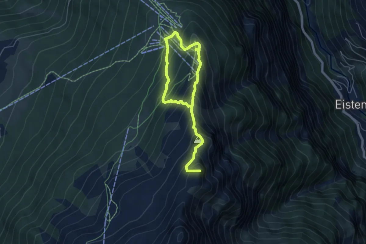
Demanding · Summit
Hannigalp - Wannehorn
6.7 km · ↑ 745 m · 3 h 12 min · 10 km away
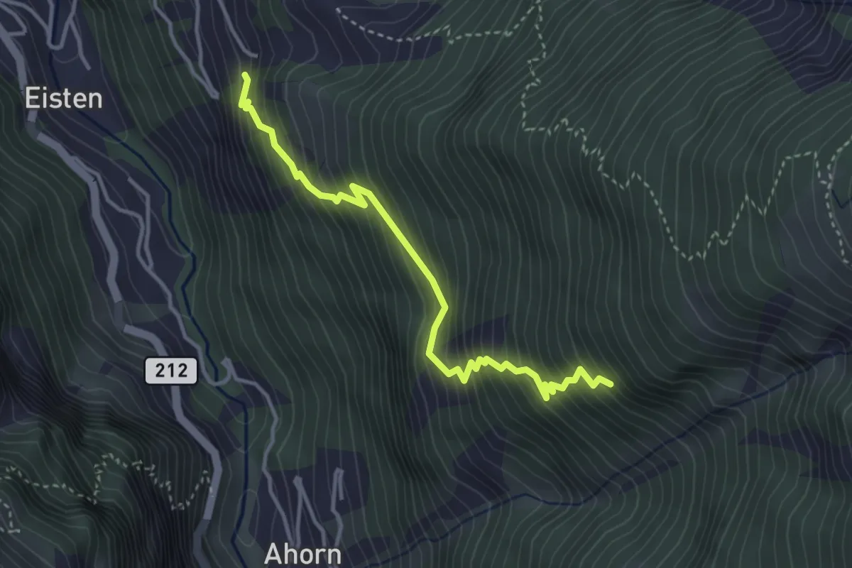
Medium · Trail
Asp - Stellinu
3.8 km · ↑ 553 m · 2 h 5 min · 10 km away
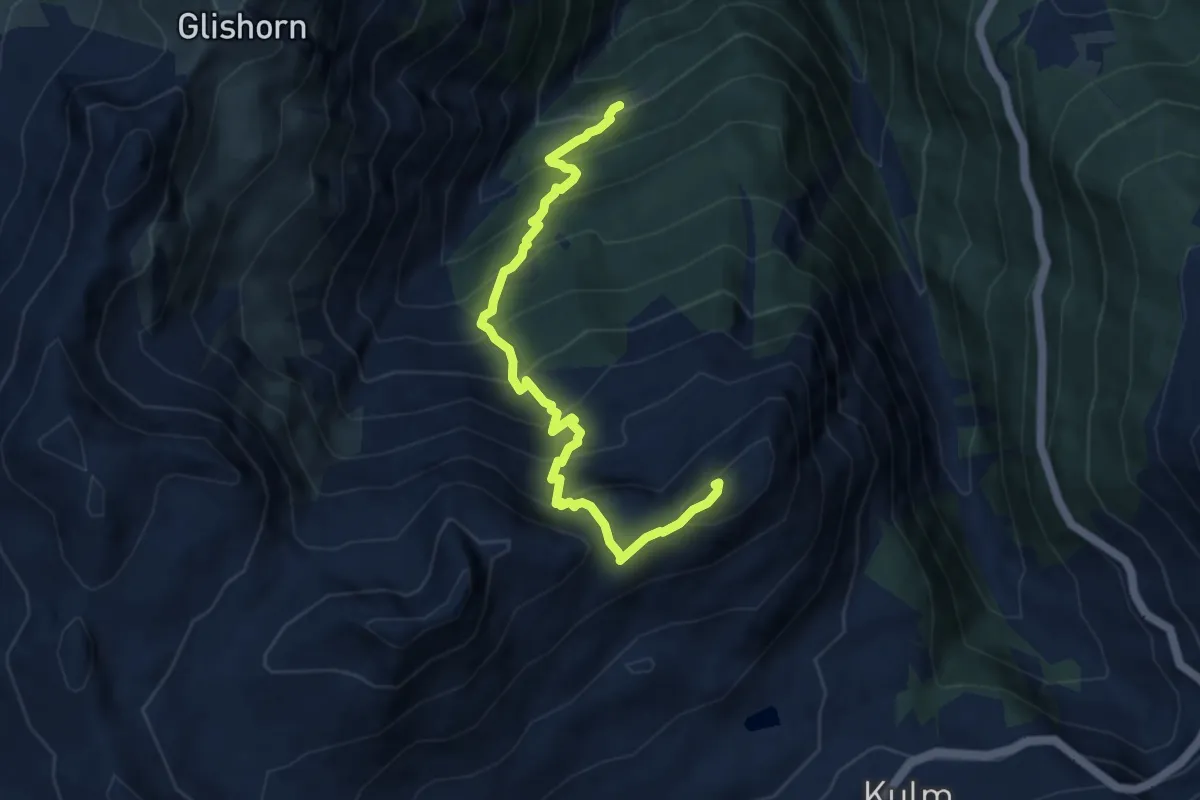
Demanding · Summit
Unners Nesseltal - Staldhorn
8.1 km · ↑ 998 m · 4 h 5 min · 10 km away
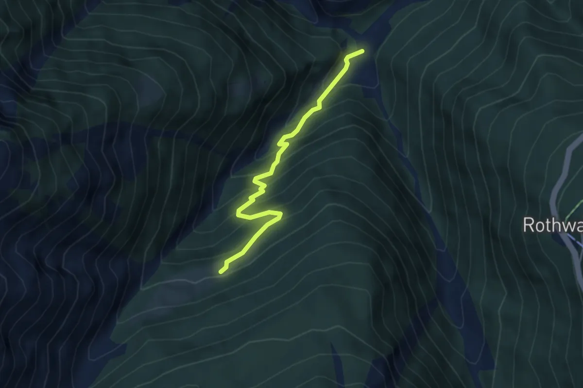
Medium · Trail
Grund - Unners Nesseltal
3.9 km · ↑ 401 m · 1 h 47 min · 10 km away
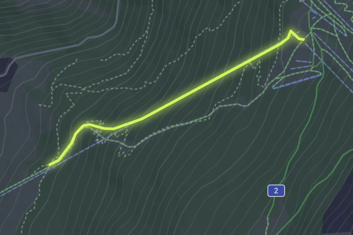
Medium · Trail
Meisustrasse – Hannigalp
3.1 km · ↑ 341 m · 1 h 29 min · 10 km away
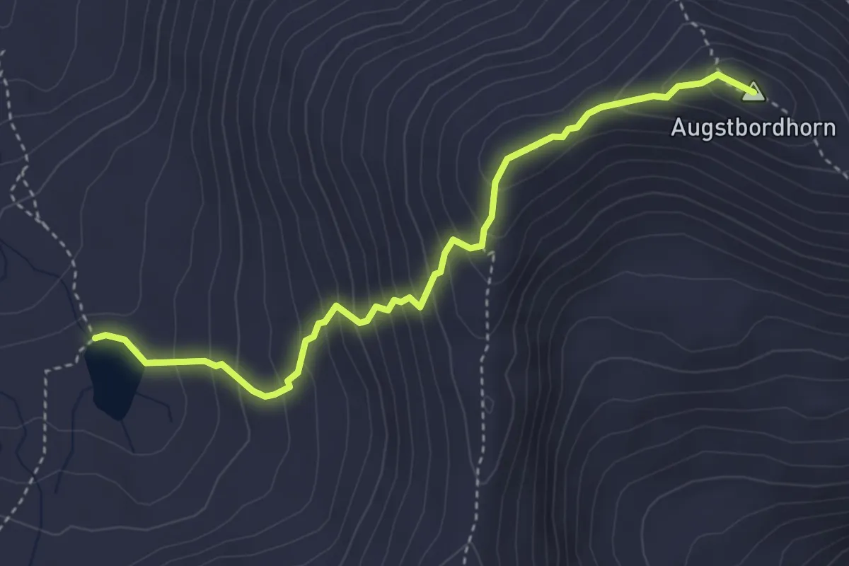
Expert · Summit
Seefeld – Augstbordhorn
4.0 km · ↑ 410 m · 1 h 50 min · 11 km away
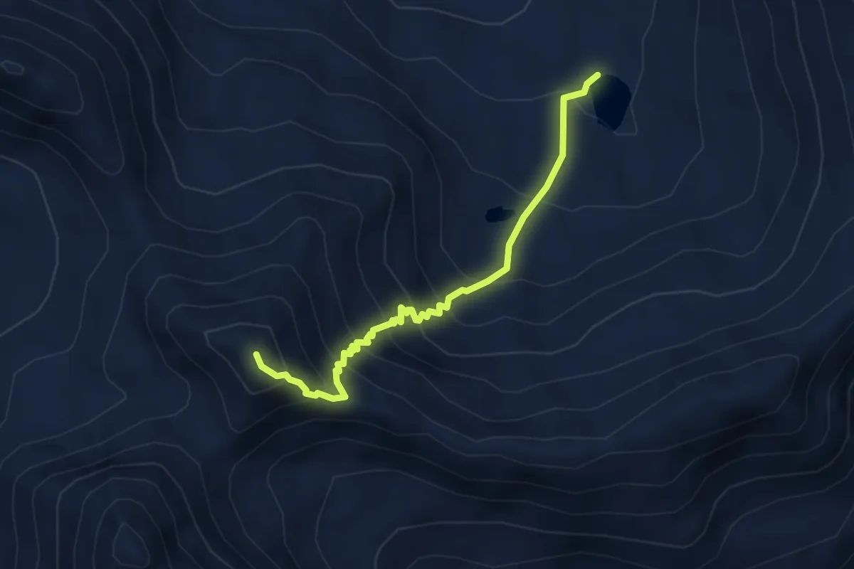
Demanding · Summit
Dreizehntenhorn – Seefeld
4.2 km · ↑ 486 m · 2 h 3 min · 11 km away
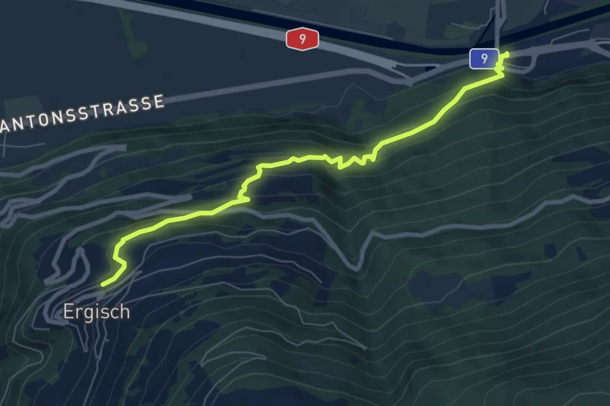
Medium · Trail
Gampel-Steg – Ergisch
6.7 km · ↑ 507 m · 2 h 41 min · 11 km away
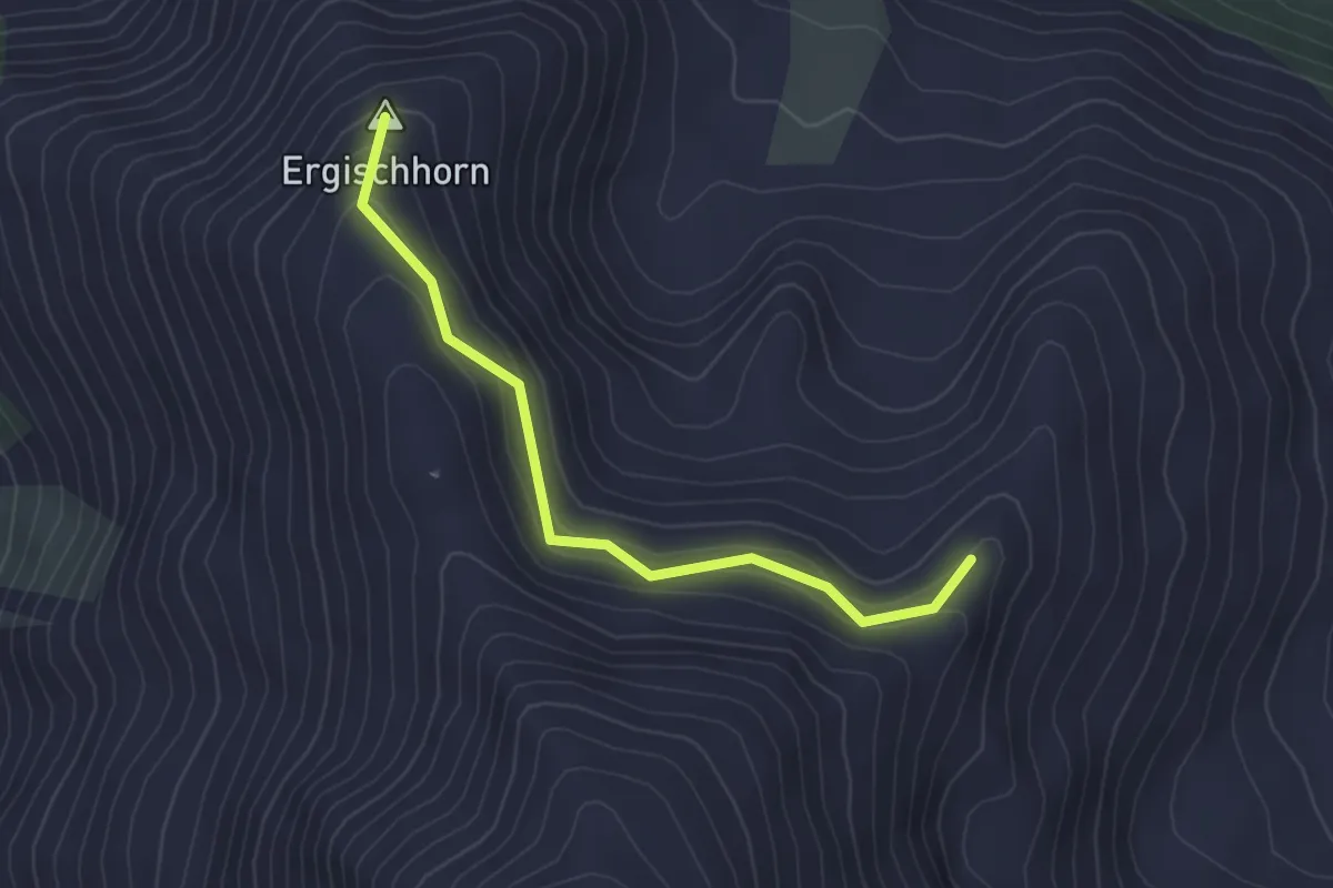
Easy · Summit
Gorpat – Ergischhorn
3.1 km · ↑ 183 m · 1 h 8 min · 11 km away
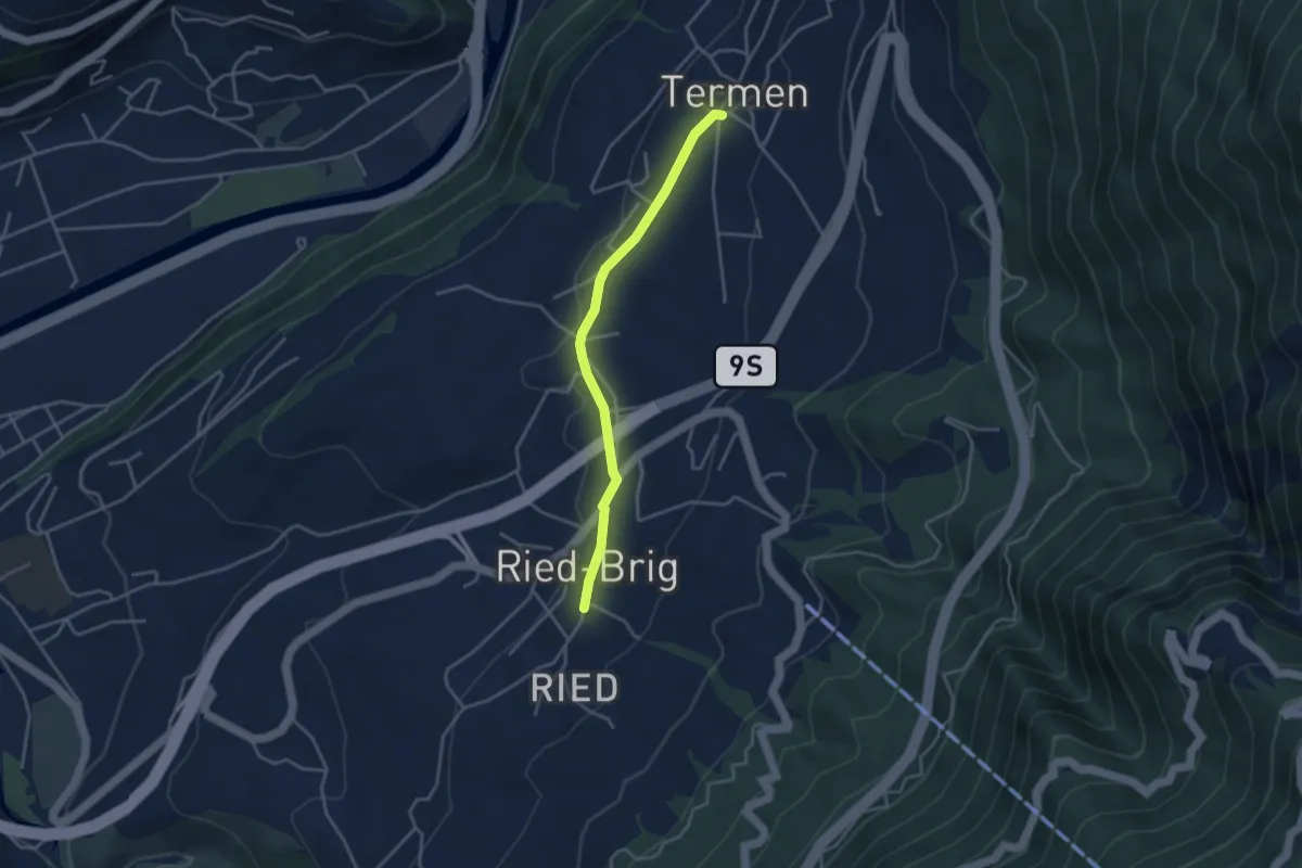
Easy · Trail
Ried-Brig - Termen
3.5 km · ↑ 38 m · 54 min · 11 km away
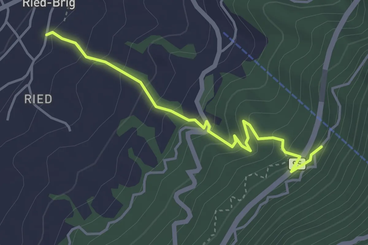
Medium · Trail
Ried-Brig - Rosswald
3.5 km · ↑ 349 m · 1 h 34 min · 11 km away
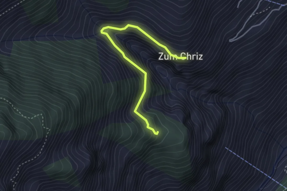
Medium · Trail
Zum Chriz – Grossberg
3.4 km · ↑ 329 m · 1 h 31 min · 11 km away
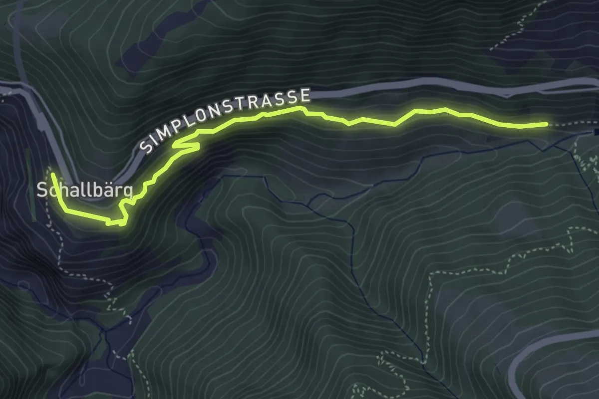
Medium · Trail
Ganterbrücke - Schallberg
5.1 km · ↑ 282 m · 1 h 49 min · 11 km away
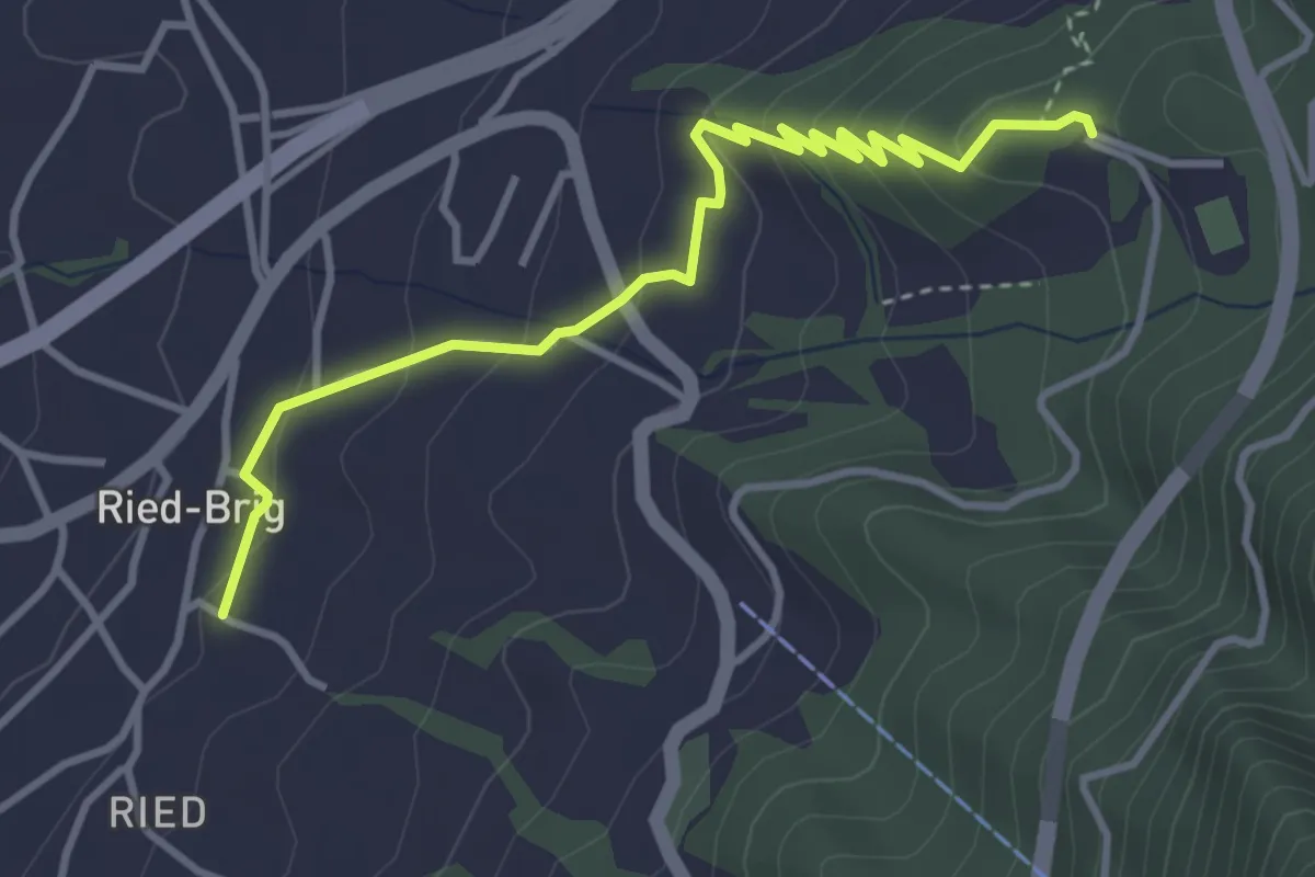
Easy · Trail
Ried-Brig - Burgspitz
3.9 km · ↑ 280 m · 1 h 32 min · 11 km away
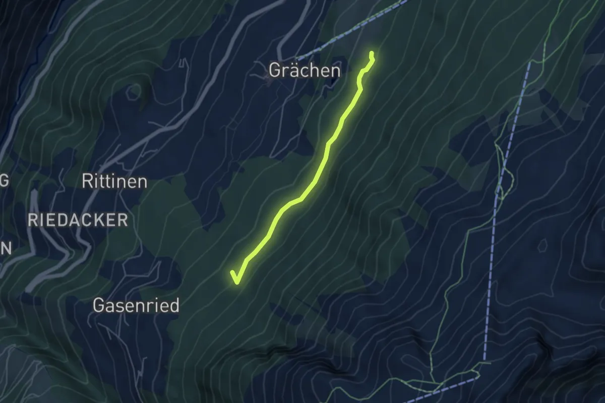
Easy · Trail
Grächerwald - Gasenried
4.2 km · ↑ 172 m · 1 h 22 min · 11 km away
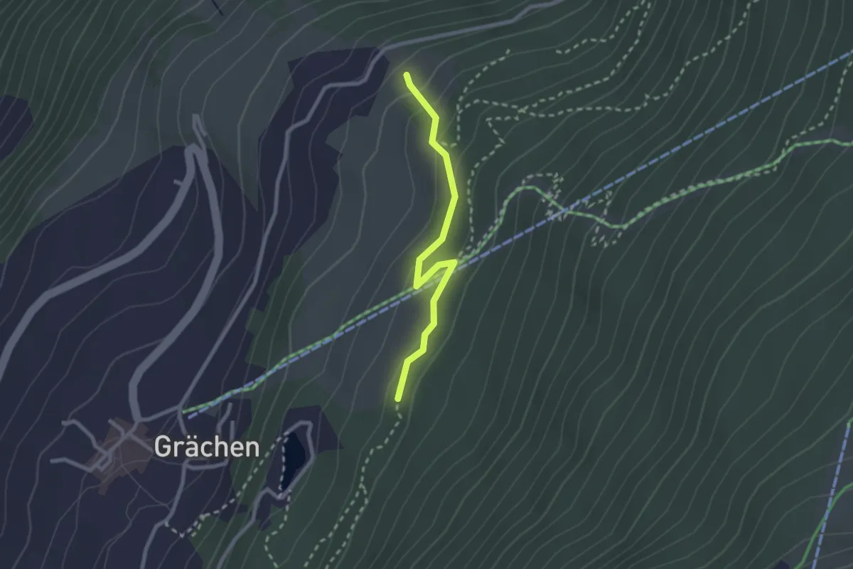
Easy · Trail
Grächerwald – Egga
2.3 km · ↑ 99 m · 45 min · 11 km away
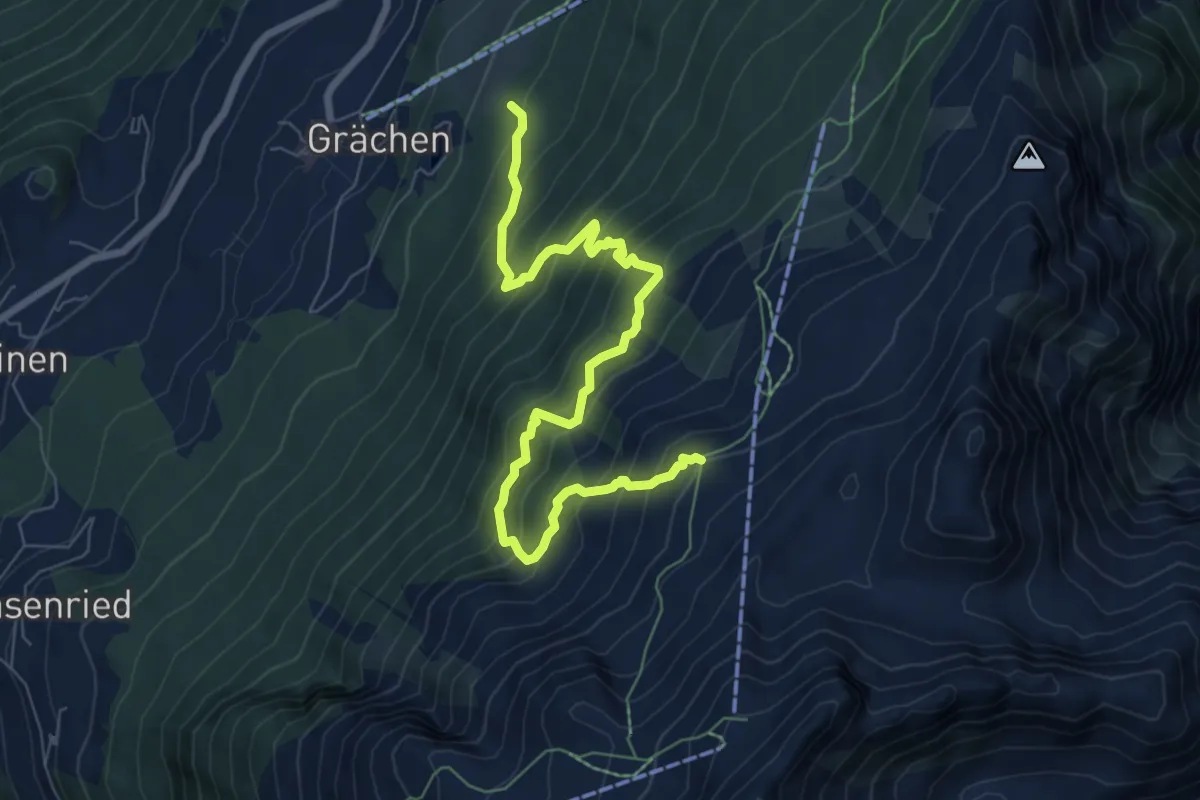
Expert · Trail
Grächerwald - Heidnische Tossu
8.3 km · ↑ 971 m · 4 h 4 min · 11 km away
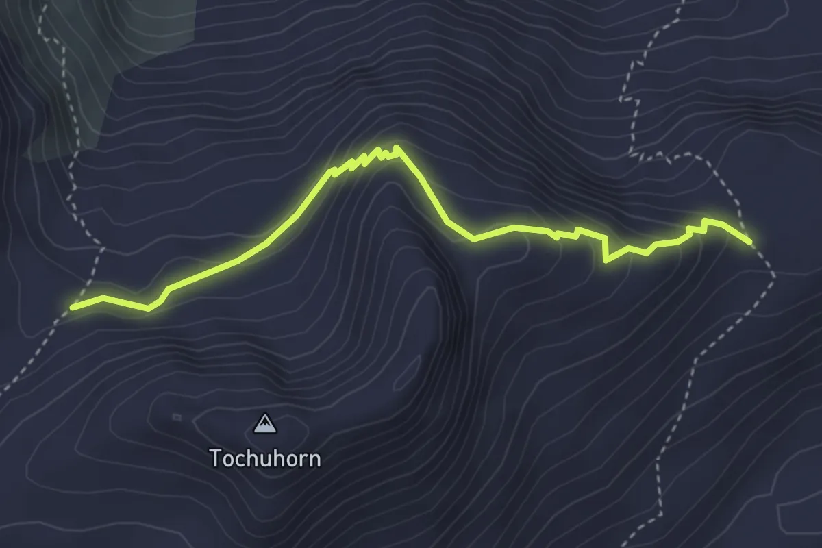
Expert · Trail
Lengritz - Gälmji
3.8 km · ↑ 339 m · 1 h 37 min · 11 km away
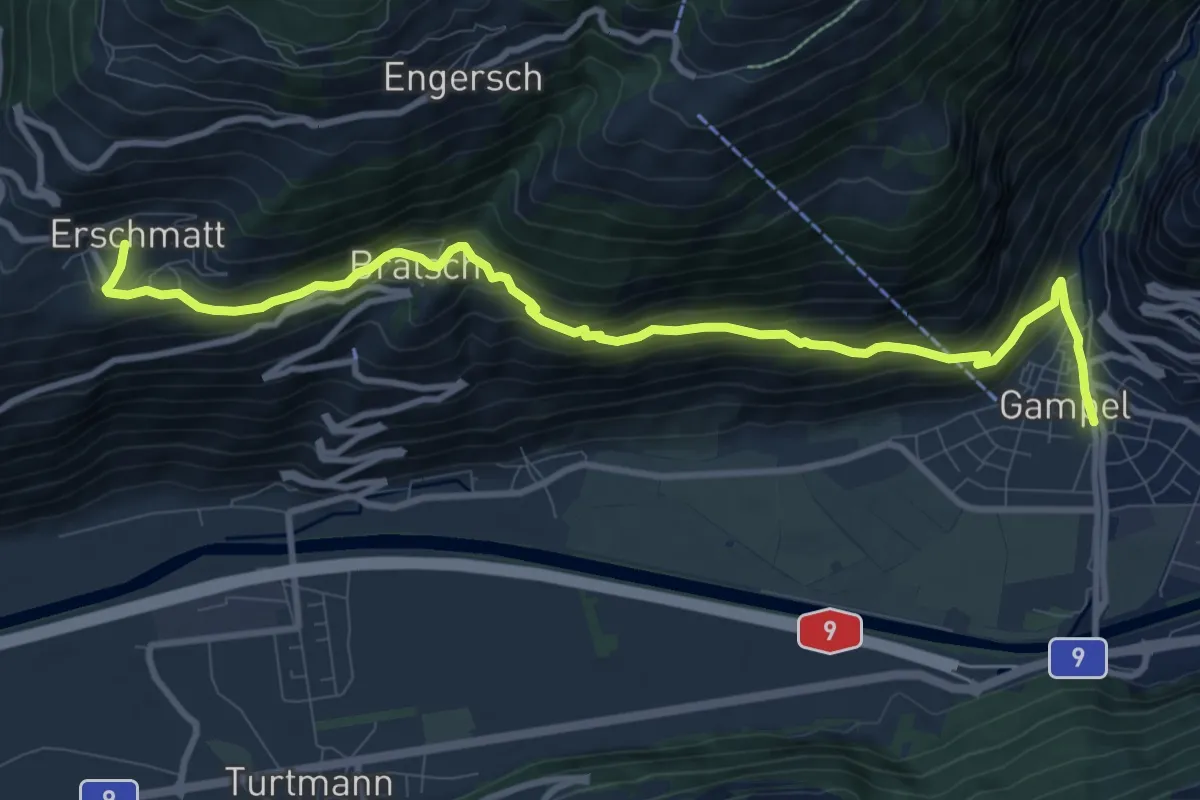
Medium · Trail
Erschmatt Gampel
11.1 km · ↑ 697 m · 4 h 8 min · 11 km away
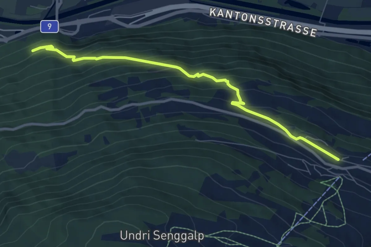
Medium · Trail
Eischoll – Lunggi
7.7 km · ↑ 530 m · 2 h 58 min · 11 km away
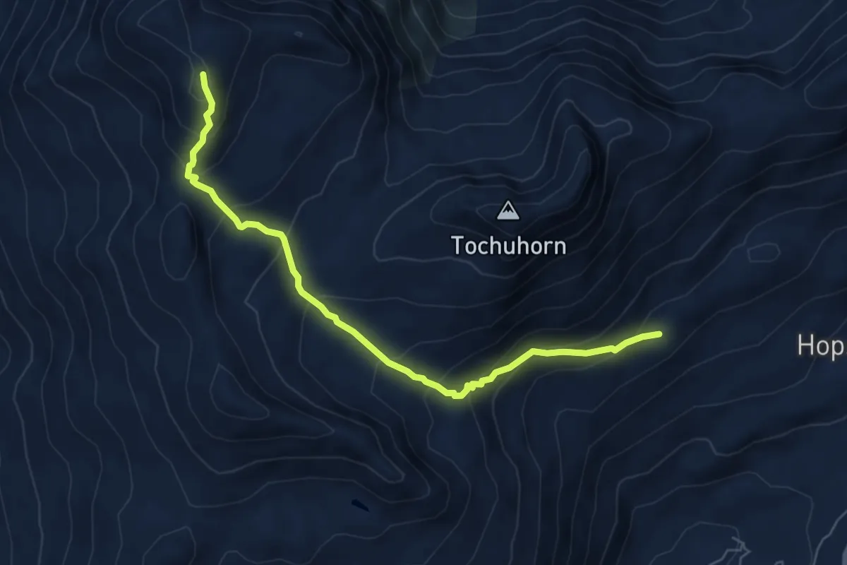
Medium · Trail
Hopsche - Spitzhorli
6.5 km · ↑ 523 m · 2 h 41 min · 11 km away
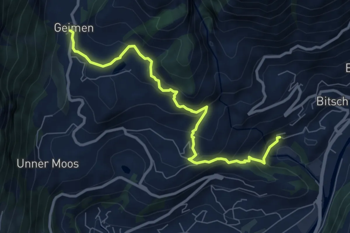
Medium · Trail
Geimen - Bitsch
7.1 km · ↑ 507 m · 2 h 46 min · 11 km away
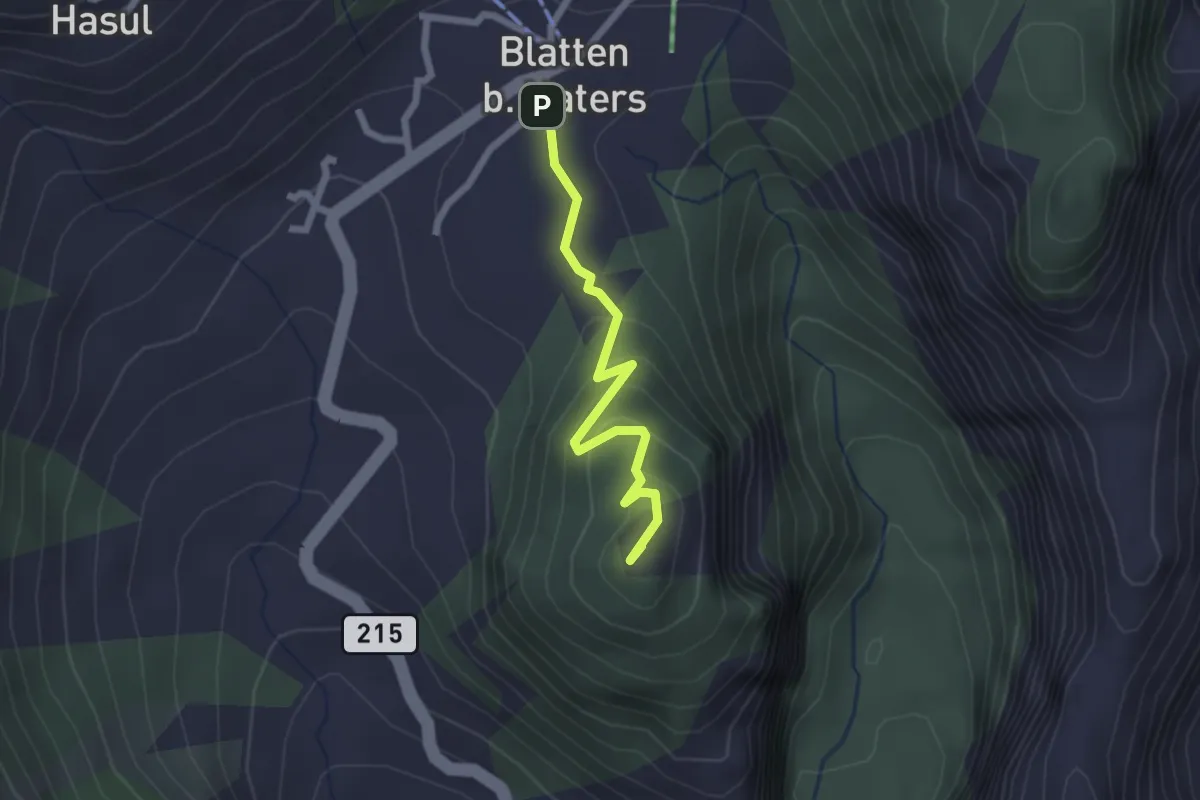
Easy · Summit
Blatten - Blindbärgji
2.1 km · ↑ 112 m · 44 min · 11 km away
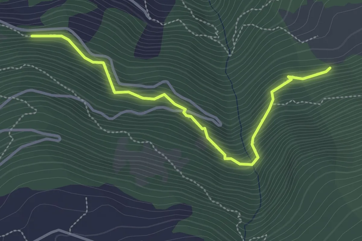
Demanding · Trail
Golantschu – Ifilwald
3.2 km · ↑ 359 m · 1 h 31 min · 11 km away
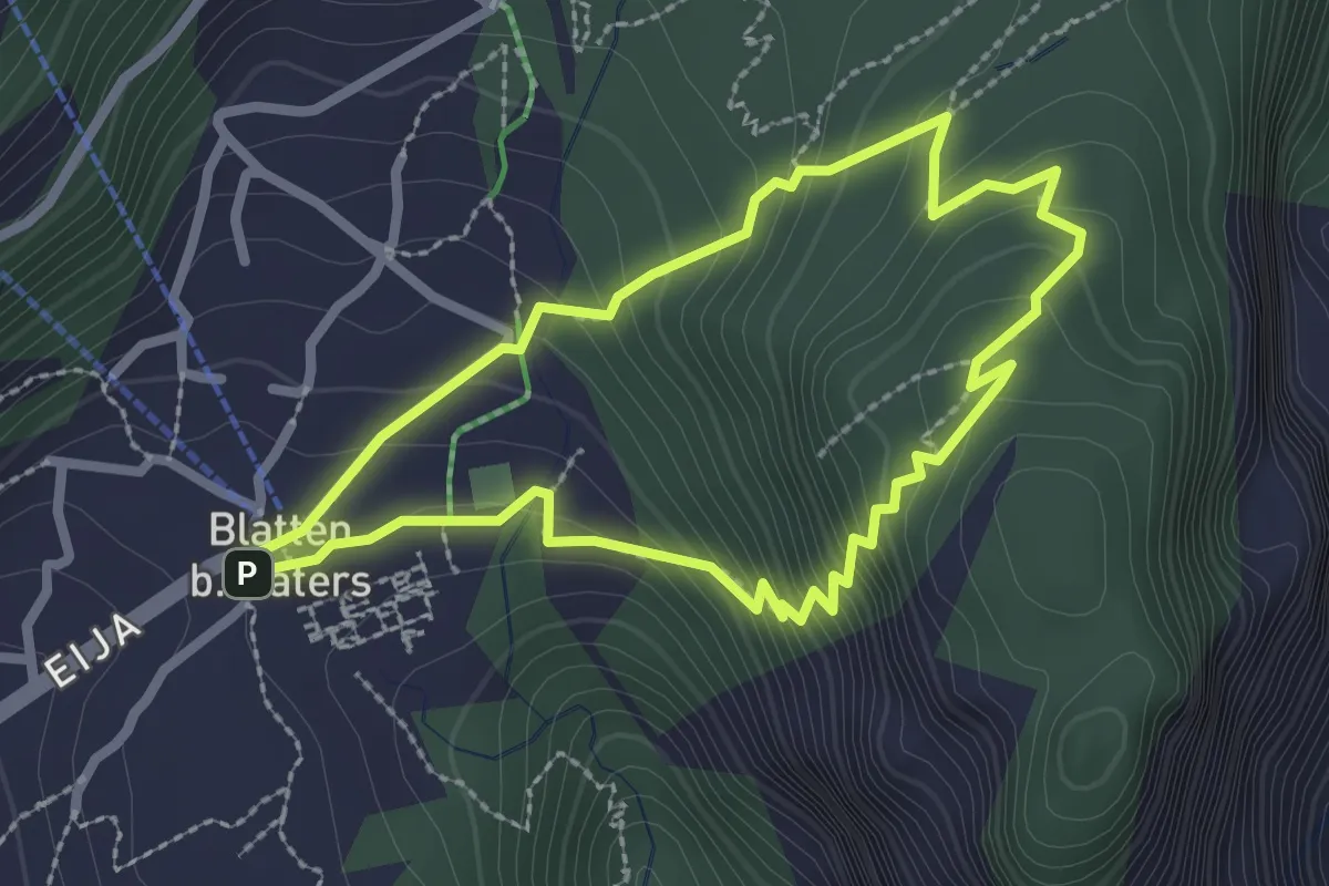
Easy · Summit
Blatten - Gibidum
2.3 km · ↑ 195 m · 1 h · 11 km away
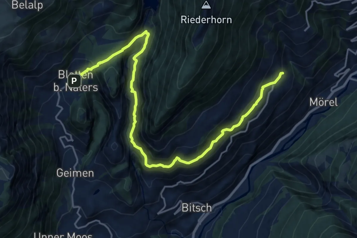
Demanding · Trail
Massaweg
16.3 km · ↑ 1193 m · 6 h 26 min · 11 km away
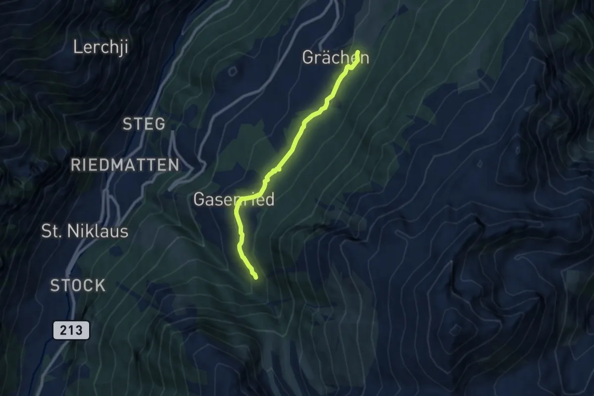
Medium · Trail
Drieri – Suon
7.2 km · ↑ 212 m · 2 h 9 min · 11 km away
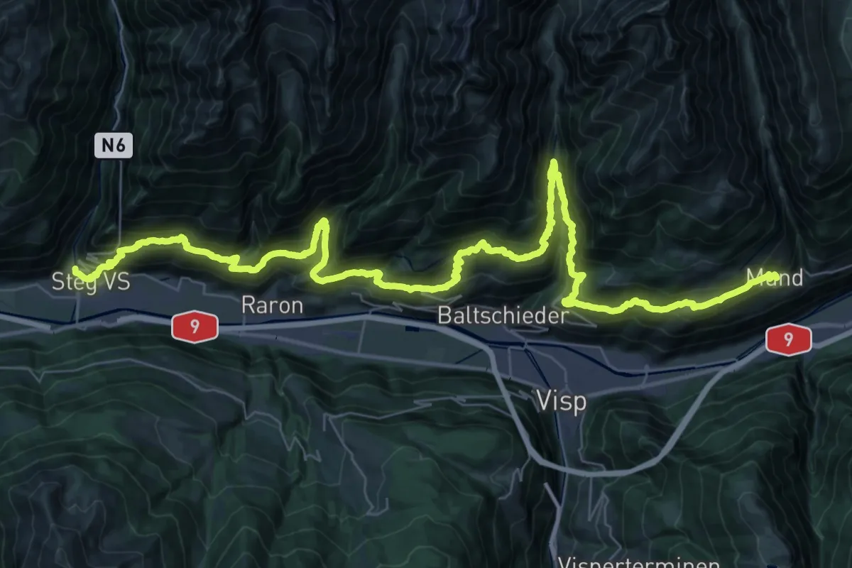
Demanding · Trail
Via Alpina Red R97
27.4 km · ↑ 2310 m · 11 h 35 min · 11 km away