Trails near Volketswil
582 hikes starting within 15 km, nearest first.
Nearest first, page 12 of 13
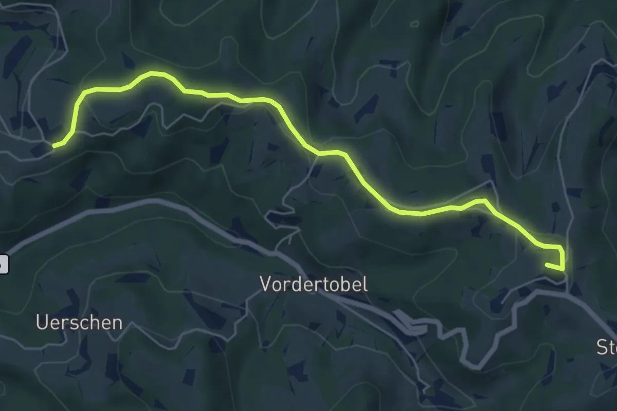
Easy · Summit
Sternenberg – Manzenhueb
5.7 km · ↑ 168 m · 1 h 43 min · 14 km away
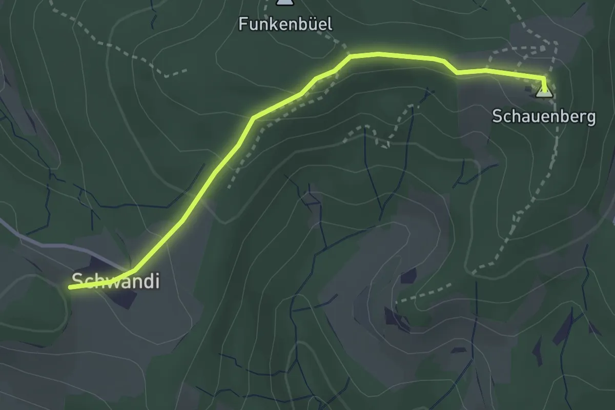
Easy · Summit
Schauenberg – Schwändi
3.0 km · ↑ 115 m · 58 min · 14 km away
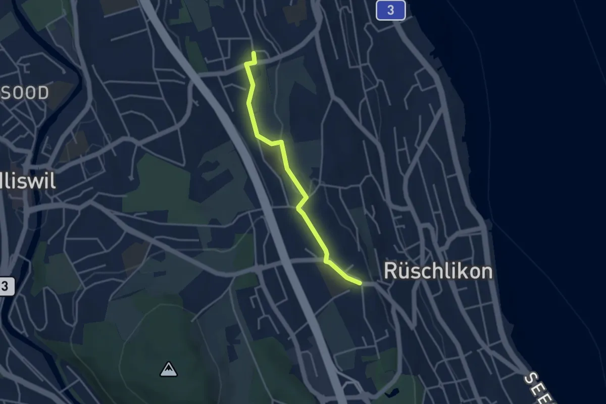
Easy · Trail
Kilchberg Kirche - Nidelbad
3.2 km · ↑ 13 m · 46 min · 14 km away
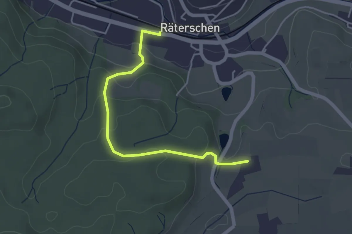
Easy · Trail
Bahnhof Räterschen – Weingarten
3.6 km · ↑ 138 m · 1 h 9 min · 14 km away
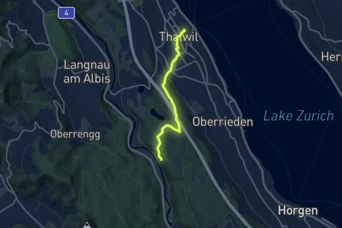
Easy · Trail
Thalwil (Bahnhof) – Schlegeltobel
7.5 km · ↑ 214 m · 2 h 15 min · 14 km away
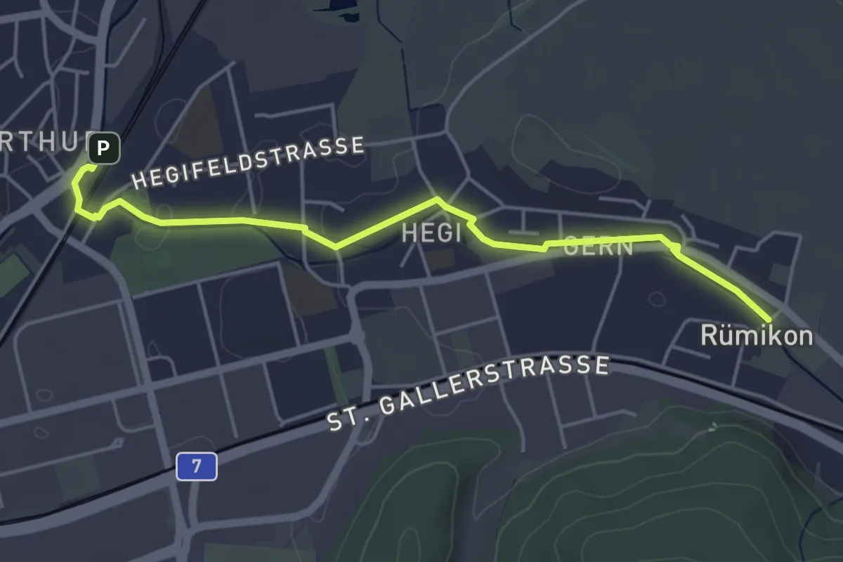
Easy · Trail
Rümikon – Oberwinterthur Bhf.
4.6 km · ↑ 12 m · 1 h 7 min · 14 km away
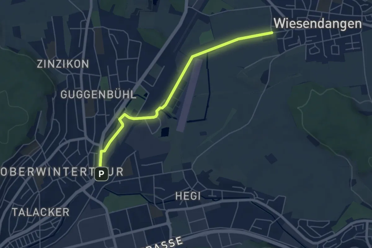
Easy · Trail
Brüelacker - Oberwinterthur Bhf.
5.2 km · ↑ 8 m · 1 h 15 min · 14 km away
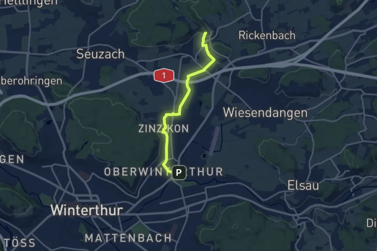
Medium · Trail
Bahnhof Oberwinterthur – Mörsburg
10.1 km · ↑ 106 m · 2 h 37 min · 14 km away
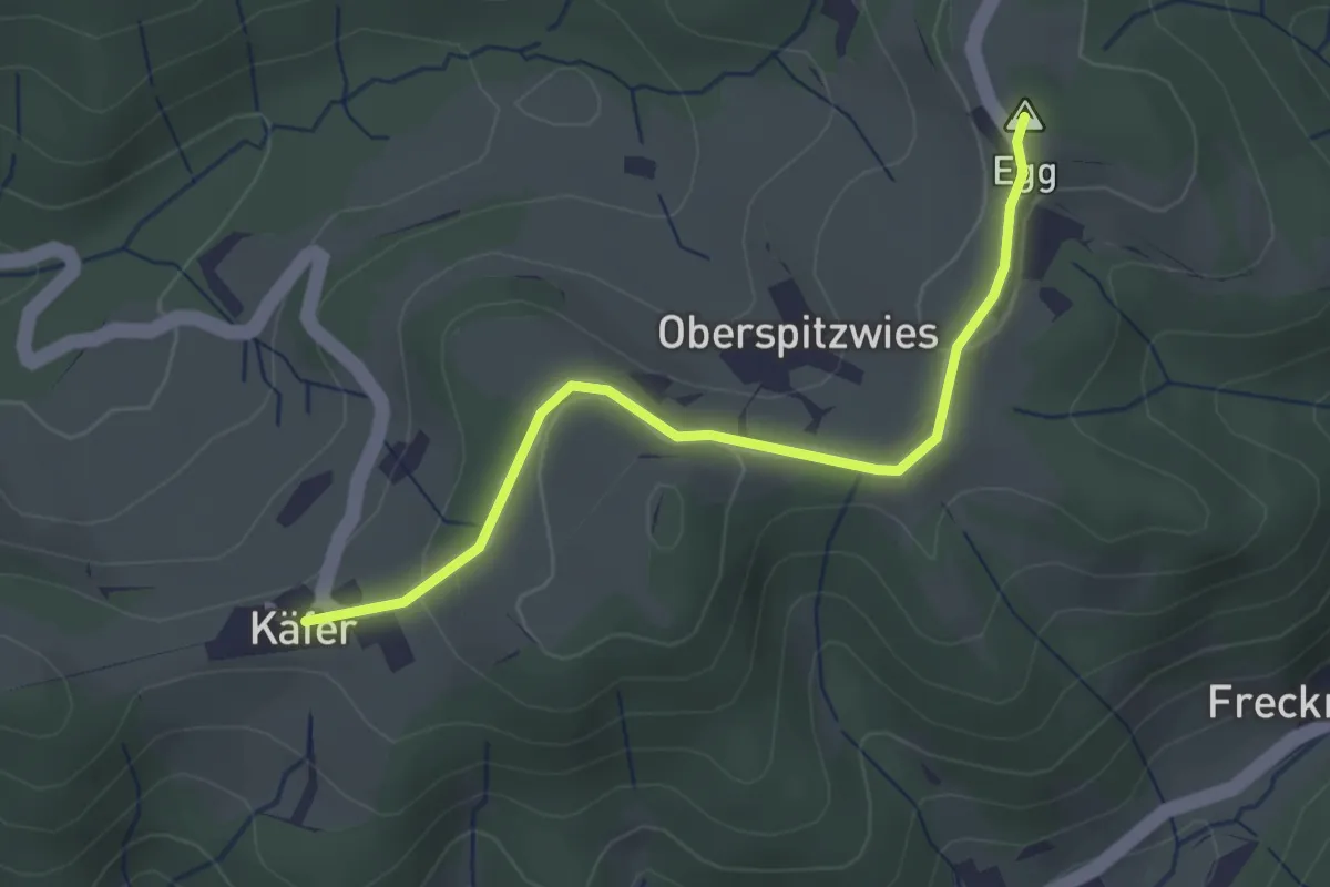
Easy · Summit
Büel – Chäfer
2.7 km · ↑ 65 m · 47 min · 14 km away
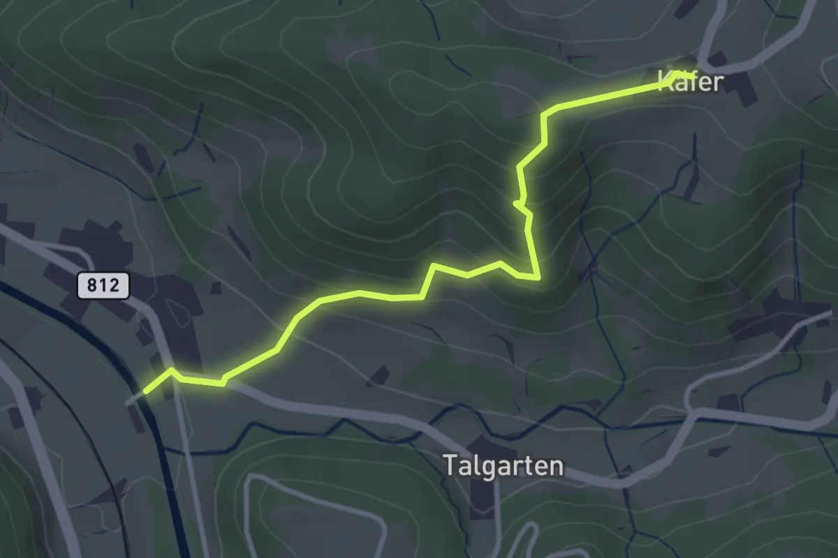
Easy · Trail
Tablat – Chäfer
3.2 km · ↑ 227 m · 1 h 16 min · 14 km away
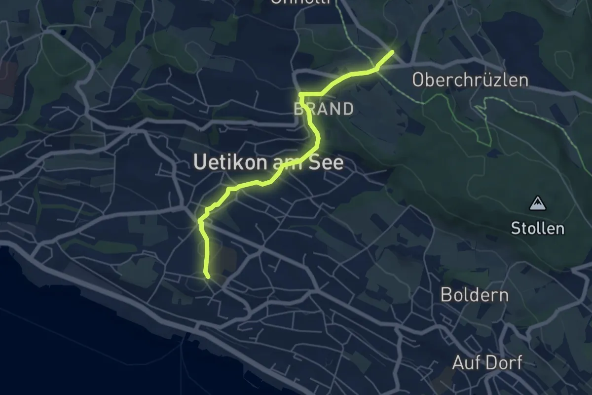
Easy · Trail
Uetikon Dorf – Gibisnüd
5.0 km · ↑ 196 m · 1 h 36 min · 14 km away
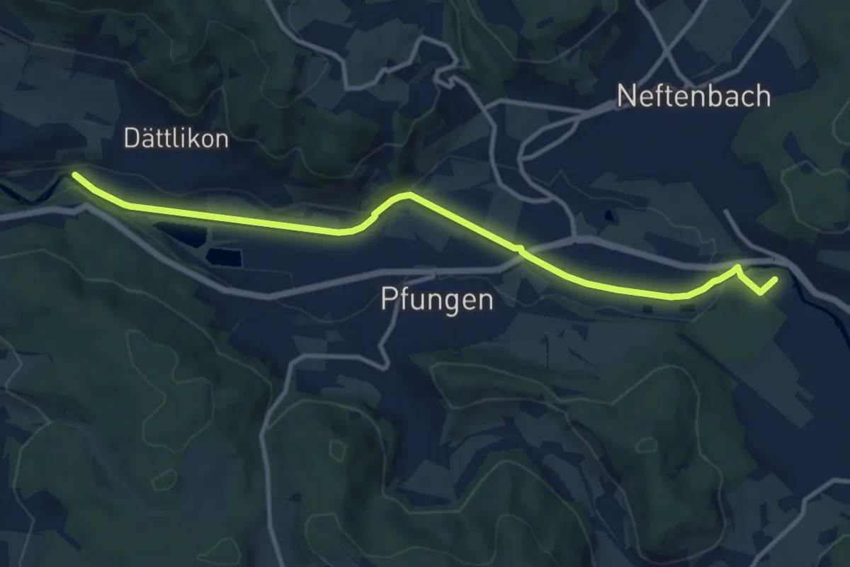
Medium · Trail
Hardau – Blindensteg
10.2 km · ↑ 81 m · 2 h 35 min · 14 km away
Medium · Trail
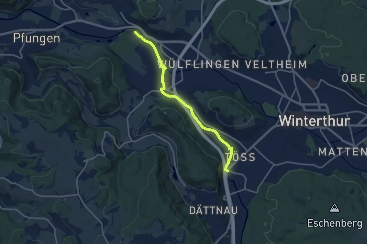
Winterthur Töss – Hardau
9.1 km · ↑ 51 m · 2 h 15 min · 14 km away
Easy · Trail
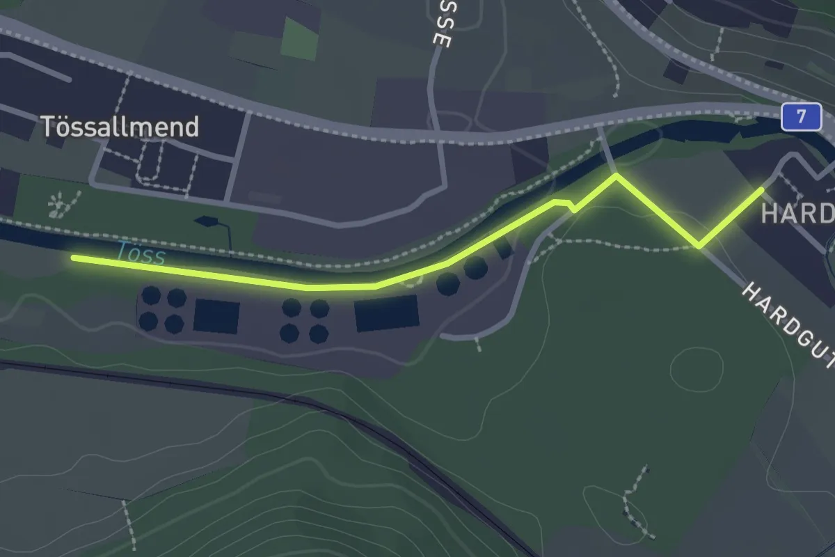
Hardau – Tiefster Punkt
2.4 km · ↑ 21 m · 37 min · 14 km away
Easy · Trail
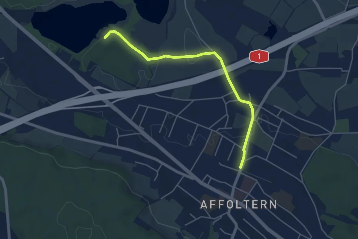
Zürich Affoltern - Chatzensee Strandbad
4.0 km · ↑ 39 m · 1 h 2 min · 14 km away
Easy · Trail
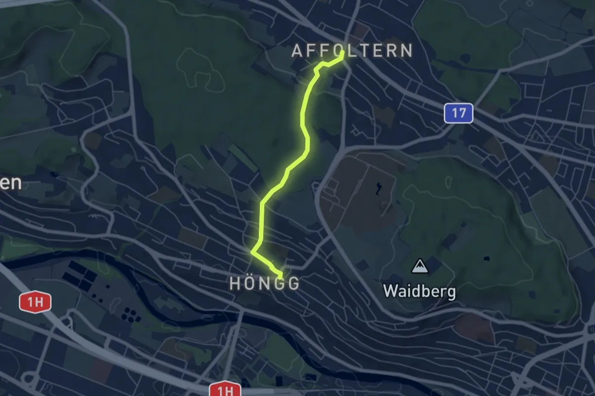
Höngg – Zehntenhausplatz
4.6 km · ↑ 114 m · 1 h 20 min · 14 km away
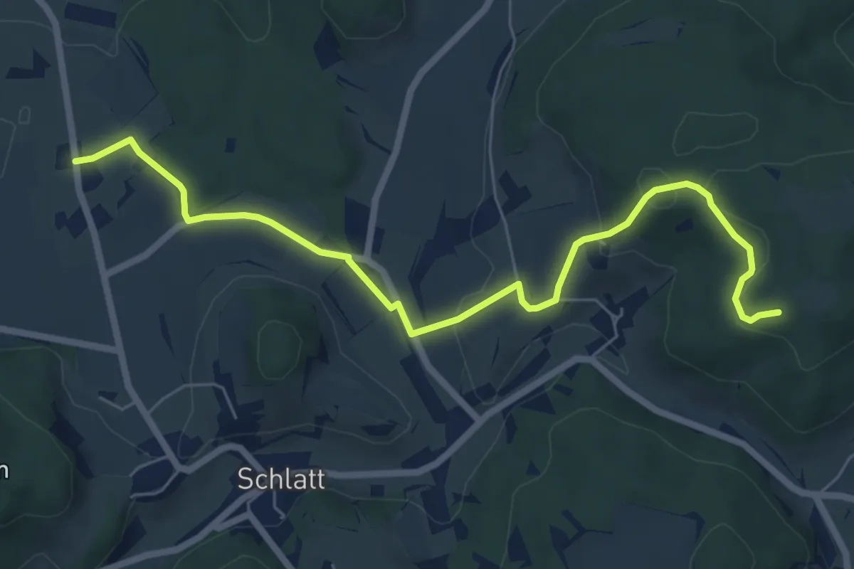
Easy · Trail
Guegenhard – Tolhusen
6.9 km · ↑ 180 m · 2 h · 14 km away
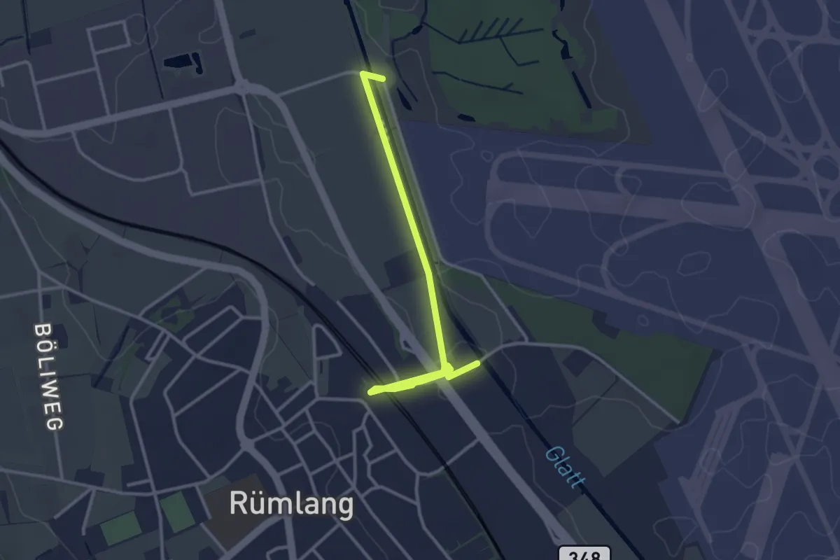
Easy · Trail
Rümlang - Schlosswinkel
3.2 km · ↑ 18 m · 48 min · 14 km away
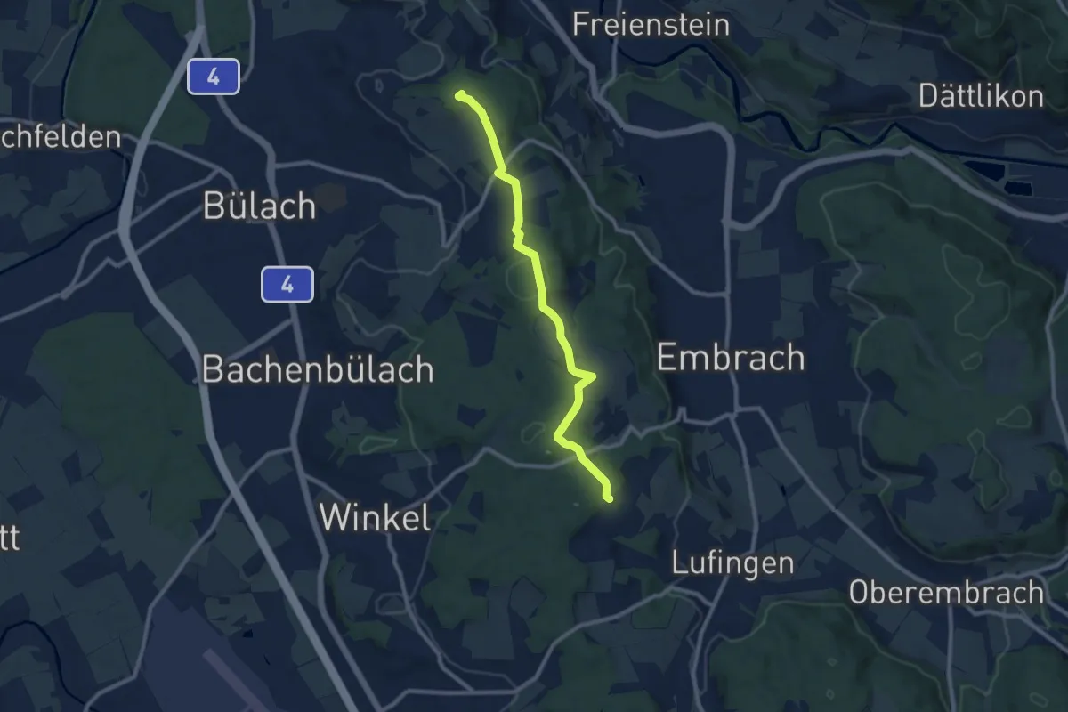
Medium · Summit
Petersboden – Husacher
8.7 km · ↑ 241 m · 2 h 35 min · 14 km away
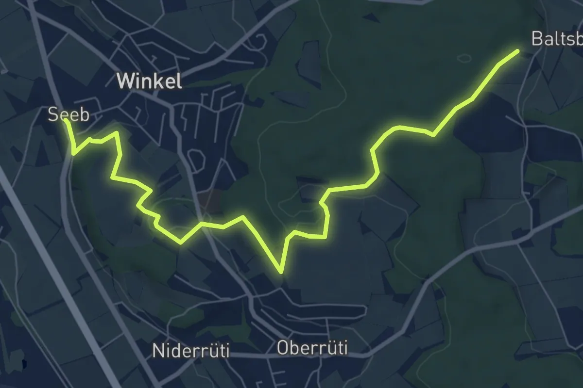
Medium · Trail
Husacher – Winkel Seeb
8.5 km · ↑ 220 m · 2 h 30 min · 14 km away
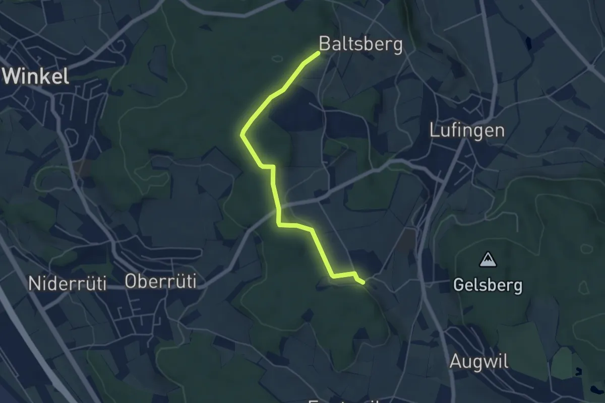
Easy · Trail
Hinter Marchlen – Husacher
4.8 km · ↑ 86 m · 1 h 19 min · 14 km away
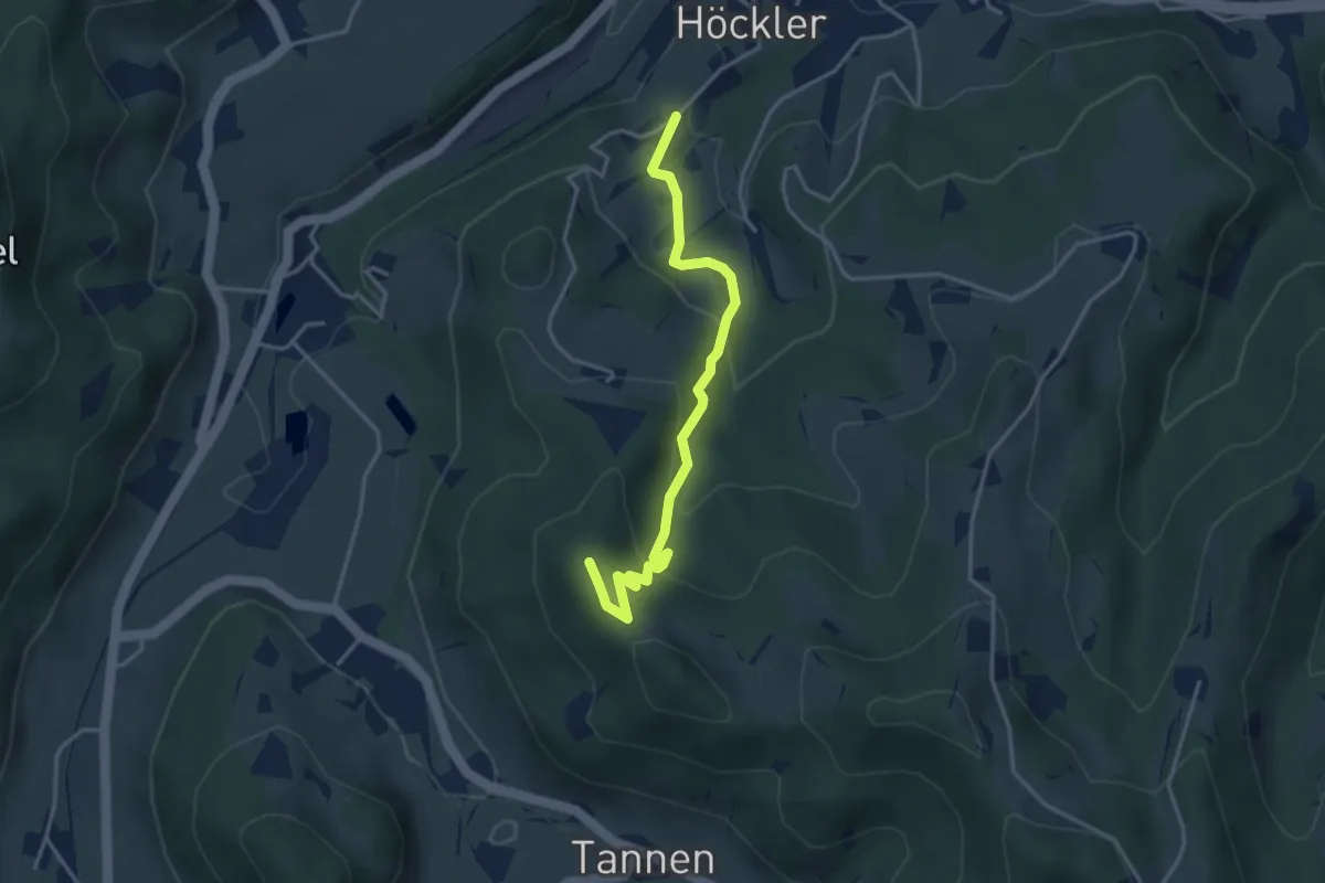
Easy · Summit
Silisegg - Hohenegg
3.7 km · ↑ 261 m · 1 h 26 min · 14 km away
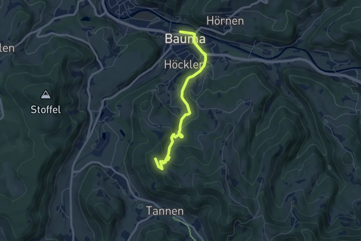
Easy · Summit
Bauma - Hohenegg
6.0 km · ↑ 310 m · 2 h 5 min · 14 km away
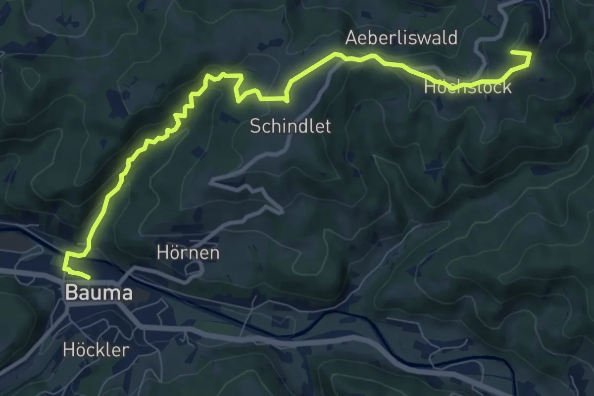
Medium · Summit
Bauma Bhf. - Sternenberg
9.2 km · ↑ 478 m · 3 h 13 min · 14 km away
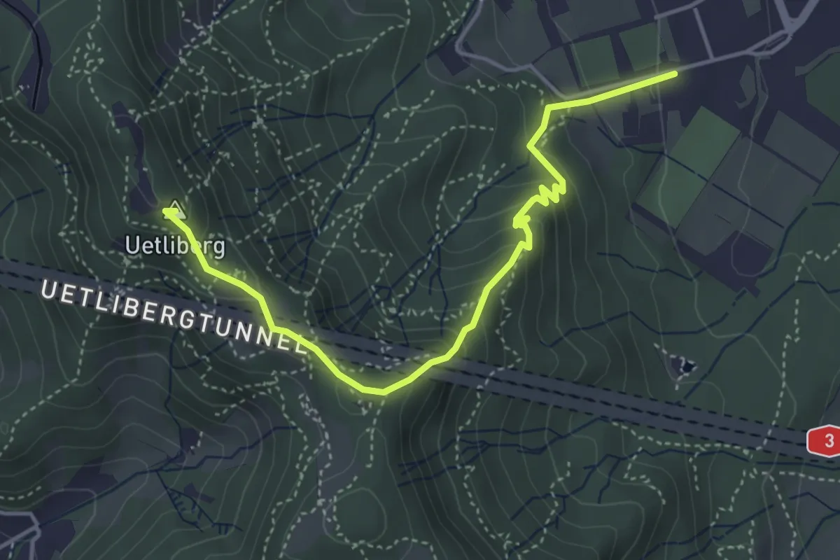
Medium · Summit
Albisgüetli - Uetliberg Uto Kulm
4.5 km · ↑ 372 m · 1 h 52 min · 14 km away
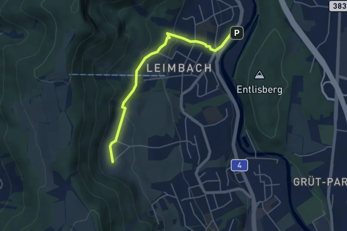
Medium · Trail
Ris - Leimbach
3.9 km · ↑ 160 m · 1 h 16 min · 14 km away
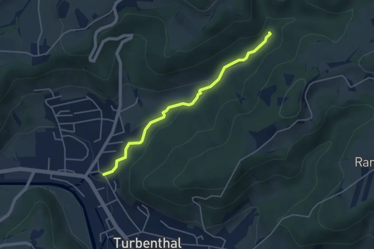
Easy · Trail
Hutzikon – Hutziker Tobel
3.4 km · ↑ 86 m · 1 h · 14 km away
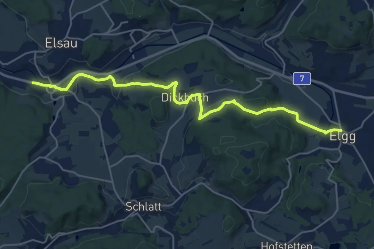
Medium · Trail
Bahnhof Räterschen – Elgg
14.0 km · ↑ 350 m · 4 h 4 min · 14 km away
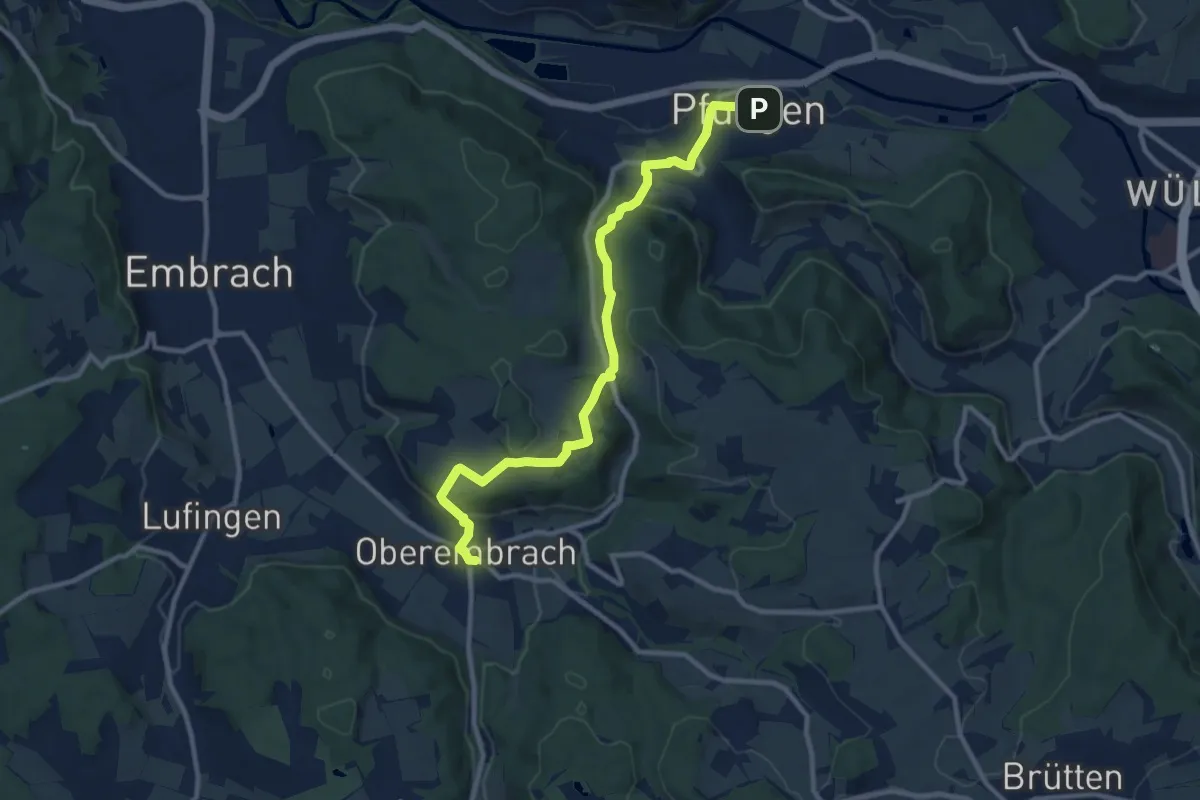
Medium · Trail
Pfungen – Oberembrach
10.8 km · ↑ 363 m · 3 h 20 min · 14 km away
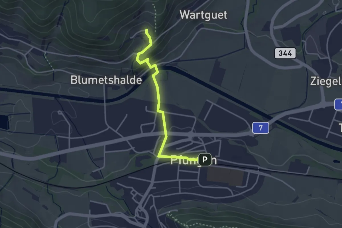
Easy · Trail
Pfungen – Talguet
3.0 km · ↑ 89 m · 54 min · 14 km away
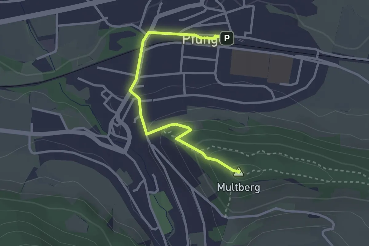
Easy · Summit
Multberg – Pfungen
2.7 km · ↑ 132 m · 56 min · 14 km away
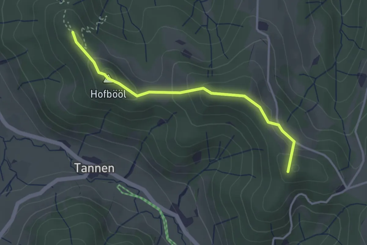
Easy · Summit
Hohenegg - Sunnenhof
2.9 km · ↑ 153 m · 1 h 2 min · 14 km away
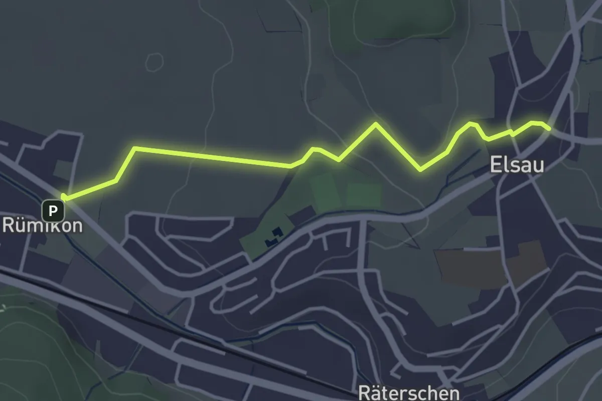
Easy · Trail
Elsau – Rümikon
3.6 km · ↑ 56 m · 58 min · 14 km away
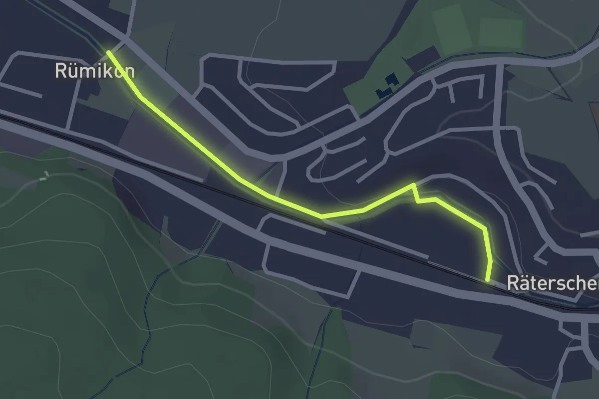
Easy · Trail
Rümikon – Bahnhof Räterschen
2.4 km · ↑ 25 m · 37 min · 14 km away
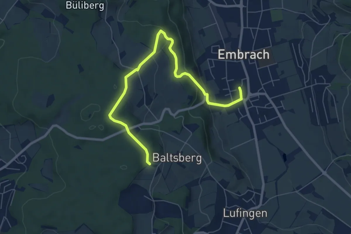
Easy · Trail
Husacher – Embrach Oberdorf
7.1 km · ↑ 221 m · 2 h 10 min · 14 km away
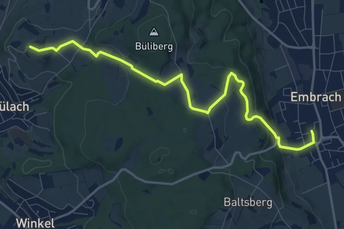
Medium · Trail
Embrach Oberdorf – Brueder
9.3 km · ↑ 247 m · 2 h 44 min · 14 km away
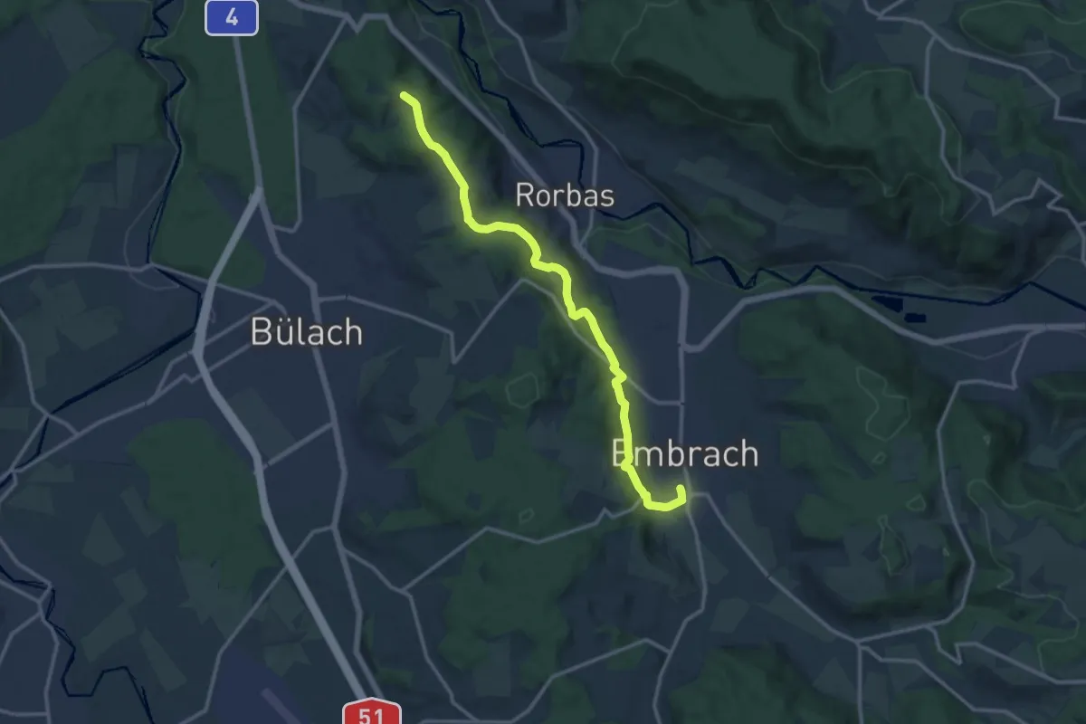
Medium · Trail
Embrach Oberdorf – Petersboden
12.8 km · ↑ 424 m · 3 h 57 min · 14 km away
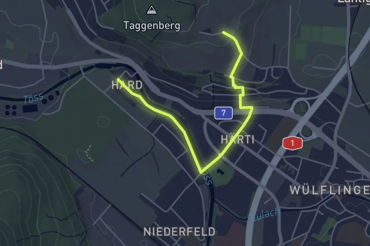
Easy · Trail
Taggenberg – Hardau
4.3 km · ↑ 80 m · 1 h 11 min · 14 km away
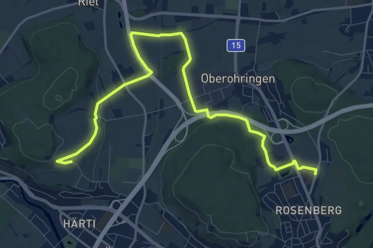
Medium · Trail
Bushaltestelle Rosenberg – Taggenberg
11.7 km · ↑ 126 m · 3 h 2 min · 14 km away
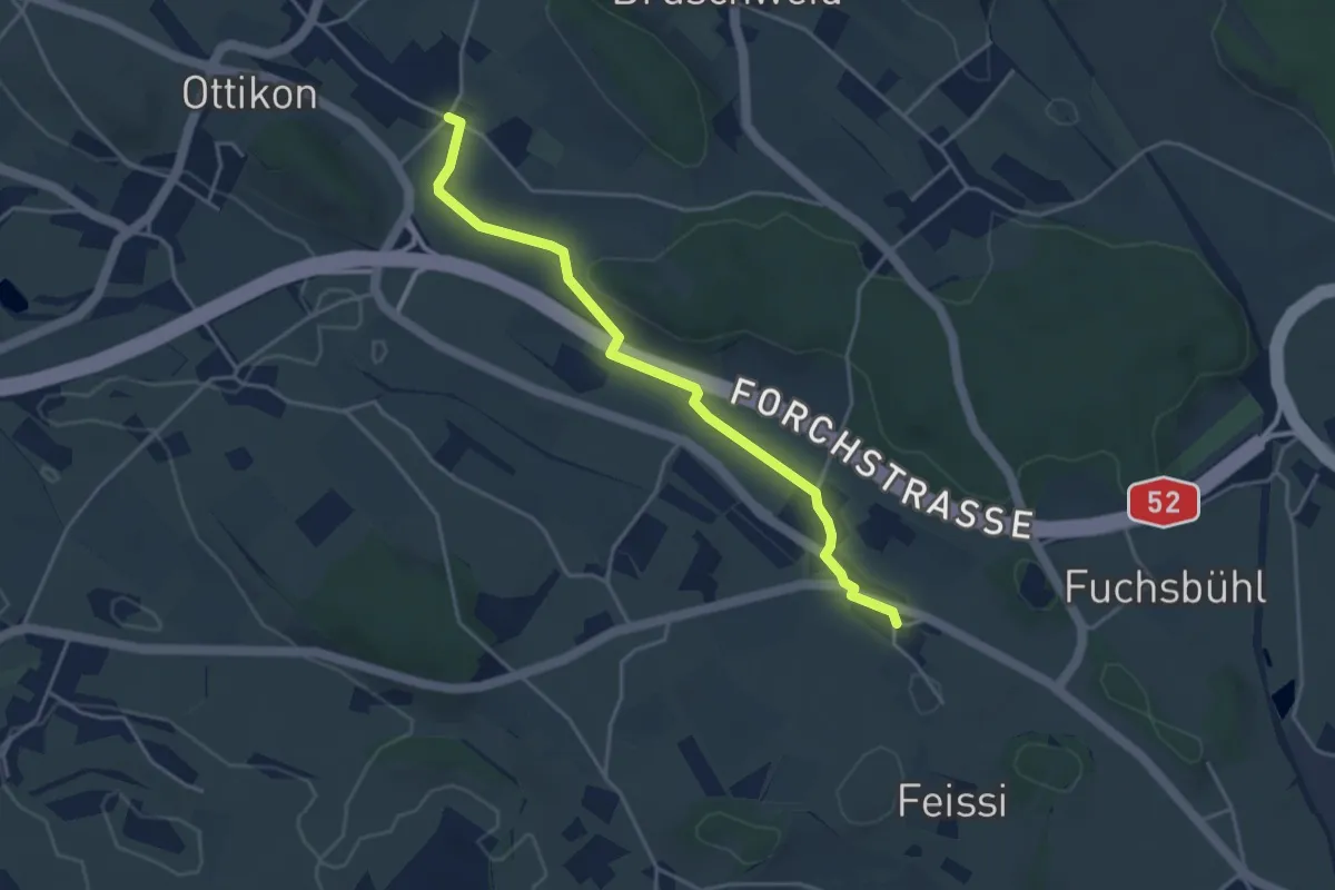
Easy · Trail
Oberottikon – Herschmettlen
4.0 km · ↑ 39 m · 1 h 2 min · 15 km away
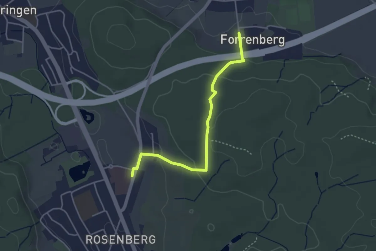
Easy · Trail
Forrenberg – Bushaltestelle Rosenberg
3.3 km · ↑ 106 m · 1 h 1 min · 15 km away
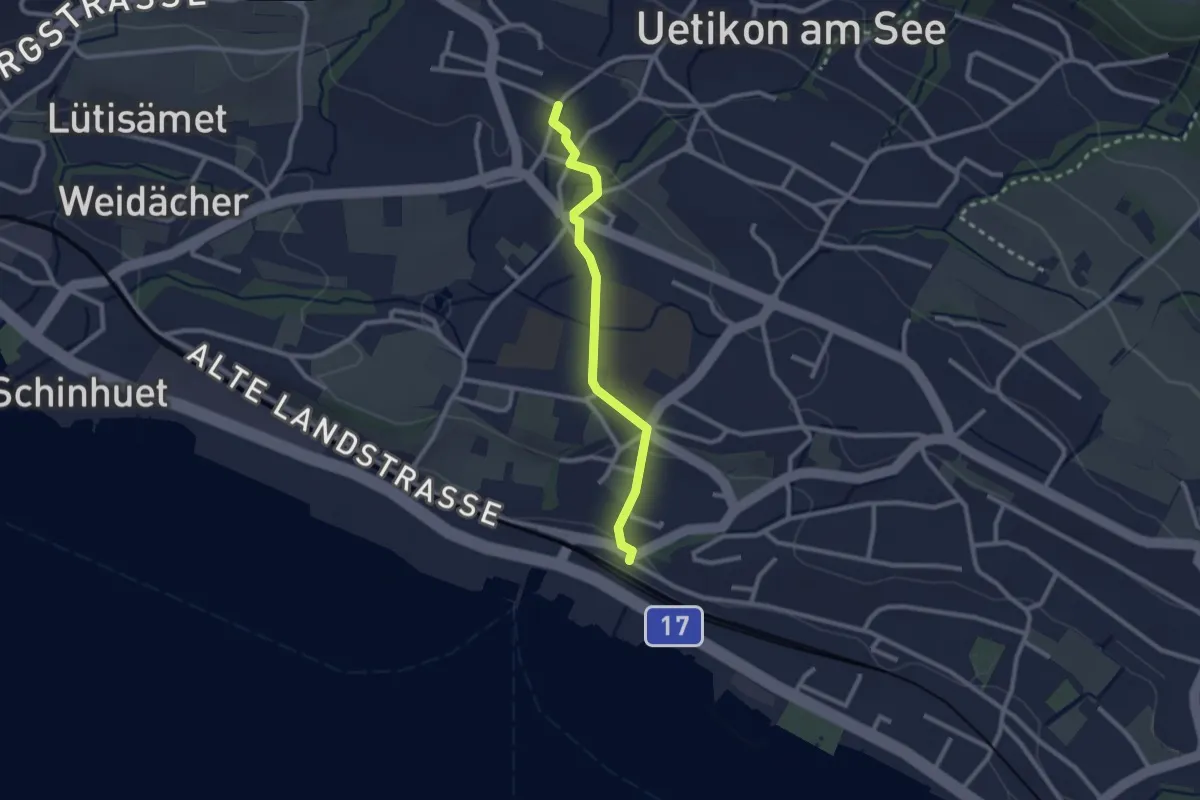
Easy · Trail
Uetikon Grossdorf - Uetikon Bahnhof
2.3 km · ↑ 52 m · 39 min · 15 km away
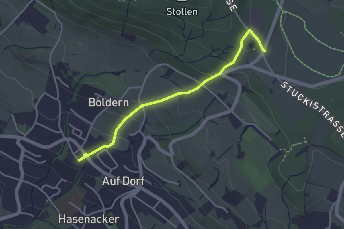
Easy · Trail
Stäfnertürli – Boldernstrasse
3.0 km · ↑ 158 m · 1 h 2 min · 15 km away
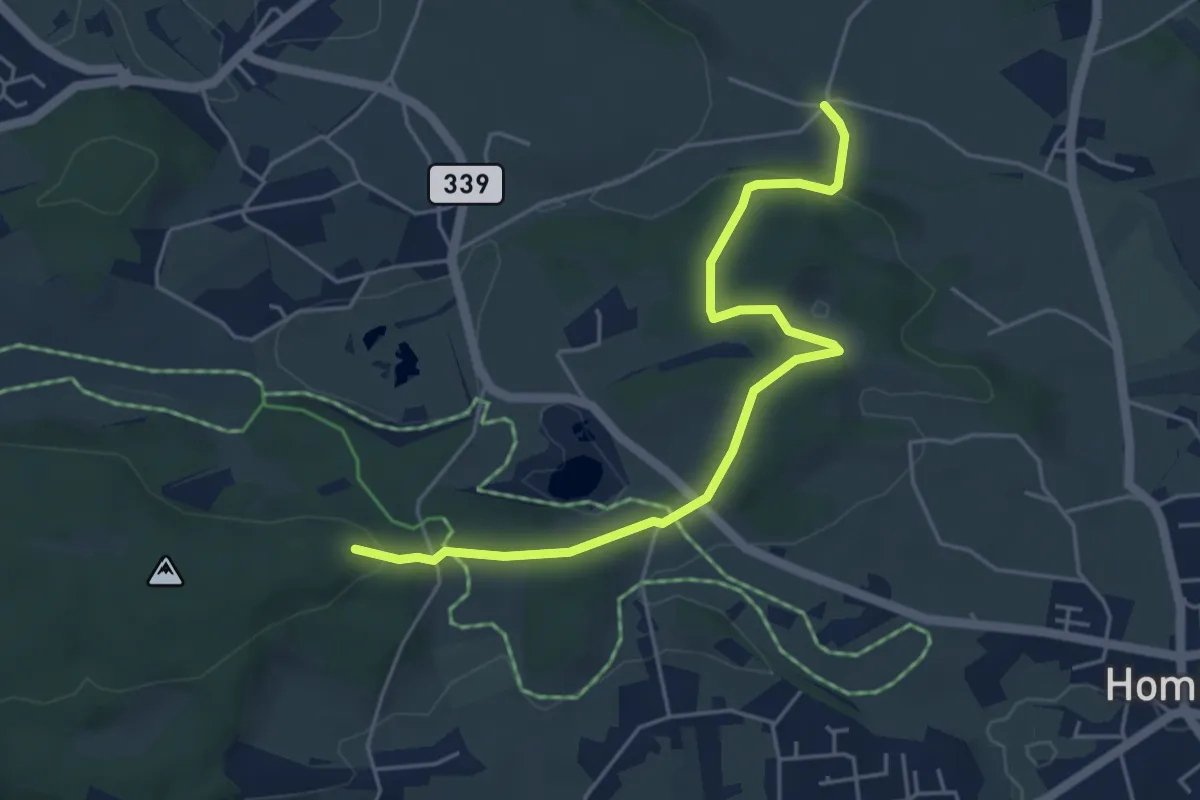
Easy · Trail
Dändlikon – Buechstutz
5.1 km · ↑ 120 m · 1 h 28 min · 15 km away
Easy · Trail
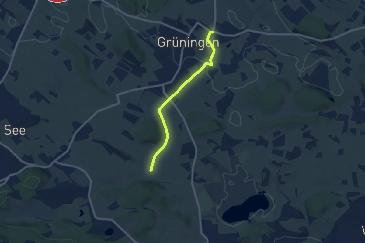
Grüningen Haufland – Dändlikon
5.2 km · ↑ 67 m · 1 h 23 min · 15 km away
Medium · Trail
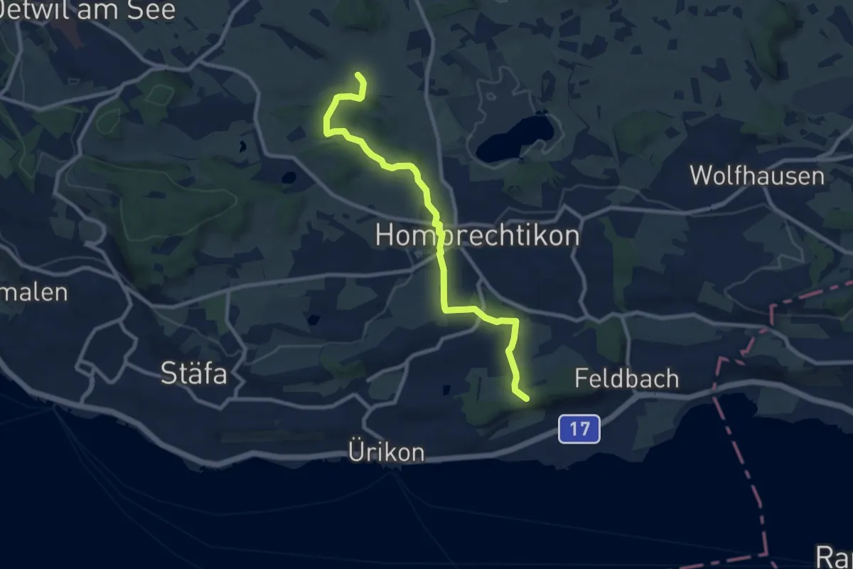
Dändlikon – Langgass
9.0 km · ↑ 182 m · 2 h 31 min · 15 km away
Easy · Trail
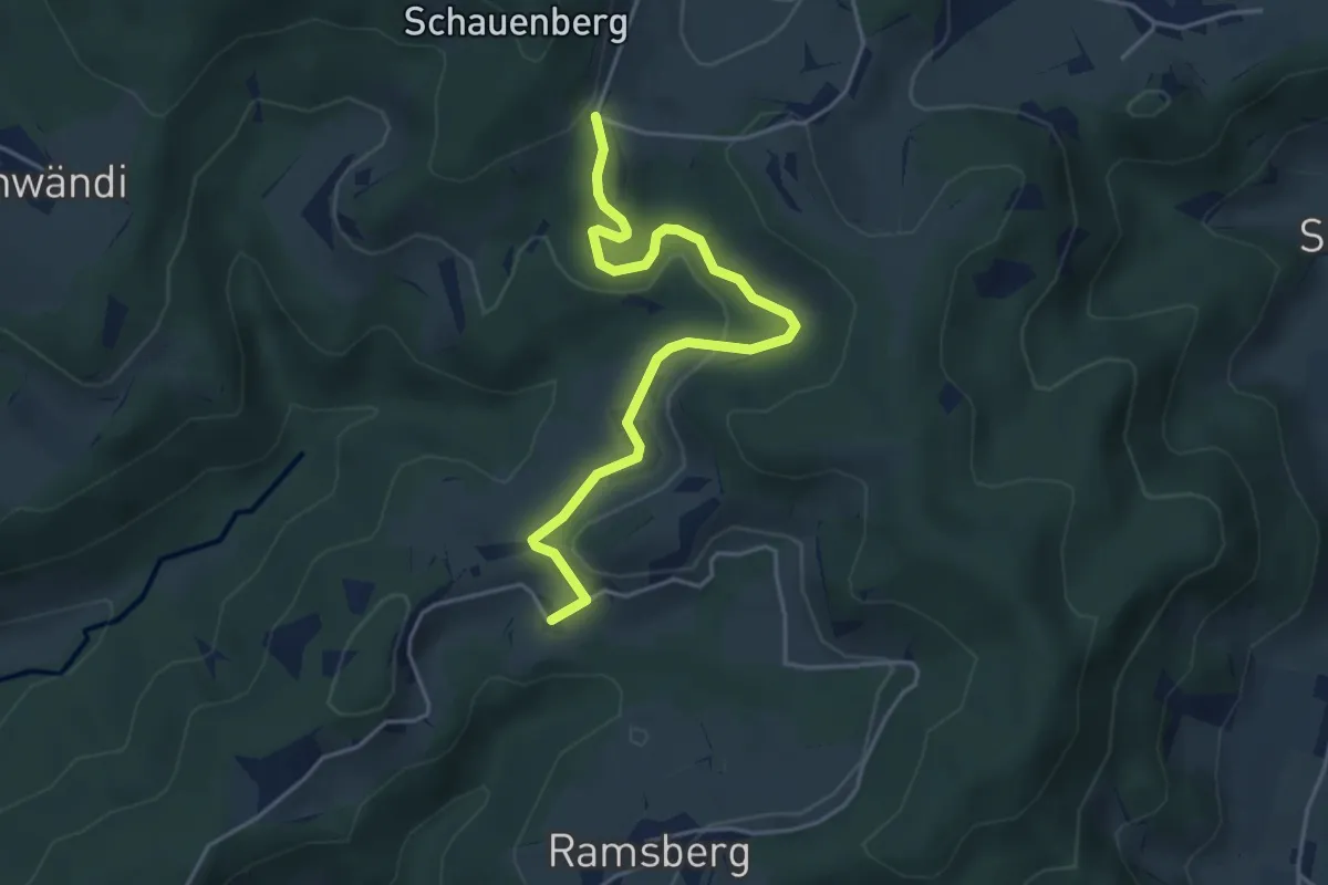
Tannenweid – Schnurrberg
4.5 km · ↑ 114 m · 1 h 19 min · 15 km away
Easy · Trail
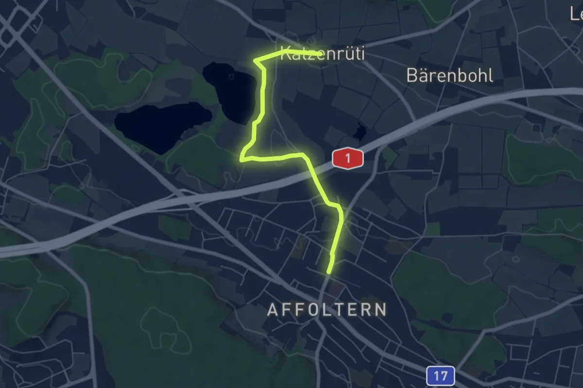
Zürich Affoltern - Chatzenrüti
5.7 km · ↑ 48 m · 1 h 27 min · 15 km away