Trails near Volketswil
582 hikes starting within 15 km, nearest first.
Nearest first, page 11 of 13
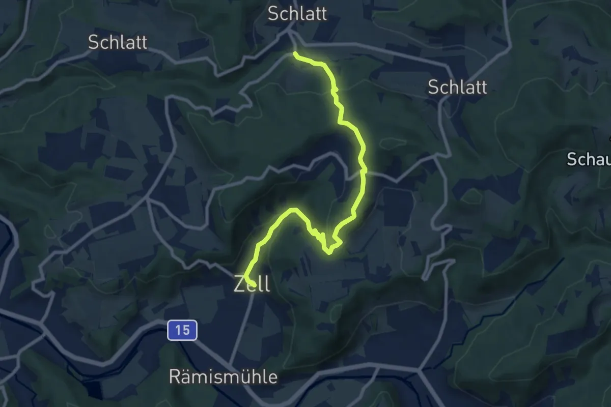
Medium · Trail
Unterschlatt – Zell
8.0 km · ↑ 340 m · 2 h 37 min · 13 km away
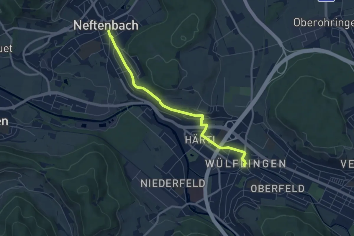
Easy · Trail
Winterthur Wülflingen – Neftenbach
6.5 km · ↑ 105 m · 1 h 45 min · 13 km away
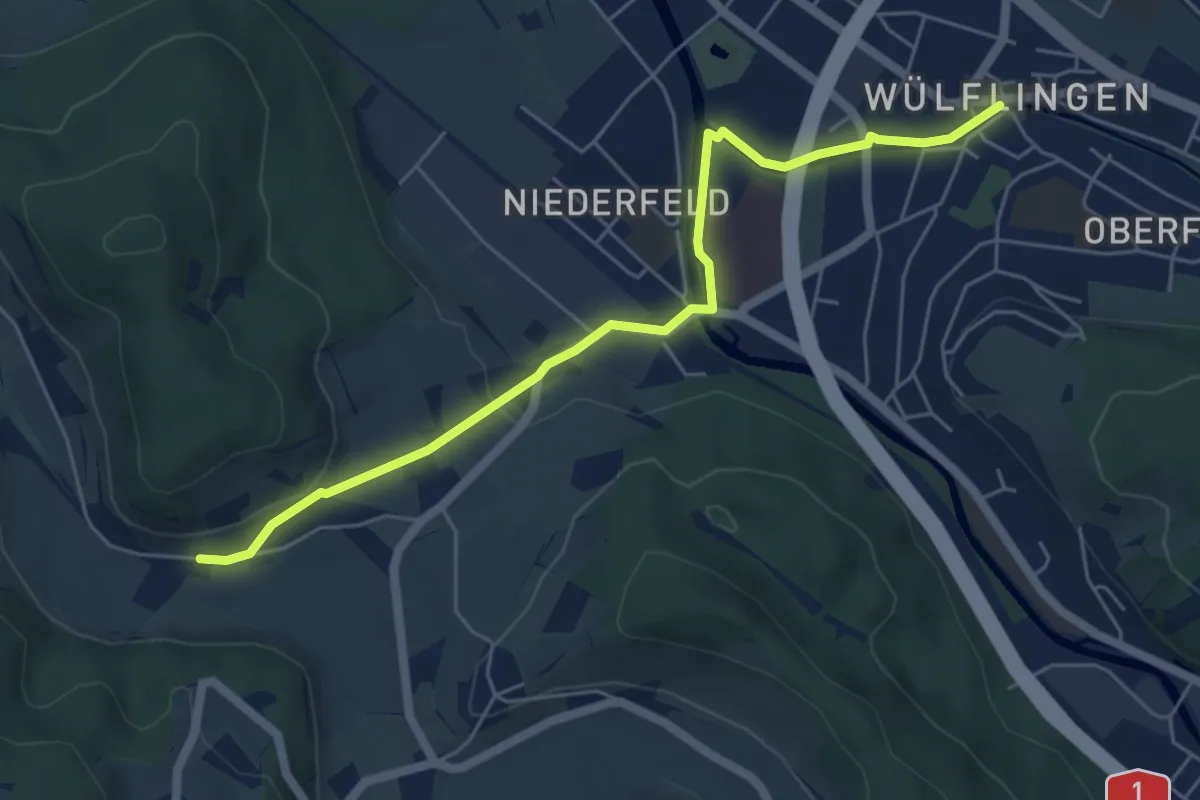
Easy · Trail
Winterthur Wülflingen – Weiertal
5.8 km · ↑ 104 m · 1 h 35 min · 13 km away
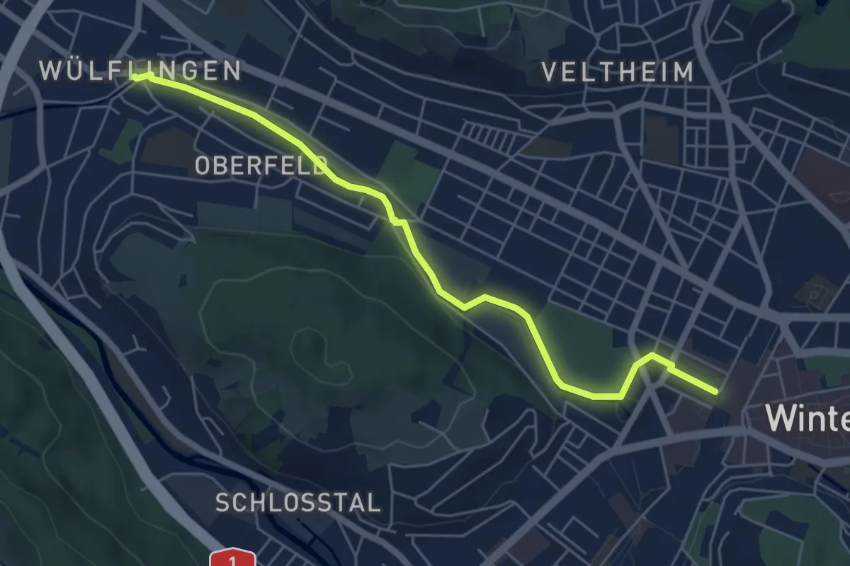
Easy · Trail
Winterthur – Winterthur Wülflingen
5.7 km · ↑ 103 m · 1 h 34 min · 13 km away
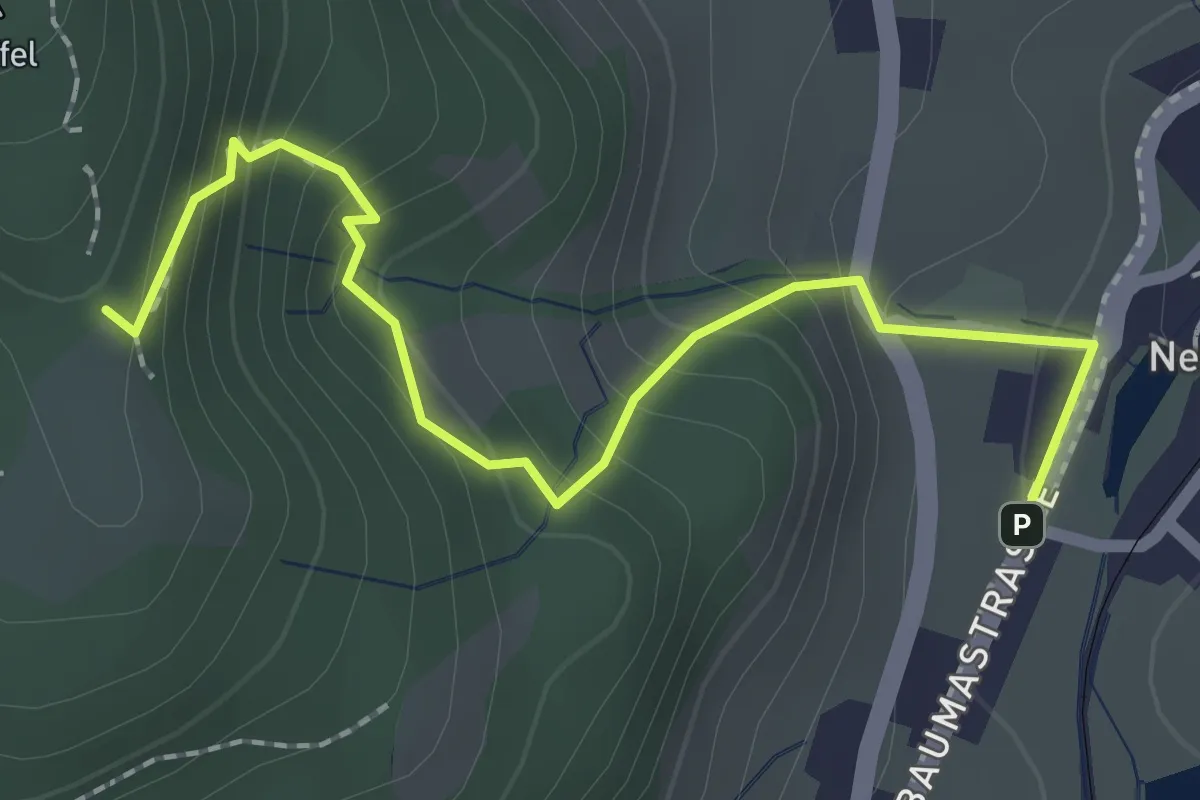
Demanding · Trail
Lättenweid - Neuthal (Bus)
2.3 km · ↑ 197 m · 59 min · 13 km away
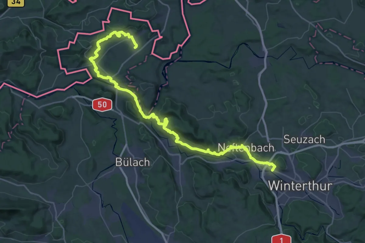
Demanding · Trail
Lebendiger Weinweg
32.9 km · ↑ 837 m · 10 h 3 min · 13 km away
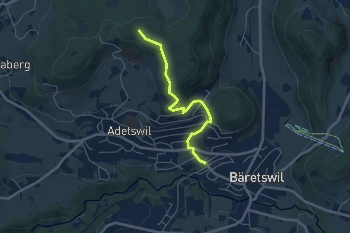
Easy · Trail
Bäretswil Station – Türli
4.0 km · ↑ 165 m · 1 h 18 min · 14 km away
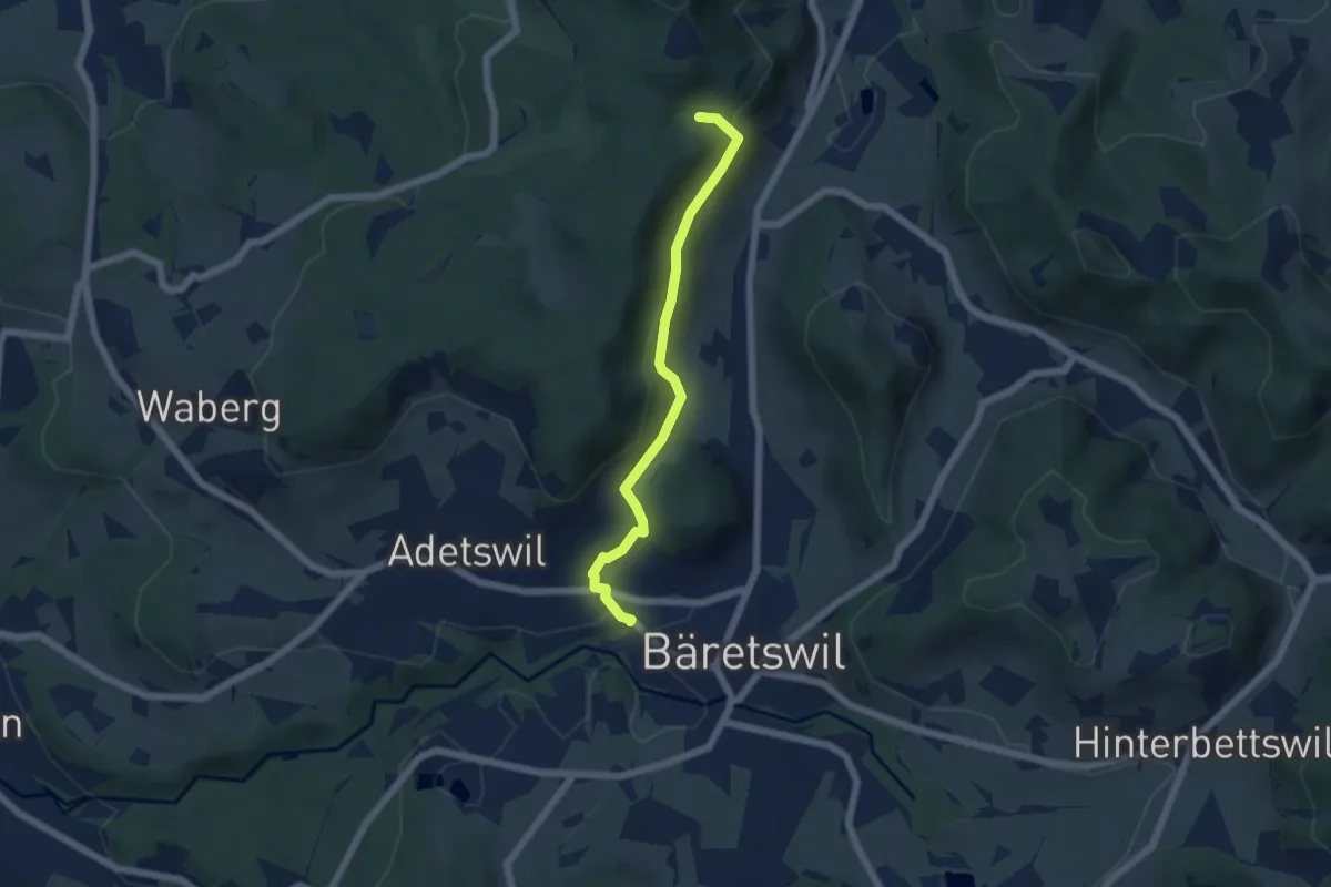
Easy · Trail
Bäretswil Station – Hofschür
5.0 km · ↑ 197 m · 1 h 37 min · 14 km away
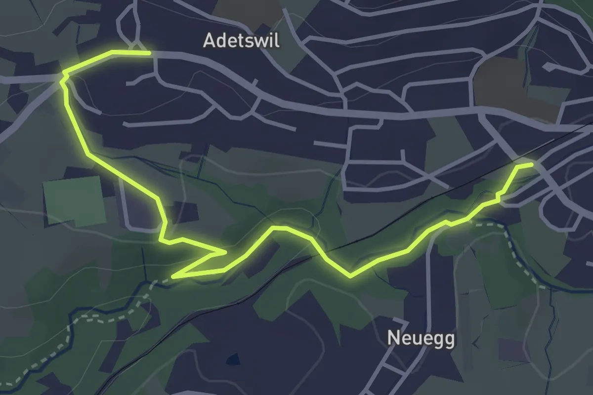
Easy · Trail
Bäretswil Station – Adetswil
3.9 km · ↑ 73 m · 1 h 4 min · 14 km away
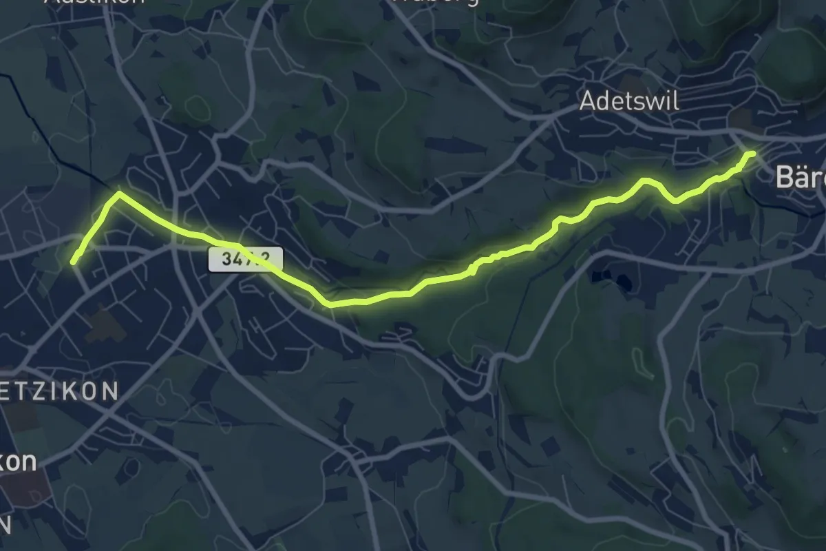
Medium · Trail
Kempten – Bäretswil Station
8.7 km · ↑ 162 m · 2 h 25 min · 14 km away
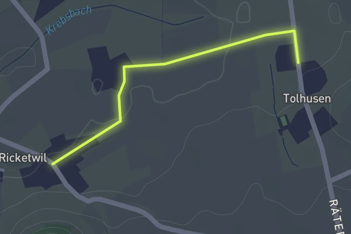
Easy · Trail
Ober Ricketwil – Tolhusen
2.2 km · ↑ 5 m · 32 min · 14 km away
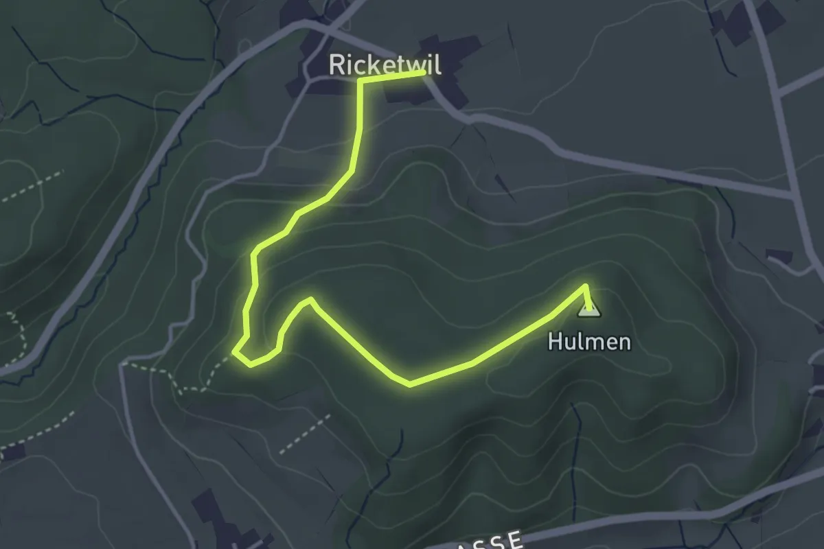
Easy · Summit
Hulmen – Ober Ricketwil
4.4 km · ↑ 140 m · 1 h 20 min · 14 km away
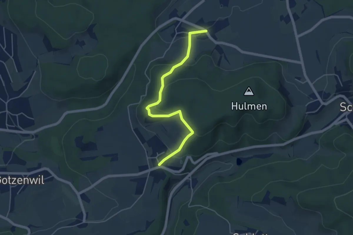
Easy · Trail
Ober Ricketwil – Eidberg
4.4 km · ↑ 213 m · 1 h 30 min · 14 km away
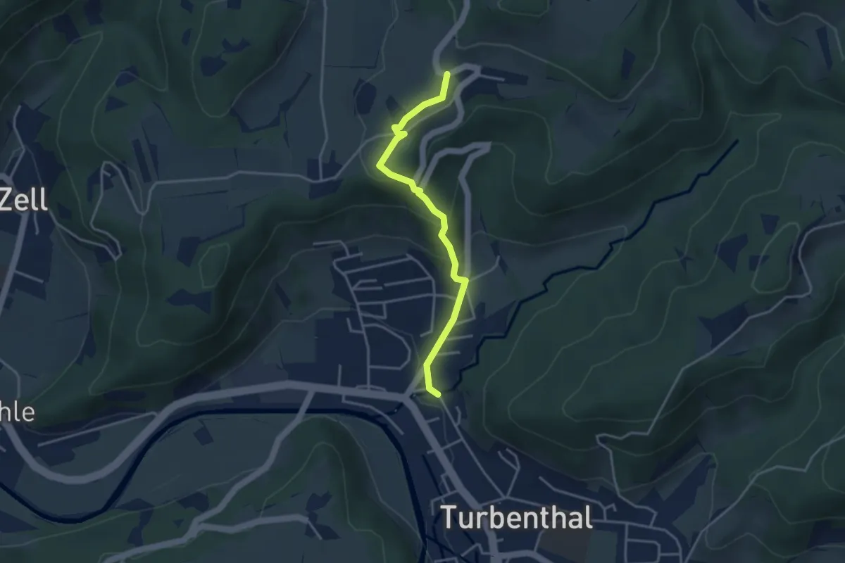
Easy · Trail
Girenbad – Hutzikon
3.4 km · ↑ 178 m · 1 h 11 min · 14 km away
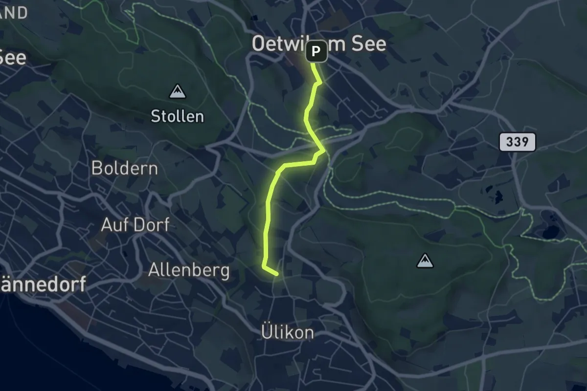
Easy · Trail
Oetwil - Püntacher
4.5 km · ↑ 147 m · 1 h 23 min · 14 km away
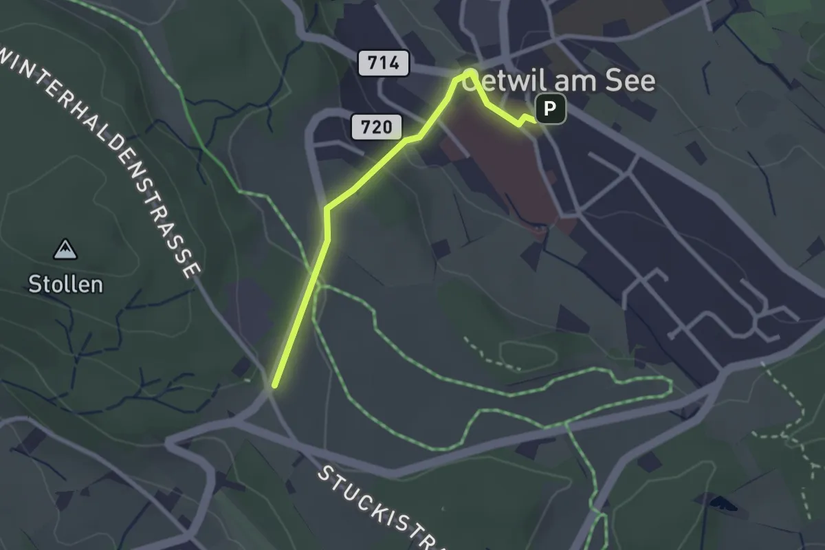
Easy · Trail
Oetwil – Stäfnertürli
2.3 km · ↑ 68 m · 41 min · 14 km away
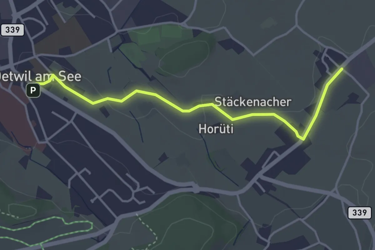
Easy · Trail
Holzhusen – Oetwil
3.7 km · ↑ 20 m · 55 min · 14 km away
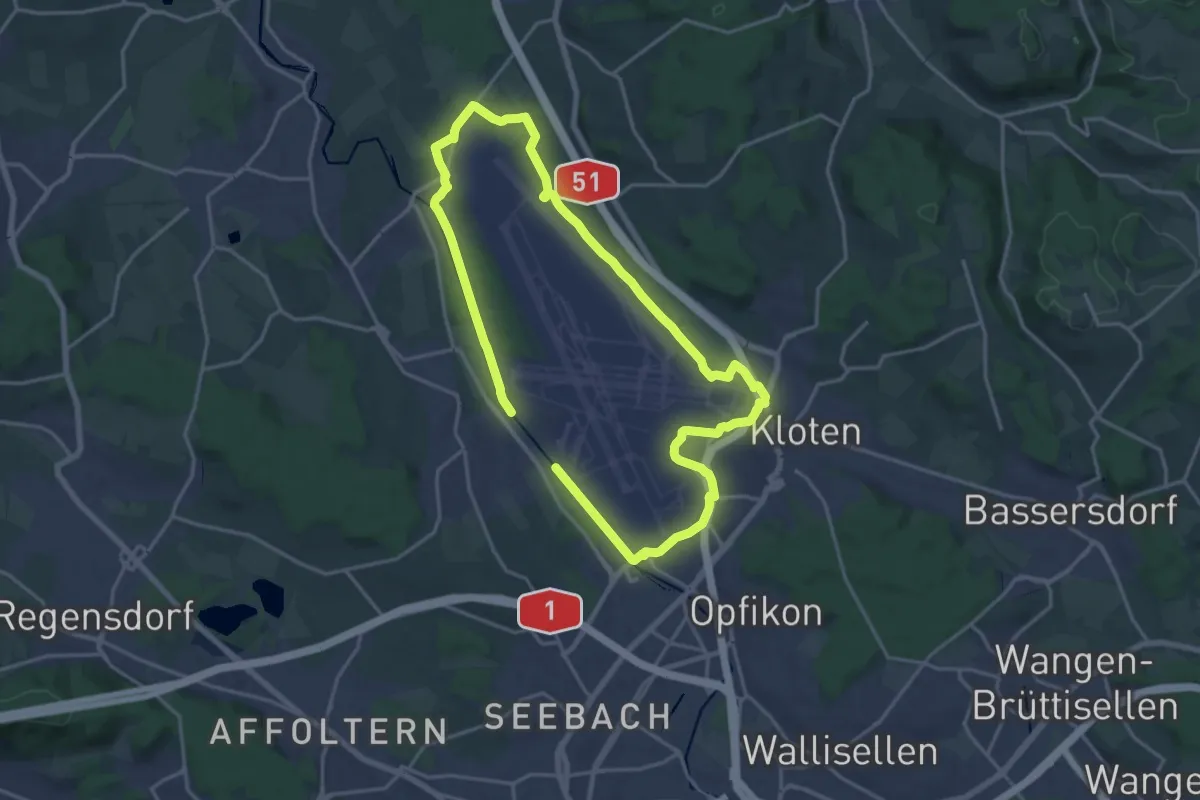
Medium · Trail
Flughafen-Rundweg
15.8 km · ↑ 75 m · 4 h 7 min · 14 km away
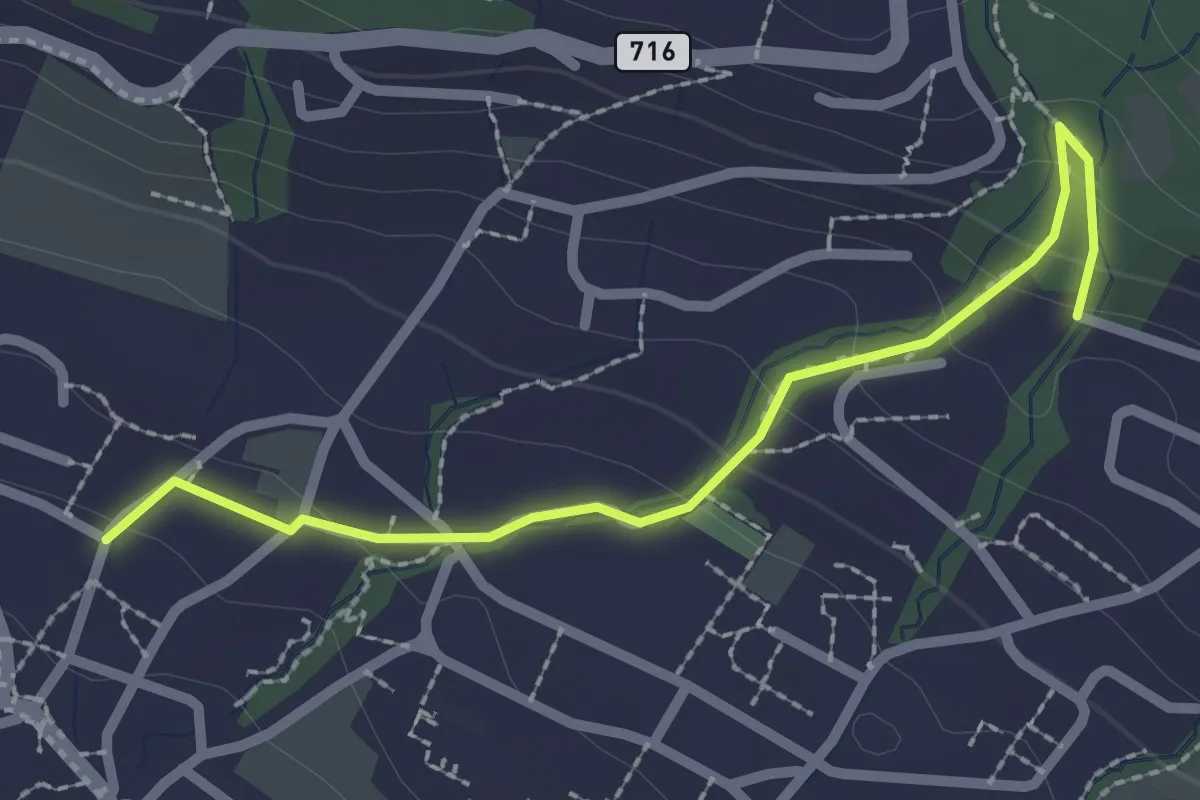
Easy · Trail
Uetikon Grossdorf – Stötzli
2.4 km · ↑ 124 m · 50 min · 14 km away
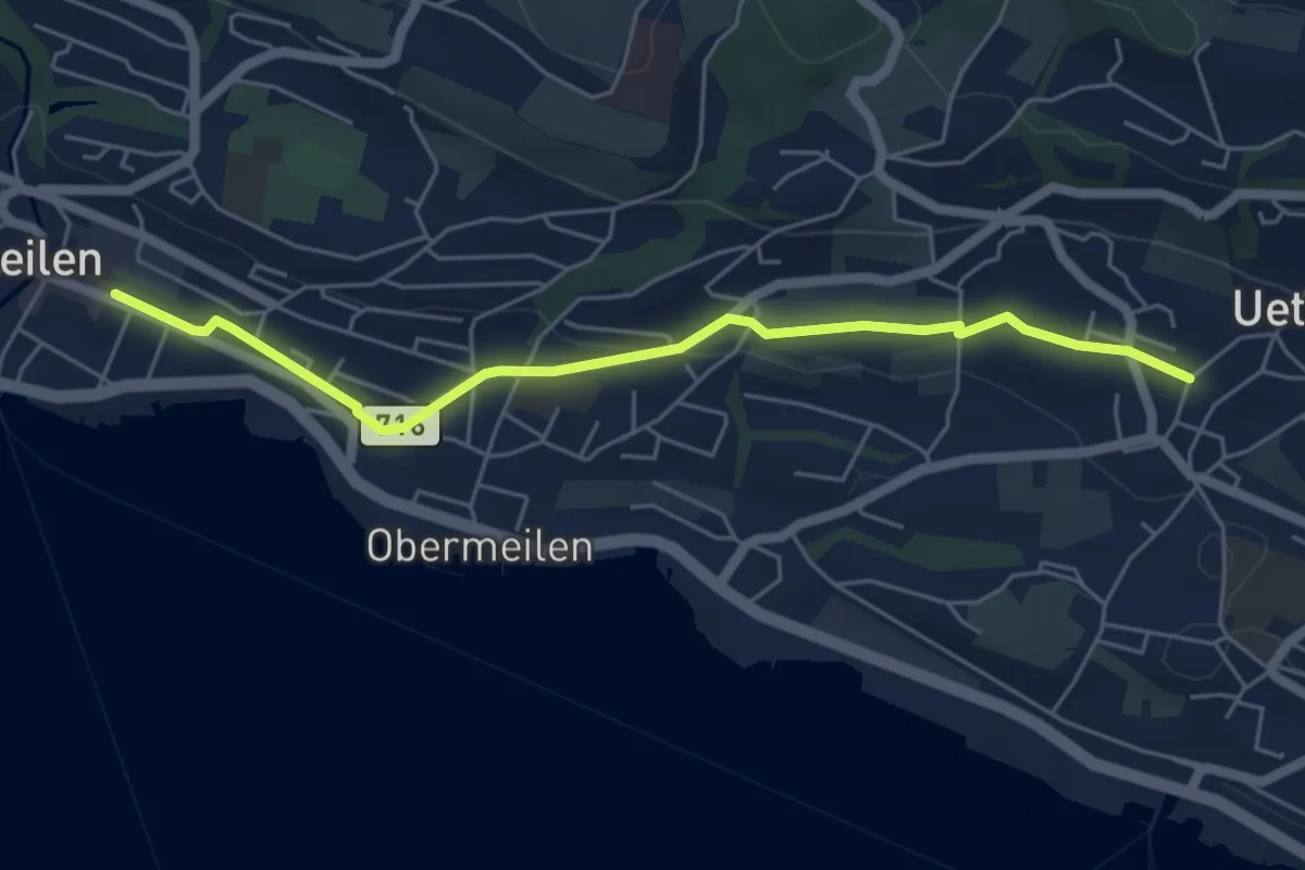
Easy · Trail
Meilen – Uetikon Grossdorf
5.5 km · ↑ 54 m · 1 h 24 min · 14 km away
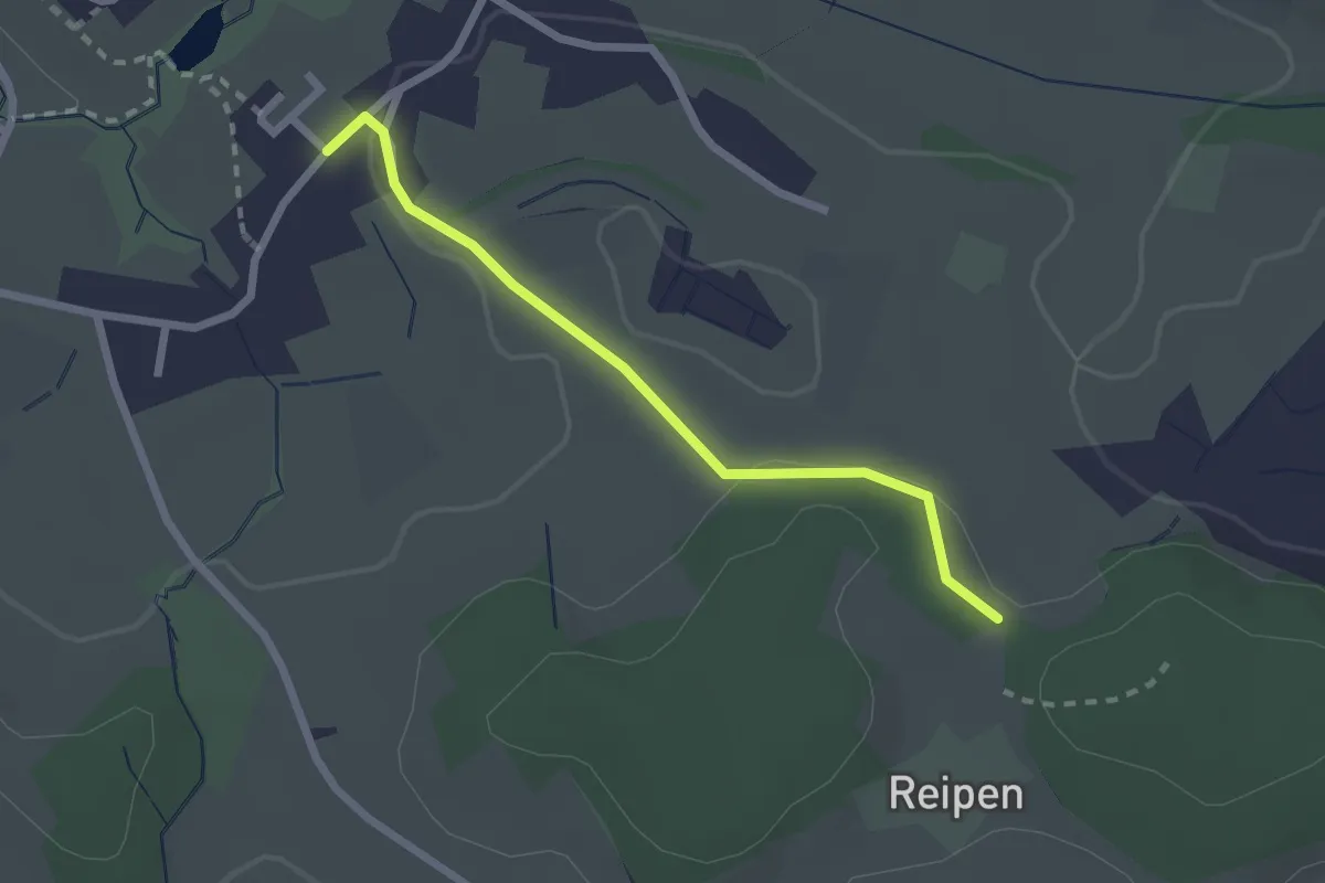
Easy · Trail
Reipen - Itzikon
2.1 km · ↑ 32 m · 35 min · 14 km away
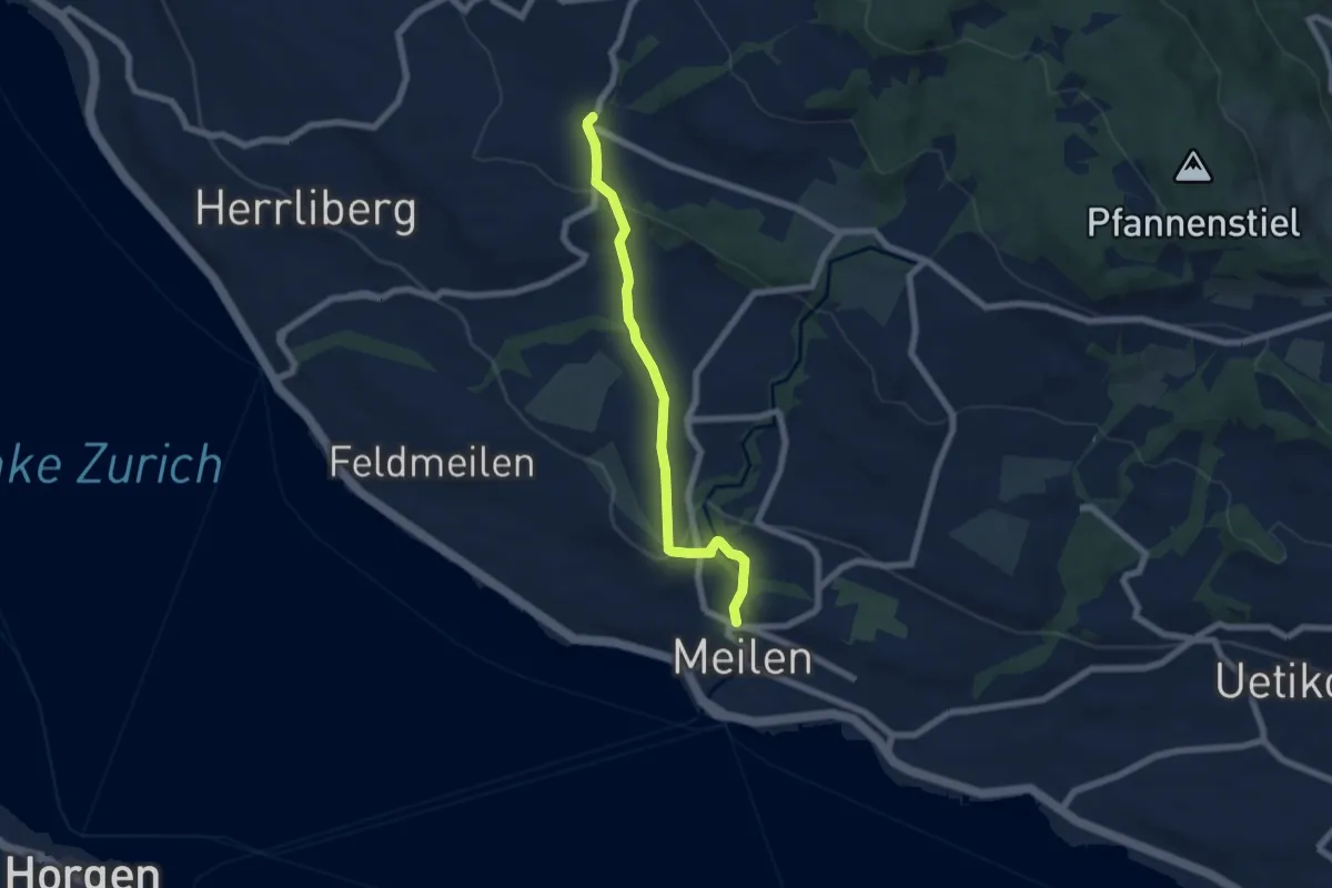
Easy · Trail
Wetzwil – Meilen Dorfbach
6.1 km · ↑ 203 m · 1 h 53 min · 14 km away
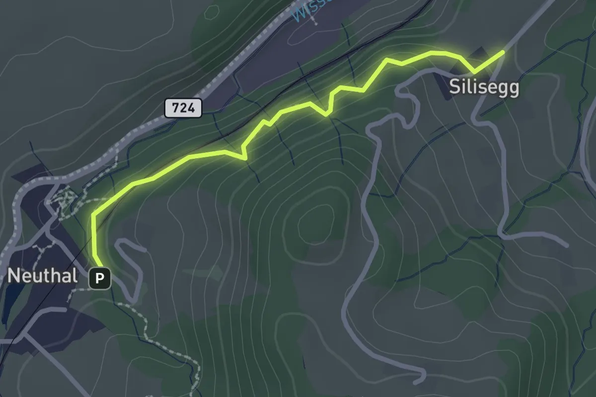
Easy · Trail
Neuthal - Silisegg
2.2 km · ↑ 126 m · 48 min · 14 km away
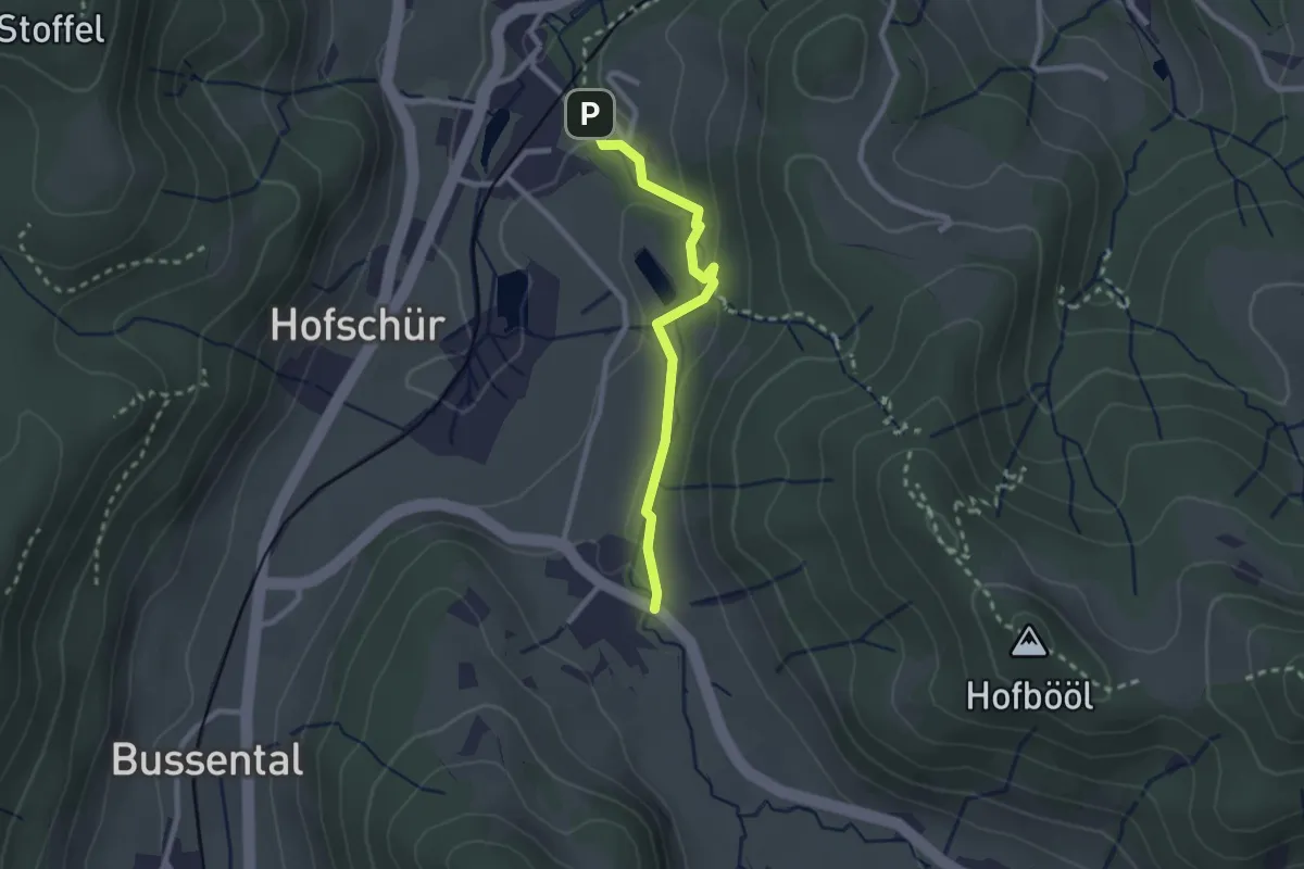
Easy · Trail
Hinterburg - Neuthal
2.2 km · ↑ 69 m · 41 min · 14 km away
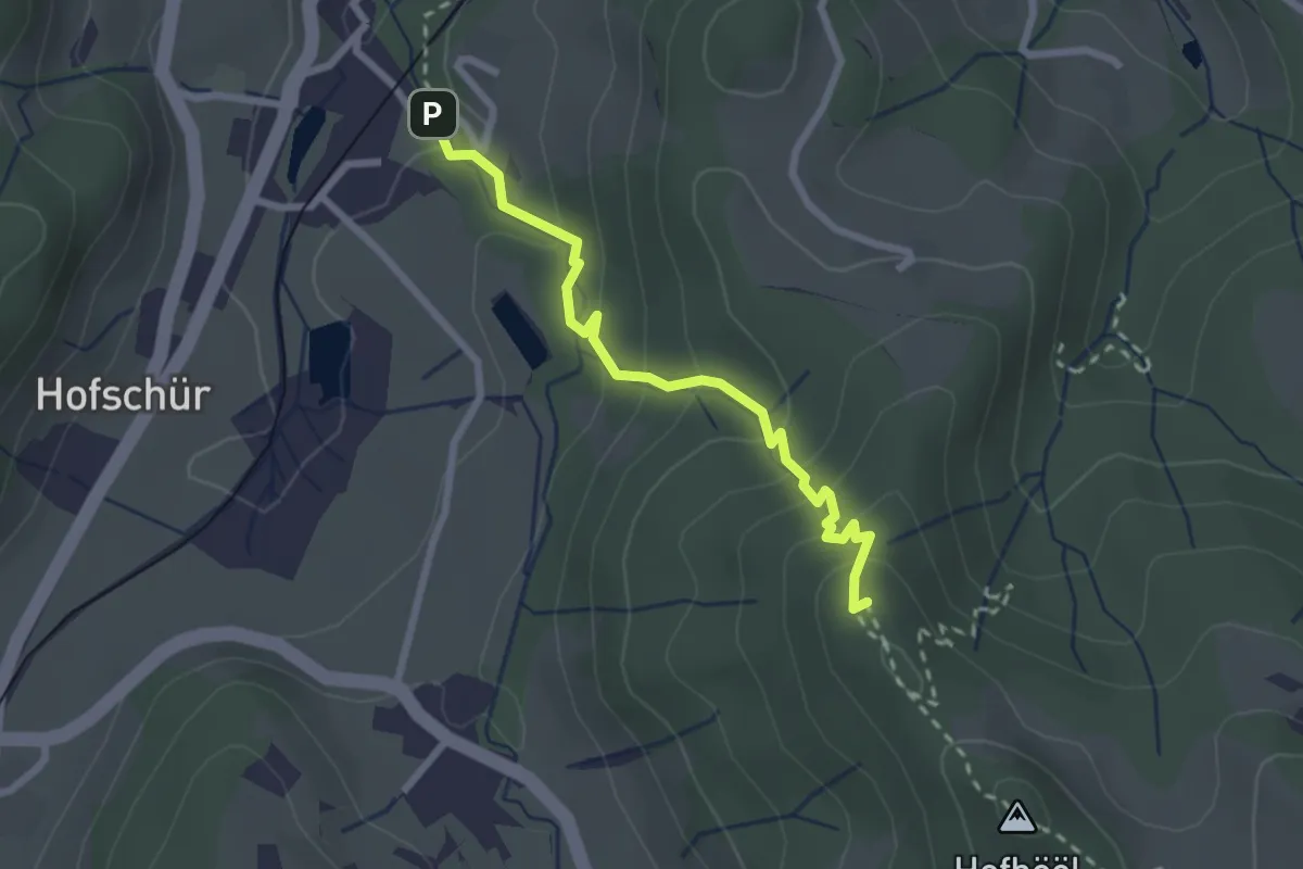
Easy · Summit
Hohenegg - Neuthal
2.4 km · ↑ 187 m · 59 min · 14 km away
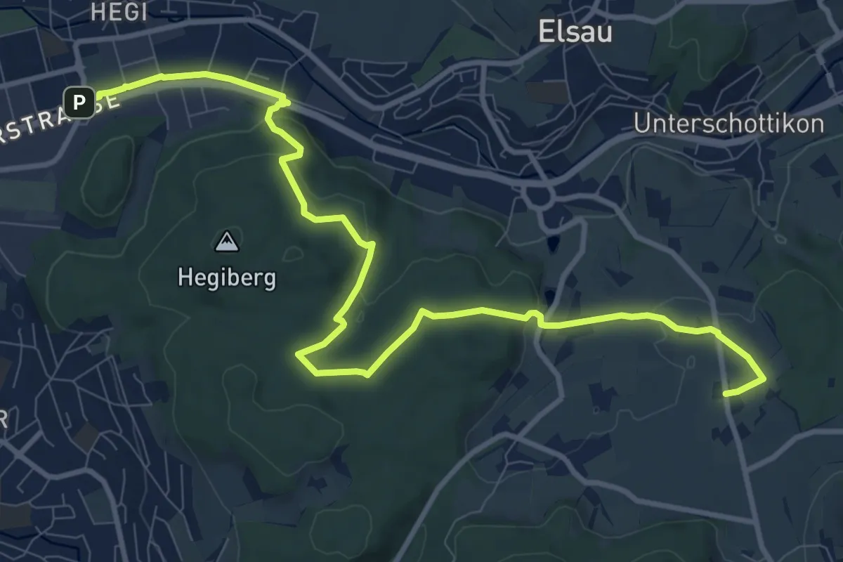
Medium · Trail
Rundweg Winterthur: Etappe Hegiberg
11.9 km · ↑ 232 m · 3 h 19 min · 14 km away
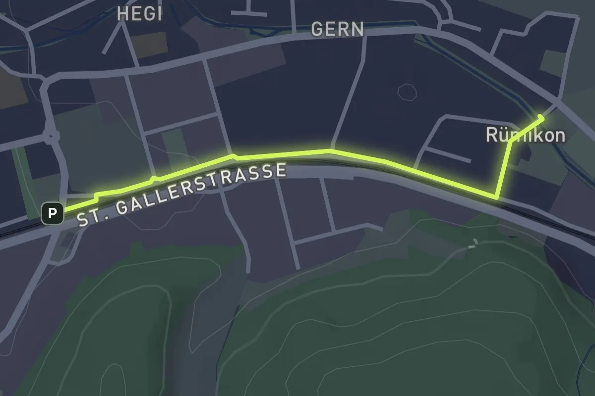
Easy · Trail
Bahnhof Winterthur Hegi – Rümikon
2.5 km · ↑ 9 m · 37 min · 14 km away
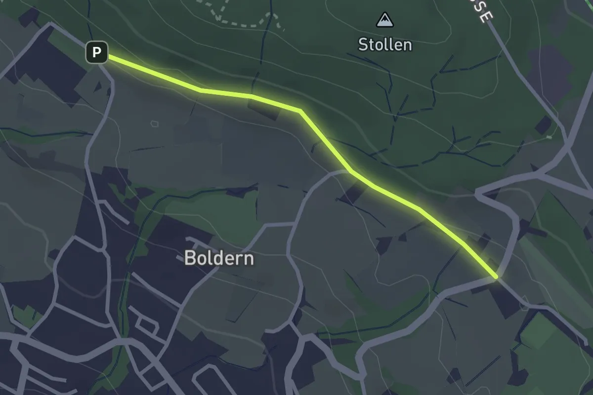
Easy · Trail
Appisberg – Widenbad
2.4 km · ↑ 37 m · 39 min · 14 km away
Easy · Trail
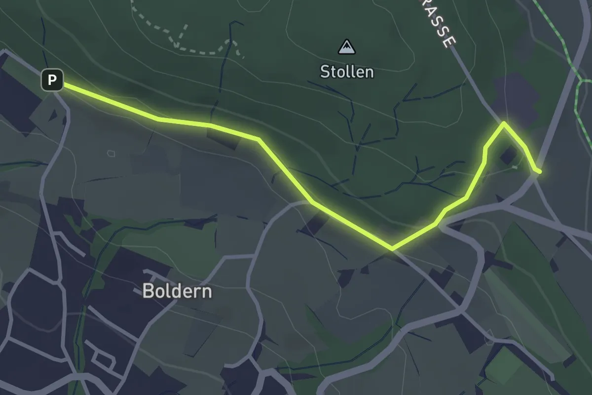
Appisberg – Stäfnertürli
3.1 km · ↑ 89 m · 55 min · 14 km away
Easy · Trail
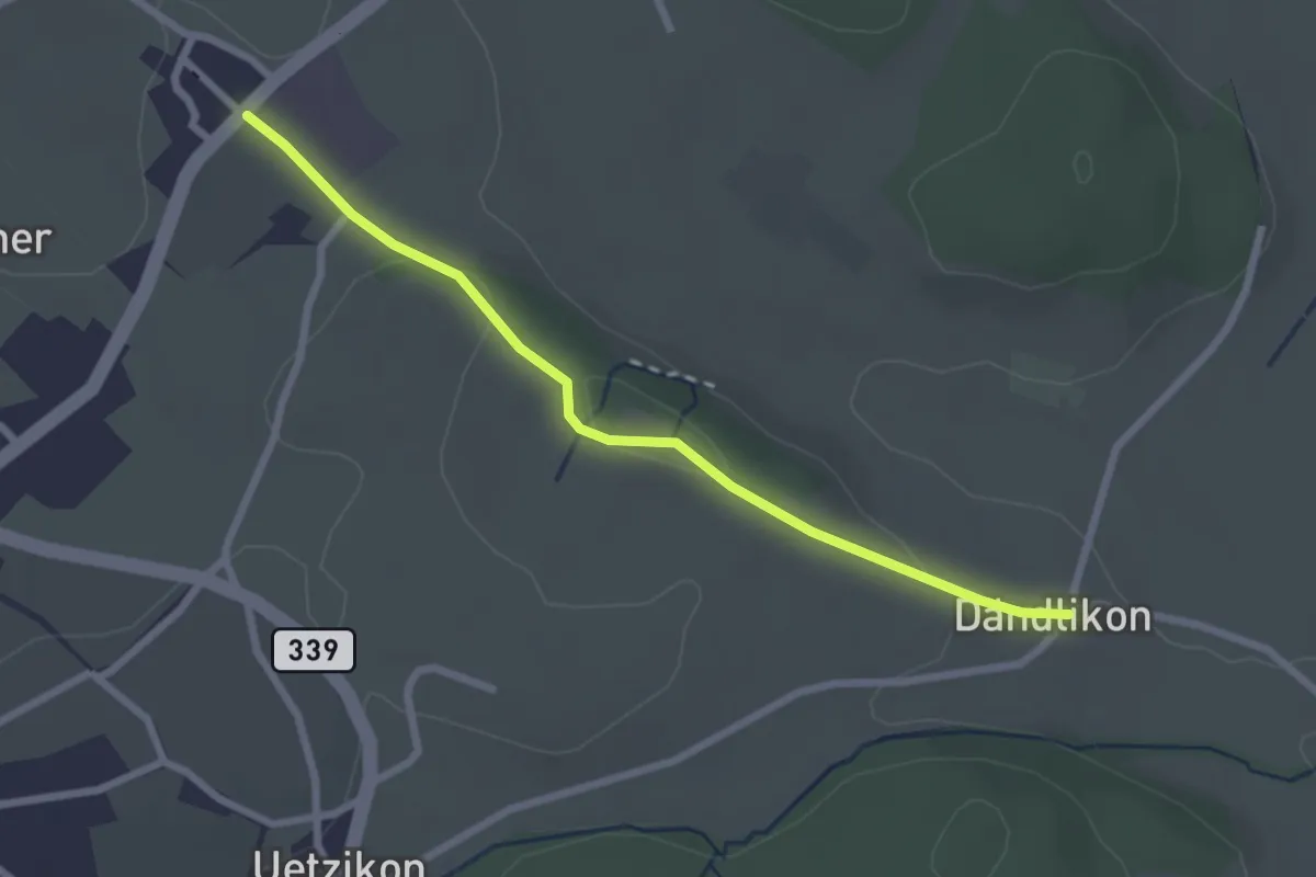
Dändlikon – Holzhusen
2.5 km · ↑ 45 m · 41 min · 14 km away
Easy · Trail
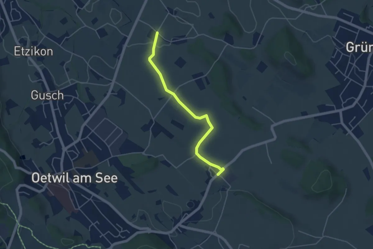
Holzhusen – Summerau
4.0 km · ↑ 48 m · 1 h 2 min · 14 km away
Easy · Trail
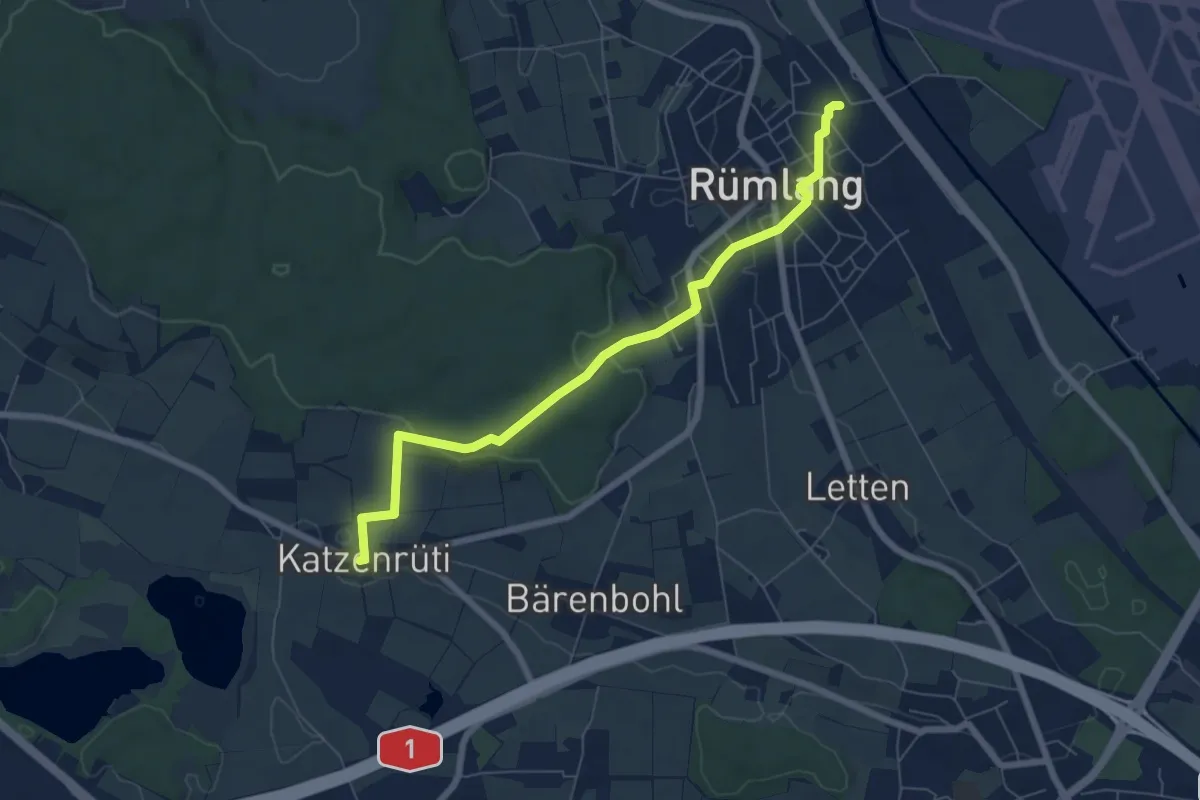
Chatzenrüti – Rümlang
6.8 km · ↑ 144 m · 1 h 55 min · 14 km away
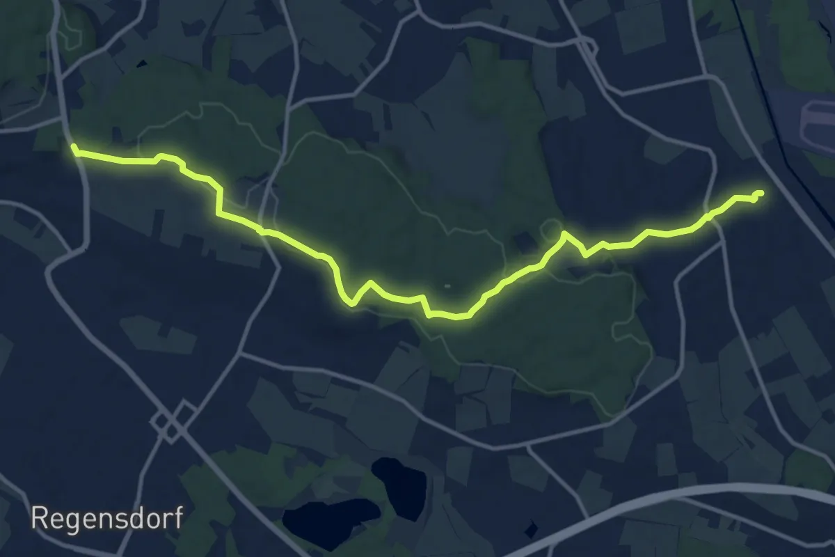
Medium · Trail
Rümlang – Bösbuck
13.2 km · ↑ 291 m · 3 h 45 min · 14 km away
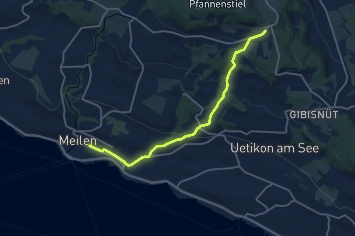
Medium · Trail
Meilen - Vorderpfannenstiel
8.4 km · ↑ 313 m · 2 h 39 min · 14 km away
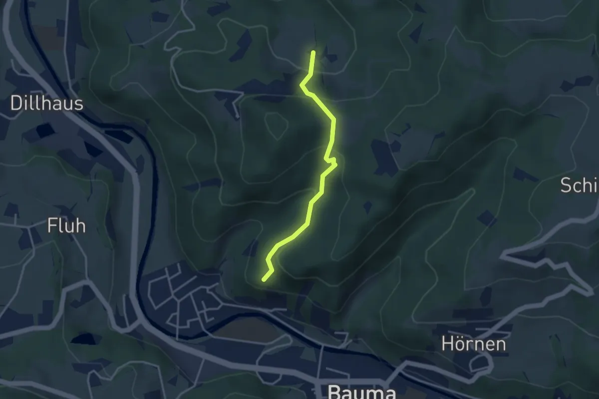
Easy · Trail
Ruine Altlandenberg – Chämmerli
2.8 km · ↑ 173 m · 1 h 2 min · 14 km away
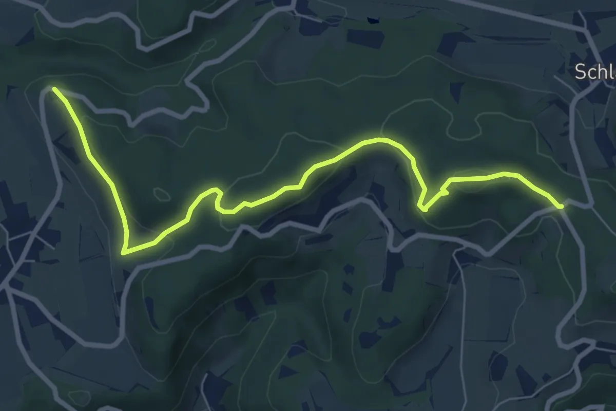
Easy · Trail
Wolfbrunnen – Hand
7.2 km · ↑ 296 m · 2 h 20 min · 14 km away
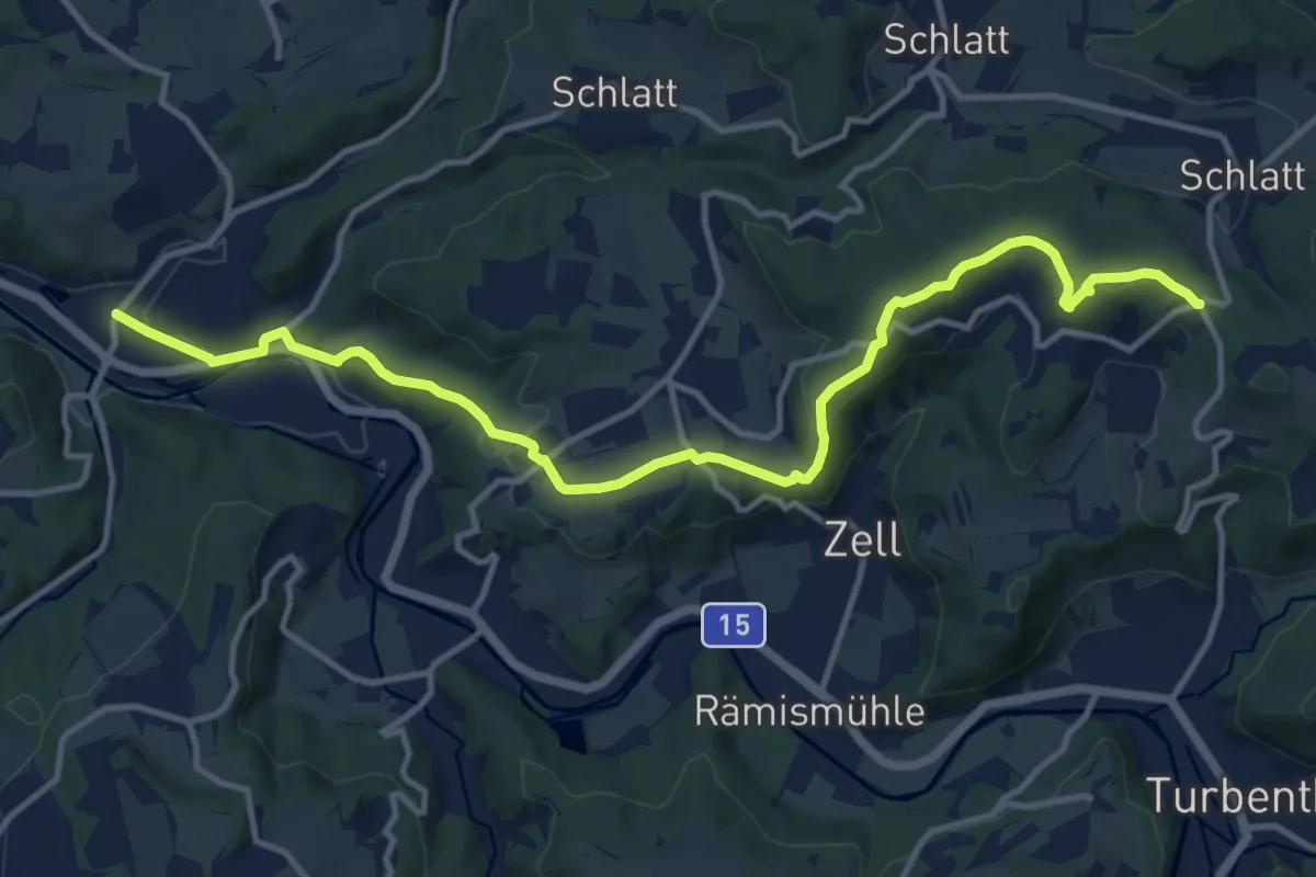
Medium · Trail
Kollbrunn Bhf. – Hand
13.9 km · ↑ 418 m · 4 h 11 min · 14 km away
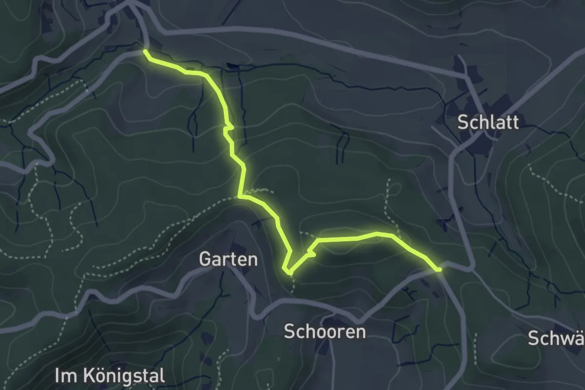
Easy · Trail
Unterschlatt – Hand
4.3 km · ↑ 199 m · 1 h 26 min · 14 km away
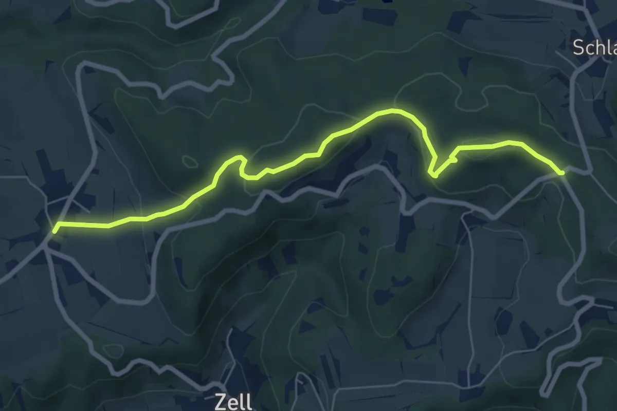
Easy · Trail
Oberlangenhard – Hand
6.5 km · ↑ 269 m · 2 h 8 min · 14 km away
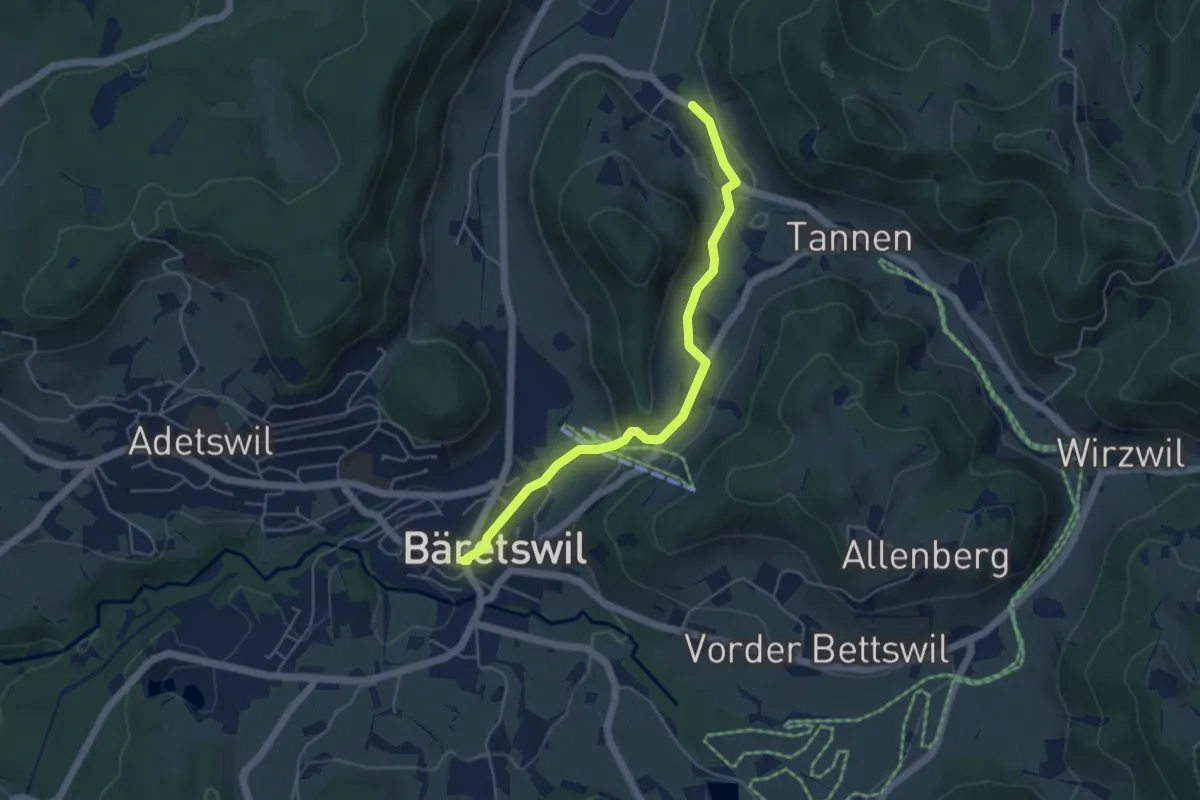
Easy · Trail
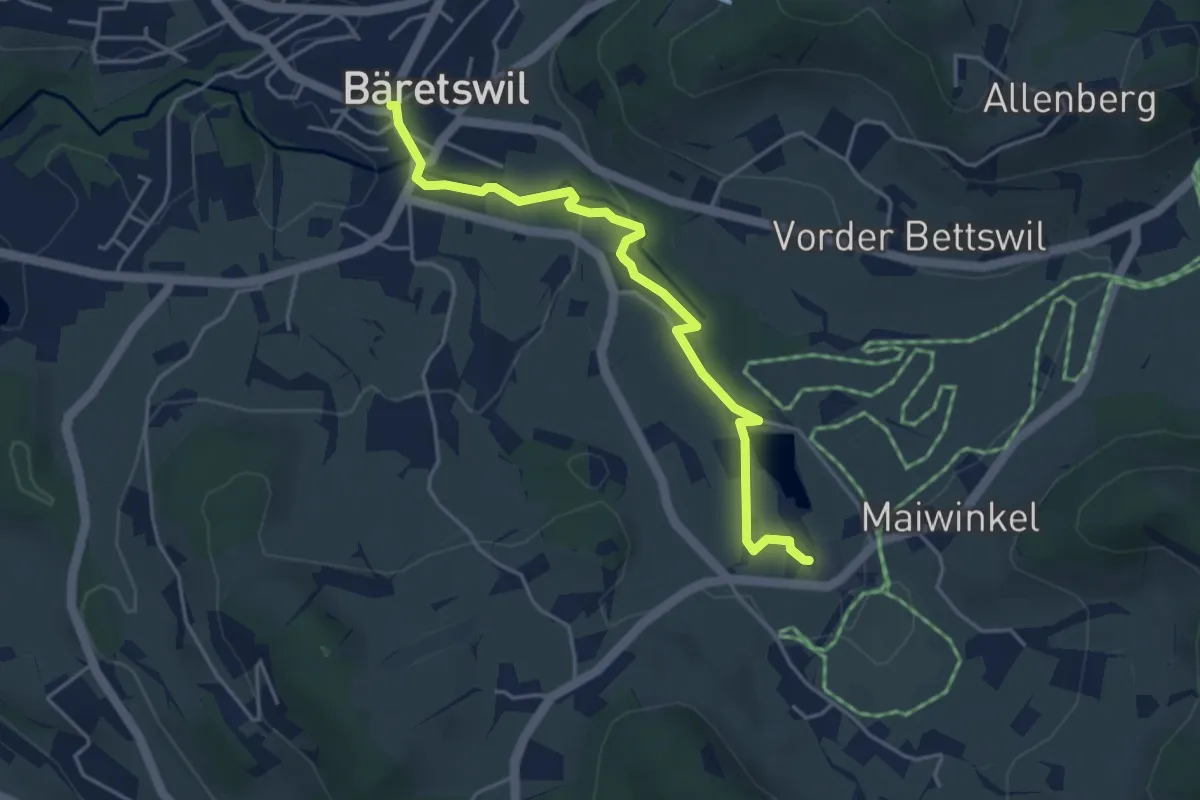
Bäretswil - Rüetswil - Hinterburg
4.8 km · ↑ 135 m · 1 h 25 min · 14 km away
Easy · Trail
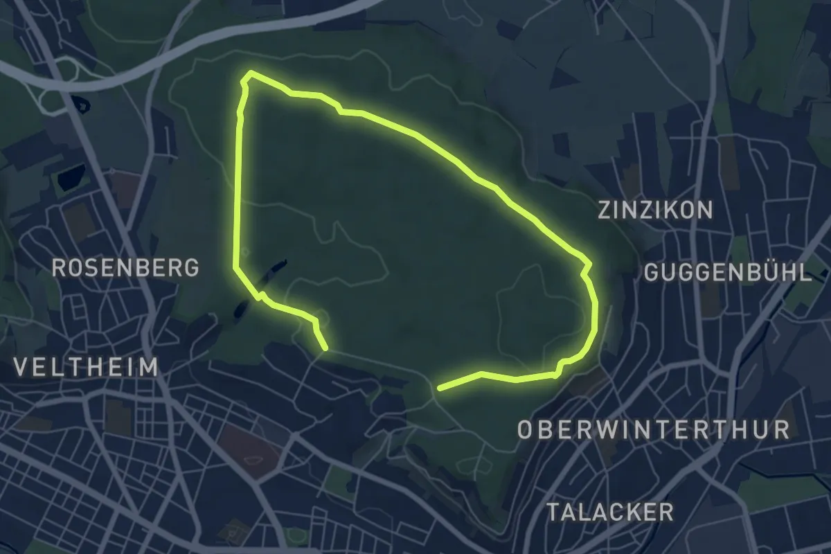
Bäretswil – Stockrüti
4.3 km · ↑ 85 m · 1 h 12 min · 14 km away
Medium · Trail
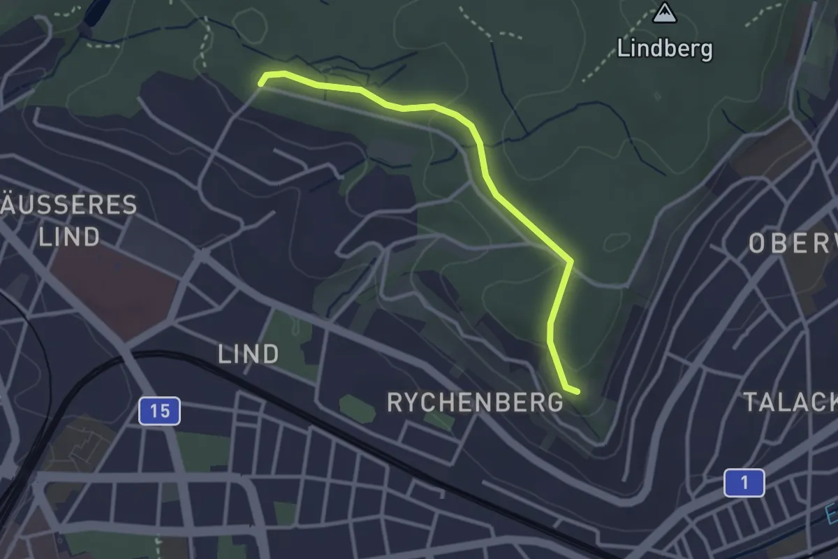
Römerholz Rundweg
9.7 km · ↑ 164 m · 2 h 39 min · 14 km away
Easy · Trail
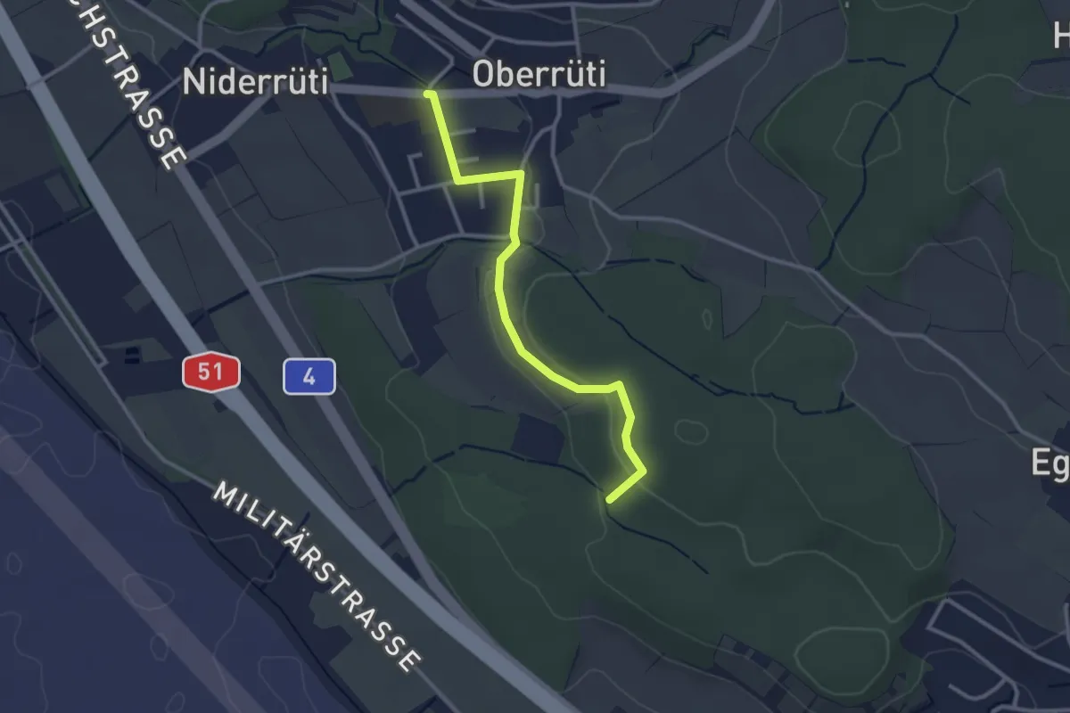
Bäumli – Römerholz
2.8 km · ↑ 81 m · 50 min · 14 km away
Easy · Trail
Oberrüti – Homberg
2.8 km · ↑ 50 m · 46 min · 14 km away
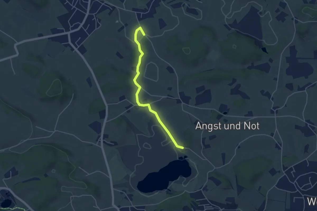
Easy · Trail
Botanischer Garten - Hasel
4.1 km · ↑ 68 m · 1 h 7 min · 14 km away
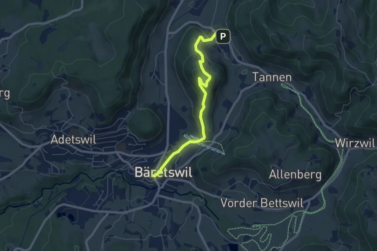
Easy · Trail
Bäretswil - Greifenberg - Hinterburg
5.6 km · ↑ 293 m · 1 h 58 min · 14 km away
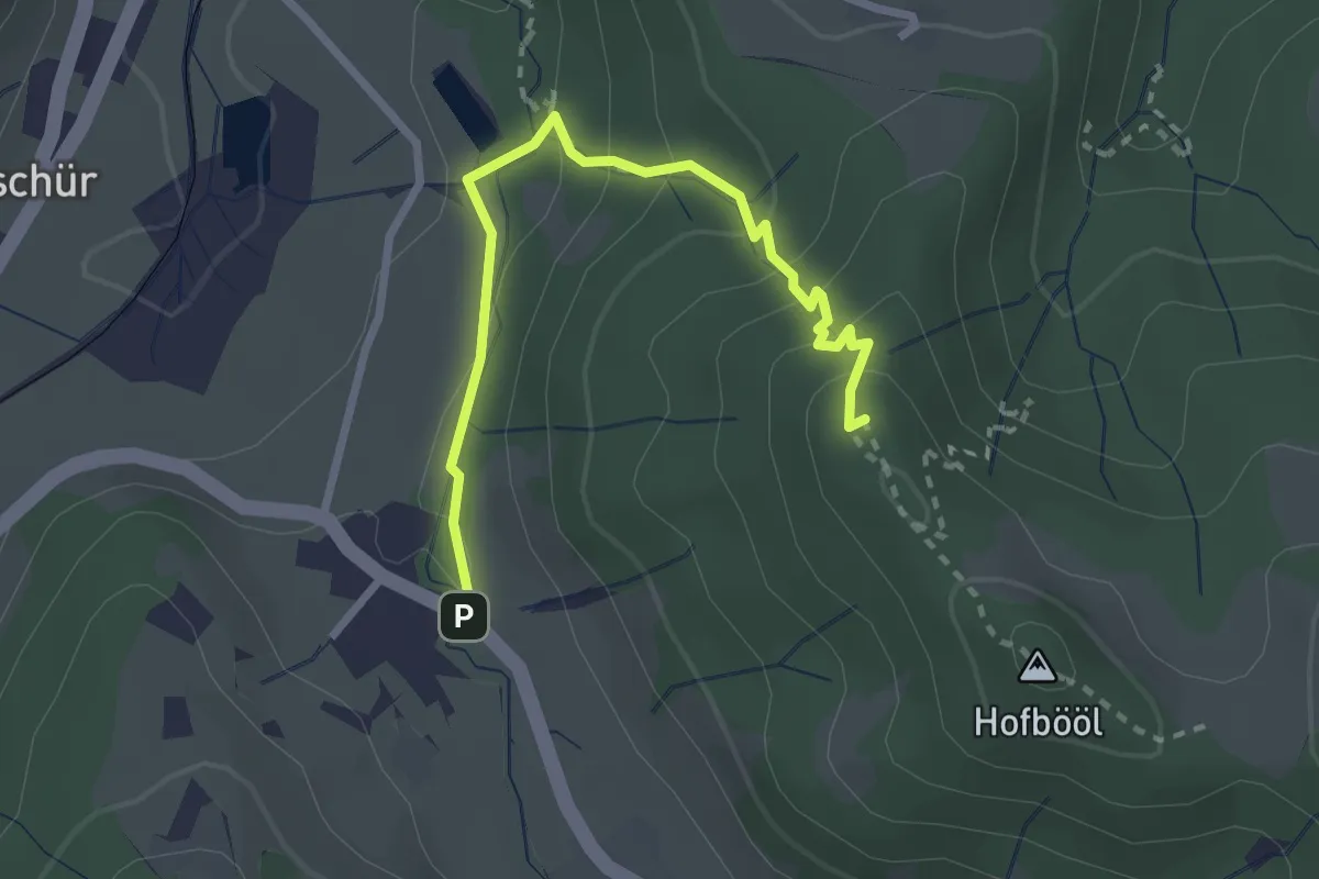
Easy · Summit
Hinterburg - Hohenegg
2.7 km · ↑ 174 m · 1 h 1 min · 14 km away
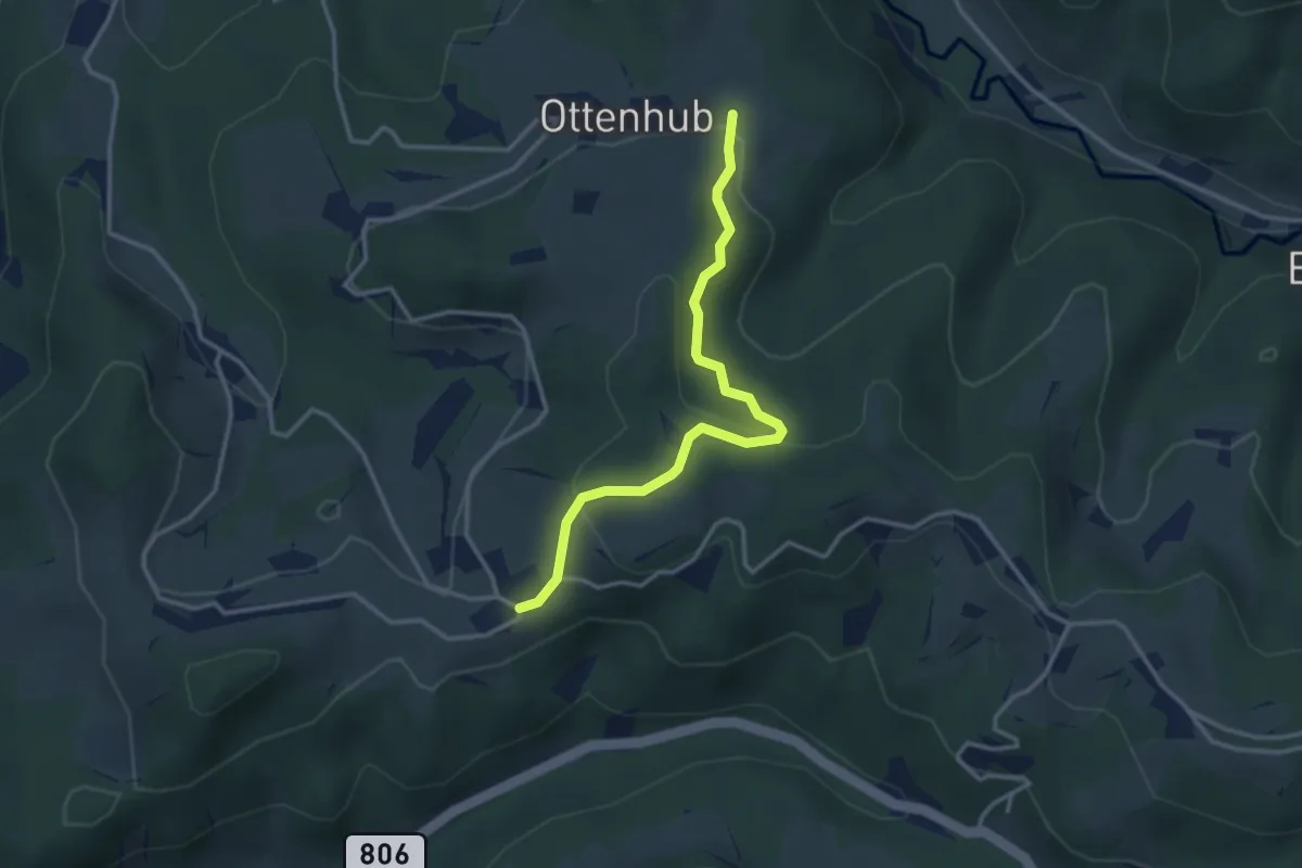
Easy · Trail
Ottenhueb – Manzenhueb
3.2 km · ↑ 142 m · 1 h 3 min · 14 km away