Trails near Volketswil
582 hikes starting within 15 km, nearest first.
Nearest first, page 10 of 13
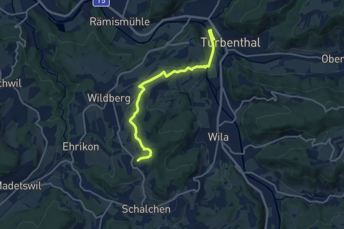
Medium · Trail
Ober Luegeten – Turbenthal
9.2 km · ↑ 262 m · 2 h 45 min · 13 km away
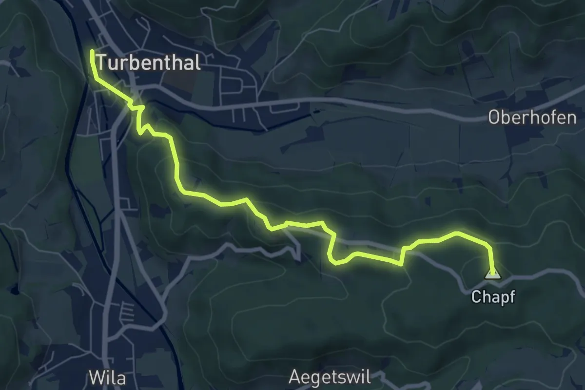
Easy · Summit
Turbenthal – Büel
7.4 km · ↑ 307 m · 2 h 25 min · 13 km away
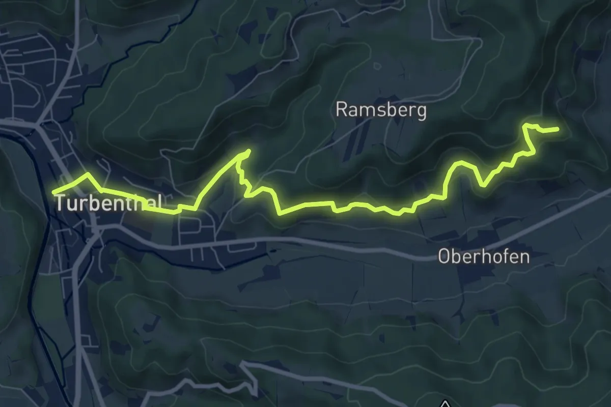
Medium · Trail
Buechenegg – Turbenthal
9.1 km · ↑ 371 m · 2 h 58 min · 13 km away
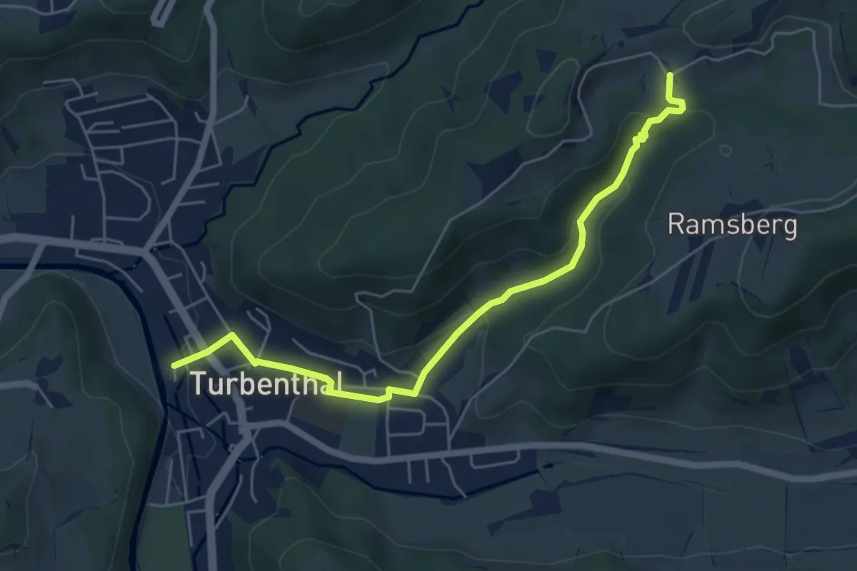
Easy · Trail
Schnurrberg – Turbenthal
5.4 km · ↑ 172 m · 1 h 39 min · 13 km away
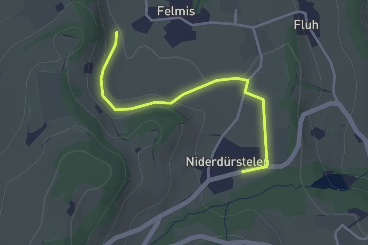
Easy · Trail
Niederdürstelen - Fälmis
2.5 km · ↑ 56 m · 42 min · 13 km away
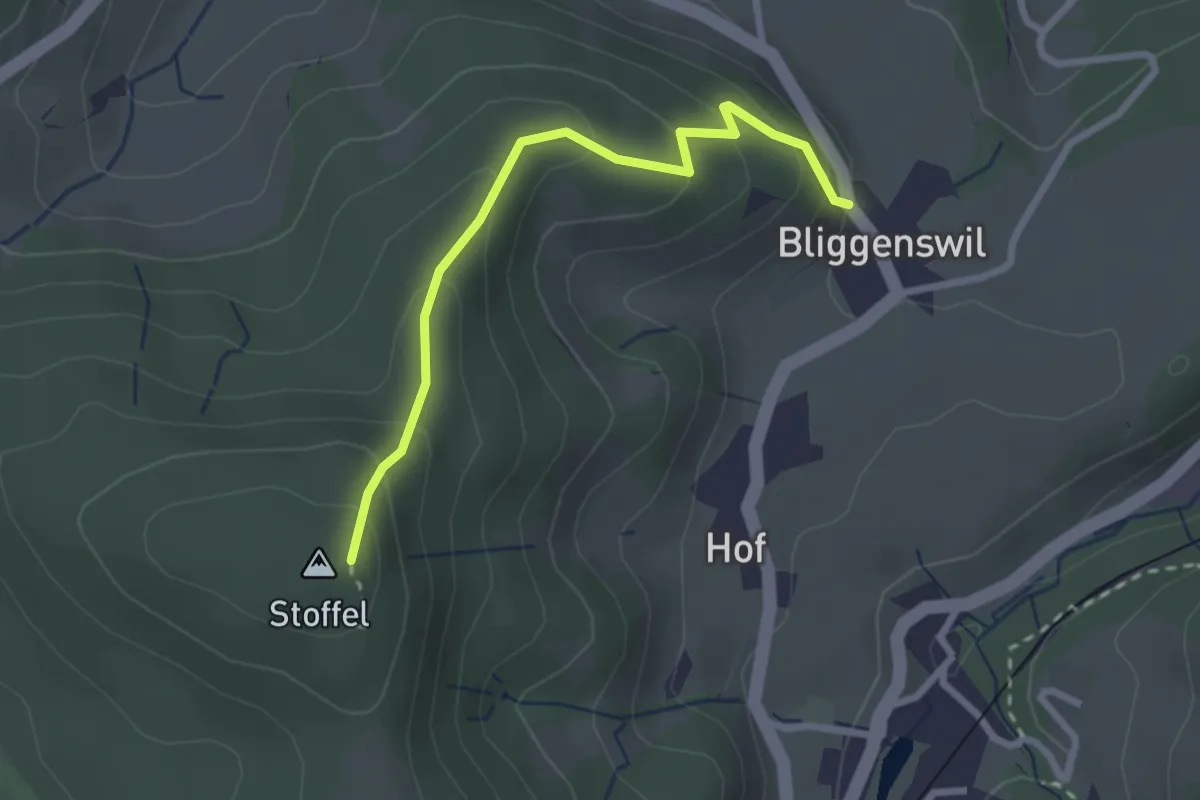
Easy · Trail
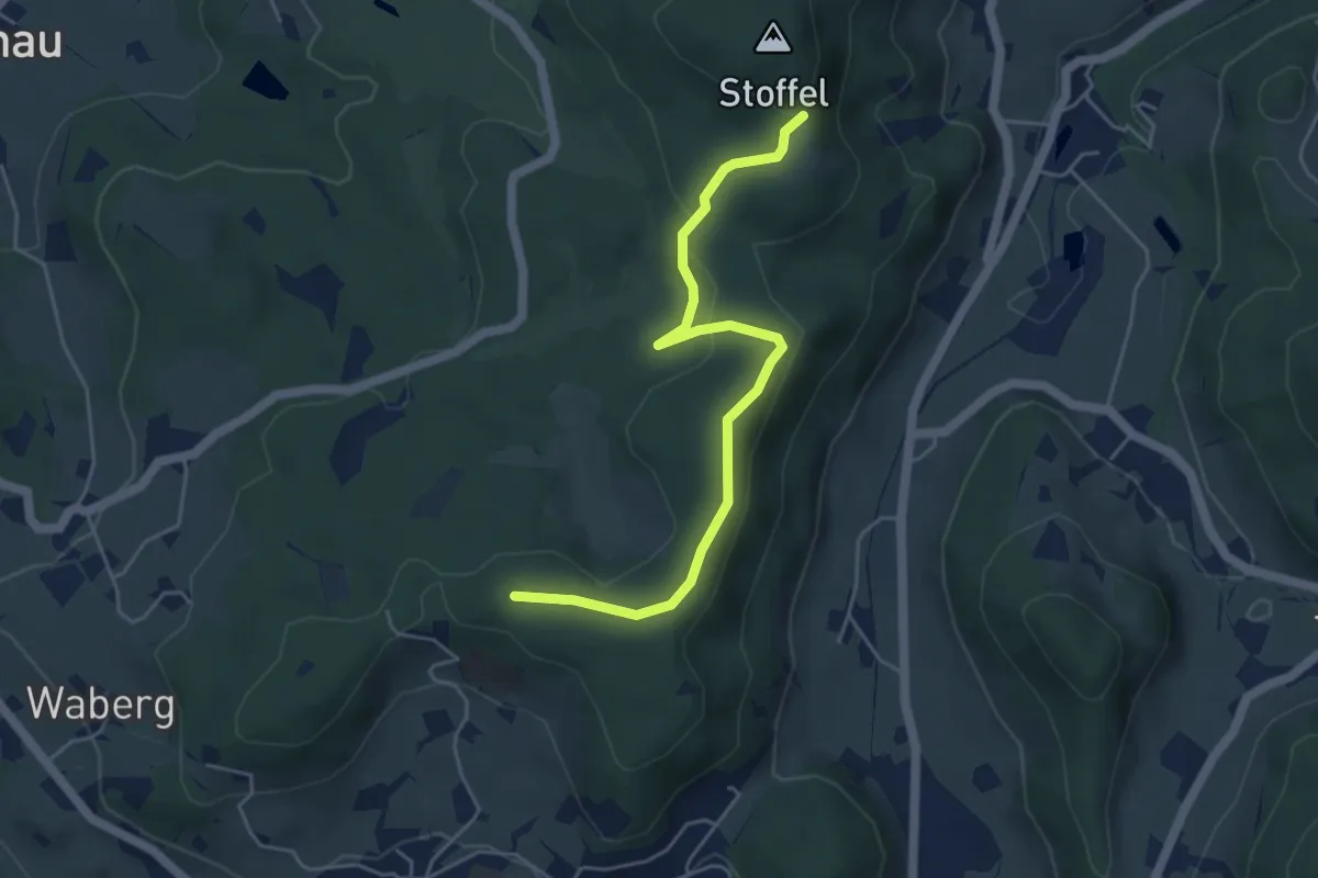
Bliggenswil - Stoffel
2.5 km · ↑ 202 m · 1 h 2 min · 13 km away
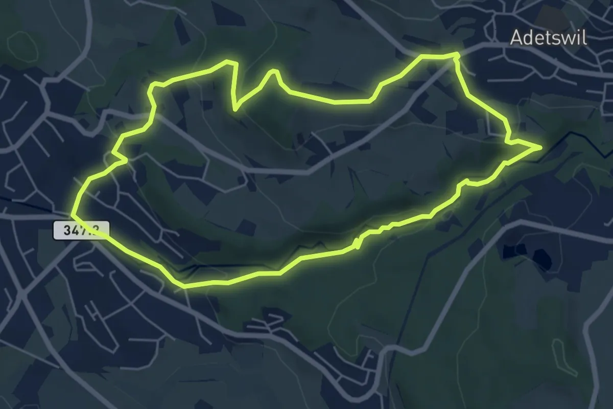
Easy · Trail
Rundweg Burgholz
5.5 km · ↑ 170 m · 1 h 45 min · 13 km away
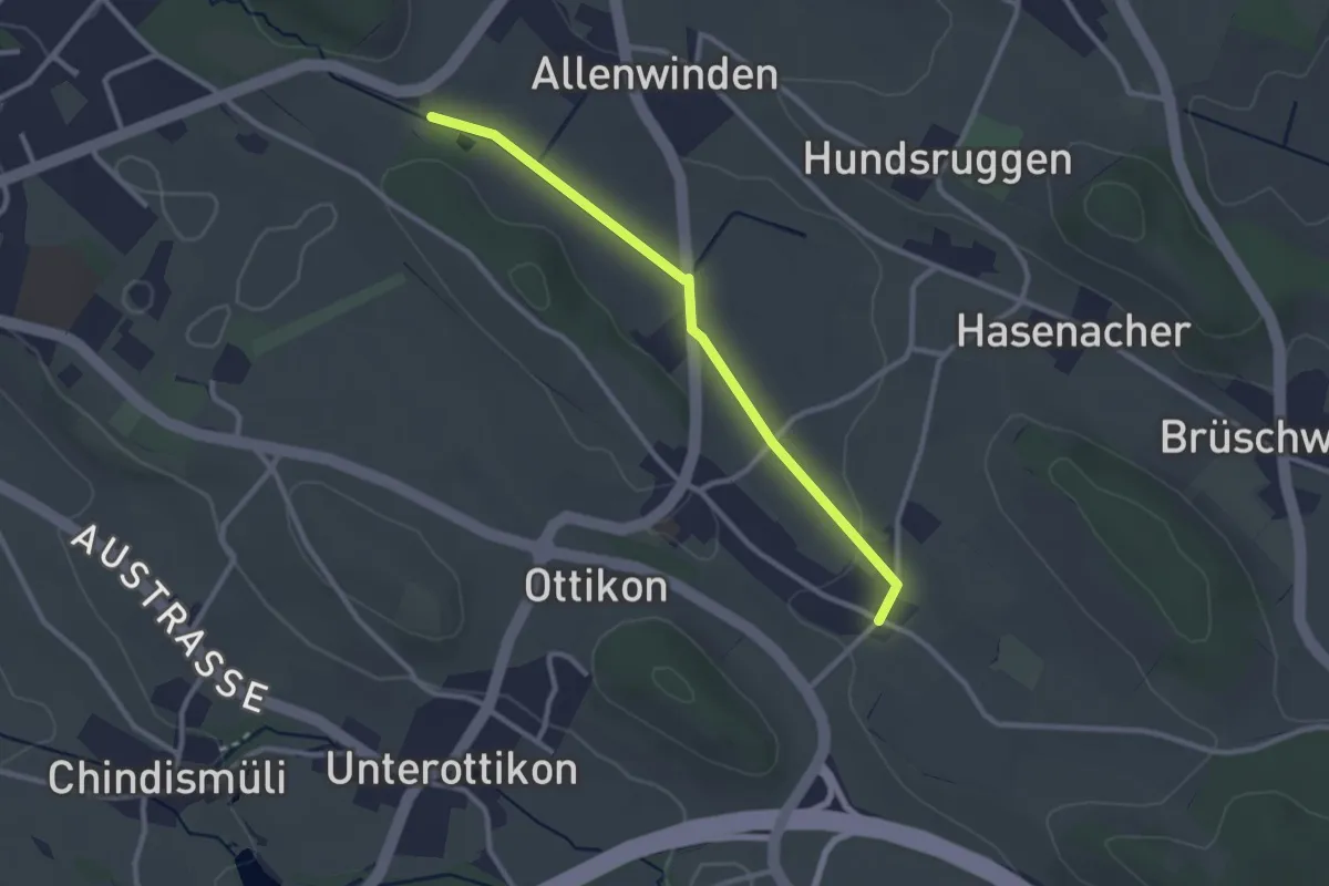
Easy · Trail
Berghof - Oberottikon
2.6 km · ↑ 9 m · 38 min · 13 km away
Easy · Trail
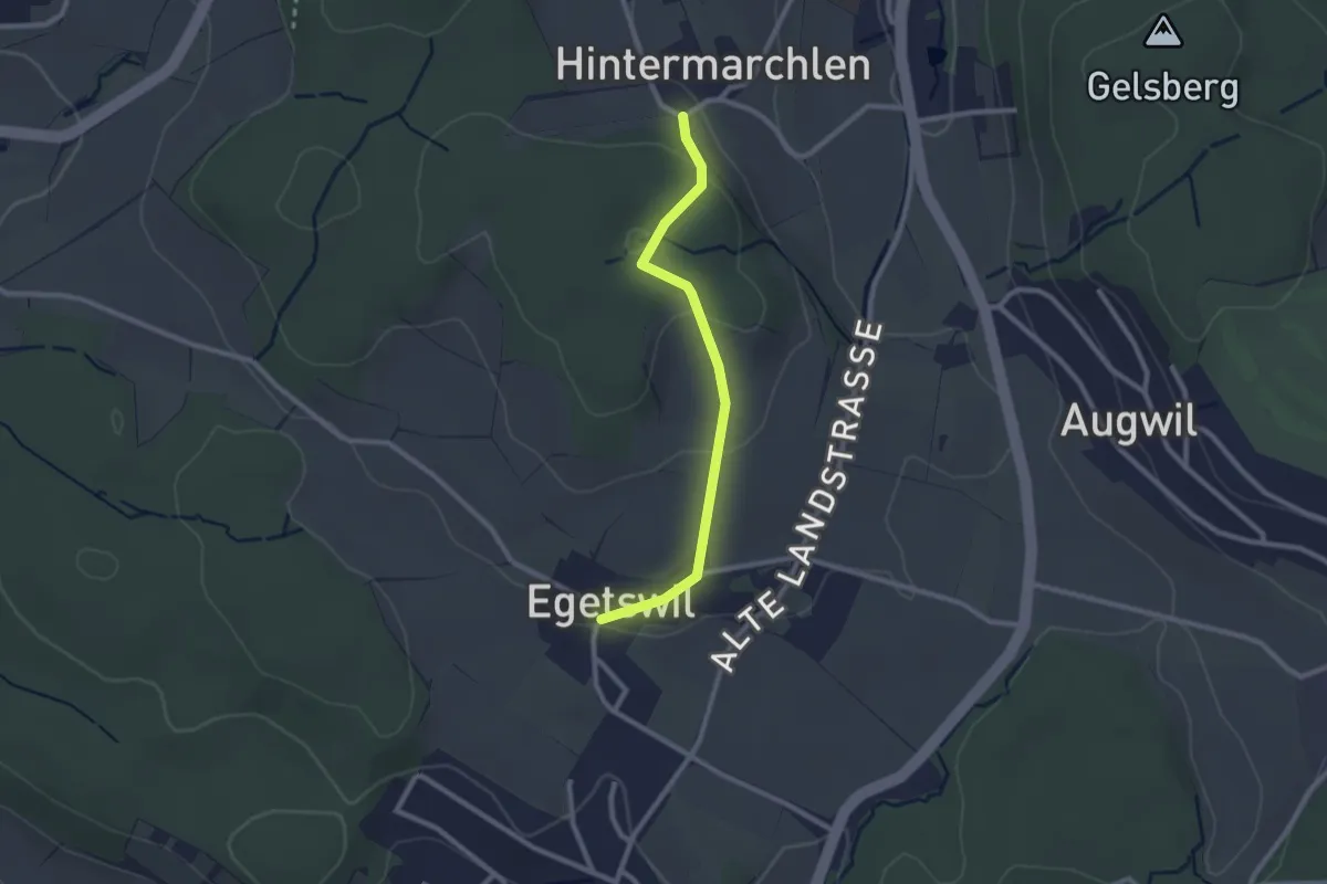
Egetswil – Hinter Marchlen
2.3 km · ↑ 70 m · 42 min · 13 km away
Easy · Trail
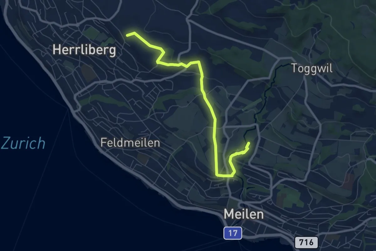
Wängi – Rne. Friedberg
7.6 km · ↑ 151 m · 2 h 8 min · 13 km away
Easy · Trail
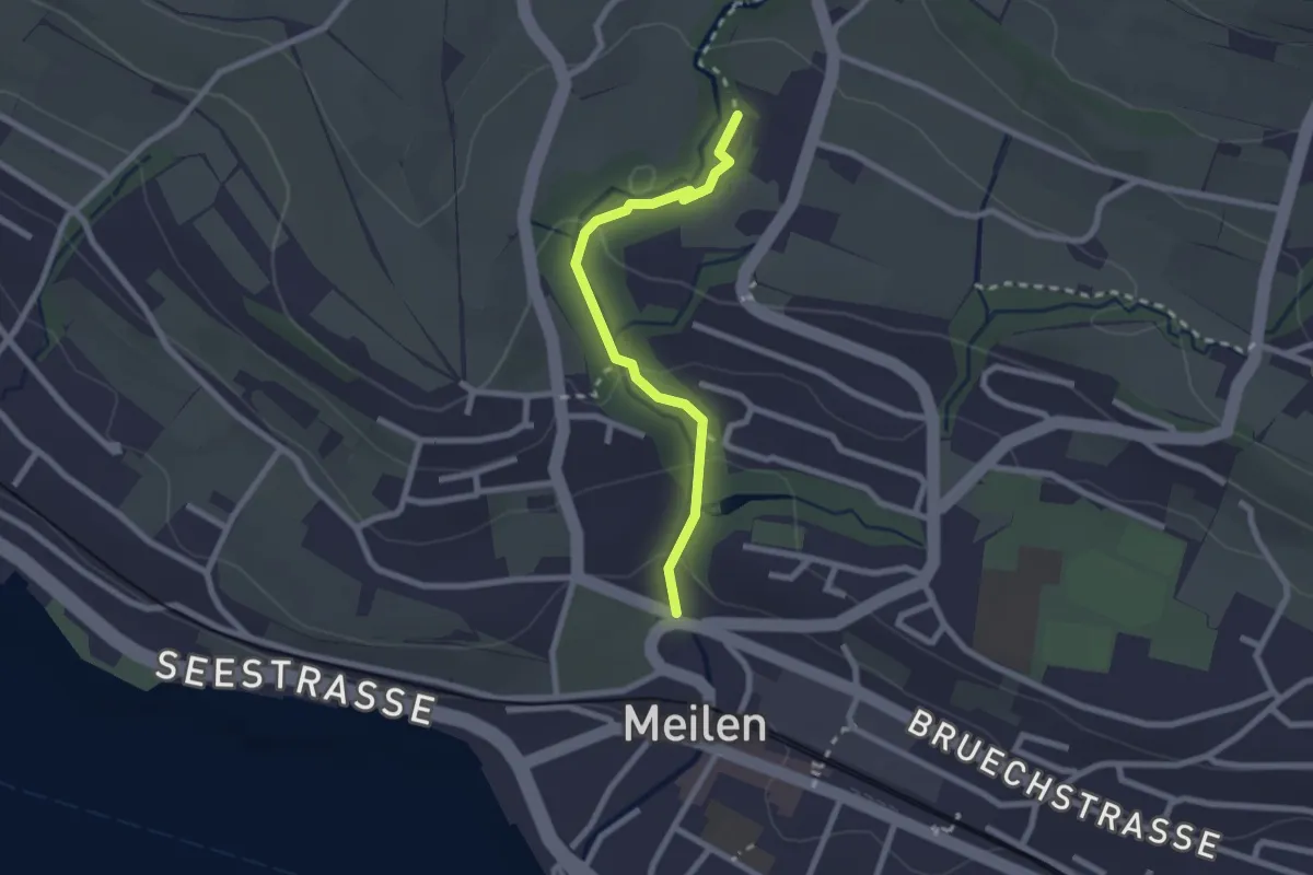
Rne. Friedberg – Meilen Dorfbach
2.2 km · ↑ 74 m · 41 min · 13 km away
Easy · Trail
Lättenweid - Türli
4.8 km · ↑ 141 m · 1 h 27 min · 13 km away
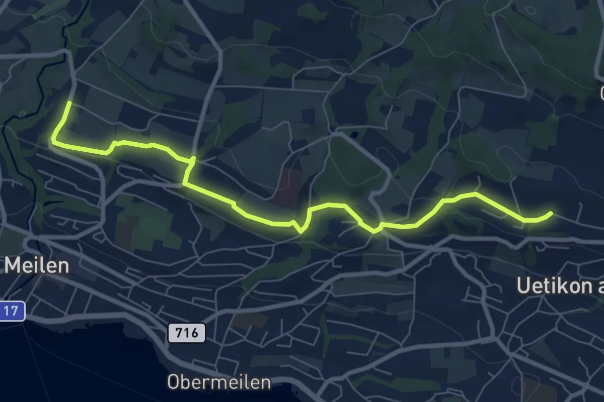
Easy · Trail
Burg - Uetikon Brand
7.5 km · ↑ 124 m · 2 h 2 min · 13 km away
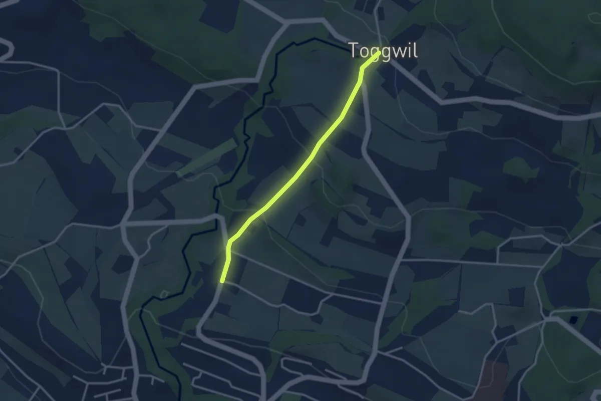
Easy · Trail
Toggwil – Burg
2.6 km · ↑ 134 m · 55 min · 13 km away
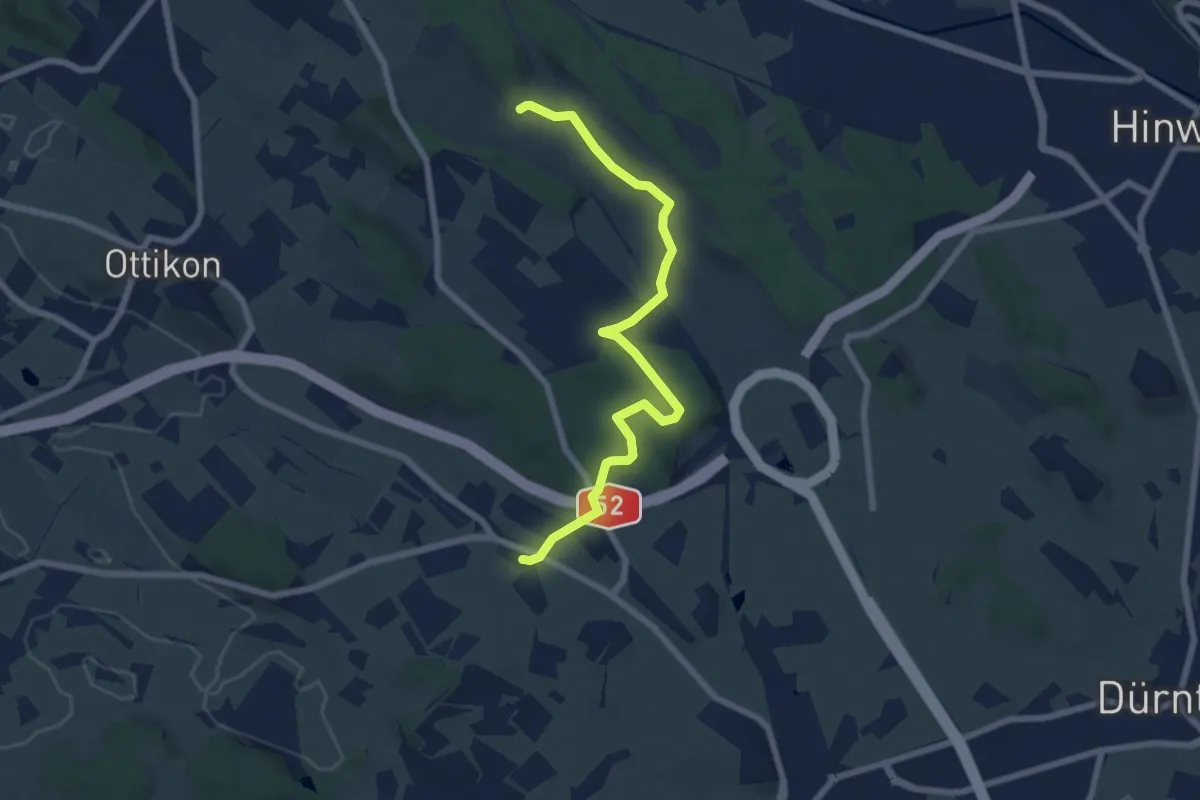
Easy · Trail
Herschmettlen – Ambitzgiried
7.1 km · ↑ 100 m · 1 h 53 min · 13 km away
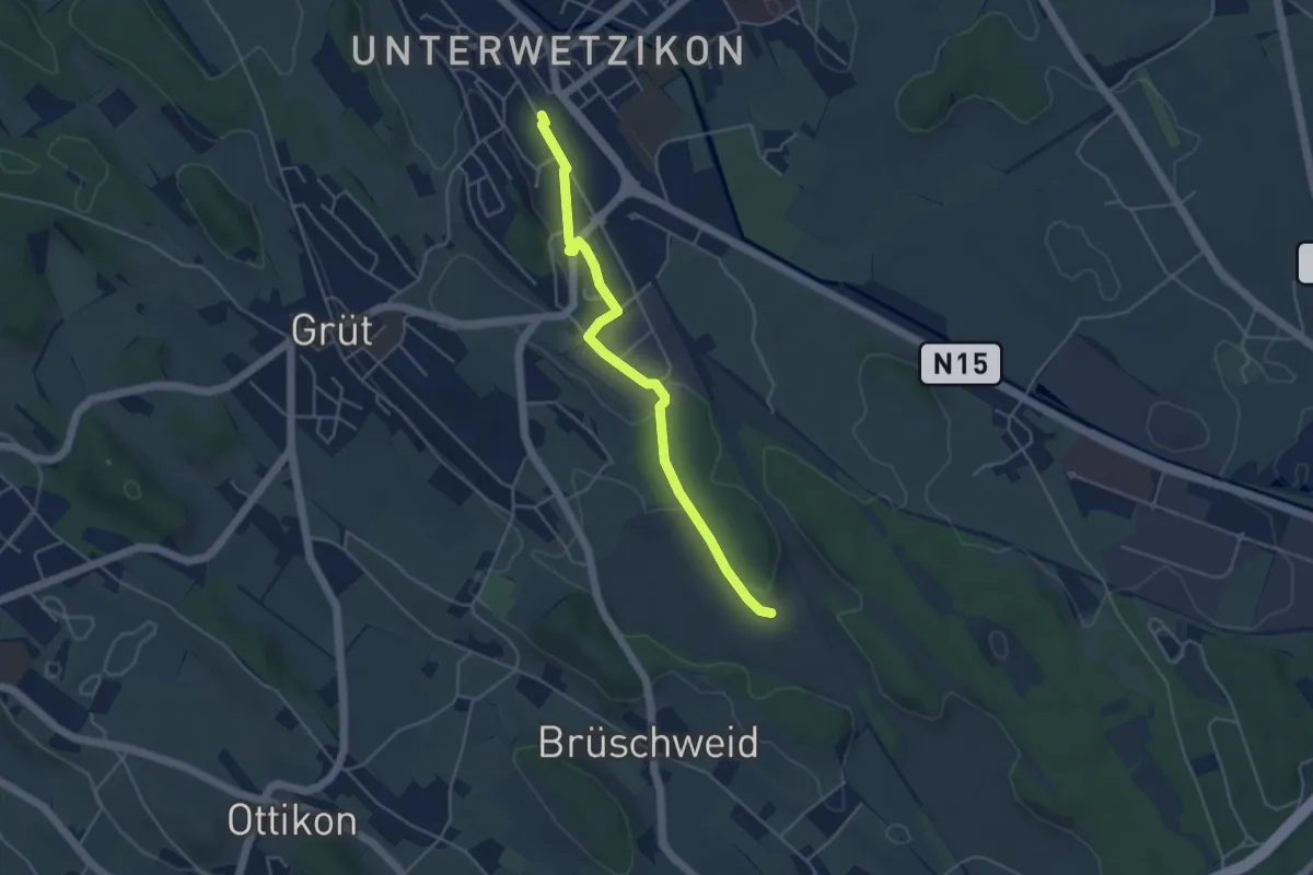
Easy · Trail
Ambitzgiried - Wetzikon
4.4 km · ↑ 38 m · 1 h 7 min · 13 km away
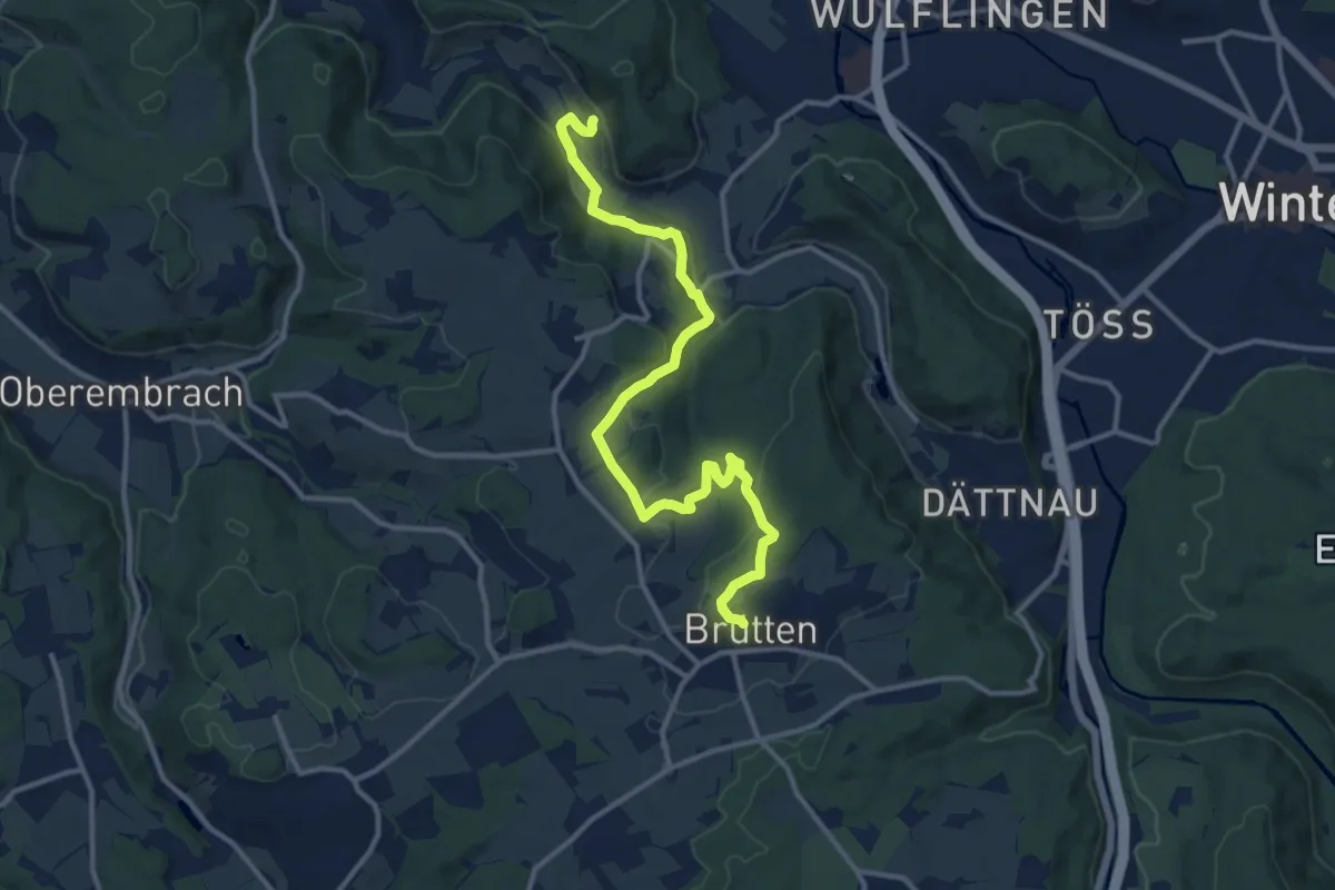
Medium · Trail
Vorder Rumstal – Brütten
13.4 km · ↑ 396 m · 4 h 1 min · 13 km away
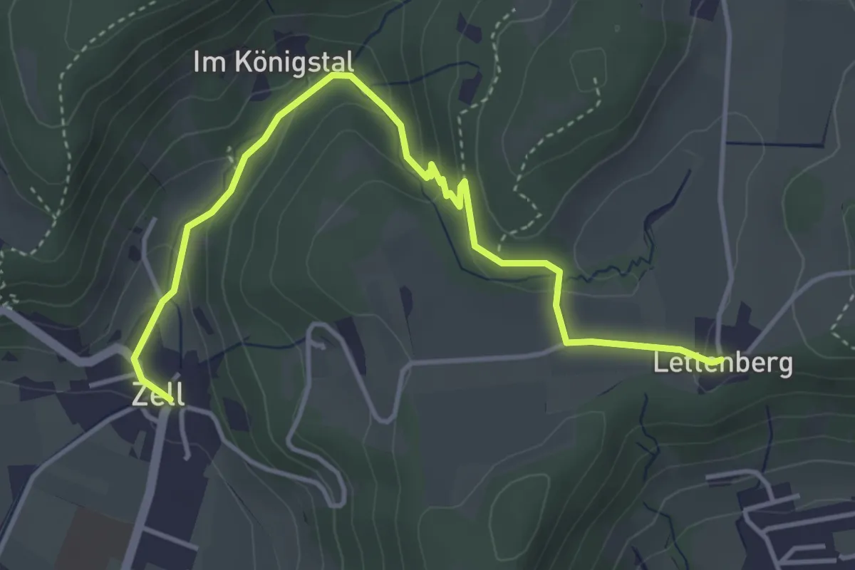
Easy · Trail
Lettenberg – Zell
4.4 km · ↑ 159 m · 1 h 24 min · 13 km away
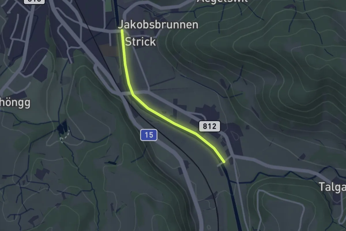
Easy · Trail
Wila – Tablat
2.1 km · ↑ 8 m · 31 min · 13 km away
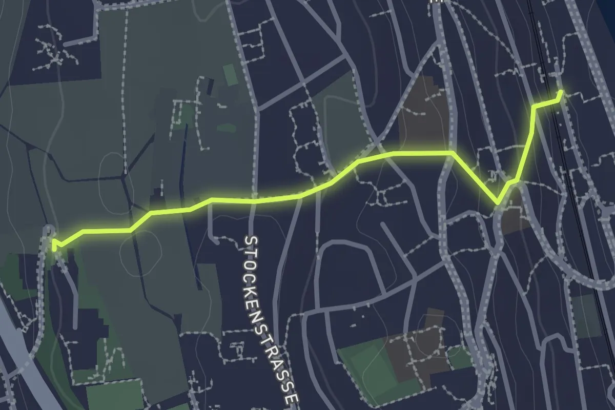
Easy · Trail
Kilchberg (Bahnhof) – Kilchberg Spital
2.5 km · ↑ 86 m · 46 min · 13 km away
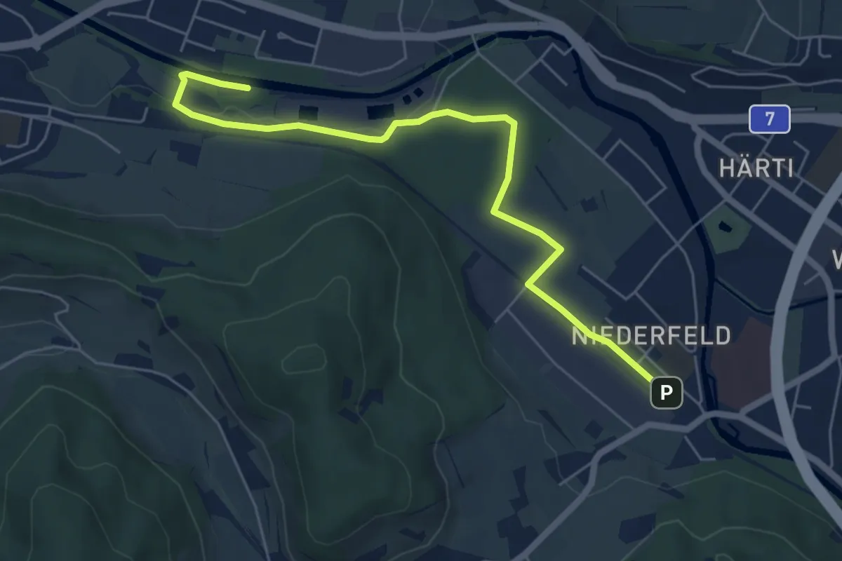
Easy · Trail
Tiefster Punkt – Bahnhof Winterthur Wülflingen
6.2 km · ↑ 65 m · 1 h 36 min · 13 km away
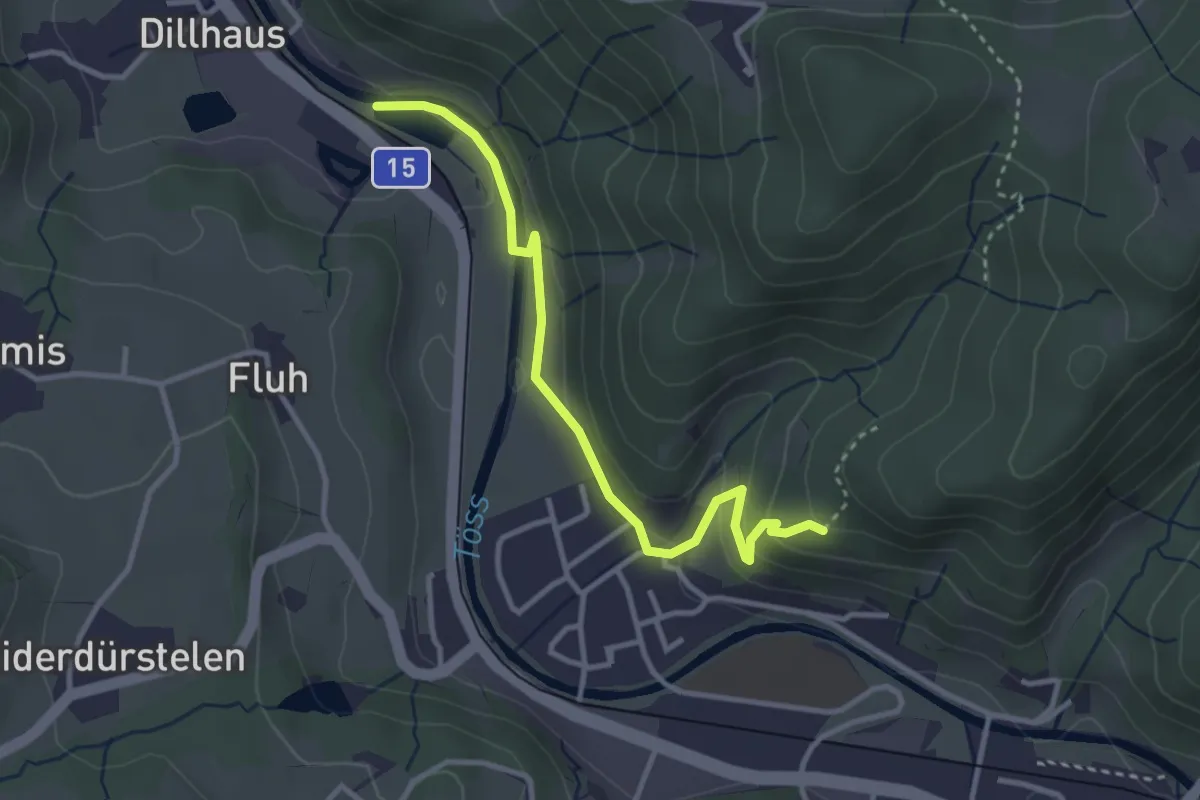
Easy · Trail
Rittwegweiher – Ruine Altlandenberg
3.3 km · ↑ 115 m · 1 h 1 min · 13 km away
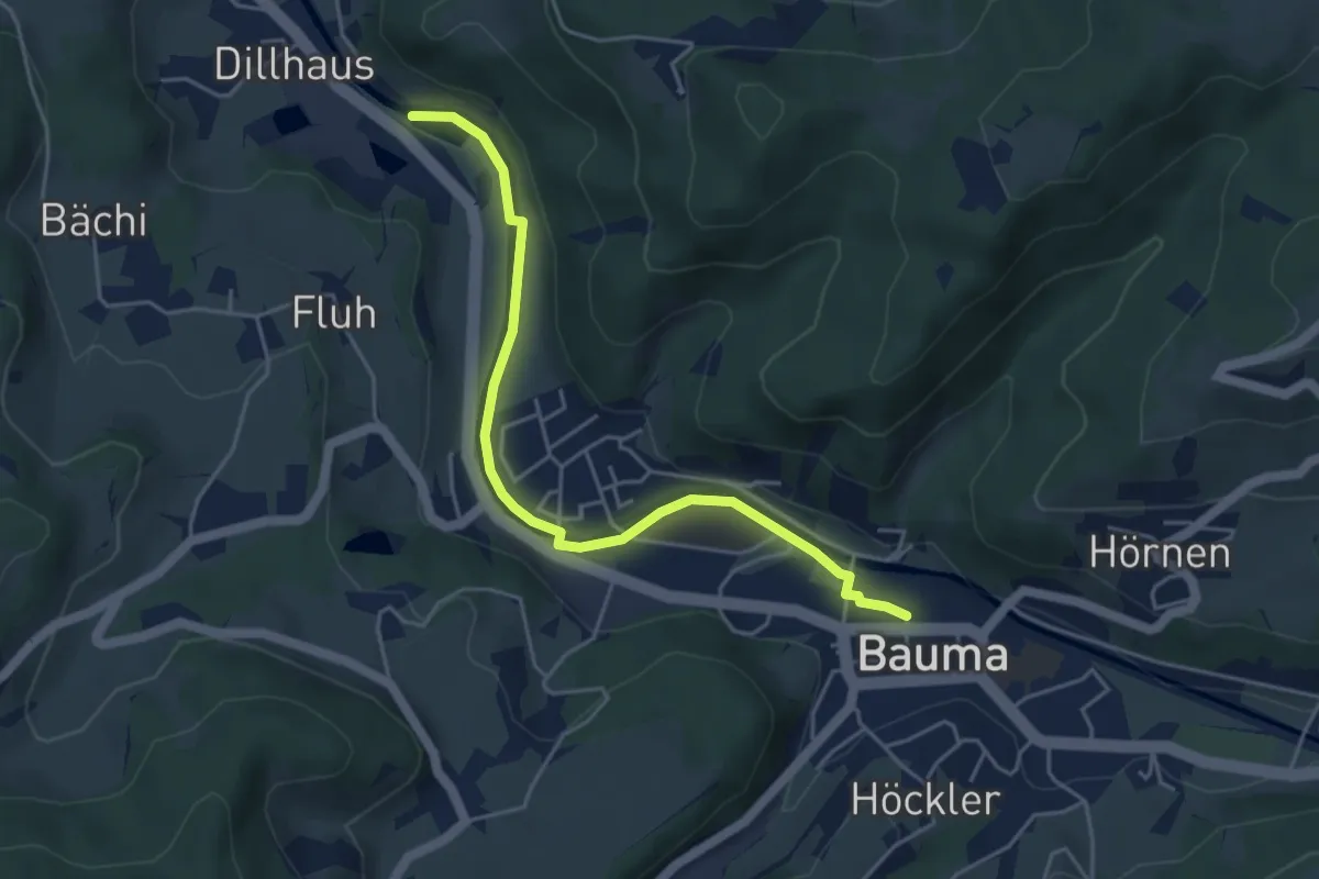
Easy · Trail
Bauma Bhf. – Rittwegweiher
4.6 km · ↑ 41 m · 1 h 11 min · 13 km away
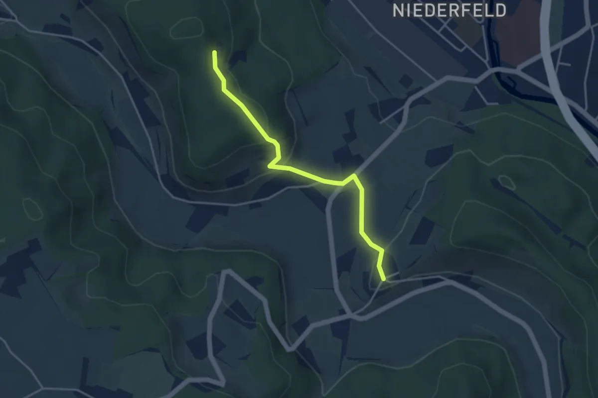
Easy · Trail
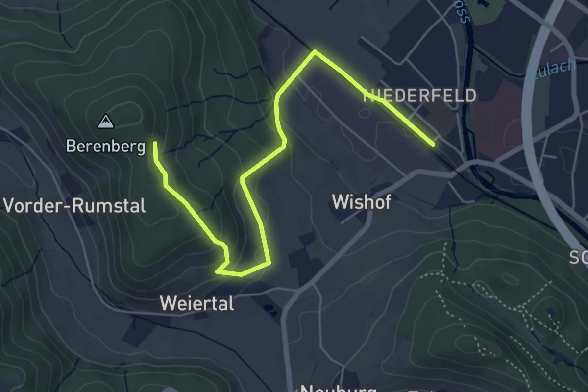
Neuburg - Berenberg Kloster
3.3 km · ↑ 140 m · 1 h 6 min · 13 km away
Easy · Trail
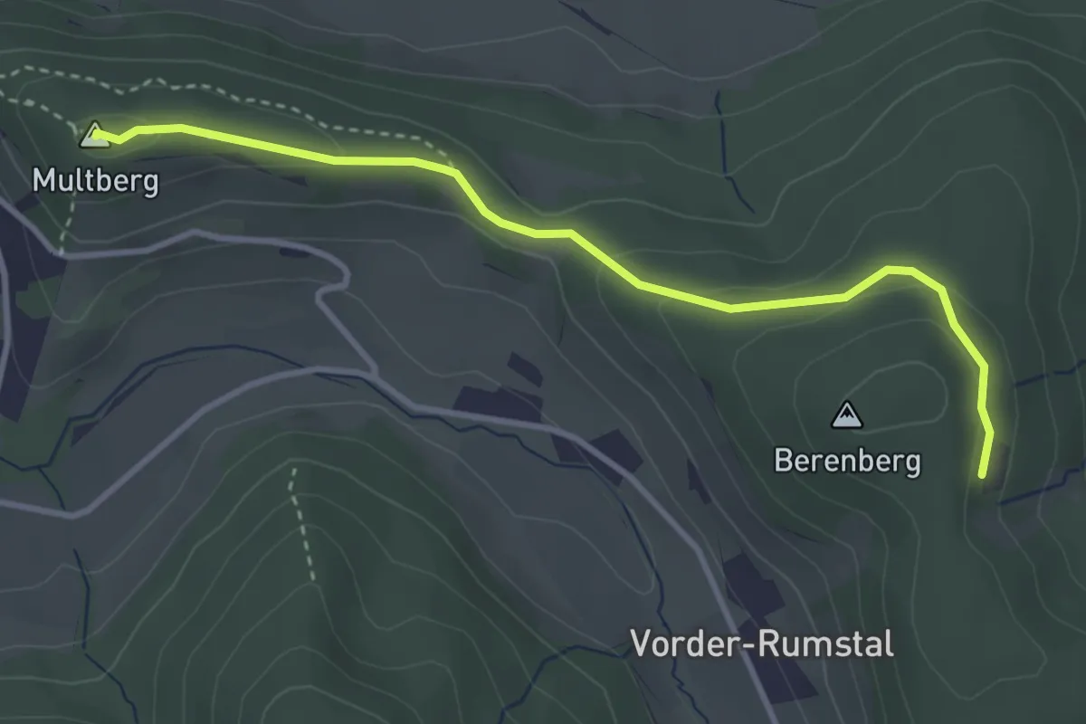
Winterthur Wülflingen – Berenberg Kloster
5.3 km · ↑ 199 m · 1 h 40 min · 13 km away
Easy · Summit
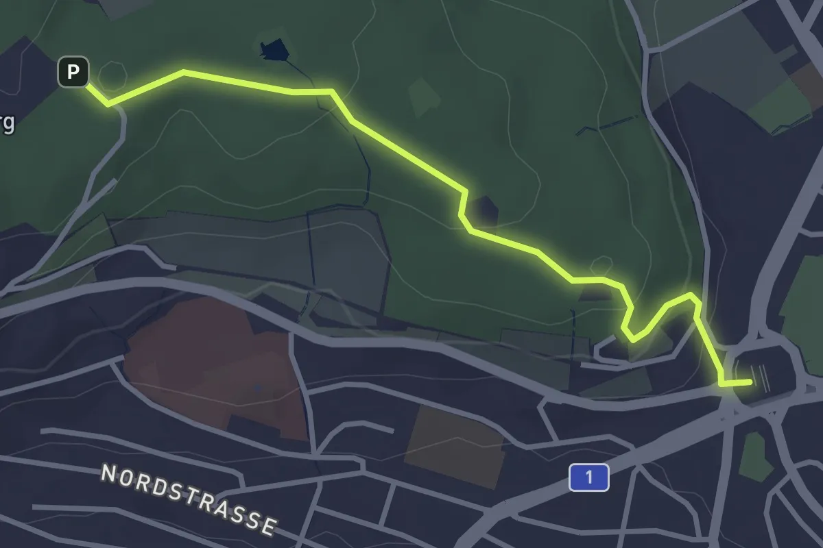
Berenberg Kloster - Multberg
3.5 km · ↑ 114 m · 1 h 4 min · 13 km away
Easy · Trail
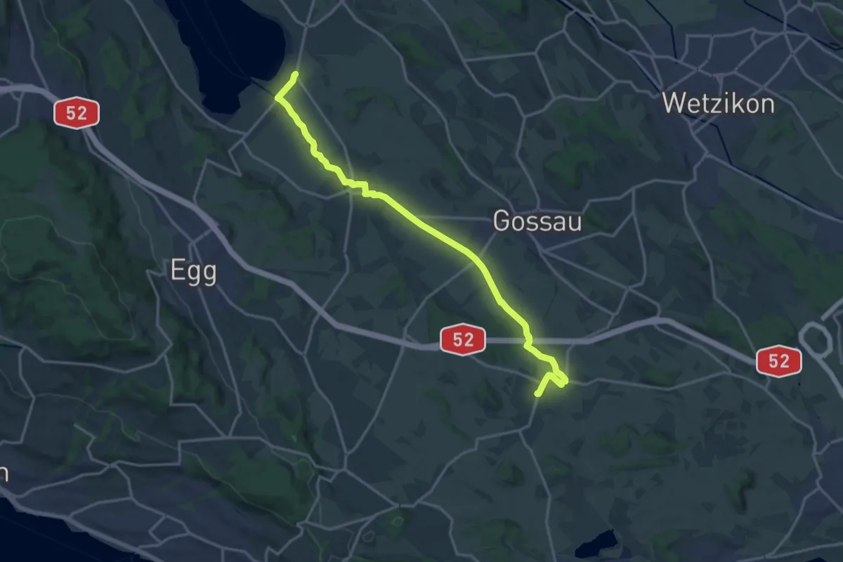
Bucheggplatz – Waidberg
3.3 km · ↑ 98 m · 59 min · 13 km away
Medium · Trail
Grüningen-Greifensee-Weg
16.3 km · ↑ 76 m · 4 h 1 min · 13 km away
Easy · Trail
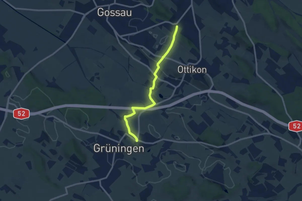
Berghof – Grüningen Haufland
6.2 km · ↑ 92 m · 1 h 40 min · 13 km away
Medium · Trail
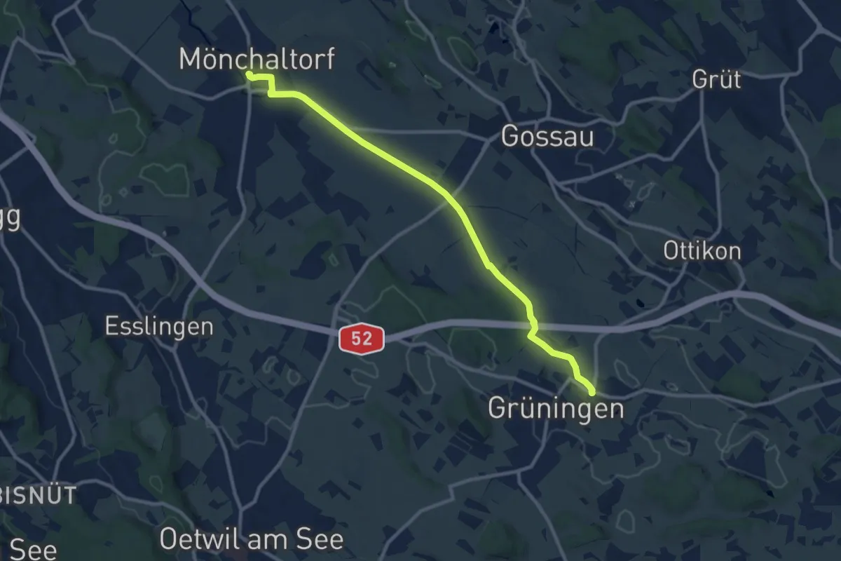
Grüningen Haufland – Mönchaltorf
10.2 km · ↑ 55 m · 2 h 31 min · 13 km away
Easy · Trail
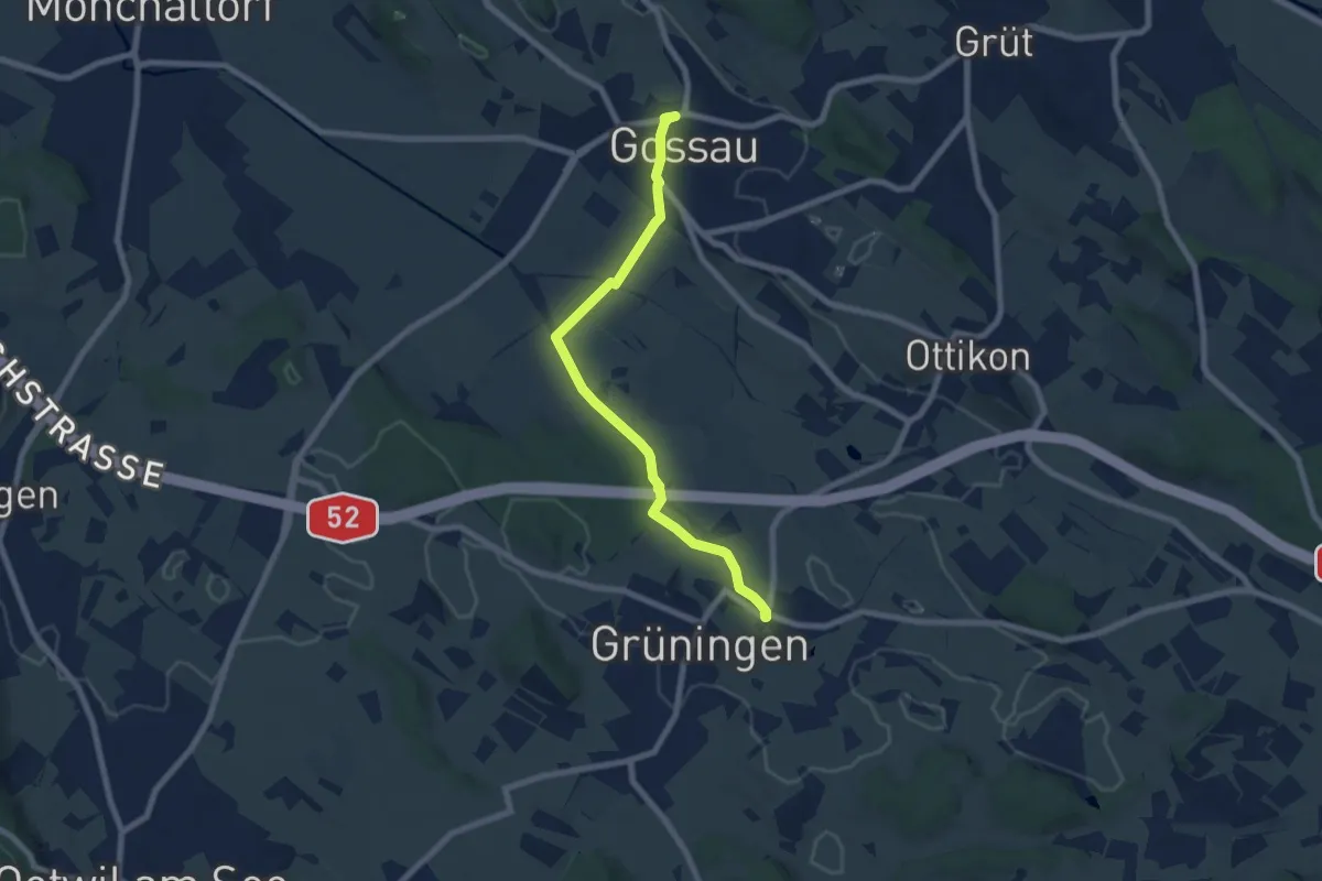
Grüningen Haufland – Gossau (Bus)
7.3 km · ↑ 78 m · 1 h 53 min · 13 km away
Easy · Trail
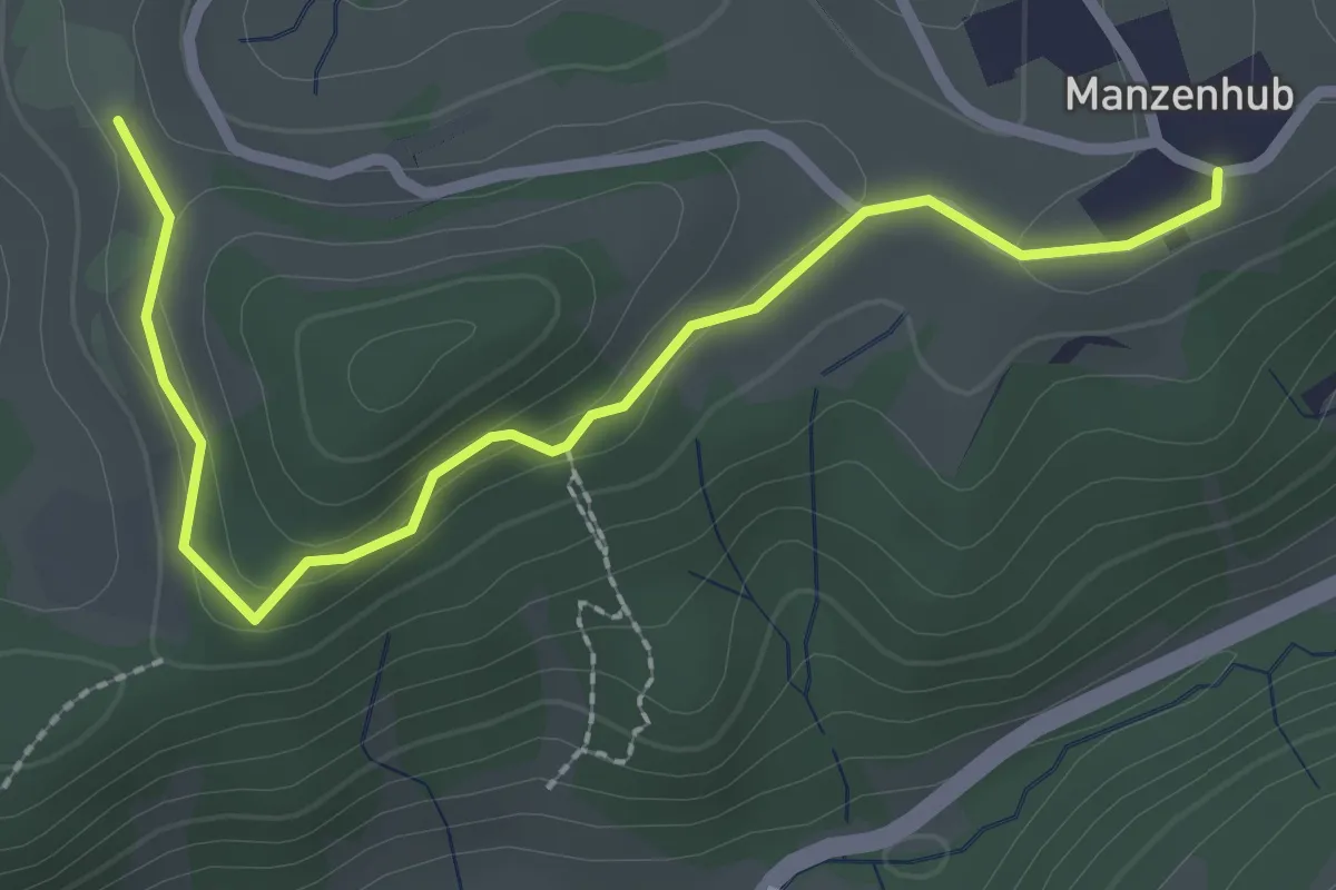
Manzenhueb – Vordereich
2.7 km · ↑ 69 m · 47 min · 13 km away
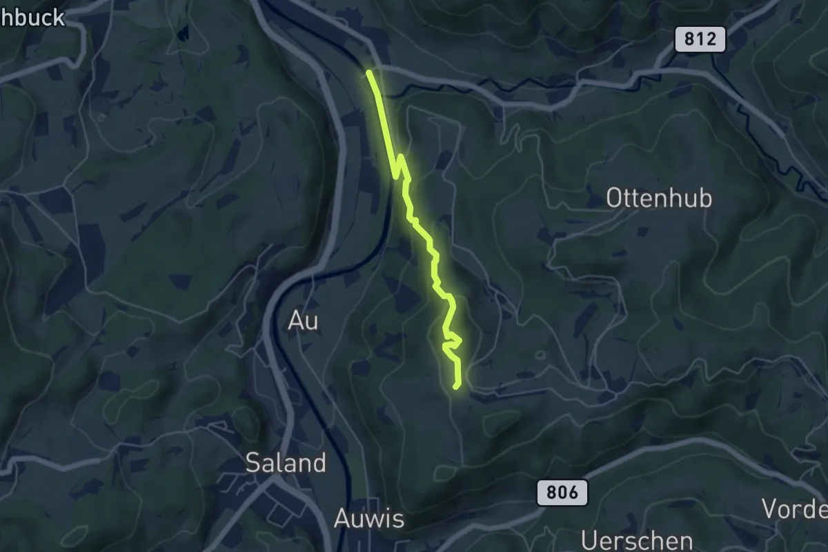
Easy · Trail
Vordereich – Tablat
4.3 km · ↑ 221 m · 1 h 30 min · 13 km away
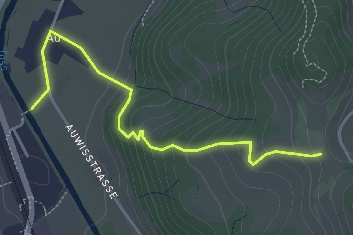
Easy · Trail
Vordereich – Saland
2.9 km · ↑ 162 m · 1 h 2 min · 13 km away
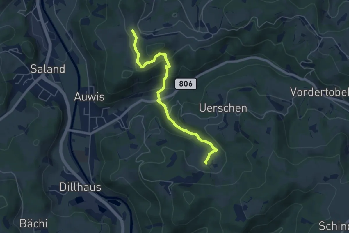
Easy · Trail
Chämmerli – Vordereich
4.7 km · ↑ 293 m · 1 h 45 min · 13 km away
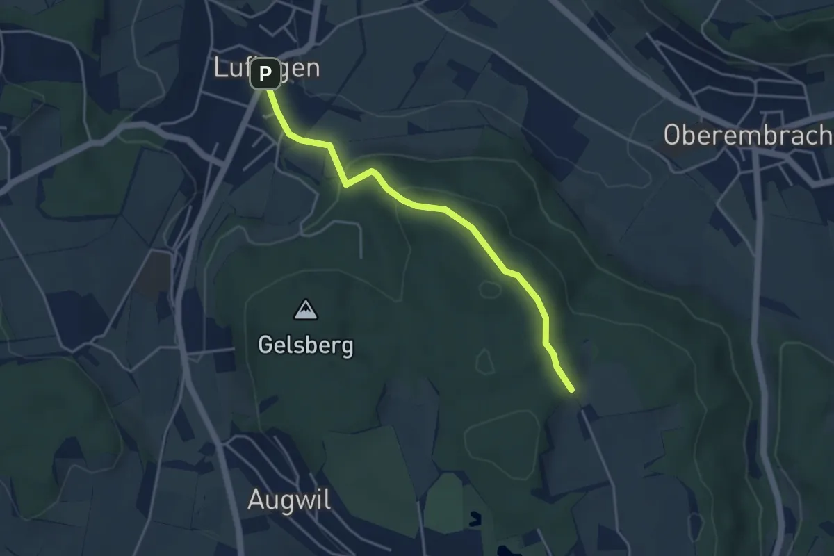
Easy · Trail
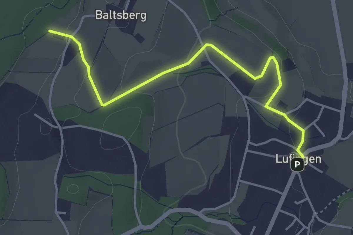
Hinterbänikon - Lufingen
3.8 km · ↑ 138 m · 1 h 11 min · 13 km away
Easy · Trail
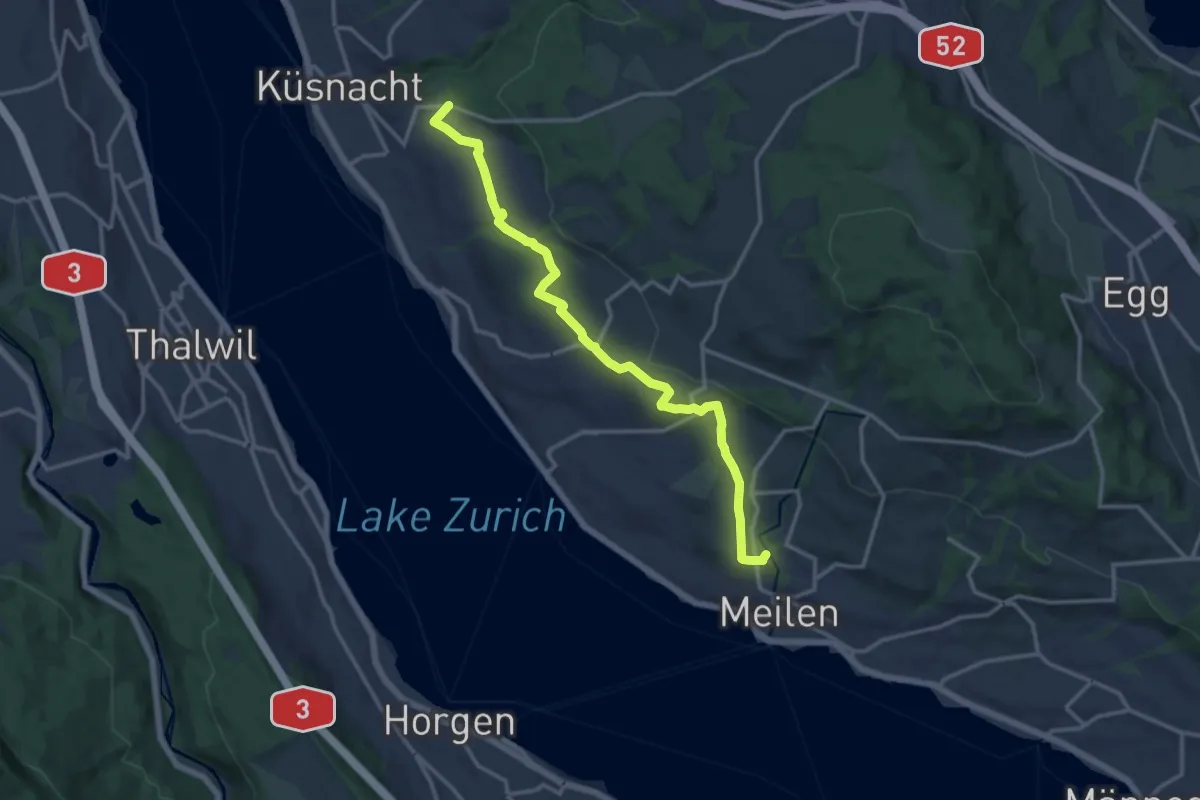
Lufingen – Husacher
3.8 km · ↑ 127 m · 1 h 10 min · 13 km away
Medium · Trail
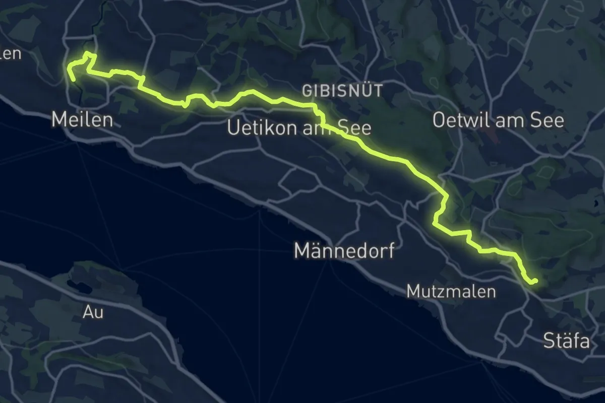
Zürichsee Rundweg - Etappe 9
14.2 km · ↑ 227 m · 3 h 51 min · 13 km away
Demanding · Trail
Zürichsee Rundweg - Etappe 8
20.0 km · ↑ 434 m · 5 h 39 min · 13 km away
Easy · Trail
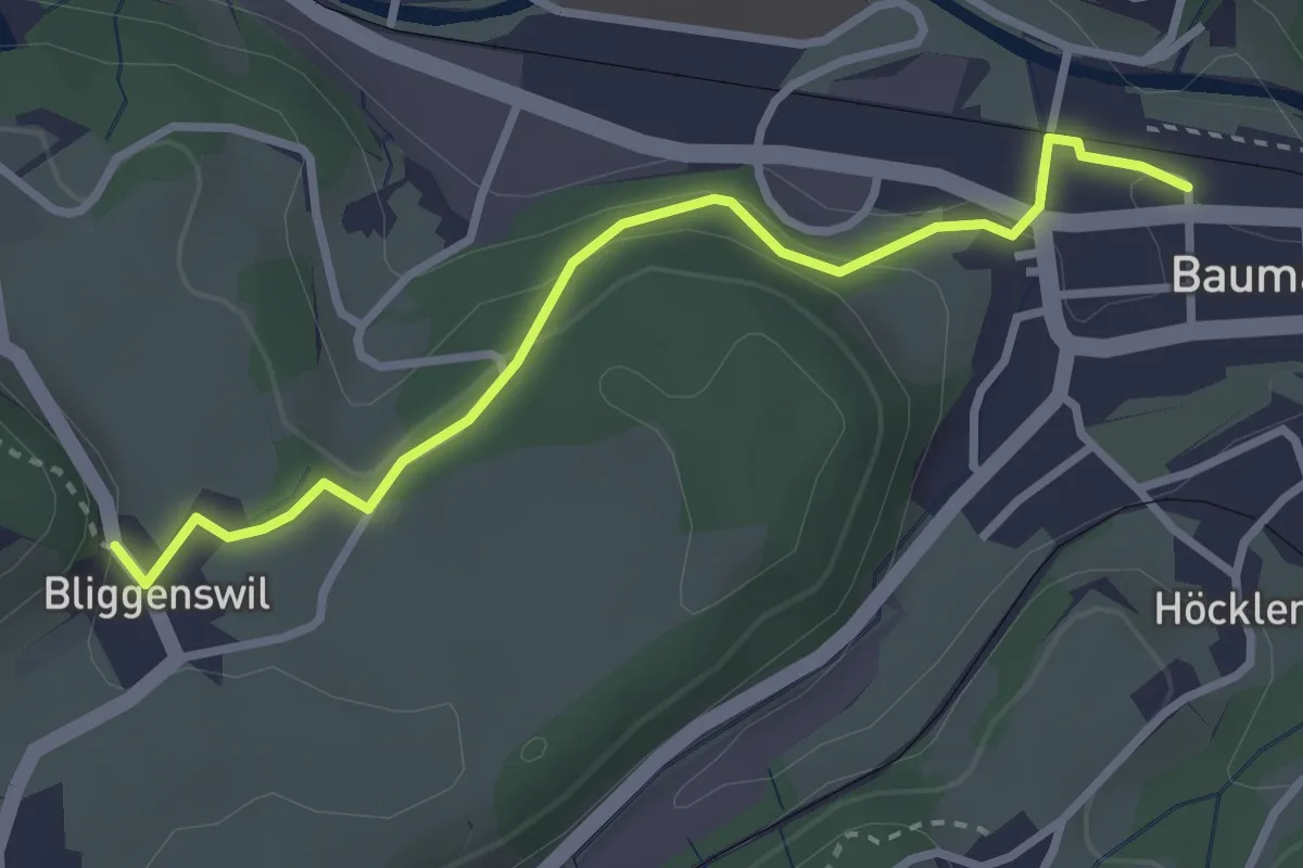
Bauma Bhf. – Bliggenswil
3.0 km · ↑ 104 m · 56 min · 13 km away
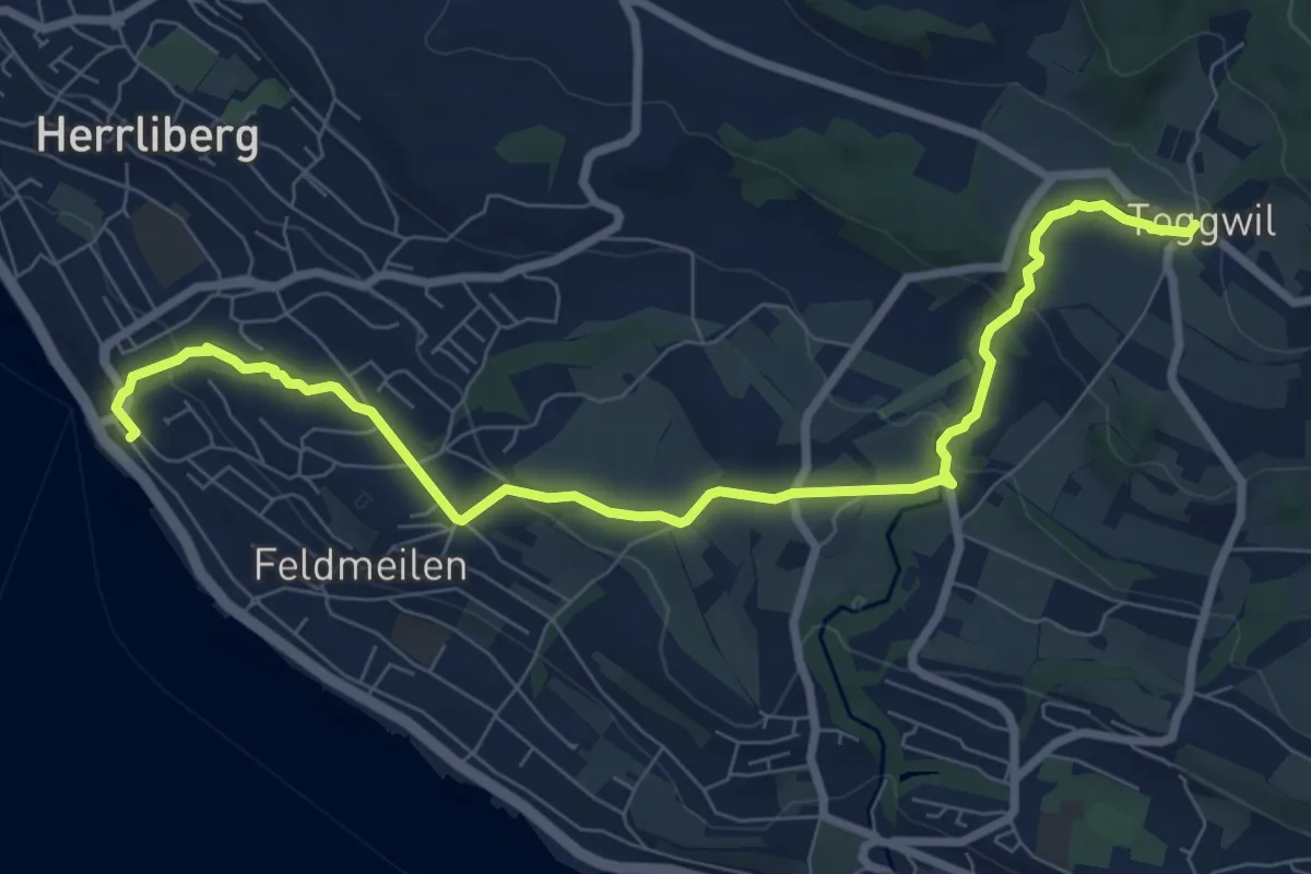
Medium · Trail
Herrliberg Feldmeilen – Toggwil
8.9 km · ↑ 231 m · 2 h 36 min · 13 km away
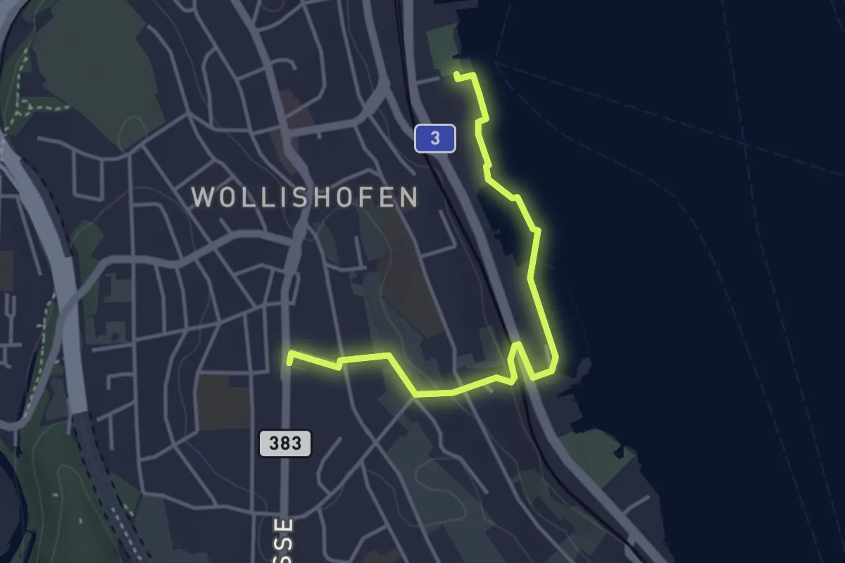
Easy · Trail
Wollishofen (Schiff) – Wollishofen
3.8 km · ↑ 51 m · 1 h · 13 km away
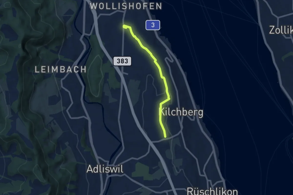
Easy · Trail
Wollishofen – Kilchberg Spital
6.0 km · ↑ 59 m · 1 h 33 min · 13 km away
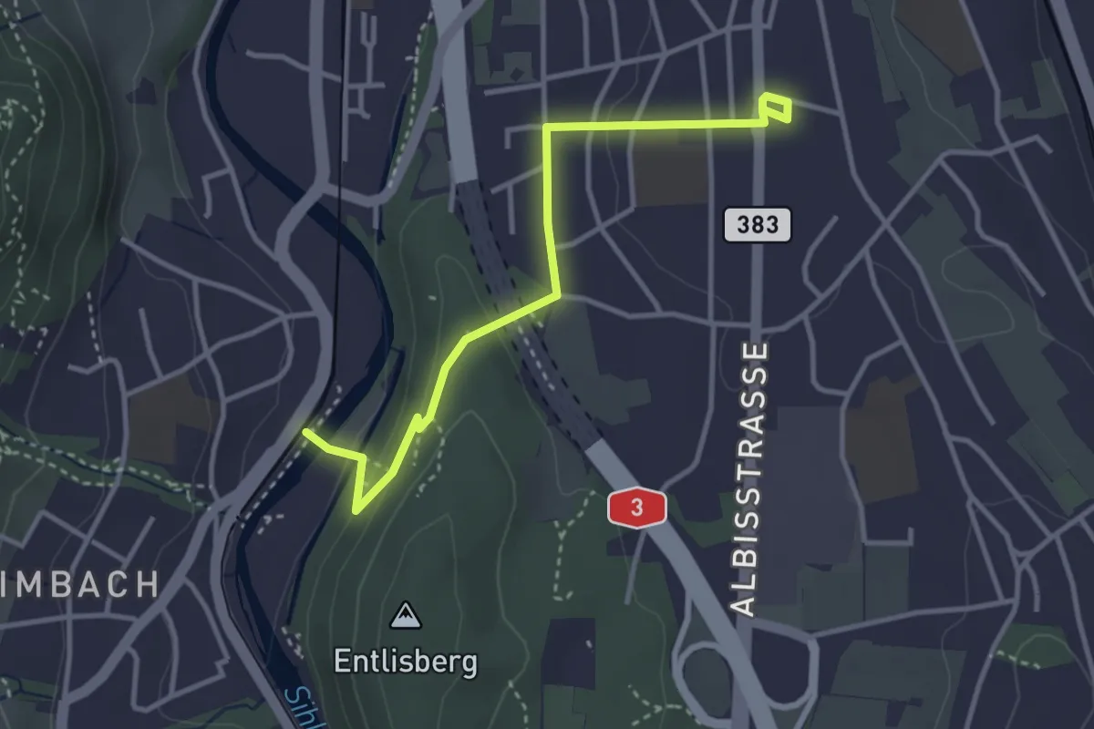
Easy · Trail
Leimbach – Wollishofen
3.5 km · ↑ 85 m · 1 h · 13 km away
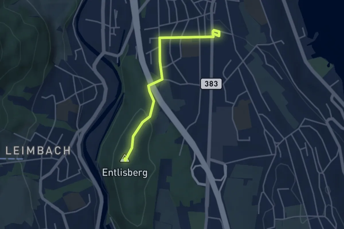
Easy · Summit
Sood Oberleimbach – Wollishofen
3.3 km · ↑ 75 m · 57 min · 13 km away
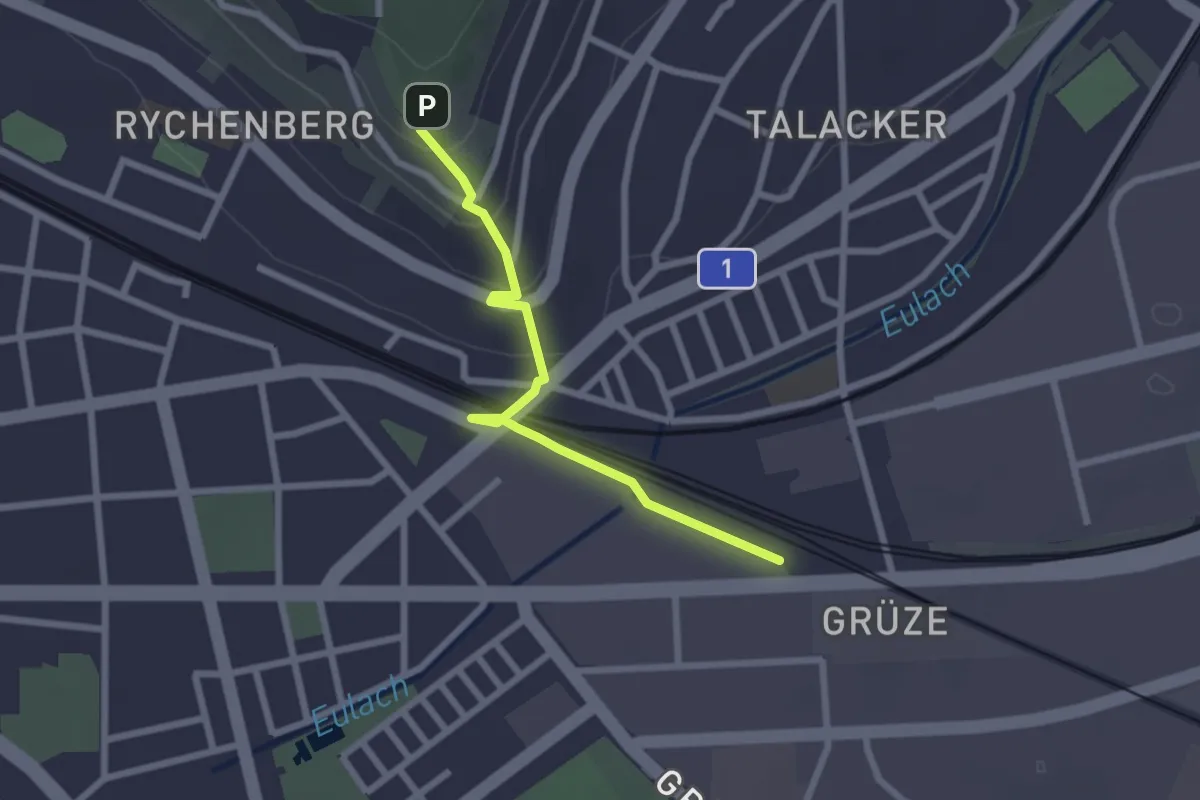
Easy · Trail
Bäumli – Winterthur Grüze
2.3 km · ↑ 72 m · 42 min · 13 km away
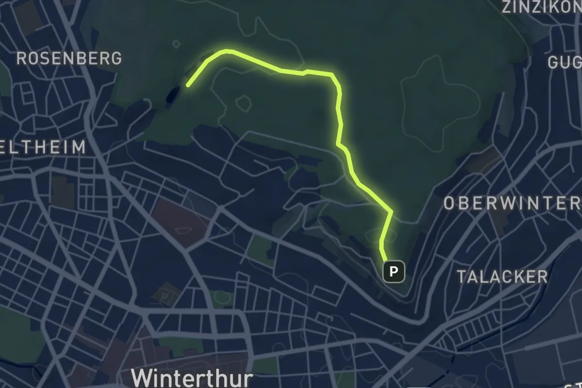
Easy · Trail
Walcheweier – Bäumli
4.3 km · ↑ 104 m · 1 h 14 min · 13 km away
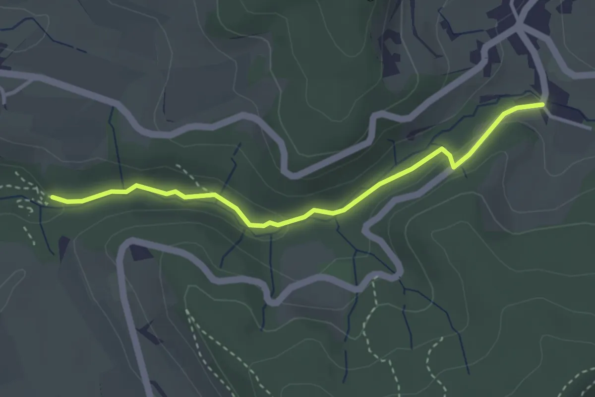
Easy · Trail
Rörlitobel – Unterschlatt
3.1 km · ↑ 63 m · 52 min · 13 km away