Trails near Volketswil
582 hikes starting within 15 km, nearest first.
Nearest first, page 9 of 13
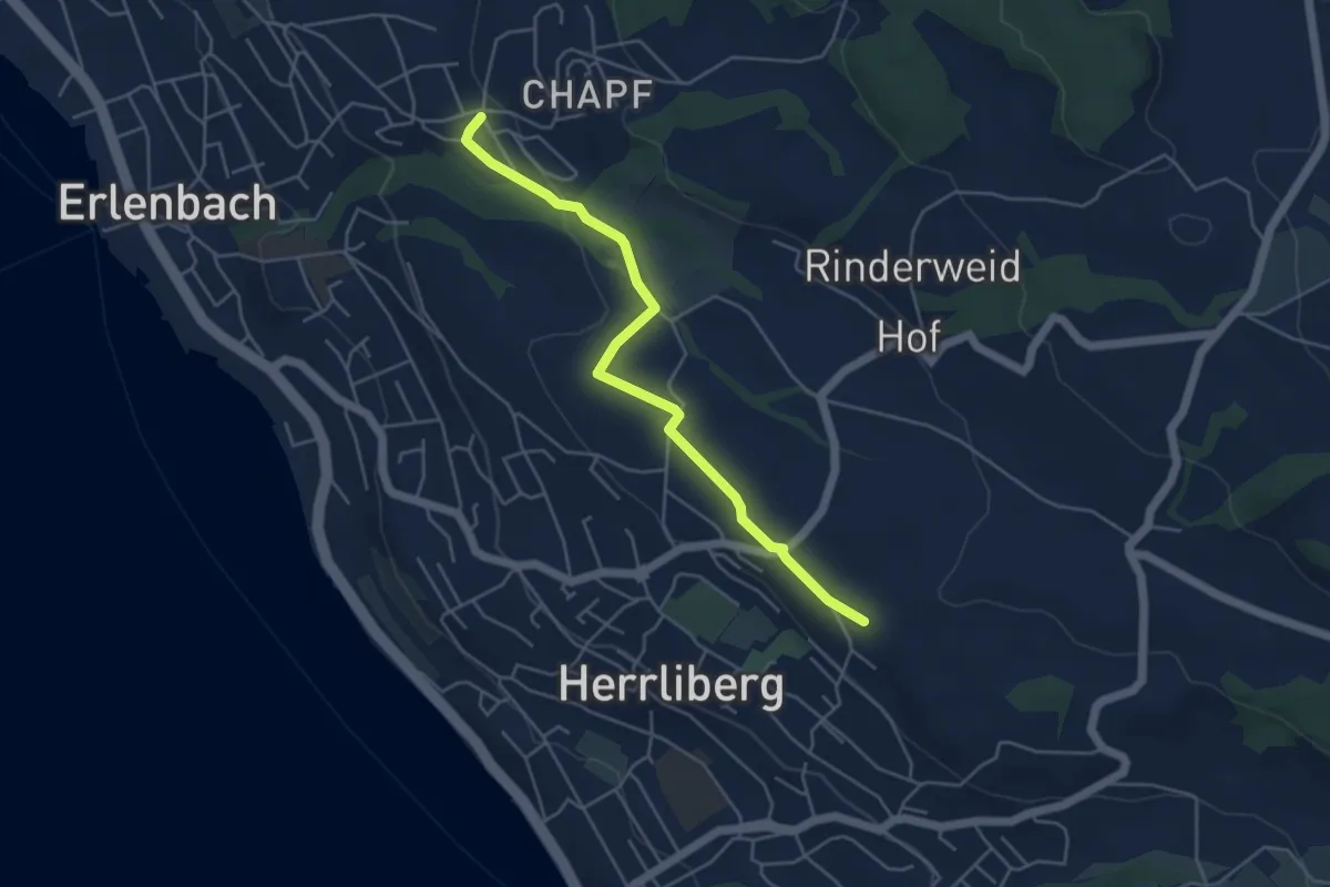
Easy · Trail
Erlenbach Allmend – Wängi
4.7 km · ↑ 77 m · 1 h 17 min · 12 km away
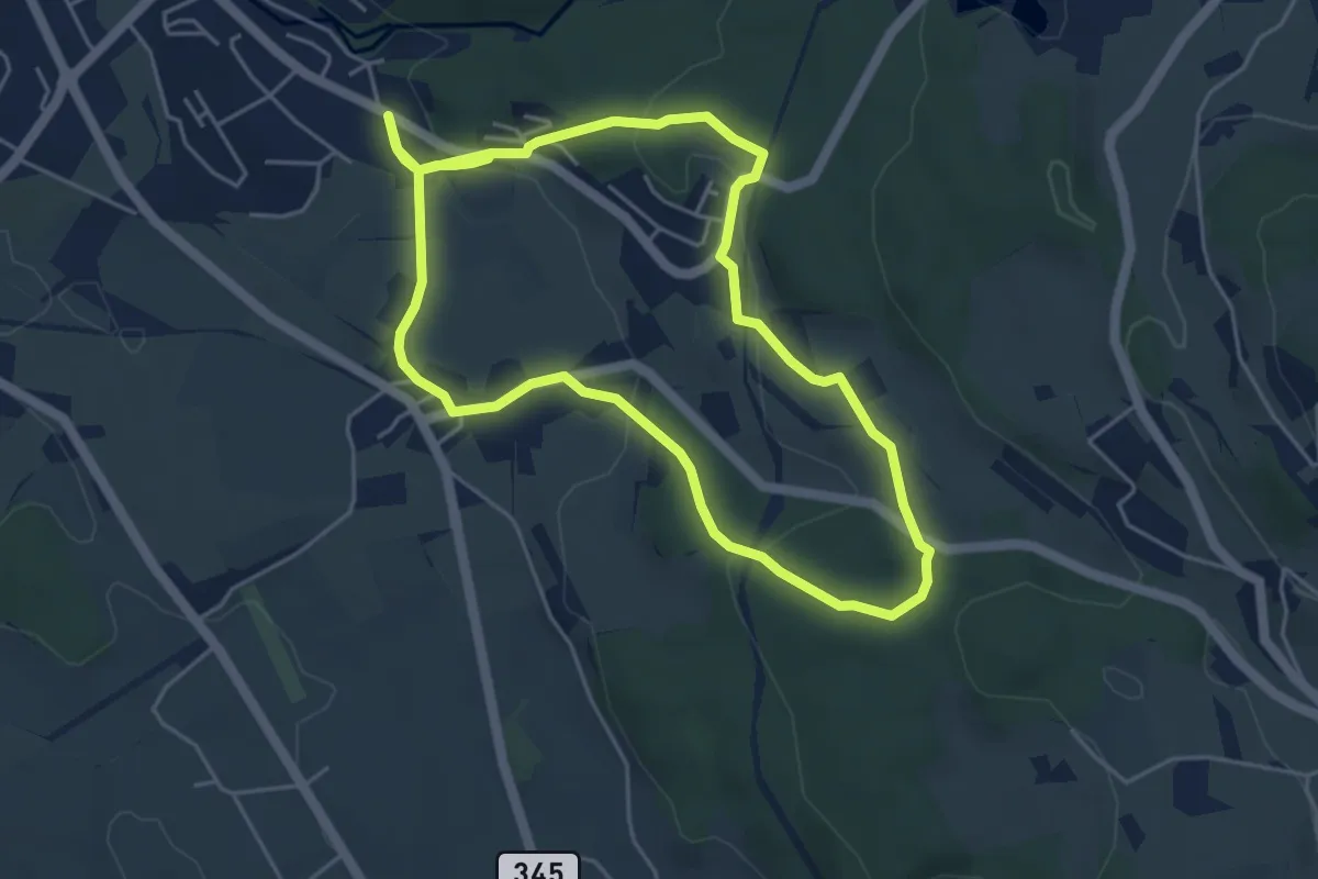
Easy · Trail
Rundweg Emmetschloo
4.6 km · ↑ 157 m · 1 h 29 min · 12 km away
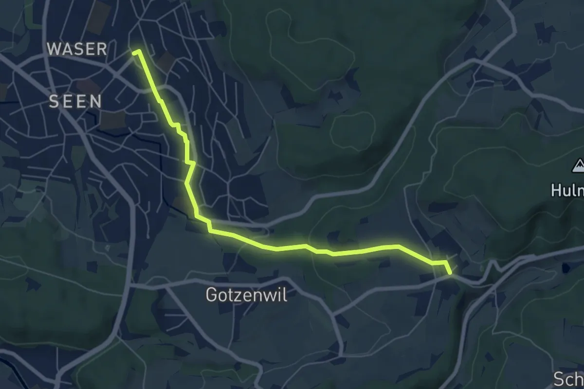
Easy · Trail
Bahnhof Winterthur Seen – Eidberg
6.4 km · ↑ 156 m · 1 h 51 min · 12 km away
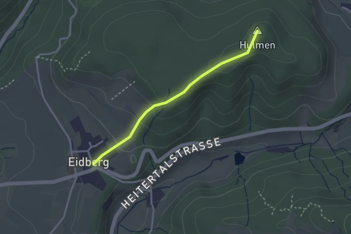
Easy · Summit
Eidberg – Hulmen
2.3 km · ↑ 96 m · 46 min · 12 km away
Easy · Trail
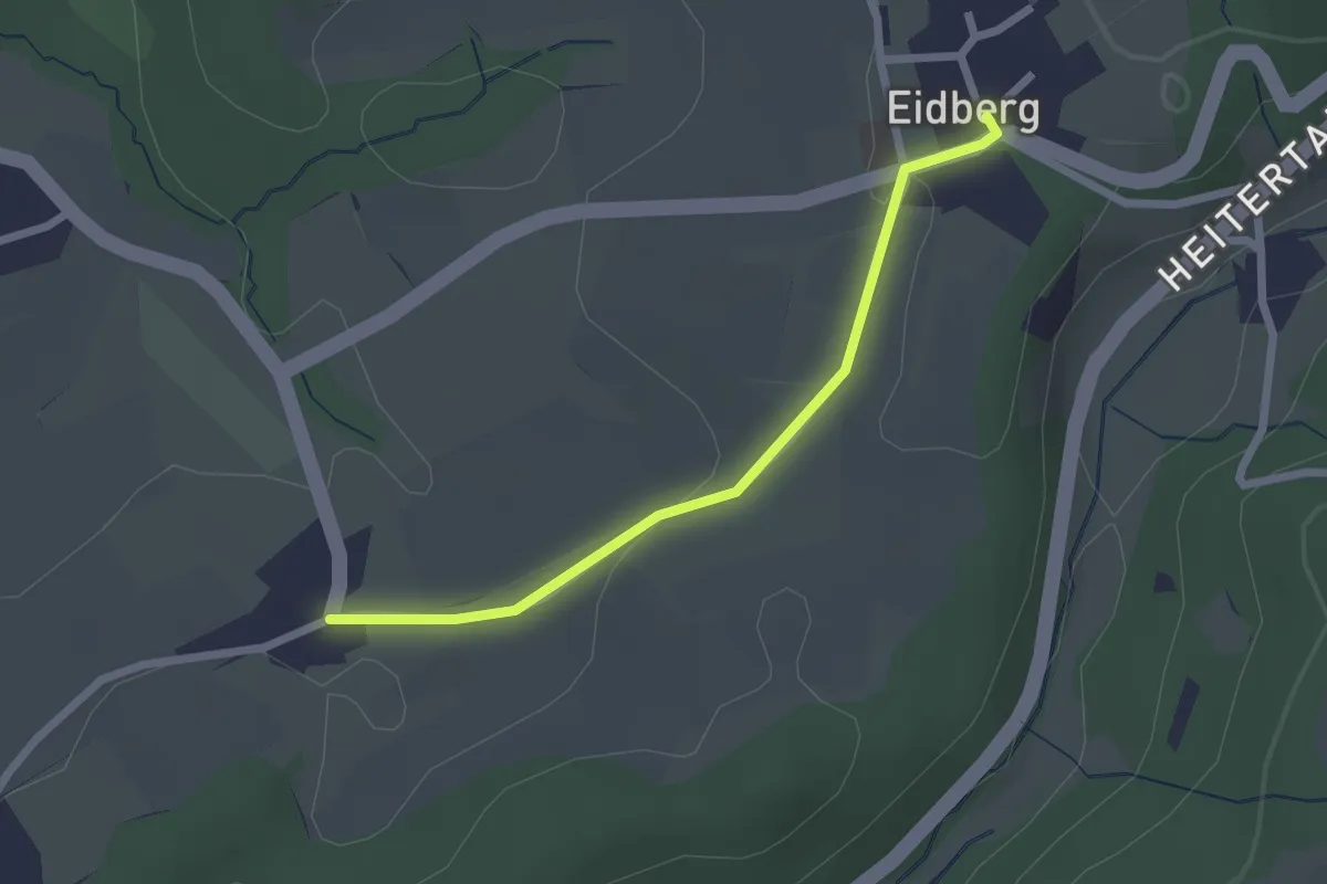
Thaa – Eidberg
2.1 km · ↑ 33 m · 34 min · 12 km away
Easy · Trail
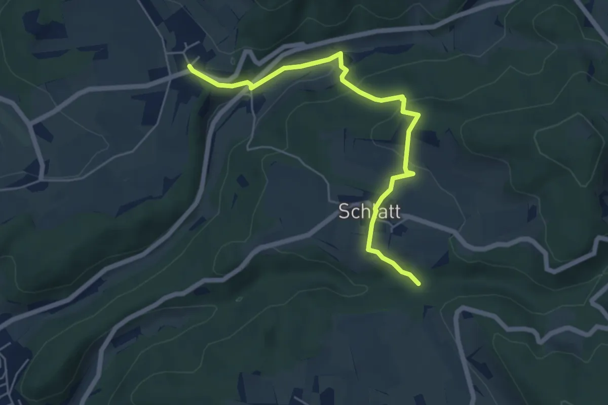
Eidberg – Rörlitobel
5.2 km · ↑ 190 m · 1 h 39 min · 12 km away
Easy · Trail
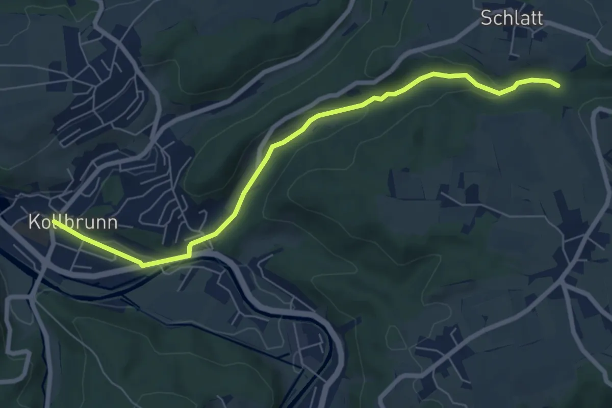
Kollbrunn Bhf. – Rörlitobel
6.4 km · ↑ 127 m · 1 h 47 min · 12 km away
Medium · Trail
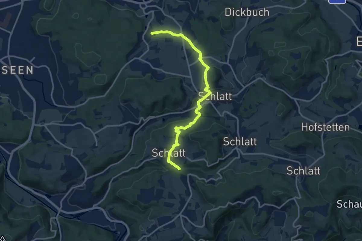
Weingarten – Rörlitobel
10.4 km · ↑ 260 m · 3 h 1 min · 12 km away
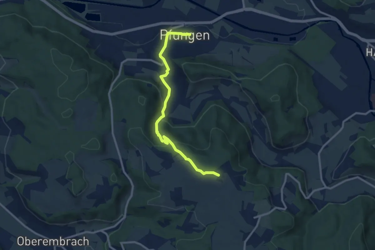
Easy · Trail
Pfungen – Stiegen
7.2 km · ↑ 312 m · 2 h 23 min · 12 km away
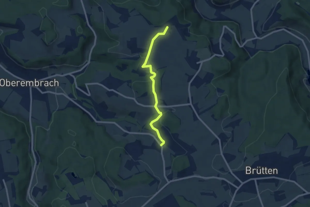
Easy · Trail
Stürzikon - Stiegen
5.7 km · ↑ 189 m · 1 h 46 min · 12 km away
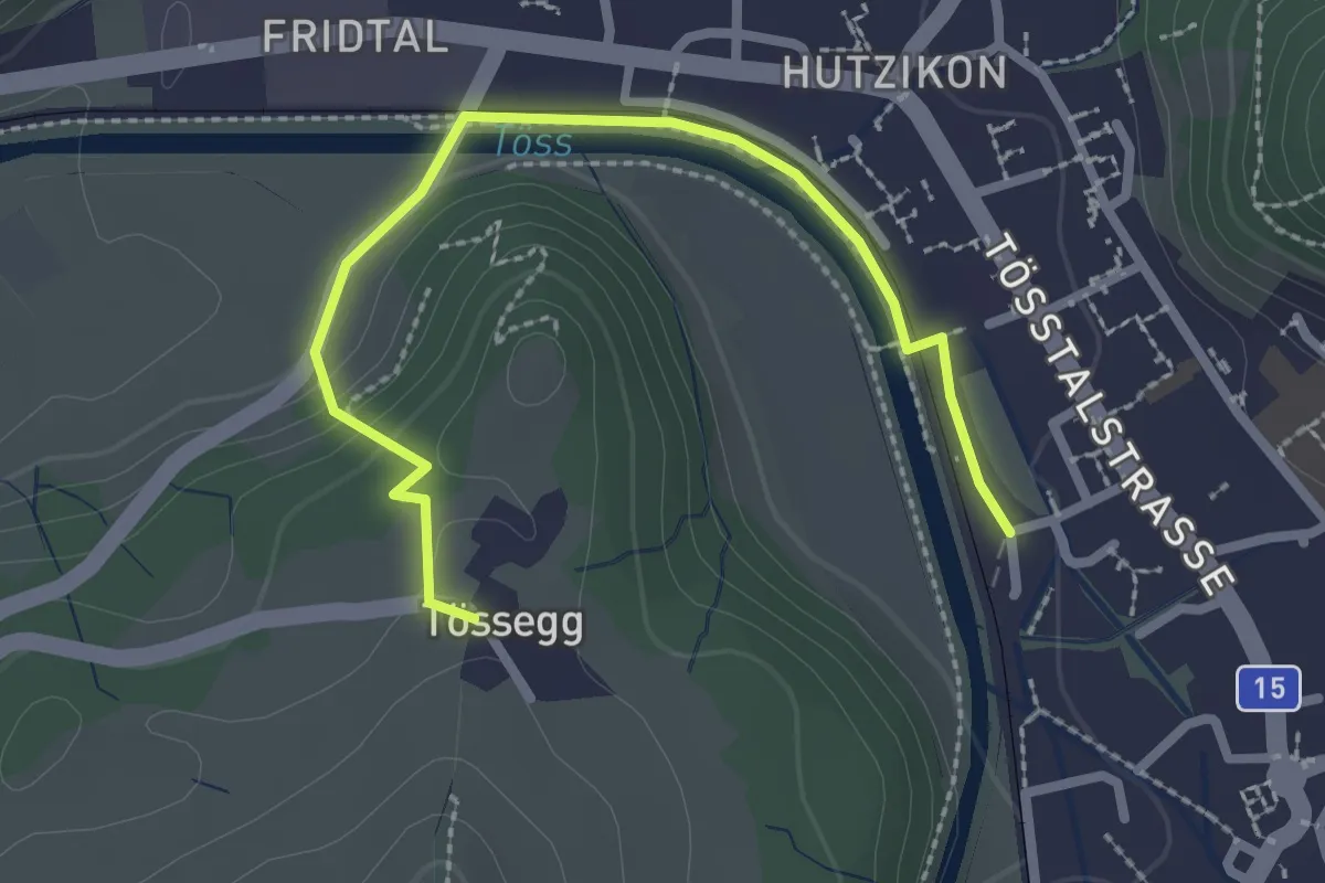
Easy · Trail
Turbenthal – Tössegg
2.7 km · ↑ 73 m · 48 min · 12 km away
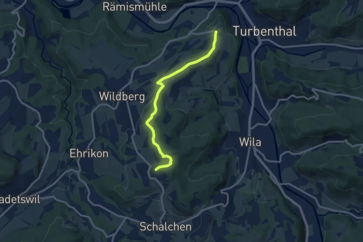
Easy · Trail
Ober Luegeten – Tössegg
6.9 km · ↑ 185 m · 2 h 1 min · 12 km away
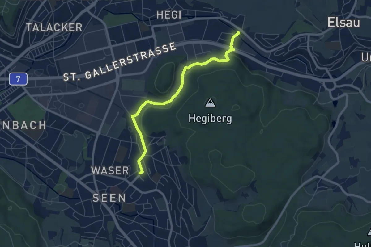
Easy · Trail
Winterthur Seen Bhf. – Rümikon
6.0 km · ↑ 175 m · 1 h 48 min · 12 km away
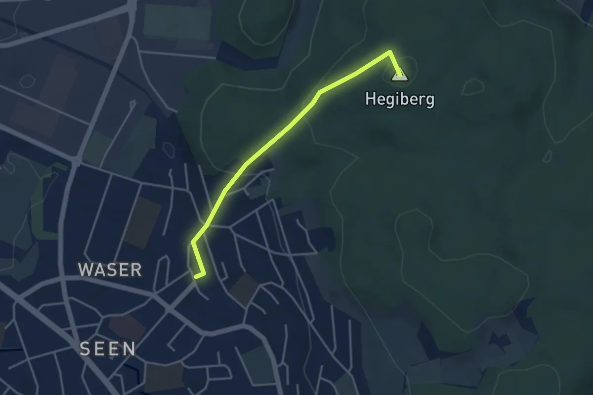
Easy · Summit
Winterthur Seen Bhf. – Hegiberg
3.1 km · ↑ 136 m · 1 h 1 min · 12 km away
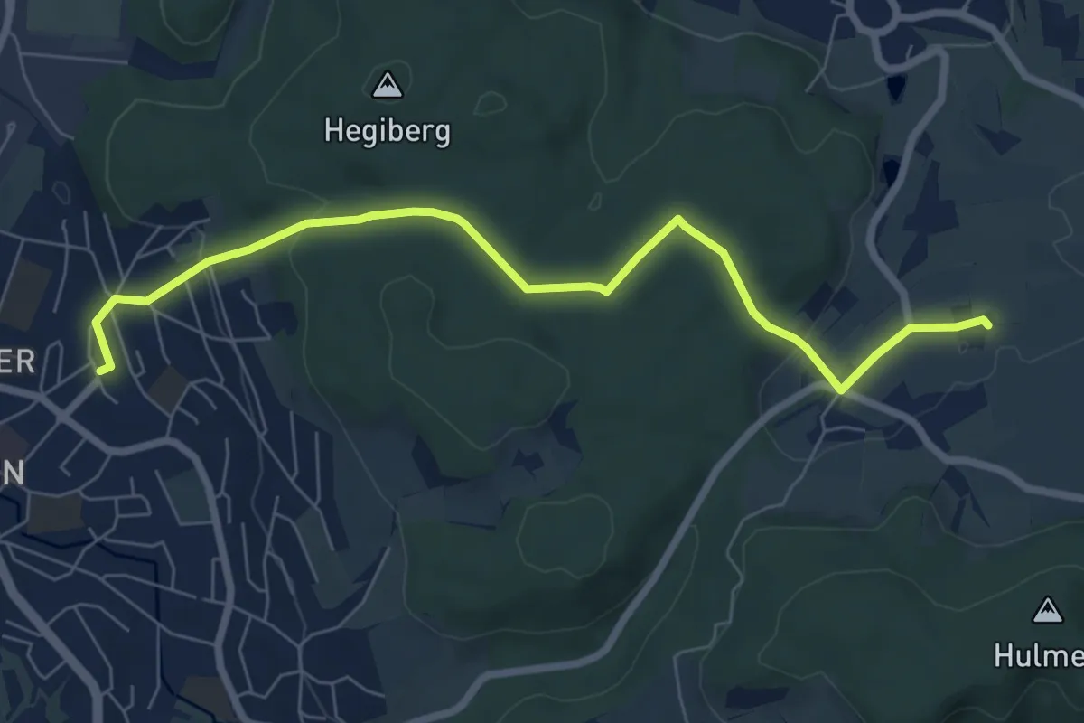
Easy · Trail
Bahnhof Winterthur Seen West – Ricketwil Mas
7.3 km · ↑ 175 m · 2 h 6 min · 12 km away
Easy · Trail
Grabenriet - Pulten
2.1 km · ↑ 45 m · 35 min · 12 km away
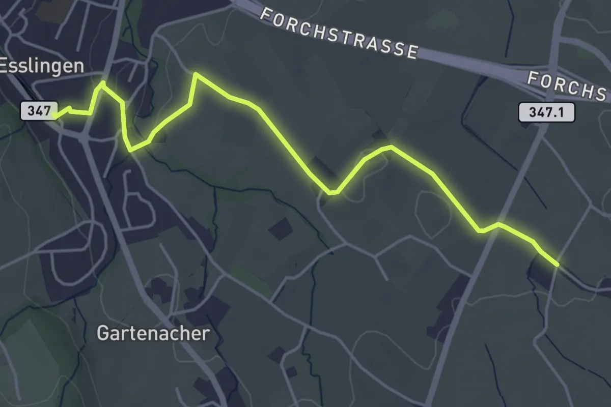
Easy · Trail
Esslingen – Summerau
4.9 km · ↑ 21 m · 1 h 13 min · 12 km away
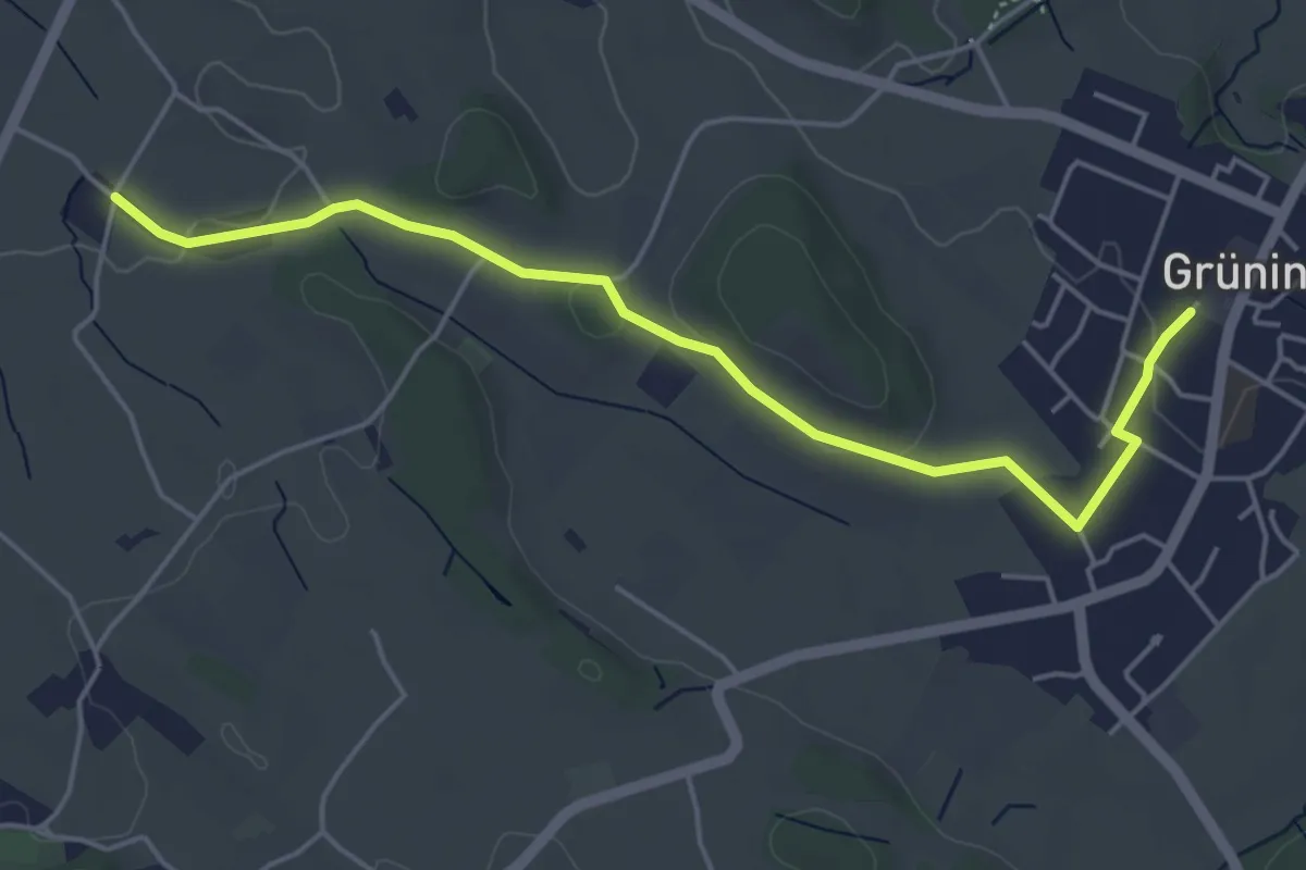
Easy · Trail
Summerau - Grüningen
5.1 km · ↑ 55 m · 1 h 19 min · 12 km away
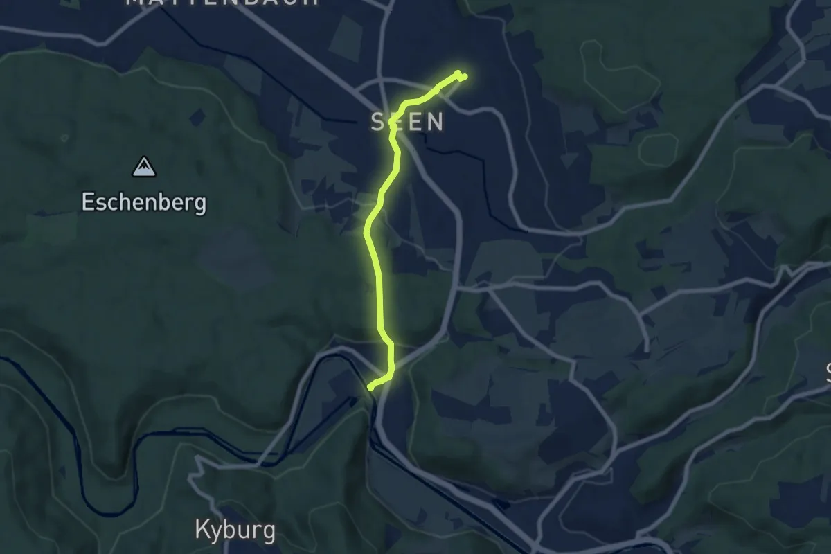
Easy · Trail
Bahnhof Seen – Sennhof
5.9 km · ↑ 153 m · 1 h 43 min · 12 km away
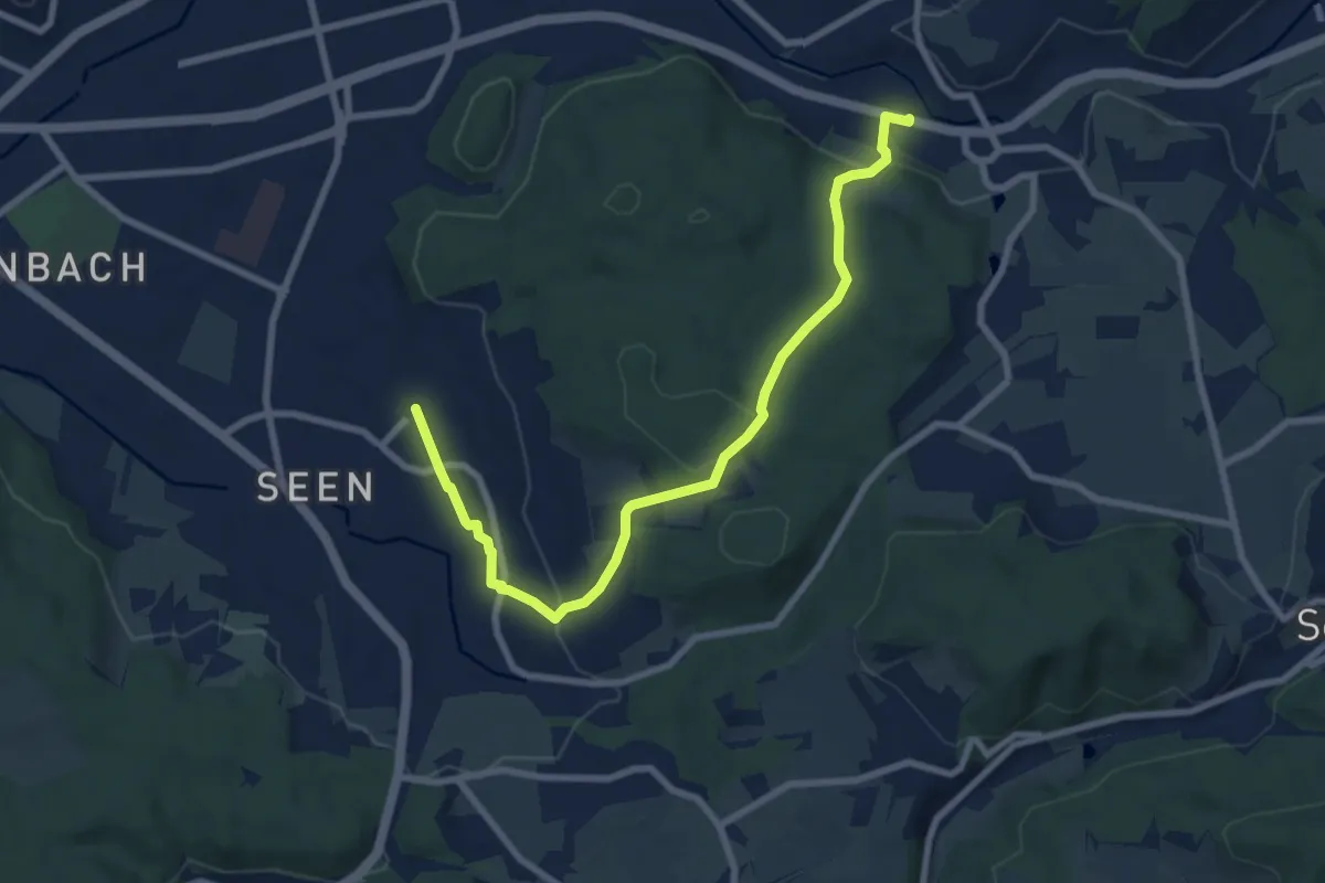
Medium · Trail
Bahnhof Winterthur Seen – Bahnhof Räterschen
8.4 km · ↑ 253 m · 2 h 33 min · 12 km away
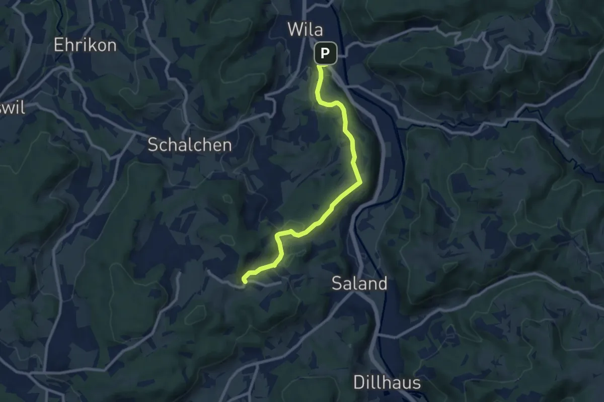
Medium · Trail
Ravensbüel – Wila Stn.
8.4 km · ↑ 220 m · 2 h 28 min · 12 km away
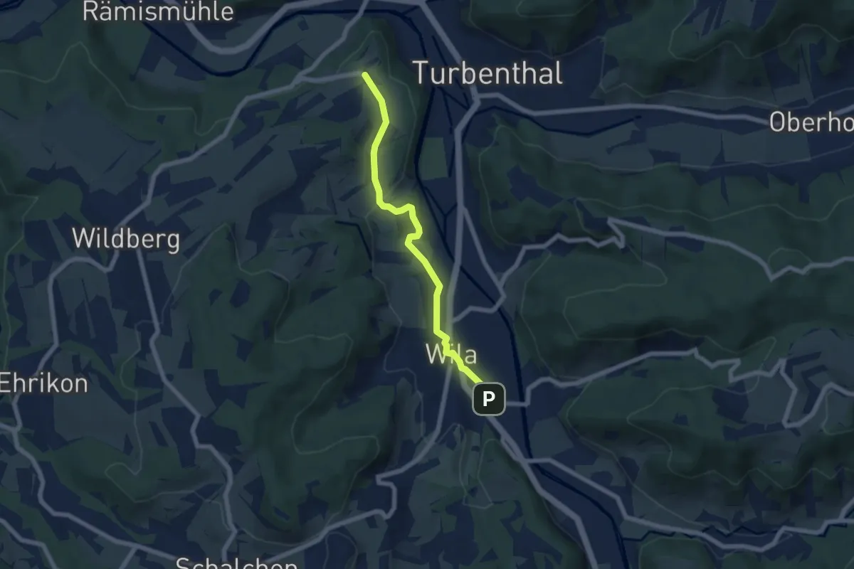
Easy · Trail
Tössegg – Wila Stn.
5.5 km · ↑ 74 m · 1 h 27 min · 12 km away
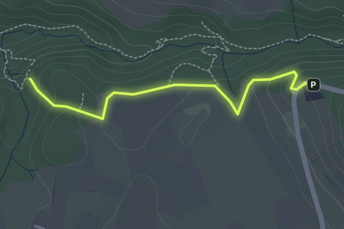
Easy · Trail
Tüfels Chilen - Wolfbrunnen
2.3 km · ↑ 82 m · 44 min · 12 km away
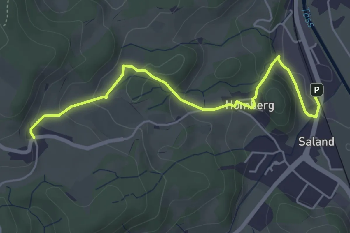
Easy · Trail
Ravensbüel – Saland Bhf
4.5 km · ↑ 165 m · 1 h 25 min · 12 km away
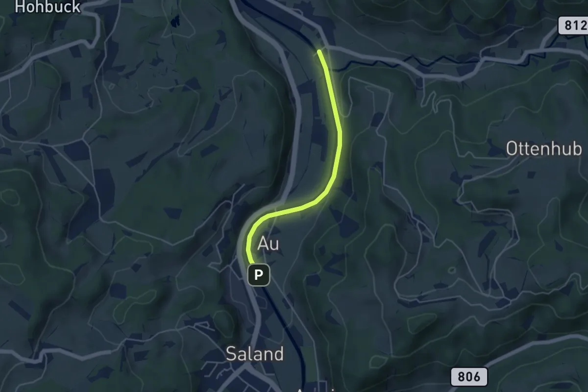
Easy · Trail
Saland – Tablat
3.7 km · ↑ 33 m · 57 min · 12 km away
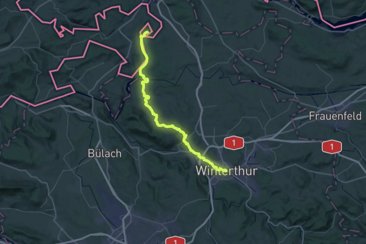
Demanding · Pilgrim path
Schaffhauser-Zürcher-Weg
27.4 km · ↑ 376 m · 7 h 43 min · 12 km away
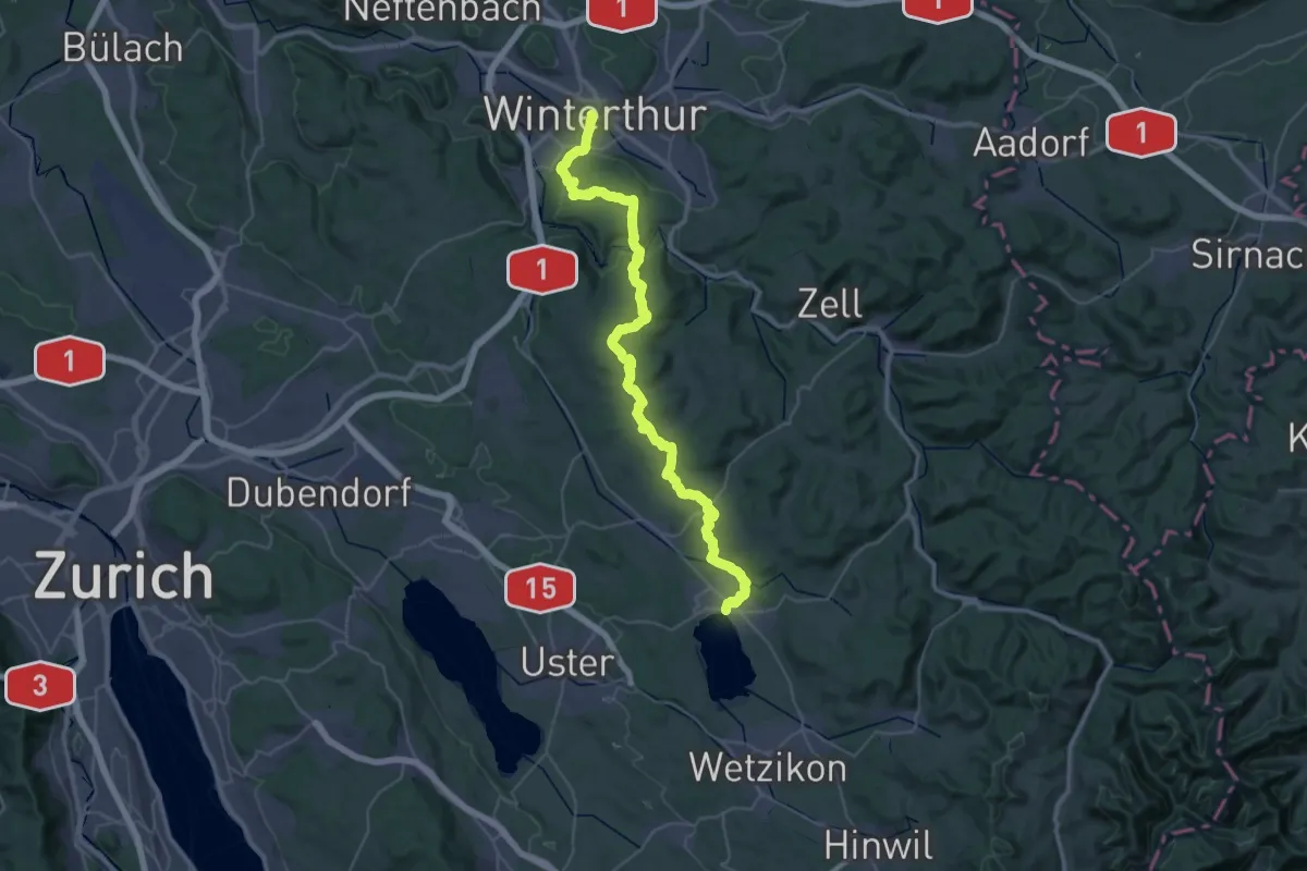
Demanding · Pilgrim path
Schaffhauser-Zürcher-Weg
23.1 km · ↑ 550 m · 6 h 55 min · 12 km away
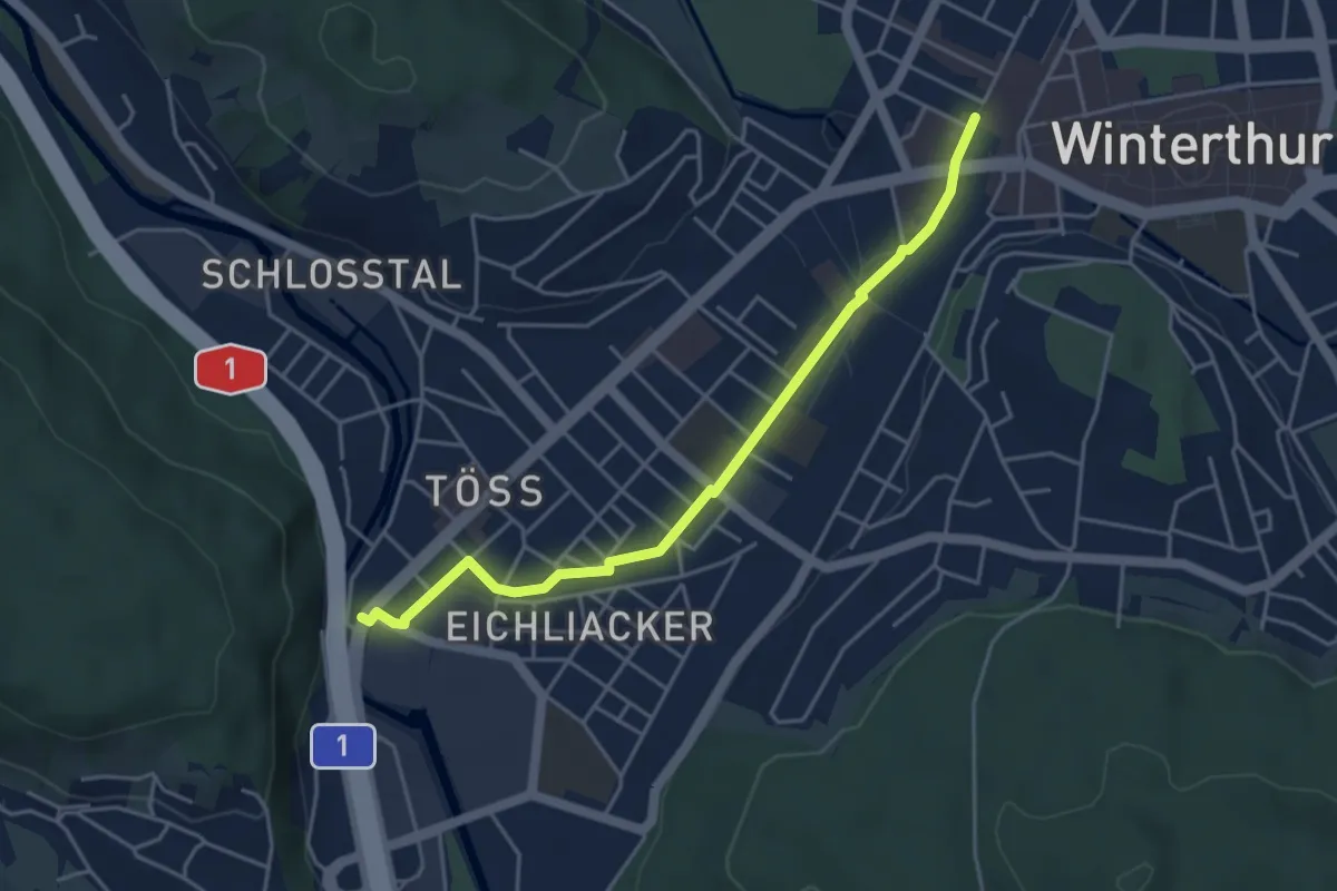
Easy · Pilgrim path
Hugenotten- und Waldenserweg
2.2 km · ↑ 0 m · 33 min · 12 km away
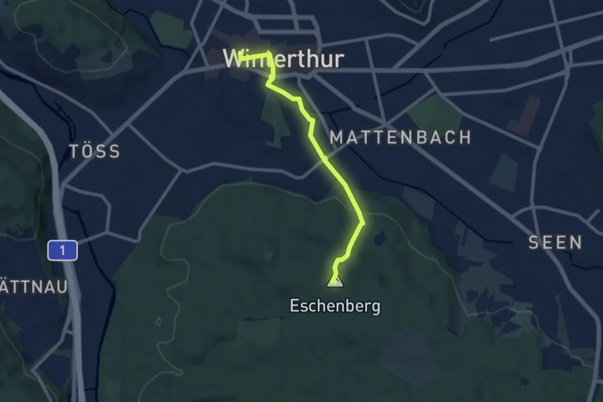
Easy · Summit
Bahnhof Winterthur – Eschenberg Aussichtsturm
5.8 km · ↑ 160 m · 1 h 44 min · 12 km away
Easy · Trail
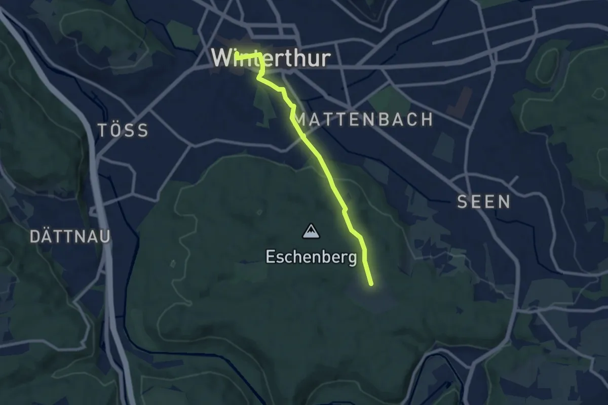
Winterthur Bahnhof – Eschenberg Sternwarte
7.0 km · ↑ 142 m · 1 h 57 min · 12 km away
Demanding · Trail
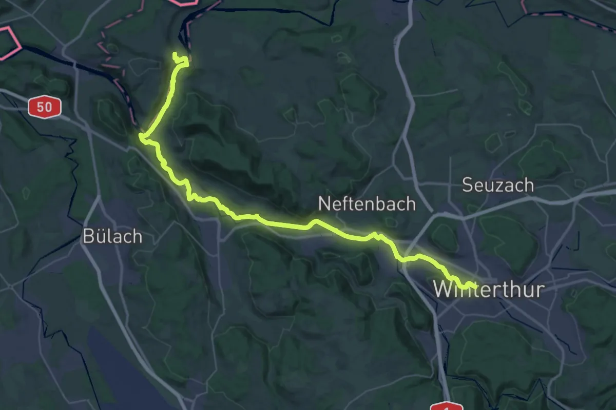
Tössegg-Klettgau-Weg
21.3 km · ↑ 271 m · 5 h 57 min · 12 km away
Easy · Trail
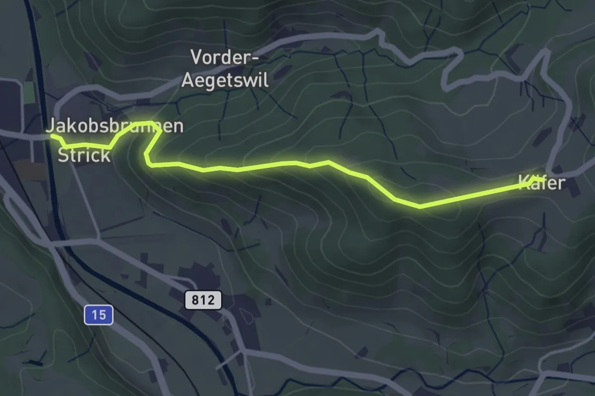
Chäfer – Wila
4.0 km · ↑ 239 m · 1 h 28 min · 13 km away
Medium · Trail
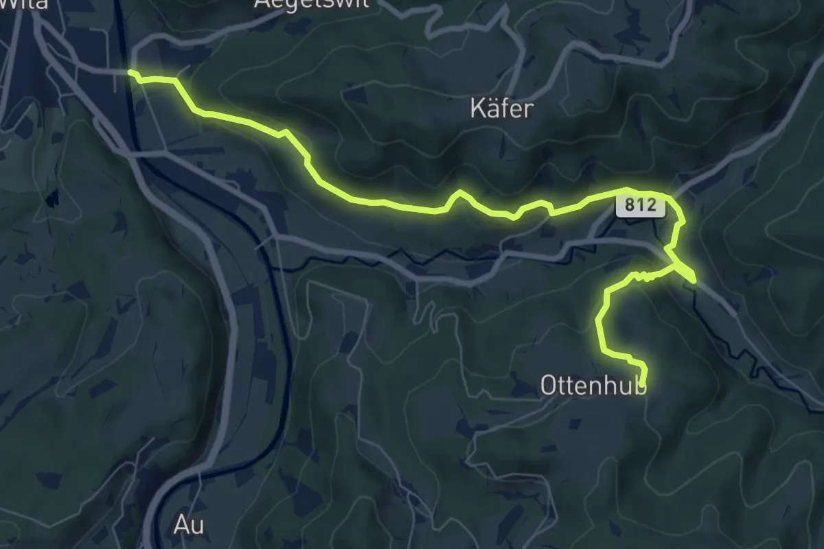
Wila – Ottenhueb
8.8 km · ↑ 369 m · 2 h 53 min · 13 km away
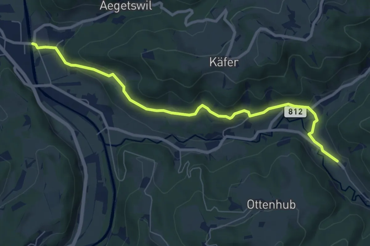
Easy · Trail
Truben – Wila
7.0 km · ↑ 259 m · 2 h 13 min · 13 km away
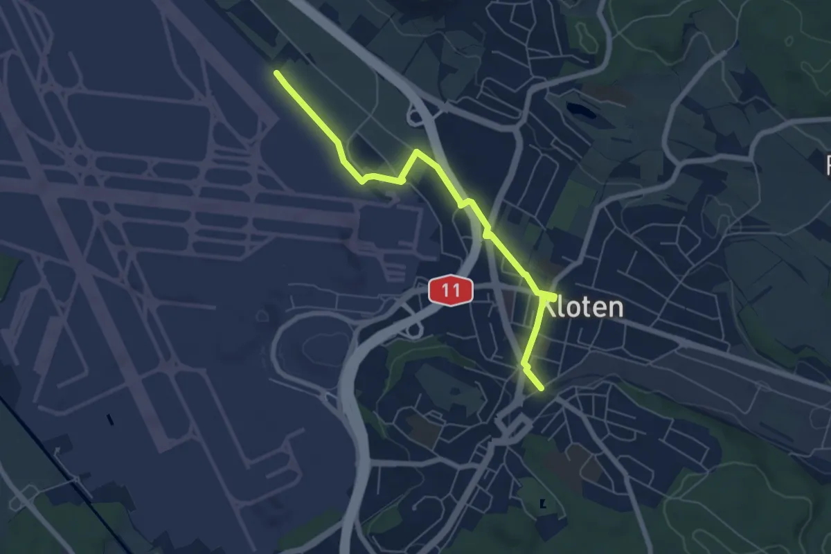
Easy · Trail
Himmelbach - Kloten
5.9 km · ↑ 18 m · 1 h 26 min · 13 km away
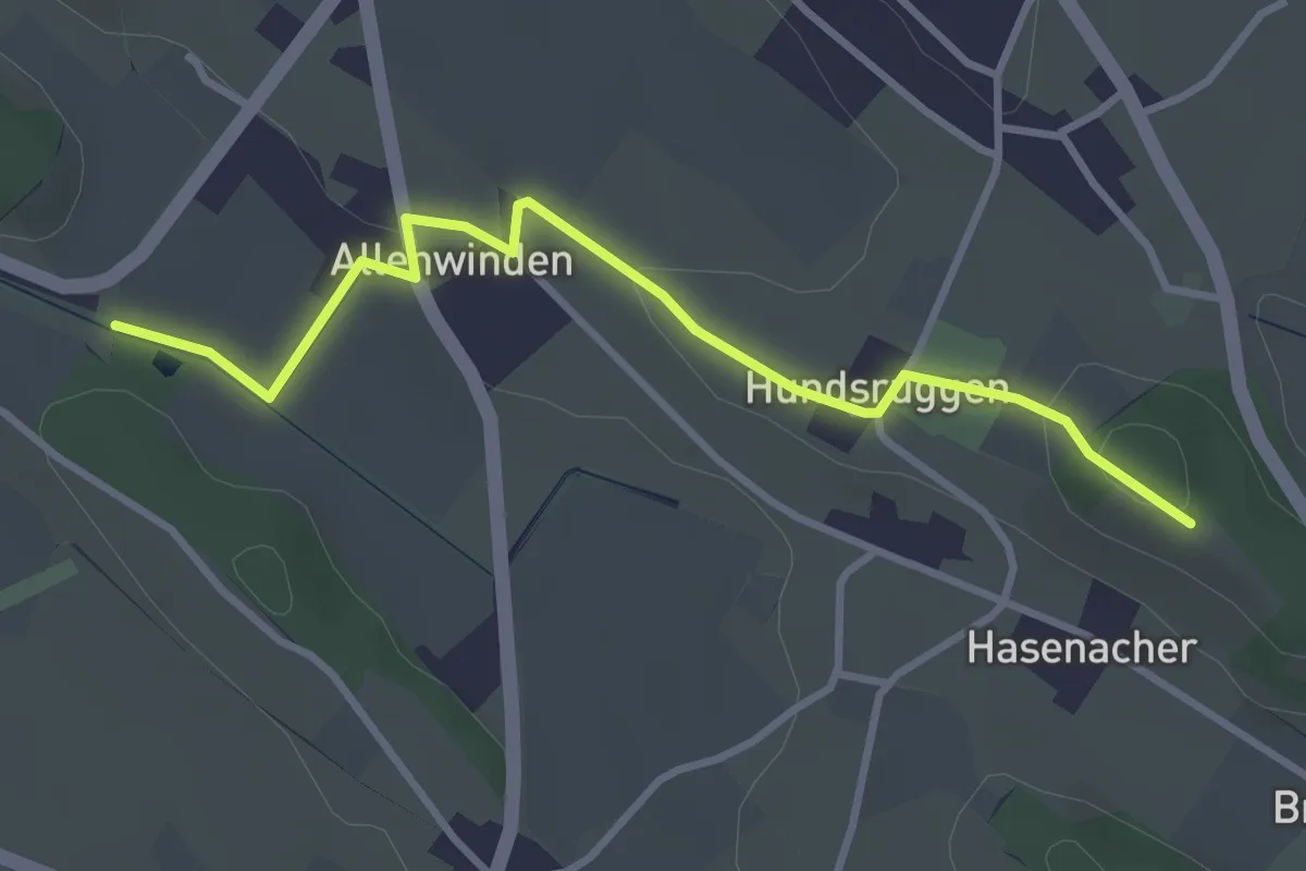
Easy · Trail
Alt Hellberg - Berghof
3.4 km · ↑ 63 m · 56 min · 13 km away
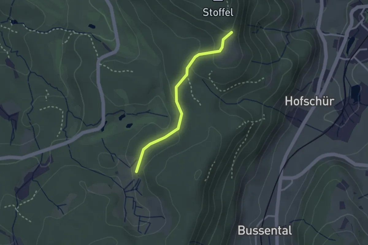
Easy · Trail
Lättenweid - Grabenriet
2.3 km · ↑ 70 m · 41 min · 13 km away
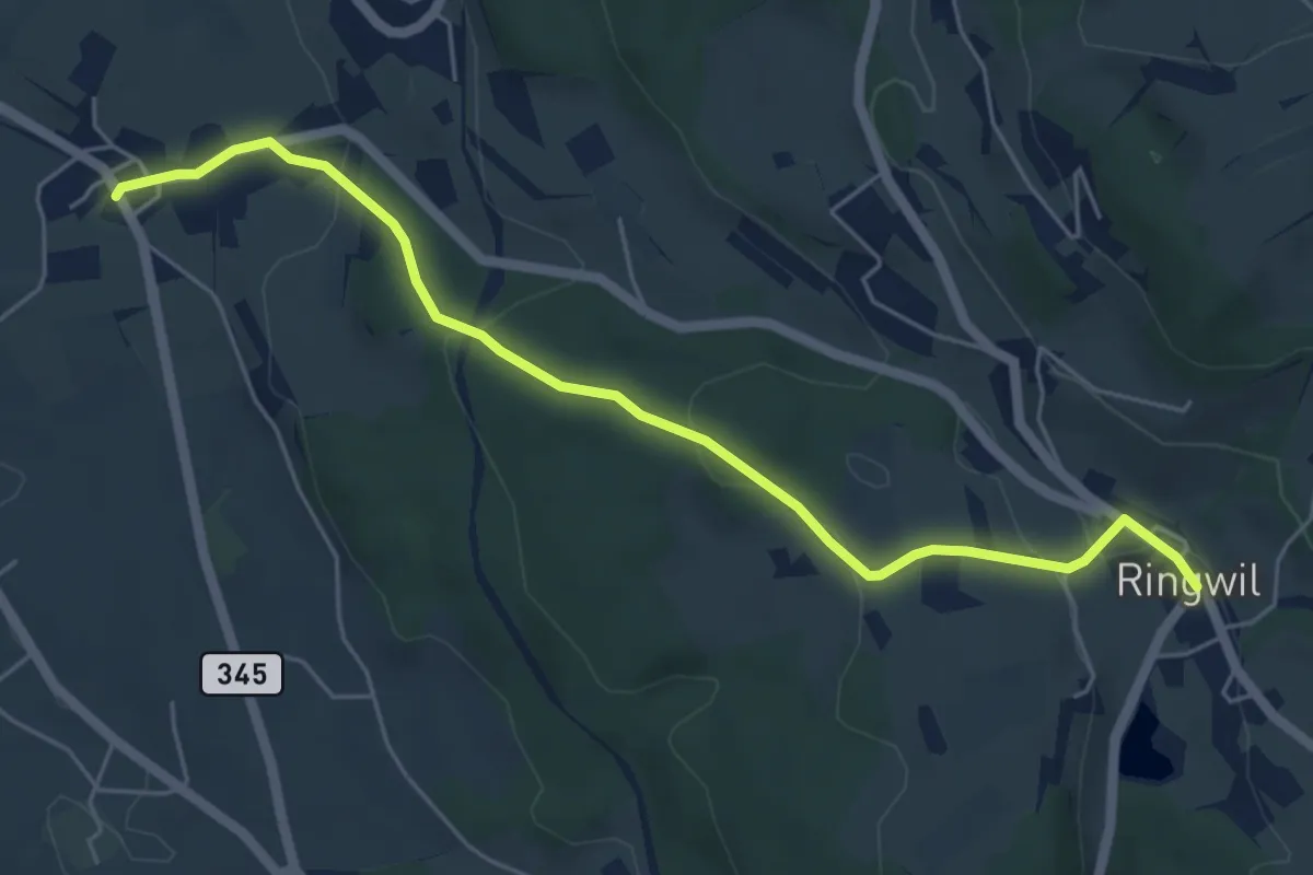
Easy · Trail
Ringwil – Ettenhausen
5.7 km · ↑ 174 m · 1 h 44 min · 13 km away
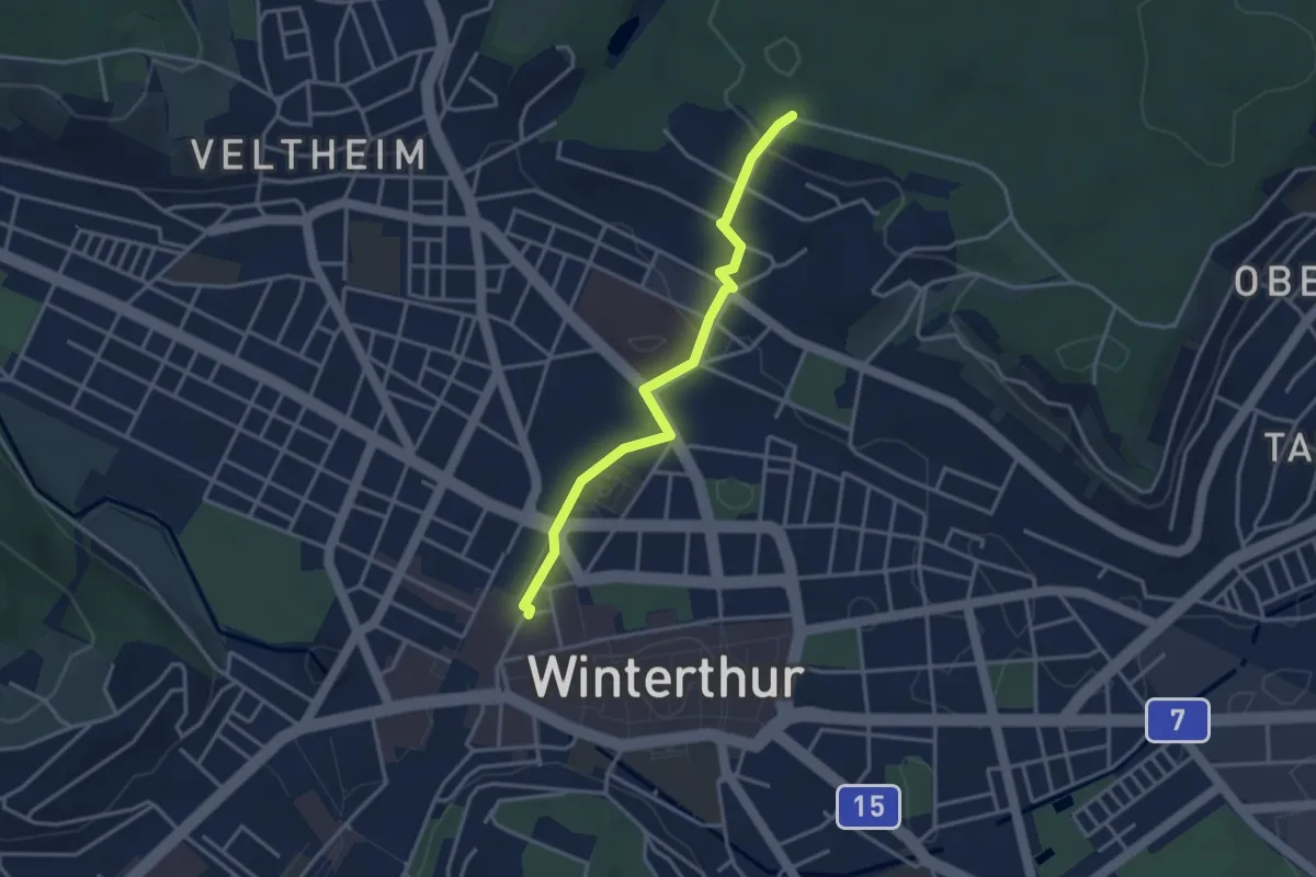
Easy · Trail
Winterthur – Römerholz
3.3 km · ↑ 72 m · 56 min · 13 km away
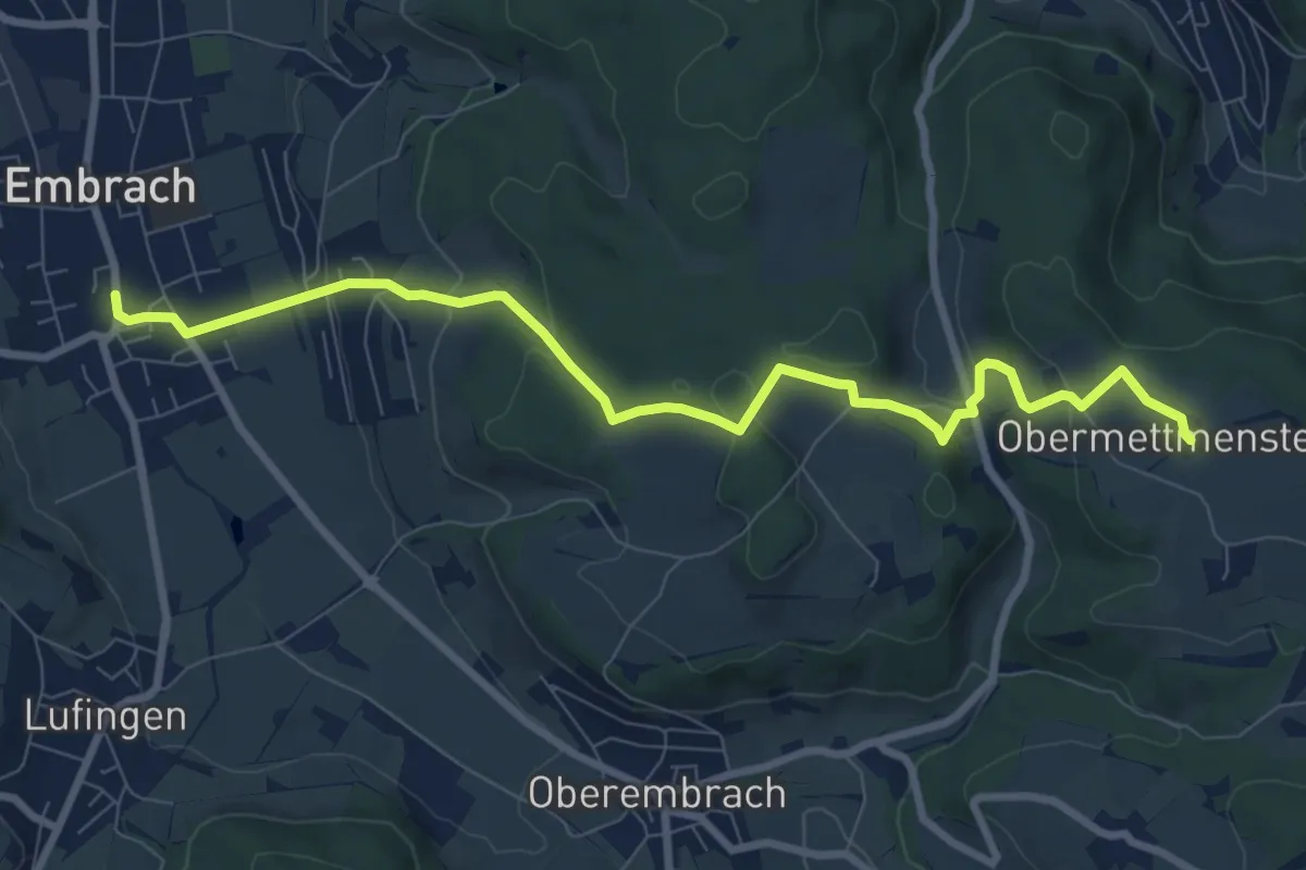
Medium · Trail
Ober Mettmenstetten – Embrach Oberdorf Bus
9.1 km · ↑ 300 m · 2 h 48 min · 13 km away
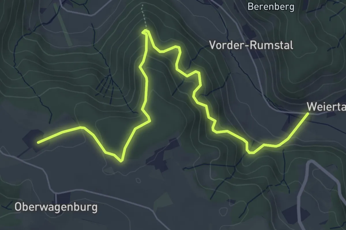
Medium · Trail
Weiertal - Ober Mettmenstetten
7.3 km · ↑ 420 m · 2 h 38 min · 13 km away
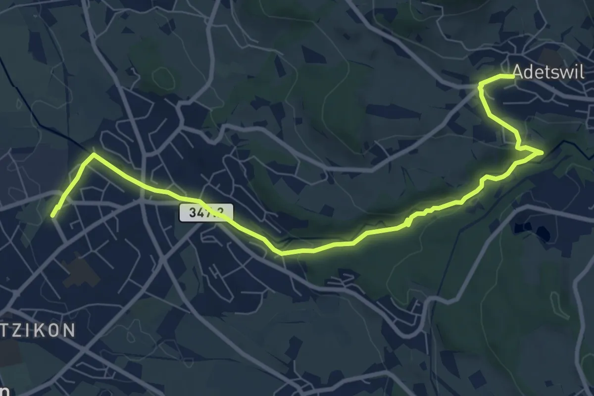
Medium · Trail
Kempten - Adetswil
8.7 km · ↑ 194 m · 2 h 28 min · 13 km away
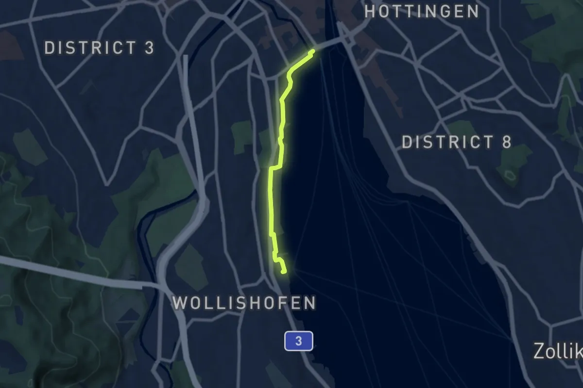
Easy · Trail
Bürkliplatz – Wollishofen (Schiff)
5.3 km · ↑ 23 m · 1 h 18 min · 13 km away
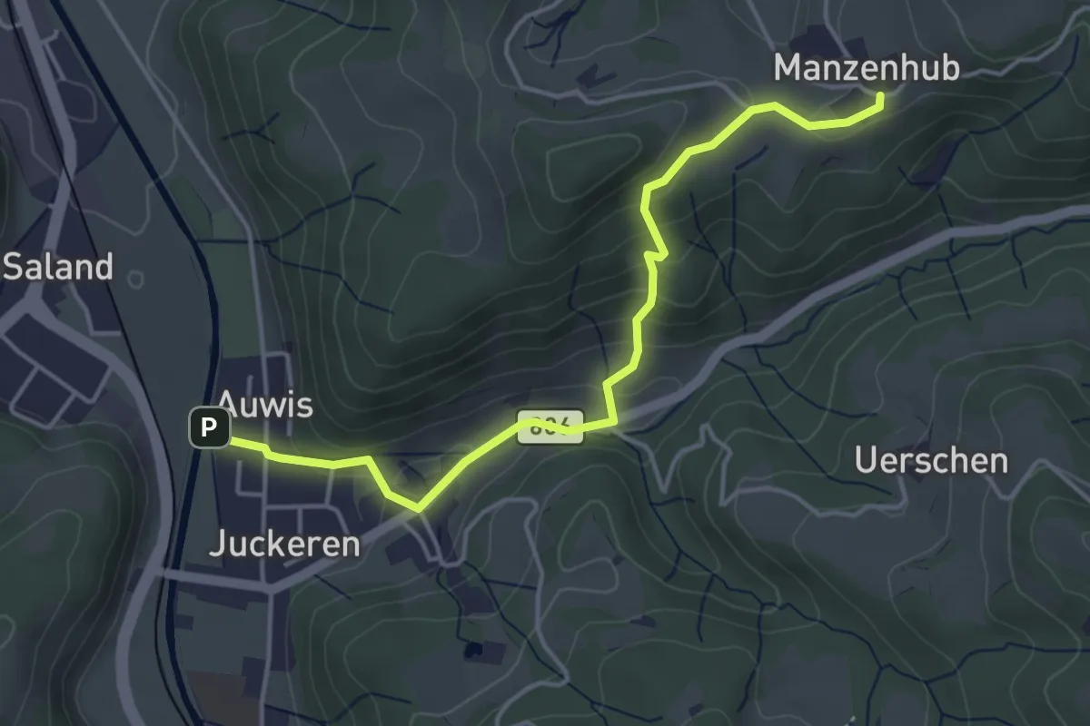
Easy · Trail
Manzenhueb – Auwis
4.3 km · ↑ 224 m · 1 h 30 min · 13 km away
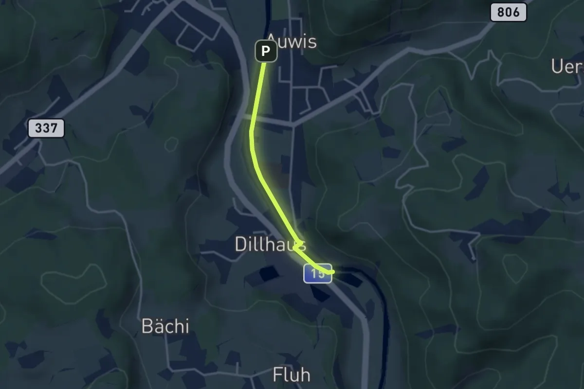
Easy · Trail
Rittwegweiher – Auwis
2.4 km · ↑ 13 m · 36 min · 13 km away
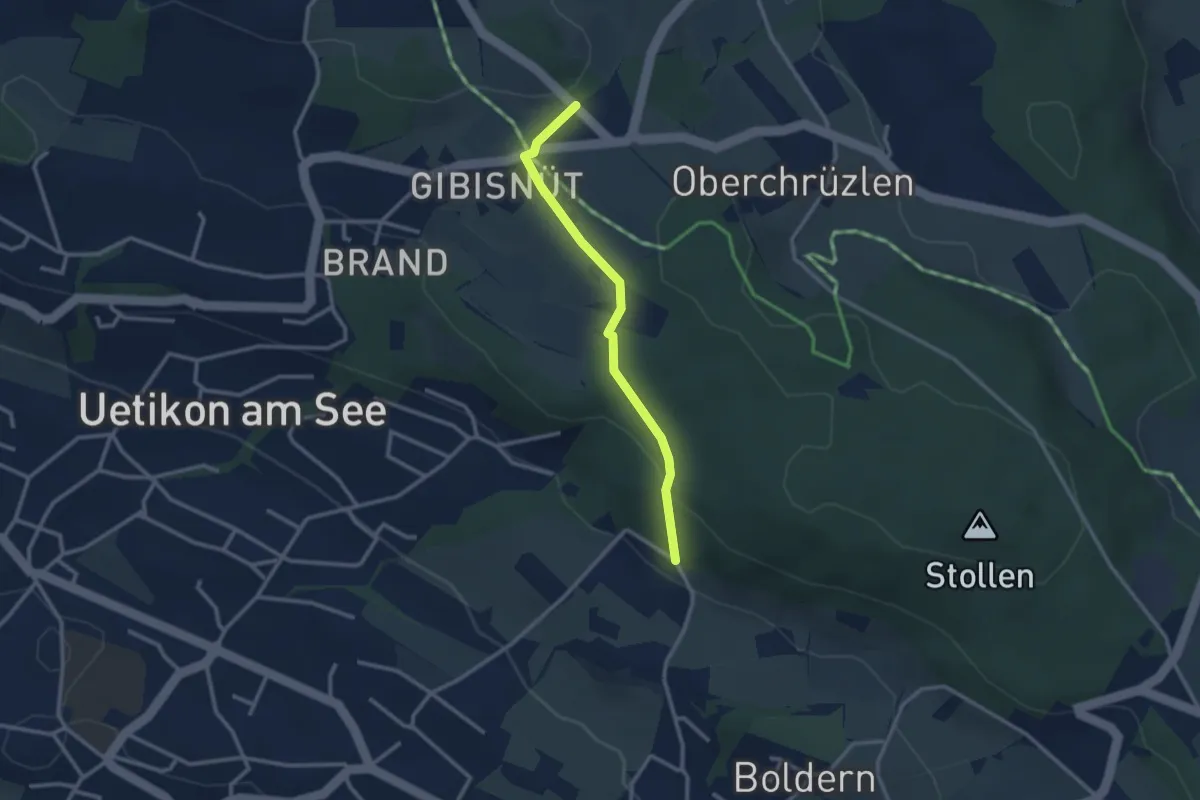
Easy · Trail
Gibisnüd – Appisberg
2.6 km · ↑ 81 m · 47 min · 13 km away
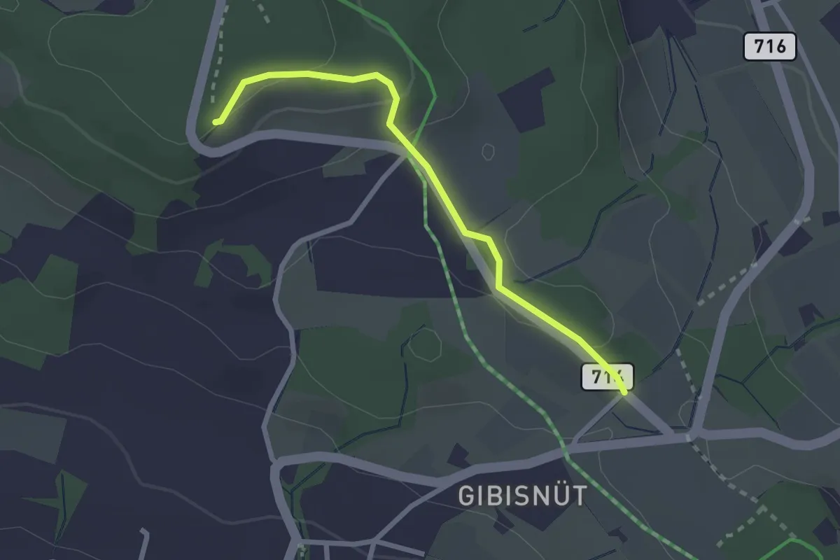
Easy · Trail
Buechholz – Gibisnüd
2.3 km · ↑ 76 m · 42 min · 13 km away
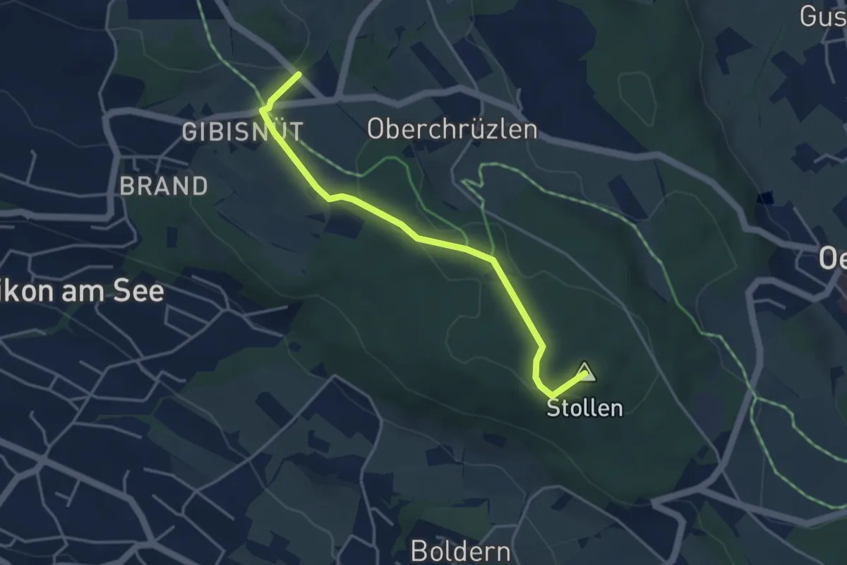
Easy · Summit
Stäfnertürli – Gibisnüd
3.6 km · ↑ 54 m · 59 min · 13 km away