Trails near Volketswil
582 hikes starting within 15 km, nearest first.
Nearest first, page 8 of 13
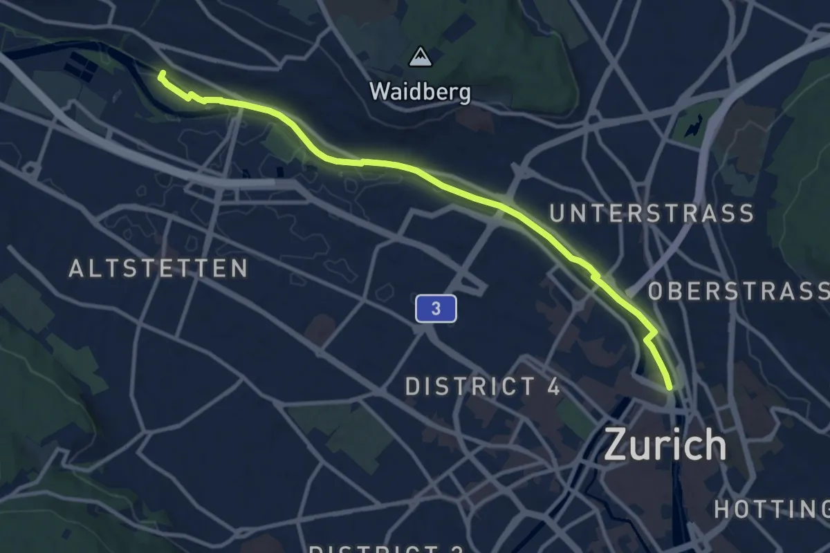
Easy · Pilgrim path
Hugenotten- und Waldenserweg
5.4 km · ↑ 28 m · 1 h 24 min · 11 km away
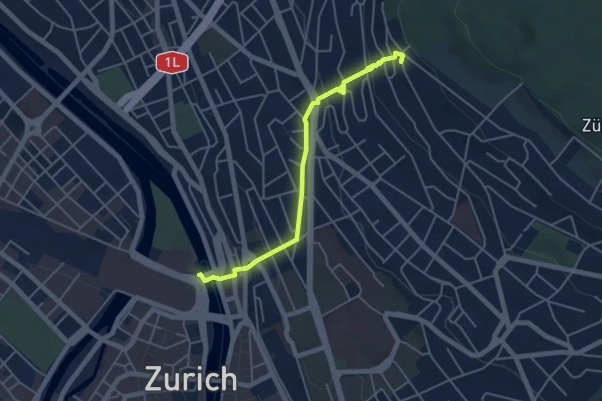
Easy · Pilgrim path
Hugenotten- und Waldenserweg
1.8 km · ↑ 189 m · 46 min · 11 km away
Easy · Trail
Zürichhorn - Bellvue
3.3 km · ↑ 4 m · 47 min · 11 km away
Easy · Trail
Wetzikon - Grüt
2.3 km · ↑ 22 m · 35 min · 11 km away
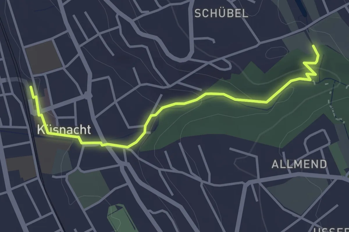
Easy · Trail
Küsnacht – Schübelweiher
3.3 km · ↑ 95 m · 1 h · 11 km away
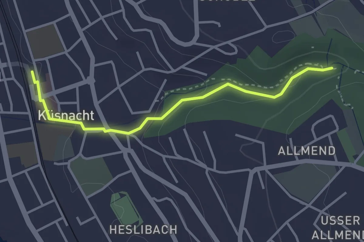
Easy · Trail
Küsnacht – Küsnacht Dorfbach
2.9 km · ↑ 92 m · 53 min · 11 km away
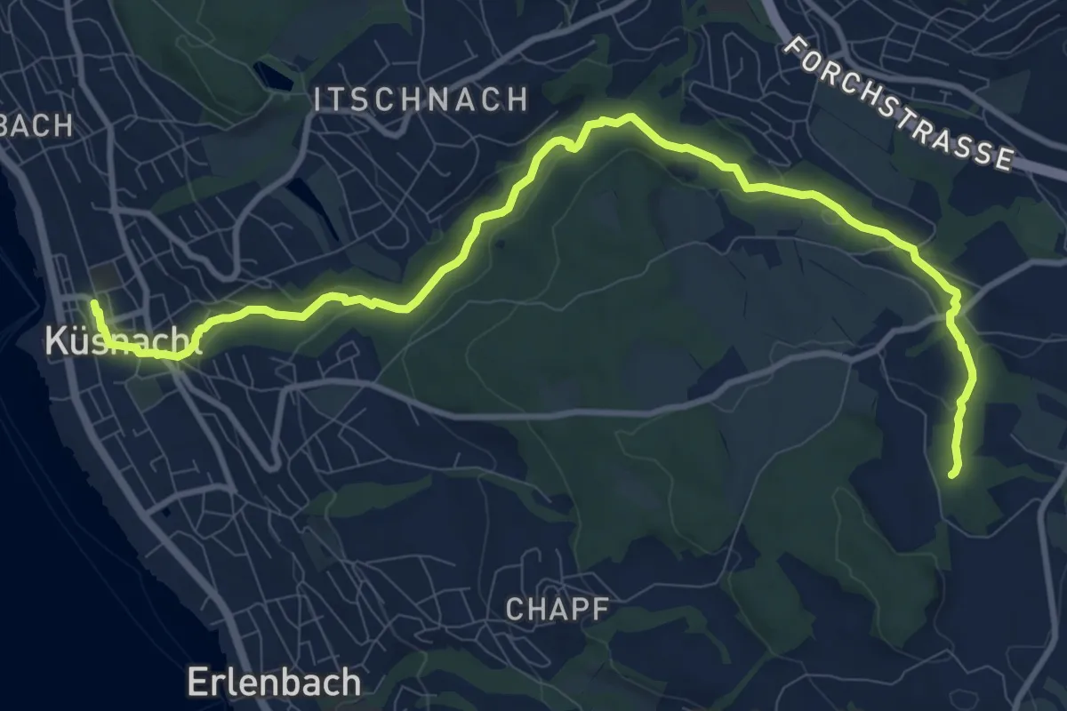
Medium · Trail
Erlenbach Küsnacht Tobelweg
11.9 km · ↑ 300 m · 3 h 27 min · 11 km away
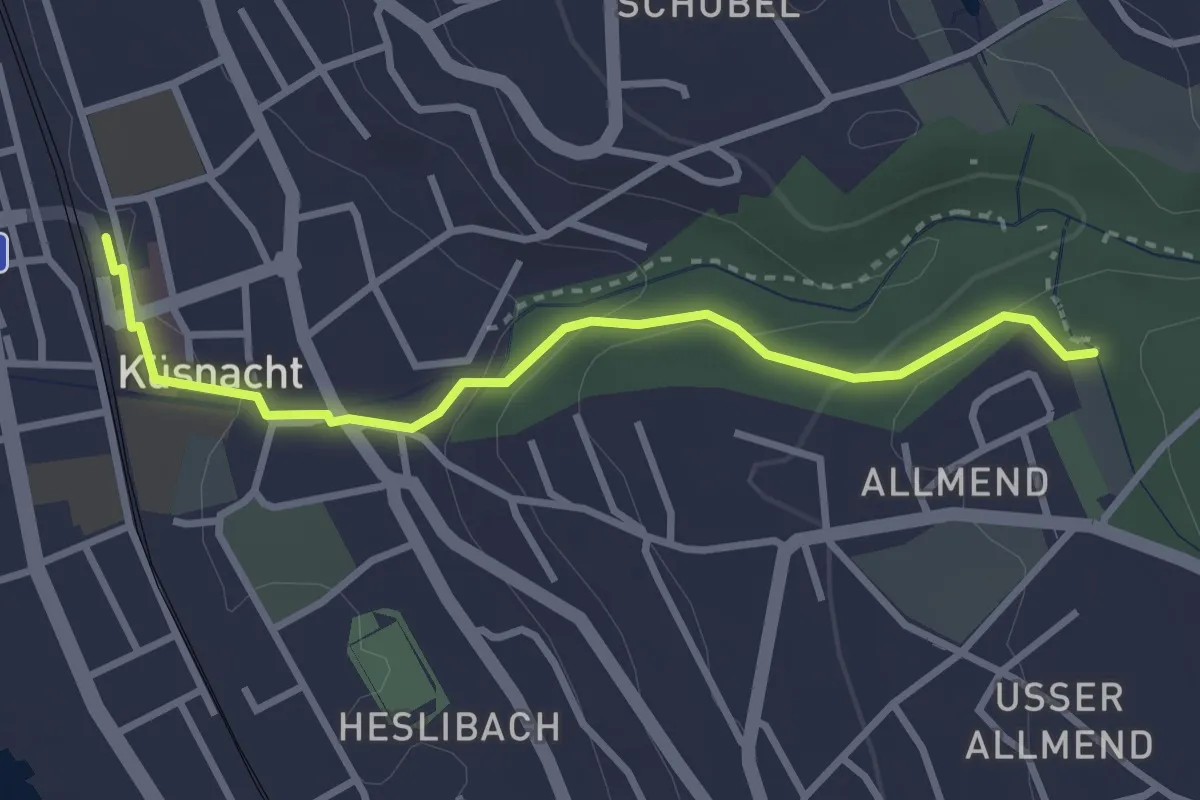
Easy · Trail
Küsnacht – Küsnachter Tobel
3.1 km · ↑ 106 m · 57 min · 11 km away
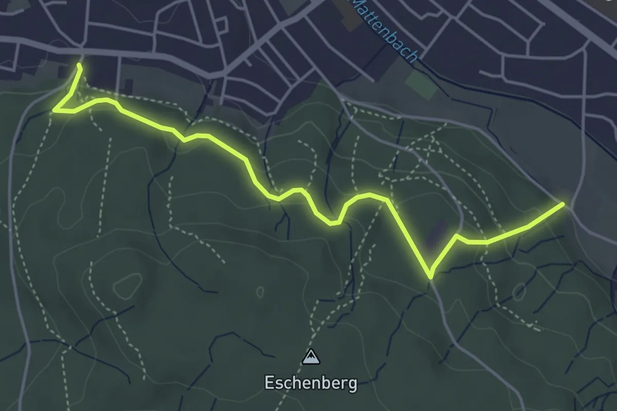
Easy · Trail
Breiti – Waldegg
4.7 km · ↑ 192 m · 1 h 31 min · 11 km away
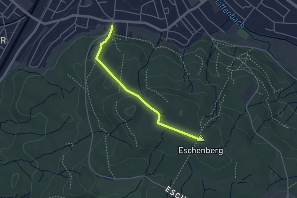
Easy · Summit
Eschenberg Aussichtsturm – Breiti
3.0 km · ↑ 105 m · 56 min · 11 km away
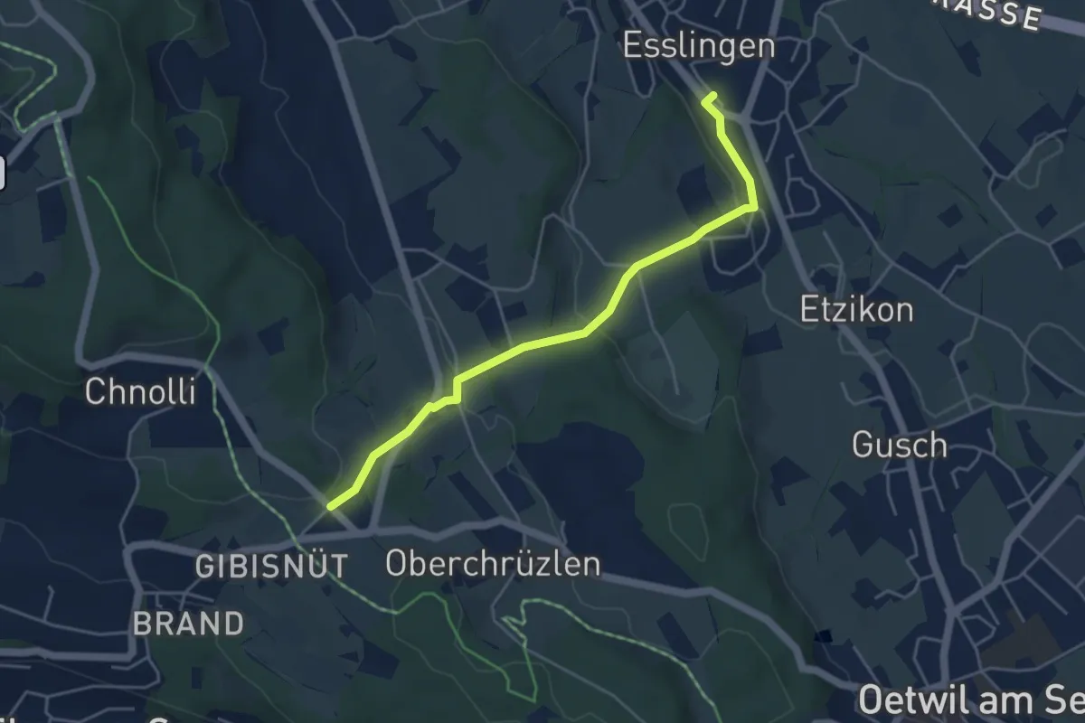
Easy · Trail
Esslingen – Gibisnüd
4.3 km · ↑ 161 m · 1 h 22 min · 11 km away
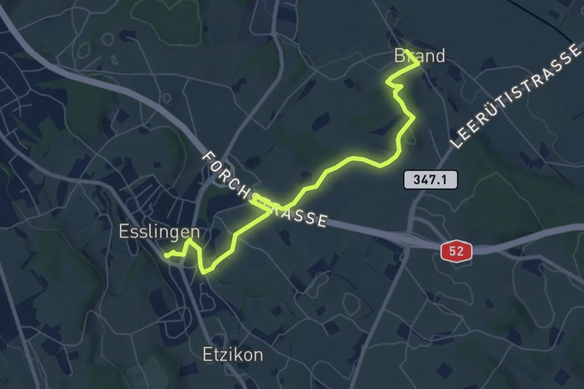
Easy · Trail
Brand – Esslingen
7.1 km · ↑ 77 m · 1 h 50 min · 11 km away
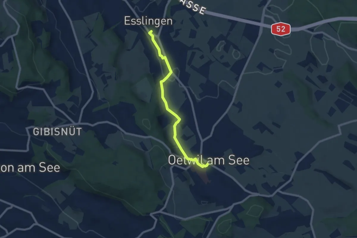
Easy · Trail
Esslingen – Oetwil
5.4 km · ↑ 60 m · 1 h 24 min · 11 km away
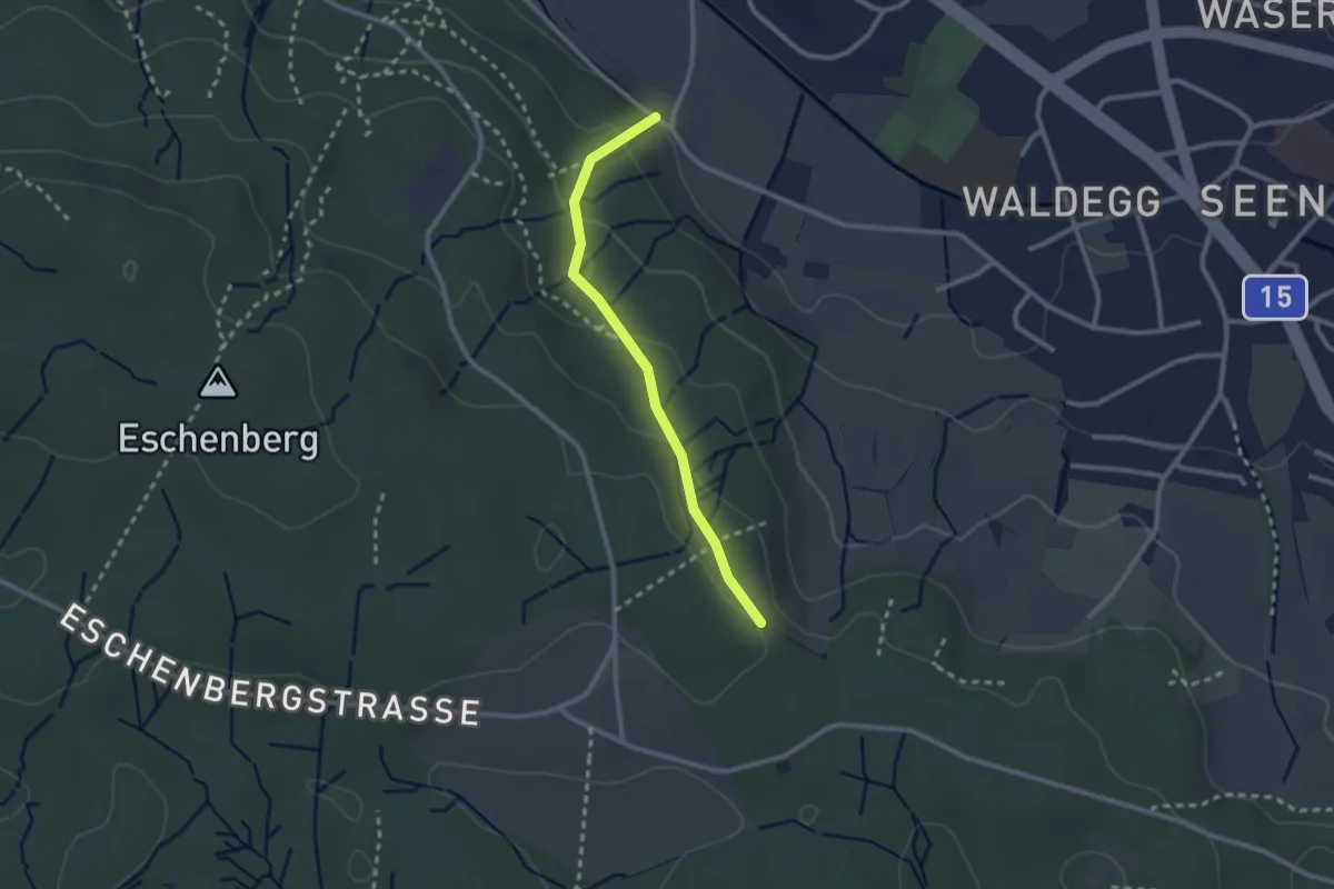
Easy · Trail
Paradis – Waldegg
2.3 km · ↑ 105 m · 46 min · 11 km away
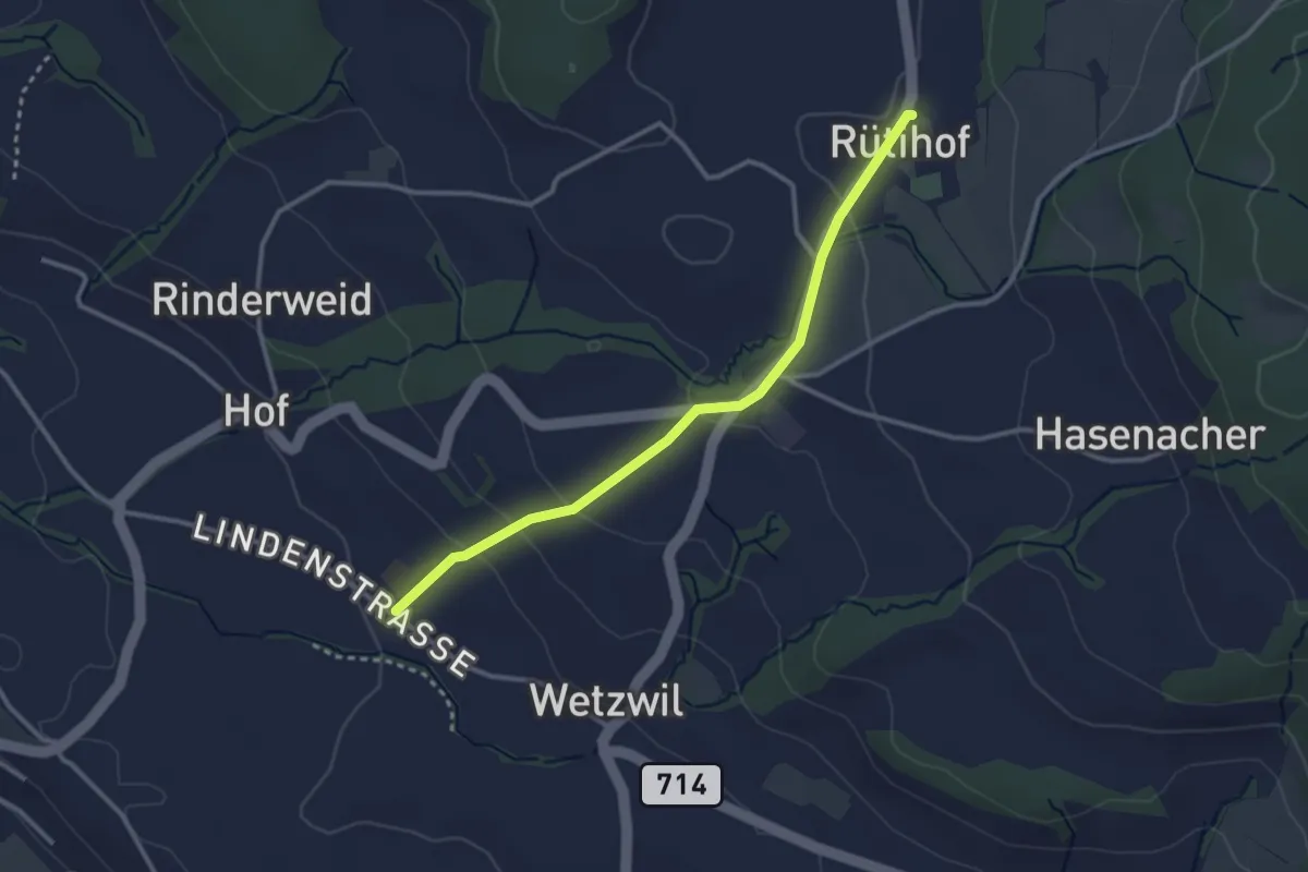
Easy · Trail
Wetzwil Kirche – Rütihof
2.9 km · ↑ 99 m · 55 min · 11 km away
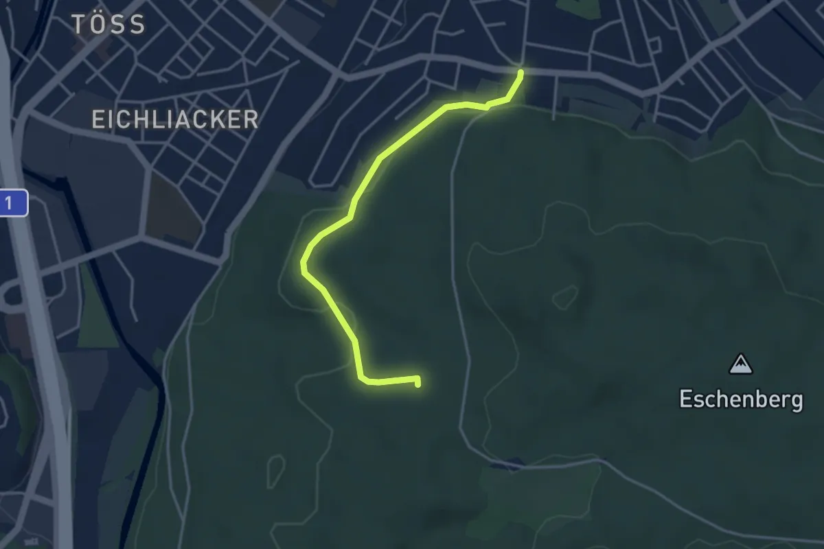
Easy · Trail
Breiti - Tugbrüggli
3.5 km · ↑ 57 m · 56 min · 11 km away
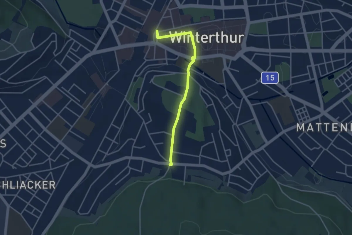
Easy · Trail
Winterthur – Breiti
2.9 km · ↑ 54 m · 47 min · 11 km away
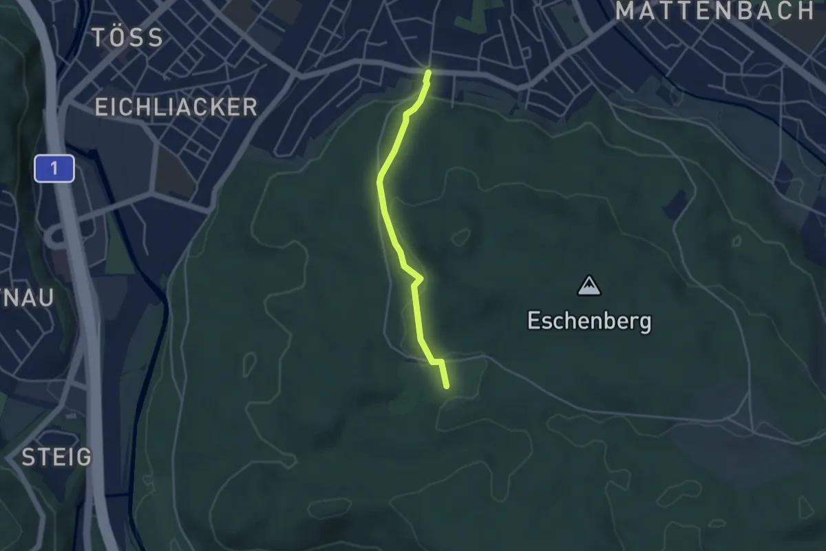
Easy · Trail
Bruderhaus - Breiti
3.3 km · ↑ 79 m · 57 min · 11 km away
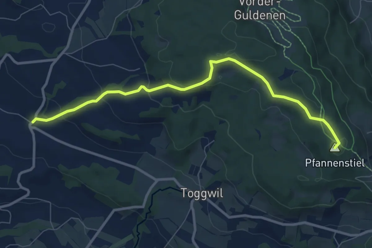
Easy · Summit
Wetzwil – Pfannenstiel Hochwacht
7.6 km · ↑ 294 m · 2 h 26 min · 11 km away
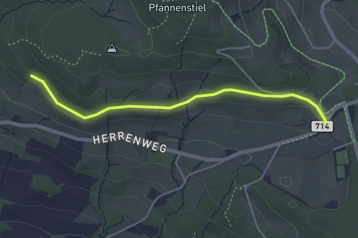
Easy · Trail
Eichhalden – Vorderpfannenstiel
3.4 km · ↑ 100 m · 1 h 1 min · 11 km away
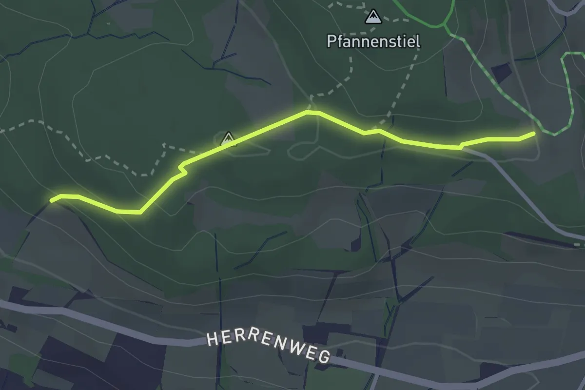
Easy · Trail
Eichhalden – Pfannenstiel Hochwacht
2.5 km · ↑ 87 m · 47 min · 11 km away
Easy · Trail
Vorderpfannenstiel - Innervollikon
3.7 km · ↑ 177 m · 1 h 15 min · 12 km away
Easy · Trail
Uetikon Brand - Vorderpfannenstiel
3.9 km · ↑ 168 m · 1 h 17 min · 12 km away
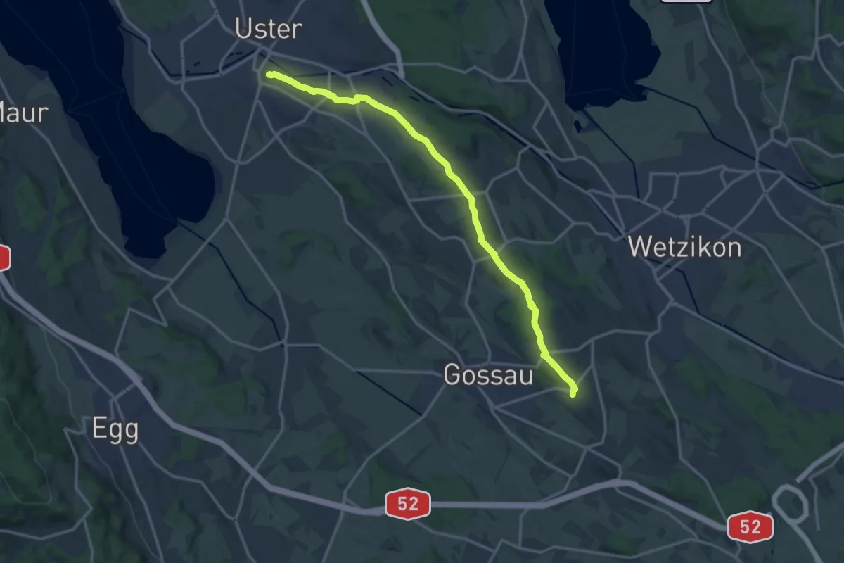
Medium · Trail
Berghof – Schloss Uster
14.5 km · ↑ 237 m · 3 h 56 min · 12 km away
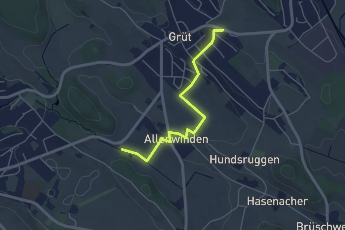
Easy · Trail
Grüt - Berghof
3.7 km · ↑ 60 m · 1 h 1 min · 12 km away
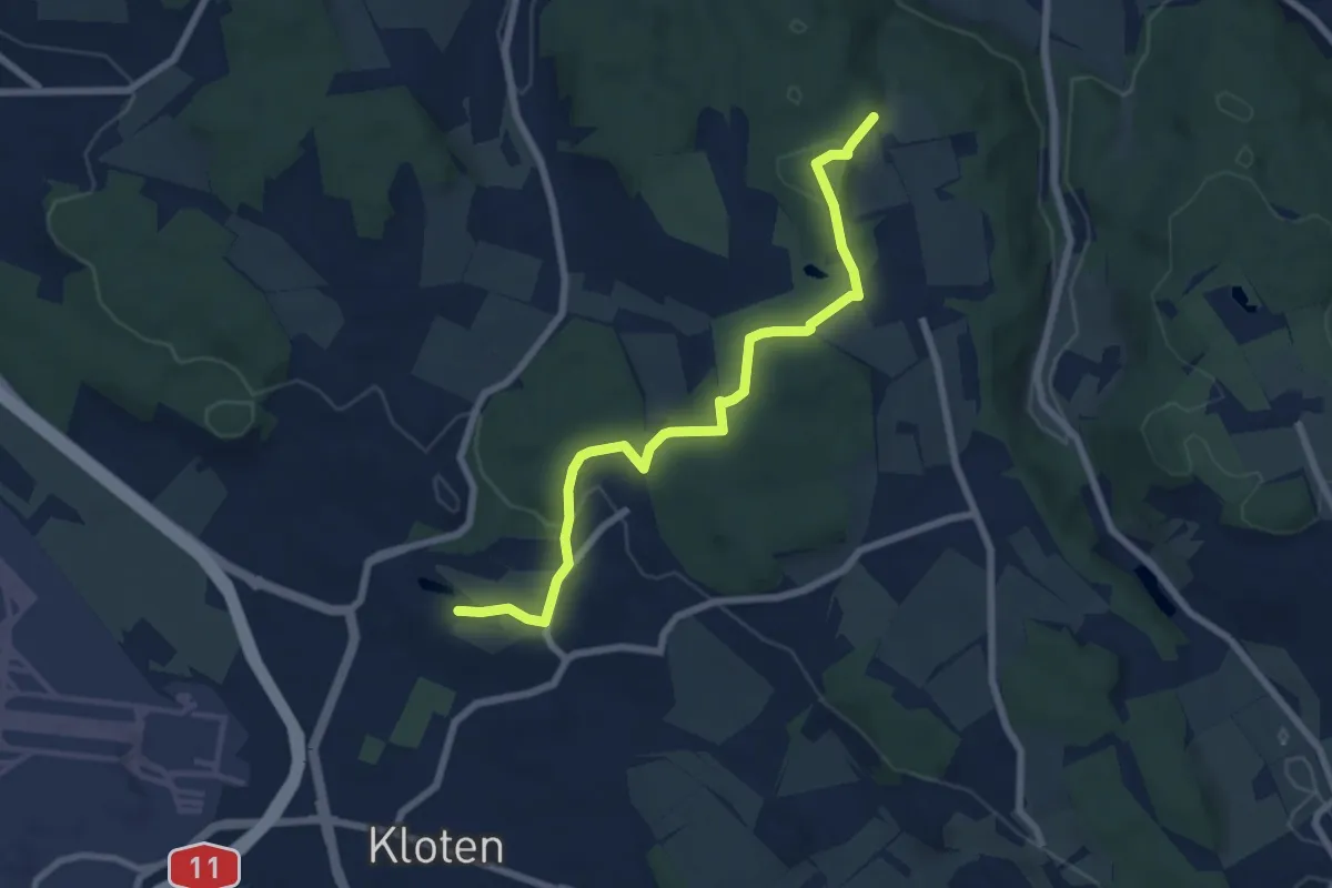
Easy · Trail
Nägelimoos - Hinterbänikon
7.2 km · ↑ 165 m · 2 h 4 min · 12 km away
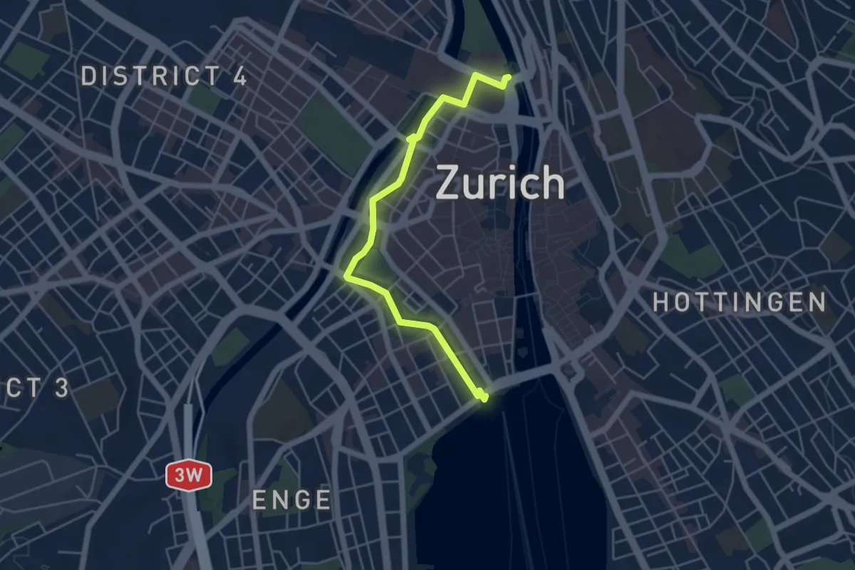
Easy · Trail
Bürkliplatz – Zürich HB
4.7 km · ↑ 24 m · 1 h 10 min · 12 km away
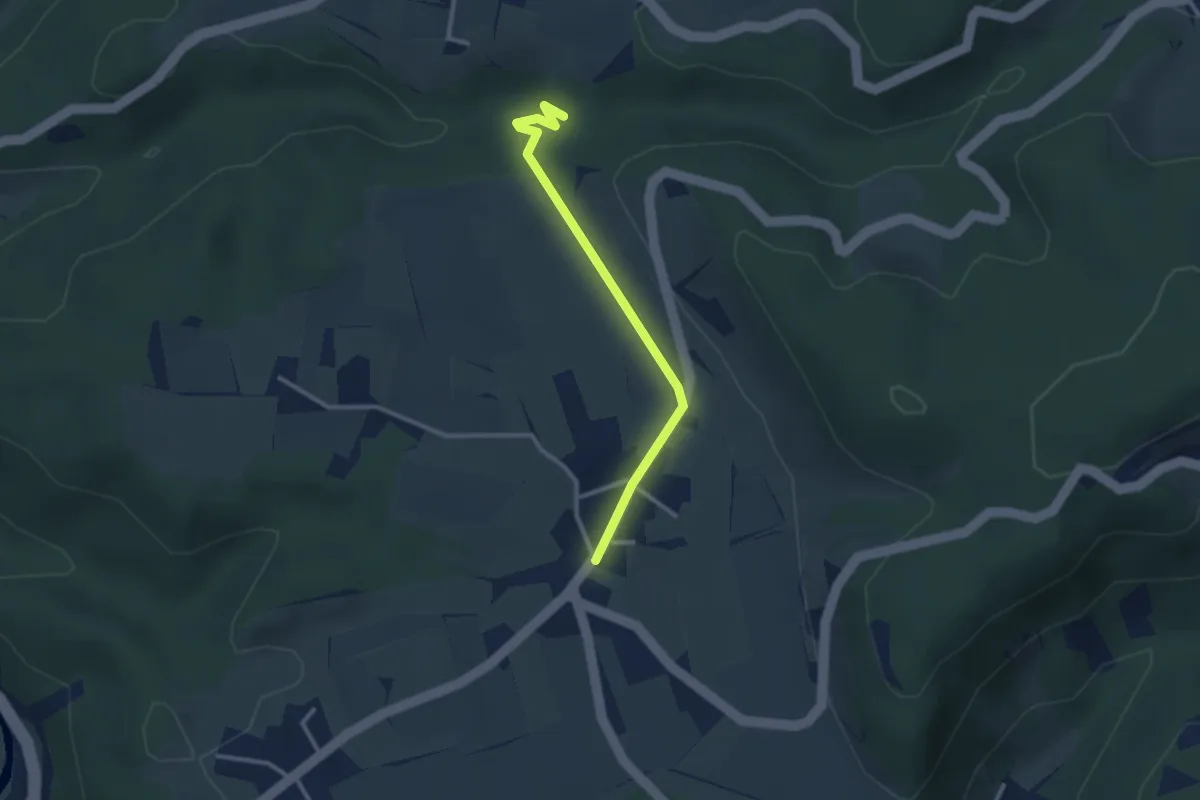
Easy · Trail
Oberlangenhard – Rörlitobel
2.6 km · ↑ 47 m · 43 min · 12 km away
Easy · Trail
Tüfels Chilen - Oberlangenhard
3.3 km · ↑ 69 m · 56 min · 12 km away
Easy · Trail
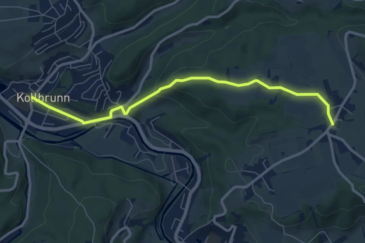
Kollbrunn Bhf. – Oberlangenhard
6.4 km · ↑ 188 m · 1 h 56 min · 12 km away
Easy · Trail
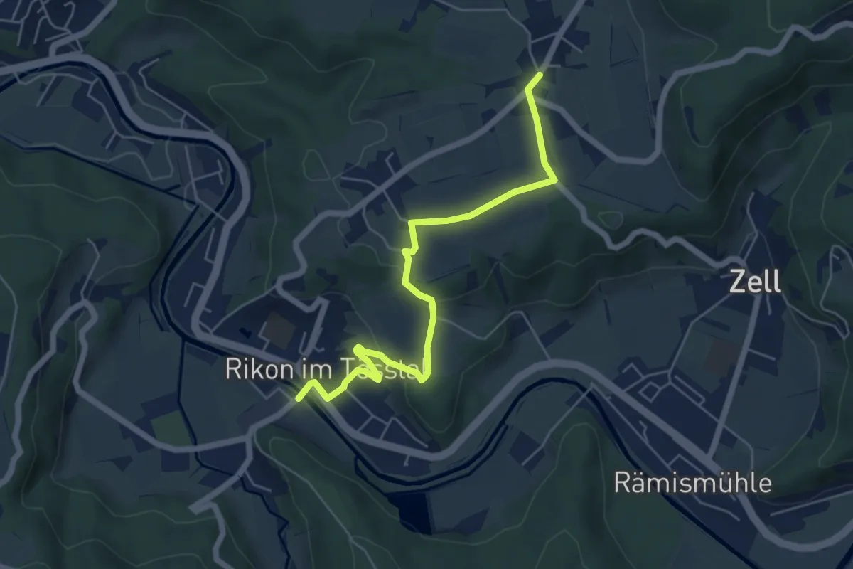
Rikon Brücke – Ober Langenhard
5.6 km · ↑ 123 m · 1 h 35 min · 12 km away
Easy · Trail
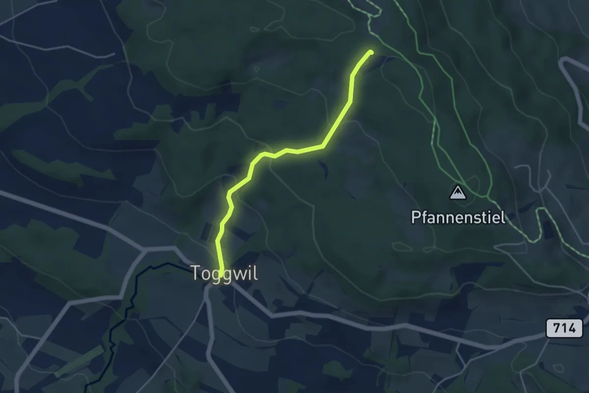
Toggwil – Guldener Höchi
3.5 km · ↑ 195 m · 1 h 15 min · 12 km away
Easy · Trail
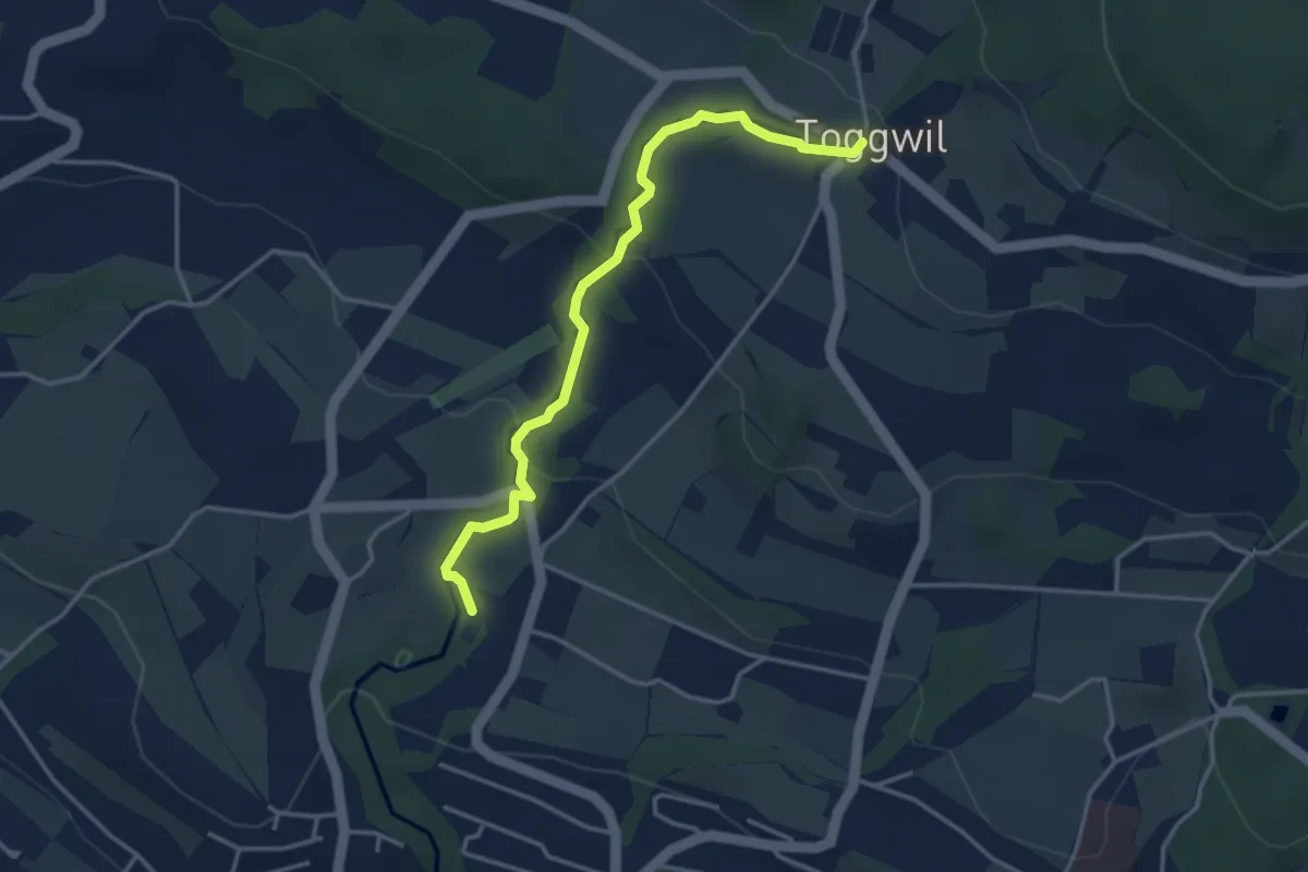
Toggwil – Rne. Friedberg
3.7 km · ↑ 134 m · 1 h 9 min · 12 km away
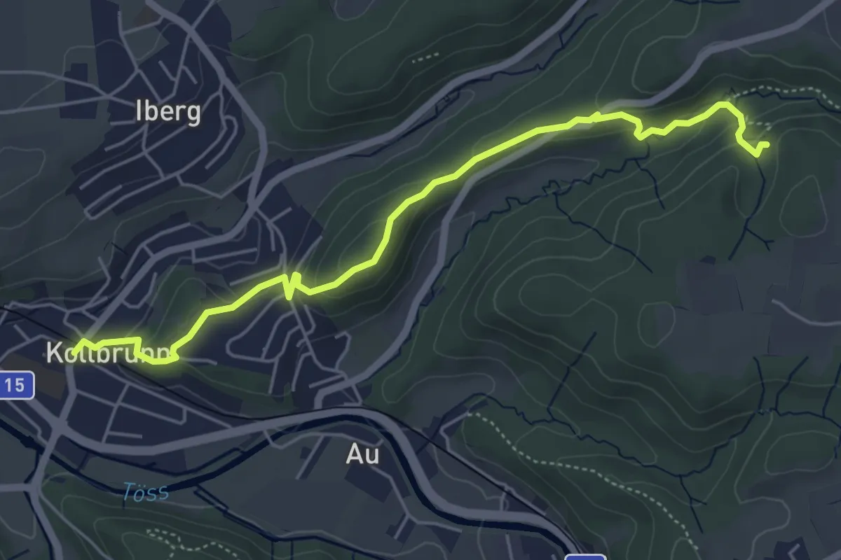
Easy · Trail
Kollbrunn Bhf. – Tüfels Chilen
5.6 km · ↑ 213 m · 1 h 46 min · 12 km away
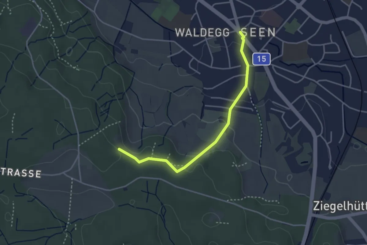
Easy · Trail
Seen – Paradis
3.2 km · ↑ 95 m · 58 min · 12 km away
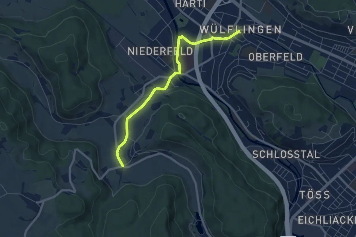
Easy · Trail
Winterthur Wülflingen – Furt
5.9 km · ↑ 83 m · 1 h 34 min · 12 km away
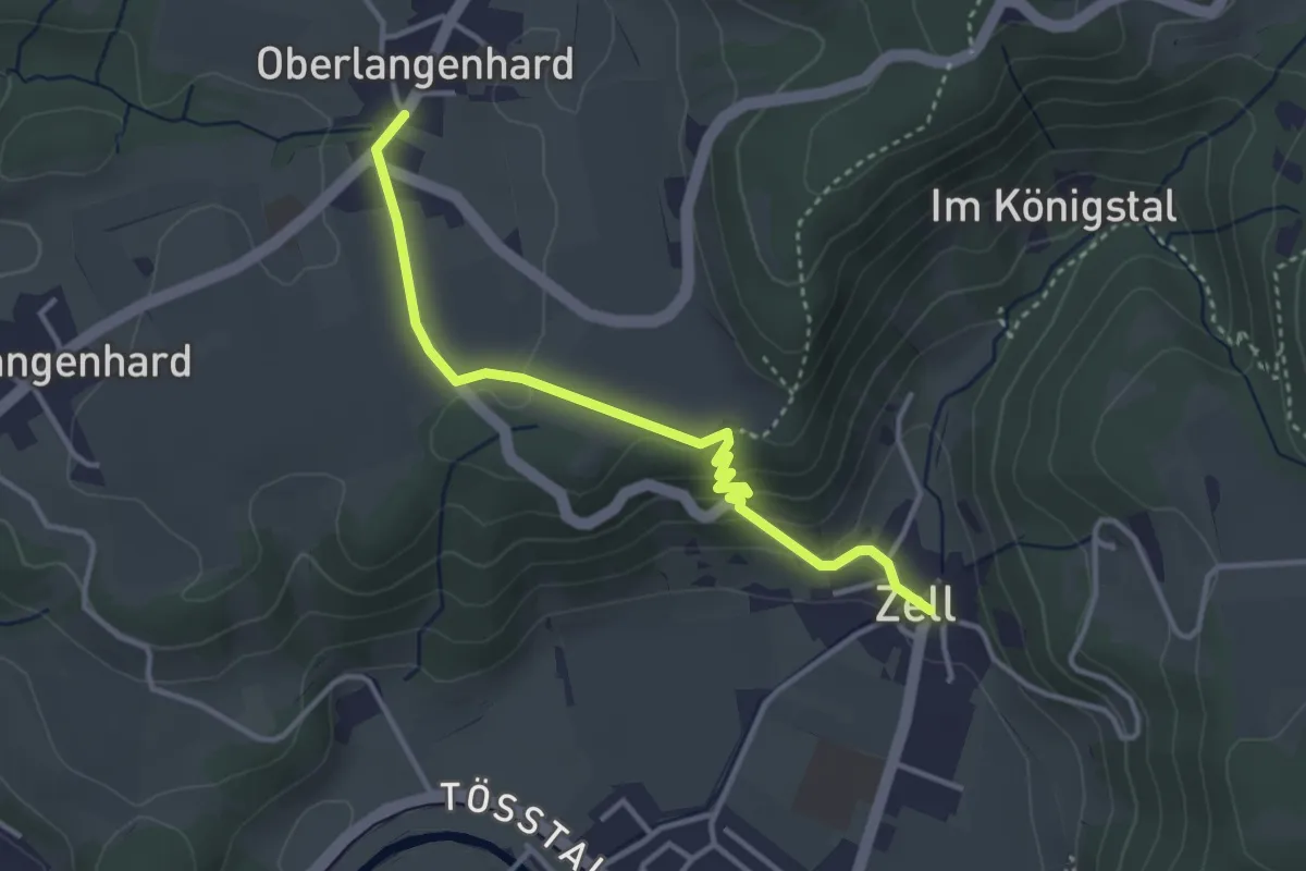
Easy · Trail
Ober Langenhard – Zell
3.5 km · ↑ 125 m · 1 h 6 min · 12 km away
Easy · Trail
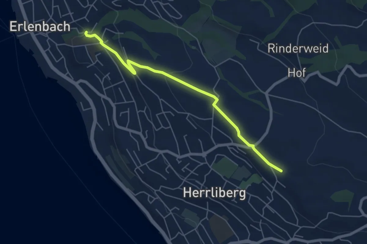
Erlenbach Dorfbach – Wängi
5.0 km · ↑ 127 m · 1 h 28 min · 12 km away
Medium · Trail
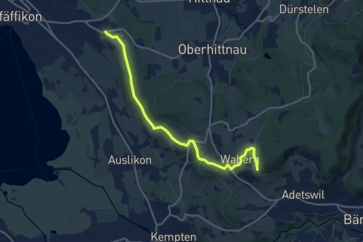
Oberwil - Rosinli
8.9 km · ↑ 244 m · 2 h 38 min · 12 km away
Easy · Trail
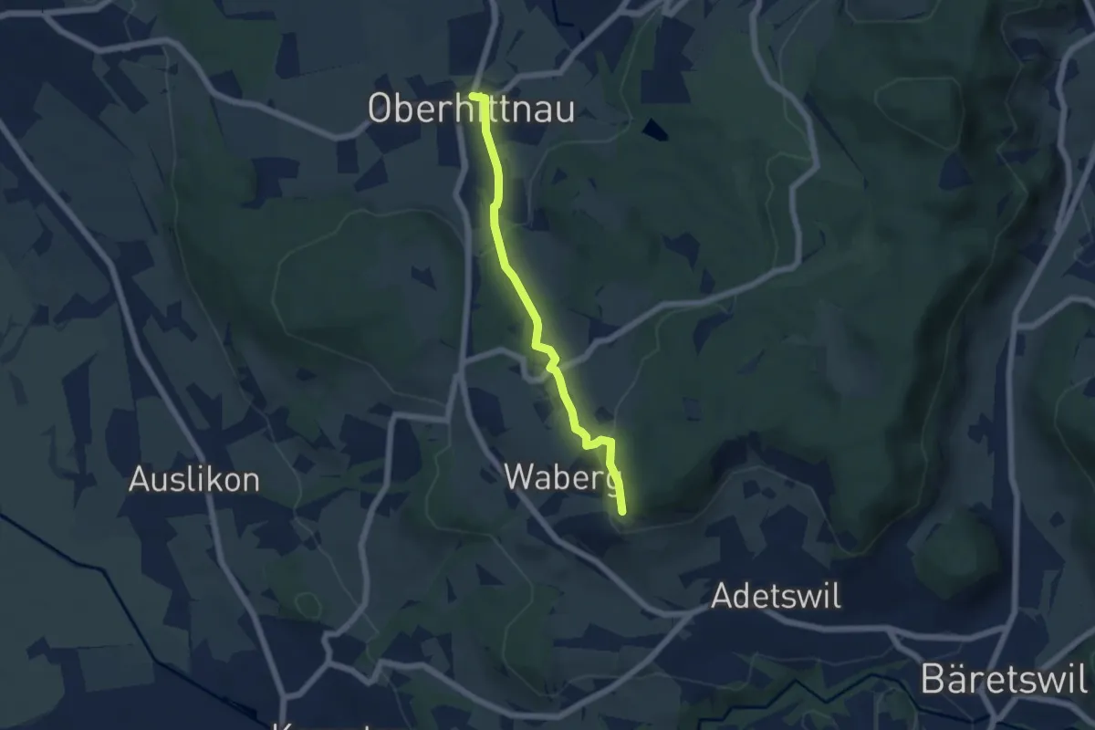
Oberhittnau - Rosinli
4.8 km · ↑ 149 m · 1 h 27 min · 12 km away
Medium · Trail
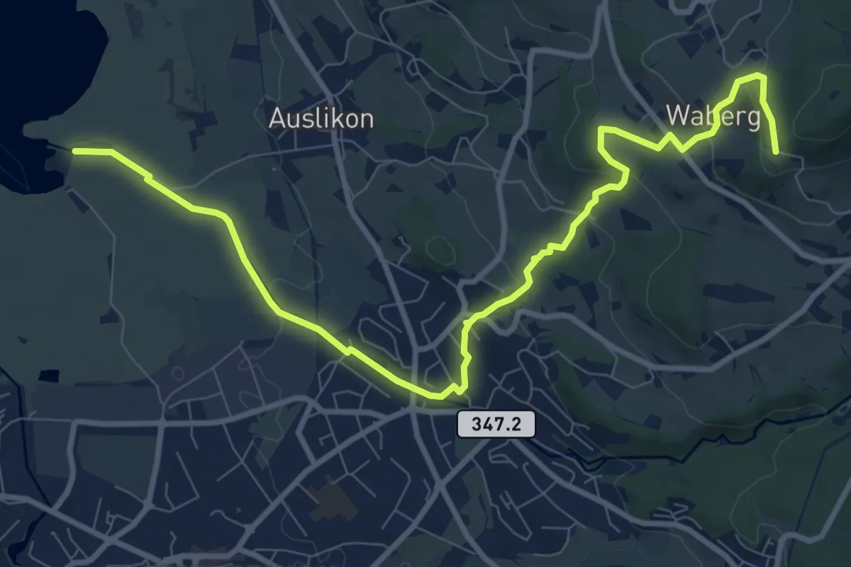
Strandbad Auslikon – Rosinli
10.7 km · ↑ 274 m · 3 h 7 min · 12 km away
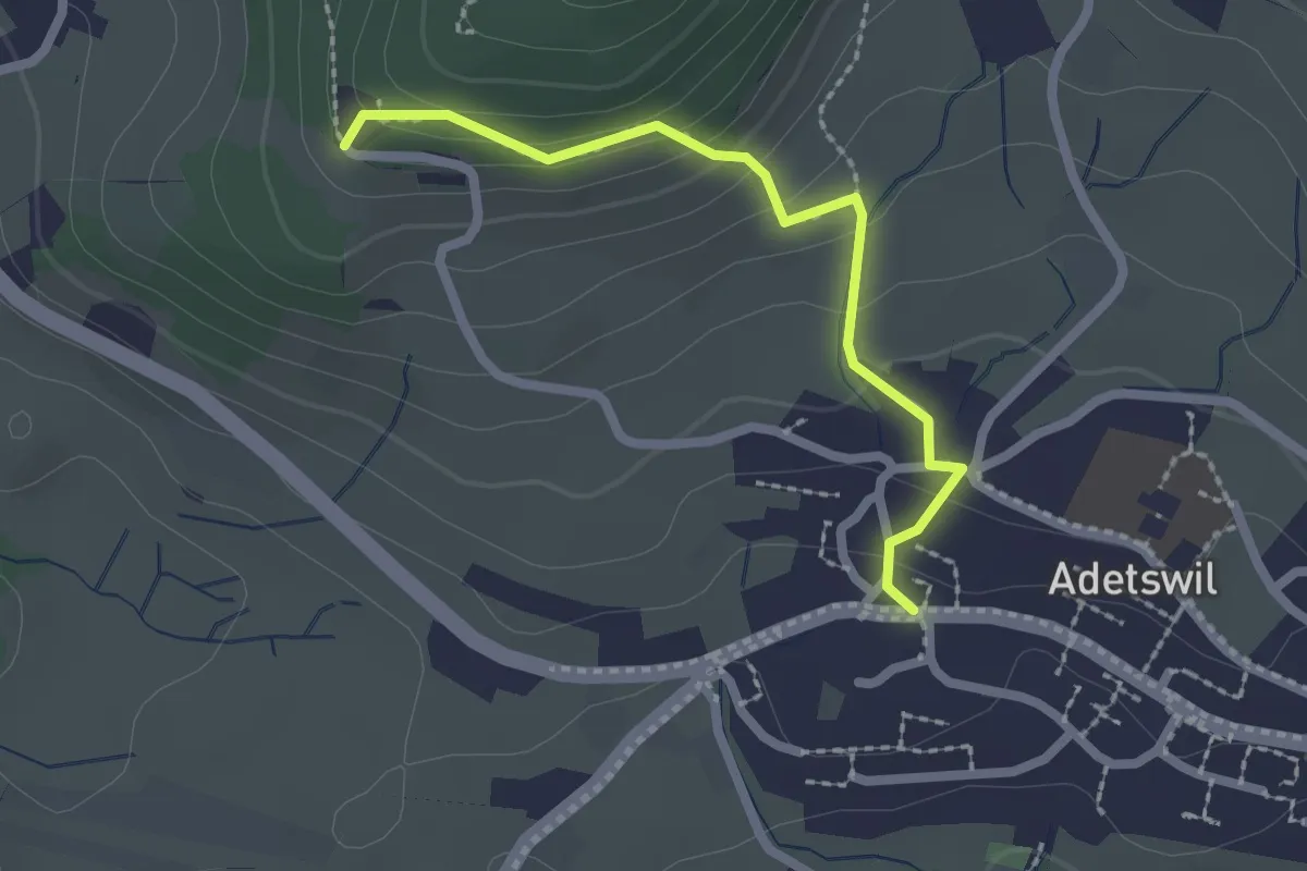
Easy · Trail
Adetswil - Rosinli
2.1 km · ↑ 129 m · 47 min · 12 km away
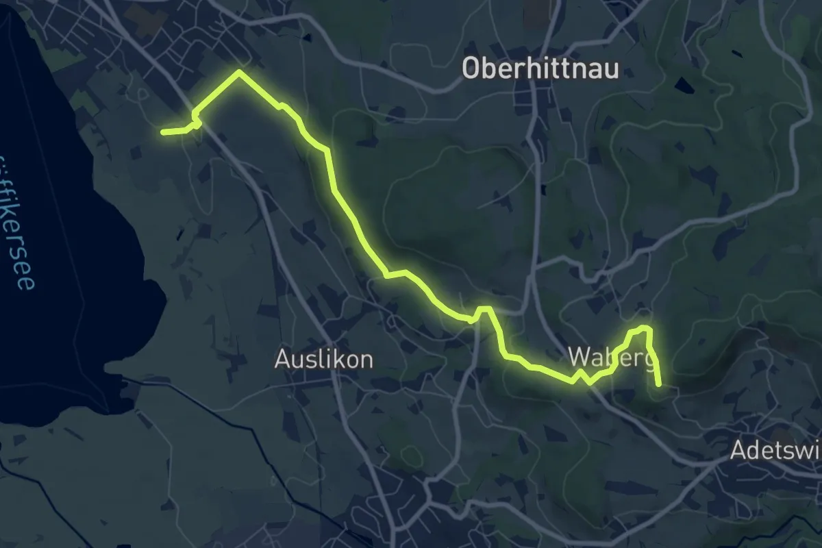
Medium · Trail
Römerkastell – Rosinli
9.9 km · ↑ 285 m · 2 h 57 min · 12 km away
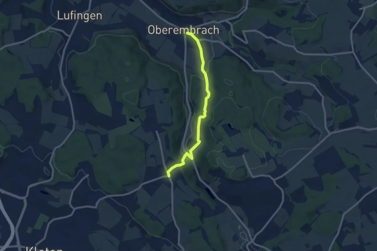
Easy · Trail
Oberembrach – Gerlisberg
6.5 km · ↑ 212 m · 1 h 59 min · 12 km away
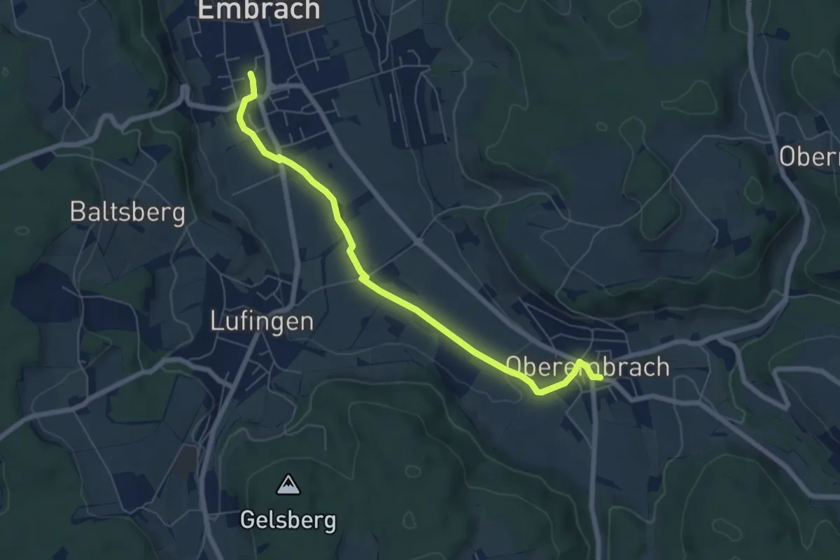
Easy · Trail
Embrach Oberdorf – Oberembrach
6.4 km · ↑ 34 m · 1 h 35 min · 12 km away
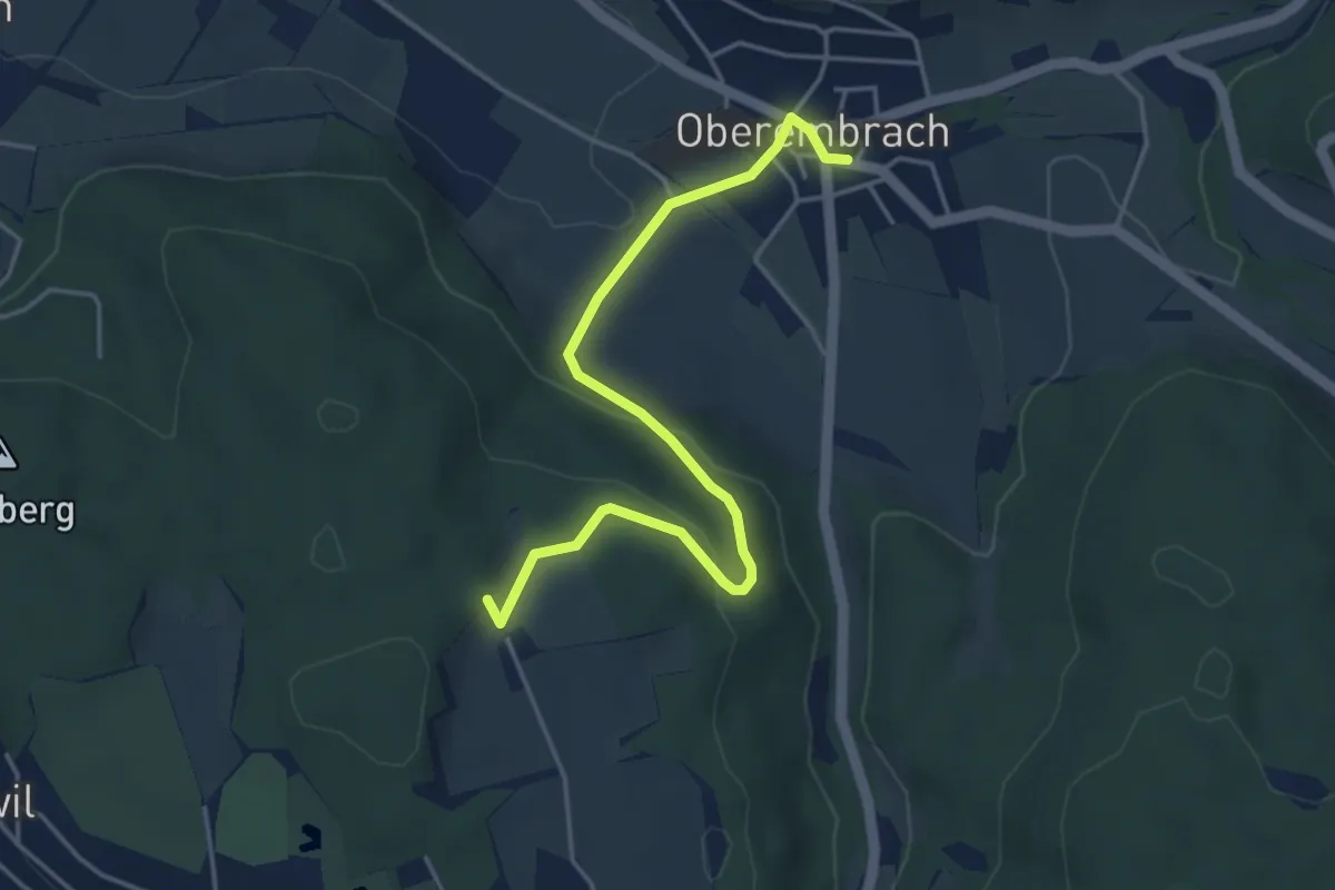
Easy · Trail
Hinterbänikon – Oberembrach
4.5 km · ↑ 136 m · 1 h 21 min · 12 km away
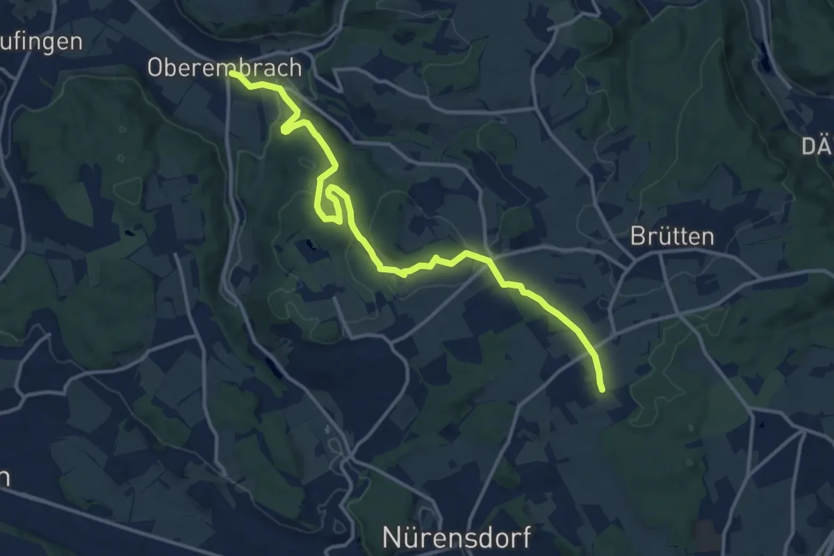
Medium · Trail
Oberembrach – Breite
13.6 km · ↑ 238 m · 3 h 44 min · 12 km away
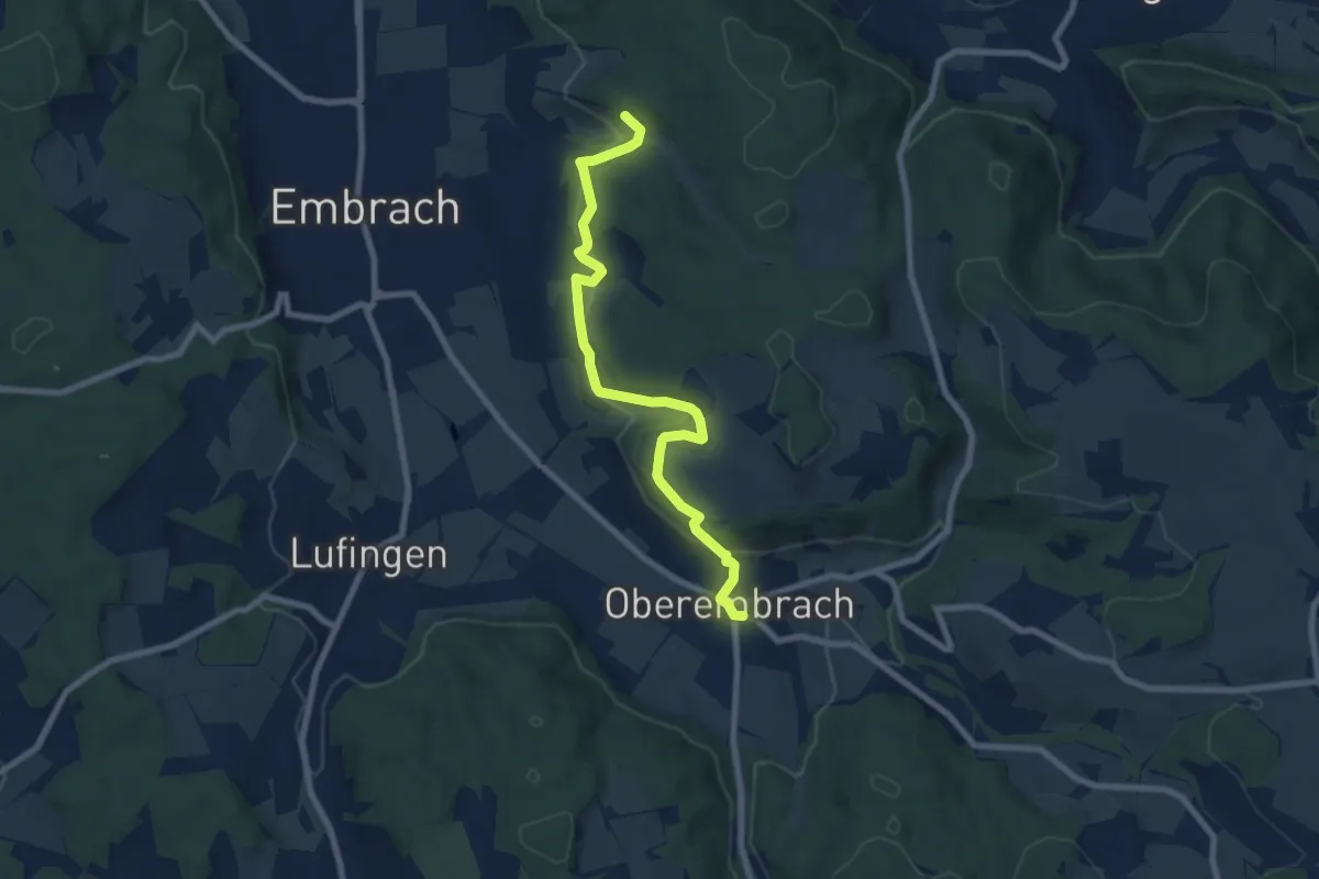
Easy · Trail
Oberembrach – Warpel
7.9 km · ↑ 234 m · 2 h 22 min · 12 km away