Trails near Wettingen
411 hikes starting within 15 km, nearest first.
Nearest first, page 8 of 9
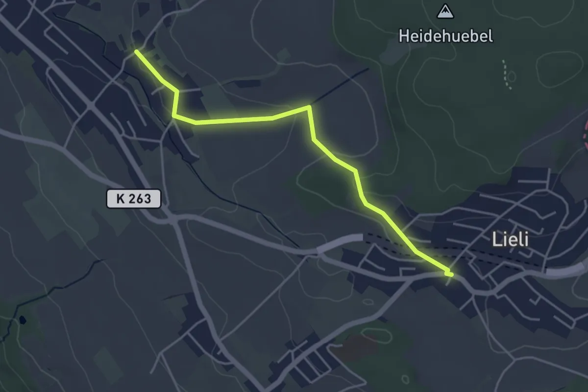
Easy · Trail
Lieli Dorf - Ober Berikon
3.8 km · ↑ 79 m · 1 h 5 min · 13 km away
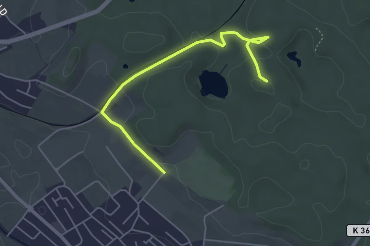
Easy · Trail
Erdmannlistein – Tierpark
4.3 km · ↑ 62 m · 1 h 9 min · 13 km away
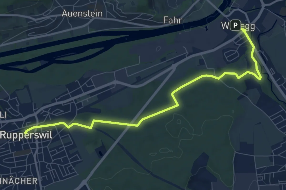
Medium · Trail
Wildegg - Kantonsmitte - Rupperswil
9.1 km · ↑ 102 m · 2 h 22 min · 14 km away
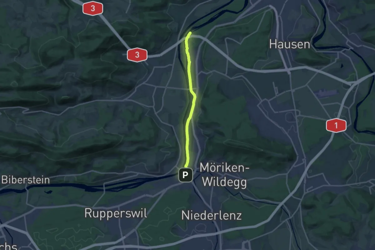
Medium · Trail
Wildegg - Hilfswehr NOK
11.9 km · ↑ 30 m · 2 h 52 min · 14 km away
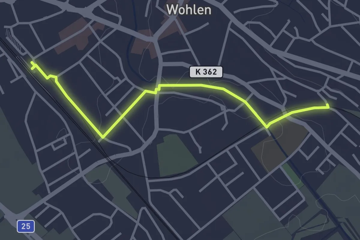
Easy · Trail
Wohlen – Wohlen Oberdorf
3.3 km · ↑ 18 m · 49 min · 14 km away
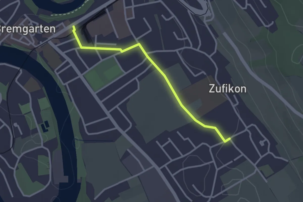
Easy · Trail
Bremgarten – Zufikon
2.6 km · ↑ 16 m · 39 min · 14 km away
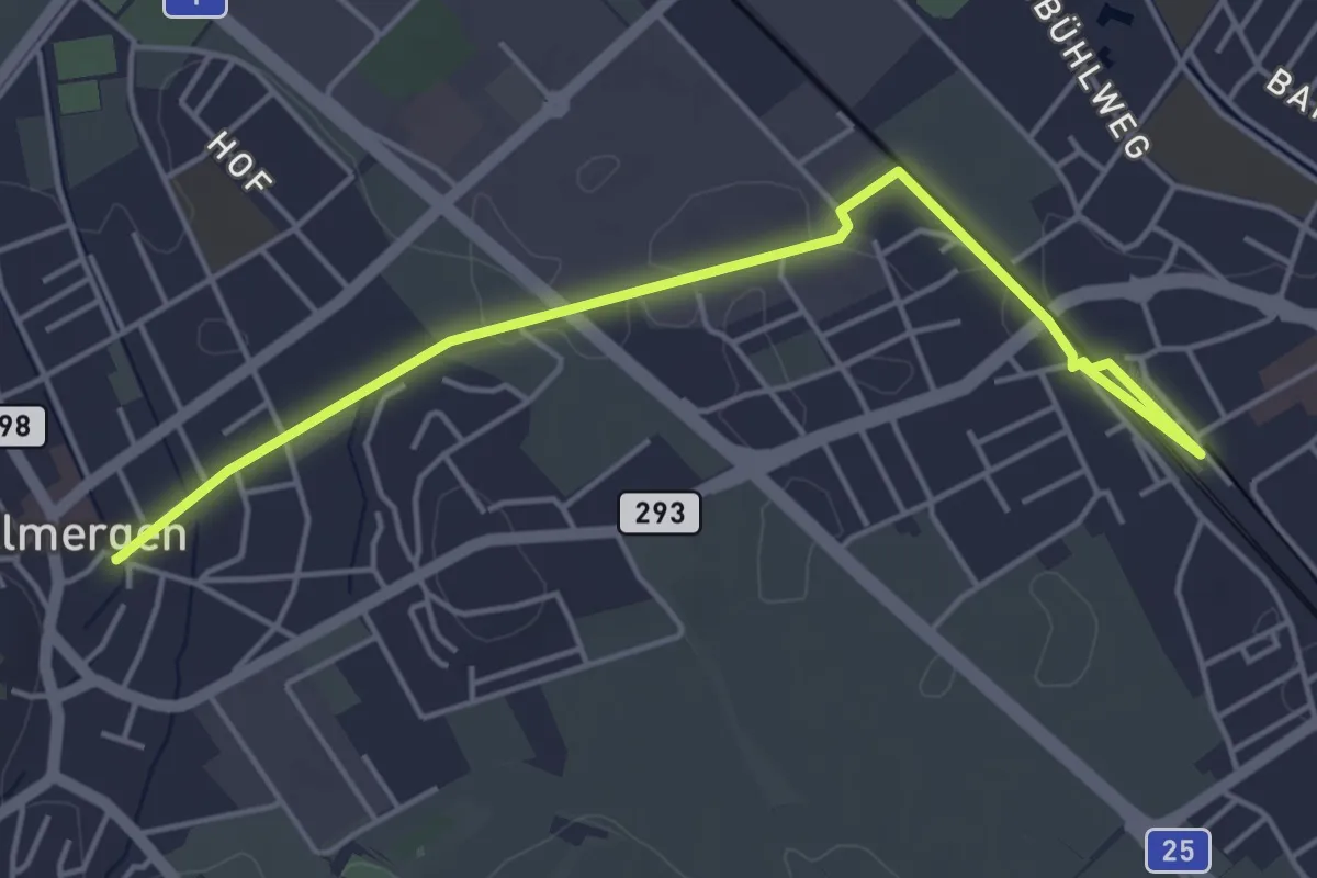
Easy · Trail
Wohlen – Villmergen
5.0 km · ↑ 13 m · 1 h 13 min · 14 km away
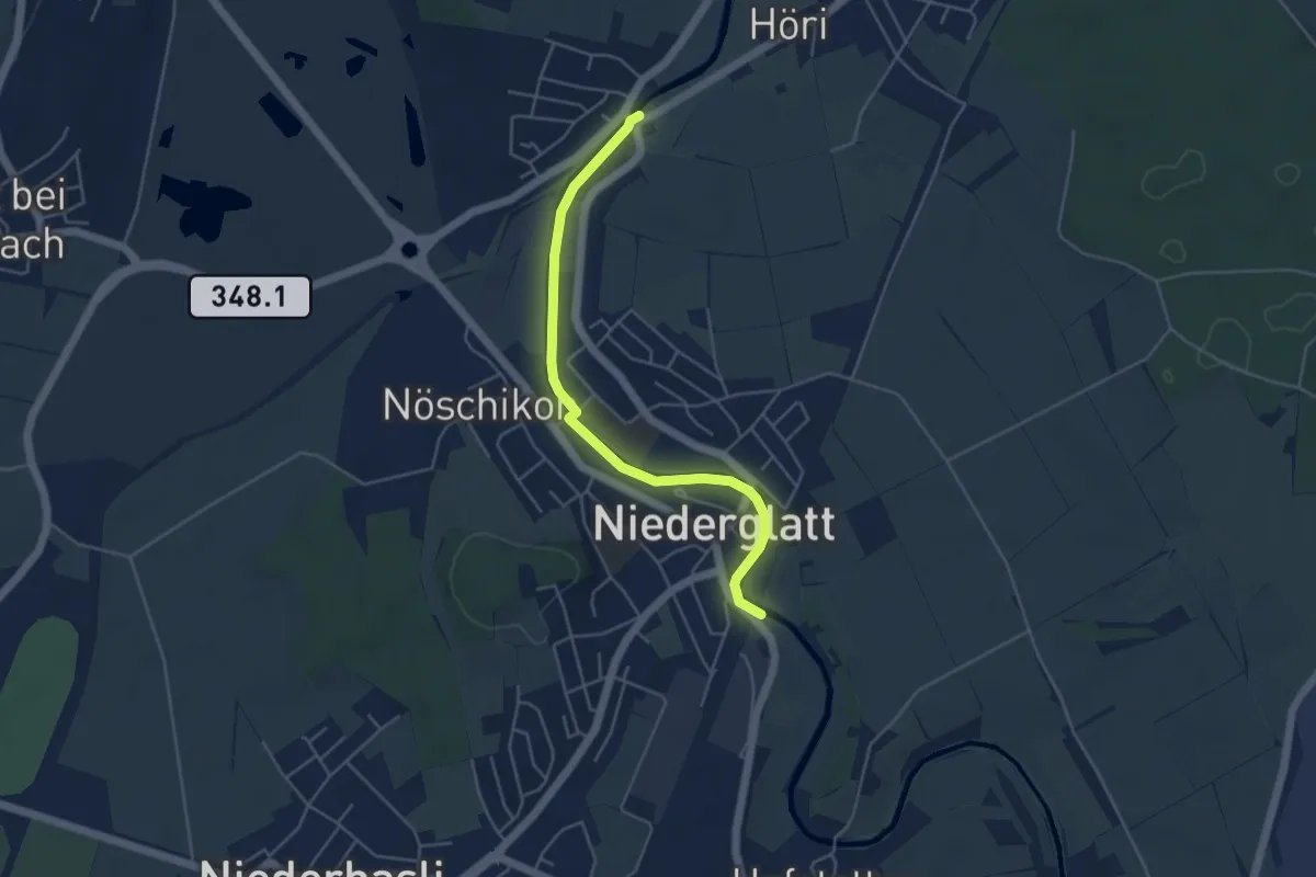
Easy · Trail
Oberhöri – Niederglatt
4.6 km · ↑ 14 m · 1 h 7 min · 14 km away
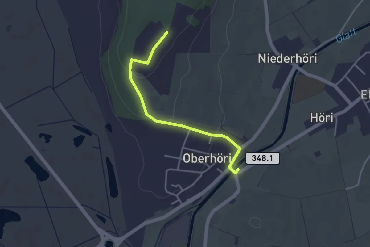
Easy · Trail
Höriberg – Oberhöri
2.9 km · ↑ 57 m · 49 min · 14 km away
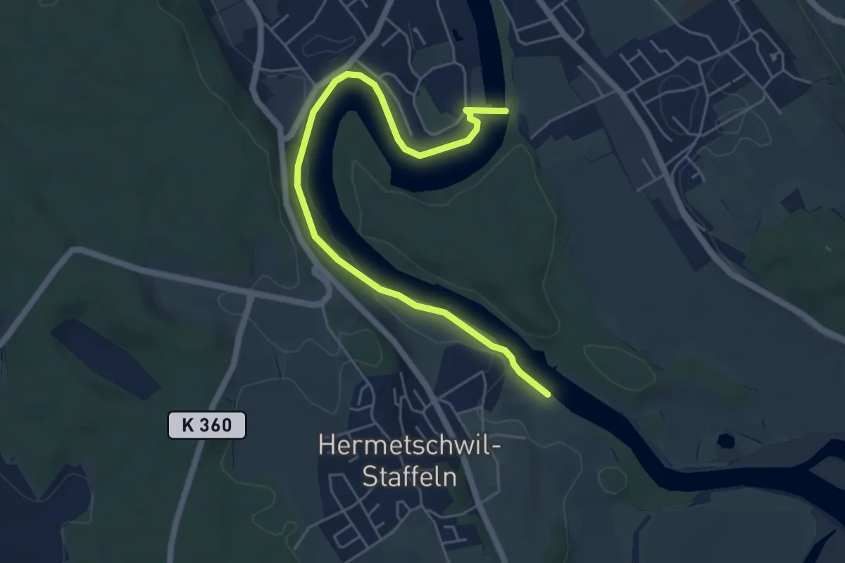
Easy · Trail
Bremgarten - Dominilochsteg
5.7 km · ↑ 118 m · 1 h 36 min · 14 km away
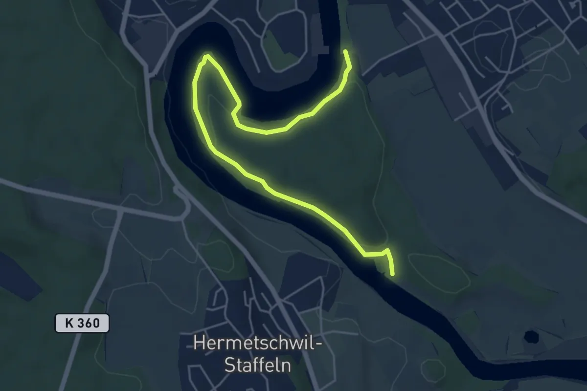
Easy · Trail
Dominolochsteg - Kraftwerk Bremgarten-Zufikon
5.3 km · ↑ 128 m · 1 h 32 min · 14 km away
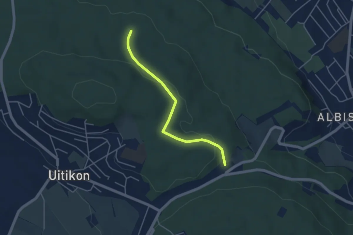
Easy · Trail
Frauenmatt – Feldermoos
3.3 km · ↑ 81 m · 57 min · 14 km away
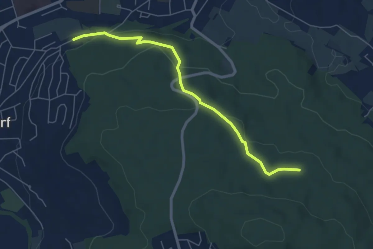
Easy · Trail
Urdorf (Bahnhof) – Frauenmatt
5.2 km · ↑ 125 m · 1 h 30 min · 14 km away
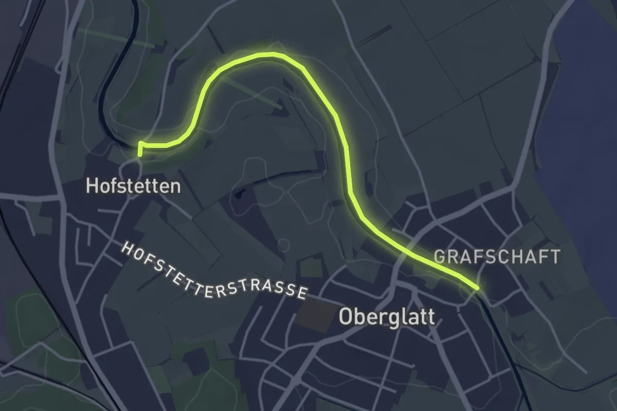
Easy · Trail
Oberglatt Brücke - Hofstetten
3.9 km · ↑ 8 m · 56 min · 14 km away
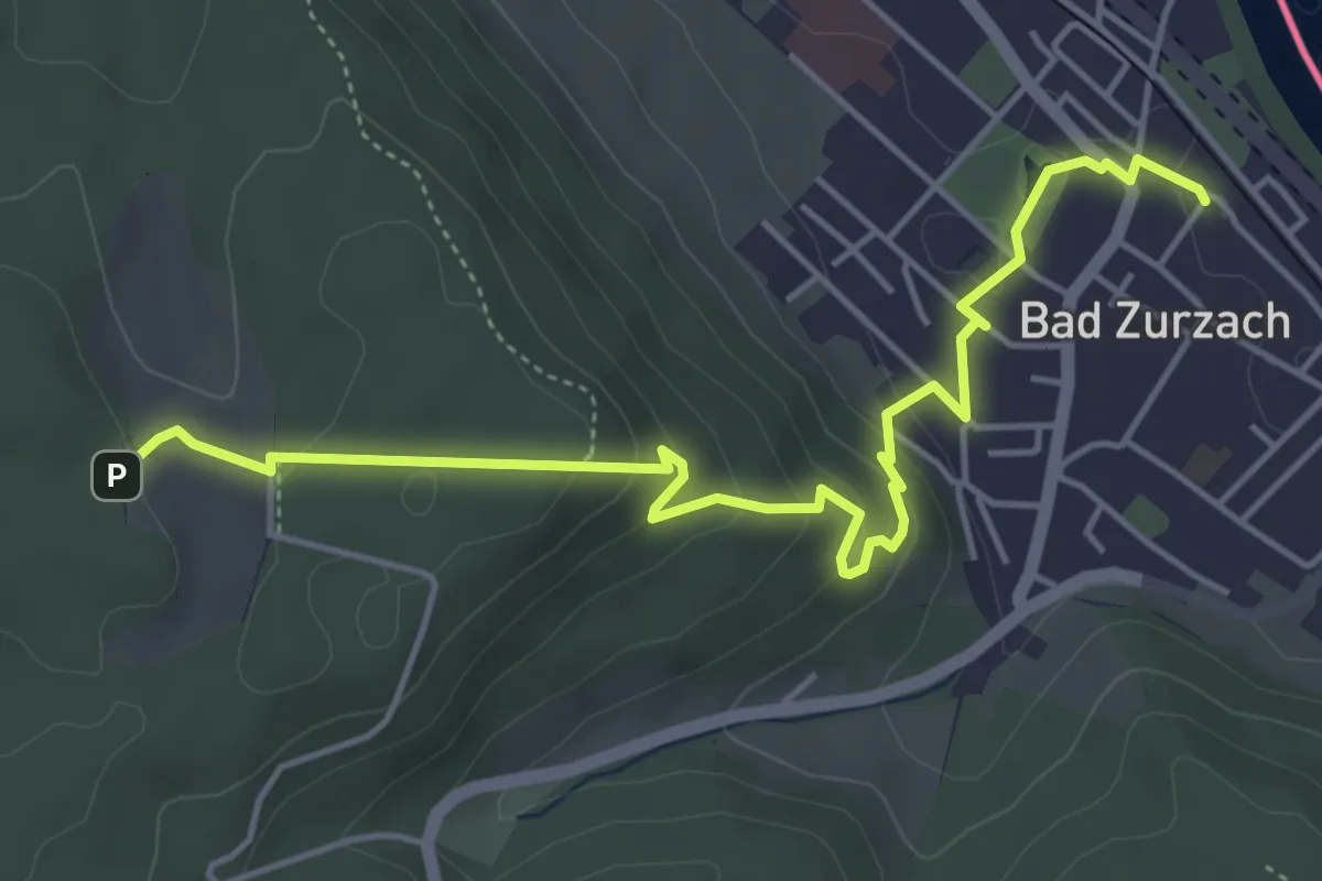
Medium · Trail
Bad Zurzach - Acheberg
5.4 km · ↑ 221 m · 1 h 46 min · 14 km away
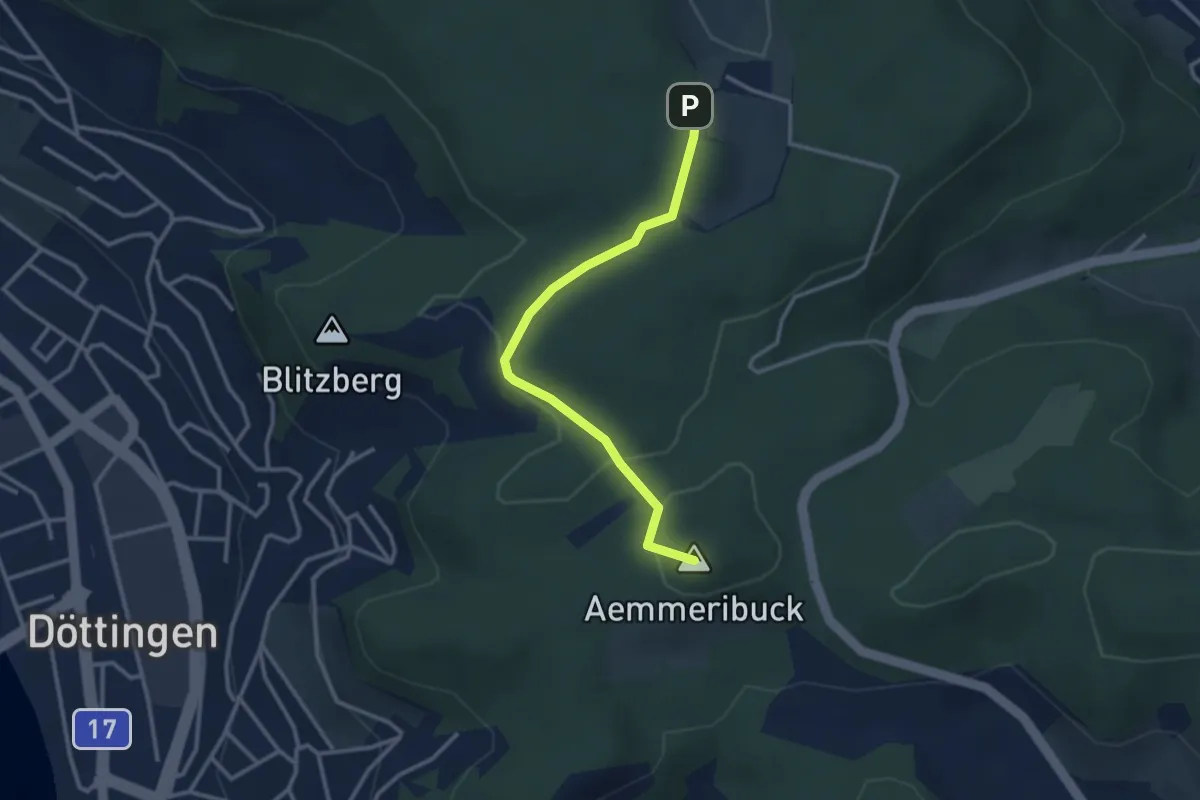
Easy · Summit
Zurzacherberg - Acheberg
2.9 km · ↑ 50 m · 48 min · 14 km away
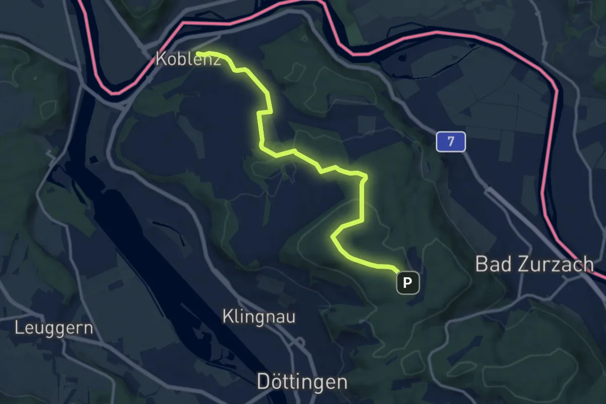
Medium · Trail
Koblenz - Acheberg
10.6 km · ↑ 245 m · 3 h 3 min · 14 km away
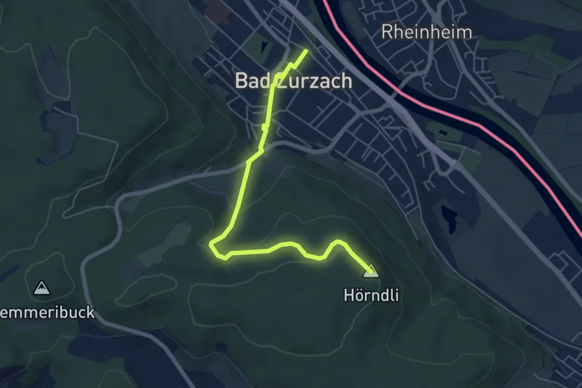
Easy · Summit
Bad Zurzach - Hörndli
5.2 km · ↑ 197 m · 1 h 39 min · 14 km away
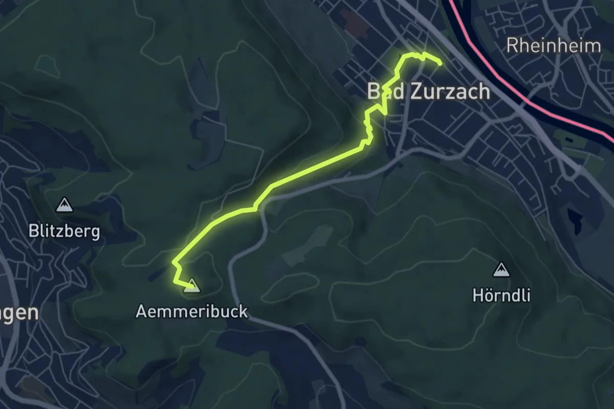
Easy · Summit
Bad Zurzach - Zurzacherberg
5.8 km · ↑ 168 m · 1 h 44 min · 14 km away
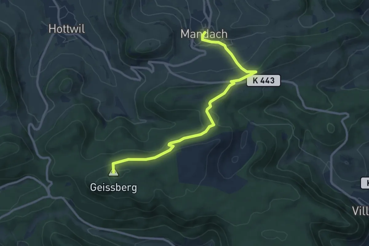
Easy · Summit
Bürersteig - Mandach
7.5 km · ↑ 228 m · 2 h 16 min · 14 km away
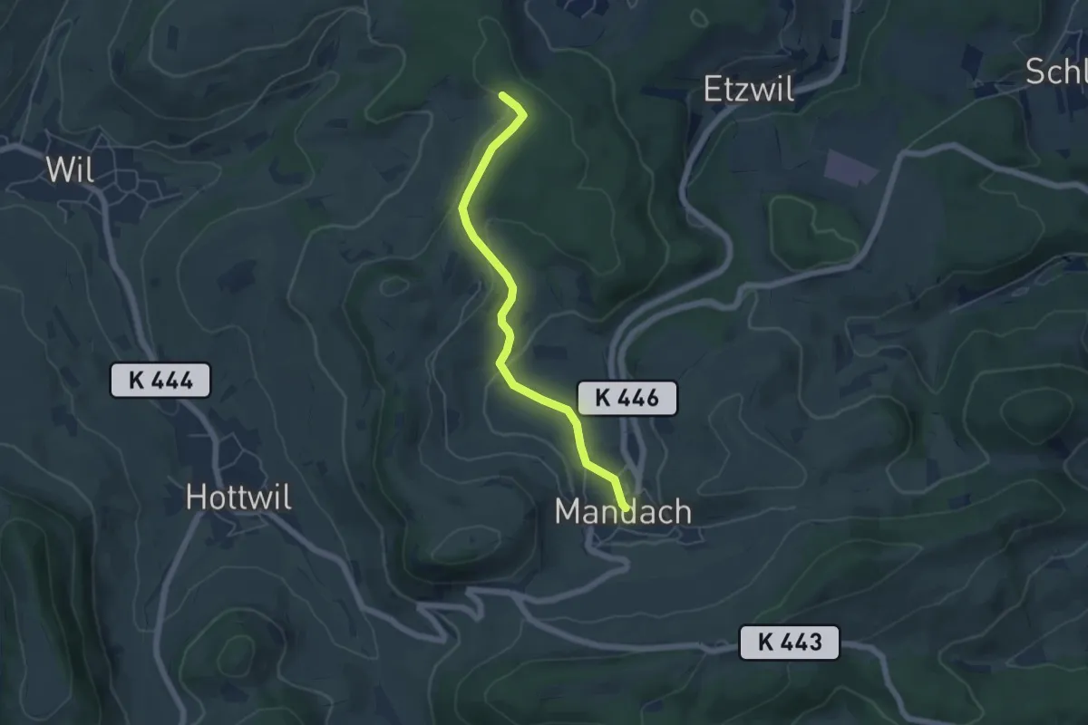
Easy · Trail
Pt. 547 - Mandach
4.9 km · ↑ 111 m · 1 h 23 min · 14 km away
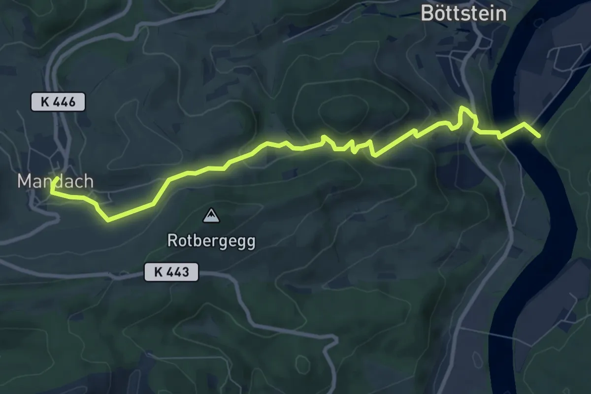
Medium · Trail
Mandach - Beznau Steg
8.5 km · ↑ 378 m · 2 h 49 min · 14 km away
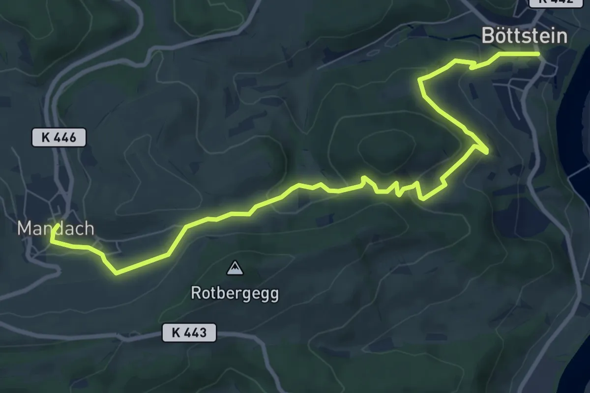
Medium · Trail
Mandach - Böttstein
9.3 km · ↑ 367 m · 3 h · 14 km away
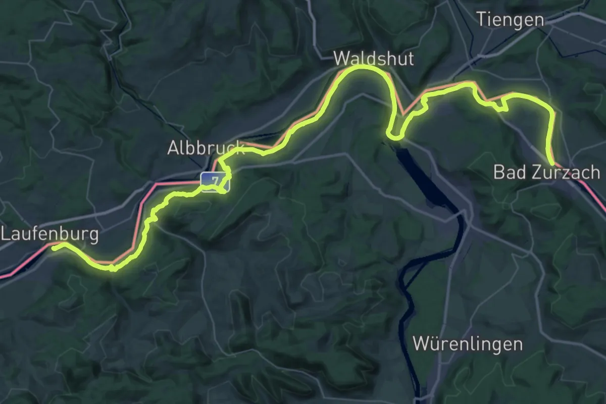
Demanding · Trail
ViaRhenana
30.5 km · ↑ 354 m · 8 h 24 min · 14 km away
Medium · Trail
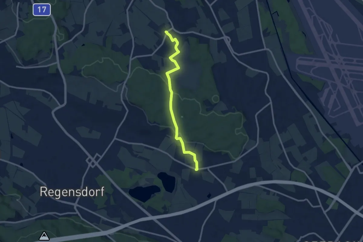
Chatzenrüti – Oberhasli
8.3 km · ↑ 161 m · 2 h 18 min · 14 km away
Easy · Trail
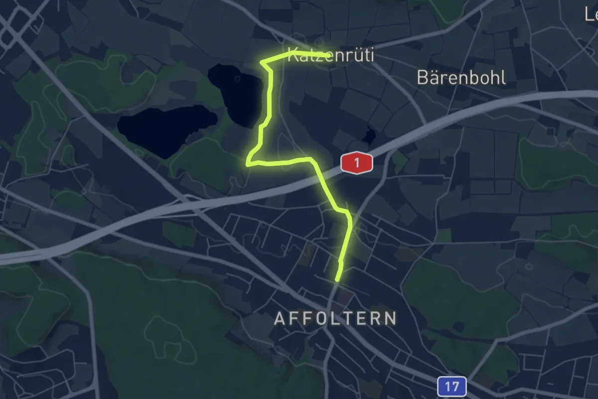
Zürich Affoltern - Chatzenrüti
5.7 km · ↑ 48 m · 1 h 27 min · 14 km away
Easy · Trail
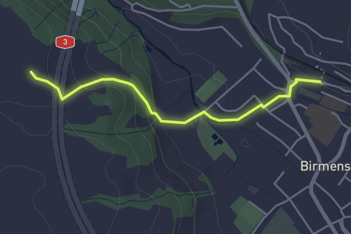
Birmensdorf - Hafnerberg
3.1 km · ↑ 124 m · 1 h 1 min · 14 km away
Easy · Trail
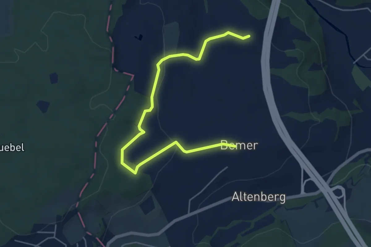
Bemer - Hafnerberg
5.2 km · ↑ 130 m · 1 h 30 min · 14 km away
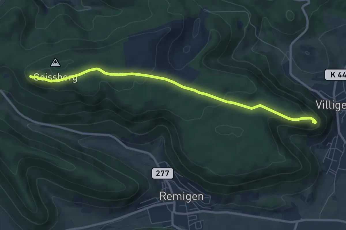
Easy · Trail
Geissberg Chameren - Besserstein
7.2 km · ↑ 218 m · 2 h 11 min · 14 km away
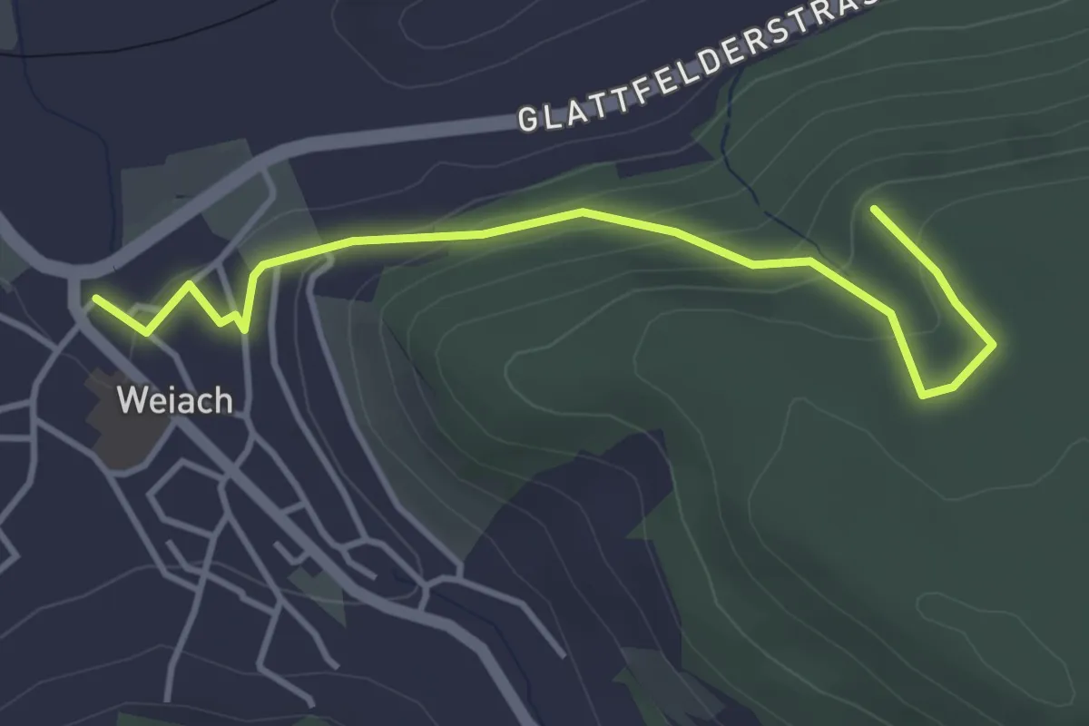
Easy · Trail
Weiach – Leuenchopf
3.9 km · ↑ 191 m · 1 h 20 min · 14 km away
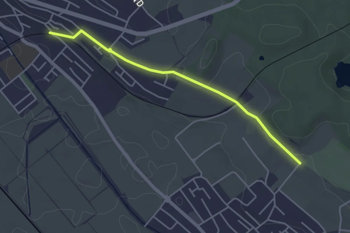
Easy · Trail
Tierpark – Wohlen Oberdorf
3.6 km · ↑ 55 m · 58 min · 14 km away
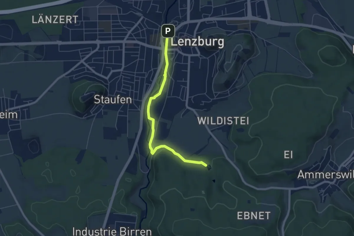
Easy · Trail
Lenzburg – Fünfweier
5.5 km · ↑ 55 m · 1 h 26 min · 14 km away
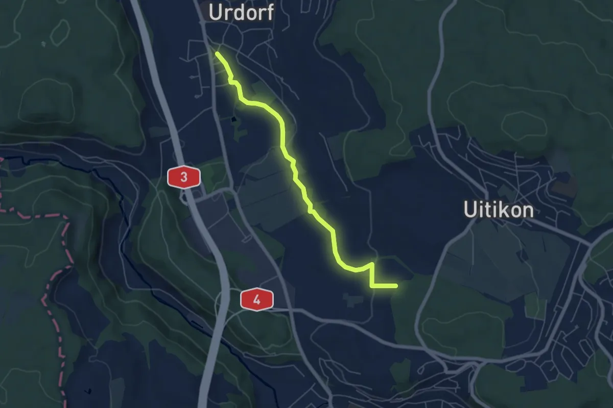
Easy · Trail
Oberurdorf - Leerbreiti
5.5 km · ↑ 97 m · 1 h 31 min · 14 km away
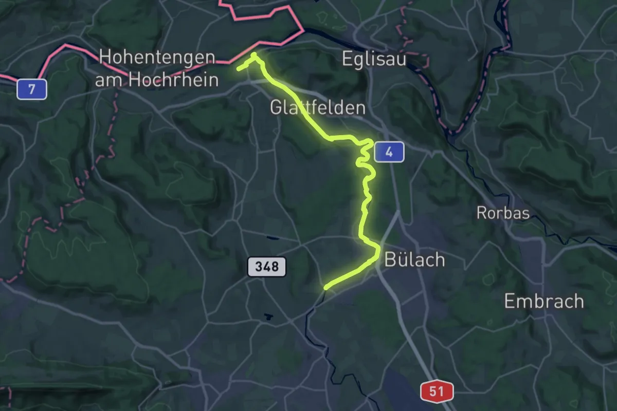
Demanding · Trail
Zweidlen (Station) – Niederhöri
25.8 km · ↑ 352 m · 6 h 51 min · 14 km away
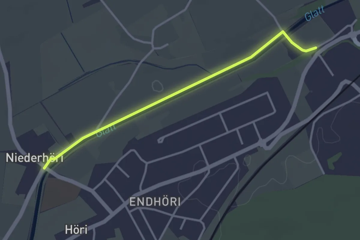
Easy · Trail
Niederhöri - Jakobstal
3.1 km · ↑ 0 m · 44 min · 14 km away
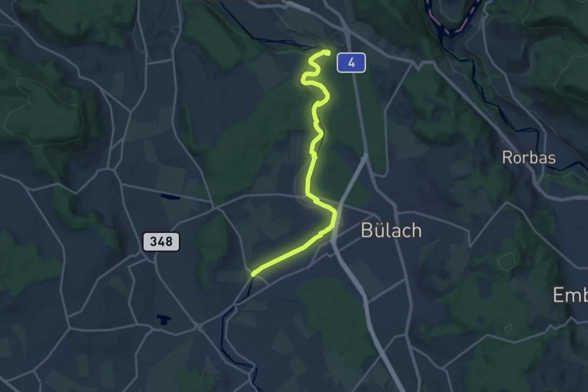
Medium · Trail
Niederhöri – Station Glattfelden
14.2 km · ↑ 241 m · 3 h 52 min · 14 km away
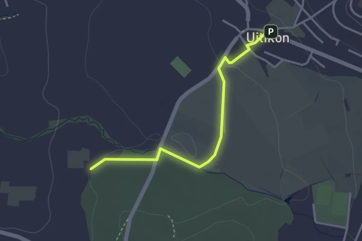
Easy · Trail
Uitikon - Leerbreiti
2.9 km · ↑ 41 m · 46 min · 14 km away
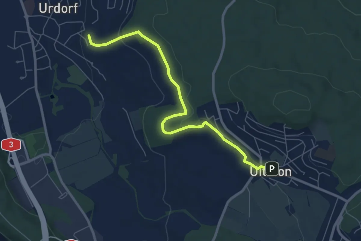
Easy · Trail
Weihermatt – Uitikon
6.3 km · ↑ 140 m · 1 h 47 min · 14 km away
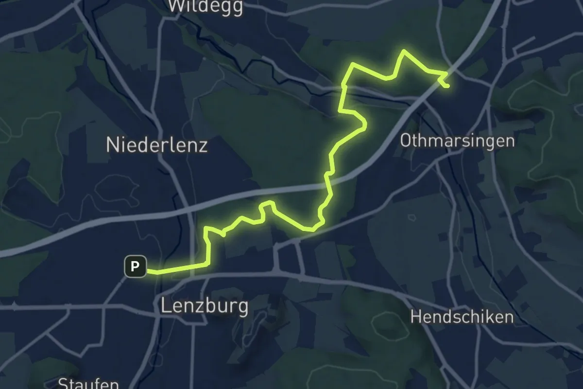
Medium · Trail
Lenzburg – Othmarsingen
12.5 km · ↑ 183 m · 3 h 21 min · 14 km away
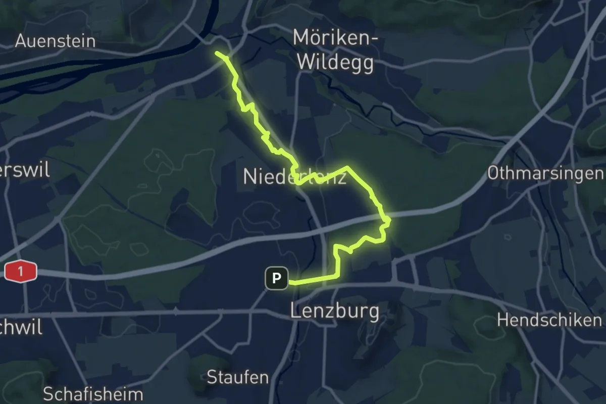
Medium · Trail
Lenzburg - Niederlenz - Wildegg
12.4 km · ↑ 158 m · 3 h 16 min · 14 km away
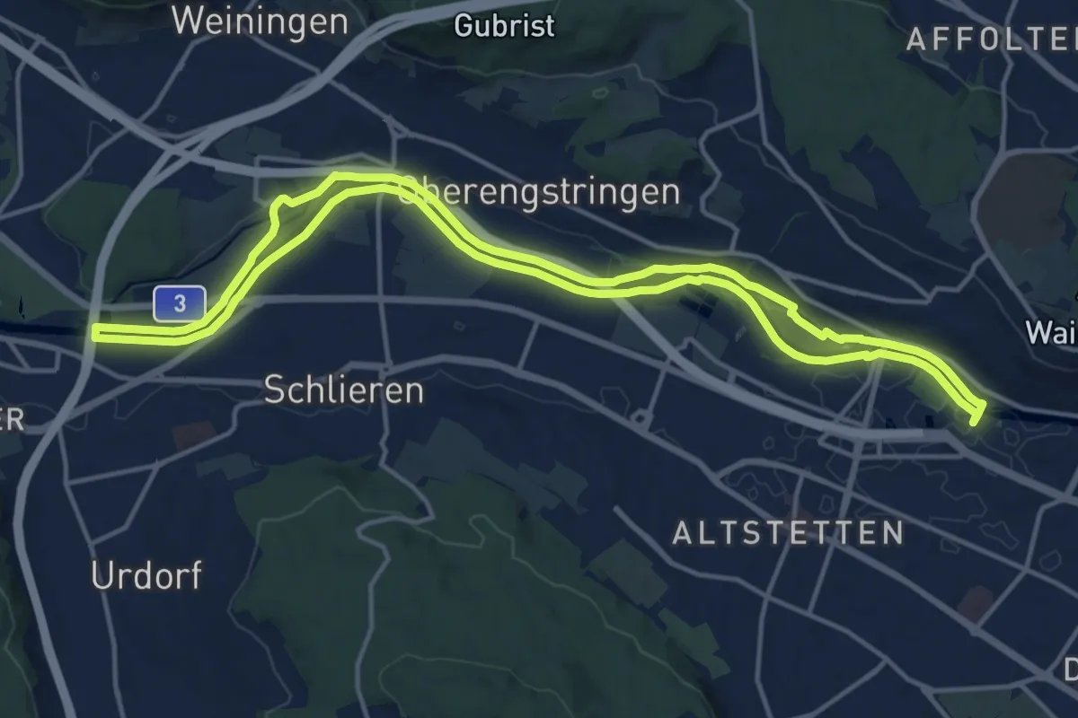
Medium · Trail
Limmat-Uferweg
15.1 km · ↑ 41 m · 3 h 52 min · 14 km away
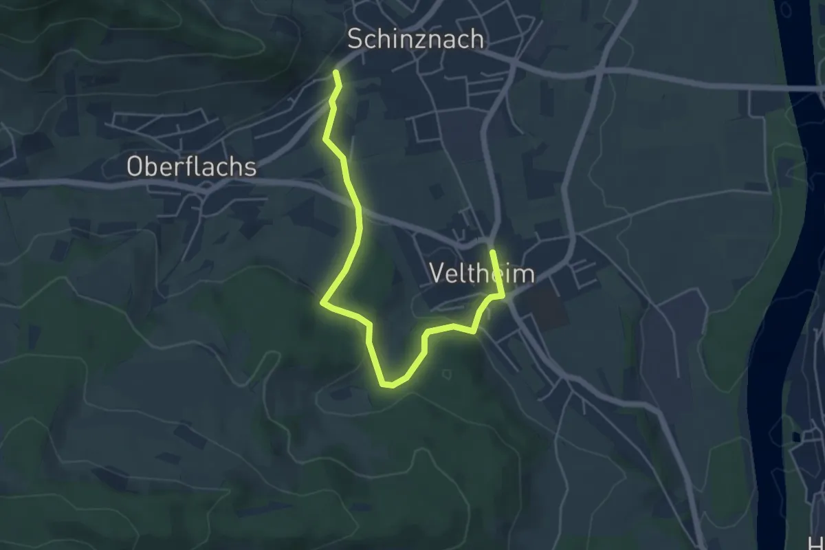
Easy · Trail
Veltheim - Schinznach-Dorf
5.0 km · ↑ 138 m · 1 h 29 min · 14 km away
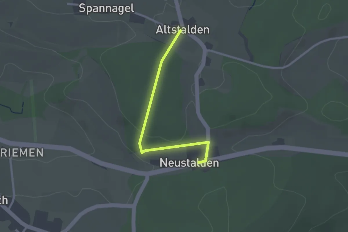
Easy · Trail
Bözberg Neustalden - Alt Stalden
2.1 km · ↑ 38 m · 35 min · 14 km away
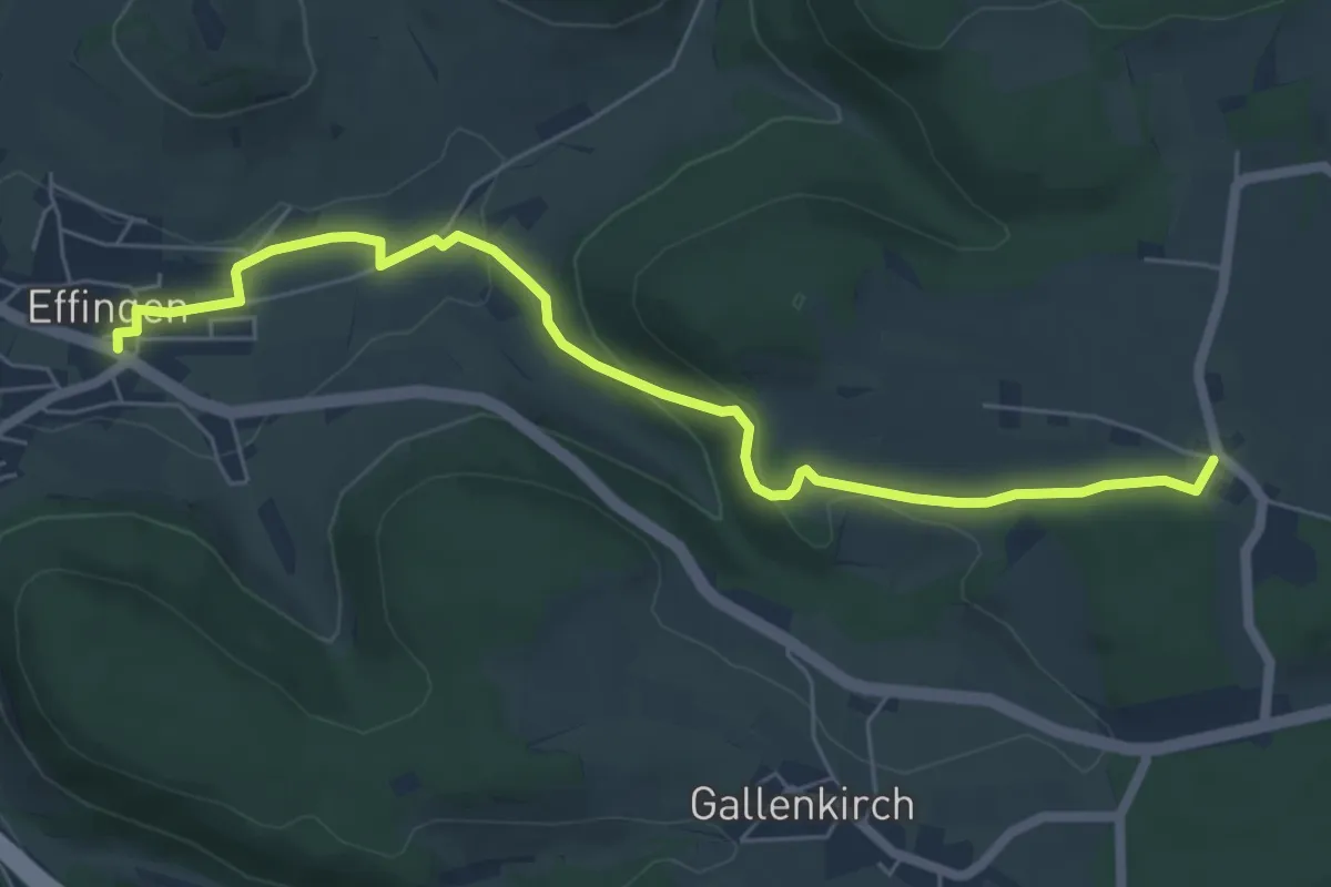
Easy · Trail
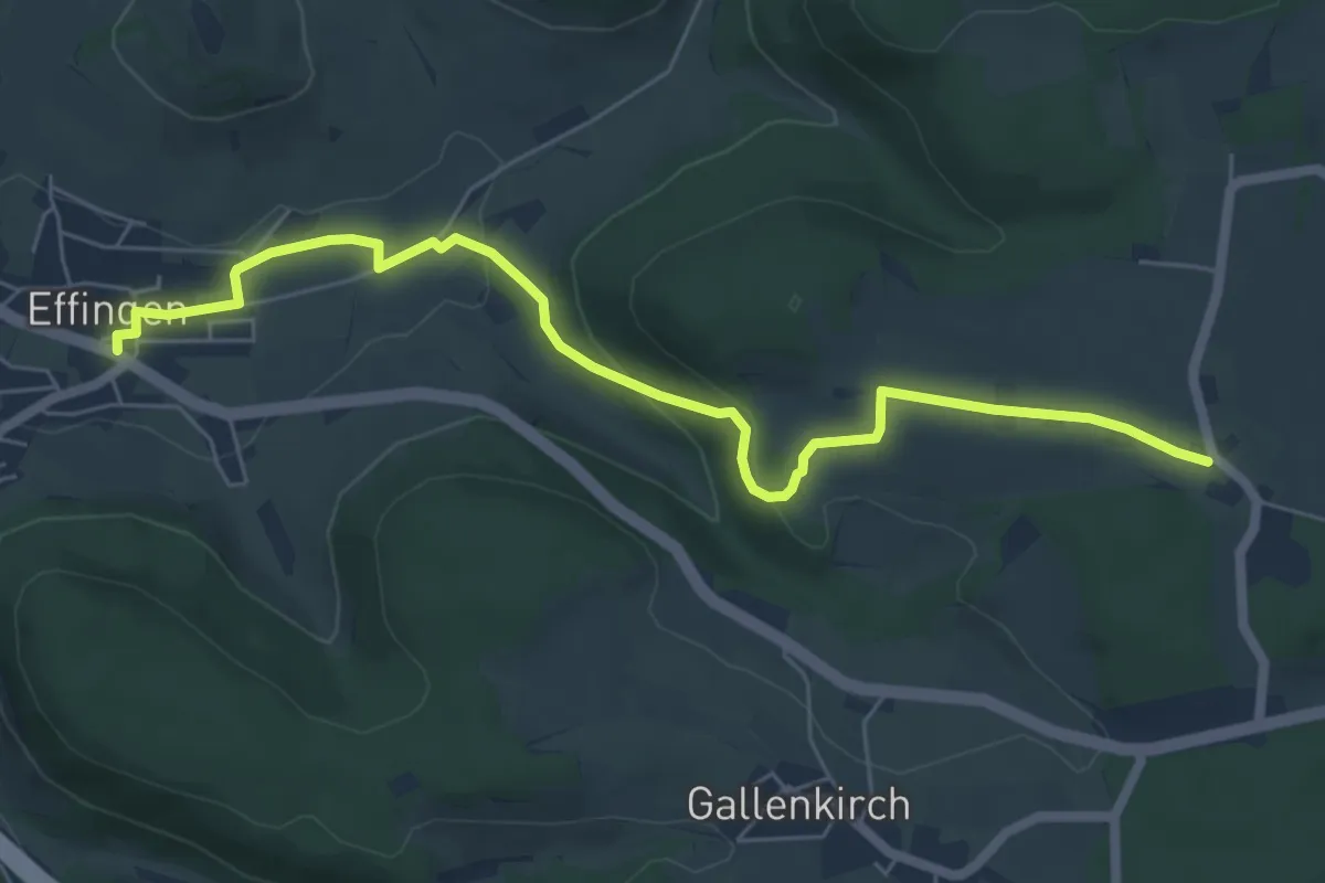
Alt Stalden – Effingen
6.4 km · ↑ 188 m · 1 h 56 min · 14 km away
Easy · Trail
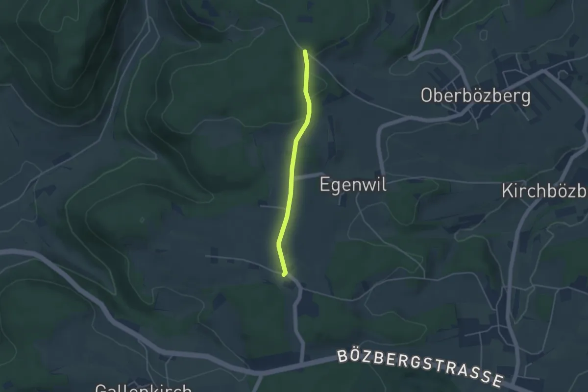
Alt Stalden – Effingen
6.7 km · ↑ 177 m · 1 h 57 min · 14 km away
Easy · Trail
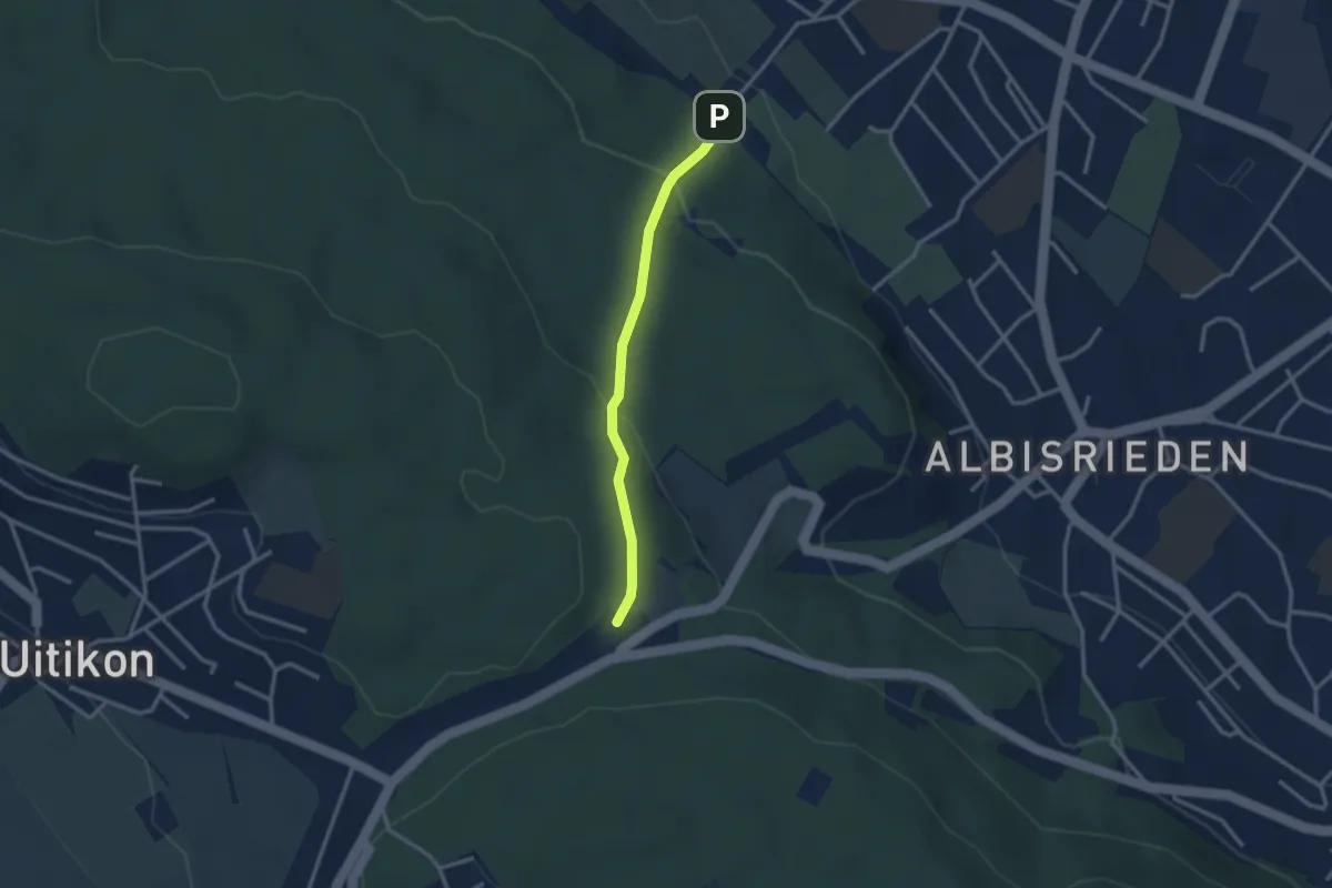
Alt Stalden - Binzacher
3.1 km · ↑ 47 m · 50 min · 14 km away
Easy · Trail
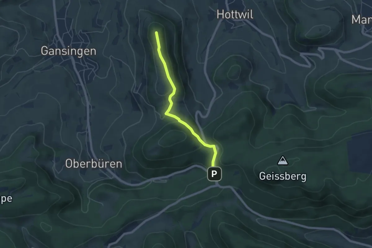
Altstetten – Feldermoos
2.6 km · ↑ 122 m · 53 min · 14 km away
Easy · Trail
Bürersteig - Laubberg
4.5 km · ↑ 124 m · 1 h 19 min · 14 km away