Trails near Wettingen
411 hikes starting within 15 km, nearest first.
Nearest first, page 9 of 9
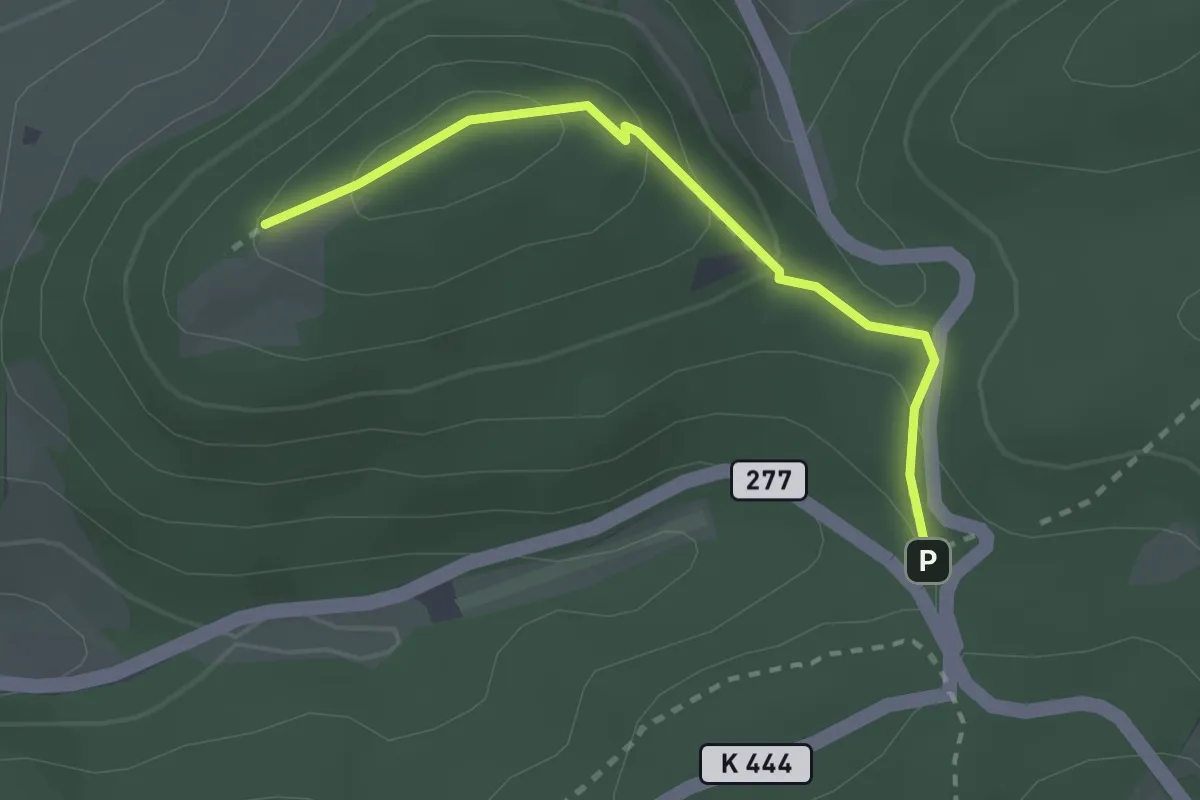
Easy · Trail
Bürersteig - Bürerhorn
2.4 km · ↑ 129 m · 50 min · 14 km away
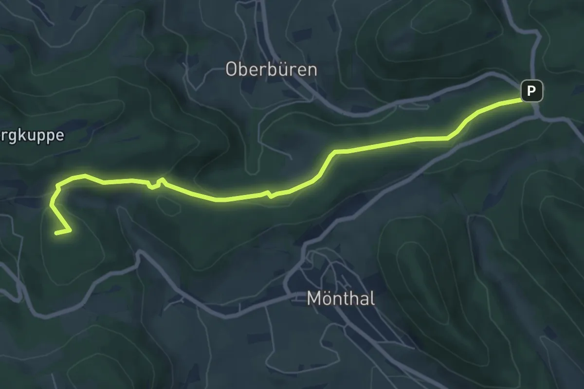
Easy · Summit
Bürersteig - Pt. 579
7.0 km · ↑ 192 m · 2 h 4 min · 14 km away
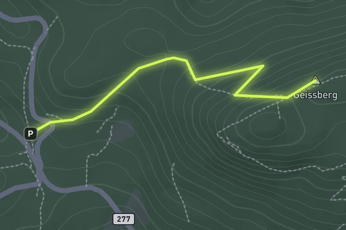
Easy · Summit
Bürersteig - Geissberg Chameren
2.4 km · ↑ 140 m · 52 min · 14 km away
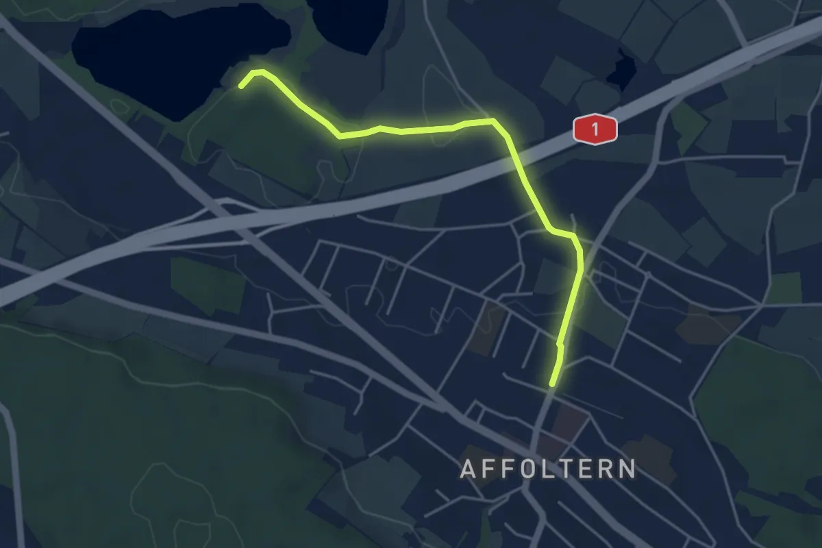
Easy · Trail
Zürich Affoltern - Chatzensee Strandbad
4.0 km · ↑ 39 m · 1 h 2 min · 14 km away
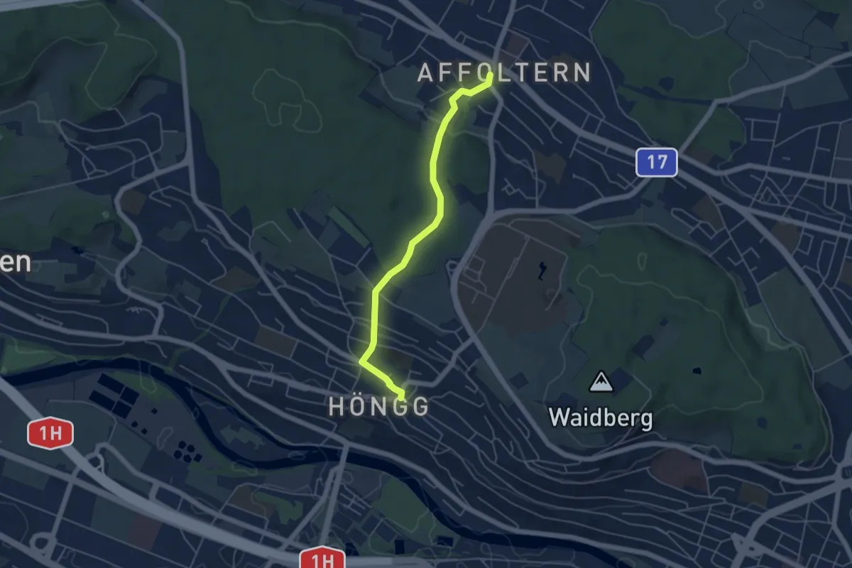
Easy · Trail
Höngg – Zehntenhausplatz
4.6 km · ↑ 114 m · 1 h 20 min · 14 km away
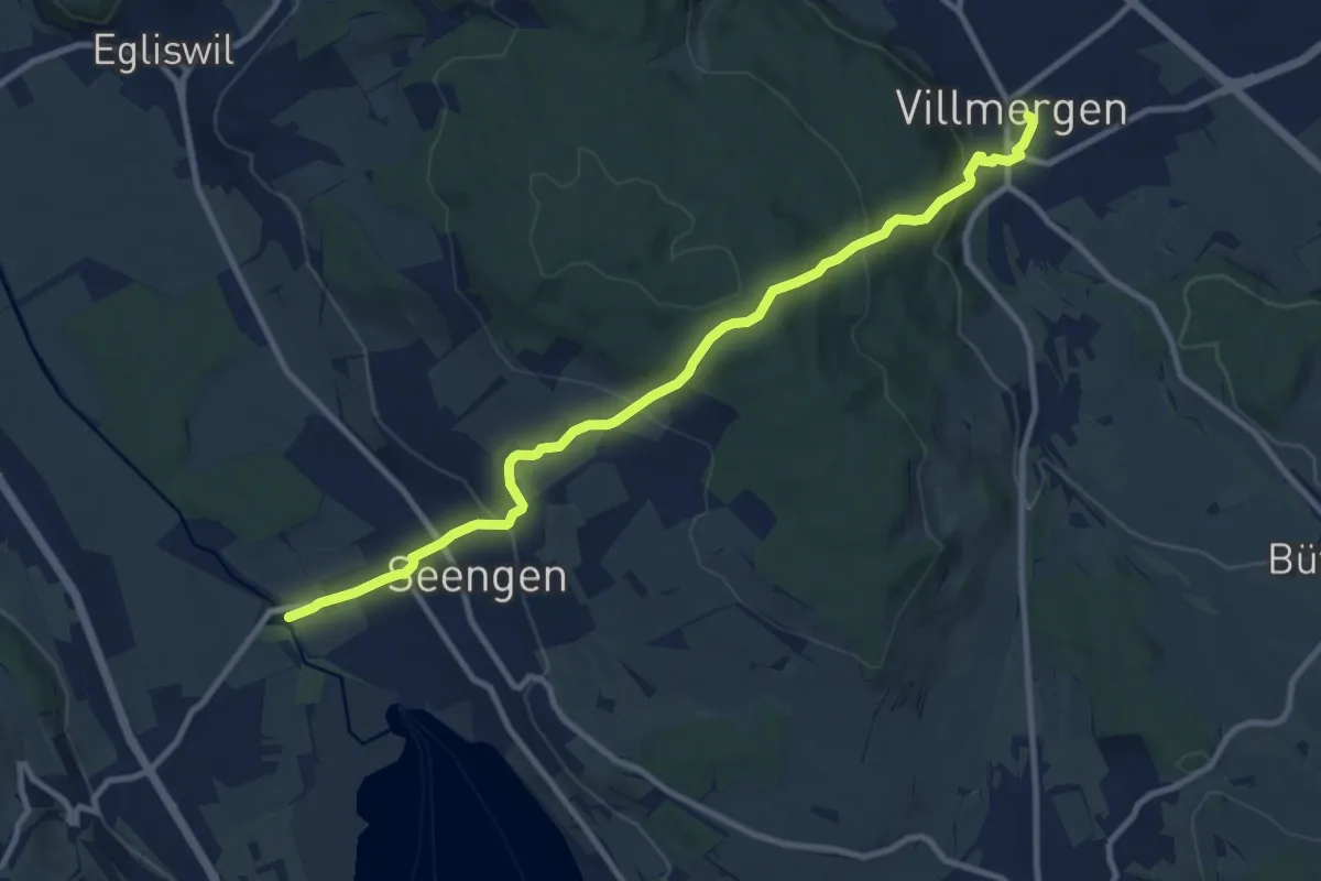
Medium · Trail
Schloss Hallwil -Seengen – Villmergen
10.6 km · ↑ 508 m · 3 h 36 min · 15 km away
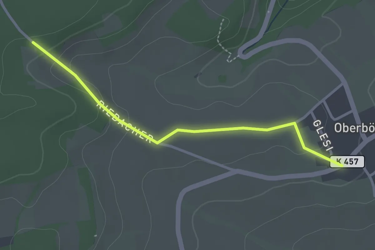
Easy · Trail
Binzacher - Oberbözberg Postauto
2.5 km · ↑ 56 m · 43 min · 15 km away
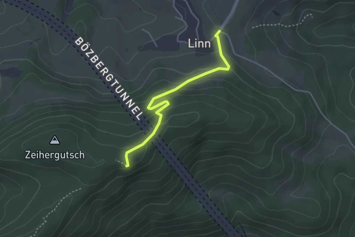
Easy · Summit
Linn – Linnerberg
3.2 km · ↑ 156 m · 1 h 6 min · 15 km away
Easy · Trail
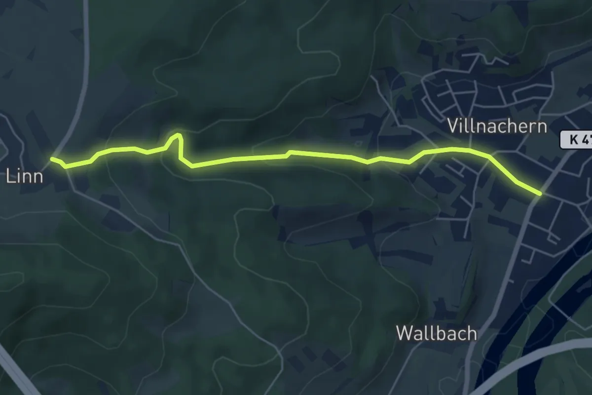
Villnachern – Linn
5.1 km · ↑ 220 m · 1 h 41 min · 15 km away
Easy · Trail
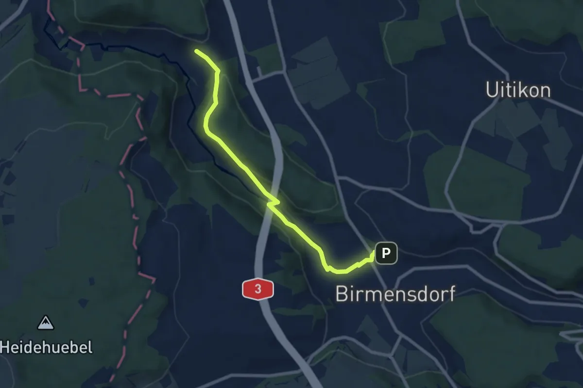
Birmensdorf - Unter Reppischtal
6.6 km · ↑ 166 m · 1 h 55 min · 15 km away
Medium · Trail
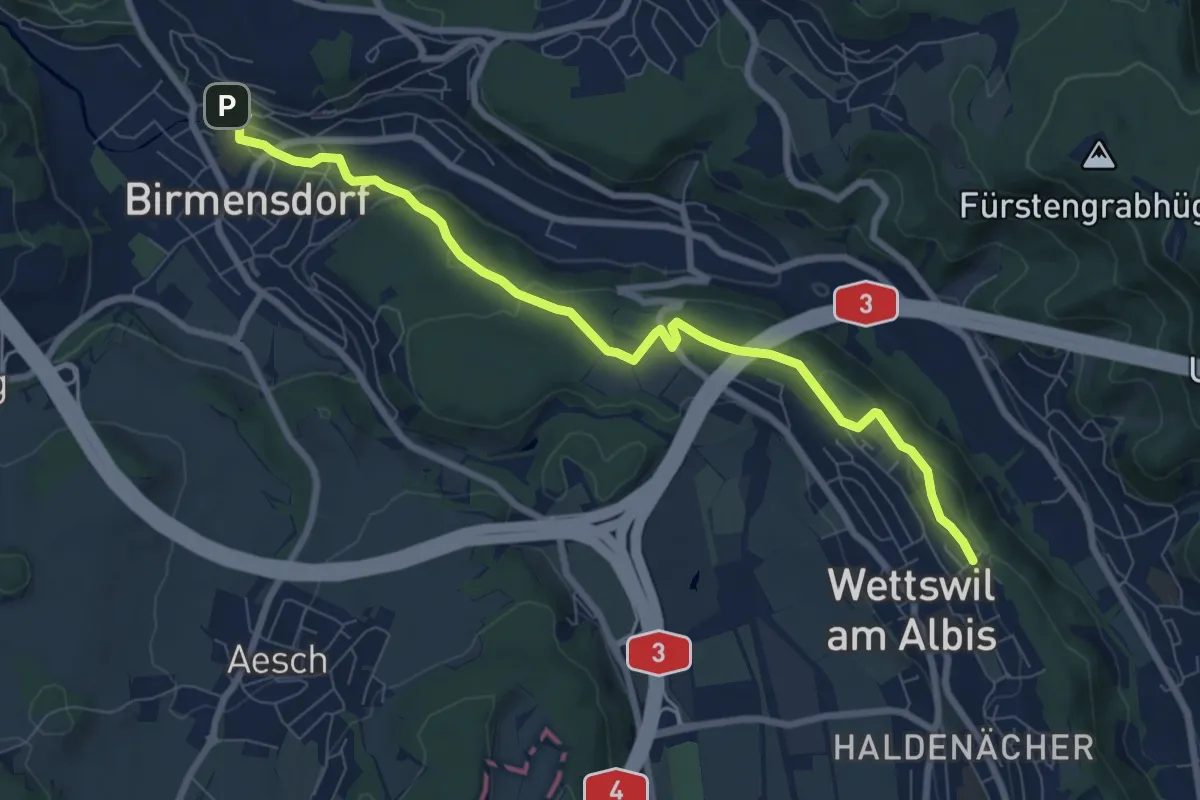
Birmensdorf – Näfenhügel
8.4 km · ↑ 162 m · 2 h 20 min · 15 km away
Medium · Trail
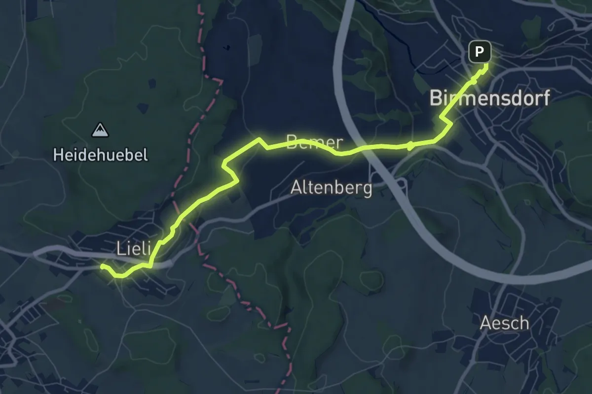
Birmensdorf - Lieli
9.4 km · ↑ 238 m · 2 h 44 min · 15 km away
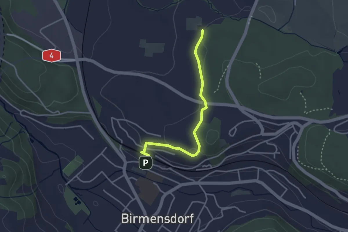
Easy · Trail
Birmensdorf - Leerbreiti
2.9 km · ↑ 92 m · 53 min · 15 km away
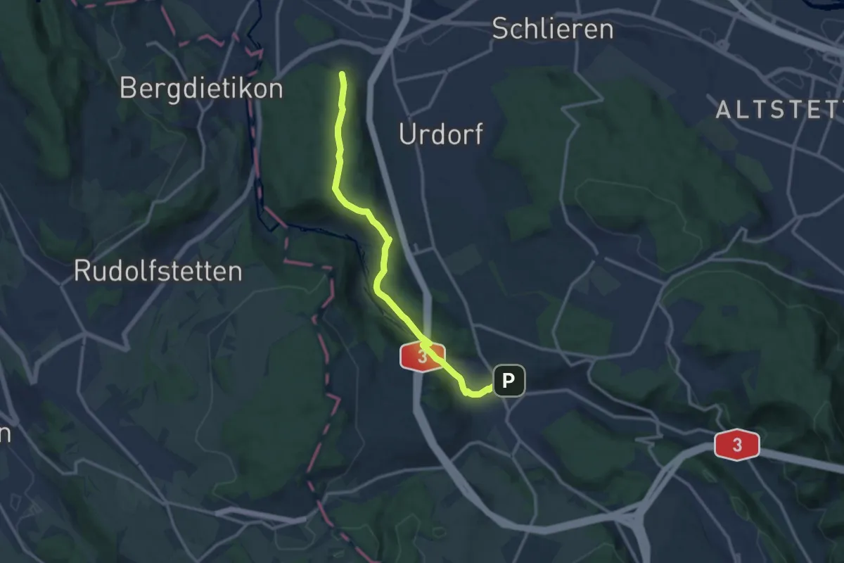
Medium · Trail
Birmensdorf - Lindenbüel
11.1 km · ↑ 299 m · 3 h 16 min · 15 km away
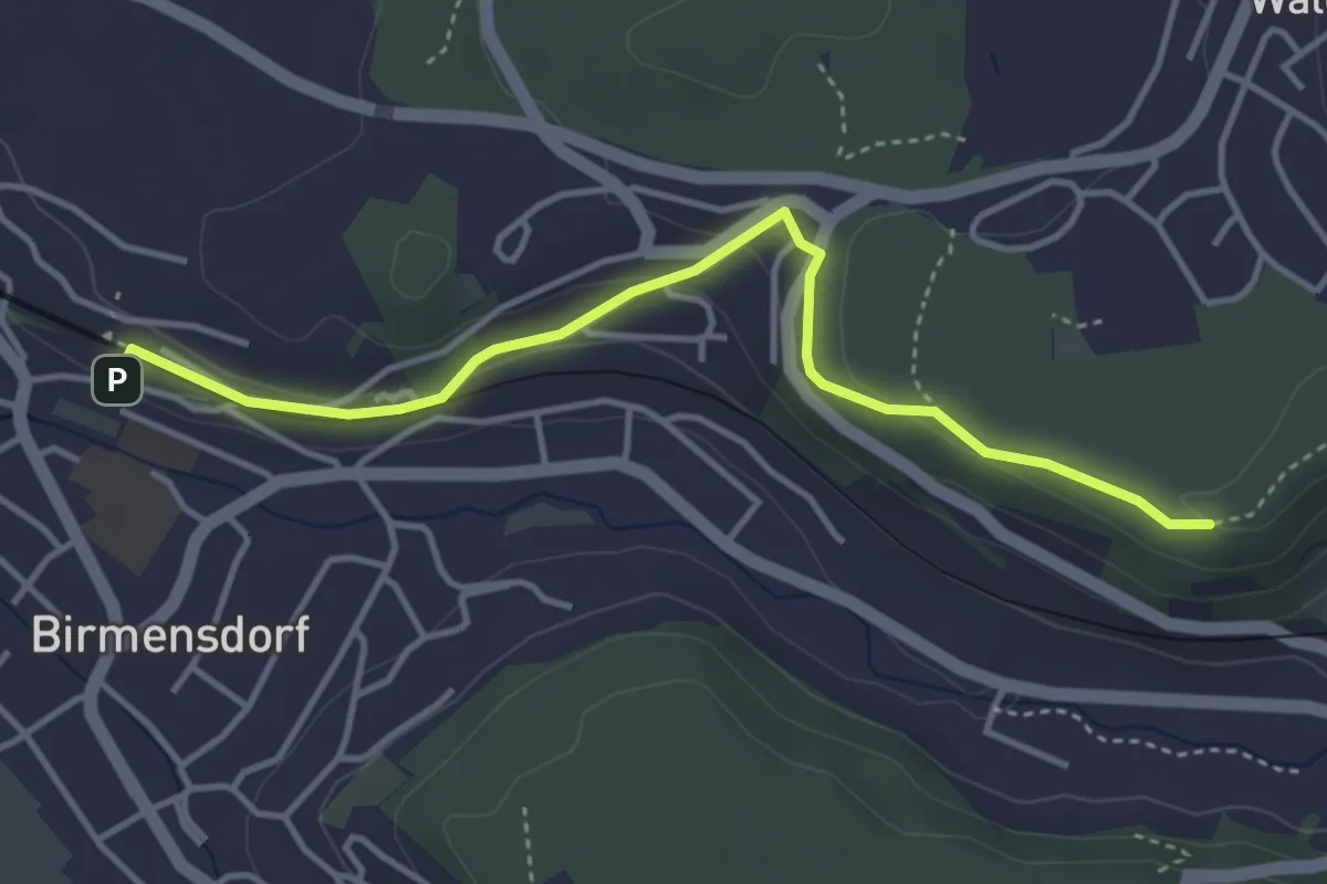
Easy · Trail
Birmensdorf – Maas
4.0 km · ↑ 99 m · 1 h 10 min · 15 km away
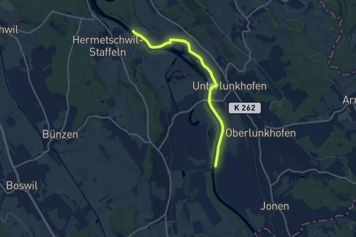
Medium · Trail
Dominolochsteg – Brücke Werd (ost)
10.1 km · ↑ 34 m · 2 h 28 min · 15 km away
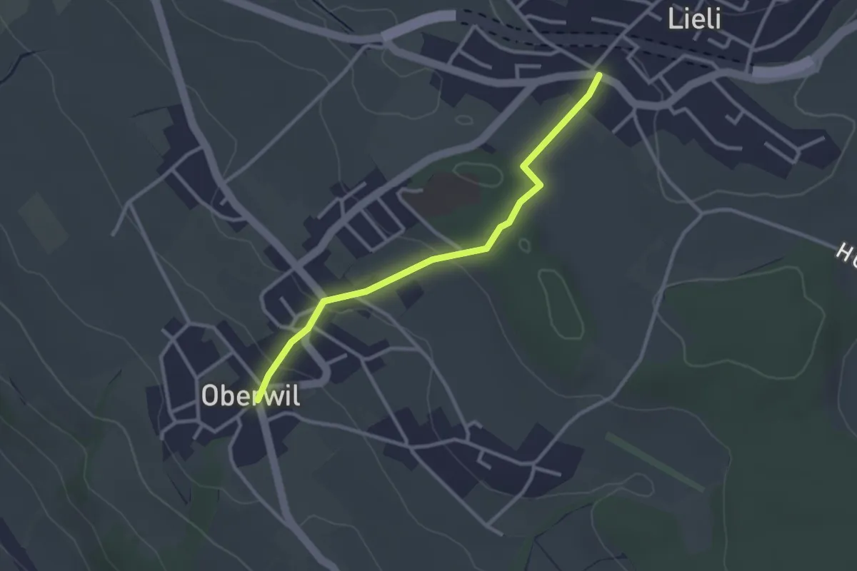
Easy · Trail
Oberwil Unterdorf – Lieli Dorf
2.7 km · ↑ 83 m · 49 min · 15 km away
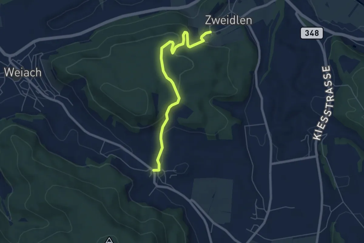
Easy · Trail
Zweidlen – Raat
5.6 km · ↑ 182 m · 1 h 42 min · 15 km away
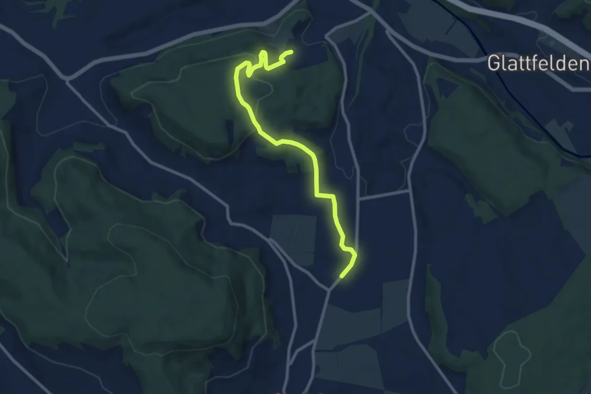
Medium · Trail
Windlach - Zweidlen
8.1 km · ↑ 227 m · 2 h 24 min · 15 km away
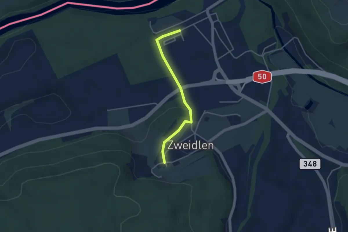
Easy · Trail
Zweidlen – Zweidlen (Station)
2.8 km · ↑ 60 m · 47 min · 15 km away
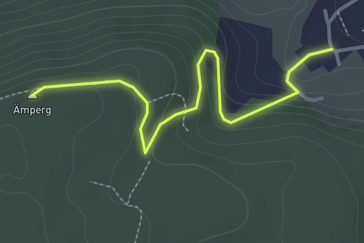
Easy · Summit
Leuenchopf – Zweidlen
2.6 km · ↑ 97 m · 49 min · 15 km away
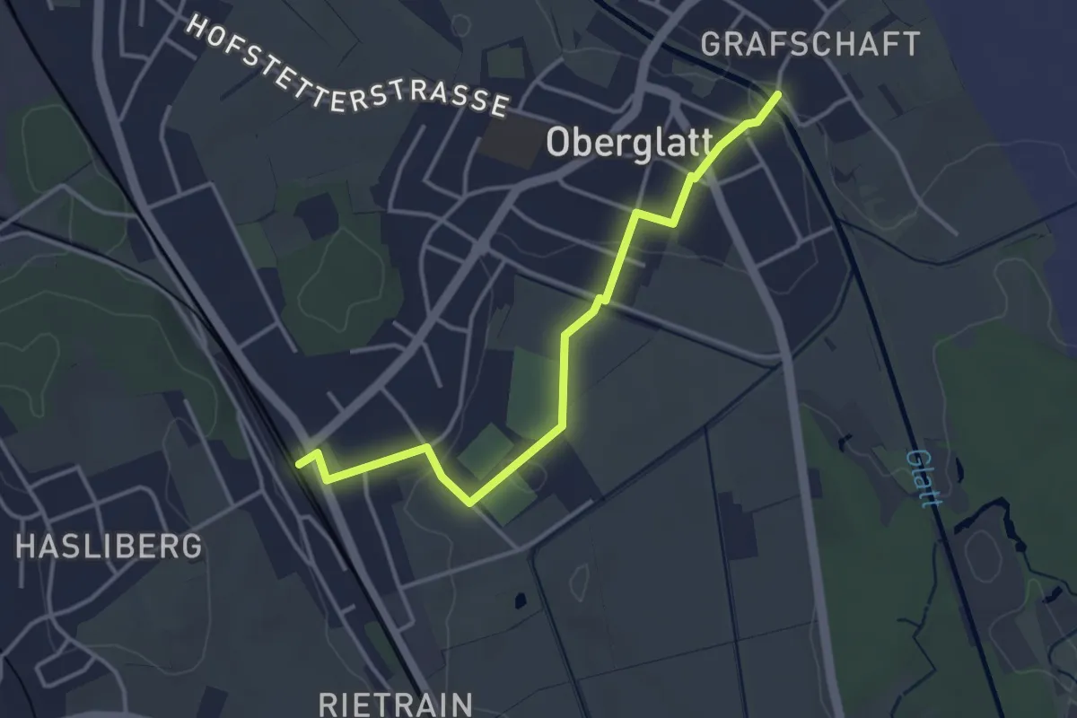
Easy · Trail
Oberglatt Brücke - Oberglatt
3.6 km · ↑ 31 m · 55 min · 15 km away
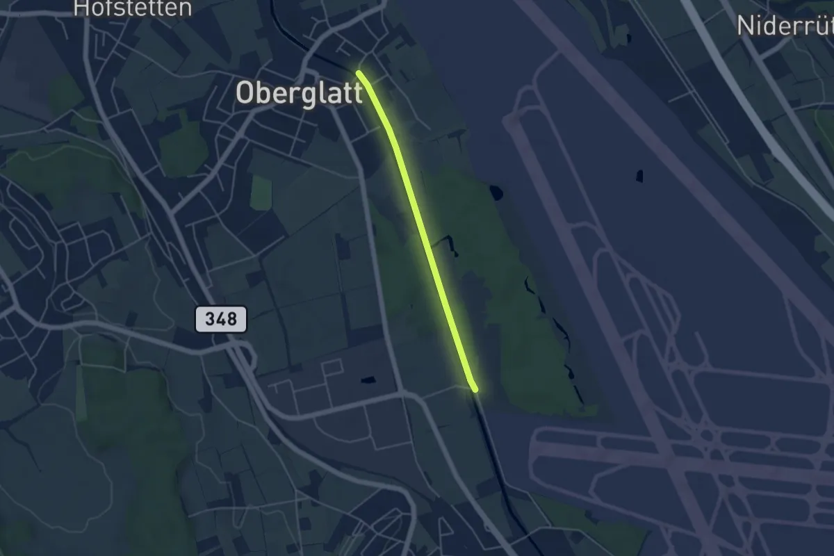
Easy · Trail
Schlosswinkel - Oberglatt Brücke
3.8 km · ↑ 17 m · 56 min · 15 km away
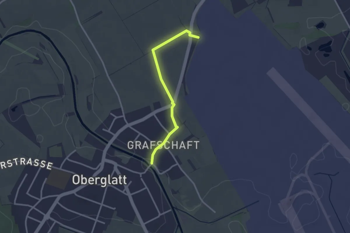
Easy · Trail
Oberglatt Brücke - Pistenende
2.3 km · ↑ 8 m · 34 min · 15 km away
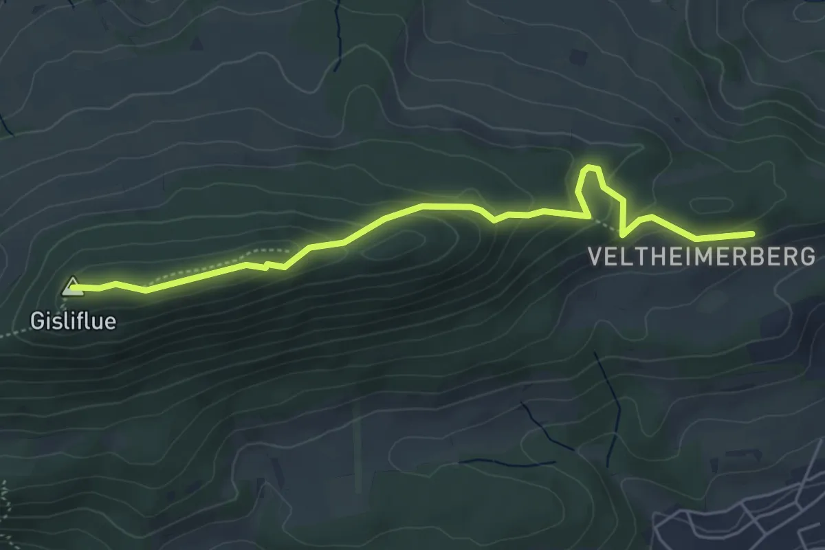
Easy · Summit
Veltheimerberg - Gisliflue
5.1 km · ↑ 220 m · 1 h 41 min · 15 km away
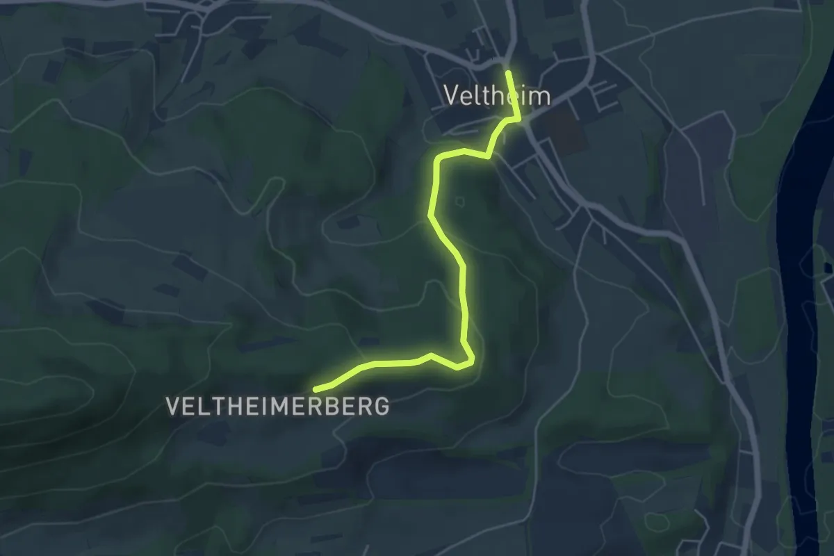
Easy · Trail
Veltheim - Veltheimerberg
4.4 km · ↑ 173 m · 1 h 24 min · 15 km away
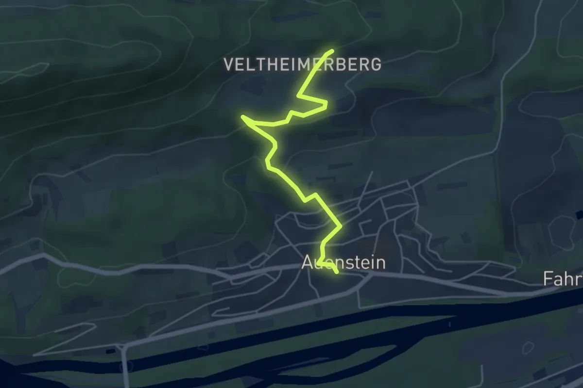
Easy · Trail
Auenstein - Veltheimerberg
4.4 km · ↑ 197 m · 1 h 29 min · 15 km away