Trails near Worb
459 hikes starting within 15 km, nearest first.
Nearest first, page 10 of 10
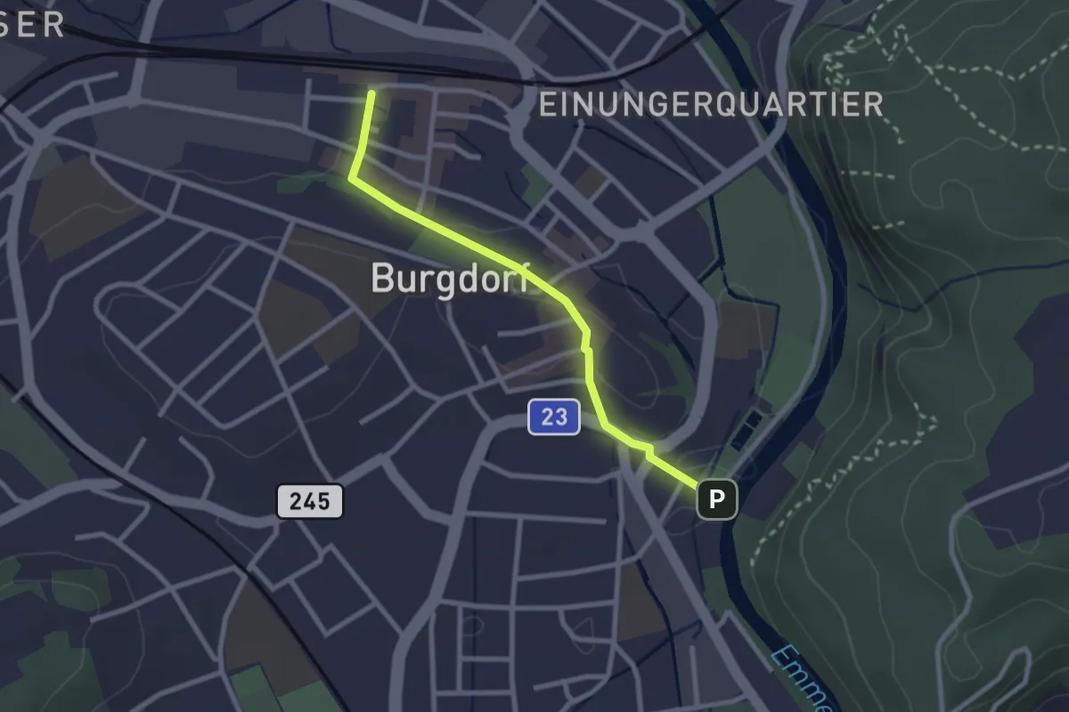
Easy · Trail
Burgdorf / Bahnhof - Waldeggbrügg
2.4 km · ↑ 43 m · 39 min · 15 km away
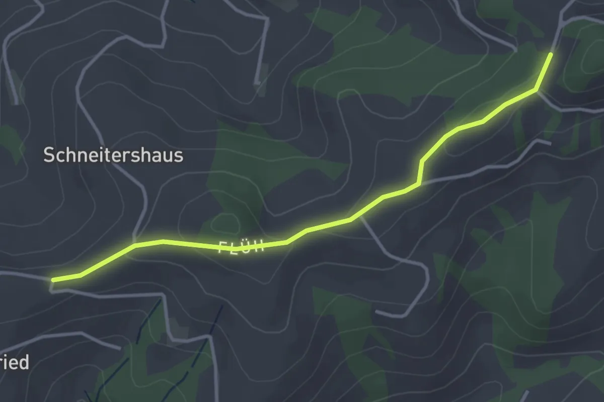
Easy · Trail
Borisried/Schulhaus - Tschuggen
3.5 km · ↑ 88 m · 1 h · 15 km away
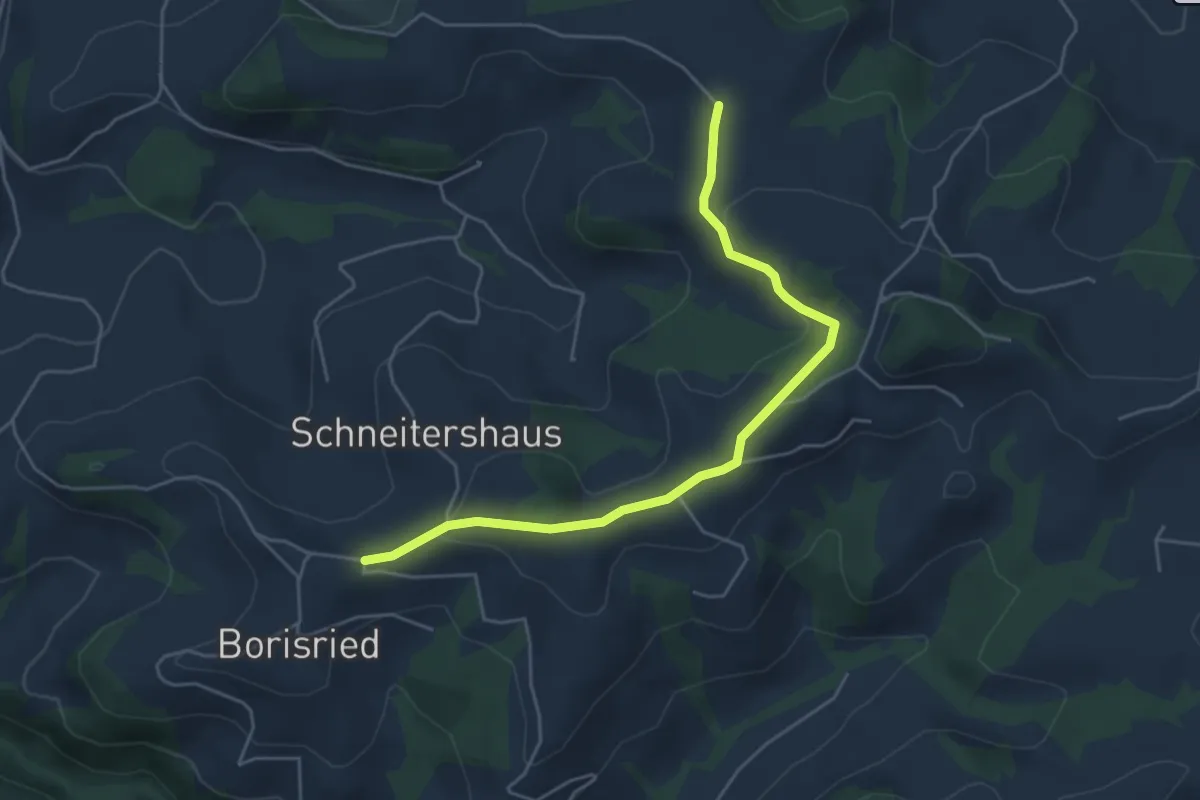
Easy · Trail
Gassershus - Borisried/Schulhaus
5.0 km · ↑ 129 m · 1 h 27 min · 15 km away
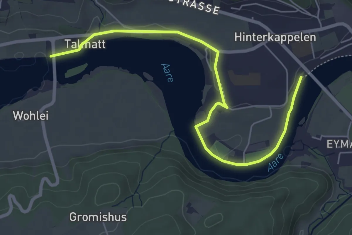
Easy · Trail
Wohleibrügg – Kappelenbrügg
5.9 km · ↑ 60 m · 1 h 31 min · 15 km away
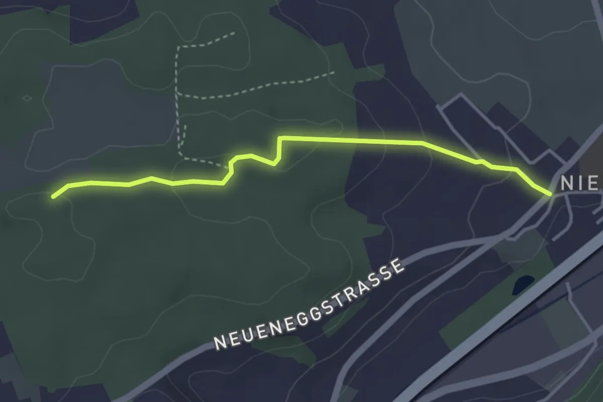
Easy · Trail
Niederwangen - Ried
3.3 km · ↑ 102 m · 1 h 1 min · 15 km away
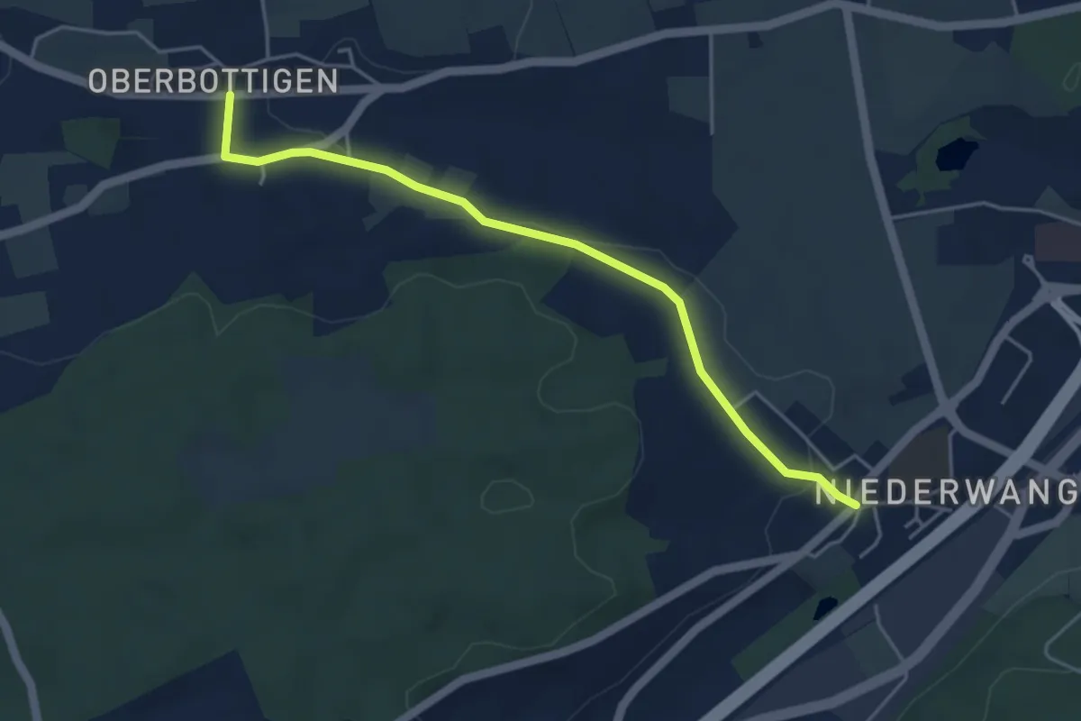
Easy · Trail
Niederwangen - Oberbottigen
4.4 km · ↑ 36 m · 1 h 8 min · 15 km away
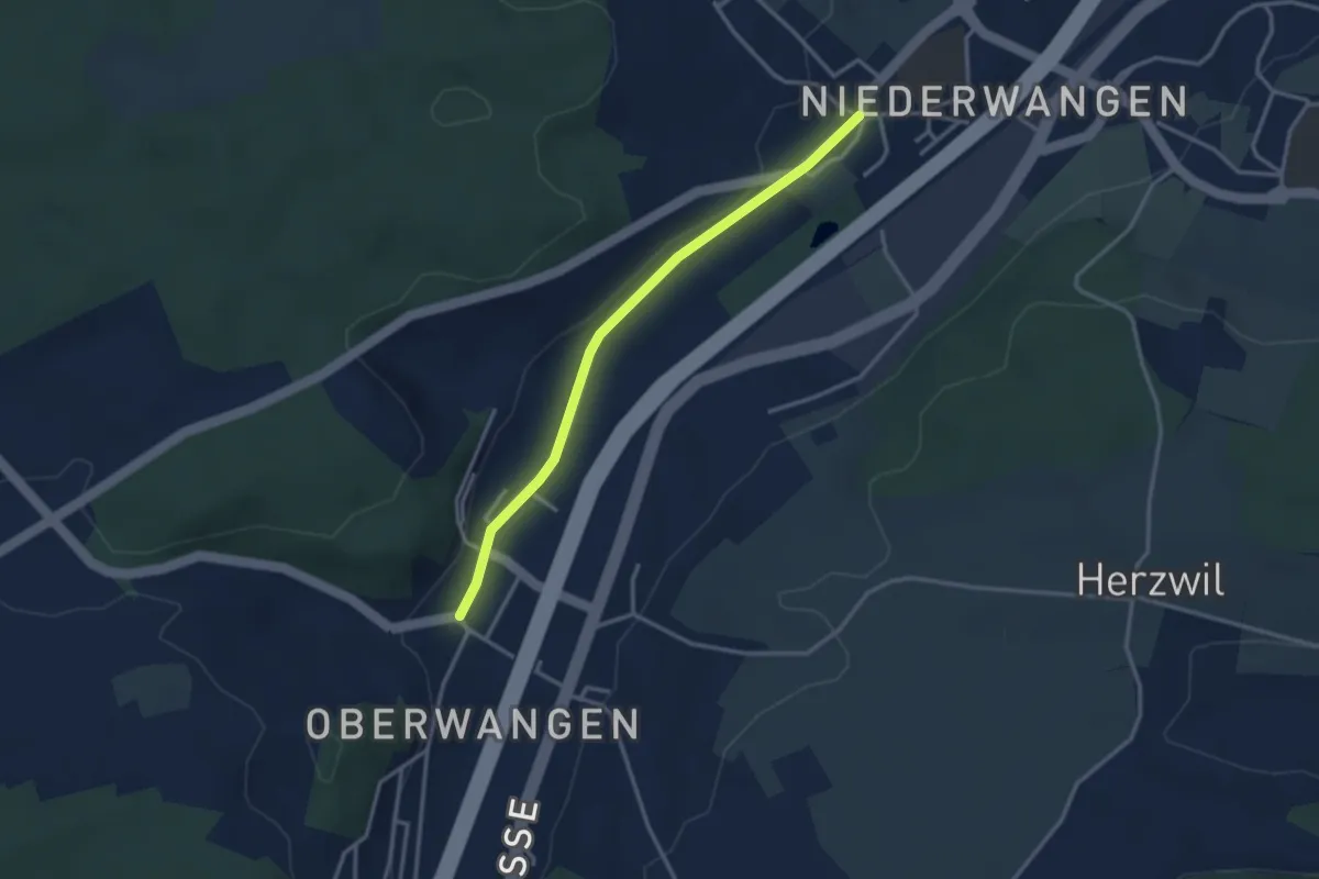
Easy · Trail
Oberwangen - Niederwangen
3.1 km · ↑ 34 m · 48 min · 15 km away
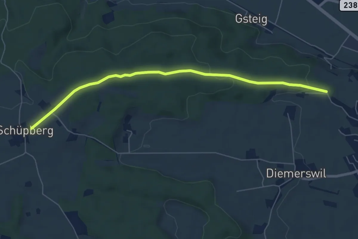
Easy · Trail
Bäreried – Schüpberg
6.0 km · ↑ 129 m · 1 h 41 min · 15 km away
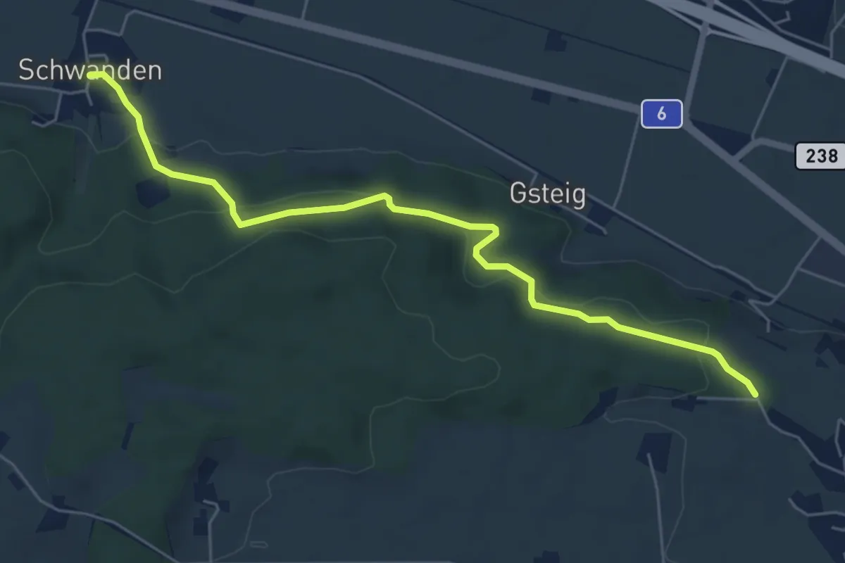
Easy · Trail
Schwanden – Bäreried
6.0 km · ↑ 226 m · 1 h 54 min · 15 km away
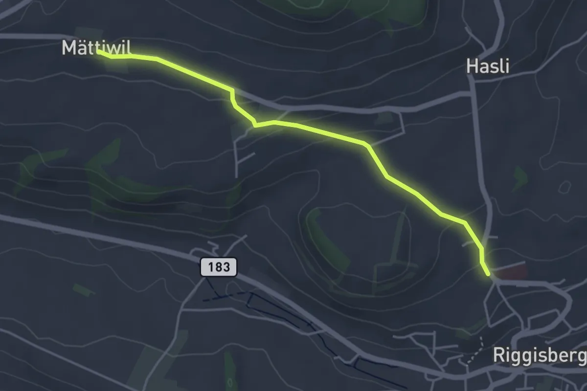
Easy · Trail
Riggisberg / Staudengasse – Mättiwil
4.0 km · ↑ 102 m · 1 h 10 min · 15 km away
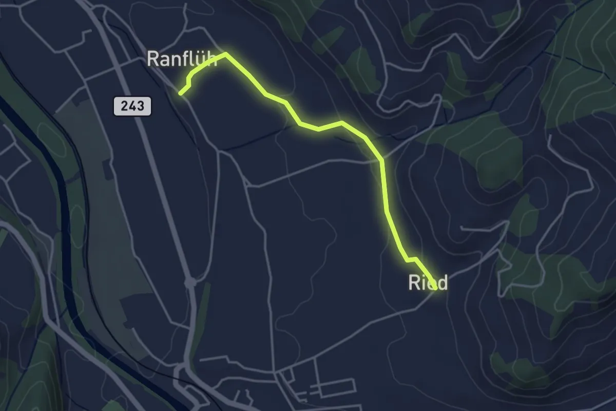
Easy · Trail
Ried - Ranflüh
3.4 km · ↑ 69 m · 58 min · 15 km away
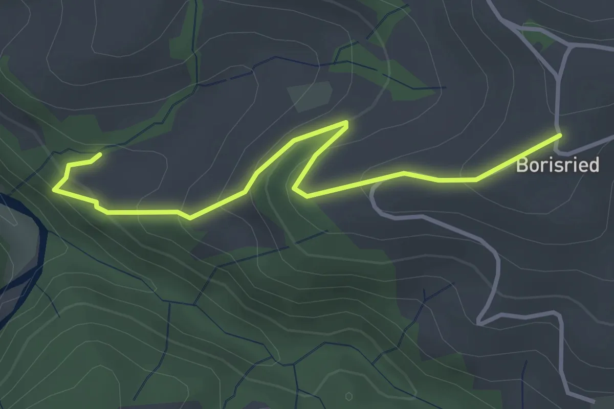
Easy · Trail
Mösli – Borisried
3.4 km · ↑ 227 m · 1 h 17 min · 15 km away
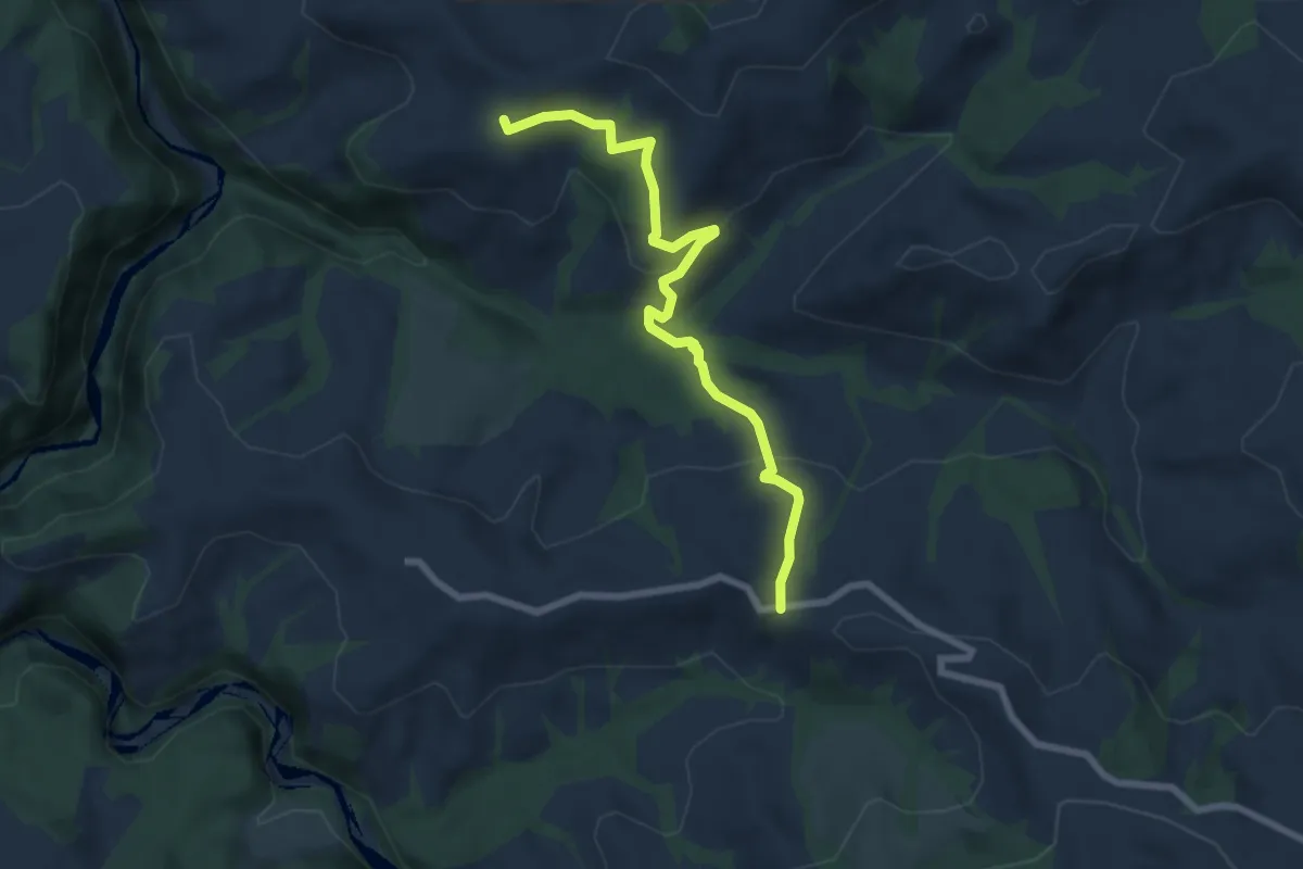
Medium · Trail
Borisried – Vorderfultigen
7.2 km · ↑ 329 m · 2 h 24 min · 15 km away
Easy · Trail
Rachisberg - fixme
5.7 km · ↑ 258 m · 1 h 54 min · 15 km away
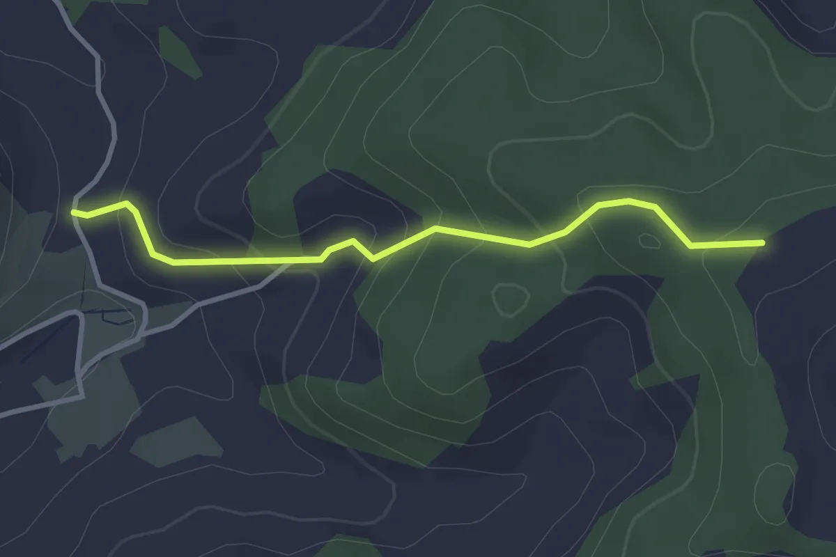
Easy · Trail
Brachacker – Rachisberg
2.9 km · ↑ 191 m · 1 h 6 min · 15 km away
Easy · Trail
Rachisberg - fixme
4.5 km · ↑ 224 m · 1 h 33 min · 15 km away
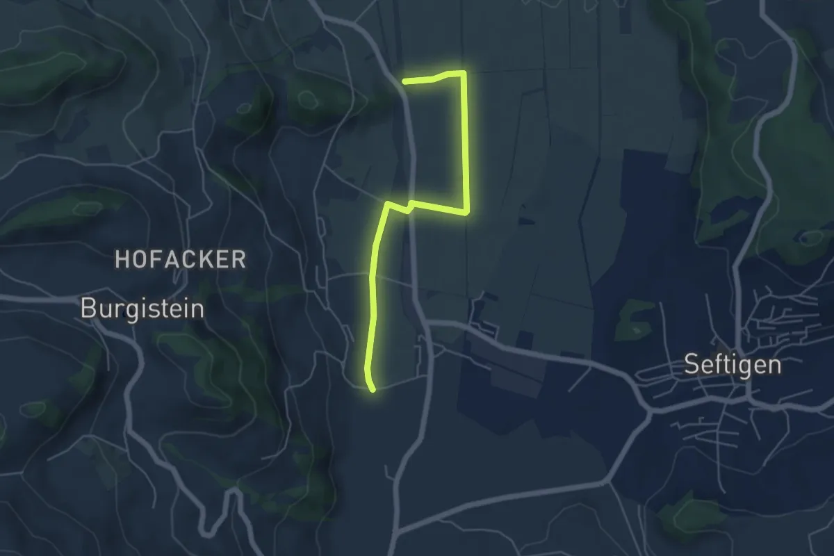
Easy · Trail
Lohnstorfbrügg - Neuhus
4.8 km · ↑ 17 m · 1 h 10 min · 15 km away
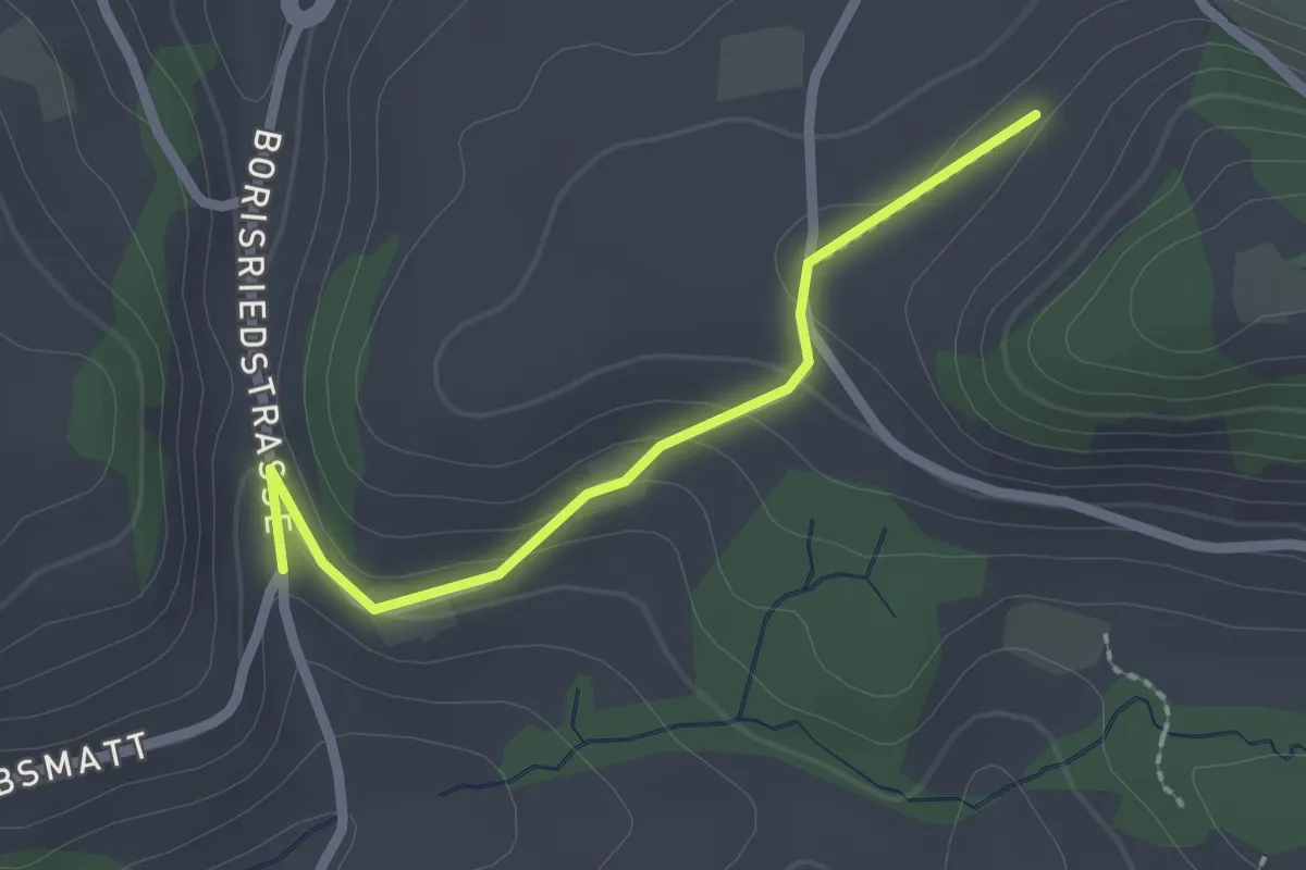
Easy · Trail
Oberbalm/Kirchweg – Schlatt
2.1 km · ↑ 73 m · 39 min · 15 km away
Easy · Trail
Grünenmatt - Ramsei
6.0 km · ↑ 74 m · 1 h 35 min · 15 km away
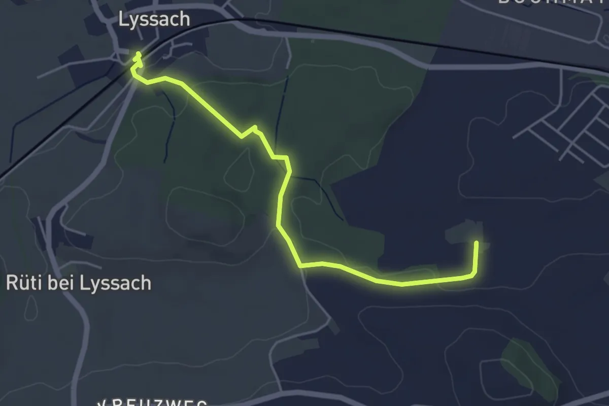
Easy · Trail
Lyssach Station – Meienmoos
4.5 km · ↑ 66 m · 1 h 12 min · 15 km away
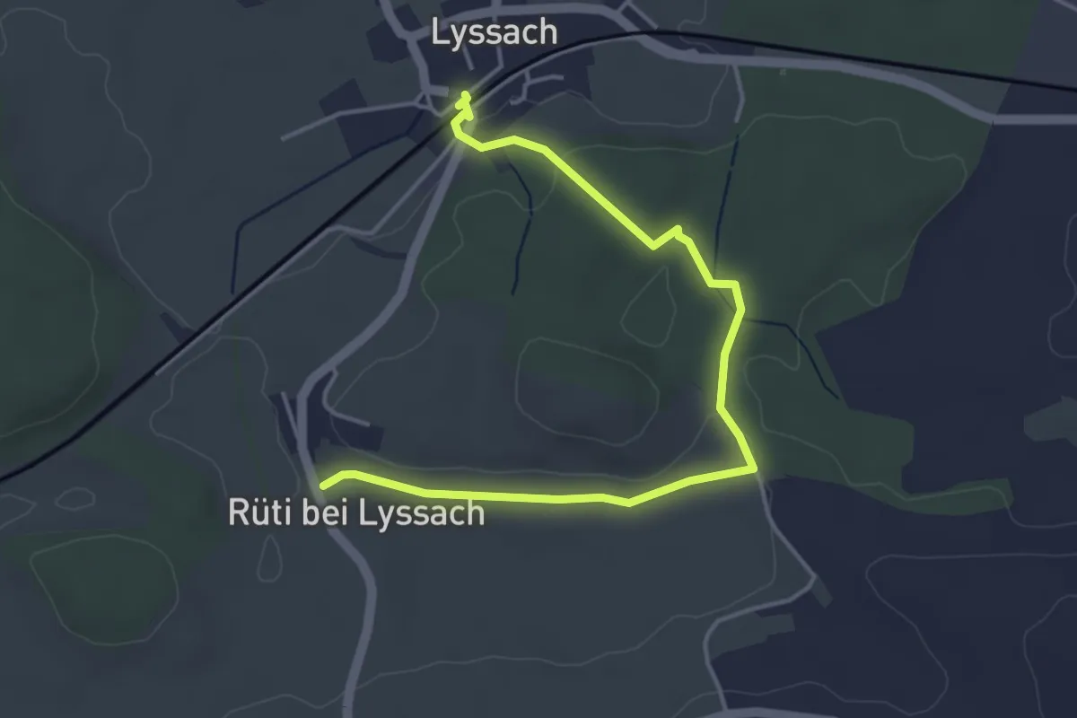
Easy · Trail
Lyssach Station – Rüti bei Lyssach
4.7 km · ↑ 64 m · 1 h 15 min · 15 km away
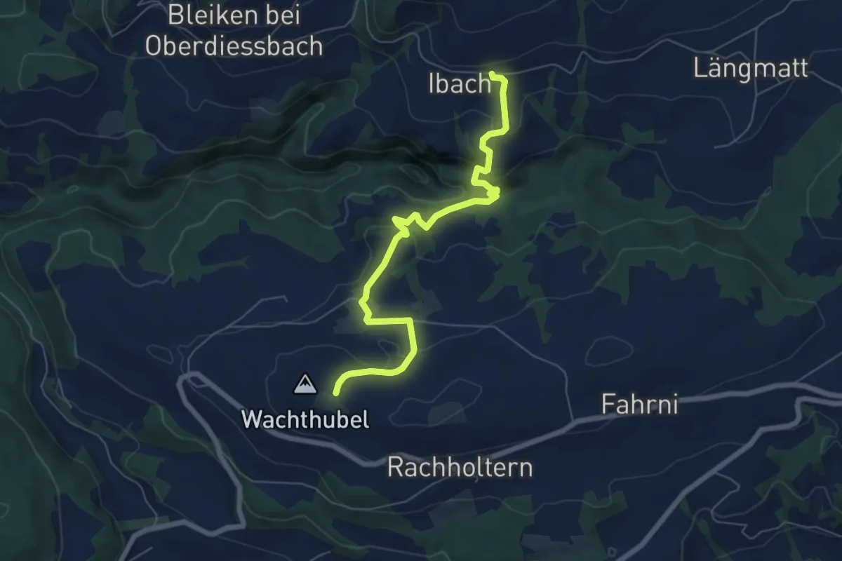
Easy · Trail
Lueghubel – Ibach
6.6 km · ↑ 291 m · 2 h 11 min · 15 km away
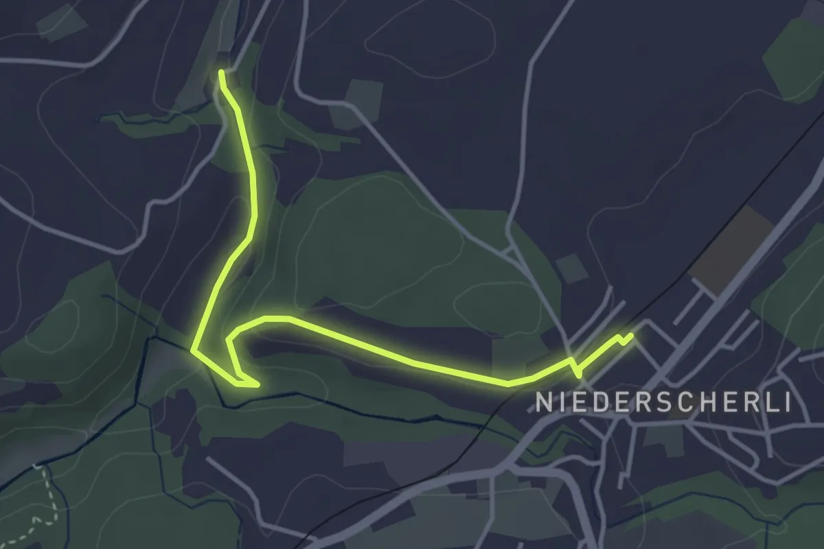
Easy · Trail
Niederscherli - Grabenmüli
3.9 km · ↑ 88 m · 1 h 7 min · 15 km away
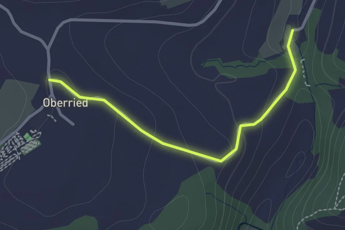
Easy · Trail
Oberried - Grabenmüli
2.2 km · ↑ 64 m · 39 min · 15 km away
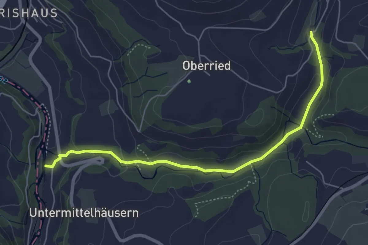
Easy · Trail
Sensematt – Grabenmüli
5.1 km · ↑ 116 m · 1 h 27 min · 15 km away
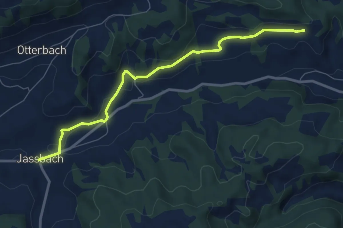
Easy · Trail
Jassbach – Vorderi Schindellegi
6.3 km · ↑ 132 m · 1 h 46 min · 15 km away
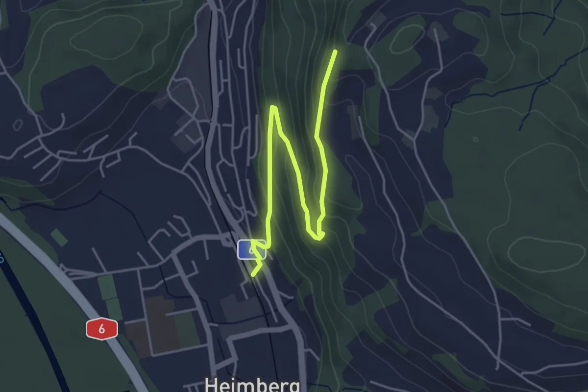
Easy · Trail
Heimberg – Heimbergflue
4.5 km · ↑ 224 m · 1 h 33 min · 15 km away