Trails near Worb
459 hikes starting within 15 km, nearest first.
Nearest first, page 9 of 10
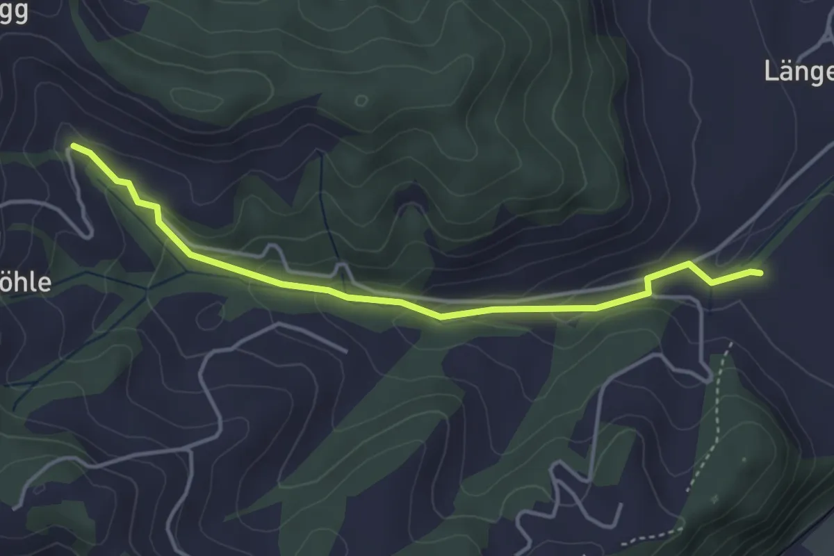
Easy · Trail
Blasen - Moosbad
3.9 km · ↑ 157 m · 1 h 16 min · 13 km away
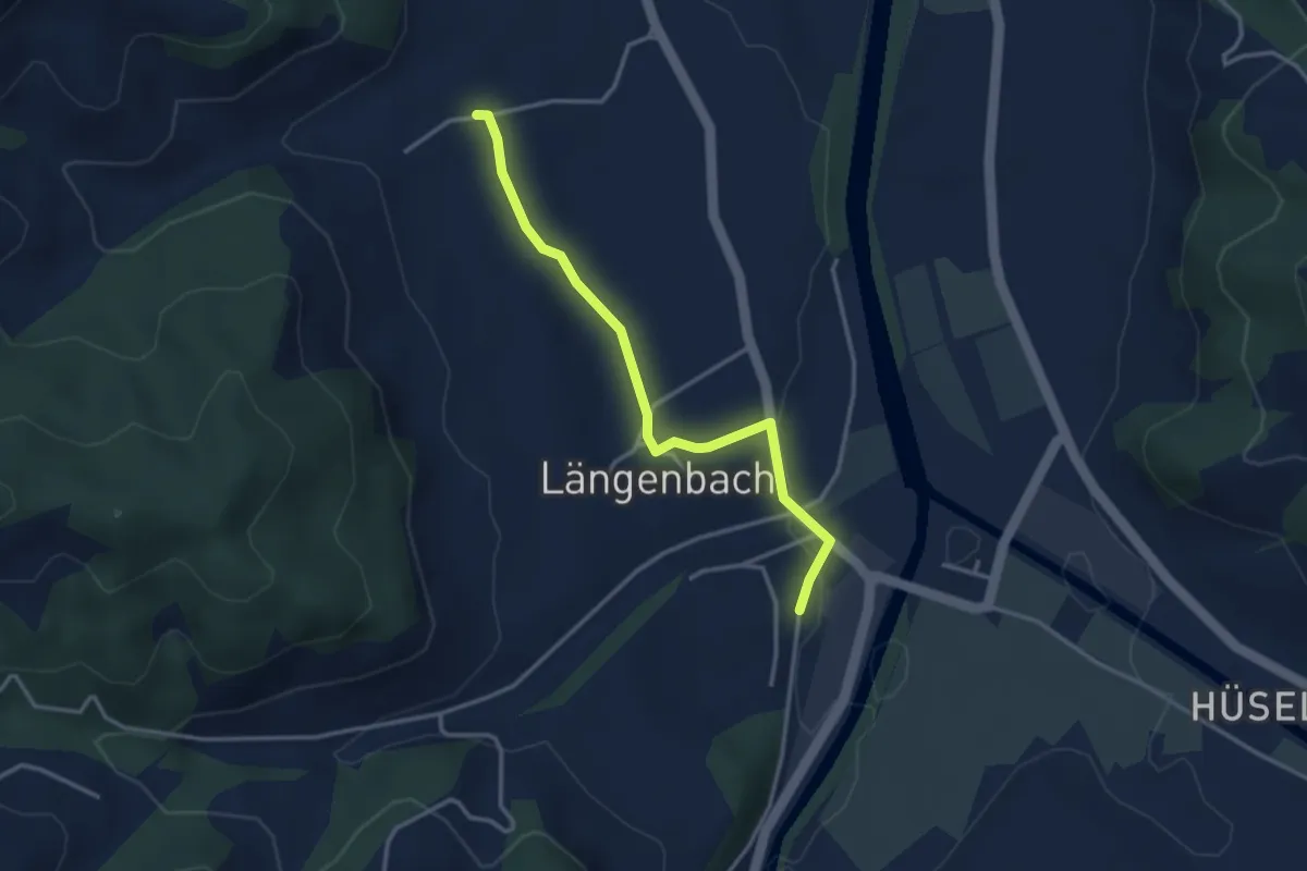
Easy · Trail
Witenbach – Emmenmatt
3.3 km · ↑ 40 m · 52 min · 13 km away
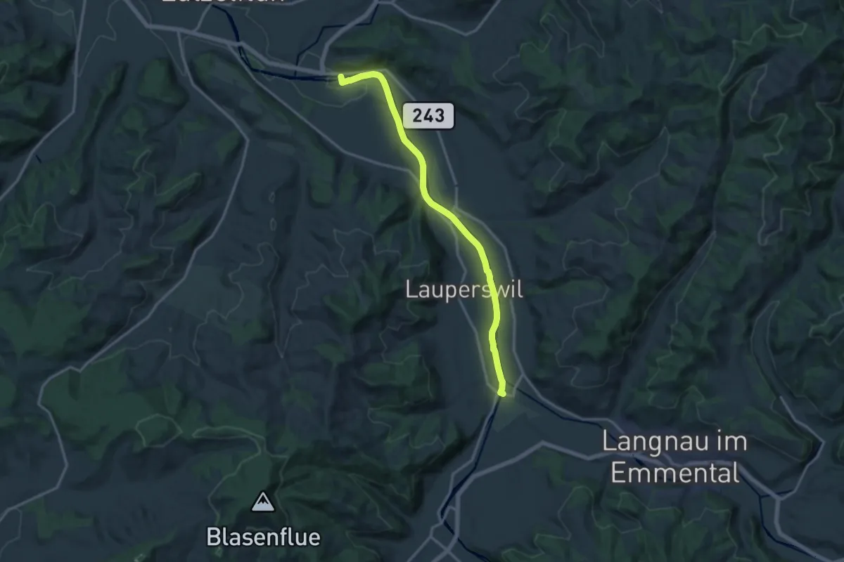
Medium · Trail
Ramseisteg-Emmenmatt
13.6 km · ↑ 86 m · 3 h 24 min · 14 km away
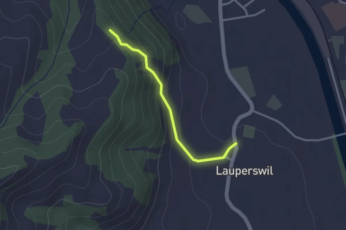
Easy · Trail
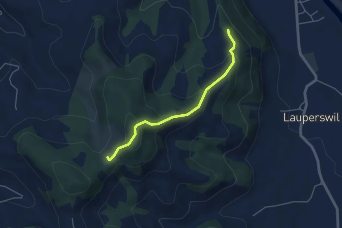
Ruine Wartenstein - Lauperswil
2.1 km · ↑ 136 m · 48 min · 14 km away
Easy · Trail
Hinter Längholz - Ruine Wartenstein
3.4 km · ↑ 205 m · 1 h 15 min · 14 km away
Easy · Trail
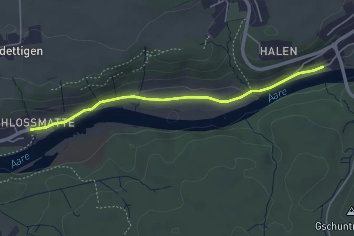
Unterdettigen – Halebrügg
3.6 km · ↑ 46 m · 57 min · 14 km away
Easy · Trail
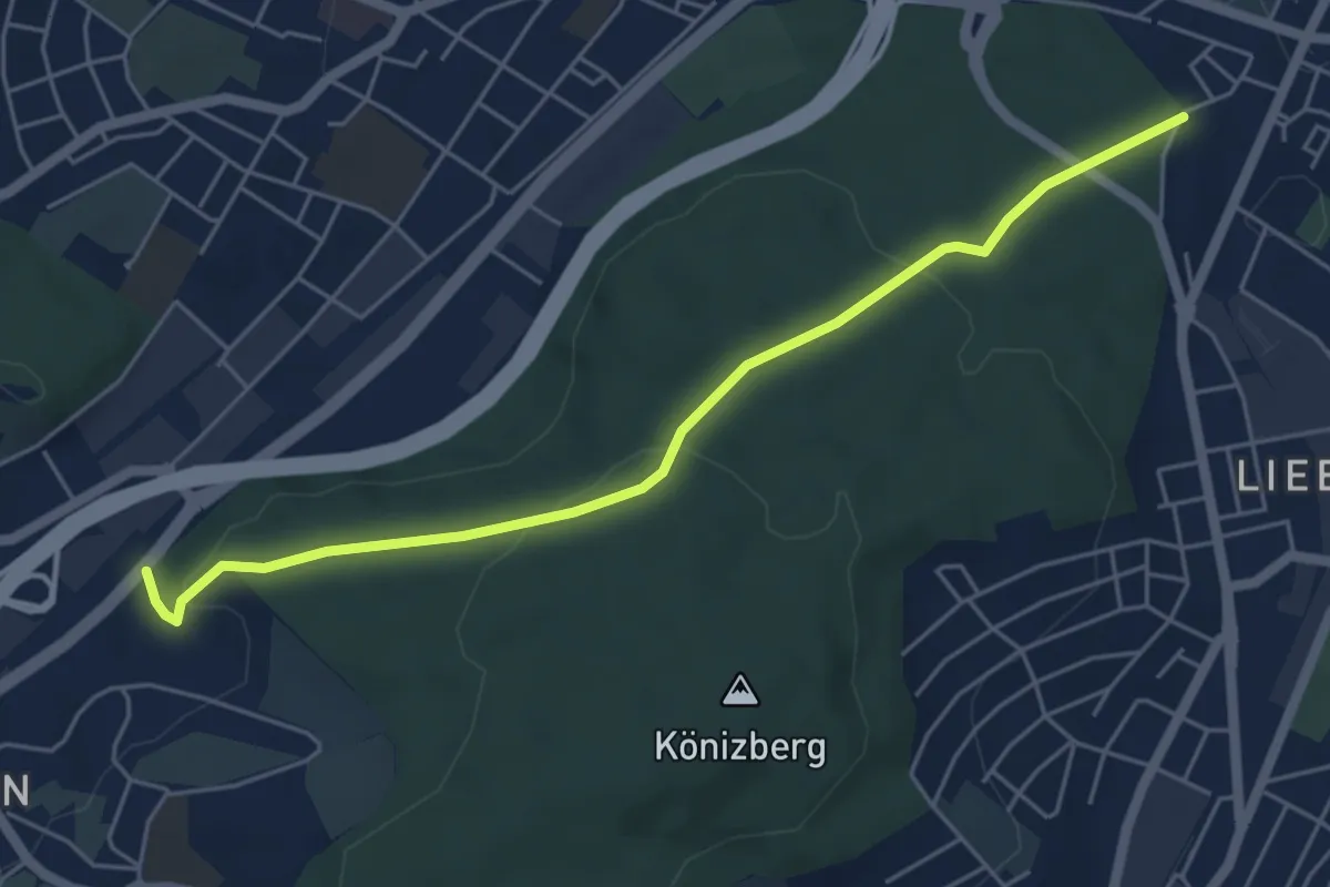
Hohliebe - Fischermätteli
5.5 km · ↑ 169 m · 1 h 39 min · 14 km away
Easy · Trail
Münchenbuchsee – Bäreried
3.4 km · ↑ 45 m · 54 min · 14 km away
Easy · Trail
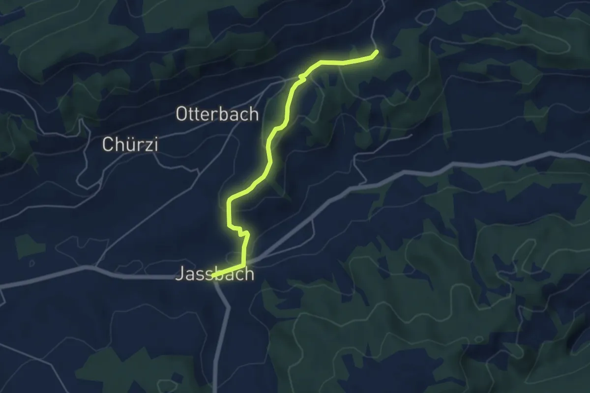
Togglismatt – Jassbach
4.4 km · ↑ 127 m · 1 h 19 min · 14 km away
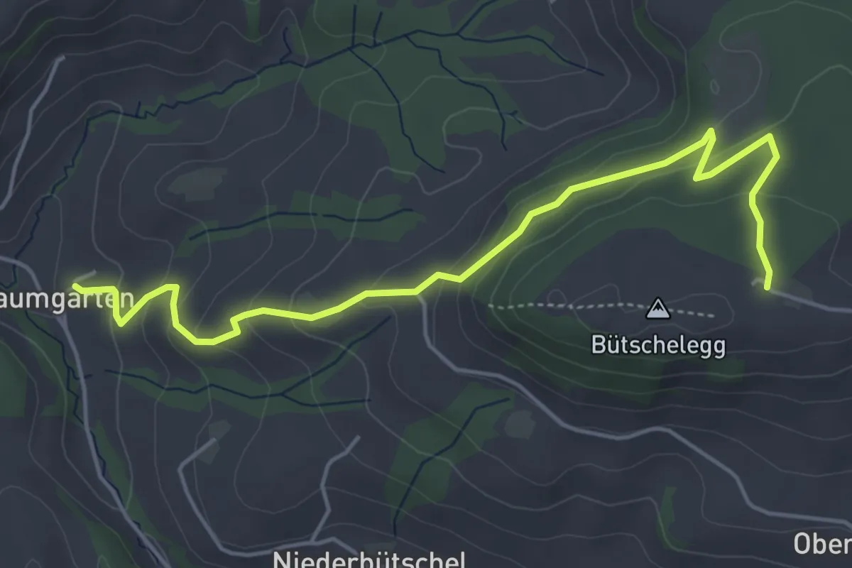
Easy · Trail
Bütschelegg – Baumgarten
5.4 km · ↑ 263 m · 1 h 50 min · 14 km away
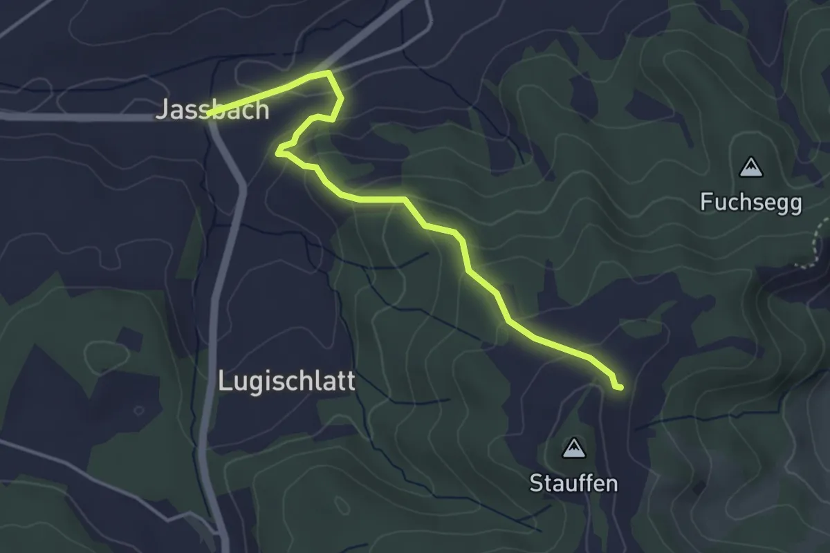
Easy · Trail
Jassbach – Hinter Stauffen
3.9 km · ↑ 196 m · 1 h 21 min · 14 km away
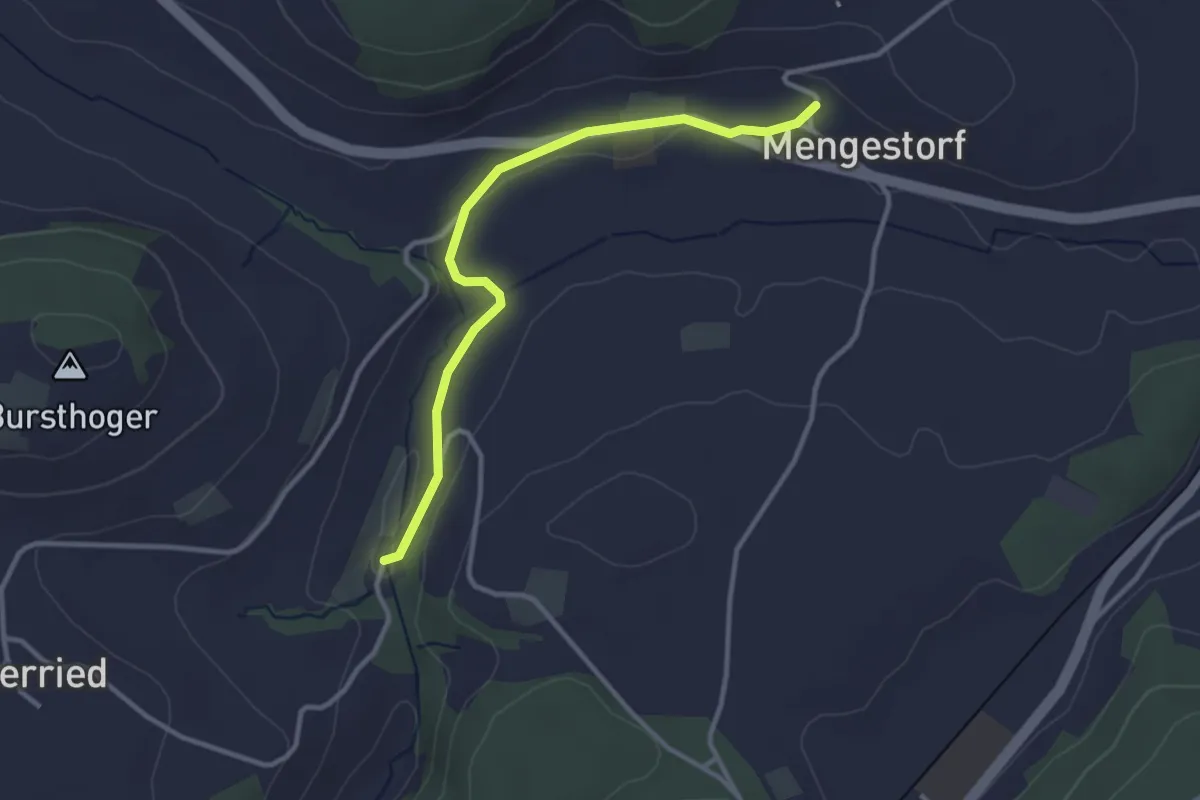
Easy · Trail
Grabenmüli – Mengestorf
3.2 km · ↑ 40 m · 50 min · 14 km away
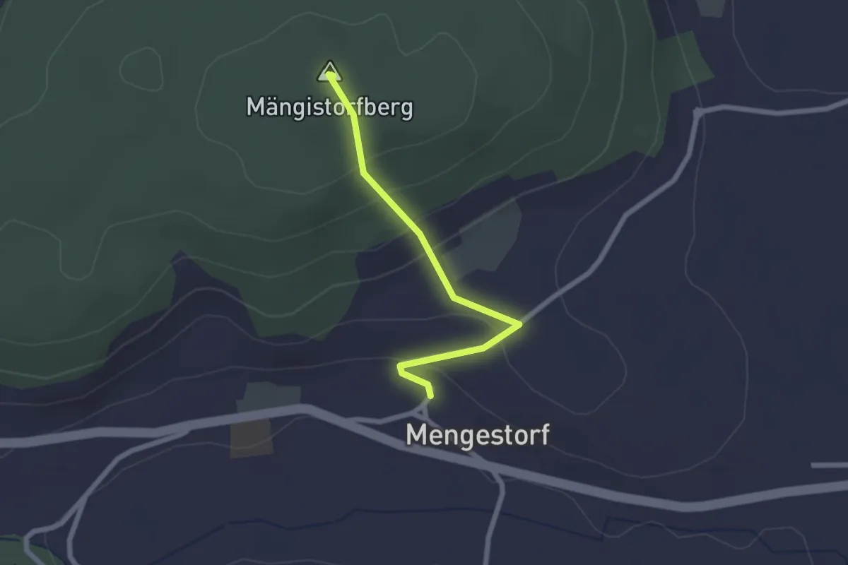
Easy · Summit
Mengestorfberg - Mengestorf
2.0 km · ↑ 124 m · 45 min · 14 km away
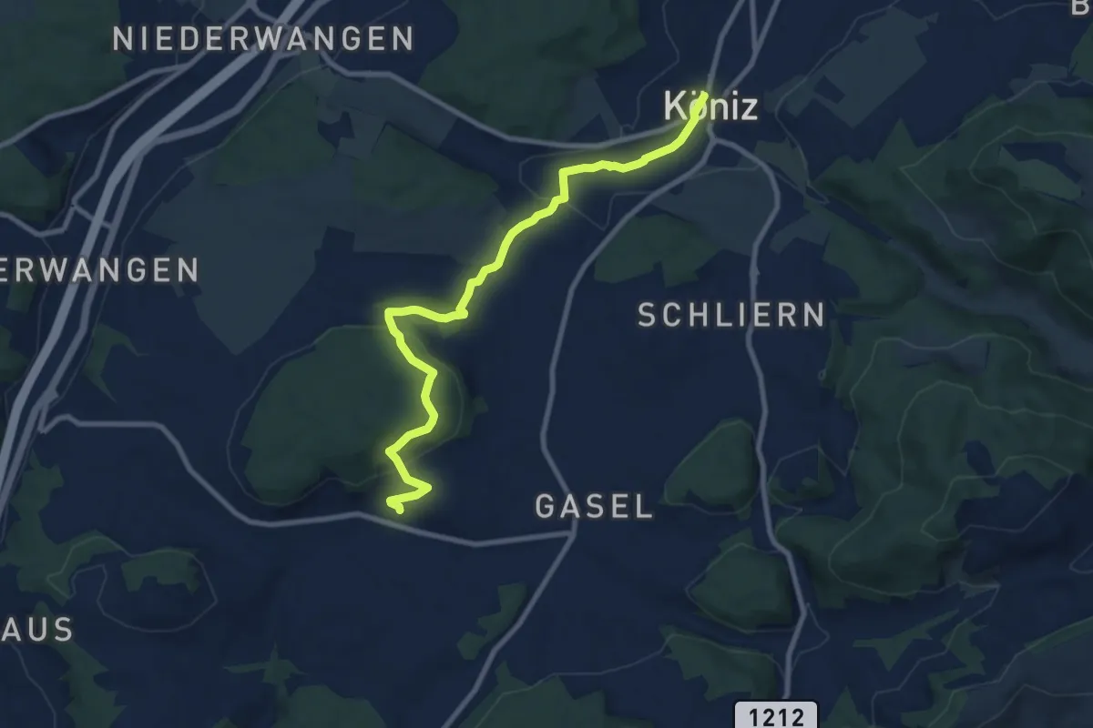
Medium · Trail
Mengestorf – Köniz
9.4 km · ↑ 280 m · 2 h 50 min · 14 km away
Easy · Trail
Stöckgass – Jegenstorf
6.0 km · ↑ 78 m · 1 h 35 min · 14 km away
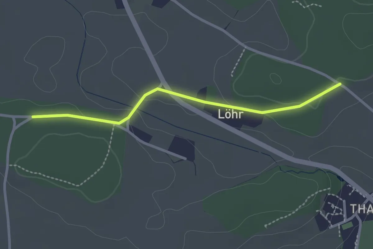
Easy · Trail
Buechwald – Lörwald
2.3 km · ↑ 29 m · 36 min · 14 km away
Easy · Trail
Hindelbank / Station – Rüti b. Lyssach
5.5 km · ↑ 39 m · 1 h 23 min · 14 km away
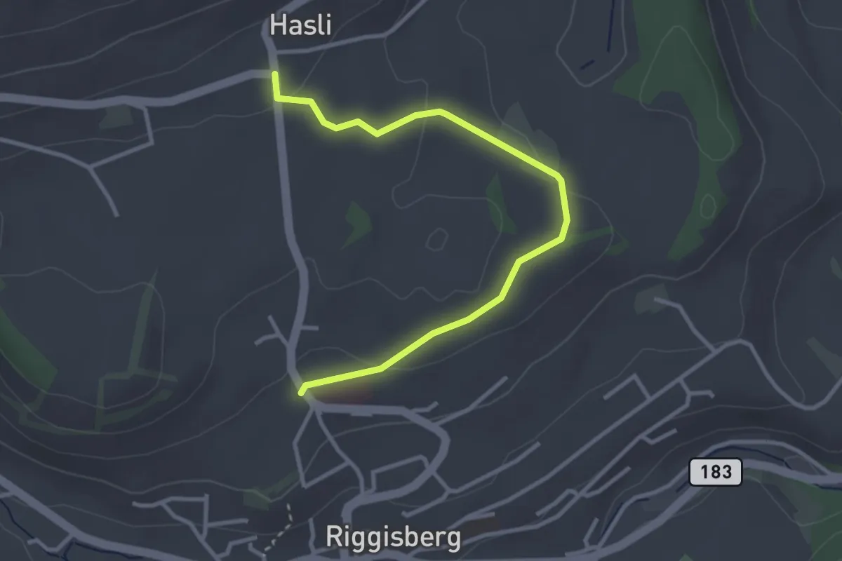
Easy · Trail
Riggisberg / Staudengasse – Hasli
3.4 km · ↑ 103 m · 1 h 1 min · 14 km away
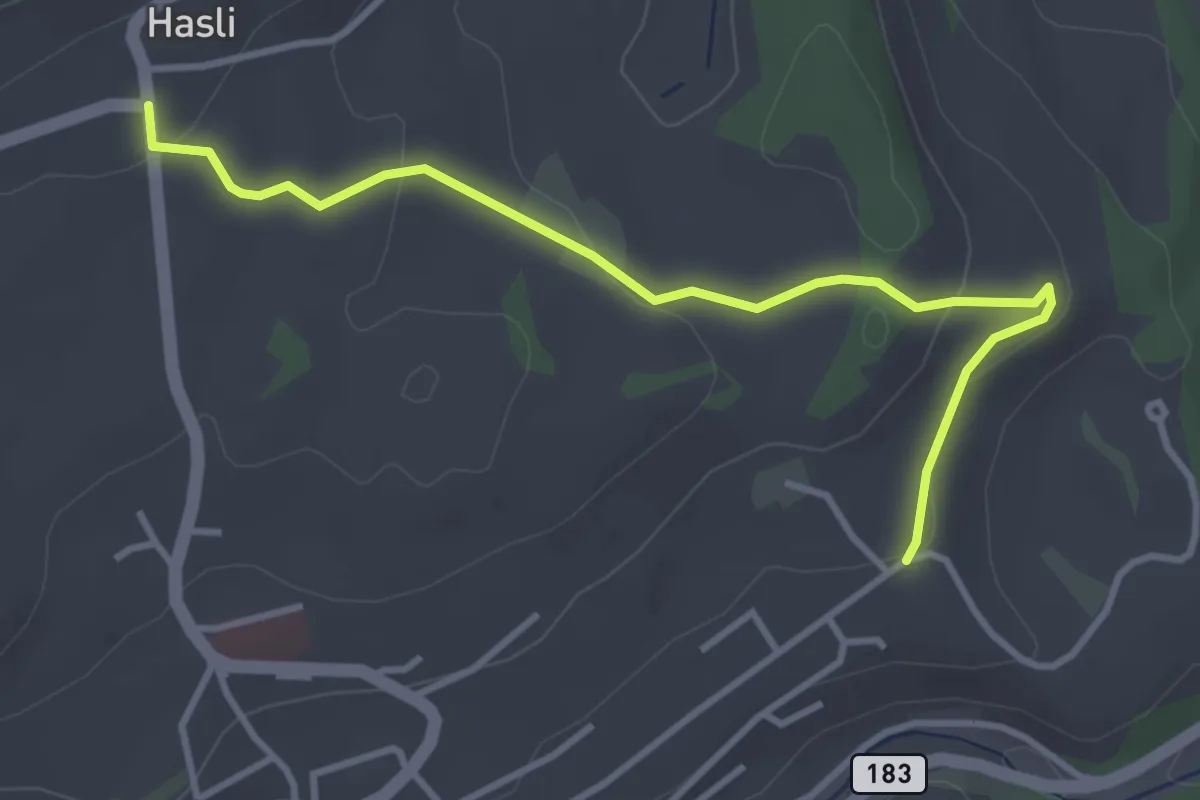
Easy · Trail
Hasli – Eybrunnen
3.8 km · ↑ 115 m · 1 h 9 min · 14 km away
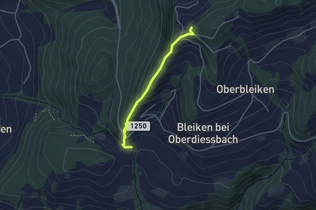
Easy · Trail
Niederbleiken – Falkeflue
2.7 km · ↑ 239 m · 1 h 9 min · 14 km away
Easy · Summit
Heimiswilbrügg – Oberi Rüügle
4.0 km · ↑ 194 m · 1 h 21 min · 14 km away
Easy · Trail
Heimiswilbrügg - Lochbachbrügg
2.4 km · ↑ 4 m · 35 min · 14 km away
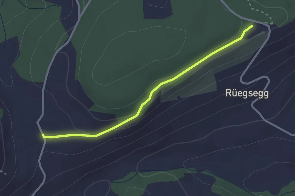
Easy · Trail
Chuderhüsi – Müliseile
2.4 km · ↑ 58 m · 41 min · 14 km away
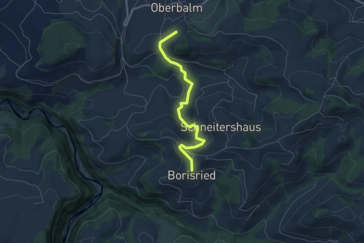
Easy · Trail
Boriswil – Oberbalm/Kirchweg
5.5 km · ↑ 195 m · 1 h 43 min · 14 km away
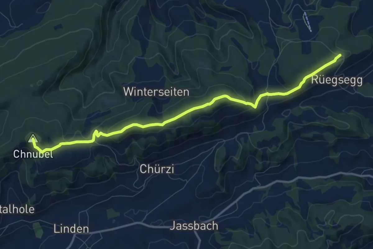
Medium · Summit
Chuderhüsi-Oberdiessbach
10.2 km · ↑ 321 m · 3 h 7 min · 14 km away
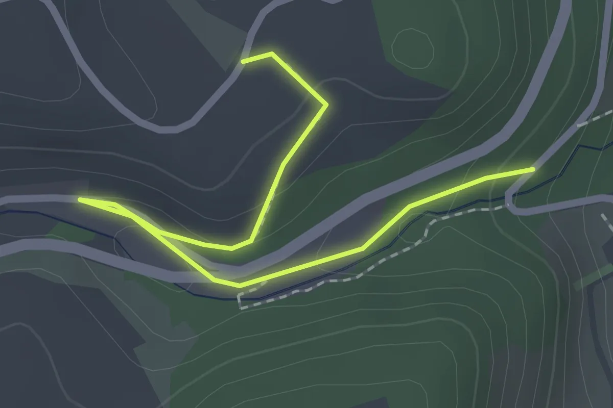
Easy · Trail
Abegg-Stiftung - Mülibach
2.2 km · ↑ 56 m · 38 min · 14 km away
Easy · Trail
Oberburg/Kirche – Burgdorf/Steinhof
3.3 km · ↑ 59 m · 55 min · 14 km away
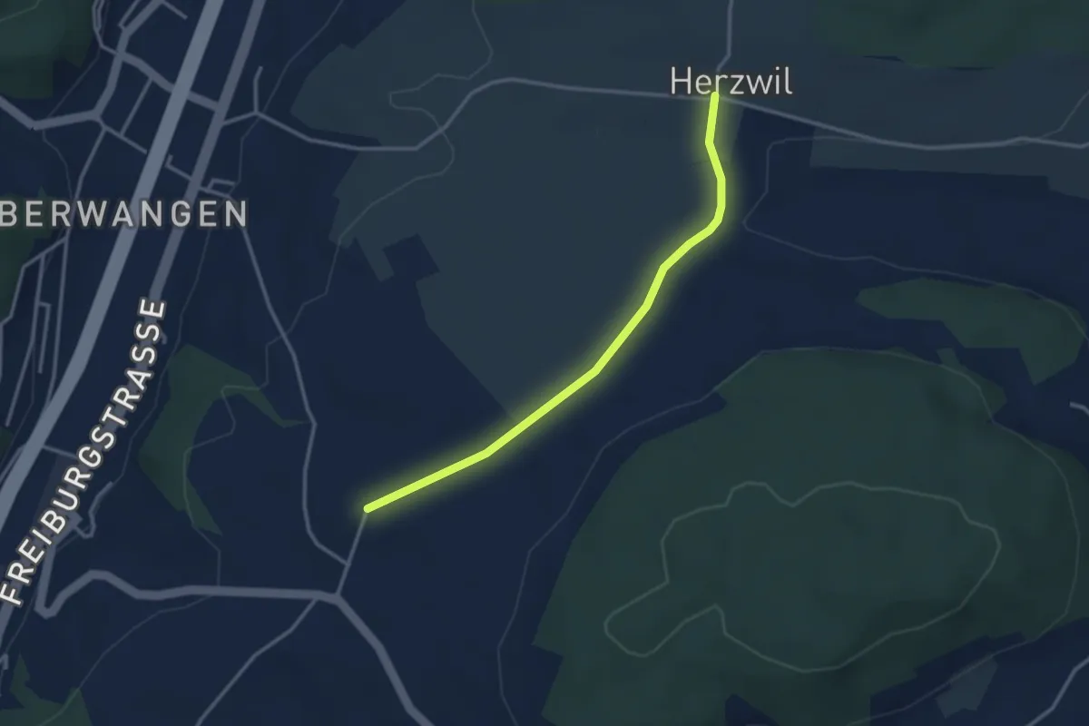
Easy · Trail
Herzwil - Liebewil/Resevoir
3.0 km · ↑ 31 m · 47 min · 14 km away
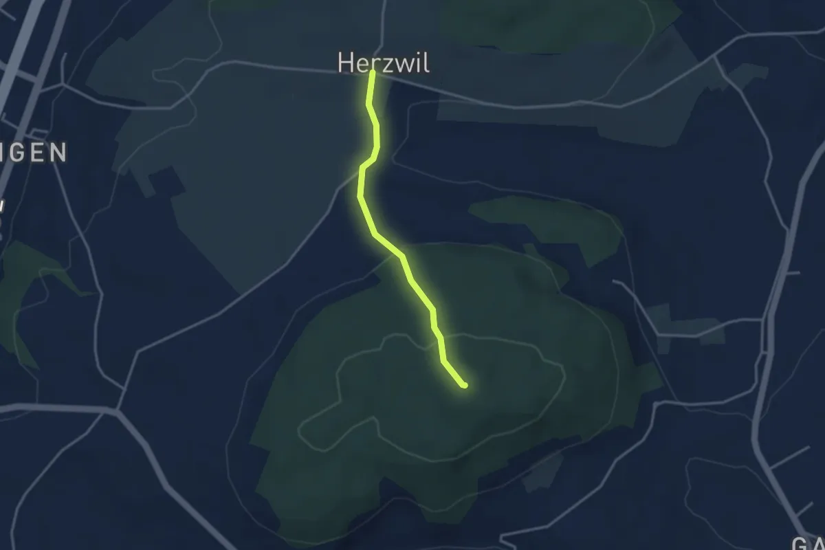
Easy · Summit
Herzwil - Mängistorfberg
2.7 km · ↑ 113 m · 52 min · 14 km away
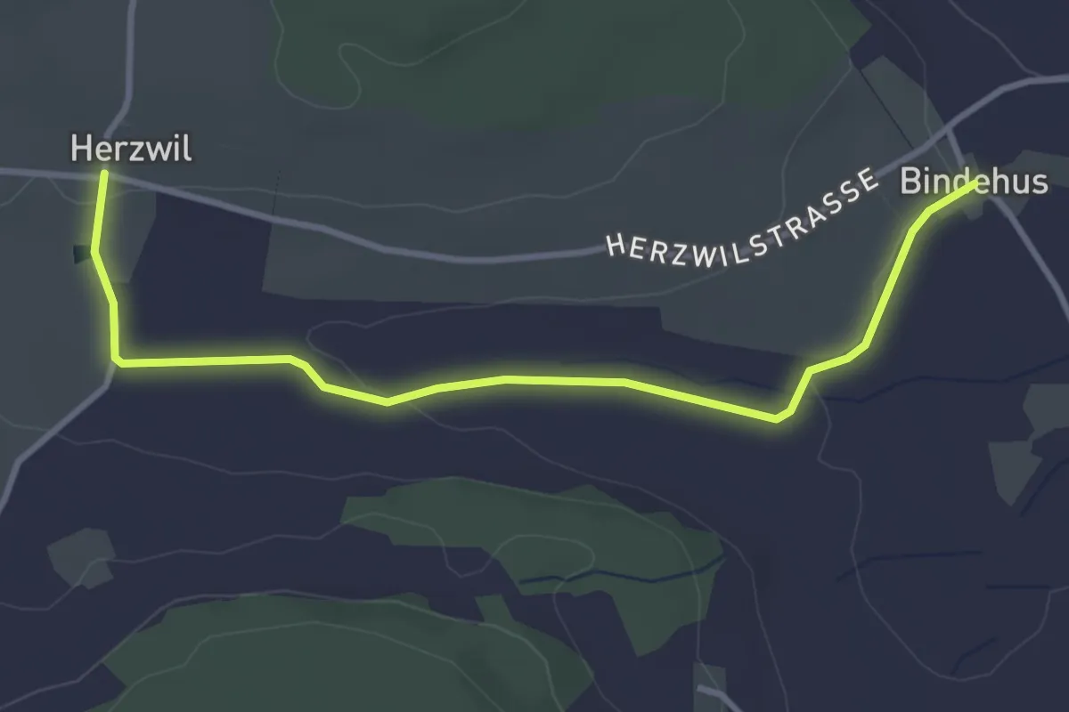
Easy · Trail
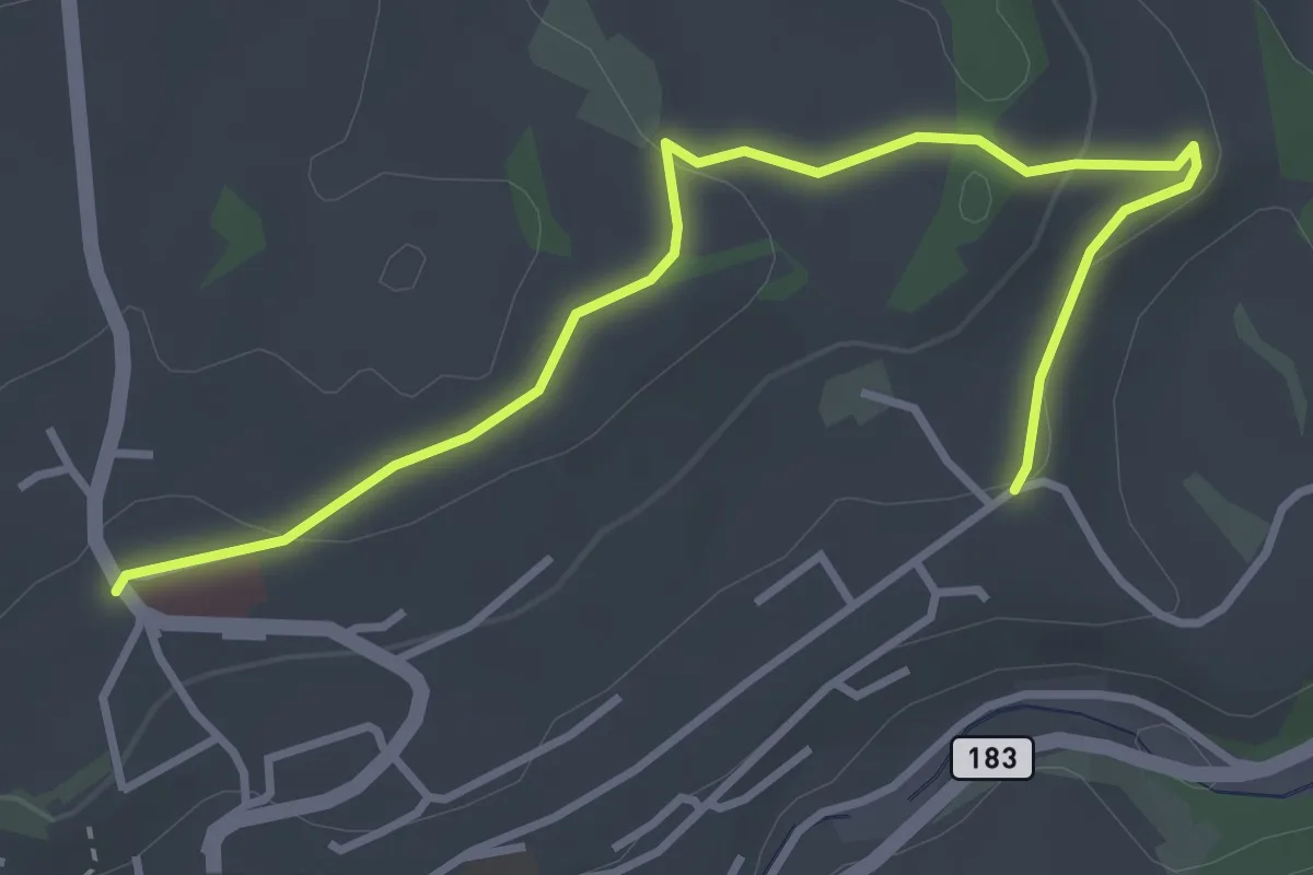
Herzwil - Bindenhaus
3.6 km · ↑ 41 m · 57 min · 14 km away
Easy · Trail
Riggisberg / Staudengasse – Eybrunnen
3.9 km · ↑ 112 m · 1 h 10 min · 14 km away
Easy · Summit
Brachacker – Bättwil
1.1 km · ↑ 42 m · 21 min · 14 km away
Easy · Trail
Brachacher - fixme
2.1 km · ↑ 55 m · 38 min · 14 km away
Easy · Trail
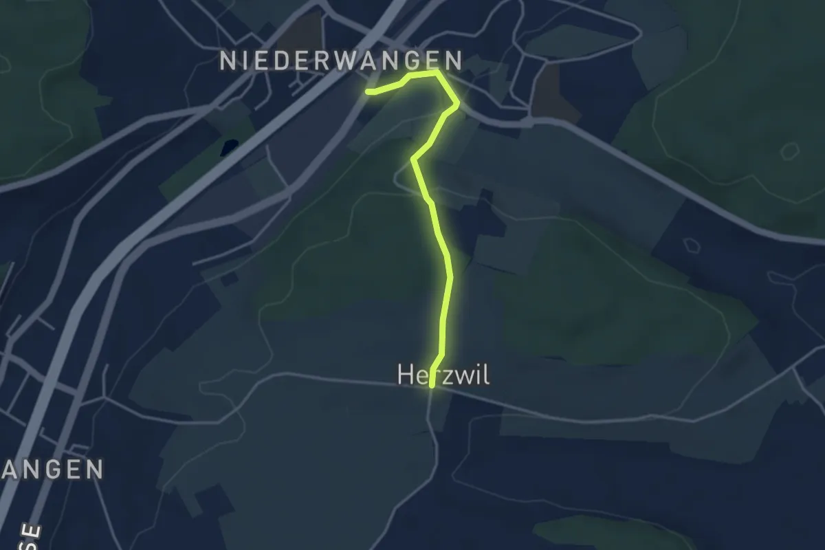
Wangen-brüggli - Herzwil
3.0 km · ↑ 112 m · 57 min · 14 km away
Easy · Trail
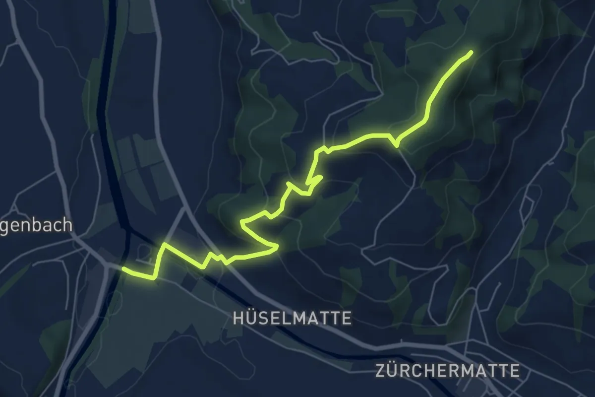
Emmenmatt – Oberdürsrütiwald
6.8 km · ↑ 312 m · 2 h 17 min · 14 km away
Easy · Trail
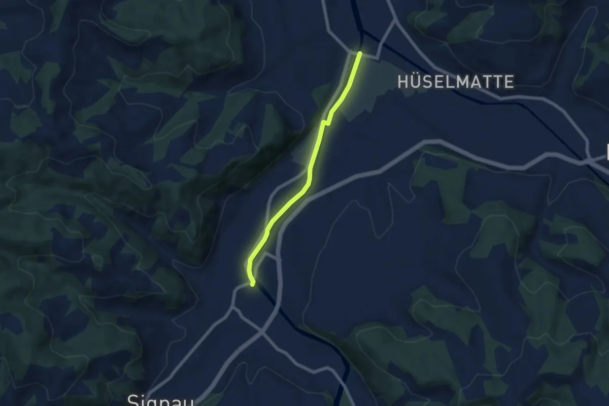
Emmenmatt - Ramseisteg
5.1 km · ↑ 56 m · 1 h 19 min · 14 km away
Easy · Trail
Rüti bei Lyssach – Meienmoos
3.7 km · ↑ 28 m · 56 min · 14 km away
Easy · Trail
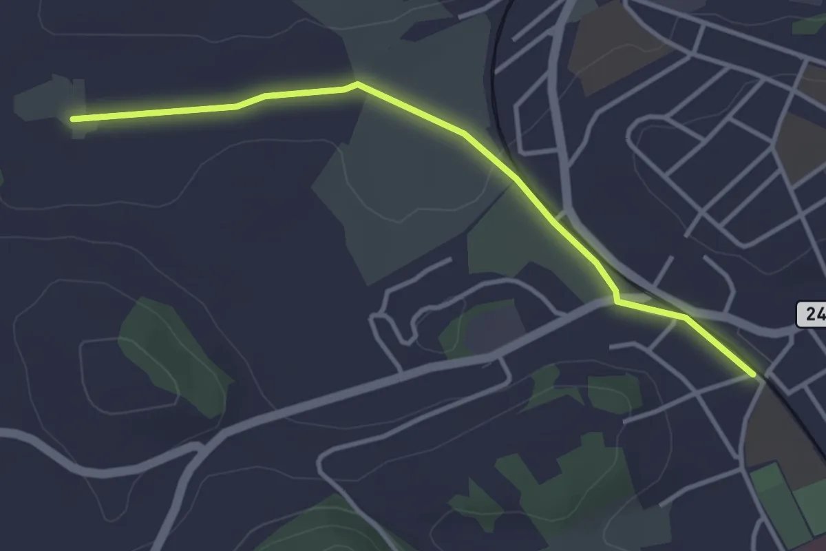
Meienmoos – Burgdorf/Steinhof
3.4 km · ↑ 13 m · 50 min · 14 km away
Easy · Trail
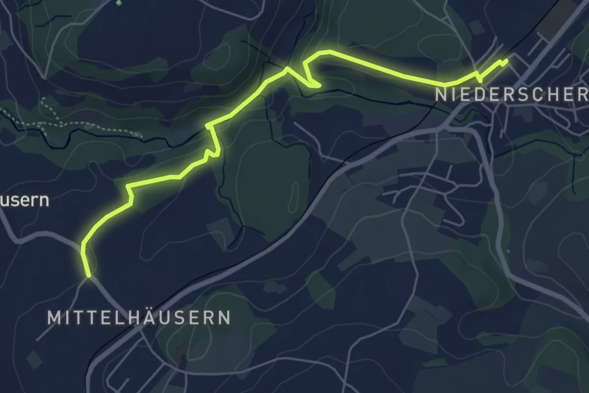
Mittelhäusern - Niederscherli
5.7 km · ↑ 165 m · 1 h 42 min · 14 km away
Easy · Trail
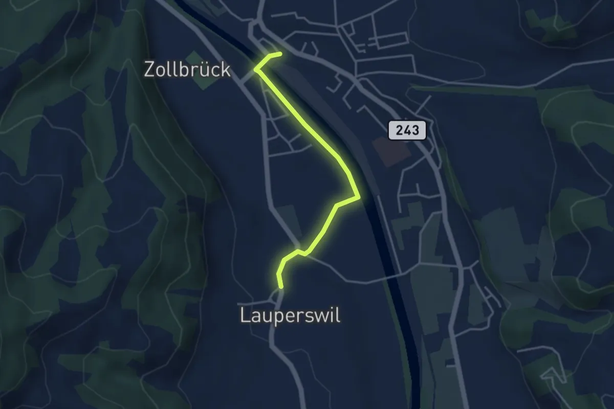
Zollbrügg - Lauperswil
3.1 km · ↑ 14 m · 46 min · 14 km away
Easy · Trail
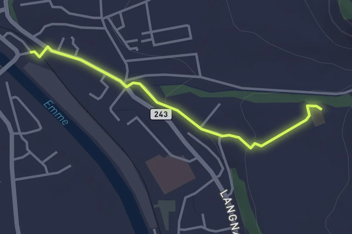
Aebnit - Zollbrügg
2.7 km · ↑ 46 m · 44 min · 14 km away
Easy · Trail
Jetzikofen – Buchsacher
3.8 km · ↑ 119 m · 1 h 9 min · 14 km away
Easy · Trail
Schüpberg – Buchsacher
5.4 km · ↑ 117 m · 1 h 32 min · 14 km away
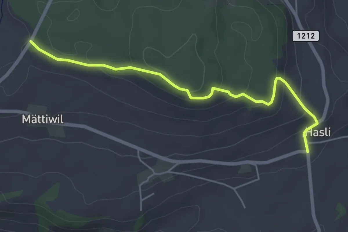
Easy · Trail
Hasli – Than
4.6 km · ↑ 179 m · 1 h 29 min · 14 km away
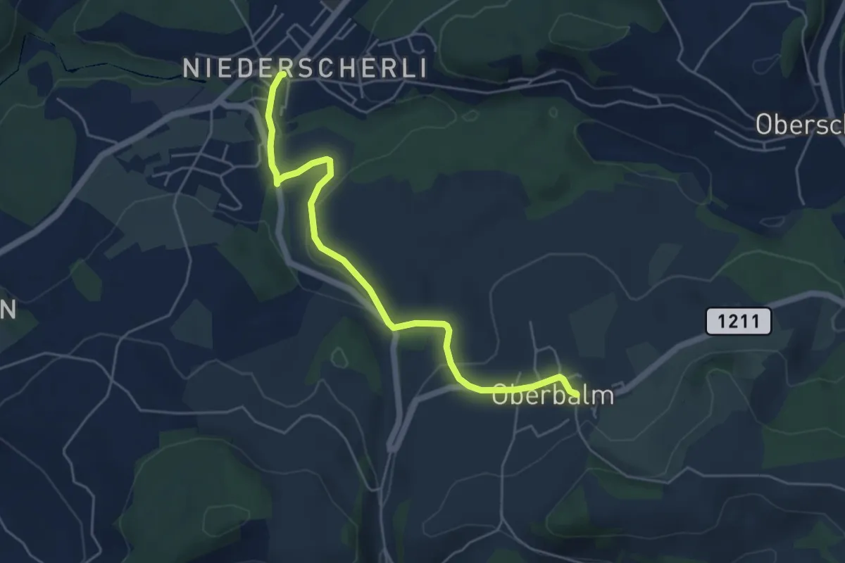
Easy · Trail
Niederscherli – Oberbalm
5.1 km · ↑ 142 m · 1 h 30 min · 14 km away
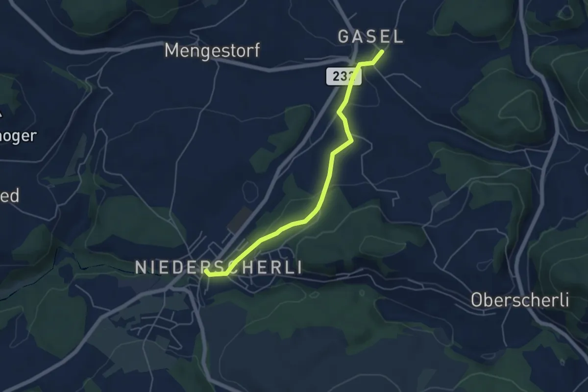
Easy · Trail
Niederscherli – Gasel
4.6 km · ↑ 143 m · 1 h 24 min · 14 km away
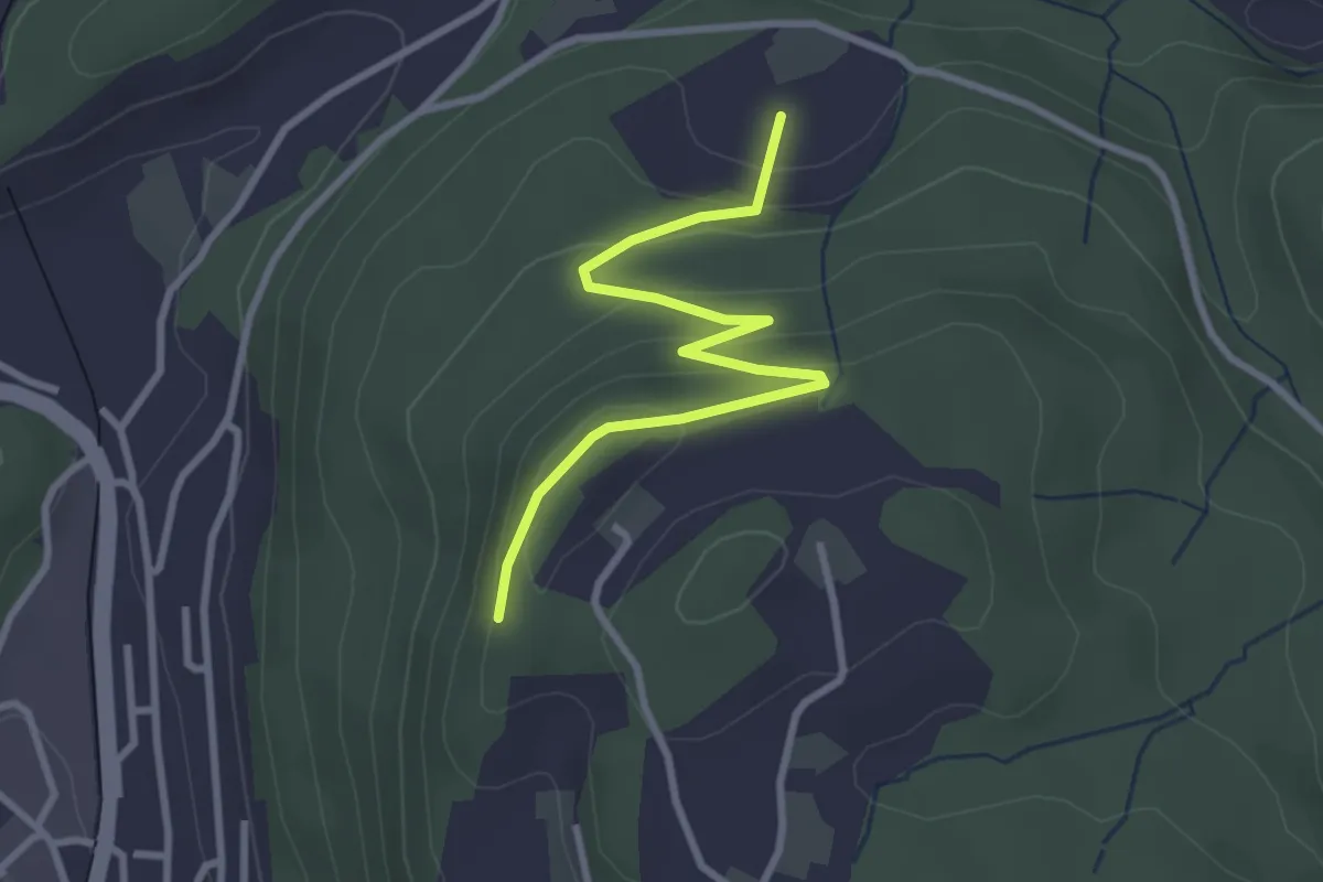
Easy · Trail
Heimbergflue – Spittelsheimberg
3.0 km · ↑ 143 m · 1 h 2 min · 14 km away
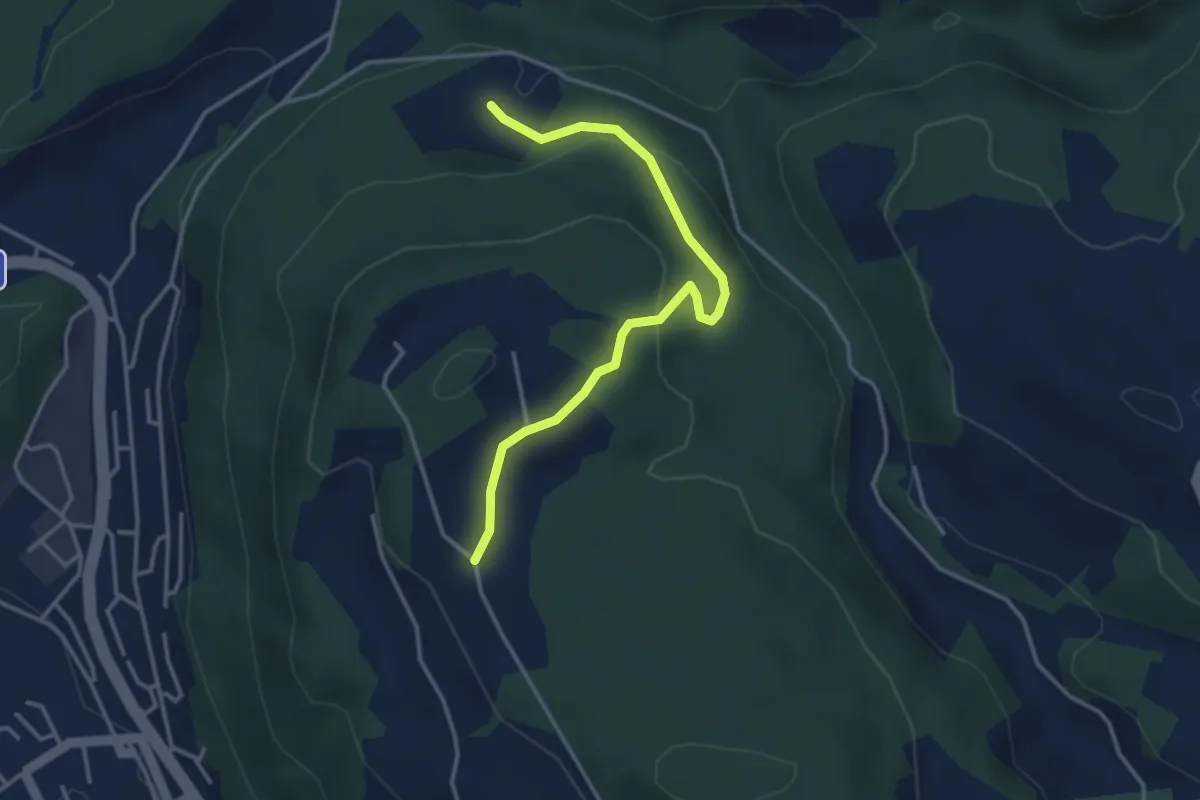
Easy · Trail
Oberi Riedere – Spittelsheimberg
3.6 km · ↑ 136 m · 1 h 8 min · 14 km away