Trails near Worb
459 hikes starting within 15 km, nearest first.
Nearest first, page 2 of 10
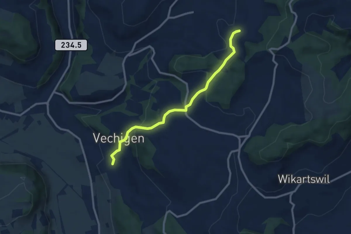
Easy · Trail
Littiwil – Vechigen
6.5 km · ↑ 260 m · 2 h 6 min · 4 km away
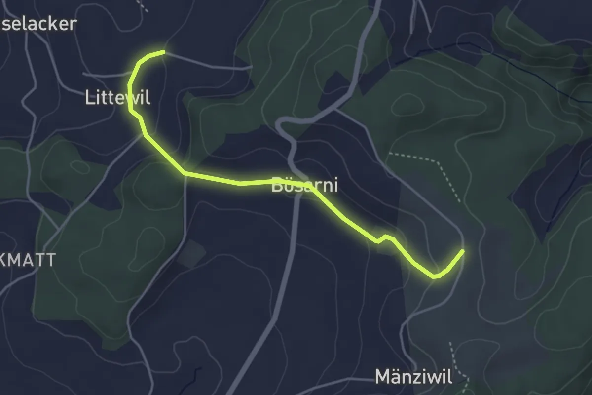
Easy · Trail
Littiwil – Vechigen
3.9 km · ↑ 120 m · 1 h 11 min · 4 km away
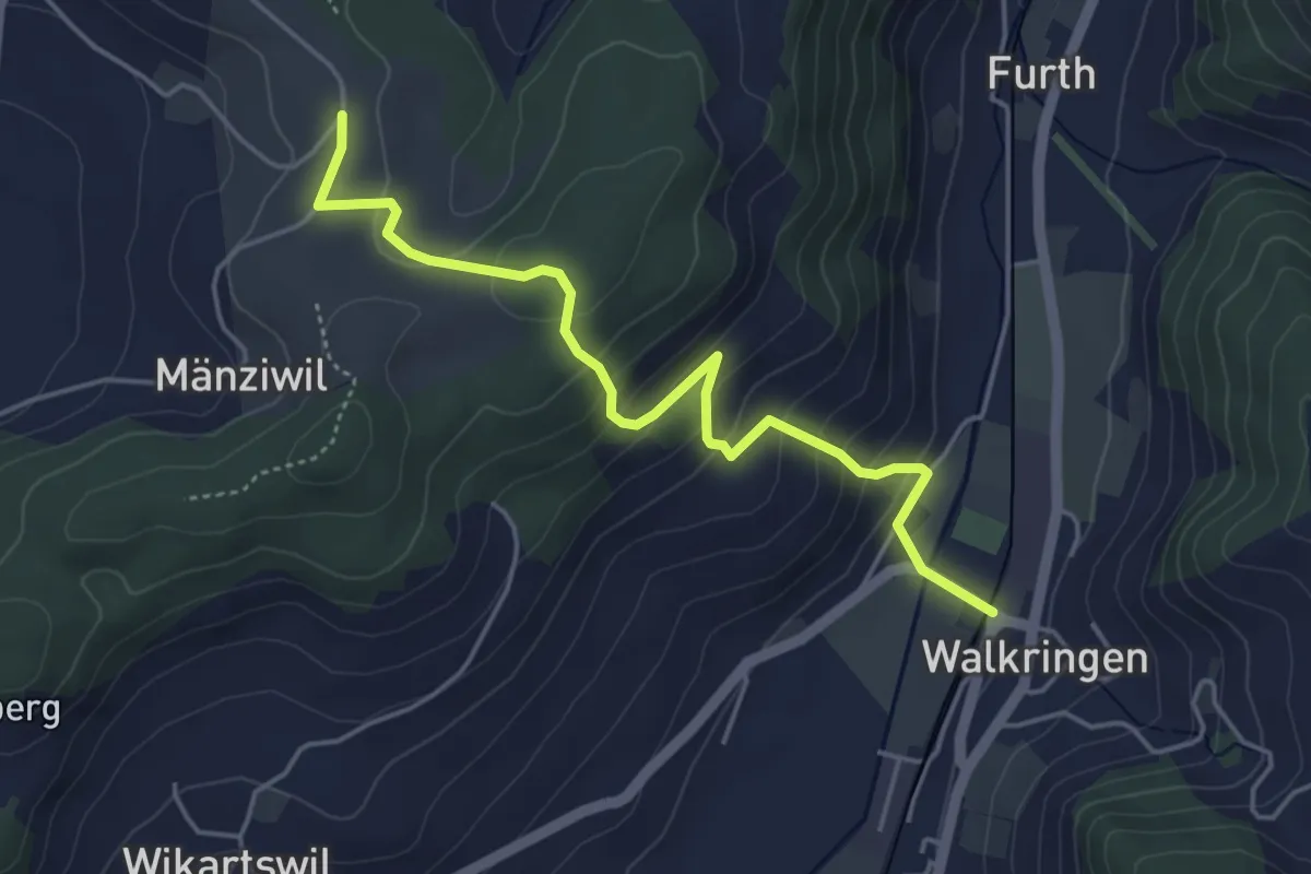
Easy · Trail
Mänziwilegg - Walkringen
4.7 km · ↑ 274 m · 1 h 43 min · 4 km away
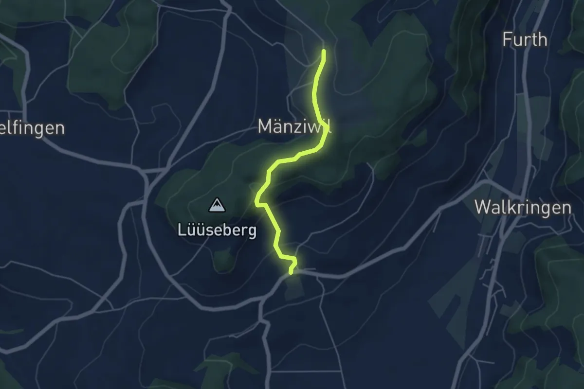
Easy · Trail
Wikartswil – Mänziwilegg
3.9 km · ↑ 187 m · 1 h 20 min · 4 km away
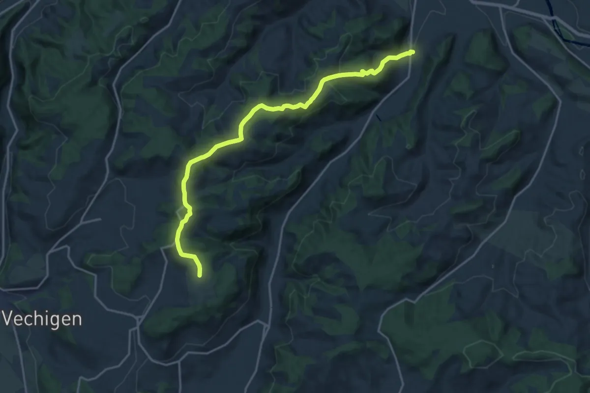
Medium · Trail
Mänziwilegg – Schafhausen
16.2 km · ↑ 533 m · 4 h 58 min · 4 km away
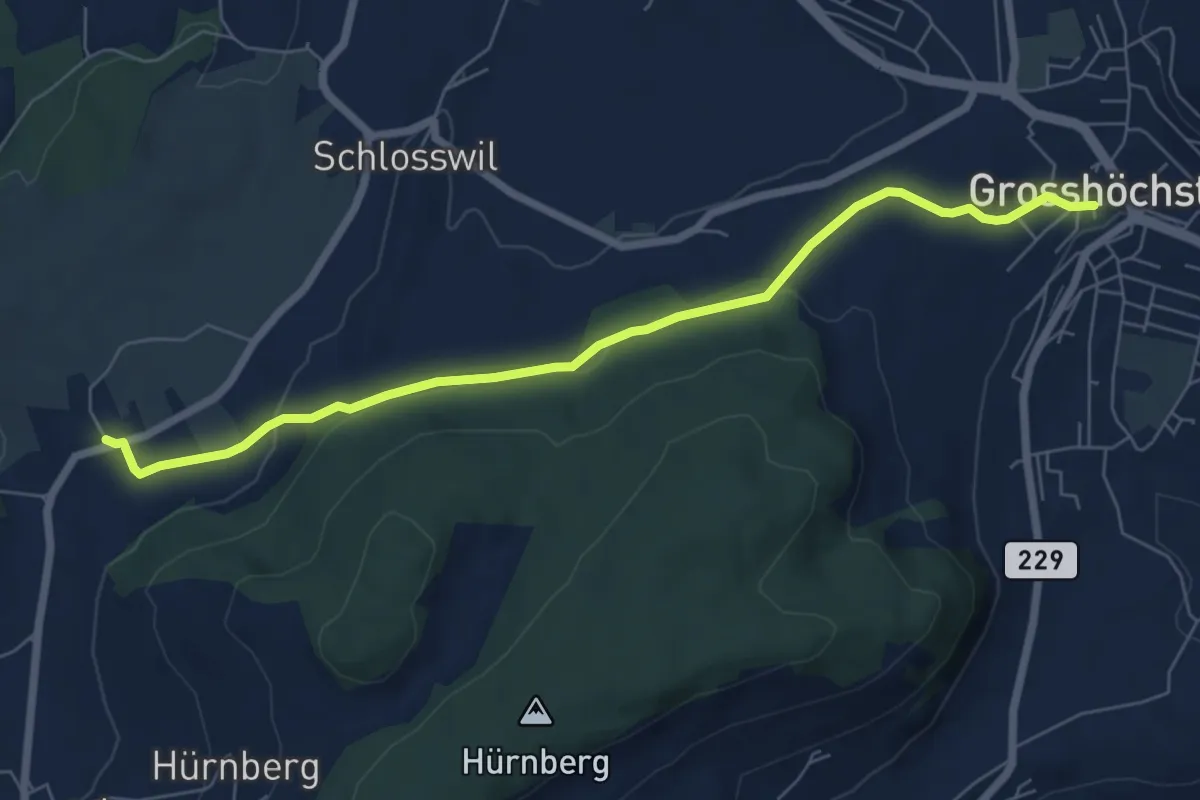
Easy · Trail
Grosshöchstetten – Herolfingen
7.0 km · ↑ 112 m · 1 h 54 min · 4 km away
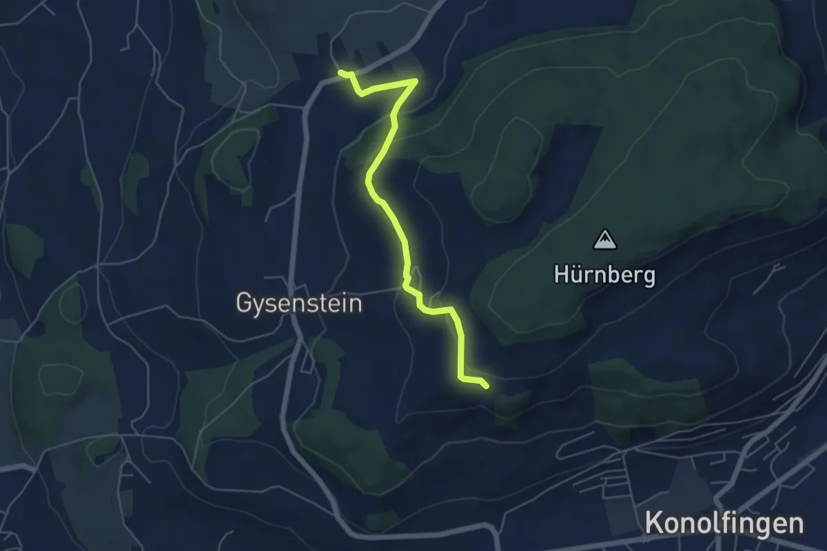
Easy · Trail
Herolfingen – Konolfingen
5.0 km · ↑ 146 m · 1 h 29 min · 4 km away
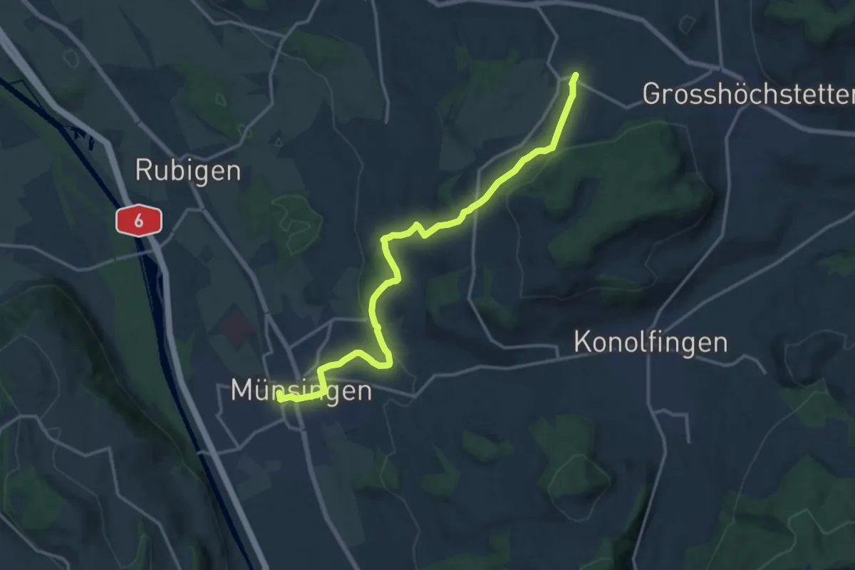
Medium · Trail
Münsingen – Schlosswil
14.9 km · ↑ 320 m · 4 h 12 min · 4 km away
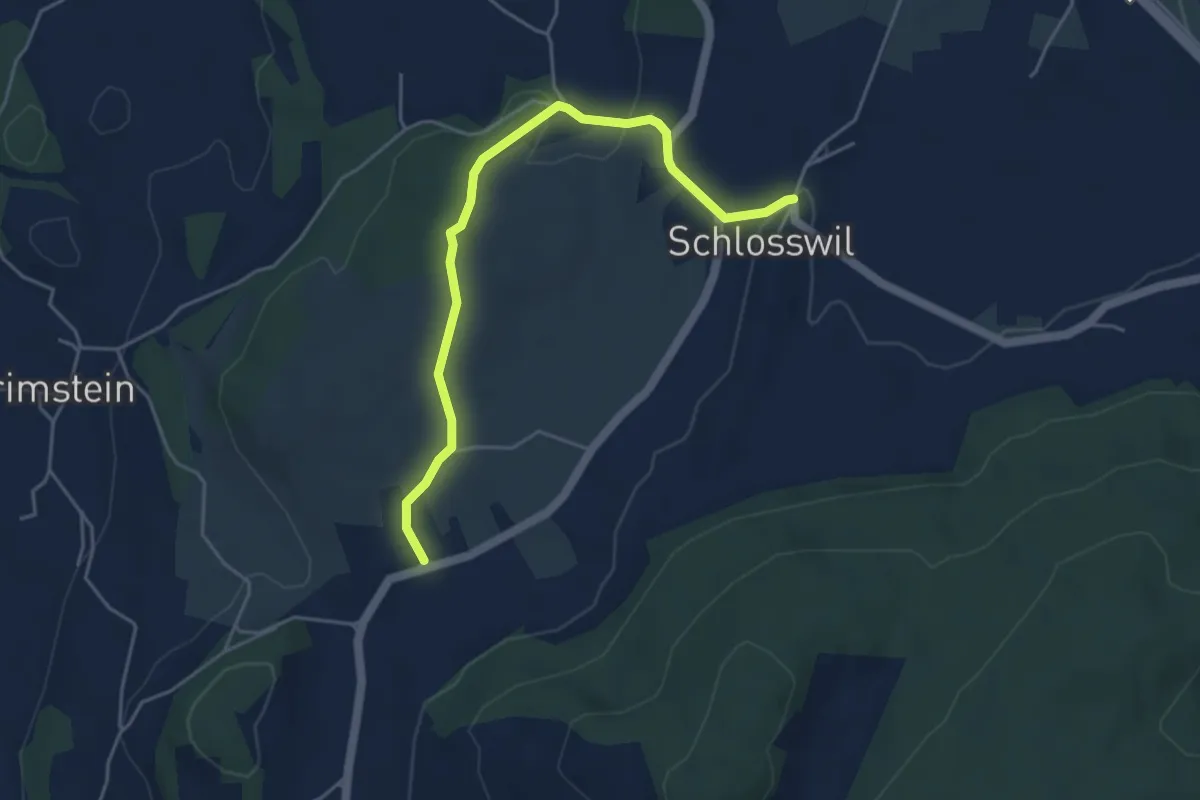
Easy · Trail
Herolfingen – Schlosswil
4.7 km · ↑ 105 m · 1 h 20 min · 4 km away
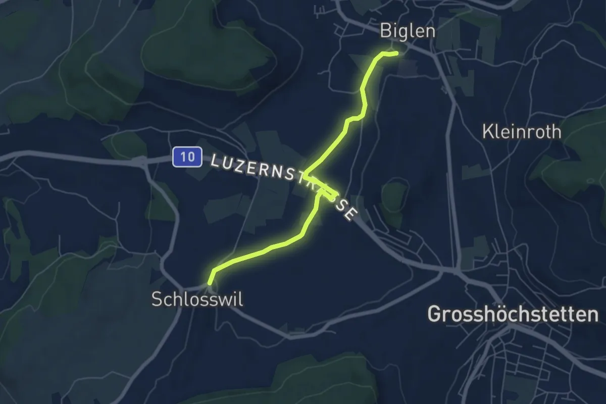
Easy · Trail
Schlosswil – Biglen
5.6 km · ↑ 36 m · 1 h 25 min · 4 km away
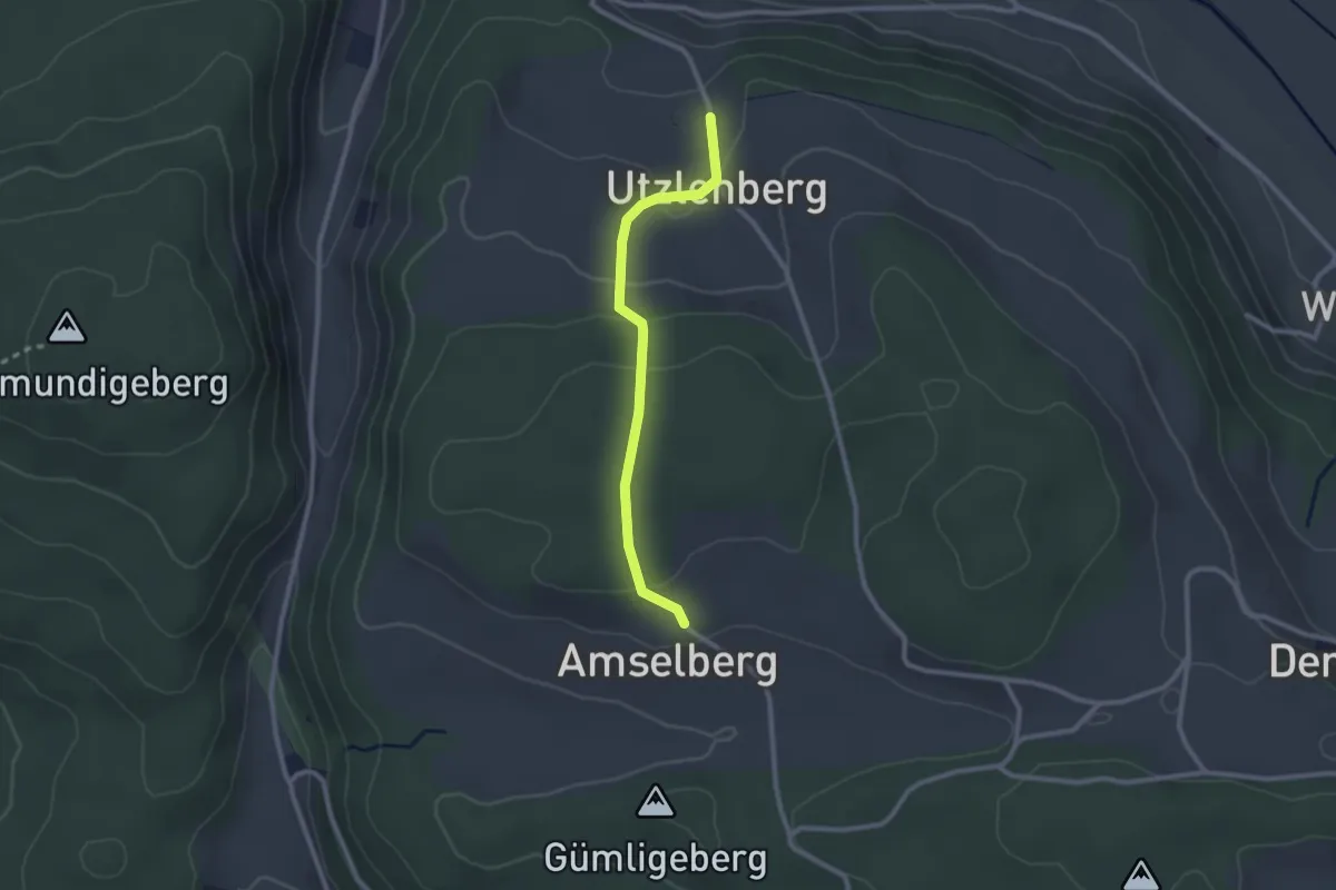
Easy · Trail
Amslenberg – Utzlenberg
2.3 km · ↑ 104 m · 46 min · 4 km away
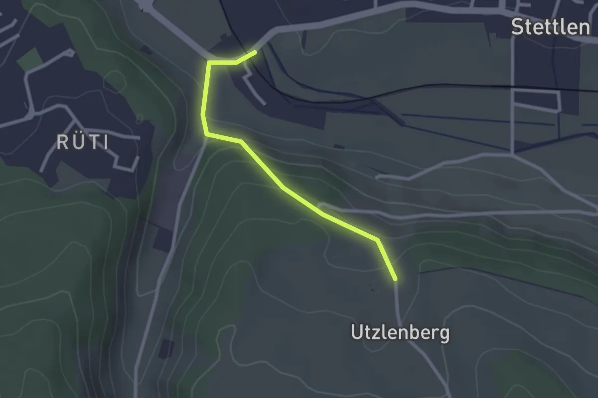
Easy · Trail
Deisswil – Utzlenberg
2.1 km · ↑ 124 m · 46 min · 4 km away
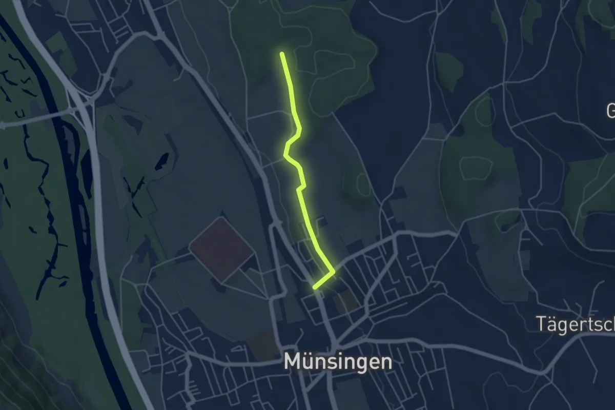
Easy · Trail
Münsingen – Schwandwald
3.7 km · ↑ 76 m · 1 h 2 min · 4 km away
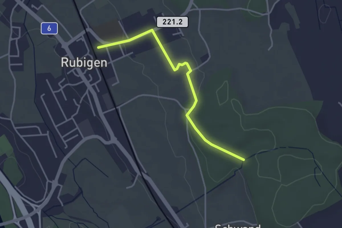
Easy · Trail
Rubigen – Schwandwald
3.2 km · ↑ 57 m · 53 min · 4 km away
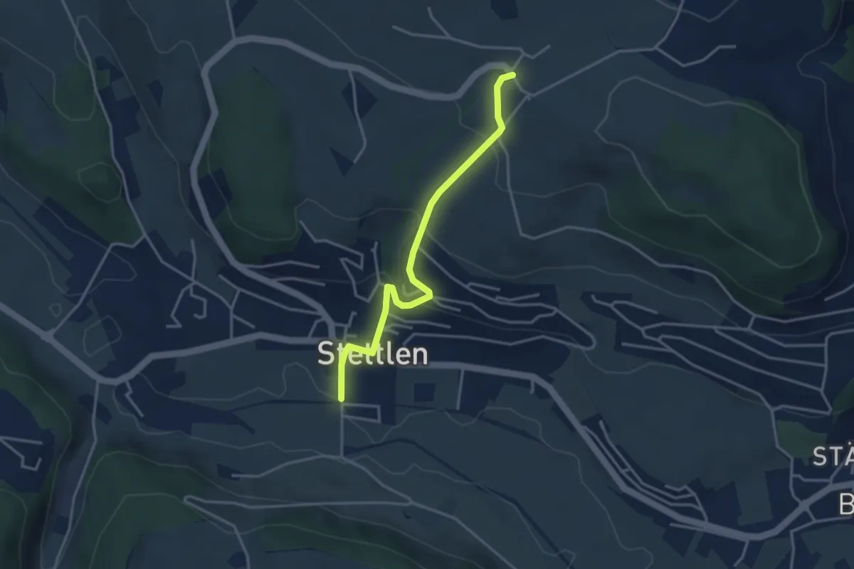
Easy · Trail
Ferenberg – Stettlen
3.4 km · ↑ 179 m · 1 h 11 min · 4 km away
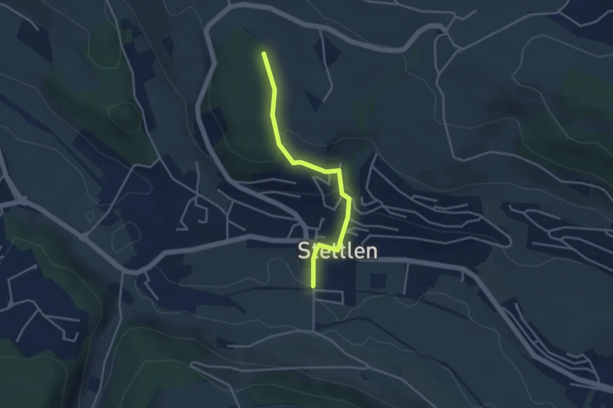
Easy · Trail
Buechholz – Stettlen
2.8 km · ↑ 115 m · 55 min · 4 km away
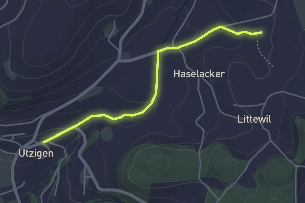
Easy · Trail
Sänggi – Utzigen
3.7 km · ↑ 98 m · 1 h 5 min · 4 km away
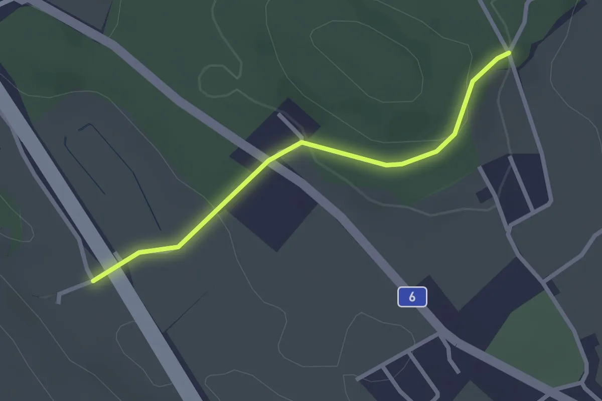
Easy · Trail
Hüenwald – Vorder Märchligen
2.3 km · ↑ 66 m · 41 min · 4 km away
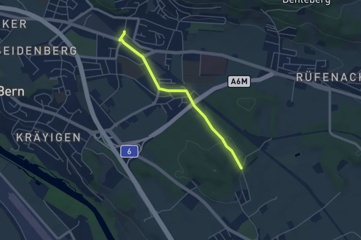
Easy · Trail
Hüenwald – Gümligen
4.0 km · ↑ 36 m · 1 h 2 min · 4 km away
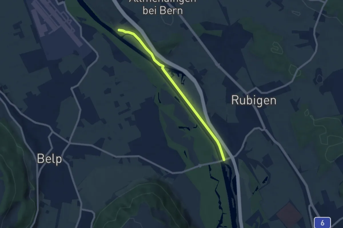
Easy · Trail
Märchligenau - Hunzigebrügg
5.9 km · ↑ 32 m · 1 h 28 min · 4 km away
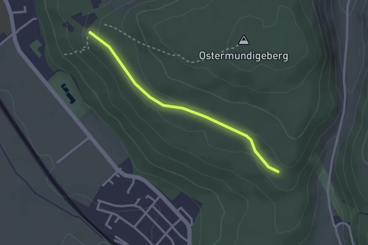
Easy · Trail
Harnischberg – Steinbrüche
2.2 km · ↑ 46 m · 38 min · 5 km away
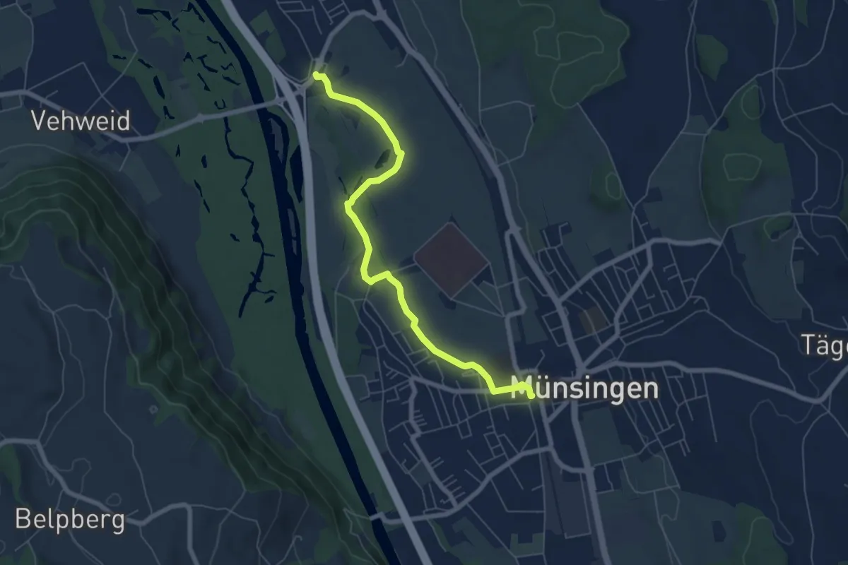
Easy · Trail
Münsingen – Hunziken
6.4 km · ↑ 21 m · 1 h 34 min · 5 km away
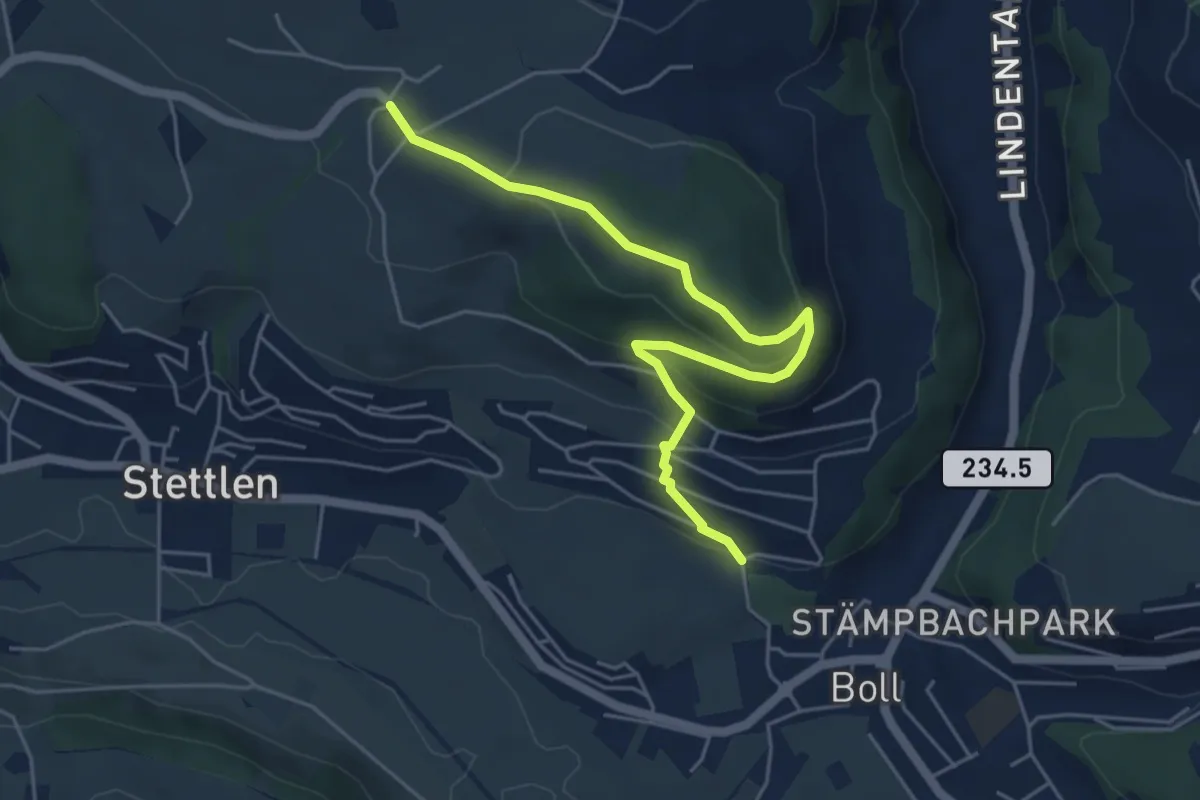
Easy · Trail
Ferenberg – Sinneringen
5.4 km · ↑ 245 m · 1 h 48 min · 5 km away
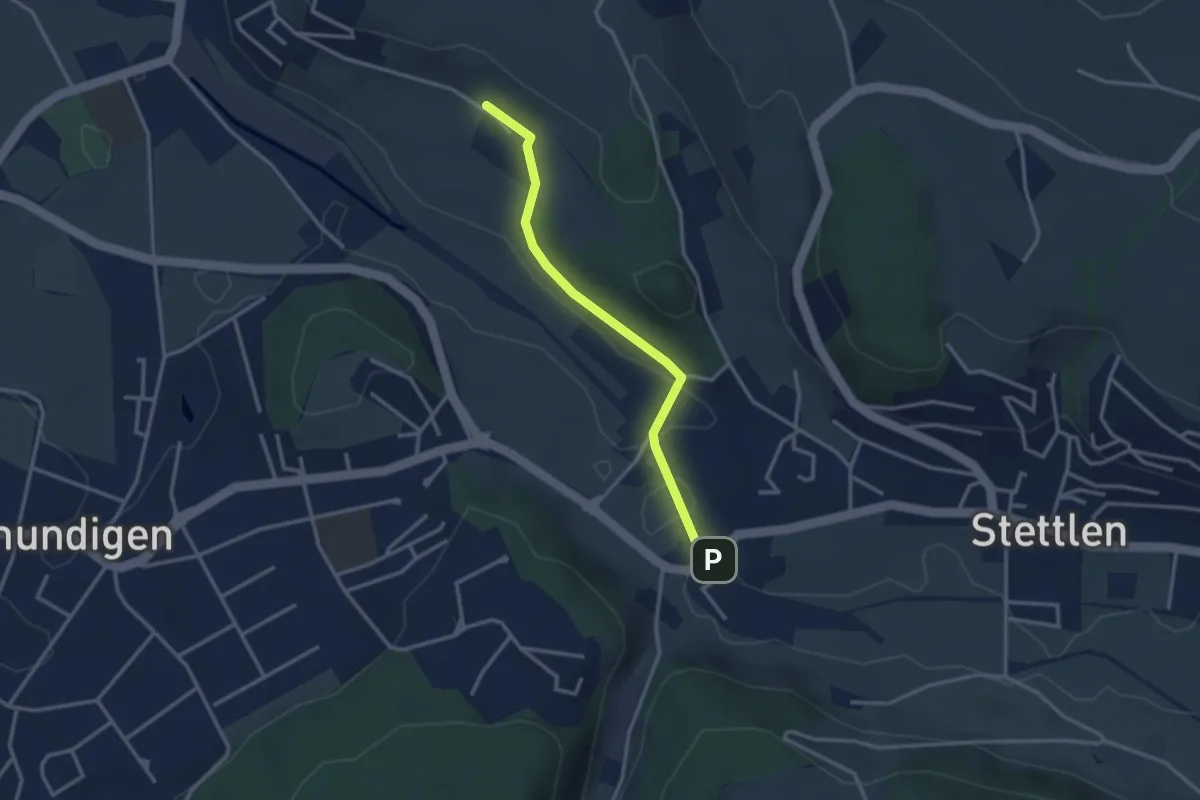
Easy · Trail
Hüenerbüel – Deisswil
2.9 km · ↑ 33 m · 45 min · 5 km away
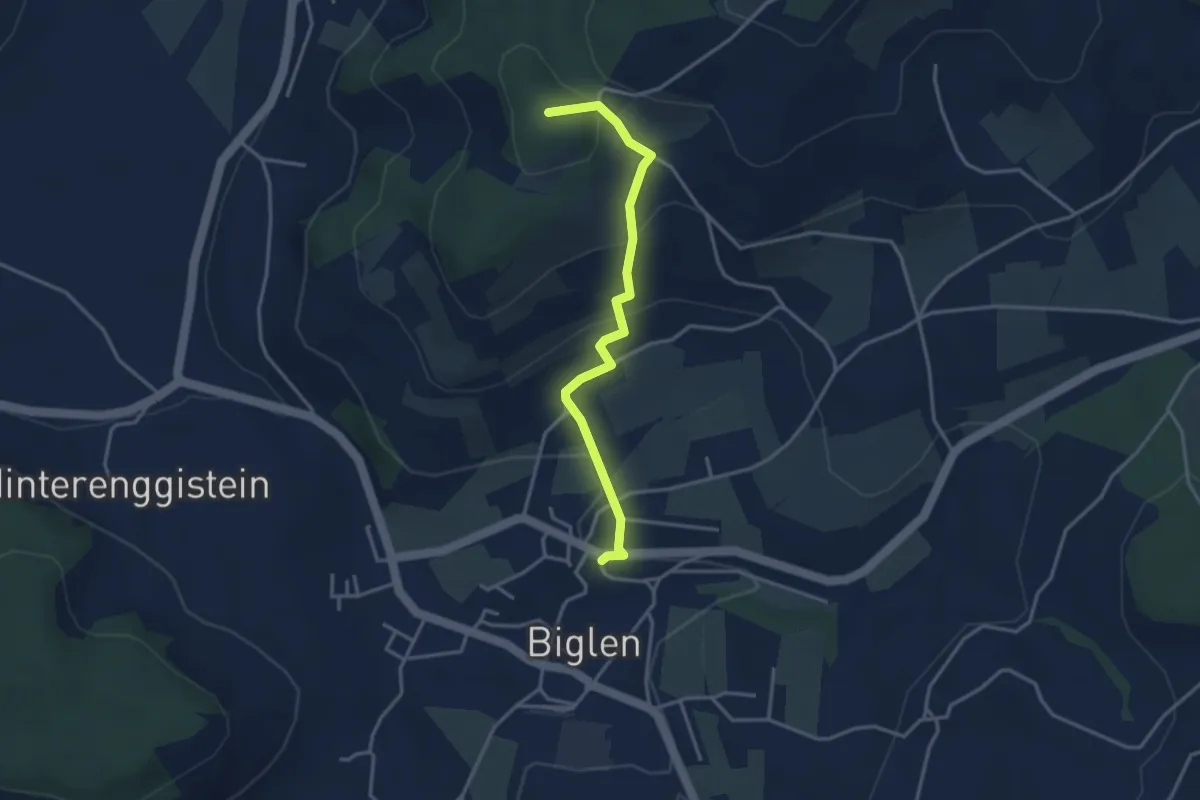
Easy · Summit
Biglen – Adlisberg
3.4 km · ↑ 169 m · 1 h 10 min · 5 km away
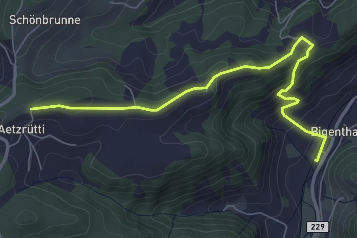
Easy · Trail
Ätzrüti – Bigenthal
6.1 km · ↑ 315 m · 2 h 8 min · 5 km away
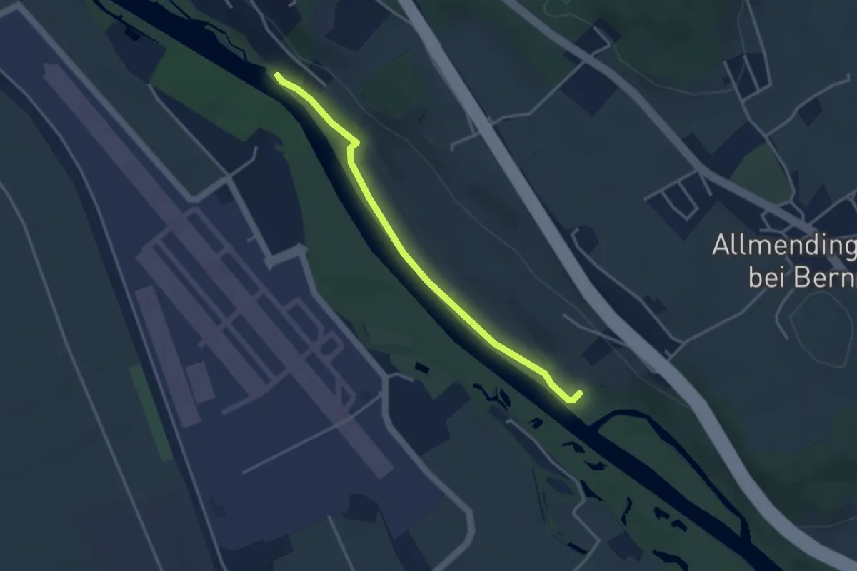
Easy · Trail
Auguetbrügg-Märchligenau
3.2 km · ↑ 35 m · 49 min · 5 km away
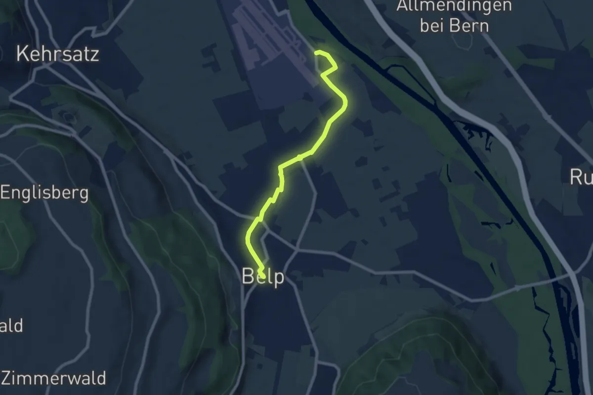
Easy · Trail
Belp – Flugplatz Bern Belp
6.4 km · ↑ 9 m · 1 h 32 min · 5 km away
Medium · Trail
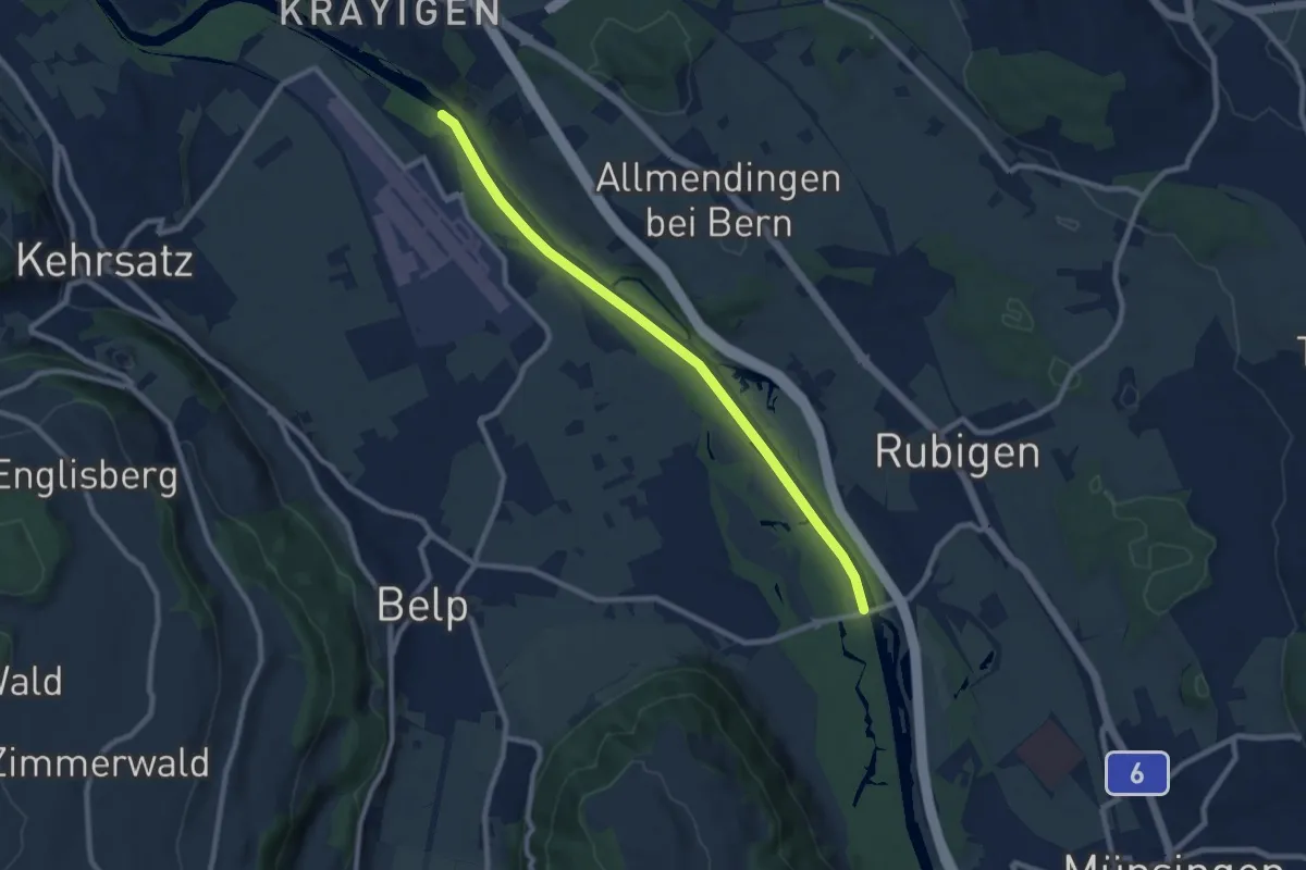
Auguetbrügg - Hunzigebrügg
8.7 km · ↑ 8 m · 2 h 4 min · 5 km away
Easy · Trail
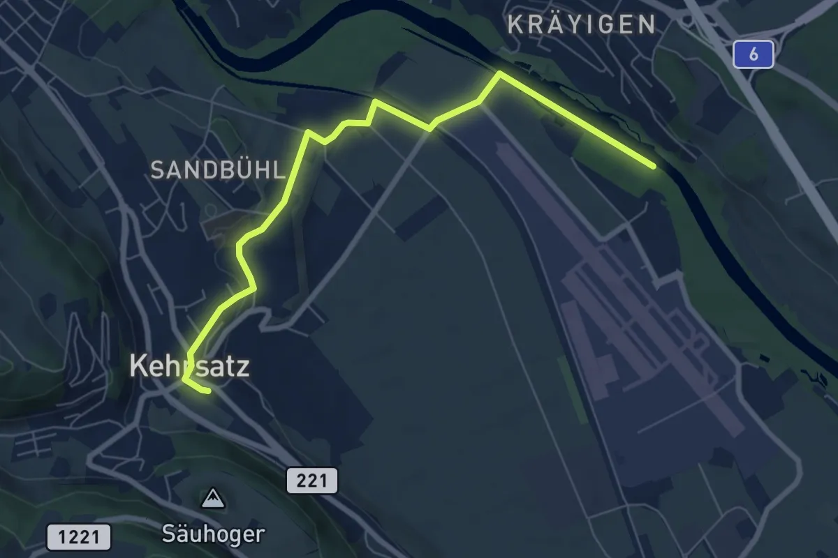
Auguetbrügg - Kehrsatz
7.2 km · ↑ 84 m · 1 h 53 min · 5 km away
Easy · Trail
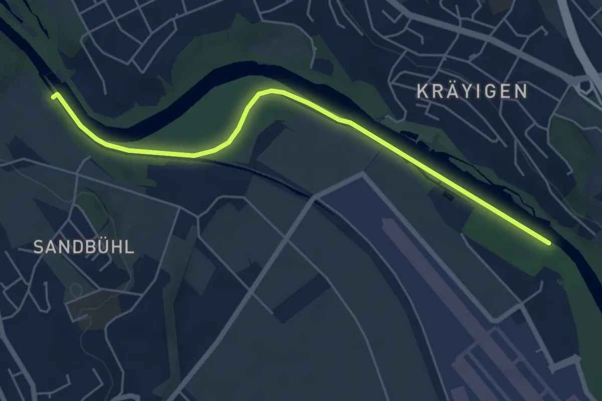
Auguetbrügg - Bodenacherfähre
5.3 km · ↑ 29 m · 1 h 18 min · 5 km away
Easy · Trail
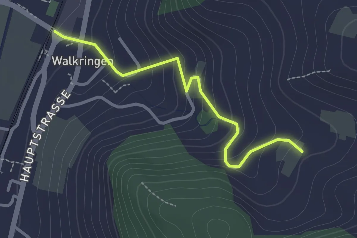
Golpisberg – Walkringen
2.3 km · ↑ 154 m · 53 min · 5 km away
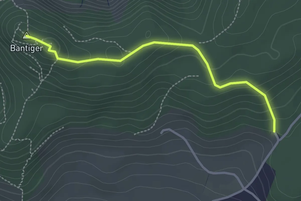
Easy · Summit
Bantiger – Cholgruebe
2.7 km · ↑ 119 m · 54 min · 5 km away
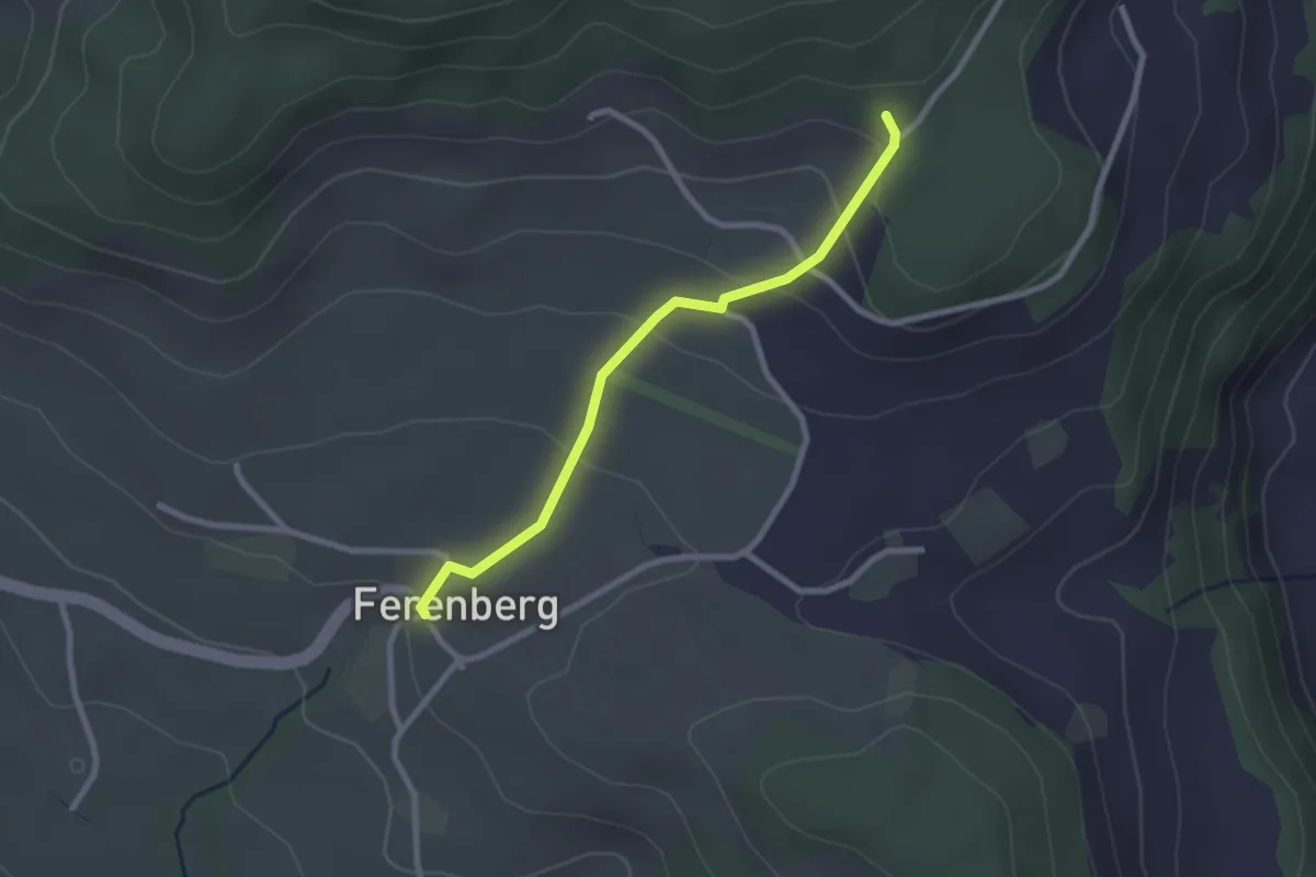
Easy · Trail
Cholegruebe – Ferenberg
2.4 km · ↑ 106 m · 48 min · 5 km away
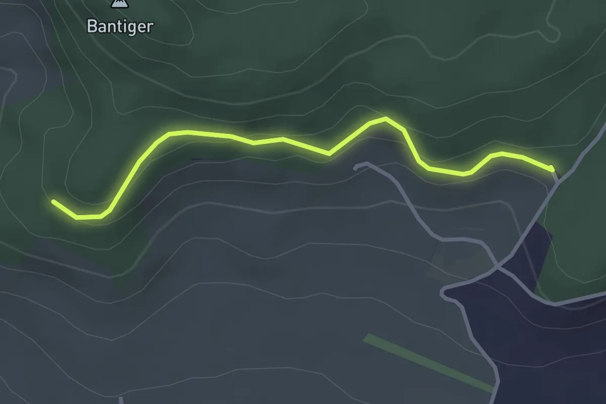
Easy · Trail
Chatzenstyg – Cholegruebe
2.8 km · ↑ 80 m · 51 min · 5 km away
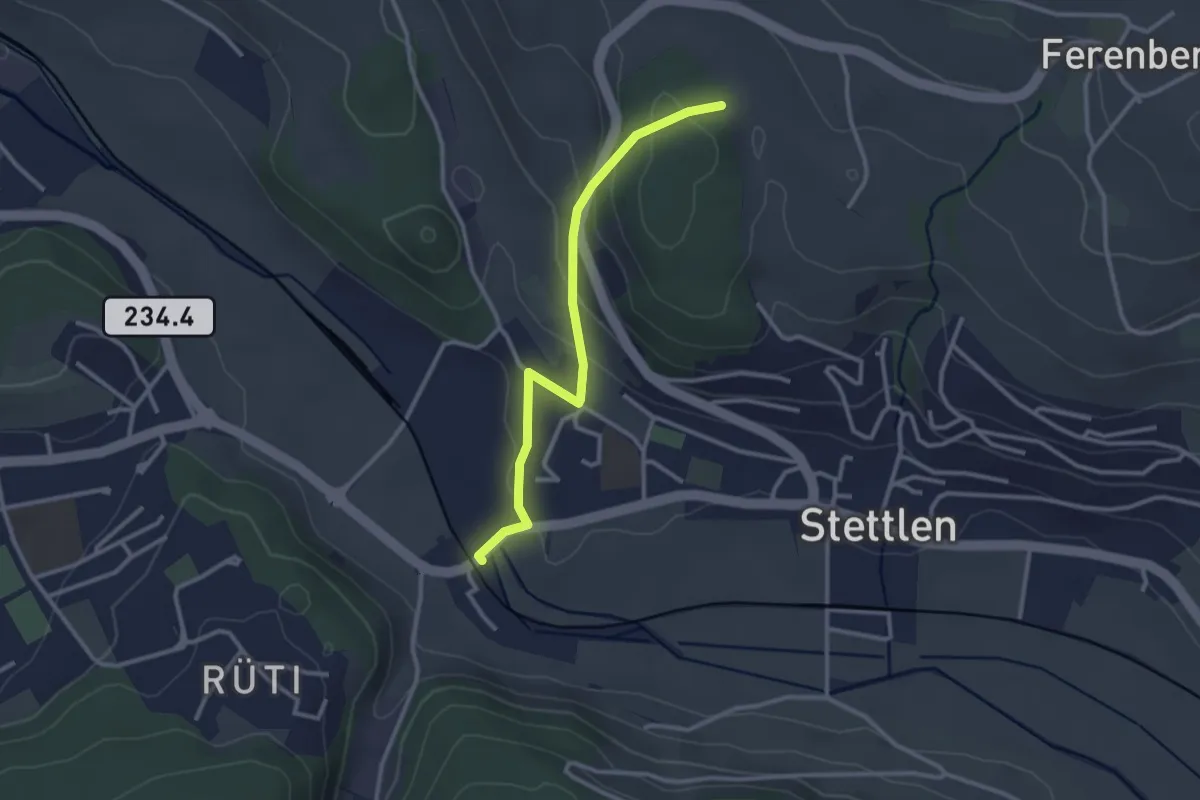
Easy · Trail
Buechholz – Deisswil
2.8 km · ↑ 135 m · 57 min · 5 km away
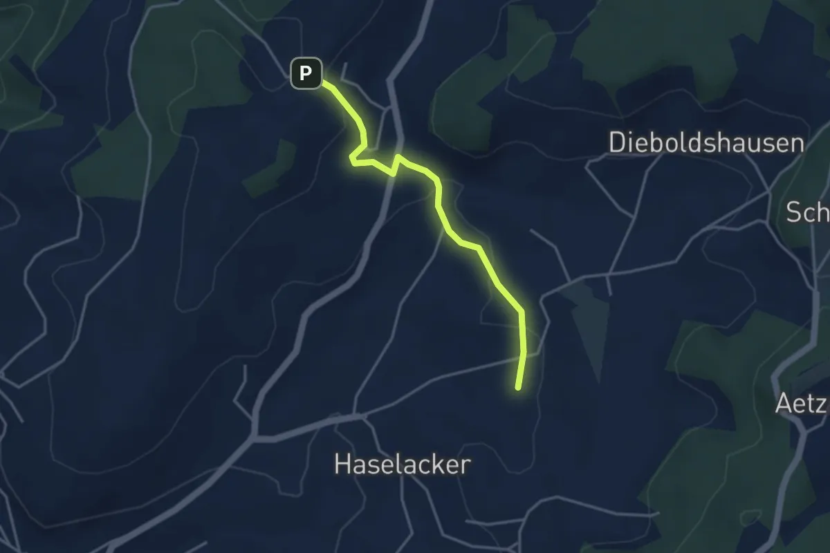
Easy · Trail
Rötelismatt – Sänggi
3.3 km · ↑ 88 m · 58 min · 5 km away
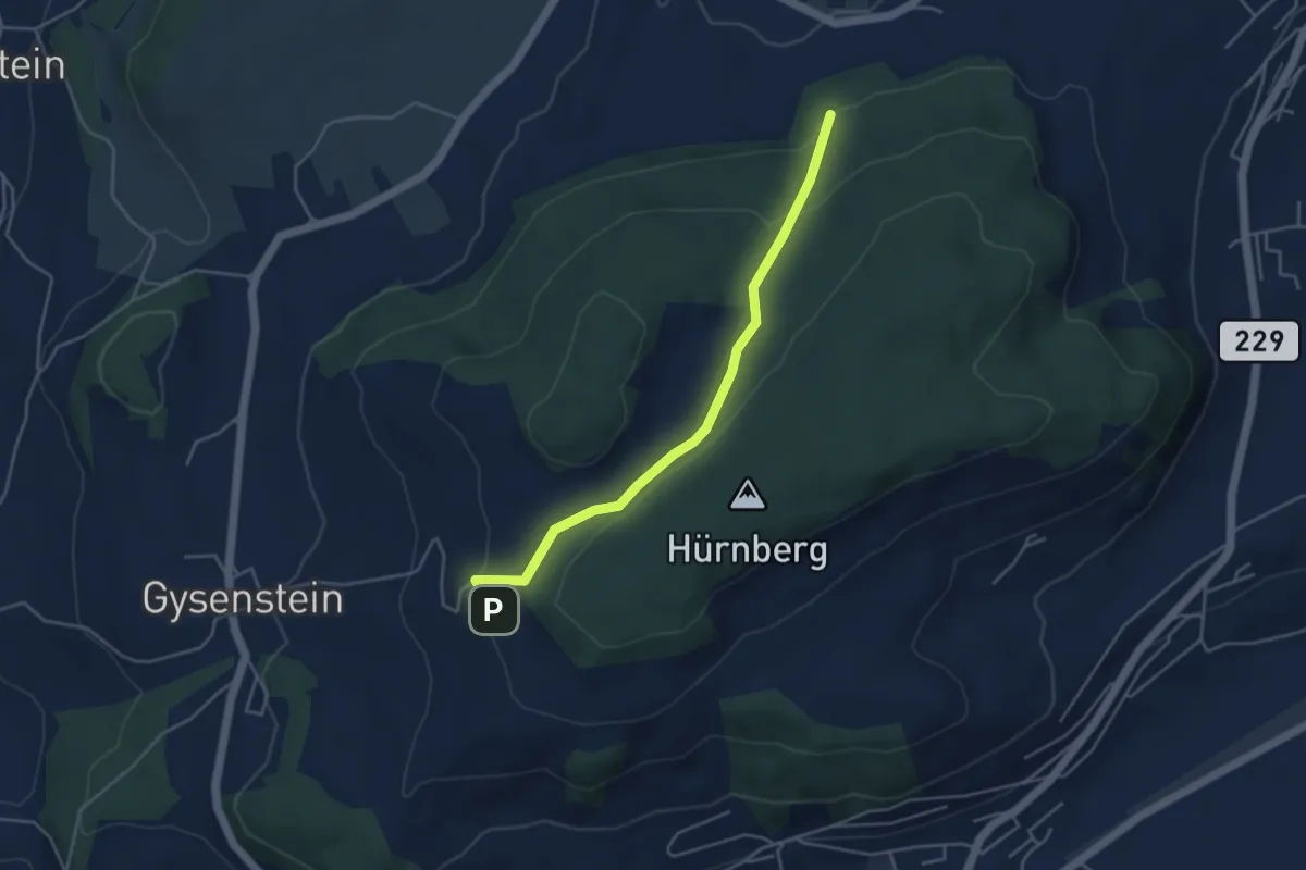
Easy · Trail
Ballenbühl – Schattacherwald
4.2 km · ↑ 130 m · 1 h 17 min · 5 km away
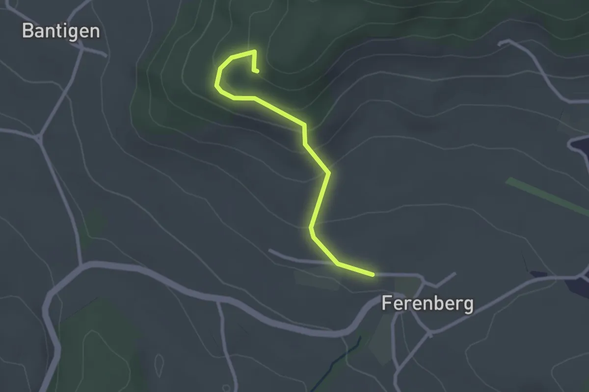
Easy · Trail
Chatzenstyg – Ferenberg
2.2 km · ↑ 131 m · 49 min · 6 km away
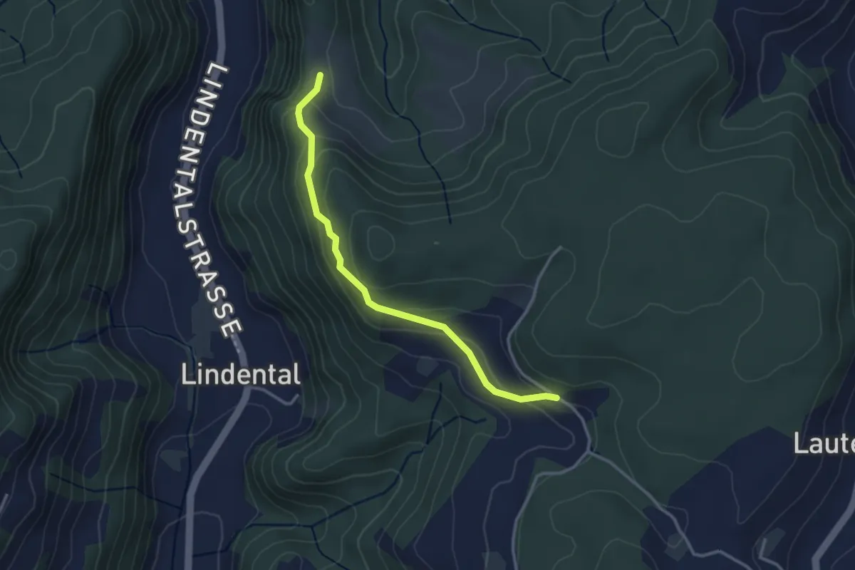
Easy · Trail
Vordere Geisme – Sonnenrain
3.0 km · ↑ 144 m · 1 h 1 min · 6 km away
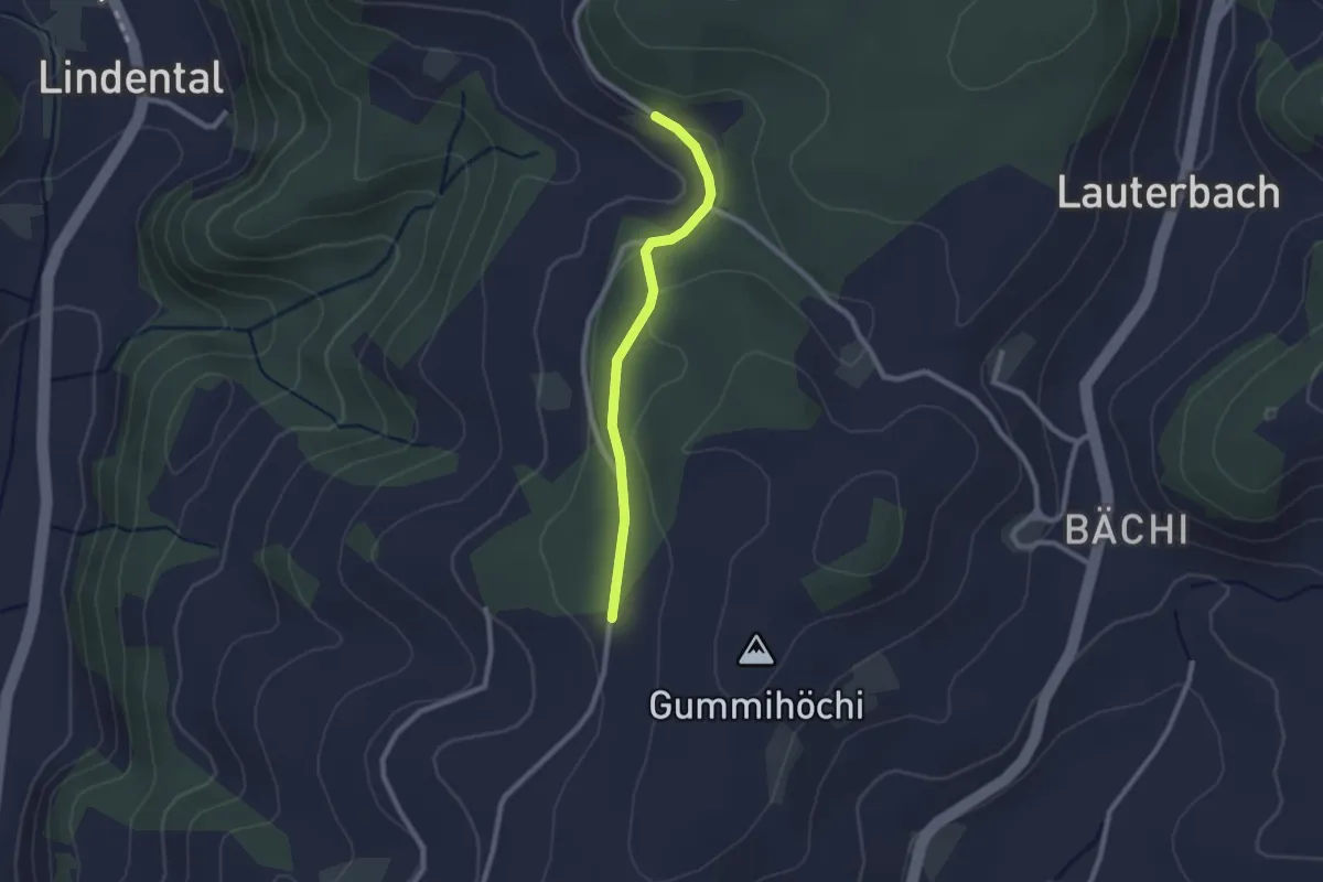
Easy · Trail
Sunnerain – Utzigenwull
2.1 km · ↑ 23 m · 33 min · 6 km away
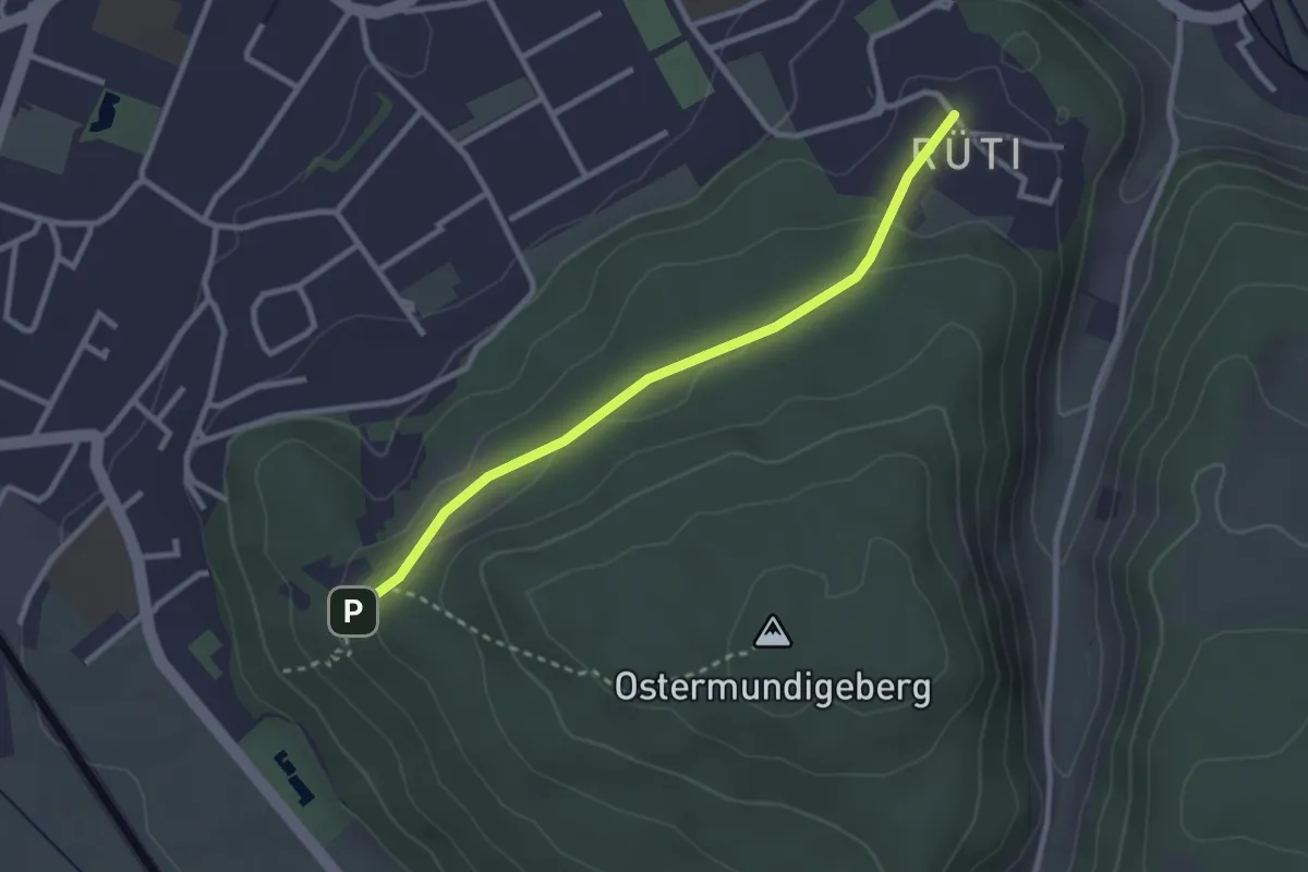
Easy · Trail
Rüti – Steinbrüche
2.7 km · ↑ 63 m · 46 min · 6 km away
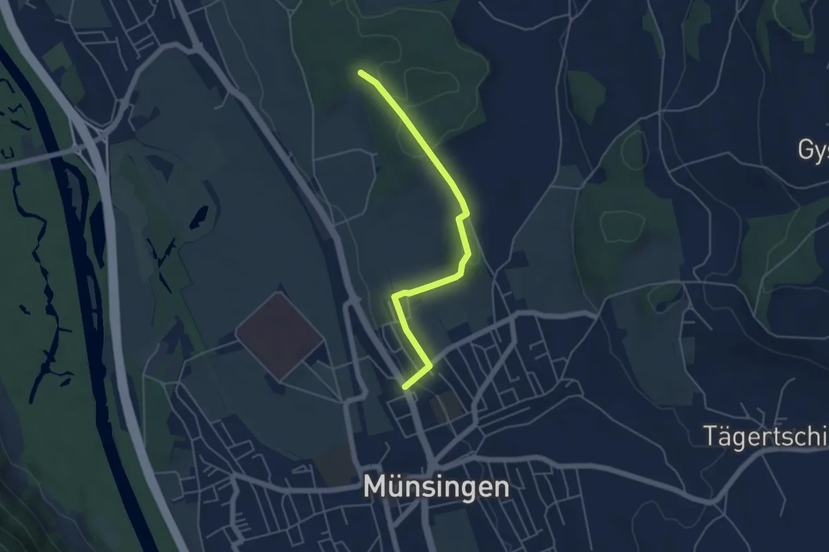
Easy · Trail
Münsingen – Schwandwald
4.4 km · ↑ 75 m · 1 h 12 min · 6 km away
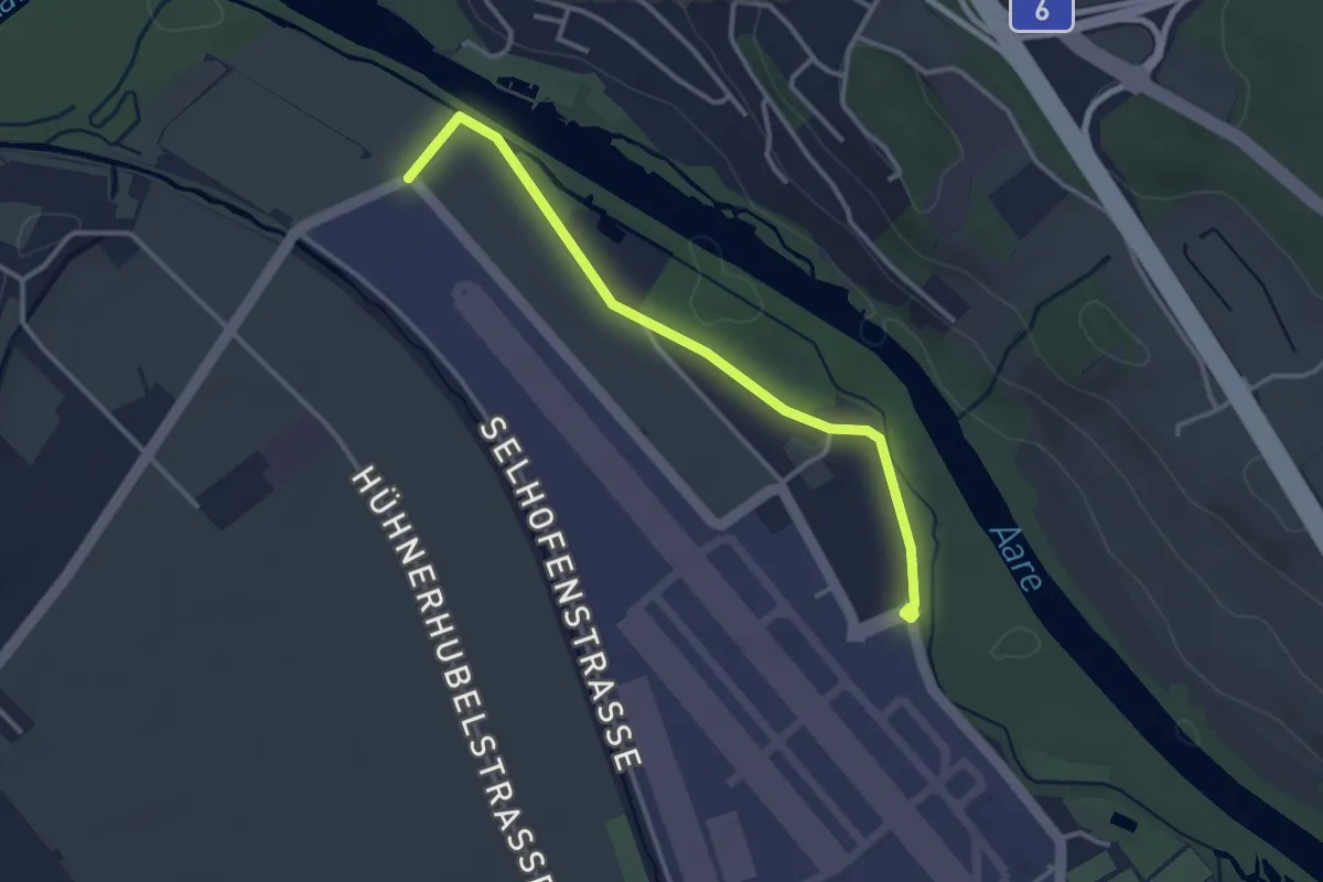
Easy · Trail
Flugplatz Bern Belp - Kehrsatz - fixme
3.2 km · ↑ 5 m · 46 min · 6 km away
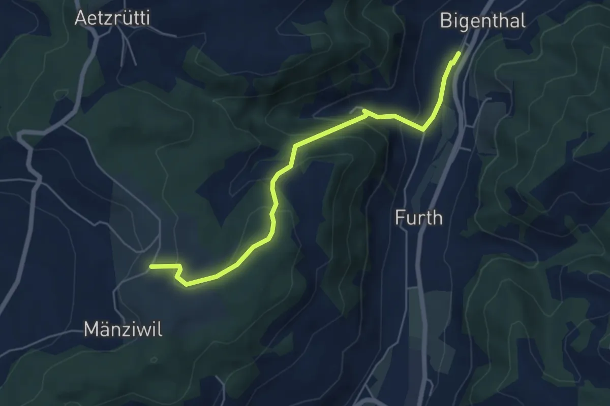
Easy · Trail
Mänziwilegg – Bigenthal
5.1 km · ↑ 272 m · 1 h 47 min · 6 km away
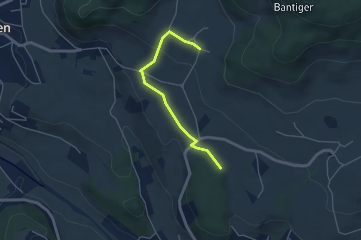
Easy · Trail
Bantigen – Buecholz
3.3 km · ↑ 57 m · 54 min · 6 km away
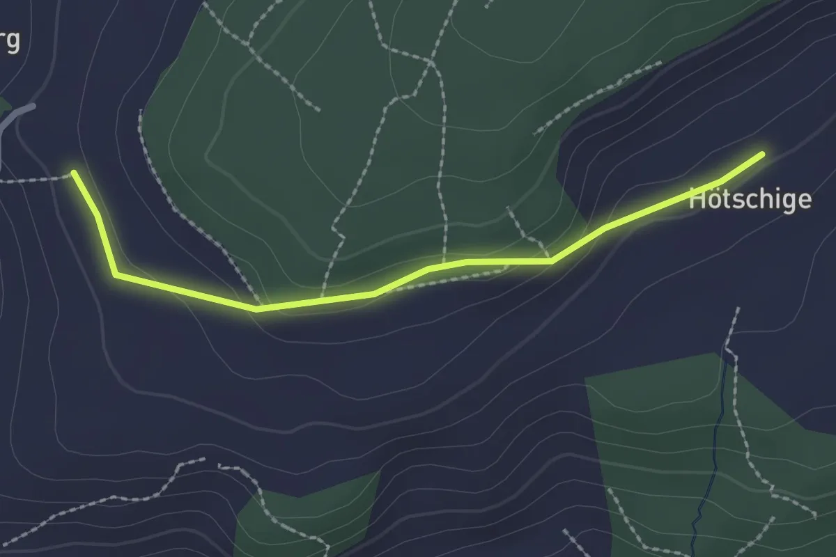
Easy · Trail
Ballenbüel – Ober Hötschige
2.2 km · ↑ 55 m · 38 min · 6 km away
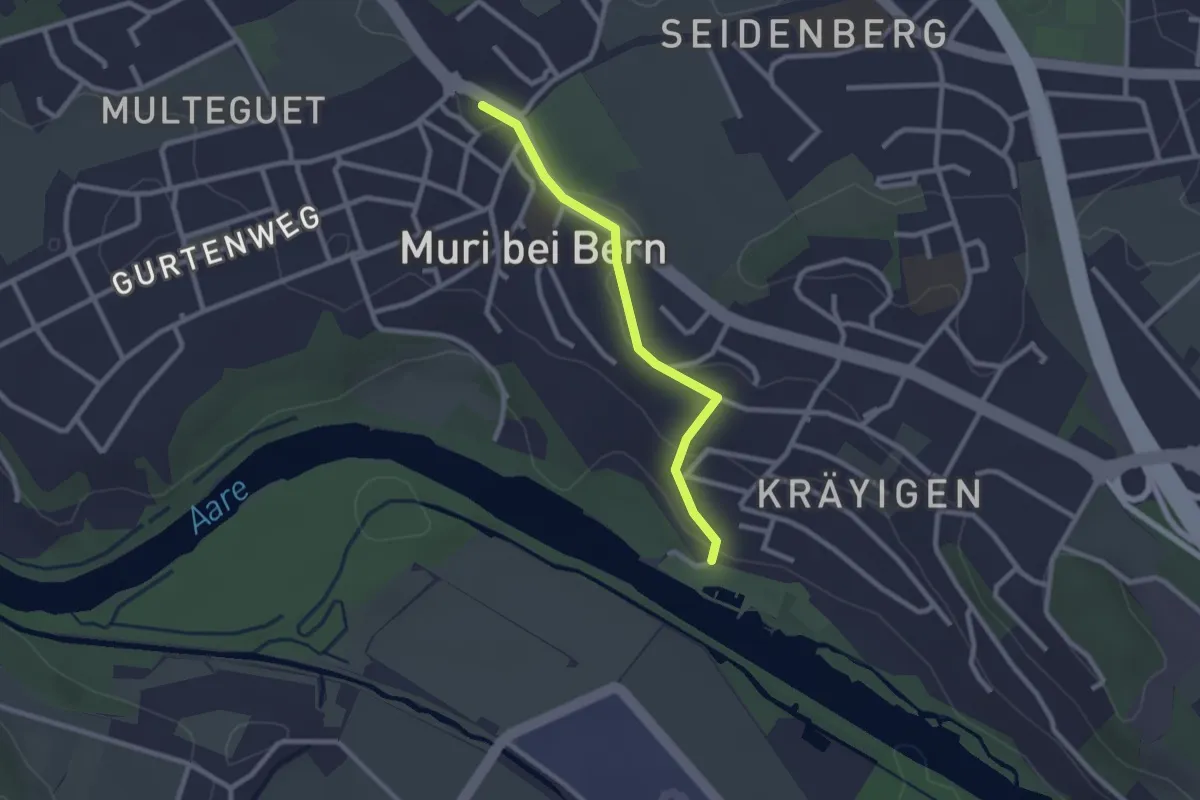
Easy · Trail
Muribad - Muri
2.3 km · ↑ 43 m · 38 min · 6 km away