Trails near Worb
459 hikes starting within 15 km, nearest first.
Nearest first, page 3 of 10
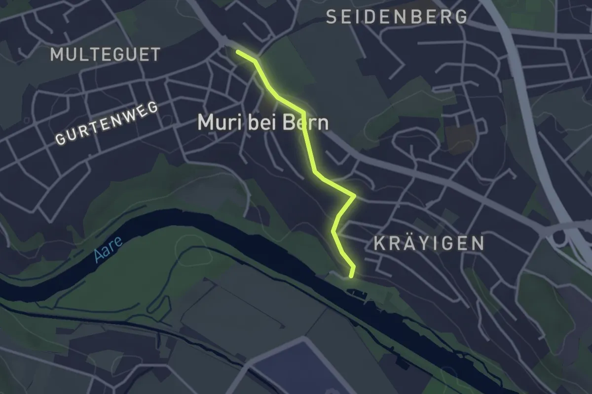
Easy · Trail
Muribad - Muri
2.3 km · ↑ 43 m · 38 min · 6 km away
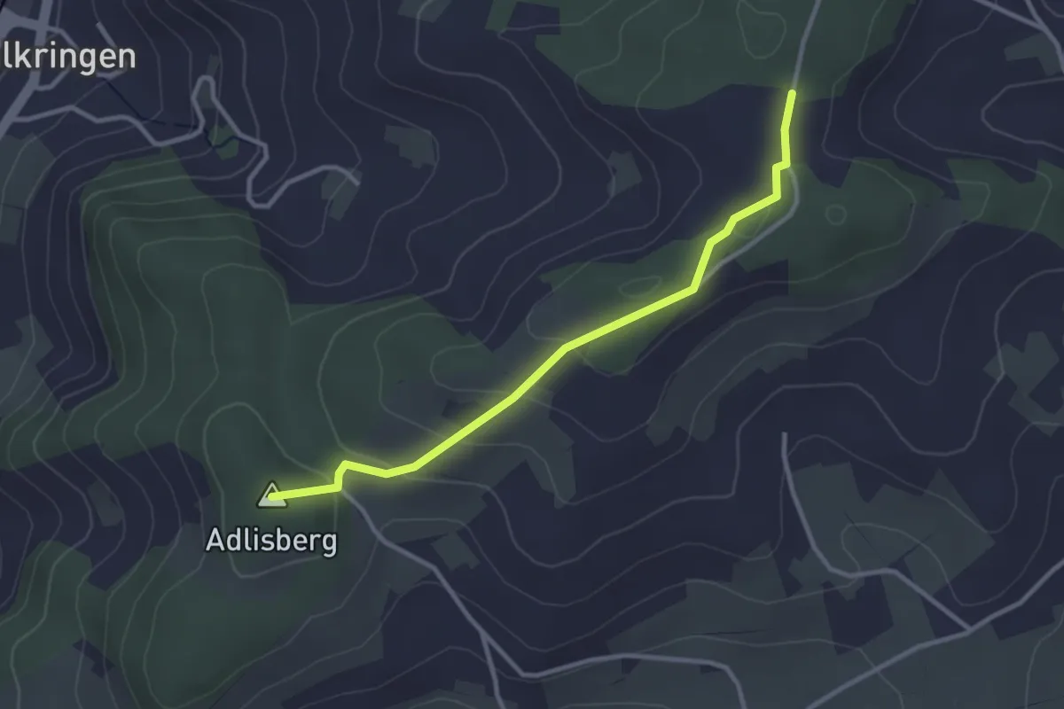
Easy · Summit
Adlisberg – Neunhaupt
3.0 km · ↑ 91 m · 55 min · 6 km away
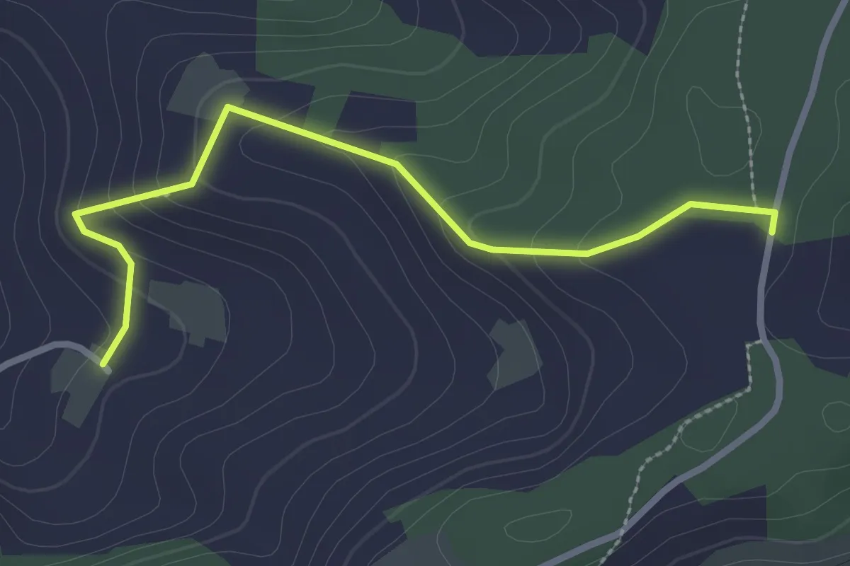
Easy · Trail
Neunhaupt – Golpisberg
2.7 km · ↑ 131 m · 56 min · 6 km away
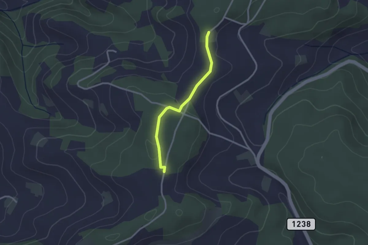
Easy · Trail
Neunhaupt – Hammegg
2.1 km · ↑ 27 m · 33 min · 6 km away
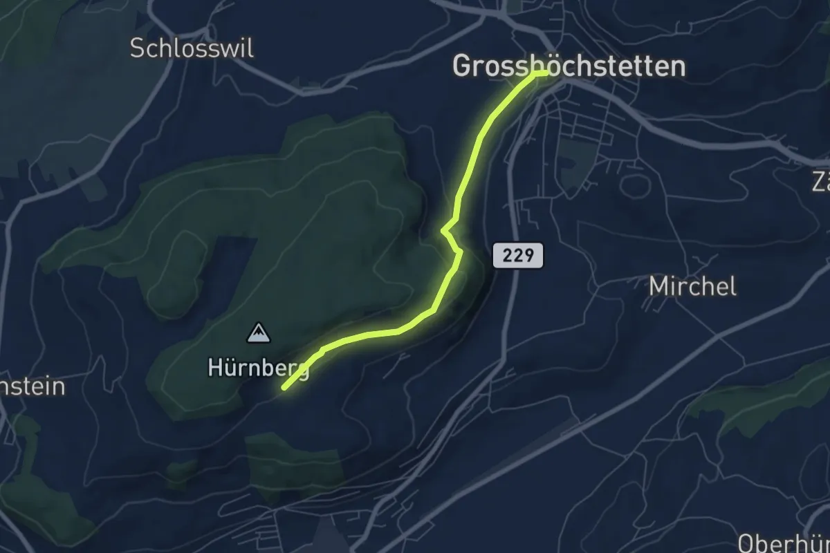
Easy · Trail
Ober Hötschige - Marktplatz
5.7 km · ↑ 176 m · 1 h 44 min · 6 km away
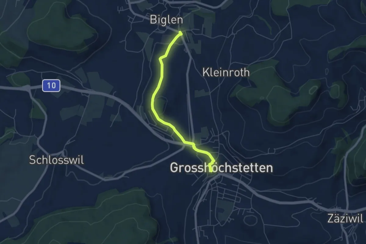
Easy · Trail
Biglen – Grosshöchstetten Marktplatz
5.3 km · ↑ 84 m · 1 h 26 min · 6 km away
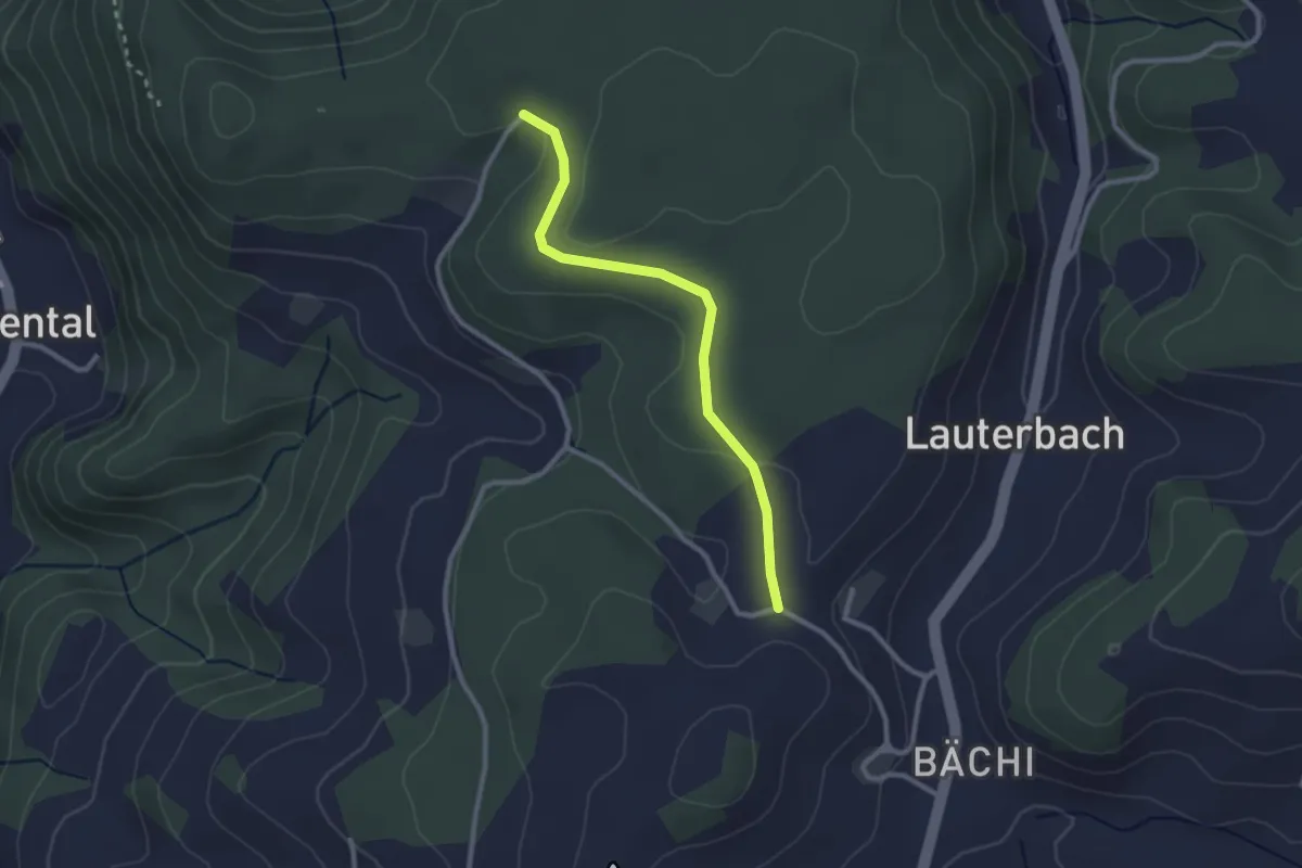
Easy · Trail
Aebnit/Klosterweg – Rötelismatt
2.5 km · ↑ 32 m · 40 min · 6 km away
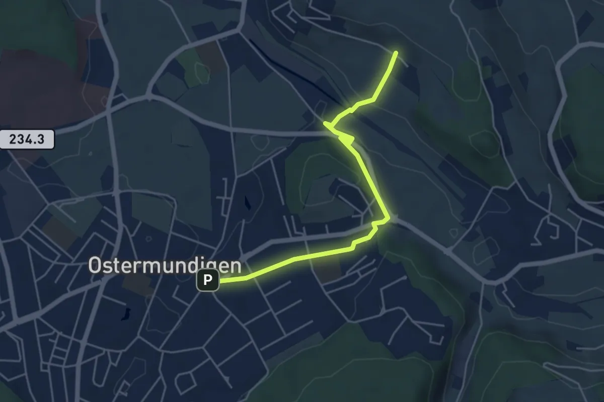
Easy · Trail
Hüenerbüel – Ostermundigen
4.6 km · ↑ 91 m · 1 h 17 min · 6 km away
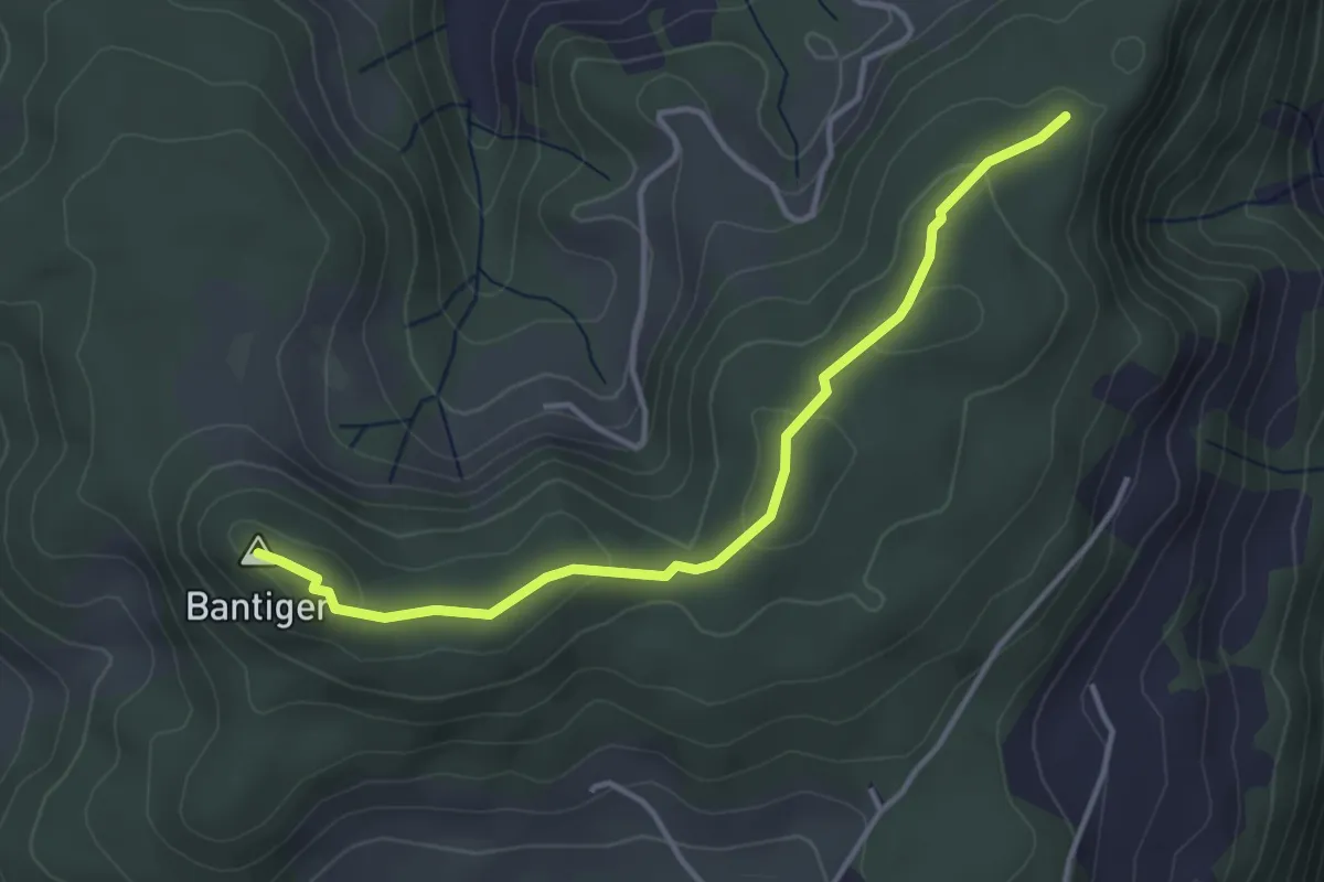
Easy · Summit
Mühlestein – Bantiger
3.7 km · ↑ 89 m · 1 h 4 min · 6 km away
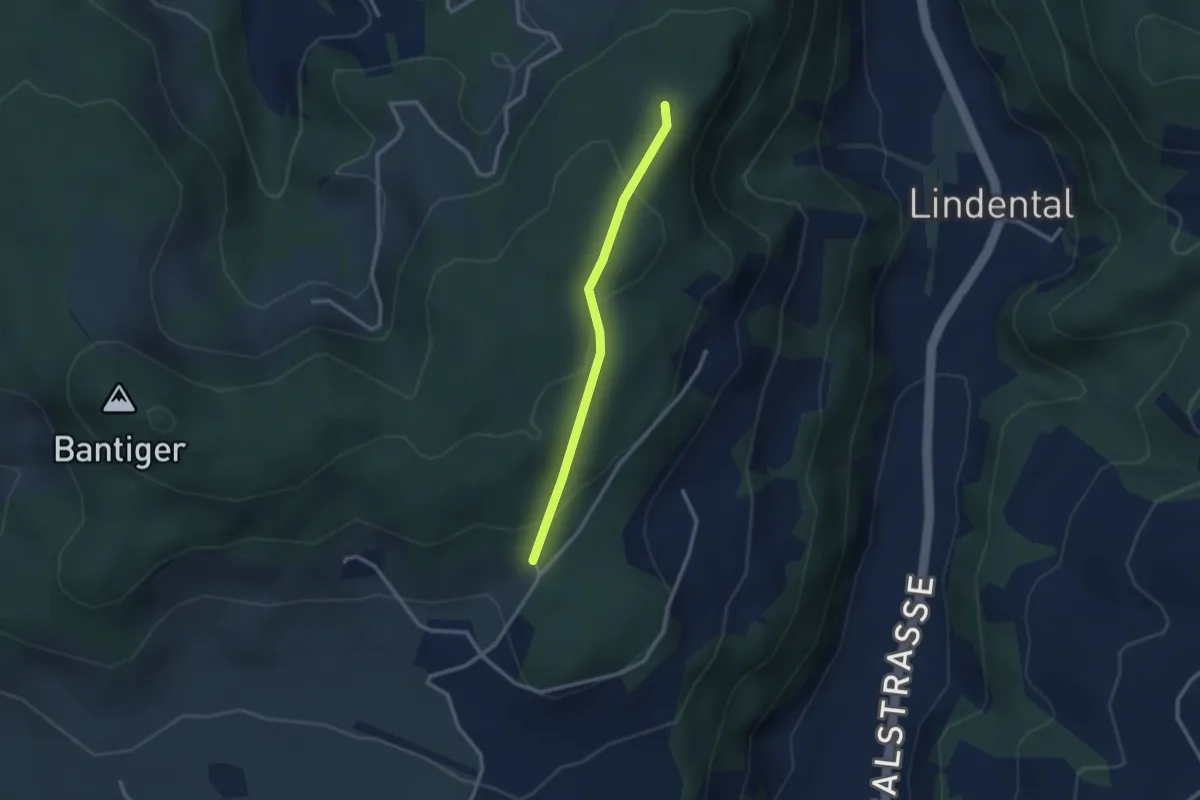
Easy · Trail
Mühlestein – Cholegruebe
2.4 km · ↑ 114 m · 49 min · 6 km away
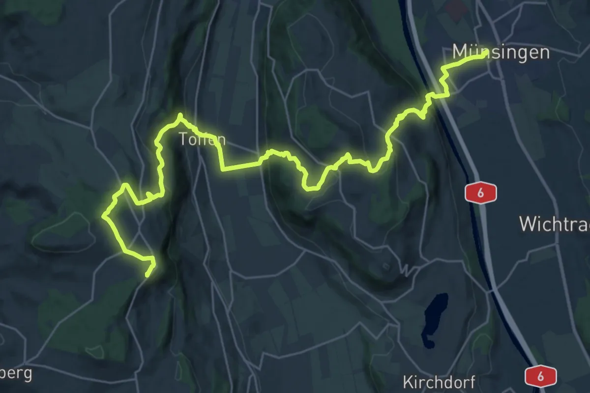
Demanding · Summit
Alpenpanorama-Weg
30.3 km · ↑ 1232 m · 9 h 50 min · 6 km away
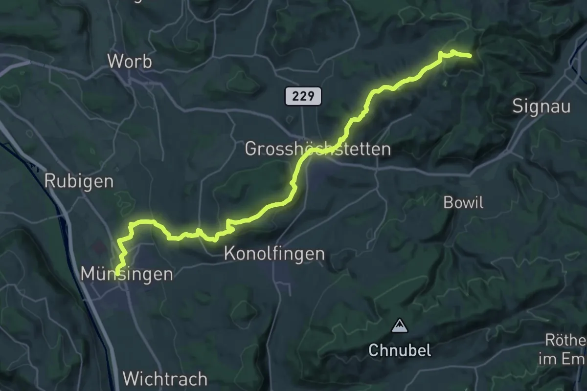
Demanding · Summit
Alpenpanorama-Weg
33.3 km · ↑ 1120 m · 10 h 17 min · 6 km away
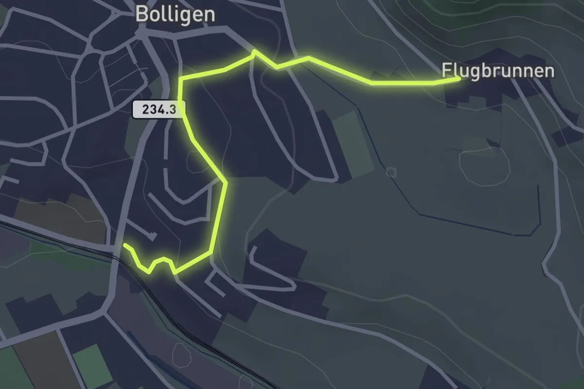
Easy · Trail
Flugbrunnen – Bolligen
2.9 km · ↑ 87 m · 53 min · 6 km away
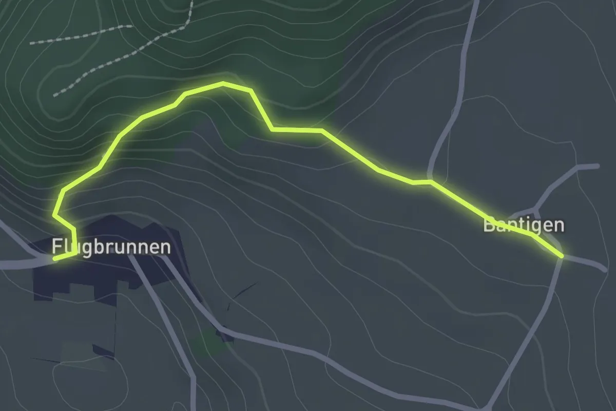
Easy · Trail
Bantigen – Flugbrunnen
2.3 km · ↑ 151 m · 53 min · 6 km away
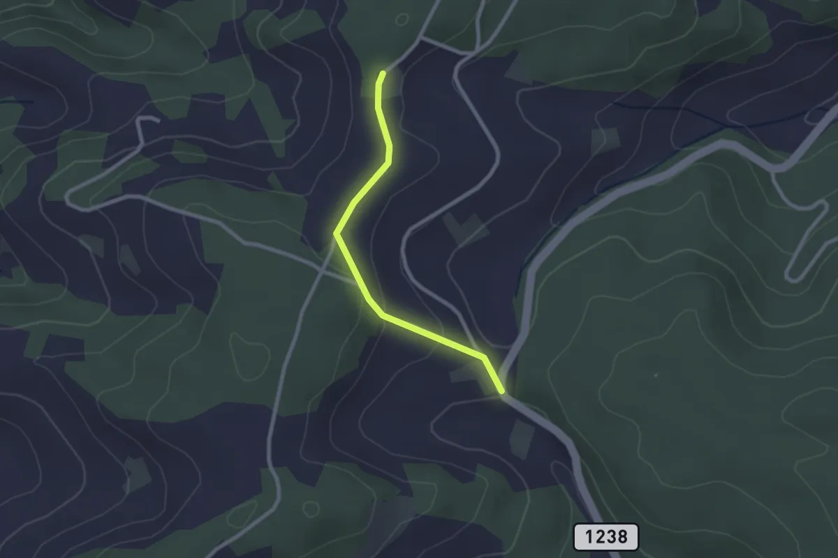
Easy · Trail
Hammegg – Tanne
2.1 km · ↑ 63 m · 38 min · 7 km away
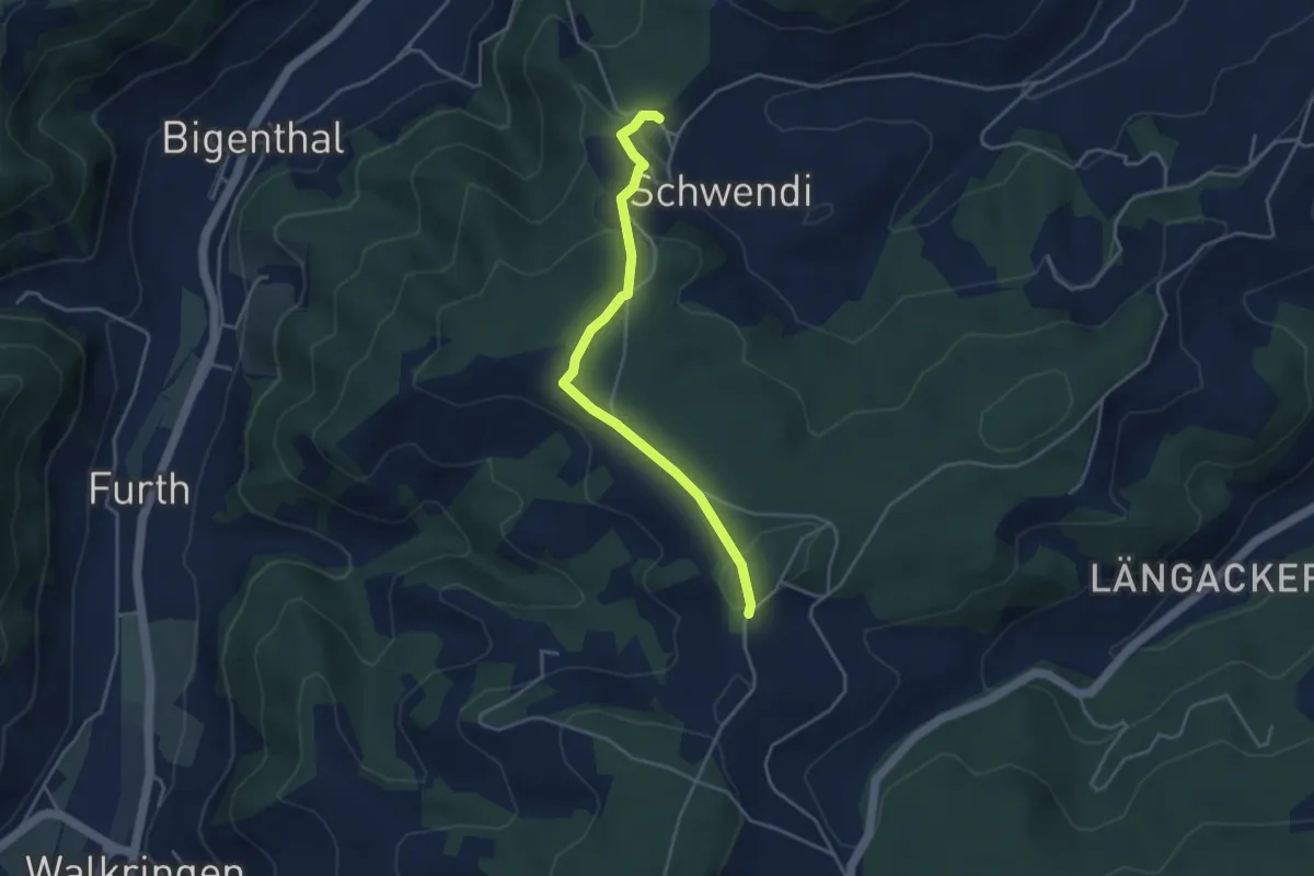
Easy · Trail
Hammwegg – Vorder Schwändi
3.8 km · ↑ 123 m · 1 h 10 min · 7 km away
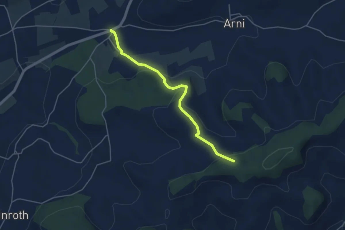
Easy · Trail
Arnisäge – Chapfwald
3.7 km · ↑ 134 m · 1 h 11 min · 7 km away
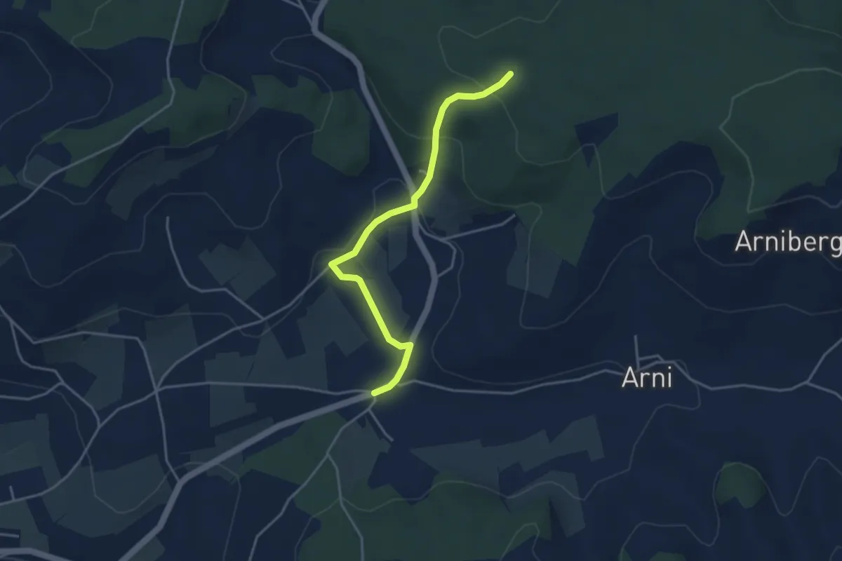
Easy · Trail
Spittelwald – Arnisäge
3.8 km · ↑ 146 m · 1 h 13 min · 7 km away
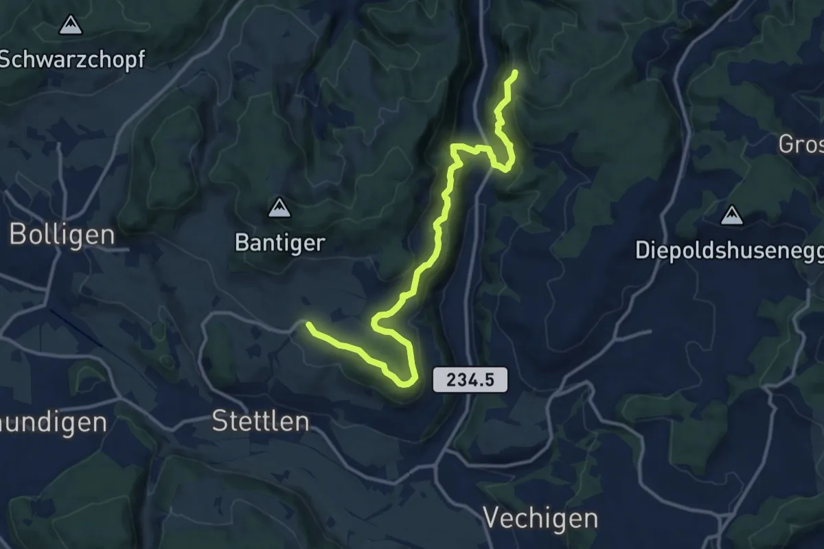
Medium · Trail
Vordere Geisme – Ferenberg
12.7 km · ↑ 592 m · 4 h 17 min · 7 km away
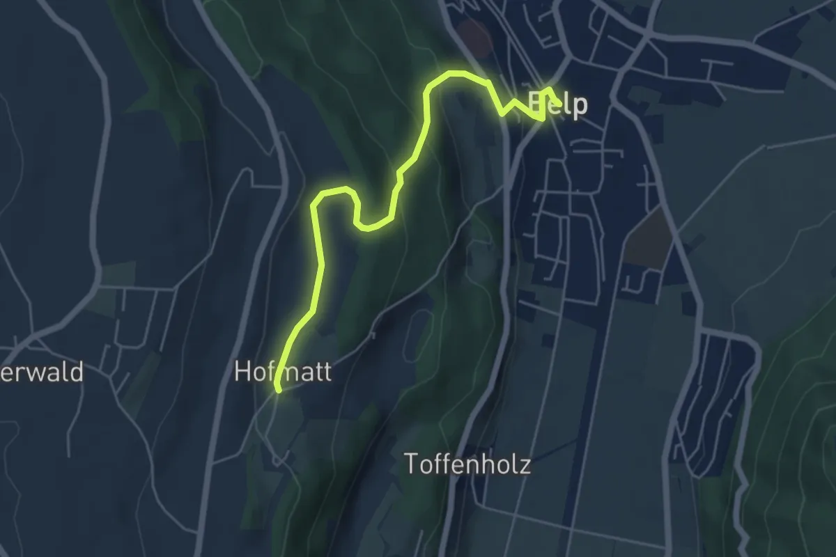
Easy · Trail
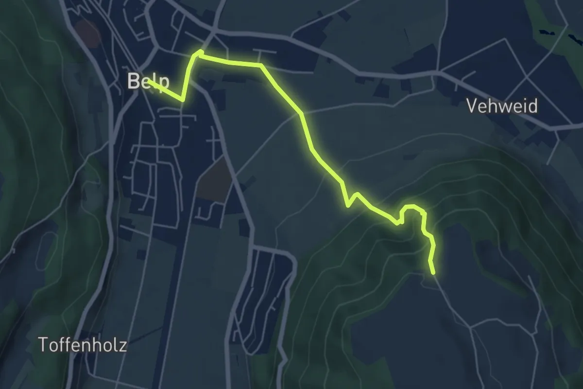
Hofmatt – Belp
5.1 km · ↑ 246 m · 1 h 44 min · 7 km away
Easy · Trail
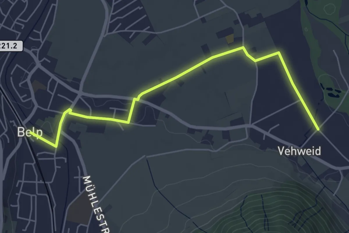
Belp – Hoburg
5.3 km · ↑ 310 m · 1 h 55 min · 7 km away
Easy · Trail
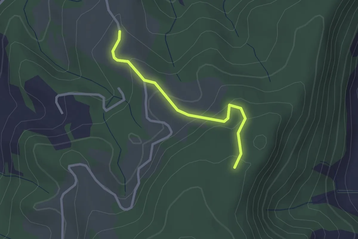
Belp – Vehweid
5.7 km · ↑ 9 m · 1 h 21 min · 7 km away
Easy · Trail
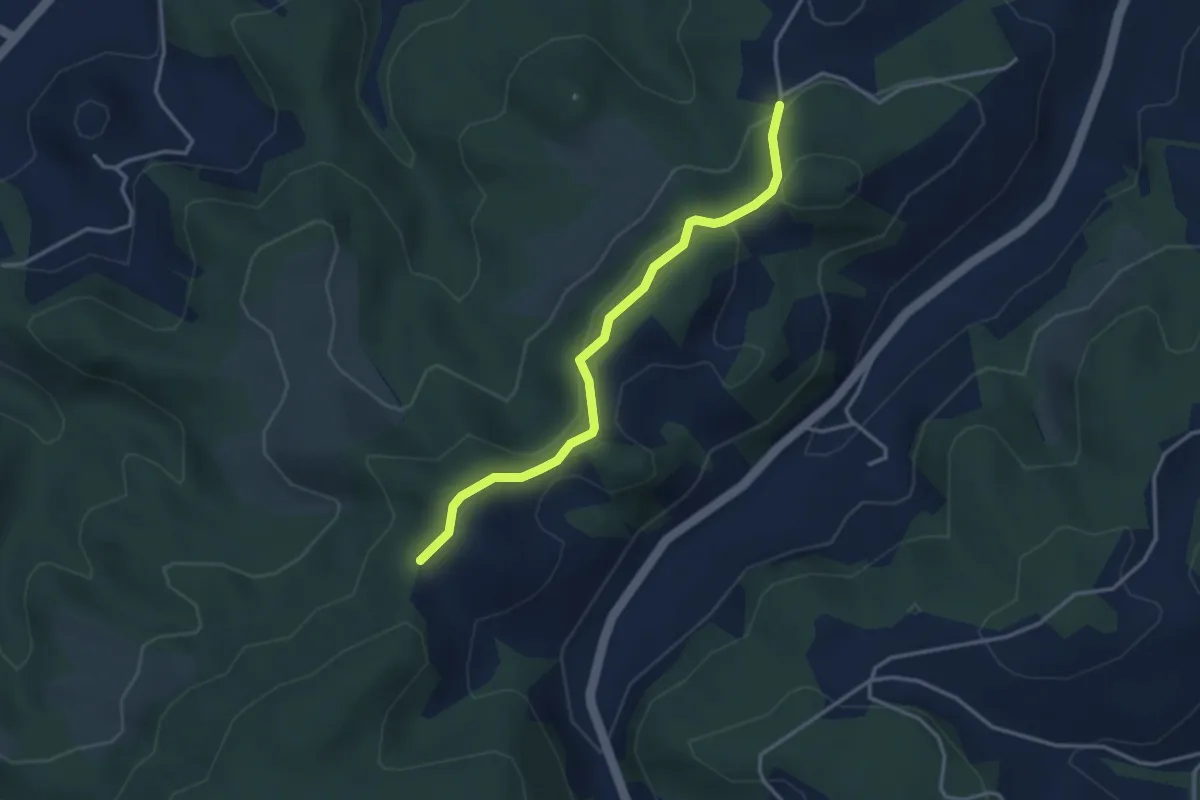
Vorder Jucke – Mühlestein
2.1 km · ↑ 142 m · 48 min · 7 km away
Easy · Trail
Buechwald – Mueleren
3.3 km · ↑ 139 m · 1 h 5 min · 7 km away
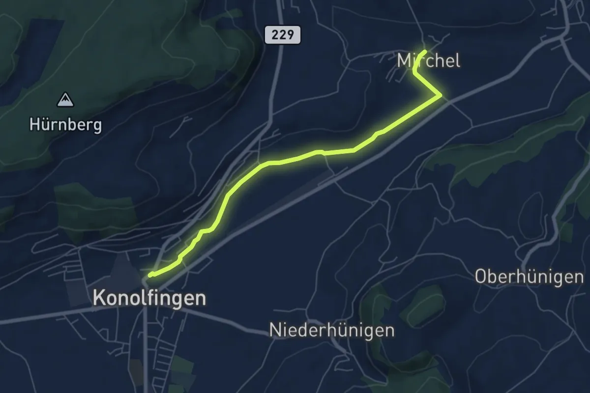
Easy · Trail
Mirchel – Konolfingen
6.2 km · ↑ 56 m · 1 h 35 min · 7 km away
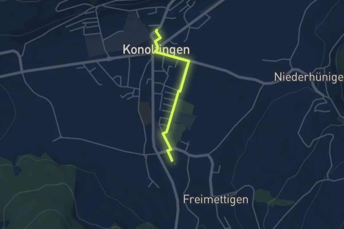
Easy · Trail
Stalden i. E. – Konolfingen
3.0 km · ↑ 9 m · 44 min · 7 km away
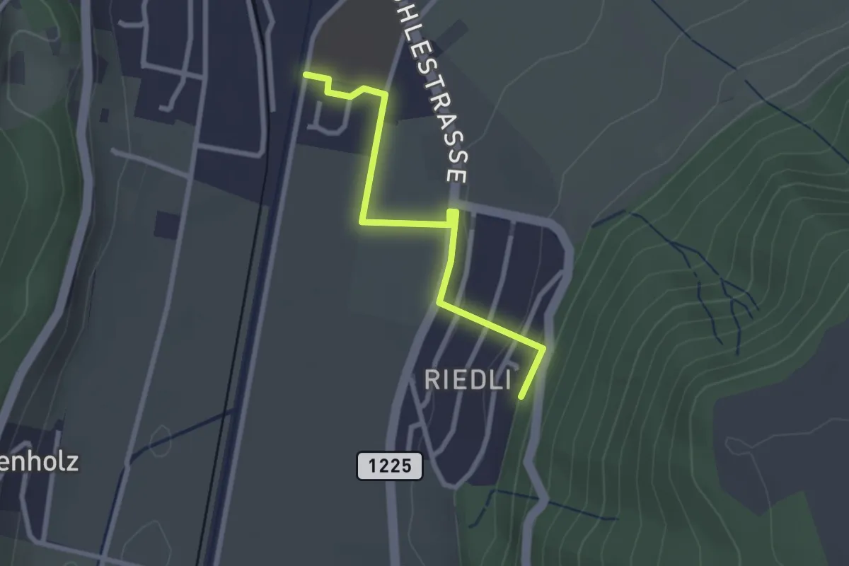
Easy · Trail
Belp – Riedli
2.4 km · ↑ 63 m · 42 min · 7 km away
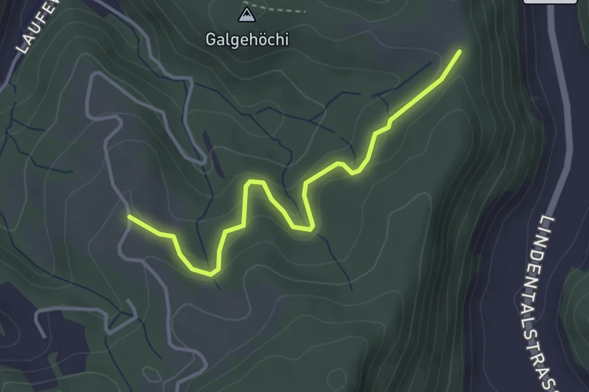
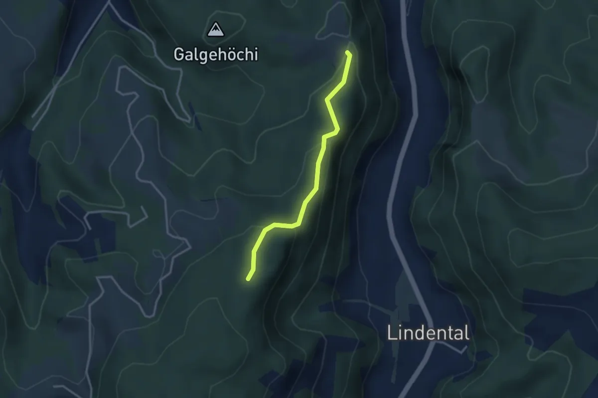
Easy · Trail
Chlosteralp – Vorder Jucke
3.2 km · ↑ 193 m · 1 h 11 min · 7 km away
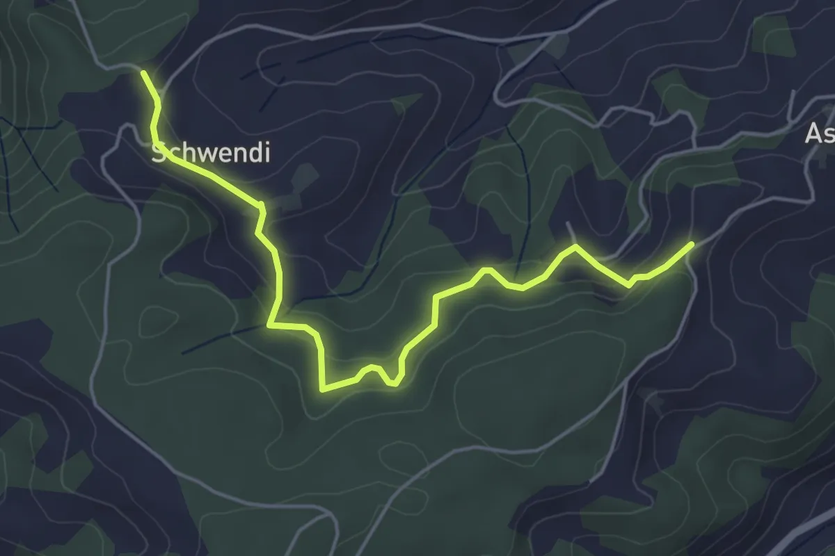
Easy · Trail
Chlosteralp – Mühlestein
2.6 km · ↑ 138 m · 54 min · 7 km away
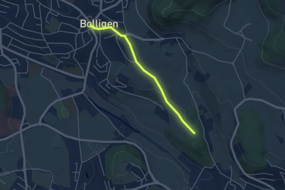
Easy · Trail
Vorder Schwändi – Aspiegg
5.0 km · ↑ 197 m · 1 h 37 min · 7 km away
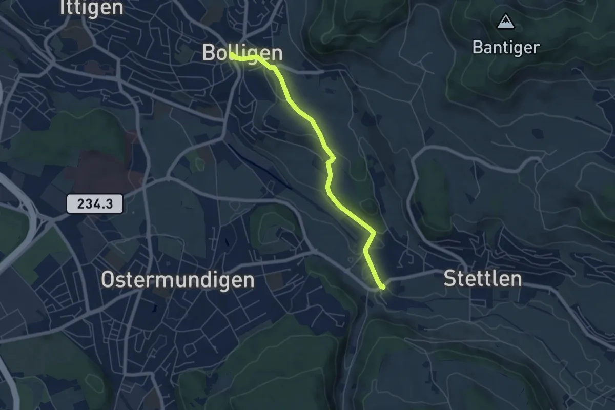
Easy · Trail
Bolligen / Sternen – Schwandiholz
3.4 km · ↑ 53 m · 55 min · 7 km away
Easy · Trail
Bolligen / Sternen – Deisswil
5.4 km · ↑ 90 m · 1 h 29 min · 7 km away
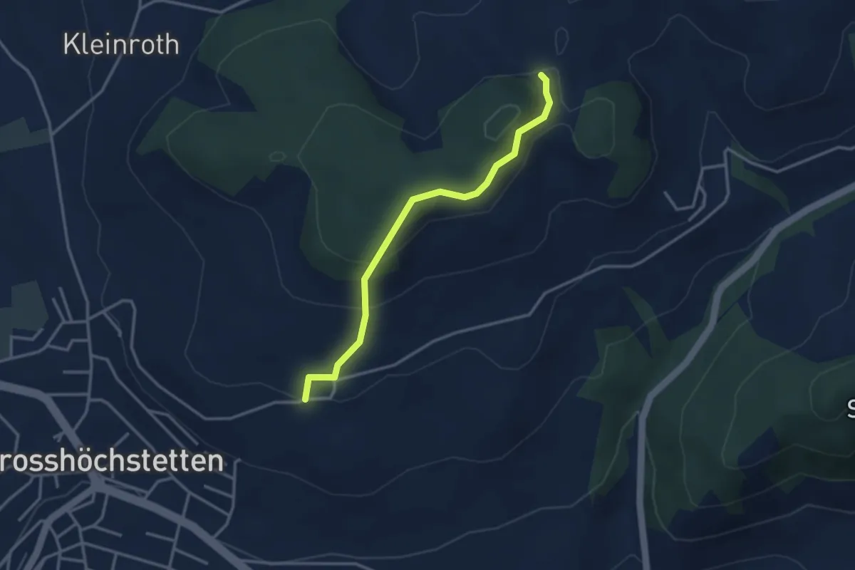
Easy · Trail
Möschberg – Büel
3.0 km · ↑ 156 m · 1 h 3 min · 7 km away
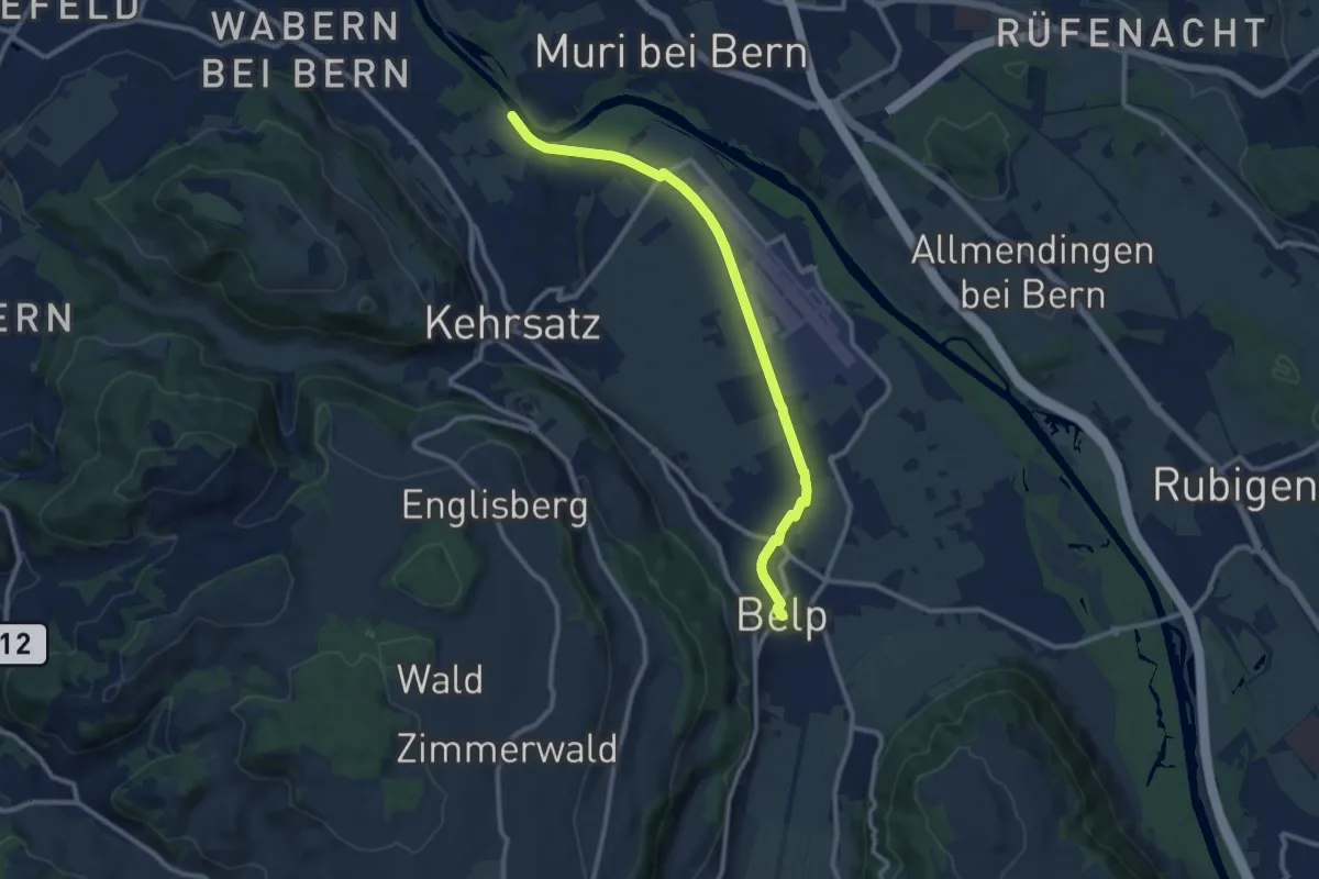
Medium · Trail
Bodenacherfähre - Belp
10.6 km · ↑ 22 m · 2 h 33 min · 7 km away
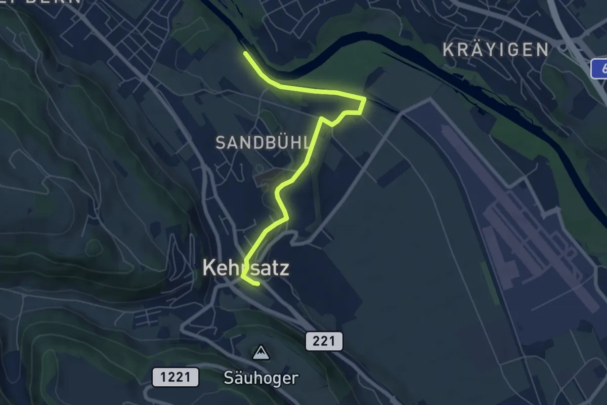
Easy · Trail
Bodenacherfähre - Kehrsatz
6.1 km · ↑ 89 m · 1 h 37 min · 7 km away
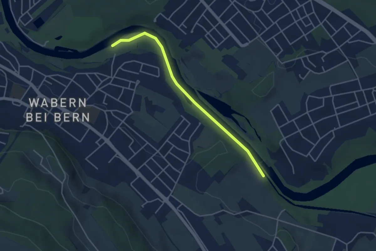
Easy · Trail
Bodenacherfähre - Eicholz
3.5 km · ↑ 25 m · 53 min · 7 km away
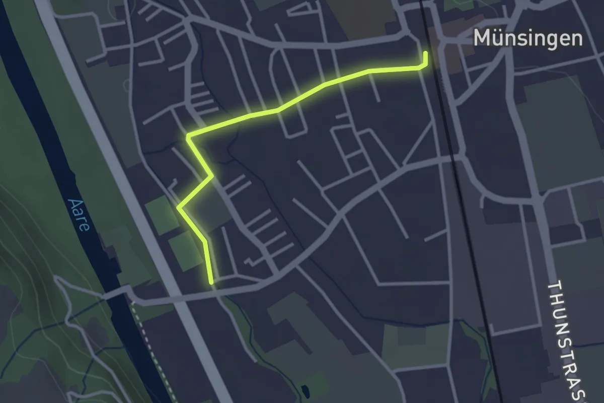
Easy · Trail
Aeussere Giesse - Münsingen/Bahnhof
2.7 km · ↑ 4 m · 39 min · 7 km away
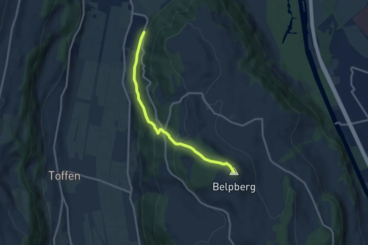
Medium · Summit
Belpberg/Chutze - Riedli
6.2 km · ↑ 336 m · 2 h 12 min · 7 km away
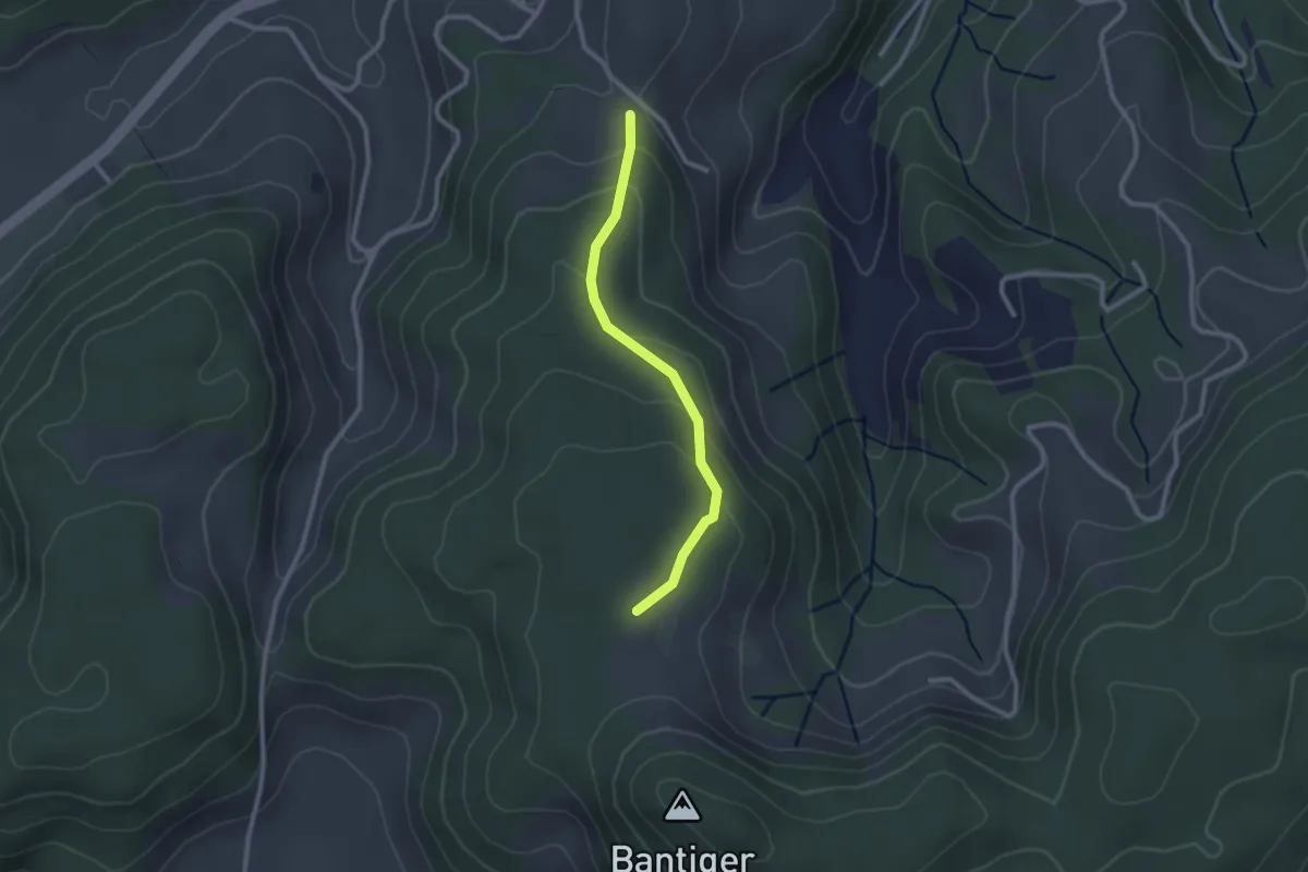
Easy · Trail
Geristein – Bantigenhubel
2.3 km · ↑ 111 m · 46 min · 7 km away
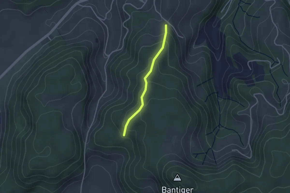
Easy · Trail
Geristein – Geristeinwald
2.2 km · ↑ 89 m · 42 min · 7 km away
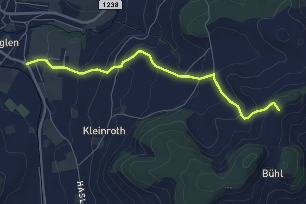
Easy · Trail
Chrutberg – Biglen
5.2 km · ↑ 200 m · 1 h 40 min · 7 km away
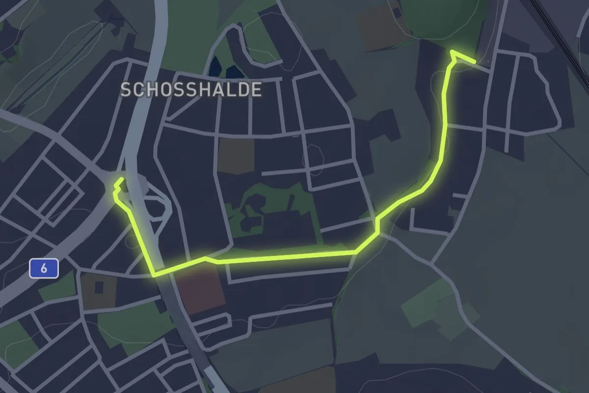
Easy · Trail
Tiefenmösli – Freudenbergerplatz
2.9 km · ↑ 44 m · 46 min · 7 km away
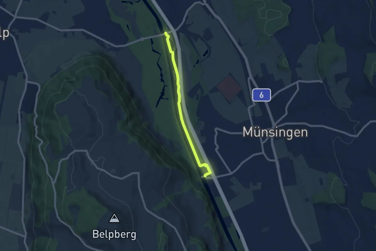
Easy · Trail
Hunzigenbrügg – Jabergbrücke
5.7 km · ↑ 18 m · 1 h 24 min · 7 km away
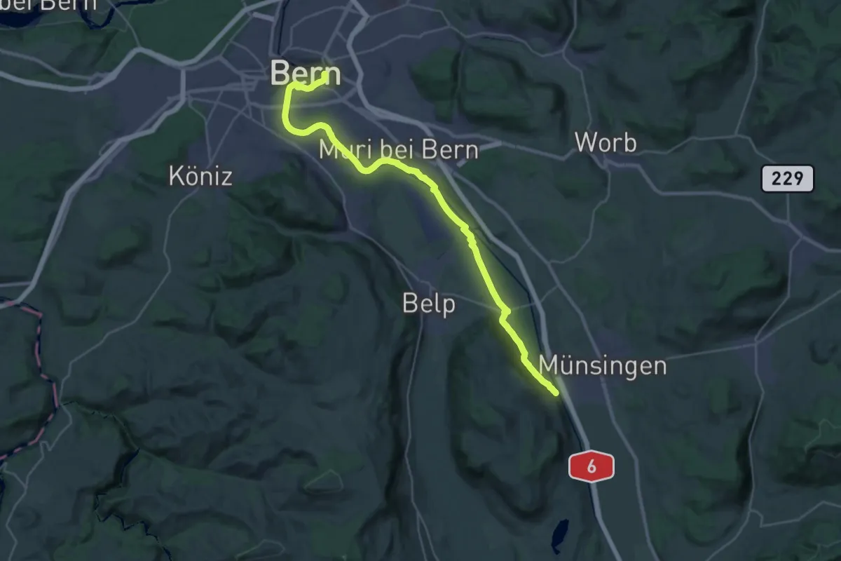
Demanding · Trail
ViaBerna Etappe 9
30.2 km · ↑ 349 m · 7 h 54 min · 7 km away
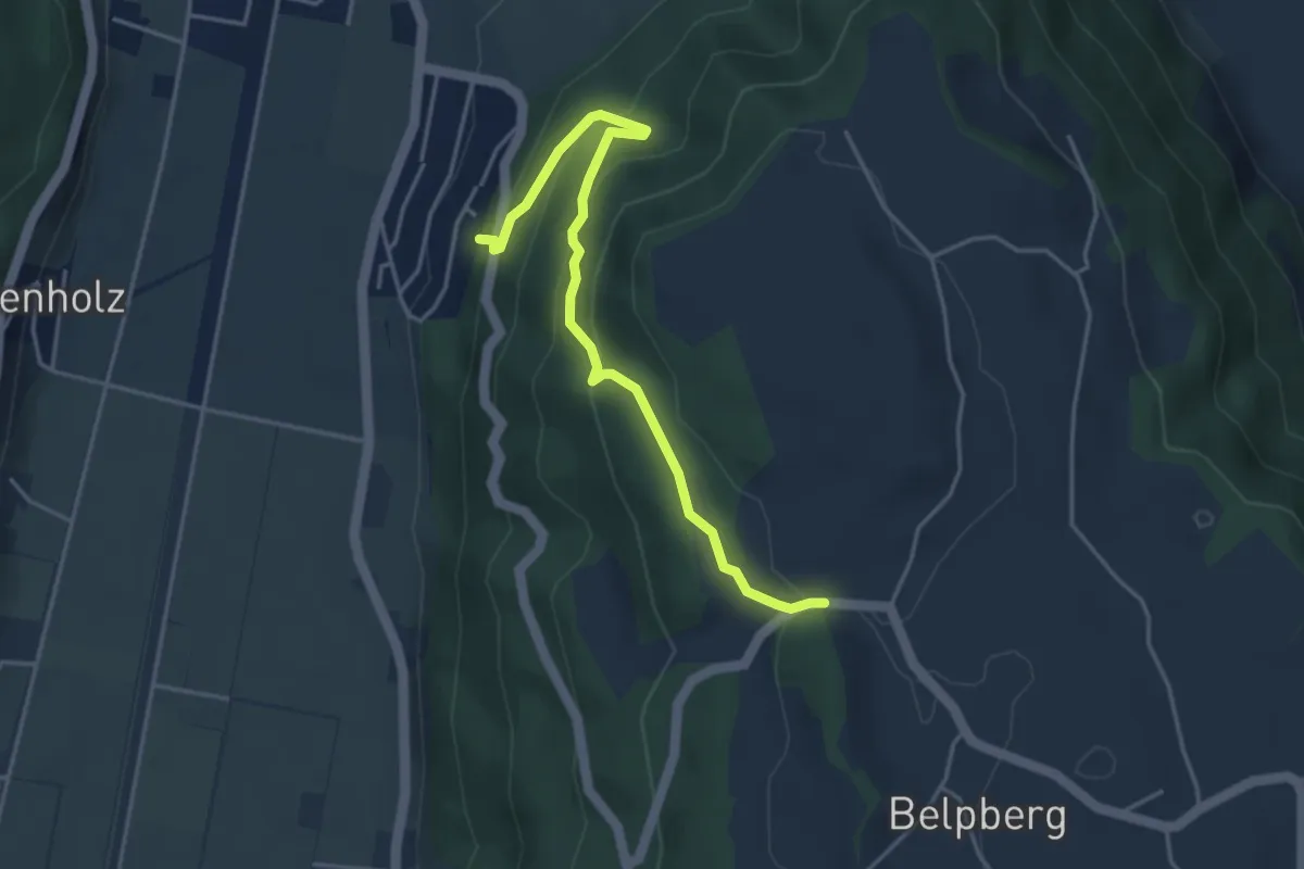
Easy · Trail
Weid - Riedli
4.2 km · ↑ 305 m · 1 h 39 min · 7 km away
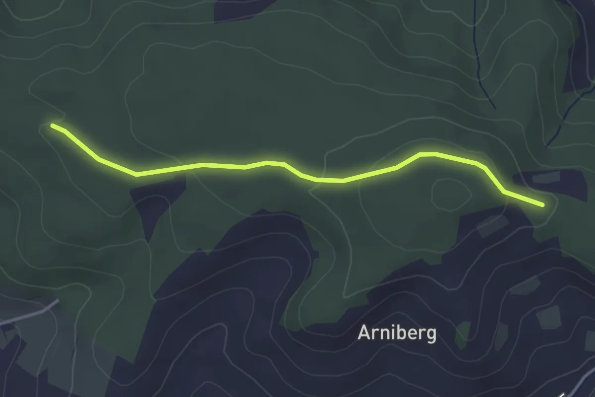
Easy · Trail
Spittelwald – Spränzel
3.4 km · ↑ 78 m · 58 min · 7 km away
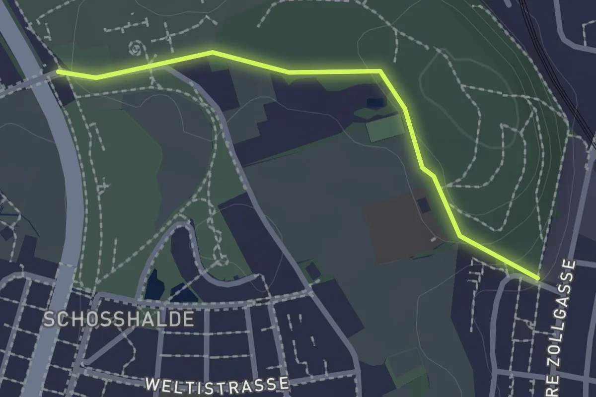
Easy · Trail
Tiefenmösli – Zentrum Paul Klee
2.0 km · ↑ 38 m · 33 min · 7 km away
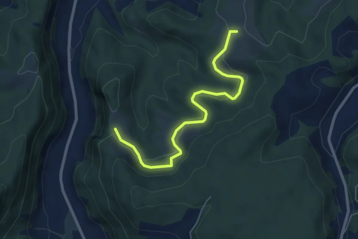
Easy · Trail
Schwändi – Vordere Geisme
5.0 km · ↑ 203 m · 1 h 38 min · 7 km away