Trails near Worb
459 hikes starting within 15 km, nearest first.
Nearest first, page 4 of 10
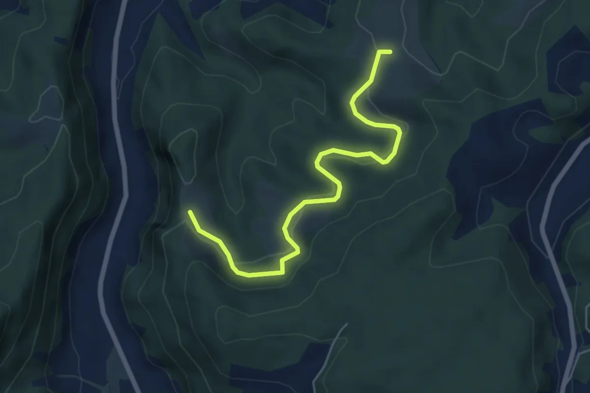
Easy · Trail
Schwändi – Vordere Geisme
5.0 km · ↑ 203 m · 1 h 38 min · 7 km away
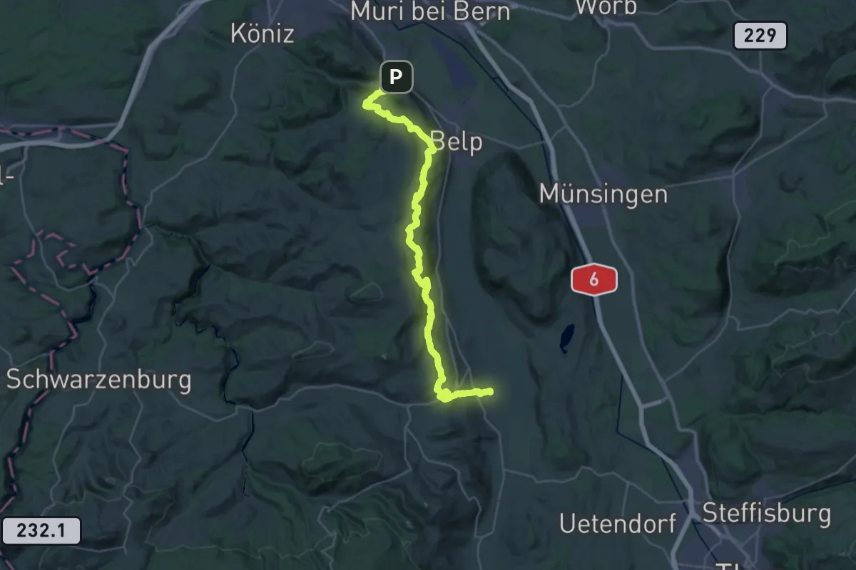
Demanding · Trail
Gürbetaler Höhenweg
18.2 km · ↑ 707 m · 6 h 6 min · 7 km away
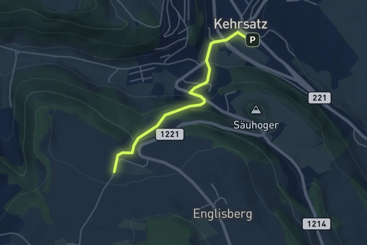
Easy · Trail
Breitägerte - Wohnheim Kühlewil
3.7 km · ↑ 218 m · 1 h 21 min · 7 km away
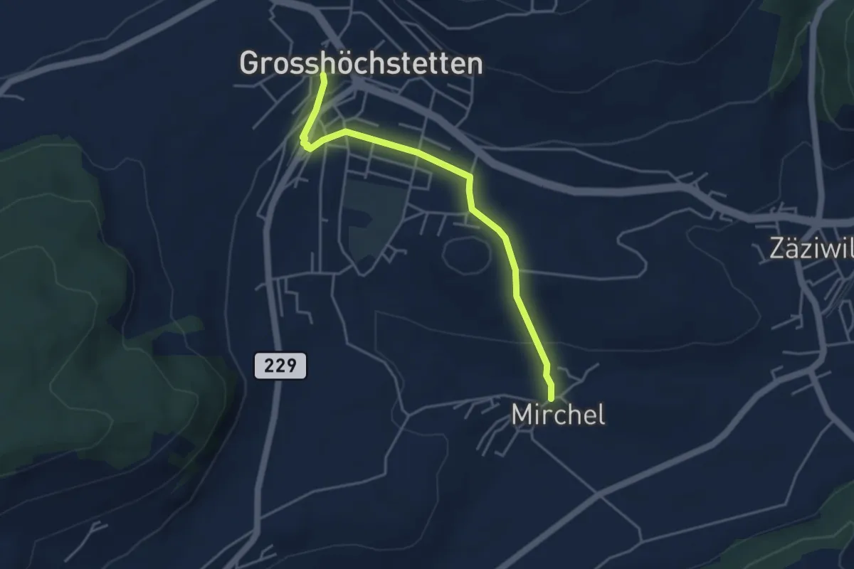
Easy · Trail
Grosshöchstetten – Mirchel
3.9 km · ↑ 89 m · 1 h 7 min · 7 km away
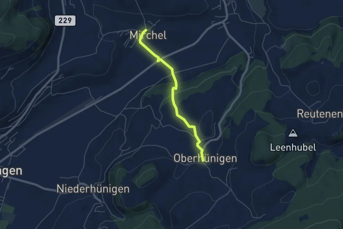
Easy · Trail
Oberhünigen – Mirchel
4.4 km · ↑ 136 m · 1 h 20 min · 7 km away
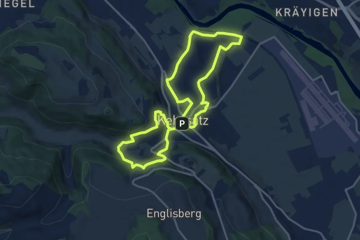
Medium · Trail
Kehrsatzer Rundweg
8.3 km · ↑ 288 m · 2 h 42 min · 7 km away
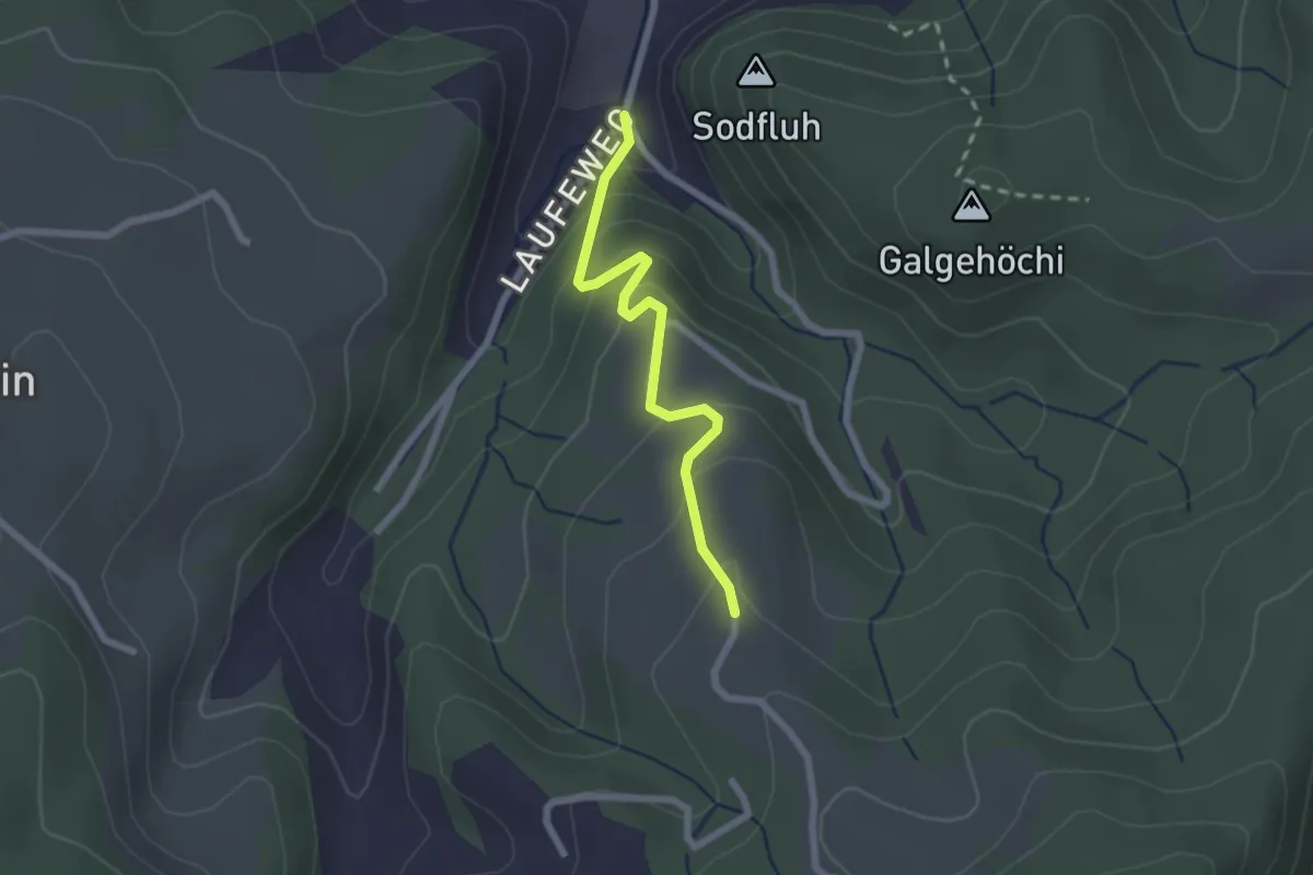
Easy · Trail
Laufe – Vordere Jucke
2.1 km · ↑ 151 m · 49 min · 7 km away
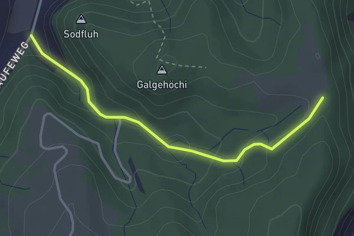
Easy · Trail
Chlosteralp – Laufe
2.7 km · ↑ 148 m · 58 min · 7 km away
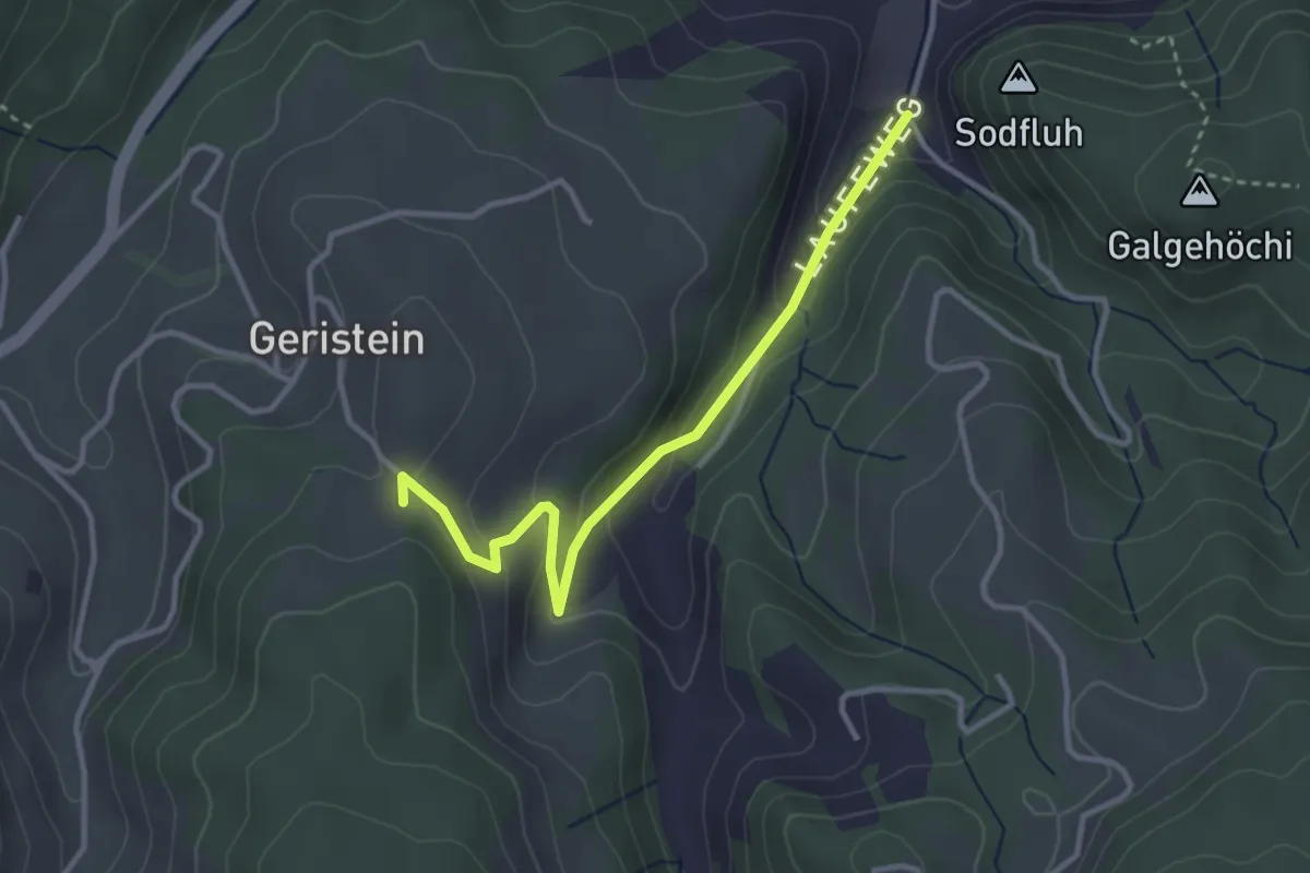
Easy · Trail
Laufe – Geristein
3.2 km · ↑ 163 m · 1 h 7 min · 7 km away
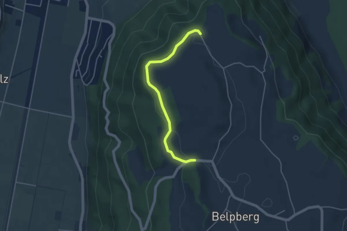
Easy · Trail
Hoburg - Weid
3.3 km · ↑ 114 m · 1 h 2 min · 8 km away
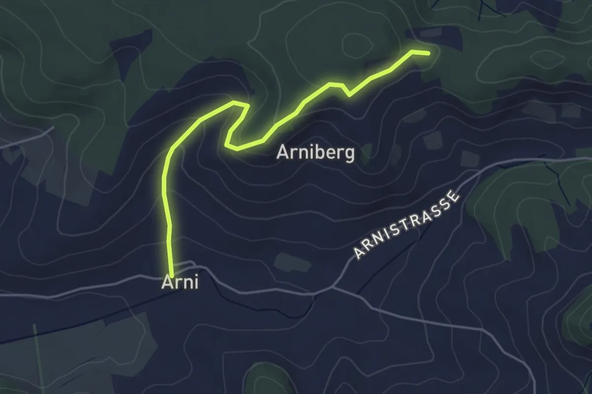
Easy · Trail
Spränzel – Arni
4.2 km · ↑ 213 m · 1 h 28 min · 8 km away
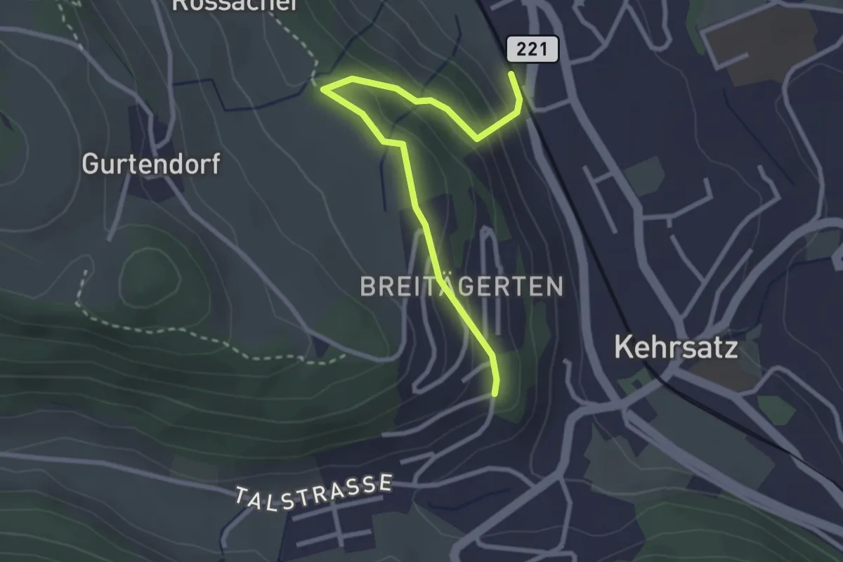
Easy · Trail
Kehrsatz Nord - Breitägerte
2.7 km · ↑ 167 m · 1 h 1 min · 8 km away
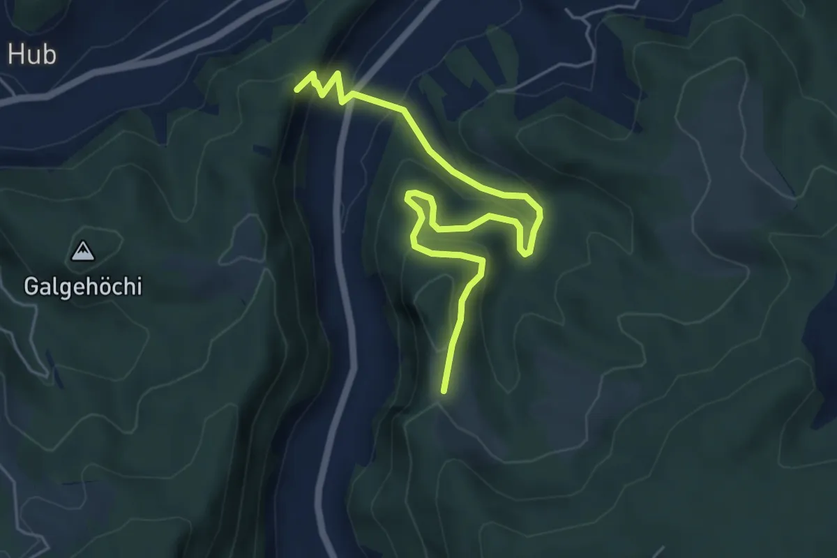
Medium · Trail
Fluehüsli – Vordere Geisme
5.6 km · ↑ 361 m · 2 h 6 min · 8 km away
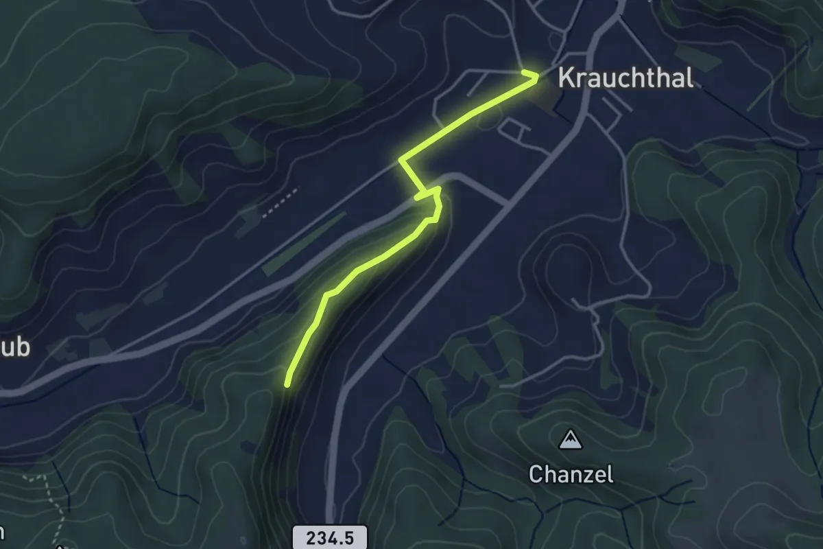
Easy · Trail
Sandhole – Fluehüsli
3.2 km · ↑ 113 m · 1 h · 8 km away
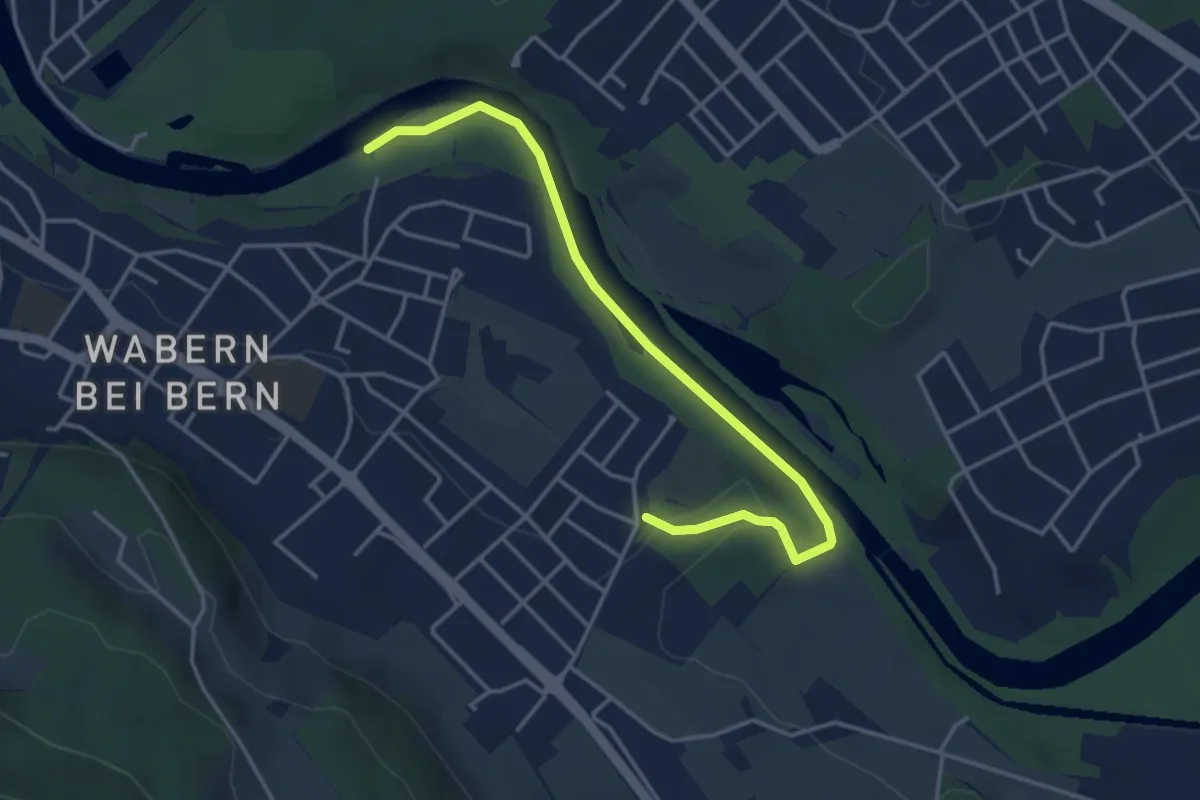
Easy · Trail
Nesslerenhölzli - Eichholz
4.1 km · ↑ 64 m · 1 h 7 min · 8 km away
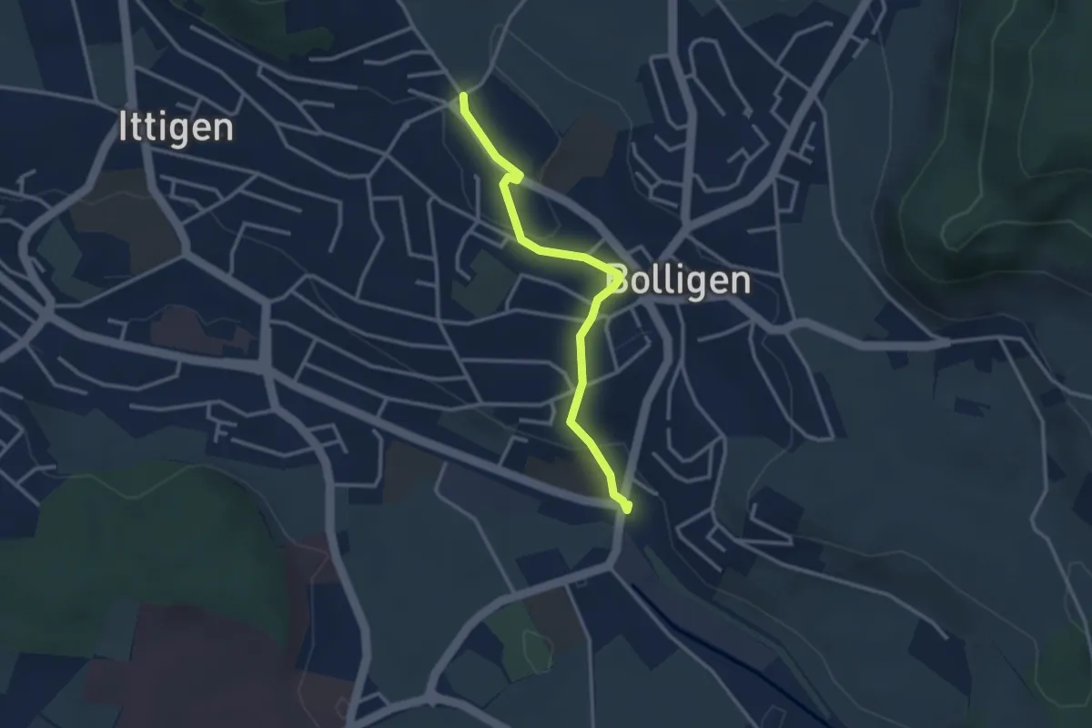
Easy · Trail
Schnägghubel – Bolligen
2.9 km · ↑ 59 m · 48 min · 8 km away
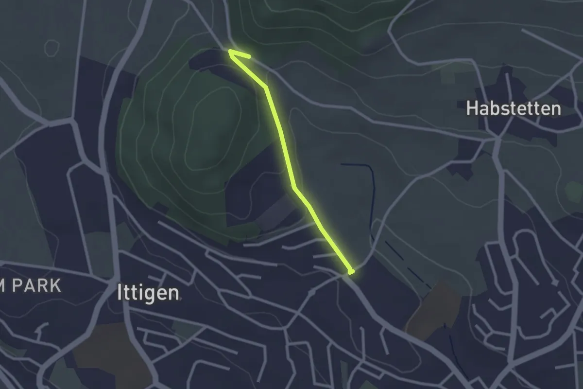
Easy · Trail
Schlupf – Schnägghubel
2.0 km · ↑ 56 m · 36 min · 8 km away
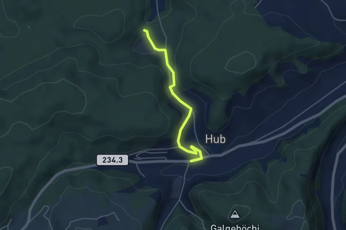
Easy · Trail
Wannetal – Hueb
3.5 km · ↑ 169 m · 1 h 11 min · 8 km away
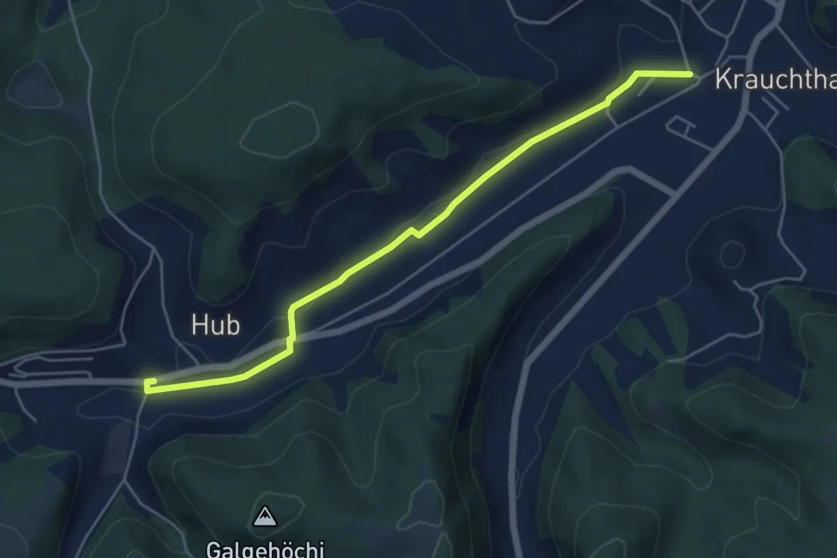
Easy · Trail
Sandhole – Hueb
4.7 km · ↑ 50 m · 1 h 14 min · 8 km away
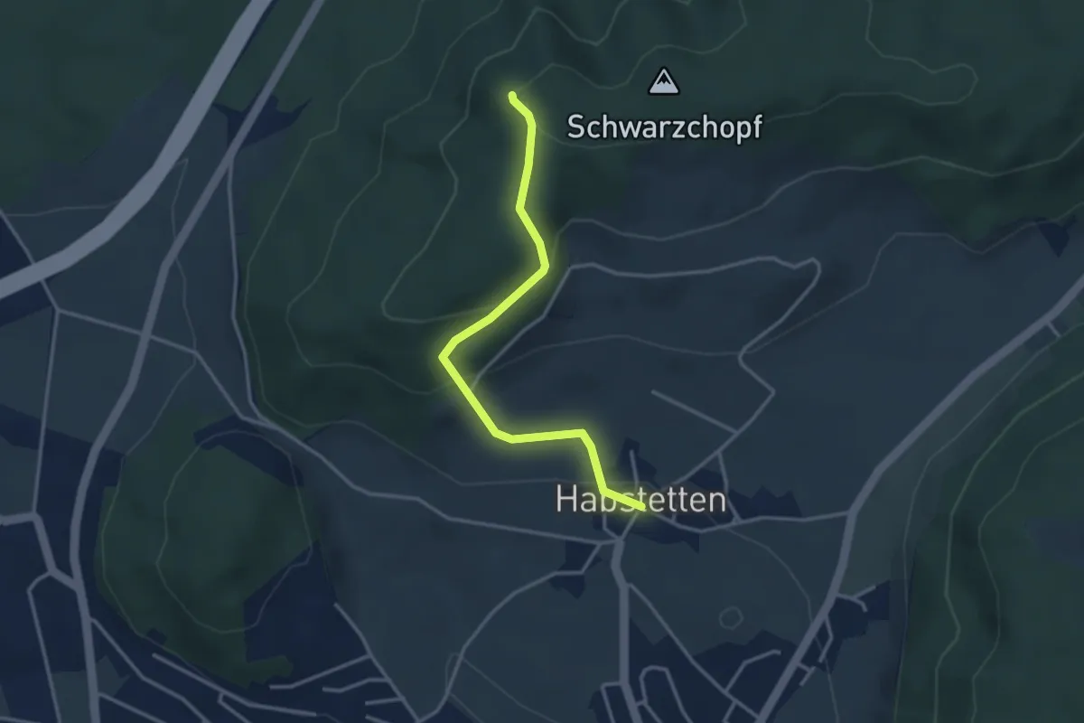
Easy · Trail
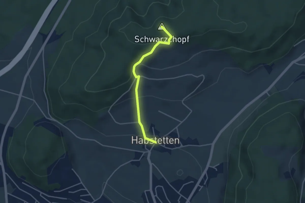
Grauholz/Schwarzkopf – Habstetten
3.2 km · ↑ 157 m · 1 h 5 min · 8 km away
Easy · Summit
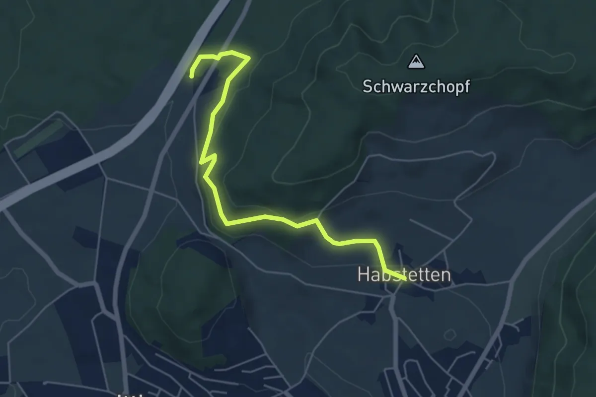
Bannholz – Habstetten
3.0 km · ↑ 167 m · 1 h 4 min · 8 km away
Easy · Trail
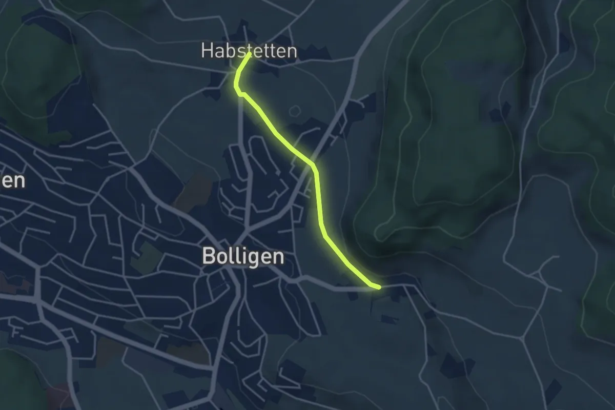
Forsthus – Habstetten
5.1 km · ↑ 162 m · 1 h 33 min · 8 km away
Easy · Trail
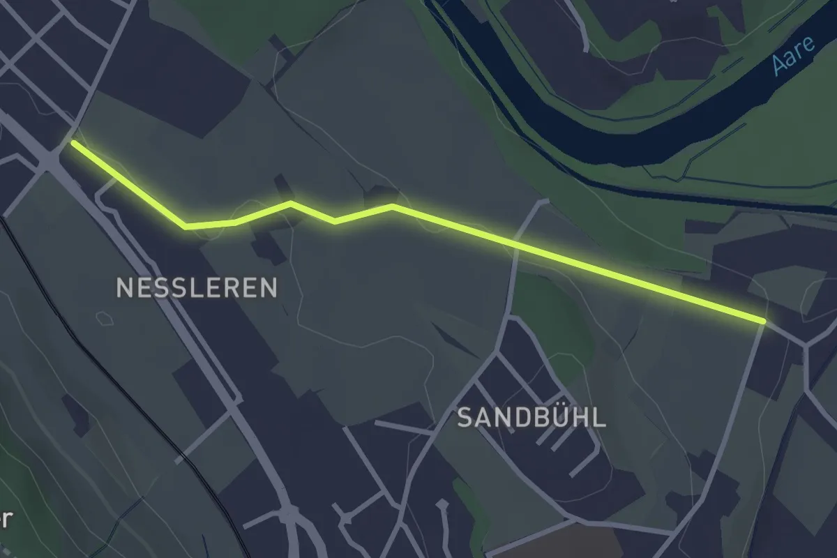
Habstetten – Flugbrunnen
3.0 km · ↑ 34 m · 47 min · 8 km away
Easy · Trail
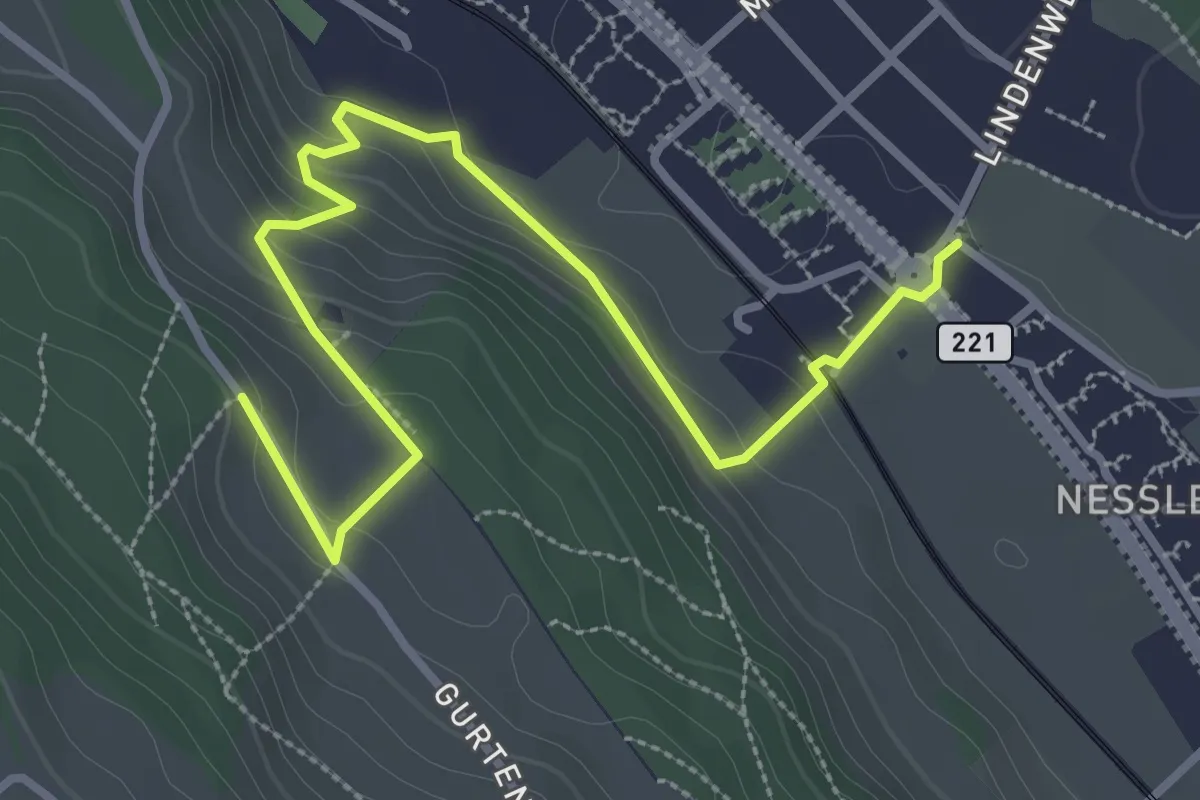
Chli Wabern – Unter Selhofen
2.8 km · ↑ 36 m · 44 min · 8 km away
Easy · Trail
Chli-Wabern – Bergweid
3.8 km · ↑ 169 m · 1 h 15 min · 8 km away
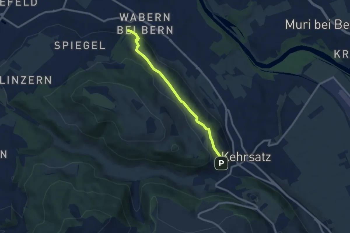
Easy · Trail
Wabern/Gurtenbahn – Breitägerte
5.6 km · ↑ 158 m · 1 h 40 min · 8 km away
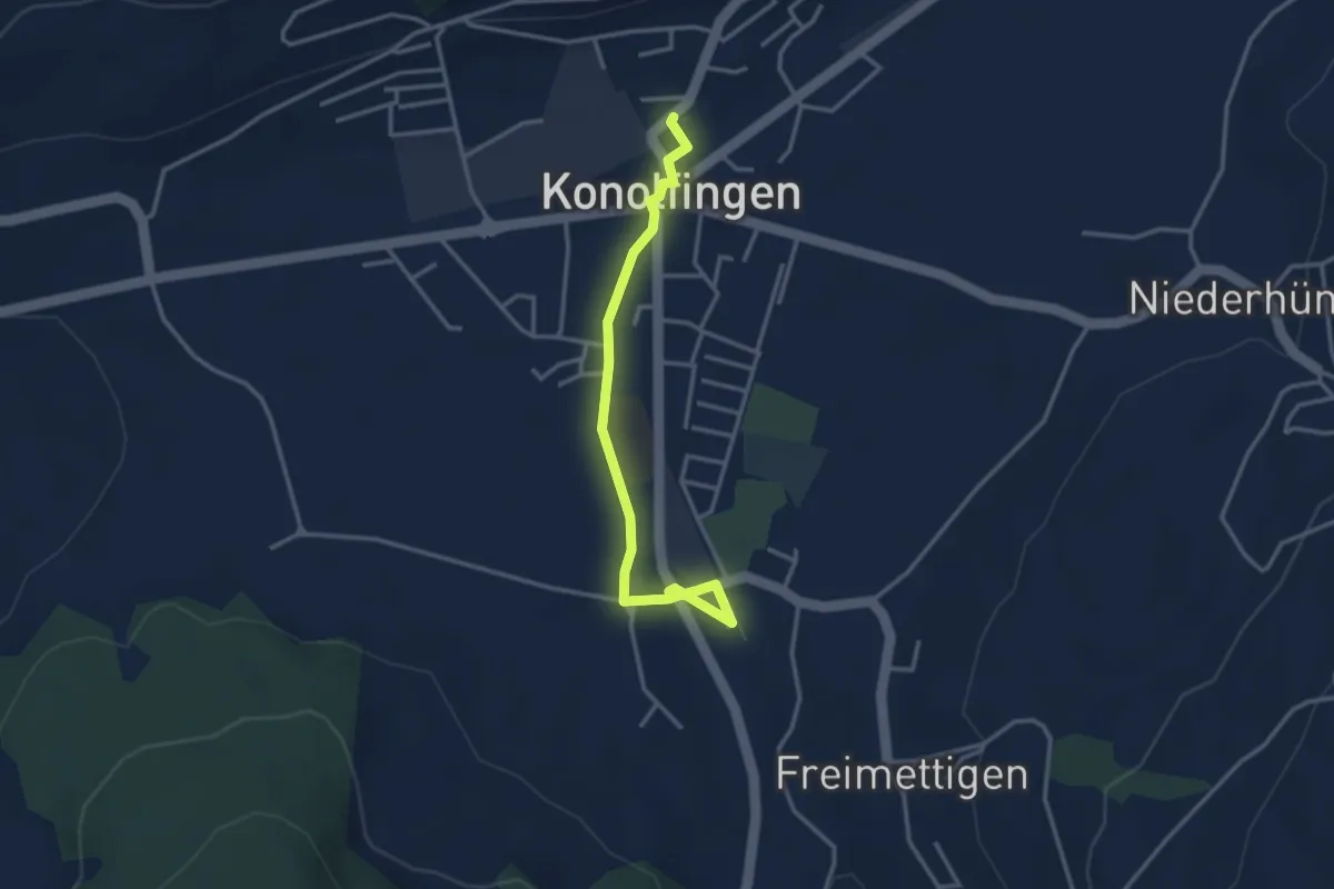
Easy · Trail
Stalden i. E. – Konolfingen
3.3 km · ↑ 23 m · 50 min · 8 km away
Easy · Trail
Thorberg - Schwändi
3.2 km · ↑ 218 m · 1 h 14 min · 8 km away
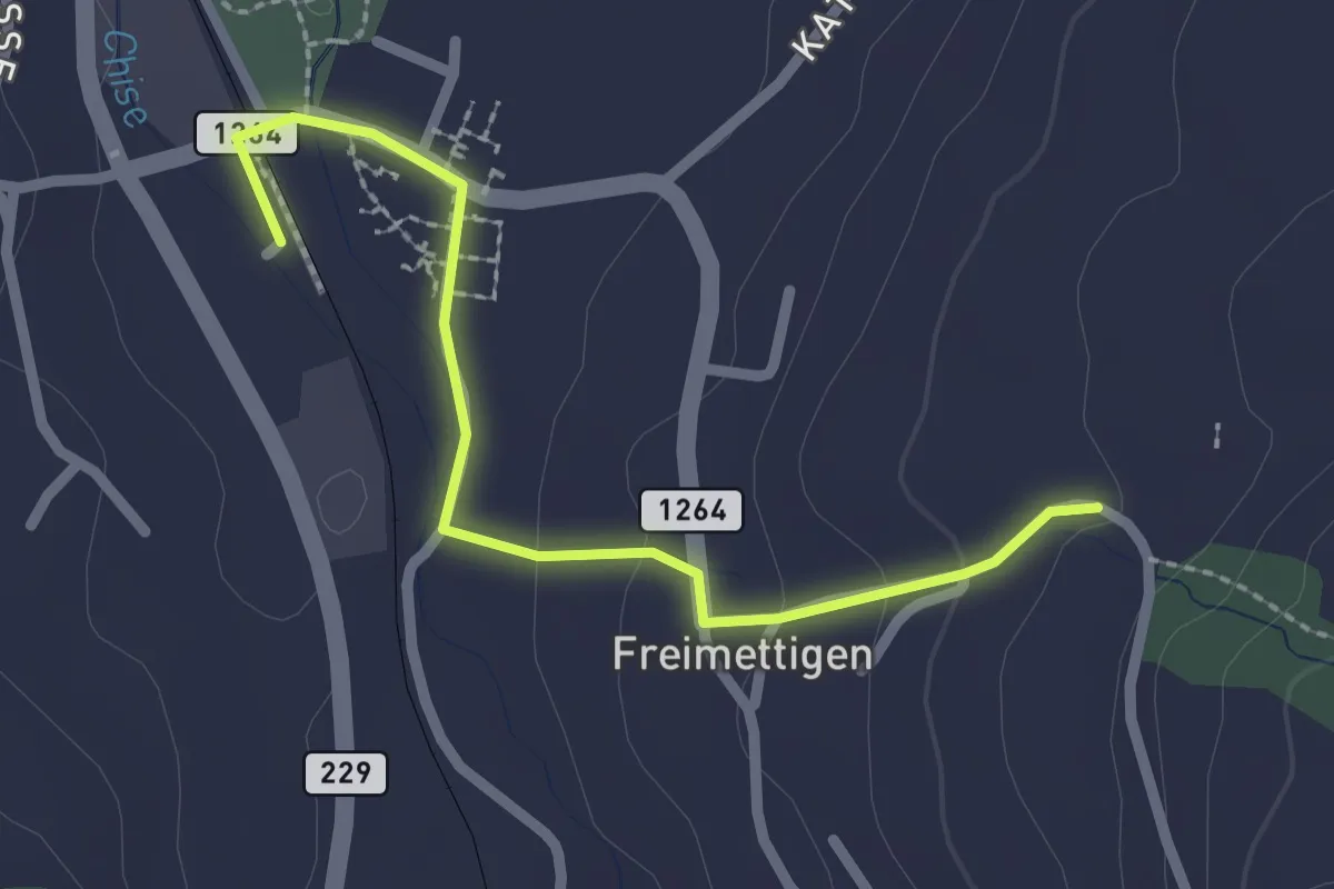
Easy · Trail
Stalden i. E. – Freimettigen
2.4 km · ↑ 53 m · 40 min · 8 km away
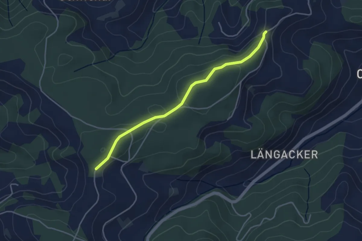
Easy · Trail
Hammegg – Aspiegg
3.3 km · ↑ 79 m · 57 min · 8 km away
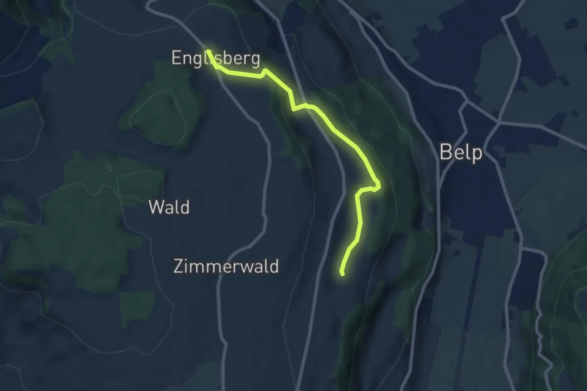
Easy · Trail
Englisberg – Hofmatt
6.5 km · ↑ 186 m · 1 h 56 min · 8 km away
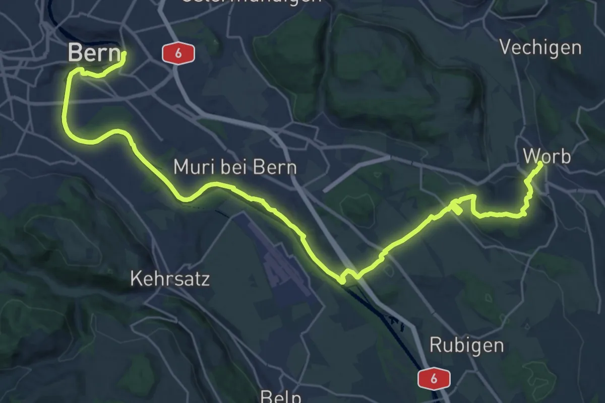
Medium · Trail
Trans Swiss Trail
15.7 km · ↑ 273 m · 4 h 29 min · 8 km away
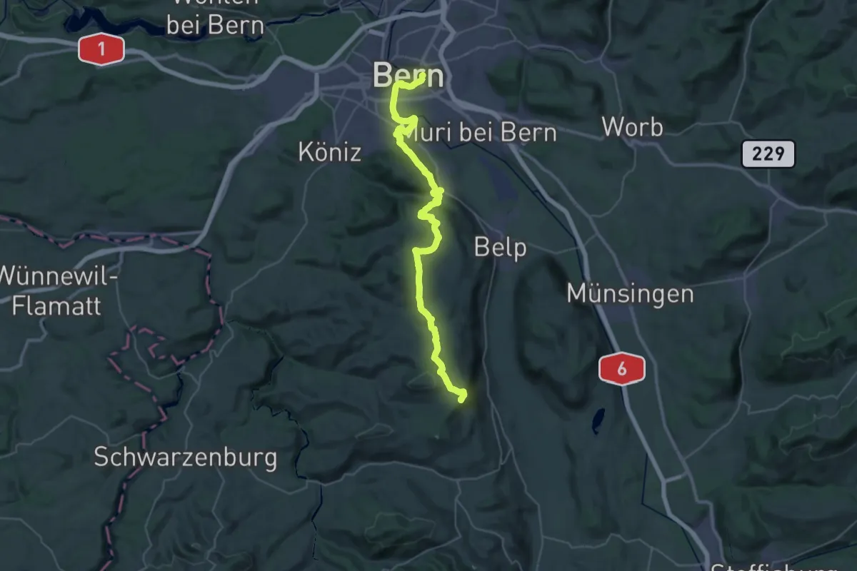
Demanding · Summit
ViaJacobi
38.0 km · ↑ 1072 m · 11 h 18 min · 8 km away
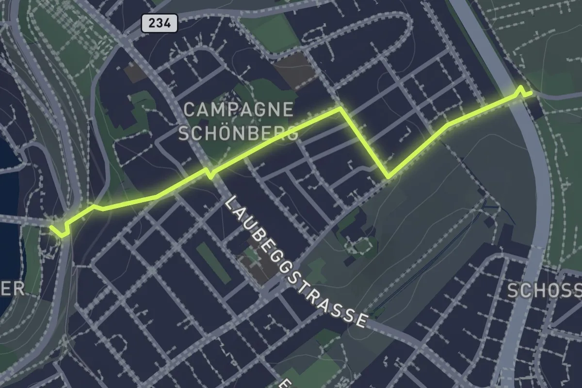
Easy · Trail
Bern/Bärenpark – Zentrum Paul Klee
2.5 km · ↑ 82 m · 46 min · 8 km away
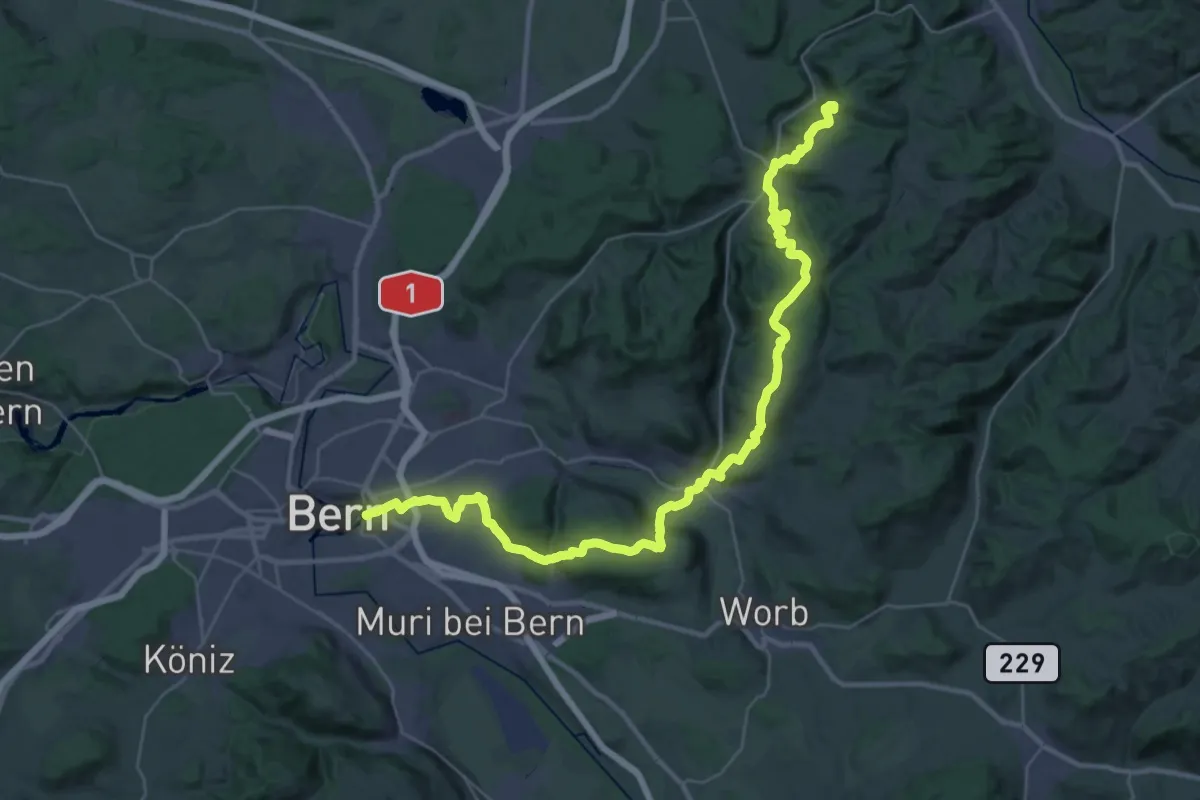
Demanding · Summit
ViaJacobi
42.9 km · ↑ 1593 m · 13 h 35 min · 8 km away
Easy · Trail
Krauchthal – Buechwald
4.0 km · ↑ 191 m · 1 h 21 min · 8 km away
Medium · Trail
Oberburg – Buechwald
14.7 km · ↑ 578 m · 4 h 44 min · 8 km away
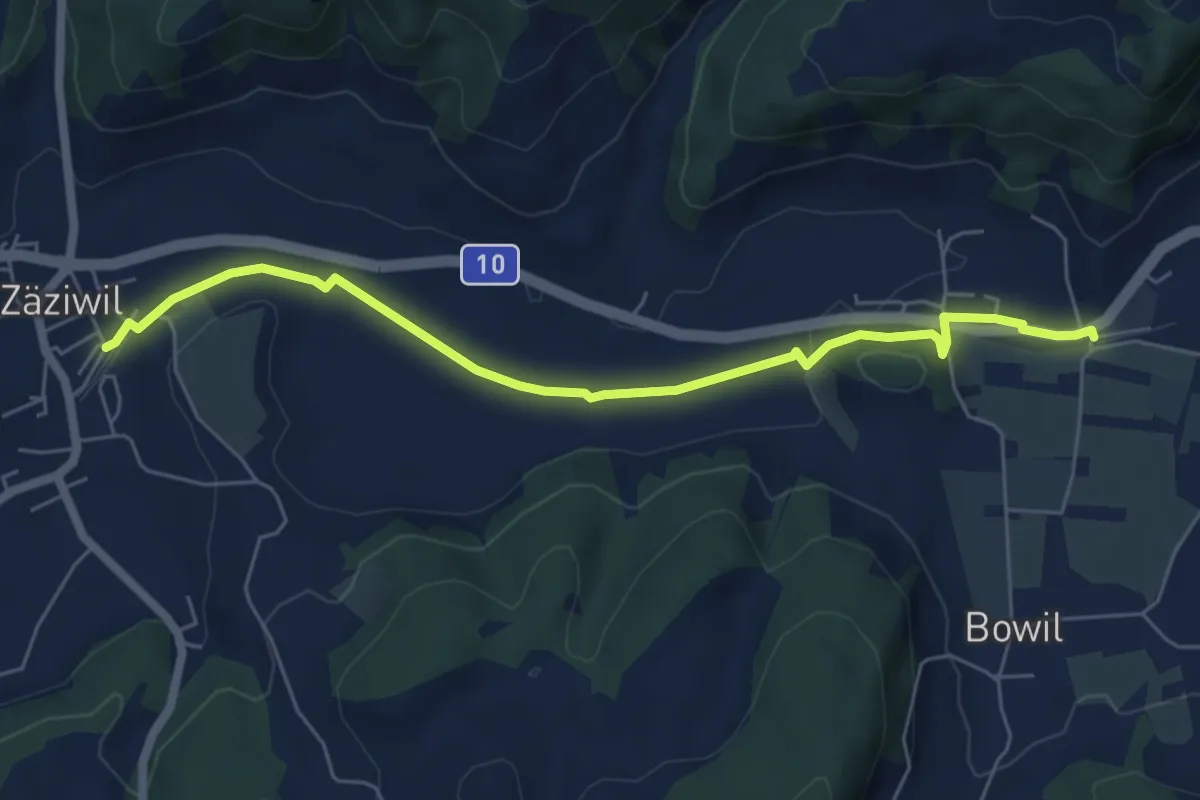
Easy · Trail
Bowil – Zäziwil
6.2 km · ↑ 63 m · 1 h 36 min · 8 km away
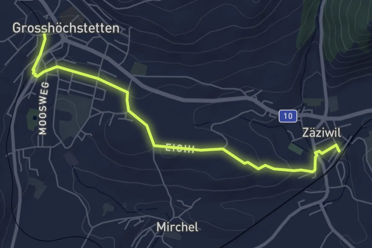
Easy · Trail
Grosshöchstetten – Zäziwil
5.9 km · ↑ 78 m · 1 h 33 min · 8 km away
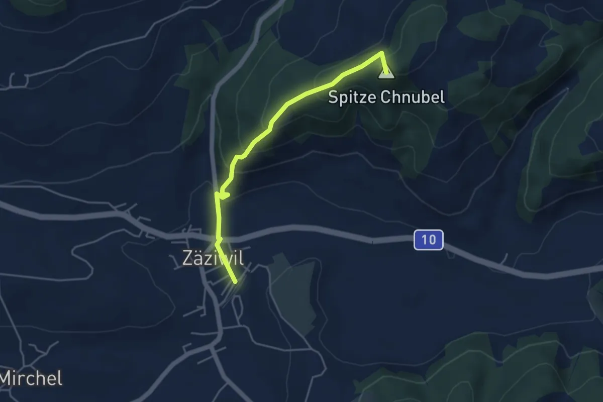
Easy · Summit
Chäneltal – Zäziwil
3.9 km · ↑ 260 m · 1 h 28 min · 8 km away
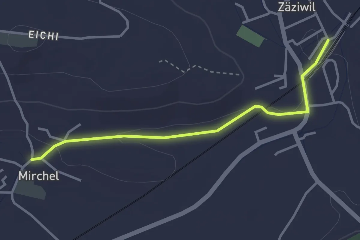
Easy · Trail
Zäziwil – Mirchel
2.9 km · ↑ 14 m · 42 min · 8 km away
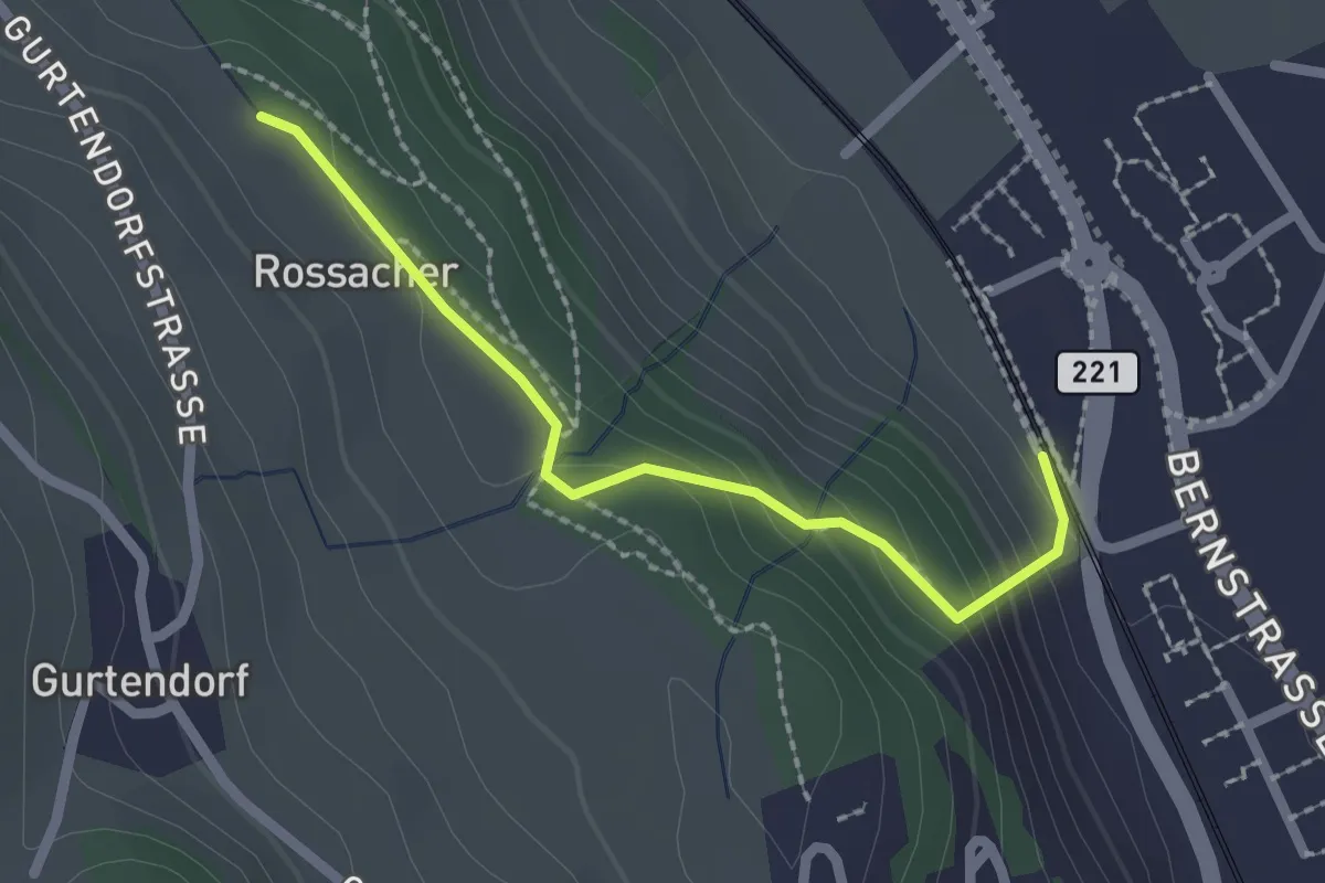
Easy · Trail
Kehrsatz Nord - Rossacker
2.0 km · ↑ 123 m · 45 min · 8 km away
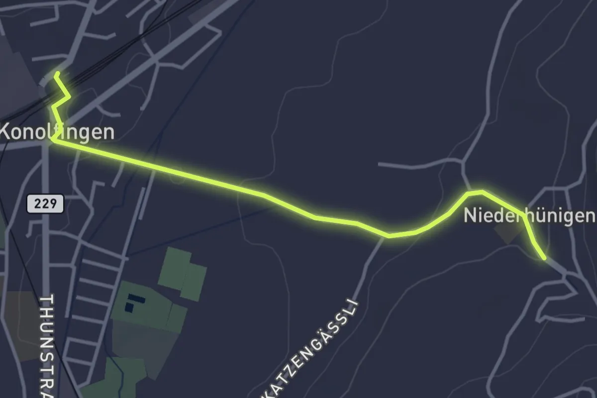
Easy · Trail
Niederhünigen – Konolfingen
3.6 km · ↑ 43 m · 57 min · 8 km away
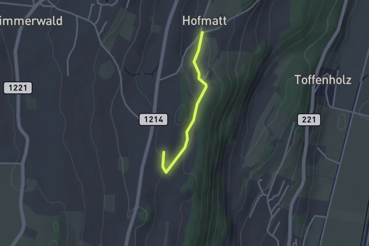
Easy · Trail
Hofmatt – Rossweid
2.1 km · ↑ 34 m · 35 min · 8 km away
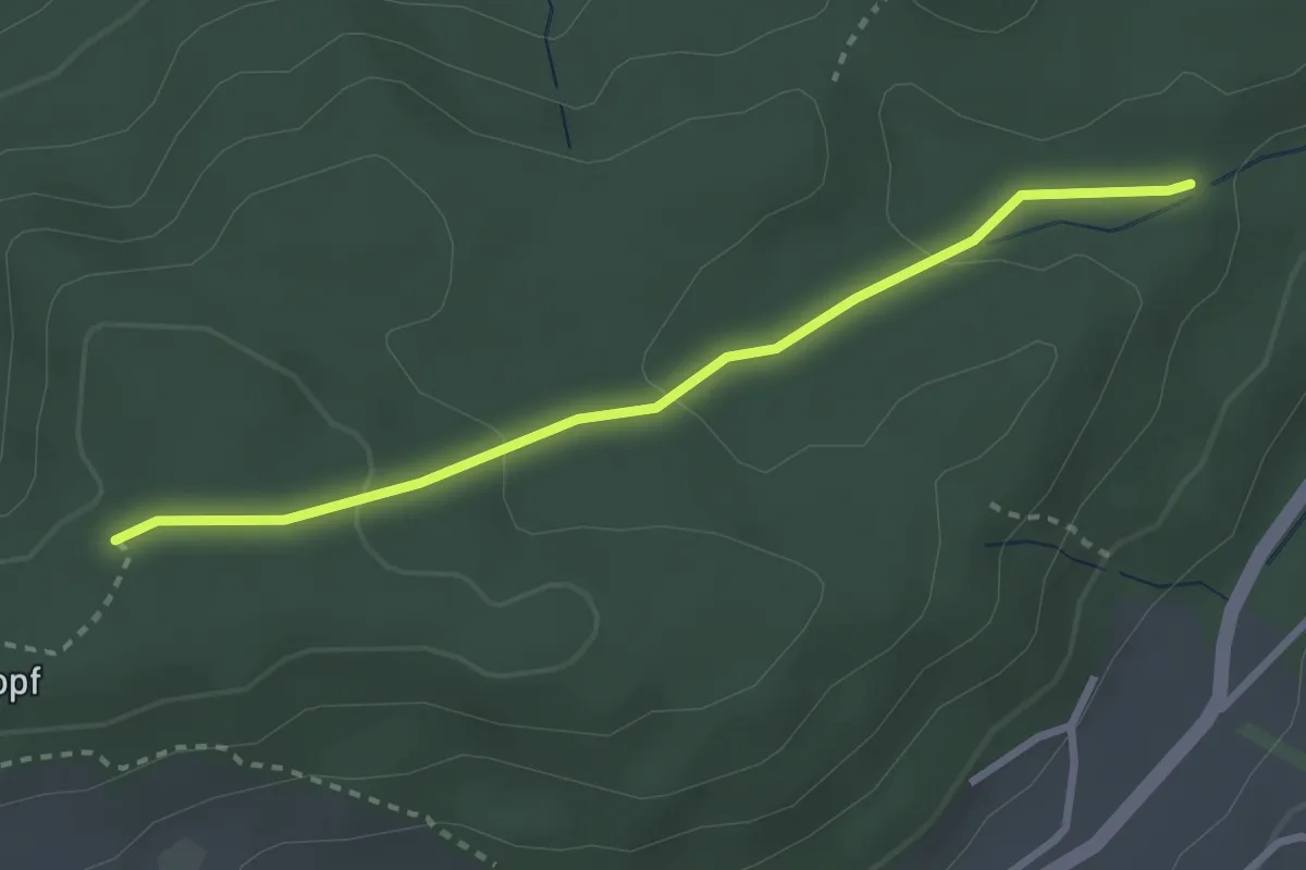
Easy · Trail
Sädelbachhüttli – Bannholz
2.8 km · ↑ 83 m · 50 min · 8 km away
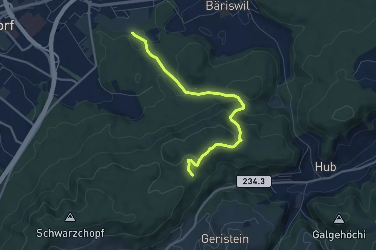
Easy · Trail
Holzmatt – Mattstettenberg
6.9 km · ↑ 277 m · 2 h 14 min · 8 km away
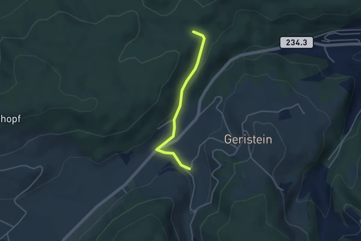
Easy · Trail
Sädelbachhüttli – Lutzere
2.7 km · ↑ 47 m · 44 min · 8 km away
Easy · Trail
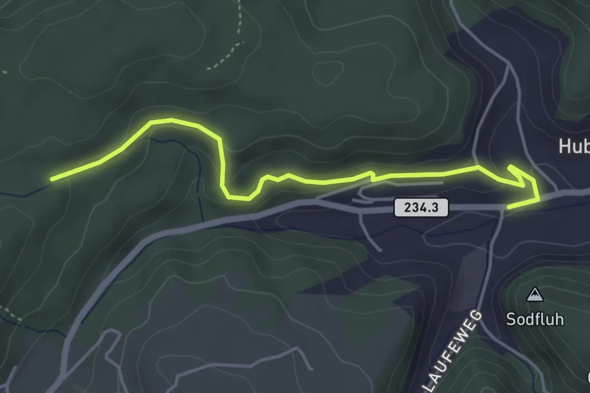
Sädelbachhüttli – Hueb
4.2 km · ↑ 167 m · 1 h 22 min · 8 km away