Trails near Worb
459 hikes starting within 15 km, nearest first.
Nearest first, page 5 of 10
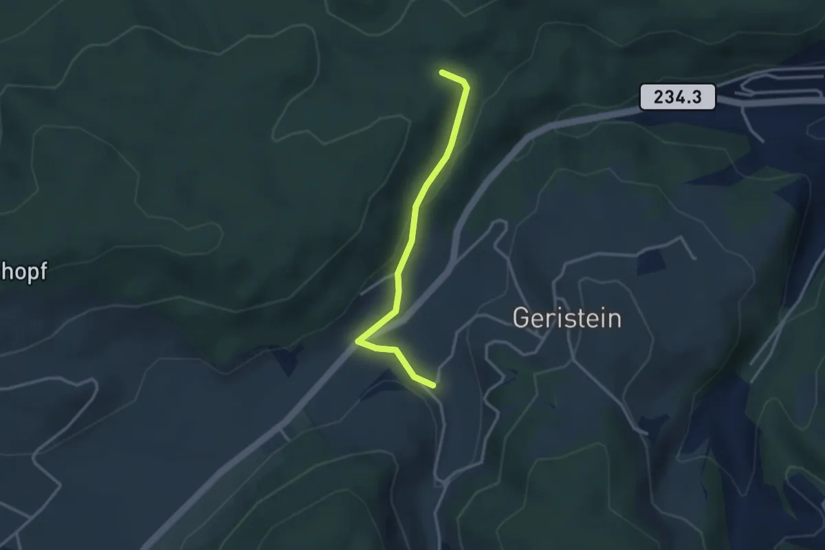
Easy · Trail
Sädelbachhüttli – Lutzere
2.7 km · ↑ 47 m · 44 min · 8 km away
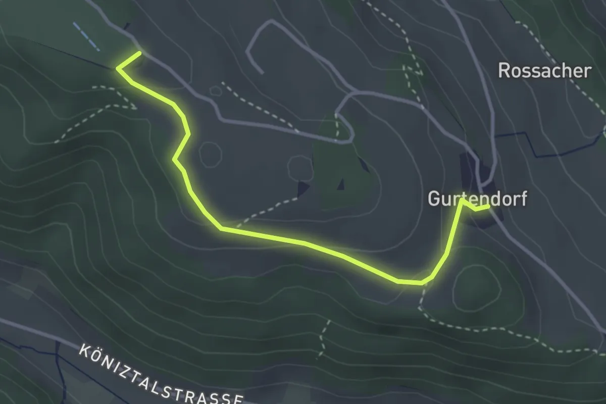
Easy · Summit
Gurten/Ostsignal – Gurtendorf
3.2 km · ↑ 99 m · 58 min · 8 km away
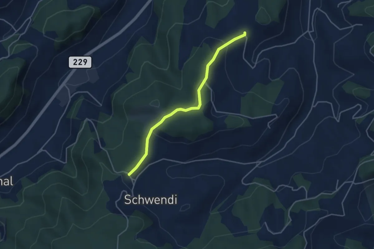
Easy · Trail
Vorder Schwändi – Bütschwil
3.4 km · ↑ 106 m · 1 h 2 min · 9 km away
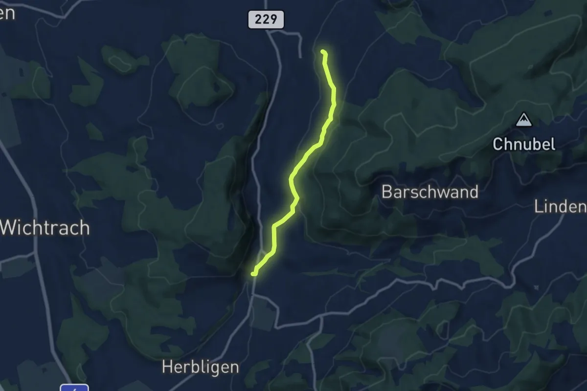
Easy · Trail
Oberdiessbach – Freimettigen
7.7 km · ↑ 236 m · 2 h 19 min · 9 km away
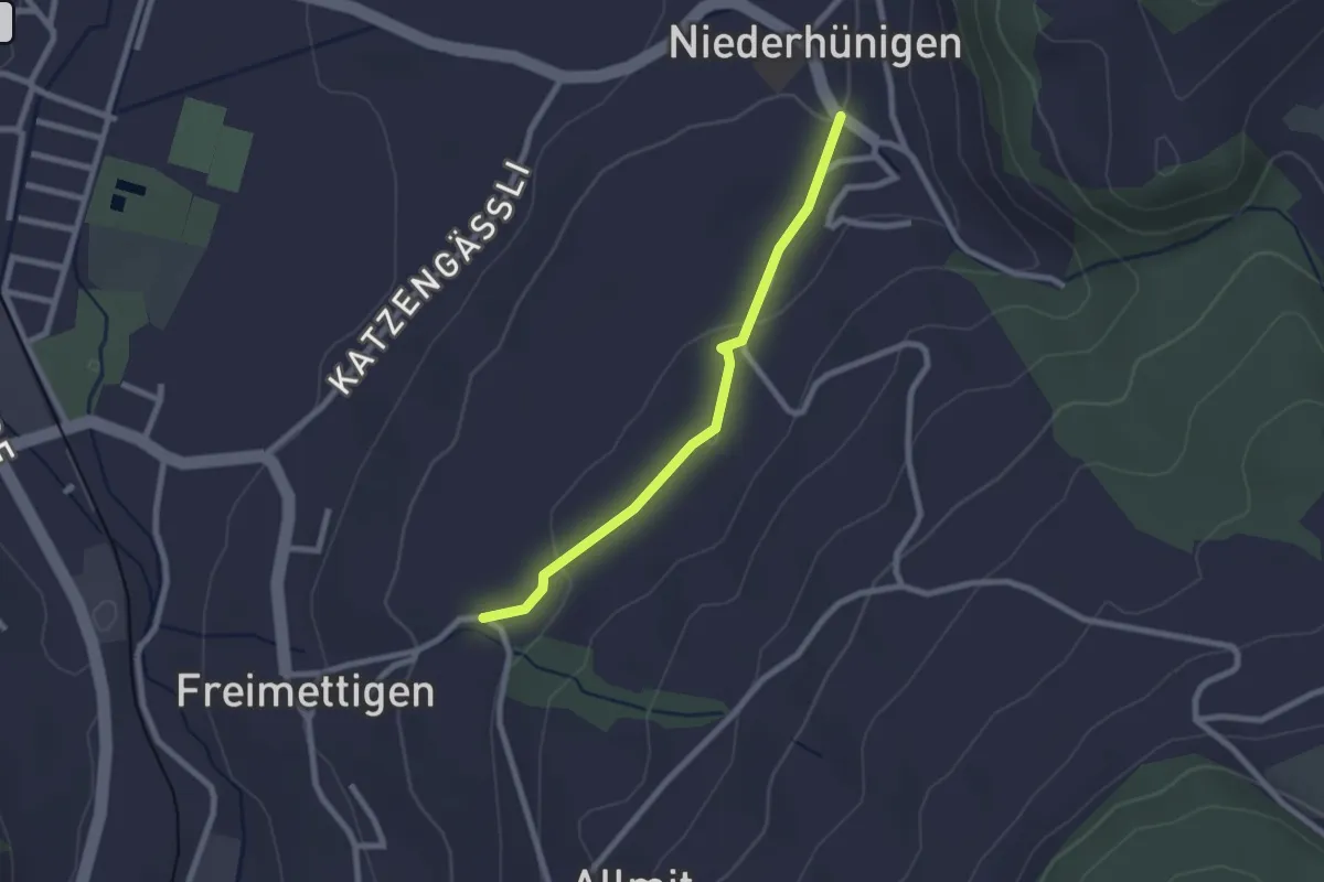
Easy · Trail
Niederhünigen – Freimettigen
2.2 km · ↑ 47 m · 37 min · 9 km away
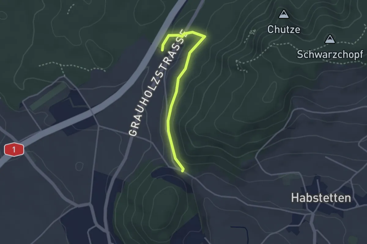
Easy · Trail
Forsthus – Schlupf
2.8 km · ↑ 40 m · 45 min · 9 km away
Easy · Trail
Längenberg – Sandhole
3.2 km · ↑ 100 m · 59 min · 9 km away
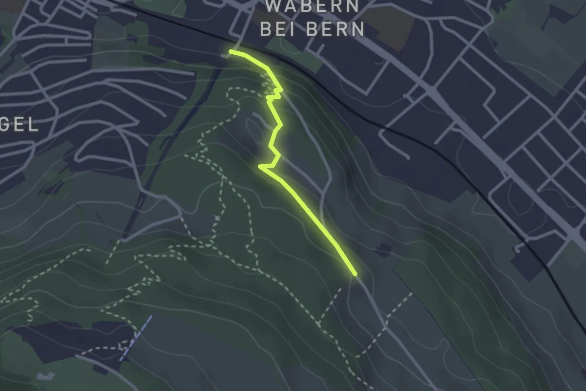
Easy · Trail
Wabern/Gurtenbahn – Bergweid
2.1 km · ↑ 103 m · 43 min · 9 km away
Medium · Trail
Krauchthal – Vordere Geisme
8.1 km · ↑ 340 m · 2 h 39 min · 9 km away
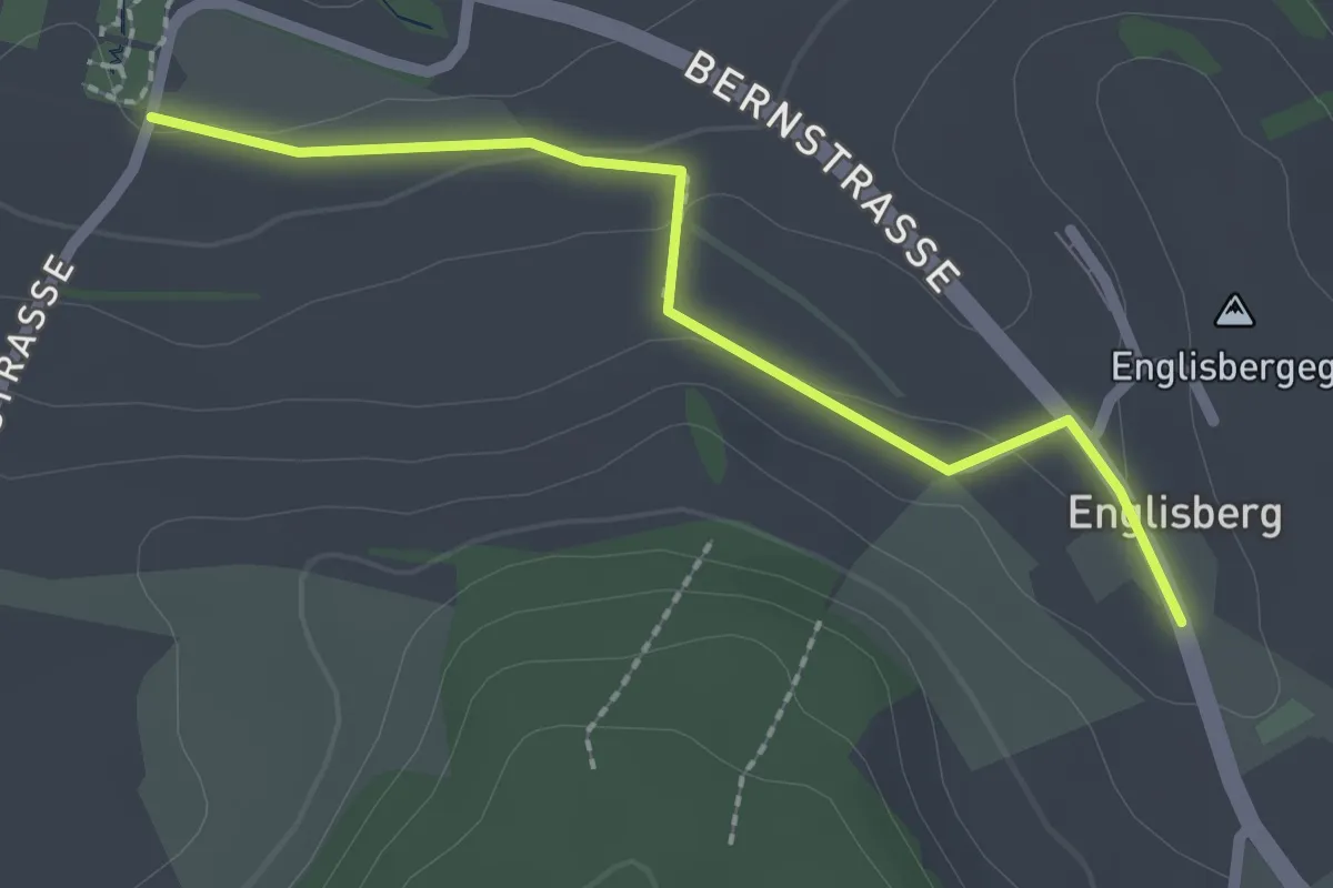
Easy · Trail
Wohnheim Kühlewil - Englisberg
2.1 km · ↑ 42 m · 36 min · 9 km away
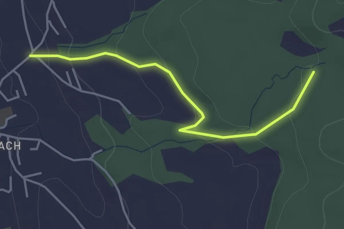
Easy · Trail
Wichtrach/Oberdorf – Rotebüel
3.3 km · ↑ 121 m · 1 h 2 min · 9 km away
Demanding · Summit
Krauchthal – Krauchthal
1.4 km · ↑ 98 m · 33 min · 9 km away
Easy · Summit
Krauchthal – ?
4.9 km · ↑ 215 m · 1 h 37 min · 9 km away
Medium · Trail
Siebenwegeplatz – Krauchthal
11.7 km · ↑ 236 m · 3 h 16 min · 9 km away
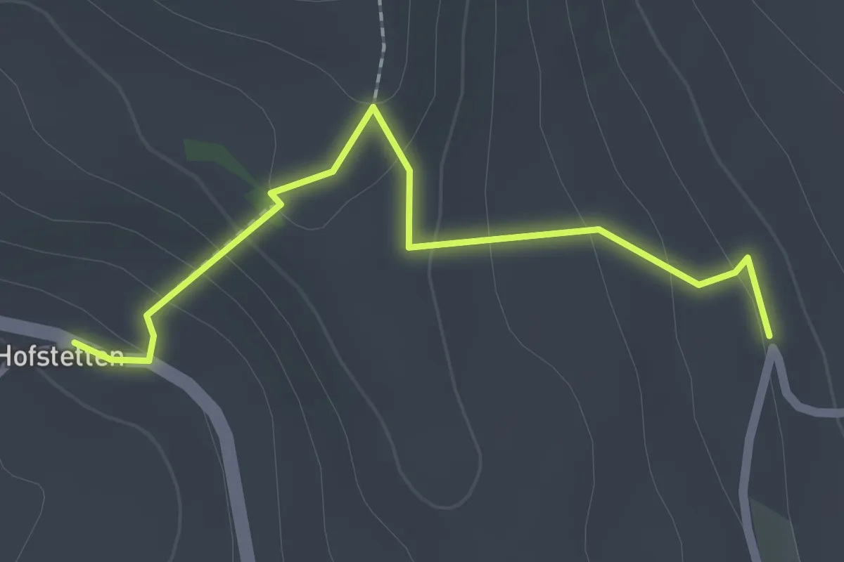
Easy · Trail
Hostete - Simmlere
2.1 km · ↑ 121 m · 45 min · 9 km away
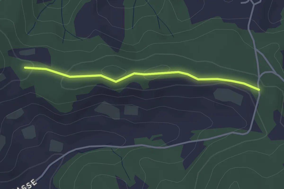
Easy · Trail
Spränzel – Hinderegg
2.7 km · ↑ 39 m · 43 min · 9 km away
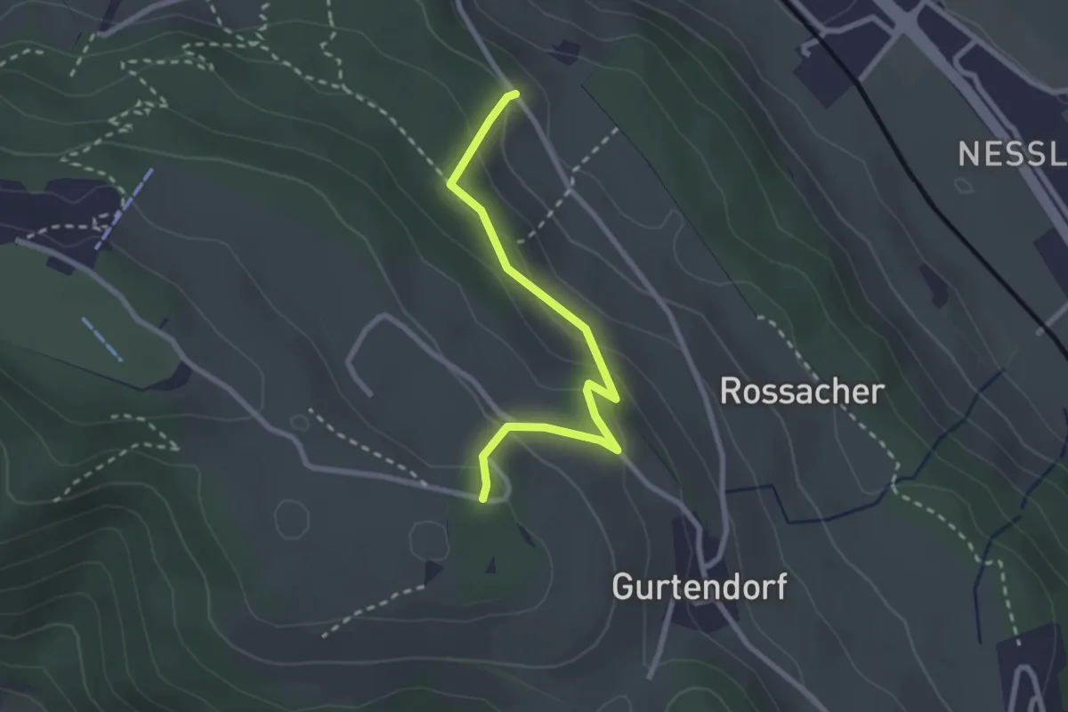
Easy · Trail
Bergweid – Studholz
2.5 km · ↑ 156 m · 56 min · 9 km away
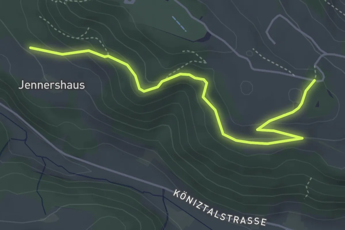
Easy · Trail
Jennershus – Studholz
4.7 km · ↑ 167 m · 1 h 29 min · 9 km away
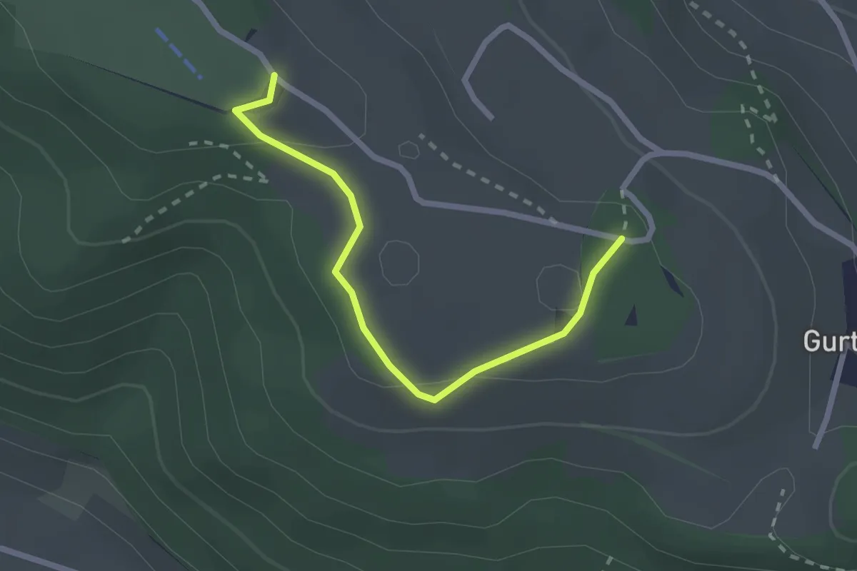
Easy · Summit
Studholz – Gurten/Ostsignal
2.3 km · ↑ 58 m · 39 min · 9 km away
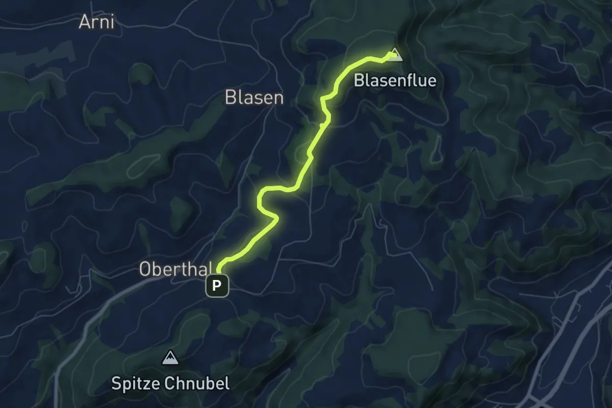
Easy · Summit
Blaseflue – Chäneltal
6.1 km · ↑ 316 m · 2 h 7 min · 9 km away
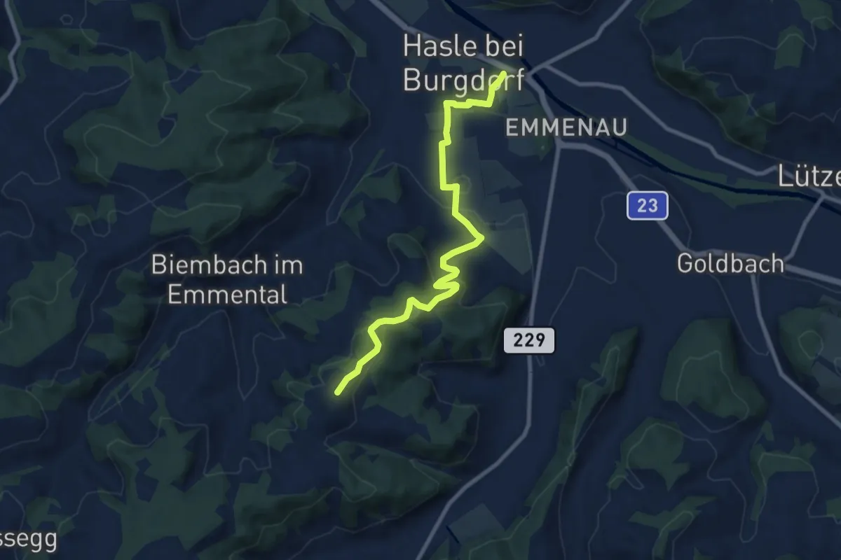
Medium · Trail
Schwand – Hasle-Rüegsau
8.7 km · ↑ 268 m · 2 h 38 min · 9 km away
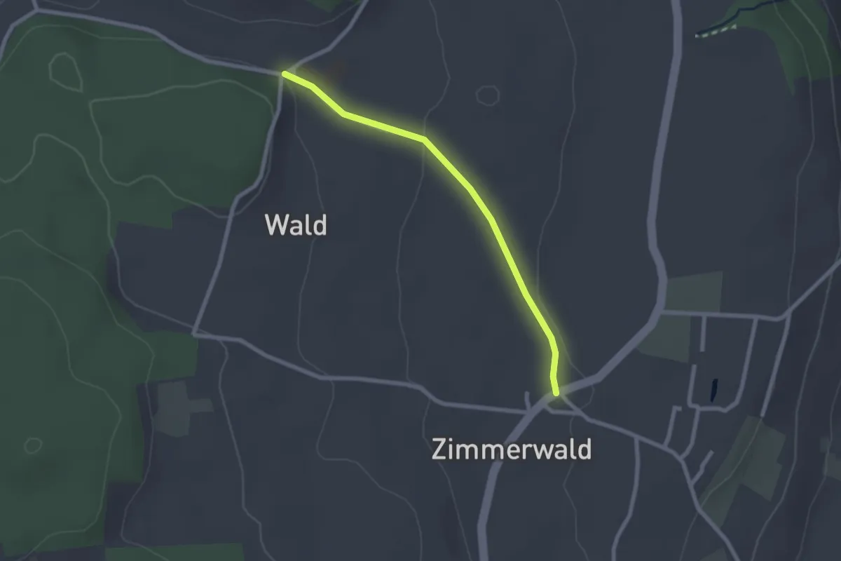
Easy · Trail
Zimmerwald – Undere Wald
2.1 km · ↑ 37 m · 35 min · 9 km away
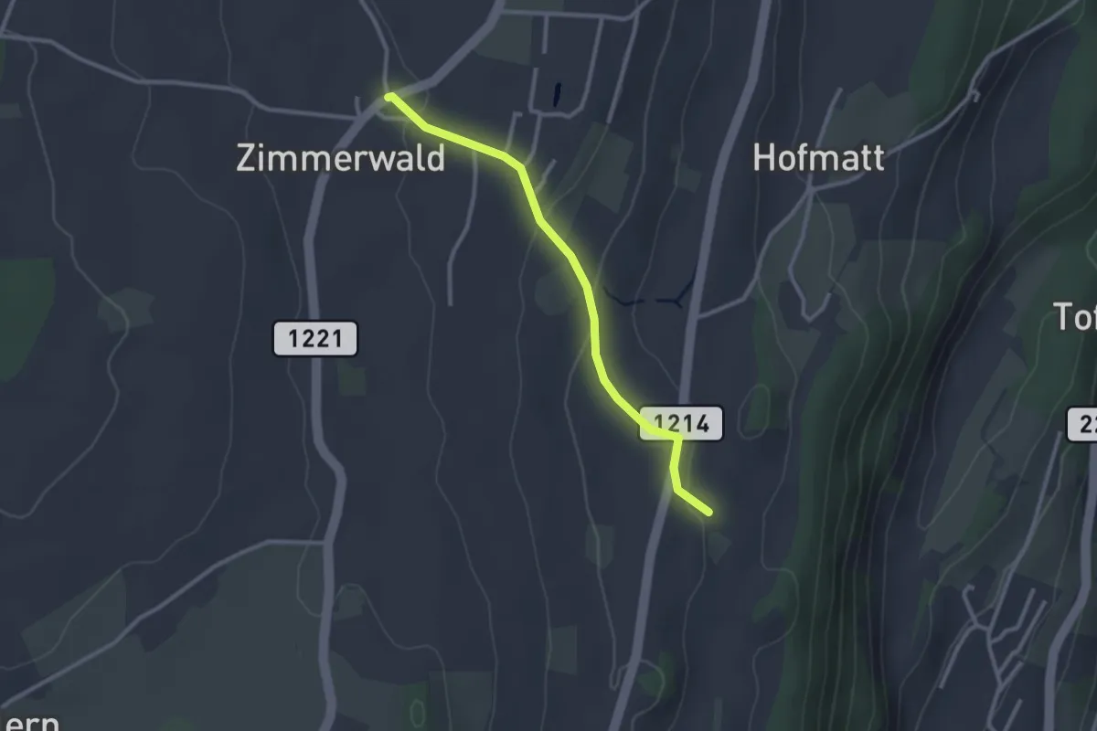
Easy · Trail
Zimmerwald – Rossweid
2.6 km · ↑ 64 m · 45 min · 9 km away
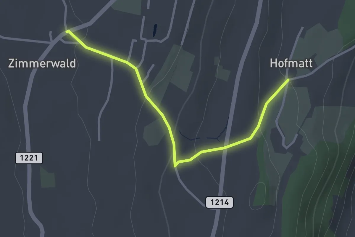
Easy · Trail
Zimmerwald – Hofmatt
2.9 km · ↑ 102 m · 54 min · 9 km away
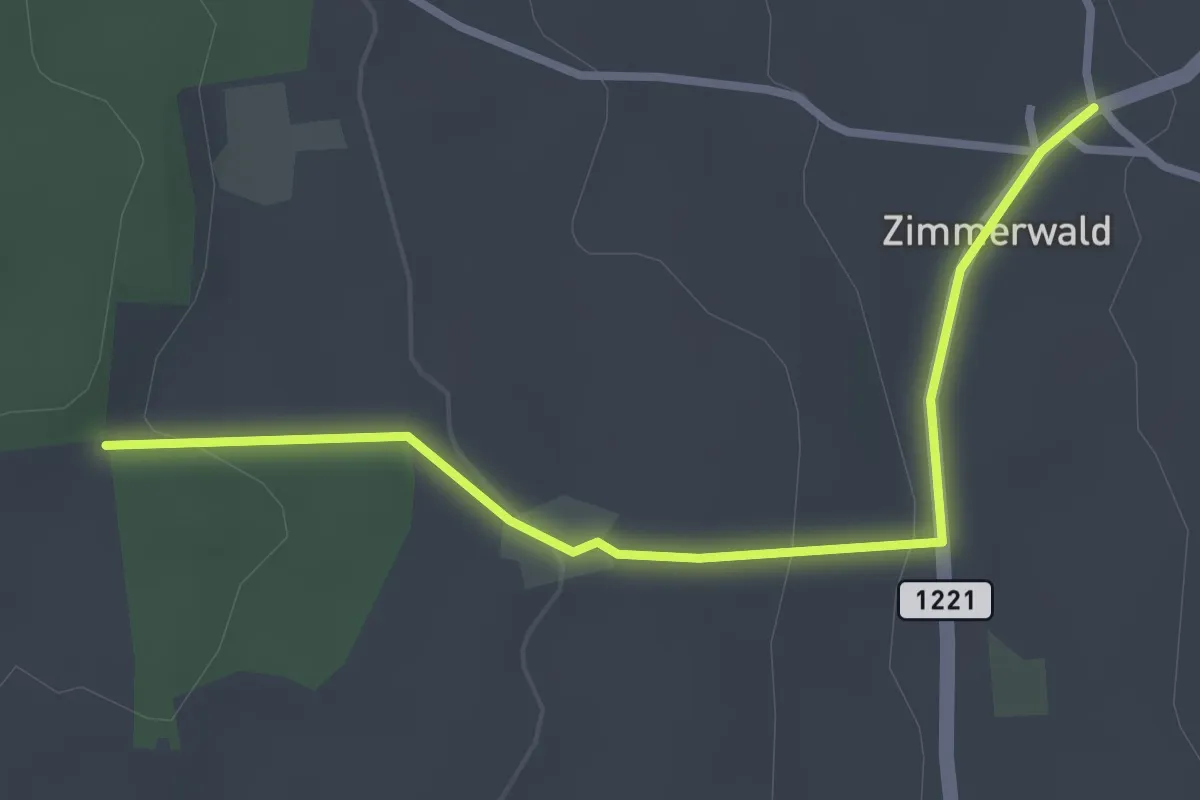
Easy · Trail
Allmid – Zimmerwald
3.0 km · ↑ 84 m · 53 min · 9 km away
Easy · Summit
Sandstein Lehrpfad
3.4 km · ↑ 310 m · 1 h 29 min · 9 km away
Easy · Trail
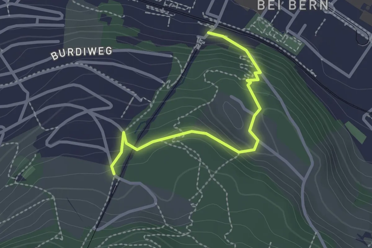
Wabern/Gurtenbahn – Grüneboden
2.3 km · ↑ 129 m · 49 min · 9 km away
Easy · Summit
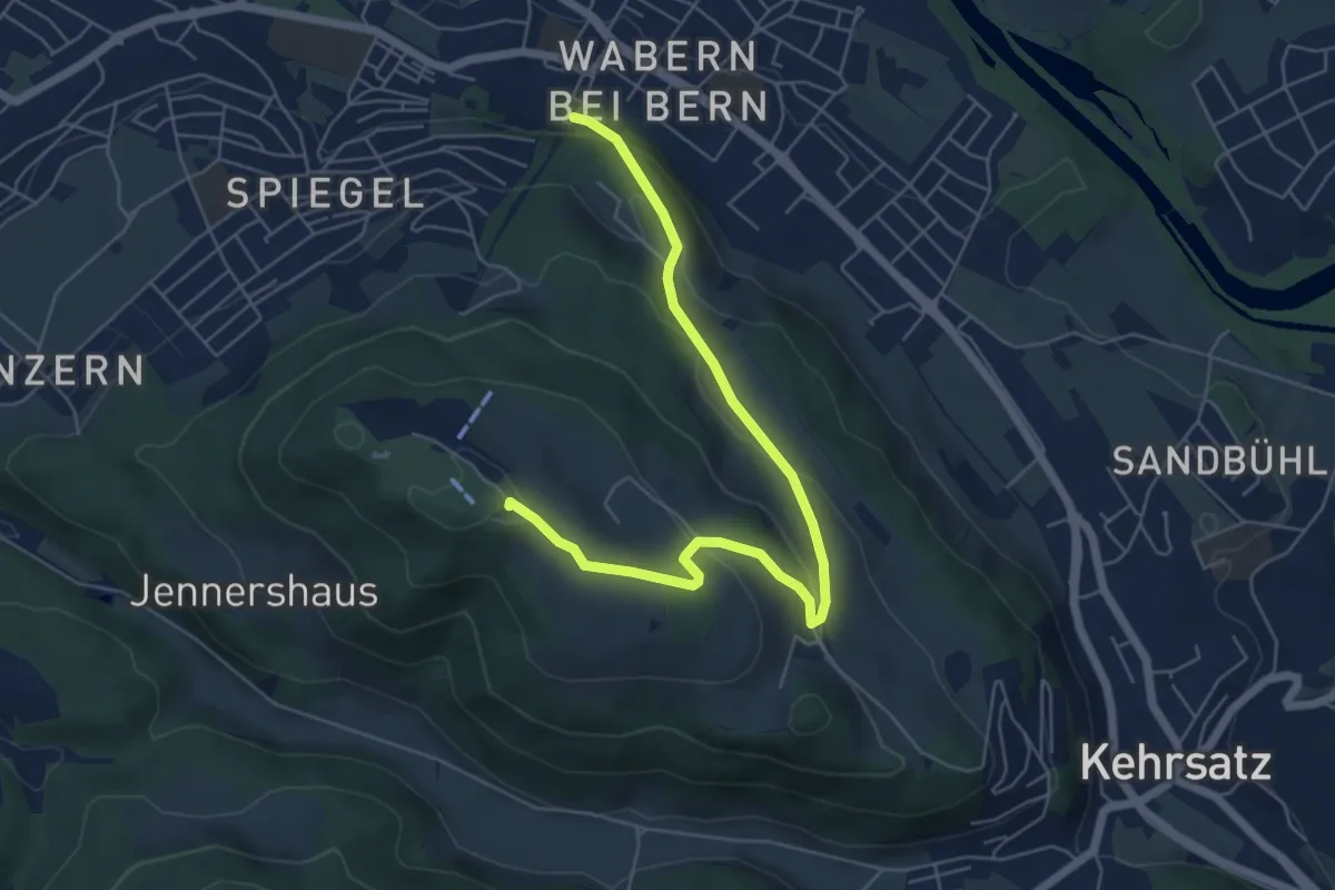
Spazierweg
6.4 km · ↑ 268 m · 2 h 5 min · 9 km away
Easy · Trail
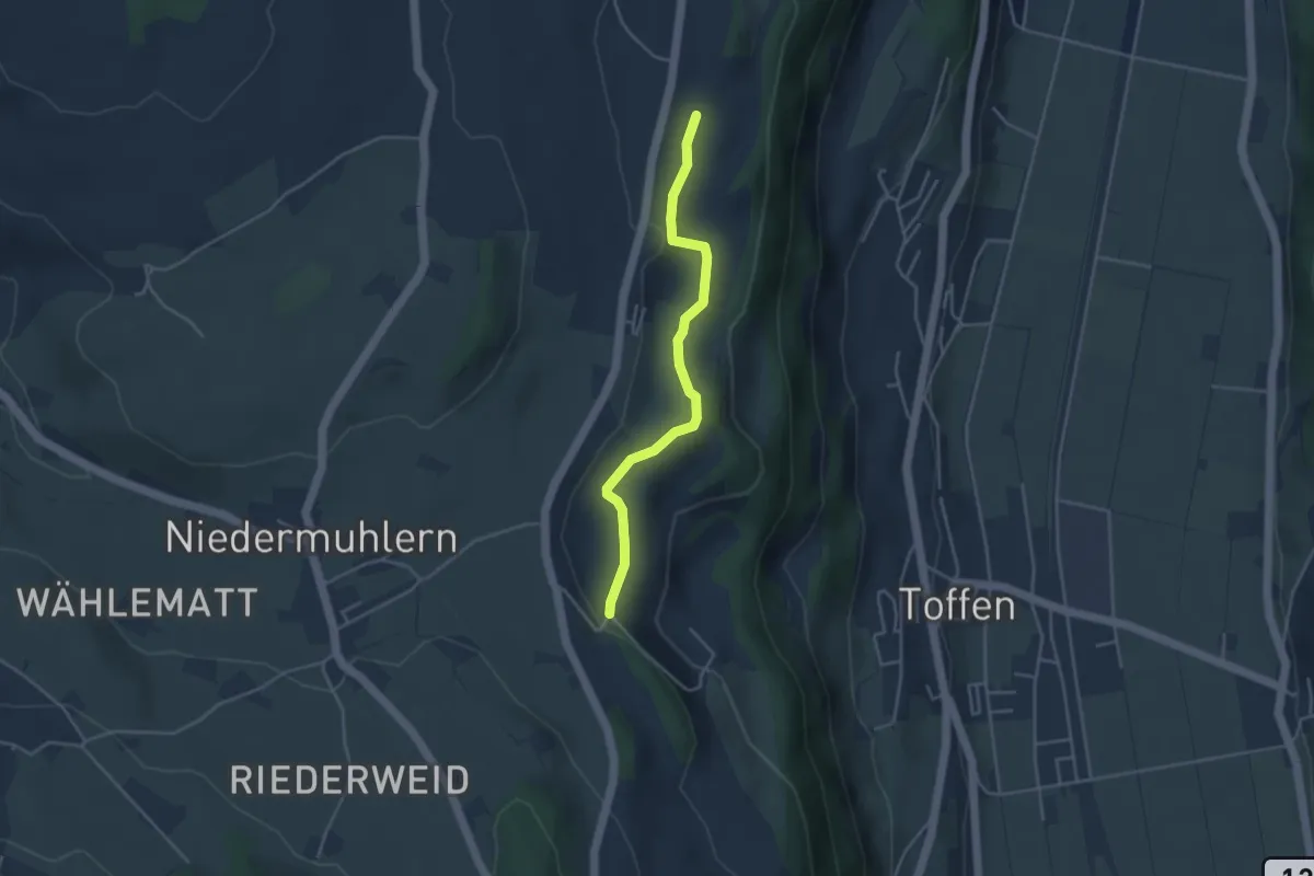
Rossweid – Falebach
3.8 km · ↑ 92 m · 1 h 5 min · 9 km away
Easy · Trail
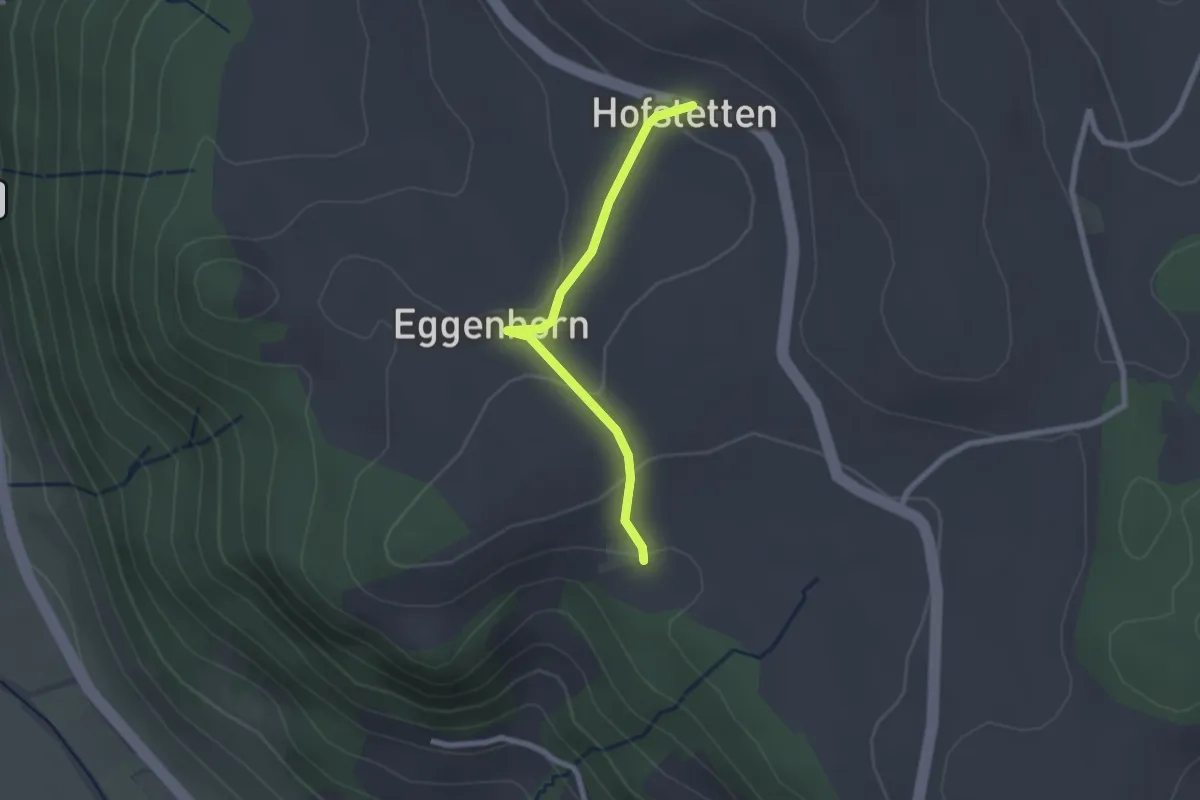
Wannetal – Mattstettenberg
3.0 km · ↑ 175 m · 1 h 6 min · 9 km away
Easy · Trail
Schlatt - Hostete
2.1 km · ↑ 67 m · 38 min · 9 km away
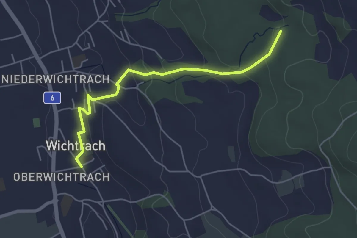
Easy · Trail
Wichtrach – Rotebüel
4.3 km · ↑ 138 m · 1 h 19 min · 9 km away
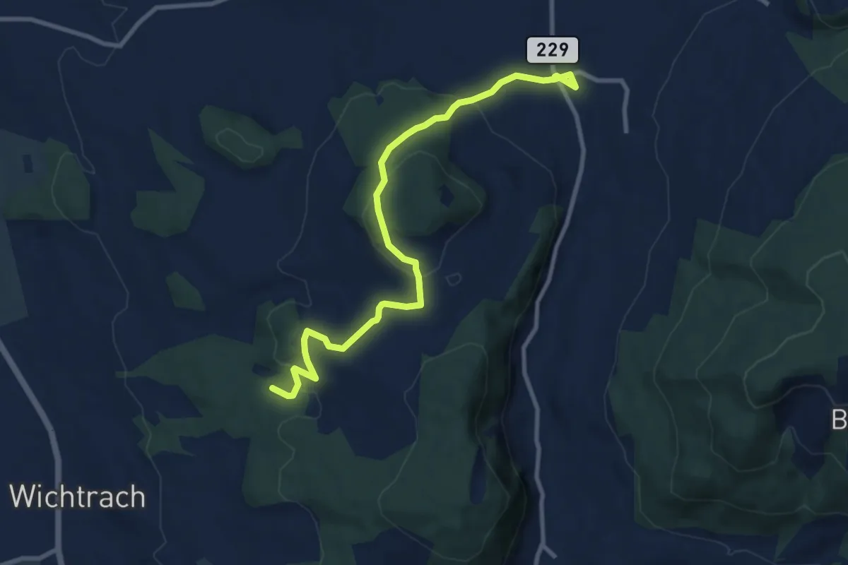
Medium · Trail
Stalden i. E. – Rotebüel
9.4 km · ↑ 302 m · 2 h 52 min · 9 km away
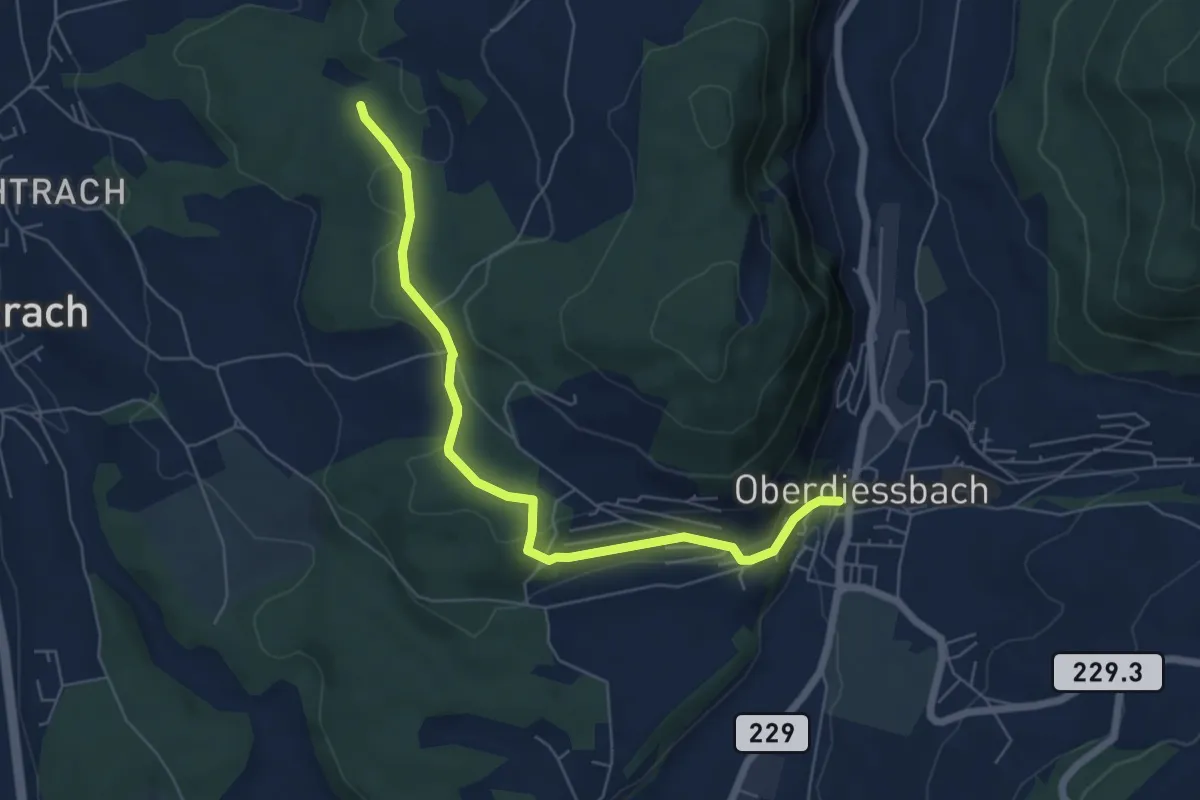
Easy · Trail
Oberdiessbach – Rotebüel
6.3 km · ↑ 169 m · 1 h 52 min · 9 km away
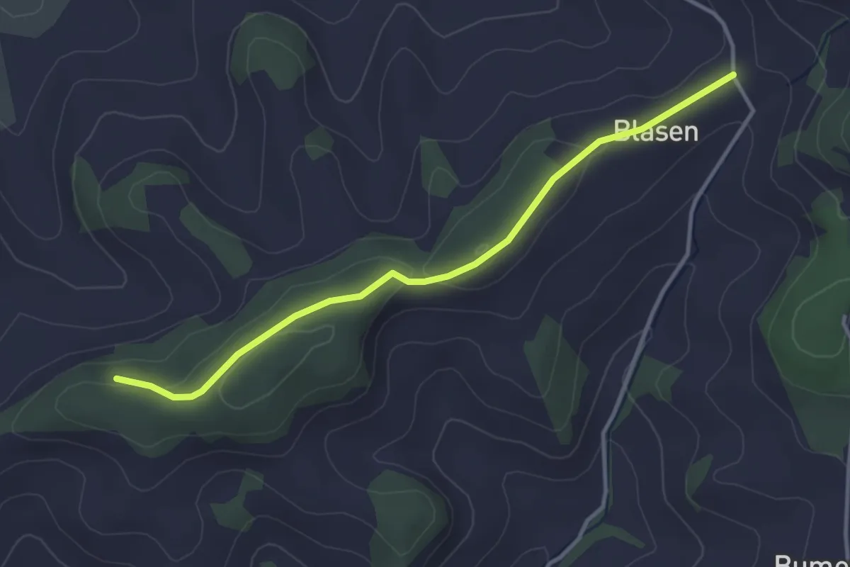
Easy · Trail
Chapfwald – Blase
3.5 km · ↑ 83 m · 1 h 1 min · 9 km away
Easy · Trail
Chriegsholz – Längenberg
2.5 km · ↑ 70 m · 45 min · 9 km away
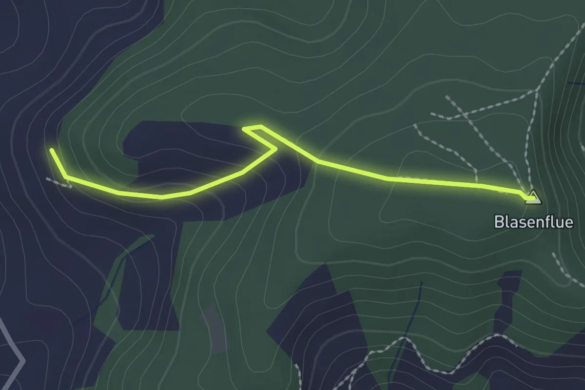
Easy · Summit
Blasenhorn – Blaseflue
2.1 km · ↑ 140 m · 48 min · 9 km away
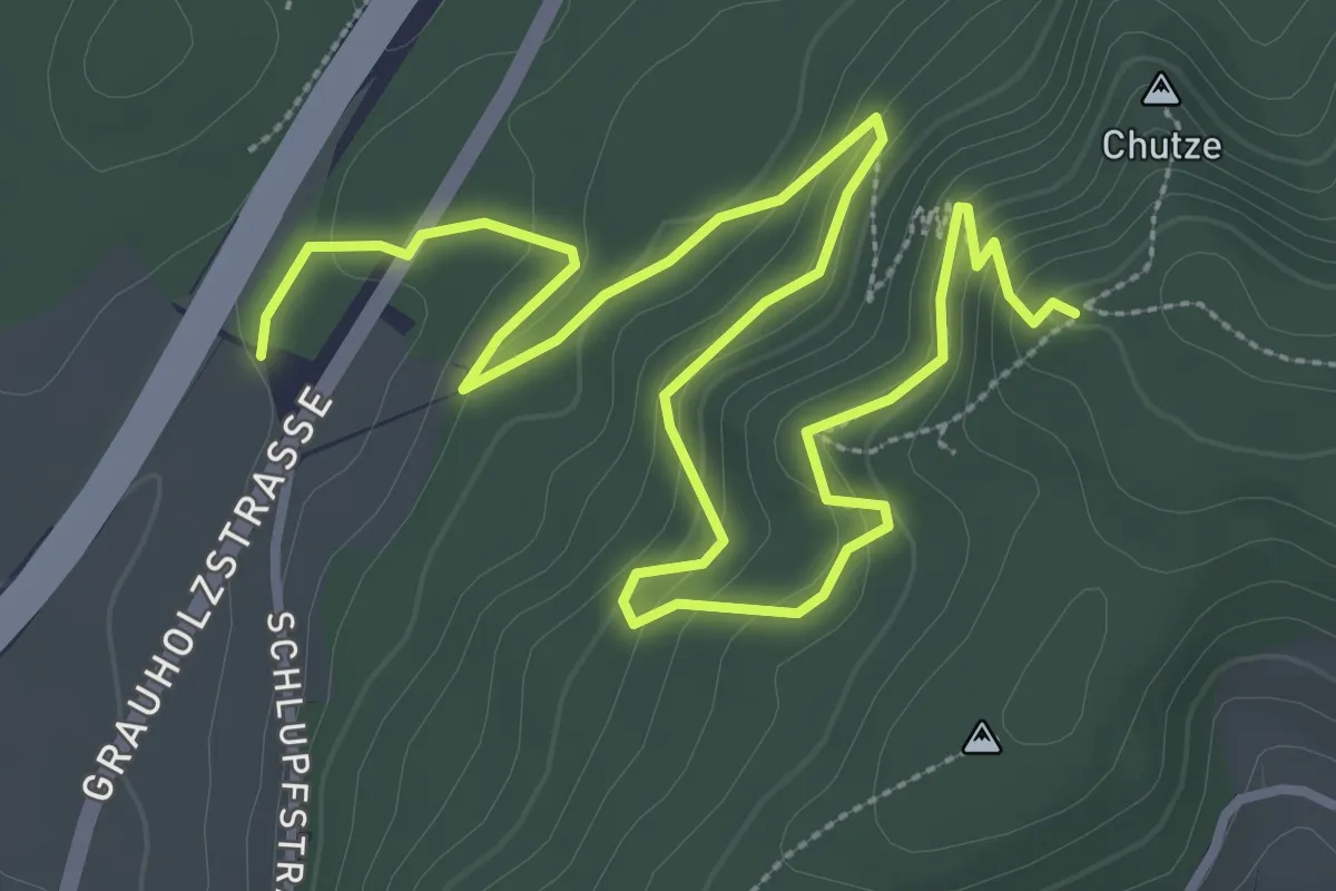
Medium · Trail
Forsthus – Grauholz/Schwarzkopf
5.1 km · ↑ 351 m · 1 h 58 min · 9 km away
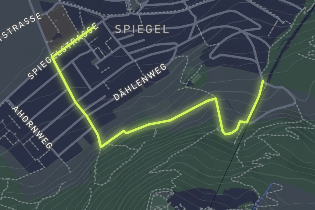
Easy · Trail
Grüenenboden – Spiegel Zentrum
3.1 km · ↑ 154 m · 1 h 4 min · 9 km away
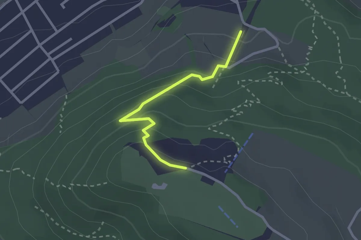
Easy · Trail
Grünenboden – Gurten Kulm
2.1 km · ↑ 138 m · 47 min · 9 km away
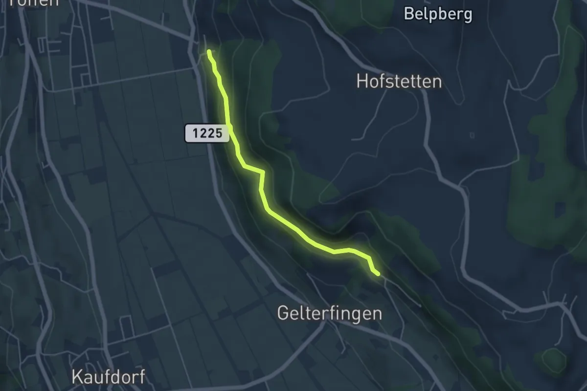
Easy · Trail
Heitern - Chramburg
4.0 km · ↑ 198 m · 1 h 23 min · 9 km away
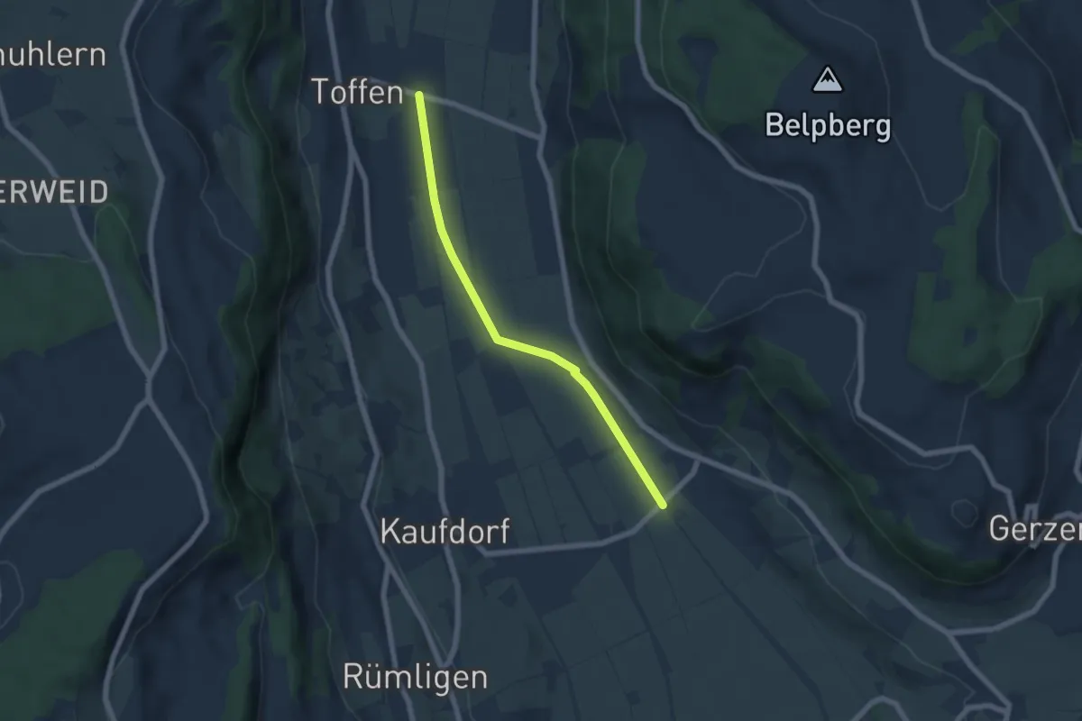
Easy · Trail
Gelterfingen - Toffen/Station
5.6 km · ↑ 4 m · 1 h 19 min · 9 km away
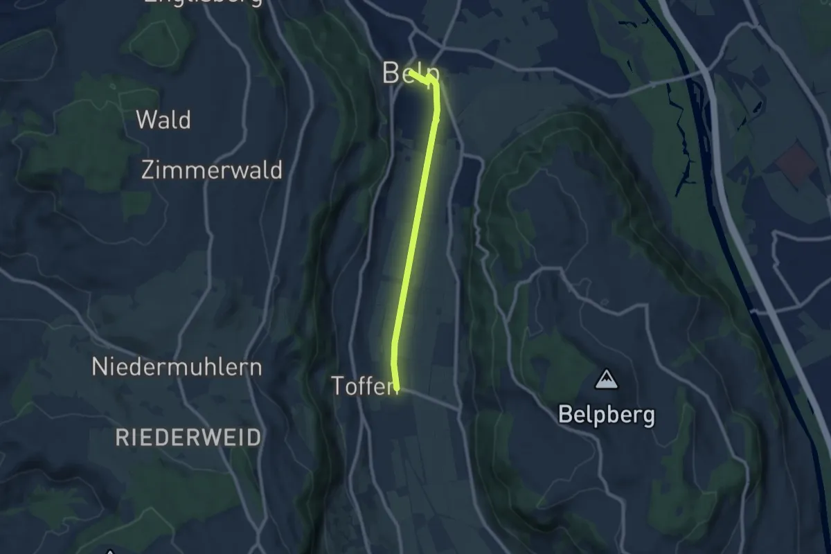
Easy · Trail
Toffen – Belp
7.3 km · ↑ 4 m · 1 h 44 min · 9 km away
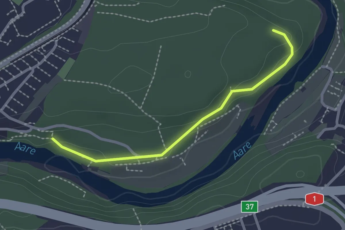
Easy · Trail
Aaregg – Thormeboden
2.1 km · ↑ 30 m · 34 min · 9 km away
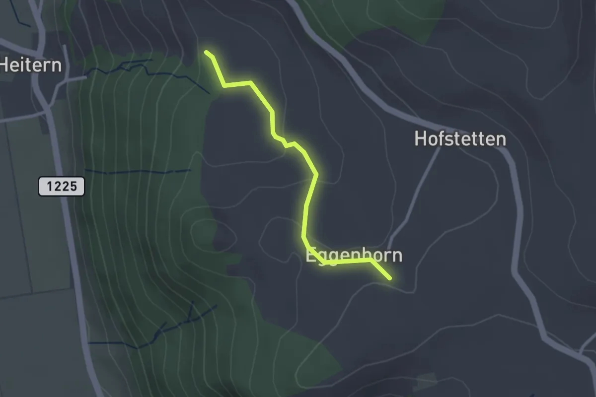
Easy · Trail
Schlatt - Chieffere
2.3 km · ↑ 73 m · 41 min · 10 km away
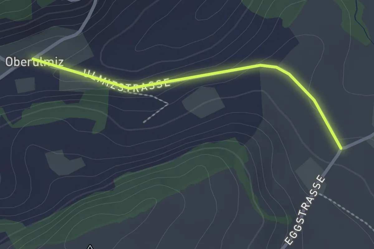
Easy · Trail
Oberulmiz – Kühlewil/Gütsch
2.0 km · ↑ 29 m · 32 min · 10 km away
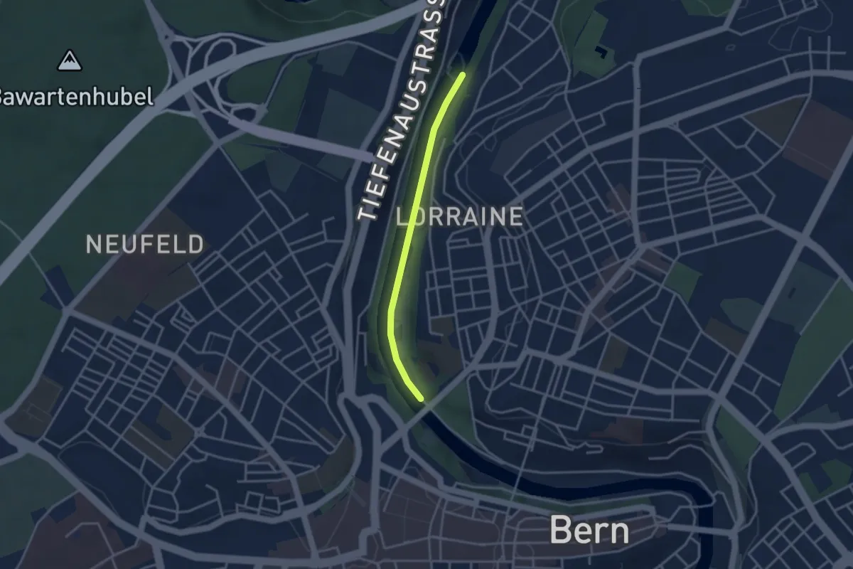
Easy · Trail
Felsenausteg – Lorrainebrücke
2.8 km · ↑ 5 m · 41 min · 10 km away
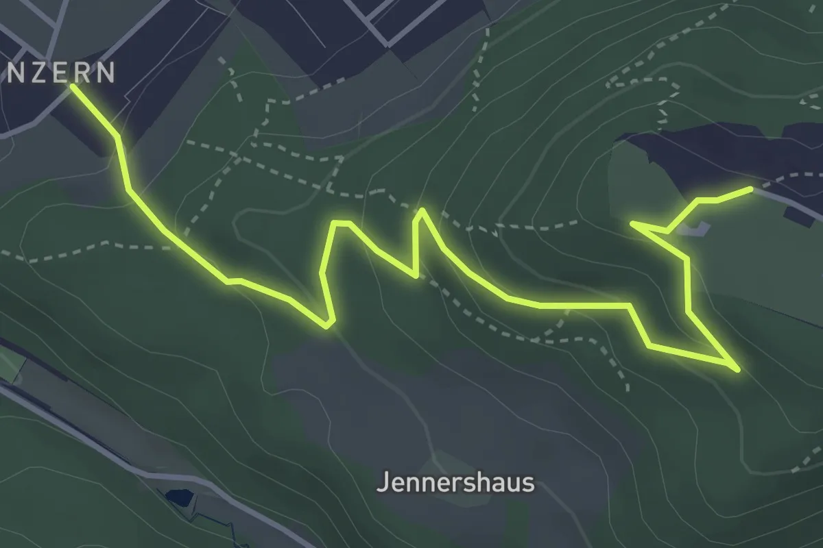
Easy · Trail
Blinzern – Gurten Kulm
4.5 km · ↑ 233 m · 1 h 34 min · 10 km away