Trails near Worb
459 hikes starting within 15 km, nearest first.
Nearest first, page 6 of 10
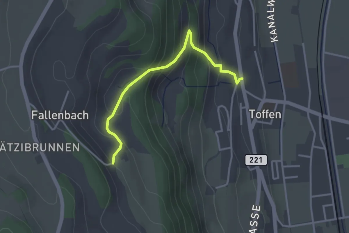
Easy · Trail
Obertoffen - Toffen/Dorf
2.8 km · ↑ 197 m · 1 h 6 min · 10 km away
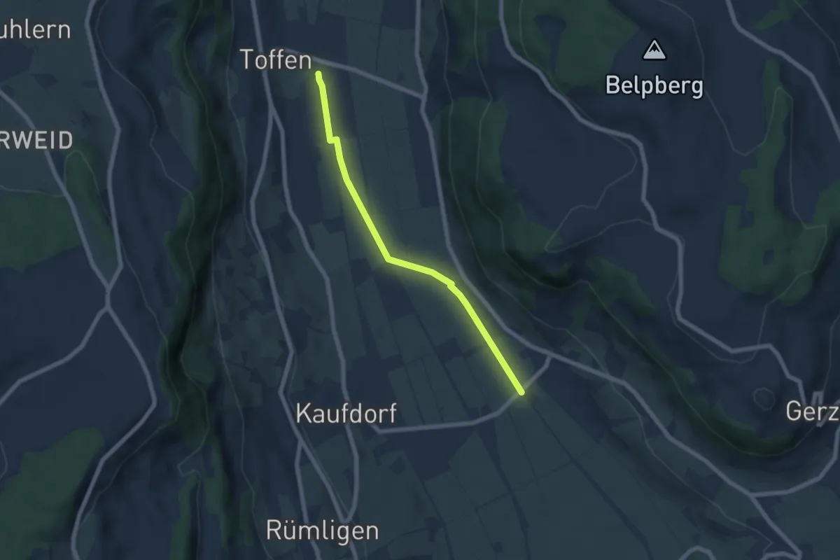
Easy · Trail
Toffen/Station - Gelterfingen
5.5 km · ↑ 4 m · 1 h 19 min · 10 km away
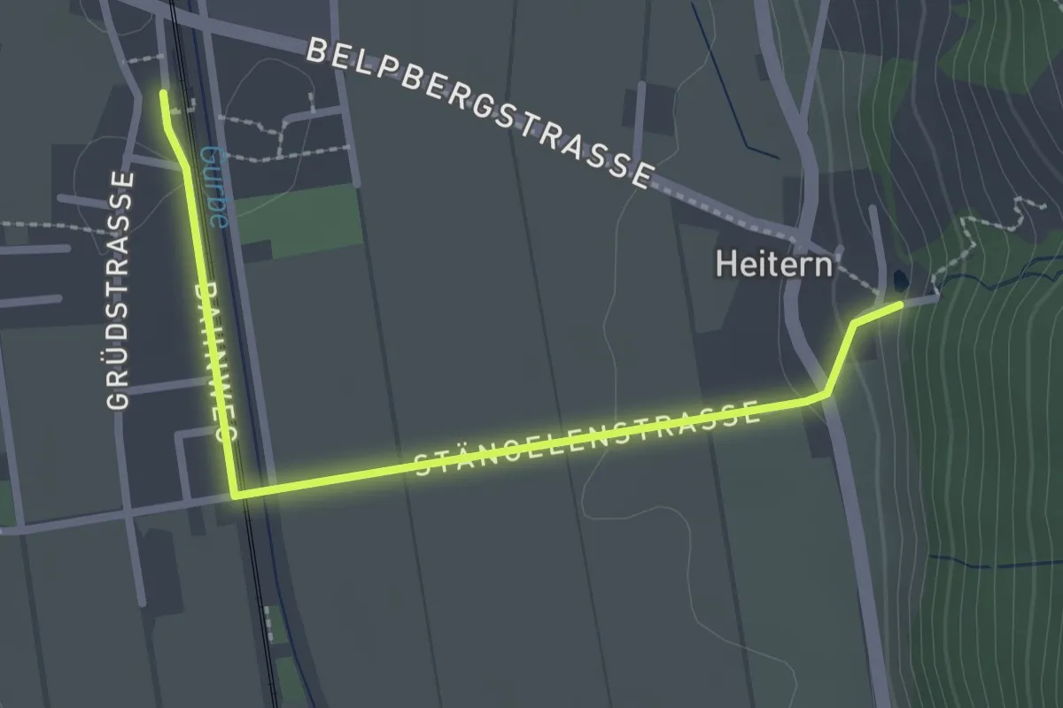
Easy · Trail
Toffen/Station – Heitern
2.6 km · ↑ 38 m · 41 min · 10 km away
Medium · Trail
Wasenegg – Afterlehn
10.5 km · ↑ 513 m · 3 h 36 min · 10 km away
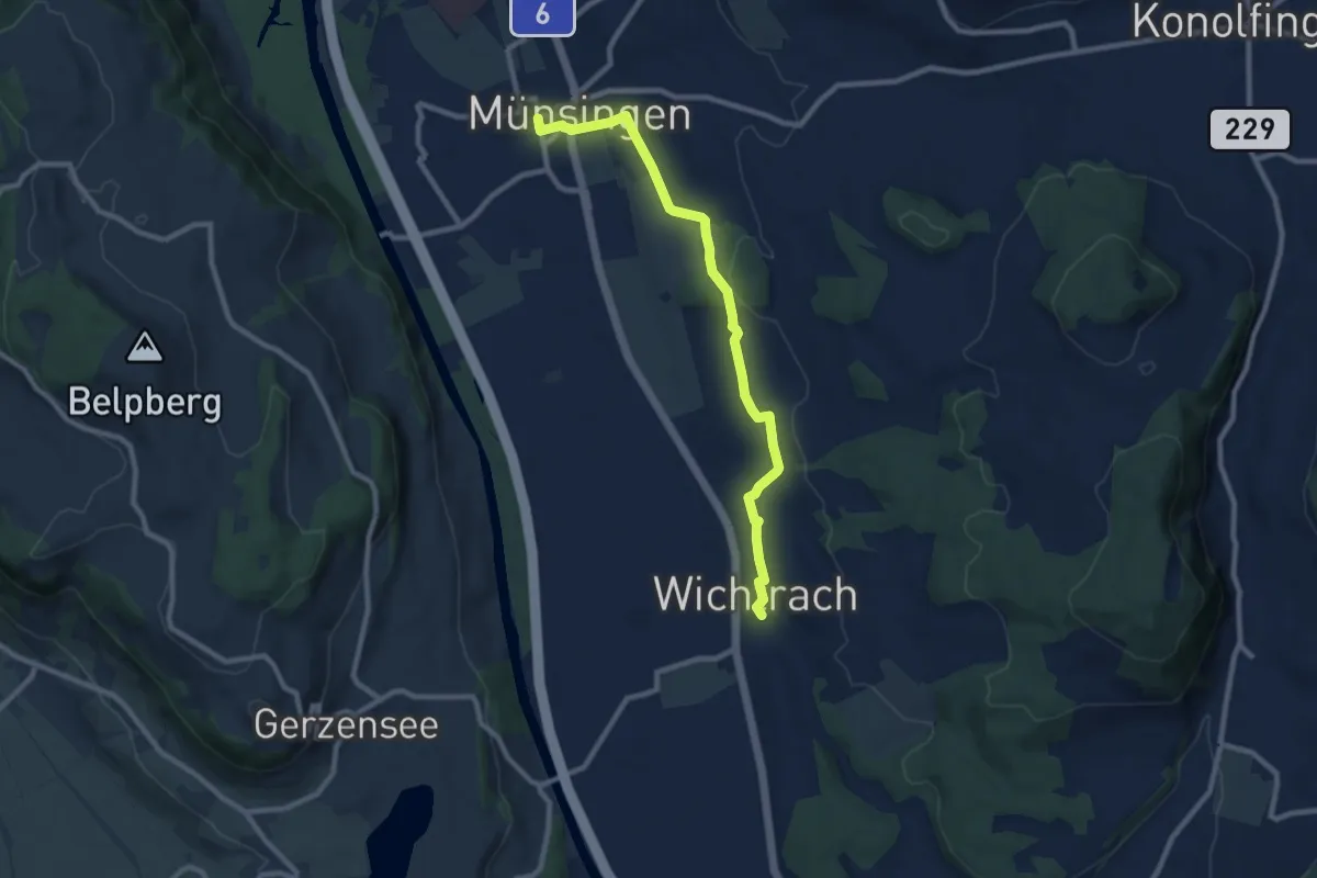
Medium · Trail
Münsingen – Wichtrach
9.1 km · ↑ 130 m · 2 h 26 min · 10 km away
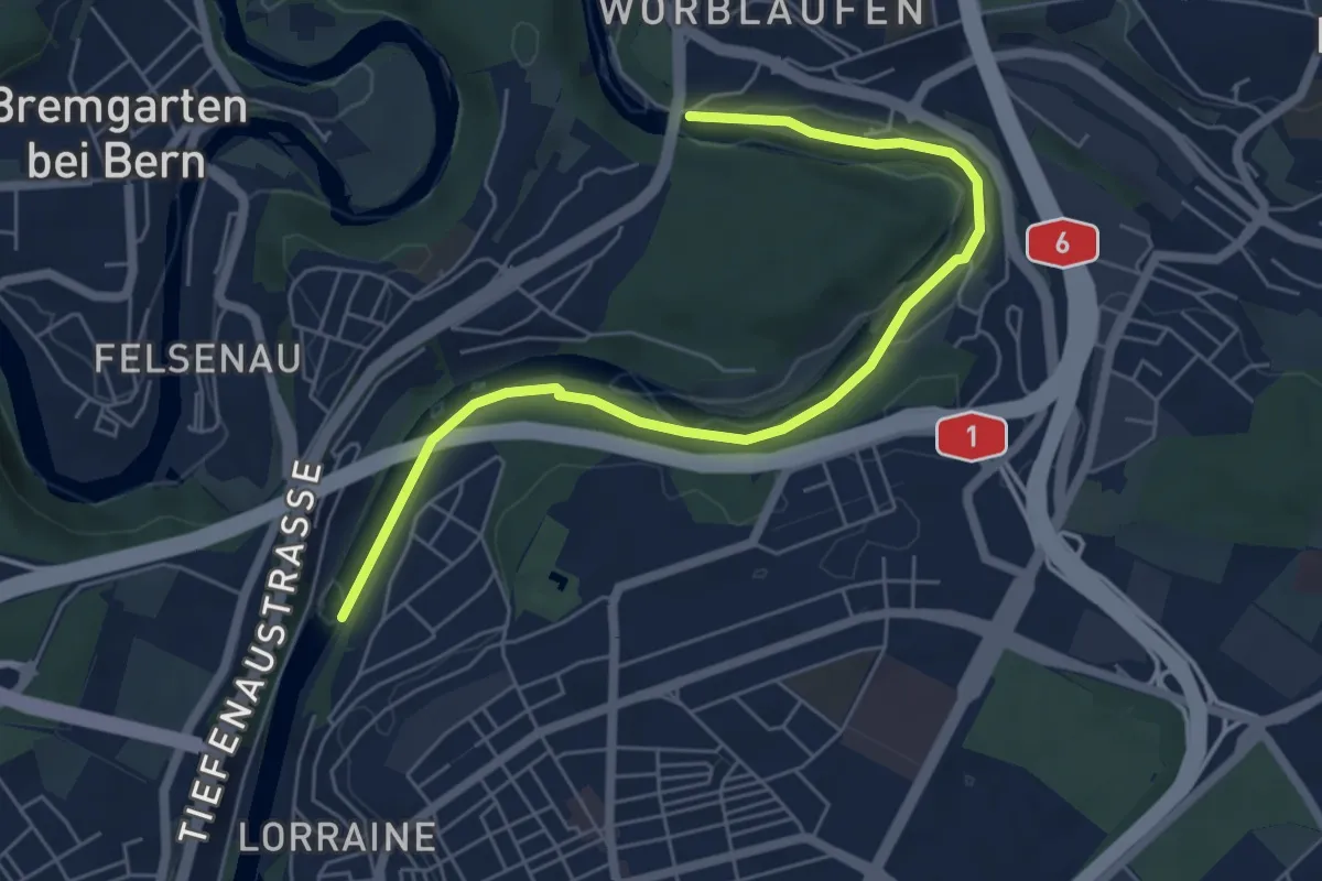
Easy · Trail
Tiefenaubrücke – Felsenausteg
6.4 km · ↑ 56 m · 1 h 38 min · 10 km away
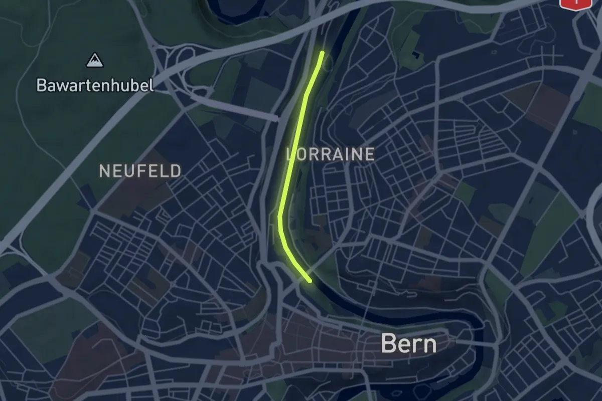
Easy · Trail
Blutturm – Stauwehr Felsenau
3.3 km · ↑ 60 m · 55 min · 10 km away
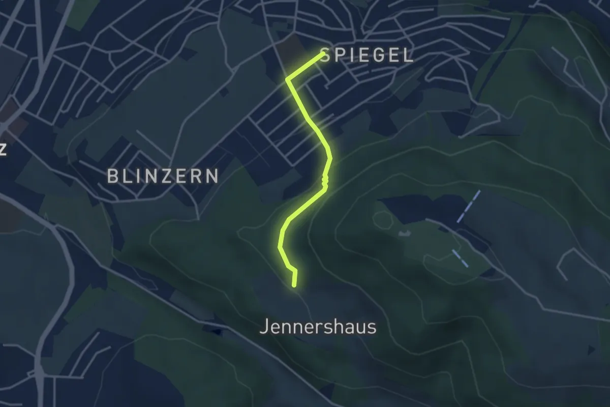
Easy · Trail
Jennerhus - Spiegel Zentrum
2.6 km · ↑ 112 m · 52 min · 10 km away
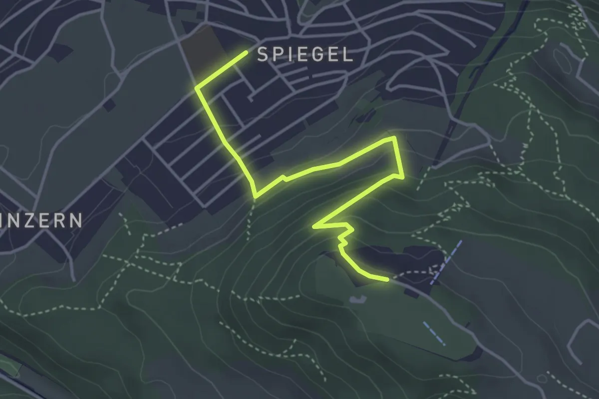
Easy · Trail
Spiegel Zentrum – Gurten Kulm
4.0 km · ↑ 214 m · 1 h 25 min · 10 km away
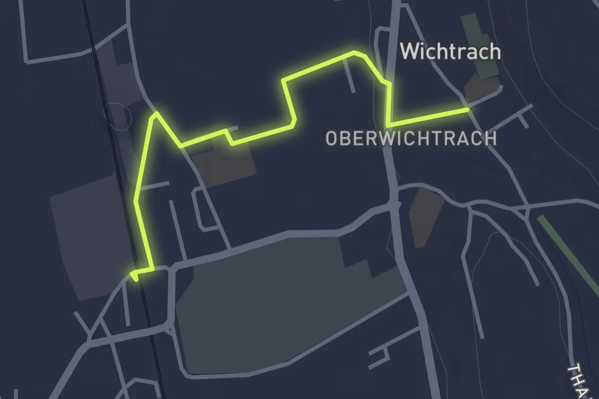
Easy · Trail
Wichtrach Bahnhof – Wichtrach/Kirche
3.0 km · ↑ 19 m · 45 min · 10 km away
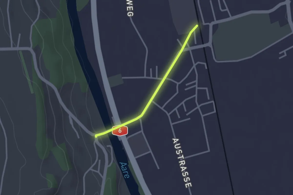
Easy · Trail
Thalgutbrücke - Wichtrach
2.1 km · ↑ 12 m · 31 min · 10 km away
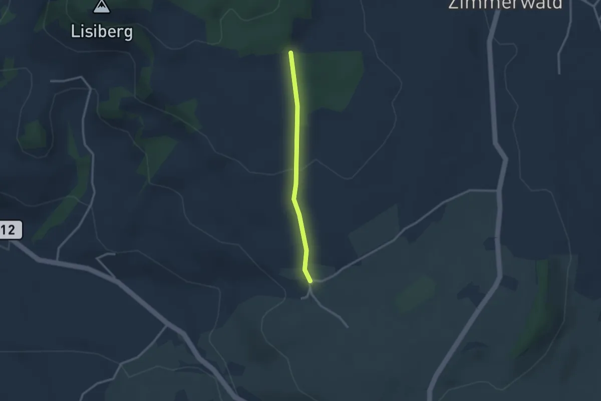
Easy · Trail
Allmid – Obermuhlern
2.1 km · ↑ 62 m · 38 min · 10 km away
Easy · Trail
Chriegsholz – Bäriswil
2.1 km · ↑ 67 m · 39 min · 10 km away
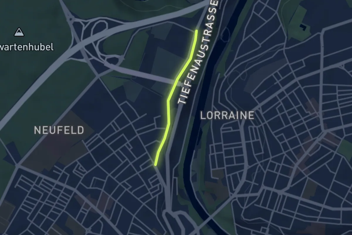
Easy · Trail
Bierhübeli – Äussere Enge
2.2 km · ↑ 9 m · 32 min · 10 km away
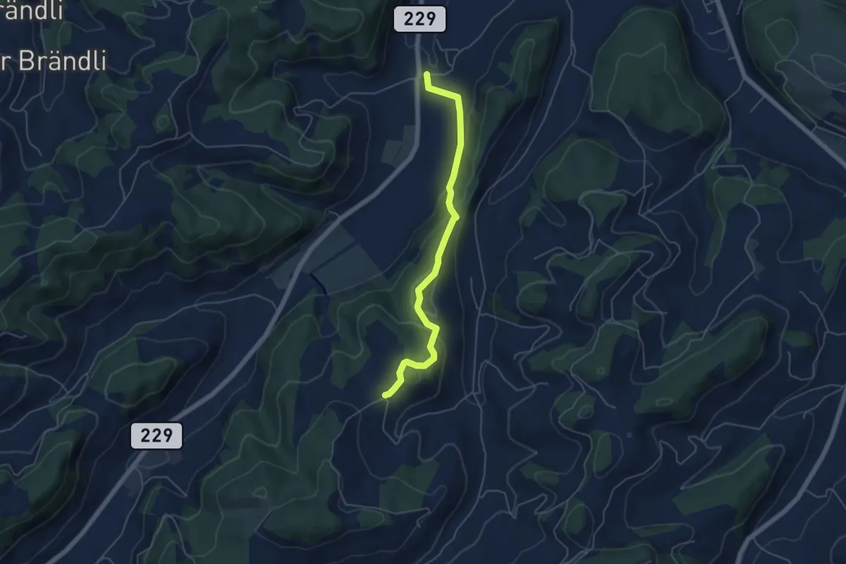
Easy · Trail
Bütschwil – Schafhausen
4.9 km · ↑ 199 m · 1 h 36 min · 10 km away
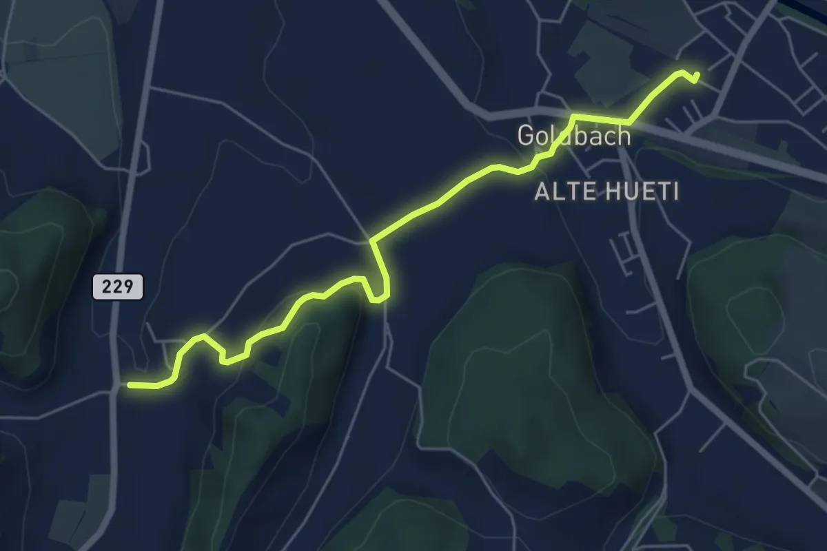
Easy · Trail
Schafhausen – Lützelflüh
5.6 km · ↑ 167 m · 1 h 40 min · 10 km away
Easy · Trail
Wasebode – Wannetal
3.7 km · ↑ 69 m · 1 h 1 min · 10 km away
Easy · Trail
Bäriswil – Wannetal
3.2 km · ↑ 64 m · 54 min · 10 km away
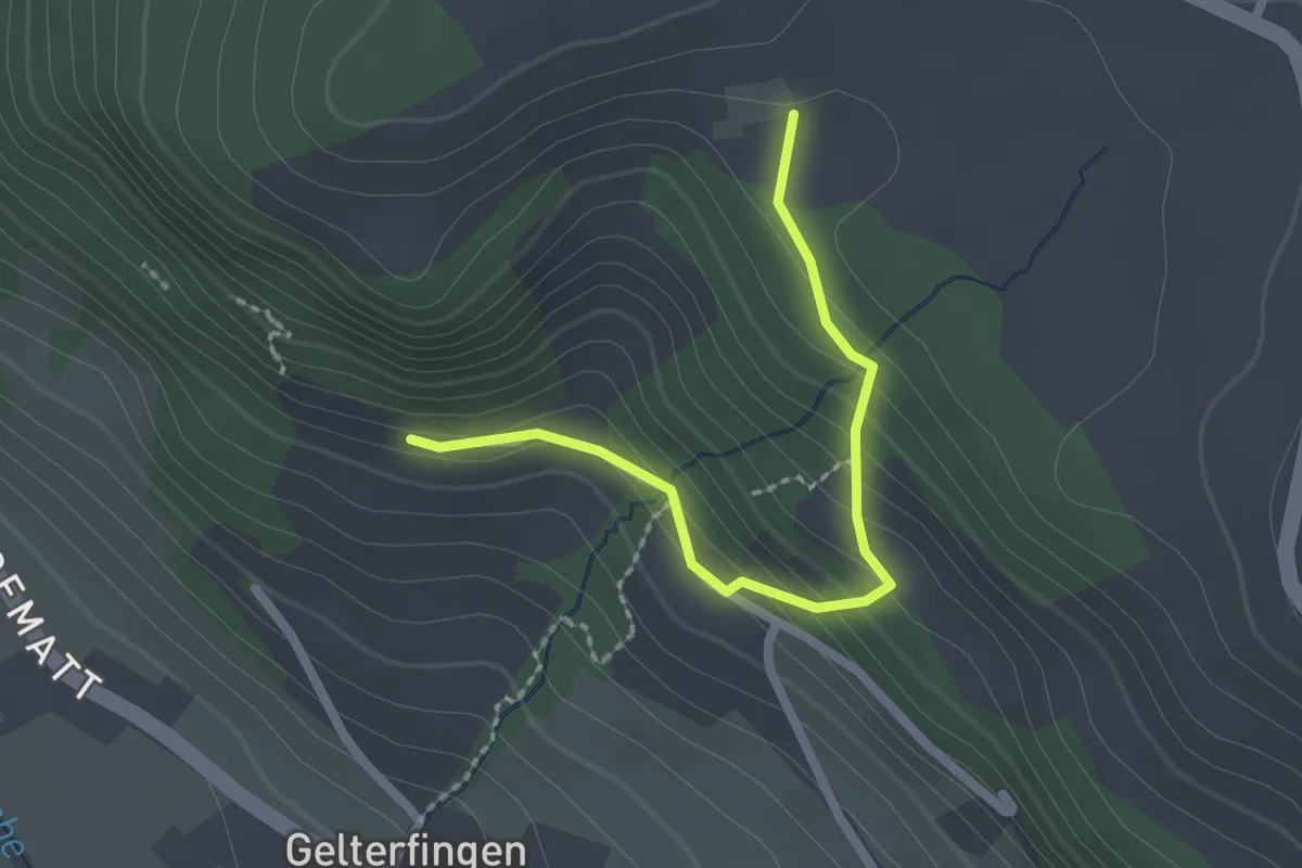
Easy · Trail
Chramburg - Schlatt
2.1 km · ↑ 133 m · 47 min · 10 km away
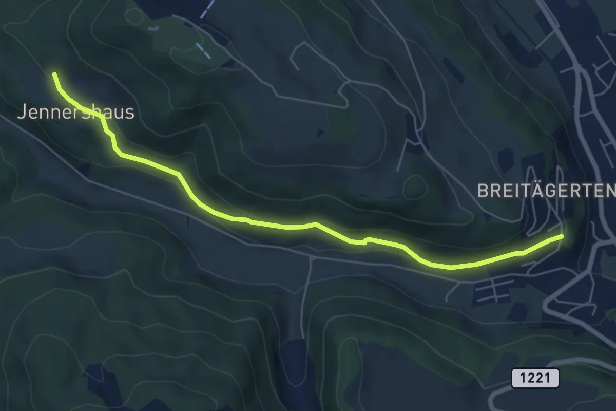
Easy · Trail
Jennershus - Breitägerte
6.0 km · ↑ 206 m · 1 h 52 min · 10 km away
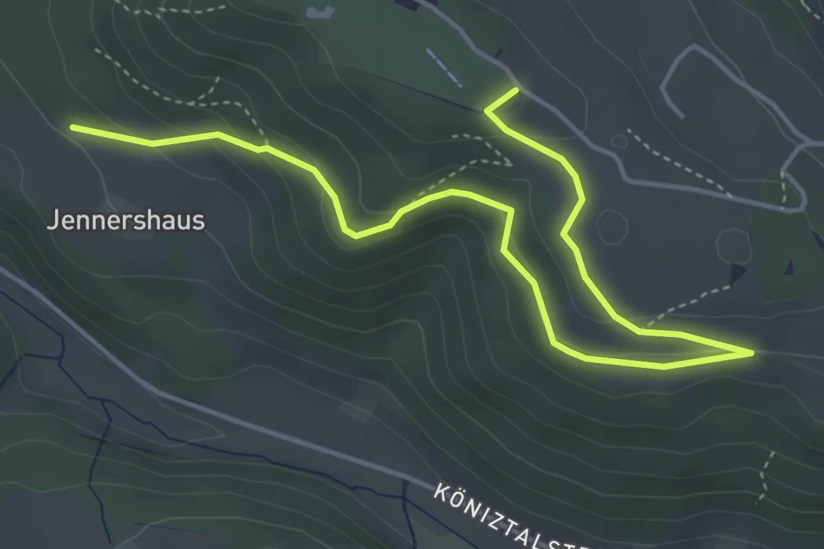
Easy · Summit
Gurten/Ostsignal – Jennershus
5.3 km · ↑ 188 m · 1 h 40 min · 10 km away
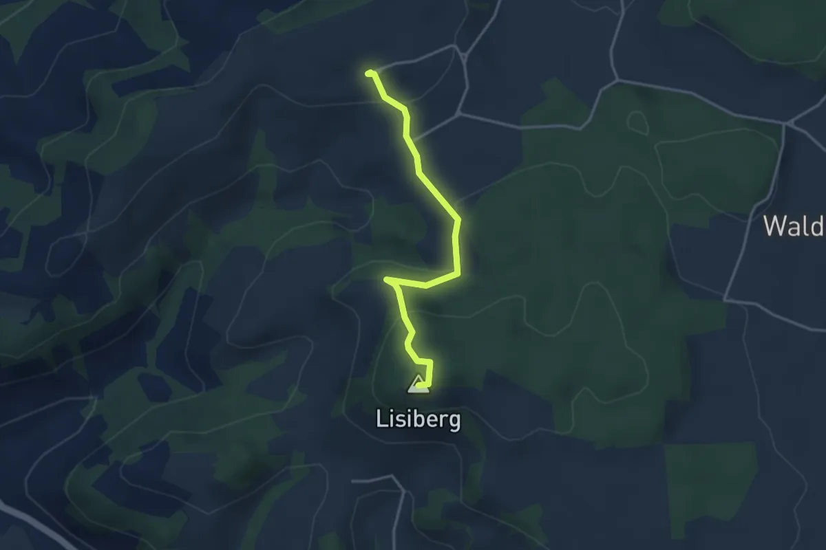
Easy · Summit
Egg - Lisiberg
3.2 km · ↑ 149 m · 1 h 4 min · 10 km away
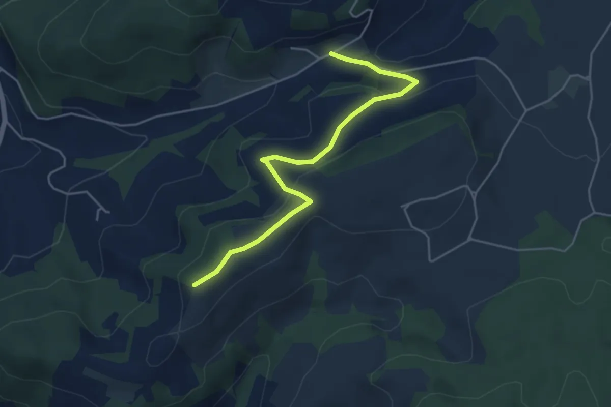
Easy · Trail
Oberulmiz – Zingghöch
4.4 km · ↑ 181 m · 1 h 26 min · 10 km away
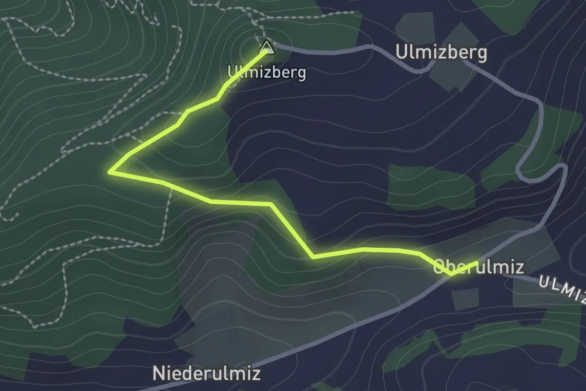
Easy · Summit
Ulmizberg – Oberulmiz
2.5 km · ↑ 118 m · 50 min · 10 km away
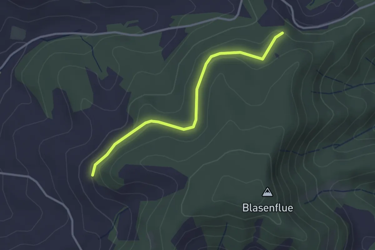
Easy · Trail
Fischerhubel – Blasenhorn
2.8 km · ↑ 110 m · 54 min · 10 km away
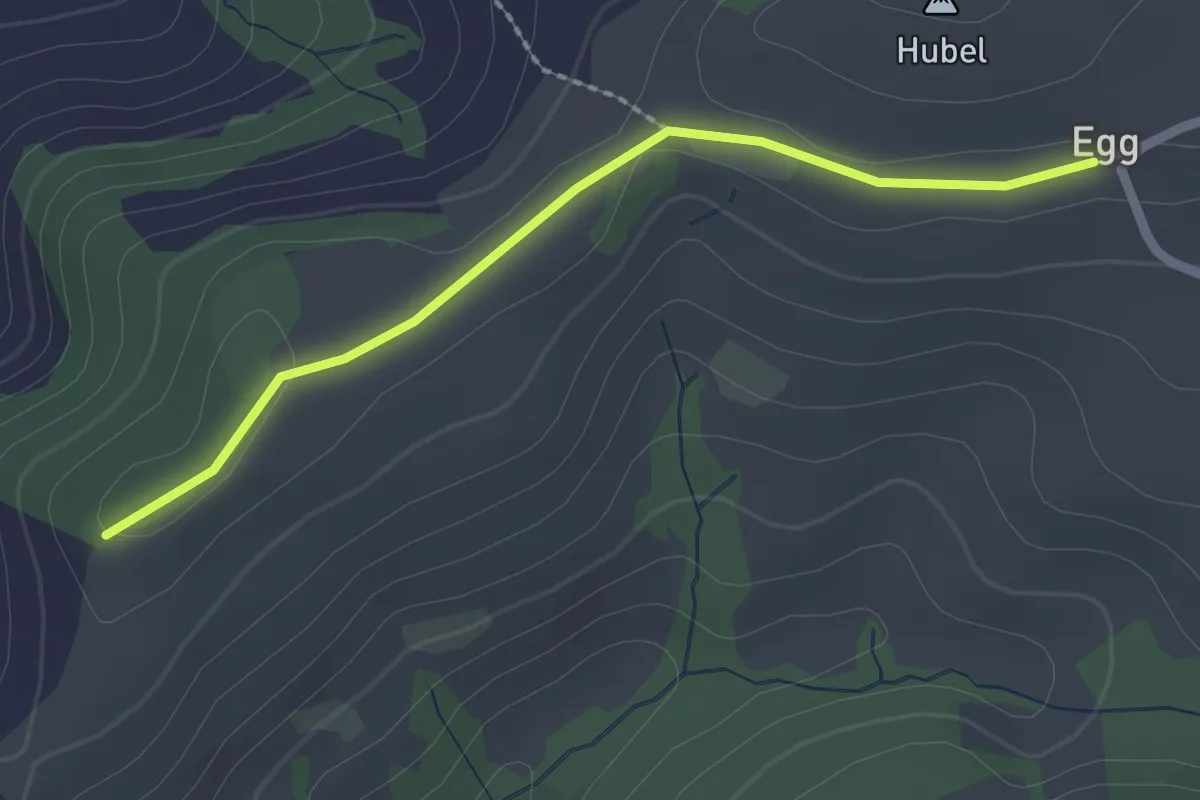
Easy · Trail
Egg – Zingghöch
2.1 km · ↑ 35 m · 34 min · 10 km away
Easy · Trail
Hindelbank / Dorf – Schachen
5.9 km · ↑ 140 m · 1 h 42 min · 10 km away
Easy · Trail
Grauholzdenkmal – Forsthus
5.6 km · ↑ 122 m · 1 h 36 min · 10 km away
Easy · Trail
Wasebode – Holzmatt
2.2 km · ↑ 19 m · 33 min · 10 km away
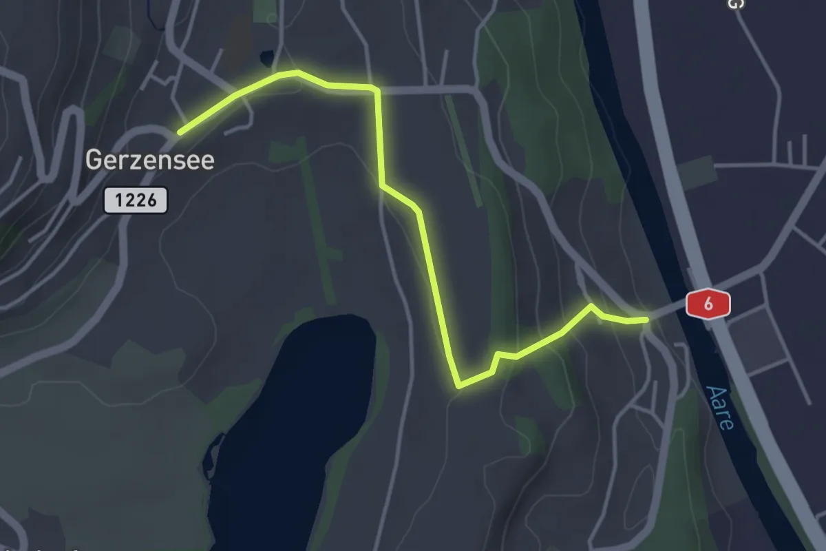
Easy · Trail
Gerzensee - Thalgutbrücke
3.9 km · ↑ 130 m · 1 h 12 min · 10 km away
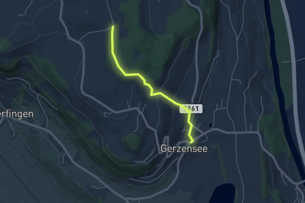
Easy · Trail
Nessleren - Gerzensee
3.8 km · ↑ 223 m · 1 h 23 min · 10 km away
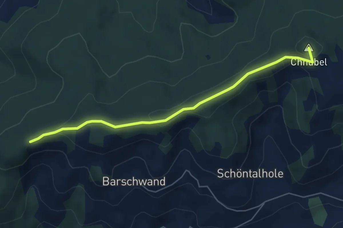
Easy · Summit
Güggel – Äbersold
5.0 km · ↑ 147 m · 1 h 30 min · 10 km away
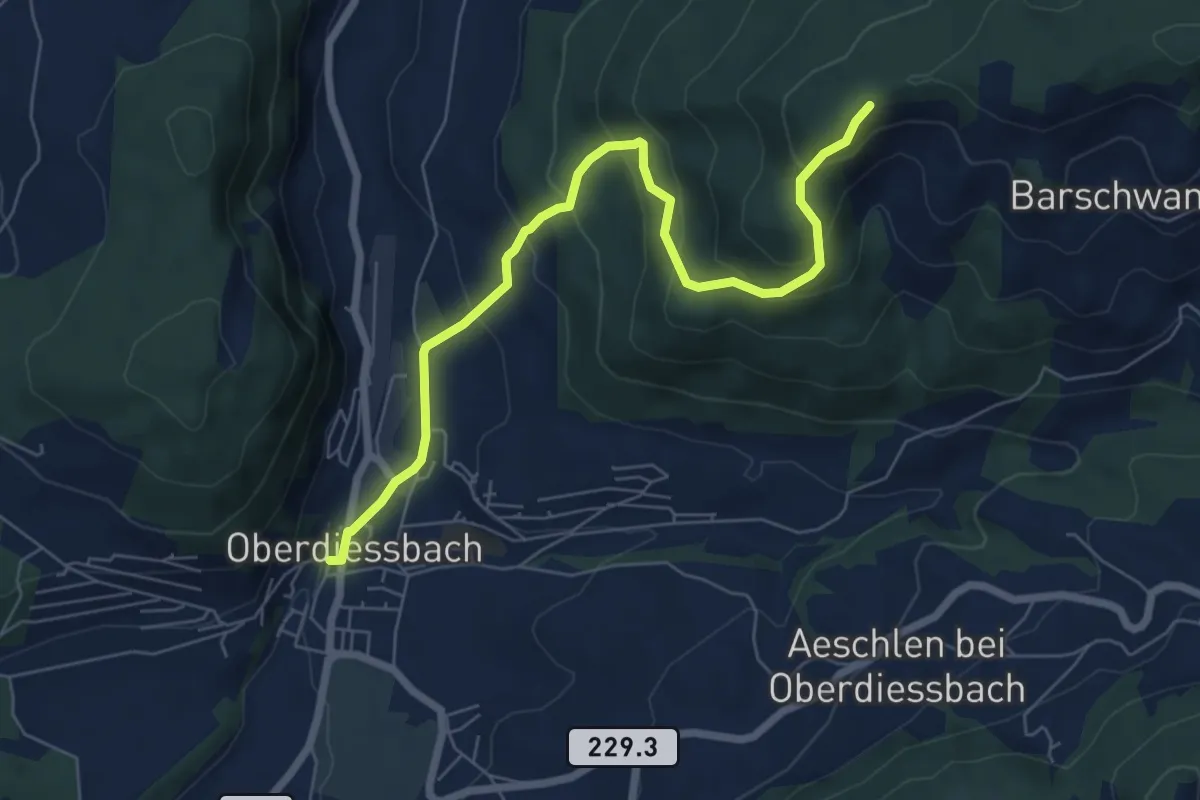
Medium · Trail
Oberdiessbach – Güggel
7.1 km · ↑ 470 m · 2 h 42 min · 10 km away
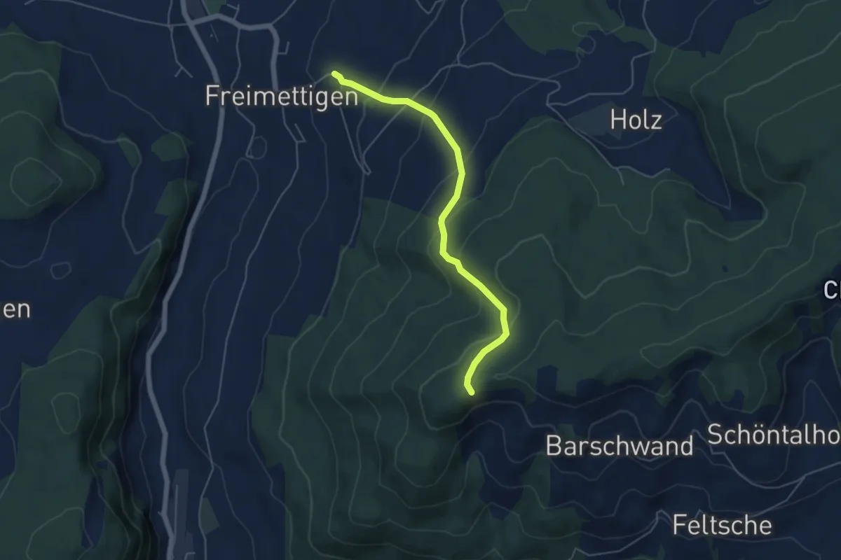
Easy · Trail
Güggel – Freimettigen
4.9 km · ↑ 314 m · 1 h 50 min · 10 km away
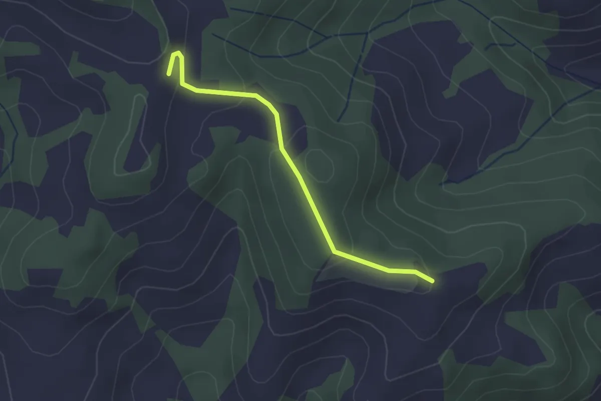
Easy · Trail
Ober Rainsberg - Ofeneggalp
2.3 km · ↑ 86 m · 44 min · 11 km away
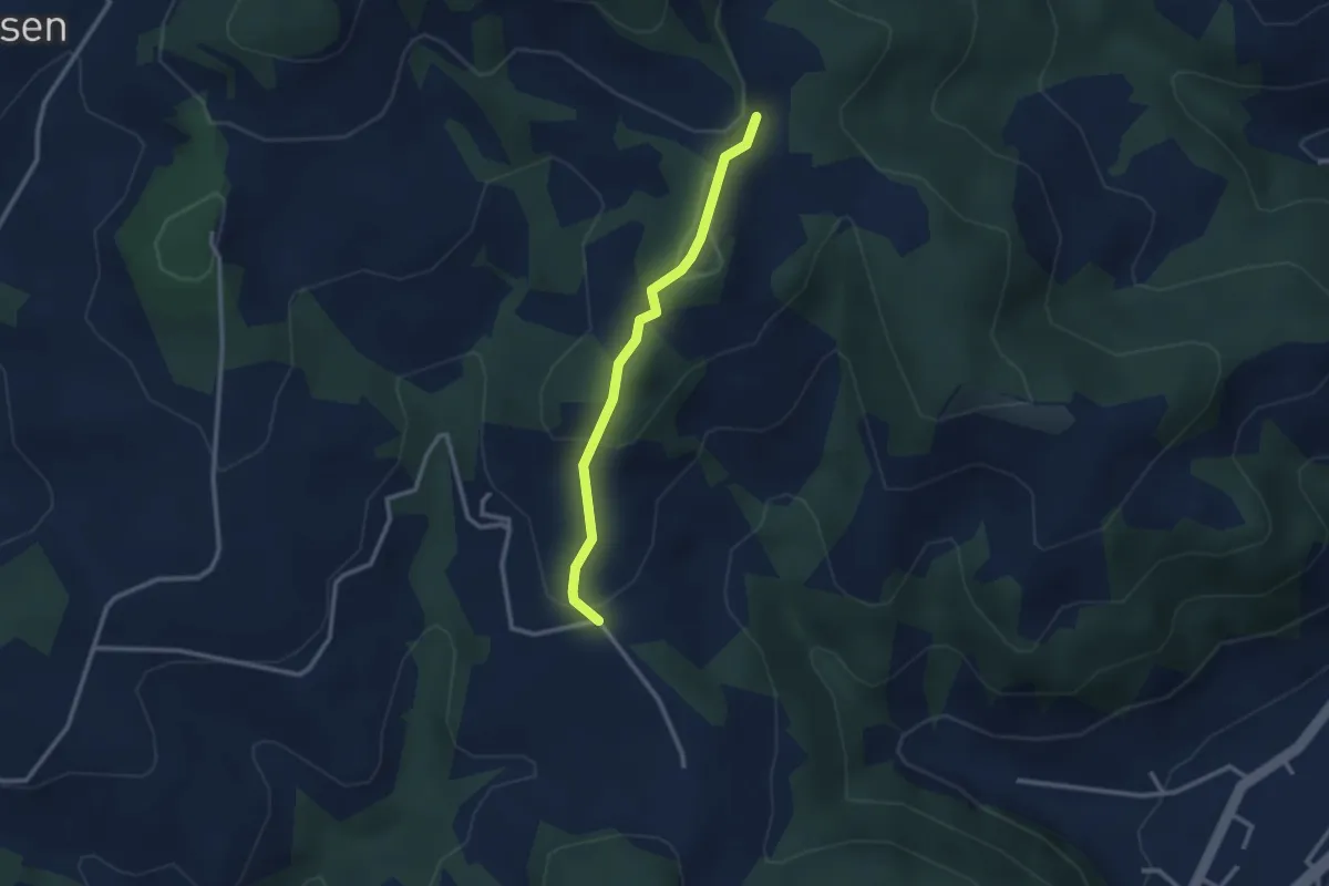
Easy · Trail
Ofeneggalp - Hüslebach
2.5 km · ↑ 103 m · 49 min · 11 km away
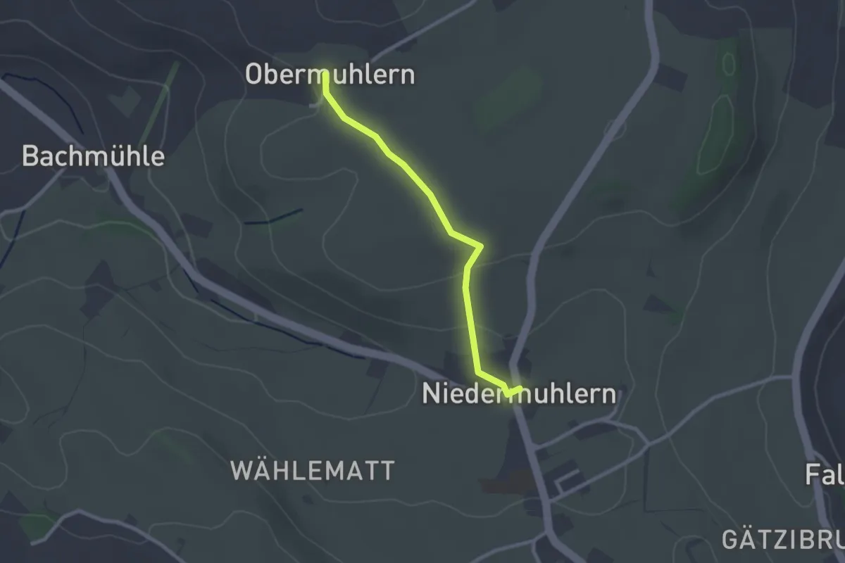
Easy · Trail
Obermuhlern – Niedermuhlern
2.2 km · ↑ 44 m · 37 min · 11 km away
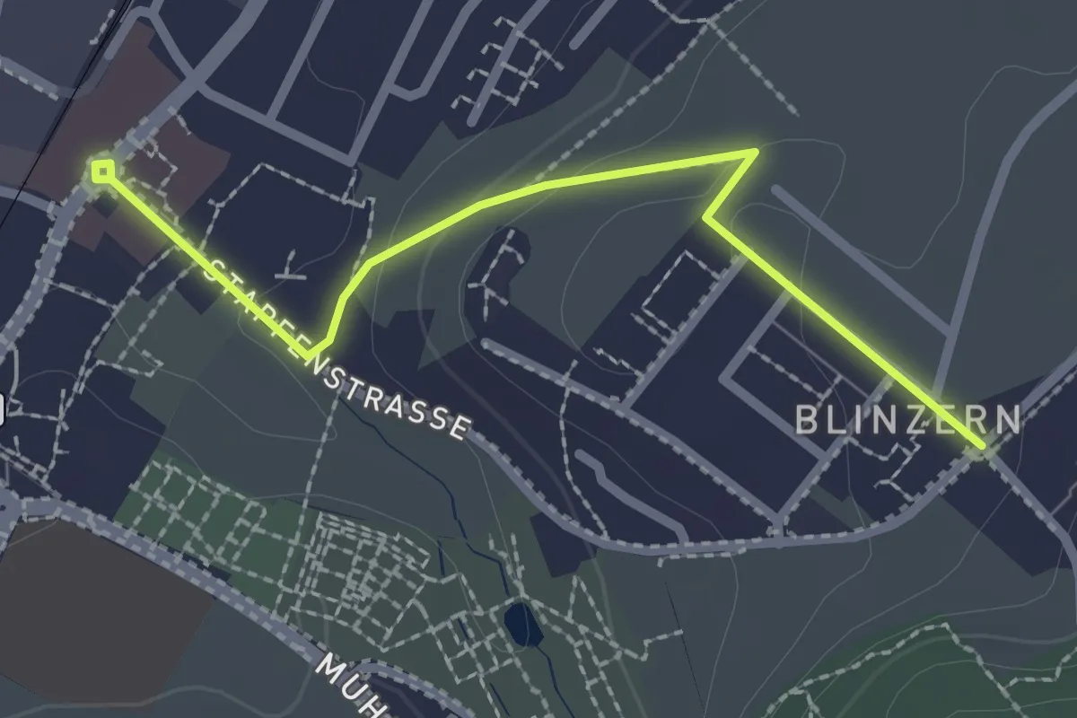
Easy · Trail
Köniz - Blinzeren
2.3 km · ↑ 49 m · 39 min · 11 km away
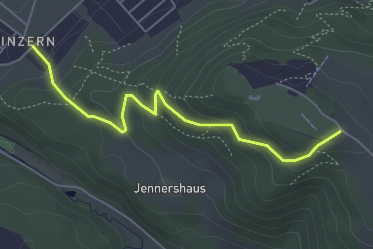
Easy · Summit
Blinzern – Gurten/Ostsignal
4.2 km · ↑ 238 m · 1 h 31 min · 11 km away
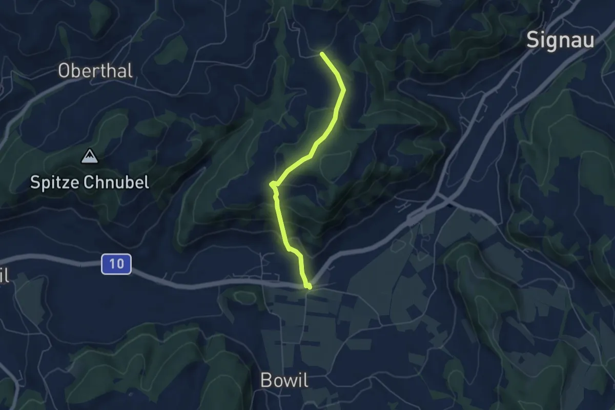
Easy · Trail
Bowil – Hüslebach
4.8 km · ↑ 289 m · 1 h 46 min · 11 km away
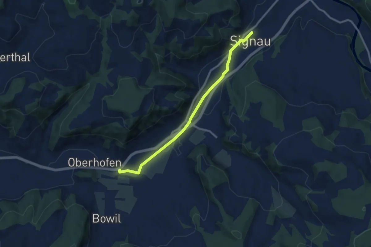
Easy · Trail
Signau – Bowil
6.8 km · ↑ 47 m · 1 h 42 min · 11 km away
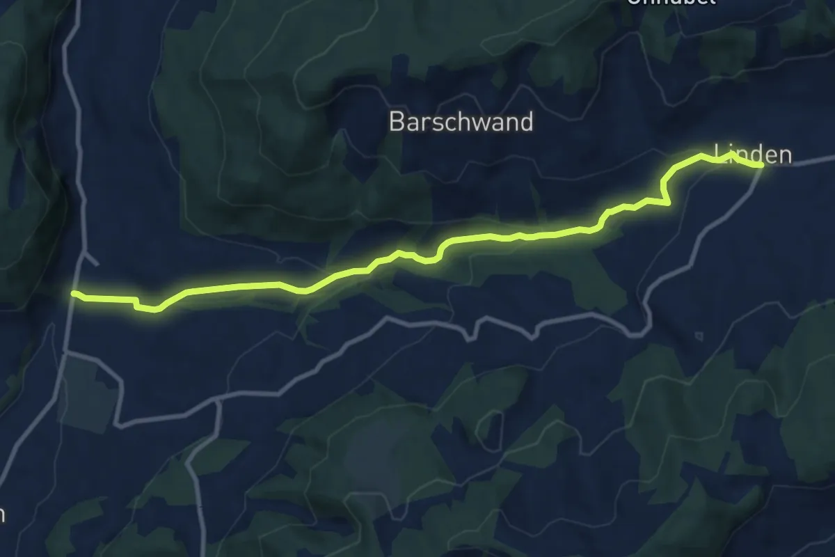
Medium · Trail
Linden – Oberdiessbach
10.2 km · ↑ 306 m · 3 h 4 min · 11 km away
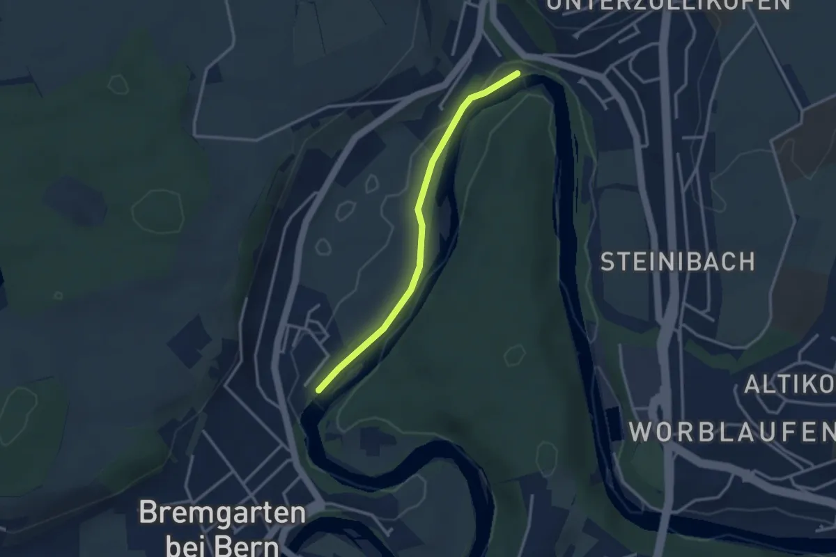
Easy · Trail
Fähre Zehndermätteli – Fähre Reichenbach
2.6 km · ↑ 17 m · 40 min · 11 km away
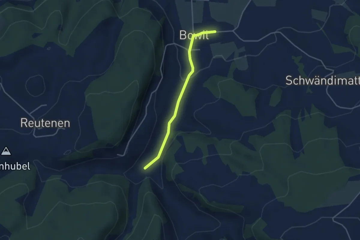
Easy · Trail
Längeney – Bowil
3.0 km · ↑ 62 m · 51 min · 11 km away
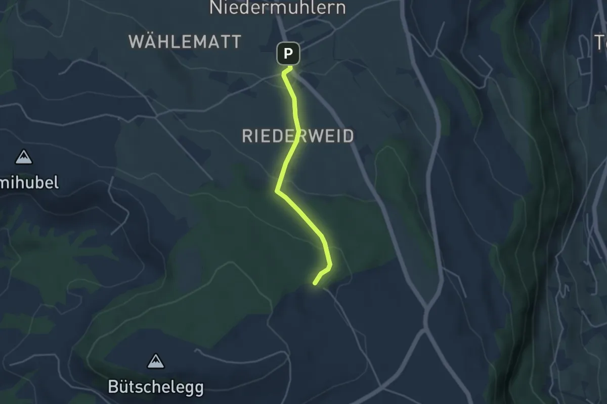
Easy · Trail
Niedermuhlern – Buechweid
3.1 km · ↑ 123 m · 1 h · 11 km away
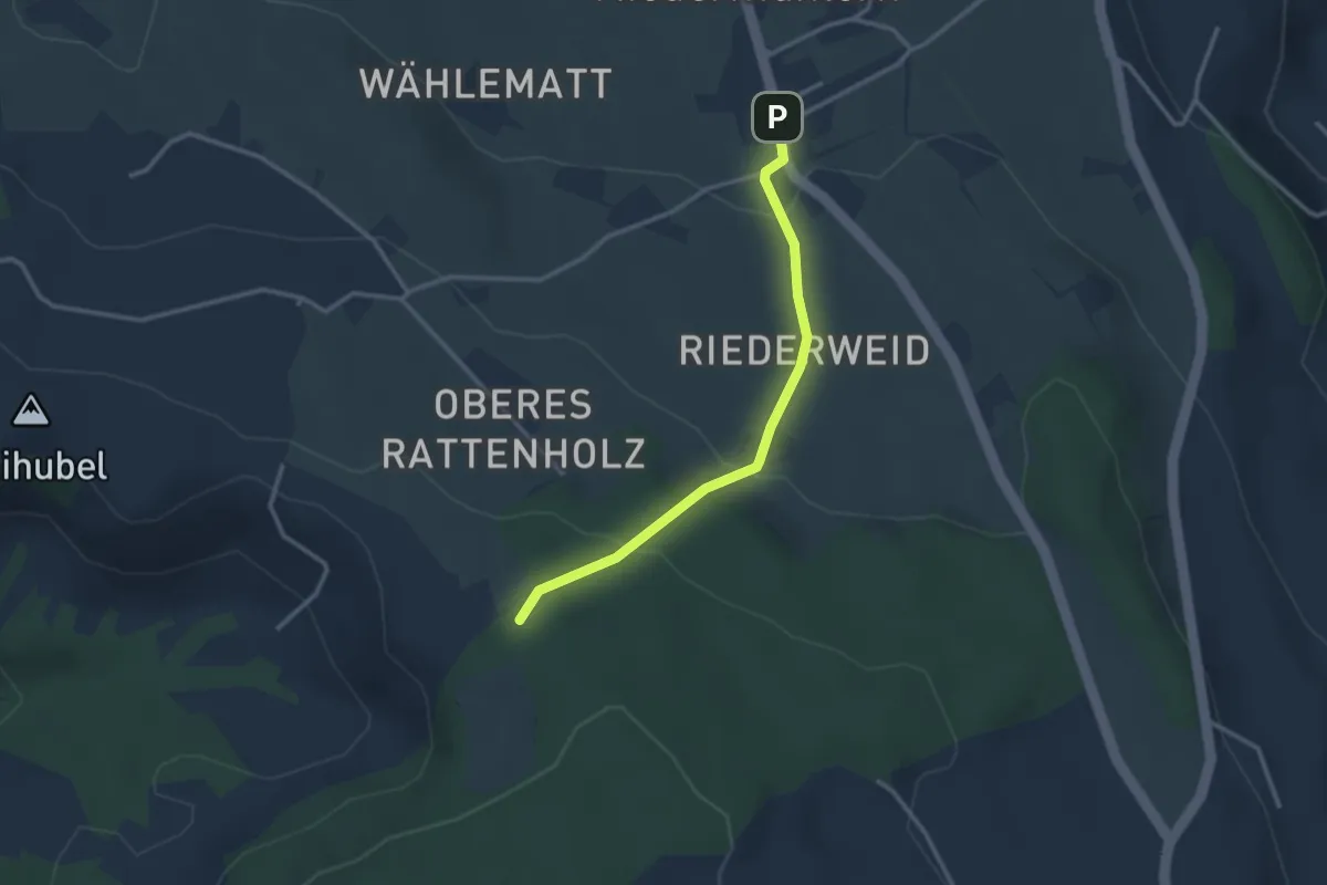
Easy · Trail
Seitenberg – Niedermuhlern
2.8 km · ↑ 141 m · 57 min · 11 km away
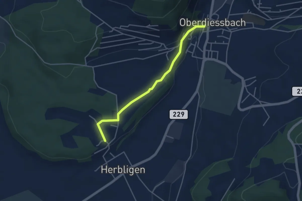
Easy · Trail
Oberdiessbach – Herblingen
3.3 km · ↑ 75 m · 57 min · 11 km away
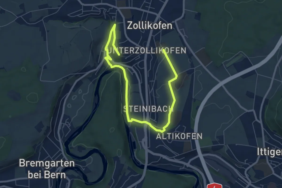
Medium · Trail
Landschaftsweg Zollikofen
8.5 km · ↑ 142 m · 2 h 19 min · 11 km away