Trails near Zermatt
139 hikes starting within 15 km, nearest first.
Nearest first, page 1 of 3
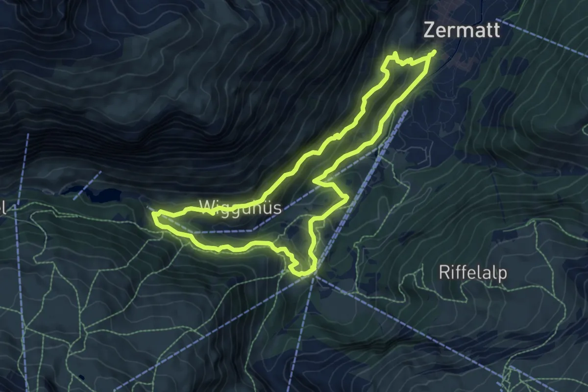
Medium · Trail
Kulturweg
8.3 km · ↑ 521 m · 3 h 12 min · under 1 km away
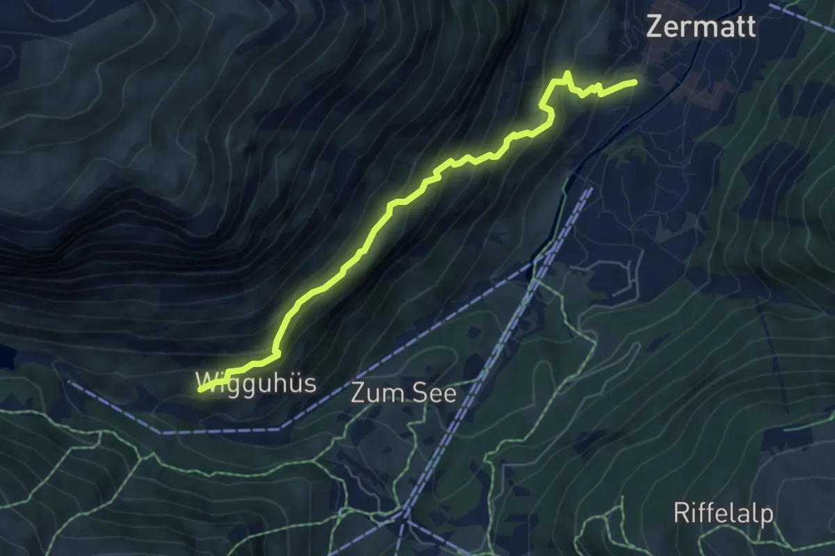
Medium · Trail
Zermatt – Zmutt
5.9 km · ↑ 557 m · 2 h 36 min · under 1 km away
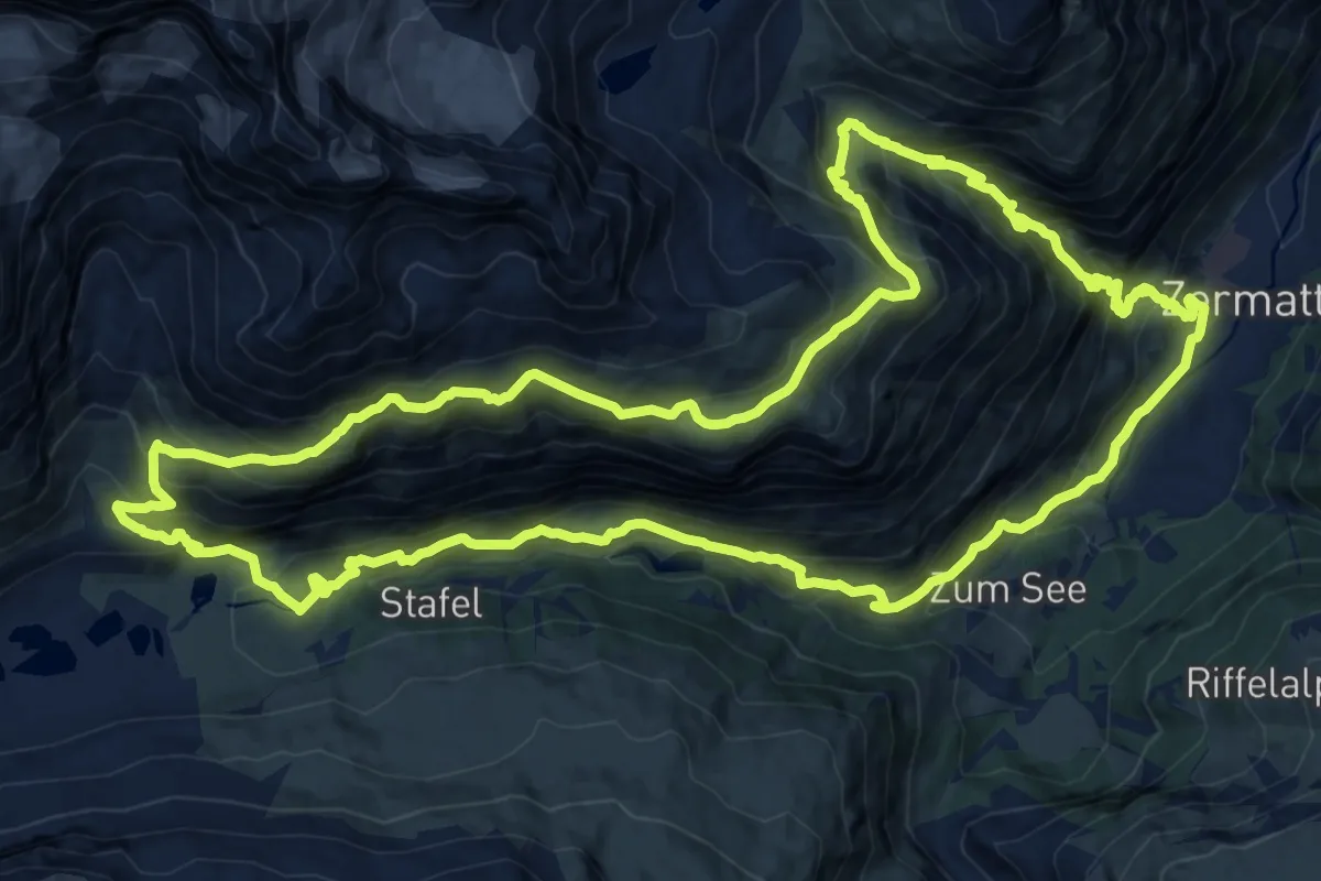
Demanding · Trail
Edelweissweg
19.0 km · ↑ 1358 m · 7 h 42 min · under 1 km away
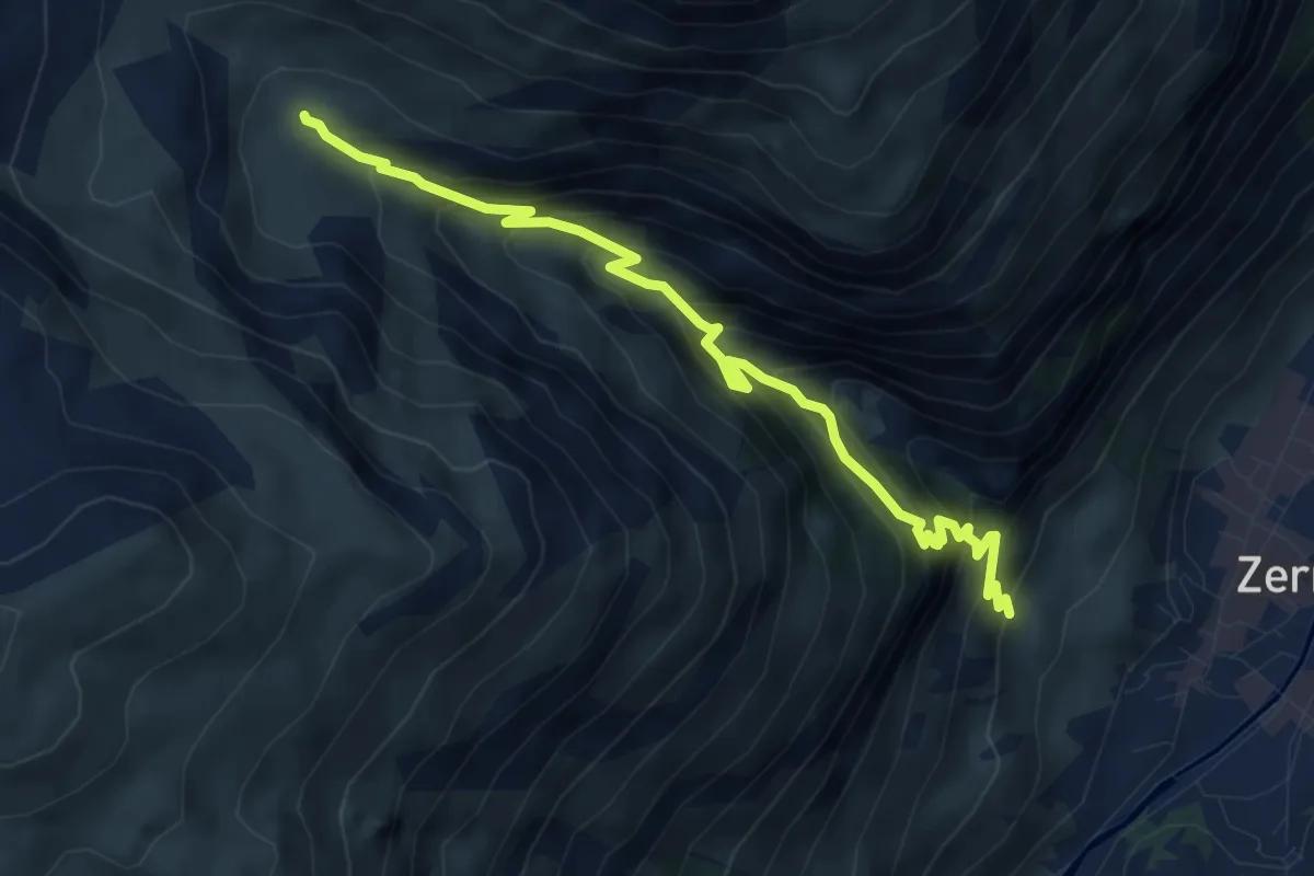
Medium · Cabin
Botanischer Lehrpfad
5.5 km · ↑ 608 m · 2 h 37 min · 1 km away
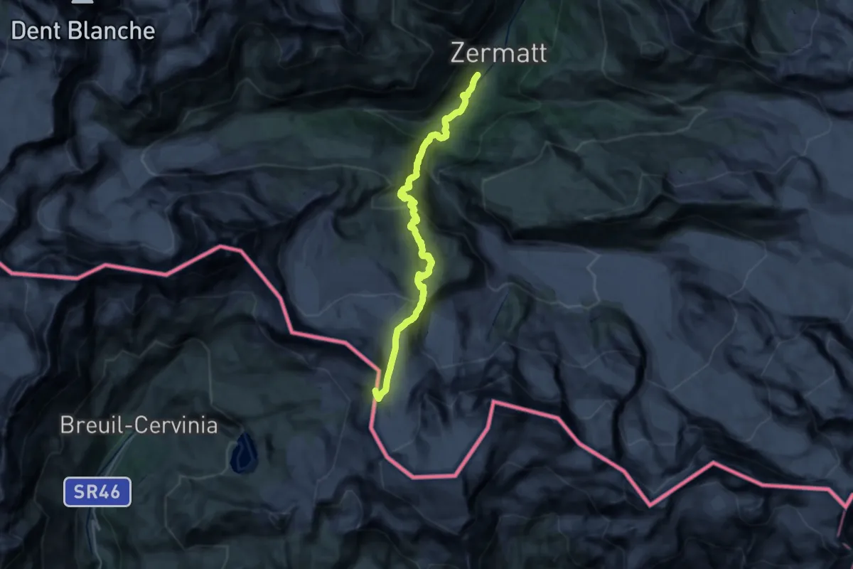
Expert · Cabin
Tour Monte Rosa tappa 1
12.1 km · ↑ 1722 m · 5 h 56 min · 1 km away
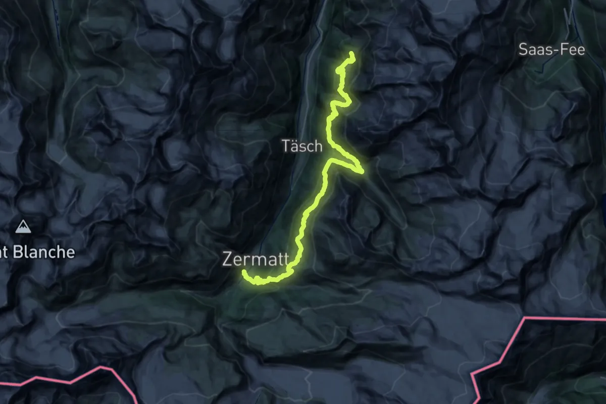
Demanding · Cabin
Tour Monte Rosa tappa 9
21.2 km · ↑ 1893 m · 9 h 5 min · 1 km away
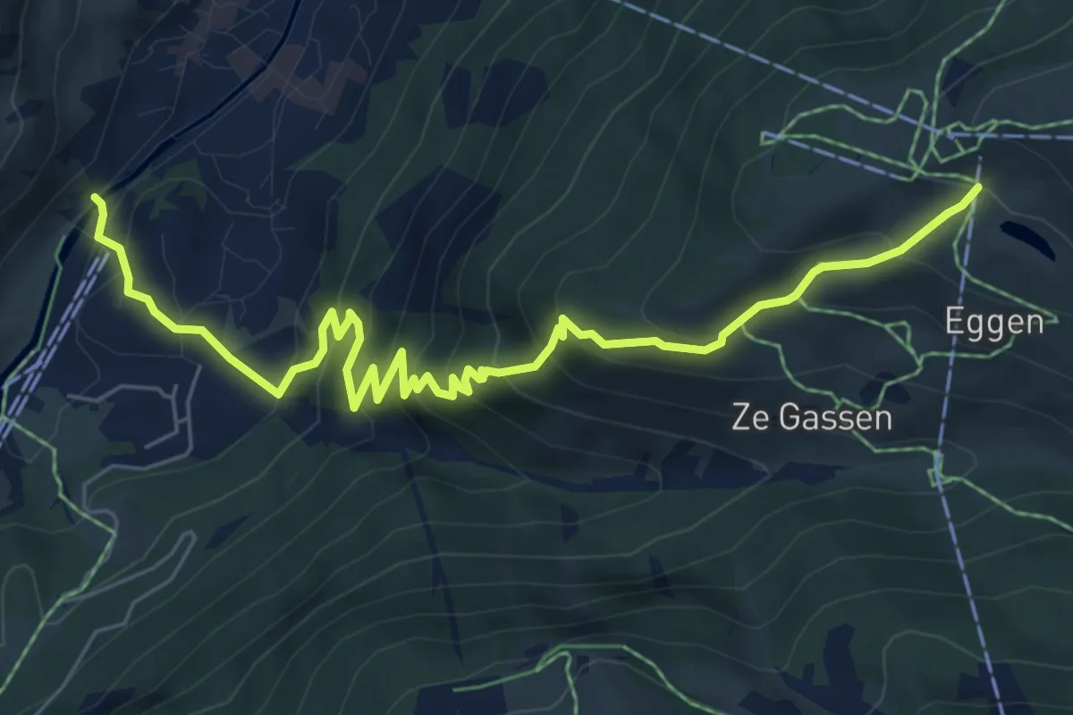
Medium · Trail
Zermatt – Sunnega
7.6 km · ↑ 613 m · 3 h 7 min · 1 km away
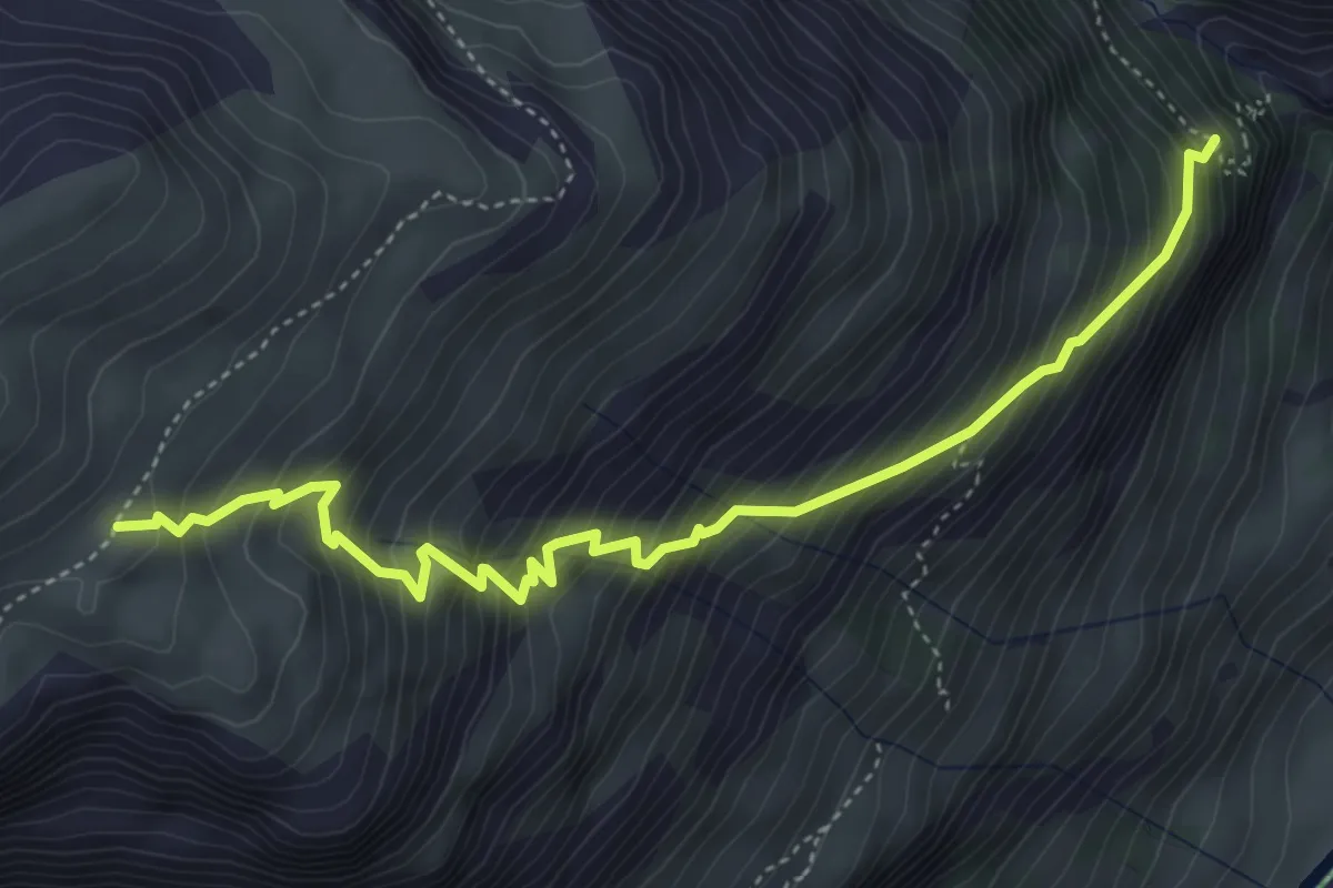
Demanding · Trail
Alterhöud Edelweiss 1962 – Höhbalmen 2665
5.1 km · ↑ 781 m · 2 h 53 min · 1 km away
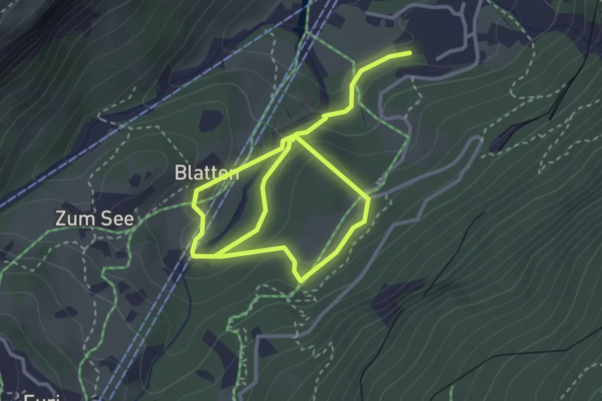
Medium · Trail
Zermatt – Blatten
4.7 km · ↑ 216 m · 1 h 35 min · 1 km away
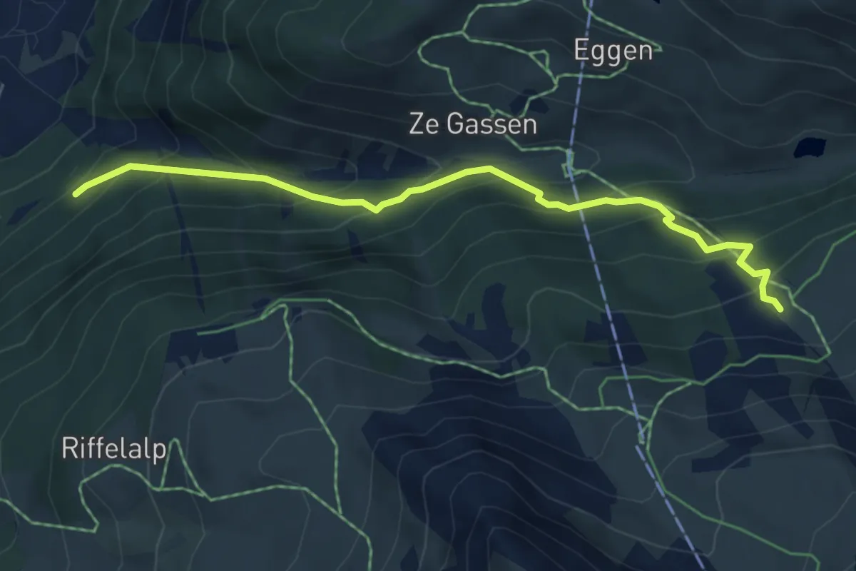
Medium · Cabin
Findelbach – Bärghüs Grünsee
5.4 km · ↑ 461 m · 2 h 17 min · 1 km away
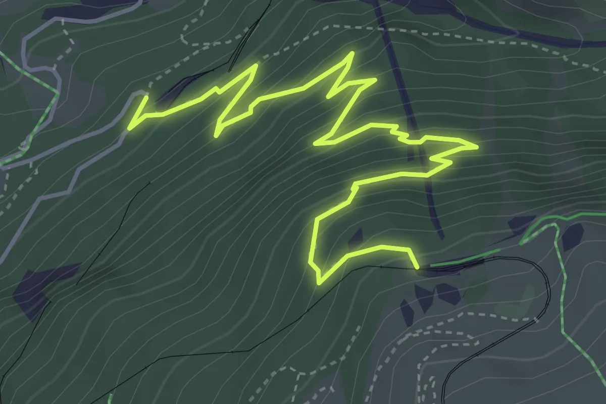
Medium · Trail
Arwenweg
5.6 km · ↑ 476 m · 2 h 21 min · 1 km away
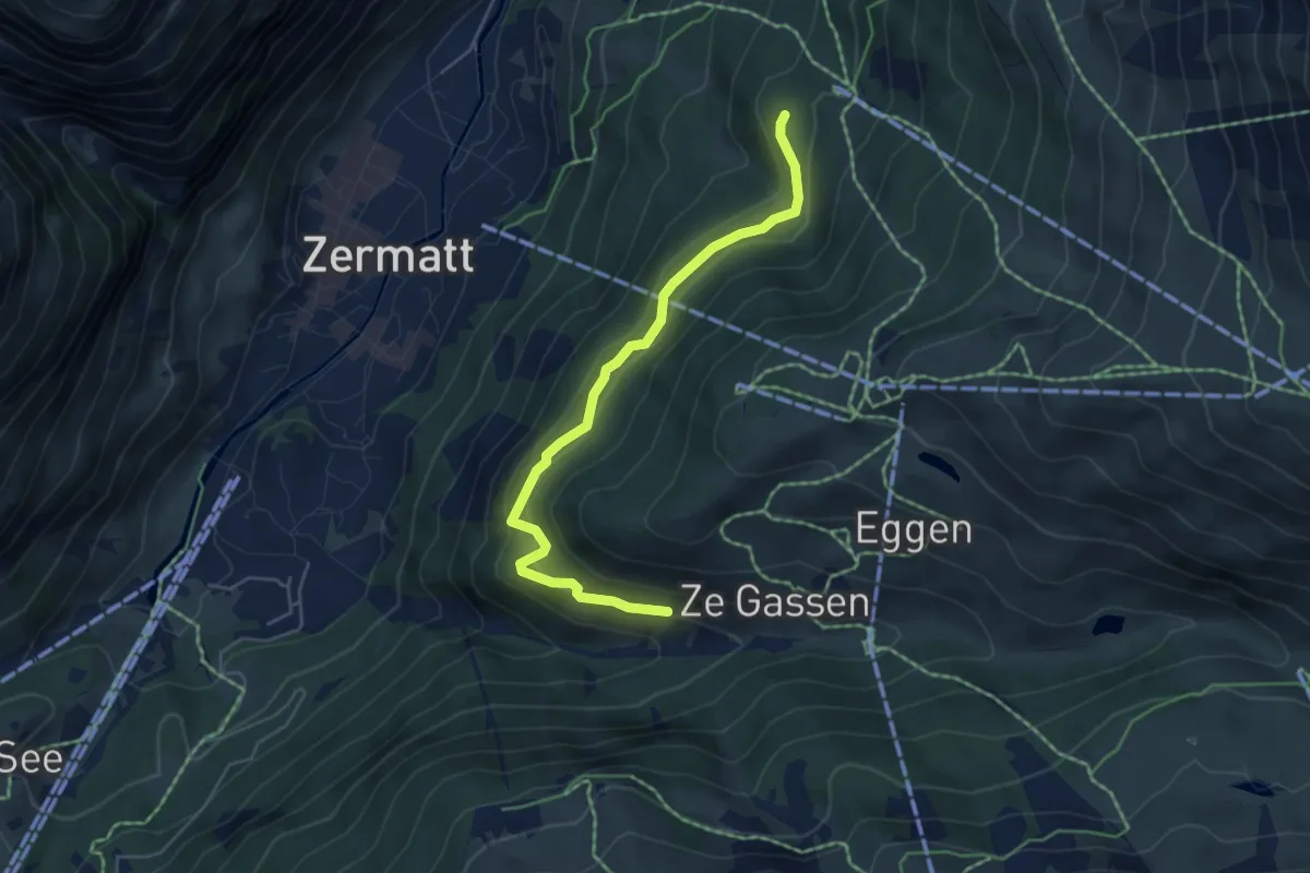
Medium · Trail
Zu Gassen – Patrullarve
5.2 km · ↑ 380 m · 2 h 3 min · 1 km away
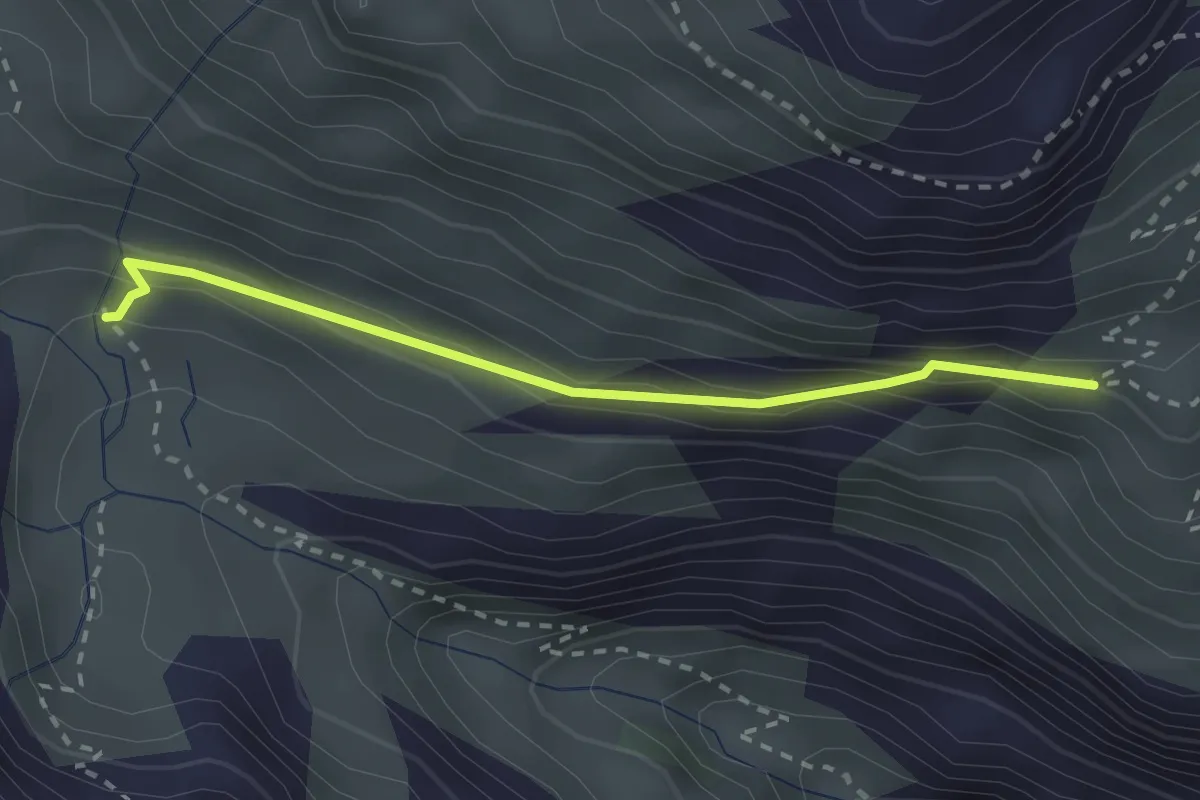
Medium · Trail
Triftenwaeng
2.4 km · ↑ 147 m · 54 min · 2 km away
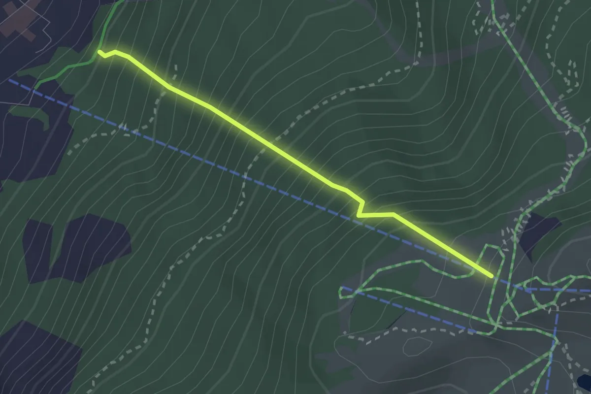
Medium · Trail
Matterhorn Konditionstraining
2.4 km · ↑ 561 m · 1 h 46 min · 2 km away
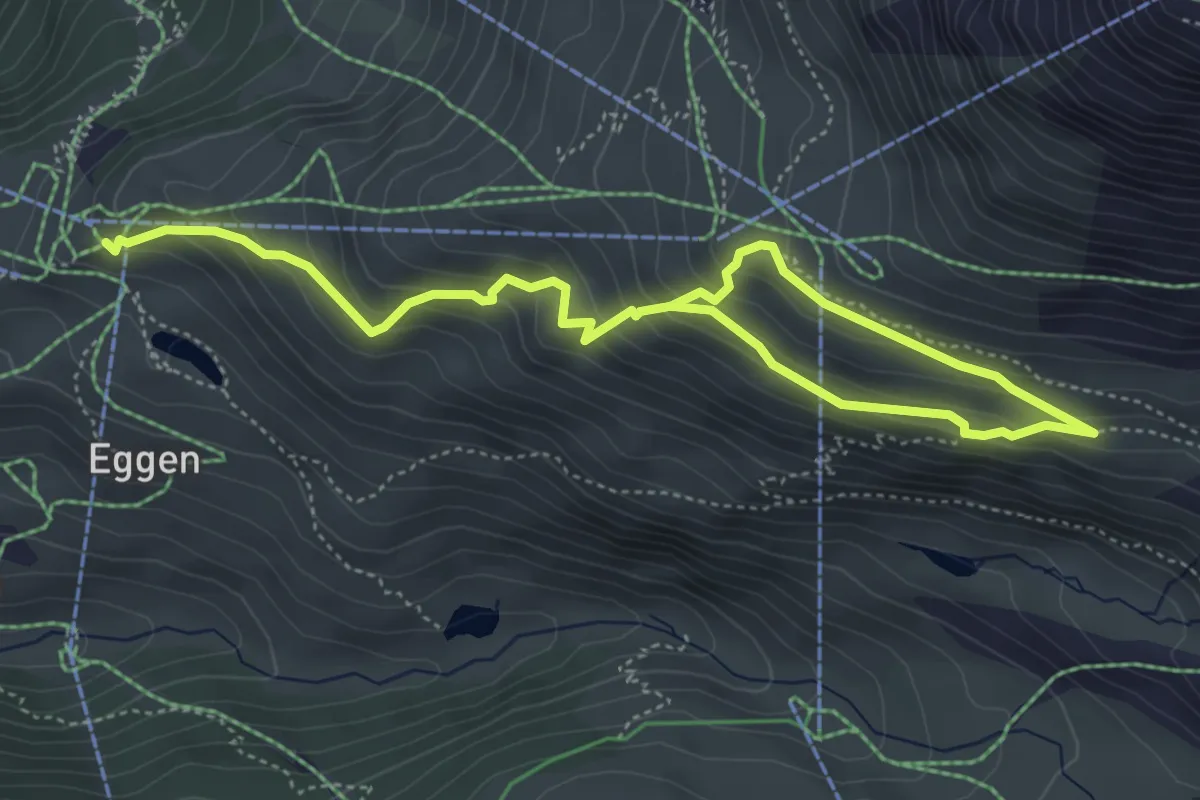
Medium · Trail
Murmelweg
6.7 km · ↑ 427 m · 2 h 30 min · 2 km away
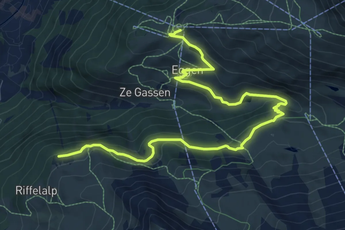
Medium · Trail
Naturweg
11.8 km · ↑ 526 m · 3 h 56 min · 2 km away
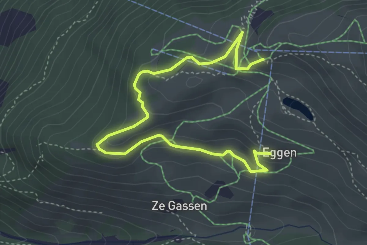
Medium · Trail
Eggen – Sunnegga
4.8 km · ↑ 196 m · 1 h 34 min · 2 km away
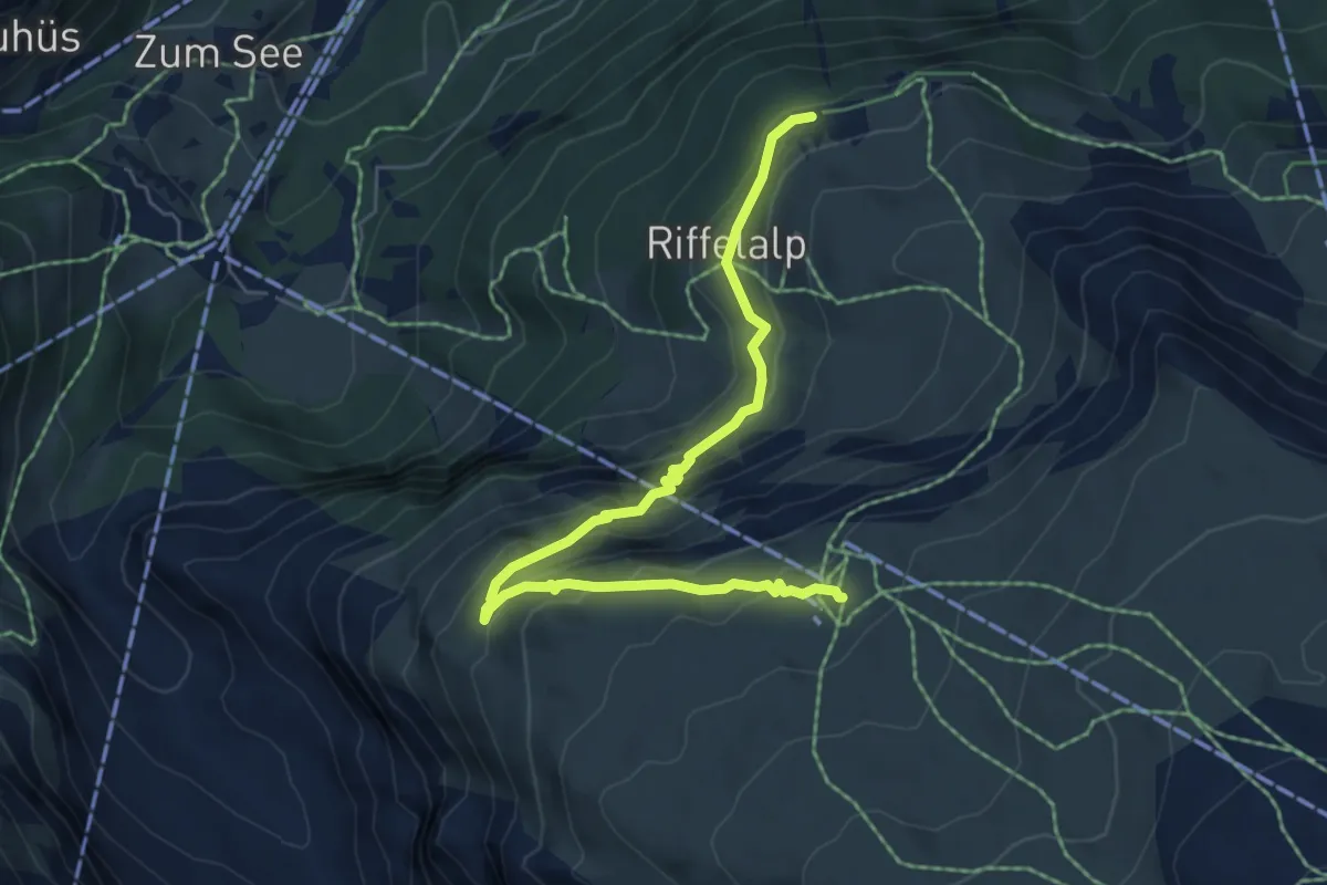
Medium · Trail
Mark Twain Weg
6.5 km · ↑ 394 m · 2 h 23 min · 2 km away
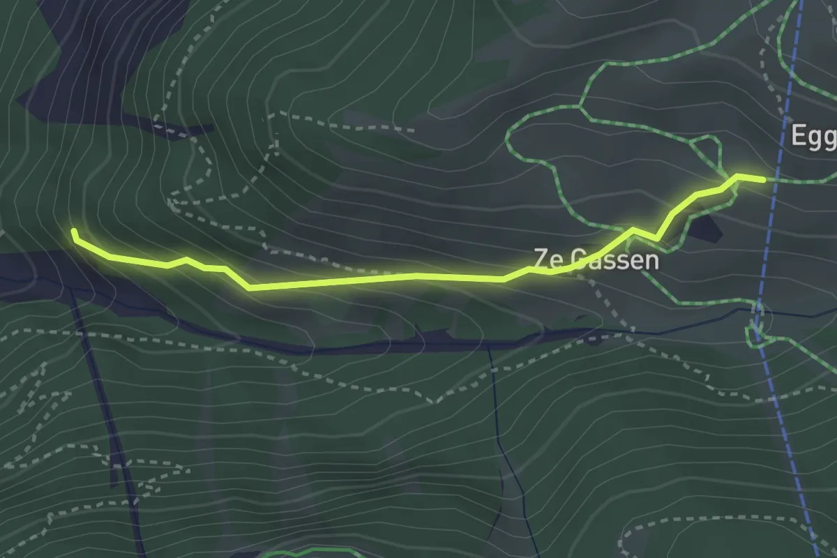
Easy · Trail
Zermatt – Eggen
2.9 km · ↑ 260 m · 1 h 15 min · 2 km away
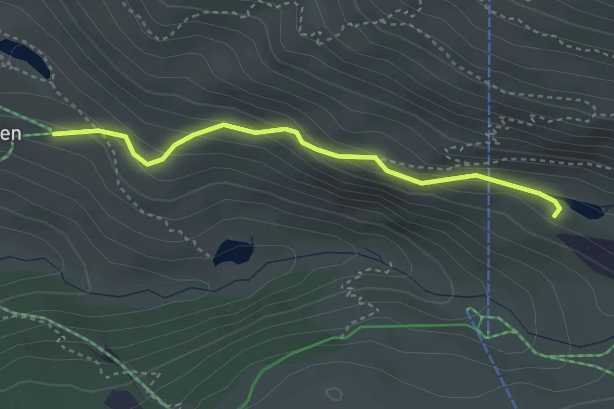
Medium · Trail
Grindjesee – Eggen
3.0 km · ↑ 191 m · 1 h 7 min · 2 km away
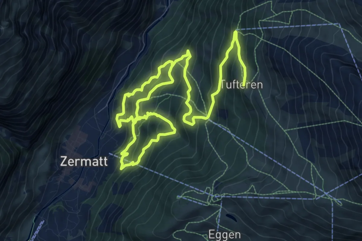
Demanding · Trail
Zermatt – Tuftern
17.3 km · ↑ 1356 m · 7 h 1 min · 2 km away
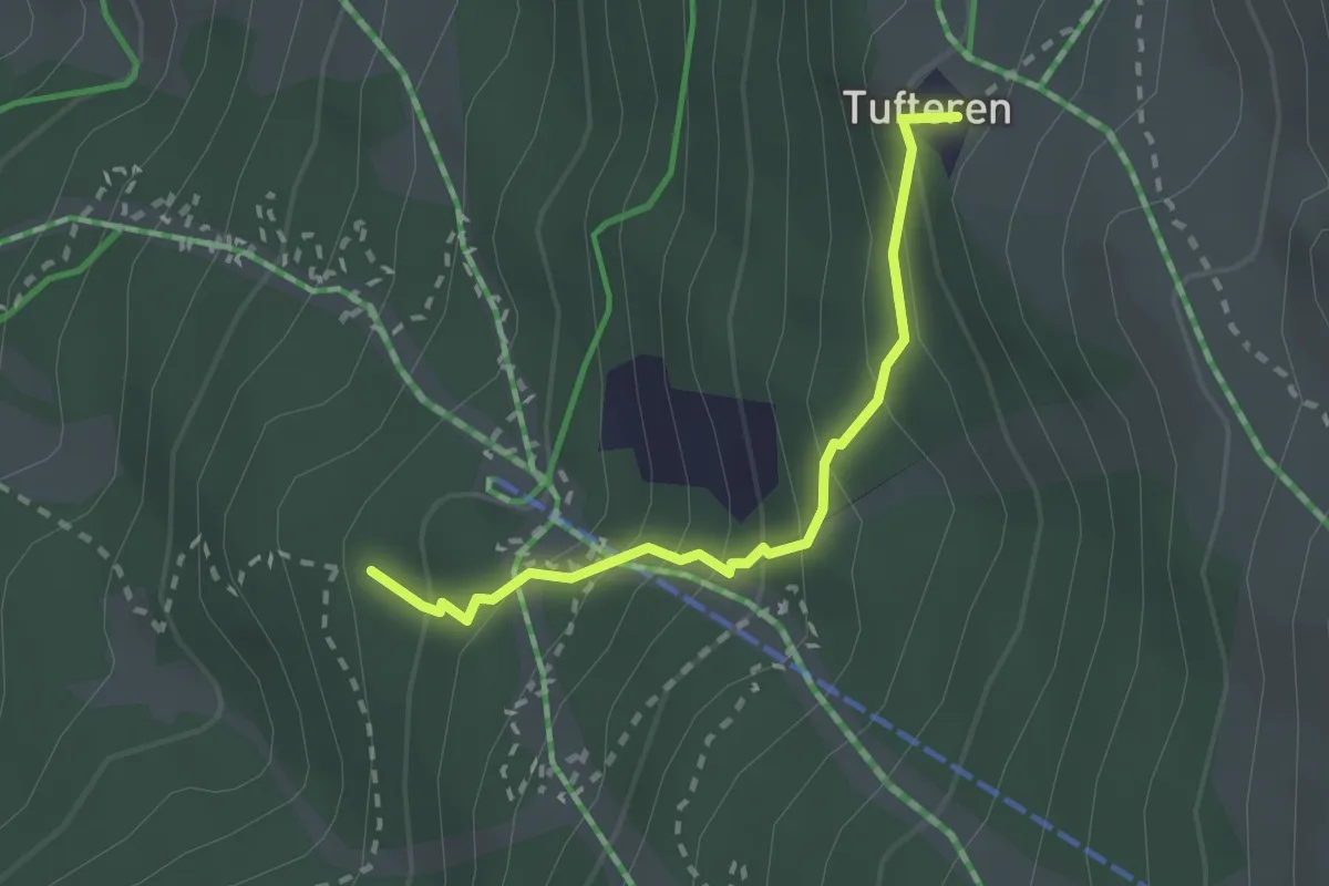
Medium · Trail
Patrullarve – Tuftern
2.2 km · ↑ 212 m · 58 min · 2 km away
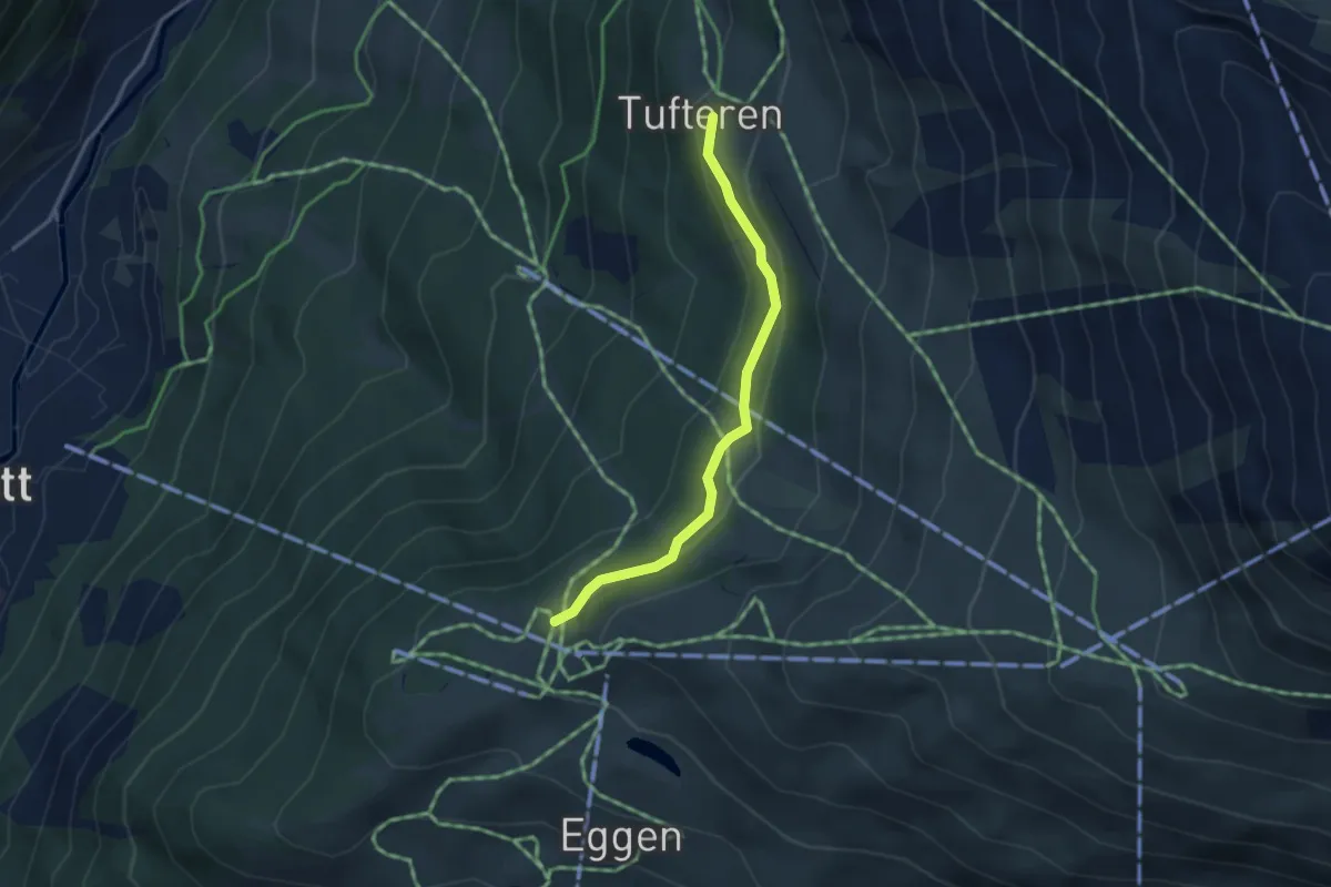
Easy · Trail
Sunnega p2246 – Tuftern p2215
3.2 km · ↑ 149 m · 1 h 5 min · 2 km away
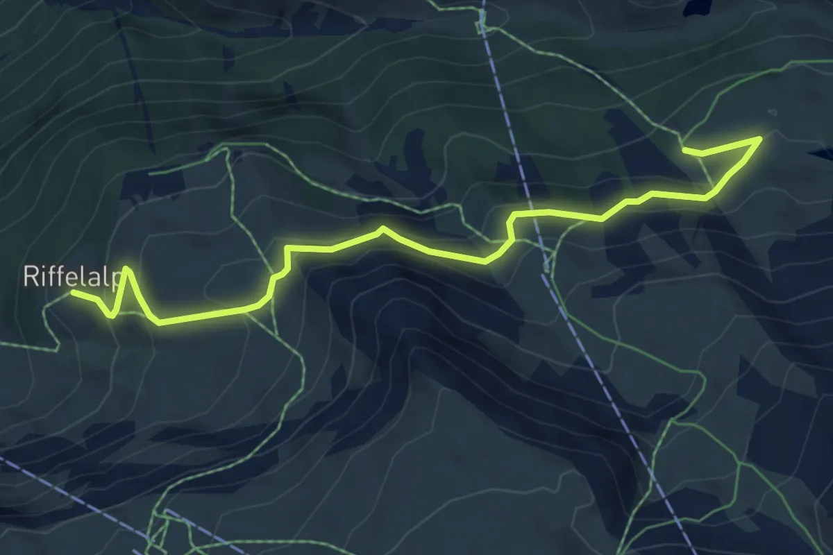
Medium · Cabin
Ze Seewjinnen – Riffelberg
6.9 km · ↑ 332 m · 2 h 21 min · 2 km away
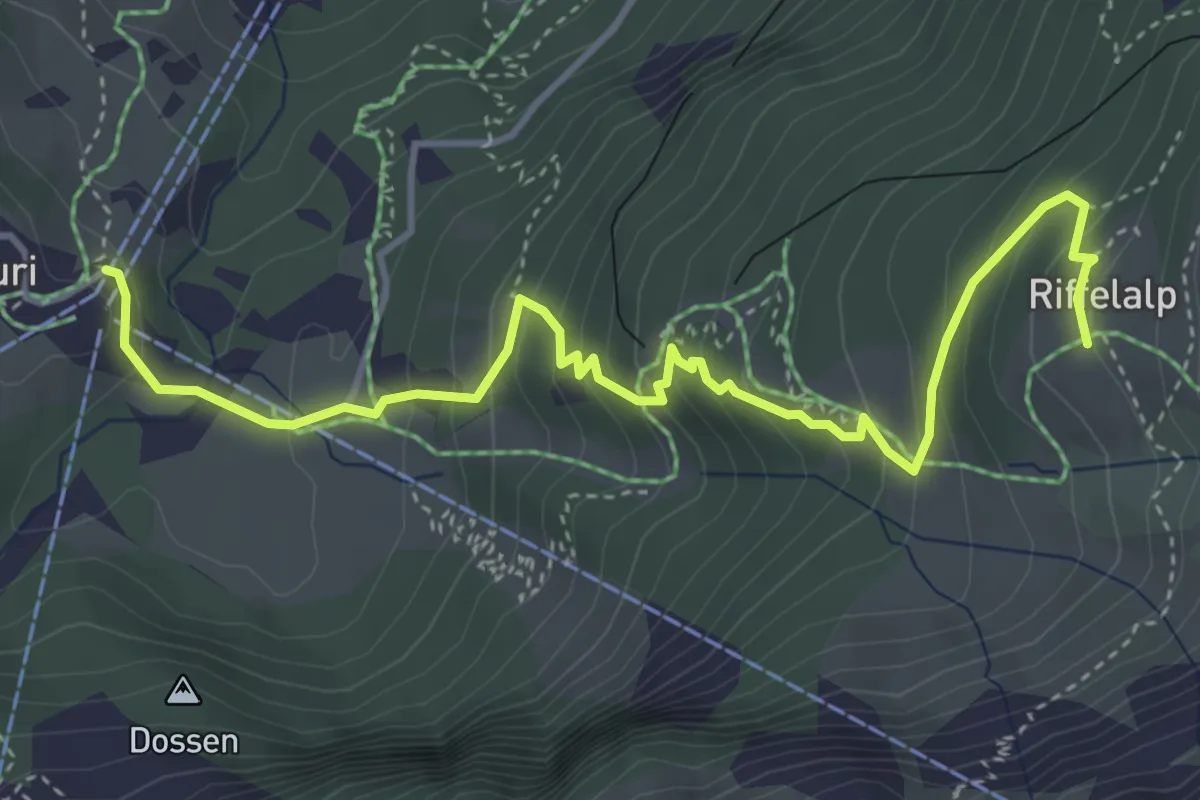
Medium · Trail
Furi – Riffelalp
5.0 km · ↑ 403 m · 2 h 3 min · 3 km away
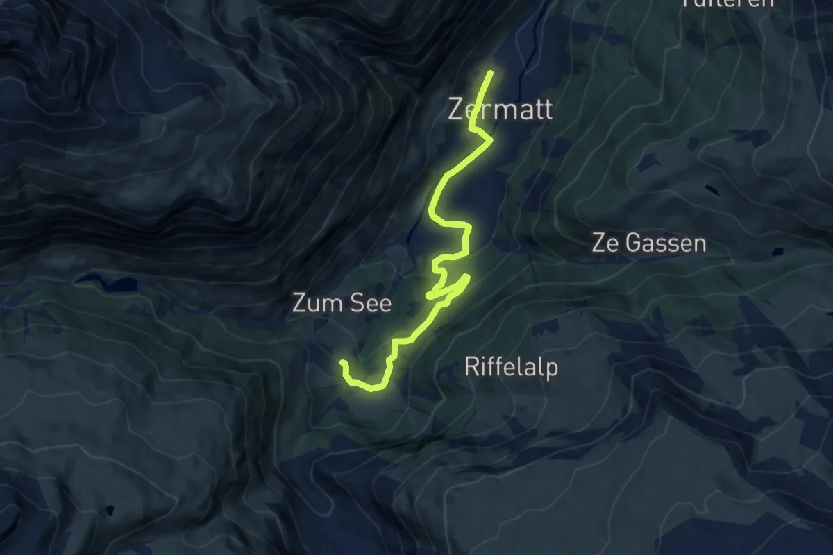
Medium · Trail
Furi-Weg
9.8 km · ↑ 344 m · 3 h 4 min · 3 km away
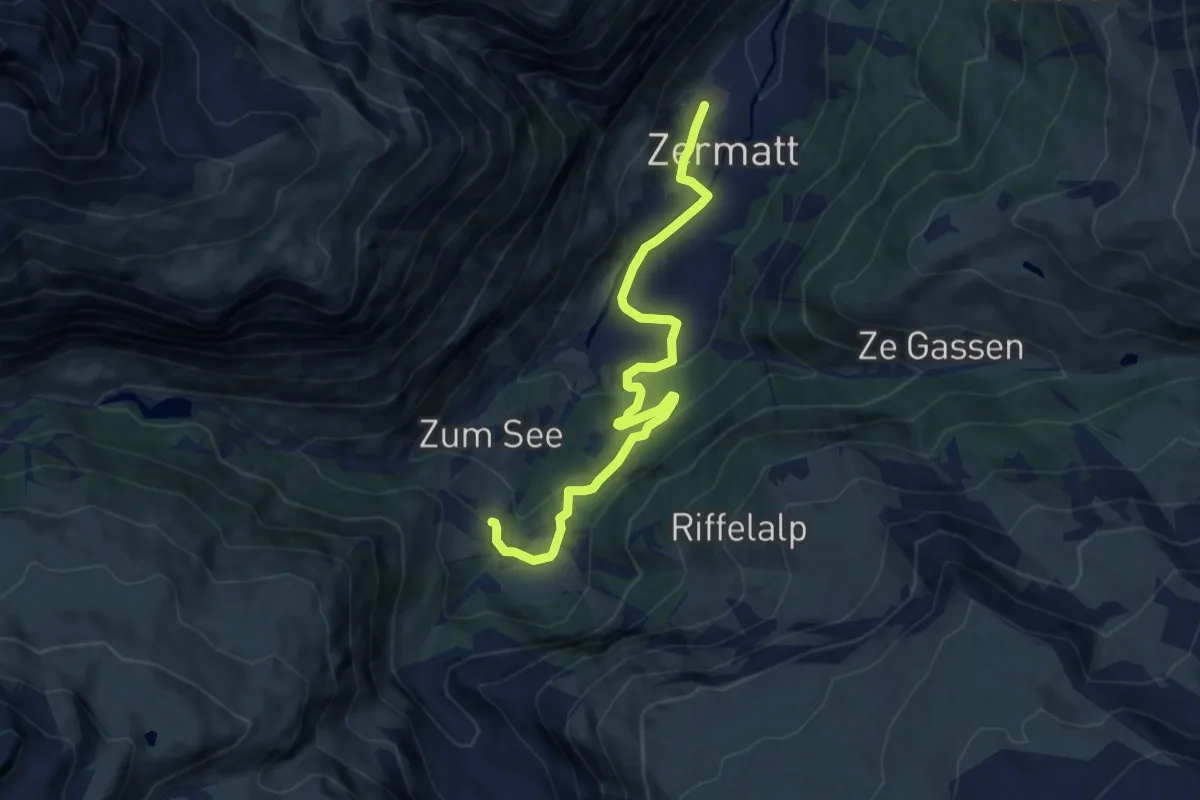
Medium · Trail
Zermatt Furi-Zermatt
9.7 km · ↑ 344 m · 3 h 3 min · 3 km away
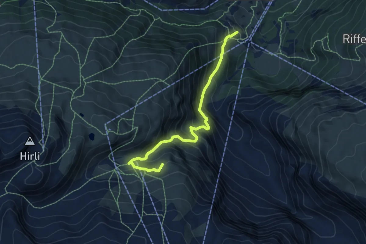
Medium · Trail
Furi – Furgg
6.7 km · ↑ 609 m · 2 h 54 min · 3 km away
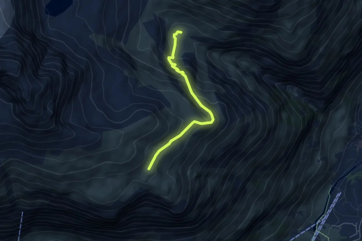
Demanding · Cabin
Berggasthaus Trift 2335 – Höhbalmen 2665
4.5 km · ↑ 344 m · 1 h 49 min · 3 km away
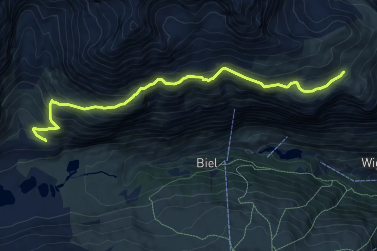
Demanding · Trail
Arbenbachfall 2327 – Höhbalmen 2665
10.1 km · ↑ 731 m · 3 h 58 min · 3 km away
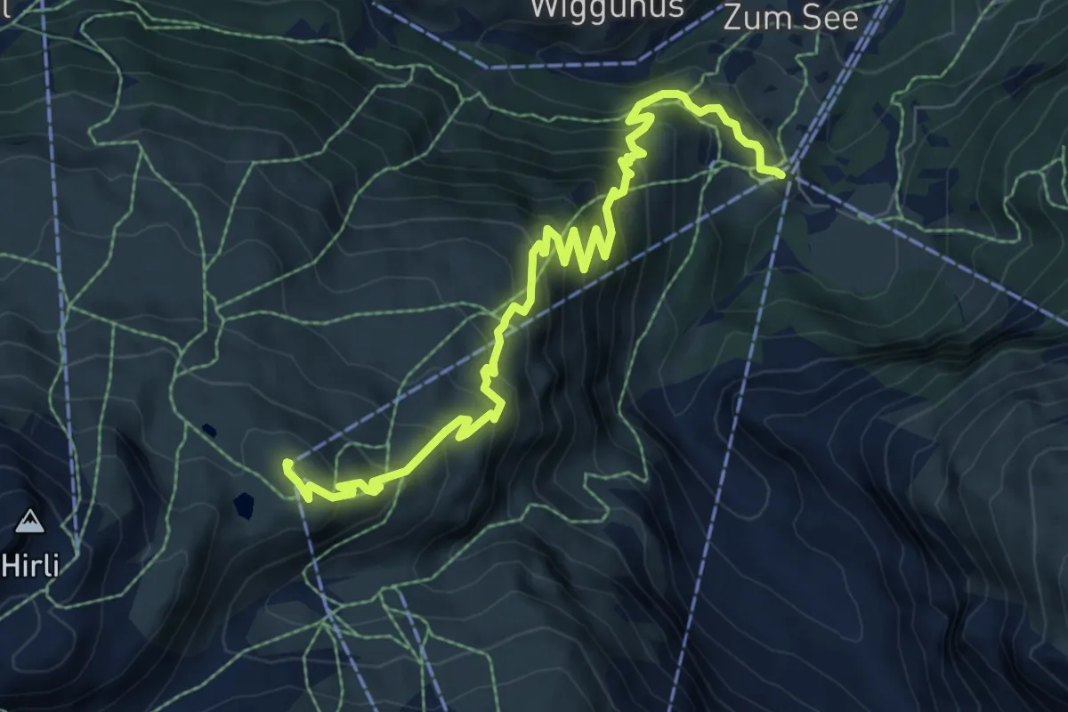
Medium · Trail
Lärchenweg
9.0 km · ↑ 795 m · 3 h 50 min · 3 km away
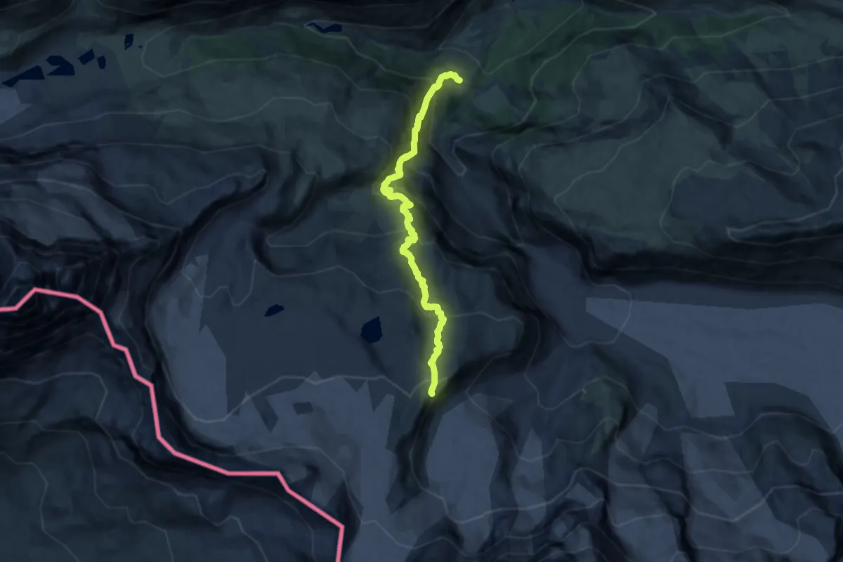
Demanding · Cabin
Furi – Gandegghütte
12.6 km · ↑ 1192 m · 5 h 33 min · 3 km away
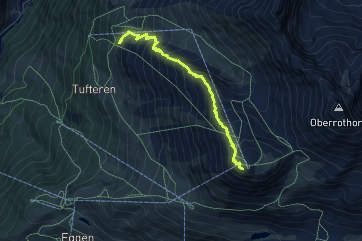
Expert · Summit
Abenteuerweg
6.5 km · ↑ 766 m · 3 h 12 min · 3 km away
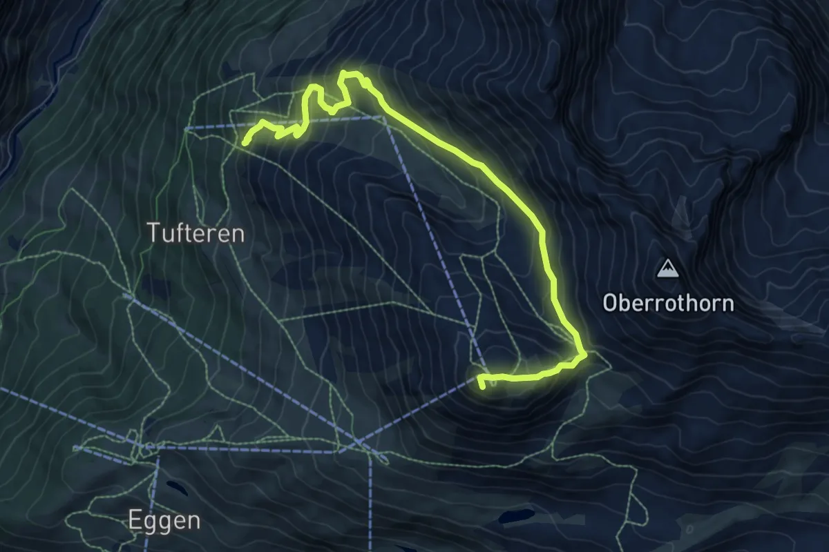
Demanding · Summit
Gamsweg
9.7 km · ↑ 778 m · 3 h 59 min · 3 km away
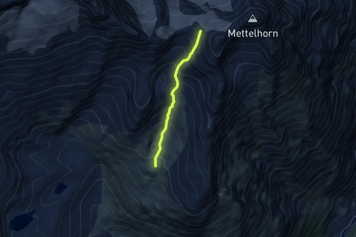
Expert · Trail
Triftchumme – Furggji
3.8 km · ↑ 429 m · 1 h 50 min · 3 km away
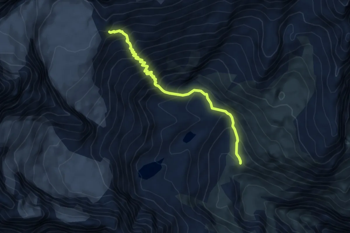
Demanding · Cabin
Vieliboden / Trift – Rothornhütte
6.6 km · ↑ 734 m · 3 h 9 min · 3 km away
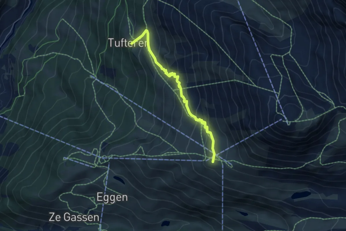
Medium · Trail
Blumenweg
4.9 km · ↑ 364 m · 1 h 57 min · 3 km away
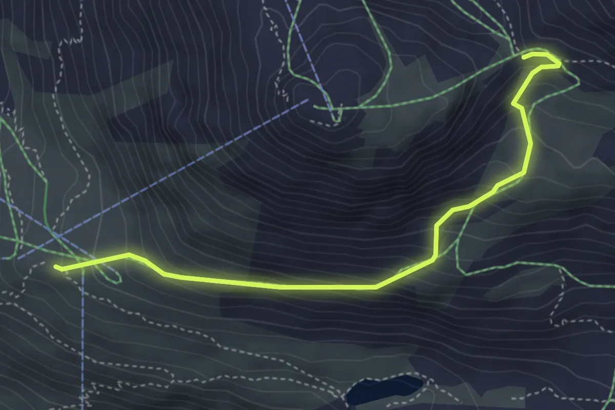
Medium · Trail
Blauherd – Furggji
4.4 km · ↑ 408 m · 1 h 55 min · 3 km away
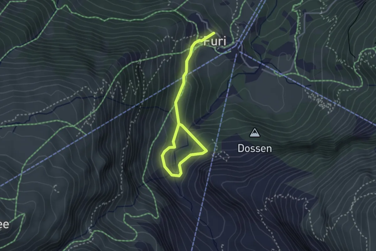
Medium · Trail
Furi – Gletchergarten
3.4 km · ↑ 165 m · 1 h 9 min · 3 km away
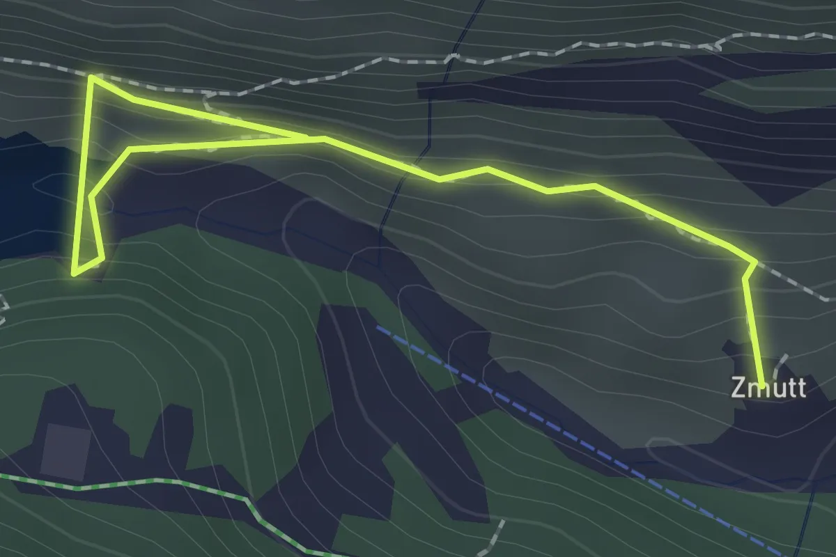
Medium · Trail
Zmutt – Stausee
2.3 km · ↑ 117 m · 48 min · 3 km away
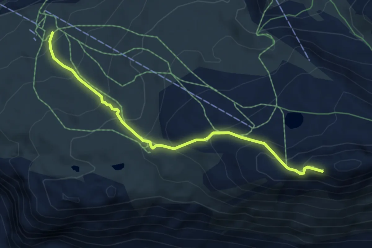
Medium · Trail
Gornergrat – Riffelberg
5.6 km · ↑ 475 m · 2 h 20 min · 3 km away
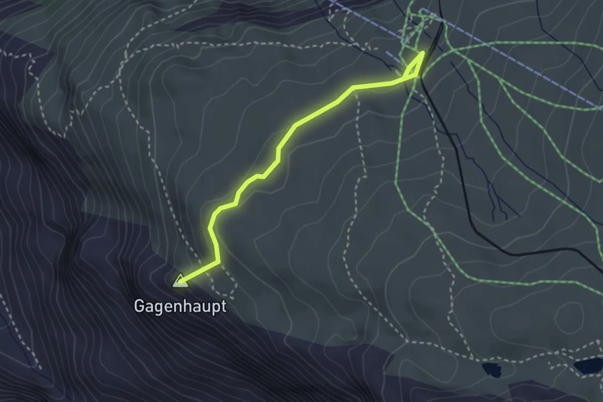
Medium · Summit
Riffelseeweg
2.7 km · ↑ 96 m · 51 min · 3 km away
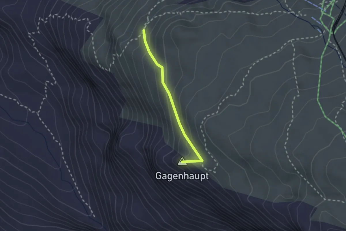
Medium · Summit
Gagenhaupt – Mark Twain Weg
1.8 km · ↑ 142 m · 44 min · 3 km away
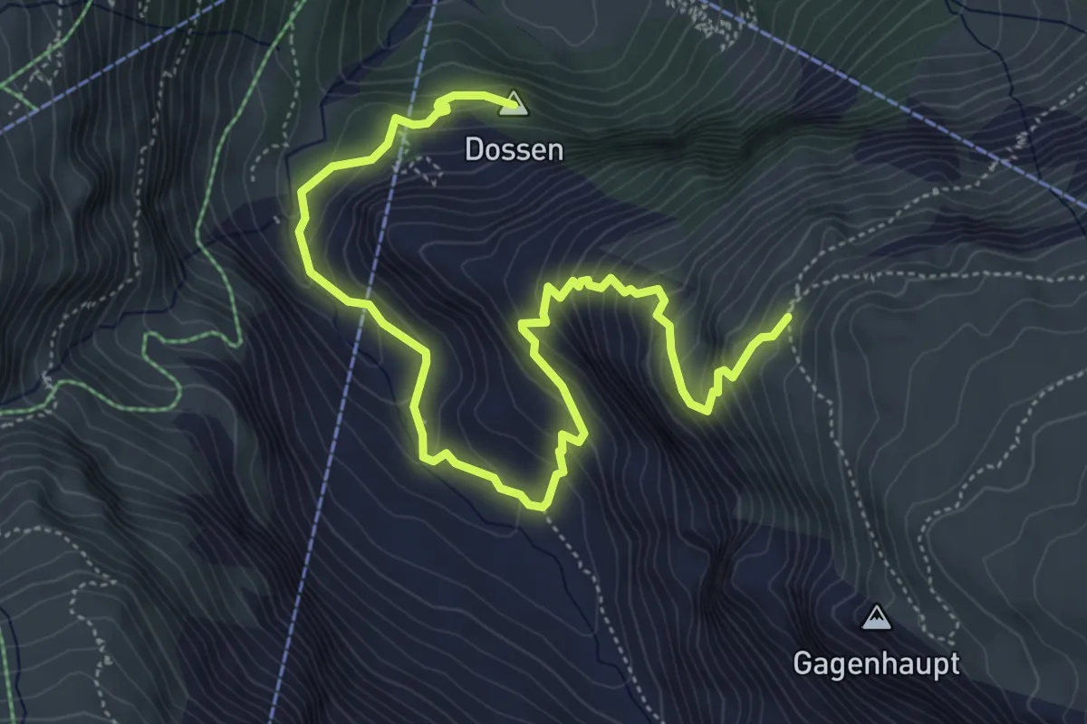
Medium · Summit
Furi – Mark Twain Weg
6.9 km · ↑ 583 m · 2 h 54 min · 3 km away
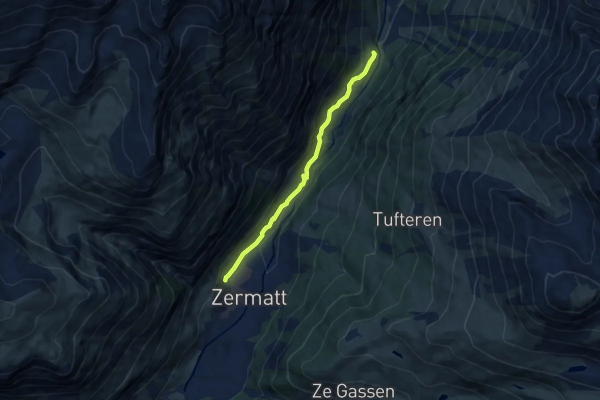
Medium · Trail
Schlangengruebe – Zermatt
7.1 km · ↑ 254 m · 2 h 13 min · 3 km away
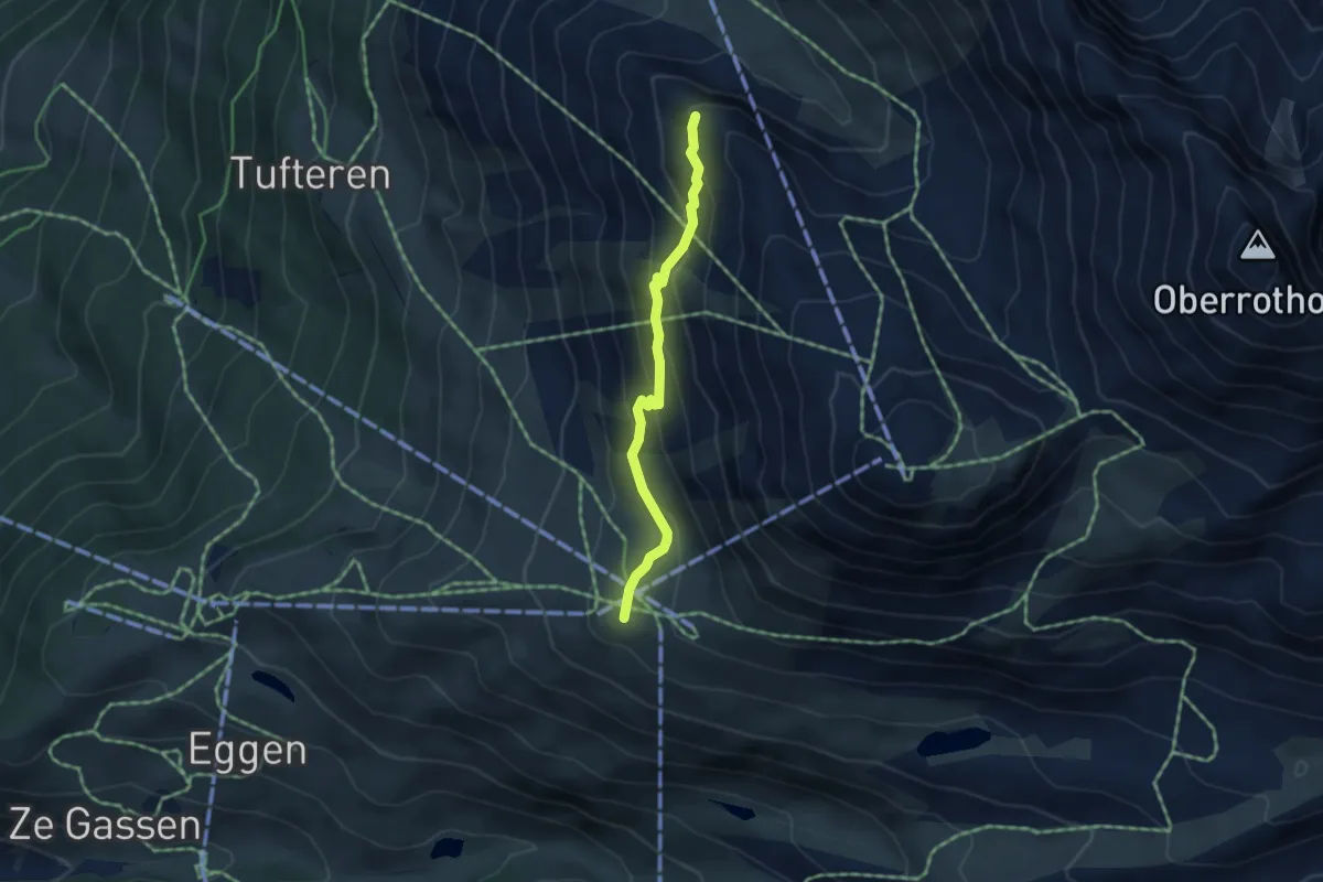
Demanding · Trail
Panoramaweg
3.8 km · ↑ 233 m · 1 h 24 min · 3 km away
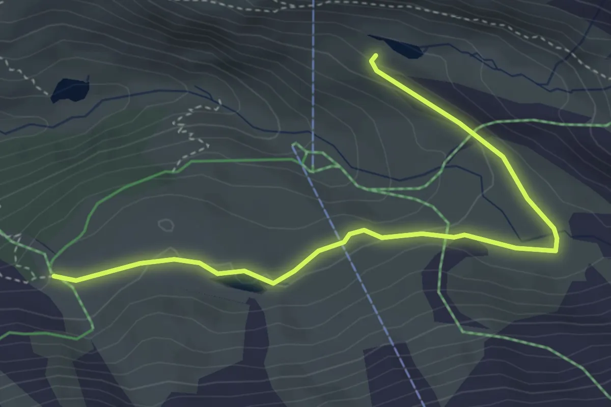
Medium · Cabin
Grindjesee – Grunsee
4.5 km · ↑ 102 m · 1 h 17 min · 3 km away
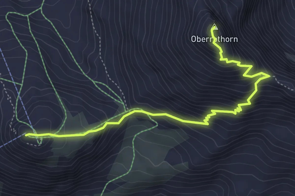
Demanding · Summit
Path to Freedom
5.5 km · ↑ 497 m · 2 h 22 min · 4 km away