Trails near Zermatt
139 hikes starting within 15 km, nearest first.
Nearest first, page 2 of 3
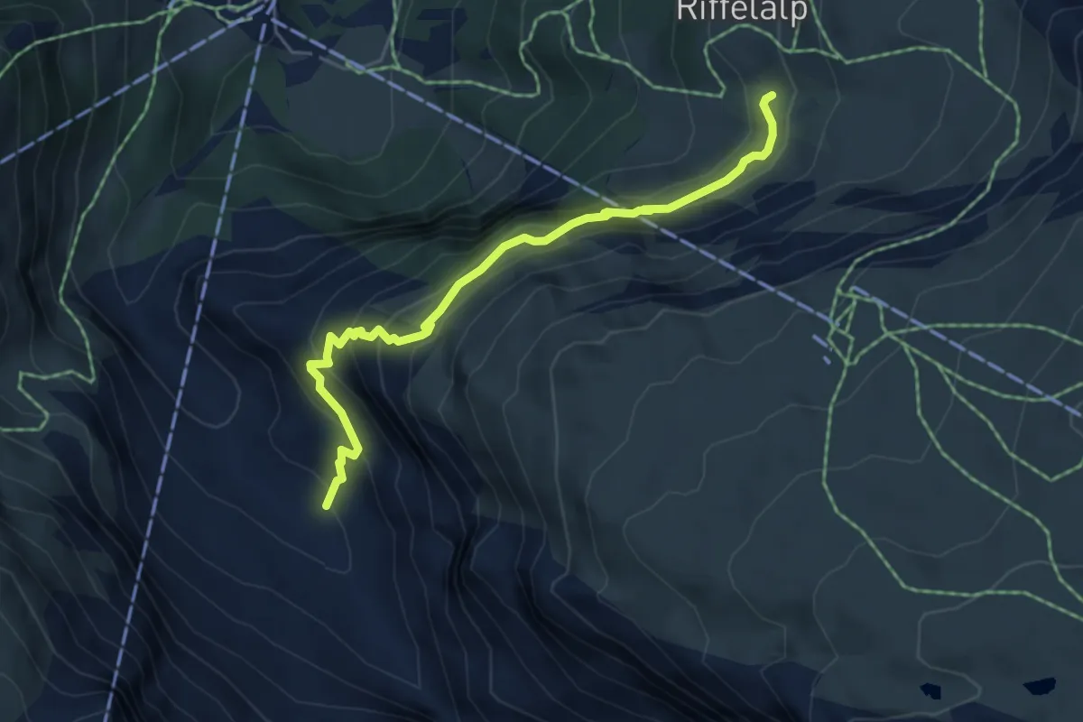
Medium · Trail
Riffelalp – Dristelen
5.2 km · ↑ 435 m · 2 h 10 min · 4 km away
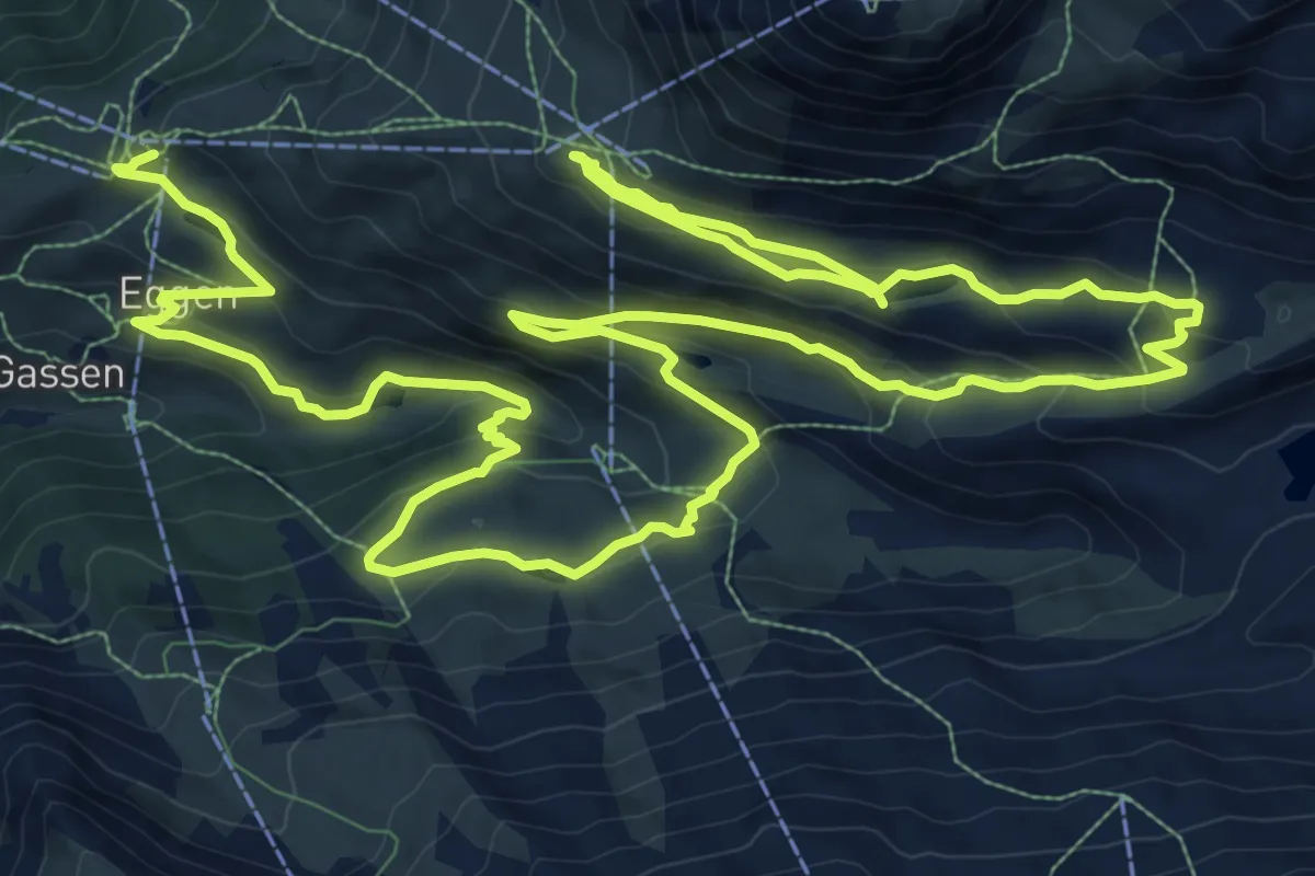
Demanding · Trail
5-Seenweg
23.3 km · ↑ 1143 m · 7 h 59 min · 4 km away
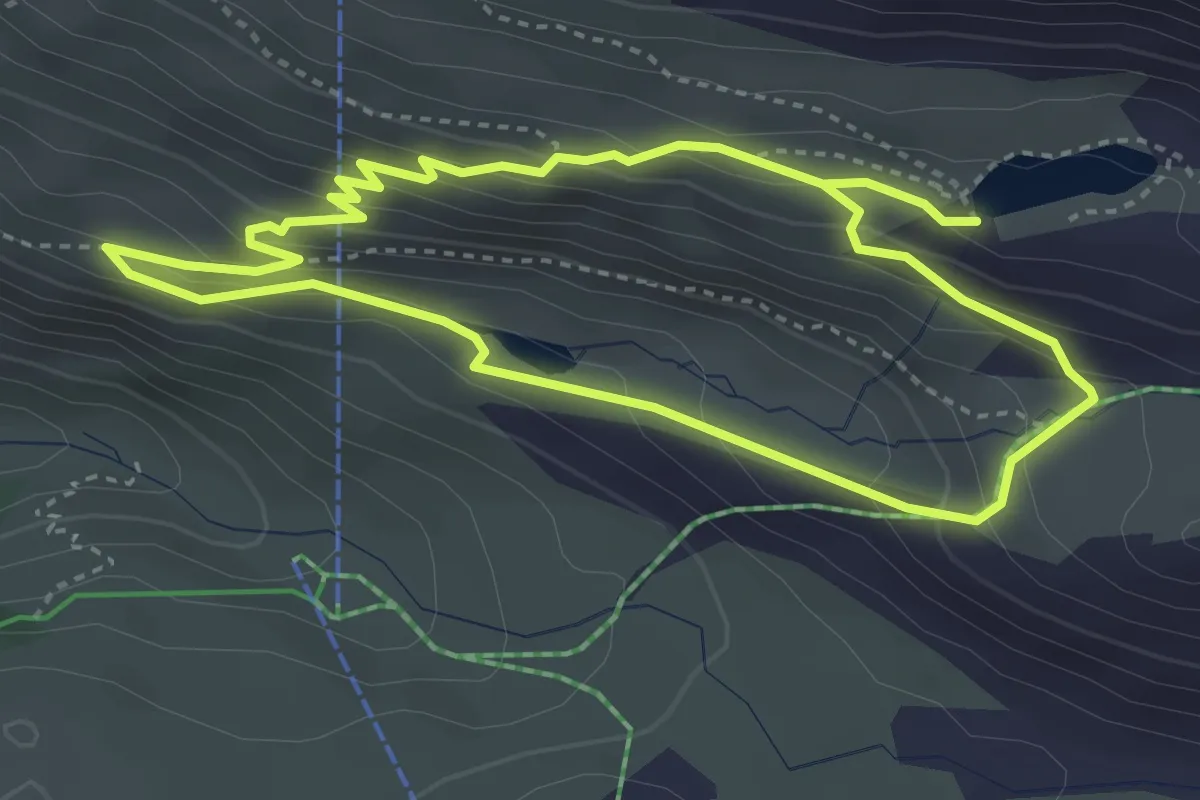
Medium · Trail
Stellisee – Grindjesee
7.0 km · ↑ 461 m · 2 h 40 min · 4 km away
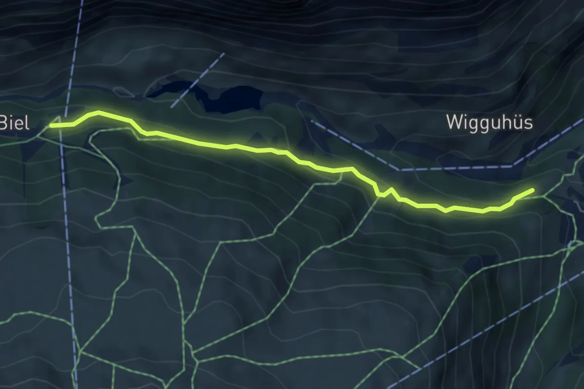
Medium · Trail
Furi – Joscht / Unner Stafel
4.9 km · ↑ 280 m · 1 h 46 min · 4 km away
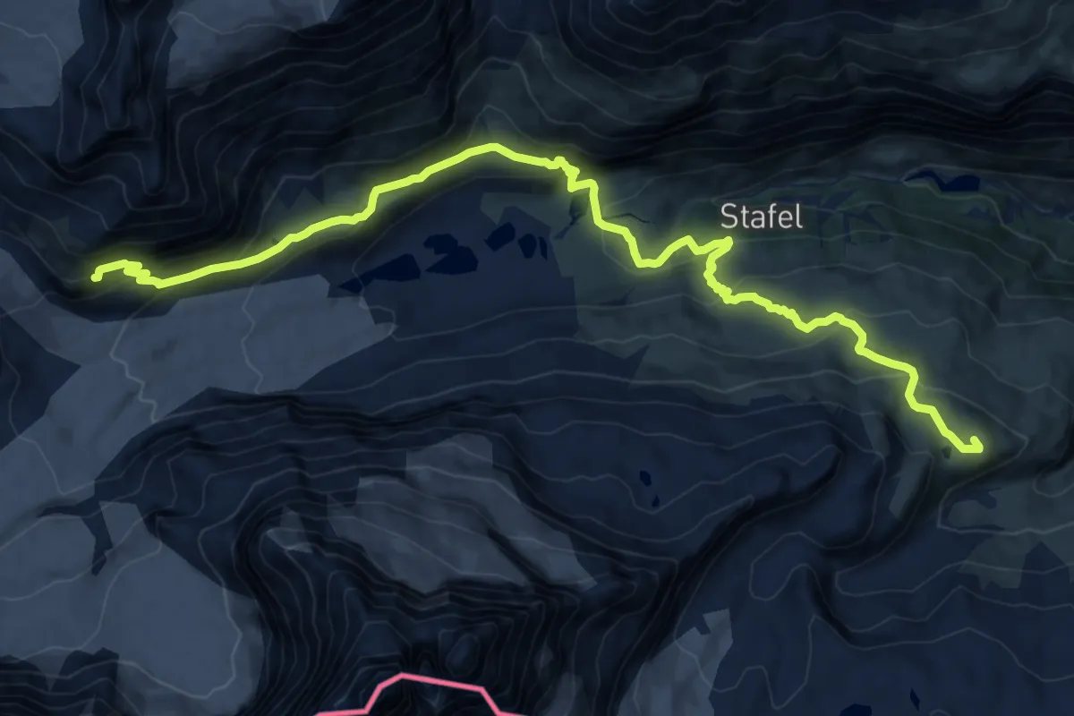
Demanding · Cabin
Schwarzsee – Schönbielhütte SAC
18.4 km · ↑ 985 m · 6 h 29 min · 5 km away
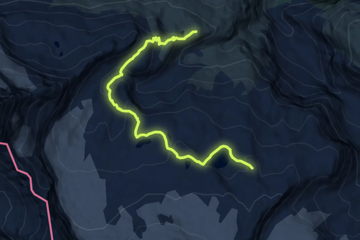
Demanding · Trail
Matterhorn glacier trail
12.4 km · ↑ 625 m · 4 h 16 min · 5 km away
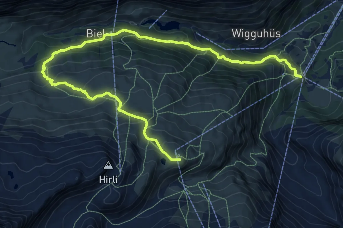
Demanding · Trail
Matterhorn-Trail
14.3 km · ↑ 846 m · 5 h 13 min · 5 km away
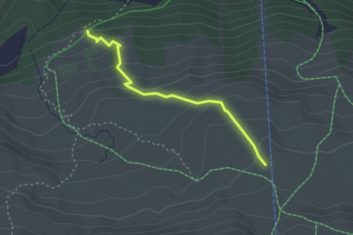
Medium · Trail
Unteri Stafelalp – Stafelalp
2.5 km · ↑ 212 m · 1 h 2 min · 5 km away
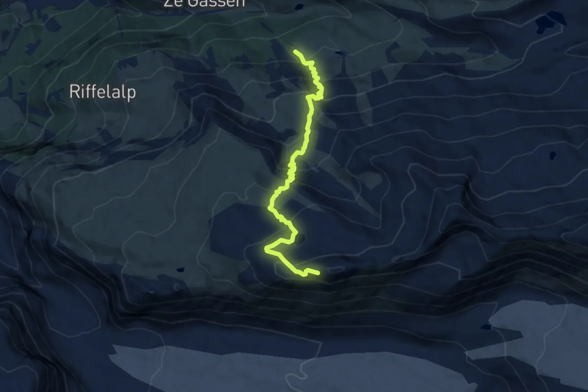
Demanding · Cabin
Ze Seewjinen – Gornergrat
8.9 km · ↑ 783 m · 3 h 48 min · 5 km away
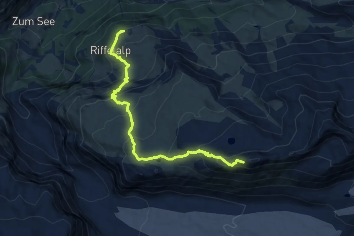
Demanding · Trail
Swiss Top Walk
11.8 km · ↑ 888 m · 4 h 43 min · 5 km away
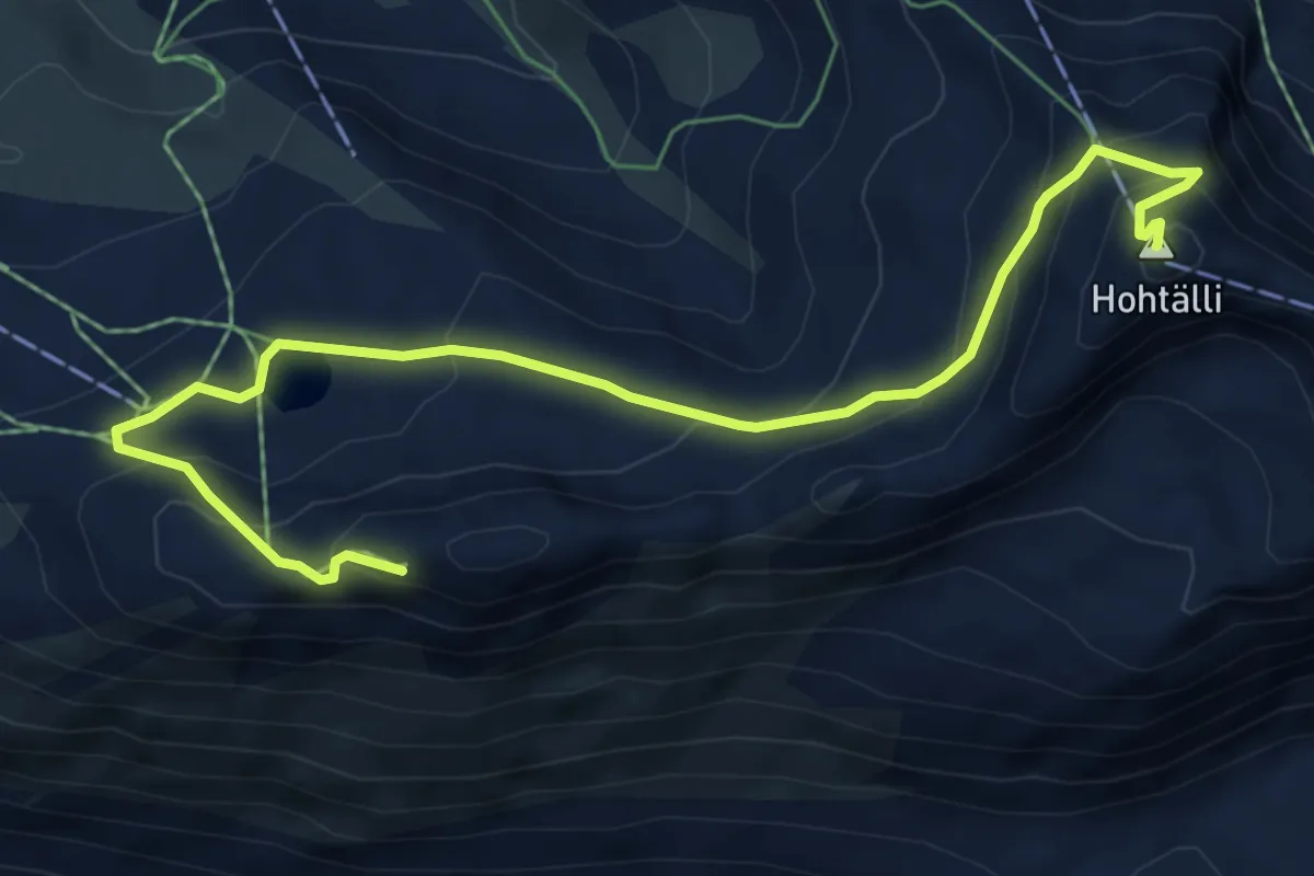
Demanding · Summit
Gornergrat – Hohtalli
7.3 km · ↑ 501 m · 2 h 49 min · 5 km away
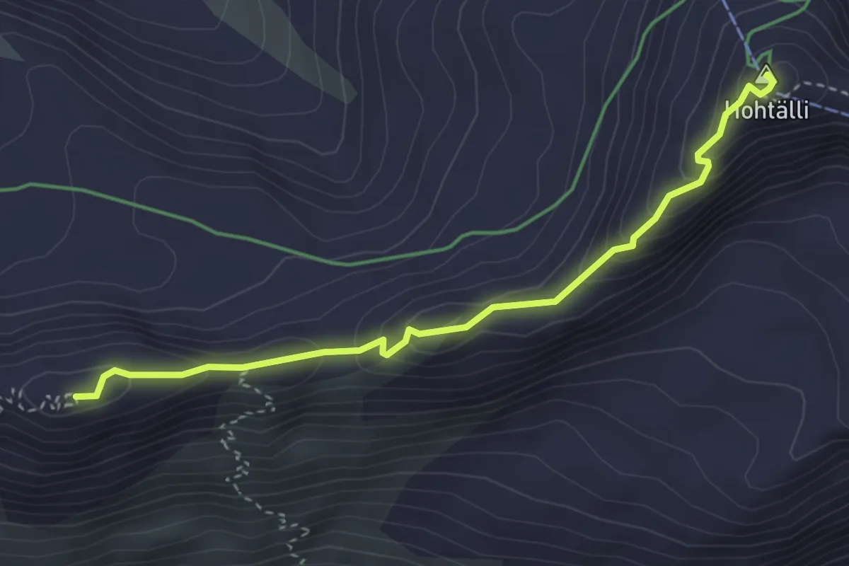
Demanding · Summit
Gornergrat – Hohtälli
3.5 km · ↑ 218 m · 1 h 18 min · 5 km away
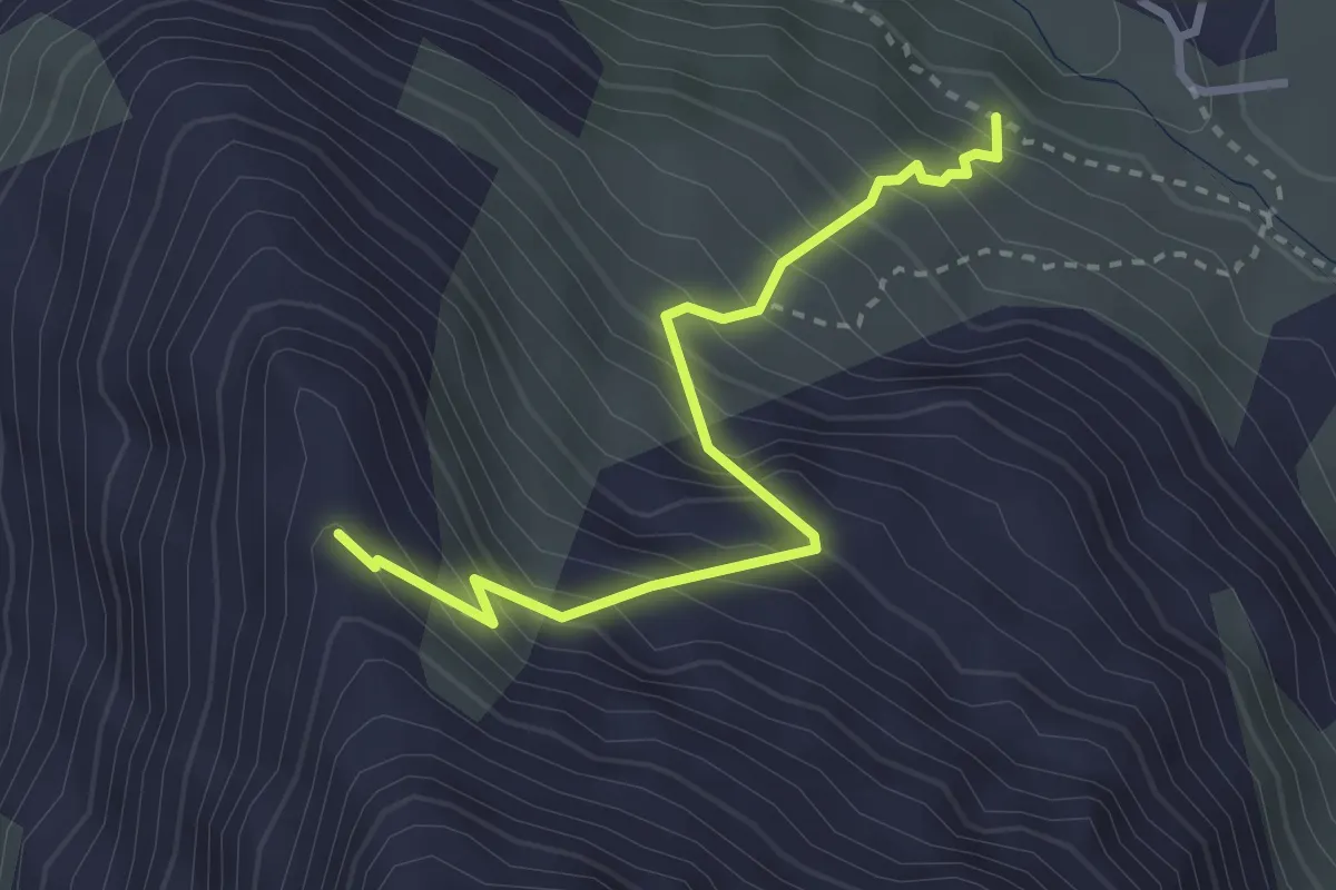
Demanding · Trail
Ottafe – Ober Sattla
3.0 km · ↑ 471 m · 1 h 44 min · 5 km away
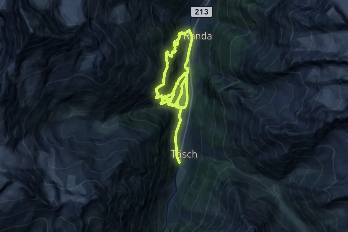
Demanding · Trail
Tasch – Randa
12.9 km · ↑ 1239 m · 5 h 48 min · 5 km away
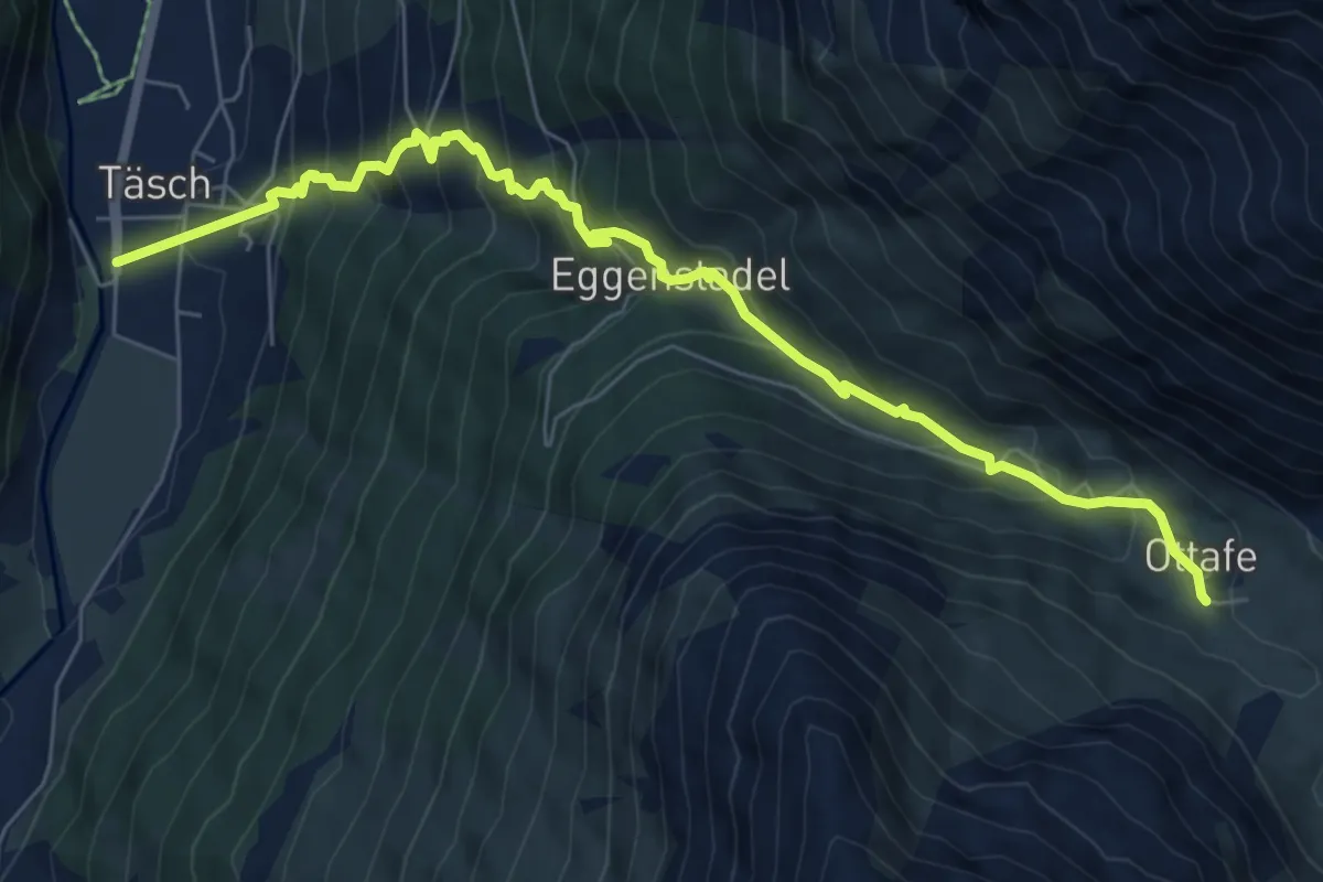
Medium · Trail
Taesch – Otaffe
7.7 km · ↑ 774 m · 3 h 30 min · 5 km away
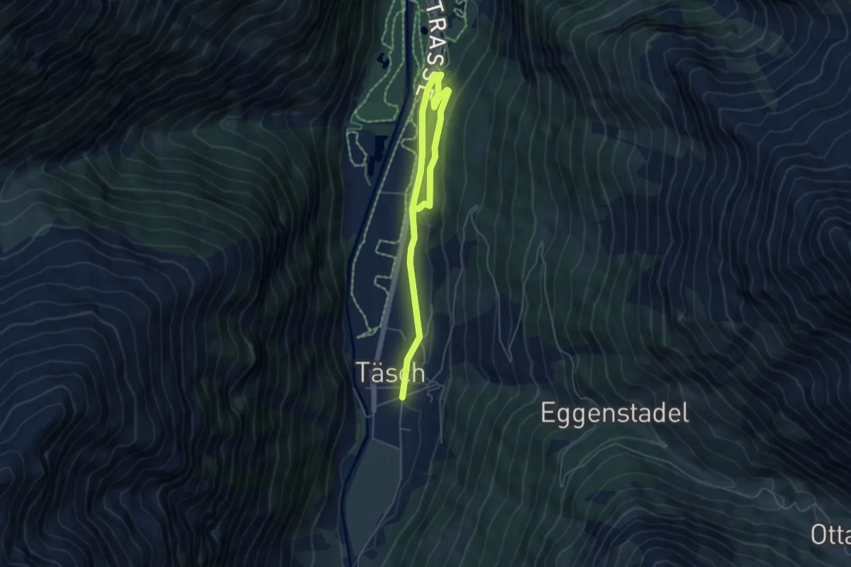
Medium · Trail
Täsch – Attermenzen
6.2 km · ↑ 119 m · 1 h 43 min · 5 km away
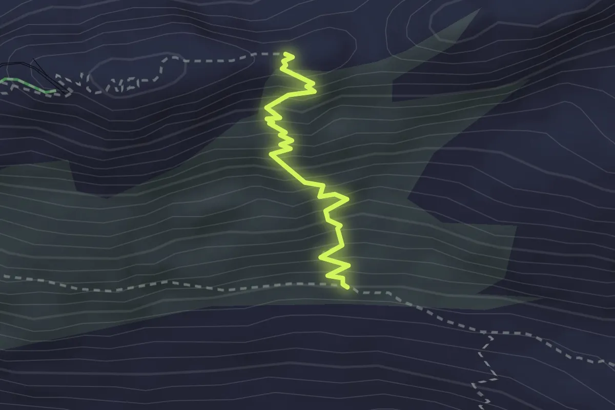
Expert · Trail
Monterosa Hut Trail – Hohtalligrat
2.3 km · ↑ 367 m · 1 h 20 min · 6 km away
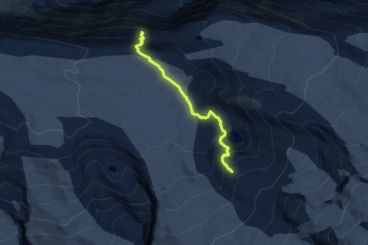
Expert · Cabin
Alte Monte Rosa Hütte Weg
7.9 km · ↑ 602 m · 3 h 10 min · 6 km away
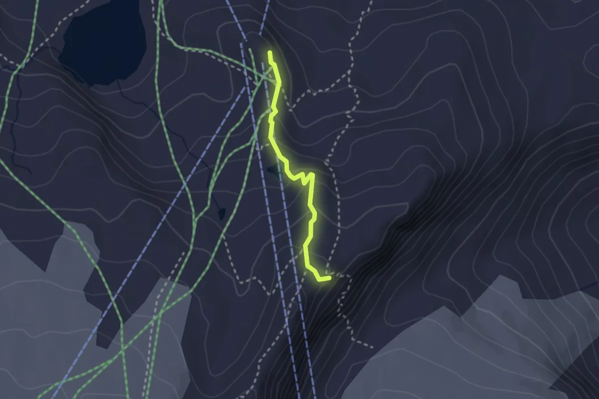
Medium · Cabin
Trockerner Steg - Gandegghütte
2.1 km · ↑ 133 m · 47 min · 6 km away
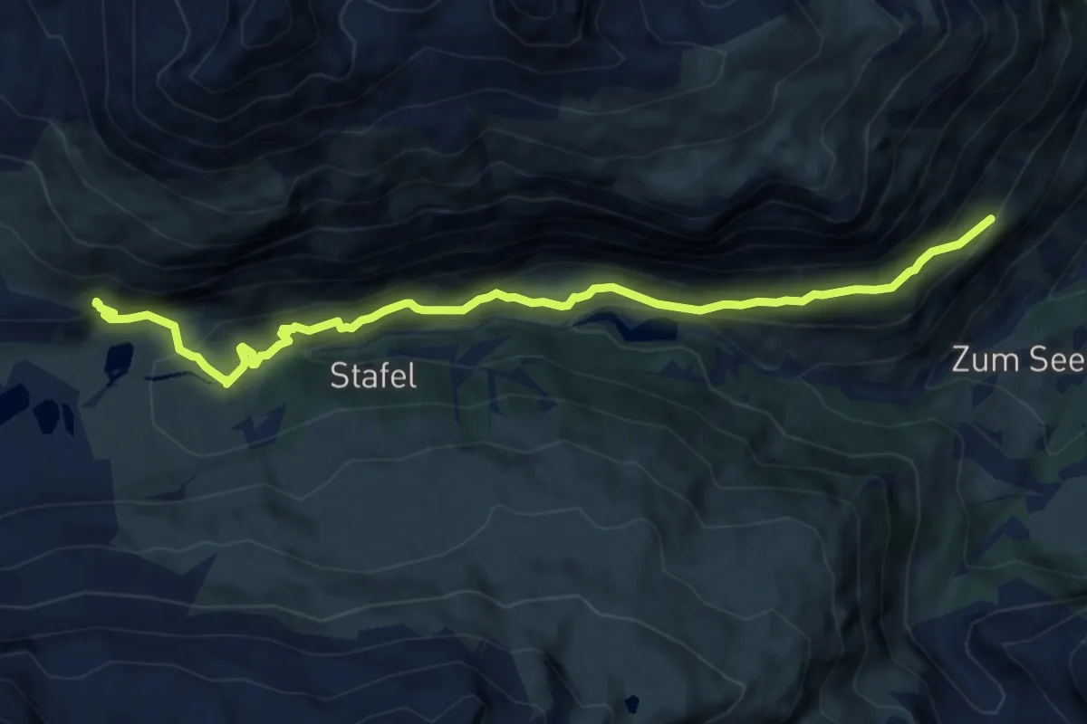
Medium · Trail
Hubel p2002 – Arbenbachfall p2327
11.1 km · ↑ 675 m · 4 h 6 min · 6 km away
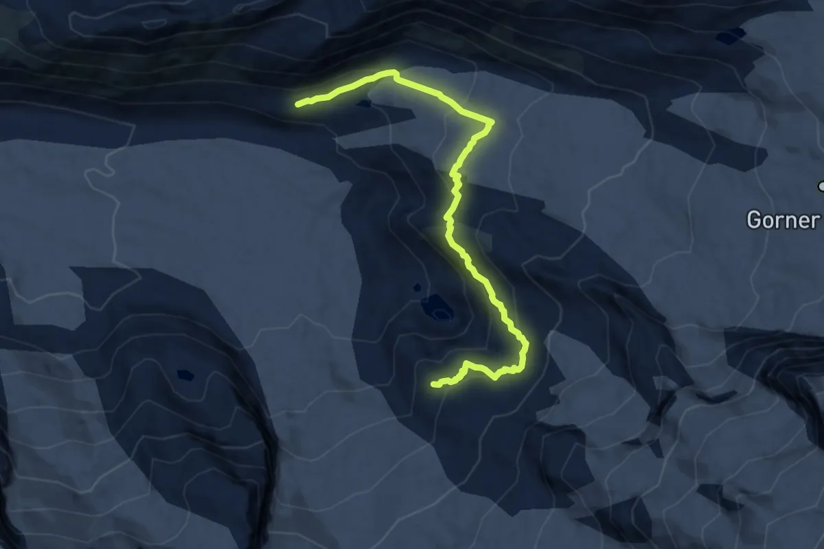
Expert · Cabin
Panoramaweg Monte Rosa Hütte
10.7 km · ↑ 641 m · 3 h 55 min · 6 km away
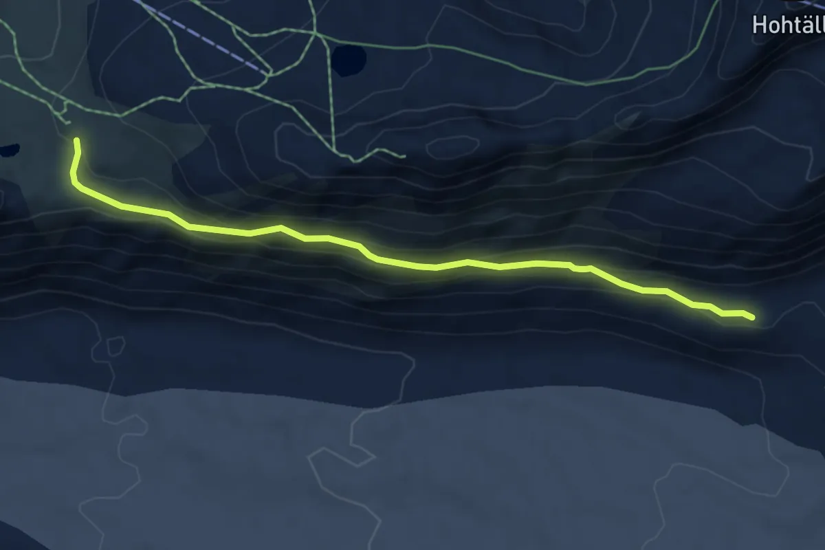
Medium · Trail
Monte Rosa Hütte Weg
5.9 km · ↑ 283 m · 2 h 1 min · 6 km away
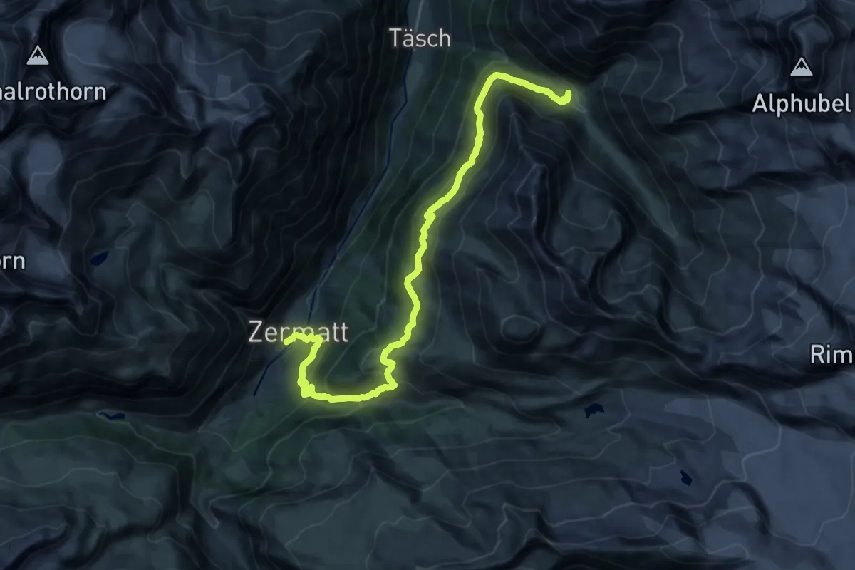
Medium · Trail
Täschalp – Zermatt
12.4 km · ↑ 484 m · 4 h 26 min · 6 km away
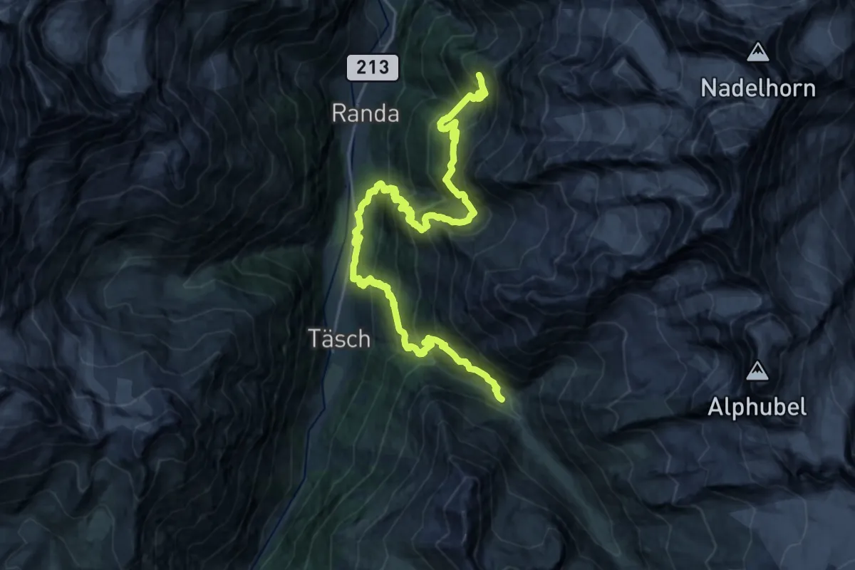
Demanding · Cabin
Europahütte – Täschalp
13.8 km · ↑ 1448 m · 6 h 33 min · 6 km away
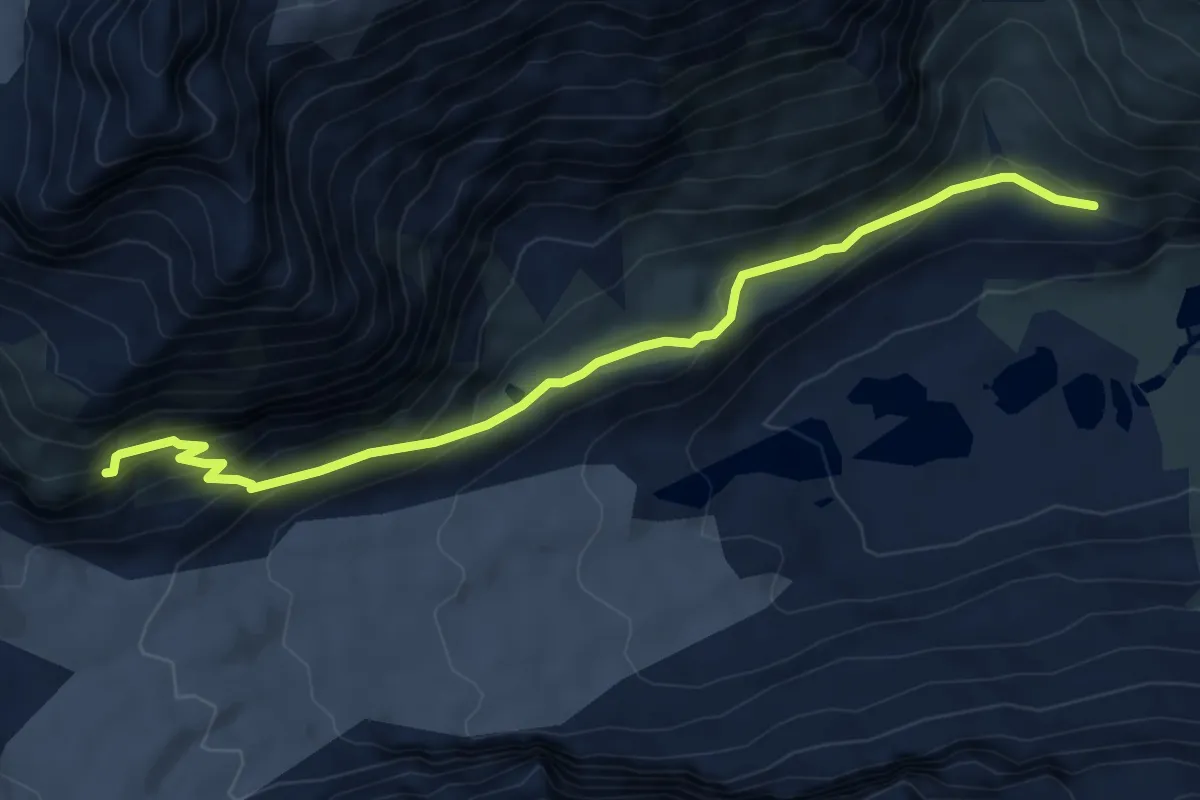
Demanding · Cabin
P2327 – Schönbielhütte SAC 2695
7.5 km · ↑ 397 m · 2 h 38 min · 6 km away
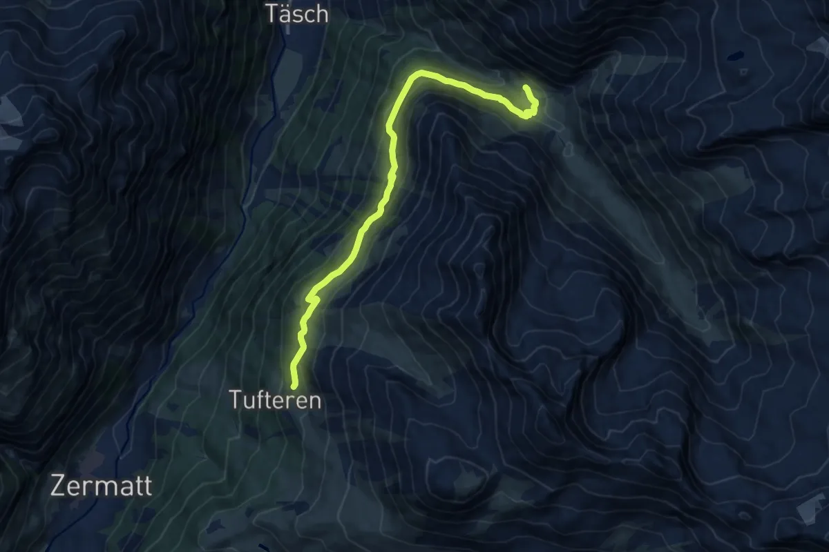
Medium · Trail
Ottafe – Tufteren
11.9 km · ↑ 625 m · 4 h 10 min · 6 km away
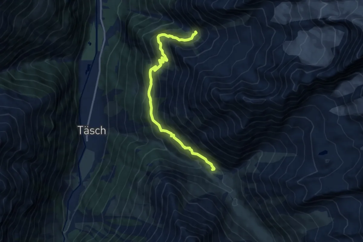
Demanding · Trail
Springelboden – Ottafe
10.4 km · ↑ 910 m · 4 h 25 min · 6 km away
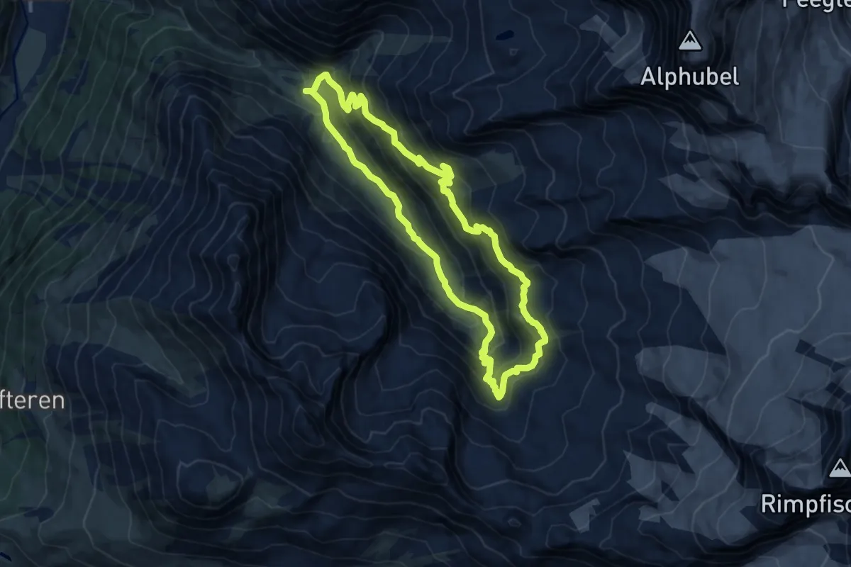
Demanding · Trail
Fluhalp – Täschhütte
10.7 km · ↑ 798 m · 4 h 23 min · 6 km away
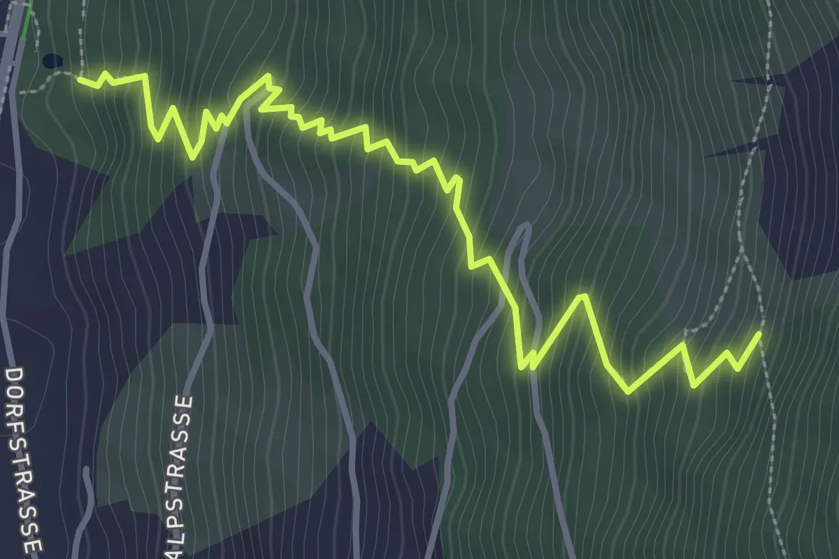
Medium · Trail
Ranft – Europaweg
4.1 km · ↑ 515 m · 2 h 6 min · 7 km away
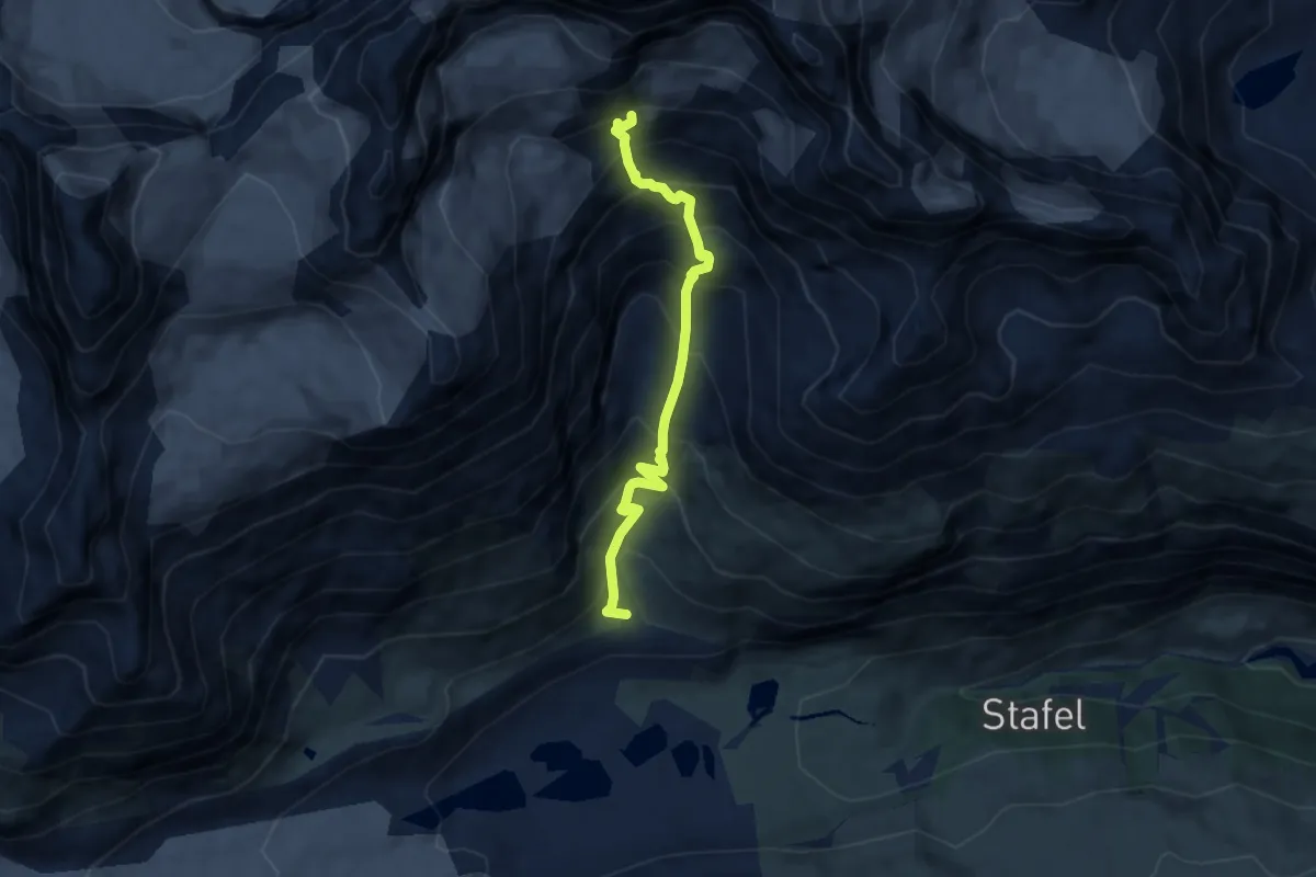
Expert · Trail
Arbenbachfall p2342 – Arbenbiwak p3223
6.9 km · ↑ 886 m · 3 h 32 min · 7 km away
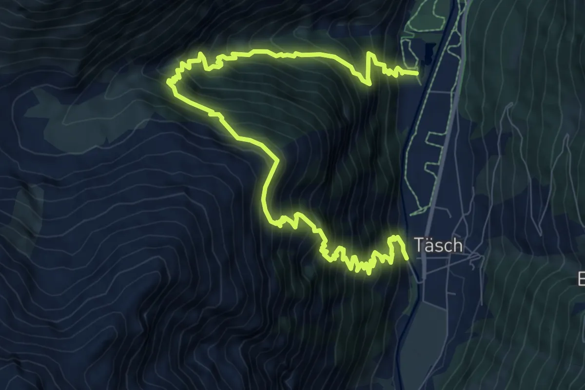
Demanding · Trail
Taesch – Arigscheis
13.3 km · ↑ 1717 m · 6 h 51 min · 7 km away
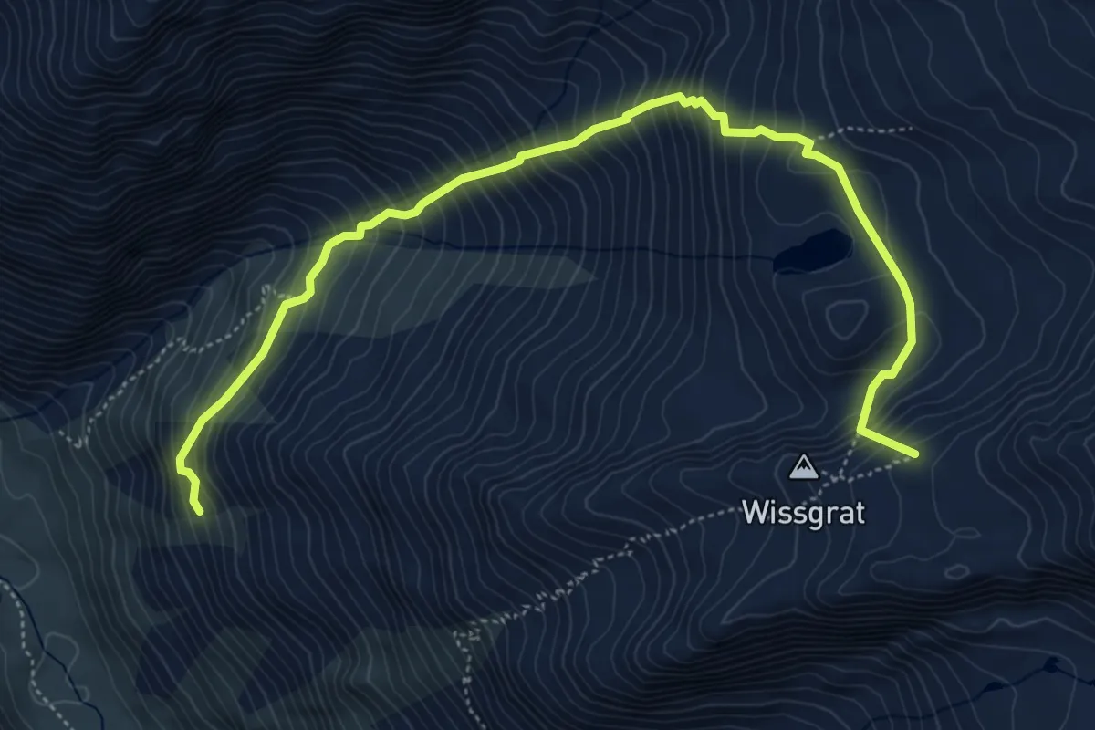
Expert · Summit
Ottawe – Wissgrat
6.3 km · ↑ 854 m · 3 h 20 min · 7 km away
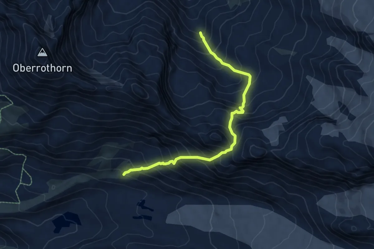
Expert · Trail
Fluhalp – Täschhütte
7.0 km · ↑ 965 m · 3 h 44 min · 7 km away
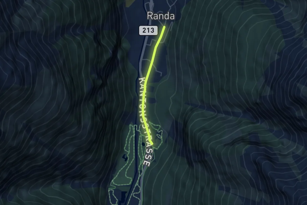
Easy · Trail
Attermenzen – Randa
3.1 km · ↑ 32 m · 48 min · 8 km away
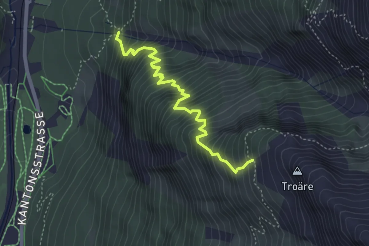
Medium · Trail
Wildi – Springelboden
3.9 km · ↑ 683 m · 2 h 24 min · 8 km away
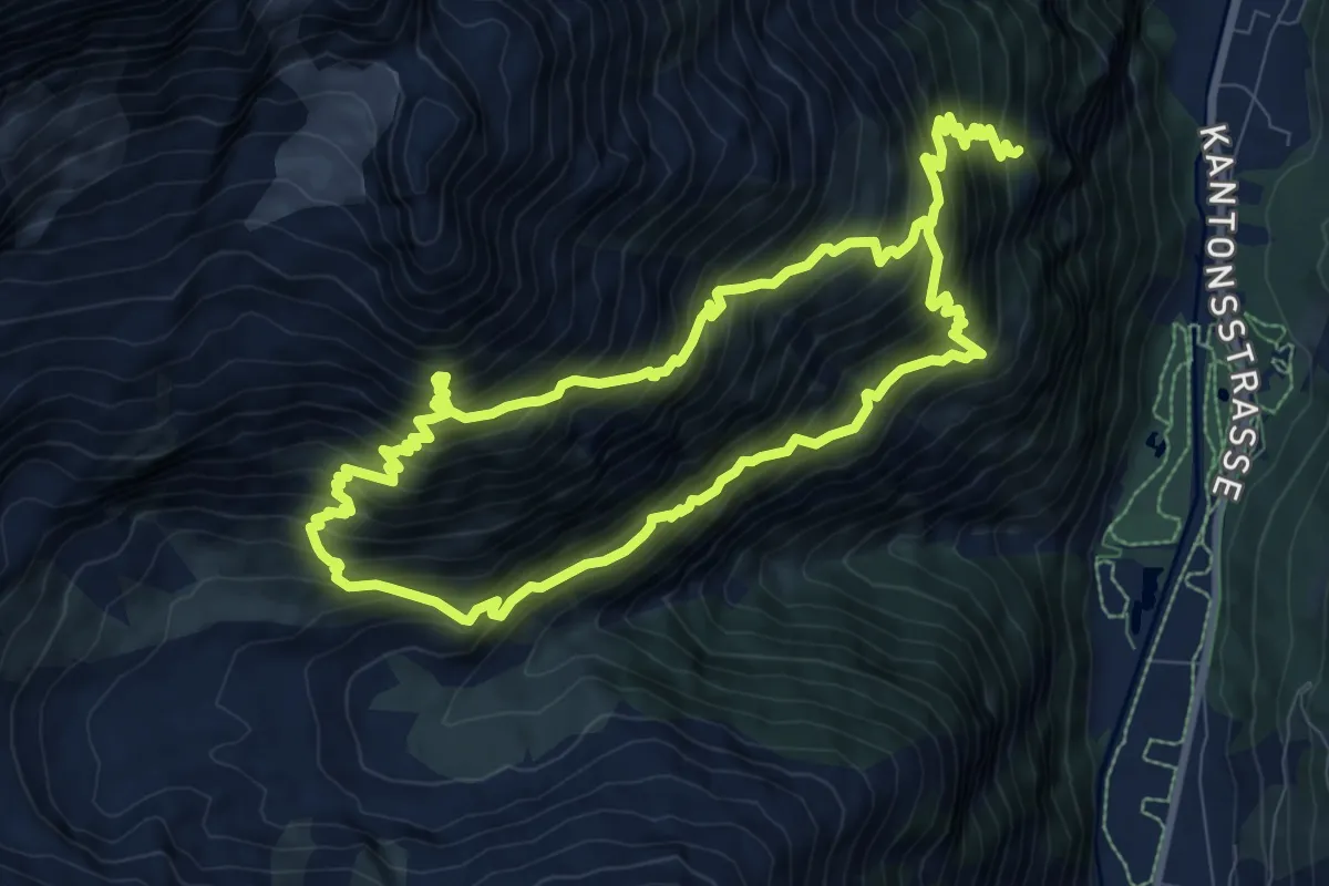
Demanding · Trail
Rötiboden – Weisshornhütte
8.9 km · ↑ 1037 m · 4 h 39 min · 8 km away
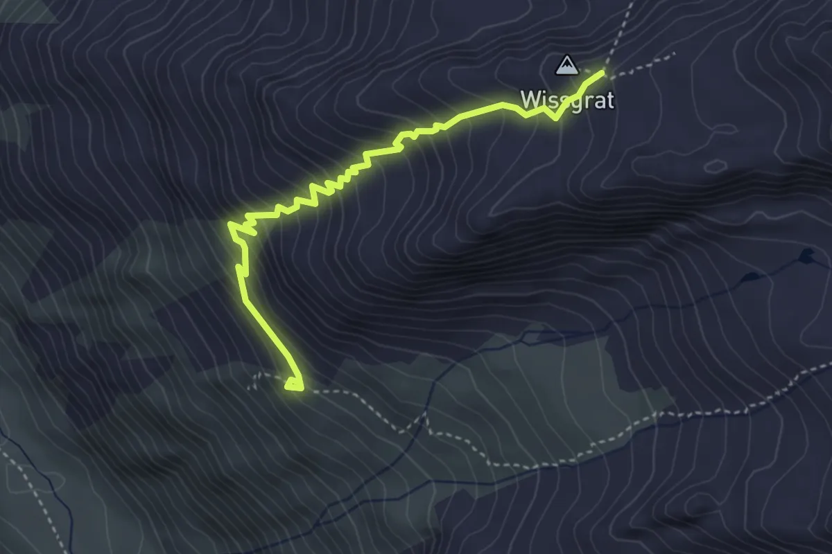
Demanding · Cabin
Täschhütte – Wissgrat
4.0 km · ↑ 461 m · 1 h 56 min · 8 km away
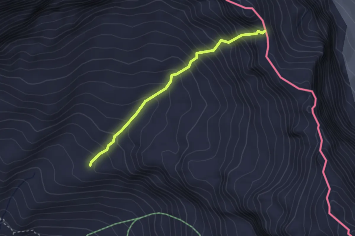
Medium · Trail
Breuil-Cervinia – Anfiteatro del Furggen
2.7 km · ↑ 382 m · 1 h 28 min · 8 km away
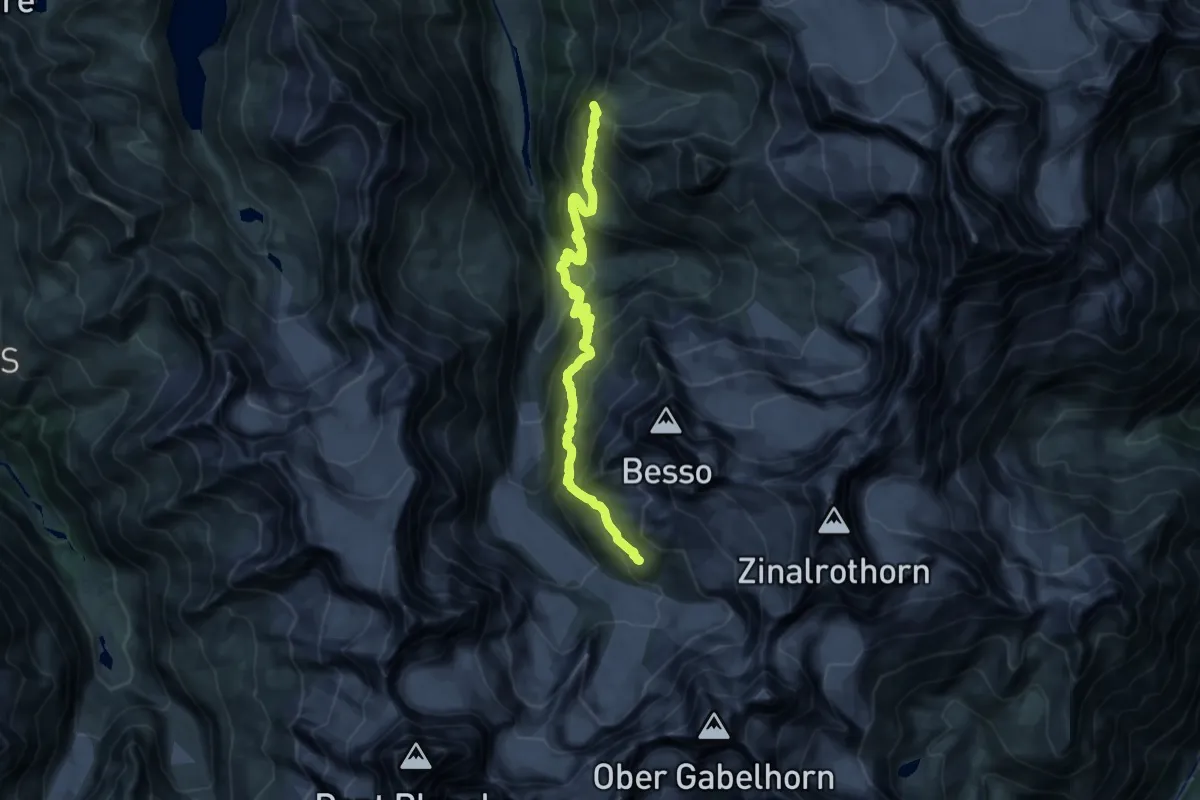
Demanding · Summit
Tracuit Hut – Grand Mountet Hut
19.9 km · ↑ 1894 m · 8 h 48 min · 9 km away
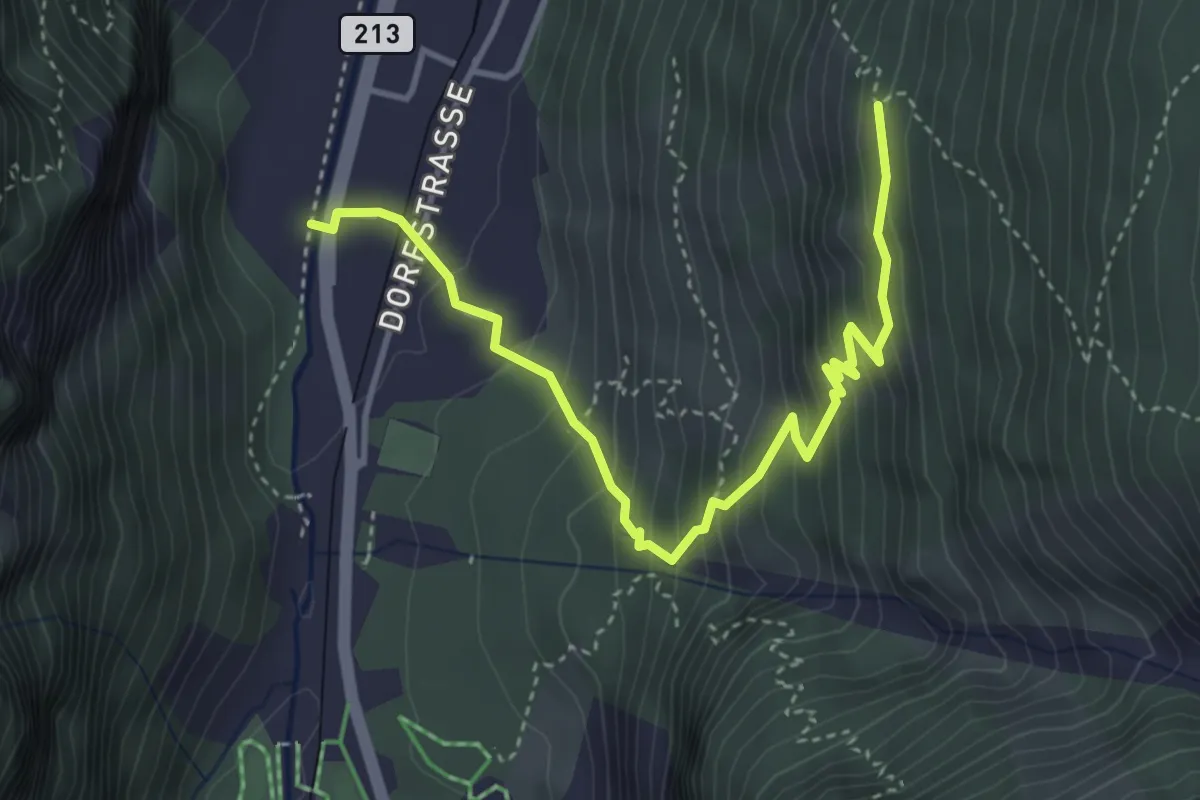
Medium · Trail
Wildi – Undri Tschugge
4.3 km · ↑ 420 m · 1 h 56 min · 9 km away
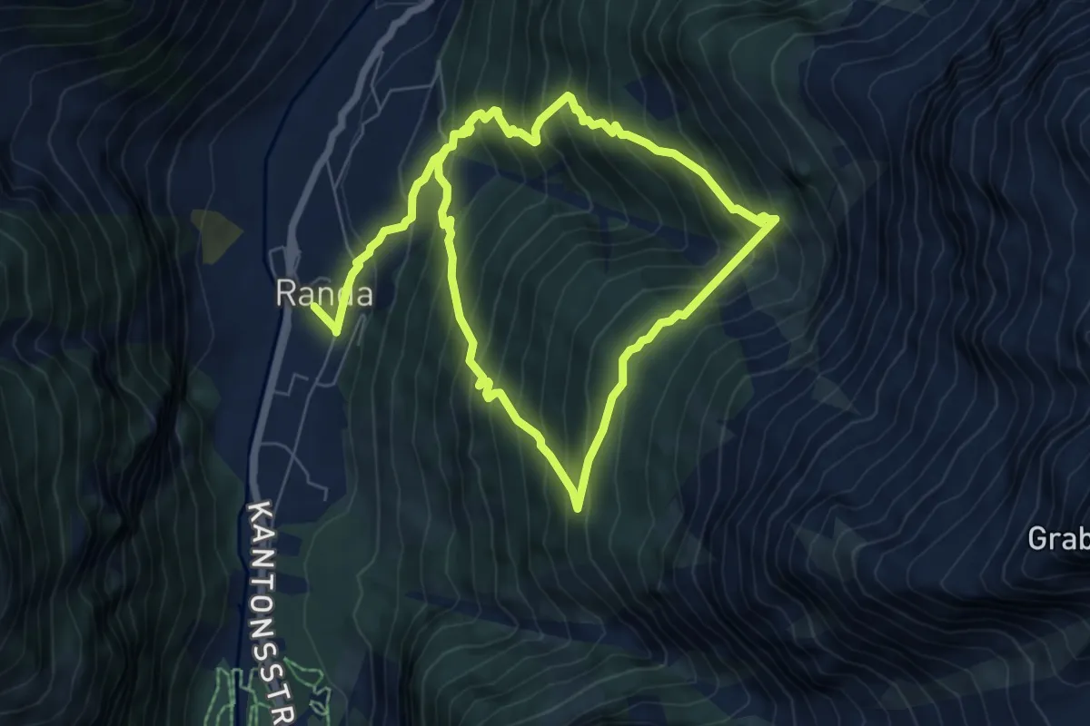
Medium · Trail
Randa Hängebrückenweg
5.9 km · ↑ 741 m · 3 h 1 min · 9 km away
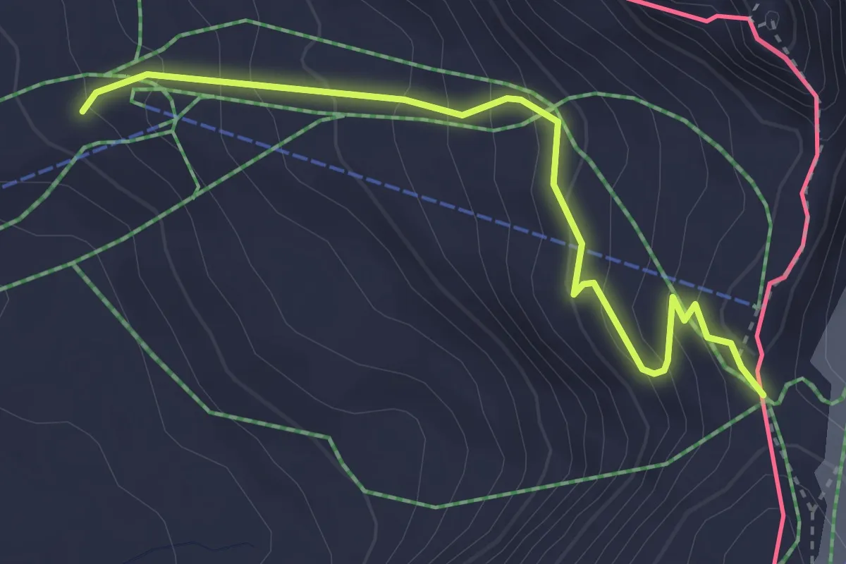
Easy · Cabin
Tour Monte Rosa tappa 2
3.7 km · ↑ 310 m · 1 h 32 min · 9 km away
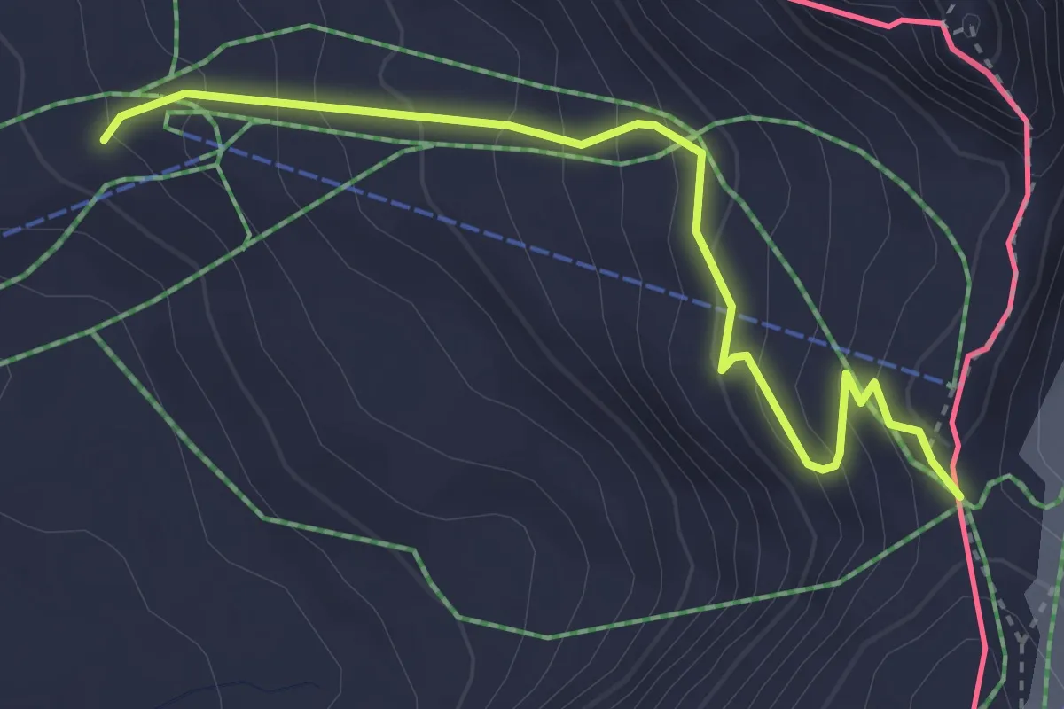
Easy · Cabin
Breuil-Cervinia – Col de Saint-Théodule
3.7 km · ↑ 310 m · 1 h 32 min · 9 km away
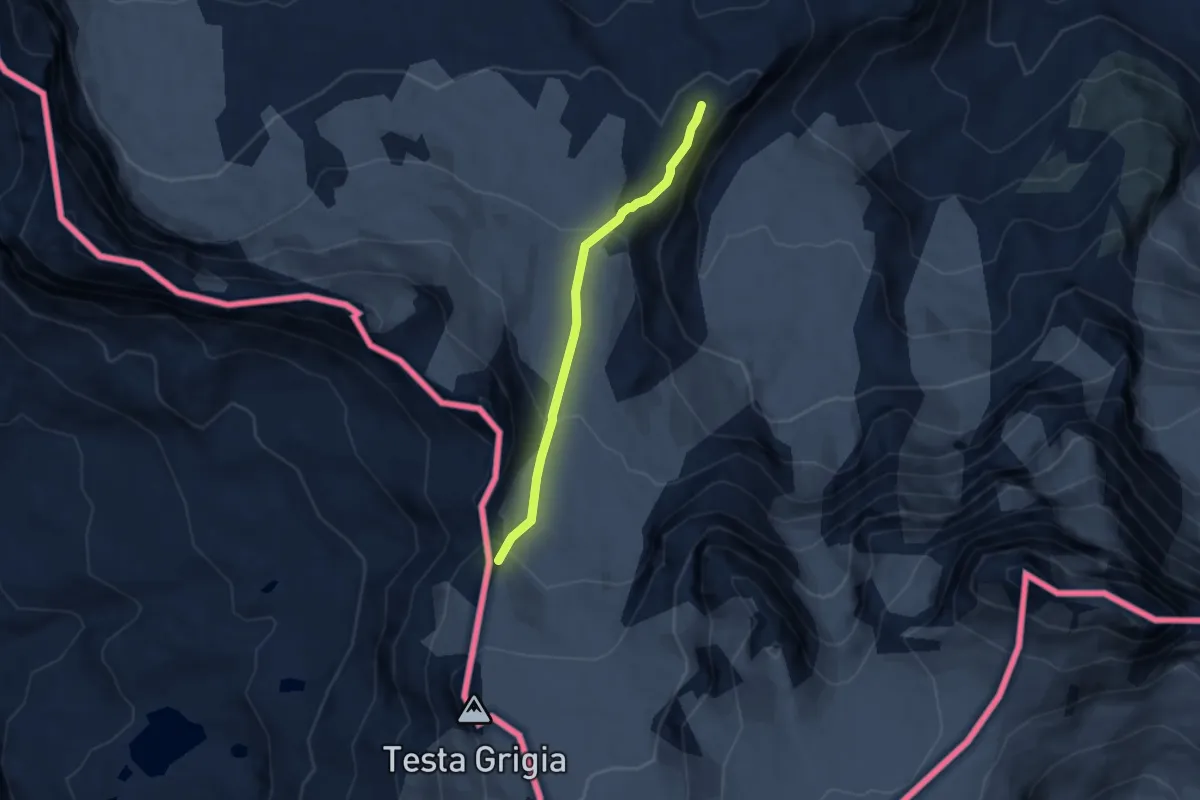
Expert · Cabin
Gandegghütte – Theodulpass
5.8 km · ↑ 298 m · 2 h 2 min · 9 km away
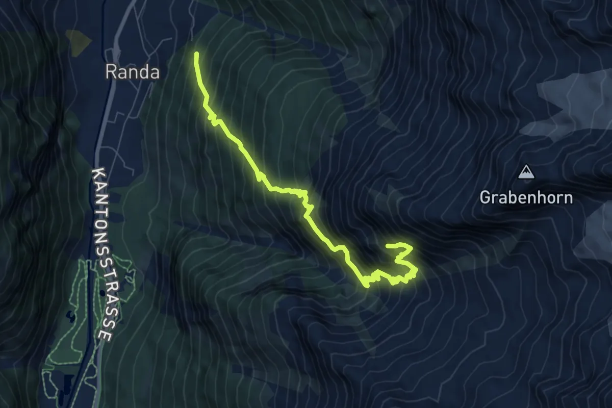
Demanding · Cabin
Randa – Kinhütte
8.3 km · ↑ 1230 m · 4 h 37 min · 9 km away
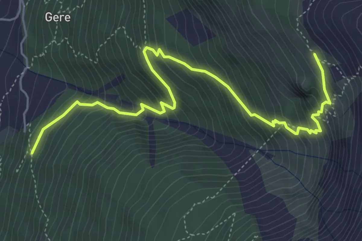
Medium · Cabin
Randa - Europahütte
5.7 km · ↑ 681 m · 2 h 50 min · 9 km away
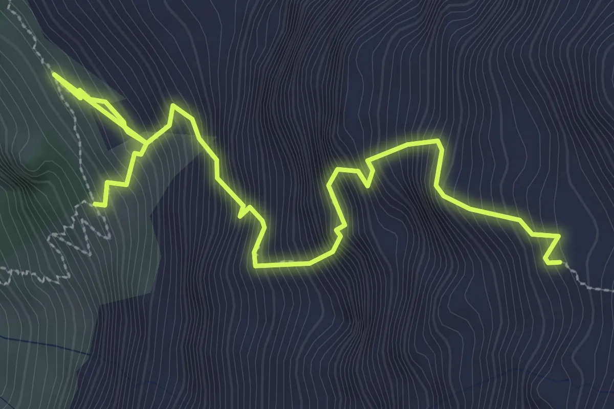
Expert · Cabin
Europahütte – Domhütte
4.2 km · ↑ 815 m · 2 h 45 min · 10 km away
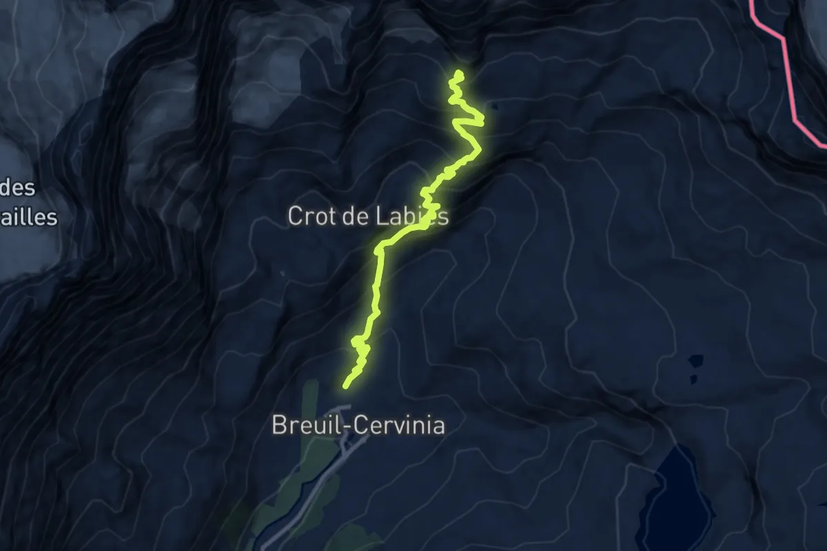
Expert · Trail
Breuil-Cervinia – Croce Carrel
10.0 km · ↑ 979 m · 4 h 29 min · 11 km away