Trails near Zermatt
139 hikes starting within 15 km, nearest first.
Nearest first, page 3 of 3
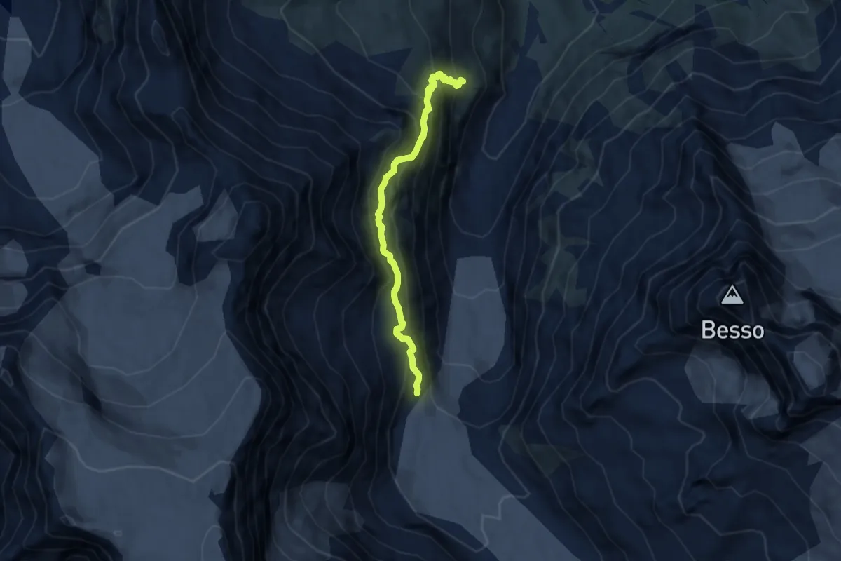
Medium · Cabin
Cabane du Petit Mountet – Grand Mountet Hut
6.6 km · ↑ 654 m · 2 h 59 min · 11 km away
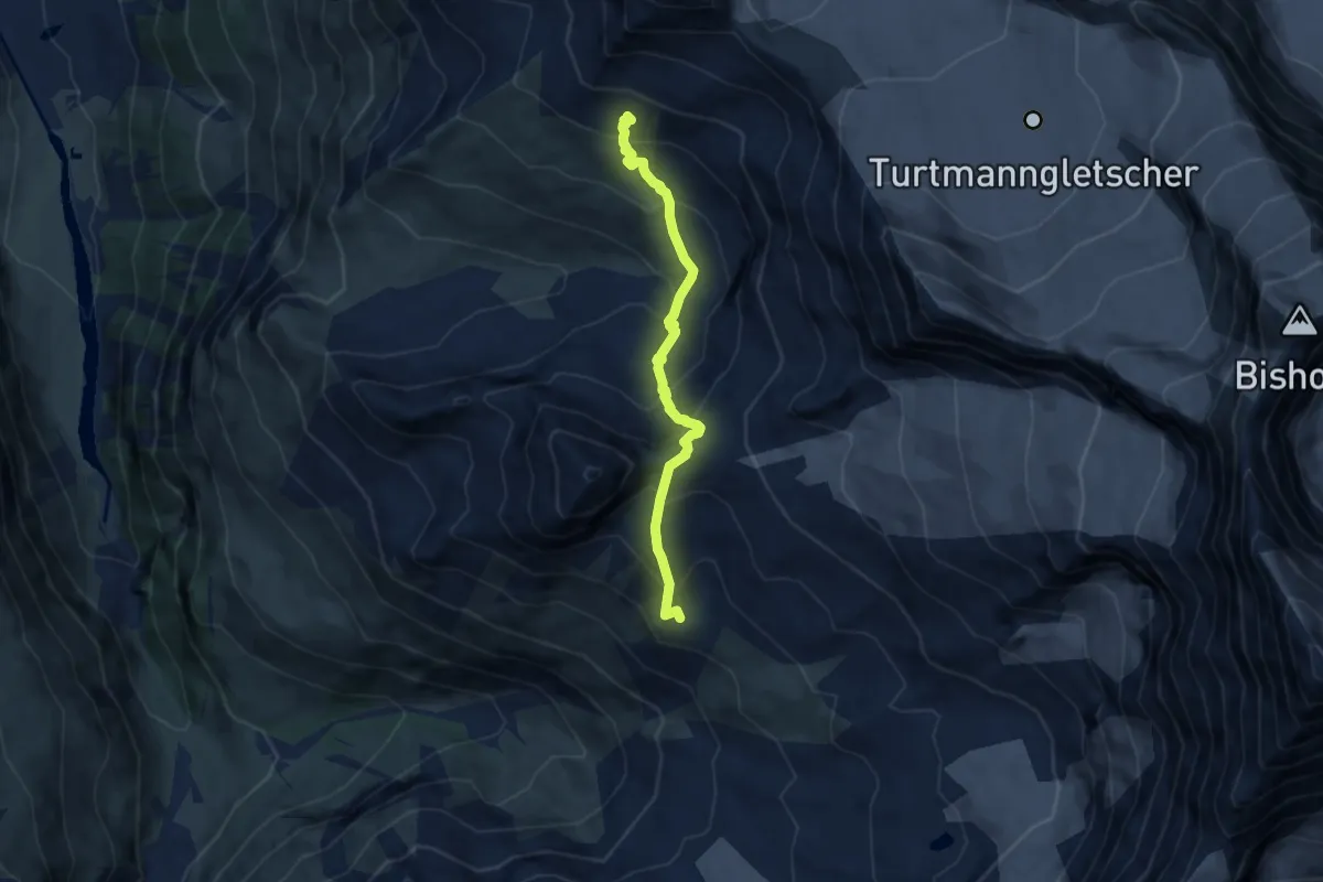
Demanding · Trail
Tracuit Hut – Cabane Arpitettaz
6.9 km · ↑ 671 m · 3 h 4 min · 11 km away
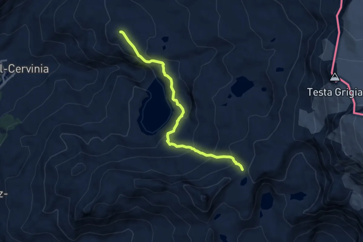
Medium · Trail
Plan Maison – Colle Superiore Cime Bianche
8.9 km · ↑ 575 m · 3 h 21 min · 11 km away
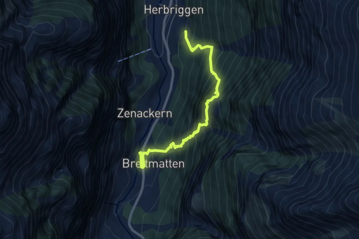
Medium · Trail
Herbriggen - Breitmatten
5.6 km · ↑ 716 m · 2 h 53 min · 12 km away
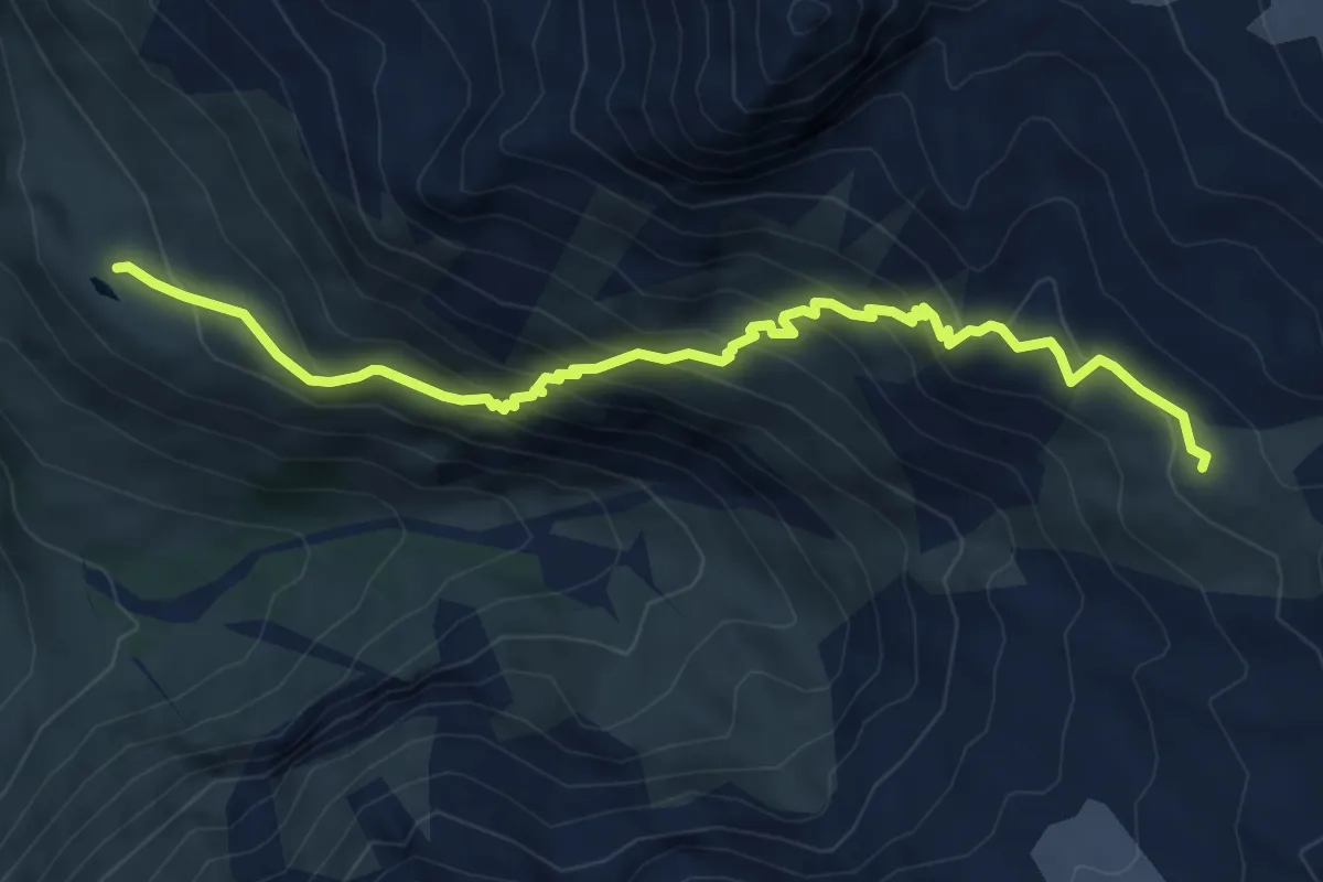
Demanding · Cabin
Lac Arpitettaz – Cabane Arpitettaz
7.2 km · ↑ 599 m · 2 h 59 min · 12 km away
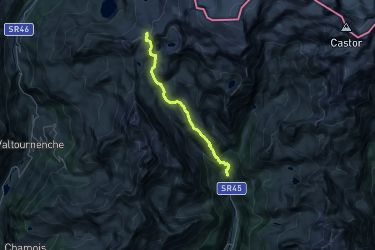
Demanding · Trail
Blanchard – Colle Superiore Cime Bianche
17.2 km · ↑ 1275 m · 6 h 50 min · 12 km away
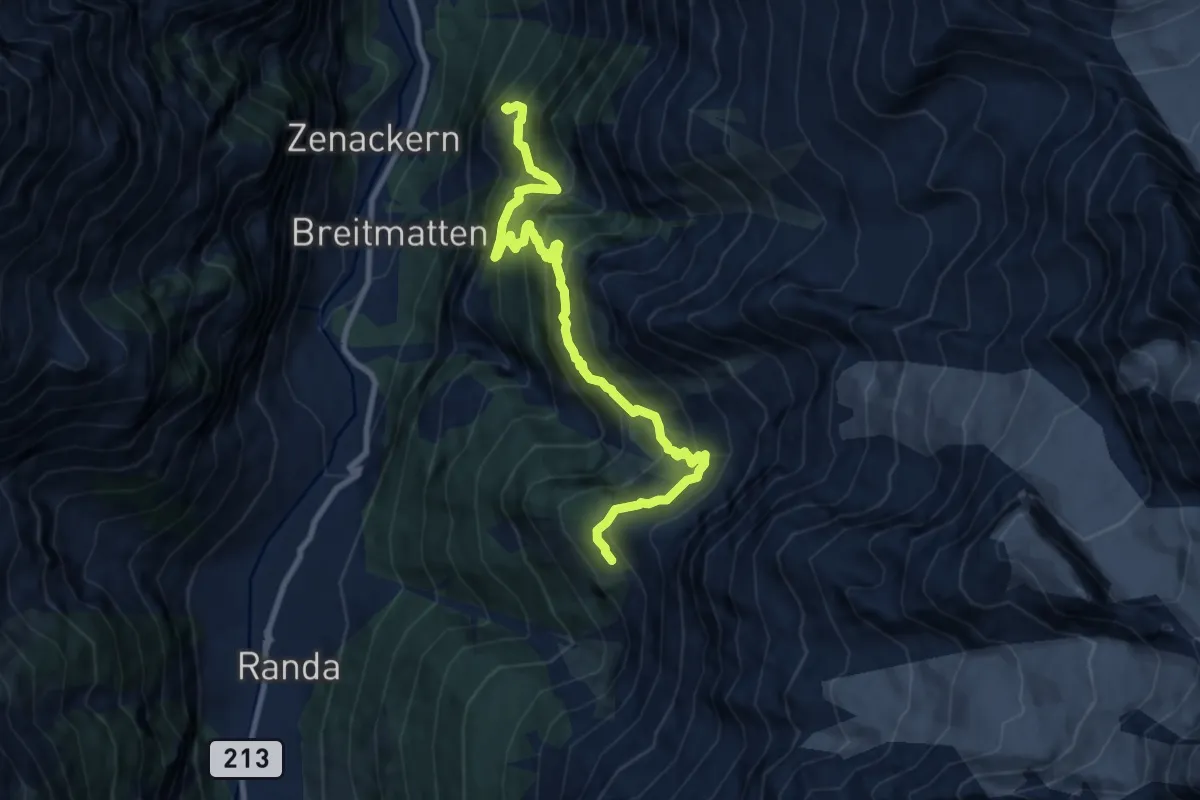
Demanding · Cabin
Geisstrift - Europahütte
10.2 km · ↑ 1254 m · 5 h 7 min · 13 km away
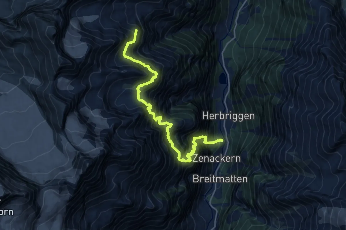
Expert · Cabin
Herrbigen – Topalihütte
8.5 km · ↑ 1915 m · 5 h 34 min · 13 km away
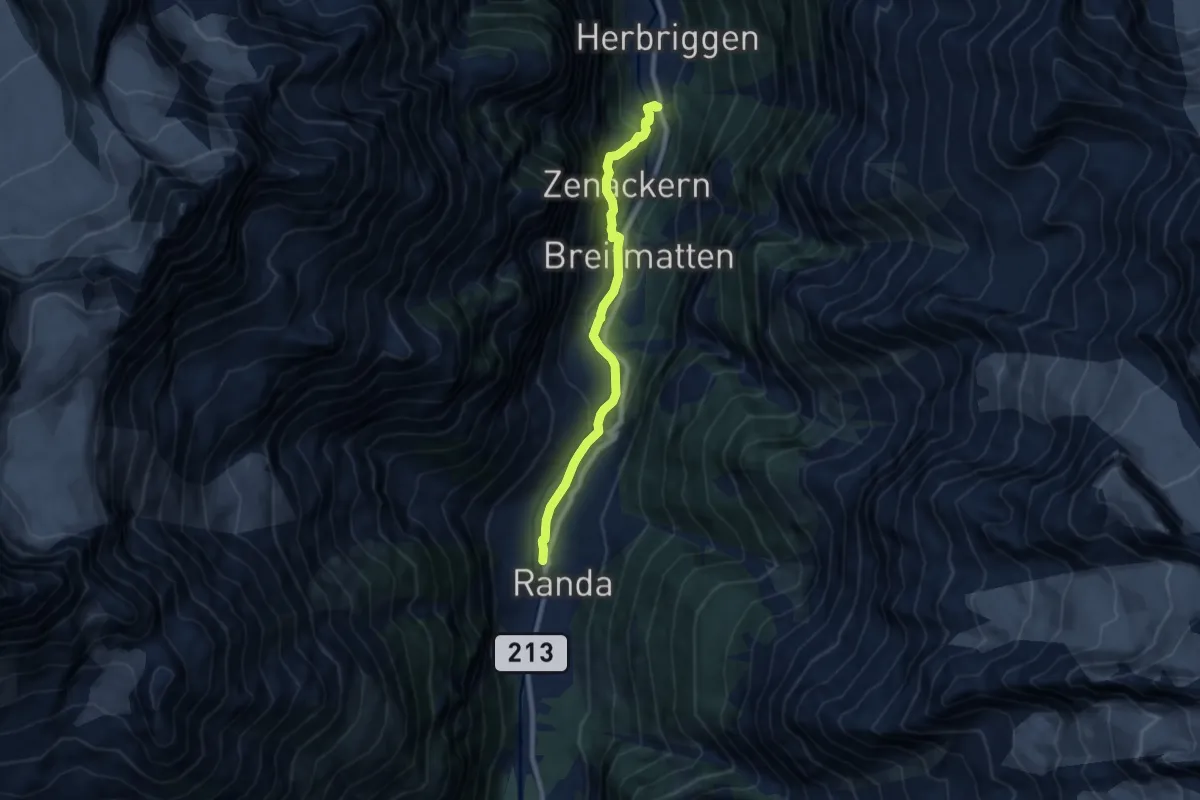
Medium · Trail
Randa – Herrbrigen
8.1 km · ↑ 379 m · 2 h 44 min · 13 km away
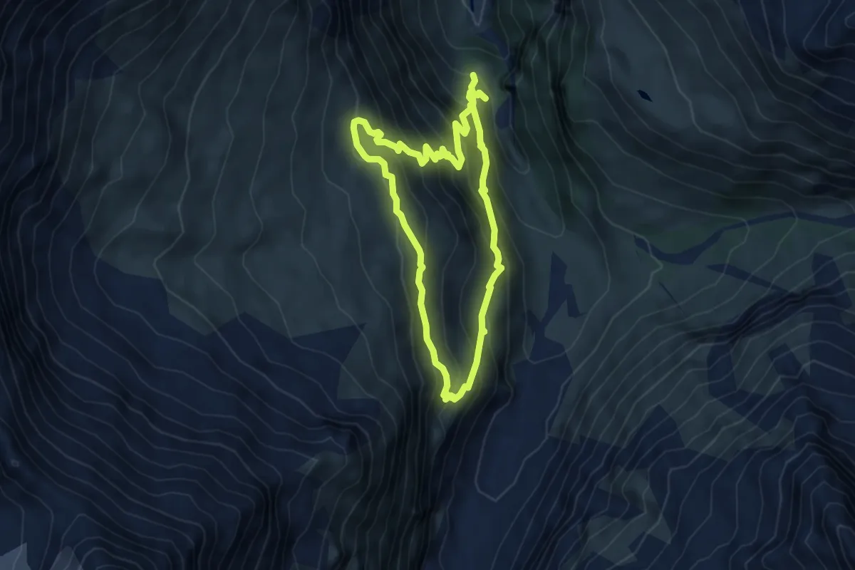
Medium · Trail
Le Vichiesso – Cabane du Petit Mountet
4.9 km · ↑ 431 m · 2 h 11 min · 13 km away
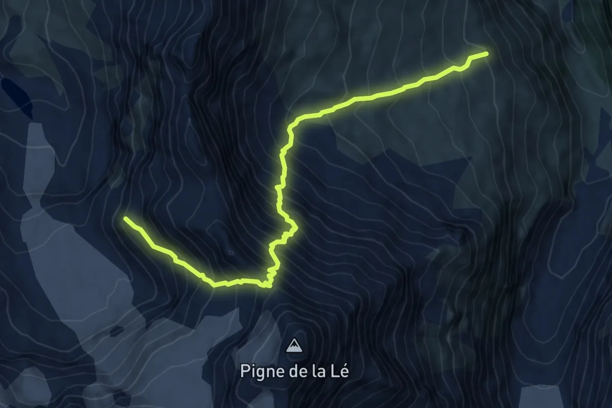
Expert · Cabin
Cabane du Petit Mountet – Cabane de Moiry
8.7 km · ↑ 1196 m · 4 h 39 min · 13 km away
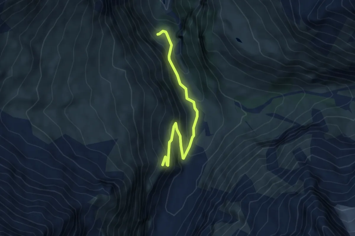
Medium · Cabin
Cabane du Petit Mountet – Le Vichiesso
5.5 km · ↑ 362 m · 2 h 5 min · 13 km away
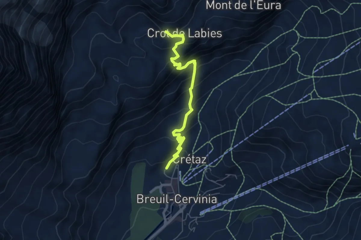
Medium · Trail
Breuil-Cervinia – Sentier Carrel
5.5 km · ↑ 491 m · 2 h 22 min · 13 km away
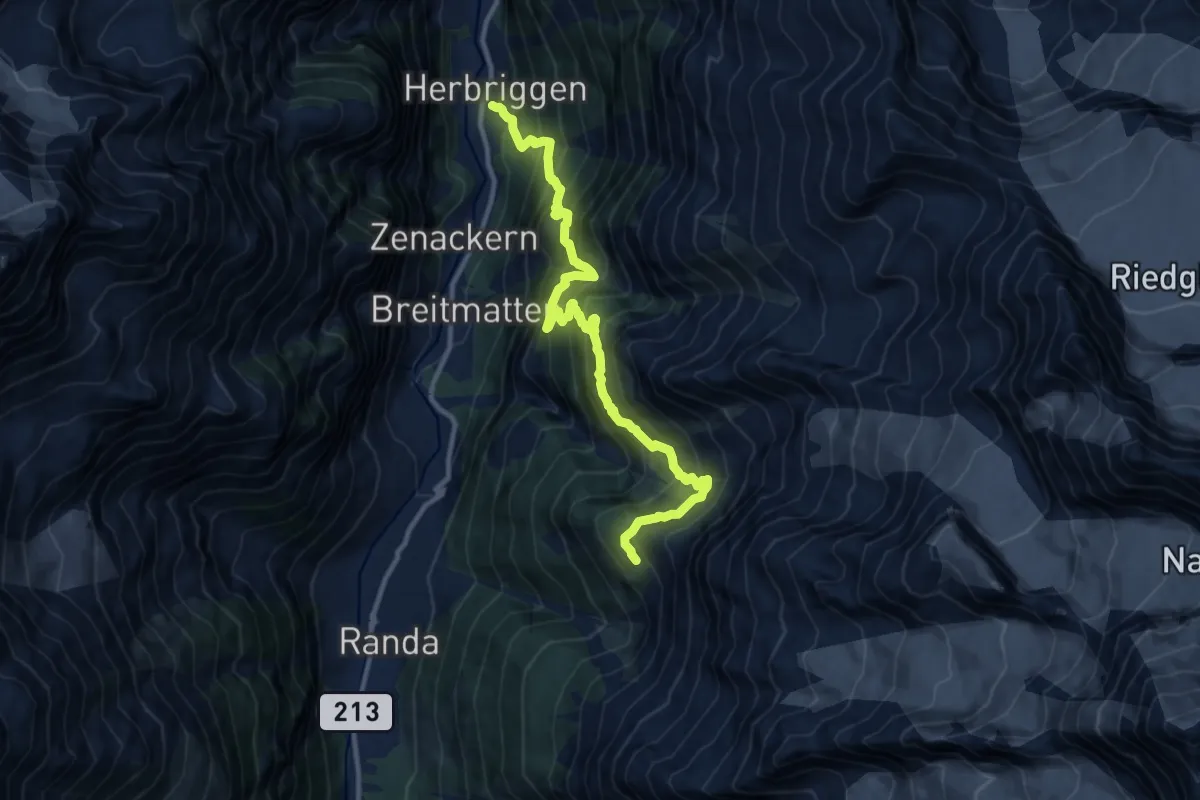
Demanding · Cabin
Herbriggen – Europahütte
12.8 km · ↑ 1641 m · 6 h 34 min · 13 km away
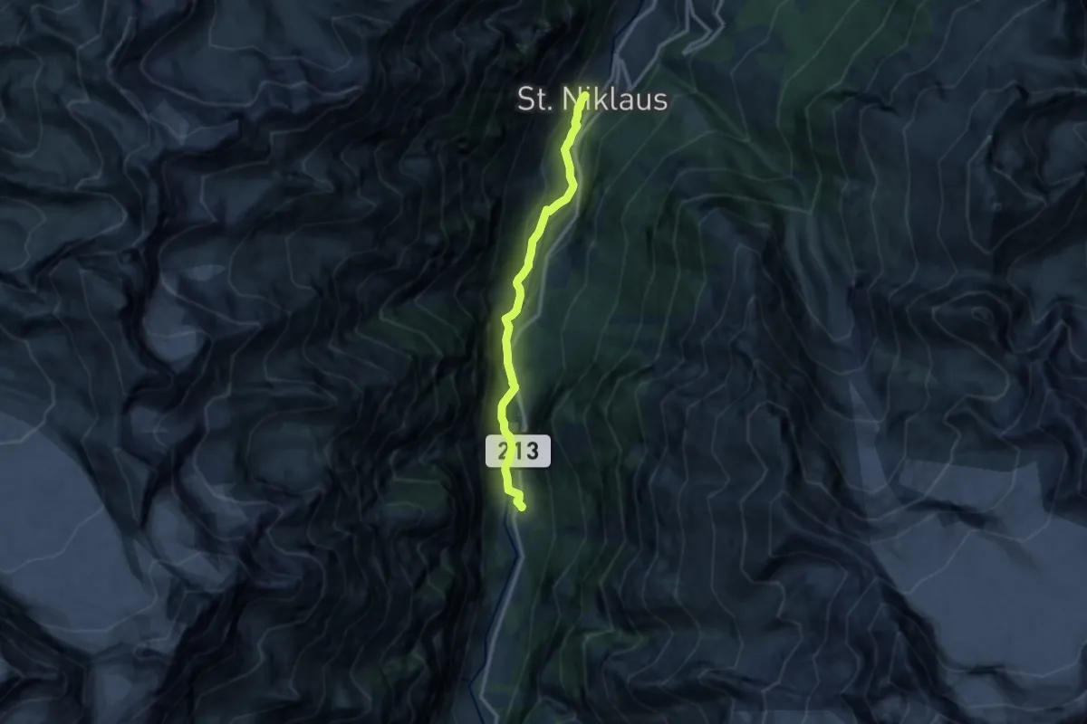
Medium · Trail
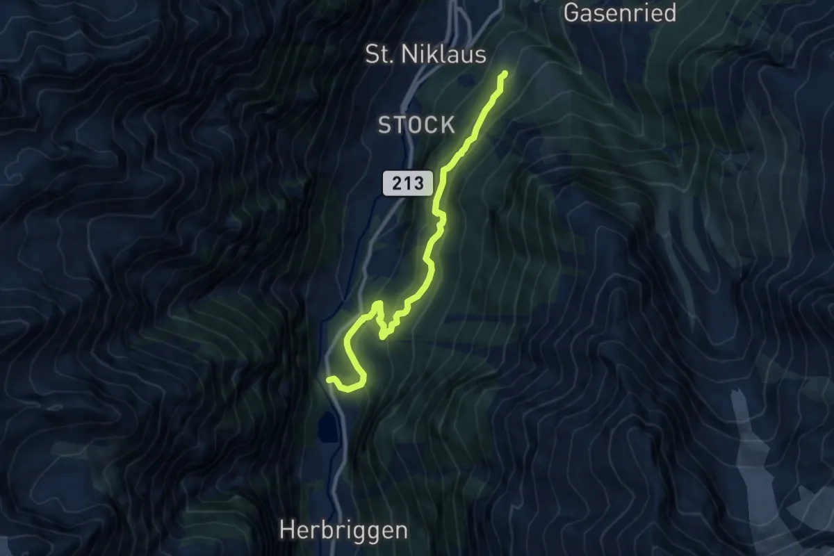
St. Niklaus – Herbriggen
10.6 km · ↑ 236 m · 3 h 1 min · 13 km away
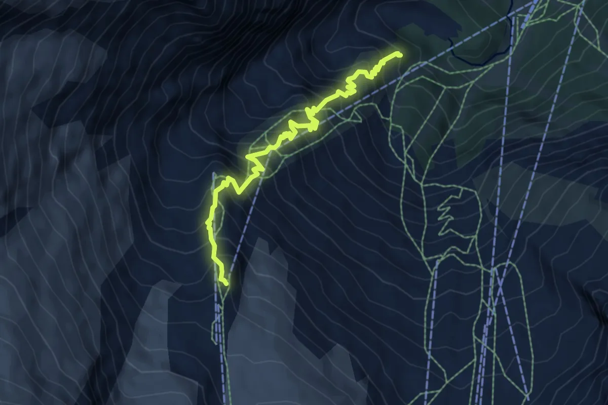
Demanding · Trail
Gletschergrotte - Längfluh
7.0 km · ↑ 891 m · 3 h 35 min · 13 km away
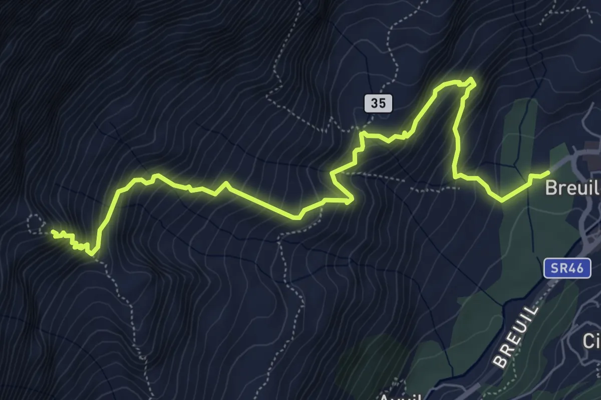
Expert · Cabin
Breuil-Cervinia – Rifugio Bobba
7.7 km · ↑ 842 m · 3 h 39 min · 13 km away
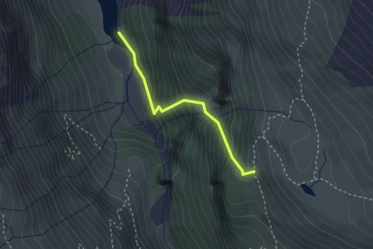
Expert · Trail
Pas du Chasseur
2.2 km · ↑ 421 m · 1 h 26 min · 13 km away
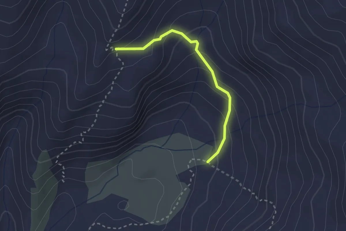
Medium · Trail
Sentiero 7A
2.1 km · ↑ 193 m · 55 min · 14 km away
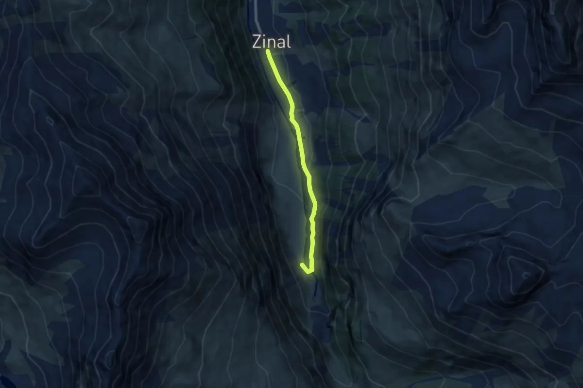
Easy · Trail
Zinal – Pont de Gietti
5.9 km · ↑ 68 m · 1 h 33 min · 14 km away
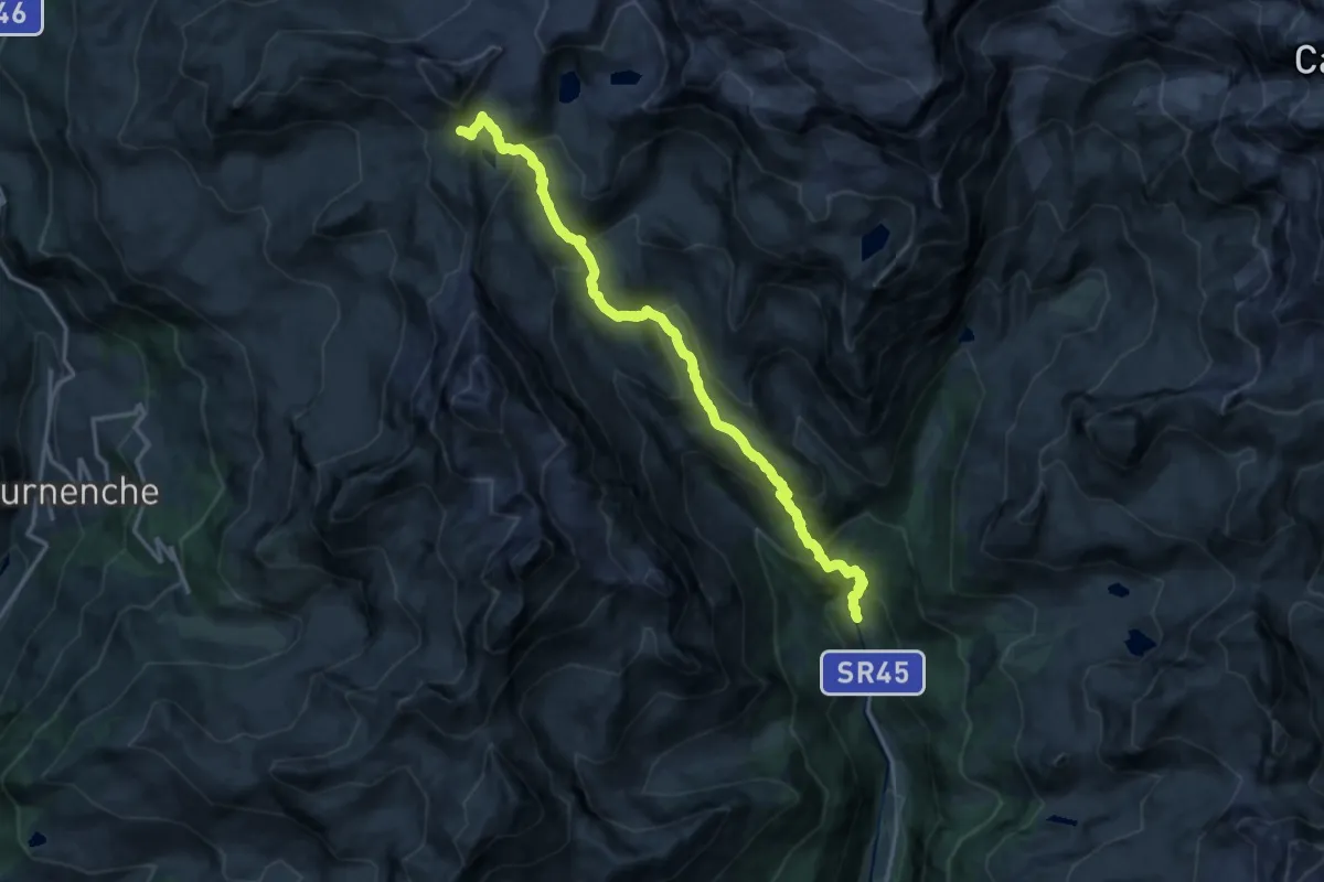
Expert · Trail
Blanchard – Colle Inferiore Cime Bianche
15.9 km · ↑ 1164 m · 6 h 17 min · 14 km away
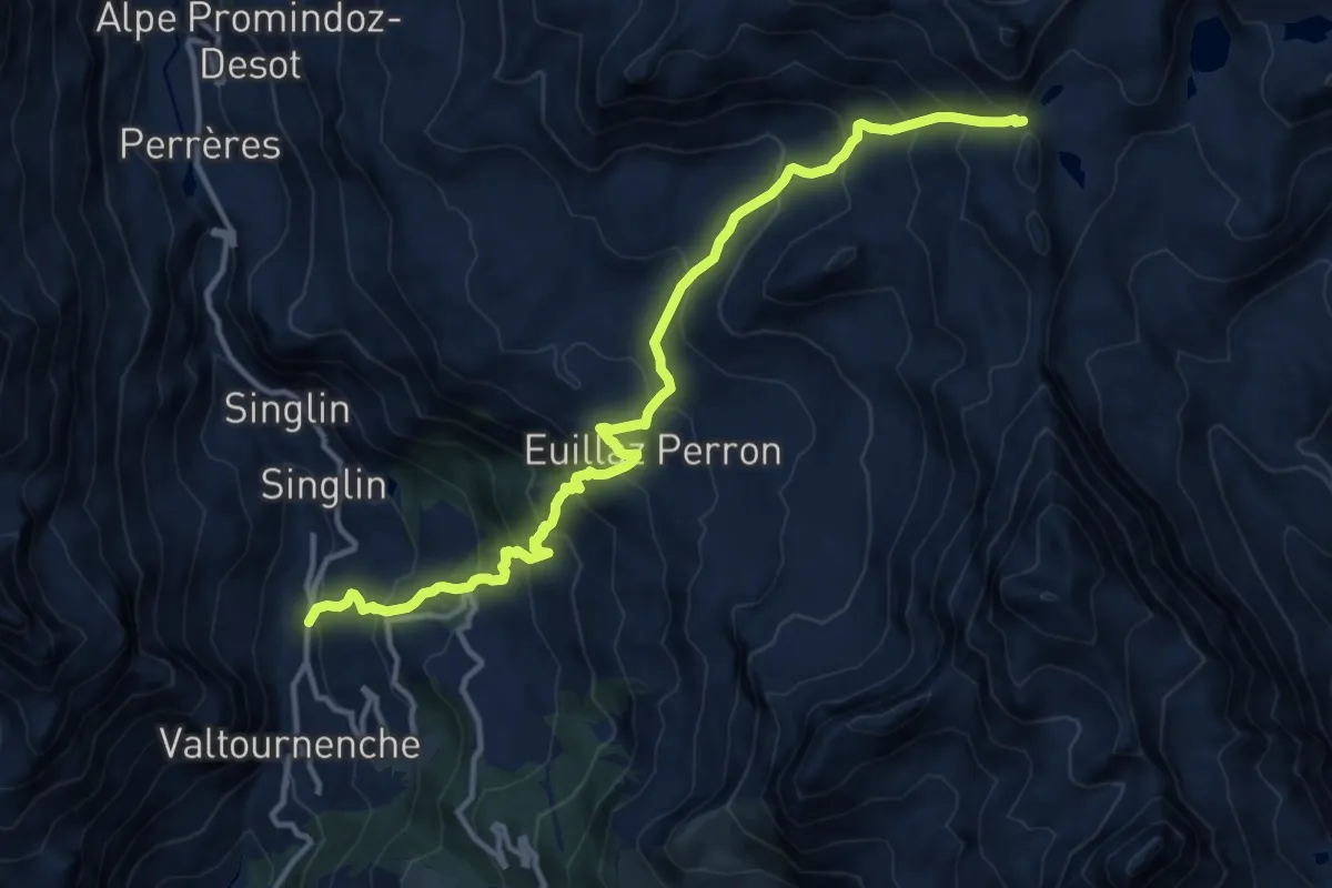
Demanding · Trail
Tourterouse – Colle Superiore delle Cime Bianche Sud
14.0 km · ↑ 1334 m · 6 h 12 min · 14 km away
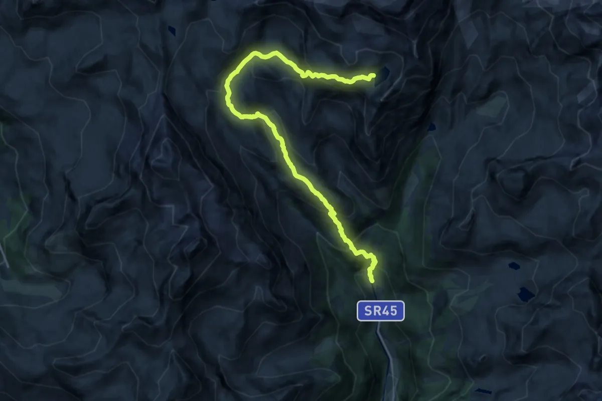
Expert · Trail
Blanchard – Lago Tzère
18.0 km · ↑ 1284 m · 7 h 2 min · 14 km away
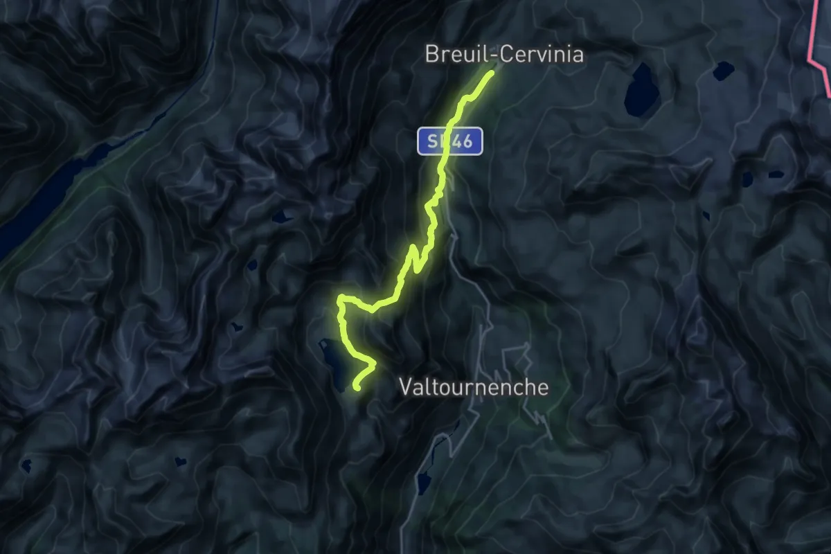
Demanding · Cabin
Gran Balconata del Cervino - Stage 3
19.7 km · ↑ 1129 m · 7 h 6 min · 14 km away
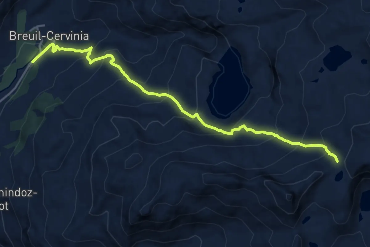
Demanding · Trail
Breuil-Cervinia – Colle Superiore delle Cime Bianche
12.1 km · ↑ 967 m · 4 h 57 min · 14 km away
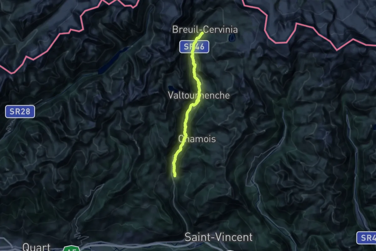
Medium · Trail
Bourg – Maen
17.4 km · ↑ 138 m · 5 h 7 min · 14 km away
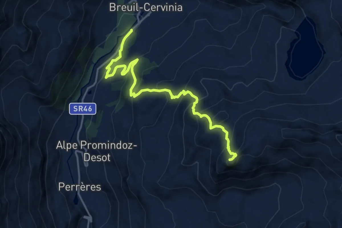
Demanding · Summit
Breuil-Cervinia – Motta di Plété Occidentale
11.8 km · ↑ 840 m · 4 h 36 min · 14 km away
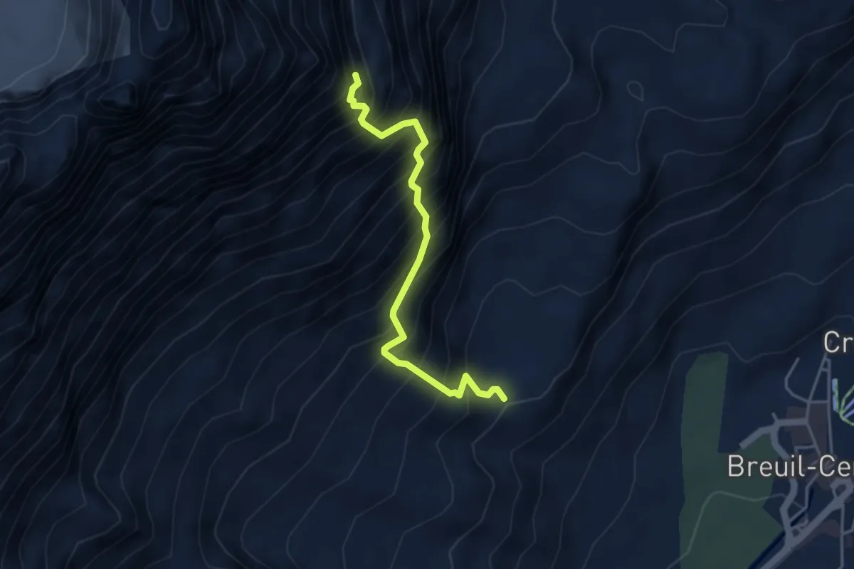
Expert · Trail
Sentiero Bivacco Umberto Balestreri
3.8 km · ↑ 859 m · 2 h 46 min · 14 km away
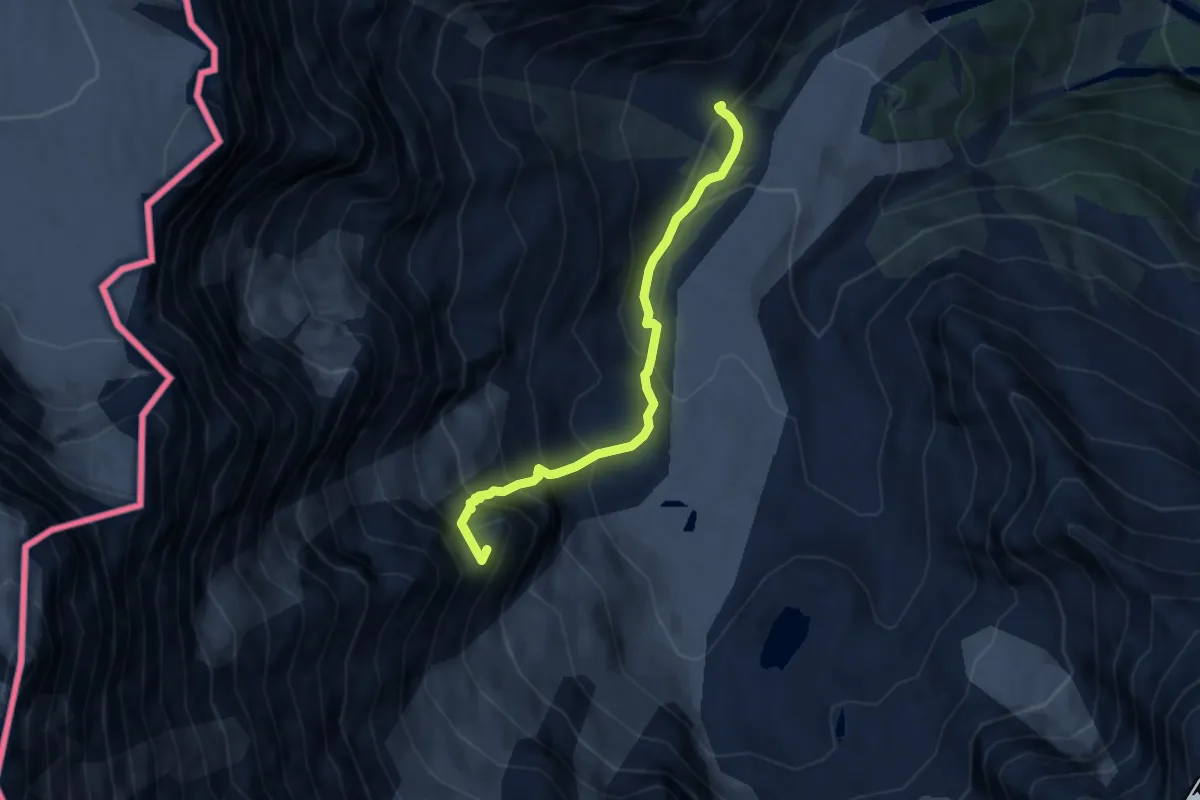
Expert · Summit
Alpe Fillar – Capanna Damiano Marinelli
6.2 km · ↑ 747 m · 3 h 4 min · 14 km away
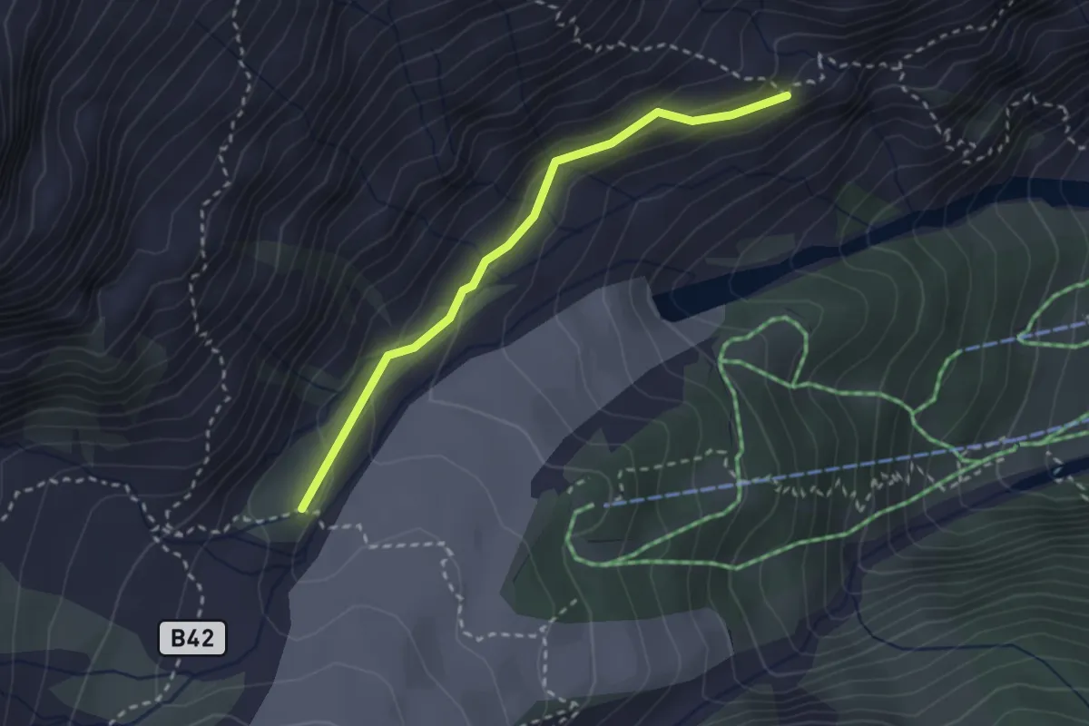
Medium · Trail
Alpe Roffelstafel (bivio B38) – Alpe Fillar (bivio B40)
2.6 km · ↑ 138 m · 54 min · 14 km away
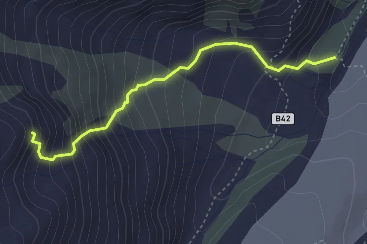
Demanding · Cabin
Alpe Fillar – Bivacco Valentino Belloni
3.2 km · ↑ 466 m · 1 h 45 min · 14 km away
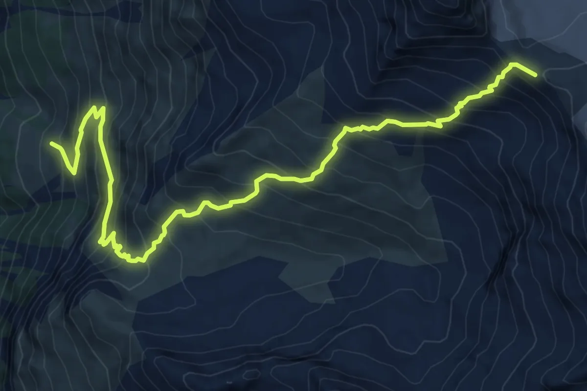
Demanding · Cabin
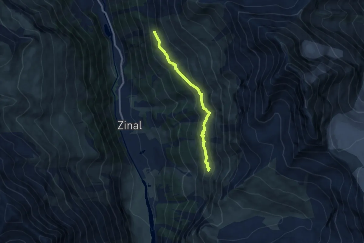
Zinal – Tracuit Hut
10.6 km · ↑ 1202 m · 5 h 7 min · 14 km away
Medium · Trail
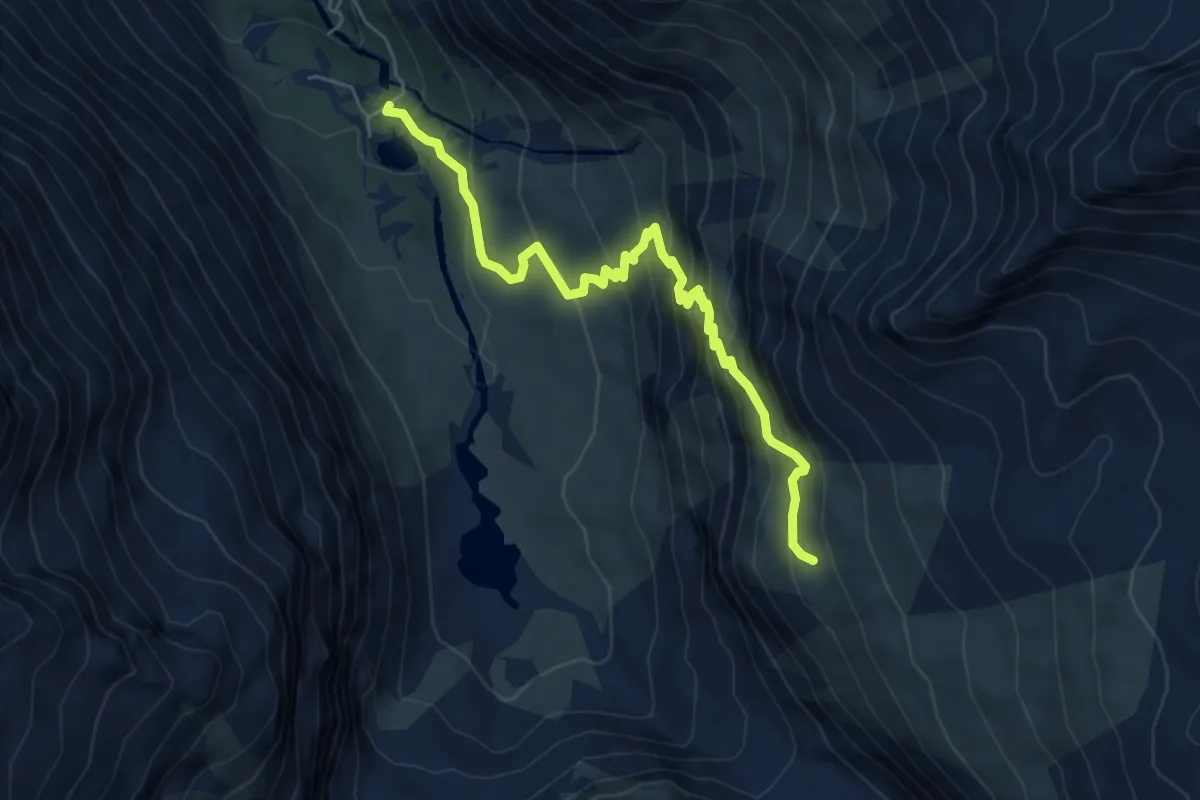
Lirec – Tracuit
6.7 km · ↑ 474 m · 2 h 37 min · 14 km away
Medium · Trail
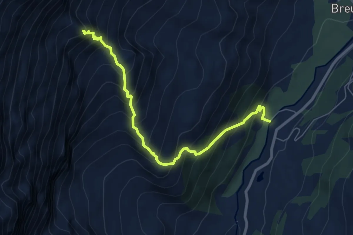
Ferpècle – Bricola p2416
6.1 km · ↑ 583 m · 2 h 42 min · 14 km away
Expert · Cabin
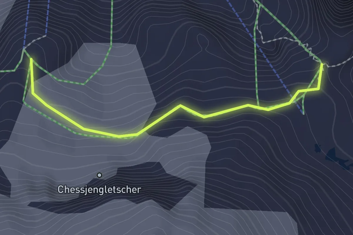
Avouil – Rifugio Bobba
5.9 km · ↑ 791 m · 3 h 7 min · 15 km away
Expert · Trail
Felskinnweg
2.0 km · ↑ 137 m · 47 min · 15 km away
Medium · Trail
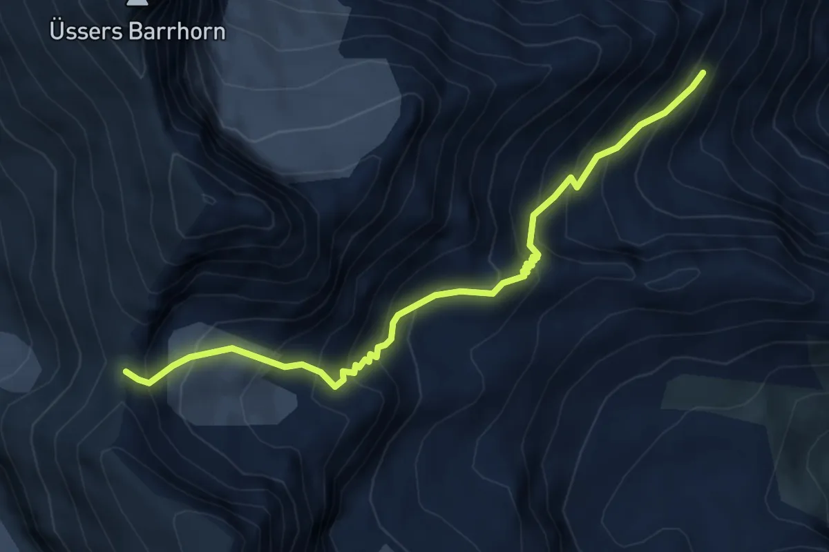
Mattsand – Tennjen
9.4 km · ↑ 577 m · 3 h 29 min · 15 km away
Expert · Trail
Topalihütte – Schöllijoch
5.6 km · ↑ 612 m · 2 h 39 min · 15 km away
Medium · Trail
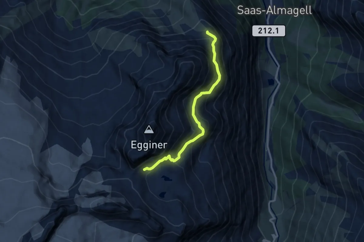
Plattjen - Egginerjoch
7.2 km · ↑ 635 m · 3 h 4 min · 15 km away
Demanding · Summit
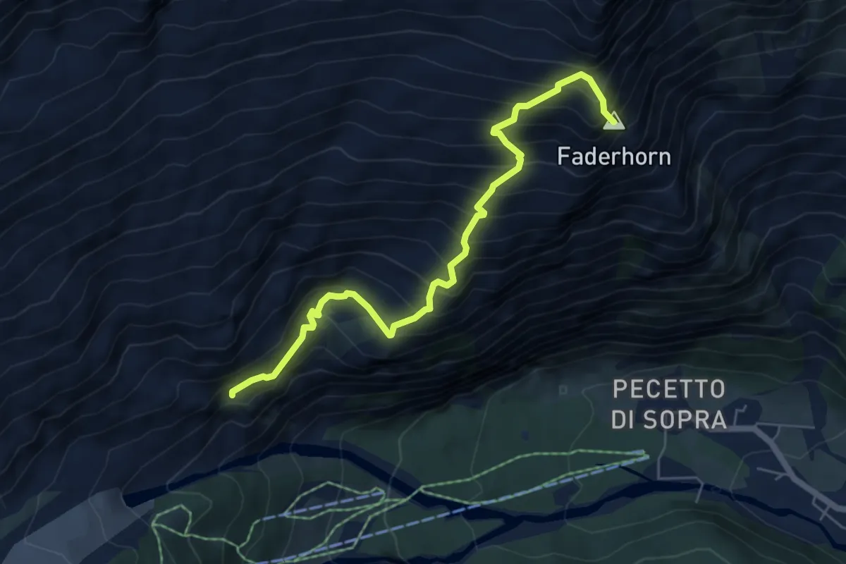
Sentiero Barlocco-Iacchini
6.0 km · ↑ 911 m · 3 h 24 min · 15 km away
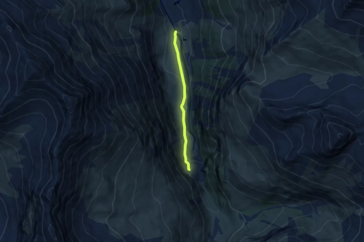
Easy · Trail
La Tsoucdanna – Le Vichiesso
5.0 km · ↑ 202 m · 1 h 36 min · 15 km away
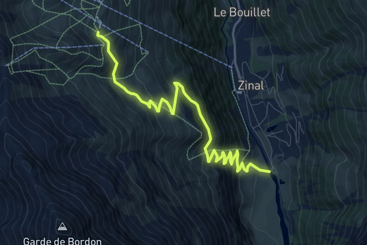
Medium · Trail
La Tzoucdana – Cabane de Sorebois
10.5 km · ↑ 755 m · 4 h 7 min · 15 km away
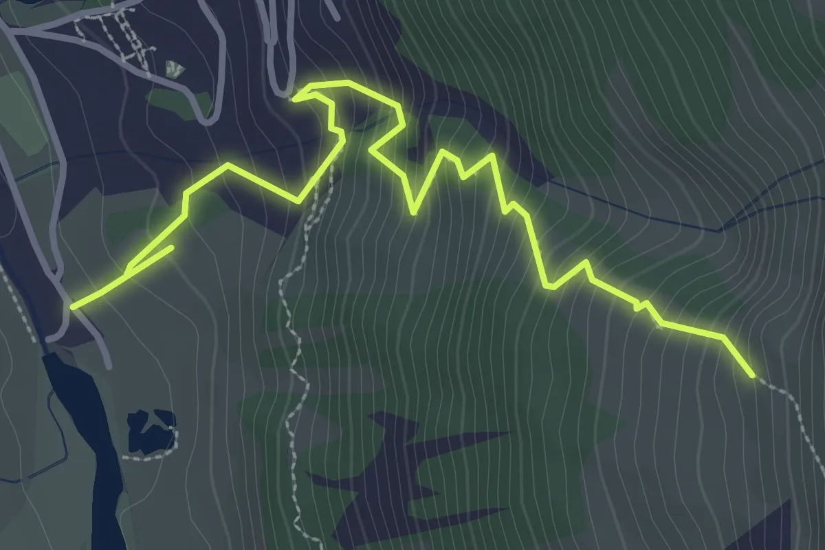
Demanding · Trail
La Tzoucdana – La Tracuit
3.8 km · ↑ 488 m · 1 h 58 min · 15 km away