Trails near Zollikofen
477 hikes starting within 15 km, nearest first.
Nearest first, page 10 of 10
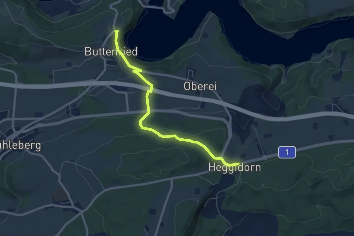
Easy · Trail
Heggidorn - Fuchsenried
6.1 km · ↑ 157 m · 1 h 47 min · 14 km away
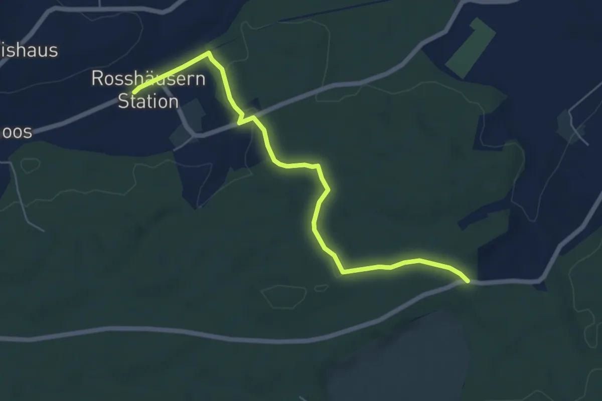
Easy · Trail
Fuessacher - Rosshäusern/Station
5.6 km · ↑ 125 m · 1 h 36 min · 14 km away
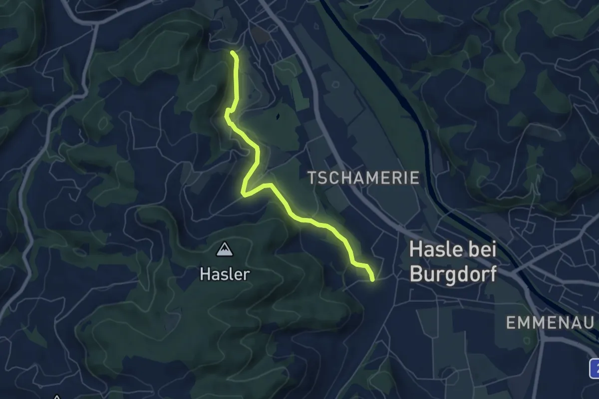
Easy · Trail
Hasle-Rüegsau – Oberburg
5.7 km · ↑ 200 m · 1 h 47 min · 14 km away
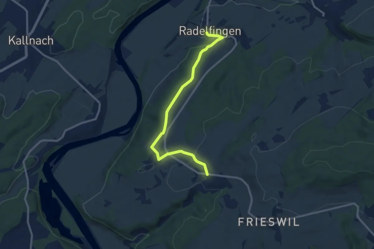
Easy · Trail
Radelfingen – Detligen
7.2 km · ↑ 133 m · 1 h 59 min · 14 km away
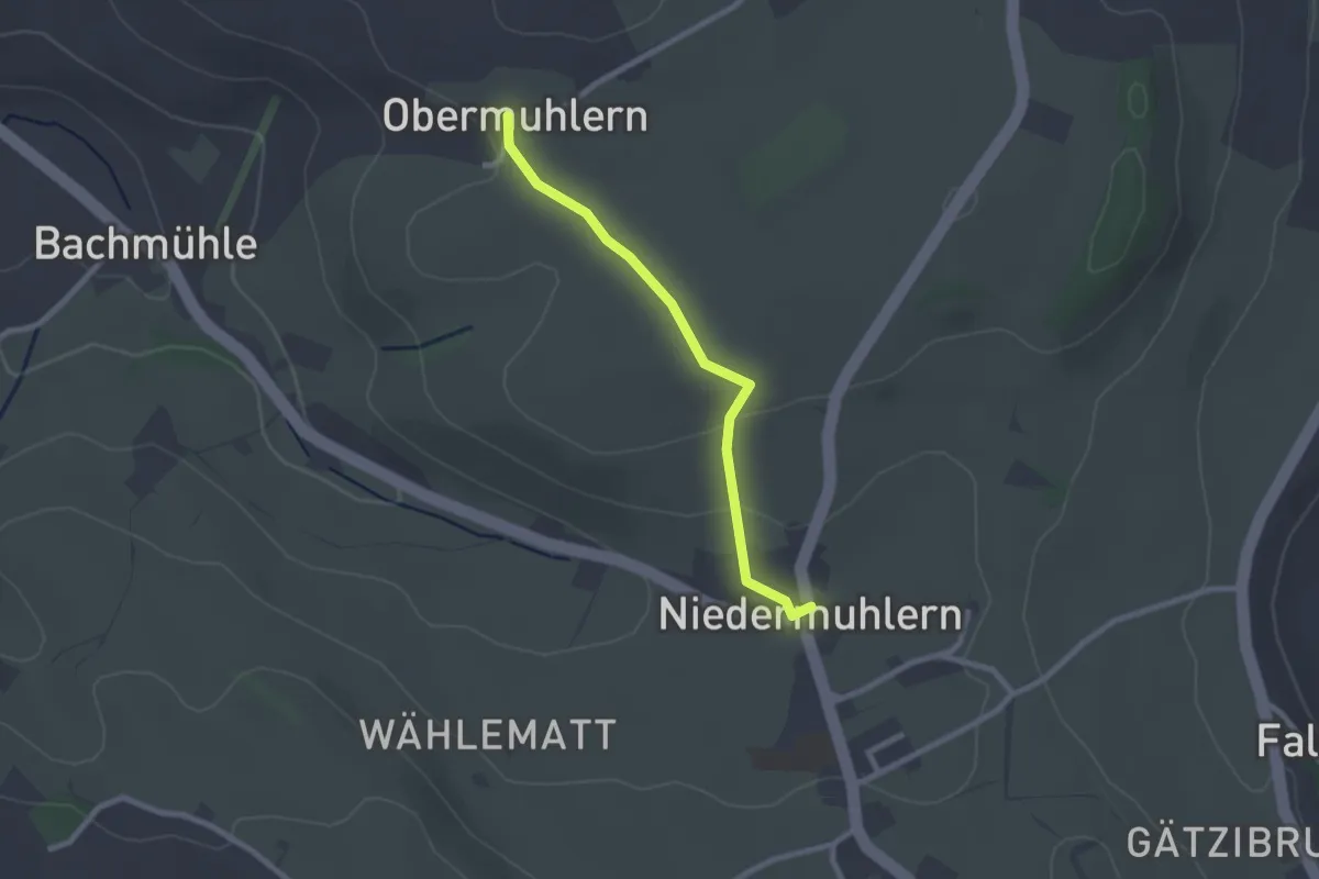
Easy · Trail
Obermuhlern – Niedermuhlern
2.2 km · ↑ 44 m · 37 min · 14 km away
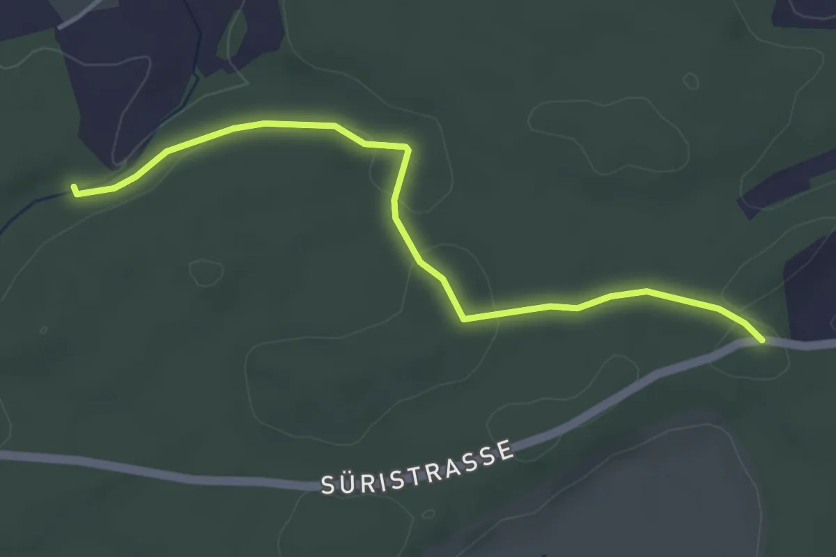
Easy · Trail
Fuessacher - Hollerengraben
3.9 km · ↑ 60 m · 1 h 3 min · 14 km away
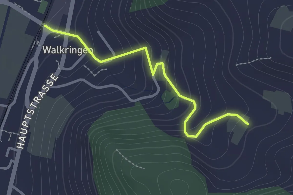
Easy · Trail
Golpisberg – Walkringen
2.3 km · ↑ 154 m · 53 min · 14 km away
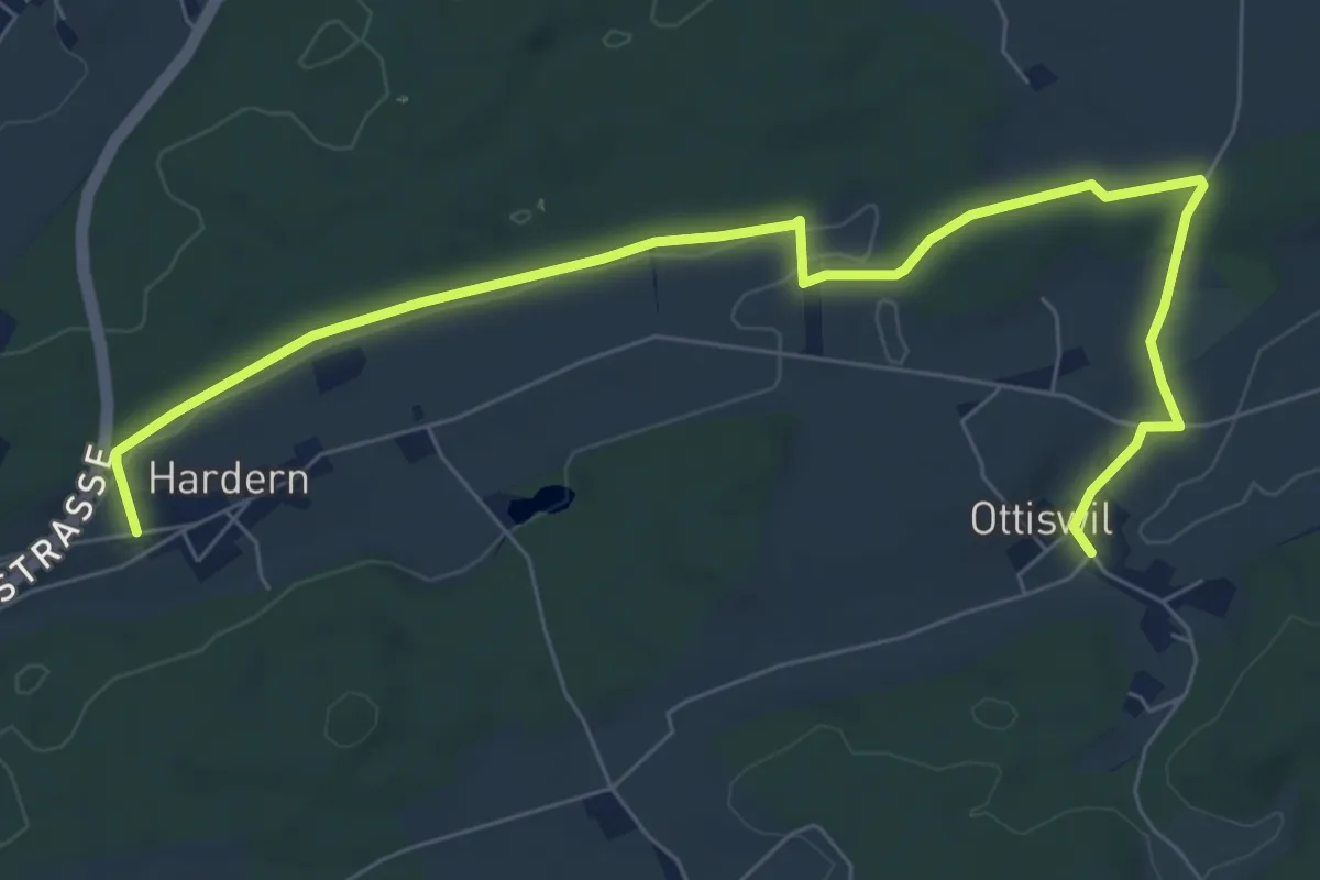
Medium · Trail
Hardern – Ottiswil
8.6 km · ↑ 85 m · 2 h 12 min · 14 km away
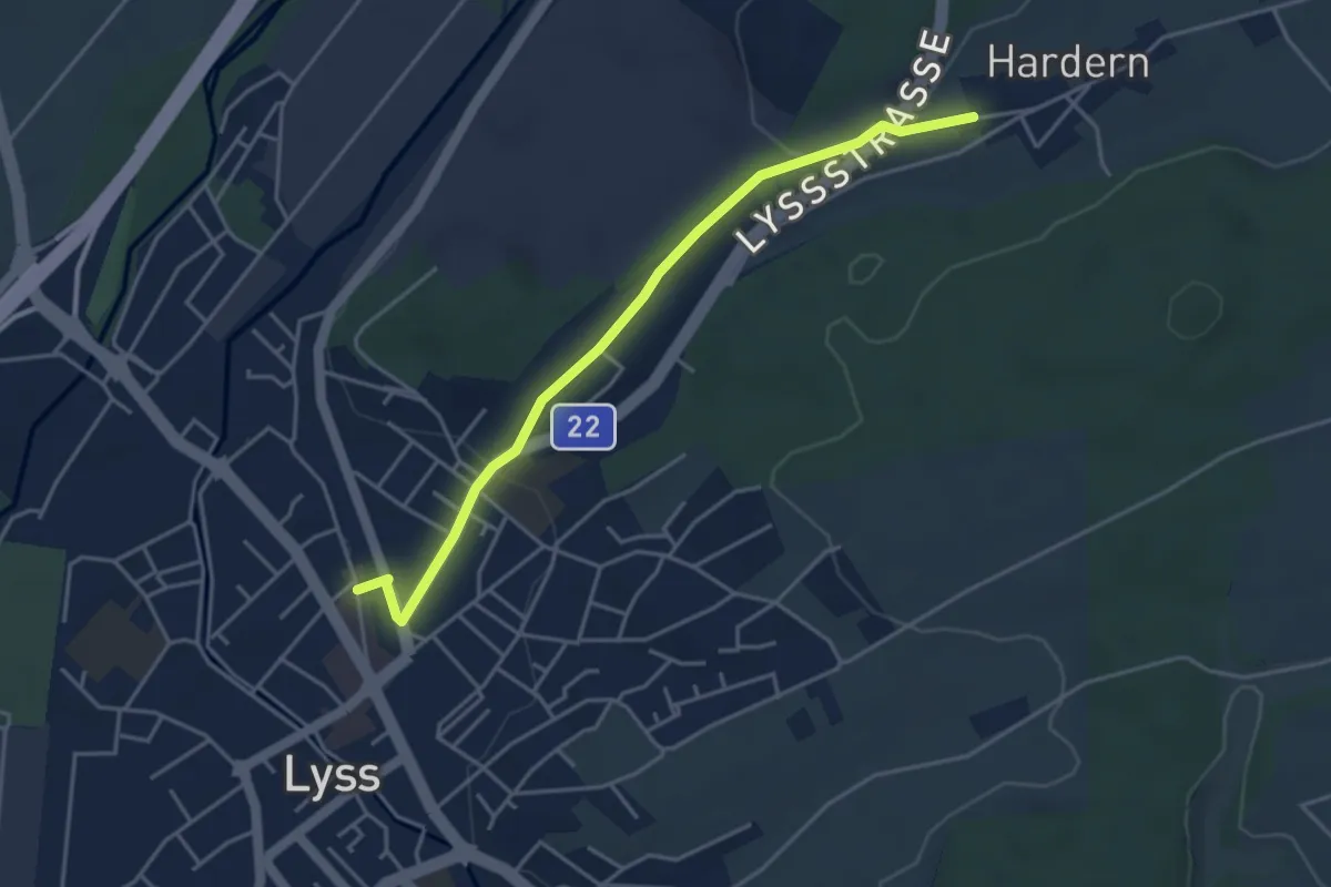
Easy · Trail
Lyss – Hardern
4.2 km · ↑ 57 m · 1 h 7 min · 14 km away
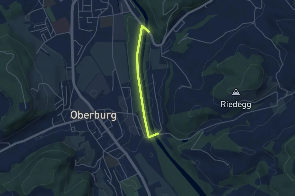
Easy · Trail
Heimiswilbrügg - Lochbachbrügg
3.1 km · ↑ 18 m · 46 min · 14 km away
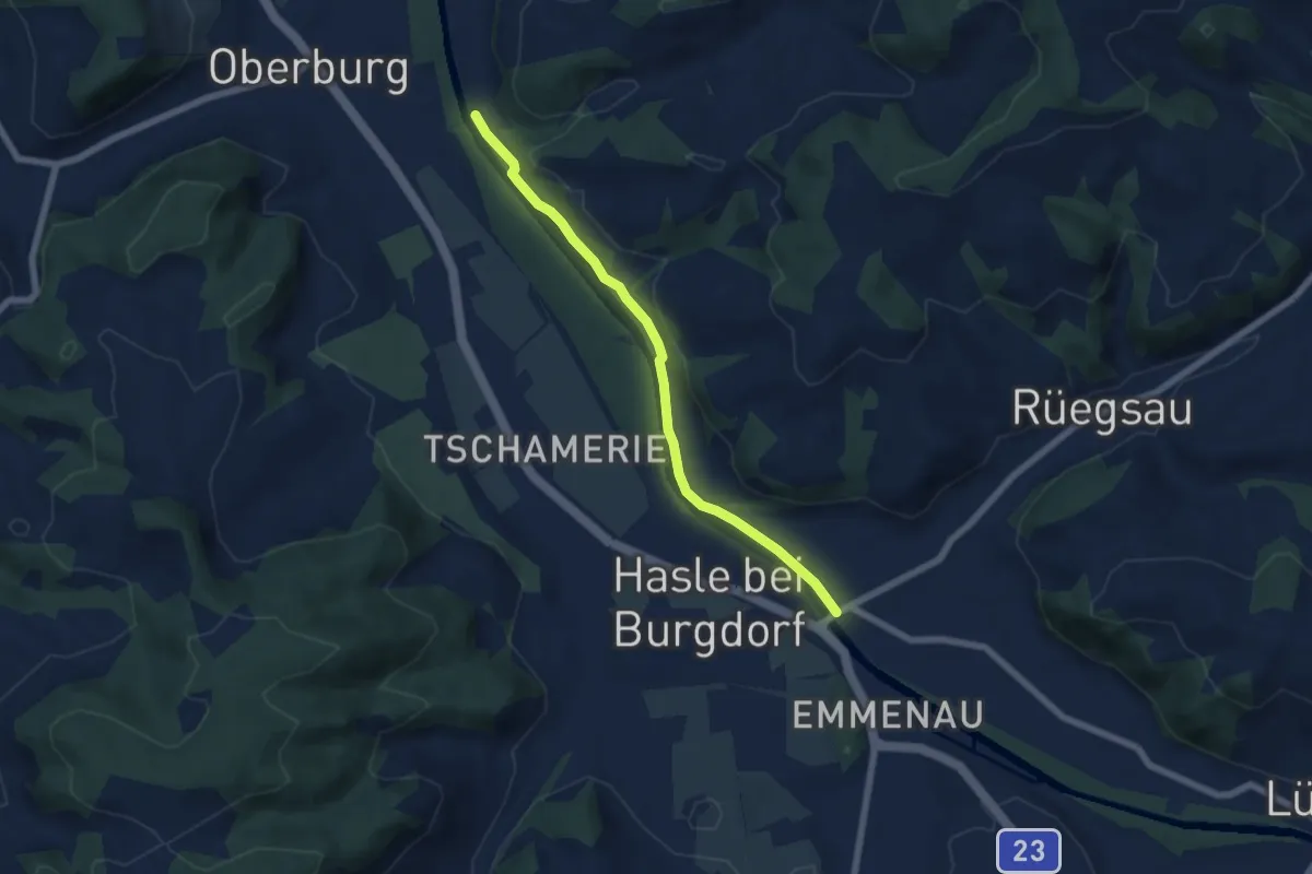
Easy · Trail
Rügsauschachen – Lochbachbrügg
5.8 km · ↑ 47 m · 1 h 29 min · 14 km away
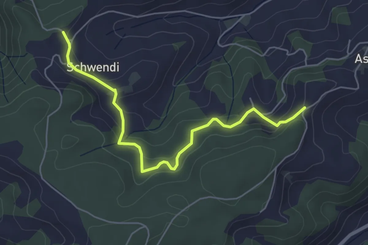
Easy · Trail
Vorder Schwändi – Aspiegg
5.0 km · ↑ 197 m · 1 h 37 min · 14 km away
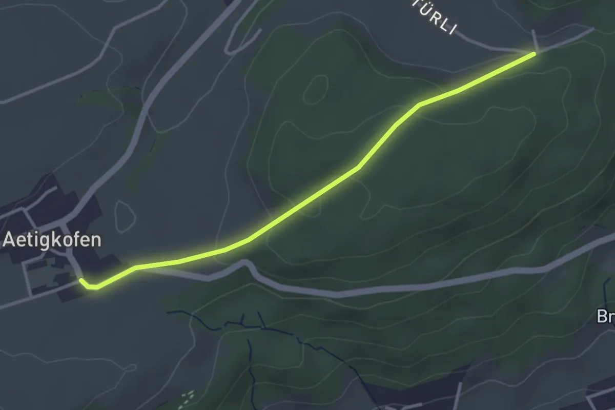
Easy · Trail
Aetigkofen Süd – Wolftürli
3.2 km · ↑ 88 m · 57 min · 14 km away
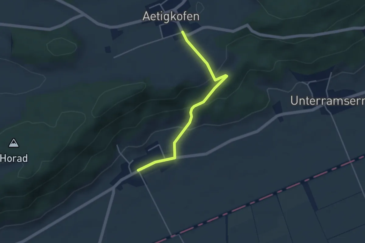
Easy · Trail
Aetigkofen Süd – Oberramsern
3.4 km · ↑ 143 m · 1 h 6 min · 14 km away
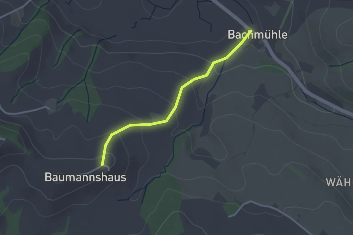
Easy · Trail
Bachmühle - Bumishus
2.4 km · ↑ 124 m · 51 min · 14 km away
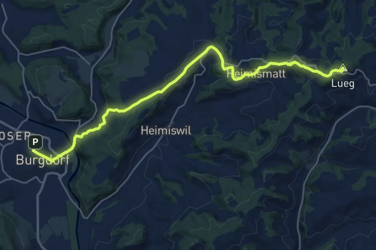
Medium · Summit
ViaJacobi
17.5 km · ↑ 541 m · 5 h 18 min · 14 km away
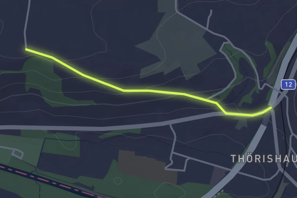
Easy · Trail
Ufem Shoren - Thörishaus
2.6 km · ↑ 85 m · 49 min · 14 km away
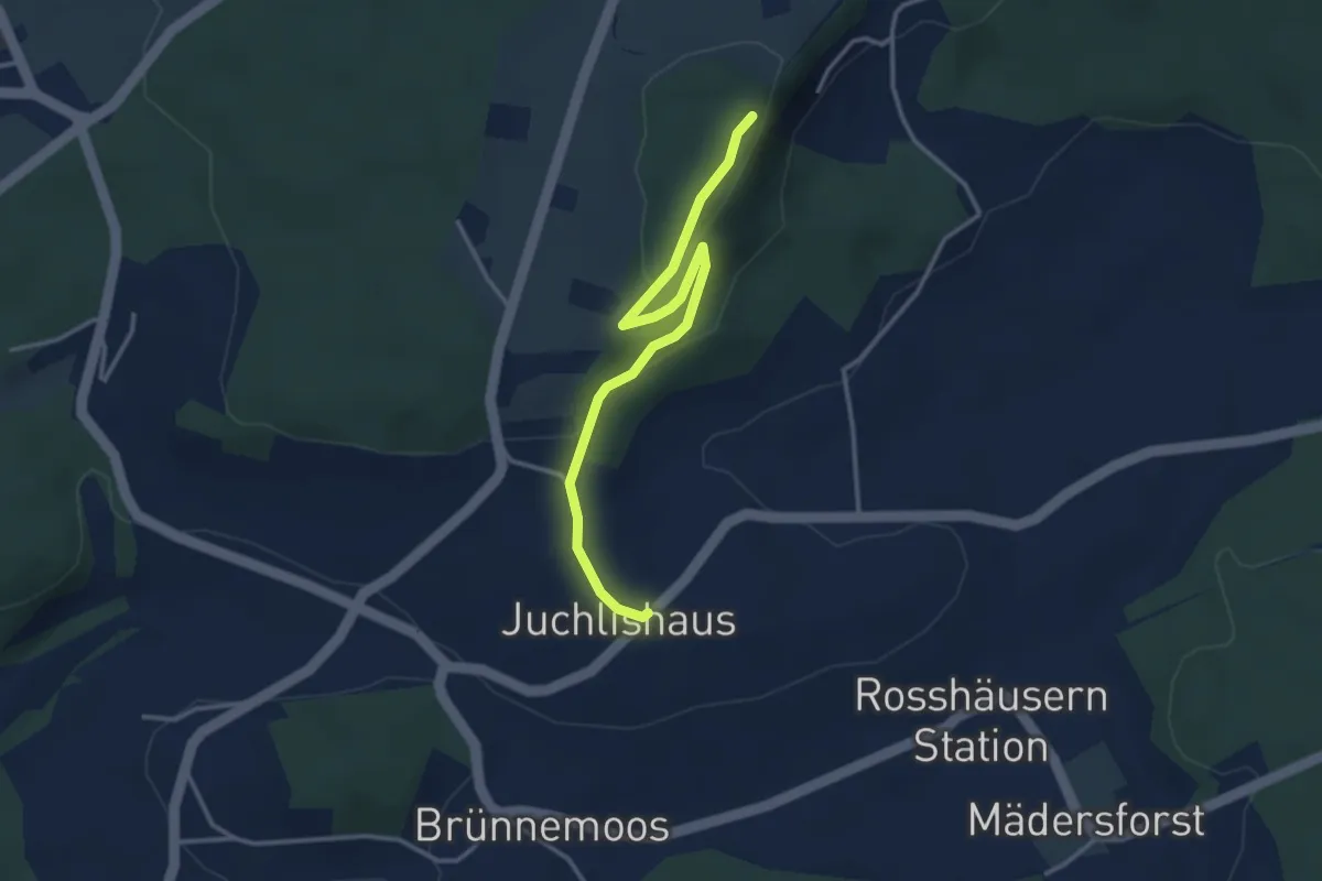
Easy · Trail
Lediflue - Juchlishus
3.5 km · ↑ 129 m · 1 h 7 min · 14 km away
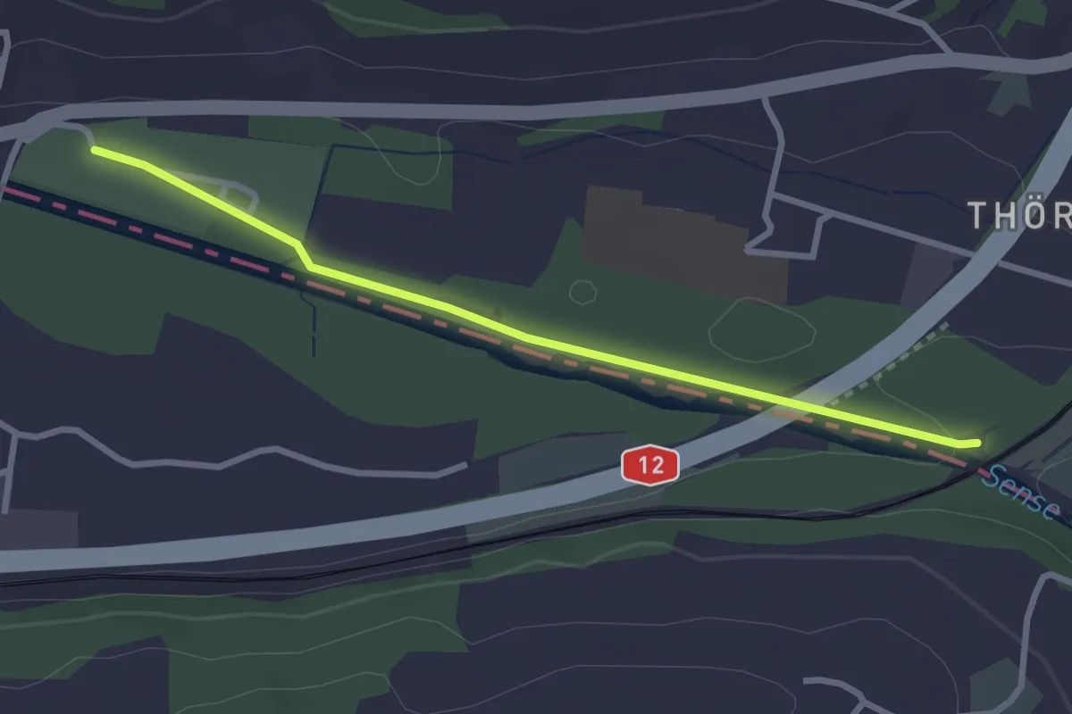
Easy · Trail
Steinerne Brücke – Thörishaus Au
2.8 km · ↑ 22 m · 42 min · 14 km away
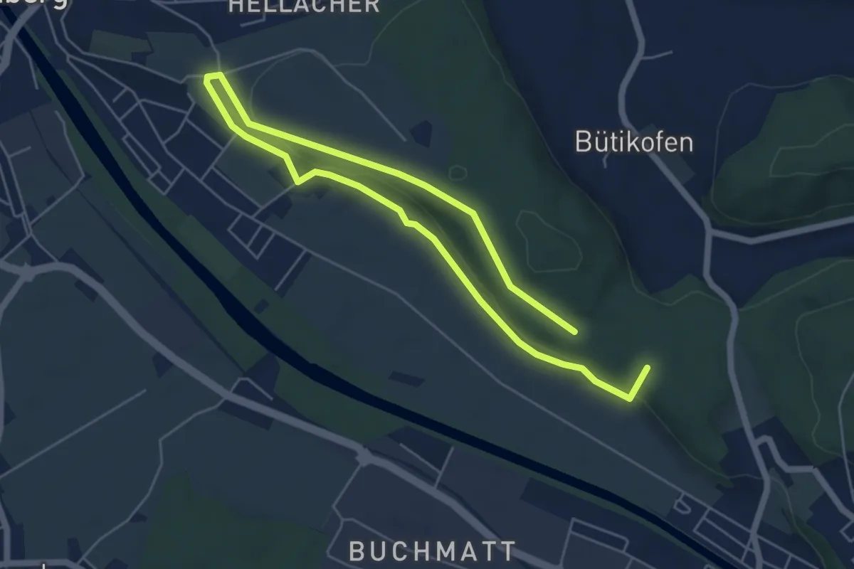
Medium · Summit
Hüntu – Eybrügg
8.2 km · ↑ 178 m · 2 h 20 min · 14 km away
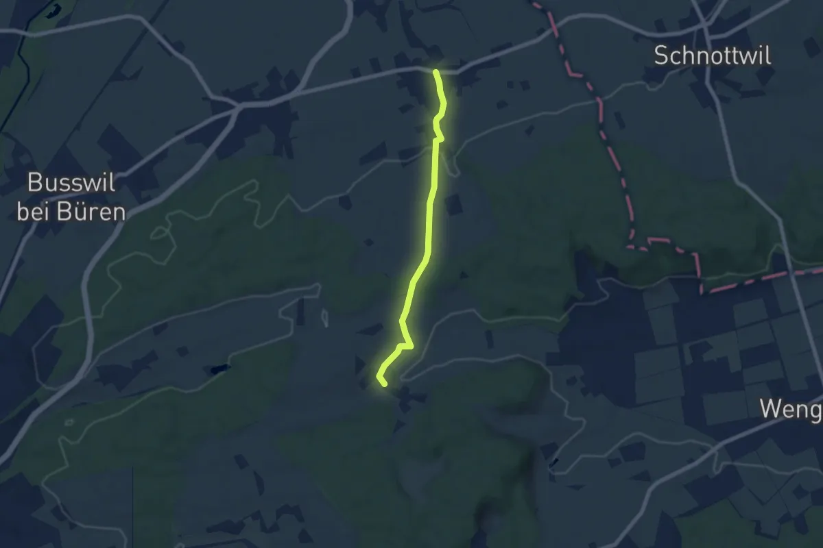
Easy · Trail
Diessbach – Ottiswil
5.7 km · ↑ 97 m · 1 h 33 min · 14 km away
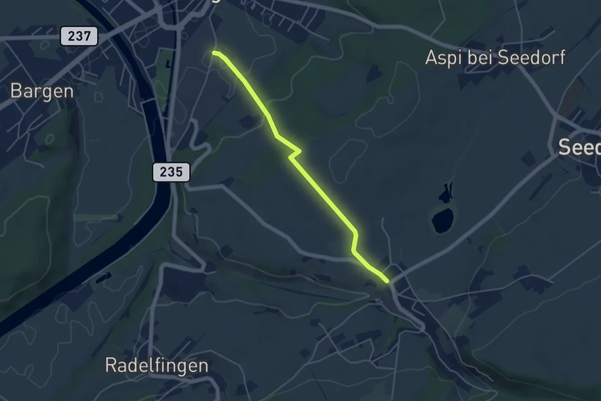
Easy · Trail
Aarberg/Zuckerfabrik – Lobsigen
4.1 km · ↑ 108 m · 1 h 12 min · 14 km away
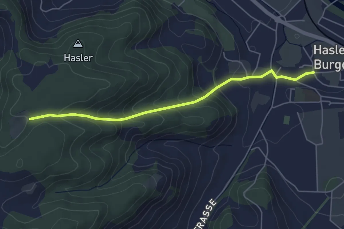
Easy · Trail
Bärgli – Hasle-Rüegsau
4.4 km · ↑ 246 m · 1 h 34 min · 15 km away
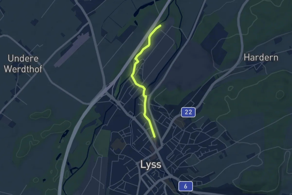
Easy · Trail
Alte Aare – Lyss
4.3 km · ↑ 8 m · 1 h 1 min · 15 km away
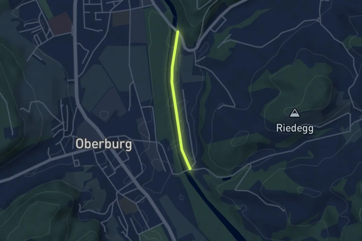
Easy · Trail
Heimiswilbrügg - Lochbachbrügg
2.4 km · ↑ 4 m · 35 min · 15 km away
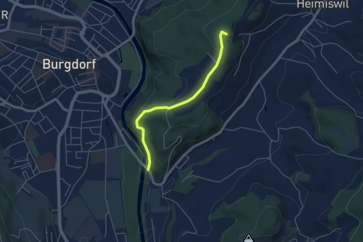
Easy · Summit
Heimiswilbrügg – Oberi Rüügle
4.0 km · ↑ 194 m · 1 h 21 min · 15 km away
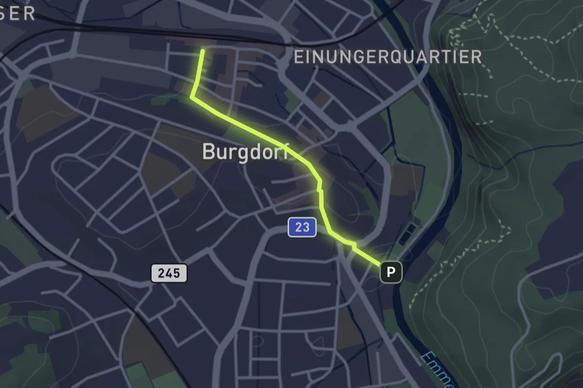
Easy · Trail
Burgdorf / Bahnhof - Waldeggbrügg
2.4 km · ↑ 43 m · 39 min · 15 km away
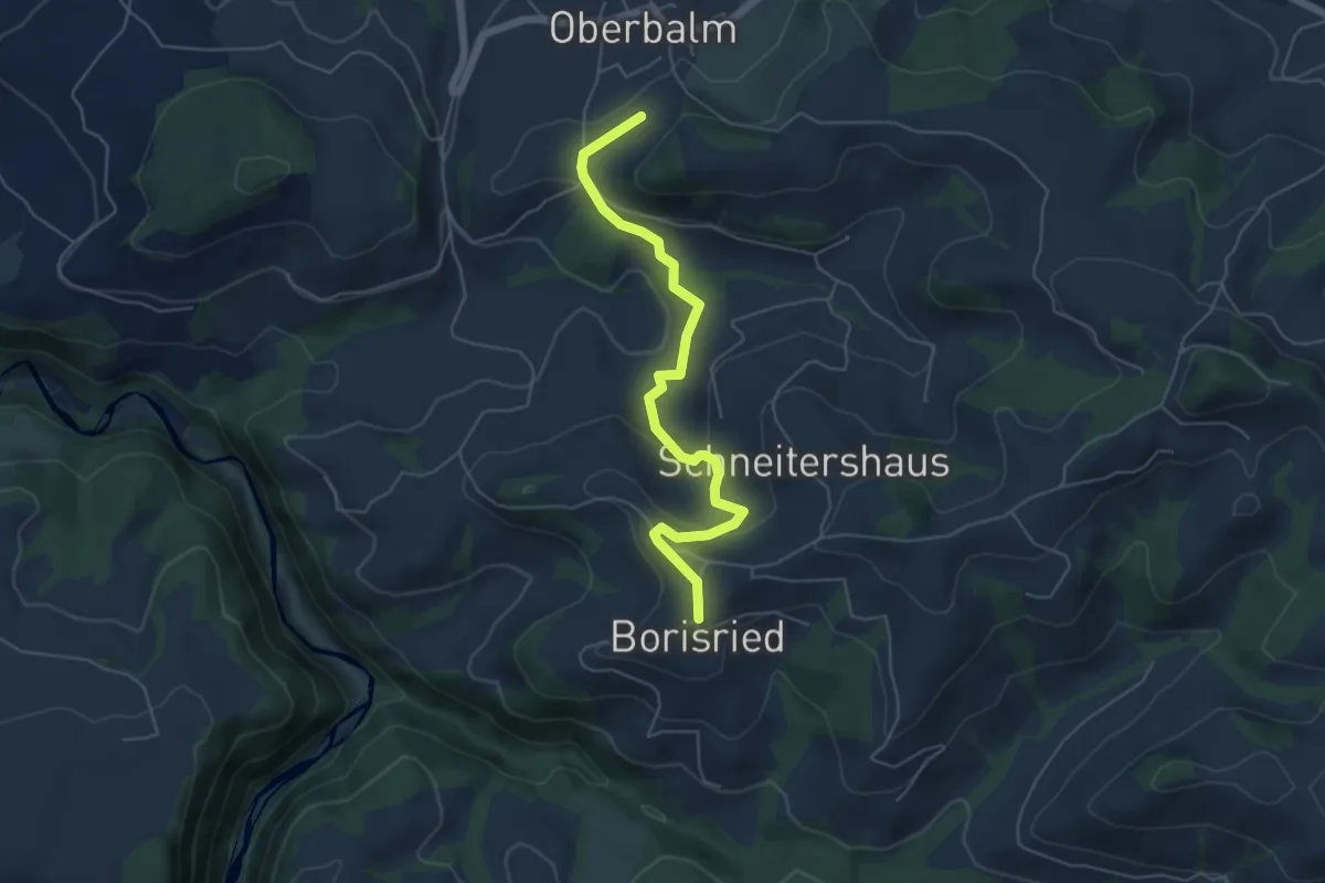
Easy · Trail
Boriswil – Oberbalm/Kirchweg
5.5 km · ↑ 195 m · 1 h 43 min · 15 km away
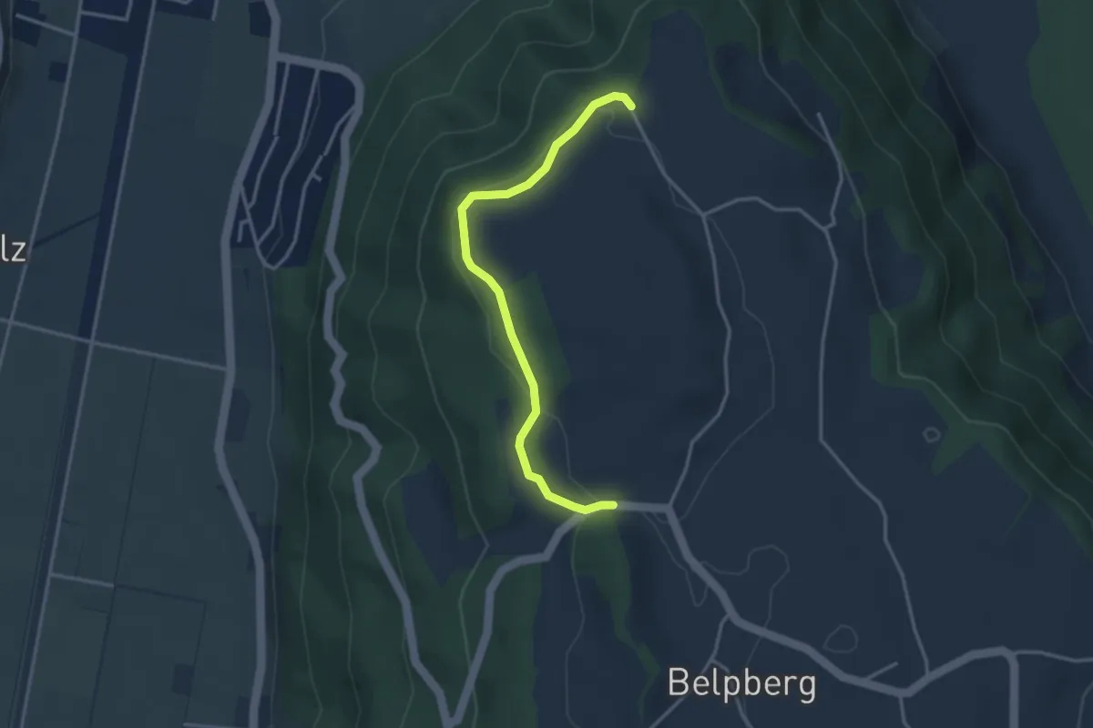
Easy · Trail
Hoburg - Weid
3.3 km · ↑ 114 m · 1 h 2 min · 15 km away
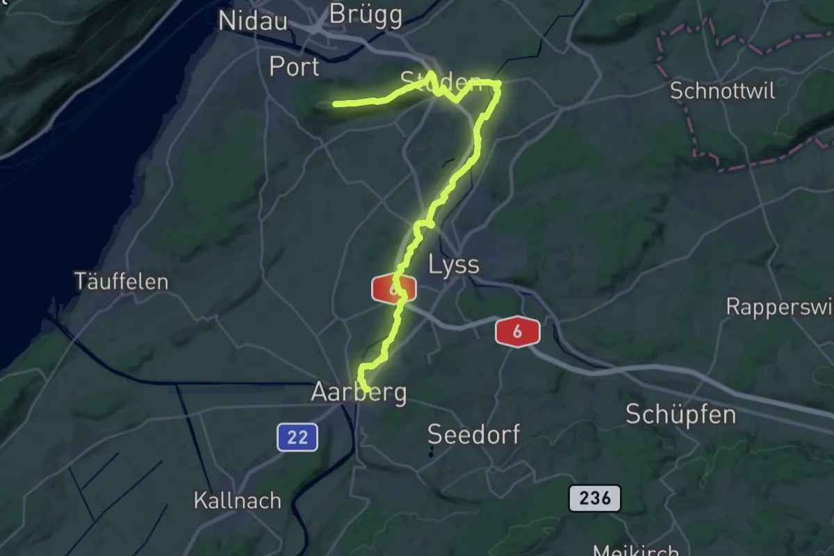
Demanding · Summit
ViaBerna Etappe 6
30.1 km · ↑ 268 m · 7 h 41 min · 15 km away
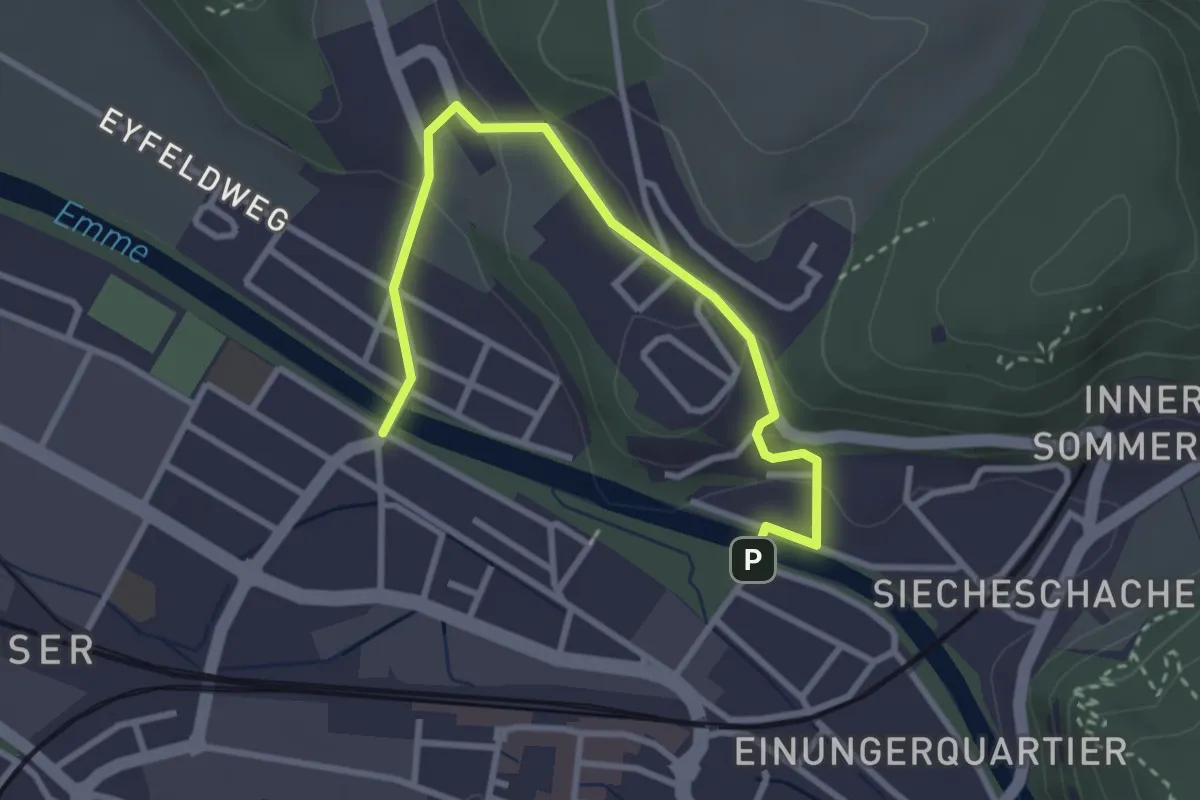
Easy · Trail
Typonsteg – Eybrügg
3.4 km · ↑ 102 m · 1 h 1 min · 15 km away
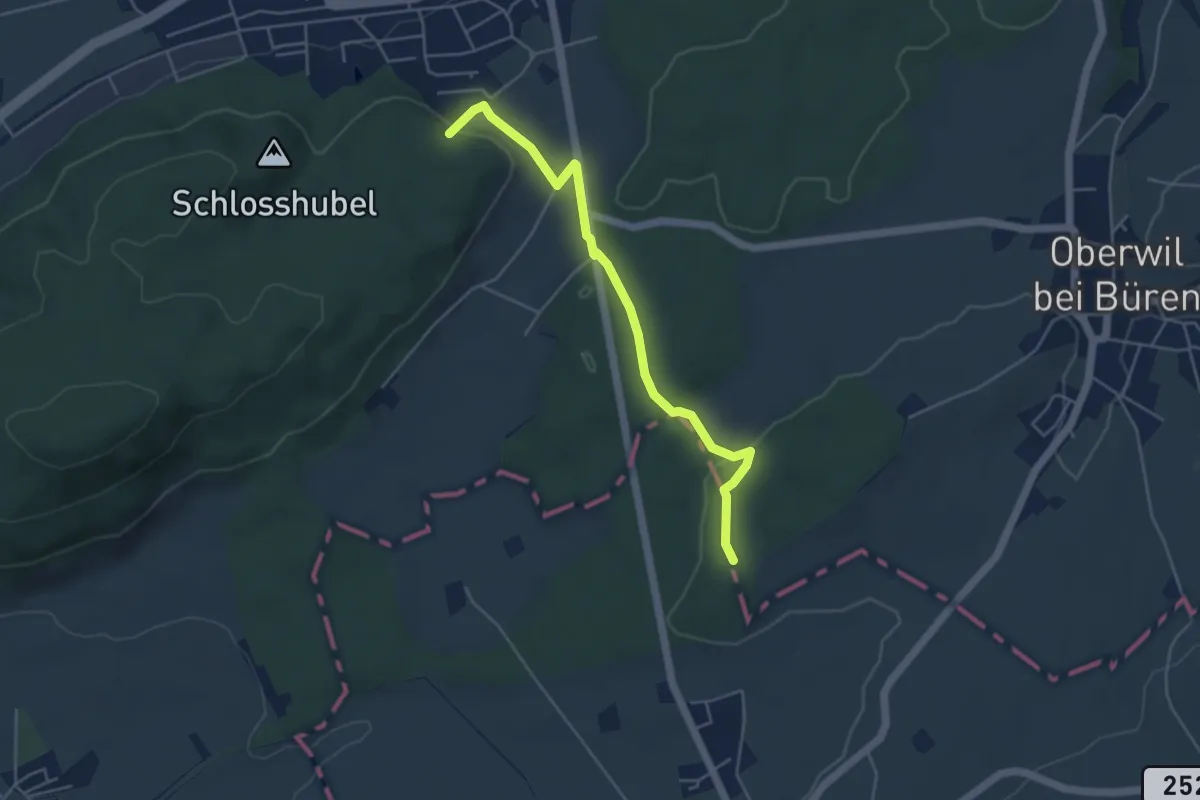
Easy · Trail
Büren a.A. – Chilchenholz
4.7 km · ↑ 98 m · 1 h 19 min · 15 km away
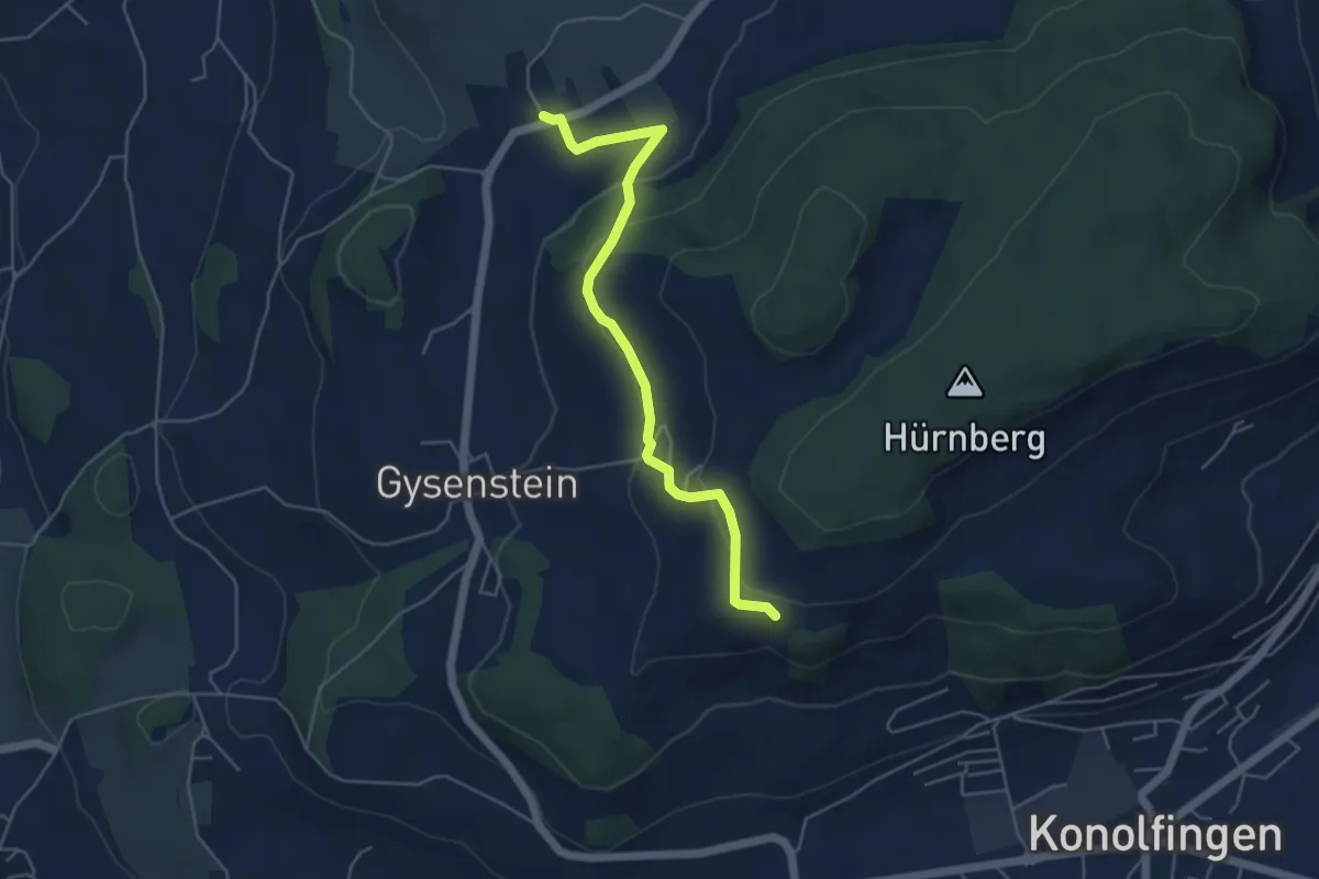
Easy · Trail
Herolfingen – Konolfingen
5.0 km · ↑ 146 m · 1 h 29 min · 15 km away
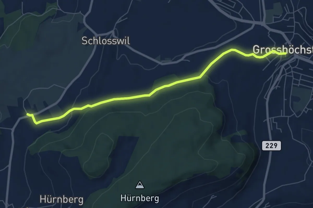
Easy · Trail
Grosshöchstetten – Herolfingen
7.0 km · ↑ 112 m · 1 h 54 min · 15 km away
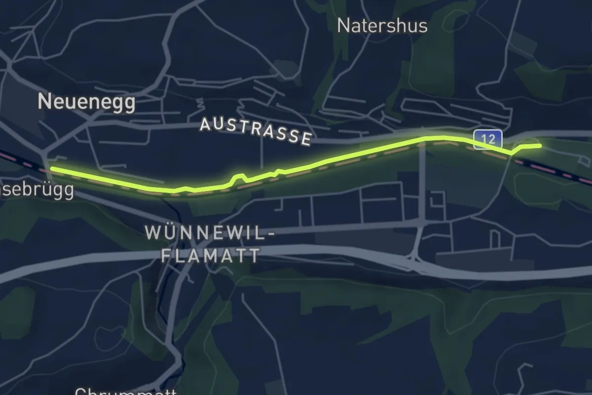
Easy · Trail
Sensebrücke – Steinige Brücke
4.7 km · ↑ 26 m · 1 h 11 min · 15 km away
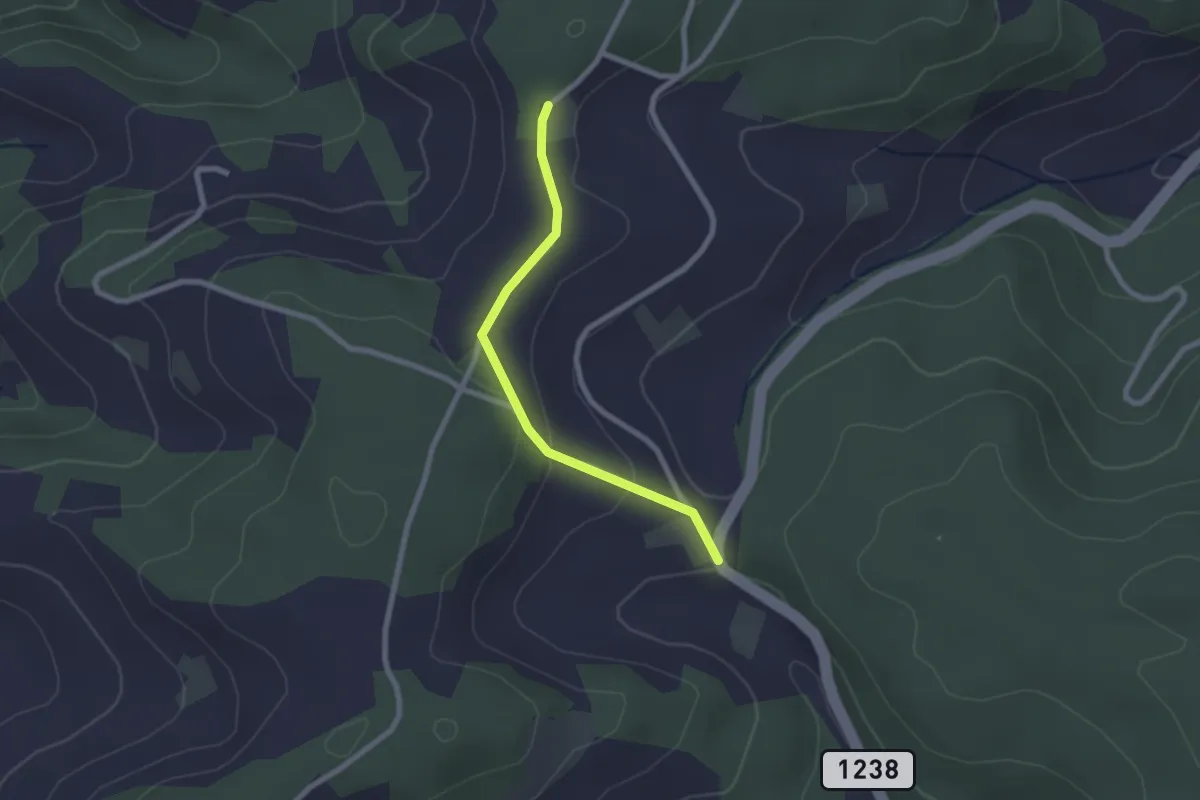
Easy · Trail
Hammegg – Tanne
2.1 km · ↑ 63 m · 38 min · 15 km away
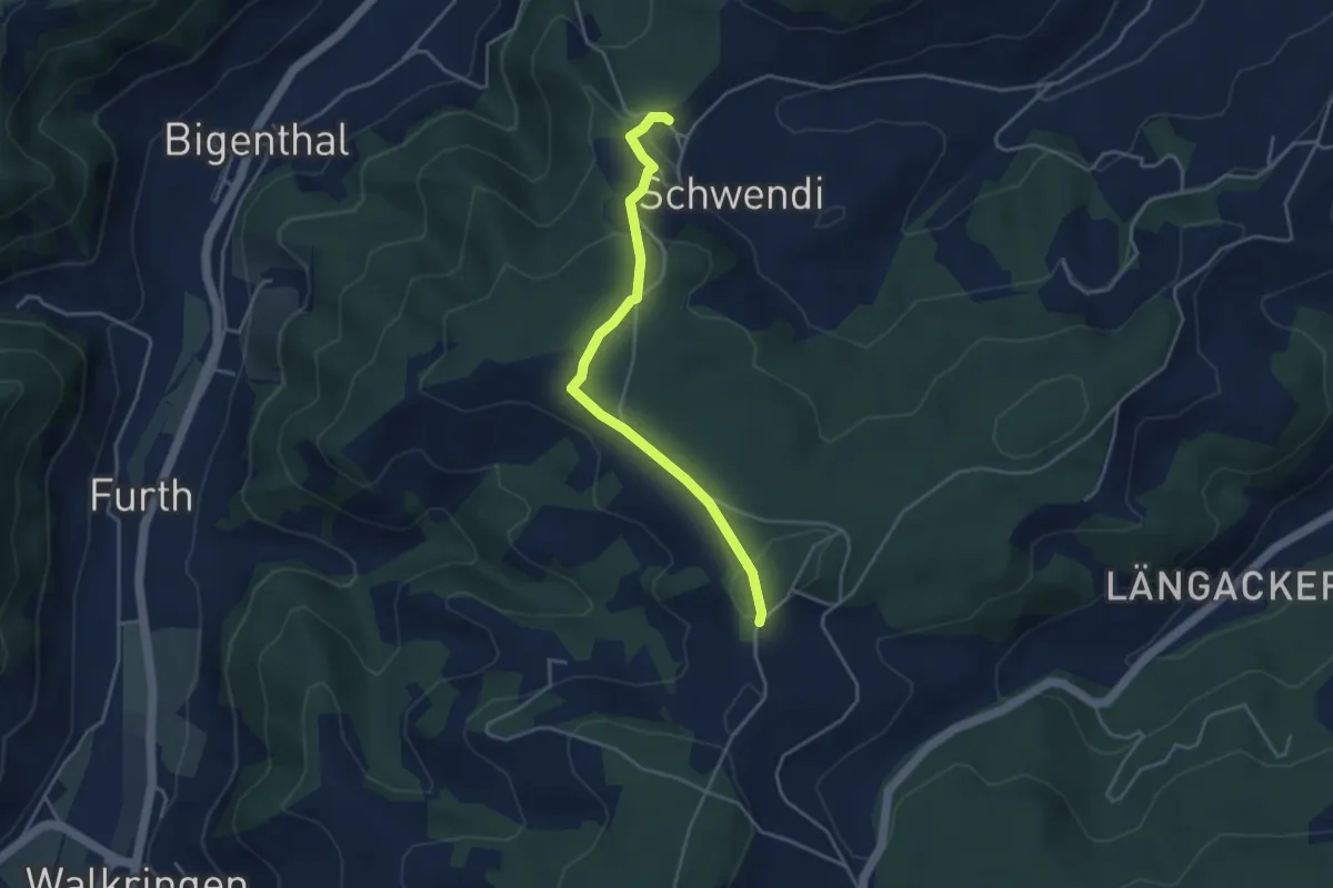
Easy · Trail
Hammwegg – Vorder Schwändi
3.8 km · ↑ 123 m · 1 h 10 min · 15 km away
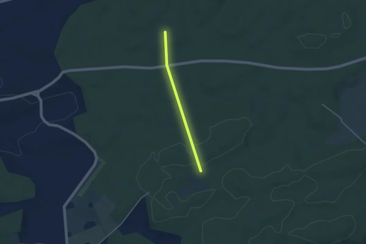
Easy · Trail
Scharzenbrünnen - Mösli
2.4 km · ↑ 51 m · 41 min · 15 km away
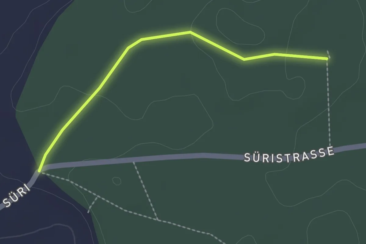
Easy · Trail
Scharzenbrünnen - Süri
2.2 km · ↑ 26 m · 34 min · 15 km away
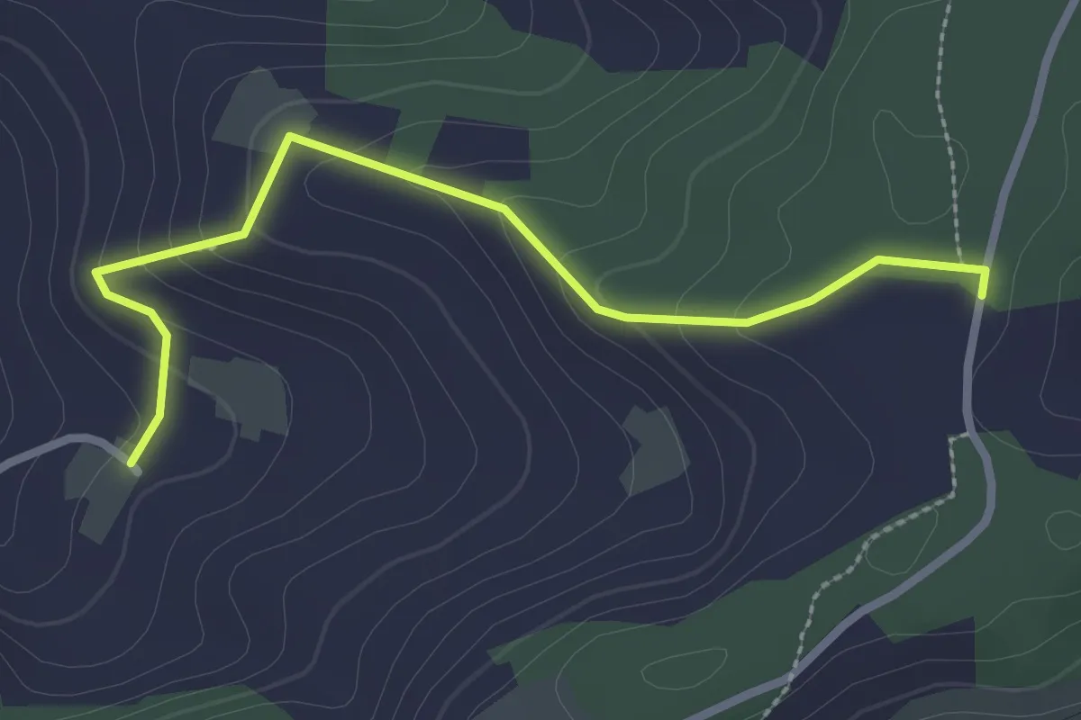
Easy · Trail
Neunhaupt – Golpisberg
2.7 km · ↑ 131 m · 56 min · 15 km away
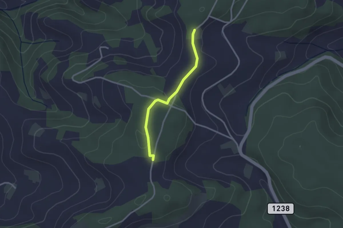
Easy · Trail
Neunhaupt – Hammegg
2.1 km · ↑ 27 m · 33 min · 15 km away
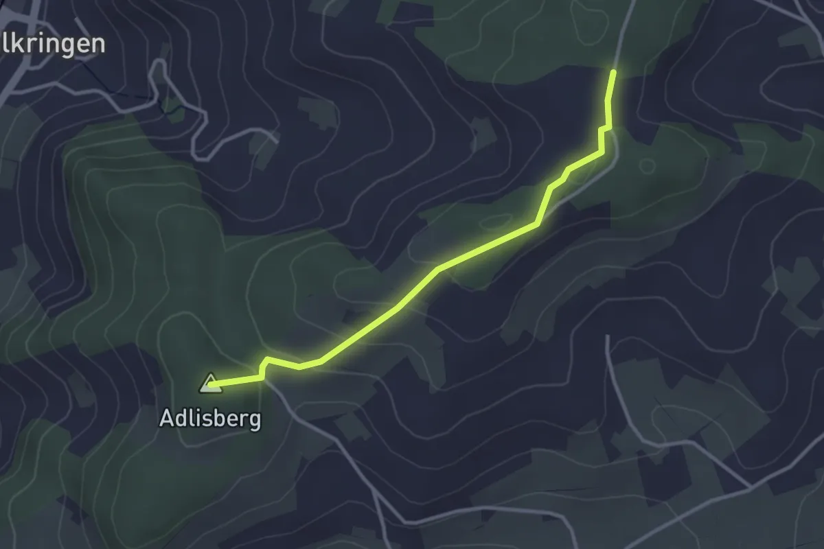
Easy · Summit
Adlisberg – Neunhaupt
3.0 km · ↑ 91 m · 55 min · 15 km away
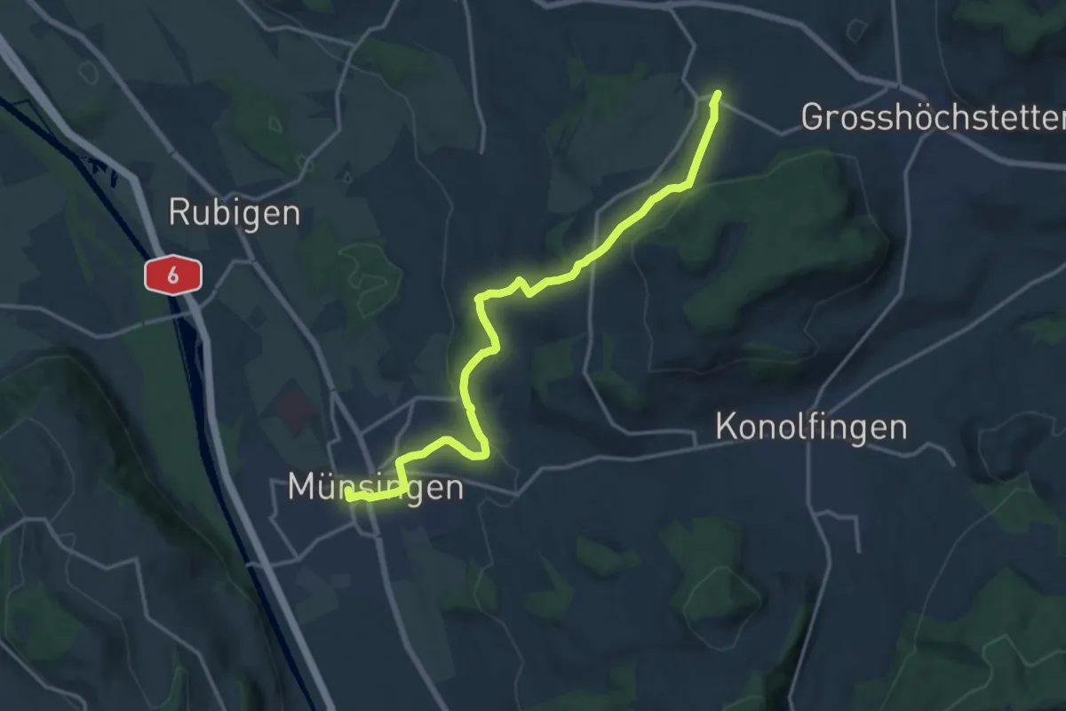
Medium · Trail
Münsingen – Schlosswil
14.9 km · ↑ 320 m · 4 h 12 min · 15 km away
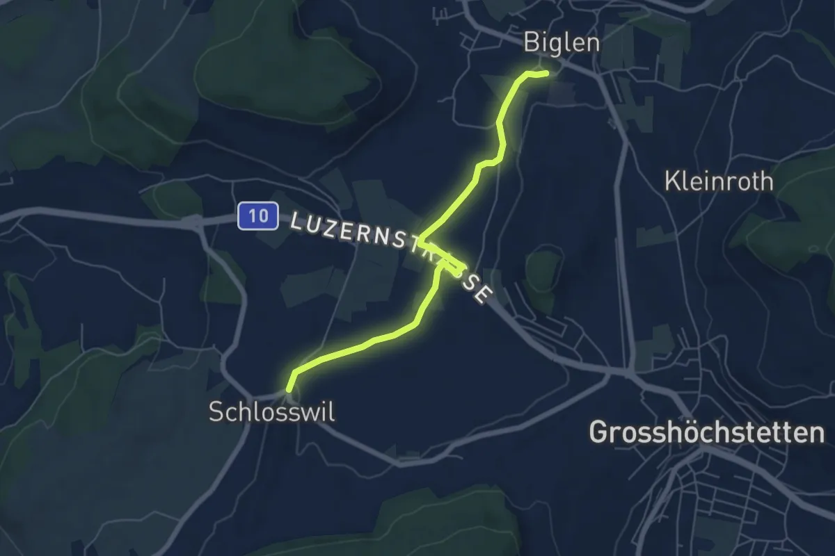
Easy · Trail
Schlosswil – Biglen
5.6 km · ↑ 36 m · 1 h 25 min · 15 km away
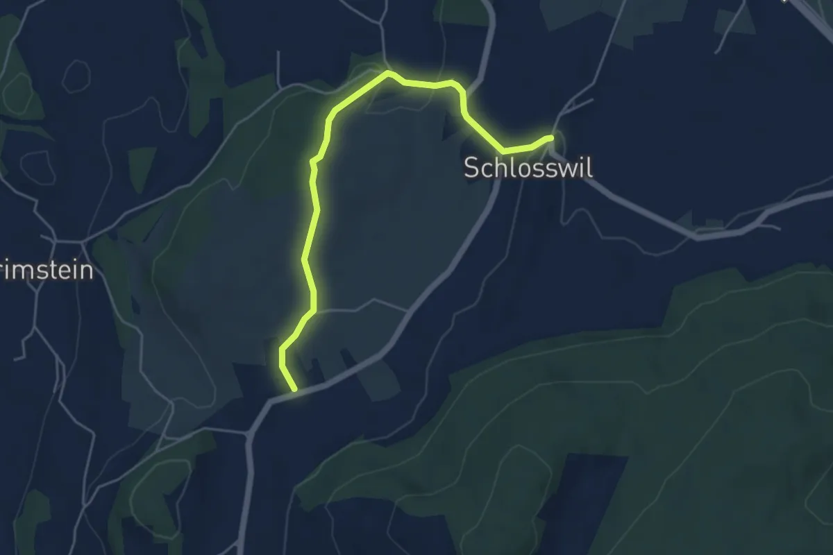
Easy · Trail
Herolfingen – Schlosswil
4.7 km · ↑ 105 m · 1 h 20 min · 15 km away