Trails near Zollikofen
477 hikes starting within 15 km, nearest first.
Nearest first, page 9 of 10
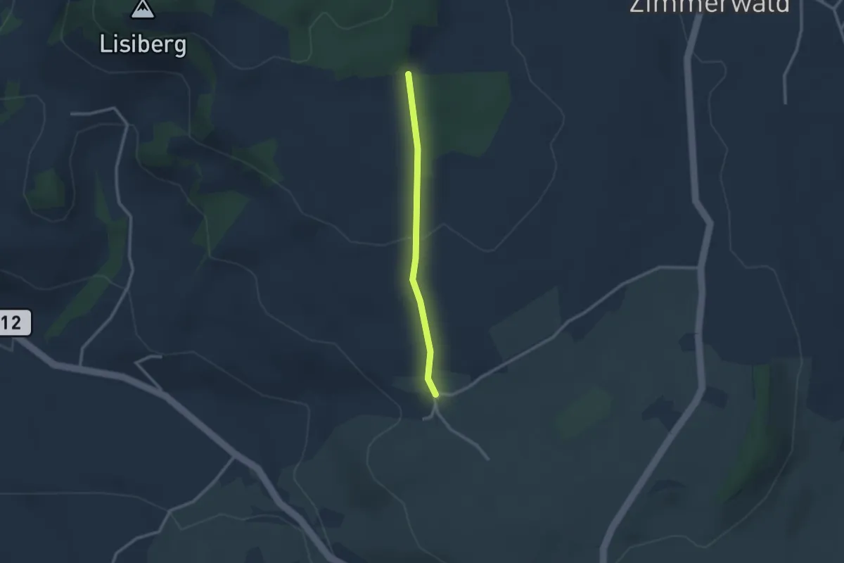
Easy · Trail
Allmid – Obermuhlern
2.1 km · ↑ 62 m · 38 min · 13 km away
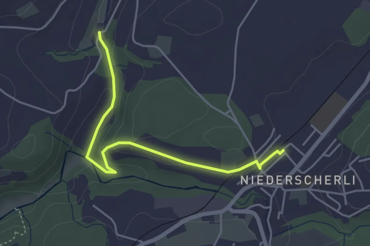
Easy · Trail
Niederscherli - Grabenmüli
3.9 km · ↑ 88 m · 1 h 7 min · 13 km away
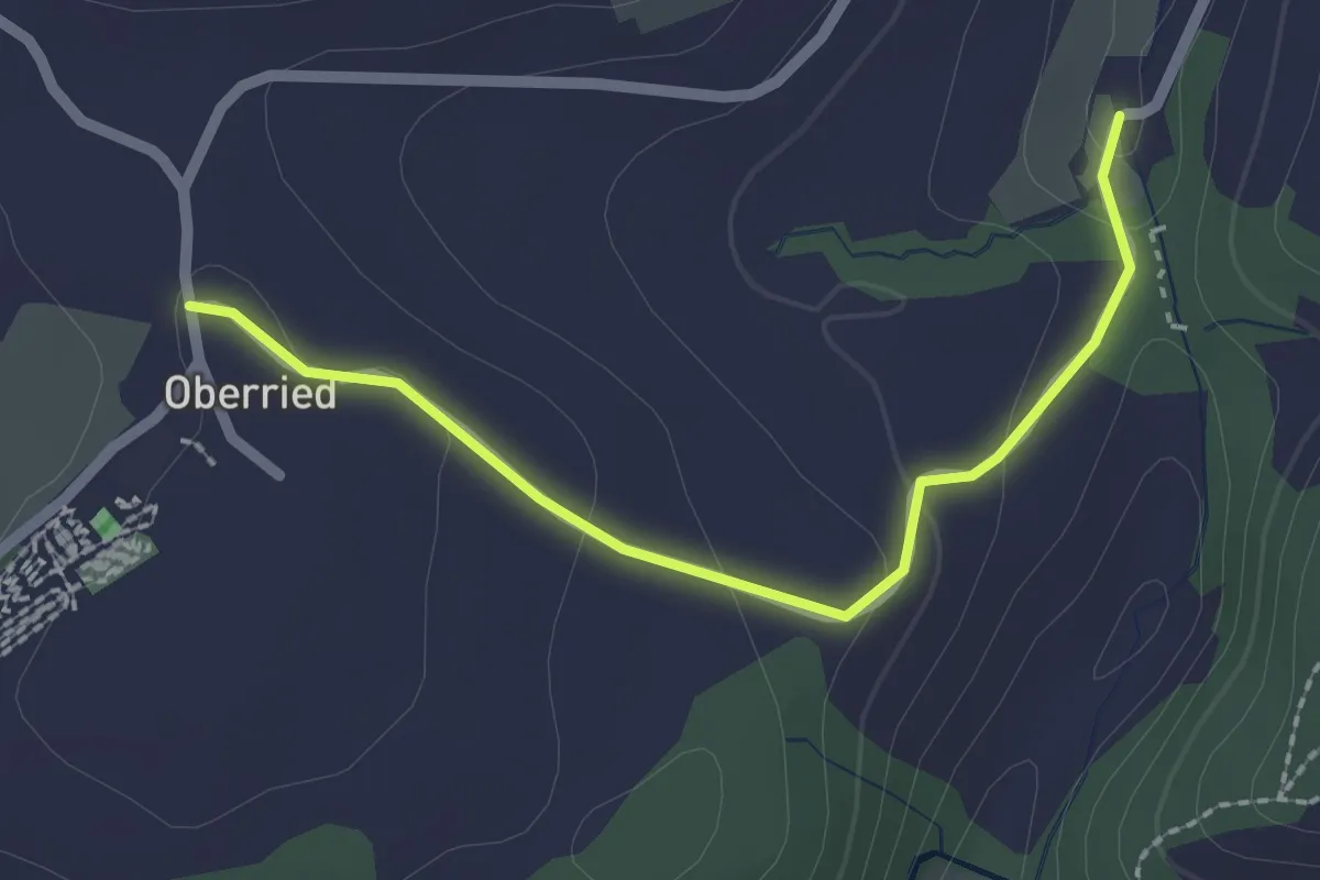
Easy · Trail
Oberried - Grabenmüli
2.2 km · ↑ 64 m · 39 min · 13 km away
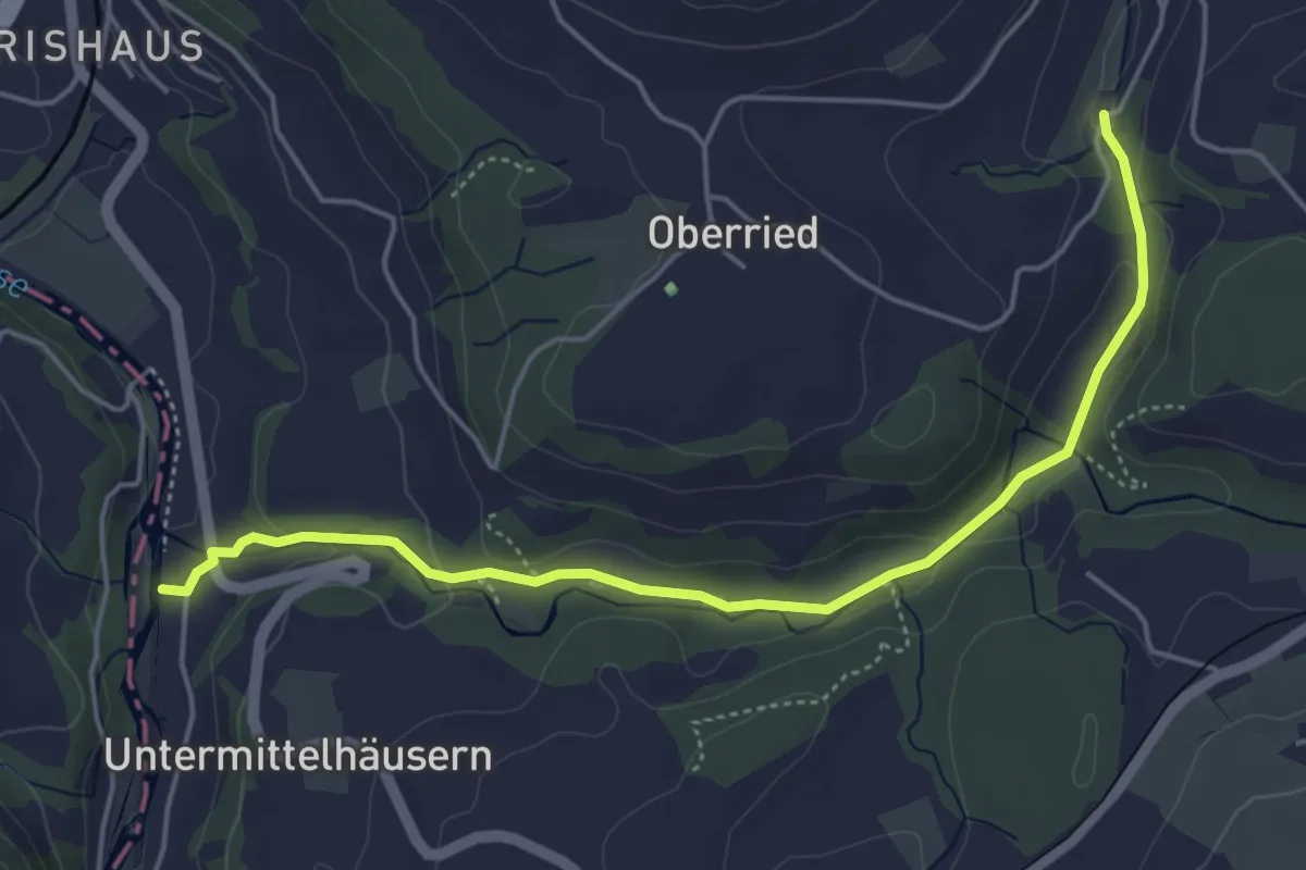
Easy · Trail
Sensematt – Grabenmüli
5.1 km · ↑ 116 m · 1 h 27 min · 13 km away
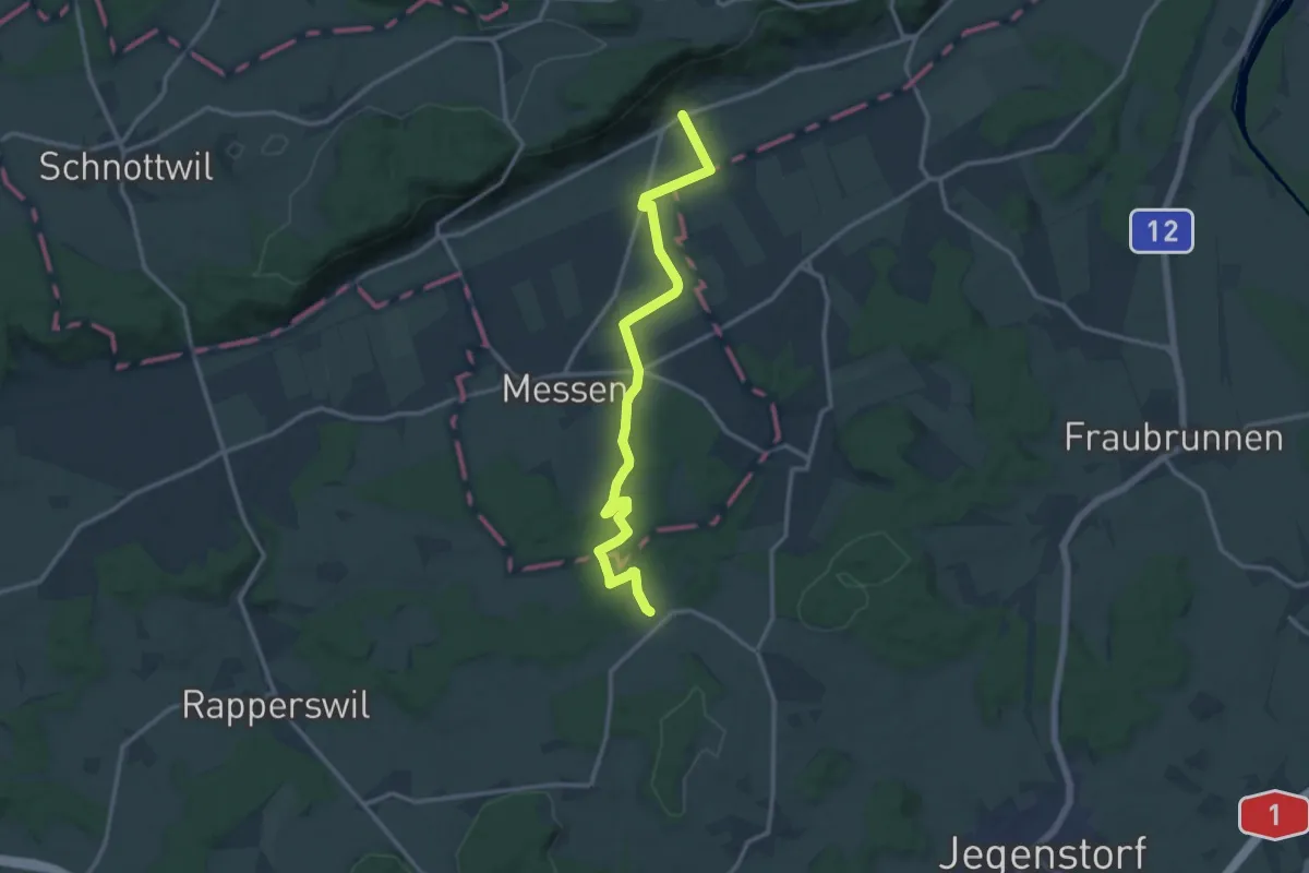
Medium · Trail
Oberramsern – Scheunen
13.8 km · ↑ 160 m · 3 h 37 min · 13 km away
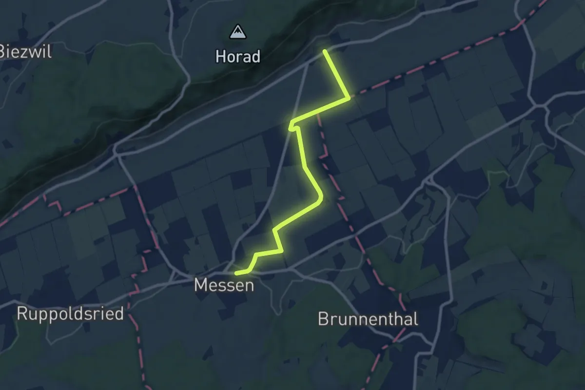
Easy · Trail
Oberramsern – Messen Kirche
7.7 km · ↑ 44 m · 1 h 55 min · 13 km away
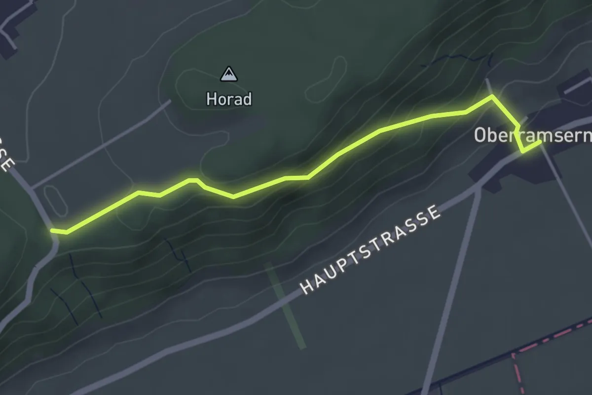
Easy · Trail
Oberramsern – Lüterswil Balmberg
3.6 km · ↑ 198 m · 1 h 17 min · 13 km away
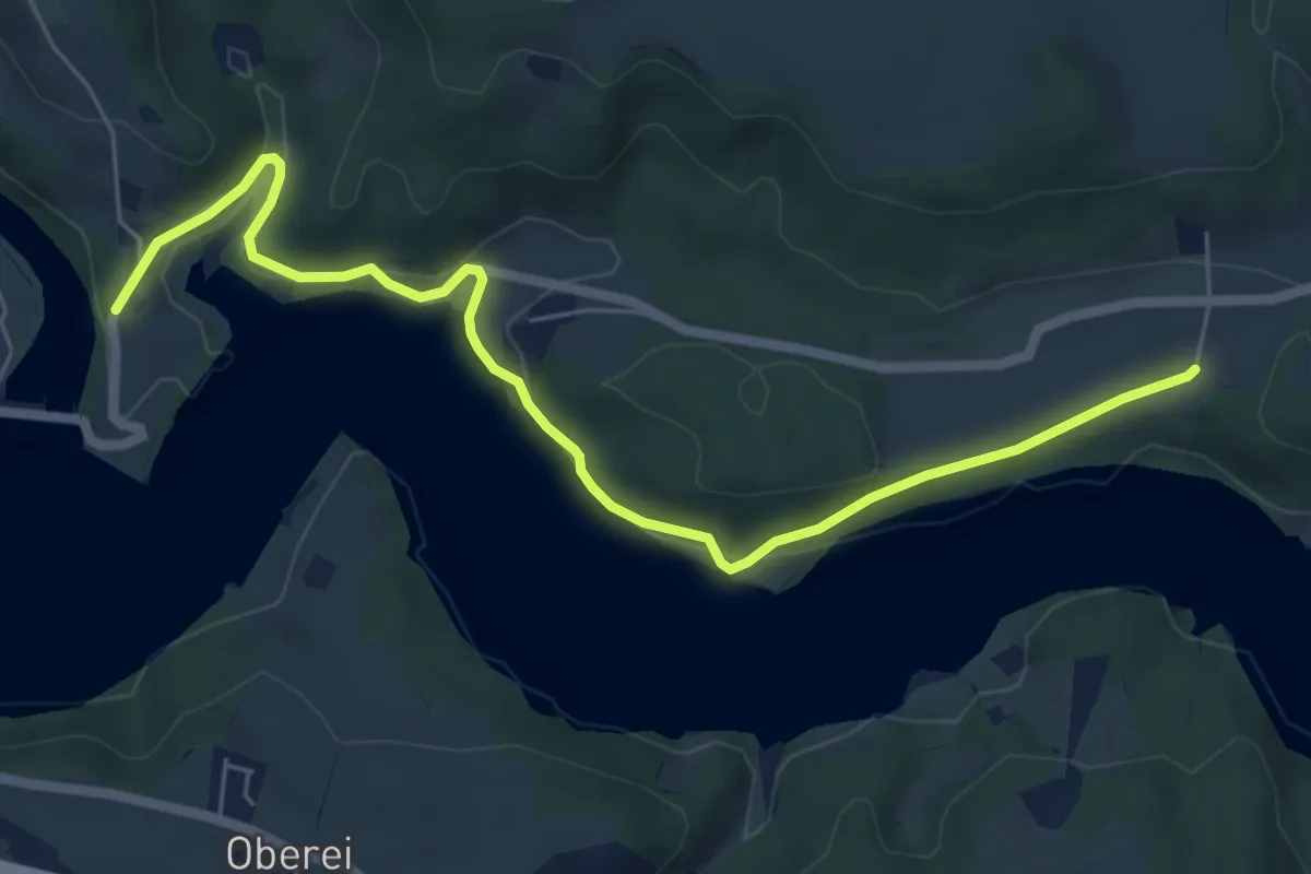
Easy · Trail
Steinisweg - Wickacker
7.0 km · ↑ 177 m · 2 h 2 min · 13 km away
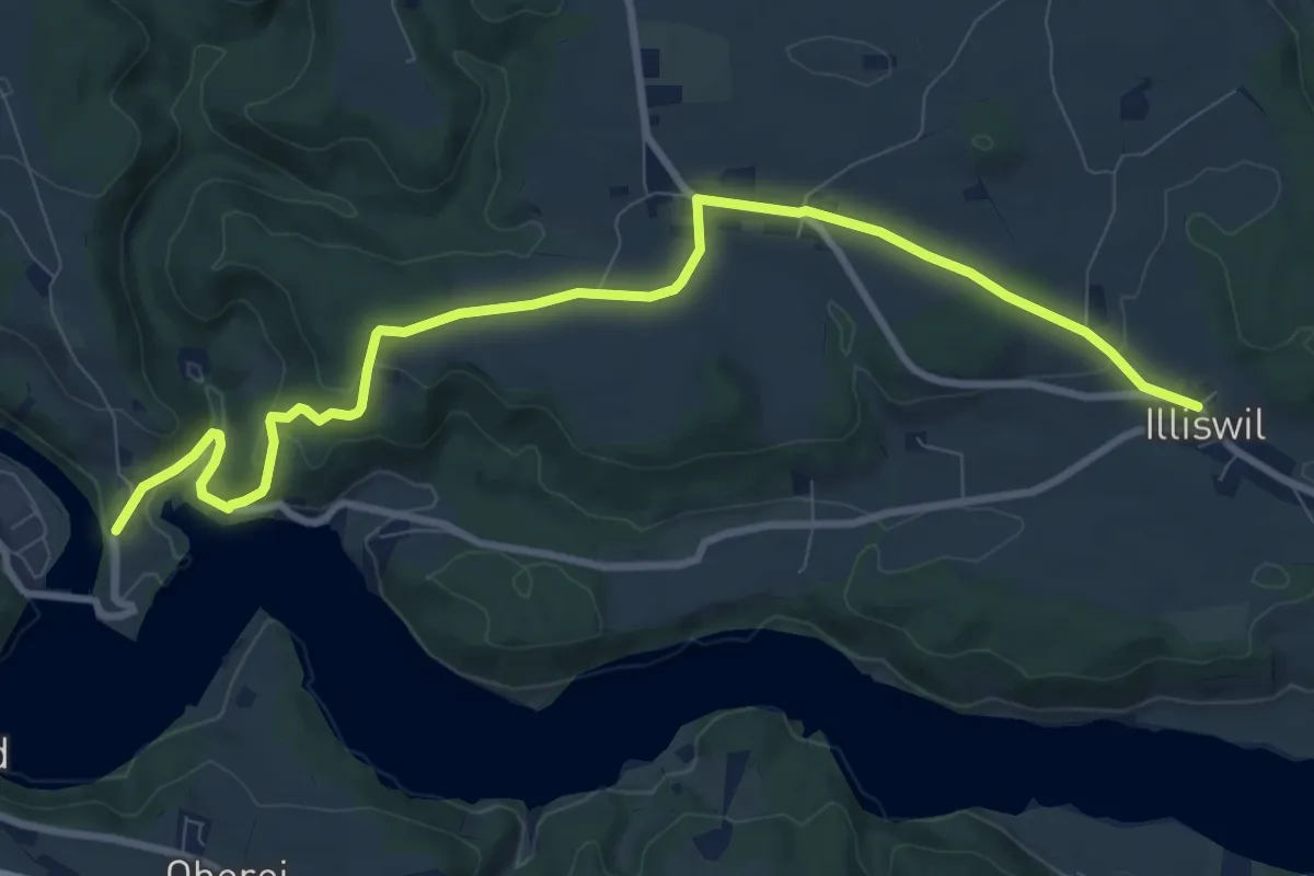
Medium · Trail
Illiswil - Wickacher
10.7 km · ↑ 277 m · 3 h 7 min · 13 km away
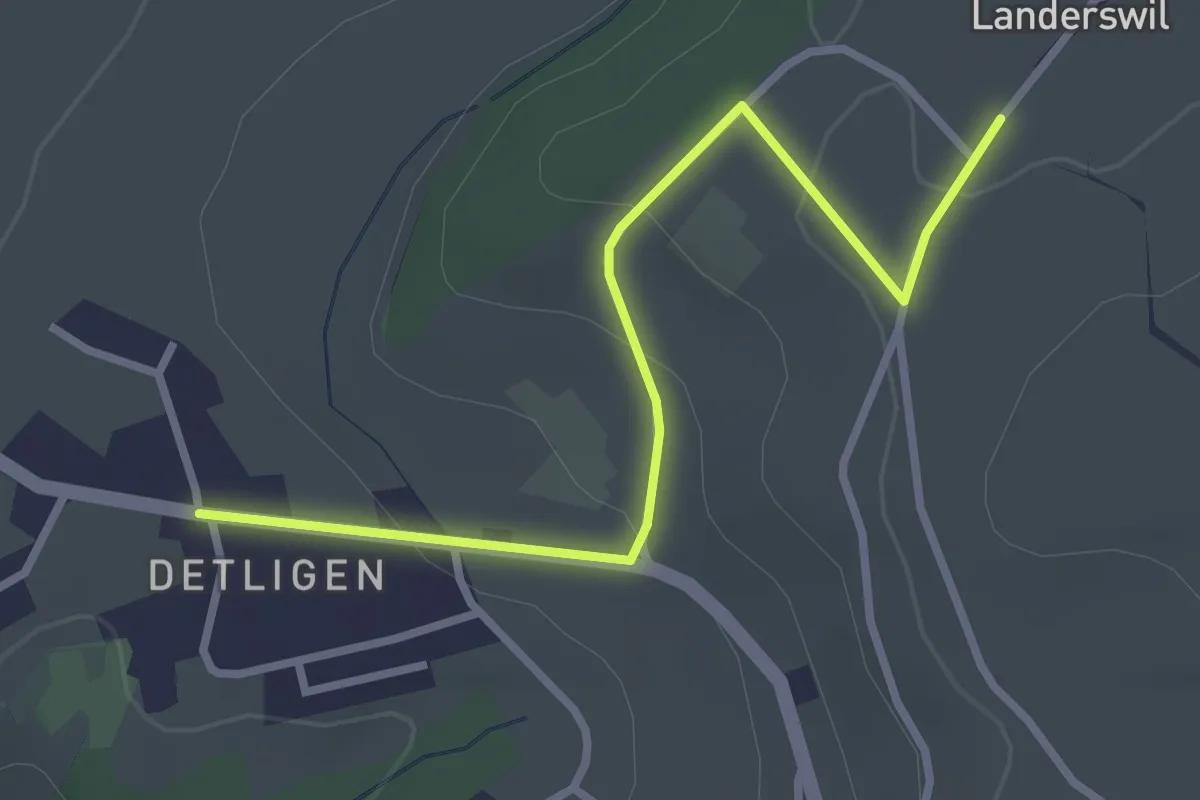
Easy · Trail
Landerswil – Detligen
3.1 km · ↑ 97 m · 56 min · 13 km away
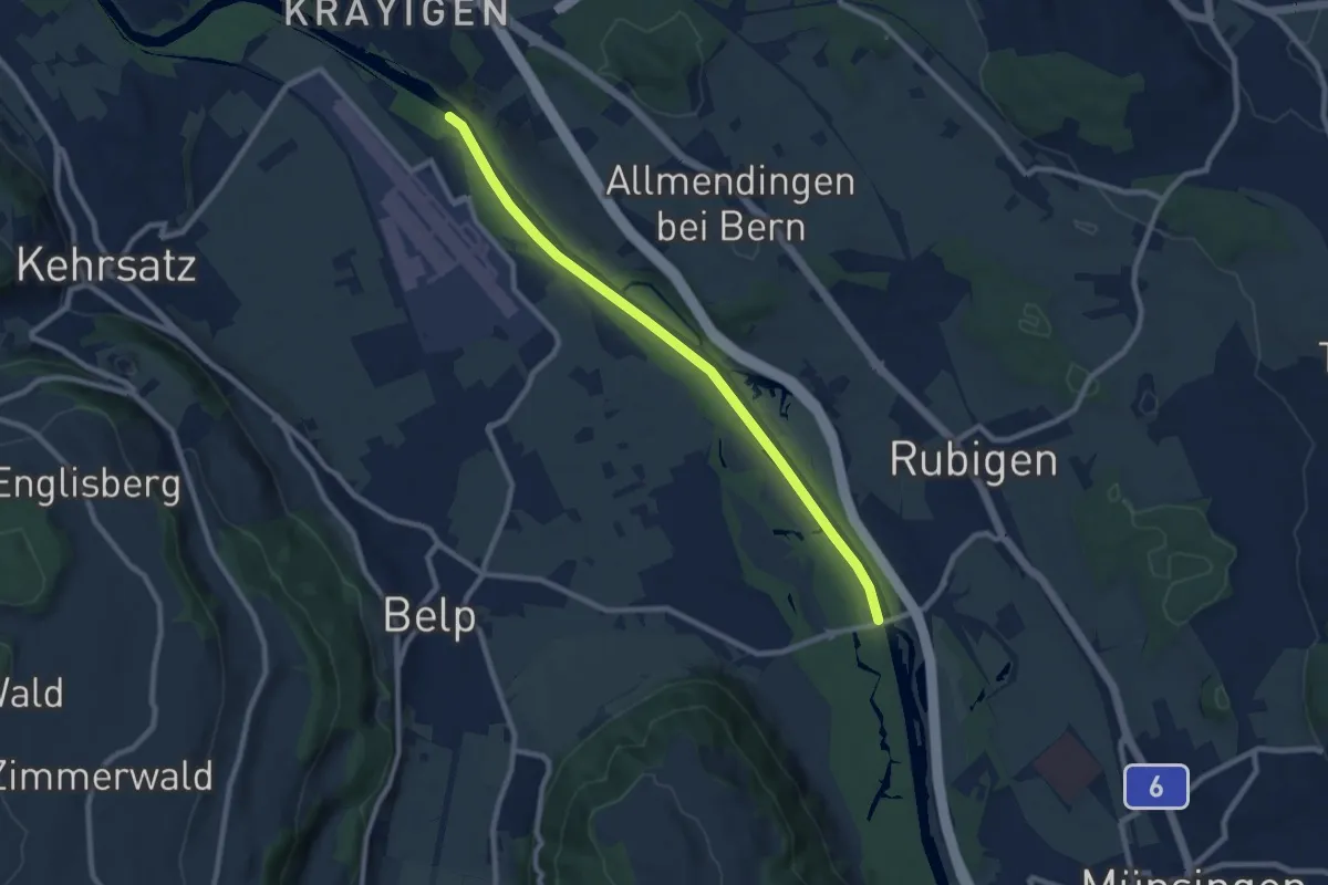
Medium · Trail
Auguetbrügg - Hunzigebrügg
8.7 km · ↑ 8 m · 2 h 4 min · 13 km away
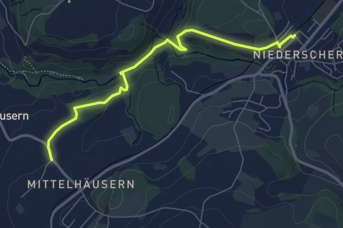
Easy · Trail
Mittelhäusern - Niederscherli
5.7 km · ↑ 165 m · 1 h 42 min · 13 km away
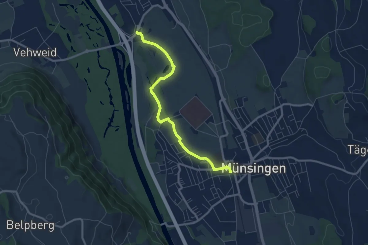
Easy · Trail
Münsingen – Hunziken
6.4 km · ↑ 21 m · 1 h 34 min · 13 km away
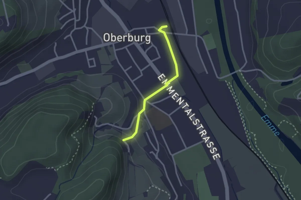
Easy · Trail
Leimern – Oberburg
2.0 km · ↑ 46 m · 35 min · 13 km away
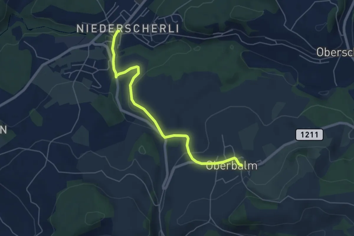
Easy · Trail
Niederscherli – Oberbalm
5.1 km · ↑ 142 m · 1 h 30 min · 13 km away
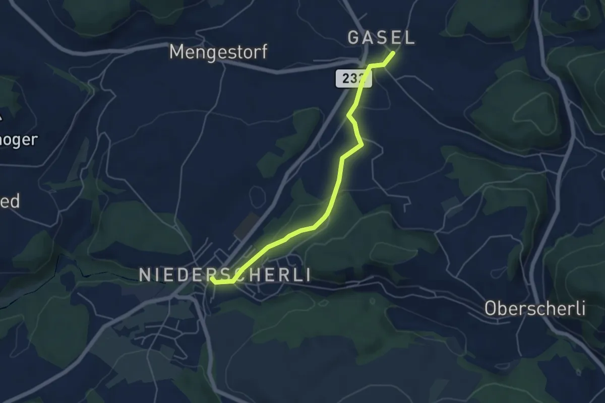
Easy · Trail
Niederscherli – Gasel
4.6 km · ↑ 143 m · 1 h 24 min · 13 km away
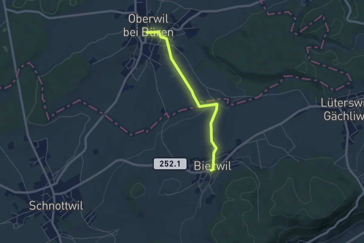
Easy · Trail
Oberwil b. Büren – Biezwil
4.7 km · ↑ 94 m · 1 h 19 min · 13 km away
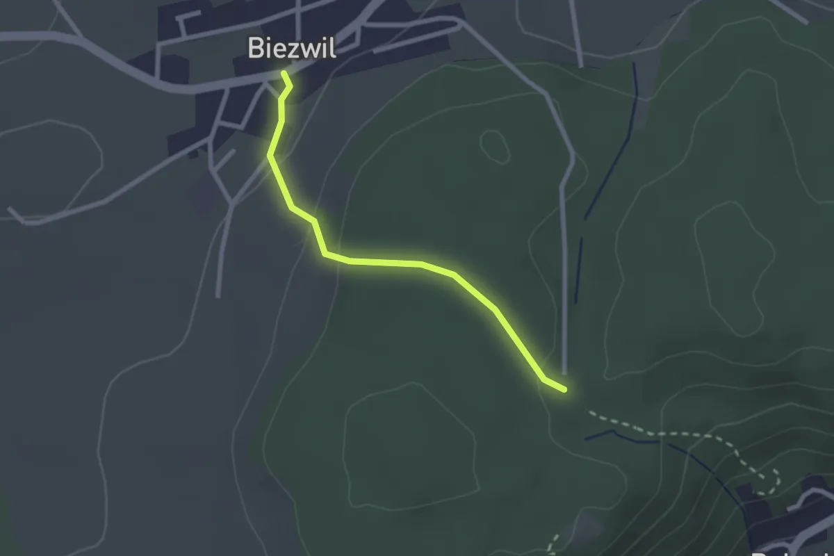
Easy · Trail
Biezwil – Forsthaus Biezwil
2.1 km · ↑ 78 m · 40 min · 13 km away
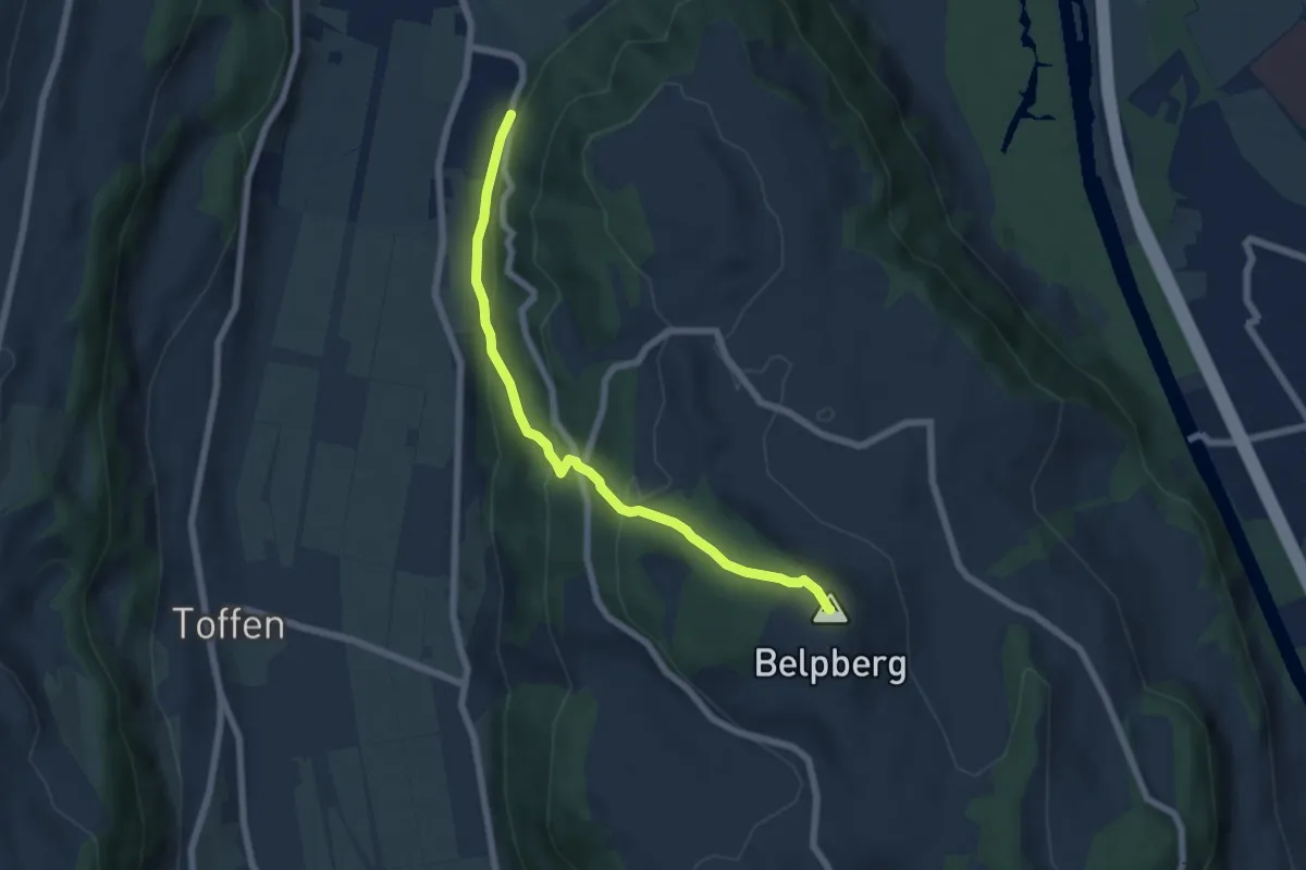
Medium · Summit
Belpberg/Chutze - Riedli
6.2 km · ↑ 336 m · 2 h 12 min · 14 km away
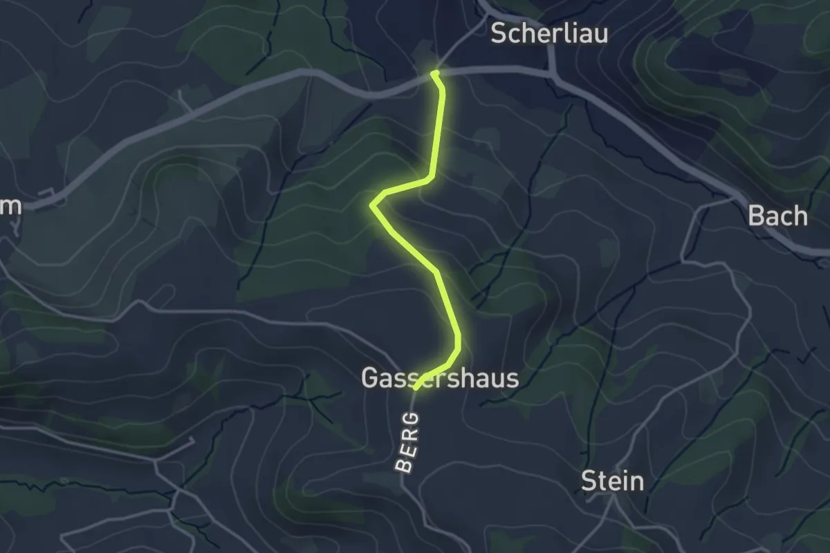
Easy · Trail
Leimen - Gassershus
2.5 km · ↑ 149 m · 55 min · 14 km away
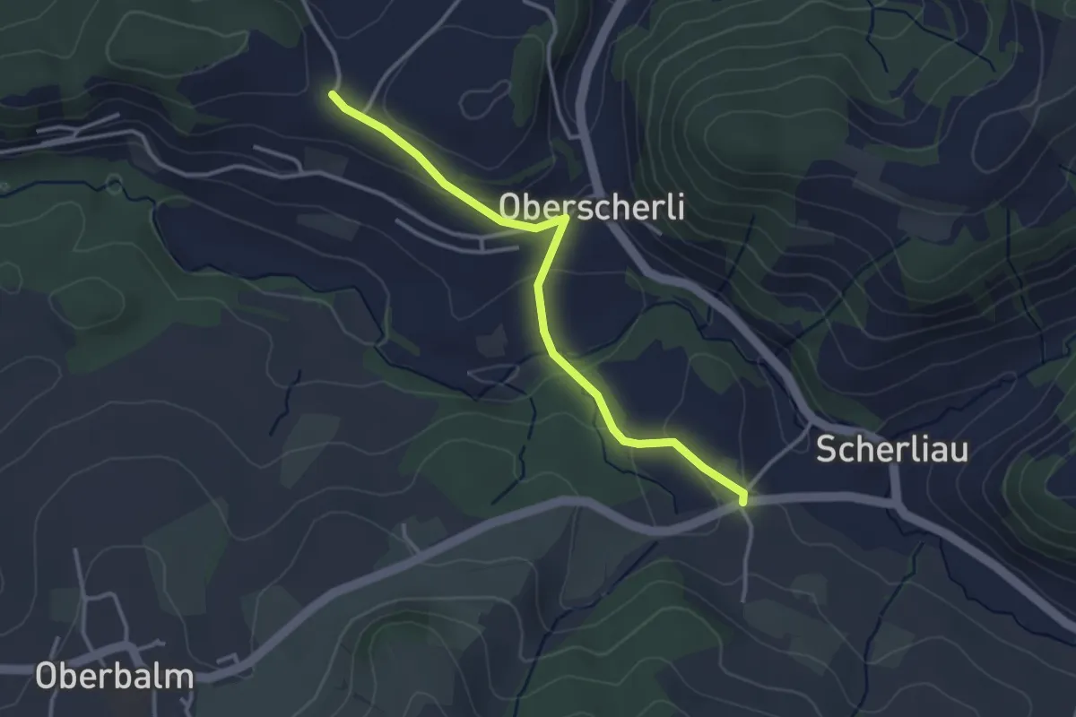
Easy · Trail
Leimen - Hübeli
3.2 km · ↑ 104 m · 59 min · 14 km away
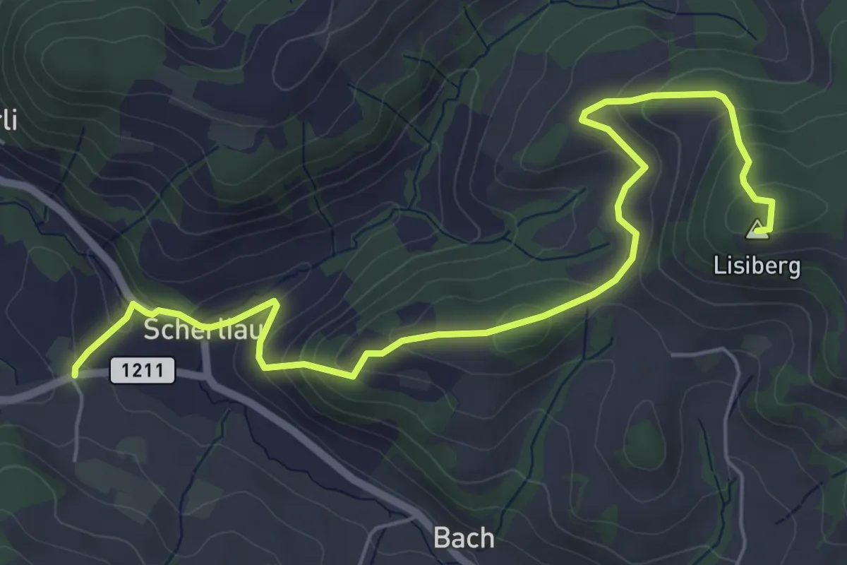
Medium · Summit
Leimen – Lisiberg
6.7 km · ↑ 367 m · 2 h 23 min · 14 km away
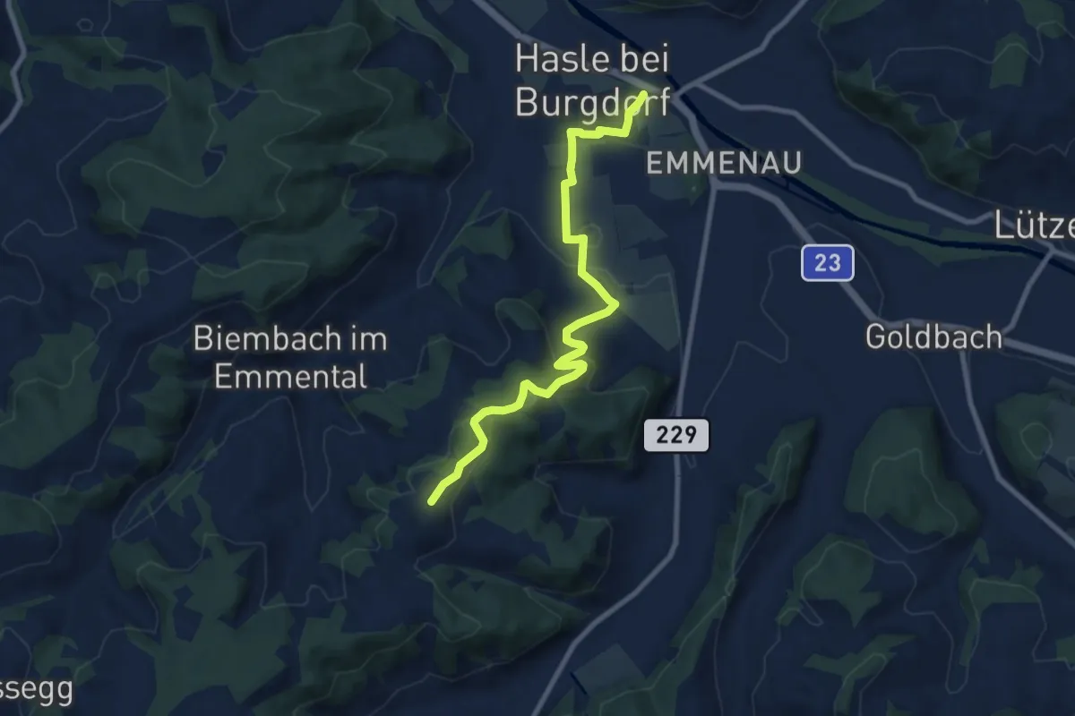
Medium · Trail
Schwand – Hasle-Rüegsau
8.7 km · ↑ 268 m · 2 h 38 min · 14 km away
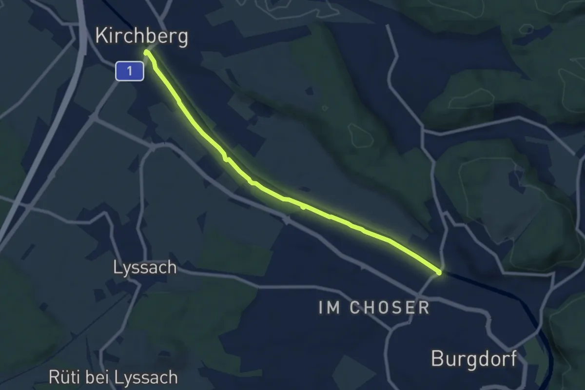
Easy · Trail
Alchenflüh – Eybrügg
7.6 km · ↑ 18 m · 1 h 50 min · 14 km away
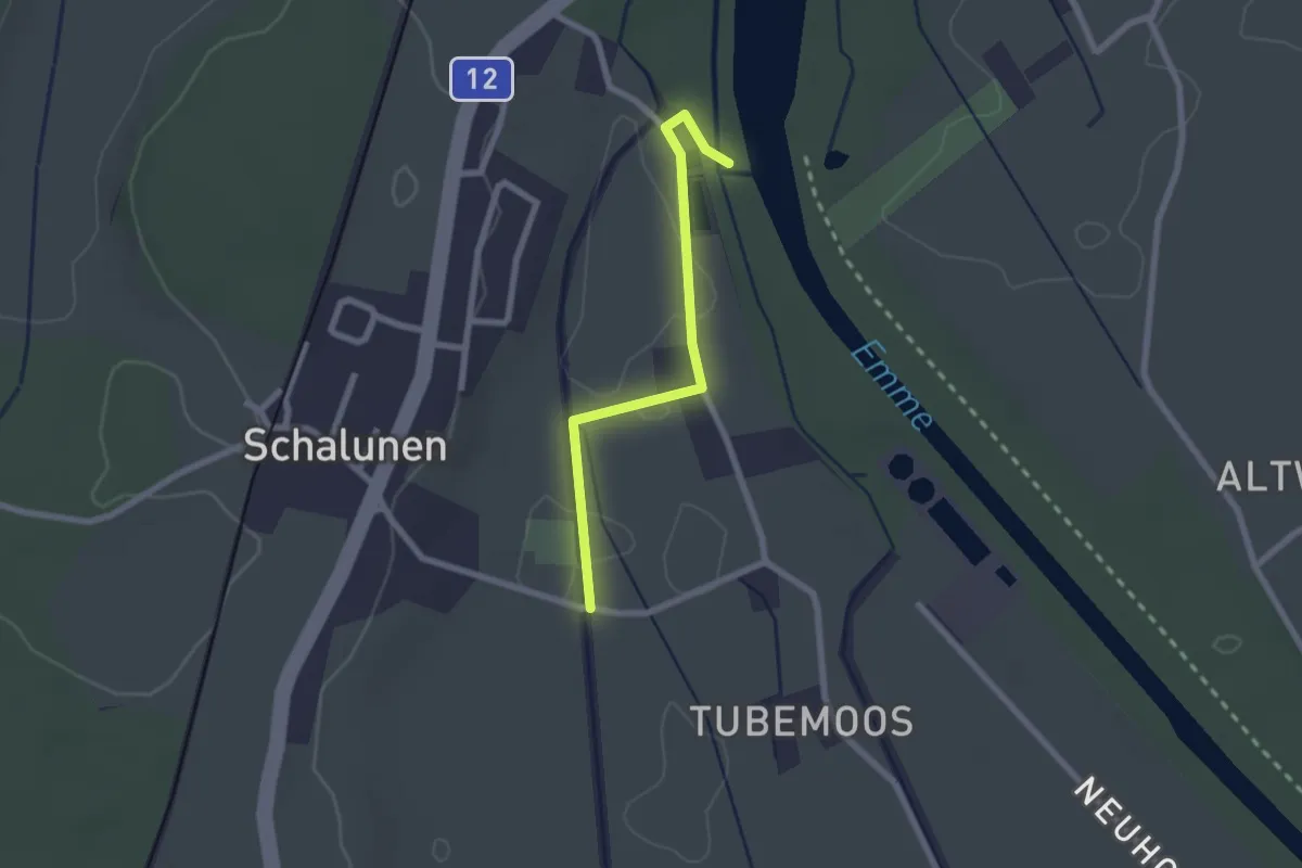
Easy · Trail
Alp – Urtene-Brücke
2.1 km · ↑ 4 m · 30 min · 14 km away
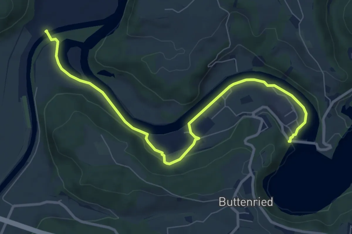
Medium · Trail
Saanesteg – Mühlebergwerk
8.3 km · ↑ 127 m · 2 h 14 min · 14 km away
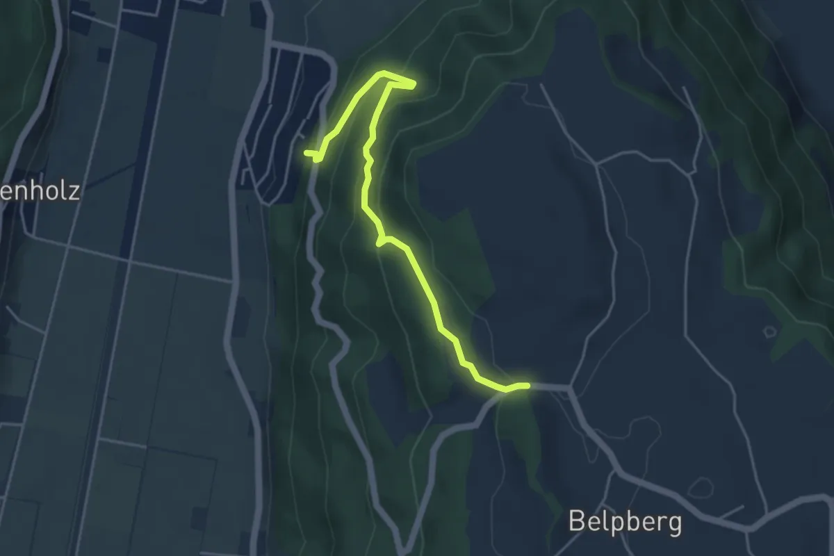
Easy · Trail
Weid - Riedli
4.2 km · ↑ 305 m · 1 h 39 min · 14 km away
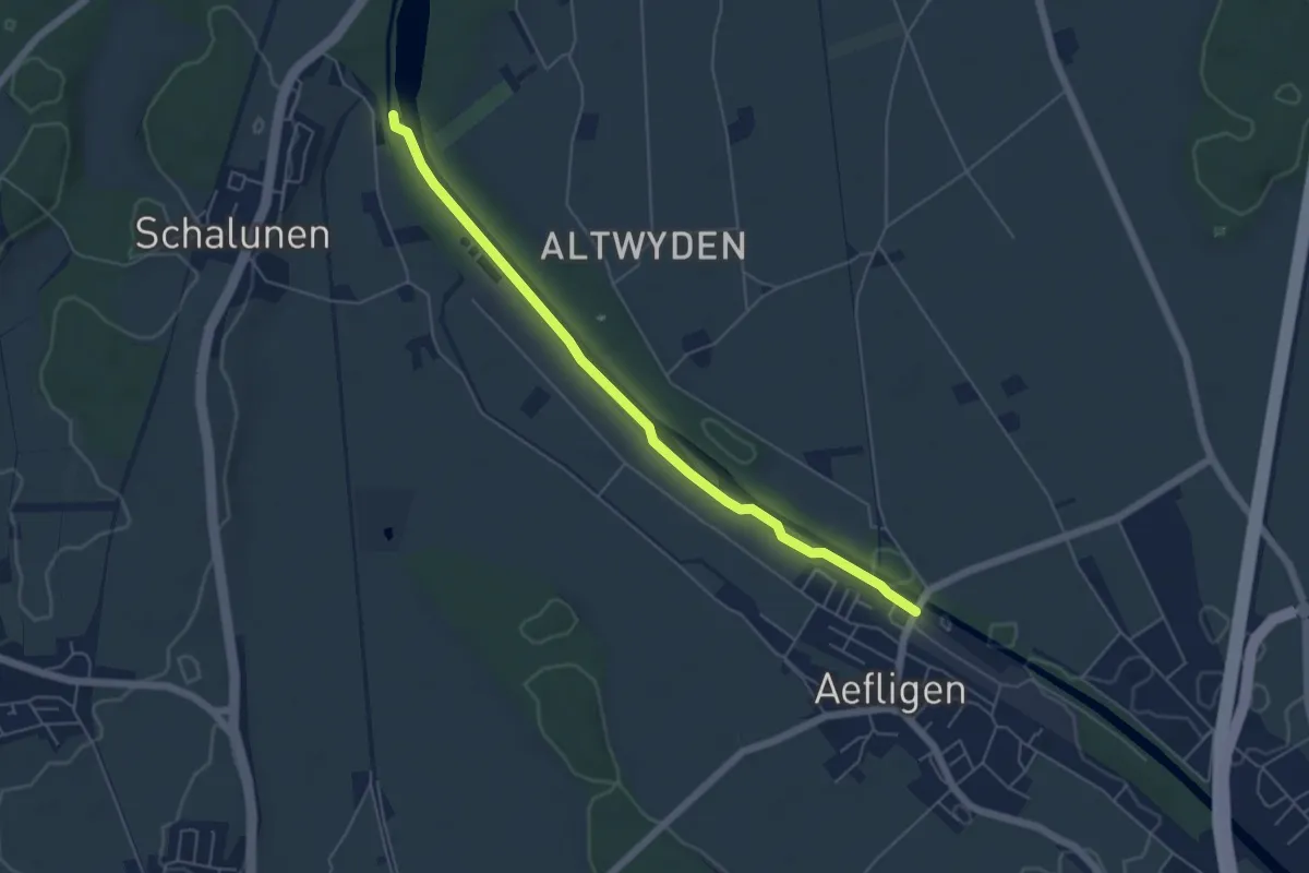
Easy · Trail
Alp – Aefligen
5.4 km · ↑ 17 m · 1 h 19 min · 14 km away
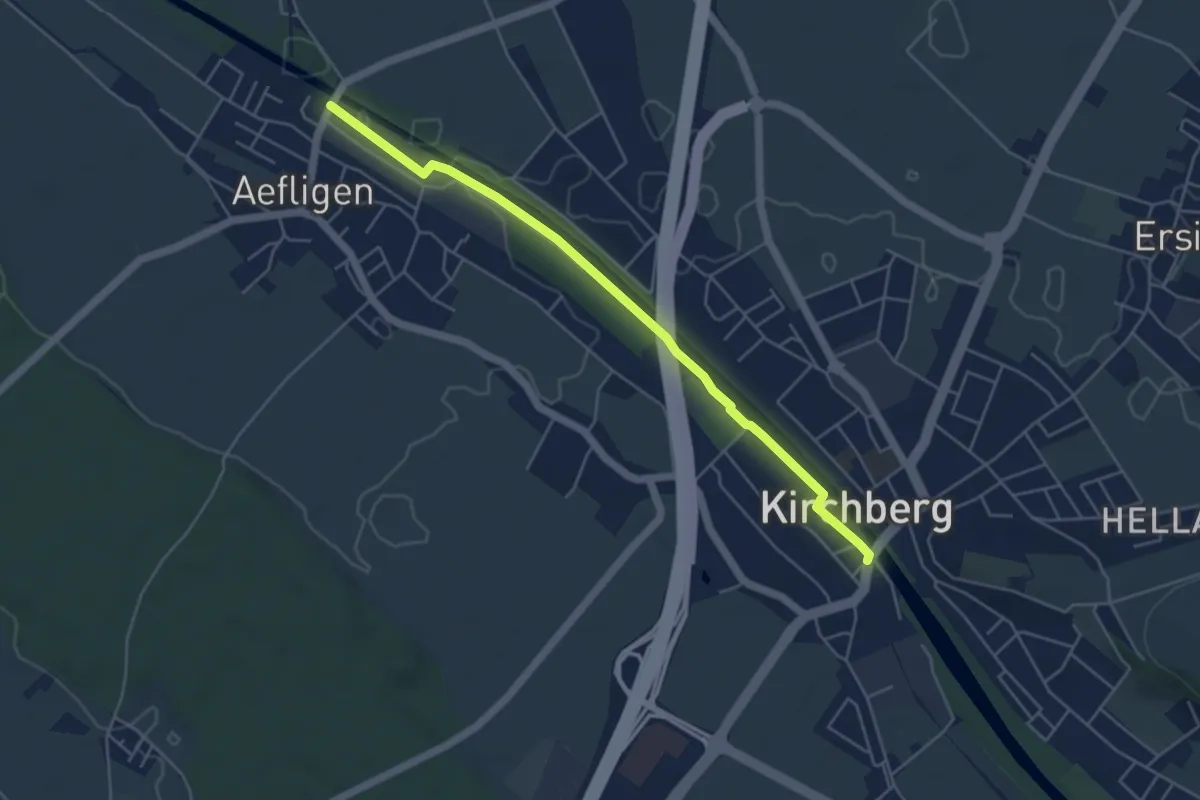
Easy · Trail
Aefligen – Alchenflüh
4.9 km · ↑ 13 m · 1 h 11 min · 14 km away
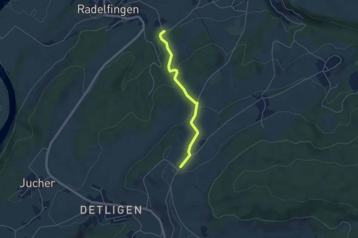
Easy · Trail
Salzmatt – Landerswil
3.8 km · ↑ 162 m · 1 h 16 min · 14 km away
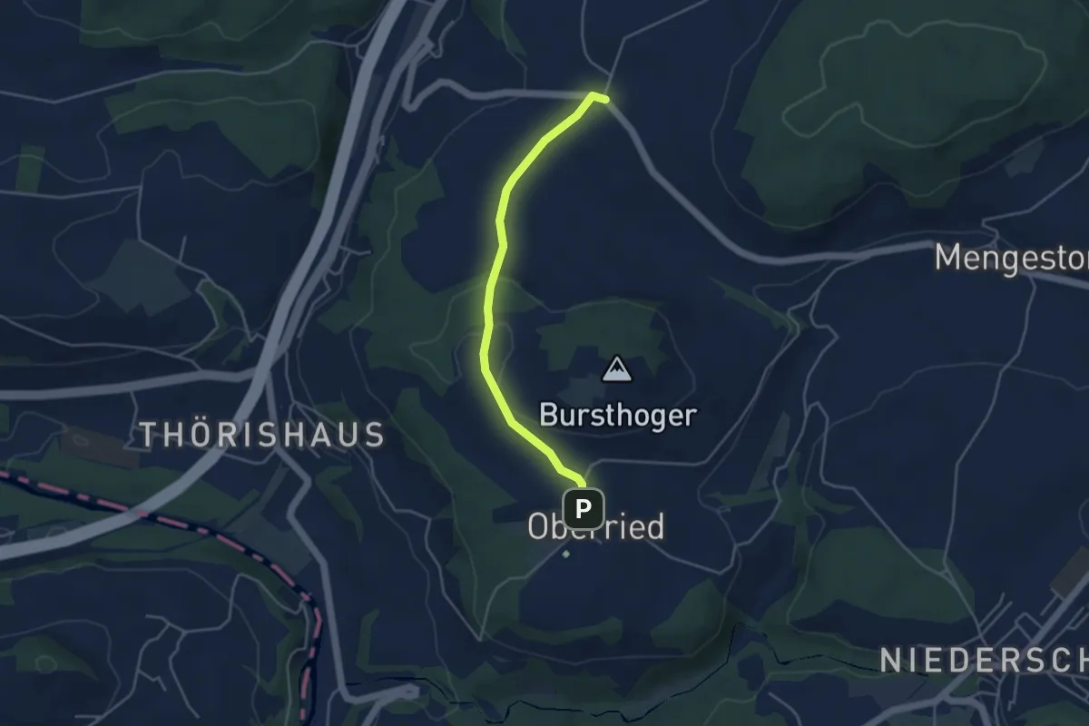
Easy · Trail
Oberried - Liebewil
3.8 km · ↑ 62 m · 1 h 2 min · 14 km away
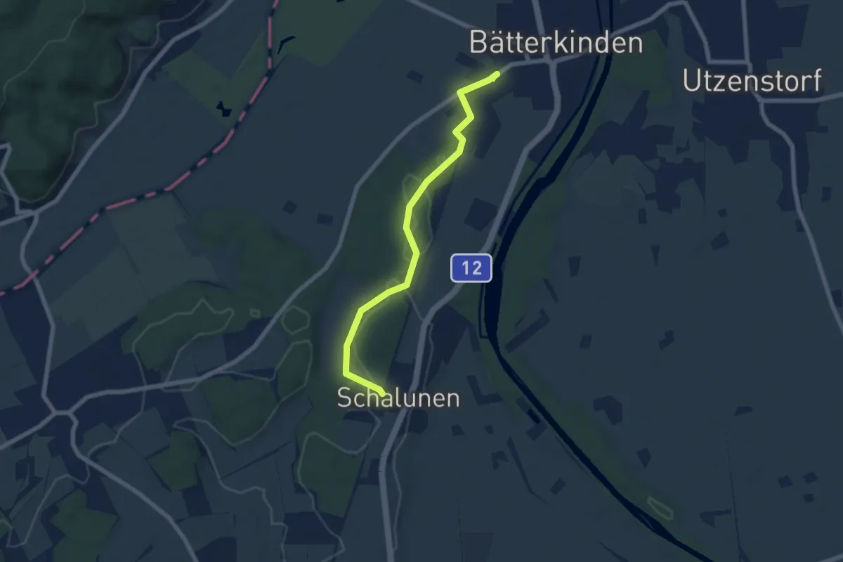
Easy · Trail
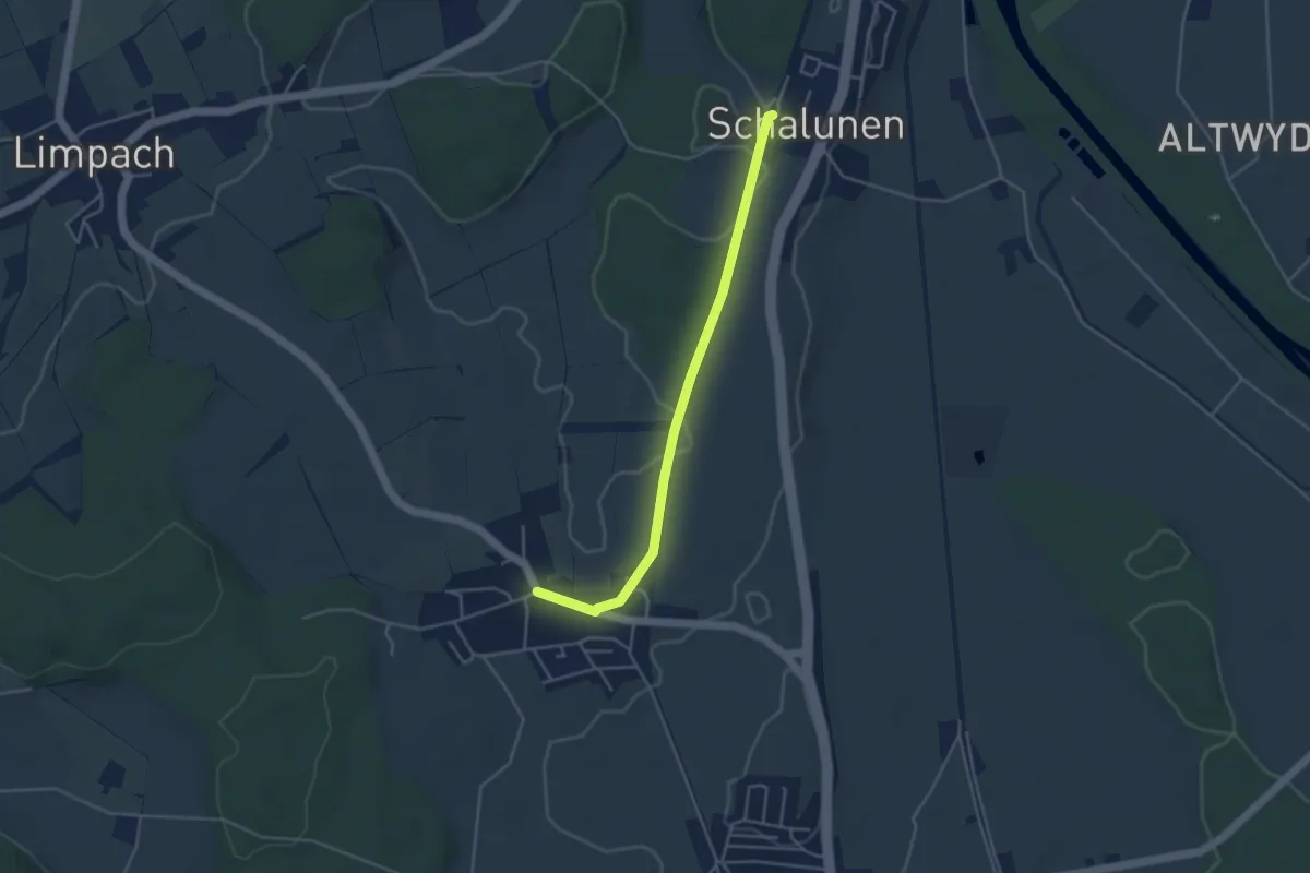
Bätterkinden – Schalunen
6.1 km · ↑ 93 m · 1 h 38 min · 14 km away
Easy · Trail
Schalunen – Büren zum Hof
4.0 km · ↑ 26 m · 1 h · 14 km away
Medium · Trail
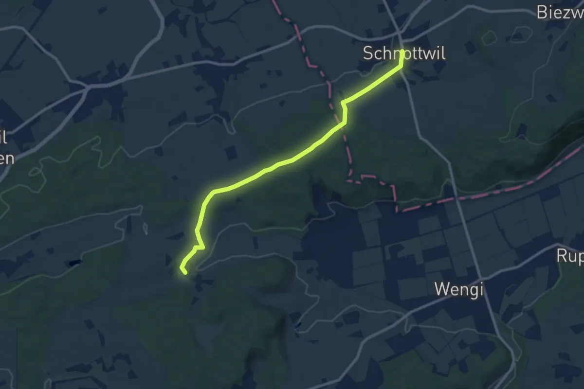
Schnottwil – Ottiswil
8.6 km · ↑ 129 m · 2 h 19 min · 14 km away
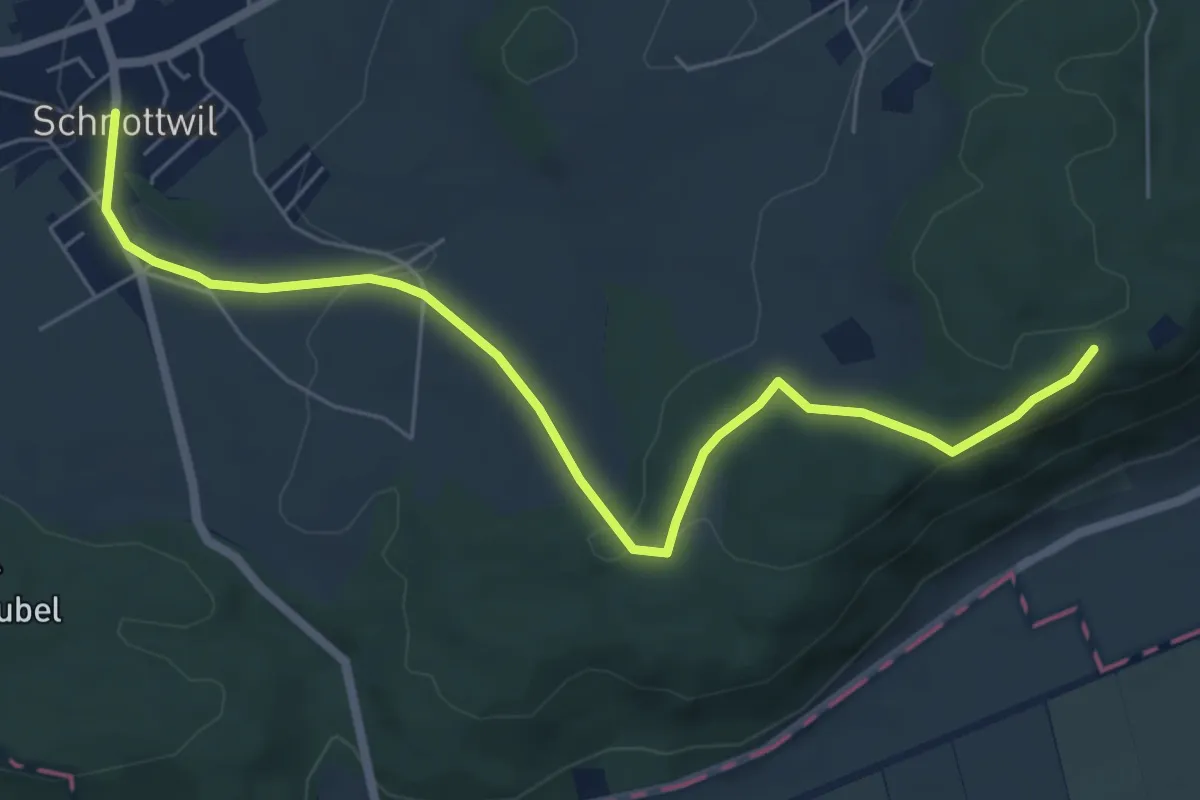
Easy · Trail
Schnottwil – Biezwil Forsthaus
6.9 km · ↑ 174 m · 2 h 1 min · 14 km away
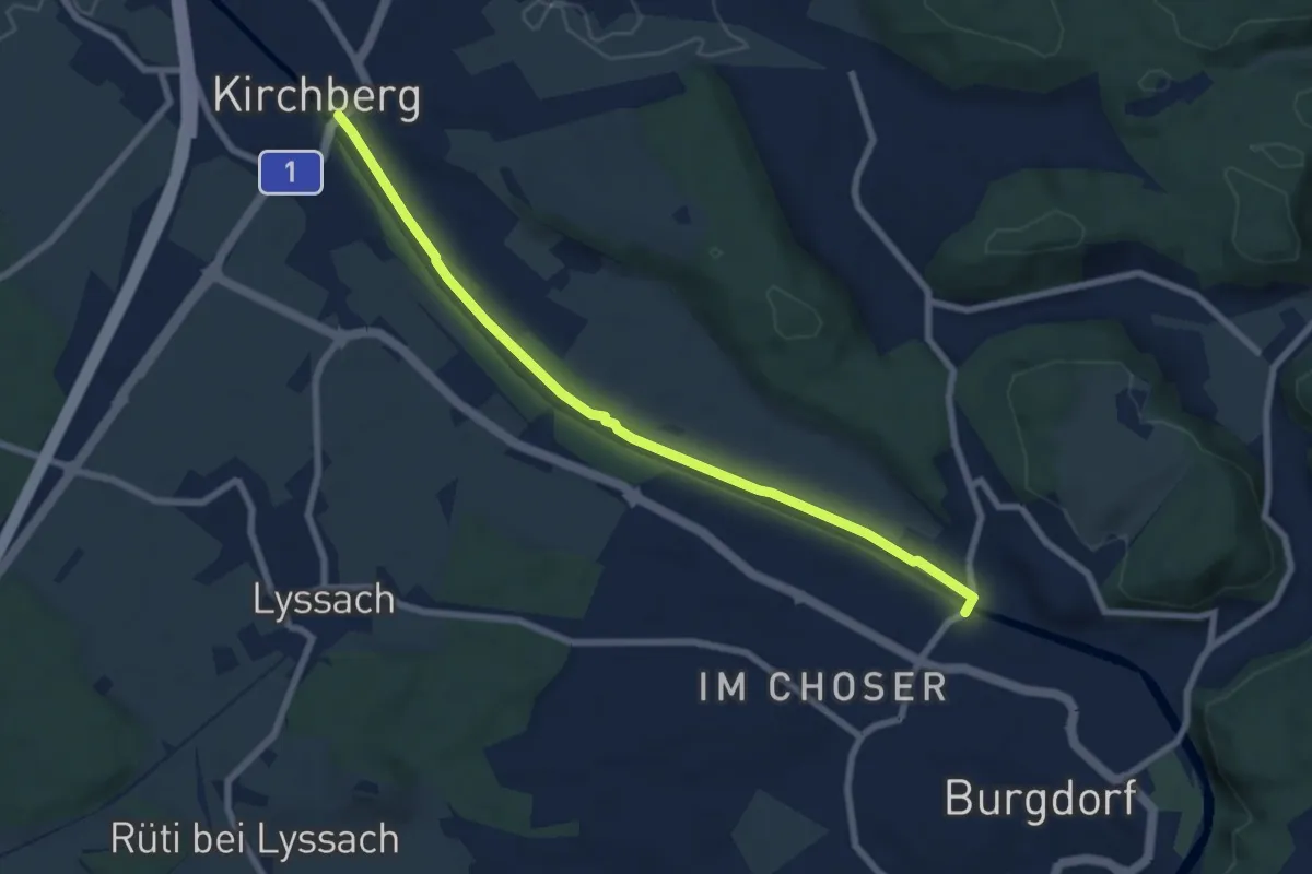
Easy · Trail
Kirchberg – Eybrügg
7.5 km · ↑ 21 m · 1 h 48 min · 14 km away
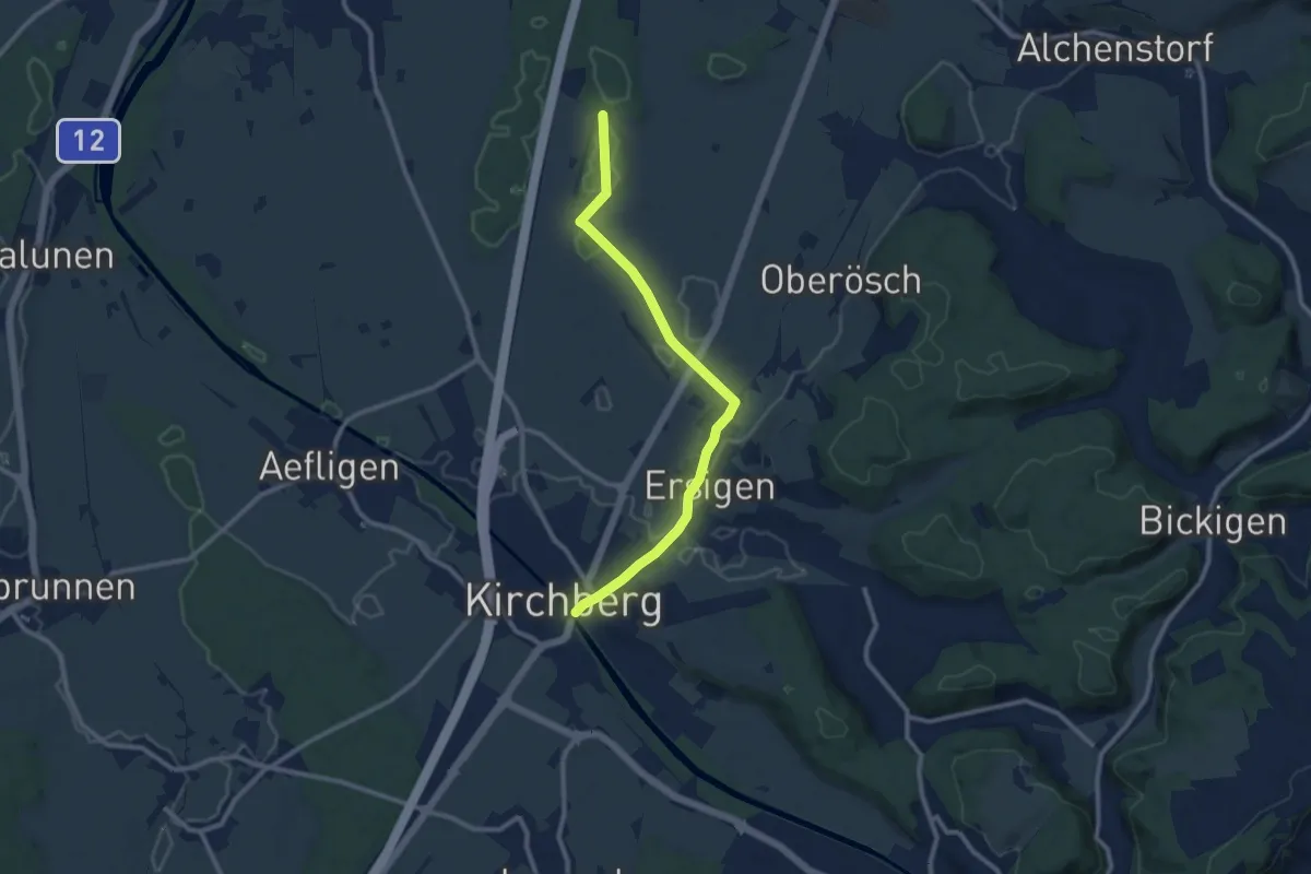
Medium · Trail
Loon – Kirchberg
10.0 km · ↑ 65 m · 2 h 29 min · 14 km away
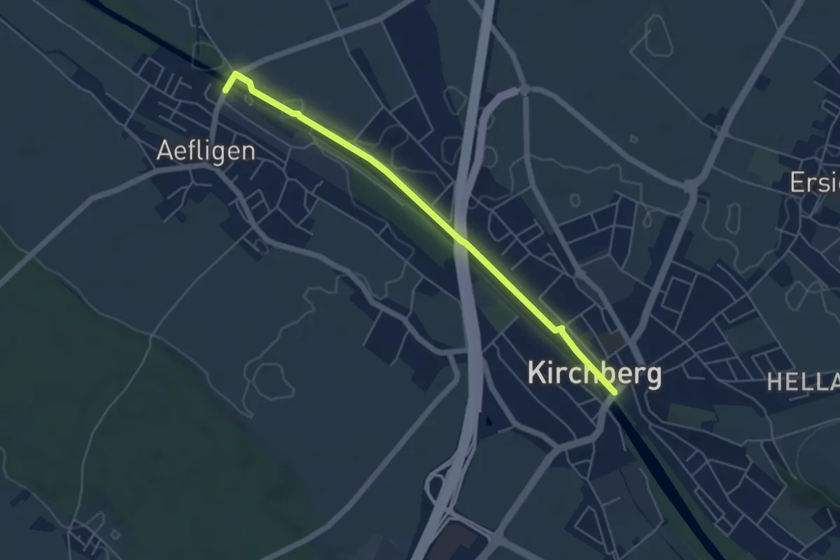
Easy · Trail
Aefligen – Kirchberg
5.0 km · ↑ 13 m · 1 h 12 min · 14 km away
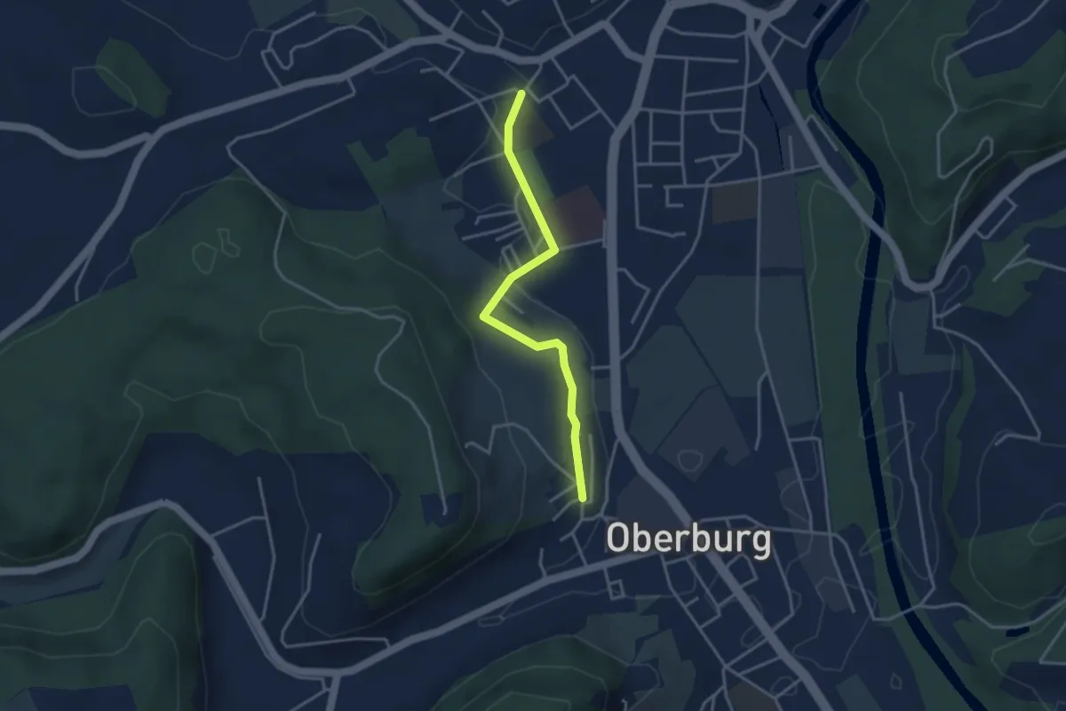
Easy · Trail
Oberburg/Kirche – Burgdorf/Steinhof
3.3 km · ↑ 59 m · 55 min · 14 km away
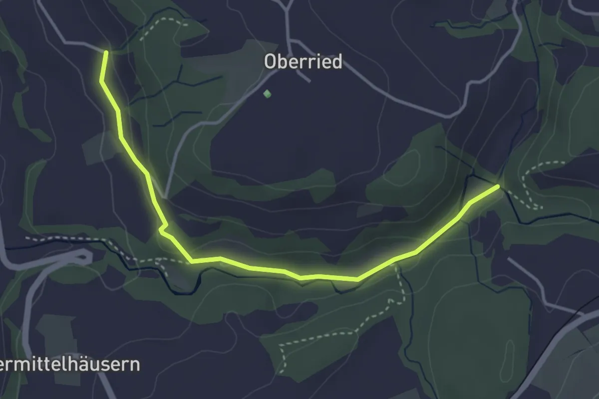
Easy · Trail
Grabenmüli - Grafenried
3.7 km · ↑ 75 m · 1 h 2 min · 14 km away
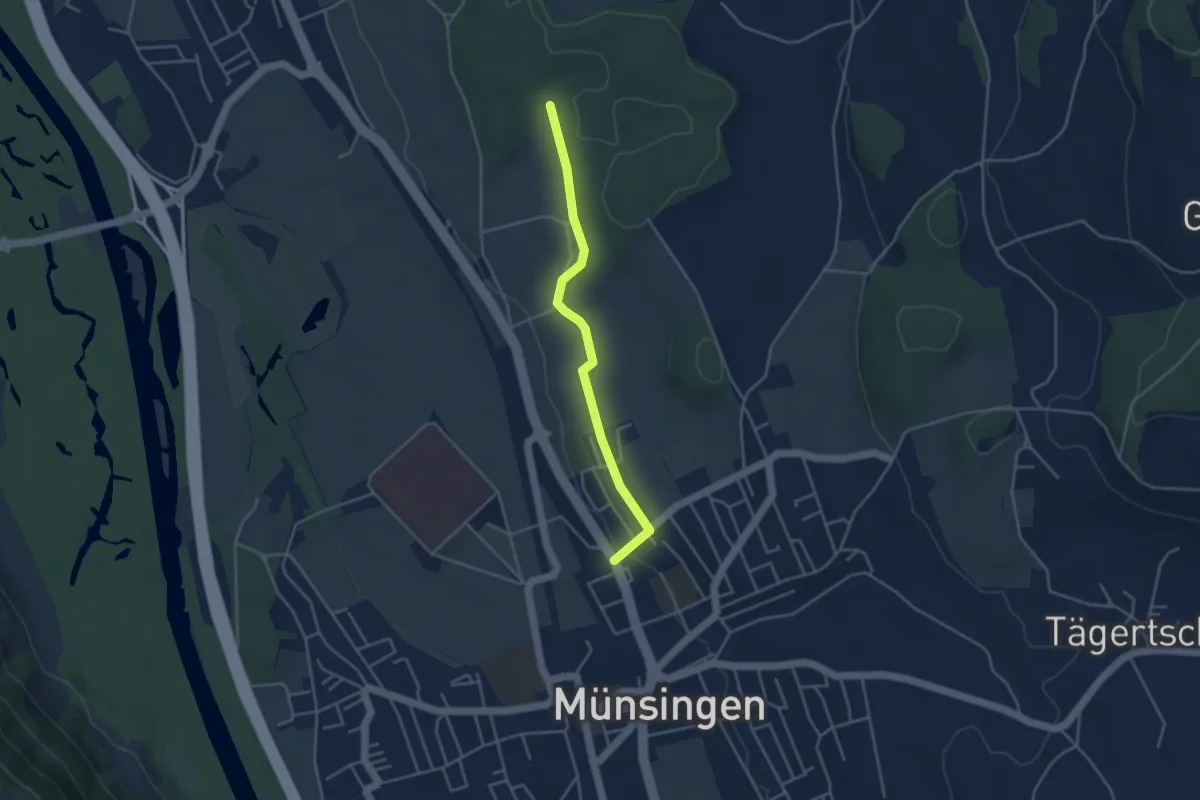
Easy · Trail
Münsingen – Schwandwald
3.7 km · ↑ 76 m · 1 h 2 min · 14 km away
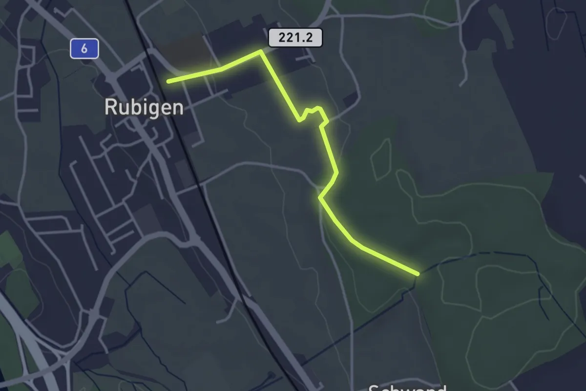
Easy · Trail
Rubigen – Schwandwald
3.2 km · ↑ 57 m · 53 min · 14 km away
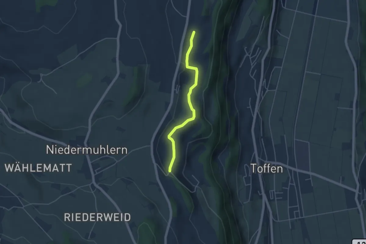
Easy · Trail
Rossweid – Falebach
3.8 km · ↑ 92 m · 1 h 5 min · 14 km away
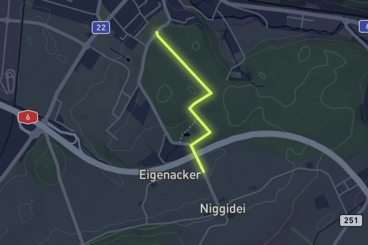
Easy · Trail
Lyss Friedhof – Eigenacher
2.6 km · ↑ 44 m · 43 min · 14 km away
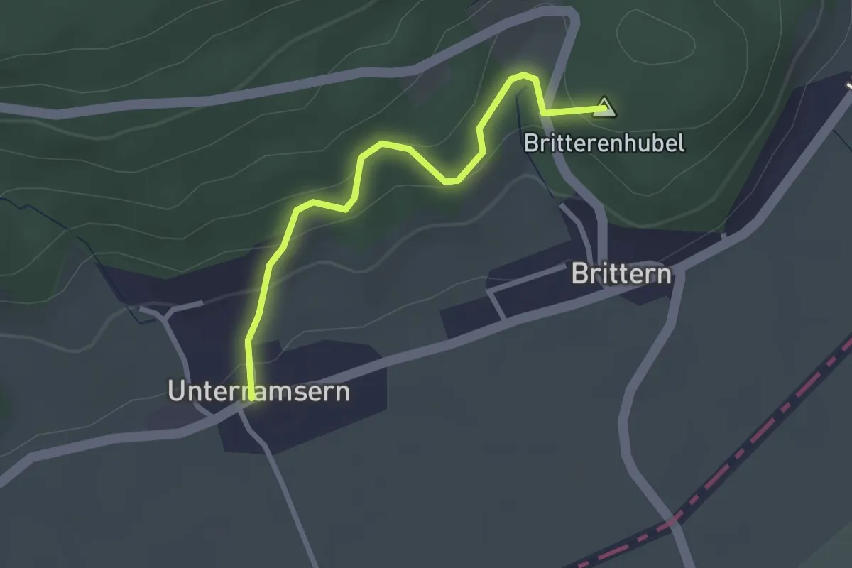
Easy · Summit
Wolftürli – Unterramsern
2.4 km · ↑ 154 m · 54 min · 14 km away
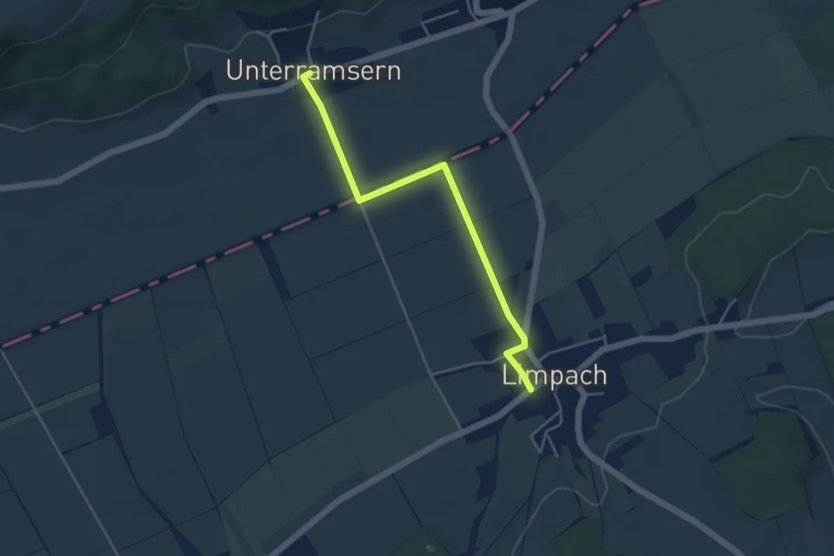
Easy · Trail
Unterramsern – Limpach
3.8 km · ↑ 23 m · 57 min · 14 km away
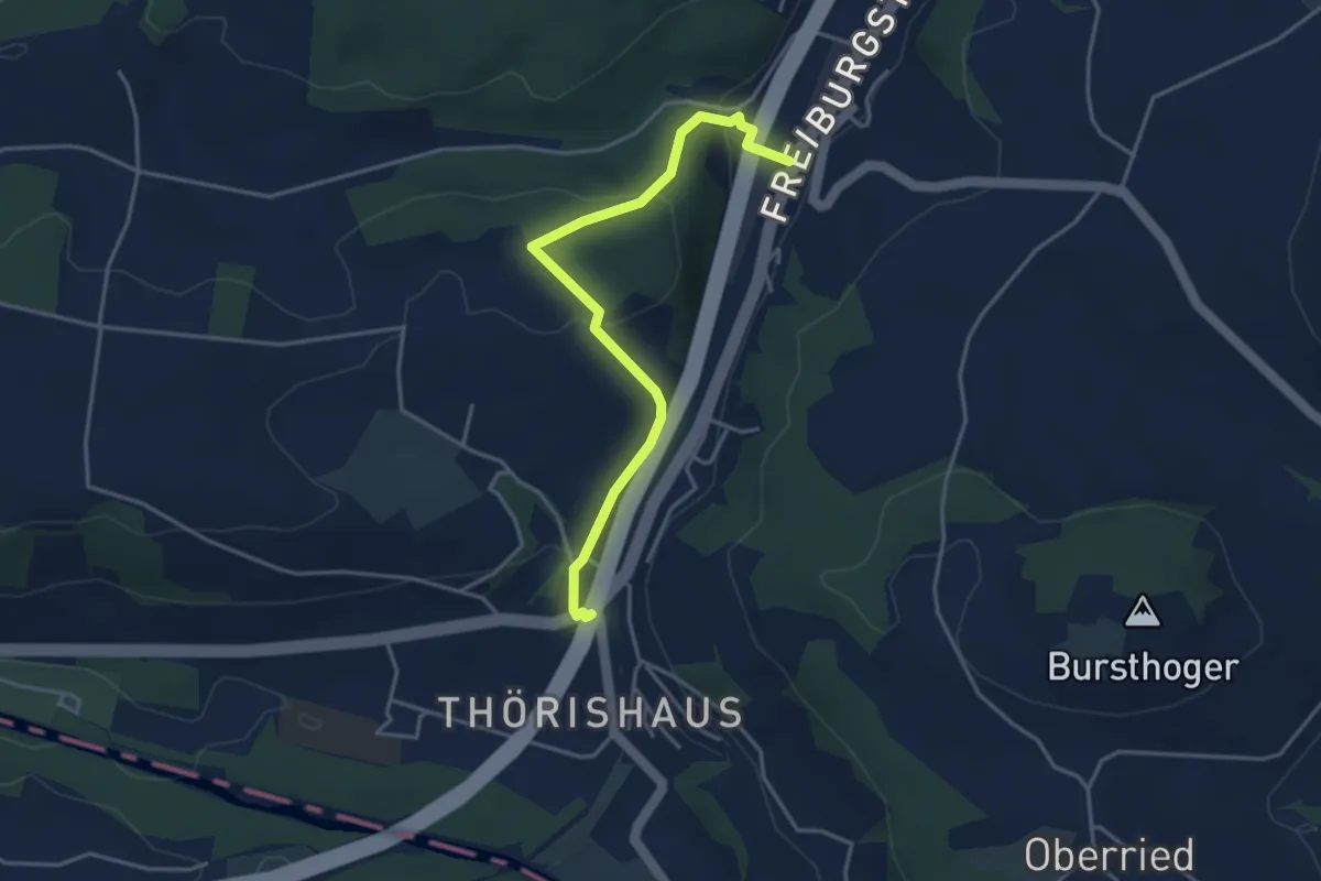
Easy · Trail
Thörishaus/Station - Thörishaus
4.0 km · ↑ 138 m · 1 h 15 min · 14 km away
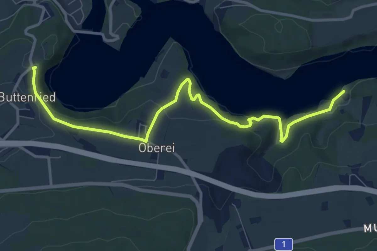
Medium · Trail
Fuchsenried - Jaggisbachau
8.3 km · ↑ 253 m · 2 h 30 min · 14 km away