Trails near Zollikofen
477 hikes starting within 15 km, nearest first.
Nearest first, page 8 of 10
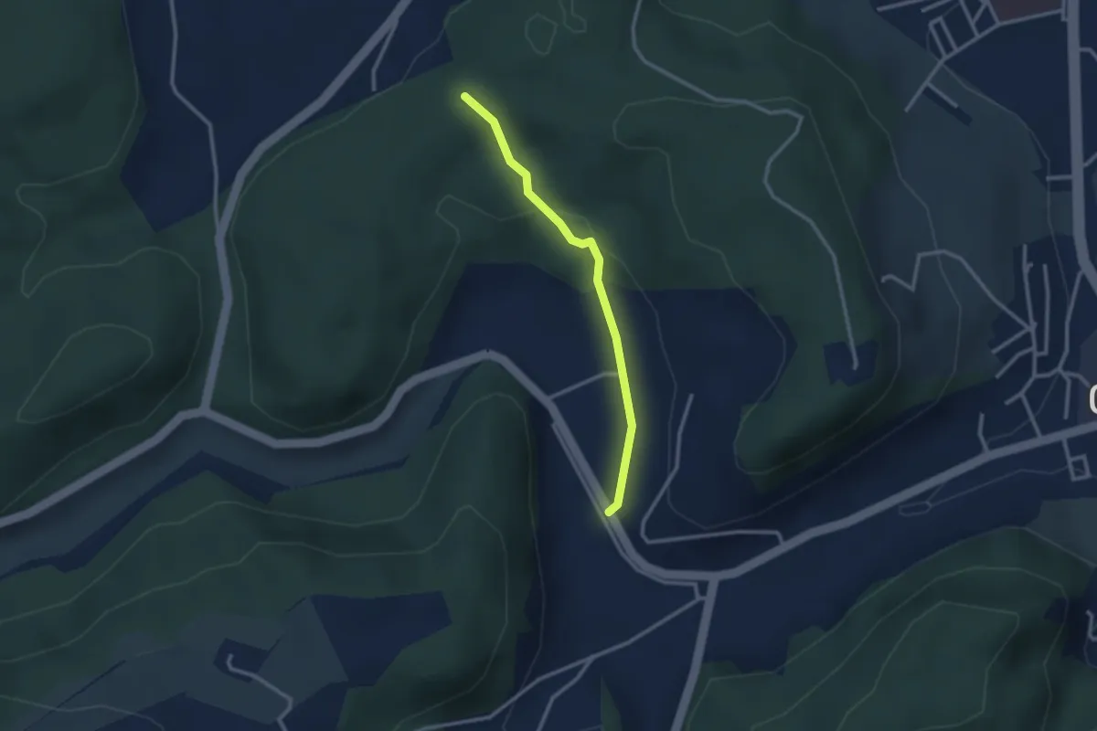
Easy · Trail
Steingruebe - Siebenwegeplatz
2.4 km · ↑ 62 m · 42 min · 12 km away
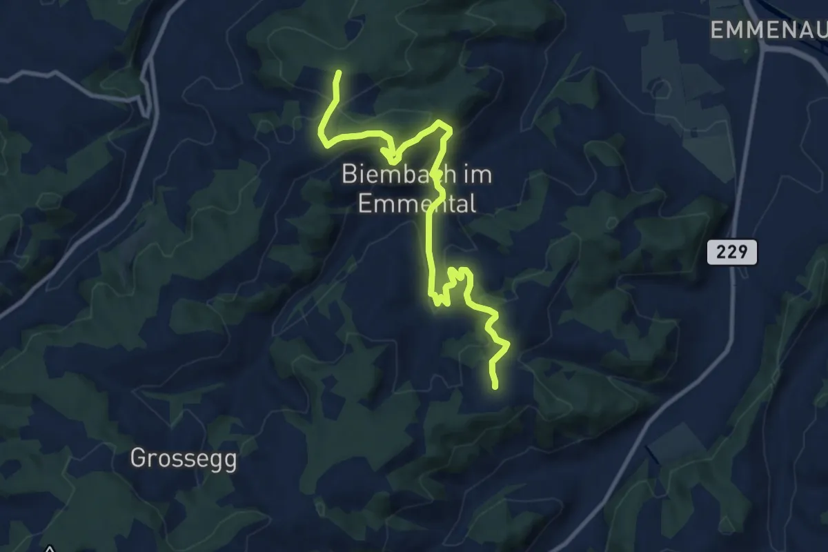
Medium · Trail
Wasenegg – Afterlehn
10.5 km · ↑ 513 m · 3 h 36 min · 12 km away
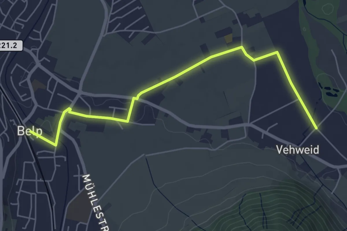
Easy · Trail
Belp – Vehweid
5.7 km · ↑ 9 m · 1 h 21 min · 12 km away
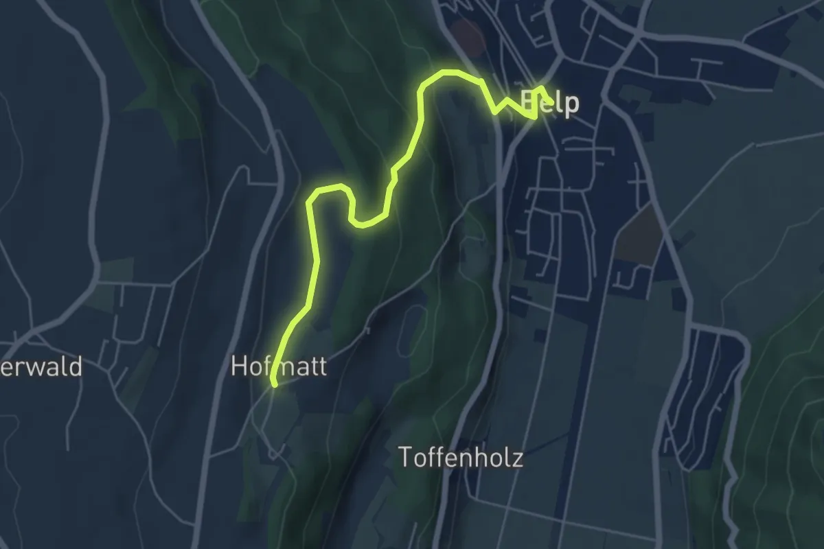
Easy · Trail
Hofmatt – Belp
5.1 km · ↑ 246 m · 1 h 44 min · 12 km away
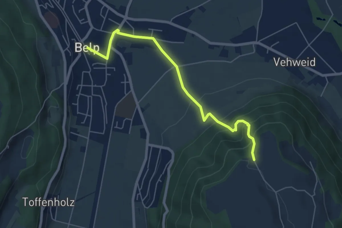
Easy · Trail
Belp – Hoburg
5.3 km · ↑ 310 m · 1 h 55 min · 12 km away
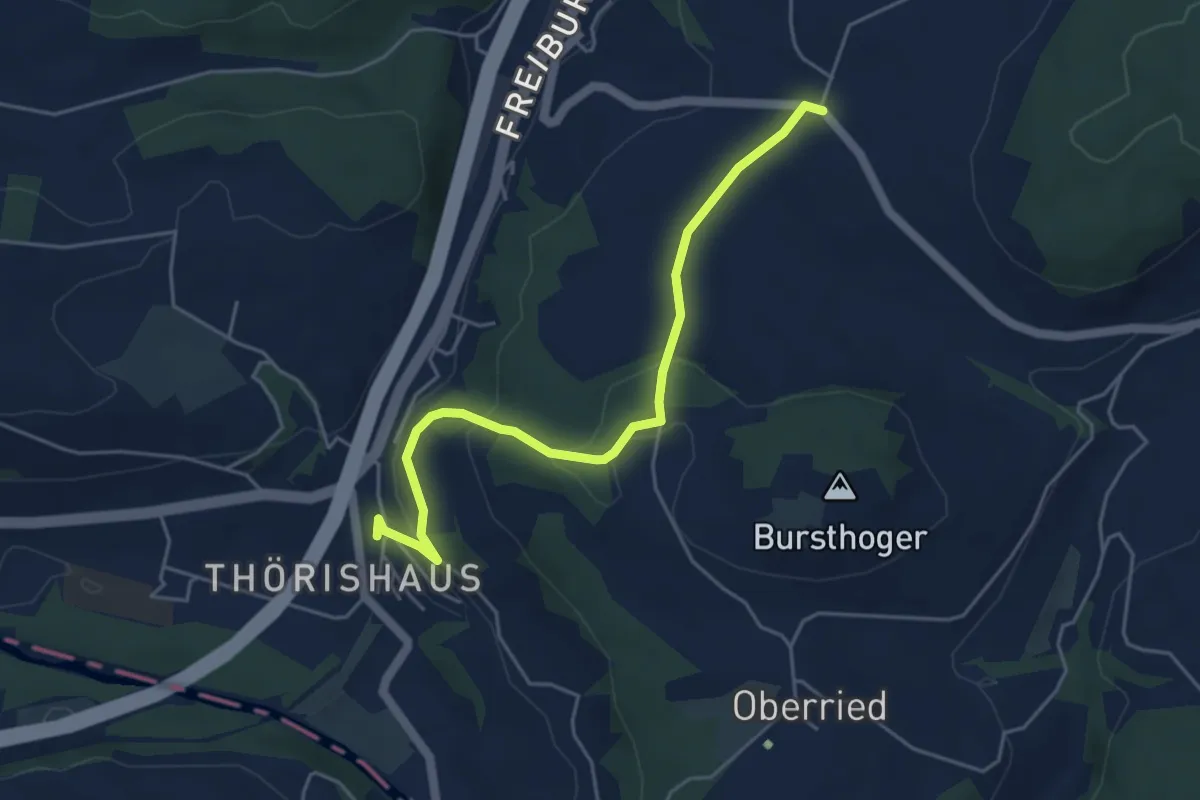
Easy · Trail
Thörishaus - Liebewil
4.9 km · ↑ 176 m · 1 h 32 min · 12 km away
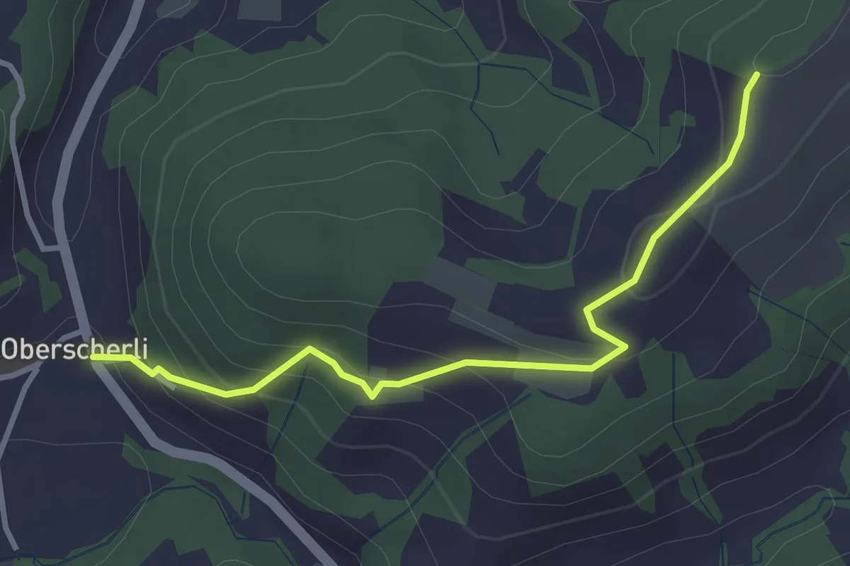
Easy · Trail
Zingghöch – Oberscherli
3.1 km · ↑ 195 m · 1 h 9 min · 12 km away
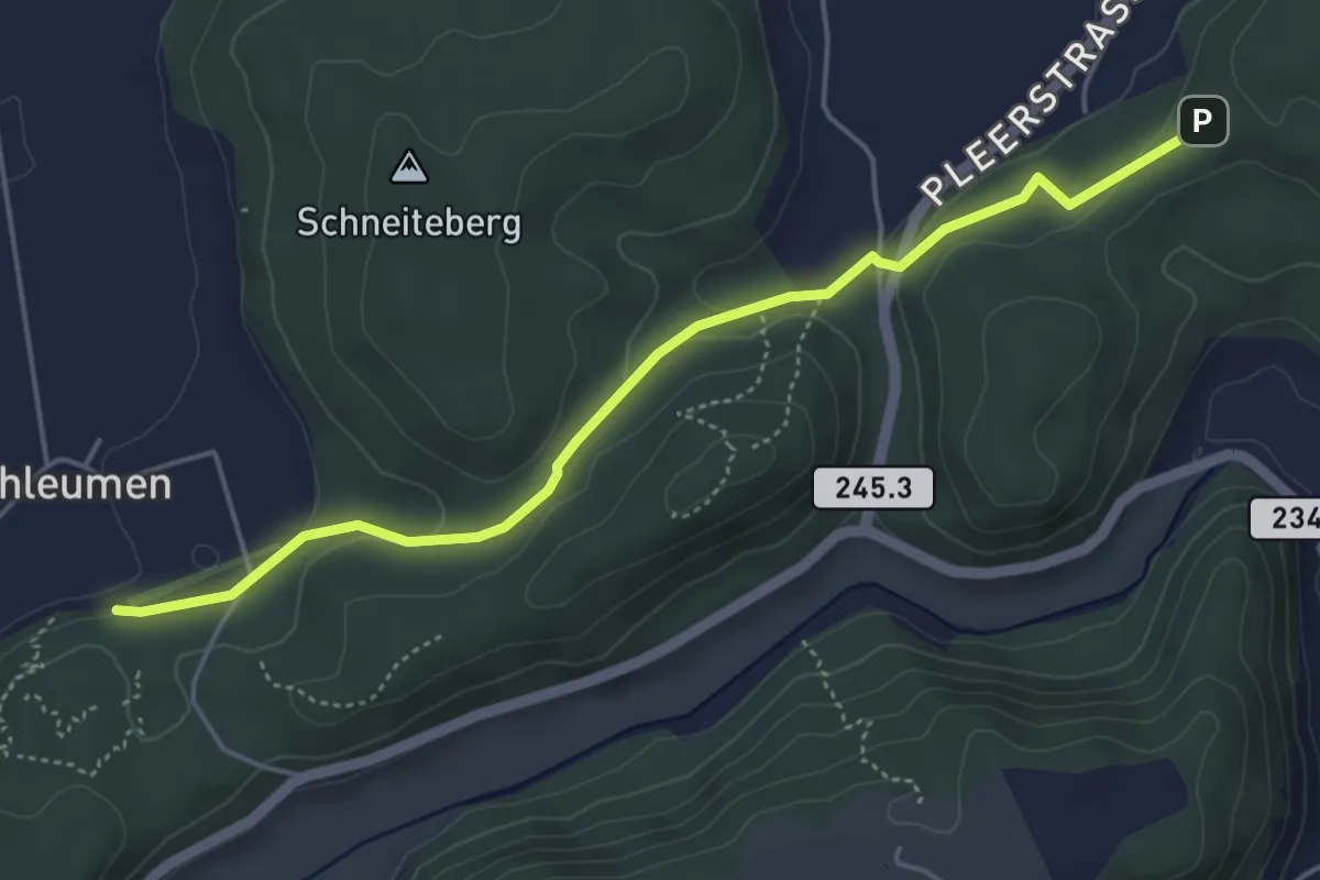
Easy · Trail
Siebenwegeplatz – Schleumemoos
4.9 km · ↑ 133 m · 1 h 27 min · 12 km away
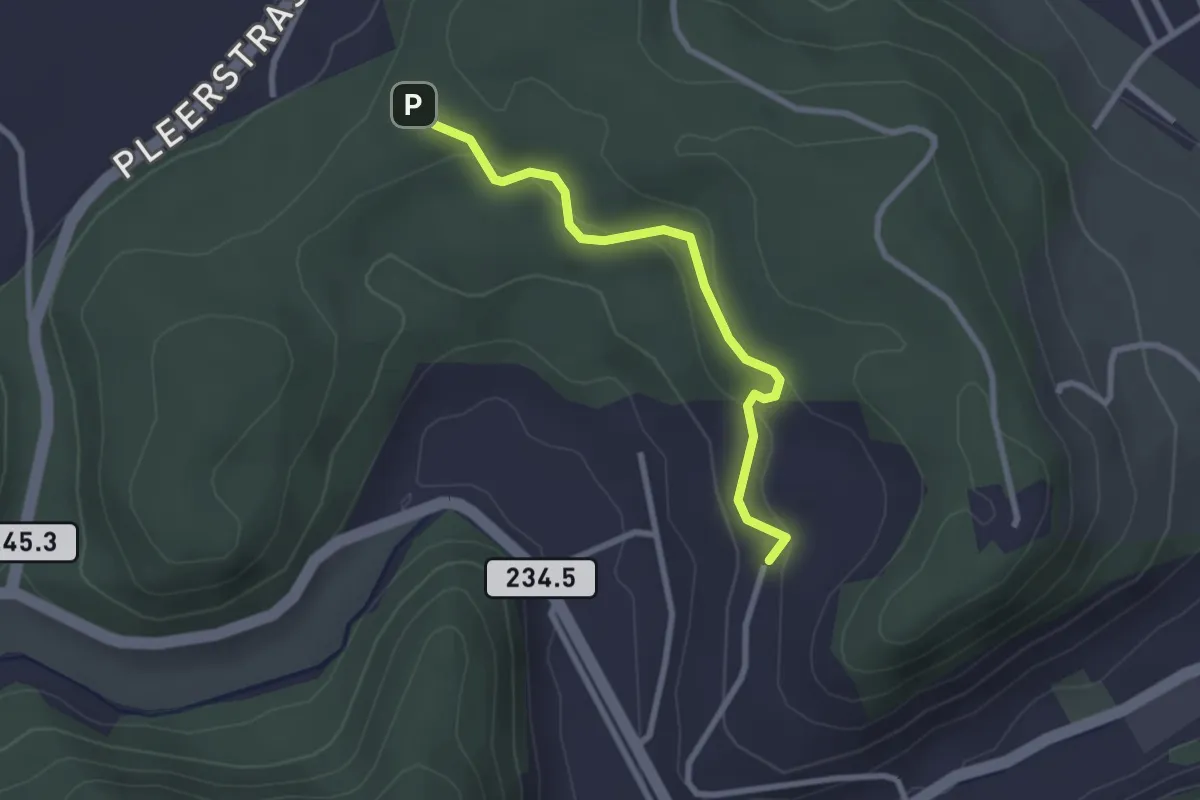
Easy · Trail
Hinterroth – Siebenwegeplatz
2.5 km · ↑ 102 m · 49 min · 12 km away
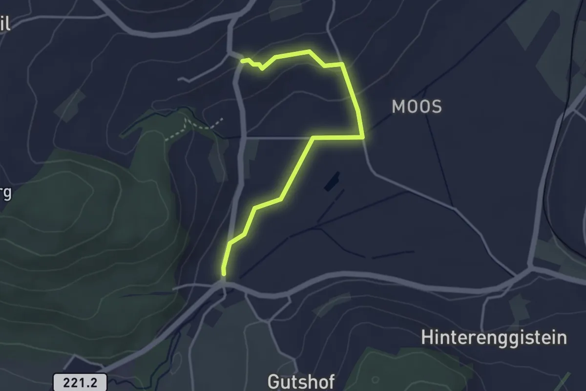
Easy · Trail
Enggistein – Rüttihubelbad
3.4 km · ↑ 62 m · 56 min · 12 km away
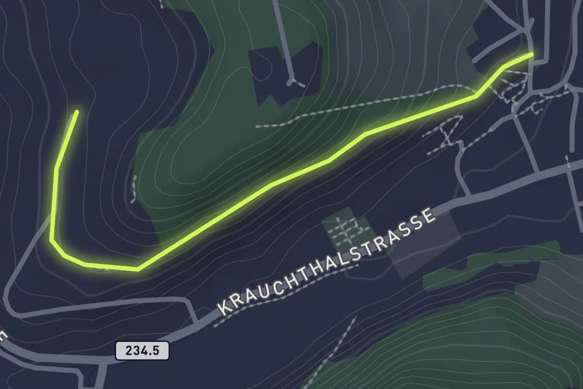
Easy · Trail
Oberburg – Hinterroth
2.5 km · ↑ 117 m · 51 min · 13 km away
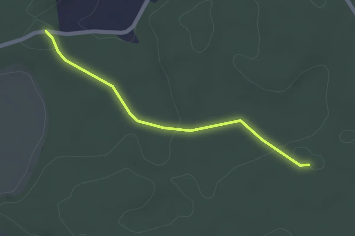
Easy · Trail
Fuessacher - Bruucheren
3.0 km · ↑ 40 m · 48 min · 13 km away
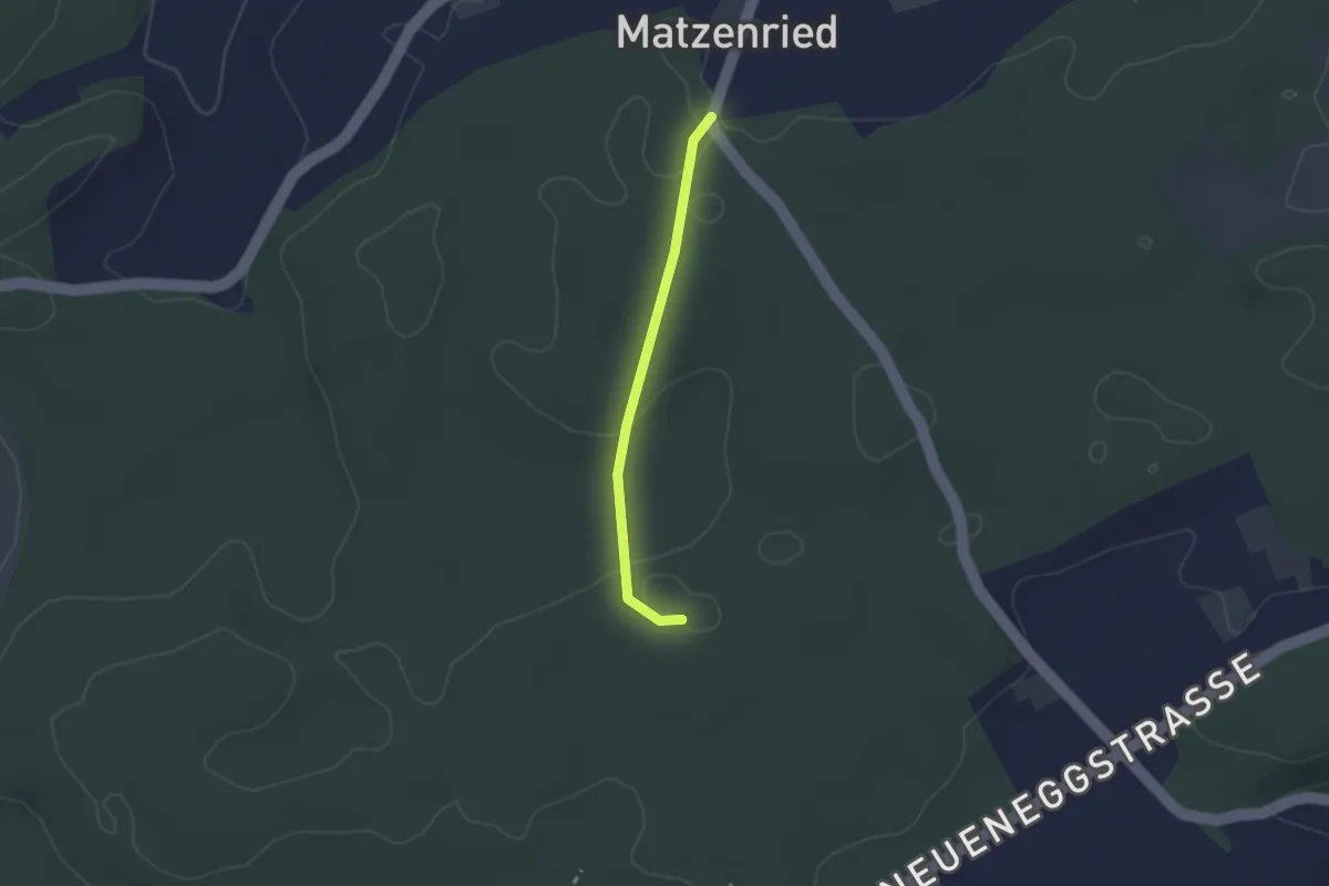
Easy · Trail
Holzeggen - Bruucheren
2.1 km · ↑ 39 m · 35 min · 13 km away
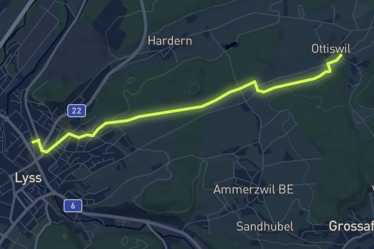
Medium · Trail
Ottiswil – Lyss
8.9 km · ↑ 159 m · 2 h 26 min · 13 km away
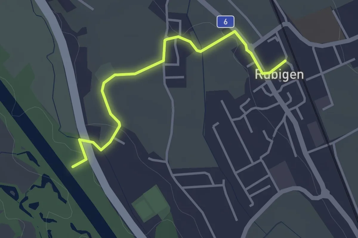
Easy · Trail
Rubigen - ?
3.2 km · ↑ 28 m · 49 min · 13 km away
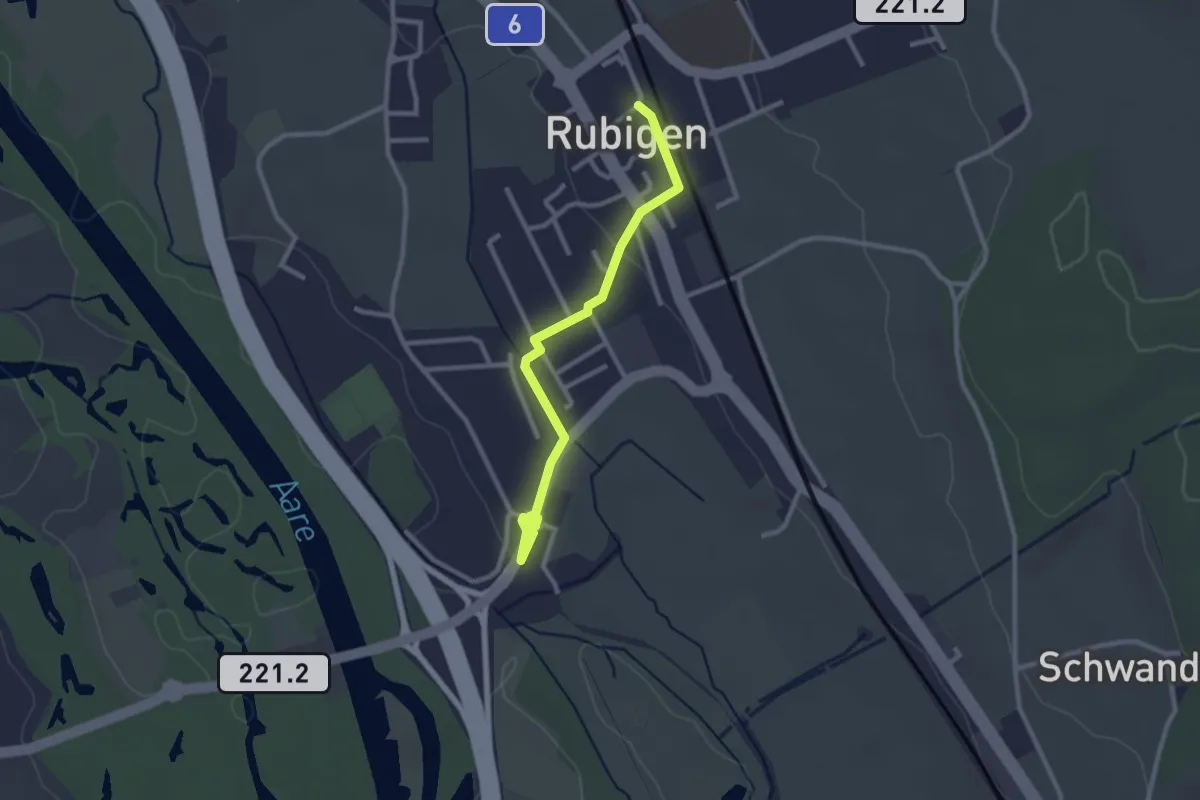
Easy · Trail
Rubigen – Hunziken
2.6 km · ↑ 24 m · 40 min · 13 km away
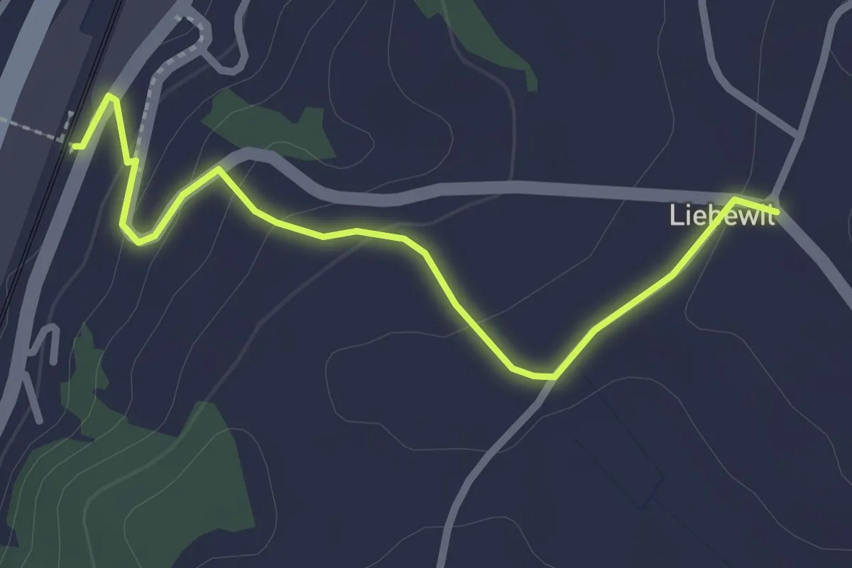
Easy · Trail
Liebewil - Thörishaus Station
2.5 km · ↑ 82 m · 46 min · 13 km away
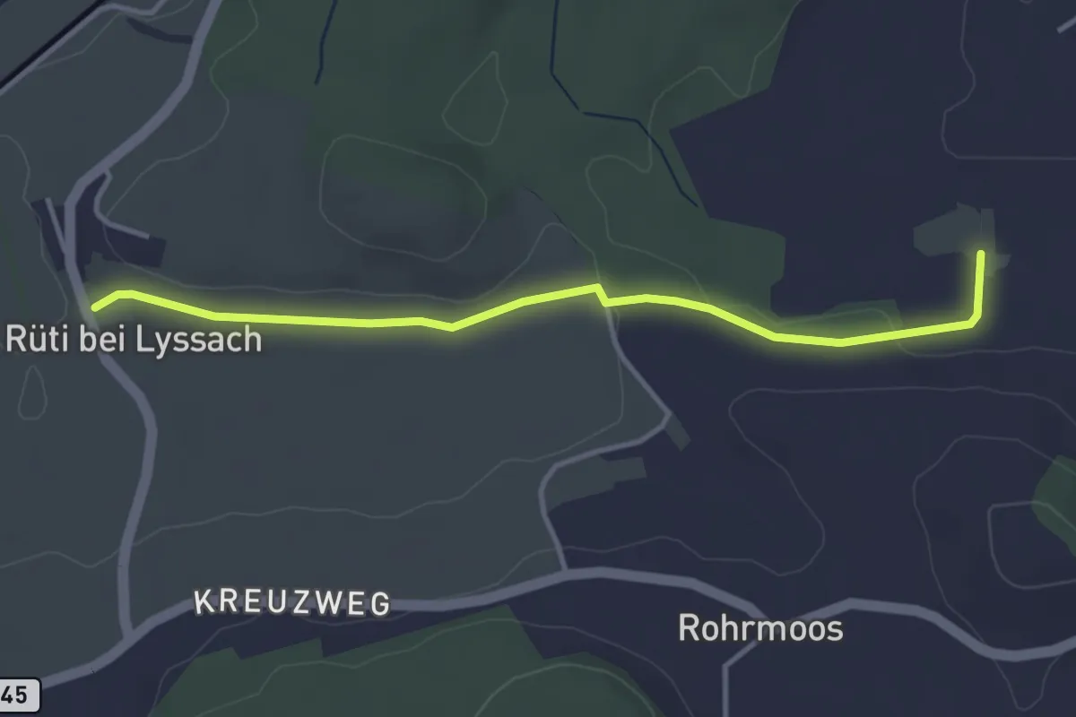
Easy · Trail
Rüti bei Lyssach – Meienmoos
3.7 km · ↑ 28 m · 56 min · 13 km away
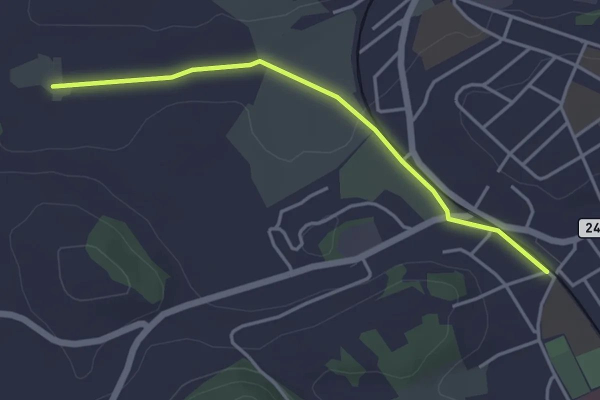
Easy · Trail
Meienmoos – Burgdorf/Steinhof
3.4 km · ↑ 13 m · 50 min · 13 km away
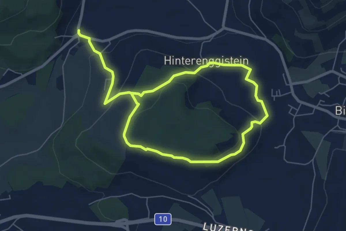
Medium · Trail
Enggistein – Biglen
9.3 km · ↑ 288 m · 2 h 49 min · 13 km away
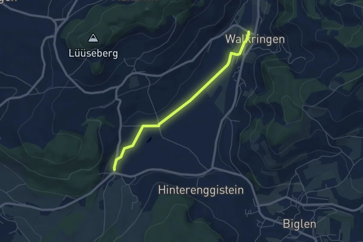
Easy · Trail
Enggistein – Walkringen
5.3 km · ↑ 23 m · 1 h 18 min · 13 km away
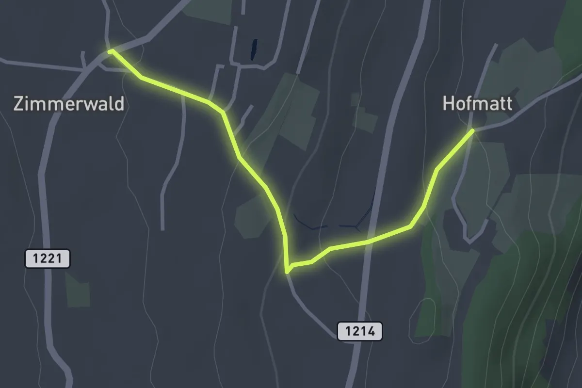
Easy · Trail
Zimmerwald – Hofmatt
2.9 km · ↑ 102 m · 54 min · 13 km away
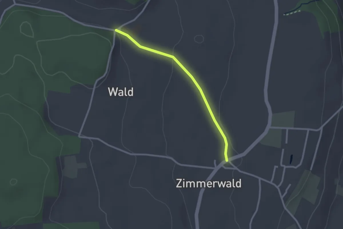
Easy · Trail
Zimmerwald – Undere Wald
2.1 km · ↑ 37 m · 35 min · 13 km away
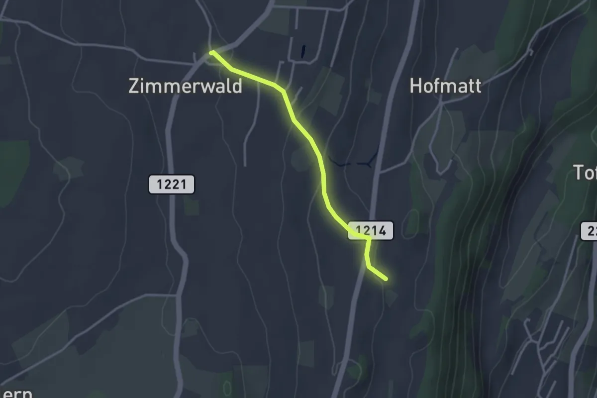
Easy · Trail
Zimmerwald – Rossweid
2.6 km · ↑ 64 m · 45 min · 13 km away
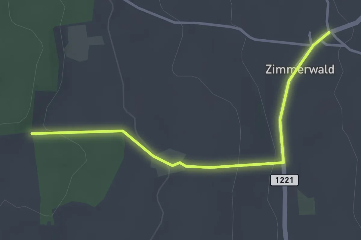
Easy · Trail
Allmid – Zimmerwald
3.0 km · ↑ 84 m · 53 min · 13 km away
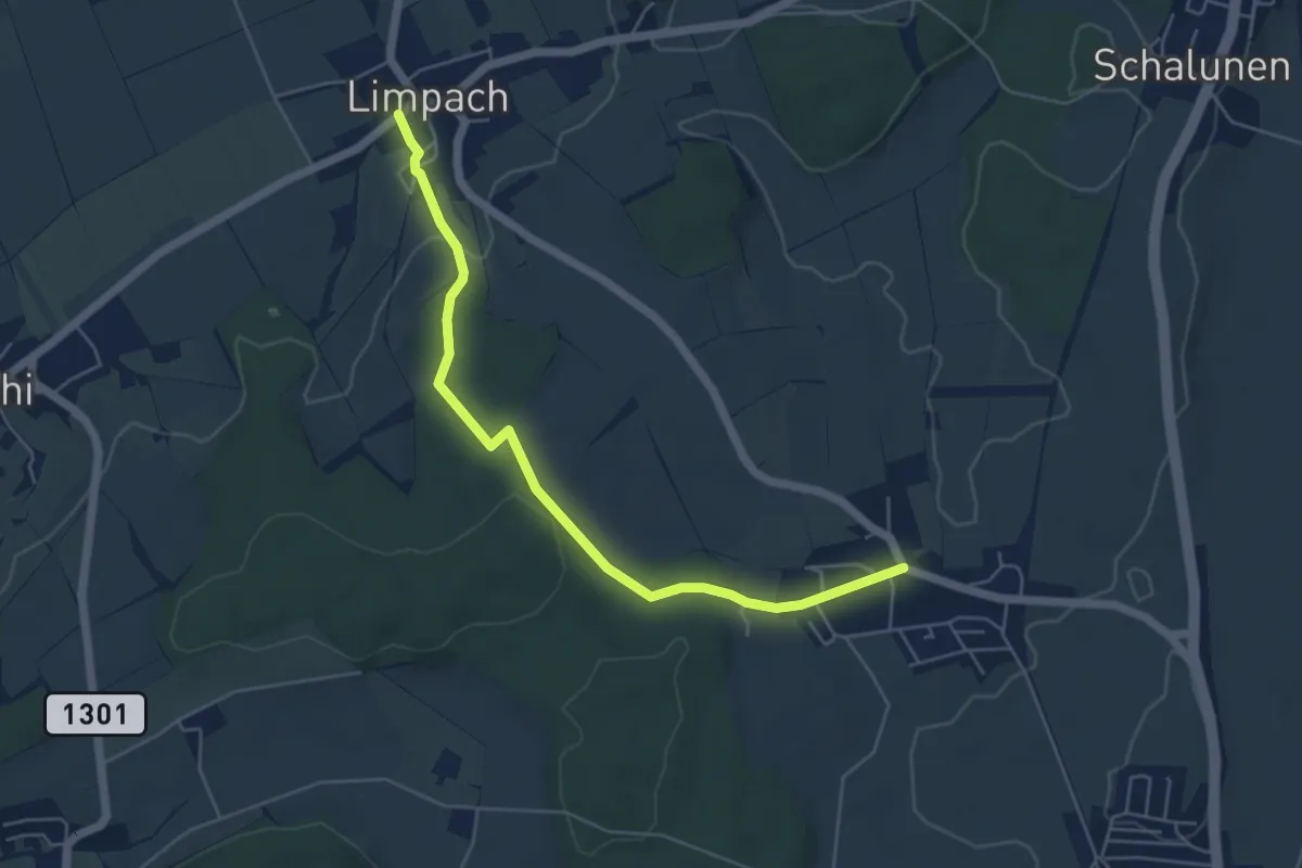
Easy · Trail
Unterramsern – Büren zum Hof
5.4 km · ↑ 114 m · 1 h 32 min · 13 km away
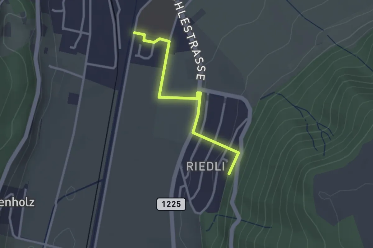
Easy · Trail
Belp – Riedli
2.4 km · ↑ 63 m · 42 min · 13 km away
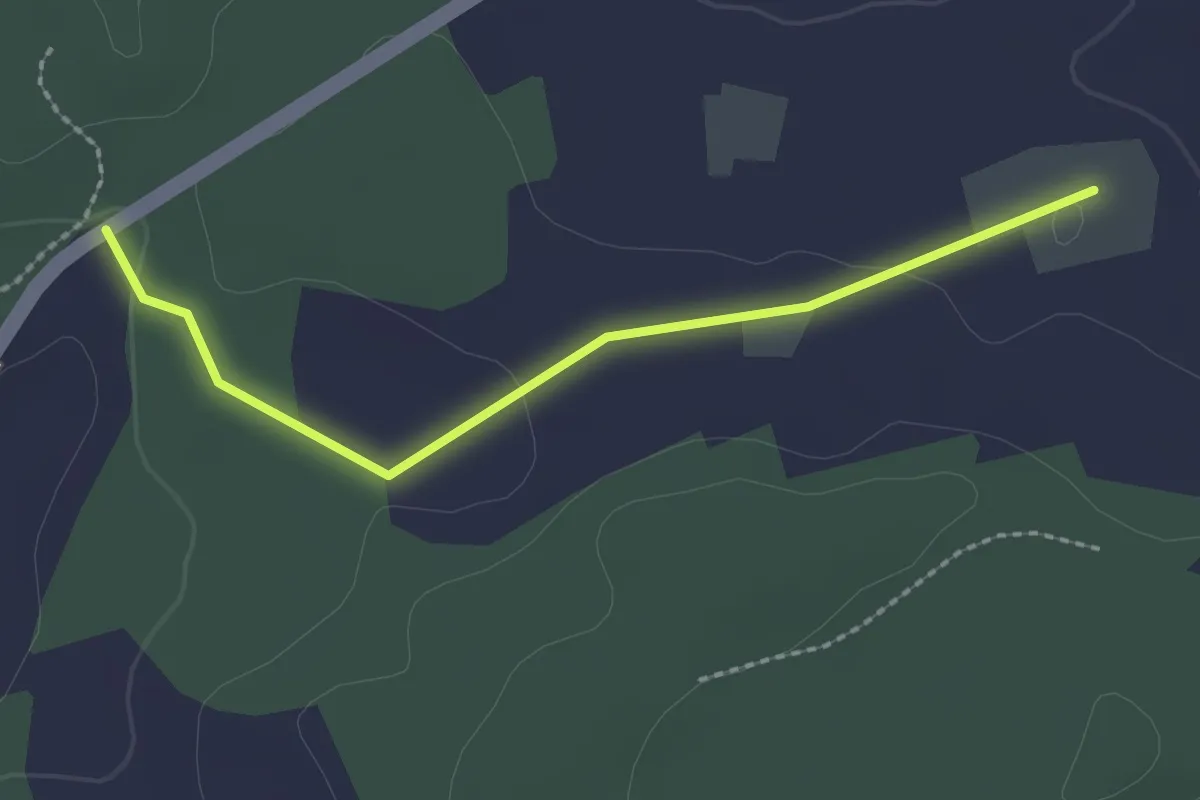
Easy · Trail
Bim Stundstei - Oberwangenhubel
2.2 km · ↑ 22 m · 34 min · 13 km away
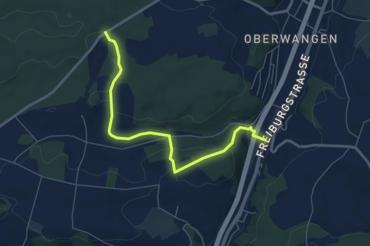
Easy · Trail
Bim Stundstei - Thörishaus Station
5.9 km · ↑ 146 m · 1 h 42 min · 13 km away
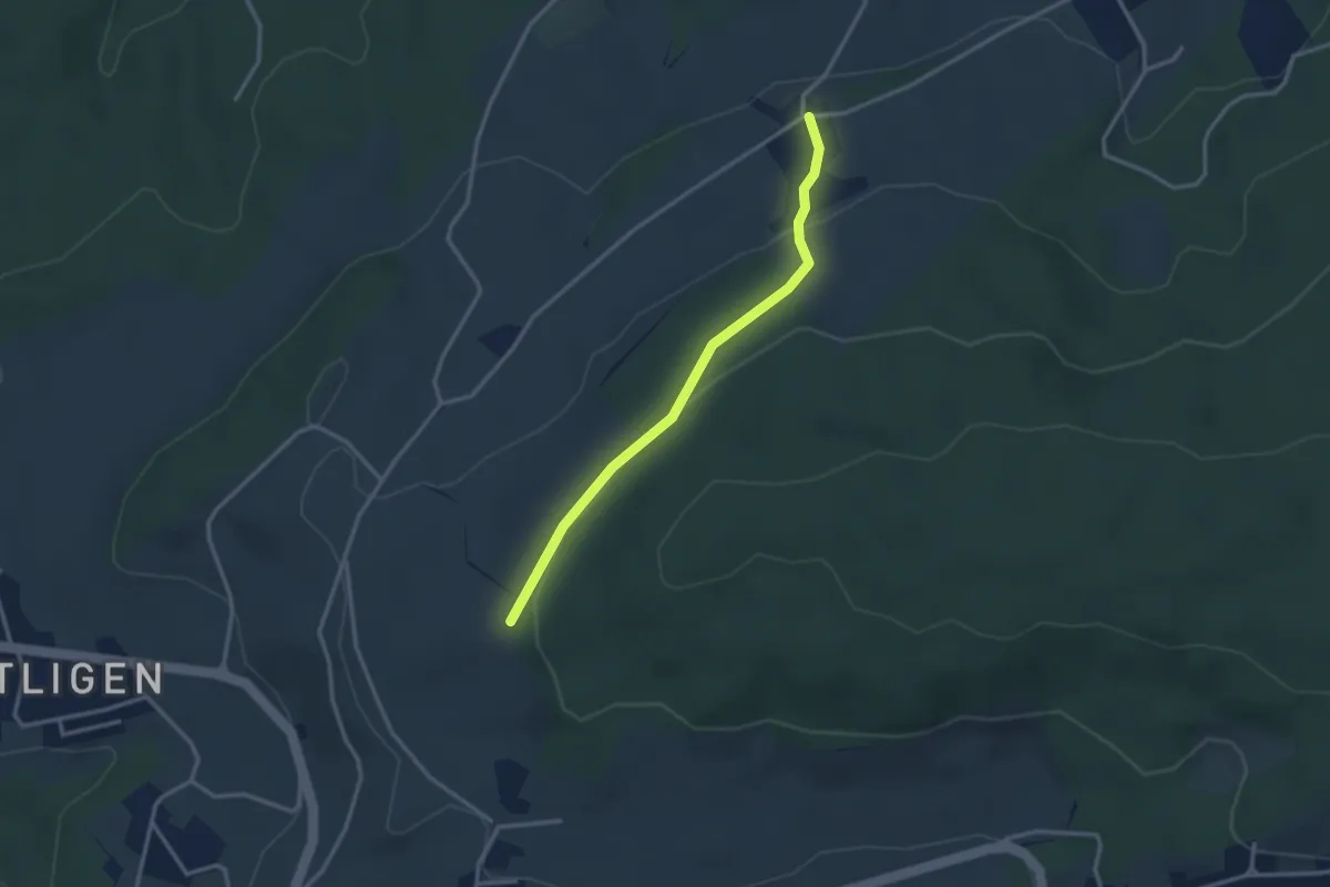
Easy · Trail
Dampfwil – Frieswilhubel
2.9 km · ↑ 96 m · 53 min · 13 km away
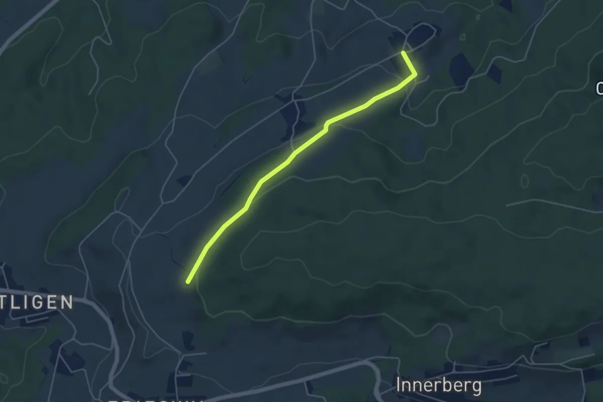
Easy · Trail
Ruchwil – Frieswilhubel
4.3 km · ↑ 122 m · 1 h 17 min · 13 km away
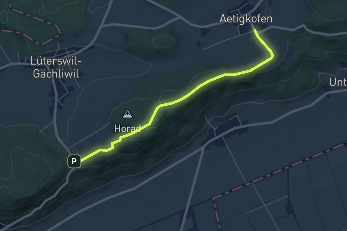
Easy · Trail
Aetigkofen Süd – Lüterswil Balmberg
5.7 km · ↑ 111 m · 1 h 35 min · 13 km away
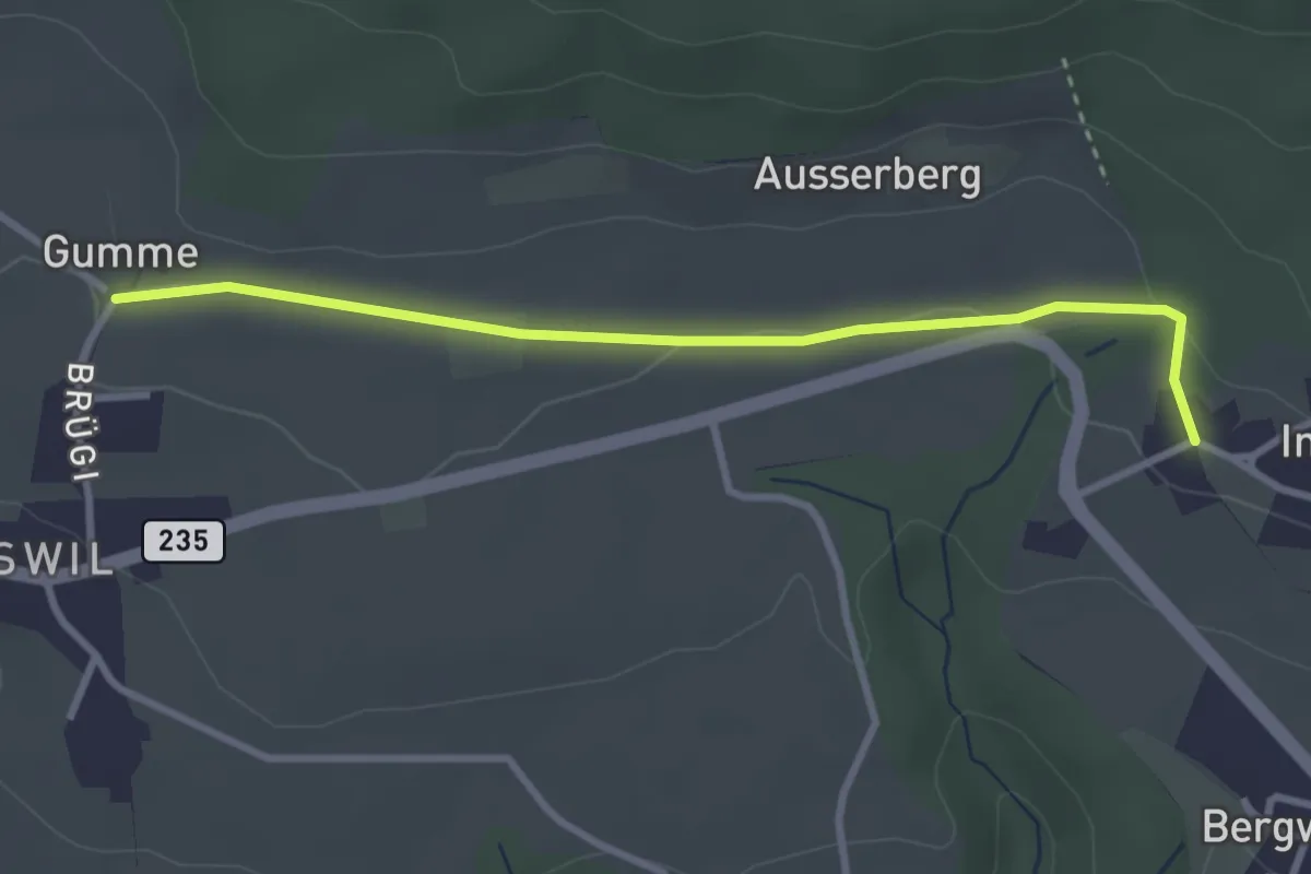
Easy · Trail
Gummen – Innerberg
3.1 km · ↑ 62 m · 52 min · 13 km away
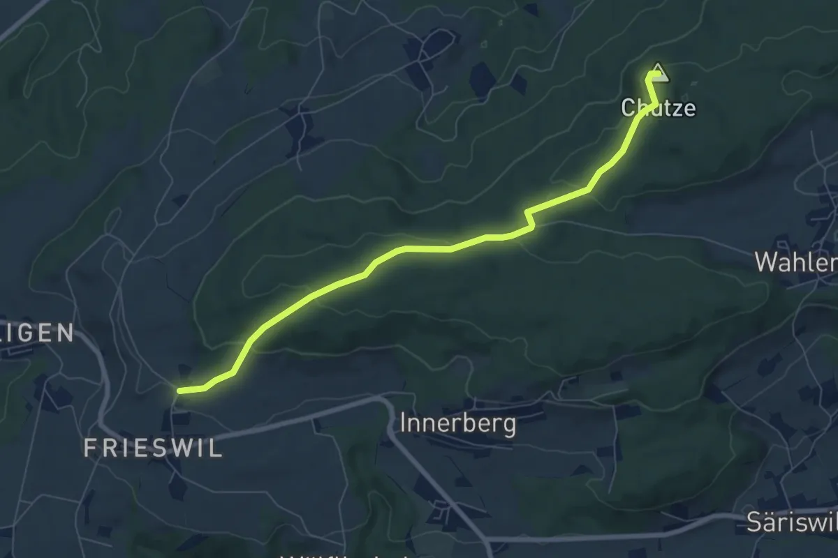
Easy · Summit
Gummen – Chutzenturm
7.5 km · ↑ 205 m · 2 h 13 min · 13 km away
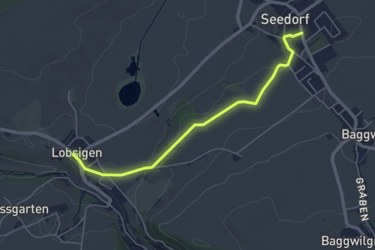
Easy · Trail
Seedorf – Lobsigen
4.2 km · ↑ 63 m · 1 h 8 min · 13 km away
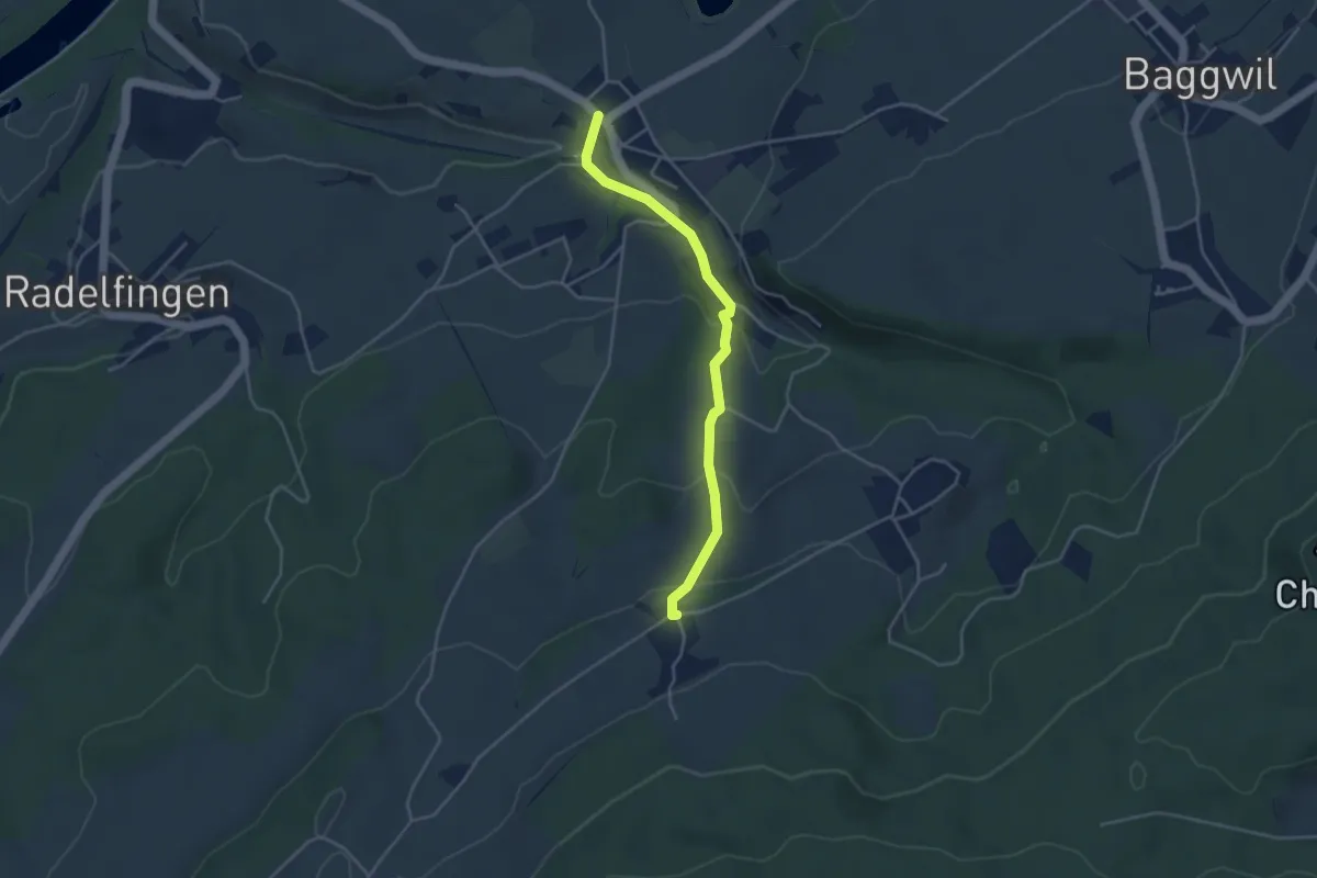
Easy · Trail
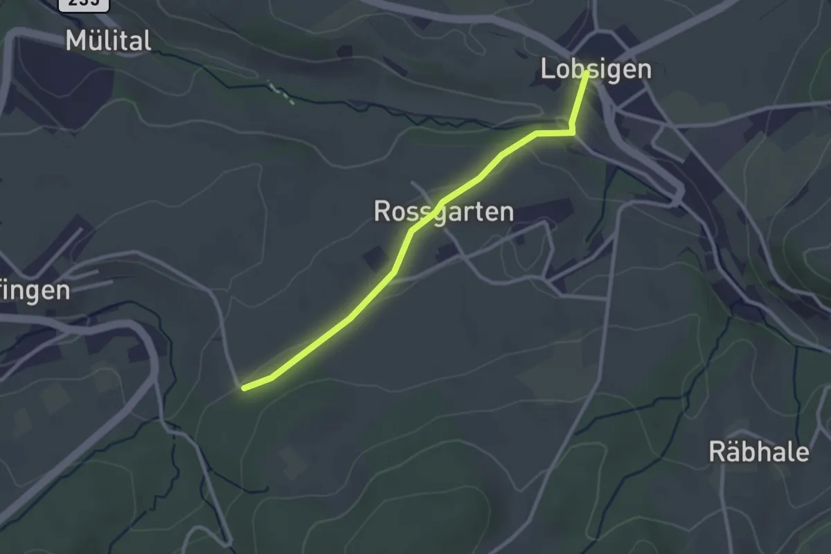
Lobsigen – Dampfwil
3.8 km · ↑ 167 m · 1 h 16 min · 13 km away
Easy · Trail
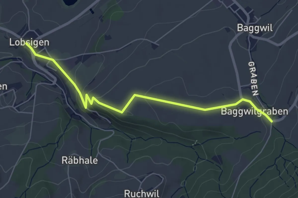
Lobsigen – Salzmatt
2.6 km · ↑ 59 m · 44 min · 13 km away
Easy · Trail
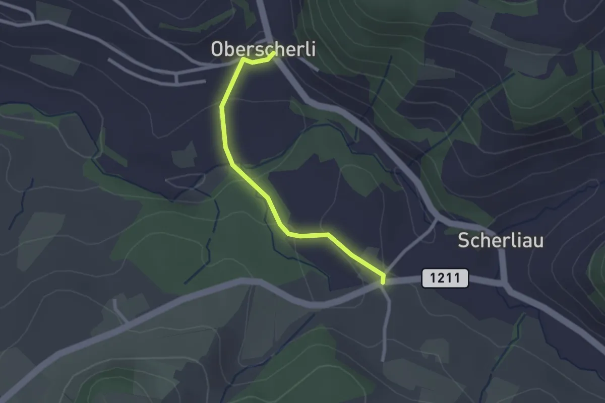
Lobsigen – Baggwilgraben
5.4 km · ↑ 130 m · 1 h 34 min · 13 km away
Easy · Trail
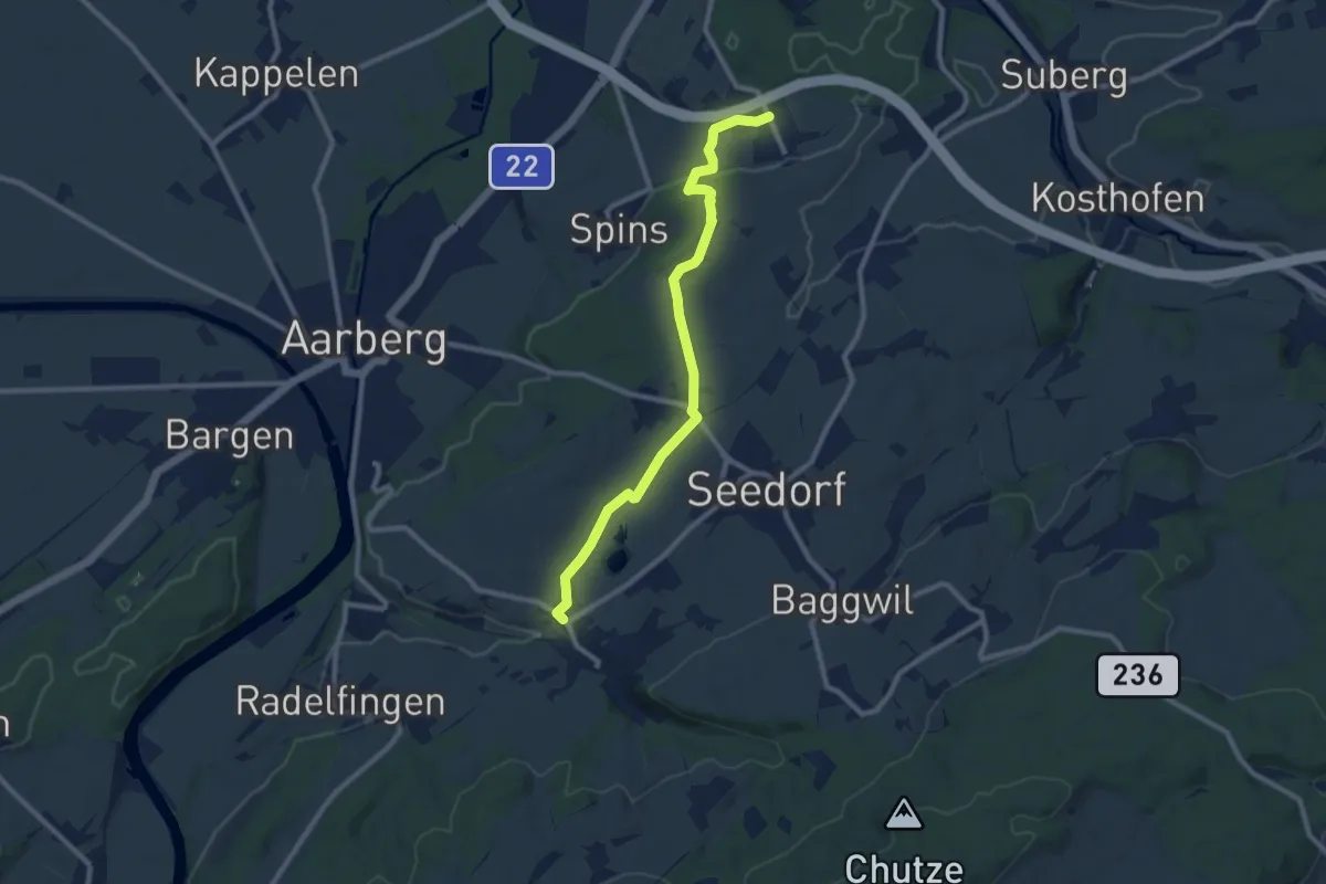
Oberscherli – Leiman
2.1 km · ↑ 65 m · 38 min · 13 km away
Medium · Trail
Eigenacher - Lobsigen
9.2 km · ↑ 102 m · 2 h 24 min · 13 km away
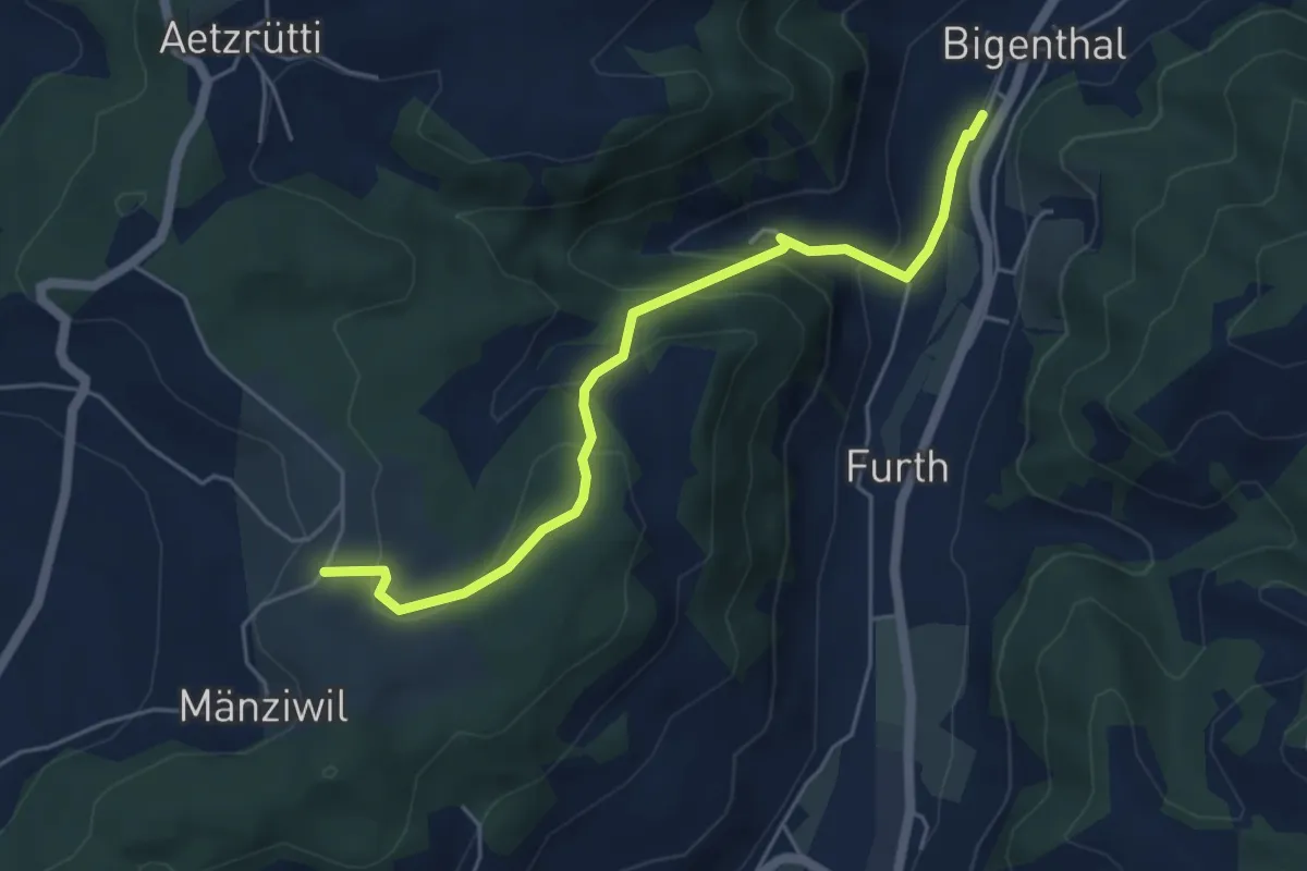
Easy · Trail
Mänziwilegg – Bigenthal
5.1 km · ↑ 272 m · 1 h 47 min · 13 km away
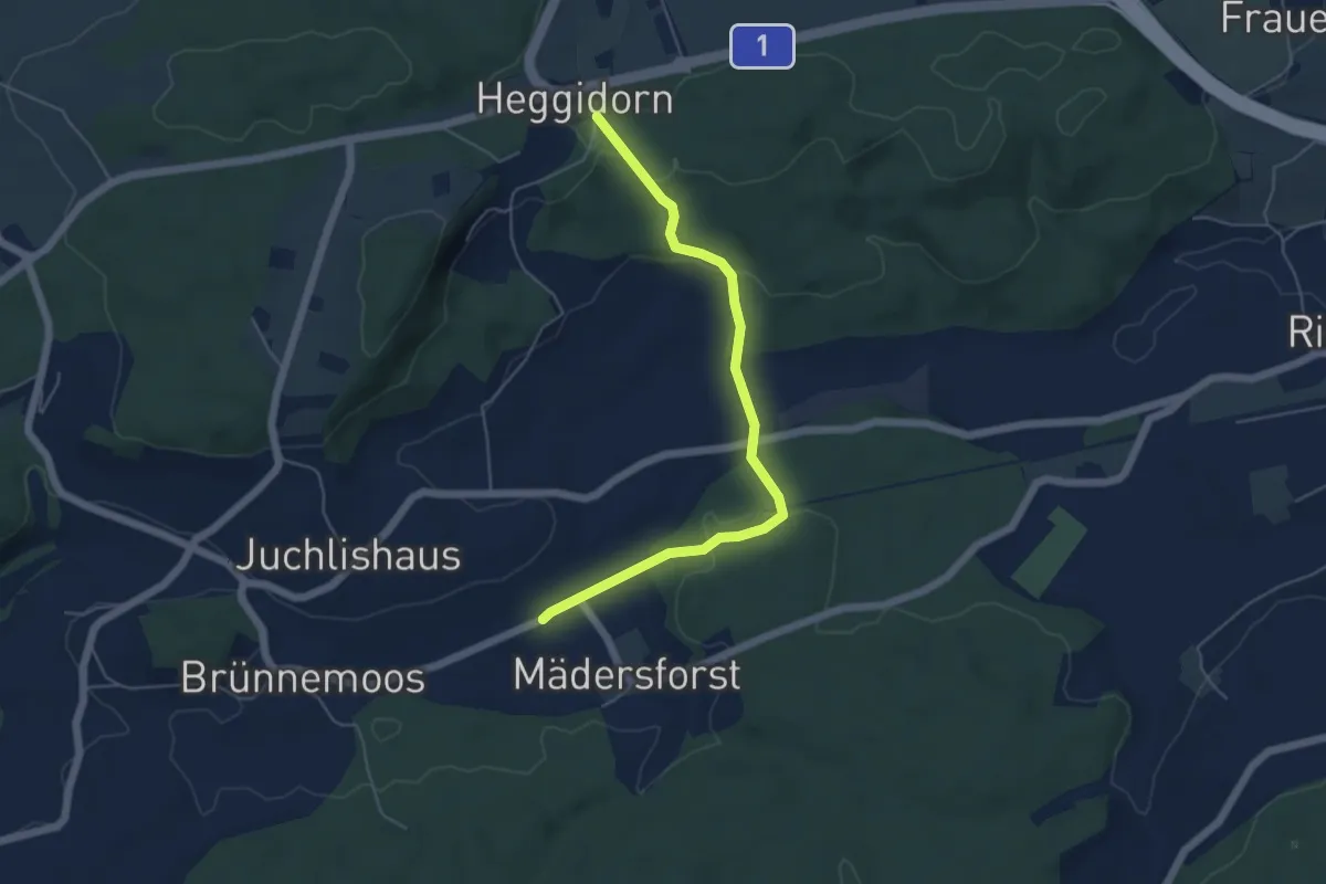
Easy · Trail
Rosshäusern/Station - Heggidorn
5.3 km · ↑ 157 m · 1 h 35 min · 13 km away
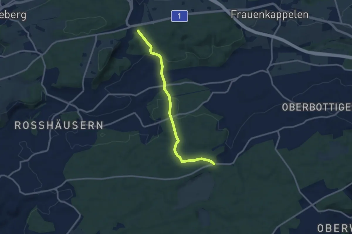
Easy · Trail
Heggidorn - Fuessacher
7.7 km · ↑ 218 m · 2 h 17 min · 13 km away
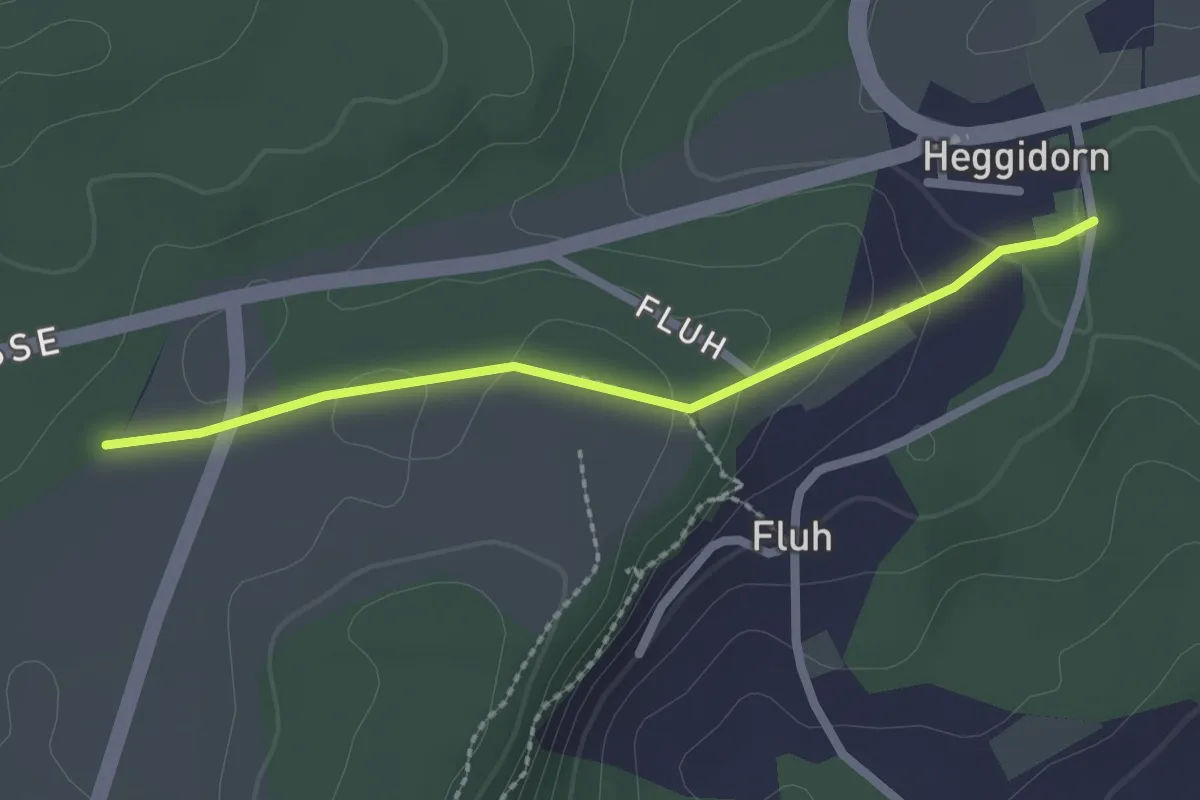
Easy · Trail
Obere Ledi - Heggidorn
2.1 km · ↑ 53 m · 37 min · 13 km away
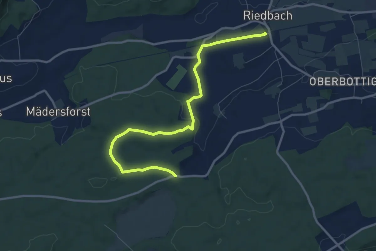
Medium · Trail
Riedbach/Station - Fuessacher
8.6 km · ↑ 147 m · 2 h 21 min · 13 km away
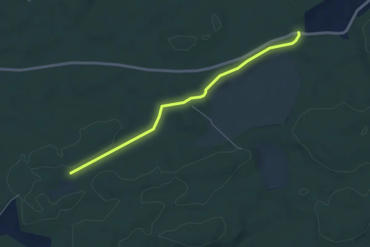
Easy · Trail
Mösli - Fuessacher
4.8 km · ↑ 53 m · 1 h 14 min · 13 km away
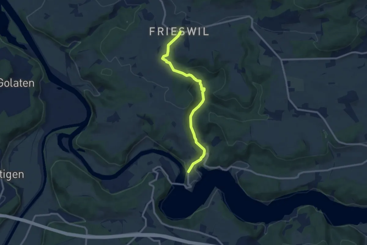
Easy · Trail
Frieswil – Wickacher
7.3 km · ↑ 222 m · 2 h 13 min · 13 km away
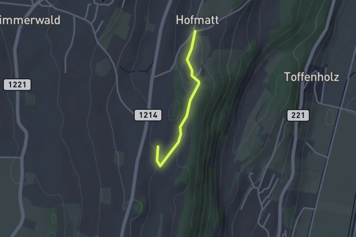
Easy · Trail
Hofmatt – Rossweid
2.1 km · ↑ 34 m · 35 min · 13 km away