Trails near Zollikofen
477 hikes starting within 15 km, nearest first.
Nearest first, page 7 of 10
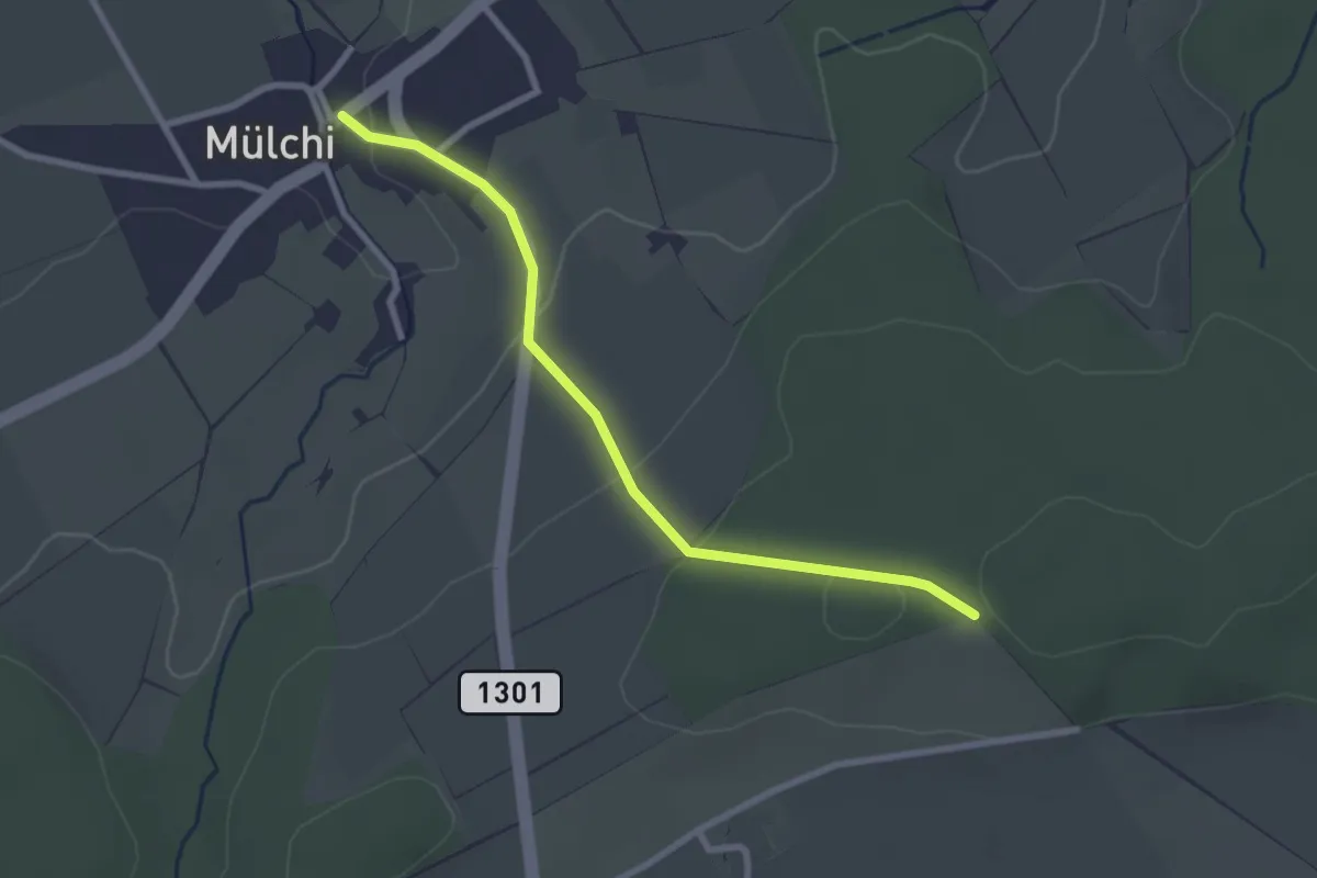
Easy · Trail
Mülchi – Schöniberg
2.6 km · ↑ 85 m · 49 min · 11 km away
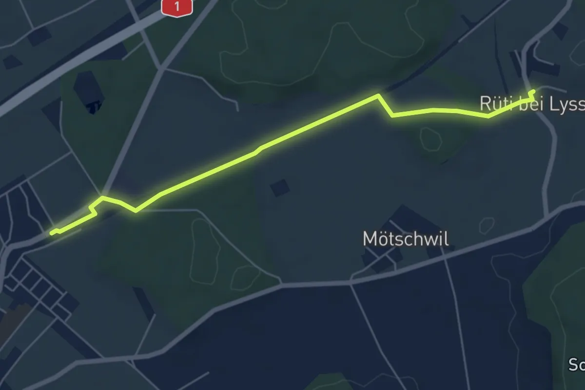
Easy · Trail
Hindelbank / Station – Rüti b. Lyssach
5.5 km · ↑ 39 m · 1 h 23 min · 11 km away
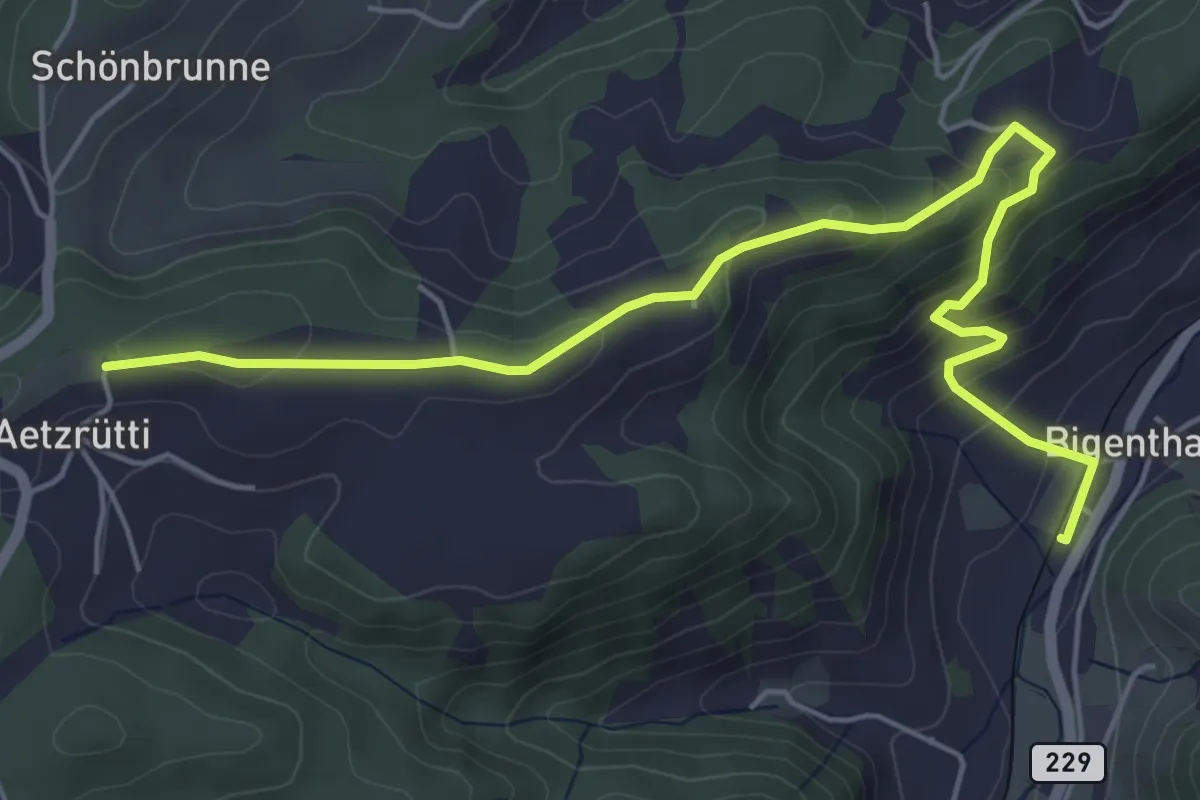
Easy · Trail
Ätzrüti – Bigenthal
6.1 km · ↑ 315 m · 2 h 8 min · 11 km away
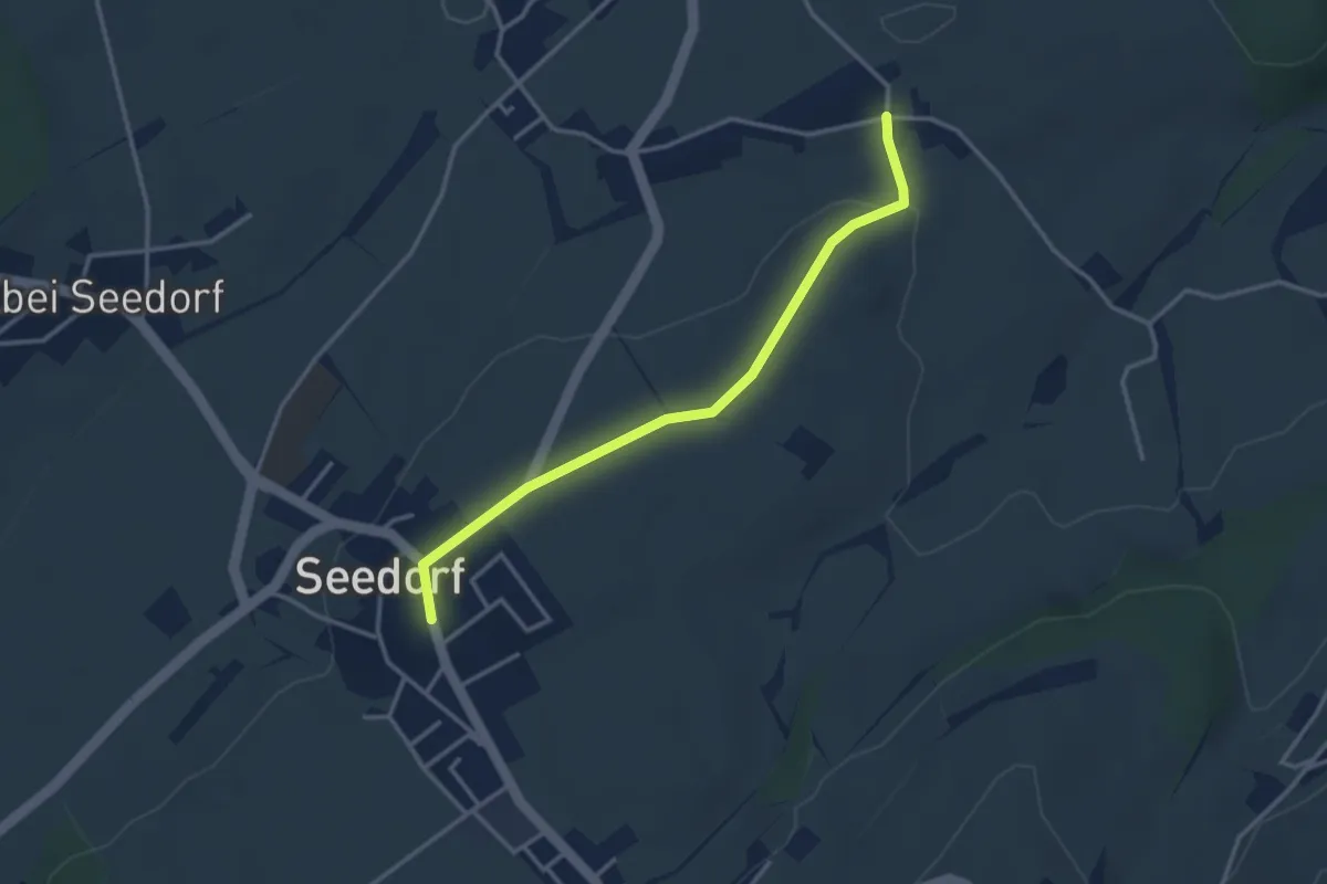
Easy · Trail
Grissenberg – Seedorf
3.3 km · ↑ 38 m · 51 min · 11 km away
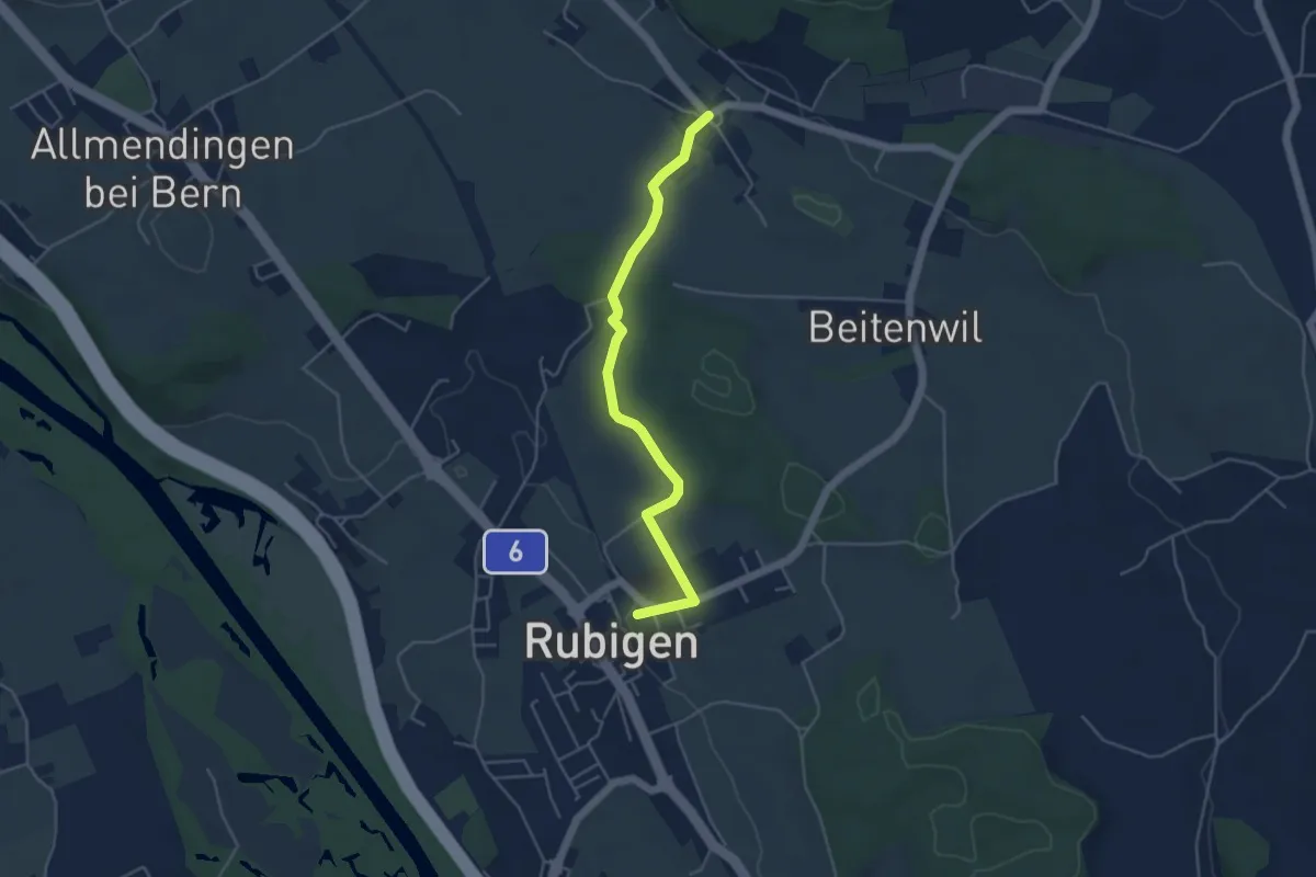
Easy · Trail
Rubigen – Vielbringen
4.6 km · ↑ 75 m · 1 h 15 min · 11 km away
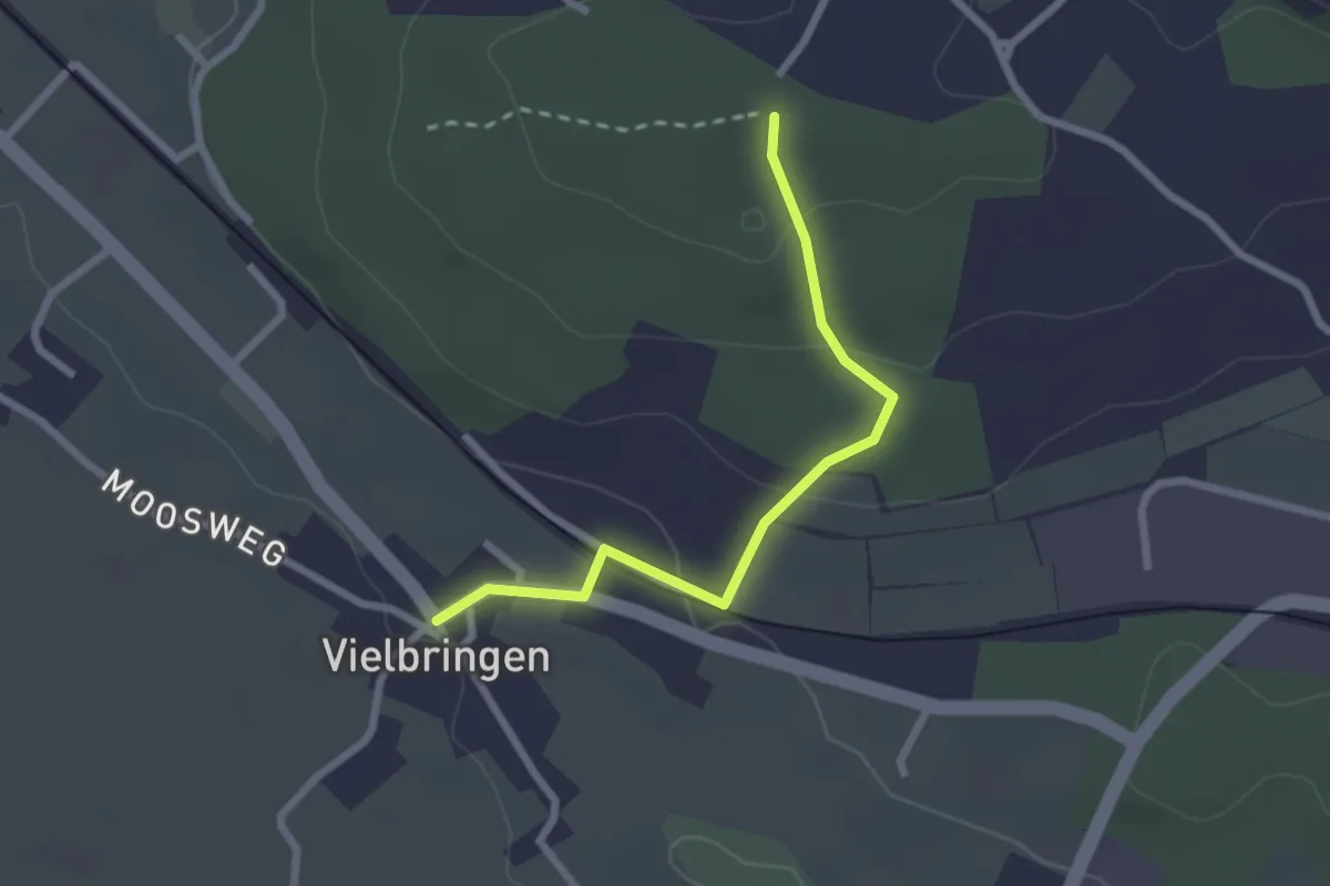
Easy · Trail
Vielbringen – Wislenwald
2.4 km · ↑ 85 m · 44 min · 11 km away
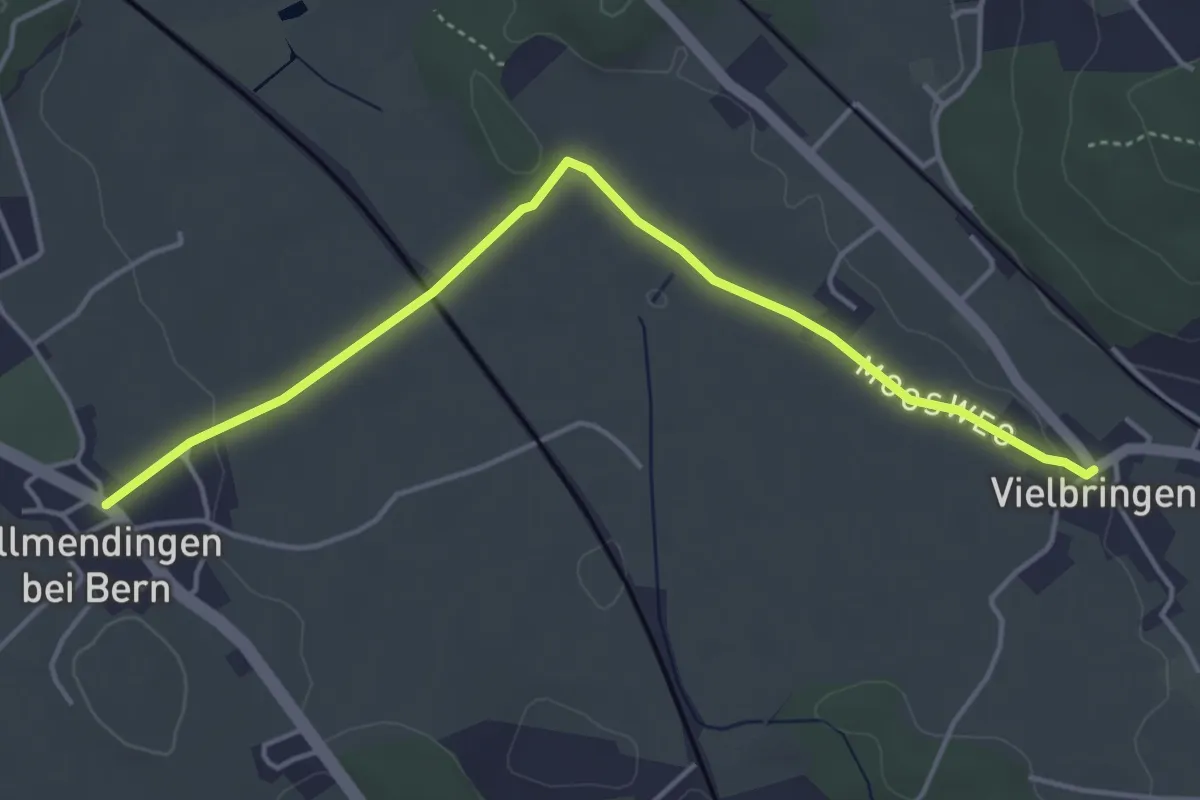
Easy · Trail
Allmendingen – Vielbringen
4.6 km · ↑ 32 m · 1 h 9 min · 11 km away
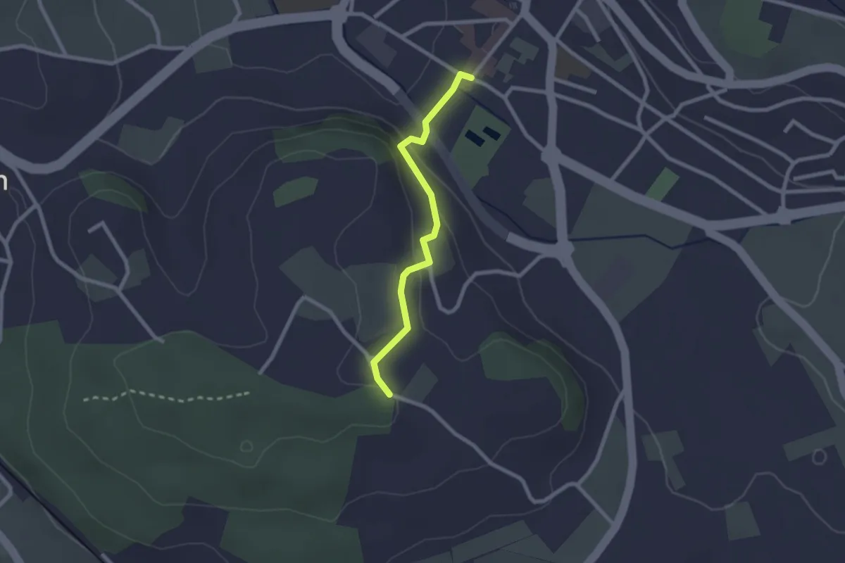
Easy · Trail
Wislen – Worb
2.1 km · ↑ 78 m · 40 min · 11 km away
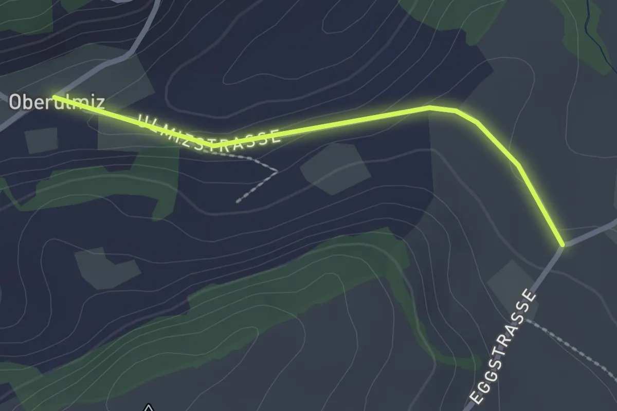
Easy · Trail
Oberulmiz – Kühlewil/Gütsch
2.0 km · ↑ 29 m · 32 min · 11 km away
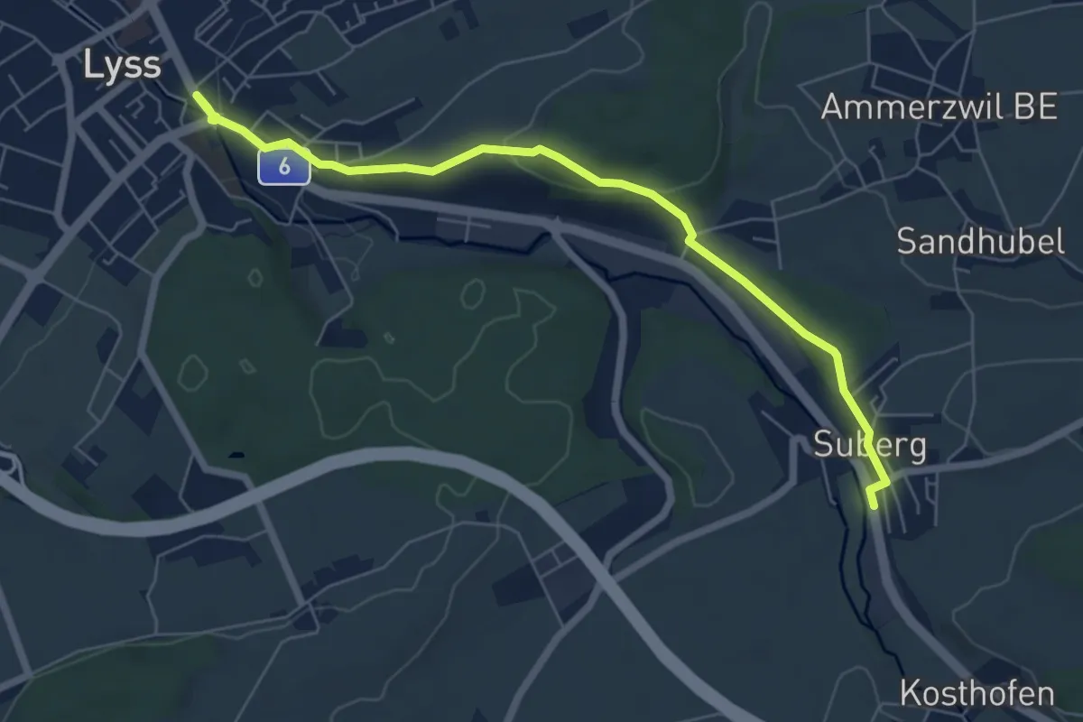
Easy · Trail
Lyss – Suberg
6.6 km · ↑ 175 m · 1 h 56 min · 11 km away
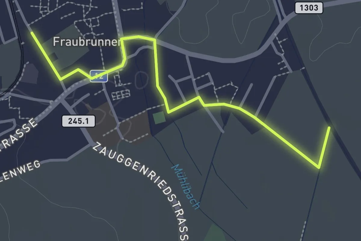
Easy · Trail
Fraubrunnen – Fraubrunnenmoos
3.2 km · ↑ 4 m · 47 min · 11 km away
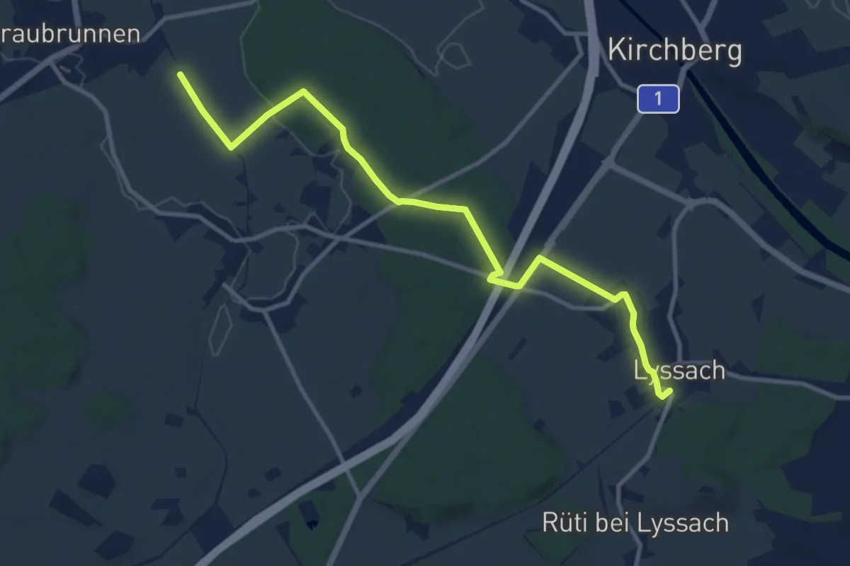
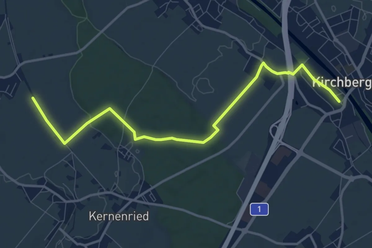
Medium · Trail
Fraubrunnenmoos – Lyssach Station
10.7 km · ↑ 61 m · 2 h 39 min · 11 km away
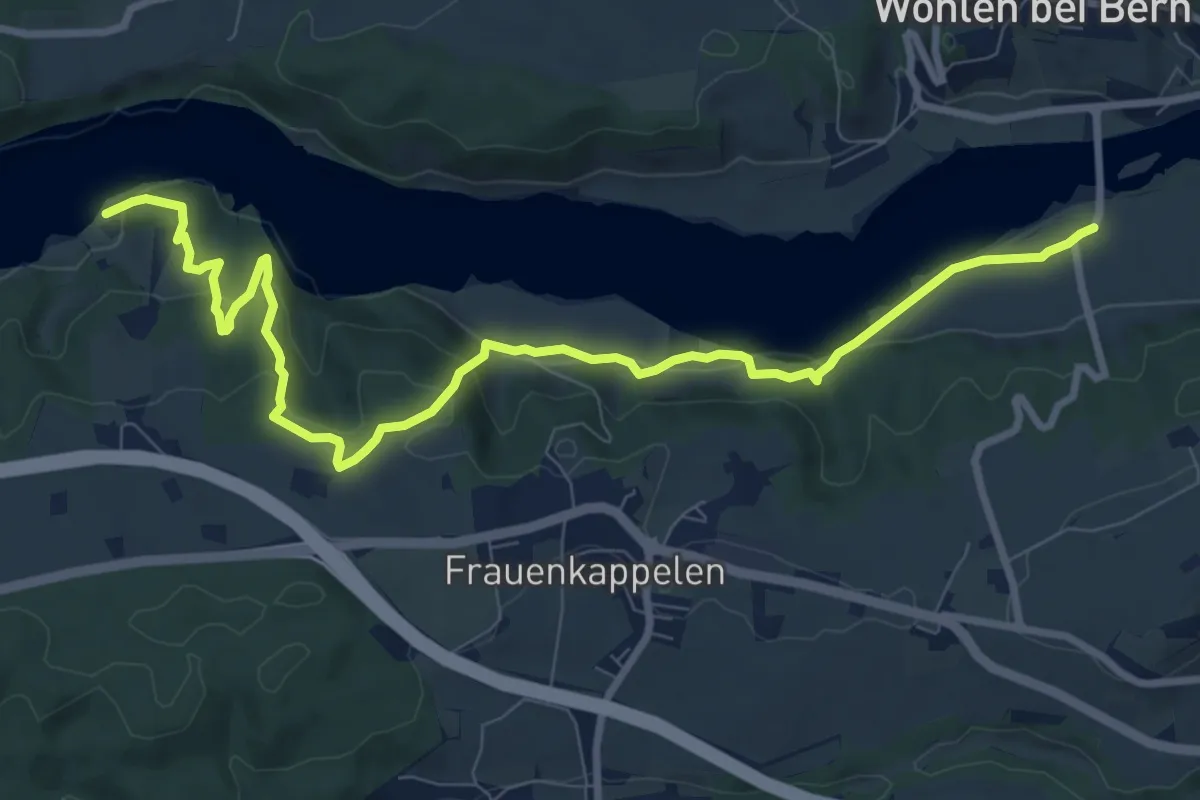
Medium · Trail
Alchenflüh – Fraubrunnenmoos
9.6 km · ↑ 57 m · 2 h 23 min · 11 km away
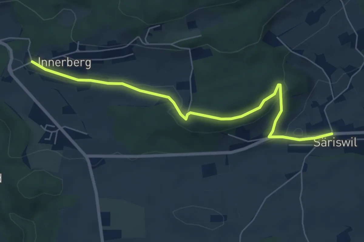
Medium · Trail
Jaggisbachau - Wohlei
10.4 km · ↑ 490 m · 3 h 32 min · 11 km away
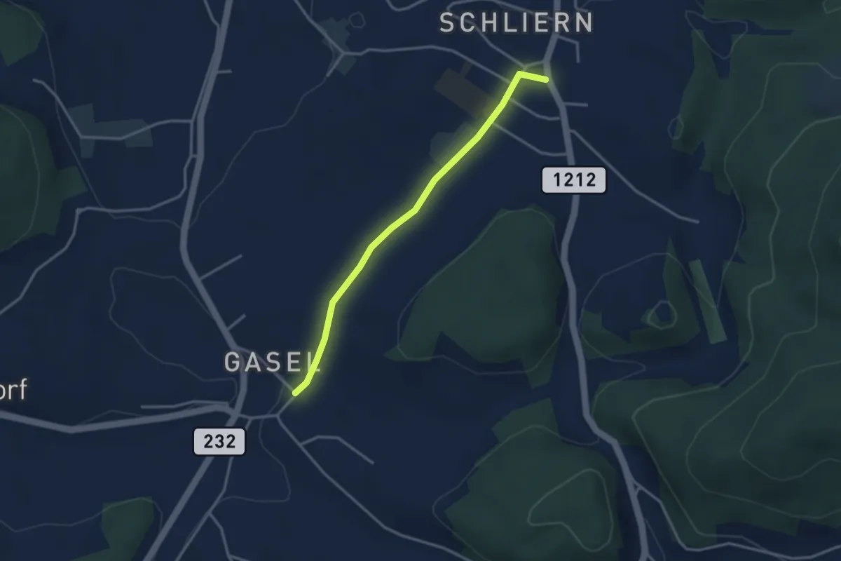
Easy · Trail
Innerberg – Säriswil
5.8 km · ↑ 147 m · 1 h 42 min · 12 km away
Easy · Trail
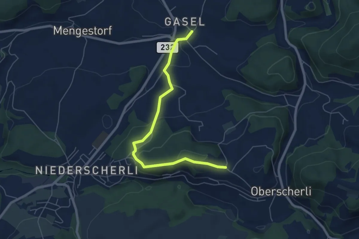
Gasel - Schliern
3.0 km · ↑ 41 m · 48 min · 12 km away
Easy · Trail
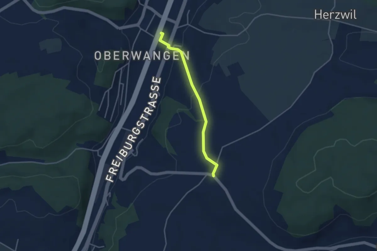
Hübeli - Gasel
5.6 km · ↑ 184 m · 1 h 44 min · 12 km away
Easy · Trail
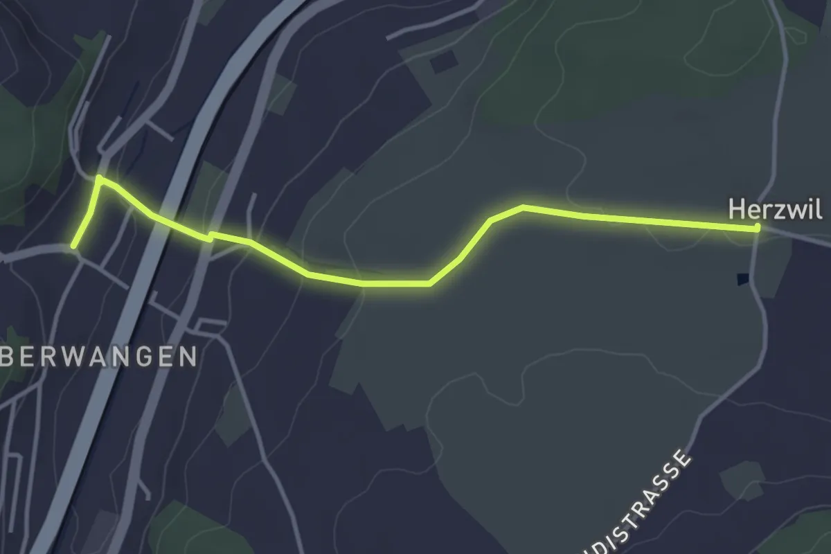
Oberwangen Station - Liebewil
2.8 km · ↑ 93 m · 51 min · 12 km away
Easy · Trail
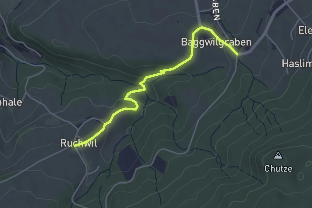
Herzwil - Oberwangen
3.7 km · ↑ 93 m · 1 h 4 min · 12 km away
Easy · Trail
Baggwilgraben – Ruchwil
3.7 km · ↑ 98 m · 1 h 5 min · 12 km away
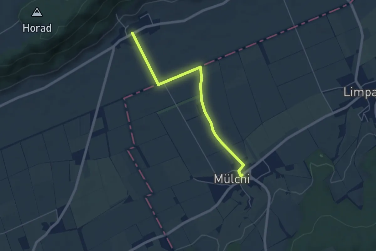
Easy · Trail
Oberramsern – Mülchi
4.8 km · ↑ 22 m · 1 h 10 min · 12 km away
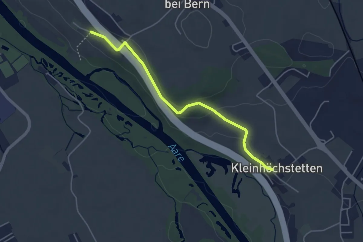
Easy · Trail
Kleinhöchstetten – Hinter Märchligen
3.7 km · ↑ 92 m · 1 h 5 min · 12 km away
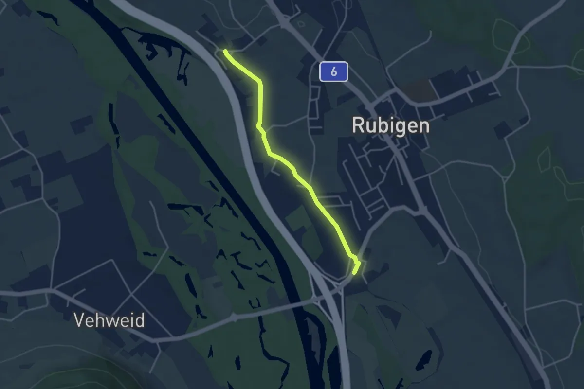
Easy · Trail
Kleinhöchstetten – Hunziken
3.2 km · ↑ 23 m · 49 min · 12 km away
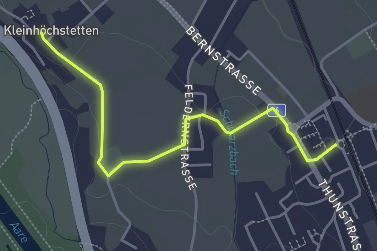
Easy · Trail
Rubigen - Kleinhöchstetten
3.3 km · ↑ 31 m · 50 min · 12 km away
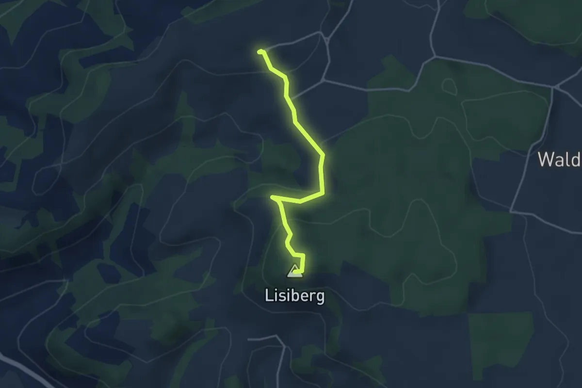
Easy · Summit
Egg - Lisiberg
3.2 km · ↑ 149 m · 1 h 4 min · 12 km away
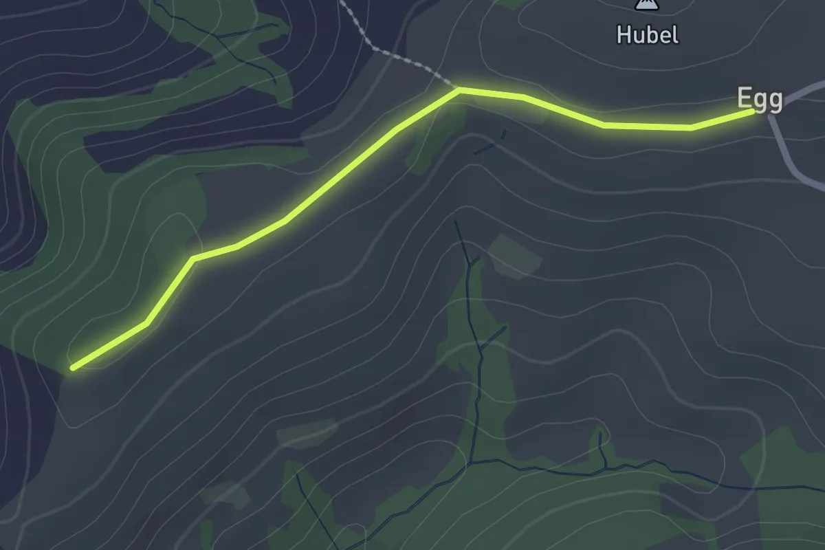
Easy · Trail
Egg – Zingghöch
2.1 km · ↑ 35 m · 34 min · 12 km away
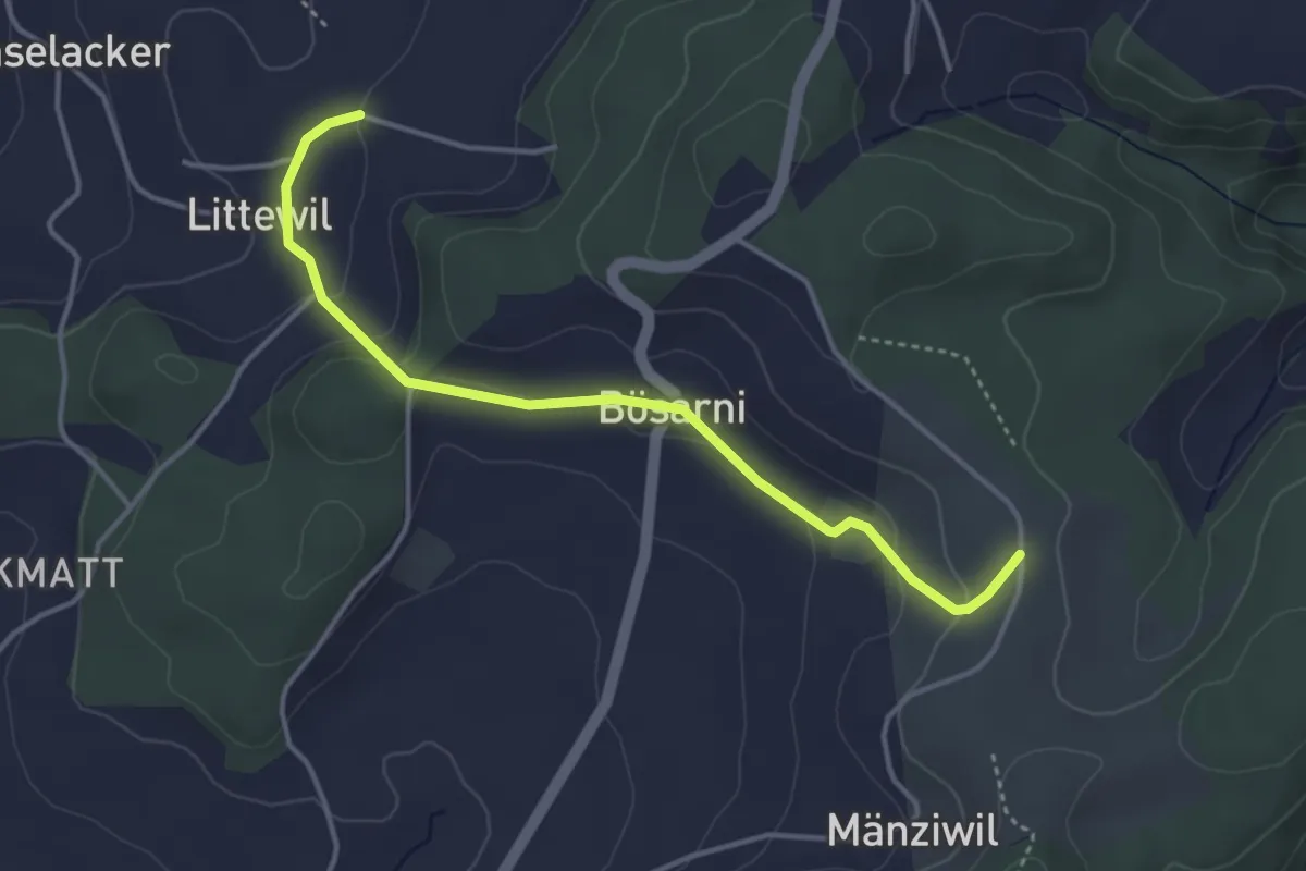
Easy · Trail
Littiwil – Vechigen
3.9 km · ↑ 120 m · 1 h 11 min · 12 km away
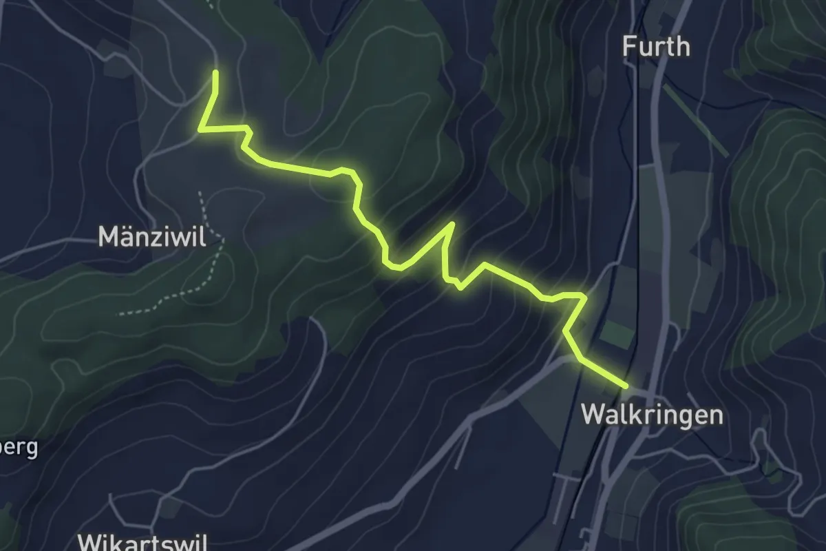
Easy · Trail
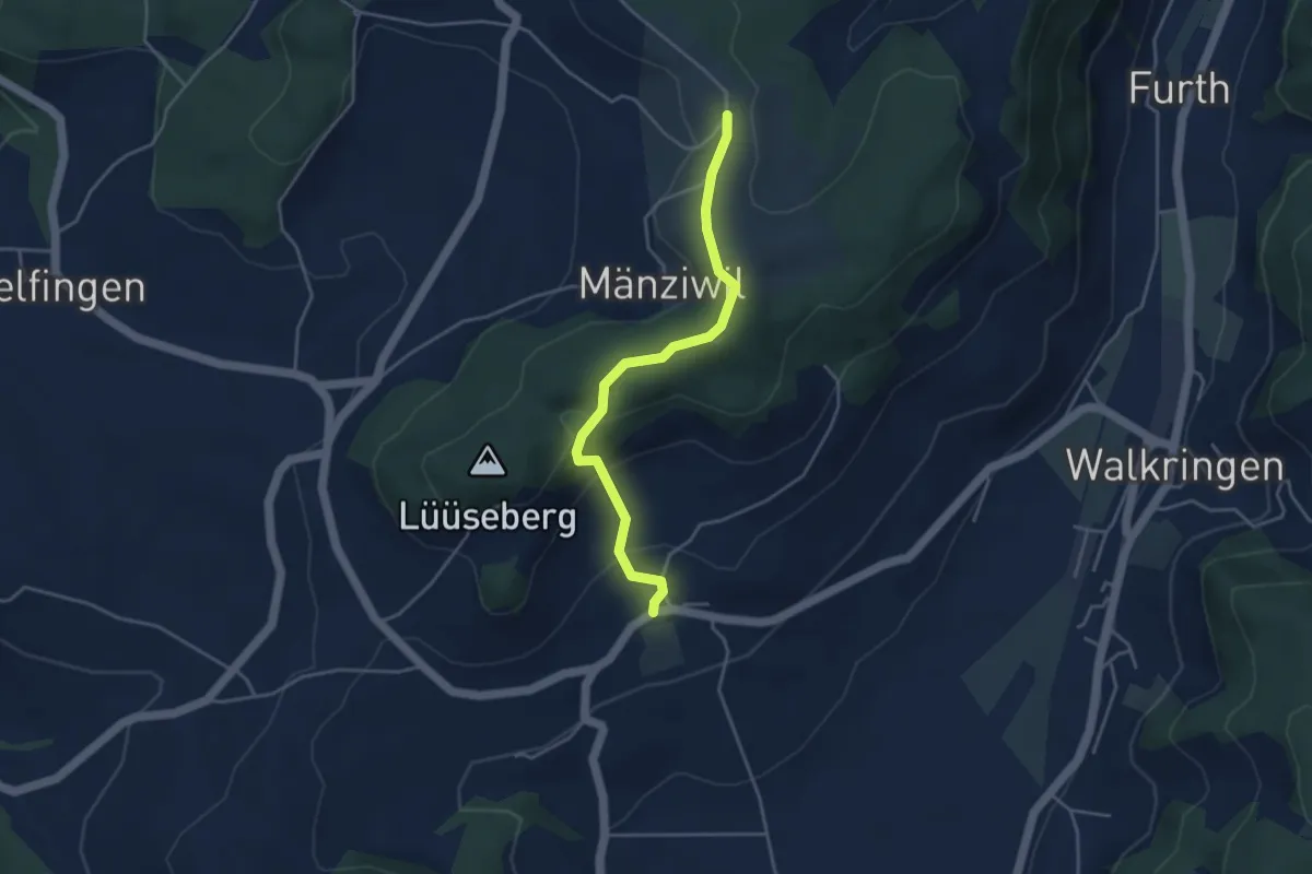
Mänziwilegg - Walkringen
4.7 km · ↑ 274 m · 1 h 43 min · 12 km away
Easy · Trail
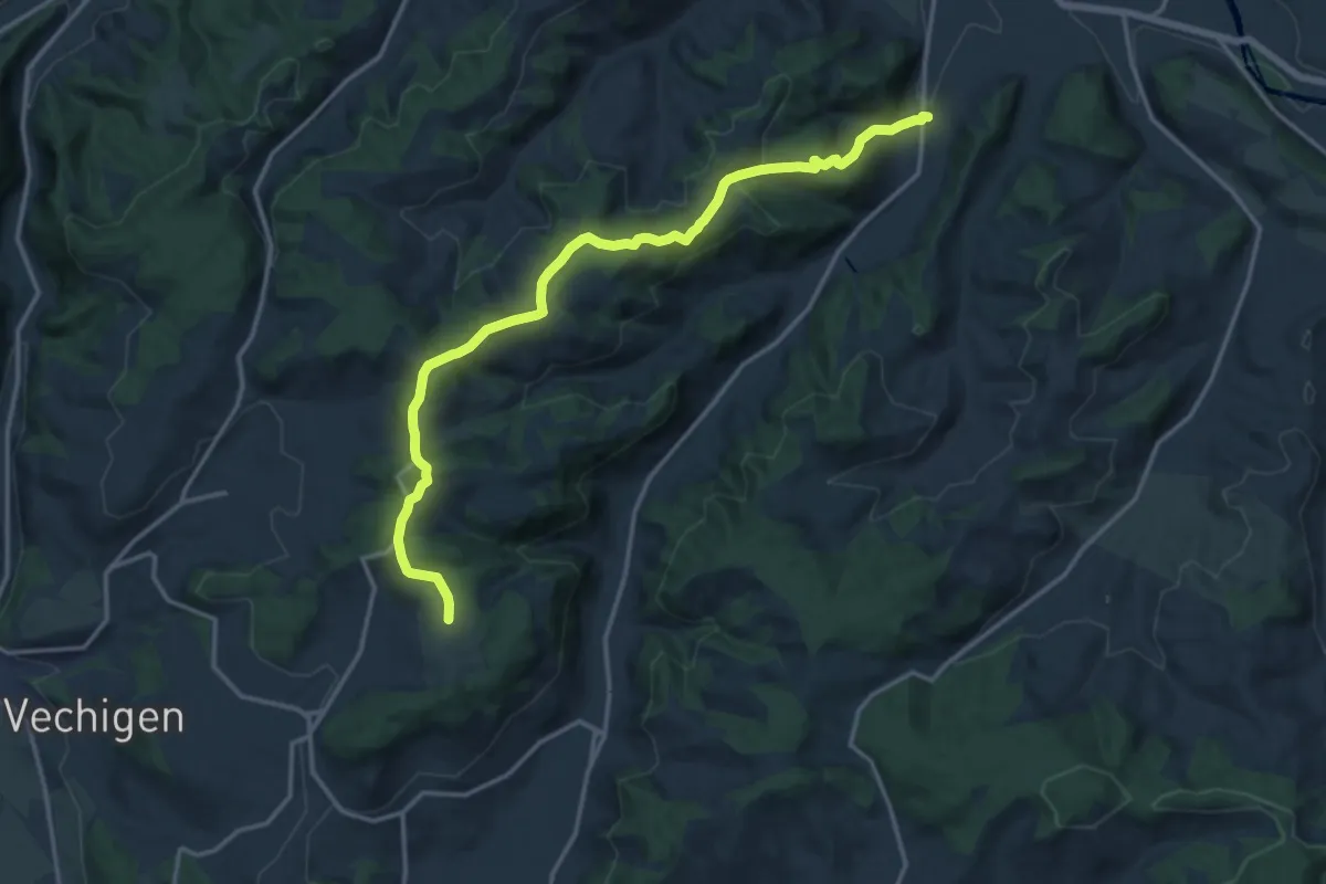
Wikartswil – Mänziwilegg
3.9 km · ↑ 187 m · 1 h 20 min · 12 km away
Medium · Trail
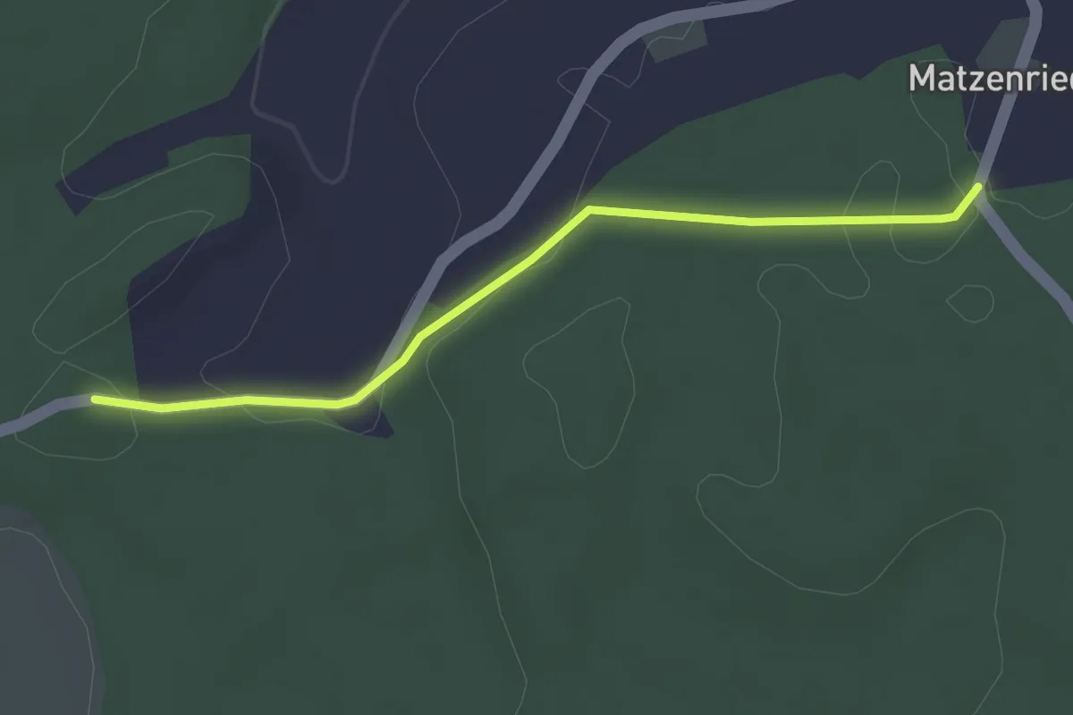
Mänziwilegg – Schafhausen
16.2 km · ↑ 533 m · 4 h 58 min · 12 km away
Easy · Trail
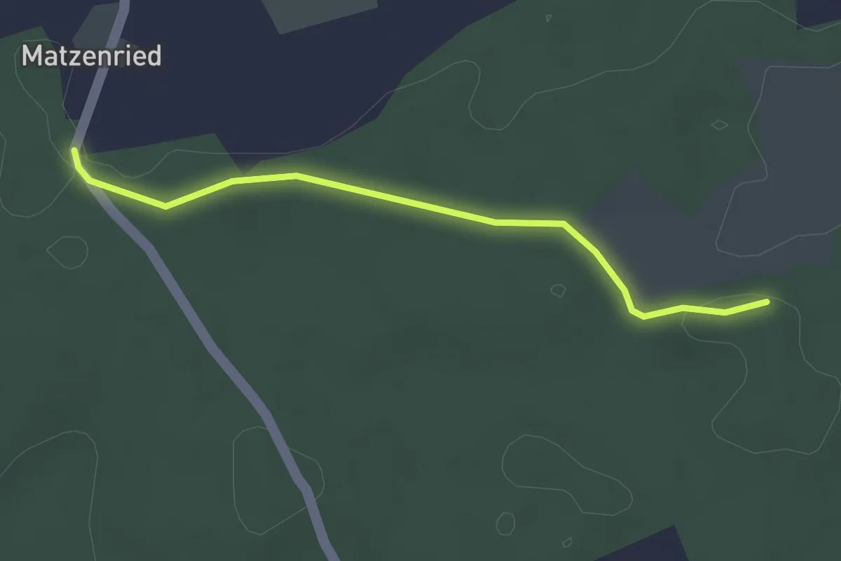
Holzeggen - Fuessacher
2.8 km · ↑ 63 m · 48 min · 12 km away
Easy · Trail
Holzeggen - Ried
2.6 km · ↑ 19 m · 39 min · 12 km away
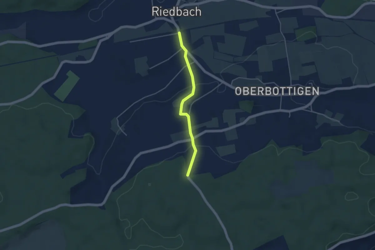
Easy · Trail
Riedbach/Station - Holzeggen
3.3 km · ↑ 93 m · 59 min · 12 km away
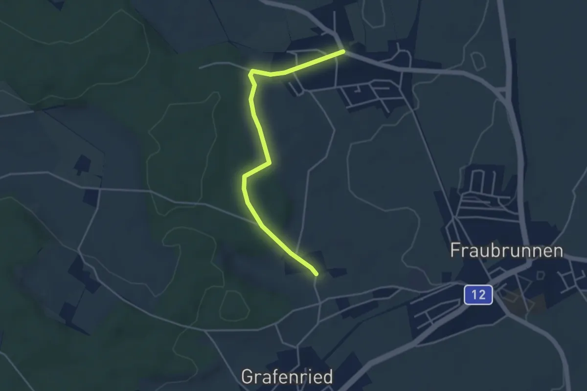
Easy · Trail
Büren zum Hof – Binel
3.7 km · ↑ 61 m · 1 h 1 min · 12 km away
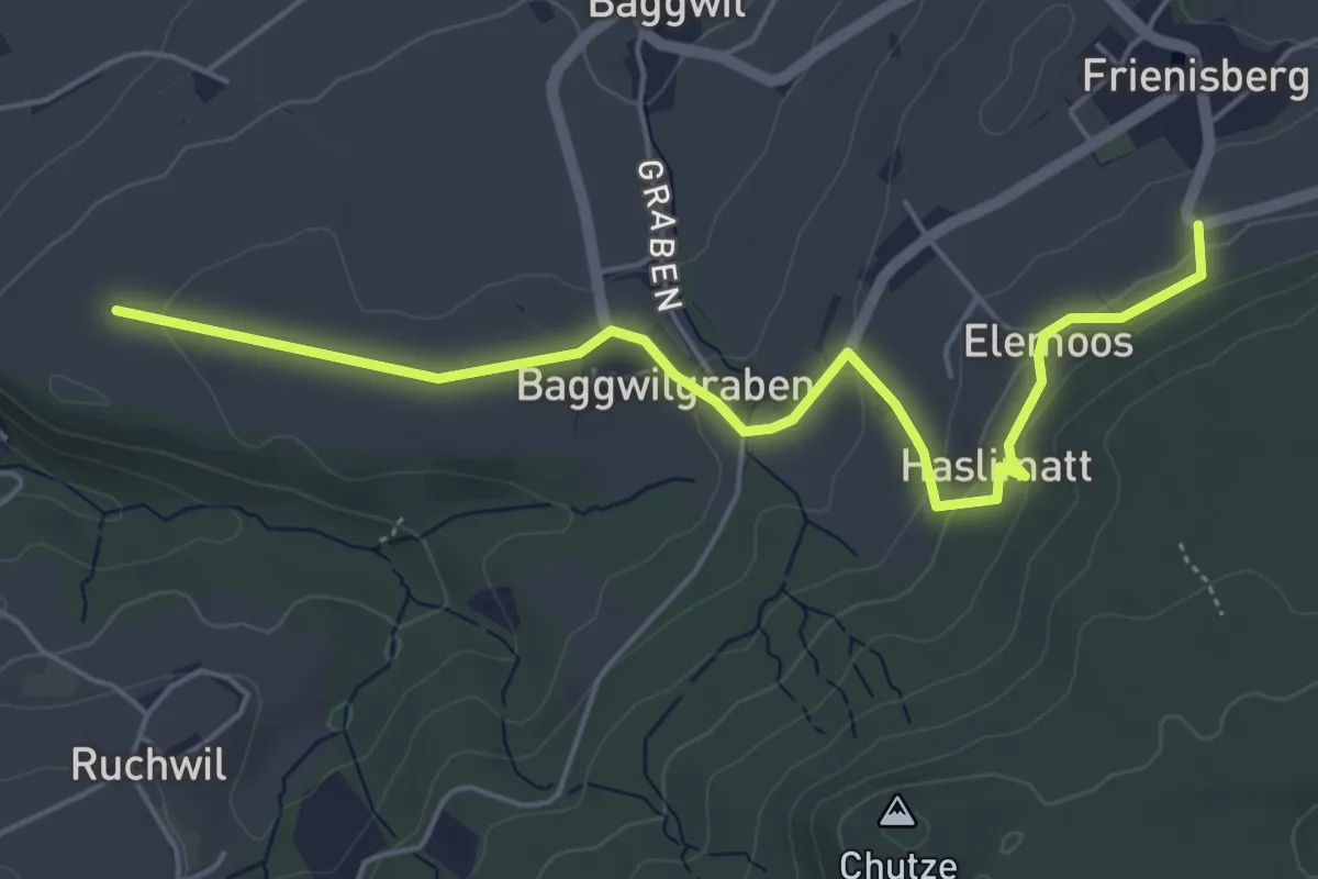
Easy · Trail
Klosterwege Frienisberg
5.5 km · ↑ 145 m · 1 h 37 min · 12 km away
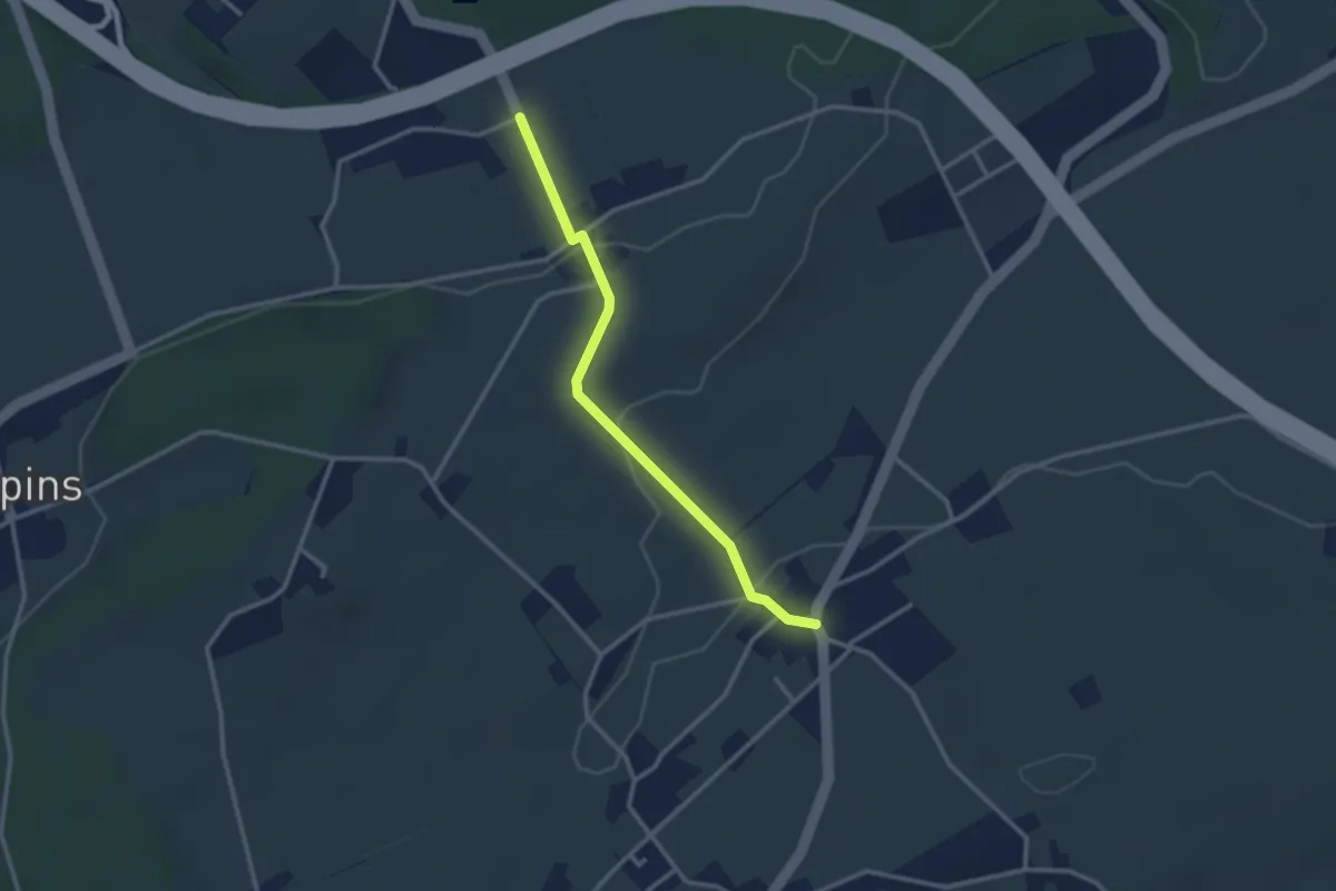
Easy · Trail
Eigenacher – Wiler
2.8 km · ↑ 56 m · 46 min · 12 km away
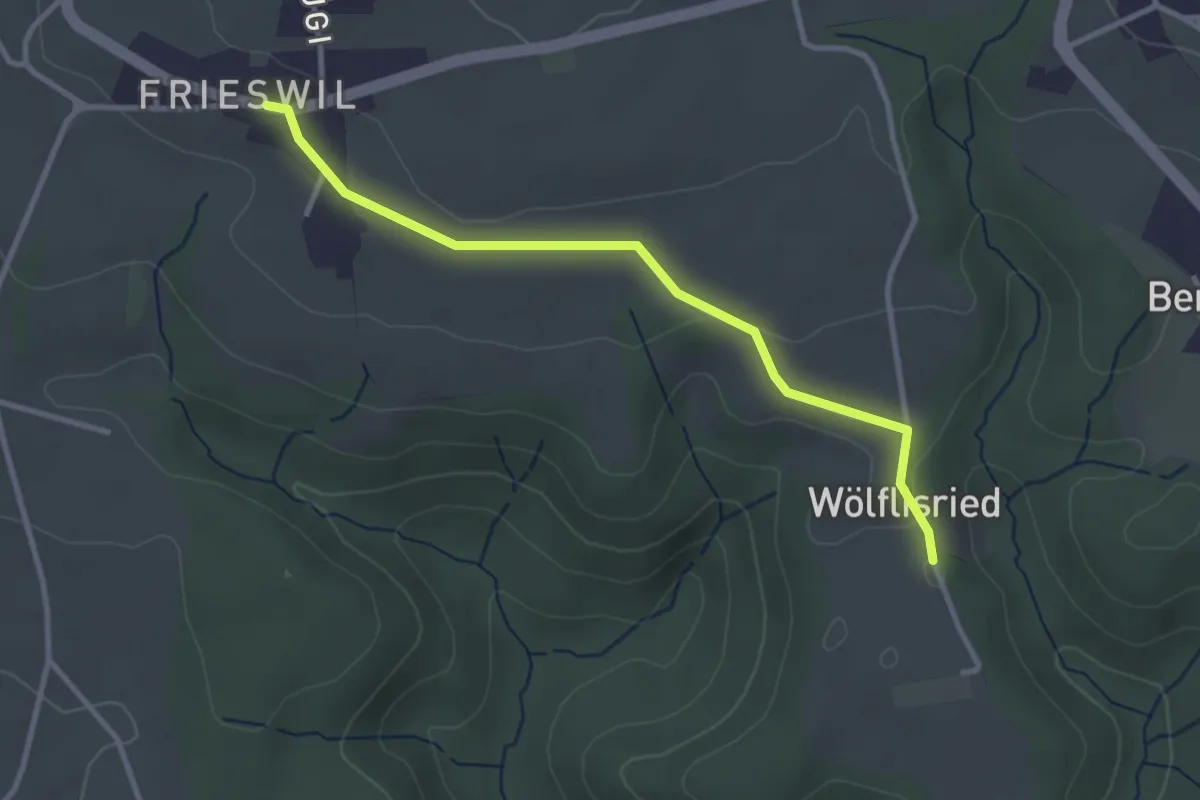
Easy · Trail
Wölflisried – Frieswil
3.1 km · ↑ 53 m · 51 min · 12 km away
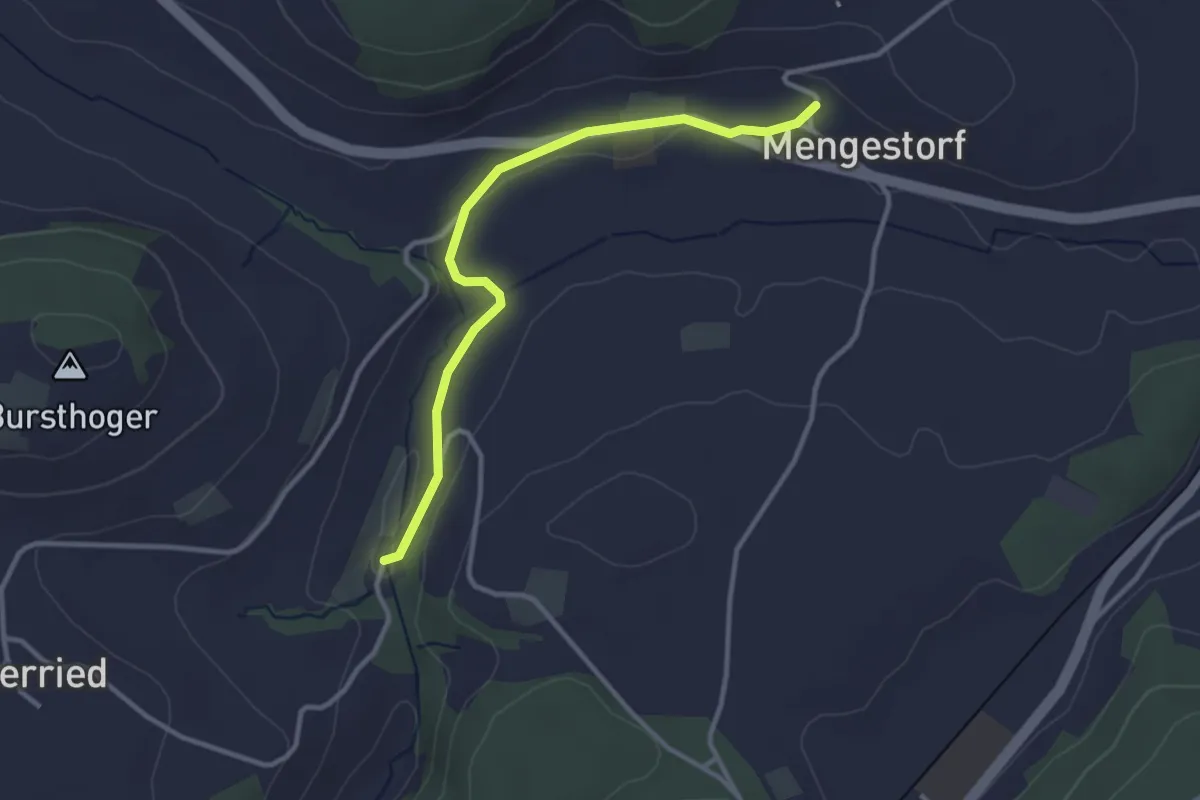
Easy · Trail
Grabenmüli – Mengestorf
3.2 km · ↑ 40 m · 50 min · 12 km away
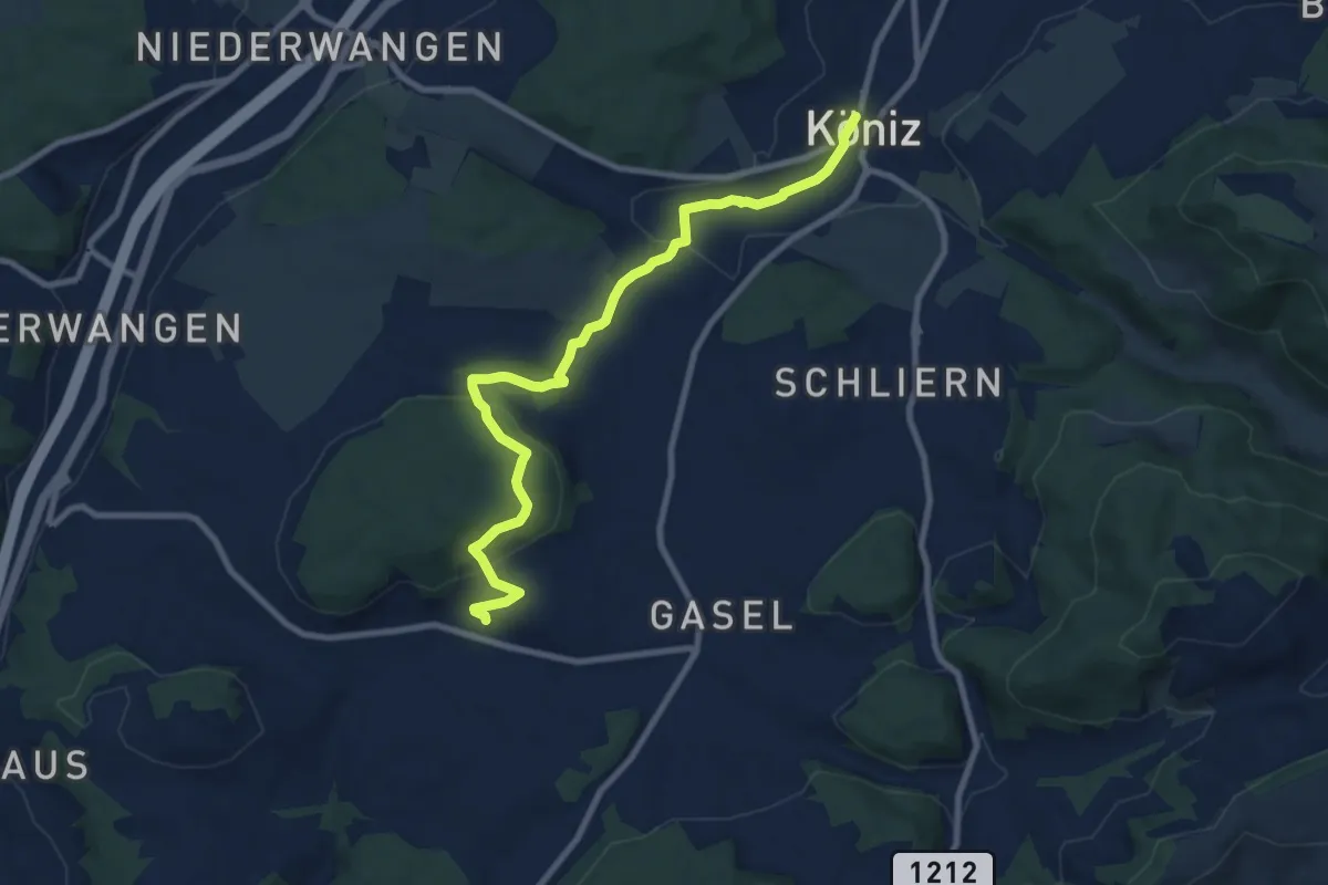
Medium · Trail
Mengestorf – Köniz
9.4 km · ↑ 280 m · 2 h 50 min · 12 km away
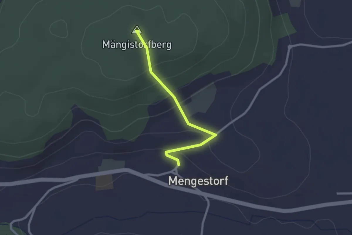
Easy · Summit
Mengestorfberg - Mengestorf
2.0 km · ↑ 124 m · 45 min · 12 km away
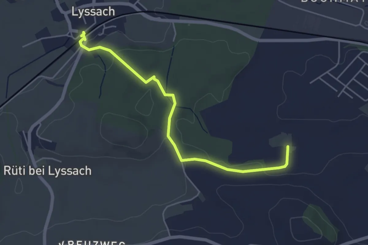
Easy · Trail
Lyssach Station – Meienmoos
4.5 km · ↑ 66 m · 1 h 12 min · 12 km away
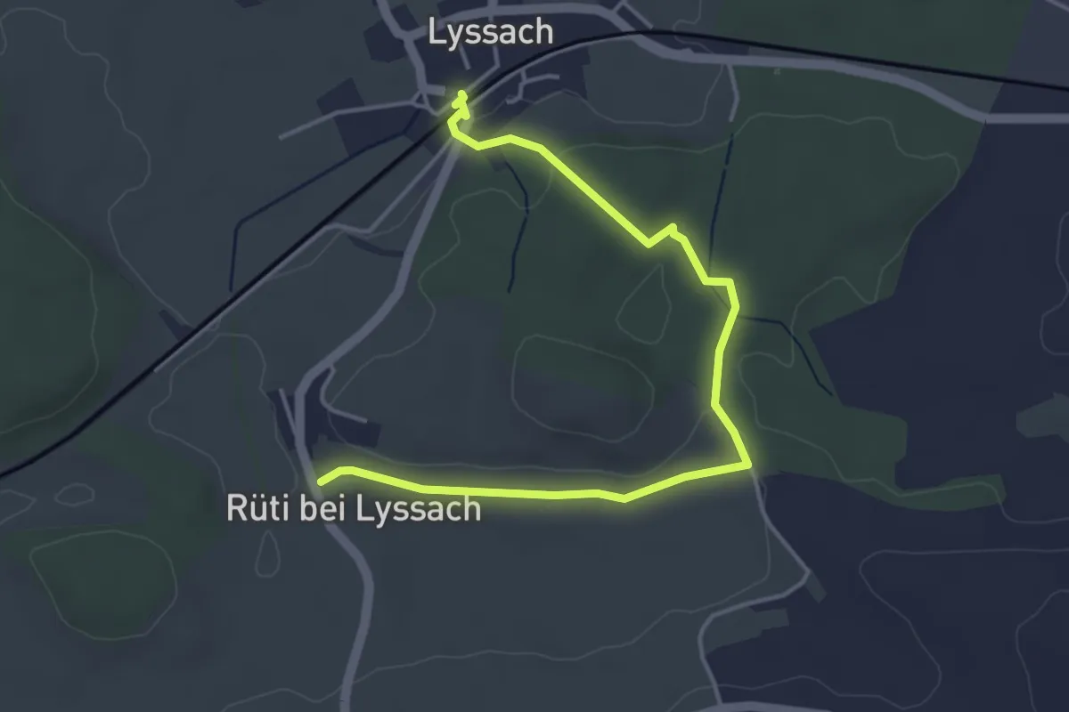
Easy · Trail
Lyssach Station – Rüti bei Lyssach
4.7 km · ↑ 64 m · 1 h 15 min · 12 km away
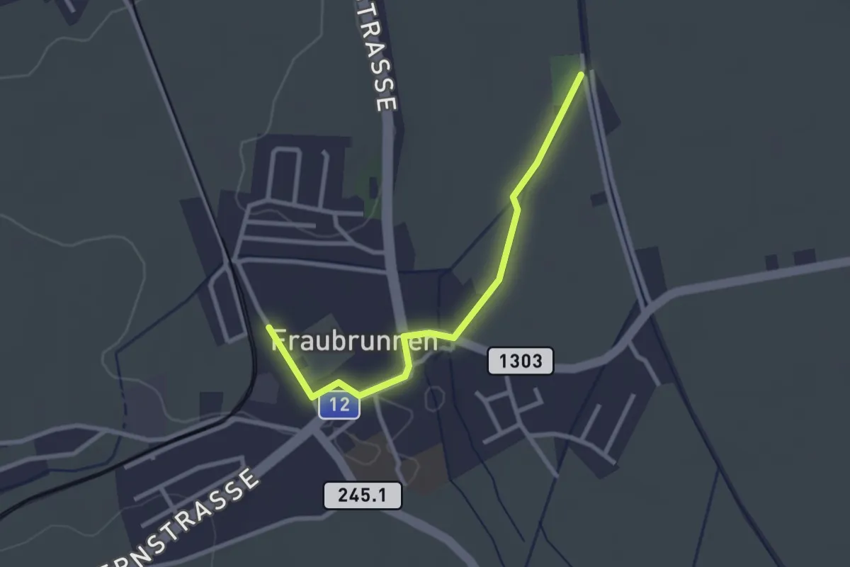
Easy · Trail
Fraubrunnen – Fraubrunnen Schwimmbad
2.6 km · ↑ 9 m · 38 min · 12 km away
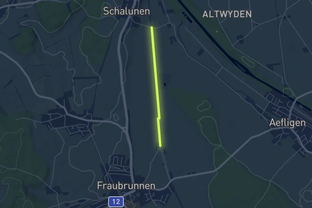
Easy · Trail
Urtene-Brücke – Fraubrunnen Schwimmbad
3.6 km · ↑ 4 m · 51 min · 12 km away
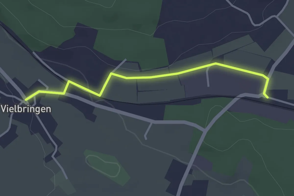
Easy · Trail
Vielbringen – Worb SBB
2.9 km · ↑ 41 m · 46 min · 12 km away
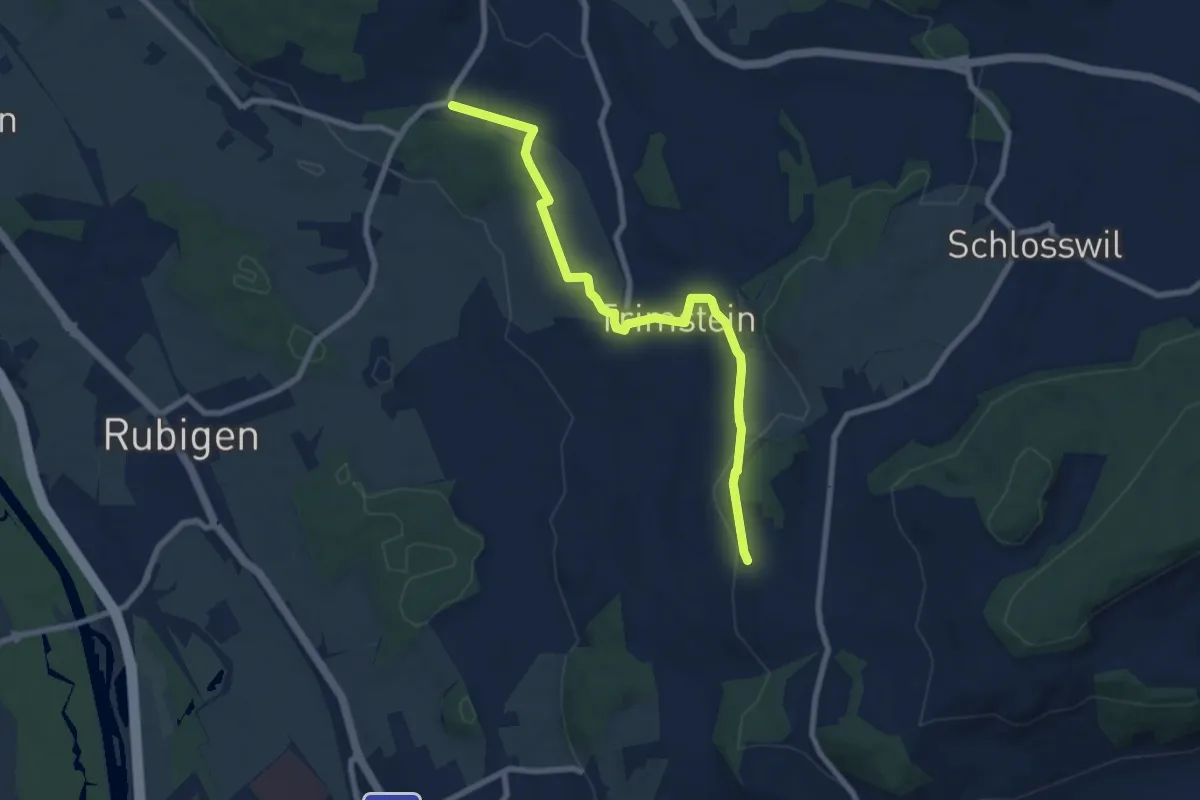
Medium · Trail
Worb SBB – Buechliacher
8.1 km · ↑ 165 m · 2 h 17 min · 12 km away
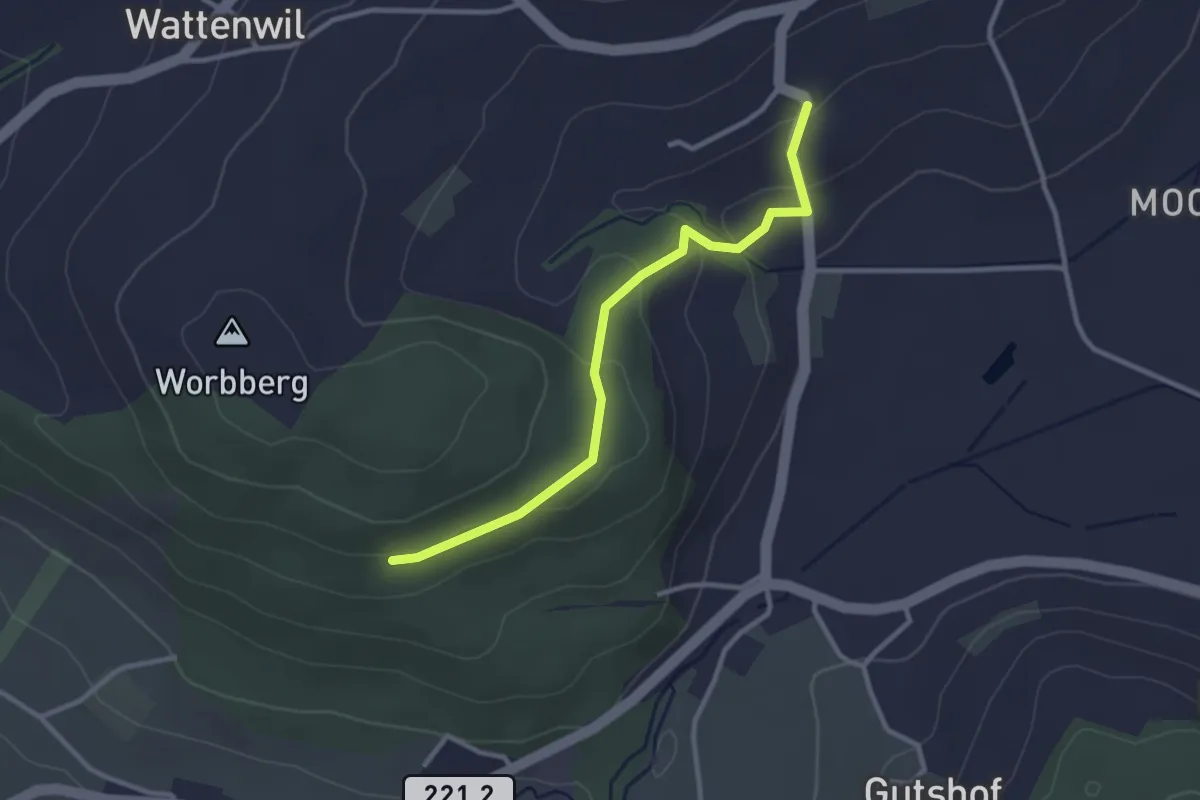
Easy · Trail
Worbberg-Rüttihubelbad
2.9 km · ↑ 104 m · 54 min · 12 km away
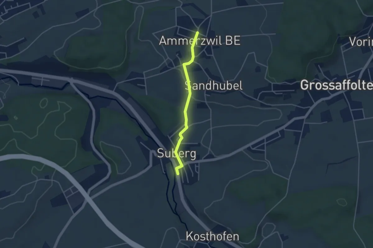
Easy · Trail
Ammerzwil BE – Suberg
3.2 km · ↑ 63 m · 54 min · 12 km away