Trails near Zollikofen
477 hikes starting within 15 km, nearest first.
Nearest first, page 6 of 10
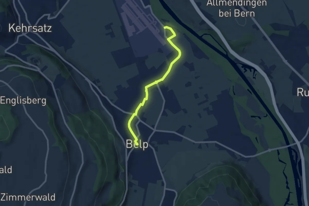
Easy · Trail
Belp – Flugplatz Bern Belp
6.4 km · ↑ 9 m · 1 h 32 min · 10 km away
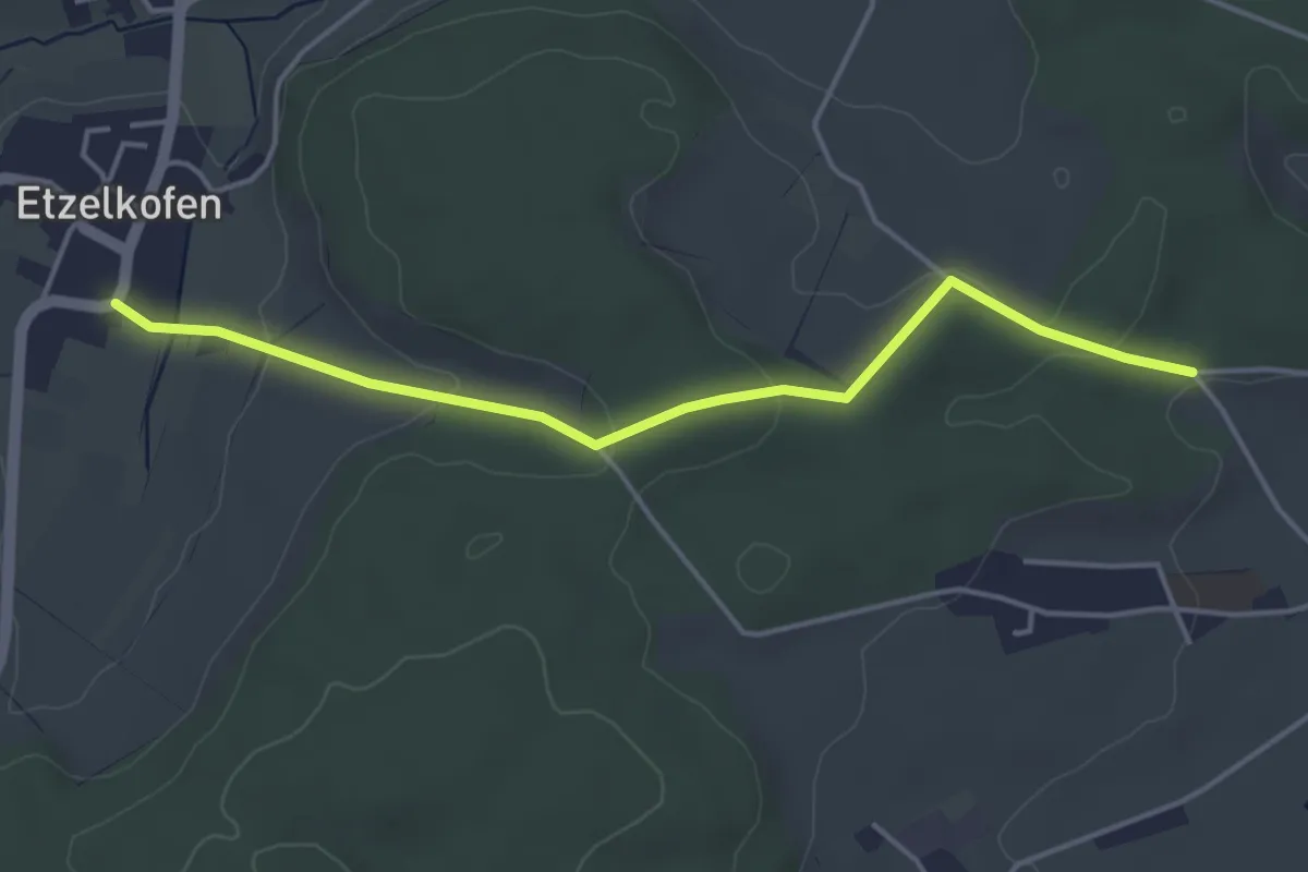
Easy · Trail
Etzelkofen – Vorder Eichsberg
4.3 km · ↑ 107 m · 1 h 14 min · 10 km away
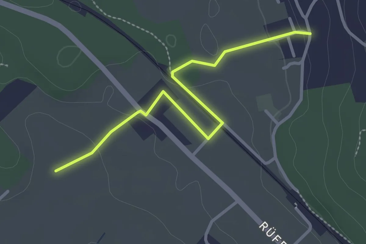
Easy · Trail
Chli Hüenliwald-Murmösli
2.7 km · ↑ 39 m · 43 min · 10 km away
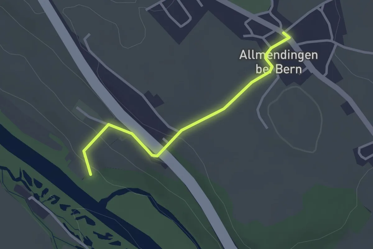
Easy · Trail
Märchligenau-Allmendingen
2.5 km · ↑ 63 m · 44 min · 10 km away
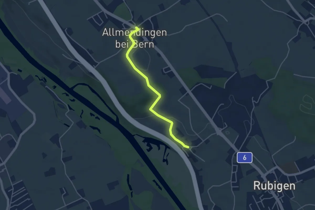
Easy · Trail
Kleinhöchstetten – Allmendingen
3.7 km · ↑ 71 m · 1 h 2 min · 10 km away
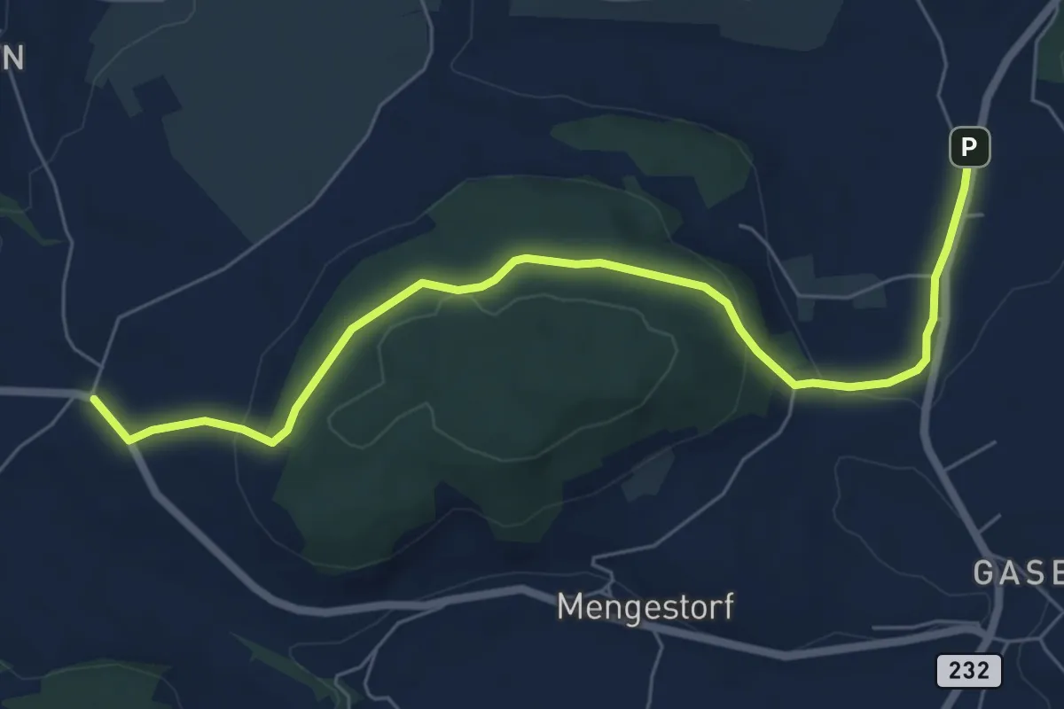
Easy · Trail
Liebewil - Moos
7.0 km · ↑ 194 m · 2 h 4 min · 10 km away
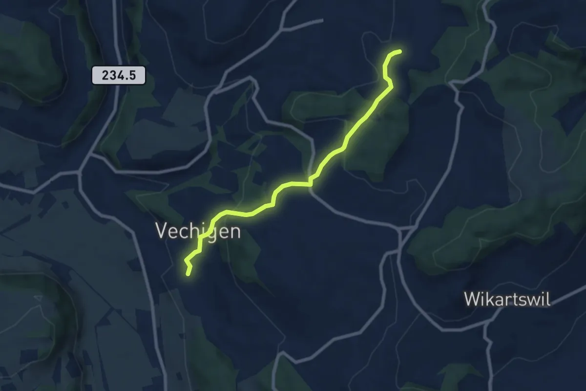
Easy · Trail
Littiwil – Vechigen
6.5 km · ↑ 260 m · 2 h 6 min · 10 km away
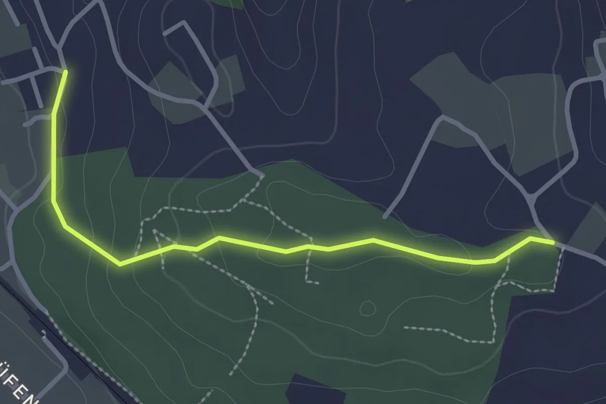
Easy · Trail
Langenloh-Wislen
2.6 km · ↑ 70 m · 46 min · 10 km away
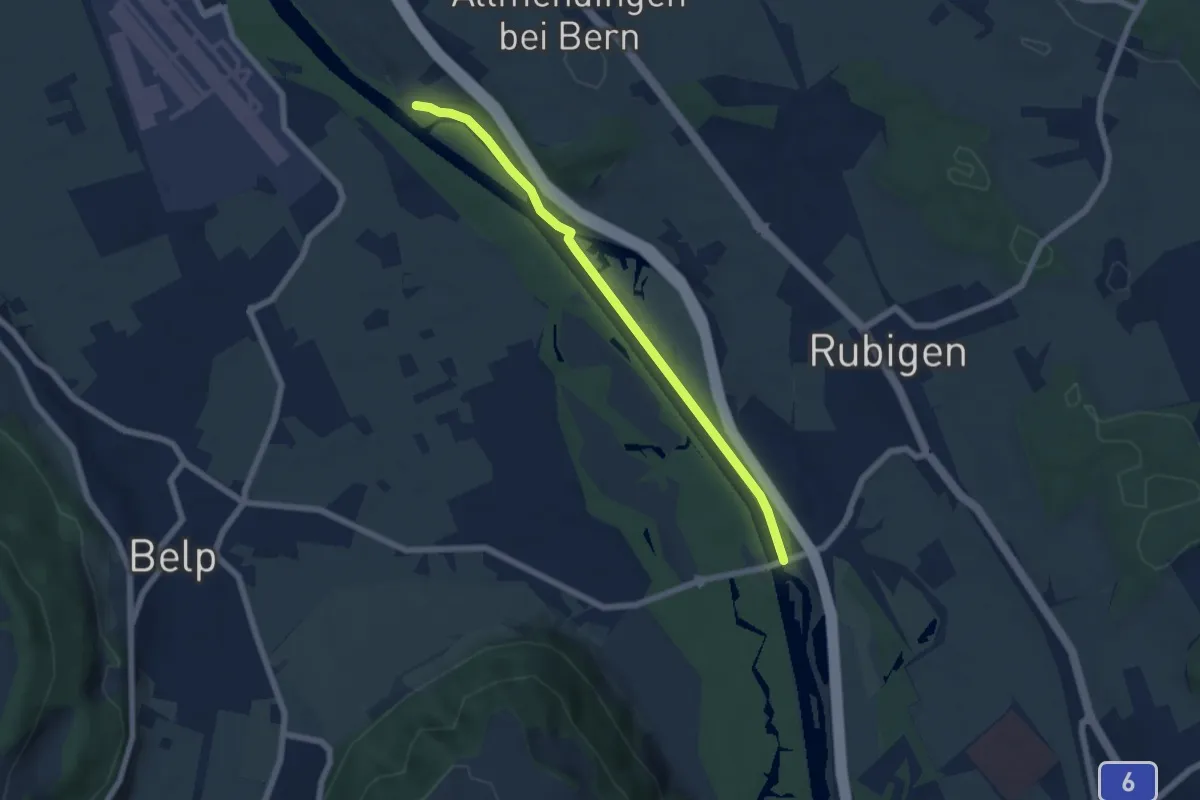
Easy · Trail
Märchligenau - Hunzigebrügg
5.9 km · ↑ 32 m · 1 h 28 min · 11 km away
Easy · Trail
Messen Junkholz - Ruppoldsried
3.7 km · ↑ 89 m · 1 h 4 min · 11 km away
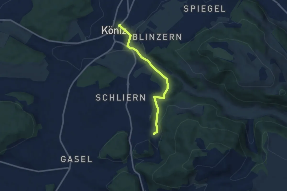
Easy · Trail
Platten - Köniz
5.9 km · ↑ 176 m · 1 h 46 min · 11 km away
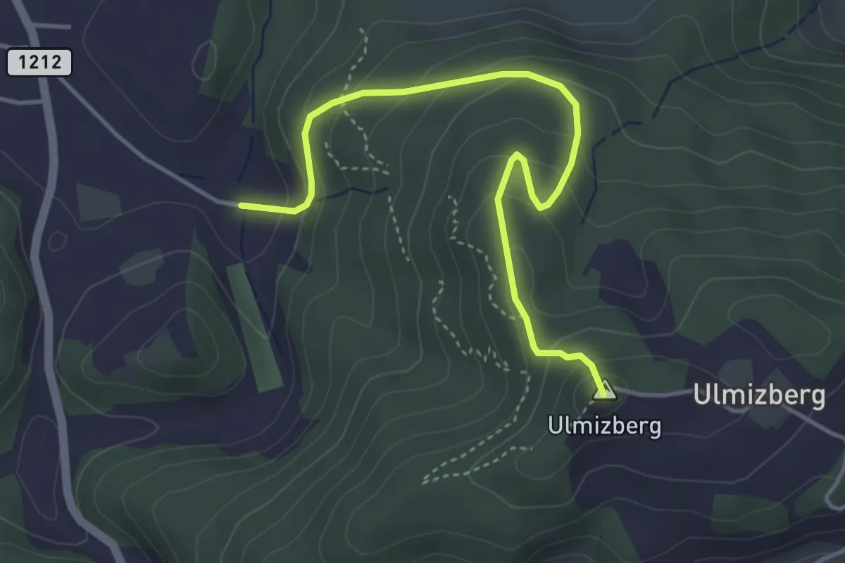
Easy · Summit
Ulmizberg - Platten
4.2 km · ↑ 291 m · 1 h 38 min · 11 km away
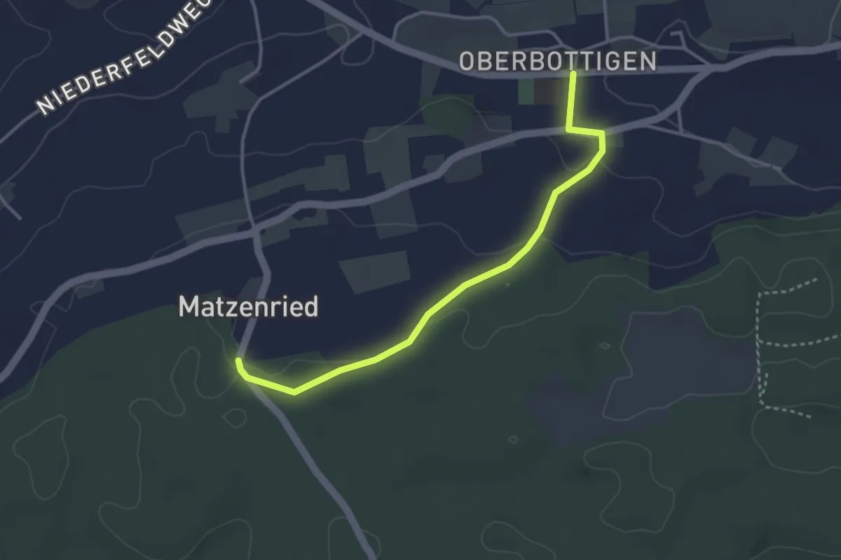
Easy · Trail
Oberbottigen - Holzeggen
3.4 km · ↑ 57 m · 56 min · 11 km away
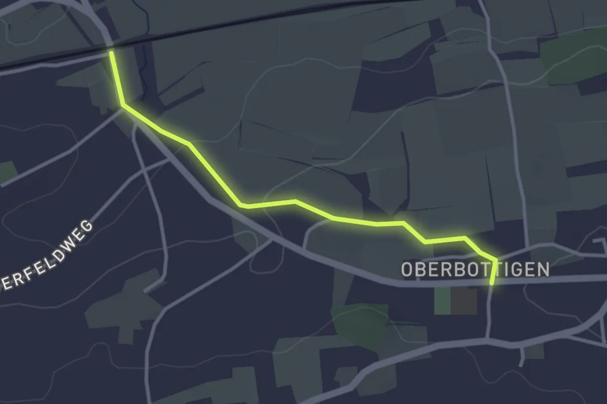
Easy · Trail
Oberbottigen - Riedbach/Station
2.9 km · ↑ 46 m · 47 min · 11 km away
Easy · Trail
Messen Junkholz - Messen Post
4.1 km · ↑ 71 m · 1 h 8 min · 11 km away
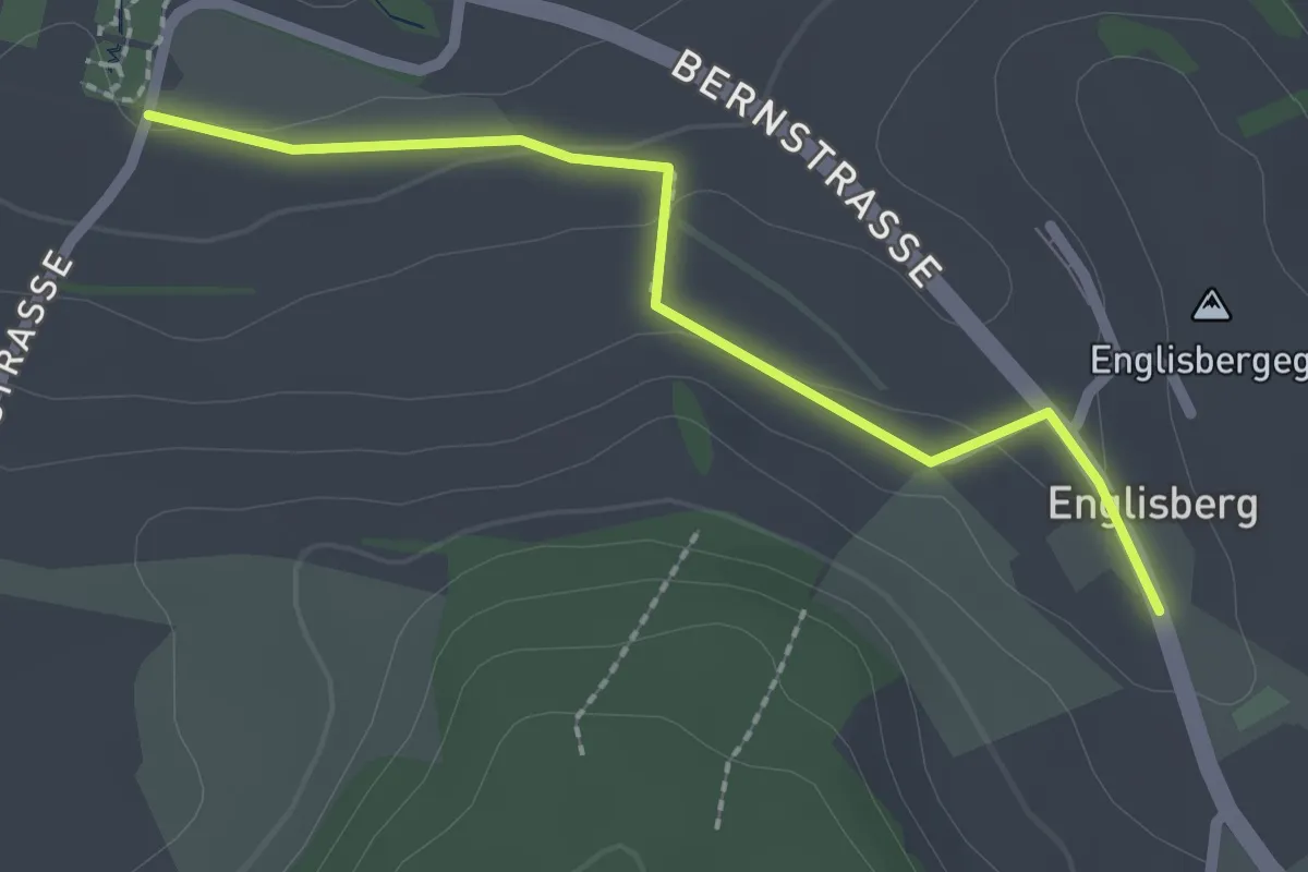
Easy · Trail
Wohnheim Kühlewil - Englisberg
2.1 km · ↑ 42 m · 36 min · 11 km away
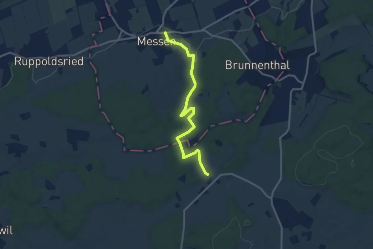
Easy · Trail
Messen Kirche – Scheunen
7.4 km · ↑ 139 m · 2 h 3 min · 11 km away
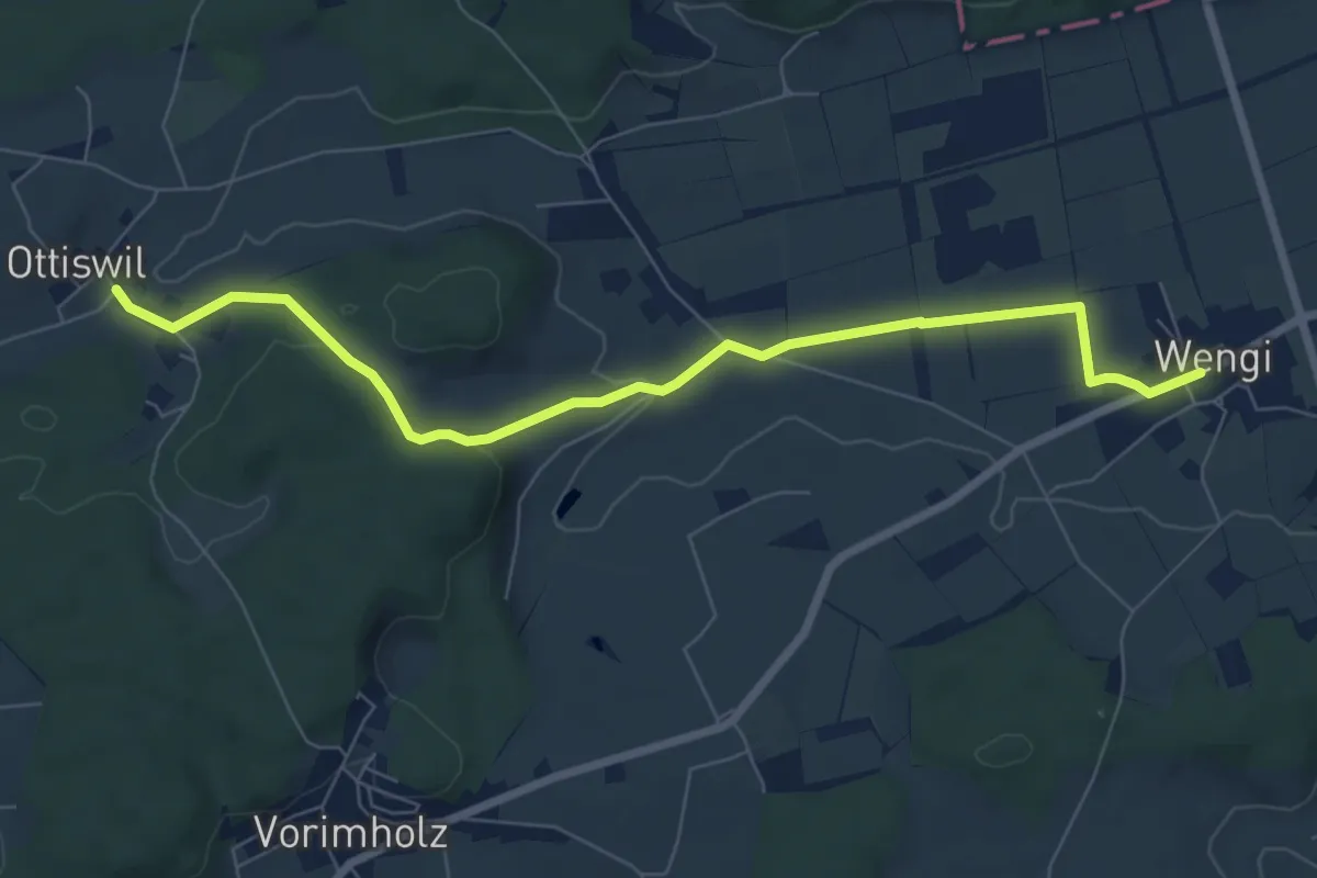
Easy · Trail
Wengi – Ottiswil
7.8 km · ↑ 148 m · 2 h 10 min · 11 km away
Easy · Trail
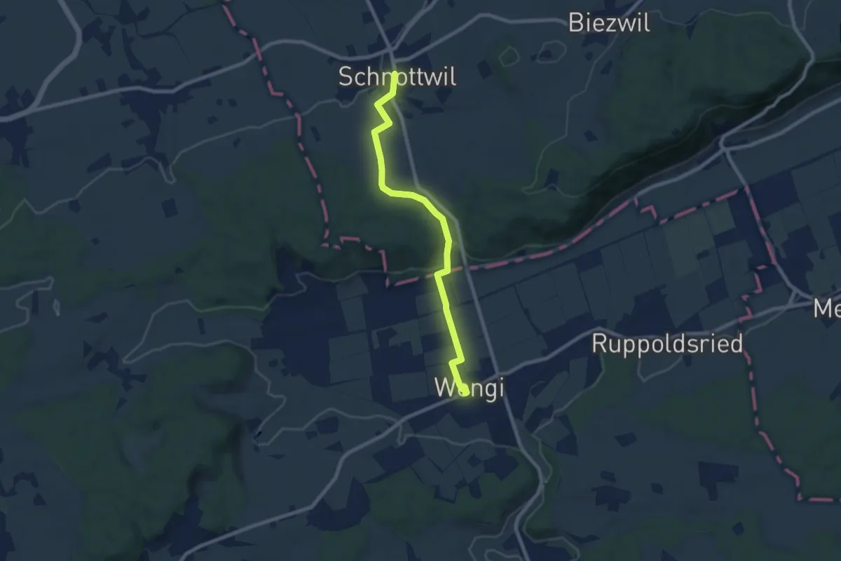
Schnottwil – Wengi
7.5 km · ↑ 141 m · 2 h 5 min · 11 km away
Easy · Summit
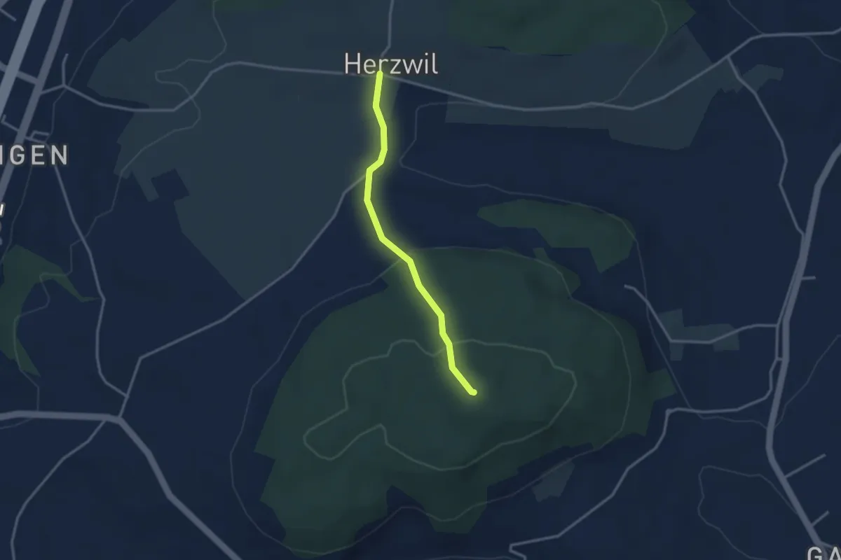
Herzwil - Mängistorfberg
2.7 km · ↑ 113 m · 52 min · 11 km away
Easy · Trail
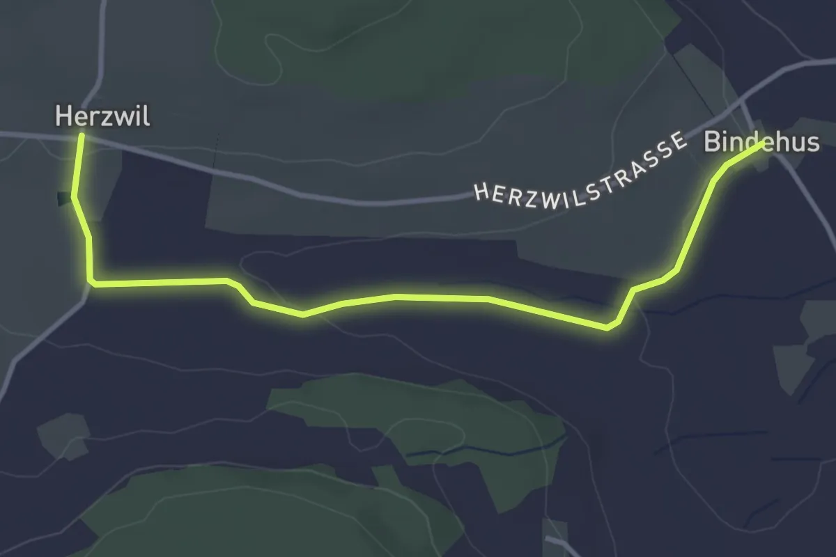
Herzwil - Bindenhaus
3.6 km · ↑ 41 m · 57 min · 11 km away
Easy · Trail
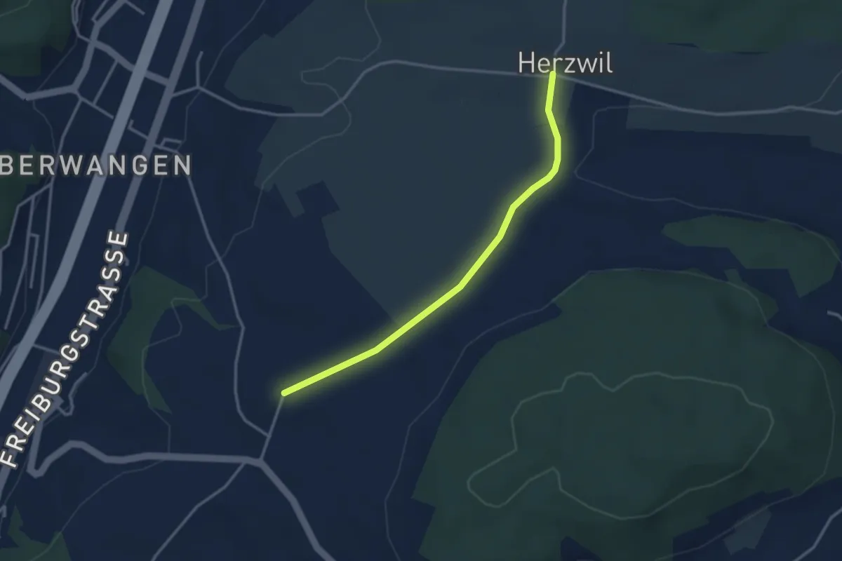
Herzwil - Liebewil/Resevoir
3.0 km · ↑ 31 m · 47 min · 11 km away
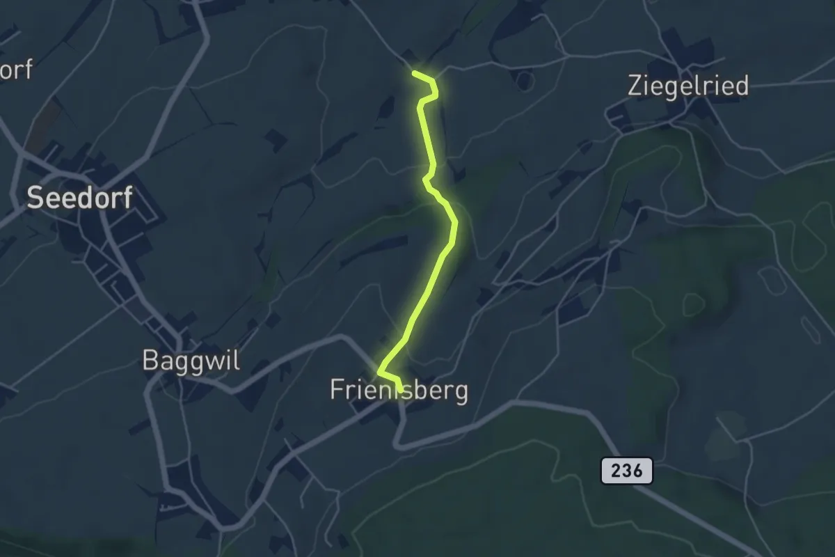
Easy · Trail
Allenwil - Frieniswil
3.6 km · ↑ 149 m · 1 h 10 min · 11 km away
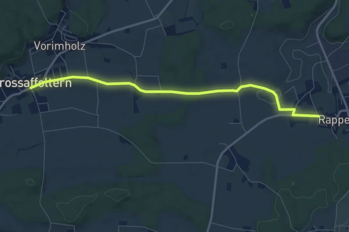
Easy · Trail
Grossaffoltern – Rapperswil
7.5 km · ↑ 71 m · 1 h 55 min · 11 km away
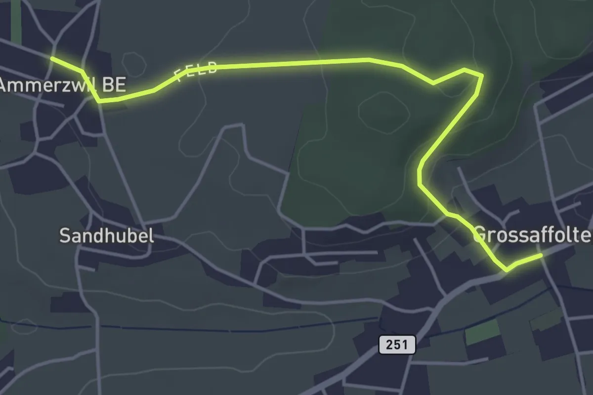
Easy · Trail
Ammerzwil BE – Grossaffoltern
4.5 km · ↑ 114 m · 1 h 19 min · 11 km away
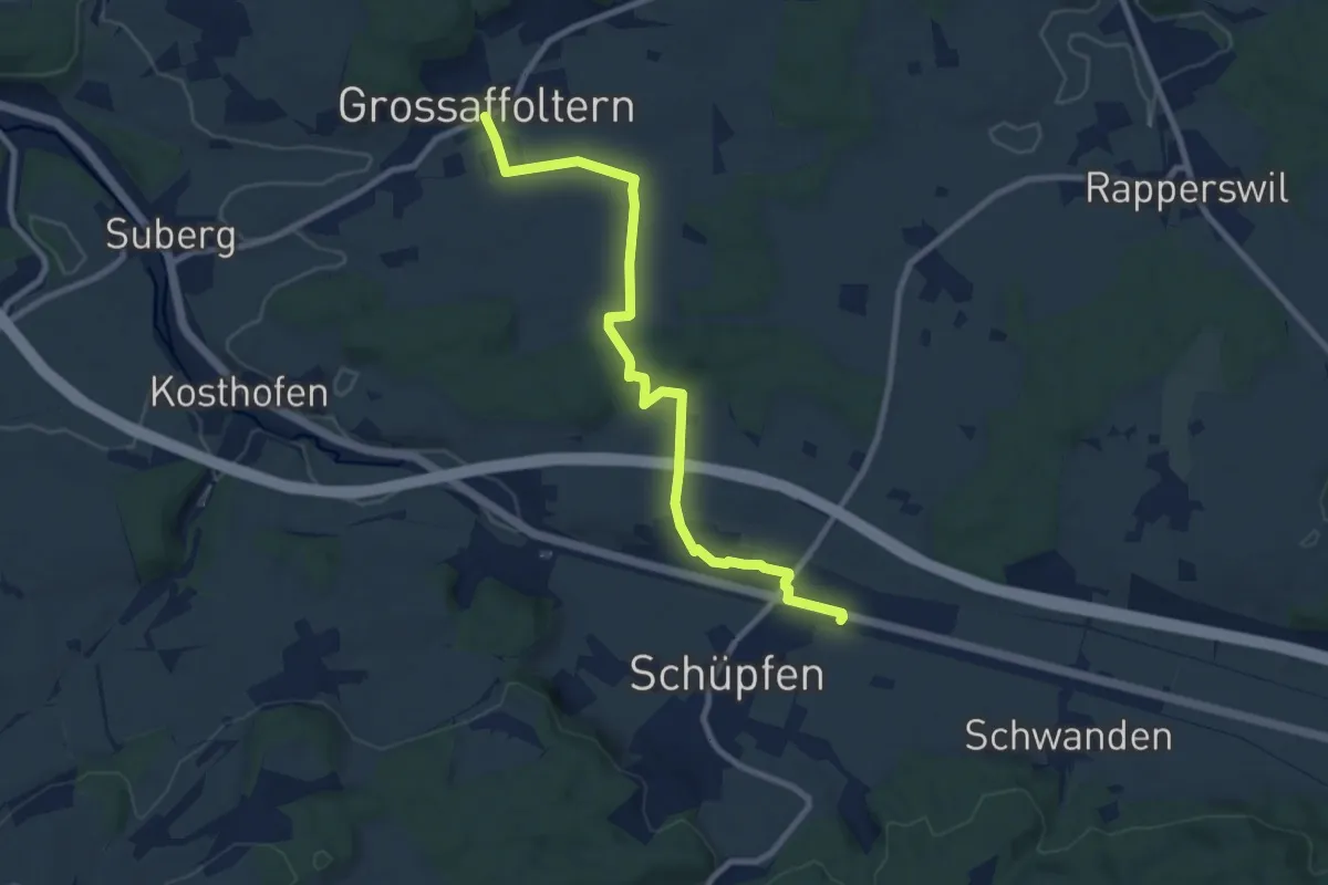
Medium · Trail
Grossaffoltern – Schüpfen / Station
9.2 km · ↑ 95 m · 2 h 23 min · 11 km away
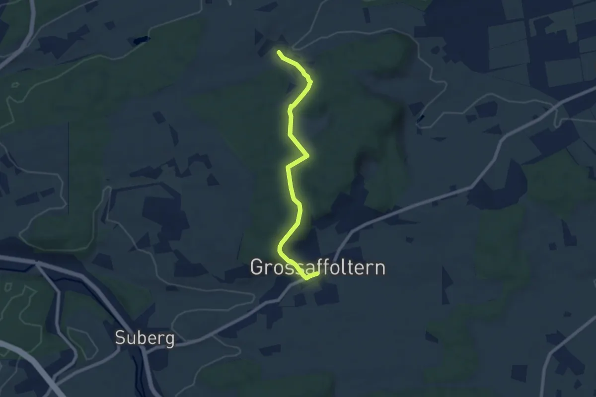
Easy · Trail
Ottiswil – Grossaffoltern
5.8 km · ↑ 166 m · 1 h 44 min · 11 km away
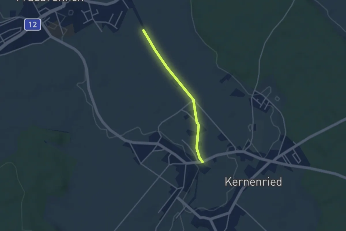
Easy · Trail
Fraubrunnenmoos – Zauggenried
2.6 km · ↑ 4 m · 38 min · 11 km away
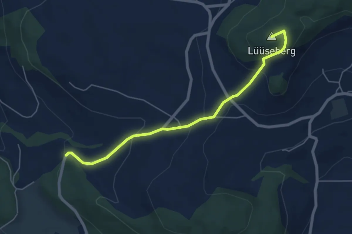
Easy · Summit
Worb/Hasli – Lüseberg
4.6 km · ↑ 219 m · 1 h 34 min · 11 km away
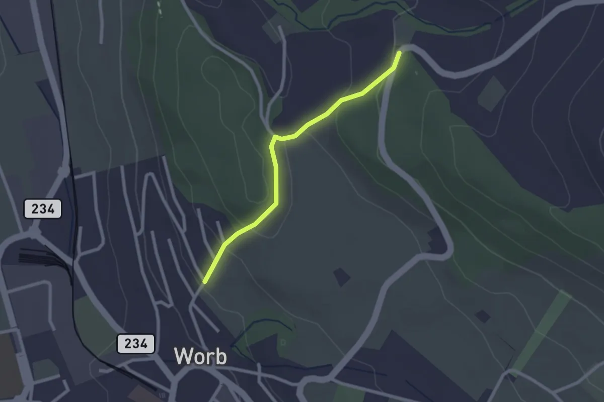
Easy · Trail
Egghalde – Worb/Hasli
2.1 km · ↑ 94 m · 41 min · 11 km away
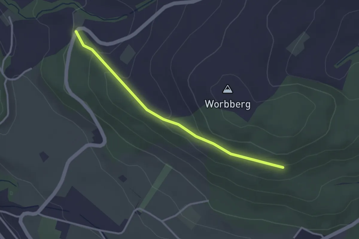
Easy · Trail
Worb/Hasli-Worbberg
2.8 km · ↑ 90 m · 52 min · 11 km away
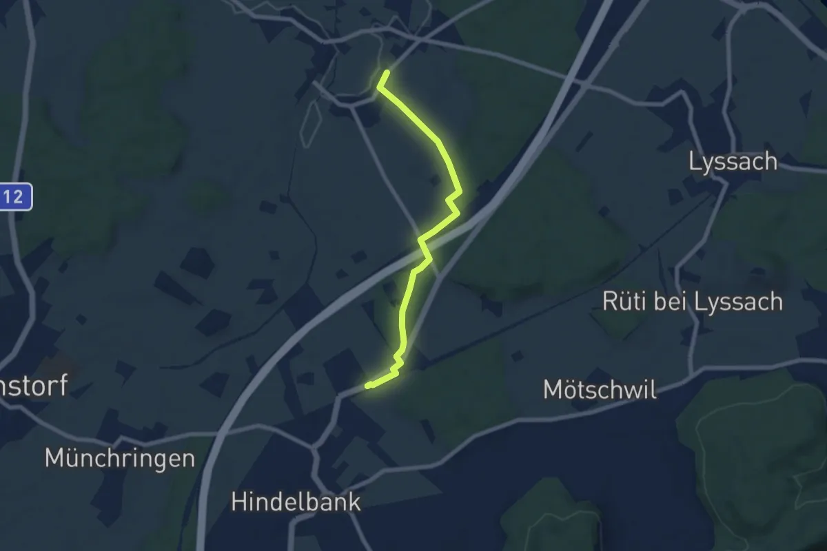
Easy · Trail
Kernenried – Hindelbank / Station
6.2 km · ↑ 32 m · 1 h 32 min · 11 km away
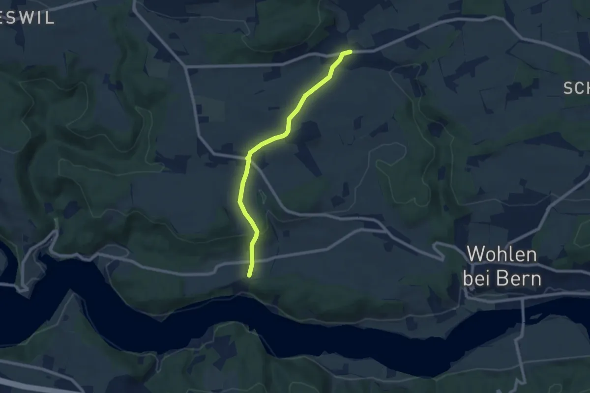
Easy · Trail
Säriswil – Steinisweg
6.1 km · ↑ 114 m · 1 h 42 min · 11 km away
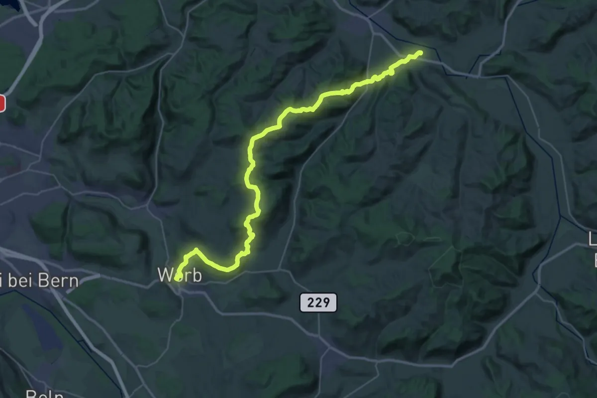
Medium · Trail
Trans Swiss Trail
17.7 km · ↑ 623 m · 5 h 47 min · 11 km away
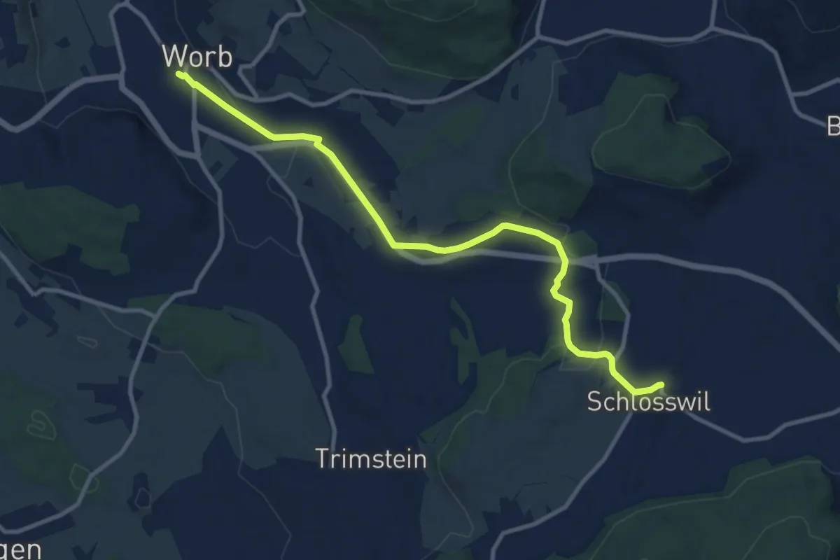
Medium · Trail
Worb – Schlosswil
10.2 km · ↑ 197 m · 2 h 50 min · 11 km away
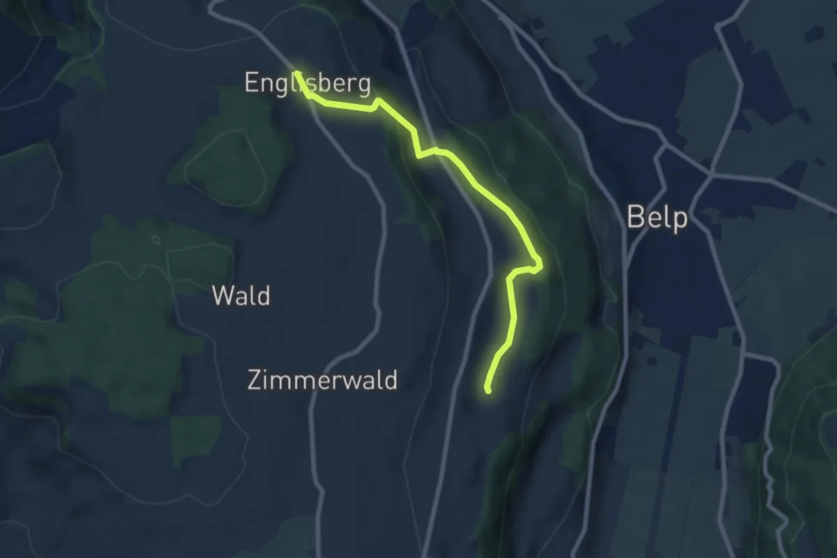
Easy · Trail
Englisberg – Hofmatt
6.5 km · ↑ 186 m · 1 h 56 min · 11 km away
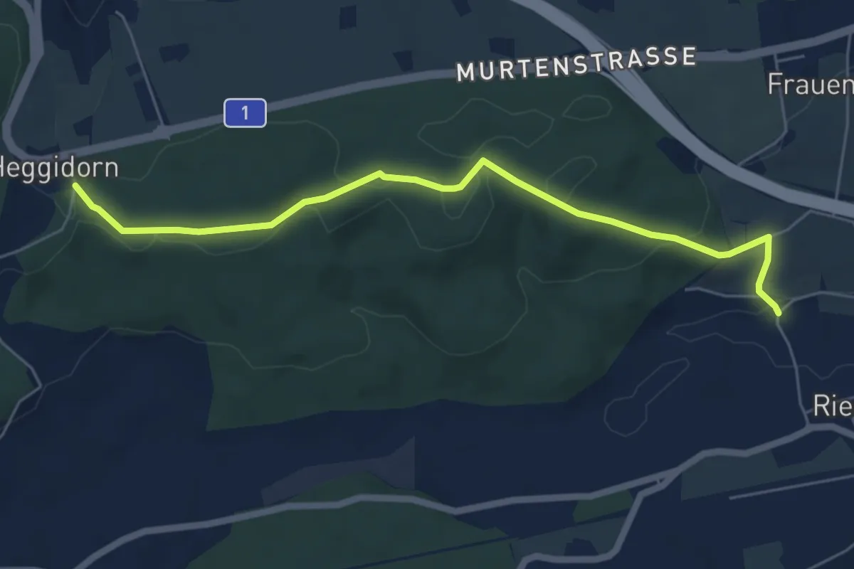
Easy · Trail
Heggidorn - Riedbach/Mühle
5.9 km · ↑ 125 m · 1 h 40 min · 11 km away
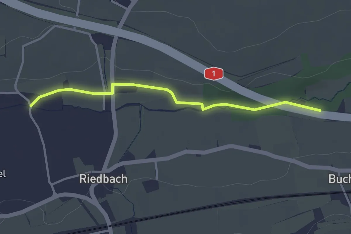
Easy · Trail
Autobahnviadukt - Riedbach/Mühle
2.8 km · ↑ 8 m · 41 min · 11 km away
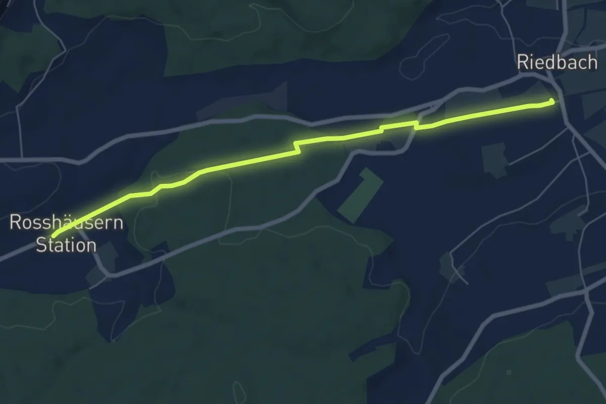
Easy · Trail
Rosshäusern/Station - Riedbach/Station
6.4 km · ↑ 72 m · 1 h 40 min · 11 km away
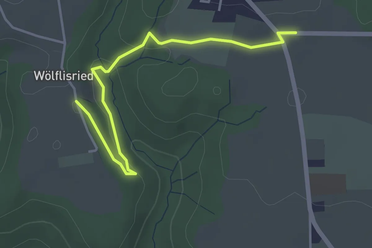
Easy · Trail
Weiermatt – Wölfisried
3.5 km · ↑ 81 m · 1 h · 11 km away
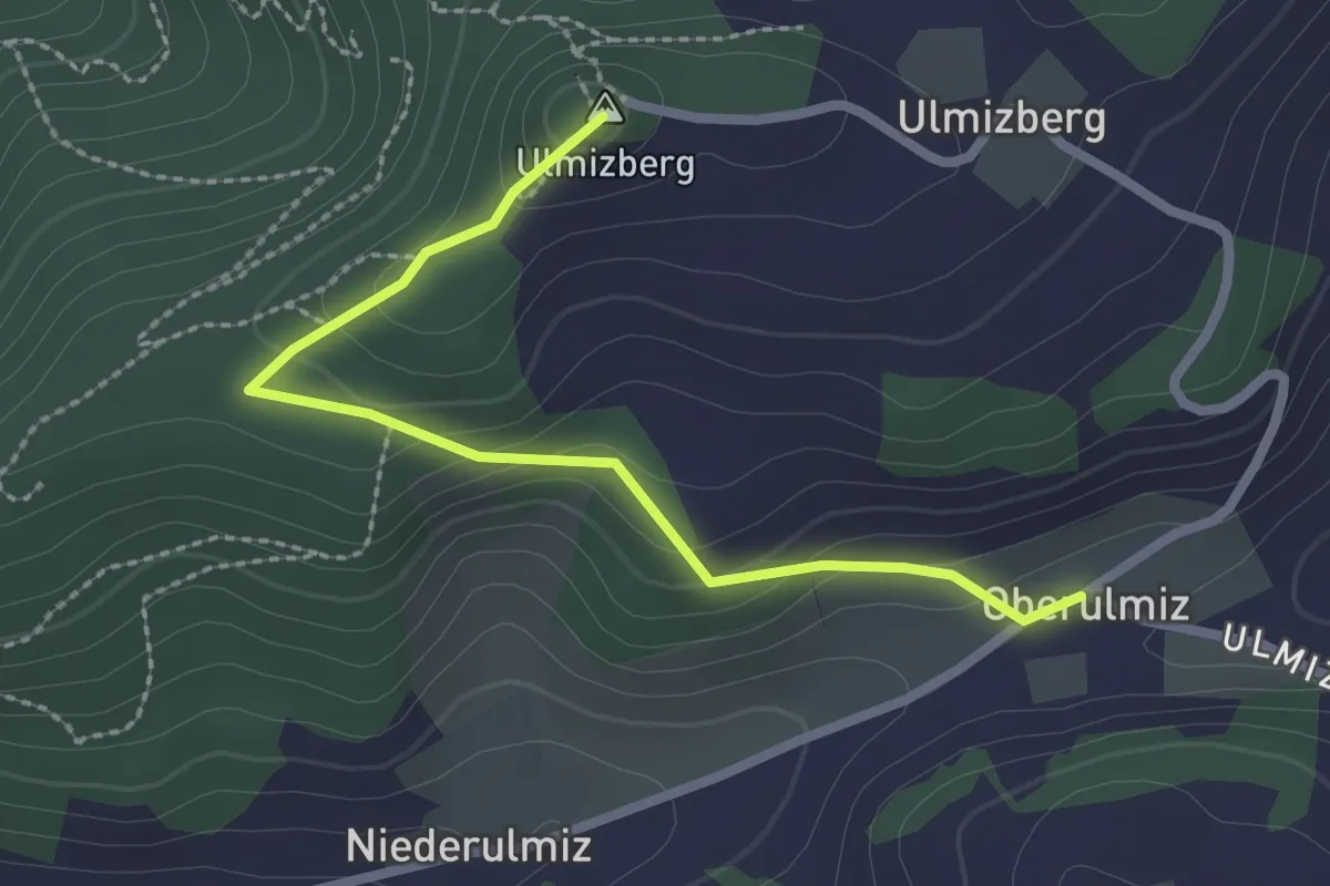
Easy · Summit
Ulmizberg – Oberulmiz
2.5 km · ↑ 118 m · 50 min · 11 km away
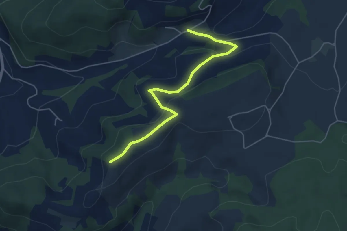
Easy · Trail
Oberulmiz – Zingghöch
4.4 km · ↑ 181 m · 1 h 26 min · 11 km away
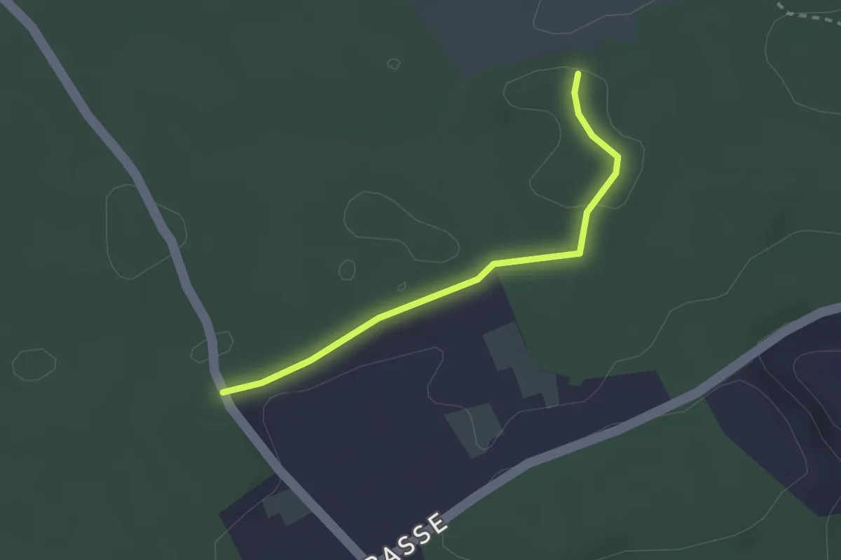
Easy · Trail
Niederwangenhubel - Ried
2.2 km · ↑ 23 m · 35 min · 11 km away
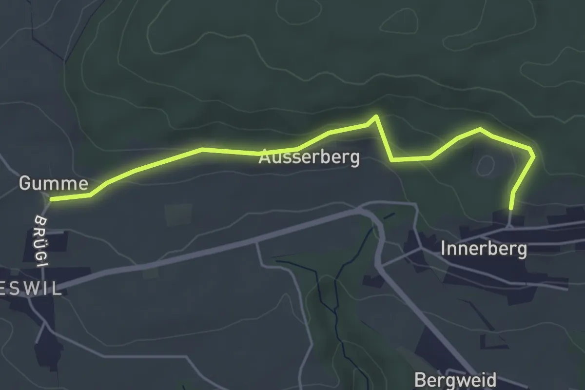
Easy · Trail
Gummen – Innerberg Mösli
4.6 km · ↑ 174 m · 1 h 27 min · 11 km away
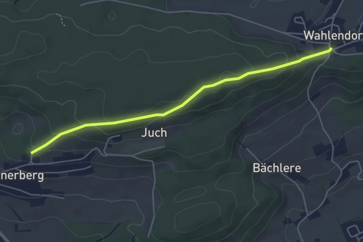
Easy · Trail
Wahlendorf Usserdorf – Innerberg Mösli
4.3 km · ↑ 155 m · 1 h 22 min · 11 km away
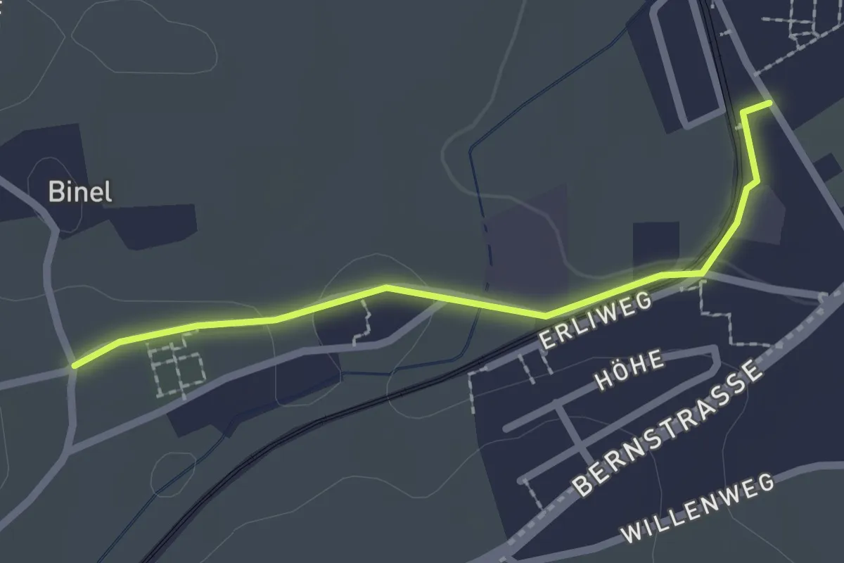
Easy · Trail
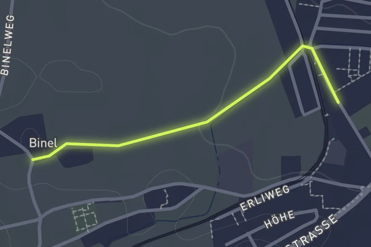
Fraubrunnen – Binel
2.0 km · ↑ 19 m · 31 min · 11 km away
Easy · Trail
Fraubrunnen – Binel
2.0 km · ↑ 13 m · 30 min · 11 km away
Easy · Trail
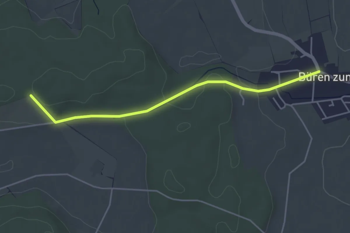
Schöniberg – Büren zum Hof
3.9 km · ↑ 59 m · 1 h 4 min · 11 km away