Trails near Zug
636 hikes starting within 15 km, nearest first.
Nearest first, page 12 of 14
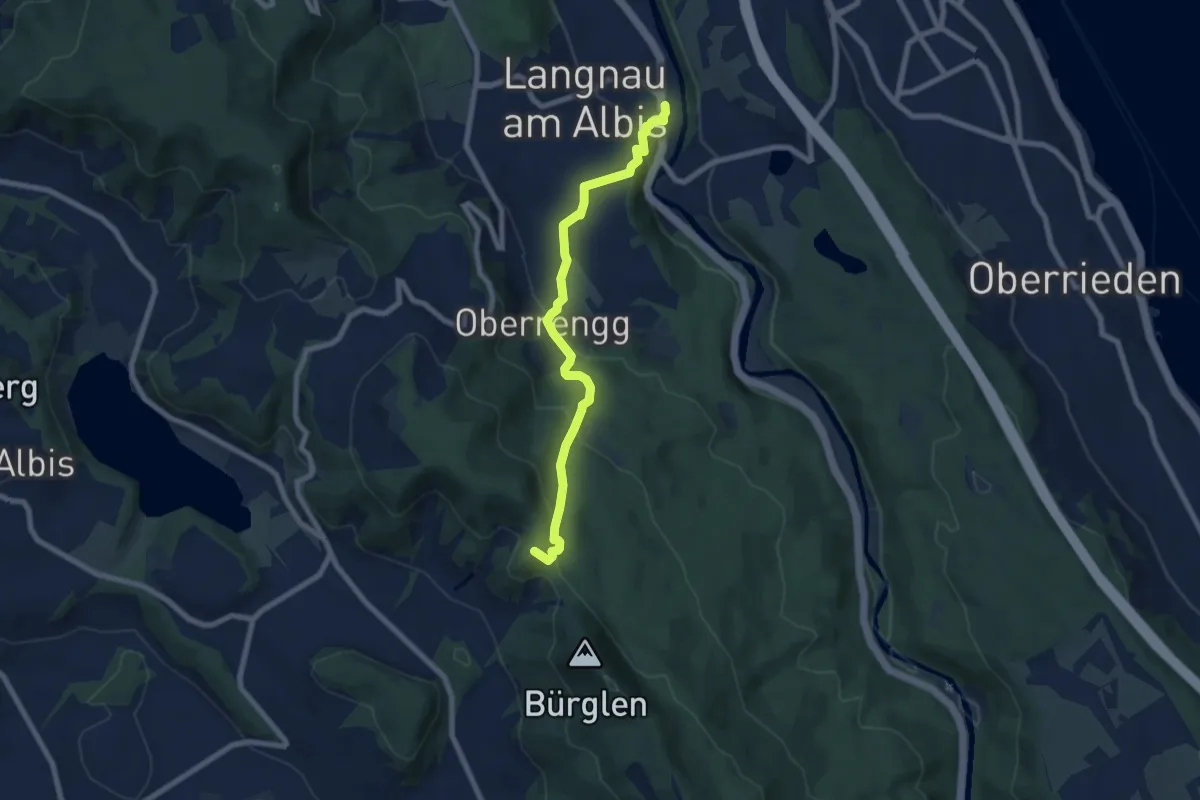
Medium · Summit
Schnabellücke – Langnau-Gattikon
7.2 km · ↑ 371 m · 2 h 31 min · 13 km away
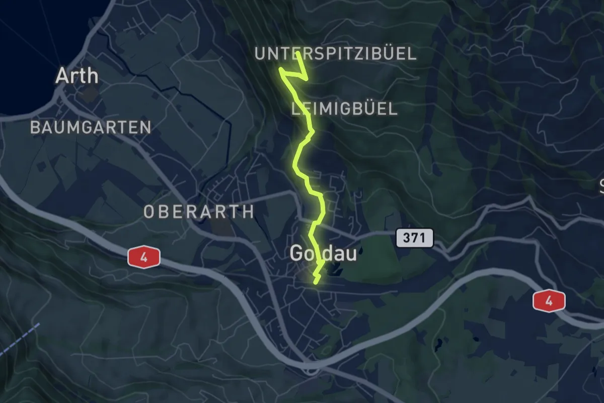
Medium · Trail
Goldau – Härzigwald
5.2 km · ↑ 360 m · 2 h 1 min · 13 km away
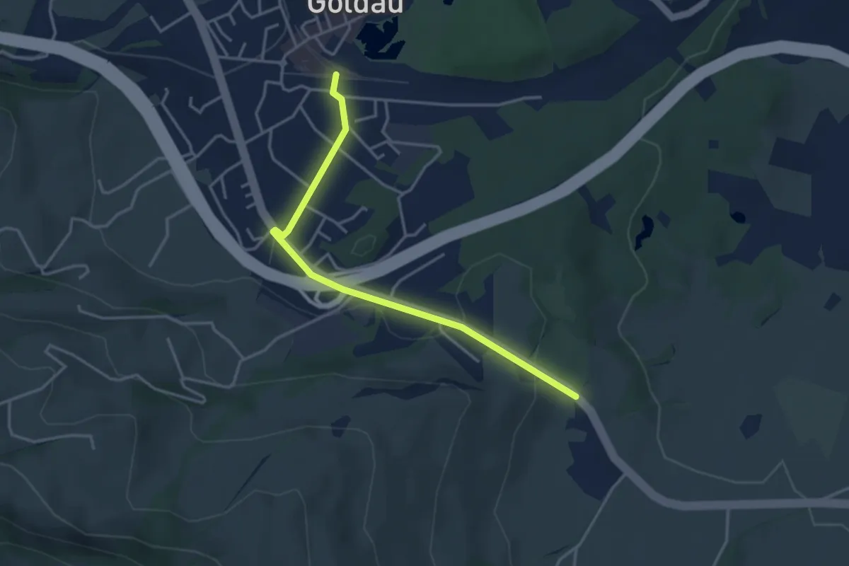
Easy · Trail
Goldau – Bernerhöchi / Summerau
3.6 km · ↑ 68 m · 1 h · 13 km away
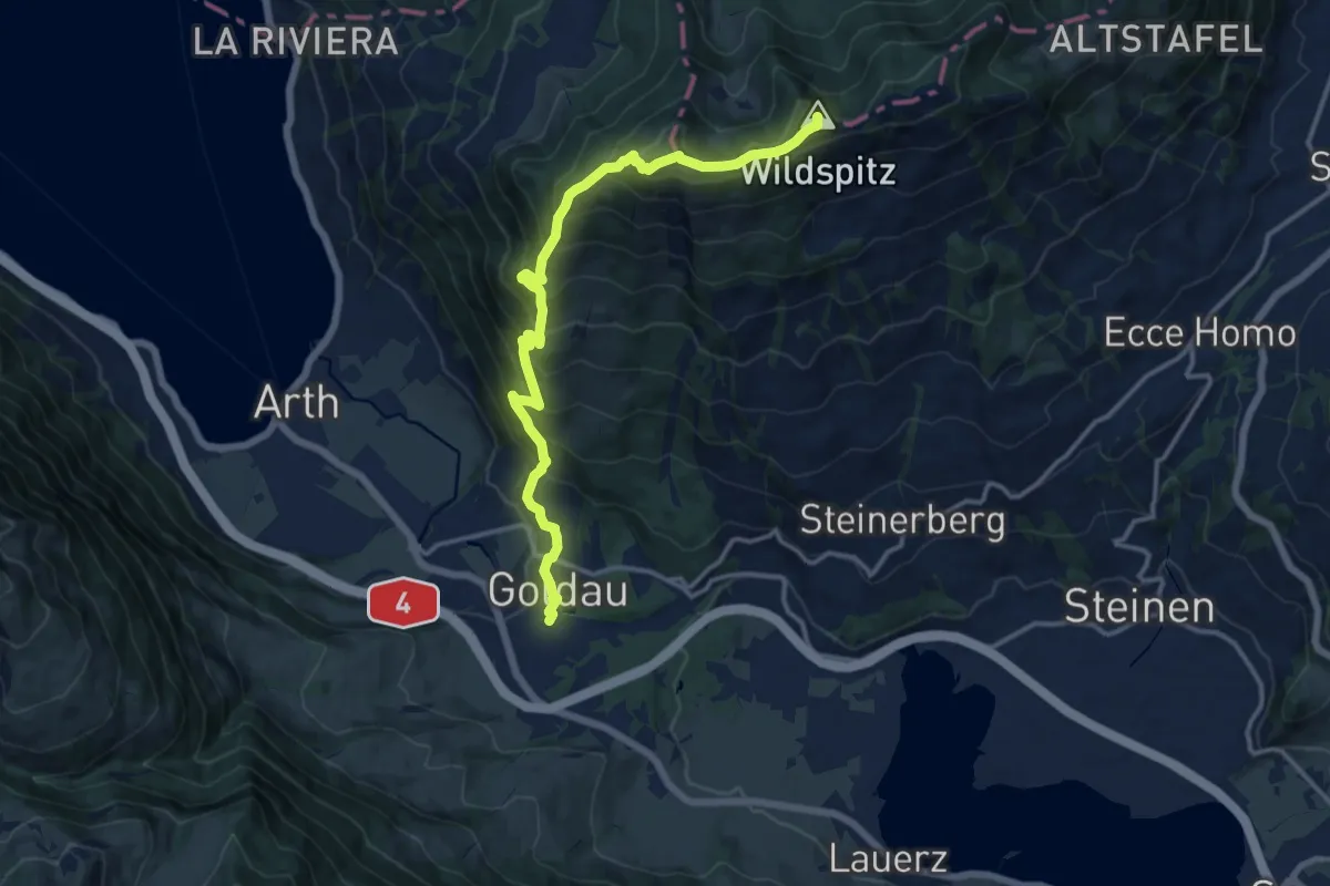
Demanding · Summit
Schwyzer Höhenweg - Etappe 3
14.1 km · ↑ 1207 m · 5 h 57 min · 13 km away
Medium · Trail
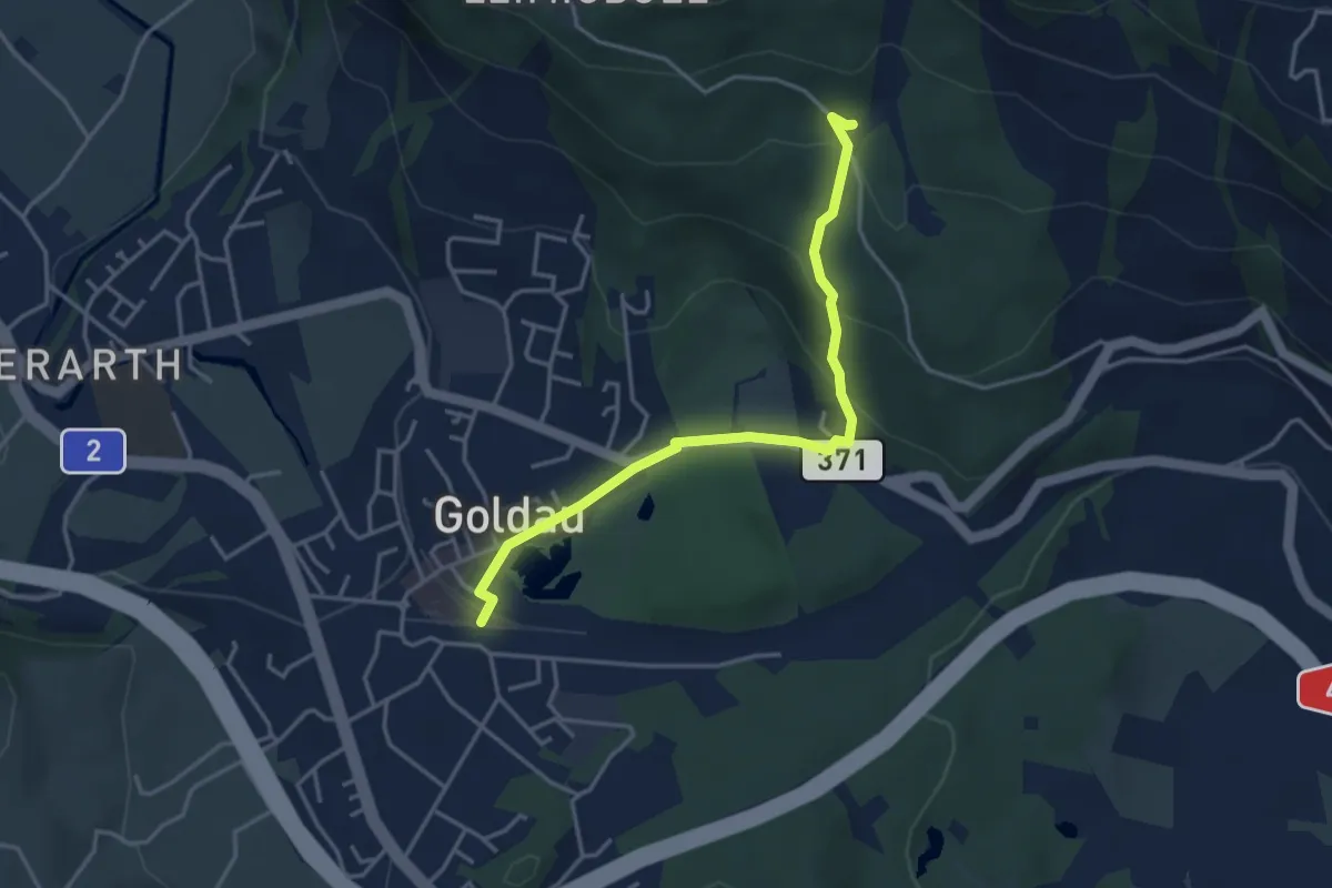
Schuttwald – Goldau
3.8 km · ↑ 156 m · 1 h 15 min · 13 km away
Demanding · Trail
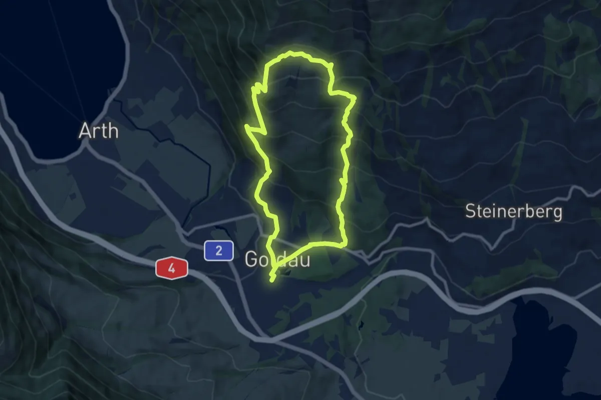
Goldauer Bergsturzspur
15.5 km · ↑ 1156 m · 6 h 10 min · 13 km away
Easy · Trail
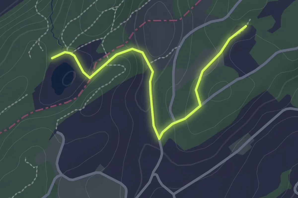
Wagemoos – Schlittenried
2.6 km · ↑ 39 m · 42 min · 13 km away
Medium · Trail
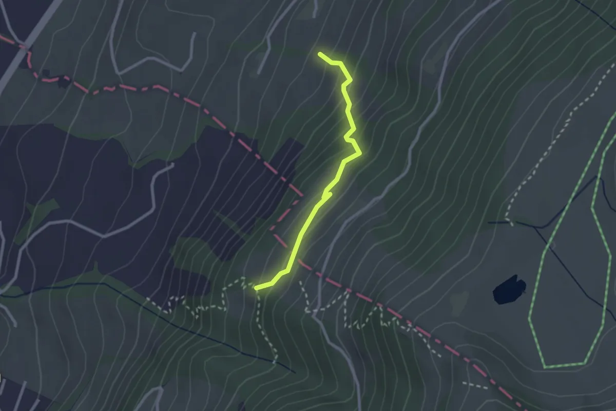
Rüti – Chümimattli
2.2 km · ↑ 190 m · 56 min · 13 km away
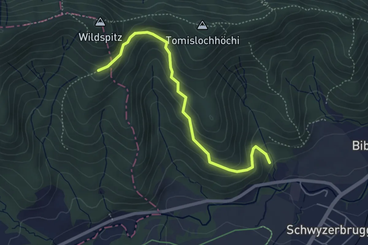
Easy · Trail
Tomisloch – Höhronenstrasse
4.4 km · ↑ 298 m · 1 h 41 min · 14 km away
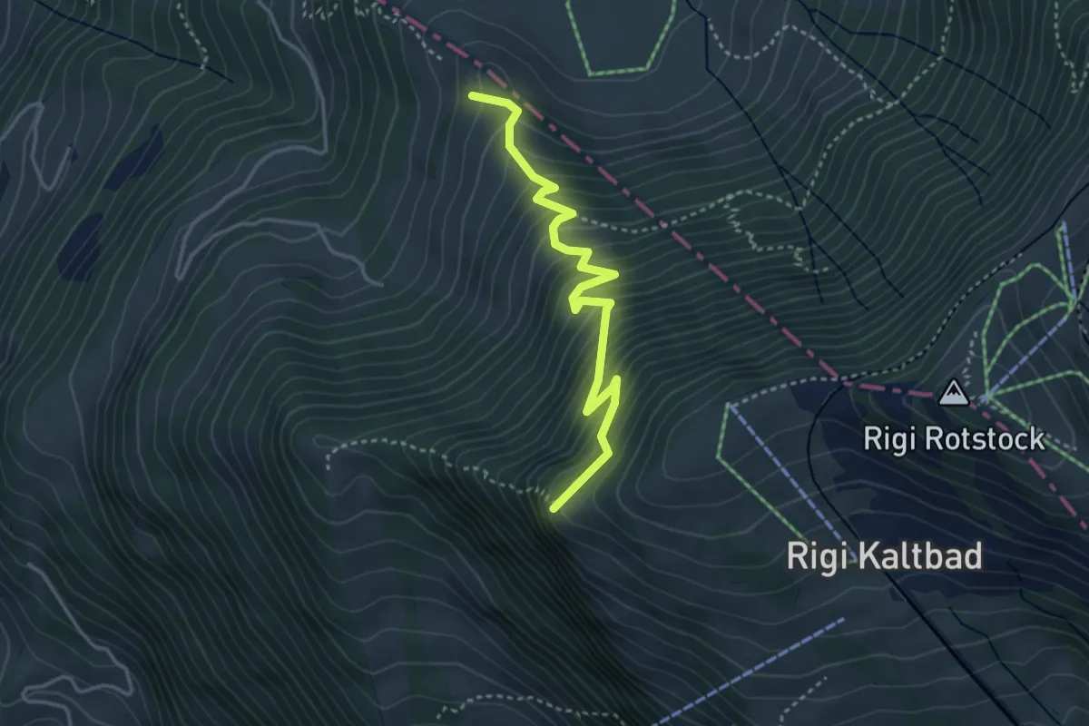
Medium · Trail
Chänzeli – Räbalp
3.6 km · ↑ 447 m · 1 h 49 min · 14 km away
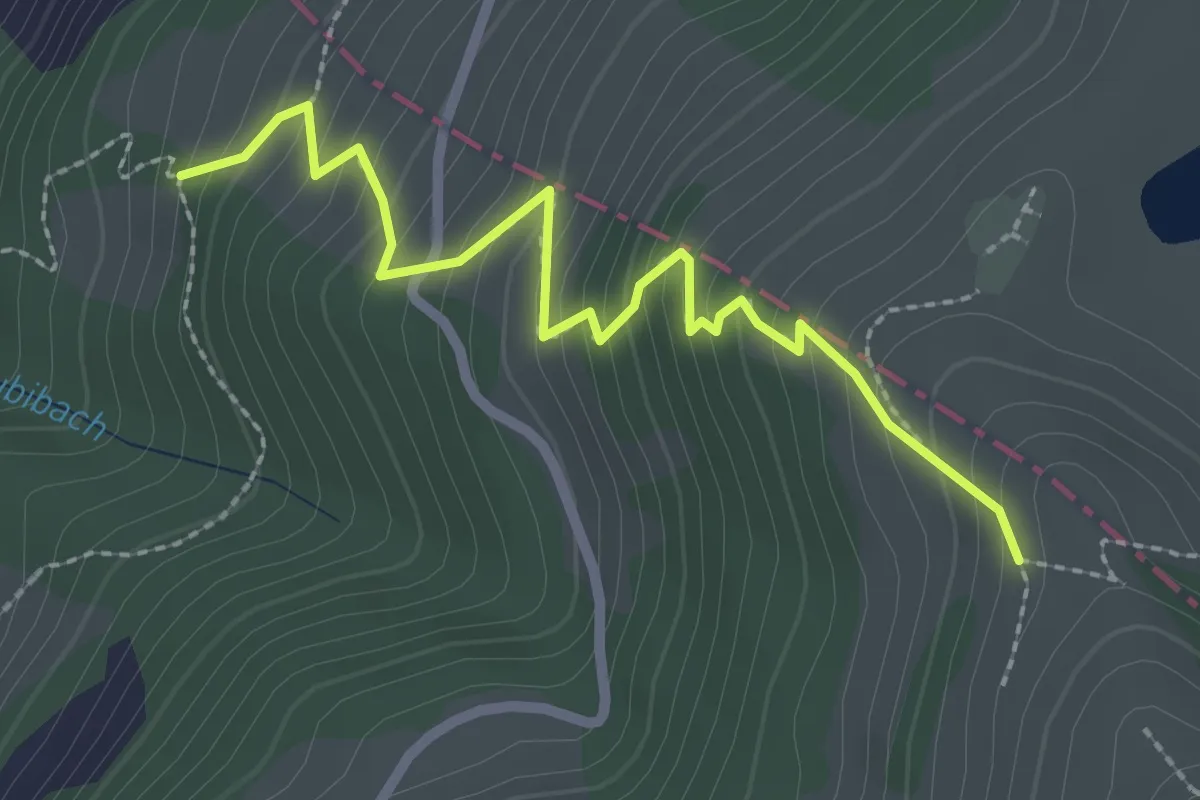
Medium · Trail
Räbalp – Rüti
2.6 km · ↑ 298 m · 1 h 16 min · 14 km away
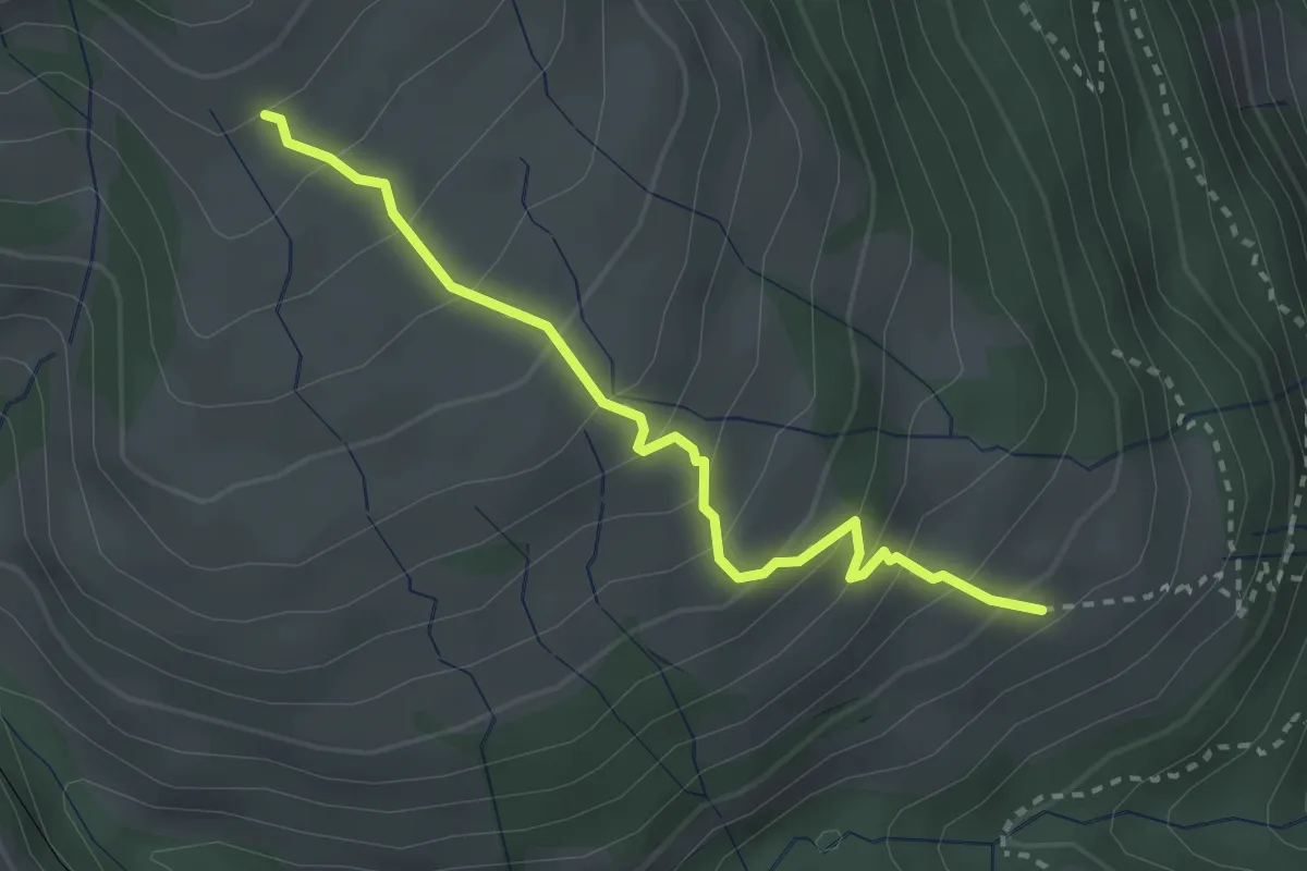
Medium · Trail
Schwändi – Resti
2.8 km · ↑ 289 m · 1 h 18 min · 14 km away
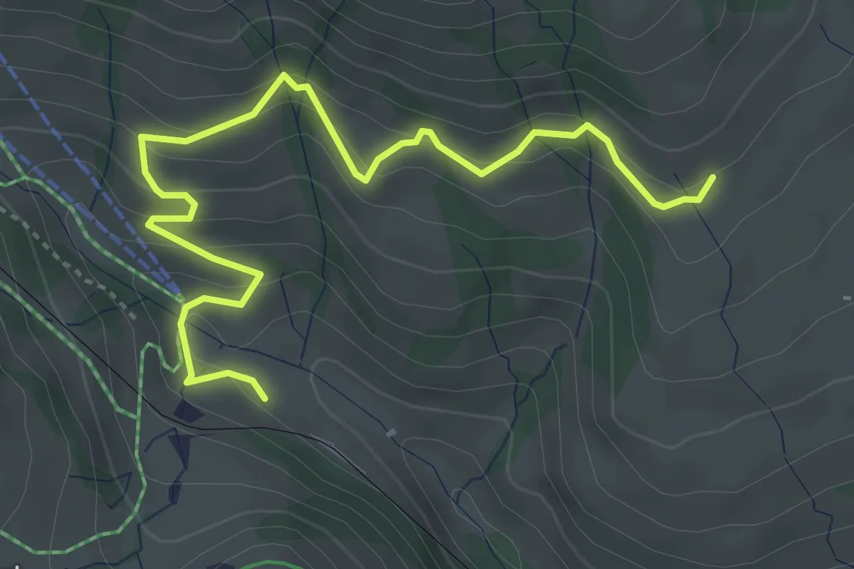
Medium · Trail
Schwändi – Rigi Klösterli
4.5 km · ↑ 328 m · 1 h 47 min · 14 km away
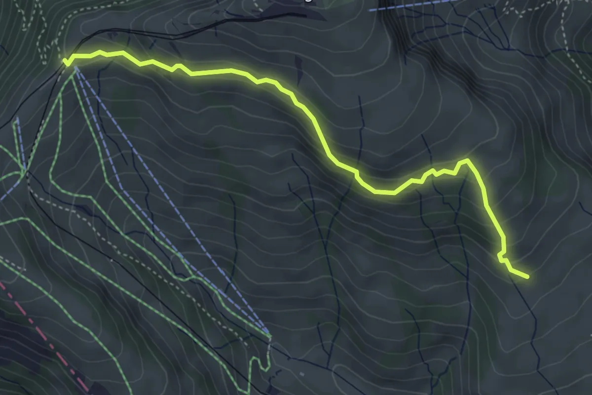
Medium · Trail
Schwändi – Rigi Staffel
4.6 km · ↑ 296 m · 1 h 43 min · 14 km away
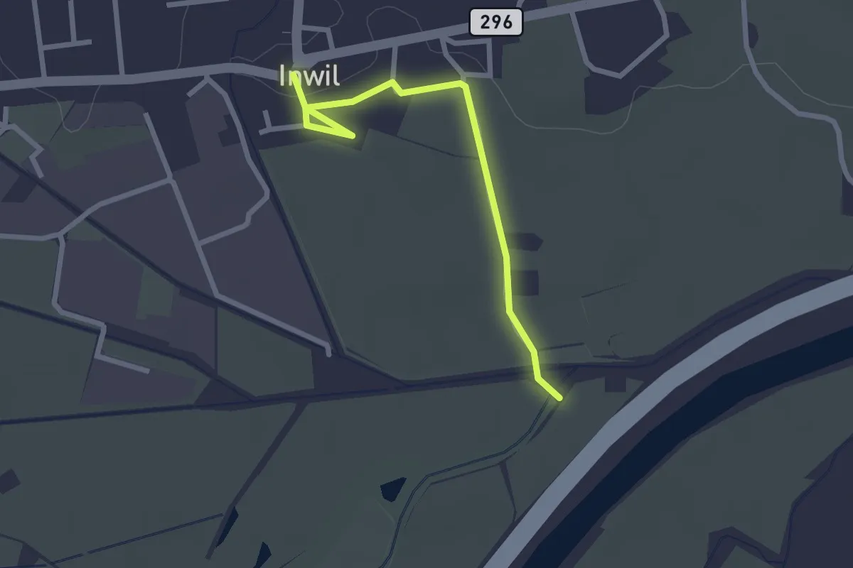
Easy · Trail
Inwil - Burg
2.4 km · ↑ 14 m · 36 min · 14 km away
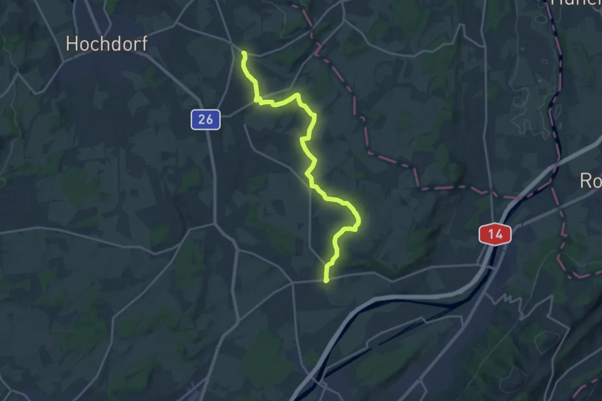
Medium · Trail
Ottenhusen - Inwil
15.4 km · ↑ 233 m · 4 h 9 min · 14 km away
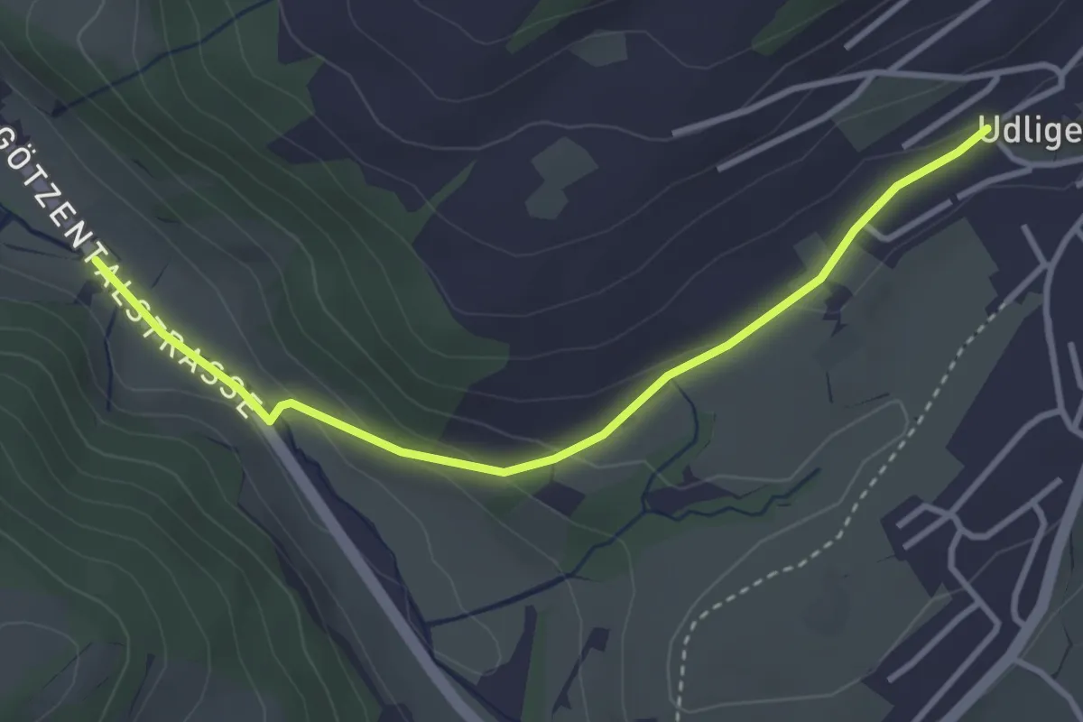
Easy · Trail
Udligenswil - Götzetal
3.4 km · ↑ 106 m · 1 h 2 min · 14 km away
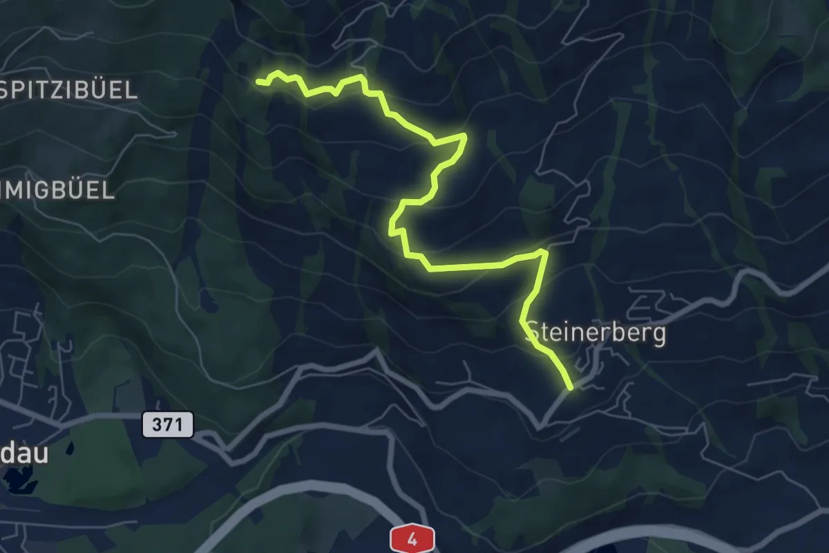
Medium · Trail
Gribsch – Steinerberg
6.8 km · ↑ 386 m · 2 h 27 min · 14 km away
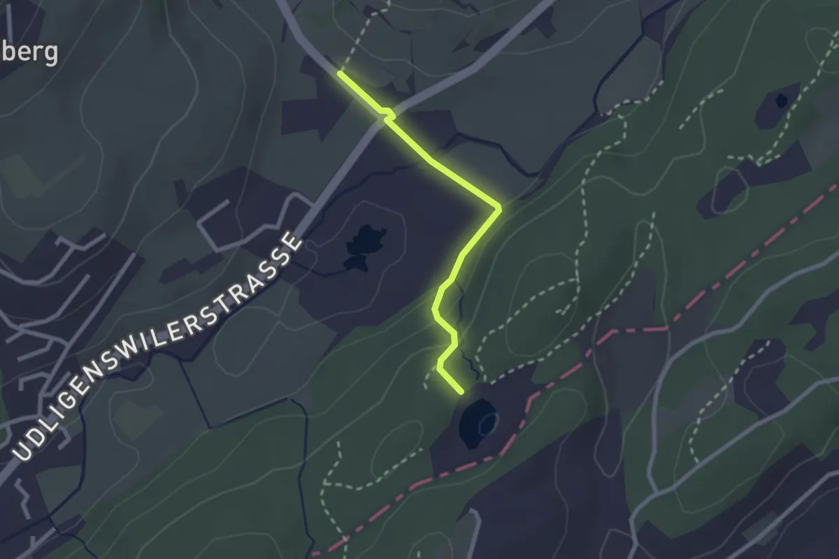
Easy · Trail
Wagenmoos – Stegmatt
2.1 km · ↑ 72 m · 38 min · 14 km away
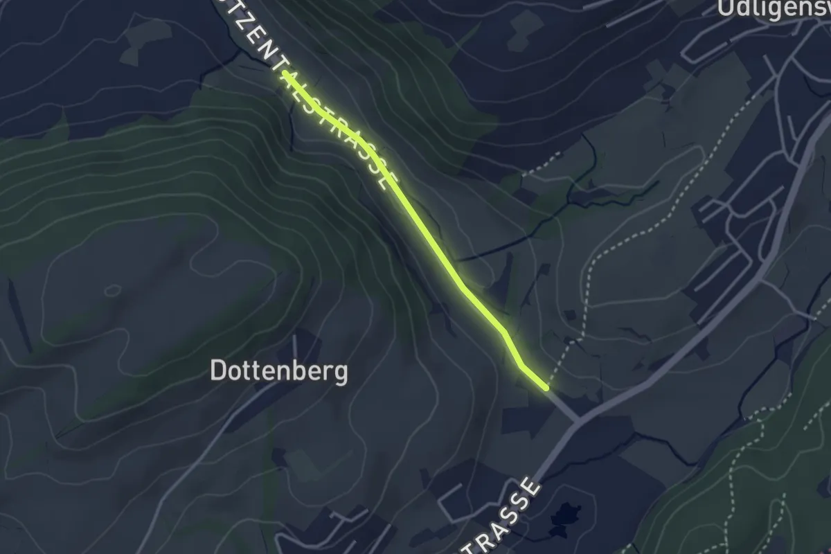
Easy · Trail
Stegmatt – Götzental
2.5 km · ↑ 22 m · 38 min · 14 km away
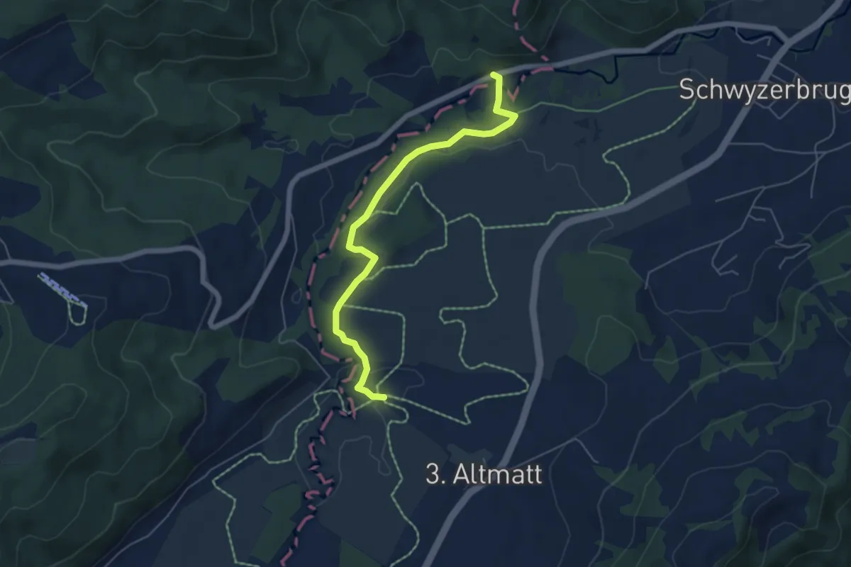
Easy · Trail
Bibersteg - Gutsch-Säge
5.3 km · ↑ 109 m · 1 h 30 min · 14 km away
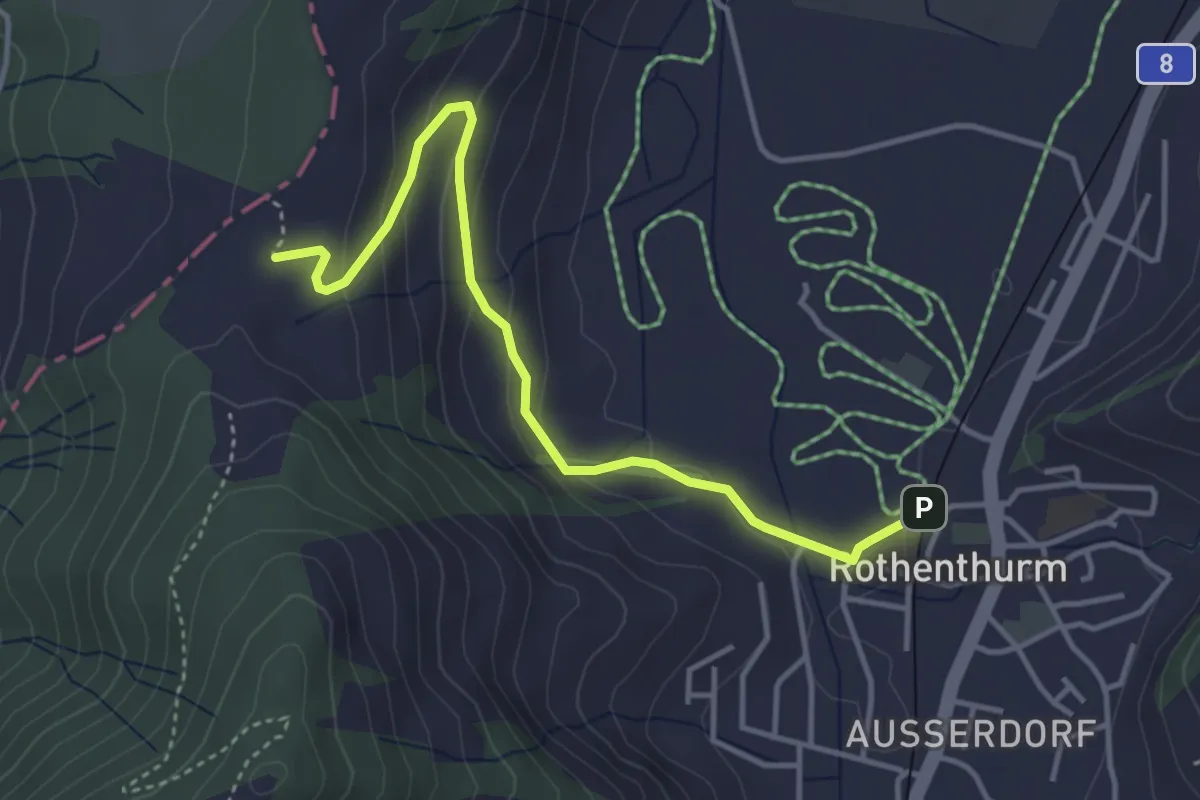
Easy · Trail
Chli Morgarten - Rotenthurm Bahnhof
4.1 km · ↑ 147 m · 1 h 17 min · 14 km away
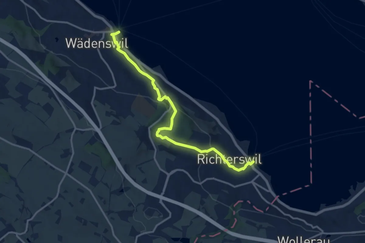
Medium · Trail
Richterswil Bahnhof - Wädenswil Bahnhof
10.0 km · ↑ 371 m · 3 h 10 min · 14 km away
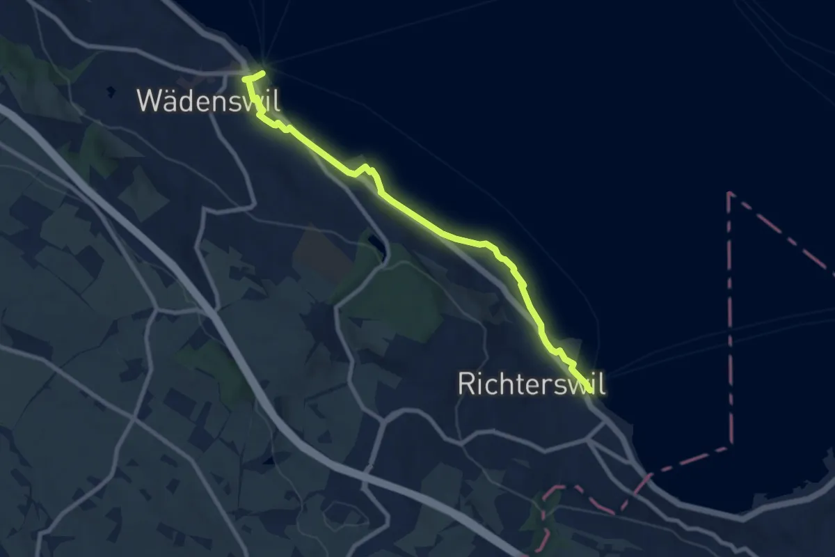
Medium · Trail
Wädenswil - Richterswil (Seeweg)
8.1 km · ↑ 76 m · 2 h 5 min · 14 km away
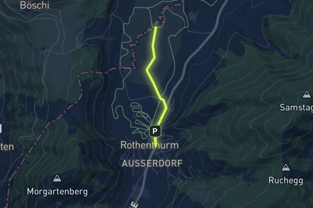
Easy · Trail
Rothenthurm – Bubrugg
4.6 km · ↑ 22 m · 1 h 8 min · 14 km away
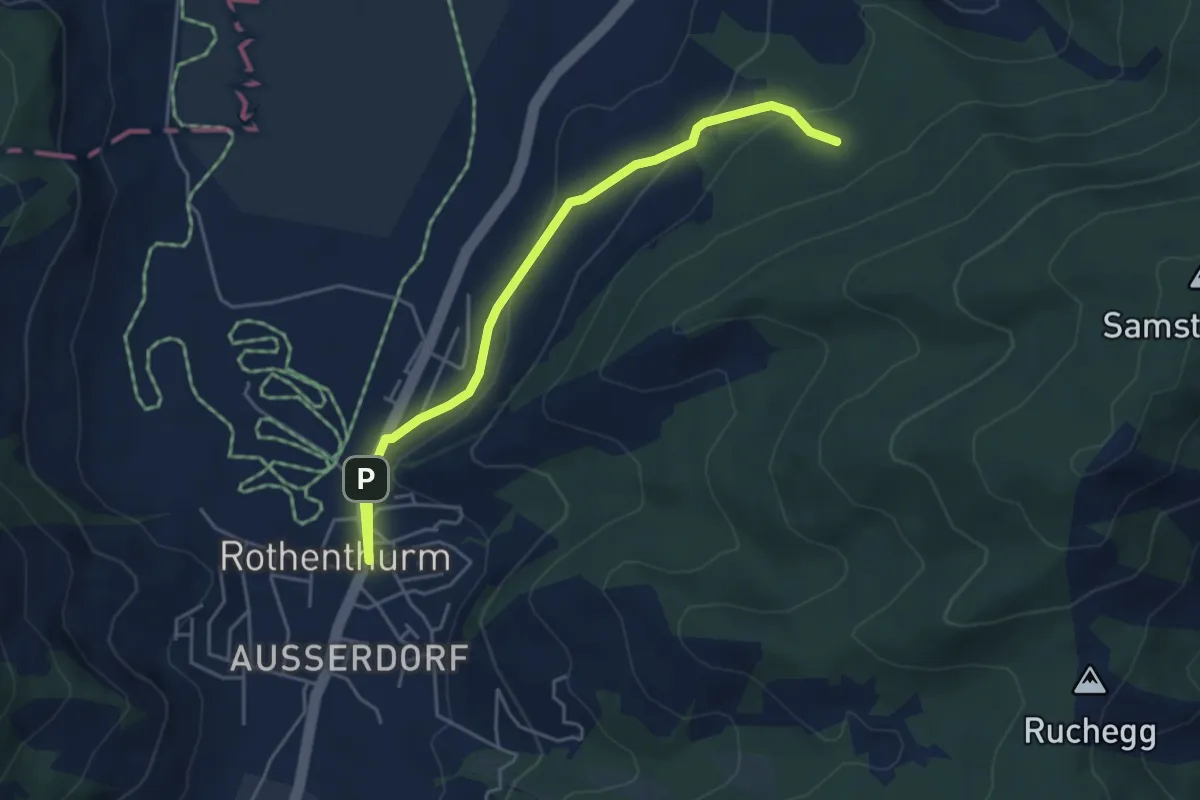
Easy · Trail
Cholholz – Rothenthurm
4.8 km · ↑ 157 m · 1 h 28 min · 14 km away
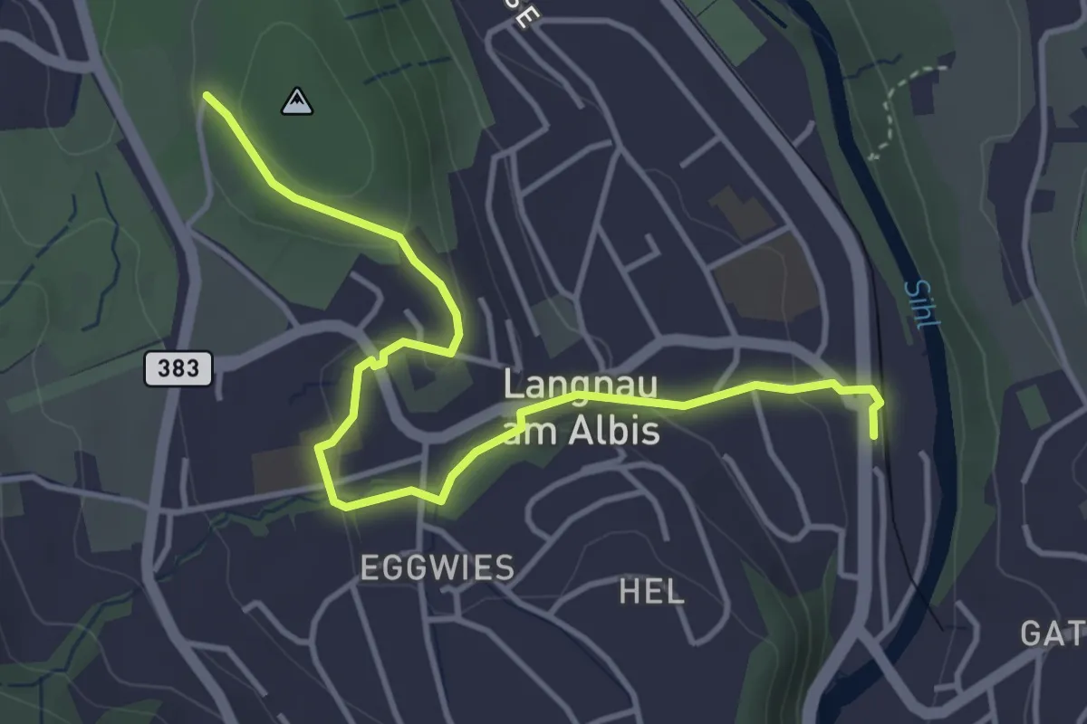
Easy · Trail
Wildpark Langenberg – Langnau-Gattikon
4.3 km · ↑ 114 m · 1 h 16 min · 14 km away
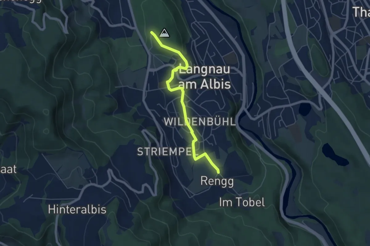
Easy · Trail
Rängg – Wildpark Langenberg
5.1 km · ↑ 99 m · 1 h 25 min · 14 km away
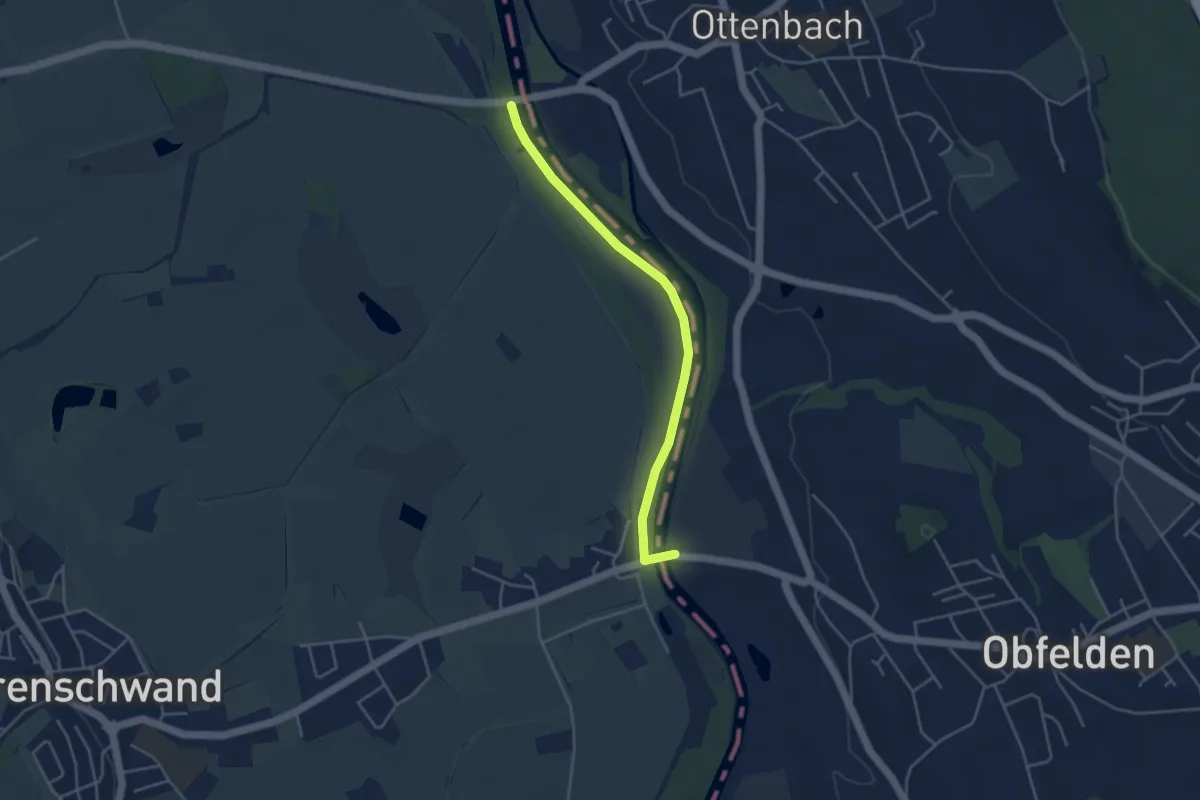
Easy · Trail
Brücke Ottenbach - Brücke Rickenbach
4.0 km · ↑ 0 m · 56 min · 14 km away
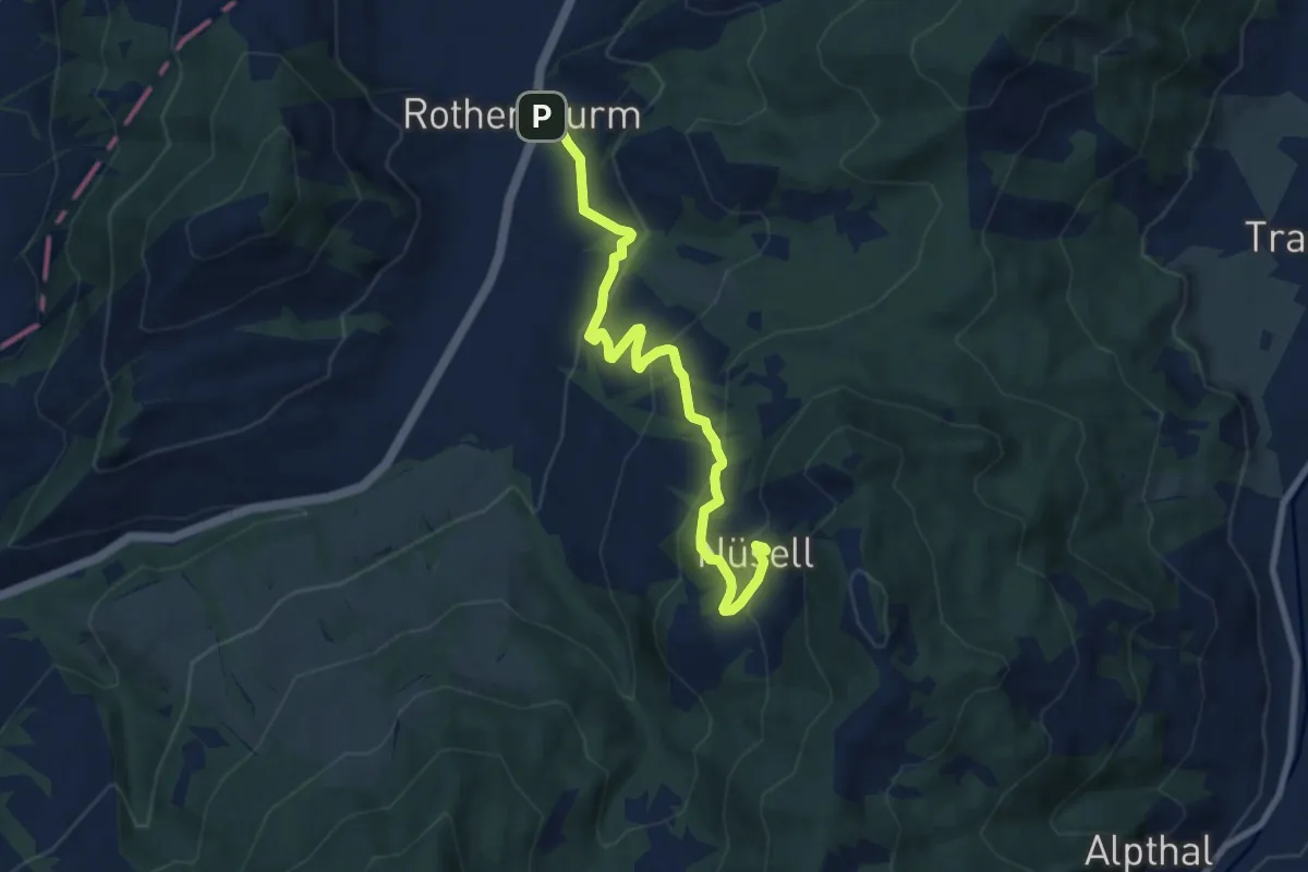
Medium · Trail
Rothenthurm – Nüsell
8.1 km · ↑ 418 m · 2 h 49 min · 14 km away
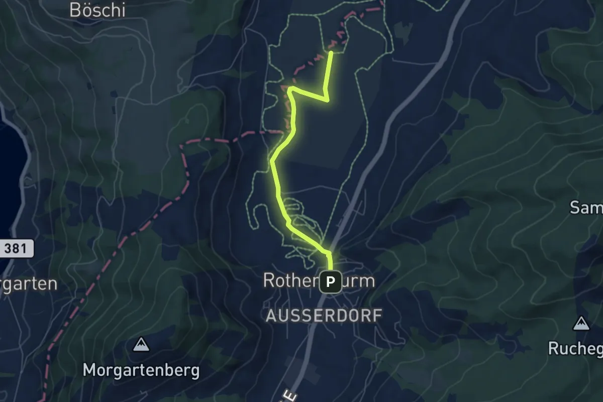
Easy · Trail
Burbrugg – Rothenturm
5.2 km · ↑ 27 m · 1 h 17 min · 14 km away
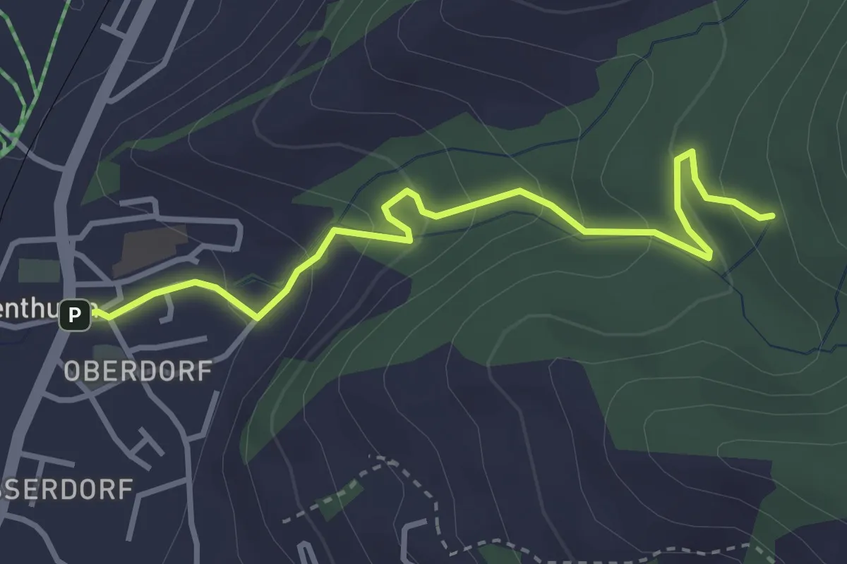
Easy · Trail
Rothenthurm – Herrenwald
3.4 km · ↑ 208 m · 1 h 15 min · 14 km away
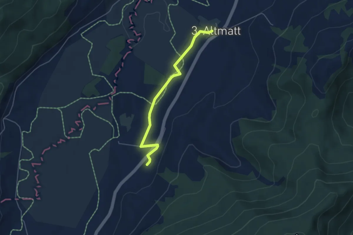
Easy · Trail
Zweite Altmatt - Dritte Altmatt
4.1 km · ↑ 32 m · 1 h 3 min · 14 km away
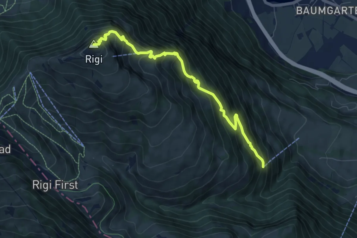
Demanding · Summit
Rigi Kulm - Dächli
8.0 km · ↑ 861 m · 3 h 45 min · 14 km away
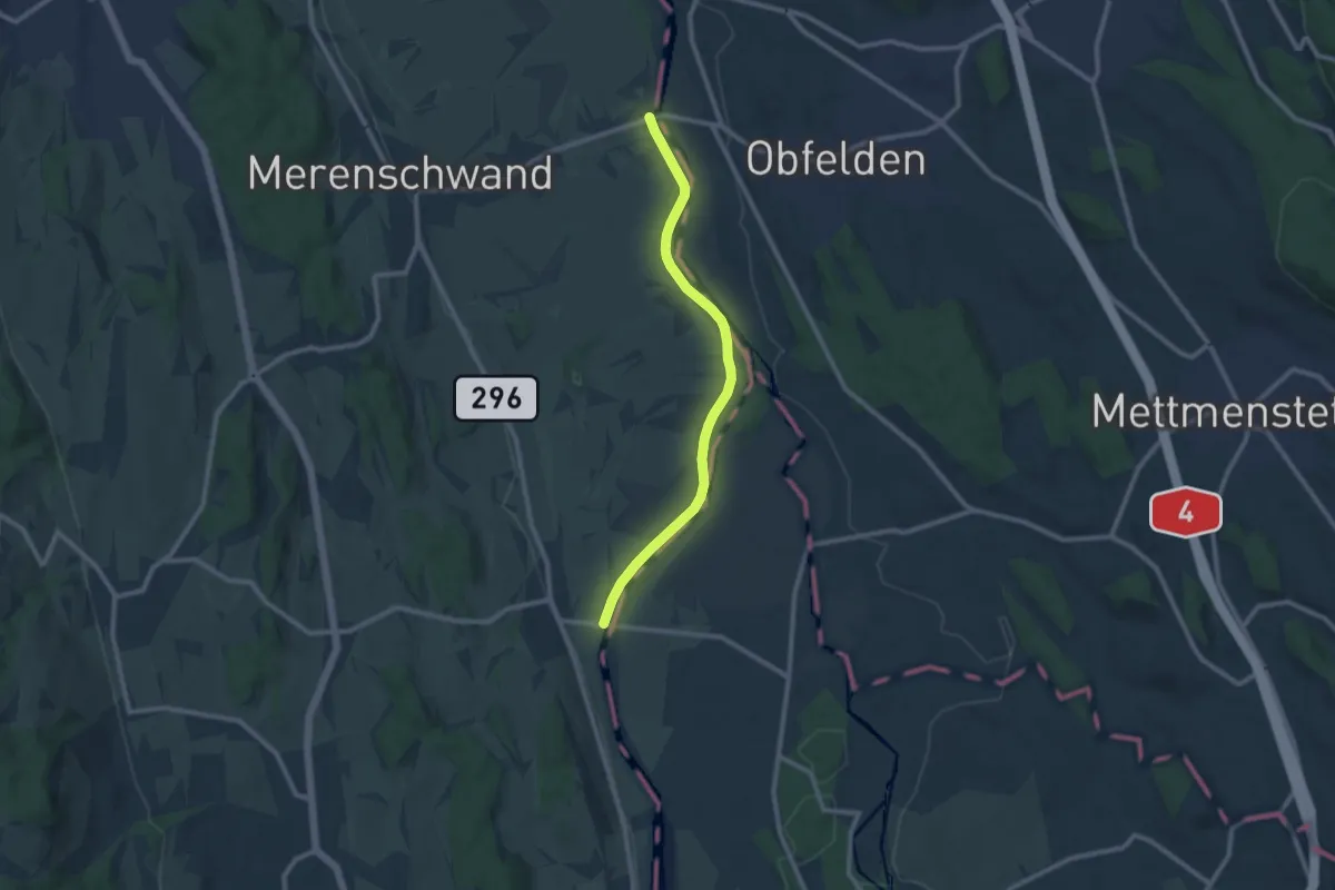
Medium · Trail
Brücke Rickenbach - Brücke Mühlau
9.4 km · ↑ 58 m · 2 h 21 min · 14 km away
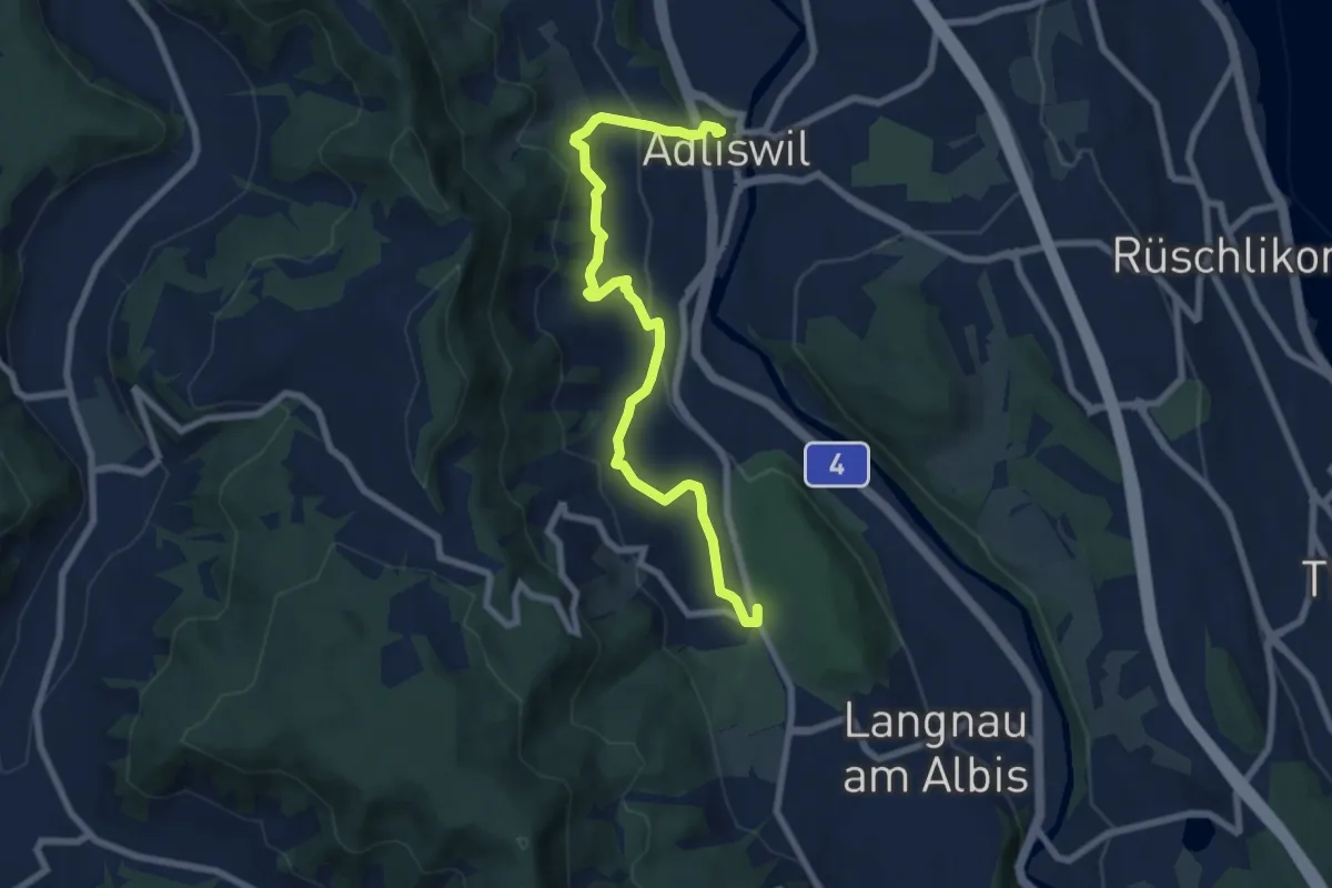
Medium · Trail
Adliswil (Bahnhof) – Waldi
8.0 km · ↑ 388 m · 2 h 43 min · 14 km away
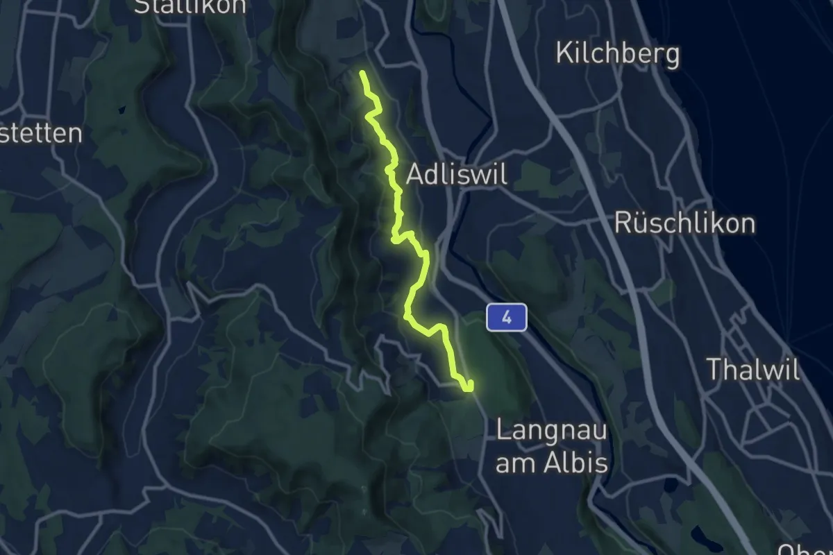
Medium · Trail
Ober Leimbach – Waldi
8.9 km · ↑ 368 m · 2 h 54 min · 14 km away
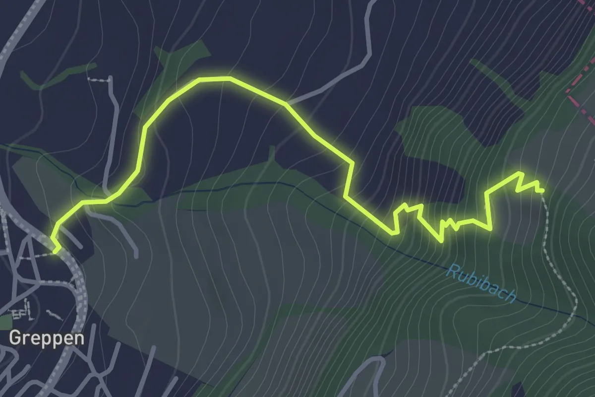
Medium · Trail
Rüti – Greppen Bus
3.4 km · ↑ 321 m · 1 h 30 min · 14 km away
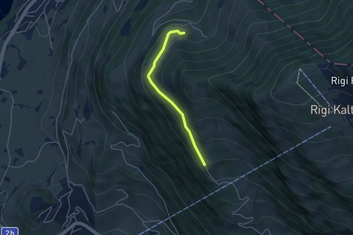
Easy · Trail
Bergli – Müseralp
3.1 km · ↑ 166 m · 1 h 5 min · 14 km away
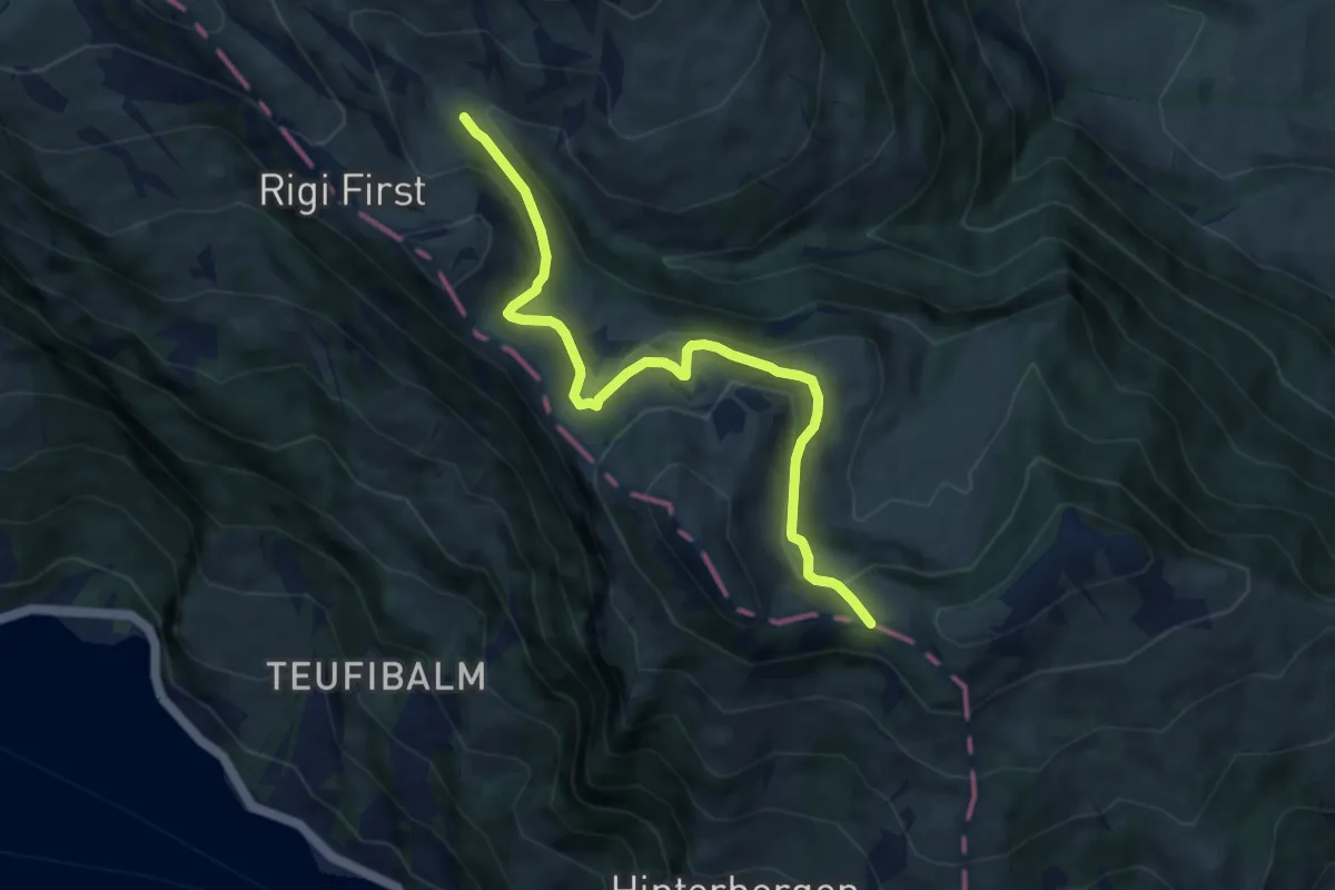
Medium · Trail
Hinder Dossen – Rigi Klösterli
8.1 km · ↑ 368 m · 2 h 43 min · 14 km away
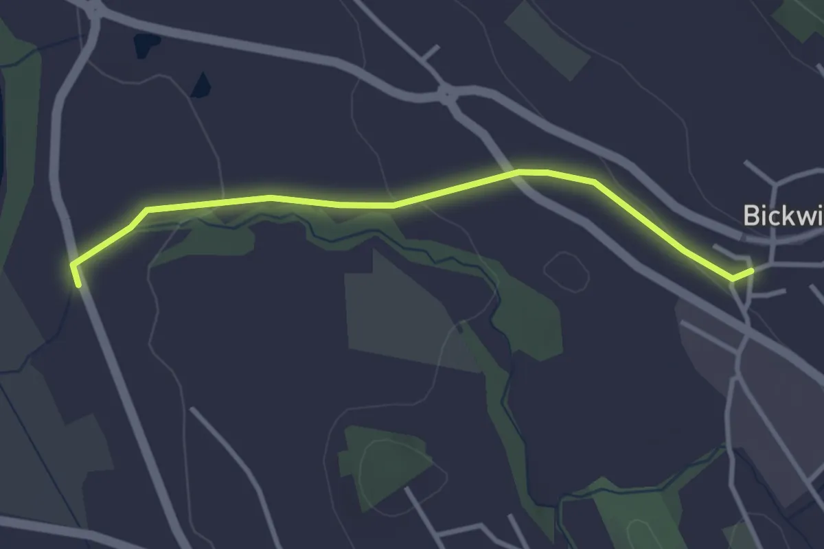
Easy · Trail
Bickwil - Rickenbach
3.0 km · ↑ 62 m · 51 min · 14 km away
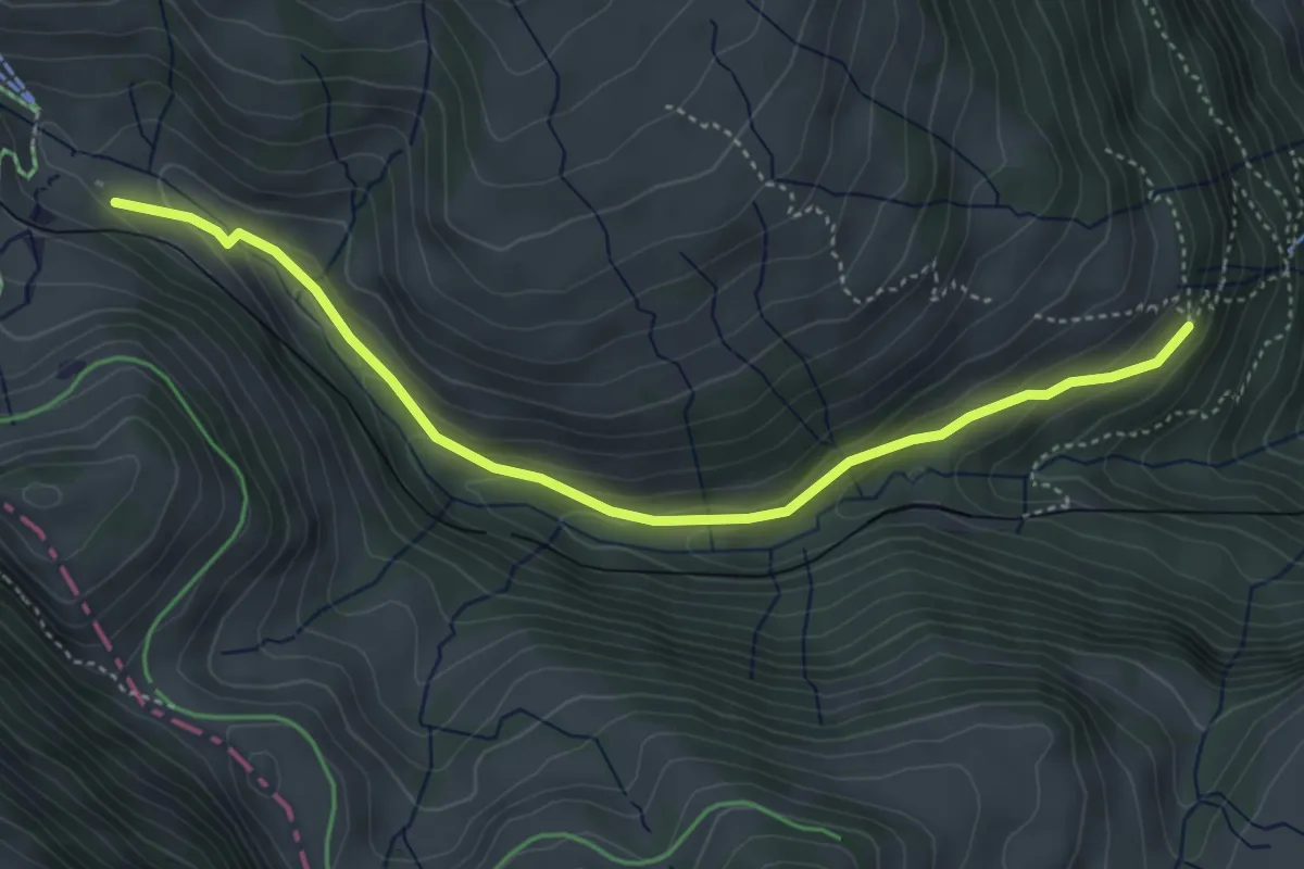
Medium · Trail
Rigi Klösterli – Dächli
4.5 km · ↑ 229 m · 1 h 34 min · 14 km away
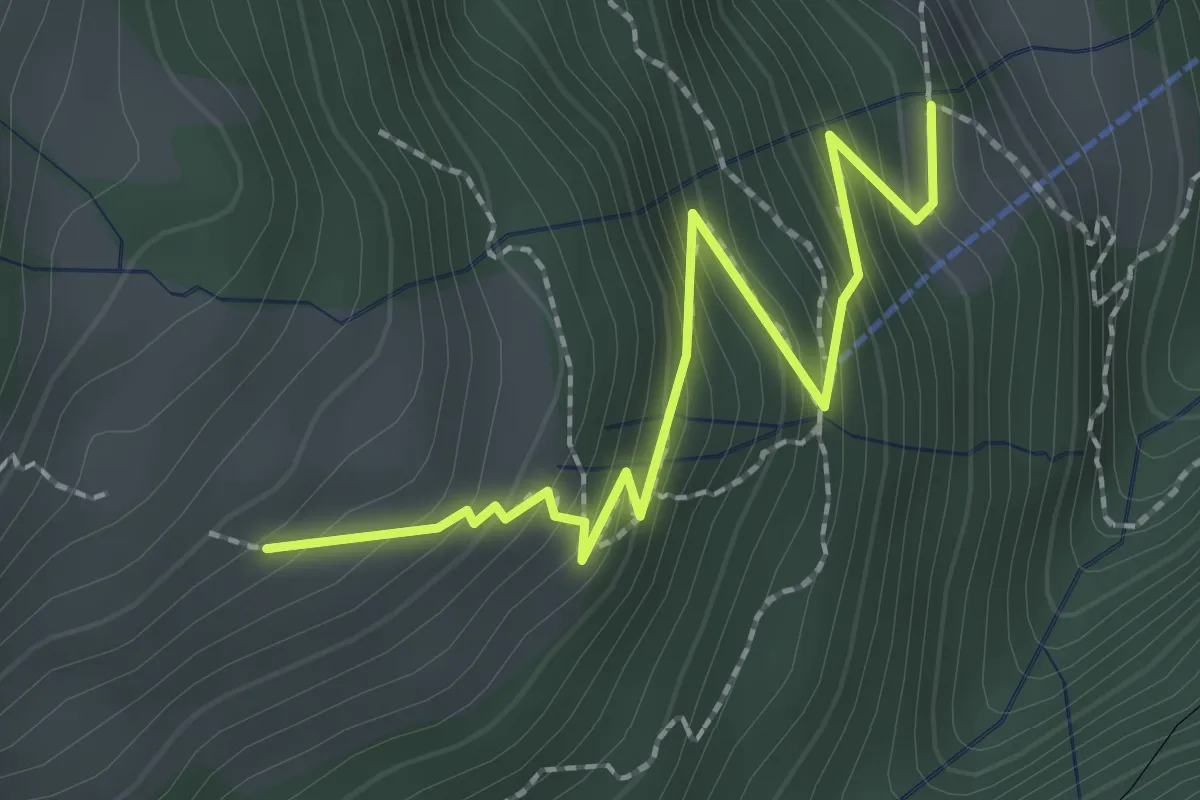
Medium · Trail
Resti-Dächli
2.4 km · ↑ 268 m · 1 h 10 min · 14 km away
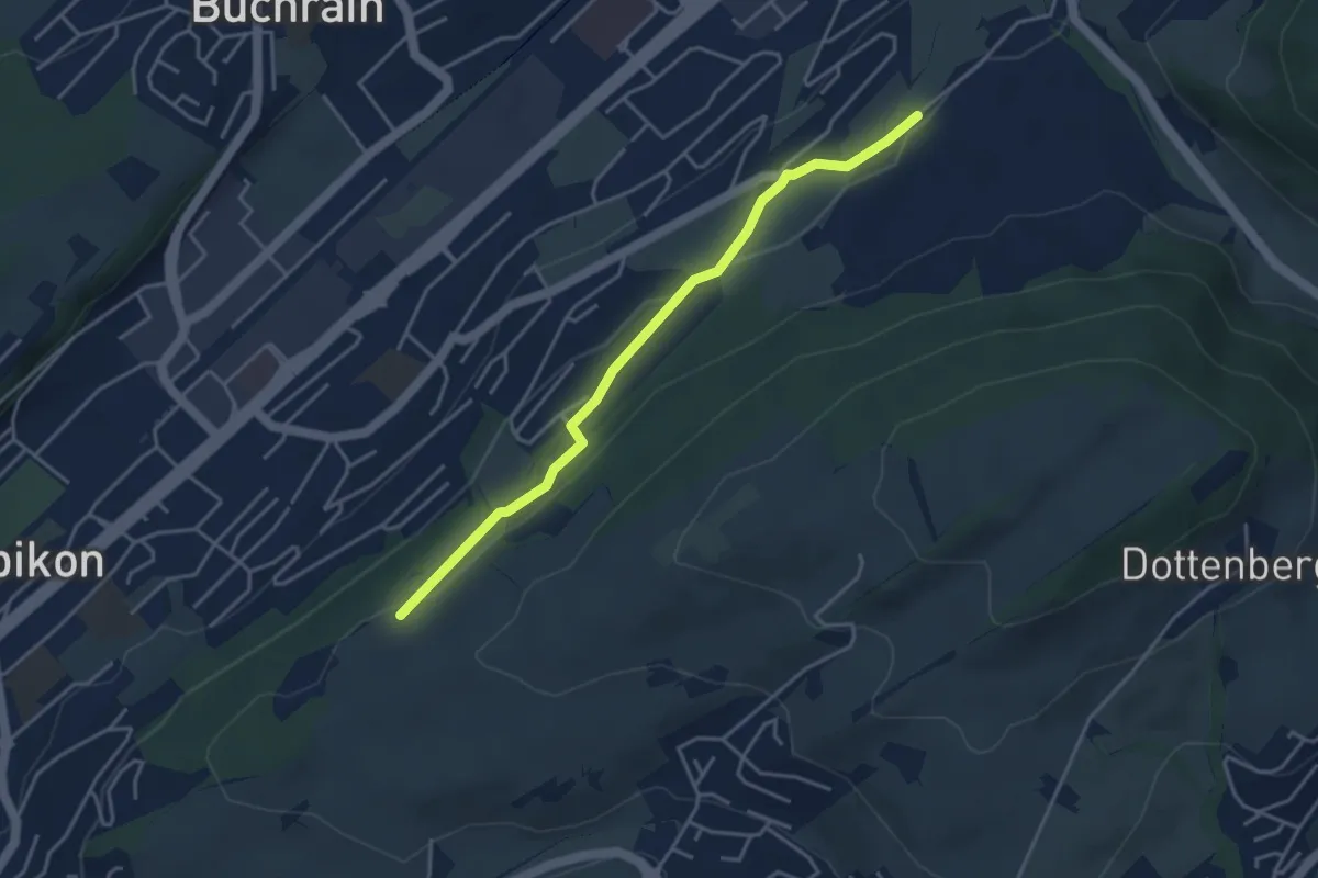
Easy · Trail
Spächte – Under Äbrüti
3.9 km · ↑ 92 m · 1 h 8 min · 14 km away
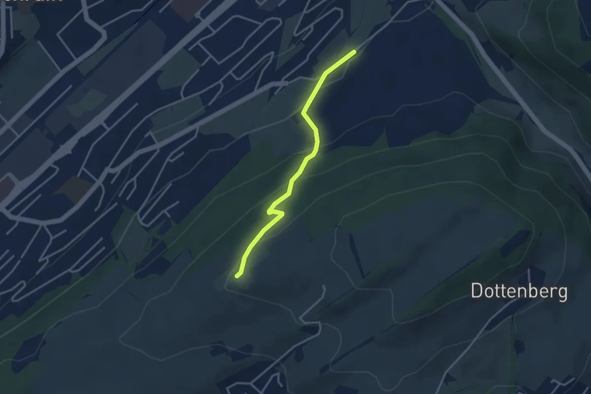
Easy · Trail
Ober Äbrüti – Spächten
2.9 km · ↑ 155 m · 1 h 1 min · 14 km away
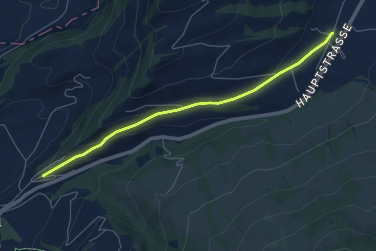
Easy · Trail
Hasenmatt - Lustnau? / Sattel? - fixme
5.1 km · ↑ 142 m · 1 h 31 min · 14 km away
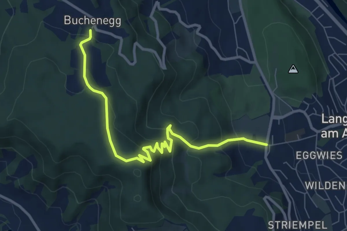
Medium · Trail
Näfenhüser – Unteralbis
7.3 km · ↑ 456 m · 2 h 42 min · 14 km away
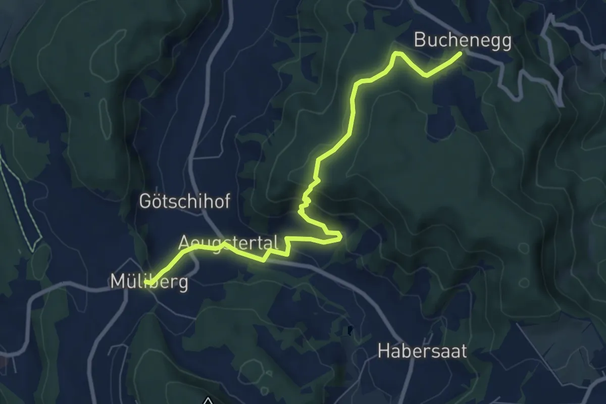
Medium · Trail
Näfenhüser – Müliberg
7.6 km · ↑ 359 m · 2 h 35 min · 14 km away