Trails near Zug
636 hikes starting within 15 km, nearest first.
Nearest first, page 11 of 14
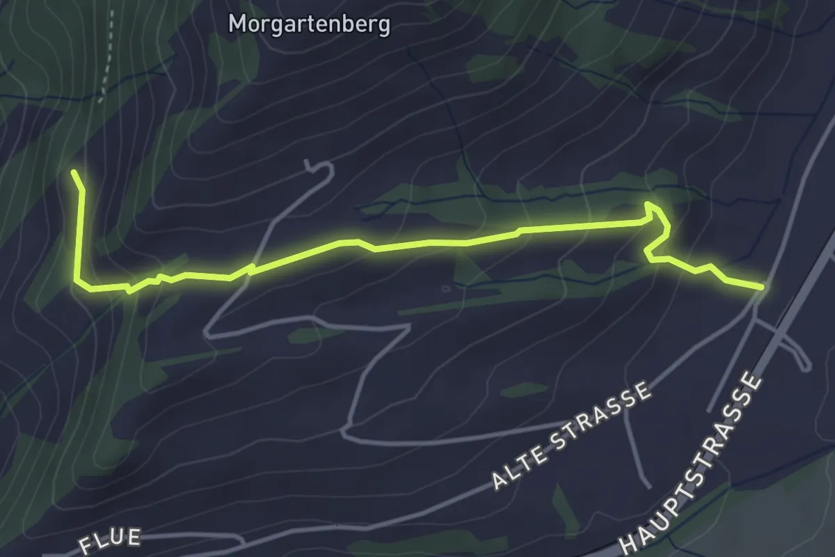
Easy · Trail
Hasenmatt - Rapperen
4.1 km · ↑ 239 m · 1 h 29 min · 13 km away
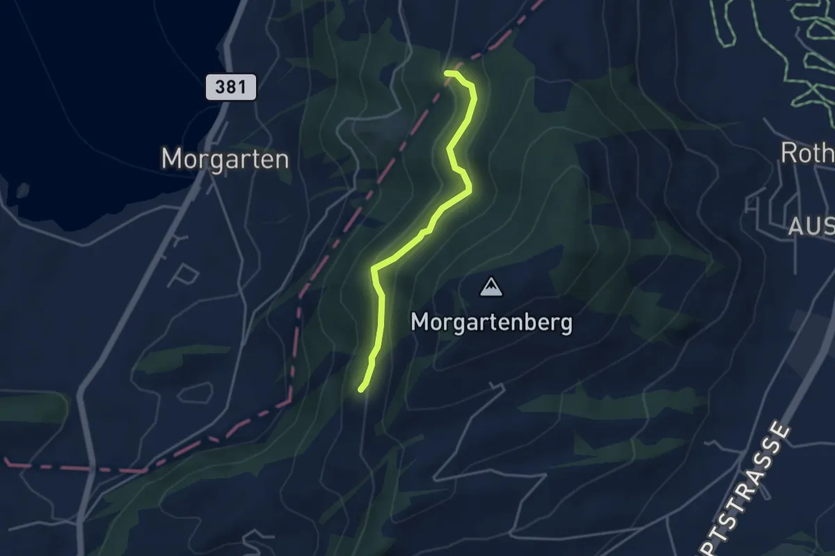
Easy · Trail
Rapperen - Fisterenwald
3.2 km · ↑ 159 m · 1 h 6 min · 13 km away
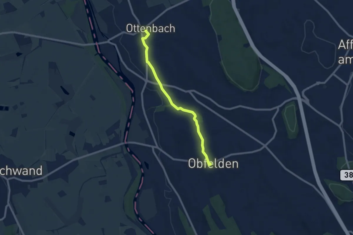
Easy · Trail
Ottenbach - Ober Lunnern
5.6 km · ↑ 32 m · 1 h 23 min · 13 km away
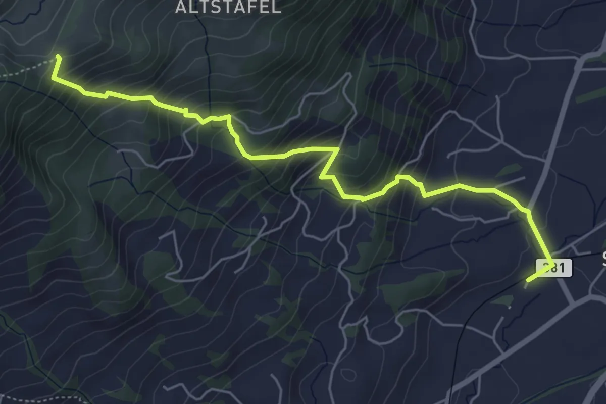
Medium · Trail
Halsegg - Sattel
5.8 km · ↑ 549 m · 2 h 33 min · 13 km away
Medium · Trail
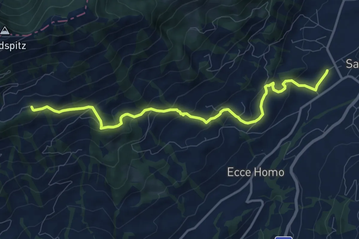
Bahnhof Sattel Ägeri - Obhegkapelle
9.6 km · ↑ 486 m · 3 h 20 min · 13 km away
Medium · Trail
Greppen Rundwanderung
7.6 km · ↑ 395 m · 2 h 45 min · 13 km away
Easy · Trail
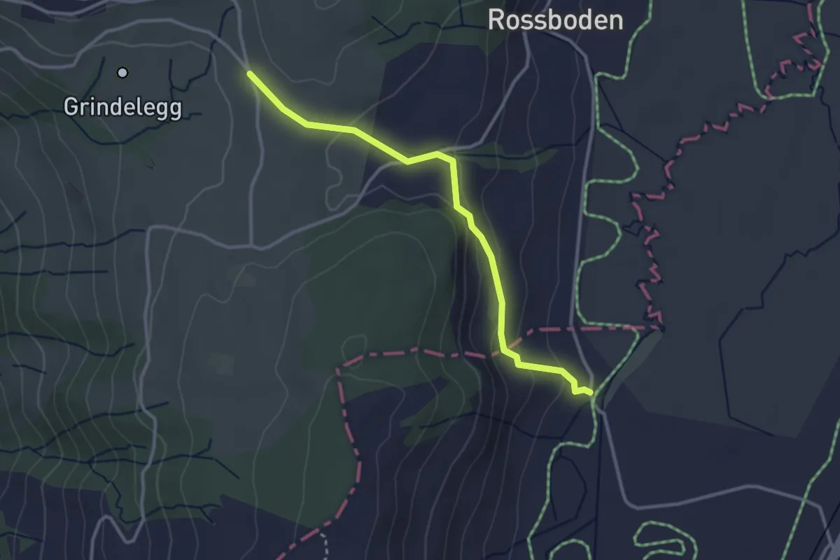
Ob Tännli - Tännli Chappeli - Möslibrugg
3.1 km · ↑ 114 m · 58 min · 13 km away
Easy · Trail
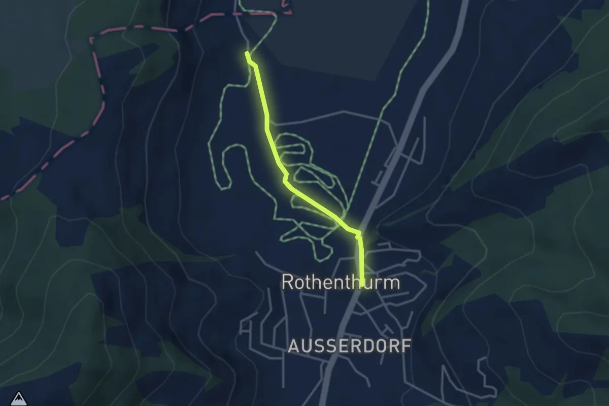
Rothenthurm – Möslibrugg
2.6 km · ↑ 19 m · 39 min · 13 km away
Medium · Trail
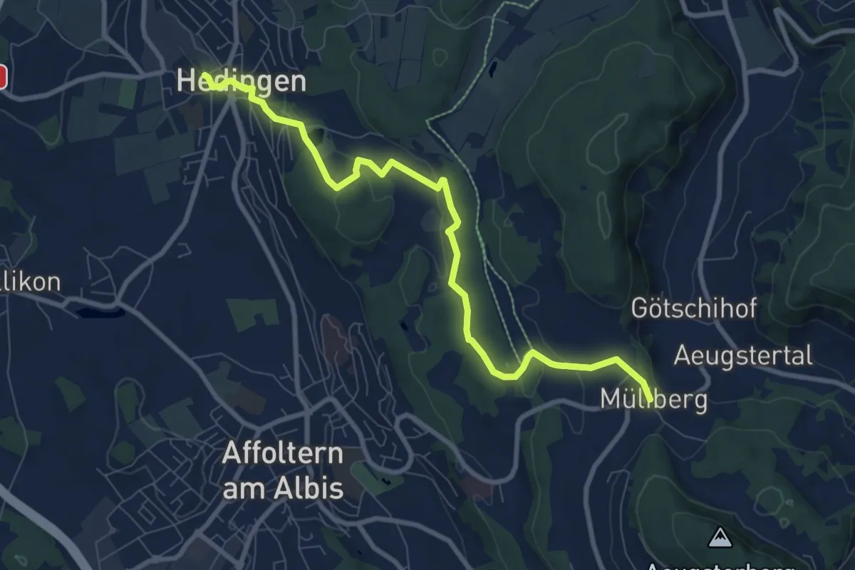
Hedingen Station – Müliberg
8.8 km · ↑ 229 m · 2 h 34 min · 13 km away
Easy · Trail
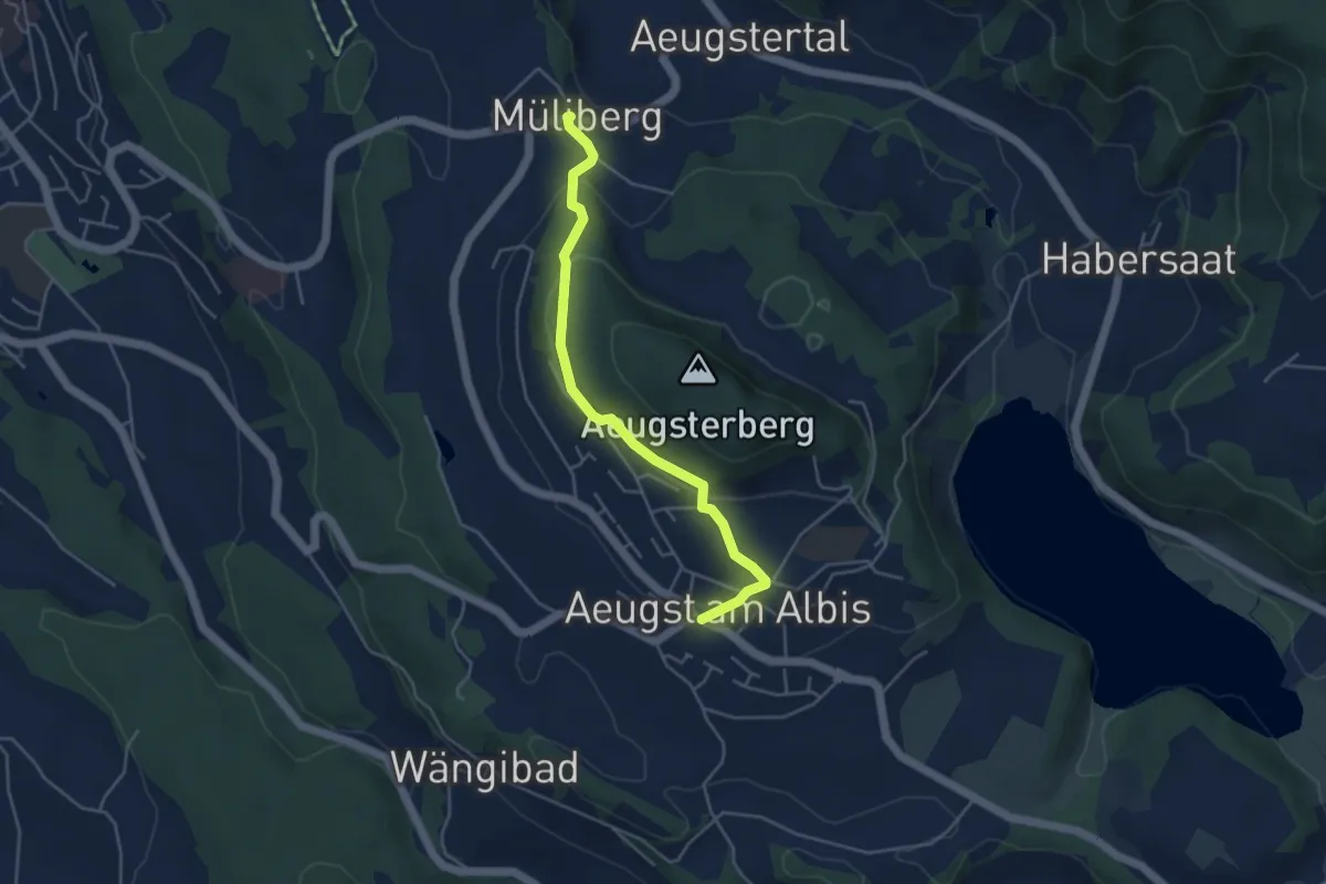
Aeugst a. A. – Müliberg
4.3 km · ↑ 168 m · 1 h 23 min · 13 km away
Easy · Summit
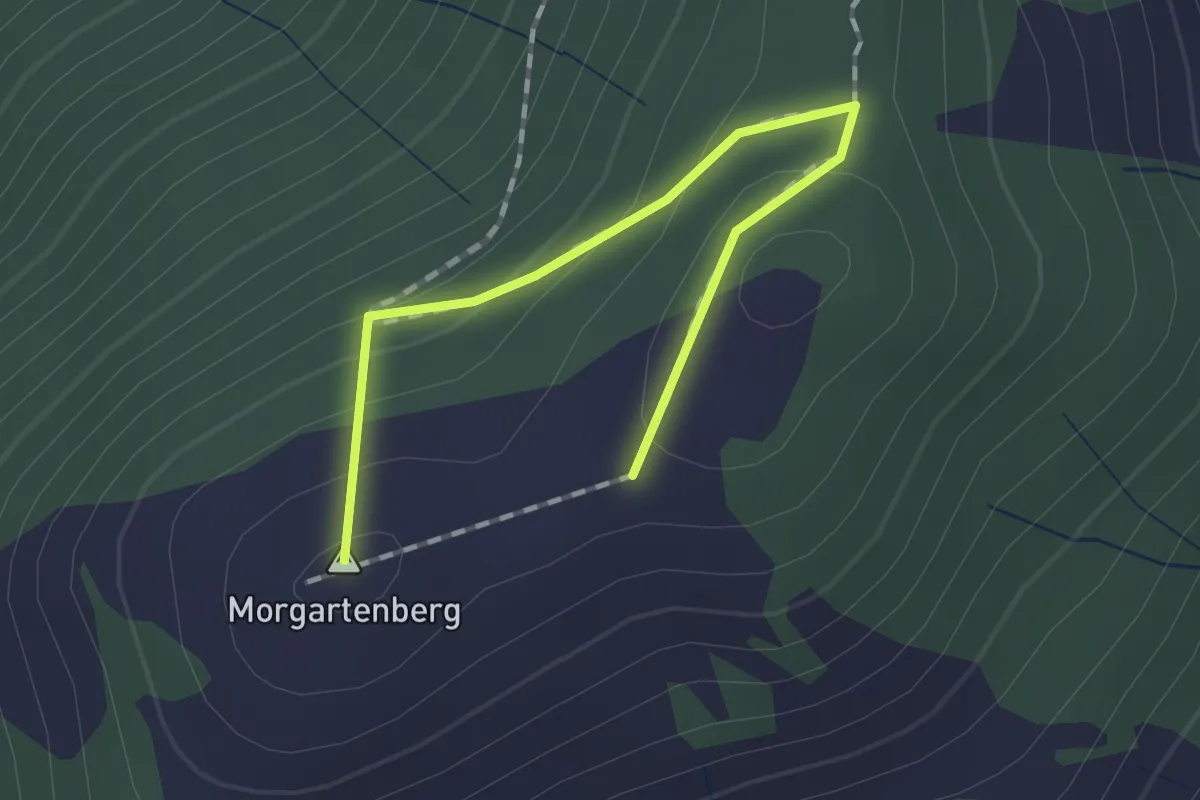
Morgartenberg - Chli Morgarten?
1.5 km · ↑ 84 m · 32 min · 13 km away
Easy · Trail
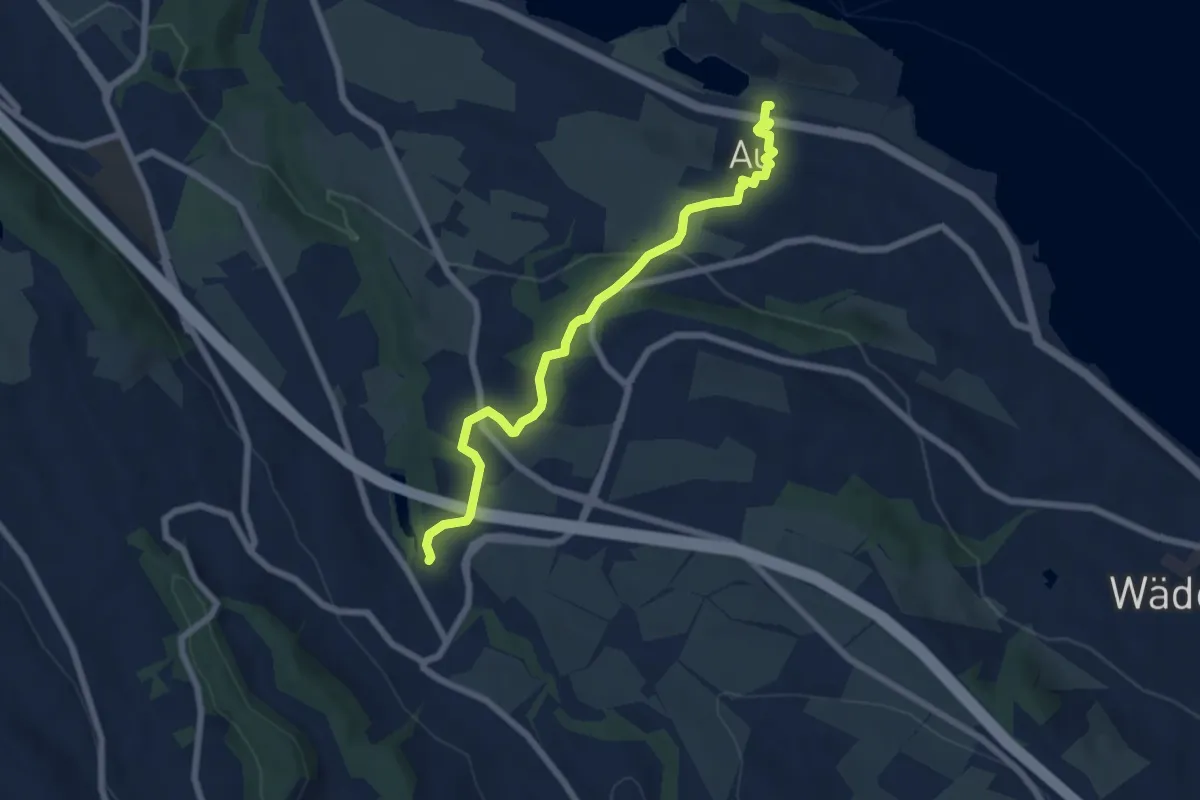
Aamüli – Au
6.6 km · ↑ 209 m · 2 h 1 min · 13 km away
Easy · Trail
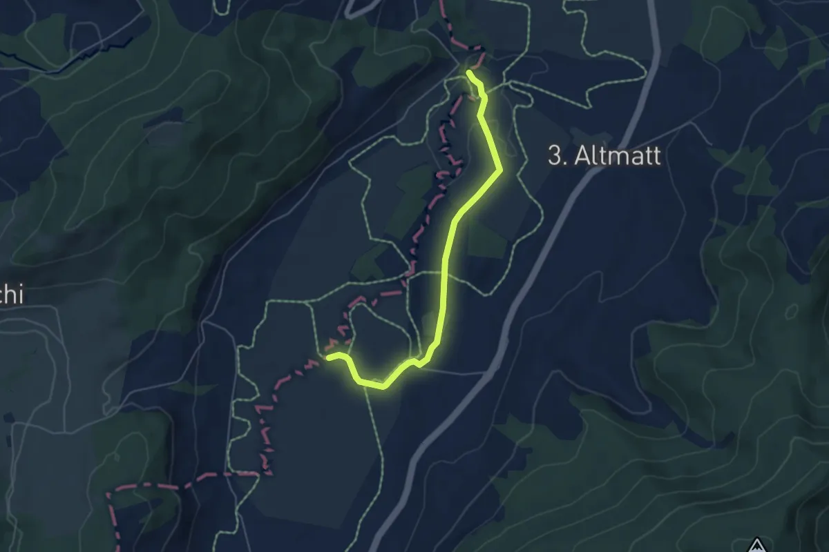
Bibersteg – Bubrugg
5.0 km · ↑ 45 m · 1 h 16 min · 13 km away
Easy · Trail
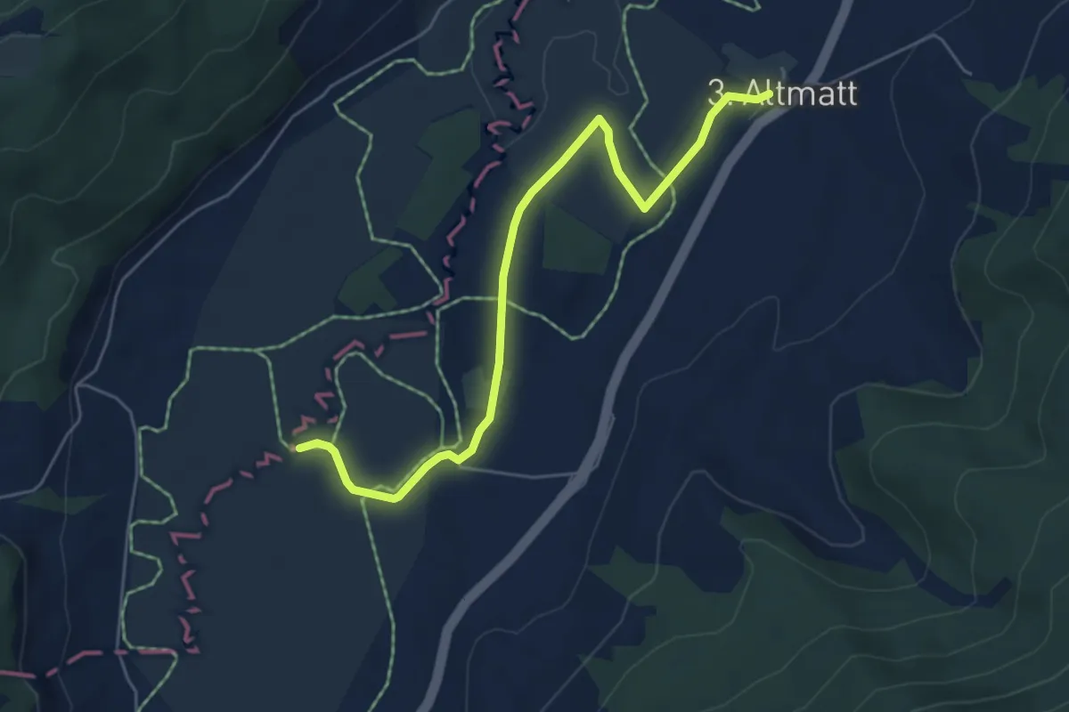
Dritte Altmatt - Bubrugg
5.6 km · ↑ 37 m · 1 h 24 min · 13 km away
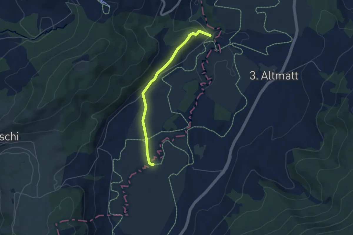
Easy · Trail
Bibersteg - Bubrugg
4.5 km · ↑ 140 m · 1 h 21 min · 13 km away
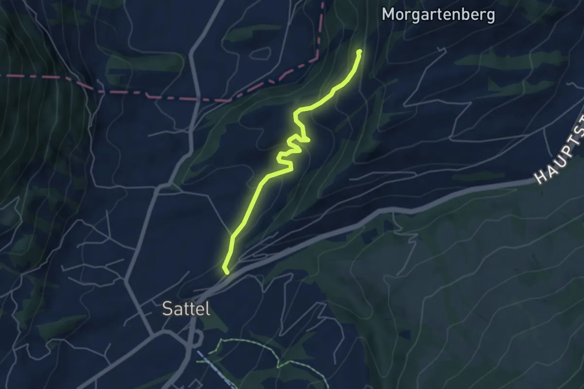
Easy · Trail
Sattel - Rapperen
4.5 km · ↑ 210 m · 1 h 31 min · 13 km away
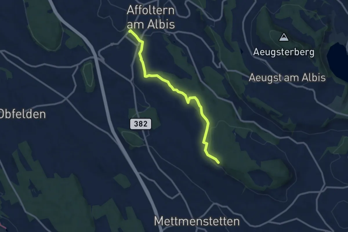
Easy · Trail
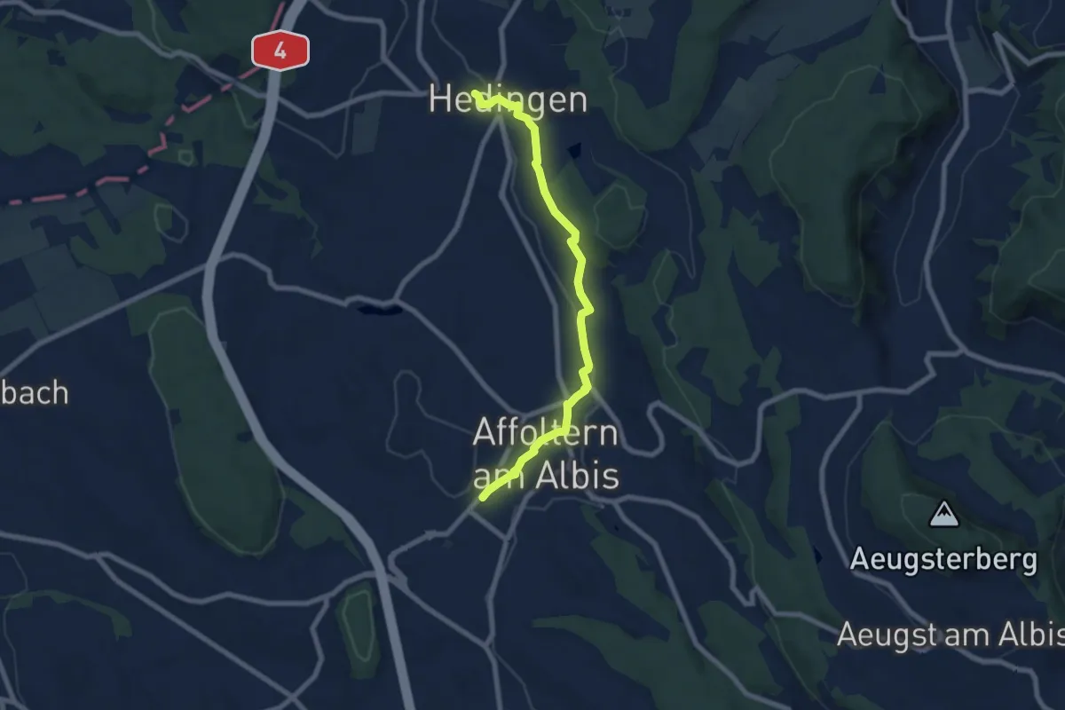
Affoltern a. A. – Paradis
7.5 km · ↑ 148 m · 2 h 6 min · 13 km away
Easy · Trail
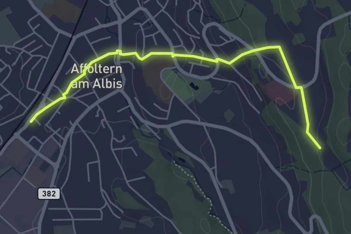
Affoltern a. A. - Hedingen
6.9 km · ↑ 147 m · 1 h 57 min · 13 km away
Easy · Trail
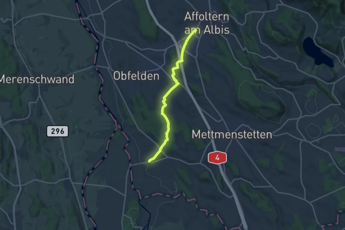
Affoltern a. A. - Sunnenbüel
5.1 km · ↑ 140 m · 1 h 30 min · 13 km away
Medium · Trail
Affoltern a. A. - Maschwanden
11.6 km · ↑ 197 m · 3 h 10 min · 13 km away
Medium · Trail
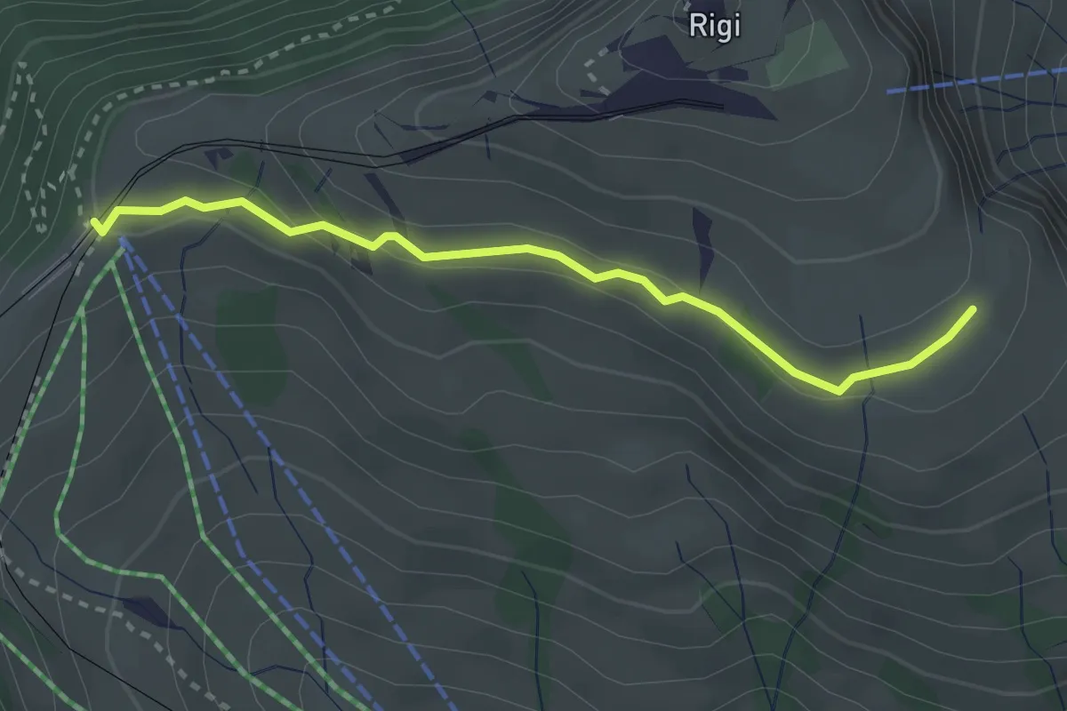
Kulmhutte-Rigi Staffel
2.7 km · ↑ 93 m · 51 min · 13 km away
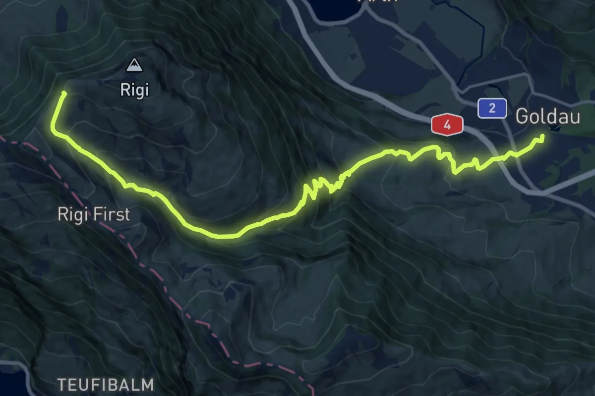
Demanding · Trail
Schwyzer Höhenweg - Etappe 2
17.8 km · ↑ 1122 m · 6 h 38 min · 13 km away
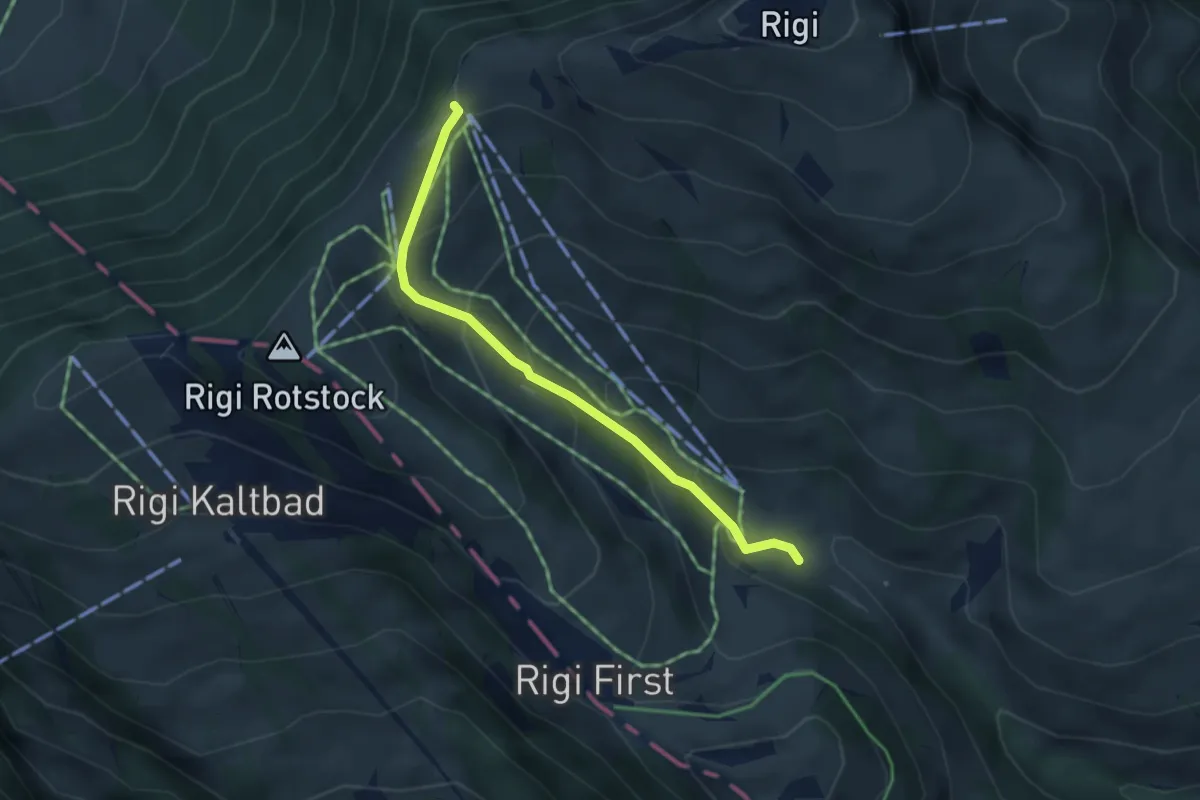
Easy · Trail
Rigi-Staffel – Rigi Klösterli
3.5 km · ↑ 265 m · 1 h 24 min · 13 km away
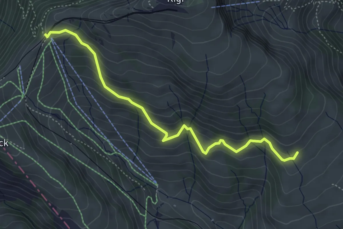
Medium · Trail
Schwändi – Rigi Staffel
4.8 km · ↑ 349 m · 1 h 54 min · 13 km away
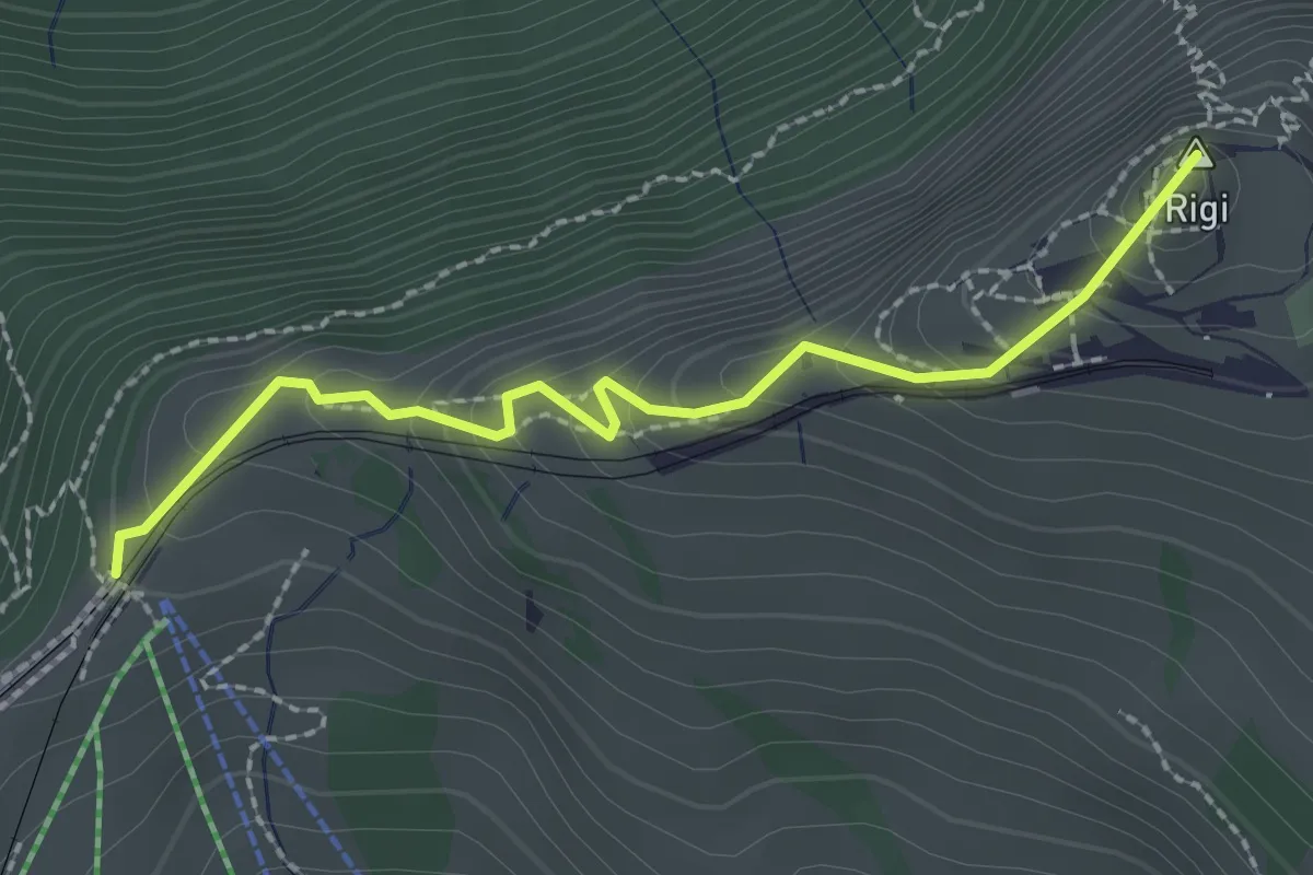
Easy · Summit
Rigi Staffel – Rigi Kulm
2.3 km · ↑ 160 m · 53 min · 13 km away
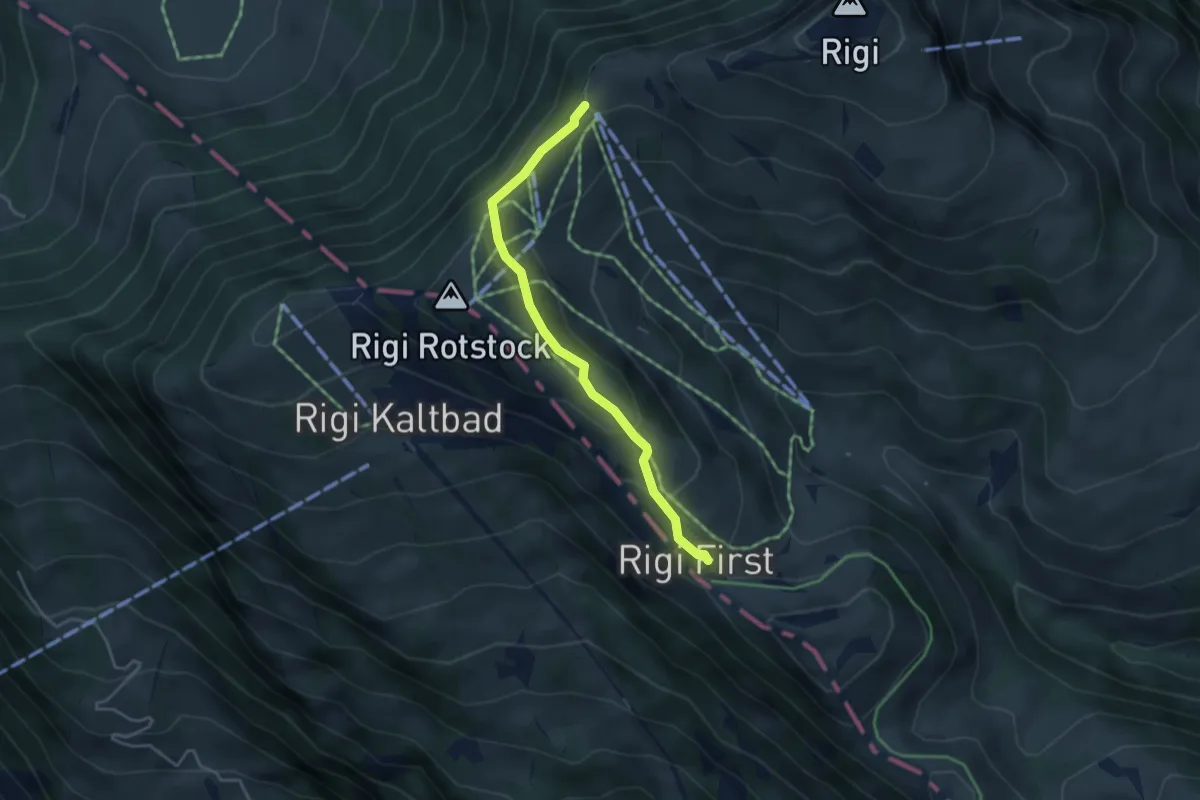
Easy · Trail
Rigi Staffel – Rigi First
3.7 km · ↑ 186 m · 1 h 17 min · 13 km away
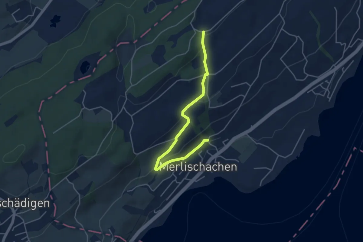
Easy · Trail
Merlischachen - Forenmoos
4.0 km · ↑ 139 m · 1 h 15 min · 13 km away
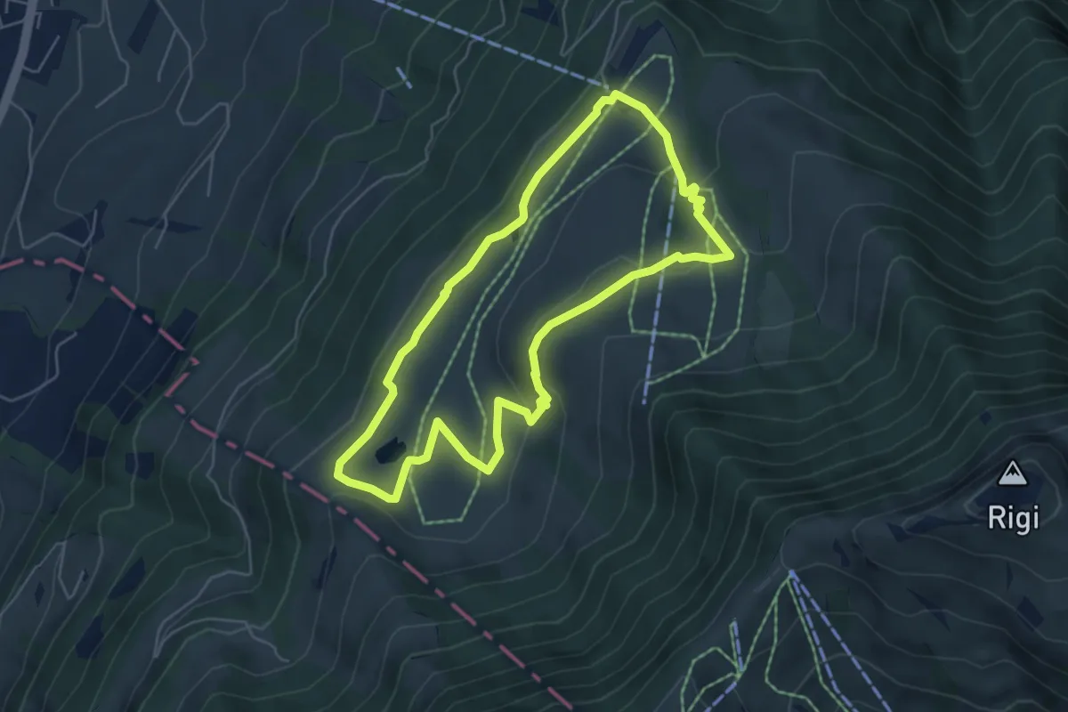
Easy · Trail
Panoramarundweg (Seebodenalp - Altruodisegg - Holderen - Seebodenalp)
5.1 km · ↑ 168 m · 1 h 39 min · 13 km away
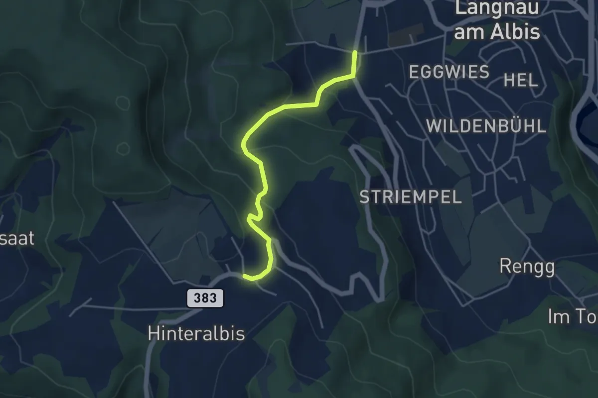
Easy · Trail
Albispass – Unteralbis
3.5 km · ↑ 245 m · 1 h 21 min · 13 km away
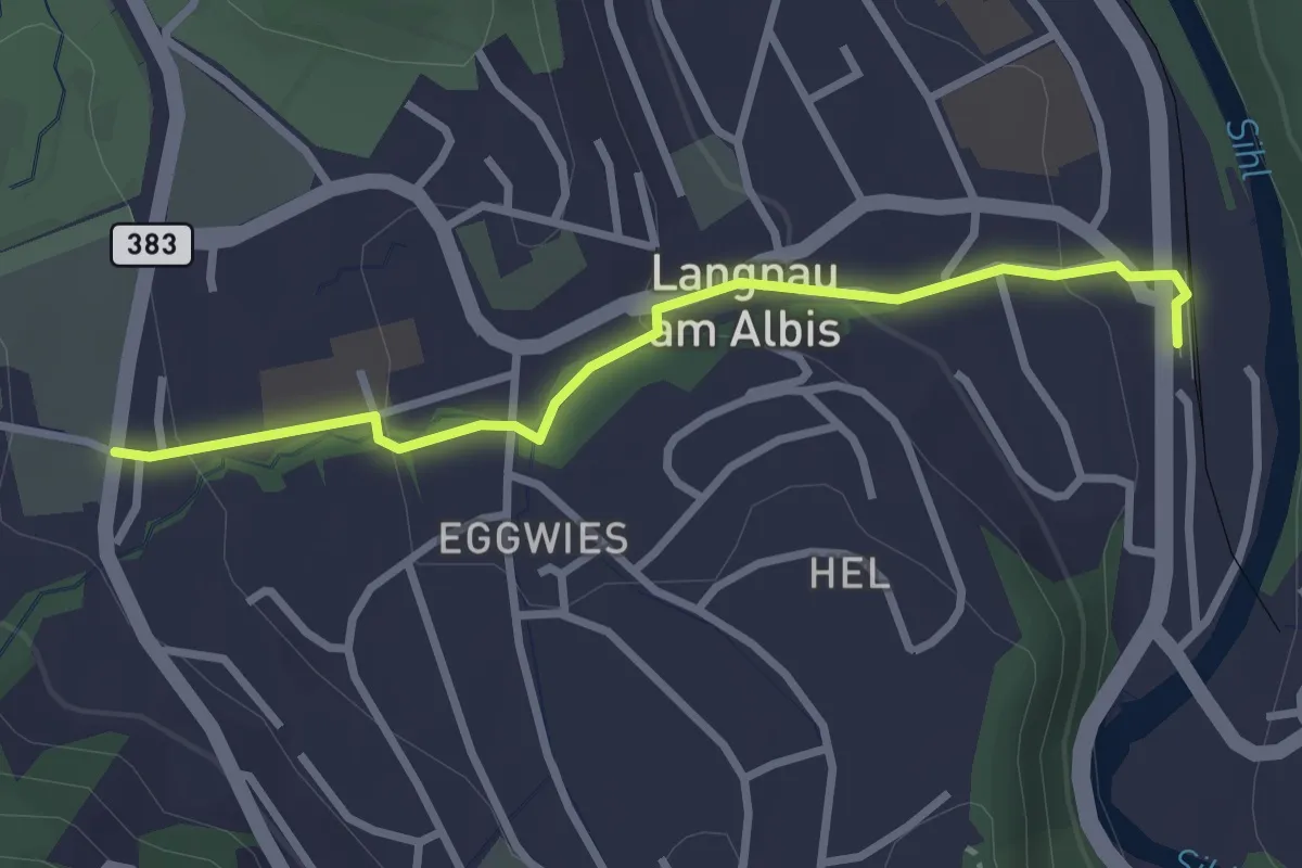
Easy · Trail
Unteralbis – Langnau-Gattikon
2.8 km · ↑ 96 m · 52 min · 13 km away
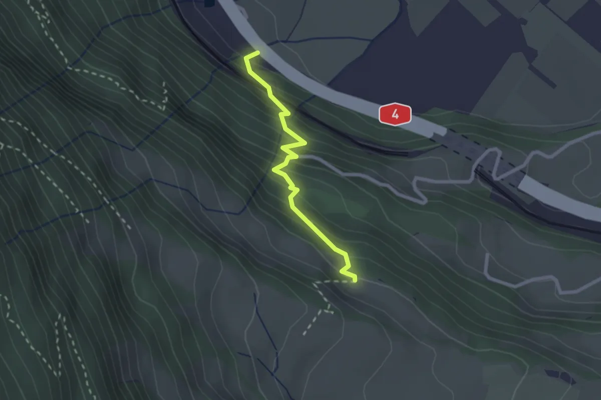
Medium · Trail
Arth – Dächli
2.1 km · ↑ 242 m · 1 h 1 min · 13 km away
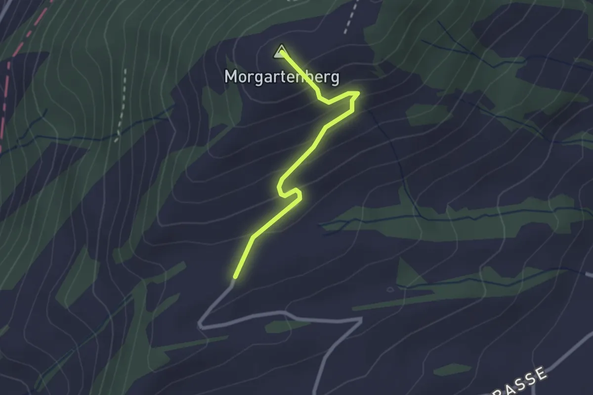
Easy · Summit
Morgartenberg - Lustnau? / Sattel? - fixme
2.0 km · ↑ 152 m · 49 min · 13 km away
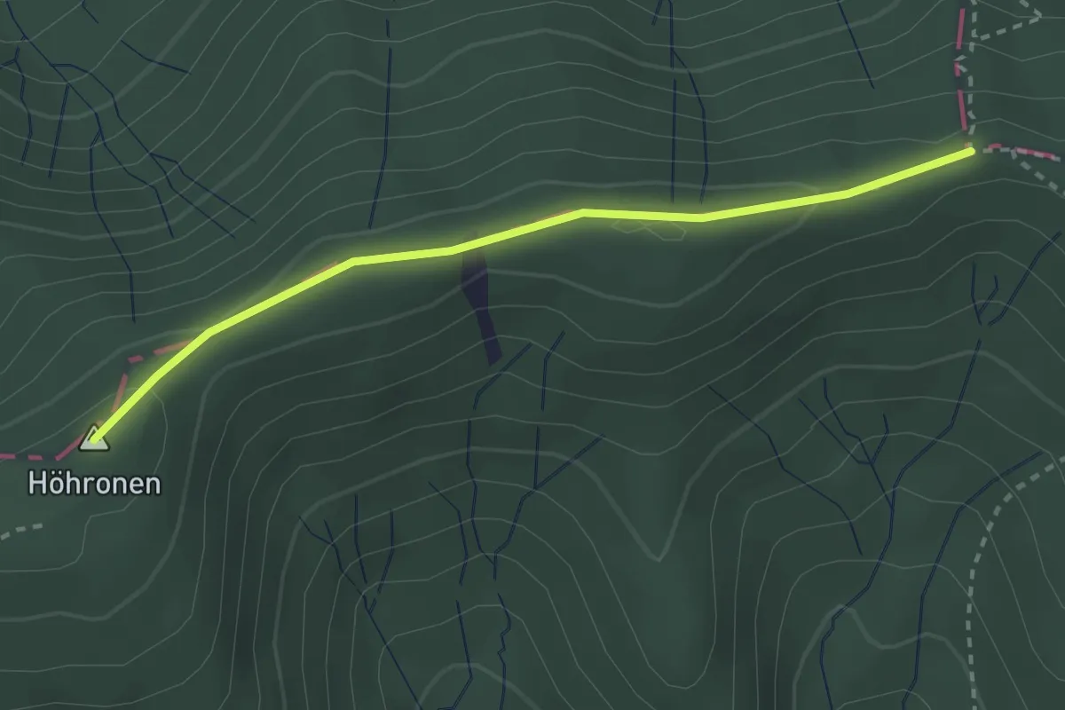
Easy · Summit
Dreiländerstein – Hohboden
2.7 km · ↑ 69 m · 48 min · 13 km away
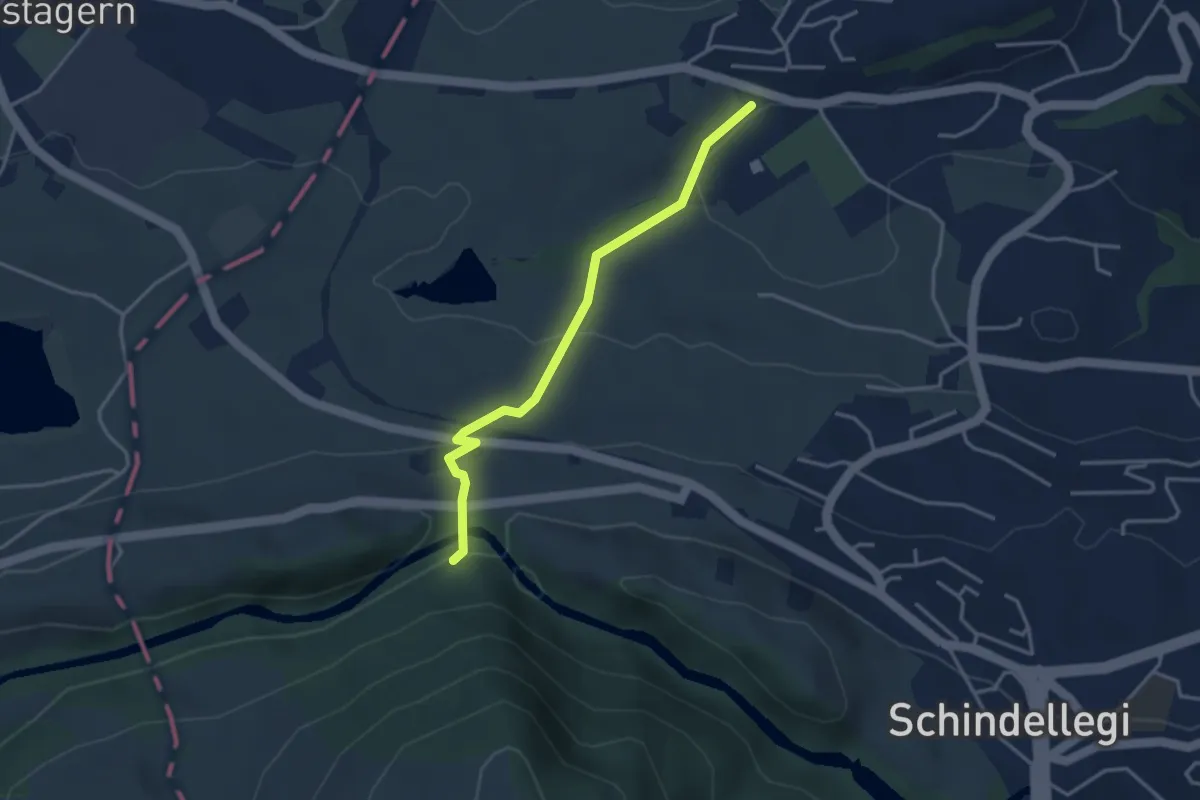
Easy · Trail
Sportplatz Erlen - Scheerenbrugg
3.3 km · ↑ 144 m · 1 h 6 min · 13 km away
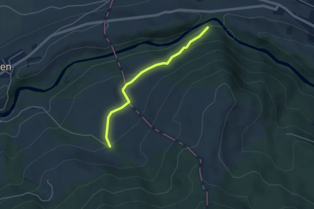
Easy · Trail
Scherenbrugg - Örischwand
3.1 km · ↑ 136 m · 1 h 2 min · 13 km away
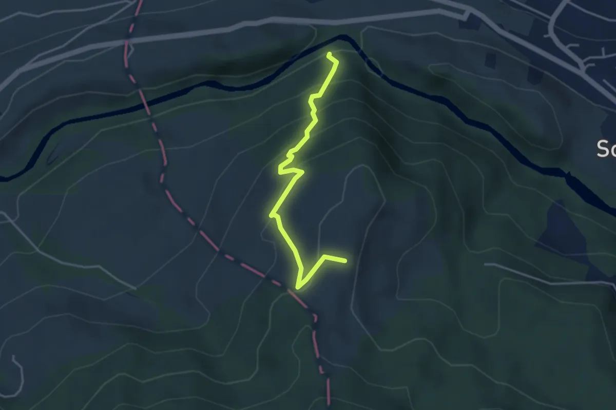
Easy · Trail
Scherenbrugg - Rossberg
3.3 km · ↑ 290 m · 1 h 24 min · 13 km away
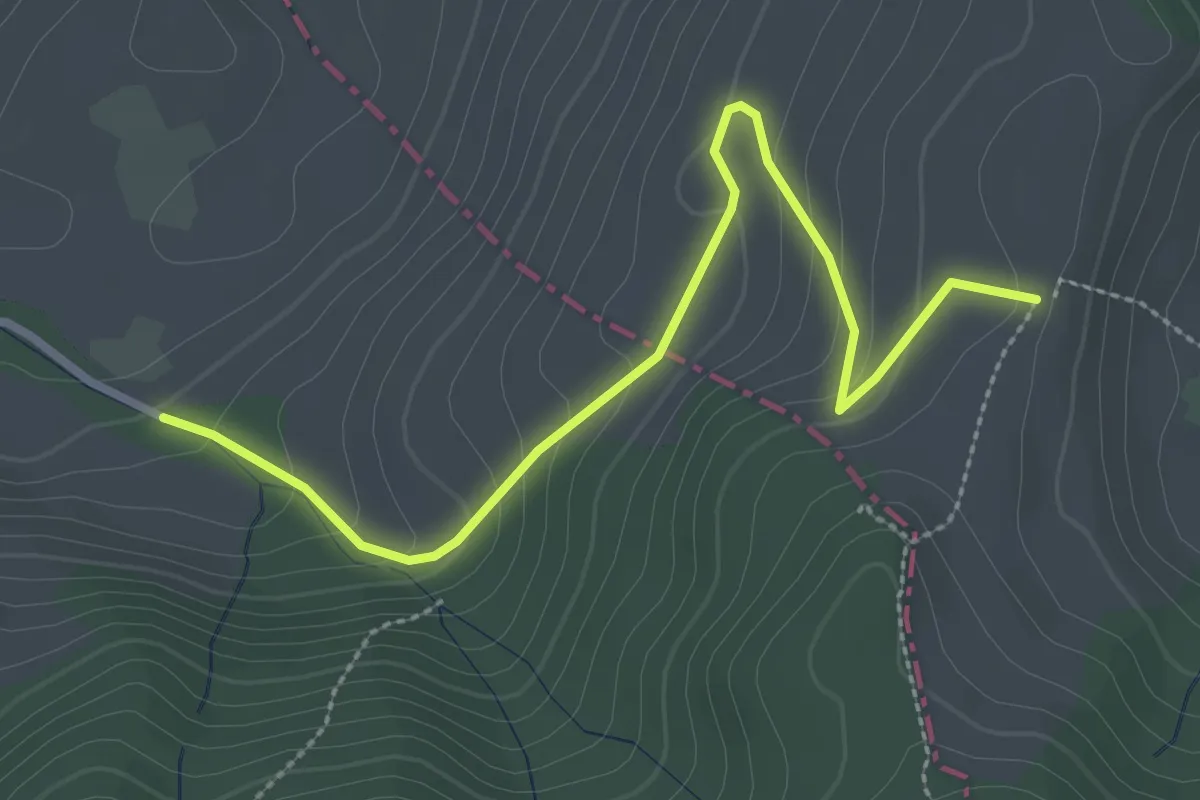
Easy · Trail
Örischwand - Rossberg
3.1 km · ↑ 160 m · 1 h 5 min · 13 km away
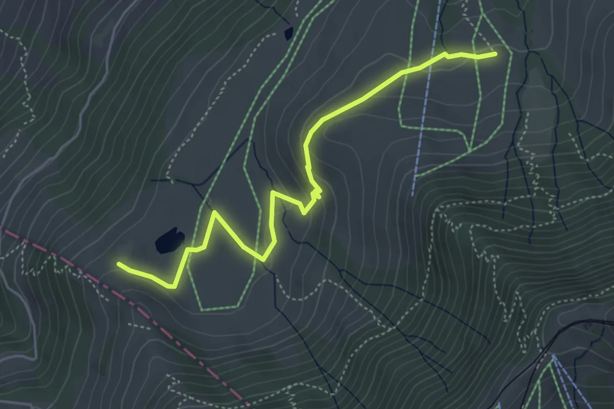
Easy · Trail
Altruodisegg – Holderen
4.9 km · ↑ 168 m · 1 h 32 min · 13 km away
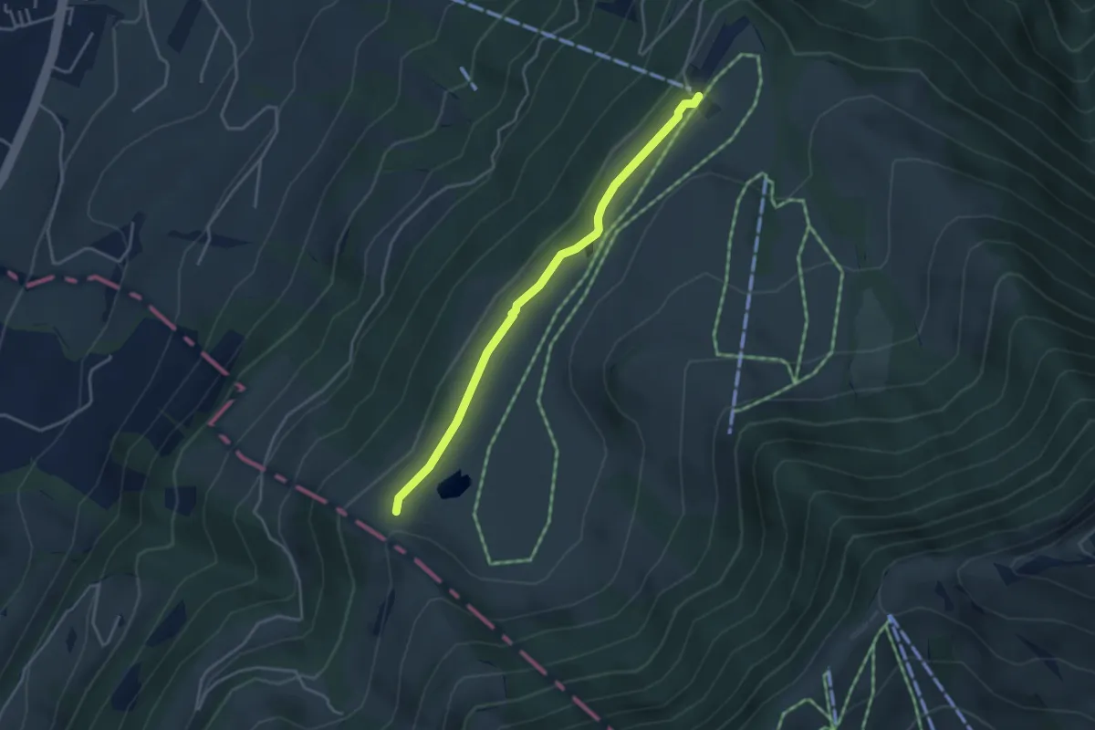
Easy · Trail
Schluchegg – Seebodenalp
3.6 km · ↑ 65 m · 59 min · 13 km away
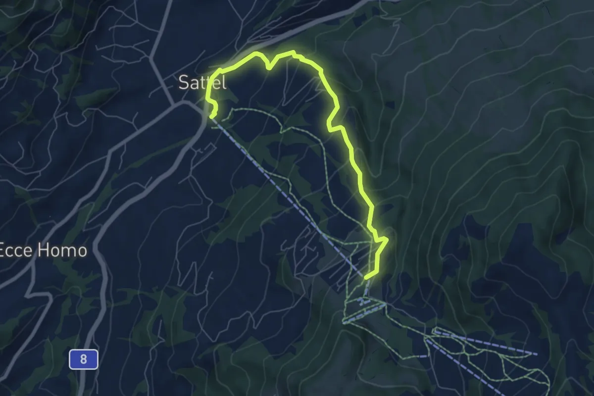
Medium · Trail
Sattel Talstation - Mostelberg
6.9 km · ↑ 397 m · 2 h 29 min · 13 km away
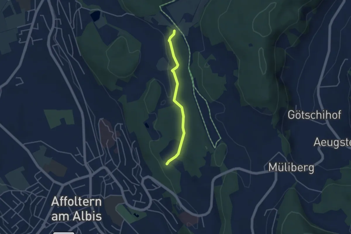
Easy · Trail
Weid – Hirslen
3.0 km · ↑ 62 m · 50 min · 13 km away
Easy · Trail
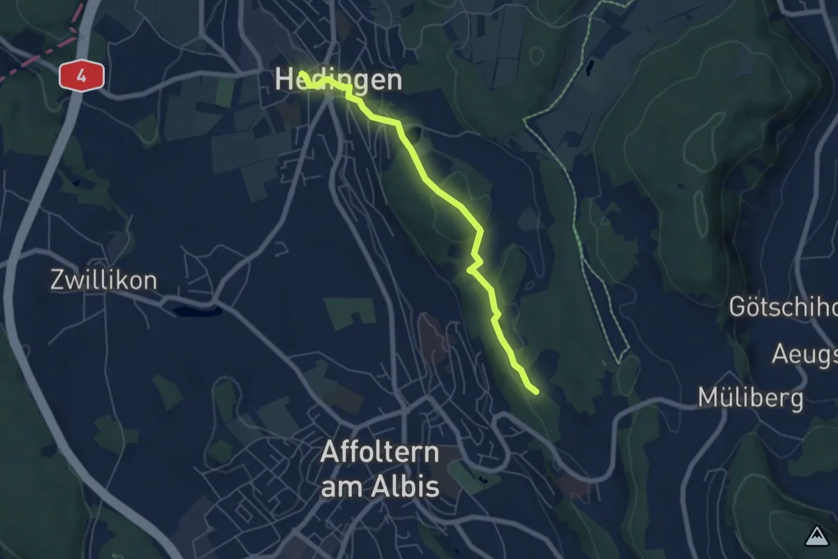
Hedingen - Weid
5.3 km · ↑ 173 m · 1 h 38 min · 13 km away
Easy · Trail
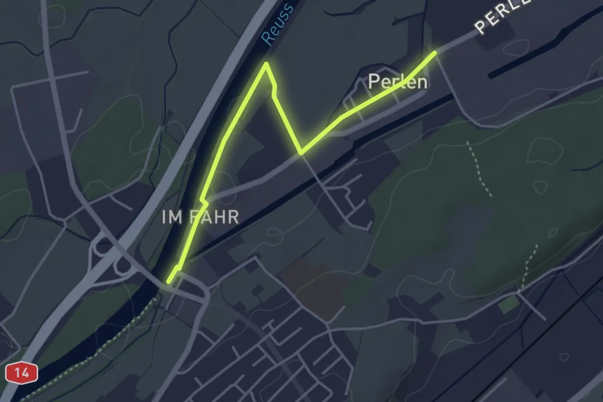
Perlenbrücke - Perlen
3.9 km · ↑ 4 m · 56 min · 13 km away
Easy · Trail
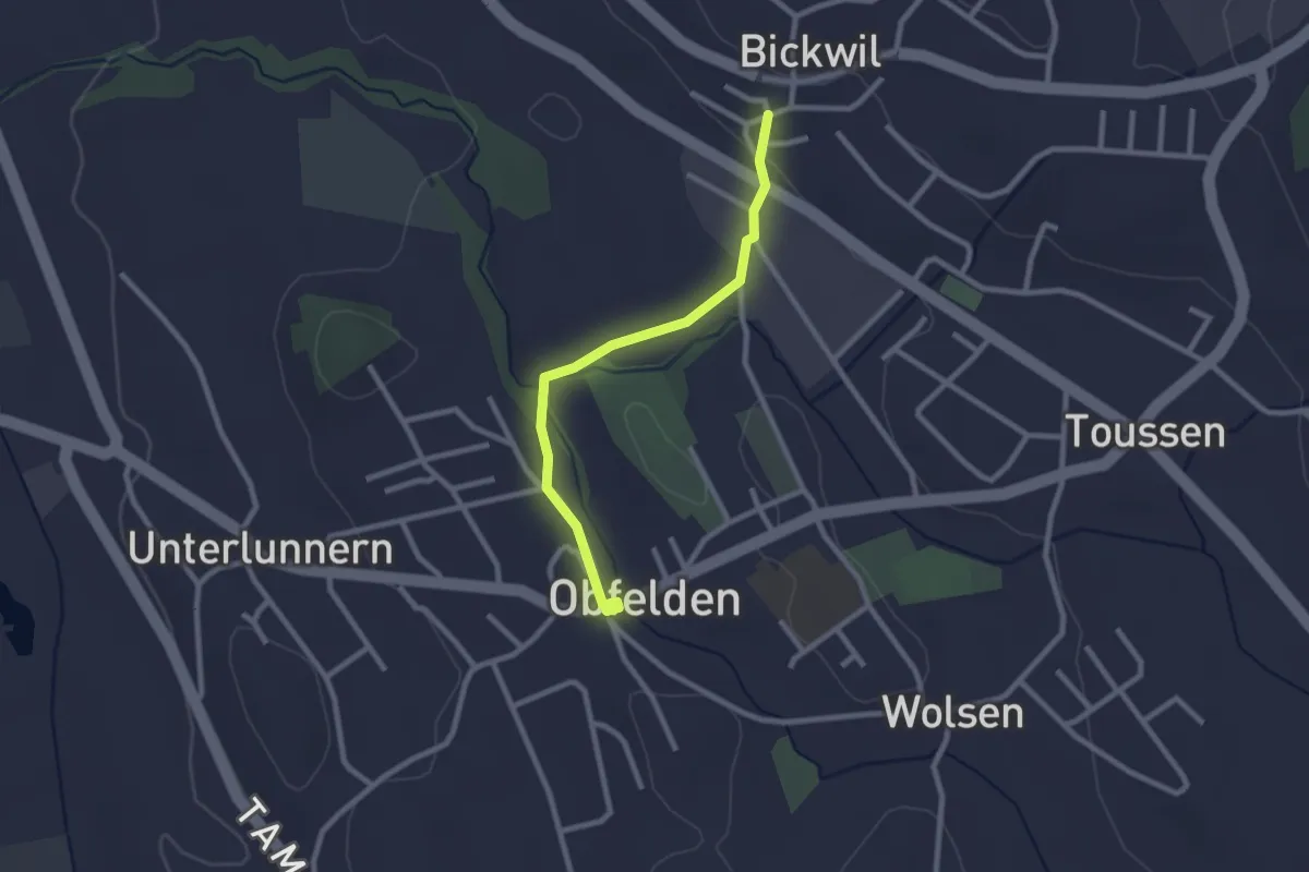
Bickwil - Ober Lunnern
2.3 km · ↑ 39 m · 38 min · 13 km away
Easy · Trail
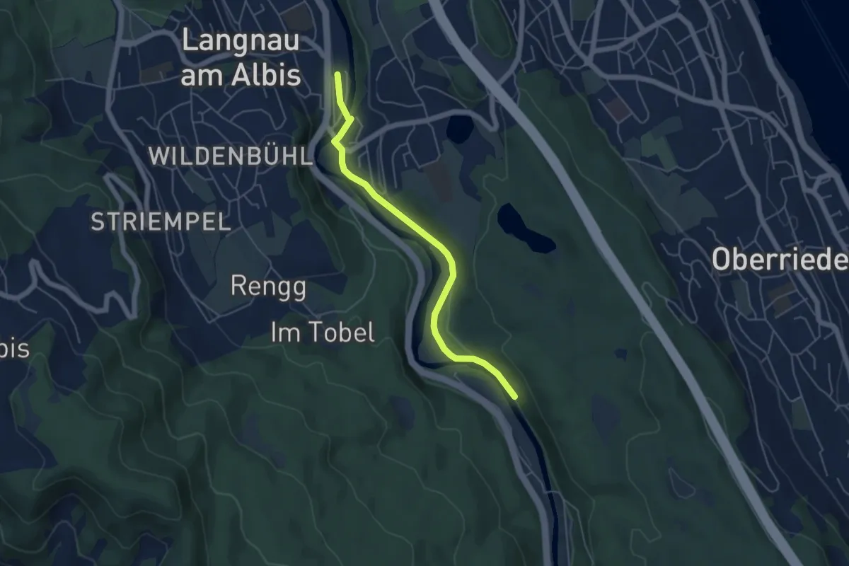
Langnau-Gattikon (Ost) – Besucherzentrum
4.7 km · ↑ 75 m · 1 h 16 min · 13 km away
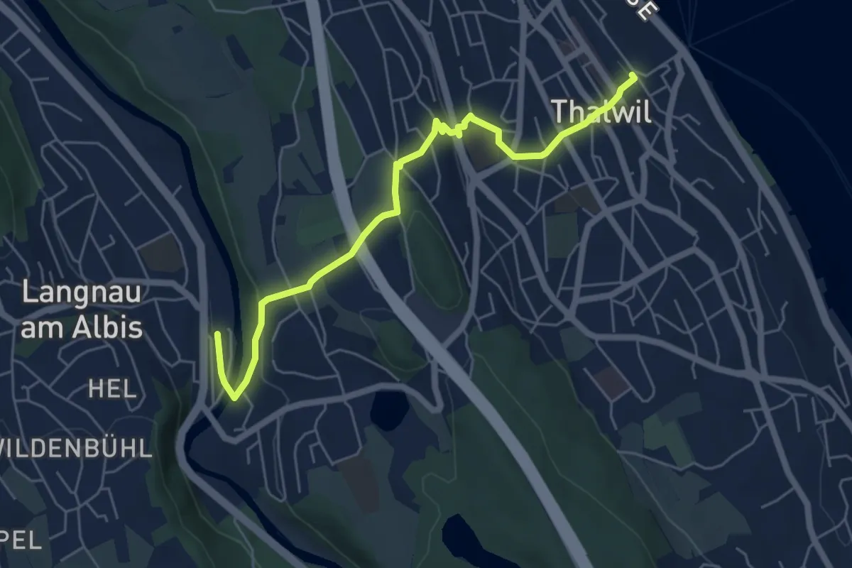
Easy · Trail
Thalwil – Langnau-Gattikon
5.7 km · ↑ 179 m · 1 h 44 min · 13 km away
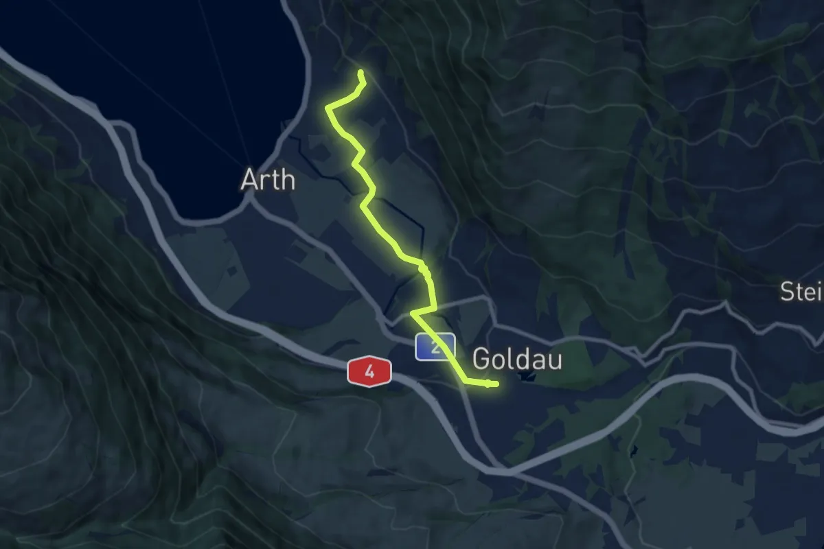
Easy · Trail
Goldau - Sunnenberg
7.6 km · ↑ 159 m · 2 h 9 min · 13 km away
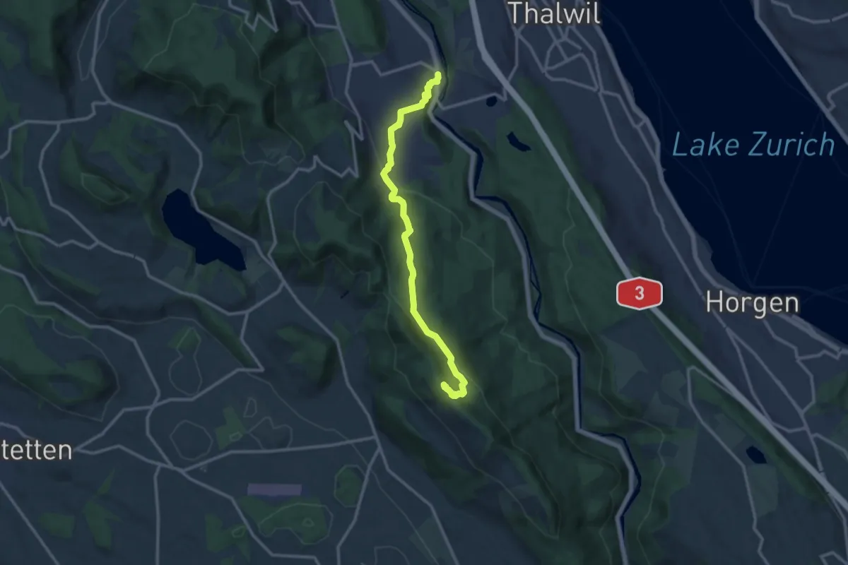
Medium · Summit
Albishorn – Langnau-Gattikon
11.1 km · ↑ 442 m · 3 h 35 min · 13 km away