Trails near Zug
636 hikes starting within 15 km, nearest first.
Nearest first, page 10 of 14
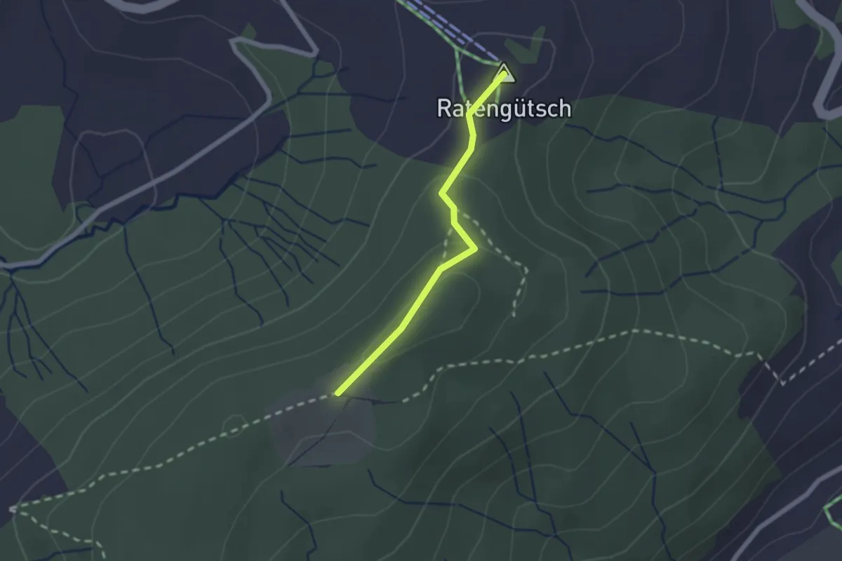
Easy · Summit
Raten – St. Jost
1.7 km · ↑ 56 m · 31 min · 12 km away
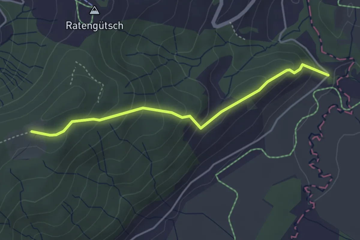
Easy · Trail
Bibersteg – St. Jost
3.7 km · ↑ 247 m · 1 h 24 min · 12 km away
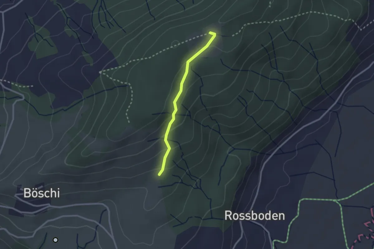
Easy · Trail
Böschirain - St. Jost
2.0 km · ↑ 91 m · 40 min · 12 km away
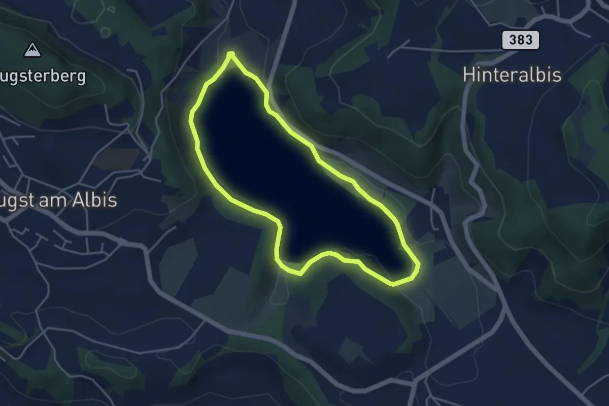
Easy · Trail
Türlerseerundweg
3.7 km · ↑ 39 m · 1 h · 12 km away
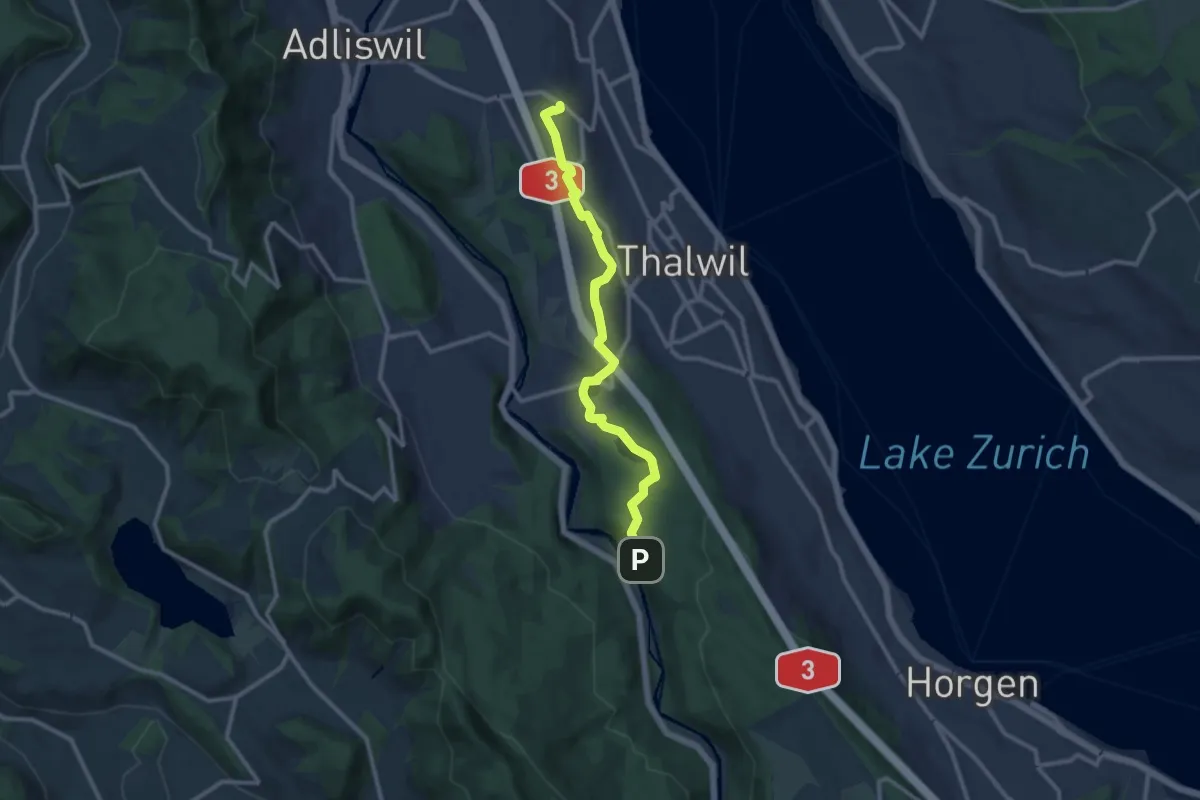
Medium · Trail
Nidelbad – Schlegeltobel
10.7 km · ↑ 156 m · 2 h 52 min · 12 km away
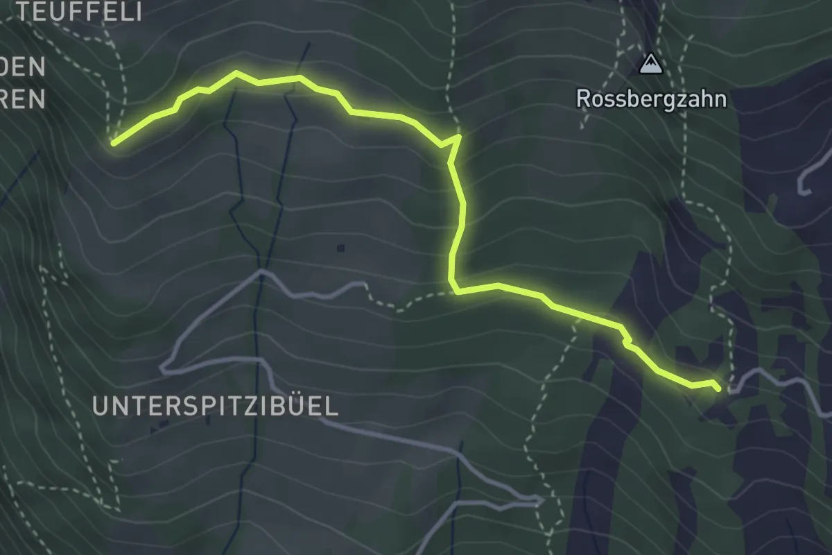
Demanding · Trail
Spitzibüel – Gribsch
3.7 km · ↑ 195 m · 1 h 17 min · 12 km away
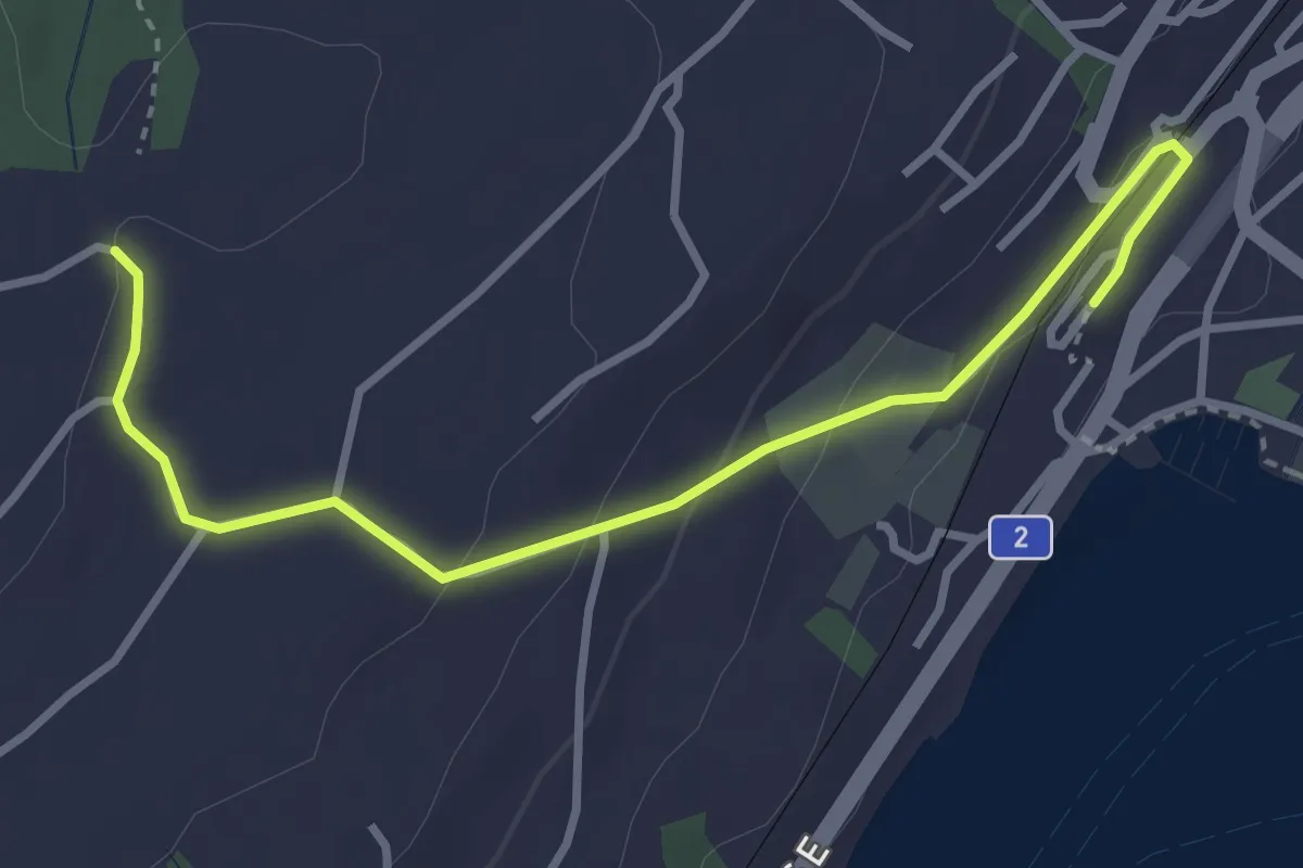
Easy · Trail
Küsnacht – Sunnehöfli
3.6 km · ↑ 111 m · 1 h 6 min · 12 km away
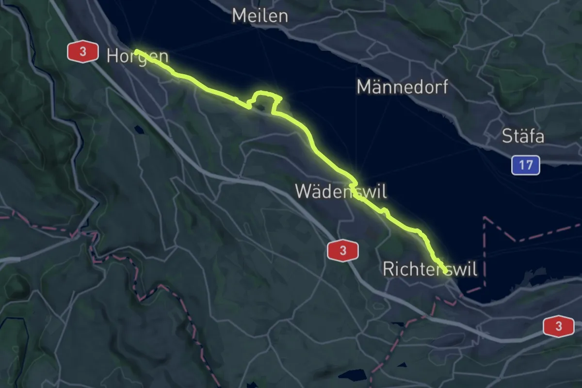
Demanding · Trail
Zürichsee Rundweg - Etappe 3
25.0 km · ↑ 220 m · 6 h 22 min · 12 km away
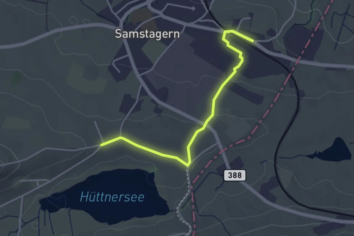
Easy · Trail
Seeli – Samstagern
3.4 km · ↑ 51 m · 55 min · 12 km away
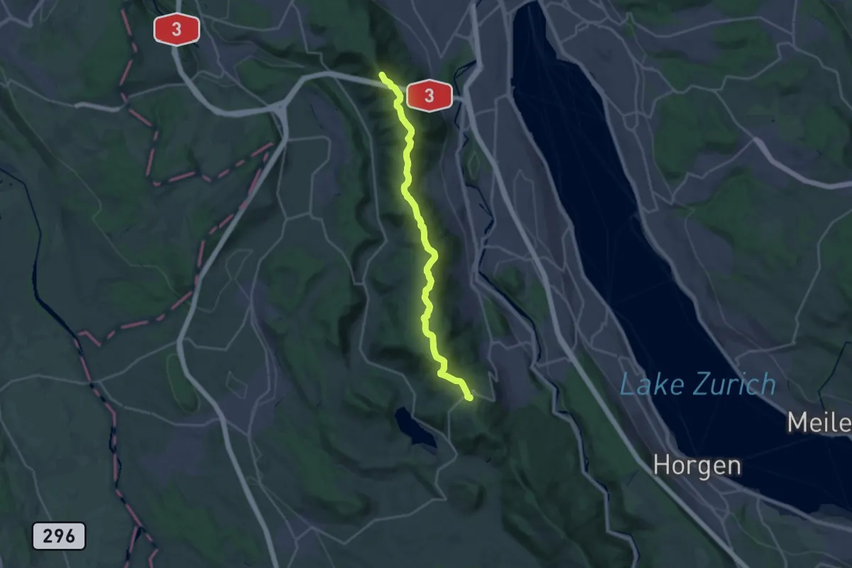
Demanding · Summit
Zürich-Zugerland-Panoramaweg - Etappe 1
19.8 km · ↑ 681 m · 6 h 10 min · 12 km away
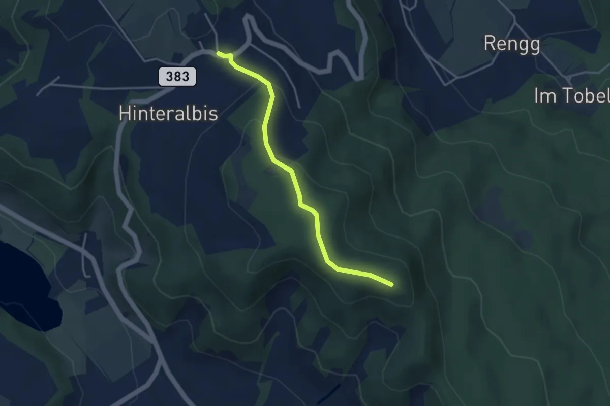
Easy · Trail
Albispass – Albis Hochwacht
3.2 km · ↑ 89 m · 57 min · 12 km away
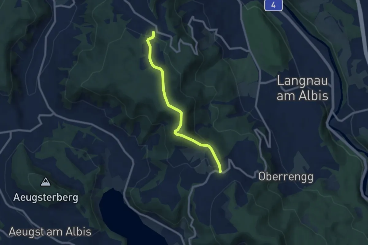
Easy · Trail
Näfenhüser – Albispass
5.7 km · ↑ 240 m · 1 h 52 min · 12 km away
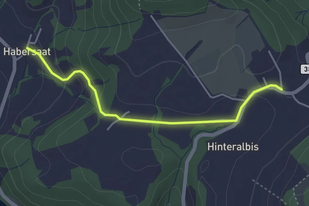
Easy · Trail
Albispass – Habersaat
3.2 km · ↑ 124 m · 1 h 1 min · 12 km away
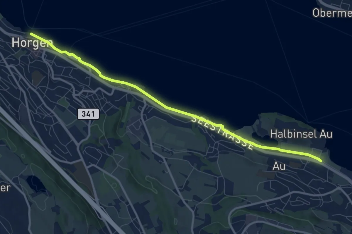
Medium · Trail
Wädenswiler Seeuferweg
9.1 km · ↑ 18 m · 2 h 11 min · 12 km away
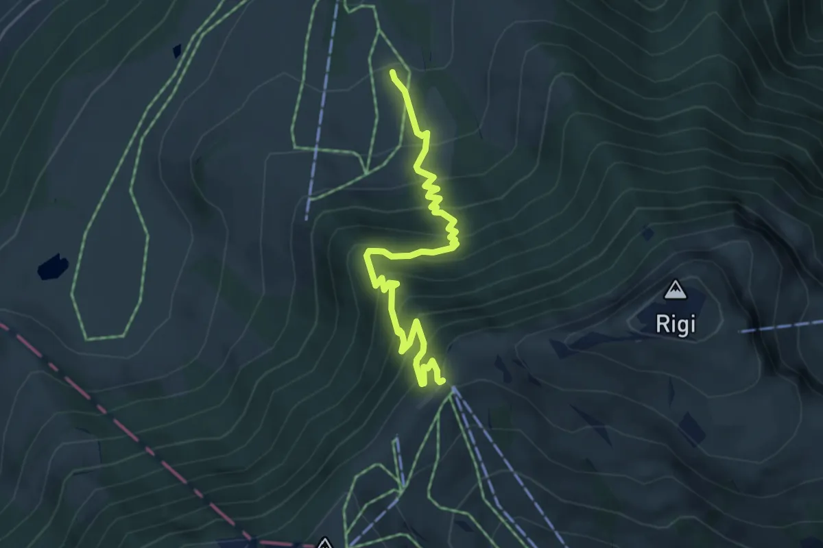
Medium · Trail
Holderen – Rigi Staffel
4.9 km · ↑ 513 m · 2 h 16 min · 12 km away
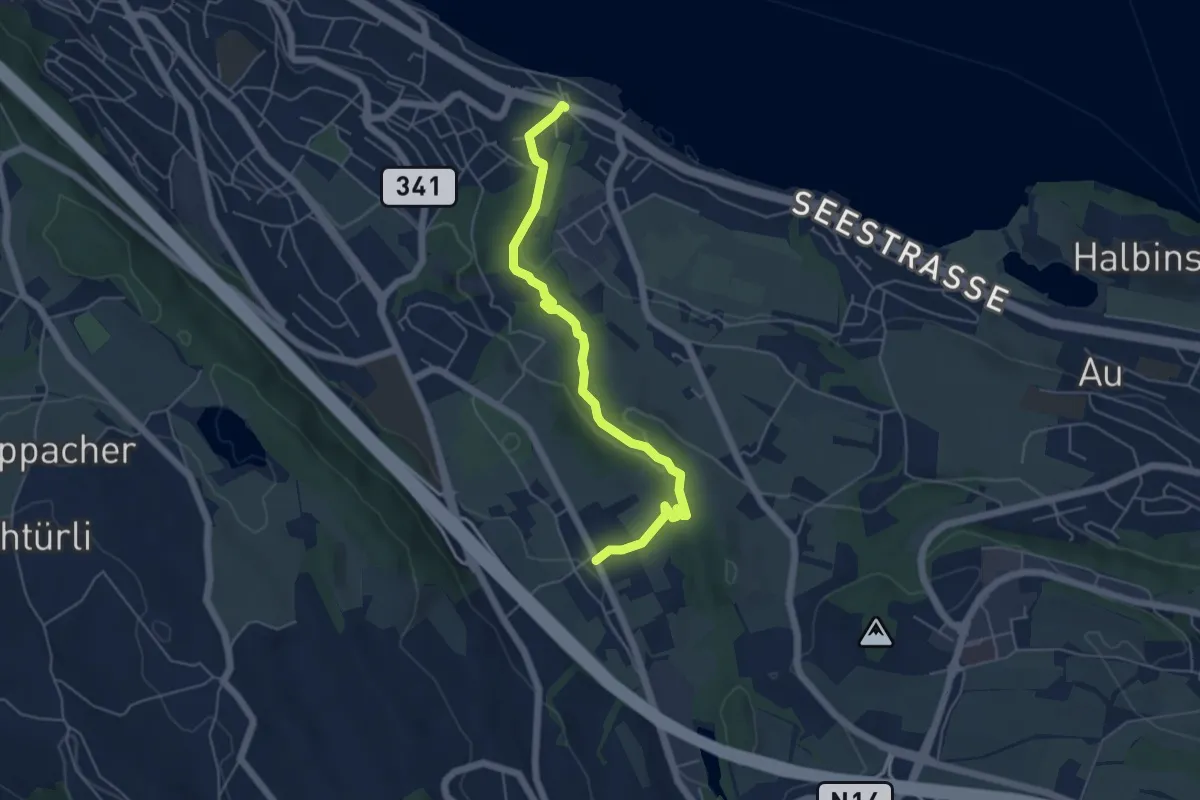
Easy · Trail
Käpfnach (Bus) – Arn
5.3 km · ↑ 151 m · 1 h 35 min · 12 km away
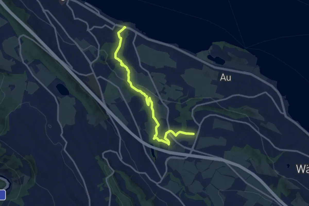
Medium · Trail
Käpfnach (Bus) – Neubühl
9.0 km · ↑ 212 m · 2 h 36 min · 12 km away
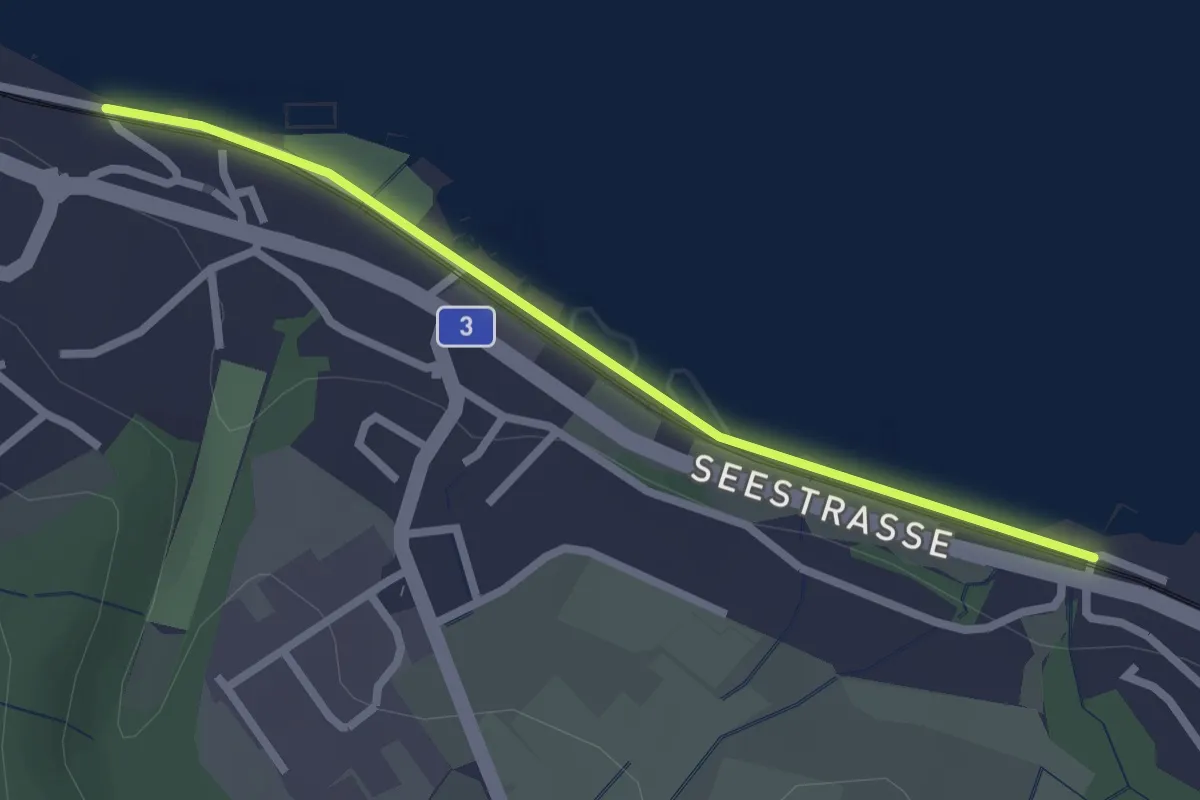
Easy · Trail
Käpfnach – Meilibach
2.4 km · ↑ 8 m · 35 min · 12 km away
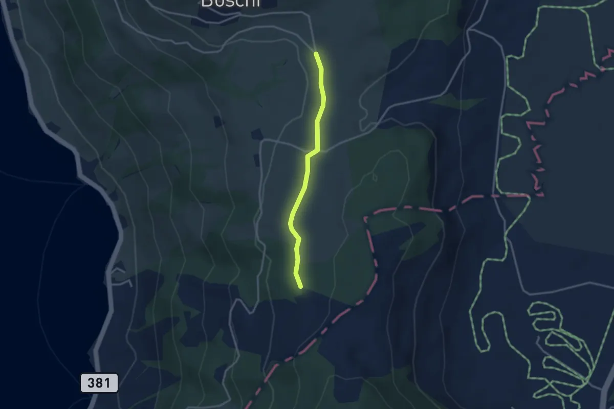
Easy · Trail
Teufiwald Süd - Ob Tännli
2.5 km · ↑ 23 m · 39 min · 12 km away
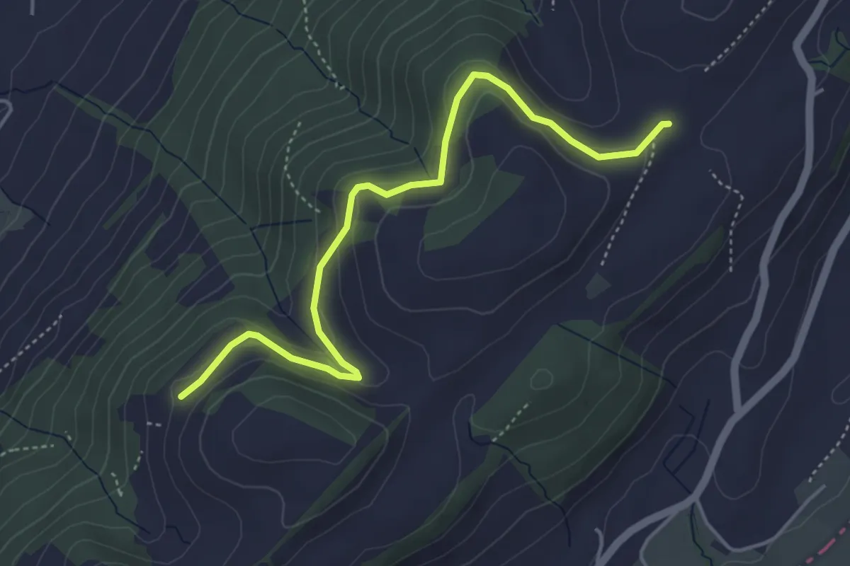
Easy · Trail
Schiffmannshof - Hinter Charen
4.6 km · ↑ 147 m · 1 h 25 min · 12 km away
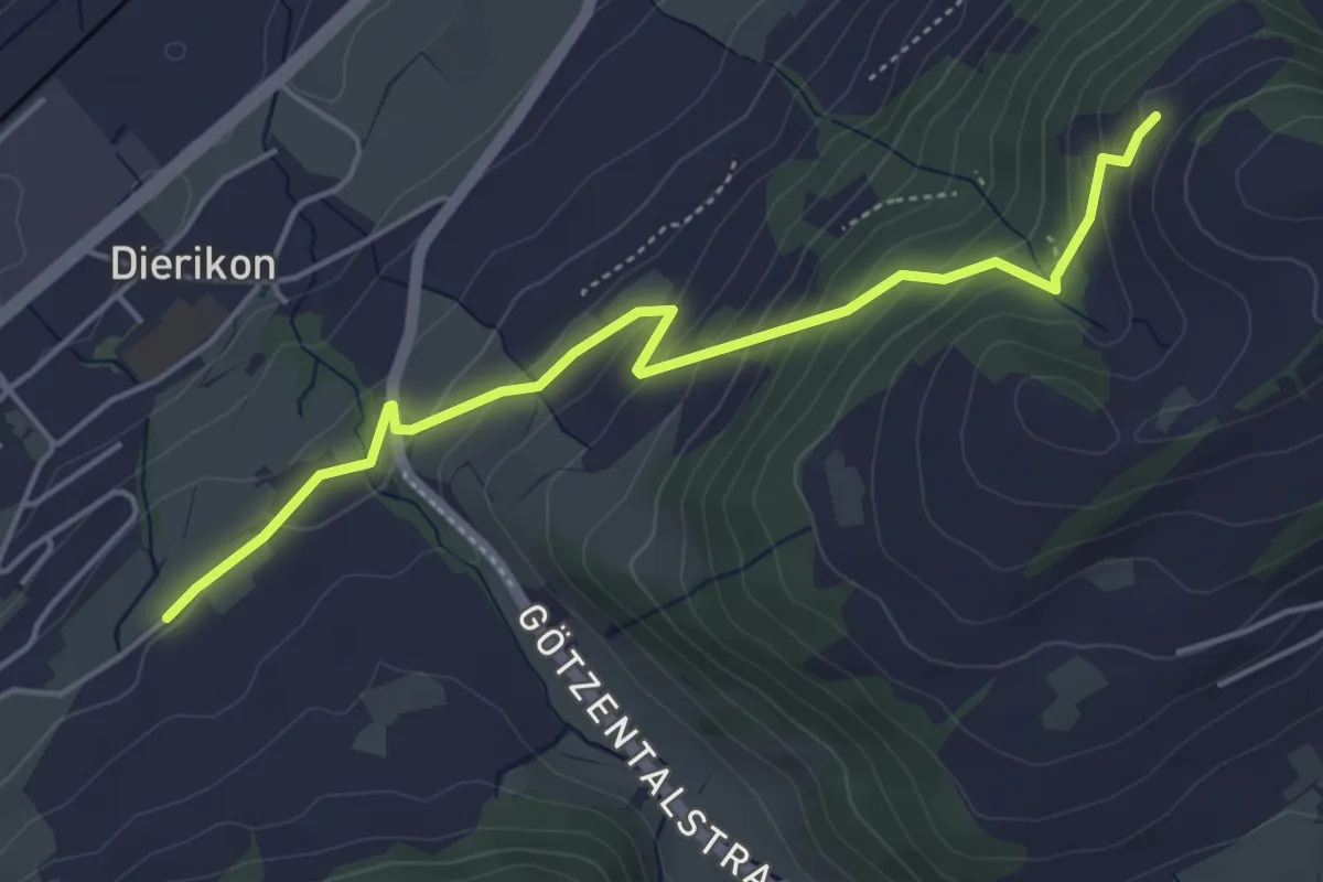
Easy · Trail
Hinter Charen - Spächten
4.8 km · ↑ 297 m · 1 h 46 min · 12 km away
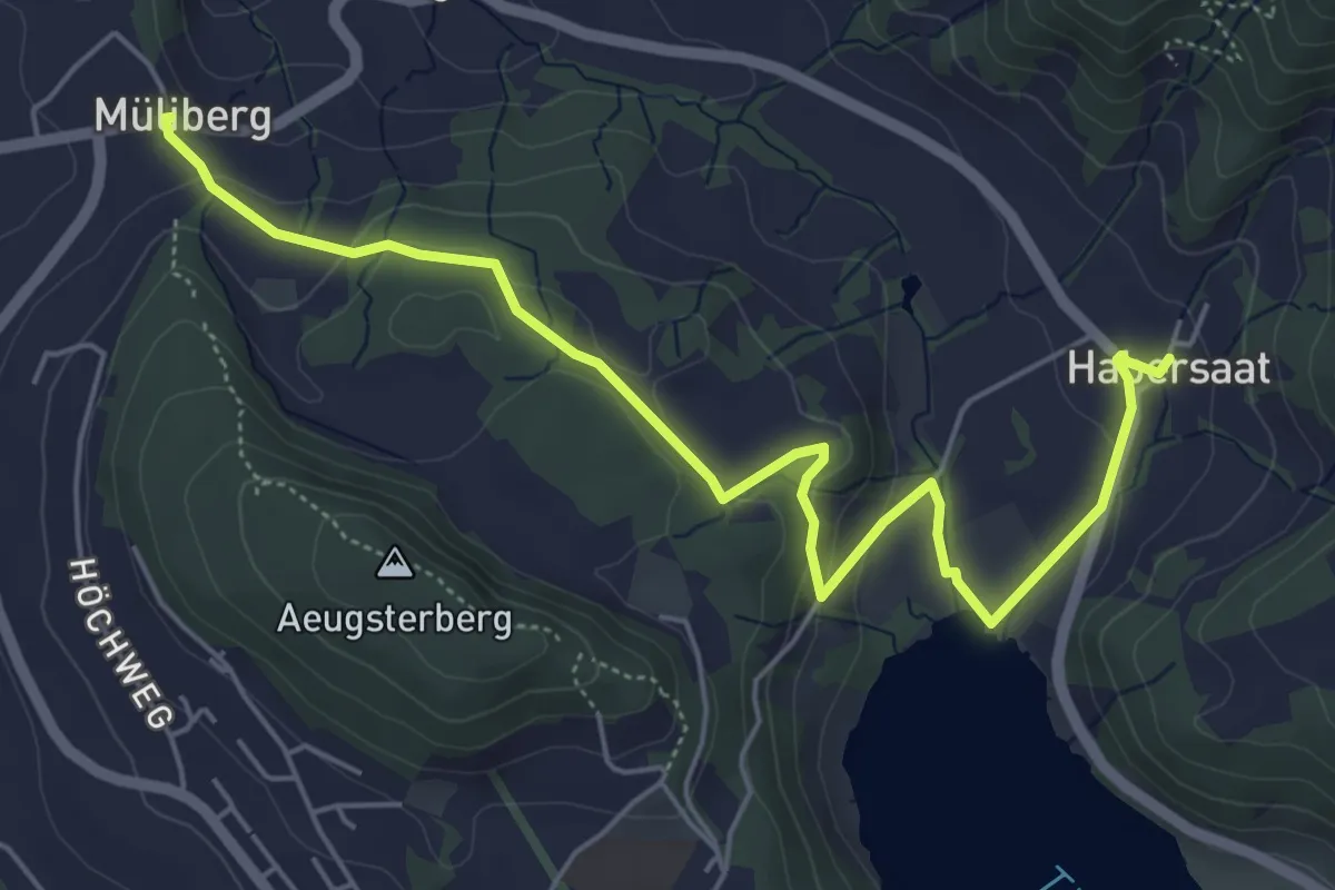
Easy · Trail
Habersaat – Müliberg
6.2 km · ↑ 199 m · 1 h 53 min · 12 km away
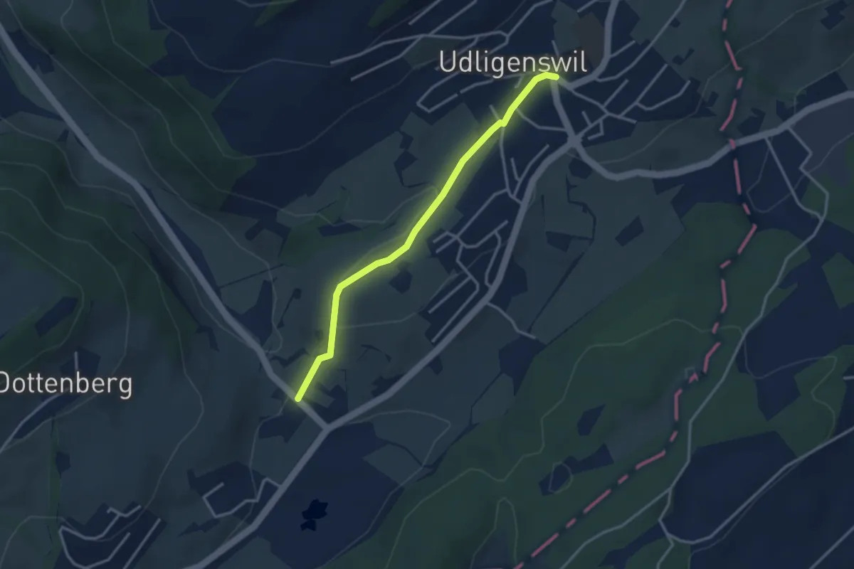
Easy · Trail
Udligenswil – Stegmatt
3.0 km · ↑ 80 m · 53 min · 12 km away
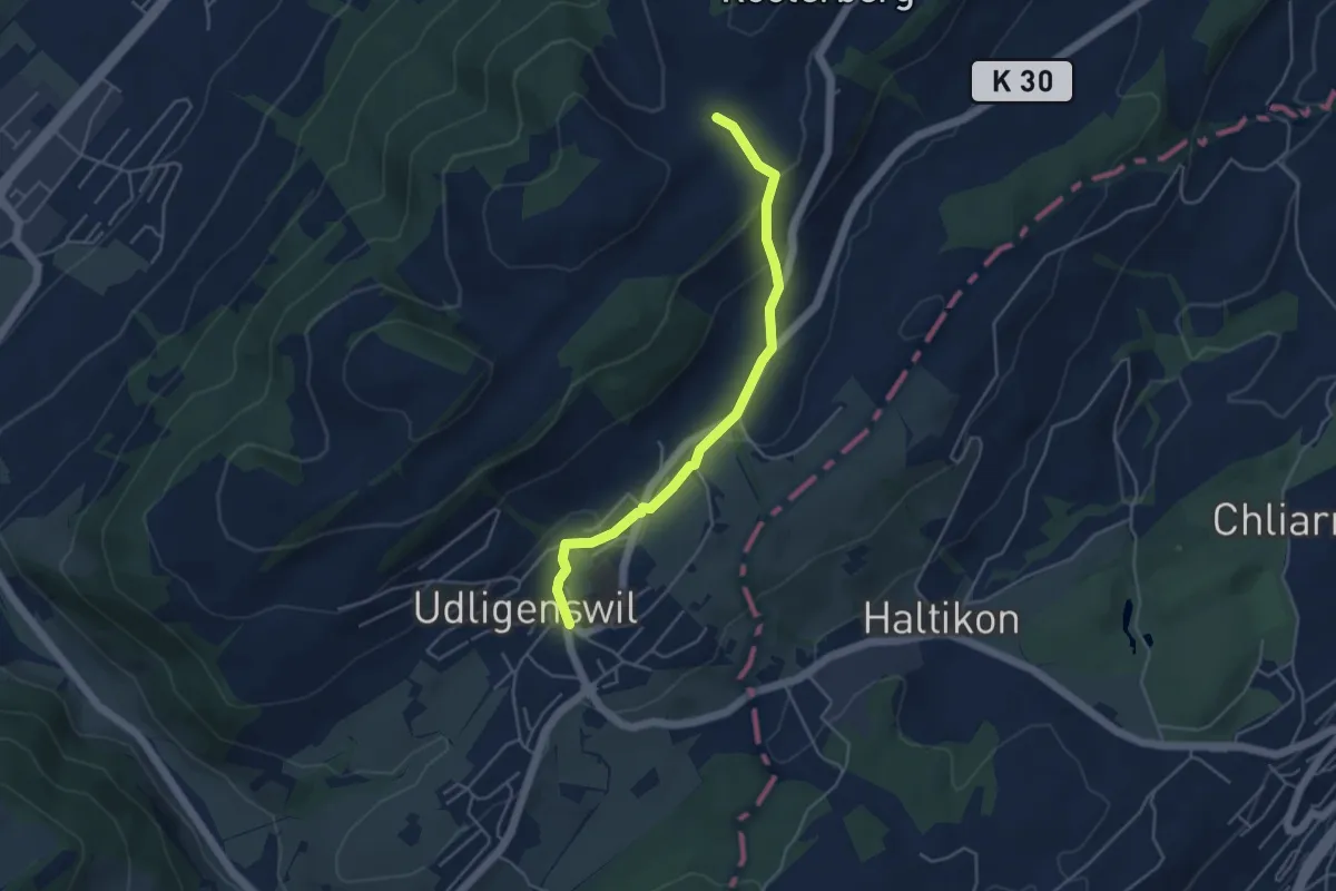
Easy · Trail
Udligenswil - Schiffmannshof
4.3 km · ↑ 145 m · 1 h 20 min · 12 km away
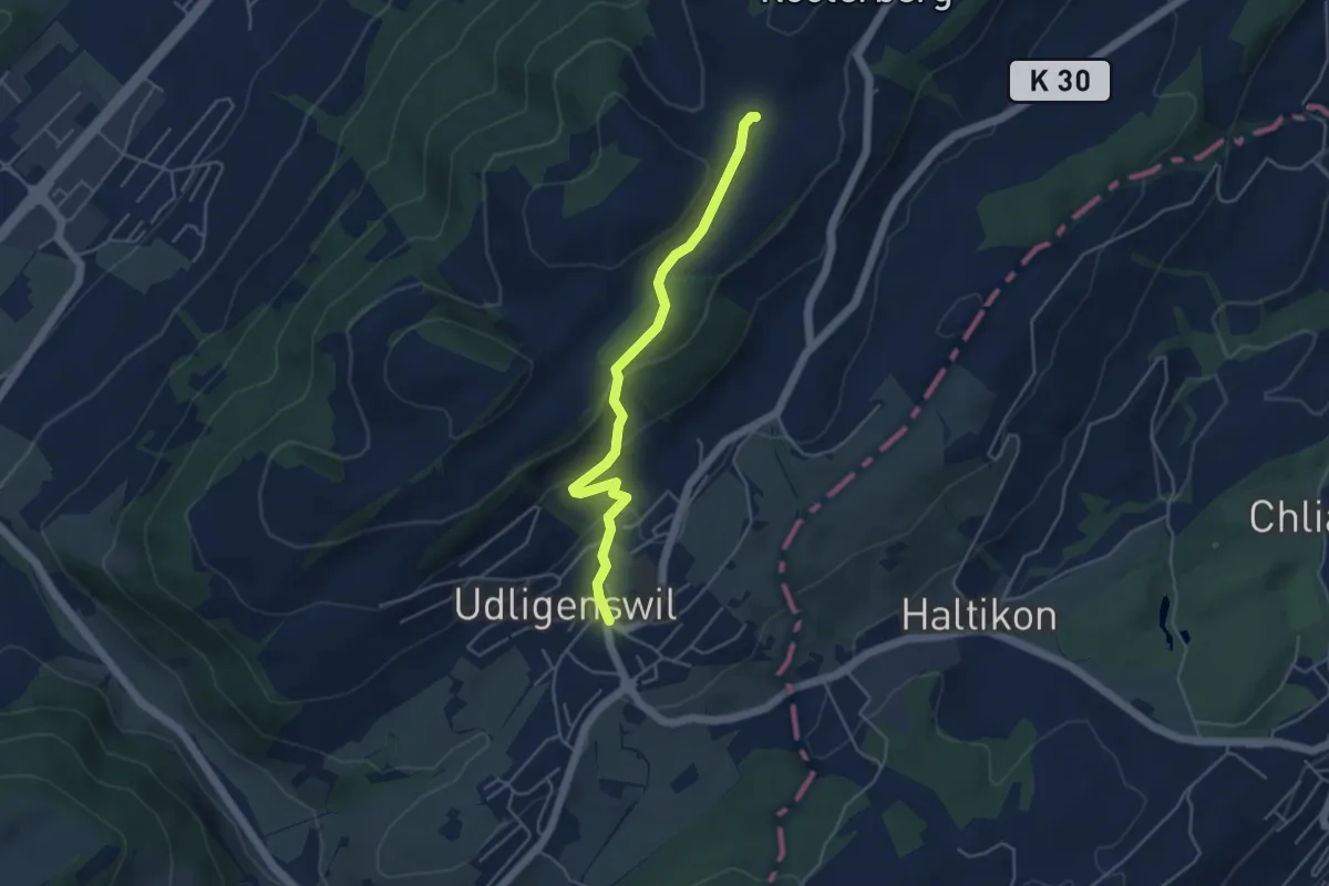
Easy · Trail
Schiffmannshof-Udligenswil
4.4 km · ↑ 177 m · 1 h 26 min · 12 km away
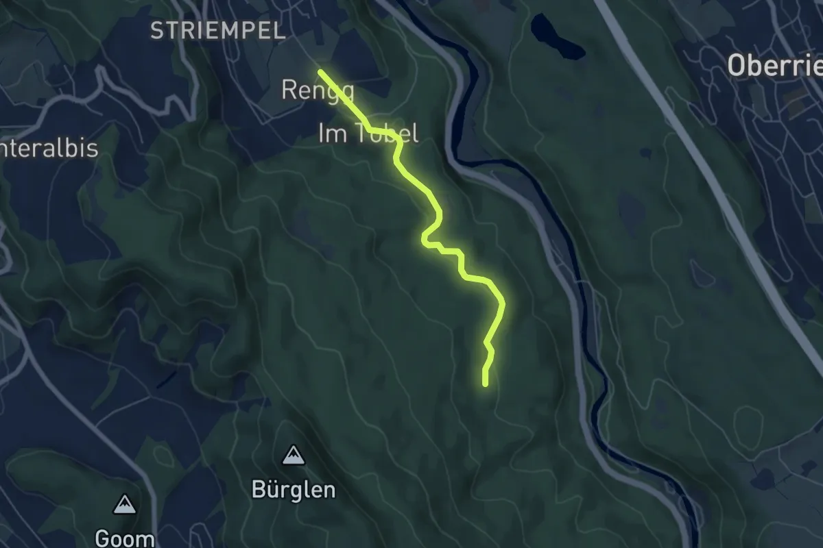
Easy · Trail
Tannboden – Rängg
5.0 km · ↑ 102 m · 1 h 25 min · 12 km away
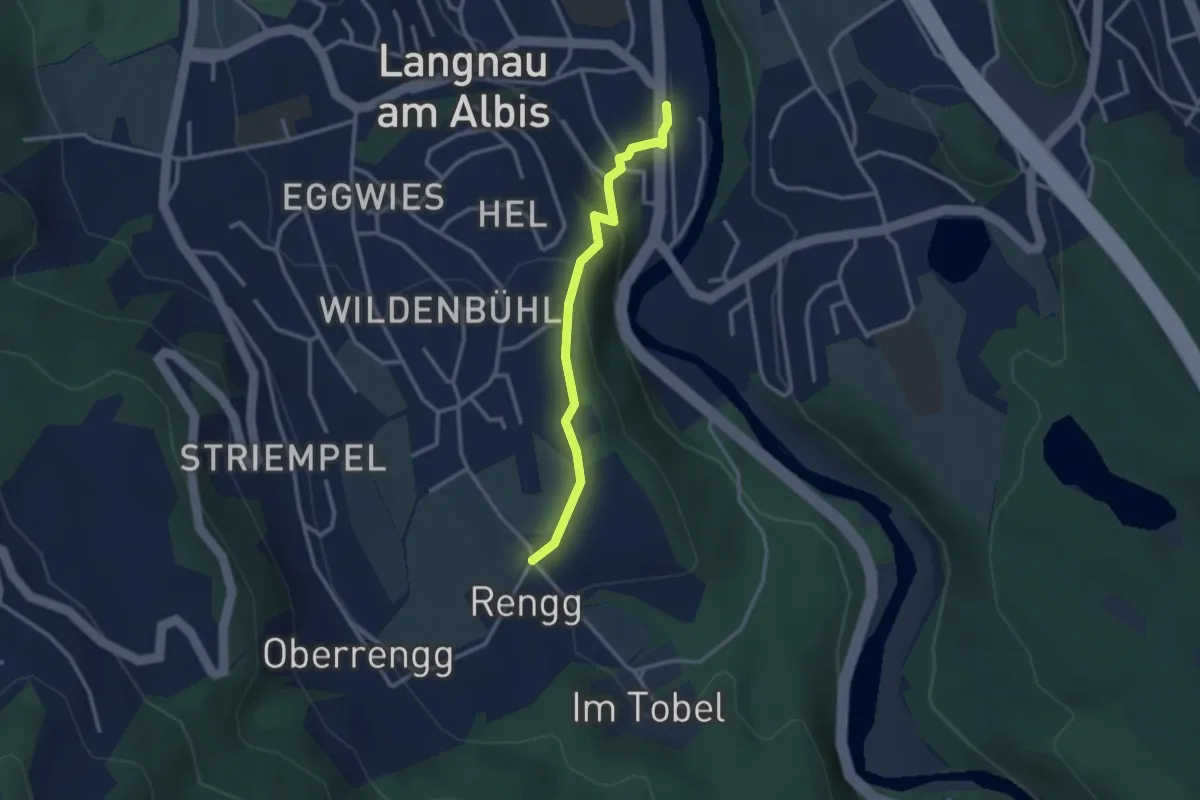
Easy · Trail
Rängg – Langnau Gattikon
2.6 km · ↑ 105 m · 51 min · 12 km away
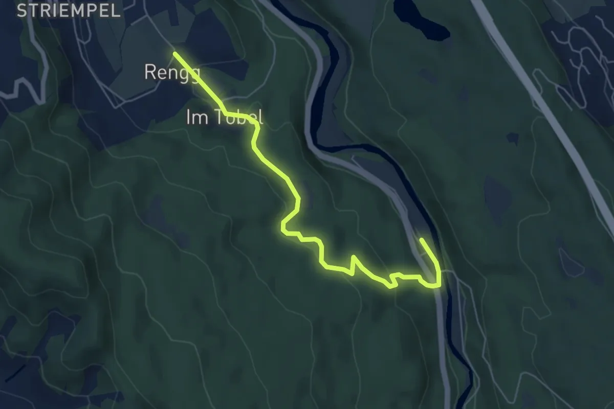
Easy · Trail
Rängg – Sihlwald
5.8 km · ↑ 209 m · 1 h 49 min · 12 km away
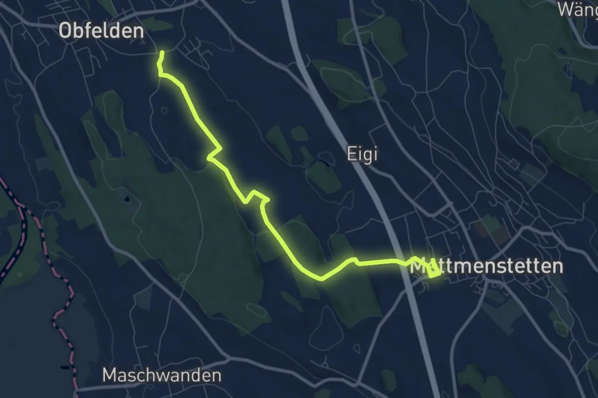
Medium · Trail
Wolsen – Mettmenstetten
8.3 km · ↑ 93 m · 2 h 10 min · 12 km away
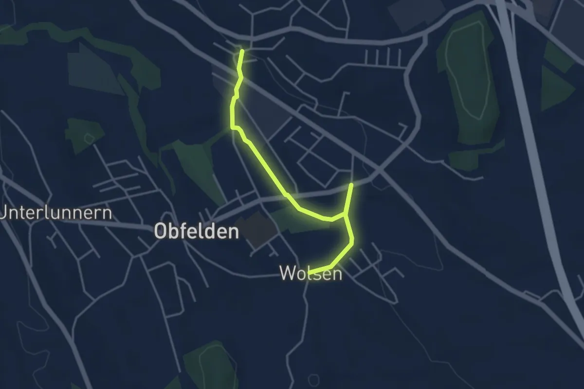
Easy · Trail
Bickwil - Wolsen
3.5 km · ↑ 27 m · 53 min · 12 km away
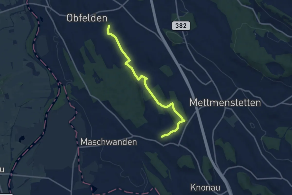
Medium · Trail
Wolsen - Hinteruttenberg
8.6 km · ↑ 107 m · 2 h 15 min · 12 km away
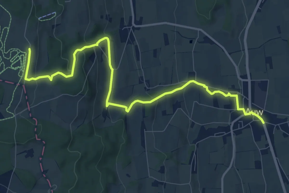
Medium · Trail
Auw – Horben
10.9 km · ↑ 386 m · 3 h 25 min · 12 km away
Medium · Trail
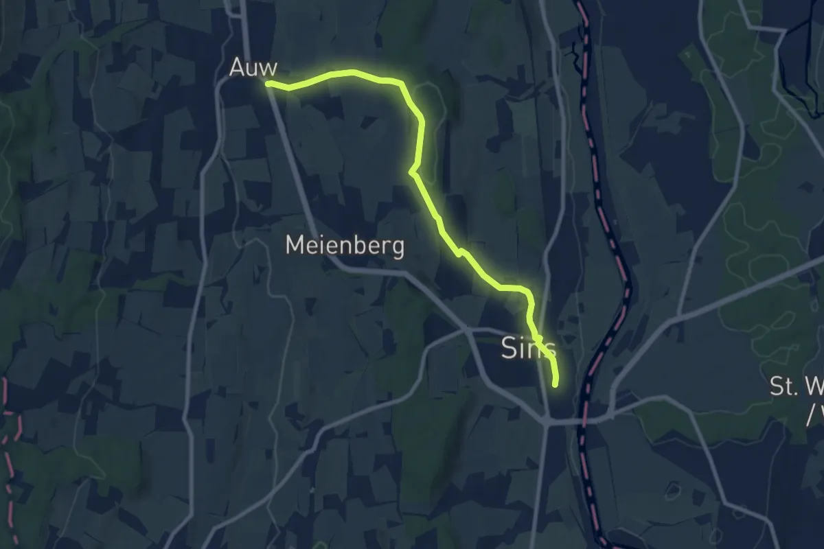
Sins - Auw
8.6 km · ↑ 152 m · 2 h 21 min · 12 km away
Easy · Trail
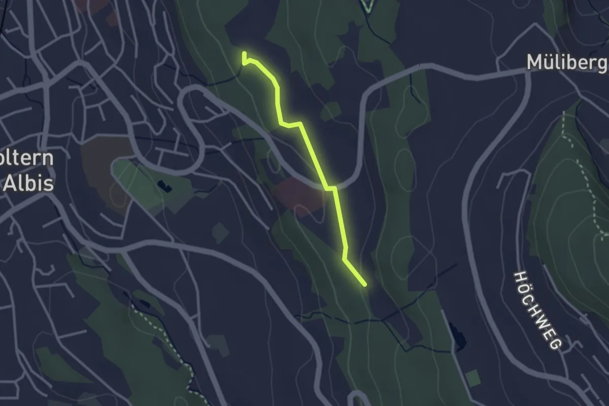
Weid - Sunnenbüel
2.3 km · ↑ 23 m · 35 min · 12 km away
Easy · Trail
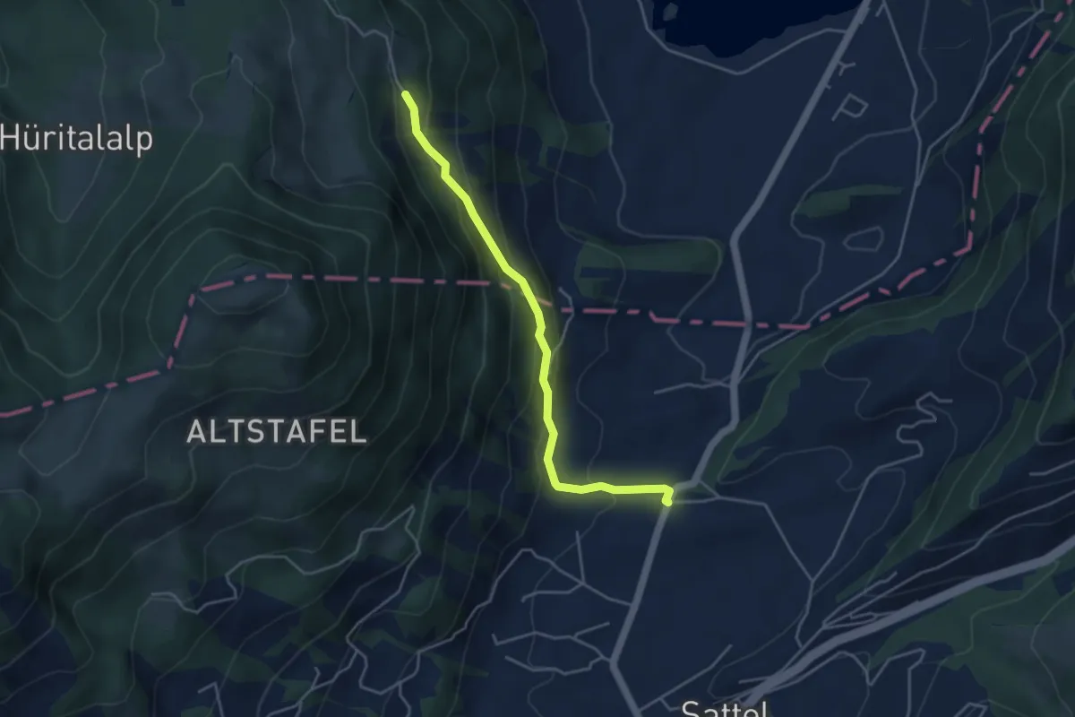
Hageggli - Schornerain
4.0 km · ↑ 295 m · 1 h 36 min · 12 km away
Easy · Trail
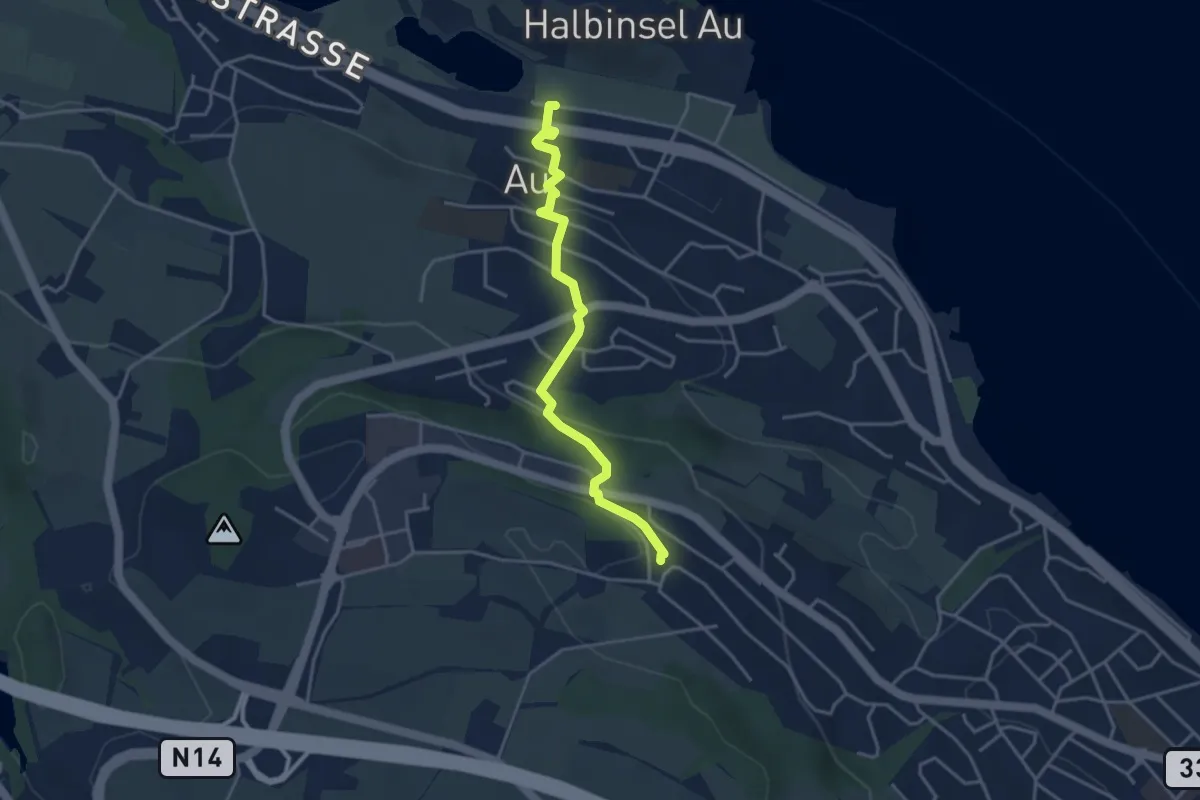
Au – Schönegg
3.7 km · ↑ 140 m · 1 h 11 min · 12 km away
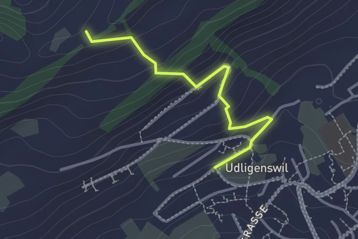
Easy · Trail
Udligenswil - Gabelegg
2.4 km · ↑ 139 m · 52 min · 12 km away
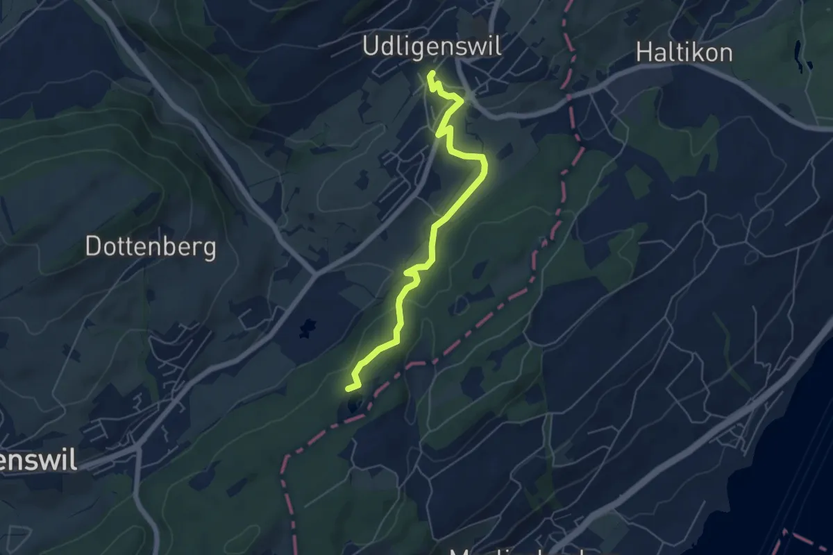
Easy · Trail
Udligenswil – Wagenmoos
5.3 km · ↑ 156 m · 1 h 36 min · 12 km away
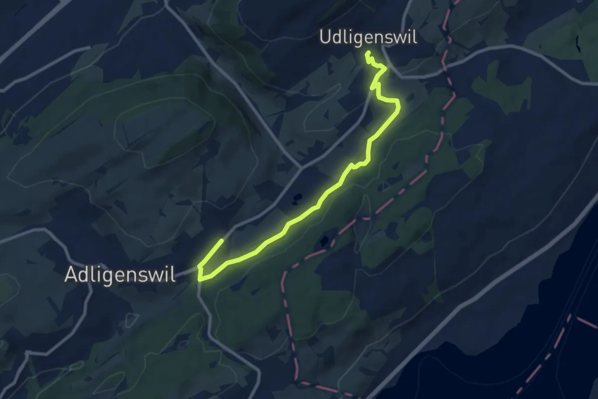
Medium · Trail
Udligenswil – Chli Äbnet
8.3 km · ↑ 125 m · 2 h 13 min · 12 km away
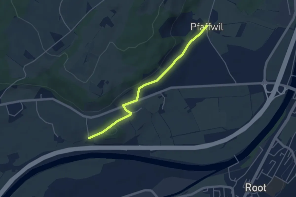
Easy · Trail
St.Katrine - Pfaffwil
3.7 km · ↑ 61 m · 1 h 1 min · 12 km away
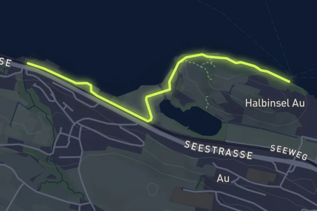
Easy · Trail
Meilibach – Halbinsel Au
4.0 km · ↑ 9 m · 58 min · 12 km away
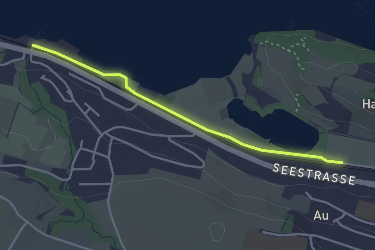
Easy · Trail
Meilibach – Au
2.8 km · ↑ 4 m · 40 min · 12 km away
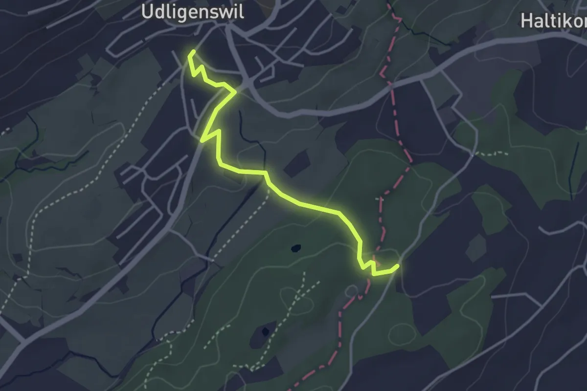
Easy · Trail
Udligenswil - Teufried
3.4 km · ↑ 82 m · 58 min · 13 km away
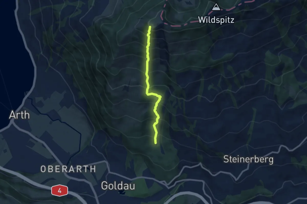
Demanding · Trail
Gnipen (West) – Schuttwald
5.7 km · ↑ 849 m · 3 h 11 min · 13 km away
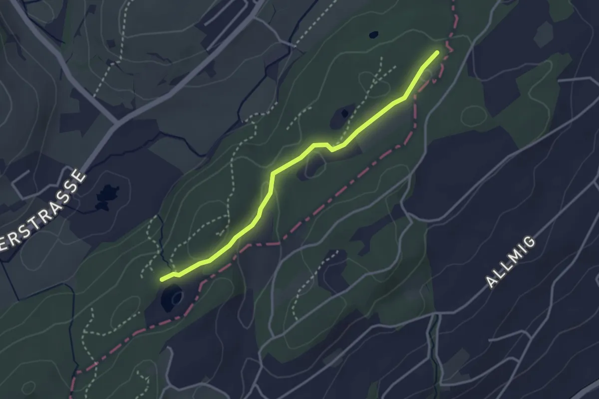
Easy · Trail
Teufried – Wagenmoos
3.1 km · ↑ 35 m · 48 min · 13 km away
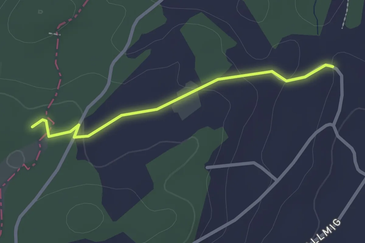
Easy · Trail
Teufried - Sunnehöfli
2.0 km · ↑ 39 m · 33 min · 13 km away
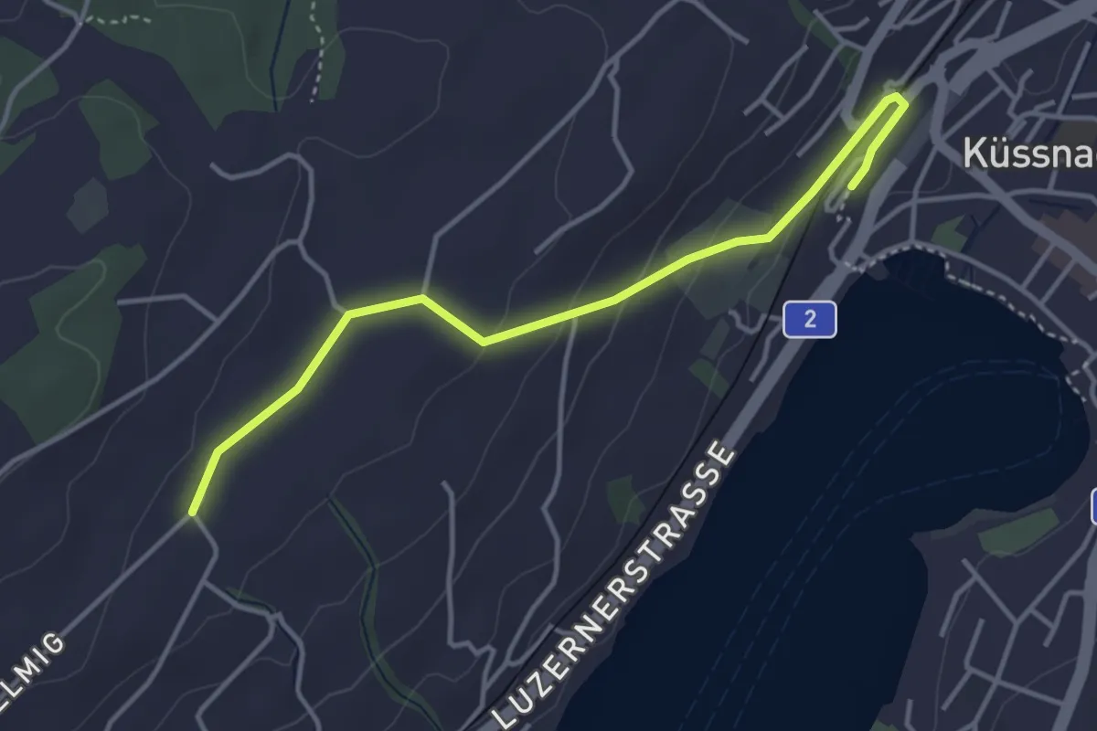
Easy · Trail
Allmig – Küssnacht
3.9 km · ↑ 105 m · 1 h 9 min · 13 km away
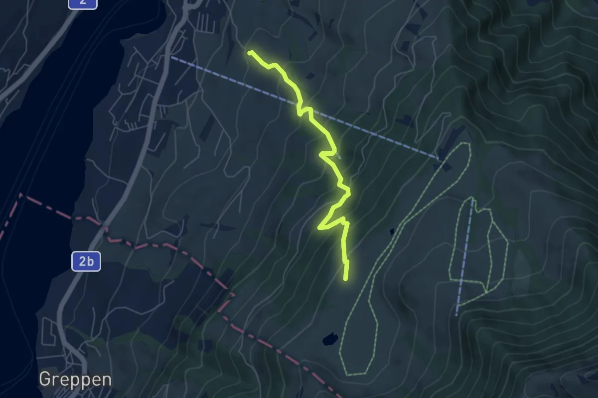
Medium · Trail
Alpenhof-Schluchegg
5.3 km · ↑ 495 m · 2 h 19 min · 13 km away