Trails near Zug
636 hikes starting within 15 km, nearest first.
Nearest first, page 9 of 14
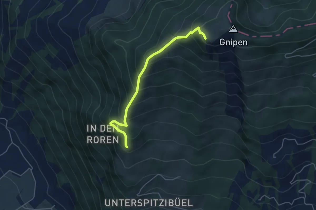
Medium · Trail
Spitzibüel – Gnipen (West)
3.9 km · ↑ 469 m · 1 h 57 min · 11 km away
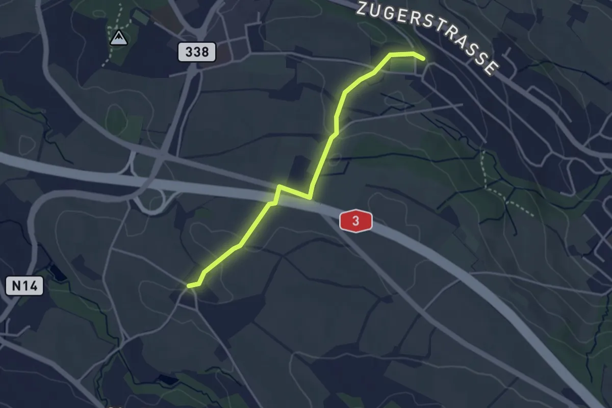
Easy · Trail
Schönegg – Stocken
3.2 km · ↑ 45 m · 51 min · 11 km away
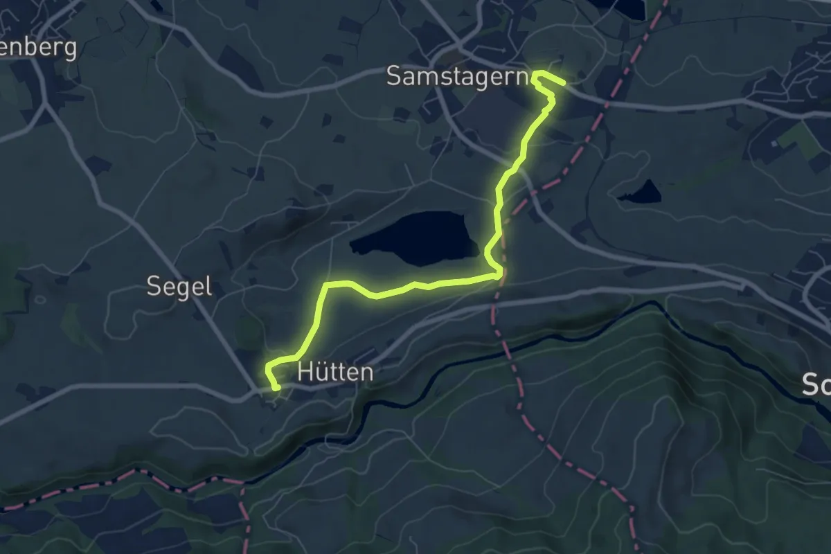
Easy · Trail
Hütten – Samstagern
7.0 km · ↑ 142 m · 1 h 58 min · 11 km away
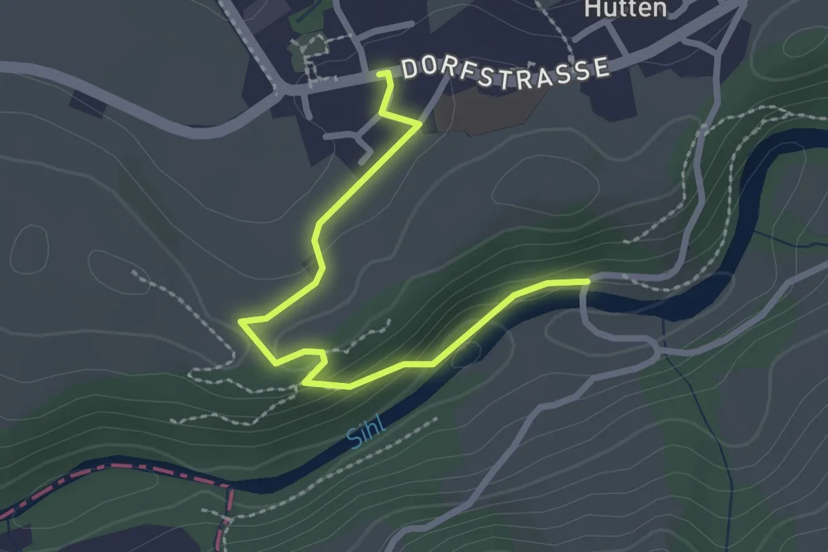
Easy · Trail
Hütten - Hüttner Brugg
2.3 km · ↑ 58 m · 40 min · 11 km away
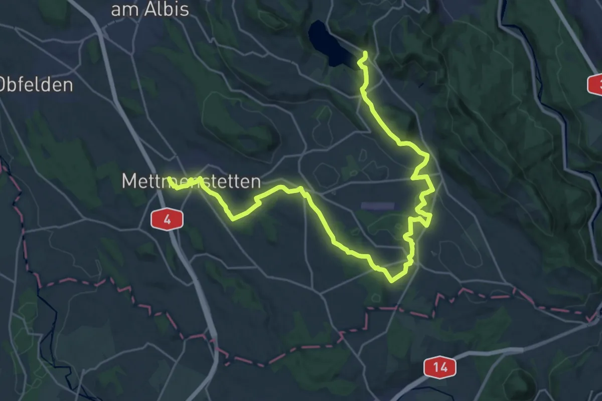
Demanding · Trail
Knonaueramt-Weg
29.1 km · ↑ 428 m · 7 h 47 min · 11 km away
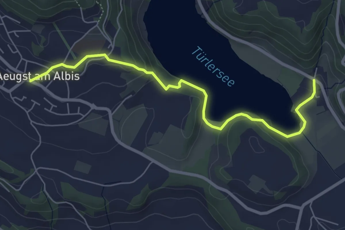
Easy · Trail
Aeugst a.A. – Türlen
5.8 km · ↑ 178 m · 1 h 45 min · 11 km away
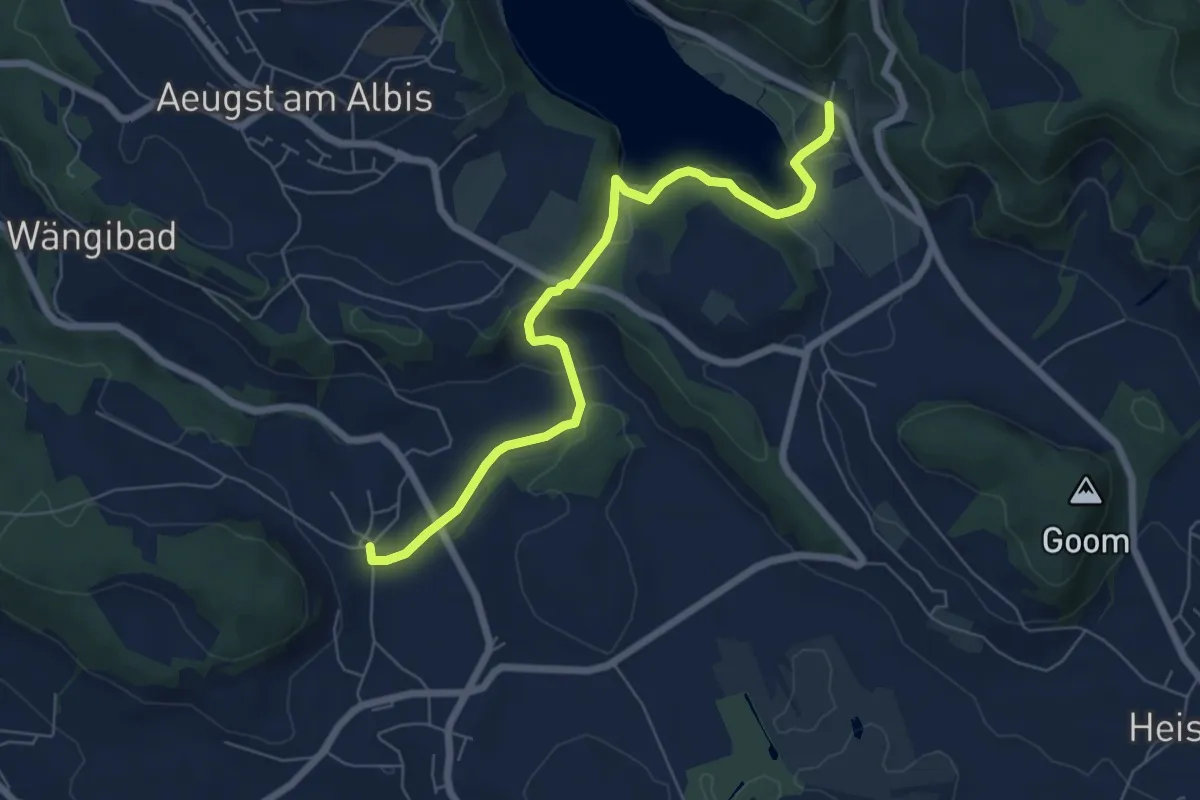
Easy · Trail
Herferswil – Türlen
6.8 km · ↑ 162 m · 1 h 57 min · 11 km away
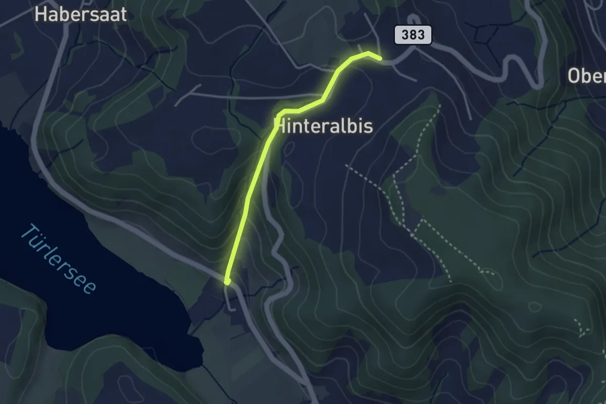
Easy · Trail
Albispass – Türlen
2.6 km · ↑ 131 m · 54 min · 11 km away
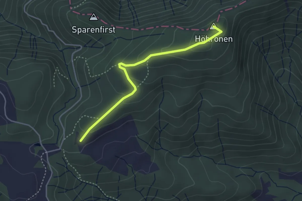
Easy · Summit
Höhboden – Langenegg
3.5 km · ↑ 125 m · 1 h 5 min · 11 km away
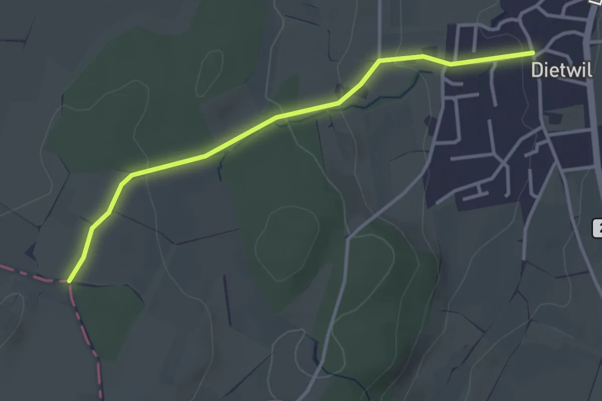
Easy · Trail
Dietwil - Sulzberg
3.1 km · ↑ 96 m · 57 min · 11 km away
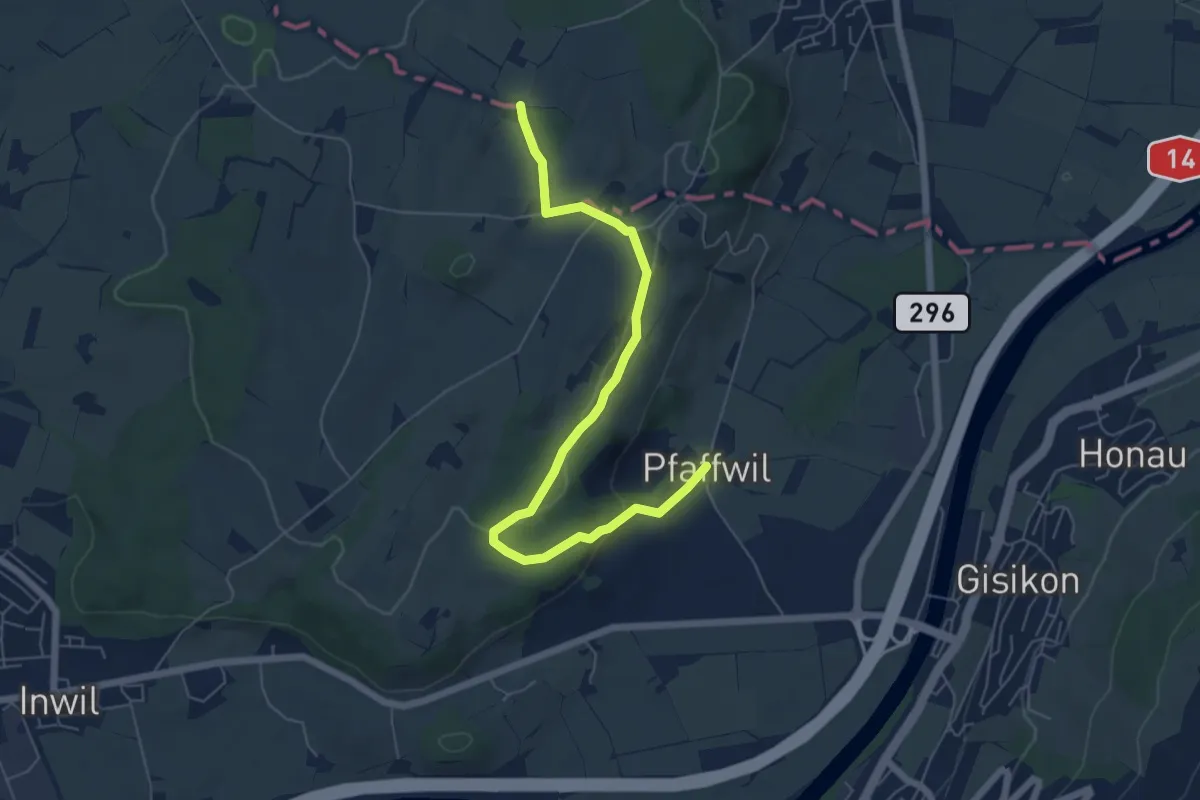
Easy · Trail
Pfaffwil - Sulzberg
6.5 km · ↑ 159 m · 1 h 53 min · 11 km away
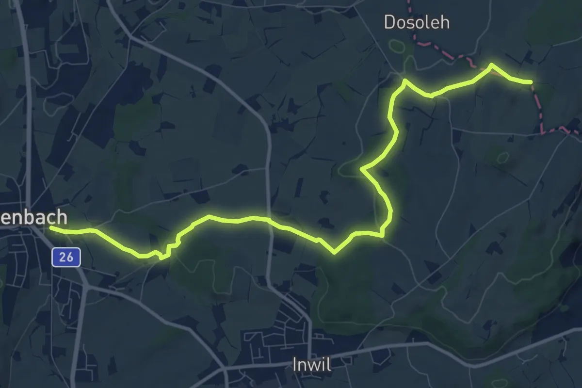
Medium · Trail
Eschenbach - Sulzberg
11.9 km · ↑ 153 m · 3 h 9 min · 11 km away
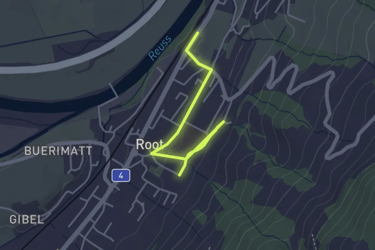
Easy · Trail
Gisikon Root Station - Root
3.5 km · ↑ 73 m · 59 min · 11 km away
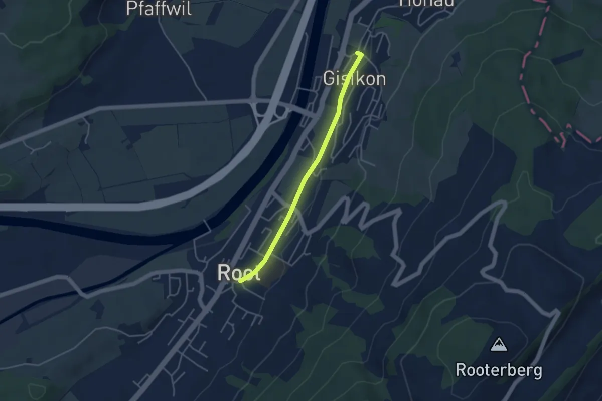
Easy · Trail
Gisikon - Root
3.3 km · ↑ 28 m · 51 min · 11 km away
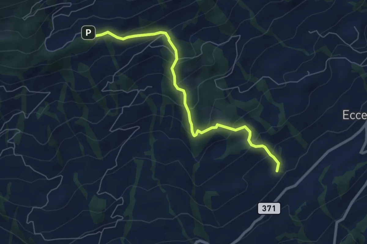
Medium · Trail
Obhegkapelle - Talacher? / Steinen? - fixme
6.0 km · ↑ 491 m · 2 h 29 min · 11 km away
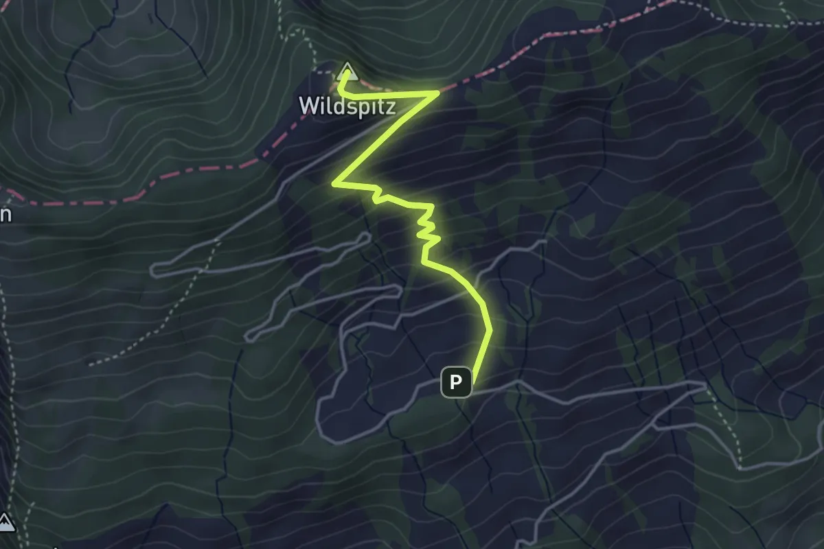
Medium · Summit
Obhegkapelle - Wildspitz
3.7 km · ↑ 323 m · 1 h 35 min · 11 km away
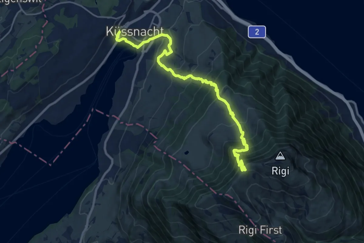
Demanding · Trail
Schwyzer Höhenweg - Etappe 1
16.7 km · ↑ 1217 m · 6 h 34 min · 11 km away
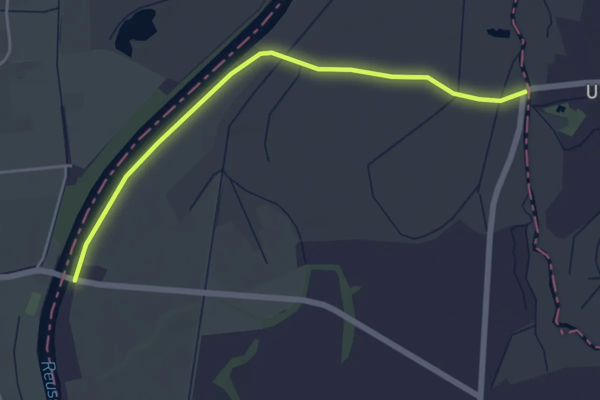
Easy · Trail
Rüsspitz - Brücke Mühlau
4.0 km · ↑ 0 m · 56 min · 11 km away
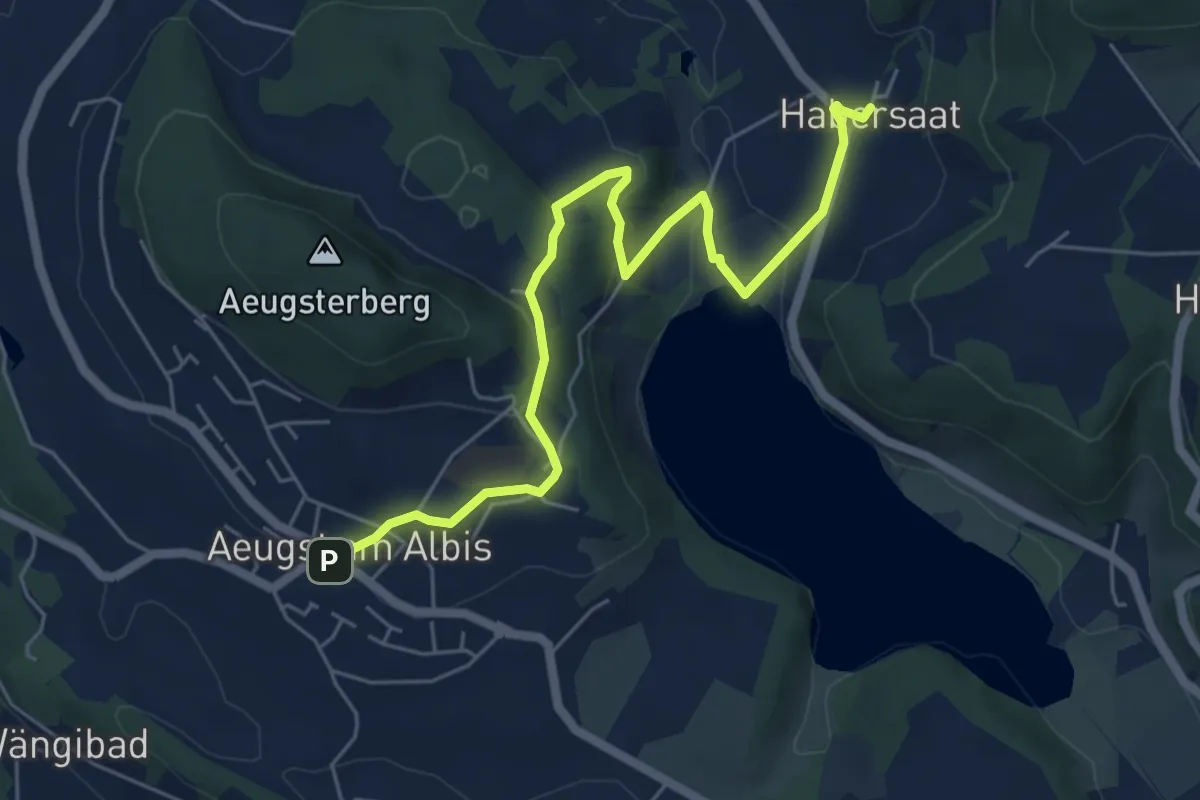
Easy · Trail
Habersaat – Aegst a.A.
6.3 km · ↑ 179 m · 1 h 53 min · 11 km away
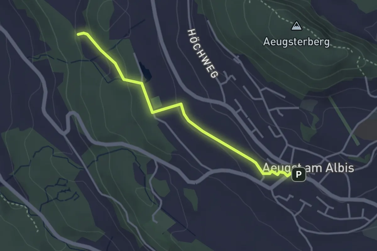
Easy · Trail
Aeugst am Albis – Sunnenbüel
3.2 km · ↑ 80 m · 55 min · 11 km away
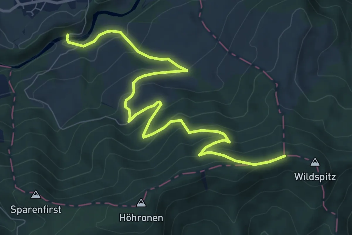
Medium · Trail
Dreiländerstein – Hüttner Brugg
9.6 km · ↑ 564 m · 3 h 29 min · 11 km away
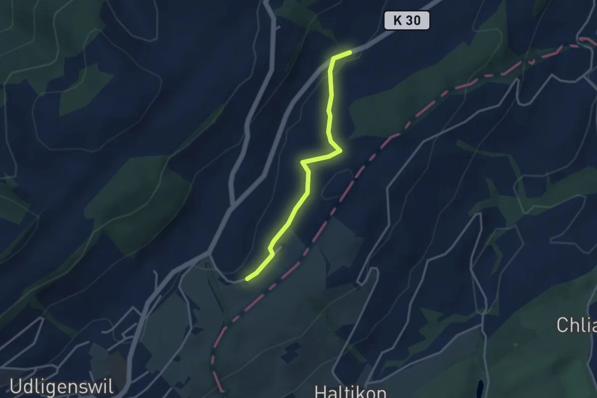
Easy · Trail
Hasli - Robmatt
2.8 km · ↑ 20 m · 43 min · 11 km away
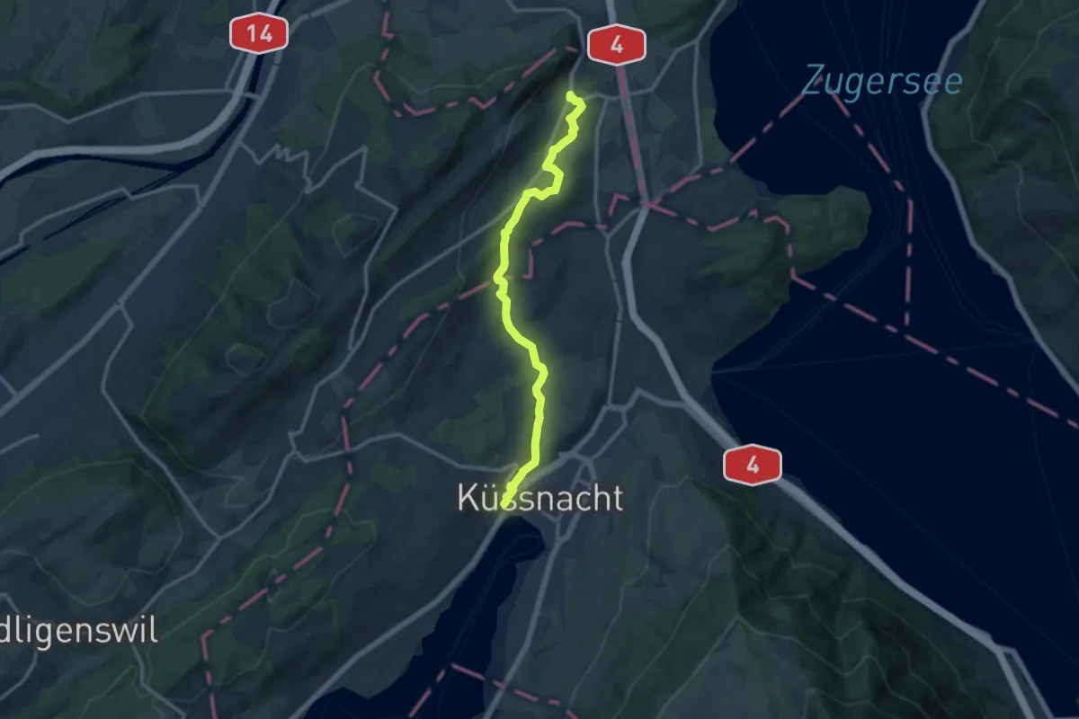
Medium · Trail
Meierskappel – Küssnacht
11.8 km · ↑ 199 m · 3 h 13 min · 11 km away
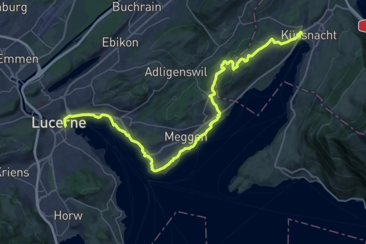
Medium · Trail
Waldstätterweg - Etappe 3
16.9 km · ↑ 334 m · 4 h 57 min · 11 km away
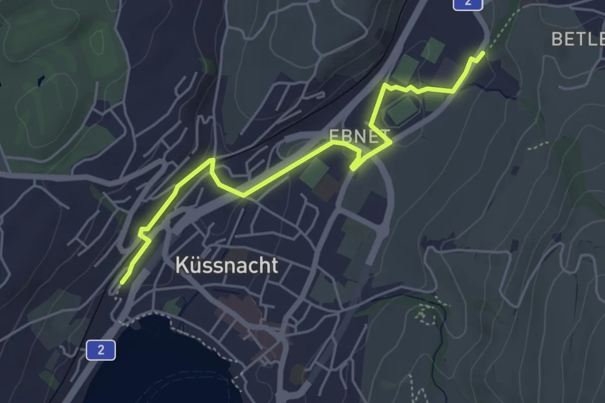
Easy · Trail
Küssnacht – Hohle Gasse
4.7 km · ↑ 57 m · 1 h 14 min · 11 km away
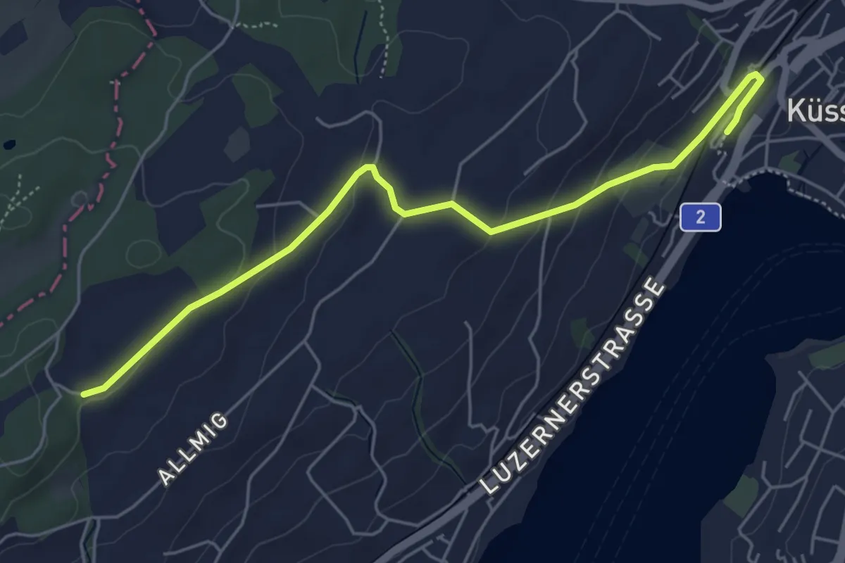
Easy · Trail
Forenmoos – Küssnacht
5.5 km · ↑ 152 m · 1 h 38 min · 11 km away
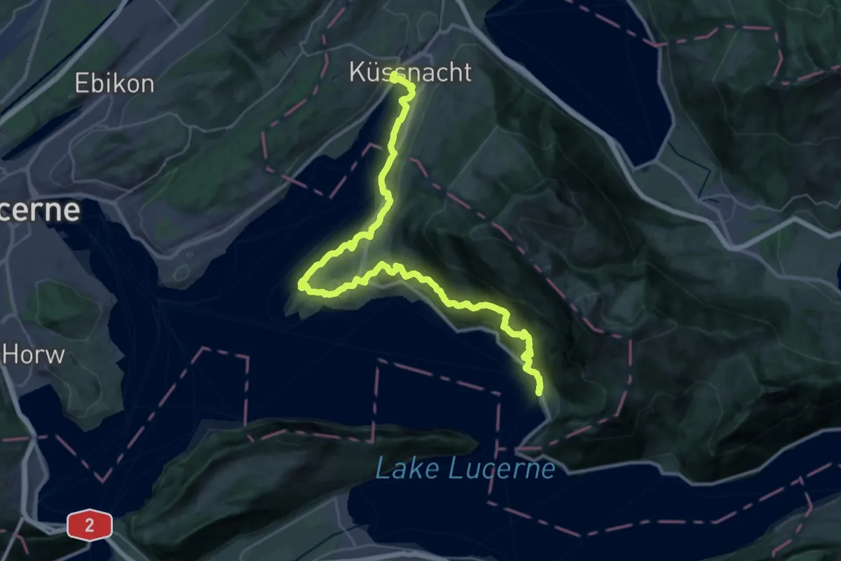
Demanding · Trail
Waldstätterweg - Etappe 2
18.4 km · ↑ 803 m · 6 h 21 min · 11 km away
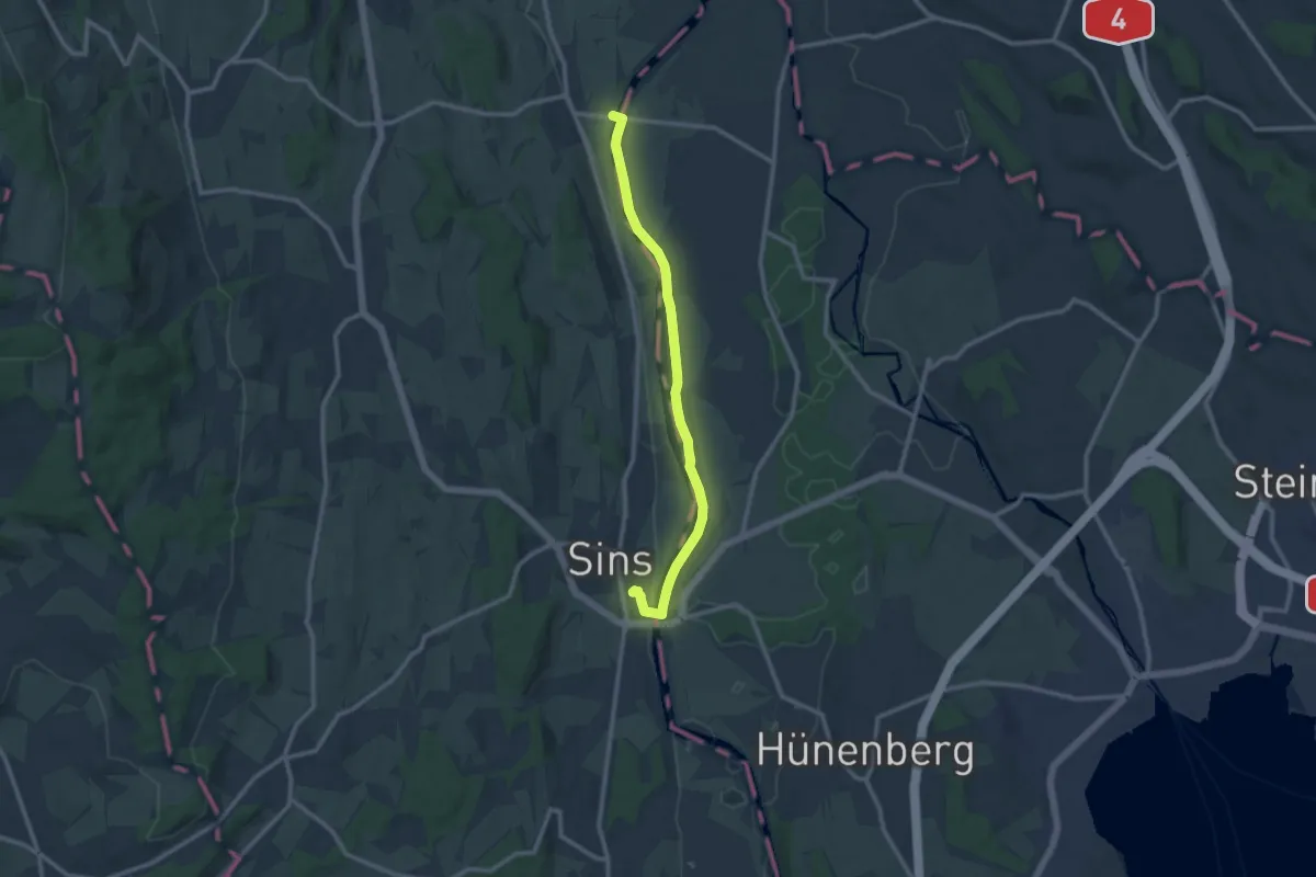
Medium · Trail
Brücke Mühlau – Sins
10.8 km · ↑ 26 m · 2 h 36 min · 11 km away
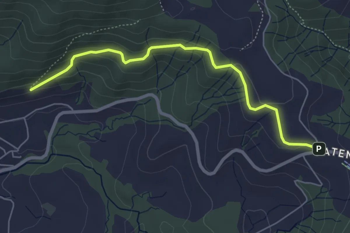
Easy · Trail
Gireggwald – Raten
5.0 km · ↑ 194 m · 1 h 36 min · 11 km away
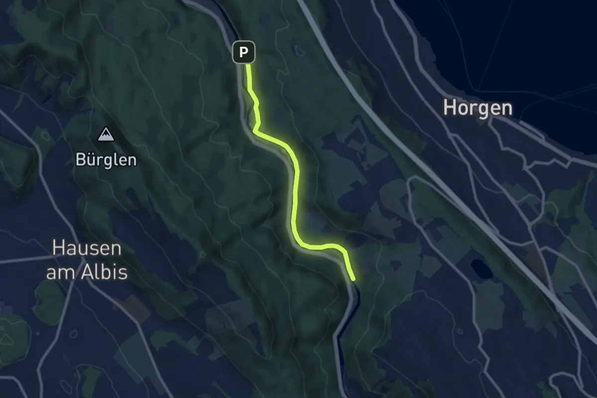
Easy · Trail
Schlegeltobel – Steinchratten
7.2 km · ↑ 99 m · 1 h 55 min · 11 km away
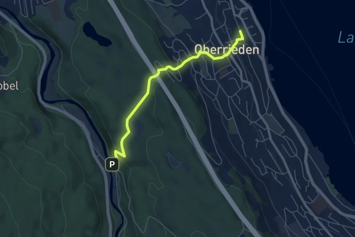
Easy · Trail
Oberrieden (Bahnhof) – Schlegeltobel
5.5 km · ↑ 248 m · 1 h 50 min · 11 km away
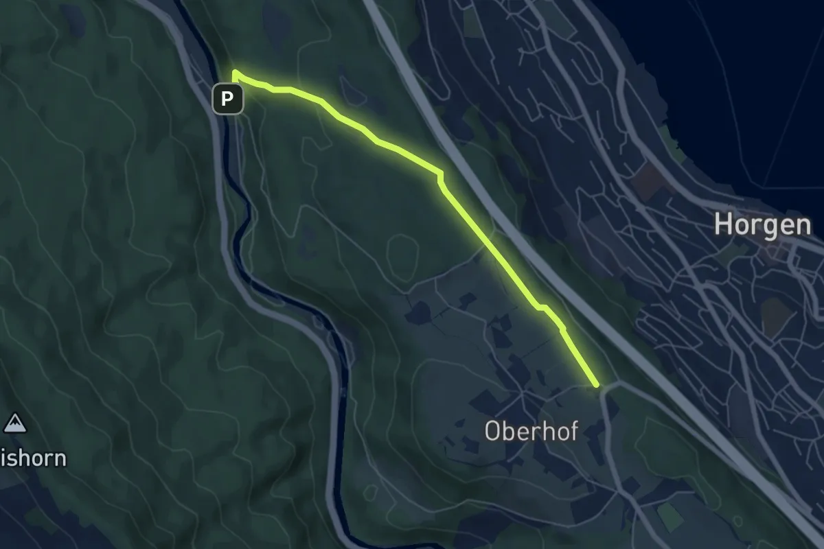
Easy · Trail
Schlegeltobel – Horgenberg
6.0 km · ↑ 168 m · 1 h 46 min · 11 km away
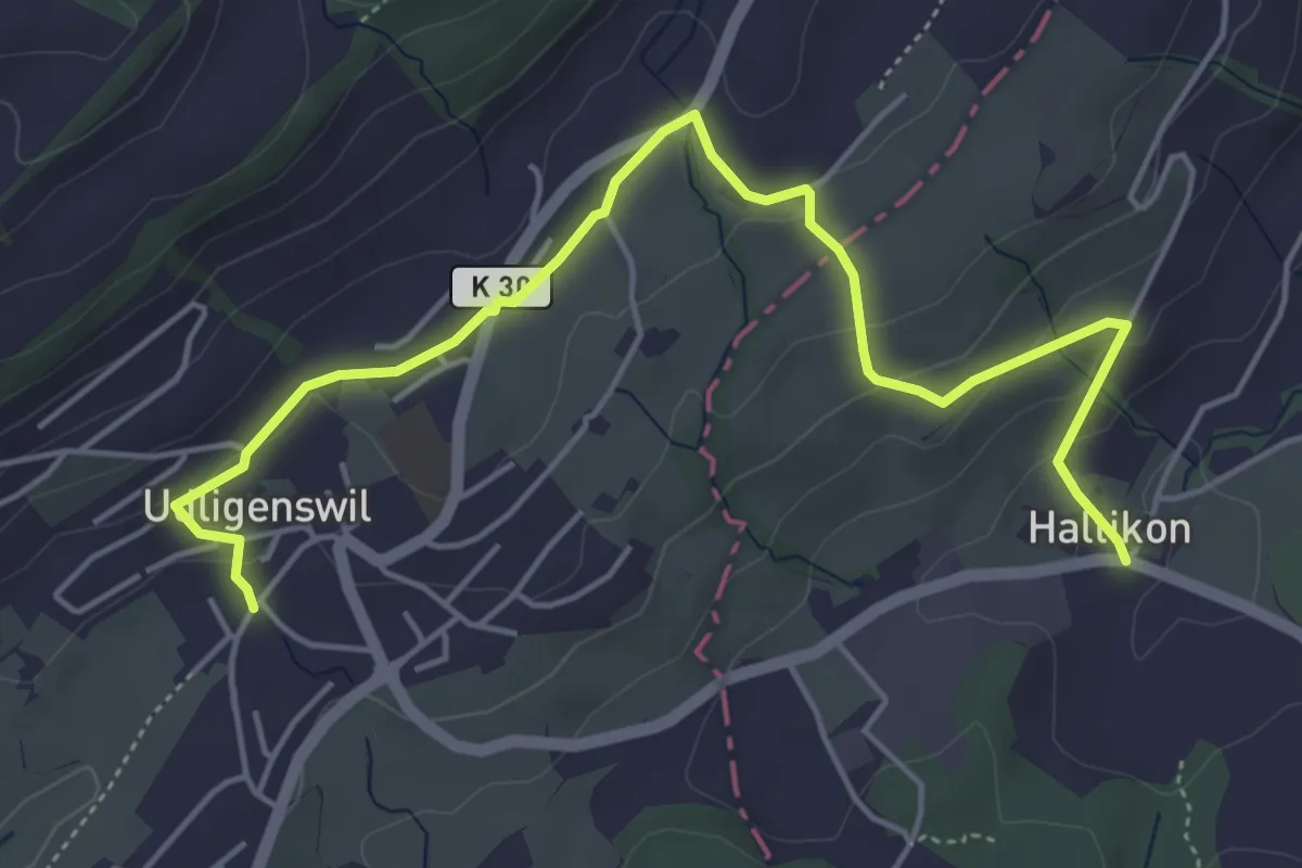
Easy · Trail
Haltikon - Udligenswil
5.7 km · ↑ 167 m · 1 h 43 min · 11 km away
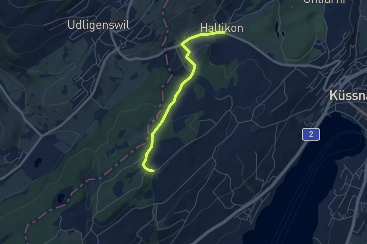
Easy · Trail
Forenmoos – Haltikon
4.5 km · ↑ 113 m · 1 h 19 min · 11 km away
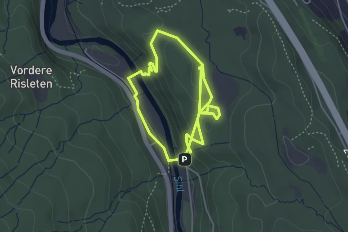
Medium · Trail
Walderlebnispfad
3.4 km · ↑ 163 m · 1 h 10 min · 11 km away
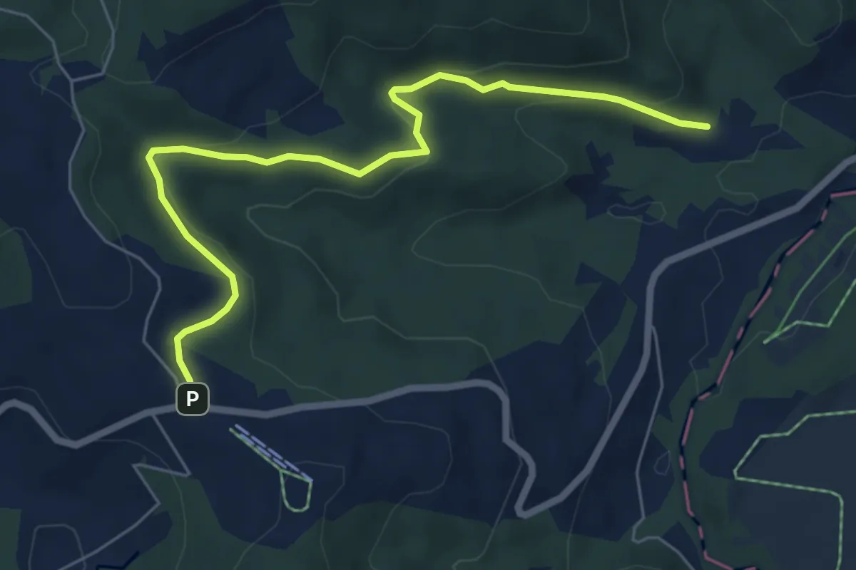
Easy · Trail
Breitried – Raten
6.3 km · ↑ 173 m · 1 h 52 min · 11 km away
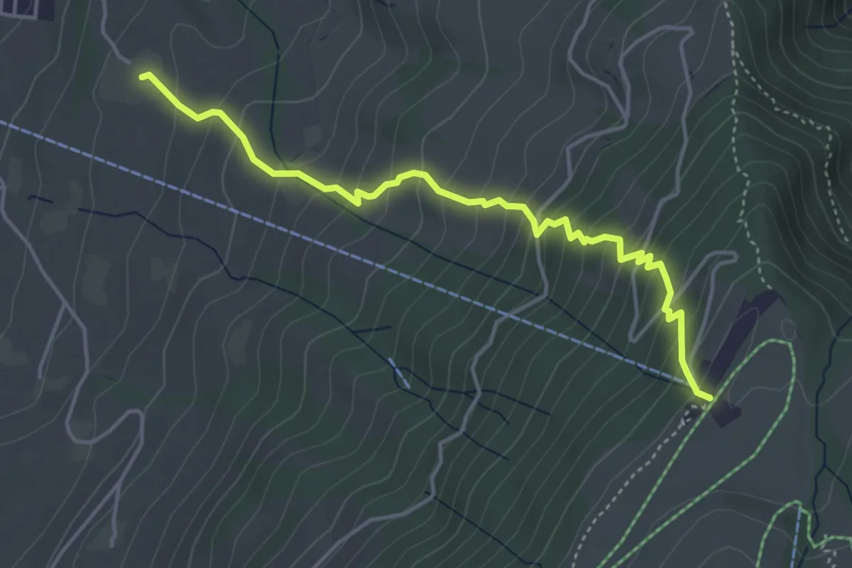
Medium · Trail
Alpenhof – Seebodenalp
4.4 km · ↑ 463 m · 2 h 2 min · 11 km away
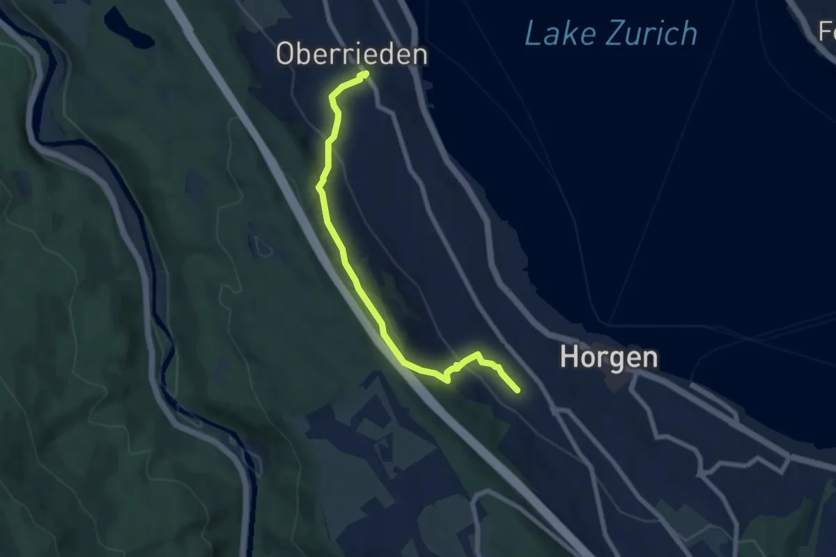
Easy · Trail
Oberrieden (Bahnhof) – Horgen Oberdorf (Station)
6.2 km · ↑ 299 m · 2 h 7 min · 11 km away
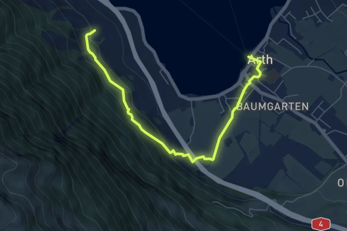
Easy · Trail
Schattenberg - Arth
6.4 km · ↑ 253 m · 2 h 3 min · 11 km away
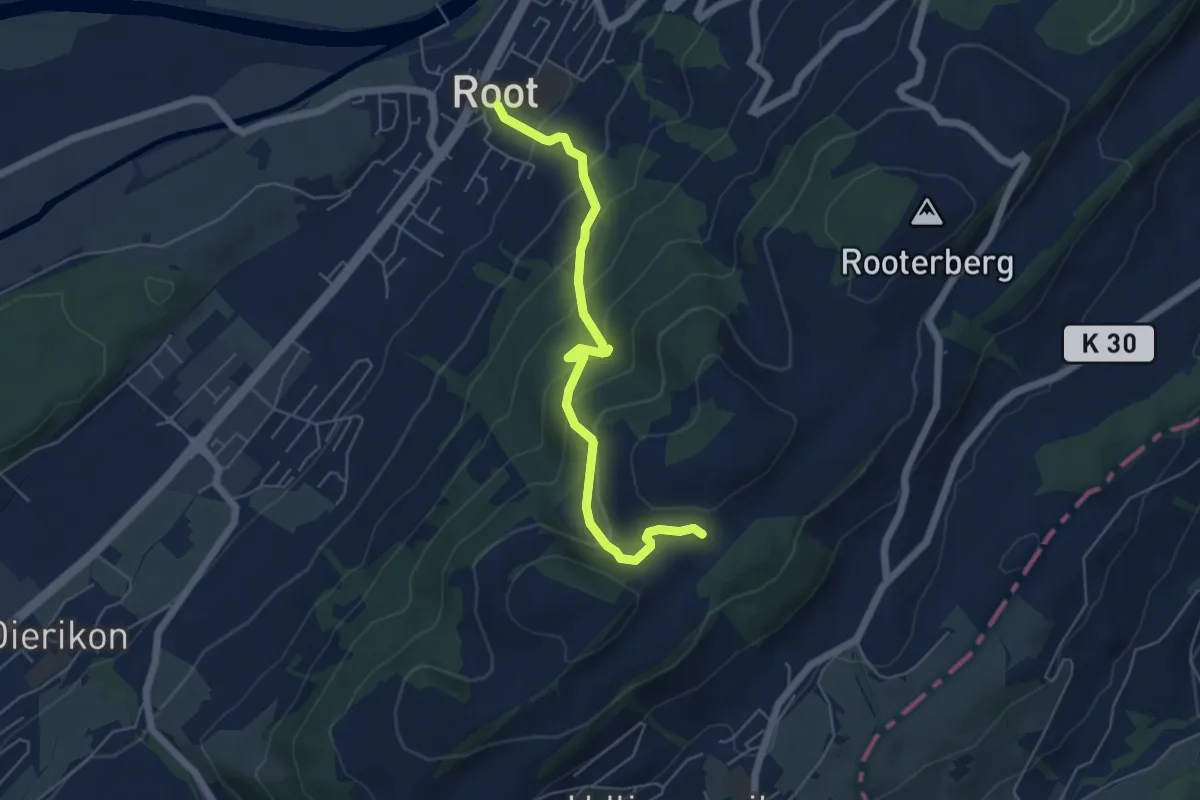
Medium · Trail
Fusterli - Root
5.4 km · ↑ 410 m · 2 h 10 min · 12 km away
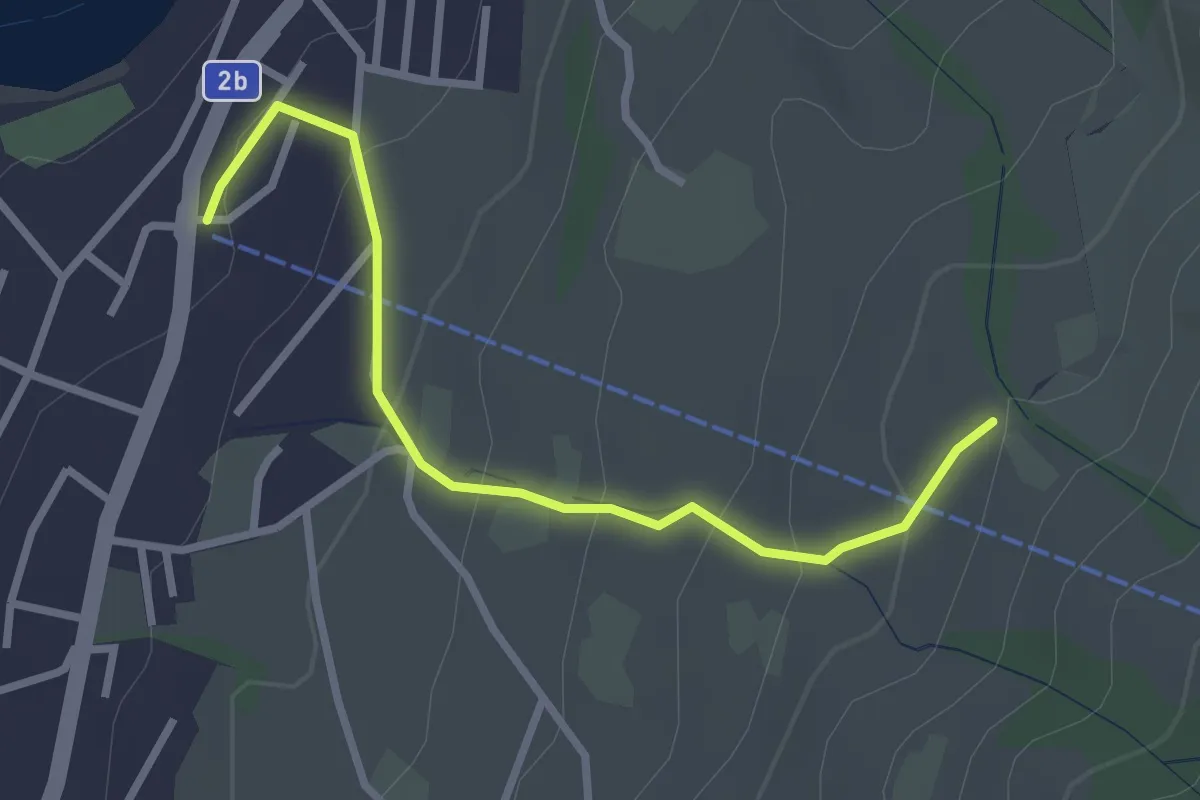
Easy · Trail
Sämpel – Talstation LKüS
2.8 km · ↑ 164 m · 1 h 1 min · 12 km away
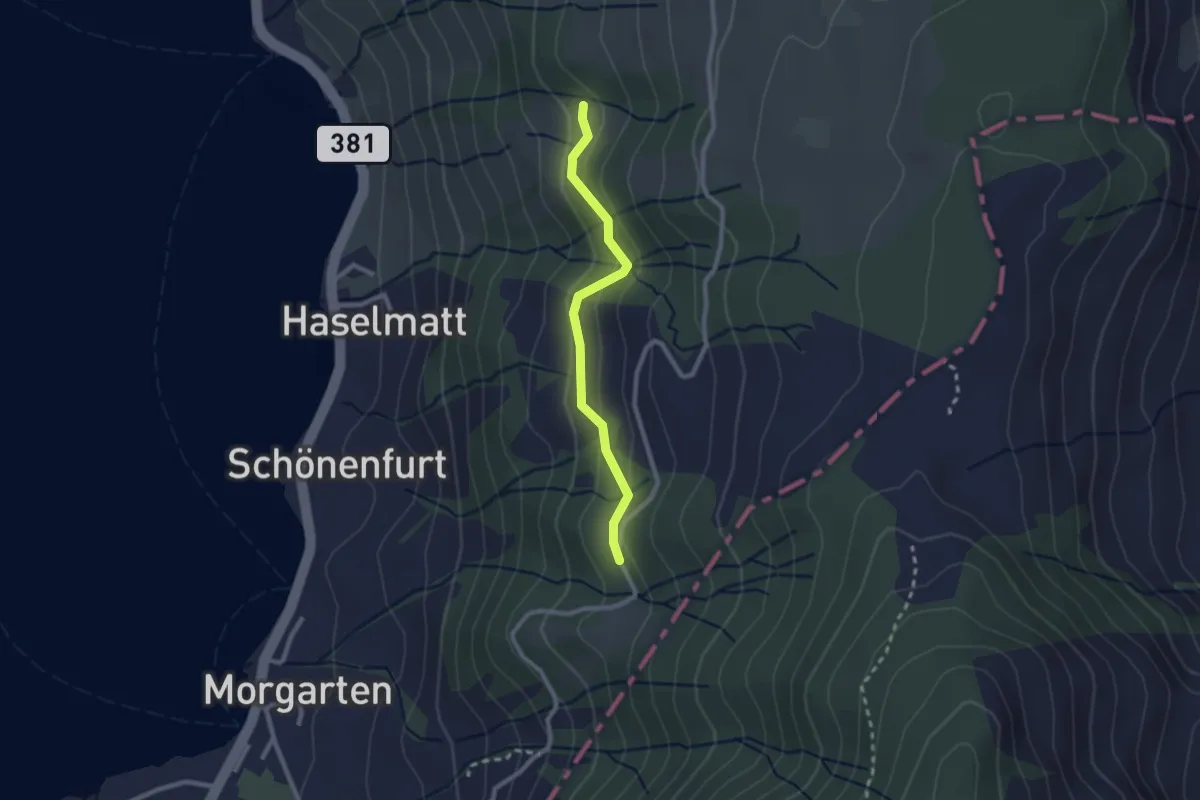
Easy · Trail
Mattli - Brestenberg
2.2 km · ↑ 129 m · 48 min · 12 km away
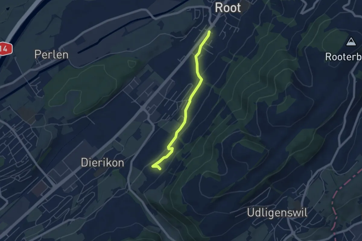
Easy · Trail
Widacher - Root
4.5 km · ↑ 131 m · 1 h 21 min · 12 km away
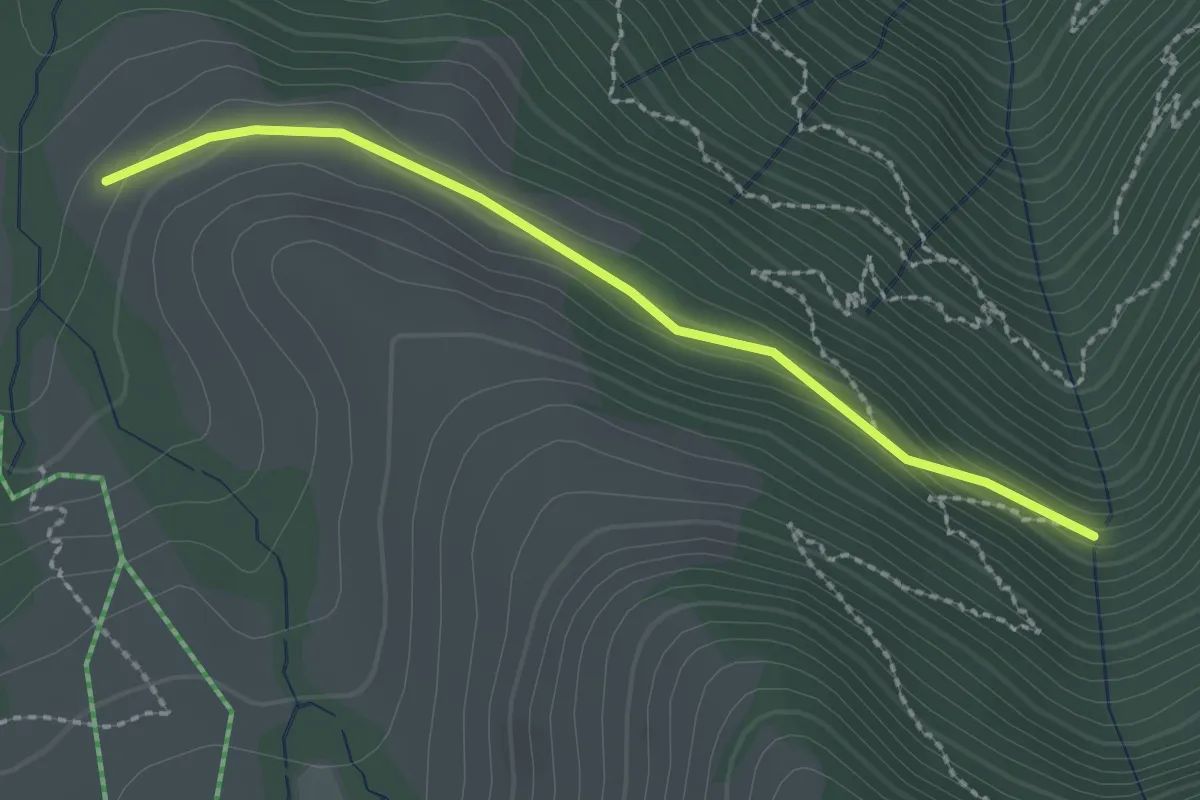
Easy · Trail
Stock – Alpetli
2.3 km · ↑ 41 m · 37 min · 12 km away
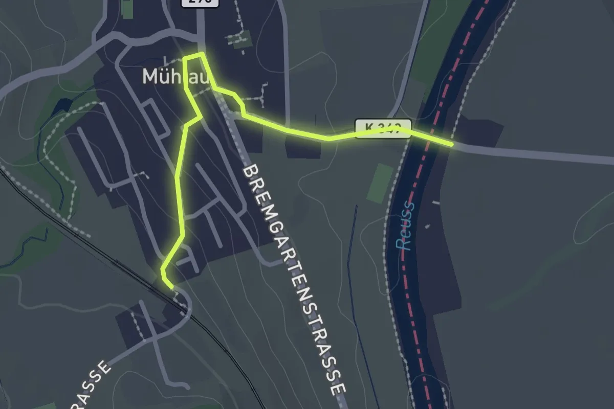
Easy · Trail
Mühlau - Brücke Mühlau
2.3 km · ↑ 55 m · 40 min · 12 km away
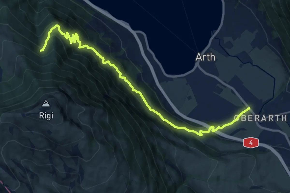
Demanding · Trail
Oberarth – Stock
12.8 km · ↑ 1156 m · 5 h 31 min · 12 km away
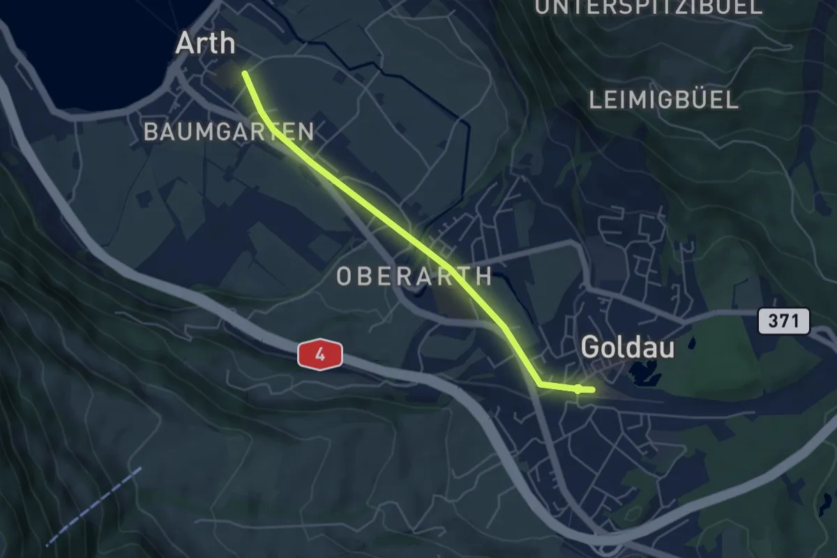
Easy · Trail
Arth - Goldau
4.8 km · ↑ 83 m · 1 h 19 min · 12 km away
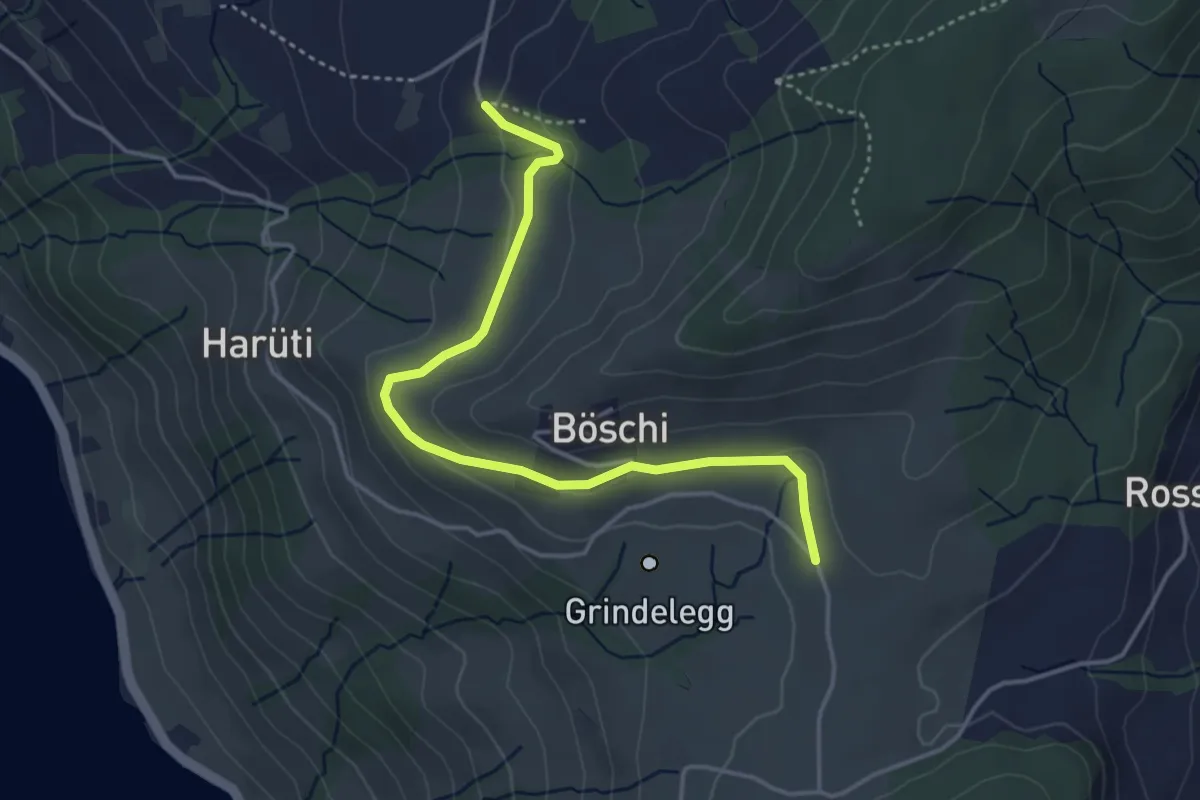
Easy · Trail
Ob Tännli - Grindel - Waldschlagchrüz
4.1 km · ↑ 102 m · 1 h 12 min · 12 km away