Trails near Zug
636 hikes starting within 15 km, nearest first.
Nearest first, page 8 of 14
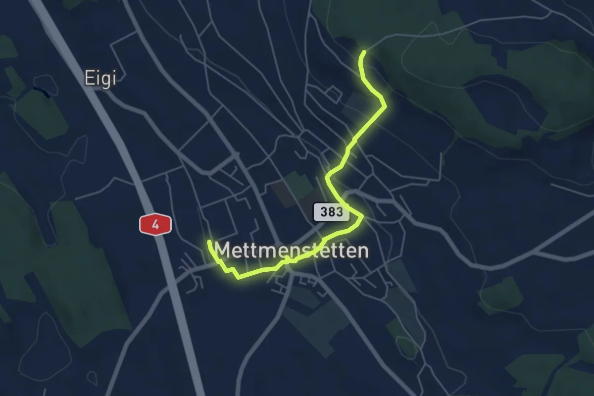
Easy · Trail
Mettmenstetten – Paradis
4.7 km · ↑ 153 m · 1 h 26 min · 10 km away
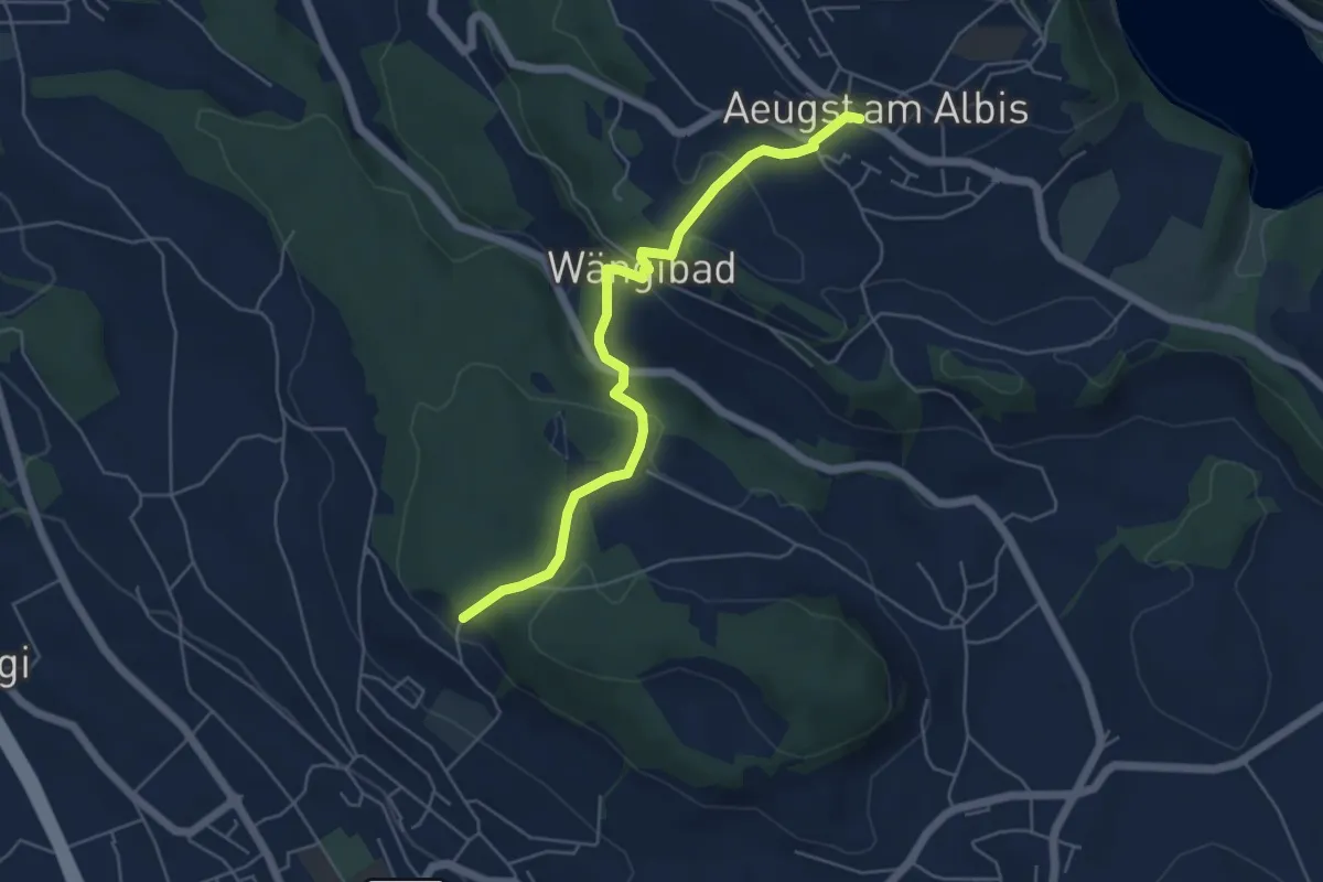
Easy · Trail
Aeugst a. A. – Paradis
5.3 km · ↑ 266 m · 1 h 49 min · 10 km away
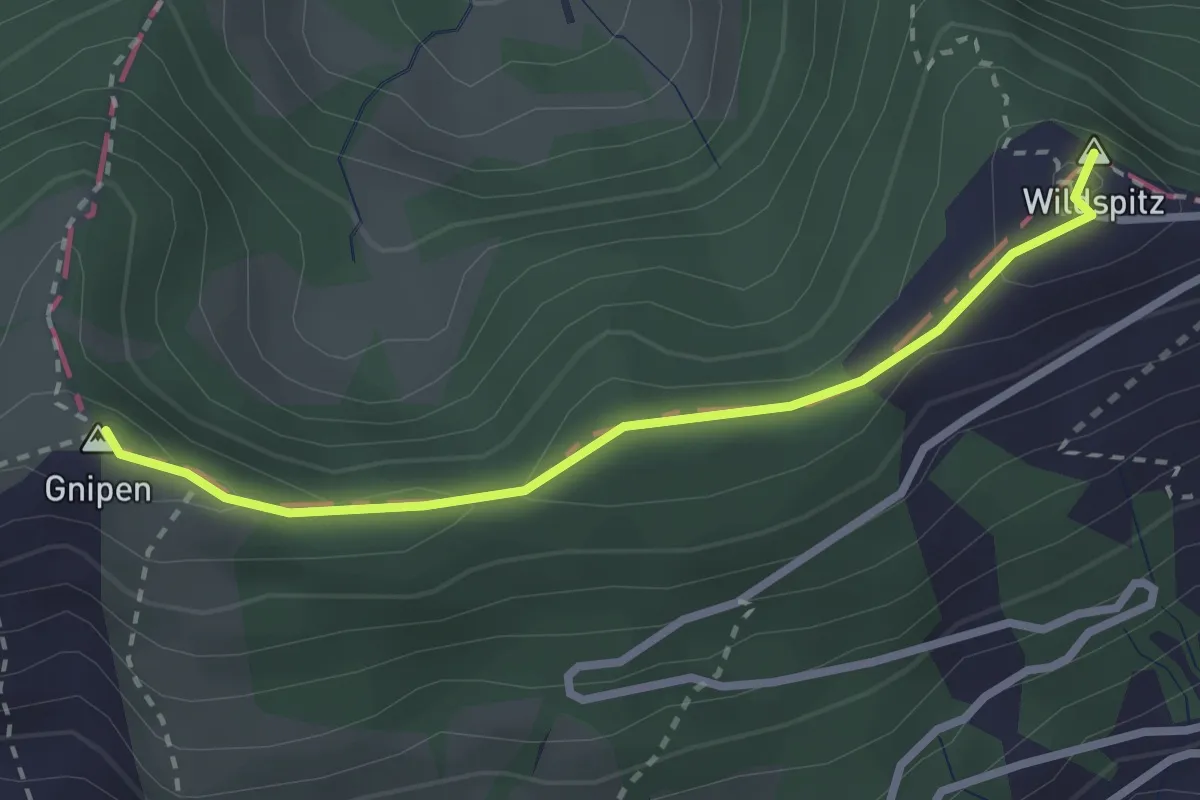
Easy · Summit
Gnipen – Wildspitz
2.6 km · ↑ 110 m · 50 min · 10 km away
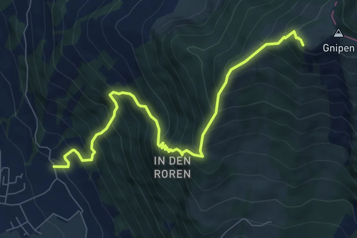
Demanding · Trail
Gnipen (West) – Sunnenberg
7.6 km · ↑ 1016 m · 3 h 59 min · 10 km away
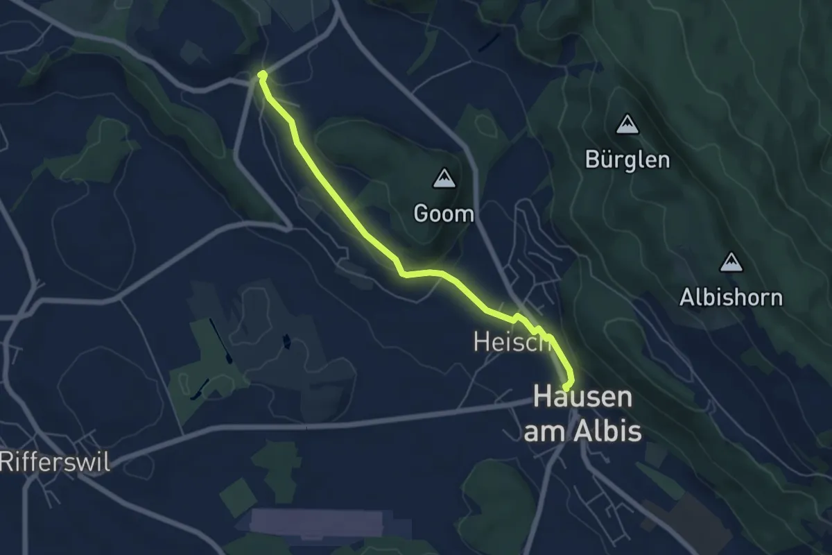
Easy · Trail
Vollenweid – Hausen a. A.
5.2 km · ↑ 127 m · 1 h 31 min · 10 km away
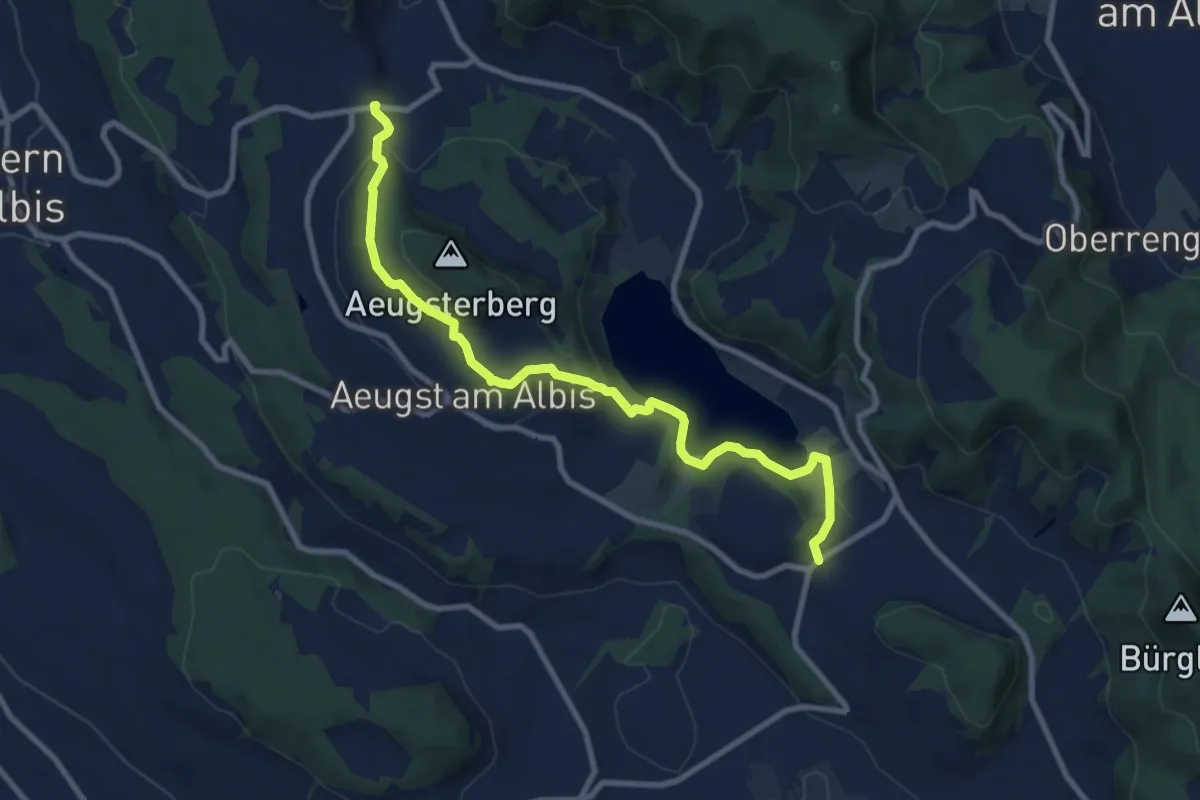
Medium · Trail
Vollenweid – Müliberg
9.7 km · ↑ 284 m · 2 h 54 min · 10 km away
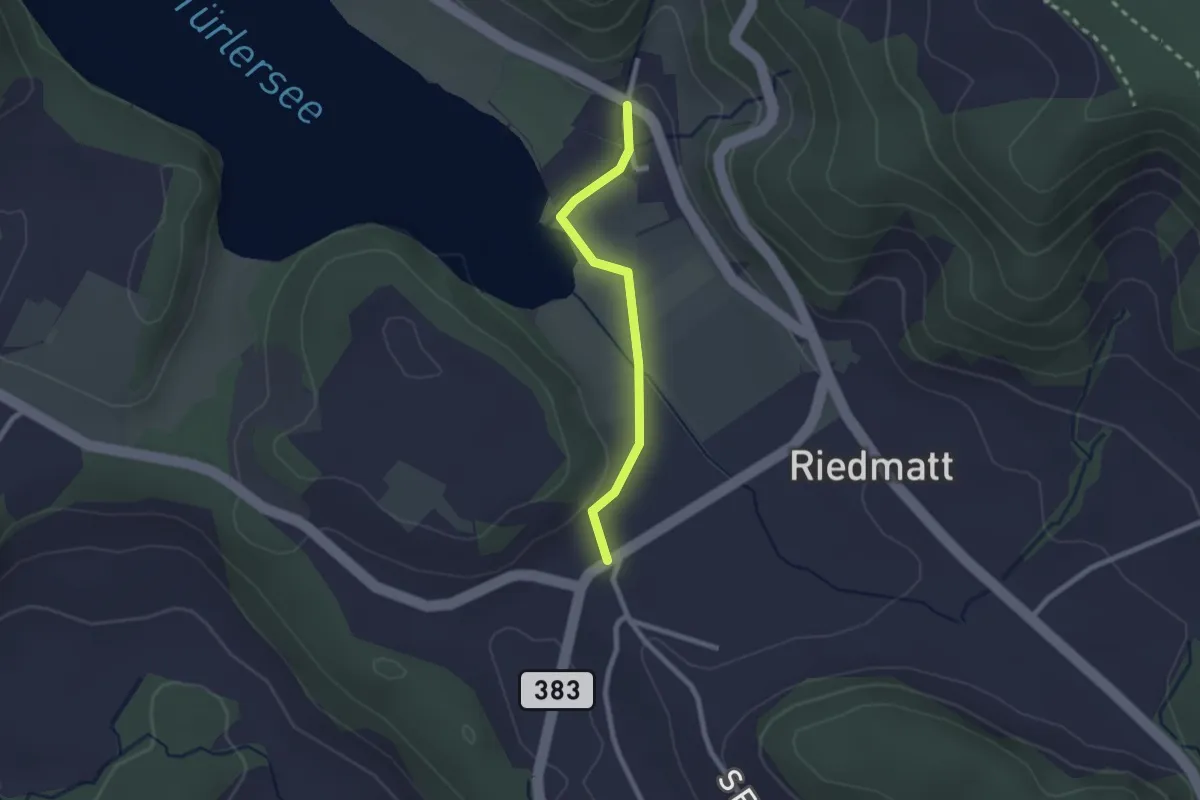
Easy · Trail
Vollenweid – Türlen
2.0 km · ↑ 27 m · 32 min · 10 km away
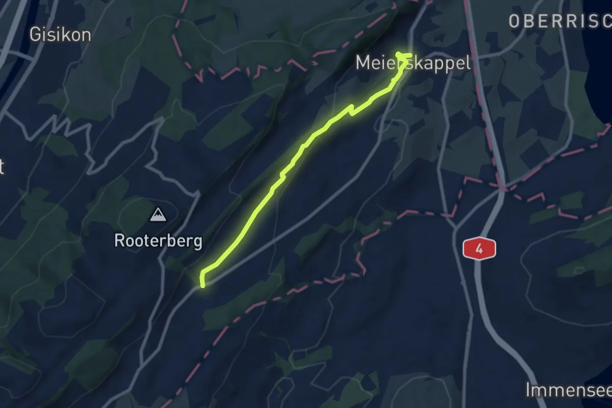
Easy · Trail
Meierskappel - Robmatt
6.6 km · ↑ 209 m · 2 h · 10 km away
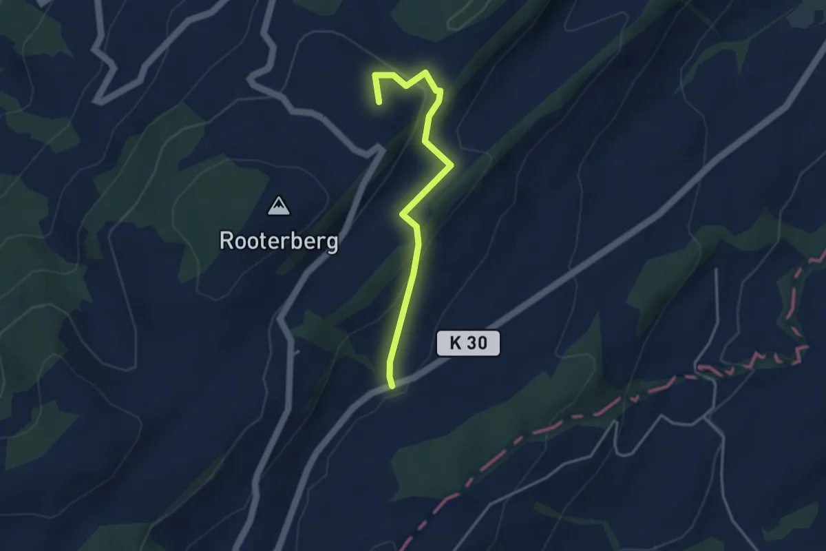
Easy · Summit
Michaelskreuz - Robmatt
3.3 km · ↑ 144 m · 1 h 5 min · 10 km away
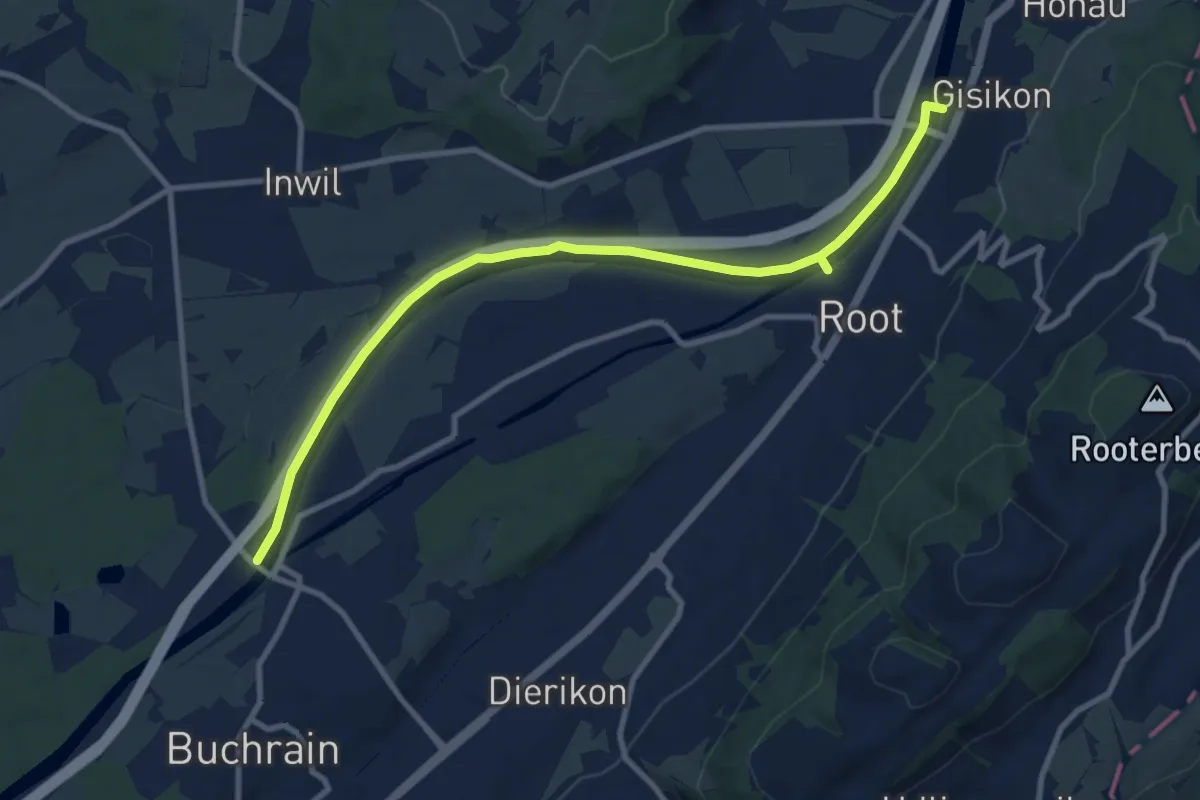
Medium · Trail
Perlenbrücke - Gisikon
10.6 km · ↑ 17 m · 2 h 33 min · 10 km away
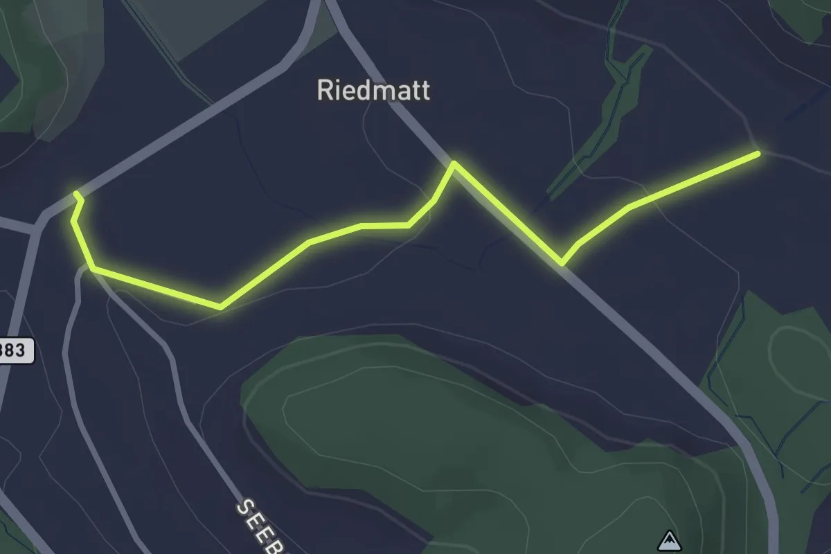
Easy · Trail
Tüfenbach – Vollenweid
2.8 km · ↑ 44 m · 46 min · 10 km away
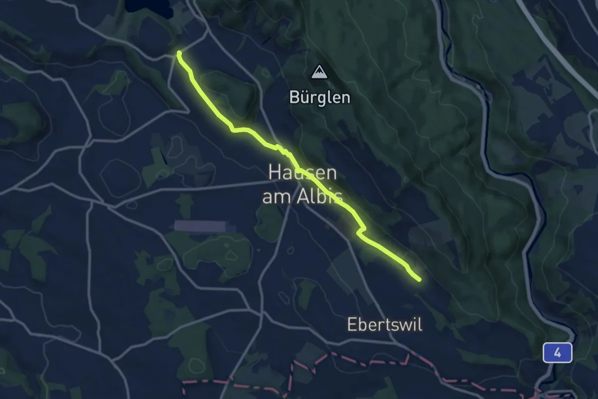
Medium · Trail
Husertal – Vollenweid
9.9 km · ↑ 210 m · 2 h 47 min · 10 km away
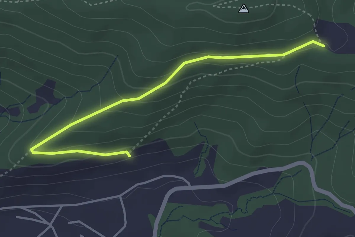
Easy · Trail
Gireggwald - Abschwändi
3.8 km · ↑ 159 m · 1 h 15 min · 10 km away
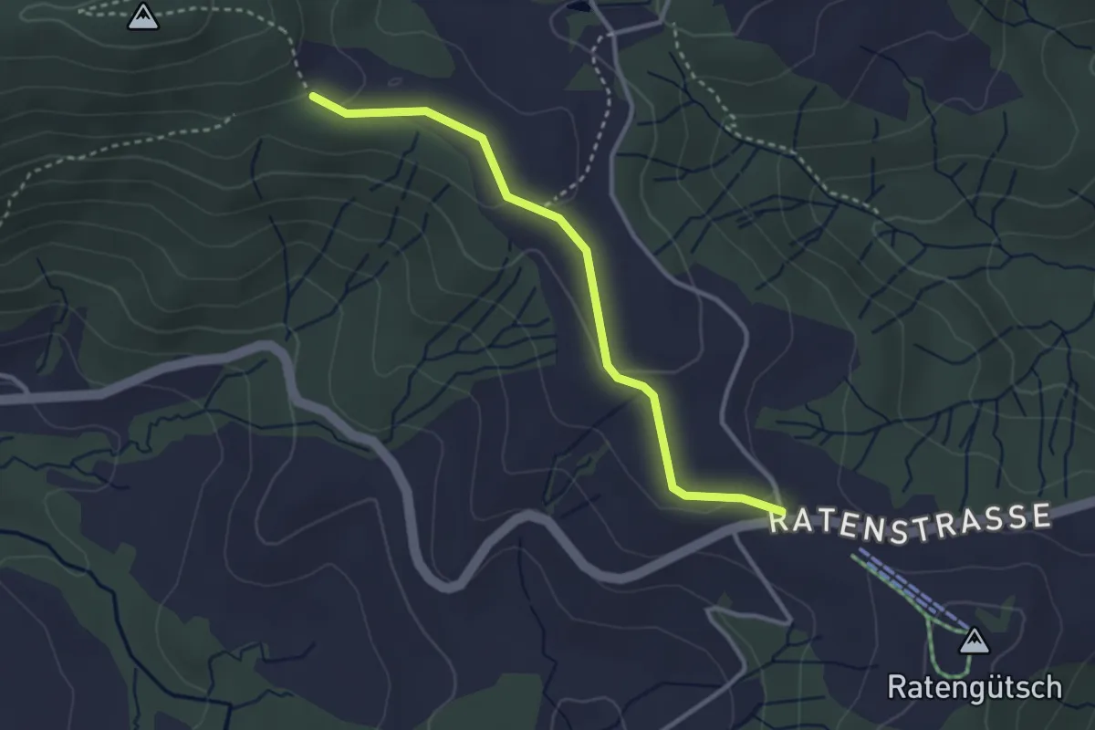
Easy · Trail
Raten – Abschwändi
3.0 km · ↑ 65 m · 52 min · 10 km away
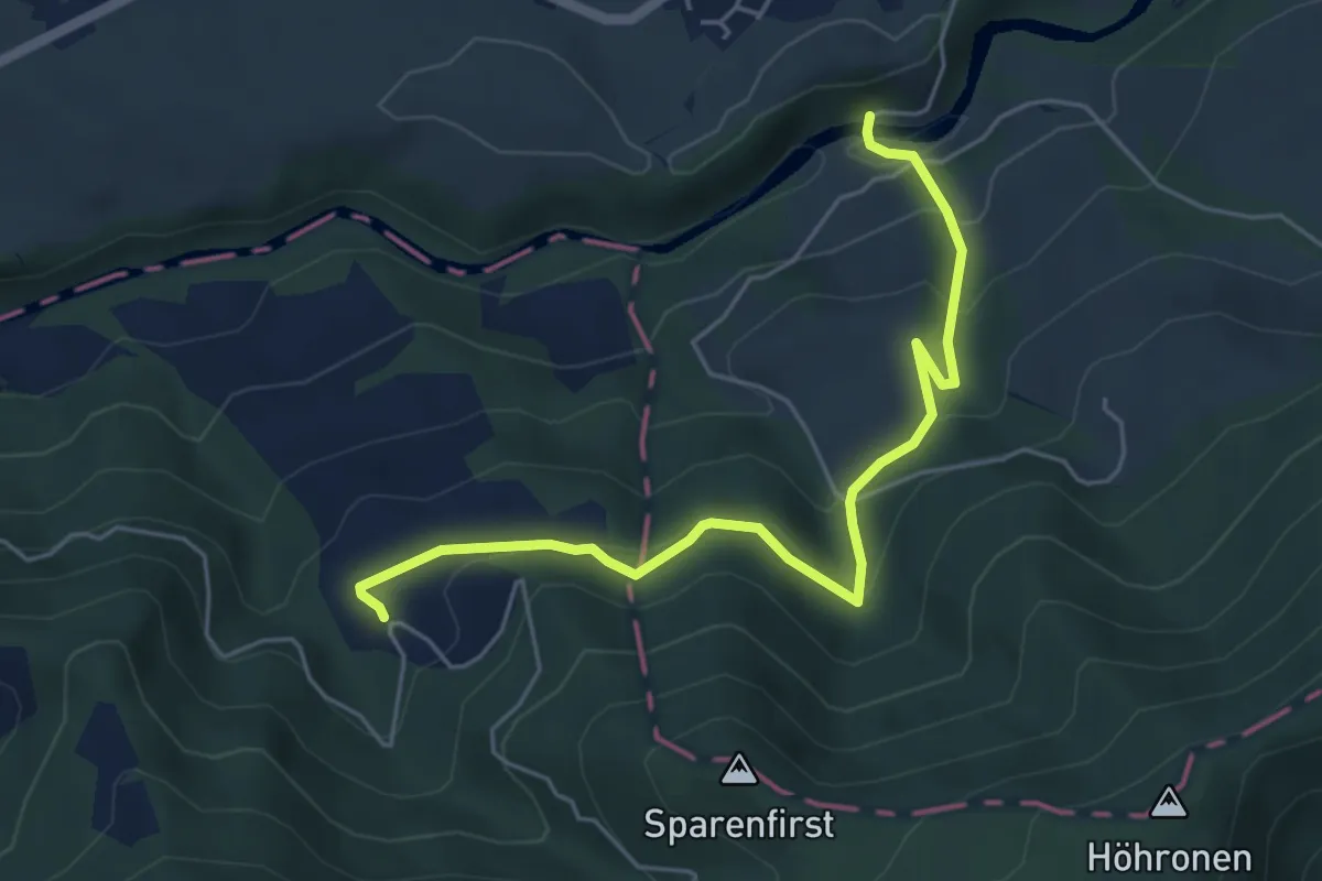
Medium · Trail
Hüttner Brugg - Sparenweid
5.4 km · ↑ 332 m · 2 h · 10 km away
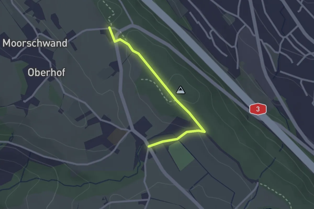
Easy · Trail
Horgenberg – Wüeribach
2.3 km · ↑ 37 m · 37 min · 10 km away
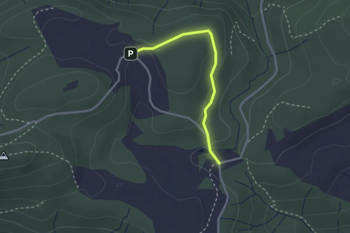
Easy · Trail
Chlausenchappeli – Gottschalkenberg
2.1 km · ↑ 47 m · 35 min · 10 km away
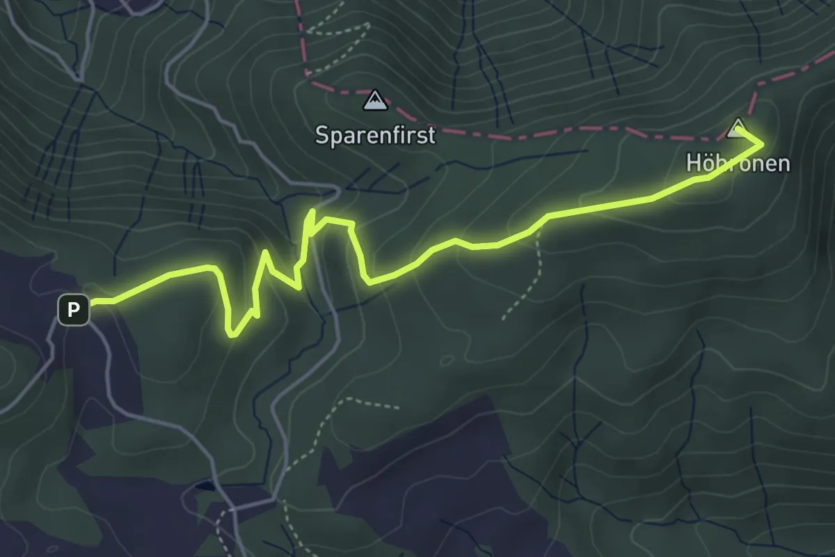
Easy · Summit
Höhboden – Gottschalkenberg
5.3 km · ↑ 249 m · 1 h 47 min · 10 km away
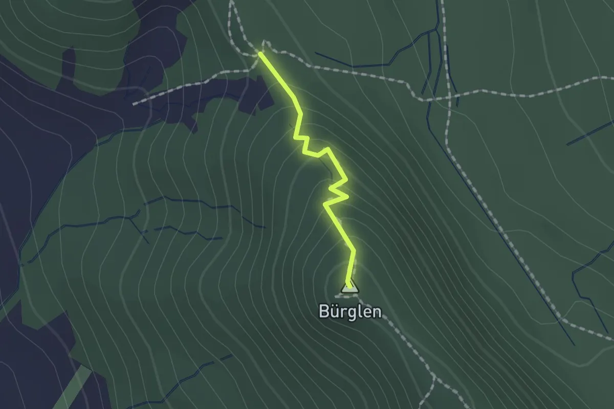
Easy · Summit
Albishorn – Schnabellücken
1.1 km · ↑ 93 m · 27 min · 10 km away
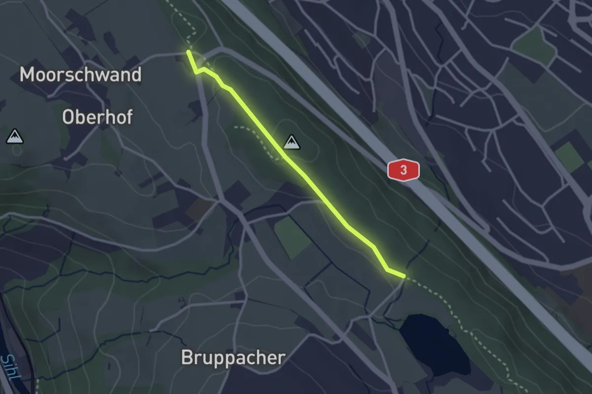
Easy · Trail
Horgenberg – Bergweier
2.5 km · ↑ 32 m · 39 min · 10 km away
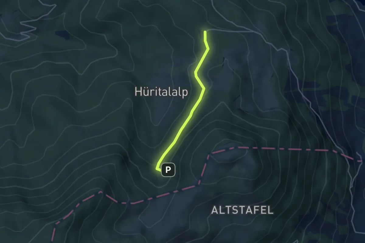
Easy · Trail
Cholerhütte - Geissfaren
2.9 km · ↑ 105 m · 55 min · 11 km away
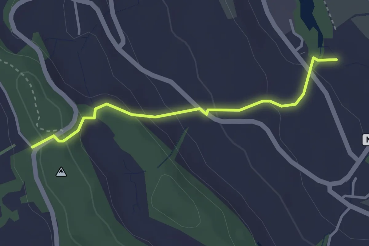
Easy · Trail
Chrutzelen – Aamüli
2.7 km · ↑ 160 m · 59 min · 11 km away
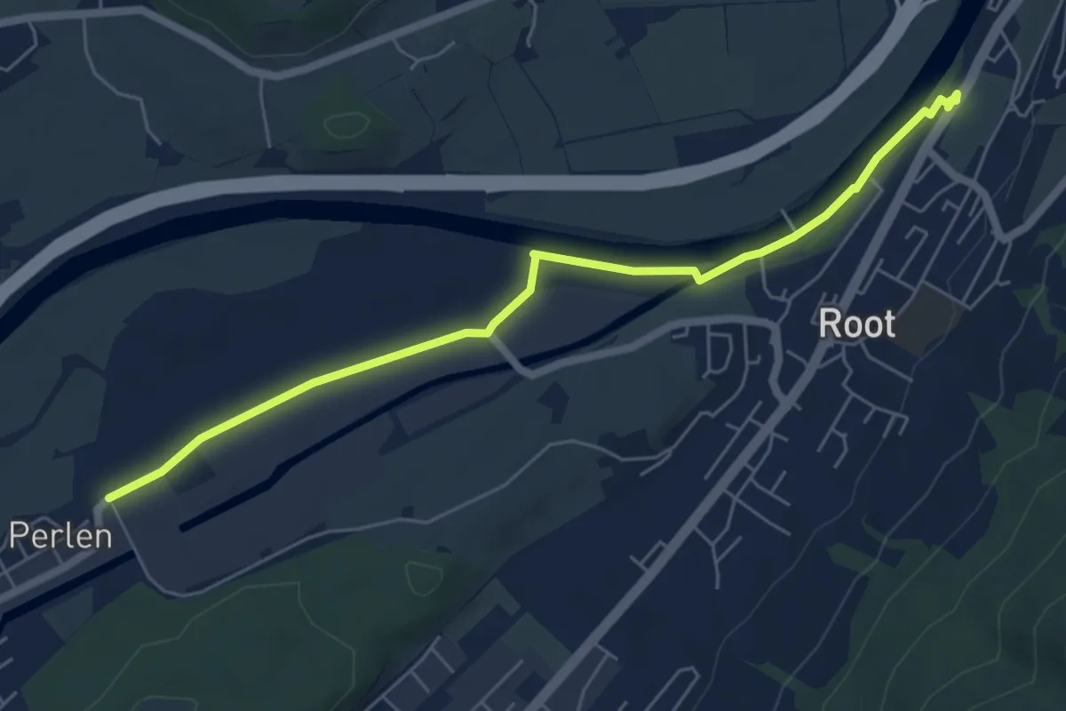
Easy · Trail
Gisikon Root - Perlen
6.1 km · ↑ 12 m · 1 h 28 min · 11 km away
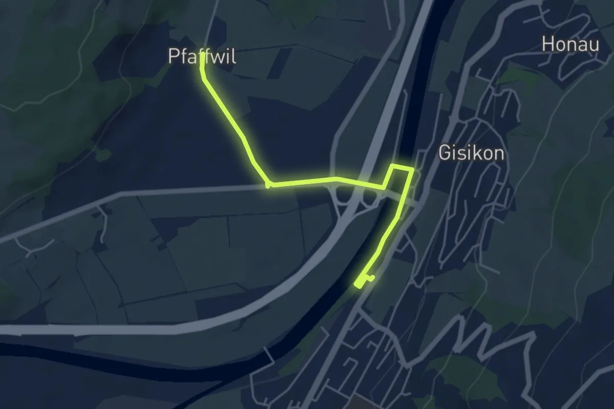
Easy · Trail
Gisikon-Root - Pfaffwil
4.3 km · ↑ 10 m · 1 h 2 min · 11 km away
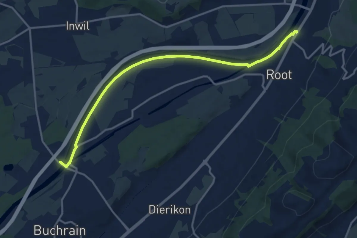
Medium · Trail
Perlenbrücke - Gisikon Root
9.5 km · ↑ 17 m · 2 h 17 min · 11 km away
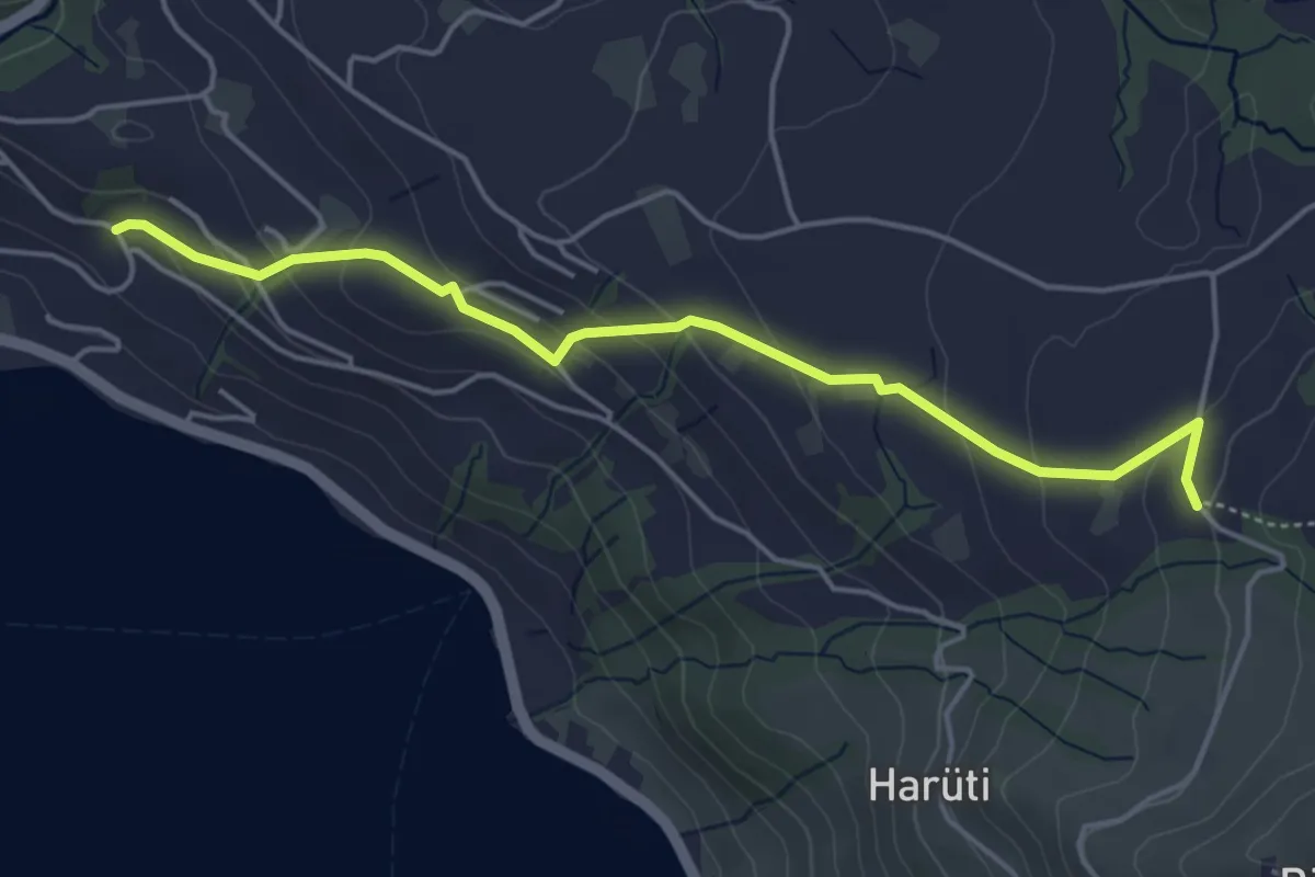
Easy · Trail
Bättenbüel – Waldschlagchrüz
4.7 km · ↑ 237 m · 1 h 38 min · 11 km away
Easy · Trail
Waldschlagchrüz - Alosen
4.8 km · ↑ 102 m · 1 h 21 min · 11 km away
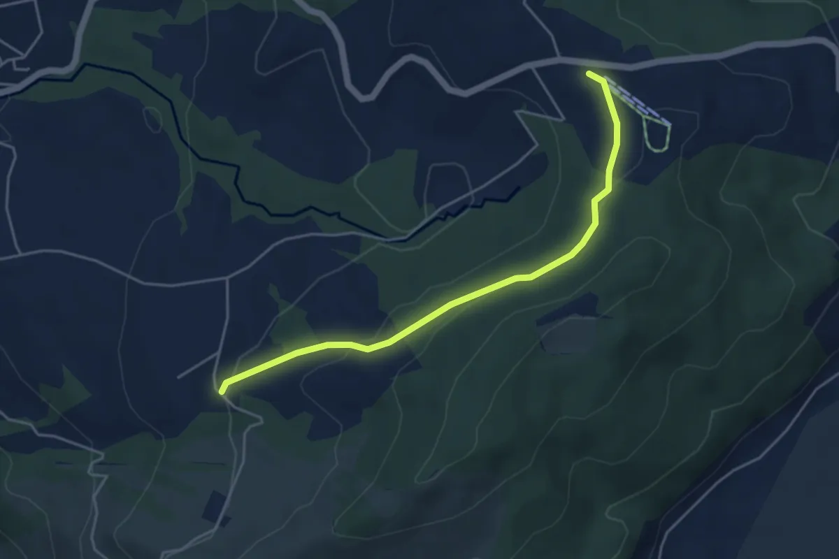
Easy · Trail
Raten - Waldschlagchrütz
4.3 km · ↑ 156 m · 1 h 21 min · 11 km away
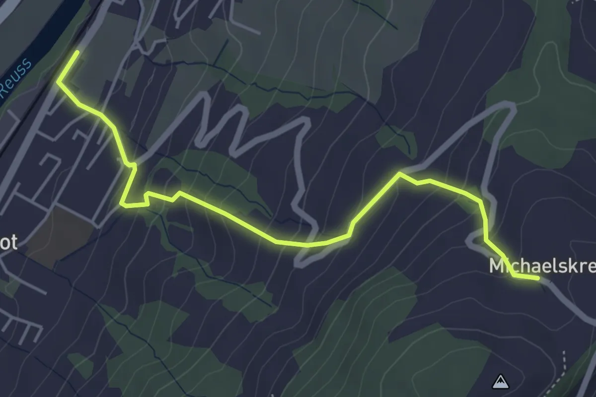
Medium · Trail
Michaelskreuz - Gisikon-Root
4.7 km · ↑ 346 m · 1 h 51 min · 11 km away
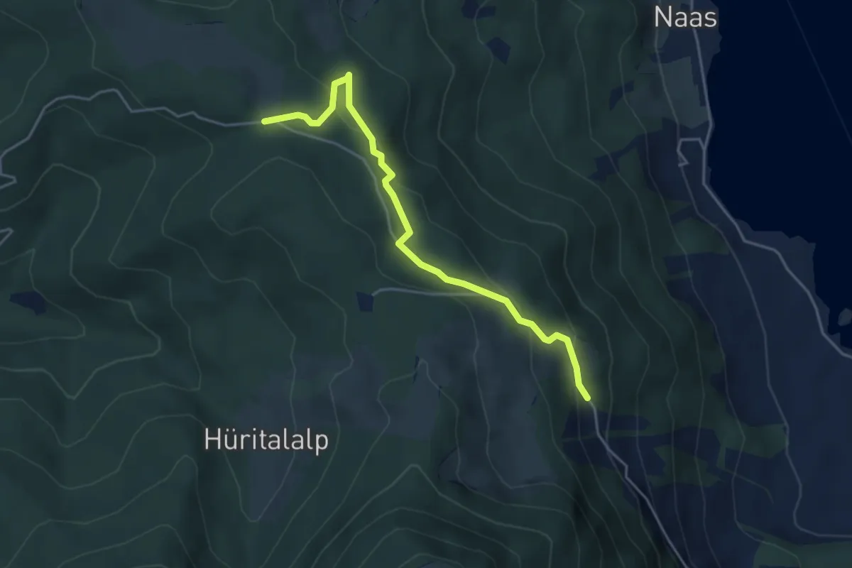
Easy · Trail
Schornerain - Rossalmig
4.3 km · ↑ 202 m · 1 h 27 min · 11 km away
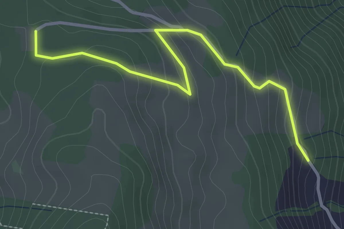
Easy · Trail
Schornerain - Cholerhütte
2.9 km · ↑ 140 m · 59 min · 11 km away
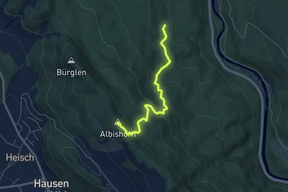
Medium · Summit
Tannboden – Albishorn
4.8 km · ↑ 324 m · 1 h 50 min · 11 km away
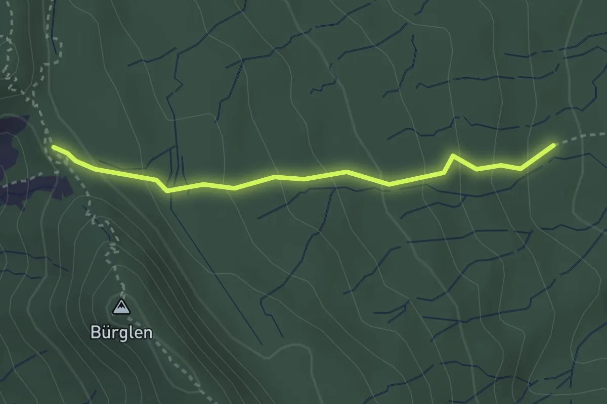
Easy · Summit
Schnabellücke – Tannboden
2.8 km · ↑ 191 m · 1 h 4 min · 11 km away
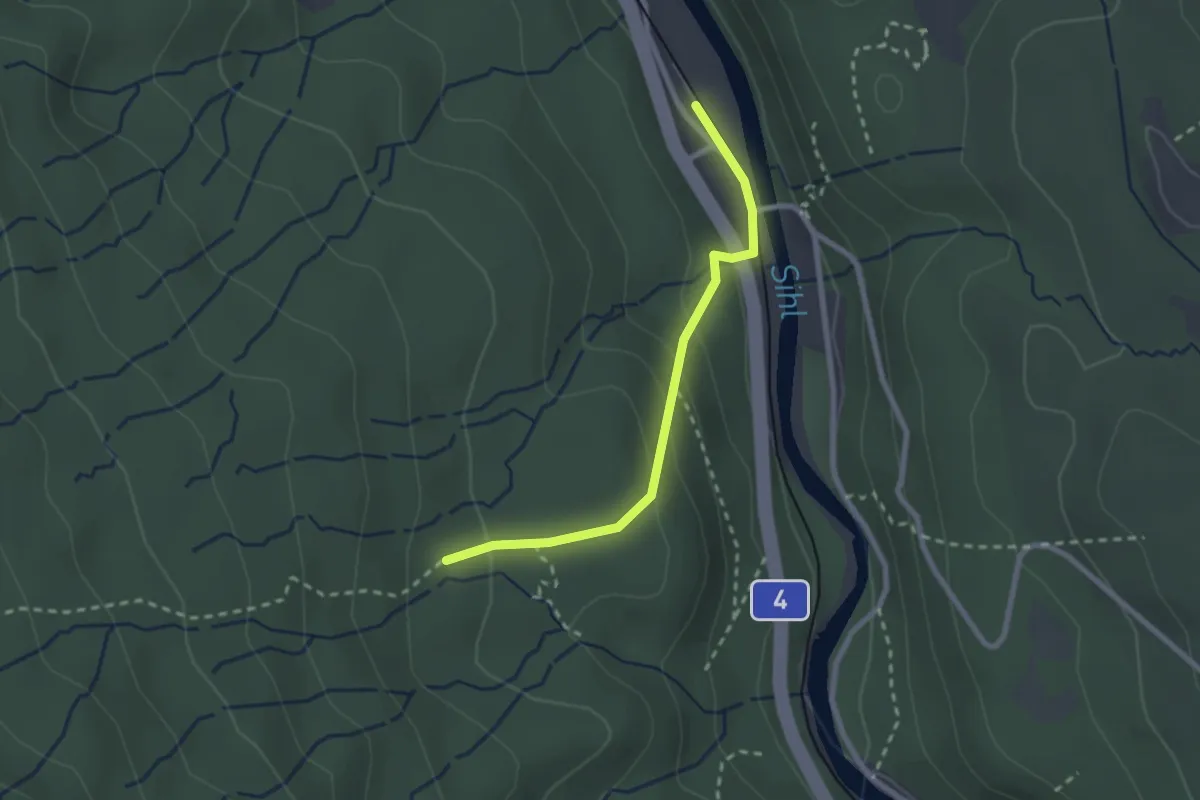
Easy · Trail
Tannboden – Sihlwald
2.3 km · ↑ 123 m · 48 min · 11 km away
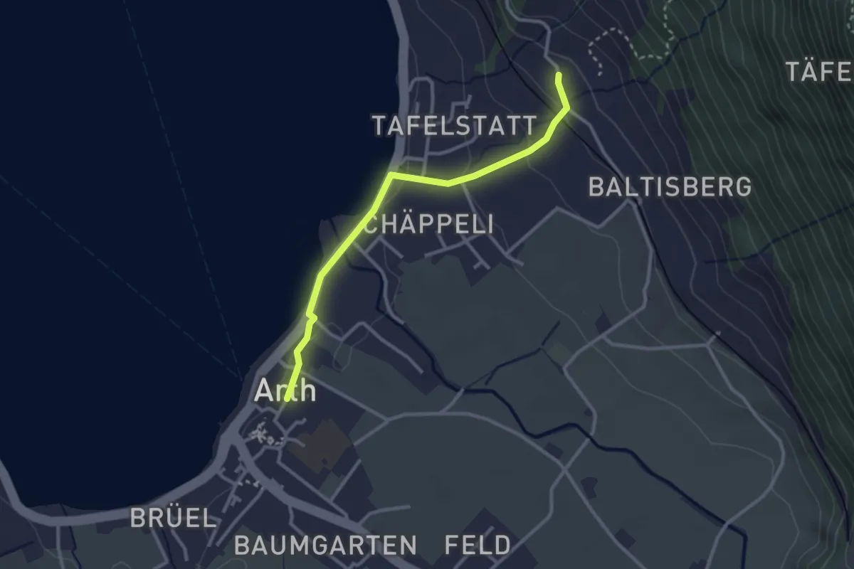
Easy · Trail
Arth - Sunnenberg
2.8 km · ↑ 92 m · 51 min · 11 km away
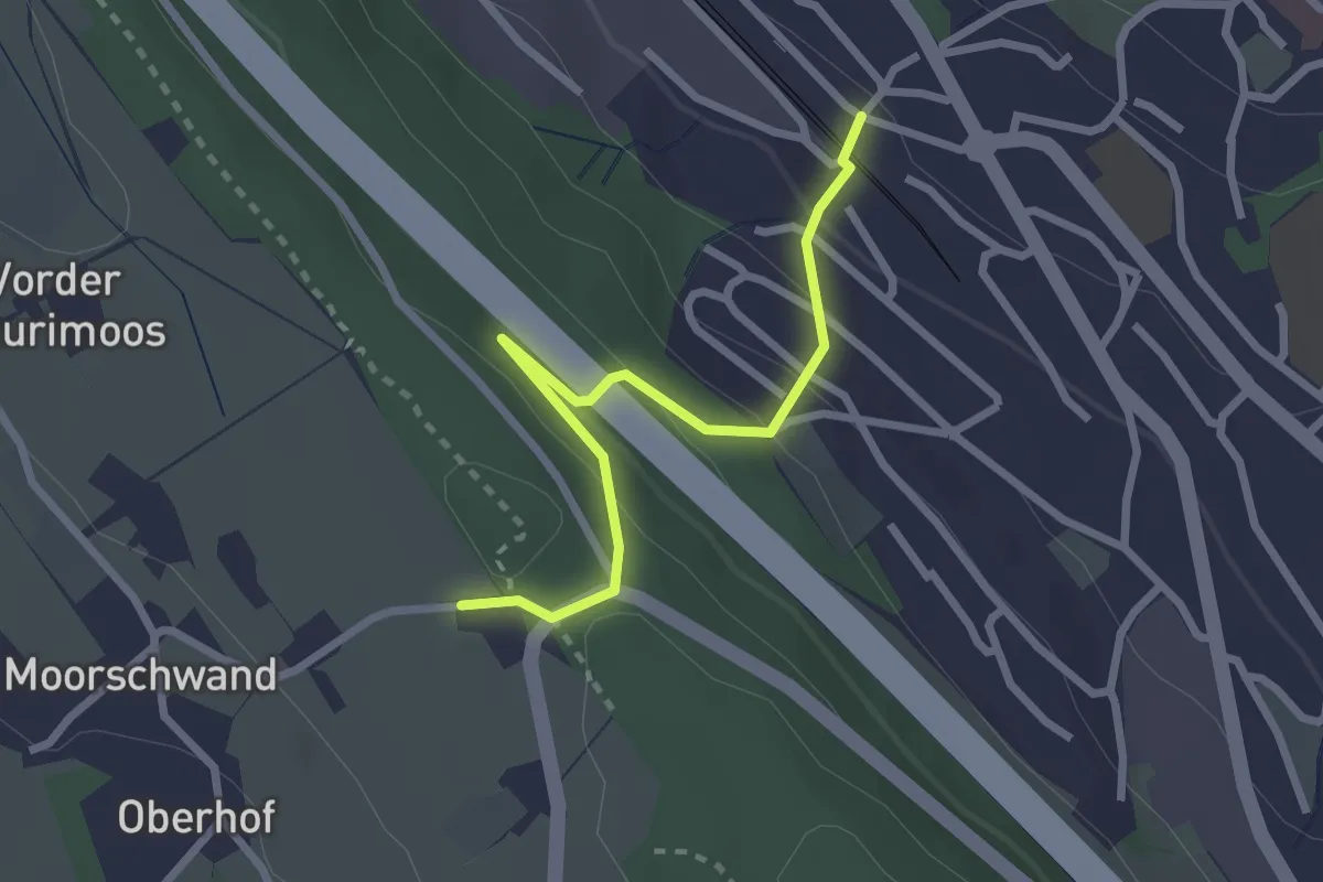
Easy · Trail
Horgenberg – Horgen Oberdorf
2.6 km · ↑ 161 m · 57 min · 11 km away
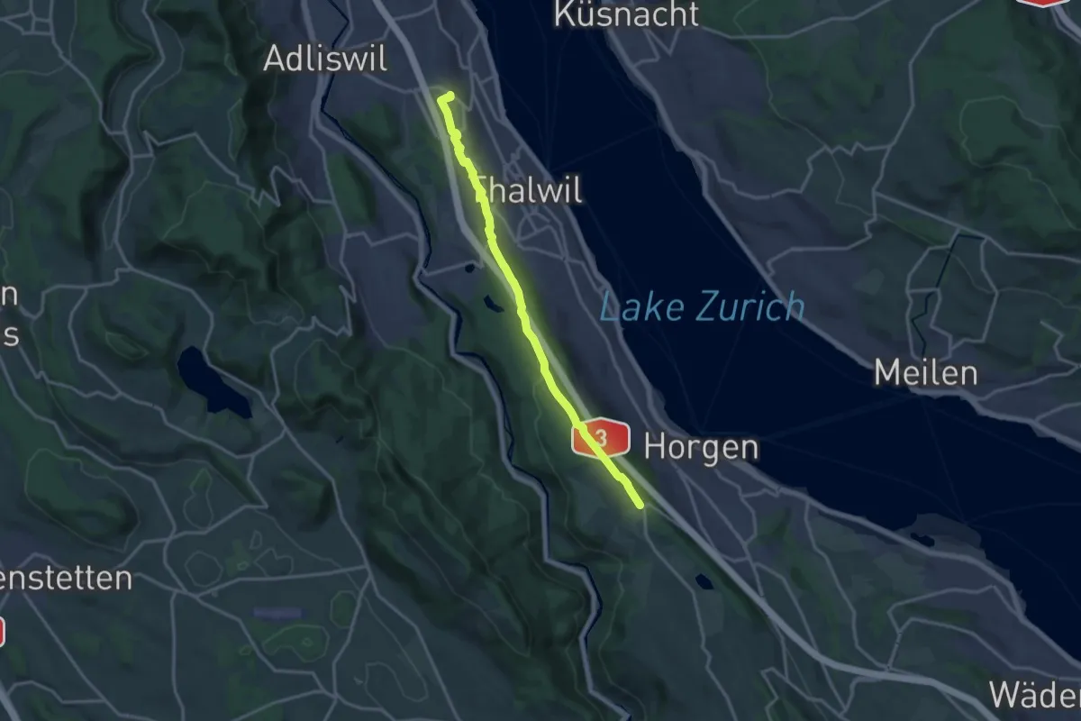
Medium · Trail
Nidelbad – Horgenberg
14.4 km · ↑ 199 m · 3 h 50 min · 11 km away
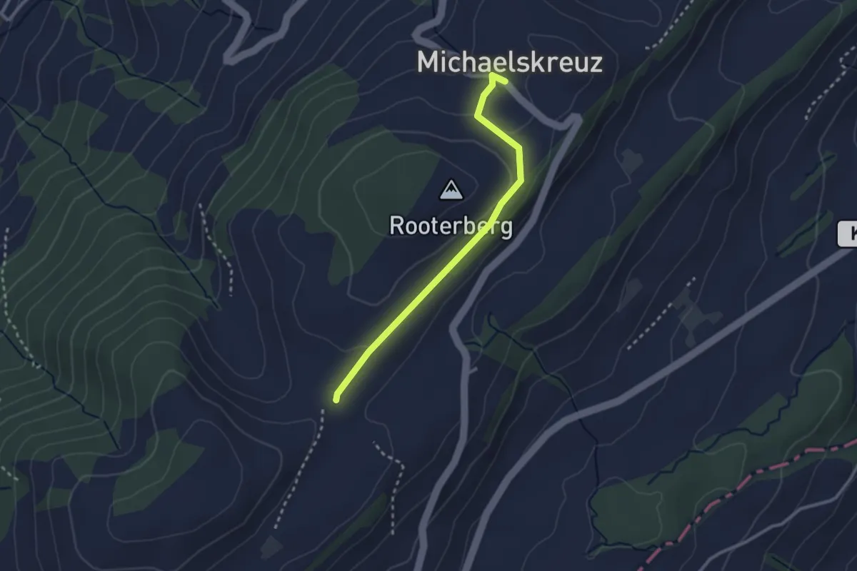
Easy · Trail
Michaelskreuz-Schiffmannshof
2.5 km · ↑ 52 m · 43 min · 11 km away
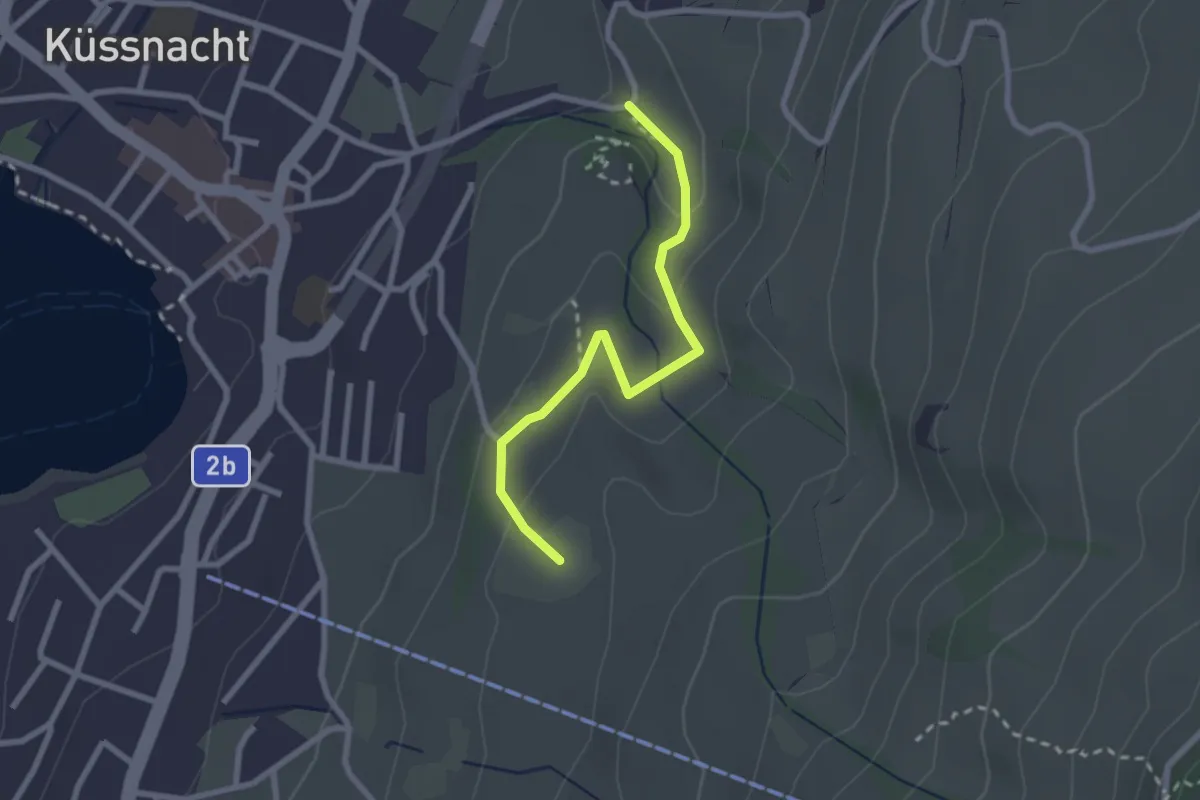
Easy · Trail
Gesslerber-Alpenhof
2.4 km · ↑ 89 m · 45 min · 11 km away
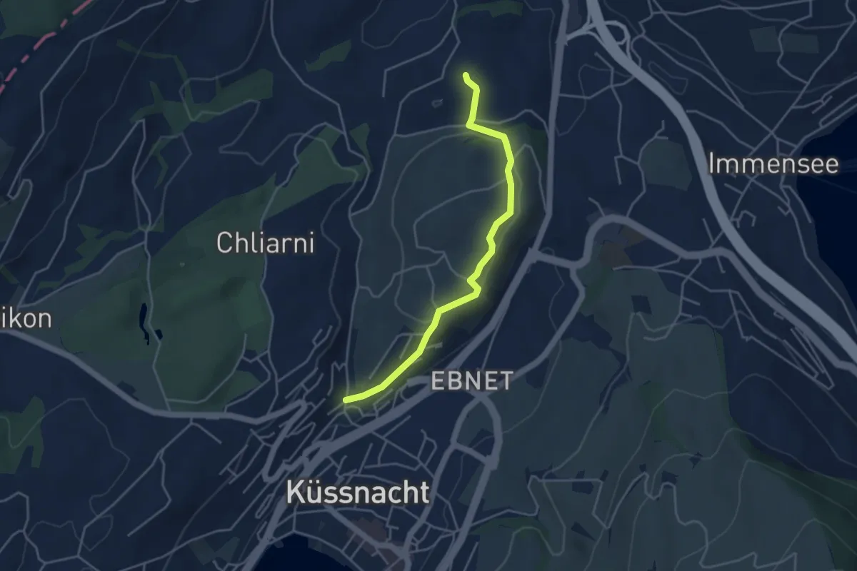
Easy · Trail
Küssnacht - St. Martin
3.9 km · ↑ 69 m · 1 h 5 min · 11 km away
Easy · Trail
Widenwald - Gottschalkenberg Waldstr. - fixme
2.7 km · ↑ 180 m · 1 h 1 min · 11 km away
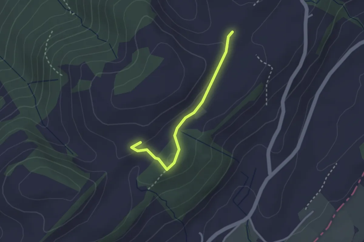
Easy · Trail
Fusterli - Schiffmanshof
2.3 km · ↑ 51 m · 39 min · 11 km away
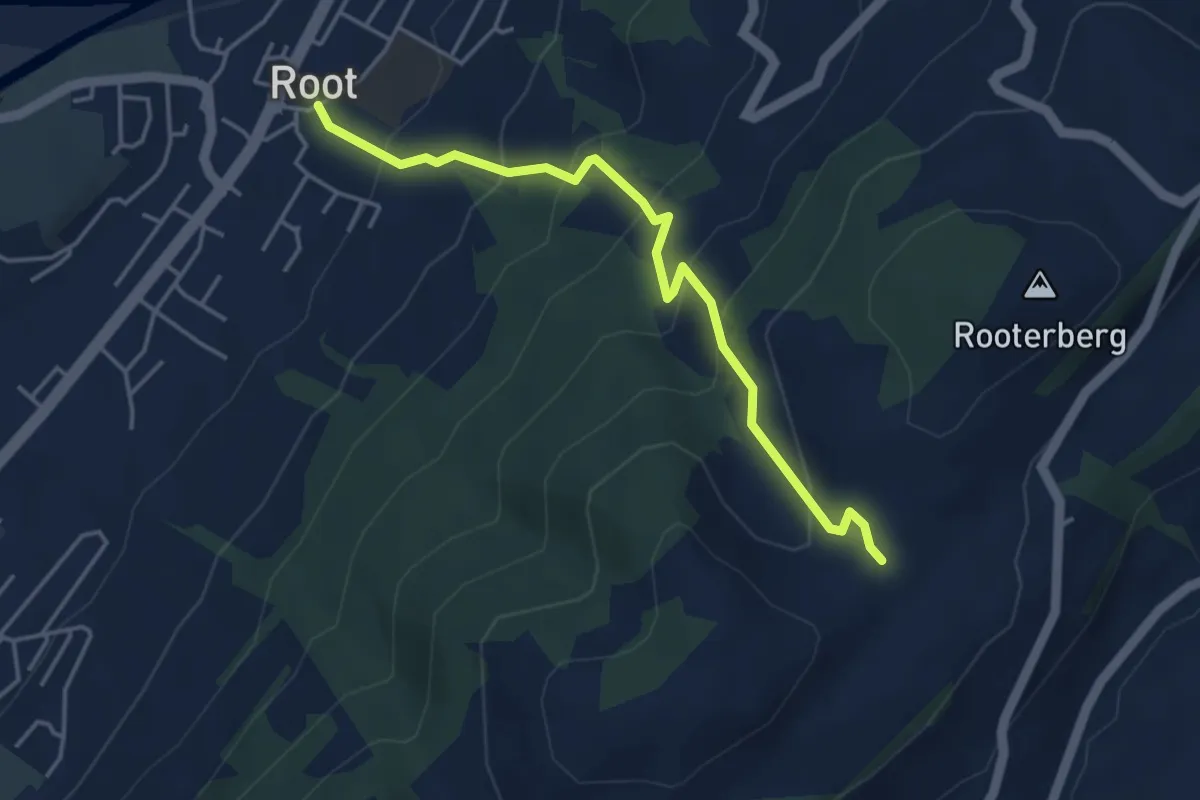
Medium · Trail
Schiffmannshof - Root
4.2 km · ↑ 341 m · 1 h 44 min · 11 km away
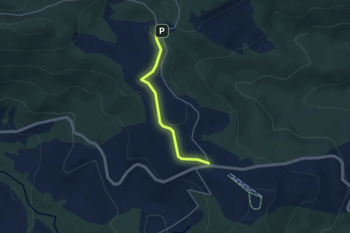
Easy · Trail
Raten – Chlausenchappeli
2.8 km · ↑ 63 m · 48 min · 11 km away
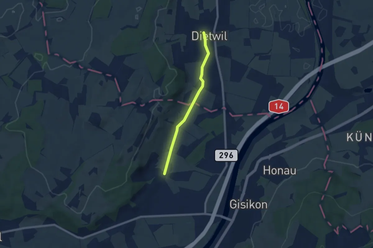
Easy · Trail
Dietwil - Pfaffwil
4.5 km · ↑ 44 m · 1 h 9 min · 11 km away
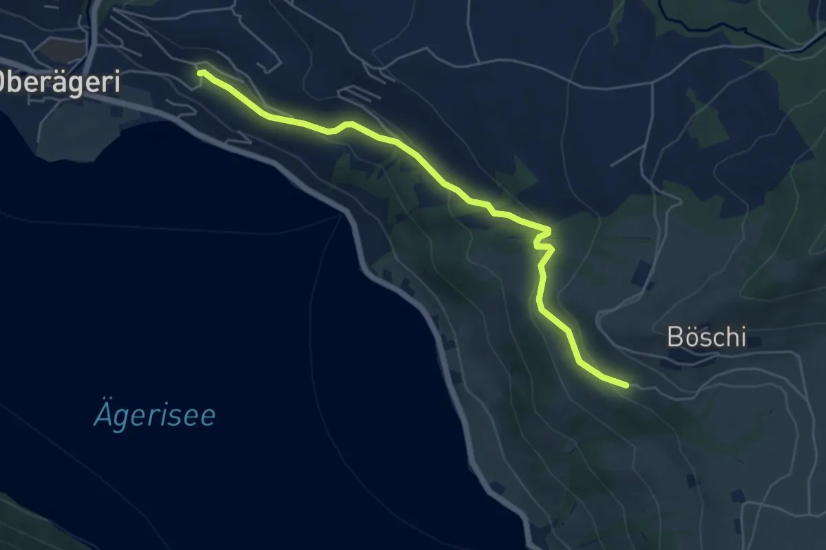
Easy · Trail
Rämsli - Oberägerie
5.4 km · ↑ 204 m · 1 h 43 min · 11 km away
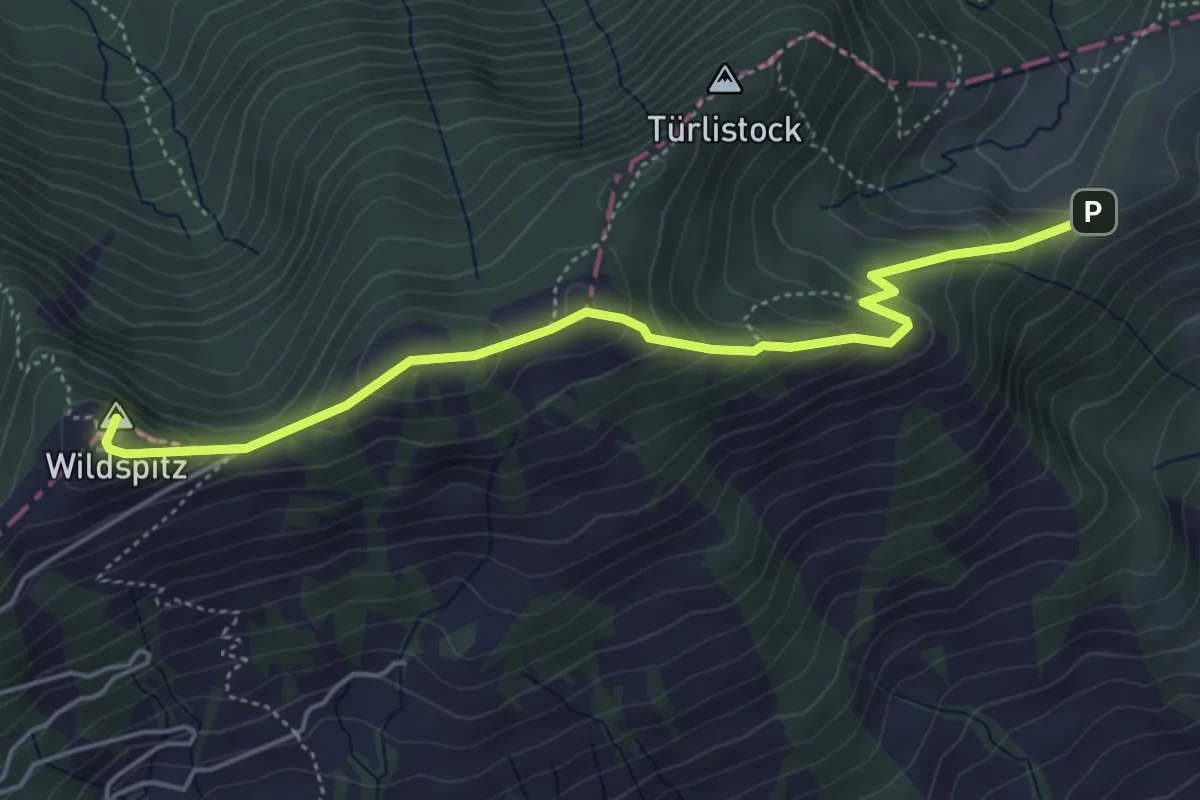
Medium · Summit
Halsegg – Wildspitz
5.0 km · ↑ 334 m · 1 h 54 min · 11 km away
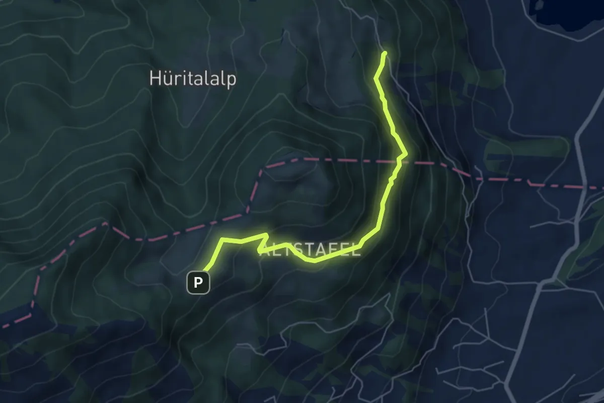
Medium · Trail
Halsegg - Schornerain
5.3 km · ↑ 336 m · 1 h 59 min · 11 km away